| PalestineRemembered | About Us | Oral History | العربية | |
| Pictures | Zionist FAQs | Haavara | Maps | |
| Search |
| Camps |
| Districts |
| Acre |
| Baysan |
| Beersheba |
| Bethlehem |
| Gaza |
| Haifa |
| Hebron |
| Jaffa |
| Jericho |
| Jerusalem |
| Jinin |
| Nablus |
| Nazareth |
| Ramallah |
| al-Ramla |
| Safad |
| Tiberias |
| Tulkarm |
| Donate |
| Contact |
| Profile |
| Videos |
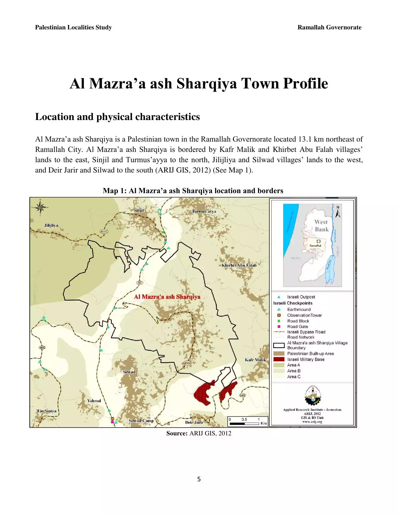
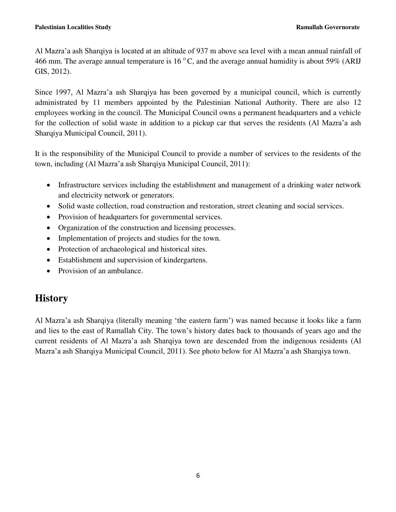
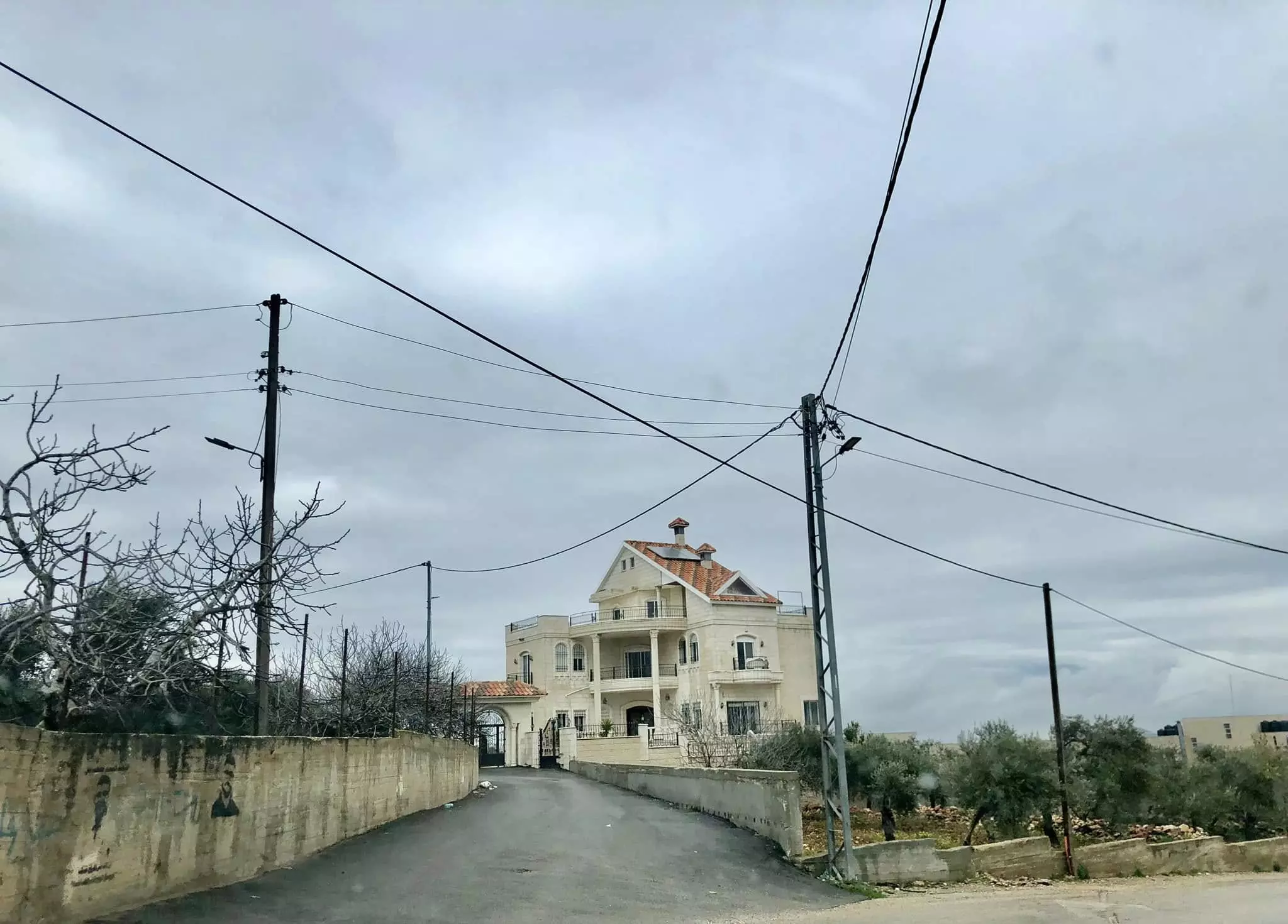
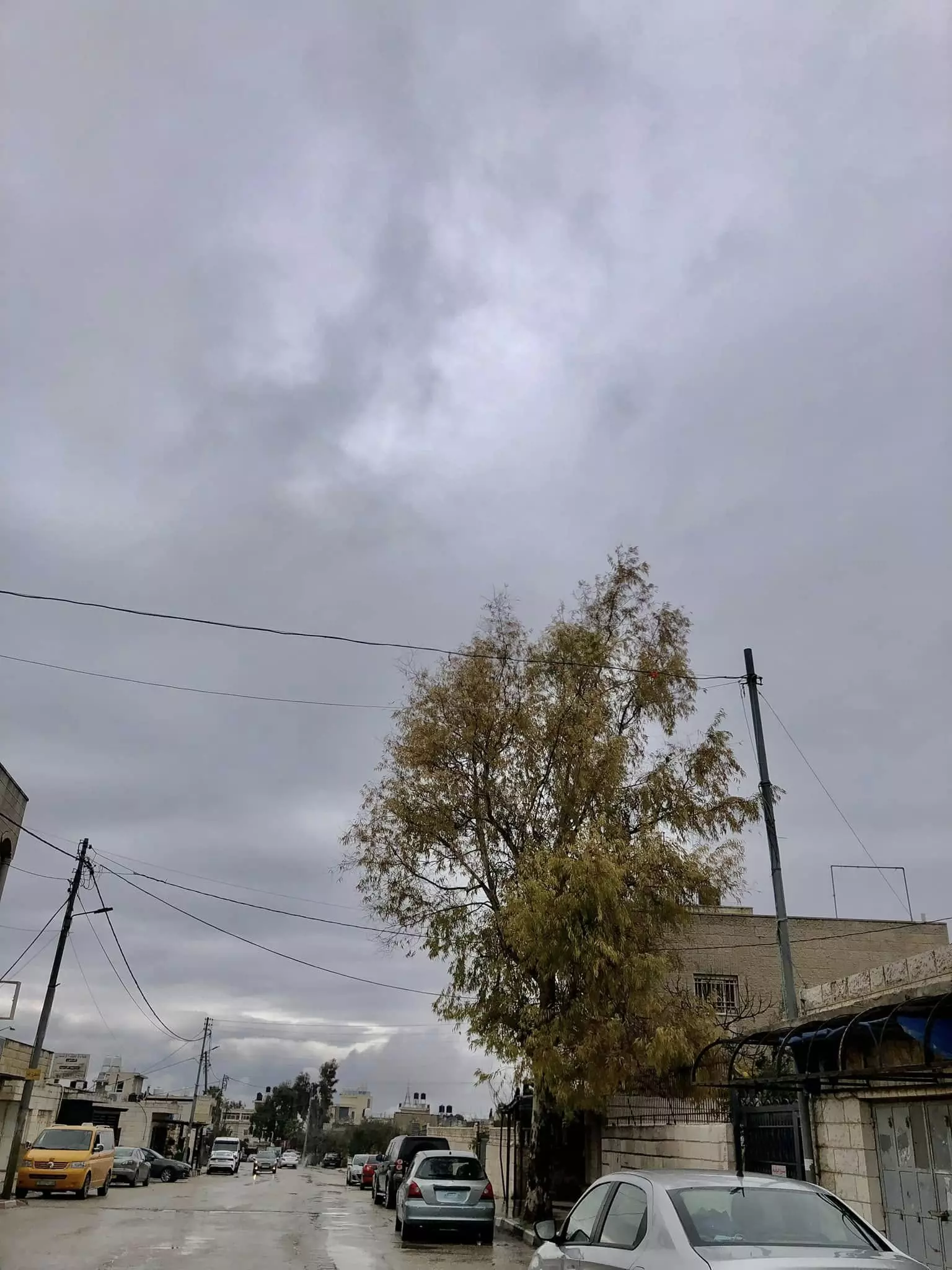
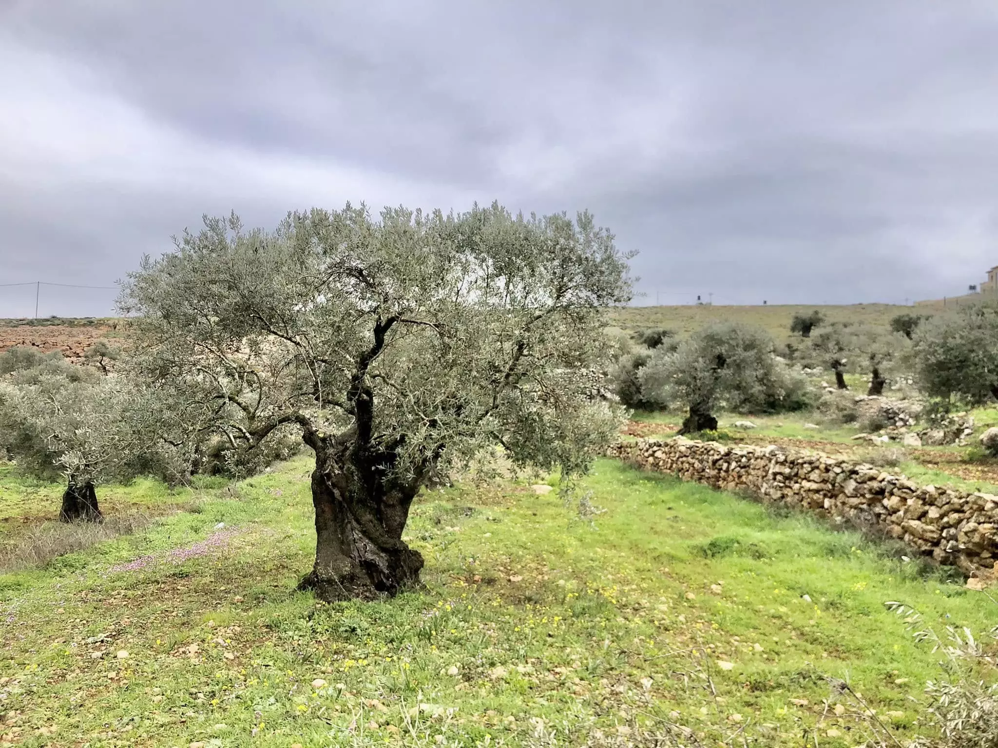
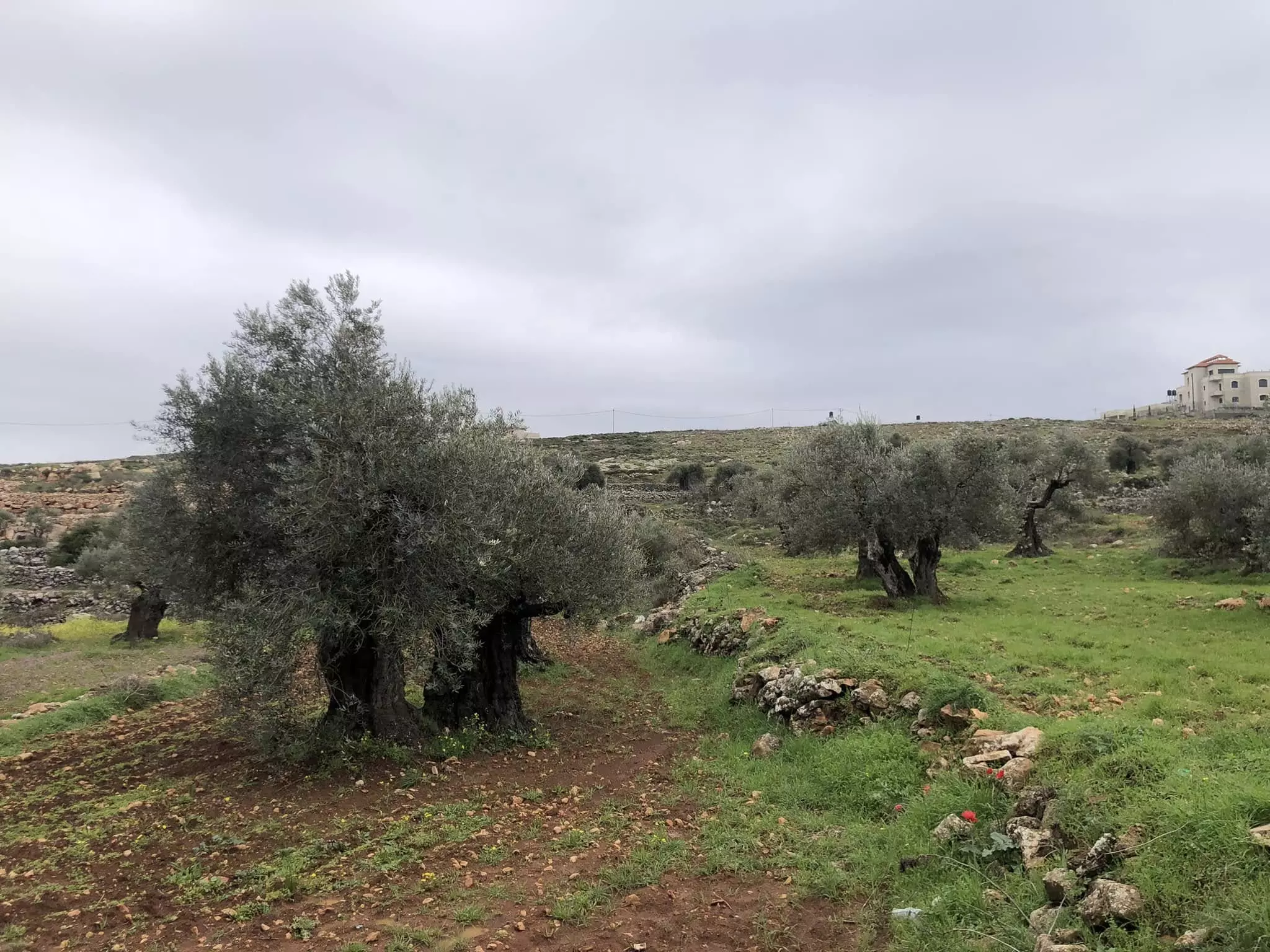
Welcome To al-Mazra'a al-Sharqiya - المزرعه الشرقيه (מזרעה א-שרקיה)
|
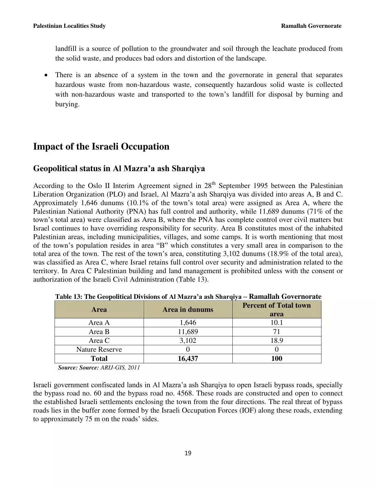
District of Ramallah
Occupied days ago |
العربية Google Earth |
 |
Gallery (100) |
- Statistics & Facts
-
Before & After

- Satellite View
- Articles 2
- Pictures 100
- Mayrters & Prisoners 1
- Members 28
- Families
- Wikipedia
- ARIJ Guide
- Videos 6
- Guest Book 12
- Links
| Statistic & Fact | Value | ||||||||||||||||||
| Distance From District | 15 km northeast of Ramallah | ||||||||||||||||||
| Elevation | 940 meters | ||||||||||||||||||
| Before & After Nakba, Click Map For Details |
|||||||||||||||||||
|
|||||||||||||||||||
| Land Ownership |
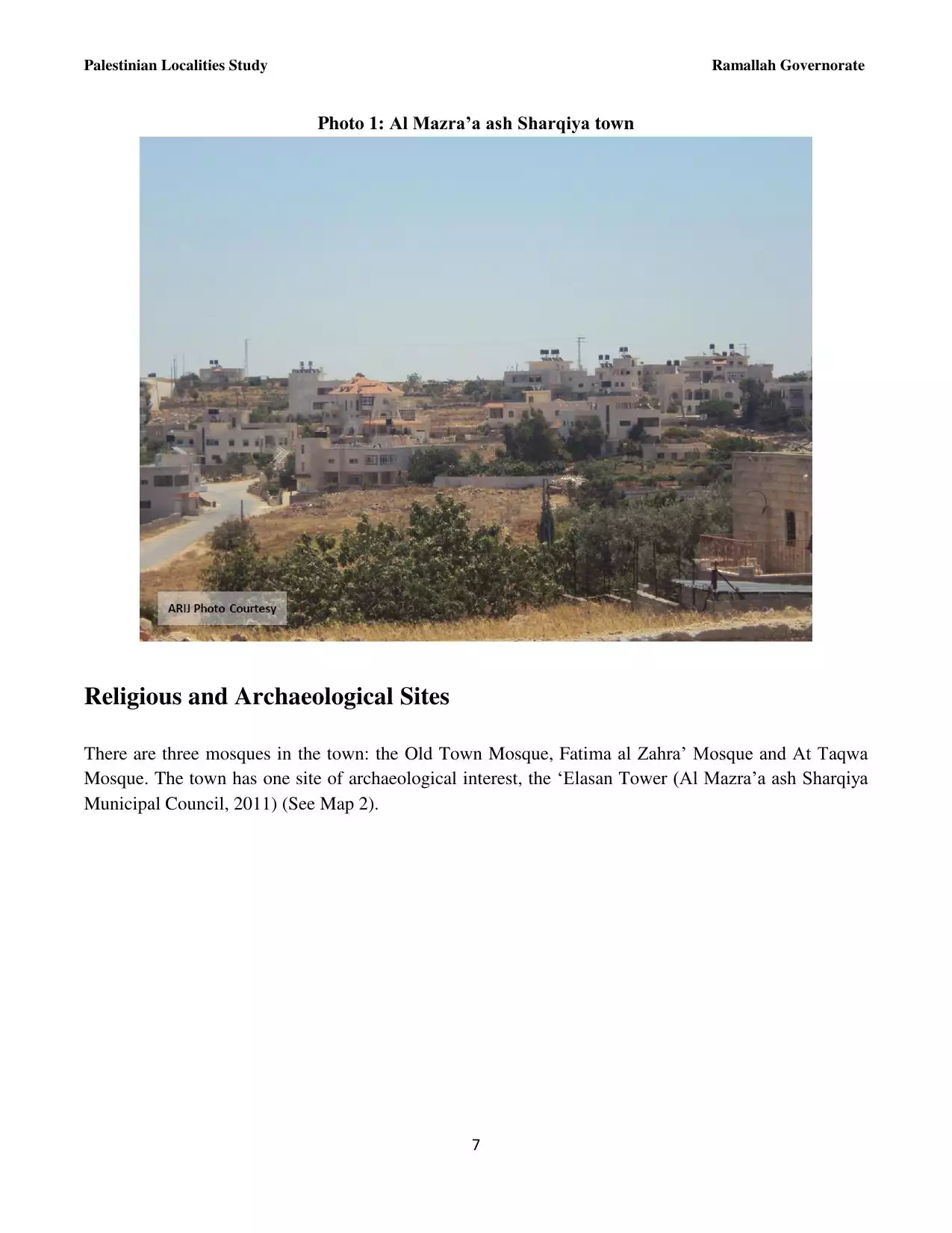
**Town Lands' Demarcation Maps |
||||||||||||||||||
| Land Usage As of 1945 |
|
||||||||||||||||||
| Population |
|
||||||||||||||||||
| Near By Towns |
|||||||||||||||||||
|
|||||||||||||||||||
| Featured Video | |||||||||||||||||||
| ARIJ Guide | |||||||||||||||||||
3.
4. 
5. 
6. 
7. 
8. 
9. 
10. 
11. 
12. 
13. 
14. 
15. 
16. 
17. 
18. 
19. 
20. 
21. 
Click here to browse online. |
|||||||||||||||||||
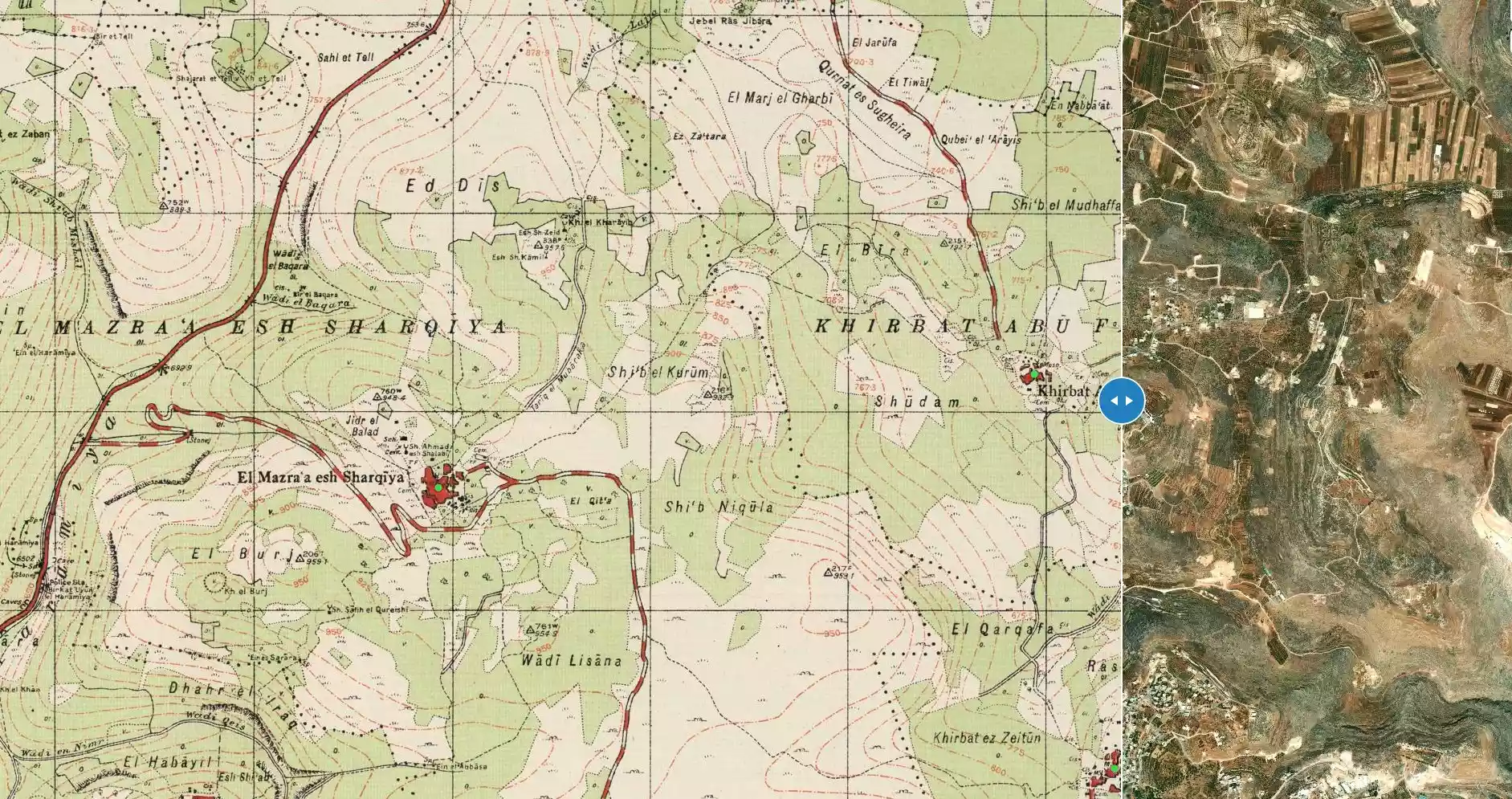
| Related Maps | Town Lands' Demarcation Maps خرائط للقضاء توضح حدود القرى والاودية View from satellite Town's map on MapQuest Help us map this town at WikiMapia |
||||||||||||||||||
| Related Links | Wikipedia's Page Facebook Page ARIJ Guide Google Search Google For Images Google For Videos في كتاب بلادنا فلسطين دليل أريج المزيد من موقع هوية |
||||||||||||||||||
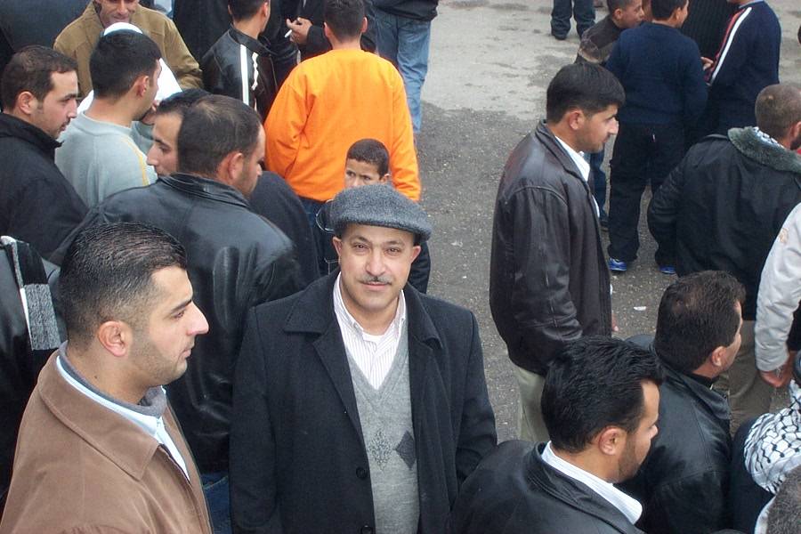
- palestine rally
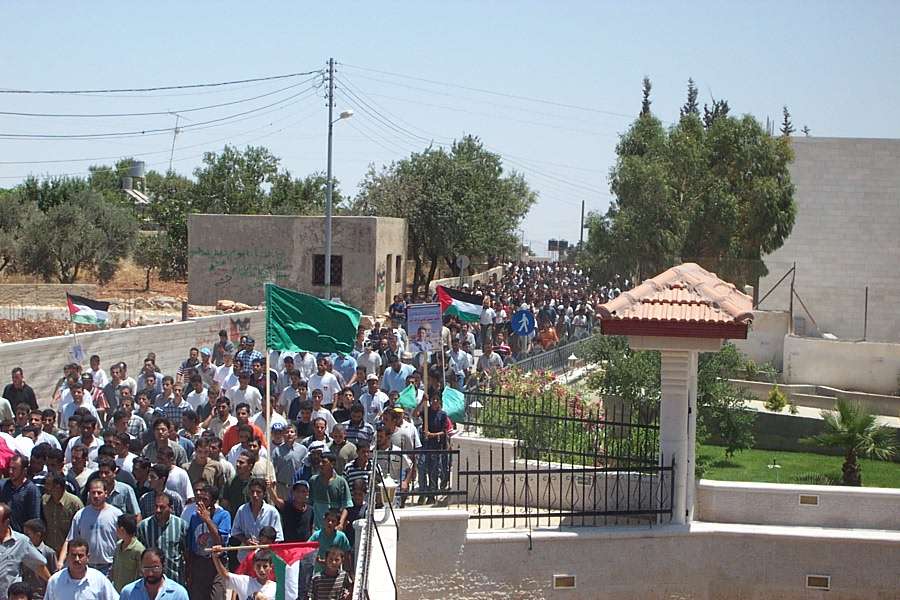
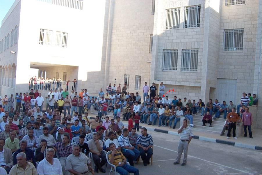
Posted by AH 4 - kindergarten graduation
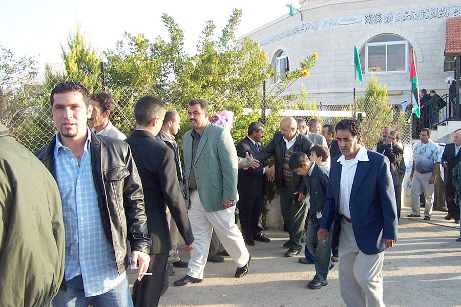
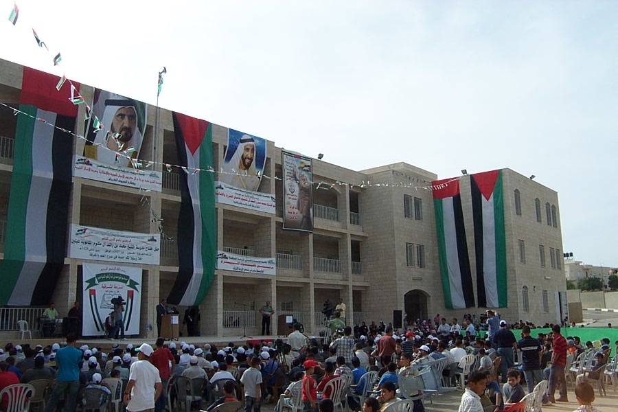
Posted by AH 1 - Girls secondary school opening celebration, BASEM MILBES
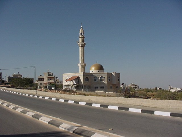
Posted by AH 1 - 1 of 2 Mosques located in the newer part of town, Sharka
Posted by AH 4 - My Uncle Bassem and Hassan

Posted by Anwar Milbes 1 - My grandpa Jalal Hamideh at eid
Posted by Baker Milbes - My uncle Issa Hamideh at Eid
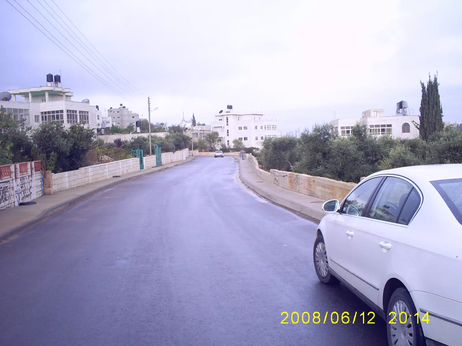
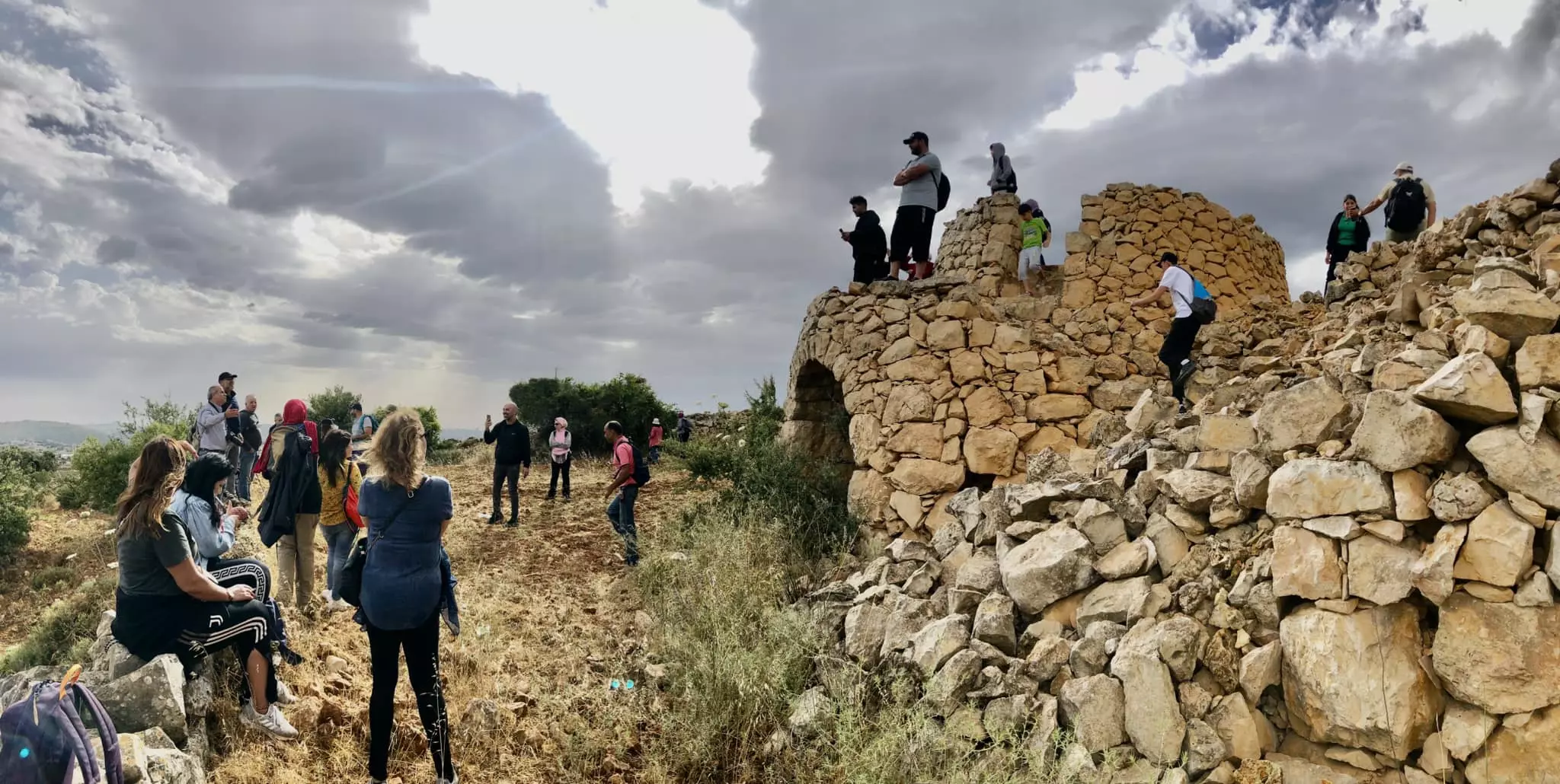
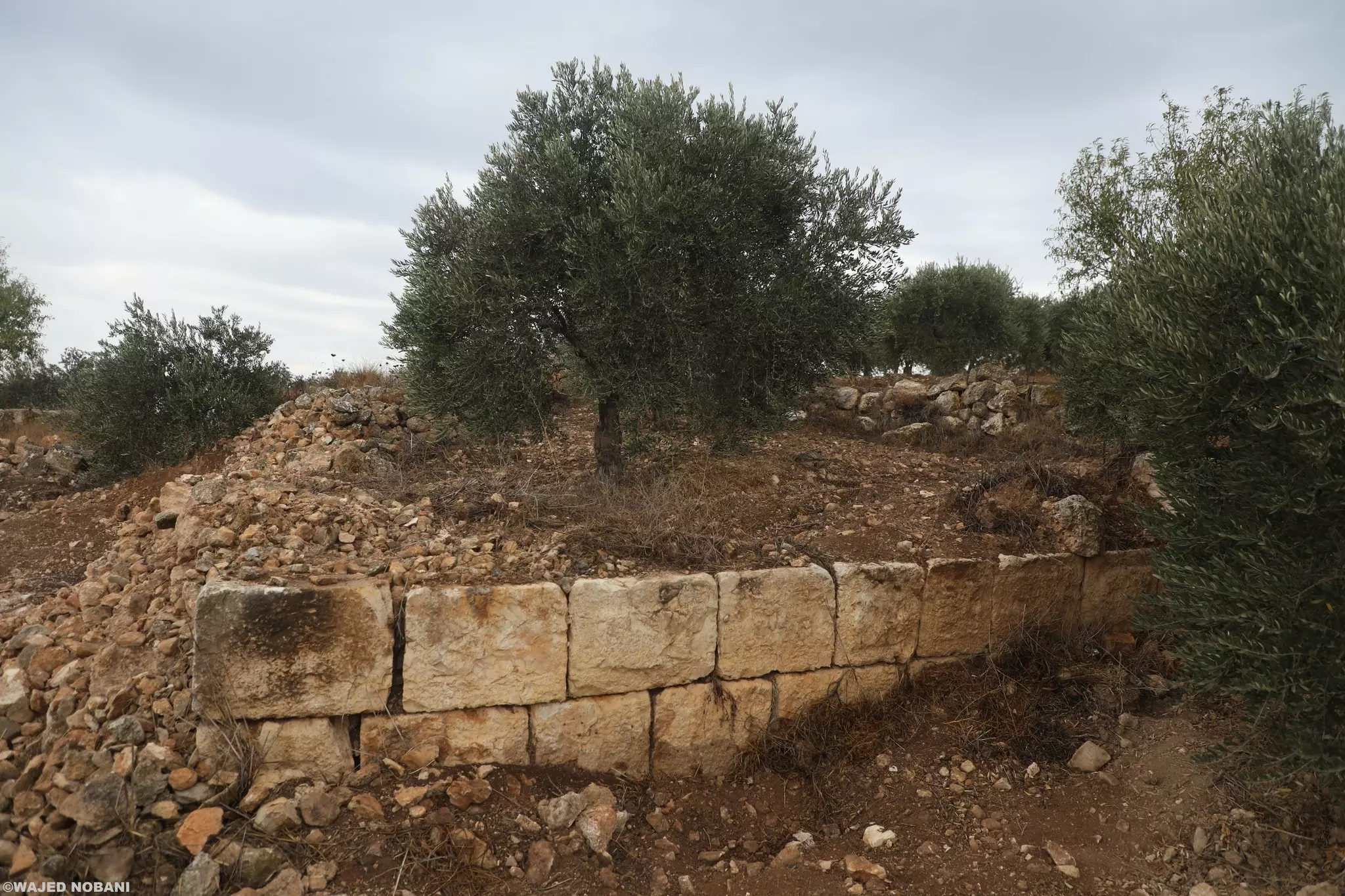
Posted by Baker Milbes - General View

Posted by Ibn al-Mazra 1 - General View
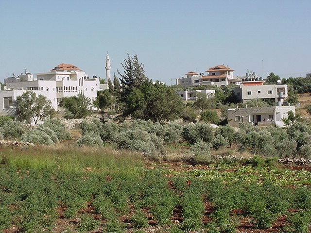
Posted by Ibn al-Mazra - General View

Posted by Ibn al-Mazra 1 - General View

Posted by Ibn al-Mazra - General View from the southern side
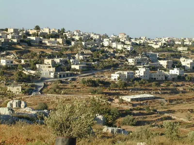
Posted by Ibn al-Mazra 1 - General view
Posted by Ibn al-Mazra - the new school
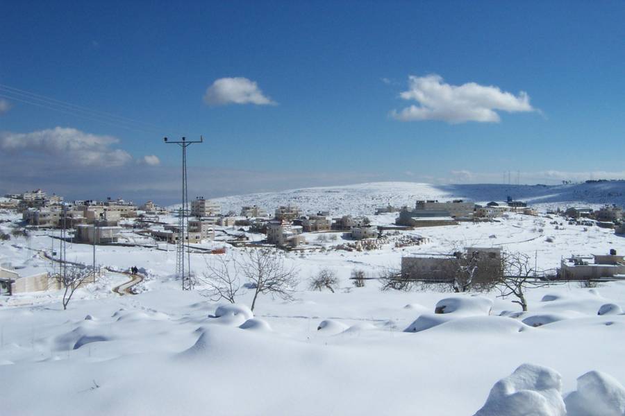
Posted by Ibn al-Mazra 2 - snow in 2008
Posted by Ibn al-Mazra 1 - شارع البلديه
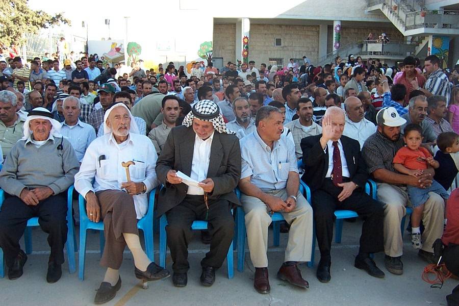
Posted by BELAL H SAAD 2 - مشاهد من احتفال الجمعية الخيرية بتخريج الفوج الثالث والاربعين من روضة البراعم والفوج العاشر من روضة الانوار النموذجية(Kindergarten graduation 2008)
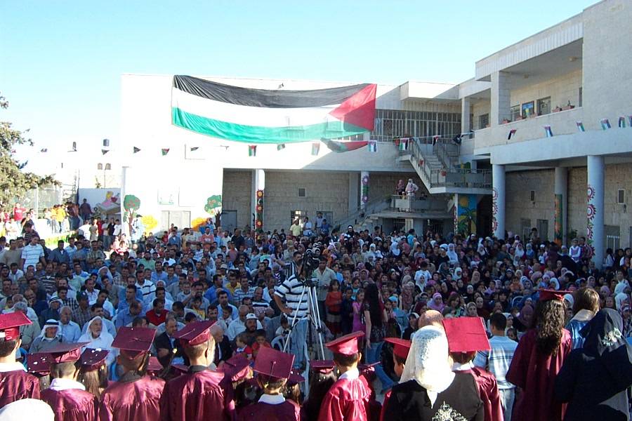
Posted by AH - مشاهد من احتفال الجمعية الخيرية بتخريج الفوج الثالث والاربعين من روضة البراعم والفوج العاشر من روضة الانوار النموذجية(Kindergarten graduation 2008)
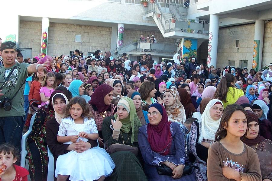
Posted by AH - مشاهد من احتفال الجمعية الخيرية بتخريج الفوج الثالث والاربعين من روضة البراعم والفوج العاشر من روضة الانوار النموذجية(Kindergarten graduation 2008)
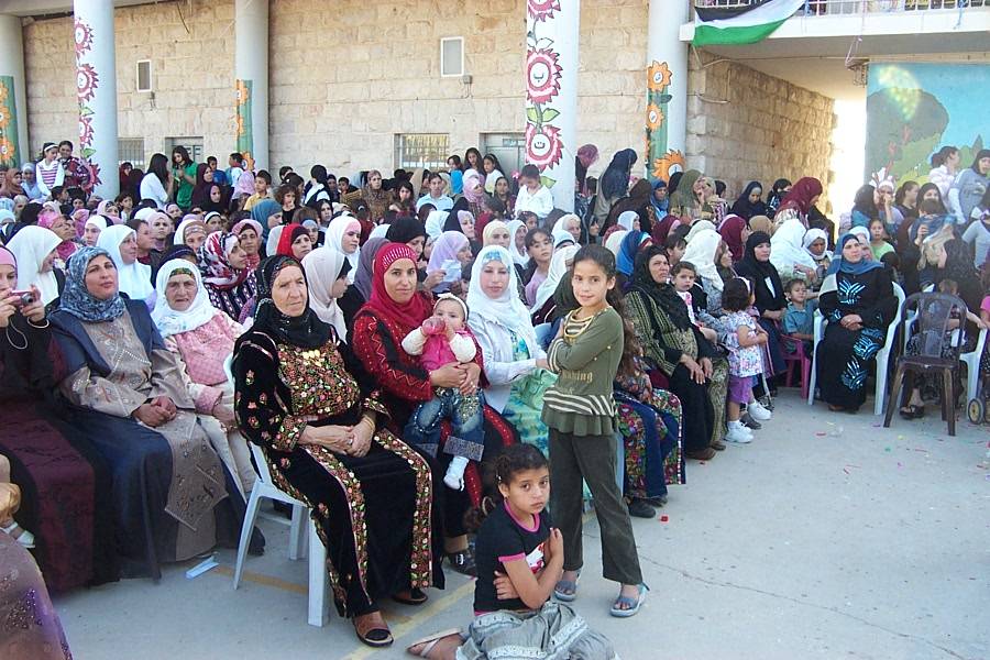
Posted by AH - مشاهد من احتفال الجمعية الخيرية بتخريج الفوج الثالث والاربعين من روضة البراعم والفوج العاشر من روضة الانوار النموذجية(Kindergarten graduation 2008)
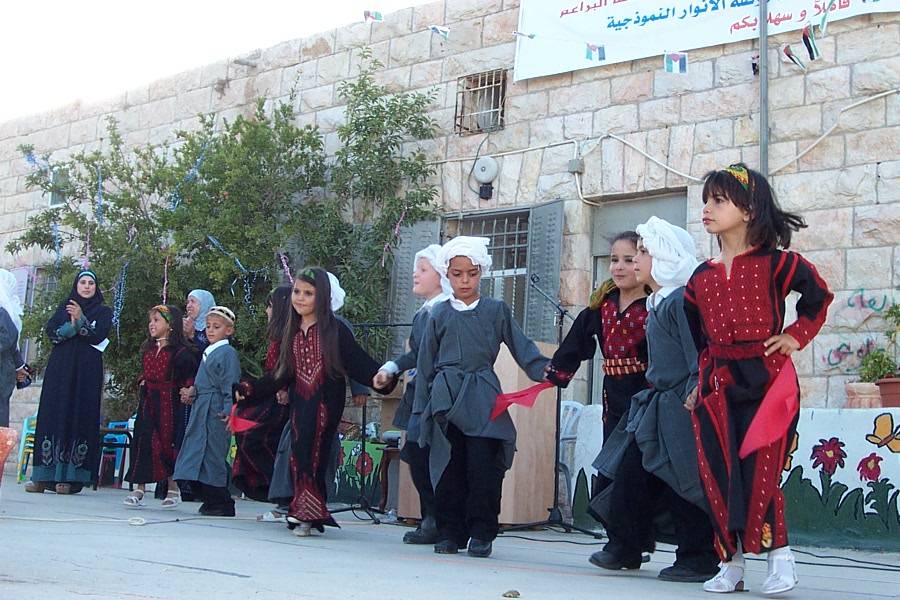
Posted by AH - مشاهد من احتفال الجمعية الخيرية بتخريج الفوج الثالث والاربعين من روضة البراعم والفوج العاشر من روضة الانوار النموذجية(Kindergarten graduation 2008)
Posted by AH - General view
Posted by Mizrawy 1 - al shaheed Mamoon Zaben
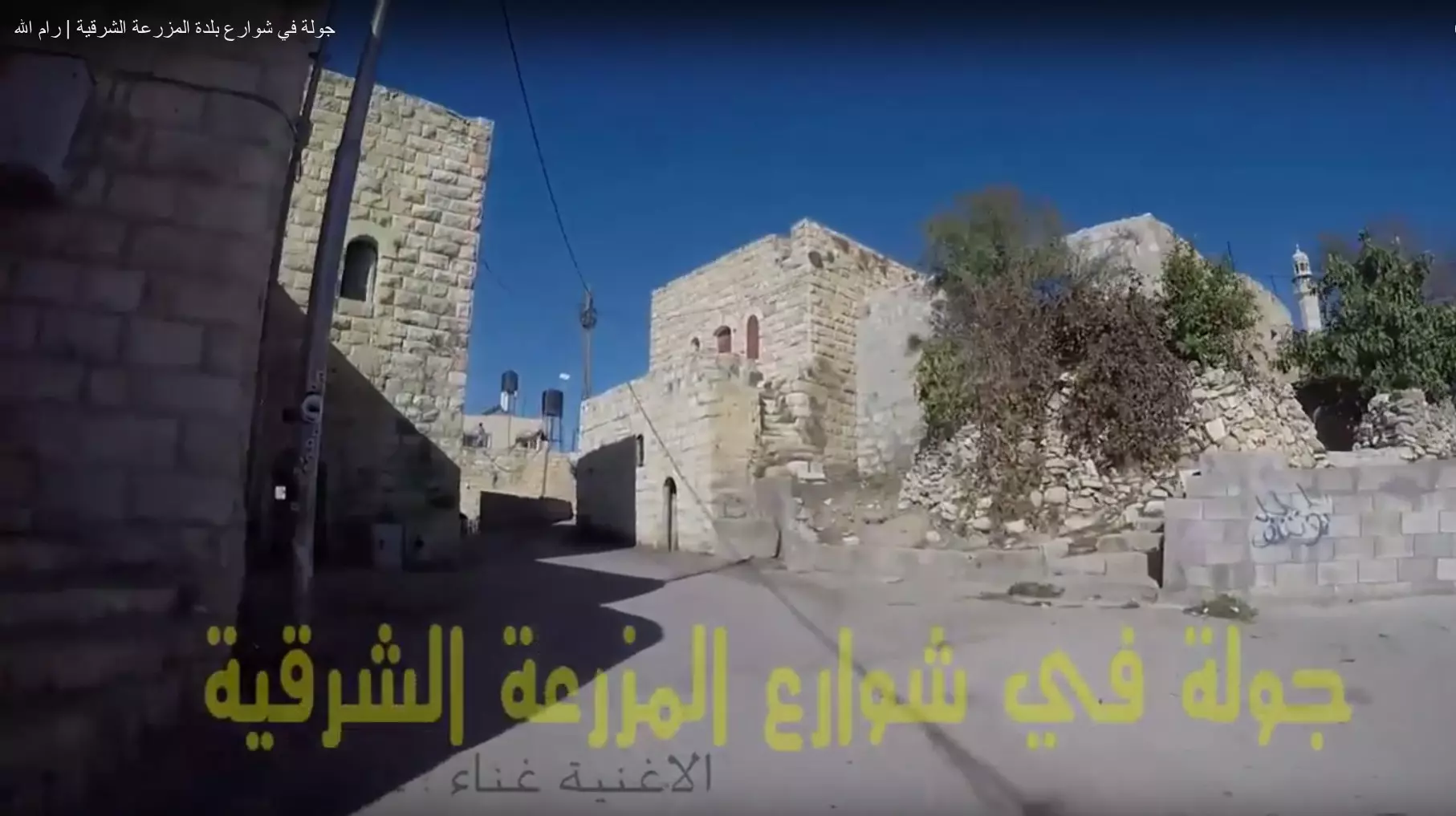
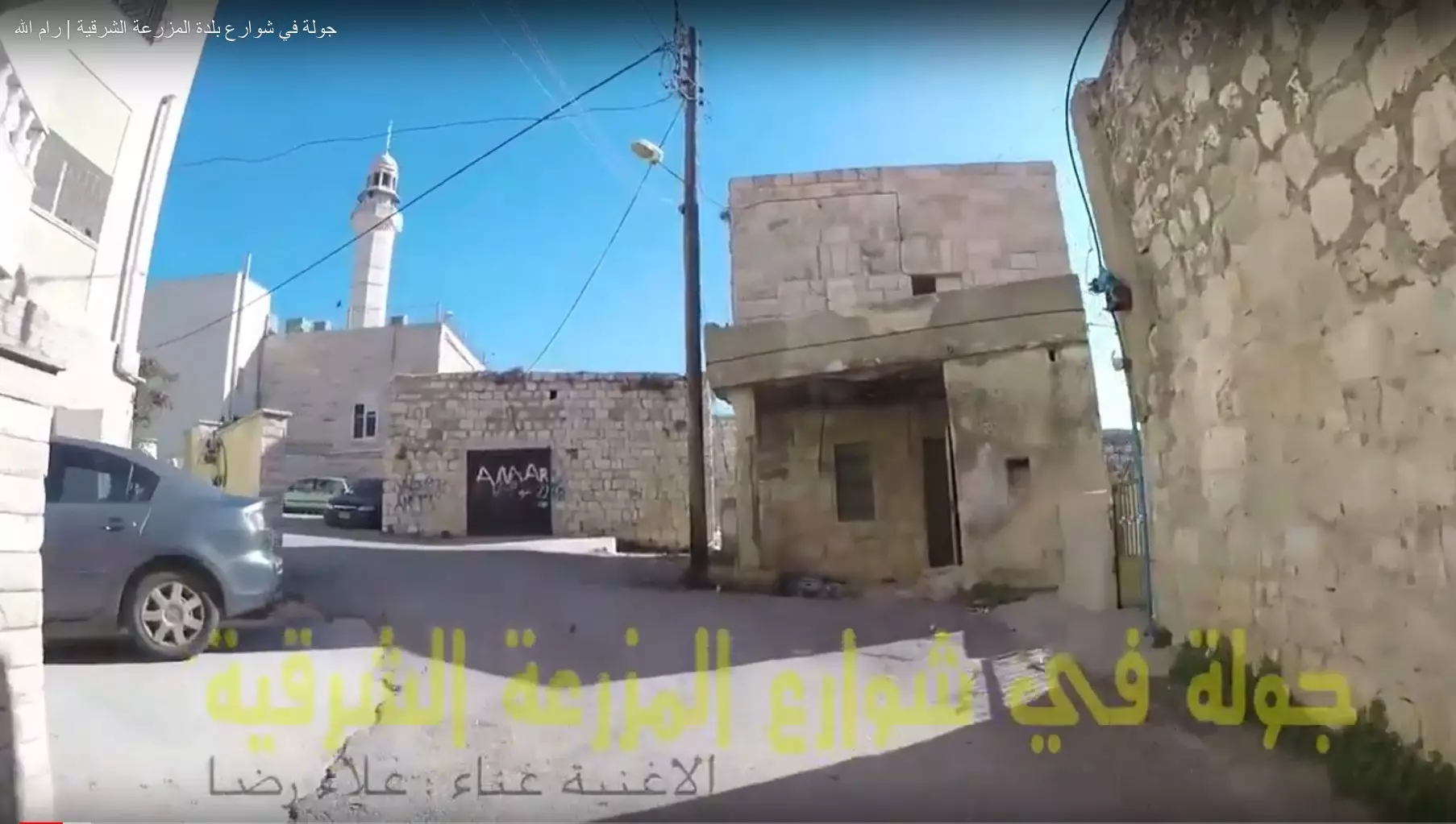
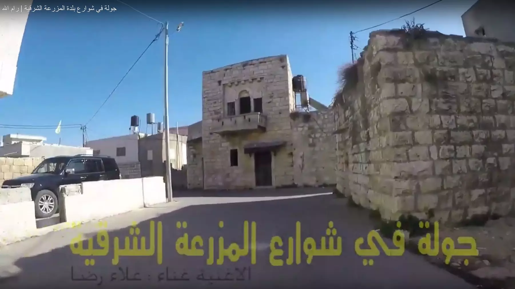
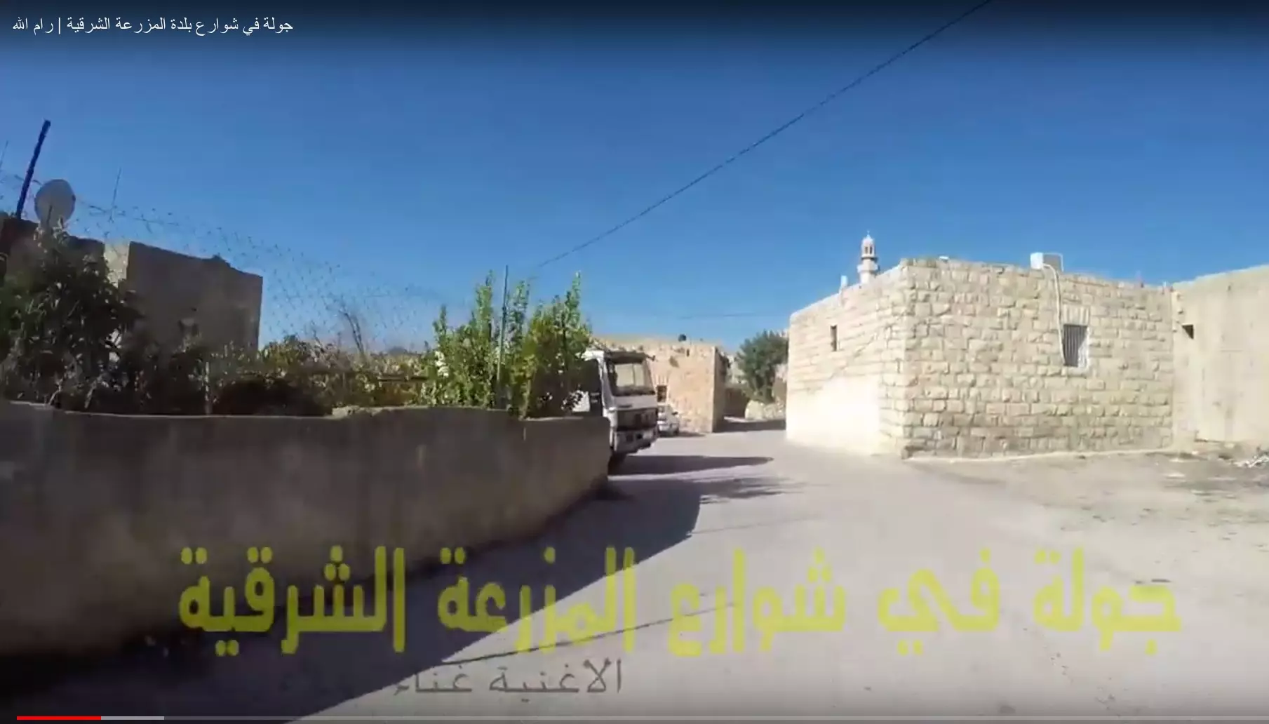
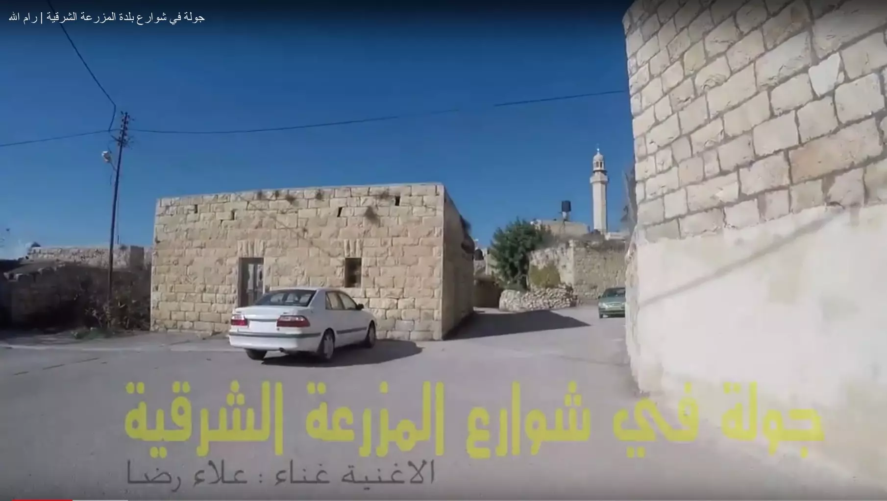
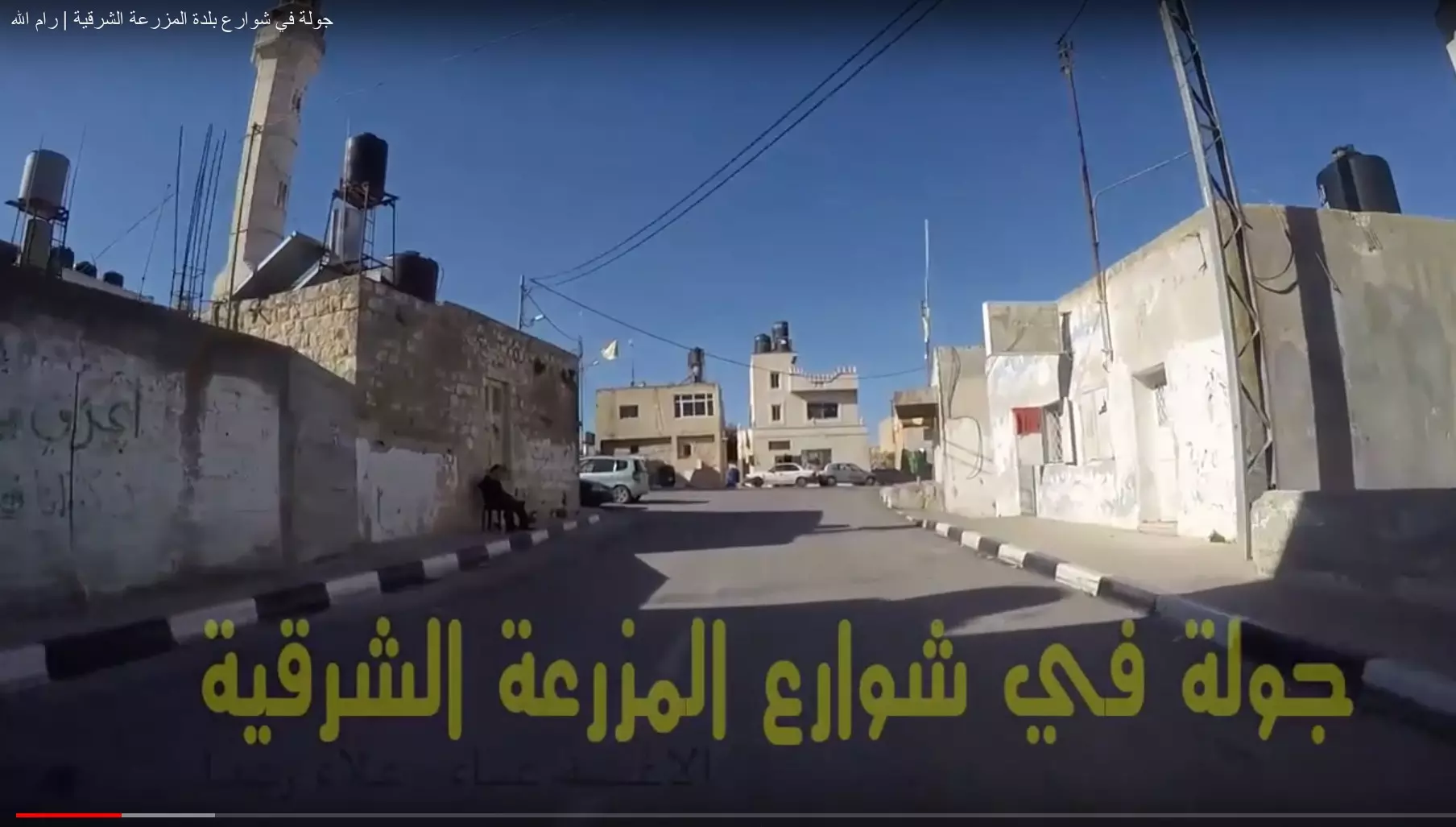
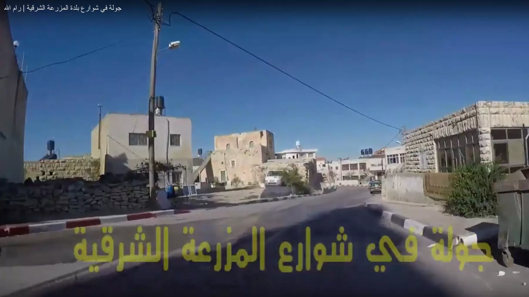
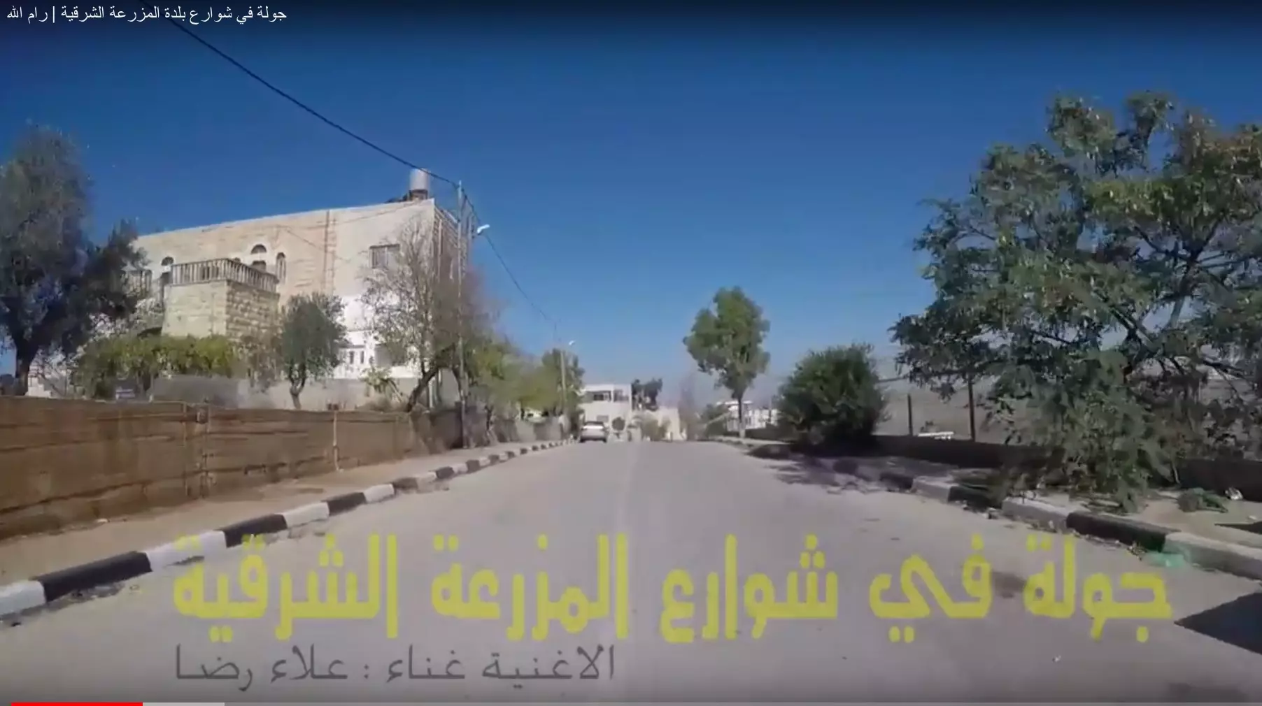
Posted by Mizrawy - جولة في شوارع البلة القديمة - المزرعة الشرقية | رام الله
- جولة في شوارع البلة القديمة - المزرعة الشرقية | رام الله #2
- جولة في شوارع البلة القديمة - المزرعة الشرقية | رام الله #3
- جولة في شوارع البلة القديمة - المزرعة الشرقية | رام الله #4
- جولة في شوارع البلة القديمة - المزرعة الشرقية | رام الله #5
- جولة في شوارع البلة القديمة - المزرعة الشرقية | رام الله #6
- جولة في شوارع البلة القديمة - المزرعة الشرقية | رام الله #7
- جولة في شوارع البلة القديمة - المزرعة الشرقية | رام الله #8
- جولة في شوارع البلة القديمة - المزرعة الشرقية | رام الله #9
- جولة في شوارع البلة القديمة - المزرعة الشرقية | رام الله #10
- جولة في شوارع البلة القديمة - المزرعة الشرقية | رام الله #11
- جولة في شوارع البلة القديمة - المزرعة الشرقية | رام الله #12
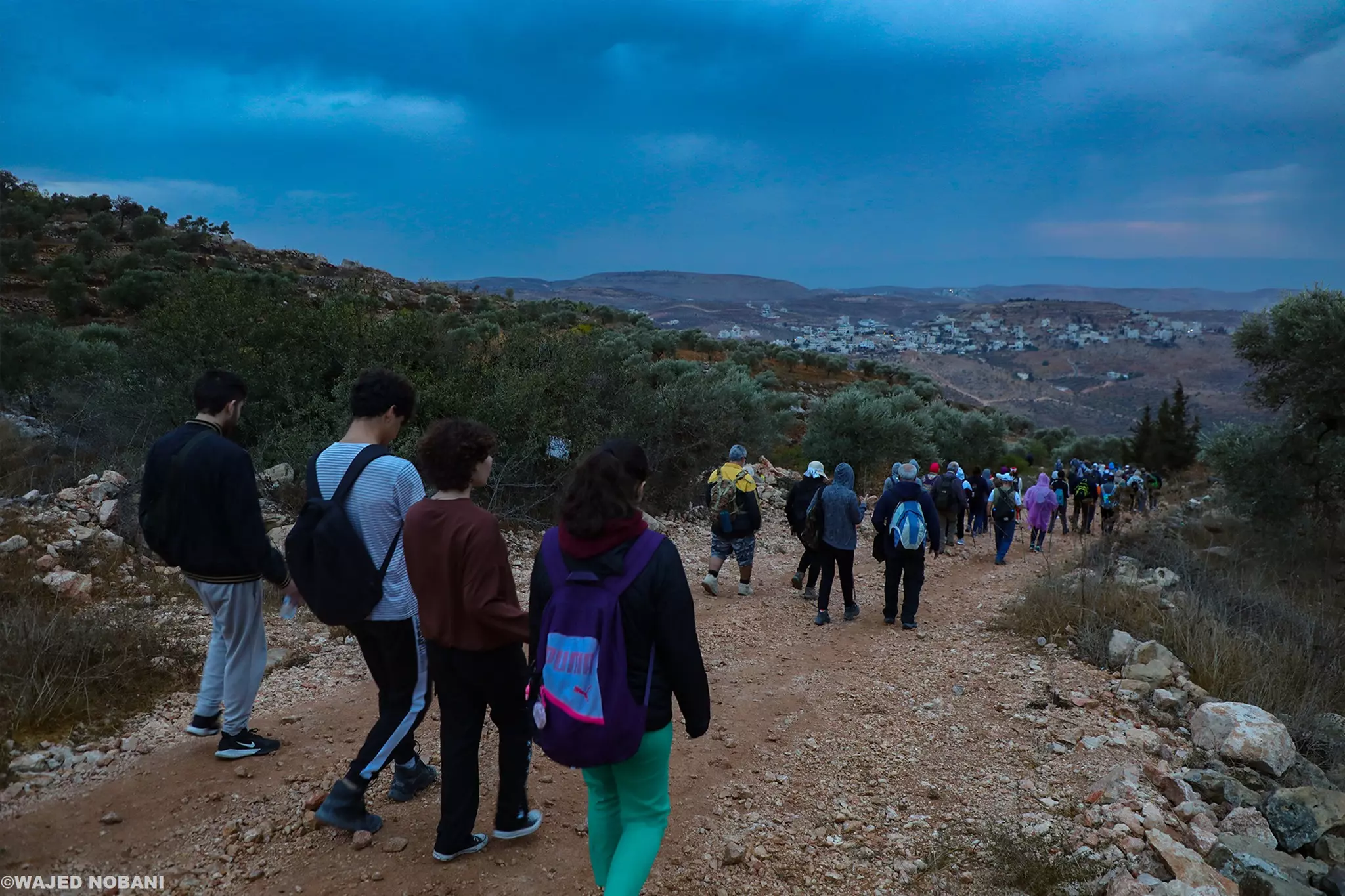
- جولة في المزرعه الشرقيه -- واجد النوباني
- جولة في المزرعه الشرقيه -- واجد النوباني
#2
- جولة في المزرعه الشرقيه -- واجد النوباني
#3
- جولة في المزرعه الشرقيه -- واجد النوباني
#4
- تل العاصور-- واجد النوباني
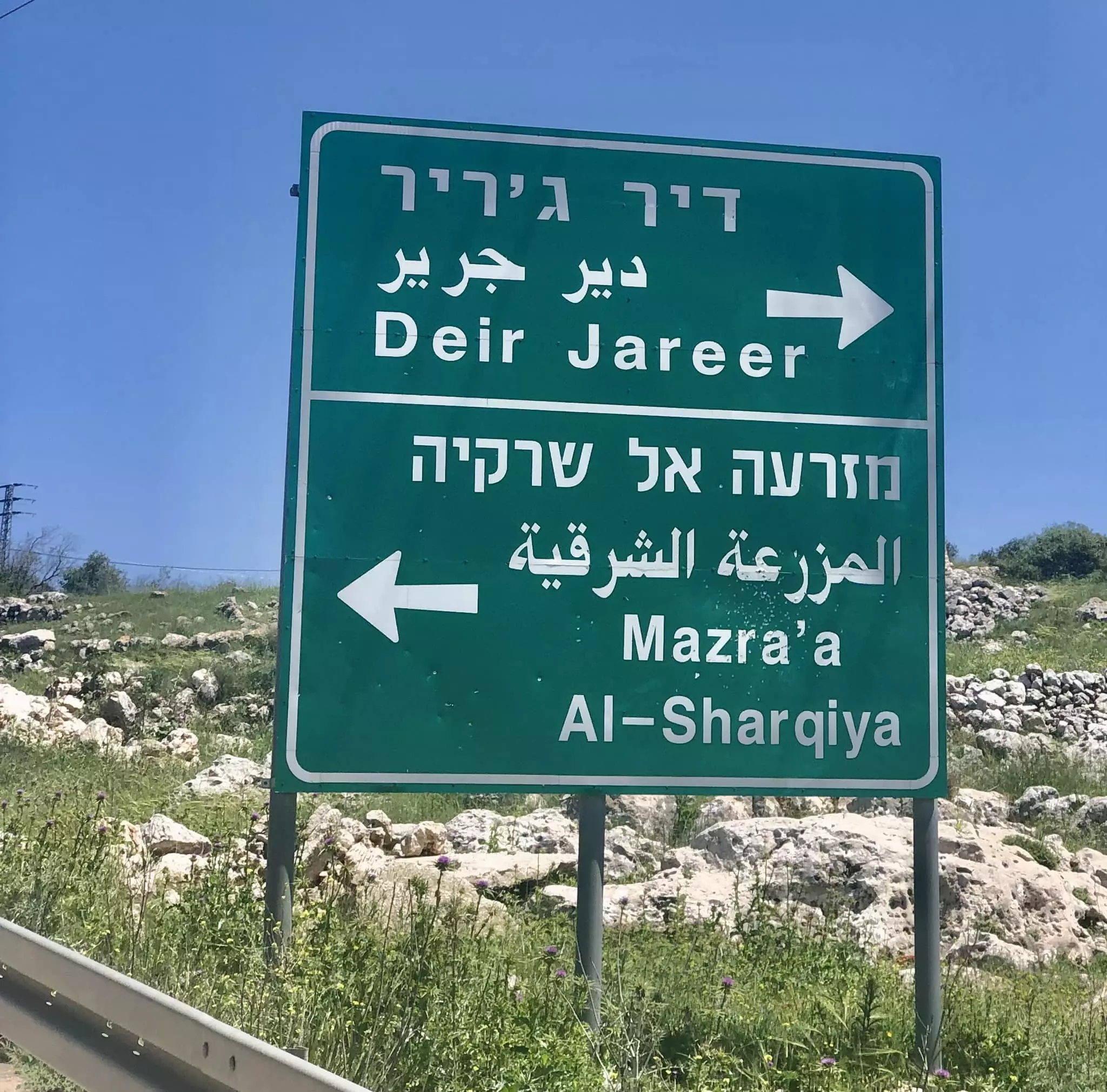
- The Junction
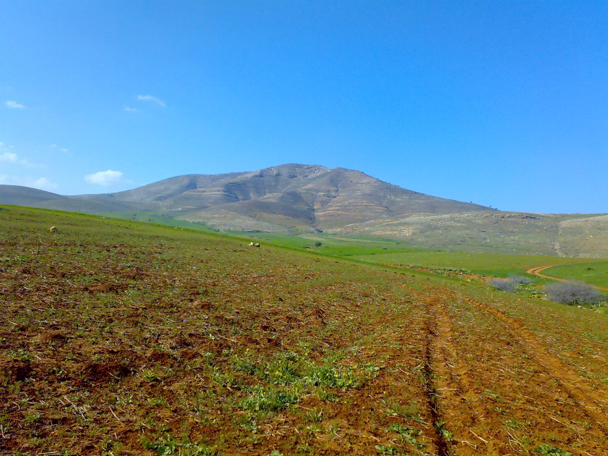
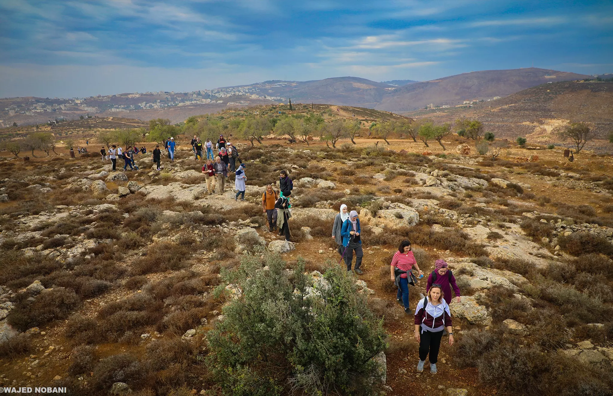
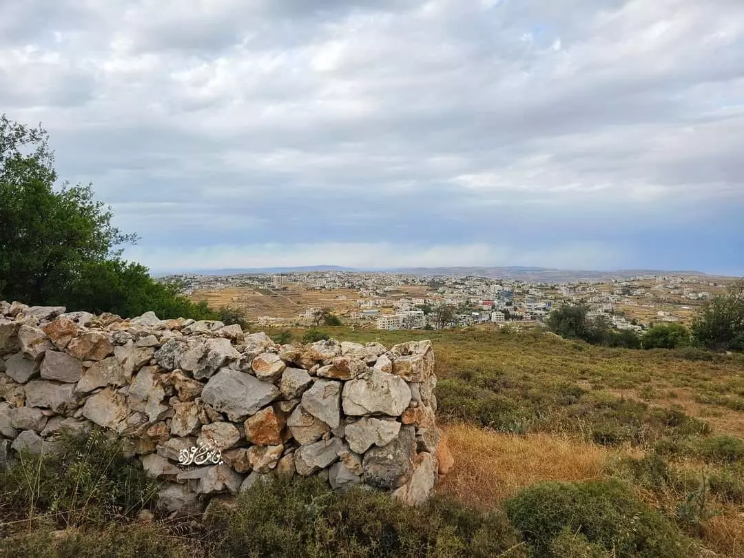
- مسار من جبال قرية المزرعة الشرقية باتجاه قرية أبو فلاح
- مسار من جبال قرية المزرعة الشرقية باتجاه قرية أبو فلاح #2
- مسار من جبال قرية المزرعة الشرقية باتجاه قرية أبو فلاح #3
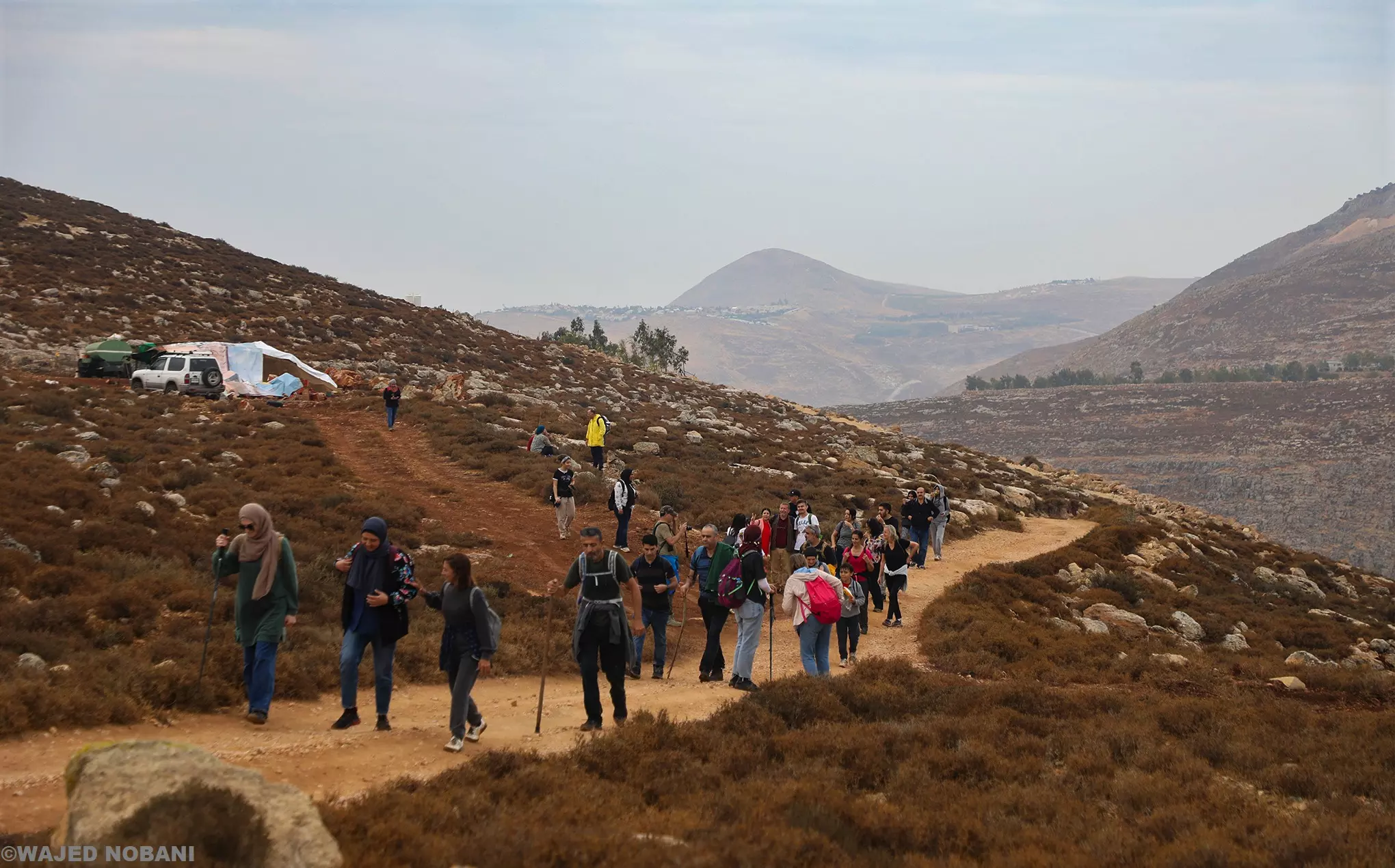
- مسار من جبال قرية المزرعة الشرقية باتجاه قرية أبو فلاح #4
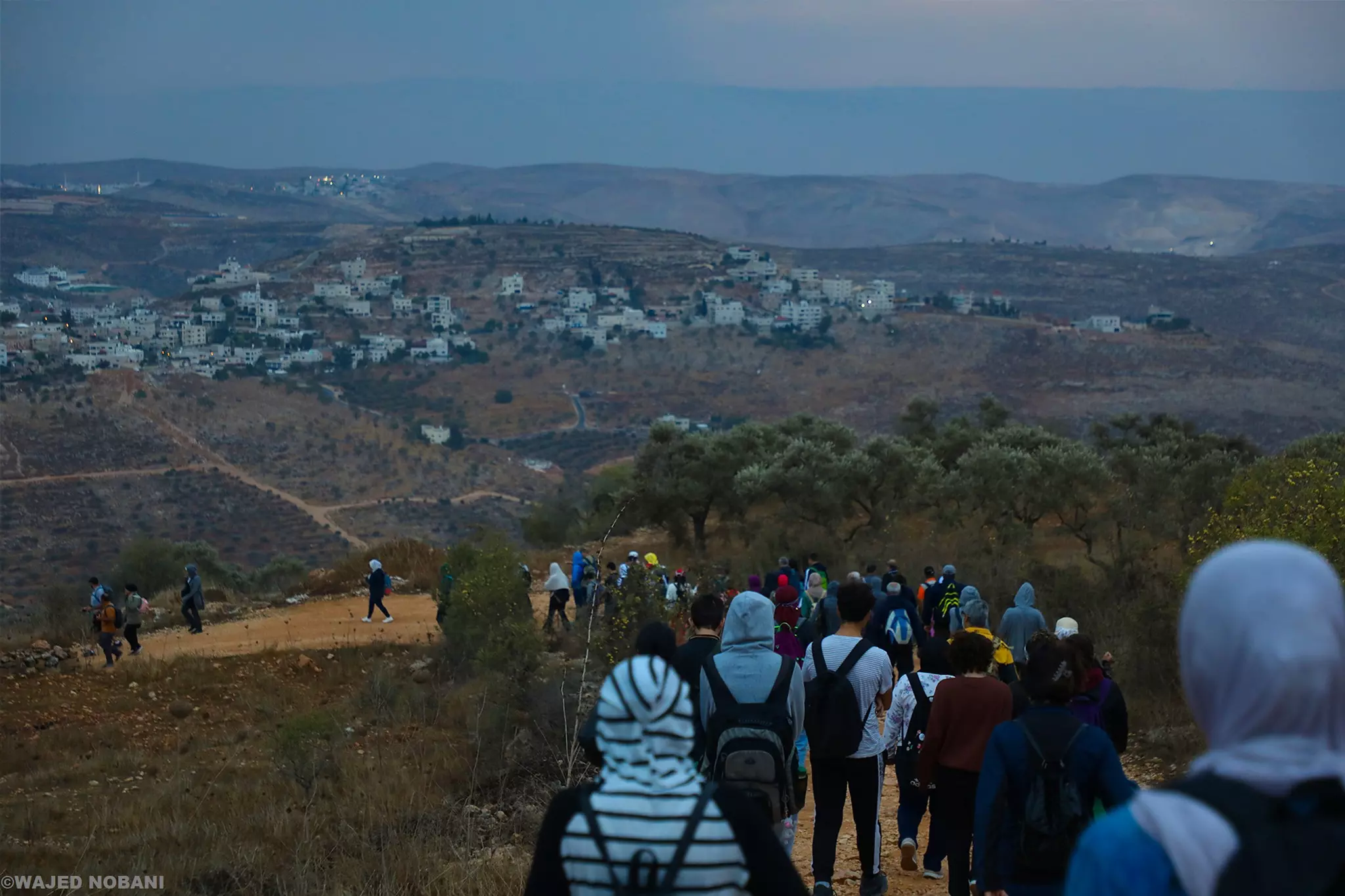
- مسار من جبال قرية المزرعة الشرقية باتجاه قرية أبو فلاح #5
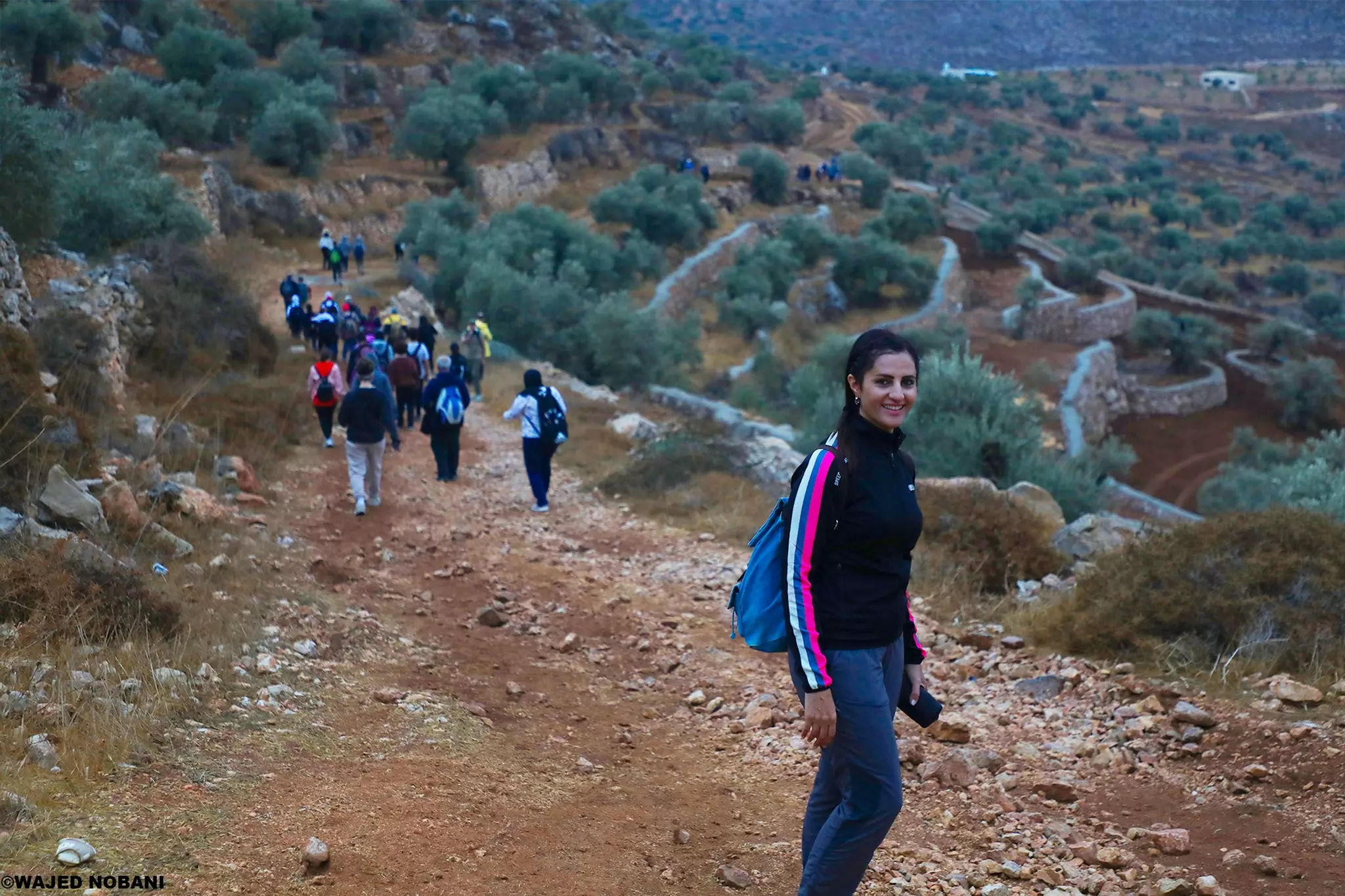
- مسار من جبال قرية المزرعة الشرقية باتجاه قرية أبو فلاح #6
- مسار من جبال قرية المزرعة الشرقية باتجاه قرية أبو فلاح #7
- مسار من جبال قرية المزرعة الشرقية باتجاه قرية أبو فلاح #8
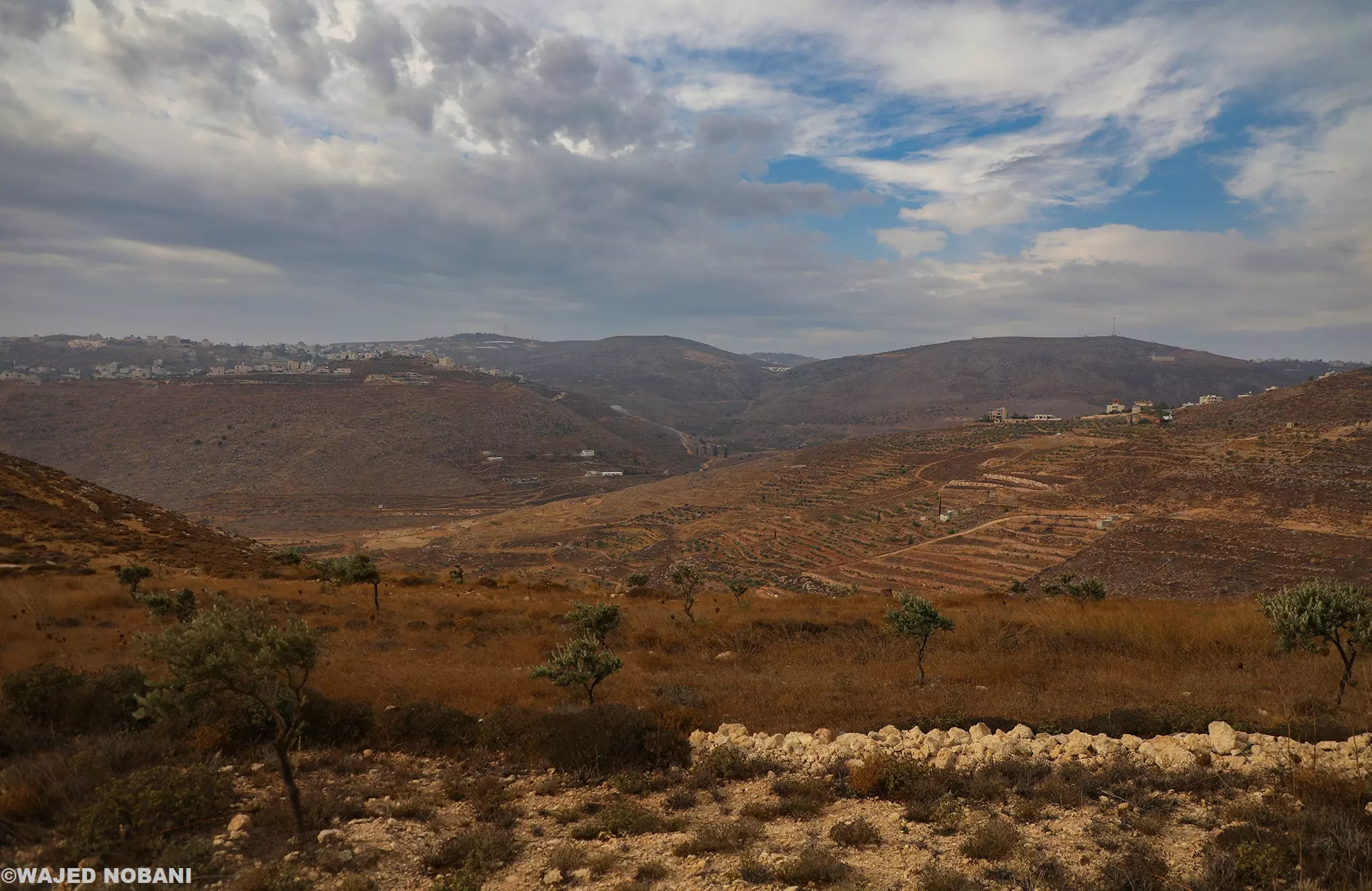
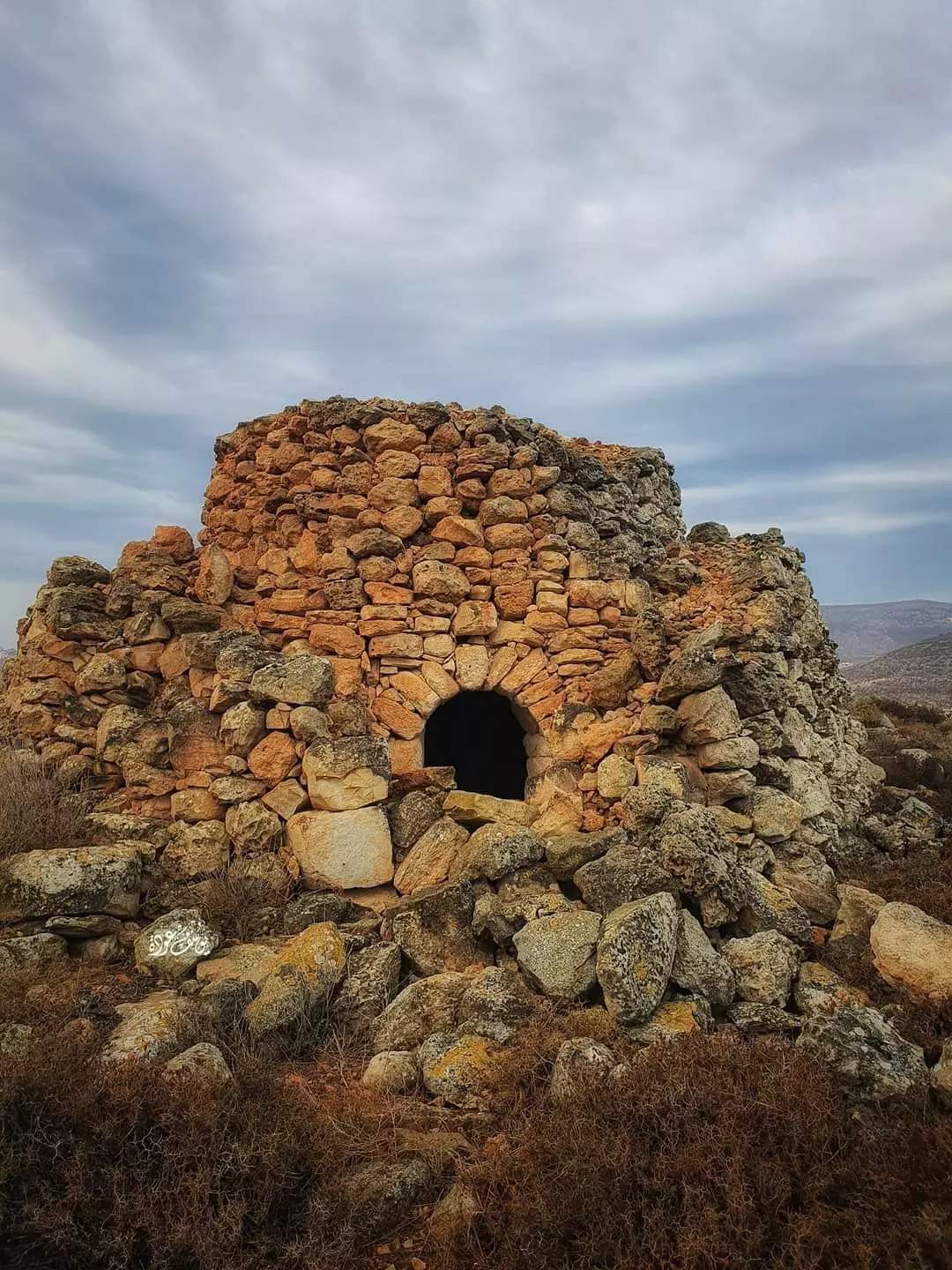
- تل العاصور
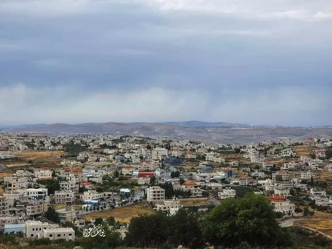
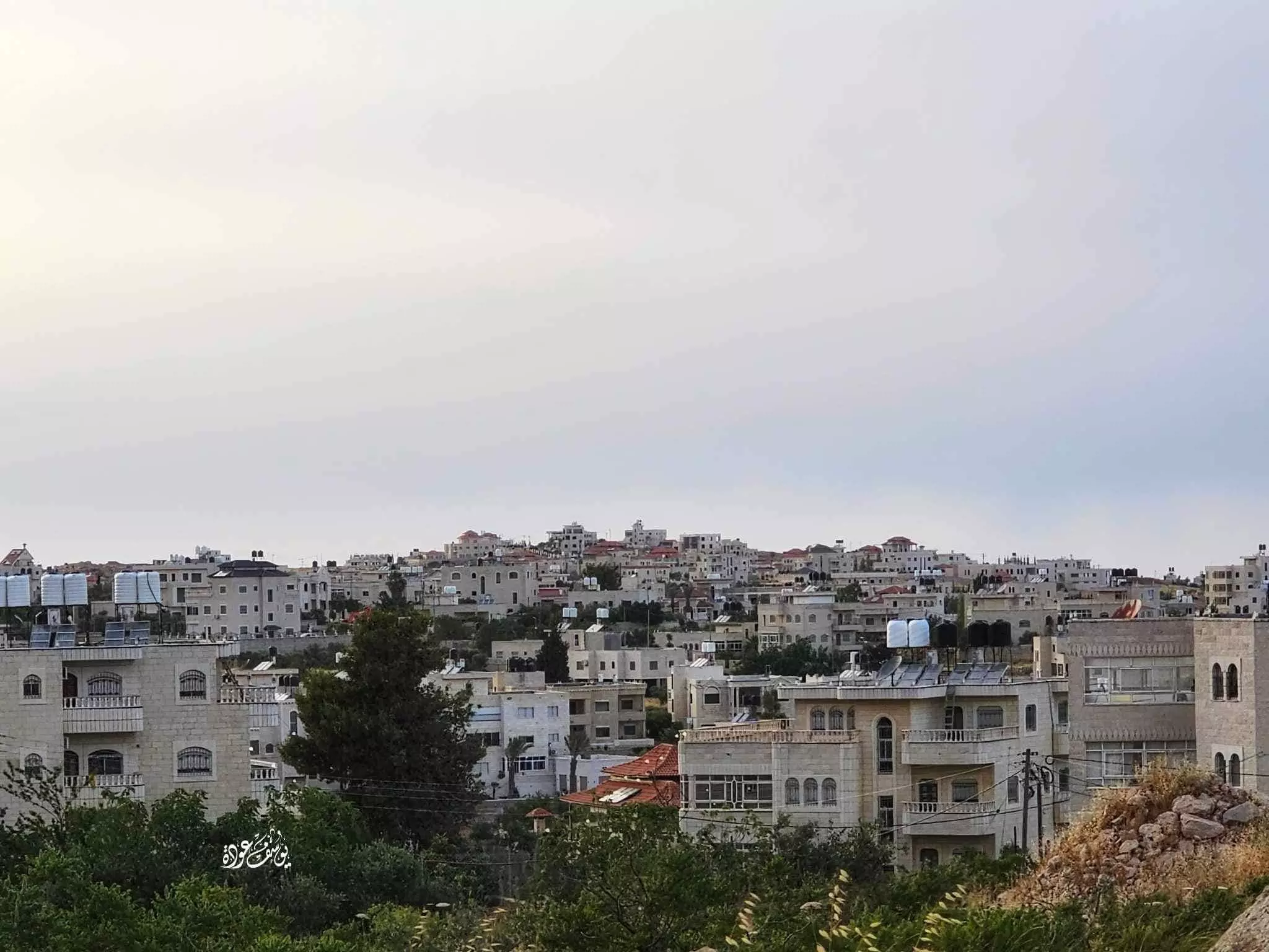
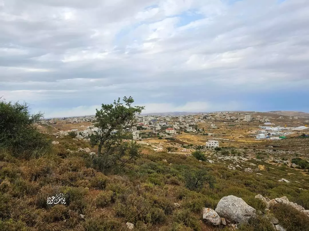
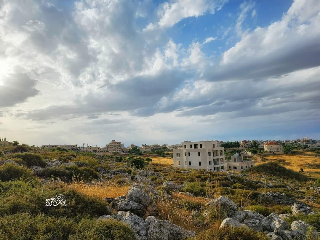
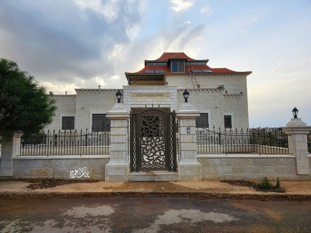
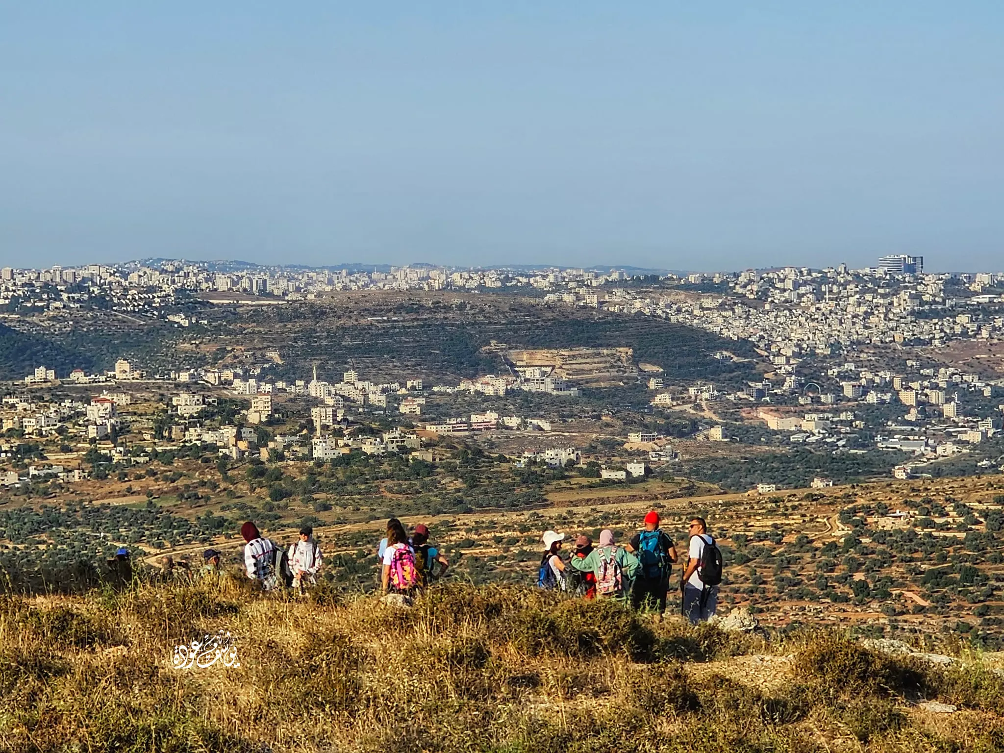
- منظر عام للبلدة -- يوسف عودة
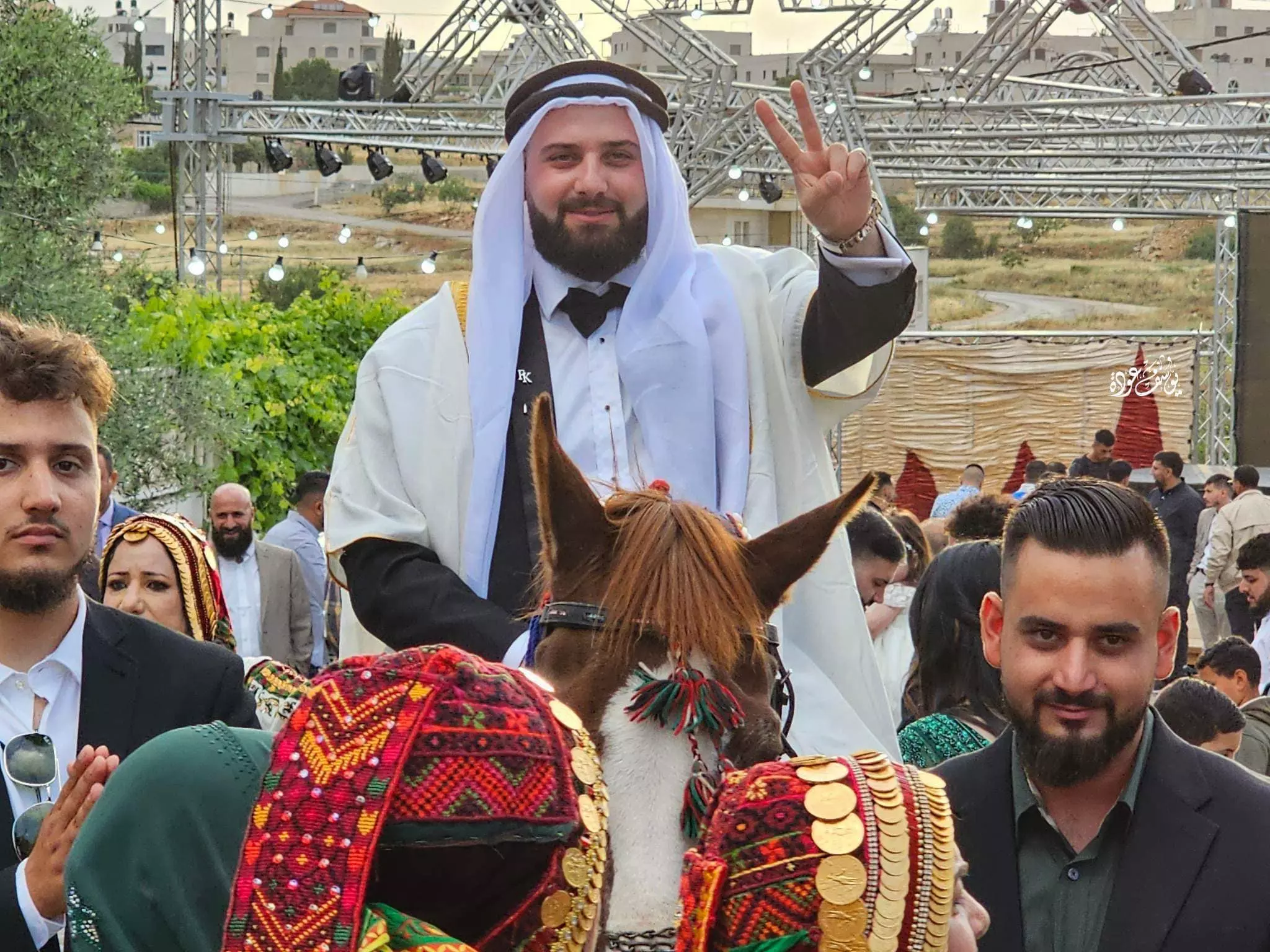
- زفة عريس في قرية المزرعة الشرقية -- يوسف عودة
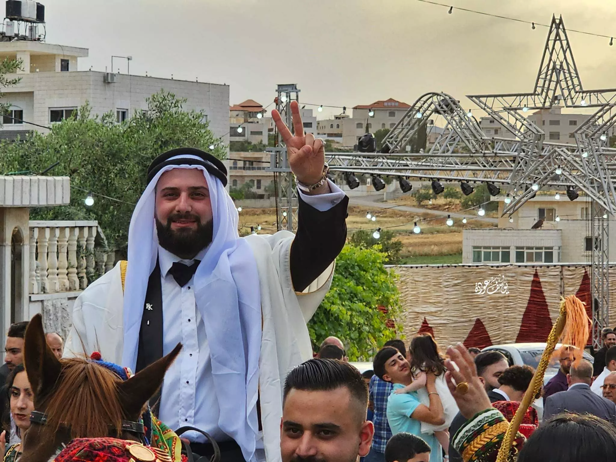
- زفة عريس في قرية المزرعة الشرقية -- يوسف عودة #2
- منظر عام للبلدة -- يوسف عودة
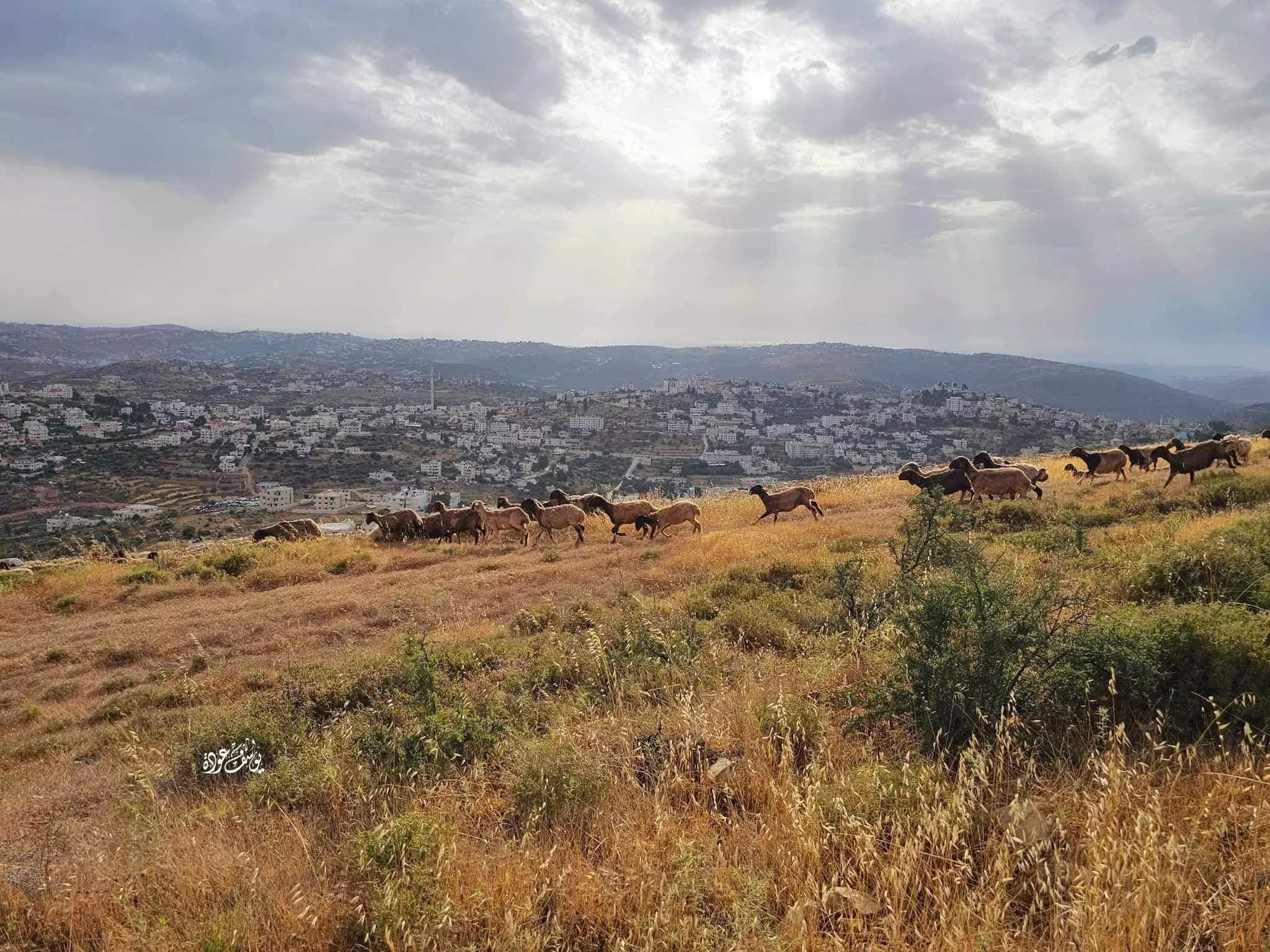
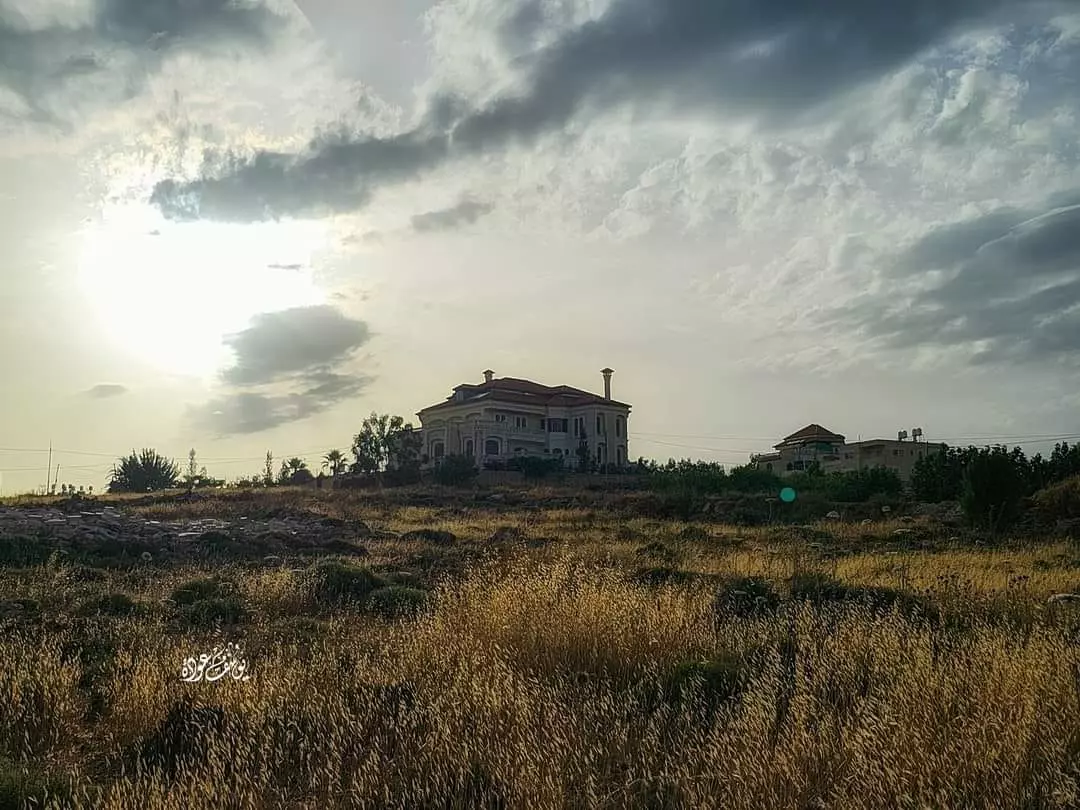
- مناظير الزراعية -- يوسف عودة
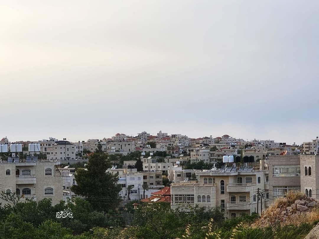
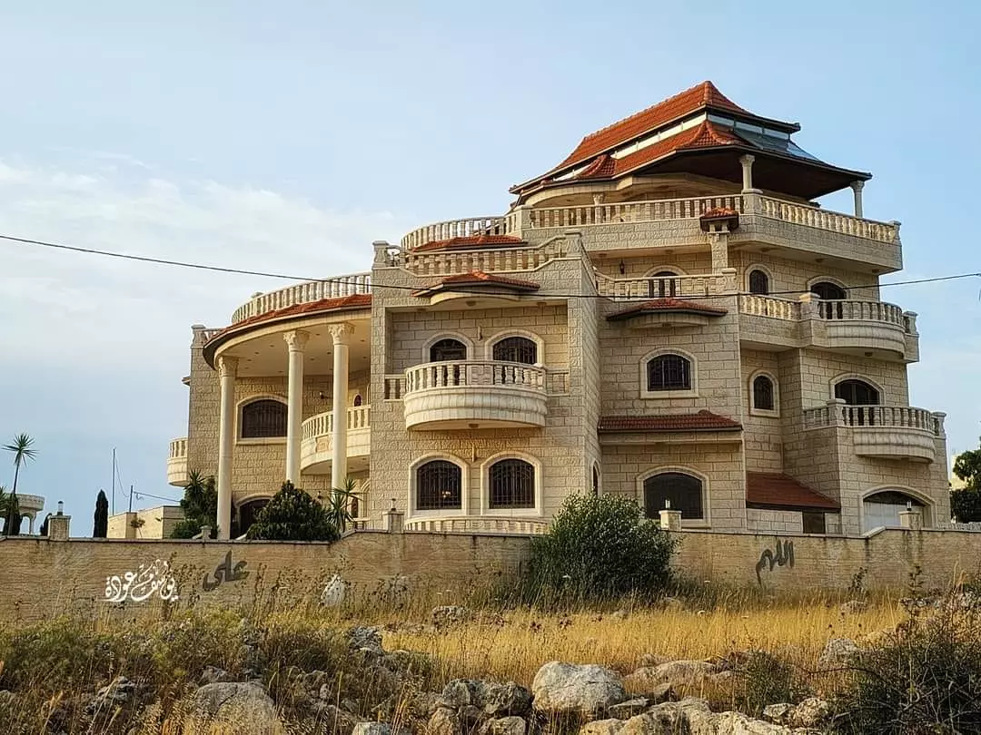
- منظر عام رائع للبلدة -- يوسف عودة
- منظر عام رائع للبلدة -- يوسف عودة #2
- منظر عام رائع للبلدة -- يوسف عودة
- جولة بين حارات القرية -- يوسف عودة
- جولة بين حارات القرية -- يوسف عودة #2
- جولة بين حارات القرية -- يوسف عودة #3
- جولة بين حارات القرية -- يوسف عودة #4
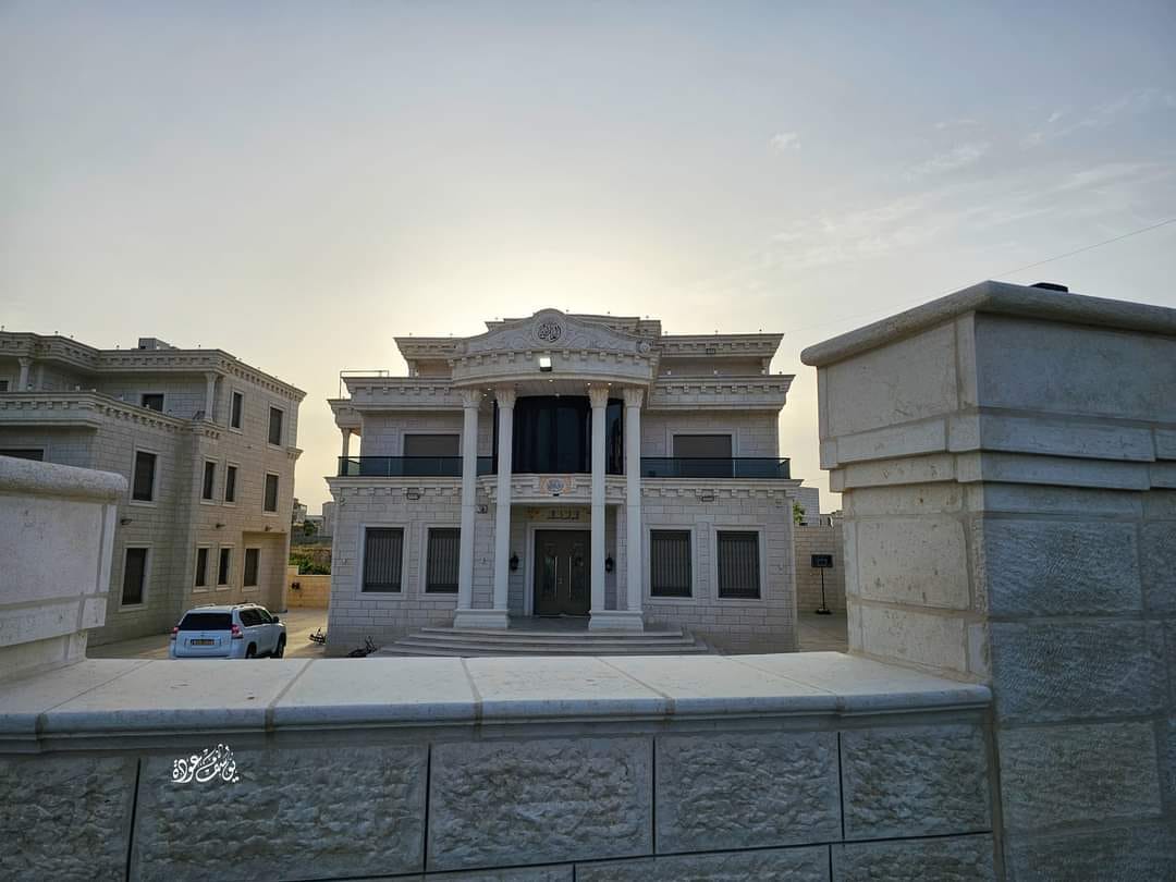
- جولة بين حارات القرية -- يوسف عودة #5
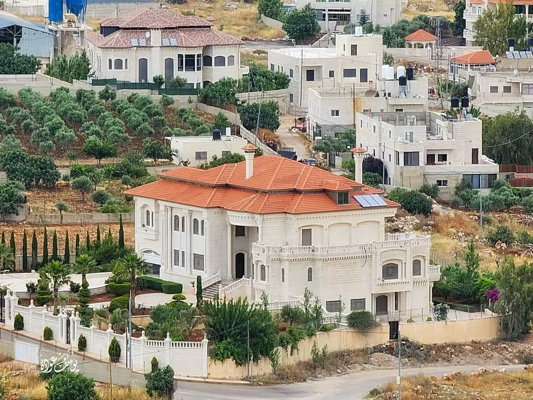
- جولة بين حارات القرية -- يوسف عودة #6
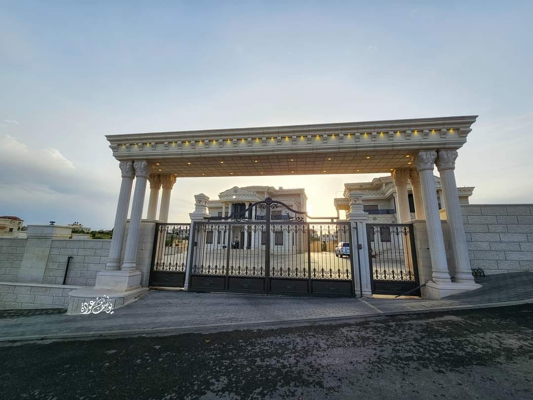
- جولة بين حارات القرية -- يوسف عودة #7
- جولة بين حارات القرية -- يوسف عودة #8
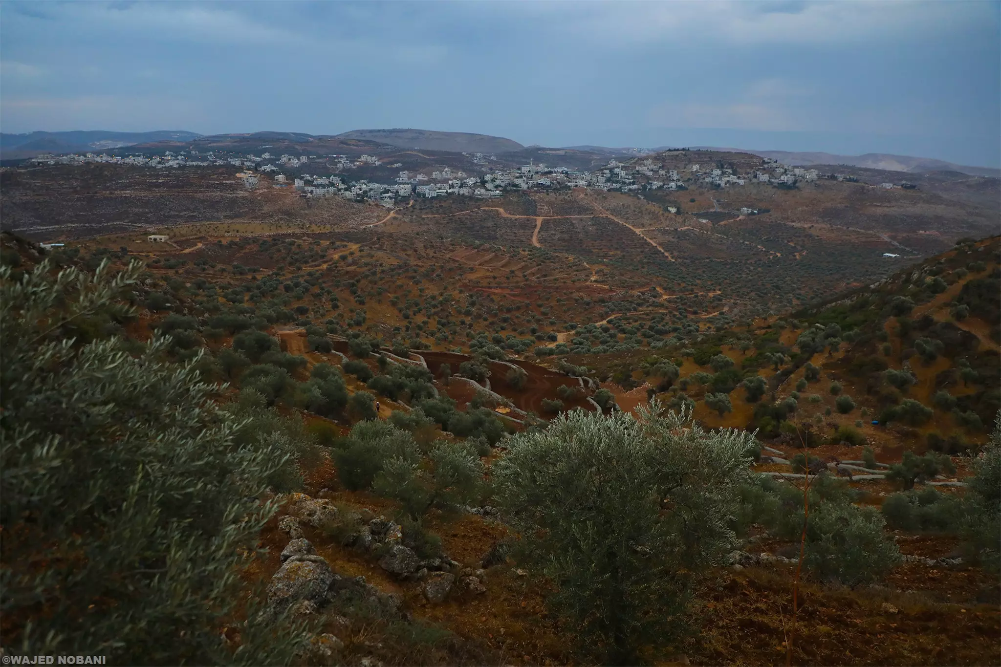
- رام الله من جبال المزرعة الشرقية -- يوسف عودة
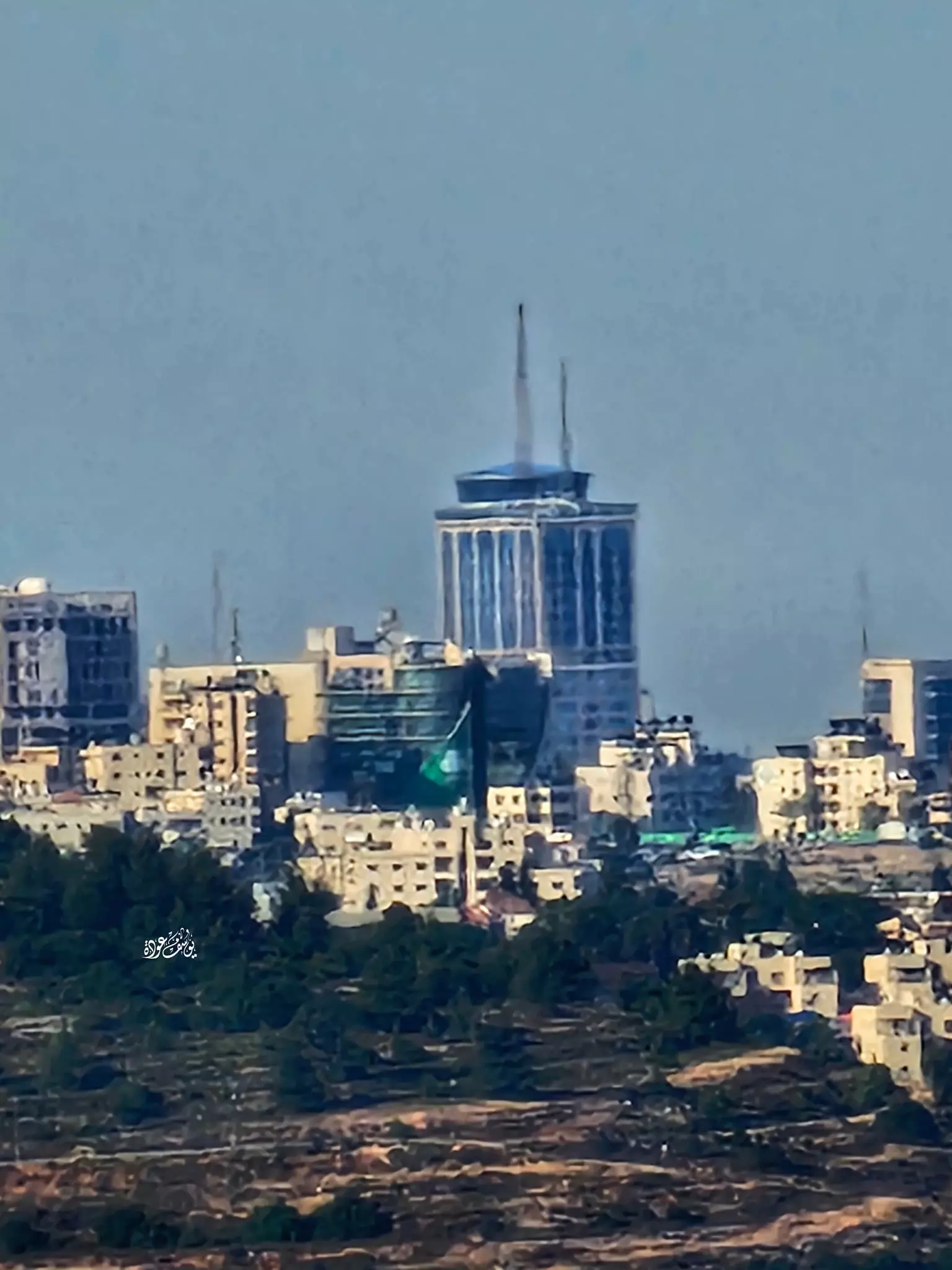
- رام الله من جبال المزرعة الشرقية -- يوسف عودة #2
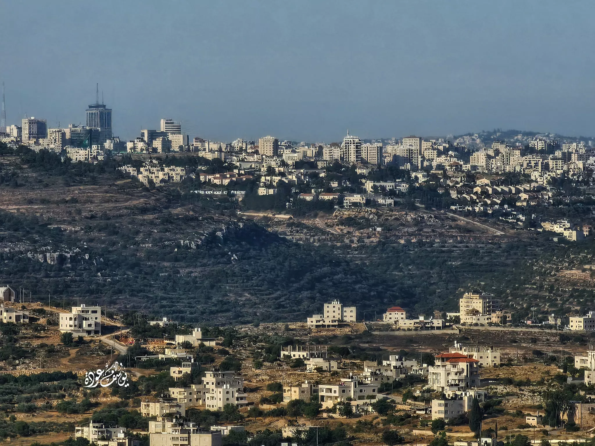
- رام الله من جبال المزرعة الشرقية -- يوسف عودة #3
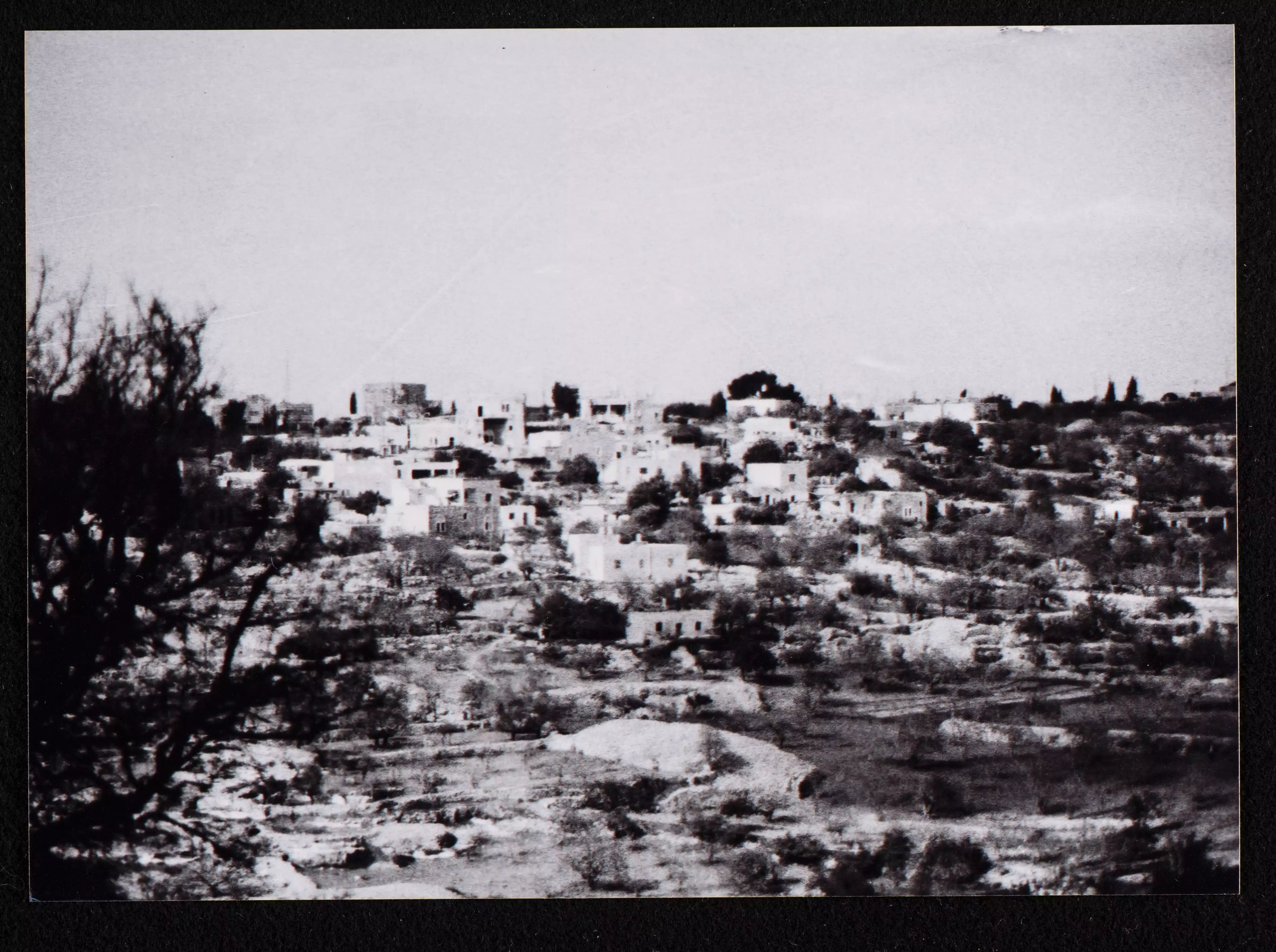
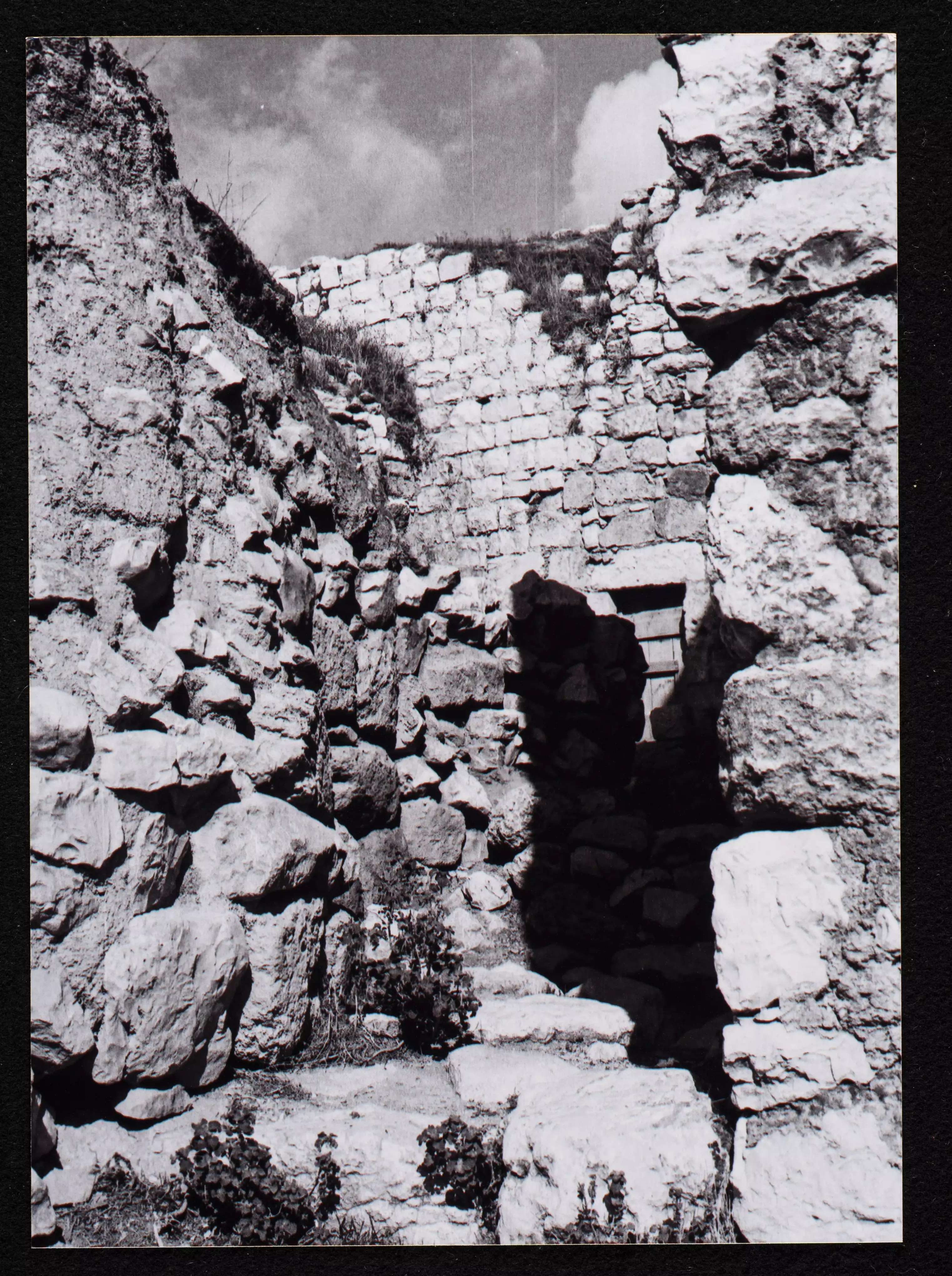
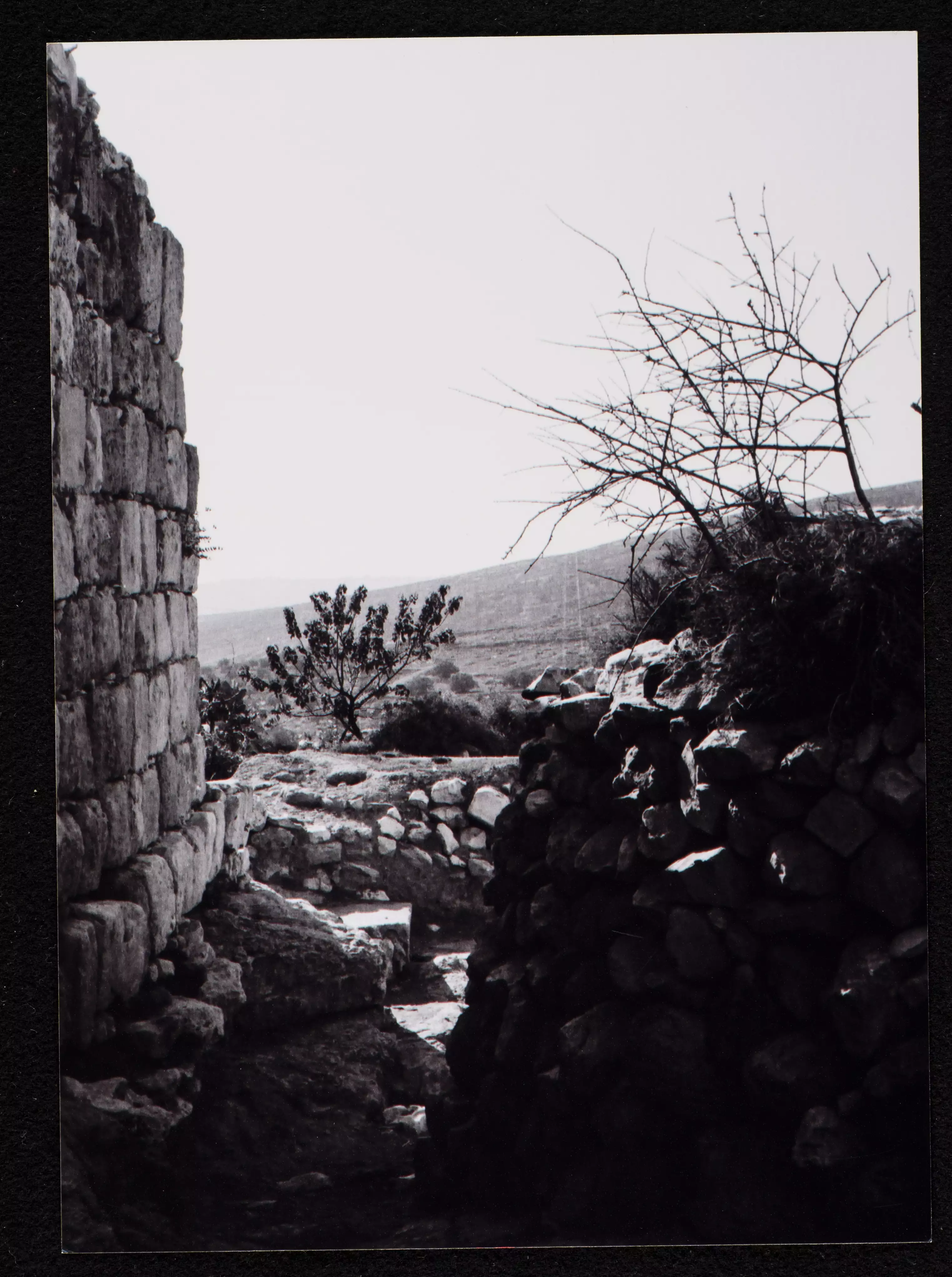
- General view taken in the 1980s by Riwaq Center
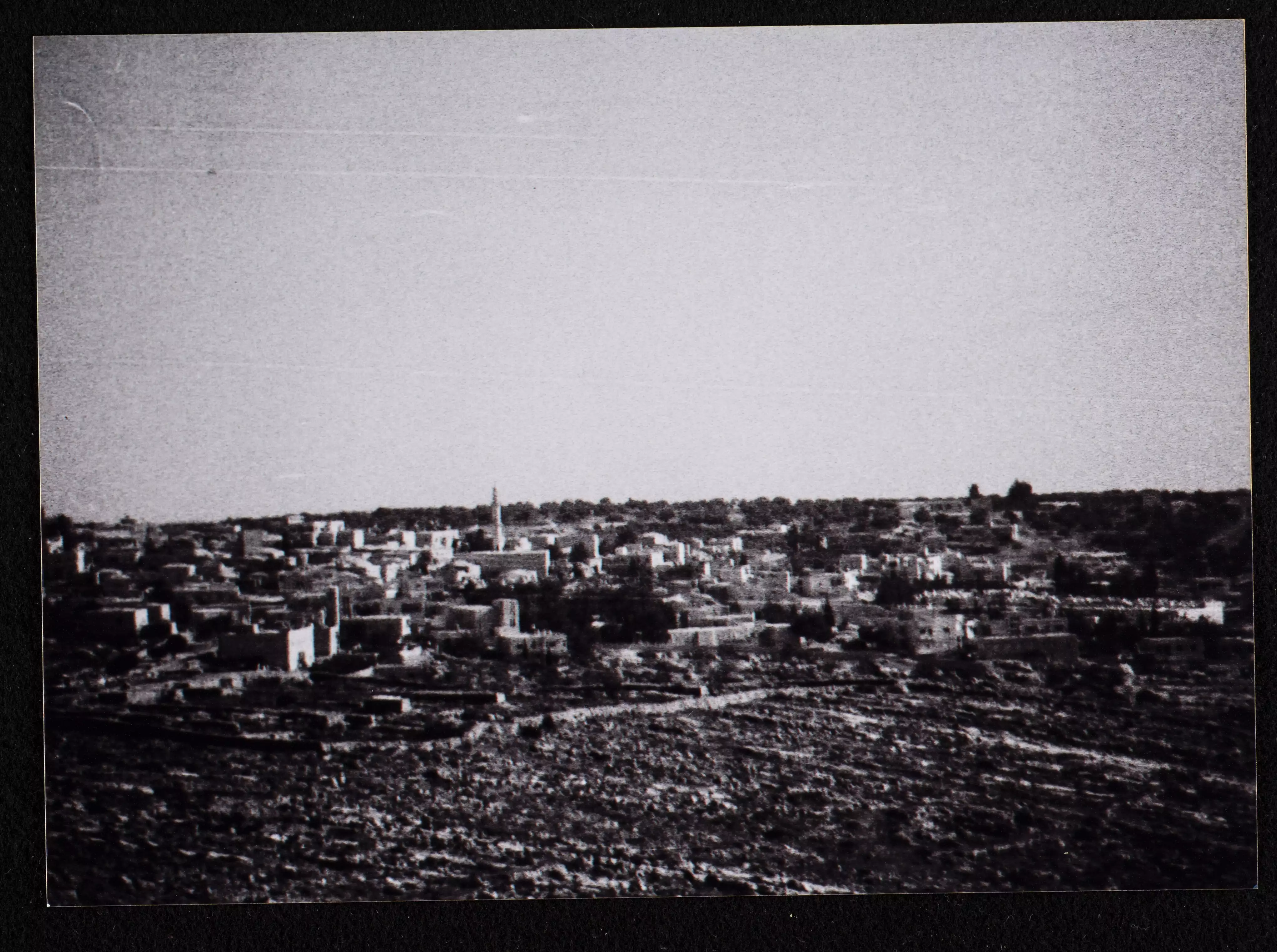
- General view taken in the 1980s by Riwaq Center #2
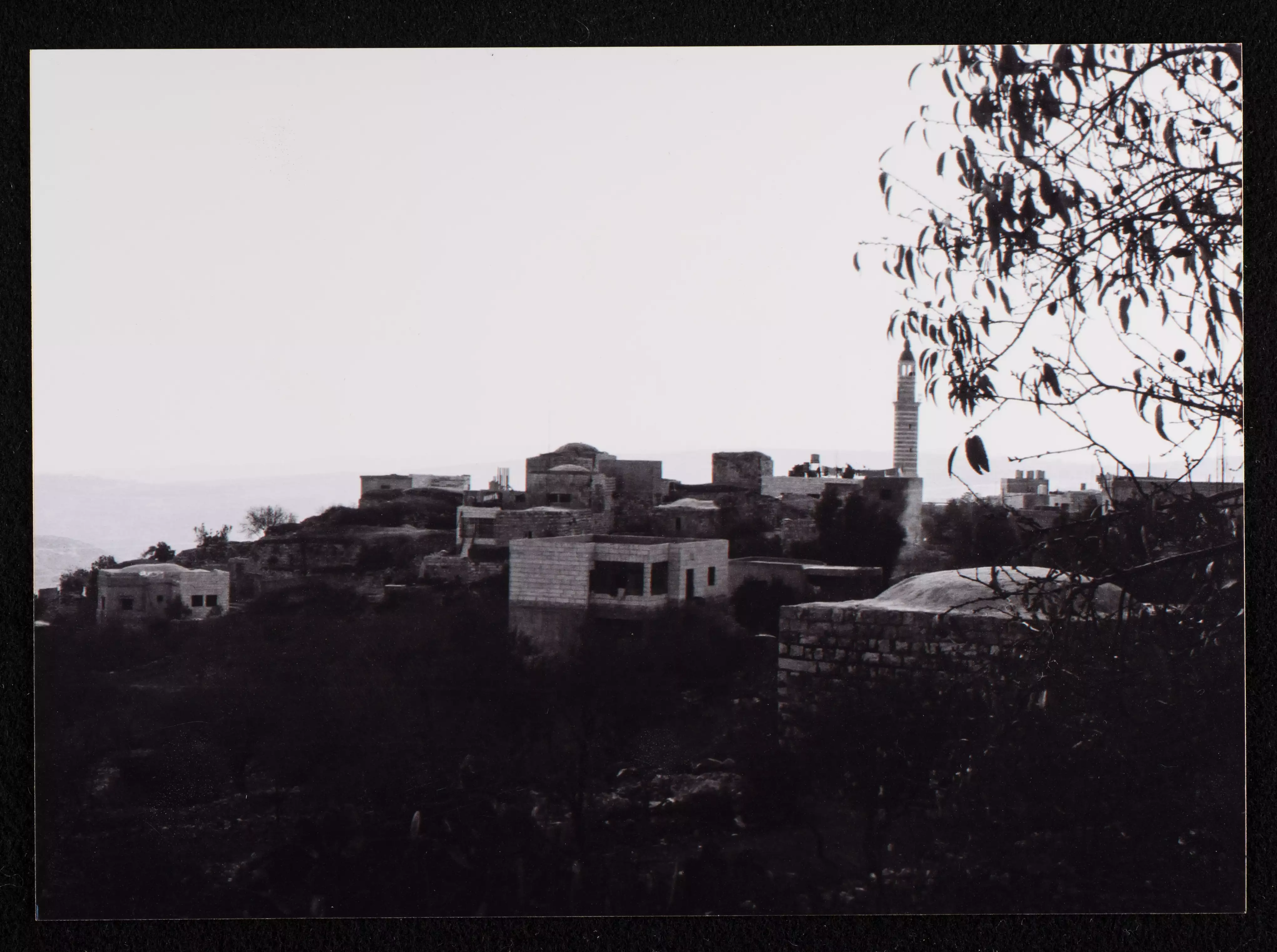
- General view taken in the 1980s by Riwaq Center #3
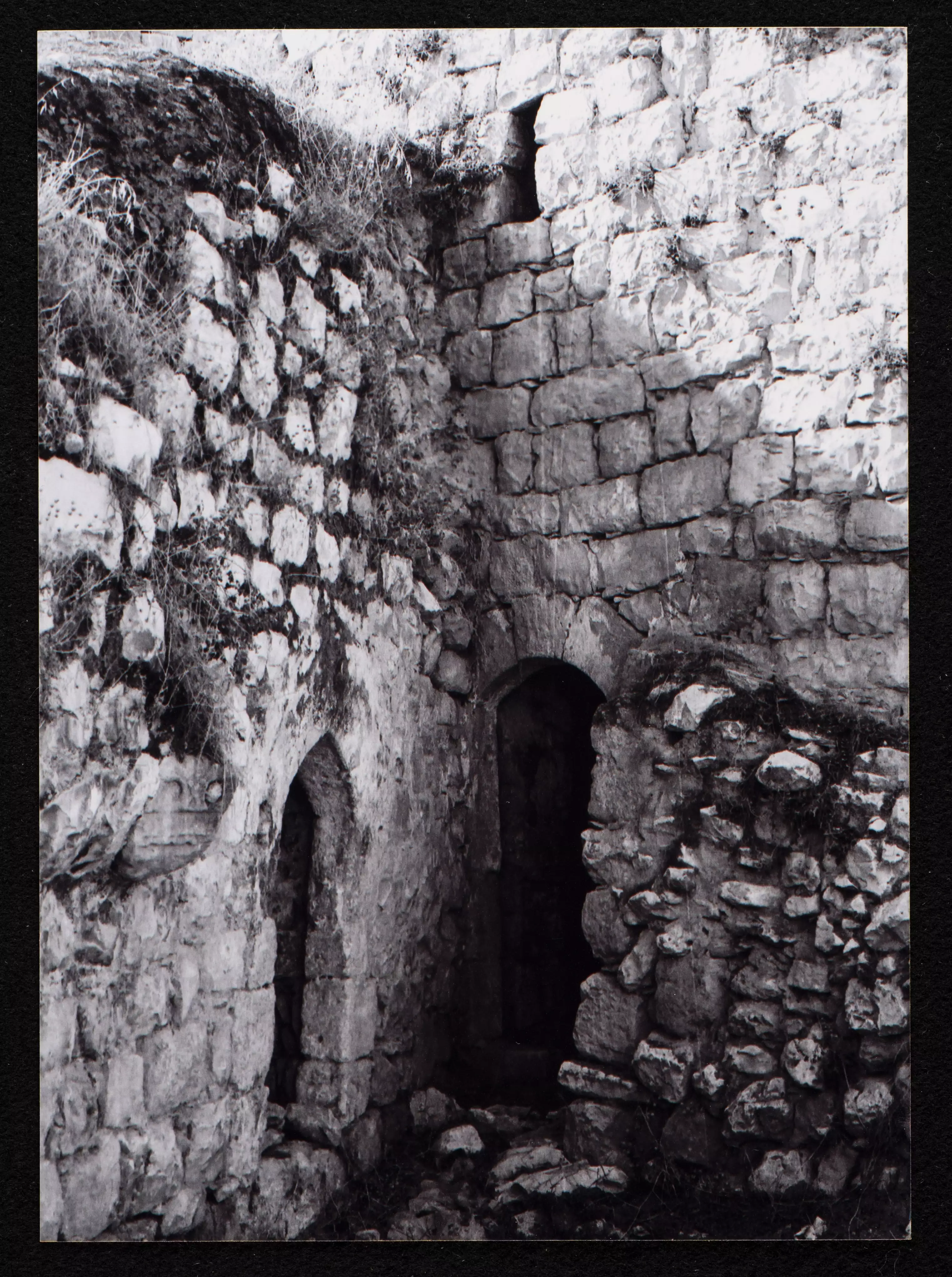
- A rare tour of the village's old houses in the 1980s was done by the Riwaq Center
- A rare tour of the village's old houses in the 1980s was done by the Riwaq Center #2
- A rare tour of the village's old houses in the 1980s was done by the Riwaq Center #3
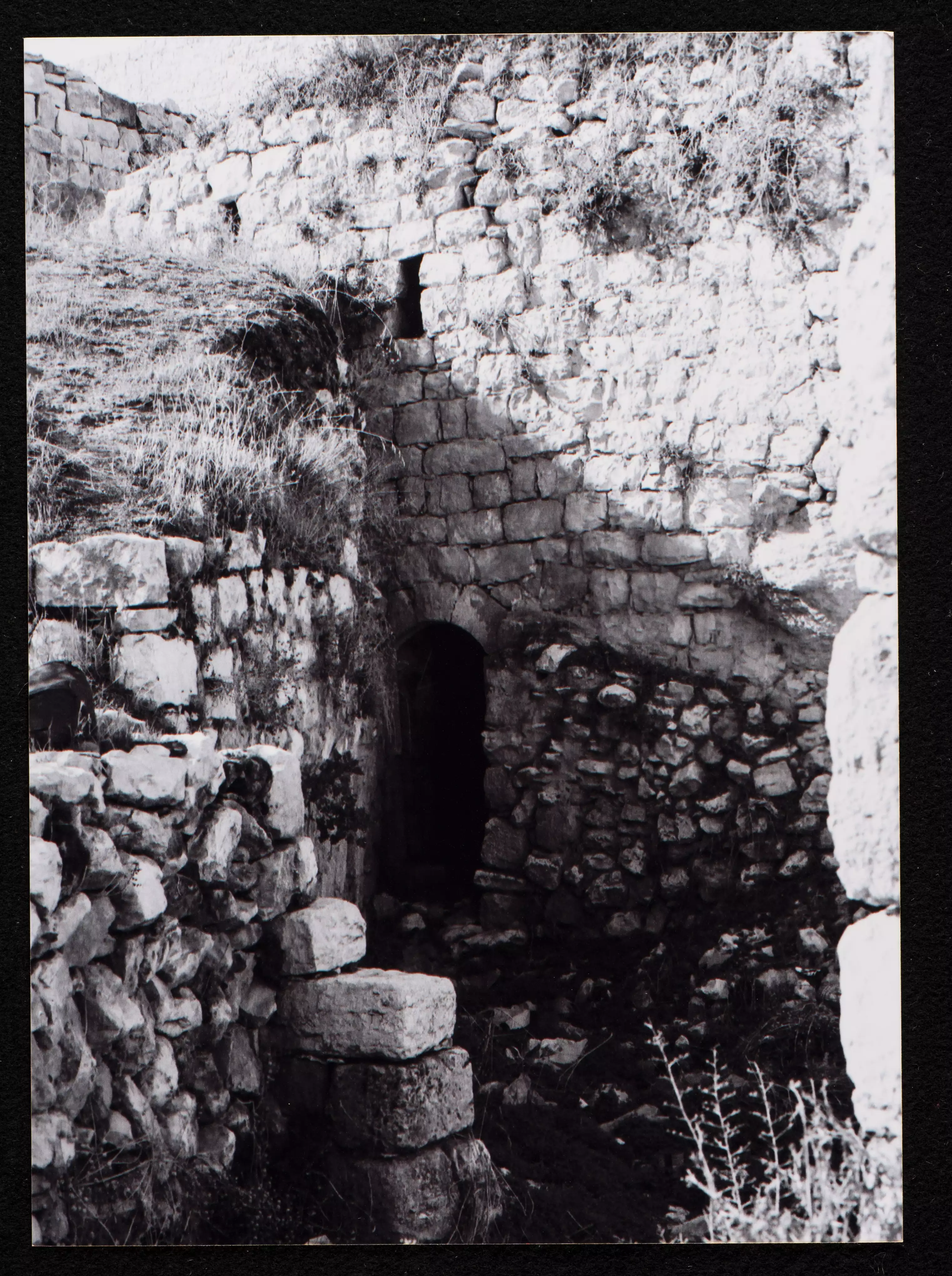
- A rare tour of the village's old houses in the 1980s was done by the Riwaq Center #4
- أم عدنان تخبز خبز الطابون في بلدة المزرعة الشرقية، 1988
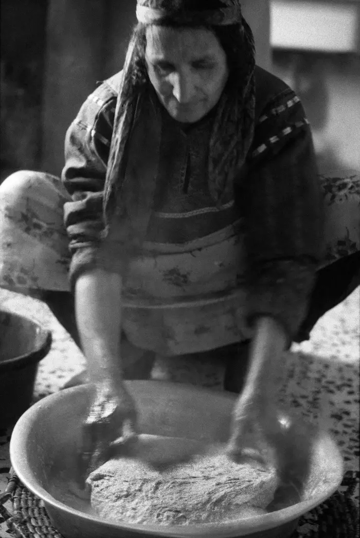
- أم عدنان تخبز خبز الطابون في بلدة المزرعة الشرقية، 1988 #2
- أم عدنان تخبز خبز الطابون في بلدة المزرعة الشرقية، 1988 #3
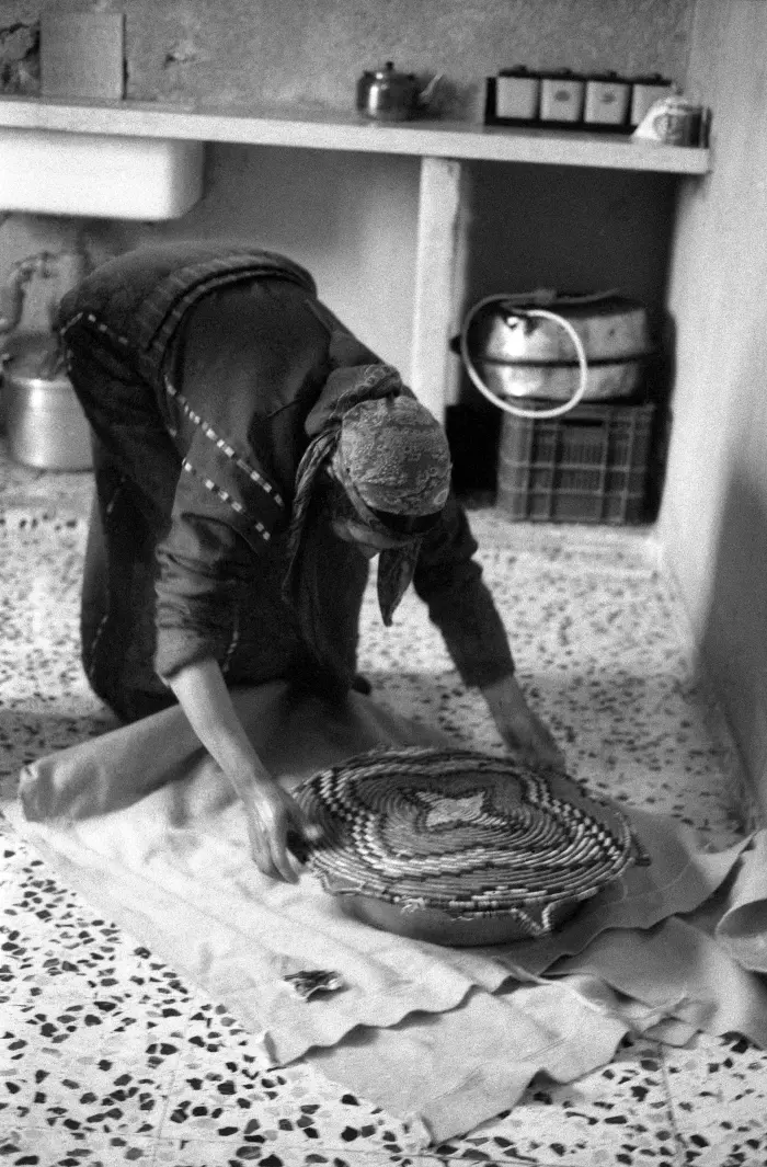
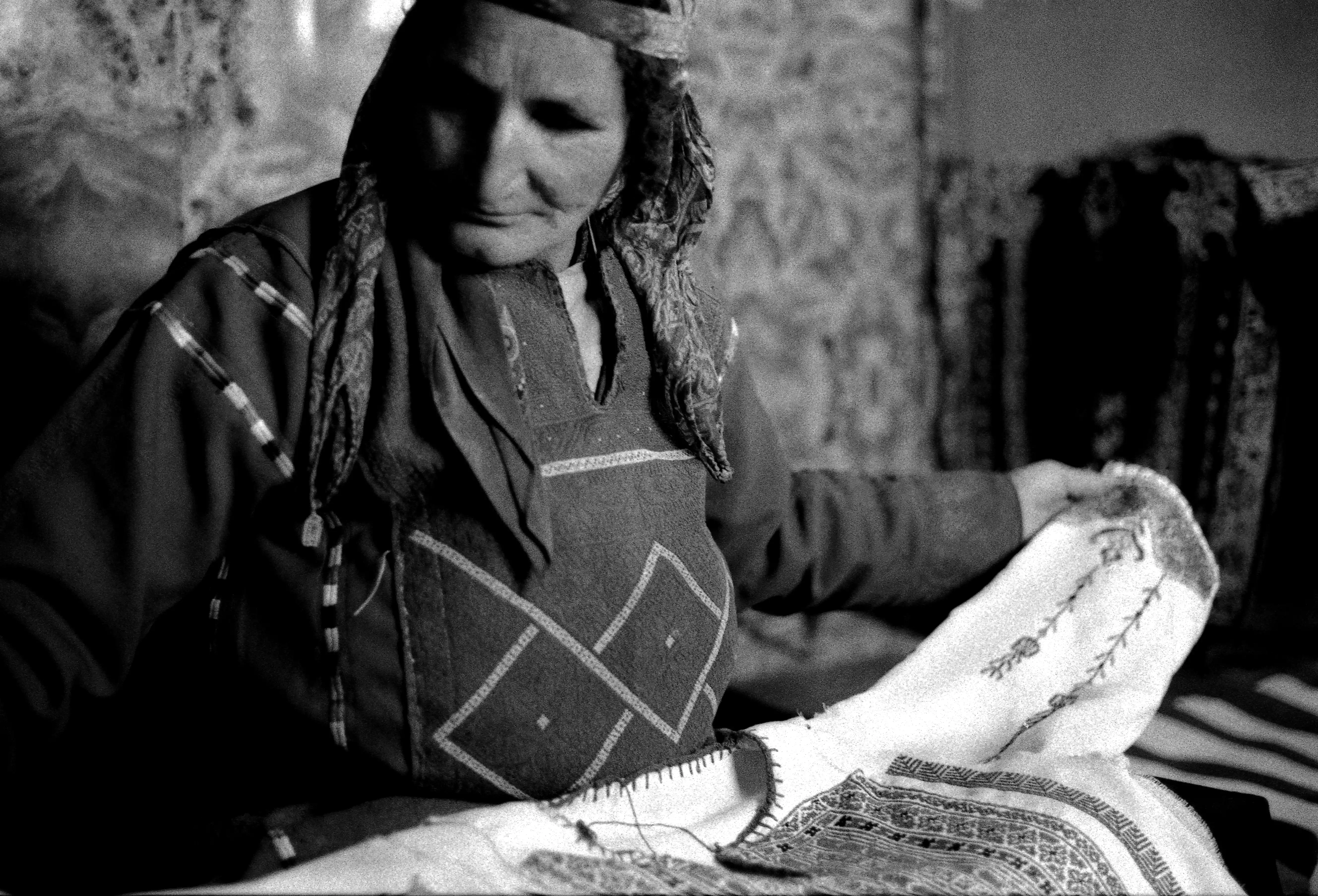
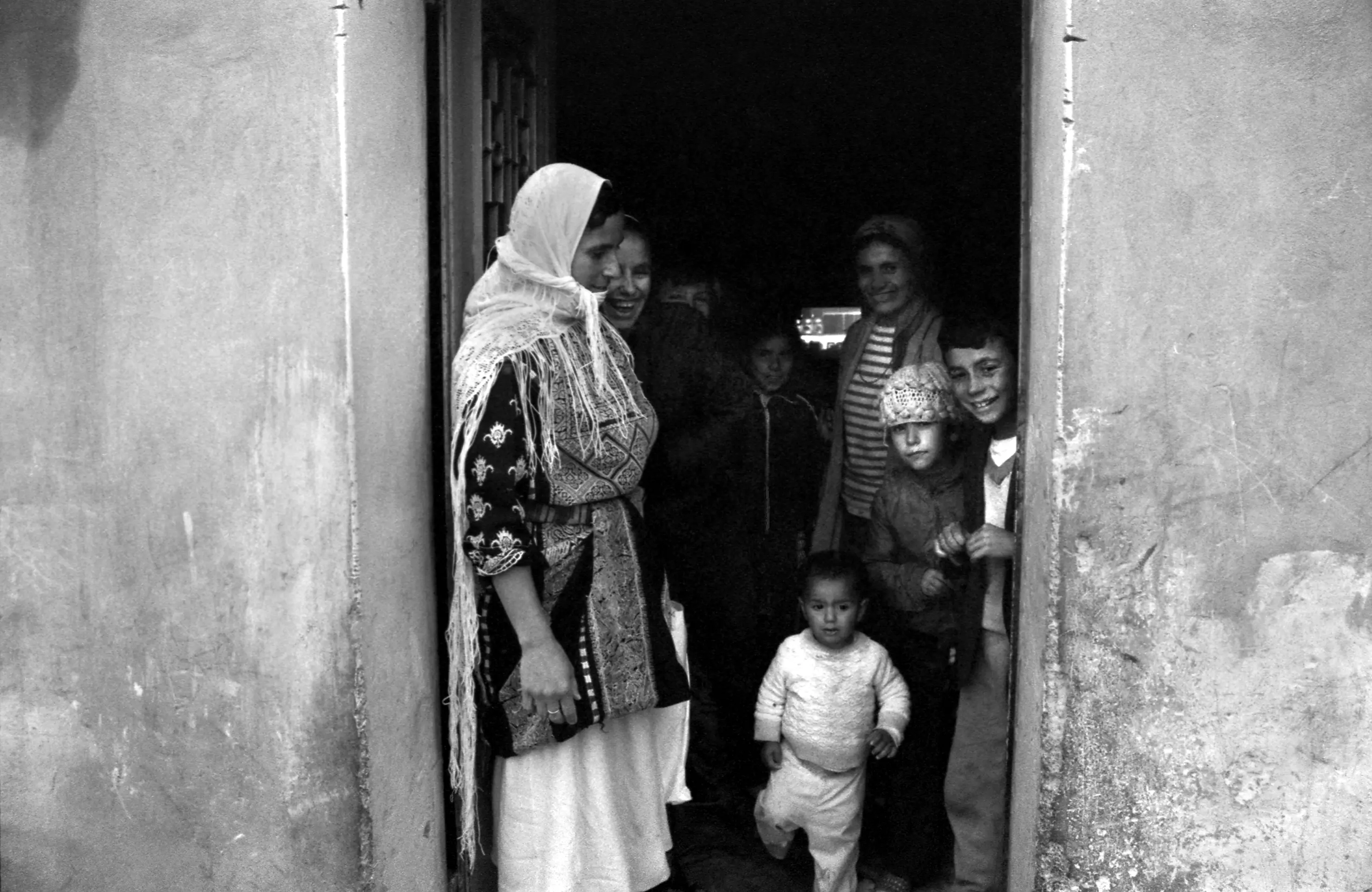
- صورة غير ملونة تعرض الأنشطة اليومية لنساء عائلة الشلبي في ظل منع التجول خلال الانتفاضة الأولى. تطرز أم عدنان وبناتها، وفى وختام، أثواب فلسطينية في بلدة المزرعة الشرقية في رام الله -- 1988
- صورة تم التقاطها عام 1988 تظهر فيها أم عدنان الشلبي، من قرية المزرعة الشرقية قضاء رام الله، مرتدية الثوب الفلسطيني
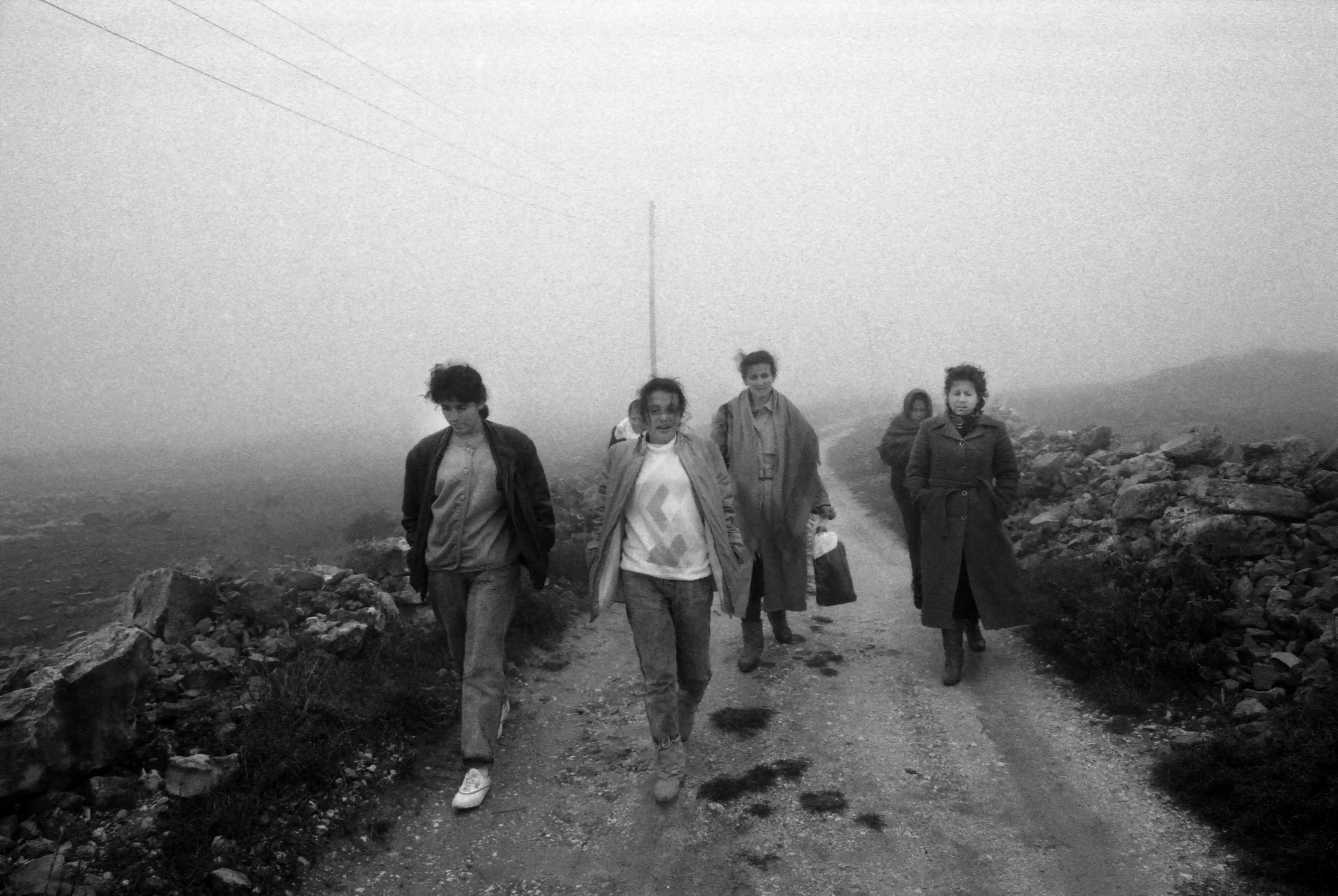
- نساء عائلة الشلبي في ظل منع التجول خلال الانتفاضة الأولى
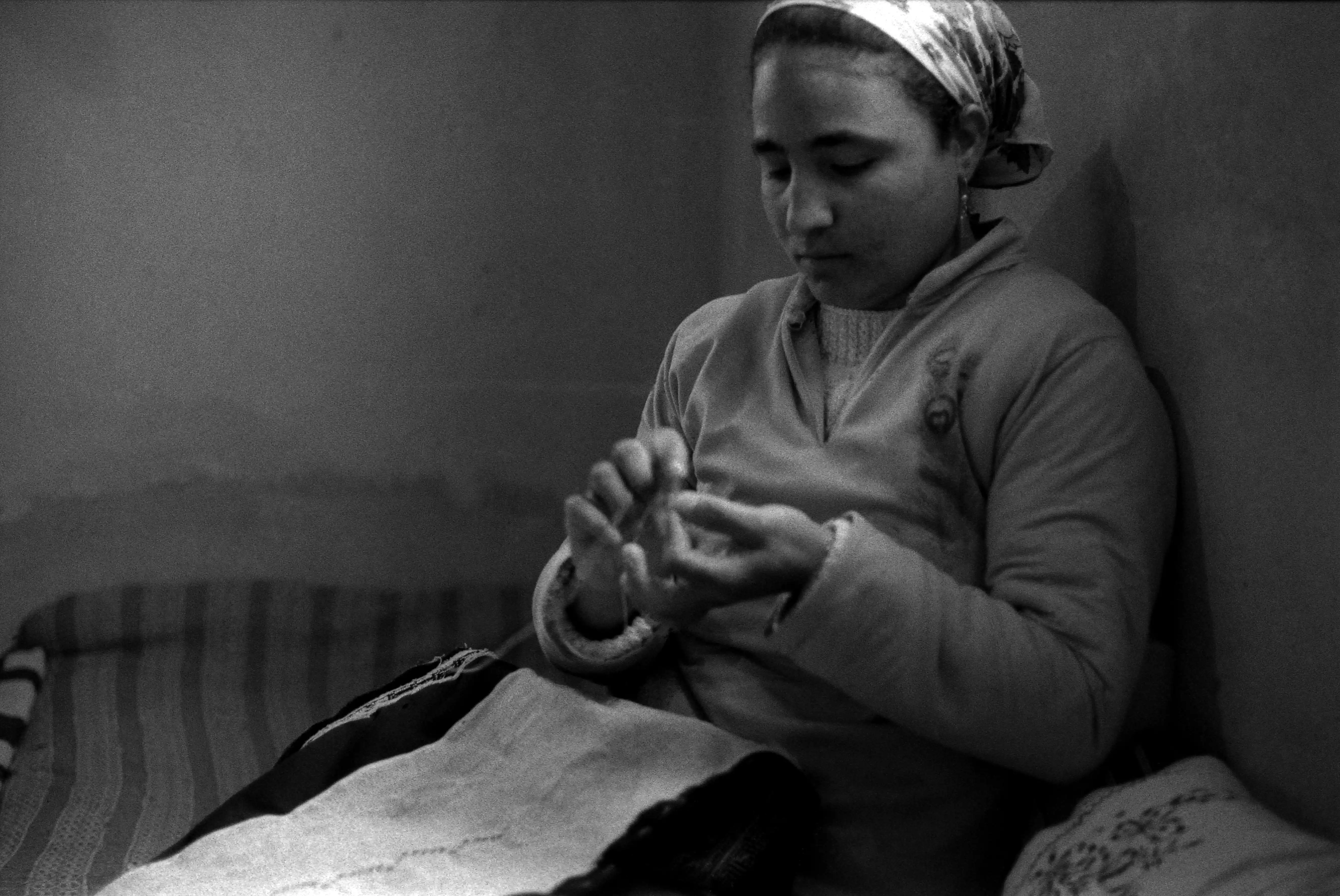
- نساء عائلة الشلبي في ظل منع التجول خلال الانتفاضة الأولى #2
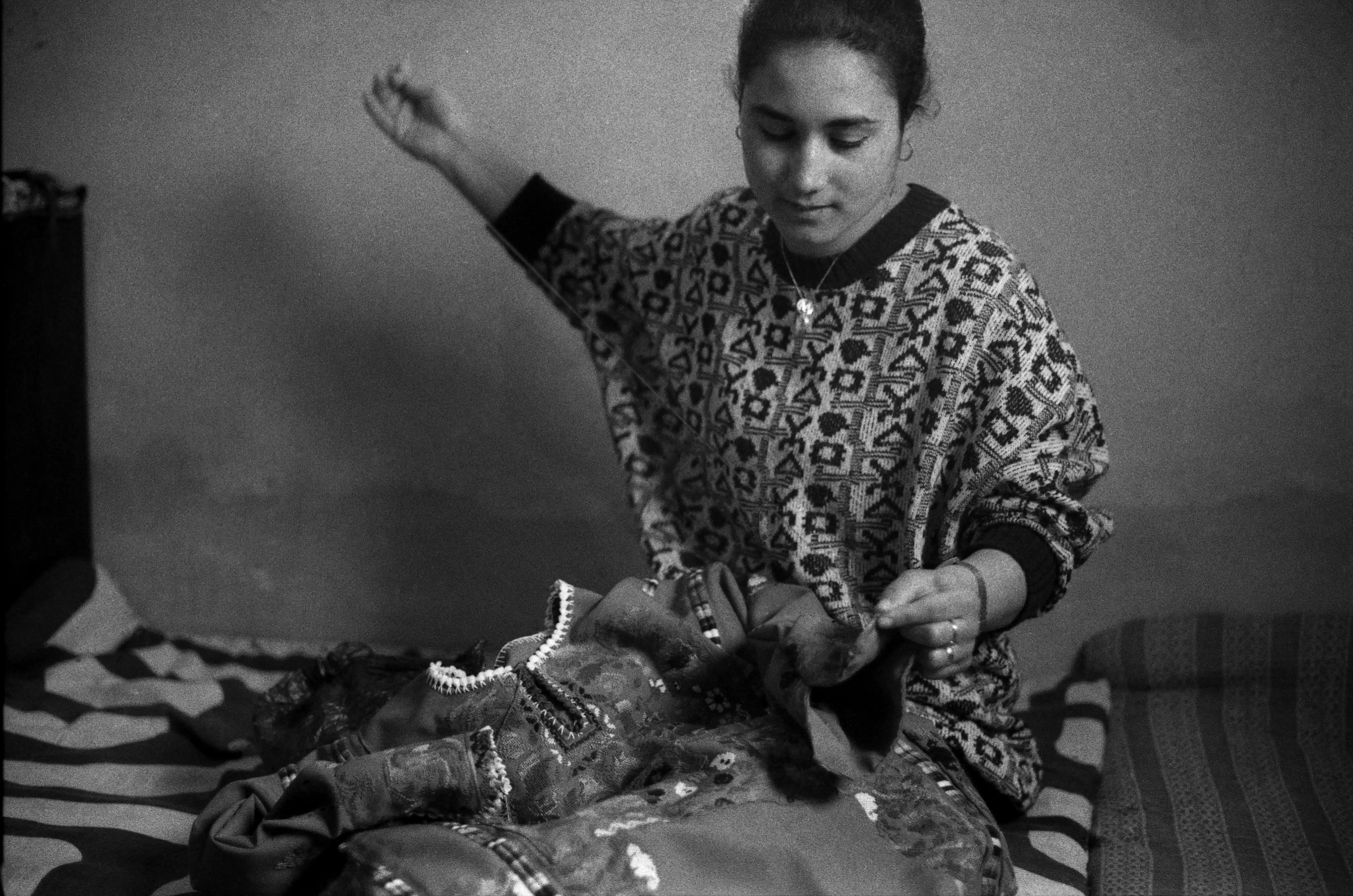
- نساء عائلة الشلبي في ظل منع التجول خلال الانتفاضة الأولى #3
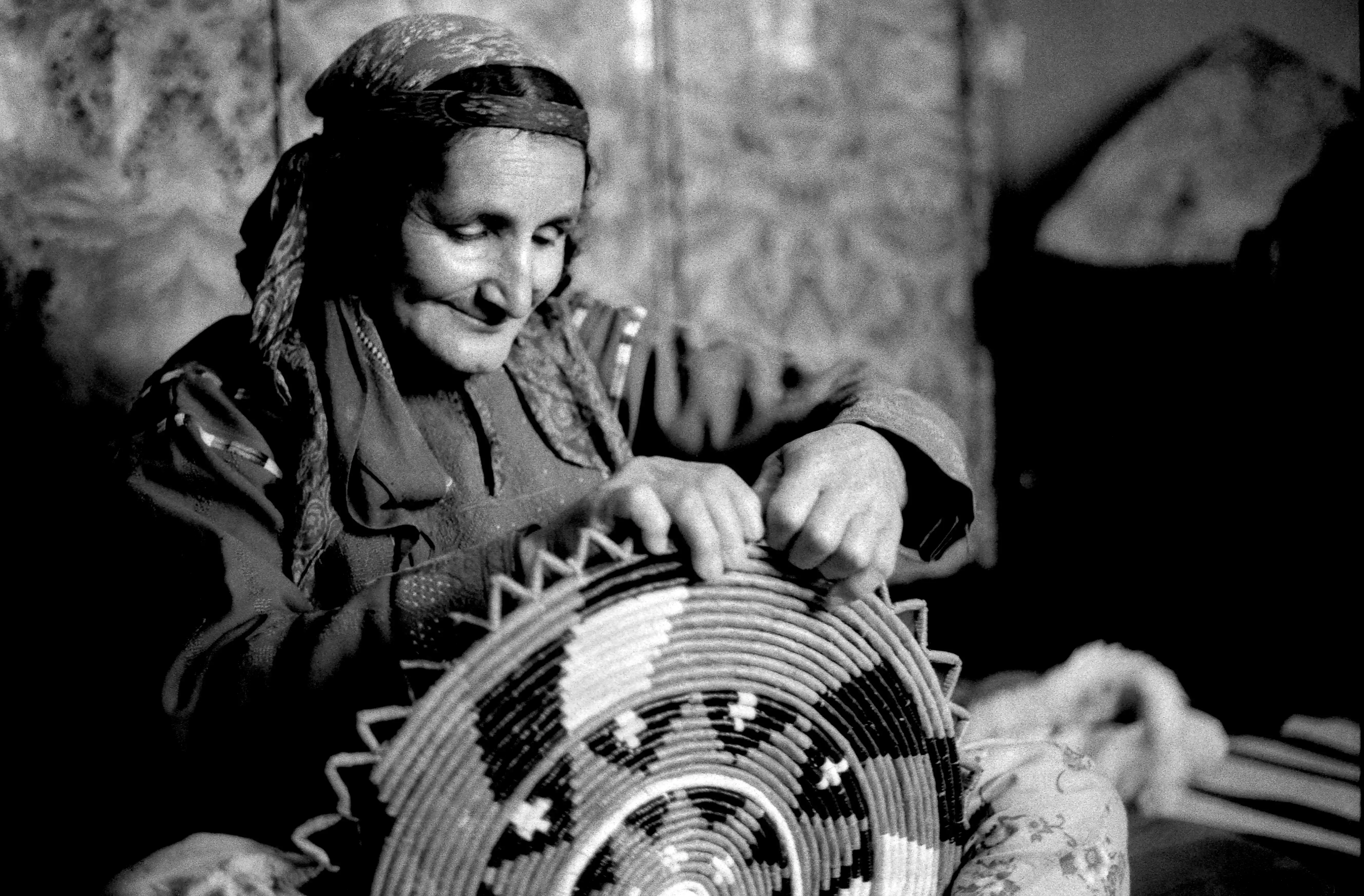
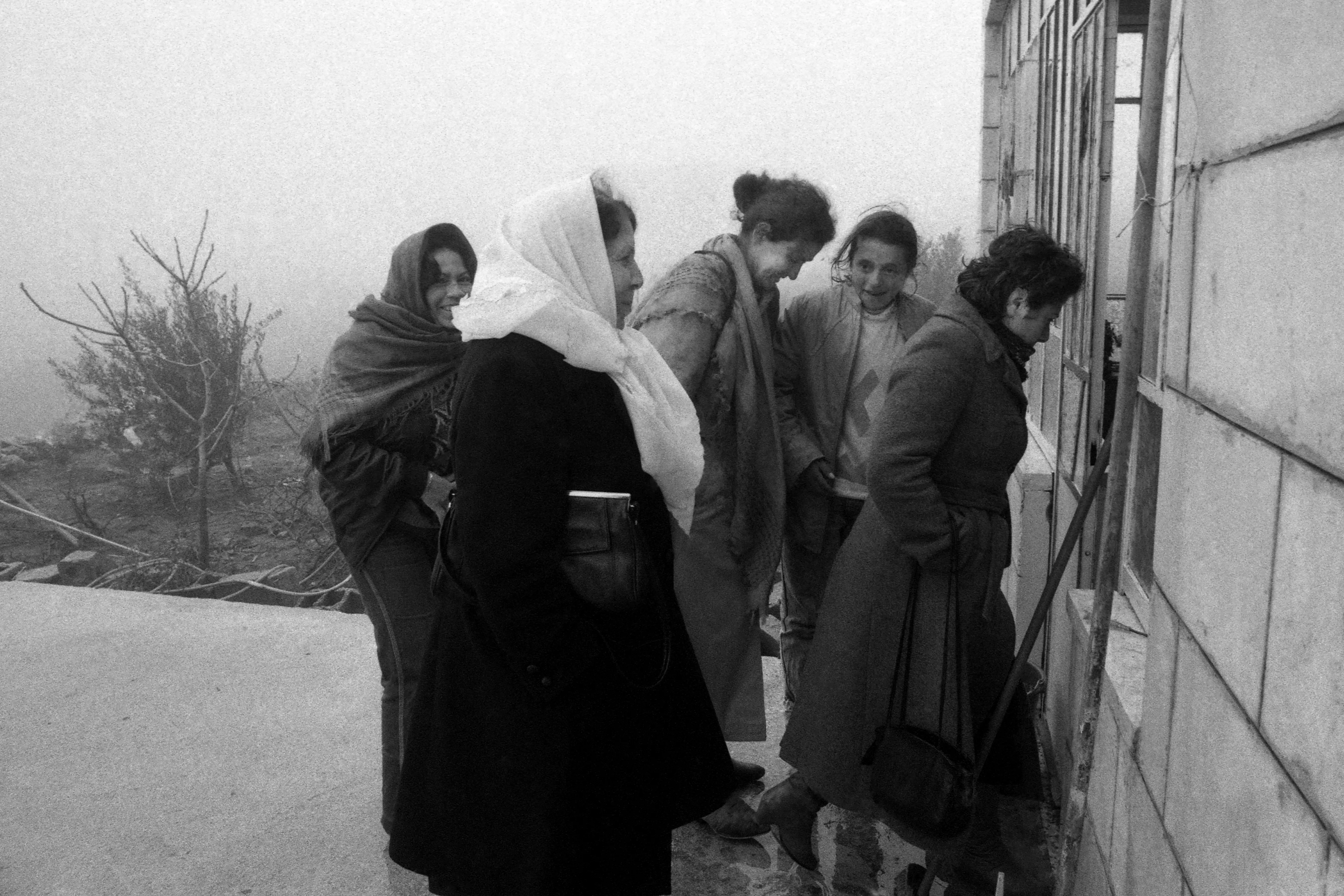
- جمعية المرأة العاملة الفلسطينية للتنمية في بلدة المزرعة الشرقية، 1988
- جمعية المرأة العاملة الفلسطينية للتنمية في بلدة المزرعة الشرقية، 1988
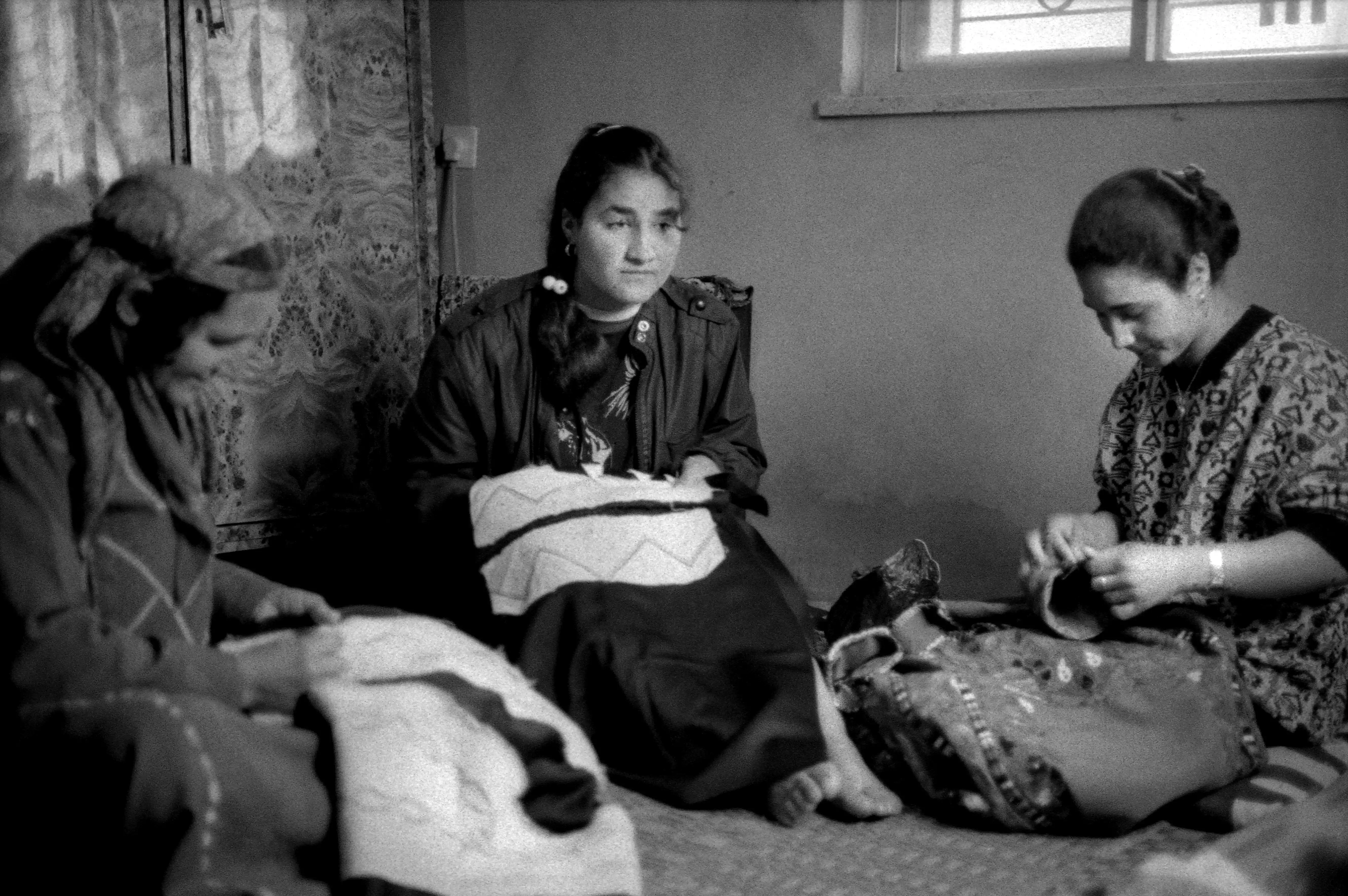
- صورة غير ملونة لآمال خريشة، الأمين العام لجمعية المرأة العاملة الفلسطينية للتنمية، وأعضاء آخرون من رام الله والقرى المجاورة (لم تعرف أسماؤهن)، يزورون القرى لجمع بلوفرات محاكة، في بلدة المزرعة الشرقية في رام الله أثناء الانتفاضة الأولى -- 1988
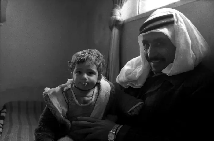
- أبو عدنان في بلدة المزرعة الشرقية -- 1988
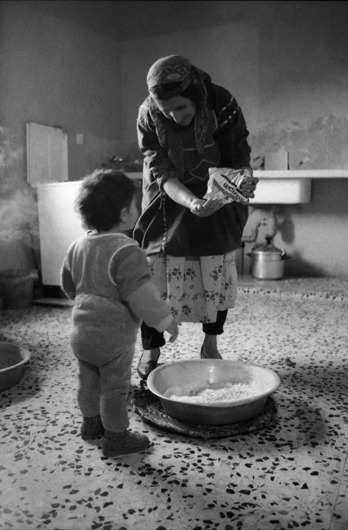
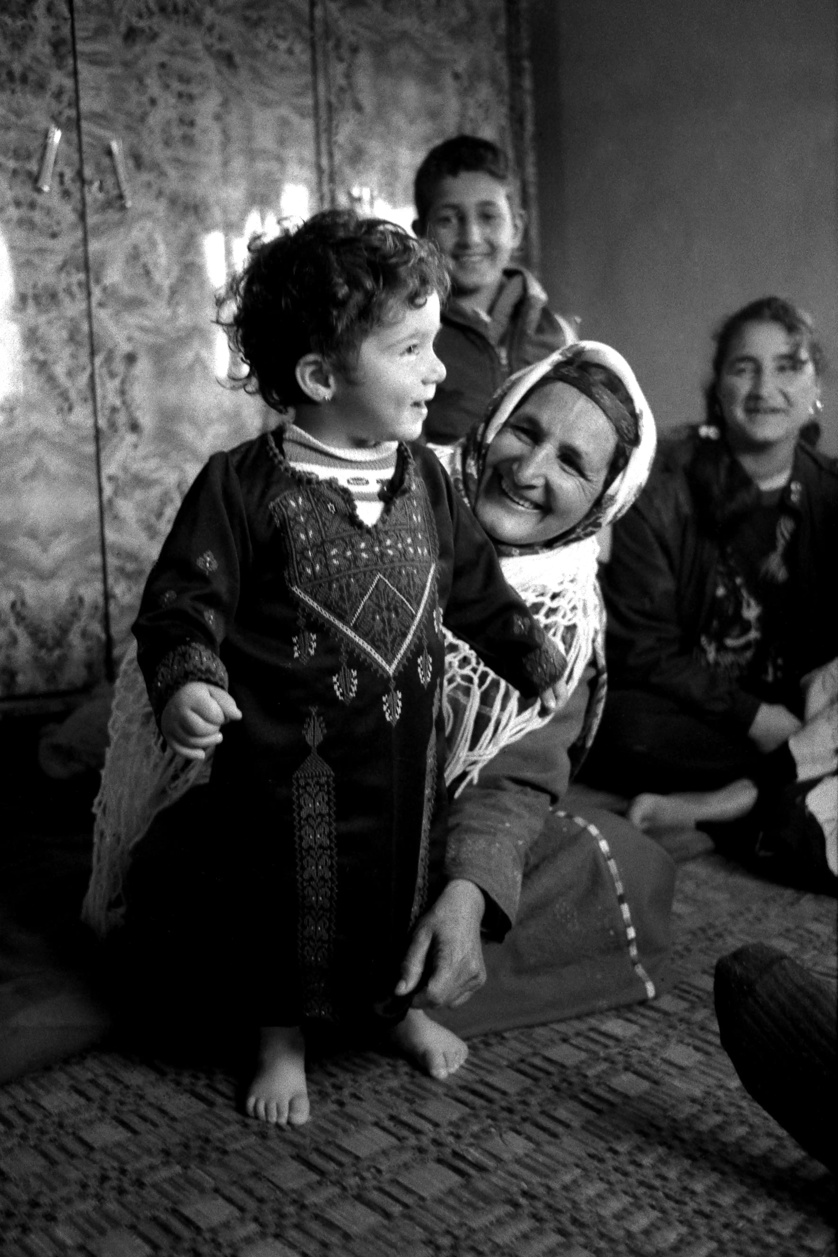
- أم عدنان فخورةٌ بحفيدتها في بلدة المزرعة الشرقية، 1988
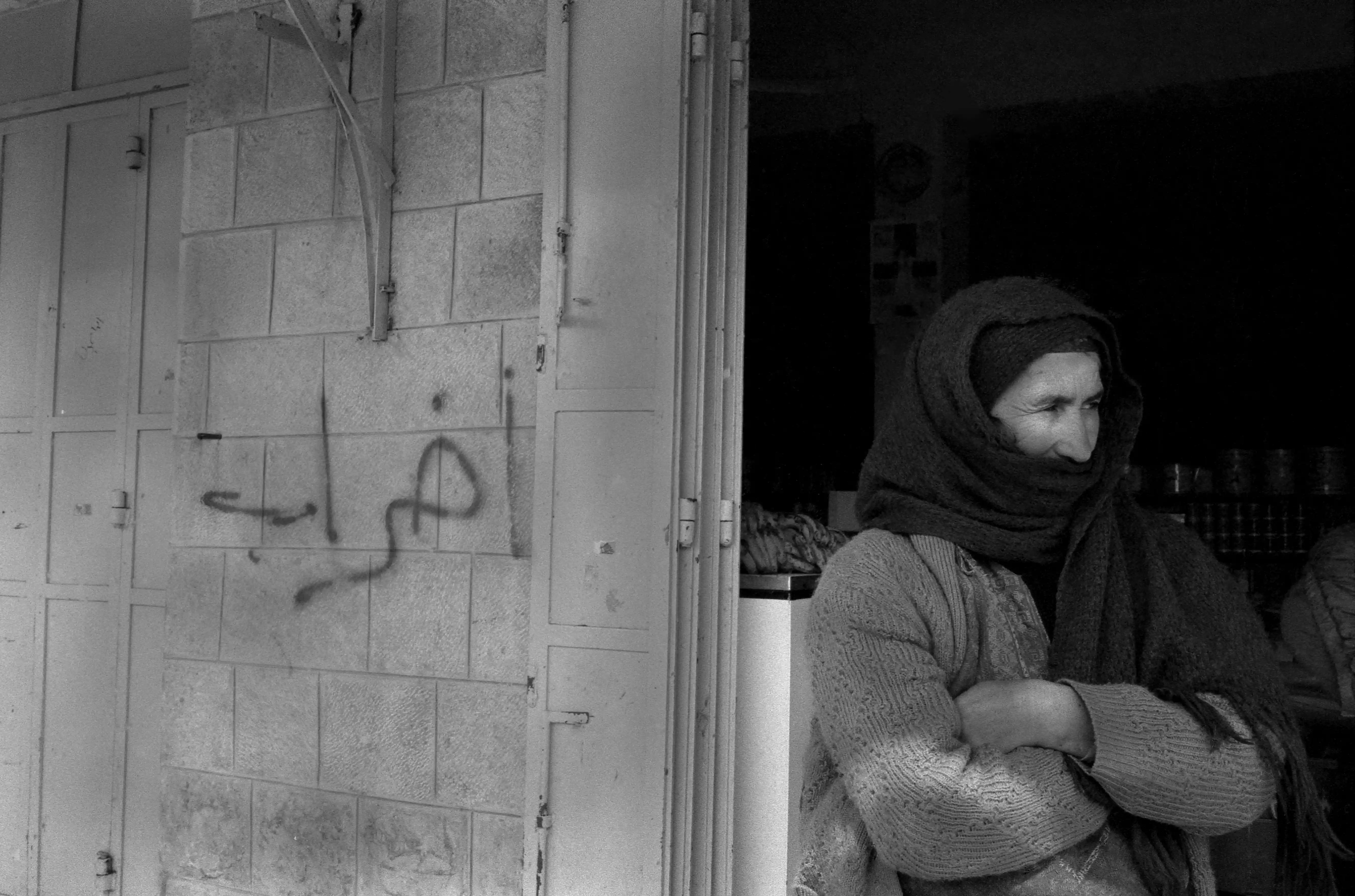
- إضراب تجاري في بلدة المزرعة الشرقية، 1988
- إضراب تجاري في بلدة المزرعة الشرقية، 1988
#2
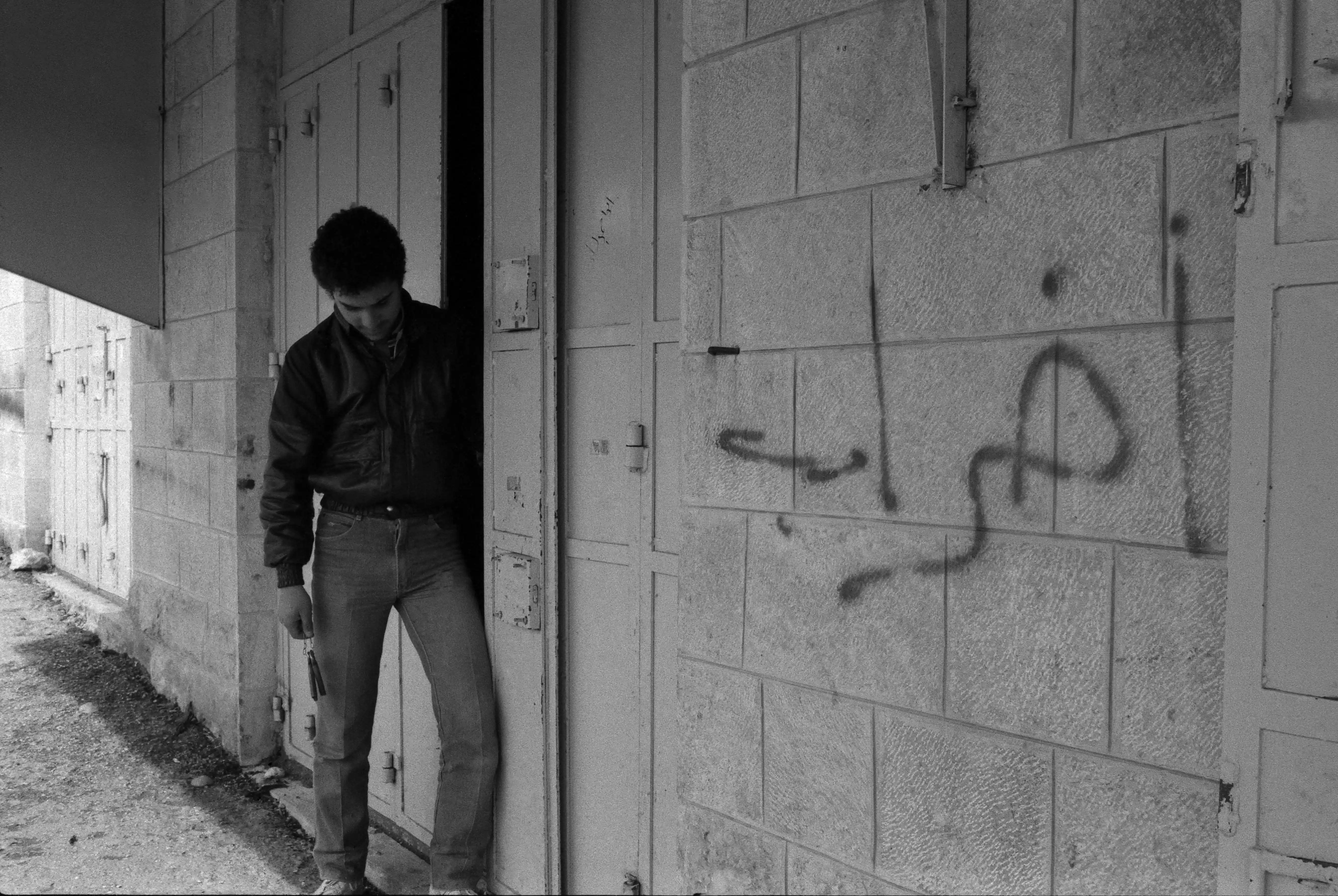
- إضراب تجاري في بلدة المزرعة الشرقية، 1988
#3
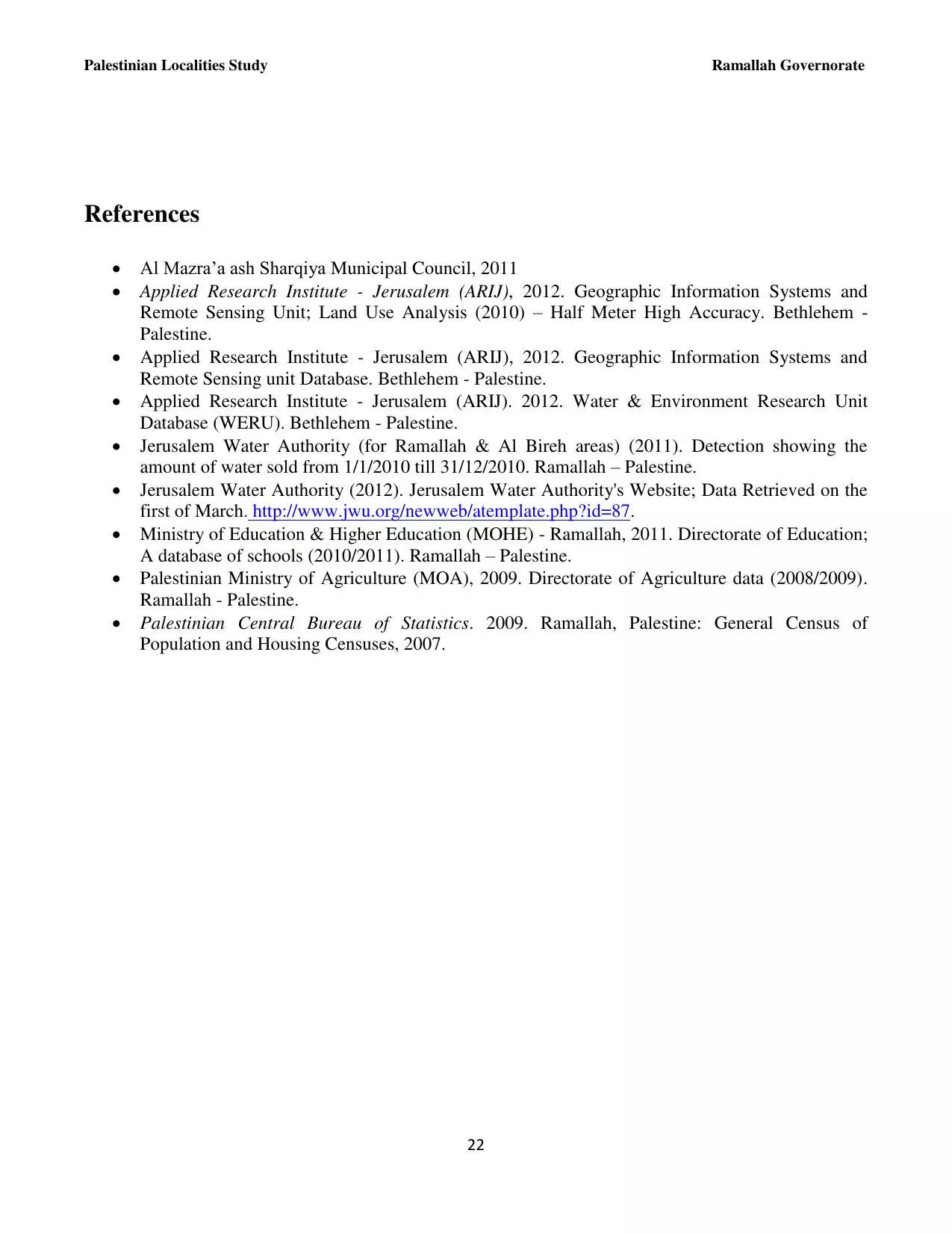
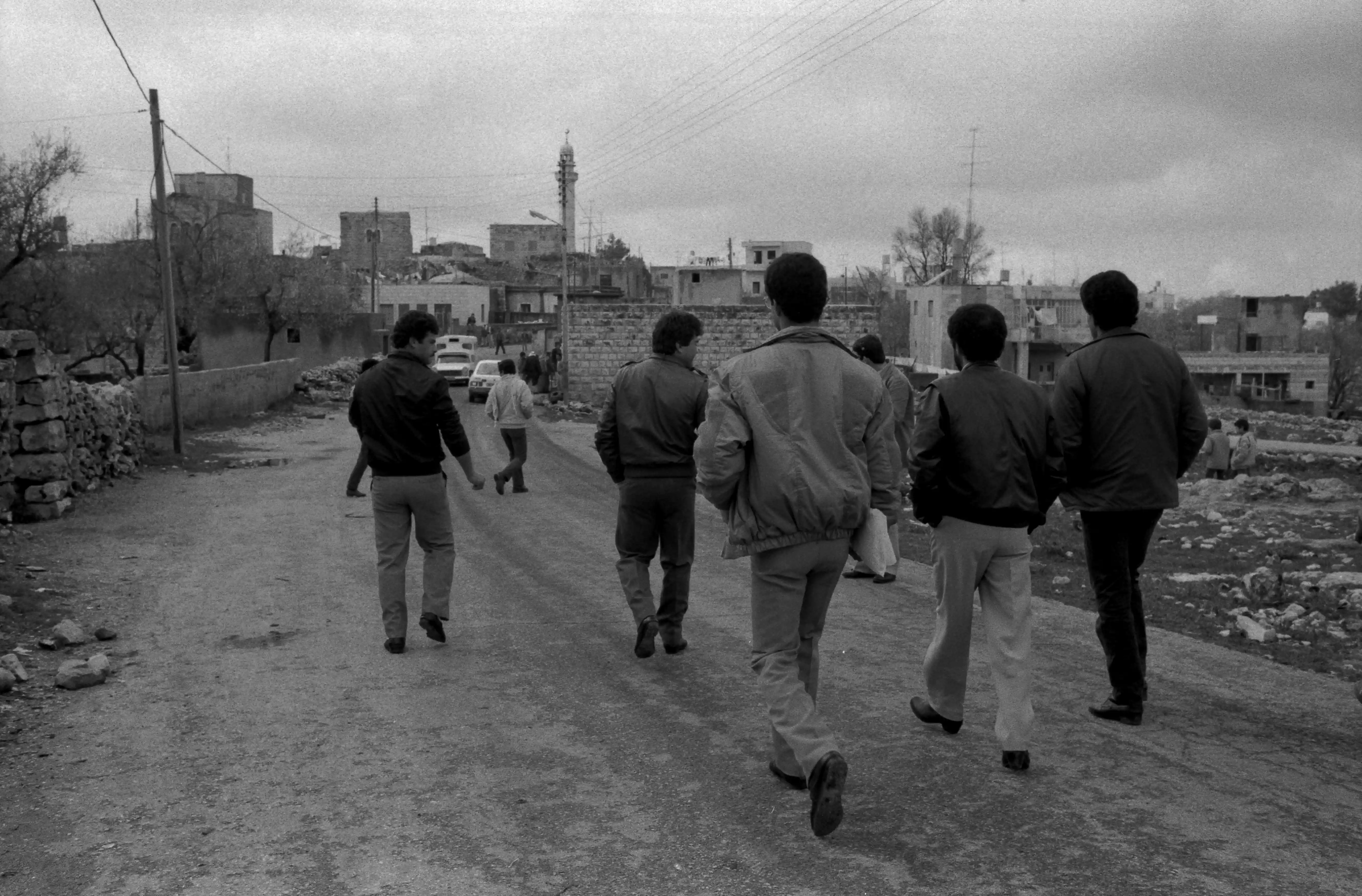
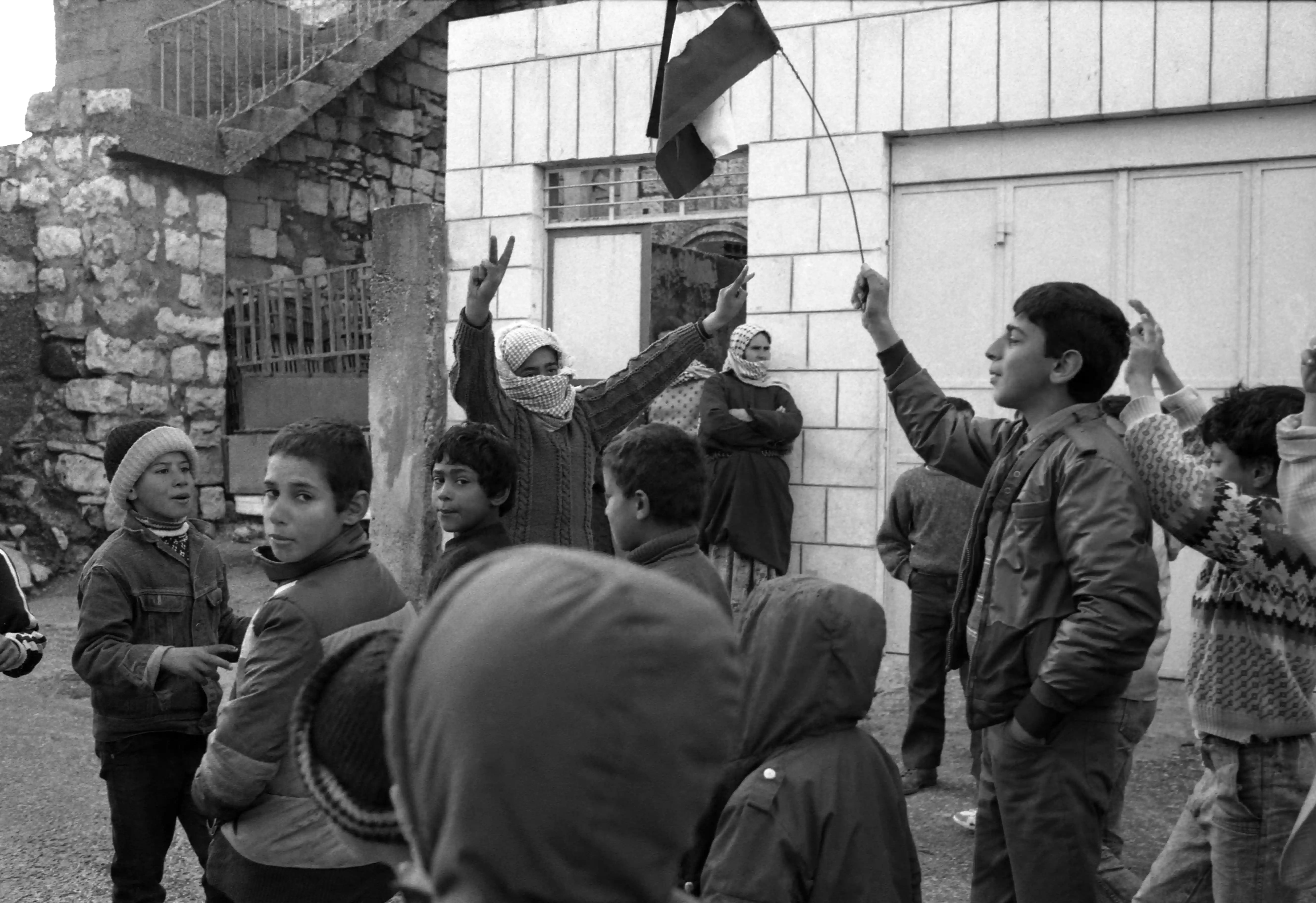
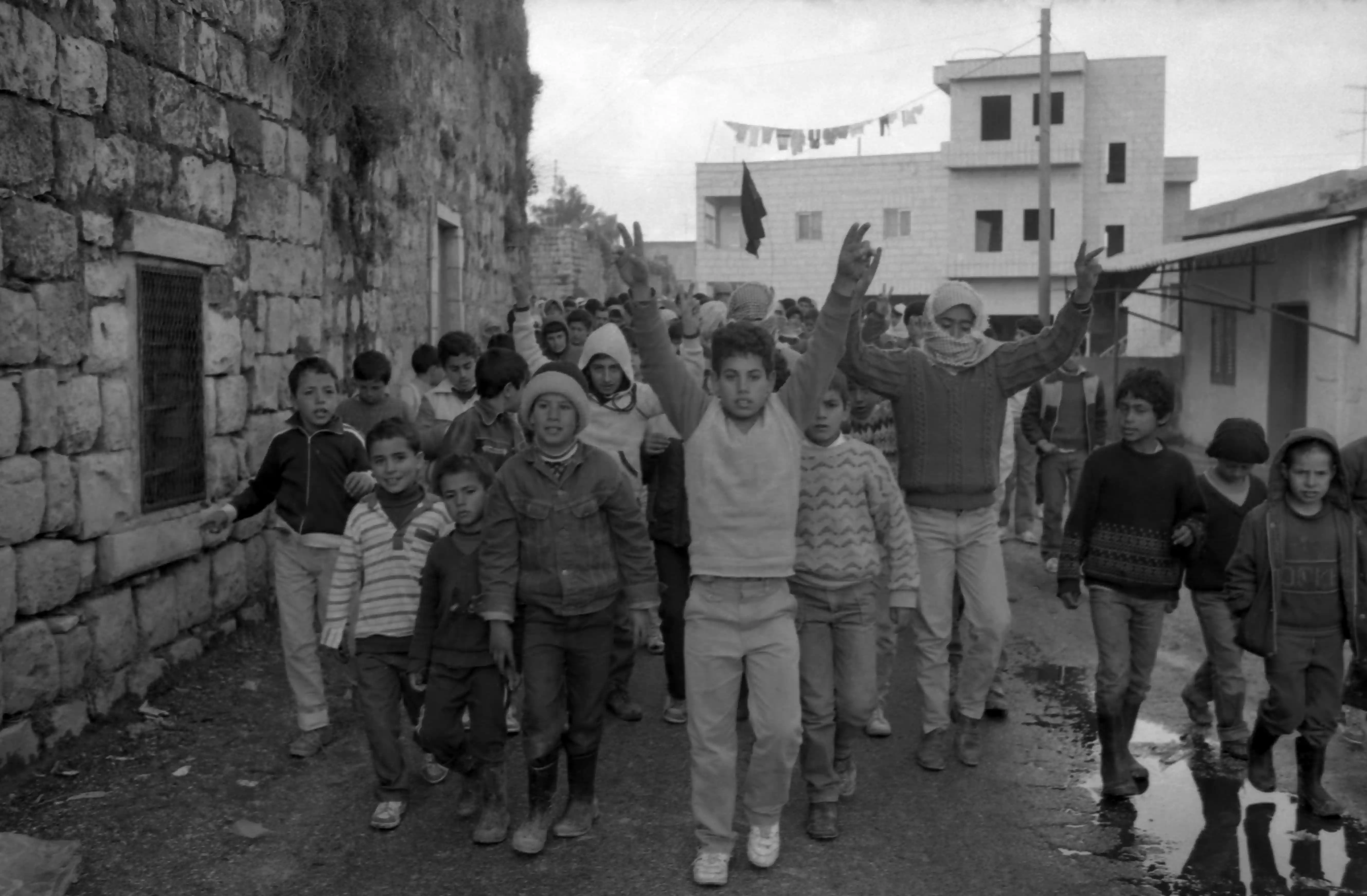
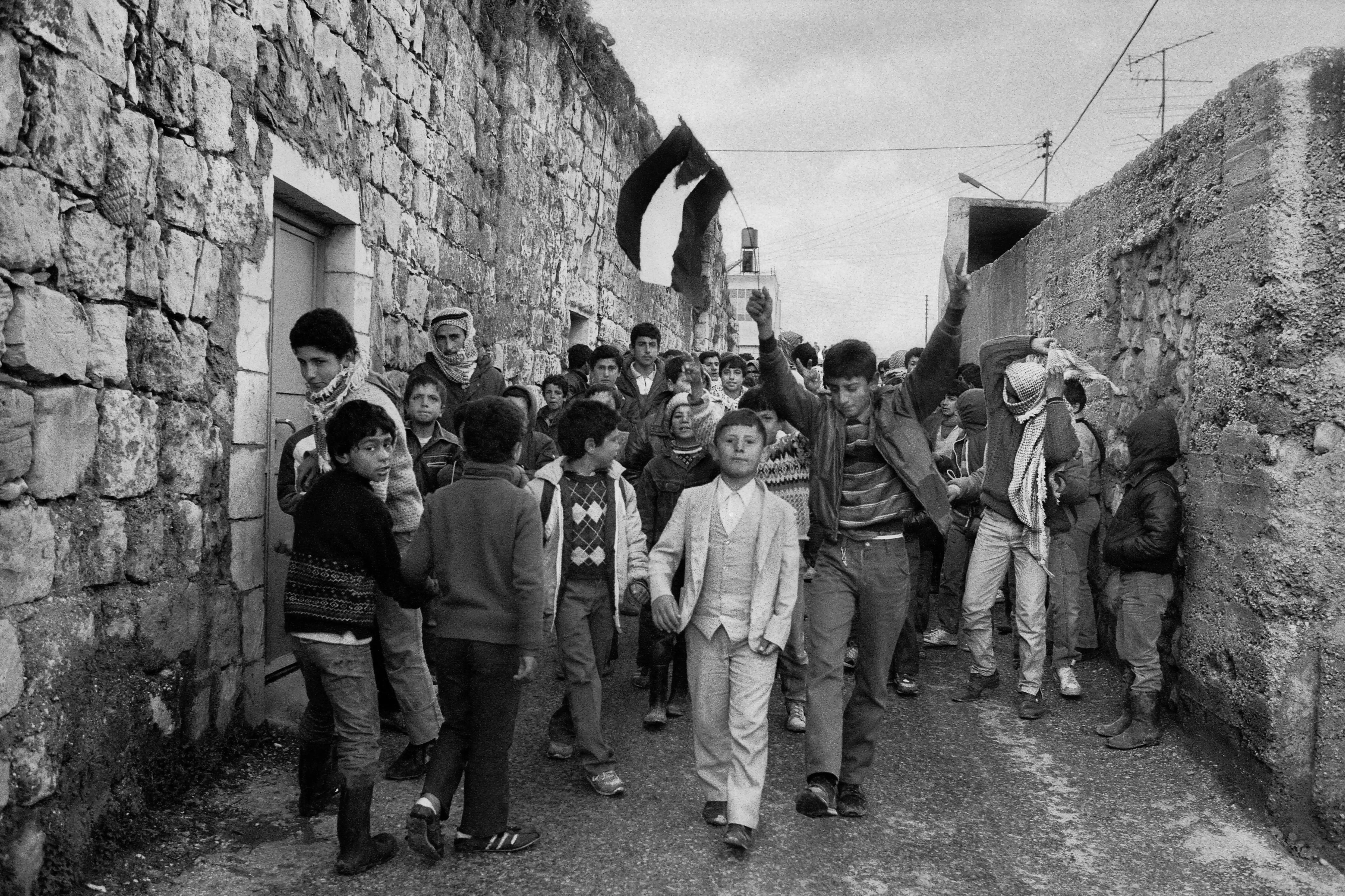
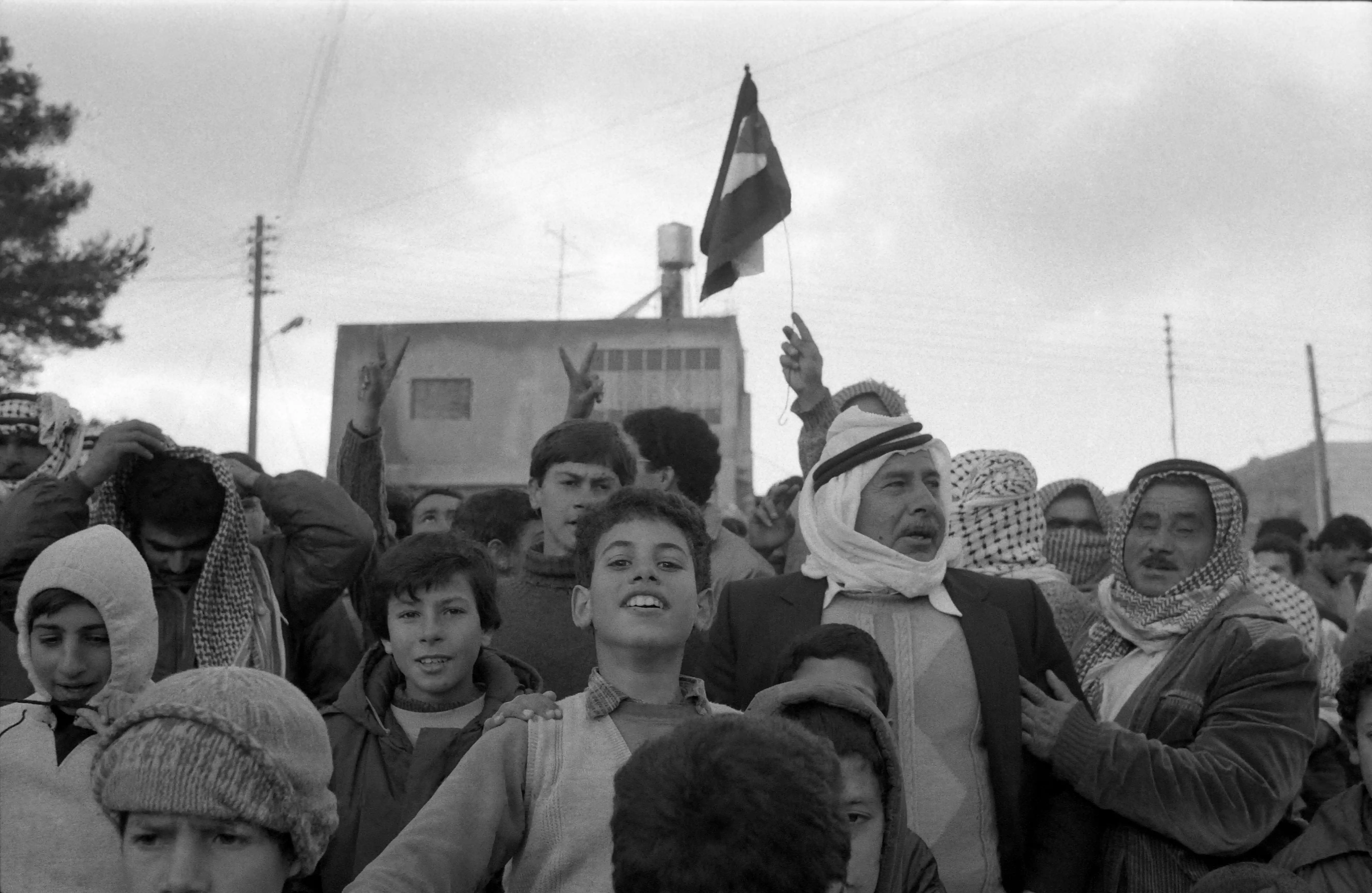
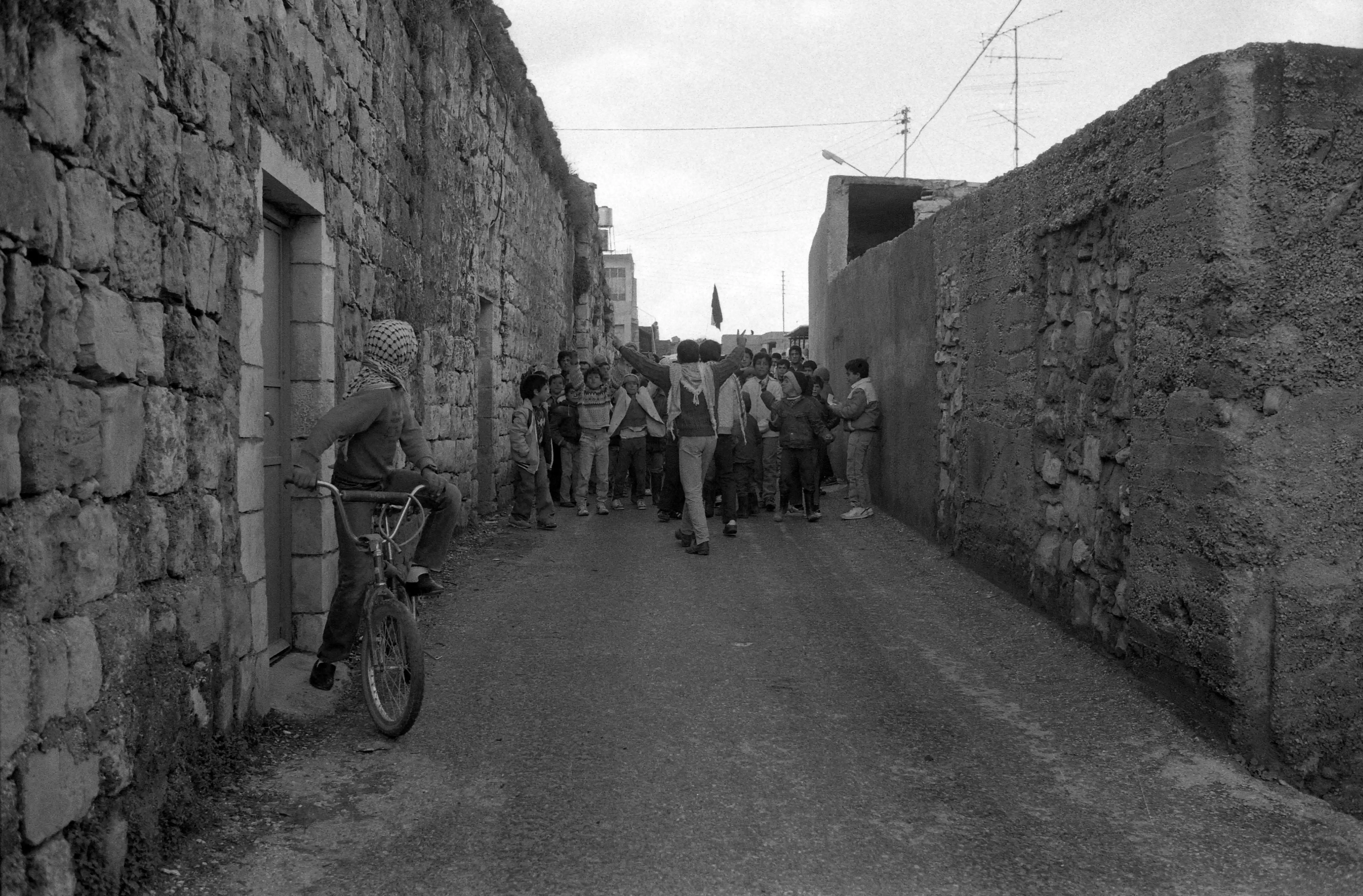
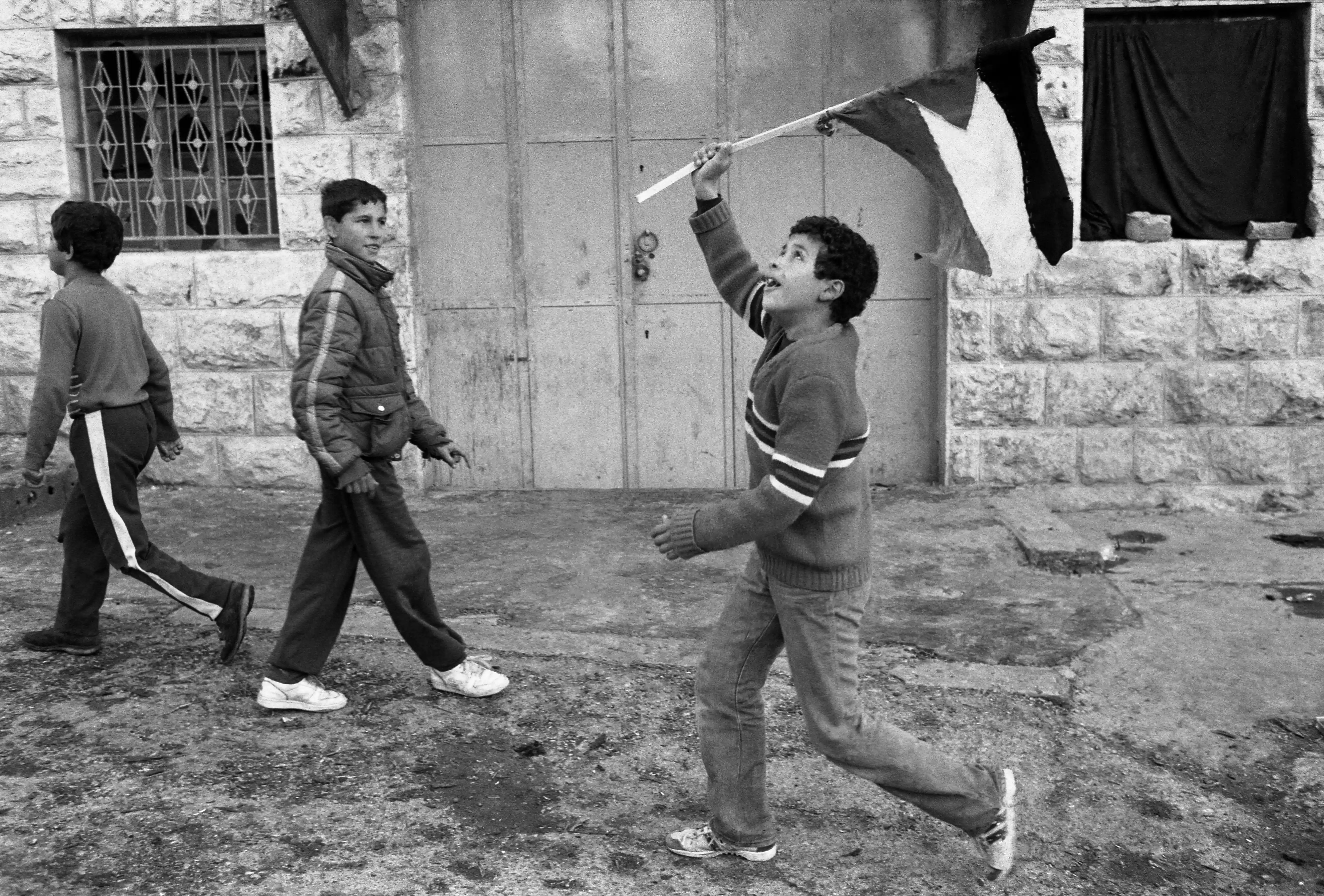
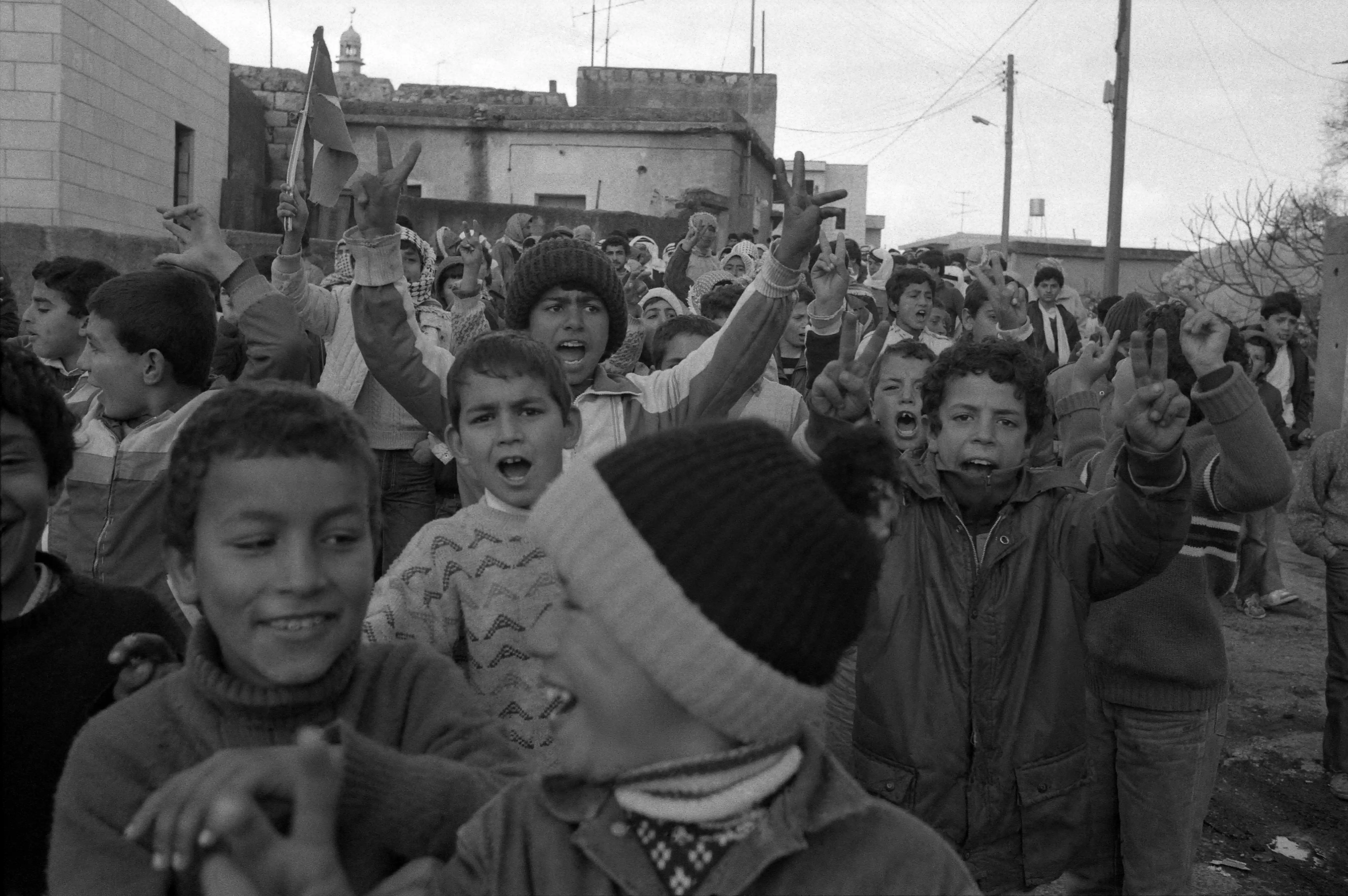
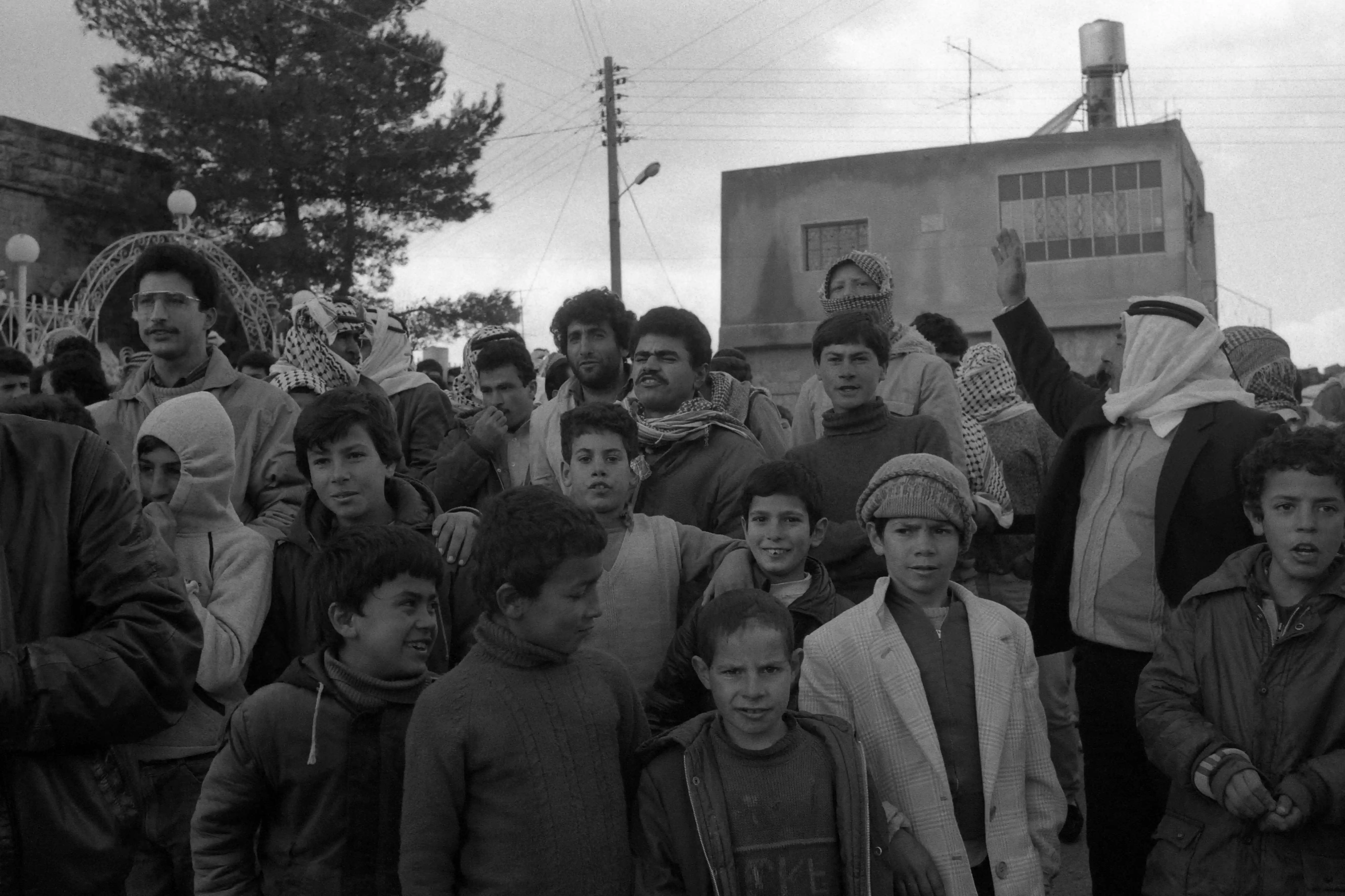
- مظاهرة في شوارع بلدة المزرعة الشرقية -- 1988
- مظاهرة في شوارع بلدة المزرعة الشرقية -- 1988 #2
- مظاهرة في شوارع بلدة المزرعة الشرقية -- 1988 #3
- مظاهرة في شوارع بلدة المزرعة الشرقية -- 1988 #4
- مظاهرة في شوارع بلدة المزرعة الشرقية -- 1988 #5
- مظاهرة في شوارع بلدة المزرعة الشرقية -- 1988 #6
- مظاهرة في شوارع بلدة المزرعة الشرقية -- 1988 #7
- مظاهرة في شوارع بلدة المزرعة الشرقية -- 1988 #8
Want to browse more? 80,000 pictures were grouped in these gallaries:
| Display Name | Clan/Hamolah | Country of Residence |
| Lena Mustafa | Abdel Aziz | FL, United States |
| yahya alzaben | alzaben _الزبن | amman |
| abu haiel | hijaz | - |
| Malik Milbes | Hijaz | California, United States of America |
| bisher | - | amman, jordan |
| Hamdi AL Hatel | Abd AL-Baqi | jordan |
| Anas Shalabi | Shalabi | Amman, Jordan |
| BELAL H SAAD | - | المزرعة الشرفية |
| riad shalabi 08 | shalabi | texas, texas |
| Belal Kaki | Hijaz | - |
| faez raed hijaz | - | - |
| maher salem | abdel-baqi | - |
| Ibn al-Mazra | hijaz | palestine, palestine babe |
| mazr3awee 4 ever | zaben | ramallah |
| haifawi | hijaz | west bank, palestine |
| عثمان أبو زنيد | الشرحة | - |
| Anwar Al asmar | Zaben | New York, USA |
| jawad abdelqader | zaben | new york |
| Adam Milbes | HIJAZ | CA, UNITED STATES |
| yahya | hamideh | - |
| Bassam Mahmoud Shalabi | Shalabi | LA, USA |
| anas h shalabi | - | - |
| Baker Milbes | Hijaz | CA, United States |
| Anwar Milbes | Hijaz | CA, united states |
| Anas Milbes | Hijaz | CA, United States |
| kifah muhammad | hijaz | california, united states |
| A Kadur | Zaban | Florida, United States |
| AH | Hijaz | California, United States |
- Palestinians dismantle road blockade
- سهرة المزرعة الشرقية mohammad hani abu samra
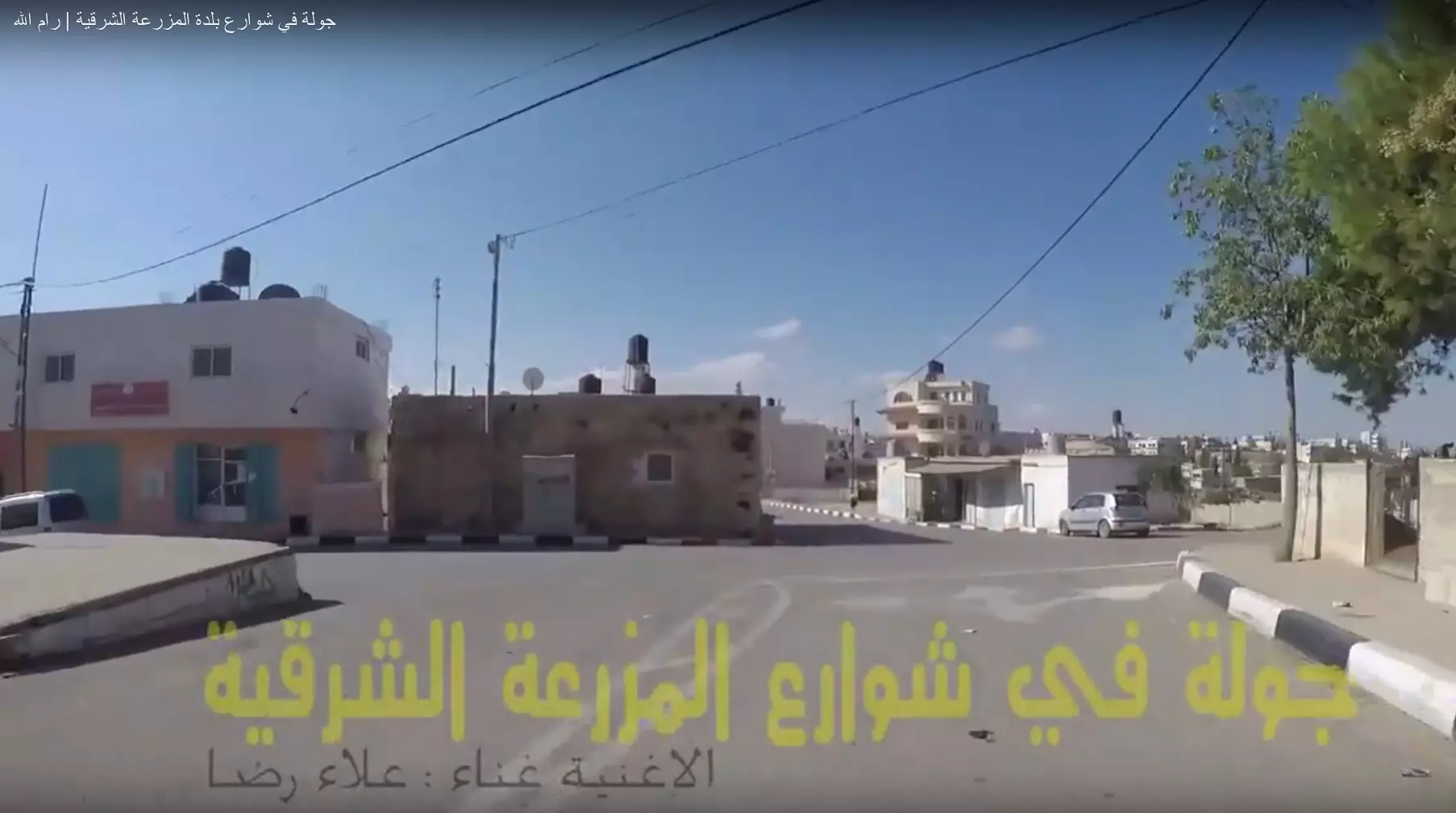
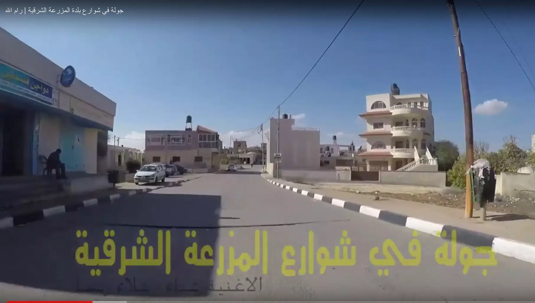
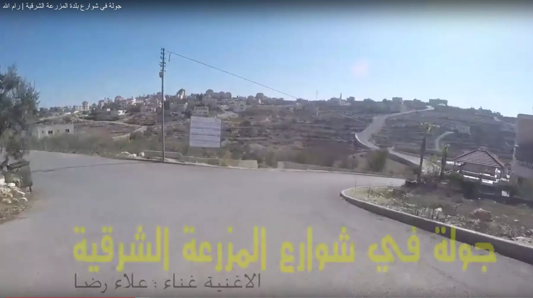
- جولة في شوارع بلدة المزرعة الشرقية | رام الله Duration: 30 min 21 sec
- حلوة يا دنيا - تقرير عن بلدة المزرعة الشرقية - فلسطين Duration: 9 min 32 sec
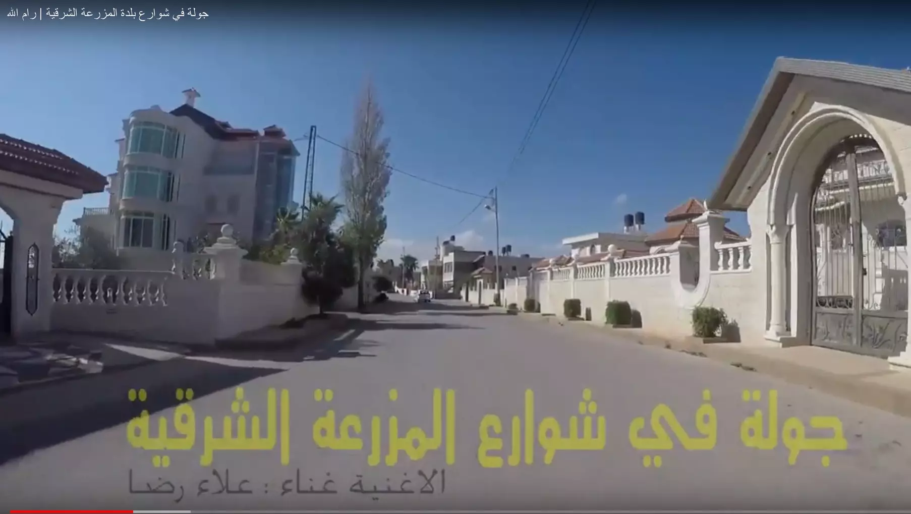
- جولة في شوارع المزرعة الشرقية ورَمّون. إنها من القرى الغنية في ريف رام الله، معظم البيوت هنا يعلوها قرميد أحمر، ويتم تجديد تعبيد الشوارع وتوسعتها. Duration: 4 min 18 sec
- الطريق بين ابو فلاح..و المزرعة الشرقية Duration: 4 min 13 sec
No links have been shared yet, be free to the first to share the first link.
 Fake Valor: Why Did Zionist Jews Hoist Nazis Flag on Their Ships in the 1930s?
What is new?
-
Facts About Oct. 7th Gaza Raid
-
Remined Us Please:: Who Did Rape Who? Palestinians Raped Israelis? Or, was the other way around?
-
When Prof. Edward Said was invited to debate Bibi Netanyahu in the 1980s, watch what happened!
-
Ezra Klein of the NY Times on the "Jewish Race".
-
Abusing Blood Libel!
-
Did Israeli Soldiers Activate The Hanniba Direective On Oct. 7th? You Be The Judge
-
Zionist FAQ: Isn't it true that Palestinians don't want peace? Palestinians never accepted the two-state solution
- Facts about Haavara (Transfer) Agreement between Ben-Gurion & Hitler
-
Haavara FAQs: Why Did Zionist Jews Hoist Nazis' Flags on Their Ships in the 1930s?
- Haavara FAQs: When Chaim Weizmann met FDR in mid-1943, why was he silent about rescuing European Jewry?
-
Dear ChatGPT: How did Palestinians resist Napoleon's invasion of their country in 1799?
-
Dear ChatGPT: Gaza had a vibrant Jewish community in the mid-17th century. What happened to them?
-
Dear ChatGPT: Why did the Jewish Agency suppress news of the Holocaust during WWII?
-
Video Playlist: Jews share their DNA tests to end the conflict for good.
-
A Tale of Two Conflicts: Examining the Definition of Genocide
-
Prof. Abraham Polak And The Suppressed History of the Khazars and European Jewry
-
How Ronald Reagan would have framed the genocide in Gaza if he were still alive?
-
Haavara FAQs: Let us do the math: how many German Jews did The Haavara Agreement save?
-
Zionist FAQs: The Hebron Massacre of 1929, "clearly proves" that Palestinians are antisemitic, how could you deny it?
-
Zionist FAQs: Why Anti-Zionist Is Not Antisemitism?
-
Zionist FAQs: Isn't it true that the KGB created Palestinian Nationalism in the early 1960s?
- Zionist FAQs: Muslims are killing Muslims all the time; why are Israeli Jews being singled out in the media?
- Zionist FAQs: How is Israel an apartheid state when 20% of its citizens are Arabs who enjoy full rights?
-
Haavara FAQs: Why Did Dorothy Thompson Flip From A Zionist Advocate to A Silenced Dissenter?
-
Haavara FAQs: Analysis of Herzl's Uganda Scheme and how it could have saved millions of Jews.
-
Haavara FAQs: Why did Hayim Greenberg describe American Jewry as "morally bankrupt" in early 1943?
-
Haavara FAQs: What if the Evian Conference was a resounding success? What would have been the impact of saving European Jewry on Zionism?
- Haavara FAQs: What if the six million were saved, how that would have impacted the Zionist project?
-
Haavara FAQs: How did Zionist leaders react when Europe's Jews lingered in the DP camps after WWII ended?
-
Why does the American Jewish community repeat lies that David Ben-Gurion had debunked before he died?
-
Who has the power to rename the Tatar/Khazar Gene Marker to Jewish IV?
-
Zionist FAQs: Why won't Egypt, Syria, and Jordan take their people back? Jews are indigenous to Palestine, and Arabs immigrated after Jews developed the country. Arabs should leave.
-
Haavara FAQs: Did Hitler and the Nazis conflate between Judaism and Zionist? If that wasn't case, then why?
-
Haavara FAQs: Winston Churchill and antisemitism, a collection of articles written Churchill.
-
Haavara FAQs: Broken by country, how many Jews survived vs. killed during the Holocaust?
-
Haavara FAQs: Why did European Jews vote with their feet and to immigrated to the Americas, not Palestine, after WWII?
-
Watch this American Jewish Girl describing Israeli Jews' cognitive dissonance like no other in under two minutes
-
Haavara FAQs: When the Nazis went out of their way to hide the Holocaust, Israeli Jews did the exact opposite by broadcasting their genocide of Gazans. But why?
-
Haavara FAQs: How Zionist Jews went out of their to show their appreciation to Nazism and Fascism?
- Haavara FAQs: Why Zionist leaders were against bombing the death camps & the Railroads leading to them?
-
Haavara FAQs: Hitler's message to the British and American people: If Jews are such noble citizens and you care about them, how come you're not letting them in? I will gladly ship them to you at my expense, even on luxury liners!
-
A shortlist of Zionist and Israeli false flag operations in the name Jews.
-
The Most Moral Army
- The Land of Kapos (Israel): Where the brave are boycotted and Kapos walk free.
- Why did early Zionists often named their communal enterprises "colonial"?
- Zionist Relations with Nazi Germany by Faris Glubb
-
Two NY Times advertisements by Zionists in the early 1943 that exposes Zionists' treason at the height of the calamity
- Facts Not Lies about the Palestinian-Israeli Conflict.
- Site's pictures have been categorized
- Campgain Against Lice
- A Survey of Palestine, the official source about Palestine before Nakba produced by the British Mandate; over 1200 pages.
- Satellite View & Google Earth: Over 6,000 placemarks identifying all destroyed towns, W. Bank & Gaza Strip Towns, & refugee camps.
- PalestineRemembered.com and its Nakba Oral History Project were featured on al-Jazeera Satellite TV.
- Nakba Oral History Video Podcast:
 Over 700 Oral History interviews (including 3,500+ hours of recording) can be viewed online.
 - Palestine Village Statistics Project
- Gaza Jail Break
- النسخة العربية للموقع الان متوفرة
- Videos: Documenting the destroyed villages in video: Tracing all that remains since Nakba.
- Videos: Responding to Zionist Propaganda
- Interview: The ethnic cleansing of Palestine: George Galloway interviews Israeli Historian Ilan Pappe.
- For Palestinians, memory matters. It provides a blueprint for their future By George Bisharat.
- Zionist FAQ now available in Hebrew שאלות שציונים שואלים, עכשיו בעברית
- Video: The Stephen Walt and John Mearsheimer report on the influence of the Israel Lobby on U.S. Foreign Policy
- The Palestinian-Israeli conflict for beginners
