| PalestineRemembered | About Us | Oral History | العربية | |
| Pictures | Zionist FAQs | Haavara | Maps | |
| Search |
| Camps |
| Districts |
| Acre |
| Baysan |
| Beersheba |
| Bethlehem |
| Gaza |
| Haifa |
| Hebron |
| Jaffa |
| Jericho |
| Jerusalem |
| Jinin |
| Nablus |
| Nazareth |
| Ramallah |
| al-Ramla |
| Safad |
| Tiberias |
| Tulkarm |
| Donate |
| Contact |
| Profile |
| Videos |
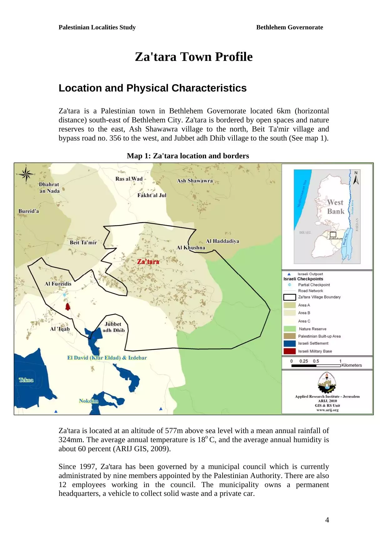
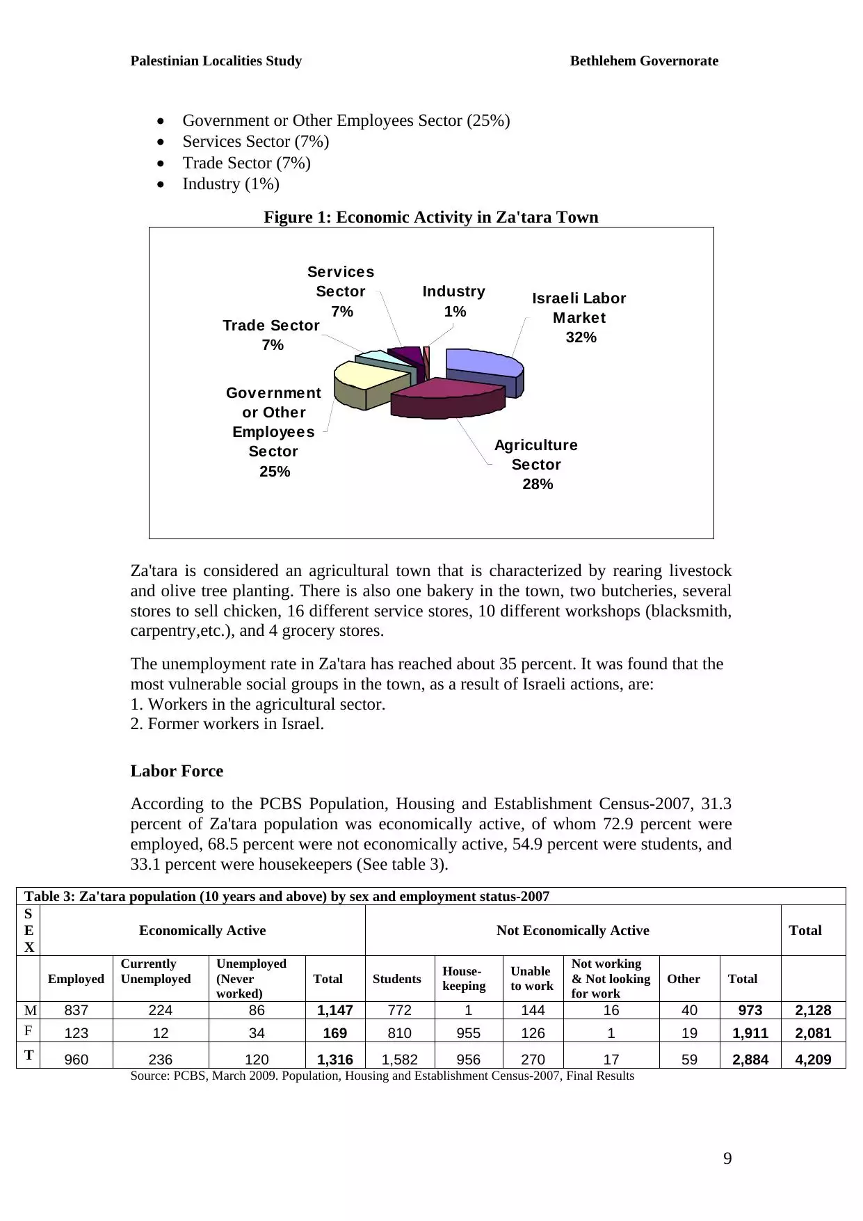
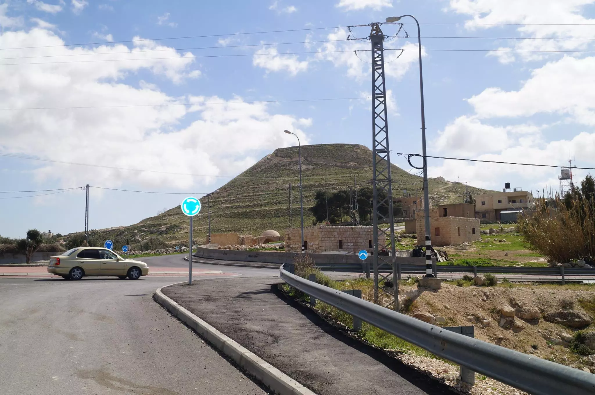
Welcome To Za'tara - زعتره (זעתרה)
|
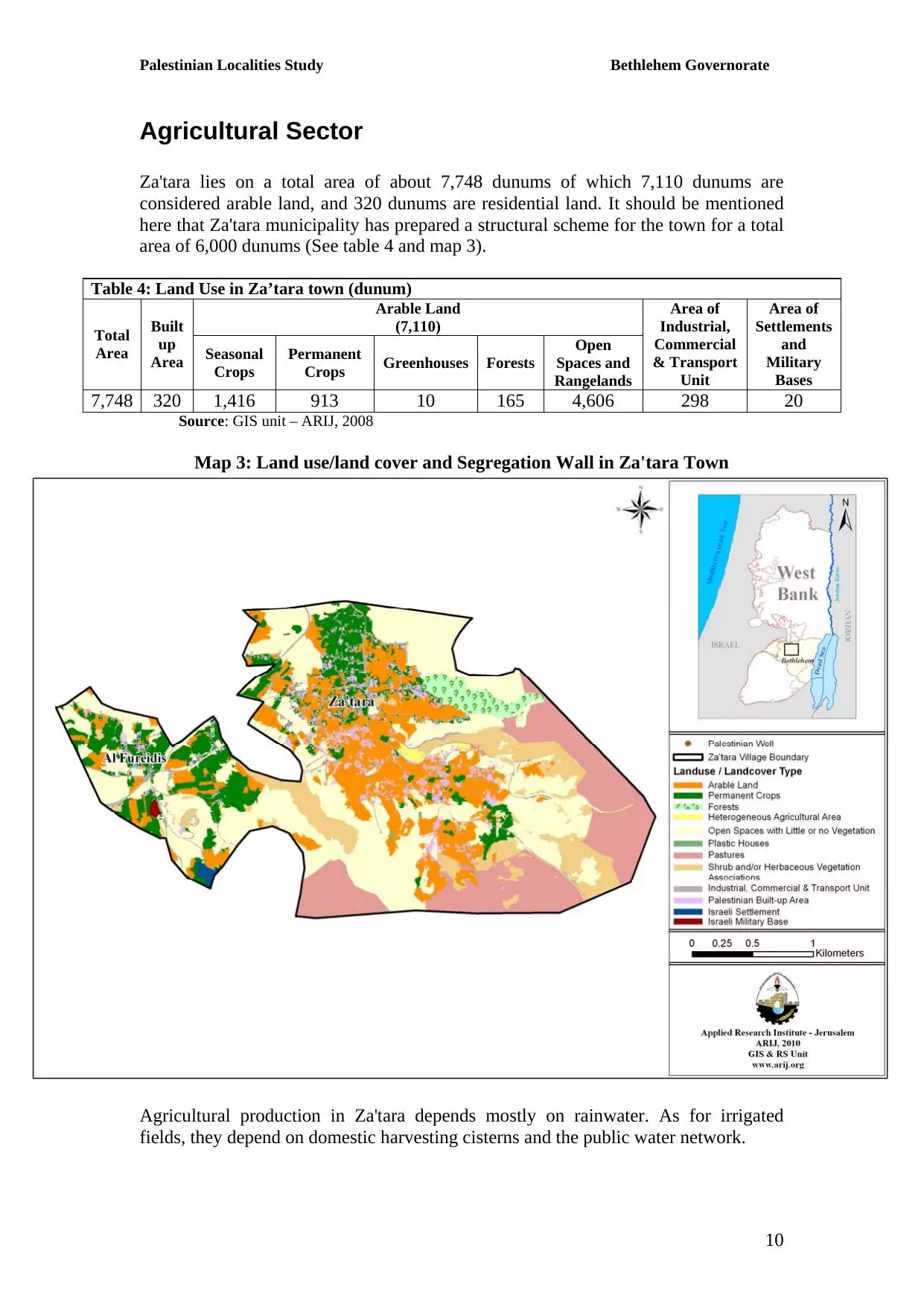
District of Bethlehem
Occupied days ago |
العربية Google Earth |
 |
Gallery (122) |
- Statistics & Facts
-
Before & After

- Satellite View
- Articles 8
- Pictures 122
- Members 9
- Families
- Wikipedia
- ARIJ Guide
- Videos 3
- Guest Book 4
- Links 1
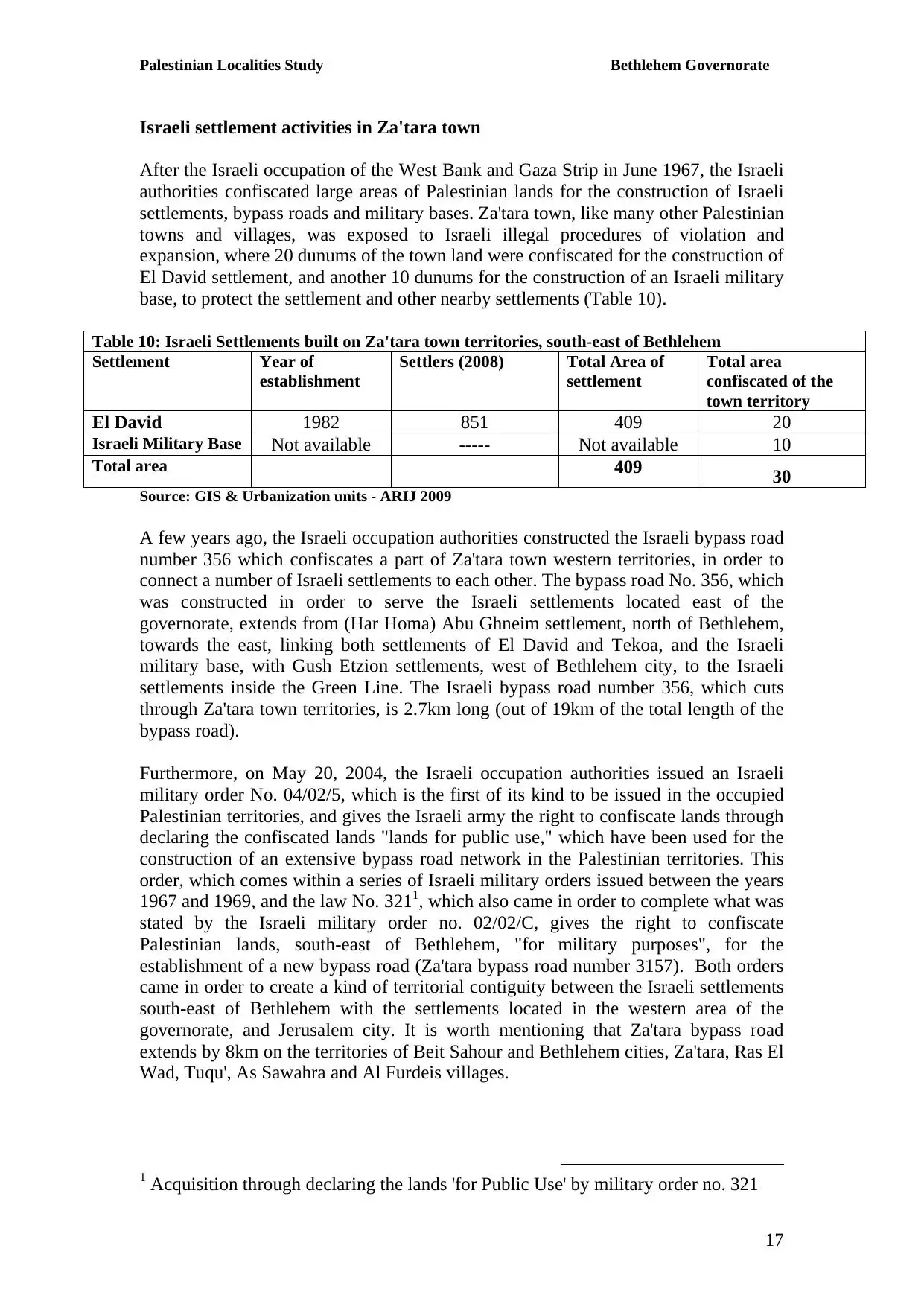
| Statistic & Fact | Value | ||||||||||||
| Distance From District | 11 km southeast of Bethlehem | ||||||||||||
| Elevation | 577 meters | ||||||||||||
| Before & After Nakba, Click Map For Details |
|||||||||||||
|
|||||||||||||
| Population |
|
||||||||||||
| Near By Towns |
|||||||||||||
|
|||||||||||||
| Featured Video | |||||||||||||
| ARIJ Guide | |||||||||||||
3.
4. 
5. 
6. 
7. 
8. 
9. 
10. 
11. 
12. 
13. 
14. 
15. 
16. 
17. 
18. 
19. 
20. 
21. 
22. 
Click here to browse online. |
|||||||||||||
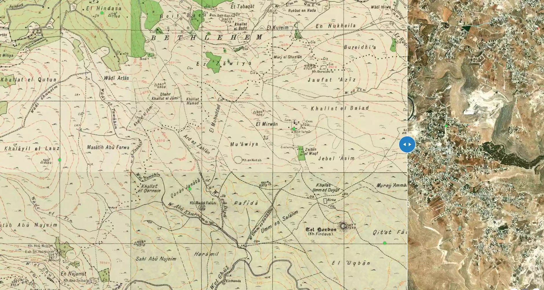
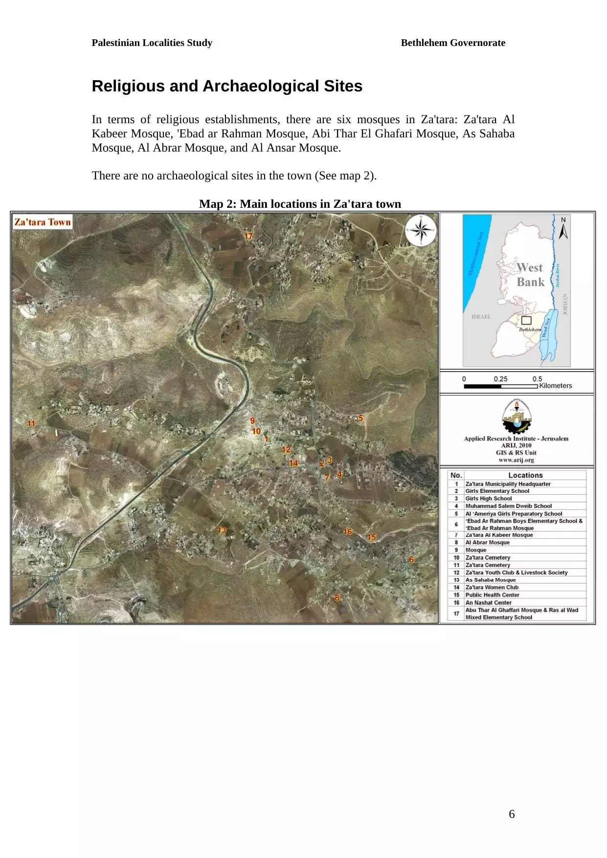
| Related Maps | Town Lands' Demarcation Maps خرائط للقضاء توضح حدود القرى والاودية View from satellite Town's map on MapQuest Help us map this town at WikiMapia |
||||||||||||
| Related Links | Wikipedia's Page Facebook Page ARIJ Guide Google Search Google For Images Google For Videos دليل أريج المزيد من موقع هوية |
||||||||||||
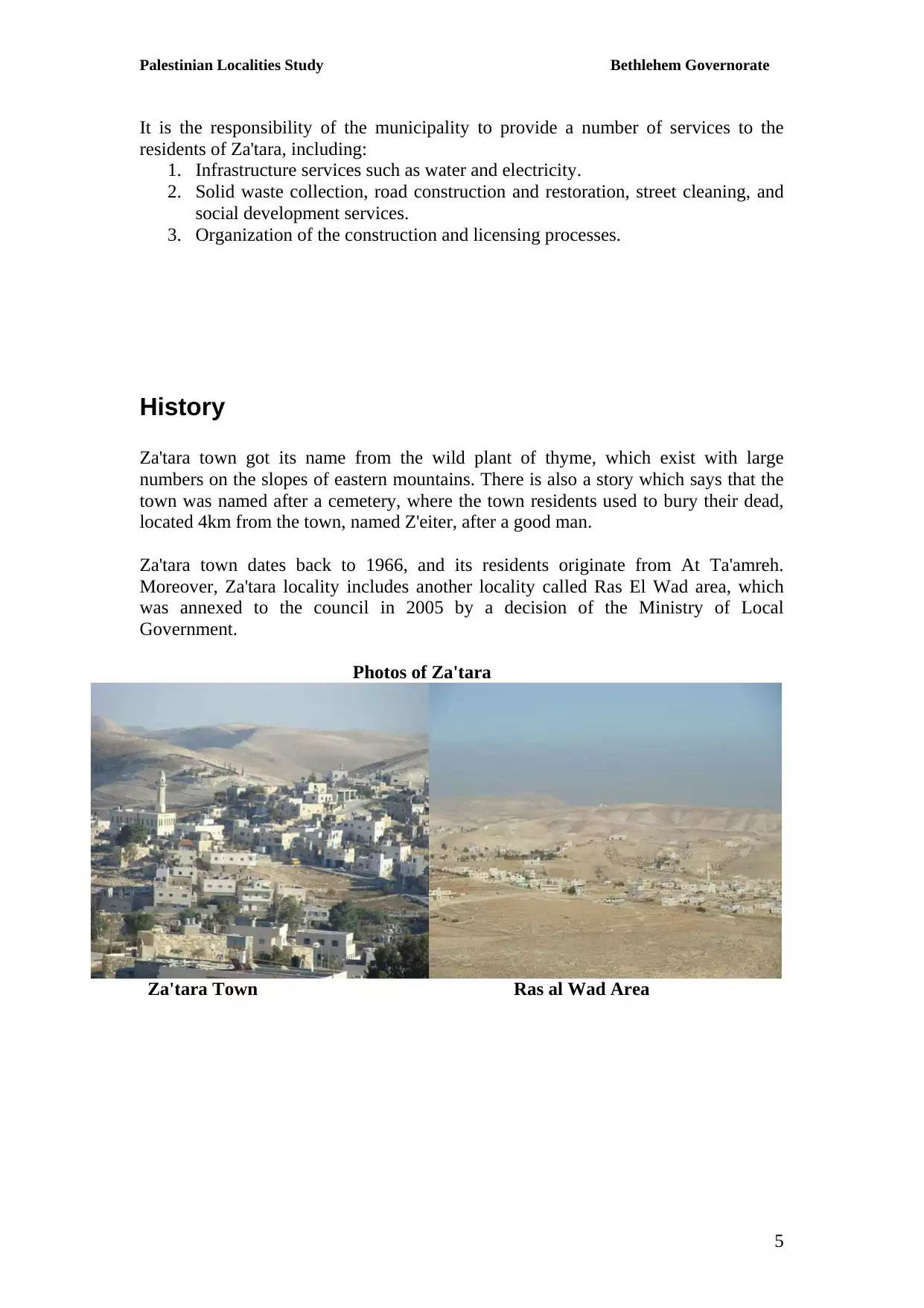
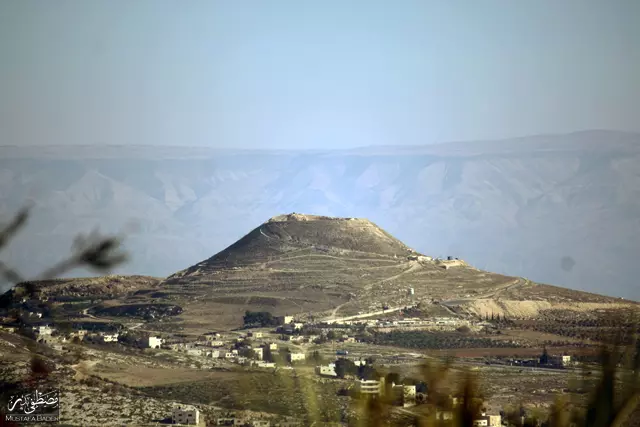
- صورة لجبل هيروديون (الفرديس) وتظهر في الخلفية جبال الأردن - عدسة: مصطفى بدر
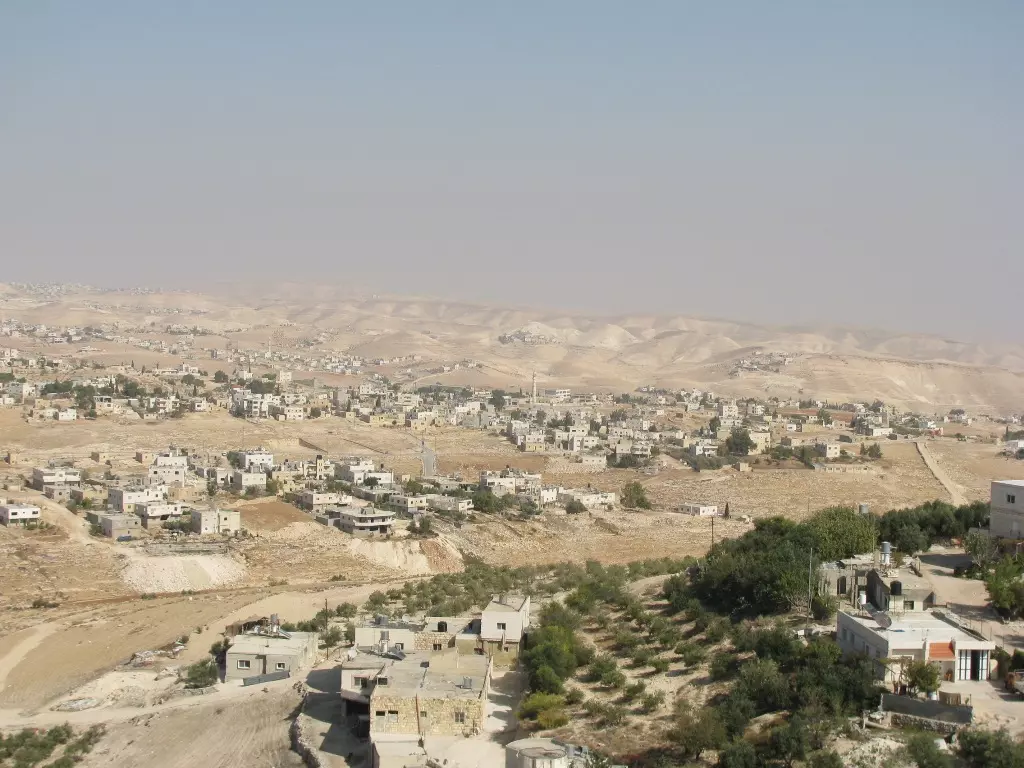
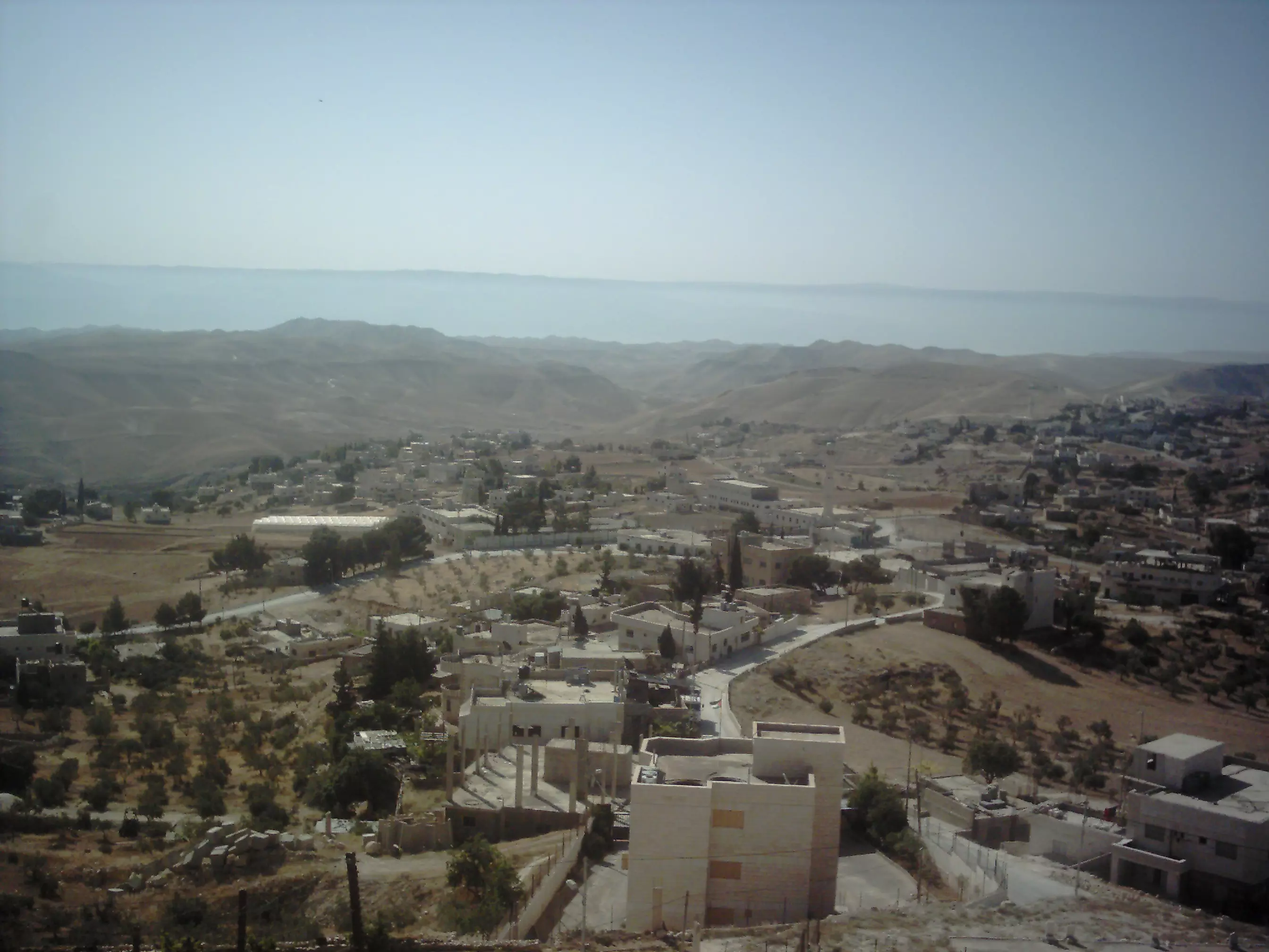
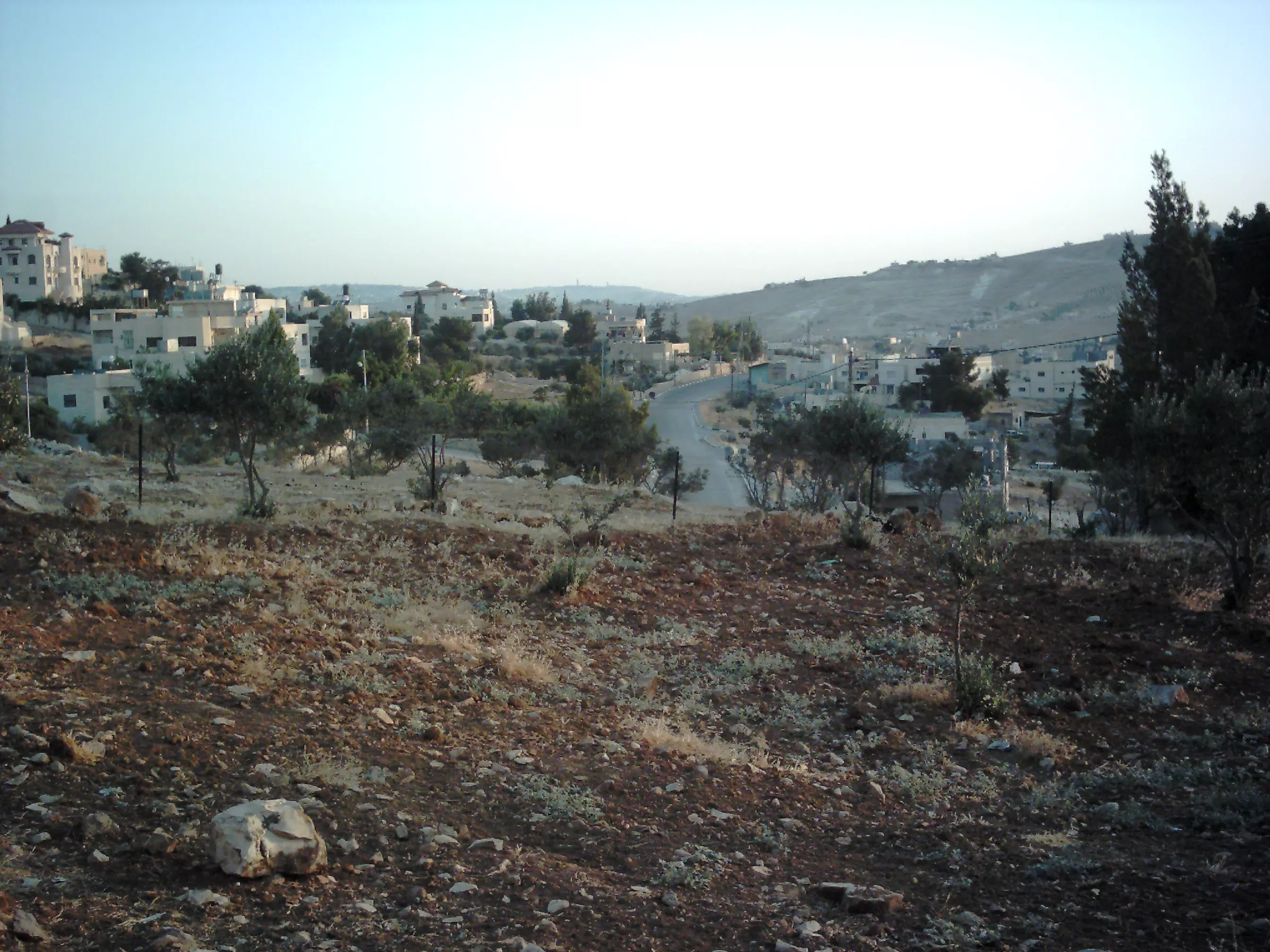
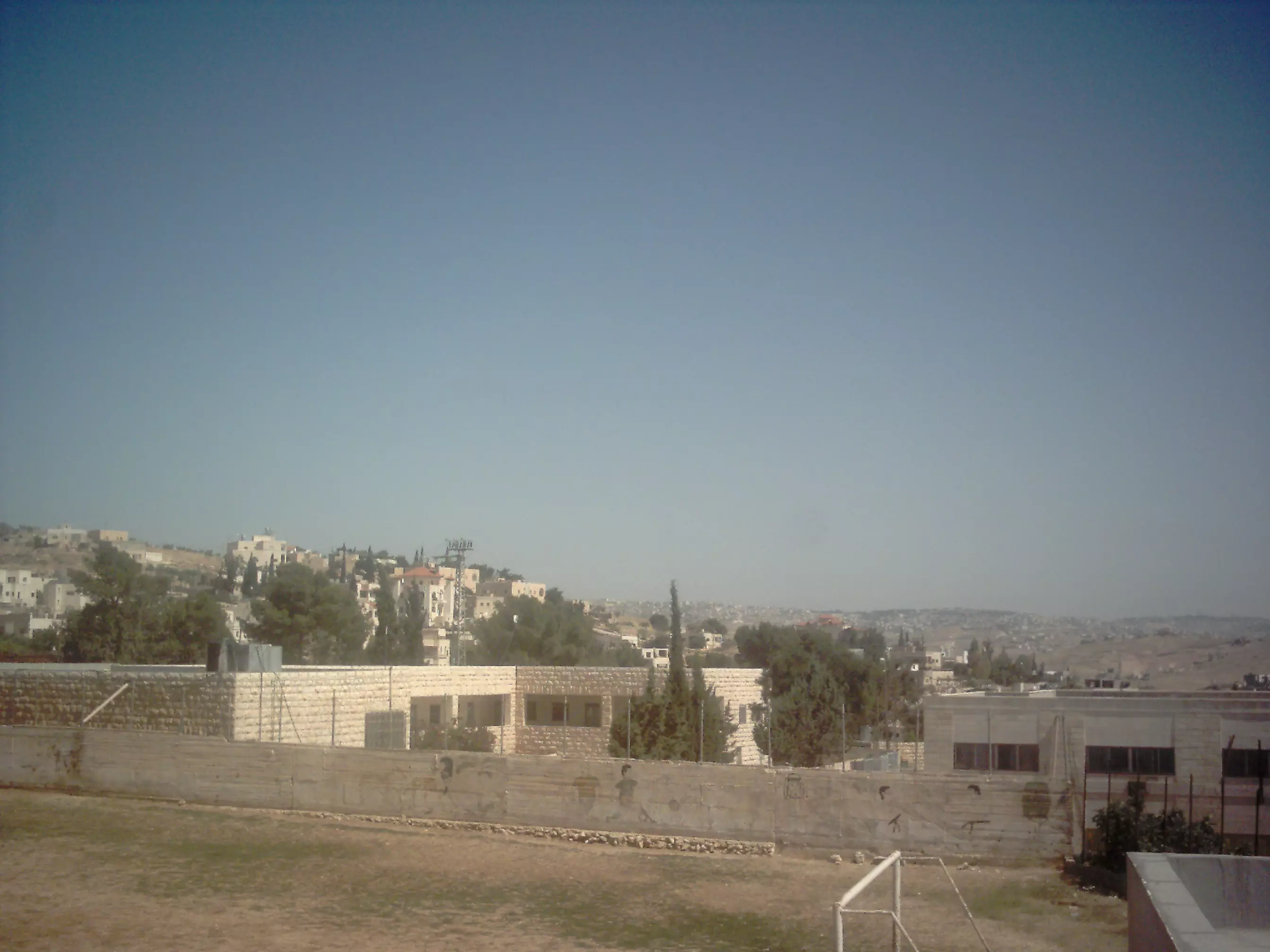
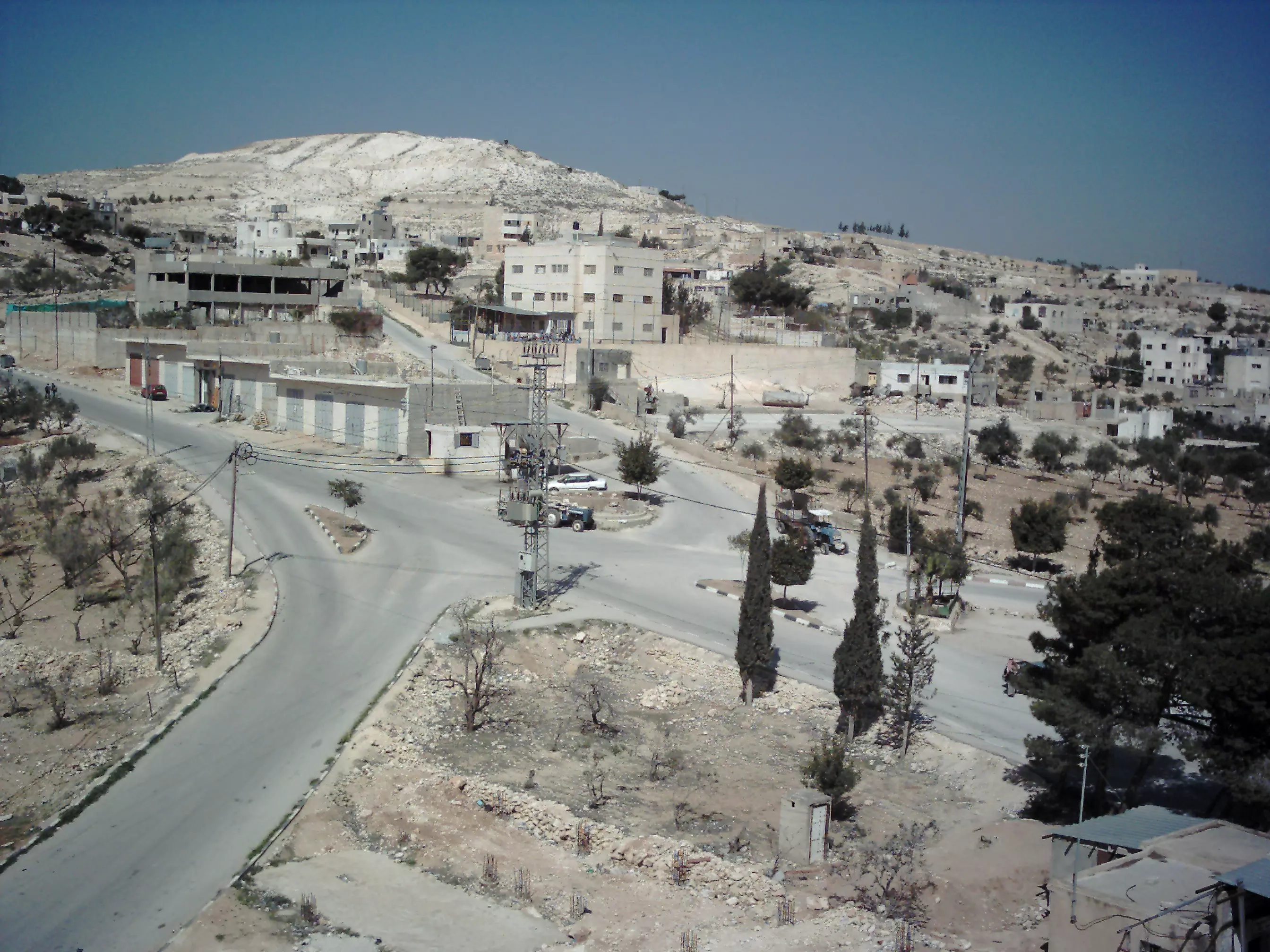
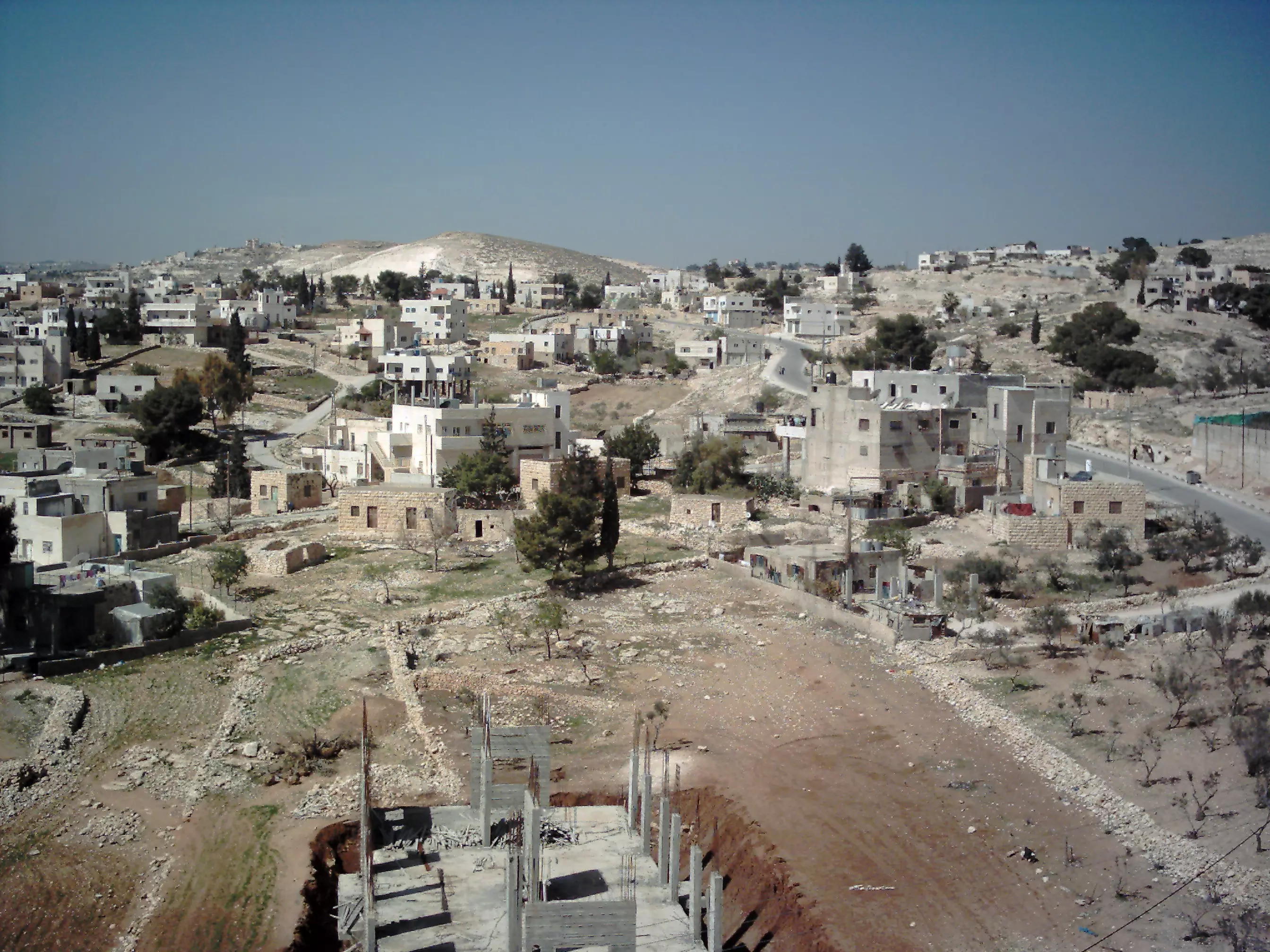
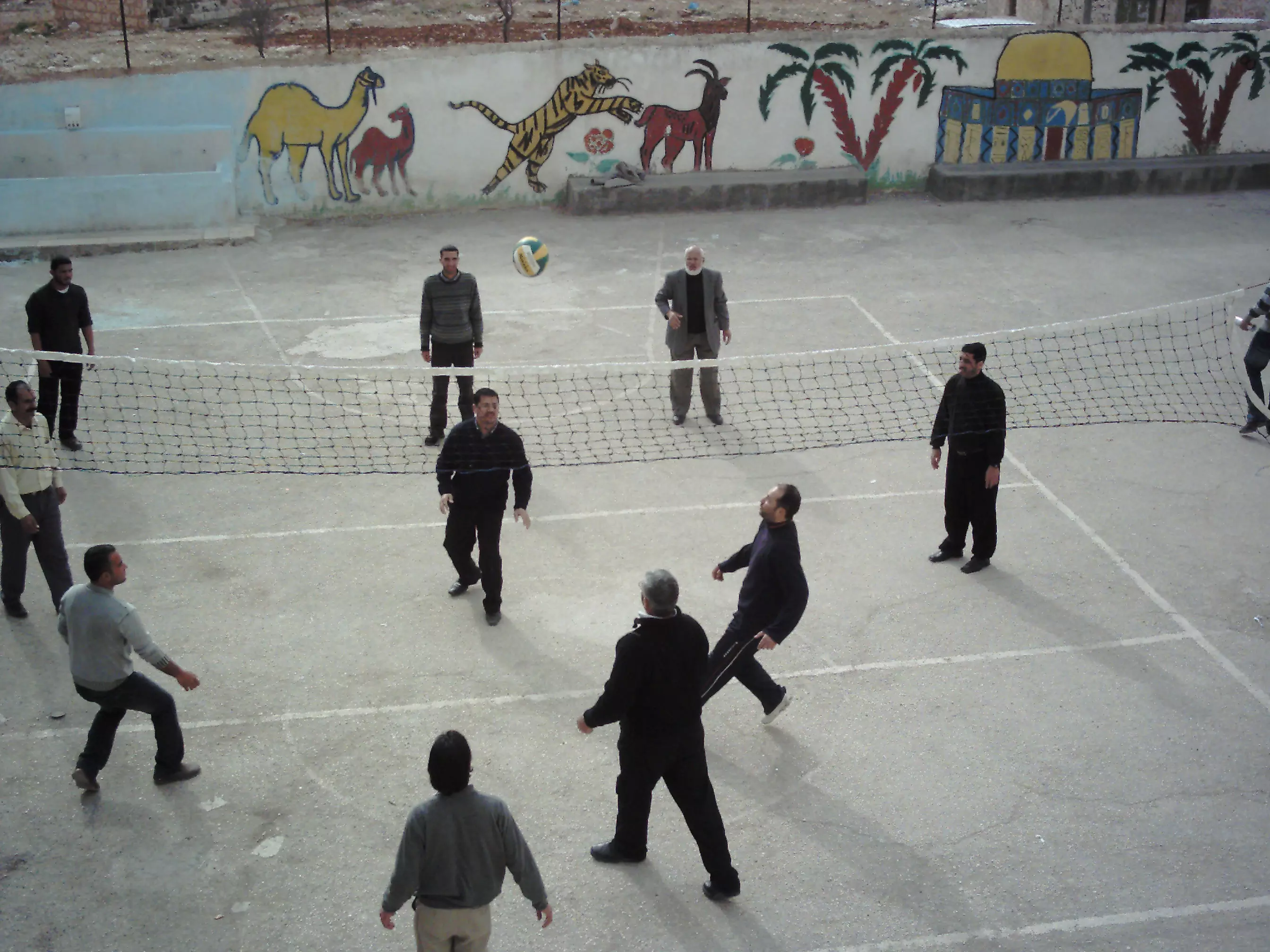
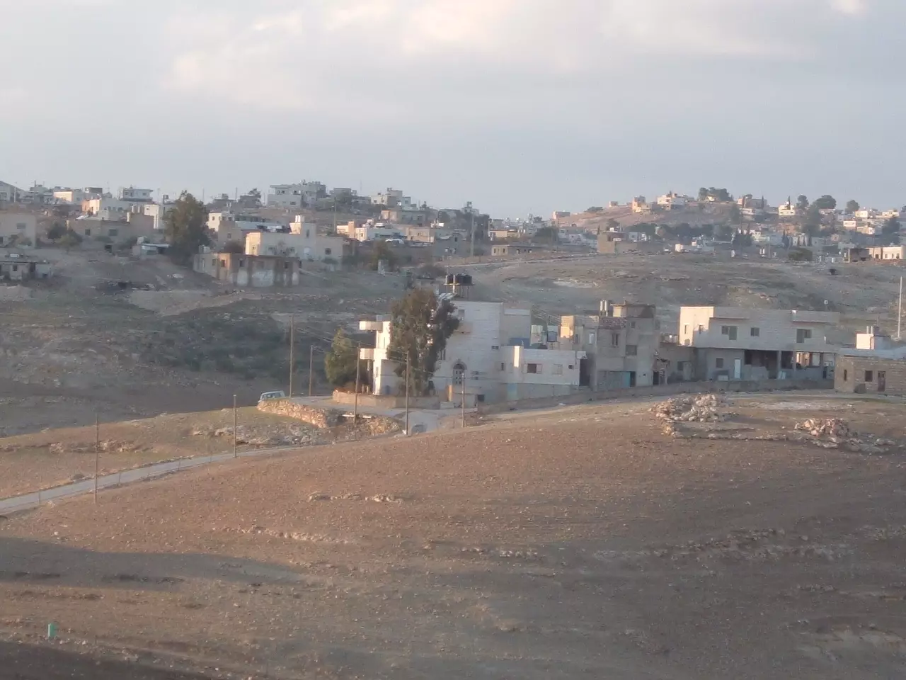
Posted by Mustafa Bader 1 - منظر عام لبلدة زعتره لعام2008
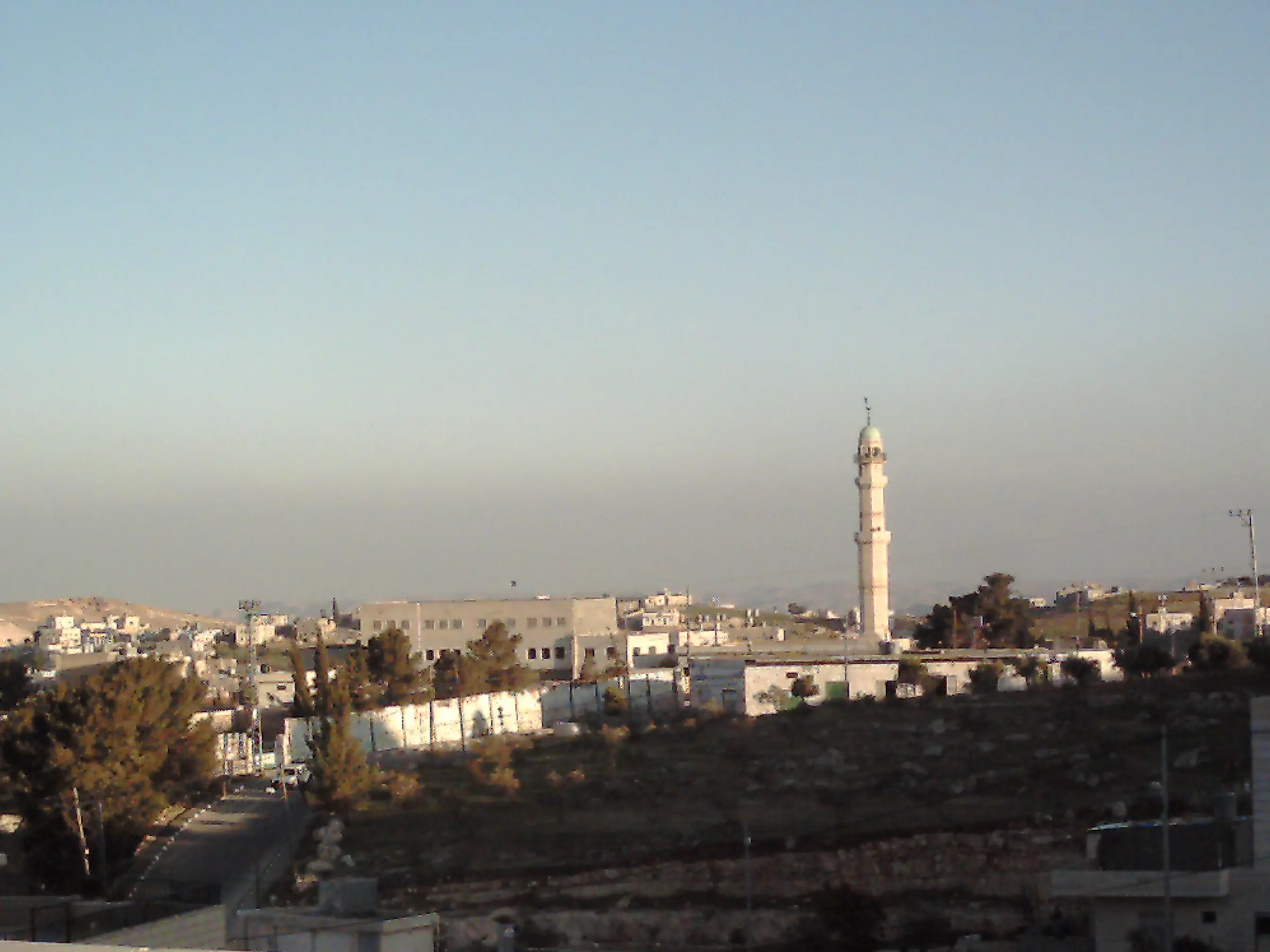
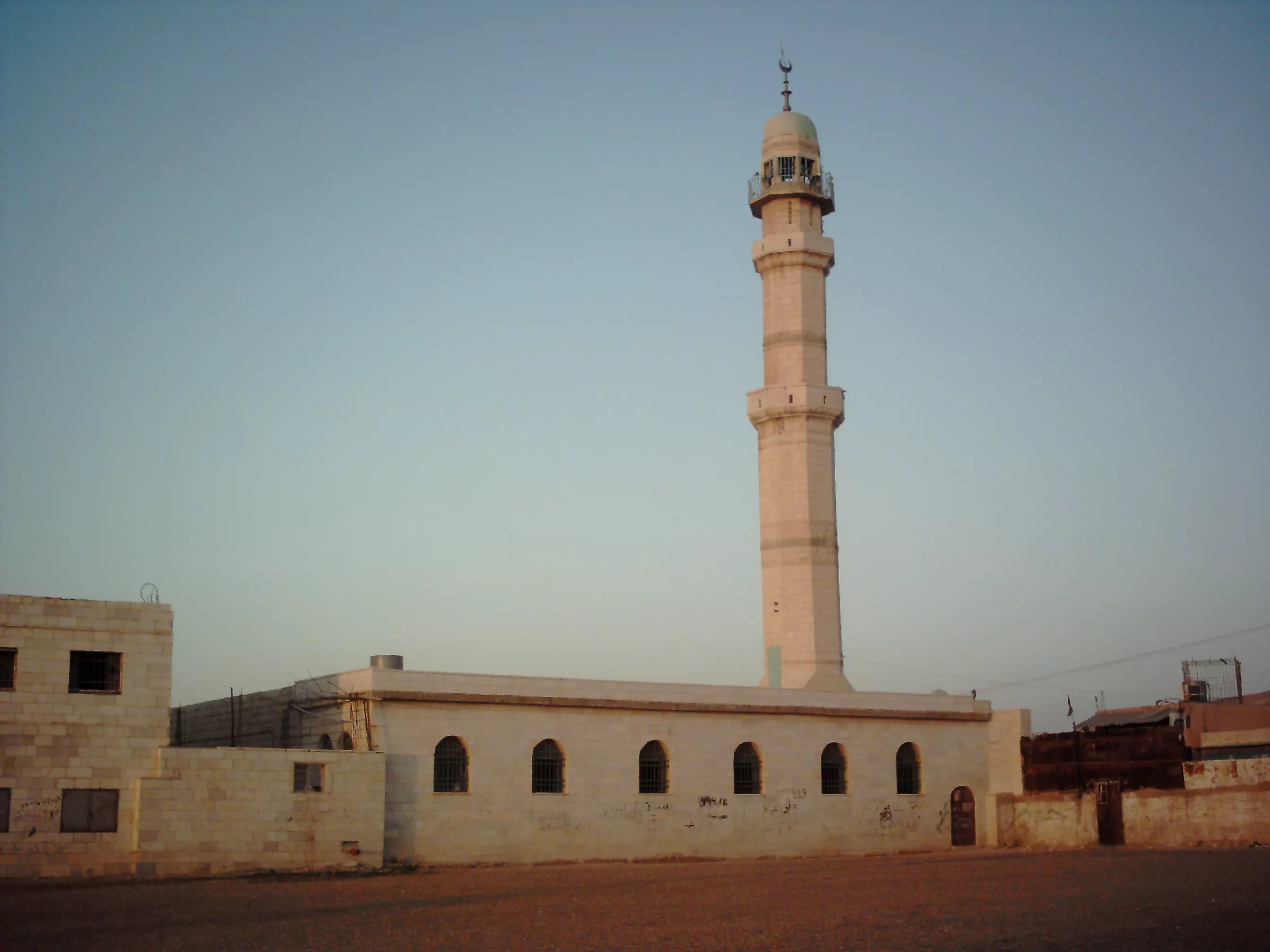
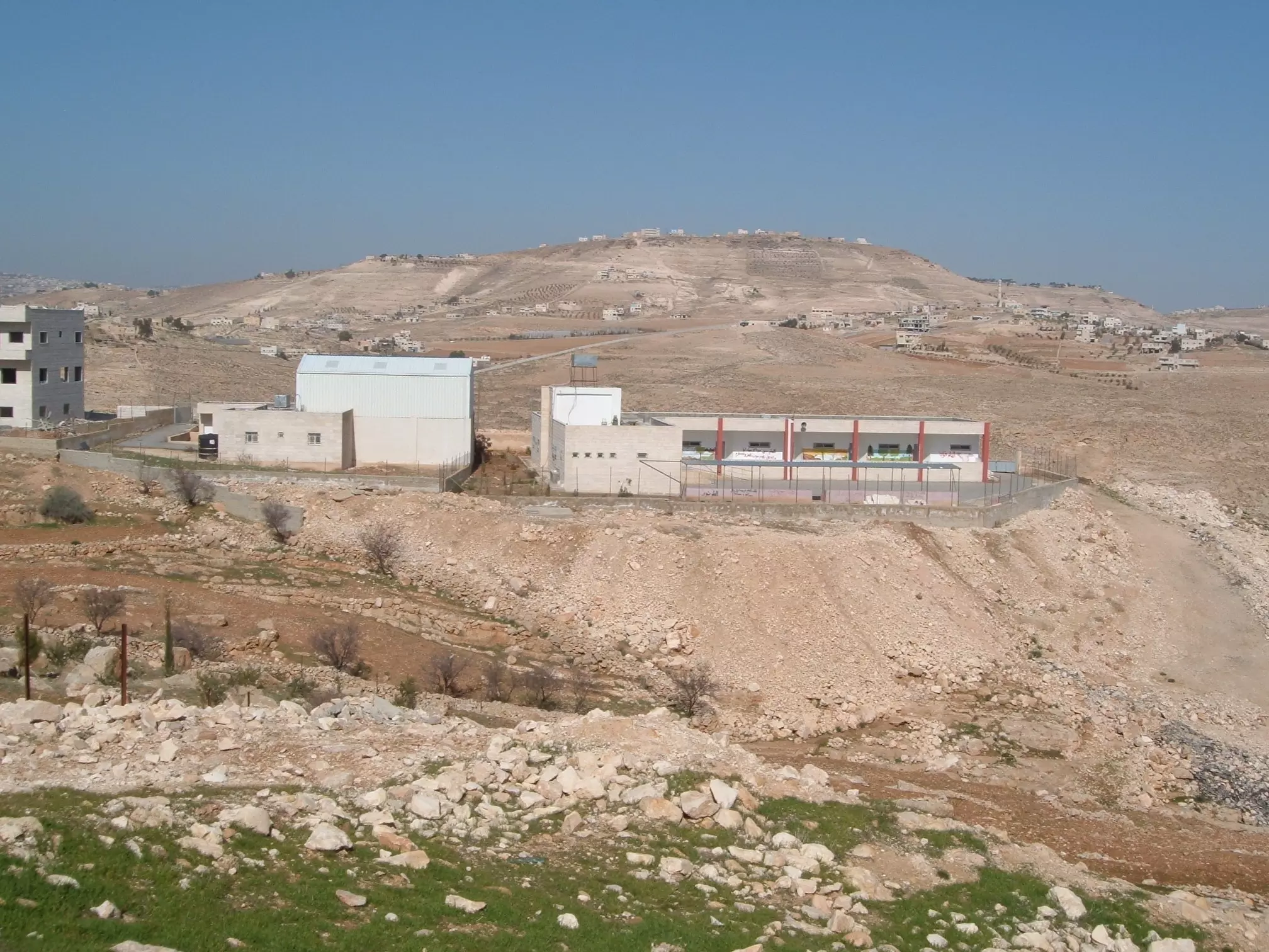
Posted by ابواليمان 3 - مركز بلدة زعتره ومجمع المدارس والمسجد 2008
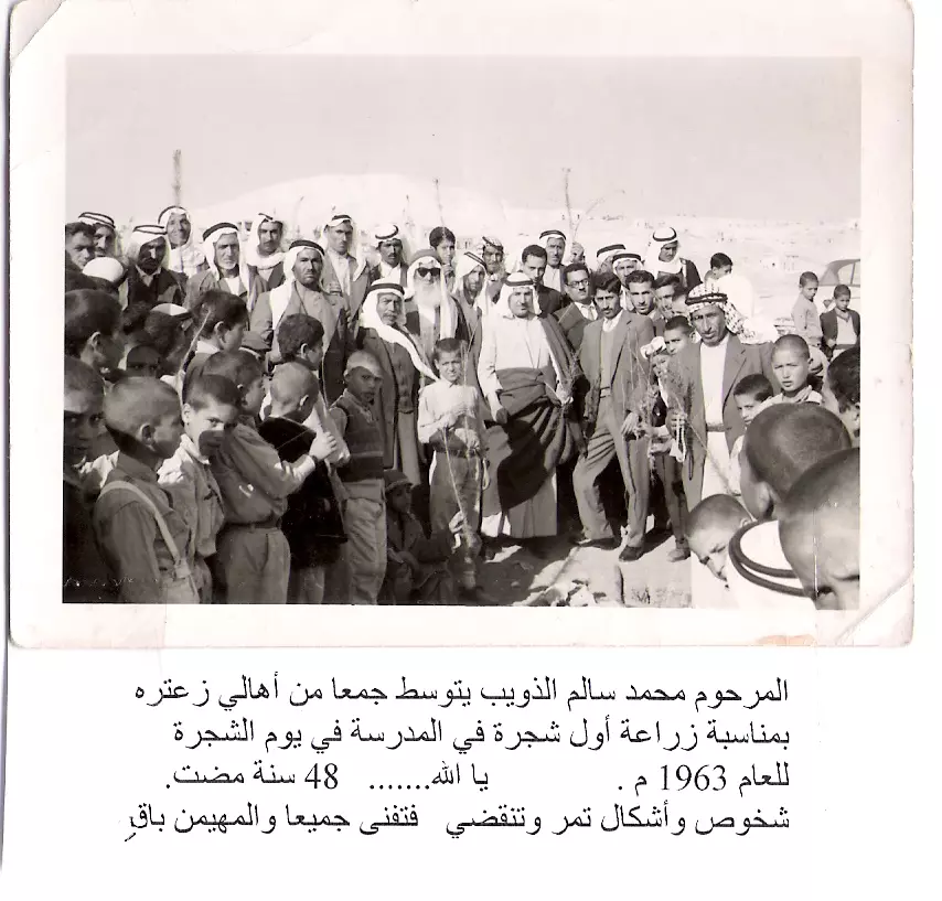
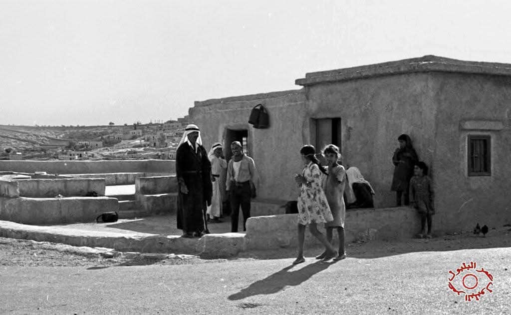
Posted by ابواليمان 3 - 1963 م يا الله ......عيد الشجرة ، صورة وتاريخ
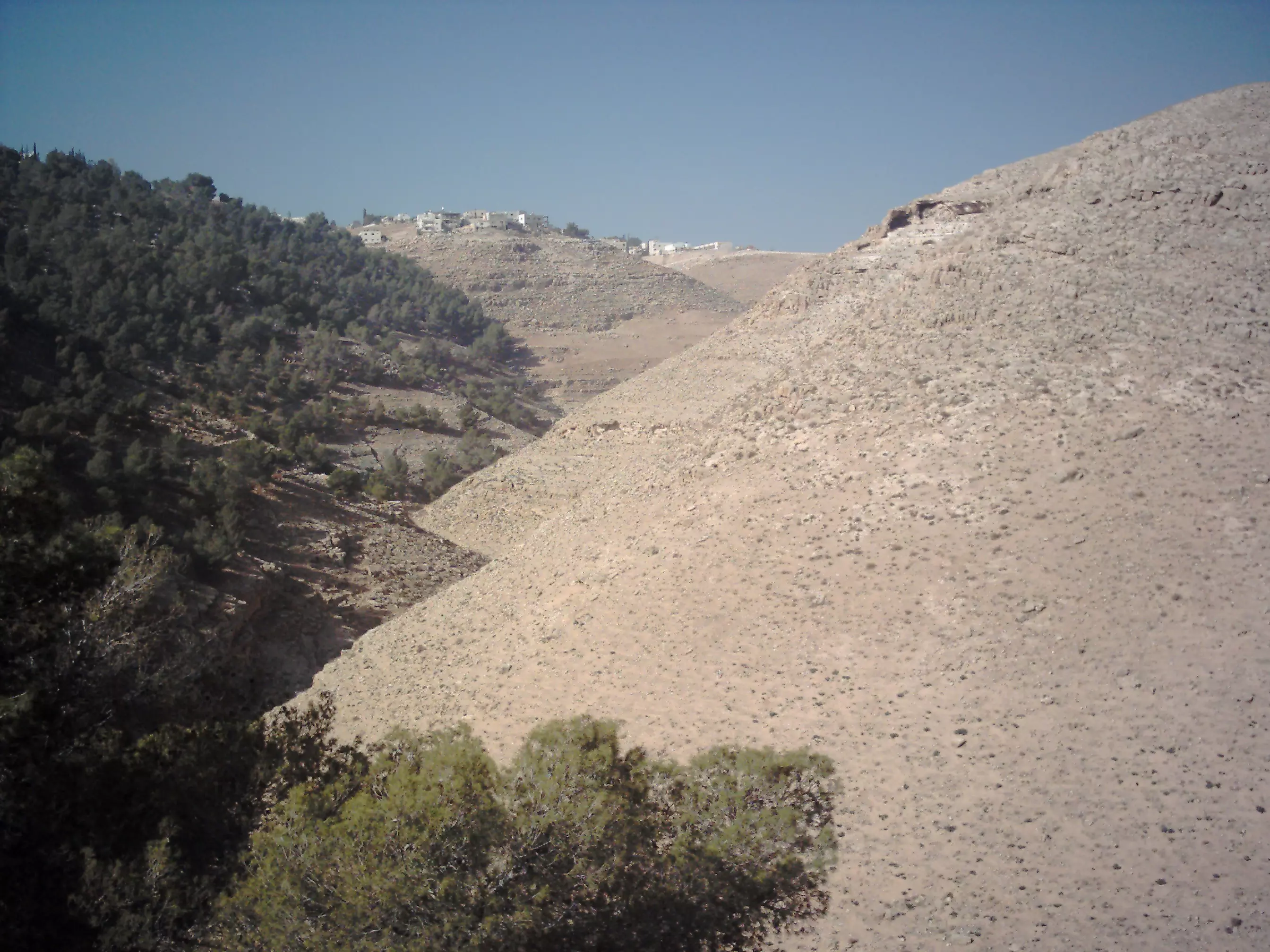
Posted by ابواليمان 2 - جبل هروديون إلى الغرب من زعتره
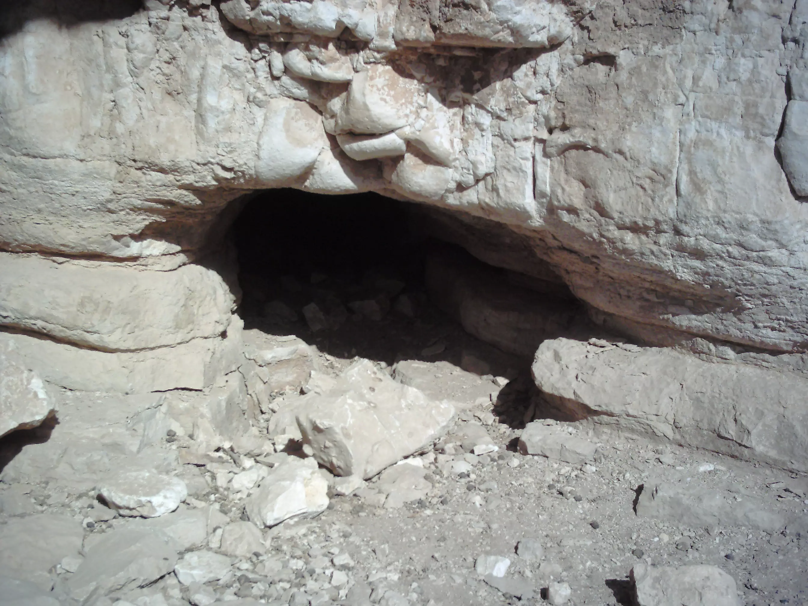
Posted by ابواليمان 2 - منظر داخلي لجبل هروديون
Posted by ابواليمان 5 - مسجد زعتره من الجهة الخلفية
Posted by ابواليمان - شارع زعتره المتجه إلى بيت ساحور28/06/2008
Posted by ابواليمان 2 - مدرستان للبنات في زعتره
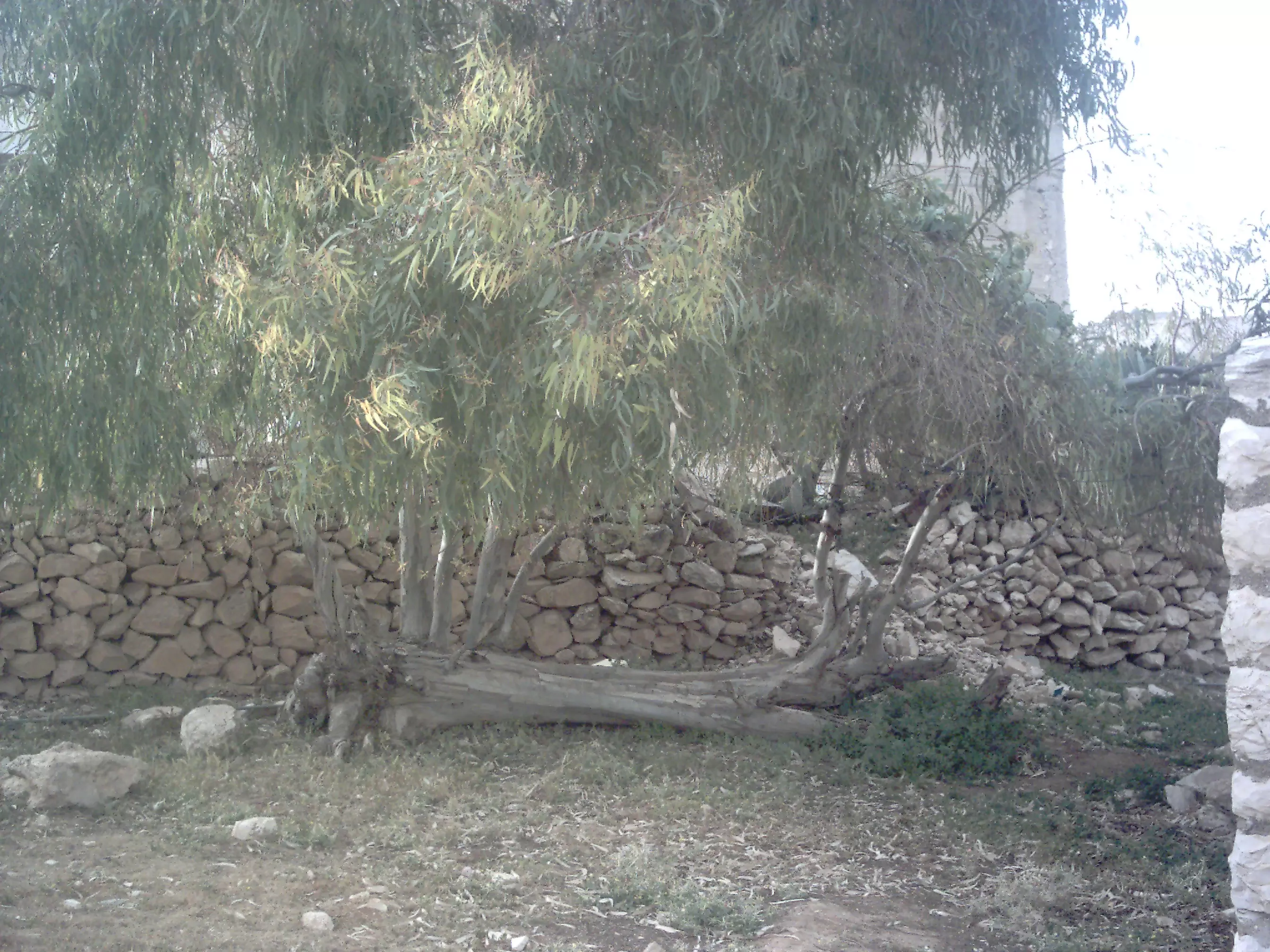
Posted by ابواليمان 4 - تمسكت بالأرض رغم اقتلاعها
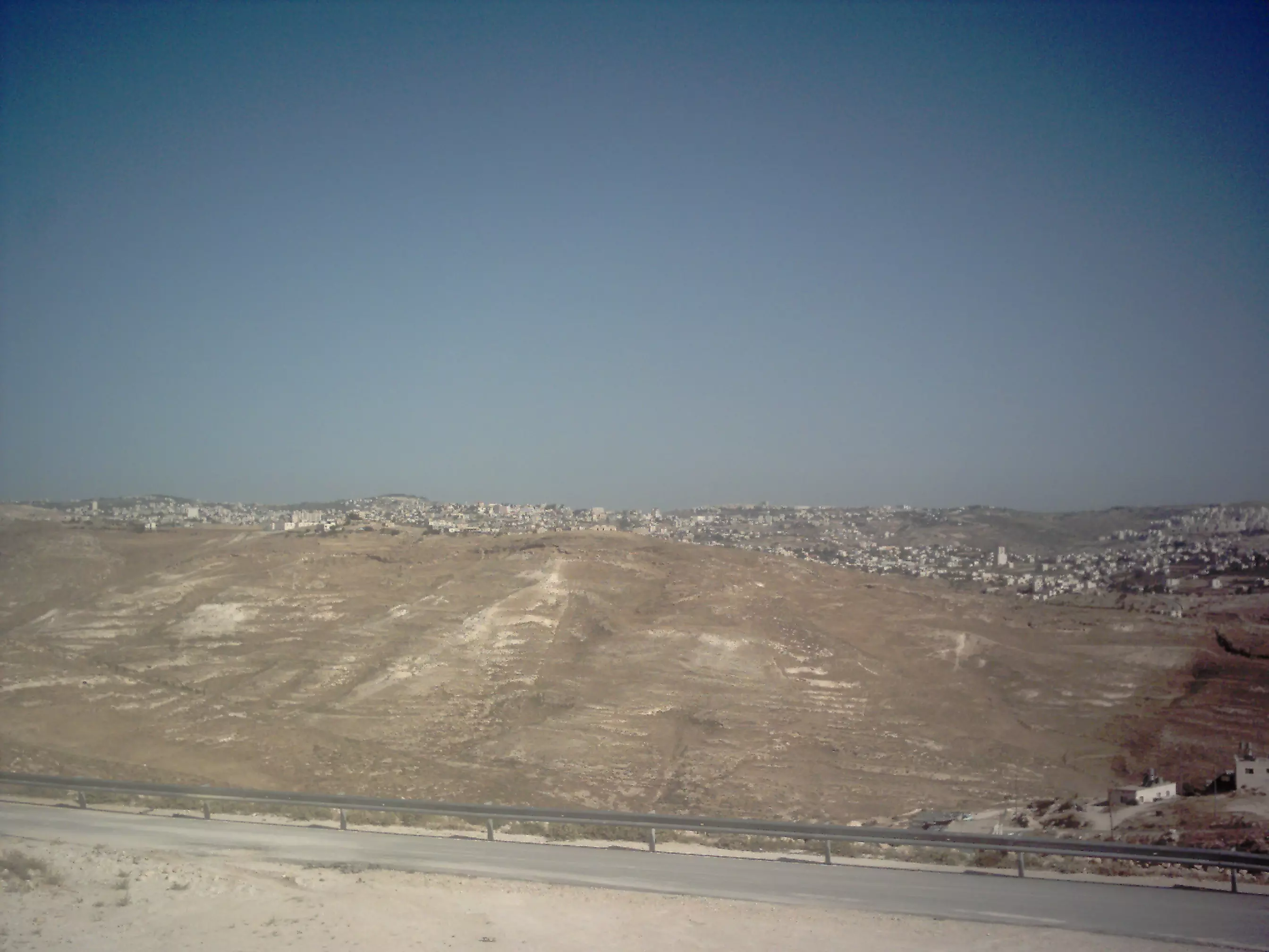
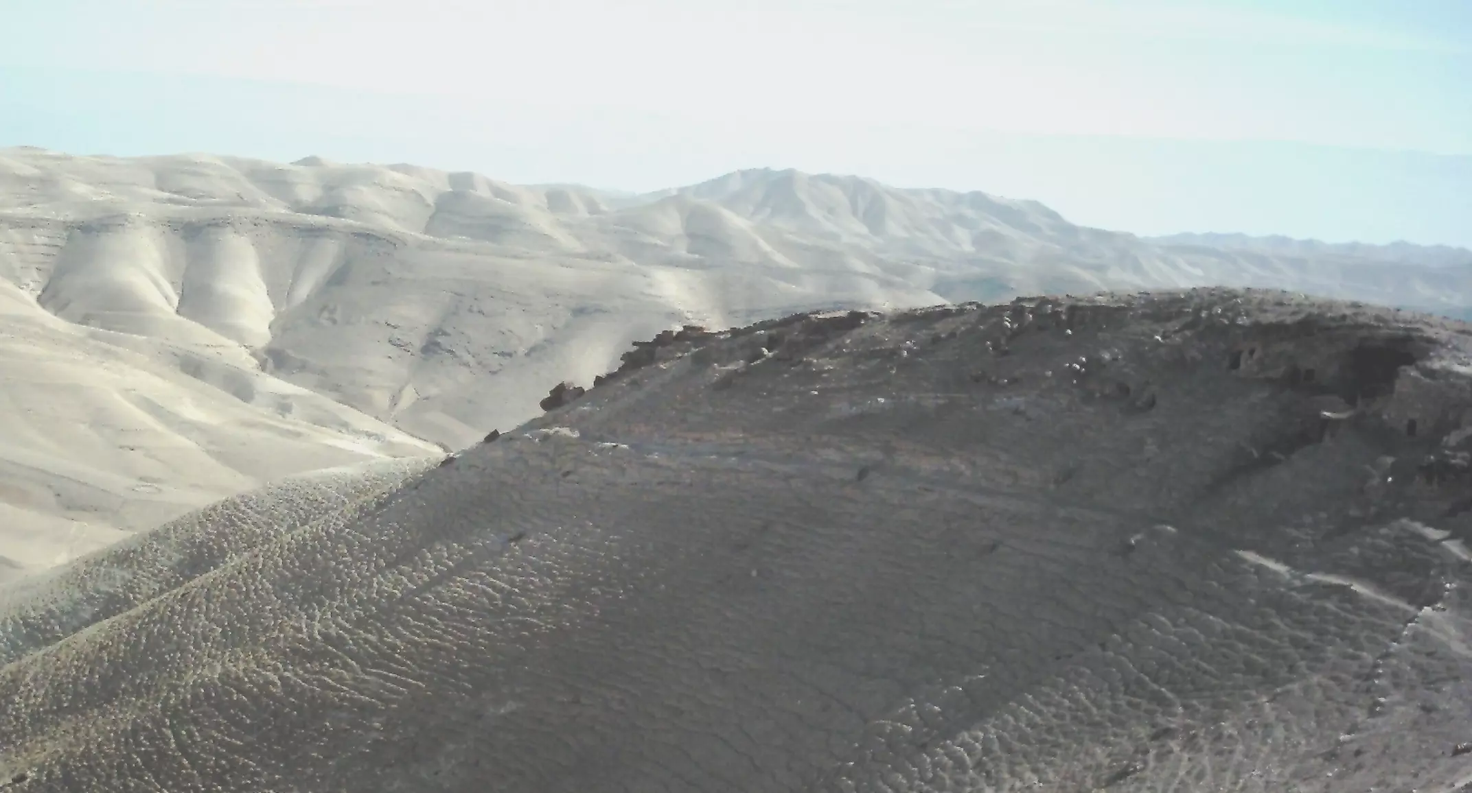
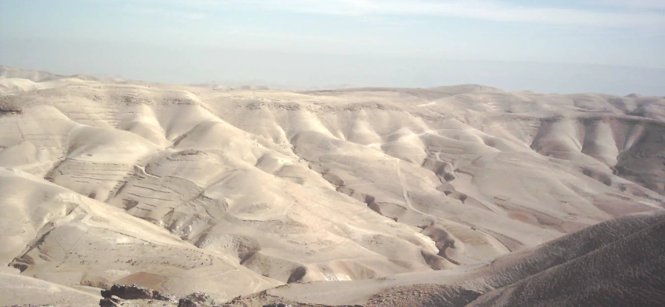
Posted by ابواليمان 3 - الجزء المشرف على جبال القدس
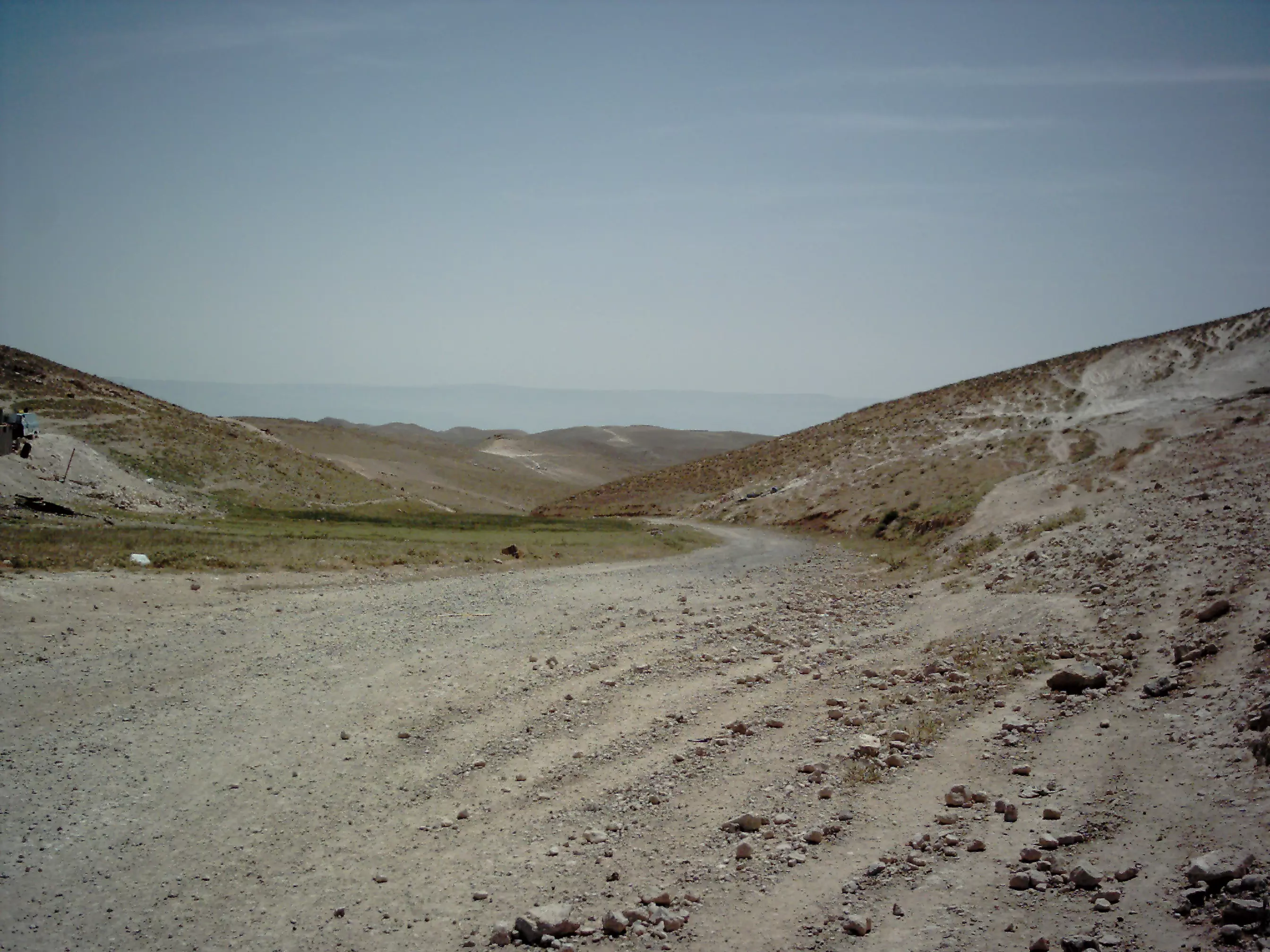
Posted by ابواليمان - الطريق إلى البرية
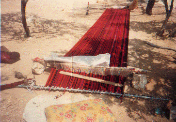
Posted by ابواليمان - النول التعمري من التراث الأصيل
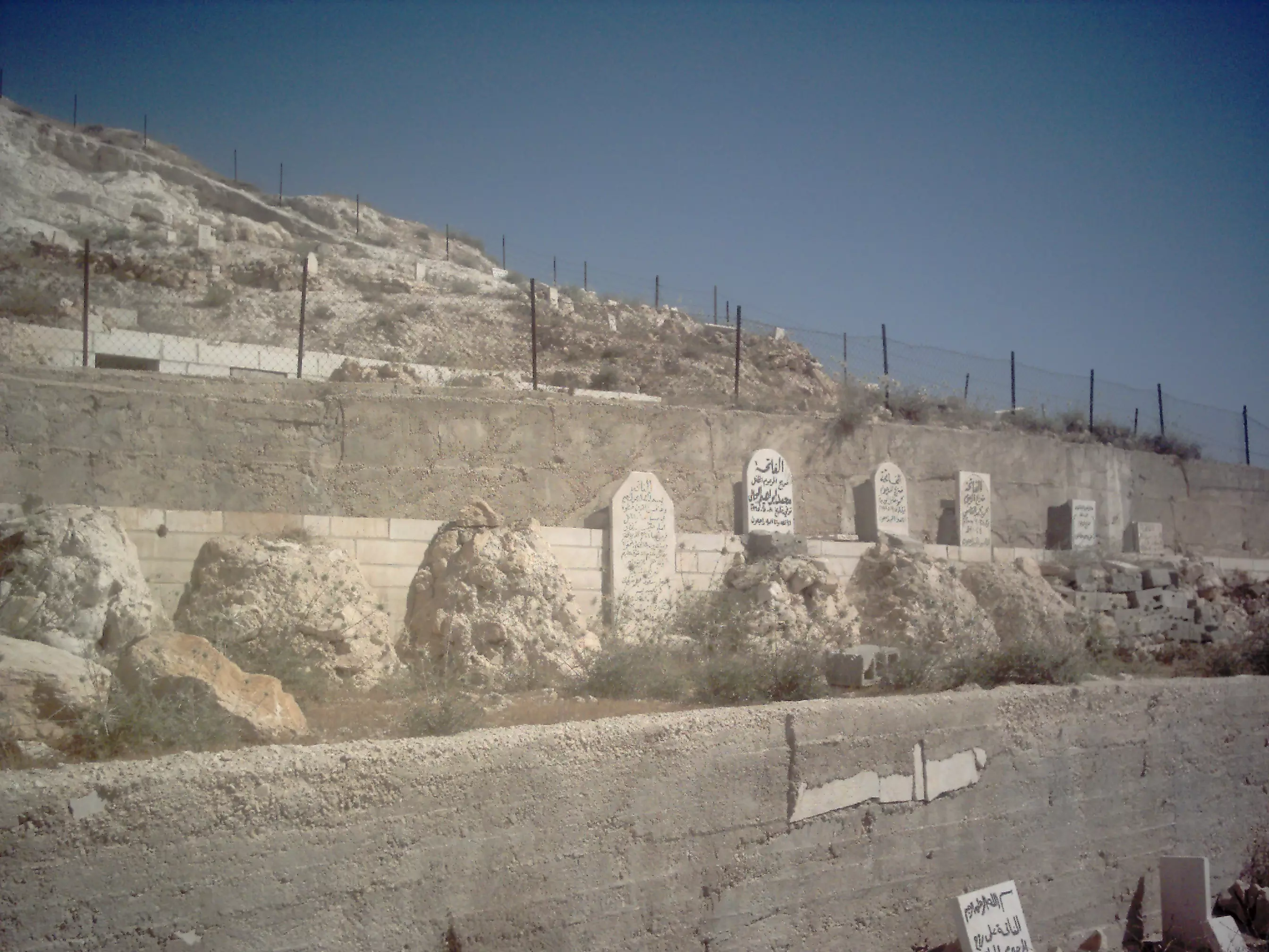
Posted by ابواليمان - صاح هذي قبورنا تملأ الرحب فأين القبور من عهد عاد؟
Posted by ابواليمان 3 - رجل الثلج في زعتره31-01-2008

Posted by ابواليمان 2 - فمنهم من قضى نحبه ، ومنهم من ينتظر19-08-1984
Posted by ابواليمان 4 - جمعية زعتره التعامره الخيرية
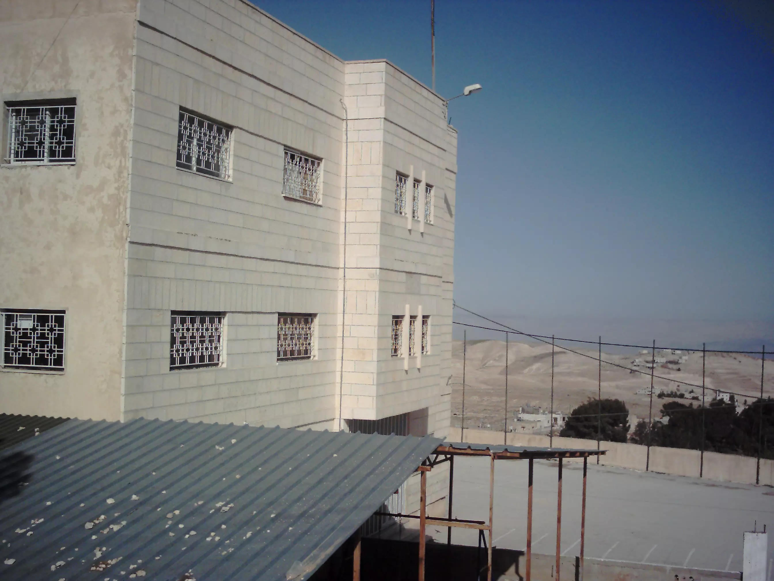
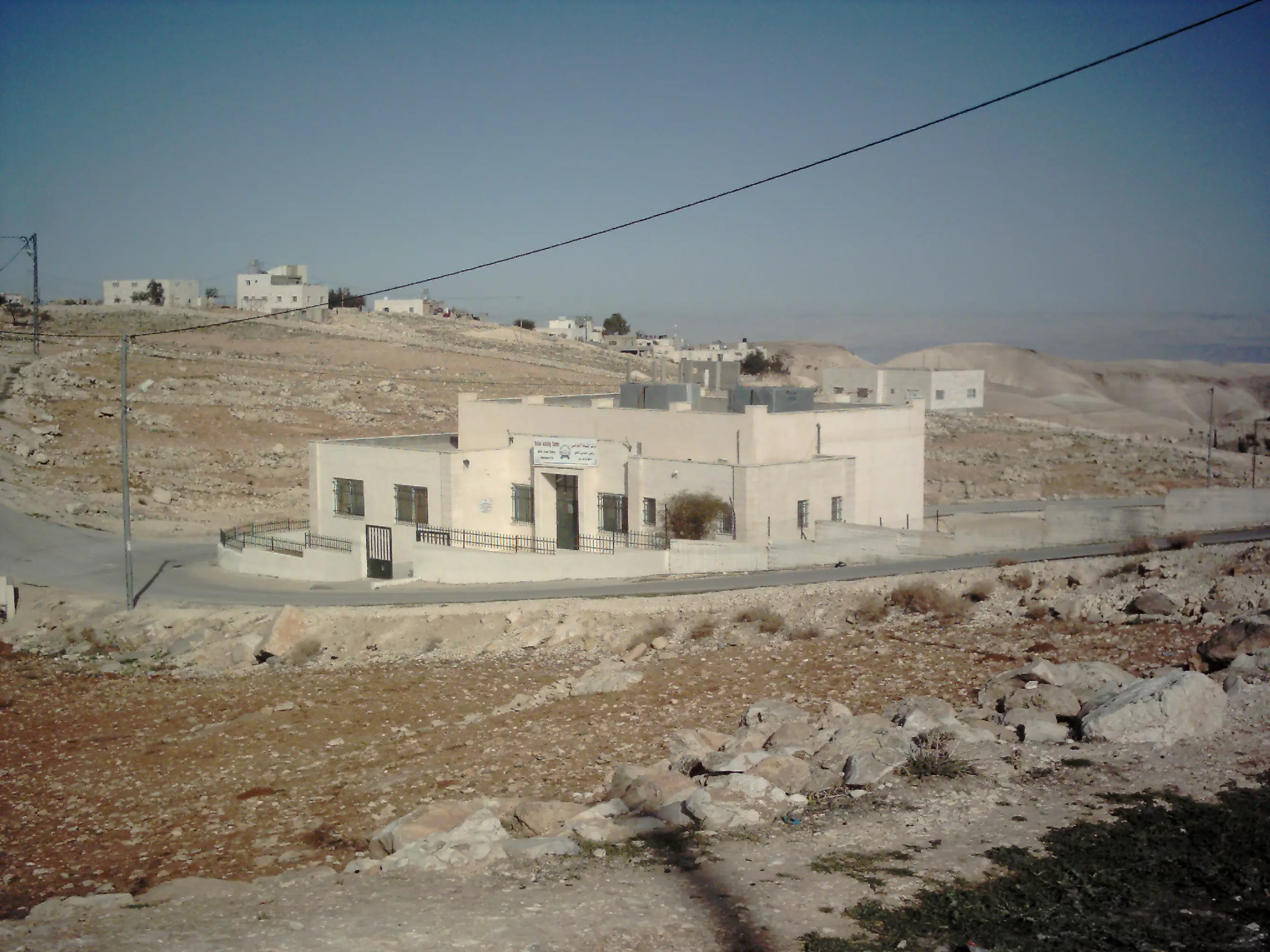
Posted by ابواليمان - مركز النشاط الاجتماعي
Posted by ابواليمان 2 - مركز صحي زعتره
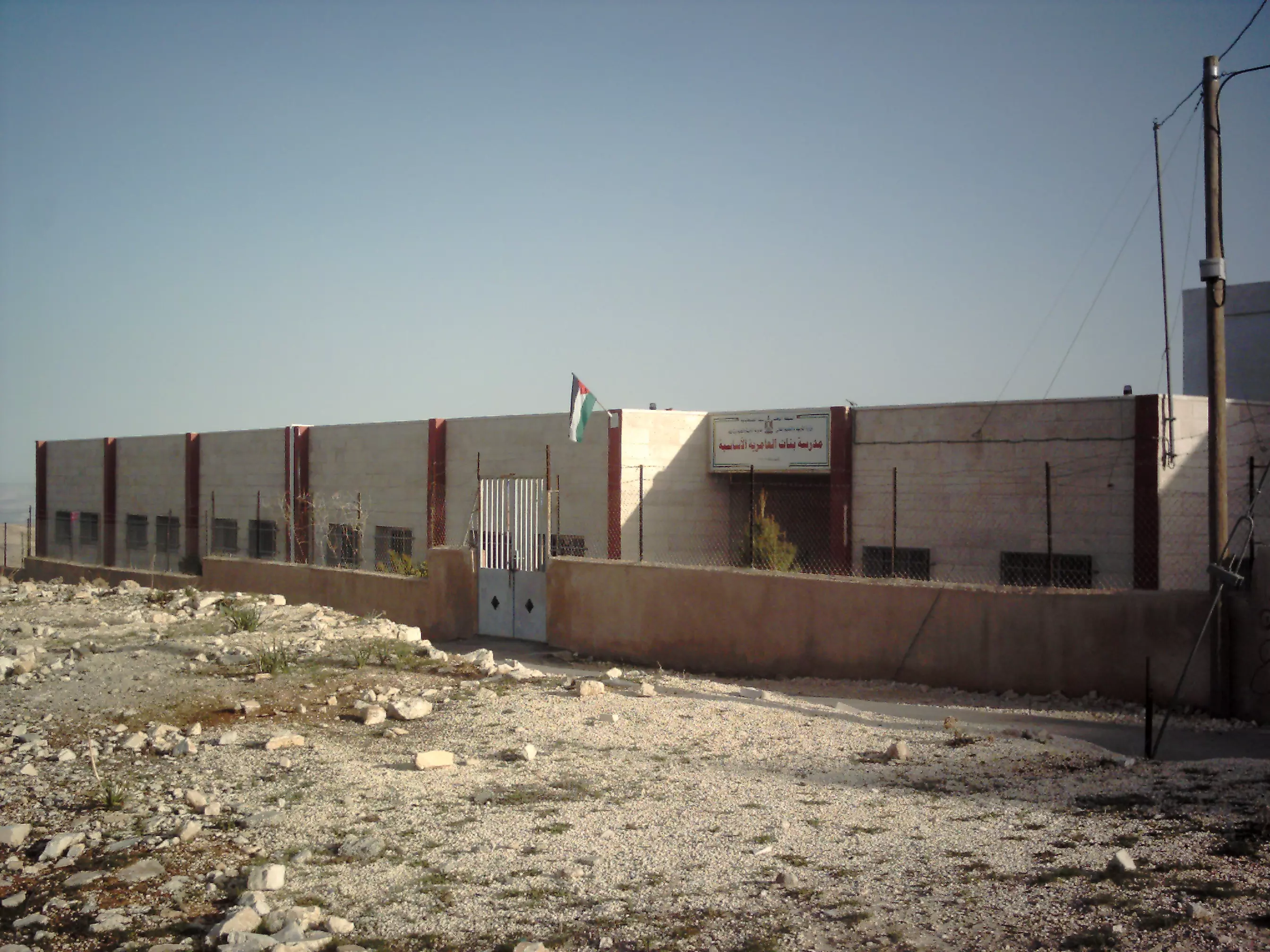
Posted by ابواليمان - مدرسة بنات العامرية الأساسية
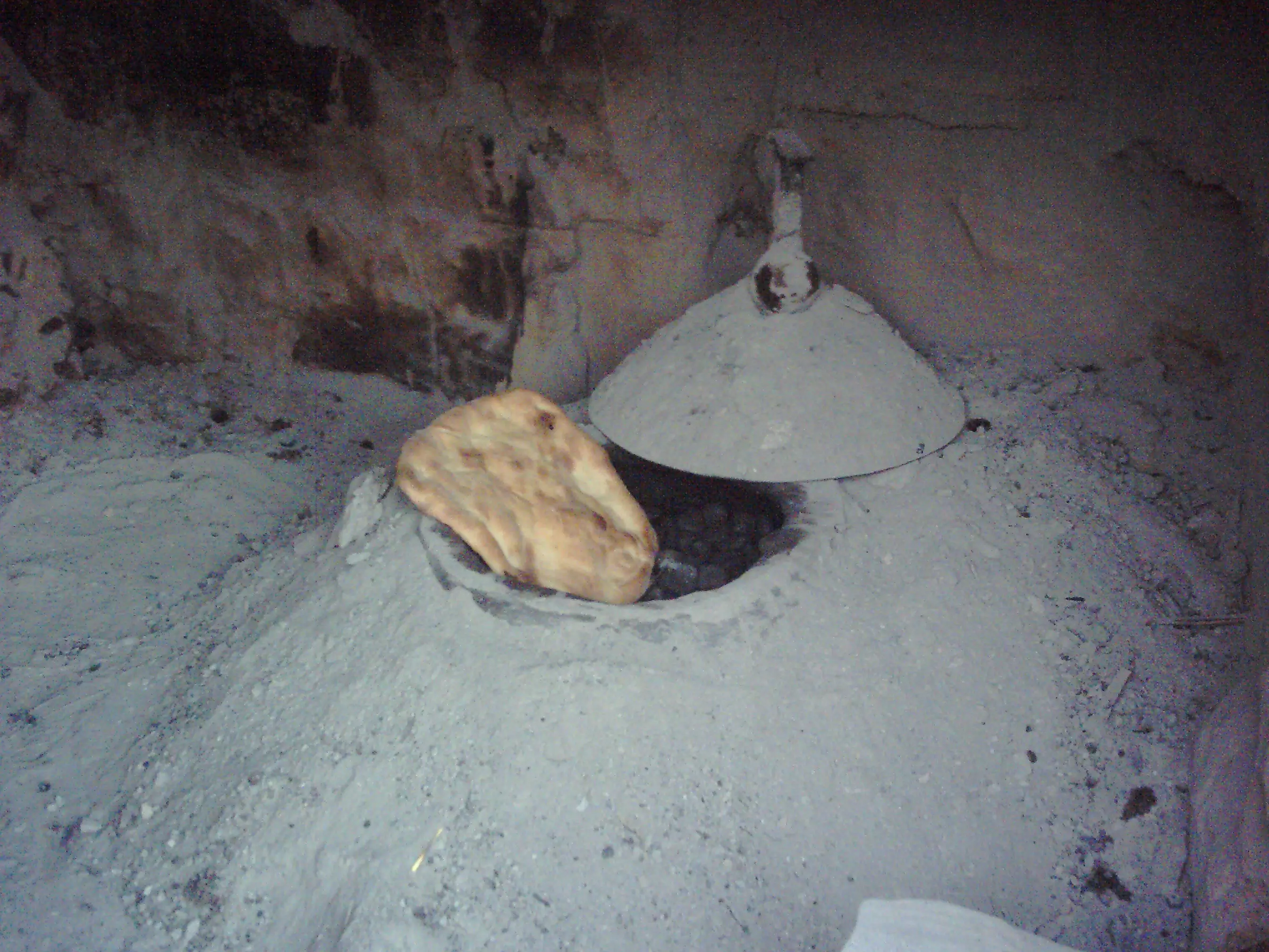
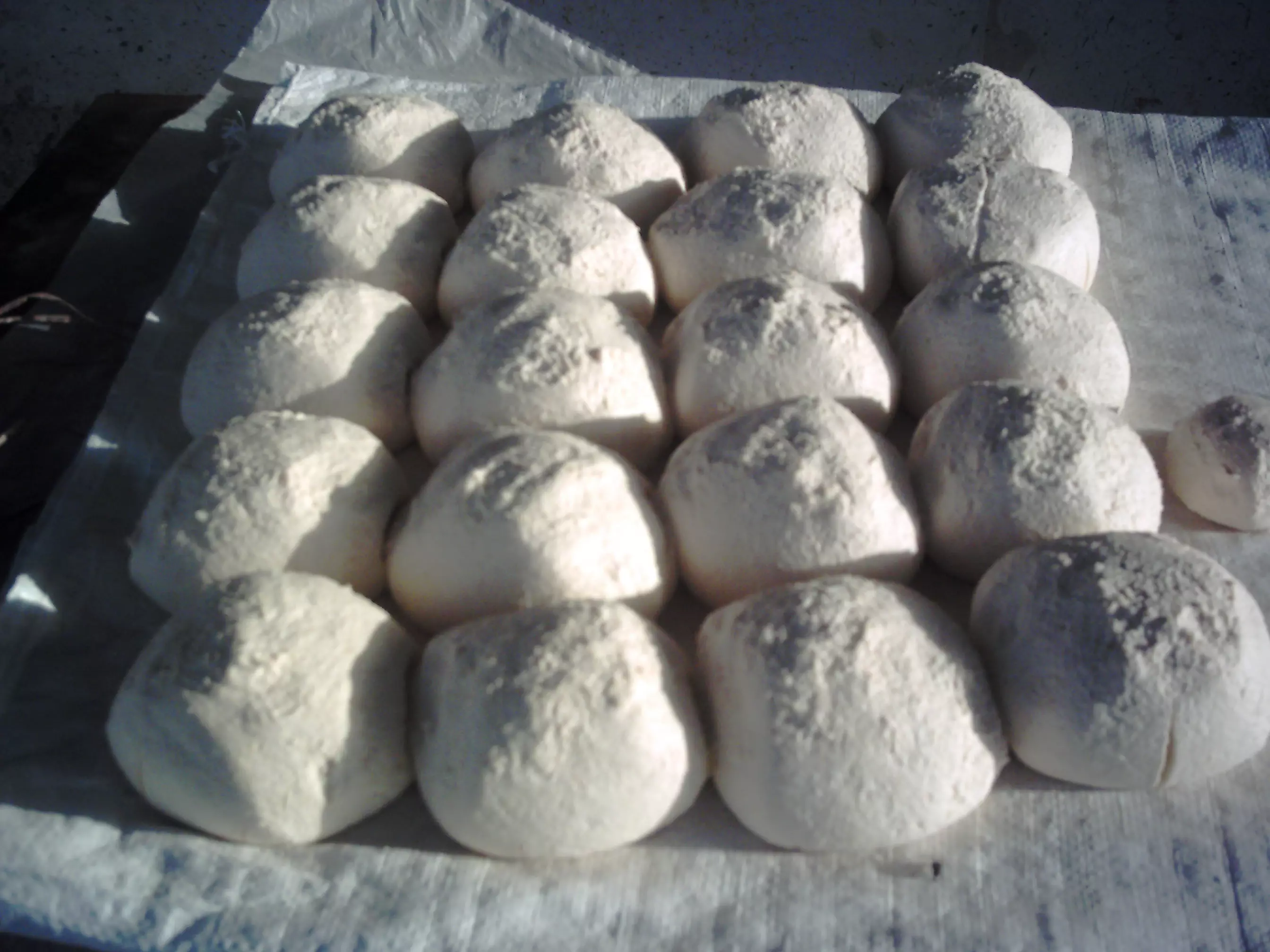
Posted by ابواليمان 1 - خبز الطابون
Posted by ابواليمان 1 - مرحلة تجفيف اللبن الجميد
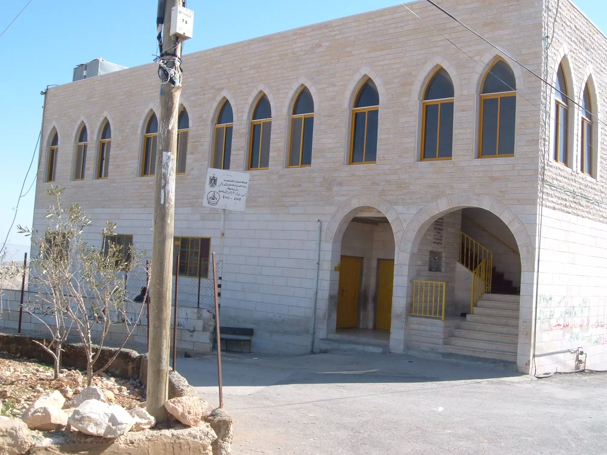
Posted by ابواليمان - مدرسة ذكور محمد سالم الذويب الثانوية
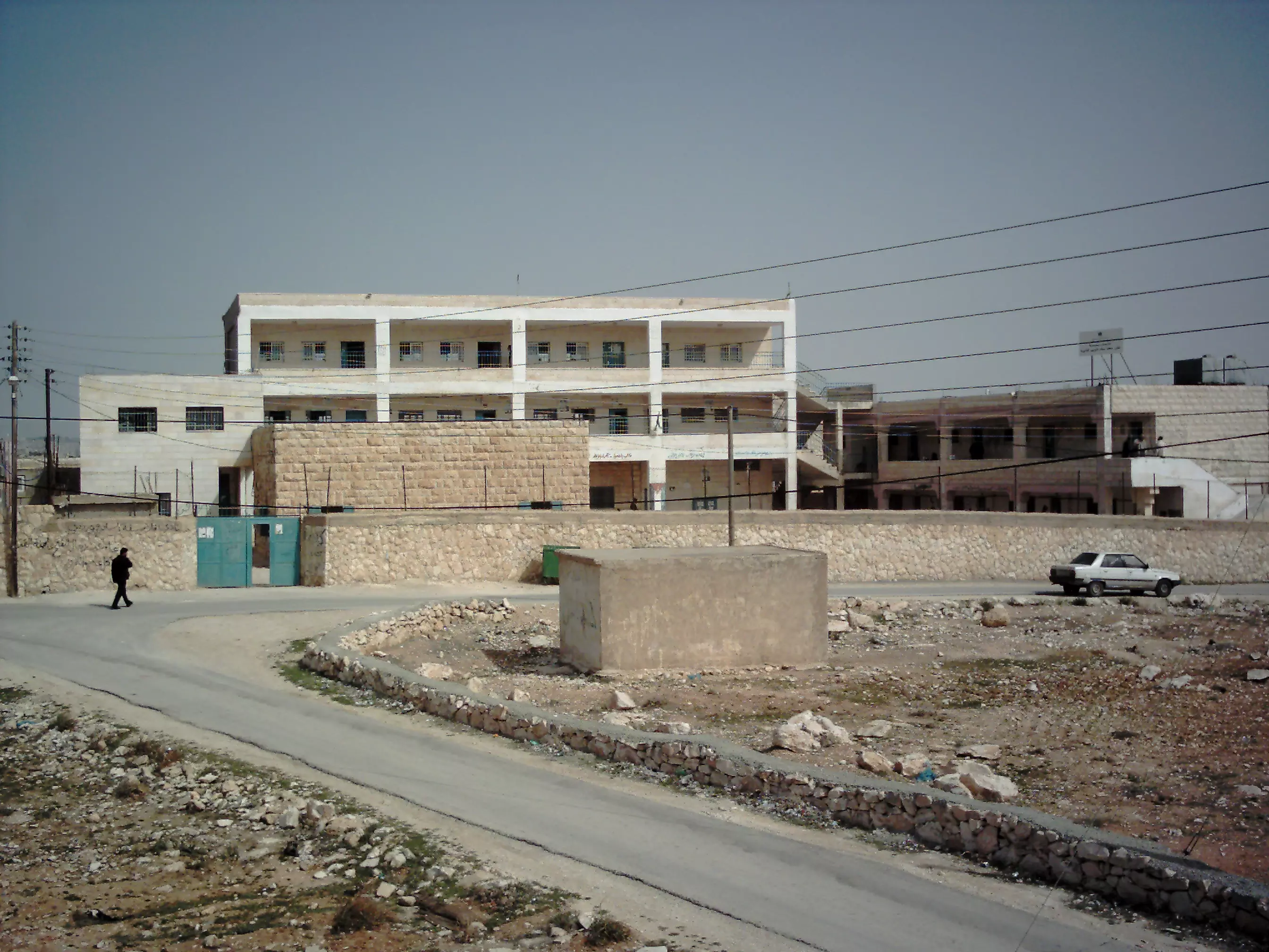
Posted by ابواليمان 2 - مدرسة بنات التعامرة الثانوية
Posted by ابواليمان 1 - مدرسة بنات زعتره الأساسية
Posted by ابواليمان 1 - وقد قيل لي أهلاً وسهلاً ومرحباً قدمت على هذا الحمى خير مقدم
Posted by ابواليمان - مدرسة ذكور عباد ا لرحمن الأساسية
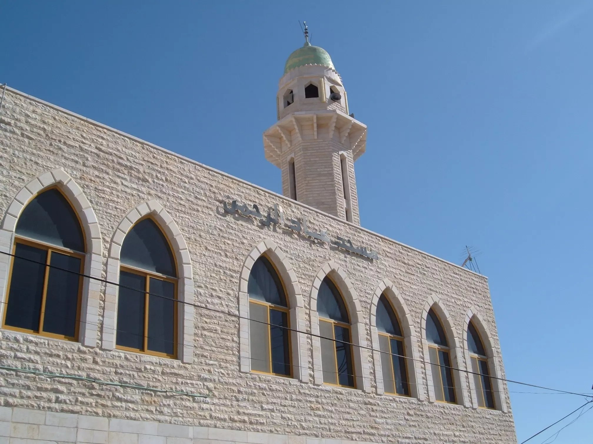
Posted by ابواليمان - مسجد عباد الرحمن
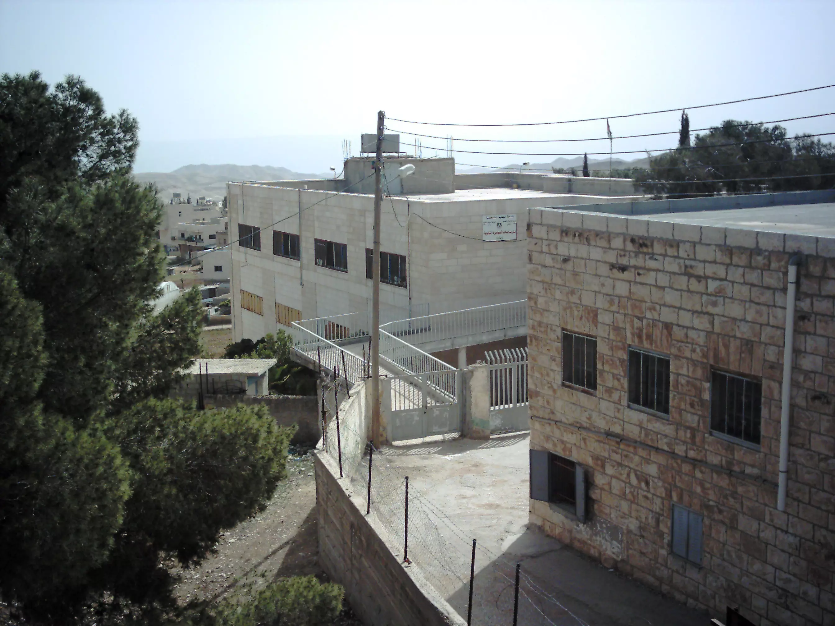
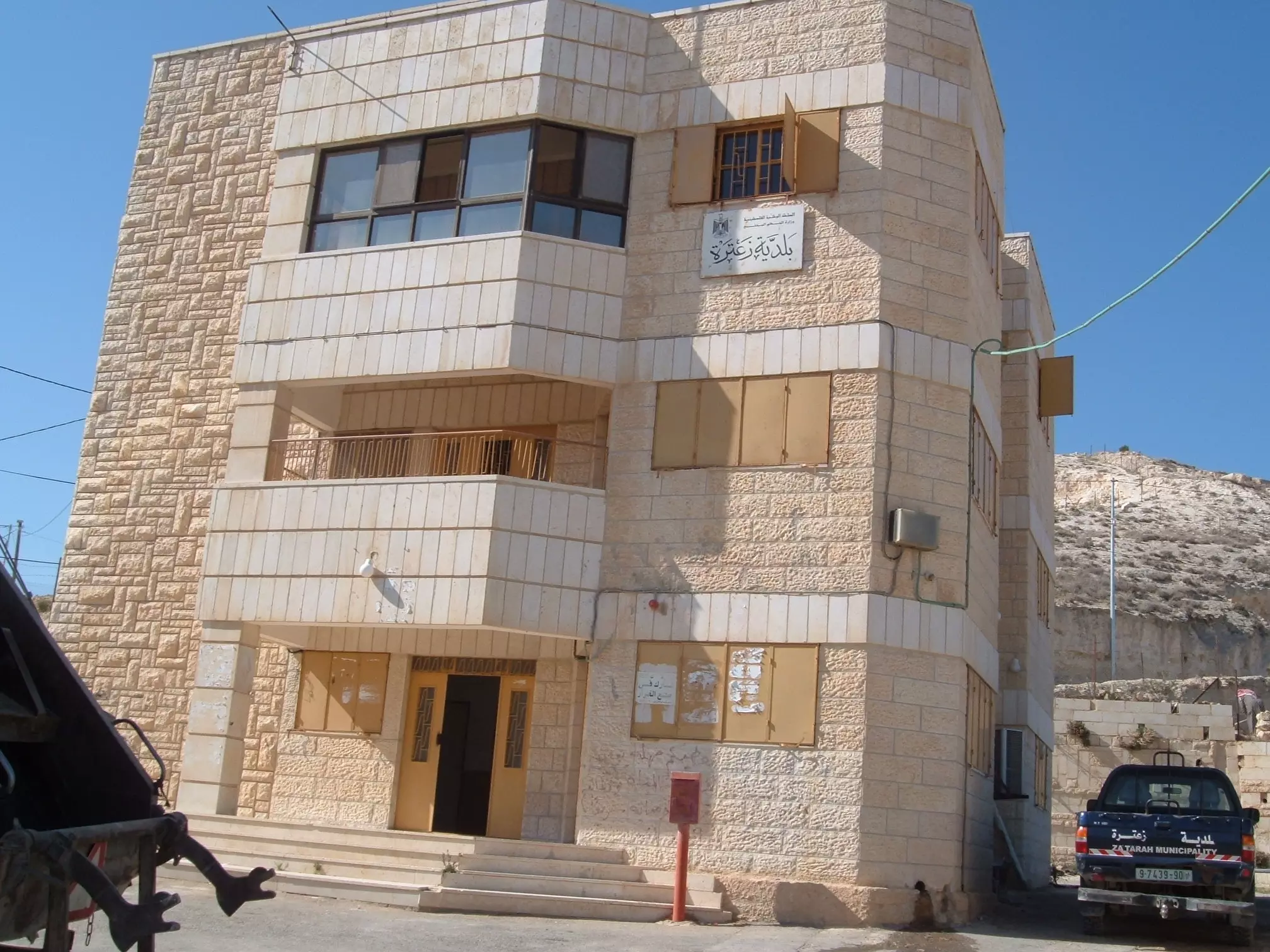
Posted by ابواليمان - مبنى بلدية زعتره
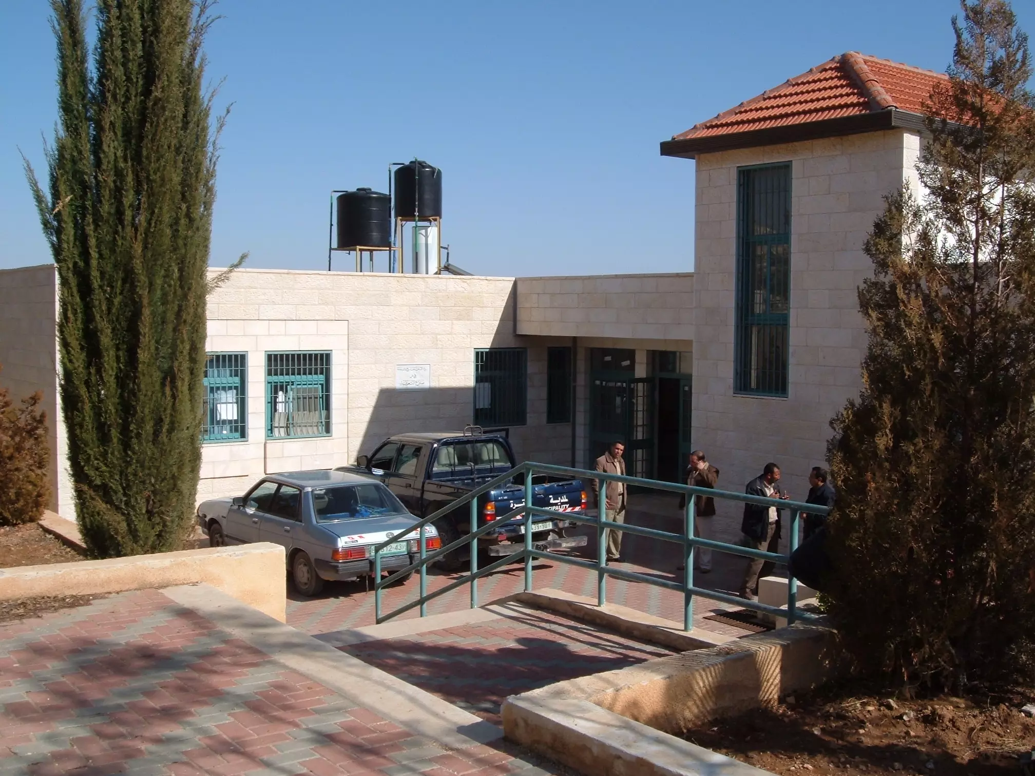
Posted by ابواليمان 1 - المدخل الرئيس لمركز صحي زعتره
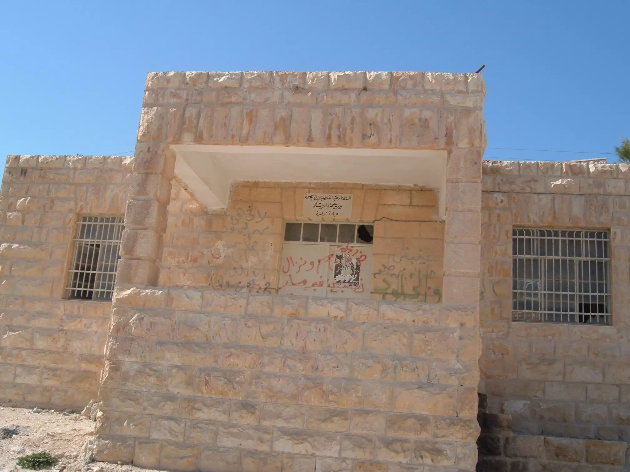
Posted by ابواليمان - المركز الصحي القديم منذ العهد الأردني
Posted by ابواليمان - الحذر .... أنت على مفترق طرق
Posted by ابواليمان - مدرسة بنات العامريه الأساسية ... وإلى الشمال جبل أم ا لطلع في قرية الشواورة المجاورة
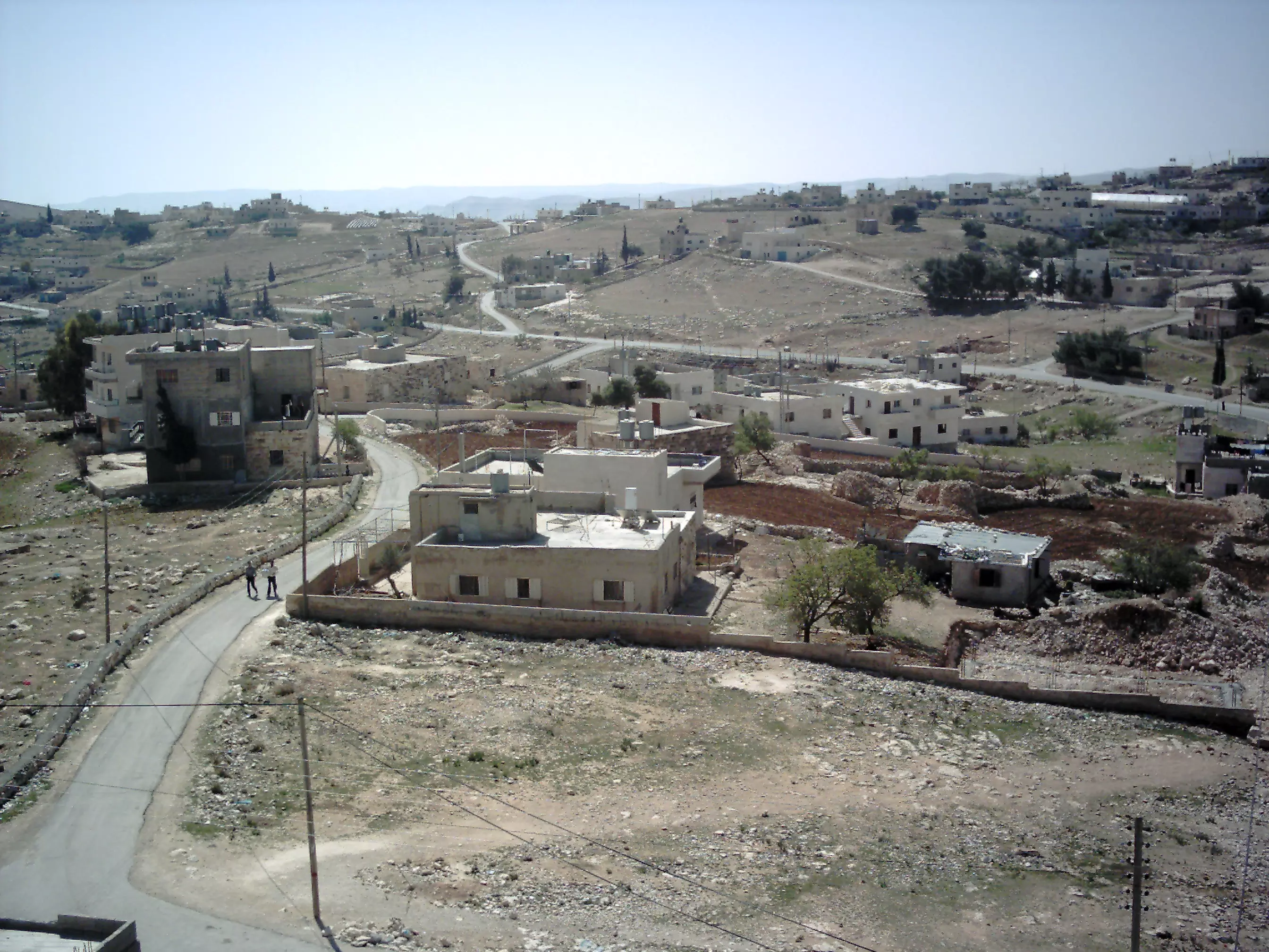
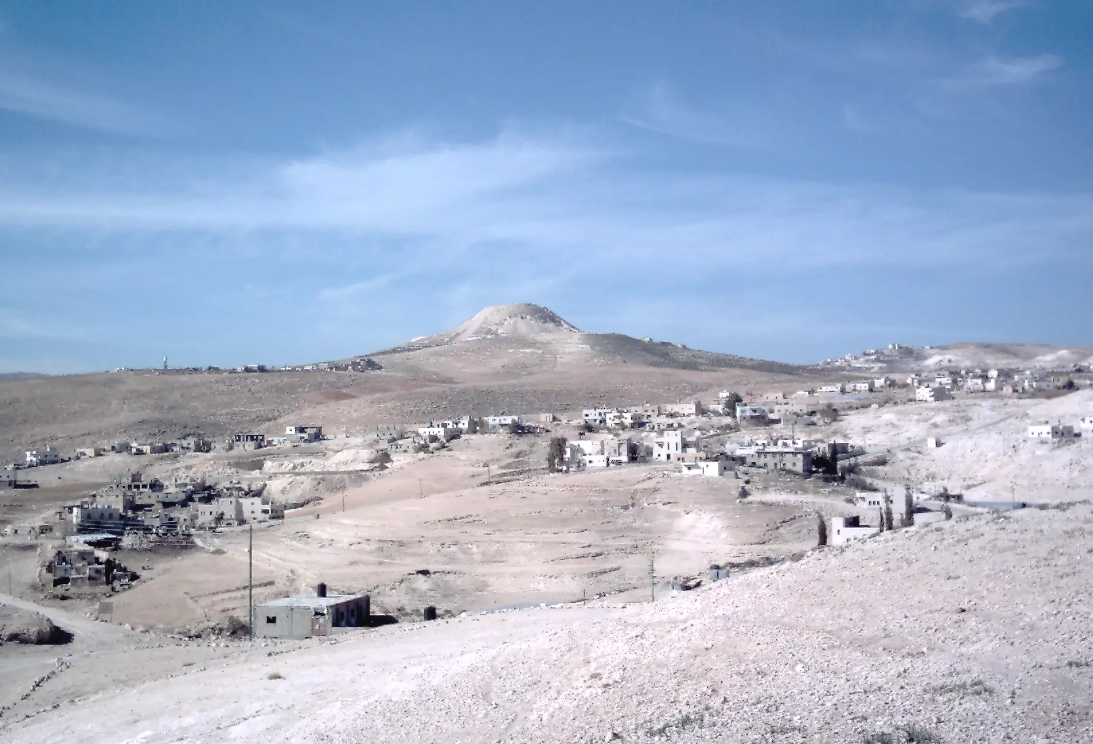
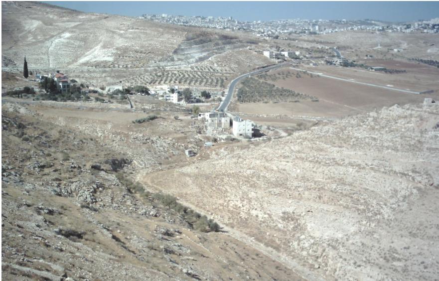
Posted by ابواليمان 6 - الجزء ا لغربي من البلدة والمشرف على مدينة بيت لحم
Posted by ابواليمان - زعتره كما تبدو من الشواورة ويبرز في الصورة جبل هروديون
Posted by ابواليمان 1 - منظر غربي للبلدة ويظهر الطريق المؤدي إلى جبل هروديون
Posted by ابواليمان - الجزء القبلي من زعتره
Posted by ابواليمان - المدخل الشمالي باتجاه يسار الصورة في العام 2002أي قبل شق الشارع الالتفافي
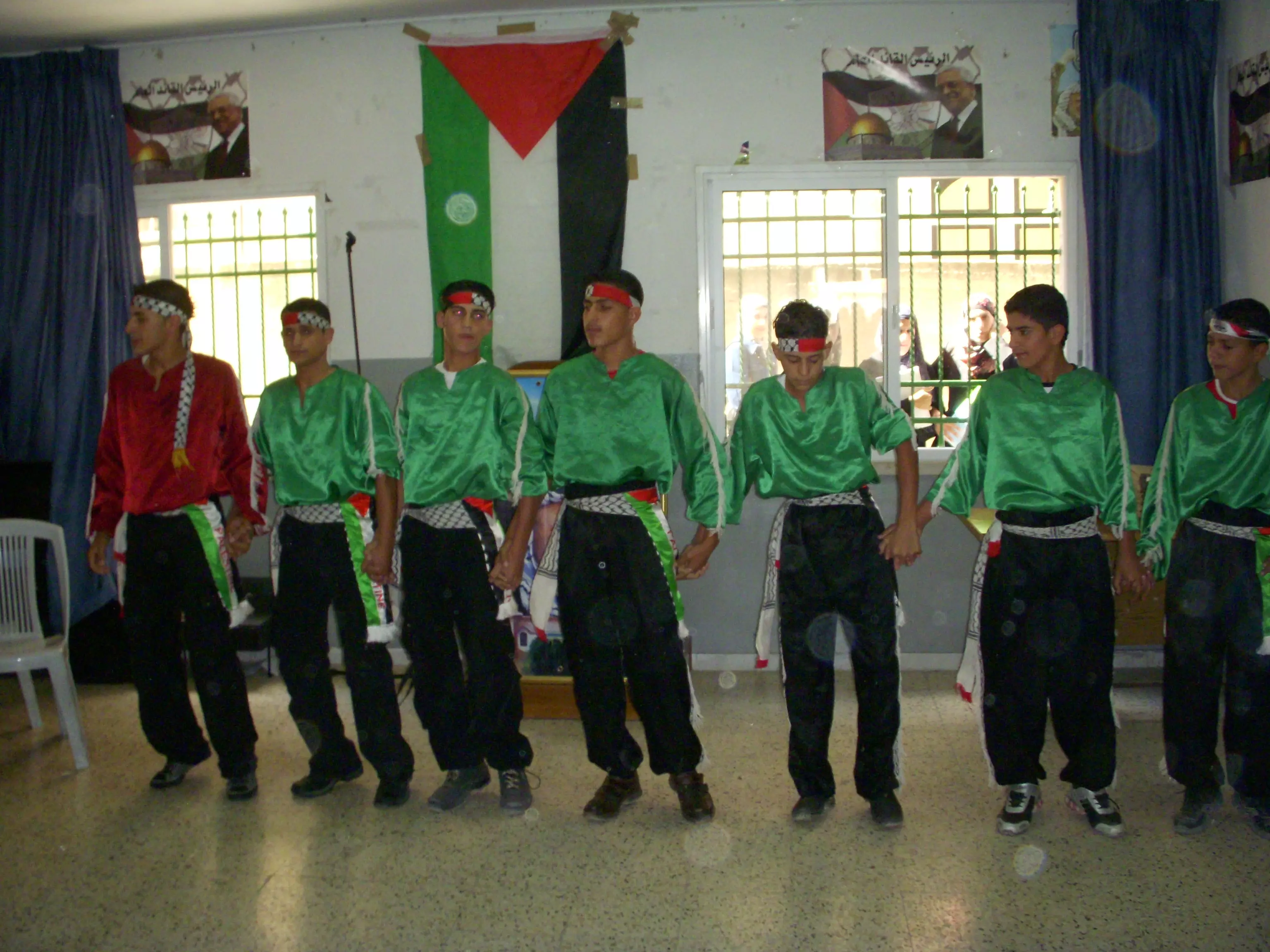
Posted by ابواليمان - فرقة جوارح ابو عيدة
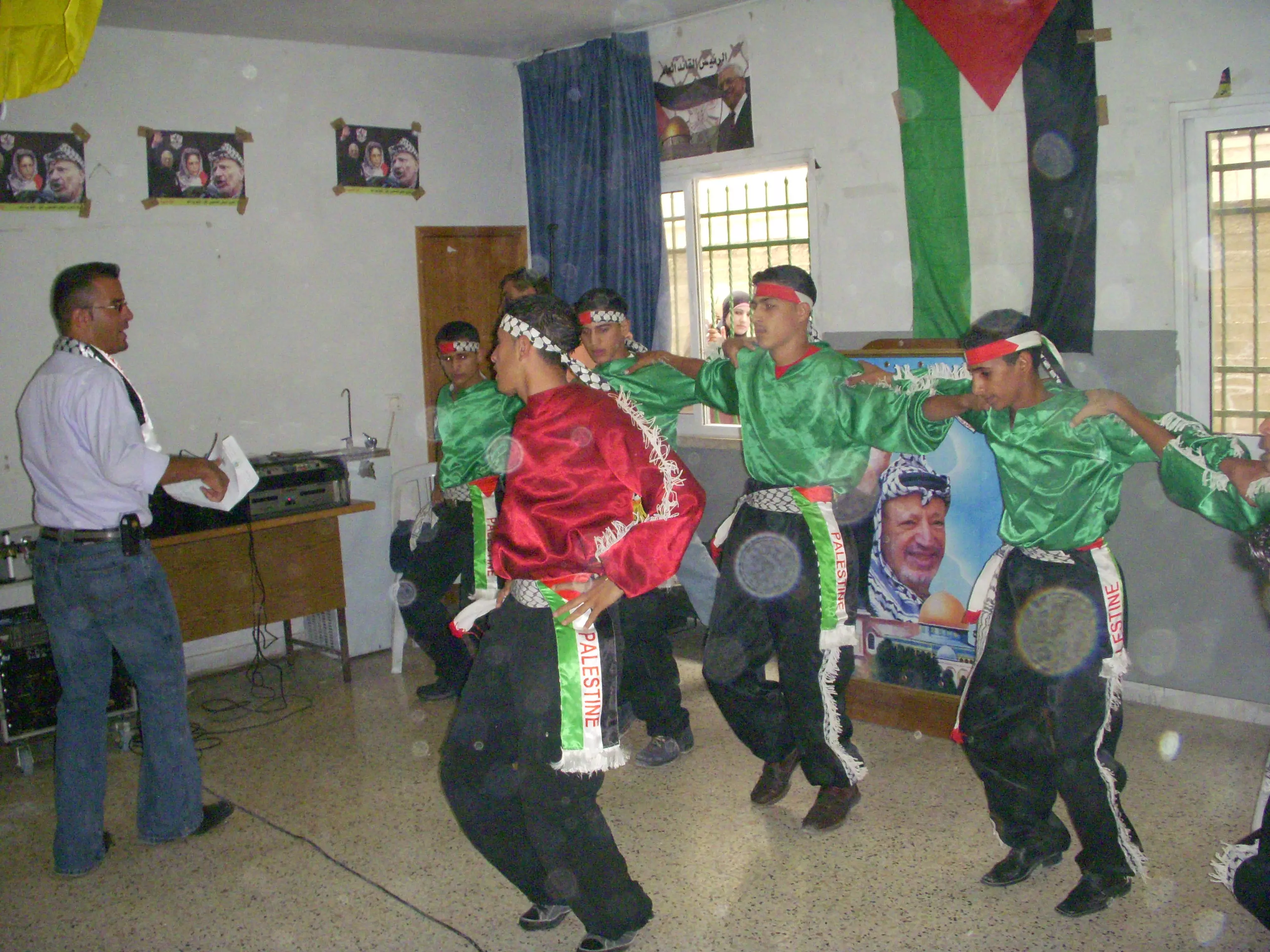
Posted by فرقة جوارح زعترة 8 - فرقة جوارح ابو عيدة
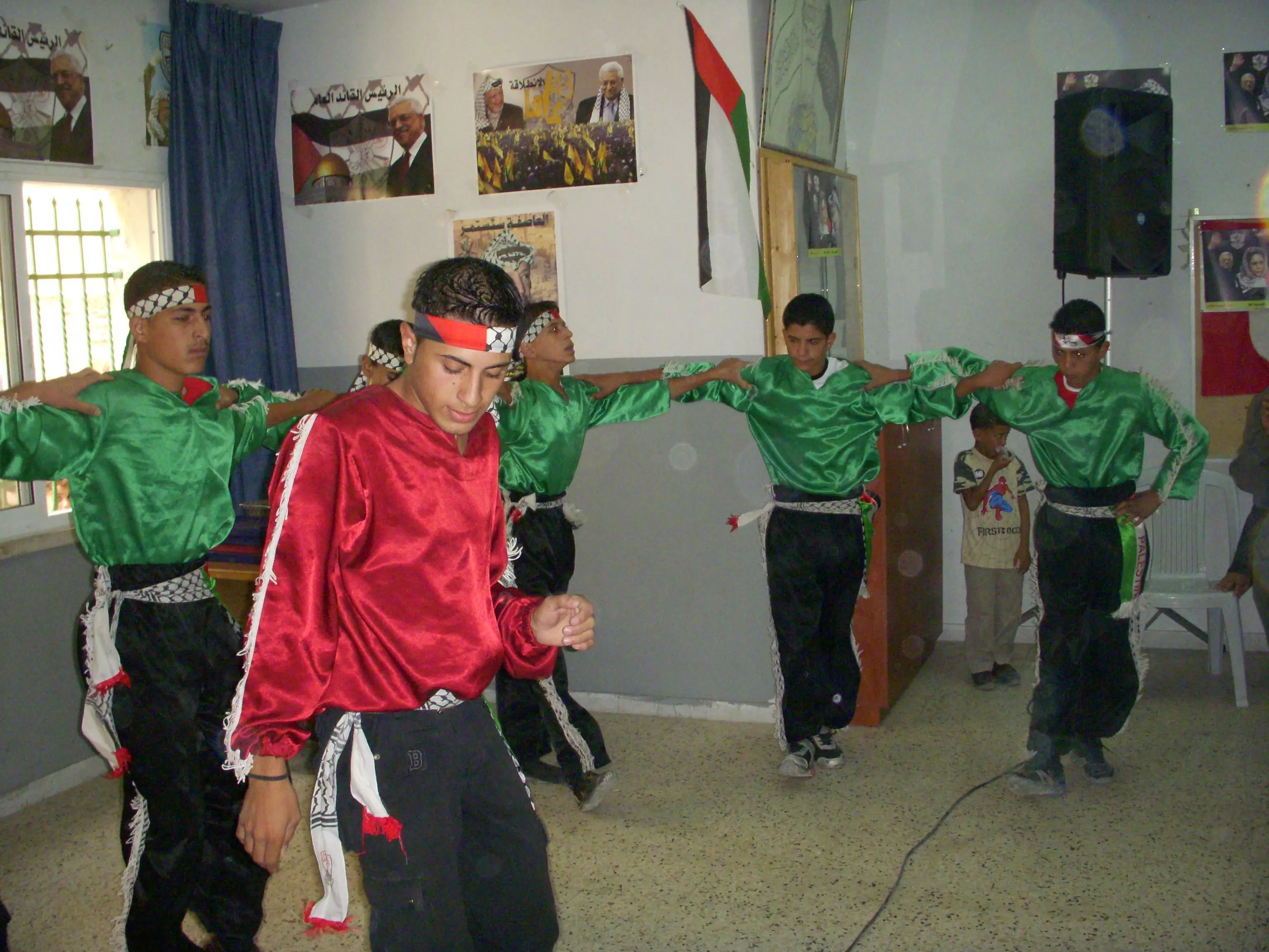
Posted by فرقة جوارح زعترة 4 - فرقة جوارح ابو عيدة
Posted by فرقة جوارح زعترة 5 - ملتقى شباب زعترة

Posted by خلدون الخطيب 1 - فرقة جوارح
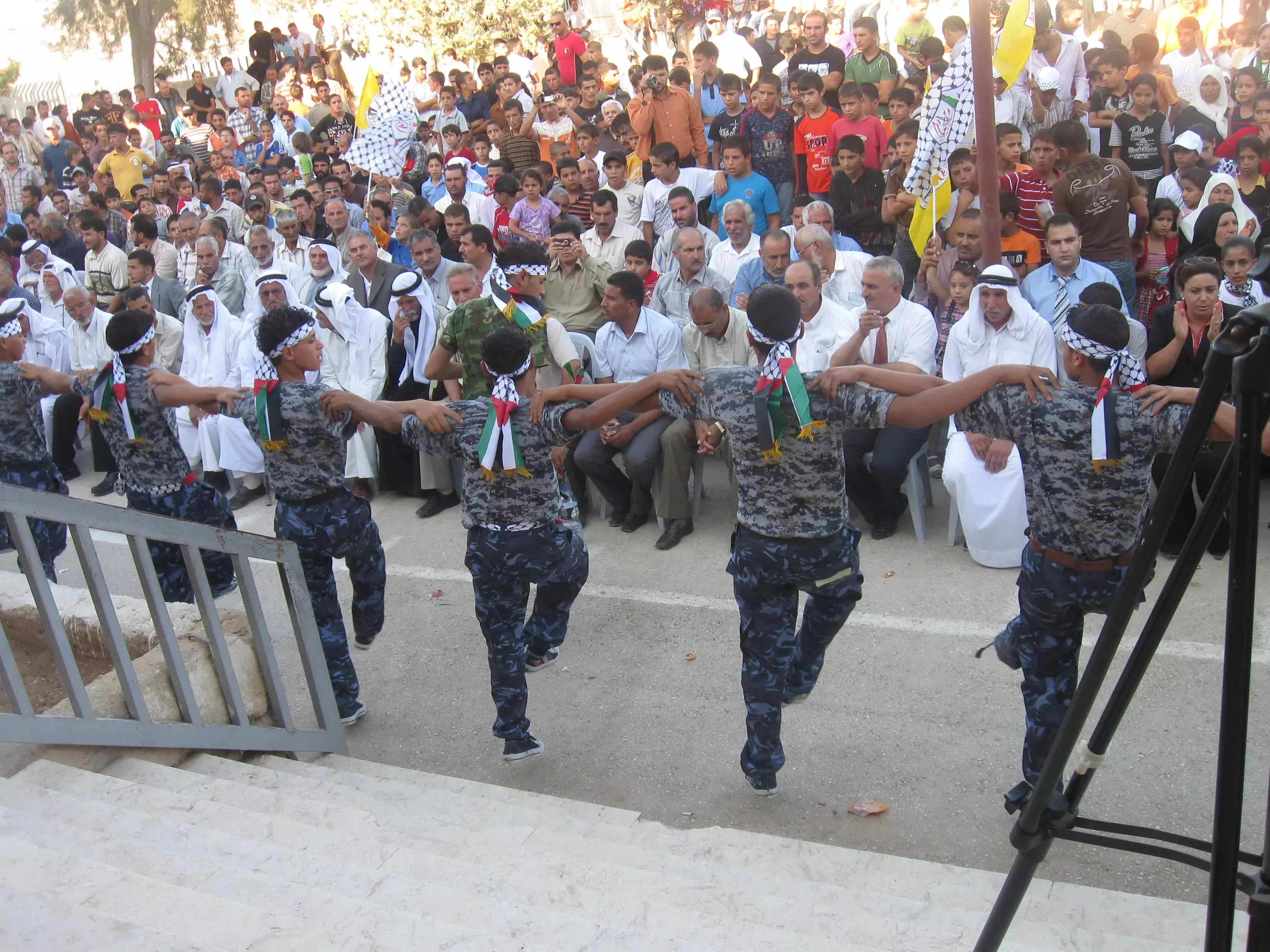
Posted by فرقة جوارح زعترة 3 - شبح الجوارح
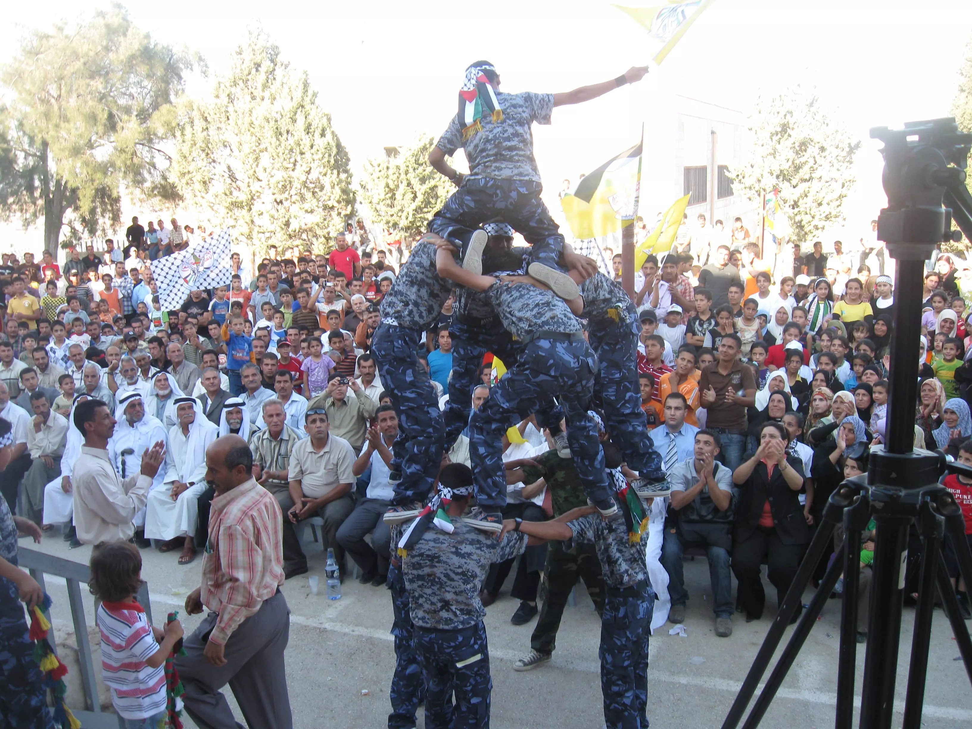
Posted by فرقة جوارح زعترة 4 - إنت كهف والا وحش؟
Posted by ابواليمان - هذي الجبال الشُم أعرفها
Posted by ابواليمان 1 - من جبال البرية-قرون ا لحجر
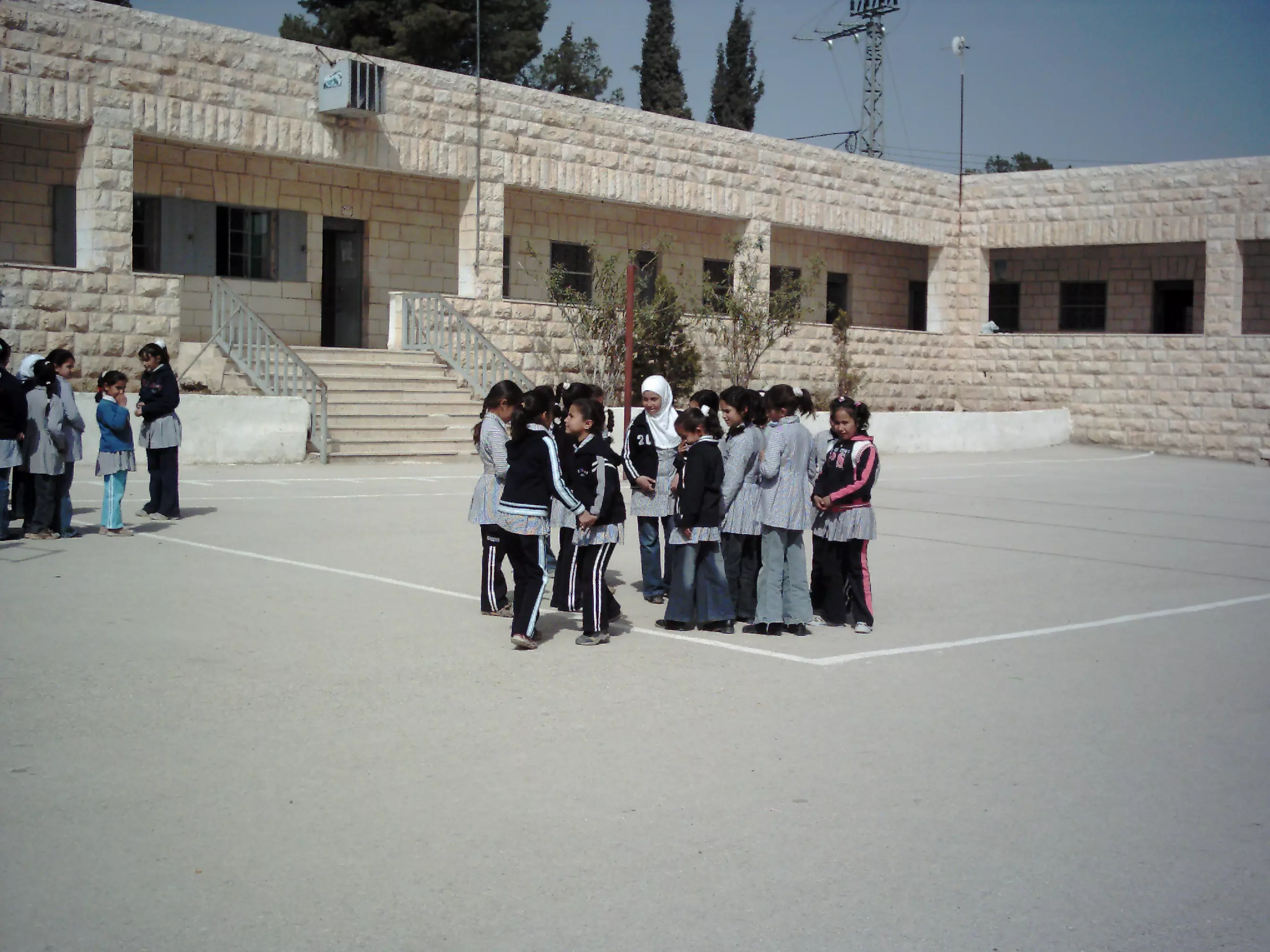
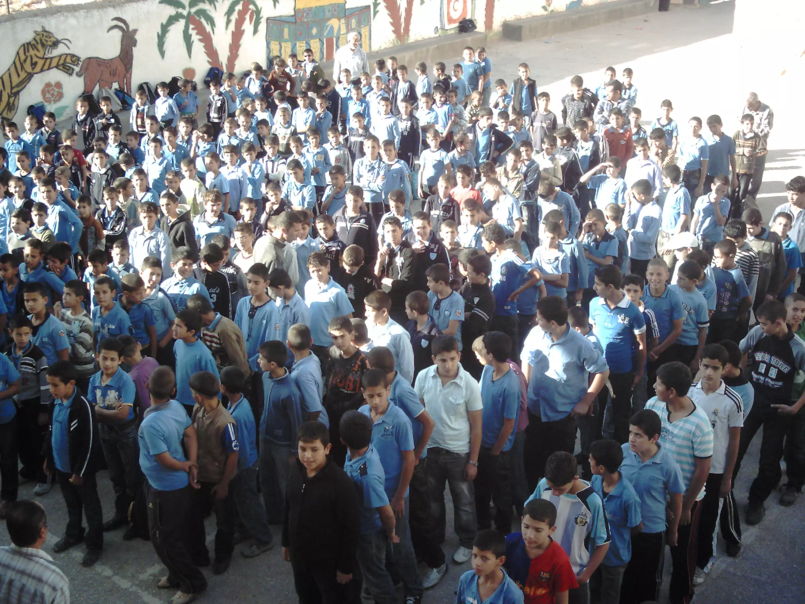
Posted by ابواليمان - جزء من طلاب المدرسة الثانوية أثناء الطابور الصباحي11/11/2009
Posted by ابواليمان - نشاط رياضي لمعلمي المدرسة الثانوية05/01/2010
Posted by ابواليمان 1 - من جبال البرية1
Posted by ابواليمان - فرقة جوارح ابوعيدة
Posted by فرقة جوارح زعترة 1 - جبل هروديون وسماء صافية
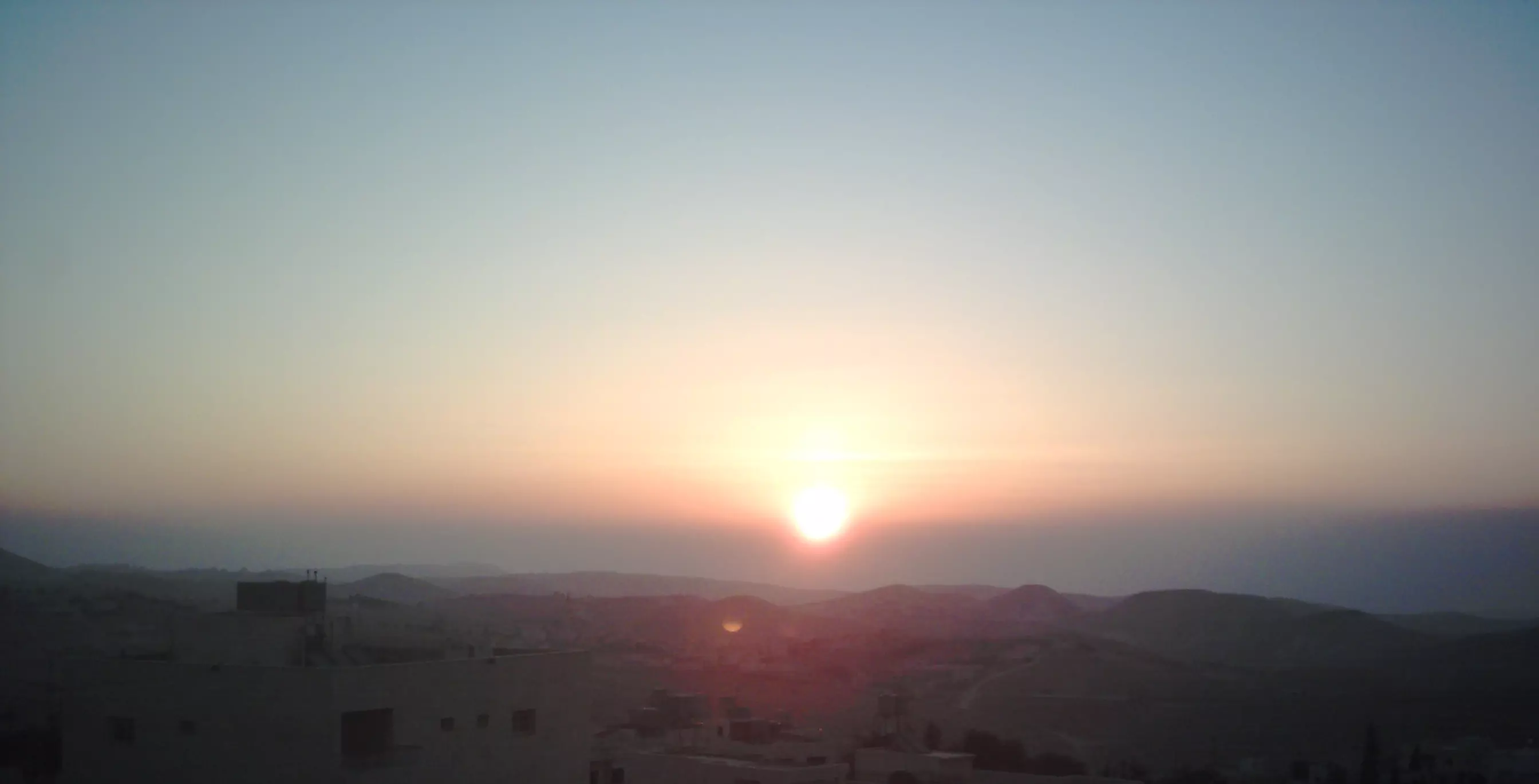
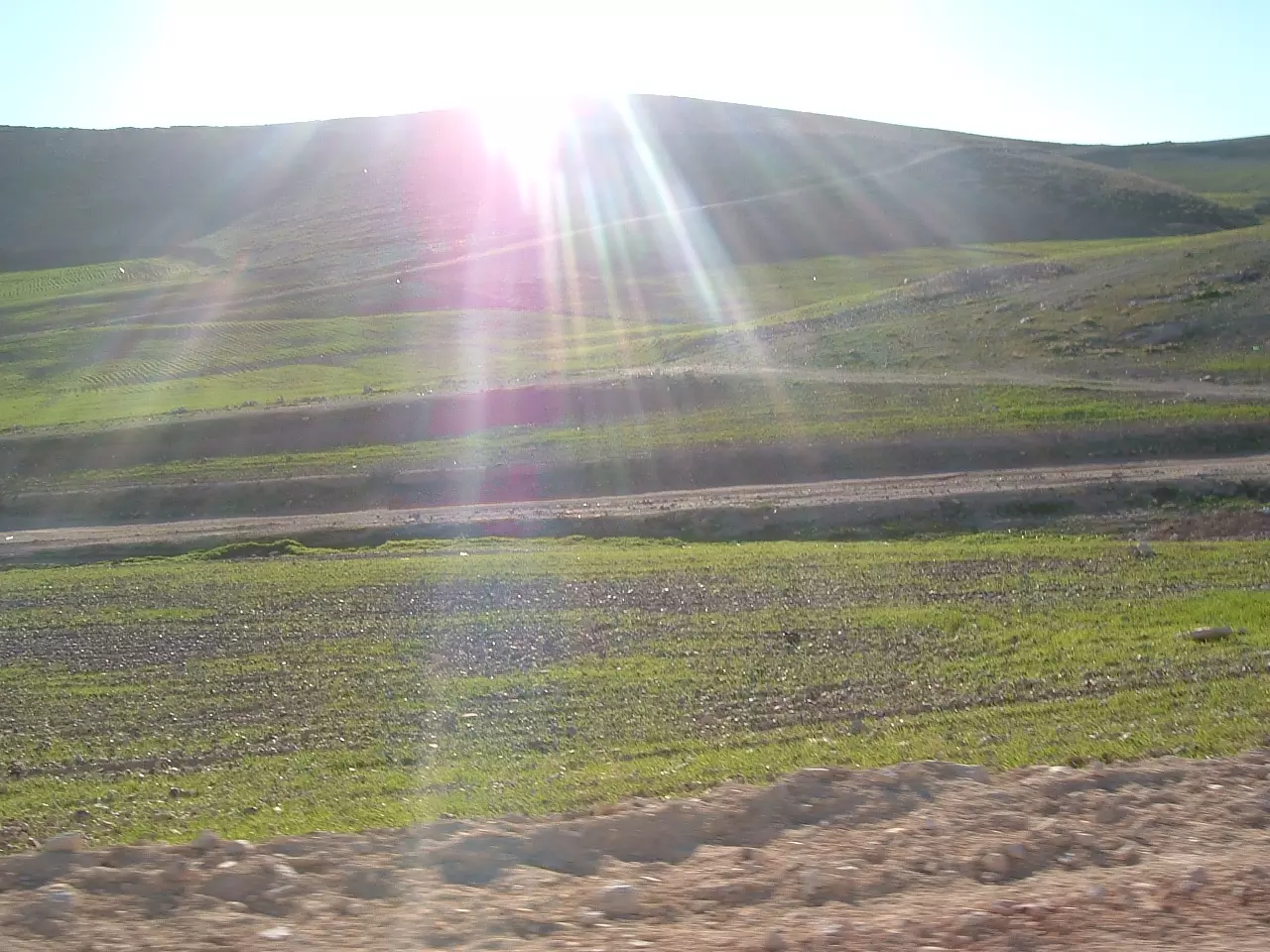
Posted by ابواليمان - شروق الشمس في زعتره
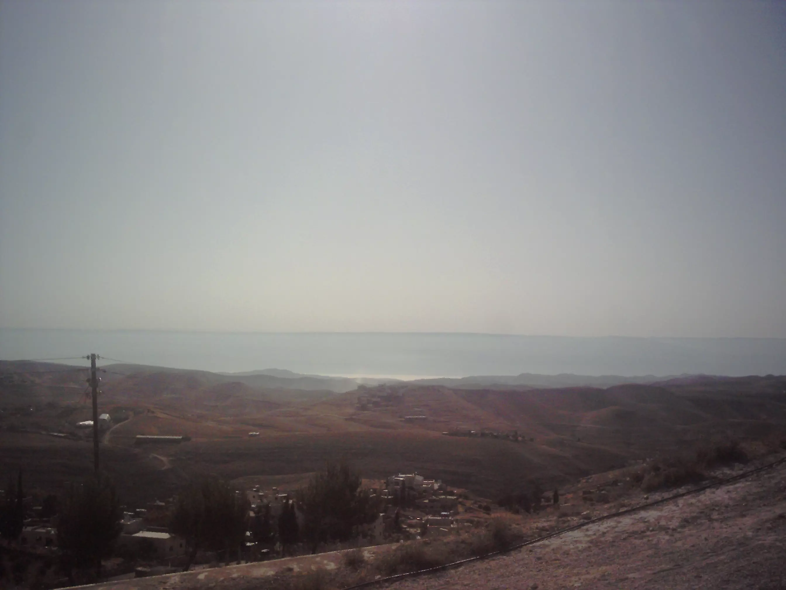
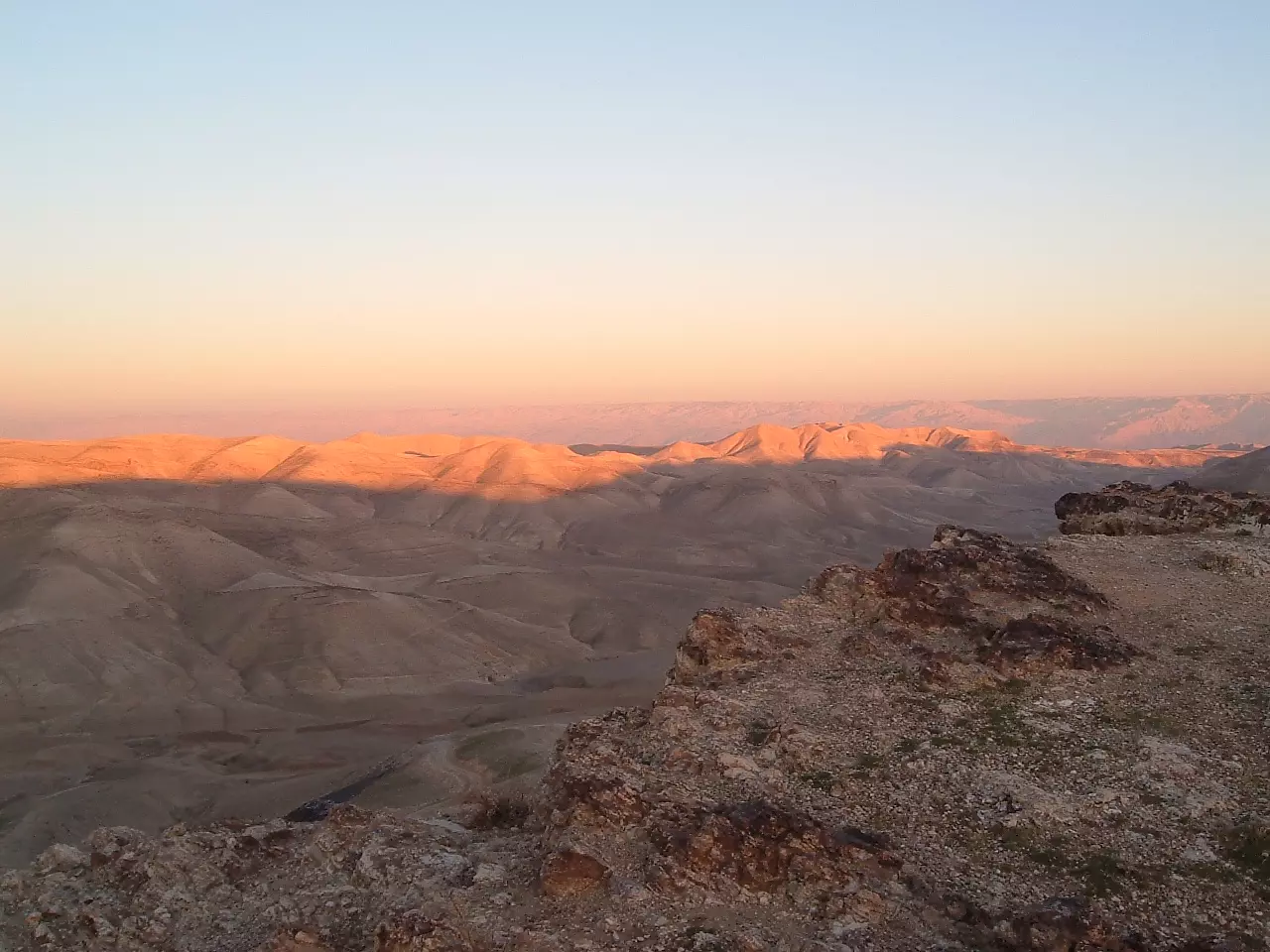
Posted by ابواليمان 1 - الحدود الشرقية ويظهر بعدها البحر الميت كخط فاصل عن جبال الاردن الزرقاء
Posted by ابواليمان - نموذج للبناء القديم في نهاية الخمسينات
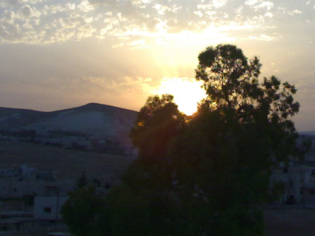
Posted by ابواليمان - غروب الشمس في زعترة خلف جبل عاصم 1/2008
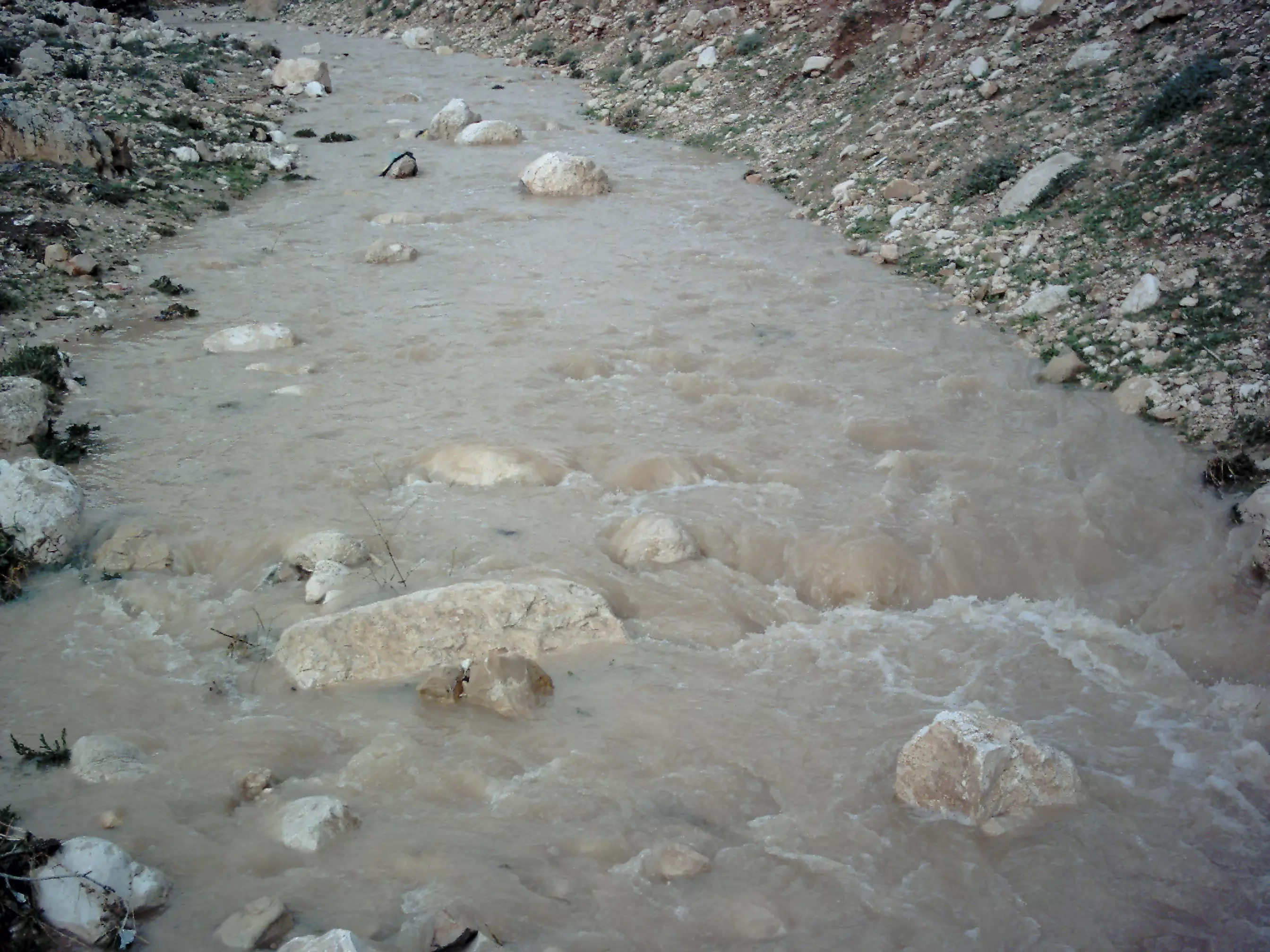
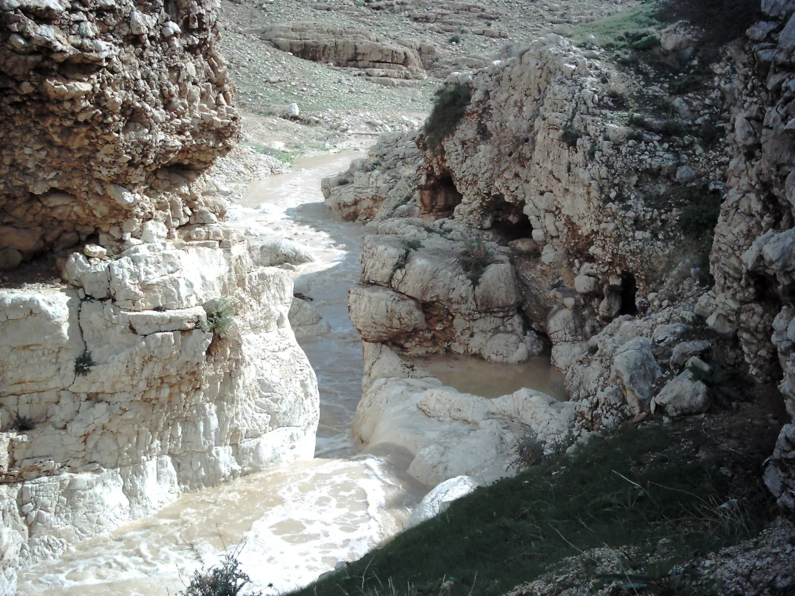
Posted by colonel - سيل واد عيادة في 27/02/2010
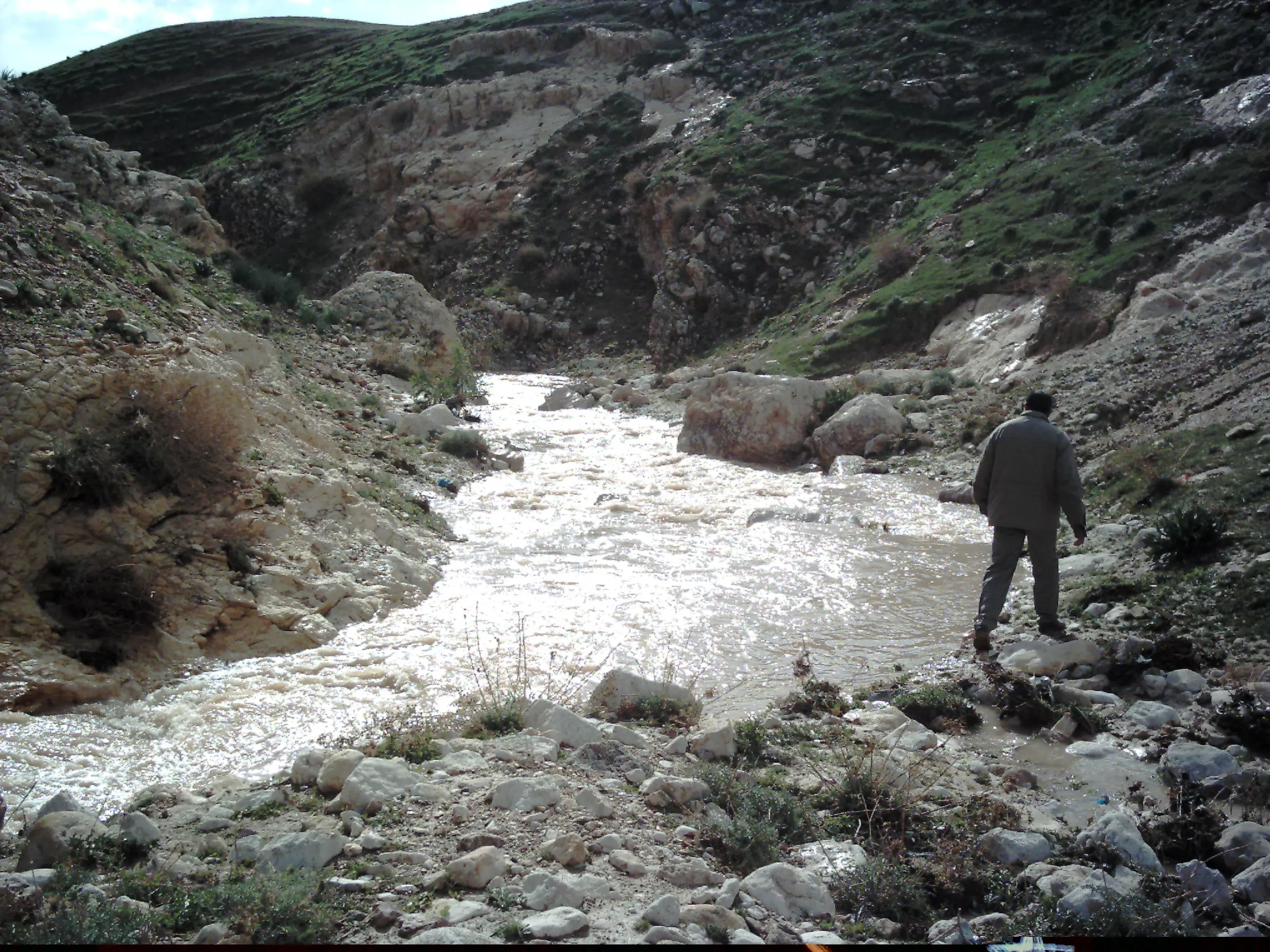
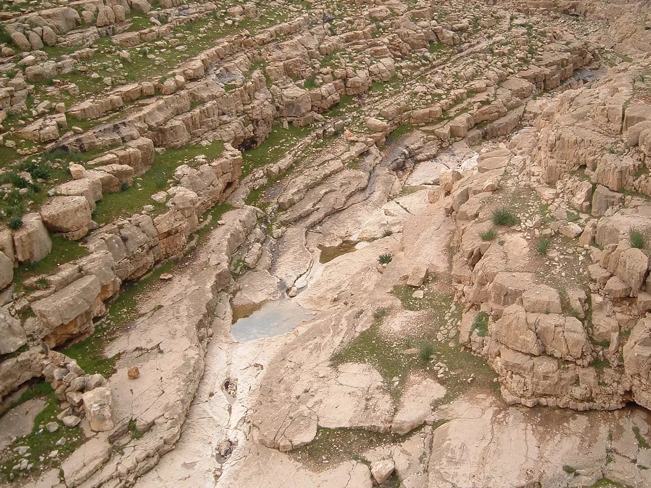
Posted by ابواليمان 1 - سيل واد البرية 27/02/2010
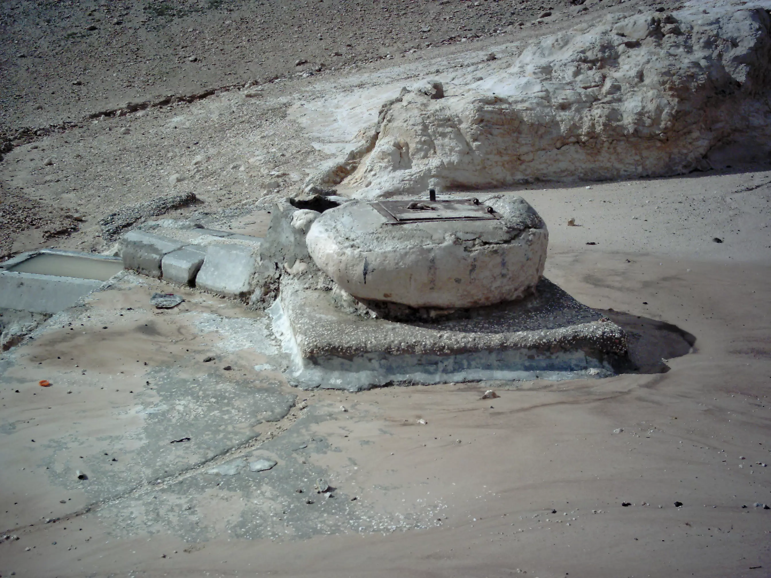
Posted by ابواليمان - بئر جمع في البرية يسمى :" بير عيادة" 27/02/2010
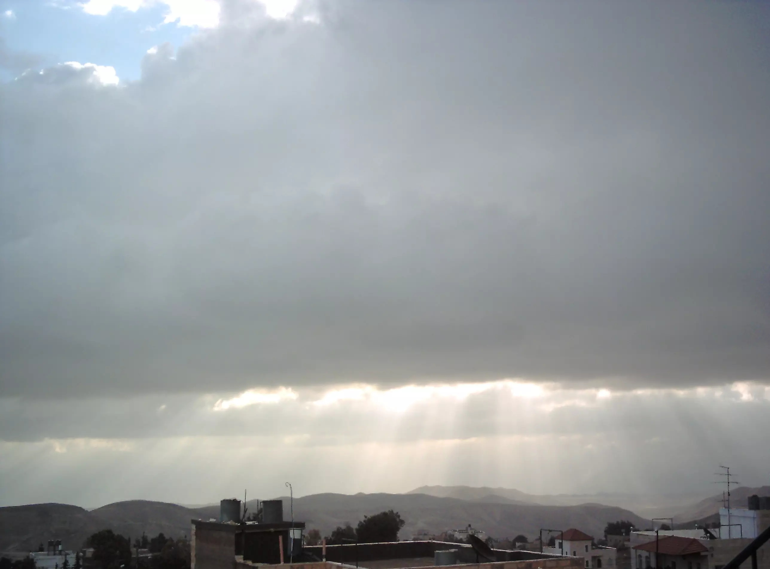
Posted by ابواليمان - خيوط شمس الشتاء تخترق الغيوم
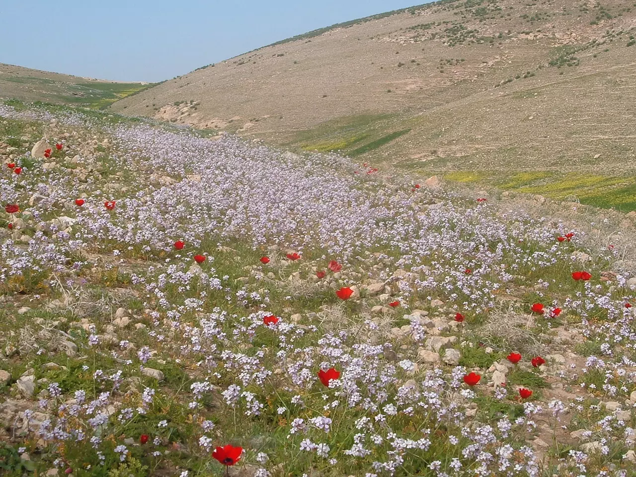
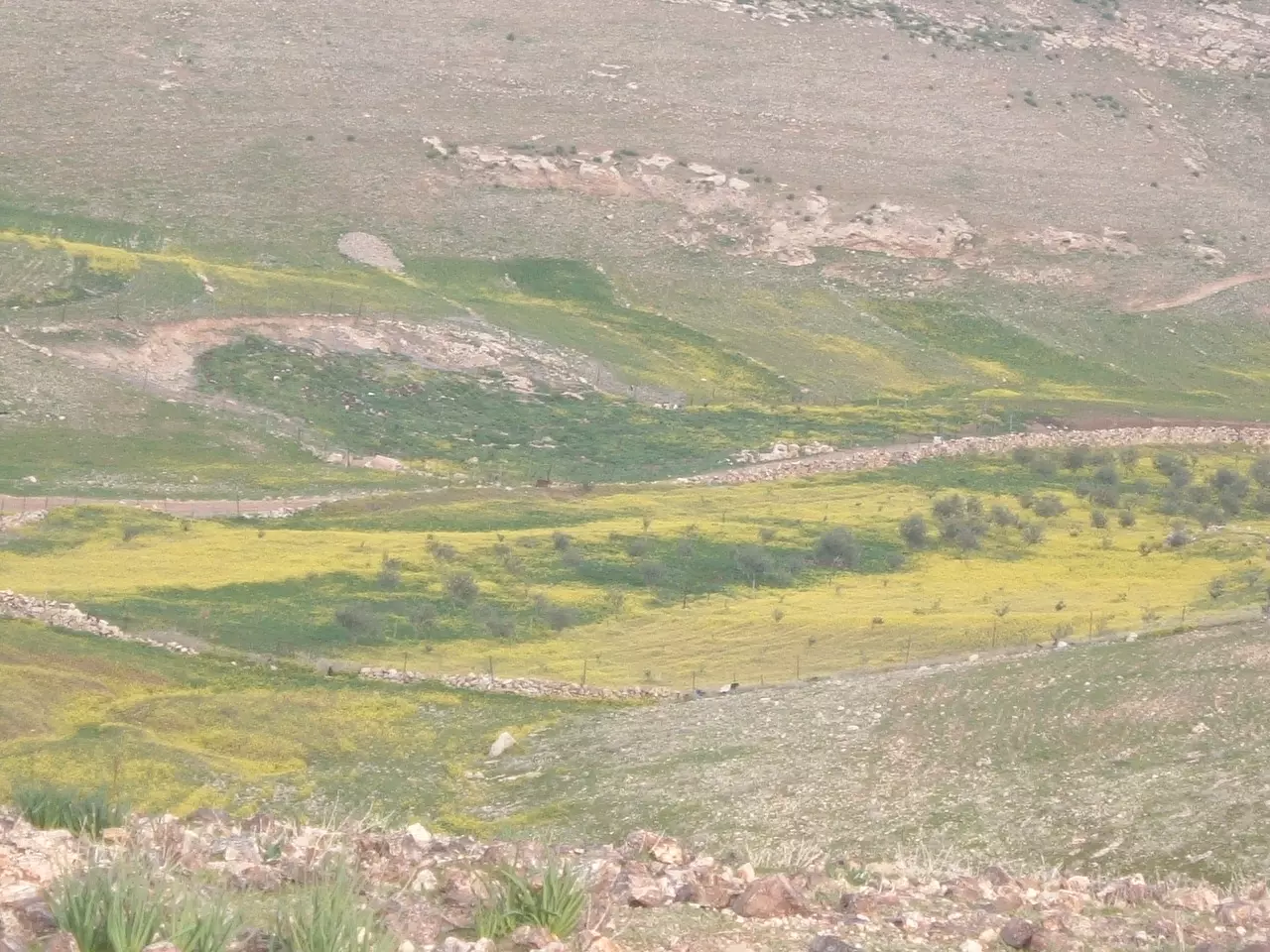
Posted by ابواليمان 6 - هل الربيع بحسنه فتبسما واخضر حتى كاد أن يتكلما
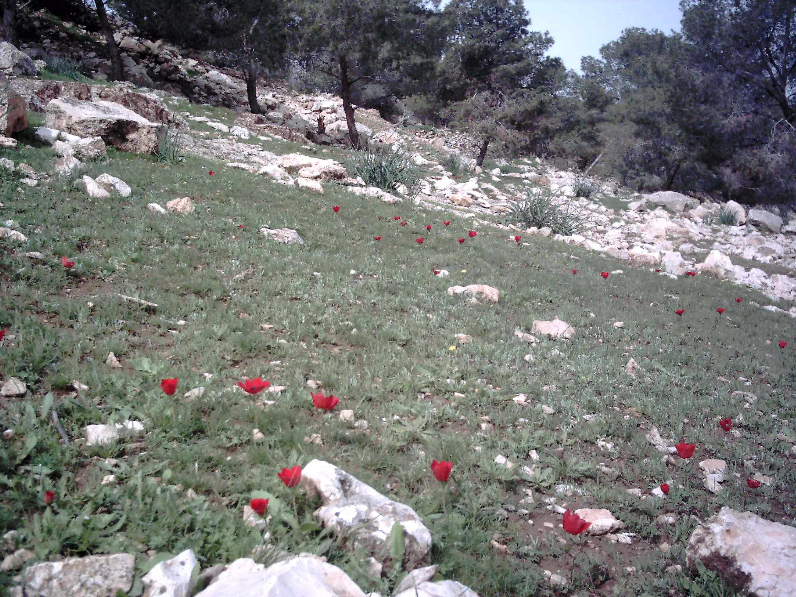
Posted by ابواليمان 2 - هذي الطبيعة قف بنا يا ساري حتى أريك بديع صنع الباري
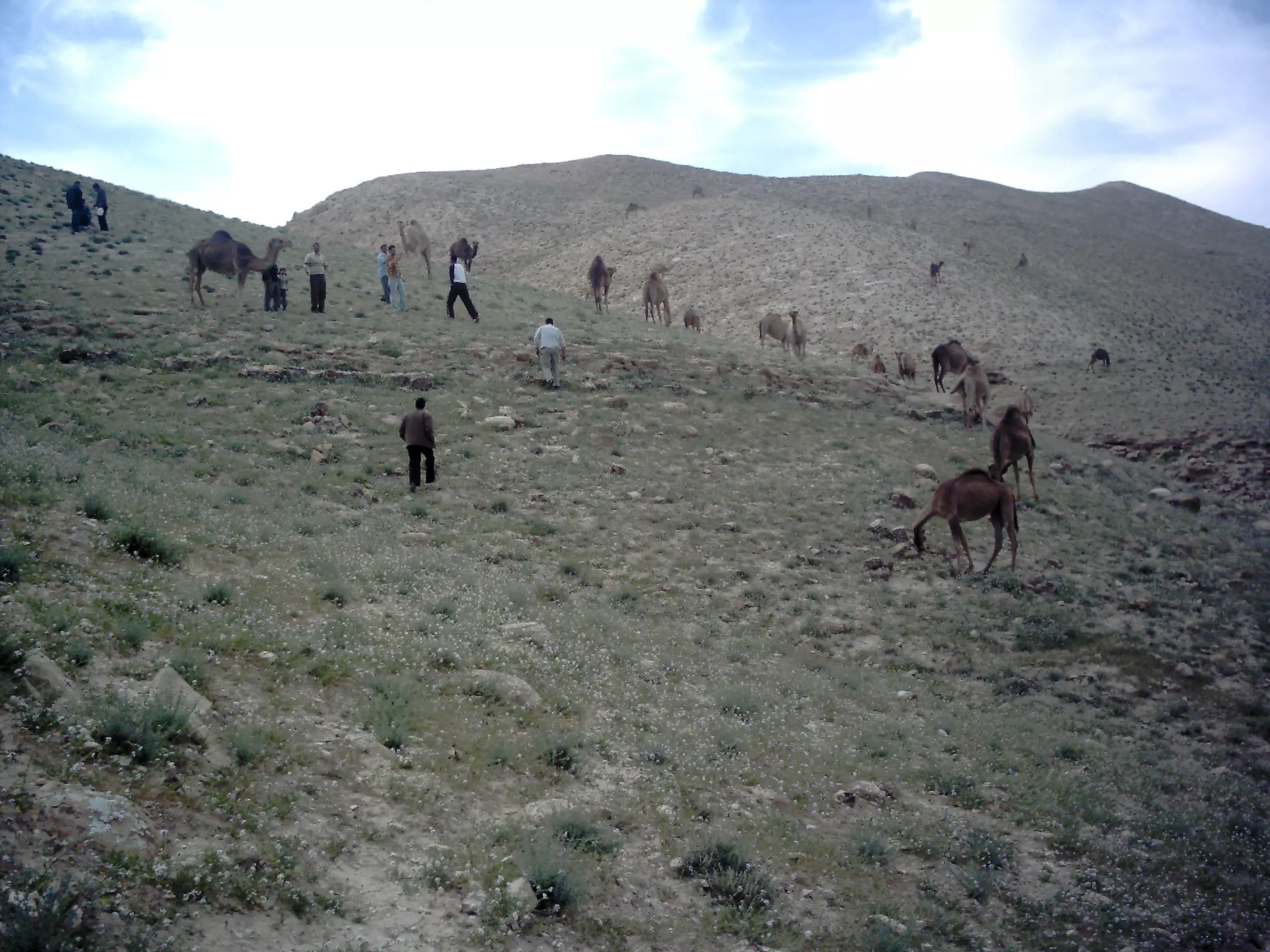
Posted by ابواليمان 3 - أغنام في جبال البرية في ربيع 29/03/2010
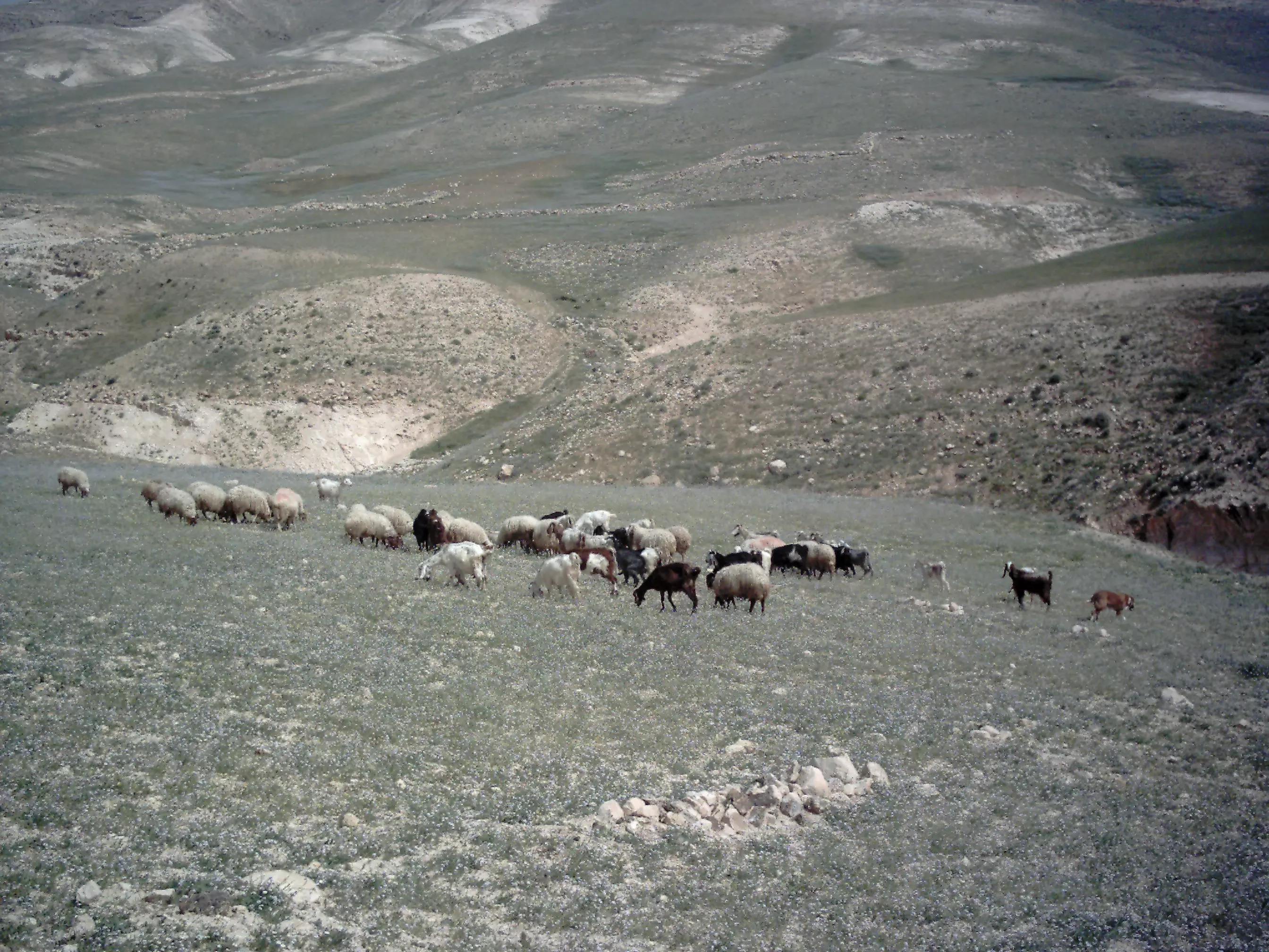
Posted by ابواليمان - رحلة في جبال البرية 29/03/2010
Posted by ابواليمان 1 - "أفلا ينظرون إلى الإبل كيف خلقت"؟
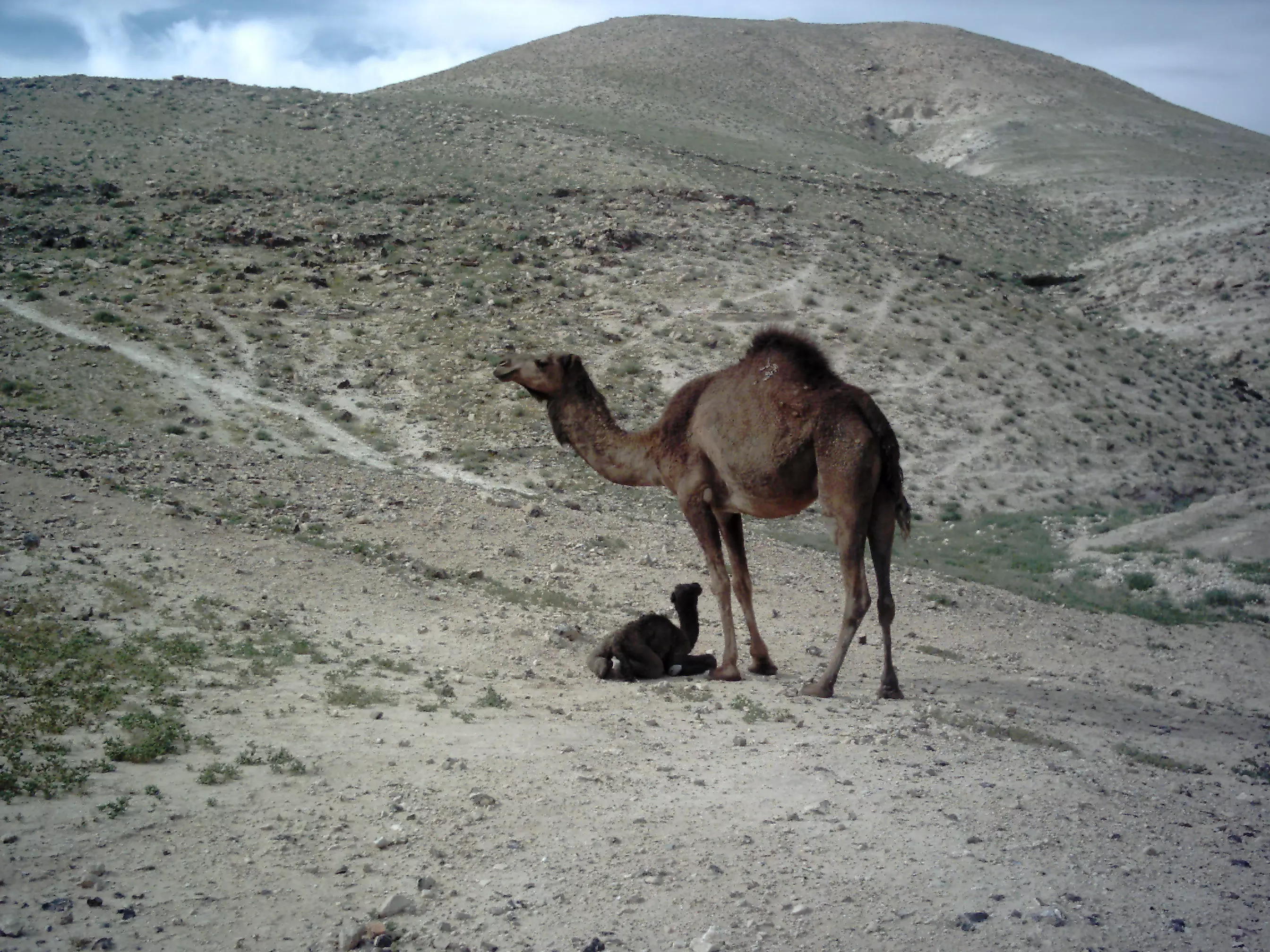
Posted by ابواليمان - أما الجمال فإنها كجمالهم وأرى رعاة العيس غير رعاتها
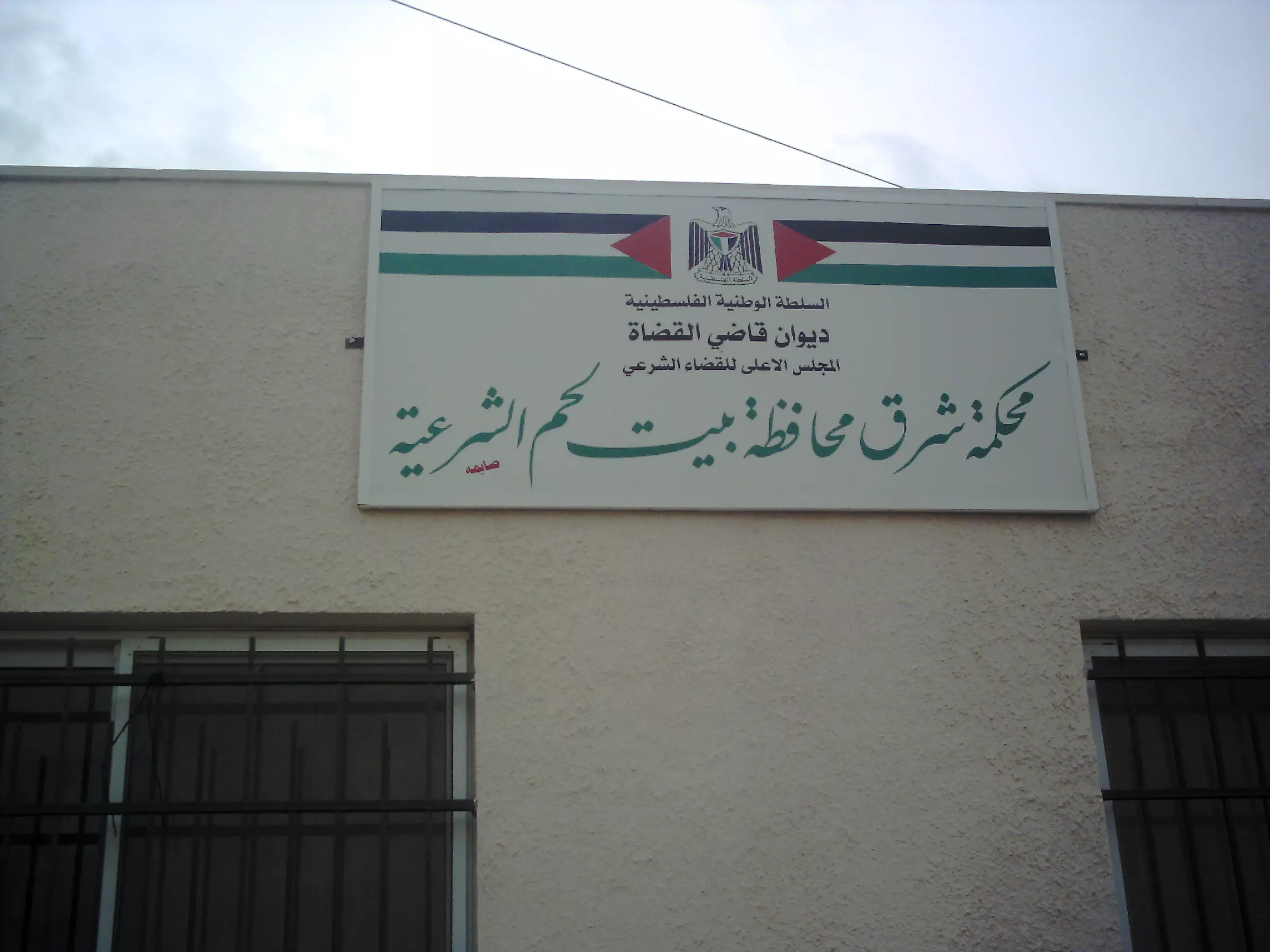
Posted by ابواليمان 2 - افتتاح محكمة شرق بيت لحم الشرعية في زعتره 20/04/2010
Posted by ابواليمان 3 - وإذا حكمتم بين ا لناس أن تحكموا بالعدل
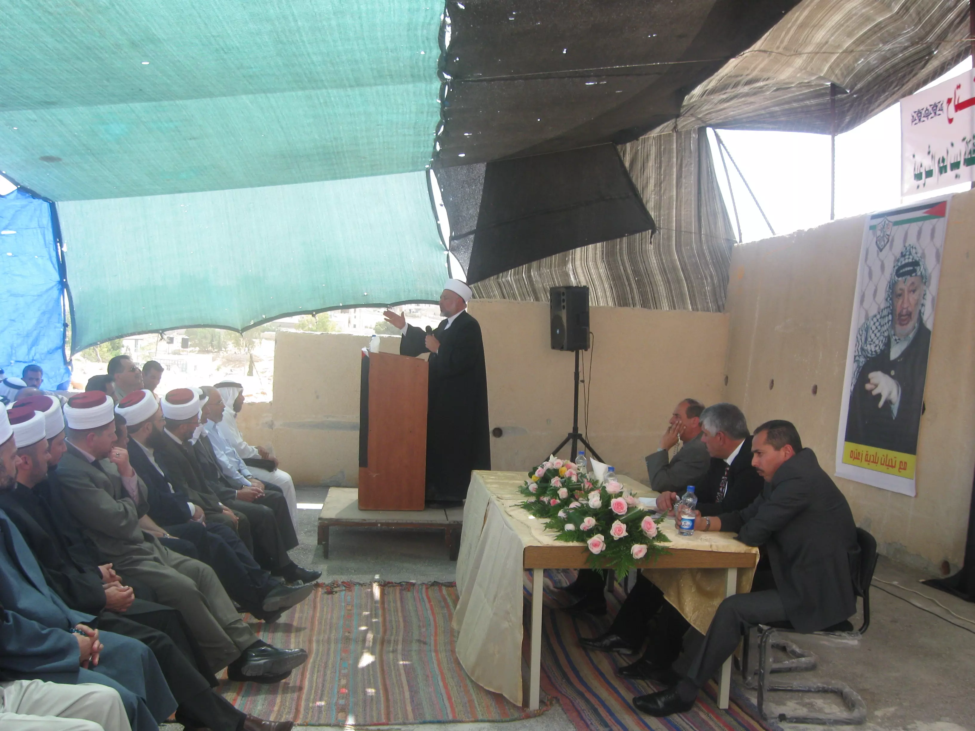
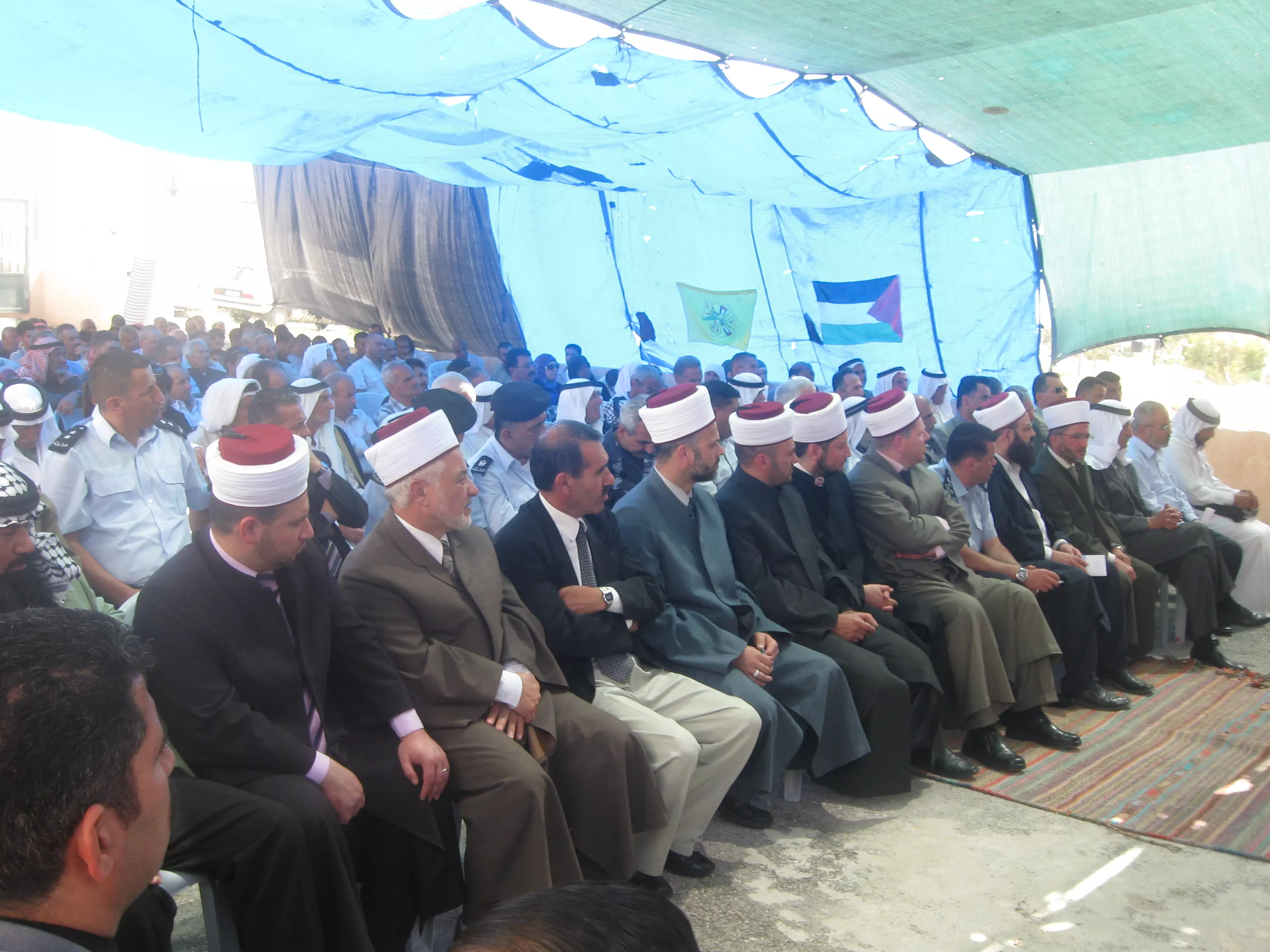
Posted by ابواليمان 1 - جانب من الحضور في حفل افتتاح المحكمة الشرعية في زعتره 20/04/2010
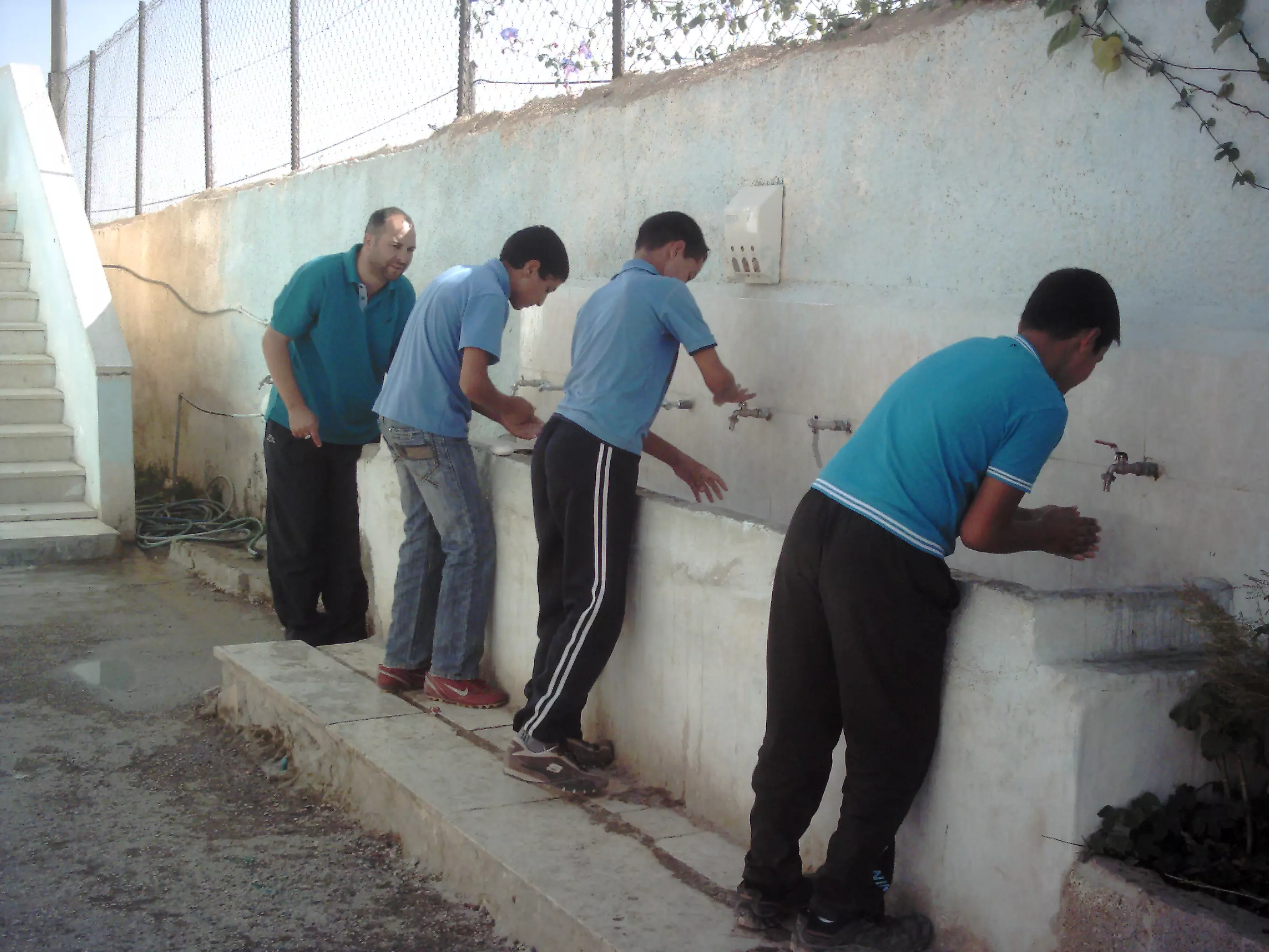
Posted by ابواليمان 1 - مسابقة غسل الأيدي10/11/2010
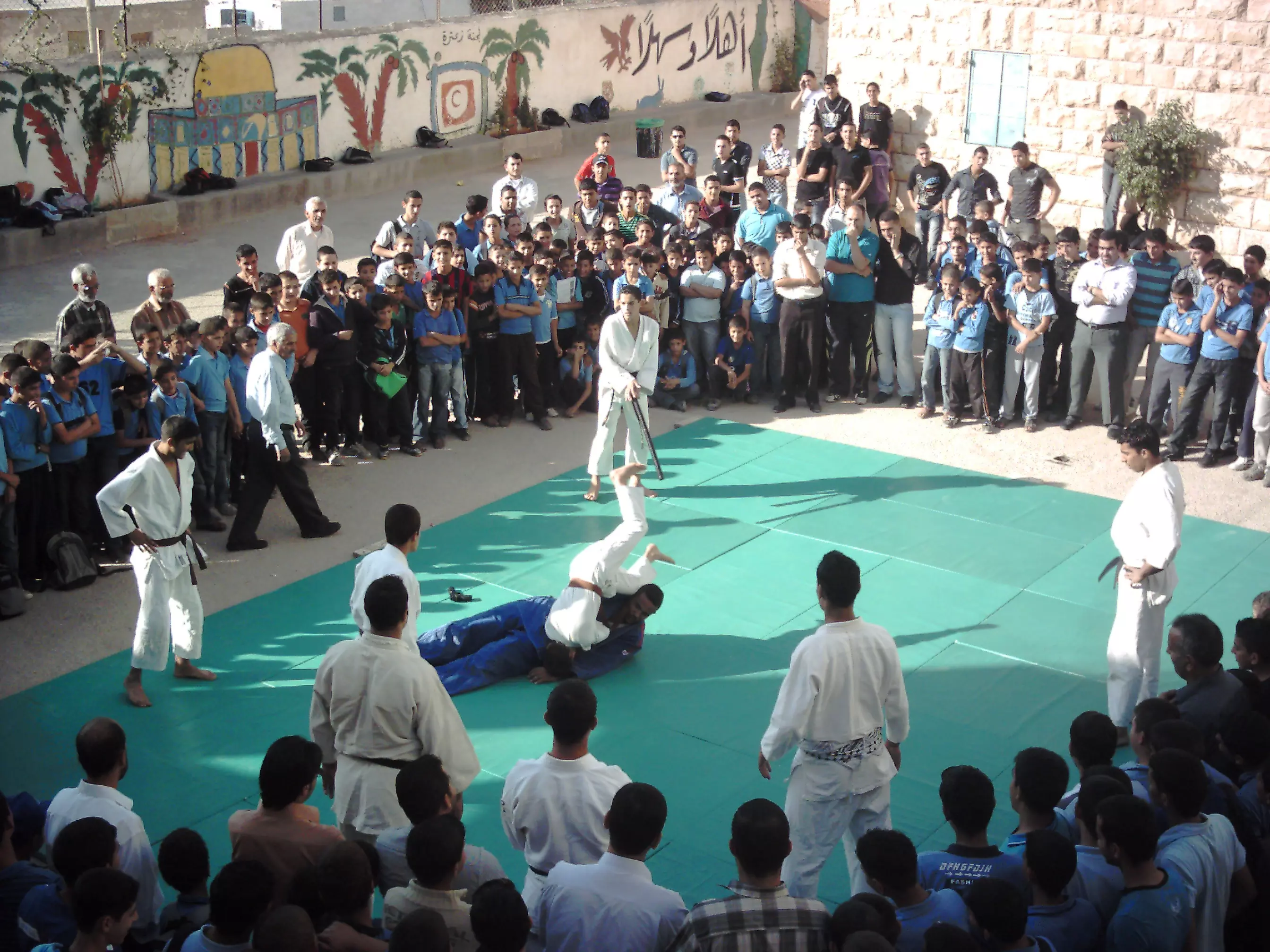
Posted by ابواليمان - أحد عروض الكاراتيه في مدرسة محمد سالم الذويب الثانوية 11/11/2010
Posted by ابواليمان - تنبت بالدهن وصبغ للآكلين
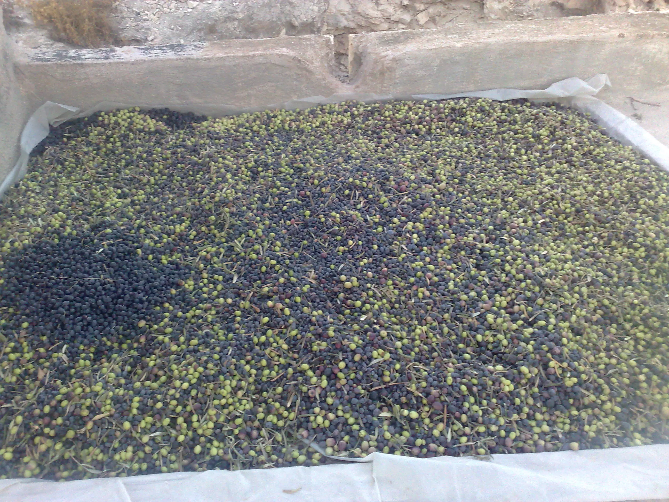
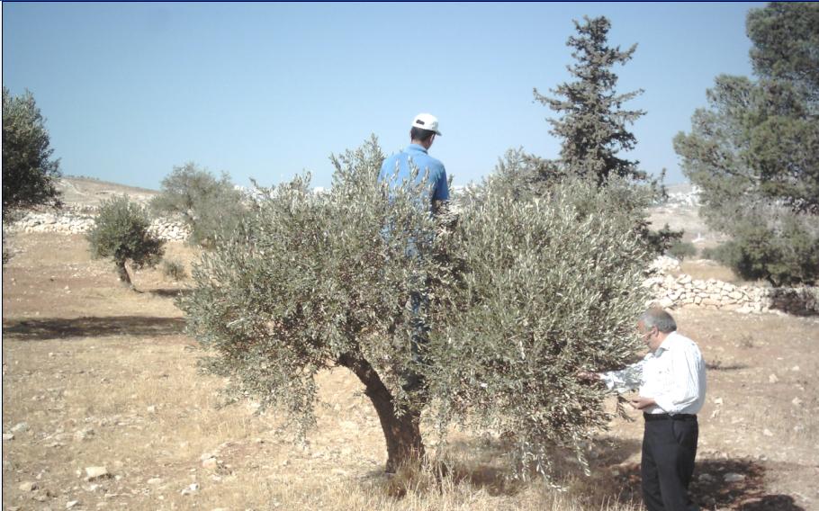
Posted by ابواليمان - 'يكاد زيتها يضيء ولو لم تمسسه نار '
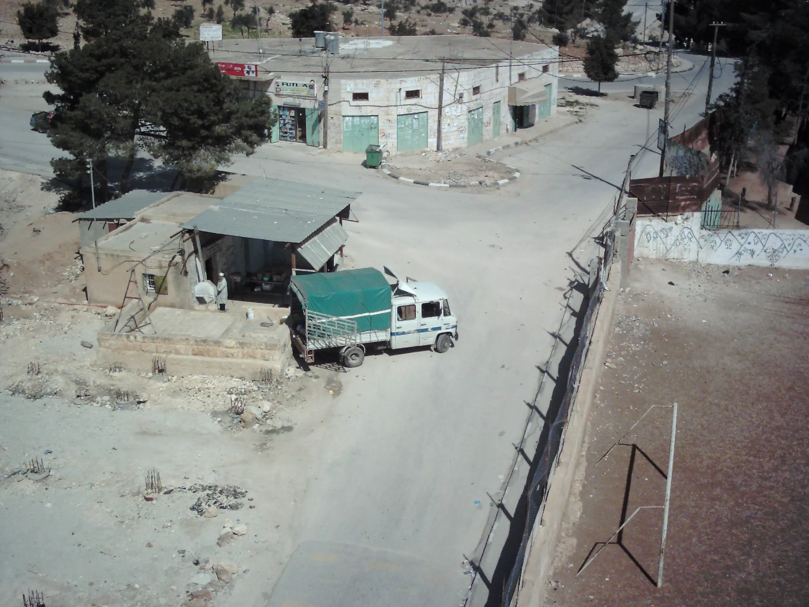
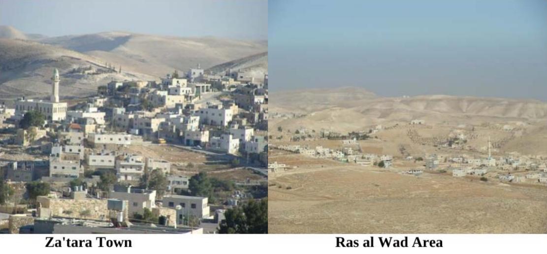
Posted by ابواليمان - راس الواد ، ..... المدخل الشمالي لبلدة زعتره
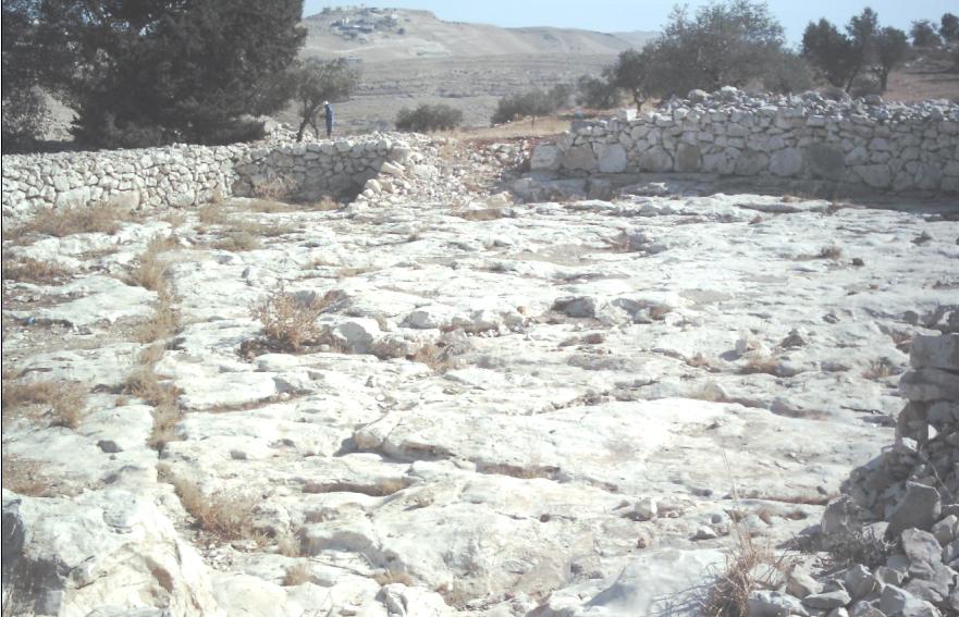
Posted by ابواليمان - الجرون أو البيادر - أماكن فصل الحبوب عن القش قديما
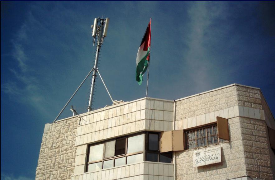
Posted by ابواليمان - برج جوال على مبنى بلدية زعتره
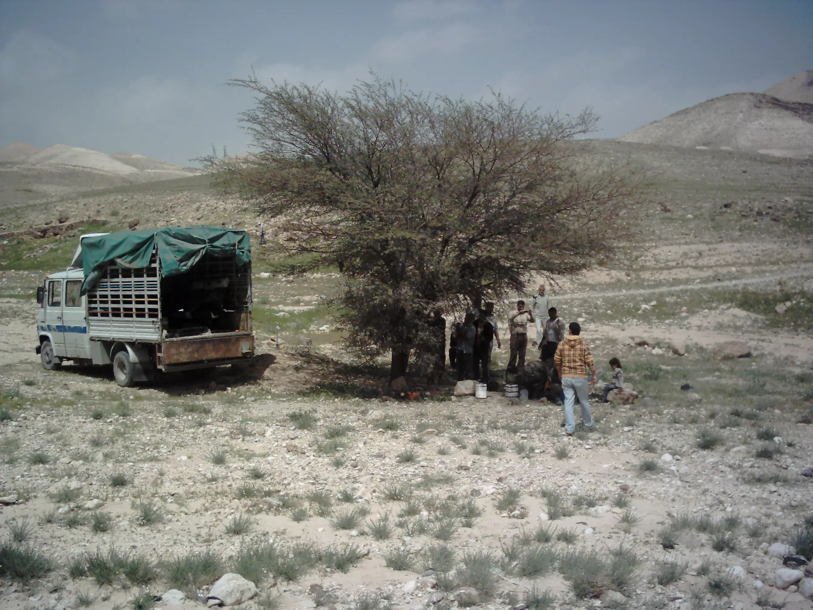
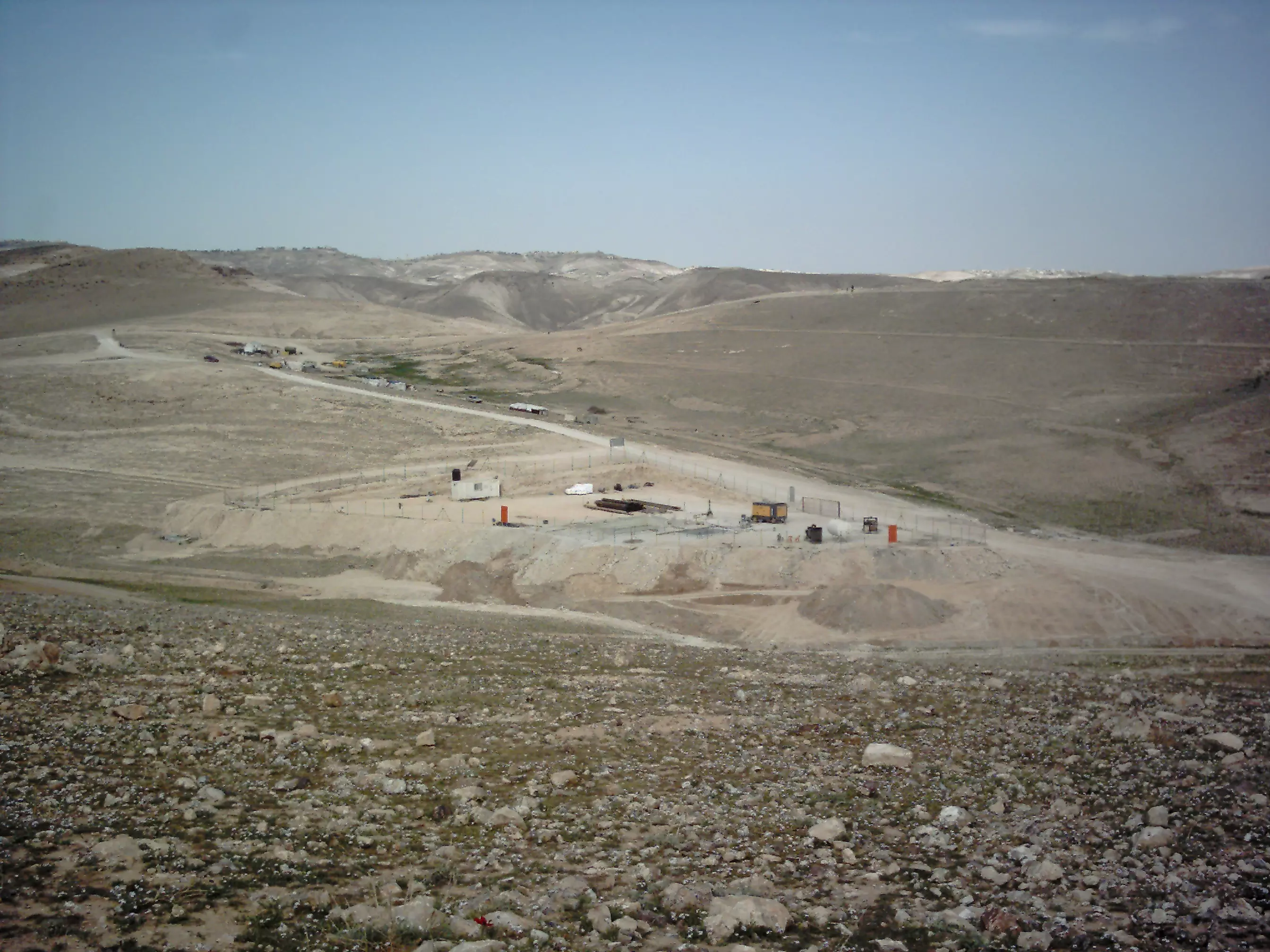
Posted by ابواليمان - مشروع إنشاء بئر ماء في البرية05/03/2011
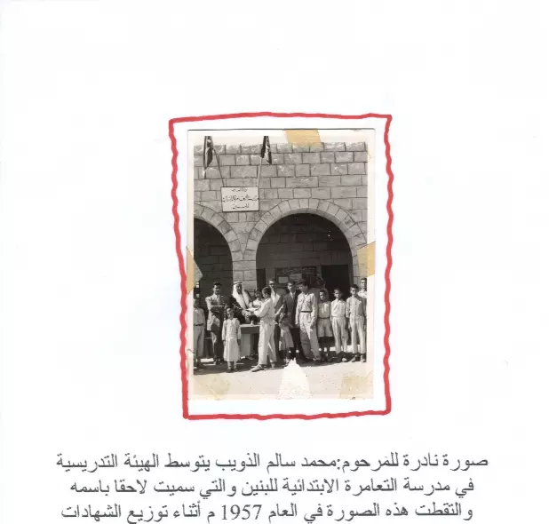
Posted by ابواليمان - من ذاكرة الأيام /مدرسة زعتره عام 1957
Posted by ابواليمان - من ذاكرة الأيام/مسجد زعتره عام1974م ( قبل 37 عاما)
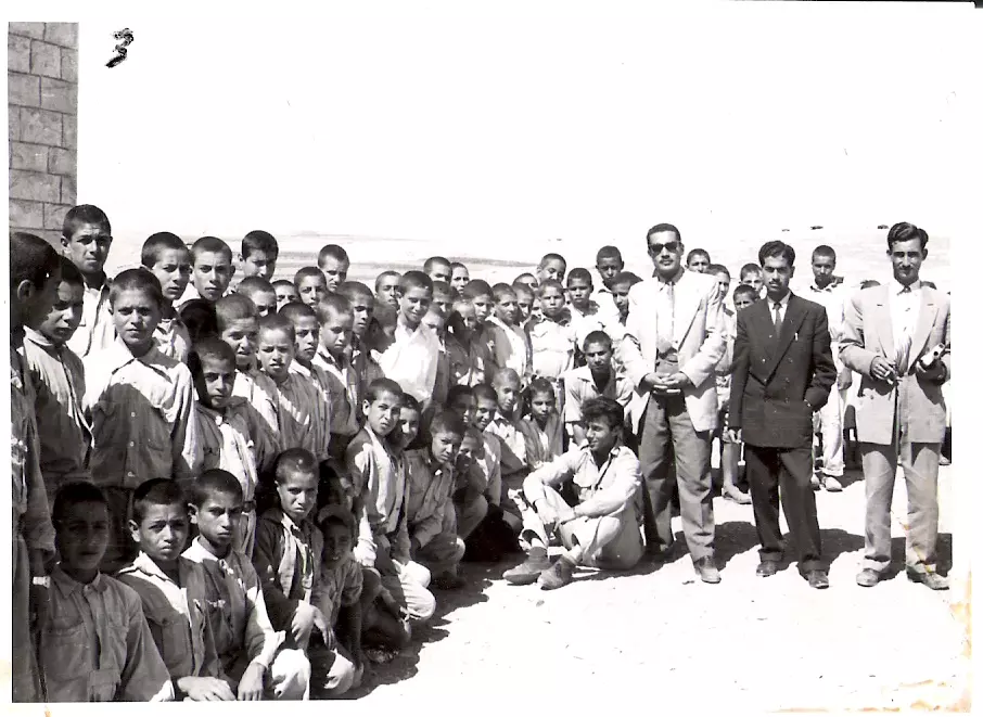
Posted by ابواليمان - من ذاكرة الأيام/ثاني مدير للمدرسة(عيد حامد بدر) يتوسط الصورة ( 1956م)
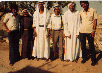
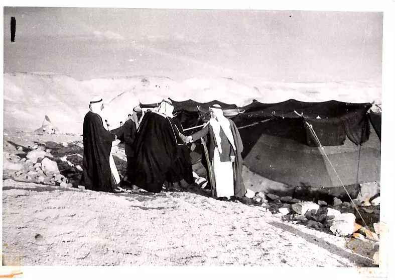
Posted by ابواليمان 2 - المرحوم محمد ابوعامريه عام 1959 أثناء استقباله للضيوف في بيت الشعر
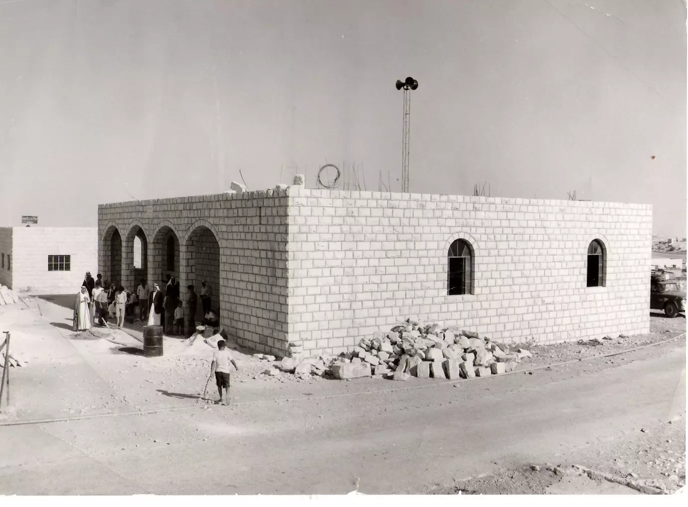
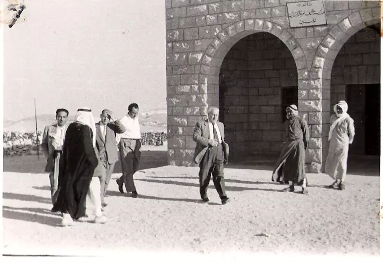
Posted by ابواليمان - من ذاكرة الأيام/...أثناء افتتاح المركز الصحي عام 1958م في زعتره
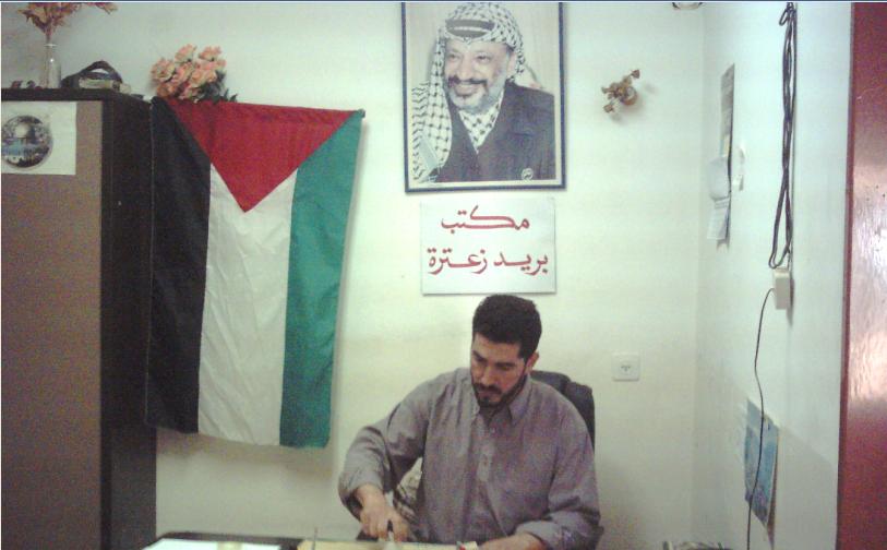
Posted by ابواليمان 1 - في هذه الغرفة؟؟؟؟؟ كانت شعبة بريد زعتره عام 1958م
Posted by ابواليمان 1 - زعتره ترحب بكم
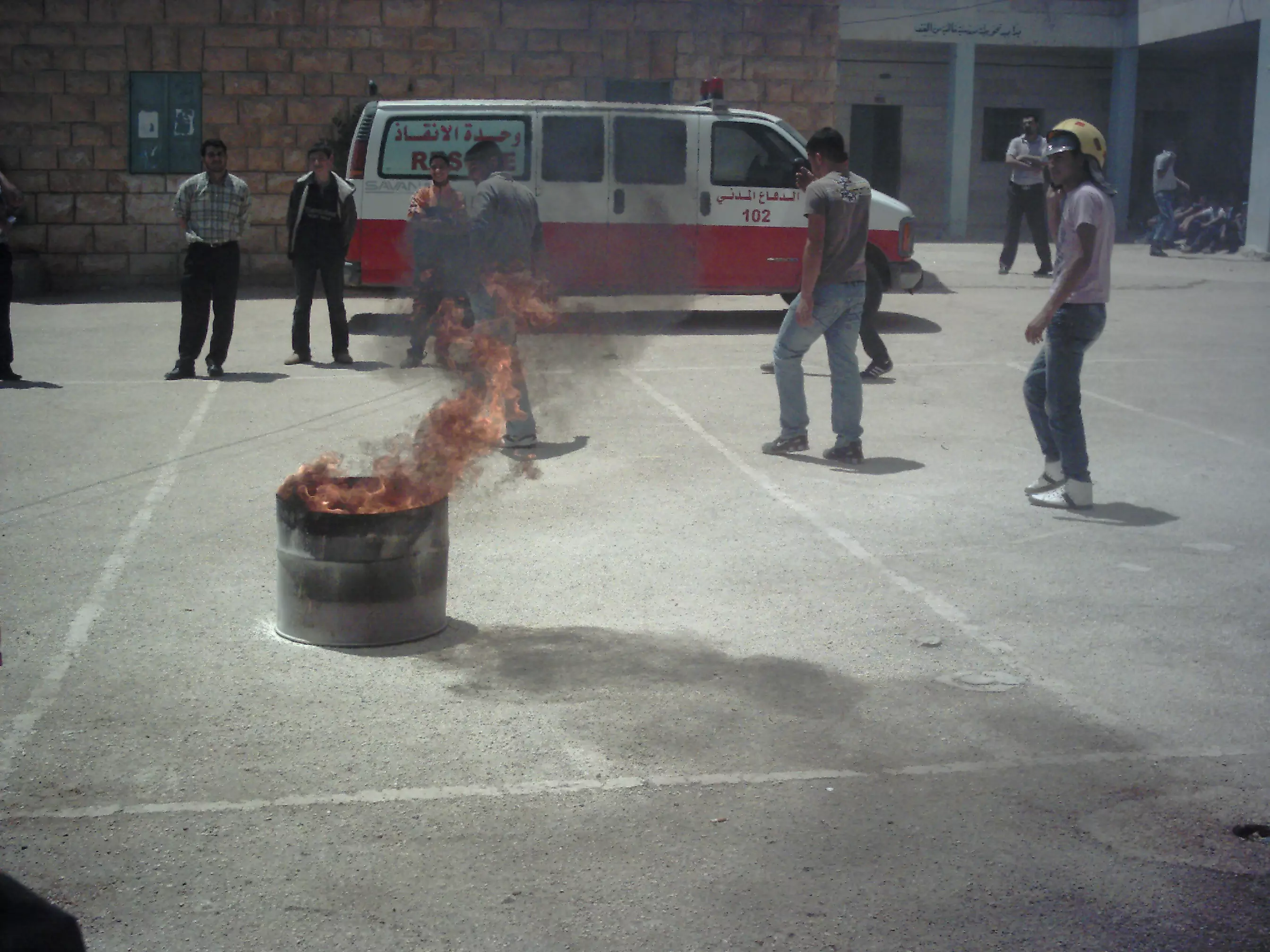
Posted by ابواليمان 2 - الدفاع المدني يدرب الطلاب على إطفاء الحرائق
Posted by ابواليمان - حاره ام سلمان (الجهه الشرقيه)
Posted by freed1990 kleel - من ايام الربيع في زعتره
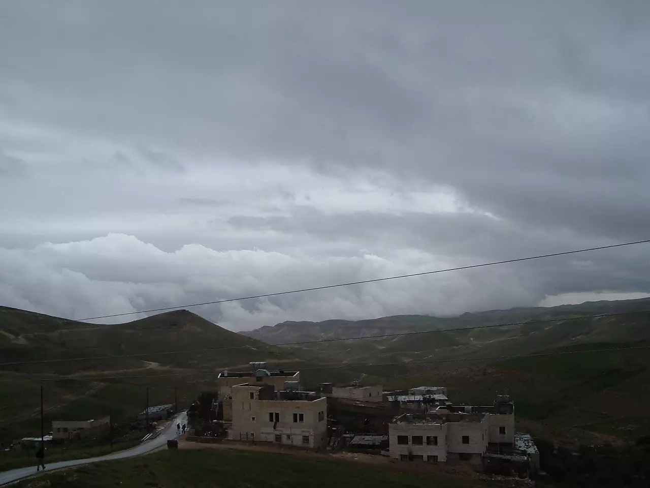
Posted by freed1990 kleel - بدايه فصل الشتاء في زعتره
Posted by freed1990 kleel - لقمه الشاهقه في زعتره
Posted by freed1990 kleel - وقت المغيب
Posted by freed1990 kleel - مهاجع رعيان الاغنام في بريه زعتره
Posted by freed1990 kleel 1 - بدون تعليق
Posted by freed1990 kleel 2 - مسال واد القف (بريه زعتره)
Posted by freed1990 kleel - أم الكوام
Posted by freed1990 kleel - الفرديس من الجهه الشرقيه
Posted by freed1990 kleel - منظر عام من الجهه الشرقيه
Posted by freed1990 kleel - عميد أسرى الحريه في بلده زعتره (أقدم أسيرمن البلده منذ عام 1997 وما زال)
Posted by freed1990 kleel 1 - الاسير طه الوحش 14 عاما في الاسر
Posted by freed1990 kleel - مكتب بريد زعتره في عمارة البلدية2011
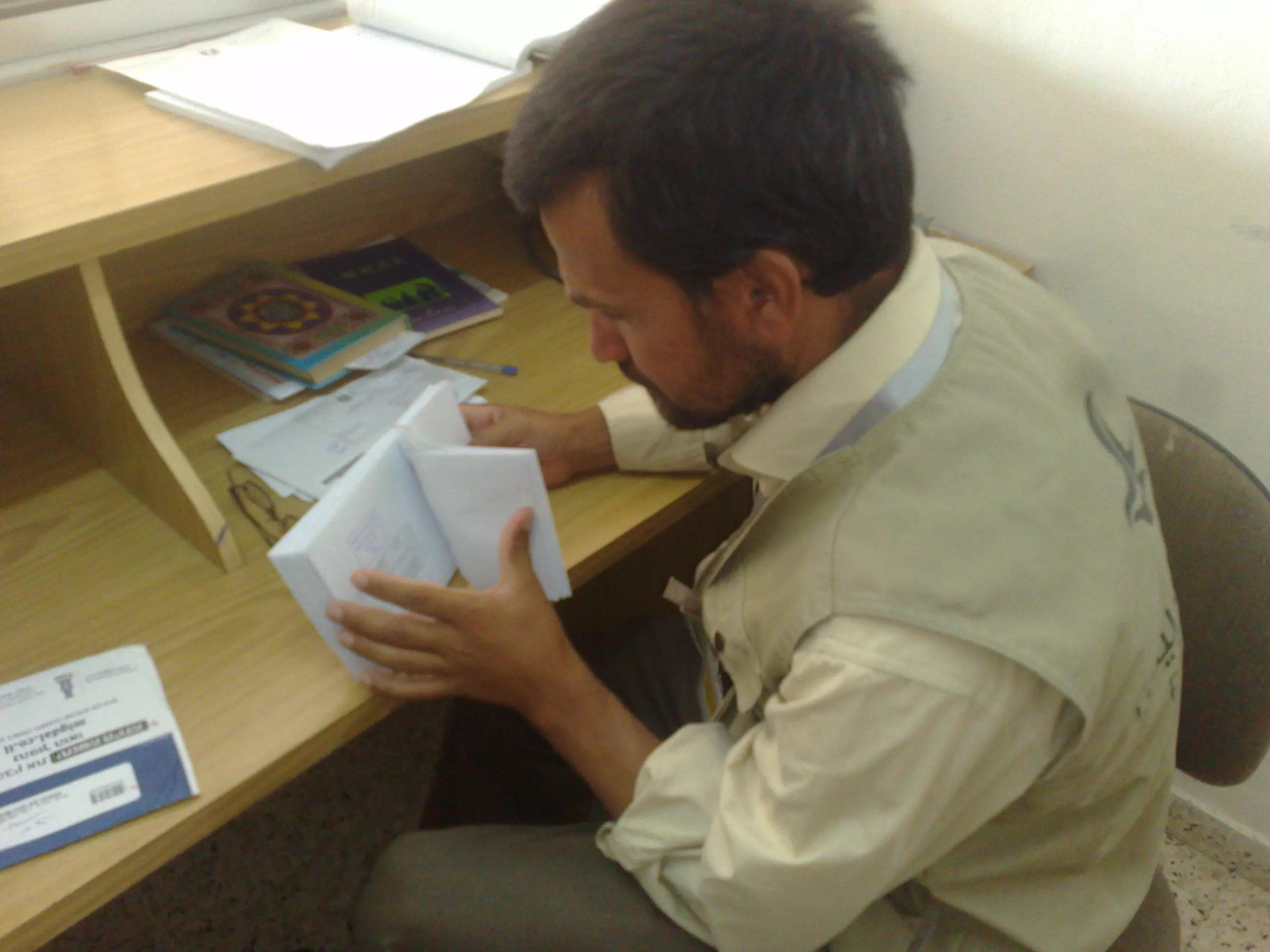
Posted by ابواليمان 1 - ساعي البريد يحضر الرسائل استعداد لتوزيعها2011
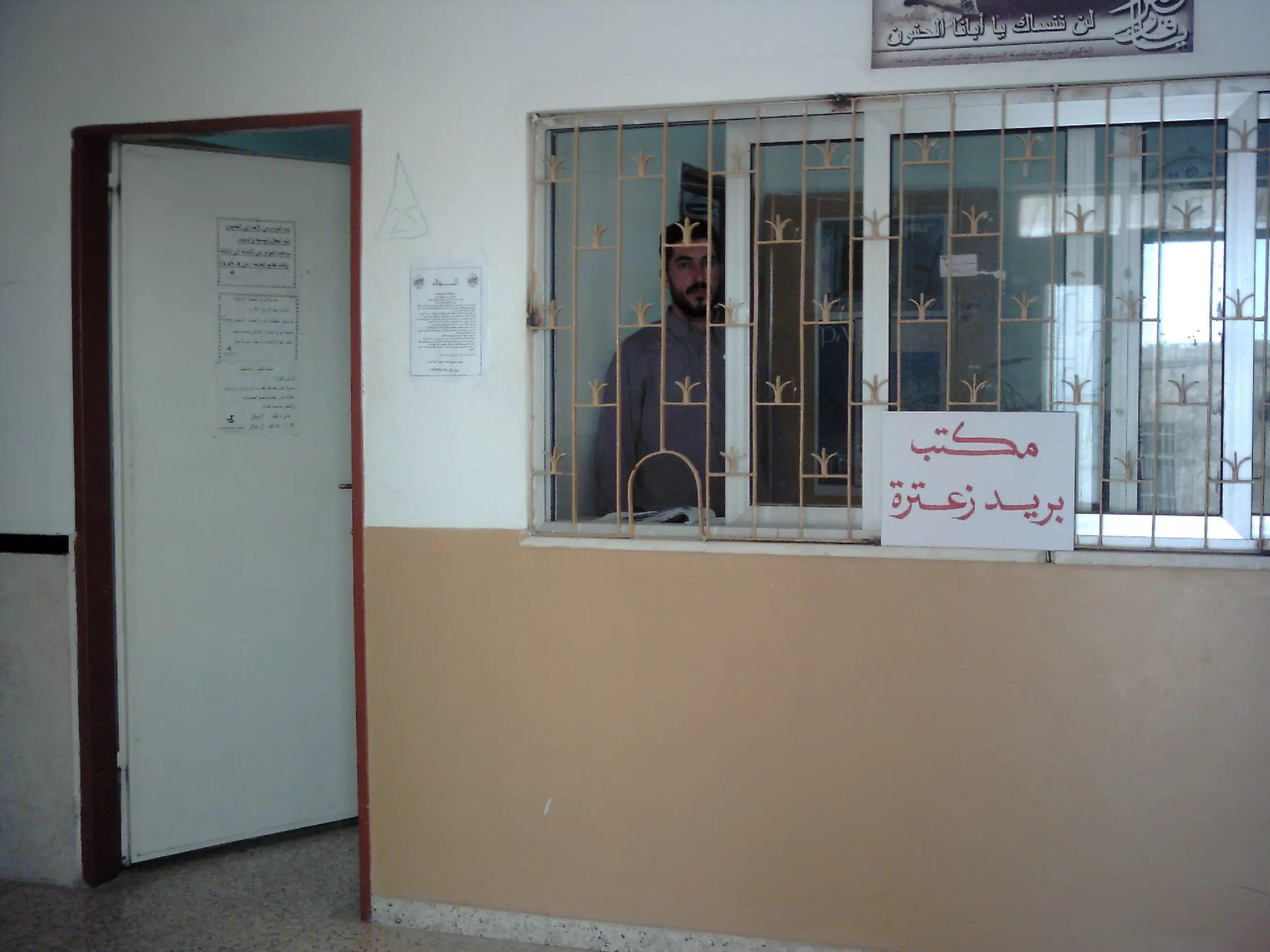
Posted by ابواليمان - مكتب بريد زعترة- شباك استقبال المعاملات2011
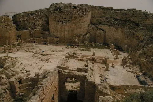
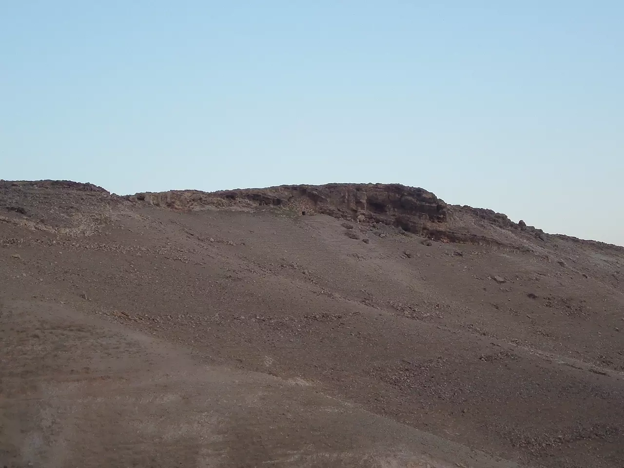
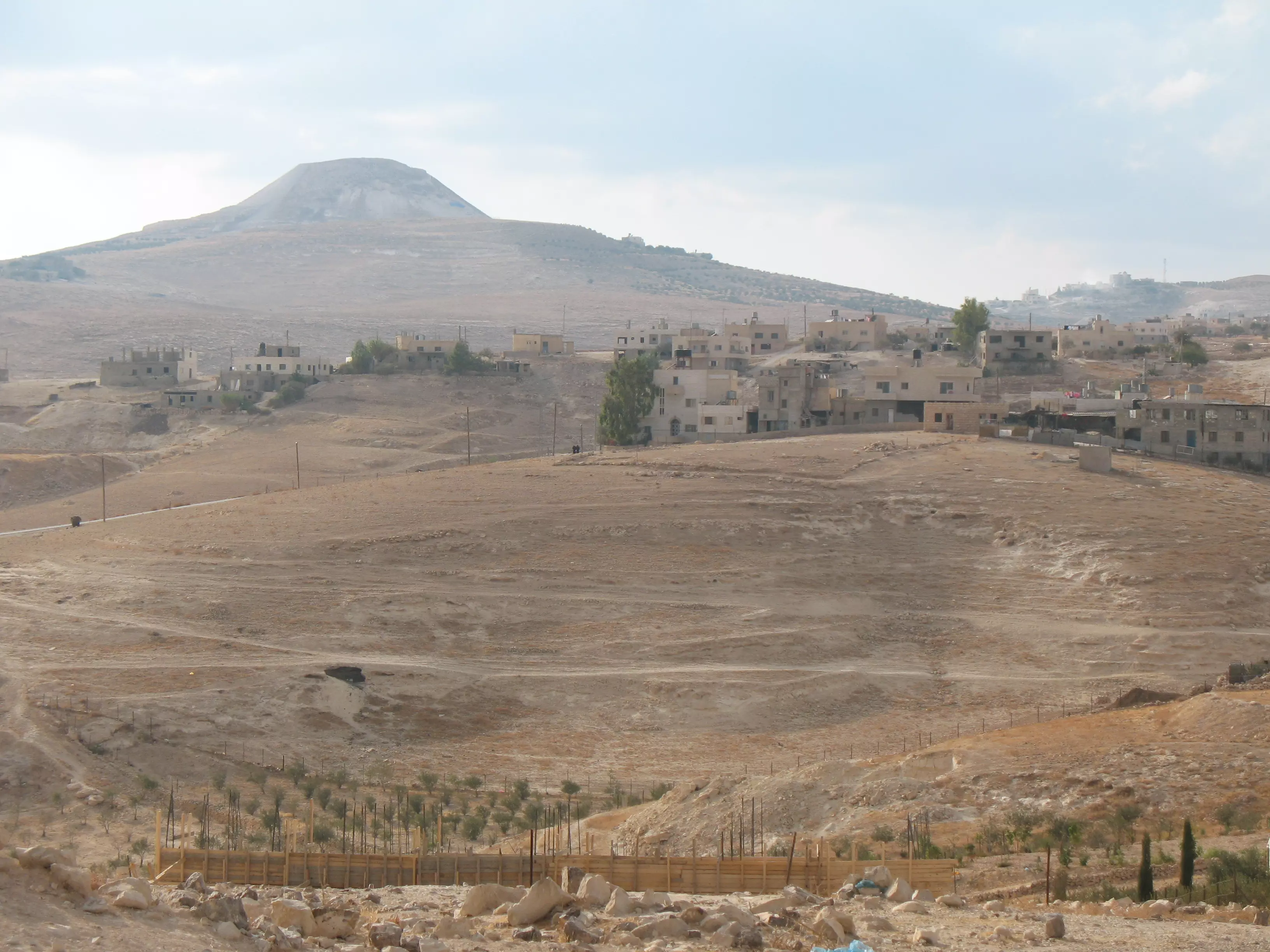
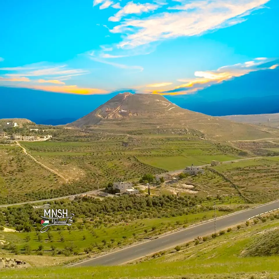
Posted by ابواليمان - هيروديون أو جبل فريديس أو جبل الإفرنج
1 - هيروديون أو جبل فريديس أو جبل الإفرنج
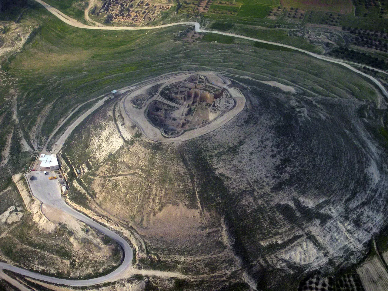
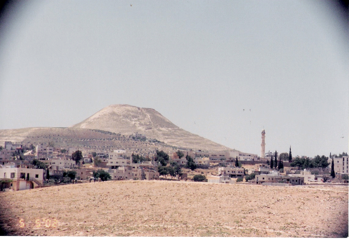
- صورة لجبل هيروديون (الفرديس) وتظهر في الخلفية جبال الأردن
1 - هذه دكان الحاجة حمدة الزحلان رحمها الله
في بلدة زعترة // بيت لحم
في سبعينات القرن الماضي
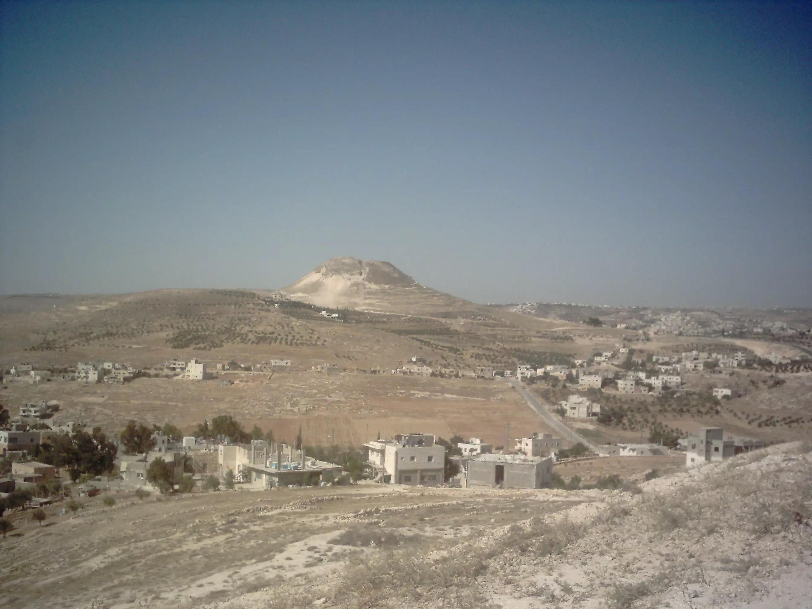
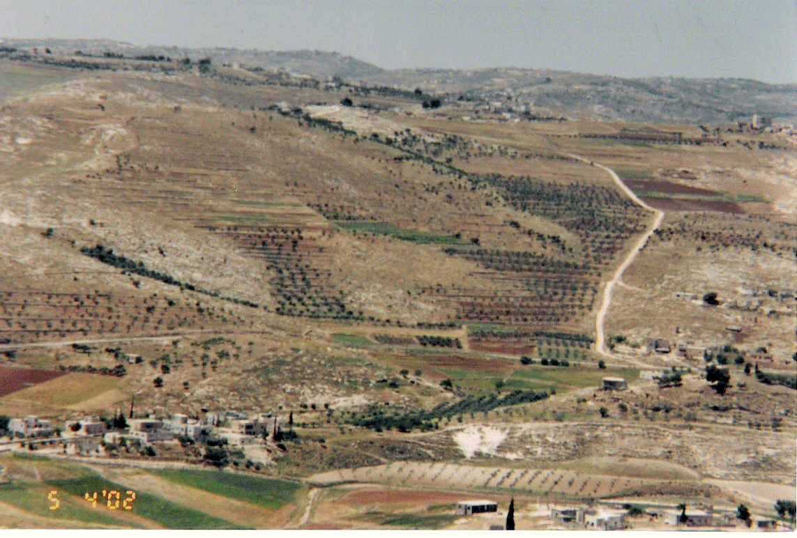
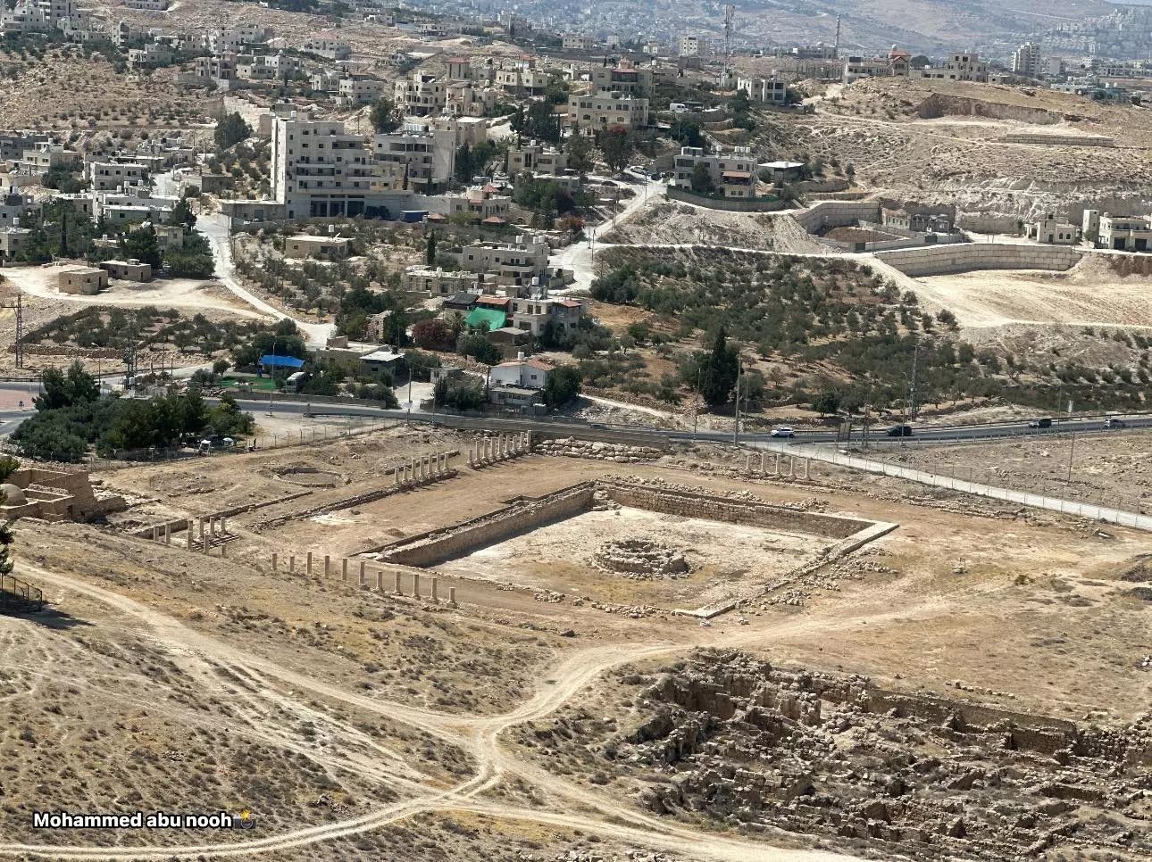
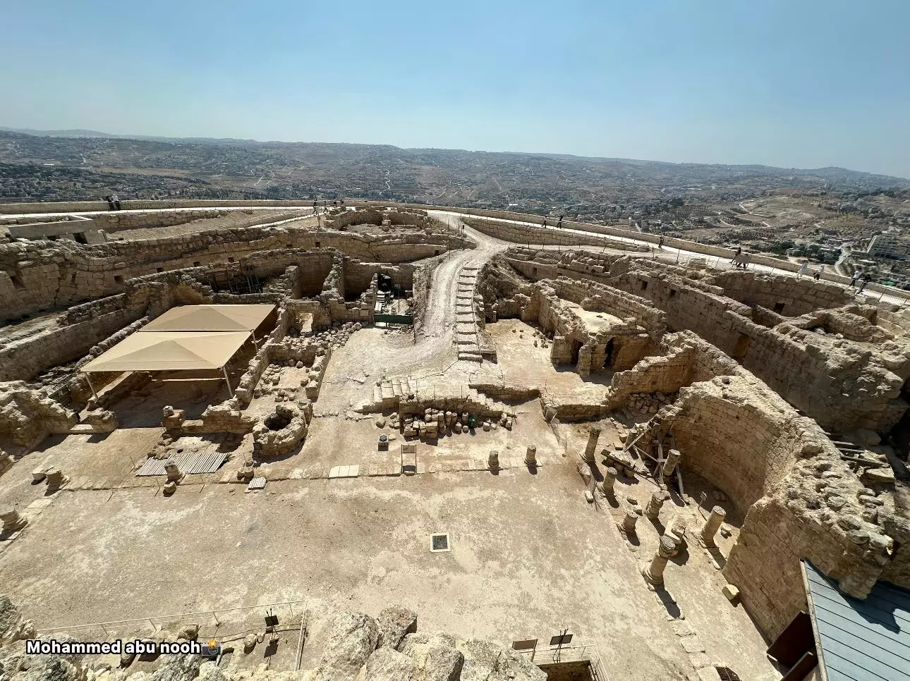
- منظر عام للقرية من جبل الفريديس -- محمد ابو نوح
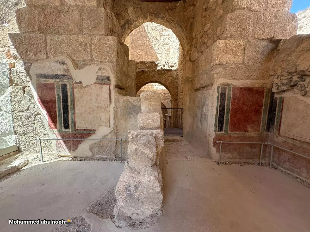
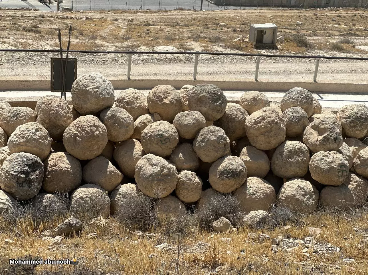
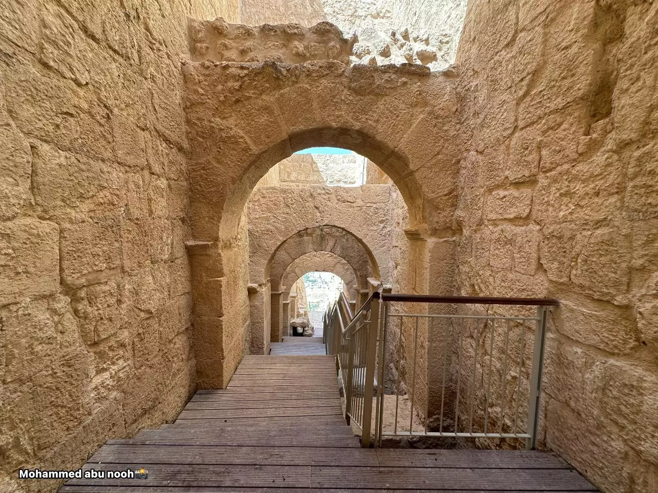
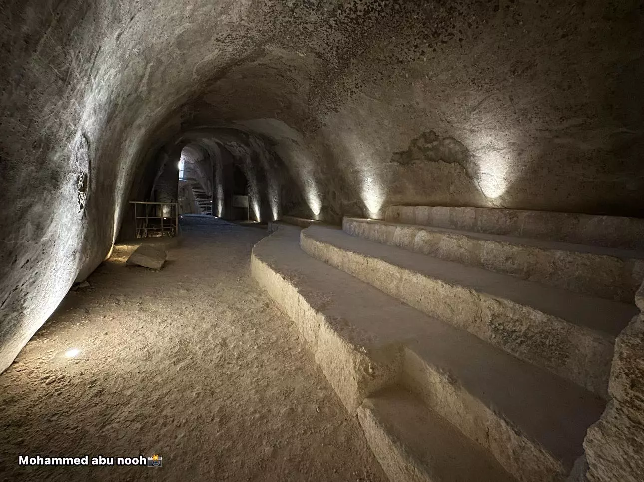
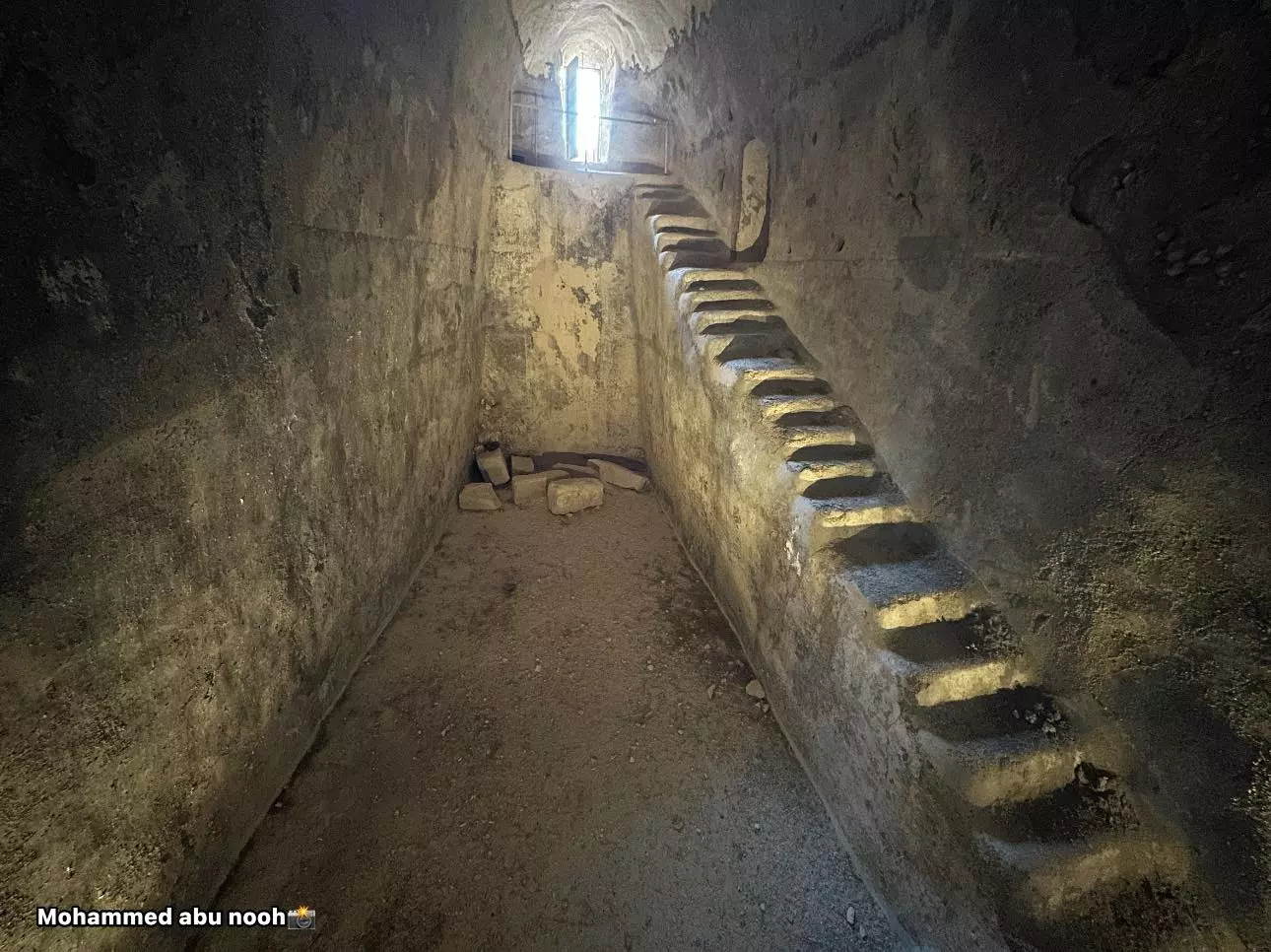
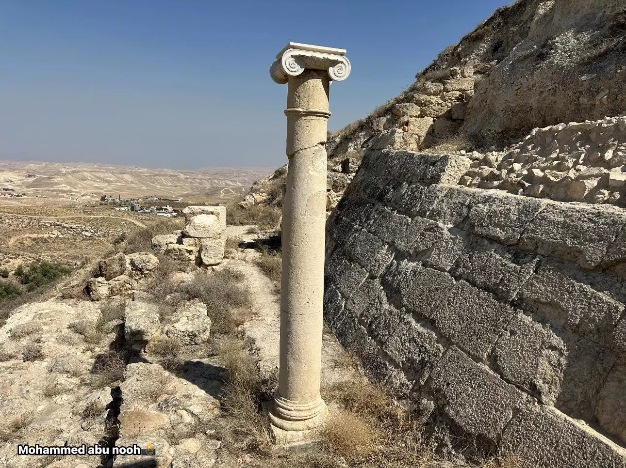
- زيارة لجبل الفريديس -- المزيد عنه في قسم التعليقات -- محمد ابو نوح
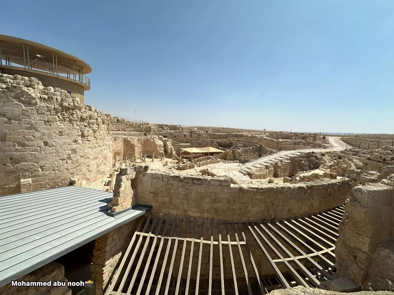
1 - زيارة لجبل الفريديس -- المزيد عنه في قسم التعليقات -- محمد ابو نوح #2
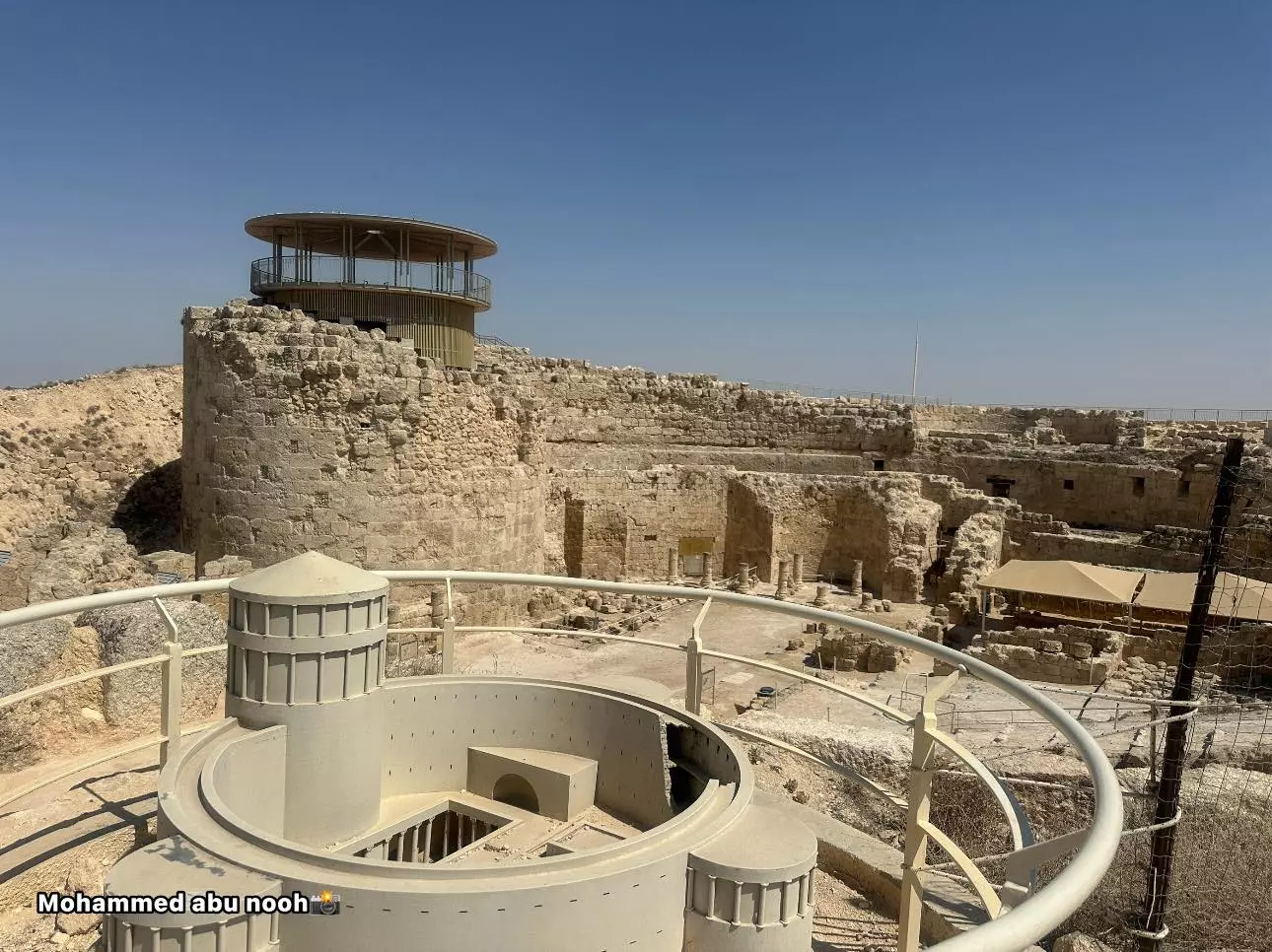
- زيارة لجبل الفريديس -- المزيد عنه في قسم التعليقات -- محمد ابو نوح #3
- زيارة لجبل الفريديس -- المزيد عنه في قسم التعليقات -- محمد ابو نوح #4
- زيارة لجبل الفريديس -- المزيد عنه في قسم التعليقات -- محمد ابو نوح #5
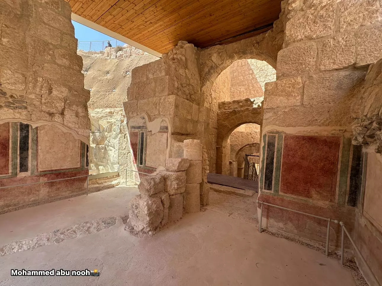
- زيارة لجبل الفريديس -- المزيد عنه في قسم التعليقات -- محمد ابو نوح #6
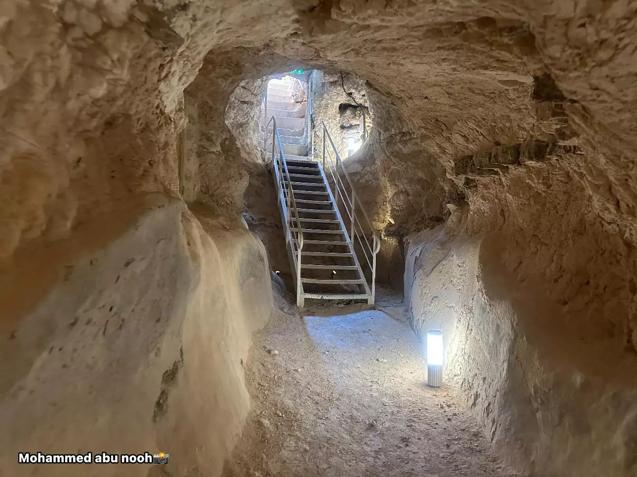
- زيارة لجبل الفريديس -- المزيد عنه في قسم التعليقات -- محمد ابو نوح #7
- زيارة لجبل الفريديس -- المزيد عنه في قسم التعليقات -- محمد ابو نوح #8
- زيارة لجبل الفريديس -- المزيد عنه في قسم التعليقات -- محمد ابو نوح #9
- زيارة لجبل الفريديس -- المزيد عنه في قسم التعليقات -- محمد ابو نوح #10
- زيارة لجبل الفريديس -- المزيد عنه في قسم التعليقات -- محمد ابو نوح #11
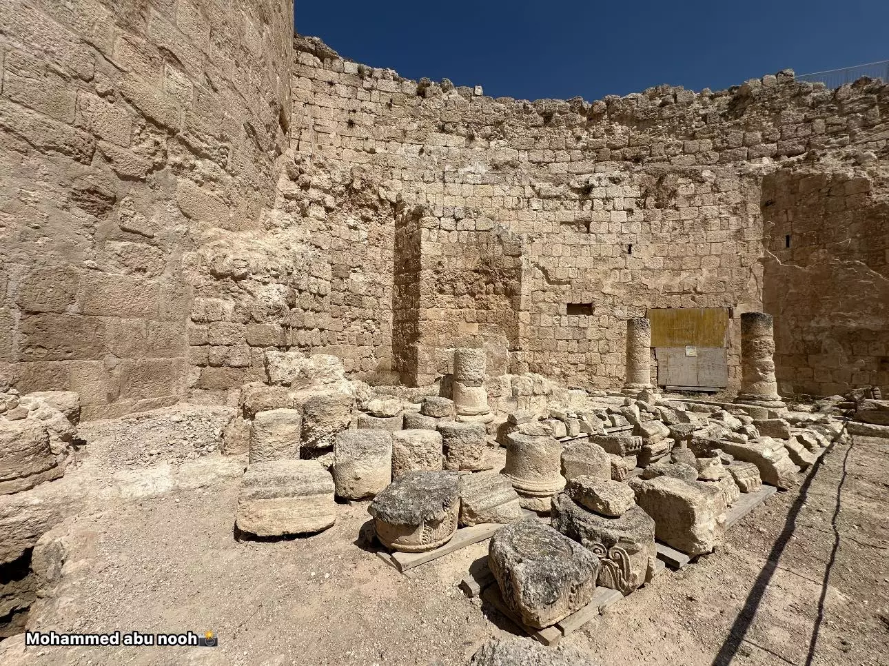
- زيارة لجبل الفريديس -- المزيد عنه في قسم التعليقات -- محمد ابو نوح #12
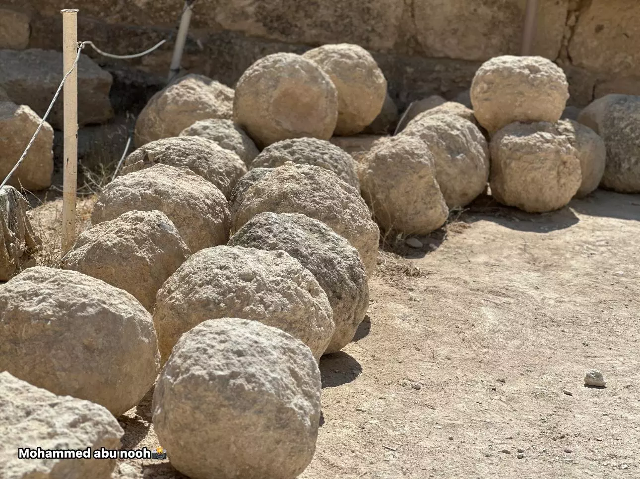
- زيارة لجبل الفريديس -- المزيد عنه في قسم التعليقات -- محمد ابو نوح #13
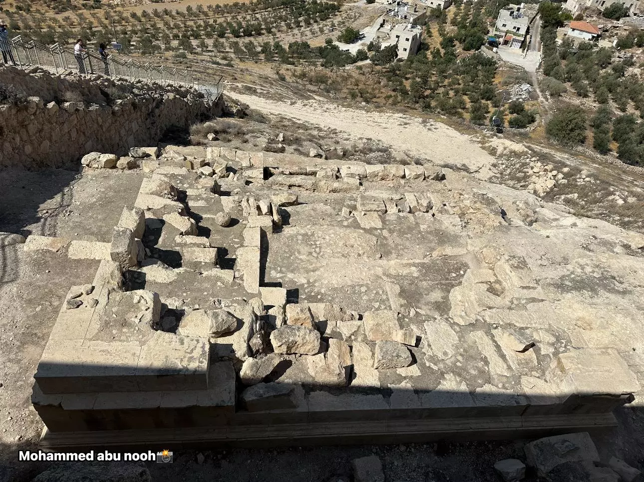
- زيارة لجبل الفريديس -- المزيد عنه في قسم التعليقات -- محمد ابو نوح #14
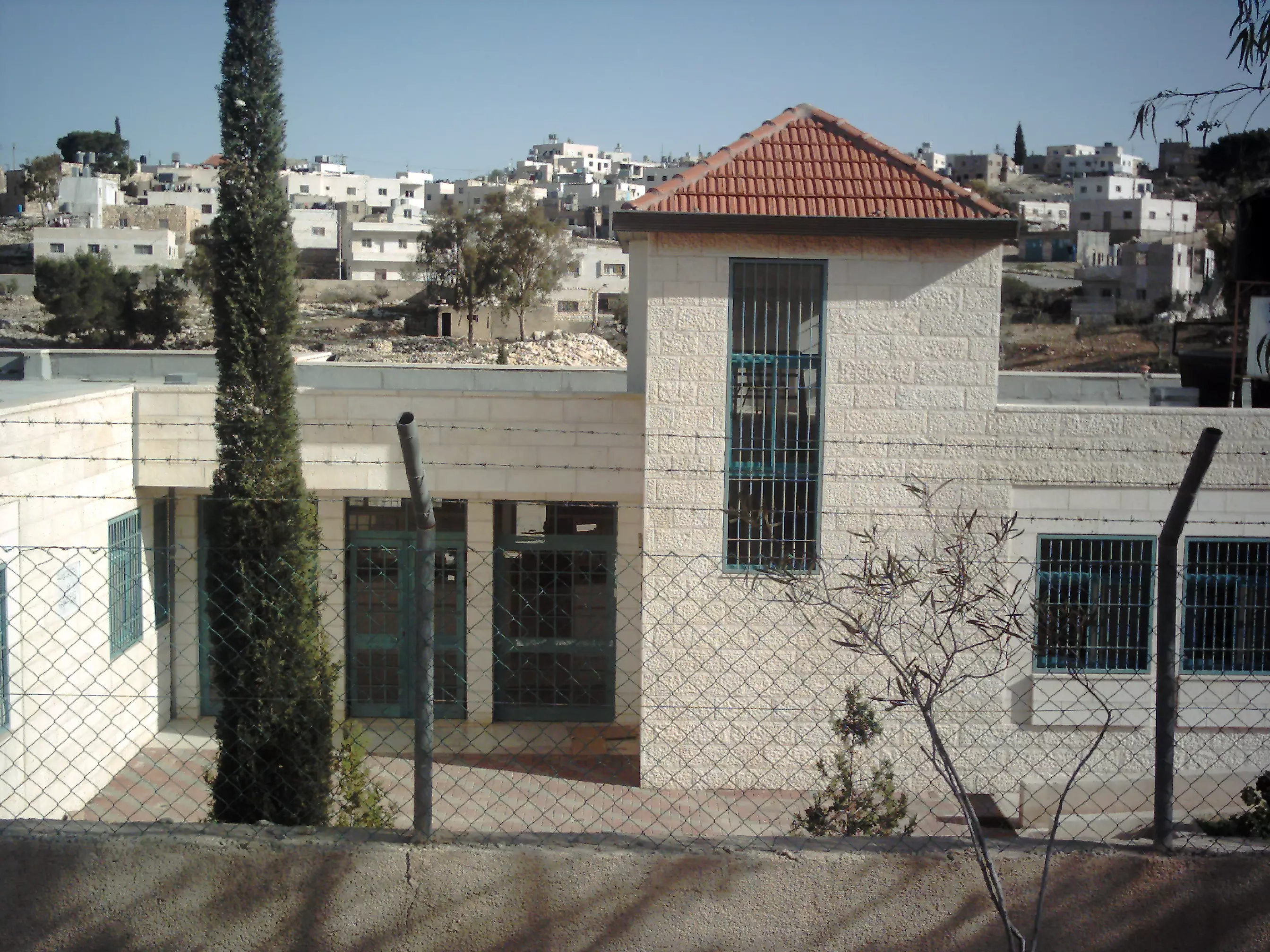
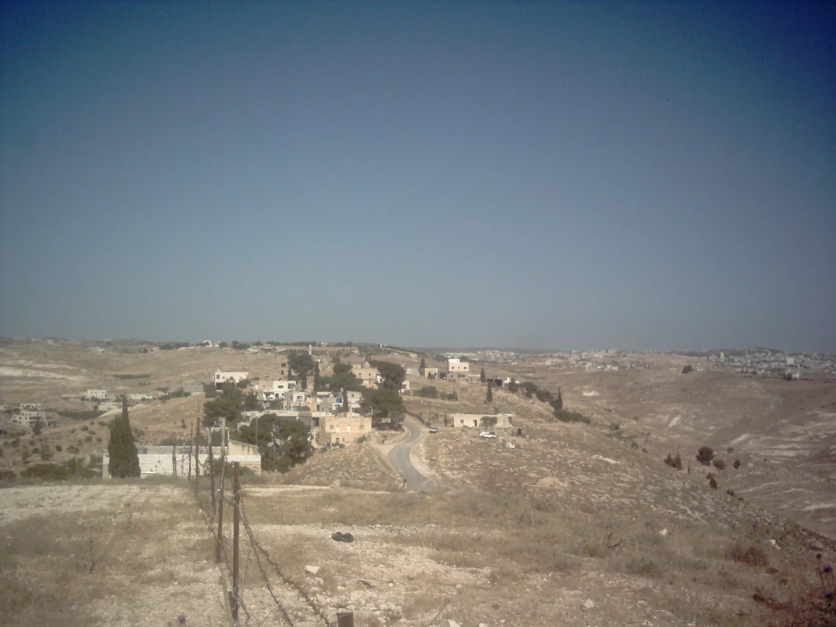
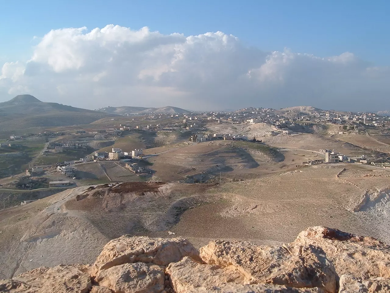
- منظر عام رائع للقرية
- منظر عام للقرية
Want to browse more? 80,000 pictures were grouped in these gallaries:
| Display Name | Clan/Hamolah | Country of Residence |
| freed1990 kleel | - | - |
| ميمو | - | - |
| colonel | - | زعترة |
| Dark Eyes | Sharay3a | Bethlehem, Za'tara |
| خلدون الخطيب | المساعدة | الاردن |
| فرقة جوارح زعترة | - | زعترة, زعترة |
| منذر مساعده | التعامره /مساعده | زعتره |
| ابواليمان | ابوعامريه | بيت لحم |
| Fouad Youssif | Abdul-Rahman | Tennessee, U S A |
- جولة في بلدة زعترة شرق بيت لحم ورصد الحالة الوبائية فيها Duration: 13 min 50 sec
- جولة سريعة في بلدتنا الحبيبة بالتزامن مع هطول الأمطار Duration: 3 min 59 sec
- فيديو : جانب من البدعه في بلدة زعترة شرق بيت لحم Duration: 2 min 59 sec
 Fake Valor: Why Did Zionist Jews Hoist Nazis Flag on Their Ships in the 1930s?
What is new?
-
Facts About Oct. 7th Gaza Raid
-
Remined Us Please:: Who Did Rape Who? Palestinians Raped Israelis? Or, was the other way around?
-
When Prof. Edward Said was invited to debate Bibi Netanyahu in the 1980s, watch what happened!
-
Ezra Klein of the NY Times on the "Jewish Race".
-
Abusing Blood Libel!
-
Zionist FAQ: Isn't it true that Palestinians don't want peace? Palestinians never accepted the two-state solution
- Facts about Haavara (Transfer) Agreement between Ben-Gurion & Hitler
-
Haavara FAQs: Why Did Zionist Jews Hoist Nazis' Flags on Their Ships in the 1930s?
- Haavara FAQs: When Chaim Weizmann met FDR in mid-1943, why was he silent about rescuing European Jewry?
-
Dear ChatGPT: How did Palestinians resist Napoleon's invasion of their country in 1799?
-
Dear ChatGPT: Gaza had a vibrant Jewish community in the mid-17th century. What happened to them?
-
Dear ChatGPT: Why did the Jewish Agency suppress news of the Holocaust during WWII?
-
Video Playlist: Jews share their DNA tests to end the conflict for good.
-
A Tale of Two Conflicts: Examining the Definition of Genocide
-
Prof. Abraham Polak And The Suppressed History of the Khazars and European Jewry
-
How Ronald Reagan would have framed the genocide in Gaza if he were still alive?
-
Haavara FAQs: Let us do the math: how many German Jews did The Haavara Agreement save?
-
Zionist FAQs: The Hebron Massacre of 1929, "clearly proves" that Palestinians are antisemitic, how could you deny it?
-
Zionist FAQs: Why Anti-Zionist Is Not Antisemitism?
-
Zionist FAQs: Isn't it true that the KGB create Palestinian Nationalism in the early 1960s?
- Zionist FAQs: Muslims are killing Muslims all the time; why are Israeli Jews being singled out in the media?
- Zionist FAQs: How is Israel an apartheid state when 20% of its citizens are Arabs who enjoy full rights?
-
Haavara FAQs: Analysis of Herzl's Uganda Scheme and how it could have saved millions of Jews.
-
Haavara FAQs: Why did Hayim Greenberg describe American Jewry as "morally bankrupt" in early 1943?
-
Haavara FAQs: What if the Evian Conference was a resounding success? What would have been the impact of saving European Jewry on Zionism?
- Haavara FAQs: What if the six million were saved, how that would have impacted the Zionist project?
-
Haavara FAQs: How did Zionist leaders react when Europe's Jews lingered in the DP camps after WWII ended?
-
Why does the American Jewish community repeat lies that David Ben-Gurion had debunked before he died?
-
Who has the power to rename the Tatar/Khazar Gene Marker to Jewish IV?
-
Zionist FAQs: Why won't Egypt, Syria, and Jordan take their people back? Jews are indigenous to Palestine, and Arabs immigrated after Jews developed the country. Arabs should leave.
-
Haavara FAQs: Did Hitler and the Nazis conflate between Judaism and Zionist? If that wasn't case, then why?
-
Haavara FAQs: Winston Churchill and antisemitism, a collection of articles written Churchill.
-
Haavara FAQs: Broken by country, how many Jews survived vs. killed during the Holocaust?
-
Haavara FAQs: Why did European Jews vote with their feet and to immigrated to the Americas, not Palestine, after WWII?
-
Watch this American Jewish Girl describing Israeli Jews' cognitive dissonance like no other in under two minutes
-
Haavara FAQs: When the Nazis went out of their way to hide the Holocaust, Israeli Jews did the exact opposite by broadcasting their genocide of Gazans. But why?
-
Haavara FAQs: How Zionist Jews went out of their to show their appreciation to Nazism and Fascism?
- Haavara FAQs: Why Zionist leaders were against bombing the death camps & the Railroads leading to them?
-
Haavara FAQs: Hitler's message to the British and American people: If Jews are such noble citizens and you care about them, how come you're not letting them in? I will gladly ship them to you at my expense, even on luxury liners!
-
A shortlist of Zionist and Israeli false flag operations in the name Jews.
-
The Most Moral Army
- The Land of Kapos (Israel): Where the brave are boycotted and Kapos walk free.
- Why did early Zionists often named their communal enterprises "colonial"?
- Zionist Relations with Nazi Germany by Faris Glubb
-
Two NY Times advertisements by Zionists in the early 1943 that exposes Zionists' treason at the height of the calamity
- Facts Not Lies about the Palestinian-Israeli Conflict.
- Site's pictures have been categorized
- Campgain Against Lice
- A Survey of Palestine, the official source about Palestine before Nakba produced by the British Mandate; over 1200 pages.
- Satellite View & Google Earth: Over 6,000 placemarks identifying all destroyed towns, W. Bank & Gaza Strip Towns, & refugee camps.
- PalestineRemembered.com and its Nakba Oral History Project were featured on al-Jazeera Satellite TV.
- Nakba Oral History Video Podcast:
 Over 700 Oral History interviews (including 3,500+ hours of recording) can be viewed online.
 - Palestine Village Statistics Project
- Gaza Jail Break
- النسخة العربية للموقع الان متوفرة
- Videos: Documenting the destroyed villages in video: Tracing all that remains since Nakba.
- Videos: Responding to Zionist Propaganda
- Interview: The ethnic cleansing of Palestine: George Galloway interviews Israeli Historian Ilan Pappe.
- For Palestinians, memory matters. It provides a blueprint for their future By George Bisharat.
- Zionist FAQ now available in Hebrew שאלות שציונים שואלים, עכשיו בעברית
- Video: The Stephen Walt and John Mearsheimer report on the influence of the Israel Lobby on U.S. Foreign Policy
- The Palestinian-Israeli conflict for beginners
