| PalestineRemembered | About Us | Oral History | العربية | |
| Pictures | Zionist FAQs | Haavara | Maps | |
| Search |
| Camps |
| Districts |
| Acre |
| Baysan |
| Beersheba |
| Bethlehem |
| Gaza |
| Haifa |
| Hebron |
| Jaffa |
| Jericho |
| Jerusalem |
| Jinin |
| Nablus |
| Nazareth |
| Ramallah |
| al-Ramla |
| Safad |
| Tiberias |
| Tulkarm |
| Donate |
| Contact |
| Profile |
| Videos |
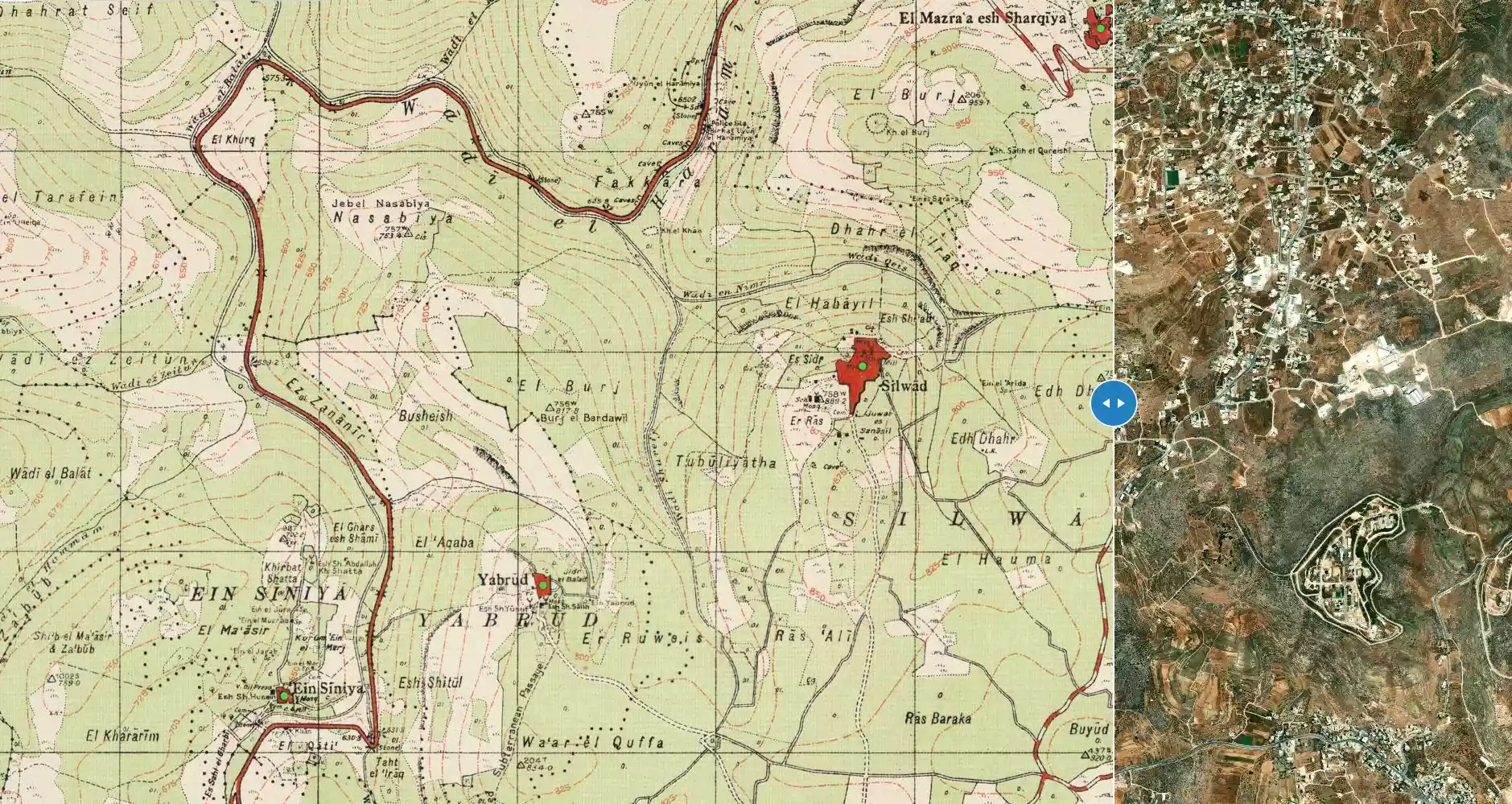
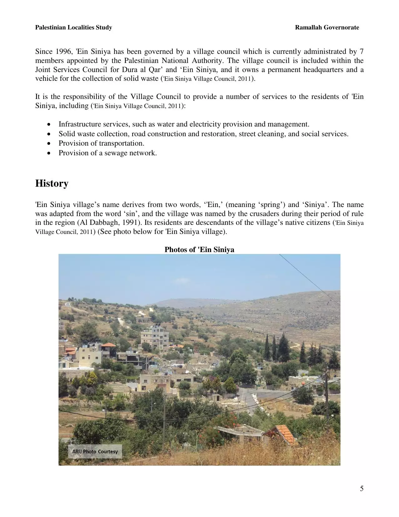
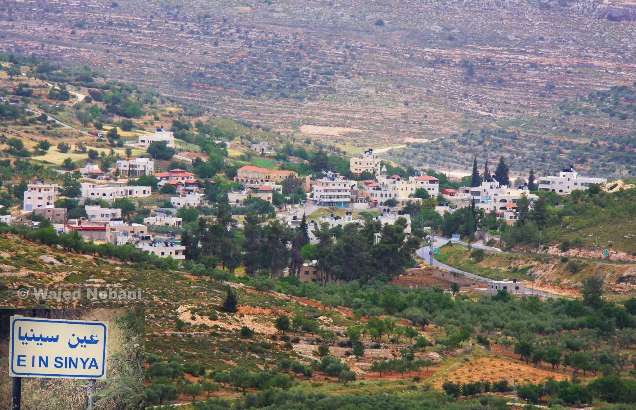
Welcome To 'Ayn Siniya - عين سينيا (עין סיניא)
|
District of Ramallah
Occupied days ago |
العربية Google Earth |
 |
Gallery (175) |
- Statistics & Facts
-
Before & After

- Satellite View
- Articles 3
- Pictures 175
- Mayrters & Prisoners 3
- Members 7
- Families
- Wikipedia
- ARIJ Guide
- Videos 2
- Guest Book 24
- Links
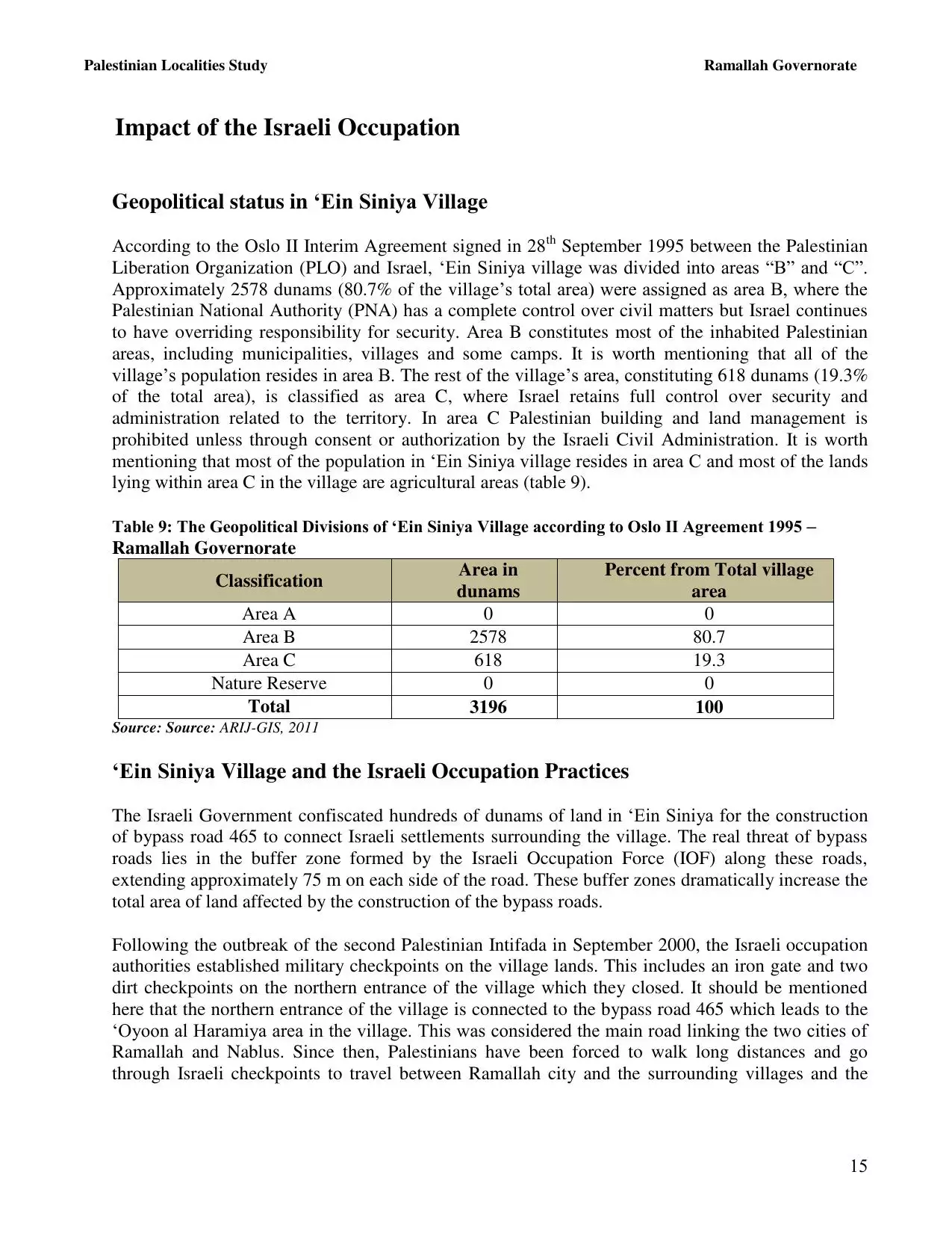
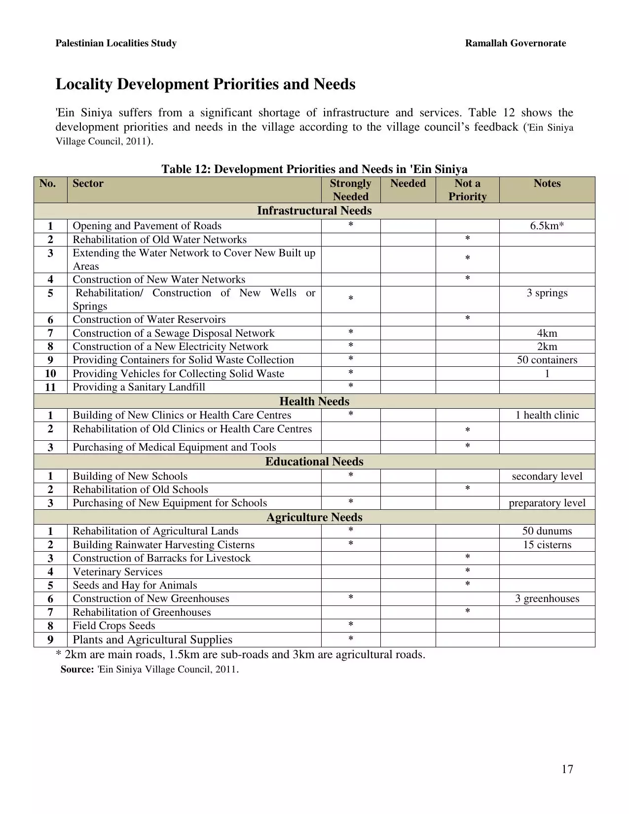
| Statistic & Fact | Value | ||||||||||||
| Distance From District | 10 km northeast of Ramallah | ||||||||||||
| Elevation | 759 meters | ||||||||||||
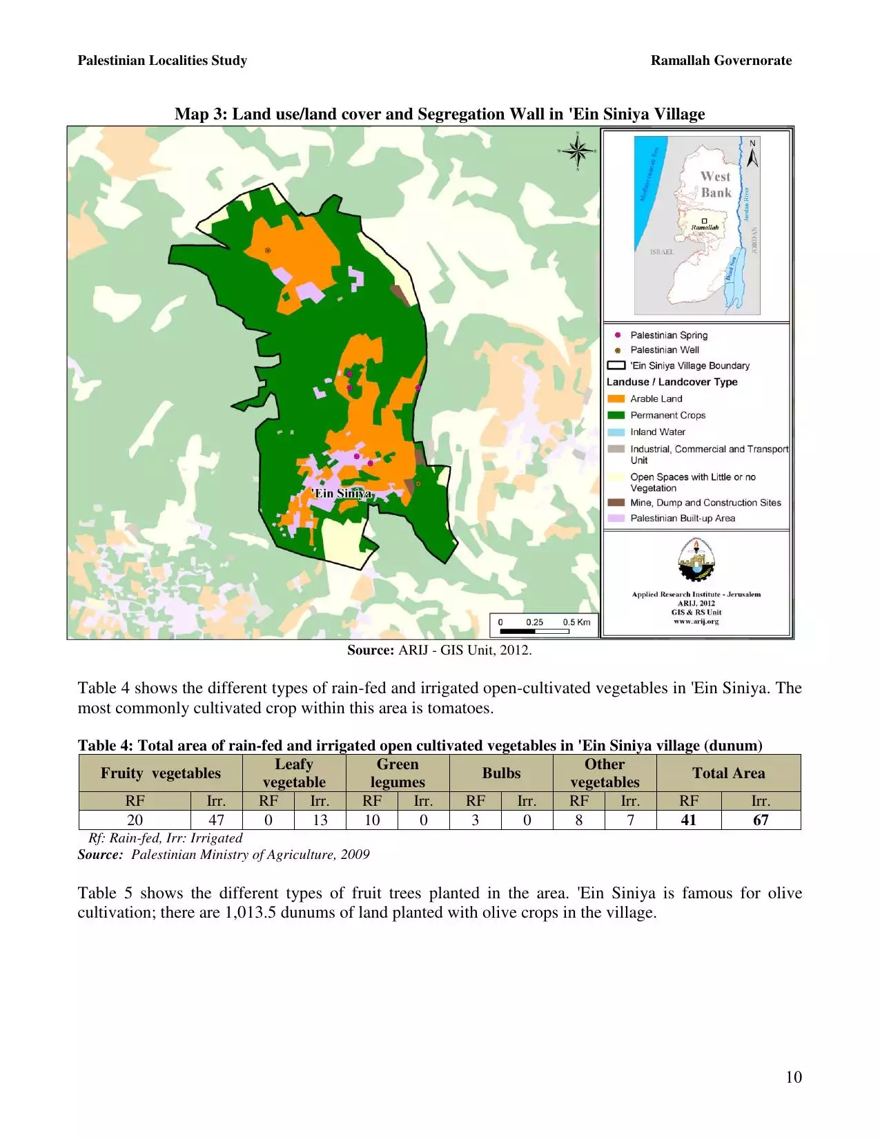
| Before & After Nakba, Click Map For Details |
|||||||||||||
|
|||||||||||||
| Land Ownership |
**Town Lands' Demarcation Maps |
||||||||||||
| Land Usage As of 1945 |
|
||||||||||||
| Population |
|
||||||||||||
| Near By Towns |
|||||||||||||
|
|||||||||||||
| Featured Video | |||||||||||||
| ARIJ Guide | |||||||||||||
|
Click here to browse online. |
|||||||||||||
| Related Maps | Town Lands' Demarcation Maps خرائط للقضاء توضح حدود القرى والاودية View from satellite Town's map on MapQuest Help us map this town at WikiMapia |
||||||||||||
| Related Links | Wikipedia's Page Facebook Page ARIJ Guide Google Search Google For Images Google For Videos في كتاب بلادنا فلسطين دليل أريج المزيد من موقع هوية |
||||||||||||
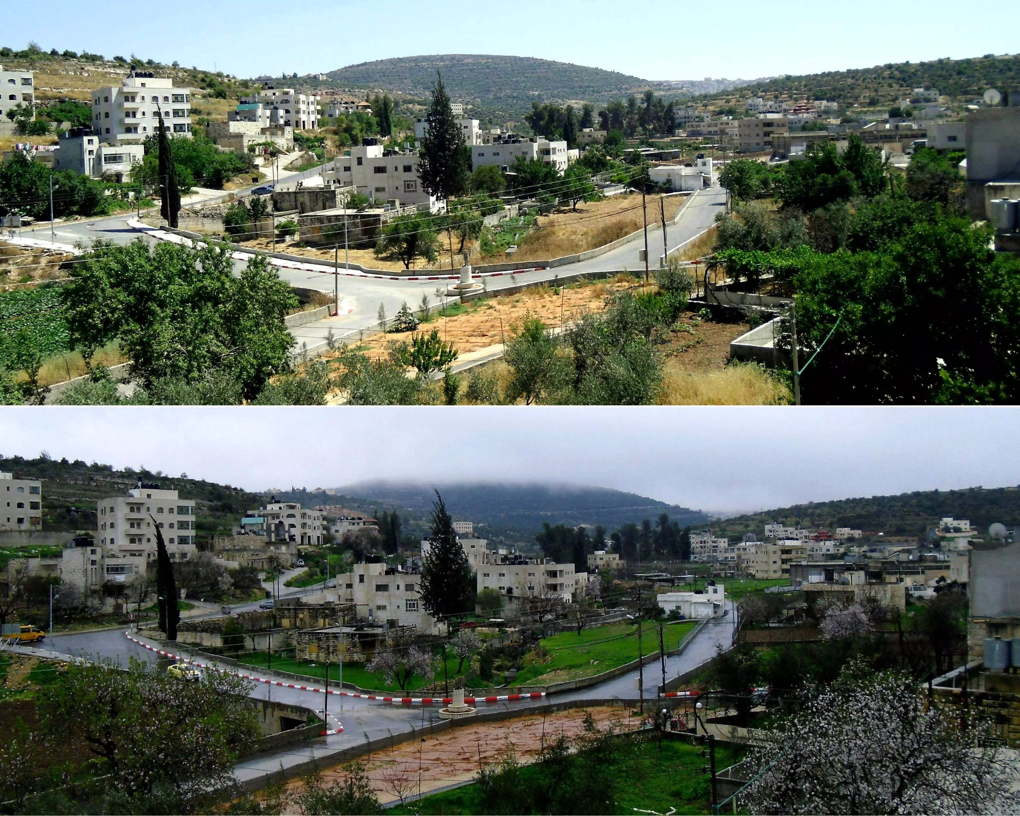
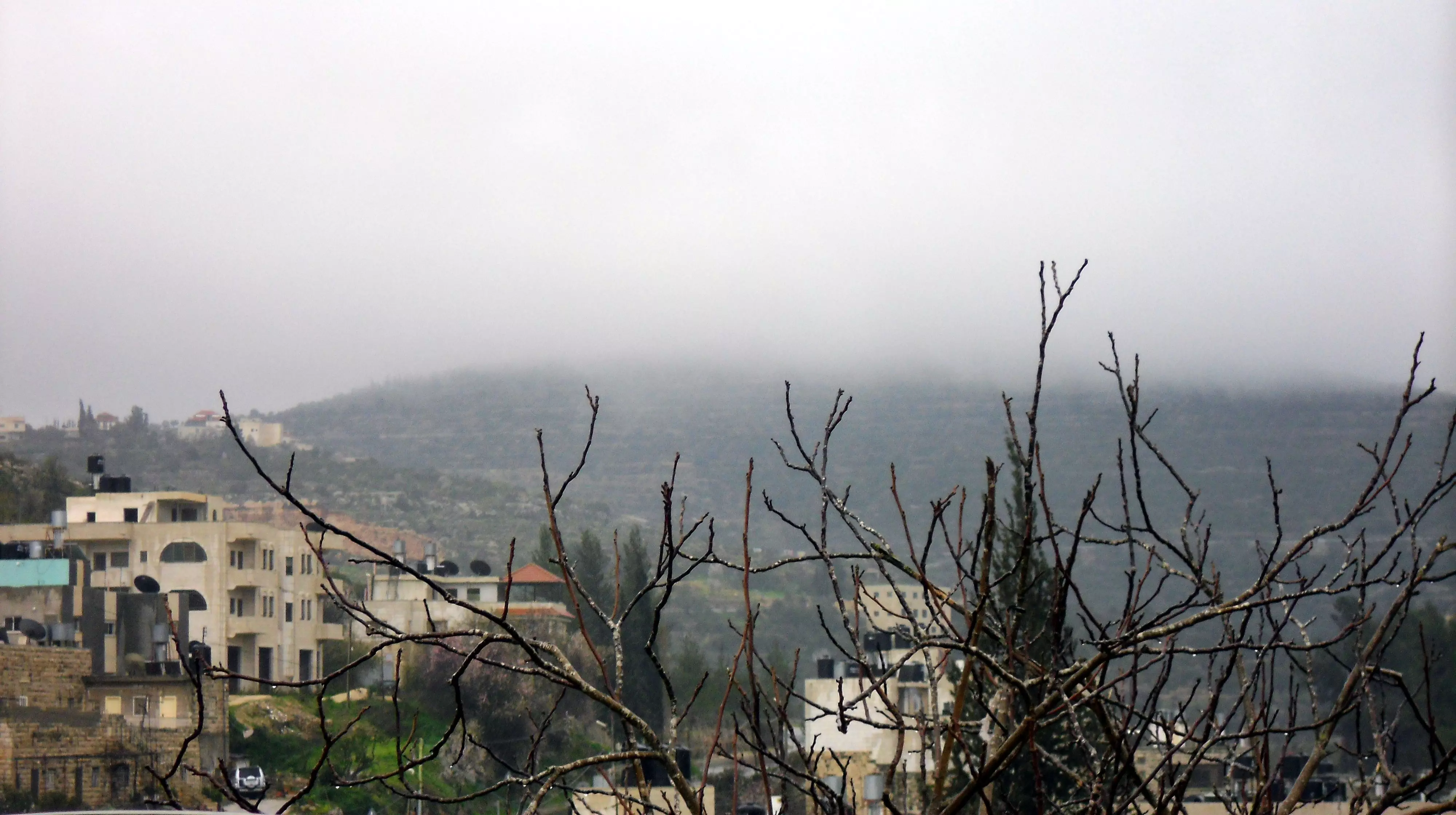
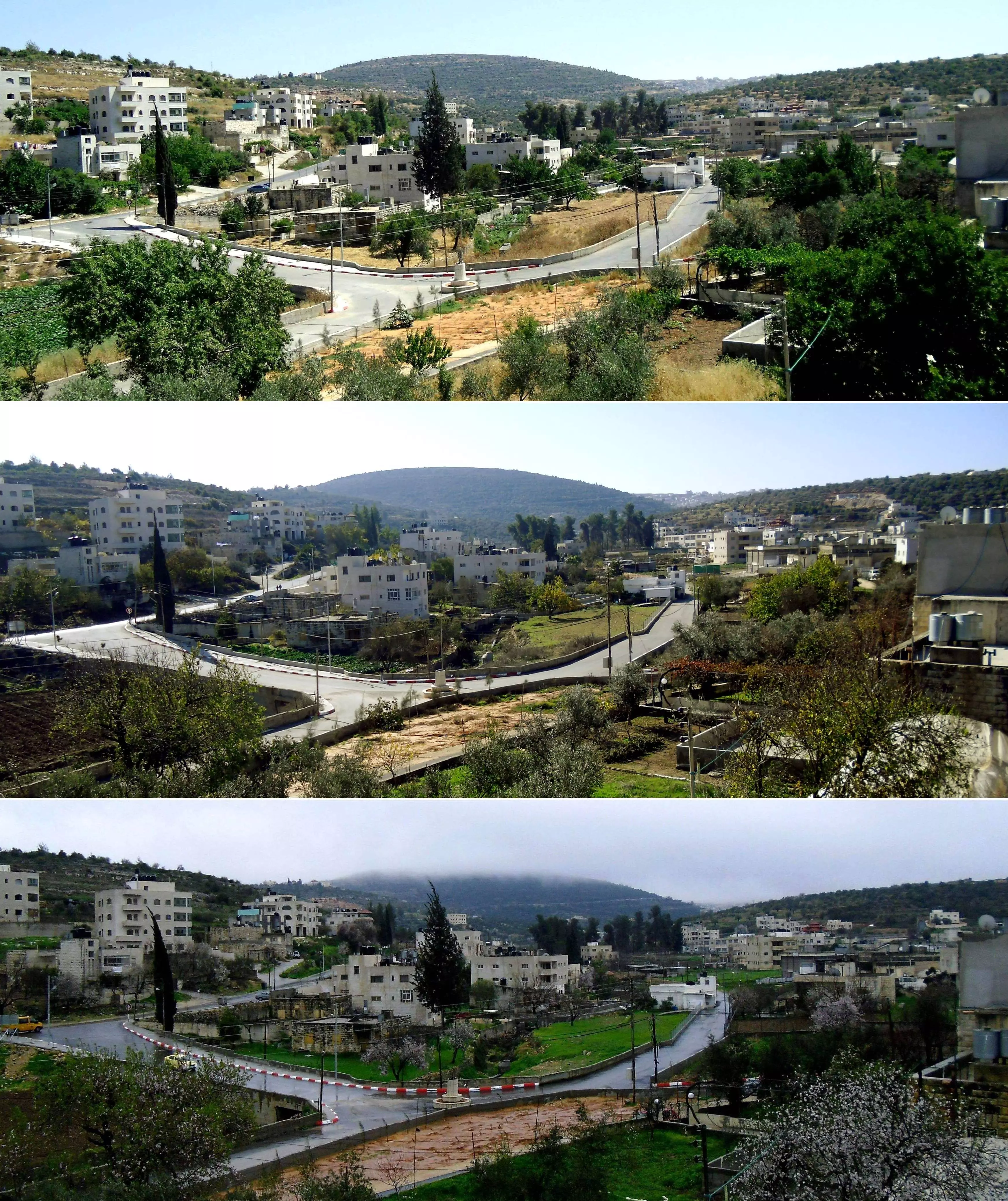
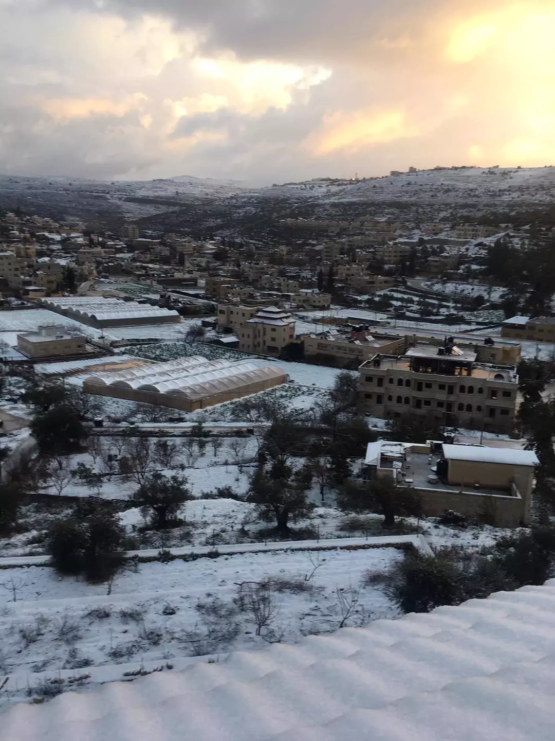
- عين سينيا صيفاً شتاءً
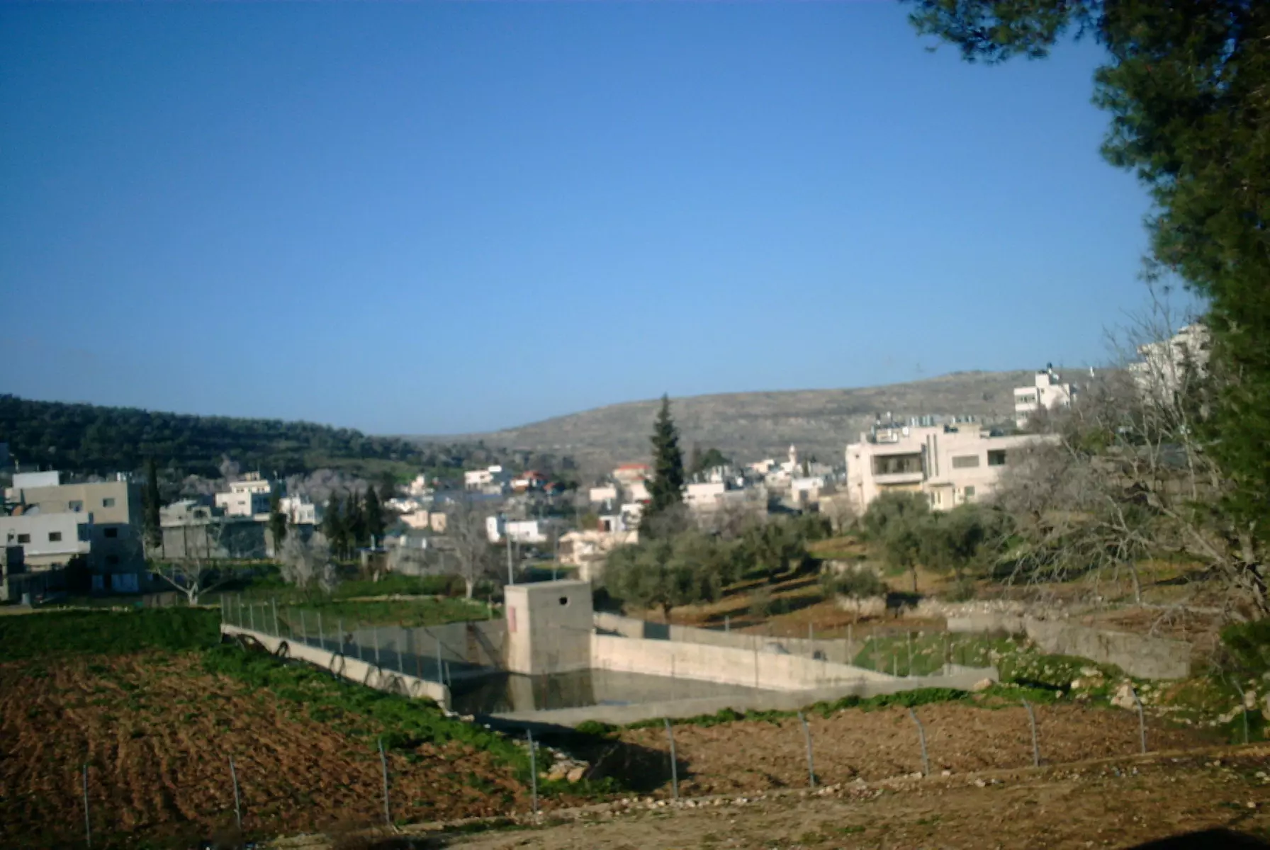
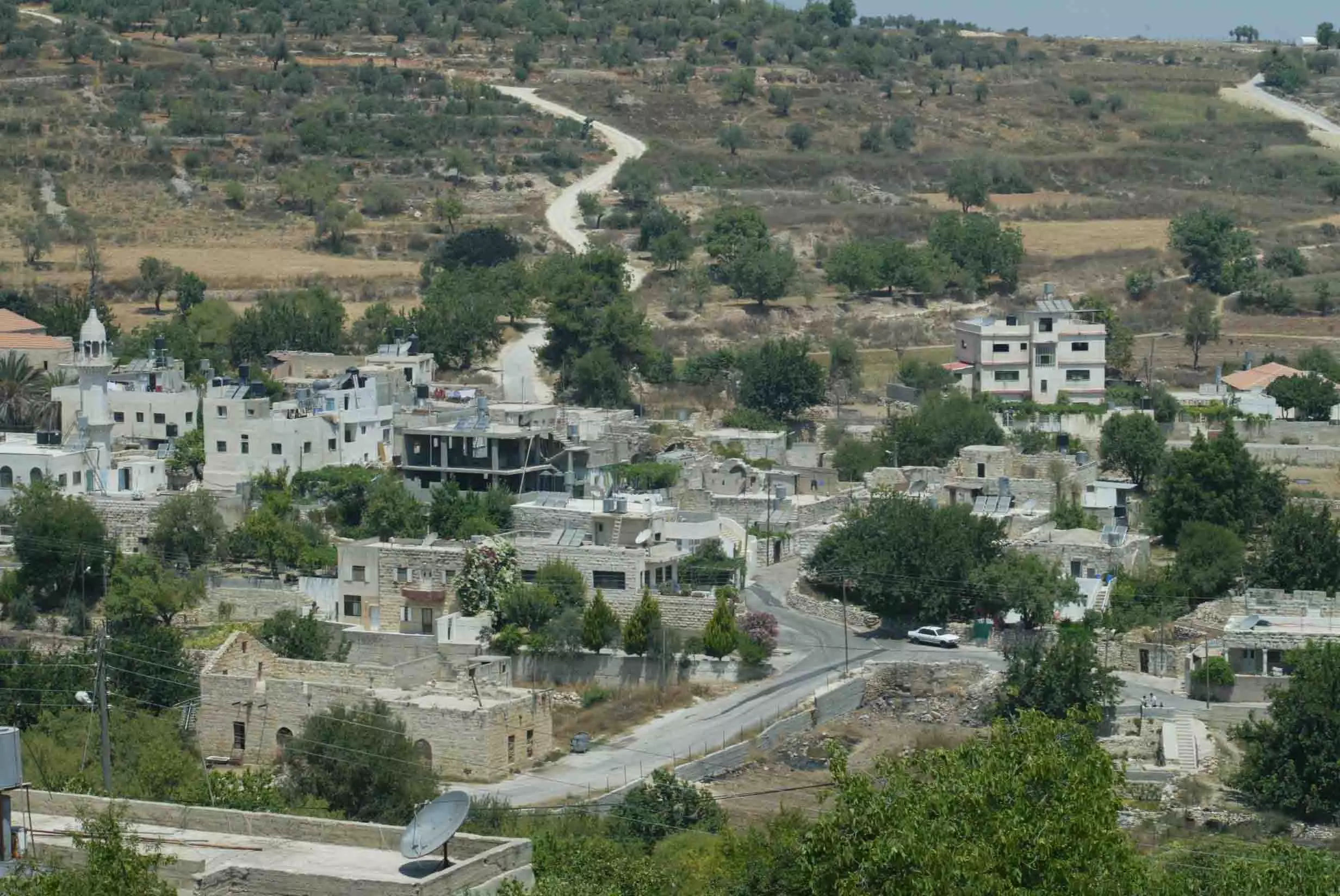
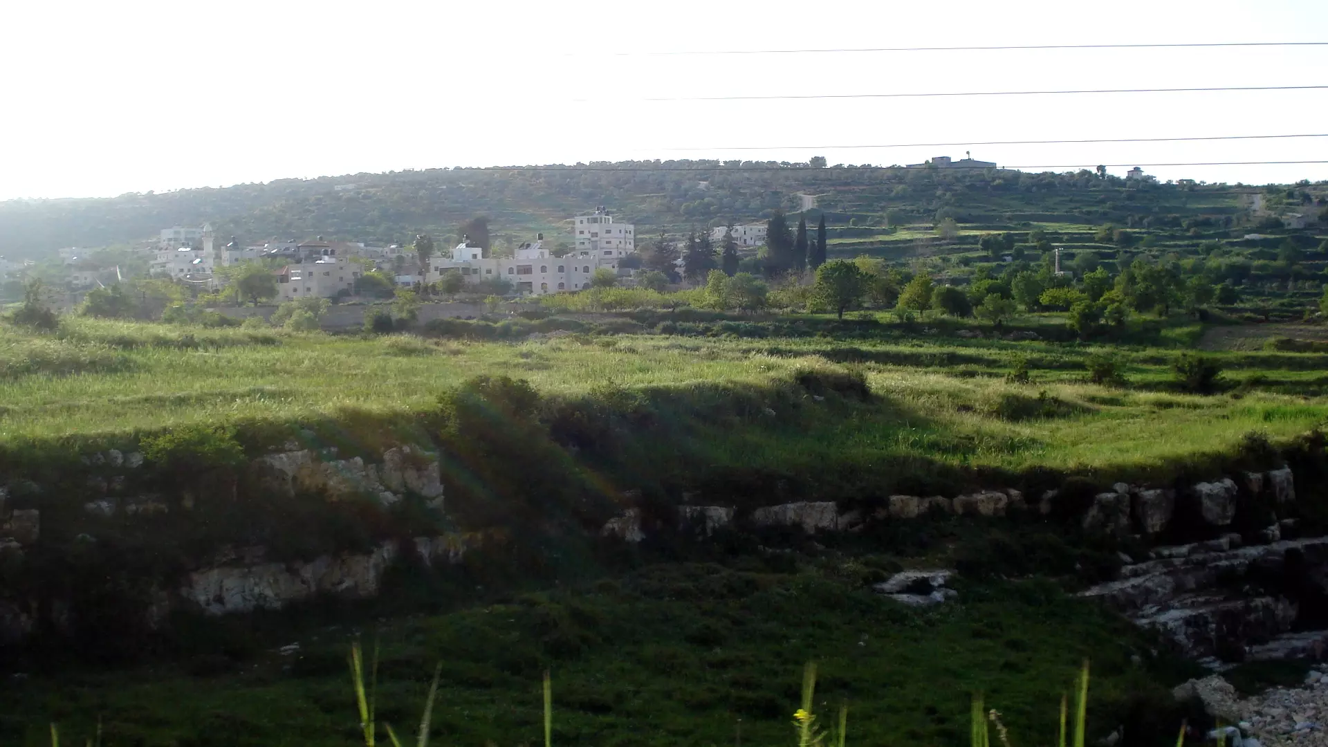
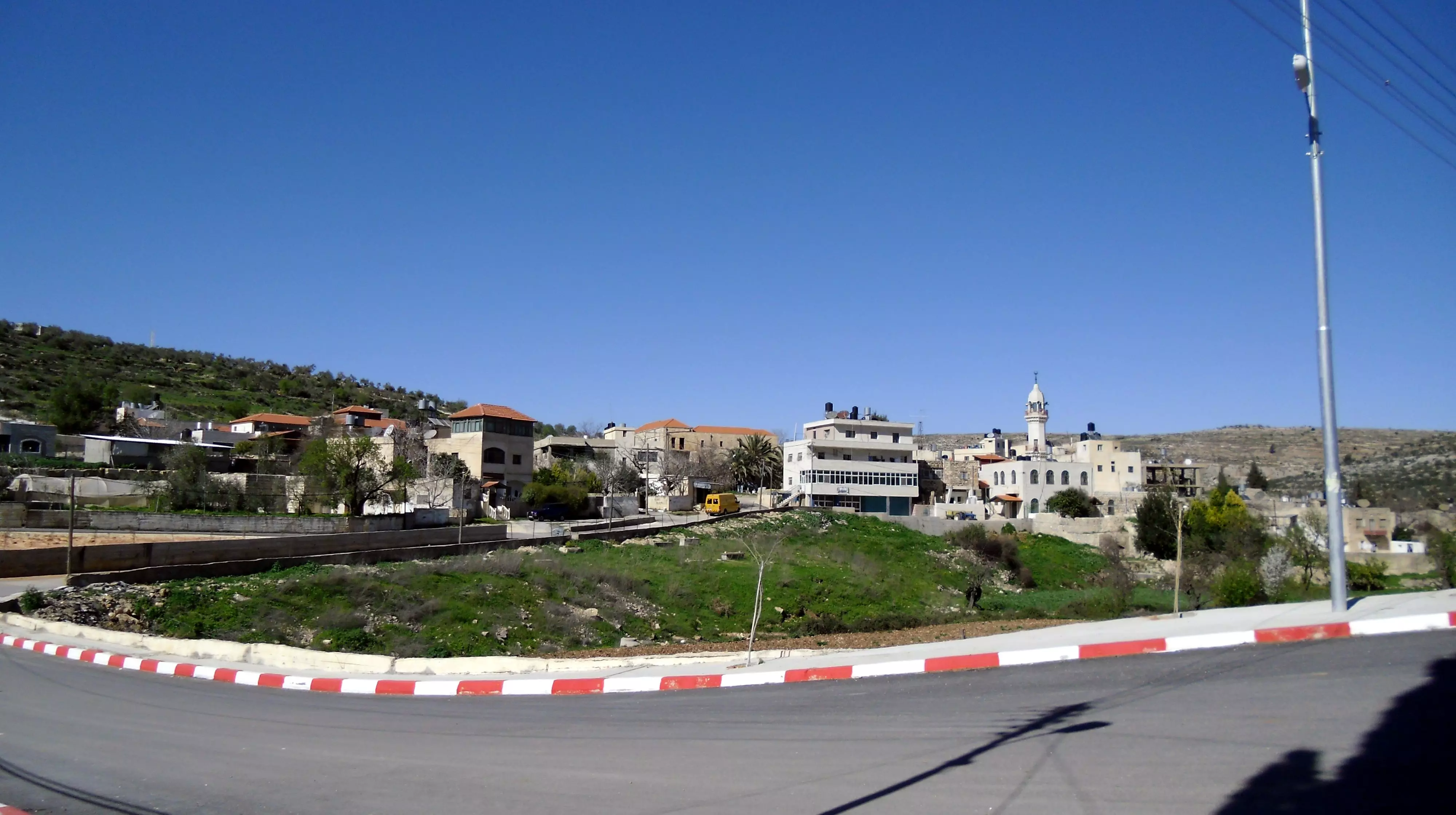
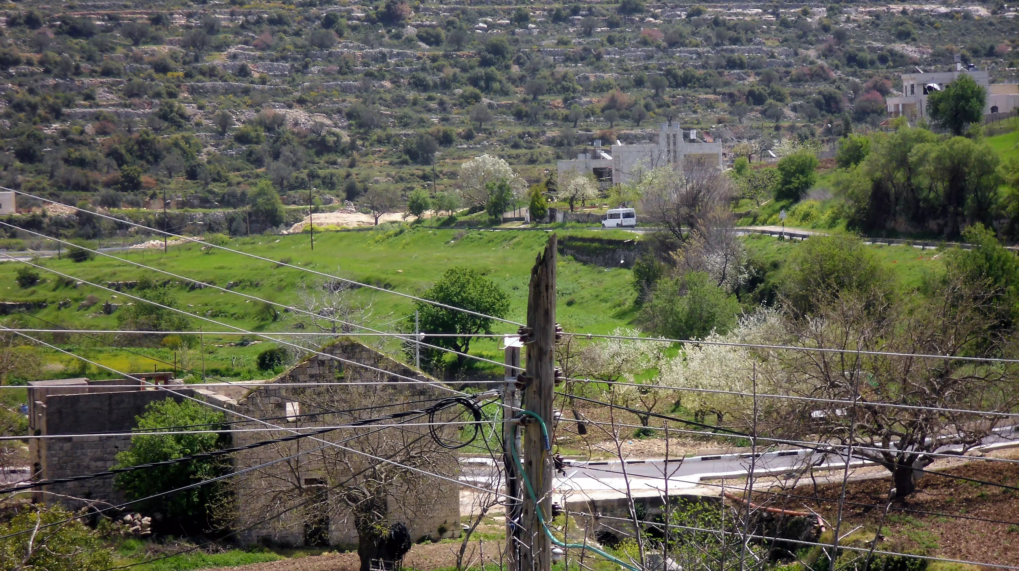
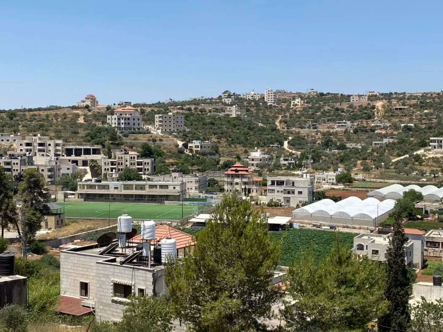
Posted by محمود 1 - منظر عام عريض، اُنقر الصورة لتكبيرها
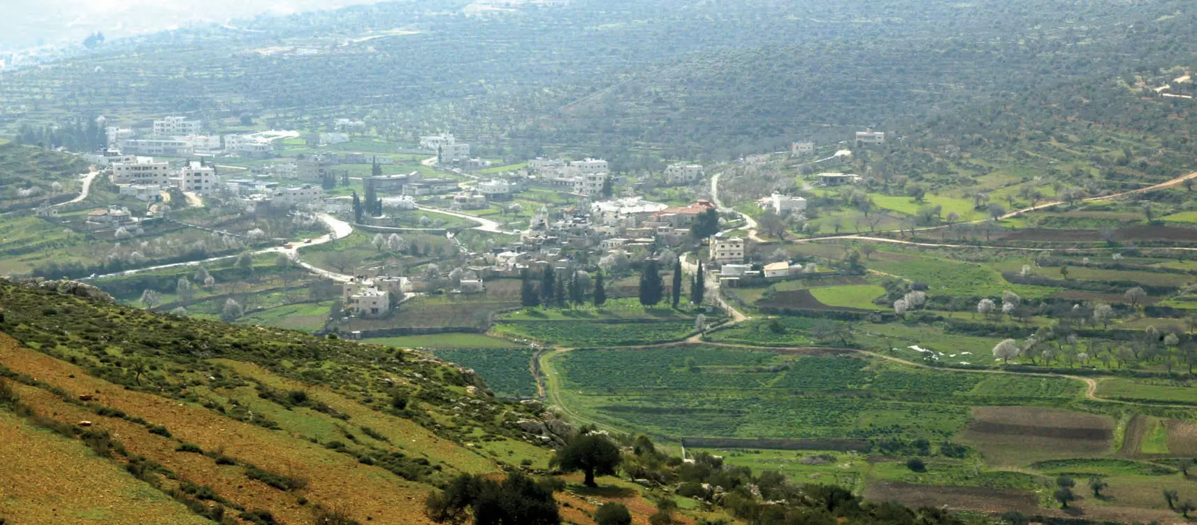
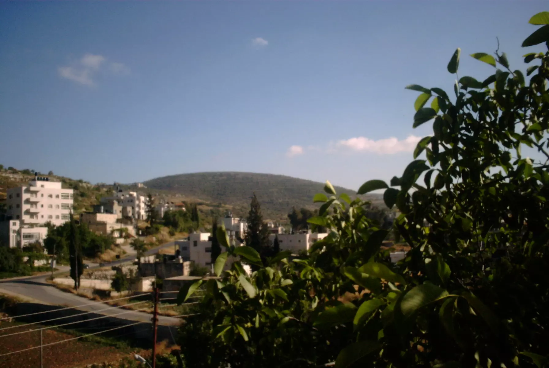
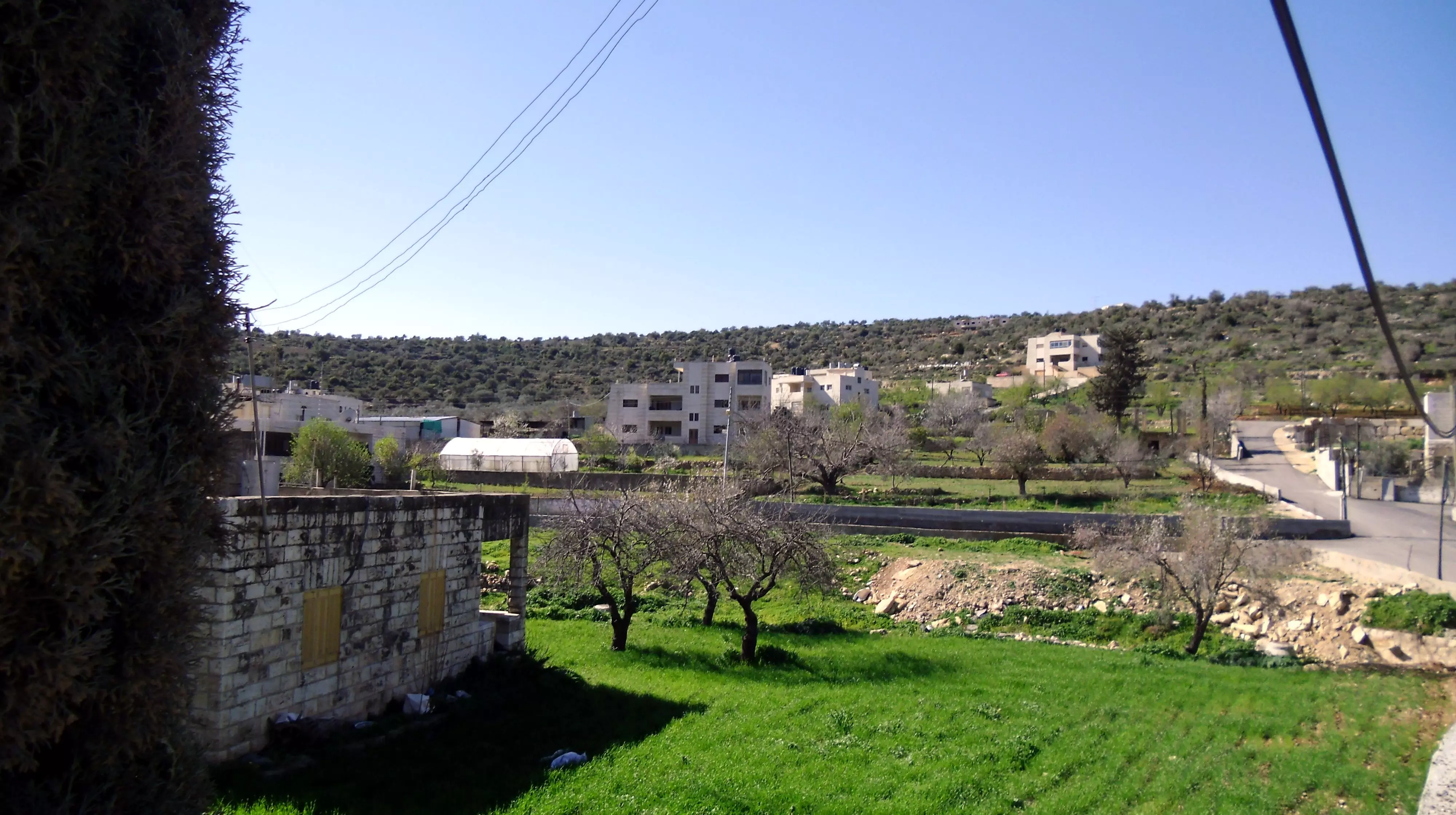
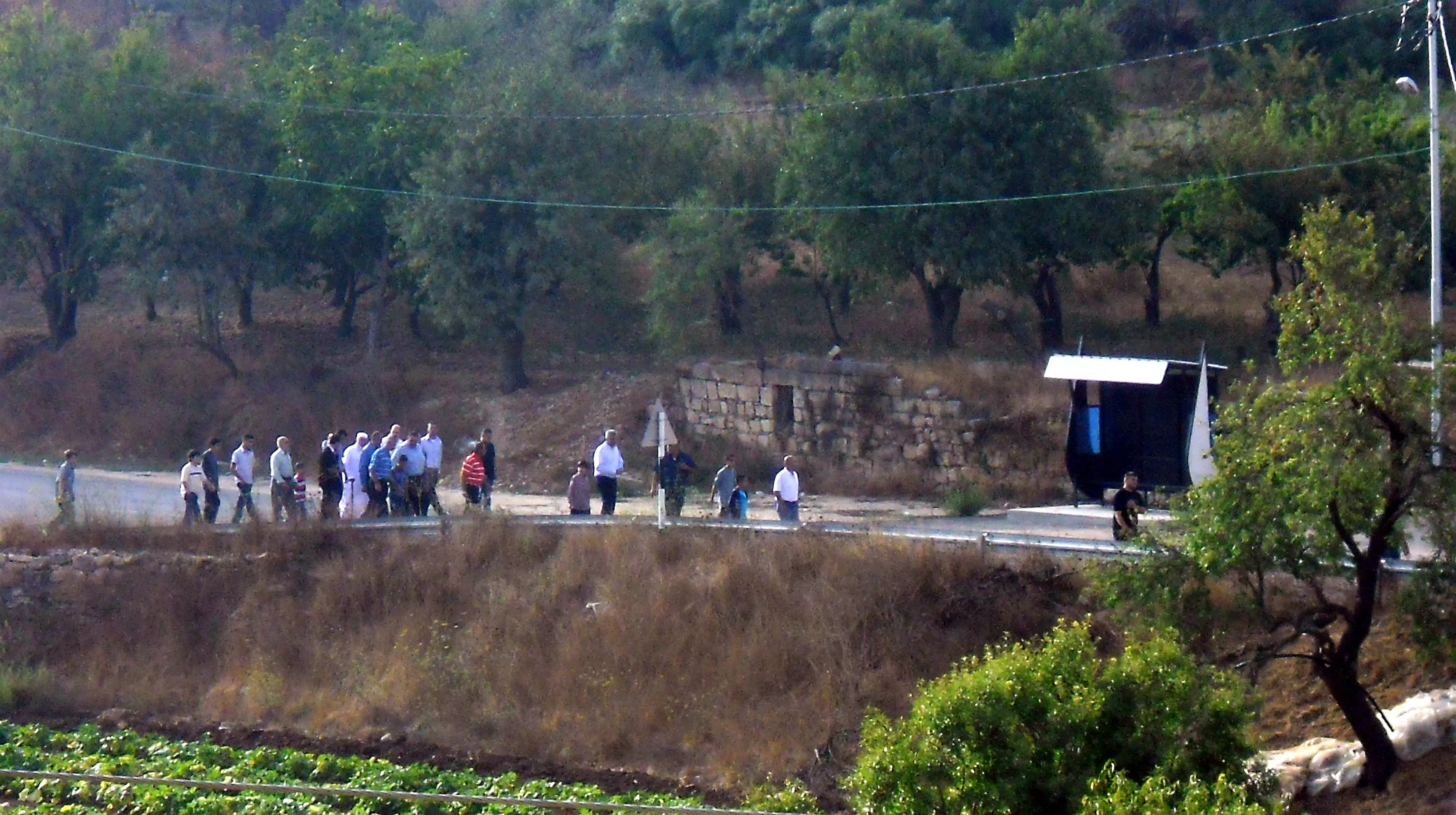
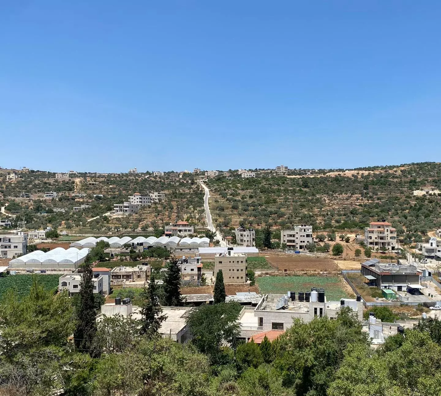
Posted by qnassar 28 - منظر من عين سينيا
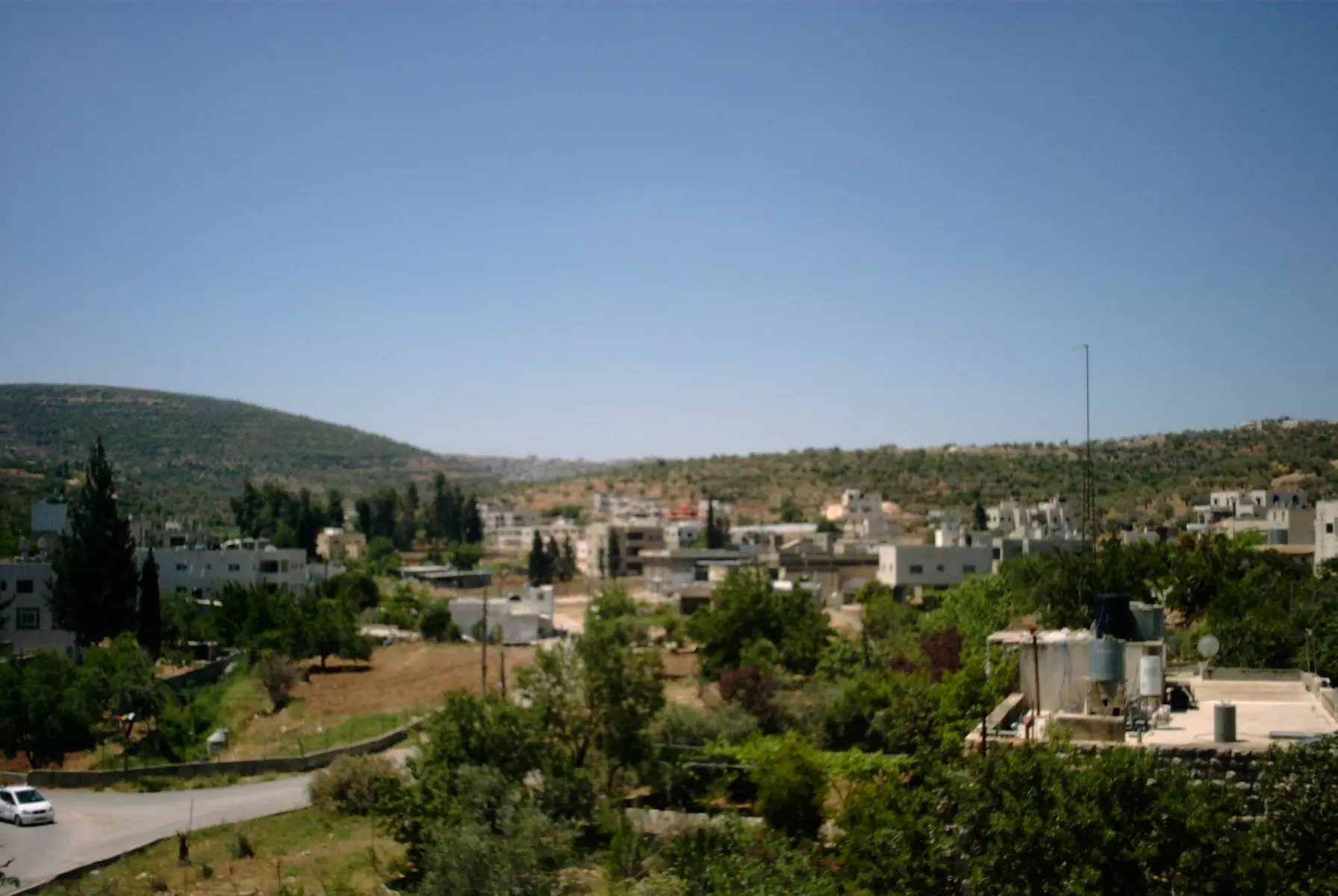
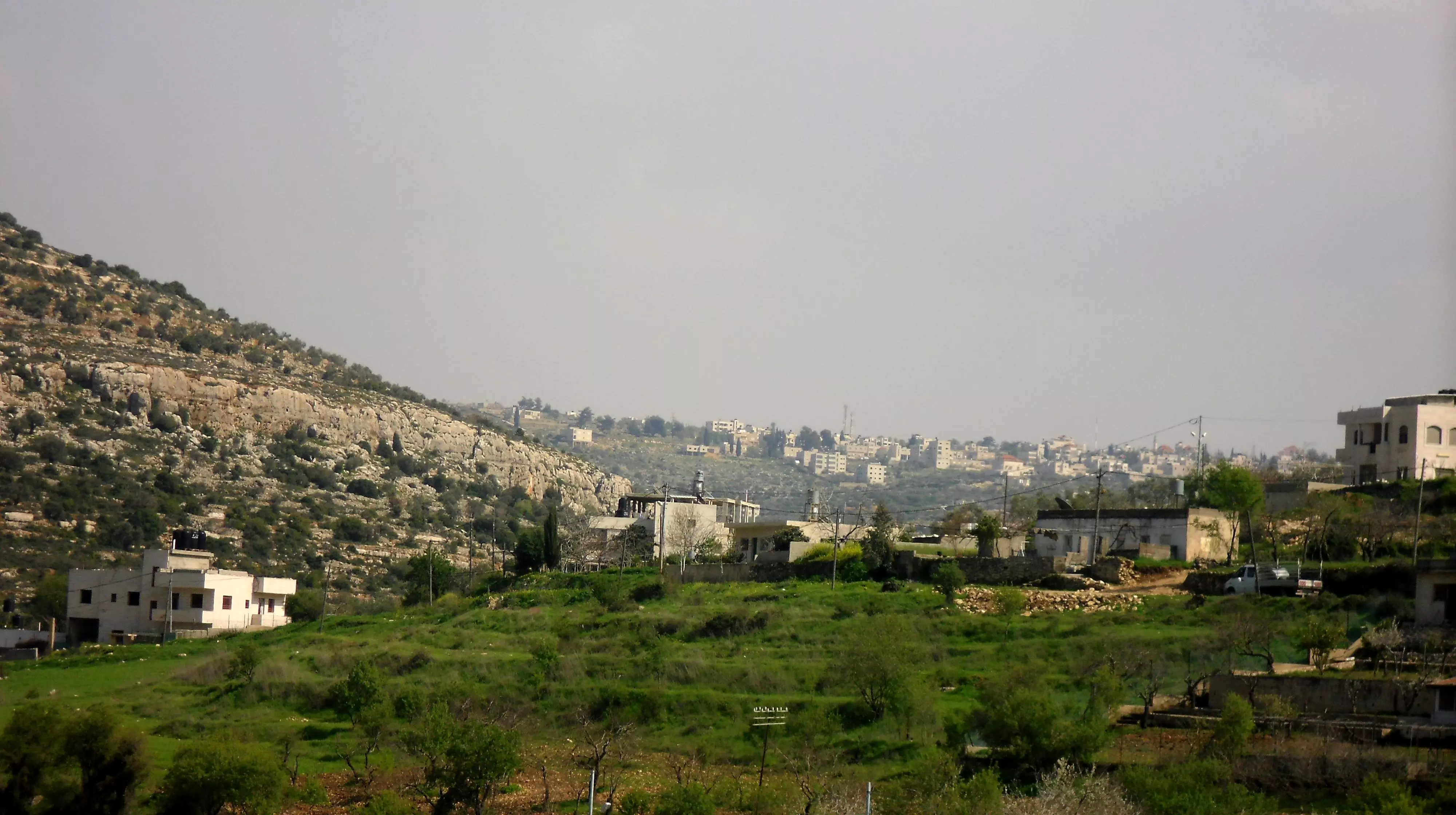
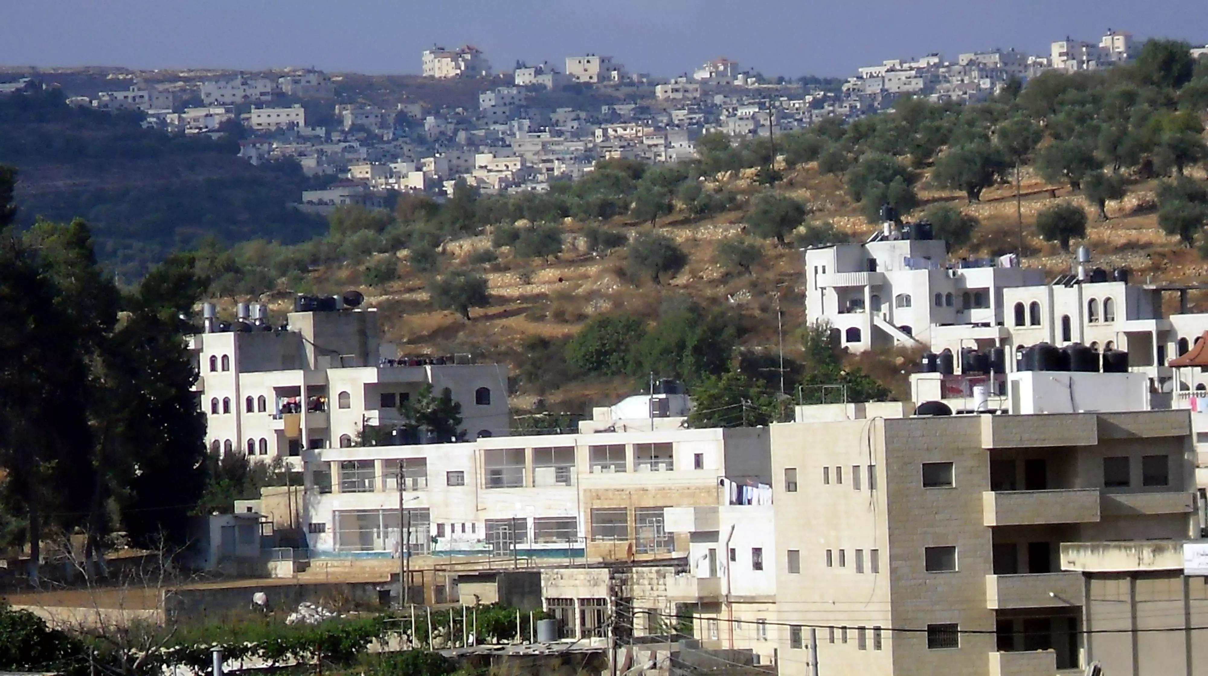
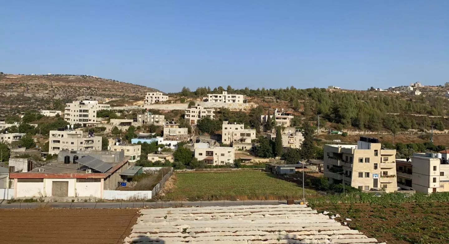
Posted by محمود 5 - صورة اخرى للبلدة
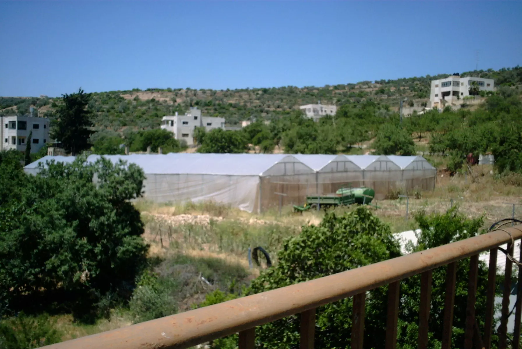
Posted by محمود - بيوت بلاستيكية للزراعة(حماموت)
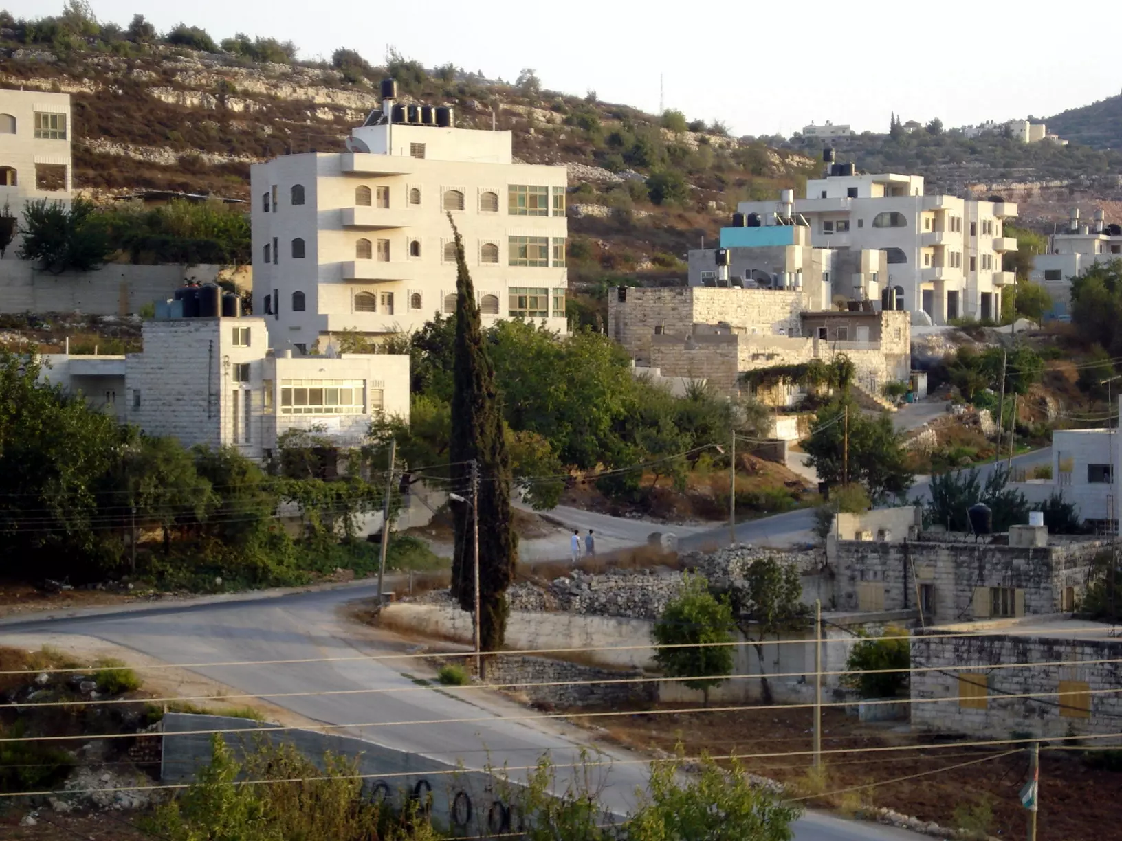
Posted by محمود 1 - الجانب الجنوب غربي من القرية...صور للبيوت
Posted by محمود 3 - البلده القديمة
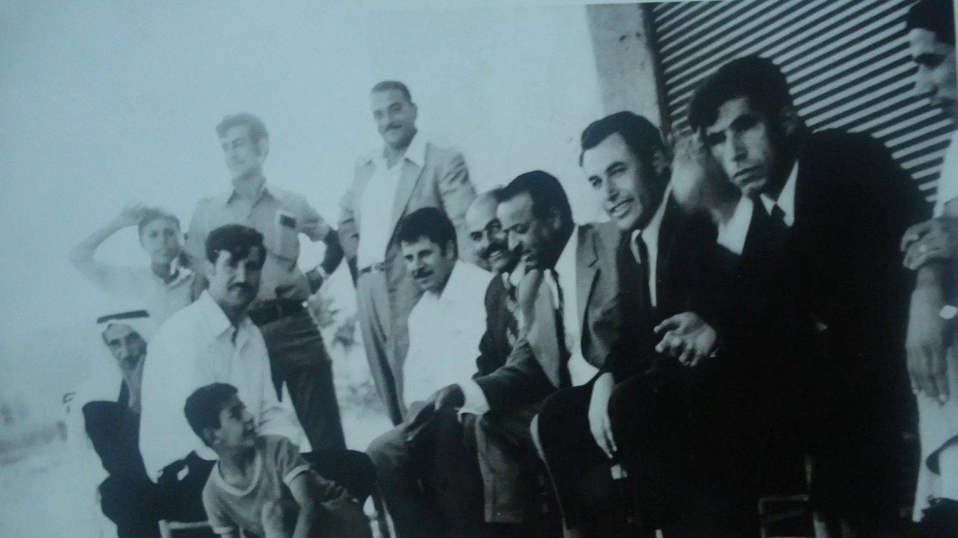
Posted by حسن سمحان 5 - صورة للشهيد رشاد علي خاطر

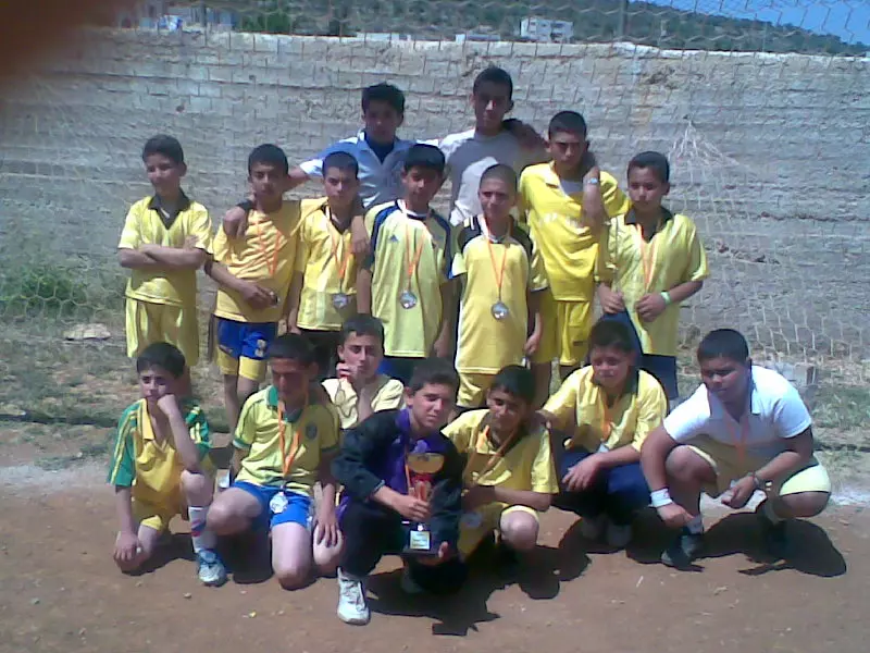
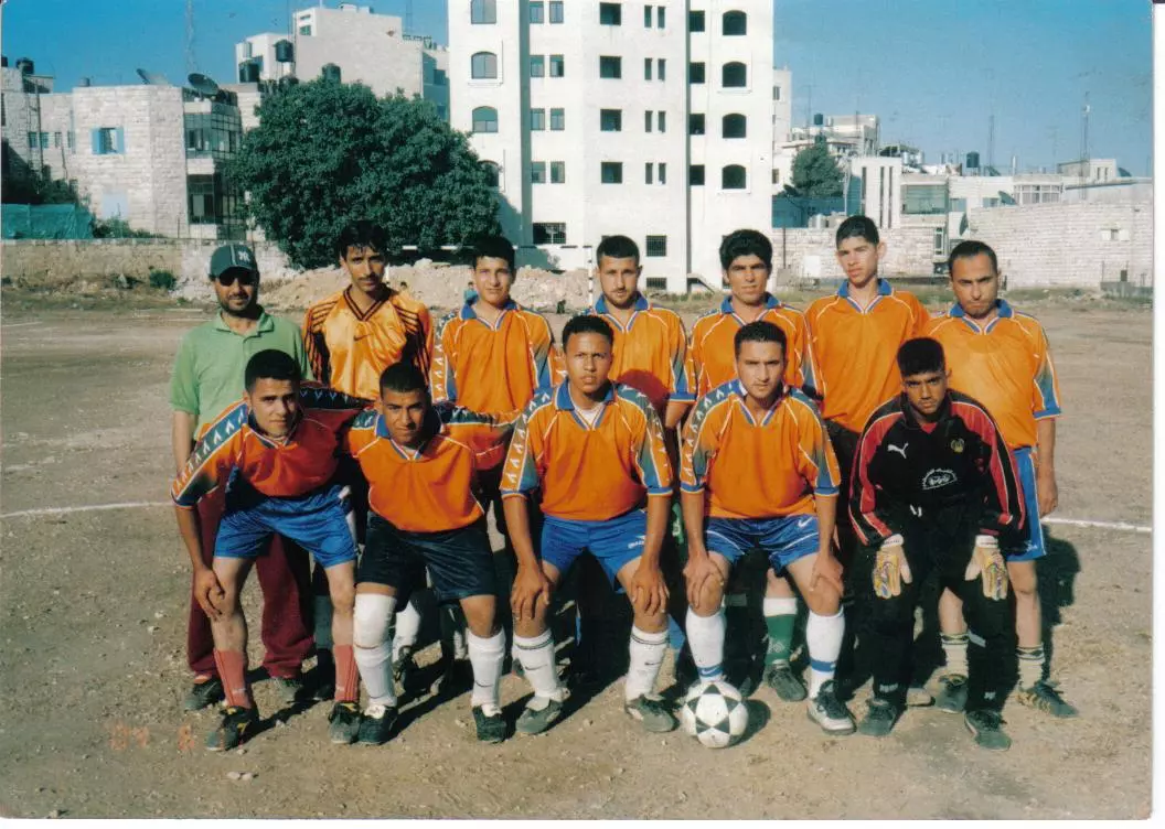
Posted by حازم 1 - صورة لفريق مدرسة عين سينيا ومدربينه
Posted by حازم 1 - منظر من جمال الطبيعة فى القريه
Posted by حسن سمحان 2 - الاسير محمد قصقص

Posted by سفيان قصقص 3 - الاسير البطل محمد قصقص
Posted by سفيان قصقص - فريق عين سينيا لكرة القدم 2006
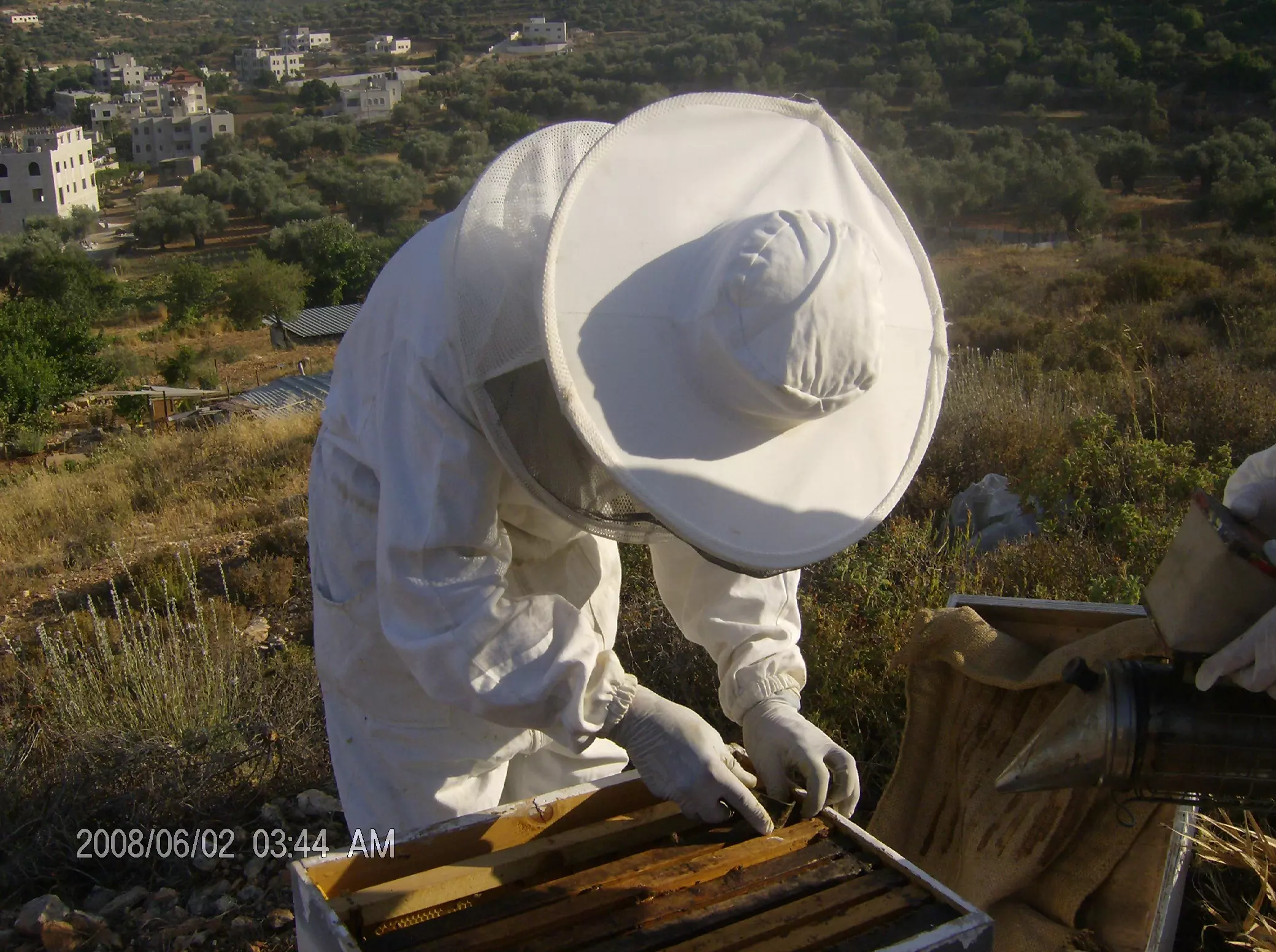
Posted by مصطفى مصلح 1 - تربية النحل في عين سينيا
Posted by مصطفى مصلح 7 - احلى شباب
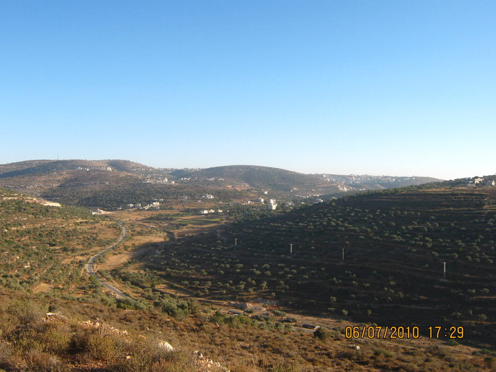
Posted by مصطفى مصلح 6 - عين سينيا
Posted by aladdin samaha 2 - احلى شباب والله
Posted by issam issam - عين سينيا....
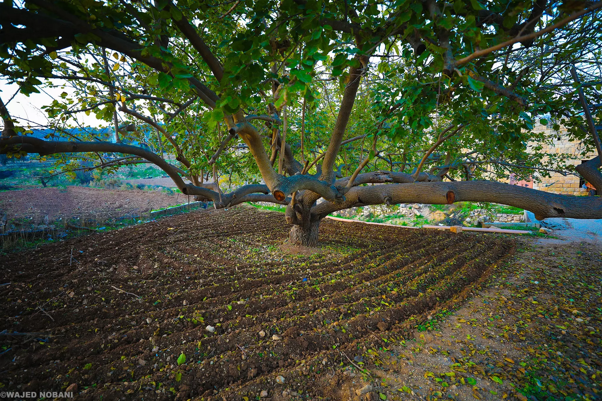
Posted by غيث - تراث القرية
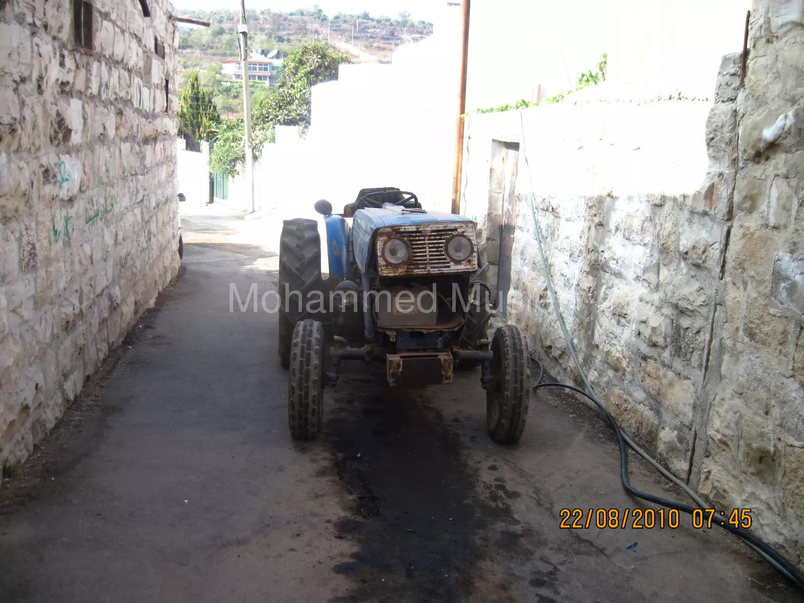
Posted by محمد مصلح - تراث
Posted by محمد مصلح - تراث
Posted by محمد مصلح - تراث
Posted by محمد مصلح 1 - تراث
Posted by محمد مصلح 1 - تراث

Posted by محمد مصلح 2 - منضر عام
Posted by محمد مصلح - منضر عام
Posted by محمد مصلح 1 - تراث
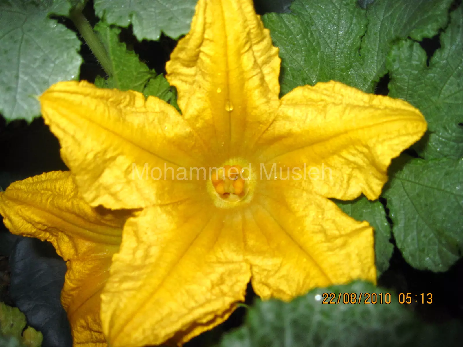
Posted by محمد مصلح - ازهار الكوسا
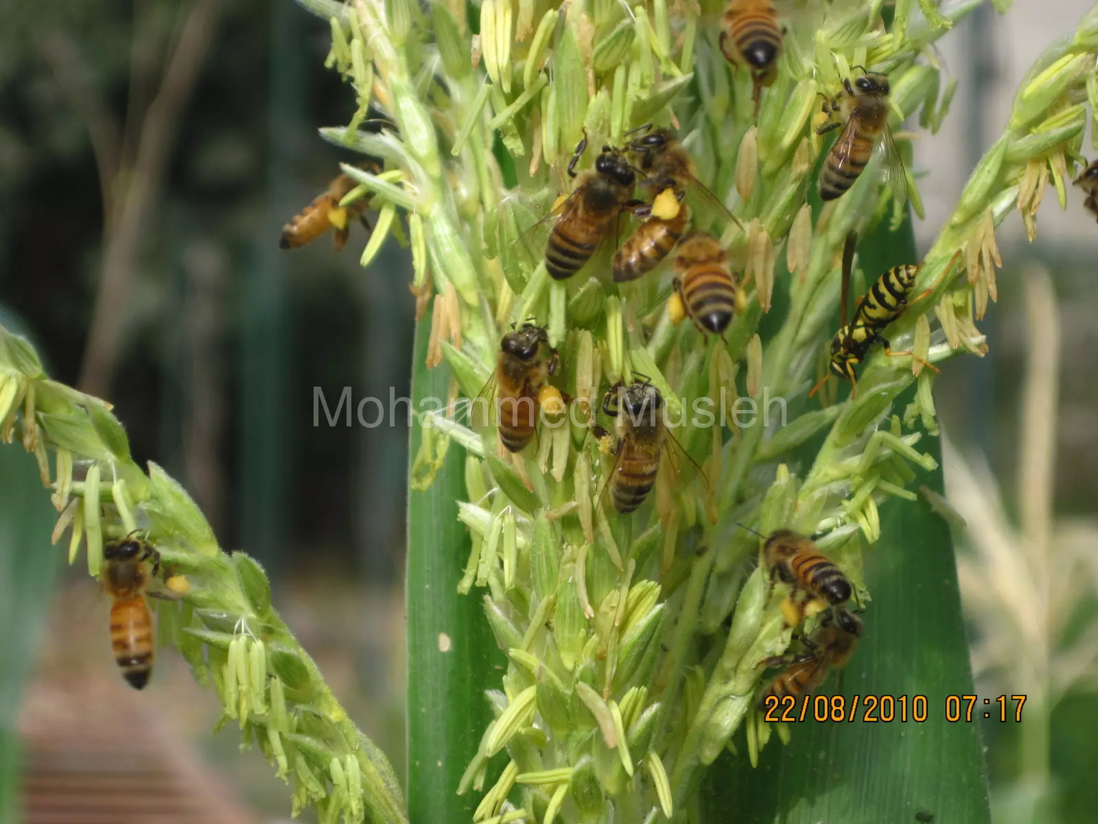
Posted by محمد مصلح - نحل يجمع حبوب القاح من نبات الذرة
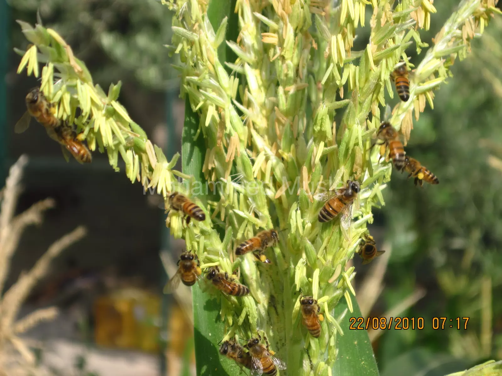
Posted by محمد مصلح - نحل يجمع حبوب اللقاح من نبات الذرة
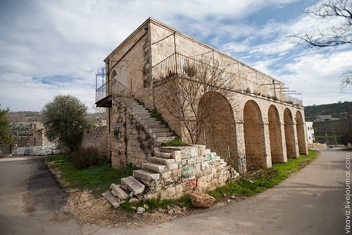
Posted by محمد مصلح - منزل فيصل الحسيني
Posted by محمود - مدرسة عين سينيا__
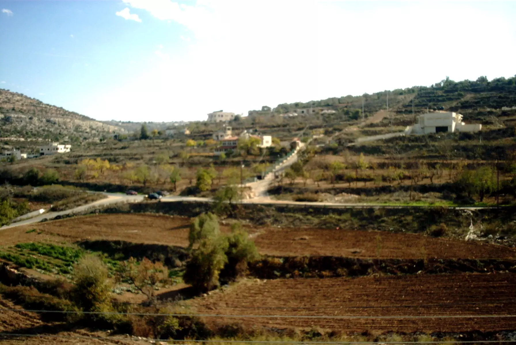
Posted by محمود - منظر لقرية عين سينيا
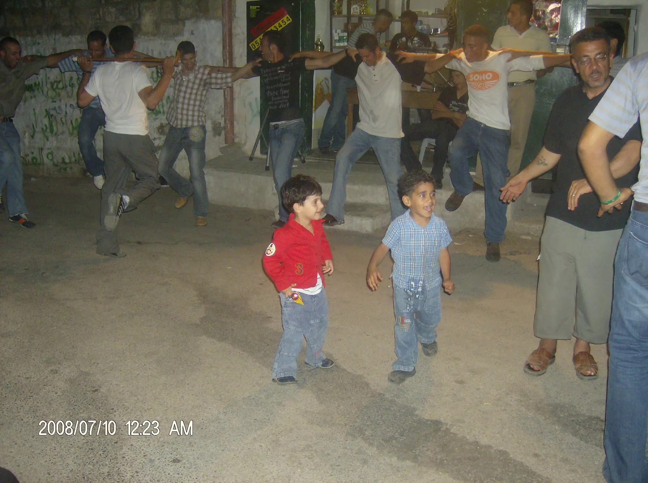
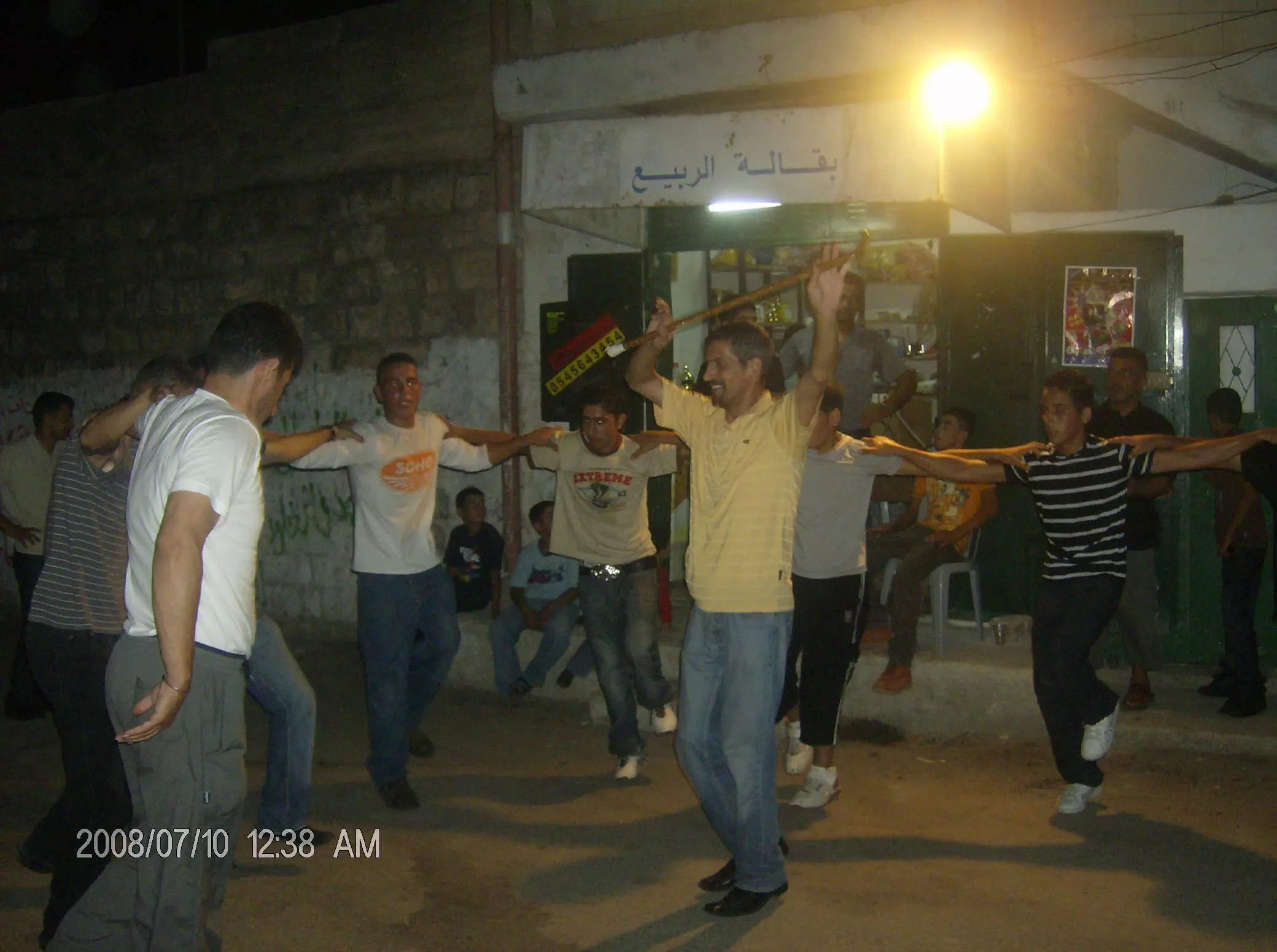
Posted by محمود - أحد أعراس القرية عام 1973
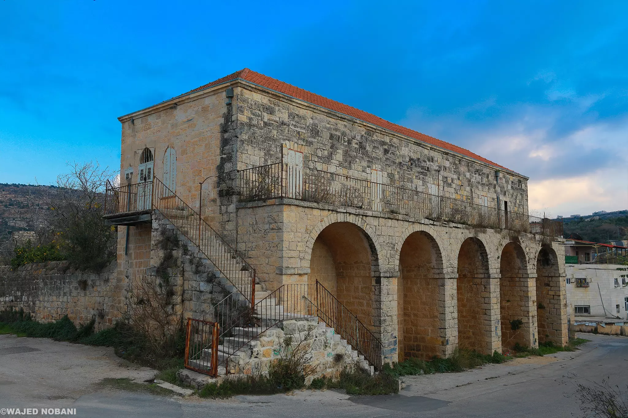
Posted by محمود 1 - منزل الحسيني..بني عام 1906...من موقع panorama.com
Posted by محمود - البابور القديم
Posted by محمود - وادي عين سينيا في الشتاء
Posted by محمود - قرية عين سينيا...
Posted by محمود - قرية عين سينيا...
Posted by محمود - رحمك الله يا جدتي وادخلك فسيح جناته

Posted by NedalAl-Hayel 1 - اللهم اجعل لها من فوقها و من تحتها و من أمامها و من خلفها و عن يمينها و عن يسارها نورا من نورك يا نور السماوات و الأرض
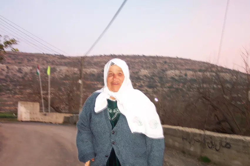
Posted by NedalAl-Hayel 1 - al hajja om hasan rahimaha allah
Posted by akram samaha 1 - في الشتاء
Posted by محمود - عين سينيا 1
Posted by محمود - عين سينيا 2
Posted by محمود - عين سينيا 3
Posted by محمود - عين سينيا 4
Posted by محمود - صباح عيد الفطر 2011
Posted by محمود - مدرسة عين سينيا
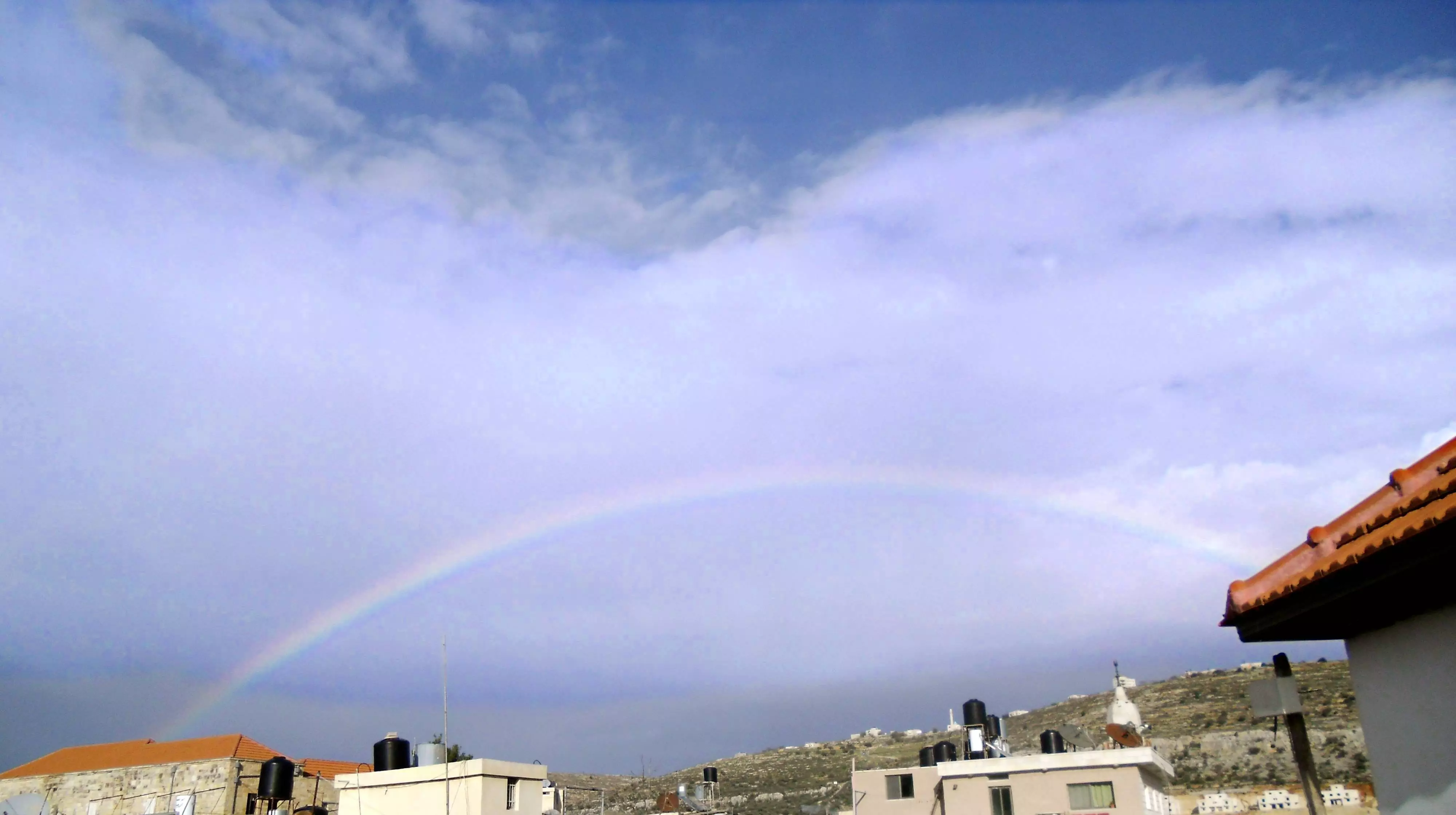
Posted by محمود 1 - قوس قزح في عين سينيا
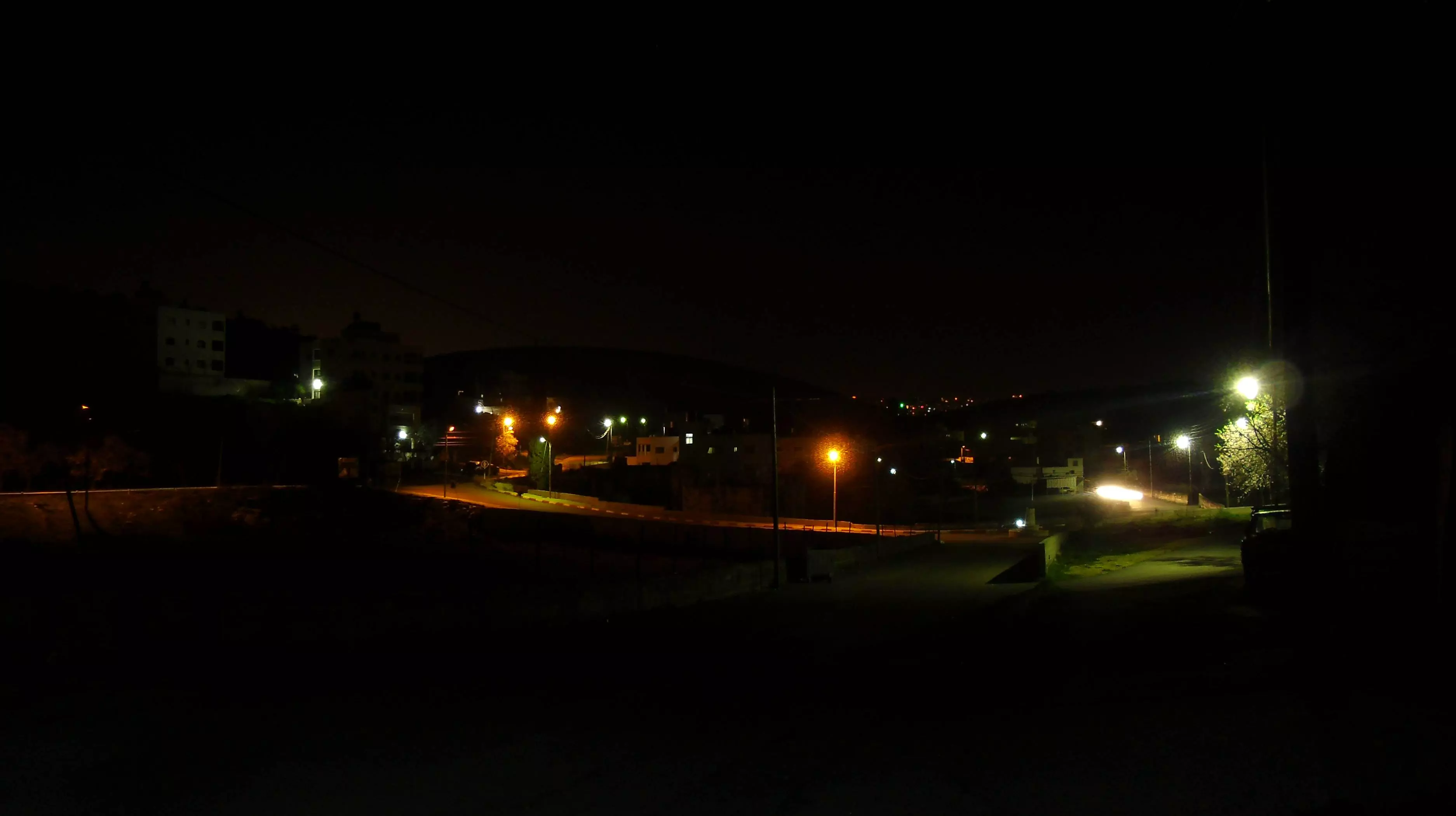
Posted by محمود - عين سينيا ليلاً
Posted by محمود - مدرسة عين سينيا..
Posted by محمود 1 - عين سينيا والفصول
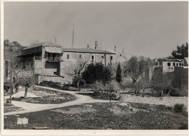
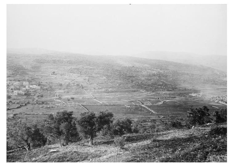
Posted by محمود - صورة للقرية عام 1940
Posted by محمود 2 - صوره قديمه لقريه عين سينيا سنه 1918
Posted by abu raya - منظر عام
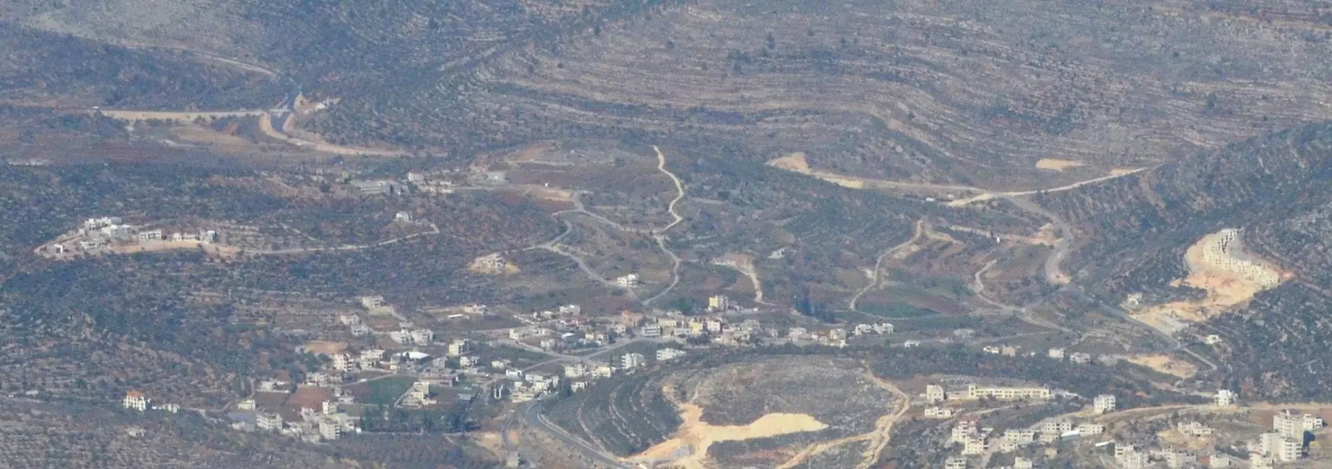
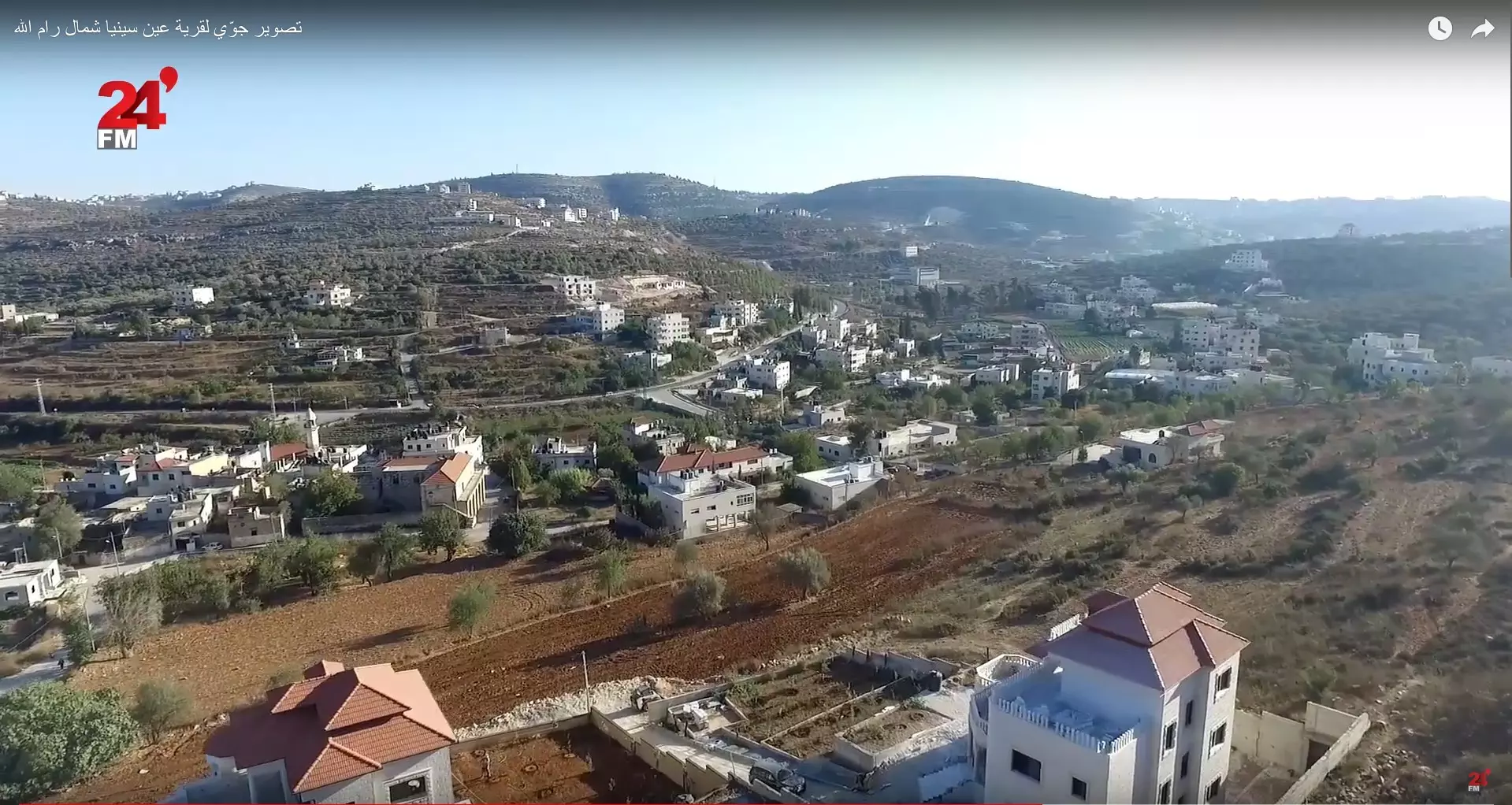
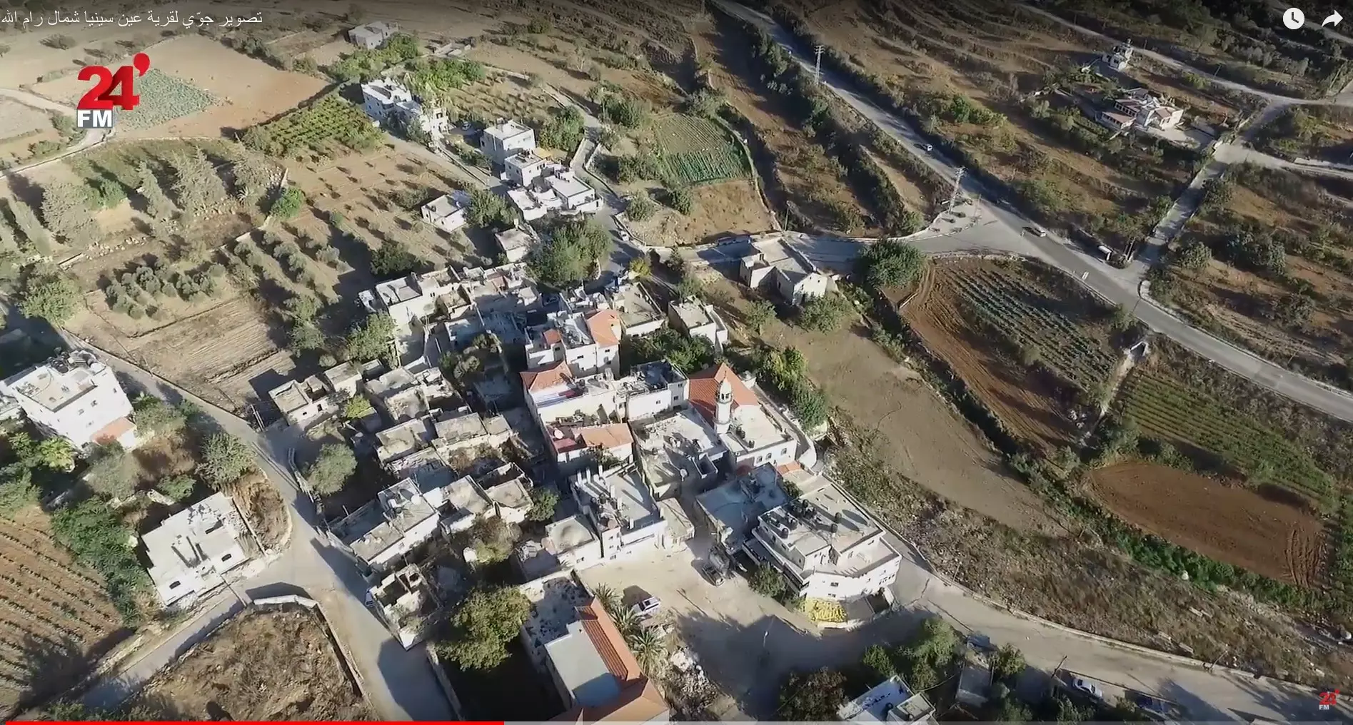
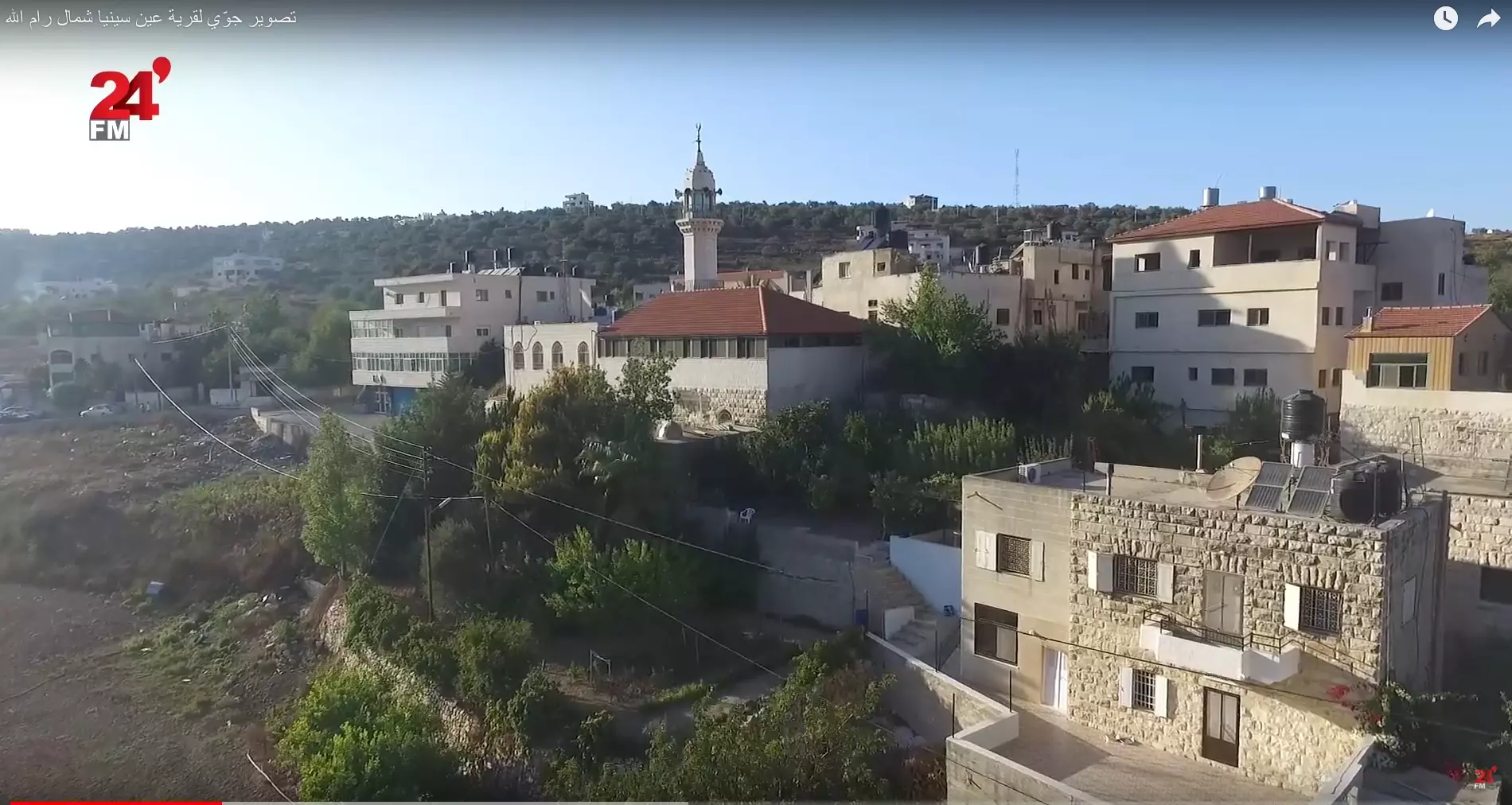
- تصوير جوّي لقرية عين سينيا شمال رام الله وفرت من فديو ل 24FM Palestine
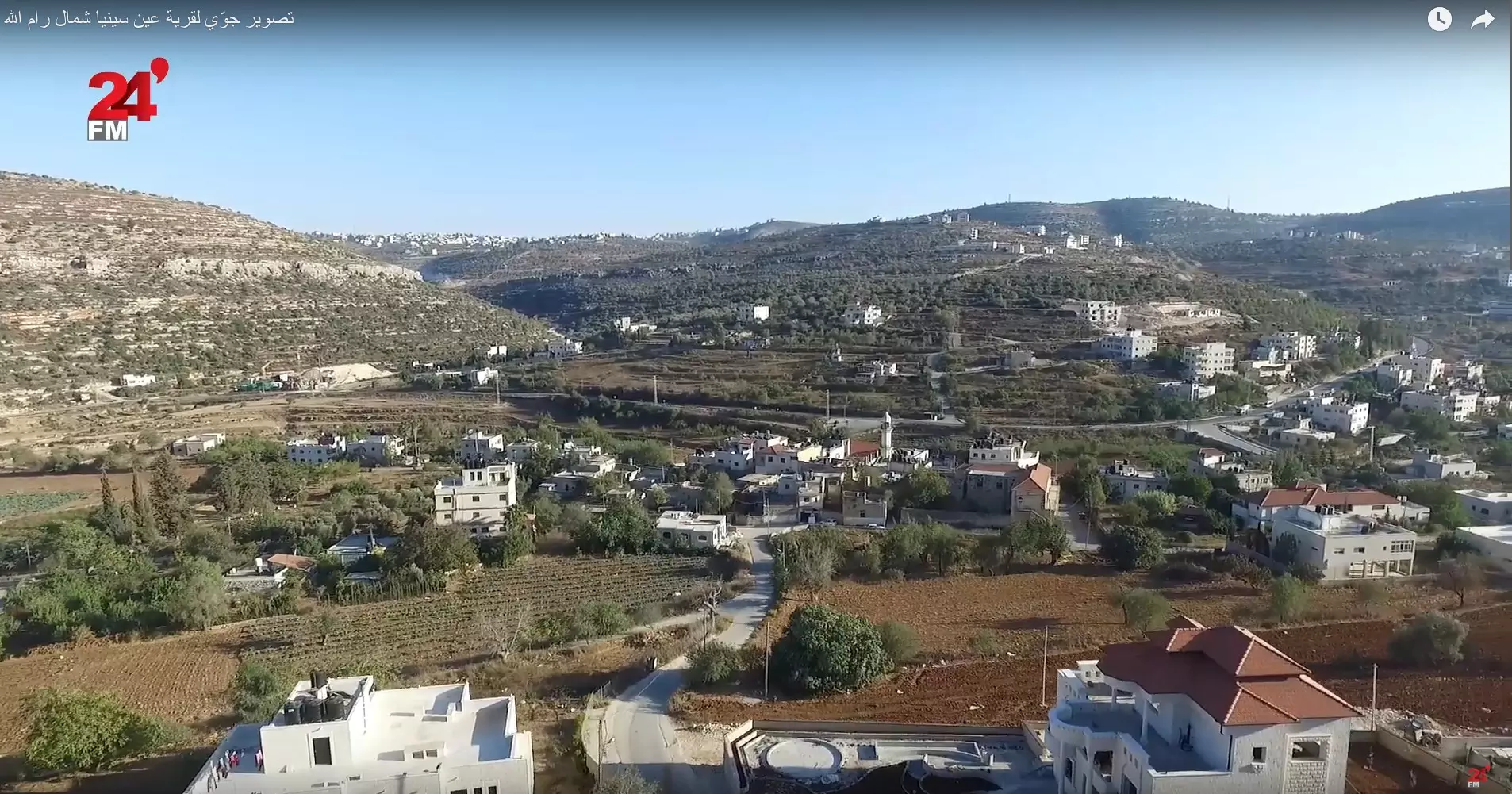
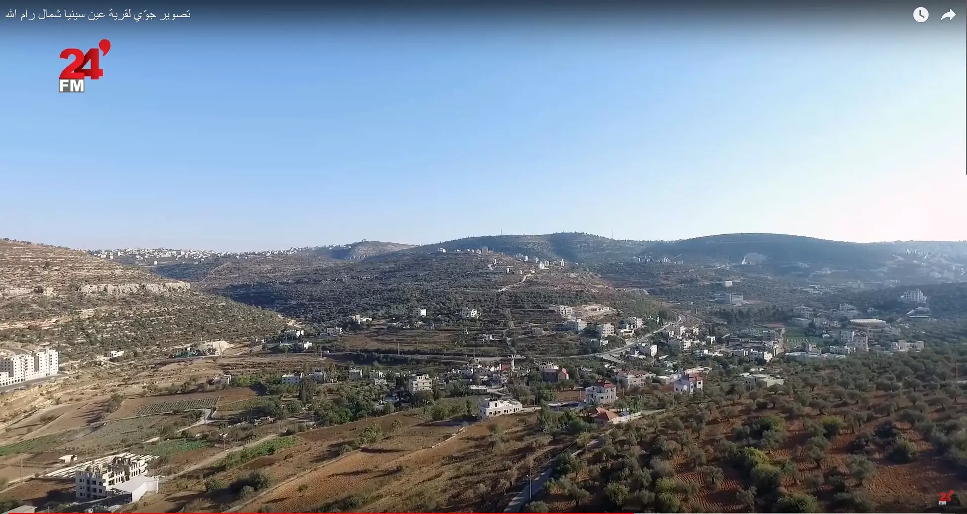
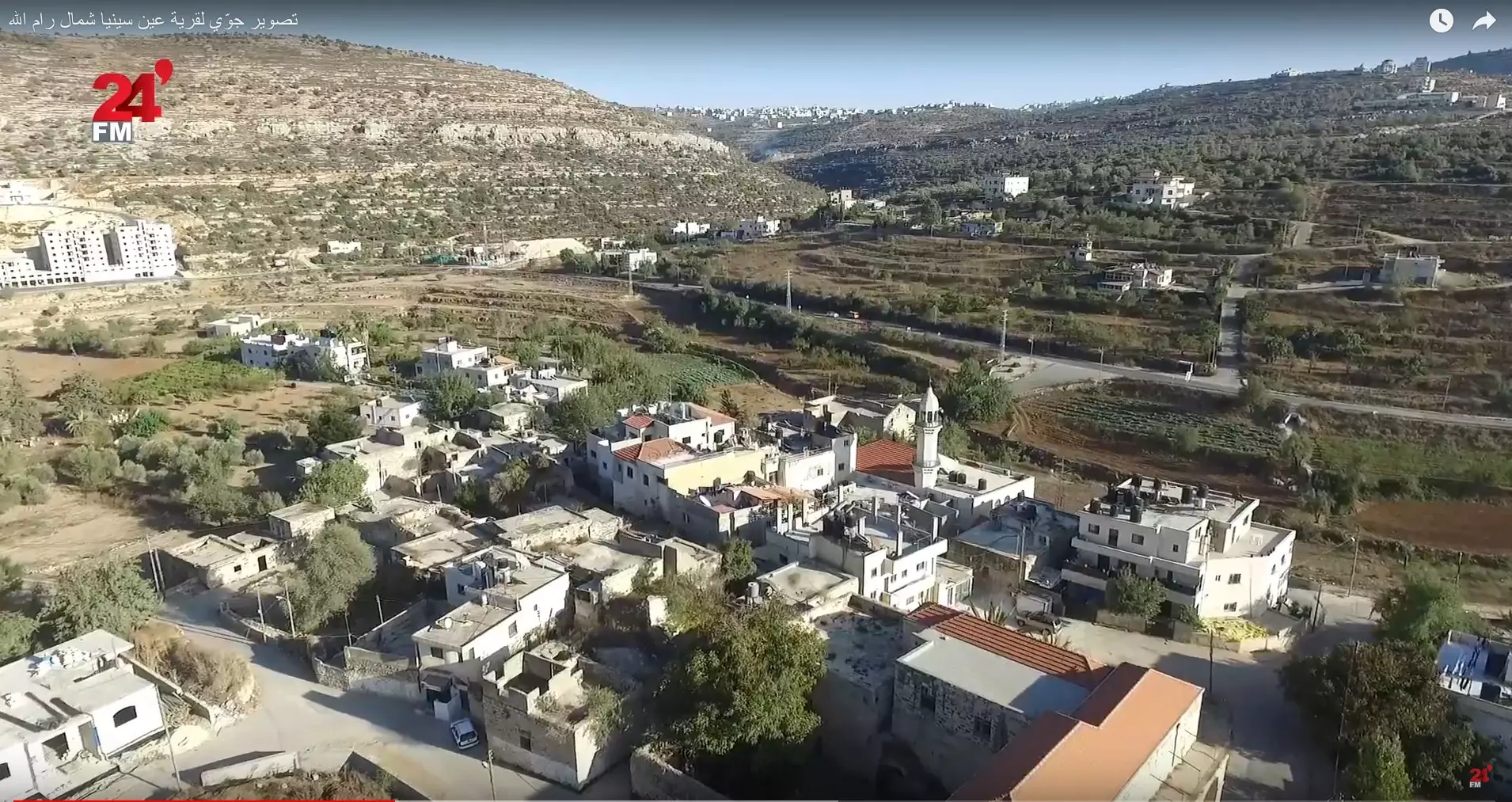
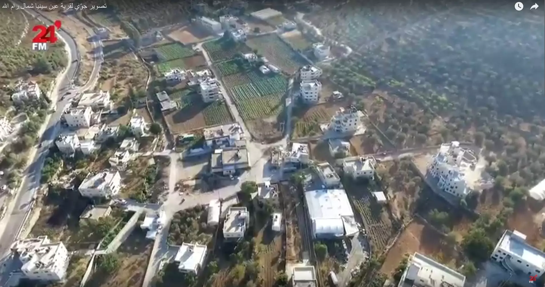
- تصوير جوّي لقرية عين سينيا شمال رام الله وفرت من فديو ل 24FM Palestine #2
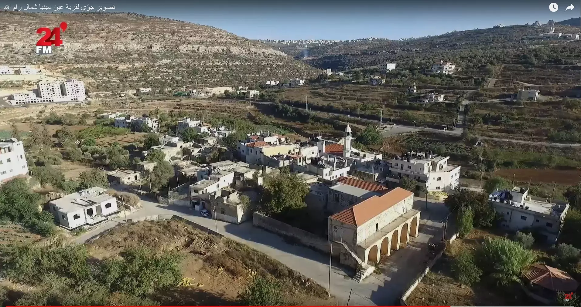
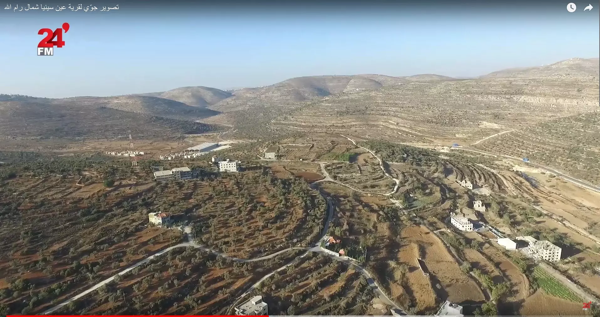
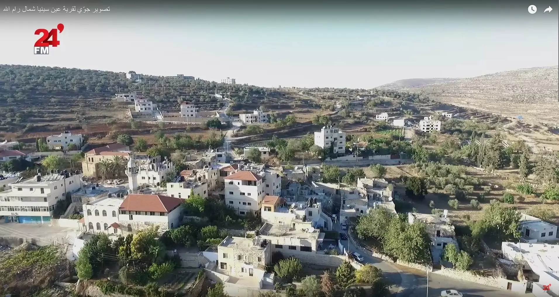
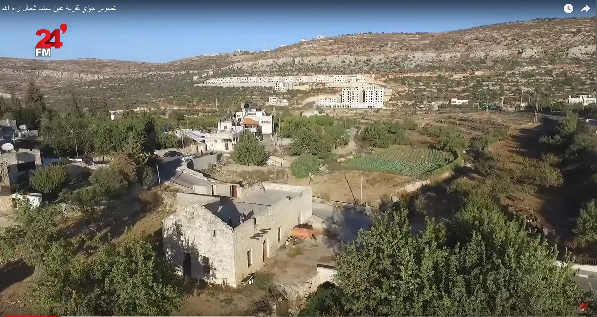
- تصوير جوّي لقرية عين سينيا شمال رام الله وفرت من فديو ل 24FM Palestine #3
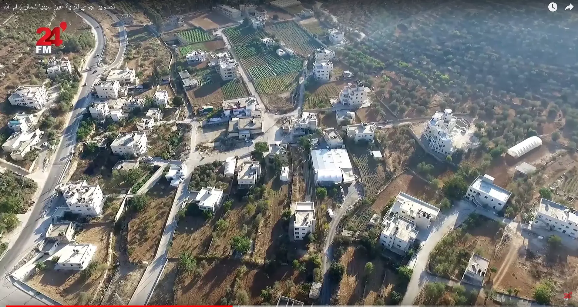
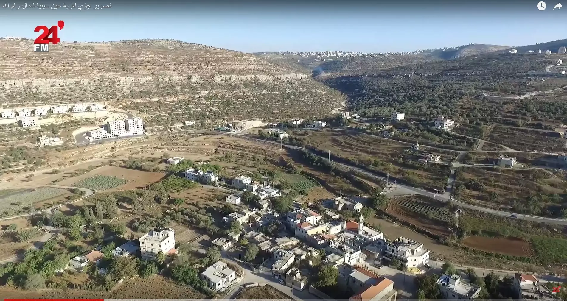
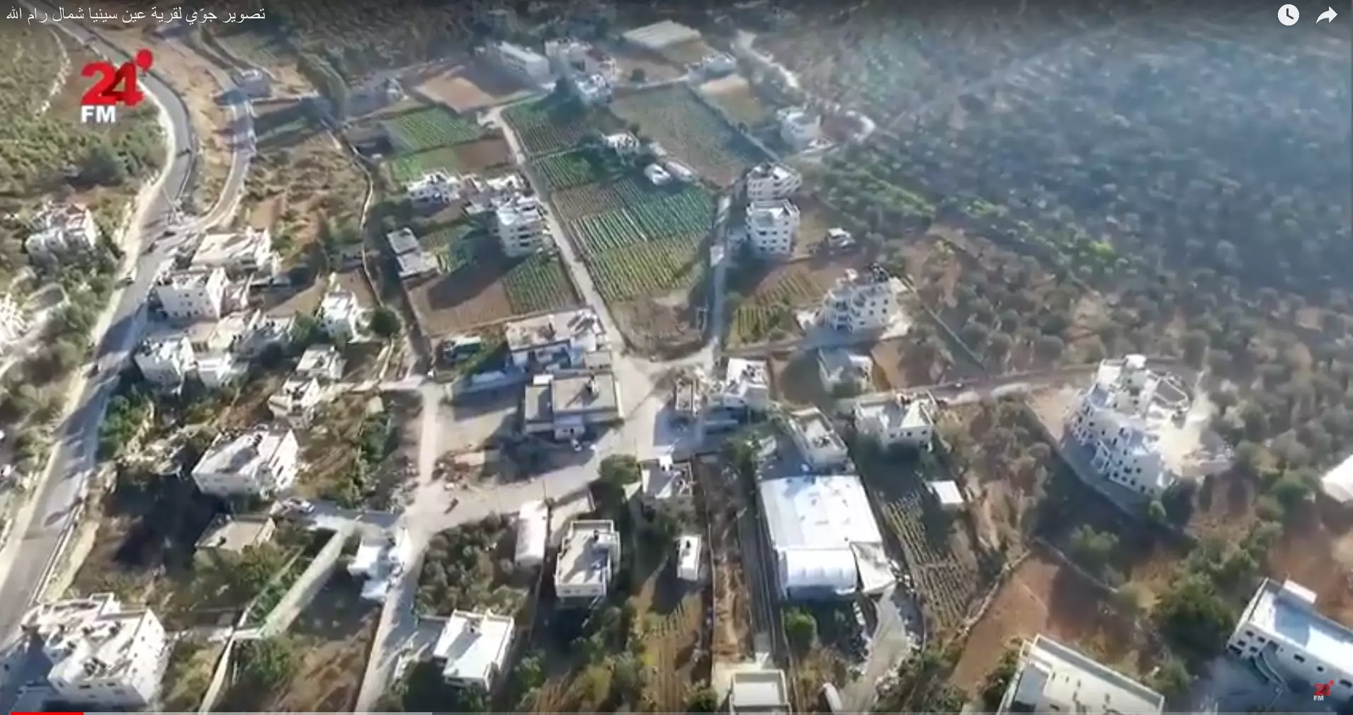
- تصوير جوّي لقرية عين سينيا شمال رام الله وفرت من فديو ل 24FM Palestine #4
- تصوير جوّي لقرية عين سينيا شمال رام الله وفرت من فديو ل 24FM Palestine #5
- تصوير جوّي لقرية عين سينيا شمال رام الله وفرت من فديو ل 24FM Palestine #6
- تصوير جوّي لقرية عين سينيا شمال رام الله وفرت من فديو ل 24FM Palestine #7
- تصوير جوّي لقرية عين سينيا شمال رام الله وفرت من فديو ل 24FM Palestine #8
- تصوير جوّي لقرية عين سينيا شمال رام الله وفرت من فديو ل 24FM Palestine #9
- تصوير جوّي لقرية عين سينيا شمال رام الله وفرت من فديو ل 24FM Palestine #10
- تصوير جوّي لقرية عين سينيا شمال رام الله وفرت من فديو ل 24FM Palestine #11
- تصوير جوّي لقرية عين سينيا شمال رام الله وفرت من فديو ل 24FM Palestine #12
- تصوير جوّي لقرية عين سينيا شمال رام الله وفرت من فديو ل 24FM Palestine #13
- تصوير جوّي لقرية عين سينيا شمال رام الله وفرت من فديو ل 24FM Palestine #14
- ٢٠ عاماً على اعتقال الاسير البطل محمد قصقص (أبو جوهر )

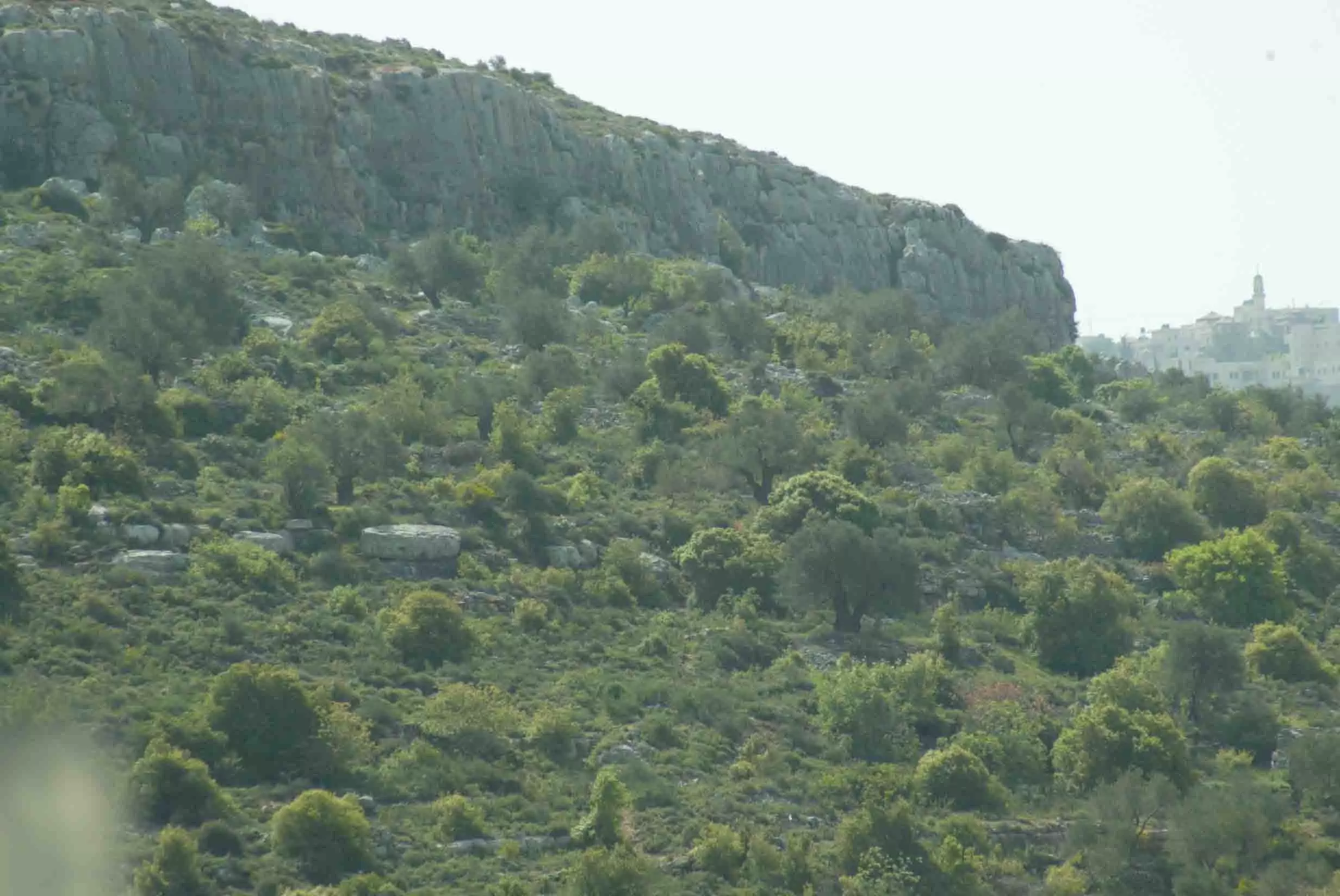
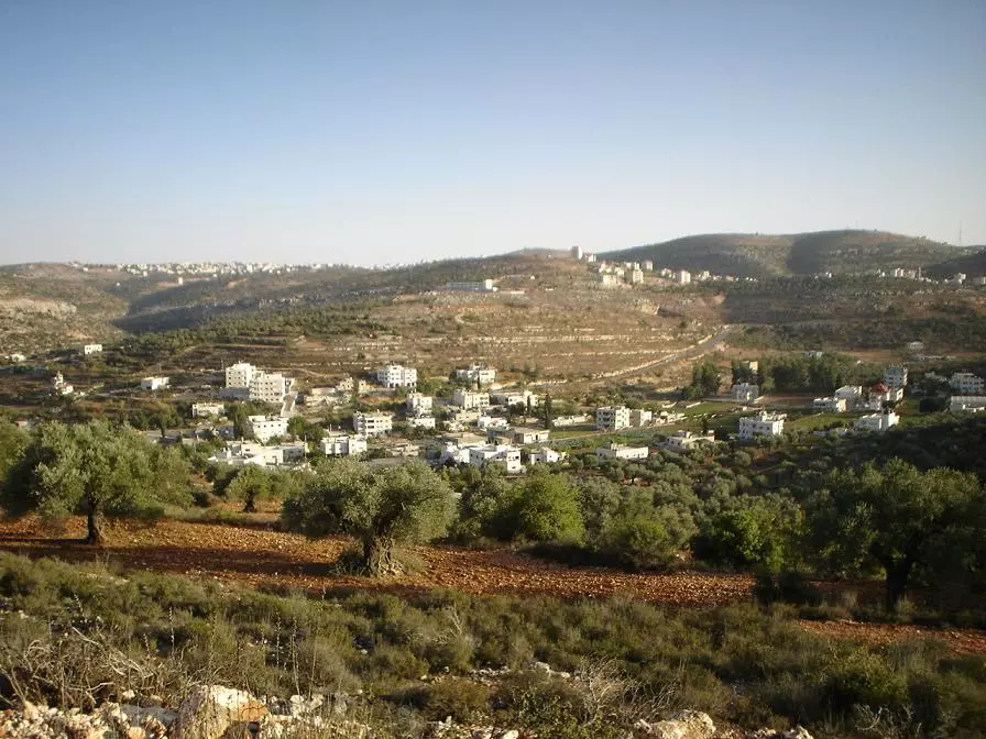
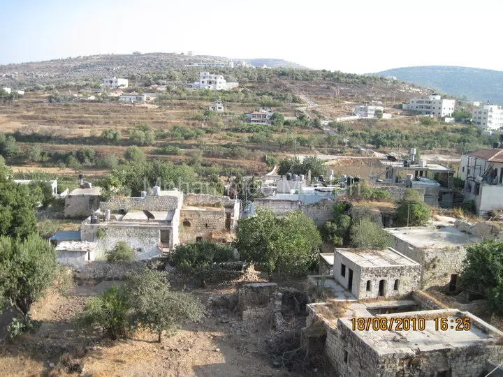
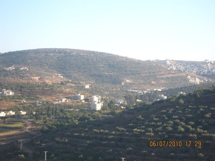
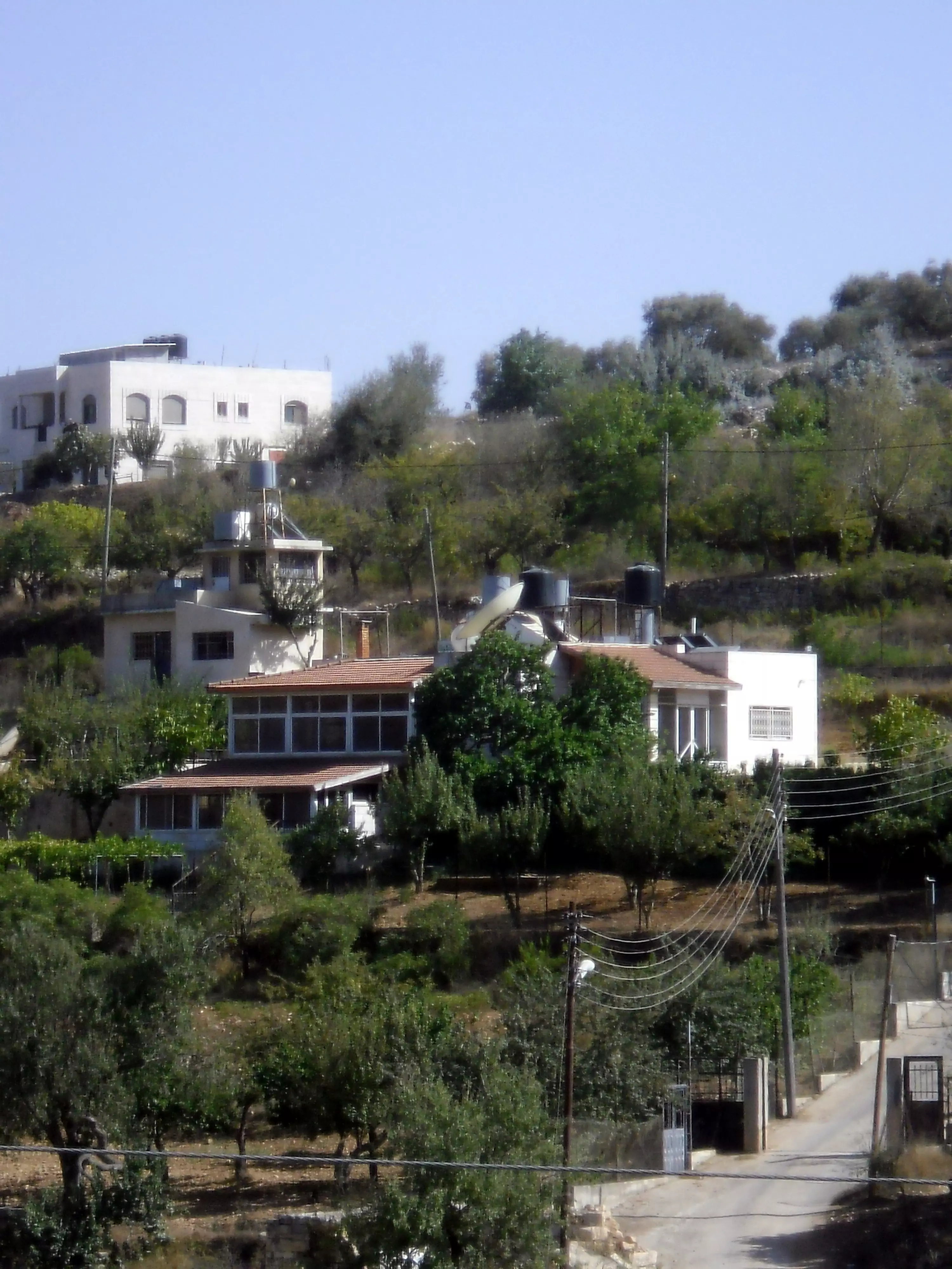
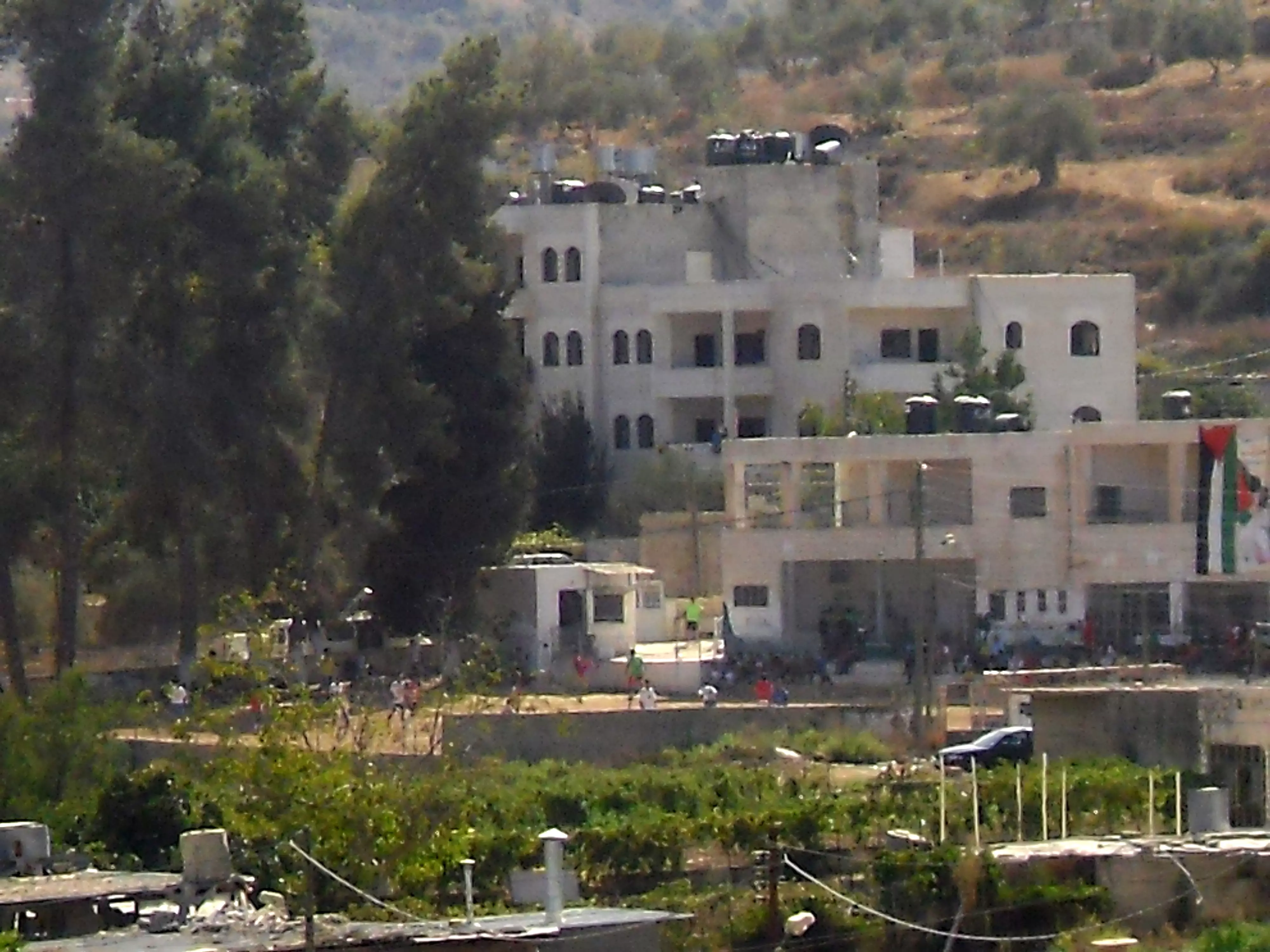
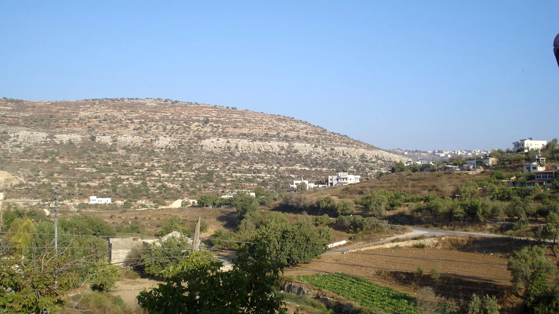
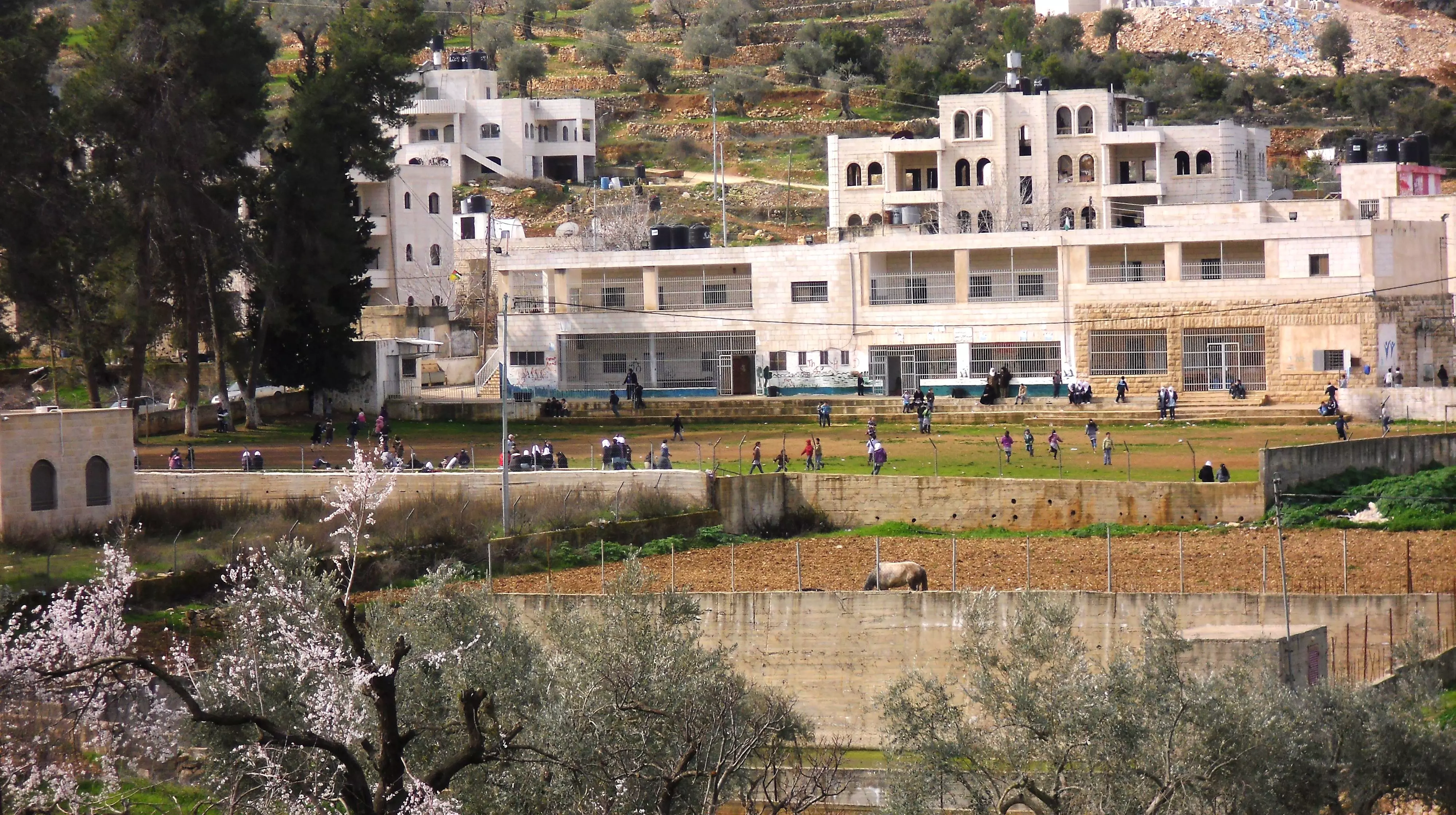
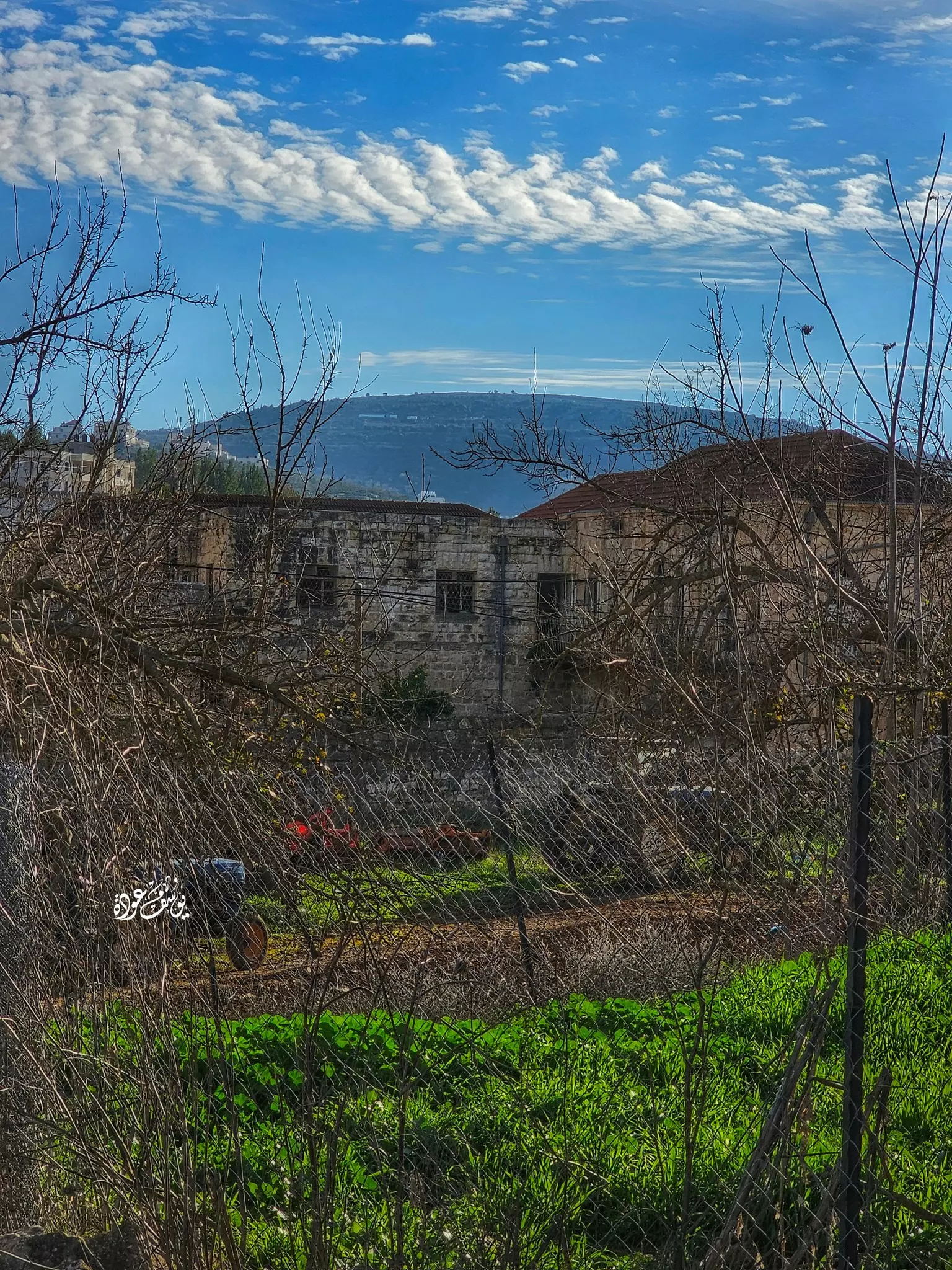
- منظر عام
- منظر عام #2
- منظر عام #3
- منظر عام #4
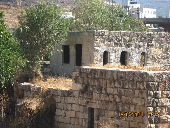
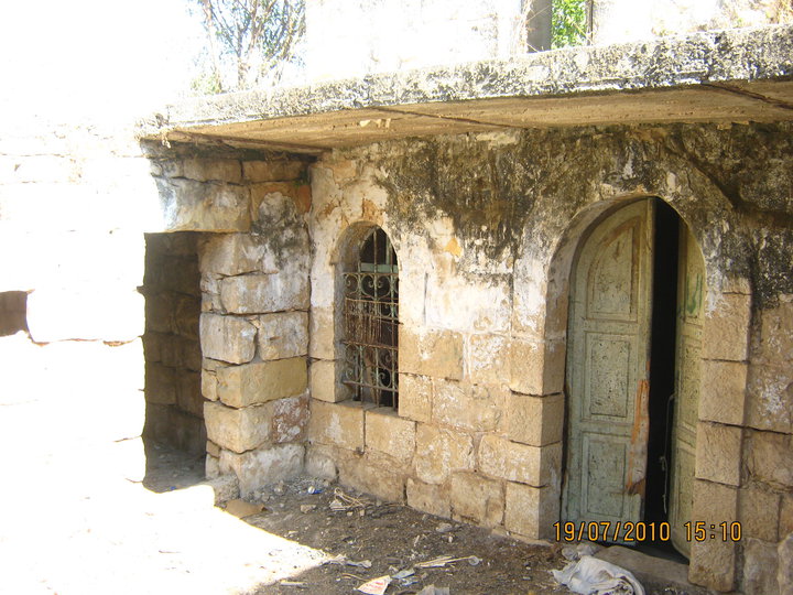
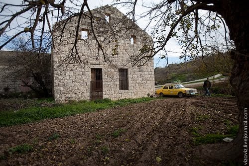
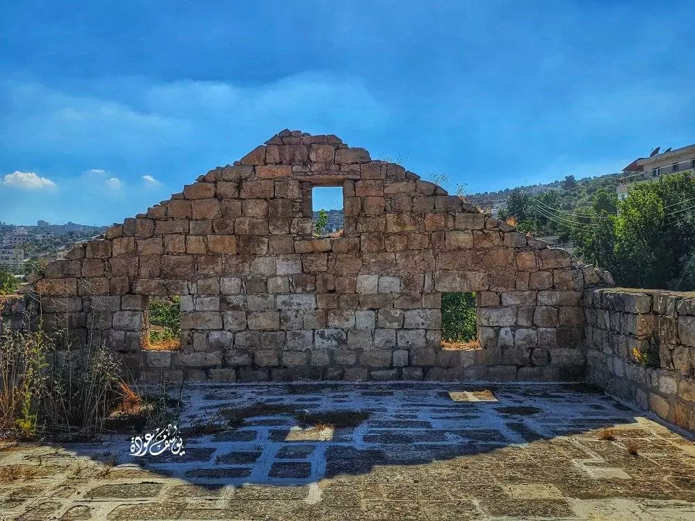
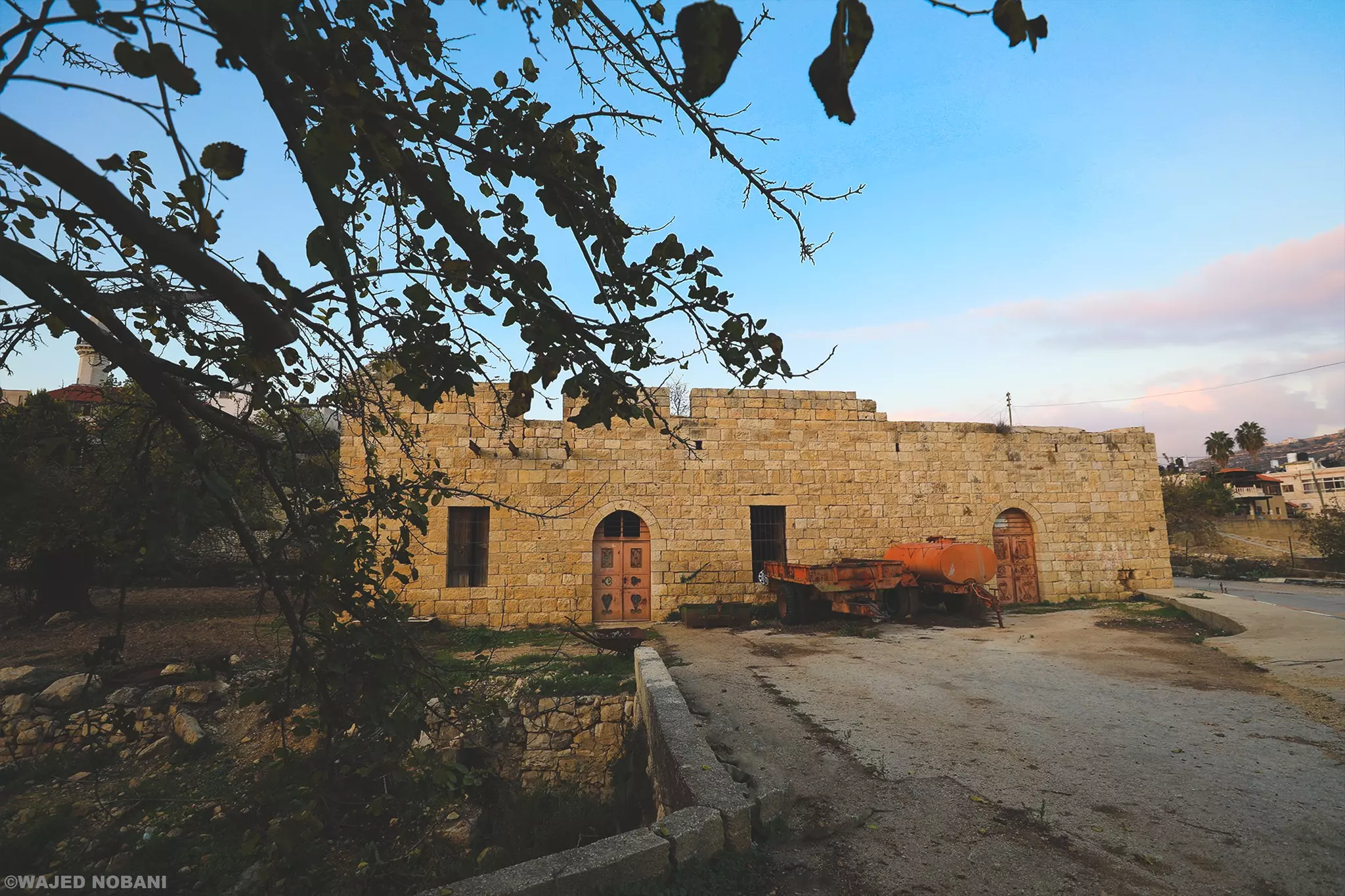
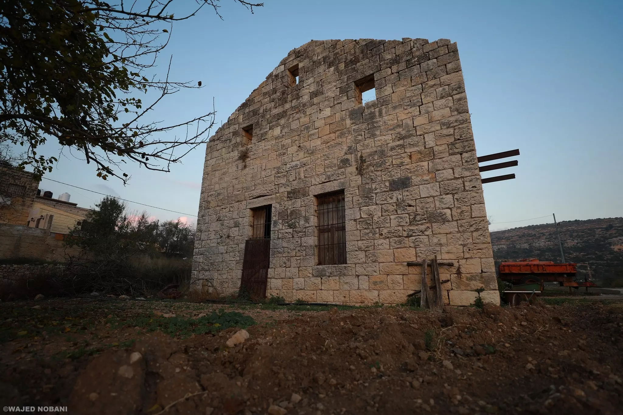
- بيت قديم
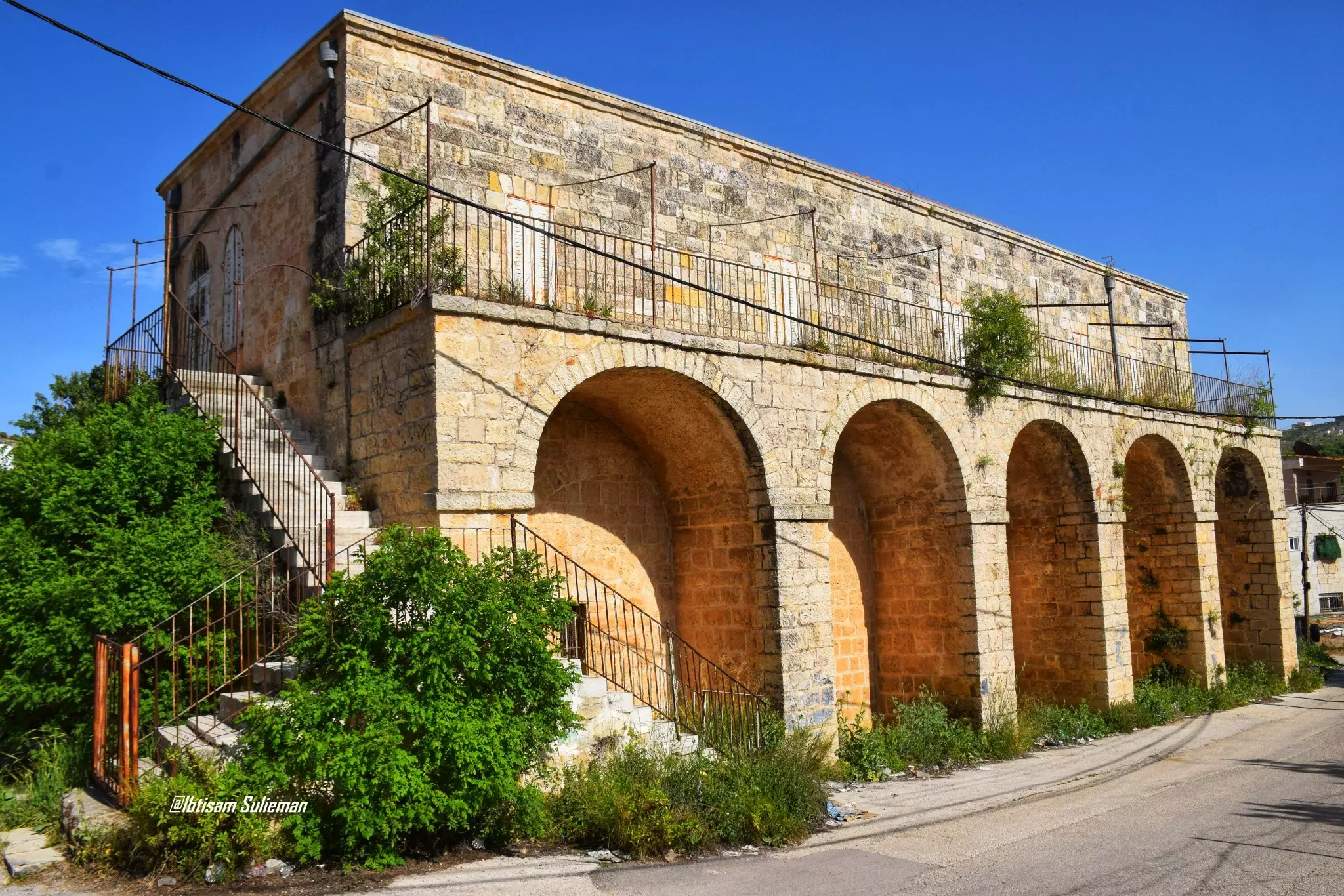
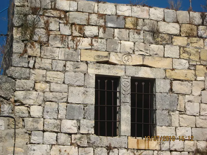
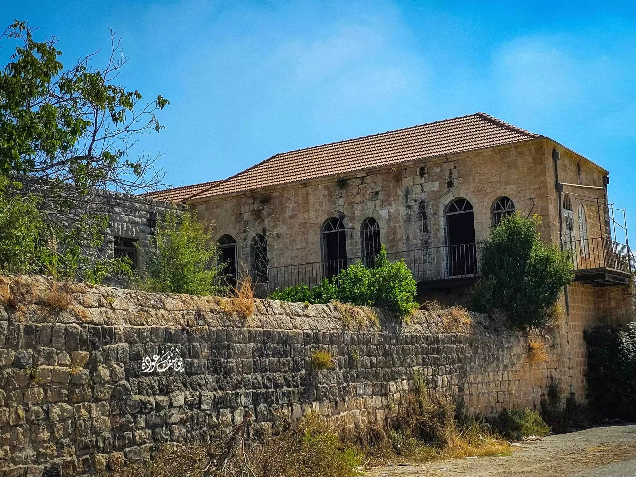
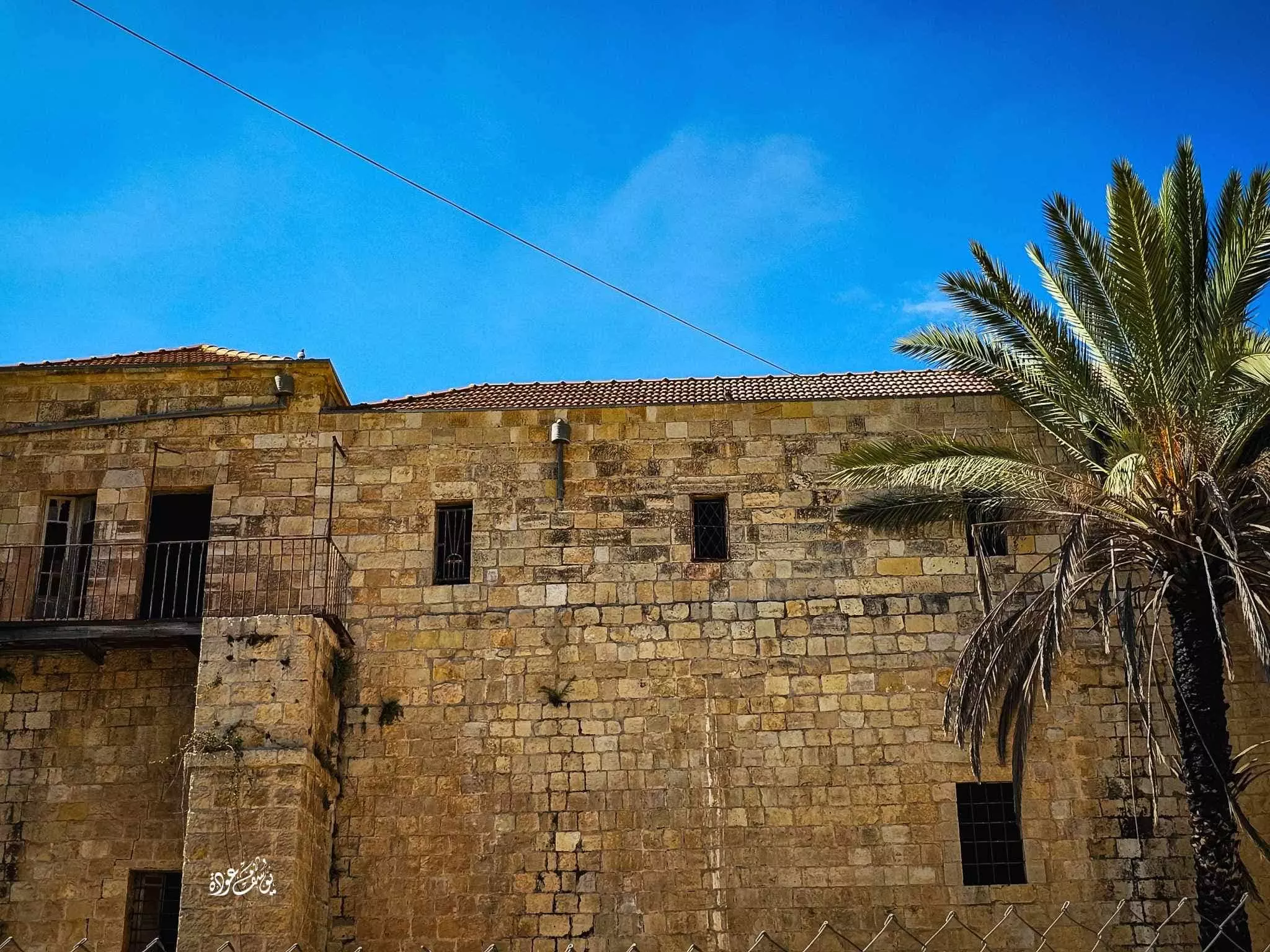
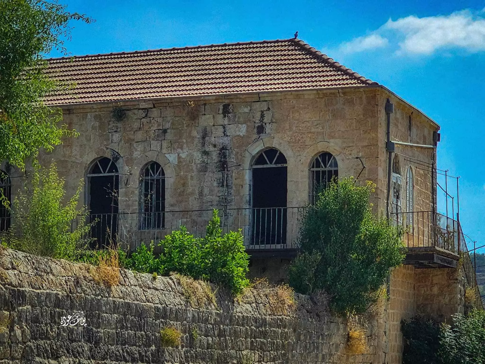
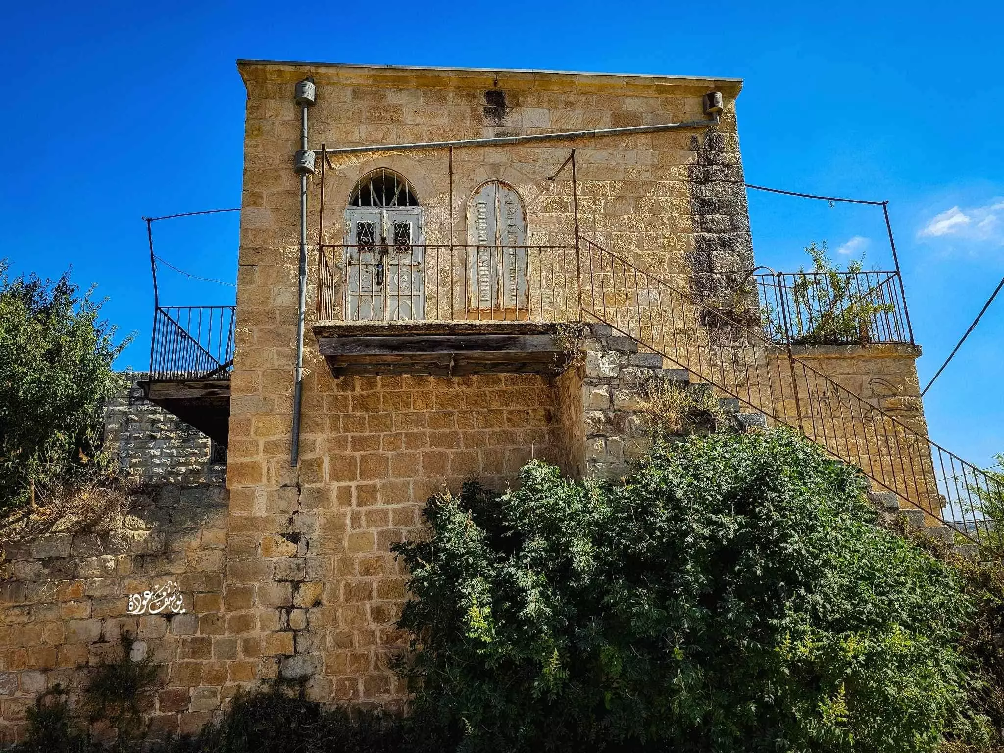
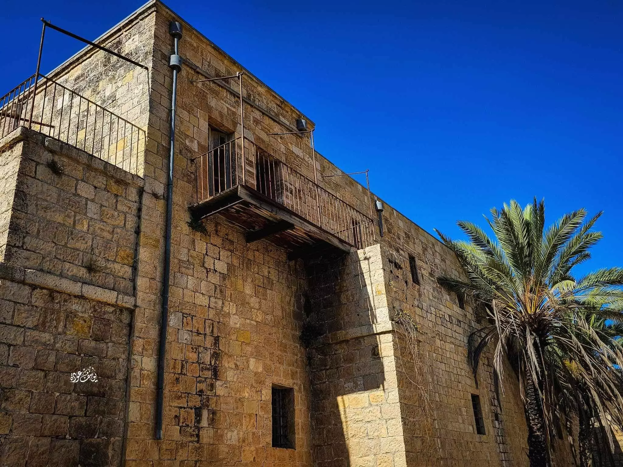
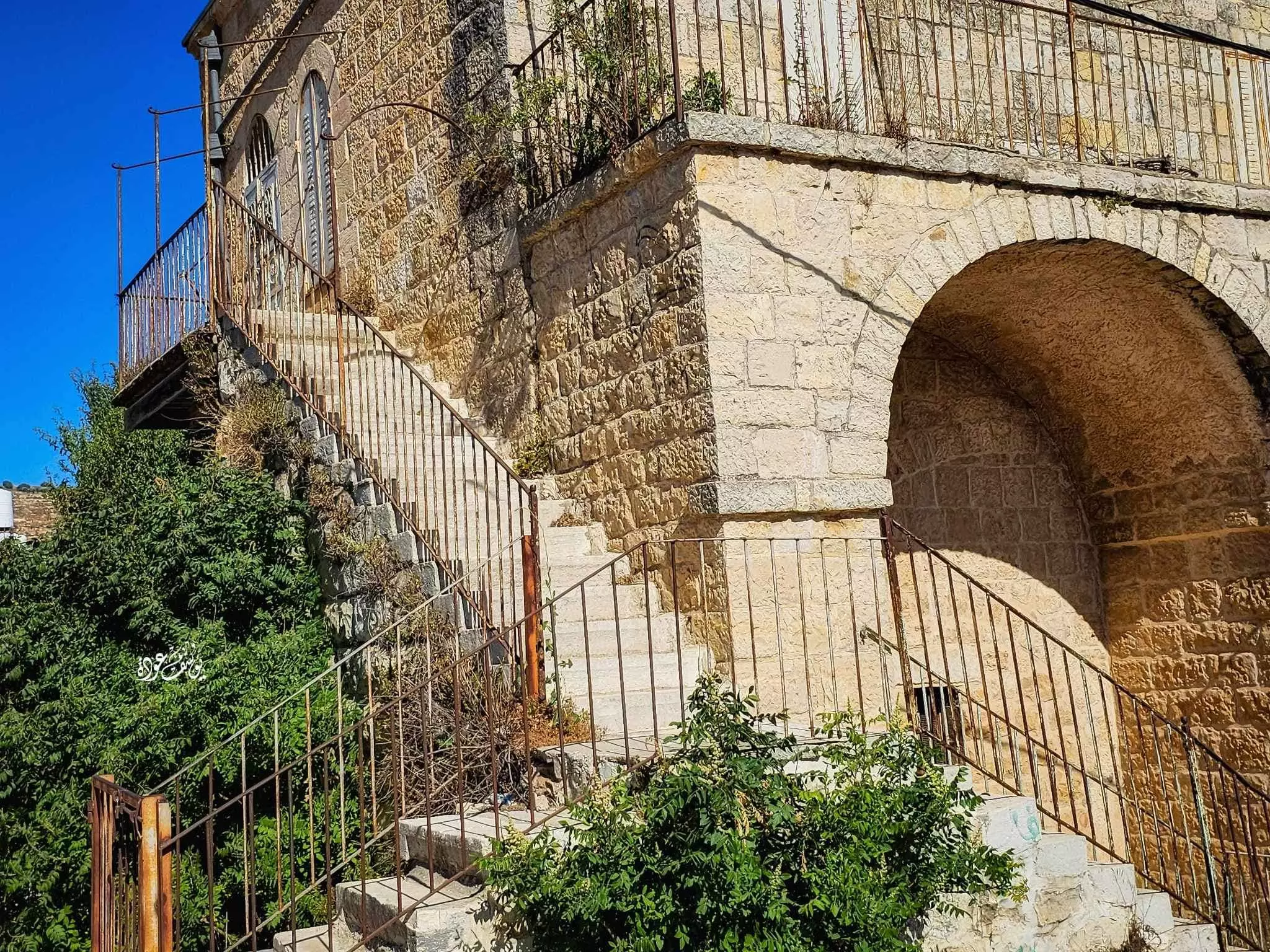
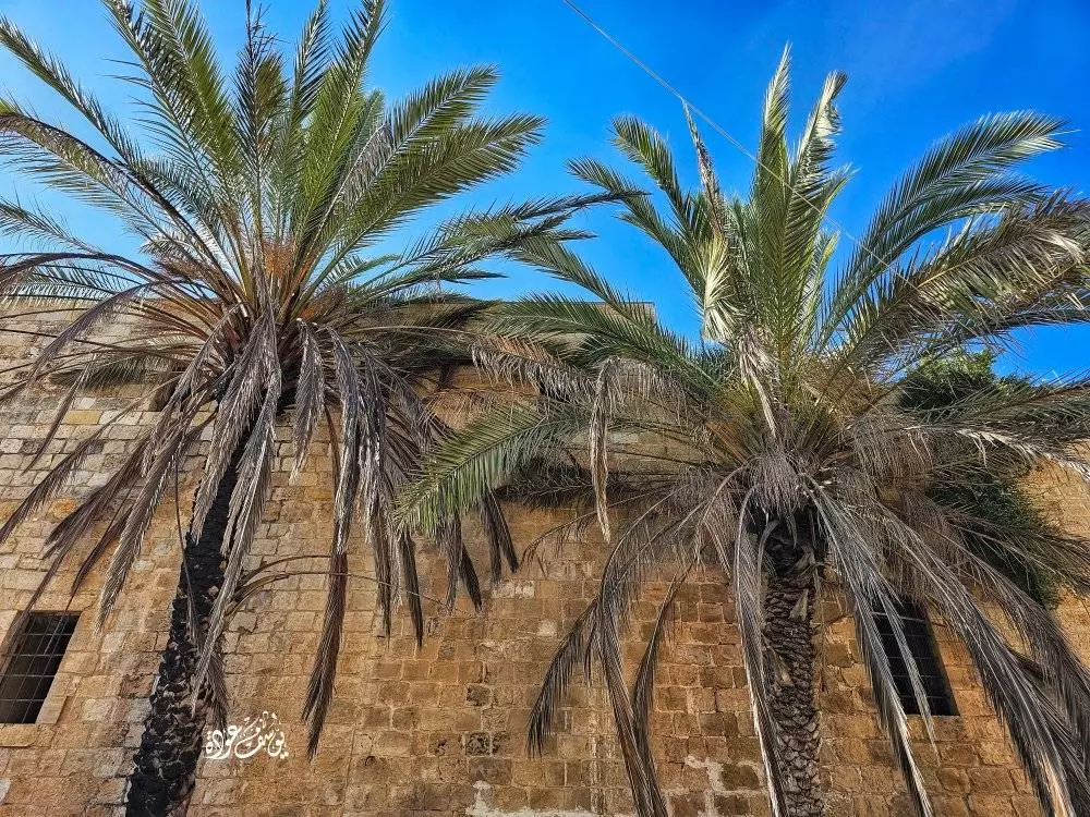
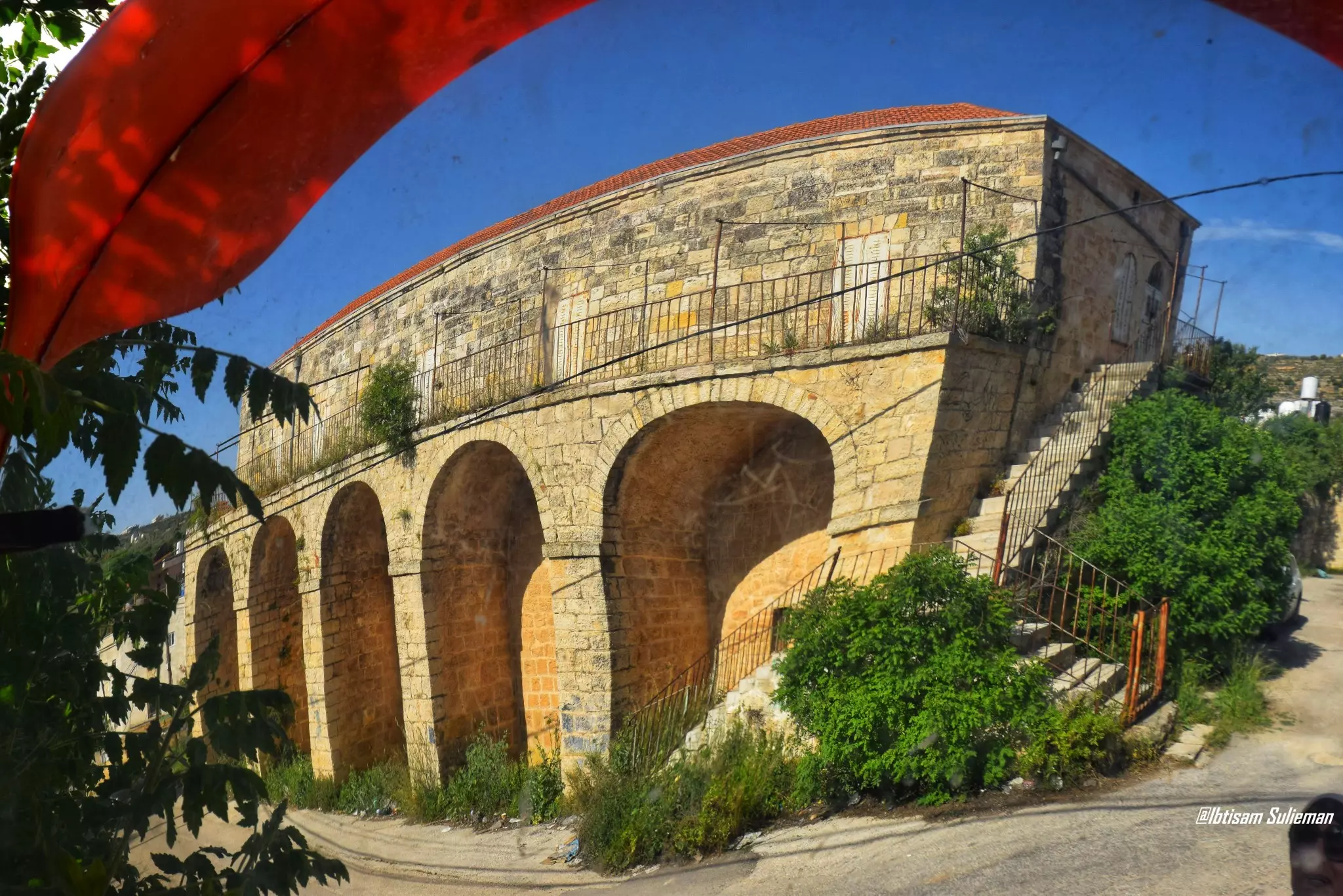
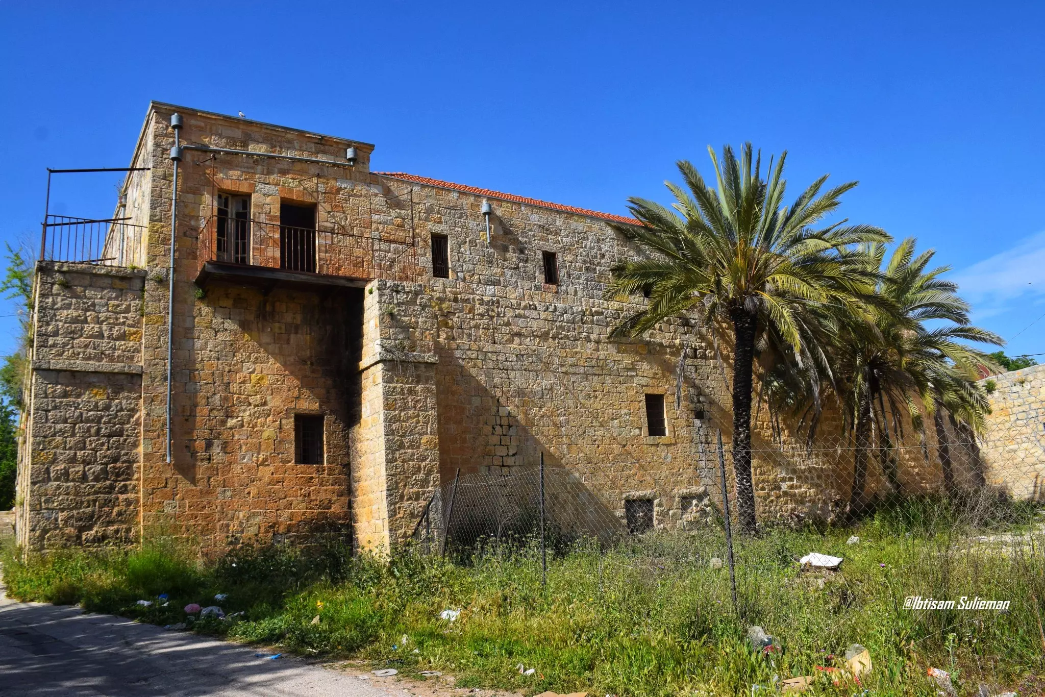
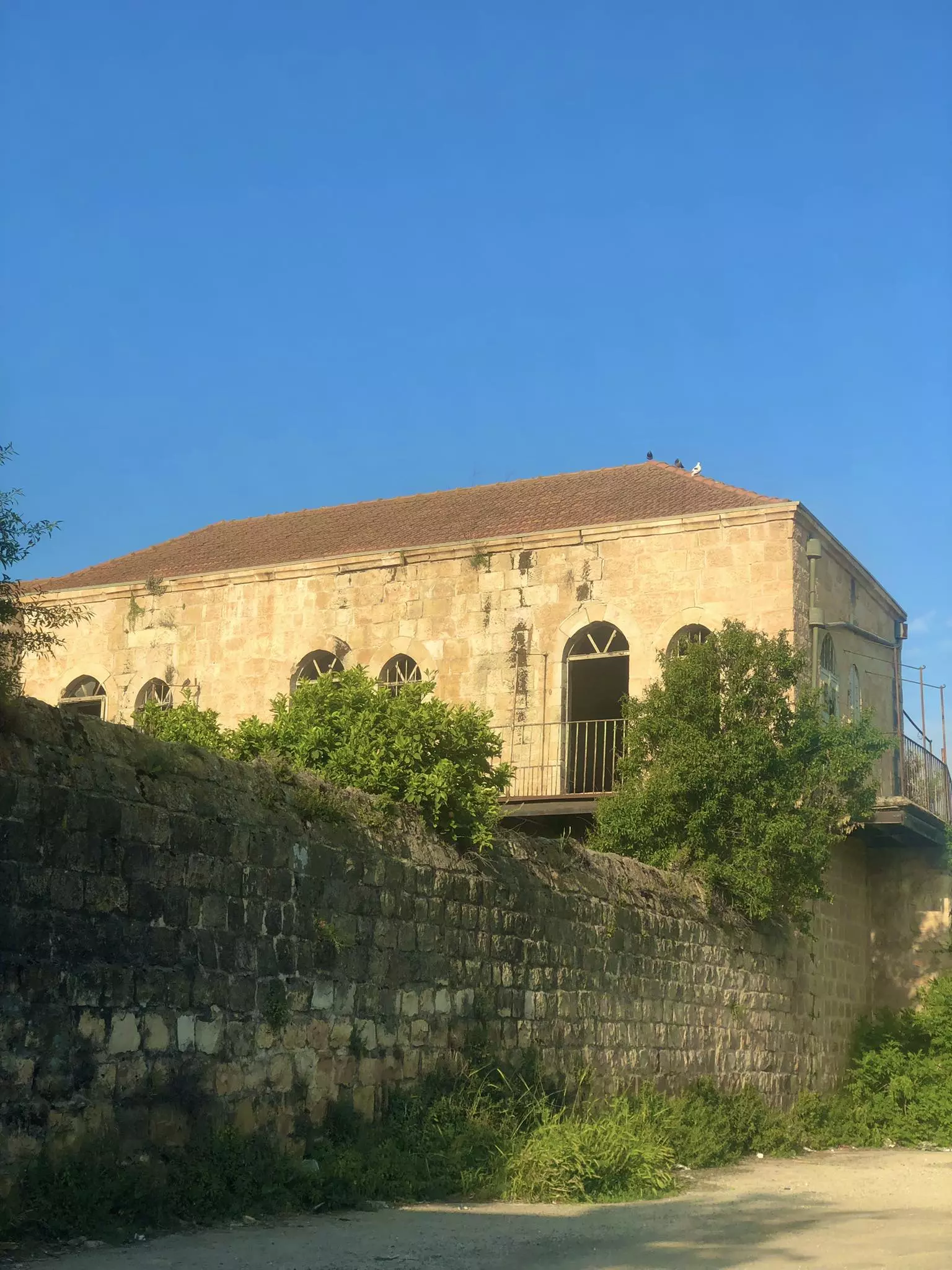
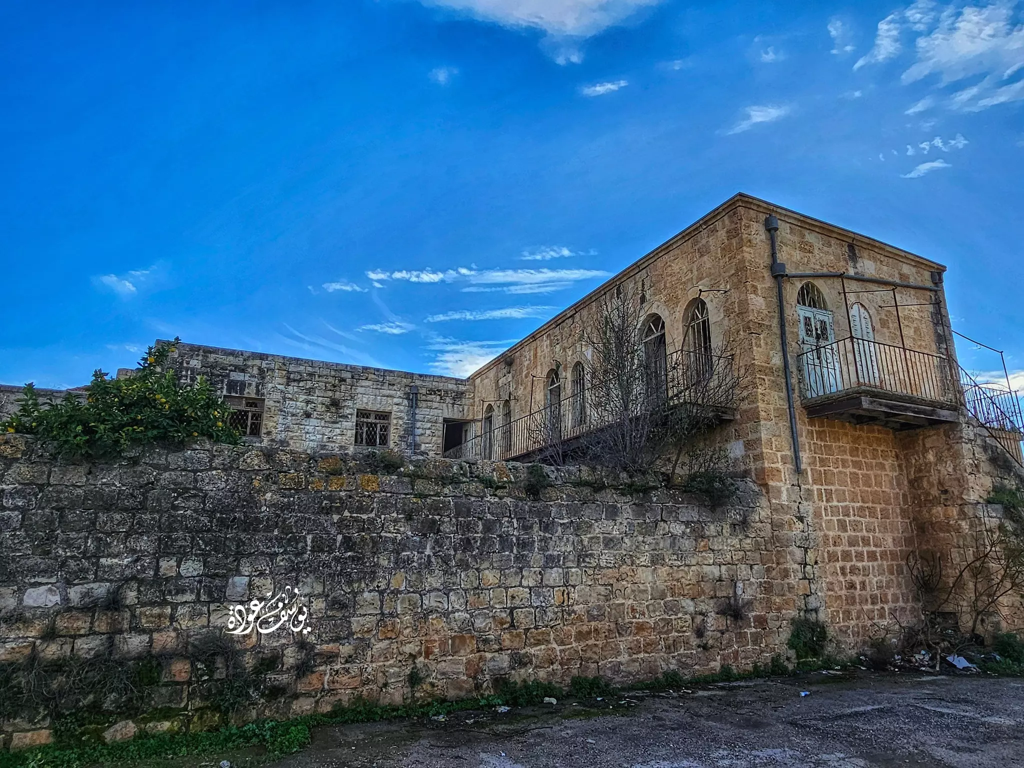
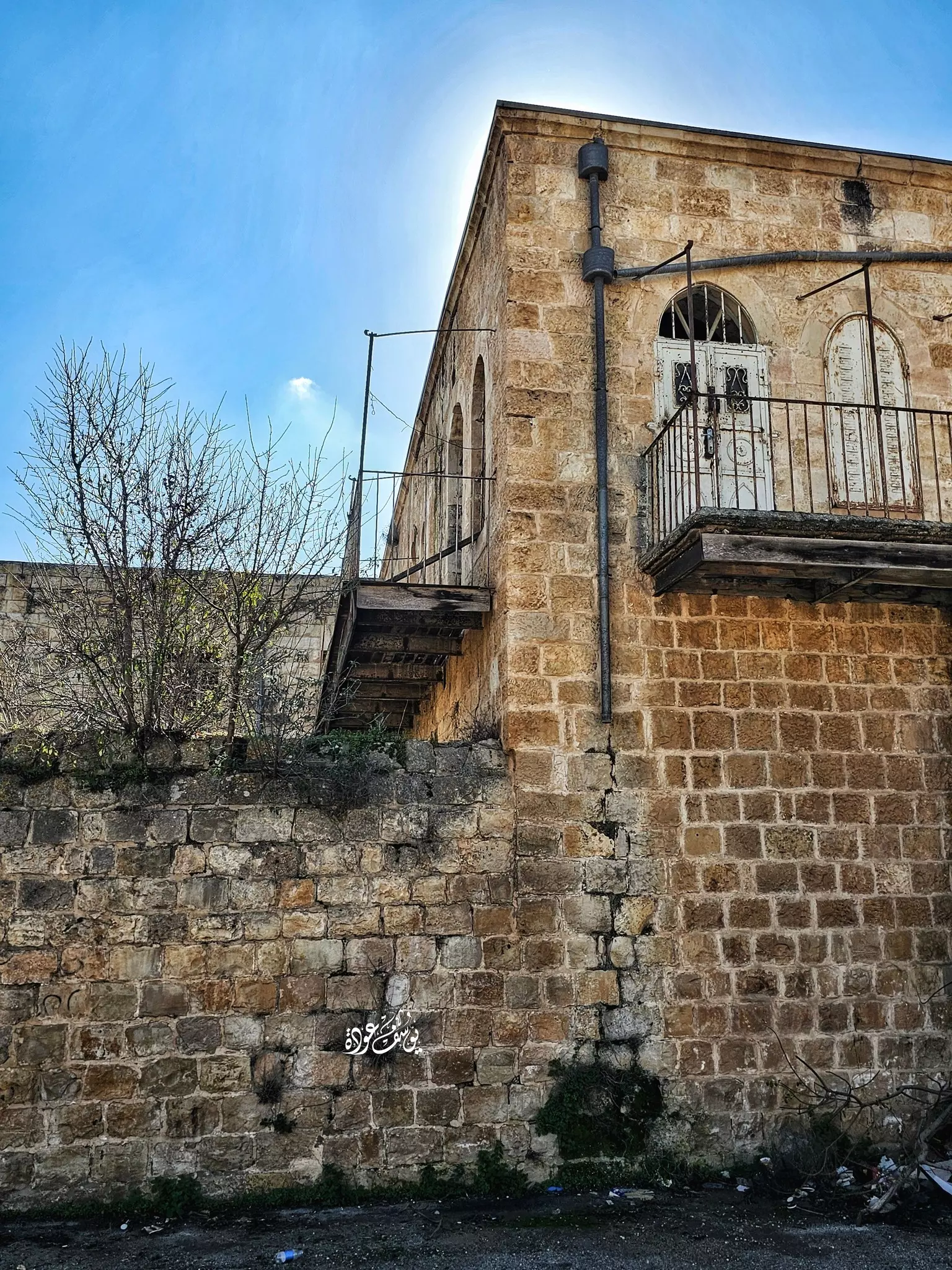
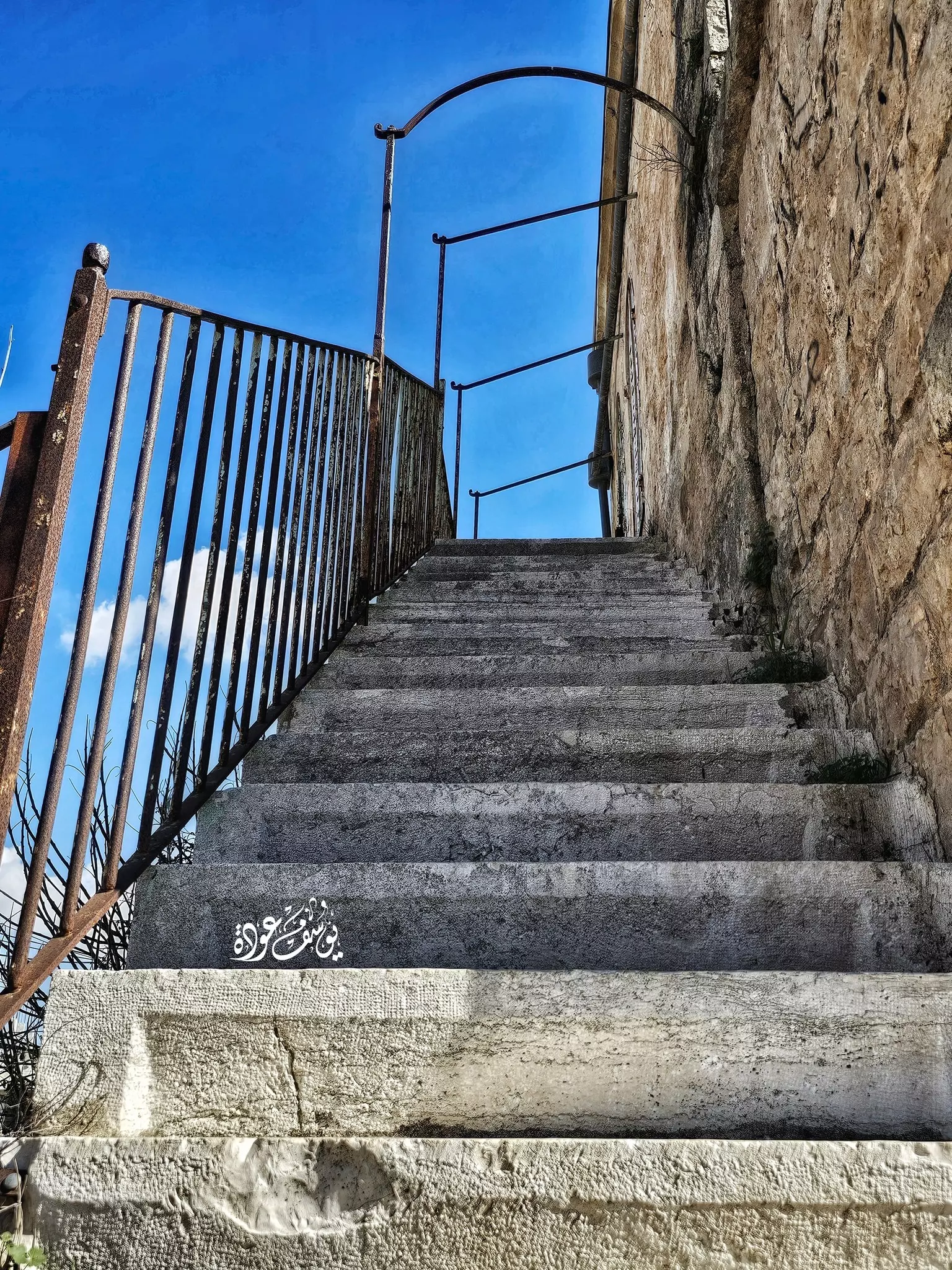
- قصر آل الحسيني، عين سينيا -- تصوير:يوسف عودة
- قصر آل الحسيني، عين سينيا -- تصوير:يوسف عودة #2
- قصر آل الحسيني، عين سينيا -- تصوير:يوسف عودة #3
- قصر آل الحسيني، عين سينيا -- تصوير:يوسف عودة #4
- قصر آل الحسيني، عين سينيا -- تصوير:يوسف عودة #5
- قصر آل الحسيني، عين سينيا -- تصوير:يوسف عودة #6
- قصر آل الحسيني، عين سينيا -- تصوير:يوسف عودة #7
- قصر آل الحسيني، عين سينيا -- تصوير:يوسف عودة #8
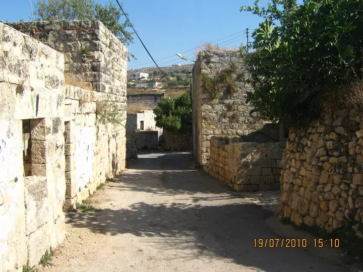
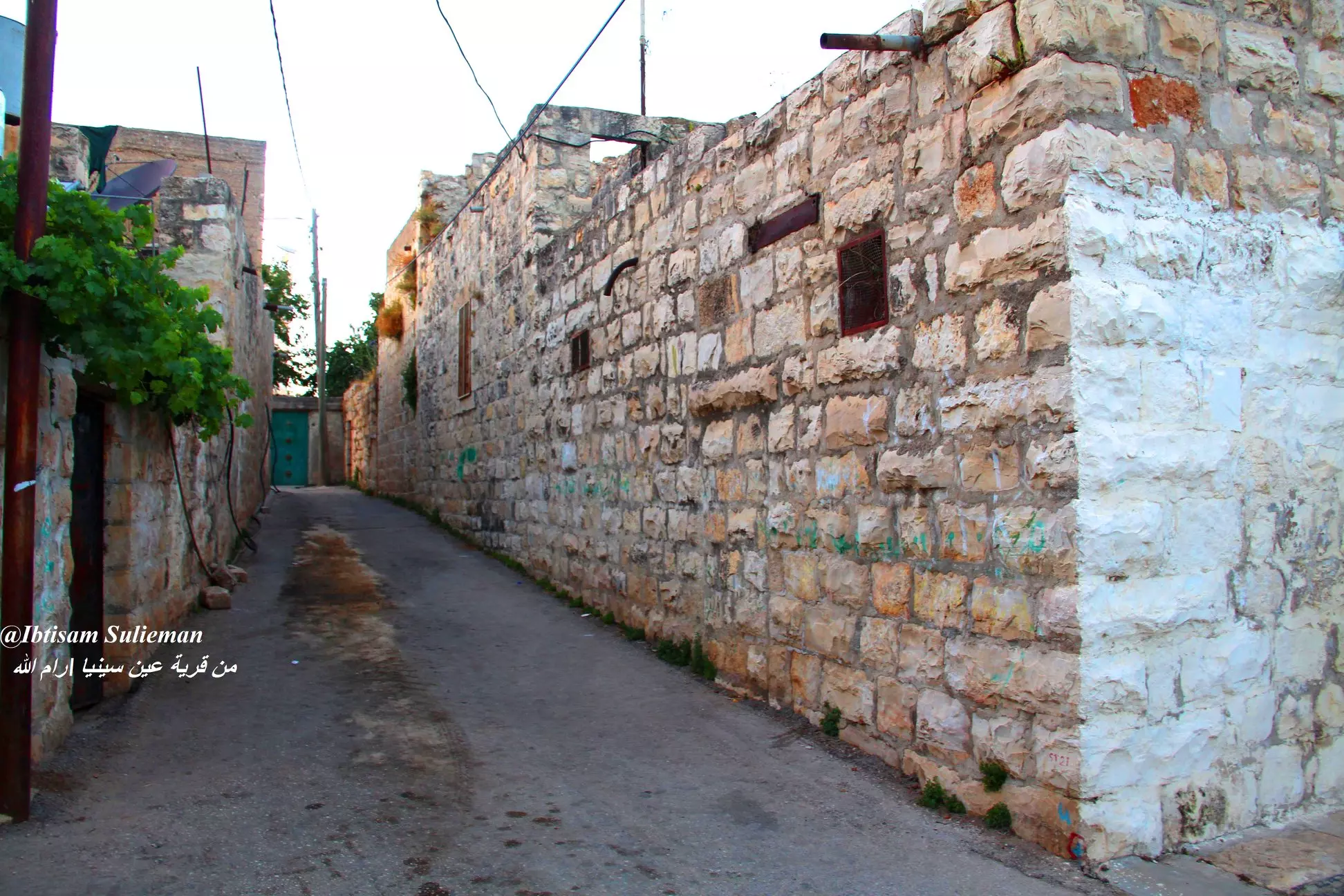
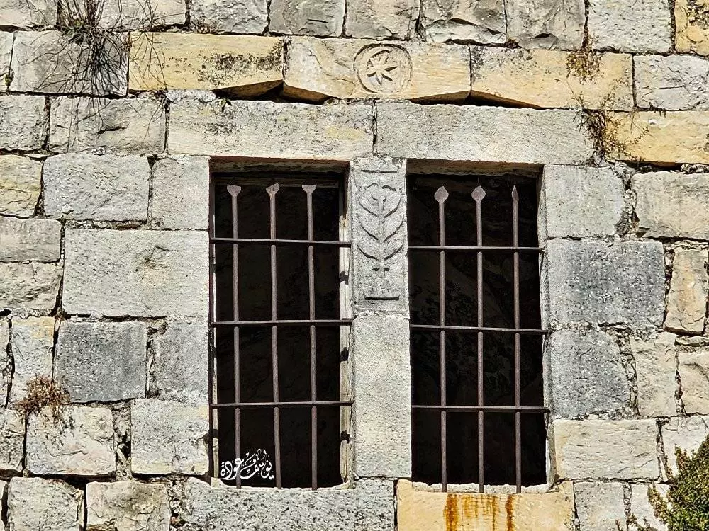
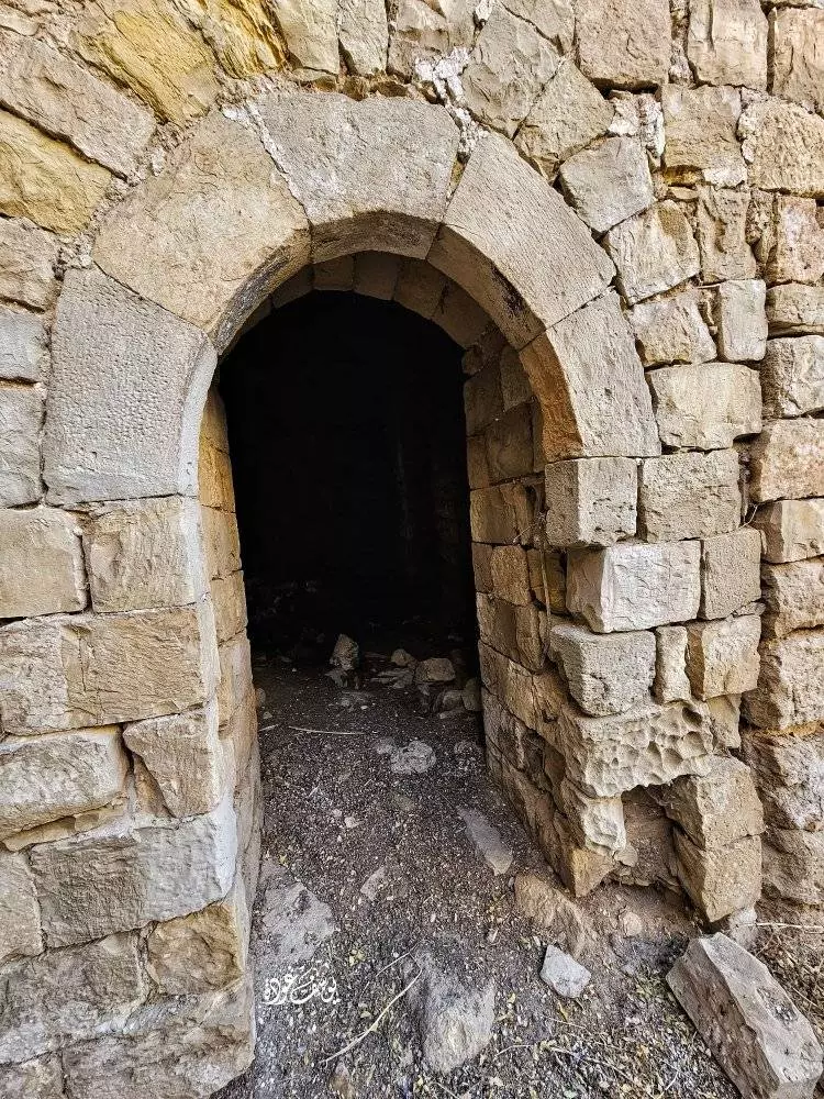
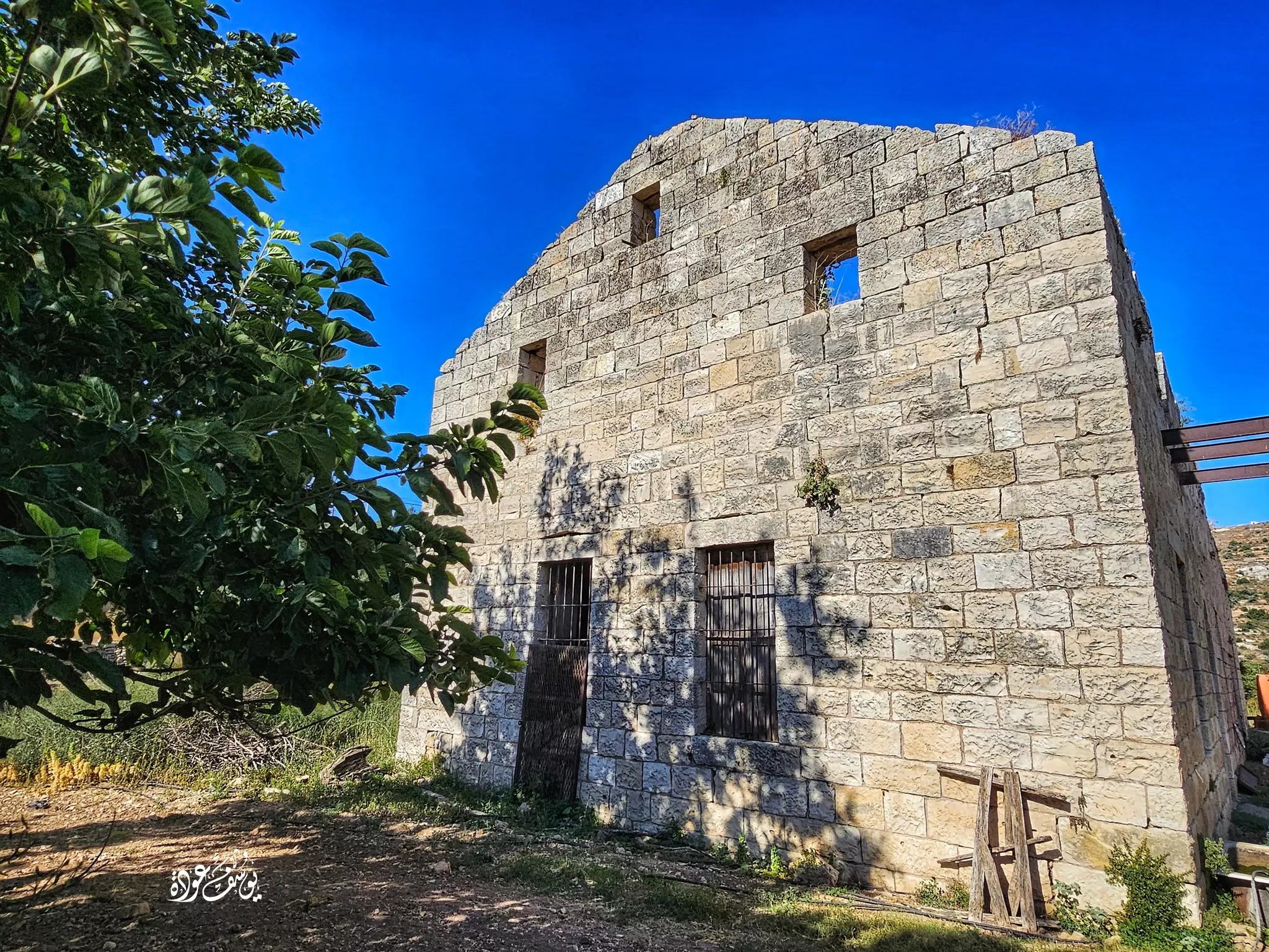
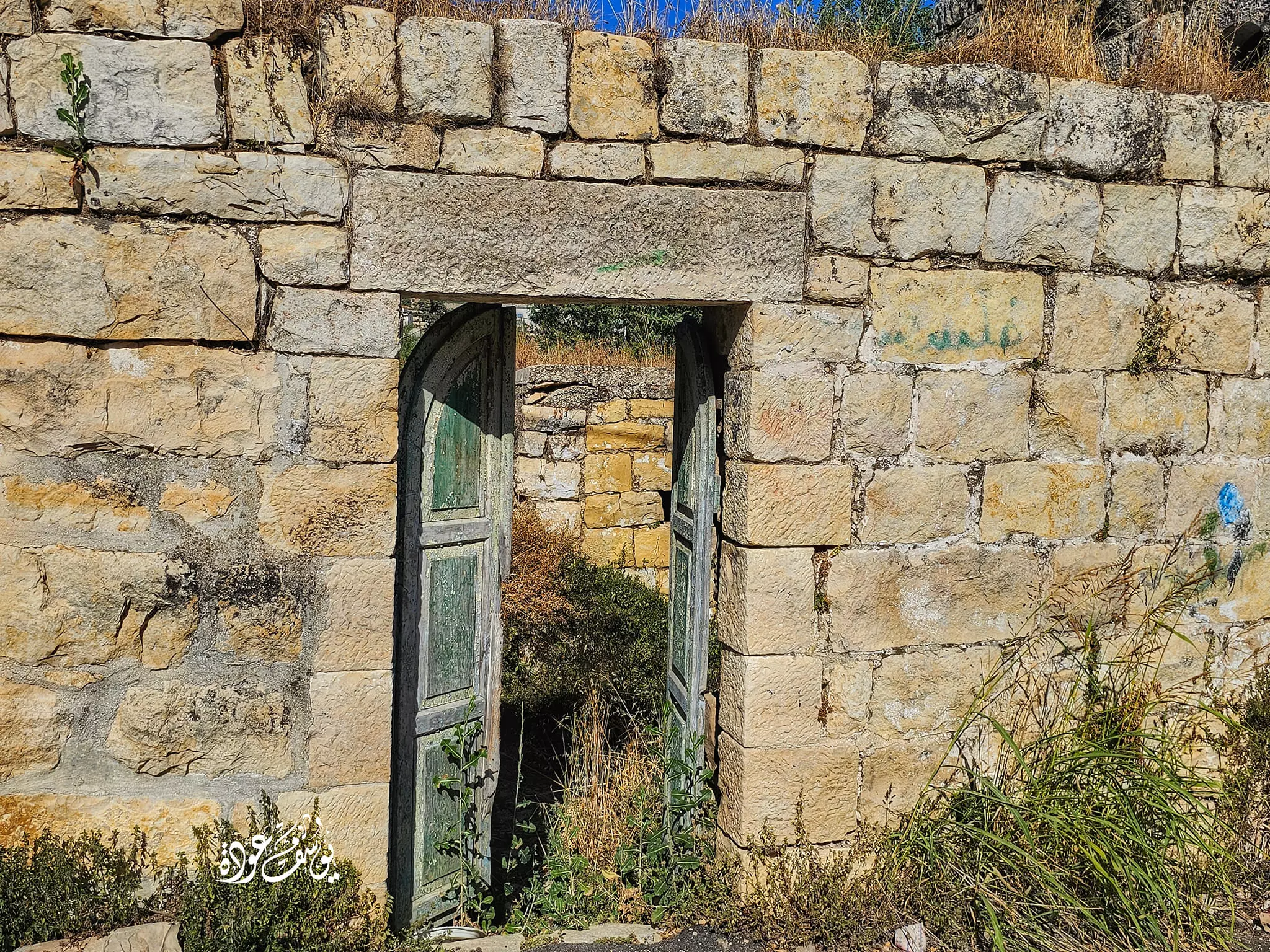
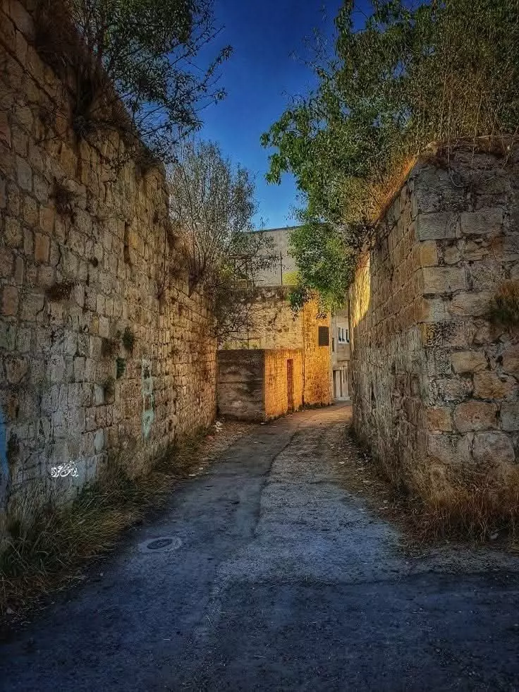
- جولة بين بيوت القرية القديمة -- Yousef Odeh
- جولة بين بيوت القرية القديمة -- Yousef Odeh #2
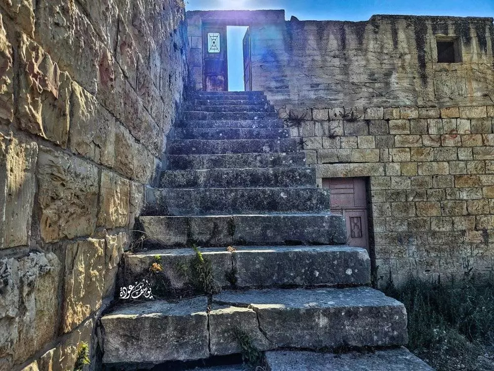
- جولة بين بيوت القرية القديمة -- Yousef Odeh #3
- جولة بين بيوت القرية القديمة -- Yousef Odeh #4
- جولة بين بيوت القرية القديمة -- Yousef Odeh #5
- جولة بين بيوت القرية القديمة -- Yousef Odeh #6
- جولة بين بيوت القرية القديمة -- Yousef Odeh #7
- جولة بين بيوت القرية القديمة -- Yousef Odeh #8
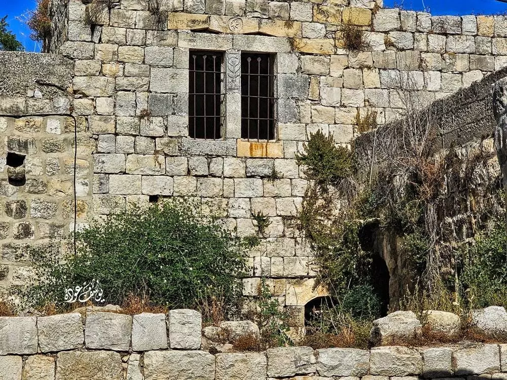
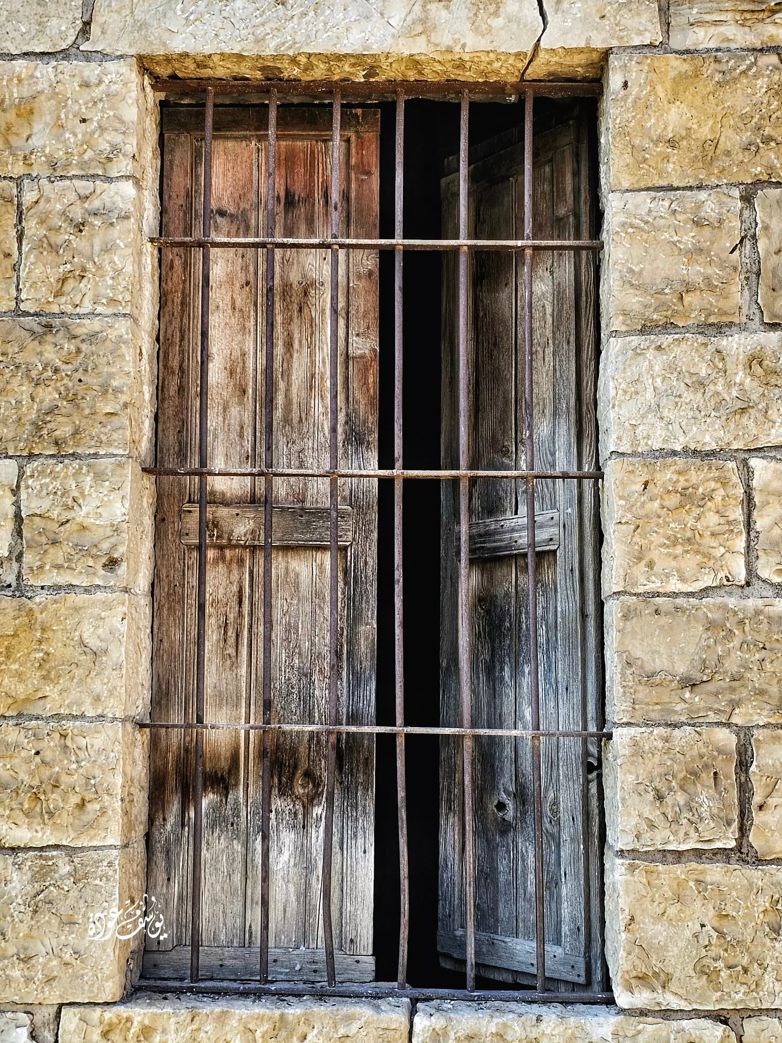
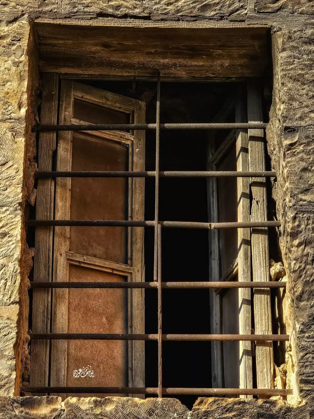
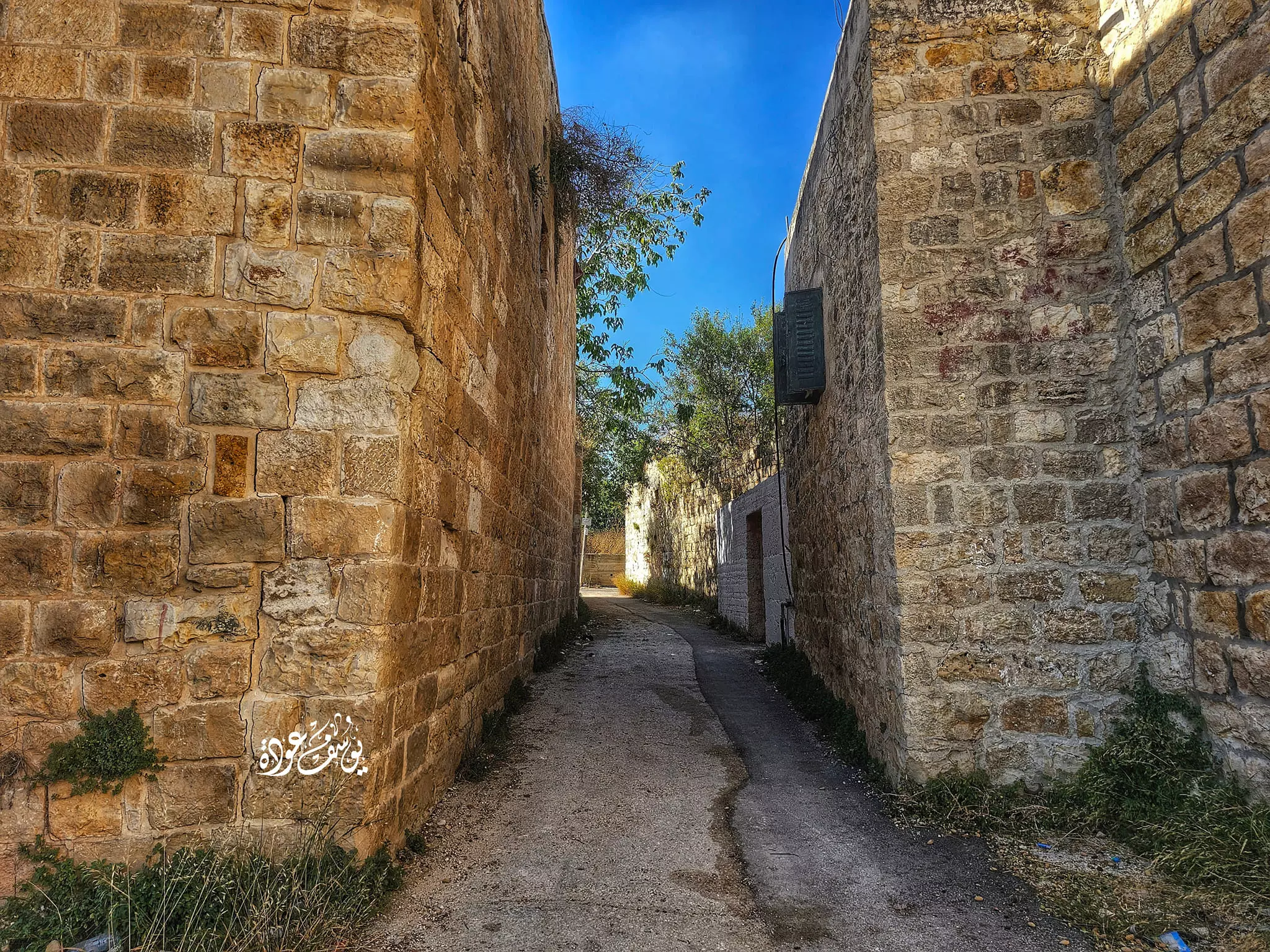
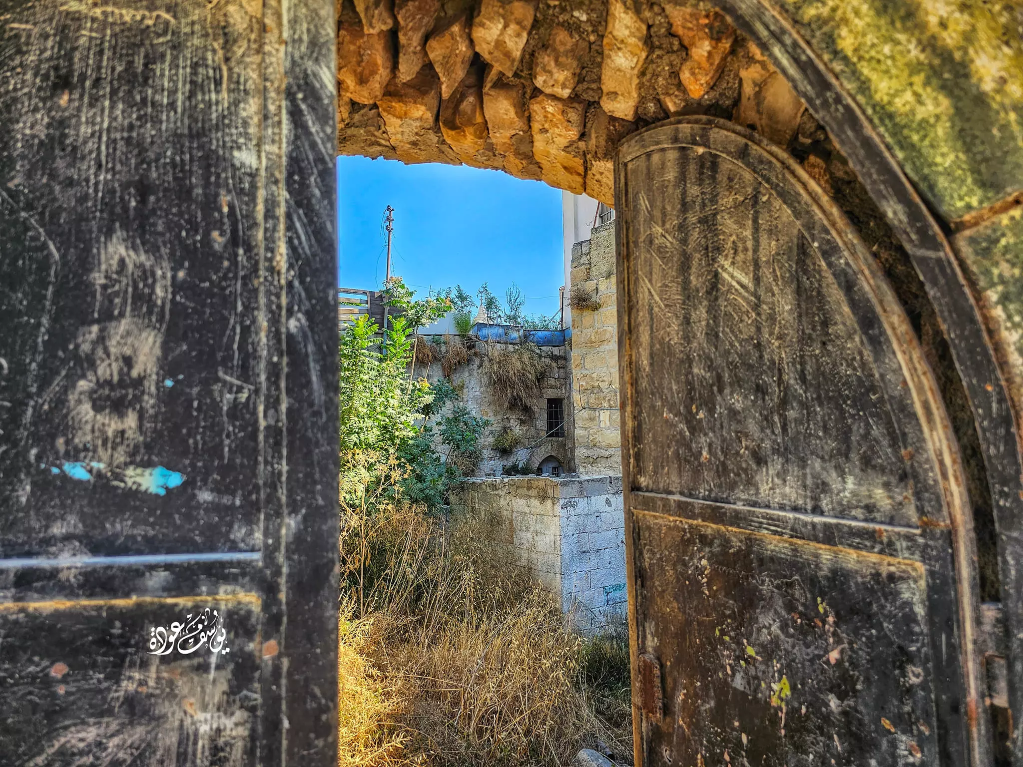
- جولة بين بيوت القرية القديمة -- تصوير:يوسف عودة

- جولة بين بيوت القرية القديمة -- تصوير:يوسف عودة #2
- جولة بين بيوت القرية القديمة -- تصوير:يوسف عودة #3

- جولة بين بيوت القرية القديمة -- تصوير:يوسف عودة #4

- جولة بين بيوت القرية القديمة -- تصوير:يوسف عودة #5

- جولة بين بيوت القرية القديمة -- تصوير:يوسف عودة #6

- جولة بين بيوت القرية القديمة -- تصوير:يوسف عودة #7
- جولة بين بيوت القرية القديمة -- تصوير:يوسف عودة #8
- جولة بين بيوت القرية القديمة -- تصوير:يوسف عودة #9
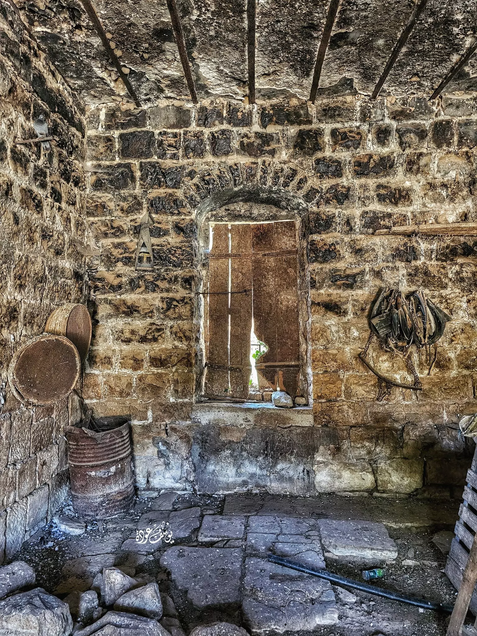
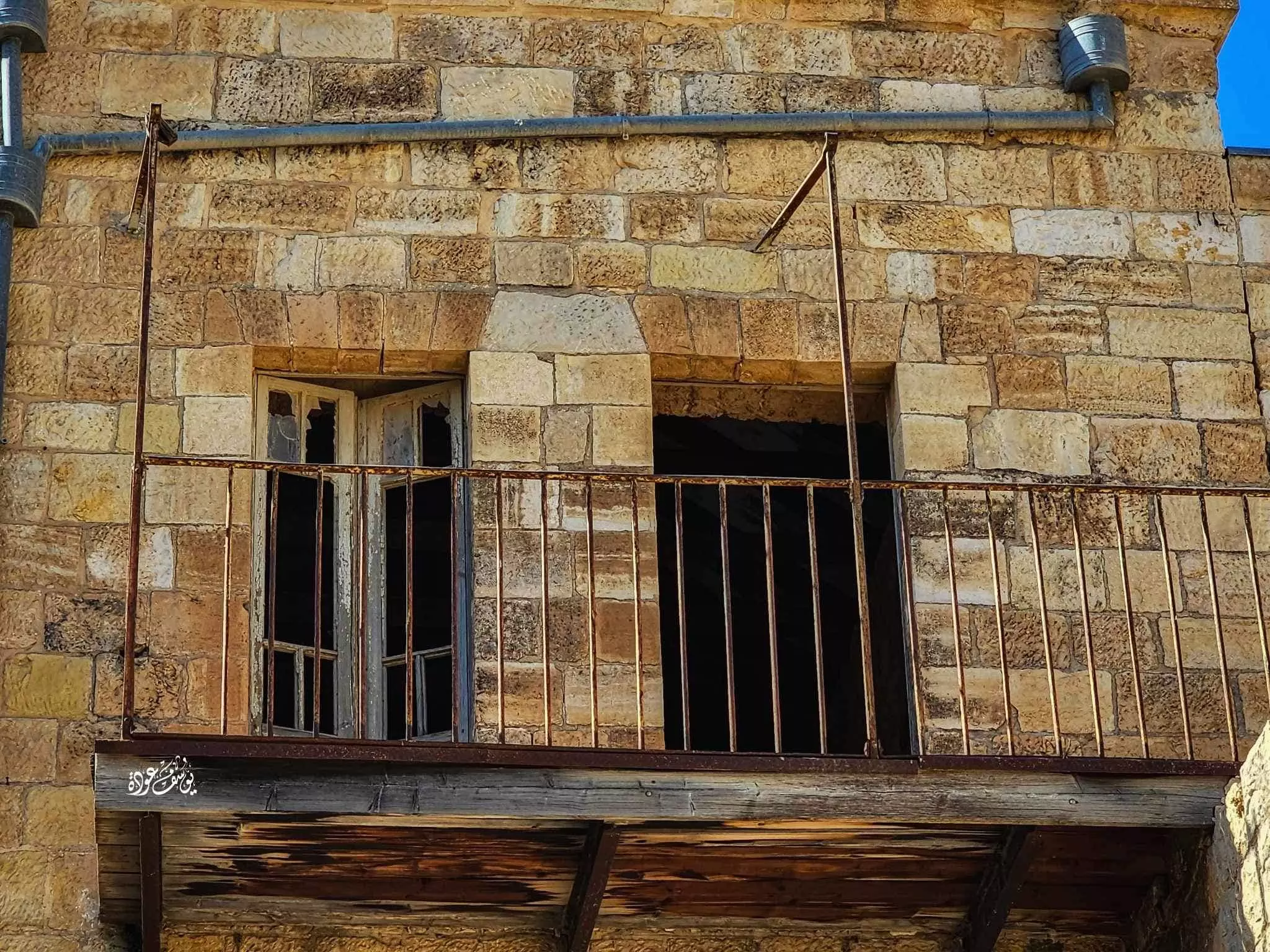
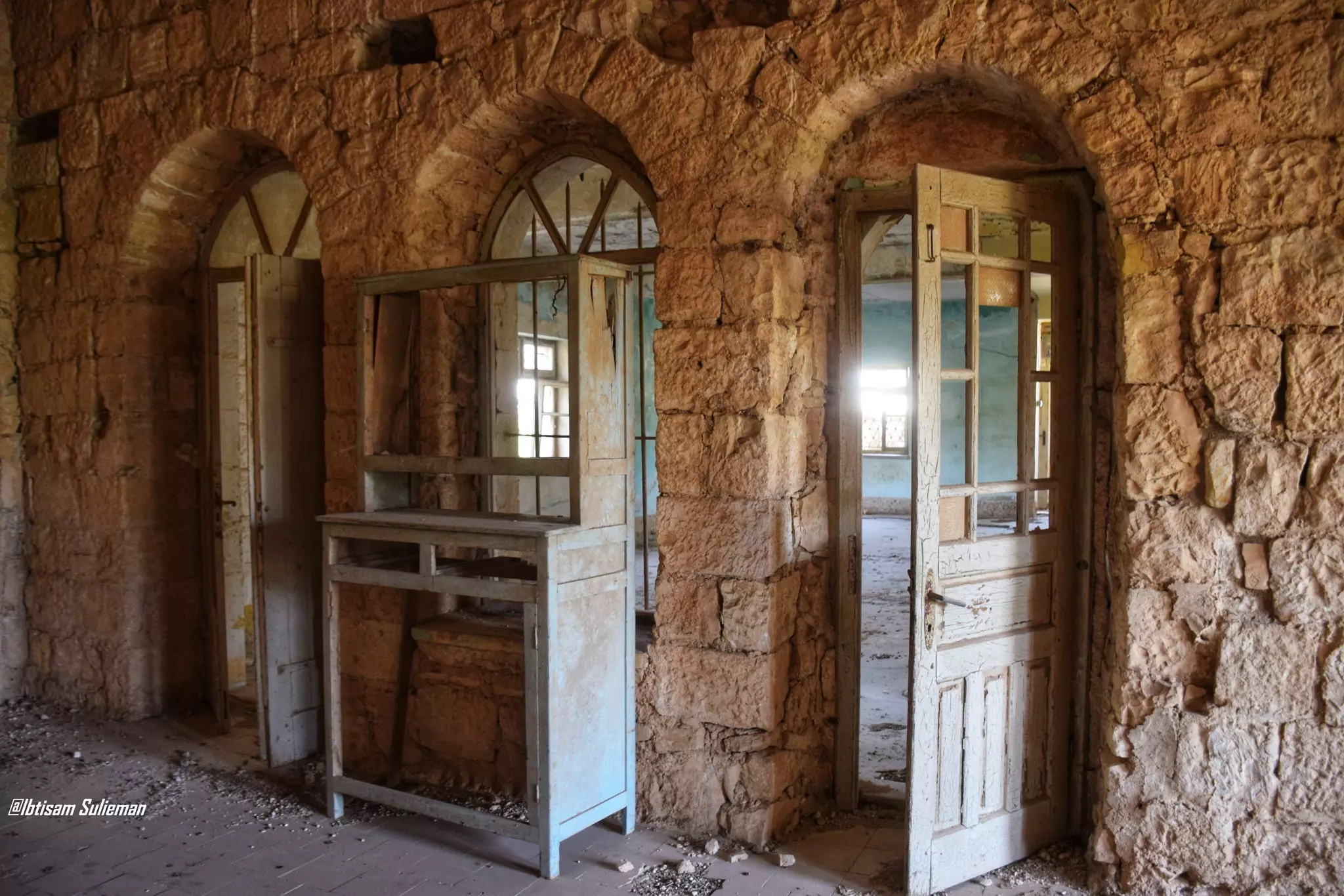
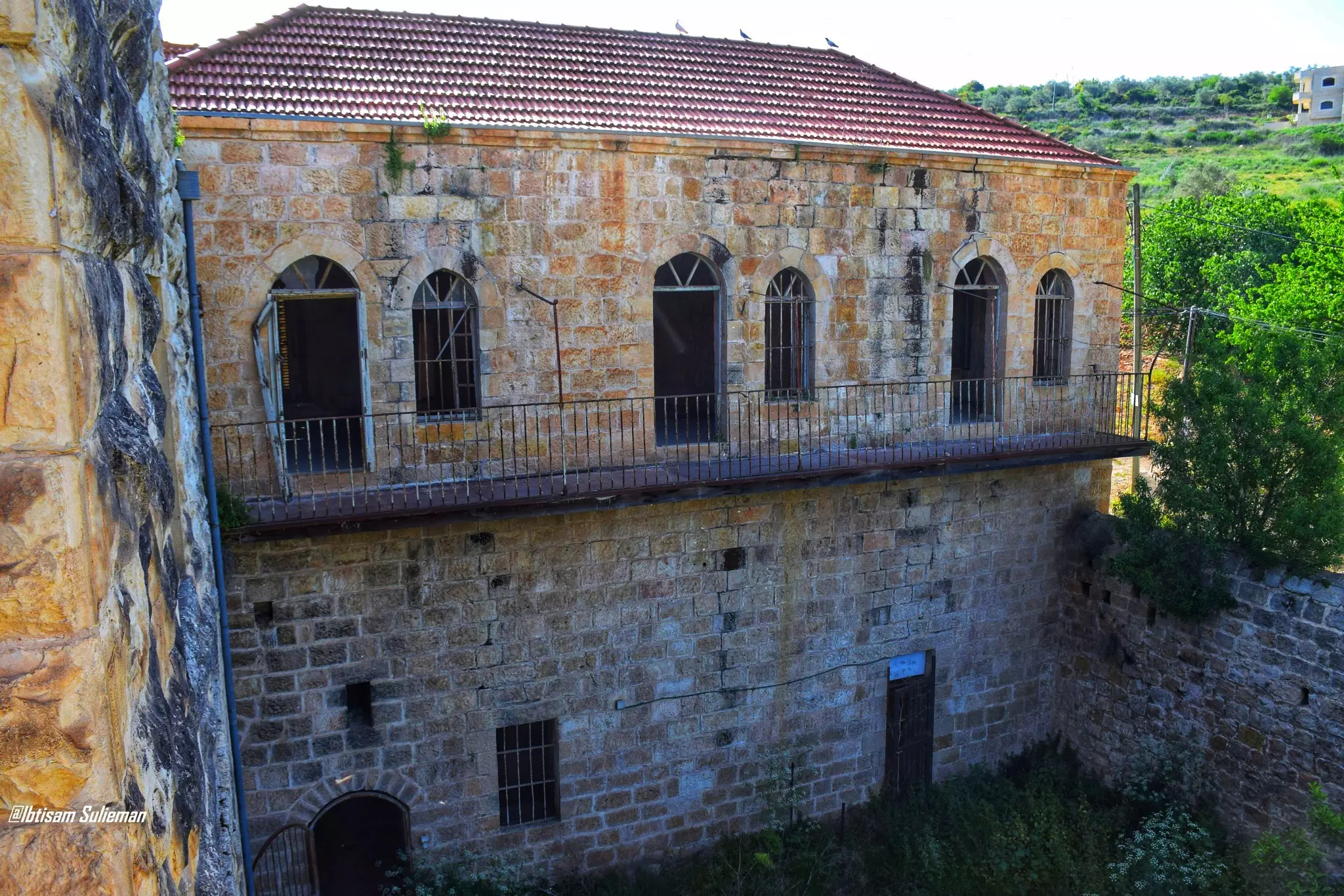
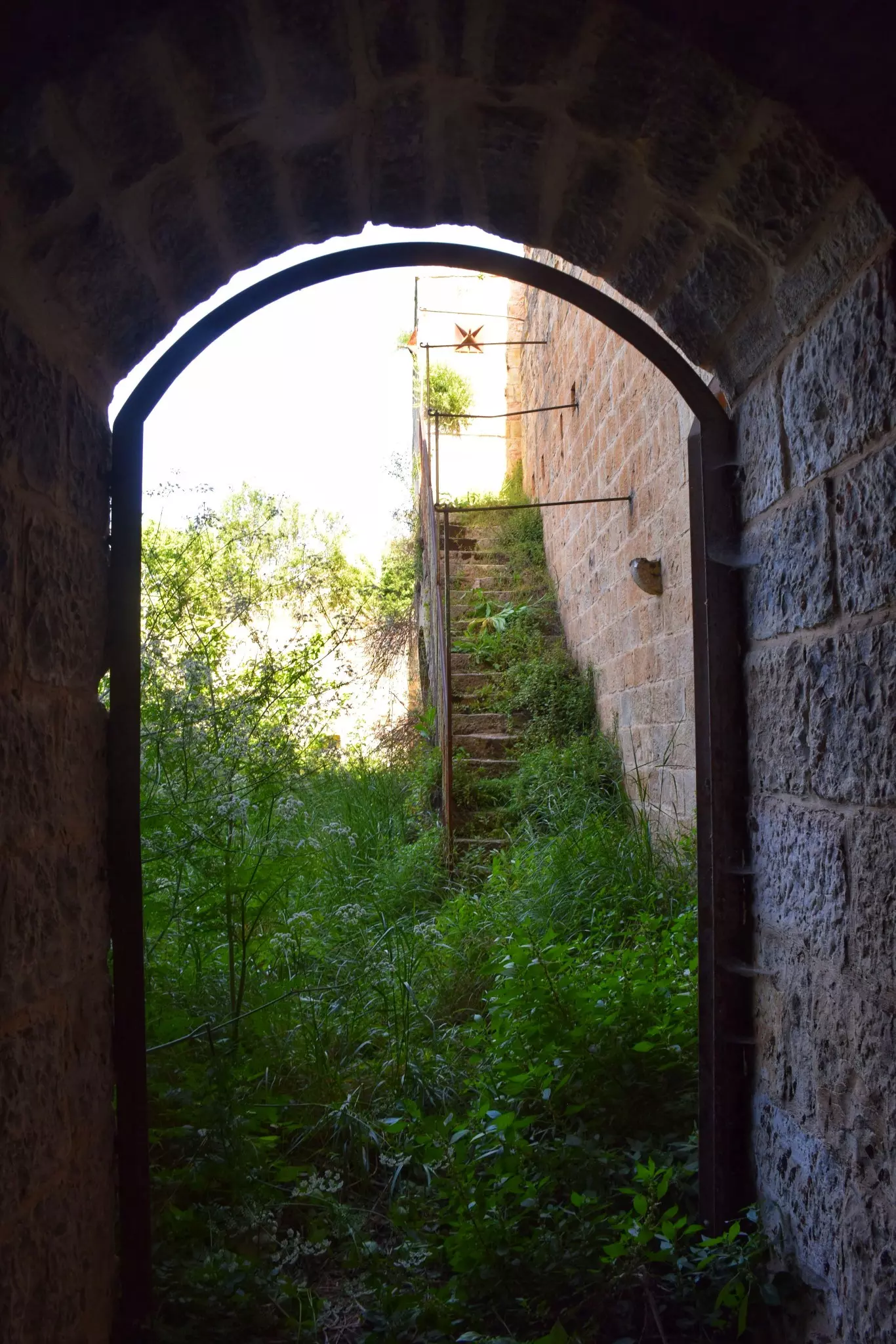
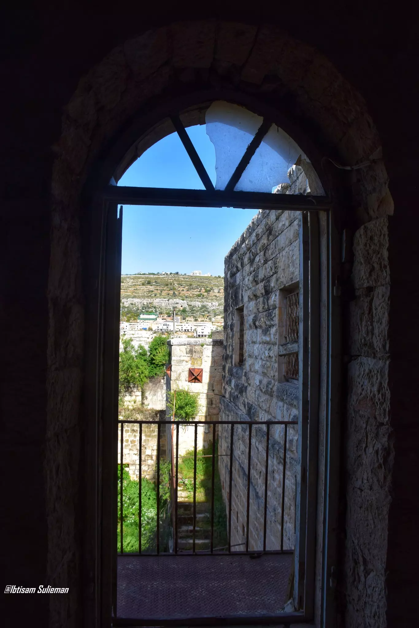
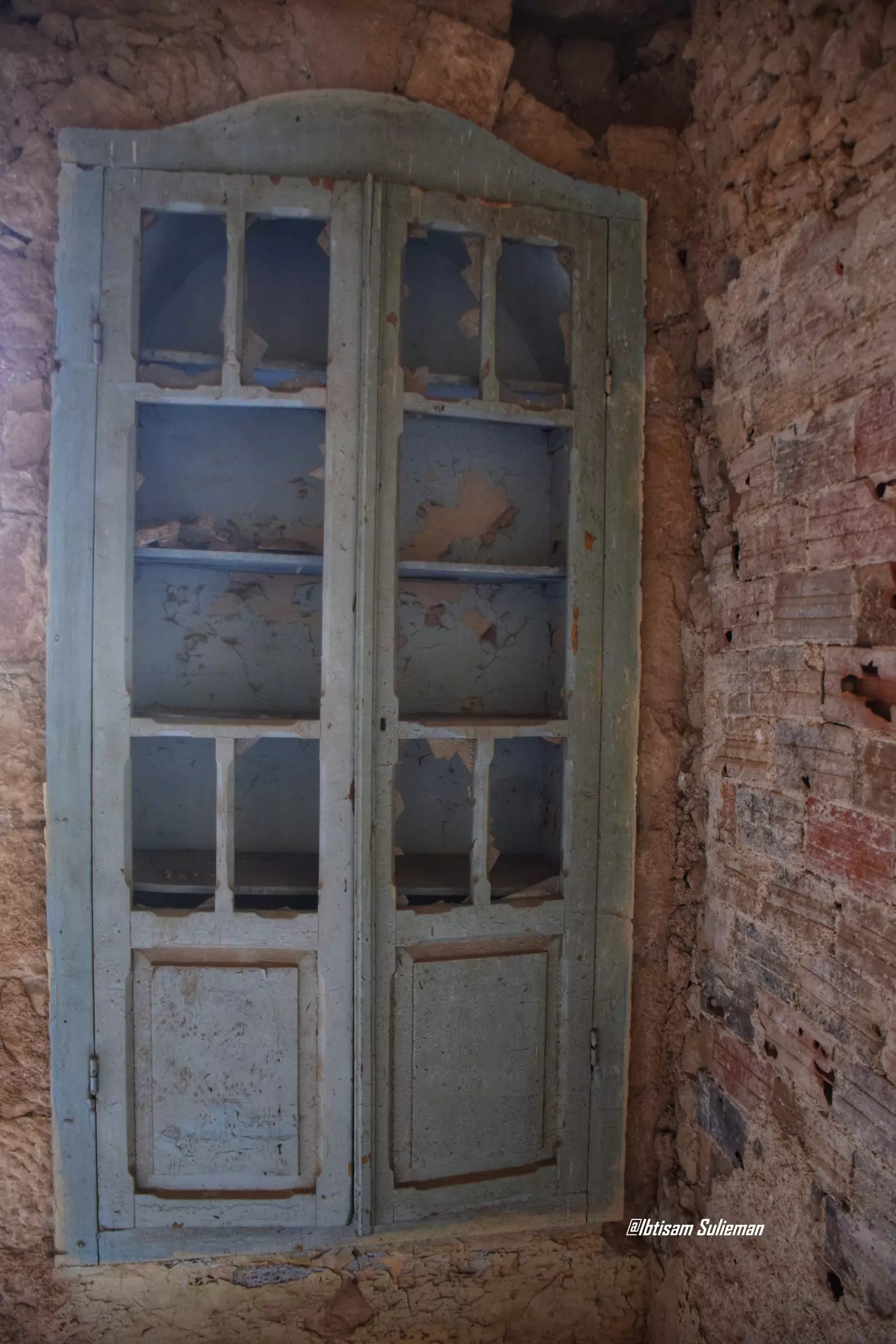
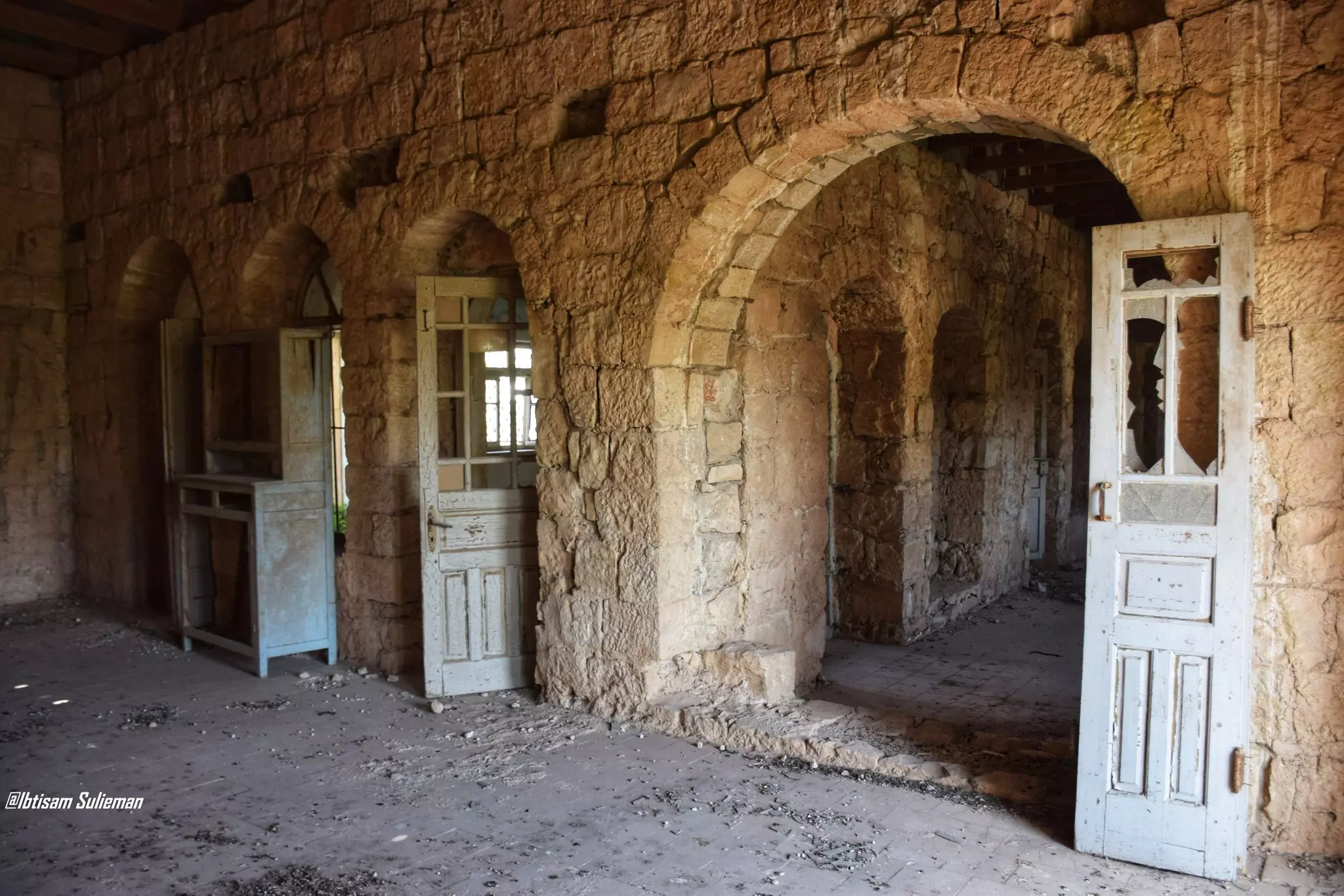
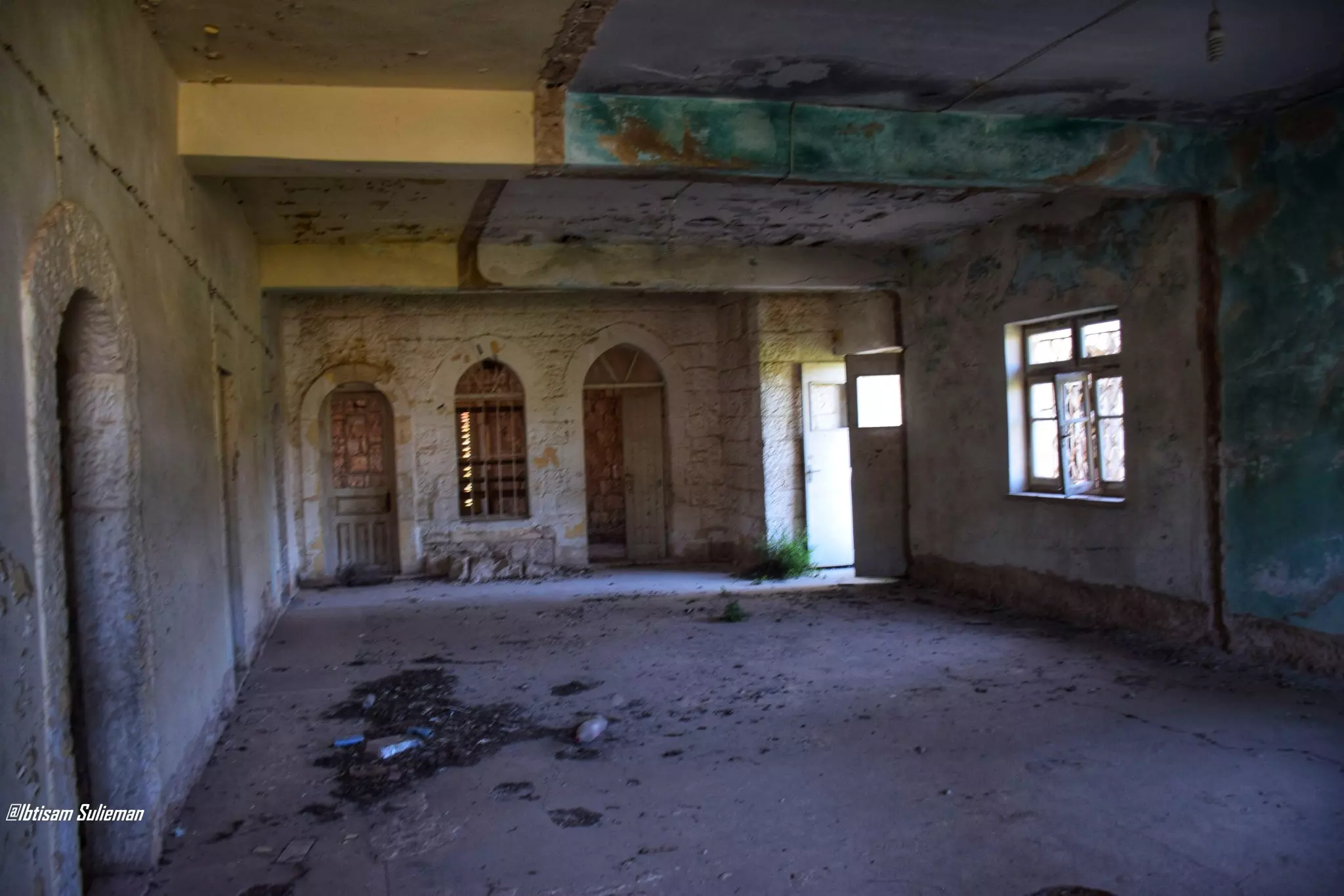
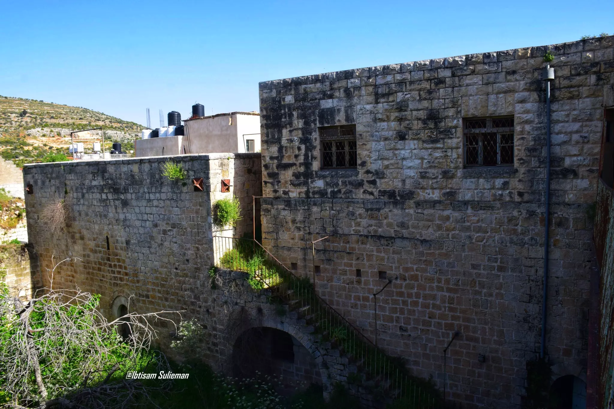
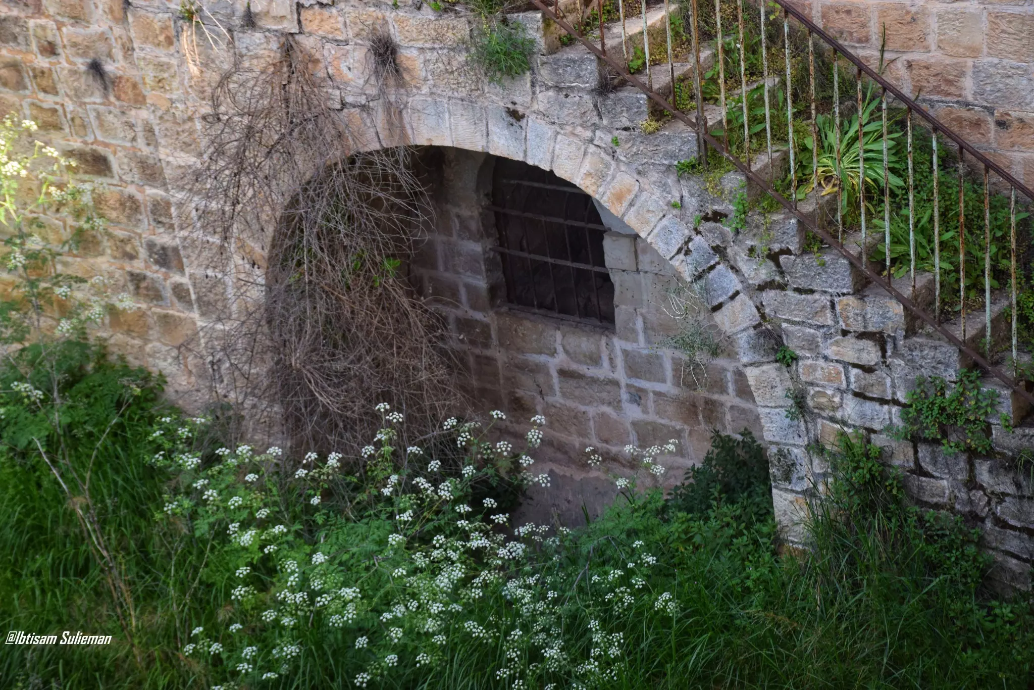
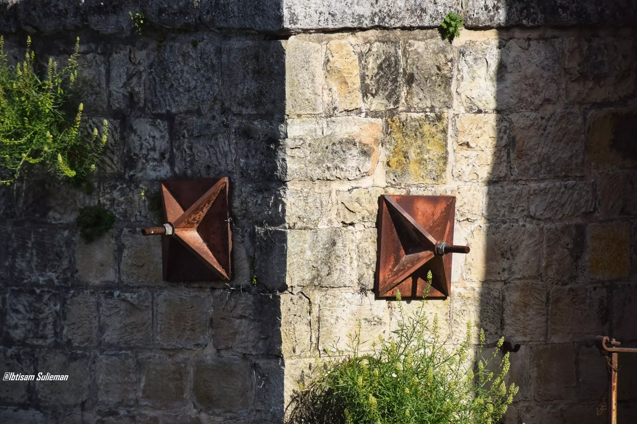
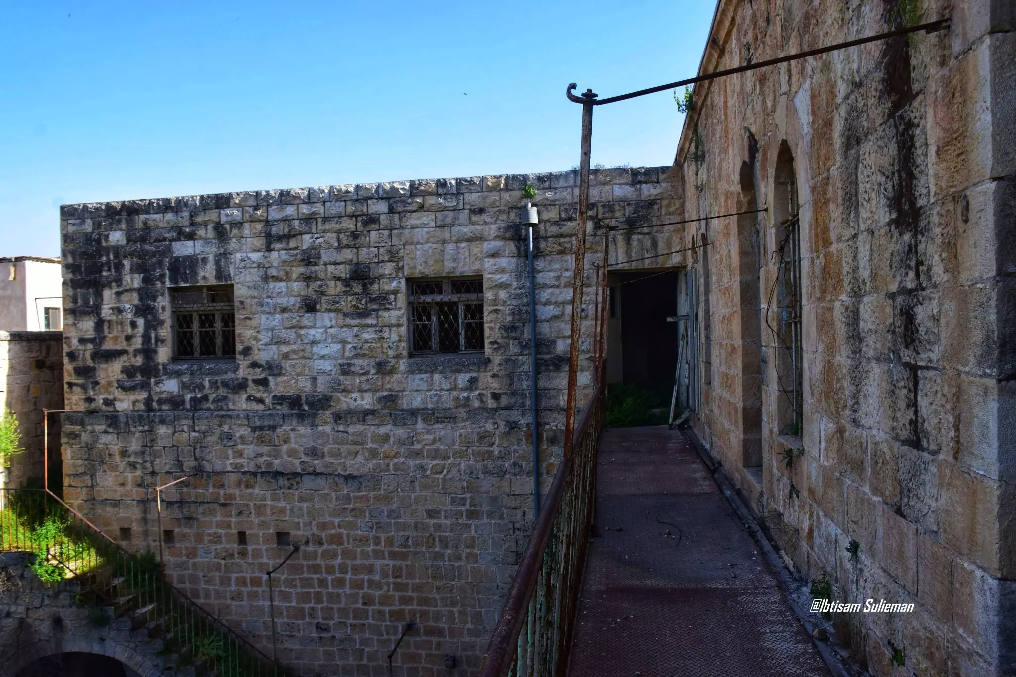
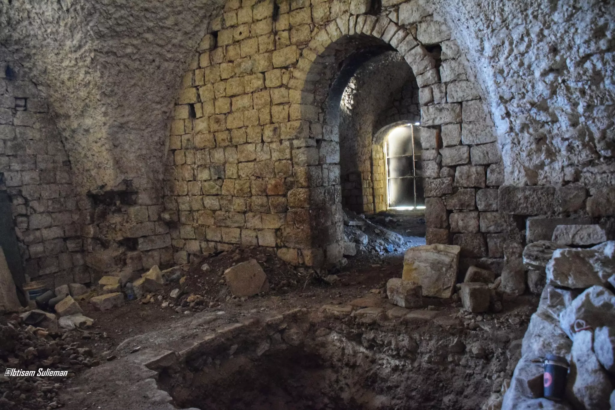
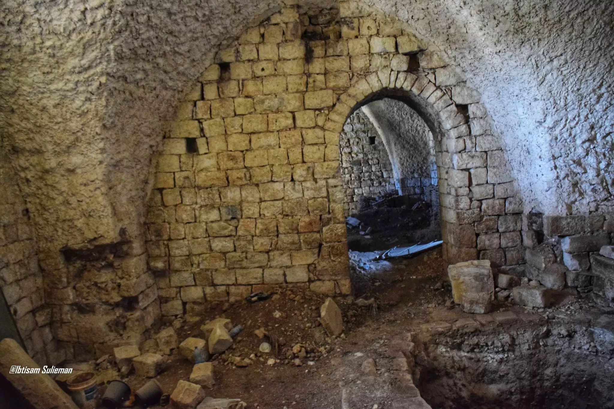
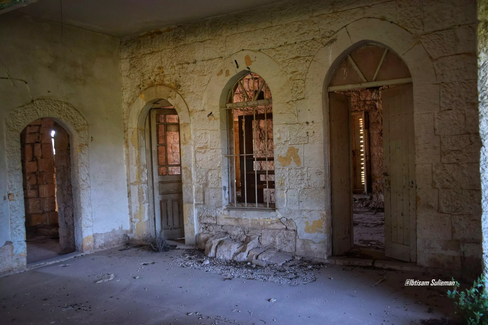
- جولة في قصر آل الحسيني -- Ibtisam Sulieman
- جولة في قصر آل الحسيني -- Ibtisam Sulieman #2
- جولة في قصر آل الحسيني -- Ibtisam Sulieman #3
- جولة في قصر آل الحسيني -- Ibtisam Sulieman #4
- جولة في قصر آل الحسيني -- Ibtisam Sulieman #5
- جولة في قصر آل الحسيني -- Ibtisam Sulieman #6
- جولة في قصر آل الحسيني -- Ibtisam Sulieman #7
- جولة في قصر آل الحسيني -- Ibtisam Sulieman #8
- جولة في قصر آل الحسيني -- Ibtisam Sulieman #9
- جولة في قصر آل الحسيني -- Ibtisam Sulieman #10
- جولة في قصر آل الحسيني -- Ibtisam Sulieman #11
- جولة في قصر آل الحسيني -- Ibtisam Sulieman #12
- جولة في قصر آل الحسيني -- Ibtisam Sulieman #13
- جولة في قصر آل الحسيني -- Ibtisam Sulieman #14
- جولة في قصر آل الحسيني -- Ibtisam Sulieman #15
- جولة في قصر آل الحسيني -- Ibtisam Sulieman #16
- جولة في قصر آل الحسيني -- Ibtisam Sulieman #17
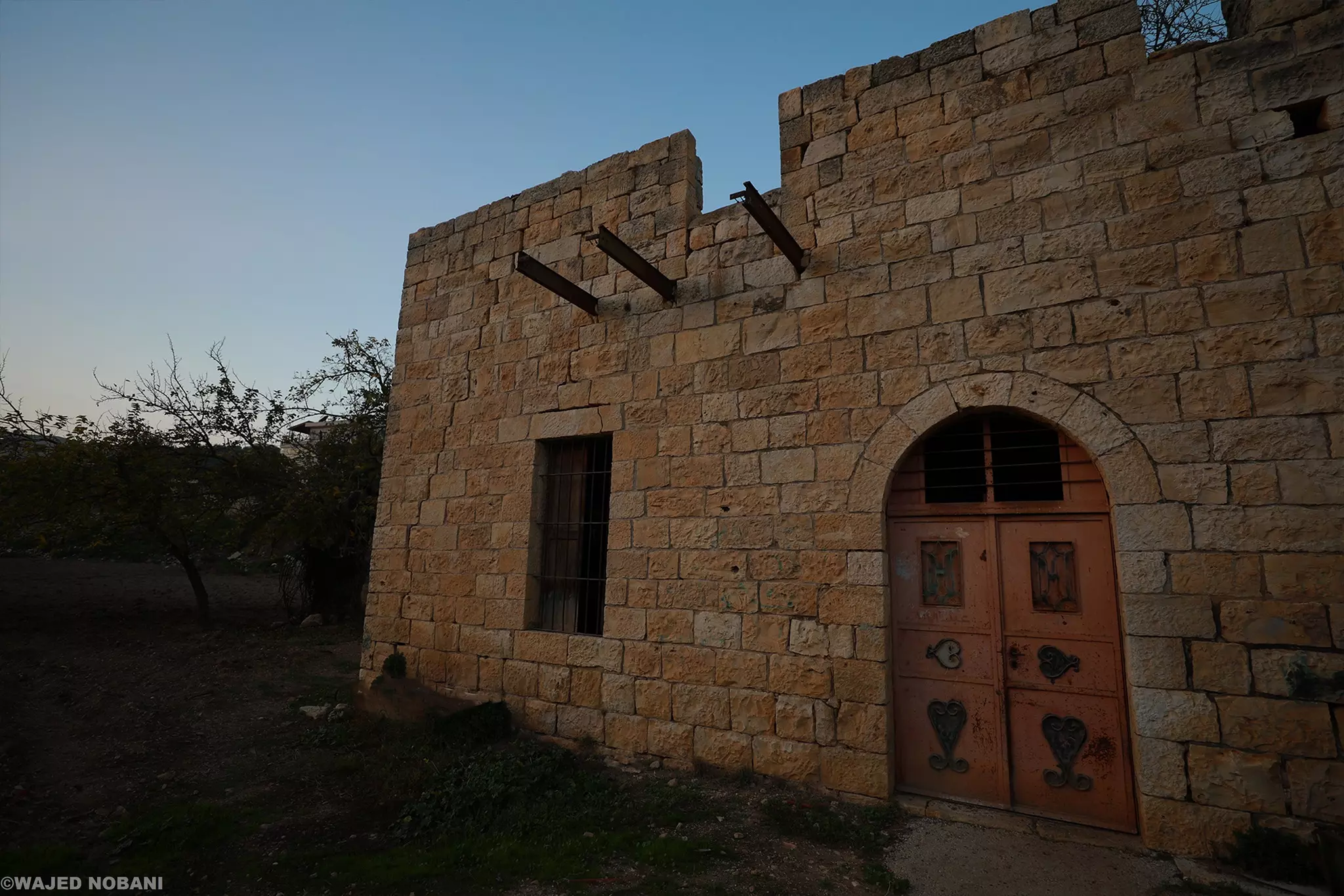
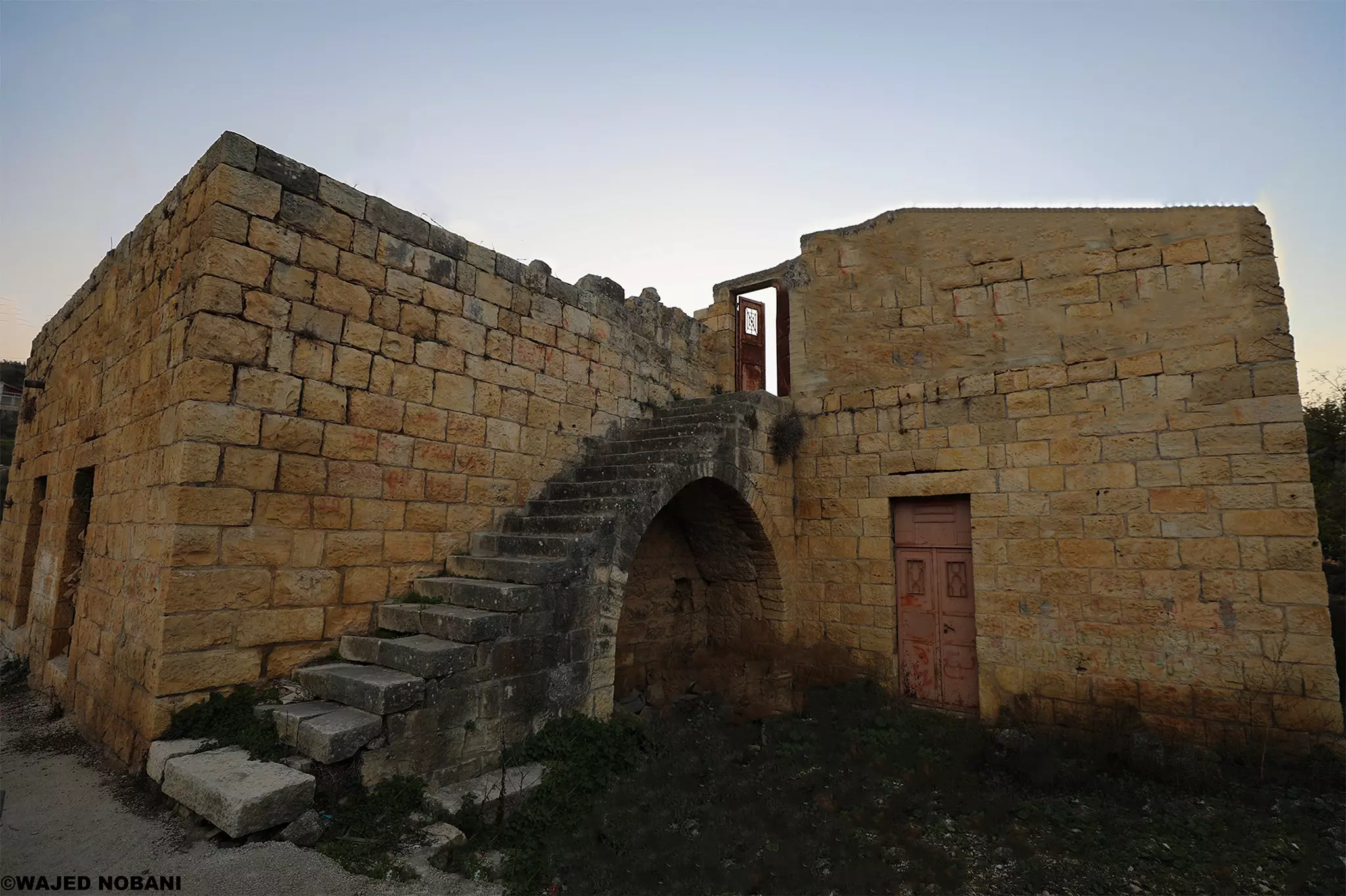
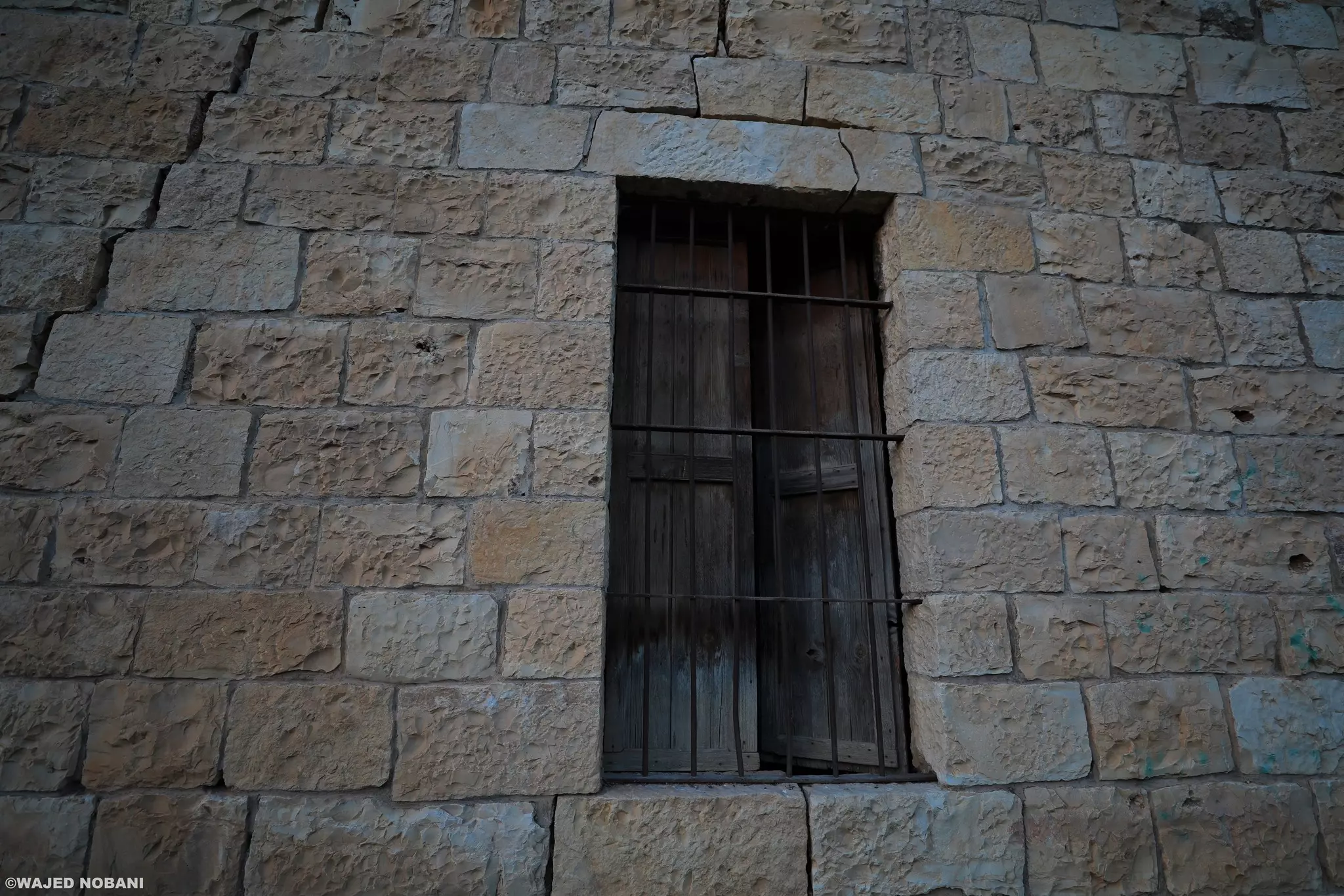
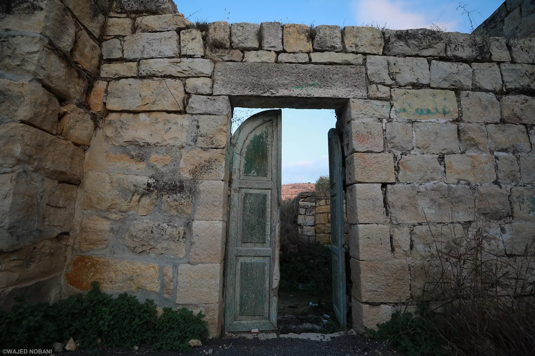
- بيت قديم -- واجد النوباني
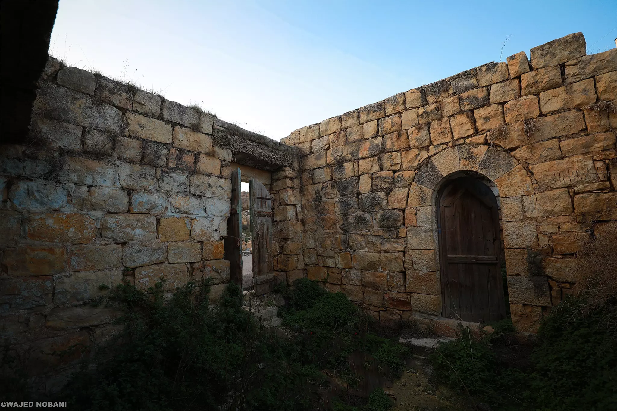
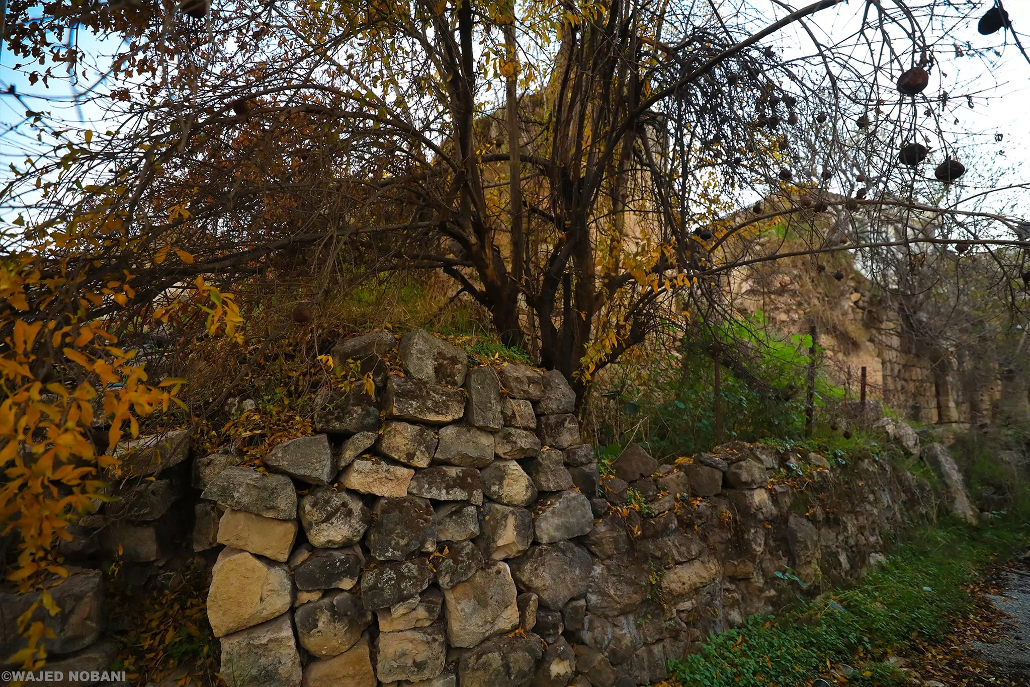
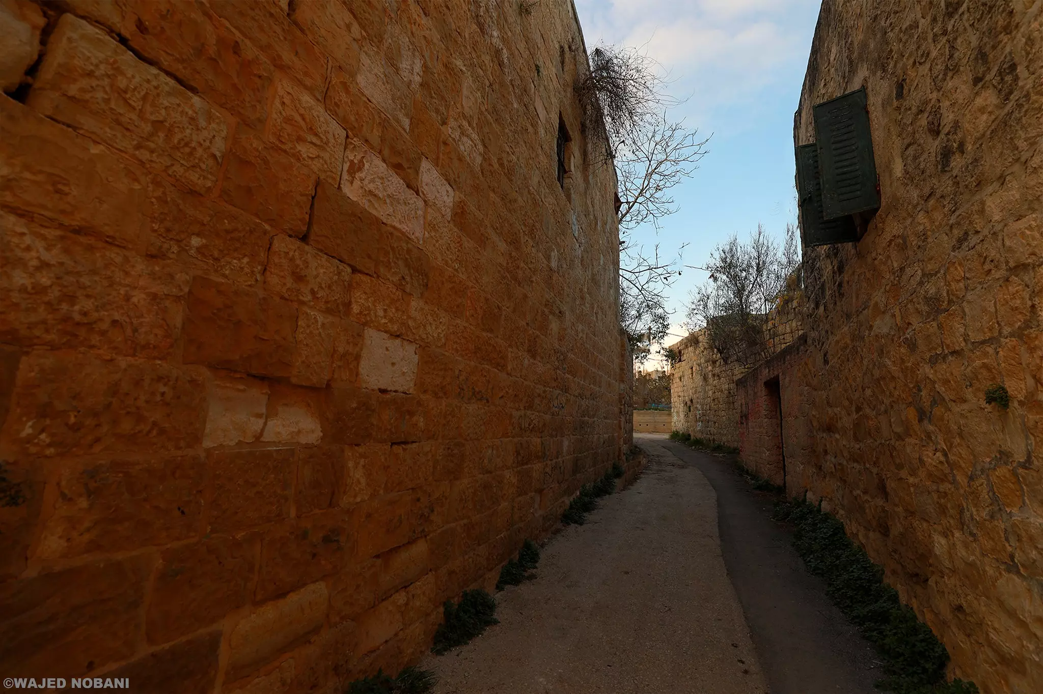
- جولة بين بيوت عين سينيا القديمة -- واجد النوباني
- جولة بين بيوت عين سينيا القديمة -- واجد النوباني #2
- جولة بين بيوت عين سينيا القديمة -- واجد النوباني #3
- جولة بين بيوت عين سينيا القديمة -- واجد النوباني #4
- جولة بين بيوت عين سينيا القديمة -- واجد النوباني #5
- جولة بين بيوت عين سينيا القديمة -- واجد النوباني #6
- جولة بين بيوت عين سينيا القديمة -- واجد النوباني #7
- جولة بين بيوت عين سينيا القديمة -- واجد النوباني #8
- جولة بين بيوت عين سينيا القديمة -- واجد النوباني #9
- جولة بين بيوت عين سينيا القديمة -- واجد النوباني #10
- جولة بين بيوت عين سينيا القديمة -- واجد النوباني #11
- جولة بين بيوت عين سينيا القديمة -- واجد النوباني #12
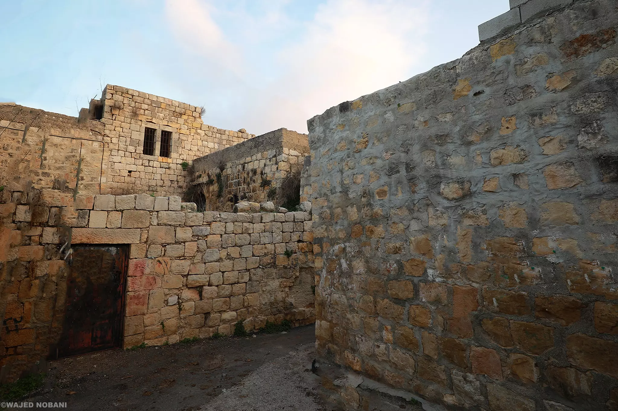
- جولة بين بيوت عين سينيا القديمة -- واجد النوباني #13
- جولة بين بيوت عين سينيا القديمة -- واجد النوباني #14
- جولة بين بيوت عين سينيا القديمة -- واجد النوباني #15
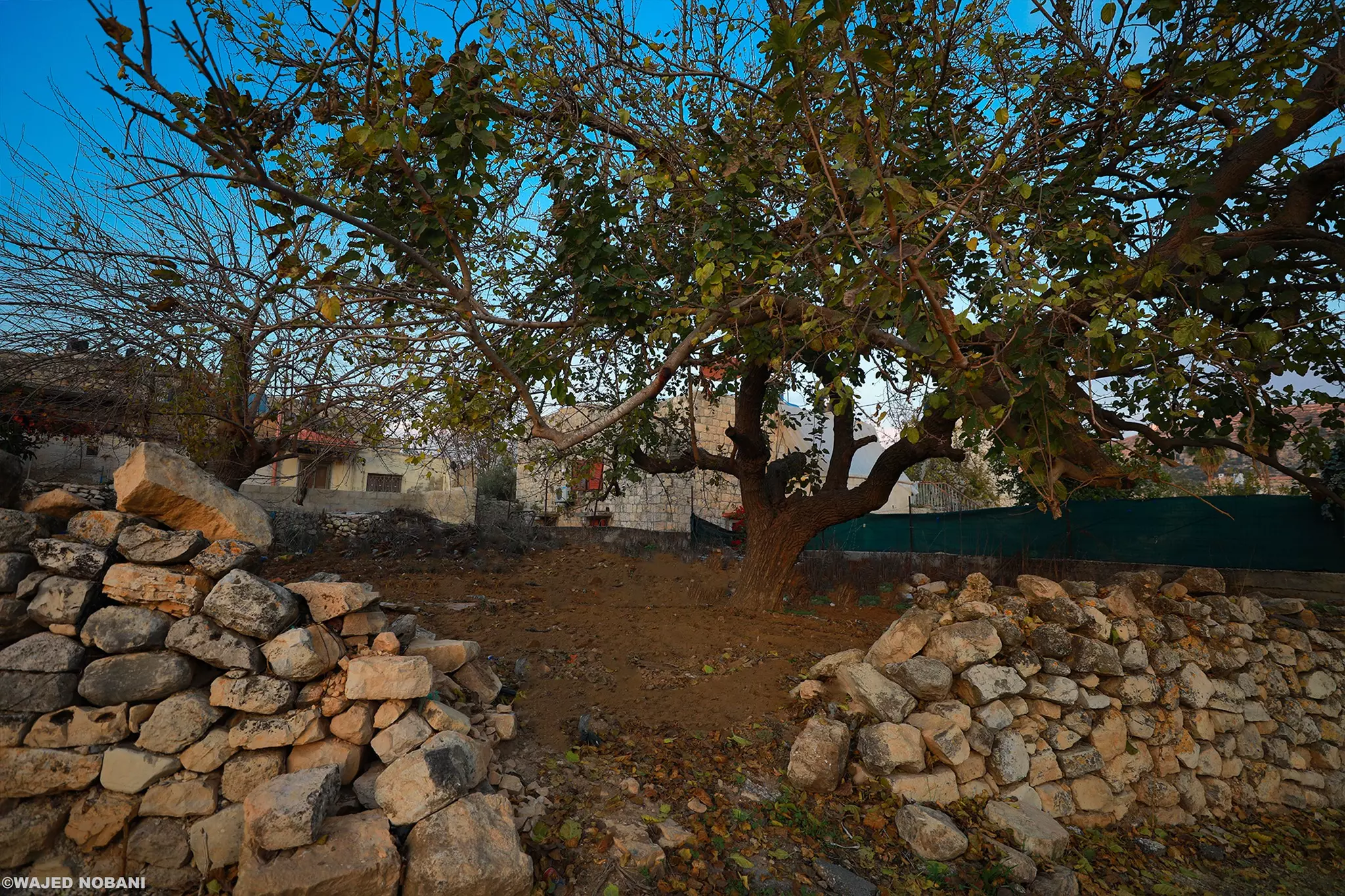
- منظر عام -- واجد النوباني
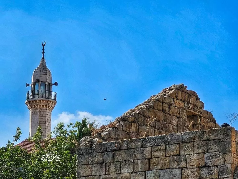
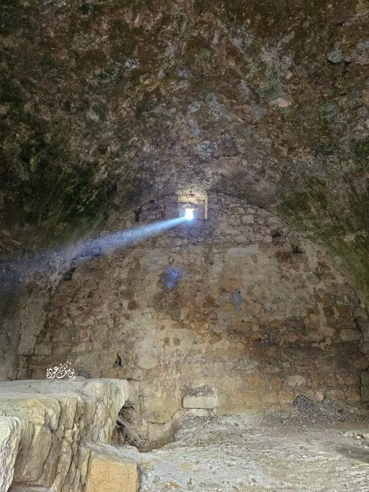
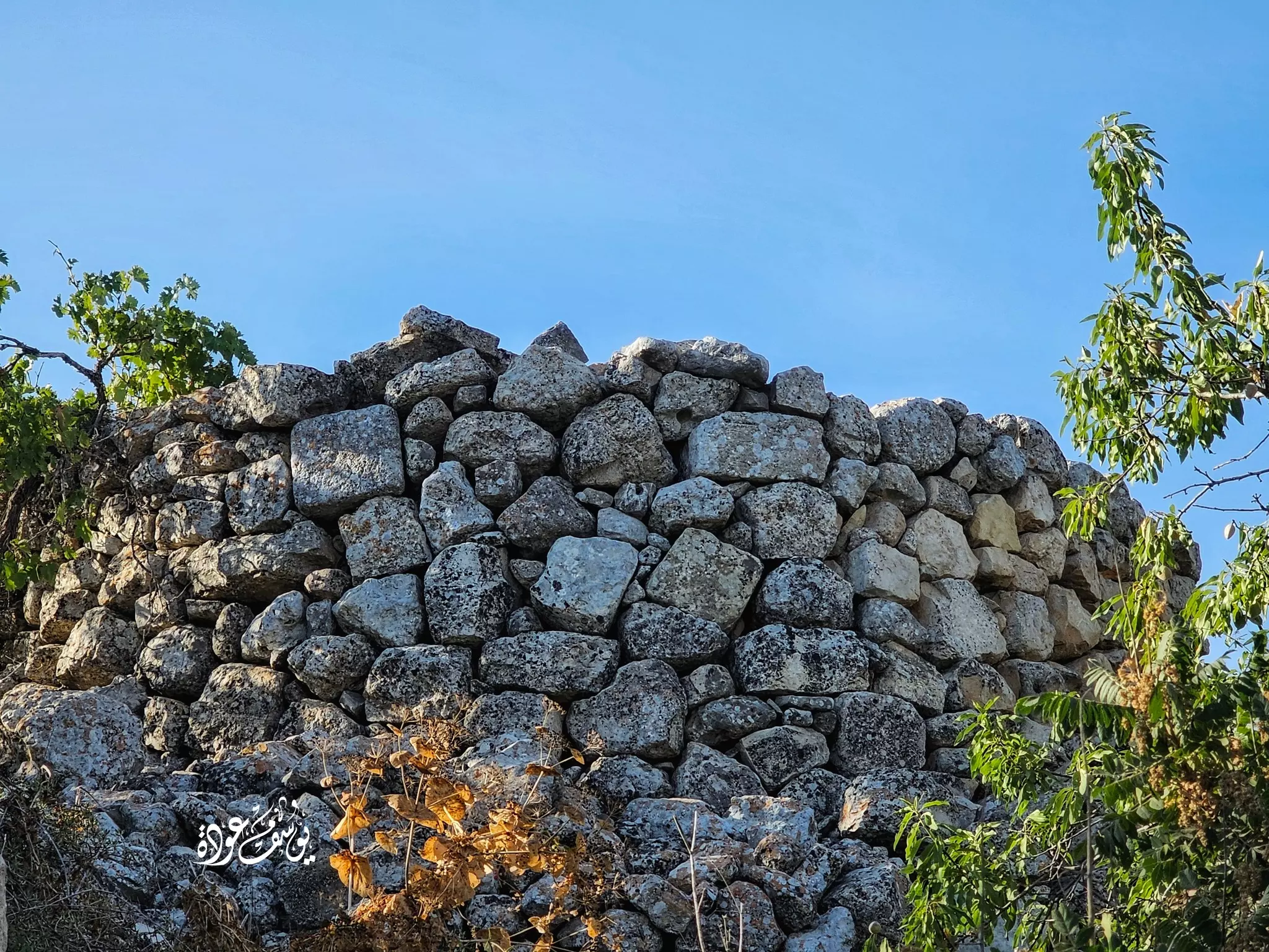
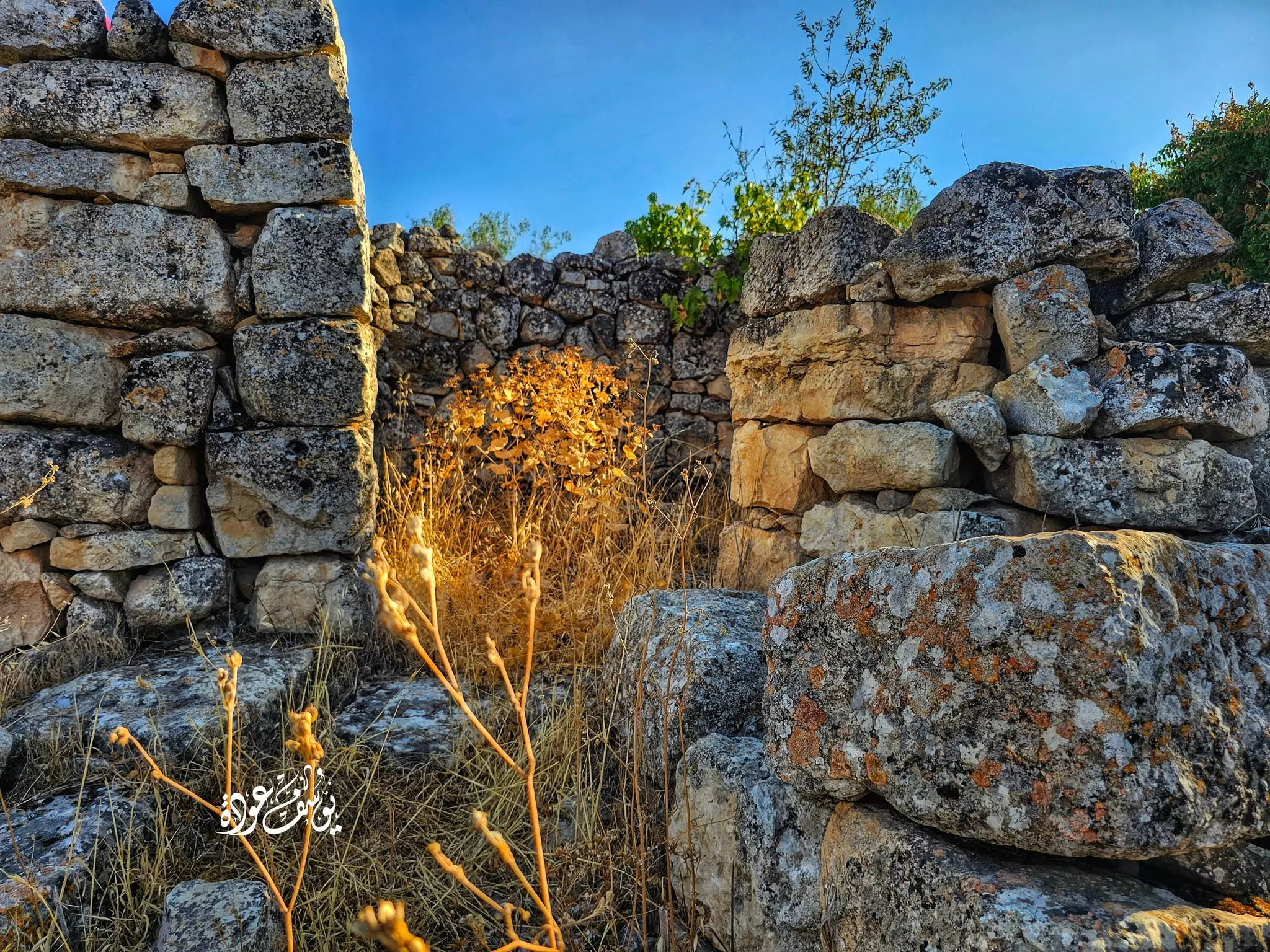
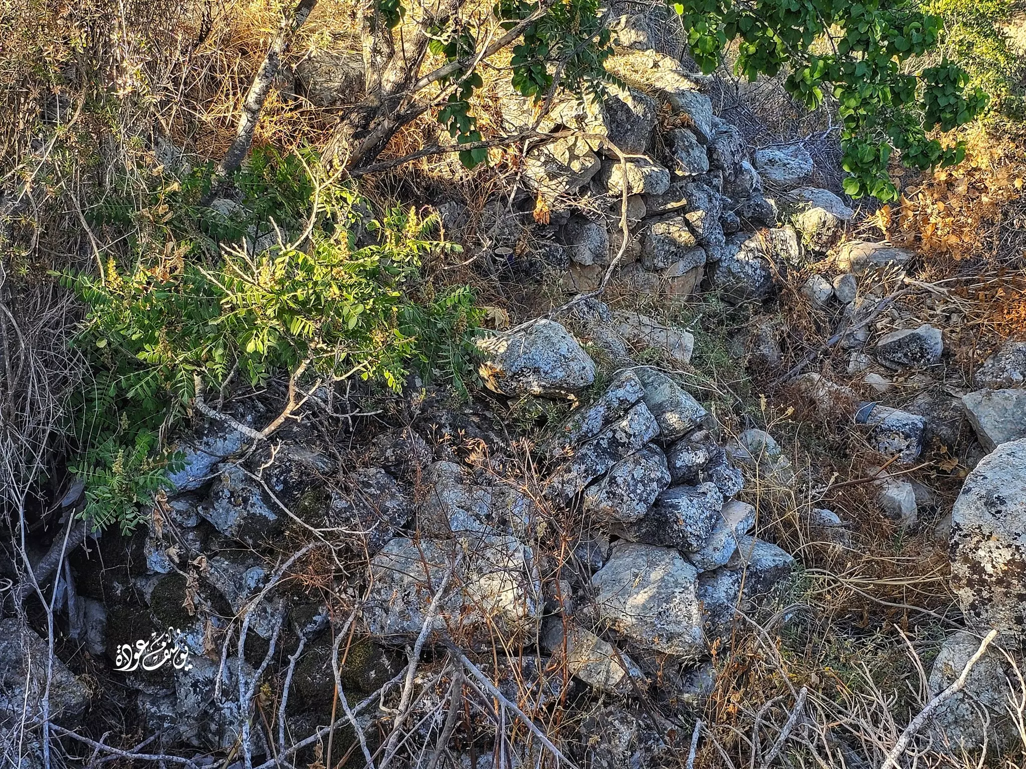
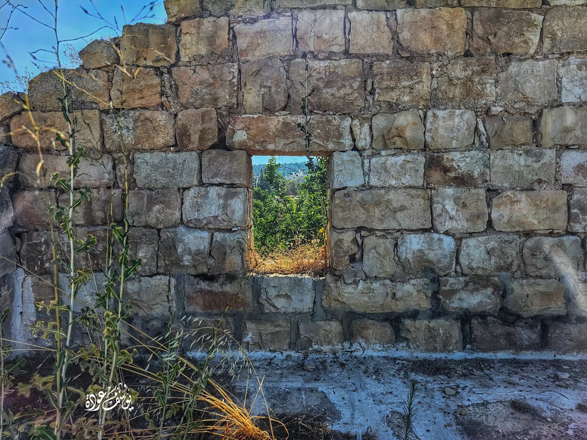
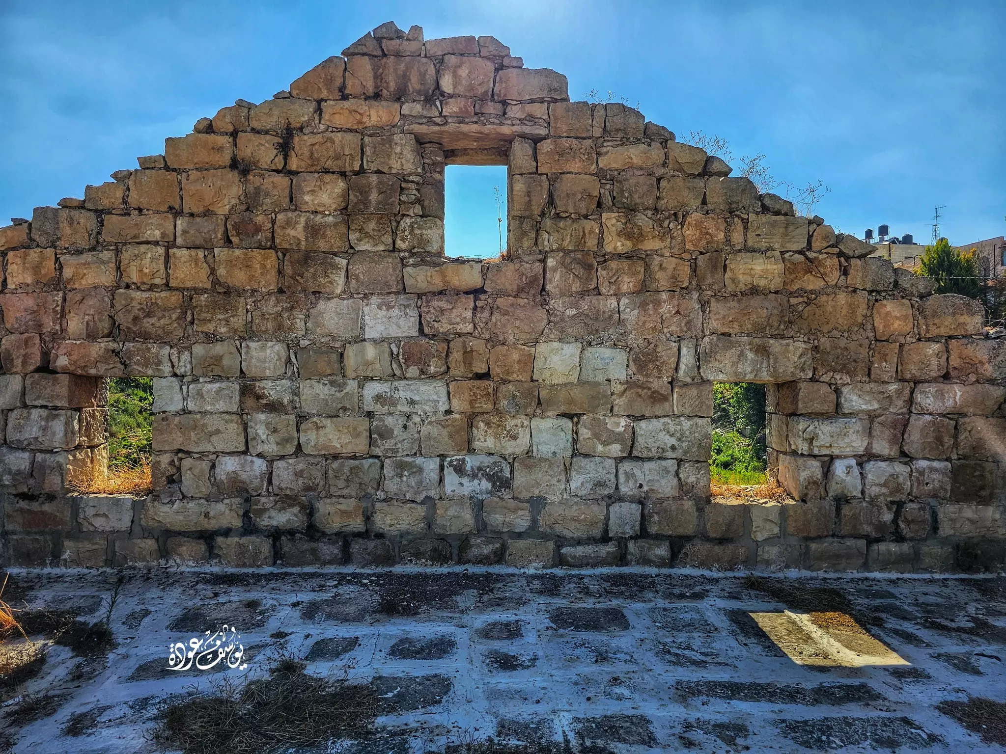
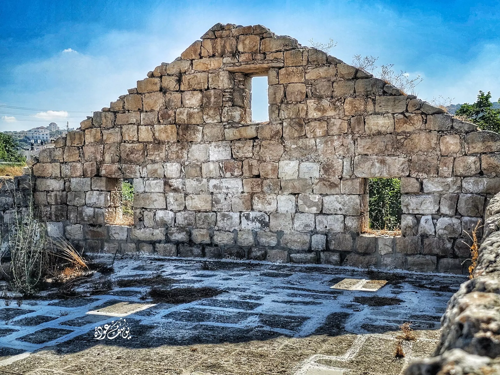
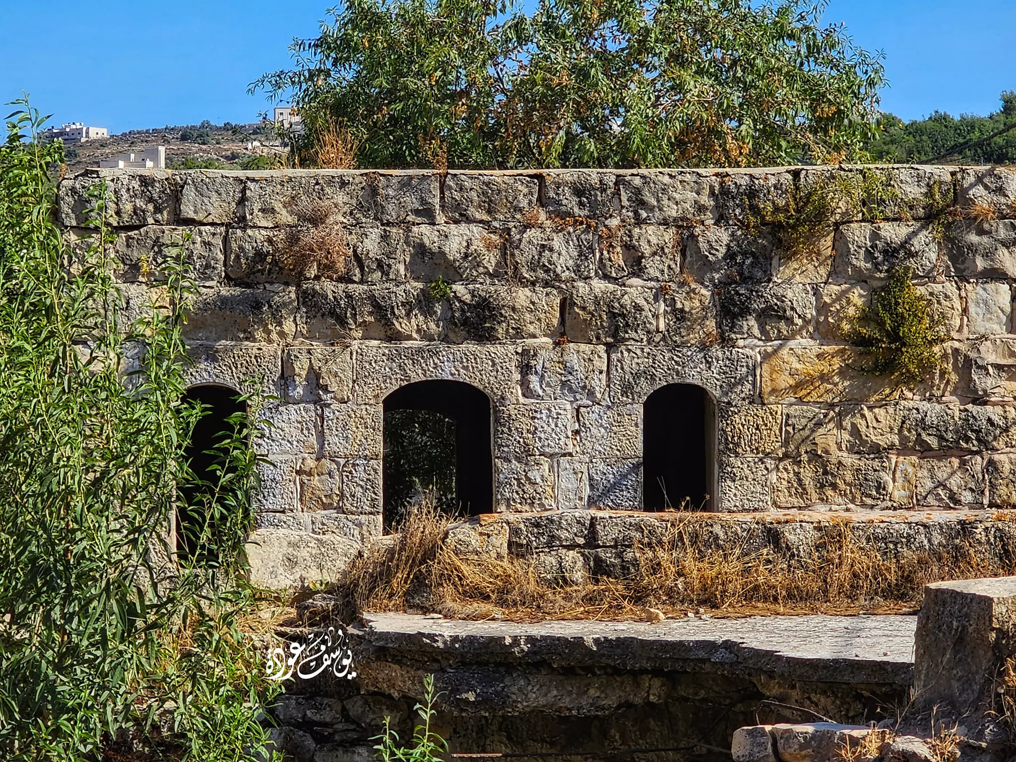
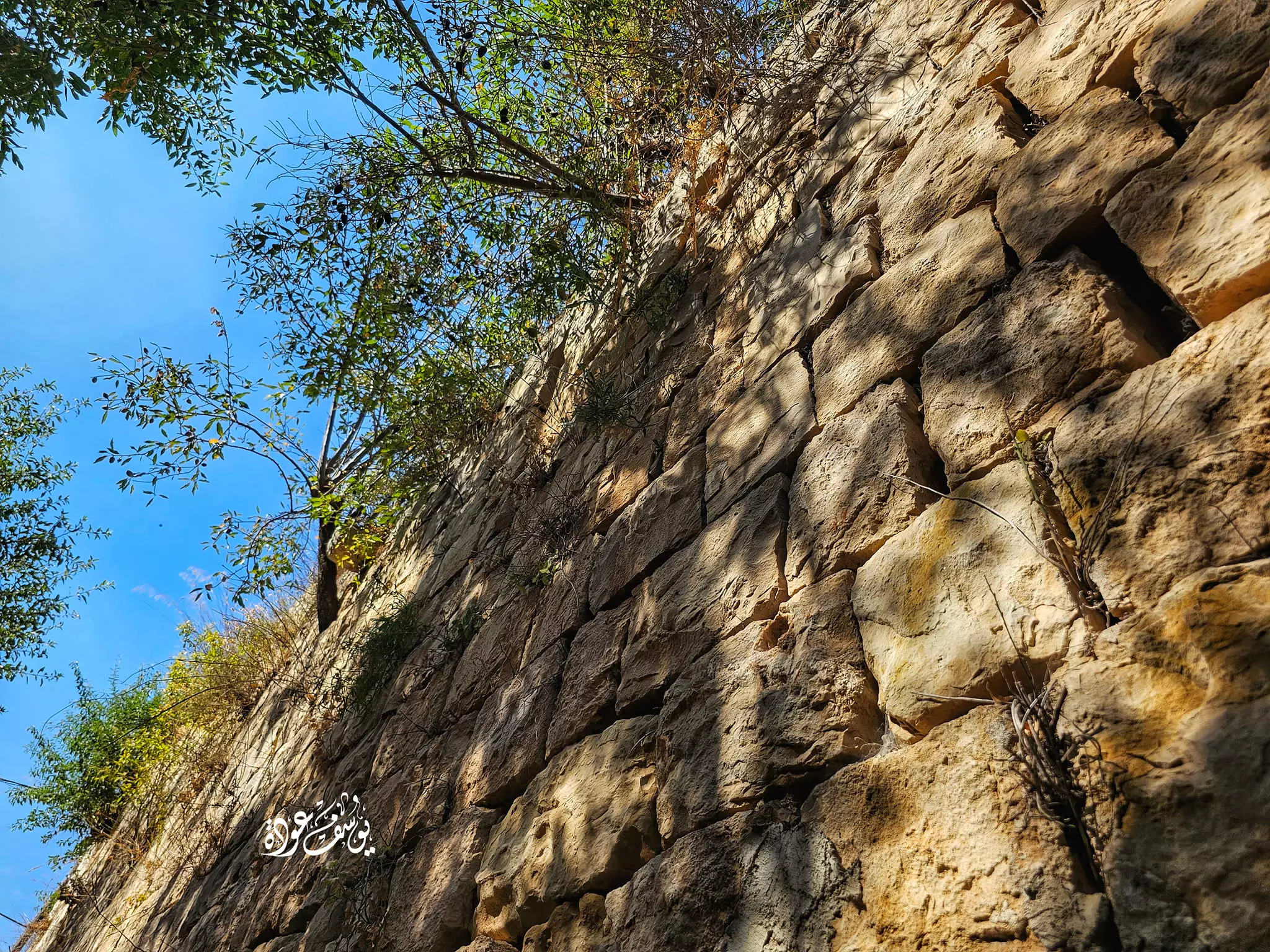
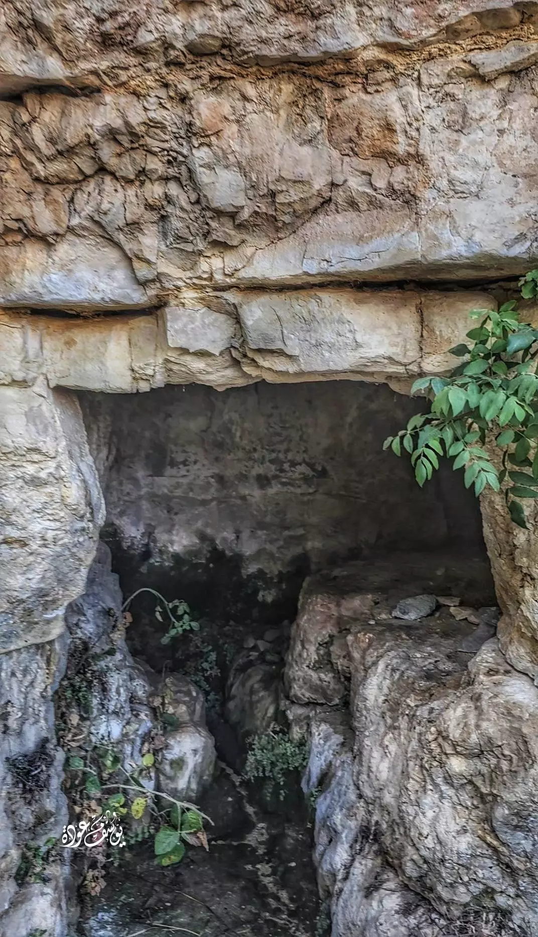
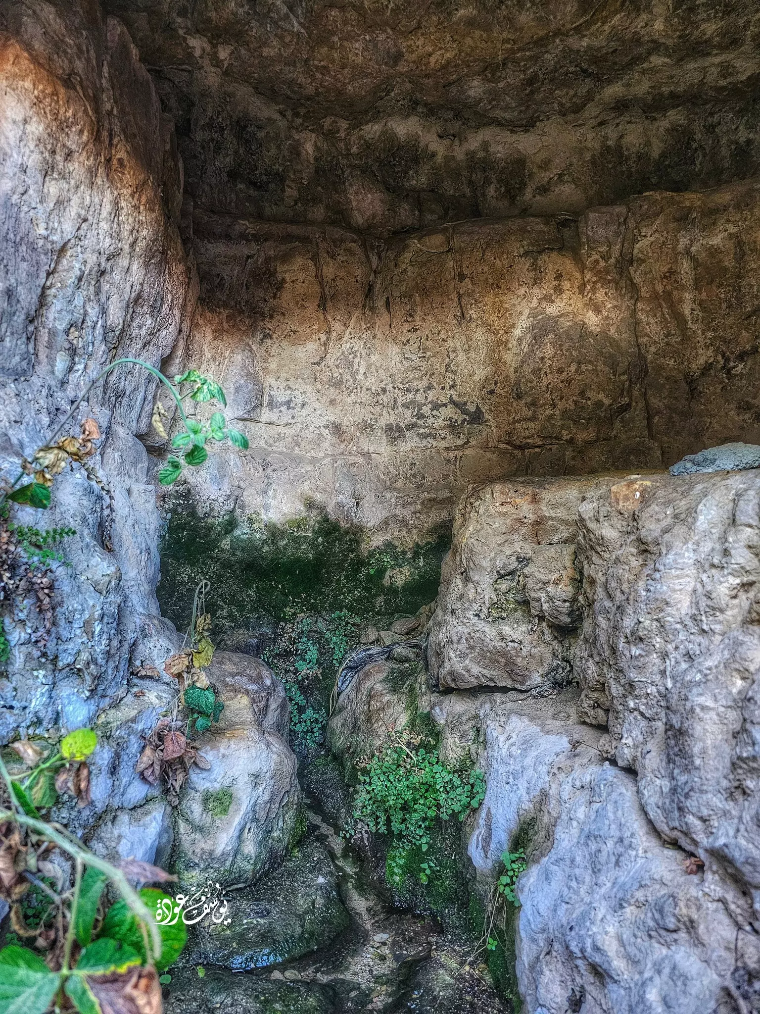
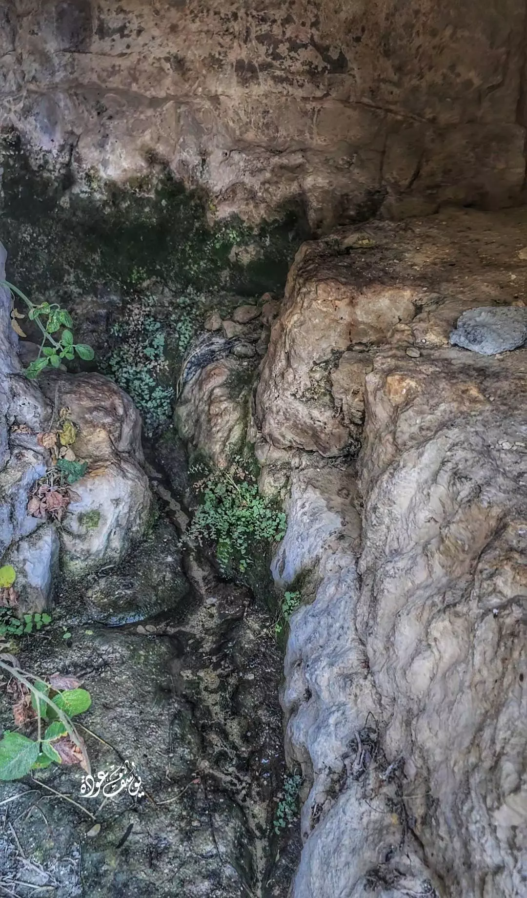
- جولة في خربة شطا التي تقع بقرية عين سينيا -- يوسف عودة
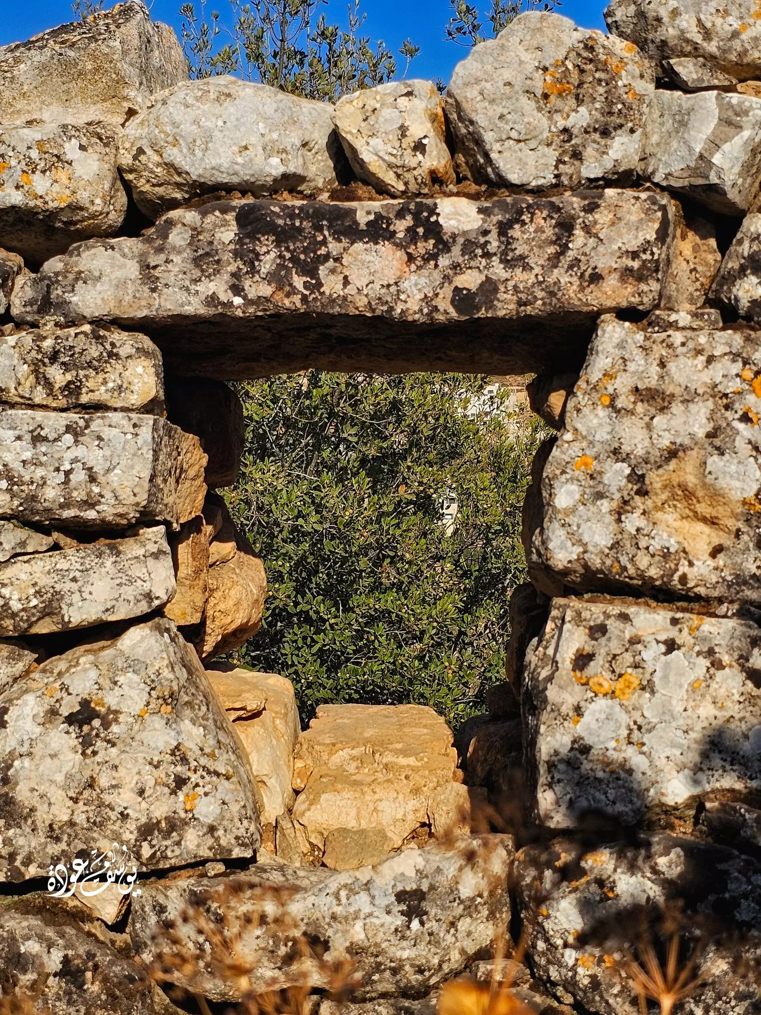
- جولة في خربة شطا التي تقع بقرية عين سينيا -- يوسف عودة #2
- جولة في خربة شطا التي تقع بقرية عين سينيا -- يوسف عودة #3
- جولة في خربة شطا التي تقع بقرية عين سينيا -- يوسف عودة #4
- جولة في خربة شطا التي تقع بقرية عين سينيا -- يوسف عودة #5
- جولة في خربة شطا التي تقع بقرية عين سينيا -- يوسف عودة #6
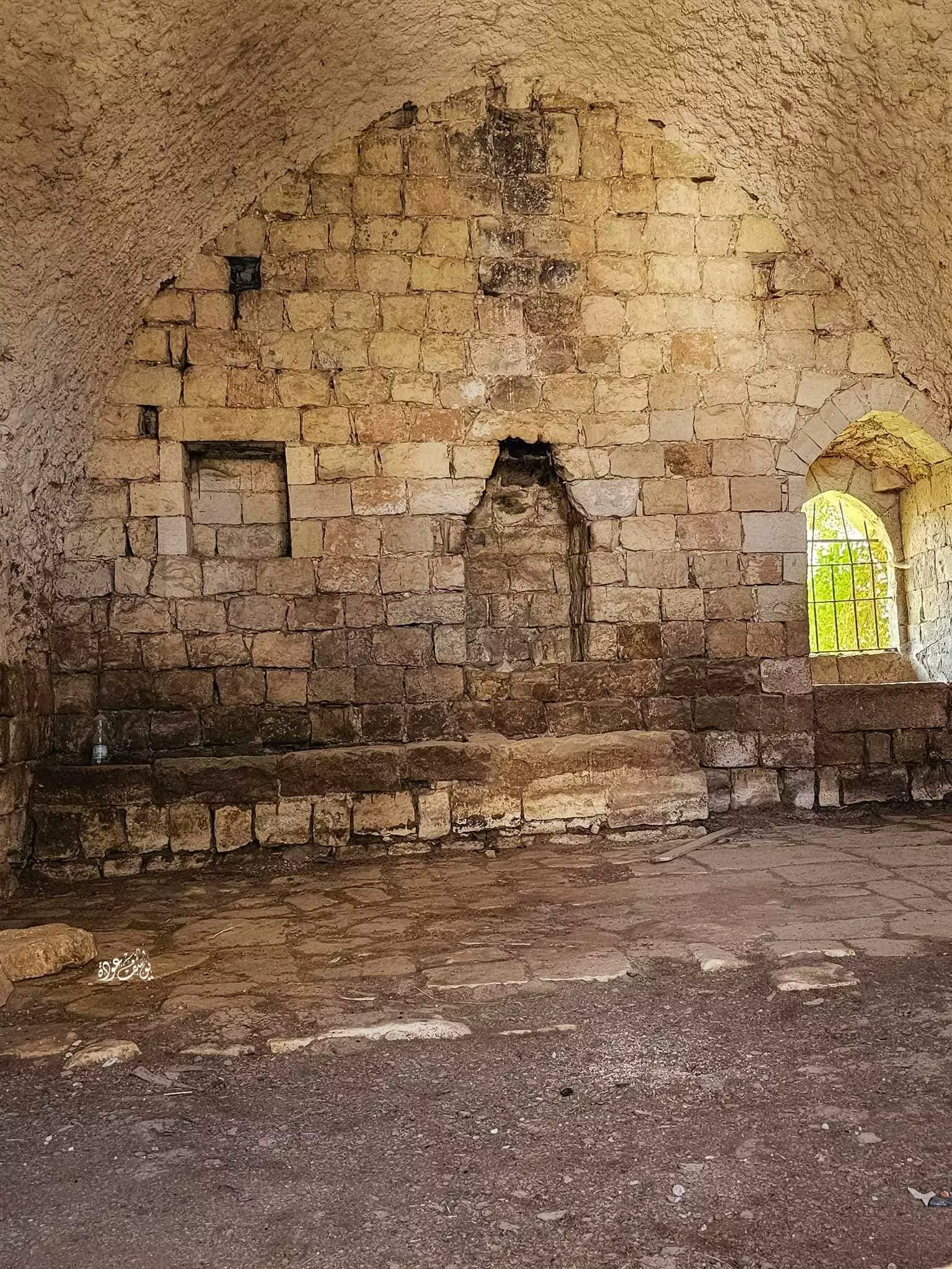
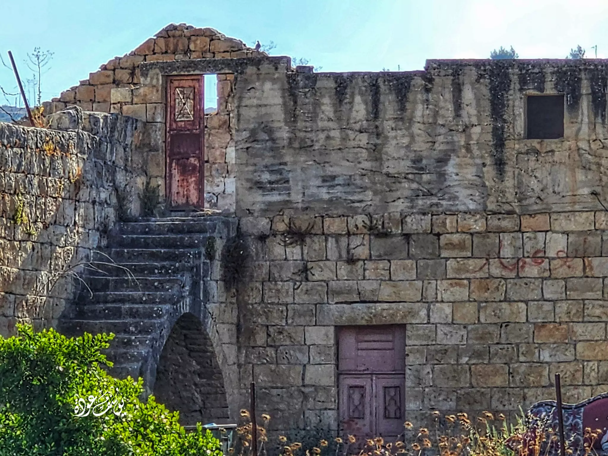
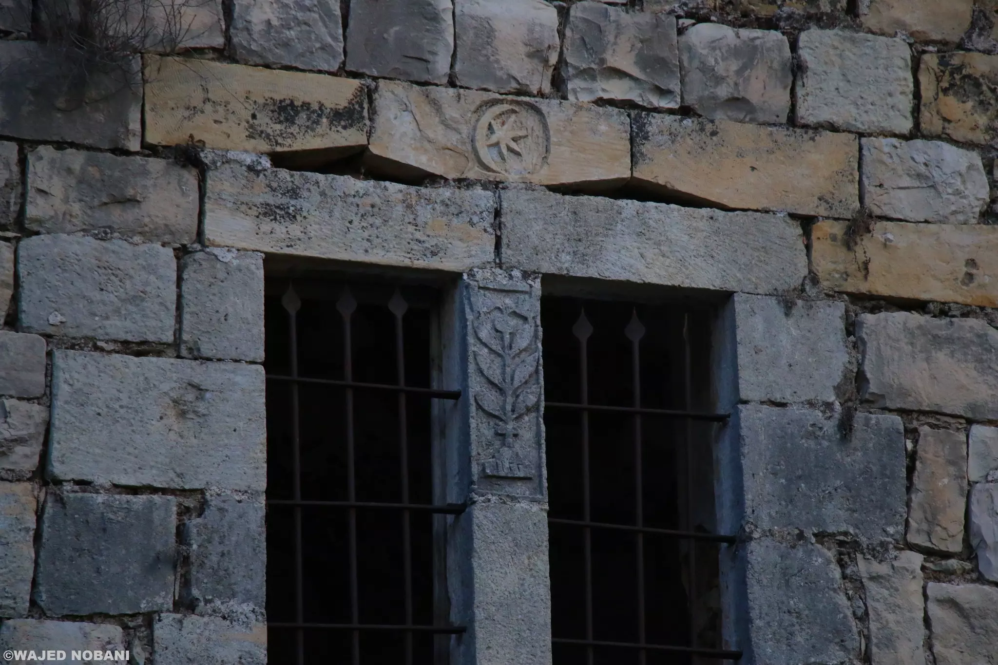
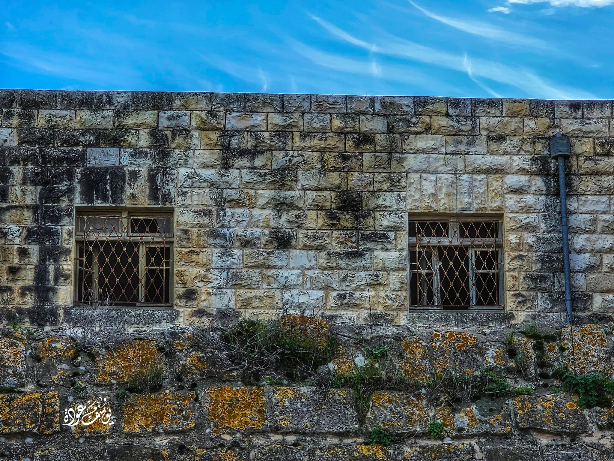
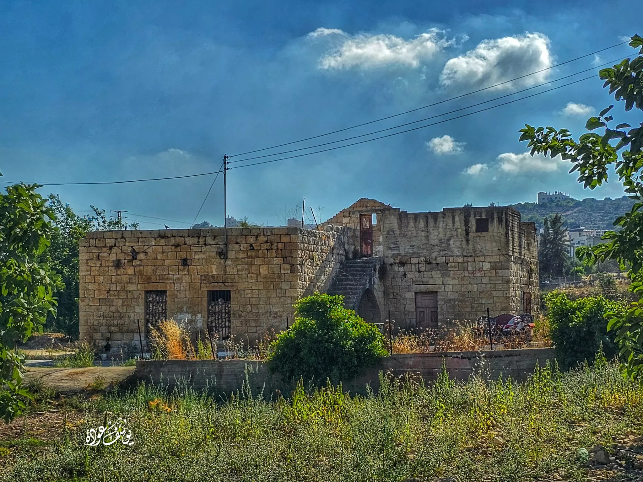
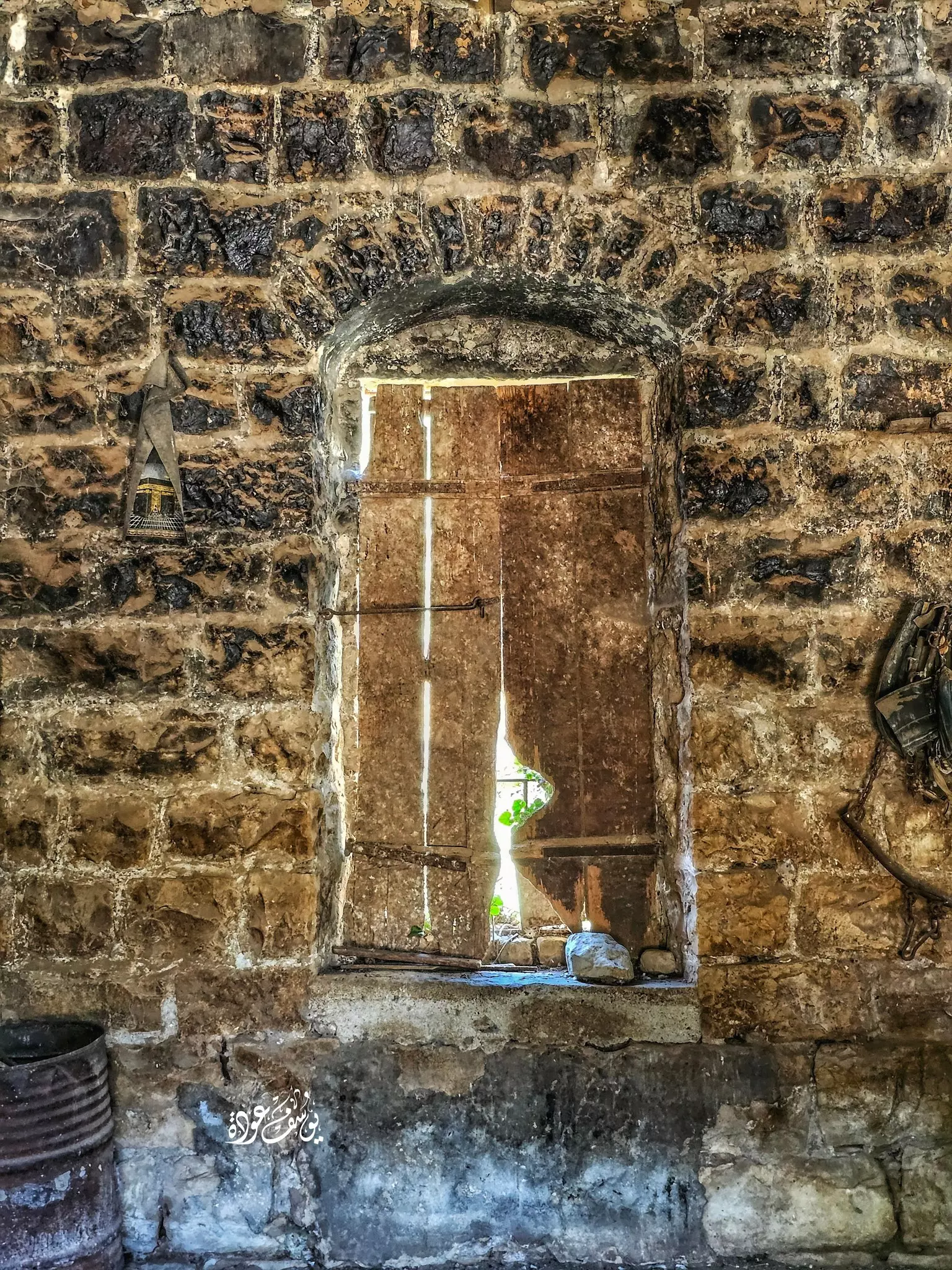
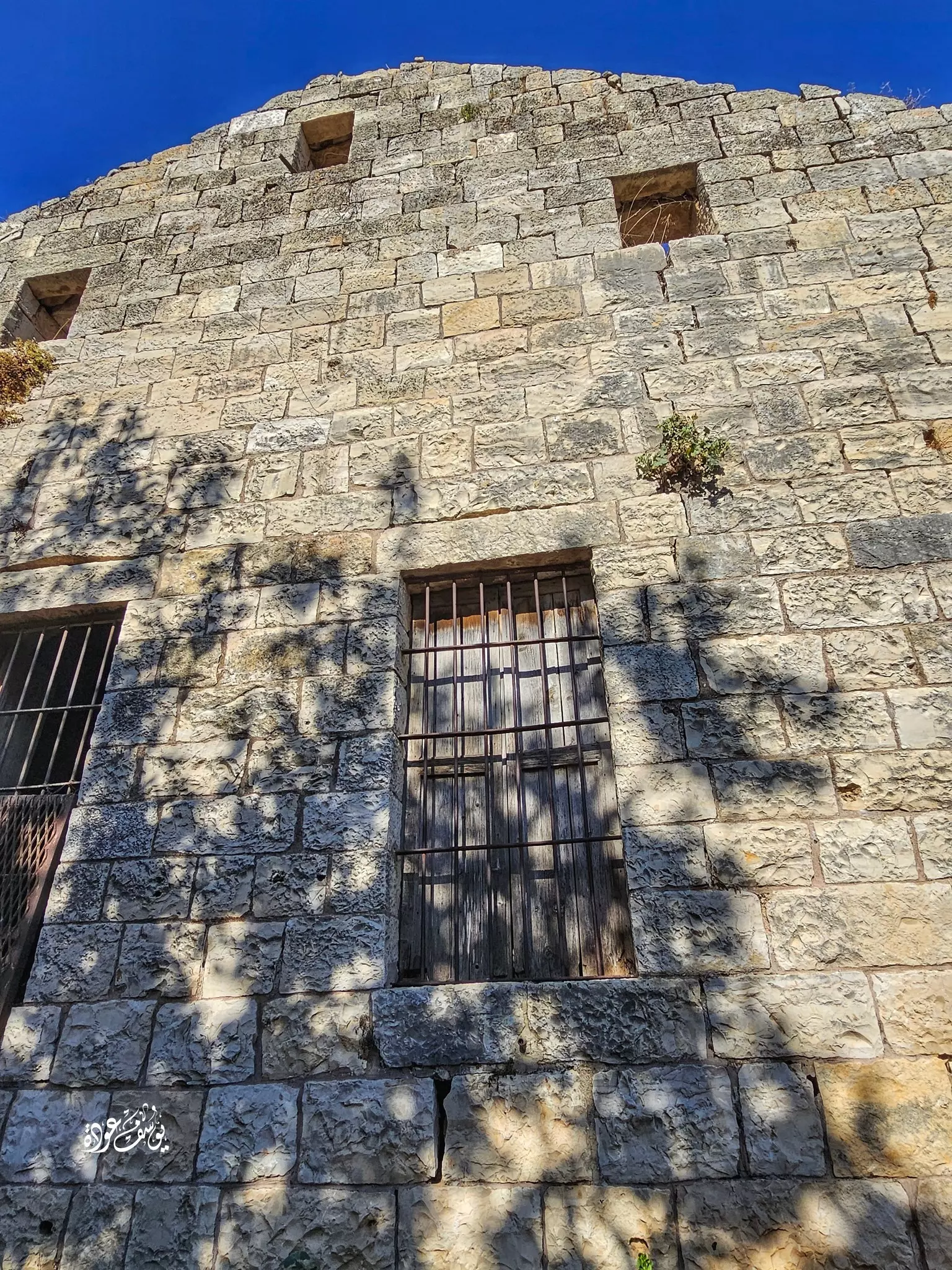
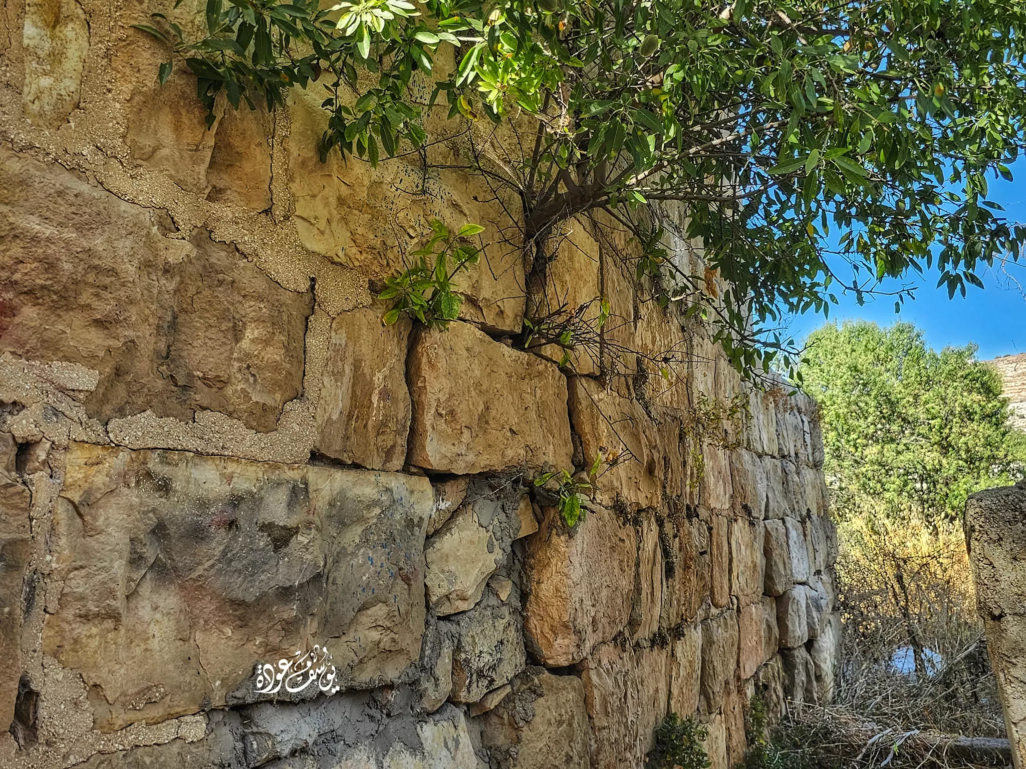
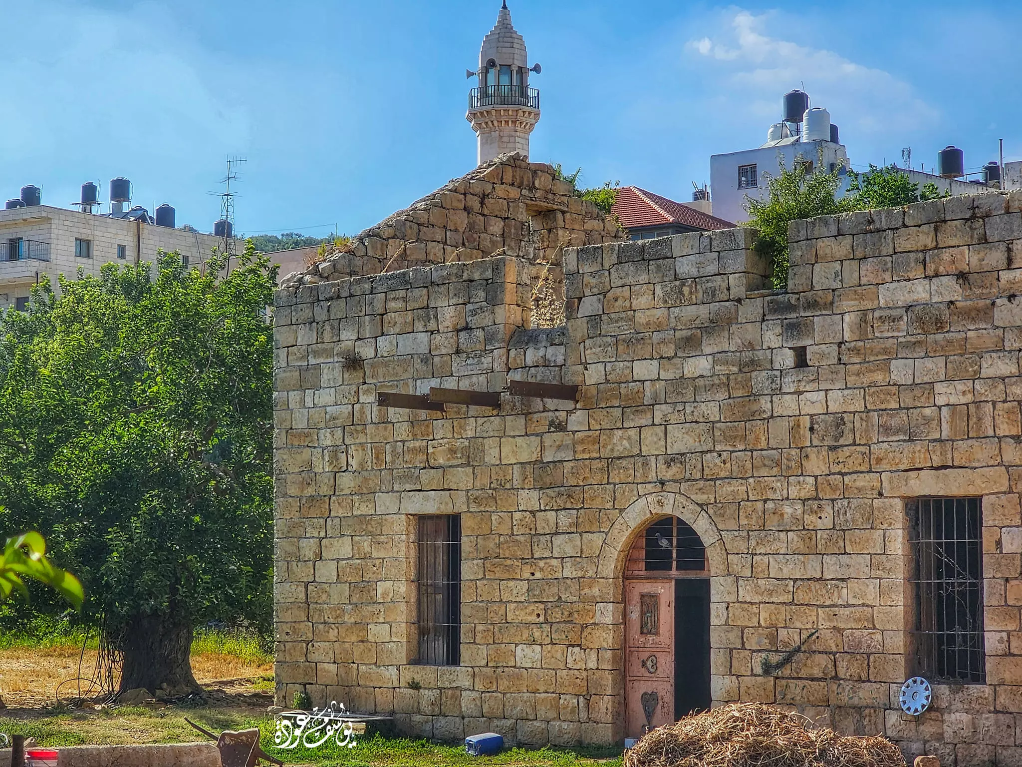
- بيوت القرية القديمة -- يوسف عودة
- بيوت القرية القديمة -- يوسف عودة #2
- بيوت القرية القديمة -- يوسف عودة #3
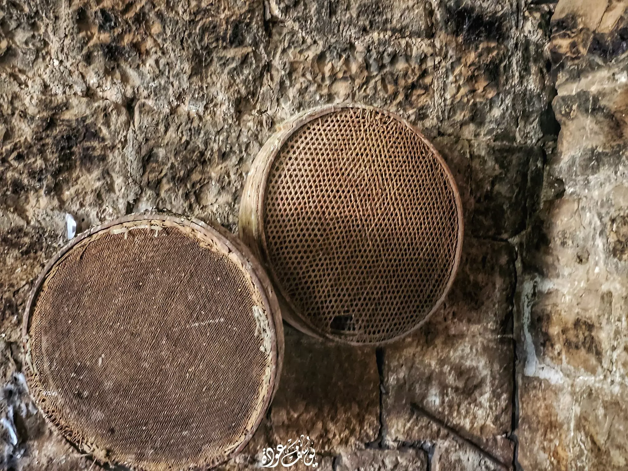
- جولة رائعة في احد بيوت القرية القديمة -- Yousif Odeh
- جولة رائعة في احد بيوت القرية القديمة -- Yousif Odeh #2

- جولة رائعة في احد بيوت القرية القديمة -- Yousif Odeh #3
- جولة رائعة في احد بيوت القرية القديمة -- Yousif Odeh #4
- جولة رائعة في احد بيوت القرية القديمة -- Yousif Odeh #5
- جولة رائعة في احد بيوت القرية القديمة -- Yousif Odeh #6
- جولة رائعة في احد بيوت القرية القديمة -- Yousif Odeh #7

- جولة رائعة في احد بيوت القرية القديمة -- Yousif Odeh #8

- جولة رائعة في احد بيوت القرية القديمة -- Yousif Odeh #9

- جولة رائعة في احد بيوت القرية القديمة -- Yousif Odeh #10
- جولة رائعة في احد بيوت القرية القديمة -- Yousif Odeh #11
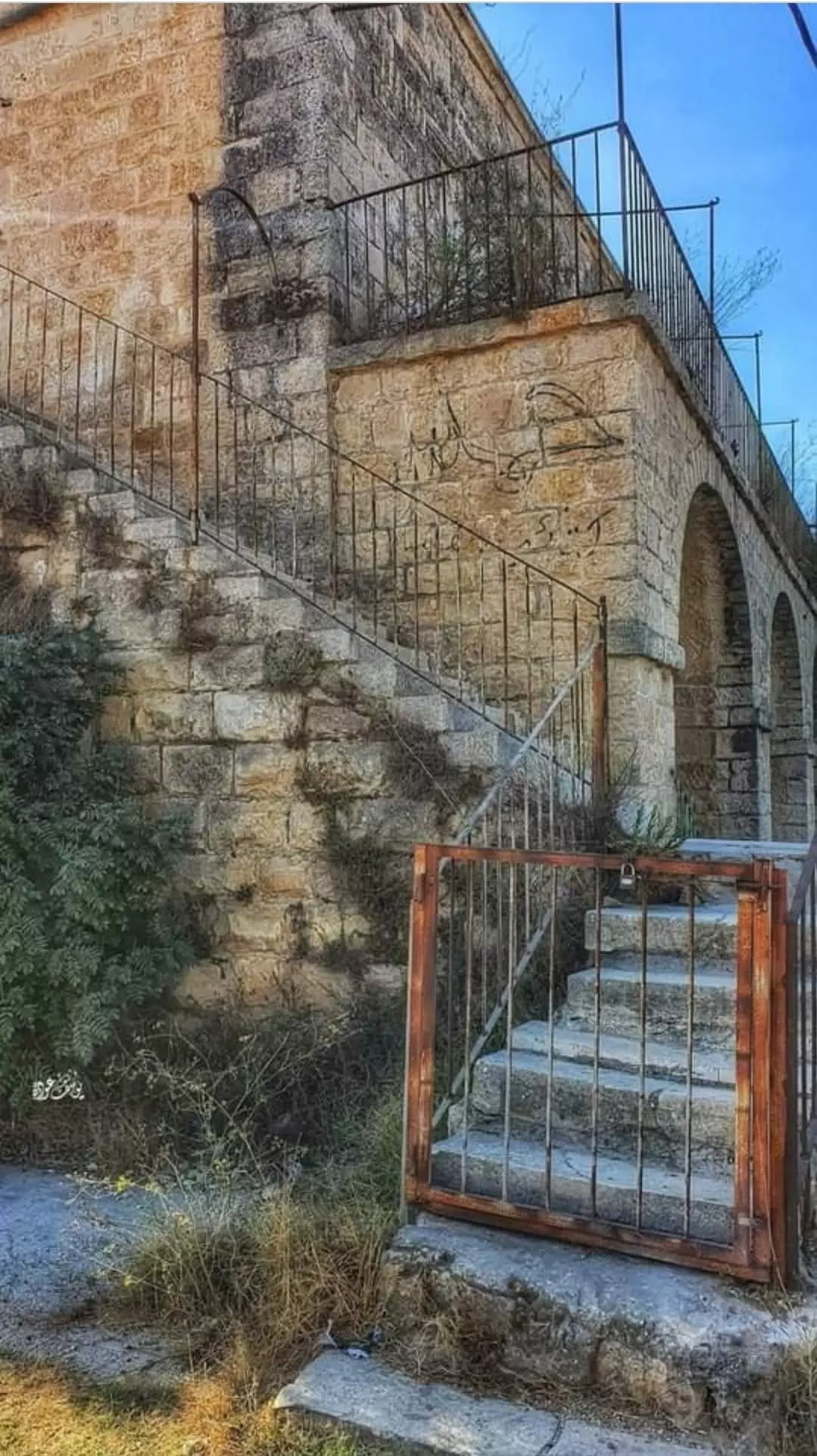
- قصر آل الحسيني -- Yousif Odeh
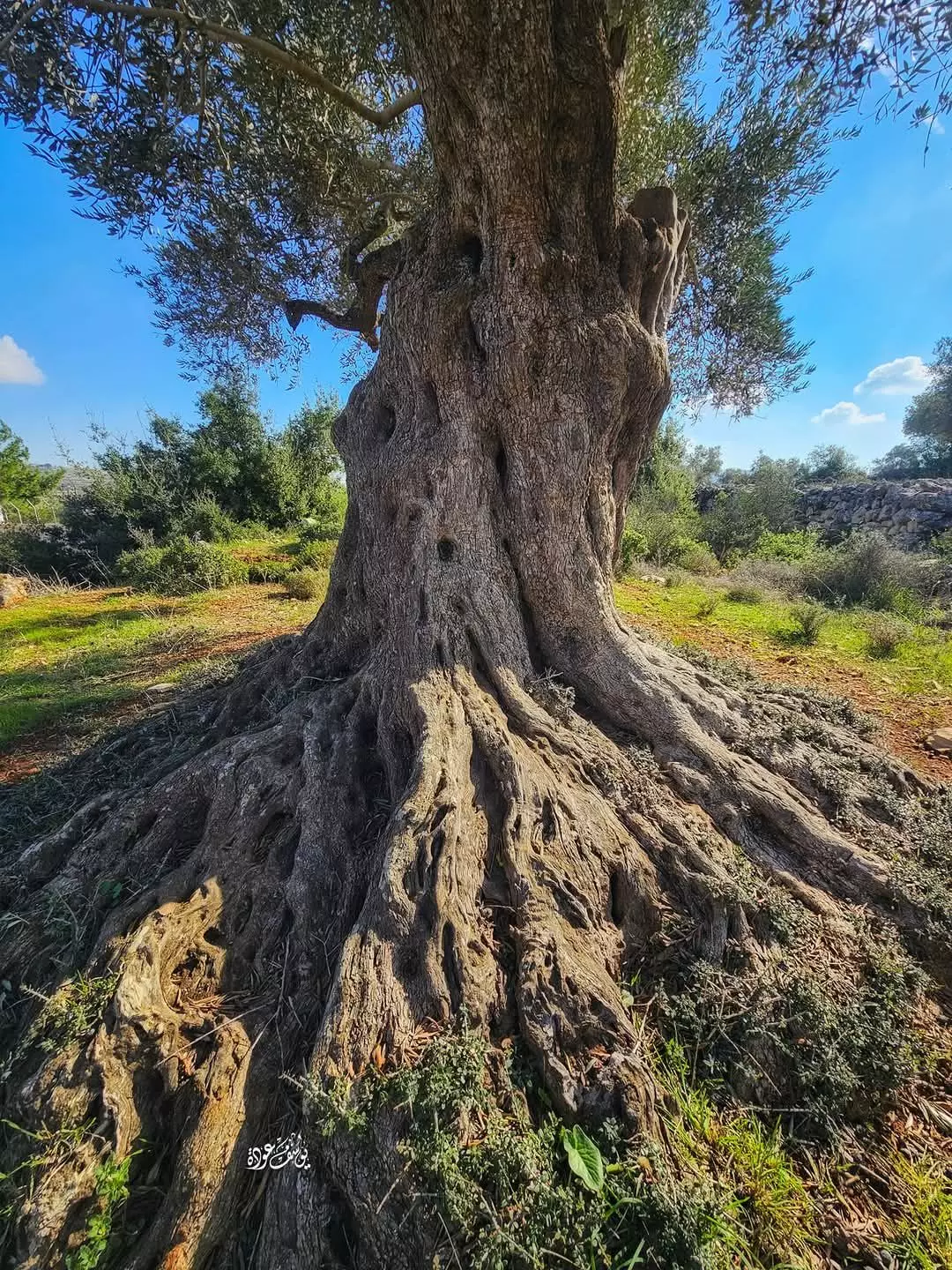
- كجذع الزيتون باقون -- يوسف عودة
- قصر آل الحسيني -- يوسف عودة
- جولة رائعة بين بيوت القرية القديمة -- Yousif Odeh
- جولة رائعة بين بيوت القرية القديمة -- Yousif Odeh #2
- جولة رائعة بين بيوت القرية القديمة -- Yousif Odeh #3
- جولة رائعة بين بيوت القرية القديمة -- Yousif Odeh #4
- جولة رائعة بين بيوت القرية القديمة -- Yousif Odeh #5
- جولة رائعة بين بيوت القرية القديمة -- Yousif Odeh #6
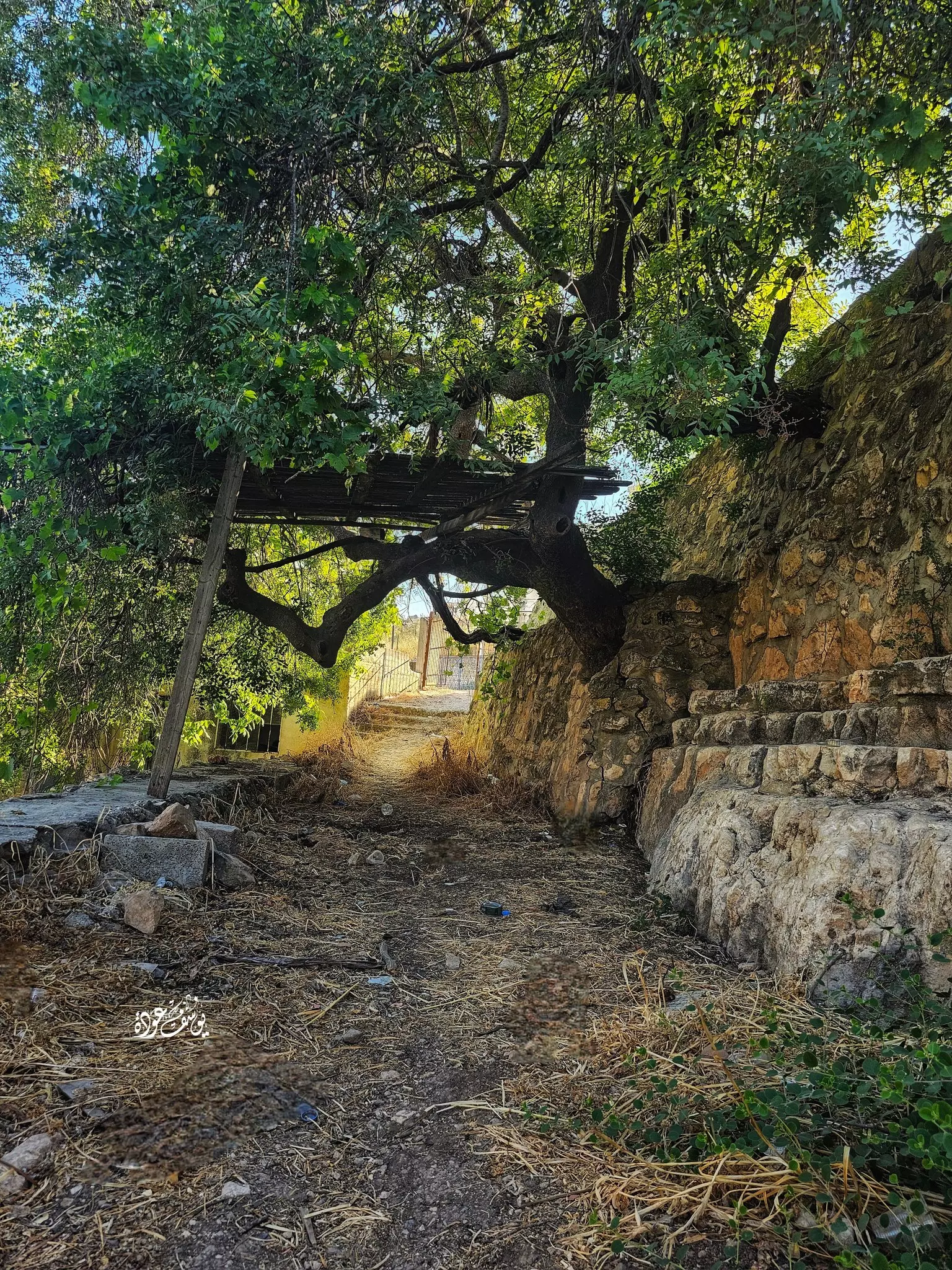
- منظر في البلدة القديمة -- يوسف عودة
- قصر آل الحسيني -- يوسف عودة
- قصر آل الحسيني -- يوسف عودة #2
- بيت قديم -- يوسف عودة
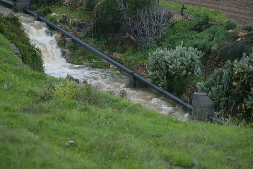
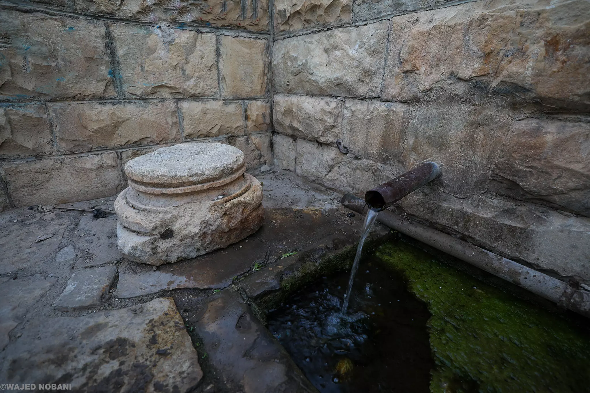
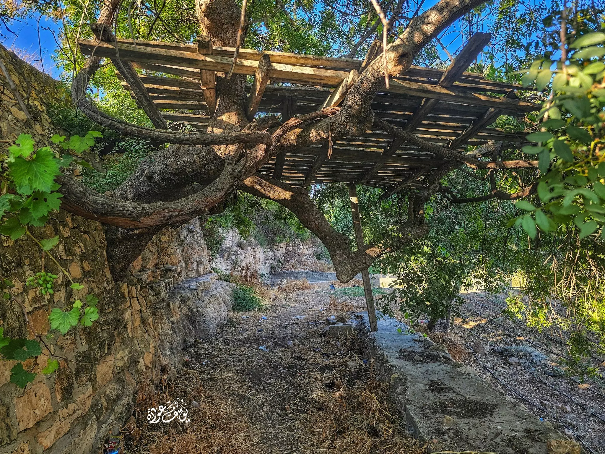
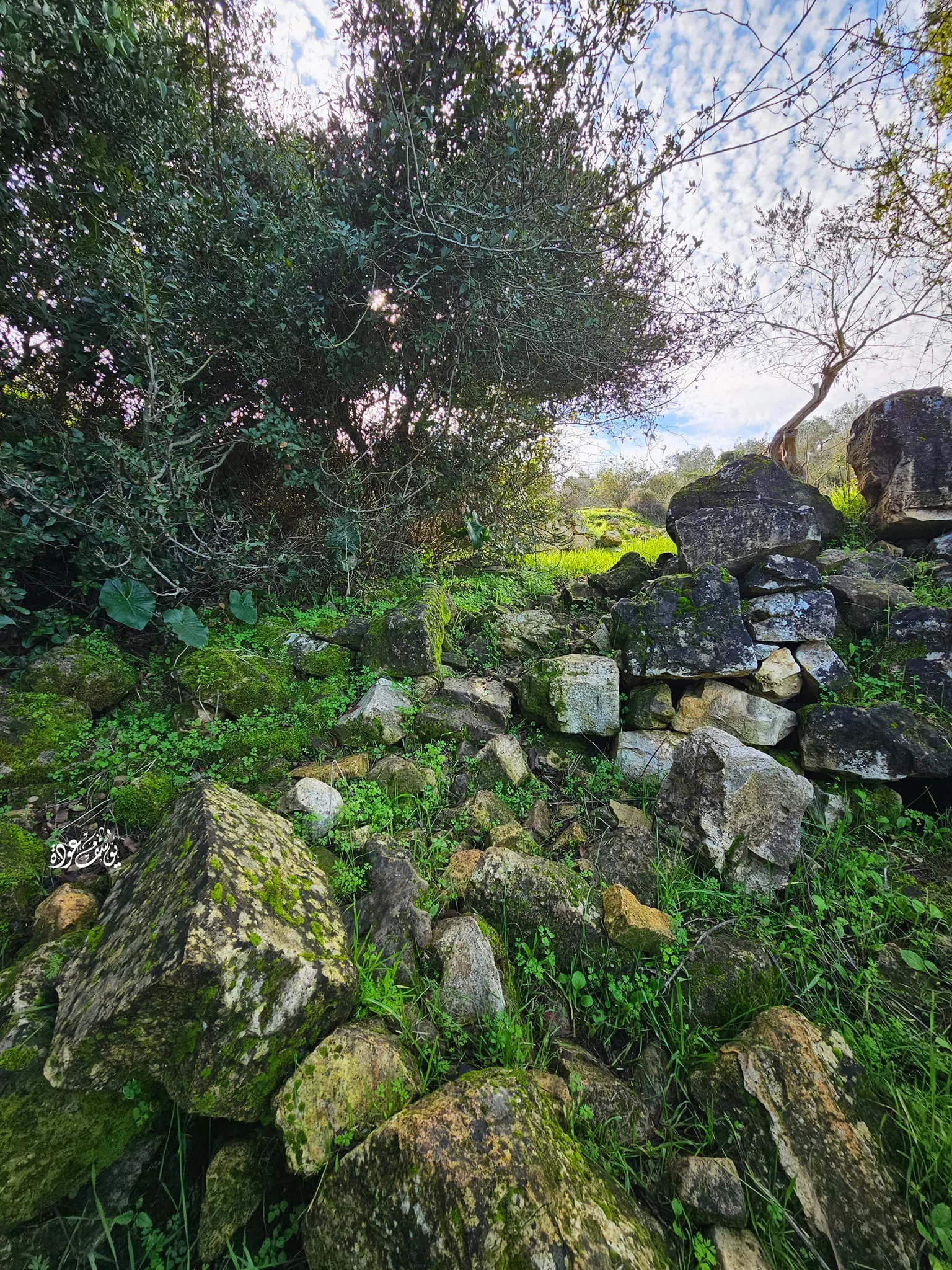
- عين الجورة -- يوسف عودة
- عين الجورة -- يوسف عودة #2
- عين الجورة -- يوسف عودة #3
- عين الجورة -- يوسف عودة #4
- عين الجورة -- يوسف عودة #5
- عين الجورة -- يوسف عودة #6
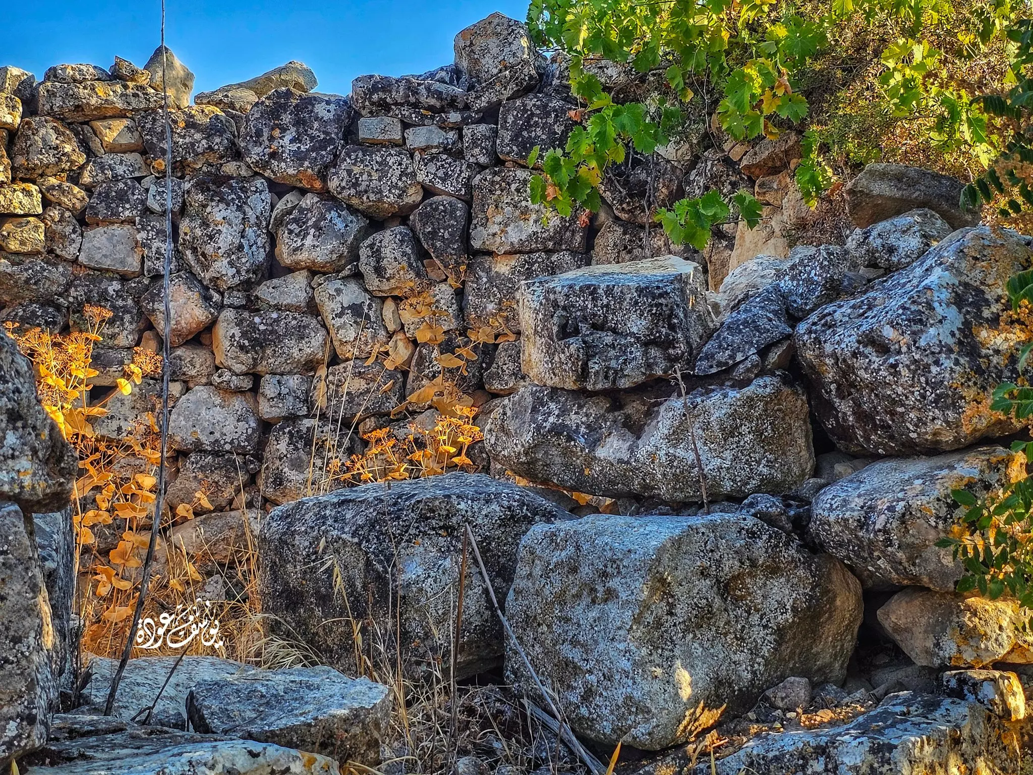
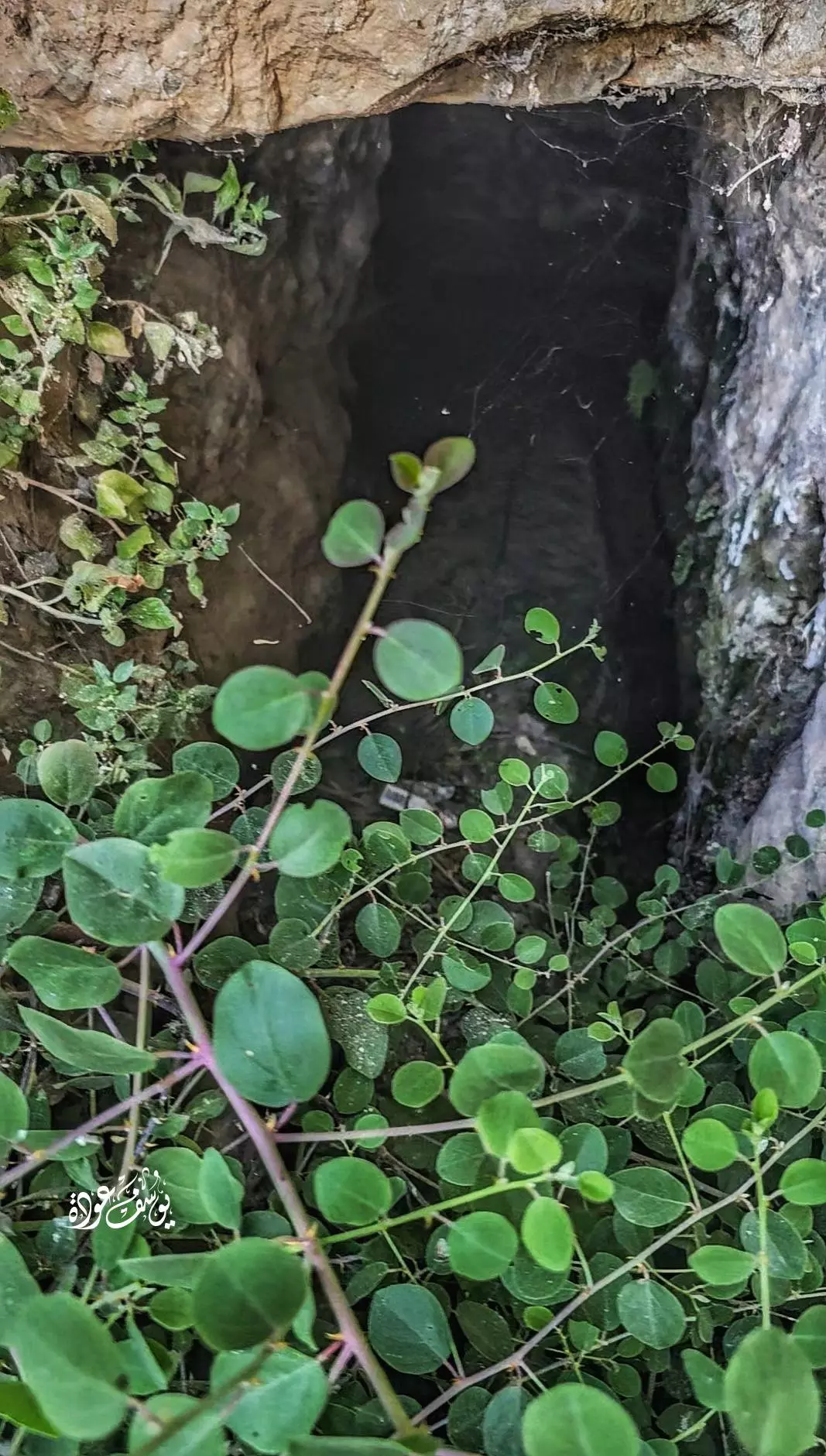
- في احد الخرب -- يوسف عودة
Want to browse more? 80,000 pictures were grouped in these gallaries:
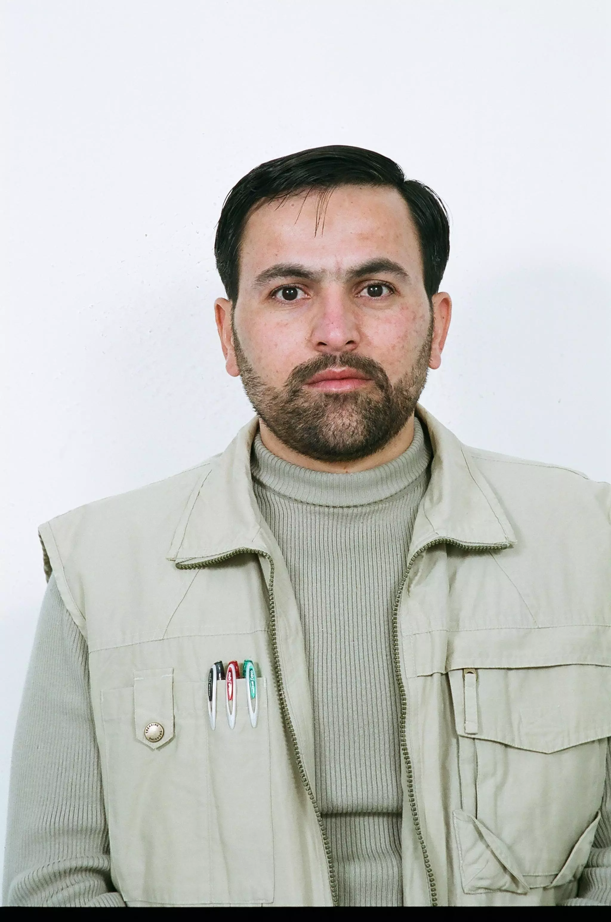
| Display Name | Clan/Hamolah | Country of Residence |
| محمد مصلح | - | - |
| aladdin samaha | - | عين سينيا |
| سفيان قصقص | - | - |
| حازم | الحلاق | فلسطين, عين سينيا |
| حسن سمحان | - | - |
| محمود | راغب | فلسطين, عين سينيا |
| العم عزمي | العم | جده, جدة |
- تصوير جوّي لقرية عين سينيا شمال رام الله - فيديو: محمود الخواجا وعقيل عواودة Duration: 2 min 4 sec
- الذاكرة مفتاح العودة - الحلقة 10 - قرية عين سينا Duration: 23 min 22 sec
No links have been shared yet, be free to the first to share the first link.
 Fake Valor: Why Did Zionist Jews Hoist Nazis Flag on Their Ships in the 1930s?
What is new?
-
Facts About Oct. 7th Gaza Raid
-
Remined Us Please:: Who Did Rape Who? Palestinians Raped Israelis? Or, was the other way around?
-
When Prof. Edward Said was invited to debate Bibi Netanyahu in the 1980s, watch what happened!
-
Abusing Blood Libel!
-
Zionist FAQ: Isn't it true that Palestinians don't want peace? Palestinians never accepted the two-state solution
- Facts about Haavara (Transfer) Agreement between Ben-Gurion & Hitler
-
Haavara FAQs: Why Did Zionist Jews Hoist Nazis' Flags on Their Ships in the 1930s?
-
Dear ChatGPT: Why did the Jewish Agency suppress news of the Holocaust during WWII?
-
Video Playlist: Jews share their DNA tests to end the conflict for good.
-
A Tale of Two Conflicts: Examining the Definition of Genocide
-
Prof. Abraham Polak And The Suppressed History of the Khazars and European Jewry
-
How Ronald Reagan would have framed the genocide in Gaza if he were still alive?
-
Haavara FAQs: Let us do the math: how many German Jews did The Haavara Agreement save?
-
Zionist FAQs: The Hebron Massacre of 1929, "clearly proves" that Palestinians are antisemitic, how could you deny it?
-
Zionist FAQs: Why Anti-Zionist Is Not Antisemitism?
-
Zionist FAQs: Isn't it true that the KGB create Palestinian Nationalism in the early 1960s?
- Zionist FAQs: Muslims are killing Muslims all the time; why are Israeli Jews being singled out in the media?
- Zionist FAQs: How is Israel an apartheid state when 20% of its citizens are Arabs who enjoy full rights?
-
Haavara FAQs: Analysis of Herzl's Uganda Scheme and how it could have saved millions of Jews.
-
Haavara FAQs: Why did Hayim Greenberg describe American Jewry as "morally bankrupt" in early 1943?
-
Haavara FAQs: What if the Evian Conference was a resounding success? What would have been the impact of saving European Jewry on Zionism?
- Haavara FAQs: What if the six million were saved, how that would have impacted the Zionist project?
-
Haavara FAQs: How did Zionist leaders react when Europe's Jews lingered in the DP camps after WWII ended?
-
Why does the American Jewish community repeat lies that David Ben-Gurion had debunked before he died?
-
Who has the power to rename the Tatar/Khazar Gene Marker to Jewish IV?
-
Zionist FAQs: Why won't Egypt, Syria, and Jordan take their people back? Jews are indigenous to Palestine, and Arabs immigrated after Jews developed the country. Arabs should leave.
-
Haavara FAQs: Did Hitler and the Nazis conflate between Judaism and Zionist? If that wasn't case, then why?
-
Haavara FAQs: Winston Churchill and antisemitism, a collection of articles written Churchill.
-
Haavara FAQs: Broken by country, how many Jews survived vs. killed during the Holocaust?
-
Haavara FAQs: Why did European Jews vote with their feet and to immigrated to the Americas, not Palestine, after WWII?
-
Watch this American Jewish Girl describing Israeli Jews' cognitive dissonance like no other in under two minutes
-
Haavara FAQs: When the Nazis went out of their way to hide the Holocaust, Israeli Jews did the exact opposite by broadcasting their genocide of Gazans. But why?
-
Haavara FAQs: How Zionist Jews went out of their to show their appreciation to Nazism and Fascism?
- Haavara FAQs: Why Zionist leaders were against bombing the death camps & the Railroads leading to them?
-
Haavara FAQs: Hitler's message to the British and American people: If Jews are such noble citizens and you care about them, how come you're not letting them in? I will gladly ship them to you at my expense, even on luxury liners!
-
A shortlist of Zionist and Israeli false flag operations in the name Jews.
-
The Most Moral Army
- The Land of Kapos (Israel): Where the brave are boycotted and Kapos walk free.
- Why did early Zionists often named their communal enterprises "colonial"?
- Zionist Relations with Nazi Germany by Faris Glubb
-
Two NY Times advertisements by Zionists in the early 1943 that exposes Zionists' treason at the height of the calamity
- Facts Not Lies about the Palestinian-Israeli Conflict.
- Site's pictures have been categorized
- Campgain Against Lice
- A Survey of Palestine, the official source about Palestine before Nakba produced by the British Mandate; over 1200 pages.
- Satellite View & Google Earth: Over 6,000 placemarks identifying all destroyed towns, W. Bank & Gaza Strip Towns, & refugee camps.
- PalestineRemembered.com and its Nakba Oral History Project were featured on al-Jazeera Satellite TV.
- Nakba Oral History Video Podcast:
 Over 700 Oral History interviews (including 3,500+ hours of recording) can be viewed online.
 - Palestine Village Statistics Project
- Gaza Jail Break
- النسخة العربية للموقع الان متوفرة
- Videos: Documenting the destroyed villages in video: Tracing all that remains since Nakba.
- Videos: Responding to Zionist Propaganda
- Interview: The ethnic cleansing of Palestine: George Galloway interviews Israeli Historian Ilan Pappe.
- For Palestinians, memory matters. It provides a blueprint for their future By George Bisharat.
- Zionist FAQ now available in Hebrew שאלות שציונים שואלים, עכשיו בעברית
- Video: The Stephen Walt and John Mearsheimer report on the influence of the Israel Lobby on U.S. Foreign Policy
- The Palestinian-Israeli conflict for beginners
