| PalestineRemembered | About Us | Oral History | العربية | |
| Pictures | Zionist FAQs | Haavara | Maps | |
| Search |
| Camps |
| Districts |
| Acre |
| Baysan |
| Beersheba |
| Bethlehem |
| Gaza |
| Haifa |
| Hebron |
| Jaffa |
| Jericho |
| Jerusalem |
| Jinin |
| Nablus |
| Nazareth |
| Ramallah |
| al-Ramla |
| Safad |
| Tiberias |
| Tulkarm |
| Donate |
| Contact |
| Profile |
| Videos |
Welcome To Khubbayza - خبيزة (ח'ביזה)
|
District of Haifa
Ethnically cleansed days ago |
العربية Google Earth |
 |
Gallery (53) |
- Statistics & Facts
-
Before & After

- Satellite View
- Articles 4
- Pictures 53
- Aerial Views 2
- Oral History 2
- Members 5
- Families
- All That Remains
- Wikipedia
- Videos 5
- Guest Book 2
- Links
| Statistic & Fact | Value | |||||||||||||||||||||
| Occupation Date | May 12, 1948 | |||||||||||||||||||||
| Distance From District | 29.5 (km) South East of Haifa | |||||||||||||||||||||
| Elevation | 175 (meters) | |||||||||||||||||||||
| Before & After Nakba, Click Map For Details |
||||||||||||||||||||||
|
||||||||||||||||||||||
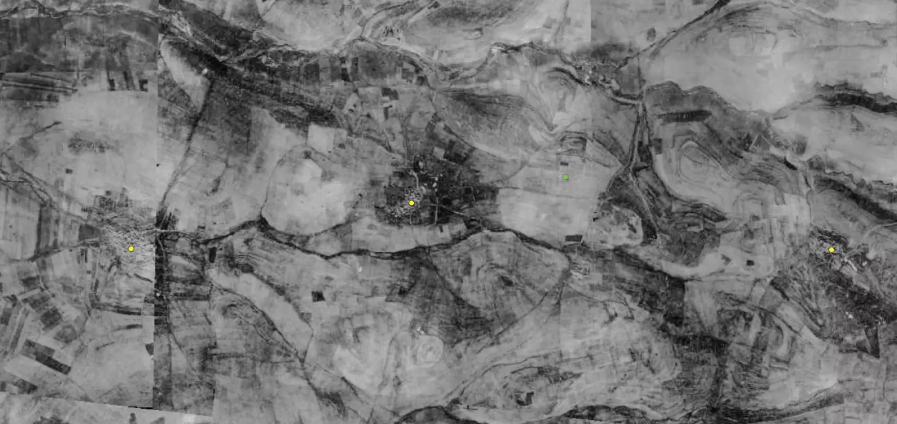
| Pre-Nakba Aerial View |
||||||||||||||||||||||
|
||||||||||||||||||||||
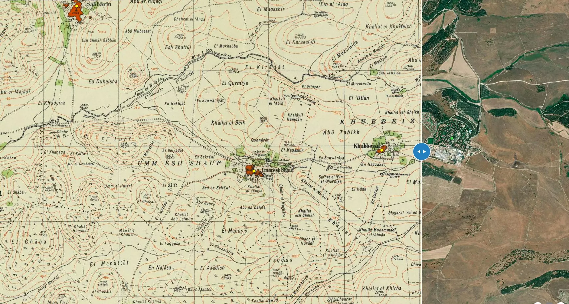
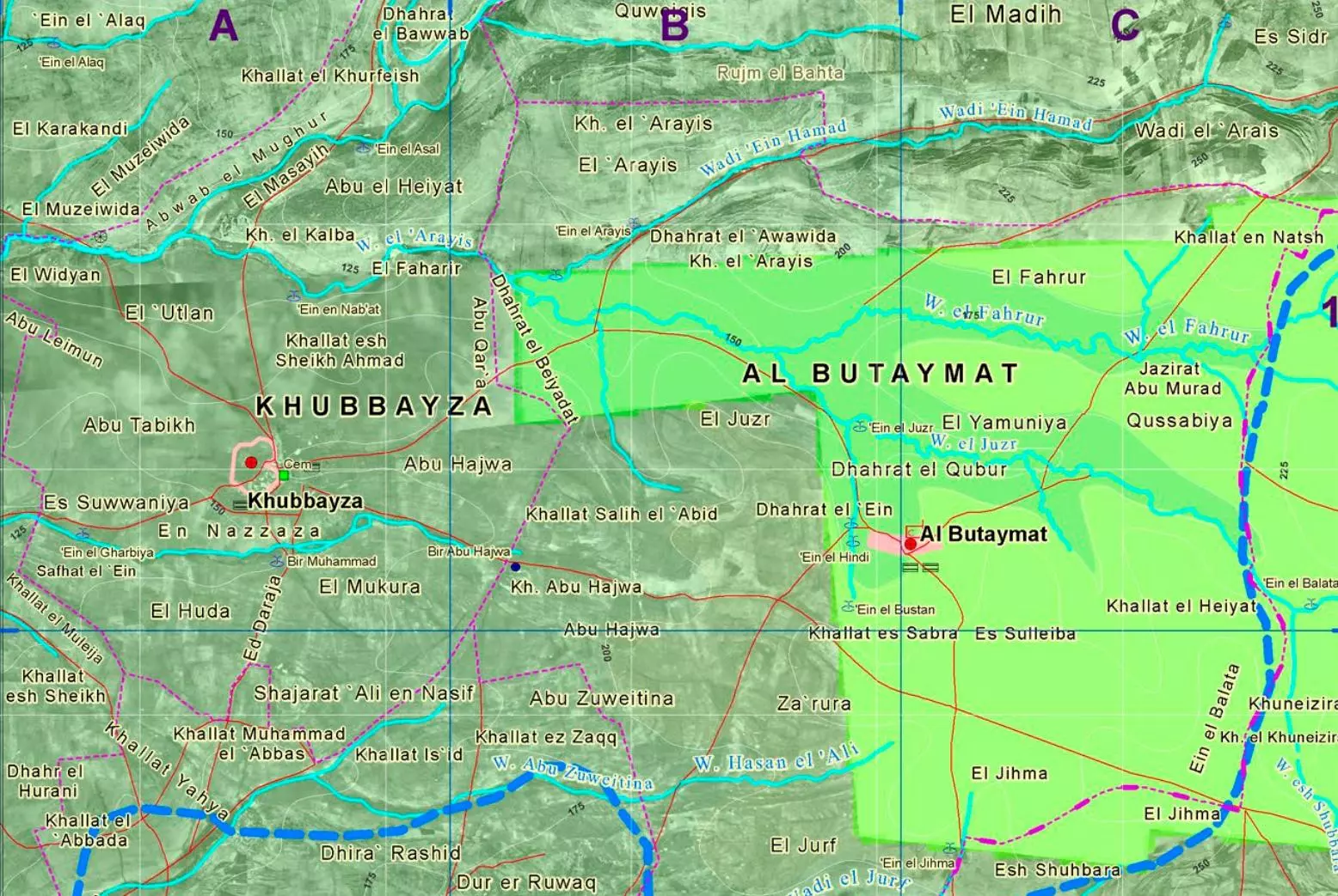
| Map Location | See location #40 on the map View from satellite |
|||||||||||||||||||||
| Military Operation | During or soon after the battle form Mishmar Ha'emek. | |||||||||||||||||||||
| Attacking Units | Most likely Irgun Zvai Leumi (IZL) troops, which is the same terror gangs that committed several massacres against many Palestinians. See Dayr Yasin for example | |||||||||||||||||||||
| Exodus Cause | Military assault by Zionist troops | |||||||||||||||||||||
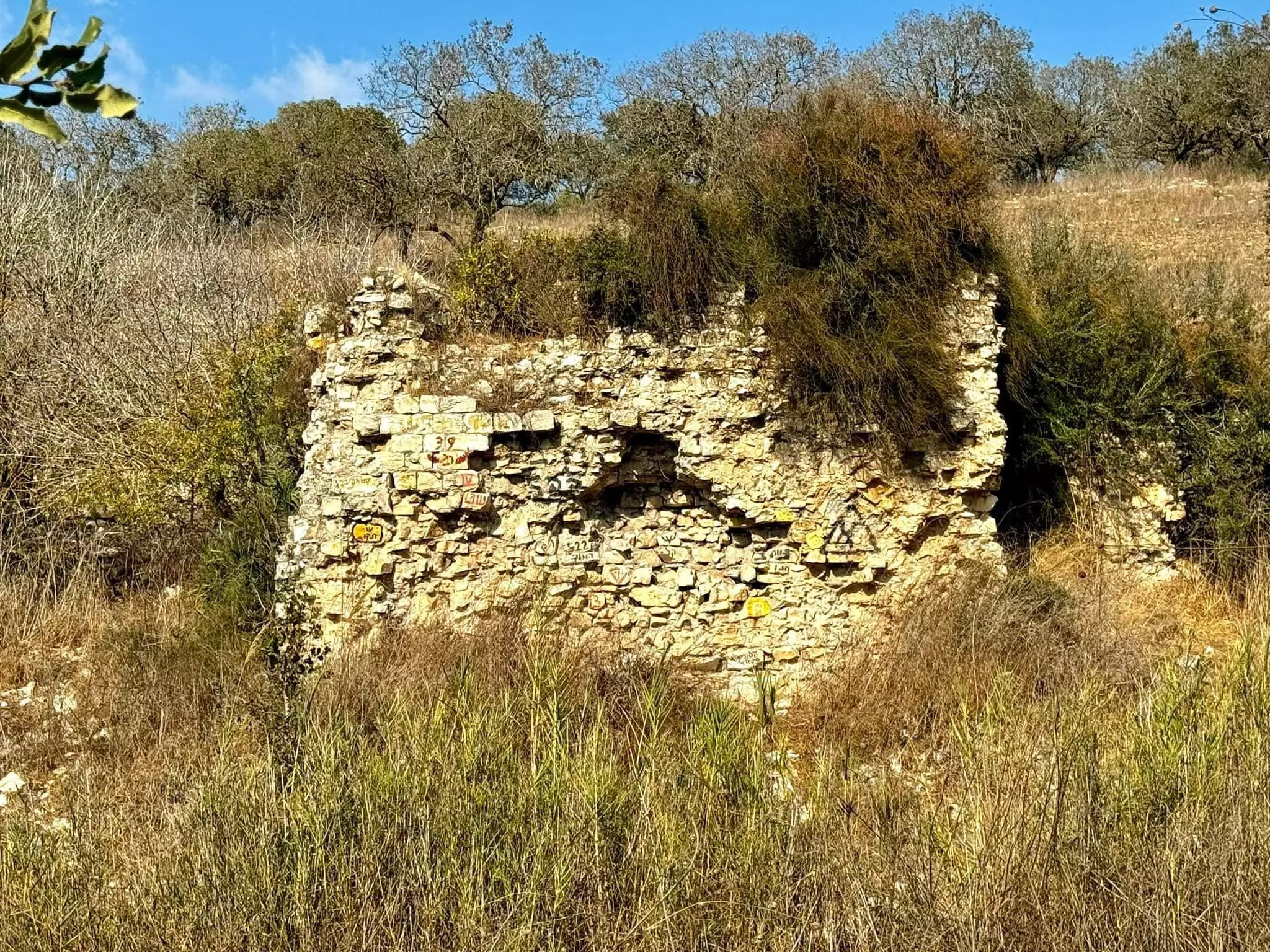
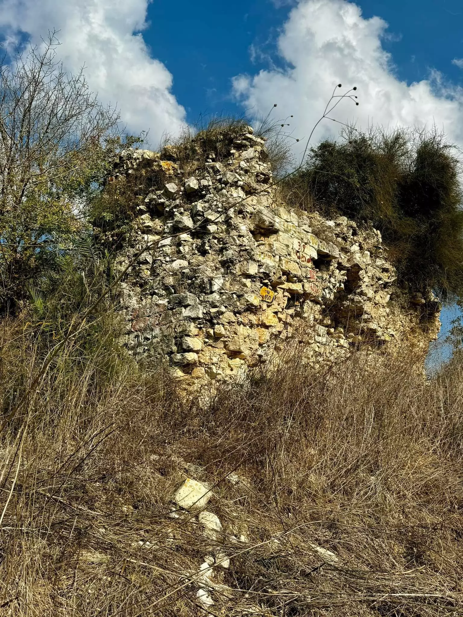
| Village Temains | The village has been completely destroyed, and only house rubble left behind. | |||||||||||||||||||||
| Ethnically Cleansing | Khubbayza inhabitants were completely ethnically cleansed. | |||||||||||||||||||||
| Pre-Nakba Land Ownership |
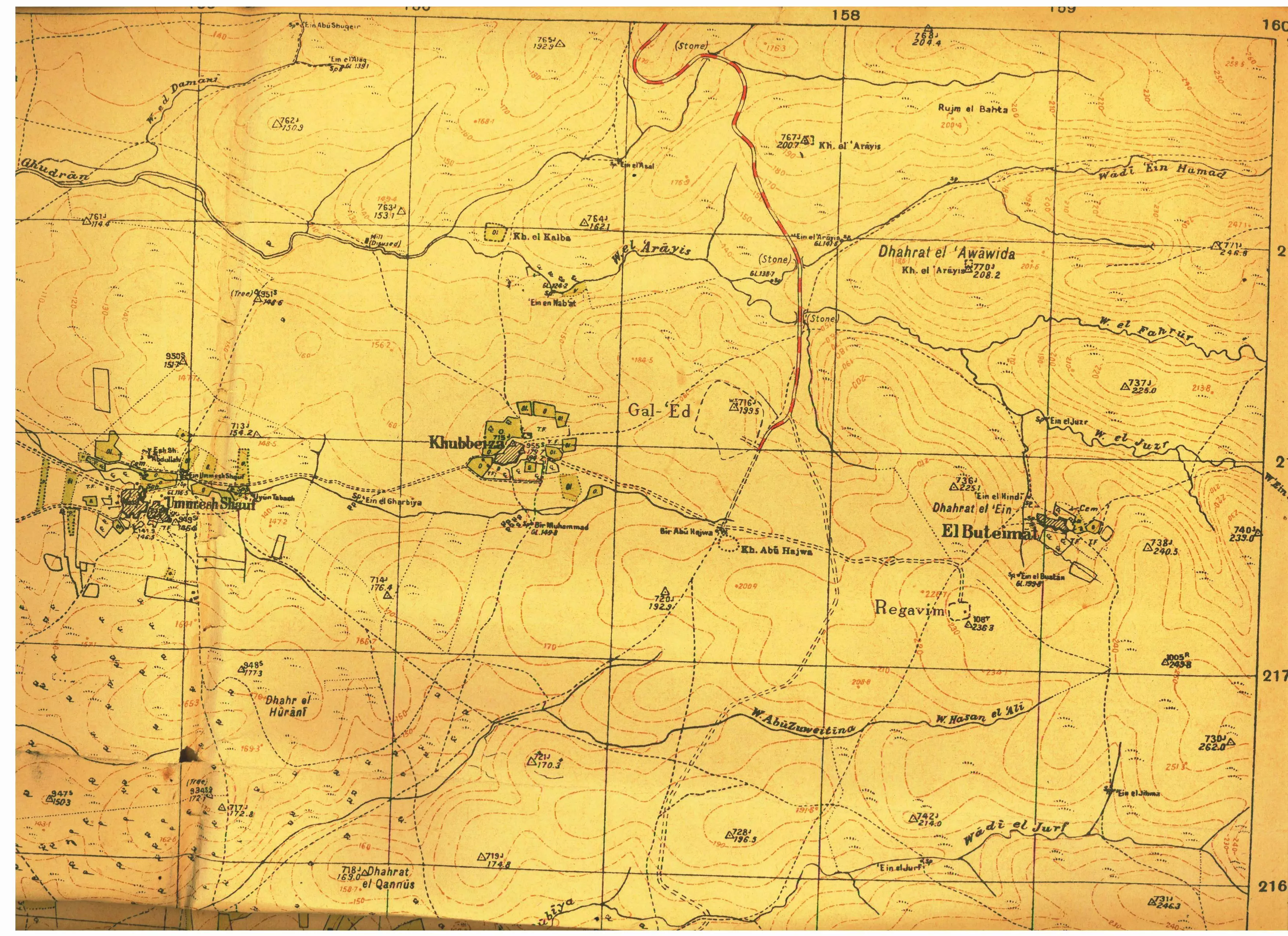
**Town Lands' Demarcation Maps |
|||||||||||||||||||||
| Land Usage As of 1945 |
|
|||||||||||||||||||||
| Population |
|
|||||||||||||||||||||
| Number of Houses |
|
|||||||||||||||||||||
| Near By Towns |
||||||||||||||||||||||
|
|
||||||||||||||||||||||
| Archeological Sites | Khirbat al-Kalba (probably named after the Bedouin tribe of Bani Kalb), lay north of the village; it yielded traces of a human settlement. | |||||||||||||||||||||
| Exculsive Jewish Colonies Who Usurped Village Lands |
No settlements on village lands | |||||||||||||||||||||
| Featured Video | ||||||||||||||||||||||
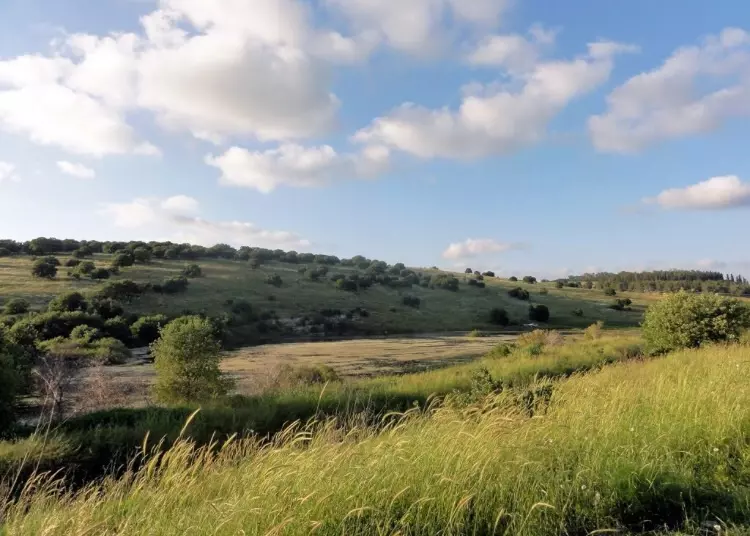
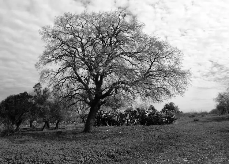
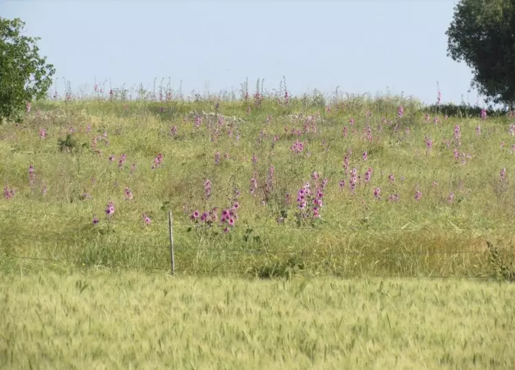
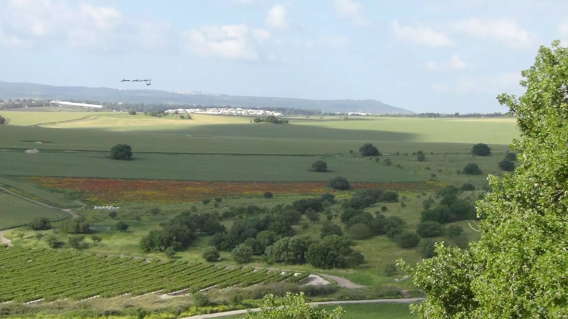
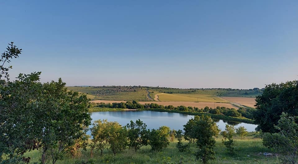
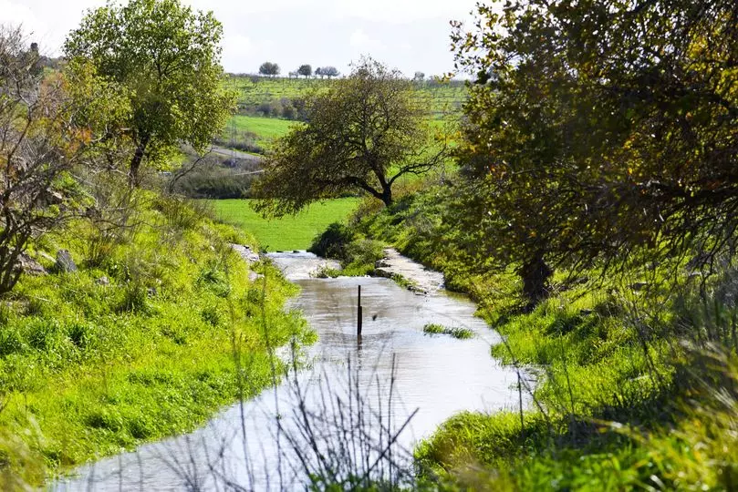
Village Before NakbaThe village stood on hilly terrain that sloped toward the southwest, about 1 km south of Wadi al-Sindiyana. Secondary roads led north and south from the village to highways connecting the coast with the plain of Marj ibn Amir. Its name was the Arabic term for mallow, a wild plant cooked as a vegetable in Palestinian peasant cuisine. In the late nineteenth century, Khubbayza had an estimated 270 residents who cultivated 24 faddans of land (1 faddan = 100-250 dunums). The village was oriented along a northeast-southwest axis, with stone houses built close together. Its inhabitants were Muslims. They obtained their domestic water from several springs and wells within the village's boundaries, and earned their living primarily from agriculture, growing grain and vegetables. In 1944/45 a total of 2,295 dunums was allotted to cereals; 65 dunums were irrigated or used for orchards, 20 dunums of which were for olives. They also engaged in animal husbandry. Khirbat al-Kalba, probably named after the Bedouin tribe of Bani Kalb, lay north of the village; it yielded traces of a human settlement.Village Occupation and Ethnic CleaningThe village was probably the victim of an early Haganah raid launched in the first few weeks of the war. An attack on a village that the New York Times called 'Habassa near Haifa' occurred on 1 January 1948. No figures for casualties were given, but the report stated that the attack was similar to the massacre carried out the same day at nearby Balad al-Shaykh. The cycle of violence had begun when the Irgun Zvai Leumi (IZL) attacked a group of Palestinian workers at an oil refinery near Haifa on 30 December 1947.The village was not occupied for several months, however. In the wake of the battle over the kibbutz of Mishrnar ha-Emeq , the Haganah proceeded to snap up a number of surrounding villages in mid-April 1948. In the following weeks, the IZL capitalized on these gains by attacking other villages in the same area. Khubbayza fell to IZL forces between 12 and 14 May. Most of the inhabitants of the region fled under mortar fire, according to IZL sources quoted by Israeli historian Benny Morris. But many were kept for a few days behind barbed wire and then expelled. It is not clear when Khubbayza was destroyed, but some villages in its vicinity were levelled by the Haganah after occupation and others were razed by the Jewish National Fund in June 1948. Zionists Colonies on Village LandsThere are no Israeli settlements on village lands. The closest settlement is Even Yitzchaq, which was founded in 1945 on lands originally belonging to the village of al-Butaymat, about 1 km east of the village site.Village TodayAll that remains on the site is stone debris, scattered among thorny bushes, grass, and cactuses. Part of the surrounding land is cultivated and the rest serves as pasture.SourceDr. Walid al-Khalidi, 1992: All That Remains. |
||||||||||||||||||||||
| Related Maps | Town Lands' Demarcation Maps خرائط للقضاء توضح حدود القرى والاودية Town's map on MapQuest View from satellite Help us map this town at WikiMapia |
|||||||||||||||||||||
| Related Links | Wikipedia's Page Facebook Page Google Search Google For Images Google For Videos |
|||||||||||||||||||||
| More Information | في كتاب كي لا ننسى في كتاب بلادنا فلسطين المزيد من موقع هوية |
|||||||||||||||||||||
- Street Leading To The Village In 1990
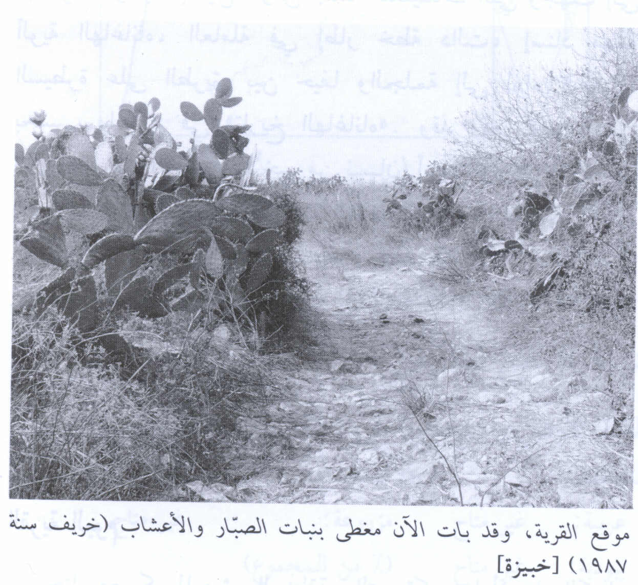
Scanned from "All That Remains" by Dr. Walid Khalidi - مقبرة خبيزة وقد غطتها الأعشاب- من أرشيف ديرتنا، تصوير محمد يونس، شباط 2008
Posted by محمد سلامة يونس 1 - أنقاض مباني خبيزة، تصوير محمد يونس- ديرتنا
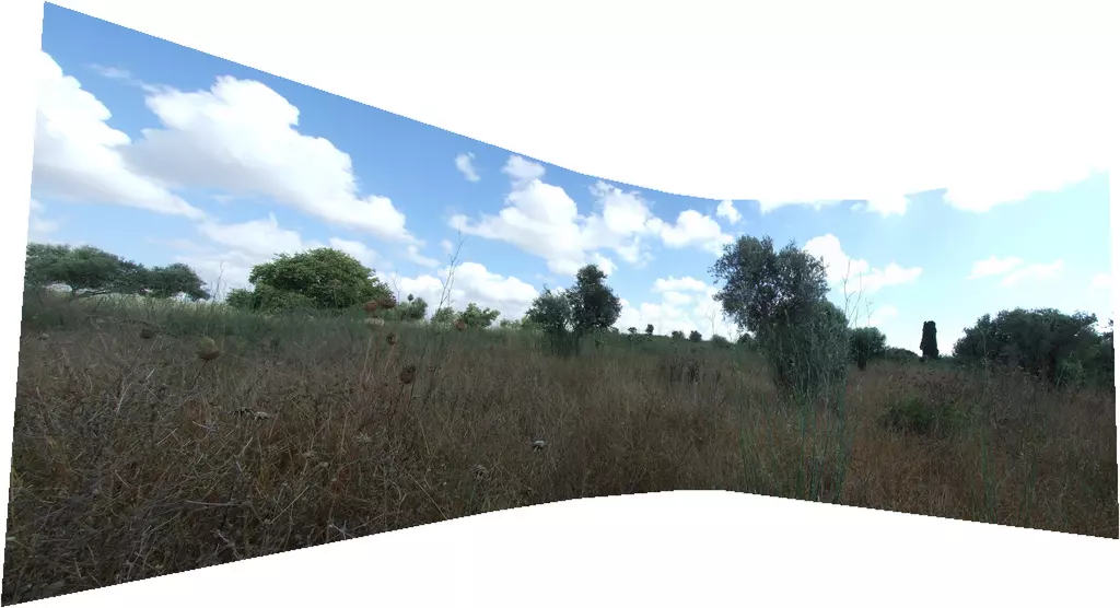
Posted by محمد سلامة يونس 1 - Khubbayza, panorama
Posted by Uri Zackhem - خريطة لقرية خبيزة عام 1942 مع إضافات عام 1945
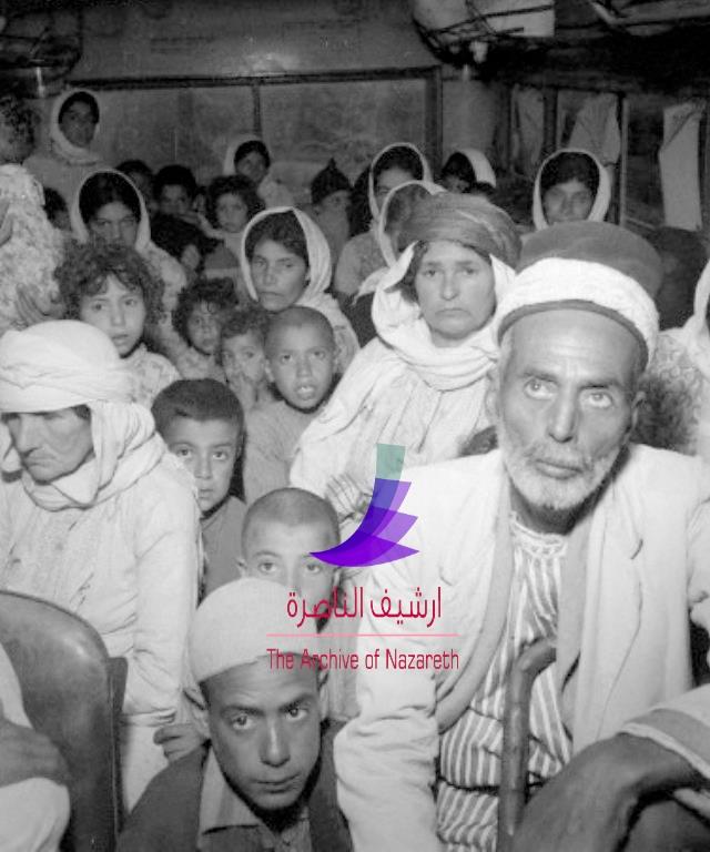
Posted by د.محمد عقل - جزء من مهجري القرية في طريقهم لمدينة حيفا عام 1948، منقول من صفحة احمد مروات على الفيسبوك
- خبيزه
Posted by abu raya - خبيزه
Posted by abu raya - خبيزه

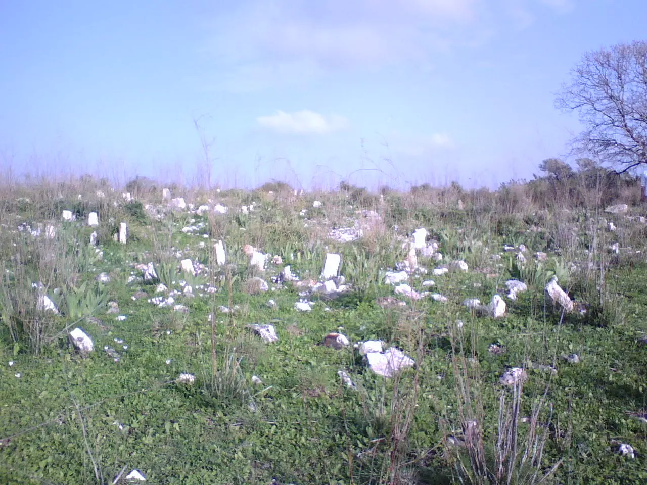
Posted by abu raya - اراضي القريه
Posted by abu raya - اراضي القريه
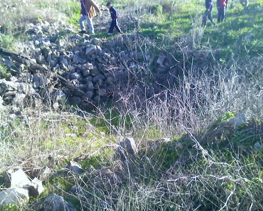
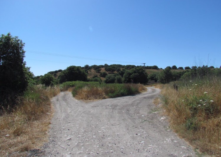
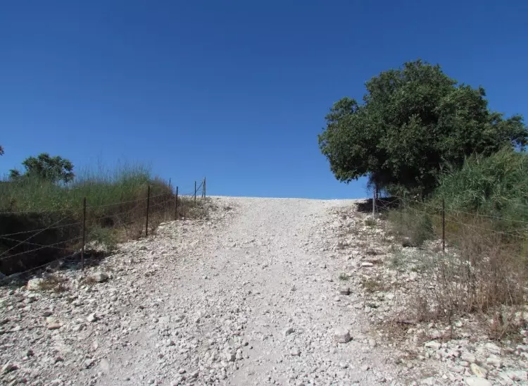
Posted by abu raya - منظر عام لقريه خبيزه
Posted by abu raya - خبيزه
Posted by abu raya - خبيزه
Posted by abu raya - خبيزه
Posted by abu raya - موقع القريه
Posted by abu raya - خبيزه
Posted by abu raya - خبيزه
Posted by abu raya - خبيزه
Posted by abu raya - خبيزه
Posted by abu raya - خبيزه
Posted by abu raya - خبيزه
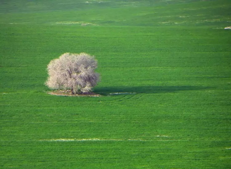
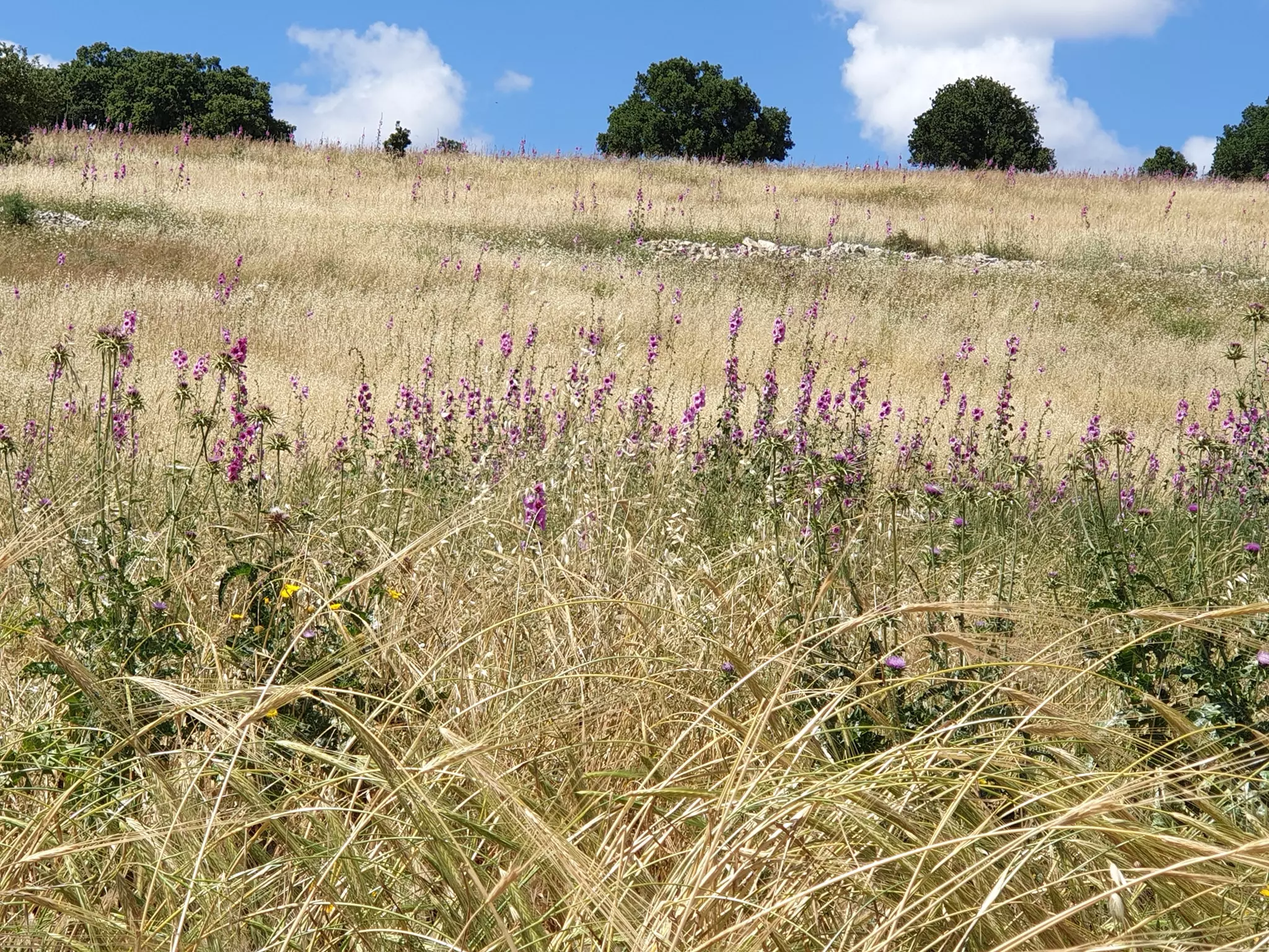
Posted by abu raya - إطلالة رائعة من خبيزة المهجرة نحو أراضي أم الدفوف ودالية الروحة . في الخلفية القريبة تبدو عين الفوار وأرض الشقرق وفي الخلفية البعيدة جبال الكرمل من أم الزينات غربا وحتى دير المحرقة شرقاً .
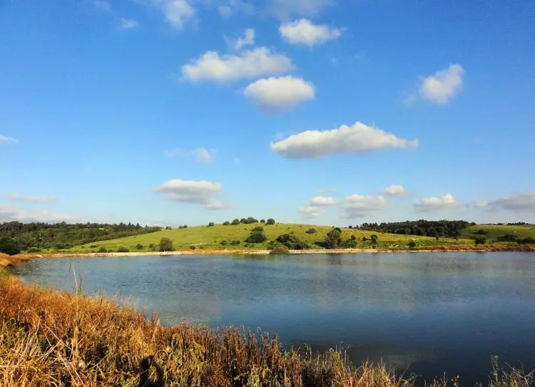
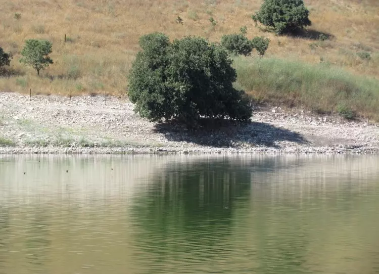
- بركة عين العرسان -أراضي خبيزة المهجرة في بلاد الروحة .
- شلال عين العرايس عند مصبه في غدير خبيزة ووادي الغدران . خبيزة المهجرة (بلاد الروحة -قضاء حيفا) بعدسة المصور المبدع نزار عفانة
- Pre-Nakba Aerial view of the village / صورة من الجو للقرية اخذت قبل النكبة
- من أمام إحدى الطواحين على ضفة غدير خبيزة -- ابراهيم أبو عمّار
- من أمام إحدى الطواحين على ضفة غدير خبيزة -- ابراهيم أبو عمّار #2
- An Aerial view of Khubayza just before Nakba, see Atlas of Palestine p. 266
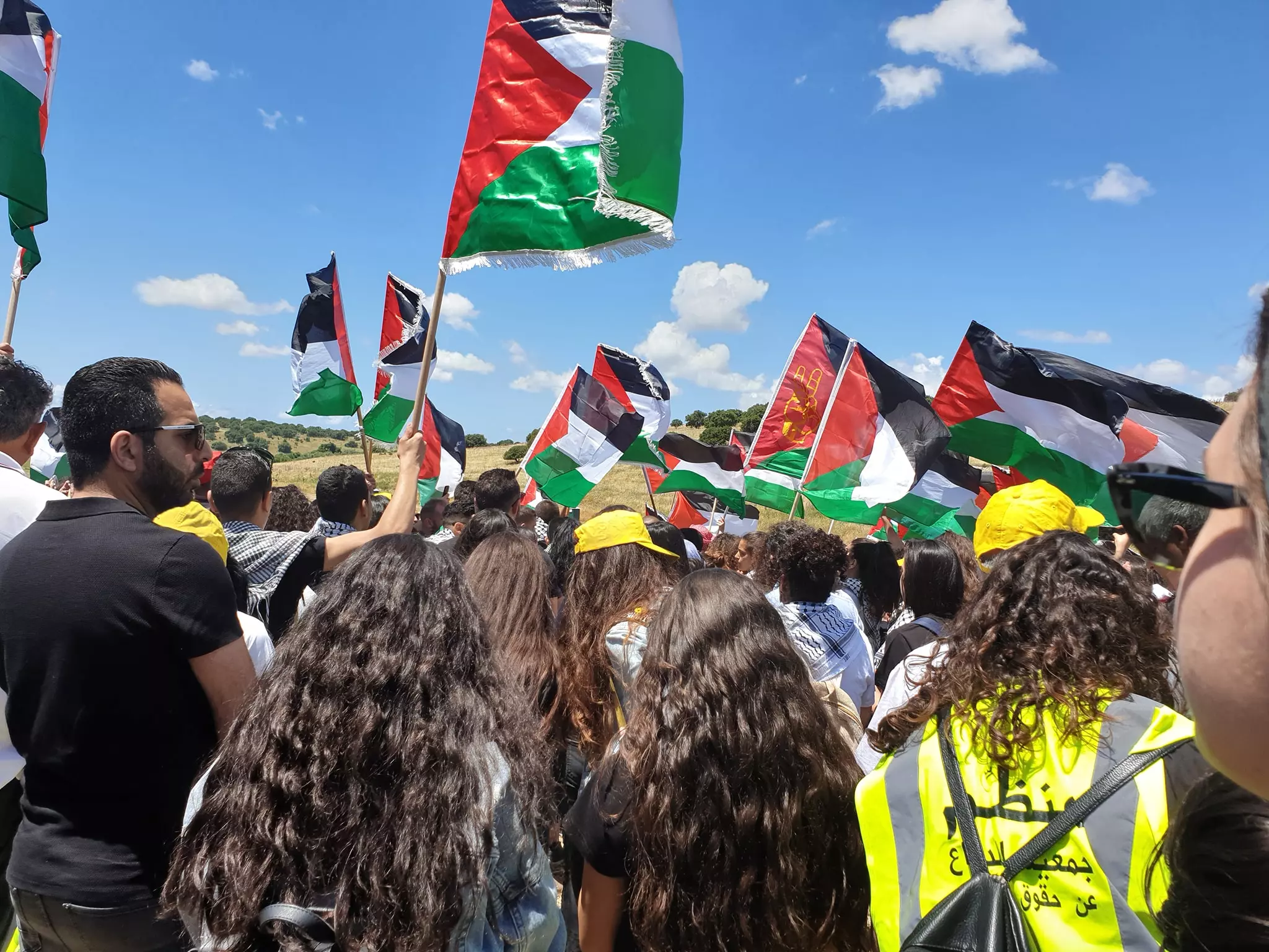
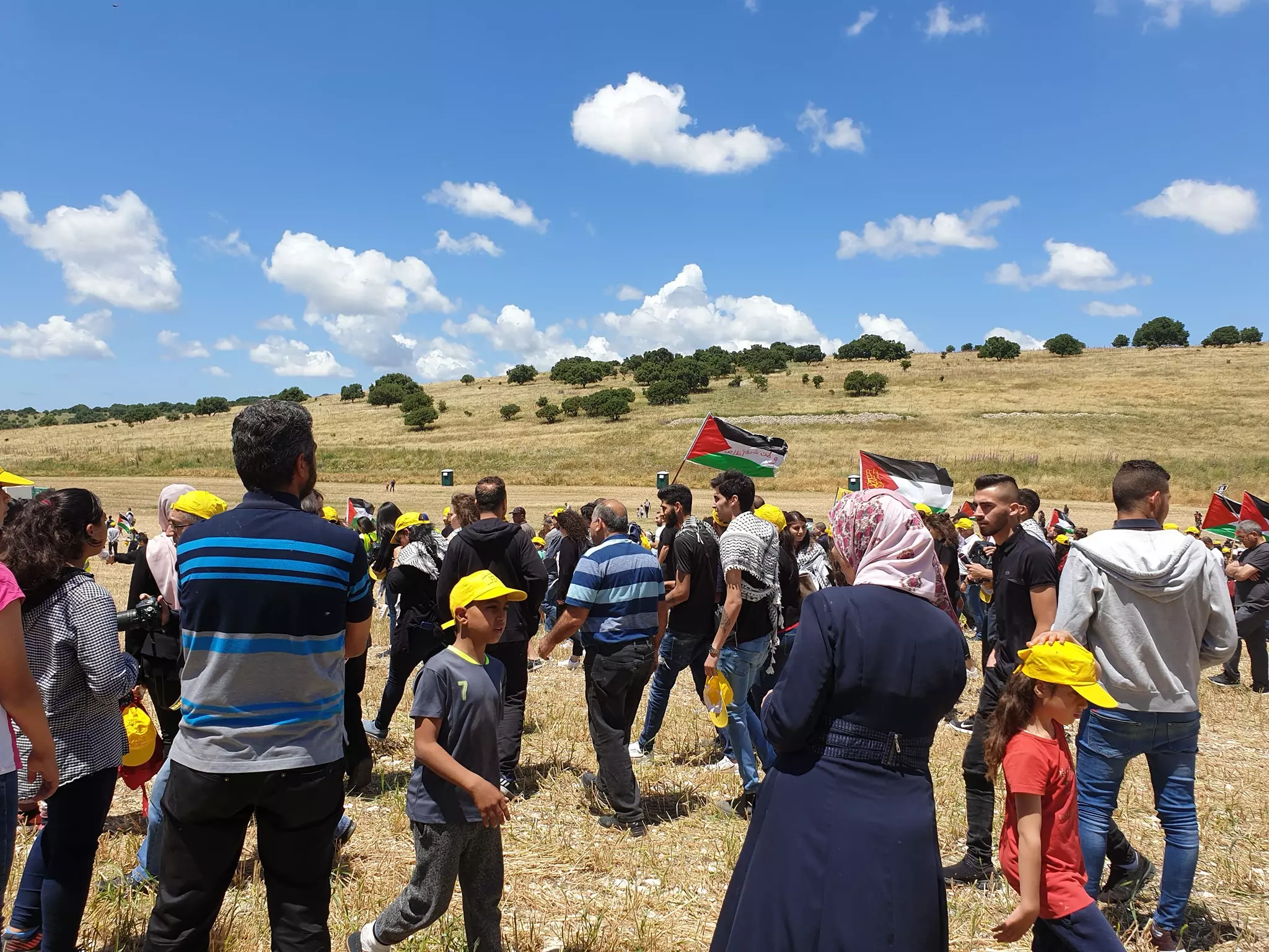
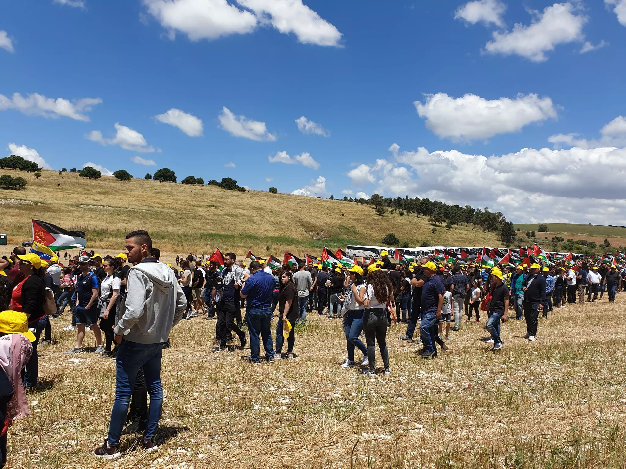
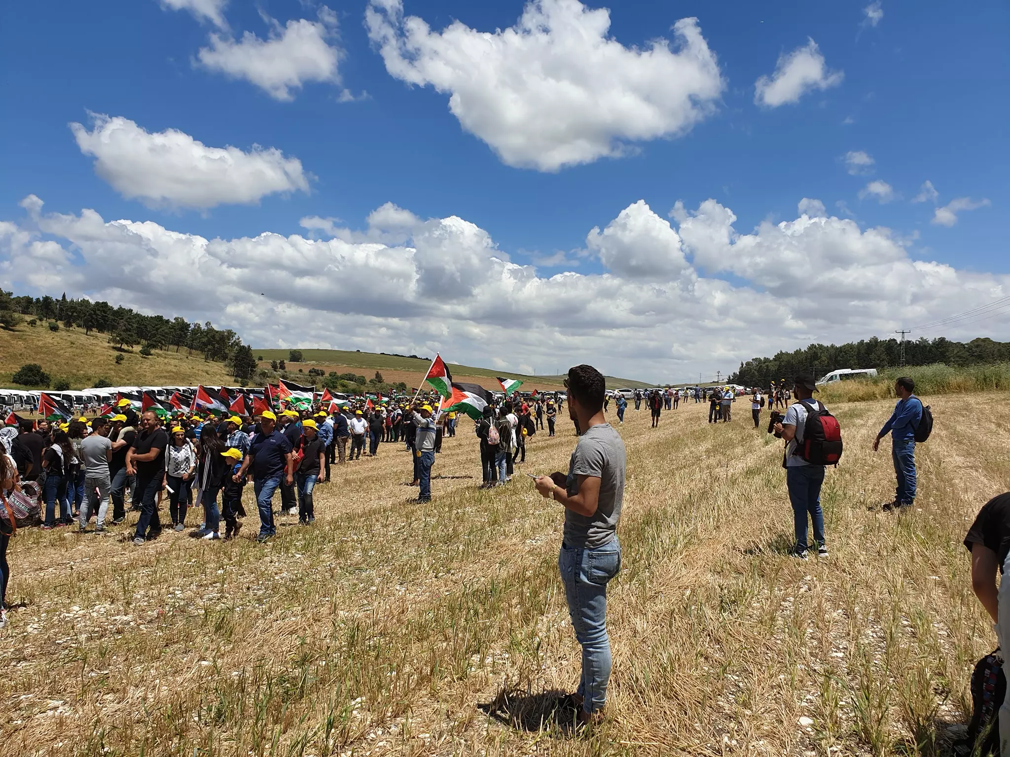
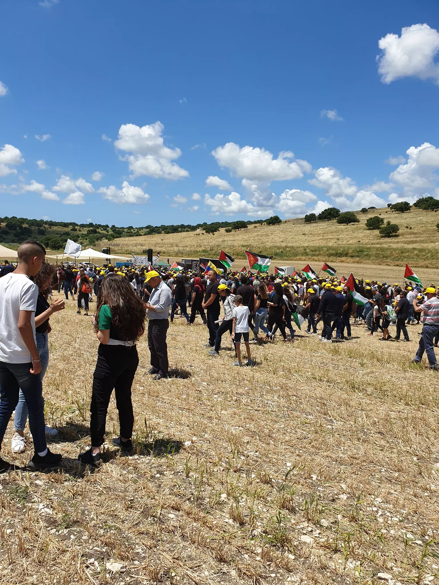
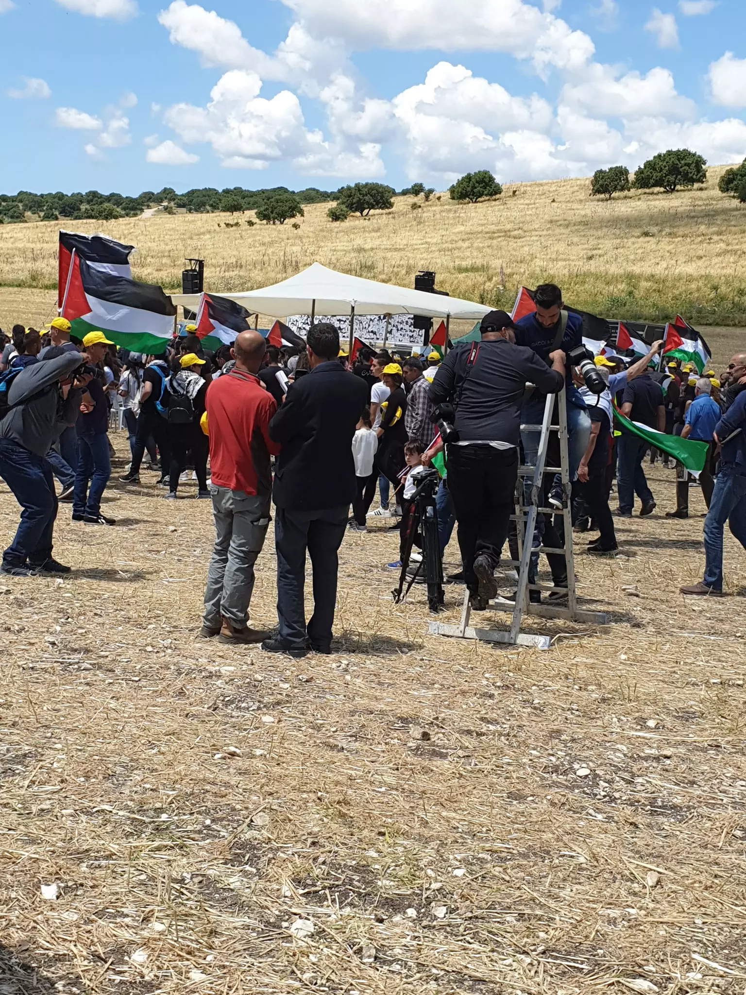
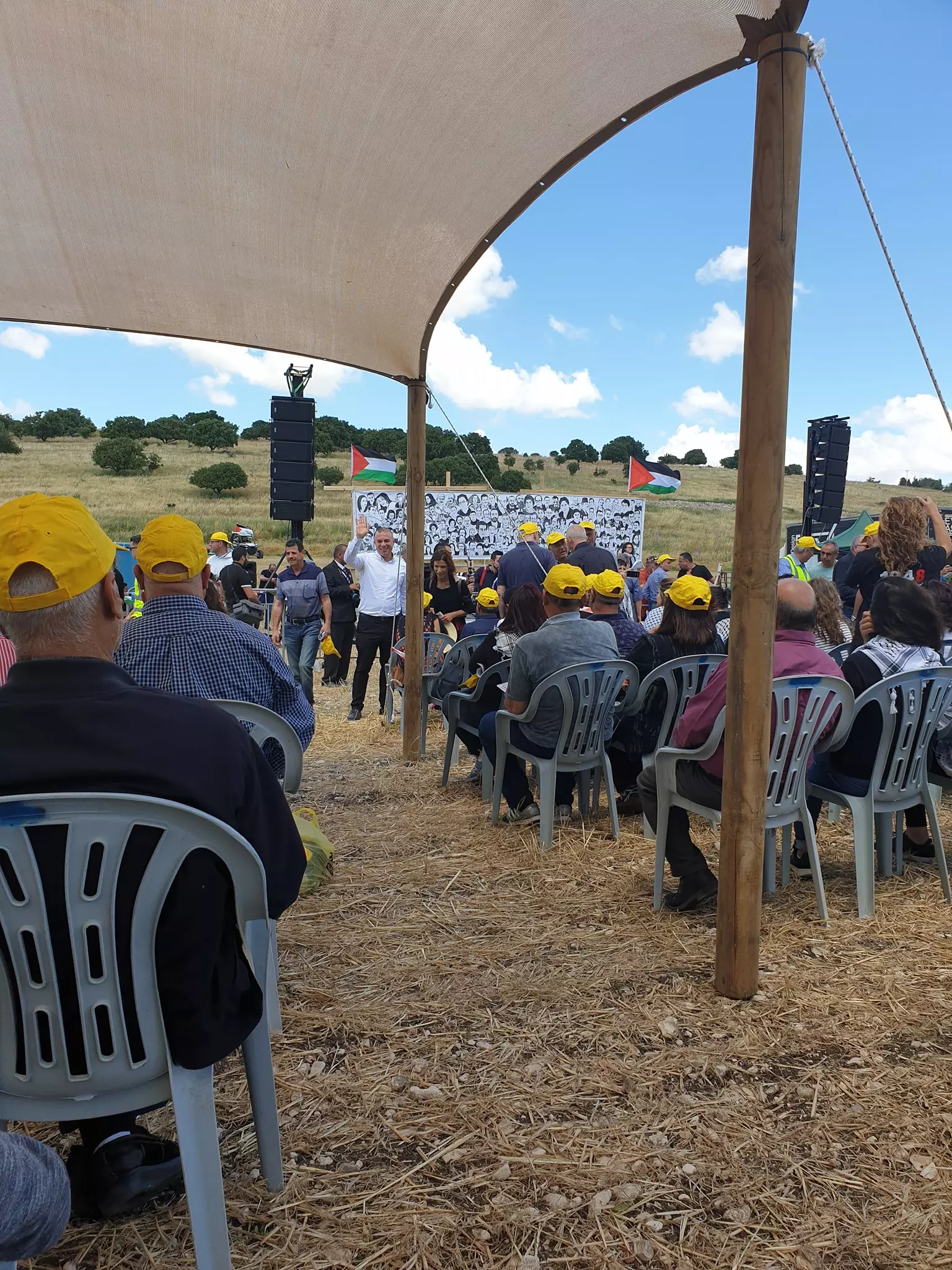
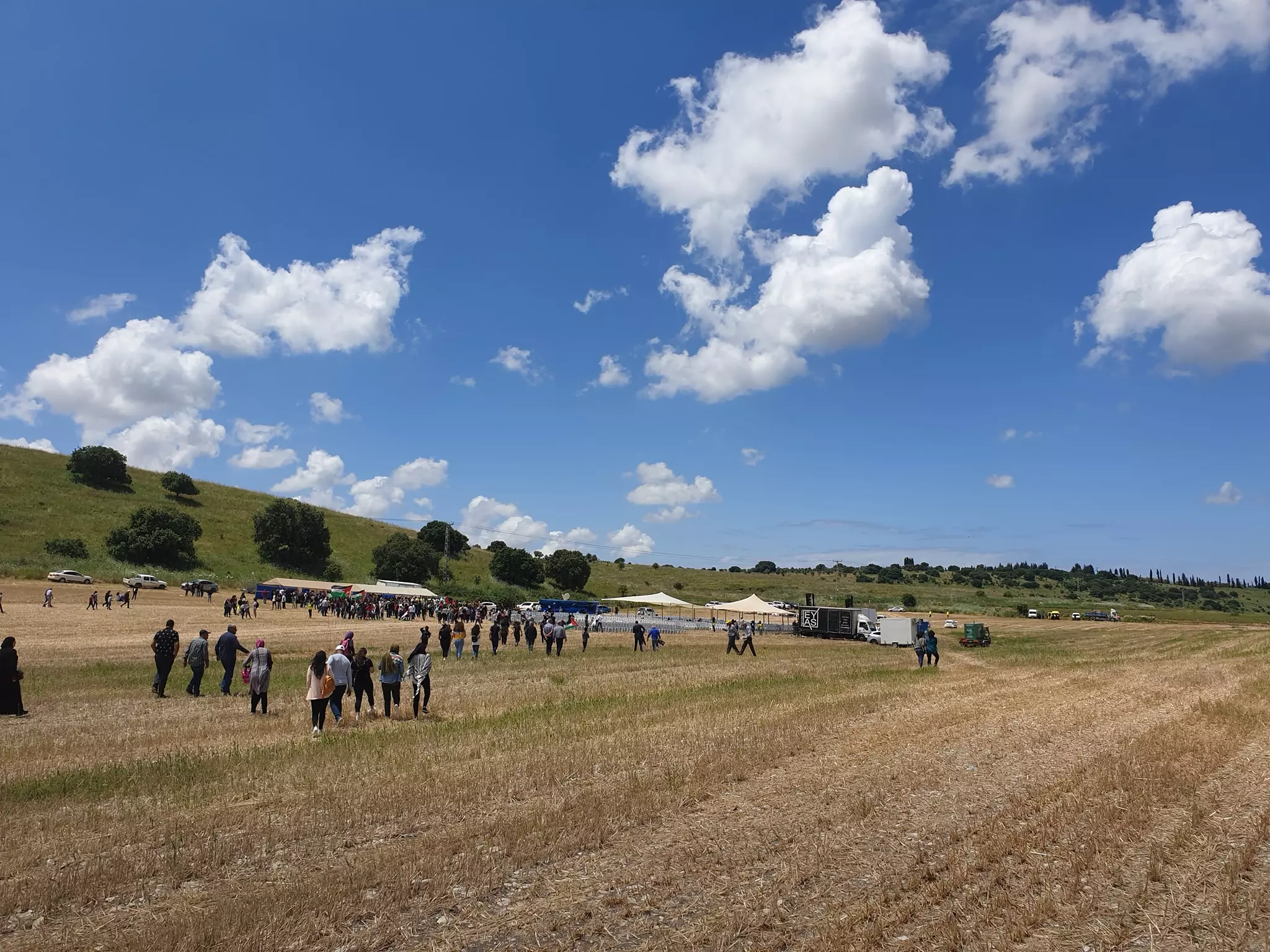
- صور من مسيرة العوده العام 2019 -- Nabela Salem
- صور من مسيرة العوده العام 2019 -- Nabela Salem #2
- صور من مسيرة العوده العام 2019 -- Nabela Salem #3
- صور من مسيرة العوده العام 2019 -- Nabela Salem #4
- صور من مسيرة العوده العام 2019 -- Nabela Salem #5
- صور من مسيرة العوده العام 2019 -- Nabela Salem #6
- صور من مسيرة العوده العام 2019 -- Nabela Salem #7
- صور من مسيرة العوده العام 2019 -- Nabela Salem #8
- صور من مسيرة العوده العام 2019 -- Nabela Salem #9
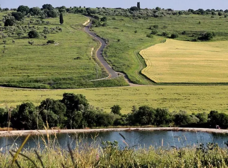
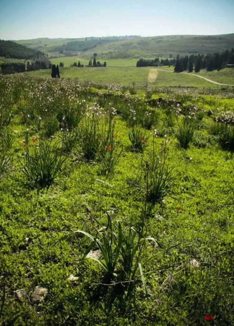
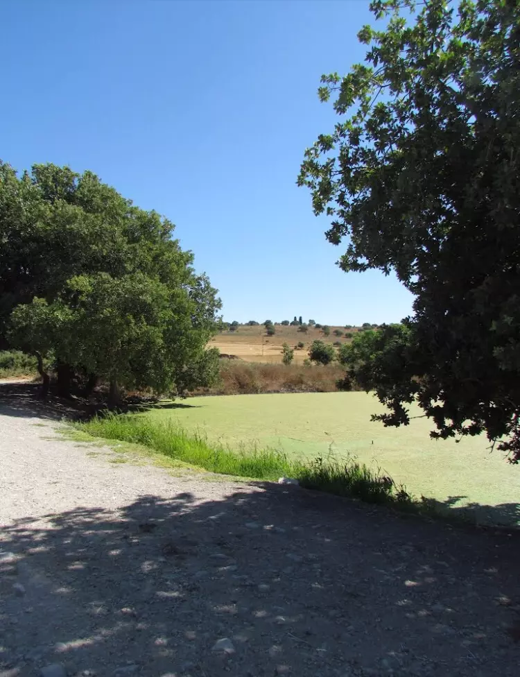
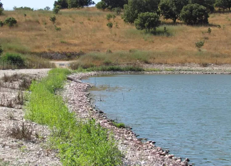
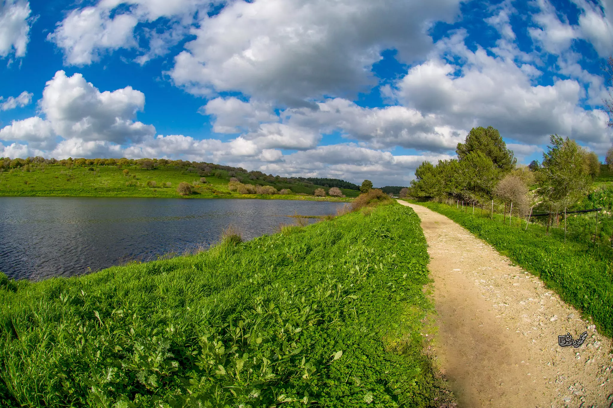
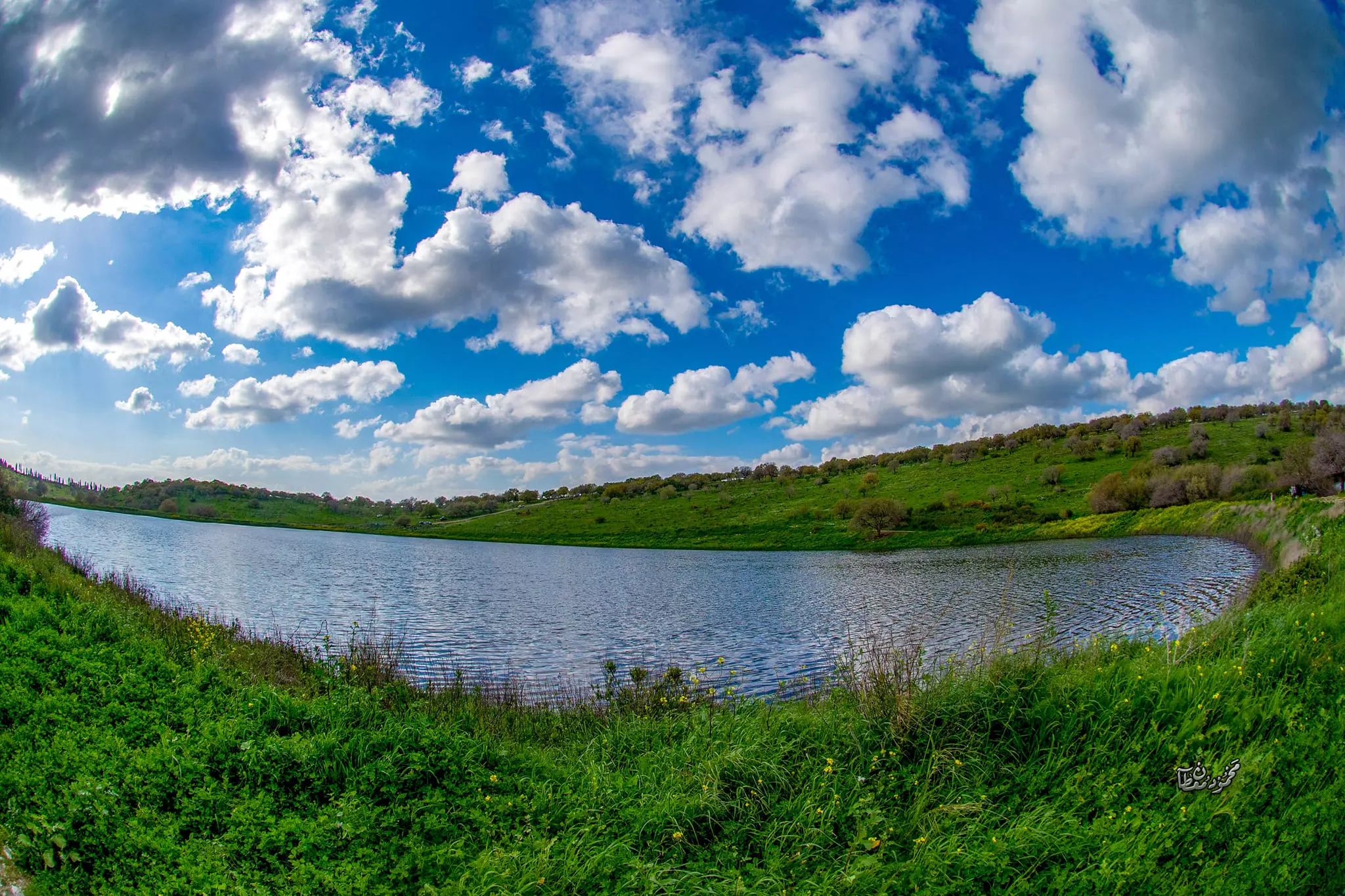
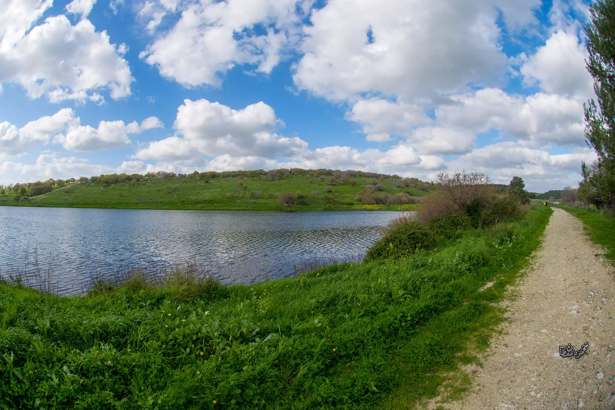
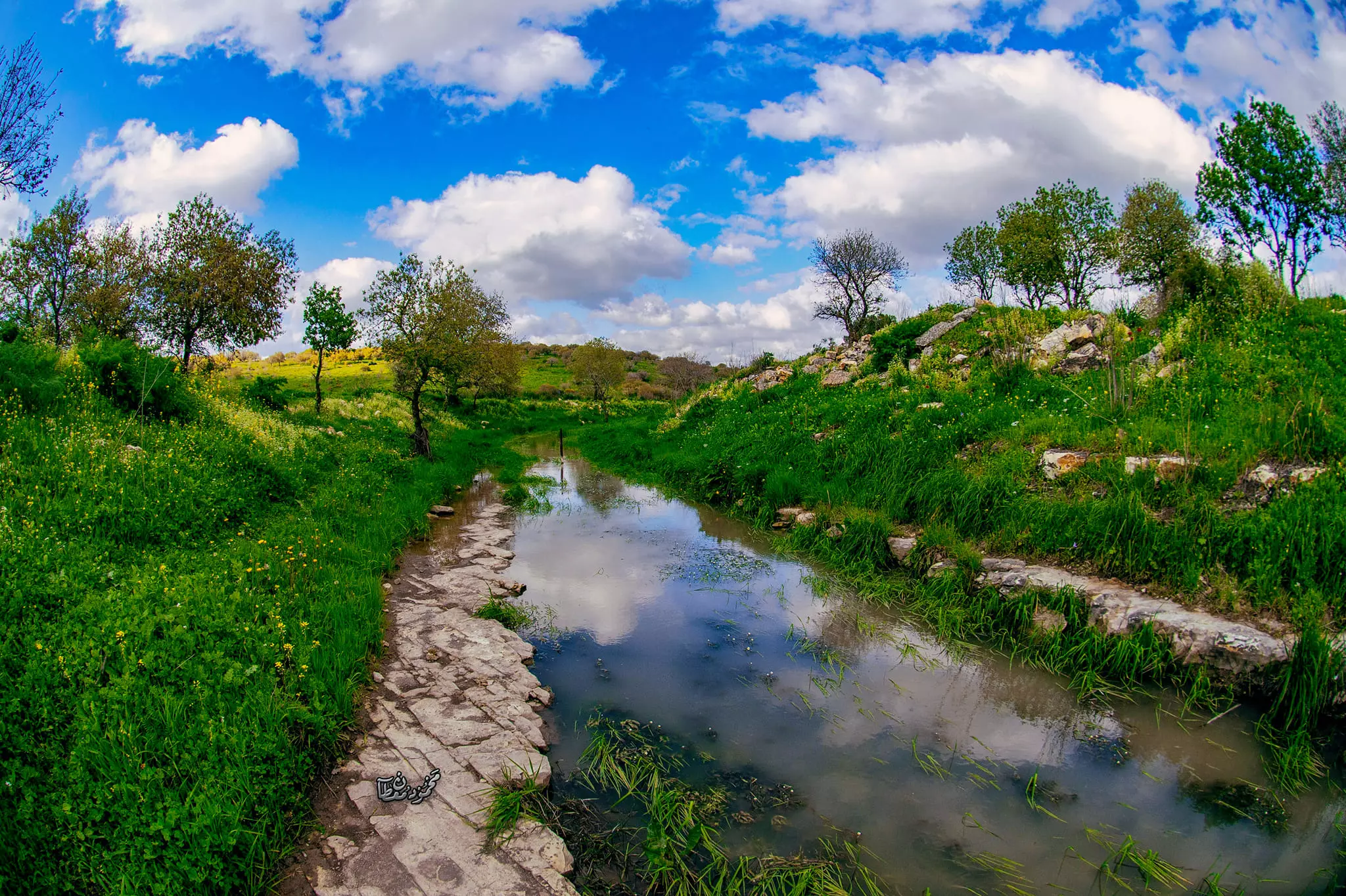
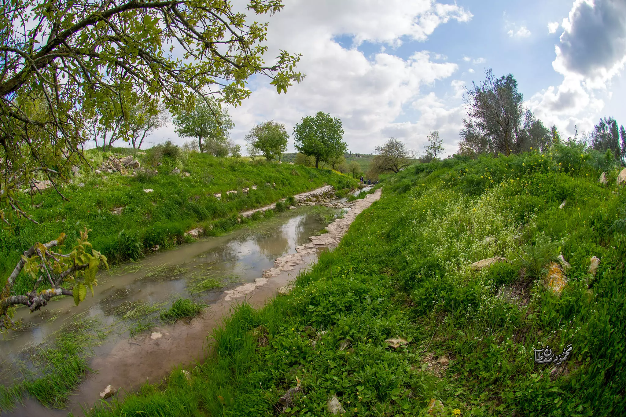
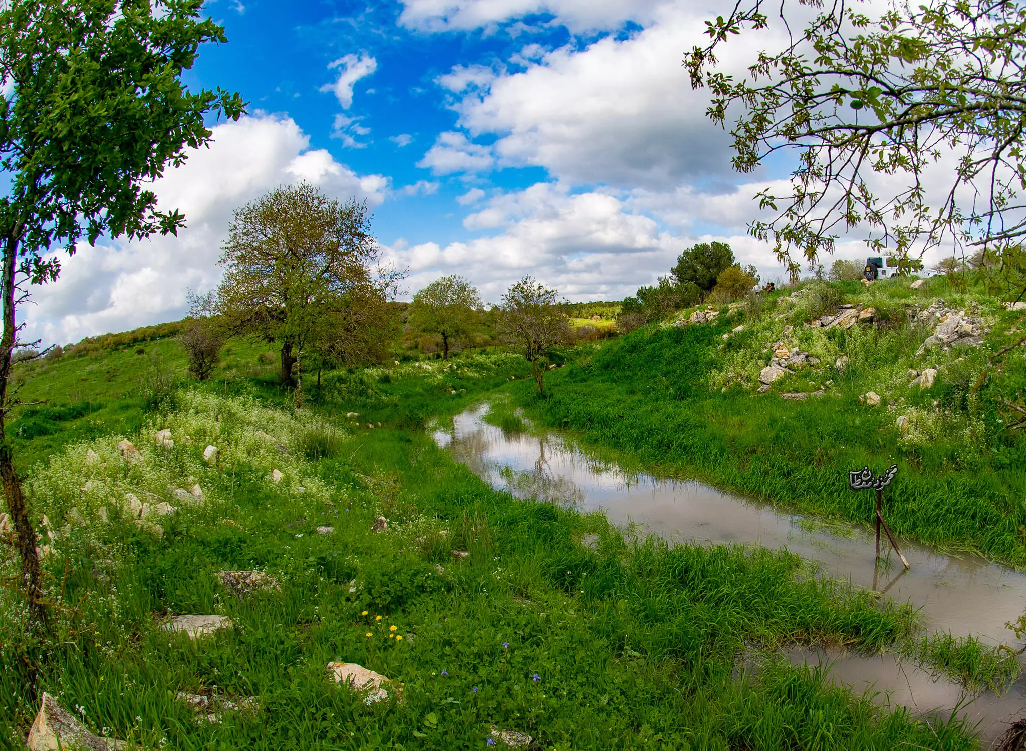
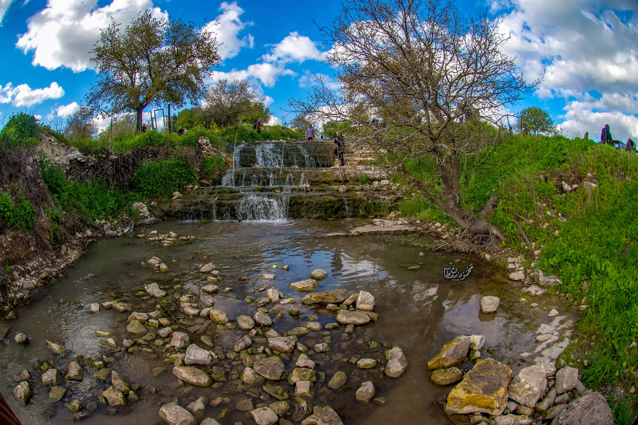
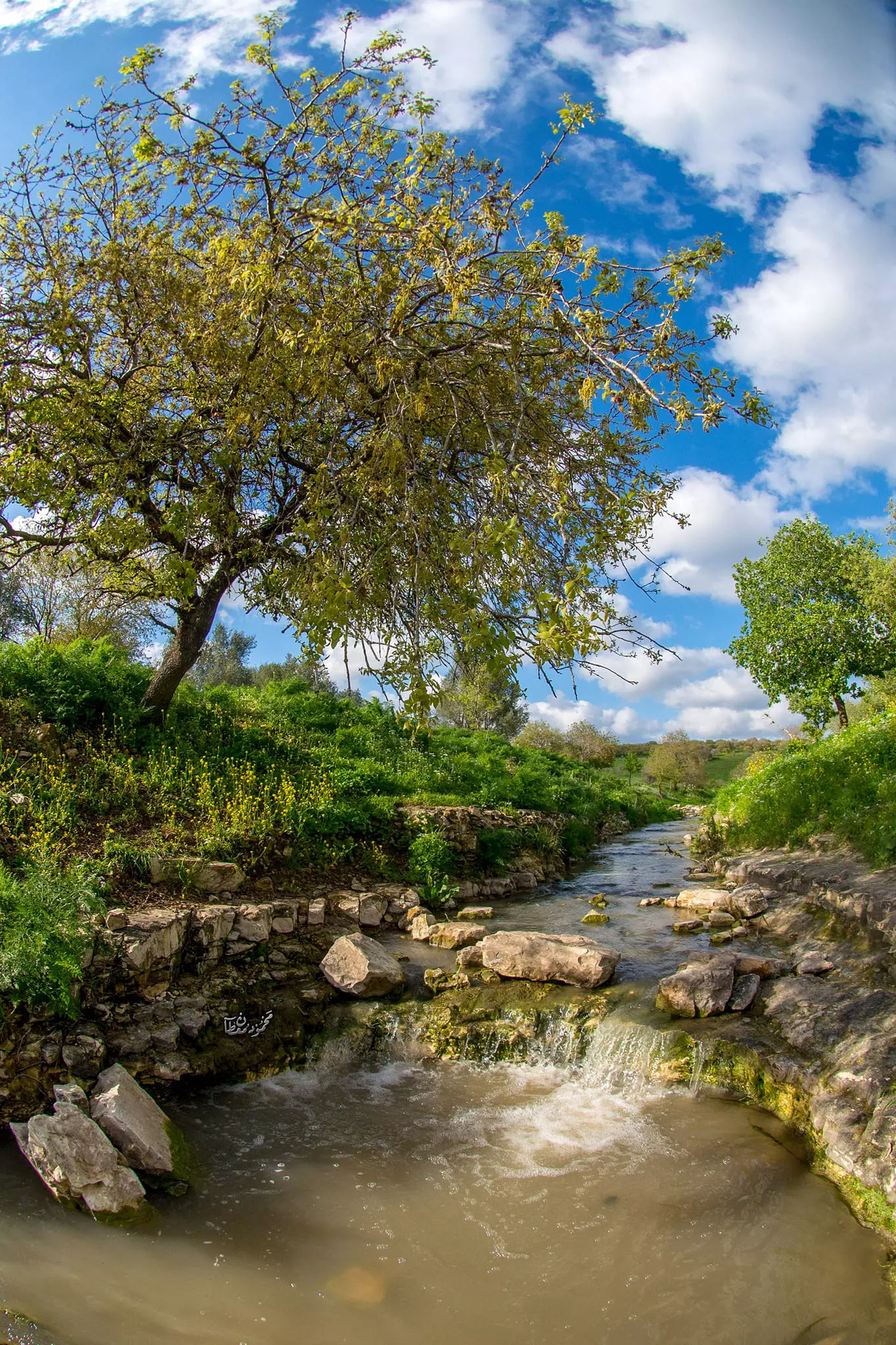
- جولة رائعة في الاودية والينابيع ولبرك المحيط بالقرية المهجرة --June 2022- Mahmoud Moutan
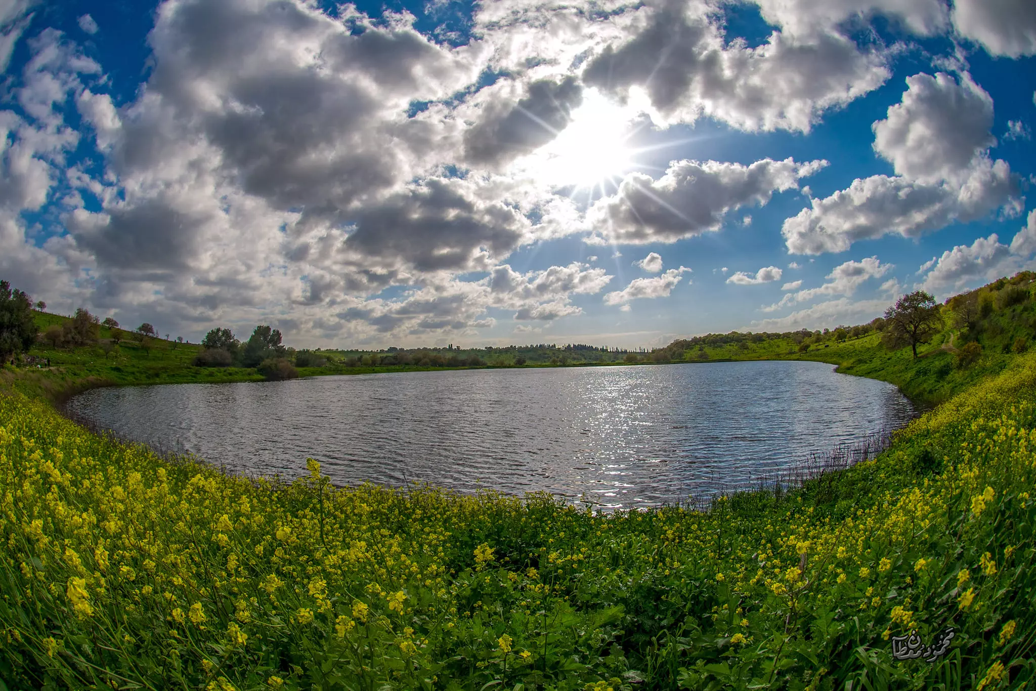
- جولة رائعة في الاودية والينابيع ولبرك المحيط بالقرية المهجرة --June 2022- Mahmoud Moutan #2
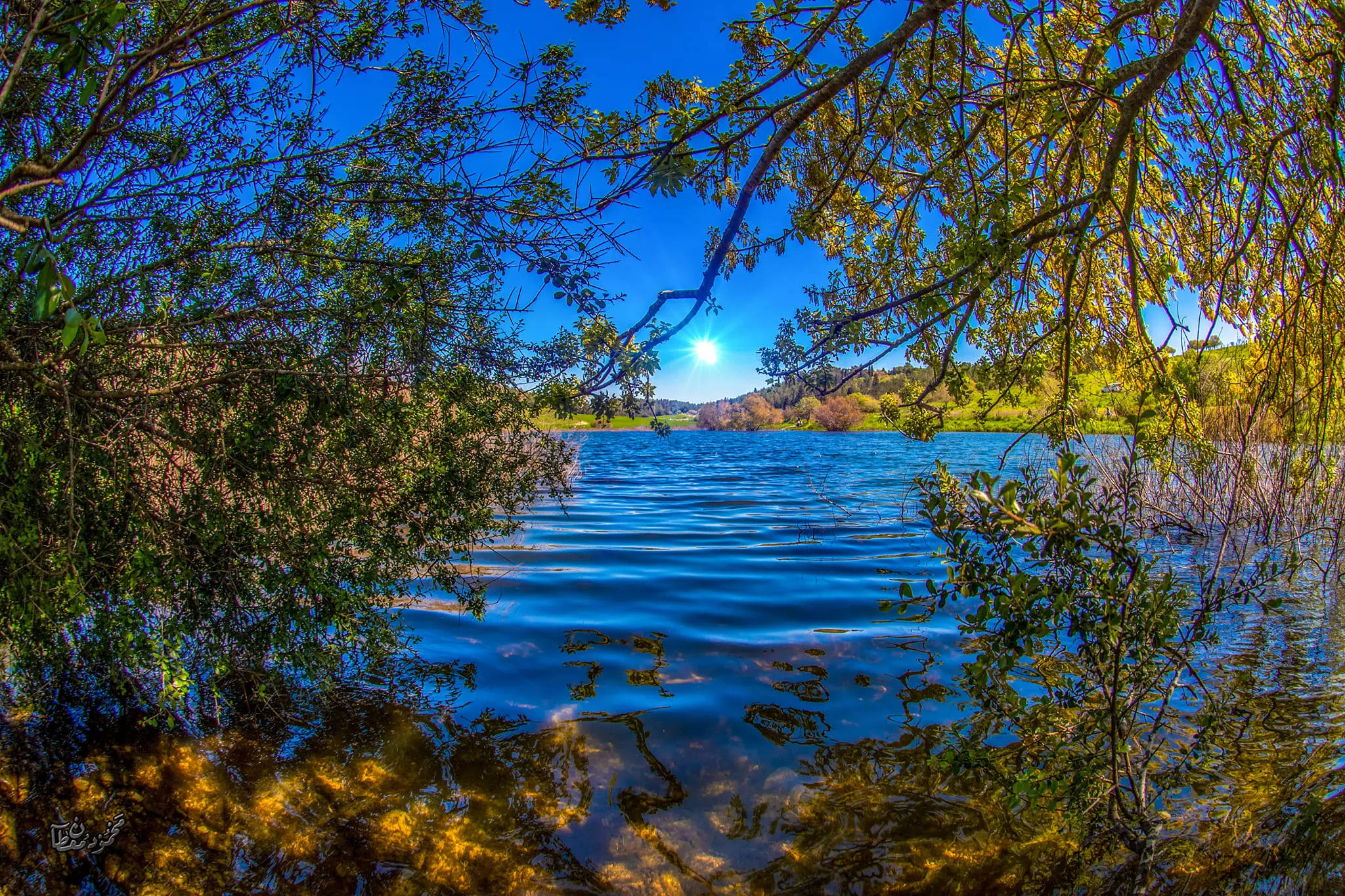
- جولة رائعة في الاودية والينابيع ولبرك المحيط بالقرية المهجرة --June 2022- Mahmoud Moutan #3
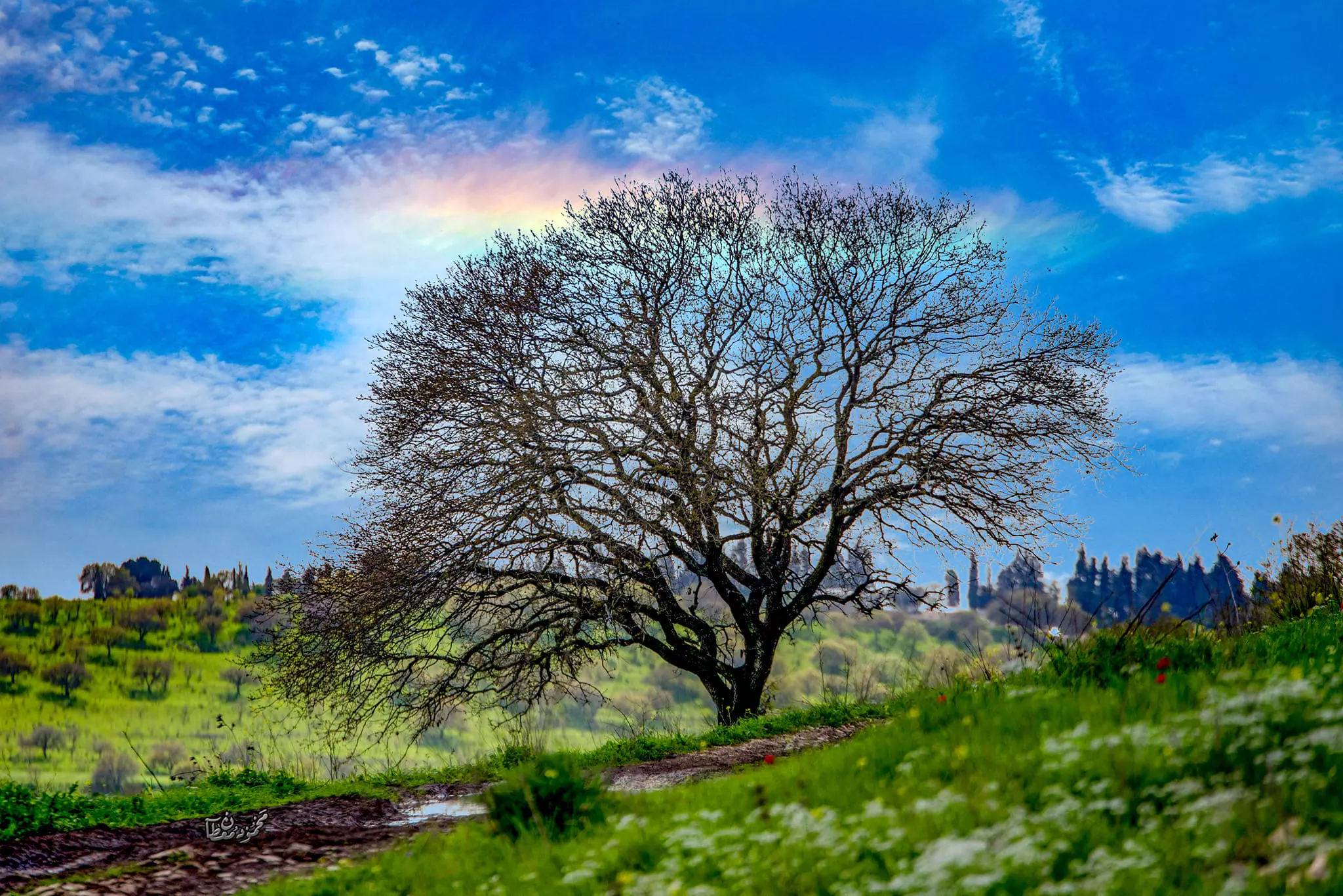
- جولة رائعة في الاودية والينابيع ولبرك المحيط بالقرية المهجرة --June 2022- Mahmoud Moutan #4
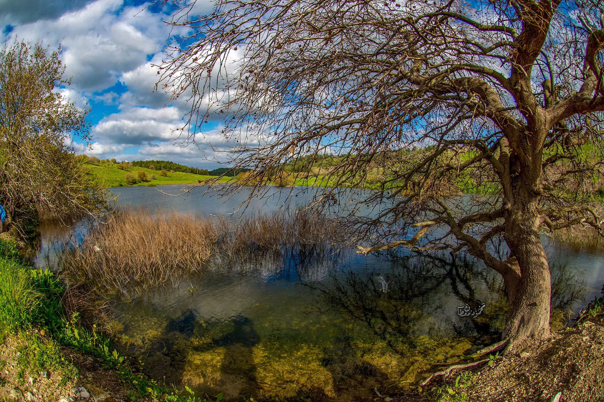
- جولة رائعة في الاودية والينابيع ولبرك المحيط بالقرية المهجرة --June 2022- Mahmoud Moutan #5
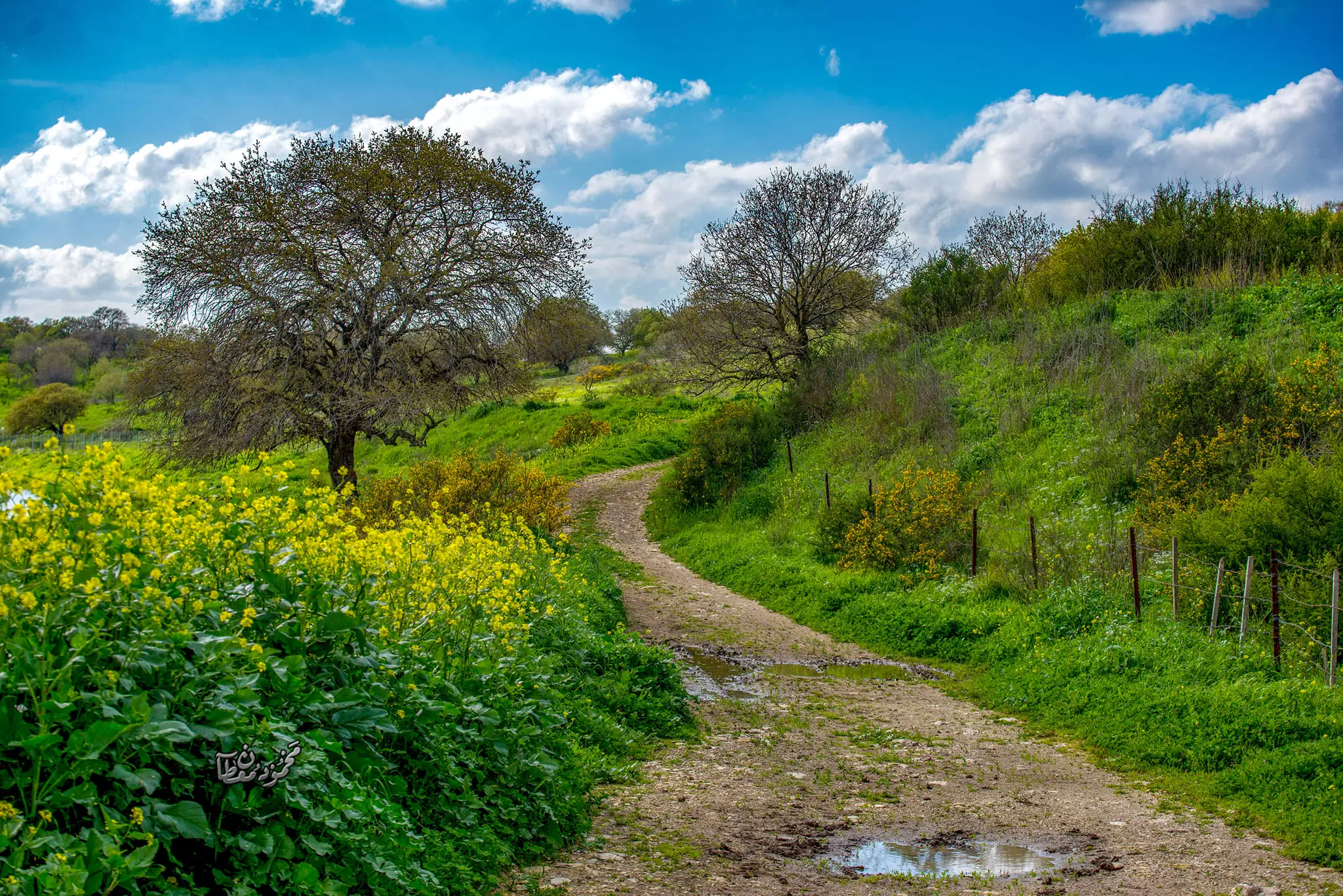
- جولة رائعة في الاودية والينابيع ولبرك المحيط بالقرية المهجرة --June 2022- Mahmoud Moutan #6
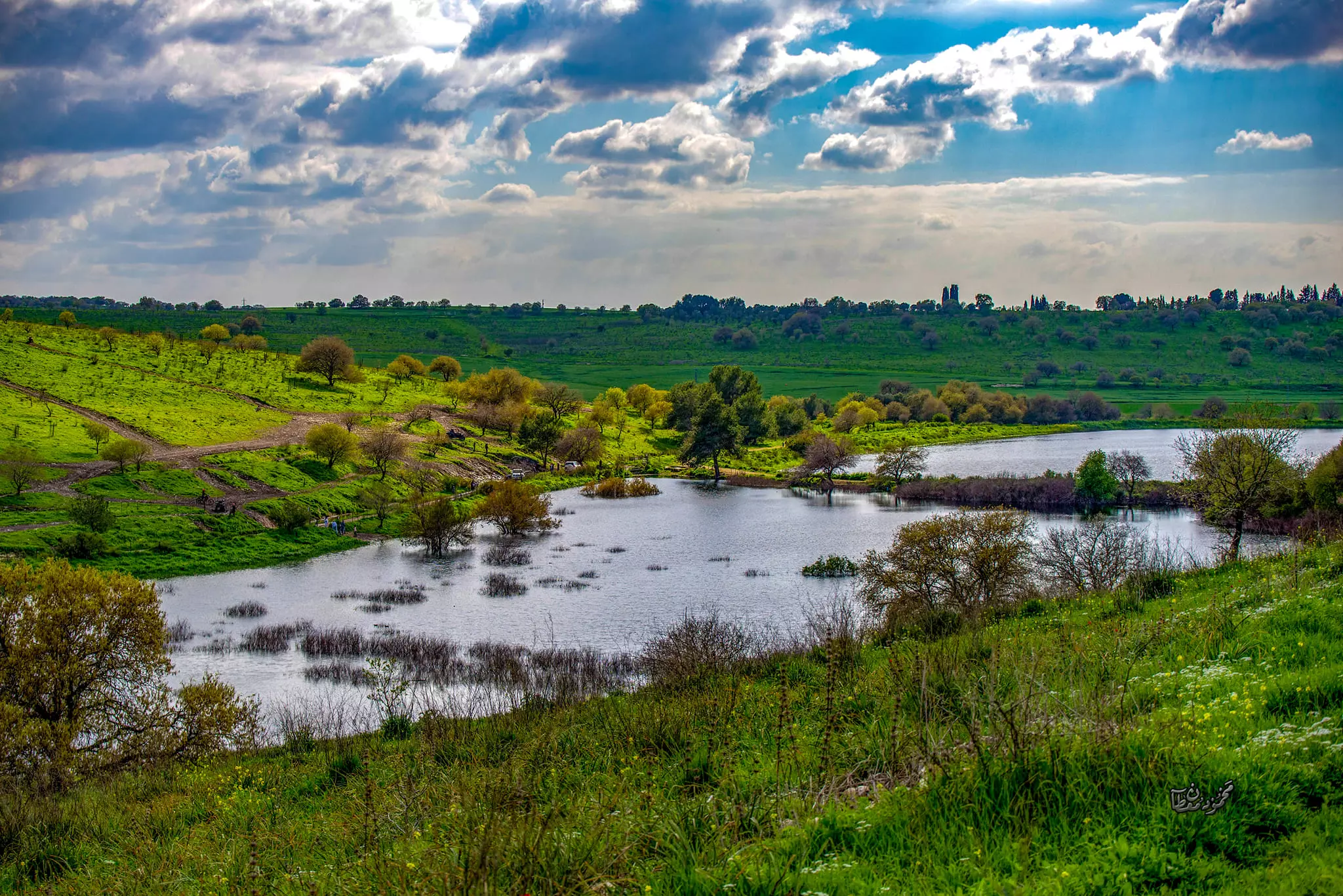
- جولة رائعة في الاودية والينابيع ولبرك المحيط بالقرية المهجرة --June 2022- Mahmoud Moutan #7
- جولة رائعة في الاودية والينابيع ولبرك المحيط بالقرية المهجرة --June 2022- Mahmoud Moutan #8
- جولة رائعة في الاودية والينابيع ولبرك المحيط بالقرية المهجرة --June 2022- Mahmoud Moutan #9
- جولة رائعة في الاودية والينابيع ولبرك المحيط بالقرية المهجرة --June 2022- Mahmoud Moutan #10
- جولة رائعة في الاودية والينابيع ولبرك المحيط بالقرية المهجرة --June 2022- Mahmoud Moutan #11
- جولة رائعة في الاودية والينابيع ولبرك المحيط بالقرية المهجرة --June 2022- Mahmoud Moutan #12
- جولة رائعة في الاودية والينابيع ولبرك المحيط بالقرية المهجرة --June 2022- Mahmoud Moutan #13
- جولة رائعة في الاودية والينابيع ولبرك المحيط بالقرية المهجرة --June 2022- Mahmoud Moutan #14
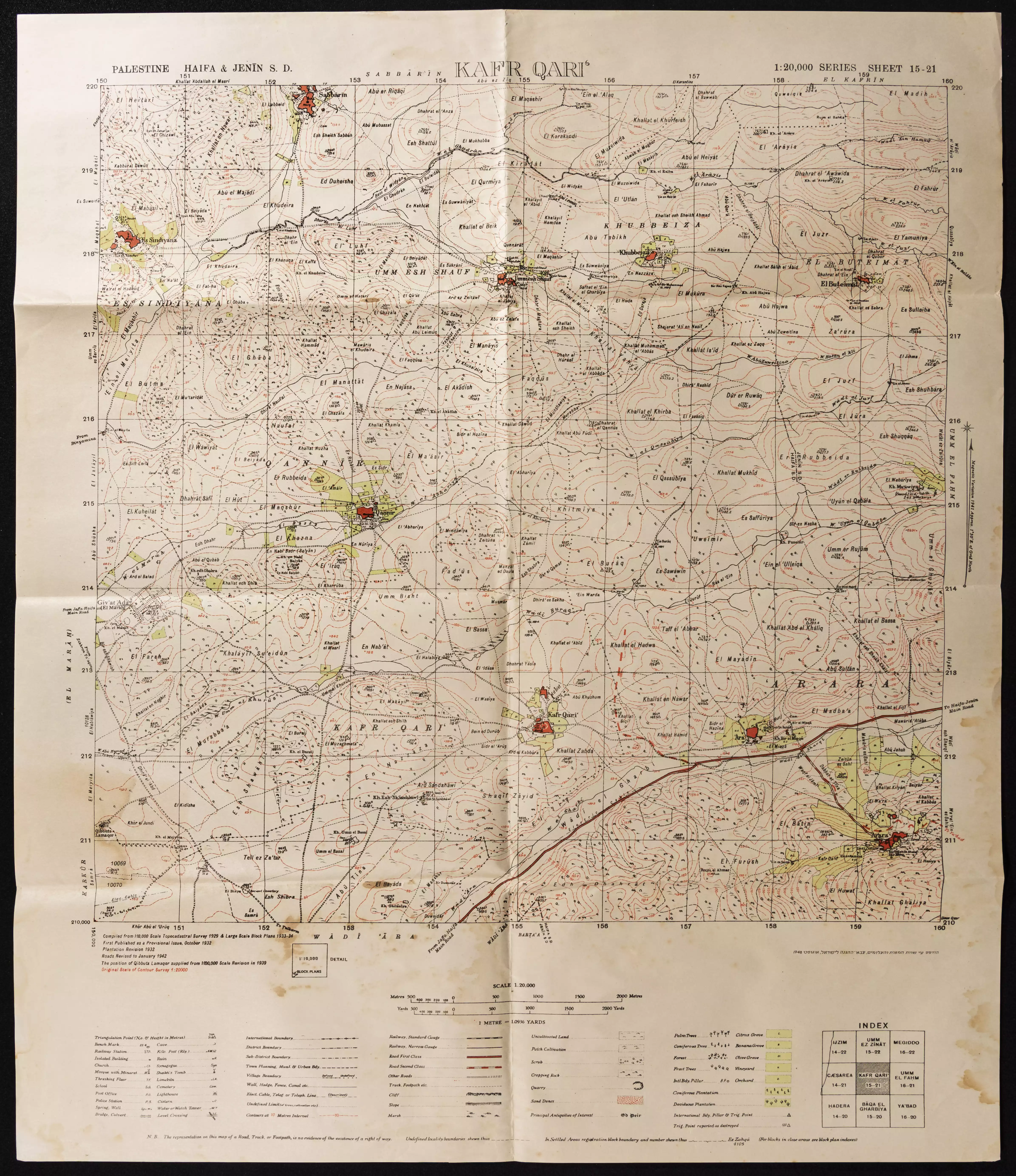
- خارطة تُظهِر الحدود والطرق بأنواعها والأماكن المقدسة والطبيعة الطوبغرافية من تلال وسهول ومنحدرات والتشكيلة الطبيعية للأرض وأنواع المزروعات. نُشرت الخريطة فترة الانتداب البريطاني، تم إضافة تعديلات عليها من قِبَل خدمة الخرائط والصور التابعة للقوات العسكرية الاسرائيلية فترة الأربعينيات.
Want to browse more? 80,000 pictures were grouped in these gallaries:
| Display Name | Clan/Hamolah | Country of Residence |
| توفيق البطيخ | البطيخ | كالفورنيا, كالفورنيا |
| Mohammed Musa Masoud | - | - |
| بسام سليط | - | - |
| Najeh Khalil | Sleit | doha , Qatar |
| عماد سليط | سليط | - |
- Tracing all that remains of Khubayza since Nakba
- دبكة فلسطينية في قرية خبيزة المُهجرة - مسيرة العودة الـ16 Duration: 9 min 56 sec
- شلال غدير خبيزة الذي يصب في وادي الغدران في بلاد الروحة Duration: min 27 sec
- زيارة لقرية خبيزة المهجرة Duration: 2 min 52 sec
- مسيرة العودة لخبيزة -2013 Duration: 27 min 26 sec
No links have been shared yet, be free to the first to share the first link.
 Fake Valor: Why Did Zionist Jews Hoist Nazis Flag on Their Ships in the 1930s?
What is new?
-
Facts About Oct. 7th Gaza Raid
-
Remined Us Please:: Who Did Rape Who? Palestinians Raped Israelis? Or, was the other way around?
-
When Prof. Edward Said was invited to debate Bibi Netanyahu in the 1980s, watch what happened!
-
Ezra Klein of the NY Times on the "Jewish Race".
-
Abusing Blood Libel!
-
Did Israeli Soldiers Activate The Hanniba Direective On Oct. 7th? You Be The Judge
-
Zionist FAQ: Isn't it true that Palestinians don't want peace? Palestinians never accepted the two-state solution
- Facts about Haavara (Transfer) Agreement between Ben-Gurion & Hitler
-
Haavara FAQs: Why Did Zionist Jews Hoist Nazis' Flags on Their Ships in the 1930s?
- Haavara FAQs: When Chaim Weizmann met FDR in mid-1943, why was he silent about rescuing European Jewry?
-
Dear ChatGPT: How did Palestinians resist Napoleon's invasion of their country in 1799?
-
Dear ChatGPT: Gaza had a vibrant Jewish community in the mid-17th century. What happened to them?
-
Dear ChatGPT: Why did the Jewish Agency suppress news of the Holocaust during WWII?
-
Video Playlist: Jews share their DNA tests to end the conflict for good.
-
A Tale of Two Conflicts: Examining the Definition of Genocide
-
Prof. Abraham Polak And The Suppressed History of the Khazars and European Jewry
-
How Ronald Reagan would have framed the genocide in Gaza if he were still alive?
-
Haavara FAQs: Let us do the math: how many German Jews did The Haavara Agreement save?
-
Zionist FAQs: The Hebron Massacre of 1929, "clearly proves" that Palestinians are antisemitic, how could you deny it?
-
Zionist FAQs: Why Anti-Zionist Is Not Antisemitism?
-
Zionist FAQs: Isn't it true that the KGB created Palestinian Nationalism in the early 1960s?
- Zionist FAQs: Muslims are killing Muslims all the time; why are Israeli Jews being singled out in the media?
- Zionist FAQs: How is Israel an apartheid state when 20% of its citizens are Arabs who enjoy full rights?
-
Haavara FAQs: Why Did Dorothy Thompson Flip From A Zionist Advocate to A Silenced Dissenter?
-
Haavara FAQs: Analysis of Herzl's Uganda Scheme and how it could have saved millions of Jews.
-
Haavara FAQs: Why did Hayim Greenberg describe American Jewry as "morally bankrupt" in early 1943?
-
Haavara FAQs: What if the Evian Conference was a resounding success? What would have been the impact of saving European Jewry on Zionism?
- Haavara FAQs: What if the six million were saved, how that would have impacted the Zionist project?
-
Haavara FAQs: How did Zionist leaders react when Europe's Jews lingered in the DP camps after WWII ended?
-
Why does the American Jewish community repeat lies that David Ben-Gurion had debunked before he died?
-
Who has the power to rename the Tatar/Khazar Gene Marker to Jewish IV?
-
Zionist FAQs: Why won't Egypt, Syria, and Jordan take their people back? Jews are indigenous to Palestine, and Arabs immigrated after Jews developed the country. Arabs should leave.
-
Haavara FAQs: Did Hitler and the Nazis conflate between Judaism and Zionist? If that wasn't case, then why?
-
Haavara FAQs: Winston Churchill and antisemitism, a collection of articles written Churchill.
-
Haavara FAQs: Broken by country, how many Jews survived vs. killed during the Holocaust?
-
Haavara FAQs: Why did European Jews vote with their feet and to immigrated to the Americas, not Palestine, after WWII?
-
Watch this American Jewish Girl describing Israeli Jews' cognitive dissonance like no other in under two minutes
-
Haavara FAQs: When the Nazis went out of their way to hide the Holocaust, Israeli Jews did the exact opposite by broadcasting their genocide of Gazans. But why?
-
Haavara FAQs: How Zionist Jews went out of their to show their appreciation to Nazism and Fascism?
- Haavara FAQs: Why Zionist leaders were against bombing the death camps & the Railroads leading to them?
-
Haavara FAQs: Hitler's message to the British and American people: If Jews are such noble citizens and you care about them, how come you're not letting them in? I will gladly ship them to you at my expense, even on luxury liners!
-
A shortlist of Zionist and Israeli false flag operations in the name Jews.
-
The Most Moral Army
- The Land of Kapos (Israel): Where the brave are boycotted and Kapos walk free.
- Why did early Zionists often named their communal enterprises "colonial"?
- Zionist Relations with Nazi Germany by Faris Glubb
-
Two NY Times advertisements by Zionists in the early 1943 that exposes Zionists' treason at the height of the calamity
- Facts Not Lies about the Palestinian-Israeli Conflict.
- Site's pictures have been categorized
- Campgain Against Lice
- A Survey of Palestine, the official source about Palestine before Nakba produced by the British Mandate; over 1200 pages.
- Satellite View & Google Earth: Over 6,000 placemarks identifying all destroyed towns, W. Bank & Gaza Strip Towns, & refugee camps.
- PalestineRemembered.com and its Nakba Oral History Project were featured on al-Jazeera Satellite TV.
- Nakba Oral History Video Podcast:
 Over 700 Oral History interviews (including 3,500+ hours of recording) can be viewed online.
 - Palestine Village Statistics Project
- Gaza Jail Break
- النسخة العربية للموقع الان متوفرة
- Videos: Documenting the destroyed villages in video: Tracing all that remains since Nakba.
- Videos: Responding to Zionist Propaganda
- Interview: The ethnic cleansing of Palestine: George Galloway interviews Israeli Historian Ilan Pappe.
- For Palestinians, memory matters. It provides a blueprint for their future By George Bisharat.
- Zionist FAQ now available in Hebrew שאלות שציונים שואלים, עכשיו בעברית
- Video: The Stephen Walt and John Mearsheimer report on the influence of the Israel Lobby on U.S. Foreign Policy
- The Palestinian-Israeli conflict for beginners
