| PalestineRemembered | About Us | Oral History | العربية | |
| Pictures | Zionist FAQs | Haavara | Maps | |
| Search |
| Camps |
| Districts |
| Acre |
| Baysan |
| Beersheba |
| Bethlehem |
| Gaza |
| Haifa |
| Hebron |
| Jaffa |
| Jericho |
| Jerusalem |
| Jinin |
| Nablus |
| Nazareth |
| Ramallah |
| al-Ramla |
| Safad |
| Tiberias |
| Tulkarm |
| Donate |
| Contact |
| Profile |
| Videos |
Welcome To Wa'arat al-Sarris - وعرة السريس (וערת א-סריס)
|
District of Haifa
Ethnically cleansed days ago |
العربية Google Earth |
| Gallery (2) |
- Statistics & Facts
-
Before & After

- Satellite View
- Articles 1
- Pictures 2
- Members 1
- All That Remains
- Wikipedia
- Videos
- Guest Book
- Links
| Statistic & Fact | Value | ||||||||||
| Occupation Date | April 16, 1948 | ||||||||||
| Distance From District | 11 (km) East of Haifa | ||||||||||
| Elevation | 25 (meters) | ||||||||||
| Before & After Nakba, Click Map For Details |
|||||||||||

|
|||||||||||
| Map Location | See location #1 on the map View from satellite |
||||||||||
| Military Operation | Operation Bi'ur Chametz | ||||||||||
| Defenders | Arab Liberation Army | ||||||||||
| Exodus Cause | Military assault by Zionist troops | ||||||||||
| Village Temains | The village has been completely destroyed, and only house rubble left behind. | ||||||||||
| Ethnically Cleansing | Wa'arat al-Sarris inhabitants were completely ethnically cleansed. | ||||||||||
| Population |
|
||||||||||
| Number of Houses | In (1931): 234 (includes Khirbat Sa'sa' and 8 other villages) | ||||||||||
| Near By Towns |
|||||||||||
|
|||||||||||
| Exculsive Jewish Colonies Who Usurped Village Lands |
Arab township of Shafa 'Amr & Qiryat Atta. | ||||||||||
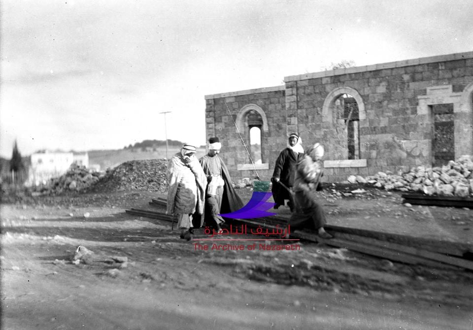
Village Before NakbaCactuses and fig trees can be found scattered about the site. There are a number of partially collapsed stone walls, one with a large arched opening. The surrounding lands are used as a grazing area.Village Occupation and Ethnic CleaningAt midnight on 3 February 1948, Zionist forces attempting to infiltrate the neighboring village of Iksal were stopped near Wa'arat aI-Sarris after an engagement lasting for over an hour. The Palestinian newspaper Filastin provides an account of the battle but does not give any casualty figures. The newspaper states that the attack was the second to be directed against Iksal (a village that is still inhabited by Palestinians today) after fighting had erupted in late 1947.Because Wa'arat aI-Sarris was located close to the villages of Hawsha and Khirbat al-Kasayir, it may have been occupied or evacuated as a result of the attack on those two villages on 16 April 1948. But if residents remained after that attack, they probably panicked after the fall of Haifa a week later, on 22 April, and in the face of the Haganah's subsequent push to occupy the vicinity. Zionists Colonies on Village LandsThe original village landholdings have been combined with the lands belonging to the Arab town of Shafa Amr. The settlement of Qiryat Atta, founded in 1925, has expanded so that some of its buildings occupy the village site.Village TodayThe neighborhood of Amidar Aleph, a part of the Jewish settlement of Qiryat Ata, occupies the site. Four partly demolished houses remain; six other houses are being used by Jewish families. Oak, cypress, and fig trees, as well as cacti, grow on the siteSourceDr. Walid al-Khalidi, 1992: All That Remains. |
|||||||||||
| Related Maps | Town Lands' Demarcation Maps خرائط للقضاء توضح حدود القرى والاودية Town's map on MapQuest View from satellite Help us map this town at WikiMapia |
||||||||||
| Related Links | Wikipedia's Page Google Search Google For Images Google For Videos |
||||||||||
| More Information | في كتاب كي لا ننسى في كتاب بلادنا فلسطين المزيد من موقع هوية |
||||||||||
Want to browse more? 80,000 pictures were grouped in these gallaries:
| Display Name | Clan/Hamolah | Country of Residence |
| نصرالله ابو سريس | ابو سريس | طولكرم, فلسطين |
No links have been shared yet, be free to the first to share the first link.


