| PalestineRemembered | About Us | Oral History | العربية | |
| Pictures | Zionist FAQs | Haavara | Maps | |
| Search |
| Camps |
| Districts |
| Acre |
| Baysan |
| Beersheba |
| Bethlehem |
| Gaza |
| Haifa |
| Hebron |
| Jaffa |
| Jericho |
| Jerusalem |
| Jinin |
| Nablus |
| Nazareth |
| Ramallah |
| al-Ramla |
| Safad |
| Tiberias |
| Tulkarm |
| Donate |
| Contact |
| Profile |
| Videos |
Welcome To al-Mazar - المزار (אל-מזאר)
|
District of Haifa
Ethnically cleansed days ago |
العربية Google Earth |
 |
Gallery (70) |
- Statistics & Facts
-
Before & After

- Satellite View
- Articles 1
- Pictures 70
- Members 5
- All That Remains
- Wikipedia
- Videos 3
- Guest Book 1
- Links
| Statistic & Fact | Value | ||||||||||||||||||||||||
| Occupation Date | July 15, 1948 | ||||||||||||||||||||||||
| Distance From District | 18.5 (km) South East of Haifa | ||||||||||||||||||||||||
| Elevation | 65 (meters) | ||||||||||||||||||||||||
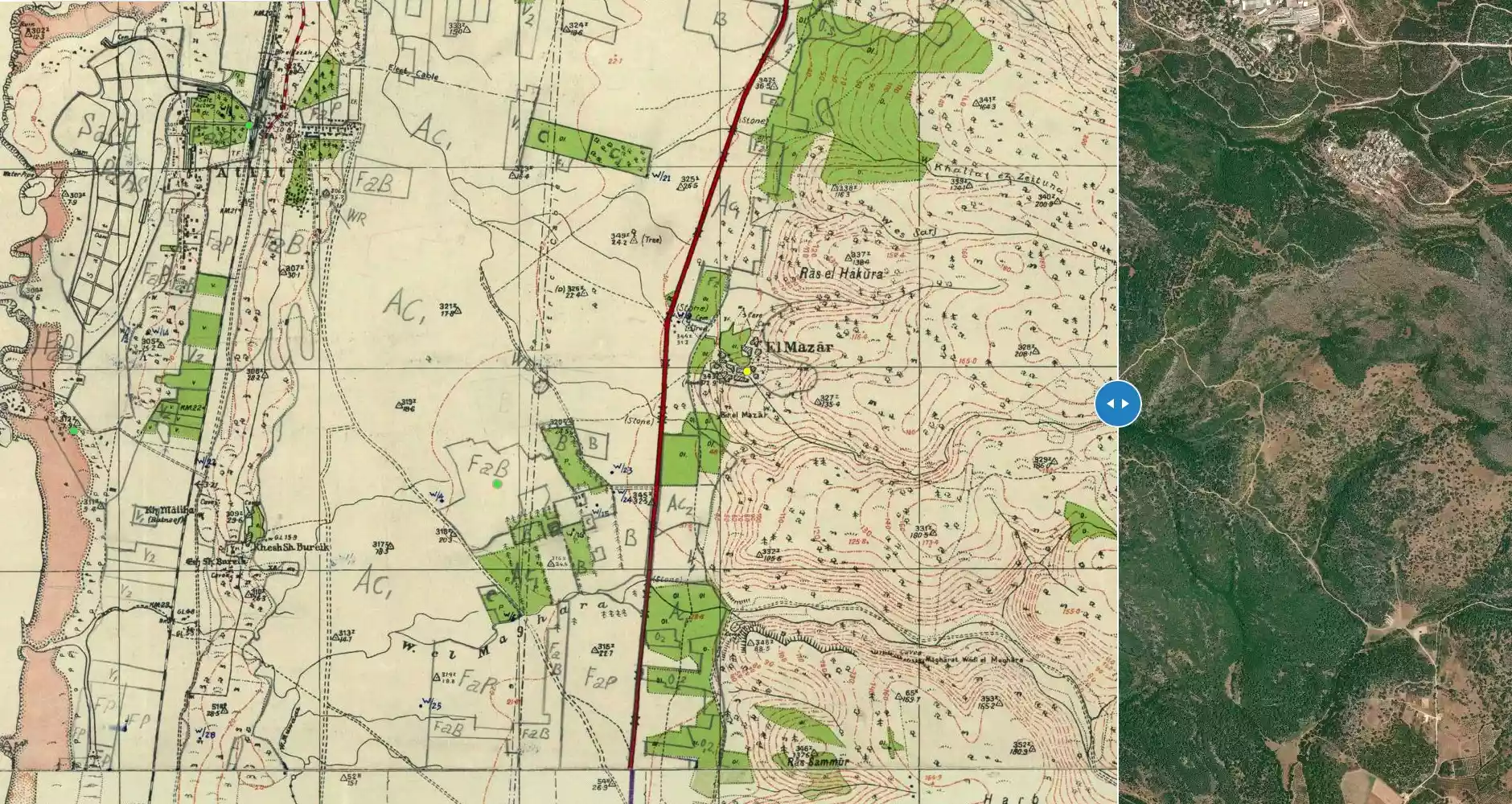
| Before & After Nakba, Click Map For Details |
|||||||||||||||||||||||||
|
|||||||||||||||||||||||||
| Map Location | See location #21 on the map View from satellite |
||||||||||||||||||||||||
| Military Operation | Operation Shoter (Police) | ||||||||||||||||||||||||
| Attacking Units | A special force drawn from the Golani, Carmeli, and Alexandroni brigades. | ||||||||||||||||||||||||
| Acts of Terror | In September 1948, UN investigators stated that 130 villagers were unaccounted for (see al-Tira & 'Ayn Ghazal for more details). | ||||||||||||||||||||||||
| Refugees' Migration Routes | The villagers were terrorized into fleeing eastward to Jinin (West Bank). | ||||||||||||||||||||||||
| Exodus Cause | Influence of fall of, or exoduce from, neighboring town | ||||||||||||||||||||||||
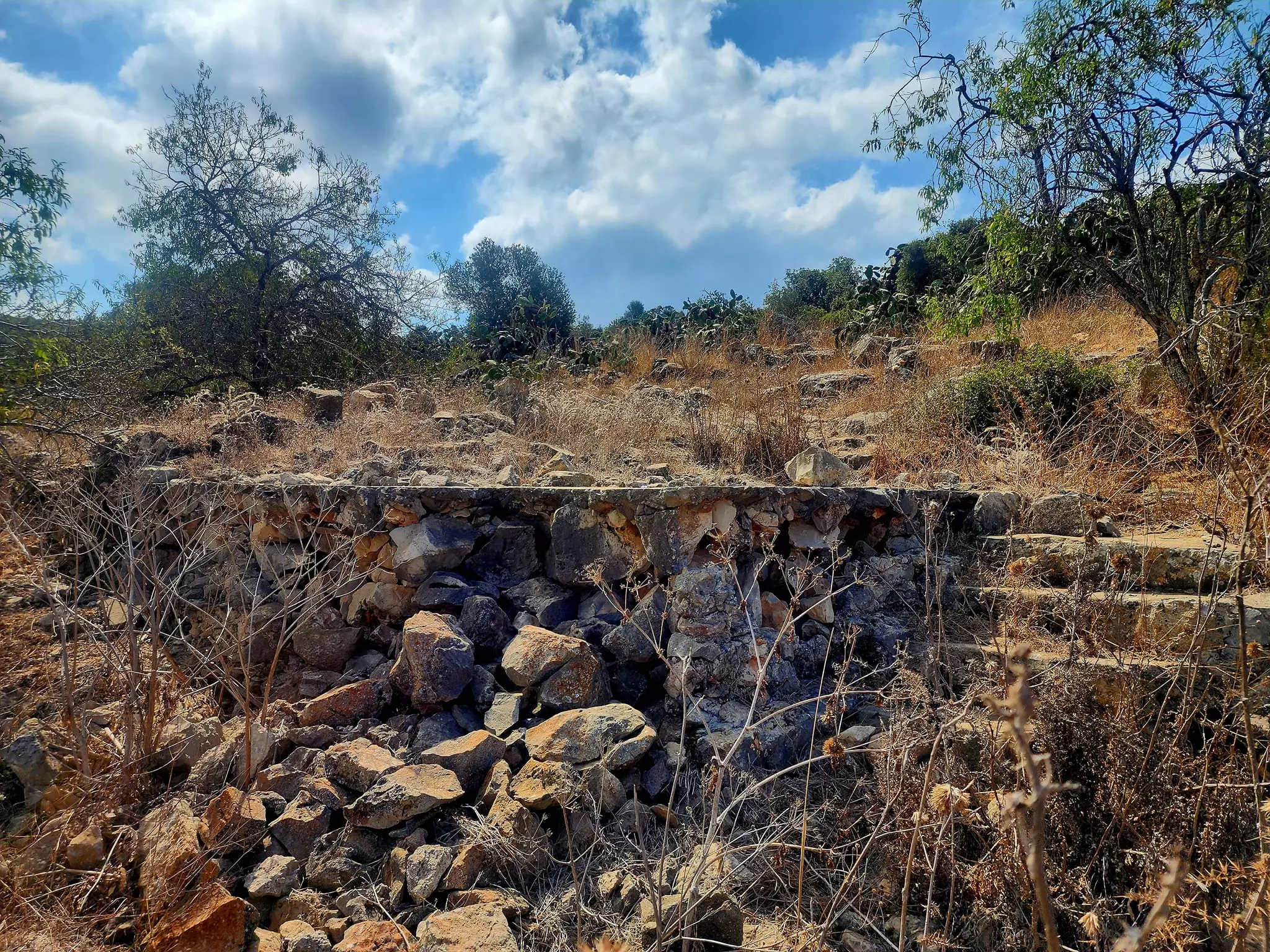
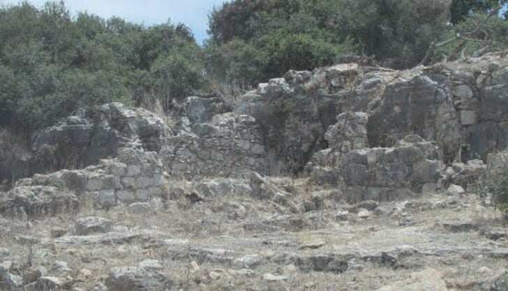
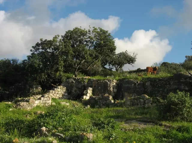
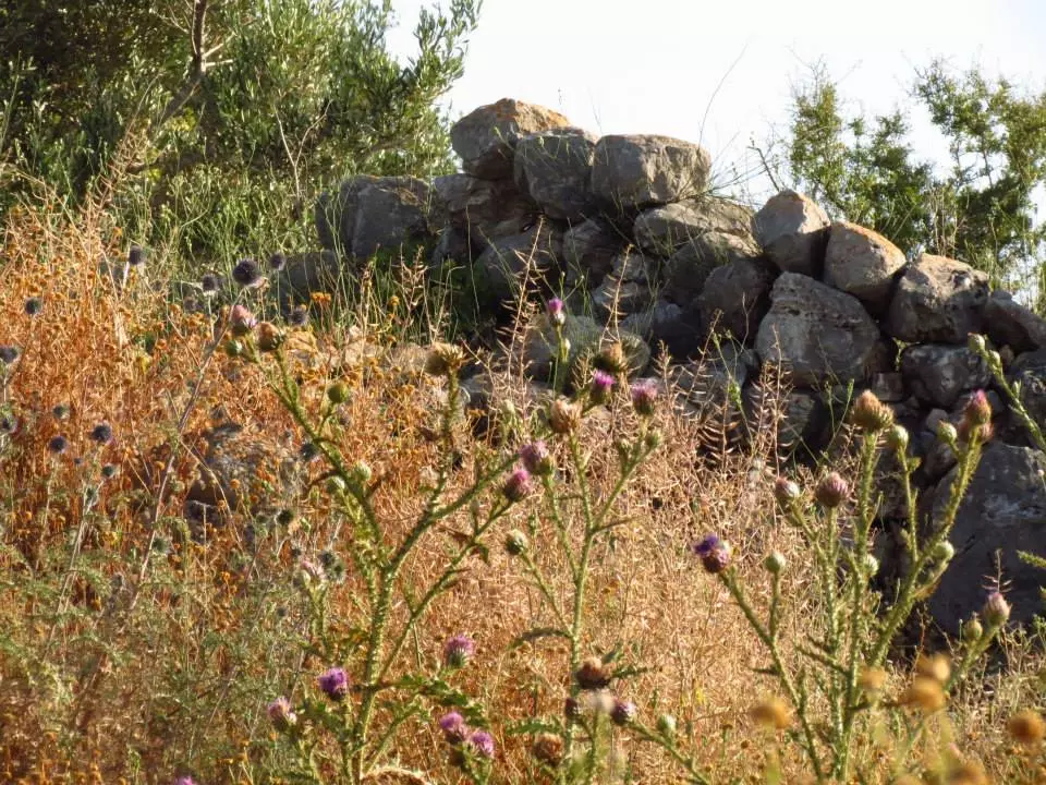
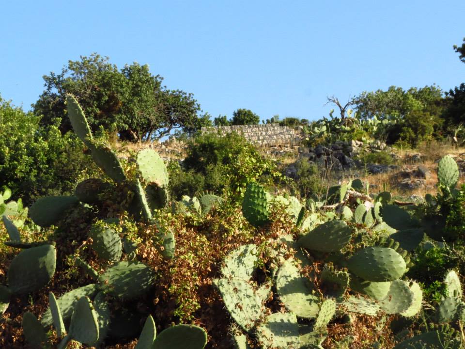
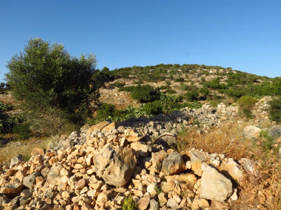
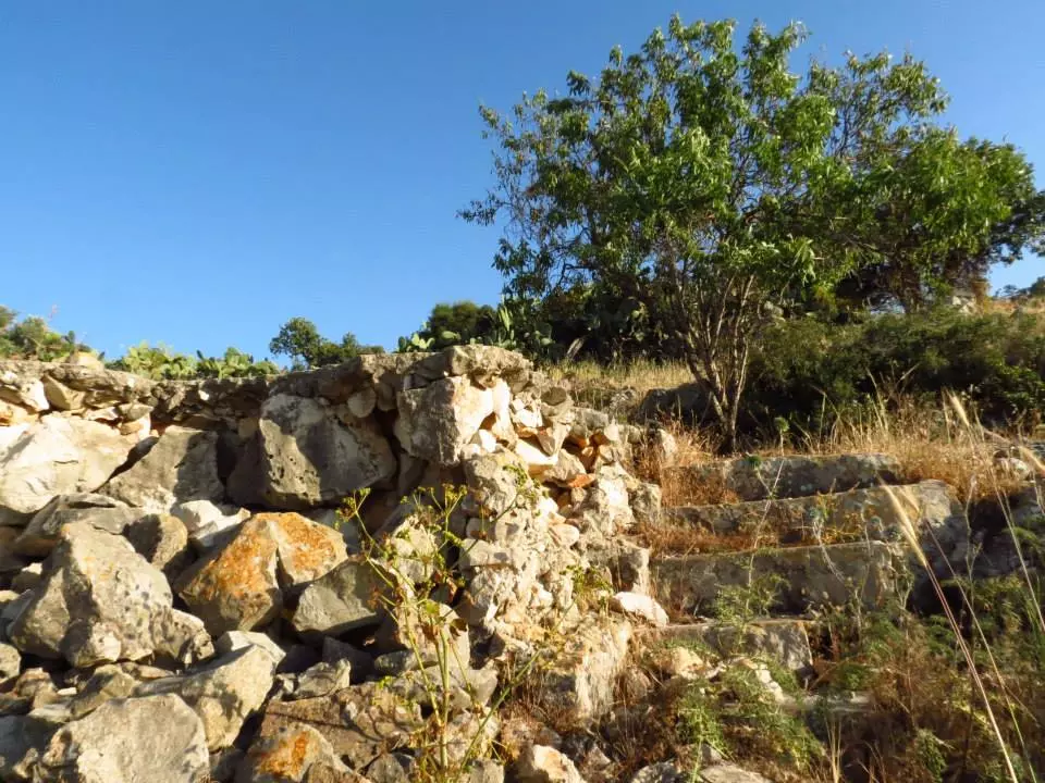
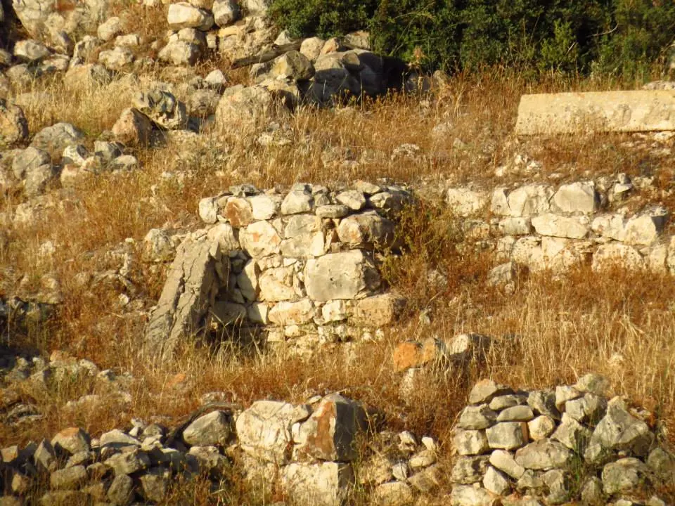
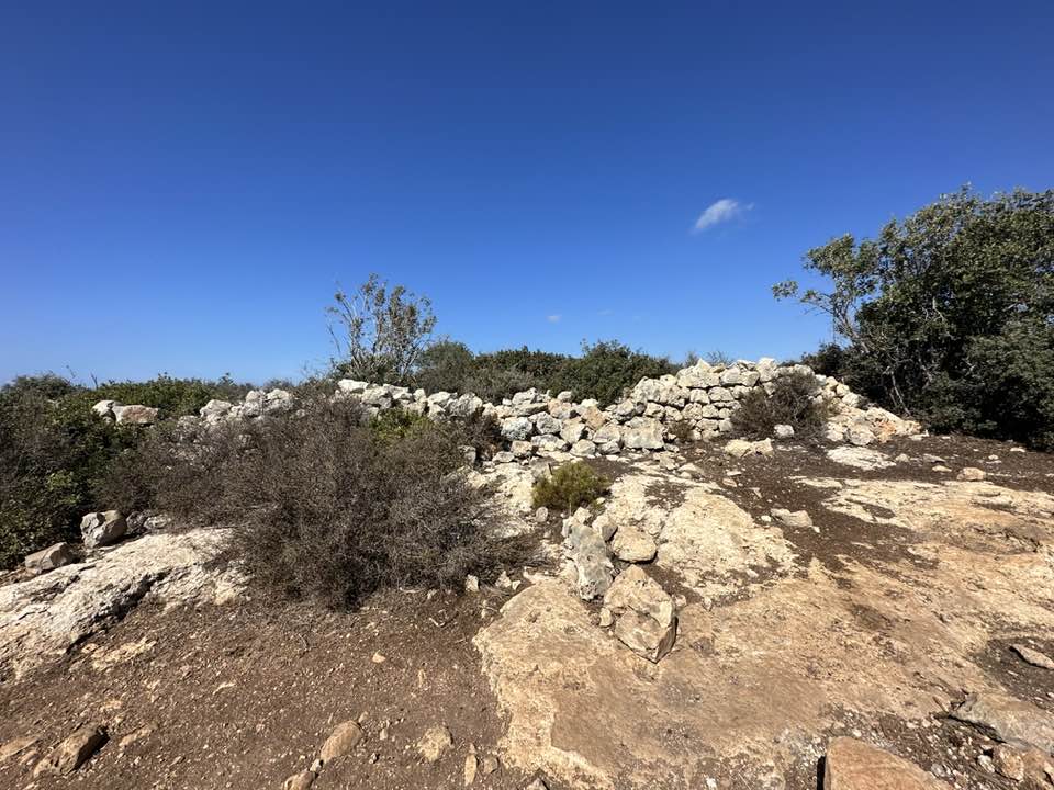
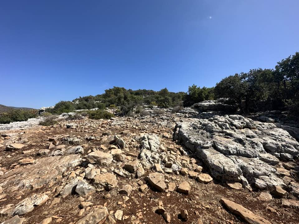
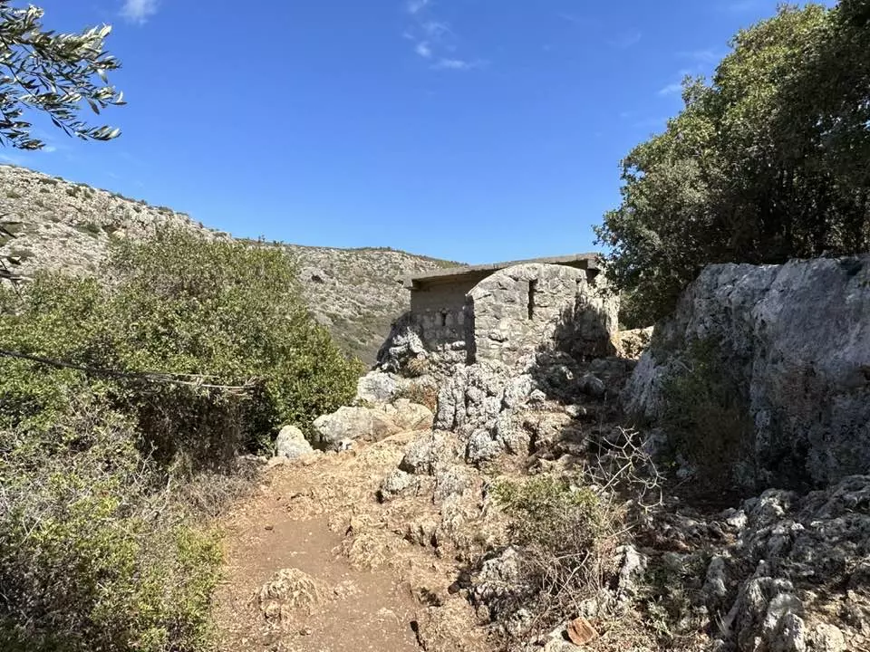
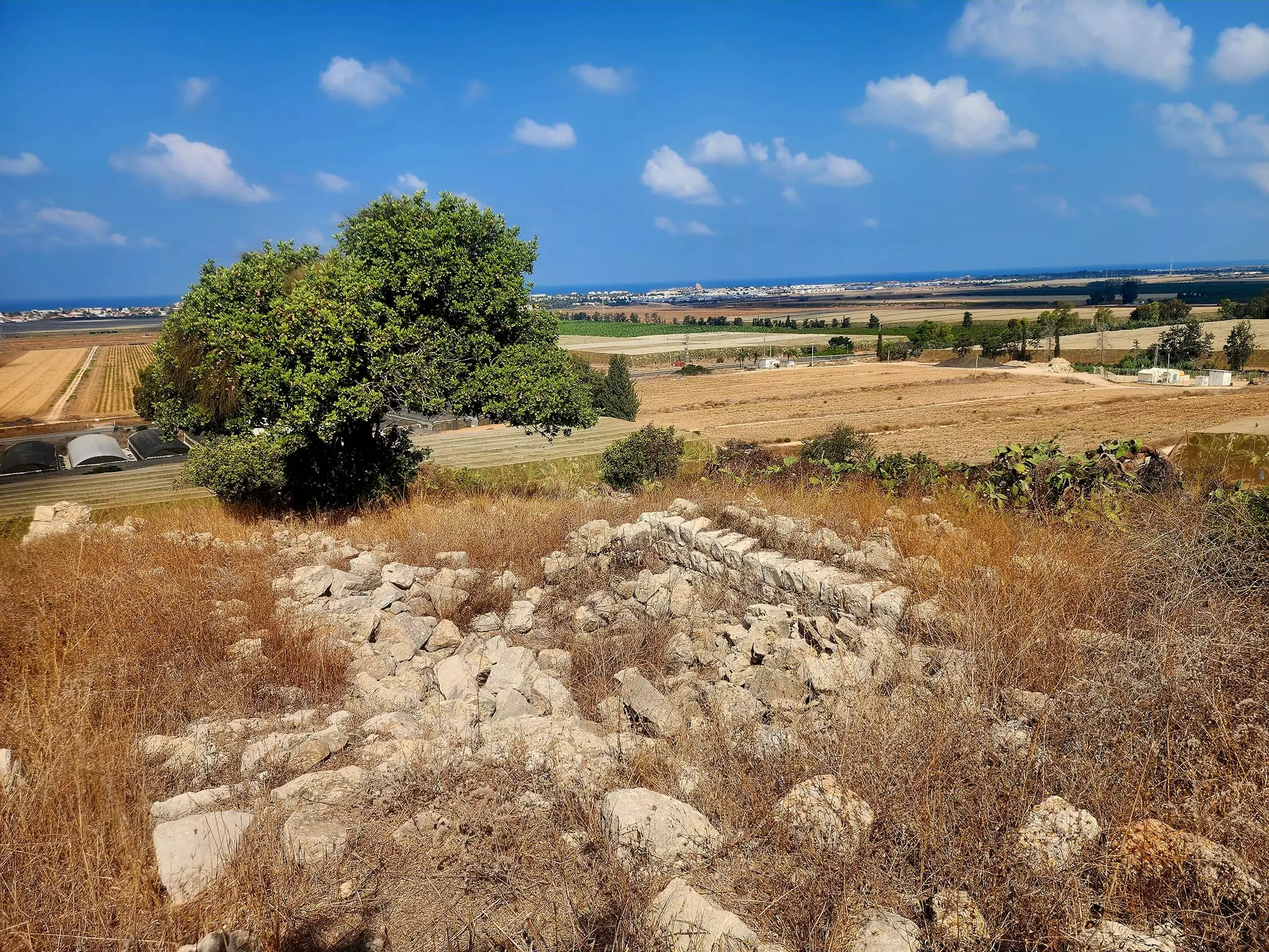
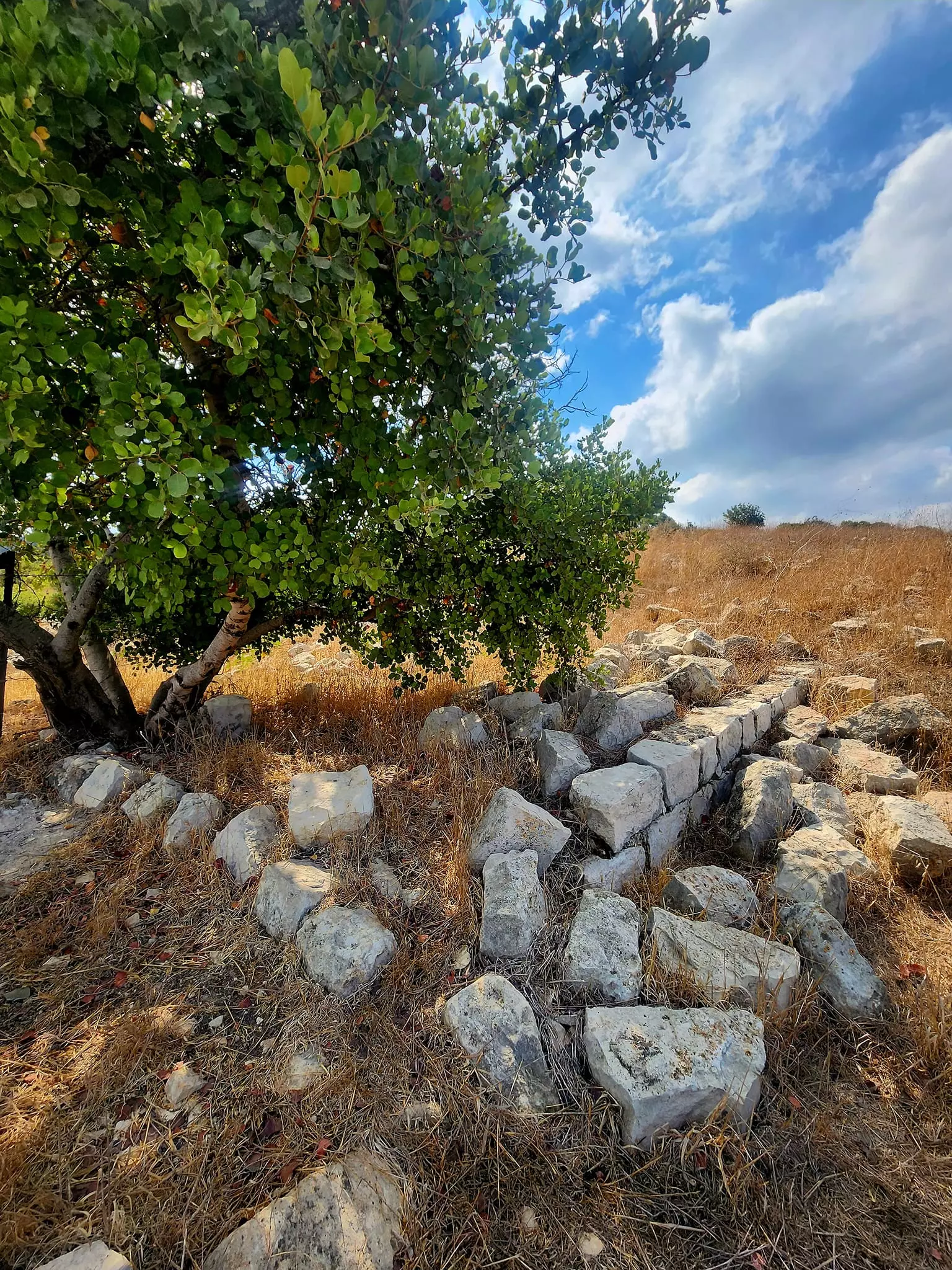
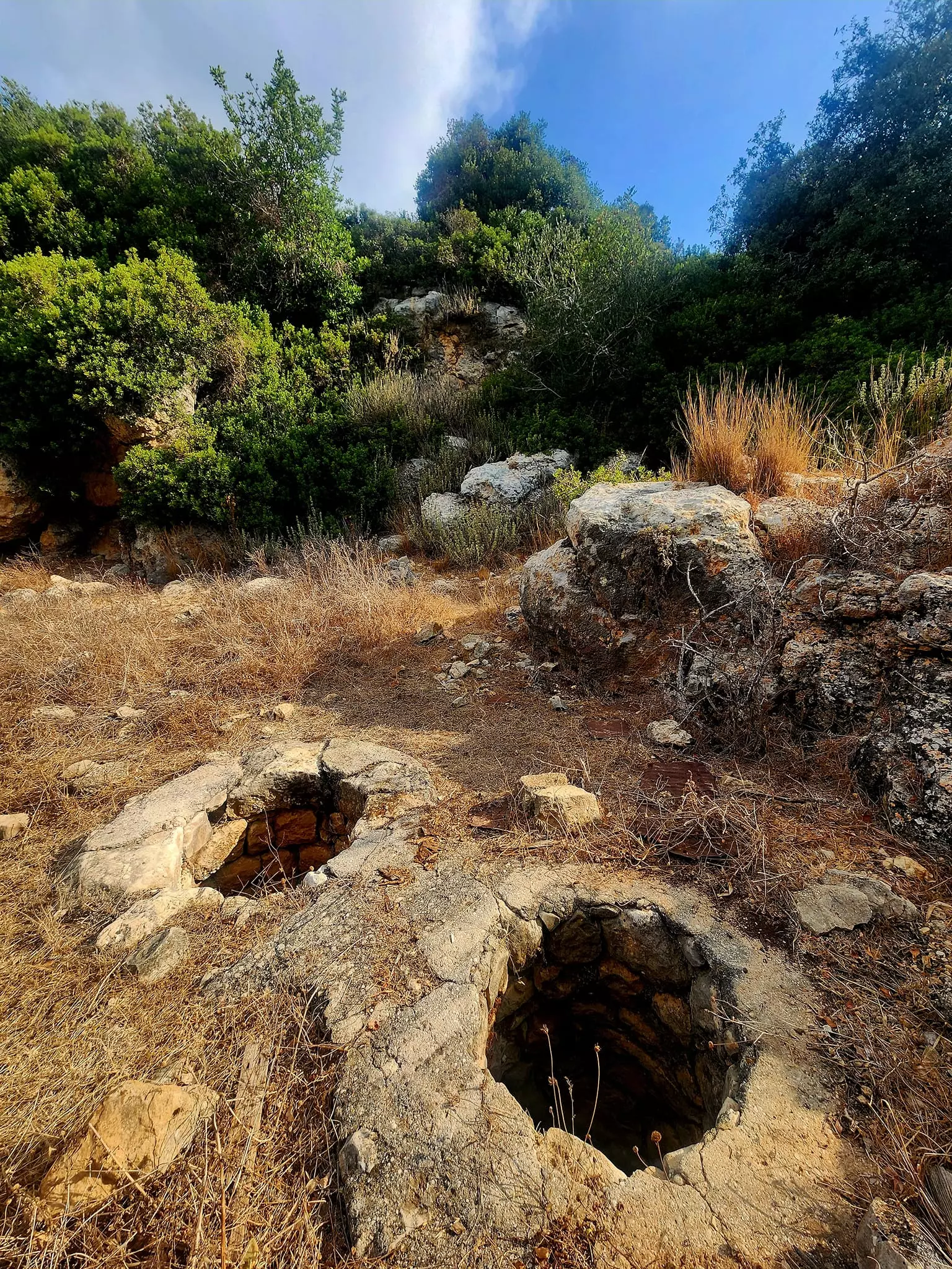
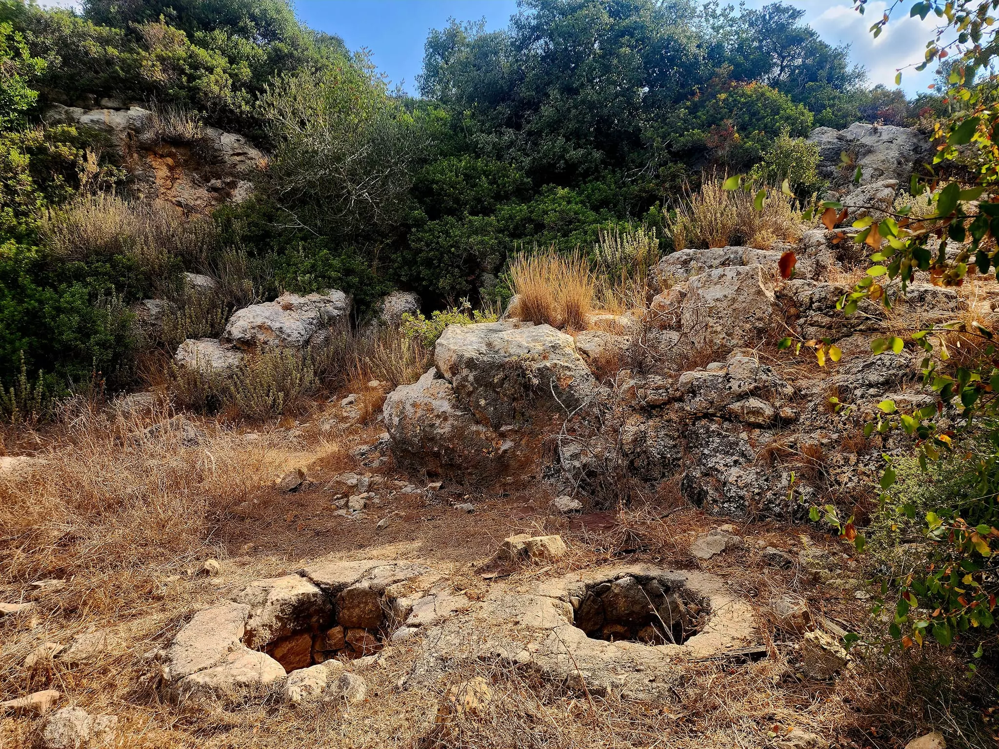
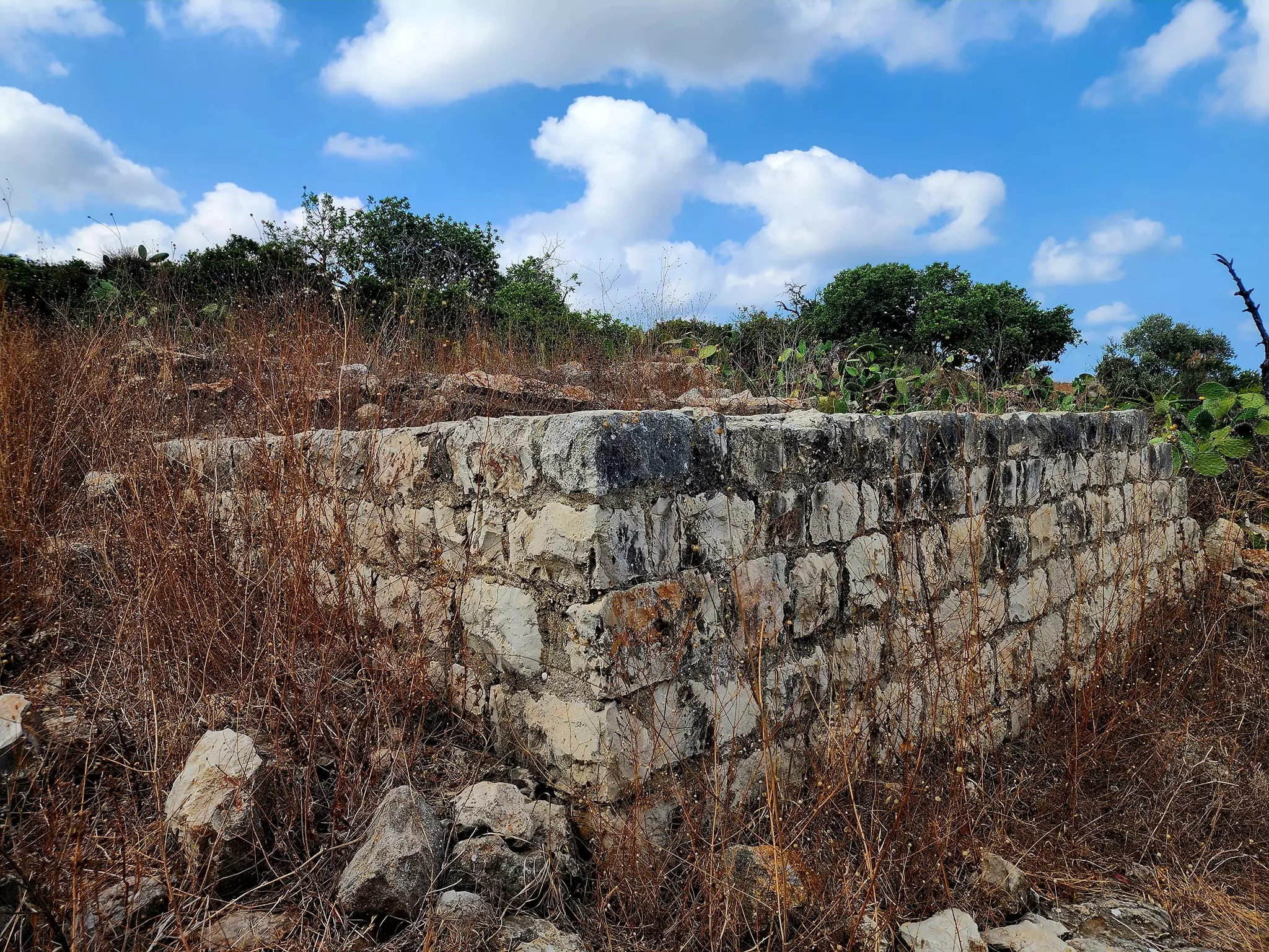
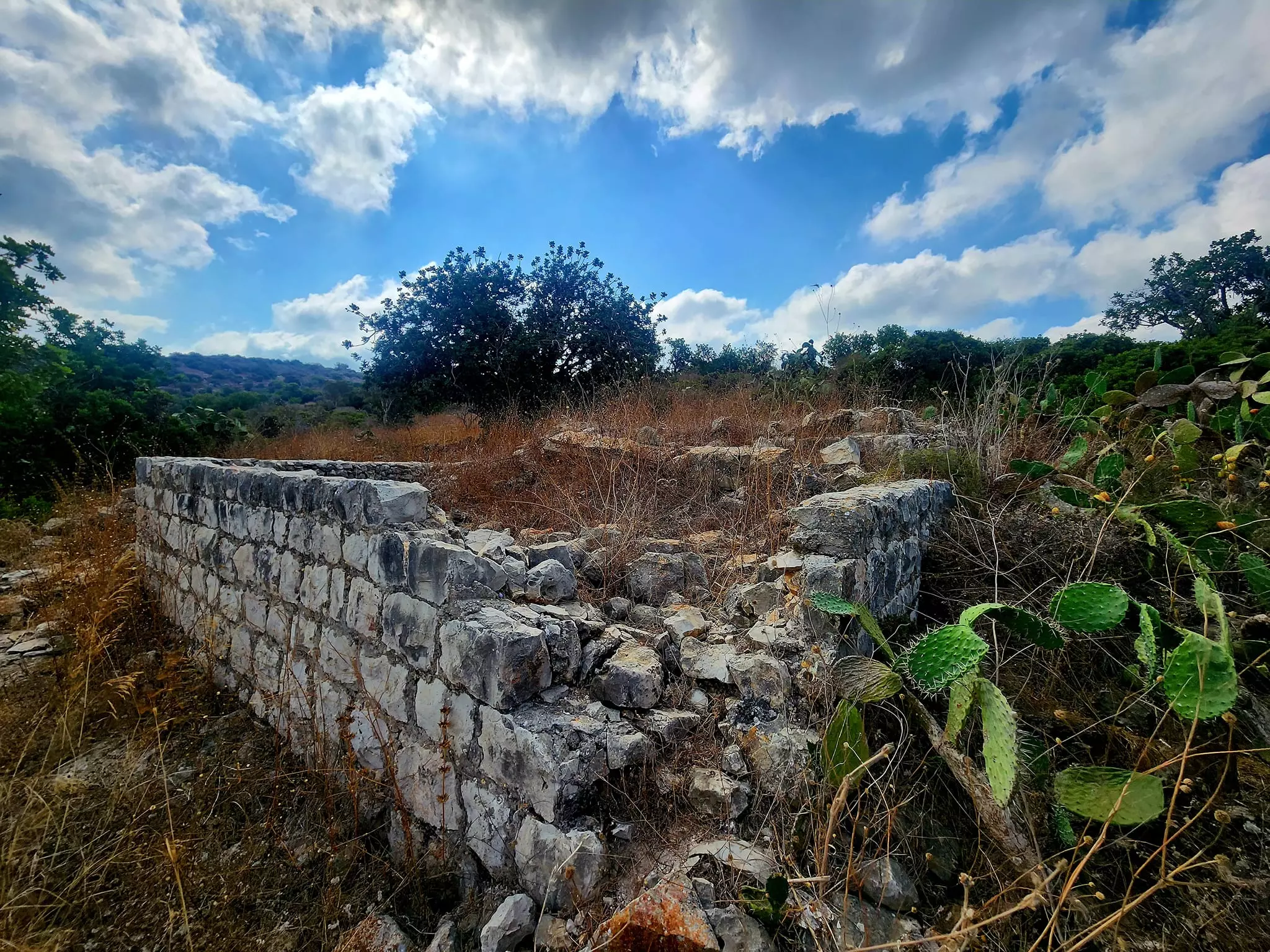
| Village Temains | The village has been completely destroyed, and only house rubble left behind. | ||||||||||||||||||||||||
| Ethnically Cleansing | al-Mazar inhabitants were completely ethnically cleansed. | ||||||||||||||||||||||||
| Pre-Nakba Land Ownership |
**Town Lands' Demarcation Maps |
||||||||||||||||||||||||
| Land Usage As of 1945 |
|
||||||||||||||||||||||||
| Population |
|
||||||||||||||||||||||||
| Number of Houses |
|
||||||||||||||||||||||||
| Near By Towns |
|||||||||||||||||||||||||
|
|||||||||||||||||||||||||
| Town's Name Through History | al-Mazar may have been named after the many people who were killed and buried in its land while battling Crusades. | ||||||||||||||||||||||||
| Water Supply | al-Mazar had a spring on the southeast which provided it with its drinking water. | ||||||||||||||||||||||||
| Archeological Sites | al-Mazar contained archaeological artifacts such as pottery fragments, rock-hewn tombs, and cut stones. | ||||||||||||||||||||||||
| Exculsive Jewish Colonies Who Usurped Village Lands |
'En Karmel | ||||||||||||||||||||||||
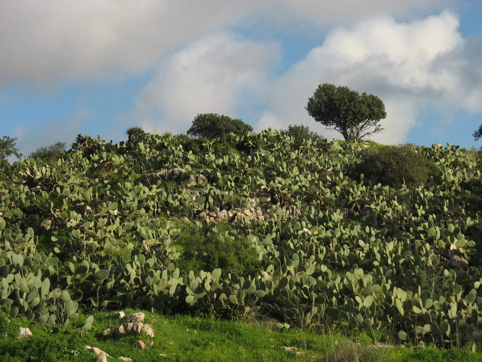
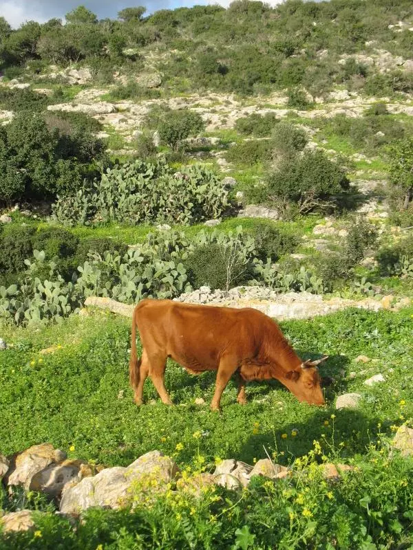
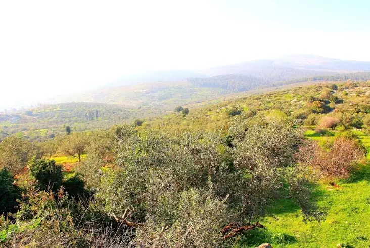
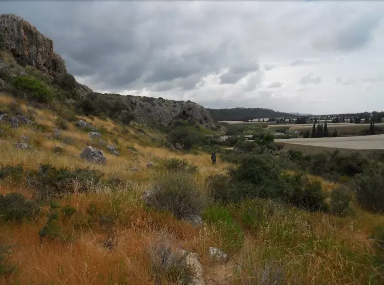
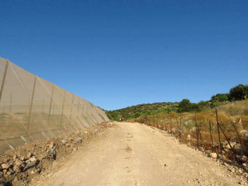
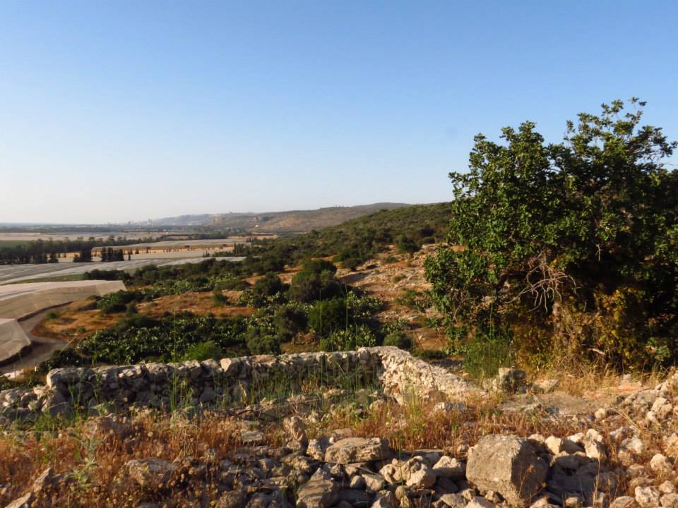
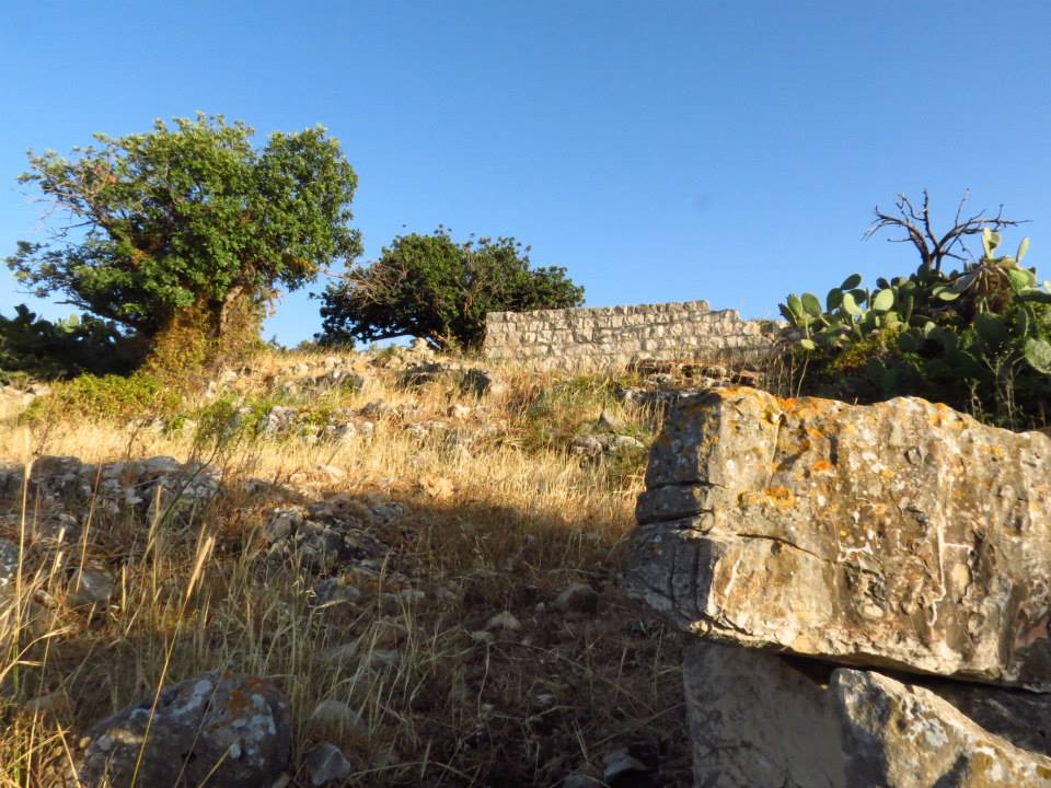
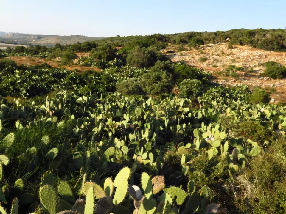
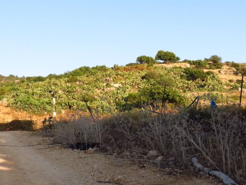
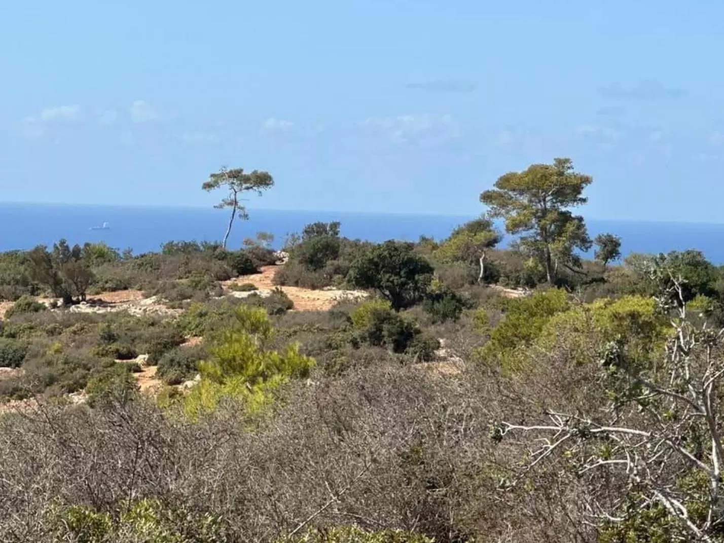
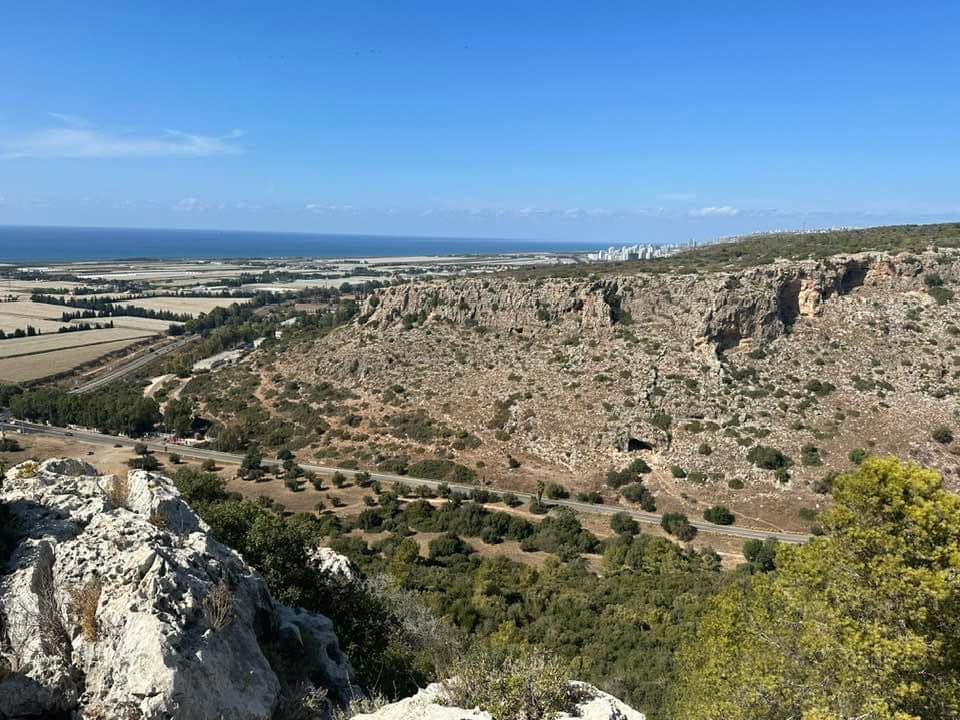
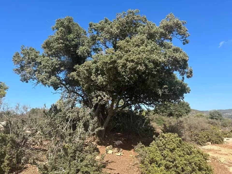
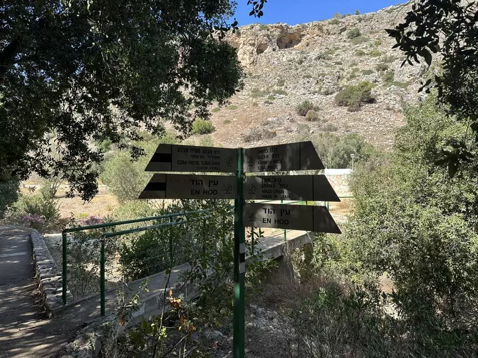
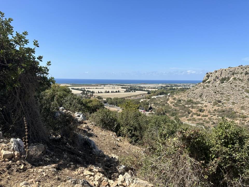
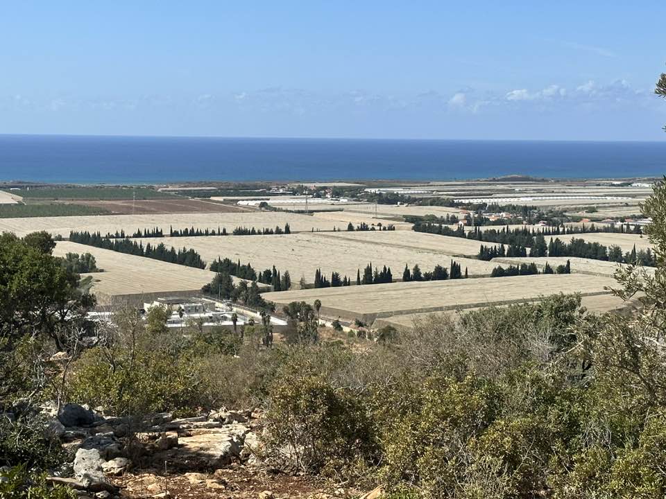
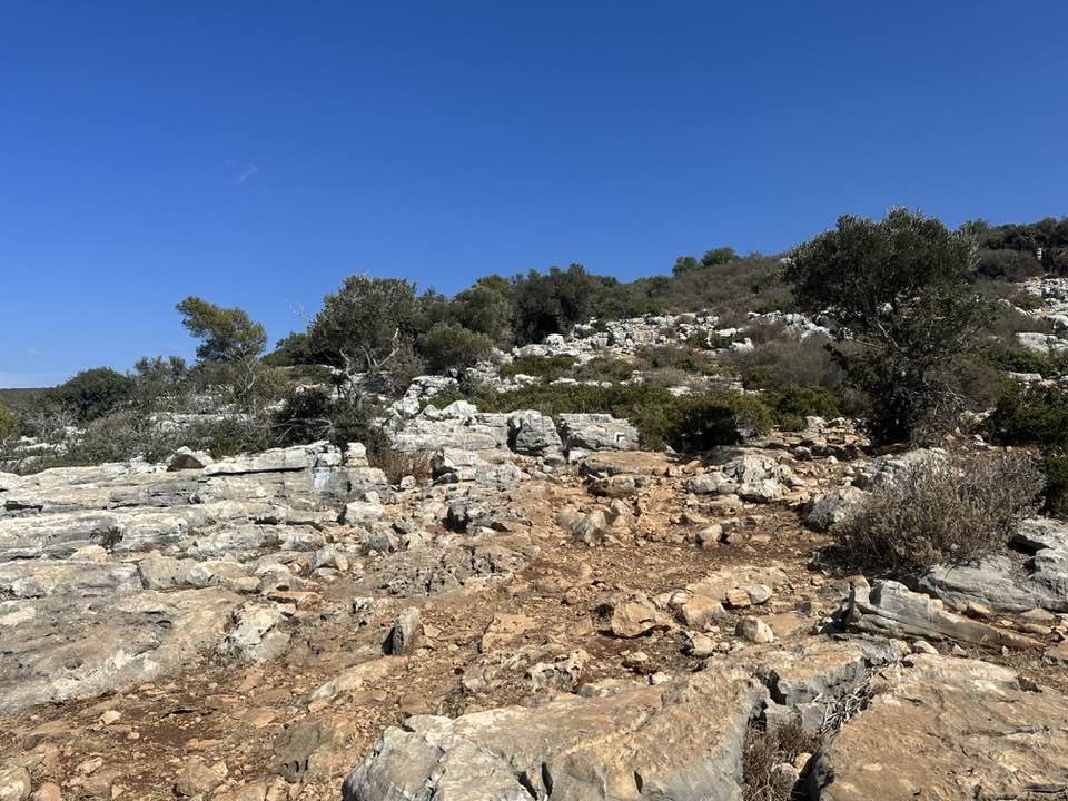
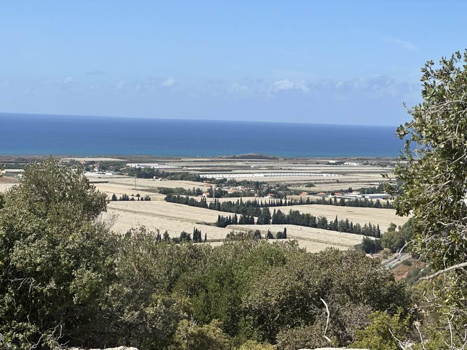
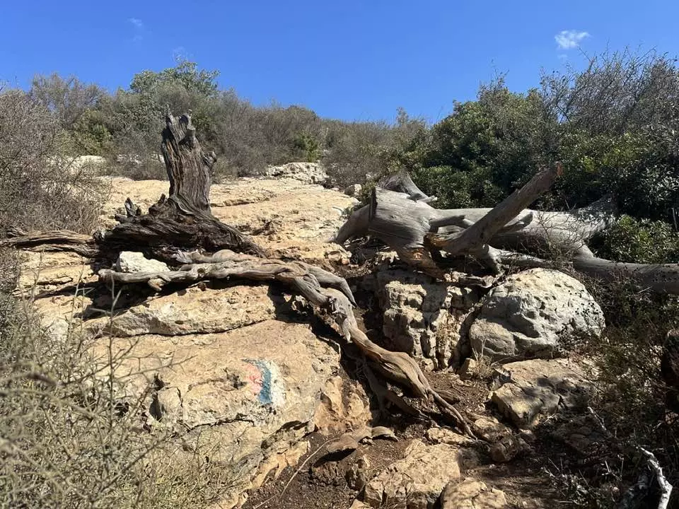
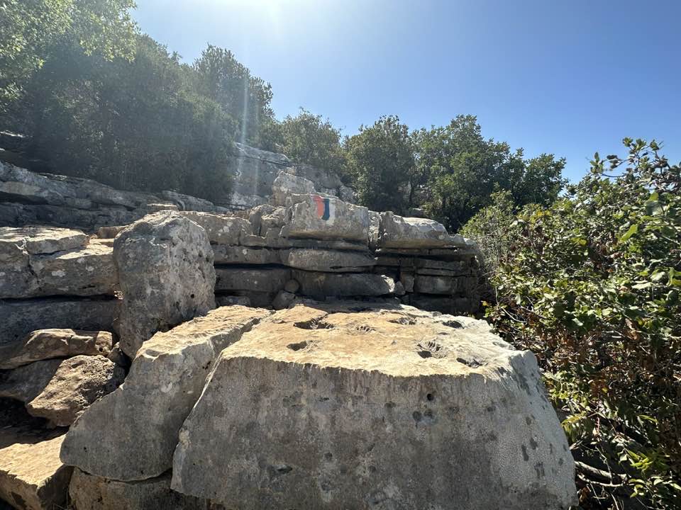
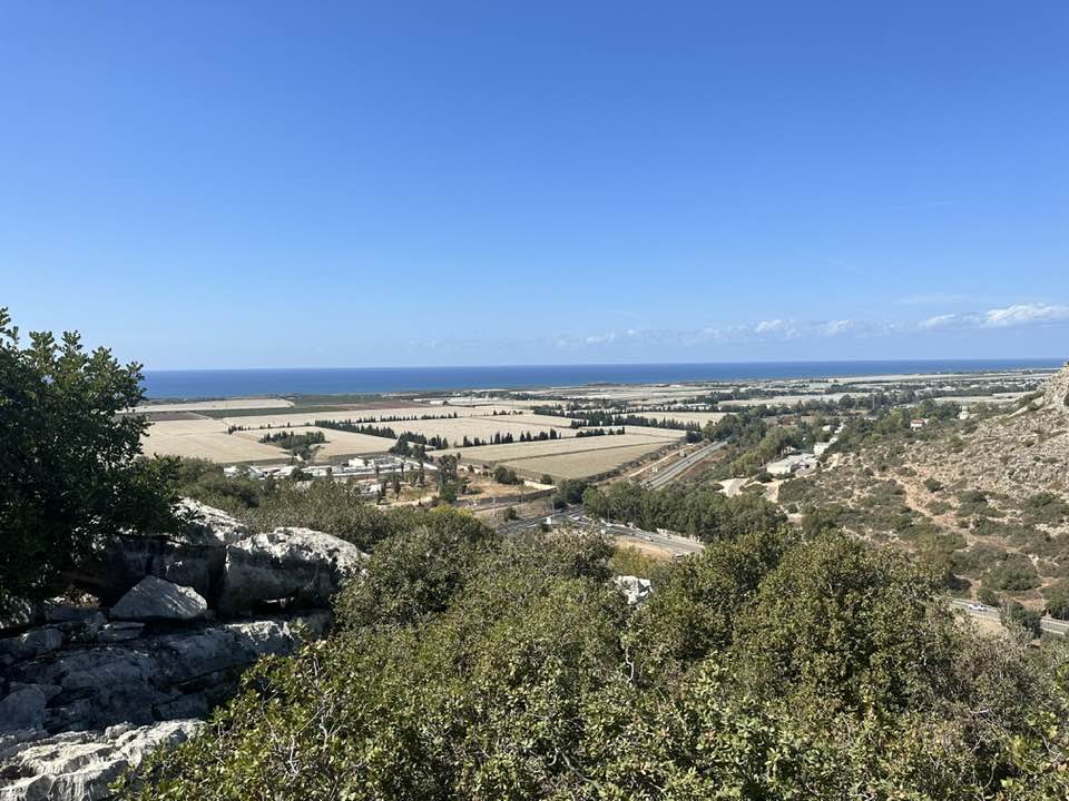
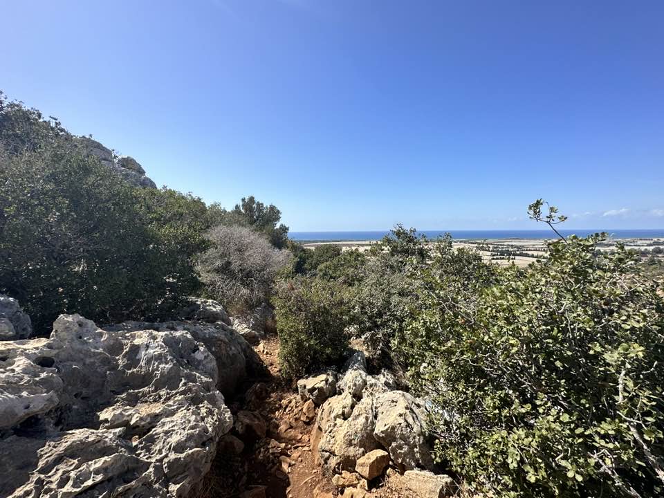
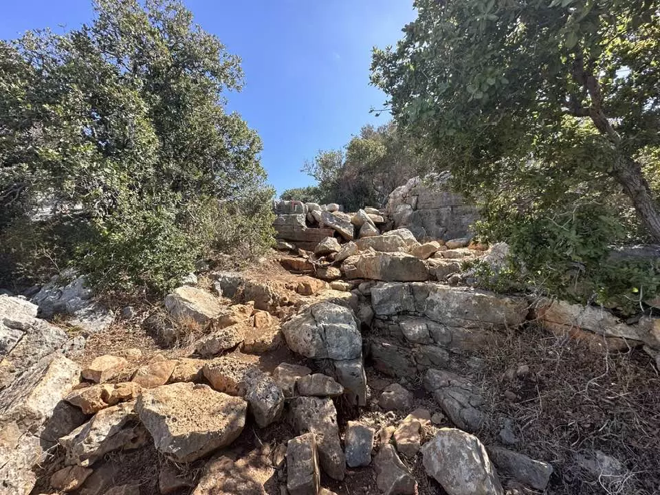
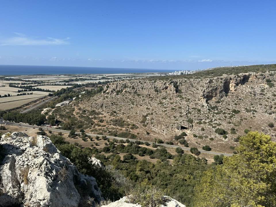
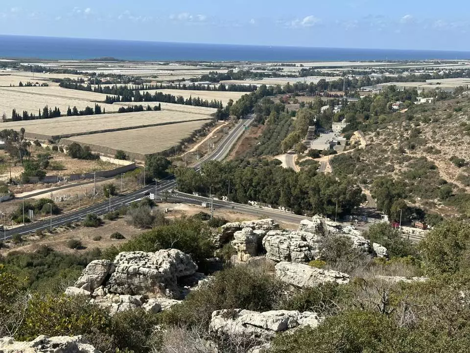
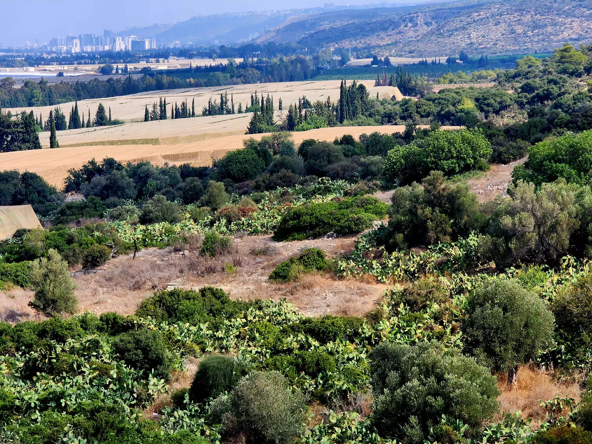
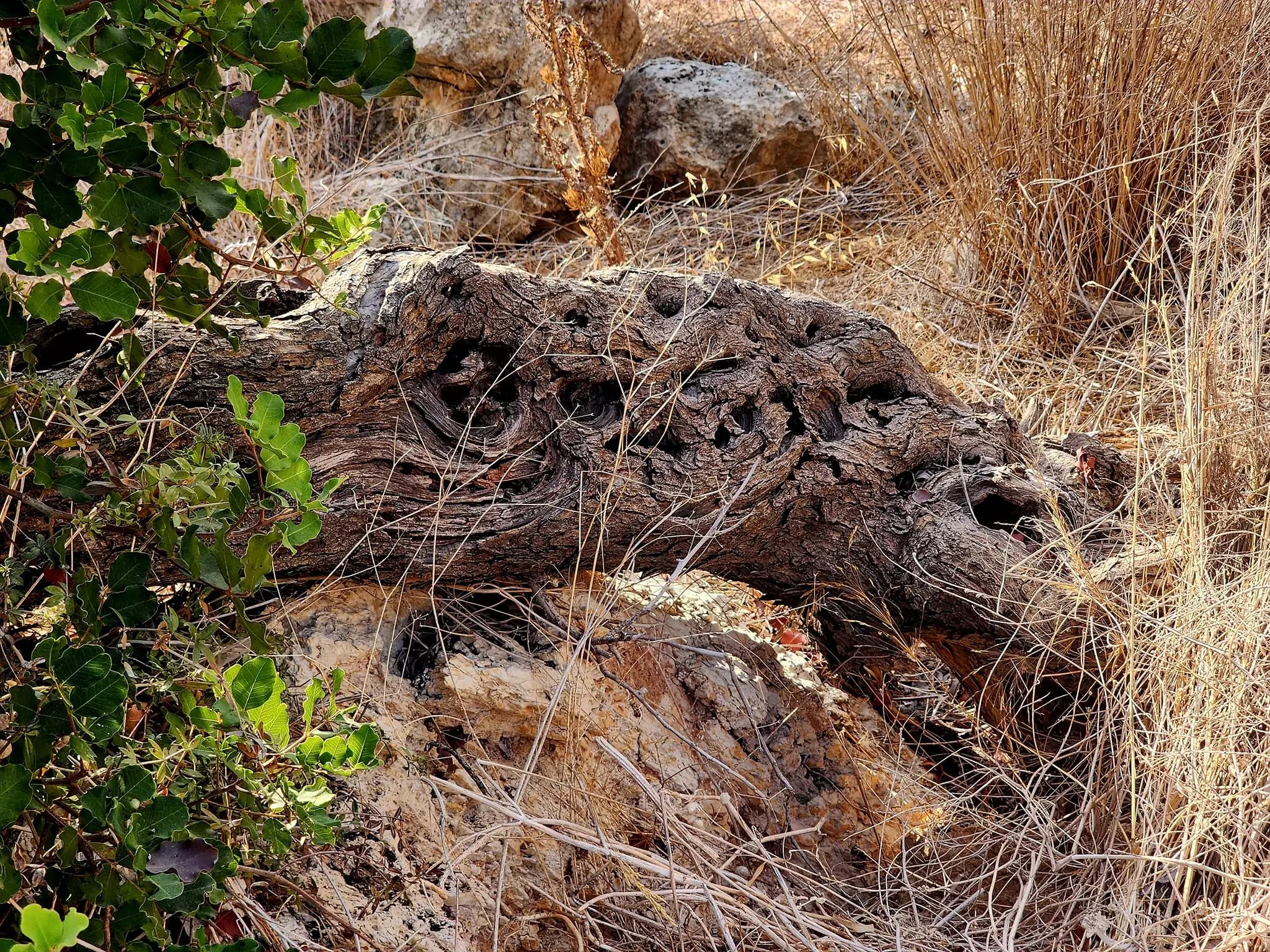
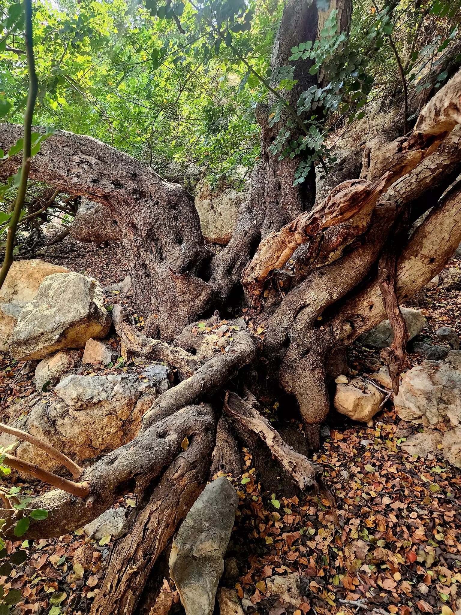
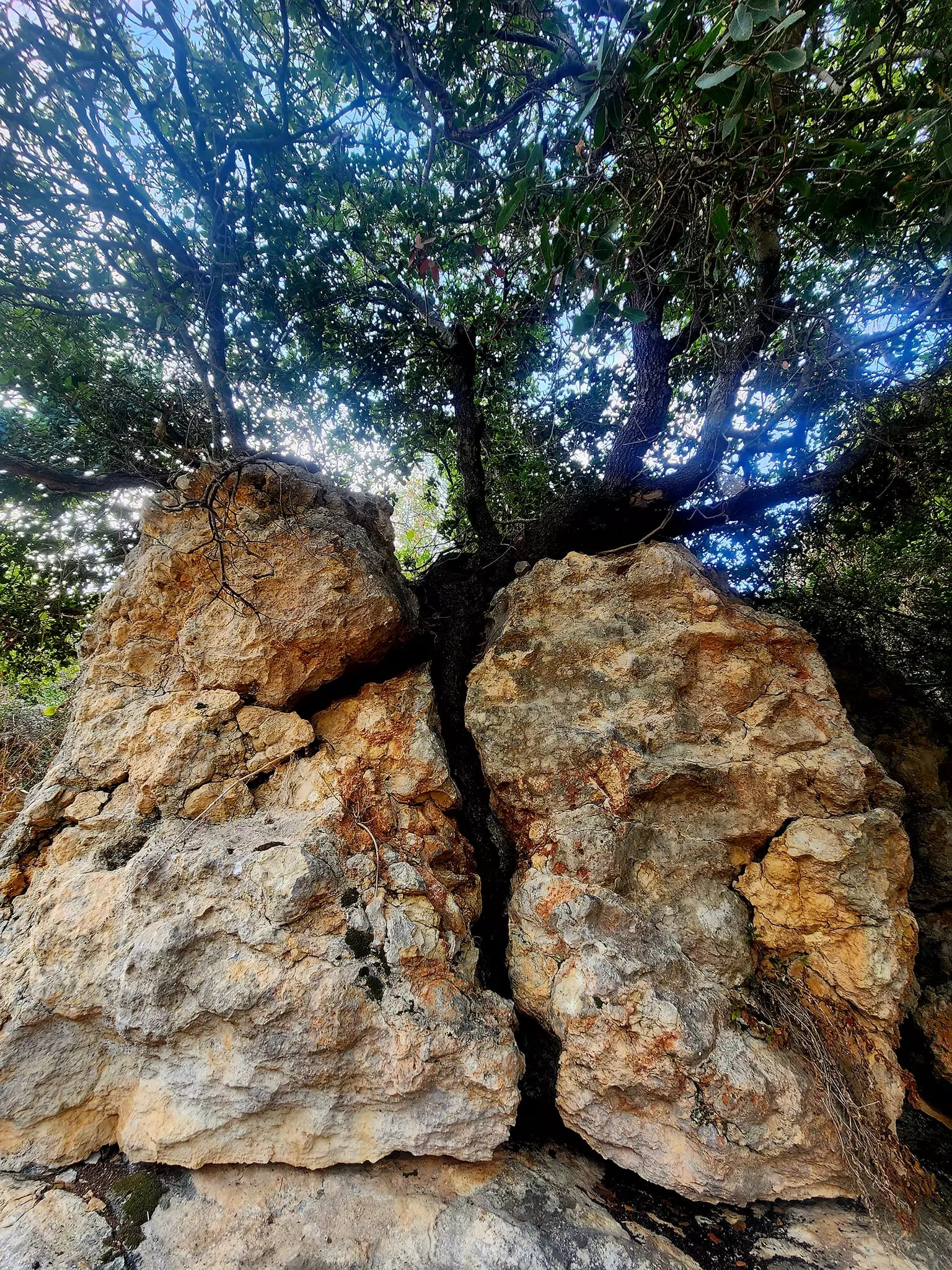
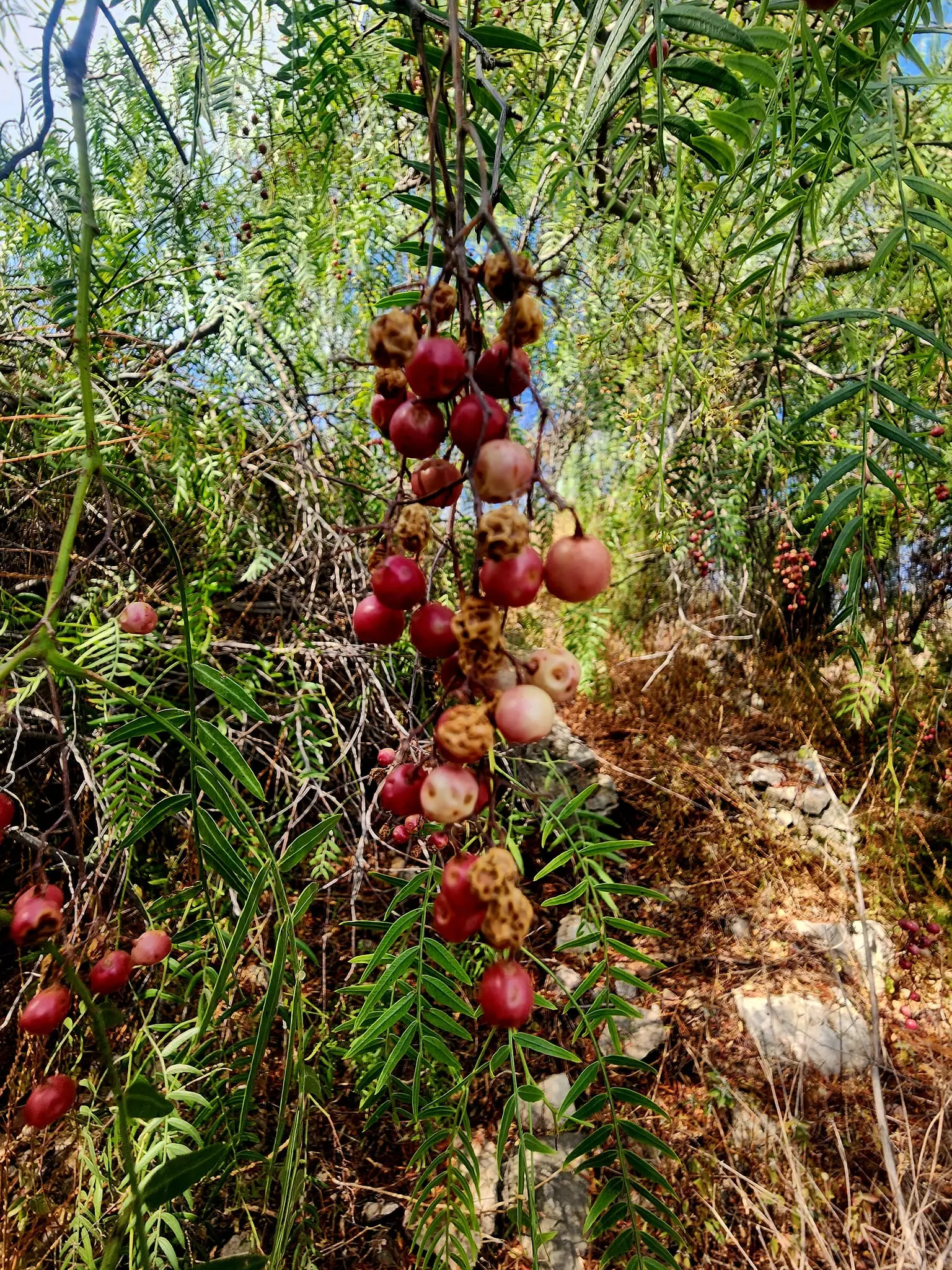
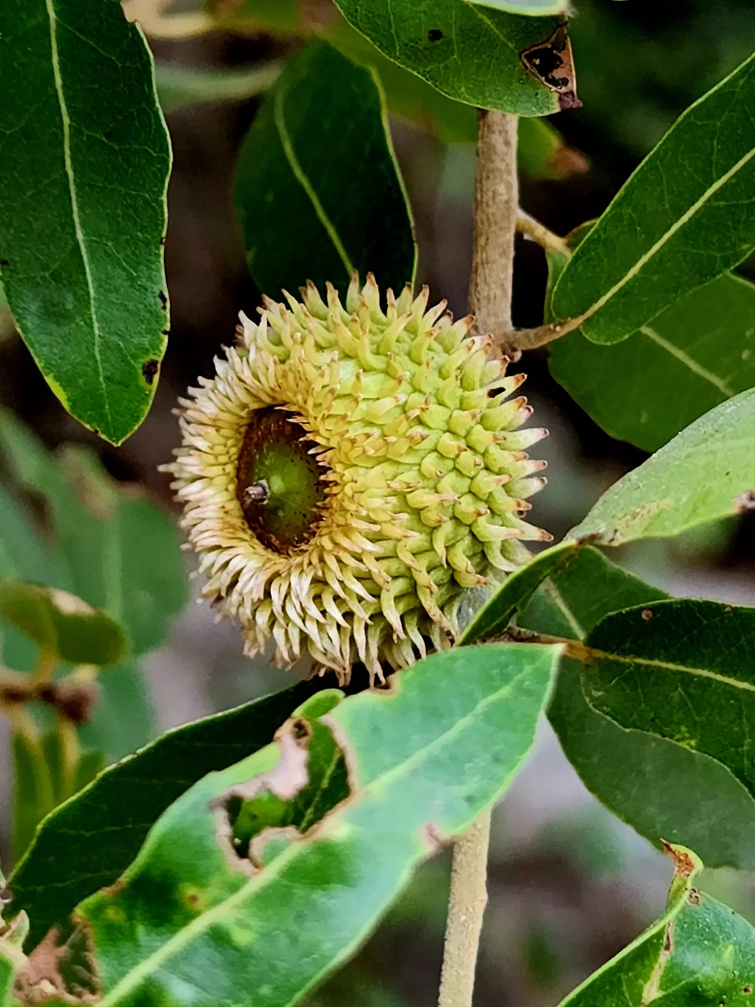
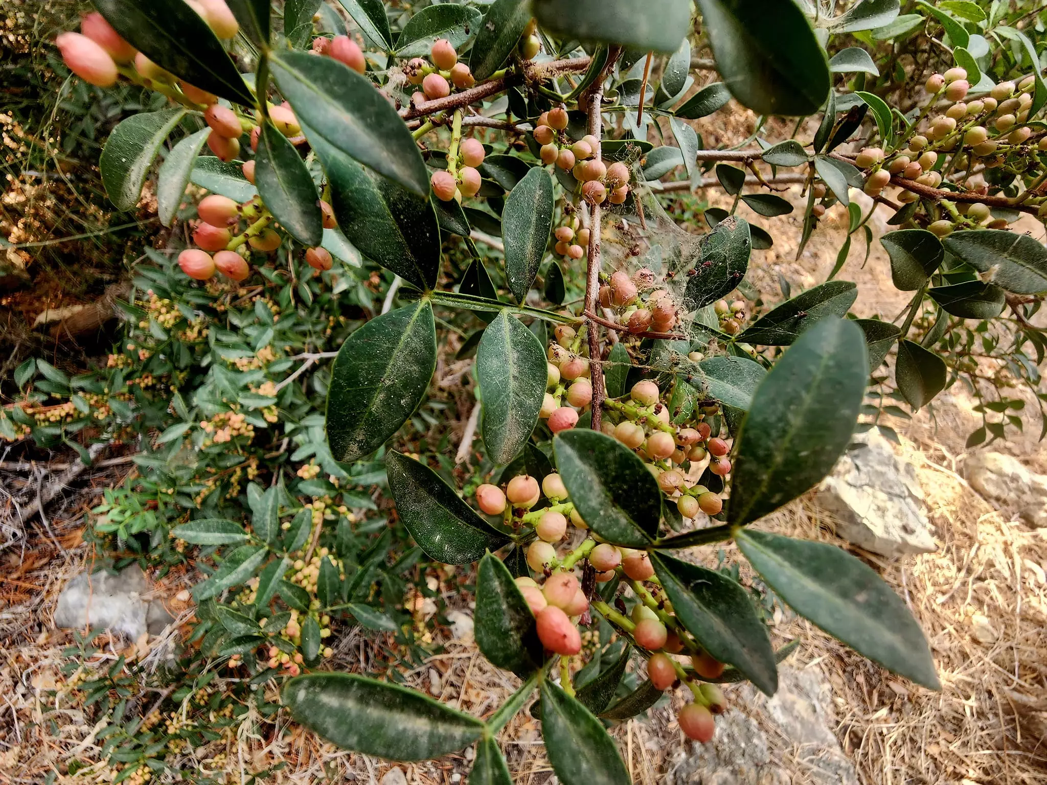
Village Before NakbaAt 15.5 km distance from Haifa, the village stood on the lower western slopes of Mount Carmel, overlooking the narrow coastal plain and the Mediterranean Sea. About one-third of the village's land was on Mount Carmel, with the rest on the coastal plain. The coastal highway passed by its western edge, and the Crusader castle at 'Atlit lay only 2.5 km north of the village. The village's name, which is Arabic for 'shrine' or 'a place that one visits', was probably meant to commemorate the many people who were killed and buried there in the war against the Crusaders. The village layout resembled a square, and its Muslim inhabitants obtained their domestic water from a spring in the southeast. Al-Mazar's economy was based on agriculture and animal husbandry, with grain as the main crop. The site contained archeological artifacts such as pottery fragments, rock-hewn tombs, and cut stones.Village Occupation and Ethnic CleaningTogether with al-Tira and 'Ayn Hawd, al-Mazar was probably one of a few villages south of Haifa which eluded capture for around six weeks after the fall of the city in late April 1948. Historian Benny Morris argues that it was occupied in mid-July along with other villages in the immediate vicinity. This occurred in the course of a joint ground and naval operation launched during the Ten Days between the two truces of the war. The villagers may have been expelled, like those of al-Tira. However, that operation failed to occupy all the villages in the area; the Little Triangle (Ijzim, Jaba' and 'Ayn Ghazal) just south of al-Mazar held out for a few more days before succumbing to a massive Israeli assault carried out in violation of the second truce. Hence al-Mazar may also have withstood Israeli attacks until late July.Zionists Colonies on Village LandsRubble of stone houses is scattered over the site, which is overgrown with weeds, thorns, cactuses, and fig, pomegranate and mulberry trees. The site is also marked by segments of standing stone walls and the debris of the mosque, which stood until 1983.SourceDr. Walid al-Khalidi, 1992: All That Remains. |
|||||||||||||||||||||||||
| Related Maps | Town Lands' Demarcation Maps خرائط للقضاء توضح حدود القرى والاودية Town's map on MapQuest View from satellite Help us map this town at WikiMapia |
||||||||||||||||||||||||
| Related Links | Wikipedia's Page Google Search Google For Images Google For Videos |
||||||||||||||||||||||||
| More Information | في كتاب كي لا ننسى في كتاب بلادنا فلسطين المزيد من موقع هوية |
||||||||||||||||||||||||
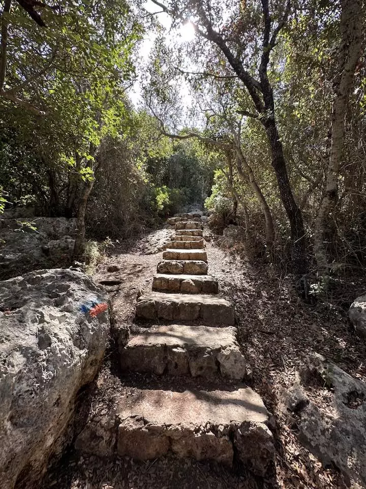
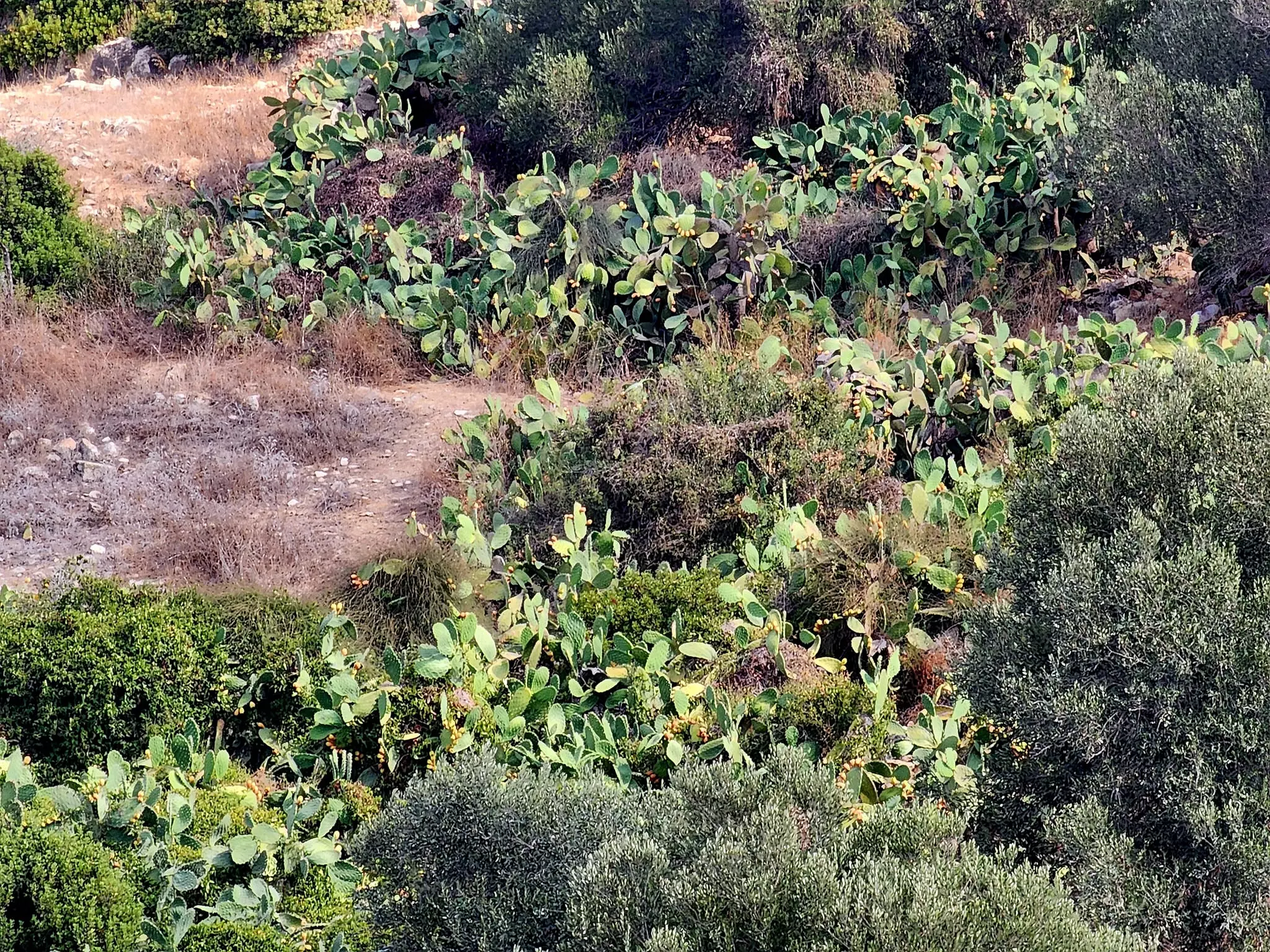
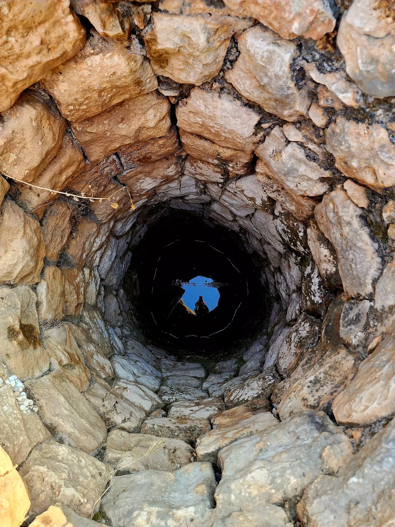
- Ruins of destroyed houses appears in forest of Cactus trees
Posted by Noga Kadman - Ruins of a destroyed Palestinian house

Posted by Noga Kadman - A scene in the destroyed village
Posted by Noga Kadman - More Israeli destruction, more ruins.

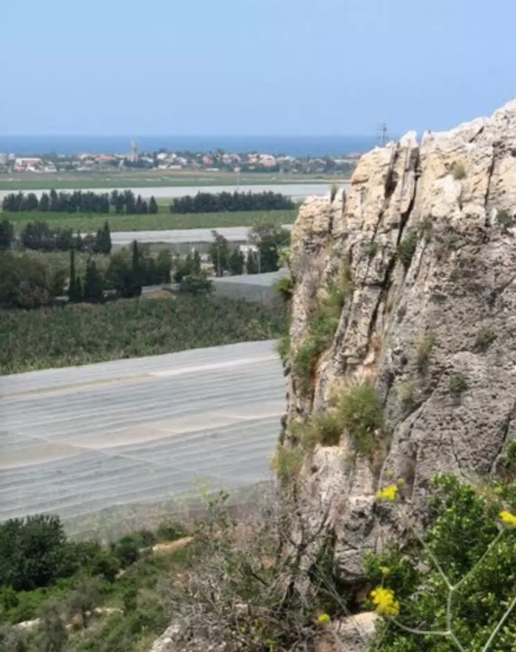
Posted by Noga Kadman - نظره من موقع القريه باتجاه البحر المتوسط وعتليت
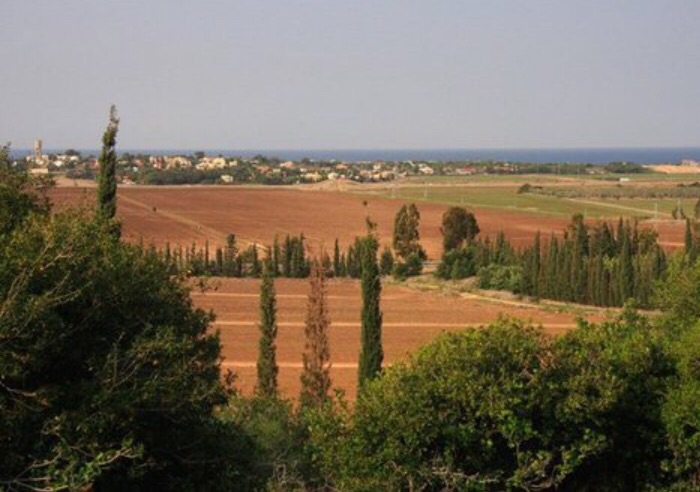
Posted by abu raya - اراضي المزار من الغرب
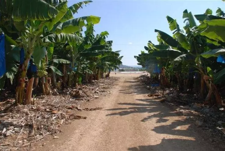
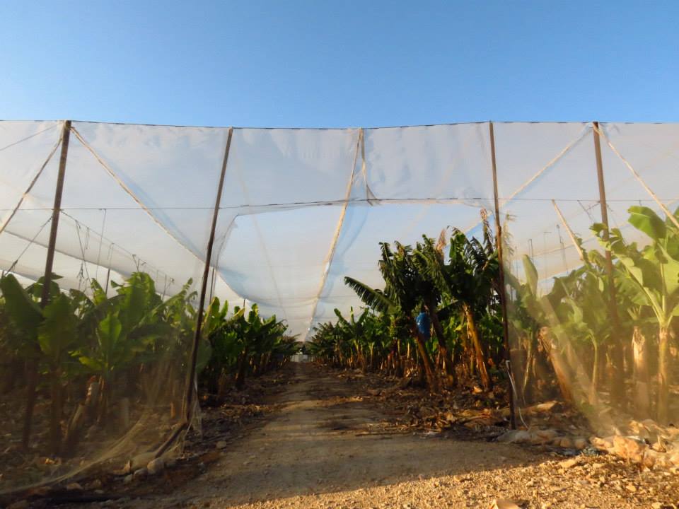
Posted by abu raya - اراضي المزار يستغلها المستوطنين لزراعه حقول الموز

Posted by abu raya - اراضي المزار يستغلها المستوطنين لزراعه حقول الموز
Posted by abu raya - اثار بيوت القريه
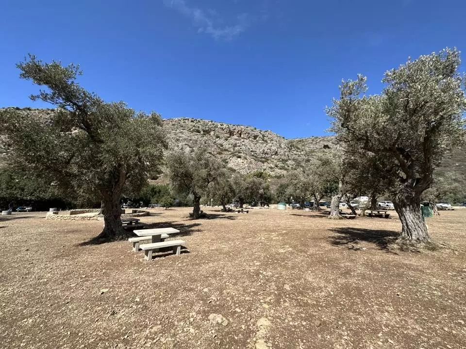
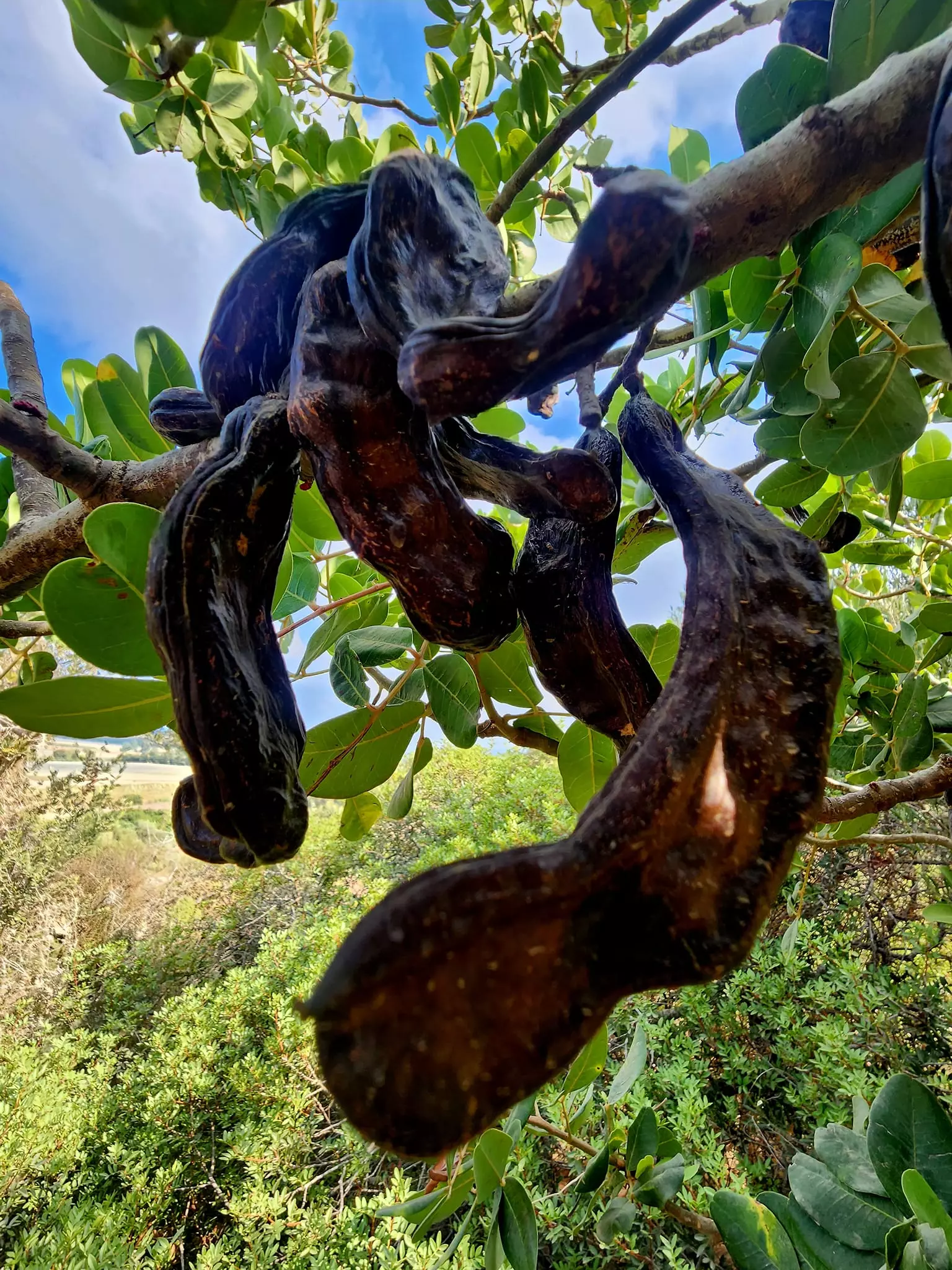
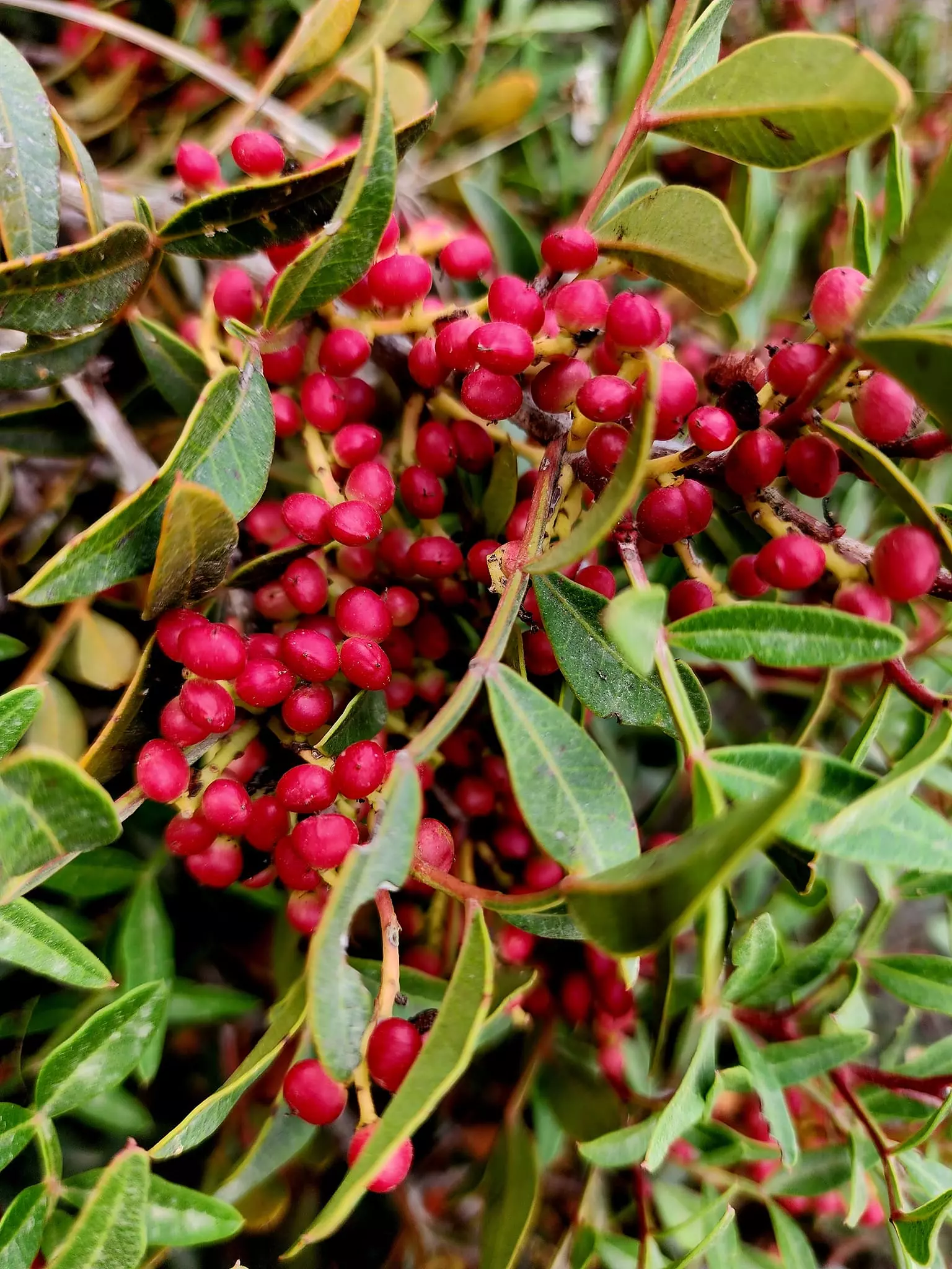
Posted by abu raya - زيتون القريه على منحدرات الكرمل
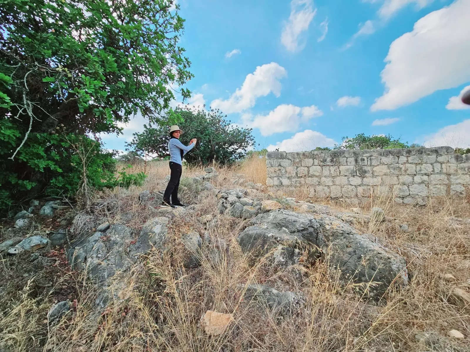
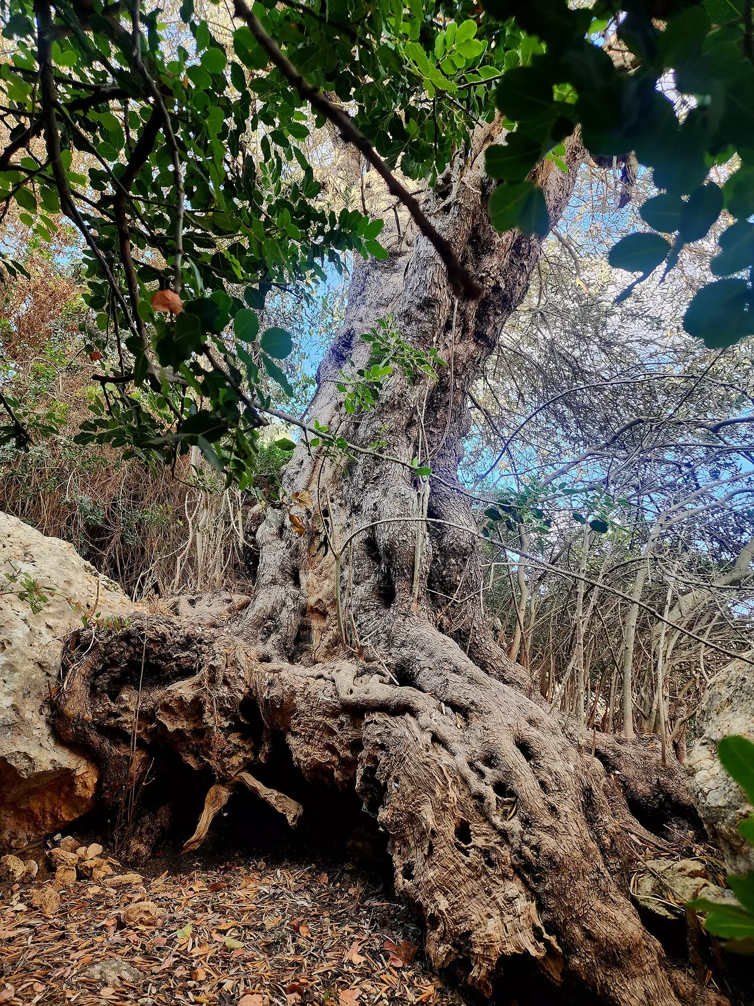
Posted by abu raya - موقع القريه على منحدرات الكرمل
Posted by abu raya - آثار البيوت المهجرة في المزار
Posted by ياسين - طريق ترابي يمر بالاراضي الزراعية للقرية
Posted by ياسين - المزار قضاء حيفا
Posted by ياسين - المزار قضاء حيفا
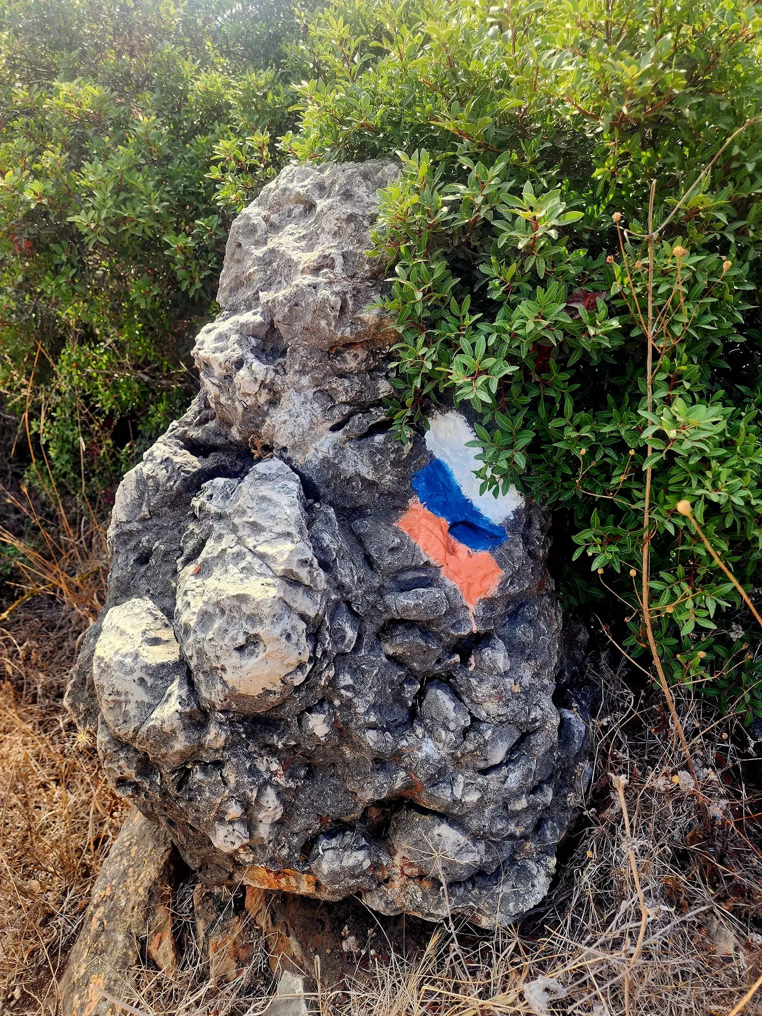
Posted by ياسين - حجارة البيوت المهجرة في قرية المزار
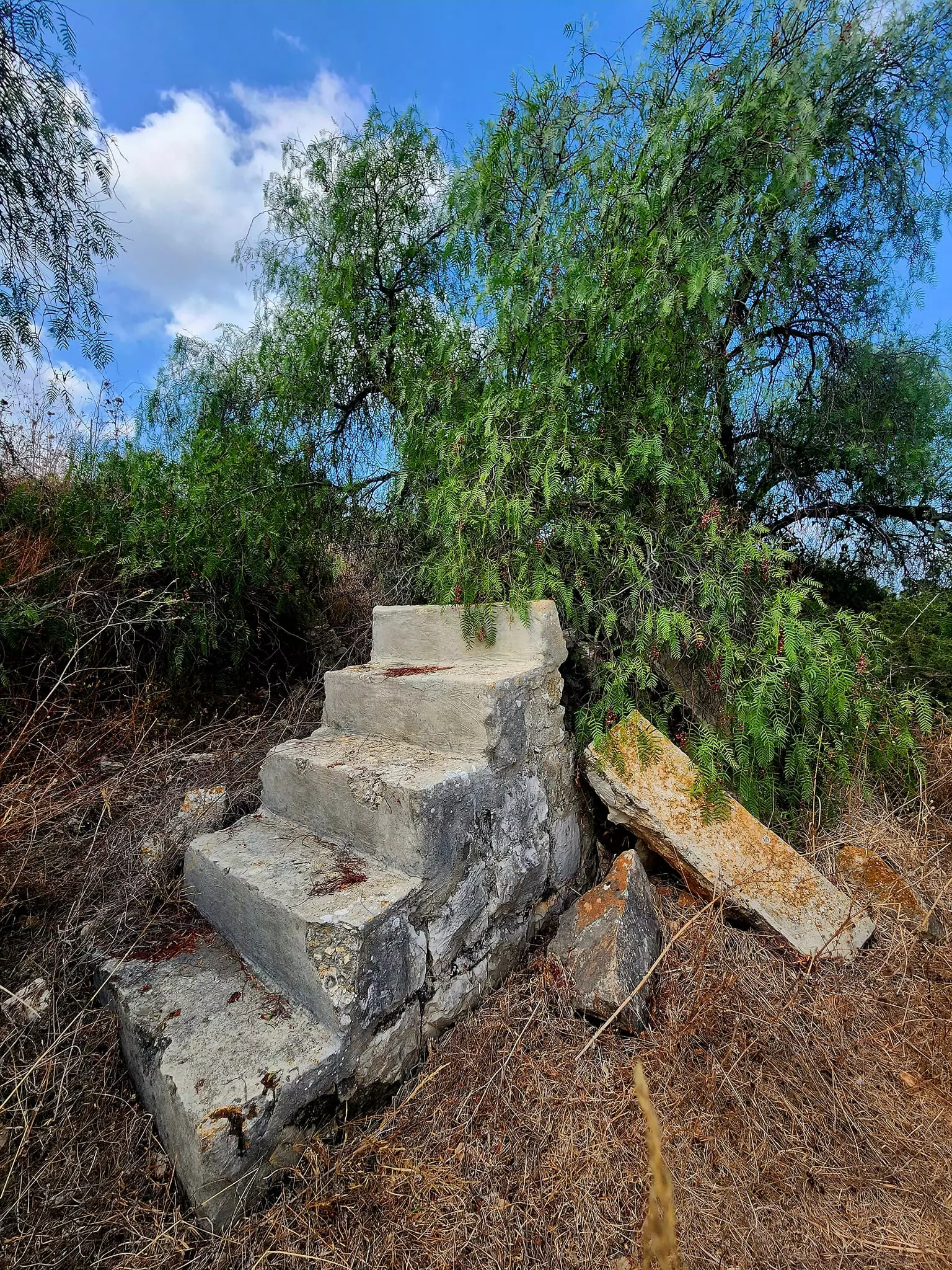
Posted by ياسين - درج قديم في القرية
Posted by ياسين - قرية المزار المهجرة قضاء حيفا
Posted by ياسين - آثار بيوت اهالي قرية المزار
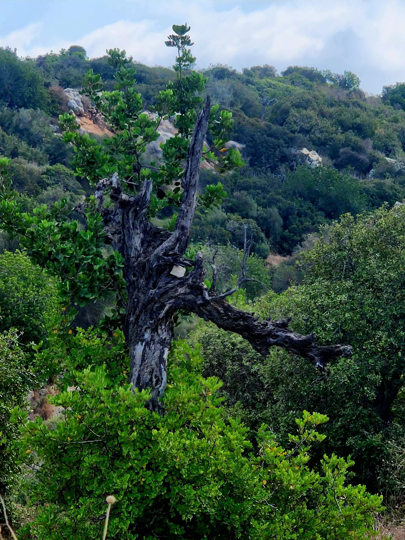
Posted by ياسين - احراش من النباتات الشوكية والصبار في القرية
Posted by ياسين - قرية المزار المهجرة قضاء حيفا
Posted by ياسين - آثار لوجود بيوت اهالي قرية المزار الاصليين
Posted by ياسين 1 - اراضي زراعية تابعة لقرية المزار الهجرة قضاء حيفا استغلها المحتل لزارعة الموز
Posted by ياسين - That is how the "civilized" erased and replaced us: al-Mazar was completely obliterated, as you see -- المزار باتت أثر بعد عين. من هنا مر الهمجّ
- That is how the "civilized" erased and replaced us: al-Mazar was completely obliterated, as you see -- المزار باتت أثر بعد عين. من هنا مر الهمجّ #5
- That is how the "civilized" erased and replaced us: al-Mazar was completely obliterated, as you see -- المزار باتت أثر بعد عين. من هنا مر الهمجّ #6
- -- 2024 -- Iyad Jaberمغارة الاصبع في منحدرات جبل الكرمل تقع بين قريتي جبع والمزار
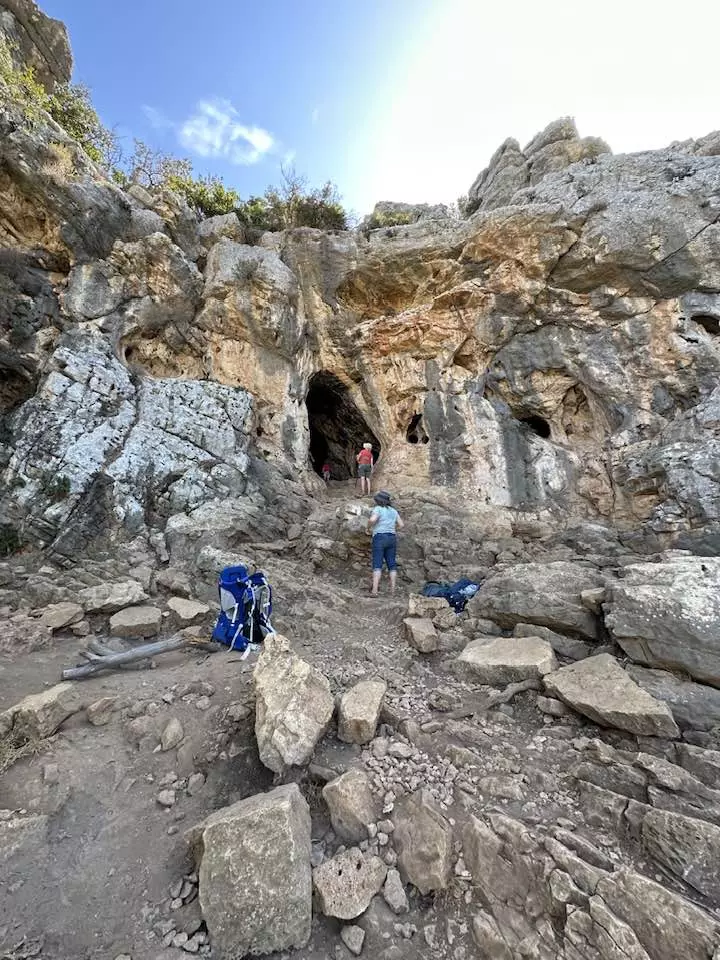
- -- 2024 -- Iyad Jaberمغارة الاصبع في منحدرات جبل الكرمل تقع بين قريتي جبع والمزار #2
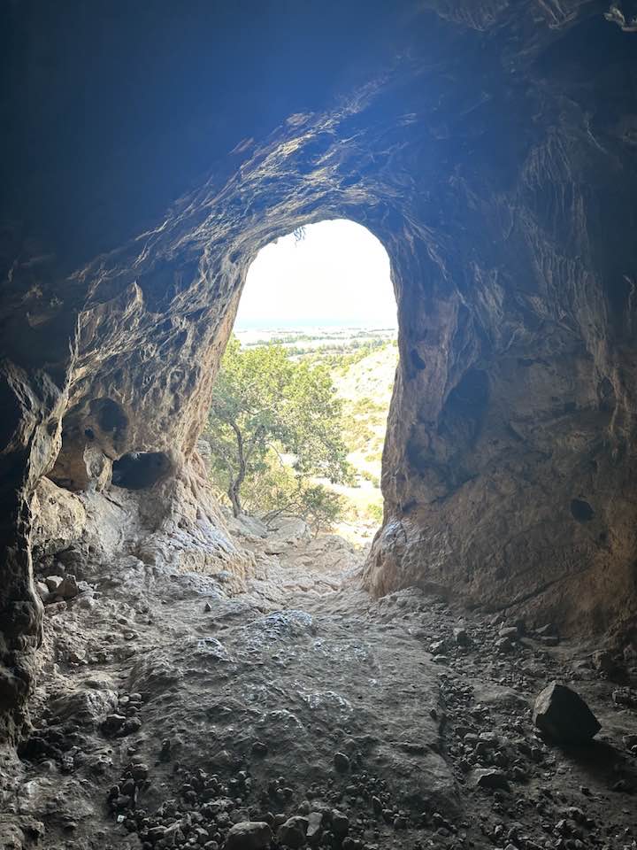
- -- 2024 -- Iyad Jaberمغارة الاصبع في منحدرات جبل الكرمل تقع بين قريتي جبع والمزار #3
- -- 2024 -- Iyad Jaberمغارة الاصبع في منحدرات جبل الكرمل تقع بين قريتي جبع والمزار #4
- That is how the "civilized" erased and replaced us: al-Mazar was completely obliterated, as you see -- المزار باتت أثر بعد عين. من هنا مر الهمجّ
- That is how the "civilized" erased and replaced us: al-Mazar was completely obliterated, as you see -- المزار باتت أثر بعد عين. من هنا مر الهمجّ #2
- That is how the "civilized" erased and replaced us: al-Mazar was completely obliterated, as you see -- المزار باتت أثر بعد عين. من هنا مر الهمجّ #3
- That is how the "civilized" erased and replaced us: al-Mazar was completely obliterated, as you see -- المزار باتت أثر بعد عين. من هنا مر الهمجّ #4
- That is how the "civilized" erased and replaced us: al-Mazar was completely obliterated, as you see -- المزار باتت أثر بعد عين. من هنا مر الهمجّ #5
- That is how the "civilized" erased and replaced us: al-Mazar was completely obliterated, as you see -- المزار باتت أثر بعد عين. من هنا مر الهمجّ #6
- That is how the "civilized" erased and replaced us: al-Mazar was completely obliterated, as you see -- المزار باتت أثر بعد عين. من هنا مر الهمجّ #7
- That is how the "civilized" erased and replaced us: al-Mazar was completely obliterated, as you see -- المزار باتت أثر بعد عين. من هنا مر الهمجّ #8
- That is how the "civilized" erased and replaced us: al-Mazar was completely obliterated, as you see -- المزار باتت أثر بعد عين. من هنا مر الهمجّ #9
- That is how the "civilized" erased and replaced us: al-Mazar was completely obliterated, as you see -- المزار باتت أثر بعد عين. من هنا مر الهمجّ #10
- That is how the "civilized" erased and replaced us: al-Mazar was completely obliterated, as you see -- المزار باتت أثر بعد عين. من هنا مر الهمجّ #11
- That is how the "civilized" erased and replaced us: al-Mazar was completely obliterated, as you see -- المزار باتت أثر بعد عين. من هنا مر الهمجّ #12
- That is how the "civilized" erased and replaced us: al-Mazar was completely obliterated, as you see -- المزار باتت أثر بعد عين. من هنا مر الهمجّ #13
- That is how the "civilized" erased and replaced us: al-Mazar was completely obliterated, as you see -- المزار باتت أثر بعد عين. من هنا مر الهمجّ #14
- That is how the "civilized" erased and replaced us: al-Mazar was completely obliterated, as you see -- المزار باتت أثر بعد عين. من هنا مر الهمجّ #15
- Let us see how the most "liberal and civilized" of world Jewry has obliterated our village. How else will the Jews be great and safe again? -- القرية دمرت بالكامل.. من هنا مر الهمج
- Let us see how the most "liberal and civilized" of world Jewry has obliterated our village. How else will the Jews be great and safe again? -- القرية دمرت بالكامل.. من هنا مر الهمج
#2
- Let us see how the most "liberal and civilized" of world Jewry has obliterated our village. How else will the Jews be great and safe again? -- القرية دمرت بالكامل.. من هنا مر الهمج
#3
- Let us see how the most "liberal and civilized" of world Jewry has obliterated our village. How else will the Jews be great and safe again? -- القرية دمرت بالكامل.. من هنا مر الهمج
#4
- Let us see how the most "liberal and civilized" of world Jewry has obliterated our village. How else will the Jews be great and safe again? -- القرية دمرت بالكامل.. من هنا مر الهمج
#5
- Let us see how the most "liberal and civilized" of world Jewry has obliterated our village. How else will the Jews be great and safe again? -- القرية دمرت بالكامل.. من هنا مر الهمج
#6
- Let us see how the most "liberal and civilized" of world Jewry has obliterated our village. How else will the Jews be great and safe again? -- القرية دمرت بالكامل.. من هنا مر الهمج
#7
- Let us see how the most "liberal and civilized" of world Jewry has obliterated our village. How else will the Jews be great and safe again? -- القرية دمرت بالكامل.. من هنا مر الهمج
#8
- Let us see how the most "liberal and civilized" of world Jewry has obliterated our village. How else will the Jews be great and safe again? -- القرية دمرت بالكامل.. من هنا مر الهمج
#9
- Let us see how the most "liberal and civilized" of world Jewry has obliterated our village. How else will the Jews be great and safe again? -- القرية دمرت بالكامل.. من هنا مر الهمج
#10

- Let us see how the most "liberal and civilized" of world Jewry has obliterated our village. How else will the Jews be great and safe again? -- القرية دمرت بالكامل.. من هنا مر الهمج
#11
- Let us see how the most "liberal and civilized" of world Jewry has obliterated our village. How else will the Jews be great and safe again? -- القرية دمرت بالكامل.. من هنا مر الهمج
#12
- Let us see how the most "liberal and civilized" of world Jewry has obliterated our village. How else will the Jews be great and safe again? -- القرية دمرت بالكامل.. من هنا مر الهمج
#13
- Let us see how the most "liberal and civilized" of world Jewry has obliterated our village. How else will the Jews be great and safe again? -- القرية دمرت بالكامل.. من هنا مر الهمج
#14
- Let us see how the most "liberal and civilized" of world Jewry has obliterated our village. How else will the Jews be great and safe again? -- القرية دمرت بالكامل.. من هنا مر الهمج
#15
- Let us see how the most "liberal and civilized" of world Jewry has obliterated our village. How else will the Jews be great and safe again? -- القرية دمرت بالكامل.. من هنا مر الهمج
#16
- Let us see how the most "liberal and civilized" of world Jewry has obliterated our village. How else will the Jews be great and safe again? -- القرية دمرت بالكامل.. من هنا مر الهمج
#17
- Let us see how the most "liberal and civilized" of world Jewry has obliterated our village. How else will the Jews be great and safe again? -- القرية دمرت بالكامل.. من هنا مر الهمج
#18
- Let us see how the most "liberal and civilized" of world Jewry has obliterated our village. How else will the Jews be great and safe again? -- القرية دمرت بالكامل.. من هنا مر الهمج
#19
- Let us see how the most "liberal and civilized" of world Jewry has obliterated our village. How else will the Jews be great and safe again? -- القرية دمرت بالكامل.. من هنا مر الهمج
#20

- Let us see how the most "liberal and civilized" of world Jewry has obliterated our village. How else will the Jews be great and safe again? -- القرية دمرت بالكامل.. من هنا مر الهمج
#21
- Let us see how the most "liberal and civilized" of world Jewry has obliterated our village. How else will the Jews be great and safe again? -- القرية دمرت بالكامل.. من هنا مر الهمج
#22
- Let us see how the most "liberal and civilized" of world Jewry has obliterated our village. How else will the Jews be great and safe again? -- القرية دمرت بالكامل.. من هنا مر الهمج
#23
- Let us see how the most "liberal and civilized" of world Jewry has obliterated our village. How else will the Jews be great and safe again? -- القرية دمرت بالكامل.. من هنا مر الهمج
#24
- Let us see how the most "liberal and civilized" of world Jewry has obliterated our village. How else will the Jews be great and safe again? -- القرية دمرت بالكامل.. من هنا مر الهمج
#25
Want to browse more? 80,000 pictures were grouped in these gallaries:
| Display Name | Clan/Hamolah | Country of Residence |
| ياسين | ابو عطايا | اربد, الاردن |
| Subhi Ahmed Audah | - | - |
| حيدر حجازي | أبو عطايا | - |
| سميح حسن حلوه | - | ابو ظبي , الامارات |
| Fadi Audah | - | - |
No links have been shared yet, be free to the first to share the first link.
 Fake Valor: Why Did Zionist Jews Hoist Nazis Flag on Their Ships in the 1930s?
What is new?
-
Facts About Oct. 7th Gaza Raid
-
Remined Us Please:: Who Did Rape Who? Palestinians Raped Israelis? Or, was the other way around?
-
When Prof. Edward Said was invited to debate Bibi Netanyahu in the 1980s, watch what happened!
-
Ezra Klein of the NY Times on the "Jewish Race".
-
Abusing Blood Libel!
-
Zionist FAQ: Isn't it true that Palestinians don't want peace? Palestinians never accepted the two-state solution
- Facts about Haavara (Transfer) Agreement between Ben-Gurion & Hitler
-
Haavara FAQs: Why Did Zionist Jews Hoist Nazis' Flags on Their Ships in the 1930s?
-
Dear ChatGPT: Why did the Jewish Agency suppress news of the Holocaust during WWII?
-
Video Playlist: Jews share their DNA tests to end the conflict for good.
-
A Tale of Two Conflicts: Examining the Definition of Genocide
-
Prof. Abraham Polak And The Suppressed History of the Khazars and European Jewry
-
How Ronald Reagan would have framed the genocide in Gaza if he were still alive?
-
Haavara FAQs: Let us do the math: how many German Jews did The Haavara Agreement save?
-
Zionist FAQs: The Hebron Massacre of 1929, "clearly proves" that Palestinians are antisemitic, how could you deny it?
-
Zionist FAQs: Why Anti-Zionist Is Not Antisemitism?
-
Zionist FAQs: Isn't it true that the KGB create Palestinian Nationalism in the early 1960s?
- Zionist FAQs: Muslims are killing Muslims all the time; why are Israeli Jews being singled out in the media?
- Zionist FAQs: How is Israel an apartheid state when 20% of its citizens are Arabs who enjoy full rights?
-
Haavara FAQs: Analysis of Herzl's Uganda Scheme and how it could have saved millions of Jews.
-
Haavara FAQs: Why did Hayim Greenberg describe American Jewry as "morally bankrupt" in early 1943?
-
Haavara FAQs: What if the Evian Conference was a resounding success? What would have been the impact of saving European Jewry on Zionism?
- Haavara FAQs: What if the six million were saved, how that would have impacted the Zionist project?
-
Haavara FAQs: How did Zionist leaders react when Europe's Jews lingered in the DP camps after WWII ended?
-
Why does the American Jewish community repeat lies that David Ben-Gurion had debunked before he died?
-
Who has the power to rename the Tatar/Khazar Gene Marker to Jewish IV?
-
Zionist FAQs: Why won't Egypt, Syria, and Jordan take their people back? Jews are indigenous to Palestine, and Arabs immigrated after Jews developed the country. Arabs should leave.
-
Haavara FAQs: Did Hitler and the Nazis conflate between Judaism and Zionist? If that wasn't case, then why?
-
Haavara FAQs: Winston Churchill and antisemitism, a collection of articles written Churchill.
-
Haavara FAQs: Broken by country, how many Jews survived vs. killed during the Holocaust?
-
Haavara FAQs: Why did European Jews vote with their feet and to immigrated to the Americas, not Palestine, after WWII?
-
Watch this American Jewish Girl describing Israeli Jews' cognitive dissonance like no other in under two minutes
-
Haavara FAQs: When the Nazis went out of their way to hide the Holocaust, Israeli Jews did the exact opposite by broadcasting their genocide of Gazans. But why?
-
Haavara FAQs: How Zionist Jews went out of their to show their appreciation to Nazism and Fascism?
- Haavara FAQs: Why Zionist leaders were against bombing the death camps & the Railroads leading to them?
-
Haavara FAQs: Hitler's message to the British and American people: If Jews are such noble citizens and you care about them, how come you're not letting them in? I will gladly ship them to you at my expense, even on luxury liners!
-
A shortlist of Zionist and Israeli false flag operations in the name Jews.
-
The Most Moral Army
- The Land of Kapos (Israel): Where the brave are boycotted and Kapos walk free.
- Why did early Zionists often named their communal enterprises "colonial"?
- Zionist Relations with Nazi Germany by Faris Glubb
-
Two NY Times advertisements by Zionists in the early 1943 that exposes Zionists' treason at the height of the calamity
- Facts Not Lies about the Palestinian-Israeli Conflict.
- Site's pictures have been categorized
- Campgain Against Lice
- A Survey of Palestine, the official source about Palestine before Nakba produced by the British Mandate; over 1200 pages.
- Satellite View & Google Earth: Over 6,000 placemarks identifying all destroyed towns, W. Bank & Gaza Strip Towns, & refugee camps.
- PalestineRemembered.com and its Nakba Oral History Project were featured on al-Jazeera Satellite TV.
- Nakba Oral History Video Podcast:
 Over 700 Oral History interviews (including 3,500+ hours of recording) can be viewed online.
 - Palestine Village Statistics Project
- Gaza Jail Break
- النسخة العربية للموقع الان متوفرة
- Videos: Documenting the destroyed villages in video: Tracing all that remains since Nakba.
- Videos: Responding to Zionist Propaganda
- Interview: The ethnic cleansing of Palestine: George Galloway interviews Israeli Historian Ilan Pappe.
- For Palestinians, memory matters. It provides a blueprint for their future By George Bisharat.
- Zionist FAQ now available in Hebrew שאלות שציונים שואלים, עכשיו בעברית
- Video: The Stephen Walt and John Mearsheimer report on the influence of the Israel Lobby on U.S. Foreign Policy
- The Palestinian-Israeli conflict for beginners
