| PalestineRemembered | About Us | Oral History | العربية | |
| Pictures | Zionist FAQs | Haavara | Maps | |
| Search |
| Camps |
| Districts |
| Acre |
| Baysan |
| Beersheba |
| Bethlehem |
| Gaza |
| Haifa |
| Hebron |
| Jaffa |
| Jericho |
| Jerusalem |
| Jinin |
| Nablus |
| Nazareth |
| Ramallah |
| al-Ramla |
| Safad |
| Tiberias |
| Tulkarm |
| Donate |
| Contact |
| Profile |
| Videos |
Welcome To Mughallis - مغلس (מע'לס)
|
District of Hebron
Ethnically cleansed days ago |
العربية Google Earth |
 |
Gallery (13) |
- Statistics & Facts
-
Before & After

- Satellite View
- Articles 4
- Pictures 13
- Oral History 2
- Members 24
- Families
- All That Remains
- Wikipedia
- Videos
- Guest Book 48
- Links
| Statistic & Fact | Value | ||||||||||||||
| Occupation Date | July 9, 1948 | ||||||||||||||
| Distance From District | 30.5 (km) Northwest of Hebron | ||||||||||||||
| Elevation | 200 (meters) | ||||||||||||||
| Before & After Nakba, Click Map For Details |
|||||||||||||||
|
|||||||||||||||
| Map Location | See location #1 on the map View from satellite |
||||||||||||||
| Military Operation | Operation An-Far | ||||||||||||||
| Defenders | Egyptian Muslim Brotherhoods, local Palestinian militias and some Arab Liberation Army volunteers | ||||||||||||||
| Exodus Cause | Influence of fall of, or exoduce from, neighboring town | ||||||||||||||
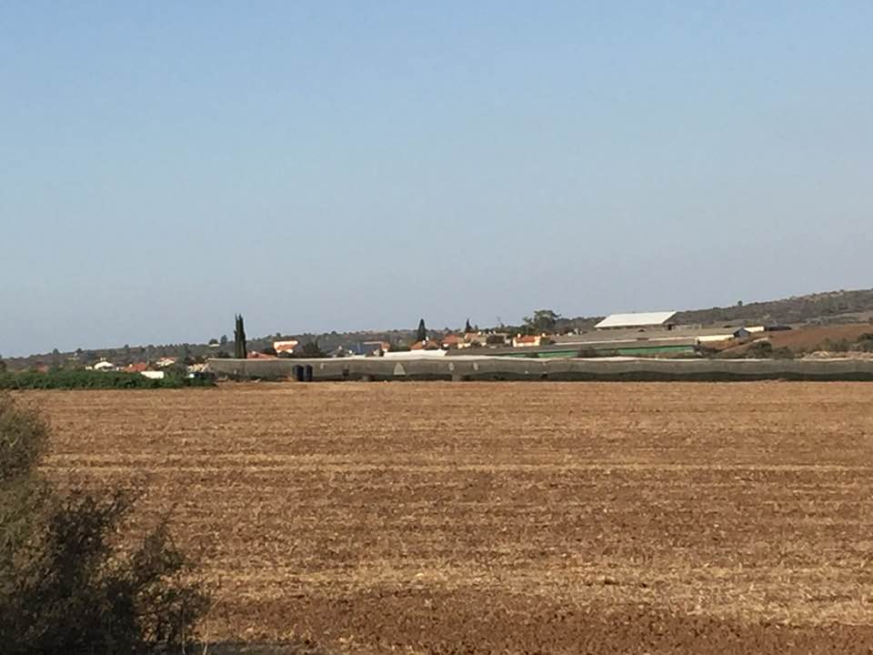
| Village Temains | Mughallis was completely destroyed, and only house rubble left behind. | ||||||||||||||
| Ethnically Cleansing | Mughallis inhabitants were completely ethnically cleansed. | ||||||||||||||
| Pre-Nakba Land Ownership |
**Town Lands' Demarcation Maps |
||||||||||||||
| Land Usage As of 1945 |
|
||||||||||||||
| Population |
|
||||||||||||||
| Number of Houses |
|
||||||||||||||
| Near By Towns |
|||||||||||||||
|
|
|||||||||||||||
| Water Supply | Since it was believed that the water of Mughallis' well helped in dissolving kidney stones, people from the nearby villages flocked to the village's well to take advantage of this natural wander, our scientists stand behind this claim!. | ||||||||||||||
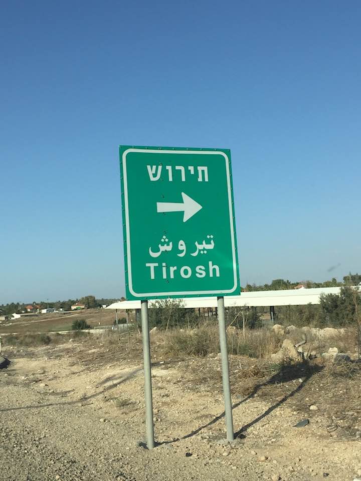
| Exculsive Jewish Colonies Who Usurped Village Lands |
Gefen | ||||||||||||||
| Featured Video | |||||||||||||||
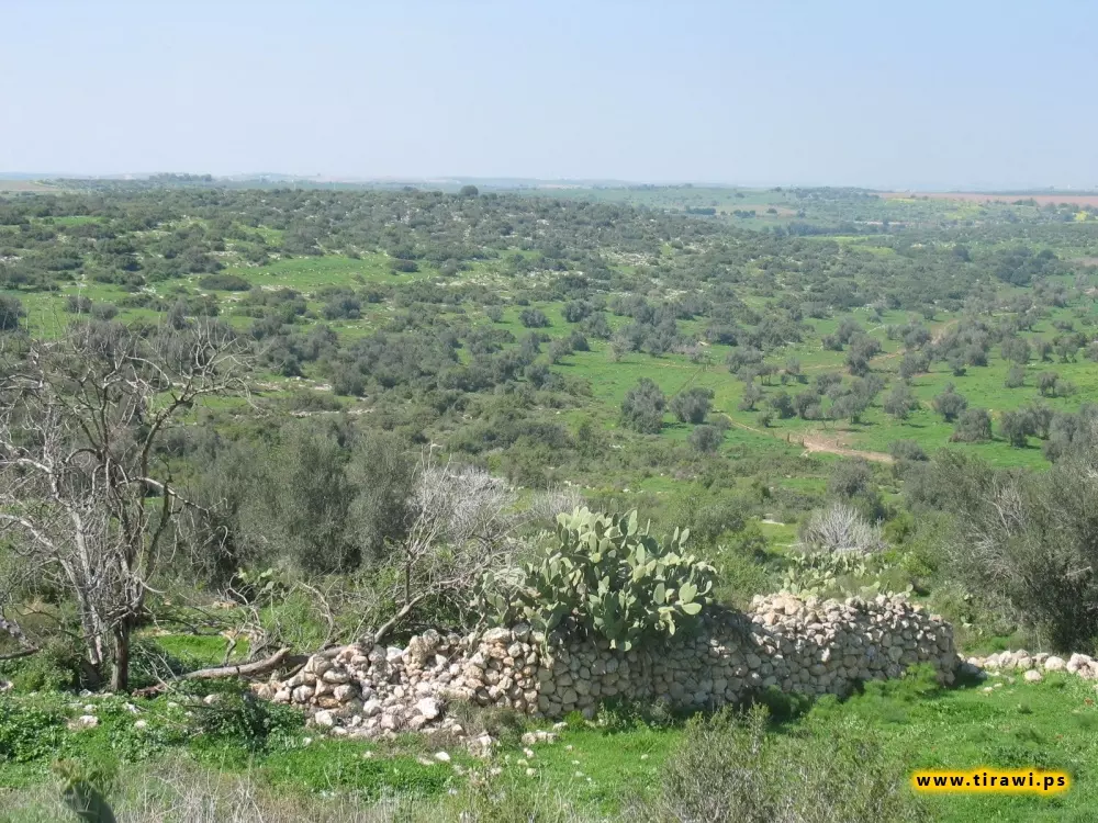
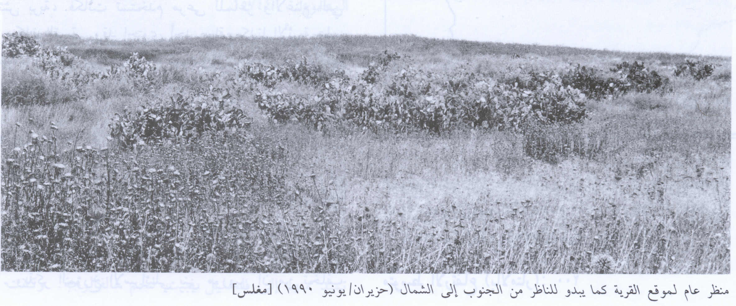
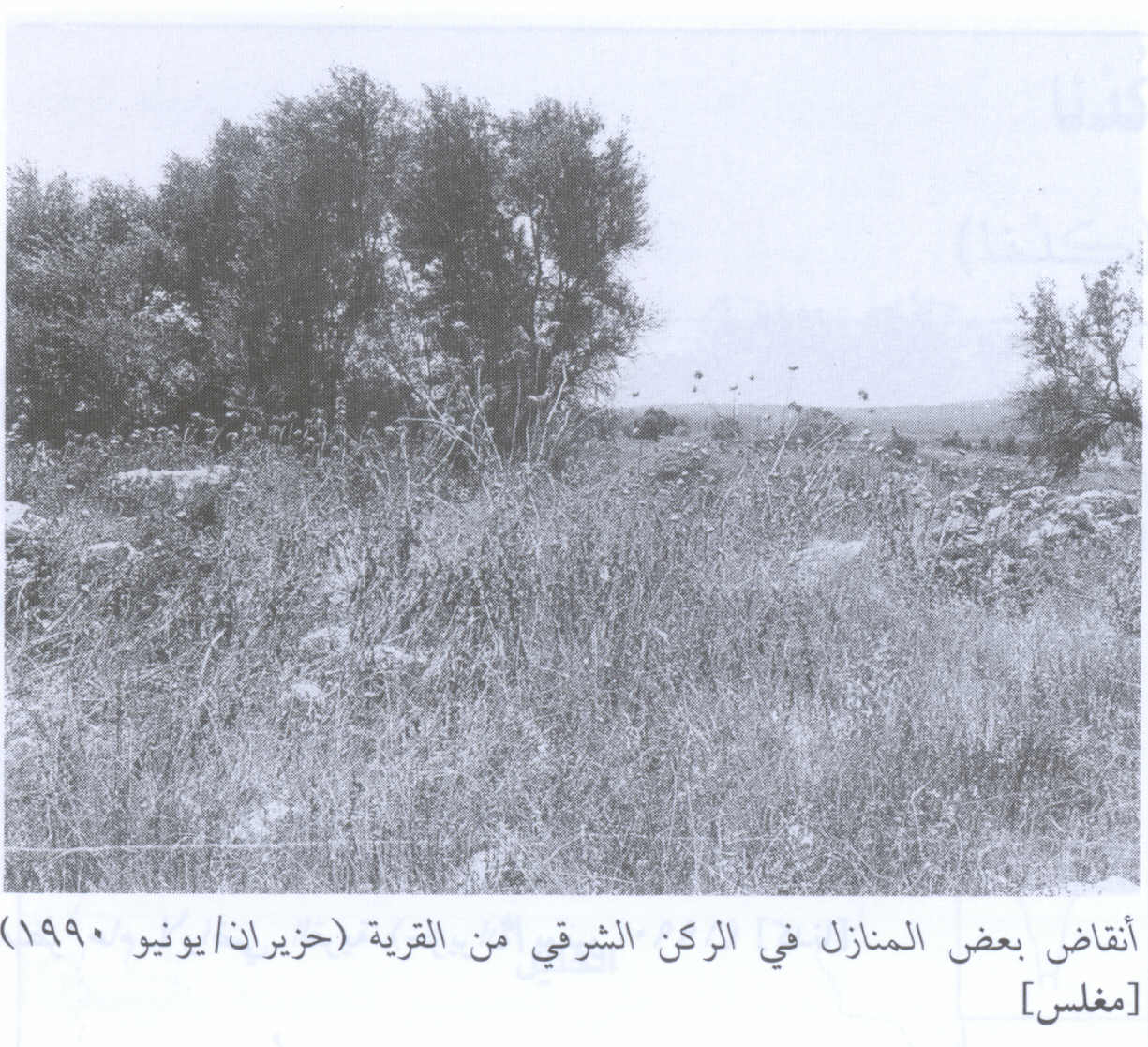
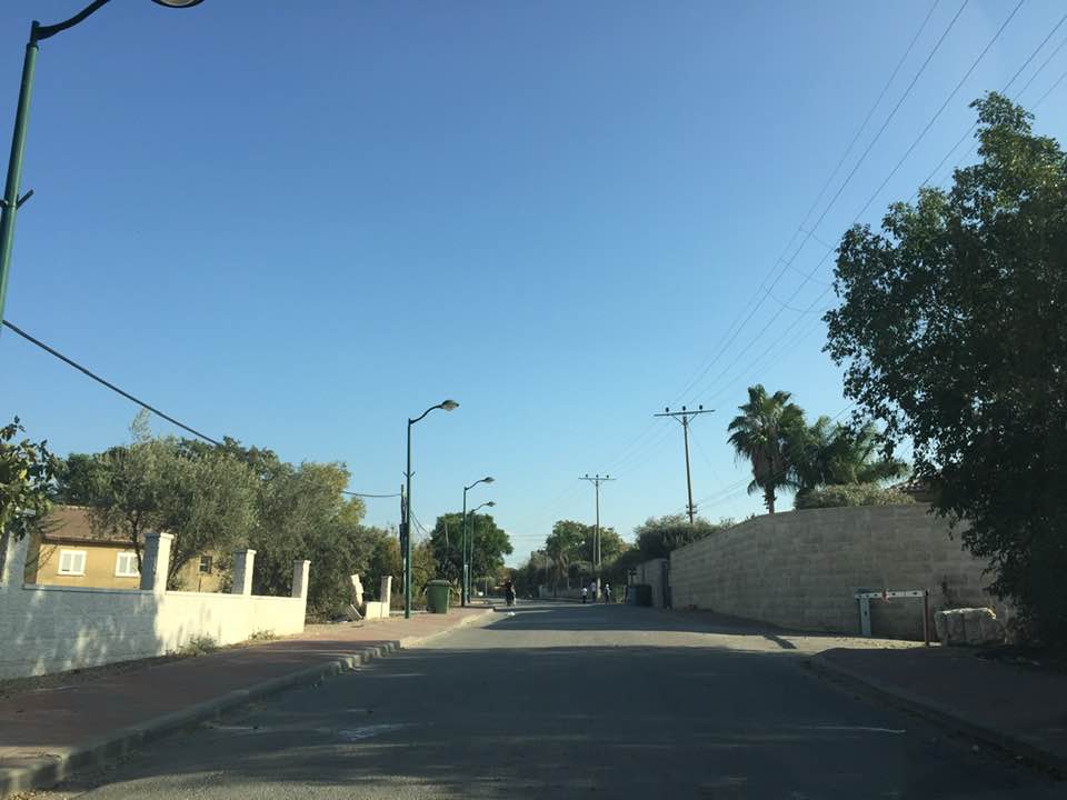
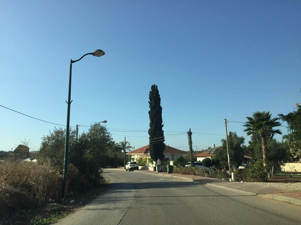
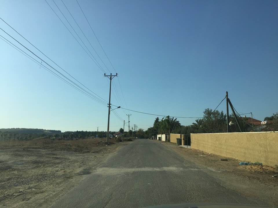
Village Before NakbaThe village stood atop a long hill, extending in an east-west direction and ringed by a shallow wadi. It overlooked an expanse of the coastal plain in the west and faced the broad range of the Jerusalem Mountains in the east. A secondary road that had once been the caravan route between Bayt Jibrin and Ramla passed next to the village and afforded it access to these two centers. In 1596, Mughallis was a village in the nahiya of Gaza (liwa' of Gaza), with a population of 424. It paid taxes on a number of crops, including wheat, barley, and fruits, as well as on other types of produce, such as goats and beehives. People from the surrounding villages came to Mughallis to obtain water from its well because they believed that this water helped dissolve kidney stones.The villagers, who were Muslim, relied on rainfed agriculture for their livelihood, growing chiefly grain. They also cultivated vegetables and fruits. In 1944/45 a total of 7,277 dunums was allotted to cereals 88 dunums were irrigated or used for orchards, of which 55 dunums were planted with olive trees. In addition to the village itself, which was built over an archaeological site, there were two other sites -Khirbat Ghallus and Khirbat Samra- which contained archaeological artifacts. Village Occupation and Ethnic CleaningDuring the Ten Days that separated the two truces of the war (8-18 July 1948), Israeli forces launched Operation An-Far on the southern front. Mughallis was occupied on 9-10 July during the first stage of the operation, according to Israeli historian Benny Morris.Zionists Colonies on Village LandsGefen, founded in 1955, is north of the village site, on village land.Village TodayThe site and surrounding area are fenced in. The debris from the houses have been levelled, and one can still see building components. Remnants of a house on the east side are ringed by stone markers that formerly identified the boundaries of a home garden. Numerous trees, including olive and carob trees, grow on all sides, and cactuses are found on the northern and southern edges.SourceDr. Walid al-Khalidi, 1992: All That Remains. |
|||||||||||||||
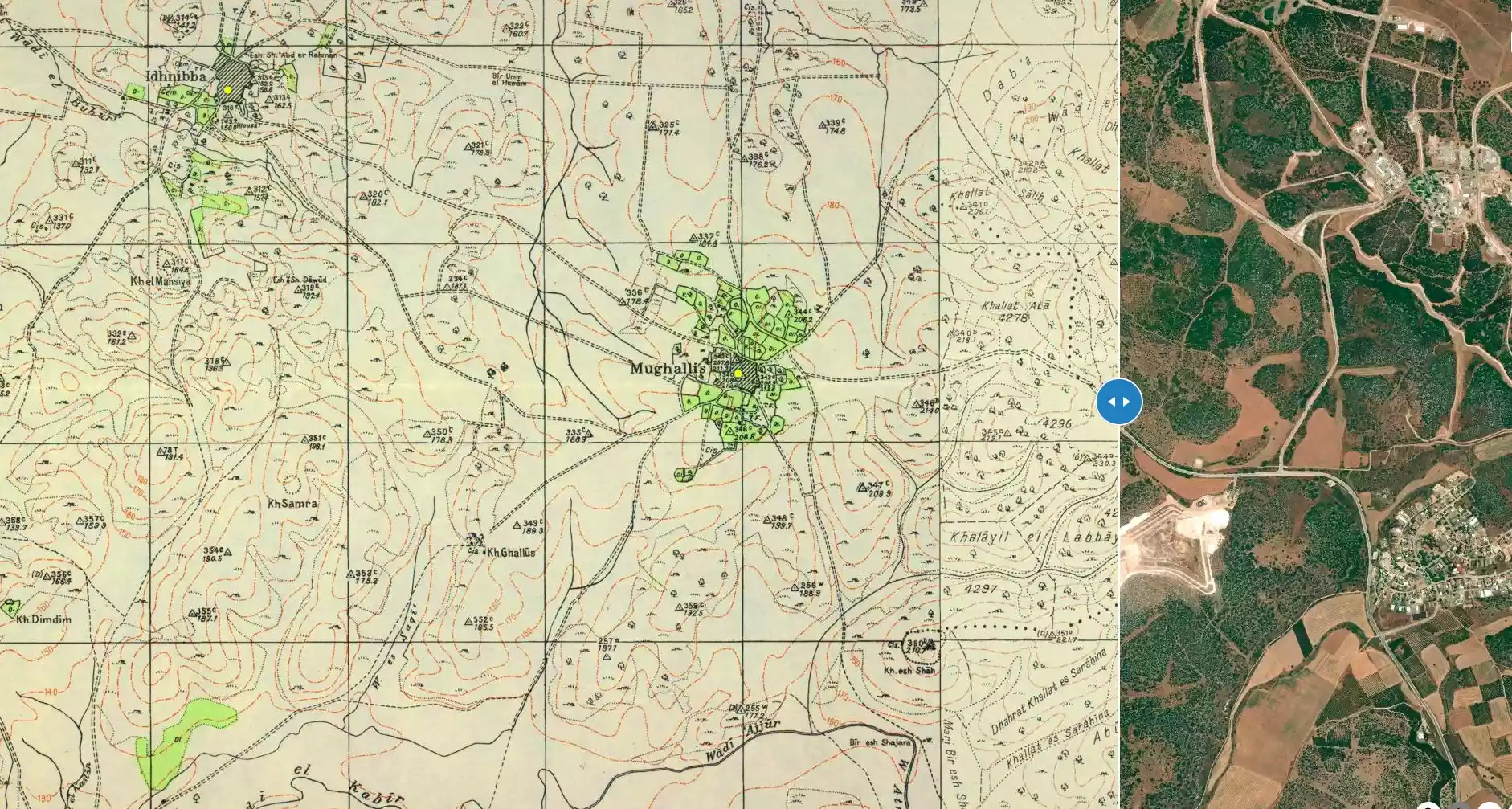
| Related Maps | Town Lands' Demarcation Maps خرائط للقضاء توضح حدود القرى والاودية Town's map on MapQuest View from satellite Help us map this town at WikiMapia |
||||||||||||||
| Related Links | Wikipedia's Page Facebook Page Google Search Google For Images Google For Videos |
||||||||||||||
| More Information | في كتاب كي لا ننسى في كتاب بلادنا فلسطين المزيد من موقع هوية |
||||||||||||||
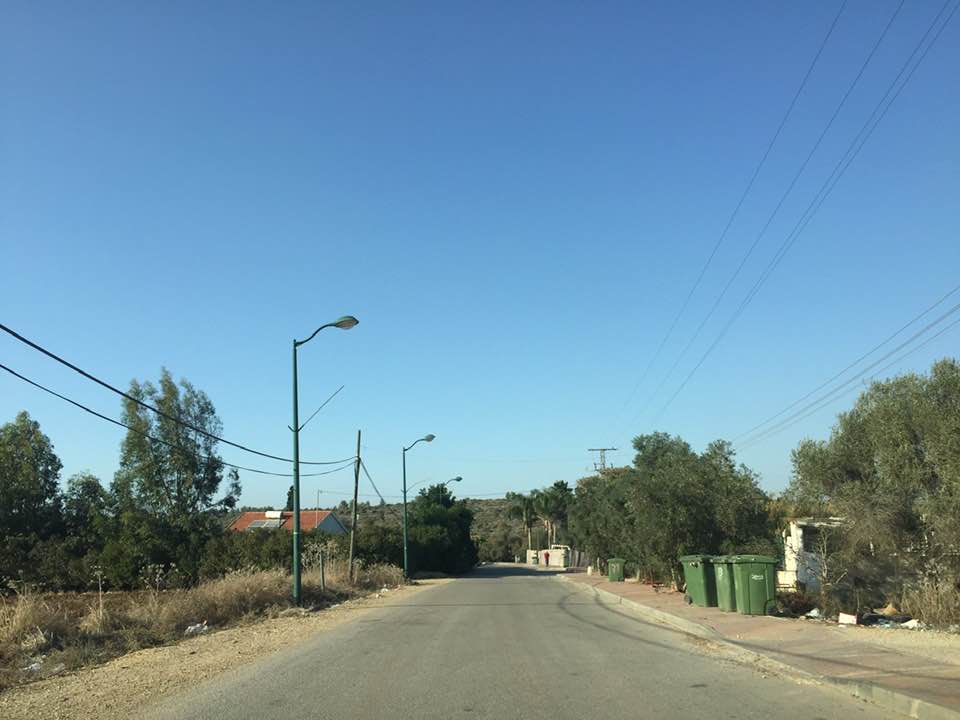
- General View Of The Village Site In 1990
Scanned from "All That Remains" by Dr. Walid Khalidi - Village House Rubble In 1990
Scanned from "All That Remains" by Dr. Walid Khalidi 8 - منظر عام لأطلال القرية
Posted by محمد سعدي حماد المغالسة 1 - That is how the "civilized" erased and replaced us: Mughallis was completely obliterated, as you see -- مغلس باتت أثر بعد عين. من هنا مر الهمجّ
- That is how the "civilized" erased and replaced us: Mughallis was completely obliterated, as you see -- مغلس باتت أثر بعد عين. من هنا مر الهمجّ #2
- That is how the "civilized" erased and replaced us: Mughallis was completely obliterated, as you see -- مغلس باتت أثر بعد عين. من هنا مر الهمجّ #3
- That is how the "civilized" erased and replaced us: Mughallis was completely obliterated, as you see -- مغلس باتت أثر بعد عين. من هنا مر الهمجّ #4
- That is how the "civilized" erased and replaced us: Mughallis was completely obliterated, as you see -- مغلس باتت أثر بعد عين. من هنا مر الهمجّ #5
- That is how the "civilized" erased and replaced us: Mughallis was completely obliterated, as you see -- مغلس باتت أثر بعد عين. من هنا مر الهمجّ #6
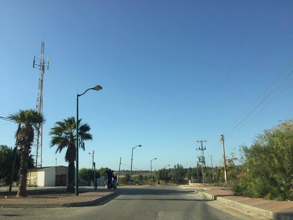
- That is how the "civilized" erased and replaced us: Mughallis was completely obliterated, as you see -- مغلس باتت أثر بعد عين. من هنا مر الهمجّ #7
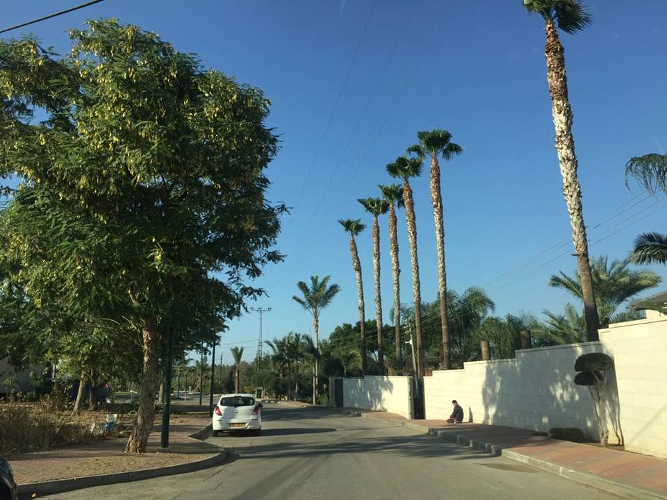
- That is how the "civilized" erased and replaced us: Mughallis was completely obliterated, as you see -- مغلس باتت أثر بعد عين. من هنا مر الهمجّ #8
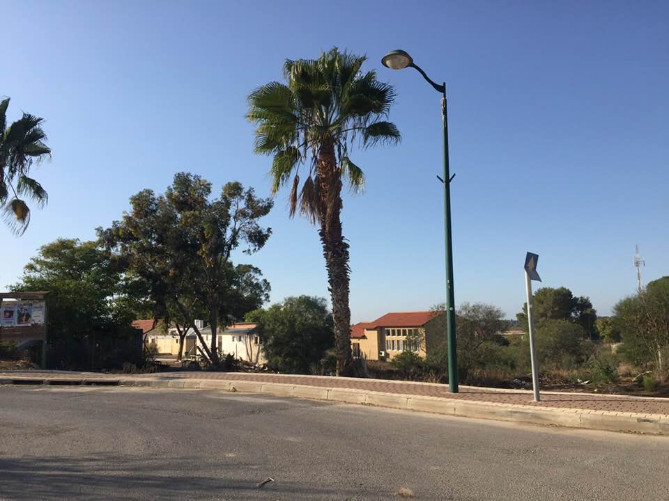
- That is how the "civilized" erased and replaced us: Mughallis was completely obliterated, as you see -- مغلس باتت أثر بعد عين. من هنا مر الهمجّ #9
- That is how the "civilized" erased and replaced us: Mughallis was completely obliterated, as you see -- مغلس باتت أثر بعد عين. من هنا مر الهمجّ #10
Want to browse more? 80,000 pictures were grouped in these gallaries:
| Display Name | Clan/Hamolah | Country of Residence |
| Khaled Hammad | Hammad/Maghalsa | - |
| Abdullah Arab | Arab | zarqa, jordan |
| Eng.Husam | ُEid | Ain Albasha, jordan |
| مراد المغالسة | - | - |
| Mohammed Abdel Aziz Al Sharif | - | - |
| هناء | hammad | dubai, uae |
| محمد سعدي حماد المغالسة | المغالسة | amman, عمان الاردن |
| ABO SIAF | - | JORDAN, JORDAN |
| nabil | - | الزرقاء, الاردن |
| منذر احمد ابو عجمية | أبو عجمية | عمان, الاردن |
| mohammed abu ajammeih | أبو عجمية | عمان, الأردن |
| احمد | مغالسة | الخليل, مخيم الفوار |
| rama hammad | - | عمان, الاردن |
| عبد الرحمن ابو عجمية | - | عين الباشا |
| wafa | abu ajamea | amman, jordan |
| ام عدنان | maghalsa | khalda, jordan |
| moha_real | - | ayn albsha, jordan |
| شاكر | شاكر ( المغالسة) | عمان |
| Baha'a | Hammad | Amman, Jordan |
| Adnan Abu-Ajamieh | Abu-Ajamieh | South Australia, Australia |
| rula | ابو عجمية | عمان, الاردن |
| Dr. Sami | Eid | riyadh- Saudi Arabia |
| HUSAM EDDIN SAMARA | SAMARA-ABU AJAMEEH | JORDAN |
| Mohammed Al Sharif | Al Sharif | Jordan, Jordan |
No links have been shared yet, be free to the first to share the first link.
 Fake Valor: Why Did Zionist Jews Hoist Nazis Flag on Their Ships in the 1930s?
What is new?
-
Facts About Oct. 7th Gaza Raid
-
Remined Us Please:: Who Did Rape Who? Palestinians Raped Israelis? Or, was the other way around?
-
When Prof. Edward Said was invited to debate Bibi Netanyahu in the 1980s, watch what happened!
-
Ezra Klein of the NY Times on the "Jewish Race".
-
Abusing Blood Libel!
-
Zionist FAQ: Isn't it true that Palestinians don't want peace? Palestinians never accepted the two-state solution
- Facts about Haavara (Transfer) Agreement between Ben-Gurion & Hitler
-
Haavara FAQs: Why Did Zionist Jews Hoist Nazis' Flags on Their Ships in the 1930s?
-
Dear ChatGPT: Why did the Jewish Agency suppress news of the Holocaust during WWII?
-
Video Playlist: Jews share their DNA tests to end the conflict for good.
-
A Tale of Two Conflicts: Examining the Definition of Genocide
-
Prof. Abraham Polak And The Suppressed History of the Khazars and European Jewry
-
How Ronald Reagan would have framed the genocide in Gaza if he were still alive?
-
Haavara FAQs: Let us do the math: how many German Jews did The Haavara Agreement save?
-
Zionist FAQs: The Hebron Massacre of 1929, "clearly proves" that Palestinians are antisemitic, how could you deny it?
-
Zionist FAQs: Why Anti-Zionist Is Not Antisemitism?
-
Zionist FAQs: Isn't it true that the KGB create Palestinian Nationalism in the early 1960s?
- Zionist FAQs: Muslims are killing Muslims all the time; why are Israeli Jews being singled out in the media?
- Zionist FAQs: How is Israel an apartheid state when 20% of its citizens are Arabs who enjoy full rights?
-
Haavara FAQs: Analysis of Herzl's Uganda Scheme and how it could have saved millions of Jews.
-
Haavara FAQs: Why did Hayim Greenberg describe American Jewry as "morally bankrupt" in early 1943?
-
Haavara FAQs: What if the Evian Conference was a resounding success? What would have been the impact of saving European Jewry on Zionism?
- Haavara FAQs: What if the six million were saved, how that would have impacted the Zionist project?
-
Haavara FAQs: How did Zionist leaders react when Europe's Jews lingered in the DP camps after WWII ended?
-
Why does the American Jewish community repeat lies that David Ben-Gurion had debunked before he died?
-
Who has the power to rename the Tatar/Khazar Gene Marker to Jewish IV?
-
Zionist FAQs: Why won't Egypt, Syria, and Jordan take their people back? Jews are indigenous to Palestine, and Arabs immigrated after Jews developed the country. Arabs should leave.
-
Haavara FAQs: Did Hitler and the Nazis conflate between Judaism and Zionist? If that wasn't case, then why?
-
Haavara FAQs: Winston Churchill and antisemitism, a collection of articles written Churchill.
-
Haavara FAQs: Broken by country, how many Jews survived vs. killed during the Holocaust?
-
Haavara FAQs: Why did European Jews vote with their feet and to immigrated to the Americas, not Palestine, after WWII?
-
Watch this American Jewish Girl describing Israeli Jews' cognitive dissonance like no other in under two minutes
-
Haavara FAQs: When the Nazis went out of their way to hide the Holocaust, Israeli Jews did the exact opposite by broadcasting their genocide of Gazans. But why?
-
Haavara FAQs: How Zionist Jews went out of their to show their appreciation to Nazism and Fascism?
- Haavara FAQs: Why Zionist leaders were against bombing the death camps & the Railroads leading to them?
-
Haavara FAQs: Hitler's message to the British and American people: If Jews are such noble citizens and you care about them, how come you're not letting them in? I will gladly ship them to you at my expense, even on luxury liners!
-
A shortlist of Zionist and Israeli false flag operations in the name Jews.
-
The Most Moral Army
- The Land of Kapos (Israel): Where the brave are boycotted and Kapos walk free.
- Why did early Zionists often named their communal enterprises "colonial"?
- Zionist Relations with Nazi Germany by Faris Glubb
-
Two NY Times advertisements by Zionists in the early 1943 that exposes Zionists' treason at the height of the calamity
- Facts Not Lies about the Palestinian-Israeli Conflict.
- Site's pictures have been categorized
- Campgain Against Lice
- A Survey of Palestine, the official source about Palestine before Nakba produced by the British Mandate; over 1200 pages.
- Satellite View & Google Earth: Over 6,000 placemarks identifying all destroyed towns, W. Bank & Gaza Strip Towns, & refugee camps.
- PalestineRemembered.com and its Nakba Oral History Project were featured on al-Jazeera Satellite TV.
- Nakba Oral History Video Podcast:
 Over 700 Oral History interviews (including 3,500+ hours of recording) can be viewed online.
 - Palestine Village Statistics Project
- Gaza Jail Break
- النسخة العربية للموقع الان متوفرة
- Videos: Documenting the destroyed villages in video: Tracing all that remains since Nakba.
- Videos: Responding to Zionist Propaganda
- Interview: The ethnic cleansing of Palestine: George Galloway interviews Israeli Historian Ilan Pappe.
- For Palestinians, memory matters. It provides a blueprint for their future By George Bisharat.
- Zionist FAQ now available in Hebrew שאלות שציונים שואלים, עכשיו בעברית
- Video: The Stephen Walt and John Mearsheimer report on the influence of the Israel Lobby on U.S. Foreign Policy
- The Palestinian-Israeli conflict for beginners
