| PalestineRemembered | About Us | Oral History | العربية | |
| Pictures | Zionist FAQs | Haavara | Maps | |
| Search |
| Camps |
| Districts |
| Acre |
| Baysan |
| Beersheba |
| Bethlehem |
| Gaza |
| Haifa |
| Hebron |
| Jaffa |
| Jericho |
| Jerusalem |
| Jinin |
| Nablus |
| Nazareth |
| Ramallah |
| al-Ramla |
| Safad |
| Tiberias |
| Tulkarm |
| Donate |
| Contact |
| Profile |
| Videos |
Welcome To Abil al-Qamh - آبل القمح (אבל אל-קמח)
|
District of Safad
Ethnically cleansed days ago |
العربية Google Earth |
 |
Gallery (63) |
- Statistics & Facts
-
Before & After

- Satellite View
- Articles 1
- Pictures 63
- Members 2
- Wikipedia
- Videos
- Guest Book
- Links
| Statistic & Fact | Value | |||||||||||||||||||||
| Occupation Date | May 10, 1948 | |||||||||||||||||||||
| Distance From District | 32 (km) North East of Safad | |||||||||||||||||||||
| Elevation | 350 (meters) | |||||||||||||||||||||
| Before & After Nakba, Click Map For Details |
||||||||||||||||||||||
|
||||||||||||||||||||||
| Map Location | See location #1 on the map View from satellite |
|||||||||||||||||||||
| Military Operation | Operation Yiftach (commanded by the ethnic cleansing champion Yigal Allon) | |||||||||||||||||||||
| Attacking Units | The Palmach's First Battalion | |||||||||||||||||||||
| Exodus Cause | Fear of Jewish attack, or of being caught in the fighting | |||||||||||||||||||||
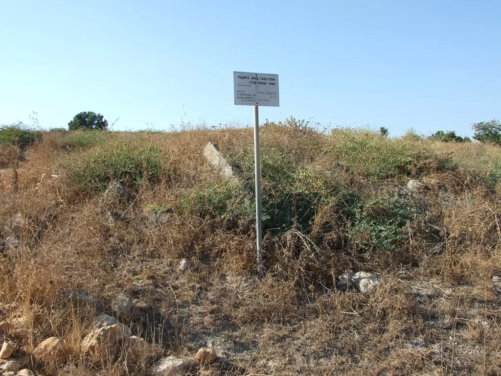
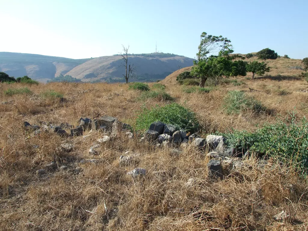
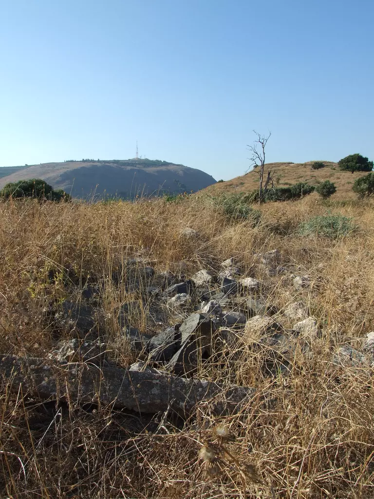
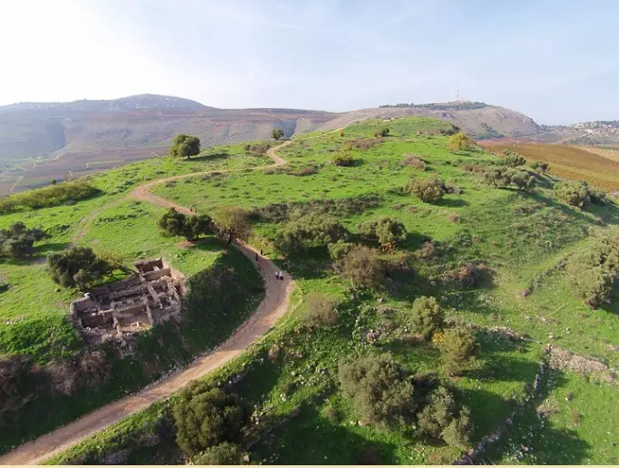
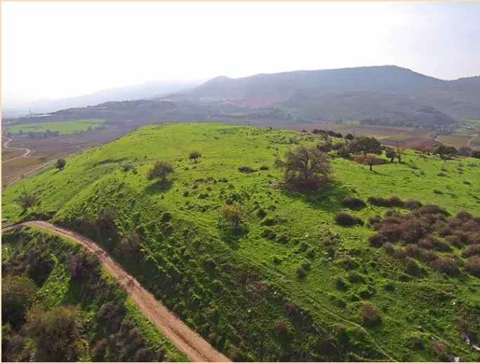
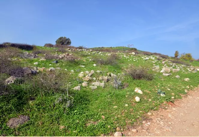
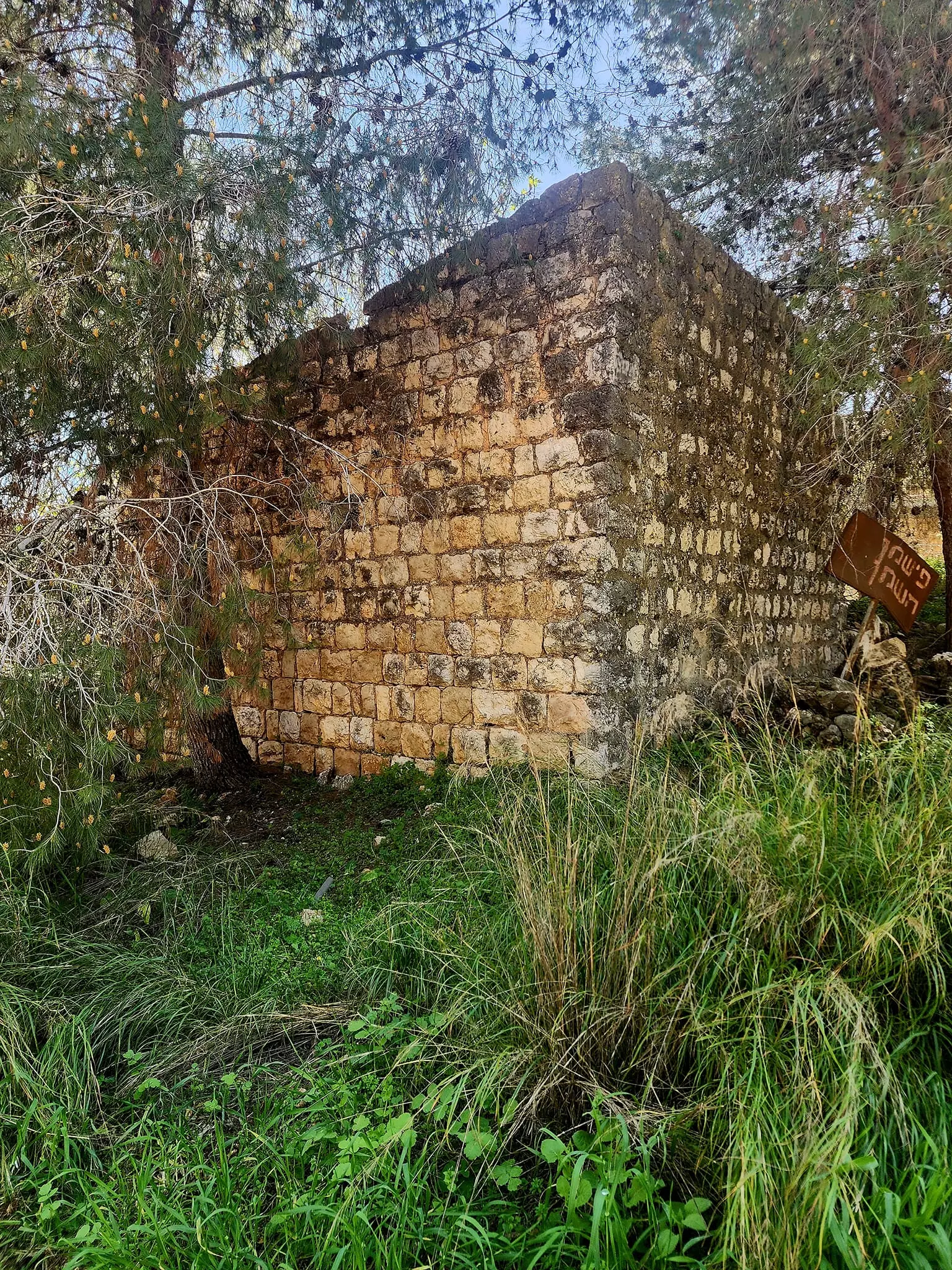
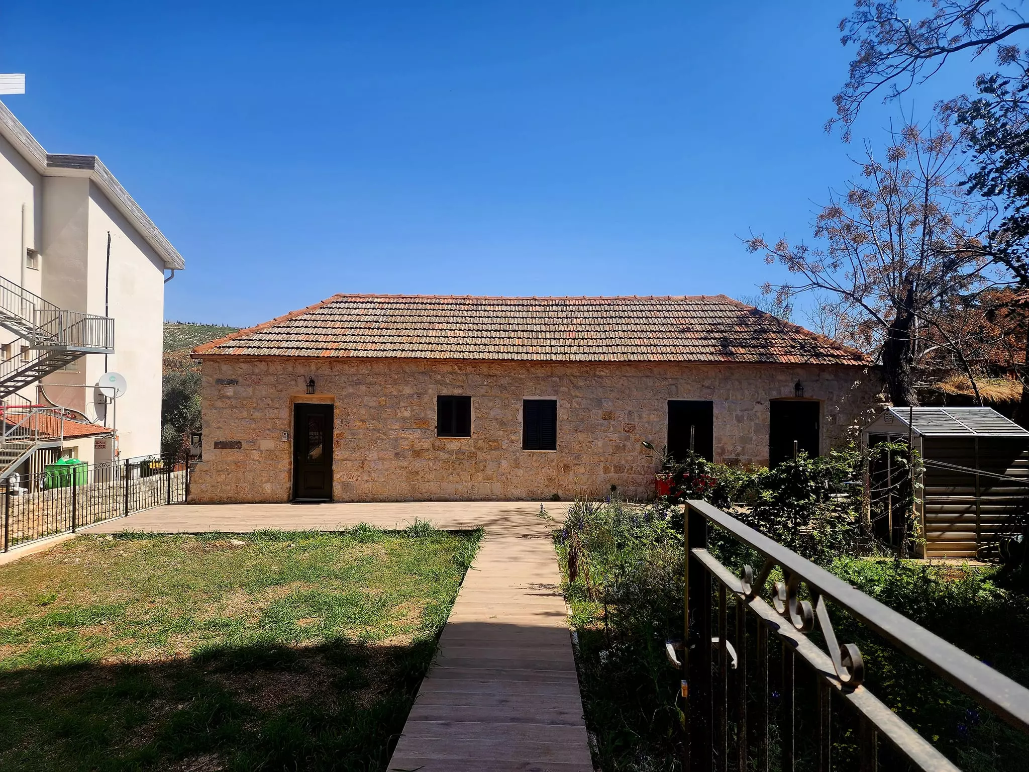
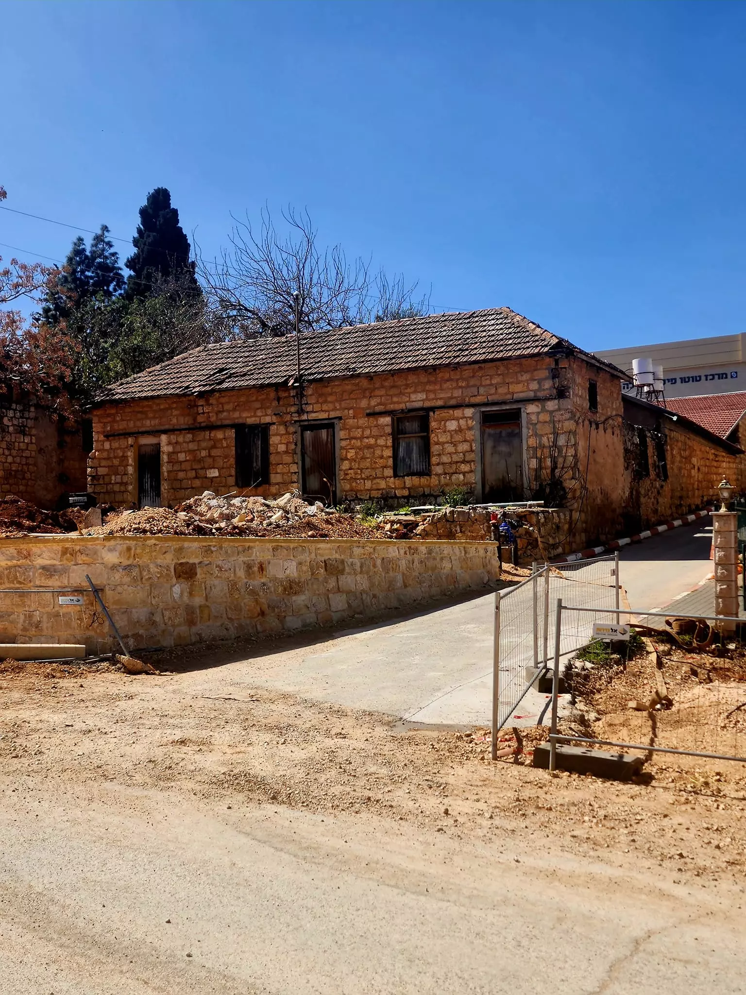
| Village Temains | The village has been completely destroyed, and only house walls and rubble left behind | |||||||||||||||||||||
| Ethnically Cleansing | As a result of a campaign of psychological warfare on the 10th of May 1948, the village was completely ethnically cleansed. | |||||||||||||||||||||
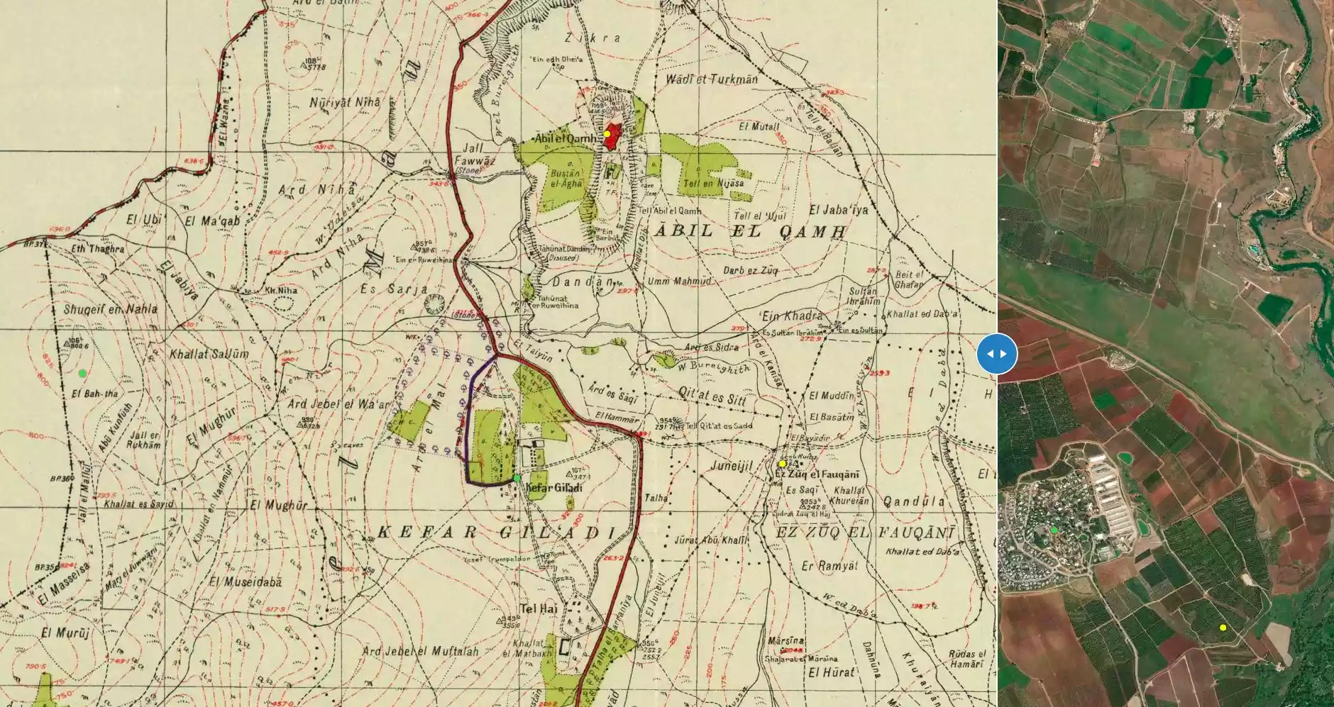
| Pre-Nakba Land Ownership |
**Town Lands' Demarcation Maps |
|||||||||||||||||||||
| Land Usage As of 1945 |
|
|||||||||||||||||||||
| Population |
|
|||||||||||||||||||||
| Number of Houses |
|
|||||||||||||||||||||
| Near By Towns |
||||||||||||||||||||||
|
||||||||||||||||||||||
| Town's Name Through History | The village was also known by the name of Abil al-Mayya because of it abundant water sources | |||||||||||||||||||||
| Exculsive Jewish Colonies Who Usurped Village Lands |
Yuval | |||||||||||||||||||||
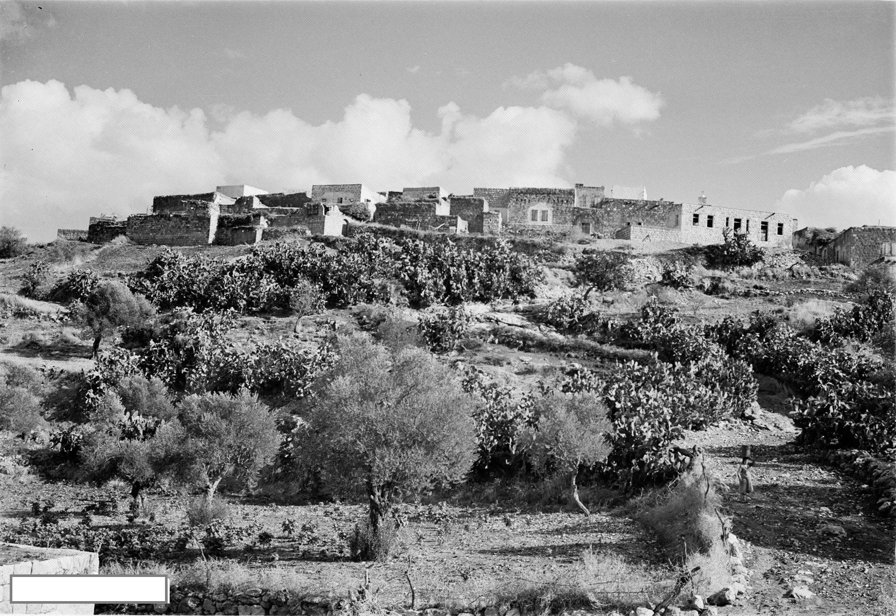
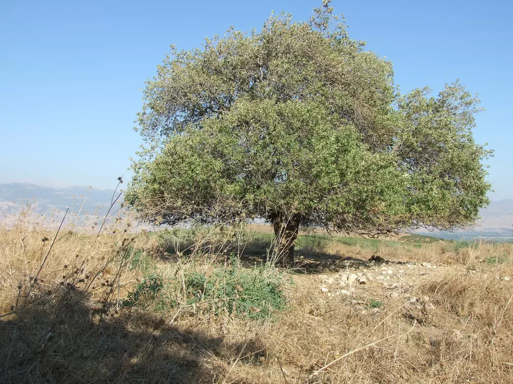
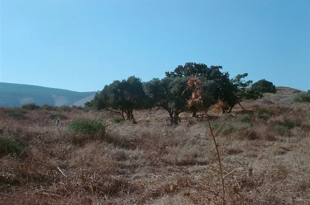
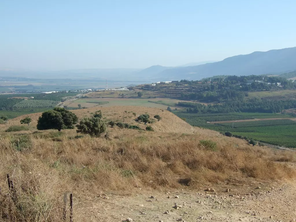
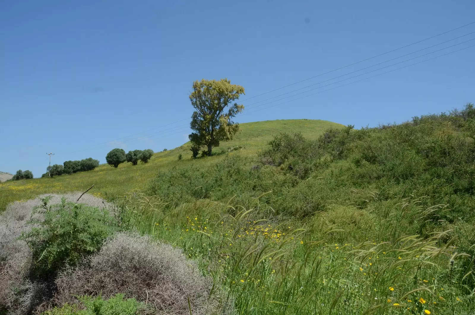
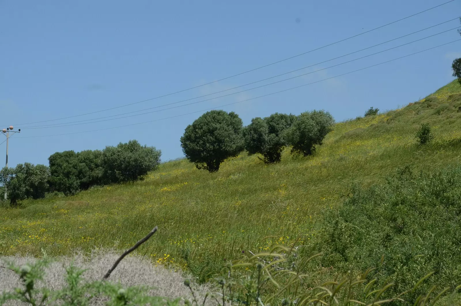
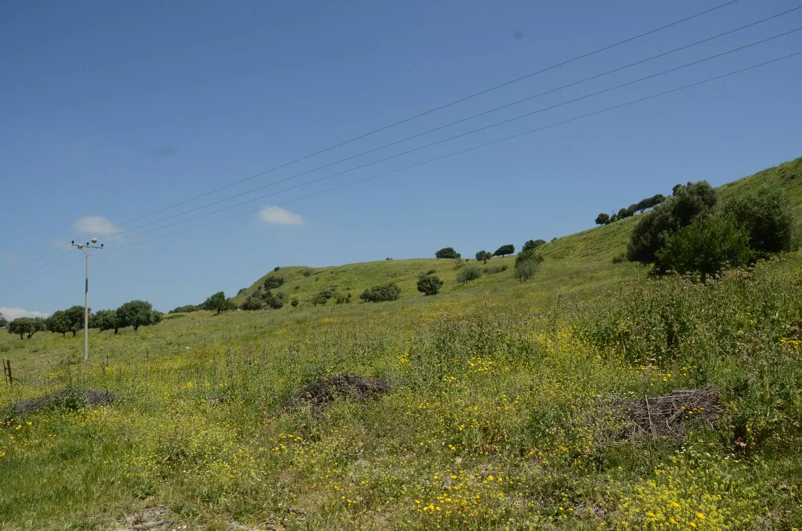
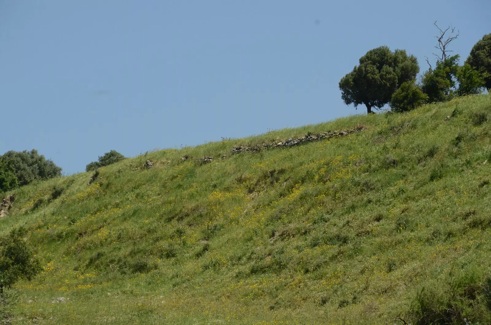
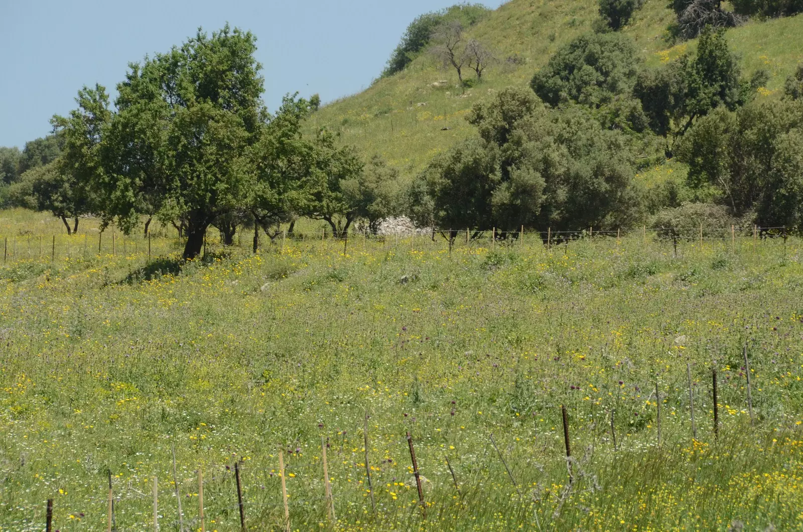
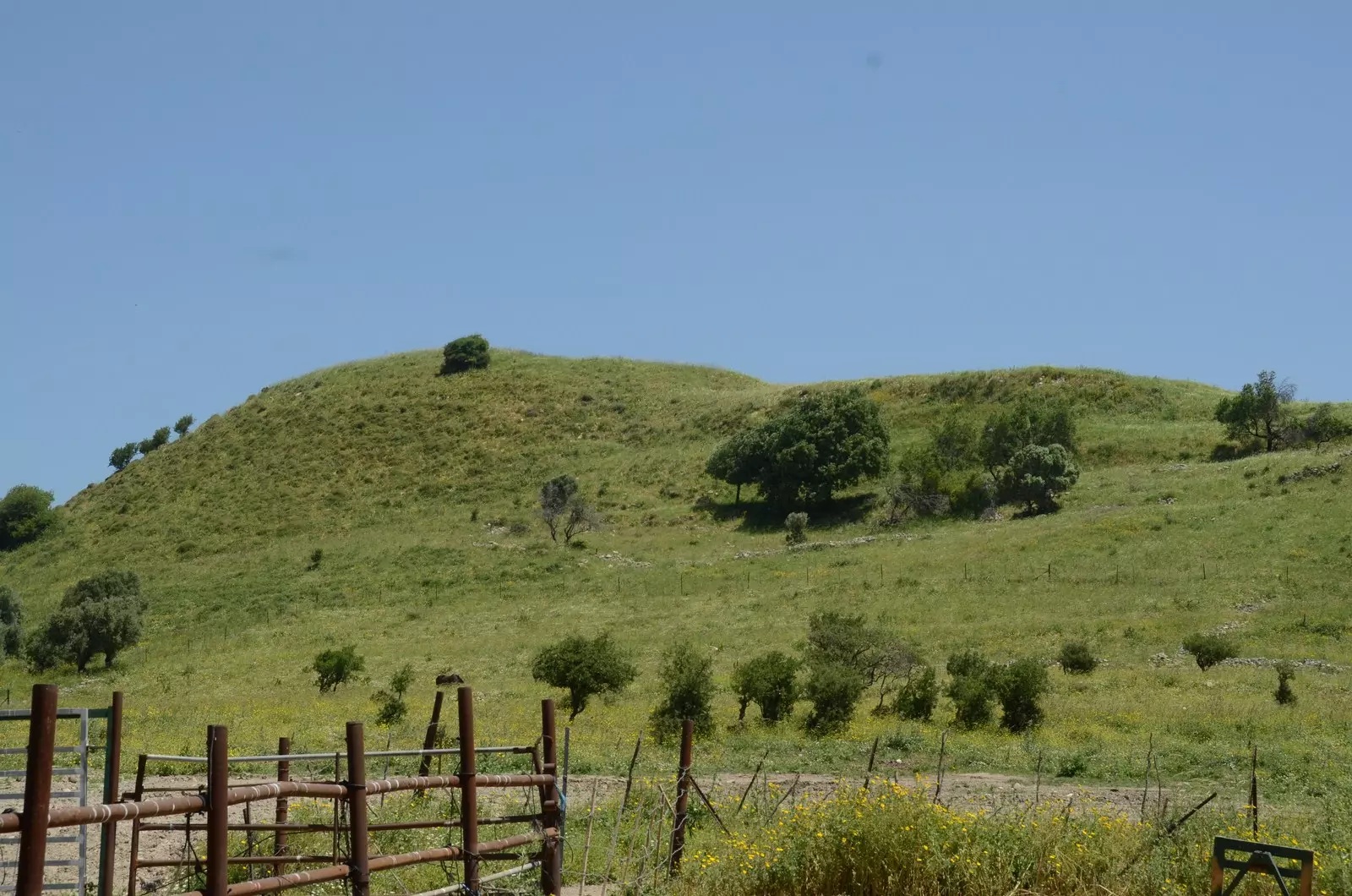
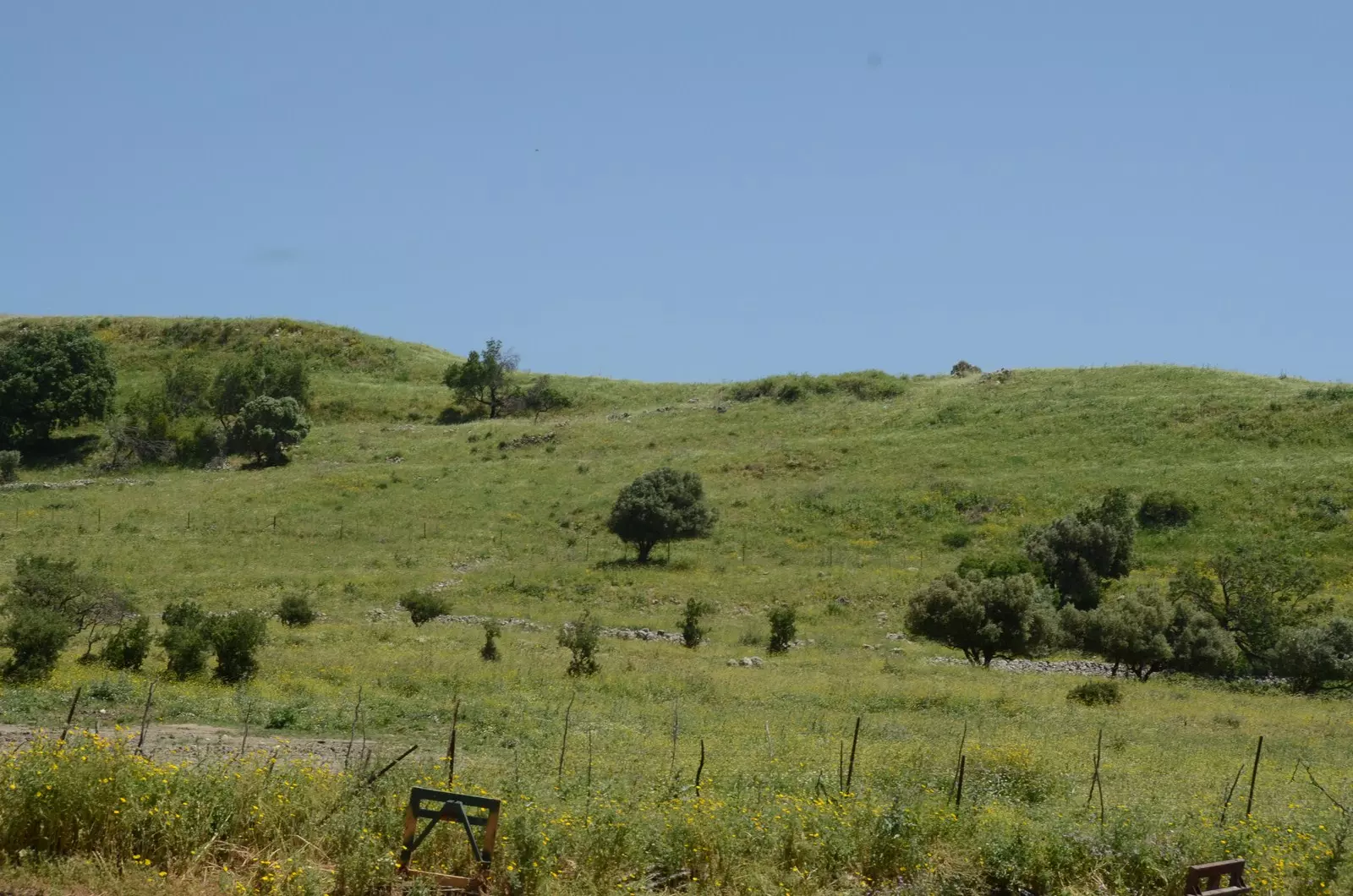
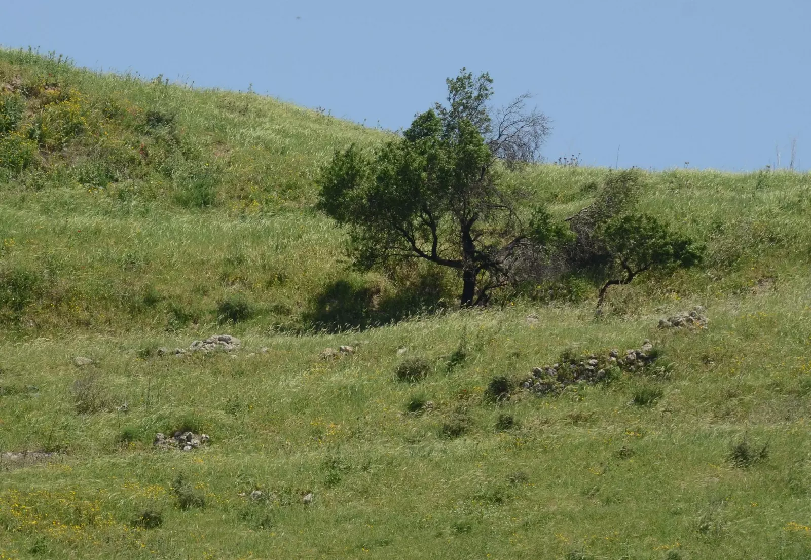
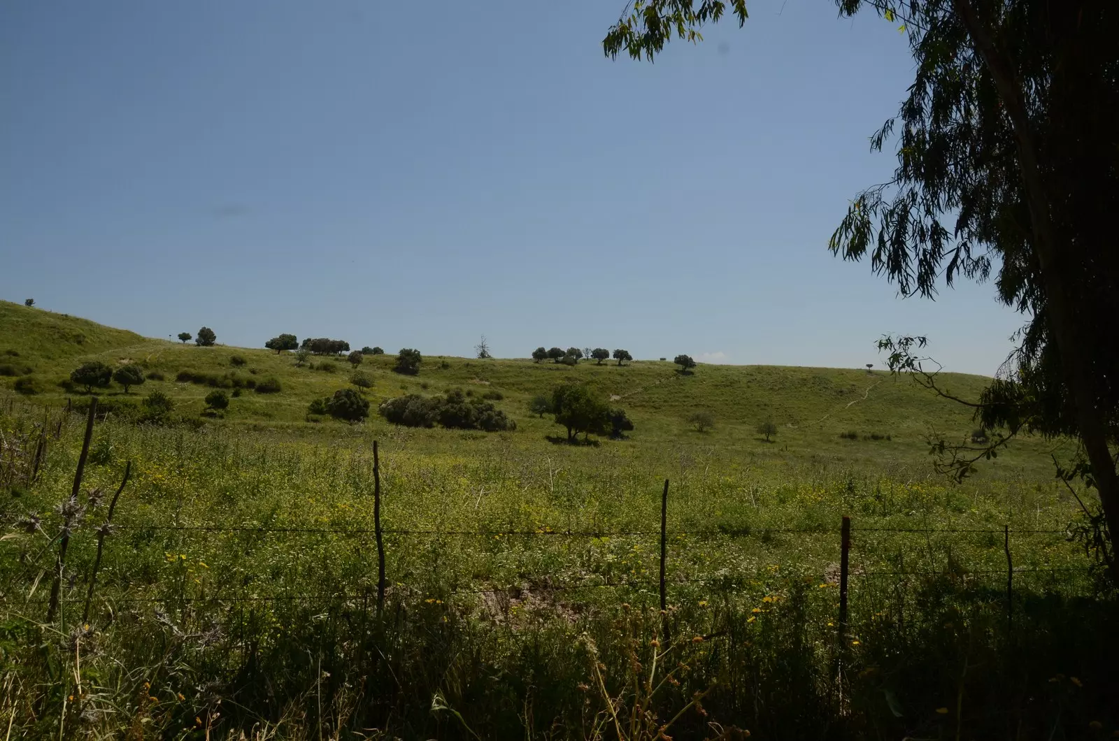
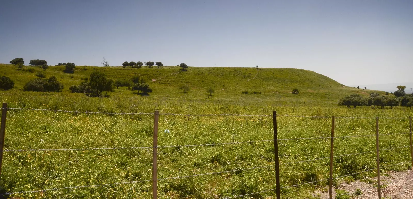
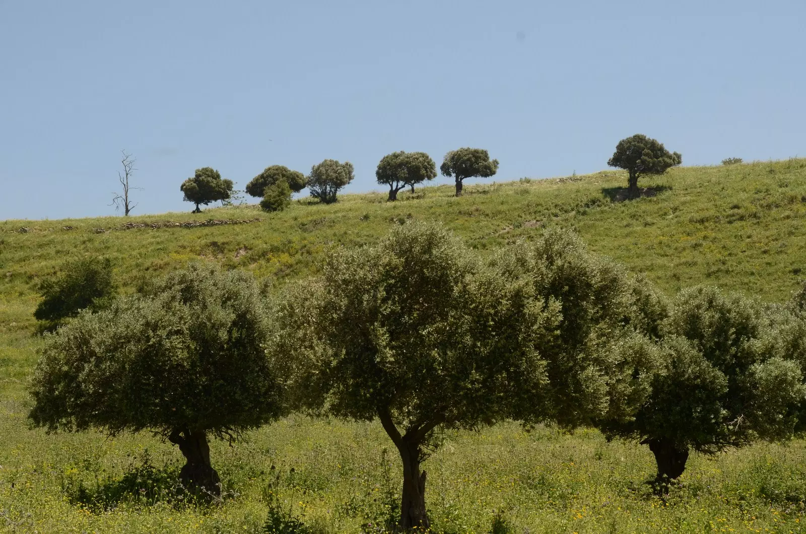
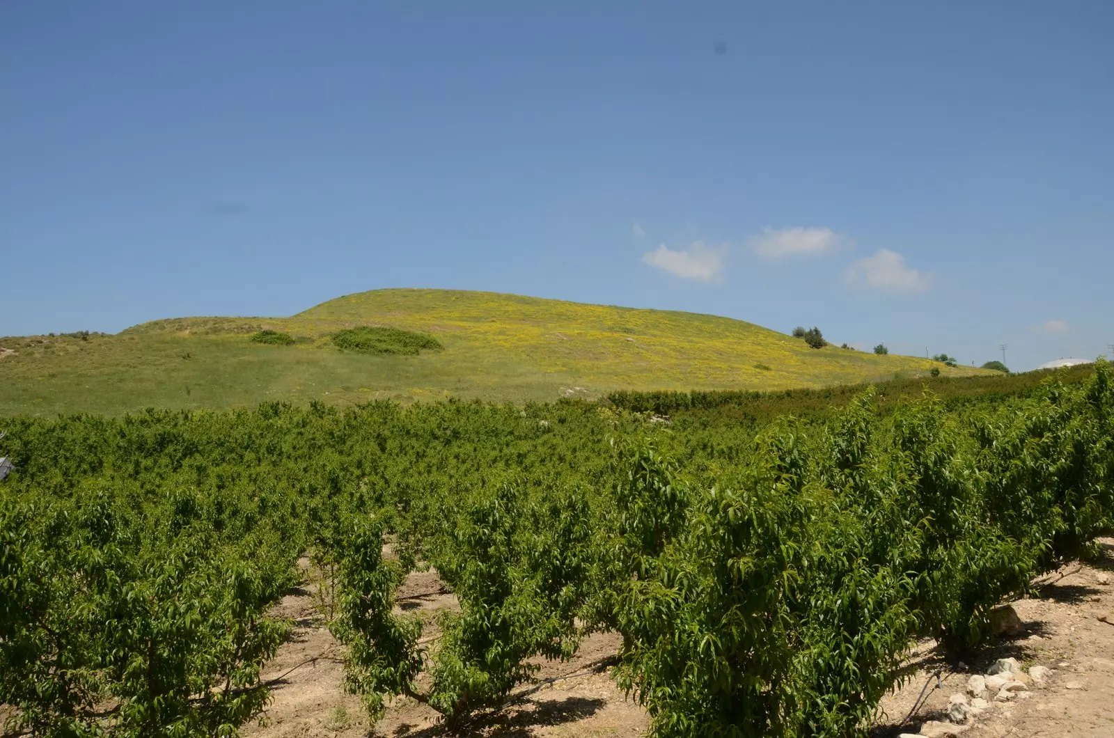
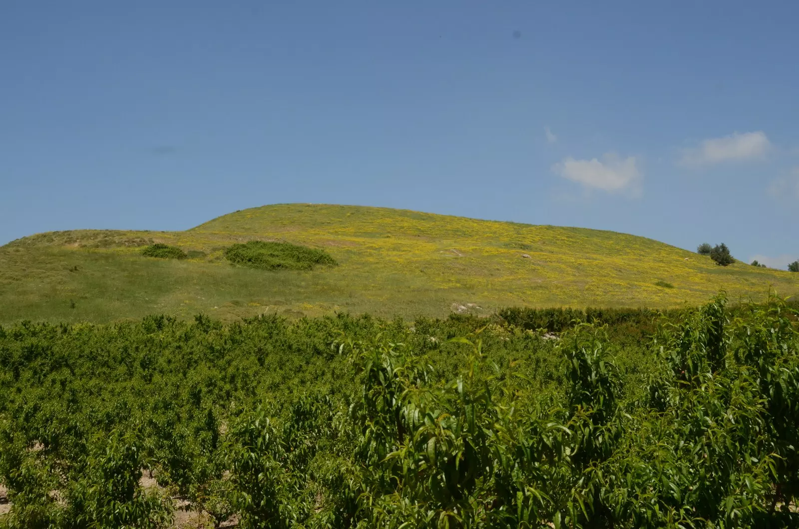
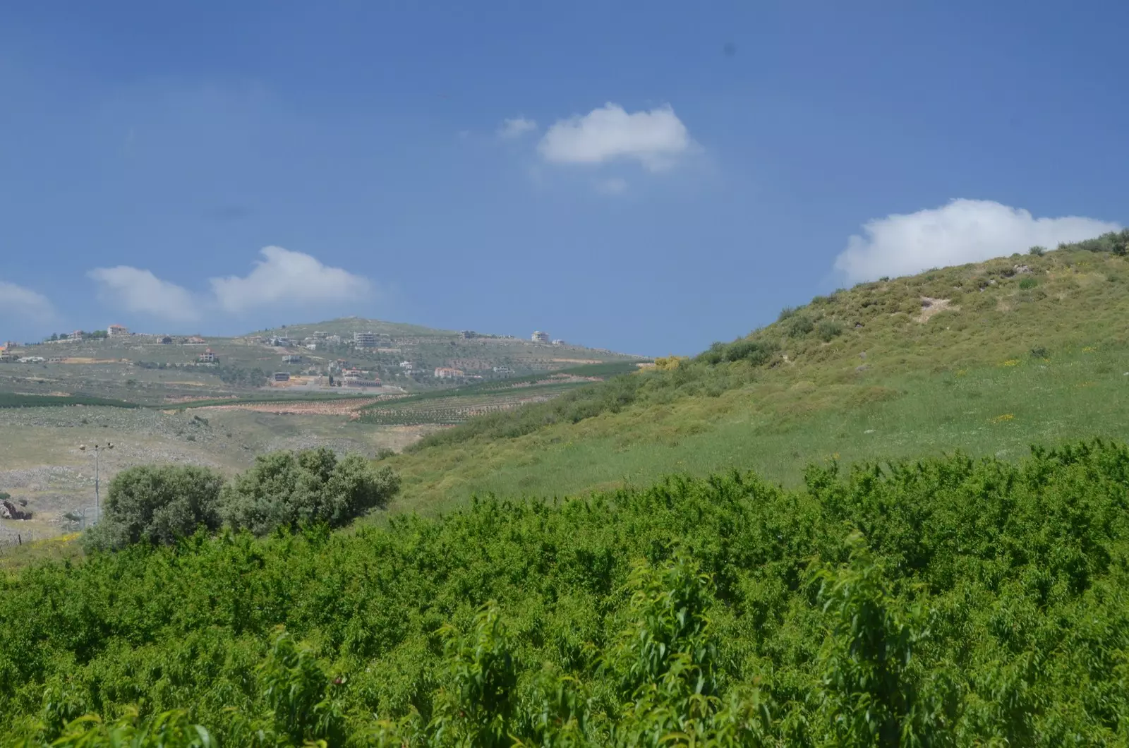
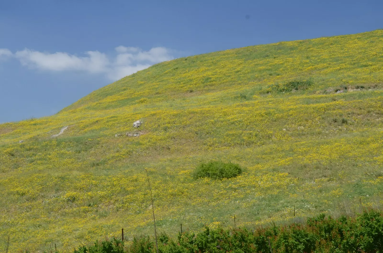
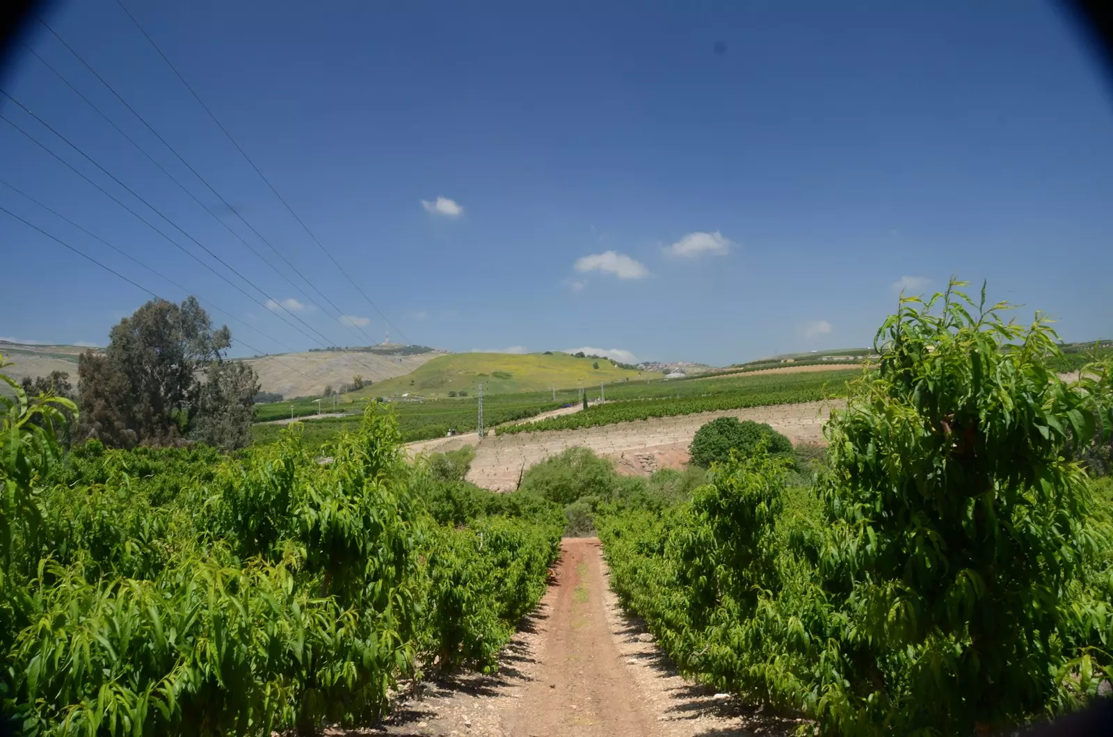
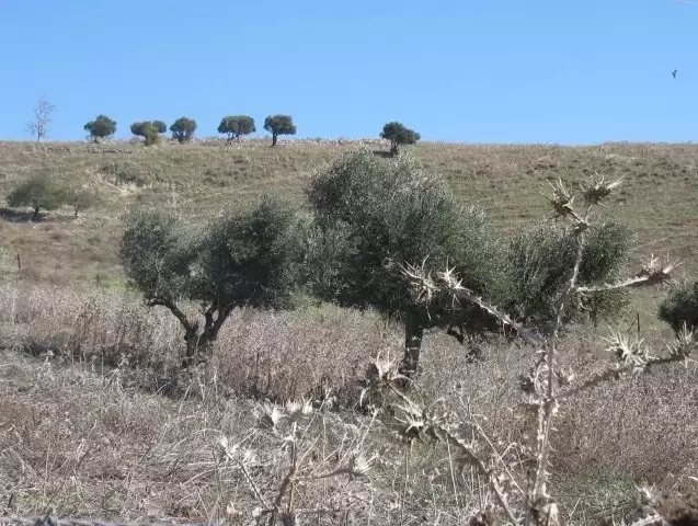
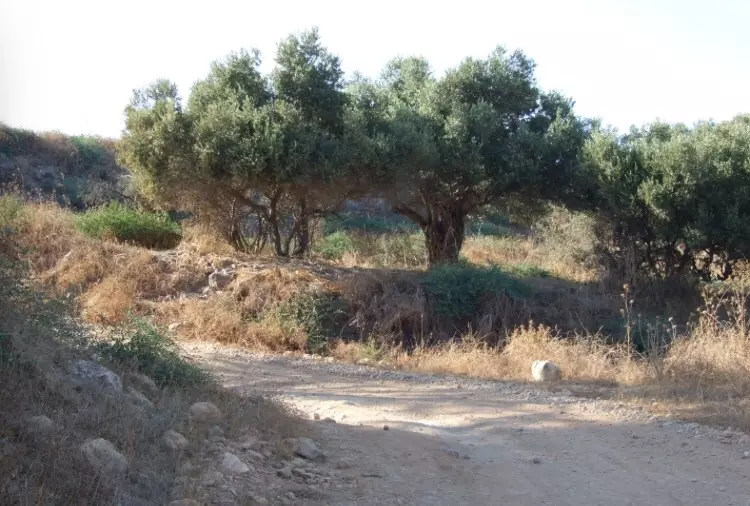
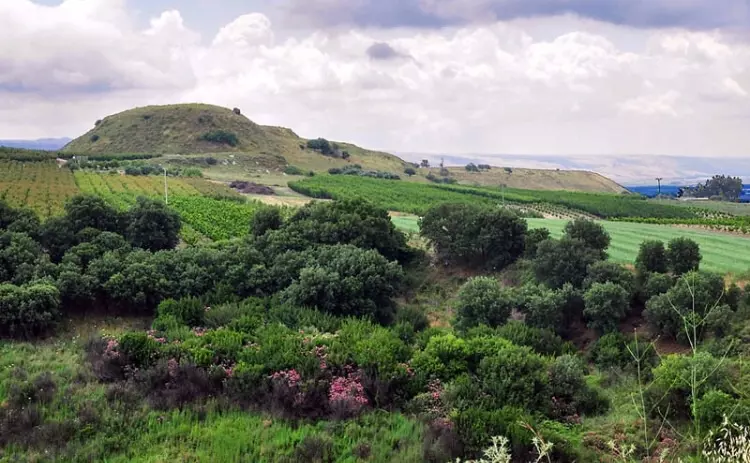
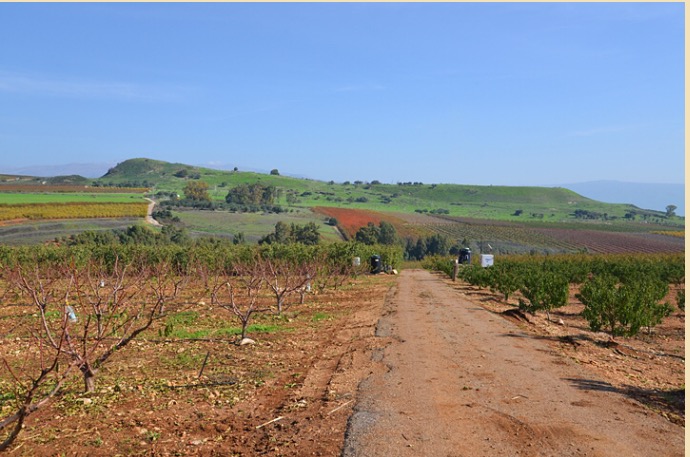
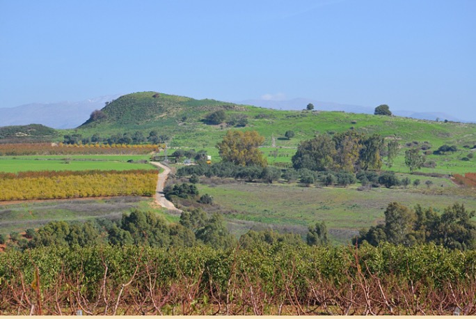
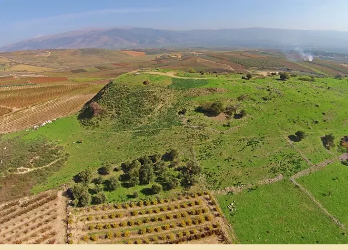
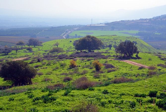
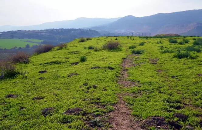
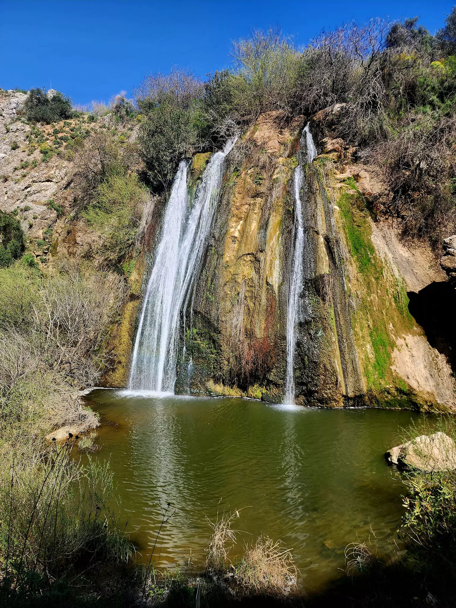
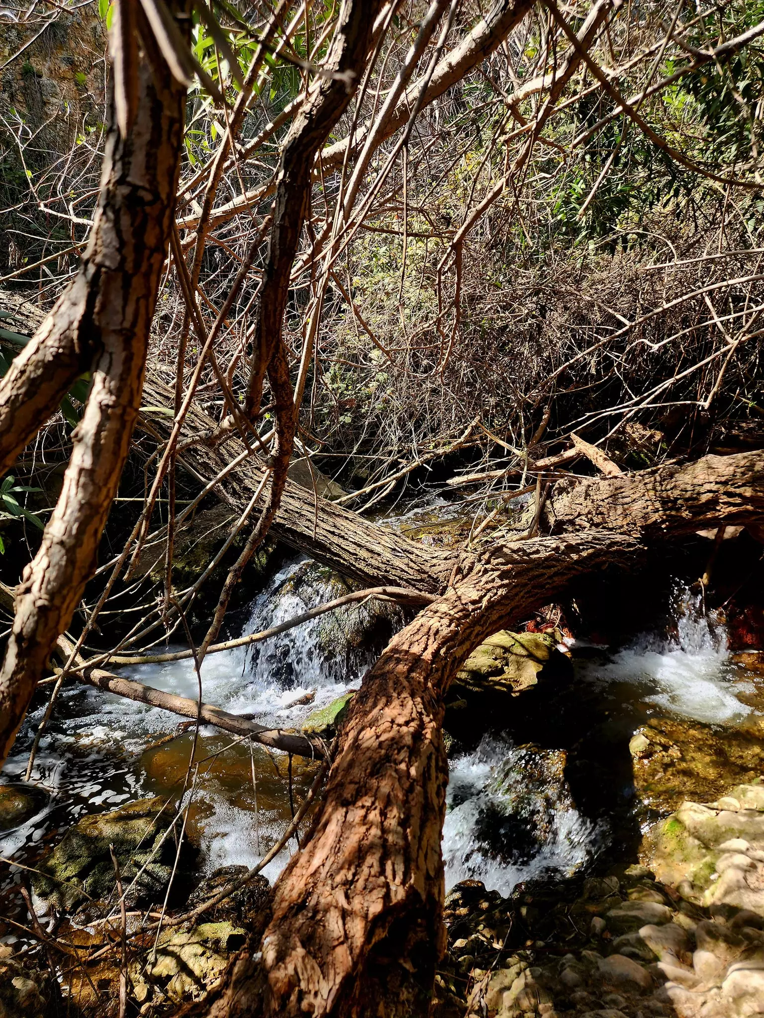
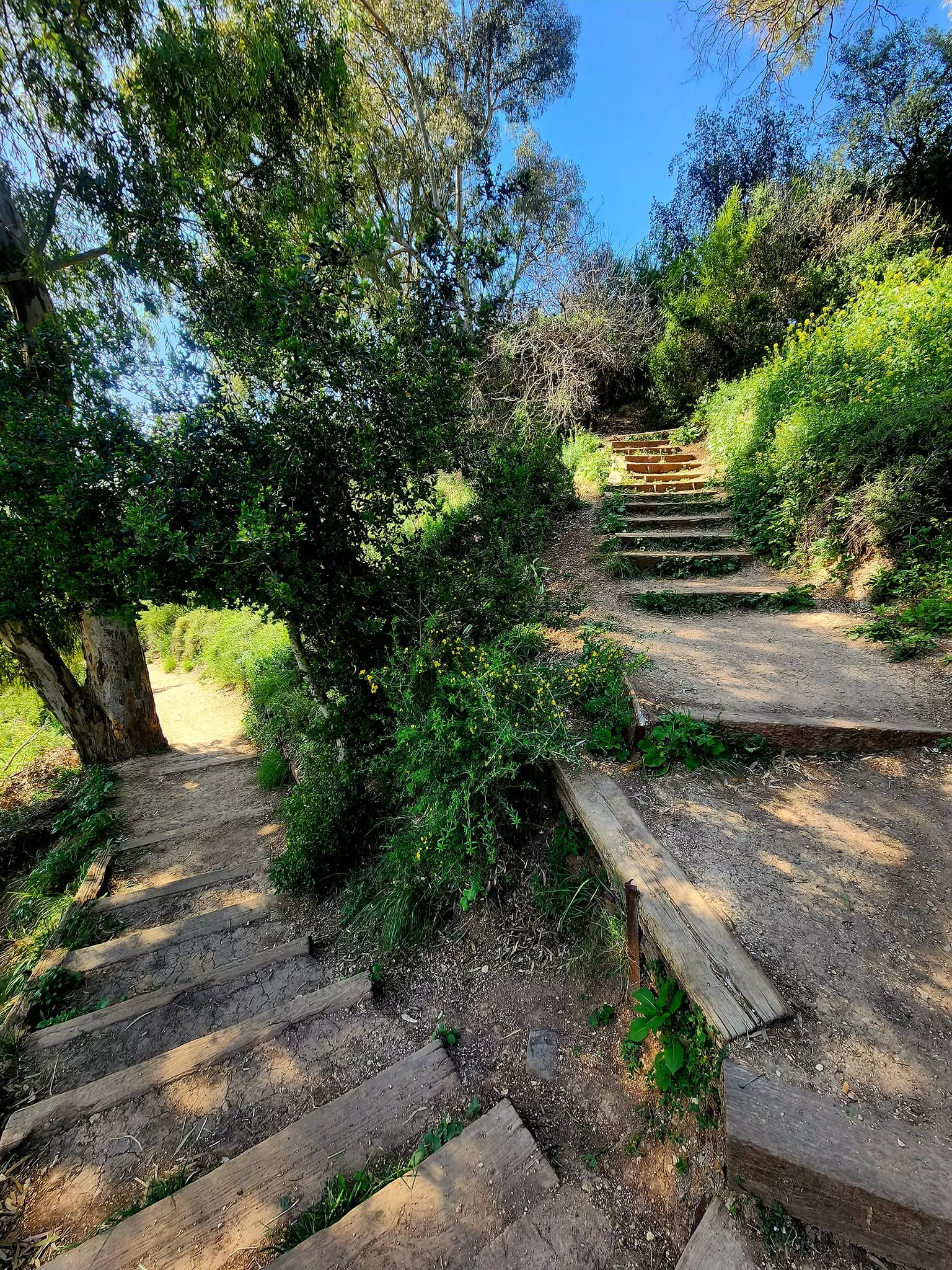
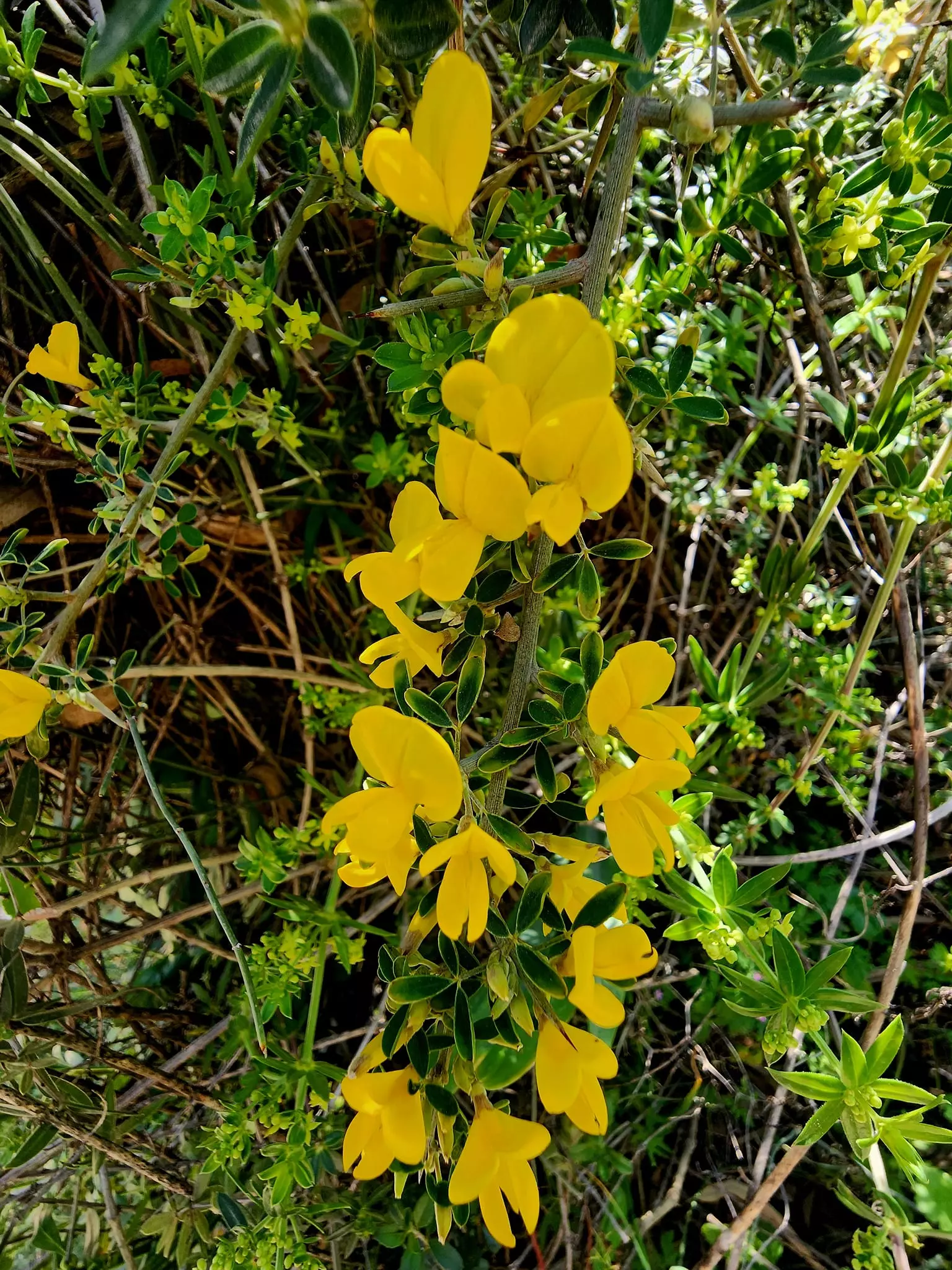
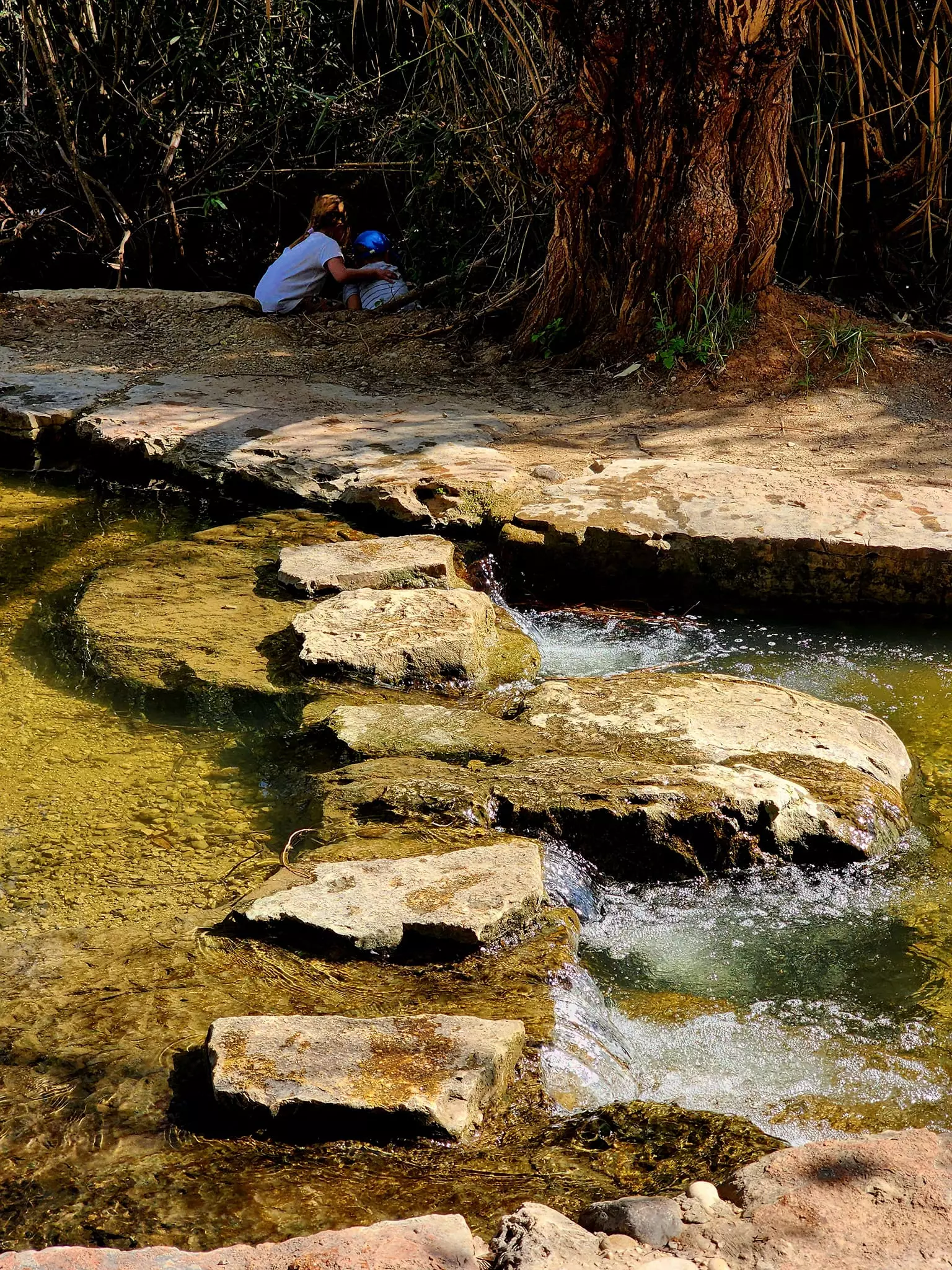
Village Before NakbaThe village was built in a hilly area north of the aI-Hula Plain, a short distance east of a highway that led north to al-Mutilla (some 3 km away) and south to Safad.1t was about1 km from the Lebanese border and had been part of Lebanon until 1923, when it was annexed to Palestine under the British Mandate. One of the meanings of the first part of the name, which came from a Semitic root, is 'meadow.' The second part, qamh, means 'wheat' in Arabic. Abil al-Qamh was established on a site that had been inhabited as early as 2900 B.C. and that remained populated for at least 2,000 years. This was the location of one of the cities that was captured by Thutmose III in 1468 B.C. During the reign of David it became a fortified place that was later captured by the Arameans. Assyrian inscriptions mentioned Abel-Beth-Ma'aka as one of the towns they captured in 733 or 734 B.C. The name of Abil al-Qamh next appears much later, in a work by the Arab geographer Yaqut al-Hamawi (d. 1228). In 1596, Abil al-Qamh was a village in the nahiya of Tibnin (liwa' of Safad) with a population of 143. It paid taxes on a number of crops, including wheat, barley, and olives, as well as on other types of produce and property such as goats, beehives, and vineyards.In the late nineteenth century, Abil al-Qamh was situated near a stream and surrounded by arable land. There was a church in the village and ancient ruins stood nearby. In modern times the village had a triangular outline that conformed to the contours of the hill on which it was built. The village houses were made of a combination of mud and stone, concrete and stone, or concrete. Its population consisted of 230 Muslims and 100 Christians. Agriculture was the mainstay of the village economy. In 1944/45 a total of 2,535 dunums was allocated to cereals and 299 dunums were irrigated or used for orchards. The wheat fields that ringed the site of the village, well-known for their fertility, benefited from abundant water. The water was so plentiful that the people of the region sometimes called the village Abil al-Mayya ('the meadow of water'). In addition to other ruins in the vicinity, an archaeological site, located east of the village near Kefar Gil'adi (203294), contained rock-hewn tombs, granite tools, and tombstones. Village Occupation and Ethnic CleaningAn Israeli intelligence report issued at the end of June 1948 claimed that the village was evacuated on 10 May 1948. The occupation of eastern Galilee during this period was assigned to various Zionist forces, mainly the Palmach's First Battalion, within the scope of Operation Yiftach.Zionists Colonies on Village LandsIn 1952, Israel established the settlement of Yuval (206294) on village land, about 1.5 km from the site. Yuval is near the border of the village land of al-Zuq al-Fawqani.Village TodayThe village site is overgrown with grasses and weeds. A grove of trees stands in the northeast corner, and stones from destroyed houses are strewn throughout the site. The surrounding land is used as pasture.SourceDr. Walid al-Khalidi, 1992: All That Remains. |
||||||||||||||||||||||
| Related Maps | Town Lands' Demarcation Maps خرائط للقضاء توضح حدود القرى والاودية Town's map on MapQuest View from satellite Help us map this town at WikiMapia |
|||||||||||||||||||||
| Related Links | Wikipedia's Page Google Search Google For Images Google For Videos |
|||||||||||||||||||||
| More Information | في كتاب كي لا ننسى في كتاب بلادنا فلسطين المزيد من موقع هوية |
|||||||||||||||||||||
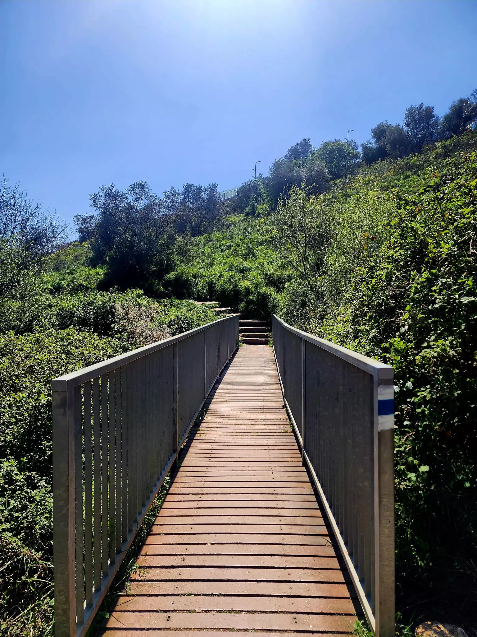
- A notification that you are in a historic place, and rubble.
Posted by Uri Zackhem 1 - صورة نادرة للقرية ابل القمح 1947
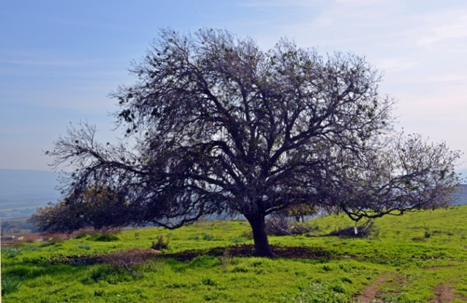
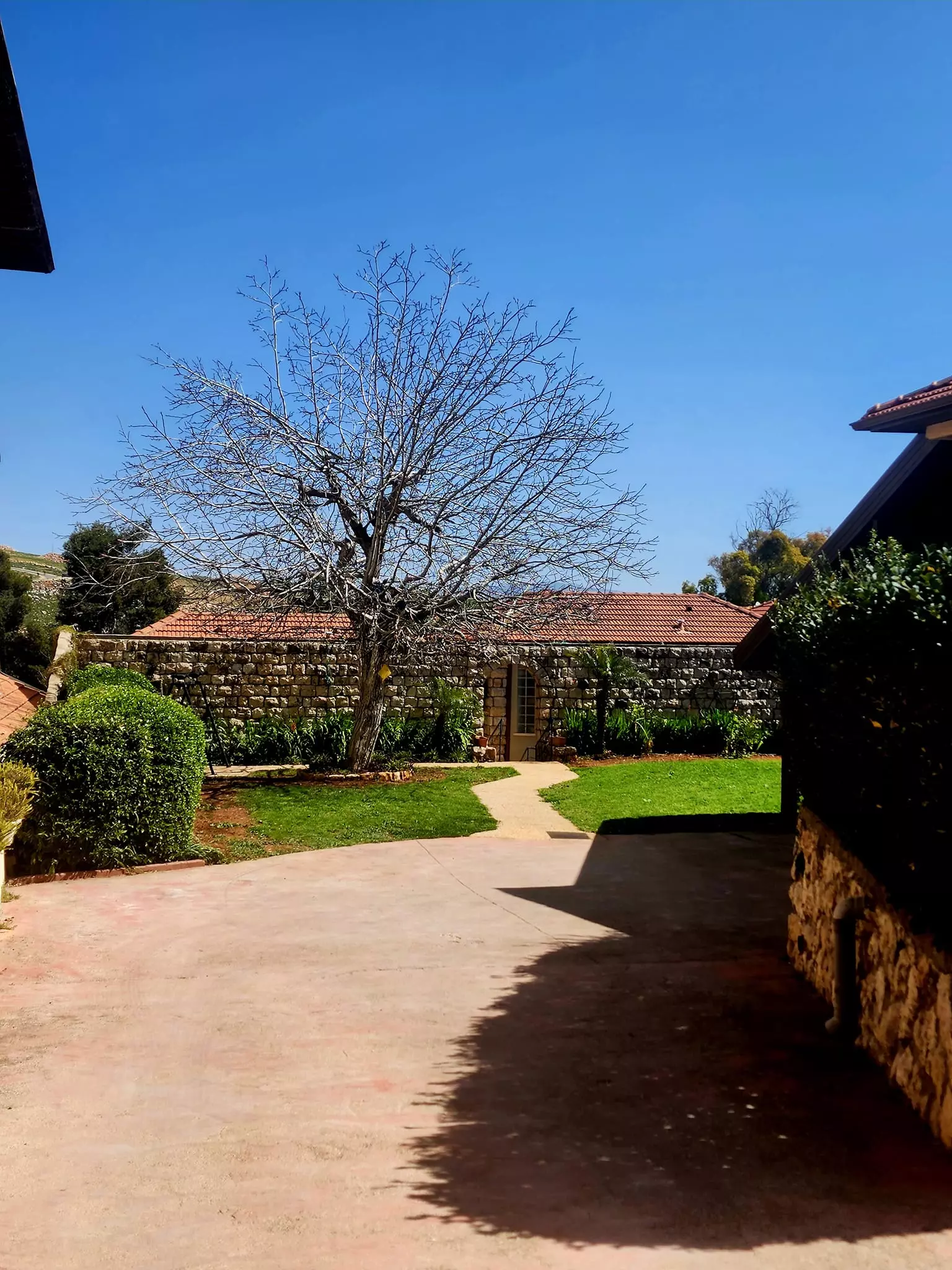
Posted by احمد فحماوي - A large tree on the southern part of the hill
Posted by Uri Zackhem 1 - Rubble and trees
Posted by Uri Zackhem - Rubble
Posted by Uri Zackhem - Trees
Posted by Uri Zackhem - A look north
Posted by Uri Zackhem - The northern edge of the hill
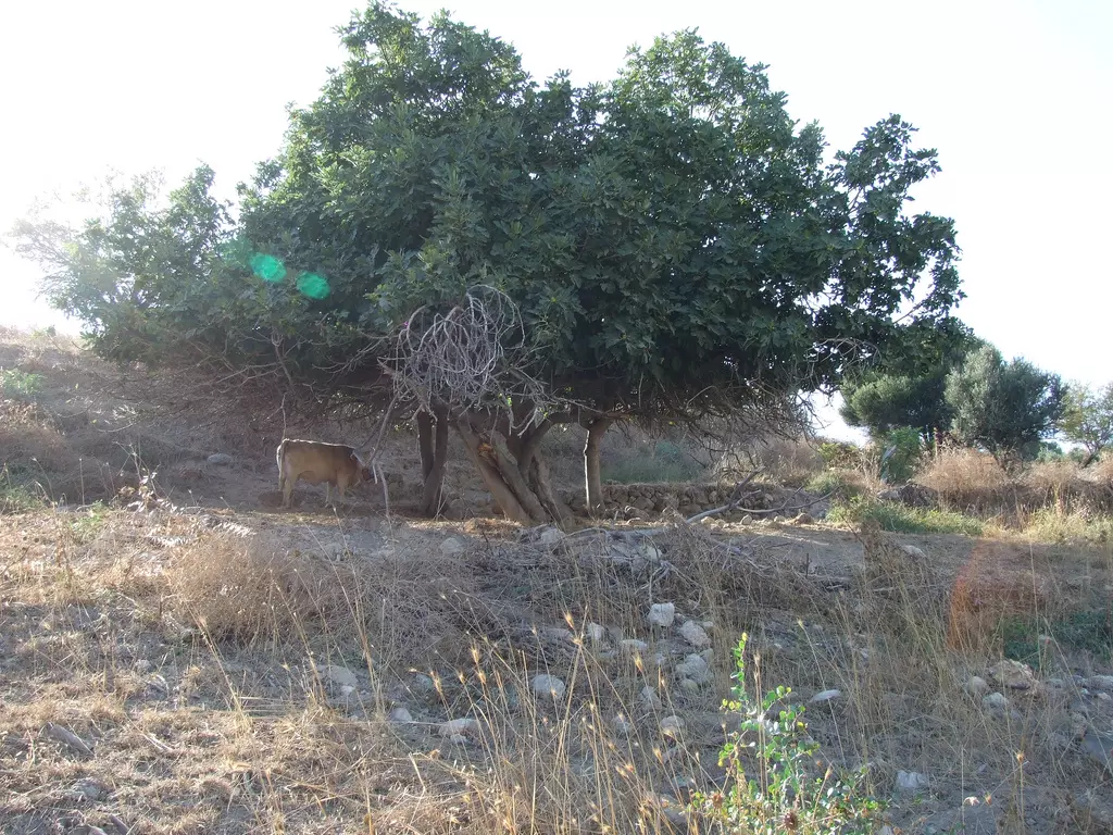
Posted by Uri Zackhem - Fig tree, and a cow.
Posted by Uri Zackhem - Trees on the hill
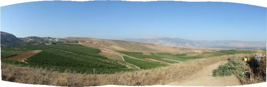
Posted by Uri Zackhem - Panorama, on the left - Metula
Posted by Uri Zackhem - Rubble
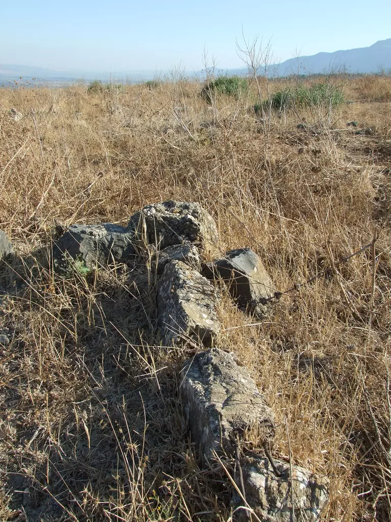
Posted by Uri Zackhem - Rubble
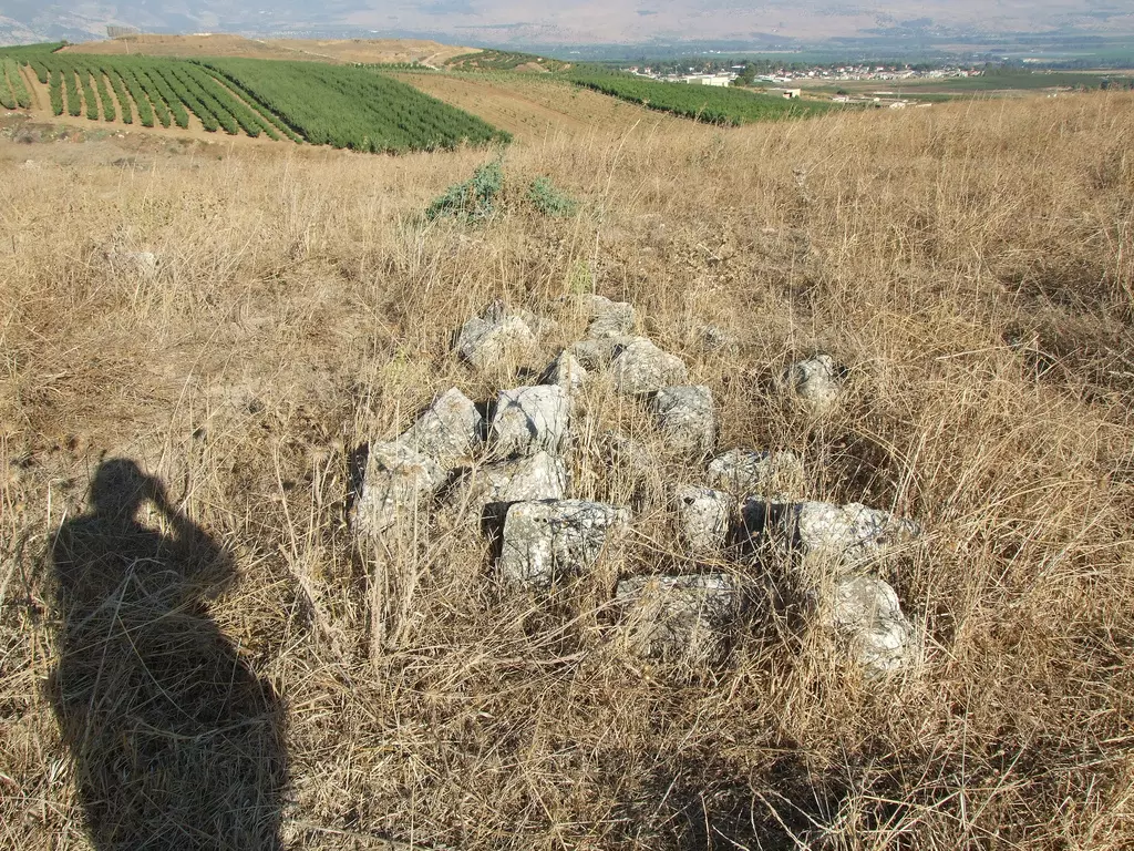
Posted by Uri Zackhem - موقع القريه في مركز التله
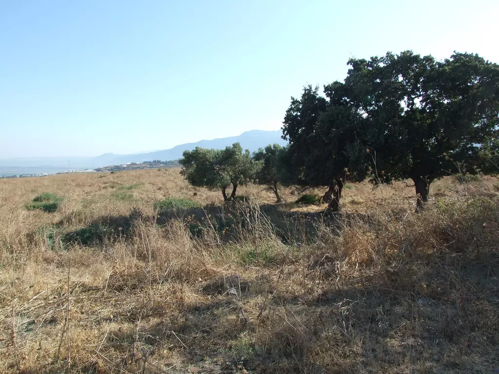
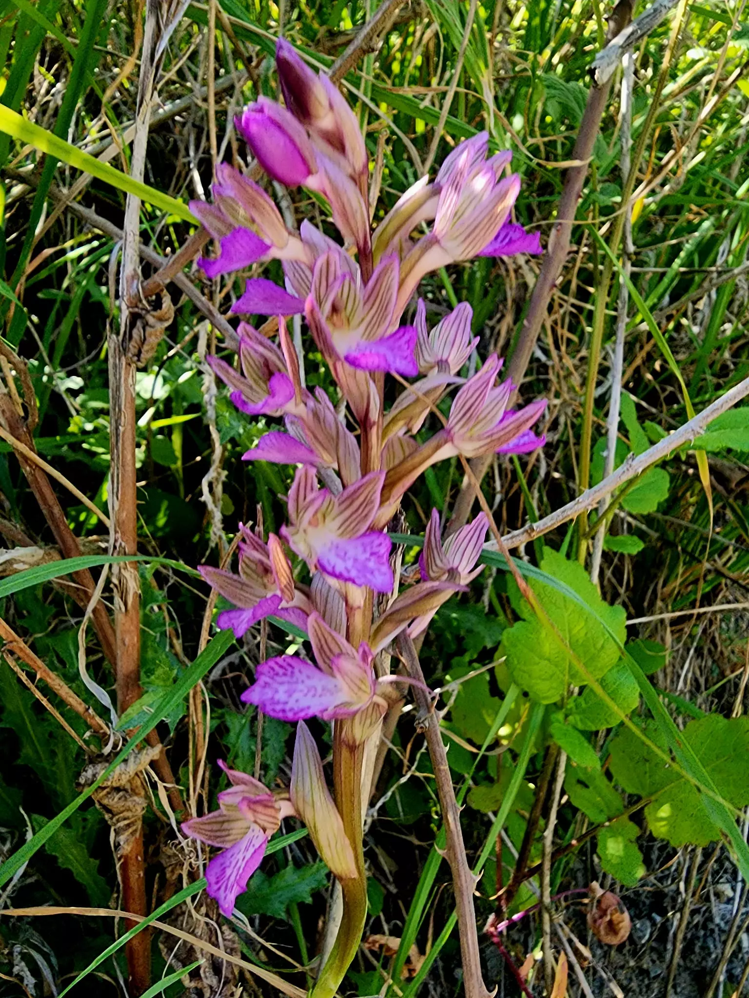
Posted by jabour khoury - اشجار الزيتون المعمره في موقع القريه
Posted by jabour khoury - موقع القريه- نظره من الجنوب الى الشمال
Posted by jabour khoury - اتار ردم البيوت
Posted by jabour khoury - اتار ردم البيوت والمنطقه يحدها السياج وتستعمل مراعي للابقار
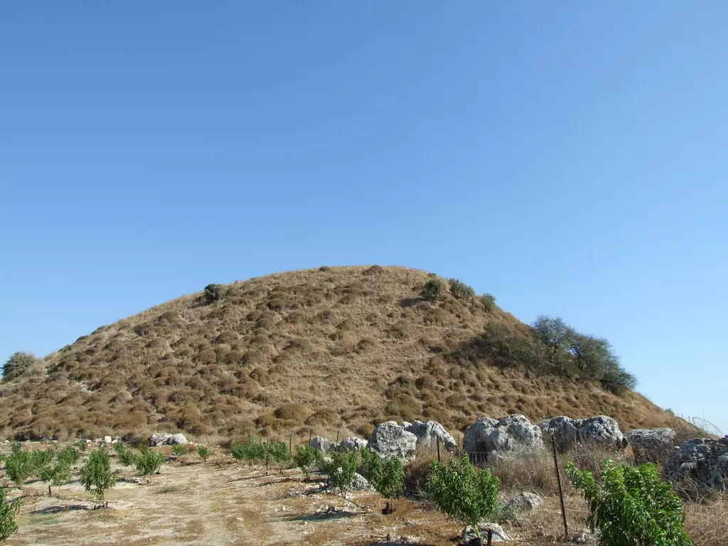
Posted by jabour khoury - التله التي تقع عليها القريه
Posted by jabour khoury - نطره لموقع القريه من الغرب الى الشرق
Posted by jabour khoury - اتار احد بيون القريه
Posted by jabour khoury - الجهه الجنوبيه الفربيه من القريه
Posted by jabour khoury - جنوب القريه
Posted by jabour khoury - زيتون القريه المعمر
Posted by jabour khoury - موقع القريه من الشرق
Posted by jabour khoury - شرق القريه
Posted by jabour khoury - قريه كفر كلا اللبنانيه كما تطهر من موقع القريه
Posted by jabour khoury - جنوب القريه
Posted by jabour khoury - اطلاله على موقع القريه من الجنوب -من اراضي قريه الزووء الفوقاني
Posted by jabour khoury - ابل القمح
Posted by abu raya - ابل القمح
Posted by abu raya - ابل القمح
Posted by abu raya - اراضي ابل القمح
Posted by abu raya - اراضي وموقع القريه على التله
Posted by abu raya - موقع القريه
Posted by abu raya - موقع قريه ابل القمح
Posted by abu raya - موقع القريه
Posted by abu raya - اثار ردم بيوت القريه
Posted by abu raya - اراضي القريه
Posted by abu raya - موقع قريه ابل القمح
Posted by abu raya - ابل القمح
Posted by abu raya - موقع القريه
Posted by abu raya - Let us see how the most "liberal and civilized" of world Jewry has obliterated our village of Metulla (just north of Abel al-Qamh) except for a few structures. How else will the Jews be great and safe again? -- القرية دمرت قرية المطلة المهجرة بالكامل بإستثناء بضعة مبناني..من هنا مر الهمج
- Let us see how the most "liberal and civilized" of world Jewry has obliterated our village of Metulla (just north of Abel al-Qamh) except for a few structures. How else will the Jews be great and safe again? -- القرية دمرت قرية المطلة المهجرة بالكامل بإستثناء بضعة مبناني..من هنا مر الهمج
#2
- Let us see how the most "liberal and civilized" of world Jewry has obliterated our village of Metulla (just north of Abel al-Qamh) except for a few structures. How else will the Jews be great and safe again? -- القرية دمرت قرية المطلة المهجرة بالكامل بإستثناء بضعة مبناني..من هنا مر الهمج
#3
- Let us see how the most "liberal and civilized" of world Jewry has obliterated our village of Metulla (just north of Abel al-Qamh) except for a few structures. How else will the Jews be great and safe again? -- القرية دمرت قرية المطلة المهجرة بالكامل بإستثناء بضعة مبناني..من هنا مر الهمج
#4
- Let us see how the most "liberal and civilized" of world Jewry has obliterated our village of Metulla (just north of Abel al-Qamh) except for a few structures. How else will the Jews be great and safe again? -- القرية دمرت قرية المطلة المهجرة بالكامل بإستثناء بضعة مبناني..من هنا مر الهمج
#5
- Let us see how the most "liberal and civilized" of world Jewry has obliterated our village of Metulla (just north of Abel al-Qamh) except for a few structures. How else will the Jews be great and safe again? -- القرية دمرت قرية المطلة المهجرة بالكامل بإستثناء بضعة مبناني..من هنا مر الهمج
#6
- Let us see how the most "liberal and civilized" of world Jewry has obliterated our village of Metulla (just north of Abel al-Qamh) except for a few structures. How else will the Jews be great and safe again? -- القرية دمرت قرية المطلة المهجرة بالكامل بإستثناء بضعة مبناني..من هنا مر الهمج
#7
- Let us see how the most "liberal and civilized" of world Jewry has obliterated our village of Metulla (just north of Abel al-Qamh) except for a few structures. How else will the Jews be great and safe again? -- القرية دمرت قرية المطلة المهجرة بالكامل بإستثناء بضعة مبناني..من هنا مر الهمج
#8
- Let us see how the most "liberal and civilized" of world Jewry has obliterated our village of Metulla (just north of Abel al-Qamh) except for a few structures. How else will the Jews be great and safe again? -- القرية دمرت قرية المطلة المهجرة بالكامل بإستثناء بضعة مبناني..من هنا مر الهمج
#9
- Let us see how the most "liberal and civilized" of world Jewry has obliterated our village of Metulla (just north of Abel al-Qamh) except for a few structures. How else will the Jews be great and safe again? -- القرية دمرت قرية المطلة المهجرة بالكامل بإستثناء بضعة مبناني..من هنا مر الهمج
#10
- Let us see how the most "liberal and civilized" of world Jewry has obliterated our village of Metulla (just north of Abel al-Qamh) except for a few structures. How else will the Jews be great and safe again? -- القرية دمرت قرية المطلة المهجرة بالكامل بإستثناء بضعة مبناني..من هنا مر الهمج
#11
- Let us see how the most "liberal and civilized" of world Jewry has obliterated our village of Metulla (just north of Abel al-Qamh) except for a few structures. How else will the Jews be great and safe again? -- القرية دمرت قرية المطلة المهجرة بالكامل بإستثناء بضعة مبناني..من هنا مر الهمج
#12
- Let us see how the most "liberal and civilized" of world Jewry has obliterated our village of Metulla (just north of Abel al-Qamh) except for a few structures. How else will the Jews be great and safe again? -- القرية دمرت قرية المطلة المهجرة بالكامل بإستثناء بضعة مبناني..من هنا مر الهمج
#13
- Let us see how the most "liberal and civilized" of world Jewry has obliterated our village of Metulla (just north of Abel al-Qamh) except for a few structures. How else will the Jews be great and safe again? -- القرية دمرت قرية المطلة المهجرة بالكامل بإستثناء بضعة مبناني..من هنا مر الهمج
#14
- Let us see how the most "liberal and civilized" of world Jewry has obliterated our village of Metulla (just north of Abel al-Qamh) except for a few structures. How else will the Jews be great and safe again? -- القرية دمرت قرية المطلة المهجرة بالكامل بإستثناء بضعة مبناني..من هنا مر الهمج
#15
- Let us see how the most "liberal and civilized" of world Jewry has obliterated our village of Metulla (just north of Abel al-Qamh) except for a few structures. How else will the Jews be great and safe again? -- القرية دمرت قرية المطلة المهجرة بالكامل بإستثناء بضعة مبناني..من هنا مر الهمج
#16
- Let us see how the most "liberal and civilized" of world Jewry has obliterated our village of Metulla (just north of Abel al-Qamh) except for a few structures. How else will the Jews be great and safe again? -- القرية دمرت قرية المطلة المهجرة بالكامل بإستثناء بضعة مبناني..من هنا مر الهمج
#17
- Let us see how the most "liberal and civilized" of world Jewry has obliterated our village of Metulla (just north of Abel al-Qamh) except for a few structures. How else will the Jews be great and safe again? -- القرية دمرت قرية المطلة المهجرة بالكامل بإستثناء بضعة مبناني..من هنا مر الهمج
#18
- Let us see how the most "liberal and civilized" of world Jewry has obliterated our village of Metulla (just north of Abel al-Qamh) except for a few structures. How else will the Jews be great and safe again? -- القرية دمرت قرية المطلة المهجرة بالكامل بإستثناء بضعة مبناني..من هنا مر الهمج
#19
- Let us see how the most "liberal and civilized" of world Jewry has obliterated our village of Metulla (just north of Abel al-Qamh) except for a few structures. How else will the Jews be great and safe again? -- القرية دمرت قرية المطلة المهجرة بالكامل بإستثناء بضعة مبناني..من هنا مر الهمج
#20
- Let us see how the most "liberal and civilized" of world Jewry has obliterated our village of Metulla (just north of Abel al-Qamh) except for a few structures. How else will the Jews be great and safe again? -- القرية دمرت قرية المطلة المهجرة بالكامل بإستثناء بضعة مبناني..من هنا مر الهمج
#21
Want to browse more? 80,000 pictures were grouped in these gallaries:
| Display Name | Clan/Hamolah | Country of Residence |
| elias alhouch | - | - |
| Ron | Haddad | DC, USA |
No links have been shared yet, be free to the first to share the first link.
 Fake Valor: Why Did Zionist Jews Hoist Nazis Flag on Their Ships in the 1930s?
What is new?
-
Facts About Oct. 7th Gaza Raid
-
Remined Us Please:: Who Did Rape Who? Palestinians Raped Israelis? Or, was the other way around?
-
When Prof. Edward Said was invited to debate Bibi Netanyahu in the 1980s, watch what happened!
-
Ezra Klein of the NY Times on the "Jewish Race".
-
Abusing Blood Libel!
-
Did Israeli Soldiers Activate The Hanniba Direective On Oct. 7th? You Be The Judge
-
Zionist FAQ: Isn't it true that Palestinians don't want peace? Palestinians never accepted the two-state solution
- Facts about Haavara (Transfer) Agreement between Ben-Gurion & Hitler
-
Haavara FAQs: Why Did Zionist Jews Hoist Nazis' Flags on Their Ships in the 1930s?
- Haavara FAQs: When Chaim Weizmann met FDR in mid-1943, why was he silent about rescuing European Jewry?
-
Dear ChatGPT: How did Palestinians resist Napoleon's invasion of their country in 1799?
-
Dear ChatGPT: Gaza had a vibrant Jewish community in the mid-17th century. What happened to them?
-
Dear ChatGPT: Why did the Jewish Agency suppress news of the Holocaust during WWII?
-
Video Playlist: Jews share their DNA tests to end the conflict for good.
-
A Tale of Two Conflicts: Examining the Definition of Genocide
-
Prof. Abraham Polak And The Suppressed History of the Khazars and European Jewry
-
How Ronald Reagan would have framed the genocide in Gaza if he were still alive?
-
Haavara FAQs: Let us do the math: how many German Jews did The Haavara Agreement save?
-
Zionist FAQs: The Hebron Massacre of 1929, "clearly proves" that Palestinians are antisemitic, how could you deny it?
-
Zionist FAQs: Why Anti-Zionist Is Not Antisemitism?
-
Zionist FAQs: Isn't it true that the KGB created Palestinian Nationalism in the early 1960s?
- Zionist FAQs: Muslims are killing Muslims all the time; why are Israeli Jews being singled out in the media?
- Zionist FAQs: How is Israel an apartheid state when 20% of its citizens are Arabs who enjoy full rights?
-
Haavara FAQs: Why Did Dorothy Thompson Flip From A Zionist Advocate to A Silenced Dissenter?
-
Haavara FAQs: Analysis of Herzl's Uganda Scheme and how it could have saved millions of Jews.
-
Haavara FAQs: Why did Hayim Greenberg describe American Jewry as "morally bankrupt" in early 1943?
-
Haavara FAQs: What if the Evian Conference was a resounding success? What would have been the impact of saving European Jewry on Zionism?
- Haavara FAQs: What if the six million were saved, how that would have impacted the Zionist project?
-
Haavara FAQs: How did Zionist leaders react when Europe's Jews lingered in the DP camps after WWII ended?
-
Why does the American Jewish community repeat lies that David Ben-Gurion had debunked before he died?
-
Who has the power to rename the Tatar/Khazar Gene Marker to Jewish IV?
-
Zionist FAQs: Why won't Egypt, Syria, and Jordan take their people back? Jews are indigenous to Palestine, and Arabs immigrated after Jews developed the country. Arabs should leave.
-
Haavara FAQs: Did Hitler and the Nazis conflate between Judaism and Zionist? If that wasn't case, then why?
-
Haavara FAQs: Winston Churchill and antisemitism, a collection of articles written Churchill.
-
Haavara FAQs: Broken by country, how many Jews survived vs. killed during the Holocaust?
-
Haavara FAQs: Why did European Jews vote with their feet and to immigrated to the Americas, not Palestine, after WWII?
-
Watch this American Jewish Girl describing Israeli Jews' cognitive dissonance like no other in under two minutes
-
Haavara FAQs: When the Nazis went out of their way to hide the Holocaust, Israeli Jews did the exact opposite by broadcasting their genocide of Gazans. But why?
-
Haavara FAQs: How Zionist Jews went out of their to show their appreciation to Nazism and Fascism?
- Haavara FAQs: Why Zionist leaders were against bombing the death camps & the Railroads leading to them?
-
Haavara FAQs: Hitler's message to the British and American people: If Jews are such noble citizens and you care about them, how come you're not letting them in? I will gladly ship them to you at my expense, even on luxury liners!
-
A shortlist of Zionist and Israeli false flag operations in the name Jews.
-
The Most Moral Army
- The Land of Kapos (Israel): Where the brave are boycotted and Kapos walk free.
- Why did early Zionists often named their communal enterprises "colonial"?
- Zionist Relations with Nazi Germany by Faris Glubb
-
Two NY Times advertisements by Zionists in the early 1943 that exposes Zionists' treason at the height of the calamity
- Facts Not Lies about the Palestinian-Israeli Conflict.
- Site's pictures have been categorized
- Campgain Against Lice
- A Survey of Palestine, the official source about Palestine before Nakba produced by the British Mandate; over 1200 pages.
- Satellite View & Google Earth: Over 6,000 placemarks identifying all destroyed towns, W. Bank & Gaza Strip Towns, & refugee camps.
- PalestineRemembered.com and its Nakba Oral History Project were featured on al-Jazeera Satellite TV.
- Nakba Oral History Video Podcast:
 Over 700 Oral History interviews (including 3,500+ hours of recording) can be viewed online.
 - Palestine Village Statistics Project
- Gaza Jail Break
- النسخة العربية للموقع الان متوفرة
- Videos: Documenting the destroyed villages in video: Tracing all that remains since Nakba.
- Videos: Responding to Zionist Propaganda
- Interview: The ethnic cleansing of Palestine: George Galloway interviews Israeli Historian Ilan Pappe.
- For Palestinians, memory matters. It provides a blueprint for their future By George Bisharat.
- Zionist FAQ now available in Hebrew שאלות שציונים שואלים, עכשיו בעברית
- Video: The Stephen Walt and John Mearsheimer report on the influence of the Israel Lobby on U.S. Foreign Policy
- The Palestinian-Israeli conflict for beginners
