| PalestineRemembered | About Us | Oral History | العربية | |
| Pictures | Zionist FAQs | Haavara | Maps | |
| Search |
| Camps |
| Districts |
| Acre |
| Baysan |
| Beersheba |
| Bethlehem |
| Gaza |
| Haifa |
| Hebron |
| Jaffa |
| Jericho |
| Jerusalem |
| Jinin |
| Nablus |
| Nazareth |
| Ramallah |
| al-Ramla |
| Safad |
| Tiberias |
| Tulkarm |
| Donate |
| Contact |
| Profile |
| Videos |
Welcome To al-'Abisiyya - العابسية (אל-עאבסיה)
|
District of Safad
Ethnically cleansed days ago |
العربية Google Earth |
 |
Gallery (18) |
- Statistics & Facts
-
Before & After

- Satellite View
- Articles 2
- Pictures 18
- Oral History 1
- Members 3
- All That Remains
- Wikipedia
- Videos
- Guest Book 3
- Links
| Statistic & Fact | Value | |||||||||||||||||||||
| Occupation Date | May 29, 1948 | |||||||||||||||||||||
| Distance From District | 28.5 (km) North East of Safad | |||||||||||||||||||||
| Elevation | 75 (meters) | |||||||||||||||||||||
| Before & After Nakba, Click Map For Details |
||||||||||||||||||||||
|
||||||||||||||||||||||
| Map Location | See location #15 on the map View from satellite |
|||||||||||||||||||||
| Military Operation | Operation Yiftach (commanded by the ethnic cleansing champion Yigal Allon) | |||||||||||||||||||||
| Attacking Units | The Palmach's First Battalion | |||||||||||||||||||||
| Village Temains | The village has been completely obliterated. | |||||||||||||||||||||
| Ethnically Cleansing | al-'Abisiyya was ethnically cleansed as a result of a psychological warfare on the 25th of May 1948. | |||||||||||||||||||||
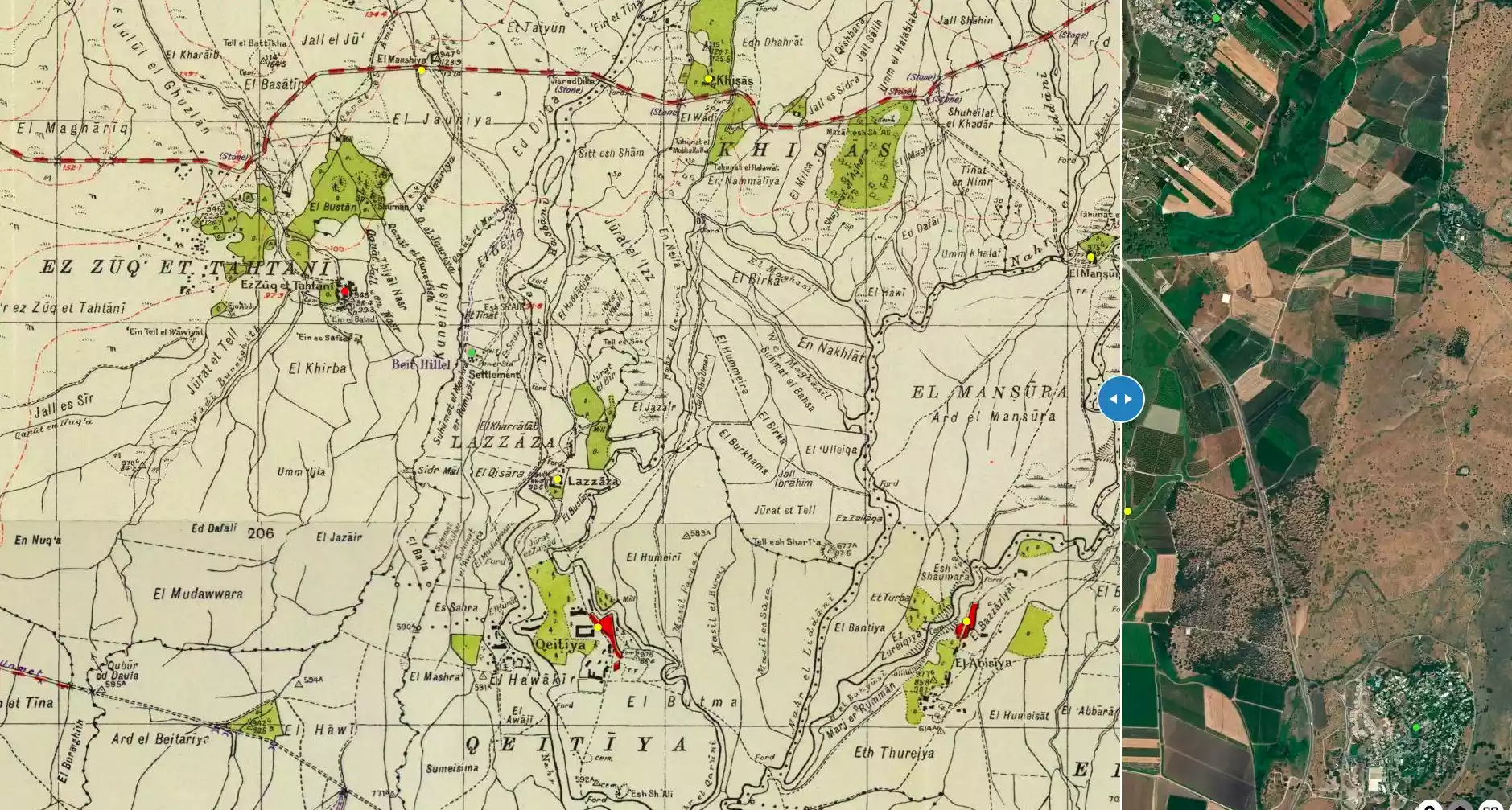
| Pre-Nakba Land Ownership |
**Town Lands' Demarcation Maps |
|||||||||||||||||||||
| Land Usage As of 1945 |
|
|||||||||||||||||||||
| Population |
|
|||||||||||||||||||||
| Number of Houses | In (1931): 123 | |||||||||||||||||||||
| Near By Towns |
||||||||||||||||||||||
|
||||||||||||||||||||||
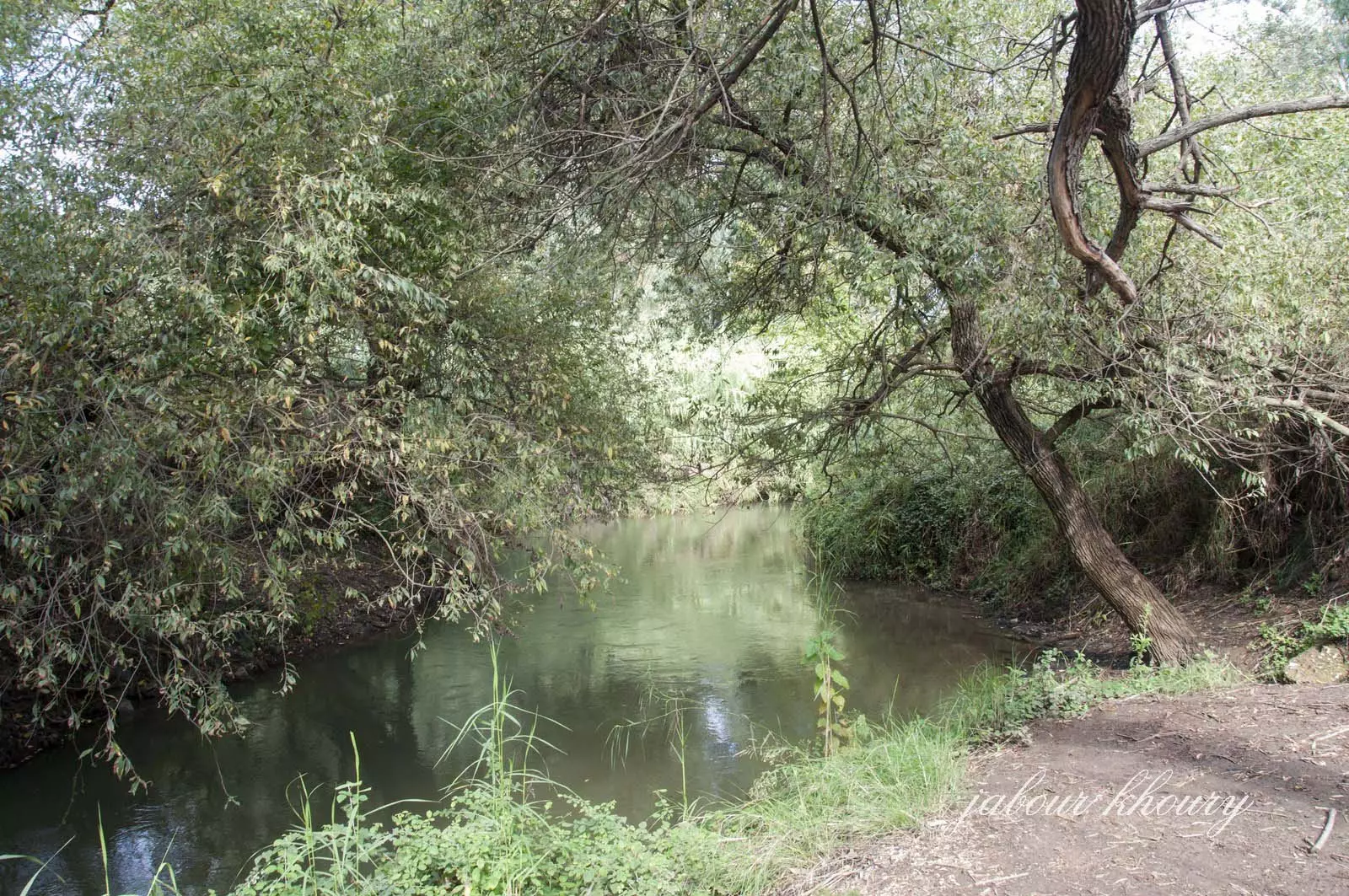
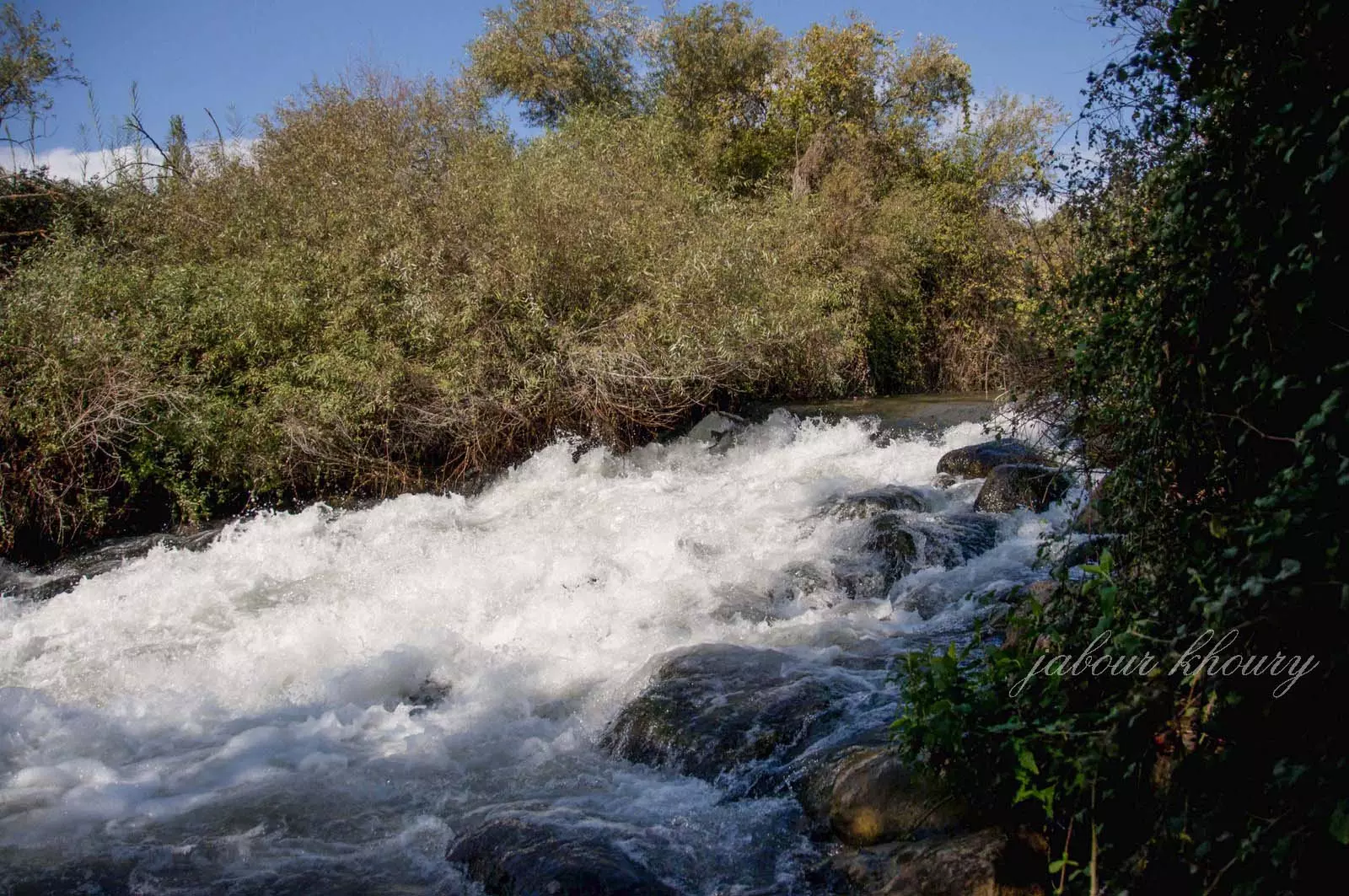
| Nearby Wadies & Rivers | The village close to the Banyas River. | |||||||||||||||||||||
| Water Supply | The village used the water of Banyas River for irrigation, and several nearby springs were used for drinking water. | |||||||||||||||||||||
| Archeological Sites | The village contained the following khirbas:- Tall al-Sakhina, Tall al-Shari'a, and al-Shaykh Ghannam | |||||||||||||||||||||
| Exculsive Jewish Colonies Who Usurped Village Lands |
'Amir , Sde Nechemya, and Kefar Szold | |||||||||||||||||||||
| Featured Video | ||||||||||||||||||||||
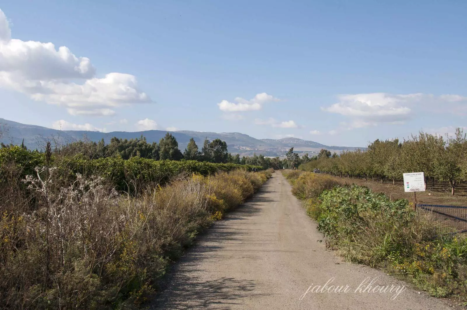
Village Before NakbaWhile the Arab section of the village was demolished, several rooms and stone walls still stand. One of the walls has a rectangular doorlike opening and another has an arched entrance. Otherwise, the site is covered with grass and trees and has become part of the settlement of Meron. The surrounding land is partly planted with apple trees and partly forested; some land also serves as pasture. The area is a tourist attraction.Village Occupation and Ethnic CleaningAccording to Israeli military intelligence, the villagers fled on 25 May 1948, partly as a result of a campaign of psychological warfare that the Israelis implemented in conjunction with Operation Yiftach (see Abil al-Qamh, Safad sub-district). But the village may also have suffered a direct military assault, according to Israeli historian Benny Morris. One of the avowed aims of Operation Yiftach was to render the eastern Galilee and the panhandle empty of all its Palestinian residents. [M:122-23]As early as 18 May, a neighboring Jewish settlement was planning to seize a large part of the lands of this village. The members of Kibbutz Sde Nechemya (Huliot) wrote to the head of the Agricultural Center 'asking, somewhat shamefacedly, for 1,700 dunams of the lands of el 'Abisiya.' Zionists Colonies on Village LandsPrior to 1948, three Jewish settlements were founded very close to the village site. The settlements of 'Amir (208287), built in 1939, and Sde Nechemya (208288), built in 1940, are closer to the site than is the third settlement, Kefar Szold, but are on land that belonged to the village of al-Dawwara (209287). Kefar Szold (211289), established in 1942 on what was traditionally village land, is east of the site.Village TodayNo trace of the village remains. The site is covered with grass, shrubs, and a few scattered trees. The lands around the site are cultivated by the settlement of Kefar Szold.SourceDr. Walid al-Khalidi, 1992: All That Remains. |
||||||||||||||||||||||
| Related Maps | Town Lands' Demarcation Maps خرائط للقضاء توضح حدود القرى والاودية Town's map on MapQuest View from satellite Help us map this town at WikiMapia |
|||||||||||||||||||||
| Related Links | Wikipedia's Page Google Search Google For Images Google For Videos |
|||||||||||||||||||||
| More Information | في كتاب كي لا ننسى في كتاب بلادنا فلسطين المزيد من موقع هوية |
|||||||||||||||||||||
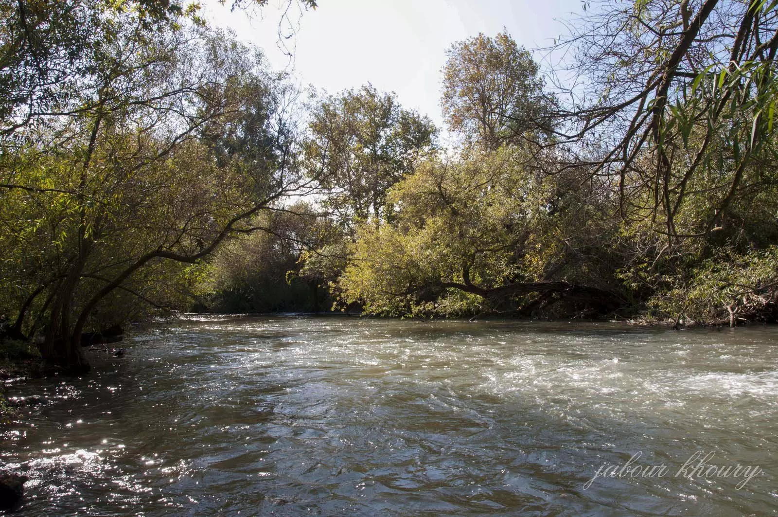
- العبسي نهر بانياس
Posted by زهير خليفة 1 - اراضي القريه نظره من الشرق الى الغرب
Posted by Jabour Khoury - اراضي القريه لم يتبقى ايا أثر للقريه والاراضي يستغلها مستوطنو سديه نحاميا
Posted by Jabour Khoury - موقع القريه الذي يغطيه العشب والاشجار
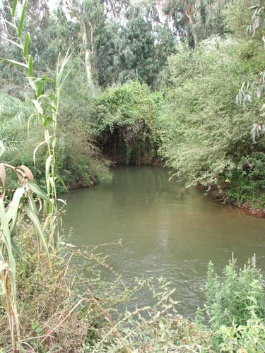
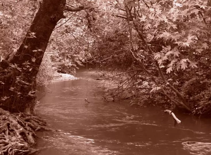
Posted by Jabour Khoury - نهر البانياس عند مروره باراضي القريه
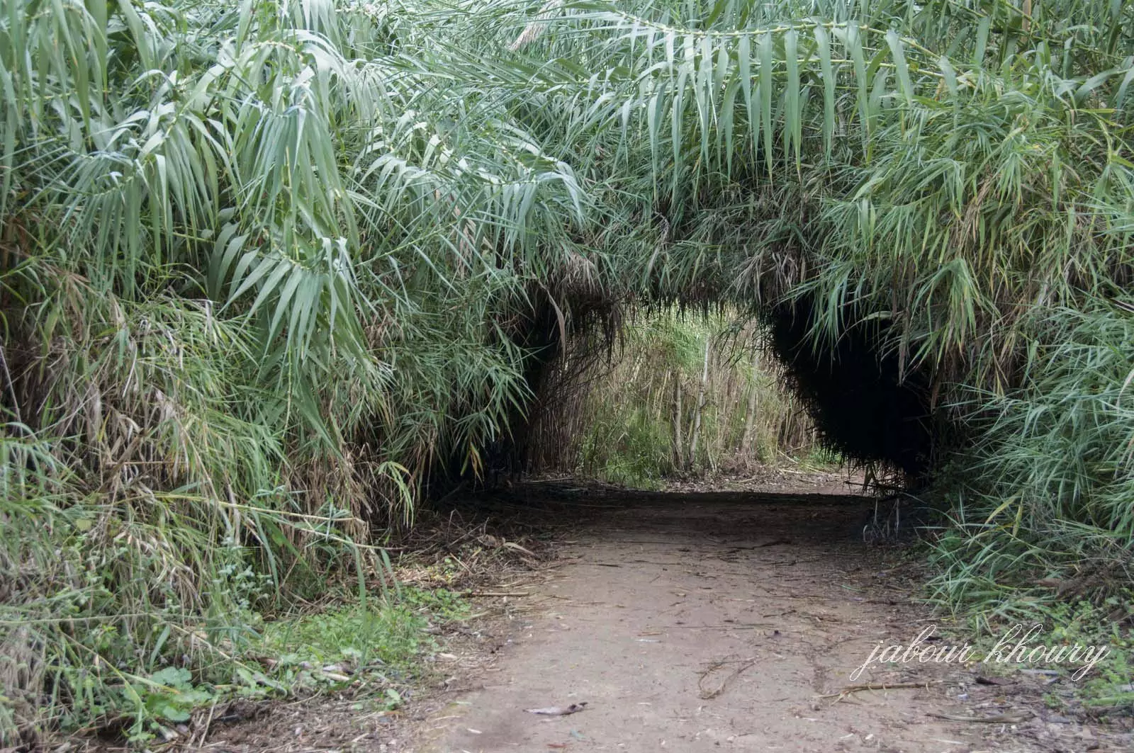
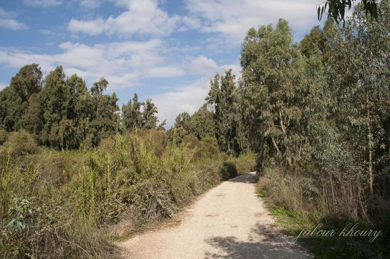
Posted by Jabour Khoury 1 - نفق من الاعشاب في اراضي القريه
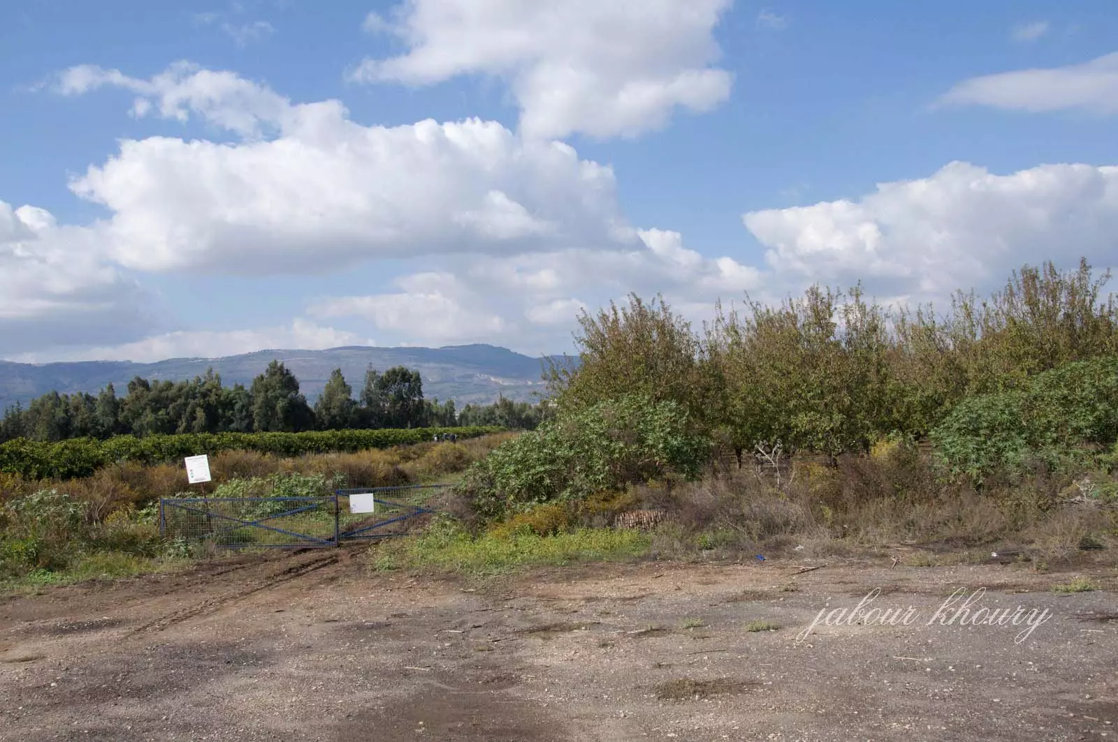
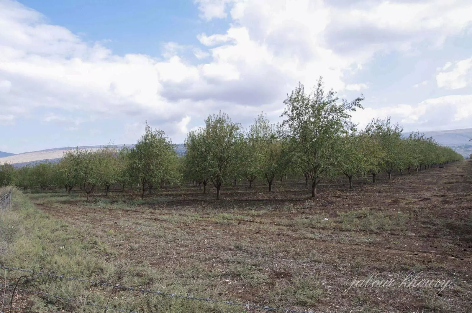
Posted by Jabour Khoury - بساتين اللوز مزروعه في اراضي القريه
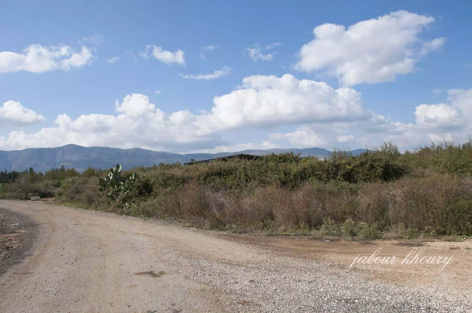
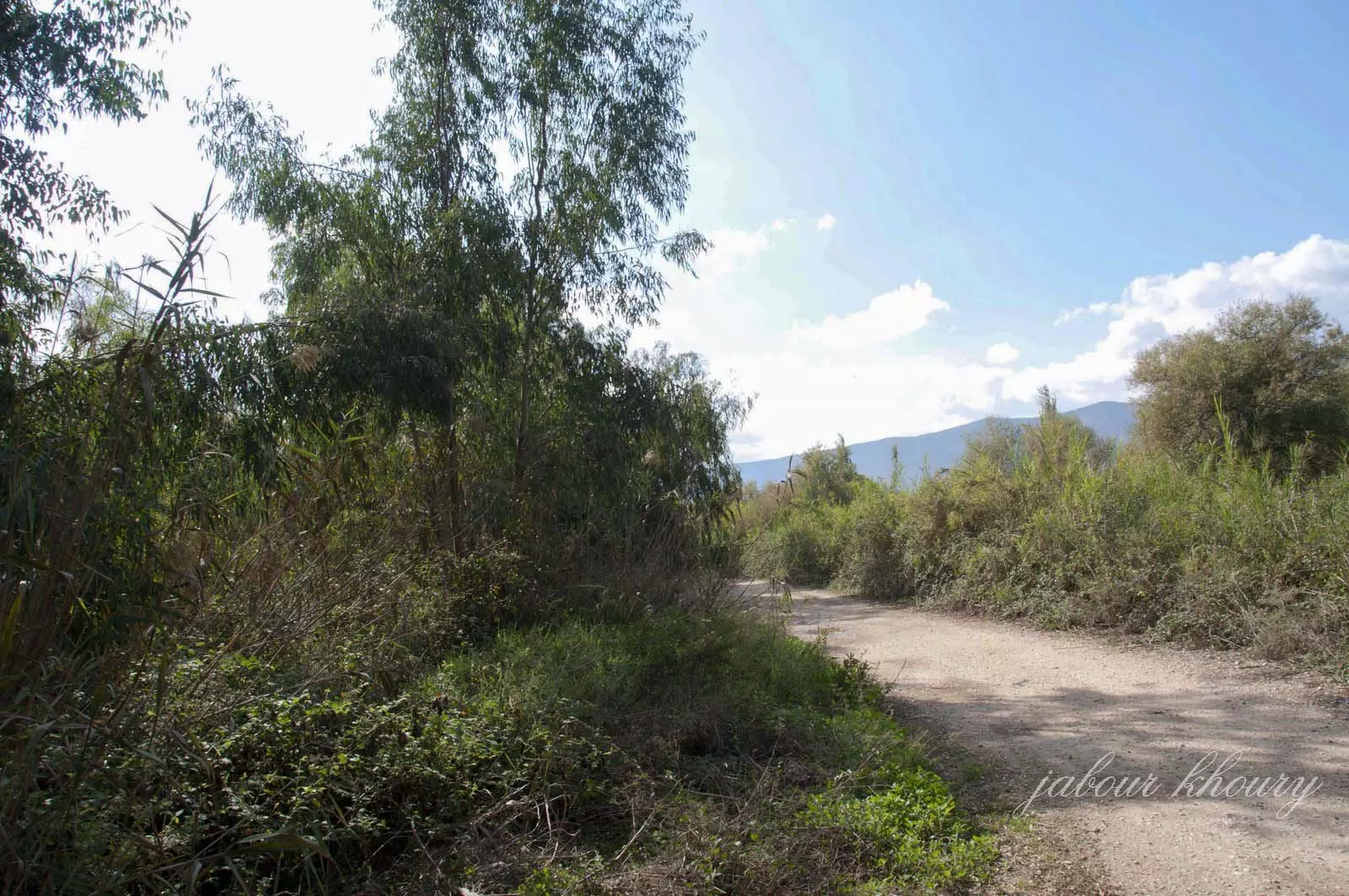
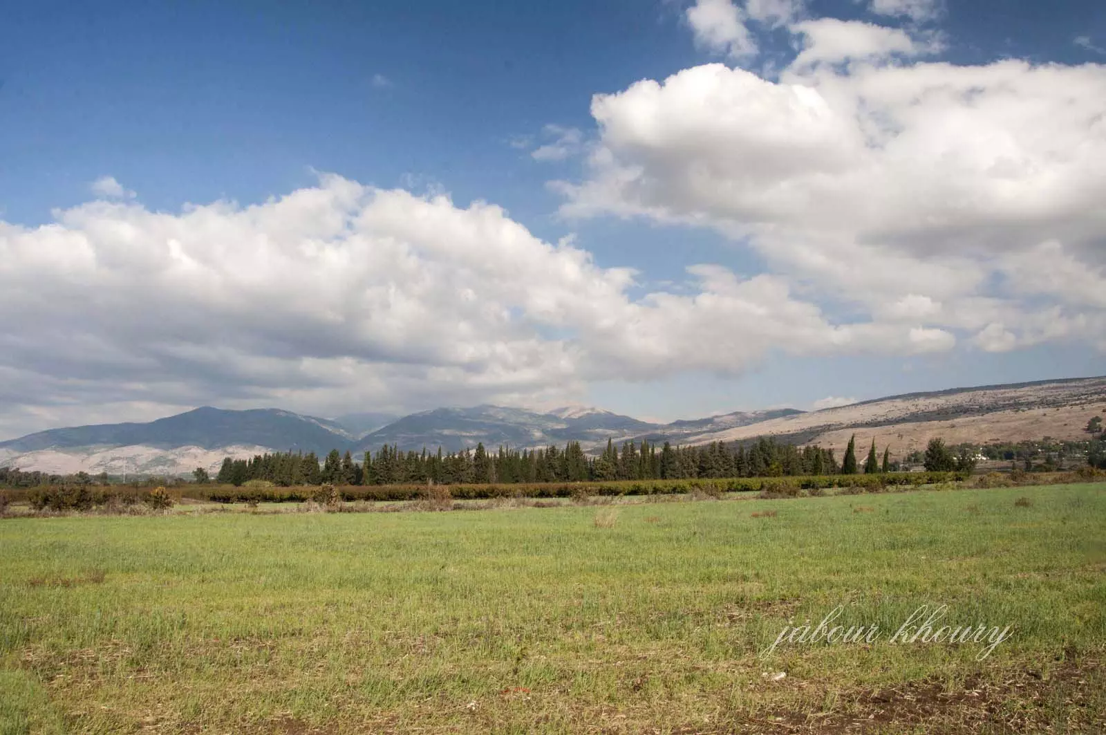
Posted by Jabour Khoury - اراضي القريه
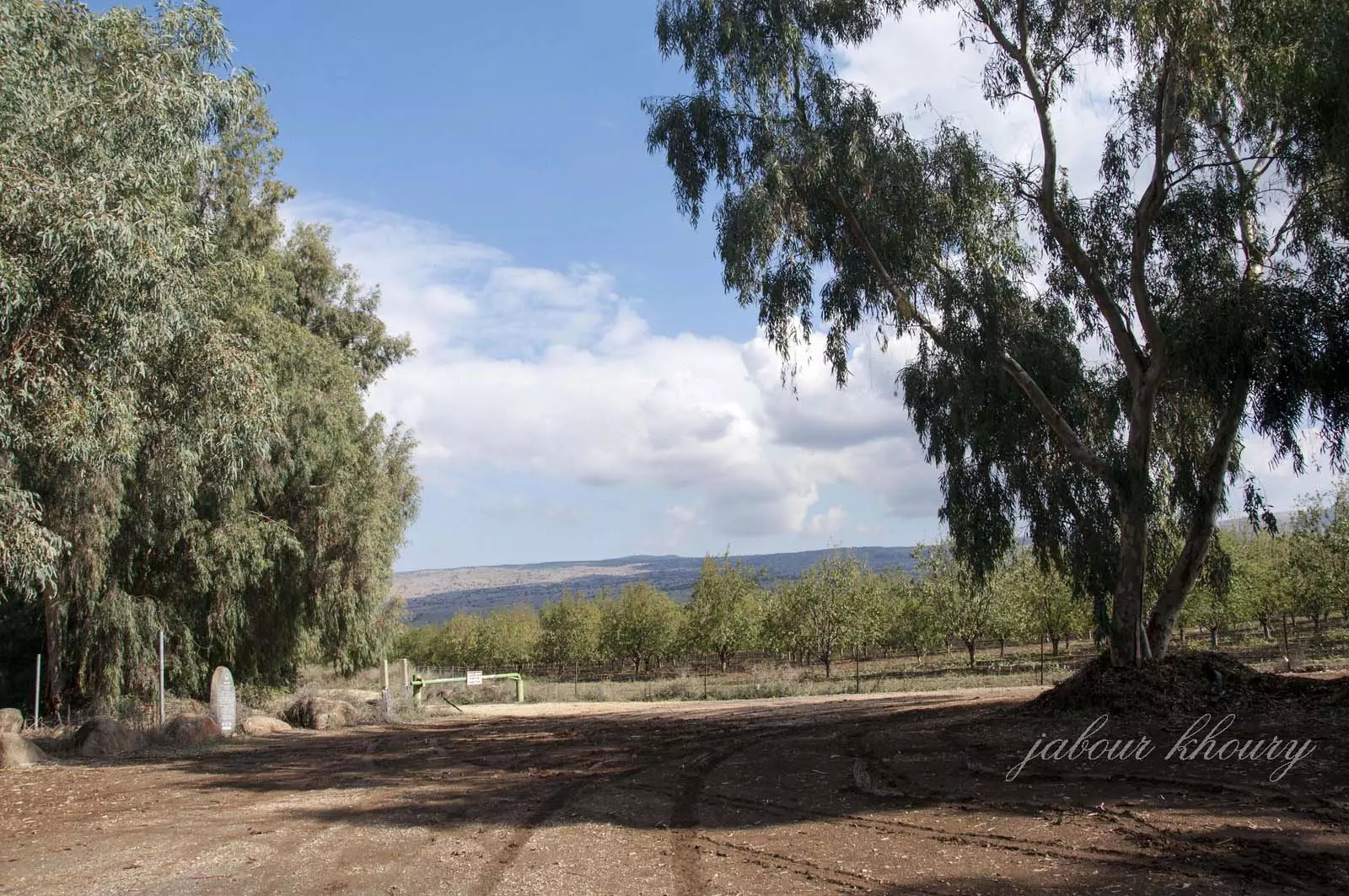
Posted by Jabour Khoury - اراضي القريه المغطاه بالاعشاب والاشجار
Posted by Jabour Khoury - نهر البانياس عند مروره باراضي القريه
Posted by Jabour Khoury - شلال البانياس عند اراضي القريه
Posted by Jabour Khoury - شلال البانياس
Posted by Jabour Khoury - اراضي القريه
Posted by Jabour Khoury - نظره باتجاه الشرق- نحو الجولان وجبل الشيخ
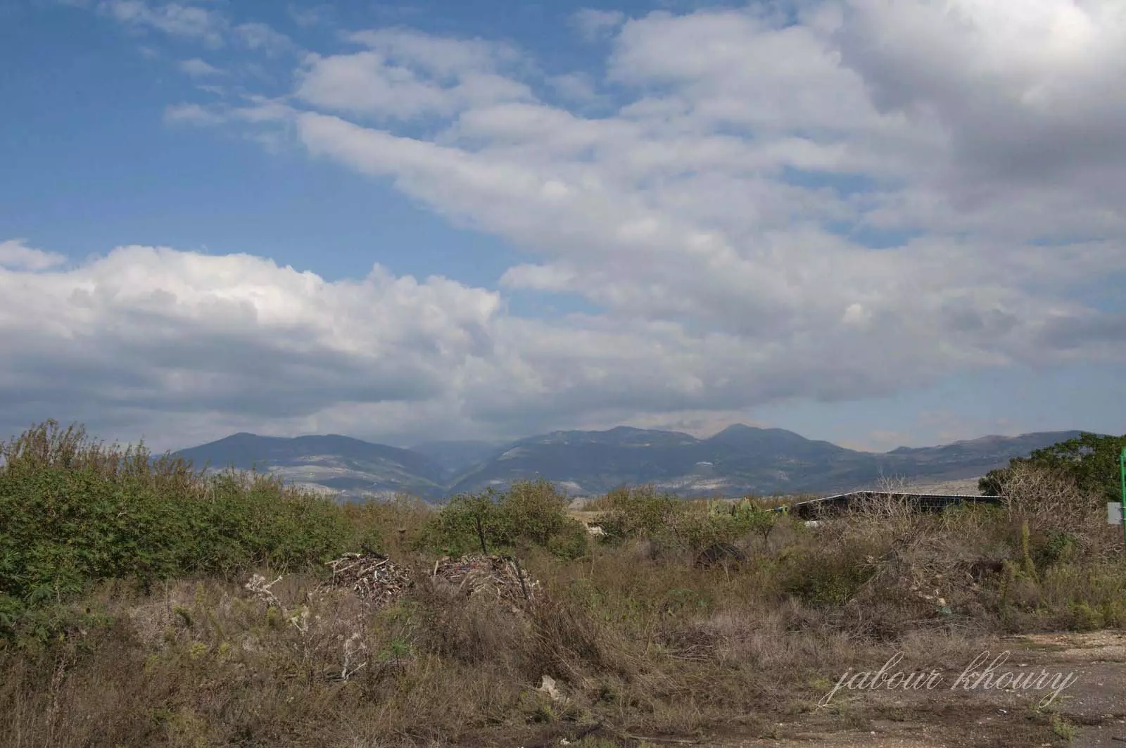
Posted by Jabour Khoury - نظره من اراضي القريه باتجاه الشرق نحو الجولان وجبل الشيخ
Posted by Jabour Khoury - نهر الحاصباني يمر من القريه
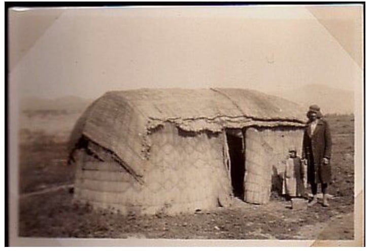
Posted by abu raya - صوره نادره من قريه العباسيه قبل النكبه
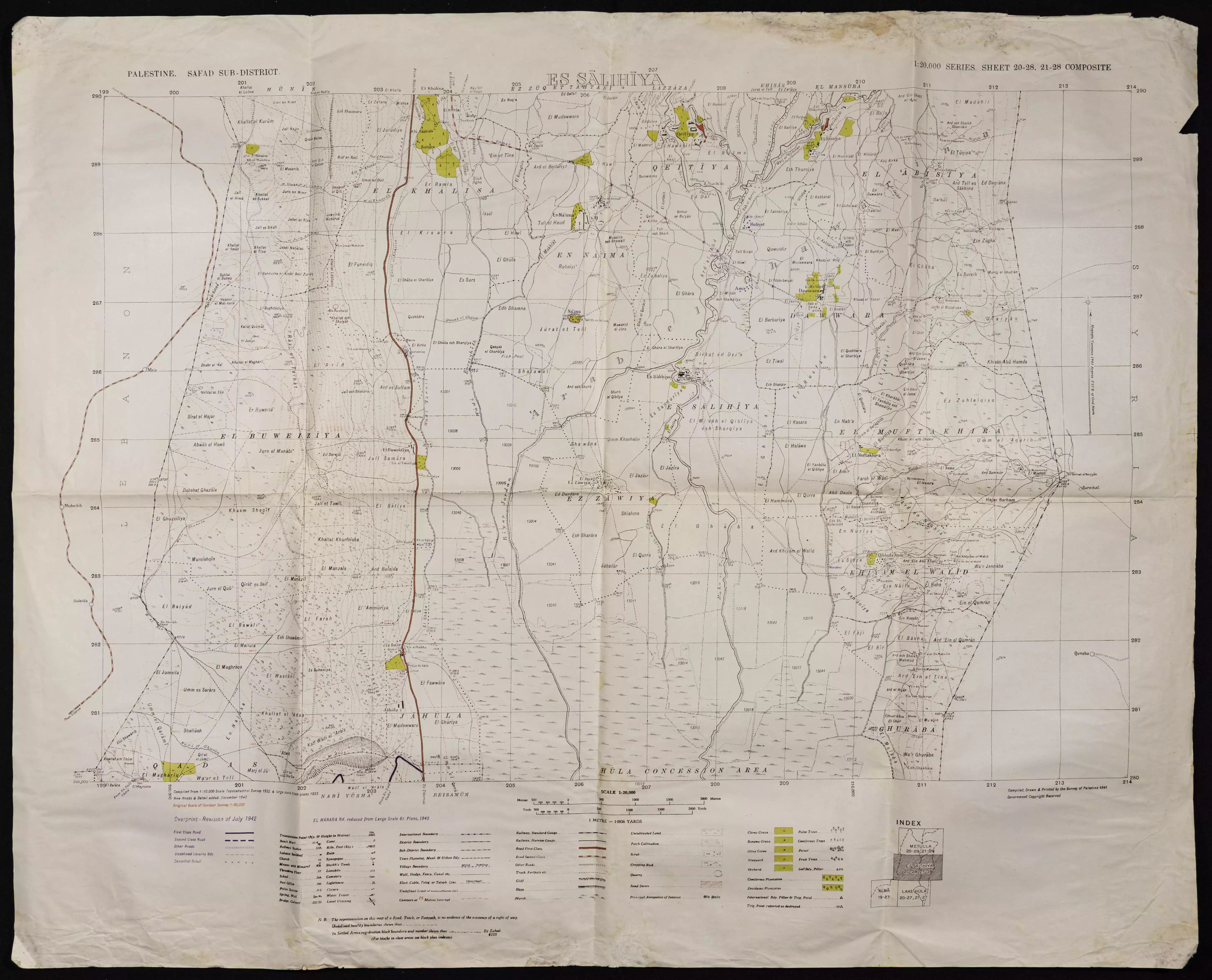
Posted by abu raya - خارطة تُظهِر الحدود والطرق بأنواعها والأماكن المقدسة والطبيعة الطوبغرافية من تلال وسهول ومنحدرات والتشكيلة الطبيعية للأرض وأنواع المزروعات. نُشرت الخريطة فترة الانتداب البريطاني، تم إضافة تعديلات عليها من قِبَل خدمة الخرائط والصور التابعة للقوات العسكرية الاسرائيلية فترة الأربعينيات.
Want to browse more? 80,000 pictures were grouped in these gallaries:
| Display Name | Clan/Hamolah | Country of Residence |
| لؤي محمود | - | - |
| علي بصل | بصل | دمشق |
| adnan shaker | shaker | - |
No links have been shared yet, be free to the first to share the first link.
 Fake Valor: Why Did Zionist Jews Hoist Nazis Flag on Their Ships in the 1930s?
What is new?
-
Facts About Oct. 7th Gaza Raid
-
Remined Us Please:: Who Did Rape Who? Palestinians Raped Israelis? Or, was the other way around?
-
When Prof. Edward Said was invited to debate Bibi Netanyahu in the 1980s, watch what happened!
-
Ezra Klein of the NY Times on the "Jewish Race".
-
Abusing Blood Libel!
-
Did Israeli Soldiers Activate The Hanniba Direective On Oct. 7th? You Be The Judge
-
Zionist FAQ: Isn't it true that Palestinians don't want peace? Palestinians never accepted the two-state solution
- Facts about Haavara (Transfer) Agreement between Ben-Gurion & Hitler
-
Haavara FAQs: Why Did Zionist Jews Hoist Nazis' Flags on Their Ships in the 1930s?
- Haavara FAQs: When Chaim Weizmann met FDR in mid-1943, why was he silent about rescuing European Jewry?
-
Dear ChatGPT: How did Palestinians resist Napoleon's invasion of their country in 1799?
-
Dear ChatGPT: Gaza had a vibrant Jewish community in the mid-17th century. What happened to them?
-
Dear ChatGPT: Why did the Jewish Agency suppress news of the Holocaust during WWII?
-
Video Playlist: Jews share their DNA tests to end the conflict for good.
-
A Tale of Two Conflicts: Examining the Definition of Genocide
-
Prof. Abraham Polak And The Suppressed History of the Khazars and European Jewry
-
How Ronald Reagan would have framed the genocide in Gaza if he were still alive?
-
Haavara FAQs: Let us do the math: how many German Jews did The Haavara Agreement save?
-
Zionist FAQs: The Hebron Massacre of 1929, "clearly proves" that Palestinians are antisemitic, how could you deny it?
-
Zionist FAQs: Why Anti-Zionist Is Not Antisemitism?
-
Zionist FAQs: Isn't it true that the KGB created Palestinian Nationalism in the early 1960s?
- Zionist FAQs: Muslims are killing Muslims all the time; why are Israeli Jews being singled out in the media?
- Zionist FAQs: How is Israel an apartheid state when 20% of its citizens are Arabs who enjoy full rights?
-
Haavara FAQs: Why Did Dorothy Thompson Flip From A Zionist Advocate to A Silenced Dissenter?
-
Haavara FAQs: Analysis of Herzl's Uganda Scheme and how it could have saved millions of Jews.
-
Haavara FAQs: Why did Hayim Greenberg describe American Jewry as "morally bankrupt" in early 1943?
-
Haavara FAQs: What if the Evian Conference was a resounding success? What would have been the impact of saving European Jewry on Zionism?
- Haavara FAQs: What if the six million were saved, how that would have impacted the Zionist project?
-
Haavara FAQs: How did Zionist leaders react when Europe's Jews lingered in the DP camps after WWII ended?
-
Why does the American Jewish community repeat lies that David Ben-Gurion had debunked before he died?
-
Who has the power to rename the Tatar/Khazar Gene Marker to Jewish IV?
-
Zionist FAQs: Why won't Egypt, Syria, and Jordan take their people back? Jews are indigenous to Palestine, and Arabs immigrated after Jews developed the country. Arabs should leave.
-
Haavara FAQs: Did Hitler and the Nazis conflate between Judaism and Zionist? If that wasn't case, then why?
-
Haavara FAQs: Winston Churchill and antisemitism, a collection of articles written Churchill.
-
Haavara FAQs: Broken by country, how many Jews survived vs. killed during the Holocaust?
-
Haavara FAQs: Why did European Jews vote with their feet and to immigrated to the Americas, not Palestine, after WWII?
-
Watch this American Jewish Girl describing Israeli Jews' cognitive dissonance like no other in under two minutes
-
Haavara FAQs: When the Nazis went out of their way to hide the Holocaust, Israeli Jews did the exact opposite by broadcasting their genocide of Gazans. But why?
-
Haavara FAQs: How Zionist Jews went out of their to show their appreciation to Nazism and Fascism?
- Haavara FAQs: Why Zionist leaders were against bombing the death camps & the Railroads leading to them?
-
Haavara FAQs: Hitler's message to the British and American people: If Jews are such noble citizens and you care about them, how come you're not letting them in? I will gladly ship them to you at my expense, even on luxury liners!
-
A shortlist of Zionist and Israeli false flag operations in the name Jews.
-
The Most Moral Army
- The Land of Kapos (Israel): Where the brave are boycotted and Kapos walk free.
- Why did early Zionists often named their communal enterprises "colonial"?
- Zionist Relations with Nazi Germany by Faris Glubb
-
Two NY Times advertisements by Zionists in the early 1943 that exposes Zionists' treason at the height of the calamity
- Facts Not Lies about the Palestinian-Israeli Conflict.
- Site's pictures have been categorized
- Campgain Against Lice
- A Survey of Palestine, the official source about Palestine before Nakba produced by the British Mandate; over 1200 pages.
- Satellite View & Google Earth: Over 6,000 placemarks identifying all destroyed towns, W. Bank & Gaza Strip Towns, & refugee camps.
- PalestineRemembered.com and its Nakba Oral History Project were featured on al-Jazeera Satellite TV.
- Nakba Oral History Video Podcast:
 Over 700 Oral History interviews (including 3,500+ hours of recording) can be viewed online.
 - Palestine Village Statistics Project
- Gaza Jail Break
- النسخة العربية للموقع الان متوفرة
- Videos: Documenting the destroyed villages in video: Tracing all that remains since Nakba.
- Videos: Responding to Zionist Propaganda
- Interview: The ethnic cleansing of Palestine: George Galloway interviews Israeli Historian Ilan Pappe.
- For Palestinians, memory matters. It provides a blueprint for their future By George Bisharat.
- Zionist FAQ now available in Hebrew שאלות שציונים שואלים, עכשיו בעברית
- Video: The Stephen Walt and John Mearsheimer report on the influence of the Israel Lobby on U.S. Foreign Policy
- The Palestinian-Israeli conflict for beginners
