| PalestineRemembered | About Us | Oral History | العربية | |
| Pictures | Zionist FAQs | Haavara | Maps | |
| Search |
| Camps |
| Districts |
| Acre |
| Baysan |
| Beersheba |
| Bethlehem |
| Gaza |
| Haifa |
| Hebron |
| Jaffa |
| Jericho |
| Jerusalem |
| Jinin |
| Nablus |
| Nazareth |
| Ramallah |
| al-Ramla |
| Safad |
| Tiberias |
| Tulkarm |
| Donate |
| Contact |
| Profile |
| Videos |
Welcome To al-Hamra' - الحمراء (הראוי)
|
District of Safad
Ethnically cleansed days ago |
العربية Google Earth |
 |
Gallery (22) |
- Statistics & Facts
-
Before & After

- Satellite View
- Articles 1
- Pictures 22
- Members
- All That Remains
- Wikipedia
- Videos
- Guest Book 1
- Links
| Statistic & Fact | Value |
| Occupation Date | May 1, 1948 |
| Distance From District | 24.5 (km) North East of Safad |
| Elevation | 100 (meters) |
| Before & After Nakba, Click Map For Details |
|
|
|
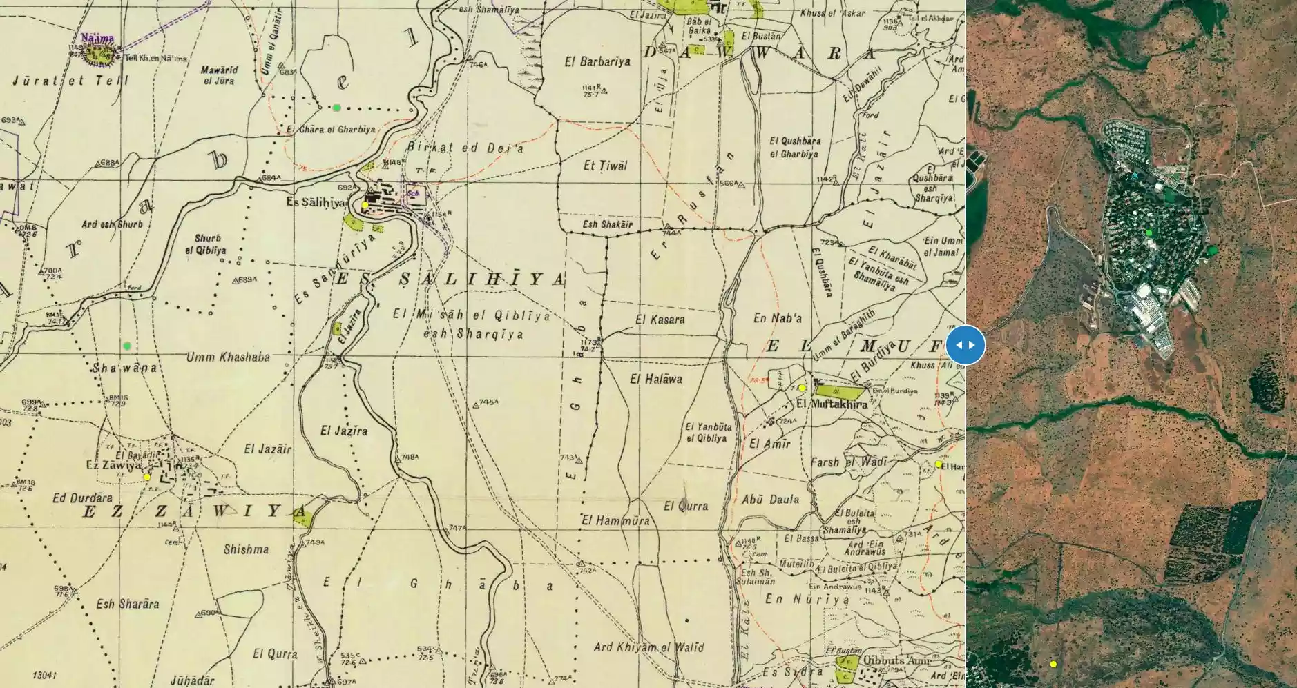
| Map Location | See location #18 on the map View from satellite |
| Military Operation | Operation Yiftach (commanded by the ethnic cleansing champion Yigal Allon) |
| Attacking Units | The Palmach's First Battalion |
| Exodus Cause | Military assault by Zionist troops |
| Village Temains | The village has been completely destroyed with the exception of two deserted housed. If any of the remaining houses is yours, please submit an application with our claim department! |
| Ethnically Cleansing | al-Hamra' inhabitants were completely ethnically cleansed. |
| Nearby Wadies & Rivers | The village was situated 1 km northwest of Wadi al-Dufayla. |
| Exculsive Jewish Colonies Who Usurped Village Lands |
Shamir |
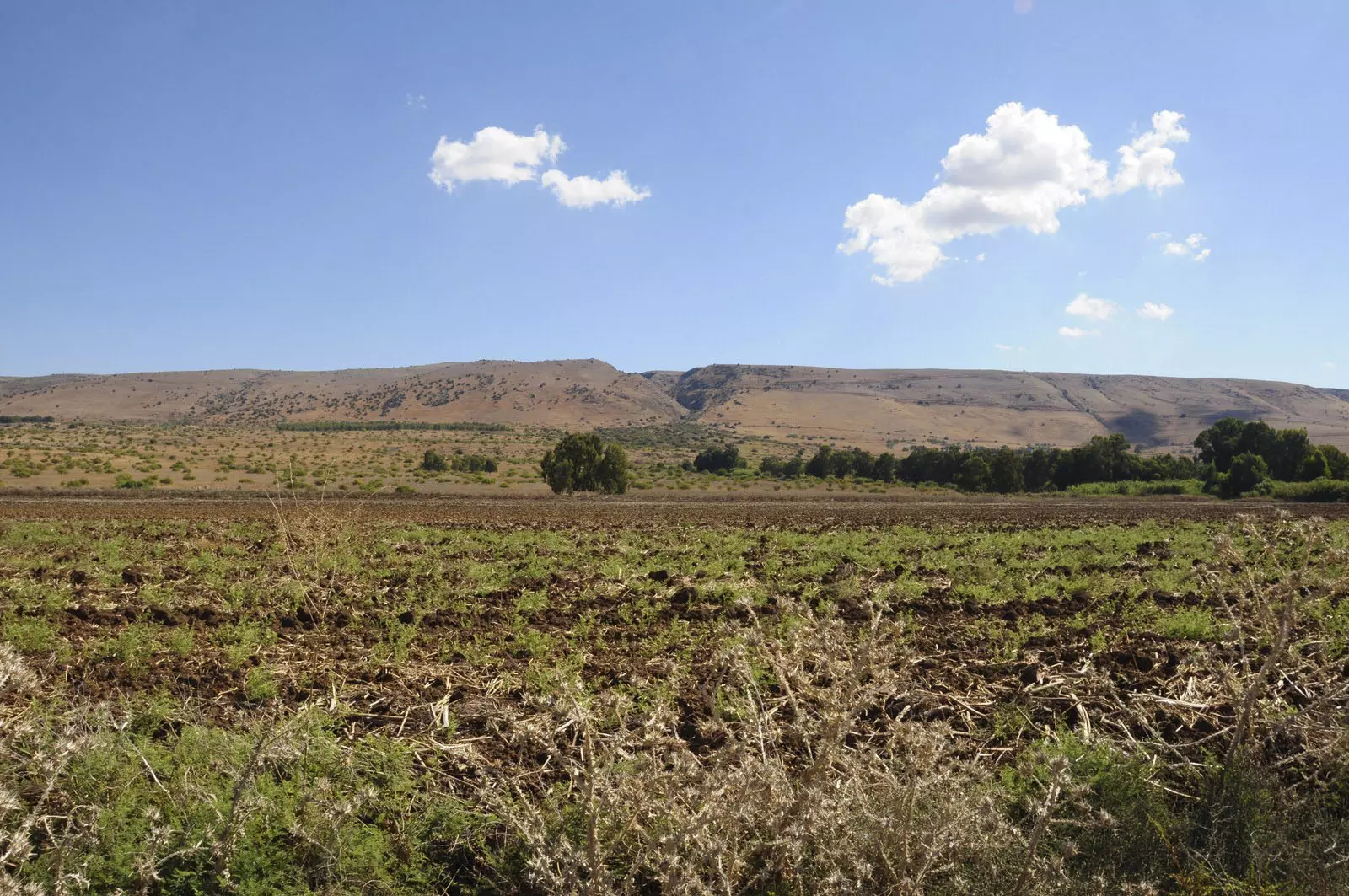
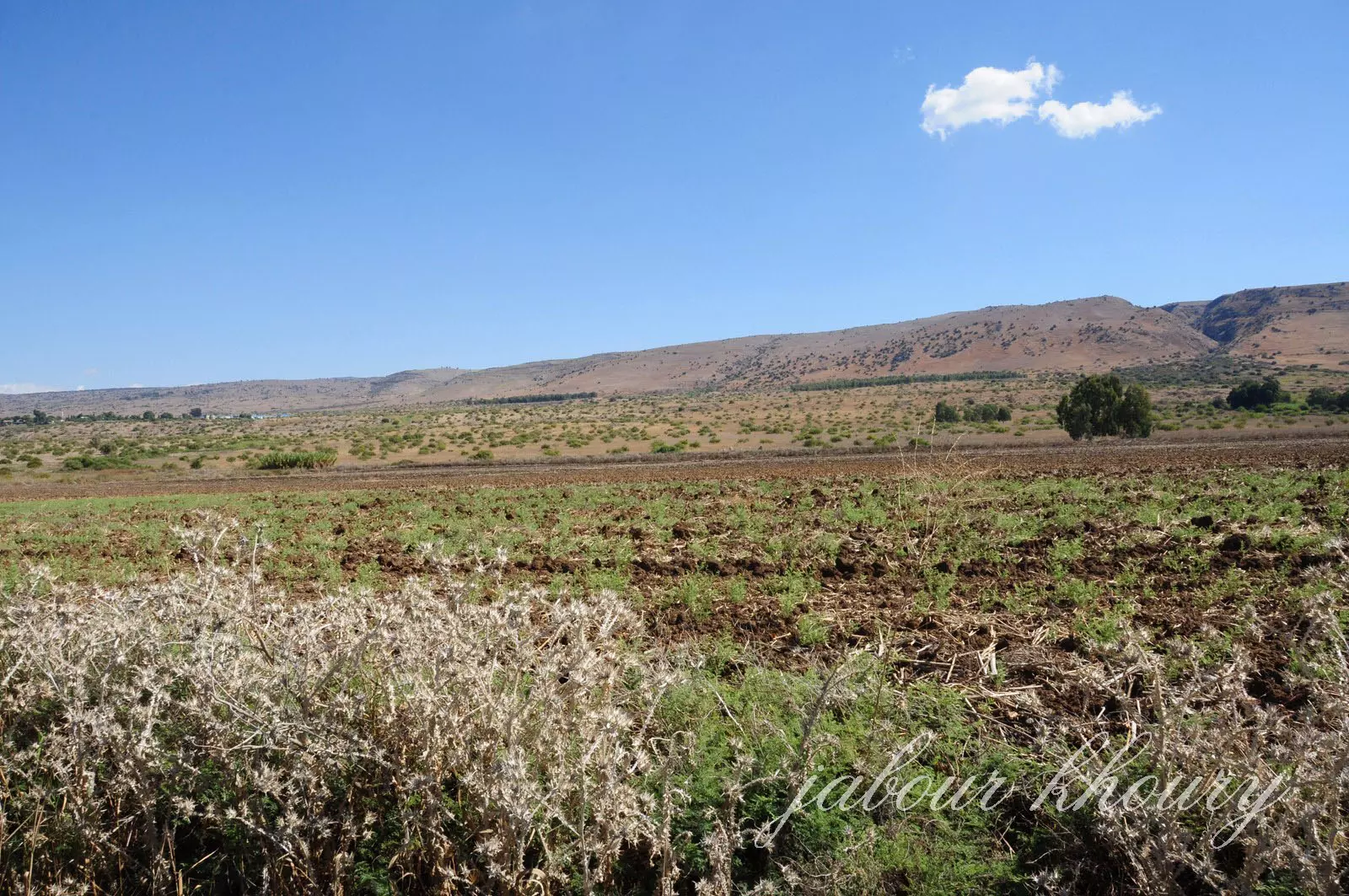
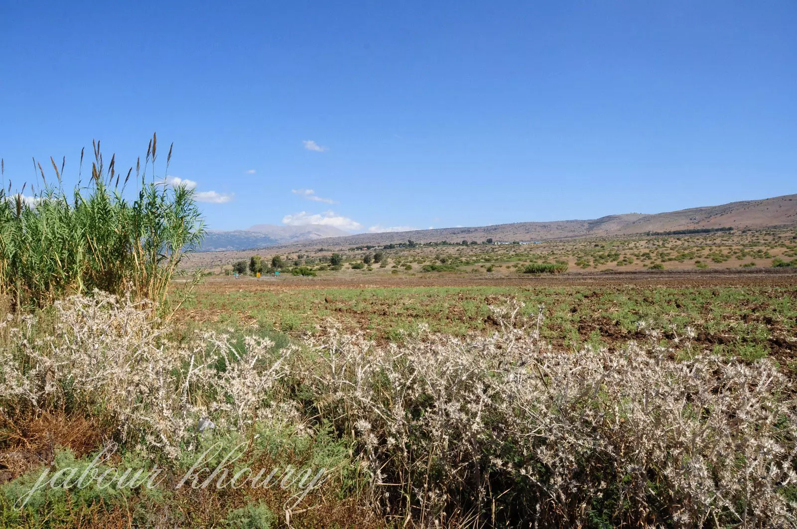
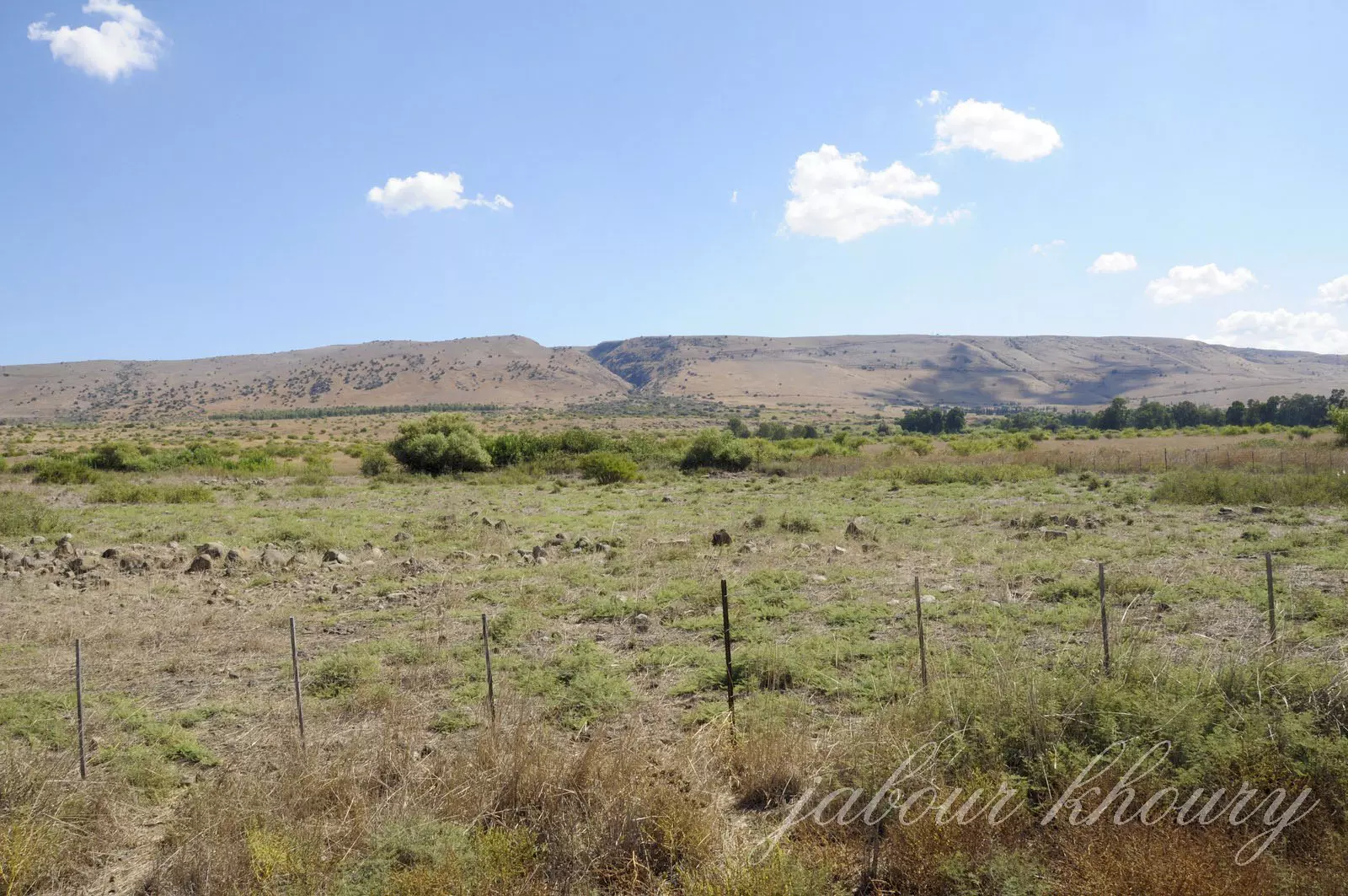
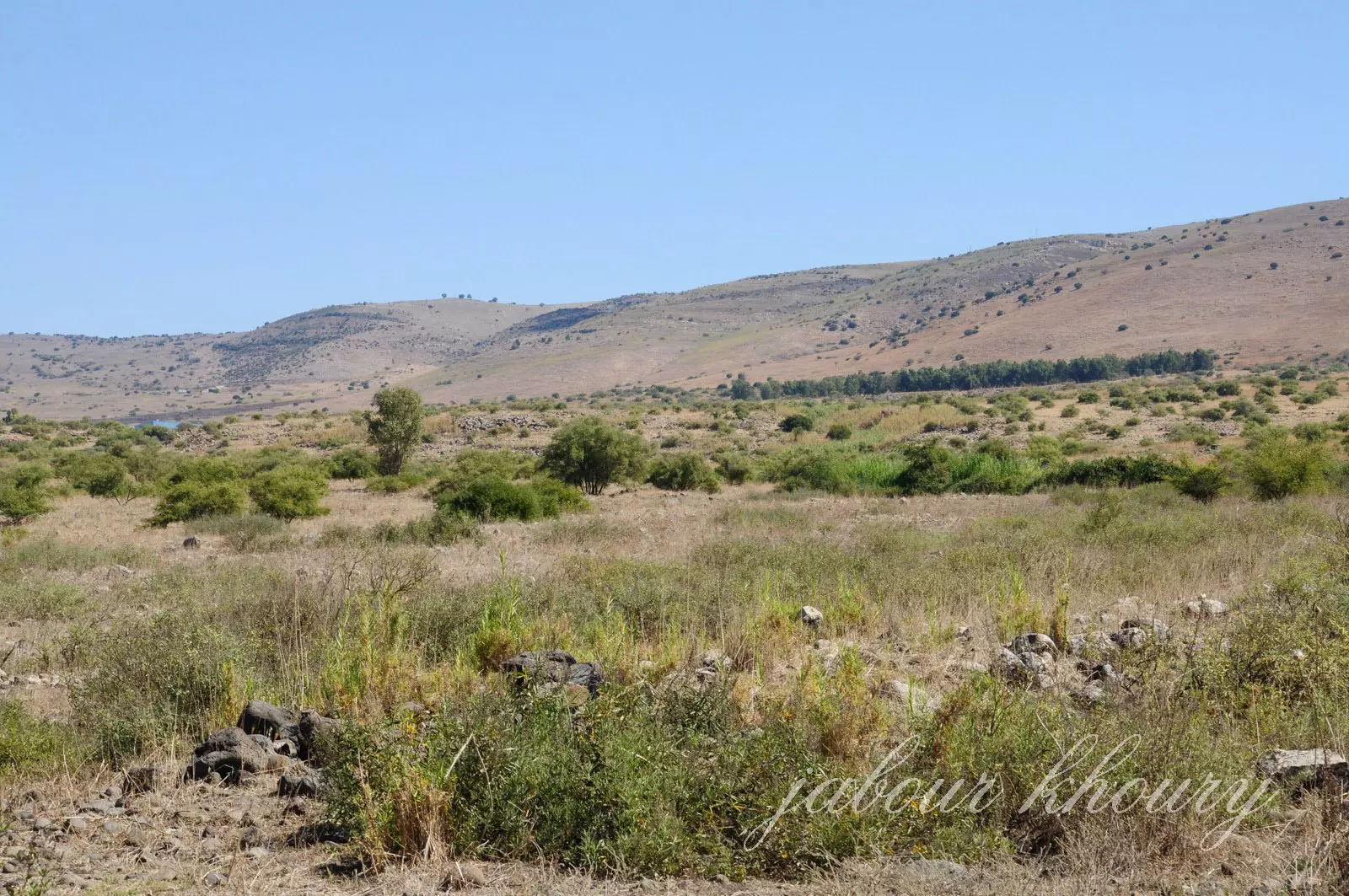
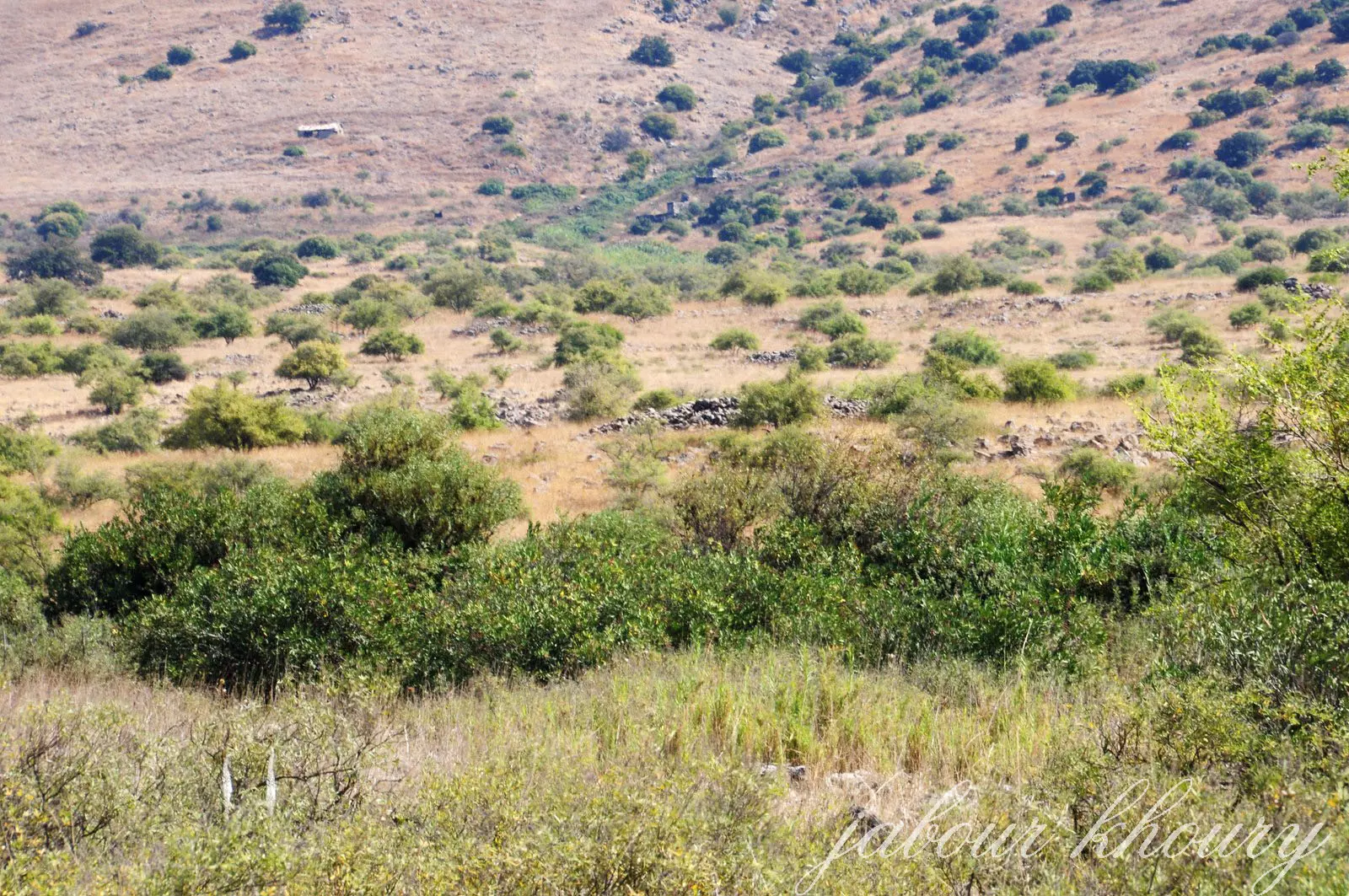
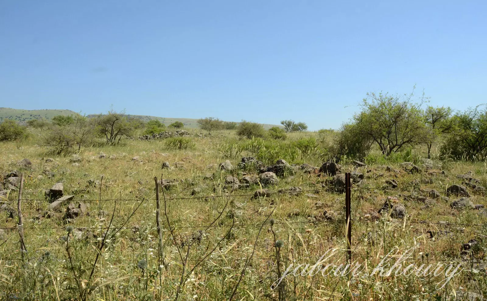
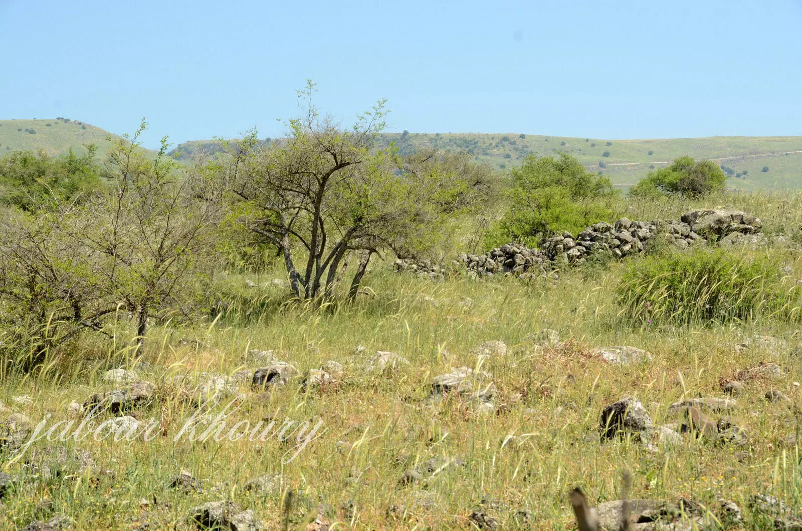
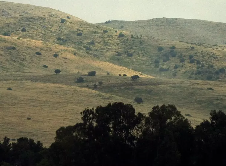
Village Before NakbaThe village, classified as a hamlet by the Palestine Index Gazetteer, was located on the lower slopes of the Golan Heights. It overlooked the al-Hula Plain on all sides except the east and faced the village of al-Muftakhira, about 1 km to the northwest. Wadi al-Dufayla, which drained the Golan Heights, flowed between the two villages in a northeast-southwest direction, turning sharply to the south below al-Muftakhira.Village Occupation and Ethnic CleaningIsraeli military intelligence claimed that the residents of al-Hamra', fearing an attack by Zionist forces, fled in panic on 1 May. The residents of Khiyam al-Walid and Ghuraba (1 km southeast and 3 km south of the village, respectively) left their villages on the same day. Al-Hamra' was seized during Operation Yiftach (see Abil al-Qamh, Safad sub-disctrict). No mention is made of the villagers' destination or the ultimate fate of the village itself.Zionists Colonies on Village LandsThe settlement of Shamir (212285), established in 1944, is about 2 km northeast of the site; it is not on village lands.Village TodayThe entire site is fenced in and serves as an Israeli cow pasture (see photo). Two houses built of stone without mortar stand on the site. The remains of some black basalt walls are also visible.SourceDr. Walid al-Khalidi, 1992: All That Remains. |
|
| Related Maps | Town Lands' Demarcation Maps خرائط للقضاء توضح حدود القرى والاودية Town's map on MapQuest View from satellite Help us map this town at WikiMapia |
| Related Links | Wikipedia's Page Google Search Google For Images Google For Videos |
| More Information | في كتاب كي لا ننسى المزيد من موقع هوية |
- Village Land In 1990
Scanned from "All That Remains" by Dr. Walid Khalidi - موقع القريه والاراضي التي تحدها من الجنوب
Posted by Jabour Khoury - موقع القريه في مركز الصوره
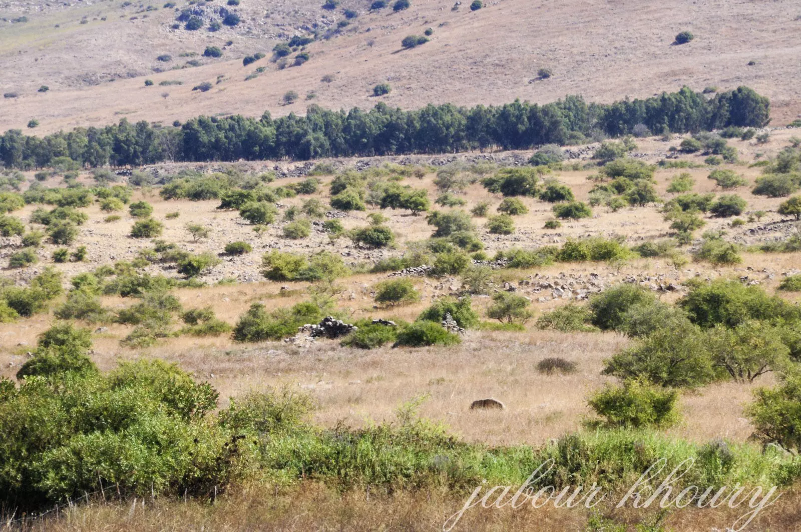
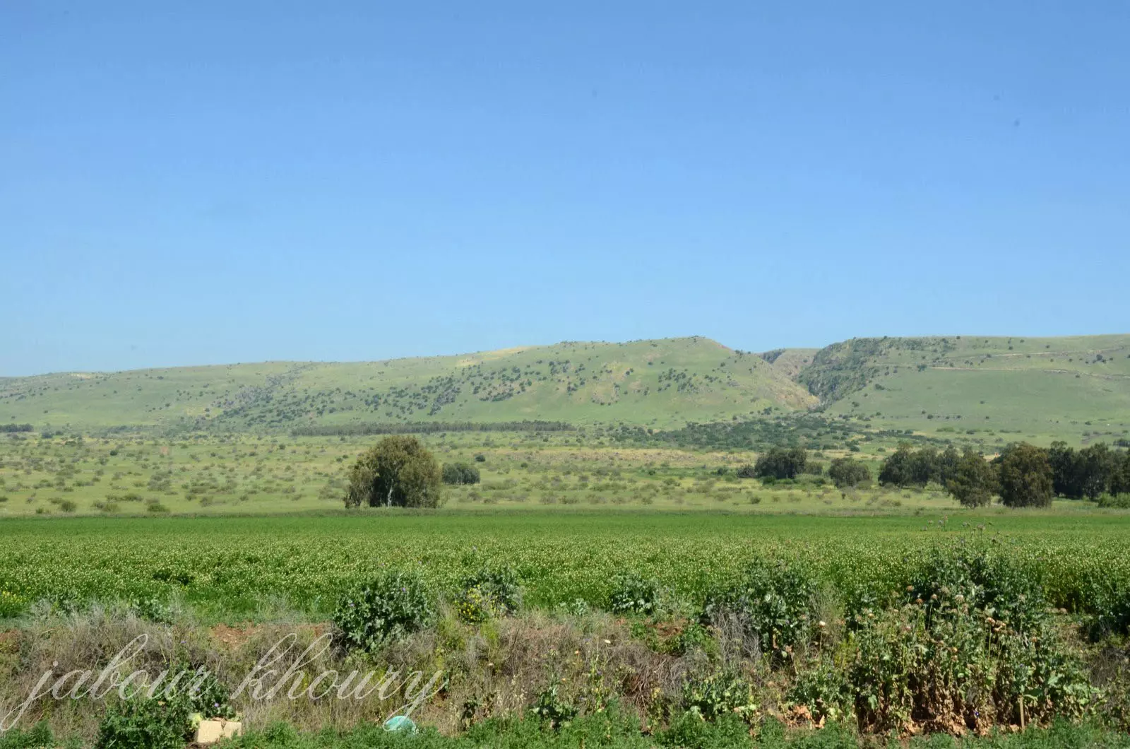
Posted by Jabour Khoury - مركز القريه والارضي التي تحدها من جهه الشمال وتظهر في الصوره المستوطنه التي اقيمت على اراضيها
Posted by Jabour Khoury - مركز القريه ويظهر بوضوح الردم البيوت في كل مكان
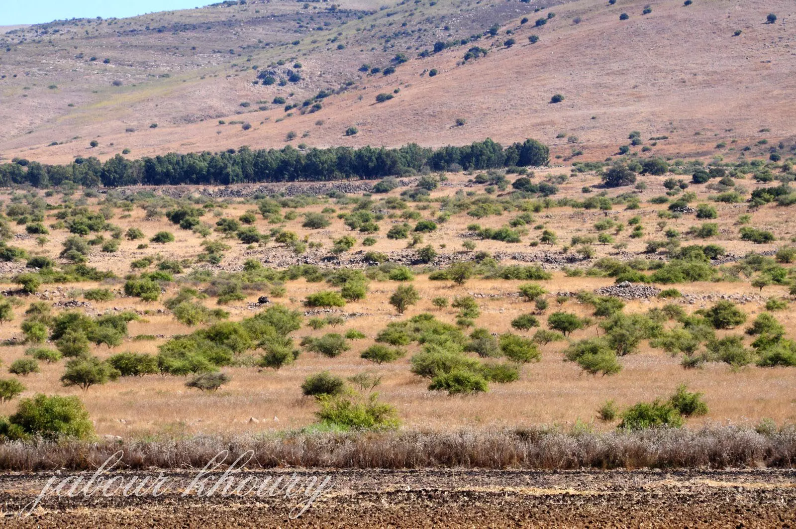
Posted by Jabour Khoury - مركز القريه
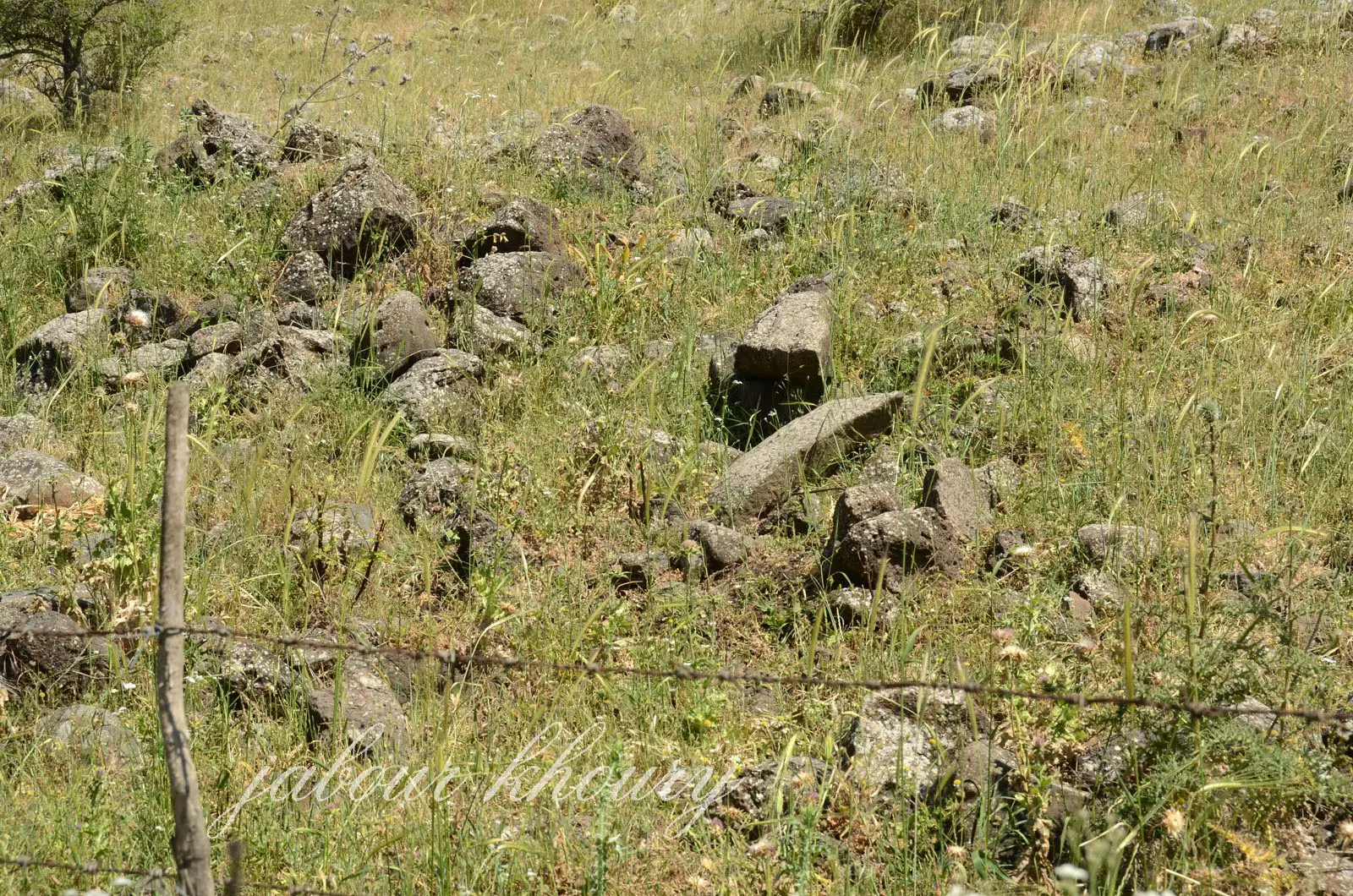
Posted by Jabour Khoury - ردم المنازل
Posted by Jabour Khoury - ردم المنازل
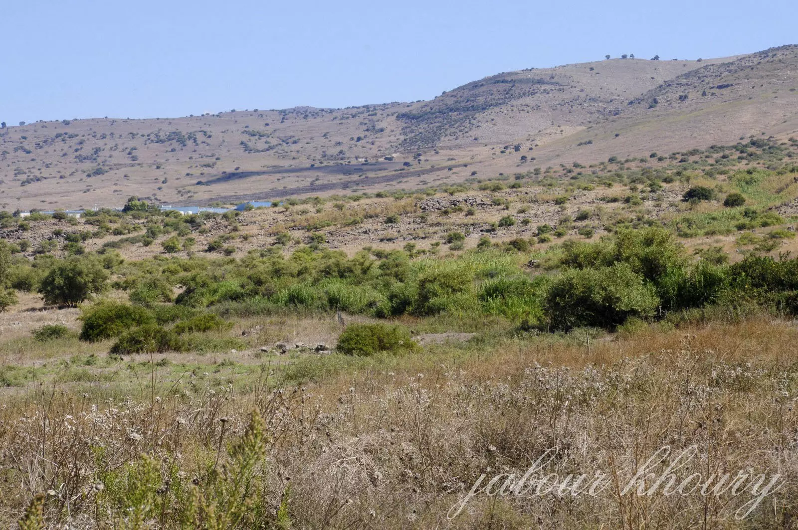
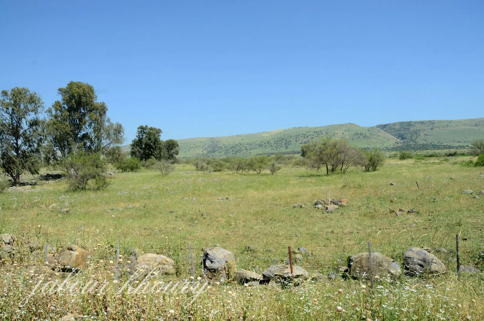
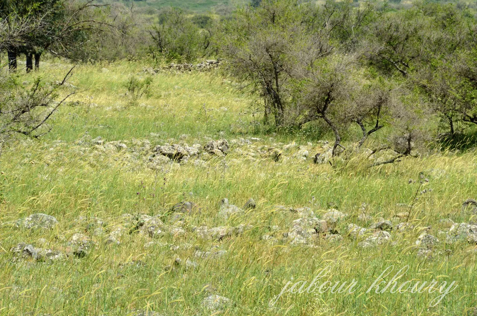
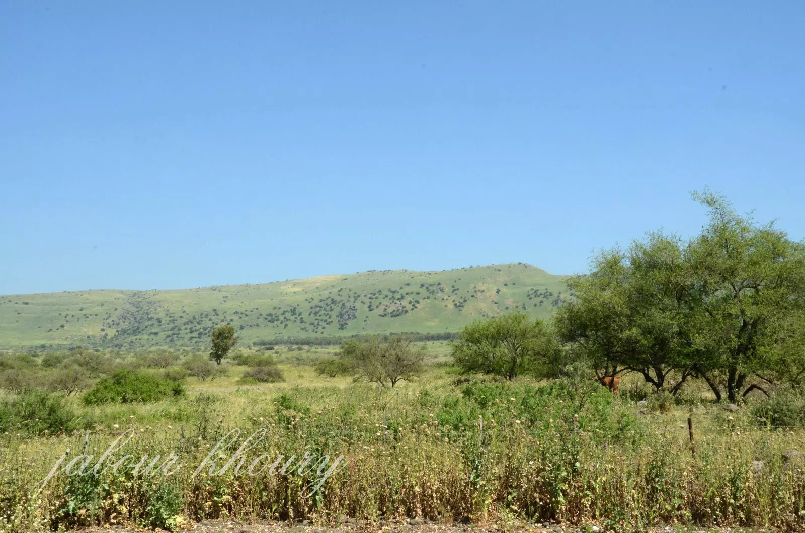
Posted by Jabour Khoury - جنوب القريه واراضي القريه محاطه بالسياج وممنوع الدخول اليها وتستعمل للمراعي
Posted by Jabour Khoury - ردم المنازل في مقدمه الصوره وفي مركزها
Posted by Jabour Khoury - اثار الردم وفي خلفيه الصوره تظهر طاحونه ماء على ضفاف الوادي الذي يحد القريه من الشرق
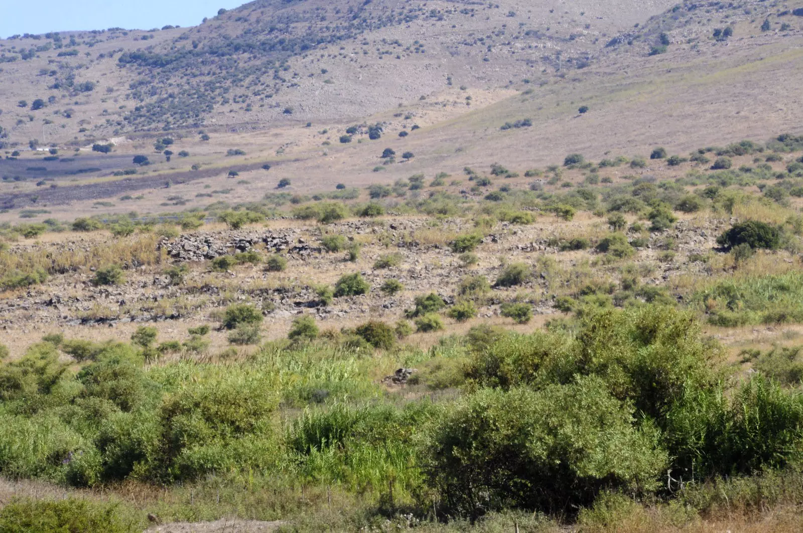
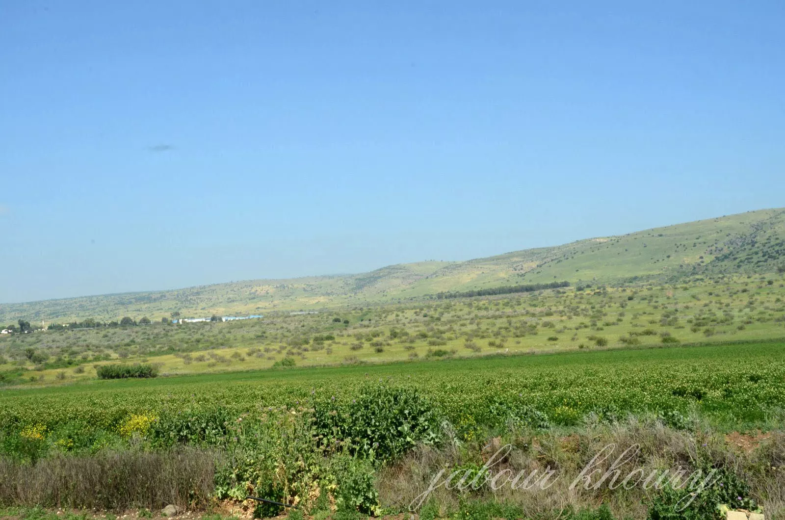
Posted by Jabour Khoury - اراضي القريه من جهه الشمال
Posted by Jabour Khoury - ردم البيوت في اراضي القريه من جهه الشمال
Posted by Jabour Khoury - بقايا المنازل
Posted by Jabour Khoury - اراضي القريه من جهه الغرب
Posted by Jabour Khoury - الوادي الذي يحد القريه من جهه الشرق وكان على ضفتيه كثير من الطواحين
Posted by Jabour Khoury - وسط القريه
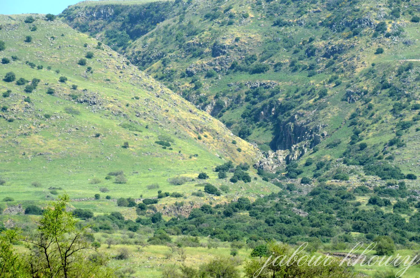
Posted by Jabour Khoury - شرق القريه

Posted by Jabour Khoury - وسط القريه
Posted by Jabour Khoury - جنوب القريه في فصل الربيع
Posted by Jabour Khoury - موقع القريه في فصل الربيع
Posted by Jabour Khoury - نظره من سهل الحوله باتجاه موقع القريه
Posted by abu raya
Want to browse more? 80,000 pictures were grouped in these gallaries:
| Display Name | Clan/Hamolah | Country of Residence |
No links have been shared yet, be free to the first to share the first link.
 Fake Valor: Why Did Zionist Jews Hoist Nazis Flag on Their Ships in the 1930s?
What is new?
-
Facts About Oct. 7th Gaza Raid
-
Remined Us Please: Who Did Rape Whom? Was it Palestinians who raped Israelis? Or, was the other way around? You'll be the judge
-
When Prof. Edward Said was invited to debate Bibi Netanyahu in the 1980s, watch what happened!
-
Ezra Klein of the NY Times on the "Jewish Race".
-
Abusing Blood Libel!
-
How and why Israeli Jewry has become the most hated cult?
-
Did Israeli Soldiers Activate The Hannibal Direective On Oct. 7th? You Be The Judge
-
Zionist FAQ: Isn't it true that Palestinians don't want peace? Palestinians never accepted the two-state solution
- Facts about Haavara (Transfer) Agreement between Ben-Gurion & Hitler
-
Haavara FAQs: Why Did Zionist Jews Hoist Nazis' Flags on Their Ships in the 1930s?
- Haavara FAQs: When Chaim Weizmann met FDR in mid-1943, why was he silent about rescuing European Jewry?
-
Dear ChatGPT: How did Palestinians resist Napoleon's invasion of their country in 1799?
-
Dear ChatGPT: Gaza had a vibrant Jewish community in the mid-17th century. What happened to them?
-
Dear ChatGPT: Why did the Jewish Agency suppress news of the Holocaust during WWII?
-
Video Playlist: Jews share their DNA tests to end the conflict for good.
-
A Tale of Two Conflicts: Examining the Definition of Genocide
-
Prof. Abraham Polak And The Suppressed History of the Khazars and European Jewry
-
How Ronald Reagan would have framed the genocide in Gaza if he were still alive?
-
Haavara FAQs: Let us do the math: how many German Jews did The Haavara Agreement save?
-
Zionist FAQs: The Hebron Massacre of 1929, "clearly proves" that Palestinians are antisemitic, how could you deny it?
-
Zionist FAQs: Why Anti-Zionist Is Not Antisemitism?
-
Zionist FAQs: Isn't it true that the KGB created Palestinian Nationalism in the early 1960s?
- Zionist FAQs: Muslims are killing Muslims all the time; why are Israeli Jews being singled out in the media?
- Zionist FAQs: How is Israel an apartheid state when 20% of its citizens are Arabs who enjoy full rights?
-
Haavara FAQs: Why Did Dorothy Thompson Flip From A Zionist Advocate to A Silenced Dissenter?
-
Haavara FAQs: Analysis of Herzl's Uganda Scheme and how it could have saved millions of Jews.
-
Haavara FAQs: Why did Hayim Greenberg describe American Jewry as "morally bankrupt" in early 1943?
-
Haavara FAQs: What if the Evian Conference was a resounding success? What would have been the impact of saving European Jewry on Zionism?
- Haavara FAQs: What if the six million were saved, how that would have impacted the Zionist project?
-
Haavara FAQs: How did Zionist leaders react when Europe's Jews lingered in the DP camps after WWII ended?
-
Why does the American Jewish community repeat lies that David Ben-Gurion had debunked before he died?
-
Who has the power to rename the Tatar/Khazar Gene Marker to Jewish IV?
-
Zionist FAQs: Why won't Egypt, Syria, and Jordan take their people back? Jews are indigenous to Palestine, and Arabs immigrated after Jews developed the country. Arabs should leave.
-
Haavara FAQs: Did Hitler and the Nazis conflate between Judaism and Zionist? If that wasn't case, then why?
-
Haavara FAQs: Winston Churchill and antisemitism, a collection of articles written Churchill.
-
Haavara FAQs: Broken by country, how many Jews survived vs. killed during the Holocaust?
-
Haavara FAQs: Why did European Jews vote with their feet and to immigrated to the Americas, not Palestine, after WWII?
-
Watch this American Jewish Girl describing Israeli Jews' cognitive dissonance like no other in under two minutes
-
Haavara FAQs: When the Nazis went out of their way to hide the Holocaust, Israeli Jews did the exact opposite by broadcasting their genocide of Gazans. But why?
-
Haavara FAQs: How Zionist Jews went out of their to show their appreciation to Nazism and Fascism?
- Haavara FAQs: Why Zionist leaders were against bombing the death camps & the Railroads leading to them?
-
Haavara FAQs: Hitler's message to the British and American people: If Jews are such noble citizens and you care about them, how come you're not letting them in? I will gladly ship them to you at my expense, even on luxury liners!
-
A shortlist of Zionist and Israeli false flag operations in the name Jews.
-
The Most Moral Army
- The Land of Kapos (Israel): Where the brave are boycotted and Kapos walk free.
- Why did early Zionists often named their communal enterprises "colonial"?
- Zionist Relations with Nazi Germany by Faris Glubb
-
Two NY Times advertisements by Zionists in the early 1943 that exposes Zionists' treason at the height of the calamity
- Facts Not Lies about the Palestinian-Israeli Conflict.
- Site's pictures have been categorized
- Campgain Against Lice
- A Survey of Palestine, the official source about Palestine before Nakba produced by the British Mandate; over 1200 pages.
- Satellite View & Google Earth: Over 6,000 placemarks identifying all destroyed towns, W. Bank & Gaza Strip Towns, & refugee camps.
- PalestineRemembered.com and its Nakba Oral History Project were featured on al-Jazeera Satellite TV.
- Nakba Oral History Video Podcast:
 Over 700 Oral History interviews (including 3,500+ hours of recording) can be viewed online.
 - Palestine Village Statistics Project
- Gaza Jail Break
- النسخة العربية للموقع الان متوفرة
- Videos: Documenting the destroyed villages in video: Tracing all that remains since Nakba.
- Videos: Responding to Zionist Propaganda
- Interview: The ethnic cleansing of Palestine: George Galloway interviews Israeli Historian Ilan Pappe.
- For Palestinians, memory matters. It provides a blueprint for their future By George Bisharat.
- Zionist FAQ now available in Hebrew שאלות שציונים שואלים, עכשיו בעברית
- Video: The Stephen Walt and John Mearsheimer report on the influence of the Israel Lobby on U.S. Foreign Policy
- The Palestinian-Israeli conflict for beginners
