| PalestineRemembered | About Us | Oral History | العربية | |
| Pictures | Zionist FAQs | Haavara | Maps | |
| Search |
| Camps |
| Districts |
| Acre |
| Baysan |
| Beersheba |
| Bethlehem |
| Gaza |
| Haifa |
| Hebron |
| Jaffa |
| Jericho |
| Jerusalem |
| Jinin |
| Nablus |
| Nazareth |
| Ramallah |
| al-Ramla |
| Safad |
| Tiberias |
| Tulkarm |
| Donate |
| Contact |
| Profile |
| Videos |
Welcome To Tabsur - [تبصر [خربة عزون (ח'ירבת עזון)
|
District of Tulkarm
Ethnically cleansed days ago |
العربية Google Earth |
 |
Gallery (22) |
- Statistics & Facts
- Satellite View
- Articles 2
- Pictures 22
- Members 8
- All That Remains
- Wikipedia
- Videos 2
- Guest Book 8
- Links
| Statistic & Fact | Value | ||||||||||||||||||
| Occupation Date | April 3, 1948 | ||||||||||||||||||
| Distance From District | 19 (km) Southwest of Tulkarm | ||||||||||||||||||
| Elevation | 50 (meters) | ||||||||||||||||||
| Map Location | See location #16 on the map View from satellite |
||||||||||||||||||
| Military Operation | Coastal Clearing | ||||||||||||||||||
| Exodus Cause | Expulsion by Zionist troops | ||||||||||||||||||
| Village Temains | Tabsur was completely destroyed and defaced. | ||||||||||||||||||
| Ethnically Cleansing | Tabsur inhabitants were mostly terrorized out of their homes on December 21st 1947. | ||||||||||||||||||
| Pre-Nakba Land Ownership |
**Town Lands' Demarcation Maps |
||||||||||||||||||
| Land Usage As of 1945 |
|
||||||||||||||||||
| Population |
|
||||||||||||||||||
| Number of Houses | In (1931): 218 (listed under Khirbat 'Azzun) | ||||||||||||||||||
| Near By Towns |
|||||||||||||||||||
|
|
|||||||||||||||||||
| Schools | Tabsur had an elementary school for boys. | ||||||||||||||||||
| Exculsive Jewish Colonies Who Usurped Village Lands |
Ra'anana and Batzra | ||||||||||||||||||
| Featured Video | |||||||||||||||||||
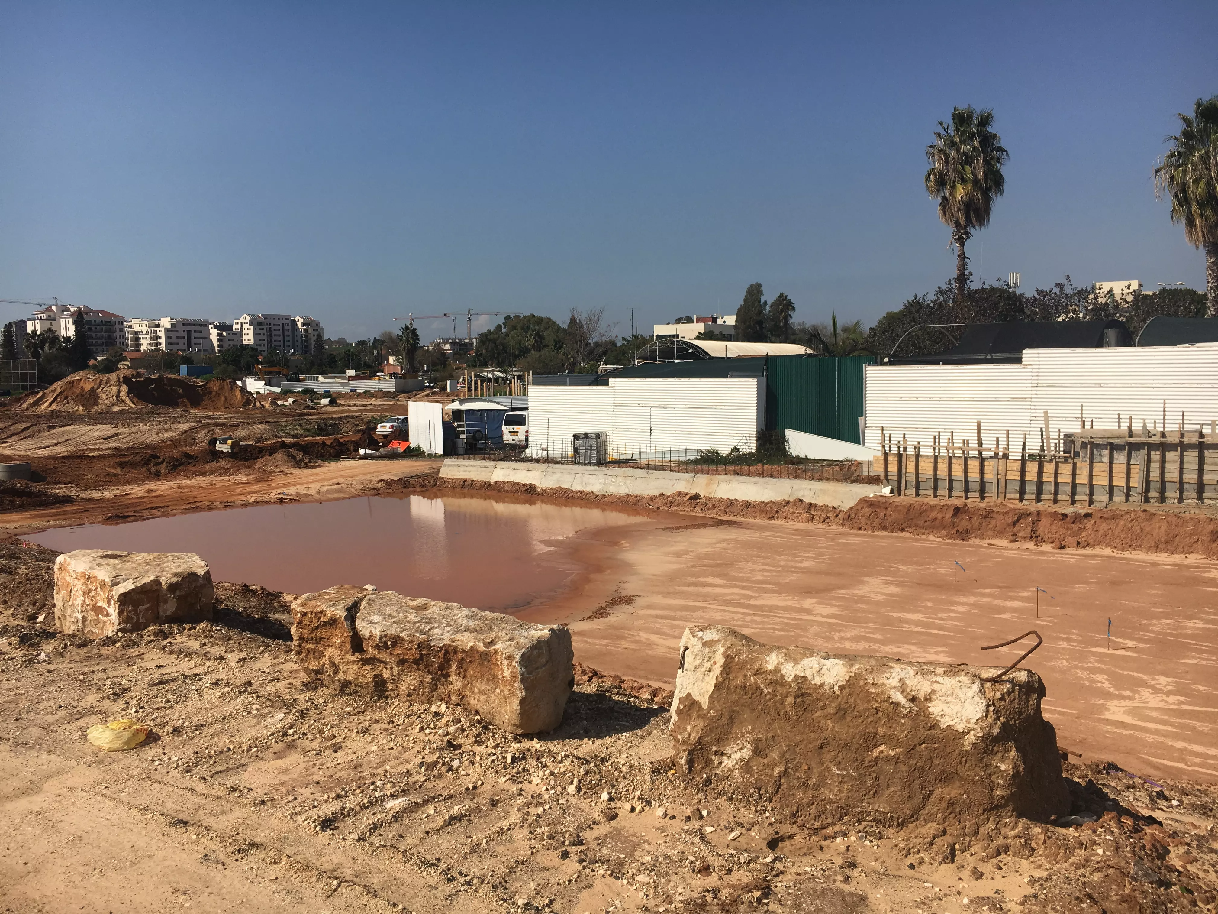
Village Before NakbaThe village stood on undulating terrain on the coastal plain. It was linked to the town of Qalqilya, about 8 km to the east, by a secondary road that also crossed the coastal highway a short distance to the east of the village. Tabsur was constructed prior to the middle of the nineteenth century on an archaeological site. In the late nineteenth-century, Tabsur was a moderate-sized hamlet (and later classified as such by the Palestine Index Gazetteer) with a well to the north. [SWP (1881) II:135] The village plan was rectangular, extending in a north-west direction. Its houses were built of mud and cement. During the British Mandate, the village established an elementary school for boys. The village also had a few shops. Drinking water was supplied by wells around the village site, mainly by one to the north. Agriculture was based on grain, legumes, watermelons, and cucumbers. In 1944/45 a total of 1,602 dunums was allocated to cereals; 24 dunums were irrigated or used for orchards. The village contained archaeological remains that included the foundations of a building, a well, fragments of a mosaic pavement, and tombs.Village Occupation and Ethnic CleaningTabsur was 'the first village largely to be abandoned' in the area of heavy Jewish settlement just north of Tel Aviv, according to Israeli historian Benny Morris. Most villagers reportedly left as early as 21 December 1947 out of fear of Jewish attacks. While there had been a considerable number of attacks in the area in the preceding few weeks, there is no record of a specific assault on Tabsur. However, other evidence suggests that at least some villagers remained in their homes for another three months, until 3 April. On that date, according to an Israeli military intelligence report, people from Tabsur were expelled by order of the Haganah in the course of the final 'clearing' of this coastal area (see Khirbat al-Shuna, Haifa sub-district). [M:53, 118]Zionists Colonies on Village LandsZionists established the settlement of Ra'anana (138176) south of the village in 1921, just across the boundary between Jaffa and Tulkarm sub-districts. It has since expanded to form a town, so that some of its suburbs are on village land. Batzra (138179), founded in 1946 on village lands, is north of the village site.Village TodayThe village site has been completely covered with Israeli citrus orchards, making it difficult to distinguish from the surrounding lands. Citrus and cypress trees grow on the village lands.SourceDr. Walid al-Khalidi, 1992: All That Remains. |
|||||||||||||||||||
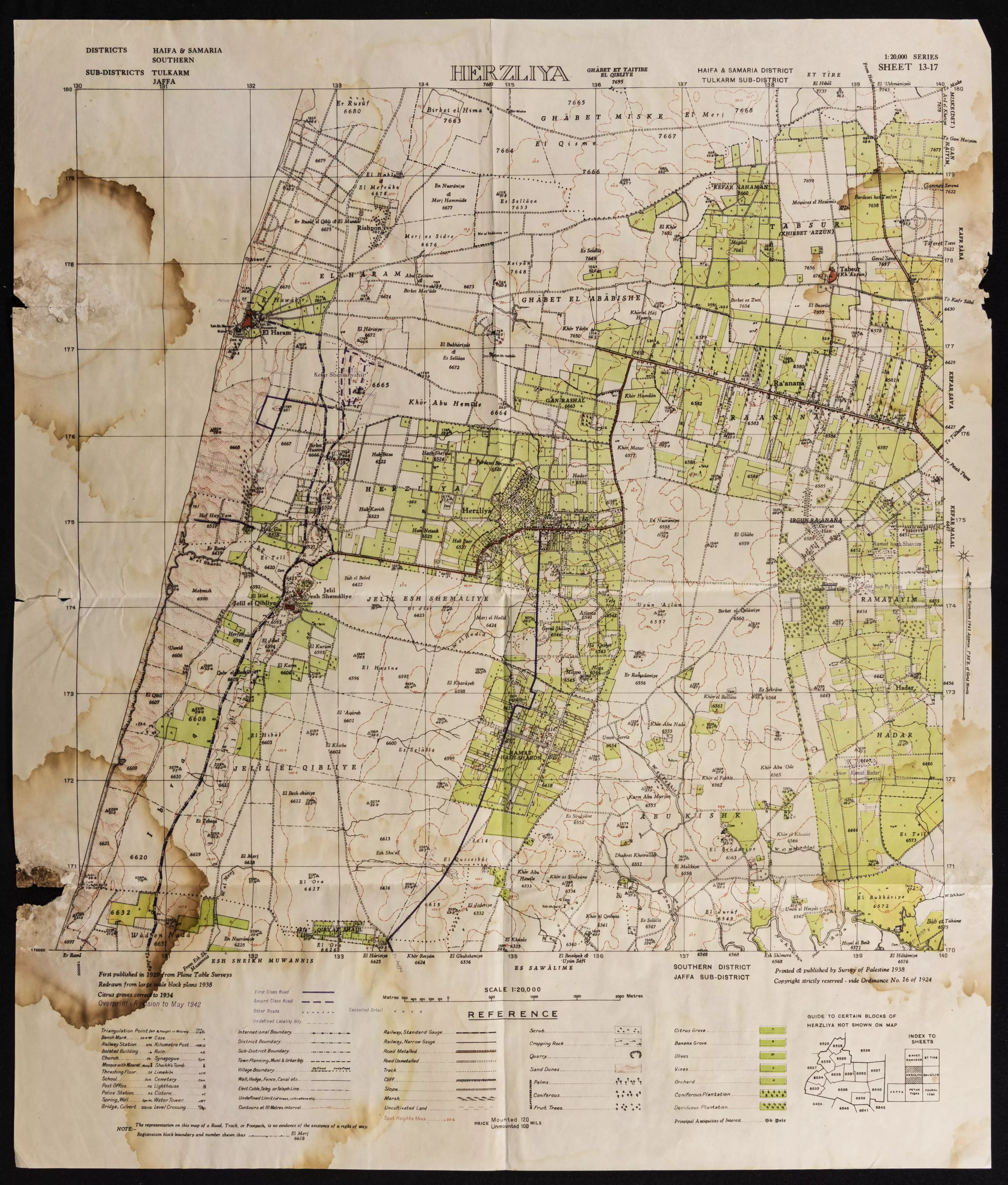
| Related Maps | Town Lands' Demarcation Maps خرائط للقضاء توضح حدود القرى والاودية Town's map on MapQuest View from satellite Help us map this town at WikiMapia |
||||||||||||||||||
| Related Links | Wikipedia's Page Google Search Google For Images Google For Videos |
||||||||||||||||||
| More Information | في كتاب كي لا ننسى في كتاب بلادنا فلسطين المزيد من موقع هوية |
||||||||||||||||||
- Village Site In 1987
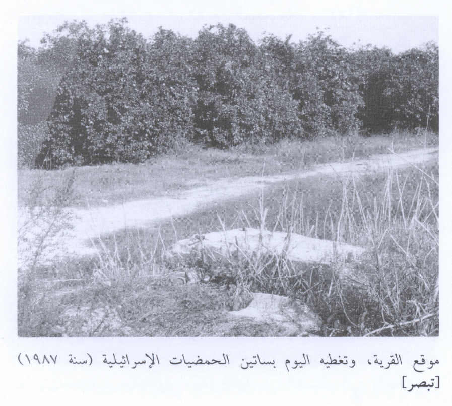
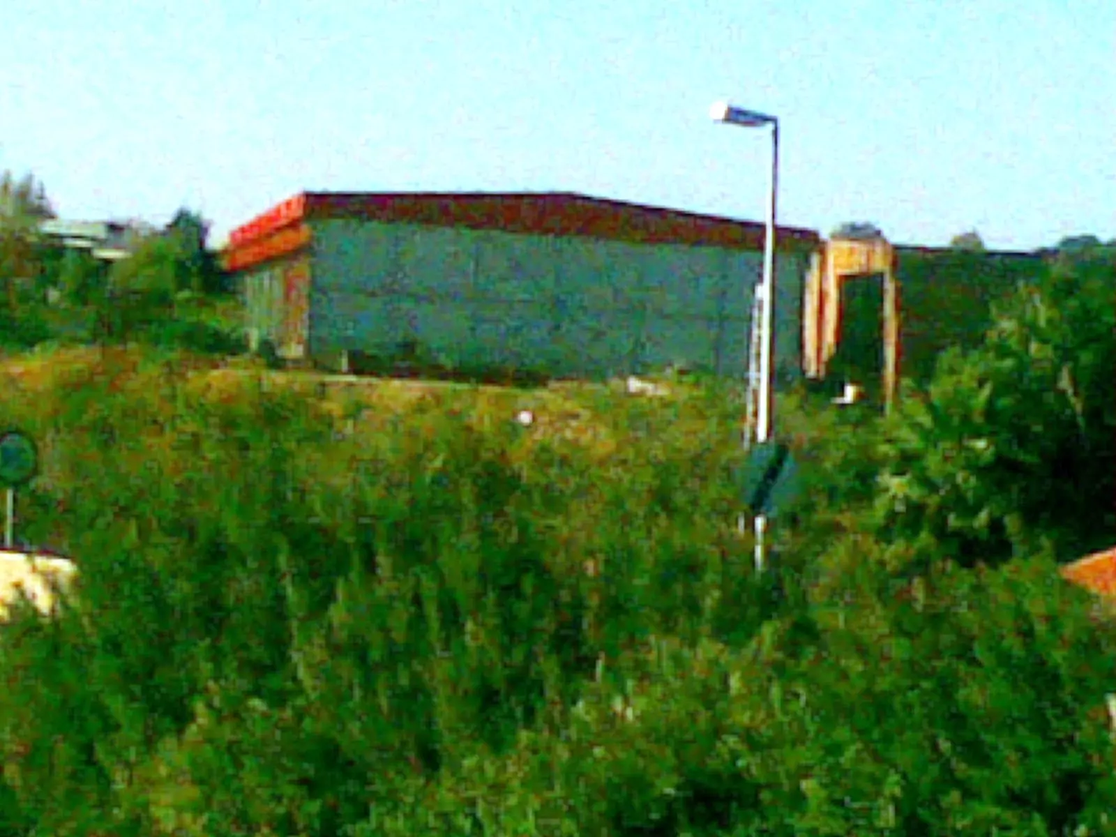
Scanned from "All That Remains" by Dr. Walid Khalidi - One of the remaining structures currently on Tabsur's lands
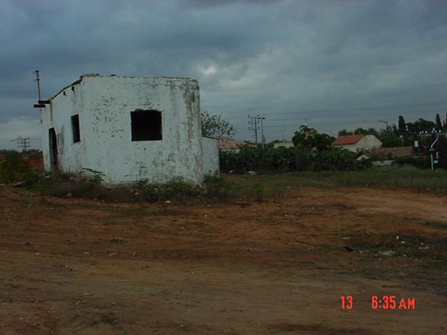
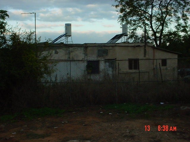
1 - One of the remaining structures currently on Tabsur's lands
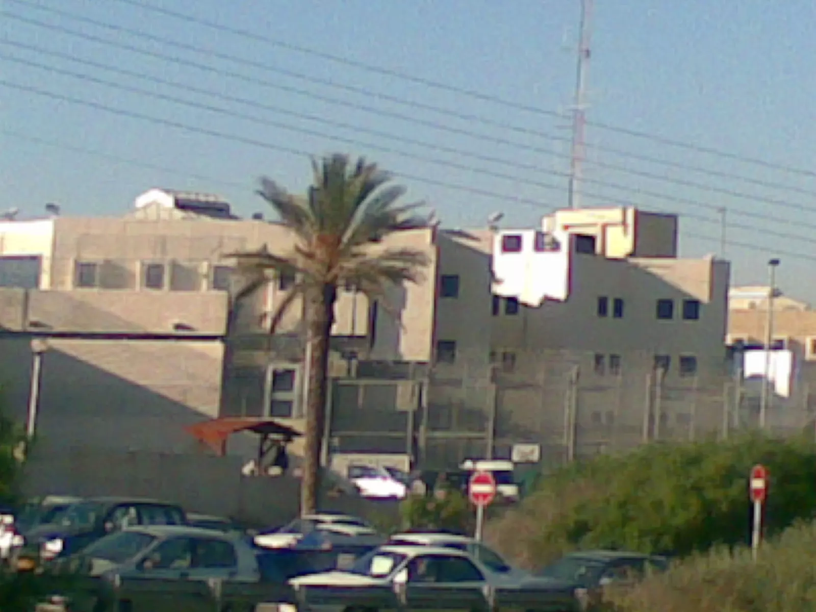
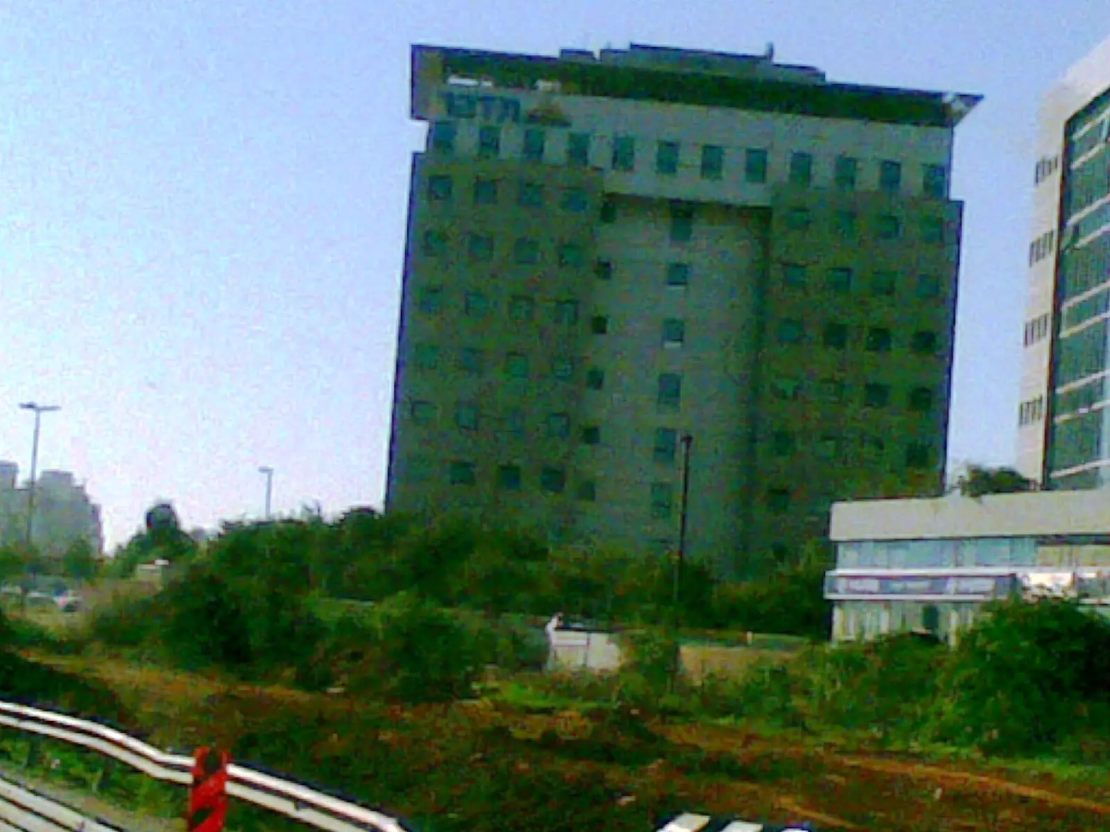
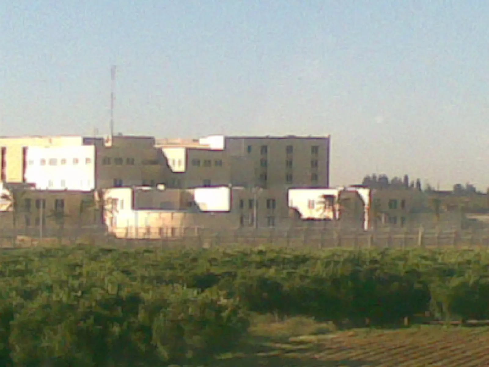
1 - سجن هداريم المقام على اراضي القريه
Posted by ابو الثائر - سجن هداريم المقام على اراضي تبصر
Posted by ابو الثائر - سجن هداريم المقام على اراضي قرية تبصر
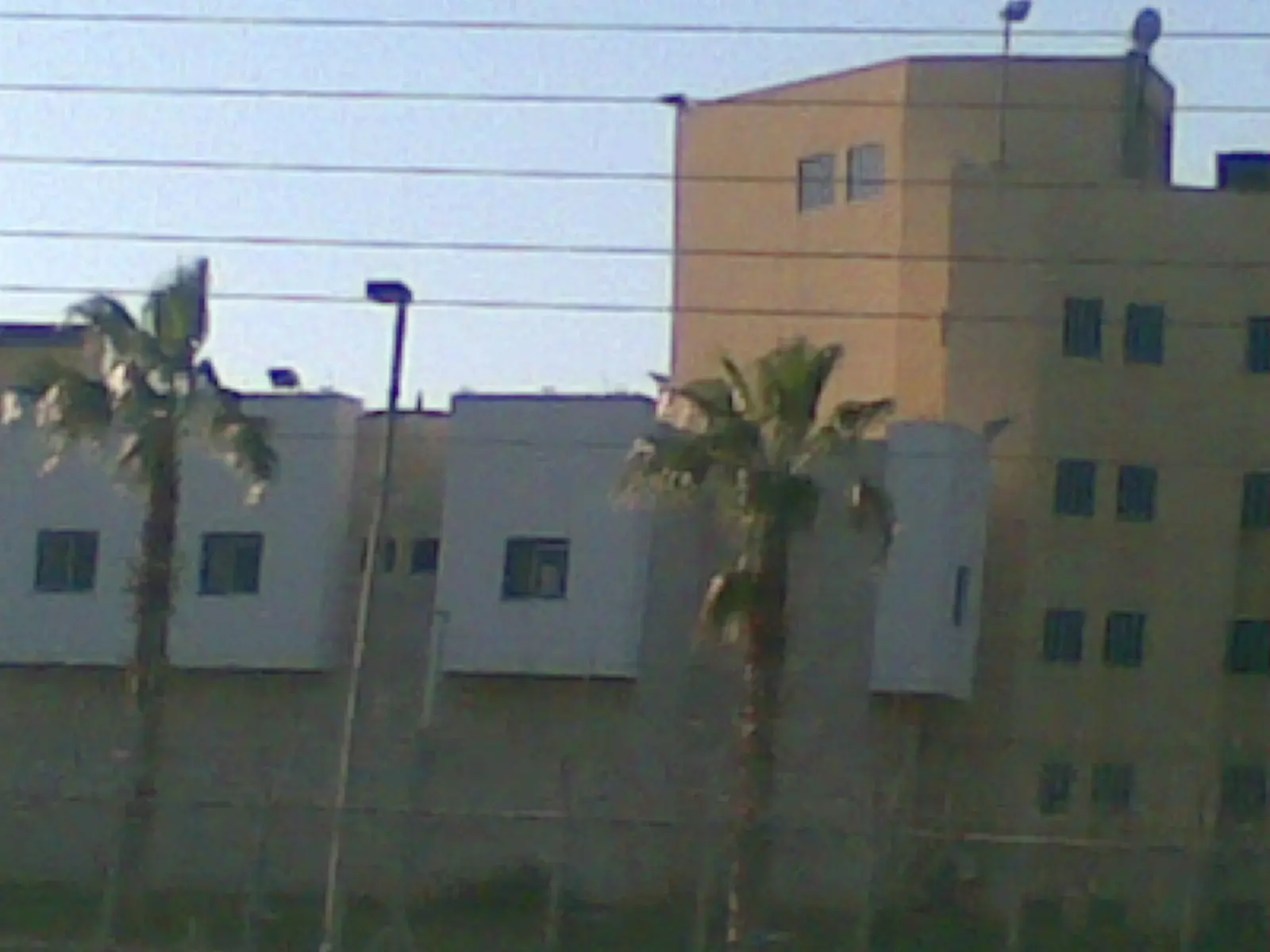
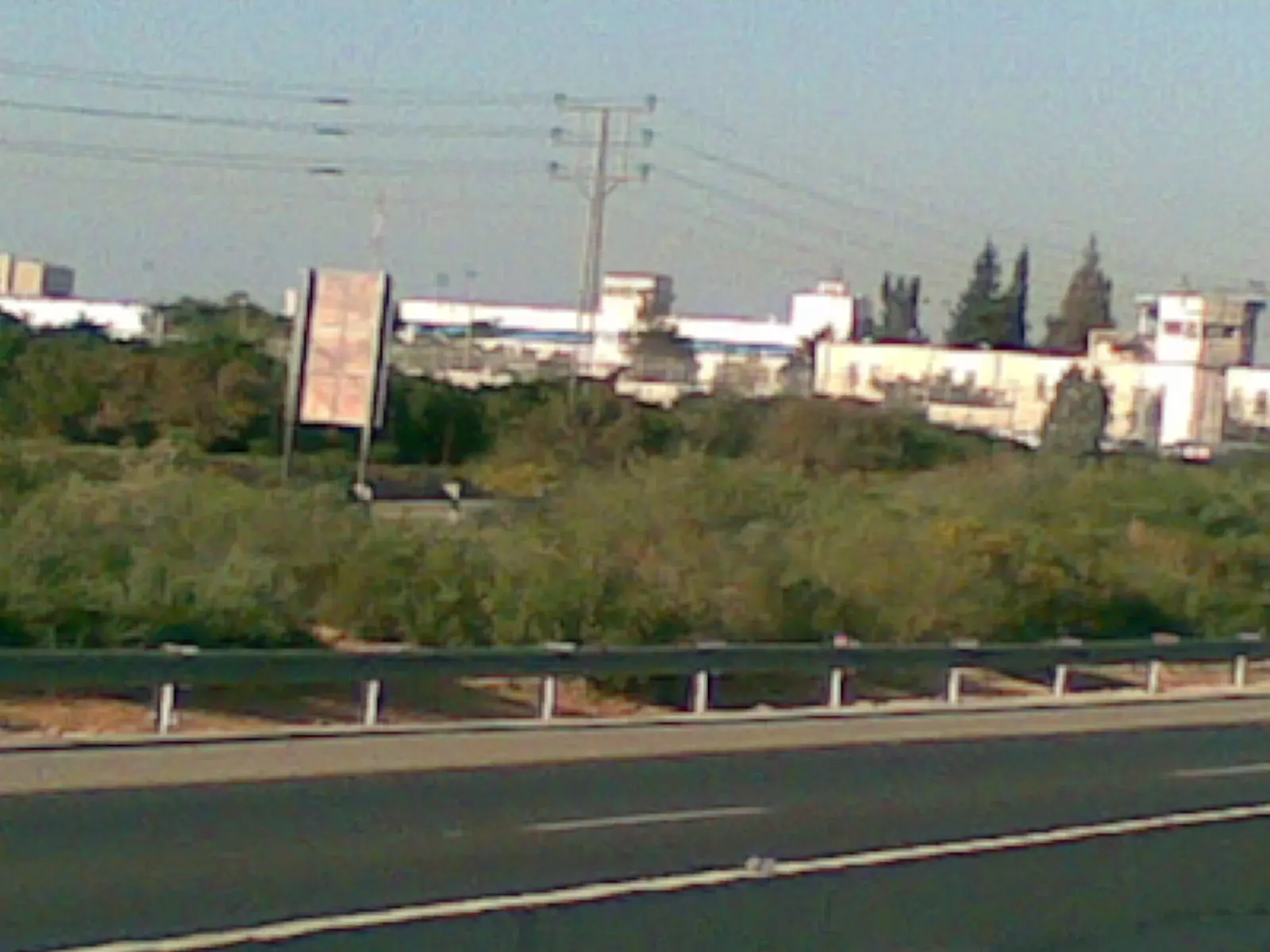
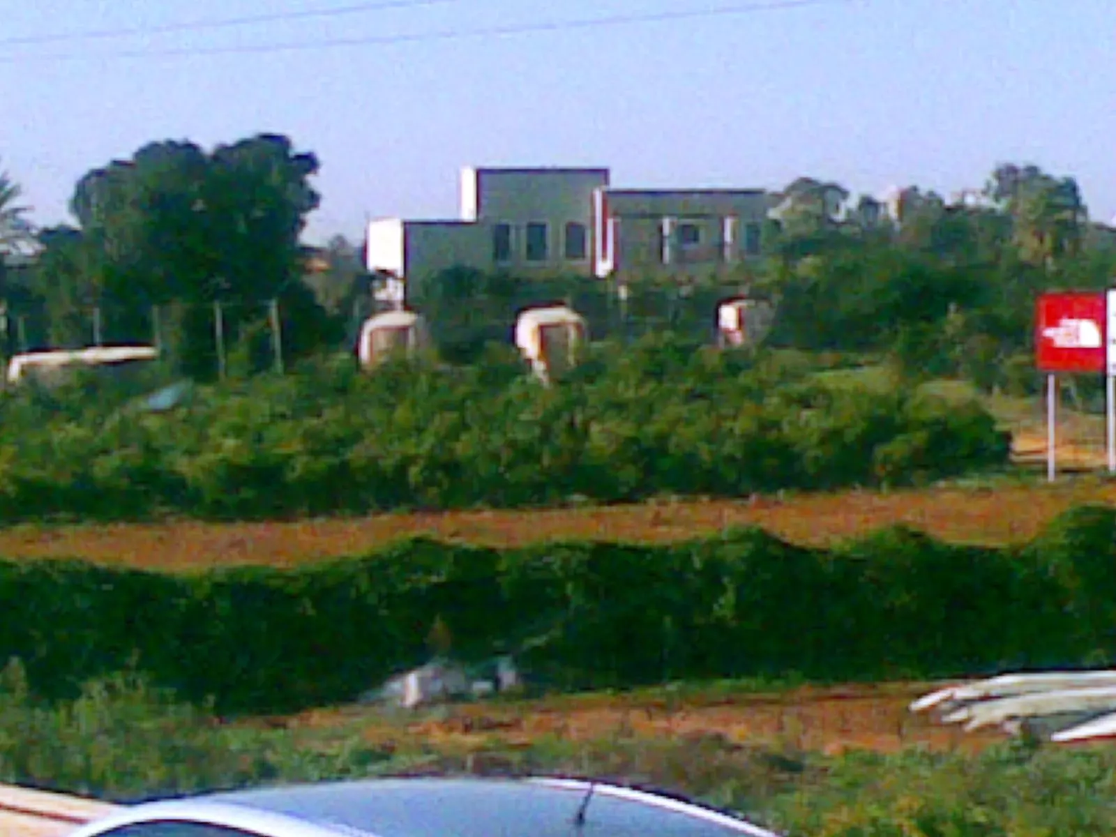
Posted by ابو الثائر - مباني من شمال شرق رعنانا المقامه على انقاض تبصر
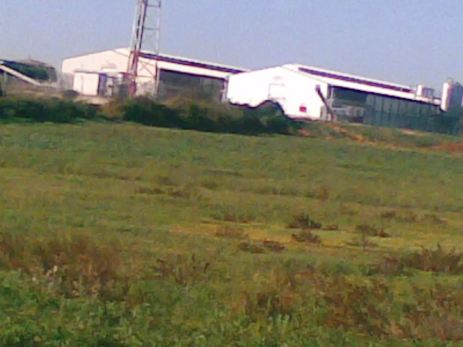
Posted by ابو الثائر - احد المصانع الصهيونيه على اراضي تبصر
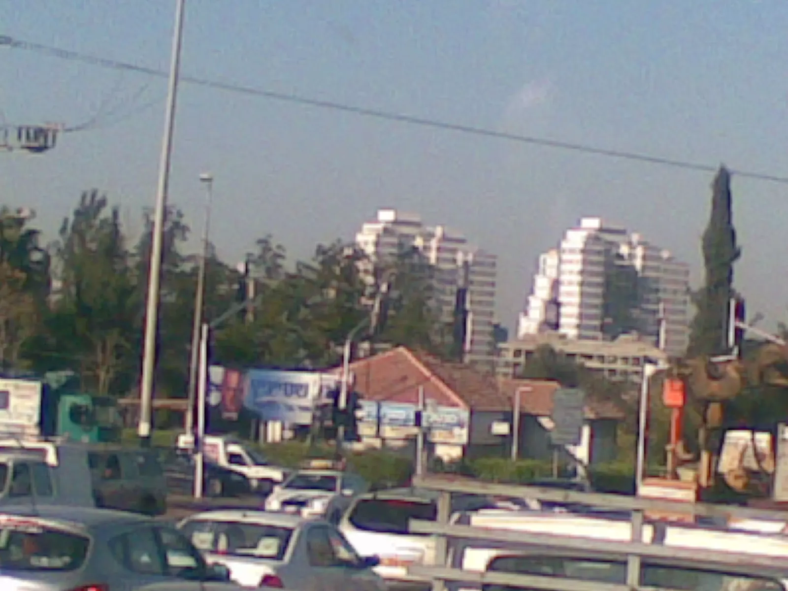
Posted by ابو الثائر - الجامعه المفتوحه برعنانا على ارض تبصر
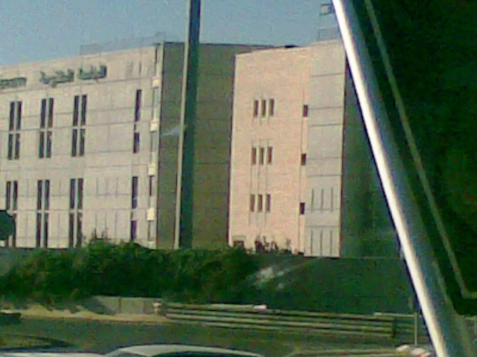
Posted by ابو الثائر - بعض البنايات من مدينة رعنانا المقامه على ارض تبصر
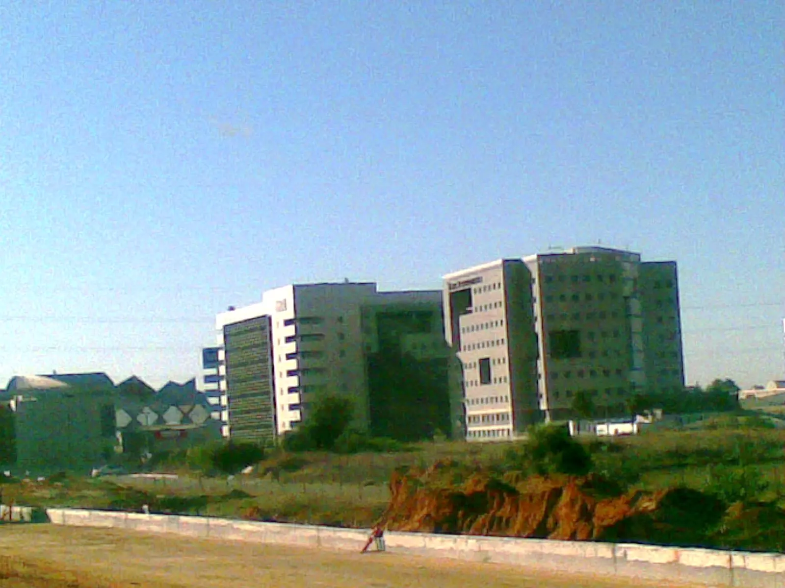
Posted by ابو الثائر - بنايات من رعنانا على ارض تبصر
Posted by ابو الثائر - بنايه تجاريه على ارض تبصر
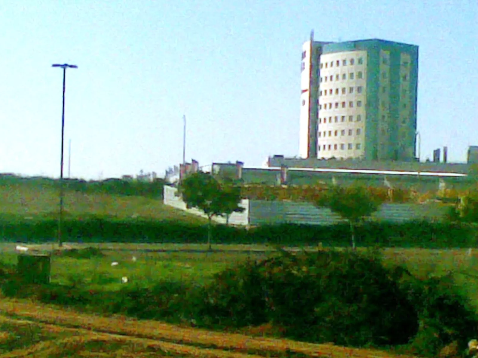
Posted by ابو الثائر - بيت جنوب رعنانا على ارض تبصر
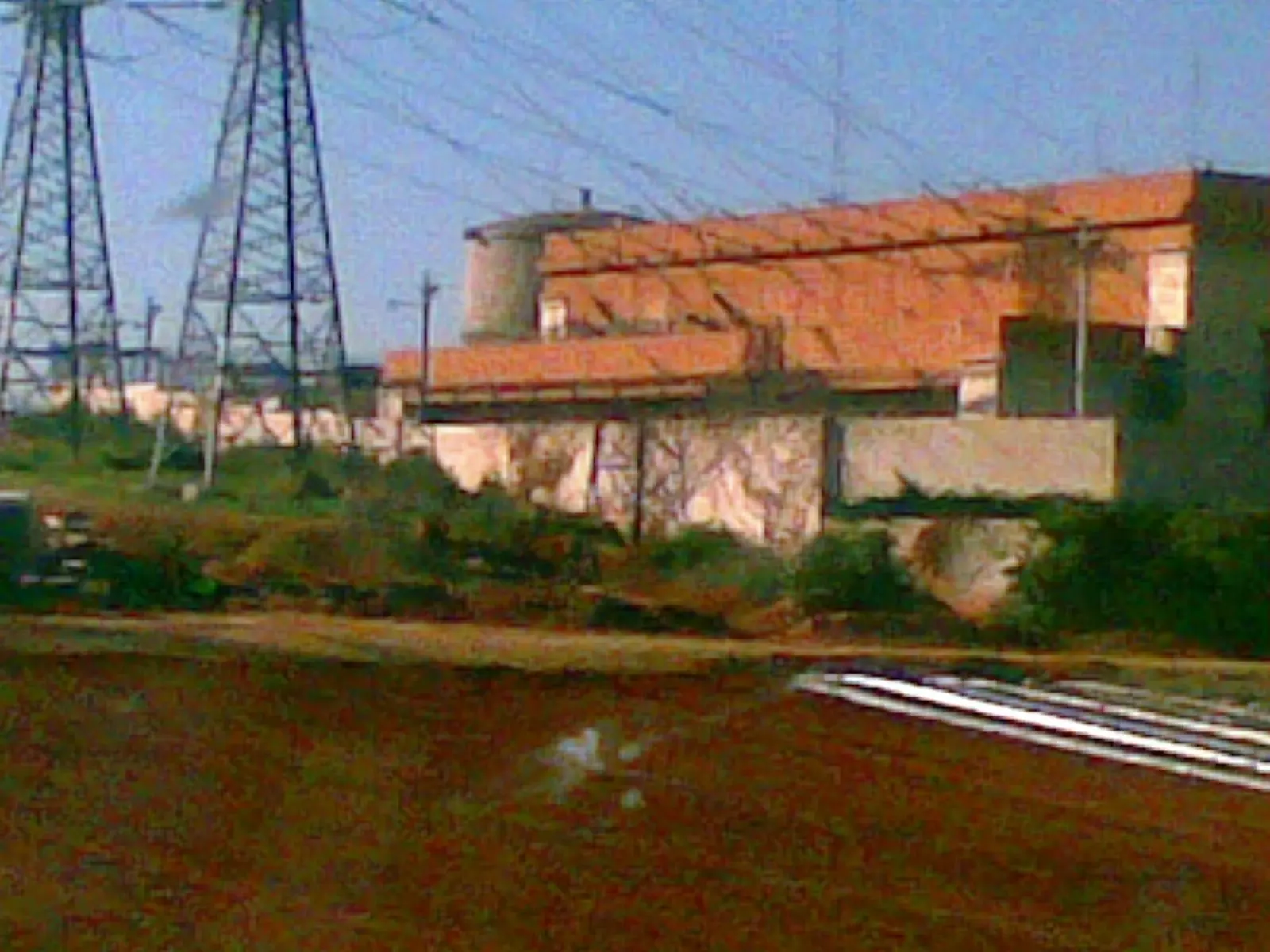
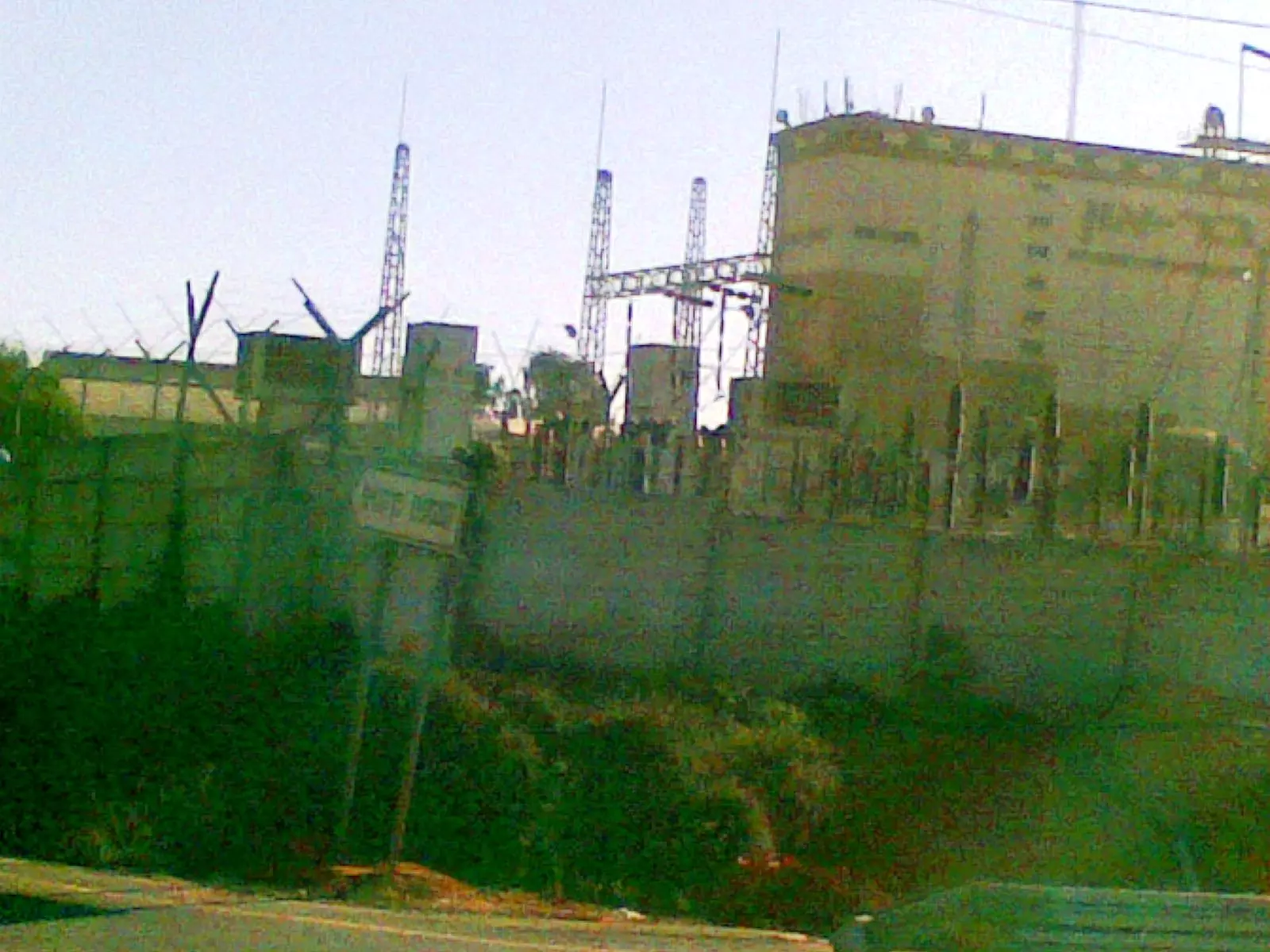
Posted by ابو الثائر - محطة تقويه للكهرباء على ارض تبصر
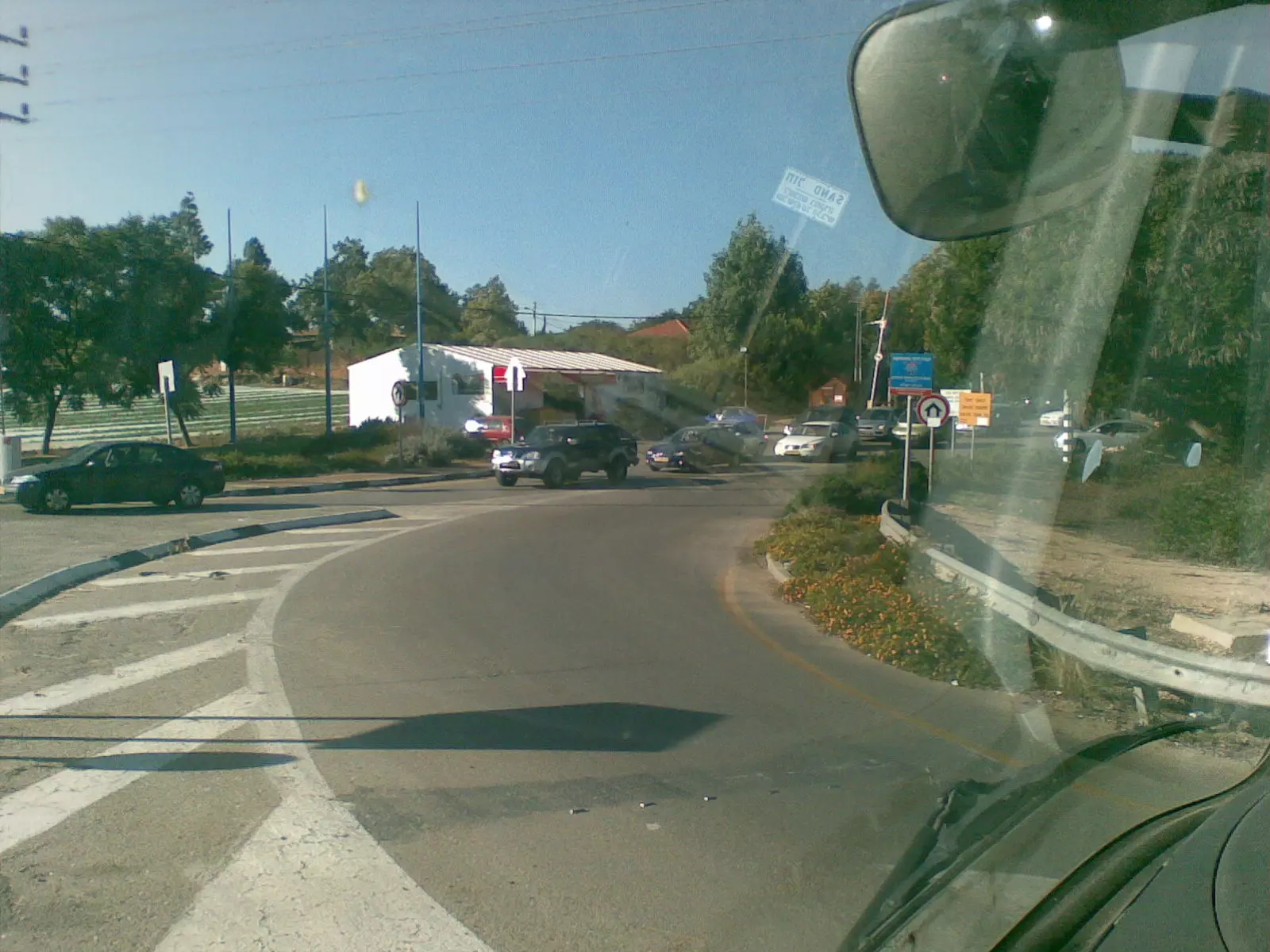
Posted by ابو الثائر - مدخل مستعمرة البتسرا المقامه على انقاض قرية تبصر
Posted by ابو الثائر - مساكن شمال رعنانا على ارض تبصر
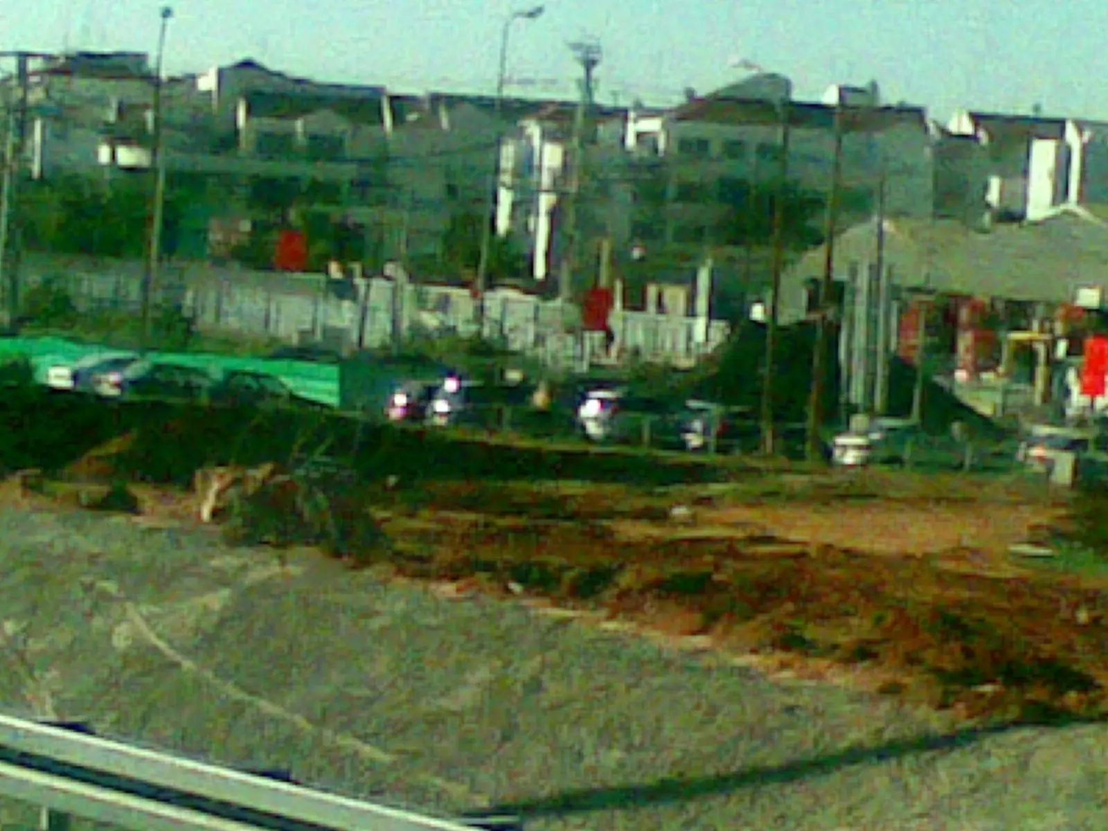
Posted by ابو الثائر - مصانع للاعلاف جنوب رعنانا على ارض تبصر
Posted by ابو الثائر - مولدات تابعه لشركة الكهرباء شمال رعنانا على انقاض قرية تبصر
Posted by ابو الثائر - سجن هداريم المقام على اراضي تبصر
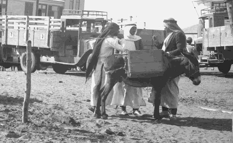
Posted by ابو الثائر - منظر عام في القرية عام 1933 - منقول من صفحة احمد مروات على الفيسبوك
- صورة عامة لمقبرة قرية تبصر " خربة عزون" المهجرة 2/2017 تصوير جمعية الاقصى
Posted by جمعية الاقصى - خارطة تُظهِر الحدود والطرق بأنواعها والأماكن المقدسة والطبيعة الطوبغرافية من تلال وسهول ومنحدرات والتشكيلة الطبيعية للأرض وأنواع المزروعات. نُشرت الخريطة فترة الانتداب البريطاني، تم إضافة تعديلات عليها من قِبَل خدمة الخرائط والصور التابعة للقوات العسكرية الاسرائيلية فترة الأربعينيات.
Want to browse more? 80,000 pictures were grouped in these gallaries:
| Display Name | Clan/Hamolah | Country of Residence |
| ابو النمر | عدوان | عزون, عزون |
| محبة عزون | - | - |
| Wajdi Majjad | رضوان | - |
| ابو الفوز | ابو مويس | فلسطين, المغير |
| khaled | radwan | malmo, sweden |
| Rima Huwwari | Huwwari | Brazil |
| Leila Shihadeh | Huwwari | Madrid, Spain |
| Salah Shihadeh | Huwwari | Madrid, Spain |
- Visiting Tabsur (Khirbet 'Azzun) 2011 12 09
- تبصر (خربة عزون) في يوم تهجيرها ال-73 : زيارة ميدانية للخربة والاطلاع على معالمها المتبقية واعادة سرد تاريخها المندرس. من عائلاتها ال عدوان بدوان رضوان حواري خليف سليم شبيطة الدبلان الطبيب أبو خديجة الزمّاري وال شيلو وهي اليوم موجودة في عزون الجبل ال… Duration: 5 min 43 sec
No links have been shared yet, be free to the first to share the first link.
 Fake Valor: Why Did Zionist Jews Hoist Nazis Flag on Their Ships in the 1930s?
What is new?
-
Facts About Oct. 7th Gaza Raid

-
Remined Us Please:: Who Did Rape Who? Palestinians Raped Israelis? Or, was the other way around?
-
When Prof. Edward Said was invited to debate Bibi Netanyahu in the 1980s, watch what happened!
-
Ezra Klein of the NY Times on the "Jewish Race".
-
Abusing Blood Libel!
-
Did Israeli Soldiers Activate The Hanniba Direective On Oct. 7th? You Be The Judge
-
Zionist FAQ: Isn't it true that Palestinians don't want peace? Palestinians never accepted the two-state solution
- Facts about Haavara (Transfer) Agreement between Ben-Gurion & Hitler
-
Haavara FAQs: Why Did Zionist Jews Hoist Nazis' Flags on Their Ships in the 1930s?
- Haavara FAQs: When Chaim Weizmann met FDR in mid-1943, why was he silent about rescuing European Jewry?
-
Dear ChatGPT: How did Palestinians resist Napoleon's invasion of their country in 1799?
-
Dear ChatGPT: Gaza had a vibrant Jewish community in the mid-17th century. What happened to them?
-
Dear ChatGPT: Why did the Jewish Agency suppress news of the Holocaust during WWII?
-
Video Playlist: Jews share their DNA tests to end the conflict for good.
-
A Tale of Two Conflicts: Examining the Definition of Genocide
-
Prof. Abraham Polak And The Suppressed History of the Khazars and European Jewry
-
How Ronald Reagan would have framed the genocide in Gaza if he were still alive?
-
Haavara FAQs: Let us do the math: how many German Jews did The Haavara Agreement save?
-
Zionist FAQs: The Hebron Massacre of 1929, "clearly proves" that Palestinians are antisemitic, how could you deny it?
-
Zionist FAQs: Why Anti-Zionist Is Not Antisemitism?
-
Zionist FAQs: Isn't it true that the KGB created Palestinian Nationalism in the early 1960s?
- Zionist FAQs: Muslims are killing Muslims all the time; why are Israeli Jews being singled out in the media?
- Zionist FAQs: How is Israel an apartheid state when 20% of its citizens are Arabs who enjoy full rights?
-
Haavara FAQs: Why Did Dorothy Thompson Flip From A Zionist Advocate to A Silenced Dissenter?
-
Haavara FAQs: Analysis of Herzl's Uganda Scheme and how it could have saved millions of Jews.
-
Haavara FAQs: Why did Hayim Greenberg describe American Jewry as "morally bankrupt" in early 1943?
-
Haavara FAQs: What if the Evian Conference was a resounding success? What would have been the impact of saving European Jewry on Zionism?
- Haavara FAQs: What if the six million were saved, how that would have impacted the Zionist project?
-
Haavara FAQs: How did Zionist leaders react when Europe's Jews lingered in the DP camps after WWII ended?
-
Why does the American Jewish community repeat lies that David Ben-Gurion had debunked before he died?
-
Who has the power to rename the Tatar/Khazar Gene Marker to Jewish IV?
-
Zionist FAQs: Why won't Egypt, Syria, and Jordan take their people back? Jews are indigenous to Palestine, and Arabs immigrated after Jews developed the country. Arabs should leave.
-
Haavara FAQs: Did Hitler and the Nazis conflate between Judaism and Zionist? If that wasn't case, then why?
-
Haavara FAQs: Winston Churchill and antisemitism, a collection of articles written Churchill.
-
Haavara FAQs: Broken by country, how many Jews survived vs. killed during the Holocaust?
-
Haavara FAQs: Why did European Jews vote with their feet and to immigrated to the Americas, not Palestine, after WWII?
-
Watch this American Jewish Girl describing Israeli Jews' cognitive dissonance like no other in under two minutes
-
Haavara FAQs: When the Nazis went out of their way to hide the Holocaust, Israeli Jews did the exact opposite by broadcasting their genocide of Gazans. But why?
-
Haavara FAQs: How Zionist Jews went out of their to show their appreciation to Nazism and Fascism?
- Haavara FAQs: Why Zionist leaders were against bombing the death camps & the Railroads leading to them?
-
Haavara FAQs: Hitler's message to the British and American people: If Jews are such noble citizens and you care about them, how come you're not letting them in? I will gladly ship them to you at my expense, even on luxury liners!
-
A shortlist of Zionist and Israeli false flag operations in the name Jews.
-
The Most Moral Army
- The Land of Kapos (Israel): Where the brave are boycotted and Kapos walk free.
- Why did early Zionists often named their communal enterprises "colonial"?
- Zionist Relations with Nazi Germany by Faris Glubb
-
Two NY Times advertisements by Zionists in the early 1943 that exposes Zionists' treason at the height of the calamity
- Facts Not Lies about the Palestinian-Israeli Conflict.
- Site's pictures have been categorized
- Campgain Against Lice
- A Survey of Palestine, the official source about Palestine before Nakba produced by the British Mandate; over 1200 pages.
- Satellite View & Google Earth: Over 6,000 placemarks identifying all destroyed towns, W. Bank & Gaza Strip Towns, & refugee camps.
- PalestineRemembered.com and its Nakba Oral History Project were featured on al-Jazeera Satellite TV.
- Nakba Oral History Video Podcast:
 Over 700 Oral History interviews (including 3,500+ hours of recording) can be viewed online.
 - Palestine Village Statistics Project
- Gaza Jail Break
- النسخة العربية للموقع الان متوفرة
- Videos: Documenting the destroyed villages in video: Tracing all that remains since Nakba.
- Videos: Responding to Zionist Propaganda
- Interview: The ethnic cleansing of Palestine: George Galloway interviews Israeli Historian Ilan Pappe.
- For Palestinians, memory matters. It provides a blueprint for their future By George Bisharat.
- Zionist FAQ now available in Hebrew שאלות שציונים שואלים, עכשיו בעברית
- Video: The Stephen Walt and John Mearsheimer report on the influence of the Israel Lobby on U.S. Foreign Policy
- The Palestinian-Israeli conflict for beginners
