| PalestineRemembered | About Us | Oral History | العربية | |
| Pictures | Zionist FAQs | Haavara | Maps | |
| Search |
| Camps |
| Districts |
| Acre |
| Baysan |
| Beersheba |
| Bethlehem |
| Gaza |
| Haifa |
| Hebron |
| Jaffa |
| Jericho |
| Jerusalem |
| Jinin |
| Nablus |
| Nazareth |
| Ramallah |
| al-Ramla |
| Safad |
| Tiberias |
| Tulkarm |
| Donate |
| Contact |
| Profile |
| Videos |
Welcome To Dayr Muhaysin - دير محيسن (דיר מוחיסין)
|
District of al-Ramla
Ethnically cleansed days ago |
العربية Google Earth |
 |
Gallery (14) |
- Statistics & Facts
-
Before & After

- Satellite View
- Articles 1
- Pictures 14
- Aerial Views 1
- Members 1
- All That Remains
- Wikipedia
- Videos 1
- Guest Book 1
- Links
| Statistic & Fact | Value | ||||||||||||
| Occupation Date | April 6, 1948 | ||||||||||||
| Distance From District | 12 (km) Southeast of al-Ramla | ||||||||||||
| Elevation | 150 (meters) | ||||||||||||
| Before & After Nakba, Click Map For Details |
|||||||||||||
|
|||||||||||||
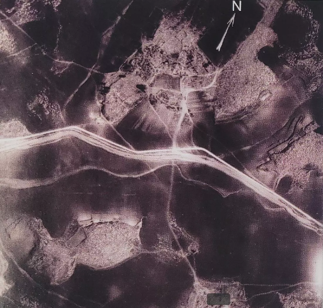
| Pre-Nakba Aerial View |
|||||||||||||
|
|||||||||||||
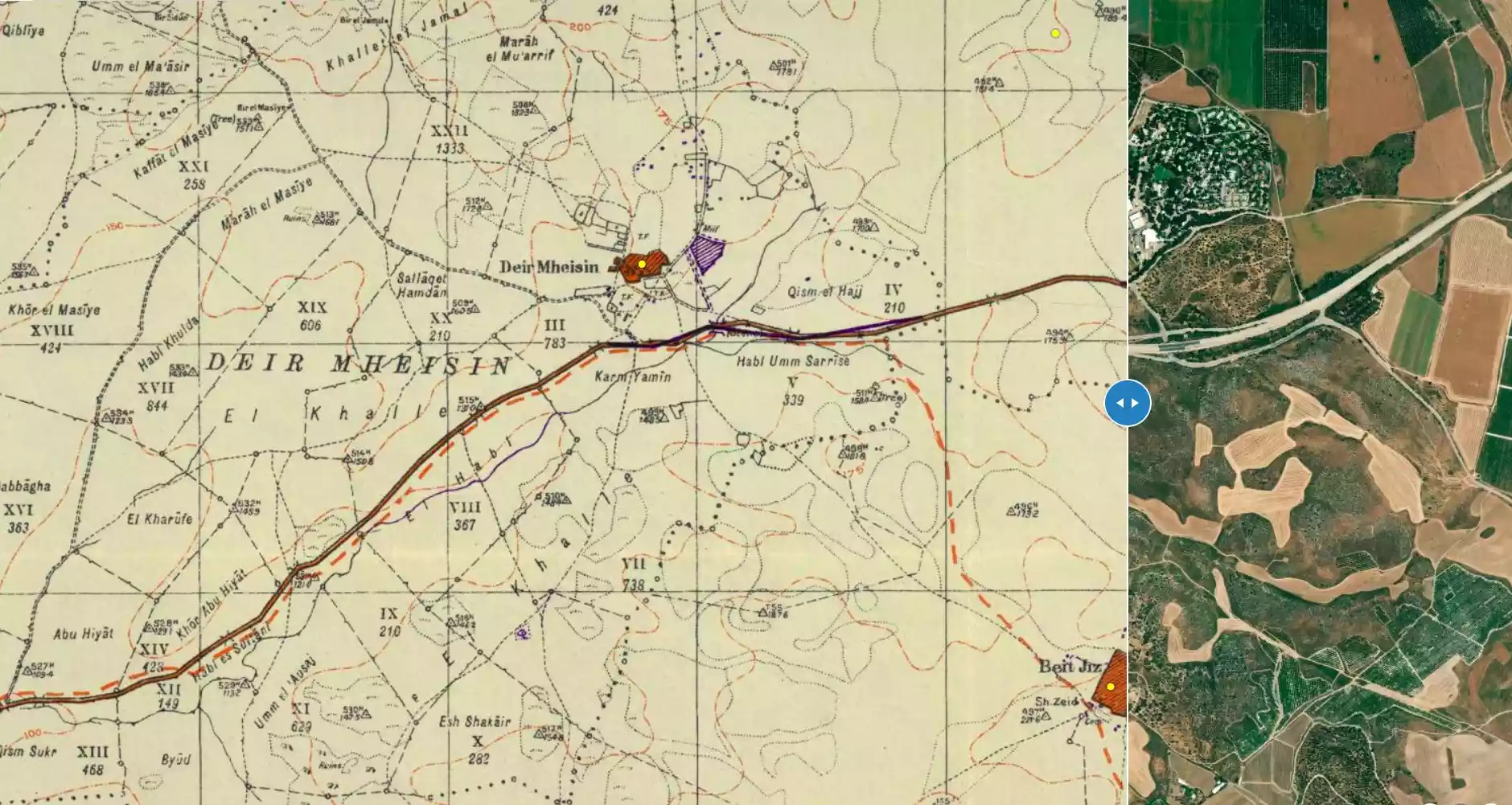
| Map Location | See location #47 on the map View from satellite |
||||||||||||
| Military Operation | During one of the operations launched by the Haganah to capture the important Latrun fort. | ||||||||||||
| Exodus Cause | Military assault by Zionist troops | ||||||||||||
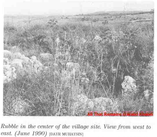
| Village Temains | Dayr Muhaysin was completely defaced, and only house rubble left behind. | ||||||||||||
| Ethnically Cleansing | Early April 1948, Dayr Muhaysin was completely ethnically cleansed. | ||||||||||||
| Pre-Nakba Land Ownership |
**Town Lands' Demarcation Maps |
||||||||||||
| Land Usage As of 1945 |
|
||||||||||||
| Population |
|
||||||||||||
| Number of Houses |
|
||||||||||||
| Town's Name Through History | The Crusades referred to Dayr Muhaysin by Deirmusim, and it was also known by Umm al-Shukf. | ||||||||||||
| Places of Warship | One mosque | ||||||||||||
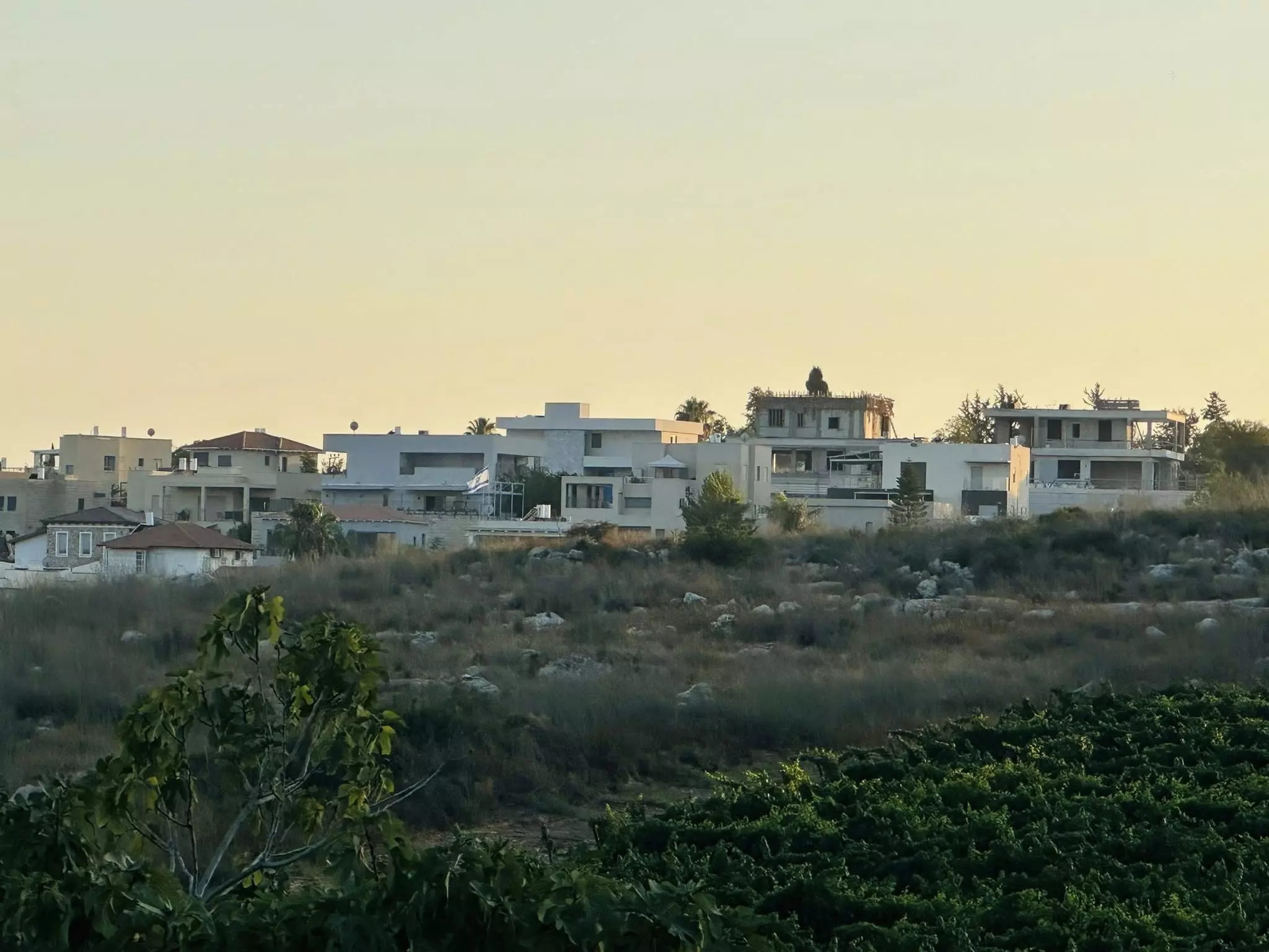
| Exculsive Jewish Colonies That Usurped Village Lands |
Beqoa' | ||||||||||||
| Featured Video | |||||||||||||
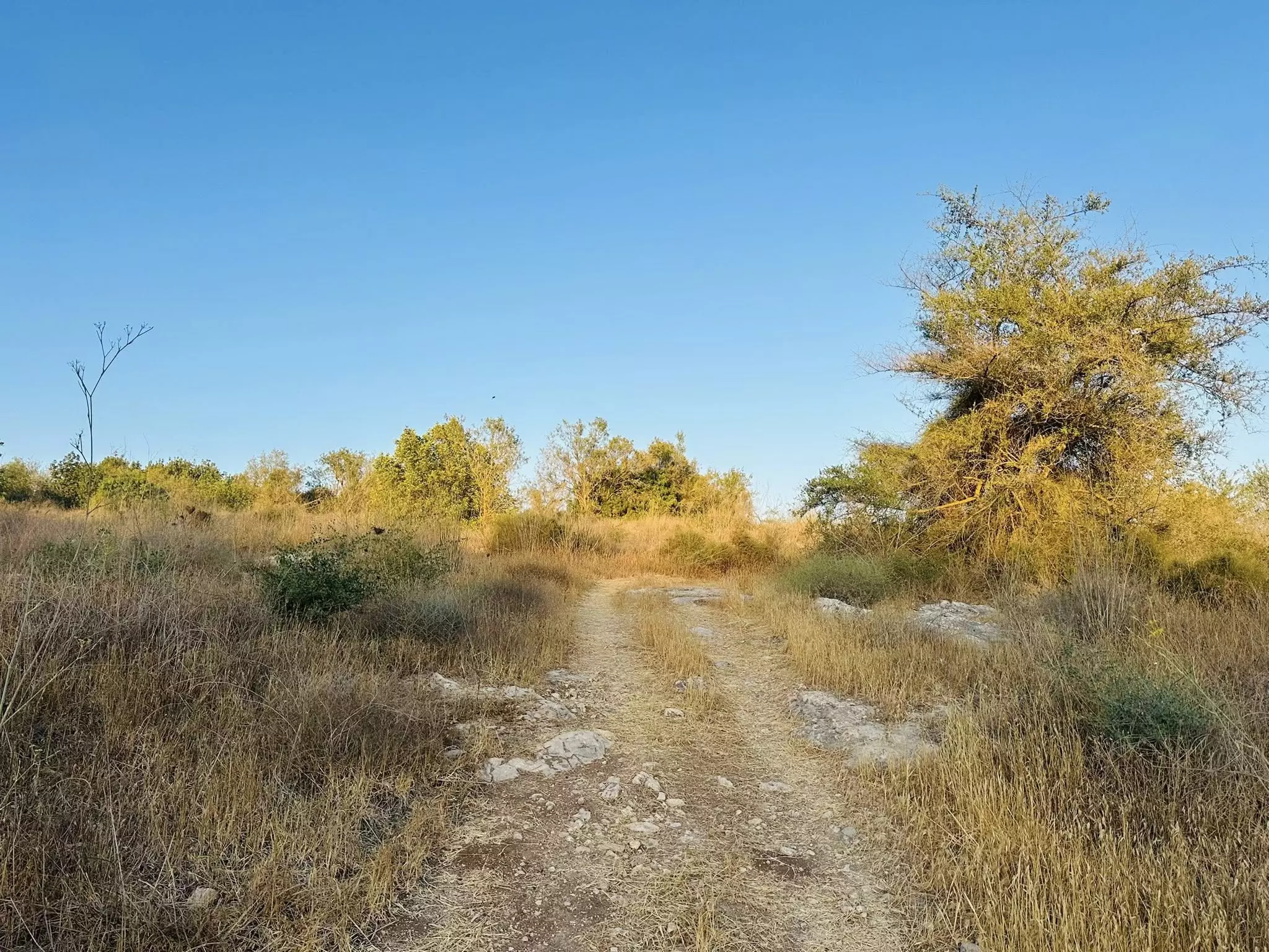
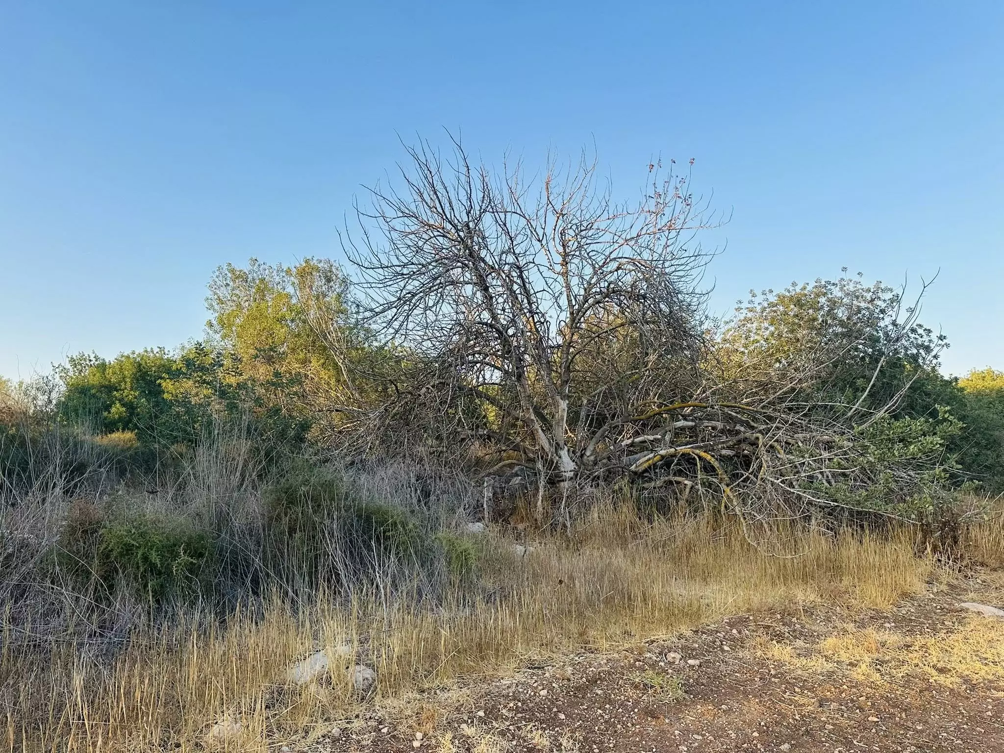
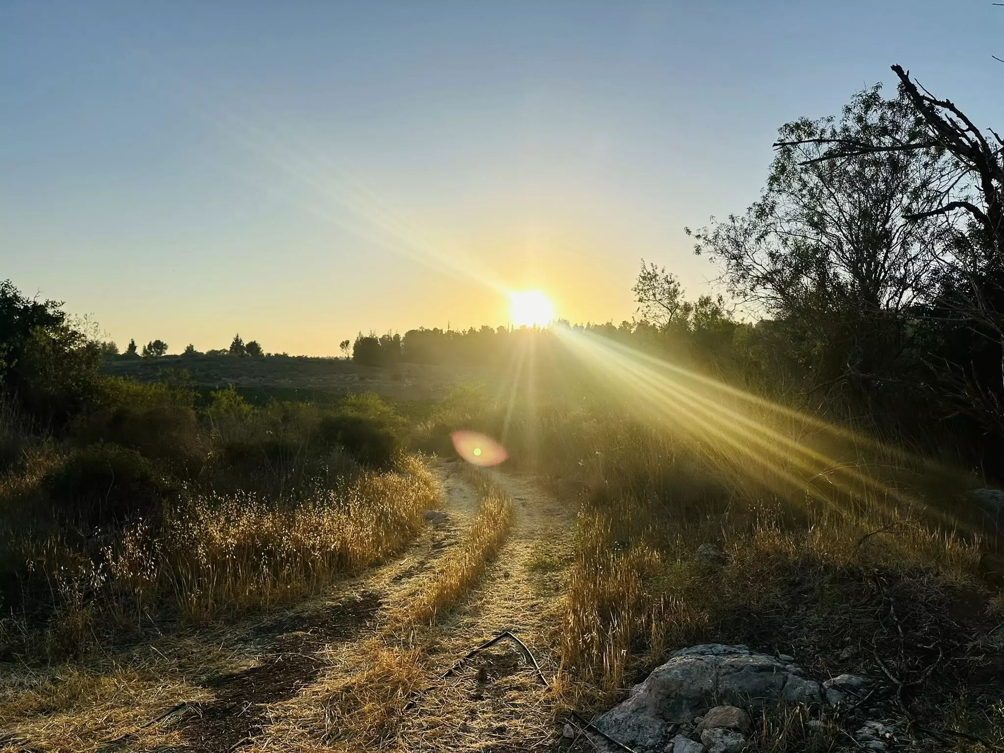
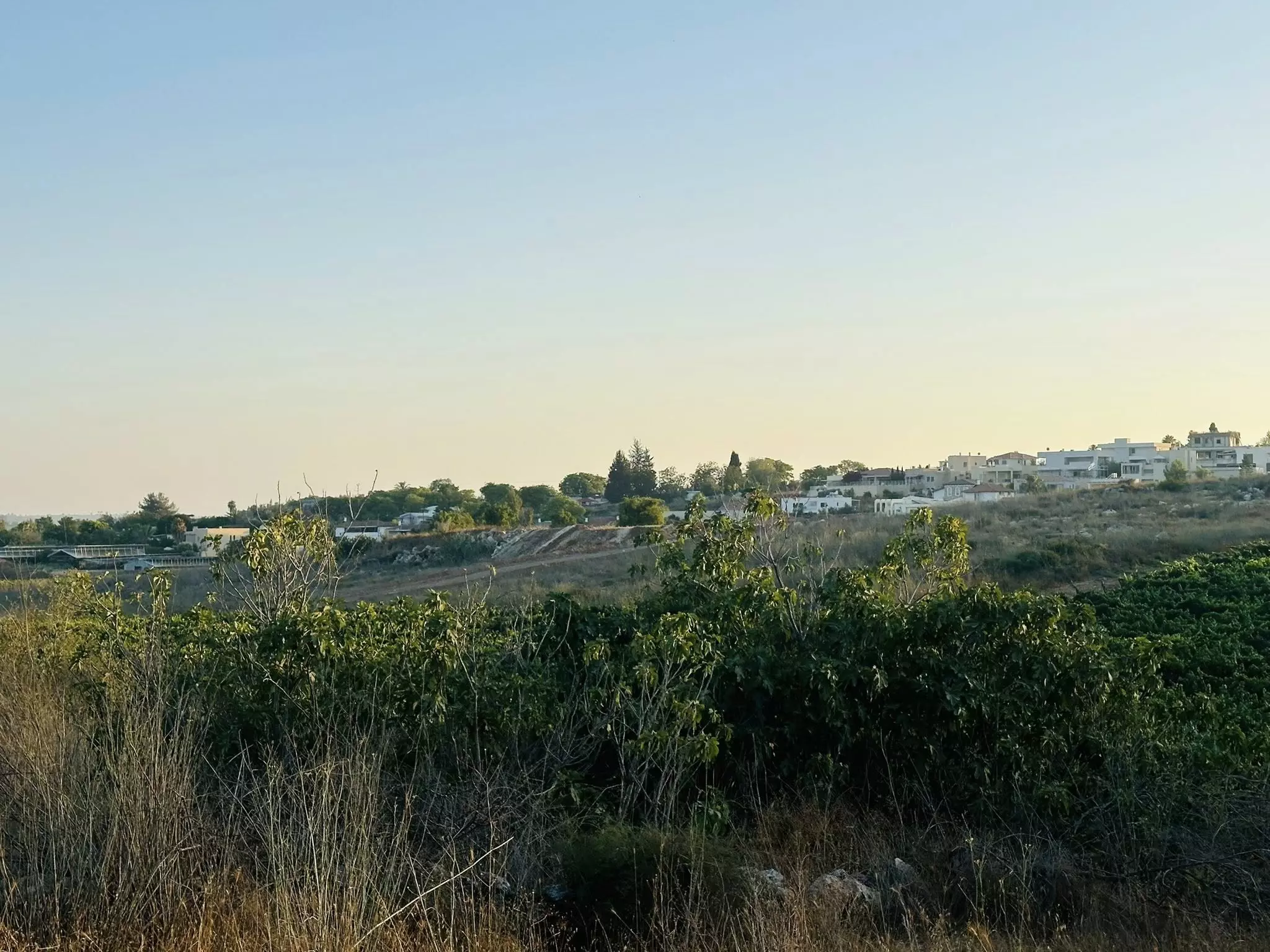
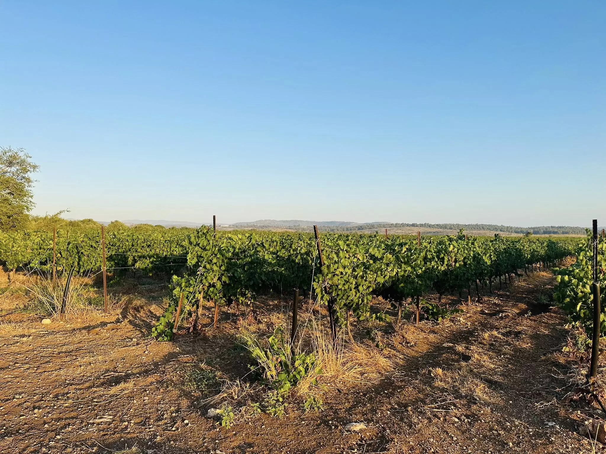
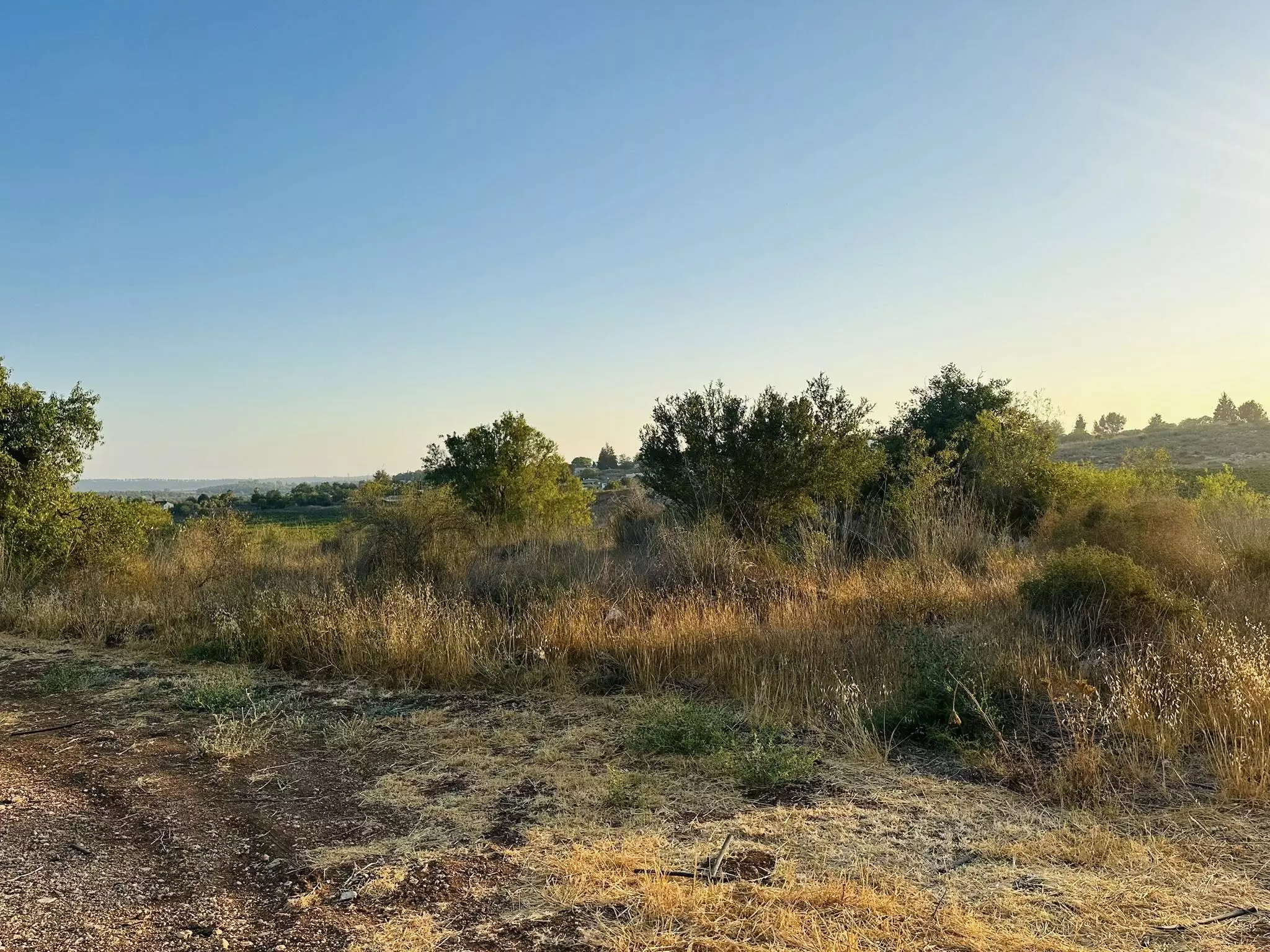
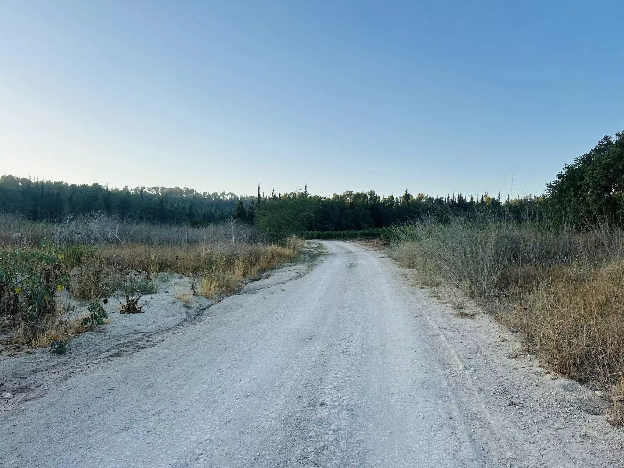
Village Before NakbaThe village was situated on a level, relatively long hill that was oriented from north to south. It was linked by a spur to a highway that linked Gaza to the Ramla-Jerusalem highway, which passed 200 m to the south. Dirt roads linked it to other villages as well. Dayr Muhaysin was identified with the locality called Deirmusim by the Crusaders. In the late nineteenth century the site was seen by the authors of the Survey of Western Palestine, who said that it was a large site covered with the remains of abandoned housing. It was also known as Umm al-Shukf. In modern times its houses were built of masonry along the roads radiating from the village center; as the village expanded, the houses were built toward the highway to the south. The villagers, most of whom were Muslims, maintained a mosque and a number of shops. Village agriculture was rainfed and was based on grain, which was grown in the flat and low-lying lands, and on fruit trees, which were planted on the slopes. The main agricultural products were olives, grapes, figs, and almonds. In 1944/45 a total of 7,881 dunums was allotted to cereals; 45 dunums were irrigated or used for orchards.Village Occupation and Ethnic CleaningOn the night of 31 March-1 April 1948, Jewish Agency chairman David Ben-Gurion met with members of the Haganah General Staff. They decided to launch a special operation to overrun the villages lying between the coastal plain and Jerusalem. The operational orders of the three battalions assembled especially for this purpose stated that 'all the Arab villages along the [Khulda-Jerusalem] axis were to be treated as enemy assembly or jump-off bases.' Operation Nachshon (see Bayt Naqquba, Jerusalem sub-disctrict) began with the occupation of Dayr Muhaysin and neighboring Khulda on 3 April, and the village was probably levelled shortly afterwards, like other villages captured in the operation.The History of the Haganah notes simply that Dayr Muhaysin was occupied 'with ease,' but a British army statement quoted by the New York Times said that fighting at the village continued into the night. Israeli historian Benny Morris states that the occupiers did not need to issue expulsion orders because all of the inhabitants had fled before or during the Haganah attacks. Arab forces tried, unsuccessfully, to recapture it twice in the following two days. On the third day (6 April), British forces in al-Latrun asked the Haganah to evacuate the village, allegedly because the road passing through it was vital to their transportation lines. According to the New York Times, which reported the request, the village was evacuated by the Haganah after the British assured them that their convoys would not be attacked in the area. It is not certain when it was reoccupied by Haganah forces, but this was probably soon after the British evacuated it, some time before 15 May. Zionists Colonies on Village LandsThe settlement of Beqoa' (143137), established in 1951, is northwest of the village site, on village land.Village TodayWild vegetation spreads across the village site, which has been levelled by bulldozers. Almond, mulberry, and pomegranate trees grow on the site, and there is a row of fig trees on its western side (see photos).SourceDr. Walid al-Khalidi, 1992: All That Remains. |
|||||||||||||
| Related Maps | Town Lands' Demarcation Maps خرائط للقضاء توضح حدود القرى والاودية Town's map on MapQuest View from satellite Help us map this town at WikiMapia |
||||||||||||
| Related Links | Wikipedia's Page Google Search Google For Images Google For Videos |
||||||||||||
| More Information | في كتاب كي لا ننسى في كتاب بلادنا فلسطين المزيد من موقع هوية |
||||||||||||
- General View Of Village Site In 1990
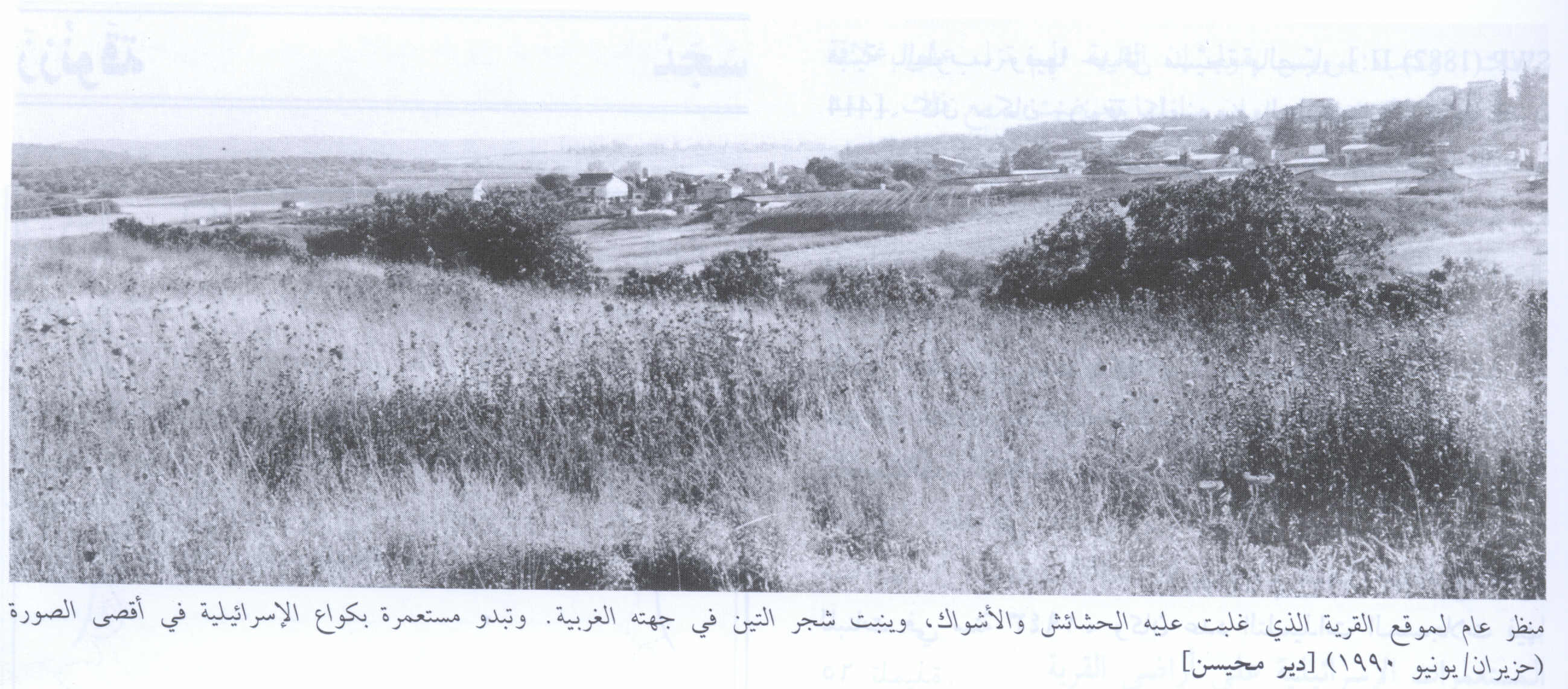
Scanned from "All That Remains" by Dr. Walid Khalidi - Remains Of A House In The Village Center In 1990
Scanned from "All That Remains" by Dr. Walid Khalidi - Pre-Nakba Aerial view of the village / صورة من الجو للقرية اخذت قبل النكبة
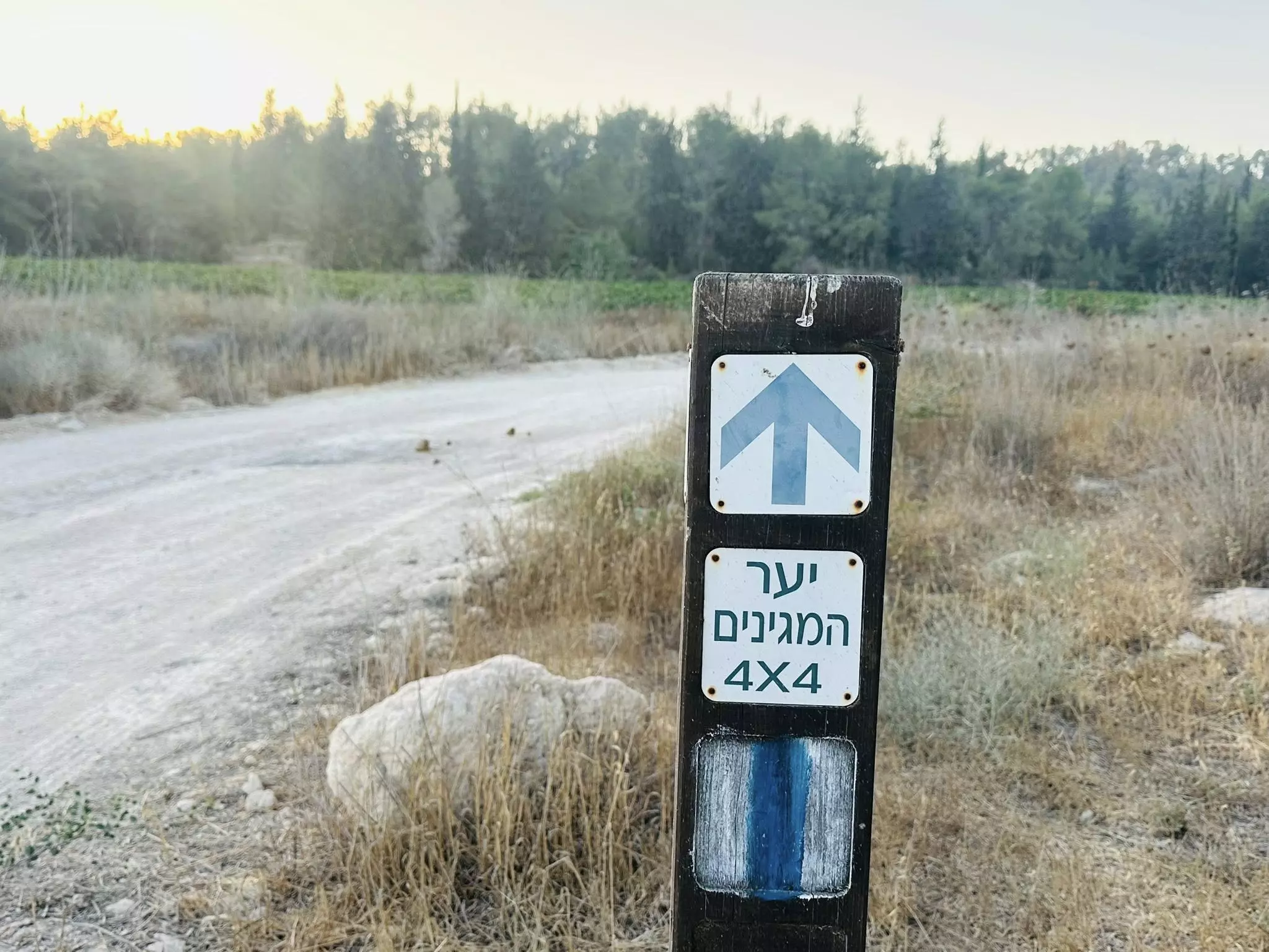
- That is how the "civilized" erased and replaced us: Deir Muheisn was completely obliterated, as you see -- دير محيسن باتت أثر بعد عين. من هنا مر الهمجّ
- That is how the "civilized" erased and replaced us: Deir Muheisn was completely obliterated, as you see -- دير محيسن باتت أثر بعد عين. من هنا مر الهمجّ #2
- That is how the "civilized" erased and replaced us: Deir Muheisn was completely obliterated, as you see -- دير محيسن باتت أثر بعد عين. من هنا مر الهمجّ #3
- That is how the "civilized" erased and replaced us: Deir Muheisn was completely obliterated, as you see -- دير محيسن باتت أثر بعد عين. من هنا مر الهمجّ #4
- That is how the "civilized" erased and replaced us: Deir Muheisn was completely obliterated, as you see -- دير محيسن باتت أثر بعد عين. من هنا مر الهمجّ #5
- That is how the "civilized" erased and replaced us: Deir Muheisn was completely obliterated, as you see -- دير محيسن باتت أثر بعد عين. من هنا مر الهمجّ #6
- That is how the "civilized" erased and replaced us: Deir Muheisn was completely obliterated, as you see -- دير محيسن باتت أثر بعد عين. من هنا مر الهمجّ #7
- That is how the "civilized" erased and replaced us: Deir Muheisn was completely obliterated, as you see -- دير محيسن باتت أثر بعد عين. من هنا مر الهمجّ #8
- That is how the "civilized" erased and replaced us: Deir Muheisn was completely obliterated, as you see -- دير محيسن باتت أثر بعد عين. من هنا مر الهمجّ #9
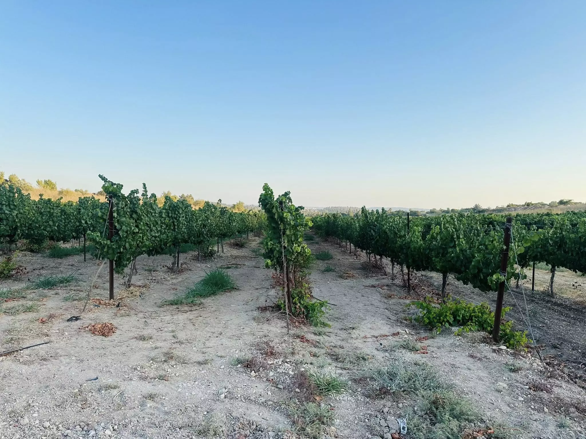
- That is how the "civilized" erased and replaced us: Deir Muheisn was completely obliterated, as you see -- دير محيسن باتت أثر بعد عين. من هنا مر الهمجّ #10
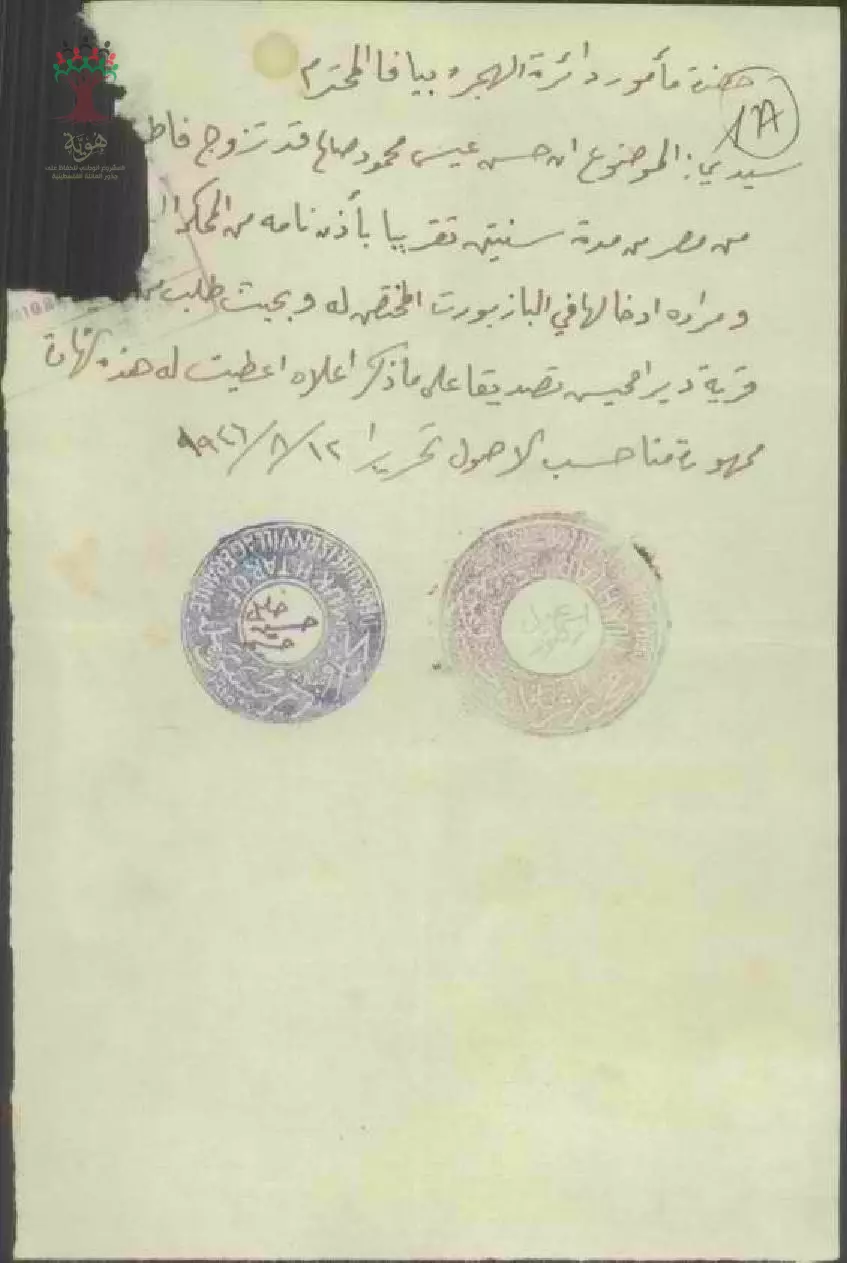
- شهادة من المختار خليل حسين حسن ل فاطمة صالح شرف بخصوص طلب الجنسية -- 12-08-1946
Want to browse more? 80,000 pictures were grouped in these gallaries:
| Display Name | Clan/Hamolah | Country of Residence |
| Mohammad Saadeh | Saleh | NJ, USA |
- جولة رائعة في القرية المهجرة -- 2025 Duration: 44 sec
No links have been shared yet, be free to the first to share the first link.
 Fake Valor: Why Did Zionist Jews Hoist Nazis Flag on Their Ships in the 1930s?
What is new?
-
Facts About Oct. 7th Gaza Raid
-
Remined Us Please: Who Did Rape Whom? Was it Palestinians who raped Israelis? Or, was the other way around? You'll be the judge
-
When Prof. Edward Said was invited to debate Bibi Netanyahu in the 1980s, watch what happened!
-
Ezra Klein of the NY Times on the "Jewish Race".
-
Abusing Blood Libel!
-
How and why Israeli Jewry has become the most hated cult?
-
Did Israeli Soldiers Activate The Hannibal Direective On Oct. 7th? You Be The Judge
-
Zionist FAQ: Isn't it true that Palestinians don't want peace? Palestinians never accepted the two-state solution
- Facts about Haavara (Transfer) Agreement between Ben-Gurion & Hitler
-
Haavara FAQs: Why Did Zionist Jews Hoist Nazis' Flags on Their Ships in the 1930s?
- Haavara FAQs: When Chaim Weizmann met FDR in mid-1943, why was he silent about rescuing European Jewry?
-
Dear ChatGPT: How did Palestinians resist Napoleon's invasion of their country in 1799?
-
Dear ChatGPT: Gaza had a vibrant Jewish community in the mid-17th century. What happened to them?
-
Dear ChatGPT: Why did the Jewish Agency suppress news of the Holocaust during WWII?
-
Video Playlist: Jews share their DNA tests to end the conflict for good.
-
A Tale of Two Conflicts: Examining the Definition of Genocide
-
Prof. Abraham Polak And The Suppressed History of the Khazars and European Jewry
-
How Ronald Reagan would have framed the genocide in Gaza if he were still alive?
-
Haavara FAQs: Let us do the math: how many German Jews did The Haavara Agreement save?
-
Zionist FAQs: The Hebron Massacre of 1929, "clearly proves" that Palestinians are antisemitic, how could you deny it?
-
Zionist FAQs: Why Anti-Zionist Is Not Antisemitism?
-
Zionist FAQs: Isn't it true that the KGB created Palestinian Nationalism in the early 1960s?
- Zionist FAQs: Muslims are killing Muslims all the time; why are Israeli Jews being singled out in the media?
- Zionist FAQs: How is Israel an apartheid state when 20% of its citizens are Arabs who enjoy full rights?
-
Haavara FAQs: Why Did Dorothy Thompson Flip From A Zionist Advocate to A Silenced Dissenter?
-
Haavara FAQs: Analysis of Herzl's Uganda Scheme and how it could have saved millions of Jews.
-
Haavara FAQs: Why did Hayim Greenberg describe American Jewry as "morally bankrupt" in early 1943?
-
Haavara FAQs: What if the Evian Conference was a resounding success? What would have been the impact of saving European Jewry on Zionism?
- Haavara FAQs: What if the six million were saved, how that would have impacted the Zionist project?
-
Haavara FAQs: How did Zionist leaders react when Europe's Jews lingered in the DP camps after WWII ended?
-
Why does the American Jewish community repeat lies that David Ben-Gurion had debunked before he died?
-
Who has the power to rename the Tatar/Khazar Gene Marker to Jewish IV?
-
Zionist FAQs: Why won't Egypt, Syria, and Jordan take their people back? Jews are indigenous to Palestine, and Arabs immigrated after Jews developed the country. Arabs should leave.
-
Haavara FAQs: Did Hitler and the Nazis conflate between Judaism and Zionist? If that wasn't case, then why?
-
Haavara FAQs: Winston Churchill and antisemitism, a collection of articles written Churchill.
-
Haavara FAQs: Broken by country, how many Jews survived vs. killed during the Holocaust?
-
Haavara FAQs: Why did European Jews vote with their feet and to immigrated to the Americas, not Palestine, after WWII?
-
Watch this American Jewish Girl describing Israeli Jews' cognitive dissonance like no other in under two minutes
-
Haavara FAQs: When the Nazis went out of their way to hide the Holocaust, Israeli Jews did the exact opposite by broadcasting their genocide of Gazans. But why?
-
Haavara FAQs: How Zionist Jews went out of their to show their appreciation to Nazism and Fascism?
- Haavara FAQs: Why Zionist leaders were against bombing the death camps & the Railroads leading to them?
-
Haavara FAQs: Hitler's message to the British and American people: If Jews are such noble citizens and you care about them, how come you're not letting them in? I will gladly ship them to you at my expense, even on luxury liners!
-
A shortlist of Zionist and Israeli false flag operations in the name Jews.
-
The Most Moral Army
- The Land of Kapos (Israel): Where the brave are boycotted and Kapos walk free.
- Why did early Zionists often named their communal enterprises "colonial"?
- Zionist Relations with Nazi Germany by Faris Glubb
-
Two NY Times advertisements by Zionists in the early 1943 that exposes Zionists' treason at the height of the calamity
- Facts Not Lies about the Palestinian-Israeli Conflict.
- Site's pictures have been categorized
- Campgain Against Lice
- A Survey of Palestine, the official source about Palestine before Nakba produced by the British Mandate; over 1200 pages.
- Satellite View & Google Earth: Over 6,000 placemarks identifying all destroyed towns, W. Bank & Gaza Strip Towns, & refugee camps.
- PalestineRemembered.com and its Nakba Oral History Project were featured on al-Jazeera Satellite TV.
- Nakba Oral History Video Podcast:
 Over 700 Oral History interviews (including 3,500+ hours of recording) can be viewed online.
 - Palestine Village Statistics Project
- Gaza Jail Break
- النسخة العربية للموقع الان متوفرة
- Videos: Documenting the destroyed villages in video: Tracing all that remains since Nakba.
- Videos: Responding to Zionist Propaganda
- Interview: The ethnic cleansing of Palestine: George Galloway interviews Israeli Historian Ilan Pappe.
- For Palestinians, memory matters. It provides a blueprint for their future By George Bisharat.
- Zionist FAQ now available in Hebrew שאלות שציונים שואלים, עכשיו בעברית
- Video: The Stephen Walt and John Mearsheimer report on the influence of the Israel Lobby on U.S. Foreign Policy
- The Palestinian-Israeli conflict for beginners
