| PalestineRemembered | About Us | Oral History | العربية | |
| Pictures | Zionist FAQs | Haavara | Maps | |
| Search |
| Camps |
| Districts |
| Acre |
| Baysan |
| Beersheba |
| Bethlehem |
| Gaza |
| Haifa |
| Hebron |
| Jaffa |
| Jericho |
| Jerusalem |
| Jinin |
| Nablus |
| Nazareth |
| Ramallah |
| al-Ramla |
| Safad |
| Tiberias |
| Tulkarm |
| Donate |
| Contact |
| Profile |
| Videos |
Welcome To Salbit - سلبيت (סלבית)
|
District of al-Ramla
Ethnically cleansed days ago |
العربية Google Earth |
 |
Gallery (19) |
- Statistics & Facts
-
Before & After

- Satellite View
- Articles 2
- Pictures 19
- Members 7
- All That Remains
- Wikipedia
- Videos 2
- Guest Book
- Links 1
| Statistic & Fact | Value | ||||||||||||
| Occupation Date | July 15, 1948 | ||||||||||||
| Distance From District | 12 (km) Southeast of al-Ramla | ||||||||||||
| Elevation | 200 (meters) | ||||||||||||
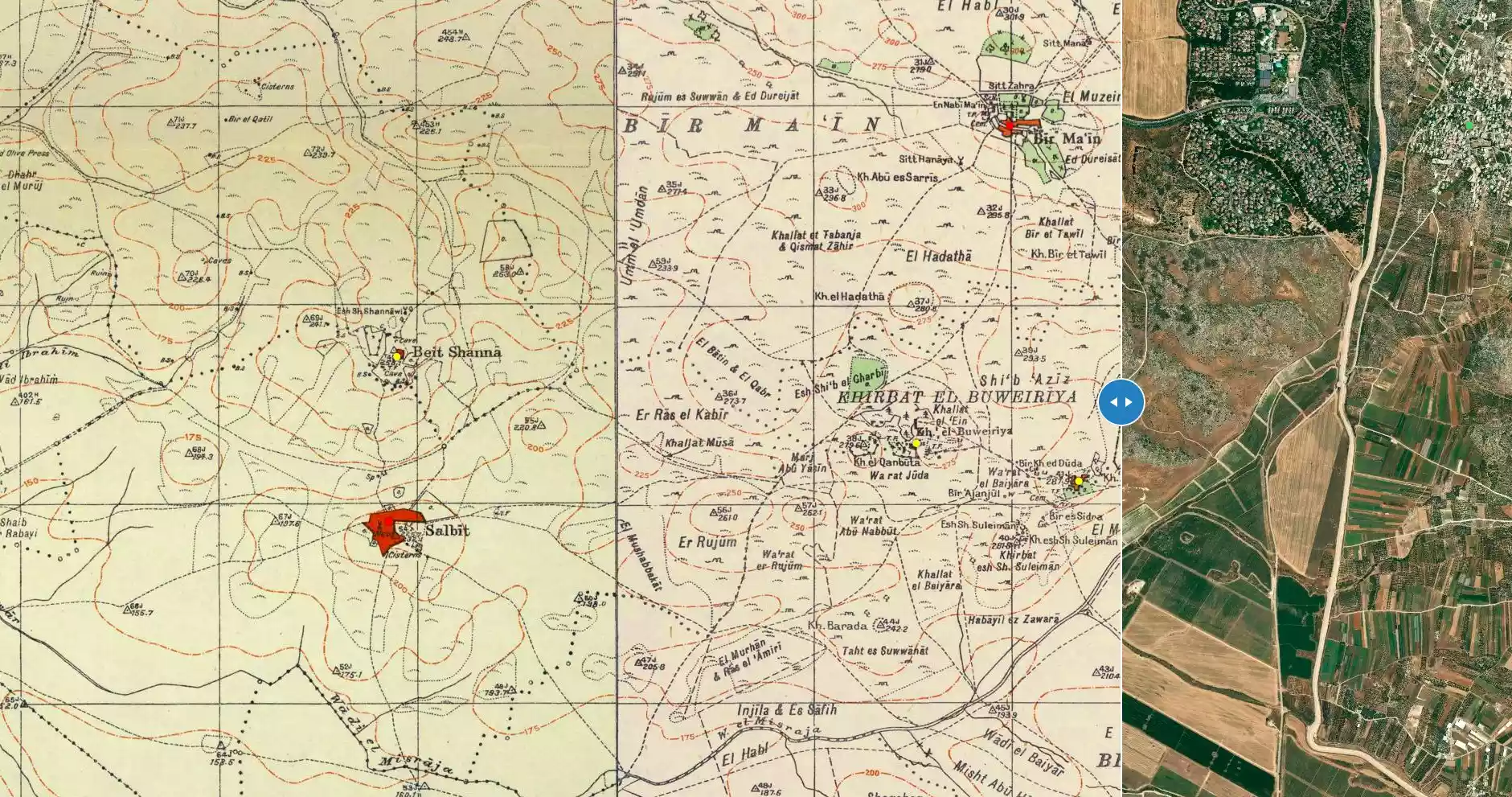
| Before & After Nakba, Click Map For Details |
|||||||||||||
|
|||||||||||||
| Map Location | See location #31 on the map View from satellite |
||||||||||||
| Military Operation | Operation Dani | ||||||||||||
| Attacking Units | Kiryati Brigade | ||||||||||||
| Defenders | Jordanian Army & Local militia | ||||||||||||
| Exodus Cause | Military assault by Zionist troops | ||||||||||||
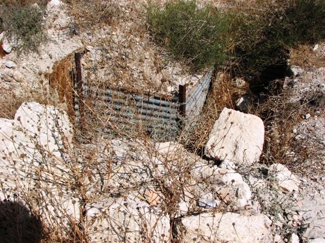
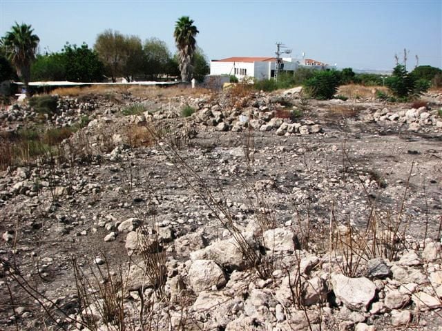
| Village Temains | Salbit was completely obliterated and defaced. | ||||||||||||
| Ethnically Cleansing | Salbit inhabitants were completely ethnically cleansed. | ||||||||||||
| Pre-Nakba Land Ownership |
**Town Lands' Demarcation Maps |
||||||||||||
| Land Usage As of 1945 |
|
||||||||||||
| Population |
|
||||||||||||
| Number of Houses | In (1931): 71 (listed in Jerusalem District, includes Bayt Shanna) | ||||||||||||
| Near By Towns |
|||||||||||||
|
|||||||||||||
| Schools | An elementary school which was founded in 1947, and when it opened its doors it had an enrollment of 45 students. | ||||||||||||
| Places of Warship | One mosque | ||||||||||||
| Exculsive Jewish Colonies Who Usurped Village Lands |
Kibbutz Sha'alvirn | ||||||||||||
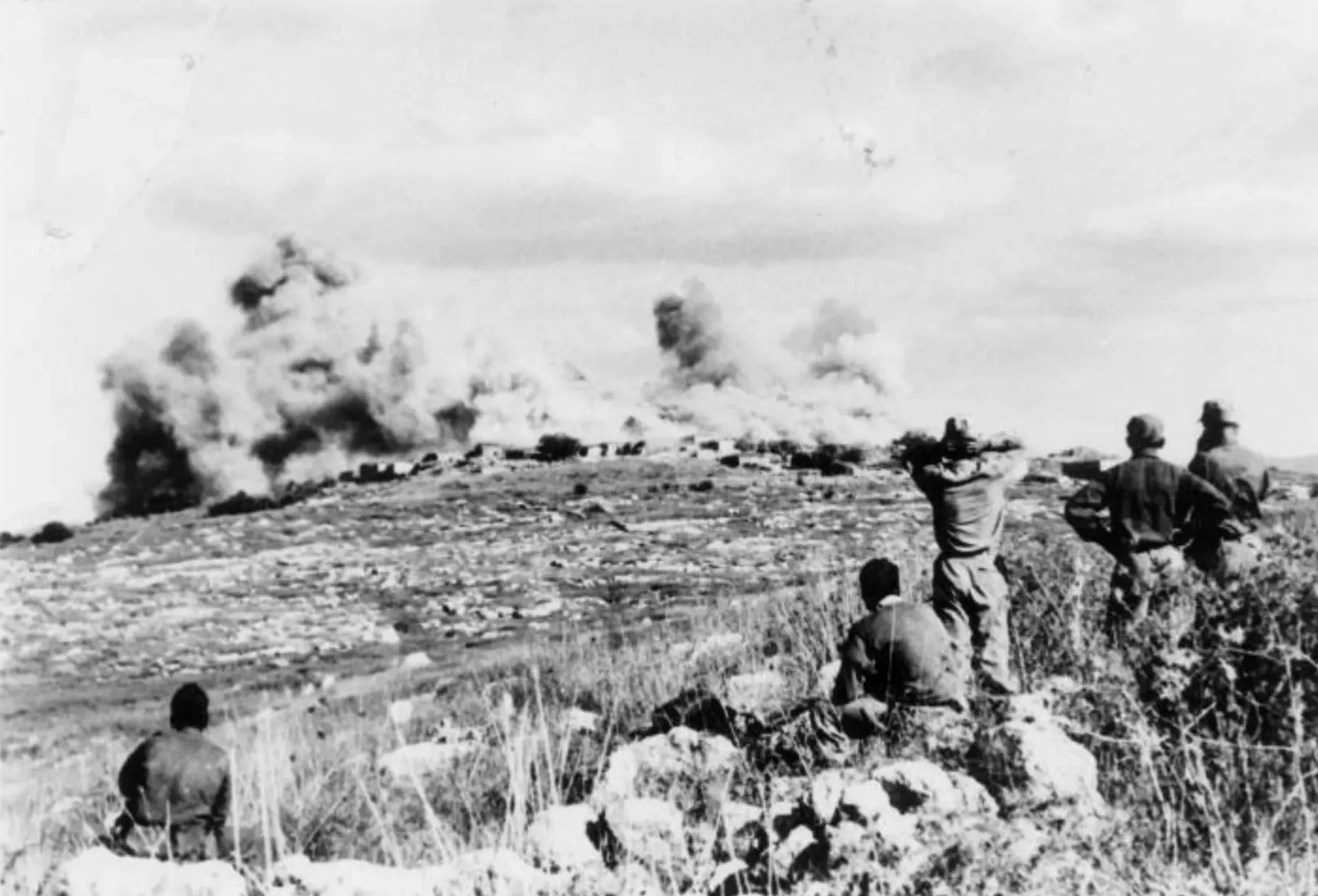
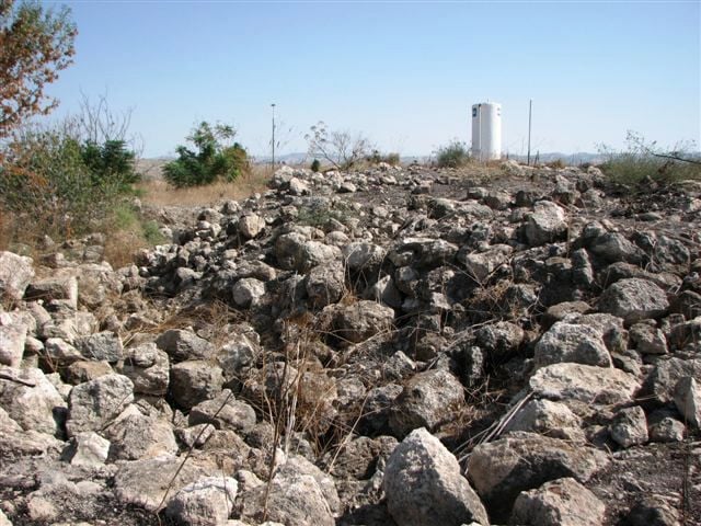
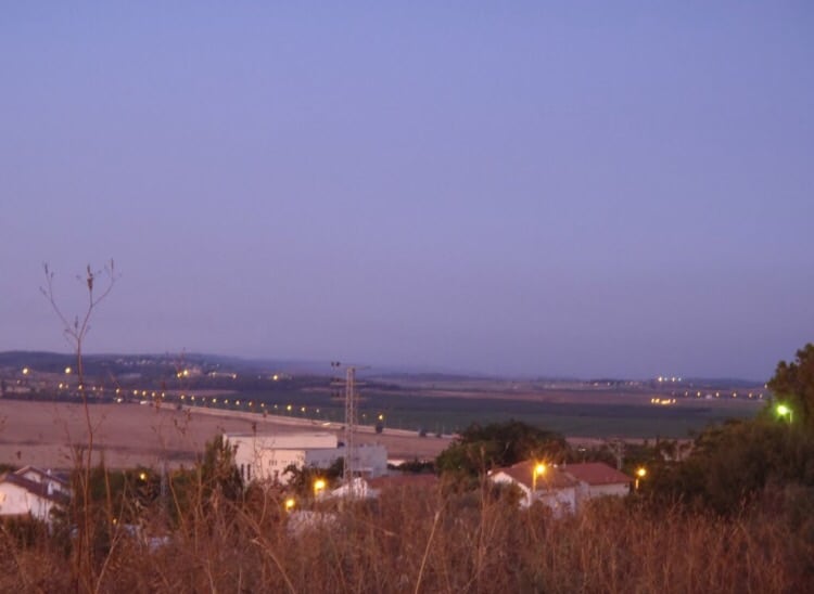
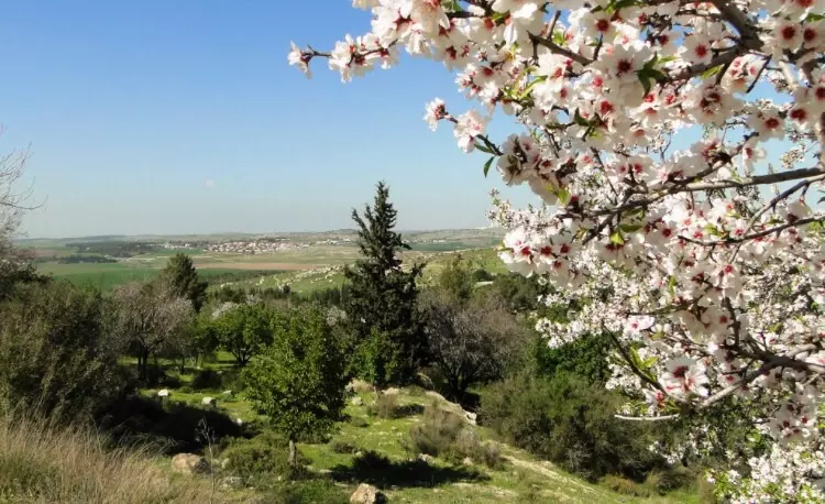
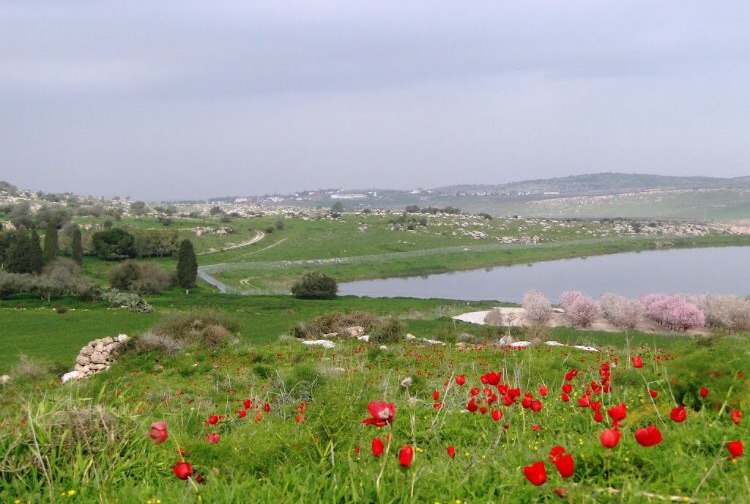
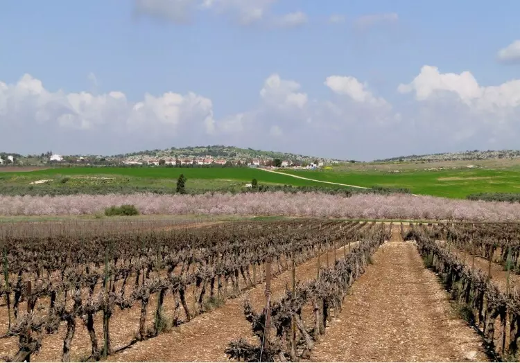
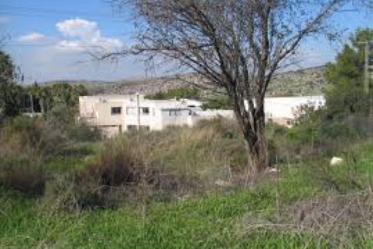
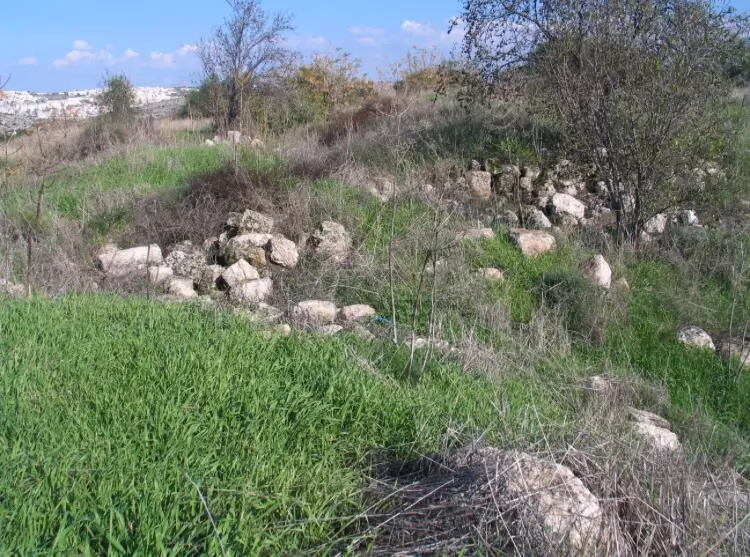
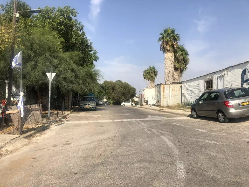
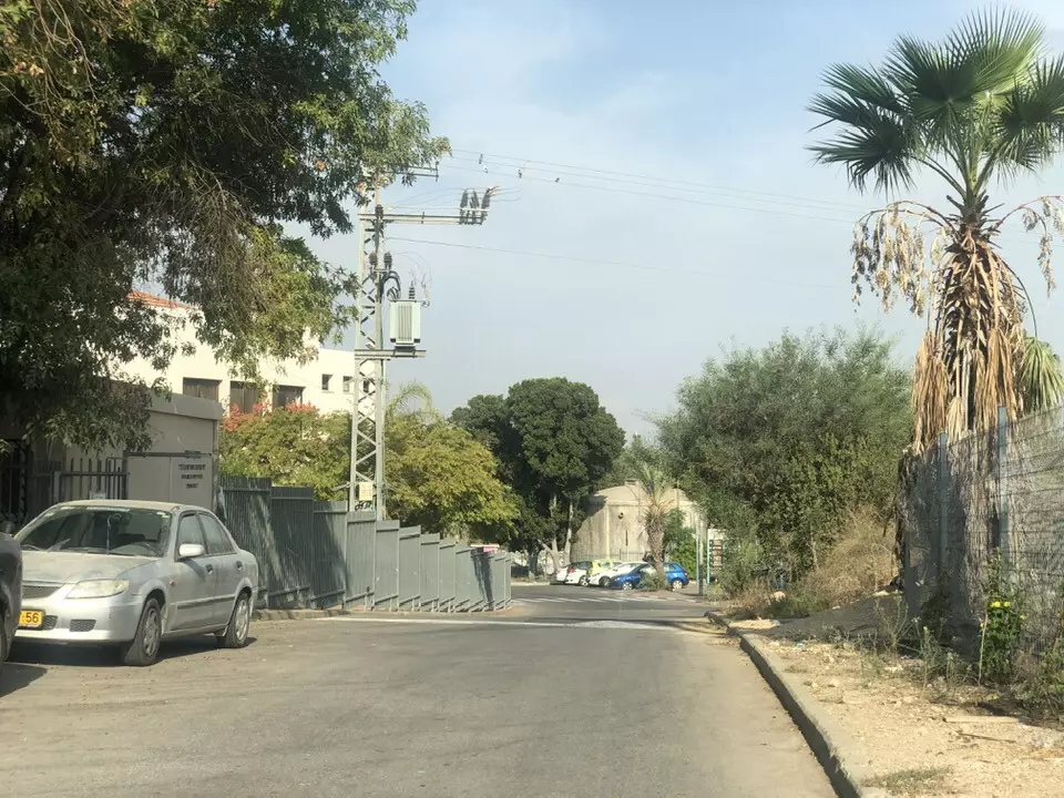
Village Before NakbaSalbit stood on a hill of soft limestone on the western edge of the Jerusalem-Hebron Mountains. Three km northwest of the village there was a secondary road which linked Salbit to the Ramla-Jerusalem highway. Dirt roads also connected it to adjacent villages. Its houses, made of mud and stone, were grouped around the village center, where the mosque, marketplace, and elementary school were located. The school, built in 1947, had an enrollment of forty-five students. All of the residents of Salbit were Muslims. The quality of the grass in the region enabled them to raise livestock; they also worked in agriculture, growing mainly rainfed grains. In 1944/45 a total of 4,066 dunums was allocated to cereals; 16 dunums were irrigated or used for orchards. The village obtained its drinking water from a well.Village Occupation and Ethnic CleaningBoth the History of the War of Independence and Israeli historian Benny Morris report that the Israeli army broke through to Salbit on 15-16 July 1948. This took place in the course of Operation Dani (see Abu al-Fadl, Ramla sub-district), shortly after the occupation of Lydda and Ramla. After the residents of those towns were expelled, some Israeli units were given the task of pushing eastwards and seizing a number of villages from the Arab Legion, including Salbit. The Second Battalion of the Kiryati Brigade was charged with the occupation of Salbit, through which the Arab Legion's front lines ran. No details are given of what occurred at the village or of what happened to the villagers.Zionists Colonies on Village LandsThe kibbutz of Sha'alvim (148142) was established in 1951 on village lands.Village TodayNothing remains except some cactus plants and shrubs. The site is used for grazing cattle, and the surrounding lands are cultivated by Israelis.SourceDr. Walid al-Khalidi, 1992: All That Remains. |
|||||||||||||
| Related Maps | Town Lands' Demarcation Maps خرائط للقضاء توضح حدود القرى والاودية Town's map on MapQuest View from satellite Help us map this town at WikiMapia |
||||||||||||
| Related Links | Wikipedia's Page Google Search Google For Images Google For Videos |
||||||||||||
| More Information | في كتاب كي لا ننسى في كتاب بلادنا فلسطين المزيد من موقع هوية |
||||||||||||
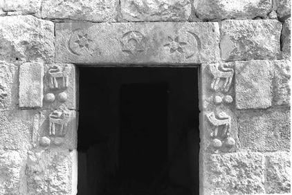
- The Facade of a Looted Palestinian House, Even The Peaceful Where Ethnically Cleansed. Read The Inspriction Above The Doorway, 1949
Posted by Prince, Peaceful Israeli 2 - اناقض البيوت المدمرة - 2009
Posted by said - اناقض البيوت المدمرة - 2009
Posted by said 1 - اناقض البيوت المدمرة - 2009
Posted by said - المستعمره المقامه على اراضي القريه
Posted by abu raya - اراضي القريه
Posted by abu raya - اراضي القريه
Posted by abu raya - اراضي القريه
Posted by abu raya - موقع القريه
Posted by abu raya - موقع القريه وردم بيوتها
Posted by abu raya - موقع القريه
Posted by abu raya - موقع القريه واثار بيوتها
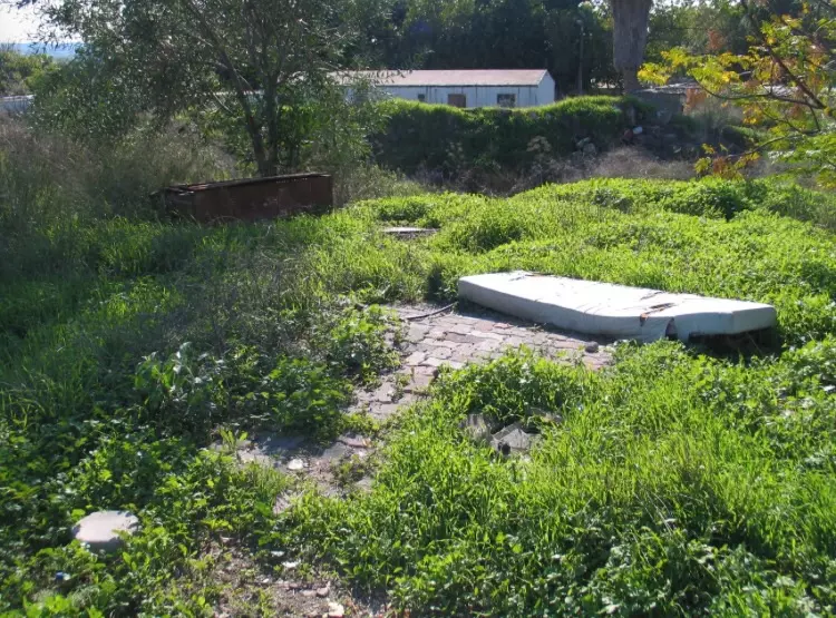
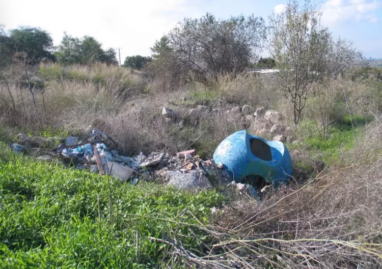
Posted by abu raya - The "civilized", who landed on us from Europe, completely replaced and obliterated our village. How else will the Jews be great again? Hamm; what a "civilization!"
- The "civilized", who landed on us from Europe, completely replaced and obliterated our village. How else will the Jews be great again? Hamm; what a "civilization!" #2
- The "civilized", who landed on us from Europe, completely replaced and obliterated our village. How else will the Jews be great again? Hamm; what a "civilization!" #3
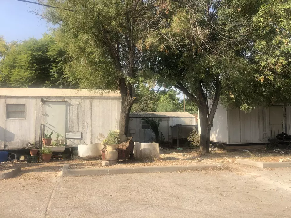
- The "civilized", who landed on us from Europe, completely replaced and obliterated our village. How else will the Jews be great again? Hamm; what a "civilization!" #4
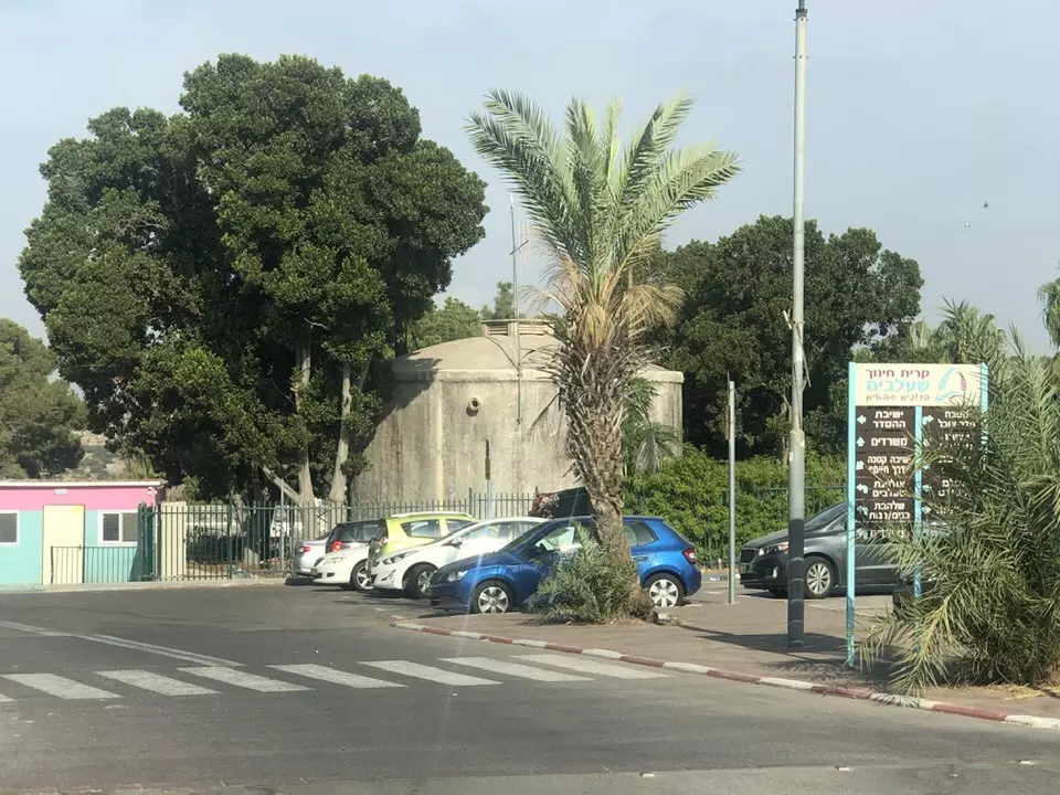
- The "civilized", who landed on us from Europe, completely replaced and obliterated our village. How else will the Jews be great again? Hamm; what a "civilization!" #5
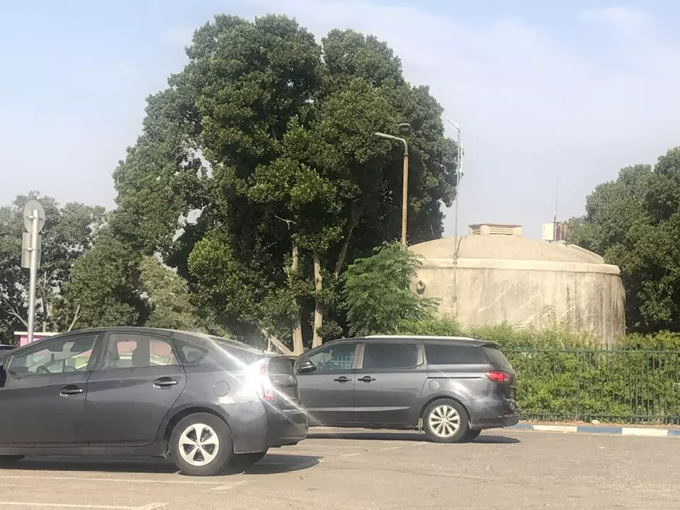
- The "civilized", who landed on us from Europe, completely replaced and obliterated our village. How else will the Jews be great again? Hamm; what a "civilization!" #6
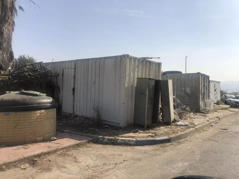
-
The "civilized" obliterated, as you see below, our village way after the battle to hinder our return. How else will Jews become great & safe again? -- سلبيت باتت أثر بعد عين. من هنا مر الهمجّ
Want to browse more? 80,000 pictures were grouped in these gallaries:
| Display Name | Clan/Hamolah | Country of Residence |
| ايناس عبد الكريم خليل | - | فلسطين , رام الله |
| ناصر عبد الكريم أحمد حسن أبو زر | الخضور | الفجيرة, الامارات |
| باسل منصور (Basel Mansour) | منصور (Mansour) | - |
| تقي الدين زهران | زهــــران | بدو القدس |
| Ahmad Dali | Al-Dali | Biddu, Palestine |
| Mansour Mansour | Mansour | Biddo, Palestine |
| ابو عيد | ابو عيد | dubai, uae |
 Fake Valor: Why Did Zionist Jews Hoist Nazis Flag on Their Ships in the 1930s?
What is new?
-
Facts About Oct. 7th Gaza Raid
-
Remined Us Please:: Who Did Rape Who? Palestinians Raped Israelis? Or, was the other way around?
-
When Prof. Edward Said was invited to debate Bibi Netanyahu in the 1980s, watch what happened!
-
Ezra Klein of the NY Times on the "Jewish Race".
-
Abusing Blood Libel!
-
Zionist FAQ: Isn't it true that Palestinians don't want peace? Palestinians never accepted the two-state solution
- Facts about Haavara (Transfer) Agreement between Ben-Gurion & Hitler
-
Haavara FAQs: Why Did Zionist Jews Hoist Nazis' Flags on Their Ships in the 1930s?
-
Dear ChatGPT: Why did the Jewish Agency suppress news of the Holocaust during WWII?
-
Video Playlist: Jews share their DNA tests to end the conflict for good.
-
A Tale of Two Conflicts: Examining the Definition of Genocide
-
Prof. Abraham Polak And The Suppressed History of the Khazars and European Jewry
-
How Ronald Reagan would have framed the genocide in Gaza if he were still alive?
-
Haavara FAQs: Let us do the math: how many German Jews did The Haavara Agreement save?
-
Zionist FAQs: The Hebron Massacre of 1929, "clearly proves" that Palestinians are antisemitic, how could you deny it?
-
Zionist FAQs: Why Anti-Zionist Is Not Antisemitism?
-
Zionist FAQs: Isn't it true that the KGB create Palestinian Nationalism in the early 1960s?
- Zionist FAQs: Muslims are killing Muslims all the time; why are Israeli Jews being singled out in the media?
- Zionist FAQs: How is Israel an apartheid state when 20% of its citizens are Arabs who enjoy full rights?
-
Haavara FAQs: Analysis of Herzl's Uganda Scheme and how it could have saved millions of Jews.
-
Haavara FAQs: Why did Hayim Greenberg describe American Jewry as "morally bankrupt" in early 1943?
-
Haavara FAQs: What if the Evian Conference was a resounding success? What would have been the impact of saving European Jewry on Zionism?
- Haavara FAQs: What if the six million were saved, how that would have impacted the Zionist project?
-
Haavara FAQs: How did Zionist leaders react when Europe's Jews lingered in the DP camps after WWII ended?
-
Why does the American Jewish community repeat lies that David Ben-Gurion had debunked before he died?
-
Who has the power to rename the Tatar/Khazar Gene Marker to Jewish IV?
-
Zionist FAQs: Why won't Egypt, Syria, and Jordan take their people back? Jews are indigenous to Palestine, and Arabs immigrated after Jews developed the country. Arabs should leave.
-
Haavara FAQs: Did Hitler and the Nazis conflate between Judaism and Zionist? If that wasn't case, then why?
-
Haavara FAQs: Winston Churchill and antisemitism, a collection of articles written Churchill.
-
Haavara FAQs: Broken by country, how many Jews survived vs. killed during the Holocaust?
-
Haavara FAQs: Why did European Jews vote with their feet and to immigrated to the Americas, not Palestine, after WWII?
-
Watch this American Jewish Girl describing Israeli Jews' cognitive dissonance like no other in under two minutes
-
Haavara FAQs: When the Nazis went out of their way to hide the Holocaust, Israeli Jews did the exact opposite by broadcasting their genocide of Gazans. But why?
-
Haavara FAQs: How Zionist Jews went out of their to show their appreciation to Nazism and Fascism?
- Haavara FAQs: Why Zionist leaders were against bombing the death camps & the Railroads leading to them?
-
Haavara FAQs: Hitler's message to the British and American people: If Jews are such noble citizens and you care about them, how come you're not letting them in? I will gladly ship them to you at my expense, even on luxury liners!
-
A shortlist of Zionist and Israeli false flag operations in the name Jews.
-
The Most Moral Army
- The Land of Kapos (Israel): Where the brave are boycotted and Kapos walk free.
- Why did early Zionists often named their communal enterprises "colonial"?
- Zionist Relations with Nazi Germany by Faris Glubb
-
Two NY Times advertisements by Zionists in the early 1943 that exposes Zionists' treason at the height of the calamity
- Facts Not Lies about the Palestinian-Israeli Conflict.
- Site's pictures have been categorized
- Campgain Against Lice
- A Survey of Palestine, the official source about Palestine before Nakba produced by the British Mandate; over 1200 pages.
- Satellite View & Google Earth: Over 6,000 placemarks identifying all destroyed towns, W. Bank & Gaza Strip Towns, & refugee camps.
- PalestineRemembered.com and its Nakba Oral History Project were featured on al-Jazeera Satellite TV.
- Nakba Oral History Video Podcast:
 Over 700 Oral History interviews (including 3,500+ hours of recording) can be viewed online.
 - Palestine Village Statistics Project
- Gaza Jail Break
- النسخة العربية للموقع الان متوفرة
- Videos: Documenting the destroyed villages in video: Tracing all that remains since Nakba.
- Videos: Responding to Zionist Propaganda
- Interview: The ethnic cleansing of Palestine: George Galloway interviews Israeli Historian Ilan Pappe.
- For Palestinians, memory matters. It provides a blueprint for their future By George Bisharat.
- Zionist FAQ now available in Hebrew שאלות שציונים שואלים, עכשיו בעברית
- Video: The Stephen Walt and John Mearsheimer report on the influence of the Israel Lobby on U.S. Foreign Policy
- The Palestinian-Israeli conflict for beginners
