| PalestineRemembered | About Us | Oral History | العربية | |
| Pictures | Zionist FAQs | Haavara | Maps | |
| Search |
| Camps |
| Districts |
| Acre |
| Baysan |
| Beersheba |
| Bethlehem |
| Gaza |
| Haifa |
| Hebron |
| Jaffa |
| Jericho |
| Jerusalem |
| Jinin |
| Nablus |
| Nazareth |
| Ramallah |
| al-Ramla |
| Safad |
| Tiberias |
| Tulkarm |
| Donate |
| Contact |
| Profile |
| Videos |
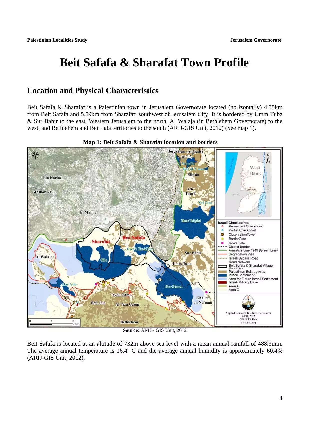
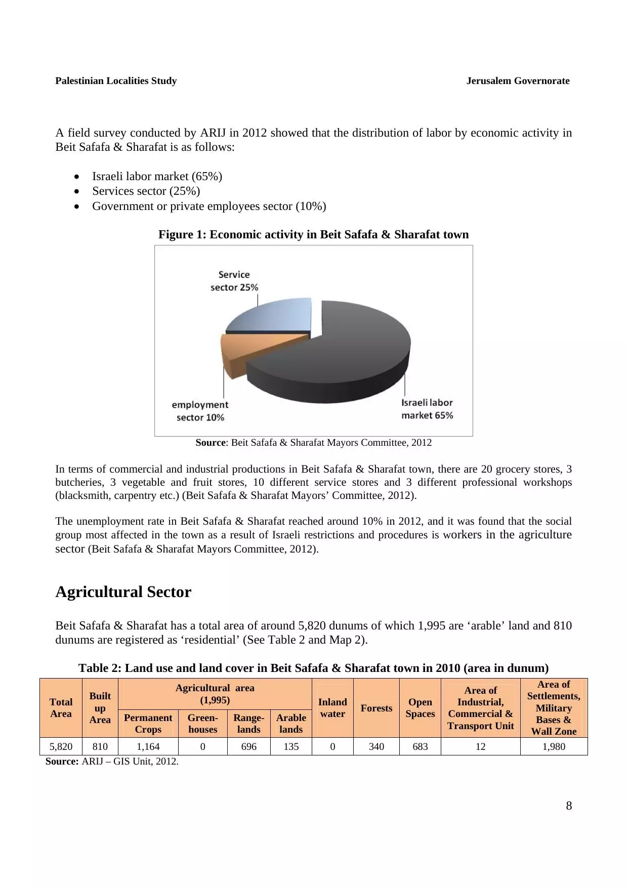
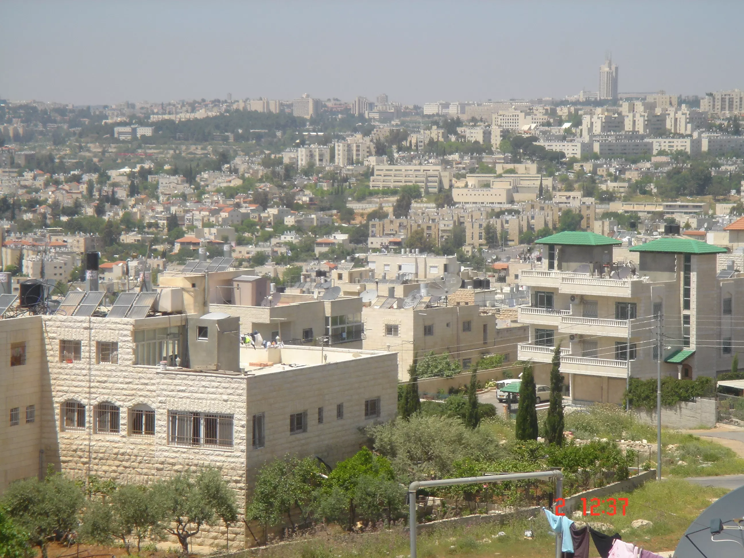
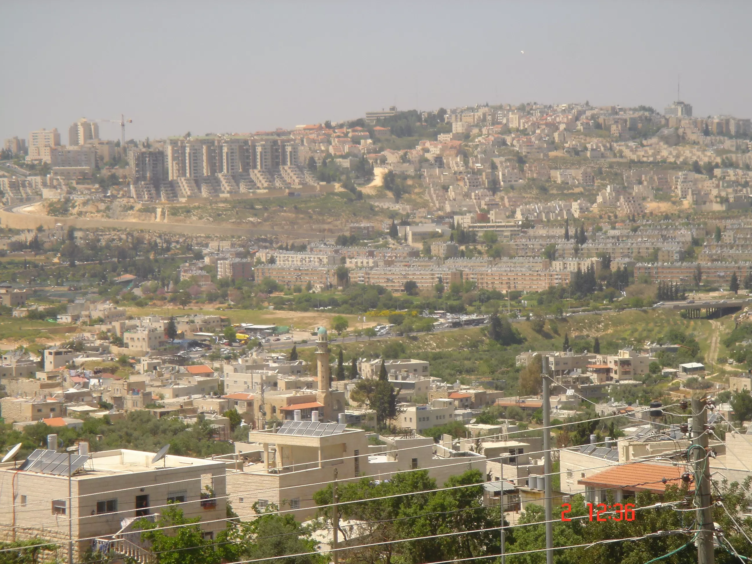
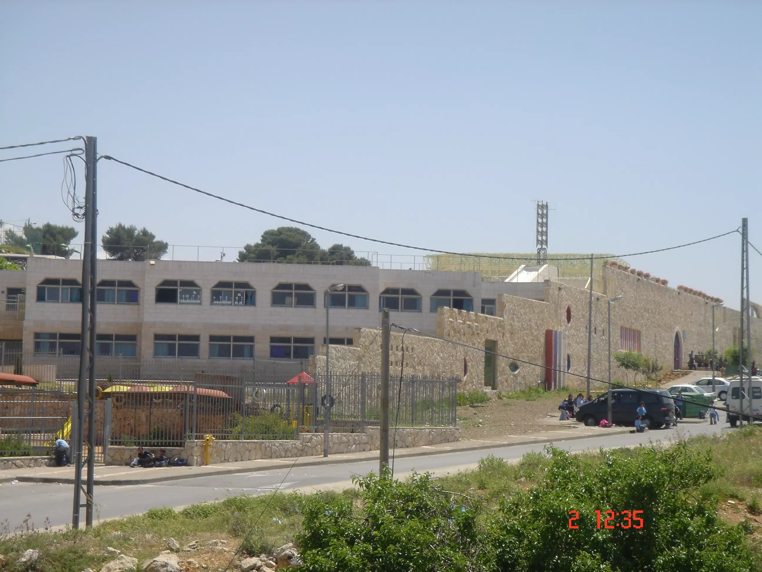
Welcome To Bayt Safafa - بيت صفافا (בית צפאפא)
|
District of Jerusalem
Occupied days ago |
العربية Google Earth |
 |
Gallery (180) |
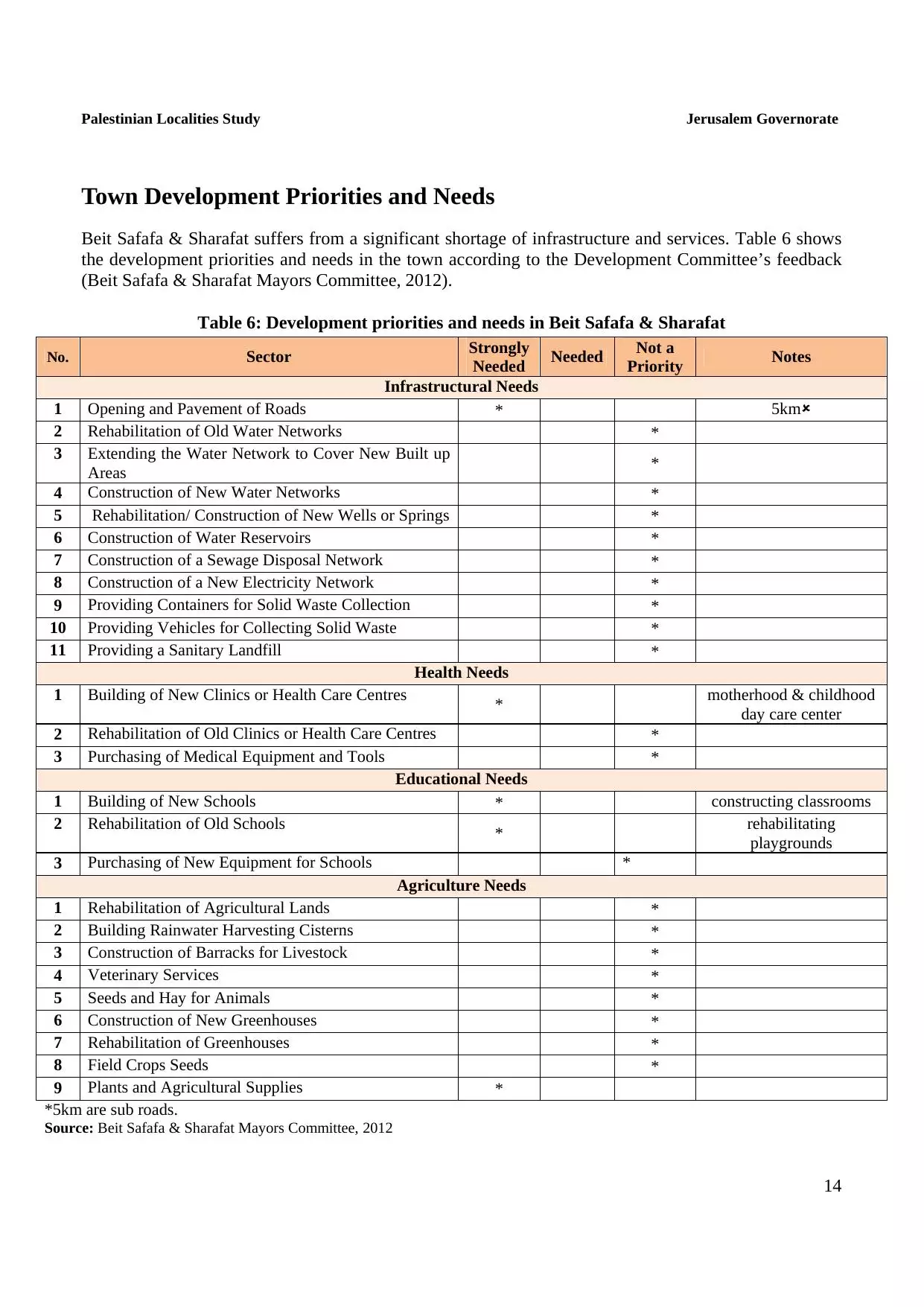
- Statistics & Facts
-
Before & After

- Satellite View
- Articles 3
- Pictures 180
- Aerial Views 2
- Mayrters & Prisoners 1
- Members 21
- Families
- Wikipedia
- ARIJ Guide
- Videos 3
- Guest Book 18
- Links
| Statistic & Fact | Value | |||||||||||||||||||||
| Distance From District | 6 km southwest of Jerusalem | |||||||||||||||||||||
| Elevation | 750 meters | |||||||||||||||||||||
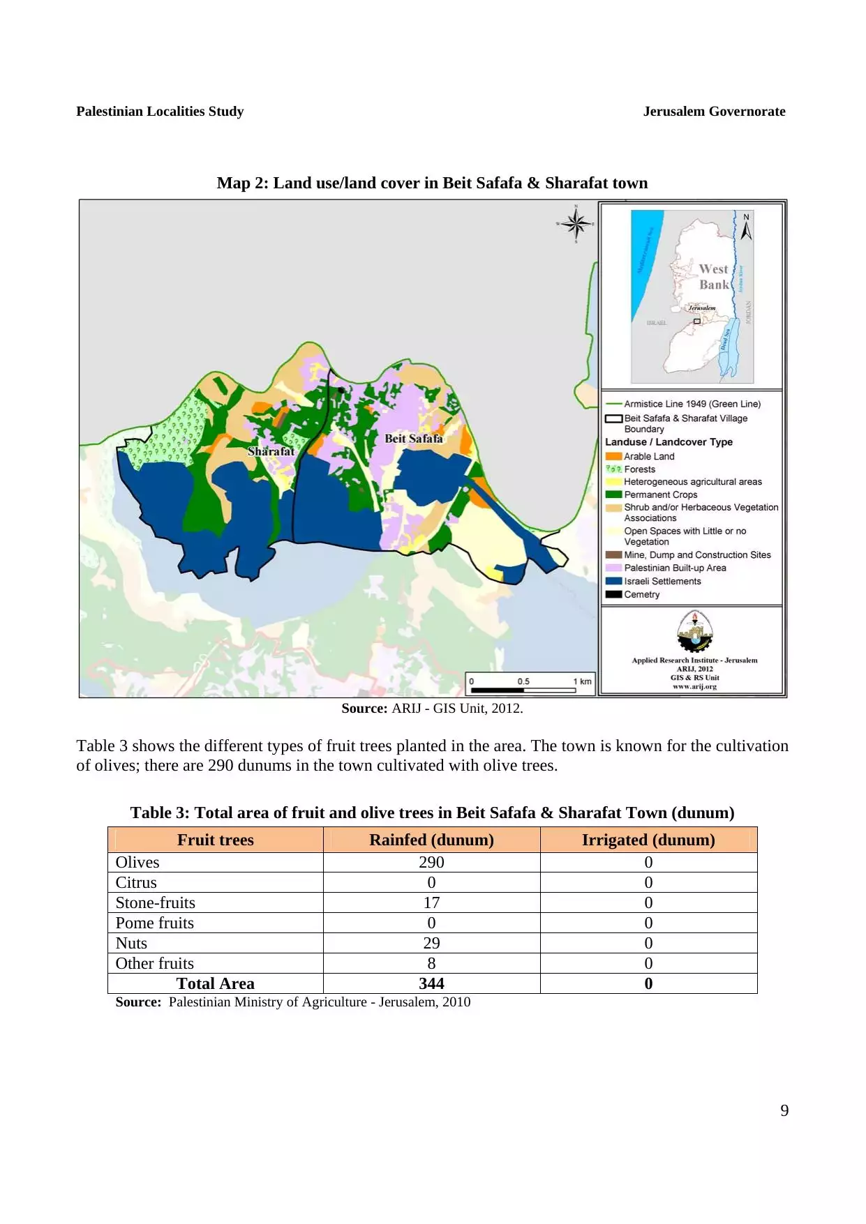
| Before & After Nakba, Click Map For Details |
||||||||||||||||||||||
|
||||||||||||||||||||||
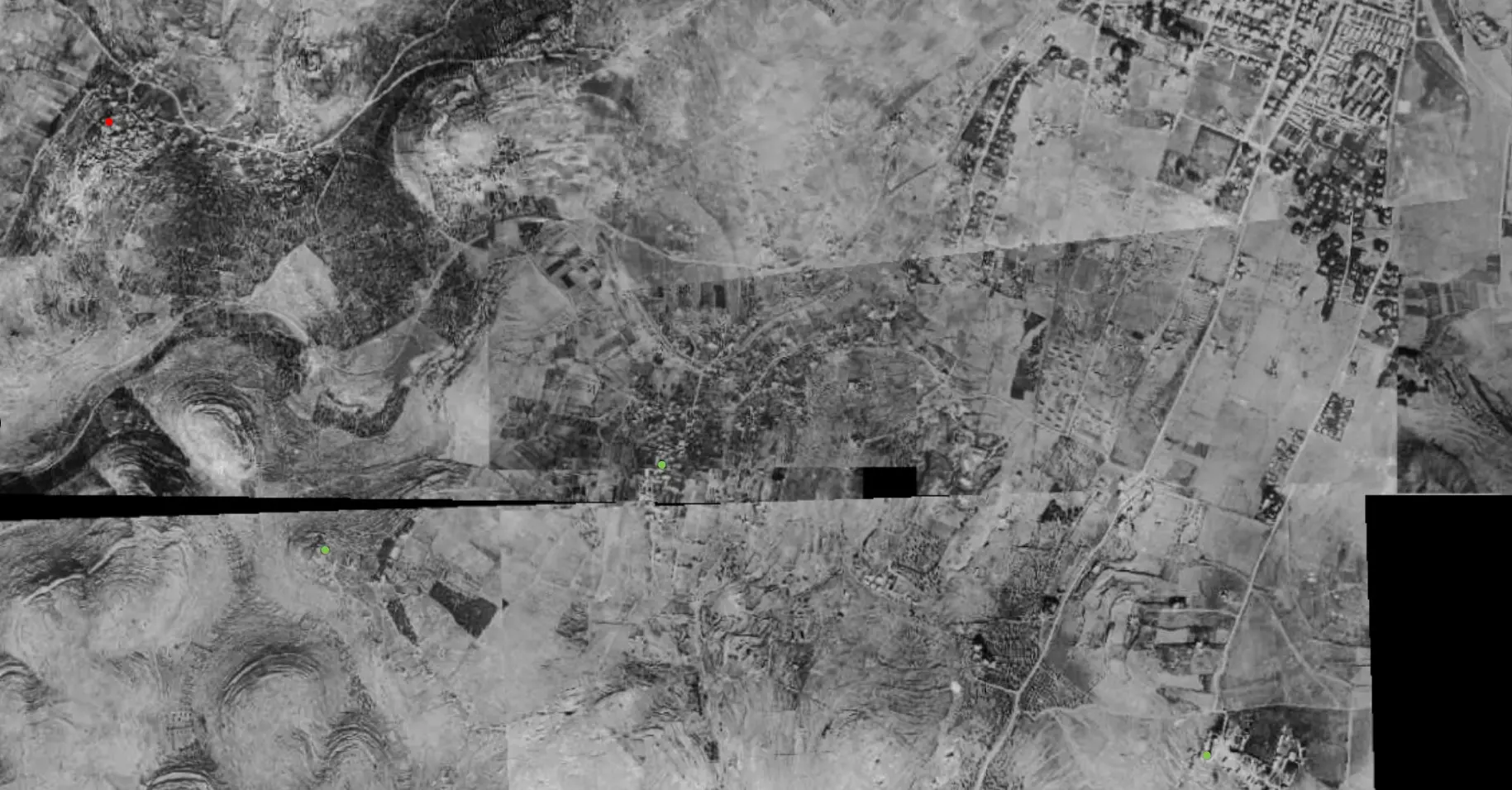
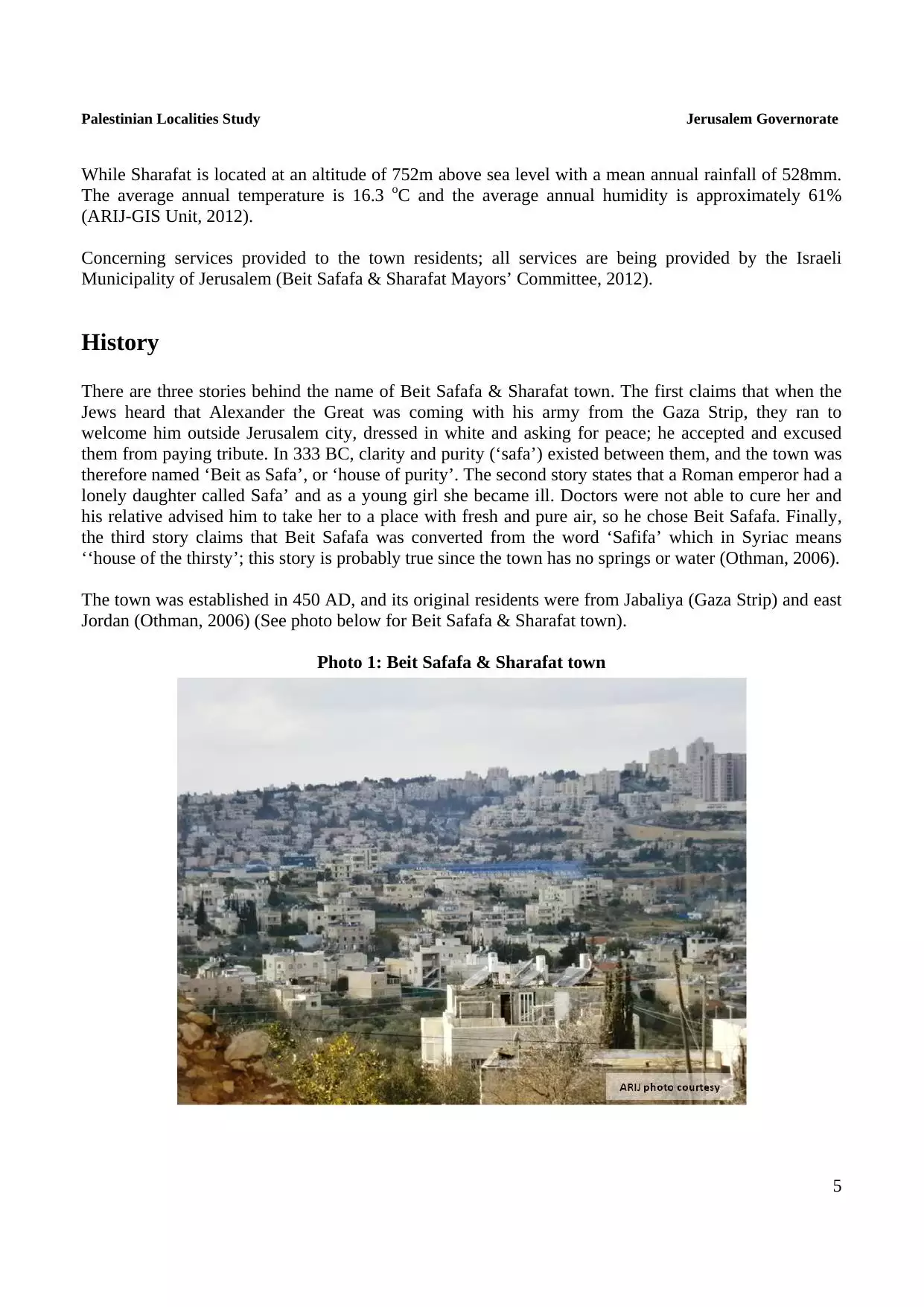
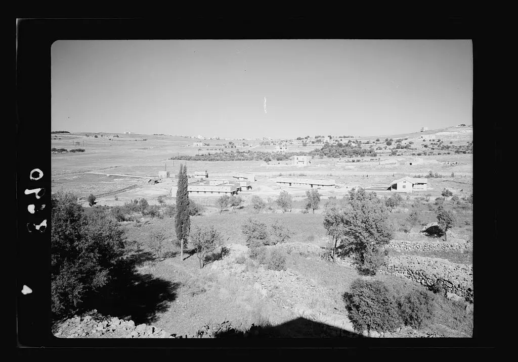
| Pre-Nakba Aerial View |
||||||||||||||||||||||
|
||||||||||||||||||||||
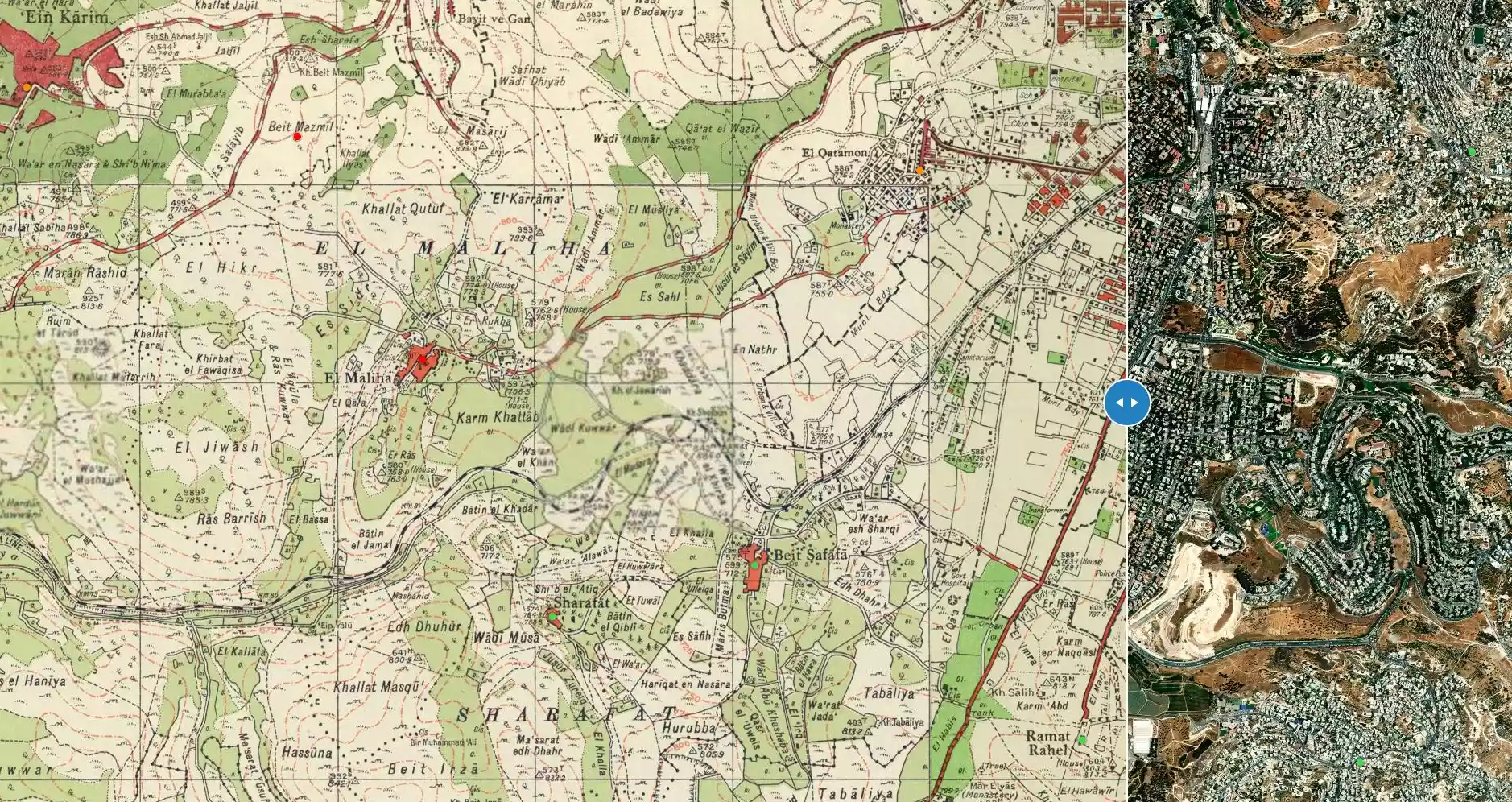
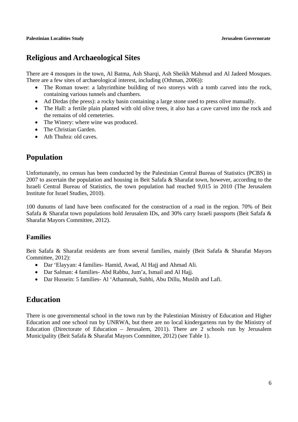
| Land Ownership |
**Town Lands' Demarcation Maps |
|||||||||||||||||||||
| Land Usage As of 1945 |
|
|||||||||||||||||||||
| Lands usurped within armistice area | 921 Dunums | |||||||||||||||||||||
| Population |
|
|||||||||||||||||||||
| Near By Towns |
||||||||||||||||||||||
|
|
||||||||||||||||||||||
| Featured Video | ||||||||||||||||||||||
| ARIJ Guide | ||||||||||||||||||||||
3.
4. 
5. 
6. 
7. 
8. 
9. 
10. 
11. 
12. 
13. 
14. 
15. 
Click here to browse online. |
||||||||||||||||||||||
| Related Maps | Town Lands' Demarcation Maps خرائط للقضاء توضح حدود القرى والاودية View from satellite Town's map on MapQuest Help us map this town at WikiMapia |
|||||||||||||||||||||
| Related Links | Wikipedia's Page Facebook Page ARIJ Guide Google Search Google For Images Google For Videos في كتاب بلادنا فلسطين في كتاب النكبة والفردوس المفقود دليل أريج المزيد من موقع هوية |
|||||||||||||||||||||
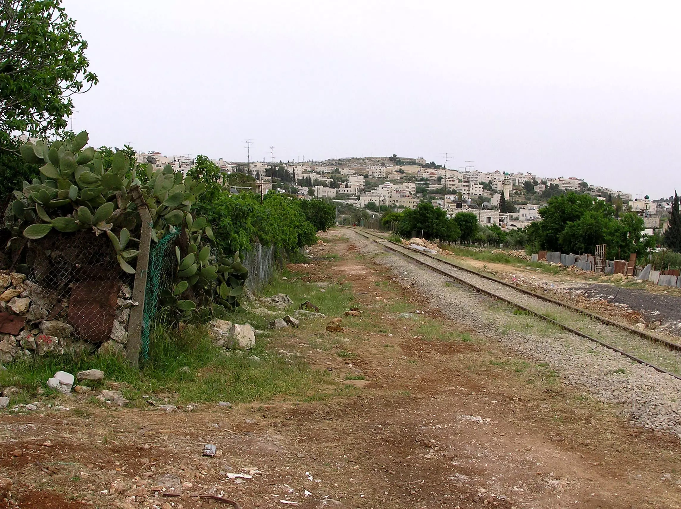
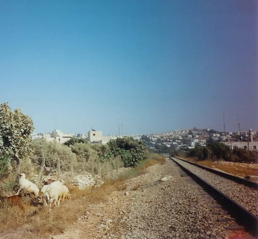
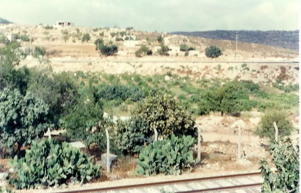
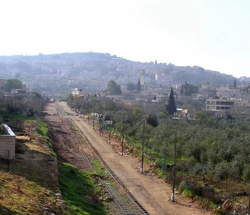
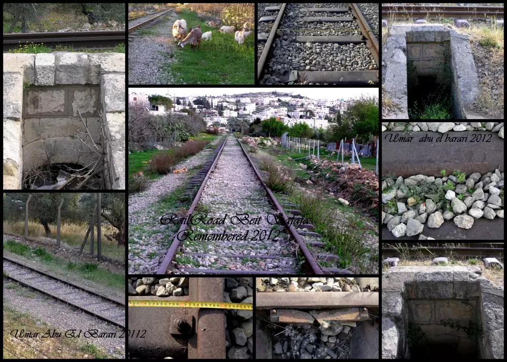
- A Scene of Bayt Safafa With Rail Road Lines Making Their Way Through Village
Posted by Umar Abu El-Bararri 1 - صورة تظهر منطقة الجبل
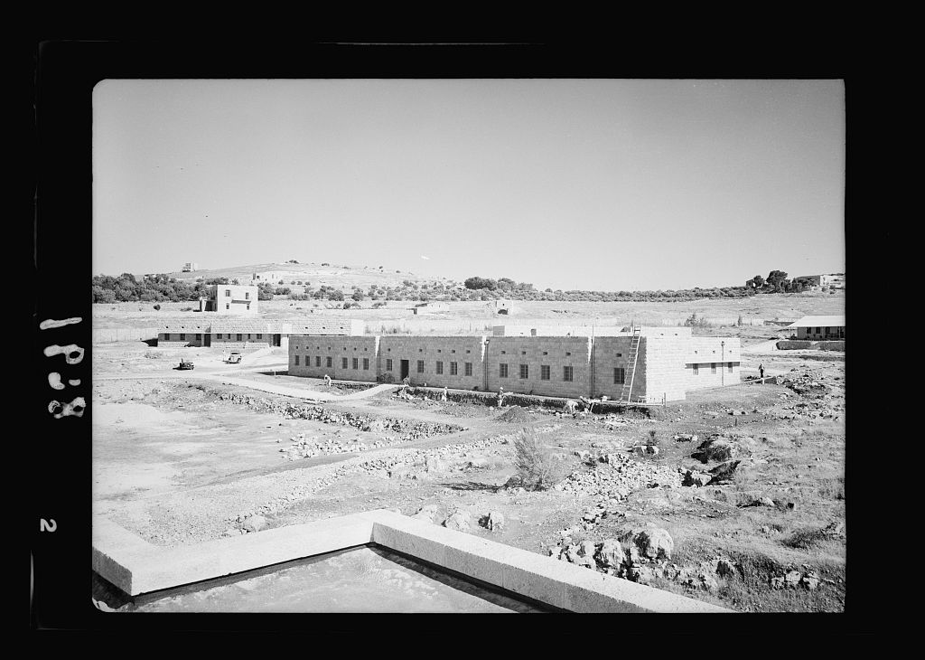
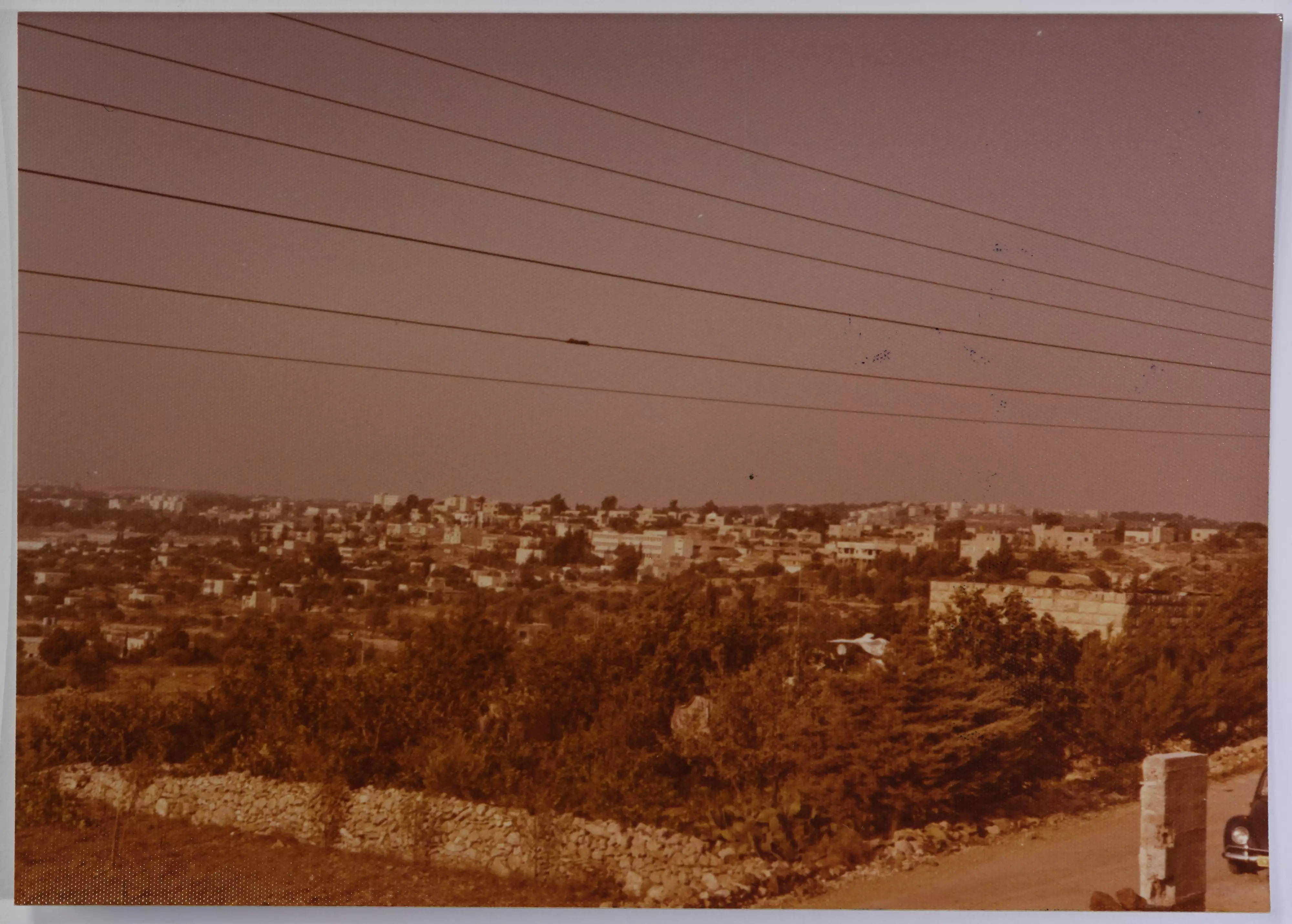
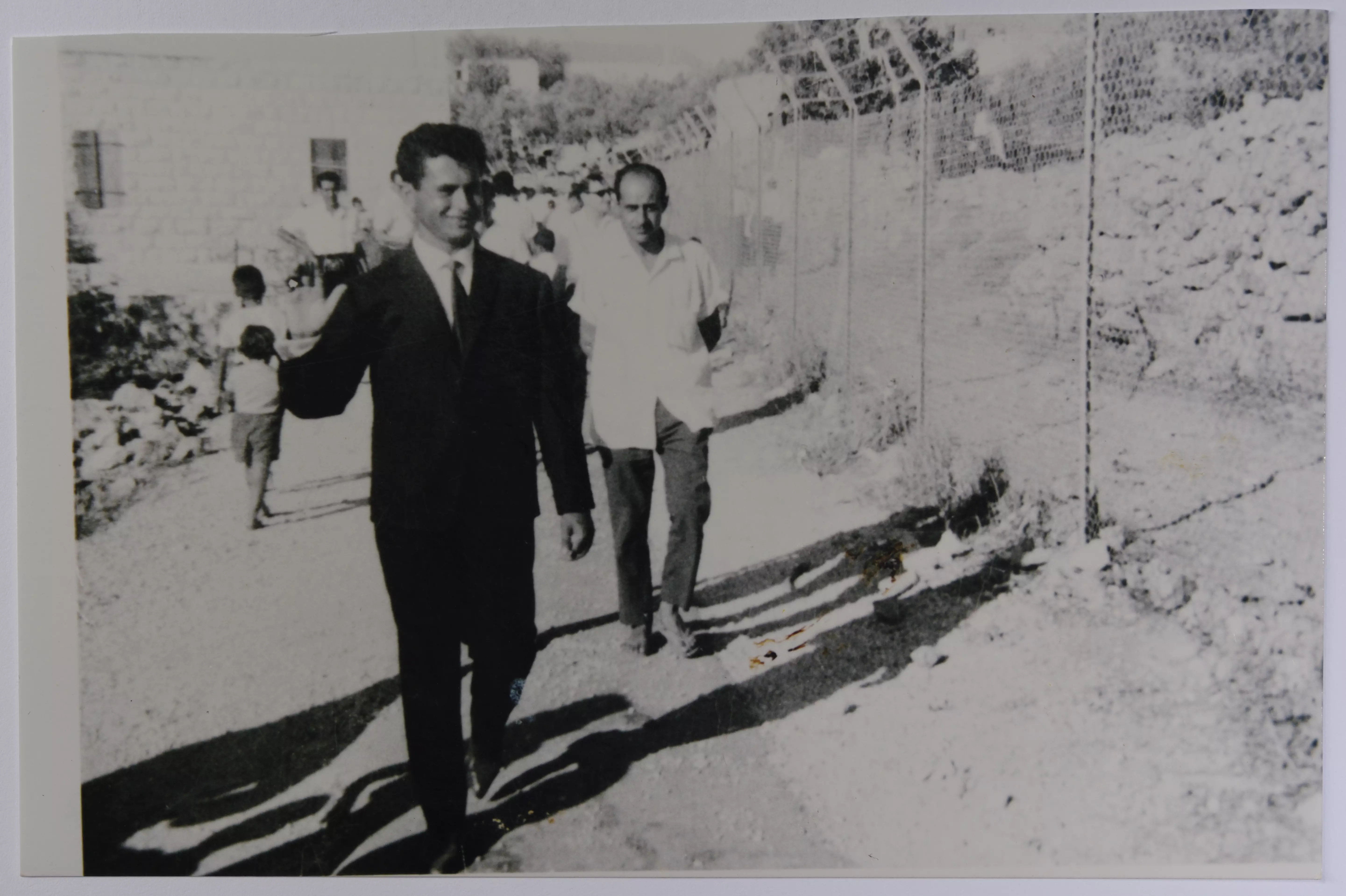
Posted by basheer sheikha 2 - General view taken from the Israeli occupied section (1964)
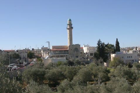
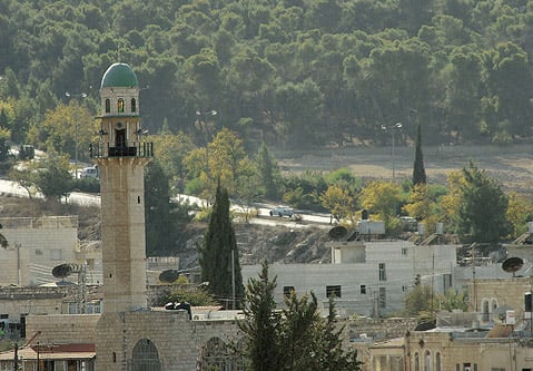
2 - Hamza mosques
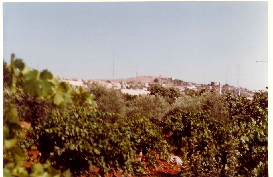
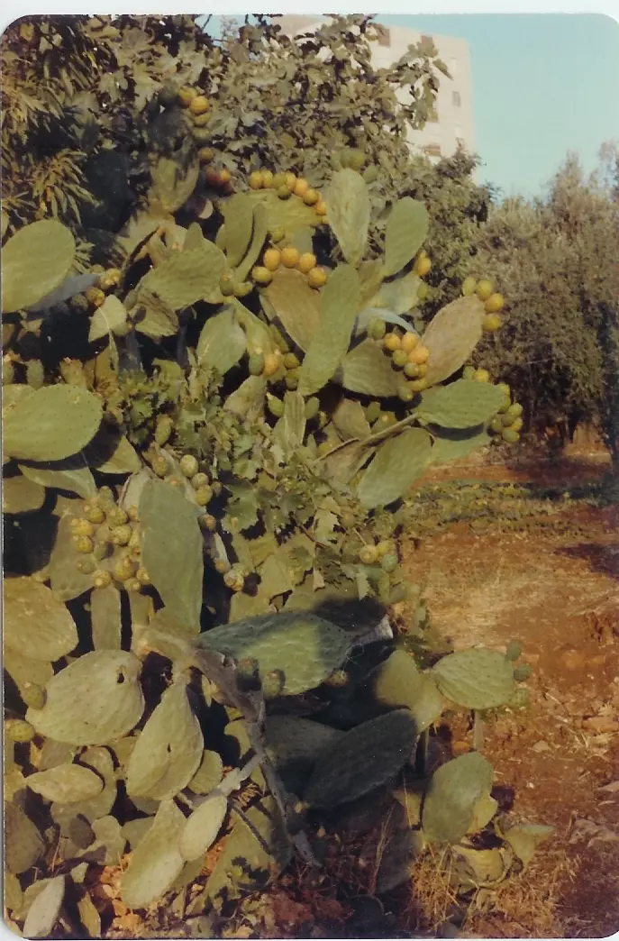
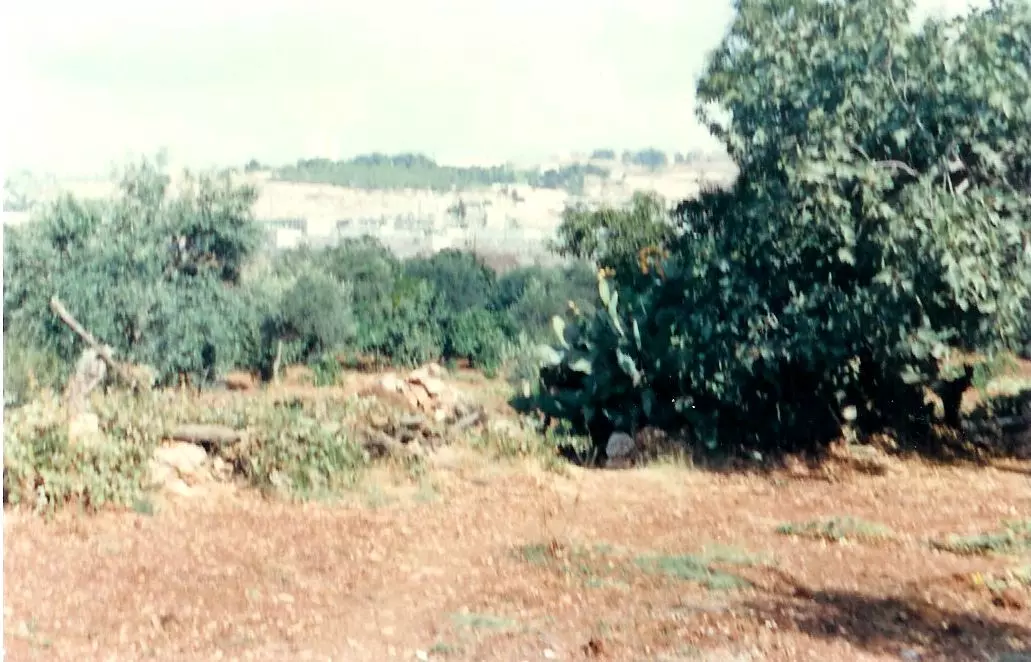
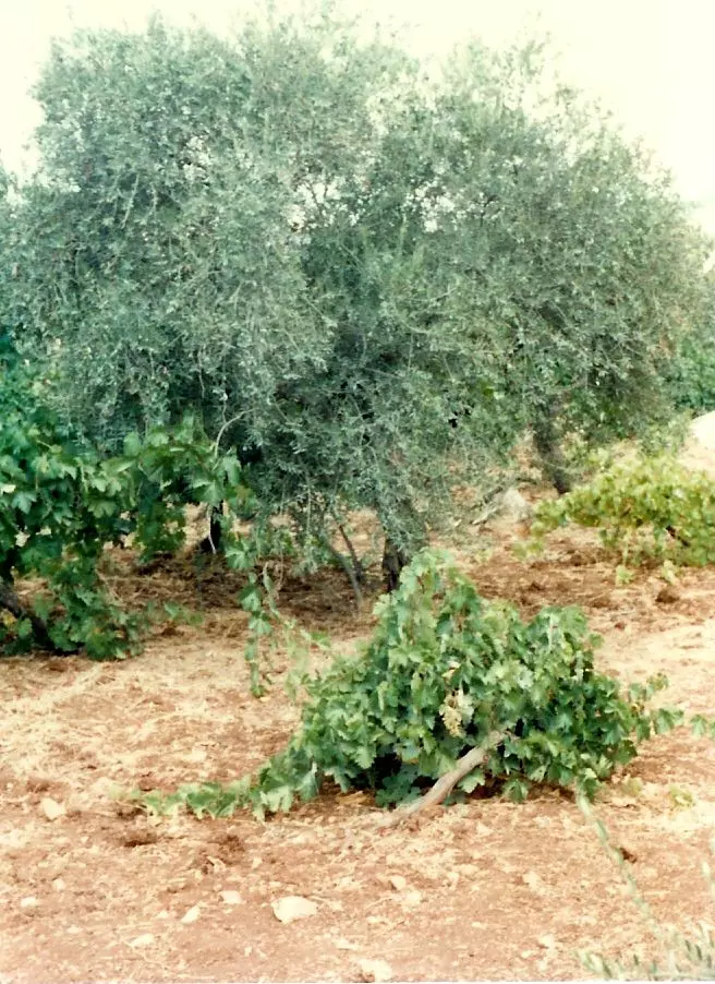
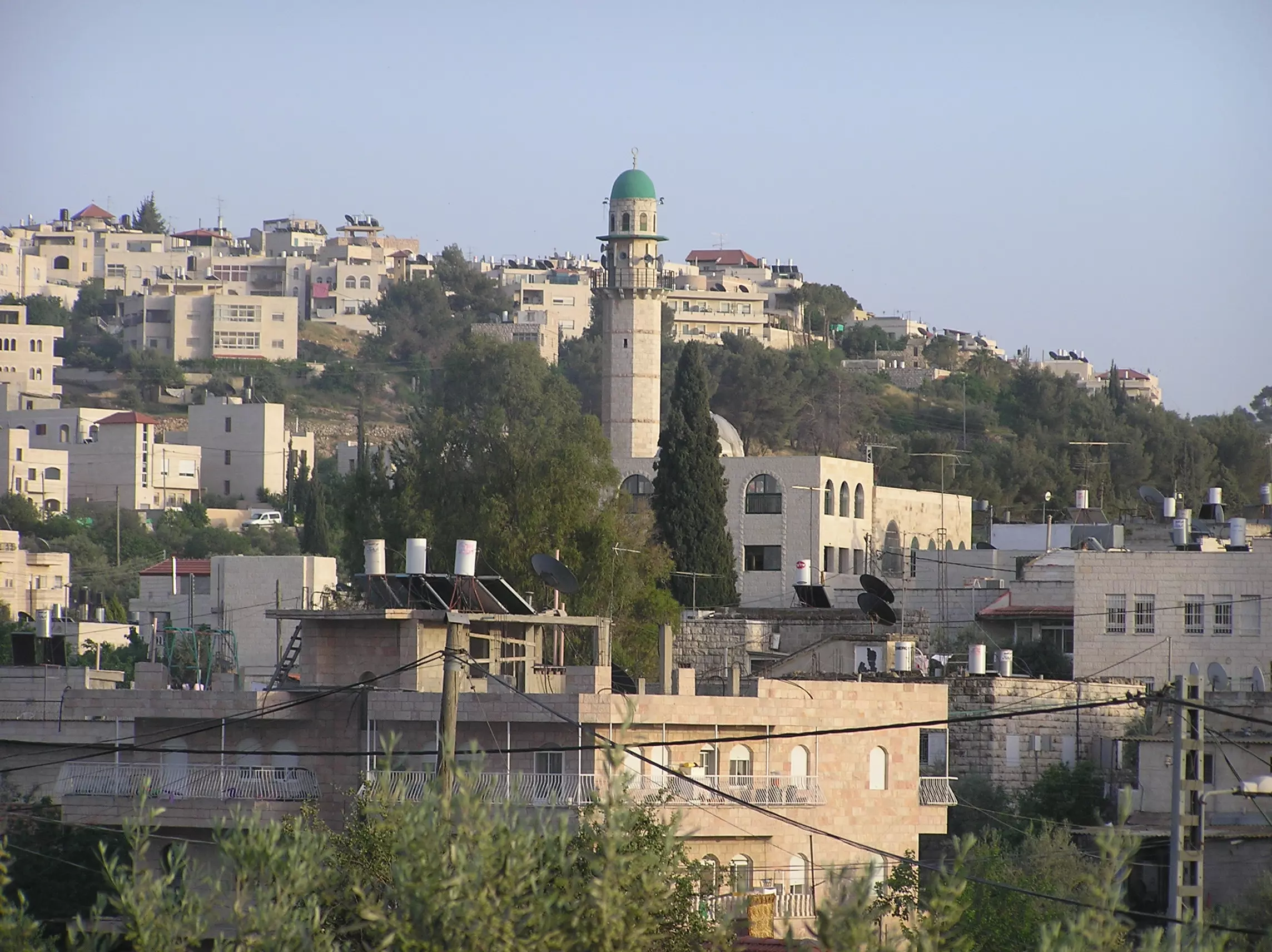
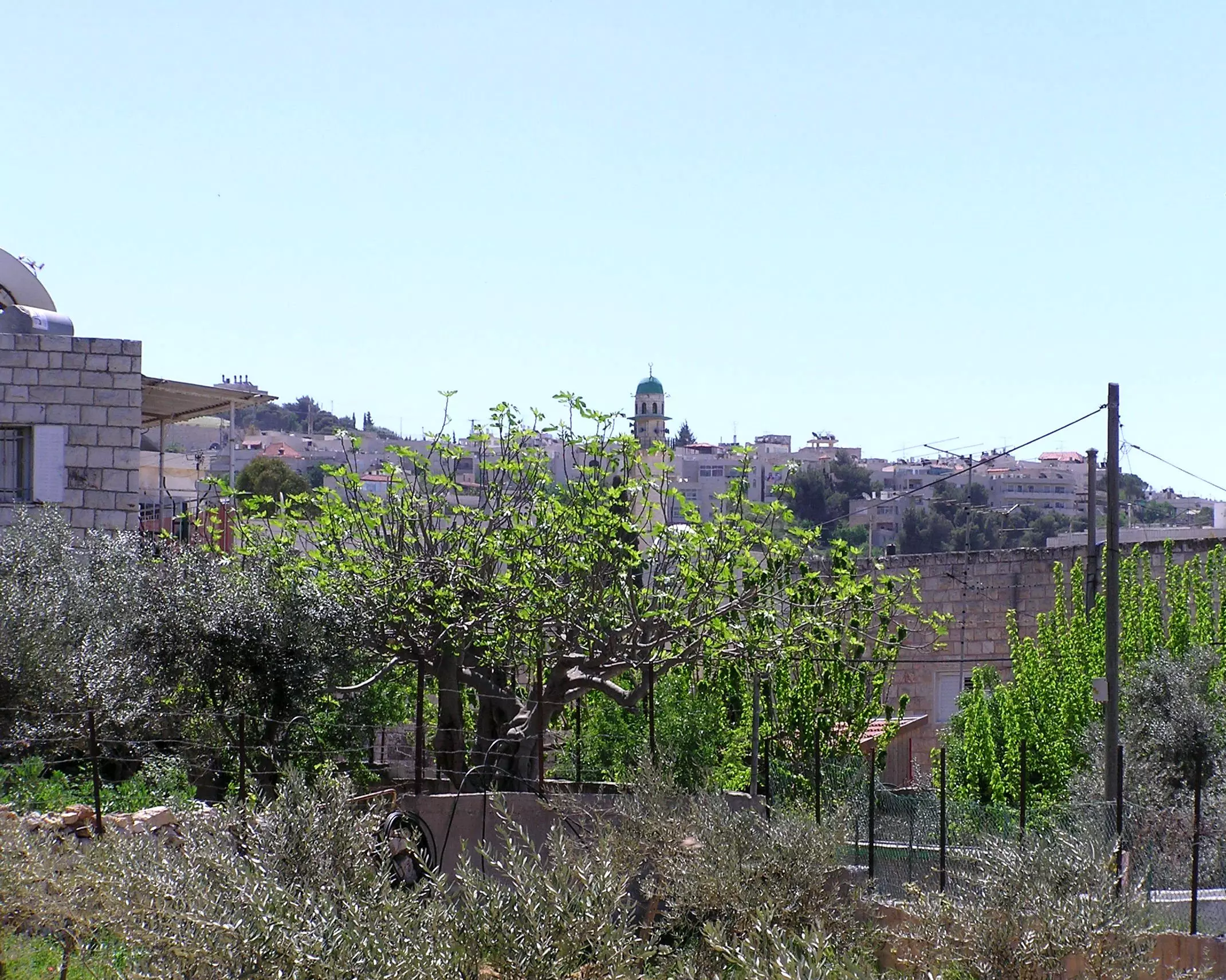
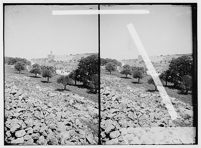
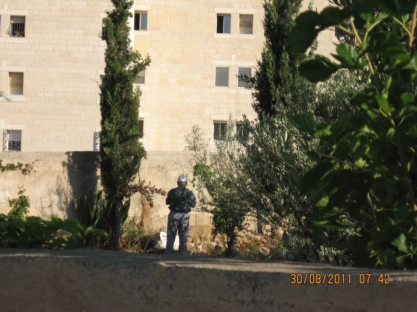
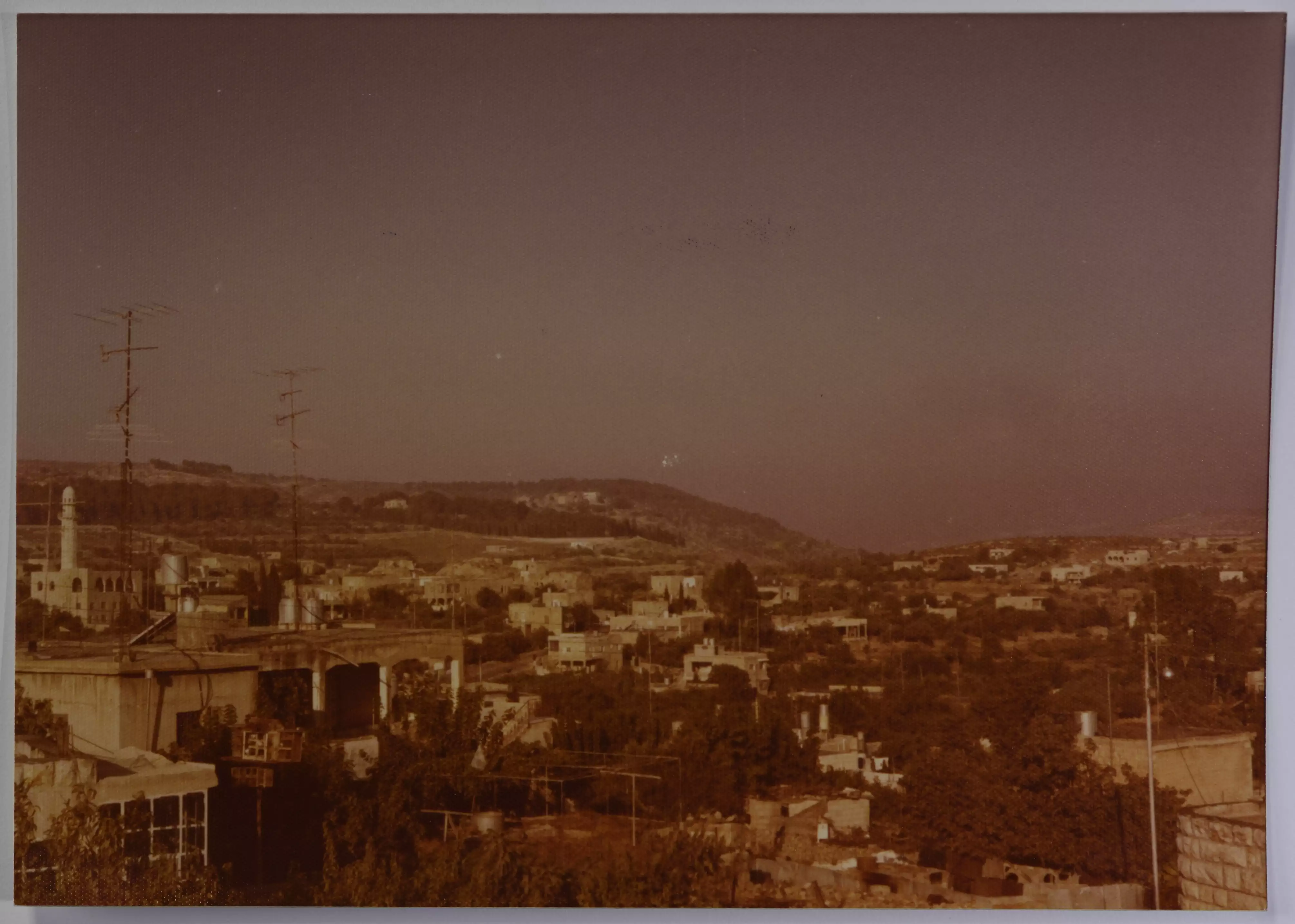
Posted by Maan Musleh 2 - View Of Beit Safafa & Mosque Minaret From A Vineyard And Olive Trees Spot
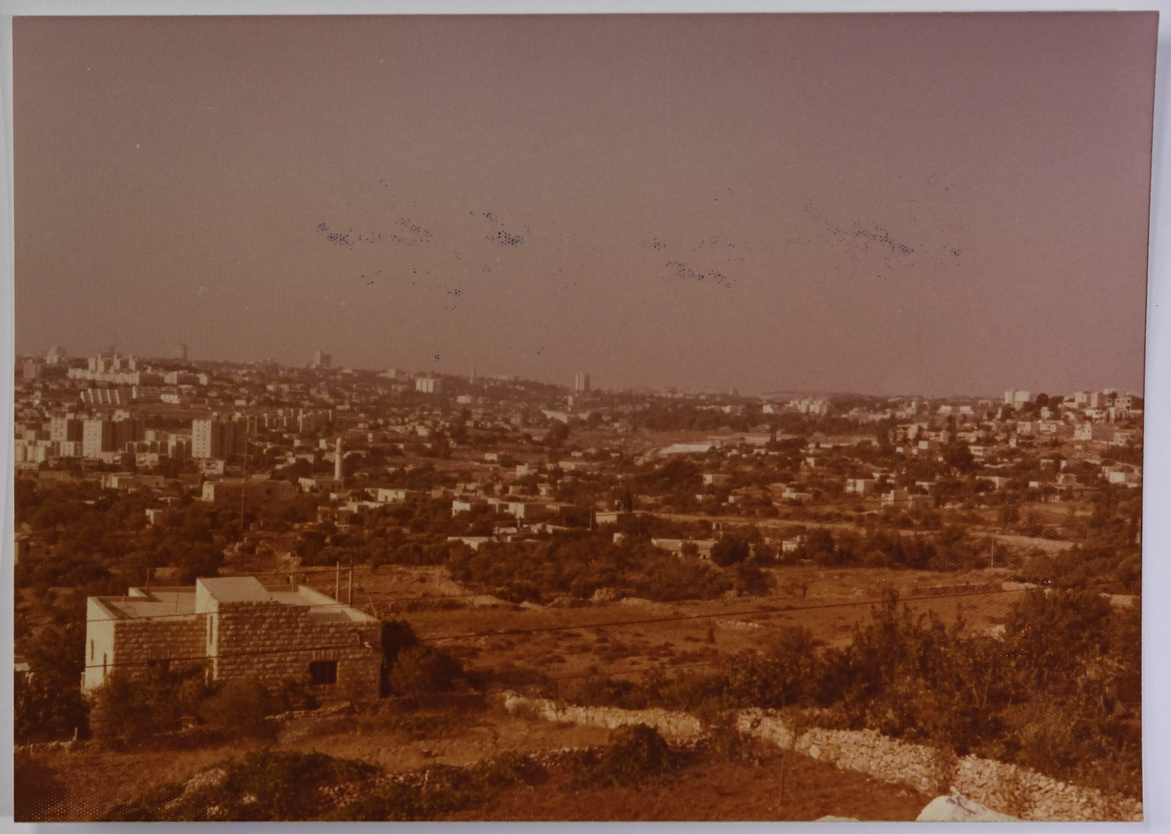
Posted by Umar Abu El-Bararri - Beit Safafa From West-View Scene

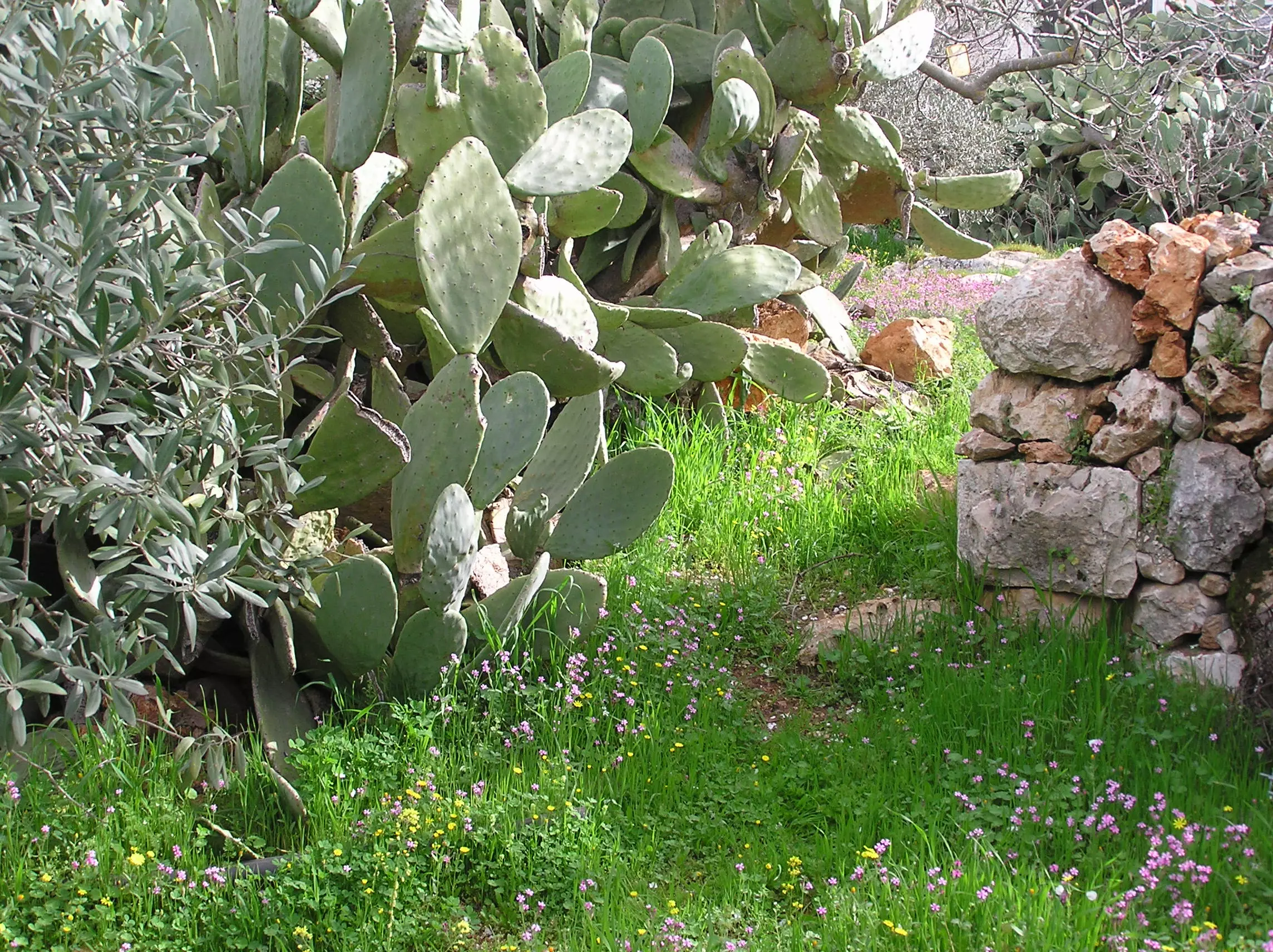
Posted by Umar Abu El-Bararri - Sabr From Beit Safafa
Posted by Umar Abu El-Bararri 4 - Rose Garden Under Grape Vine
Posted by Umar Abu El-Bararri - Tinat Jadallah With Decades Of Memories
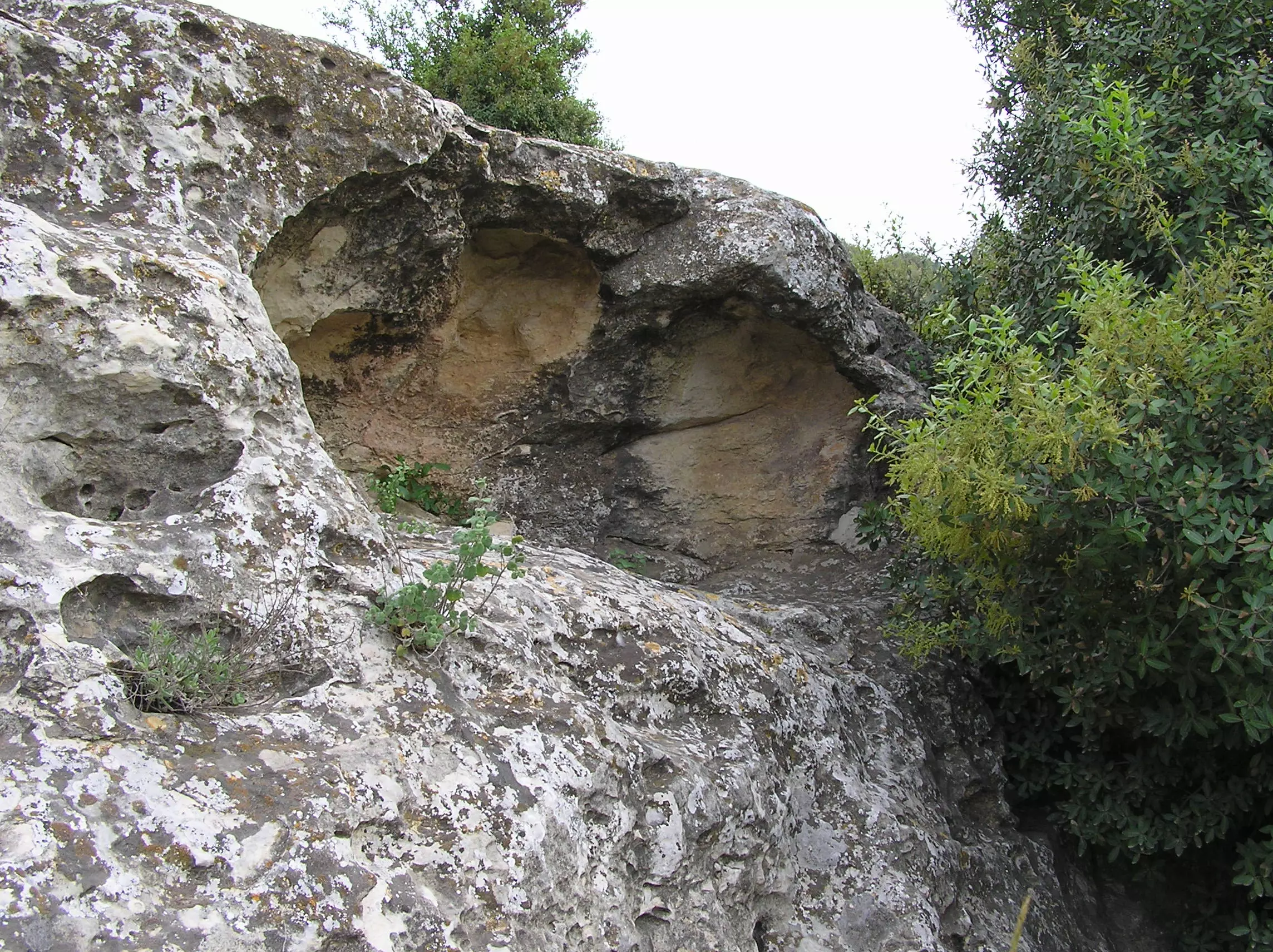
Posted by Umar Abu El-Bararri - A Small Cave Carved In Solid Rock - Jabal El-Thahara / Beit Safafa
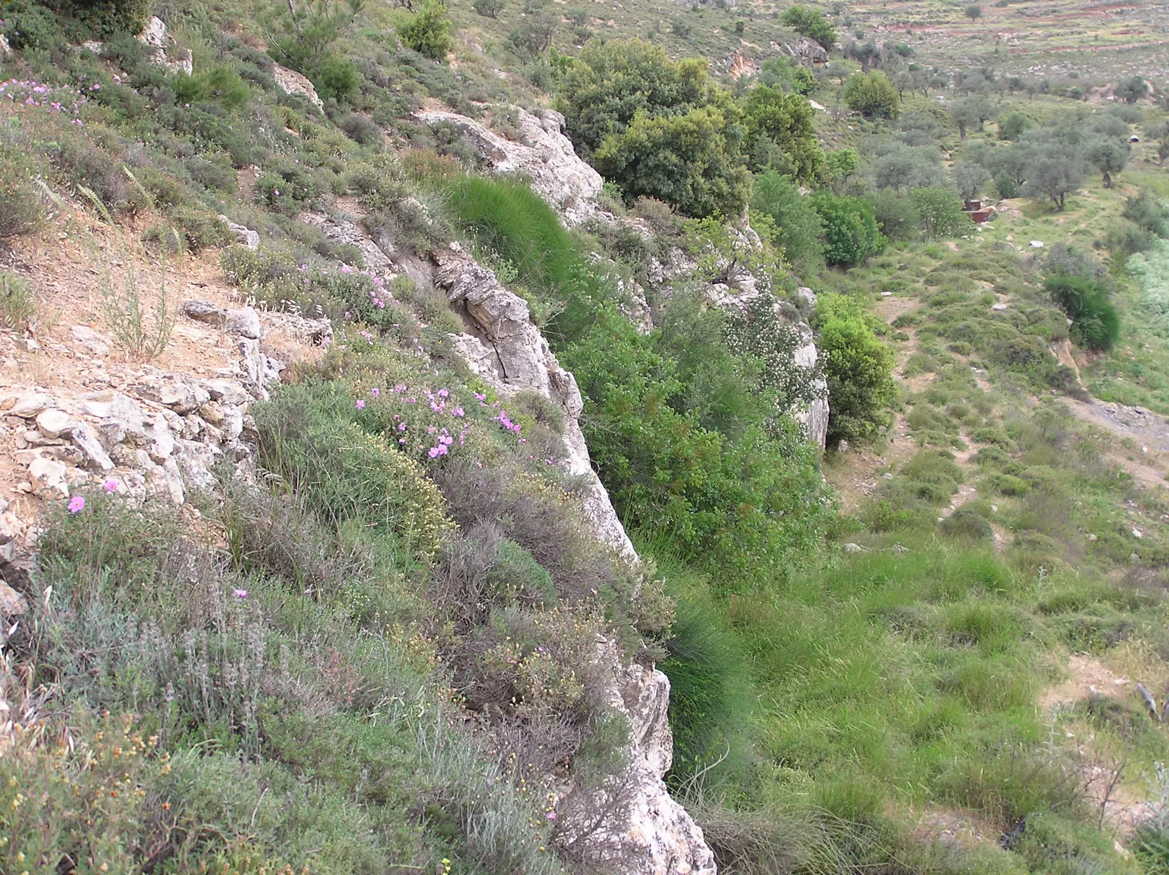
Posted by Umar Abu El-Bararri - A Beautiful Natural Ridge - Jabal El-Thahara / Beit Safafa
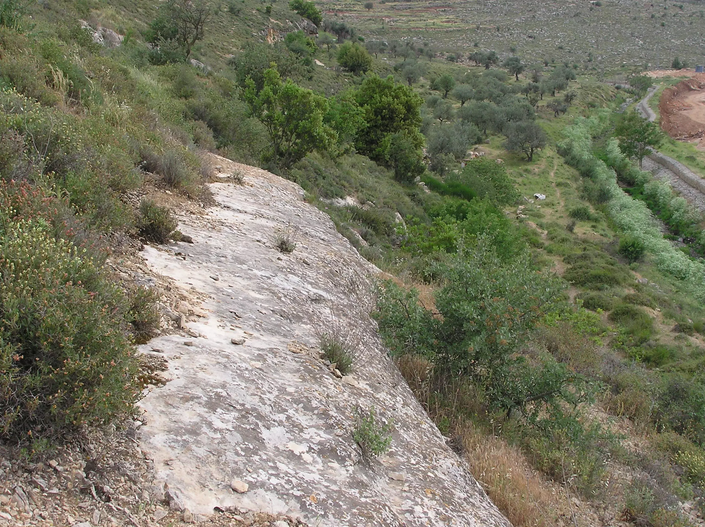
Posted by Umar Abu El-Bararri - Partridge (Shunar) Run Flat Rock - Jabal El-Thahara
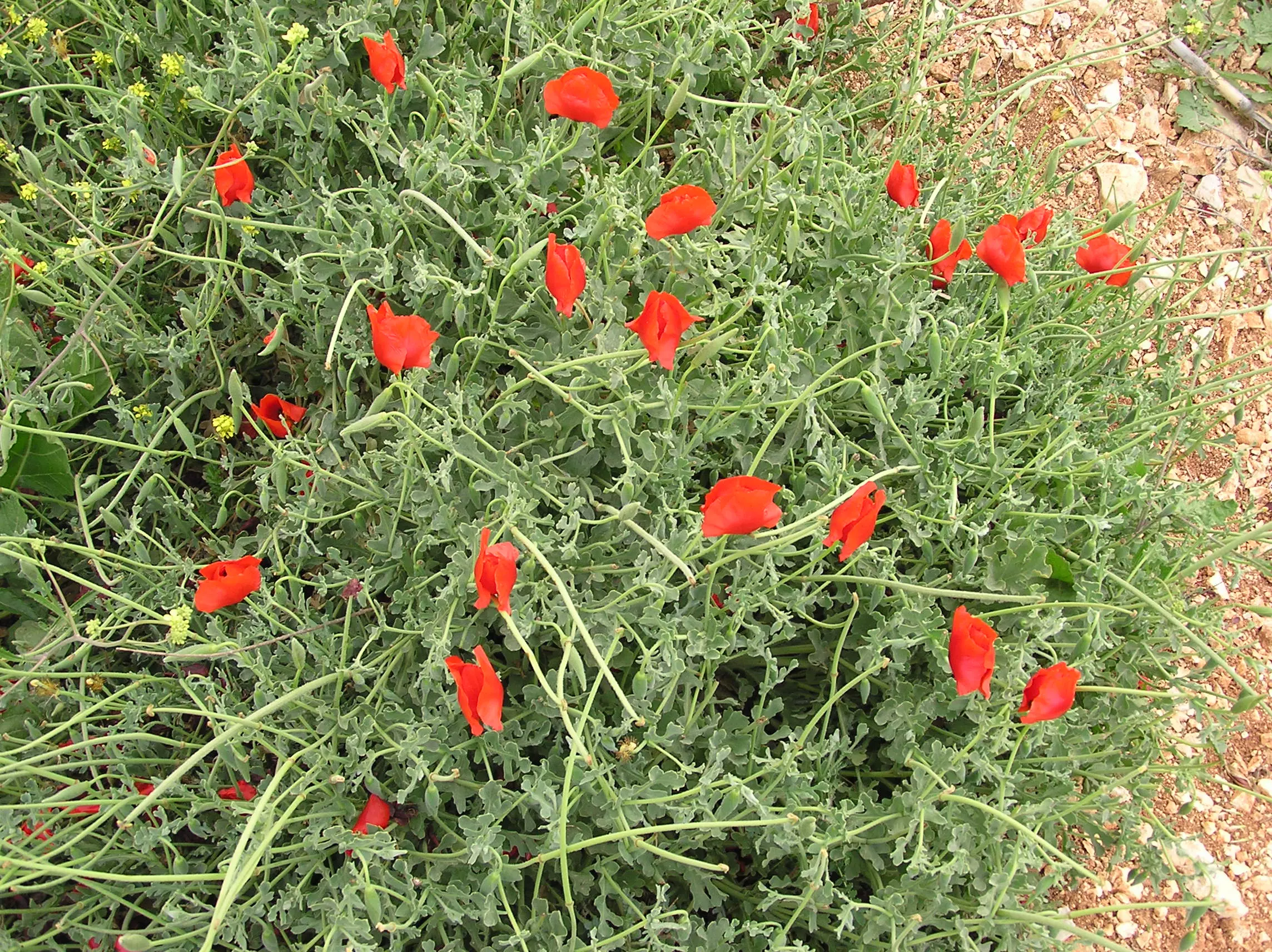
Posted by Umar Abu El-Bararri - Wild Red Poppies - Jabal El-Thahara
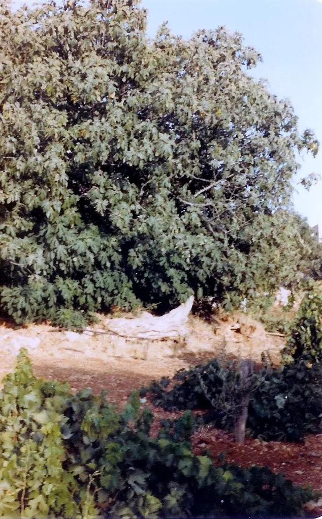
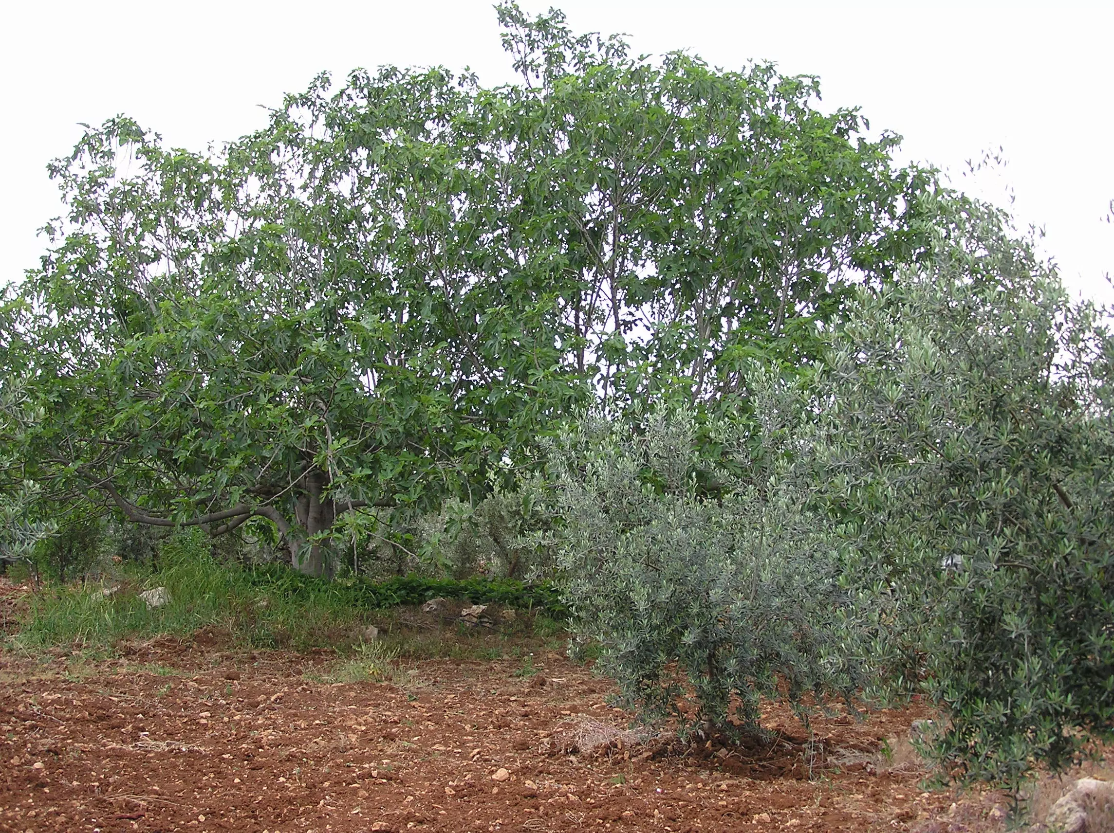
Posted by Umar Abu El-Bararri 1 - Tinat (Fig Tree) Jadallah Springtime '04
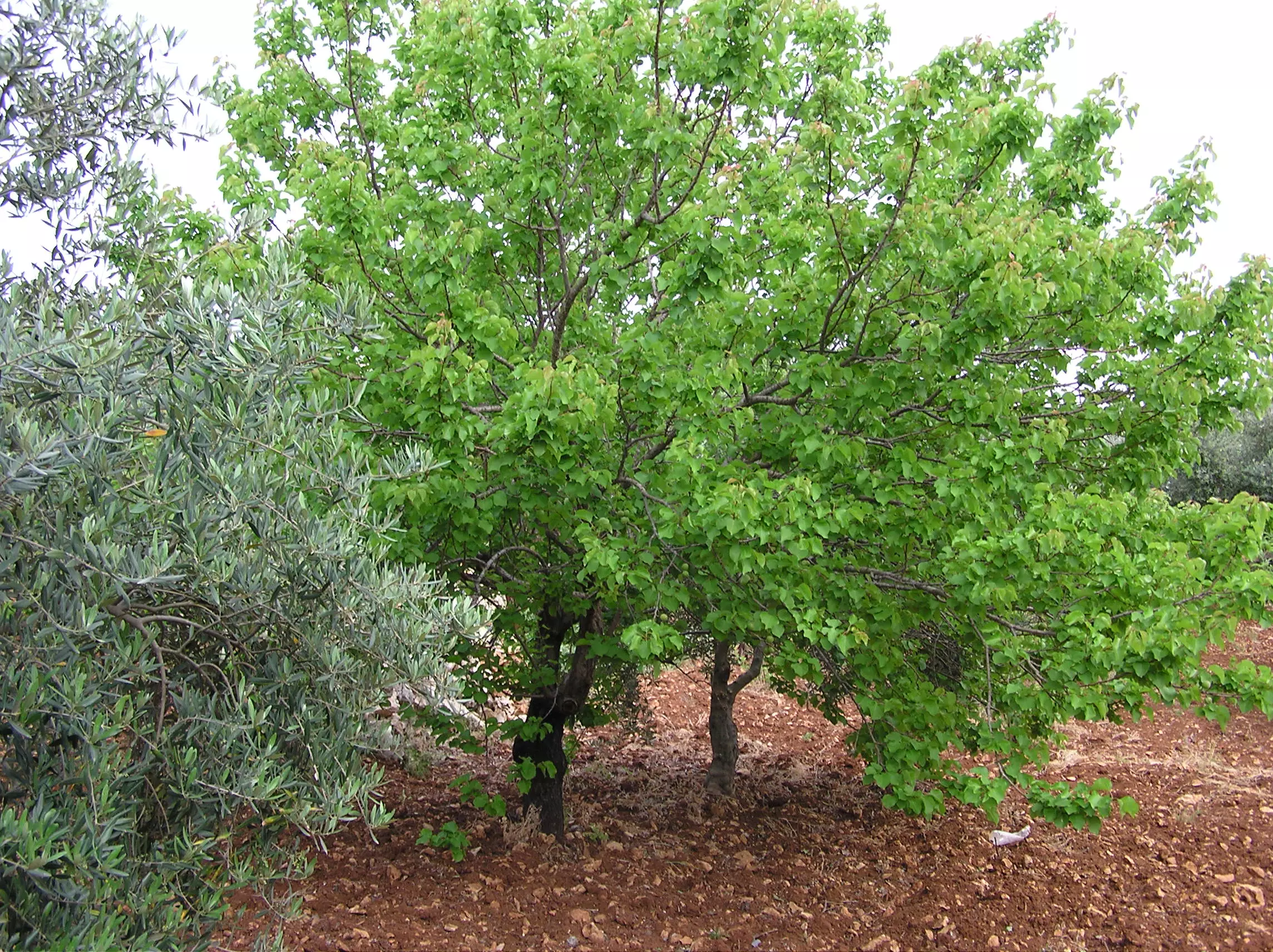
Posted by Umar Abu El-Bararri 1 - A Young Apricot (Mishmish Mistqawi) Tree With Fruit In Green Stage Period
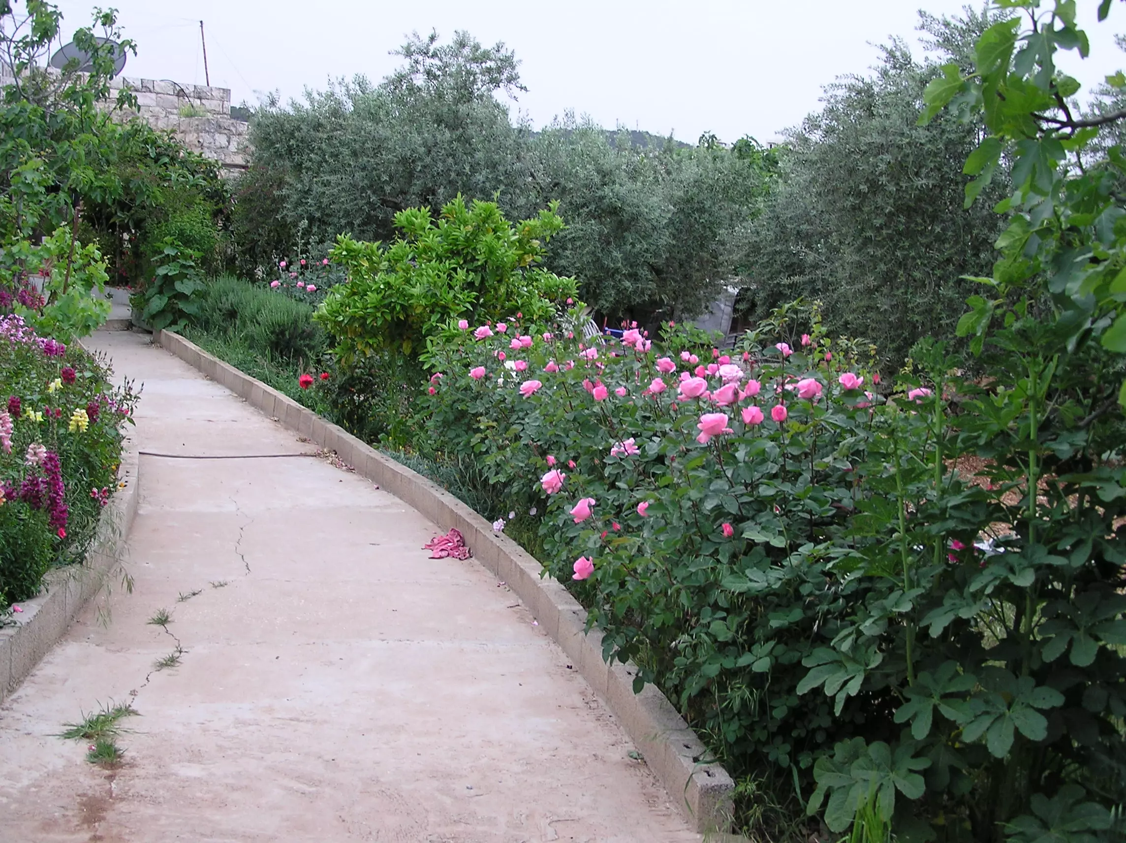
Posted by Umar Abu El-Bararri - Rose Path With Olive Trees In Background
Posted by Umar Abu El-Bararri 3 - Olive And PomegraniteTree With Old Building In Background
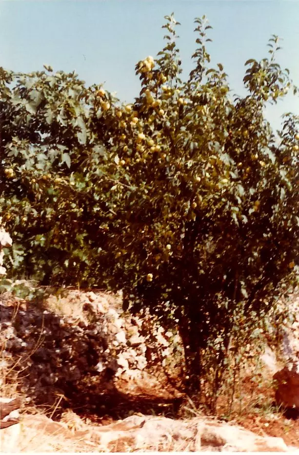
Posted by Umar Abu El-Bararri - Apple Tree 'Tuffah Sukari'
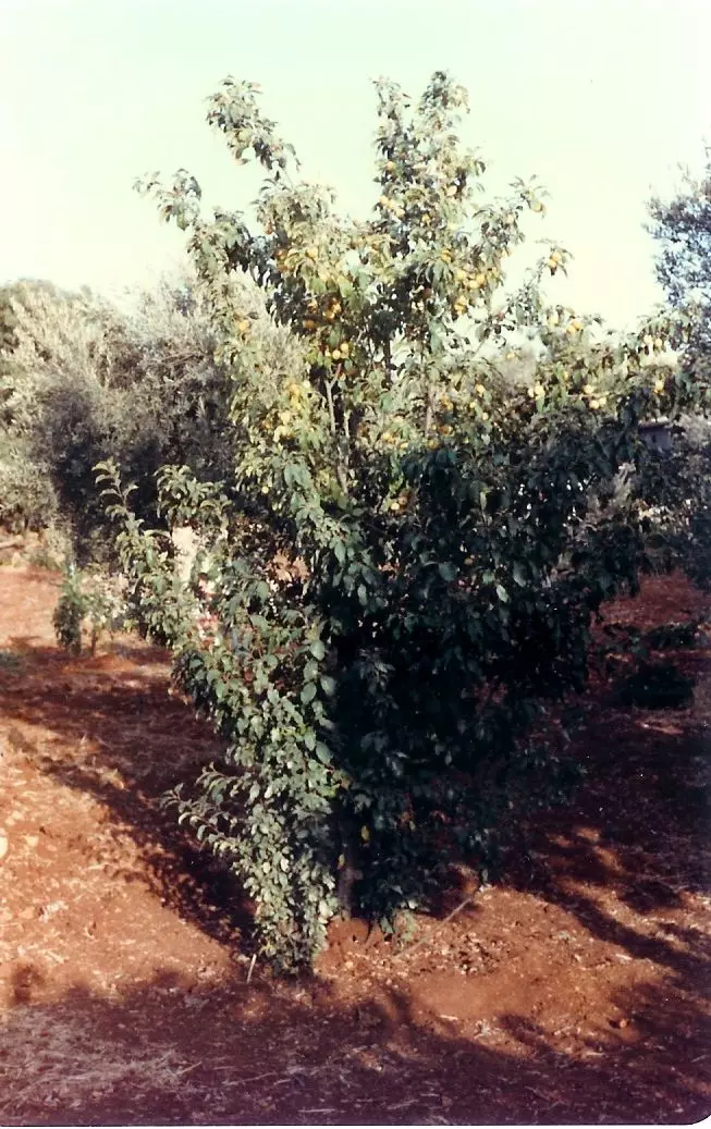
Posted by Umar Abu El-Bararri - Apple Tree 'Tufah Sukari' #2
Posted by Umar Abu El-Bararri - View From West-Side of Beit Safafa With Rail Road Tracks
Posted by Umar Abu El-Bararri - Al-Nidka - With Fig Tree & Sabra
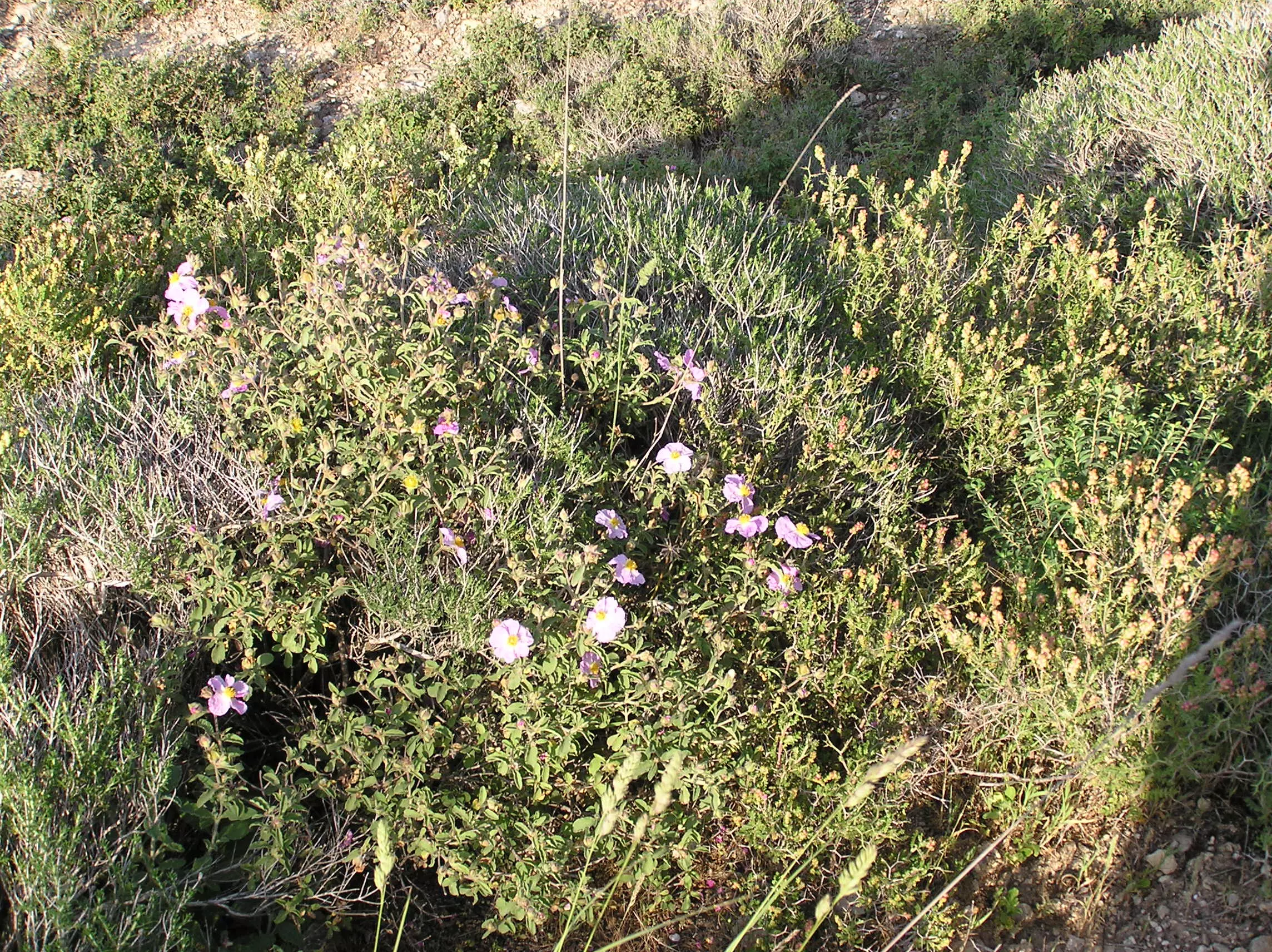
Posted by Umar Abu El-Bararri - Wild Rock Rose With Thyme On Jabal El-Tha-ha-ra
Posted by Umar Abu El-Bararri 1 - A Young Olive Tree Amongst Grape Vines
Posted by Umar Abu El-Bararri - Jabal El-tha-ha-ra (center), Jabal El-Malha (right)
Posted by Umar Abu El-Bararri 1 - مسجد حمزة في وسط القرية
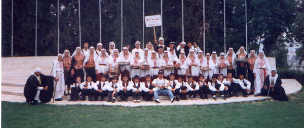
Posted by basheer sheikha 1 - التراث الفلسطيني---فرقة بيت صفافا(قطر الندى المقدسية)
Posted by basheer sheikha 2 - bissan alyan
Posted by bisso 4 - فريق اسلامي بيت صفافا الاشبال
Posted by dode - A Wedding
Posted by Umar Abu El-Bararri - Rumannah In Bloom
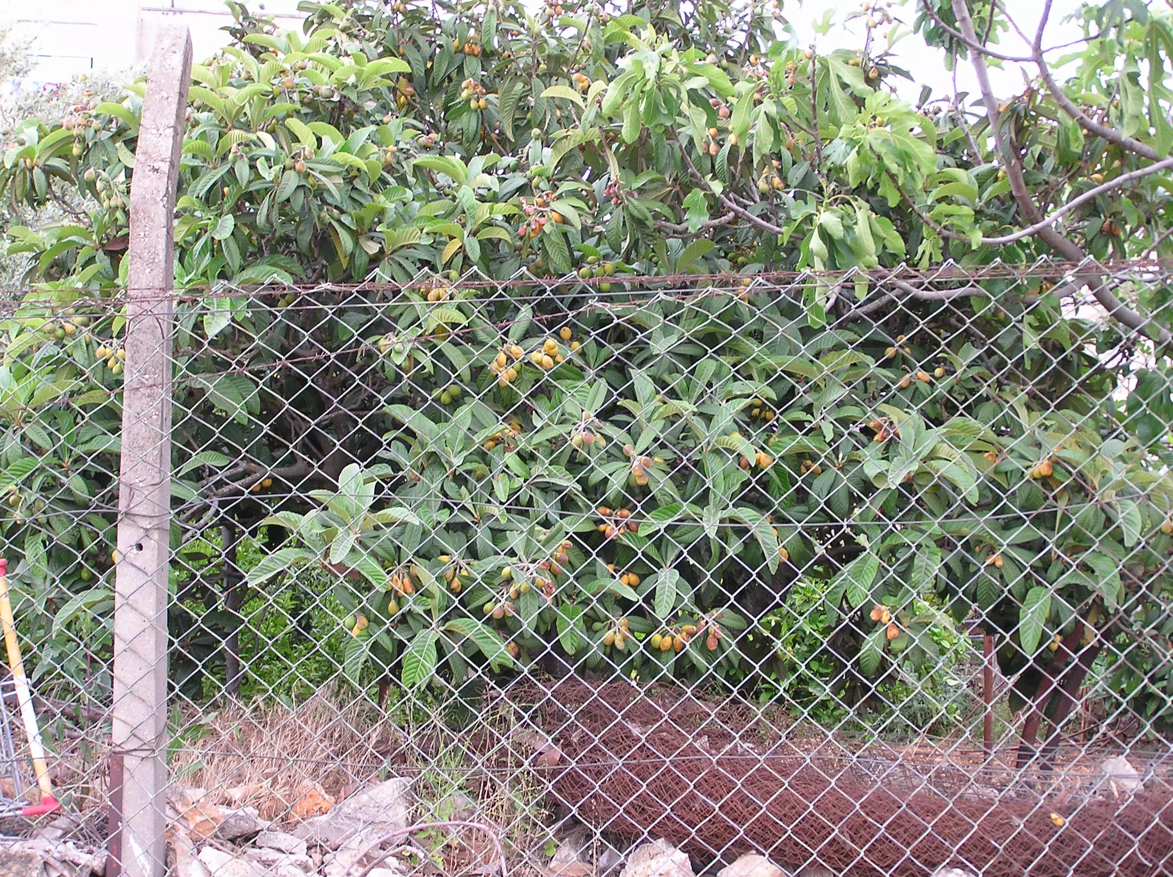
Posted by Umar Abu El-Bararri - Askidinya Ready to Eat
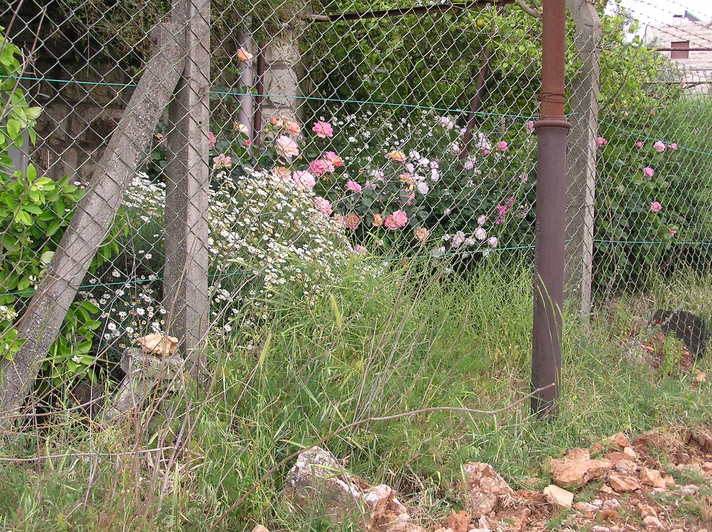
Posted by Umar Abu El-Bararri - Roses and Lemon Tree
Posted by Umar Abu El-Bararri 1 - Al Hajja Remembered
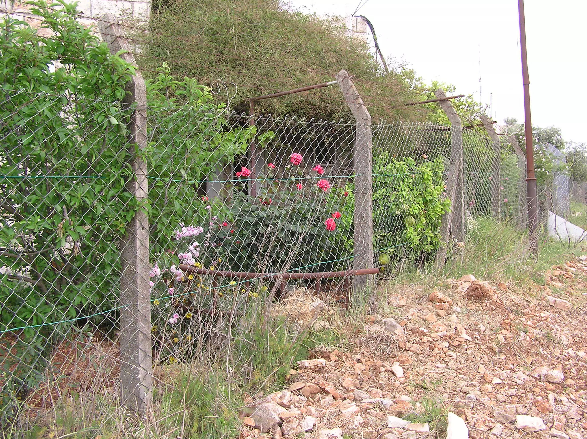
Posted by Umar Abu El-Bararri 1 - Yasmin. Roses and Lots Of Childhood Memories
Posted by Umar Abu El-Bararri - Wedding Zaffa
Posted by Umar Abu El-Bararri - Wedding Zaffa
Posted by Umar Abu El-Bararri - bait safafaمن خليل(امير الظلام)

Posted by مجروح في غربتي - حقل من الحقول
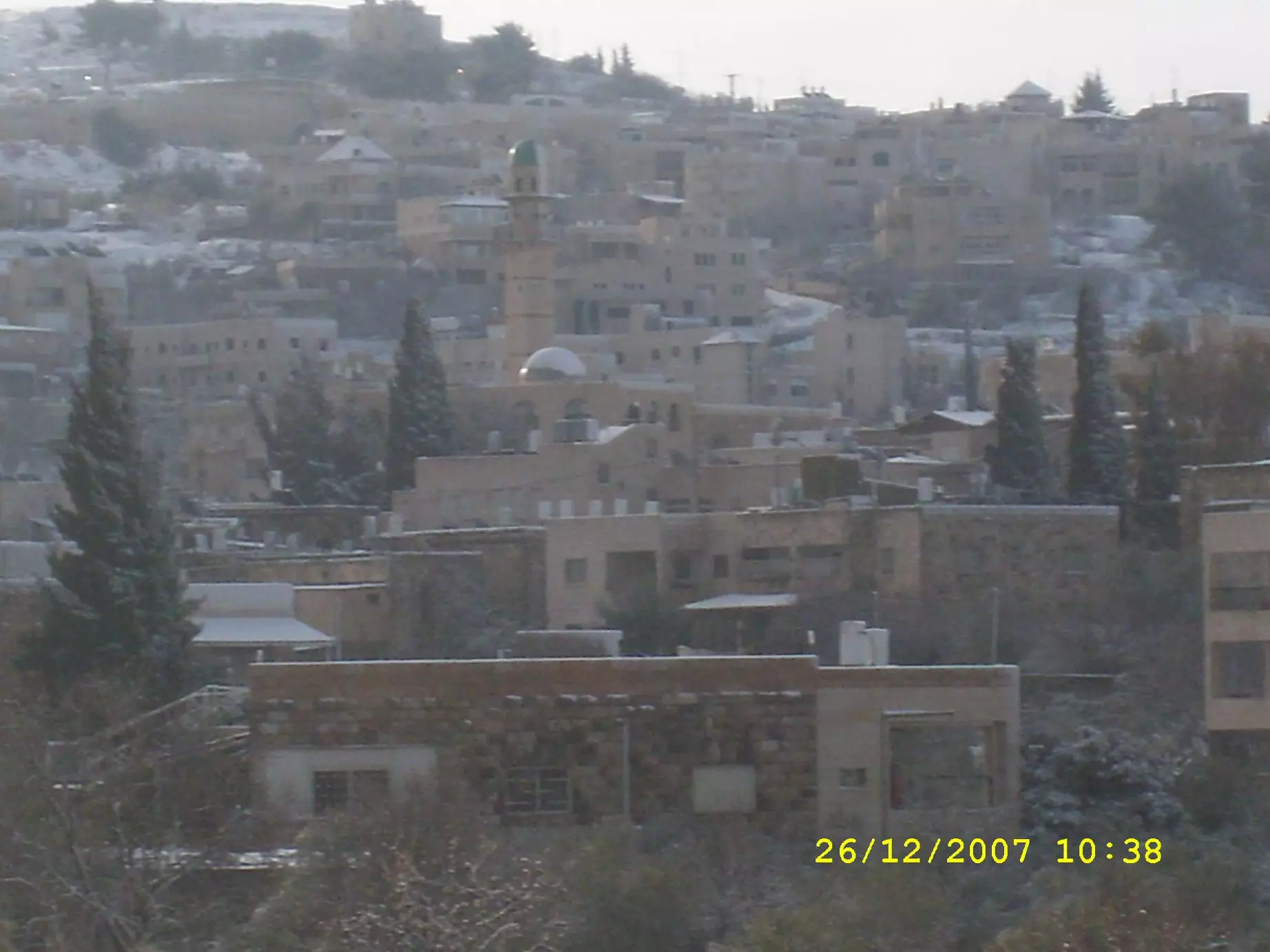
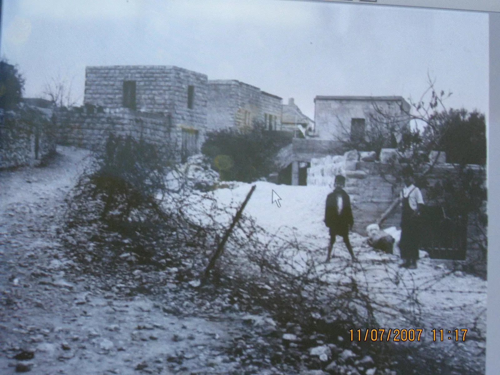
Posted by ابن البلد - الثلج يغطي بيت صفافا
Posted by ابن البلد - الثلج في بلدي
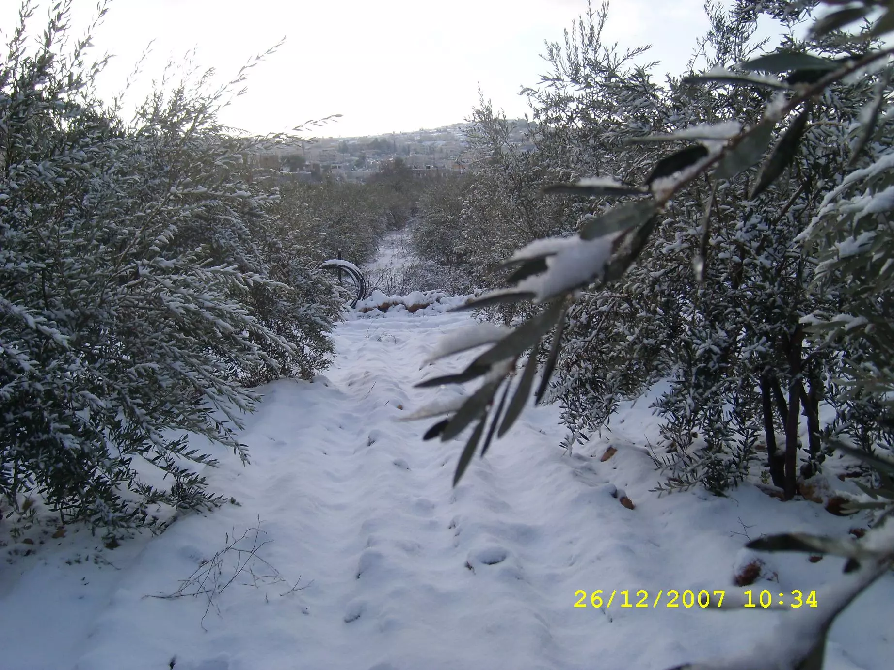
Posted by ابن البلد - الثلج يغطي الزيتون
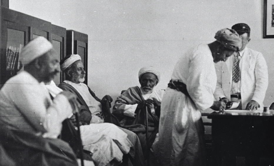
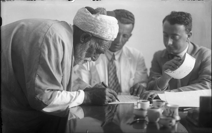
Posted by ابن البلد - توقيع اتفاق سلام بيت صفافا -ميكور حيم (حسن نزهه وابراهيم خليل وعثمان خليل وحسن موسى) 21.3.1930
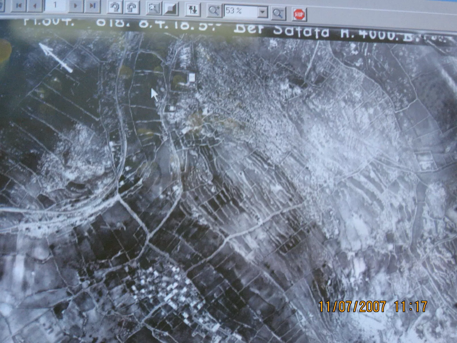
Posted by صفافي أصيل - تصوير جوي- بيت صفافا-8.4.1918
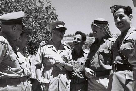
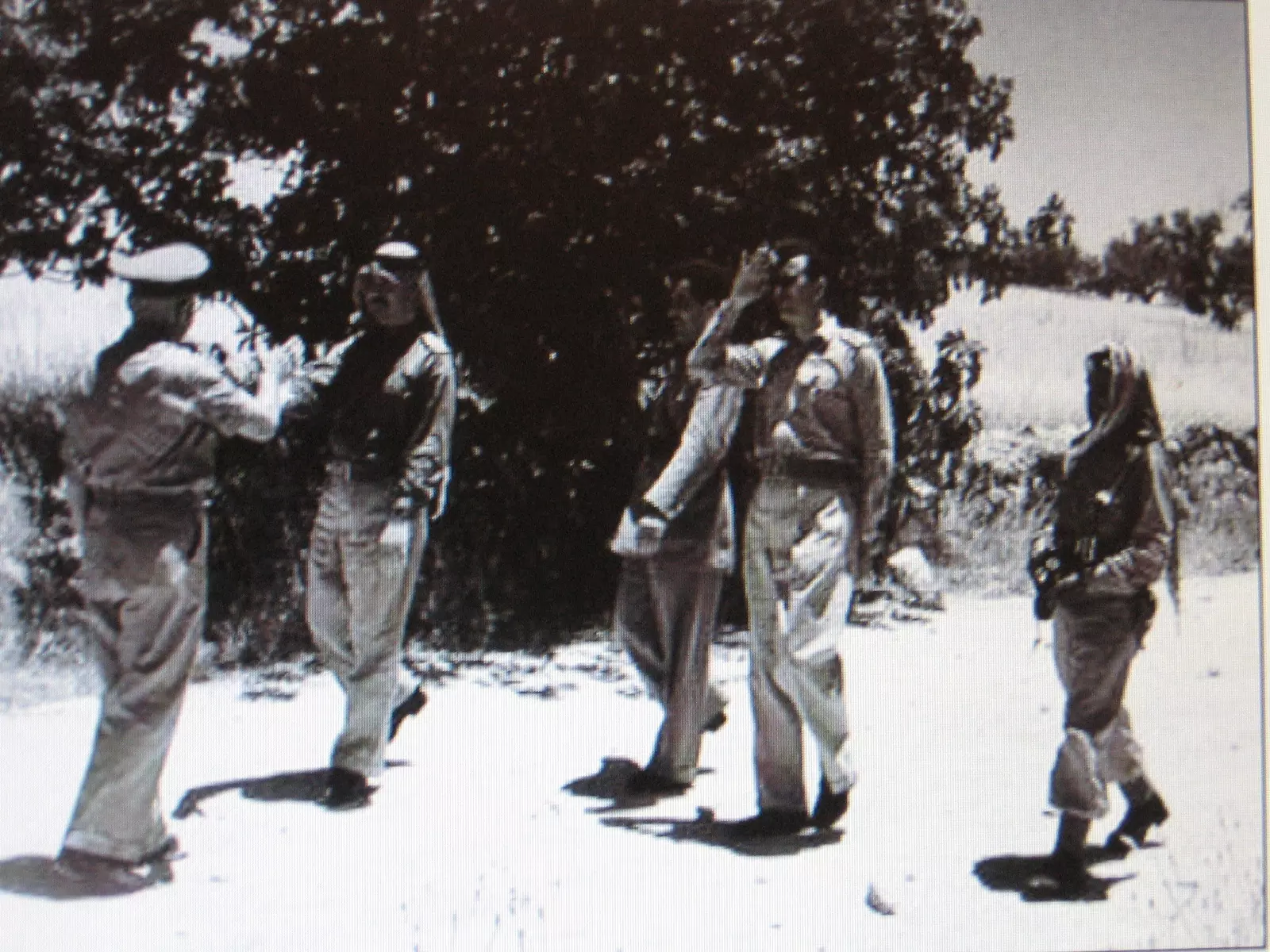
Posted by صفافي أصيل - 8.6.1953- لقاء ضباط اردنيين واسرائليين -عند دير مار الياس
Posted by صفافي أصيل - توقيع اتفاق سلام بيت صفافا -ميكور حيم - (عثمان خليل) 27.7.1930
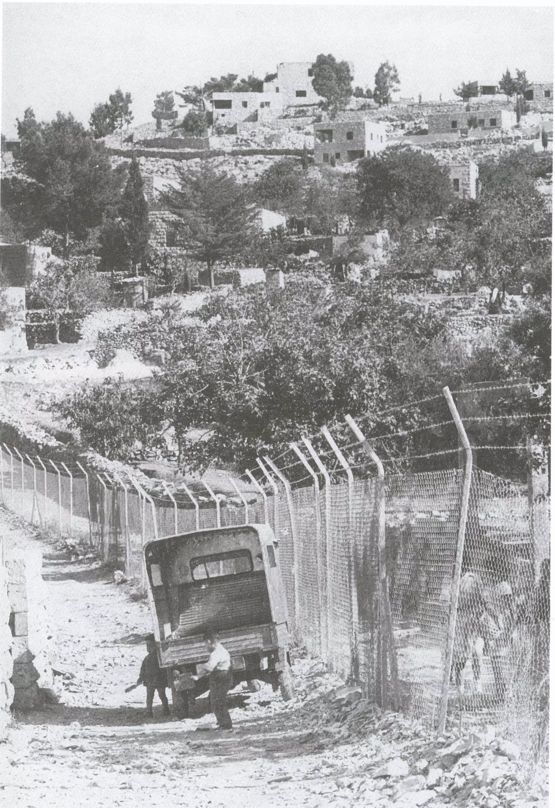
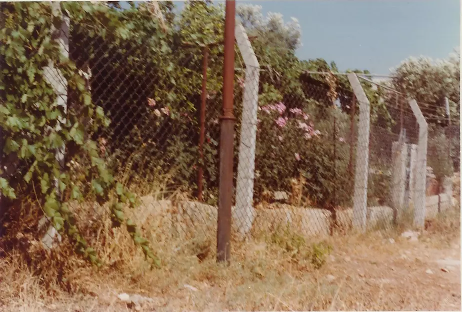
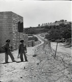
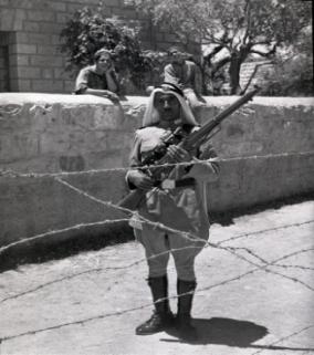
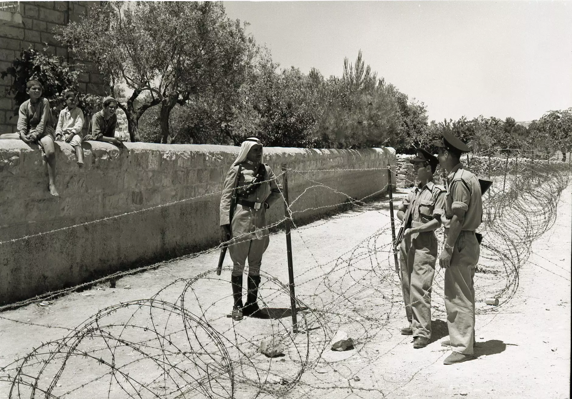
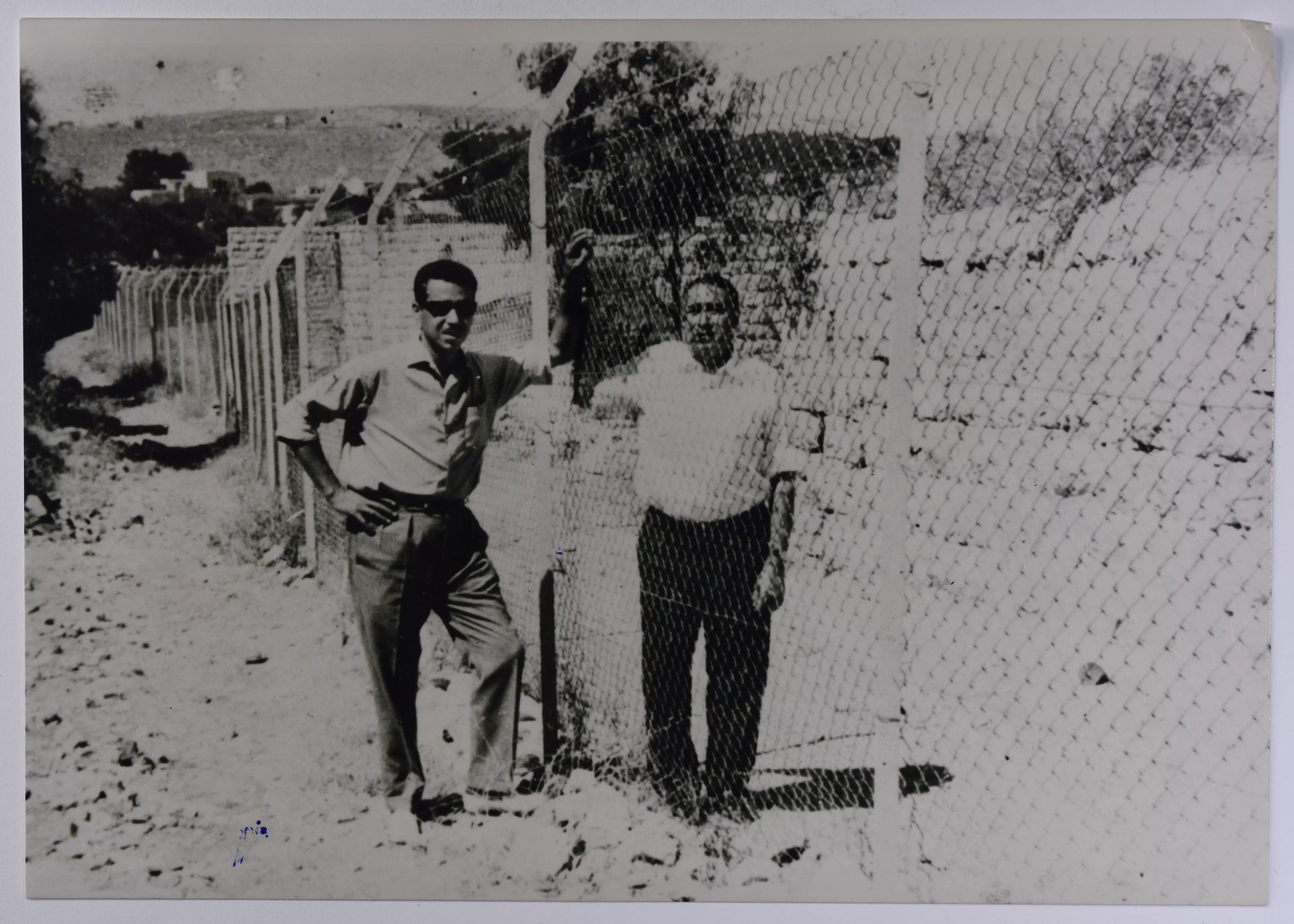
Posted by صفافي أصيل 1 - بيت صفافا : أول سياج حدودي على خط الهدنه بين الاردن واسرائيل في عام 1954
Posted by صفافي أصيل - بيت صفافا: منظر عام للقريه ملتقطه من الجانب لبيت صفافا ال 48 بتاريخ 1954
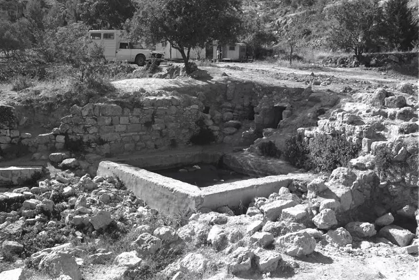
Posted by صفافي أصيل - صوره لعين يالو قبل البدء باعمال الحفريات الاثريه بتاريخ 1.1.1986
Posted by صفافي أصيل - بير كاديسما شرق البلد على طريق الخليل -القدس
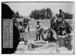
Posted by ابو عمر - عسكر من الجيش التركي
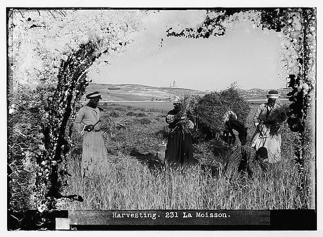
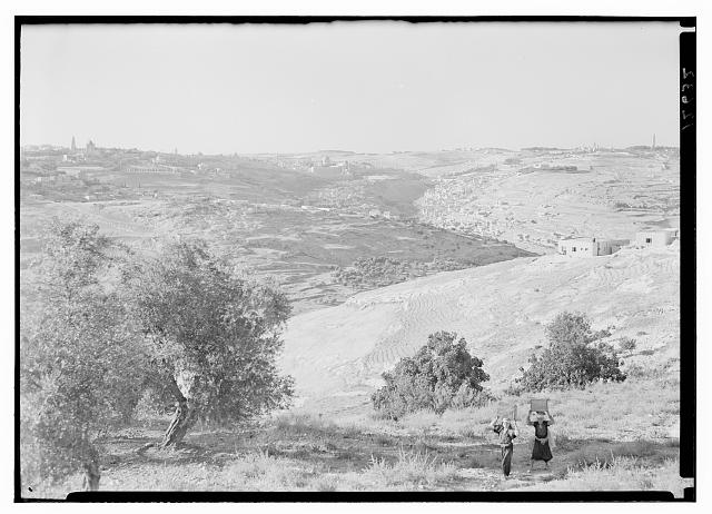
Posted by ابو عمر - أجدادنا يحصدون وتبدو منارة YMCA تظهر في الأفق شمالاً
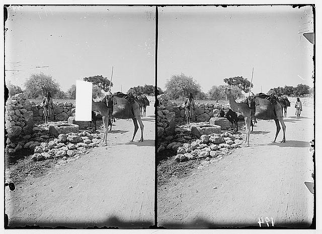
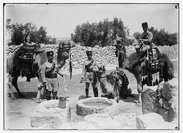
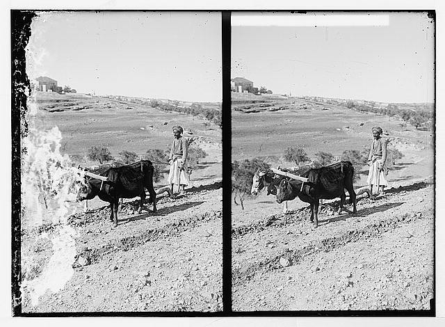
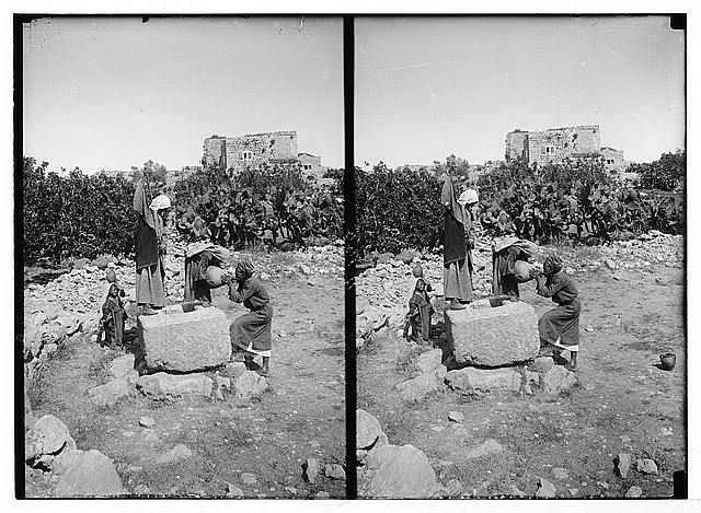
Posted by ابو عمر 2 - بيت صفافا: جنود اتراك يسقون جمال الدوريه من مياه بير كادسمه في عام 1900الى 1926
Posted by صفافي أصيل - دير مار الياس جنوب شرق البلدة
Posted by ابو عمر 1 - بيت صفافا : 8.6.1953 لقاء ضباط اردنيين واسرائليين -عند دير مار الياس-- من الجهه المقابله تستطيع ان ترى القريه
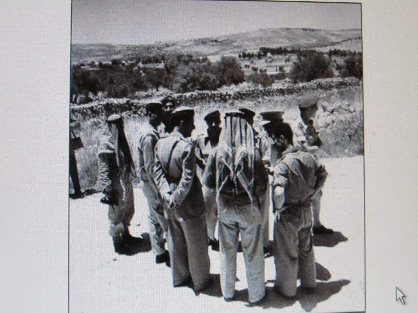
Posted by صفافي أصيل - بيت صفافا : 8.6.1953 لقاء ضباط اردنيين(محمود اسحاق) واسرائليين ( كولونيل هرسوغ) - عند دير مار الياس
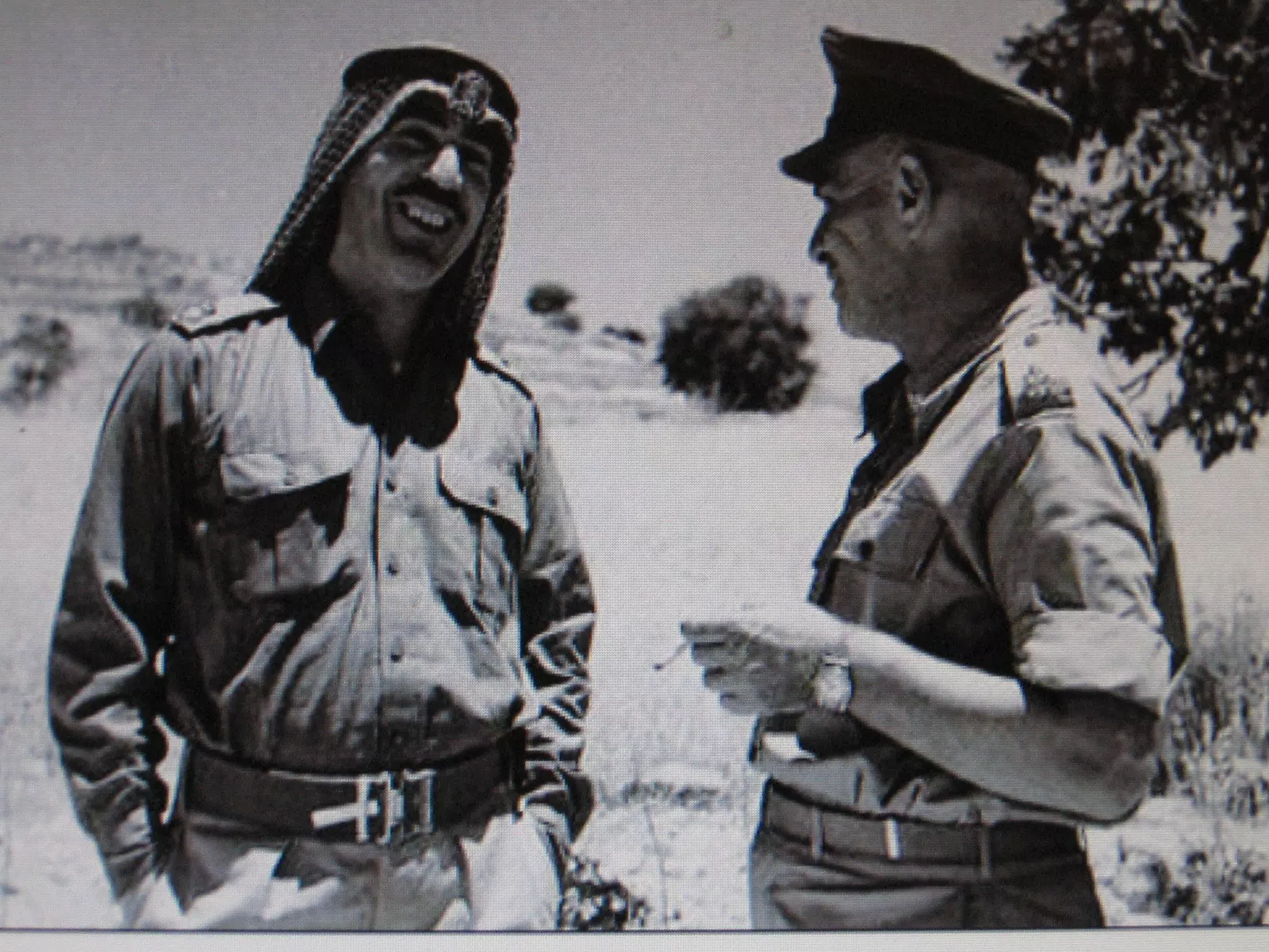
Posted by صفافي أصيل 2 - بيت صفافا : 8.6.1953 لقاء ضباط اردنيين واسرائليين -عند دير مار الياس
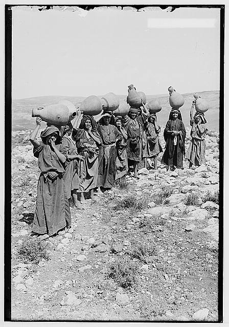
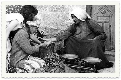
Posted by صفافي أصيل - بائعات الثمار عائدات من القدس -قرب دار المندوب السامي-
Posted by ابو عمر 2 - مغتصبة
Posted by ابو عمر 1 - كرم العبد مقام عليه مغتصبة
Posted by ابو عمر 2 - الثاني عشر
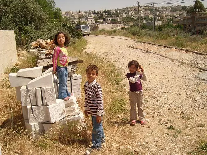
Posted by nadin 1 - اطفال يلعبون
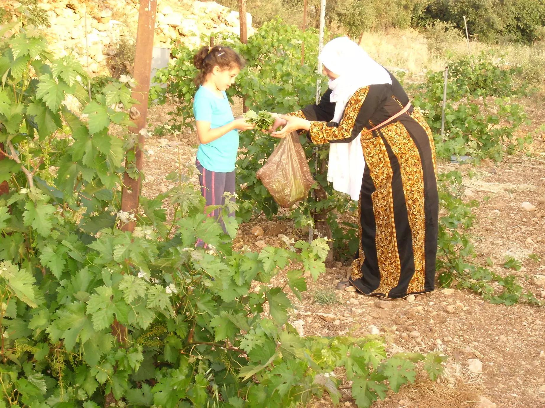
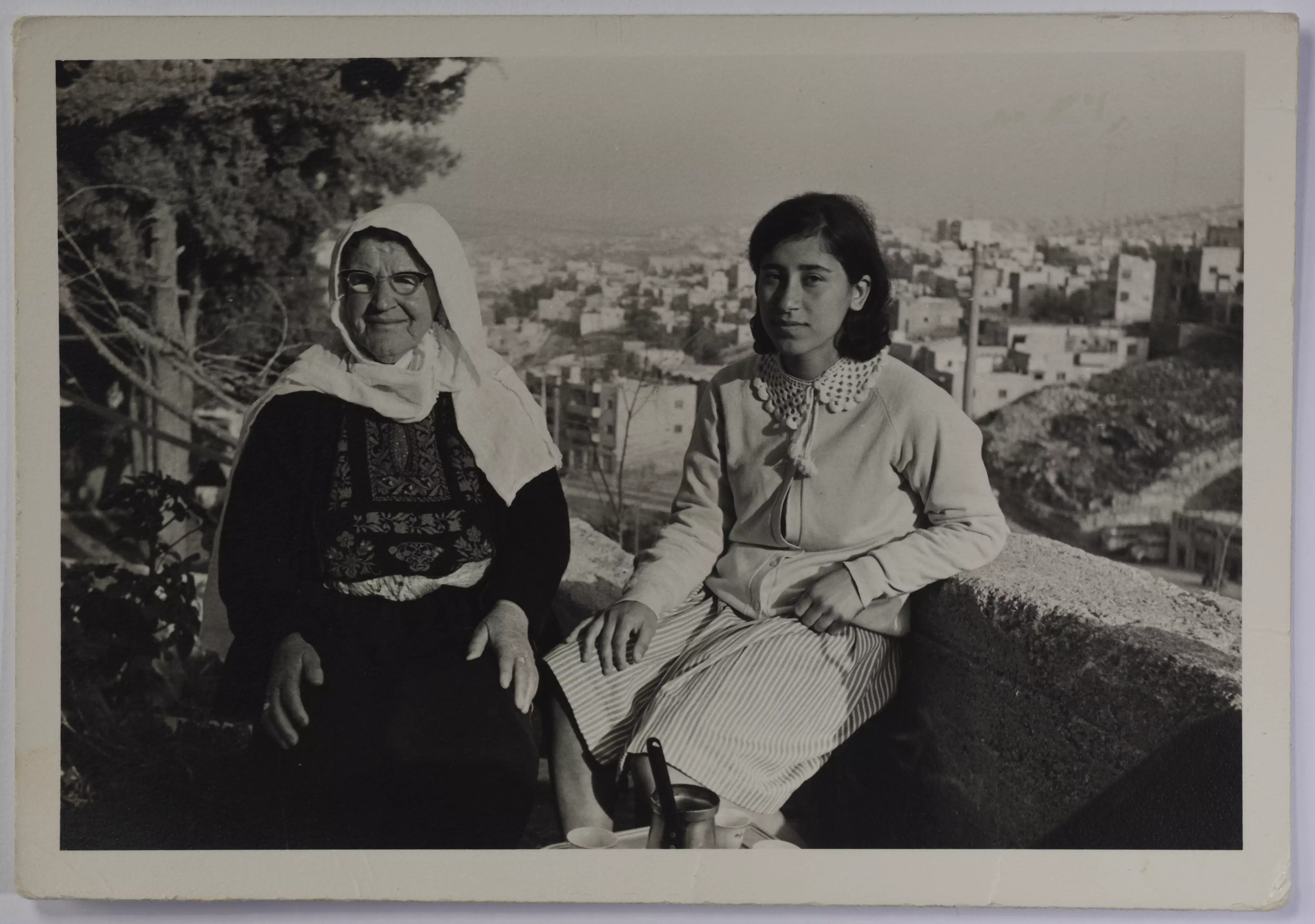
Posted by ابن البلد - كرم العنب وجدة وحفيدتها
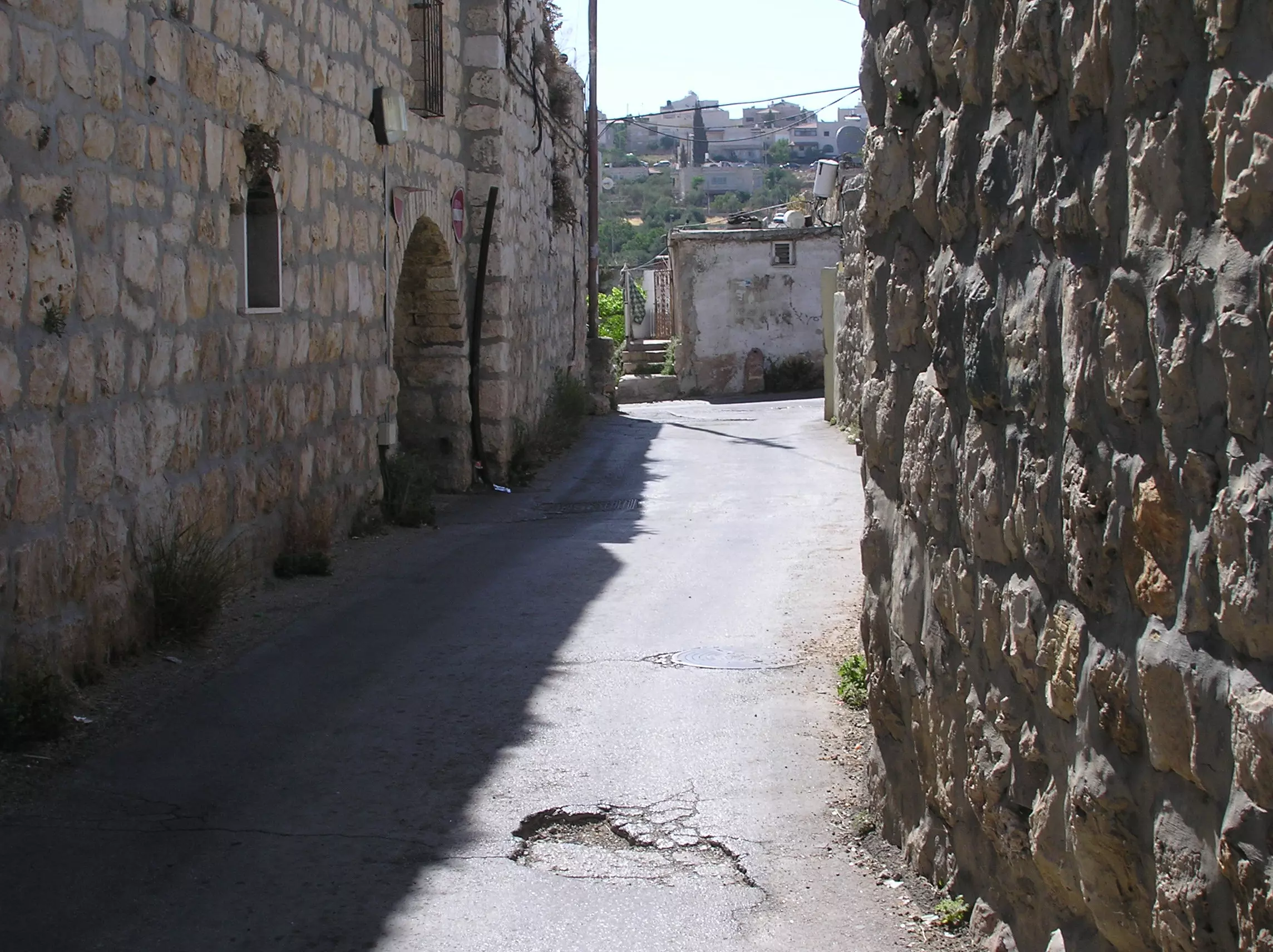
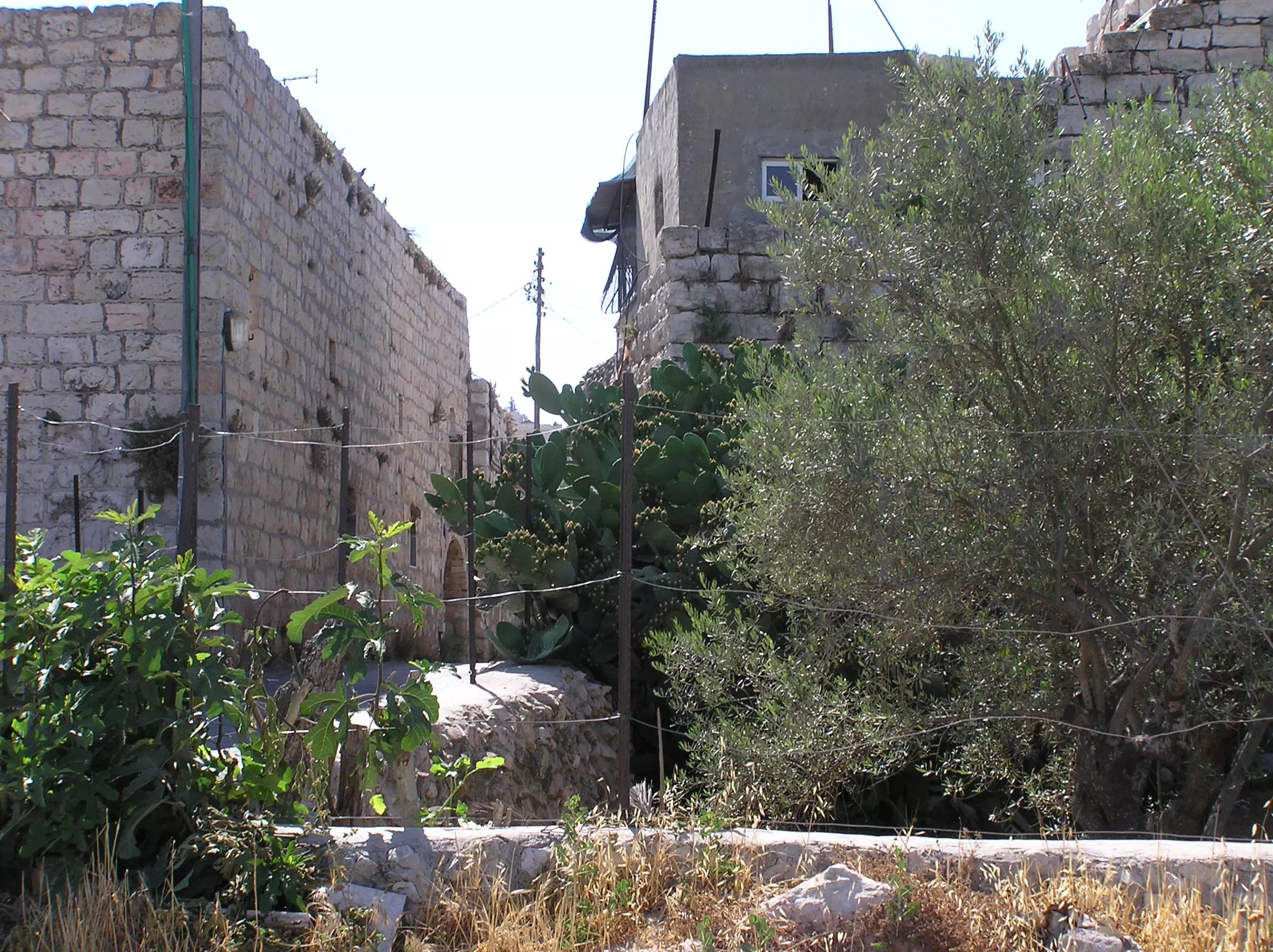
Posted by ابن البلد 1 - Bab El Ziqaq Area / Alley
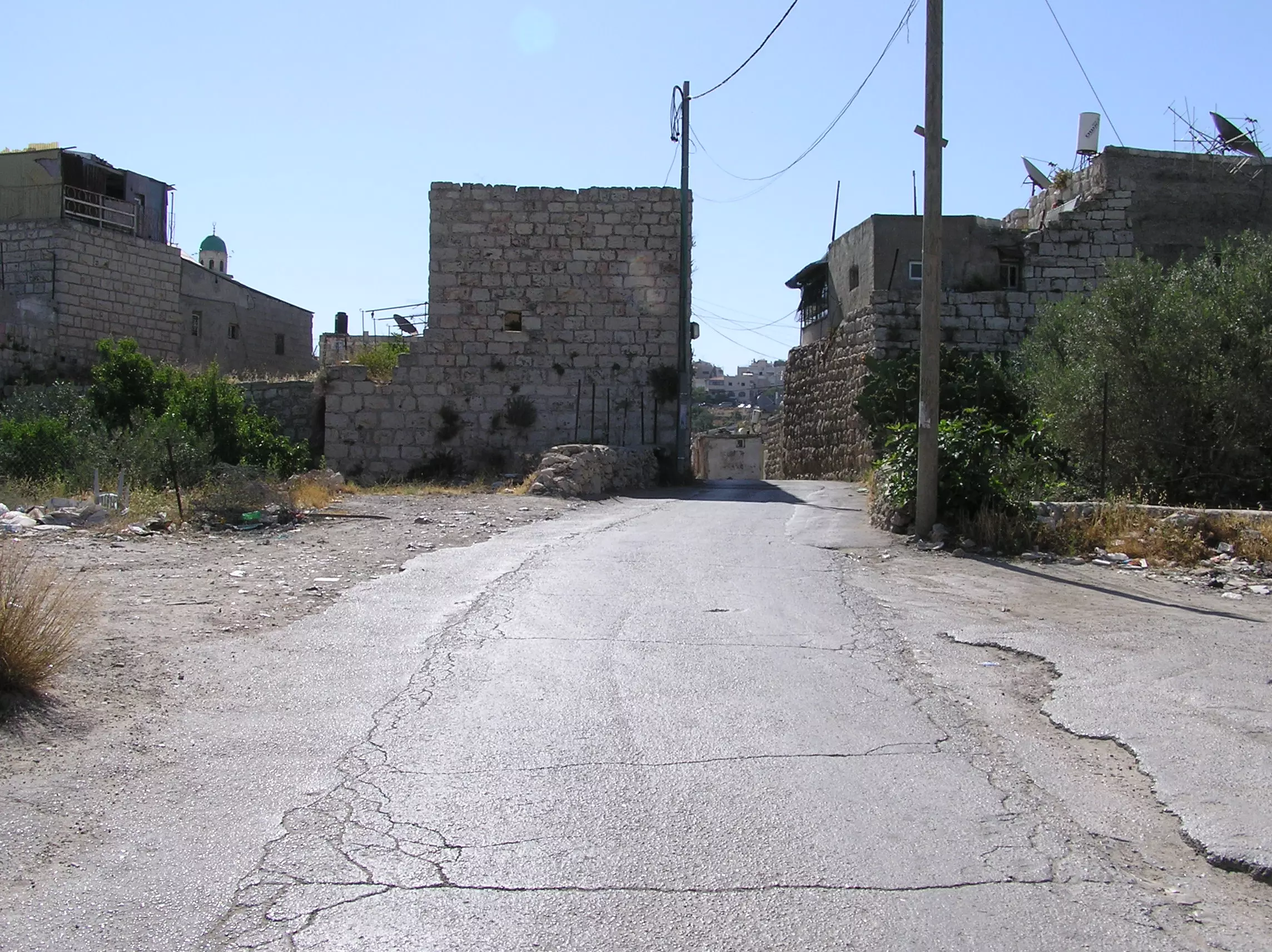
Posted by Umar Abu El-Bararri - Bab El-Ziqaq Area/Alley
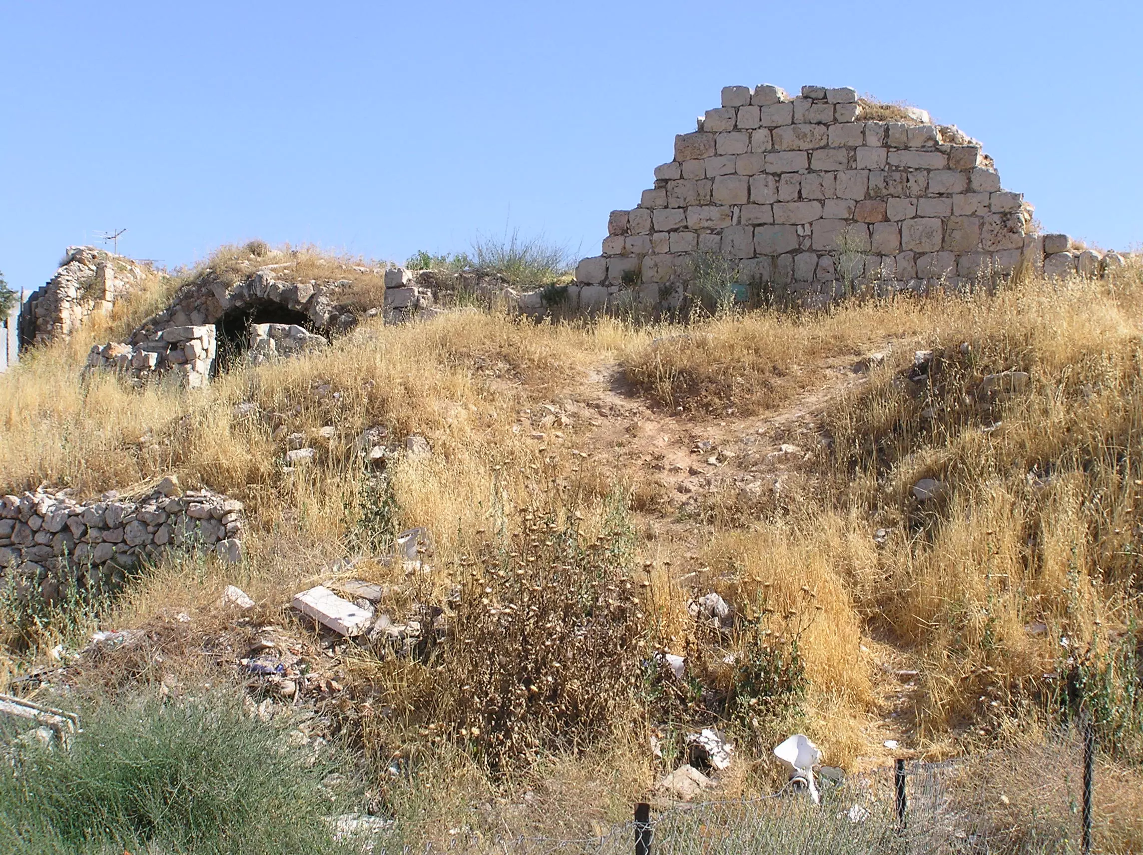
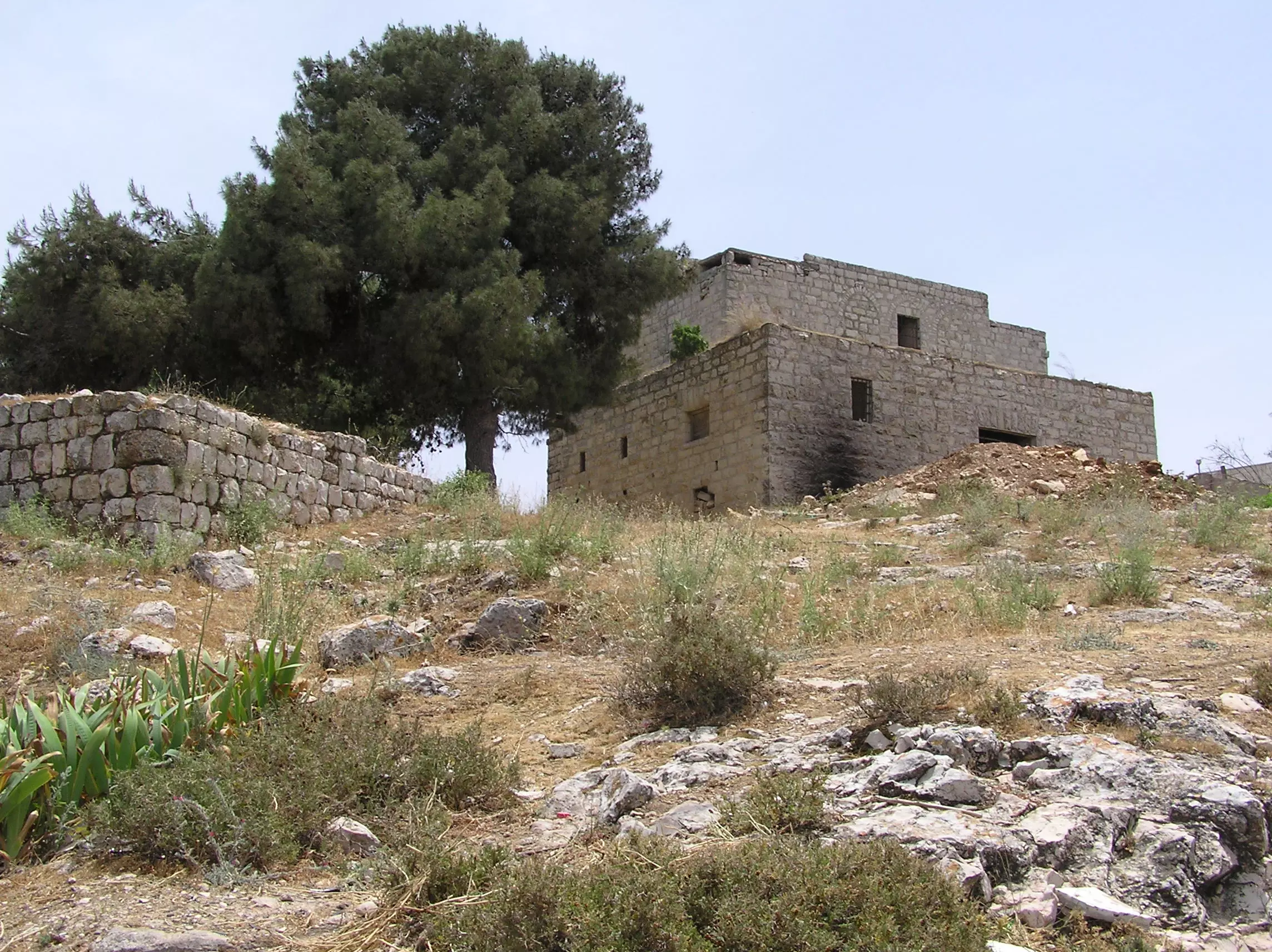
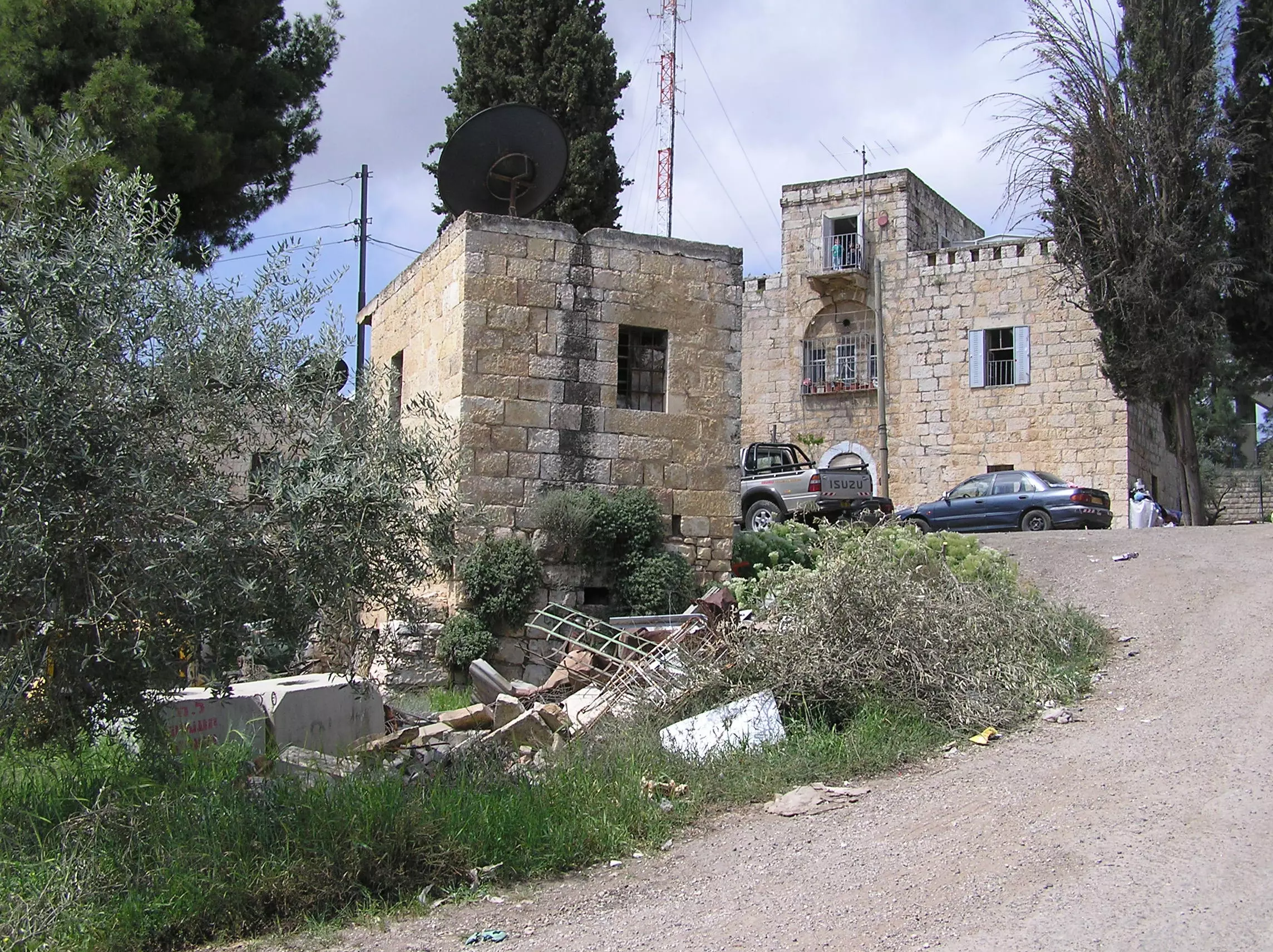
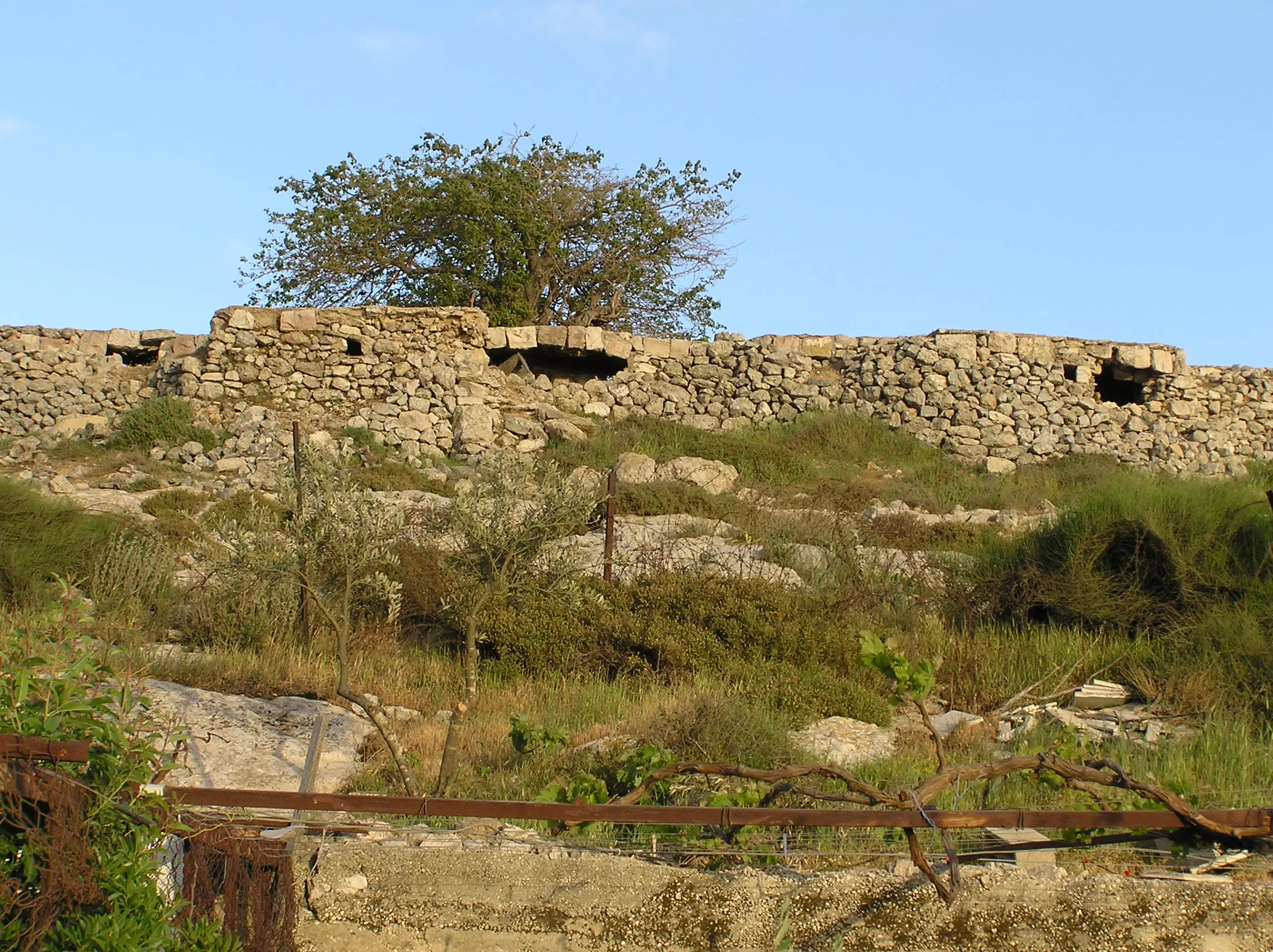
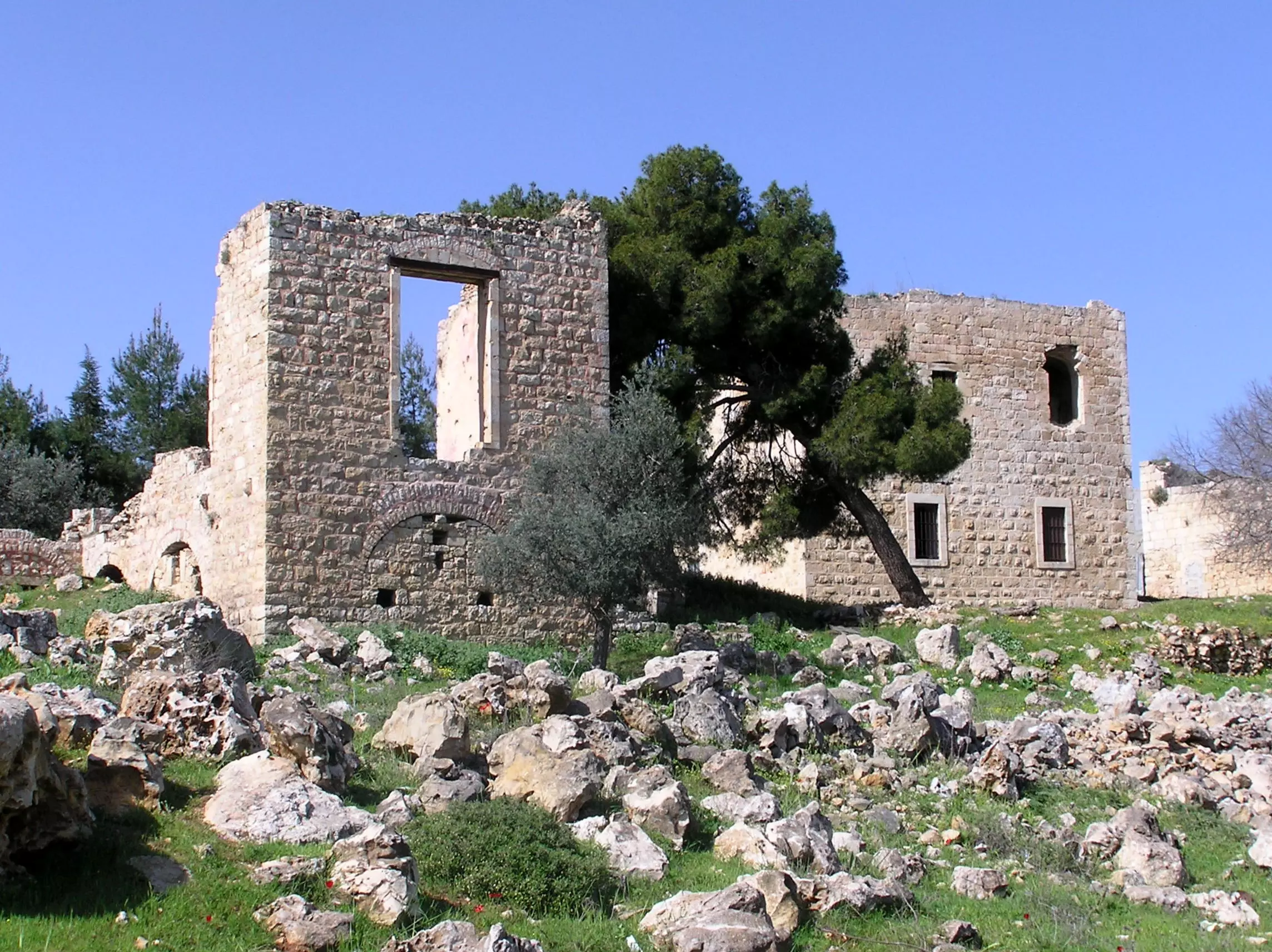
Posted by Umar Abu El-Bararri 1 - El Burj & What's Left Of It.
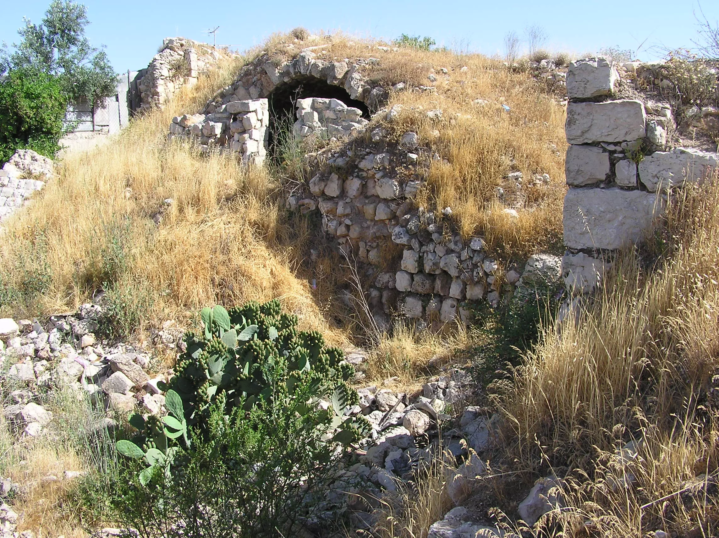
Posted by Umar Abu El-Bararri - El Burj & Its Remains.
Posted by Umar Abu El-Bararri - El Ziqaq Alley
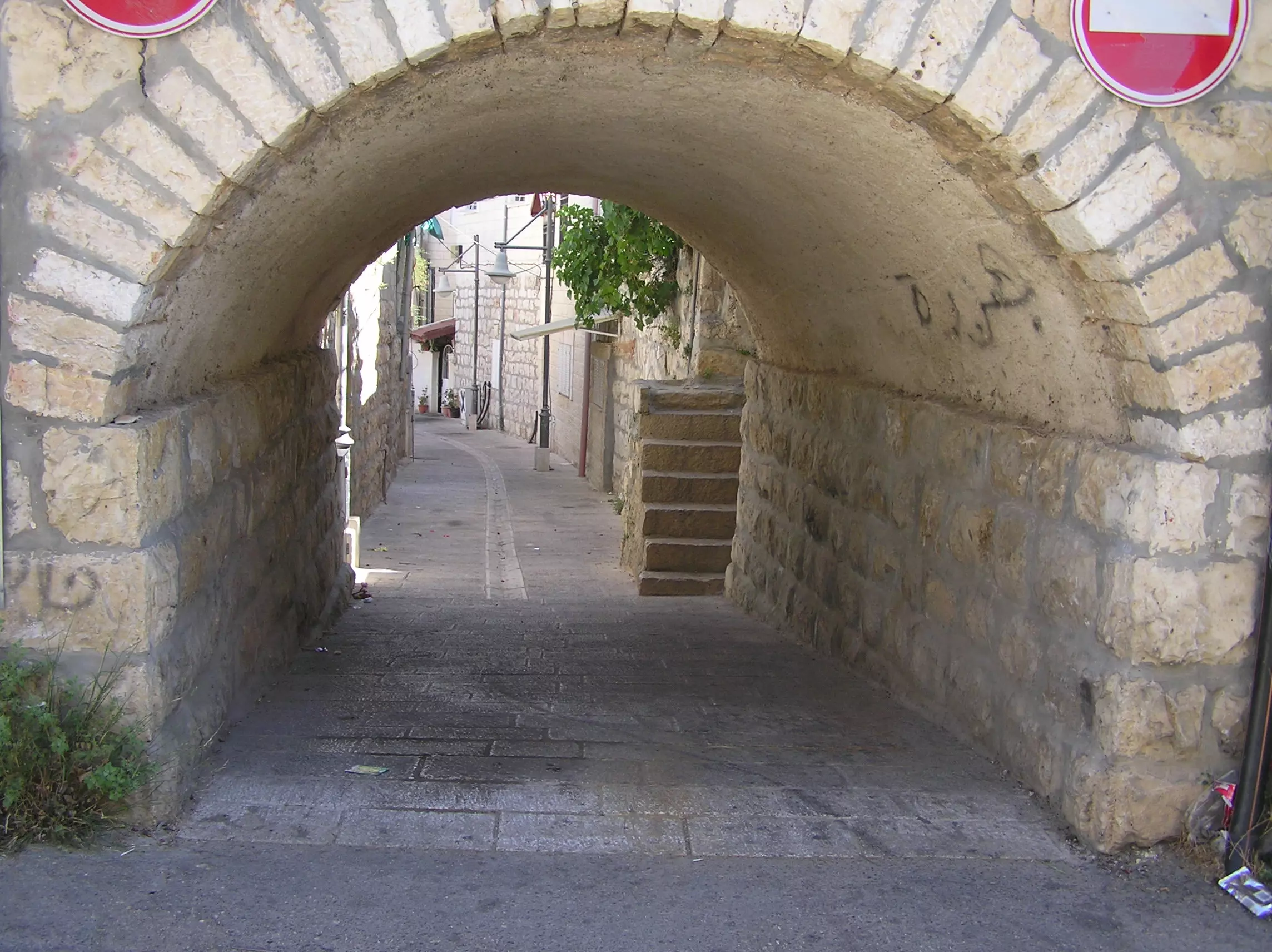
Posted by Umar Abu El-Bararri 1 - El Ziqaq & Village Center Area.
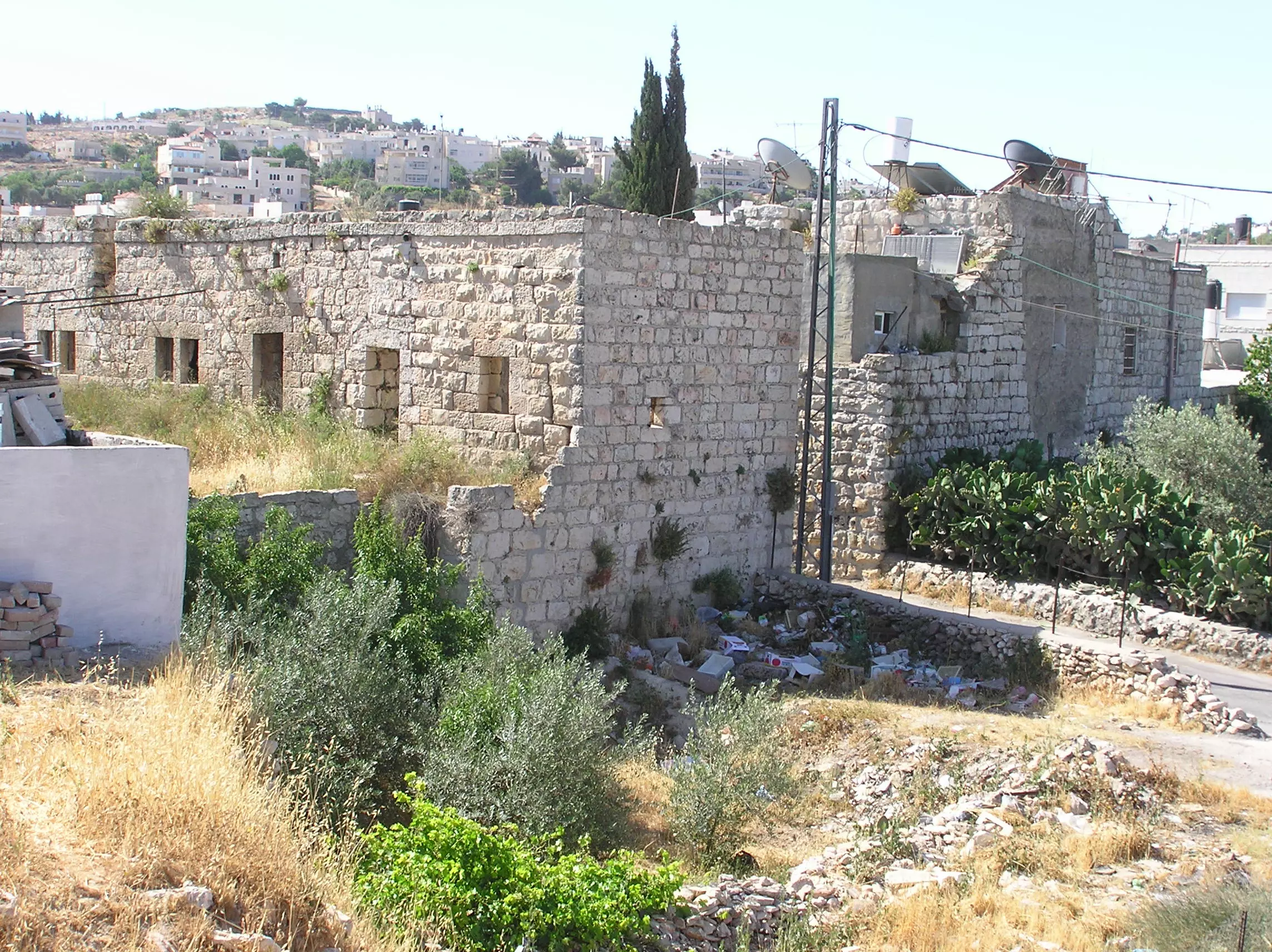
Posted by Umar Abu El-Bararri - Center Of Village Area.
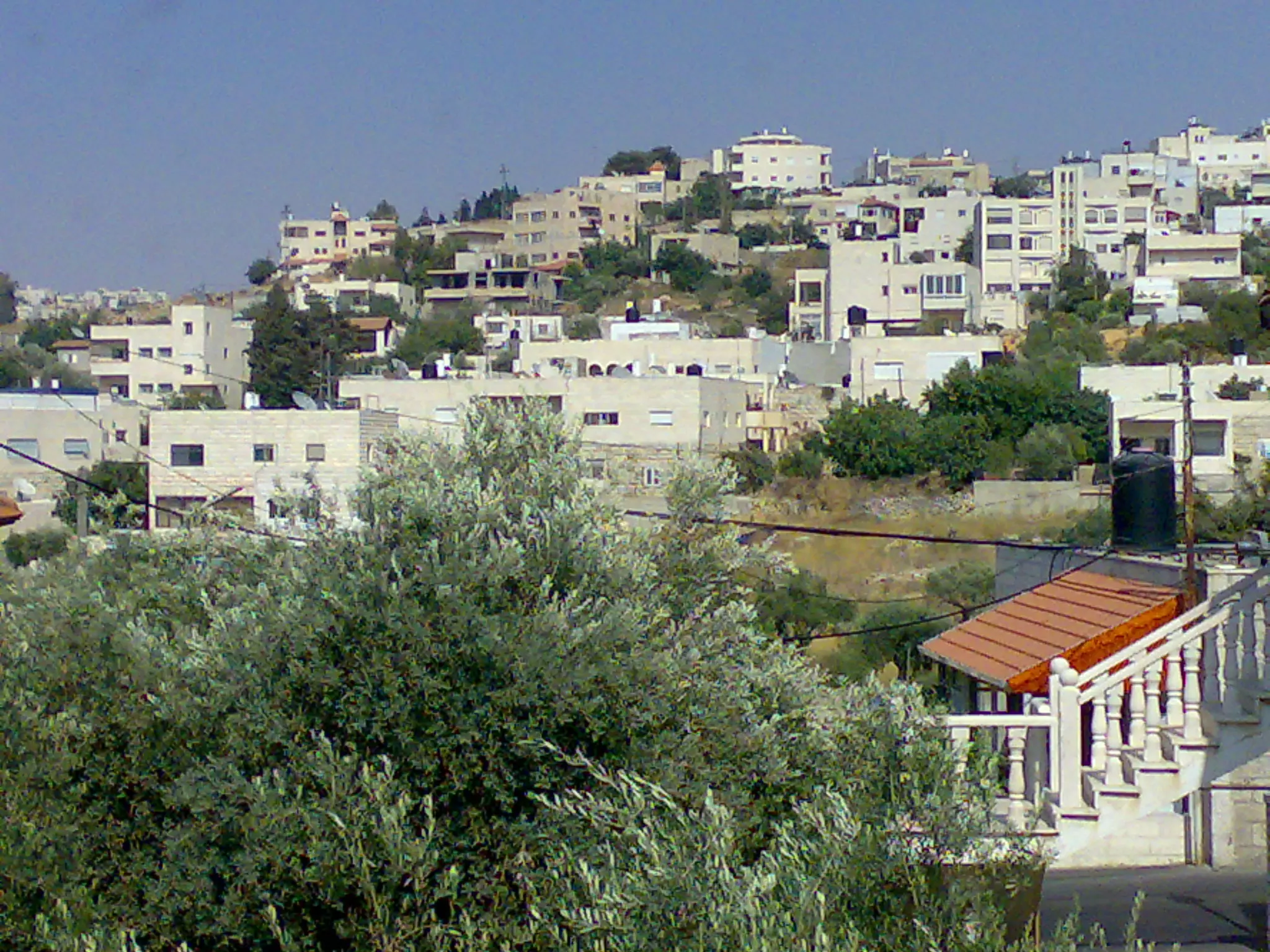
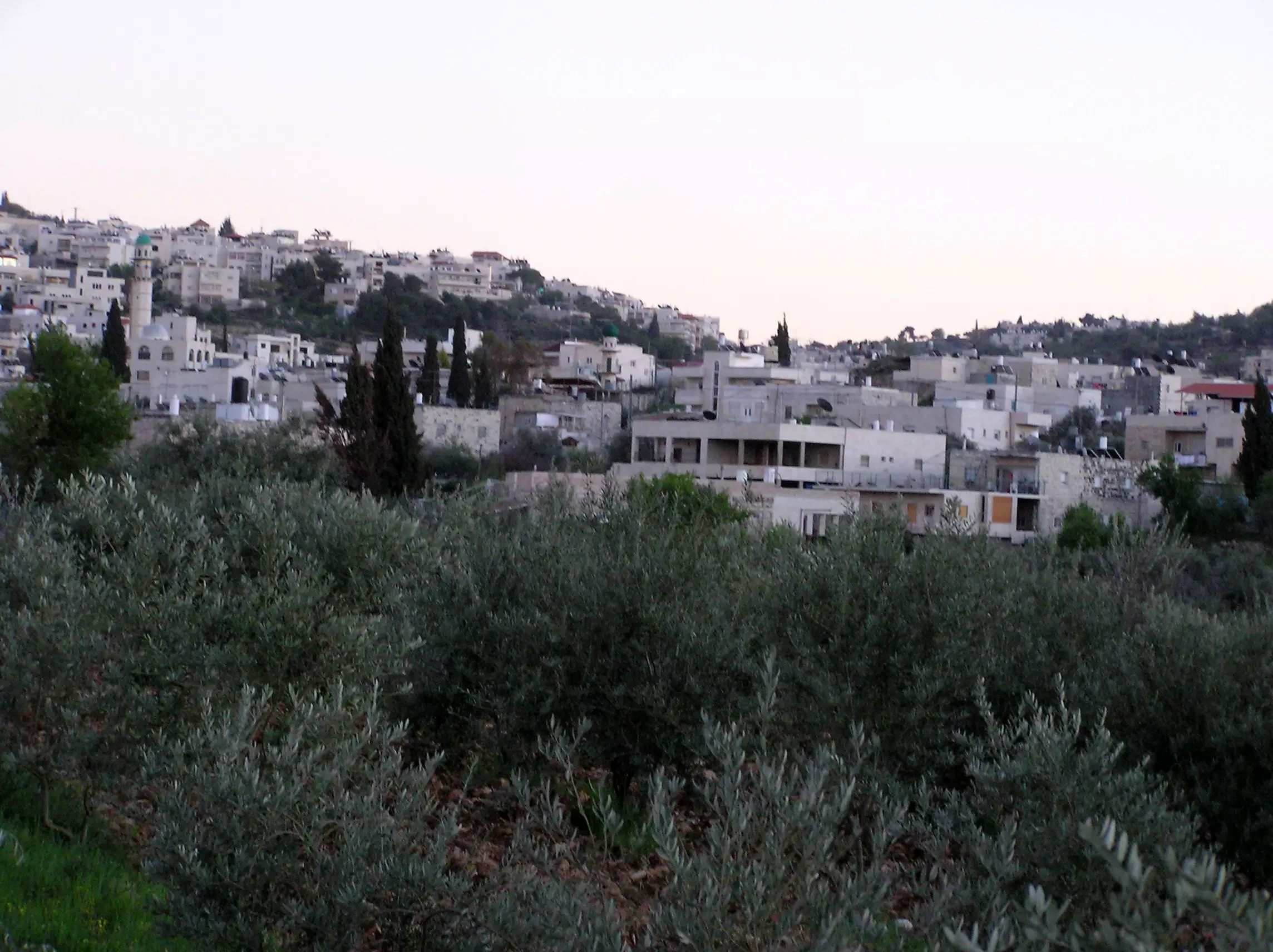
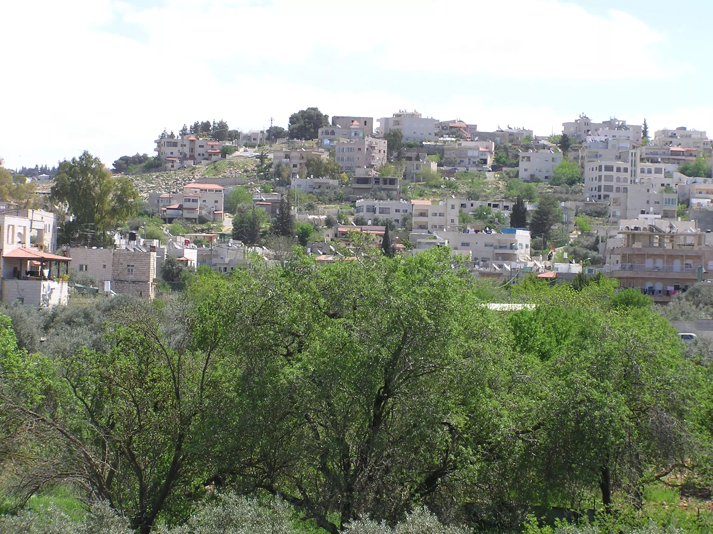
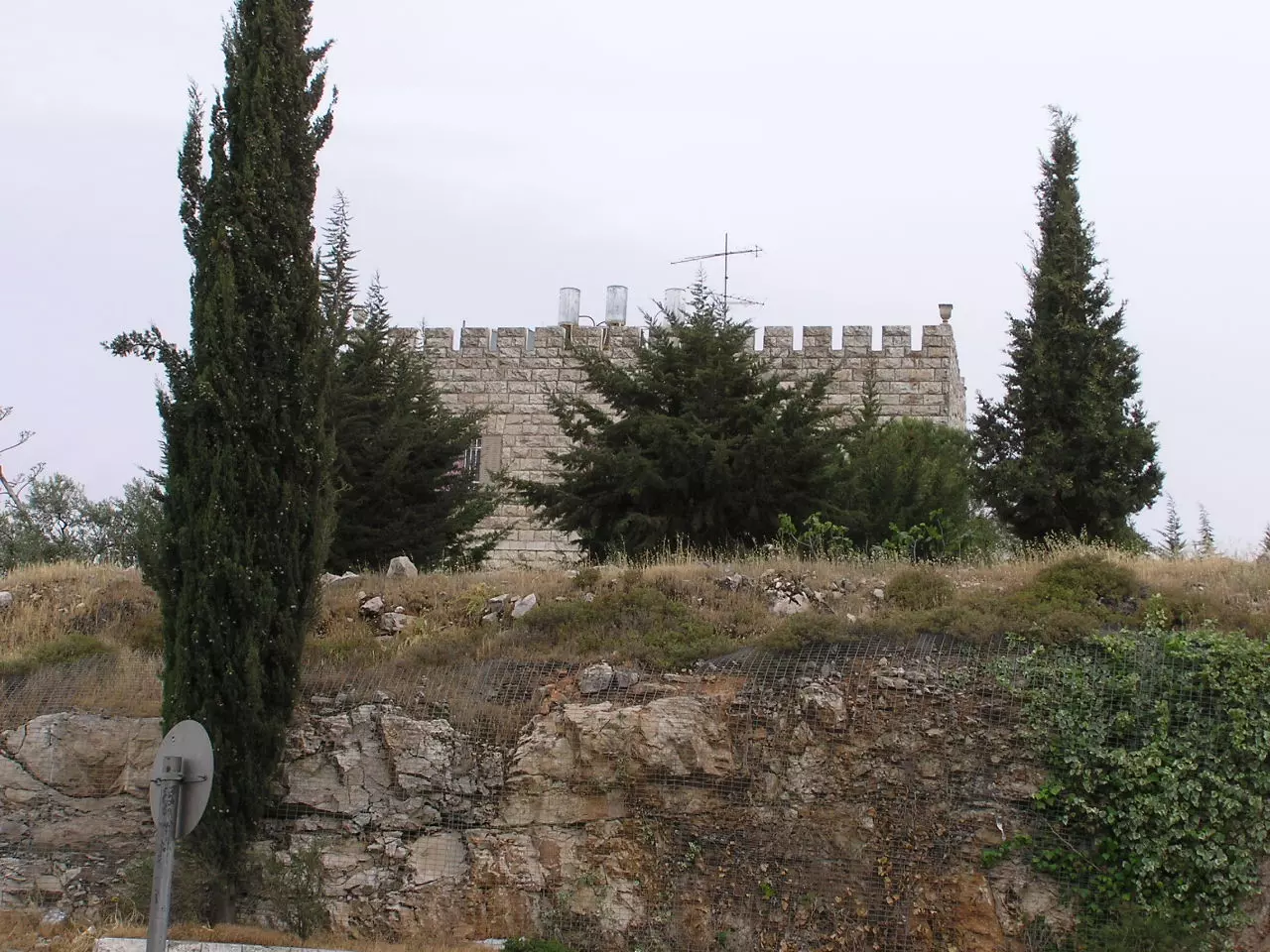
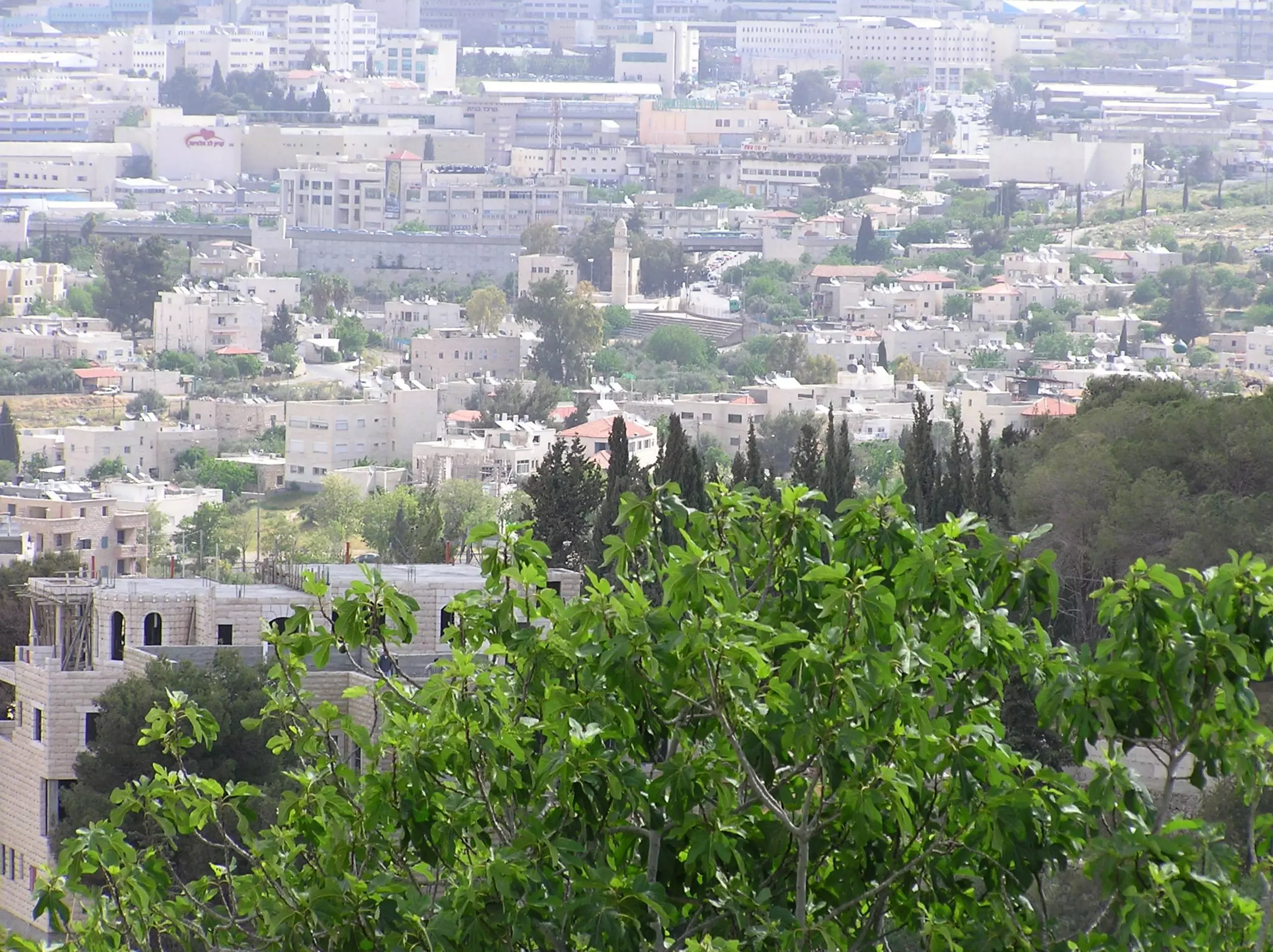
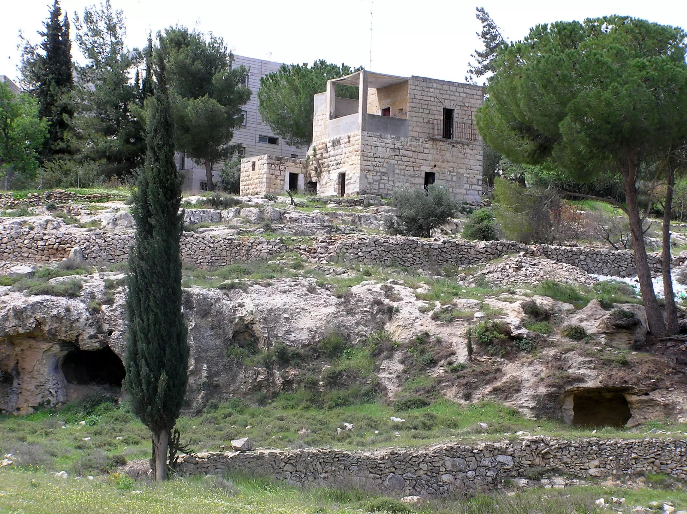
Posted by Umar Abu El-Bararri 1 - A General View of Beit Safafa from the North.
Posted by Umar Abu El-Bararri - اجدادنا يشربون من البئر المجاور للبوابة الشمالية لمقبرة القرية و تبدو المباني الغربية للبرج
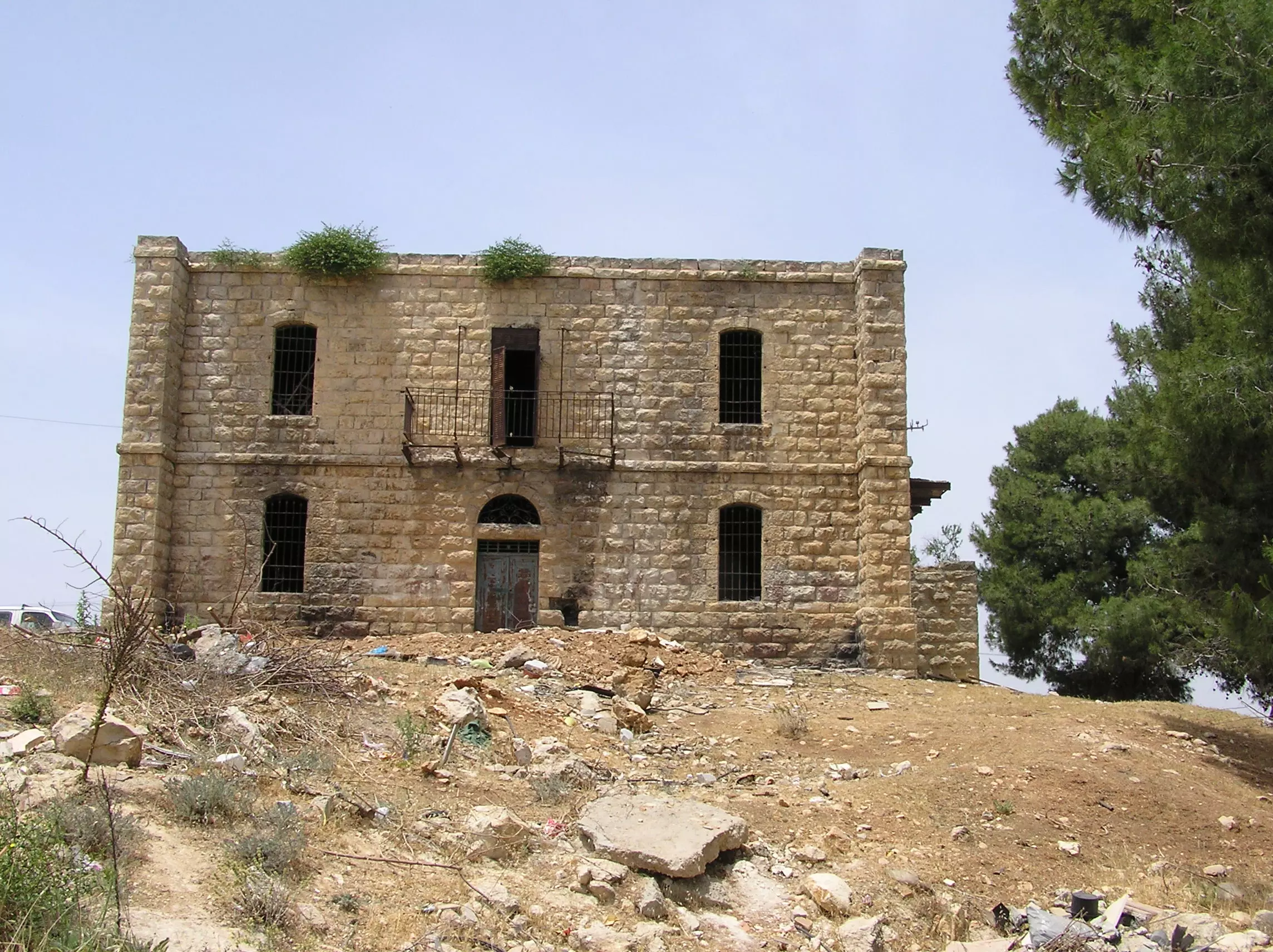
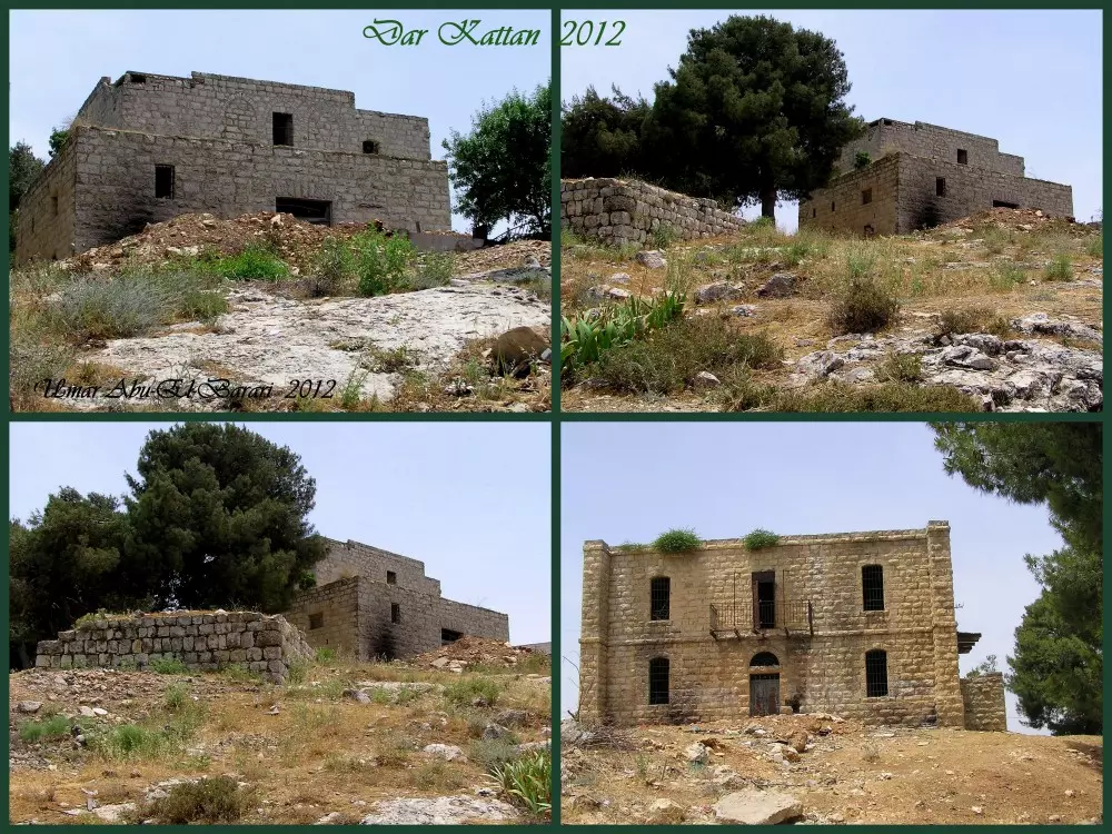
Posted by ابو عمر 1 - Dar Kattan (Front)
Posted by Umar Abu El-Bararri - Dar Kattan (Rear)
Posted by Umar Abu El-Bararri - A View Of Beit Safafa From The West Direction.
Posted by Umar Abu El-Bararri - Dar Abu Ghatass
Posted by Umar Abu El-Bararri - Dar Abu Ghatass (#2)
Posted by Umar Abu El-Bararri - A Close View Of Mosque In Center Of Village.
Posted by Umar Abu El-Bararri - Dar El-Qattan.
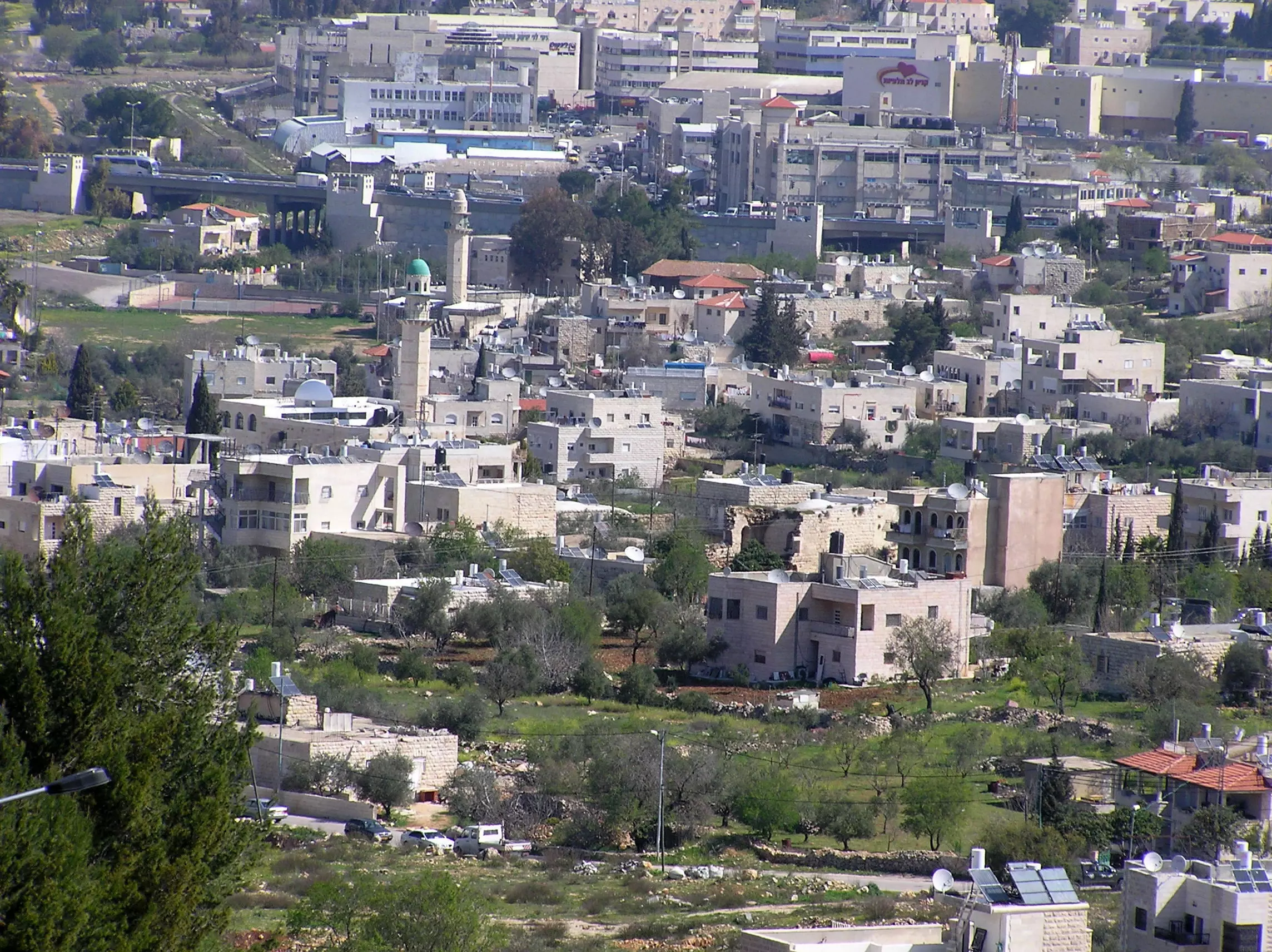
Posted by Umar Abu El-Bararri - A View Of Beit safafa Taken From Sharafat. Note Minarets In The Backgrounds.
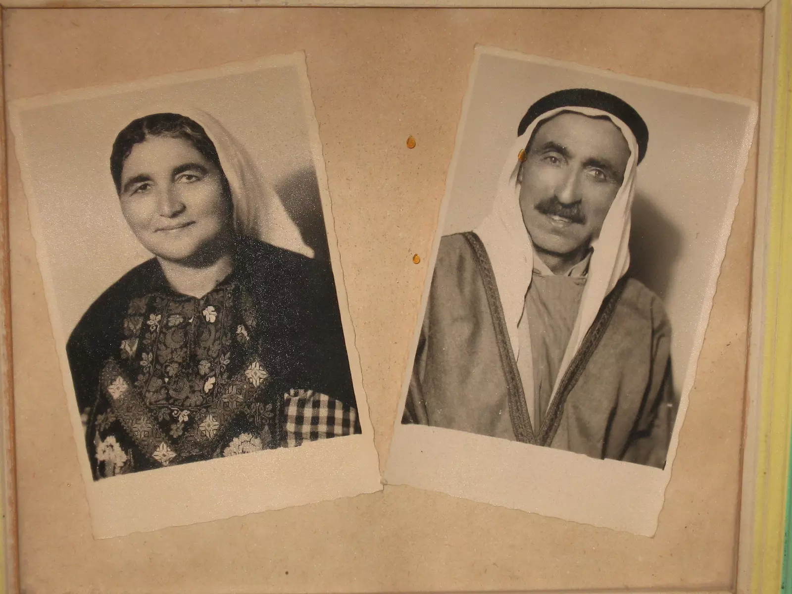
Posted by Umar Abu El-Bararri - بيت صفافا : المرحوم الحاج عيسى محمد موسى عليان والمرحومه الحاجه عايشه حسين عبد النبي
Posted by صفافي أصيل 2 - A View Of Beit Safafa In Early Spring From The West Direction.
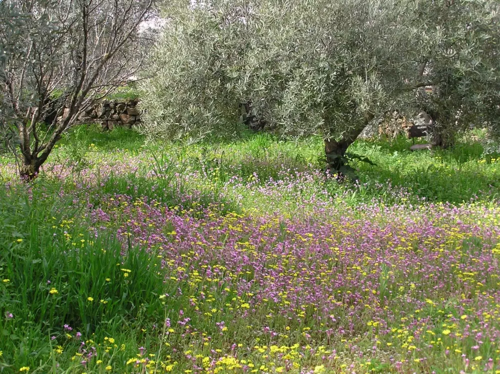
Posted by Umar Abu El-Bararri - Spring Scene In The Terraces.
Posted by Umar Abu El-Bararri - El-Nidqa In Spring.
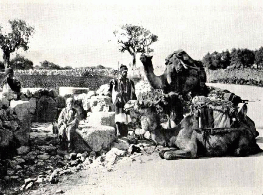
Posted by Umar Abu El-Bararri - قافلة جمال على طريق الخليل -القدس عند مفرق طريق صورباهر ويبدو دير مار الياس
Posted by ابو عمر - Tabalya's Remains.
Posted by Umar Abu El-Bararri 1 - summer in bet safafa 2008
Posted by salman salman - 2008 summer in bet safafa// melab and mosque
Posted by salman salman 1 - 1959 عرس في الجانب المحتل -48 ويبدو الزجال الشعبي محمد أبو السعود الأسدي
Posted by ابو عمر 1 - هكذا كانت جداتنا يوفرن الماء لبيوتهن من الابار القديمة القليلة أو من عين يالو
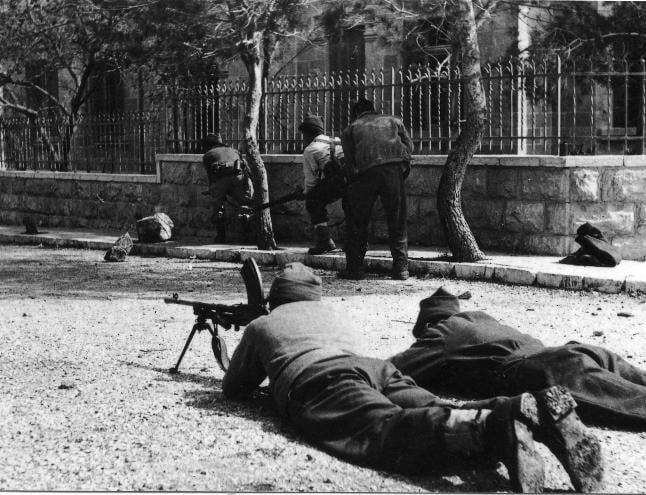
Posted by ابو عمر - بيت صفافا: معركة القطمون في أشد الاشتباكات والتي صقط فيها الكثير من شهداء القريه في عام 1948 . حيث يمكن مشاهدة افراد الجماعات المغتصبه وهم في مواقع دفاعيه في تلك المعركه
Posted by صفافي أصيل - A VIEW FROM THE EAST LOOKING WESTWARD.
Posted by Umar Abu El-Bararri - Asfoora Location/Site
Posted by Umar Abu El-Bararri 1 - Um Zakaria's House
Posted by Umar Abu El-Bararri 1 - Beit Safafa Looking Eastward
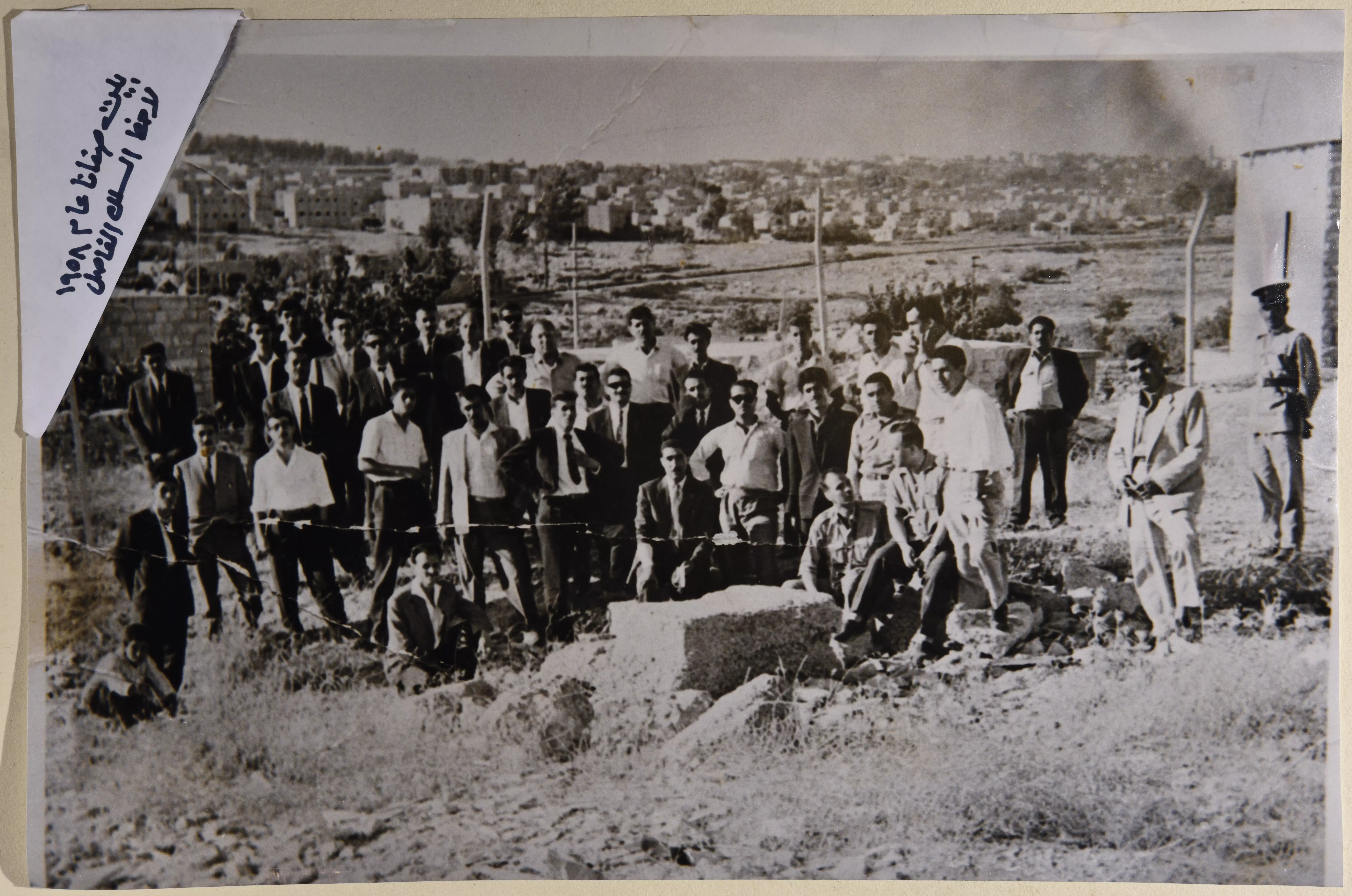
Posted by Umar Abu El-Bararri - 1.5.1949 أول سياج حدودي يقسم القريه الى شطرين أردني واسرائيلي عند دار محمد يونس
Posted by صفافي أصيل 1 - 1.5.1949 تبادل المصافحه بين ابناء القرية من على اول سياج حدودي بين شطرين القريه الاردني والاسرائيلي
Posted by صفافي أصيل - الحاج عيسى حسين جاد الله بجانب مستودع الفواكه 1.5.1949
Posted by صفافي أصيل 1 - لقاء بين افراد حرس الحدود الاسرائيلي والاردني بجانب مدرسة البنات عند دار حسن علي ابراهيم عليان 1.5.1949 .
Posted by صفافي أصيل - 1.5.1949 تحاور يدور بين فتيه من القرية بجانب اقدم سياج حدودي في وسط القرية
Posted by صفافي أصيل - صورة لجندي أردني بجانب دار حسن علي حسين عليان 1.5.1949 * ويبدو أنه من بدويه
Posted by صفافي أصيل - لقاء بين افراد حرس الحدود الاسرائيلي والاردني بجانب مدرسة البنات في دار حسن علي حسين عليان 1.5.1949
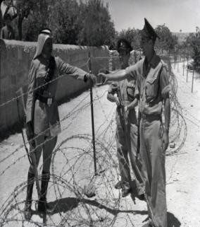
Posted by صفافي أصيل - 1.5.1949 تبادل السجائر بين افراد حرس الحدود الاسرائيلي والاردني من على السياج الحدودي * حيث أنه كان ممنوع تبادل الاغراض من الجانب المحتل
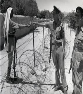
Posted by صفافي أصيل - لقاء بين افراد حرس الحدود الاسرائيلي والاردني بجانب مدرسة البنات عند دار حسن علي حسين عليان 5.1949

Posted by صفافي أصيل - القاعة- مستشفى الحجر الصحي -22-6-1938 أنظر للشرق ترى طريق القدس الخليل وكرم صبيح(كرم التفاح)اليوم
Posted by ابي عمر - القاعة- مستشفى الحجر الصحي -22-6-1938 أنظر للجنوب الشرقي ترى المراة وترى قصر بنيامين -ابو عمر
Posted by ابي عمر - بيت صفافا : على طريق بيت لحم بير كادسما 1900
Posted by صفافي أصيل - الحاج المرحوم عيسى محمد موسى حميد عليان ( أبو محمد)1950
Posted by صفافي أصيل 1 - الحاجة المرحومة صبحة الخطاب 1950
Posted by صفافي أصيل - بيت صفافا
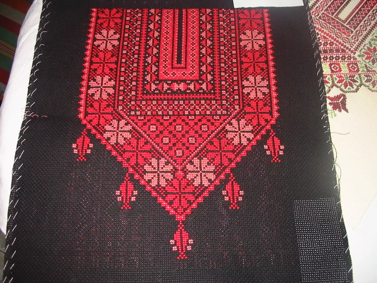
Posted by صقر الصحراء 1 - تطريز
Posted by صقر الصحراء 1 - بيت صفافا
Posted by صقر الصحراء 1 - بيت صفافا
Posted by صقر الصحراء 2 - بيت صفافا
Posted by صقر الصحراء 1 - بيت صفافا : في الذكرى ال22 عام لوفاة الحاجة المرحومه عايشة حسين عبد النبي أم ( مصطفى , عبدالله ,ابراهيم ,وعمر ) صوره في سوق محني يهوده1949 - مشاركة صفافي اصيل
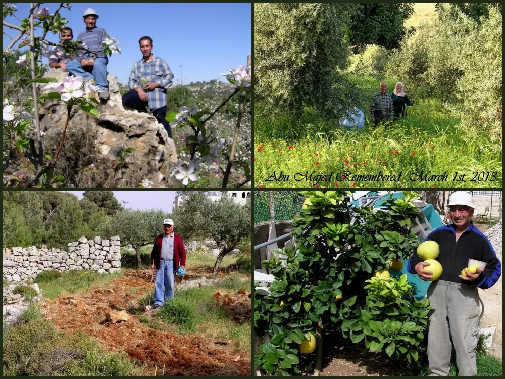
Posted by صفافي أصيل 1 - Abu Majed - Rahamahu Allah {March 1st, 2012}
Posted by Umar Abu El-Bararri 3 - Abdullah - Abu Majed & Images From Al-Thahara {March 2012}... An Area That He Loved...
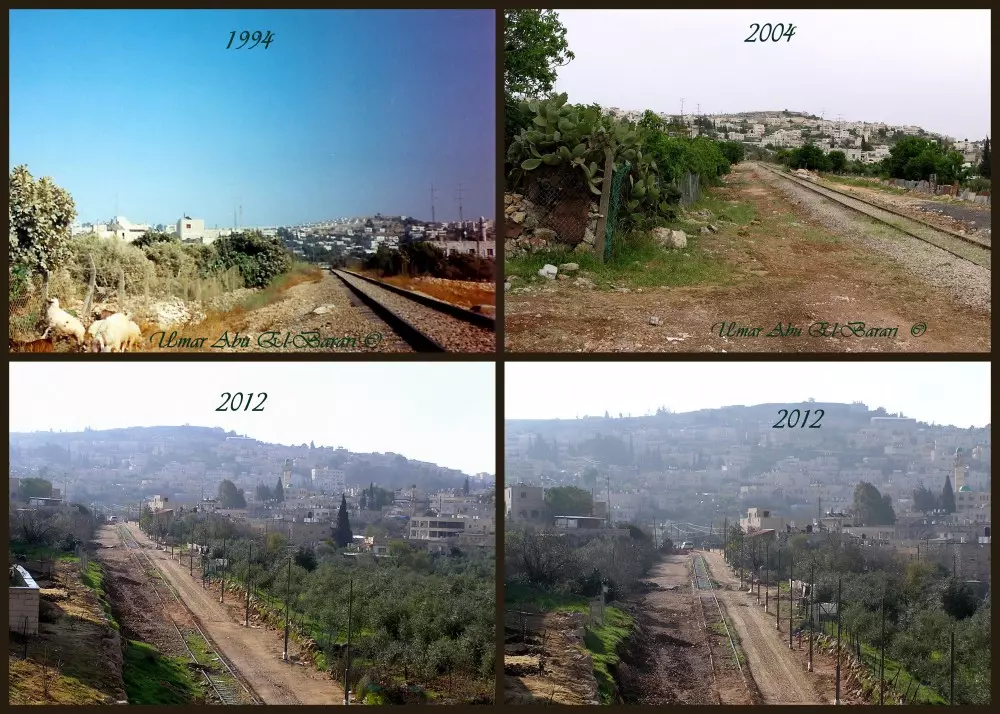
Posted by Umar Abu El-Bararri 2 - Beit Safafa...And the Changing Times - March 2012
Posted by Umar Abu El-Bararri - © 1994, 2004, 2012 ... The Changing Times of Beit Safafa's Railroad Scene ©
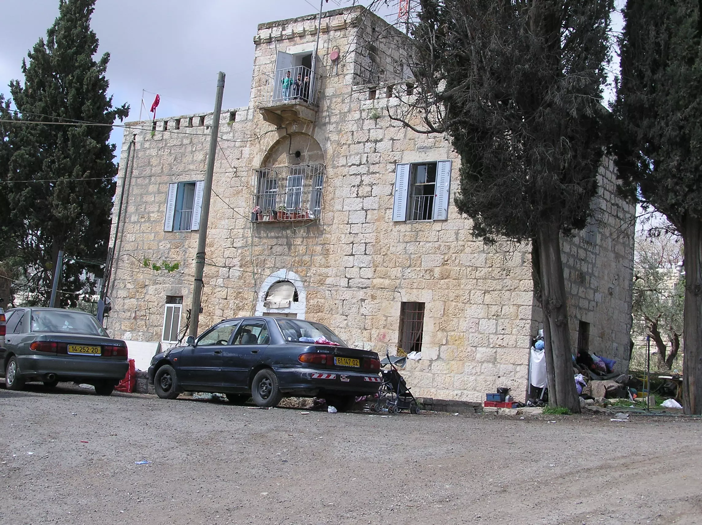
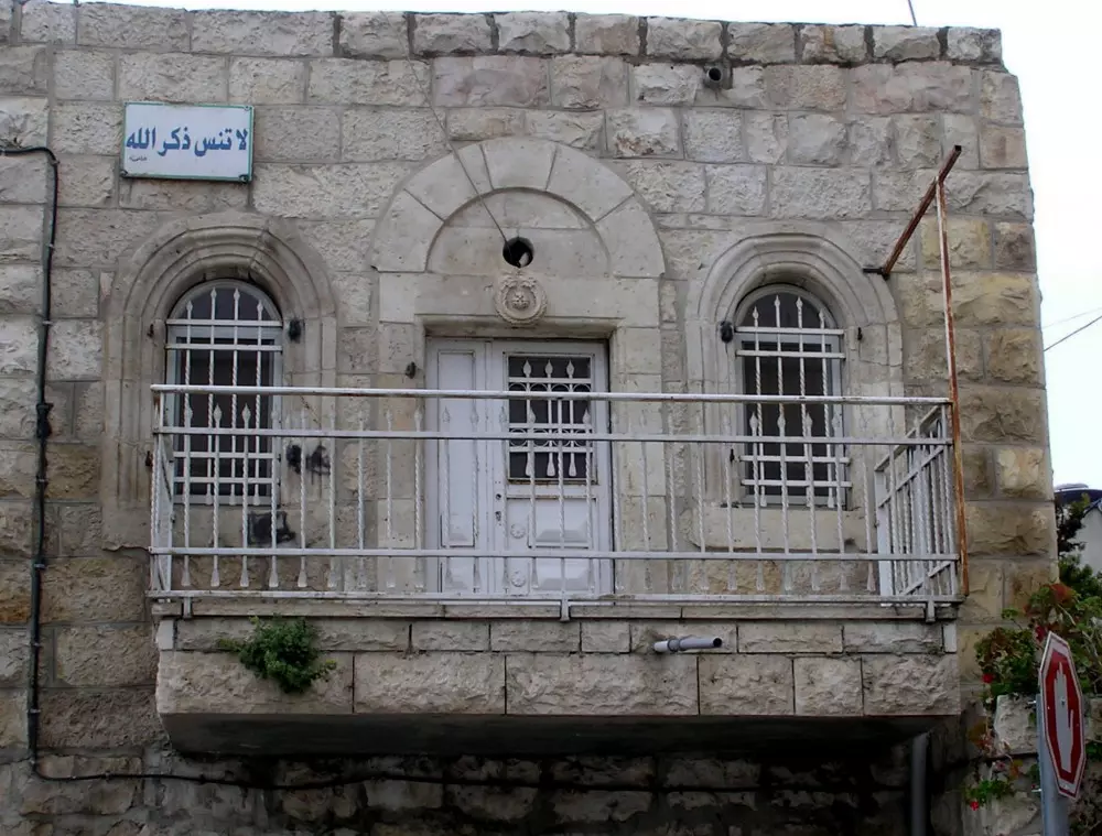
Posted by Umar Abu El-Bararri - One Of Beit Safafa's Older/Original Houses With Its Beautiful Architecture & لا تنس ذكر الله
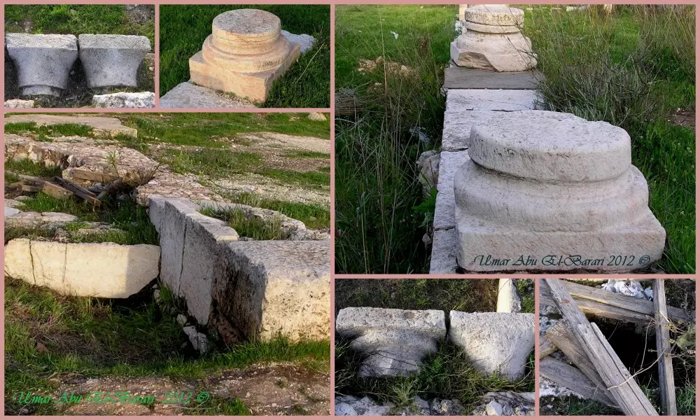
Posted by Umar Abu El-Bararri - © Bir Kadisma - The Ancient Site Of Bir Kadisma - The Site Where Umar Ibn El-Khattab Camped Out Before Entering El-Quds/Al Aqsa Area.
Posted by Umar Abu El-Bararri - بيت صفافا : المرحوم الحاج عبدالله عيسى محمد عليان - من اواخر الصور له زيارة القبور - عيد الفطر السعيد
Posted by صفافي أصيل - بيت صفافا : شارع 4 (50) واحتجاج بالمستطاع - ابو رائد
Posted by صفافي أصيل - بيت صفافا : شارع 4 (50) واحتجاج بالمستطاع - عائلة ابو رائد
Posted by صفافي أصيل - The Old RailRoad Of Beit Safafa Remembered {2012}
Posted by Umar Abu El-Bararri - Dar Kattan 2012
Posted by Umar Abu El-Bararri - آلوالد عيسى محمد في الذاكرة ـ انا لله وانا اليه راجعون - رحمه الله وجعله من اهل الجنّه.
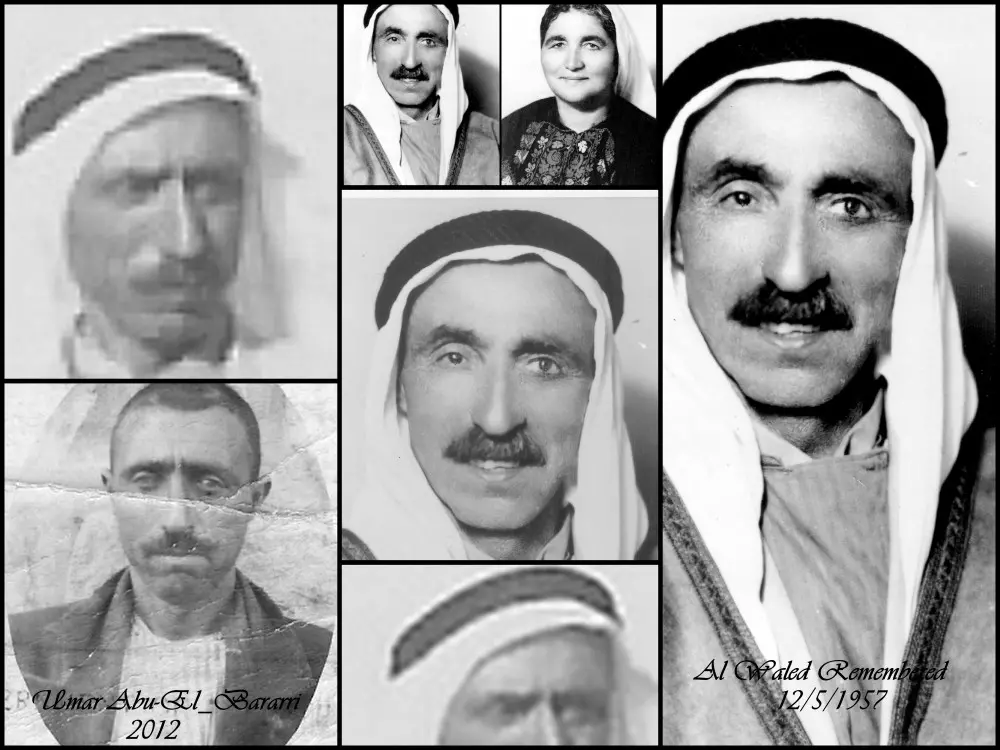
Posted by Umar Abu El-Bararri 4 - Abu Majed Remembered...One Year Ago...March 1st, 2012...Rahamahu Allah !
Posted by Umar Abu El-Bararri - القطمون والبقعة تخوم البلد الشمالية
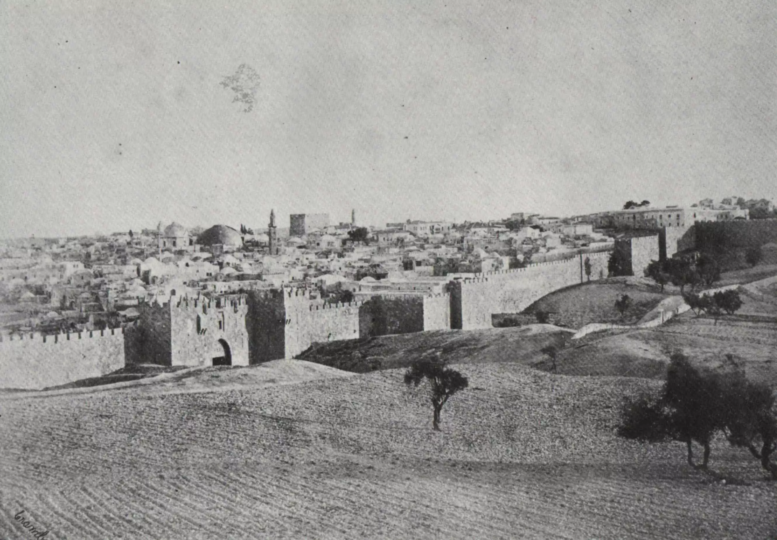
Posted by ابو عمر - تخيلوا هذا باب العمود عام 1860 سبحان الله
Posted by ابو عمر - محاجر الصليب (جيلو)-كل شباب البلد طلعوا دقيقة الا ......طلع انتيكا
Posted by ابو عمر - والدي الحبيب الحاج ابوعيسى(محمد عيسى عليان) شهيد الجائحة
Posted by ابو عمر - Pre-Nakba Aerial view of the village / صورة من الجو للقرية اخذت قبل النكبة
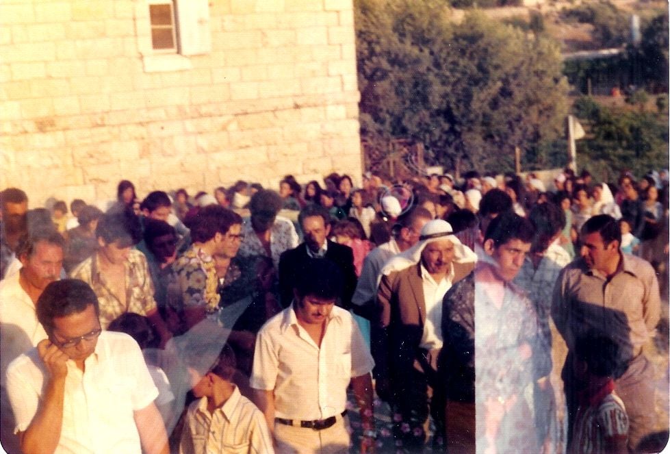
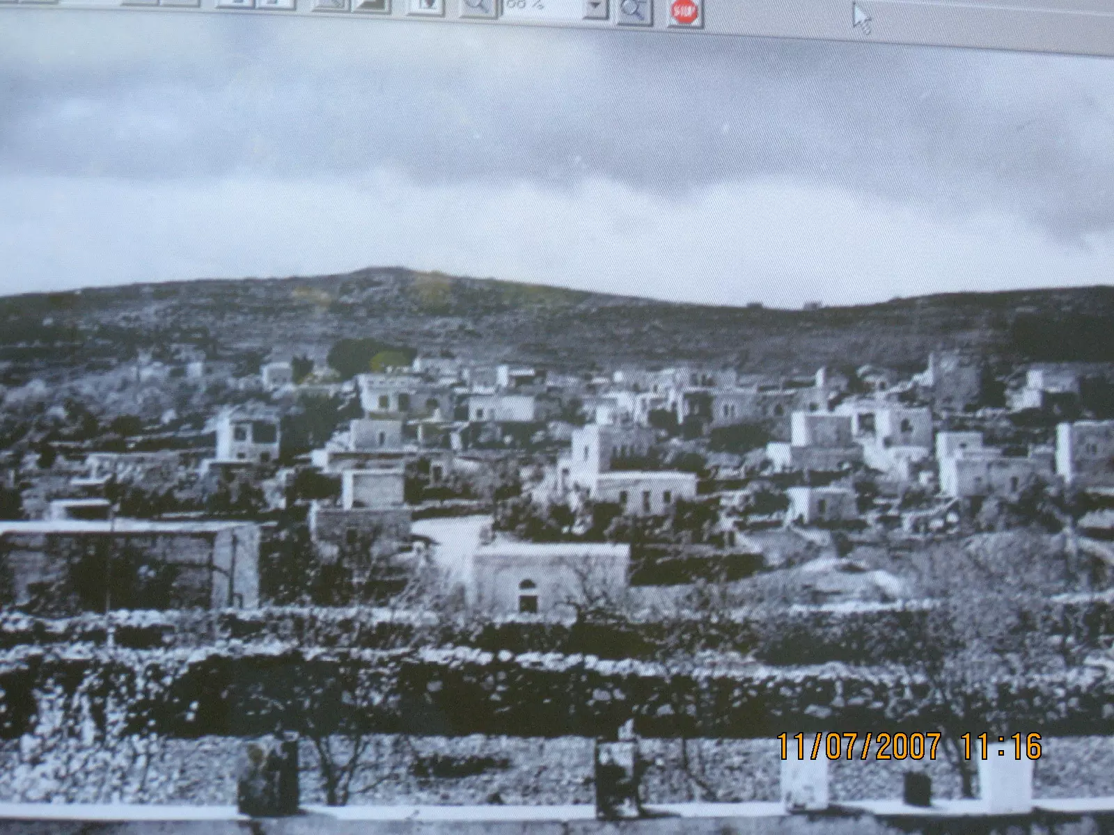
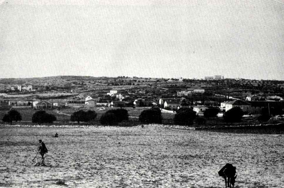
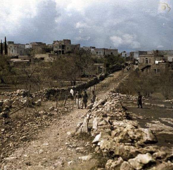
- منظر عام لقرية بيت صفافا عام 1926
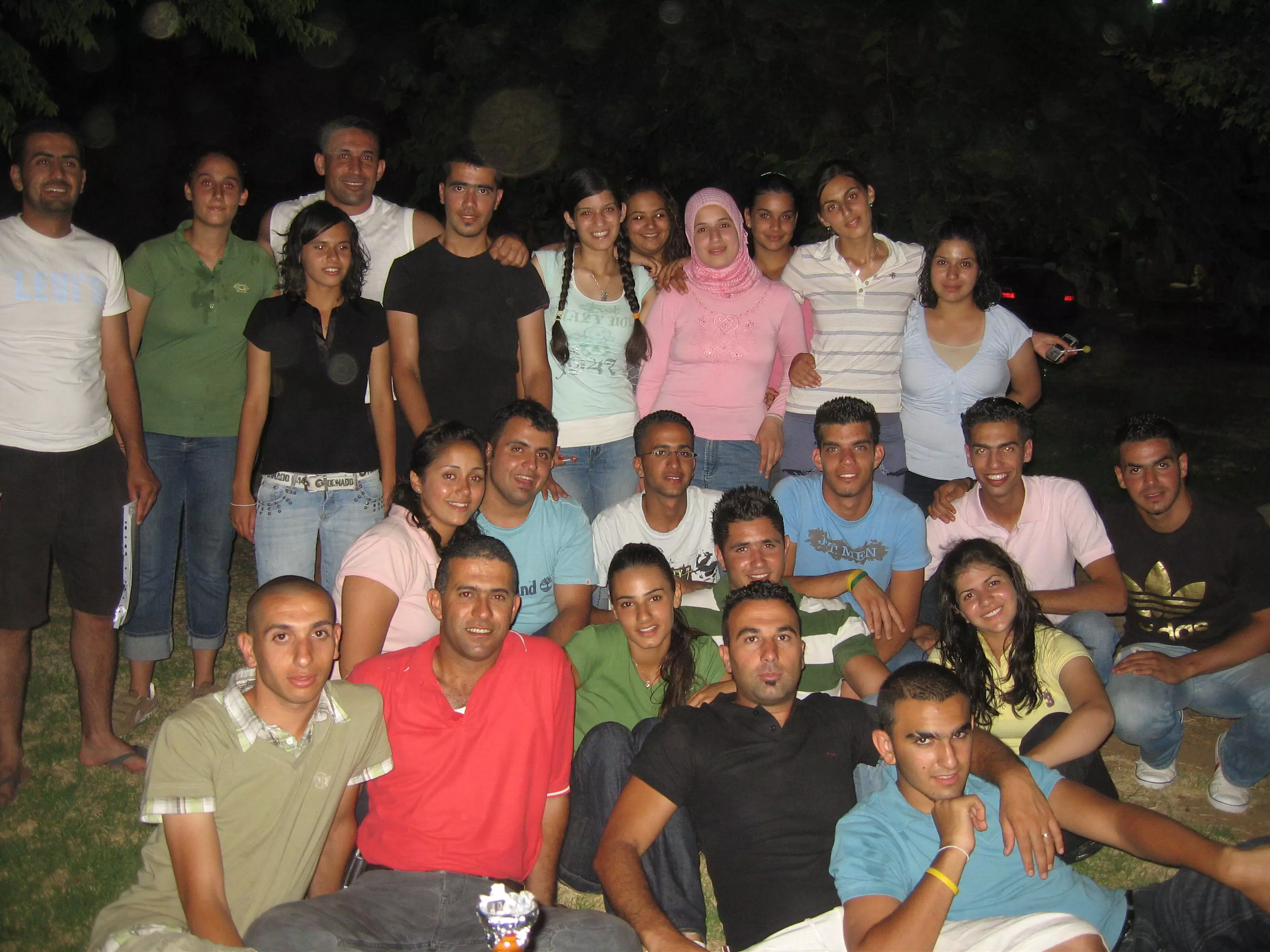
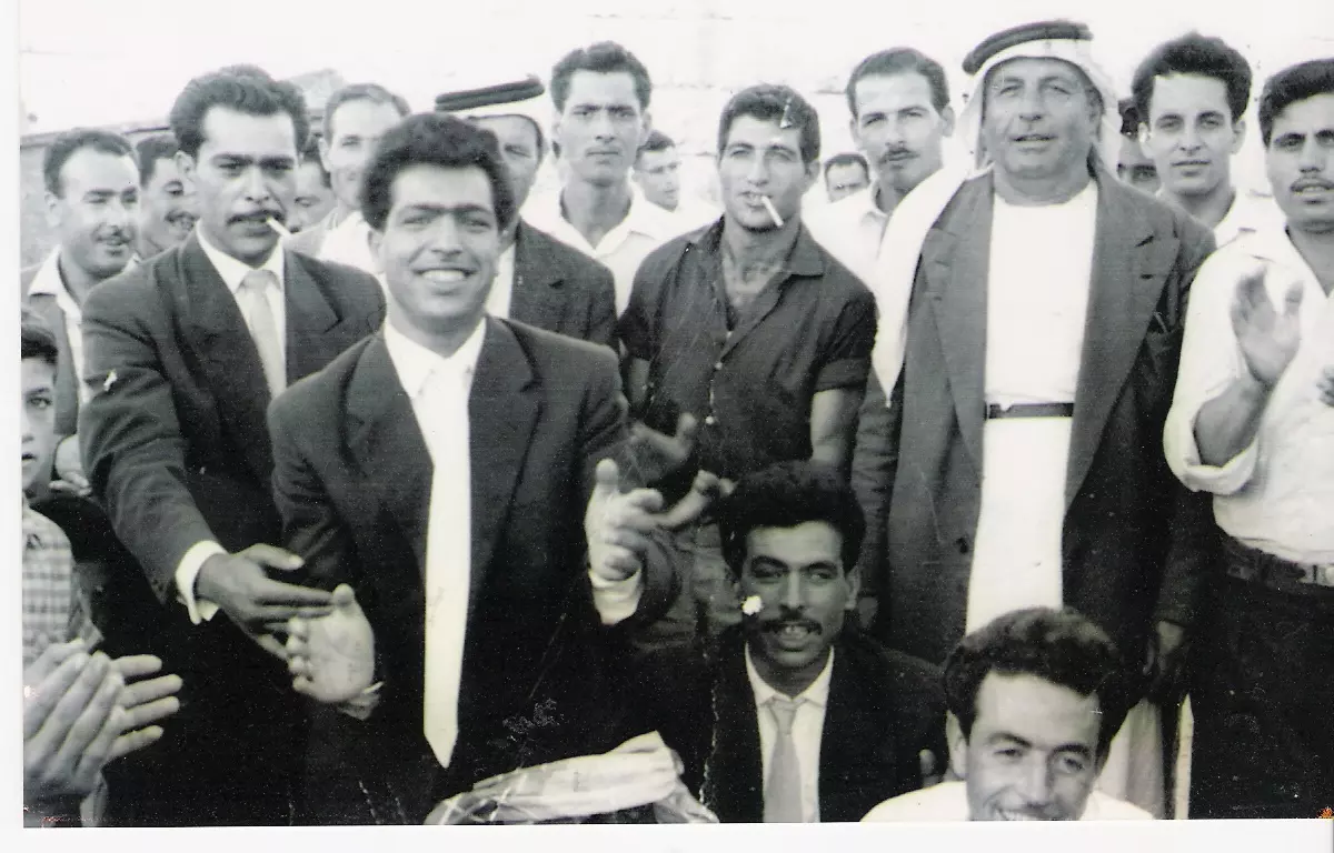
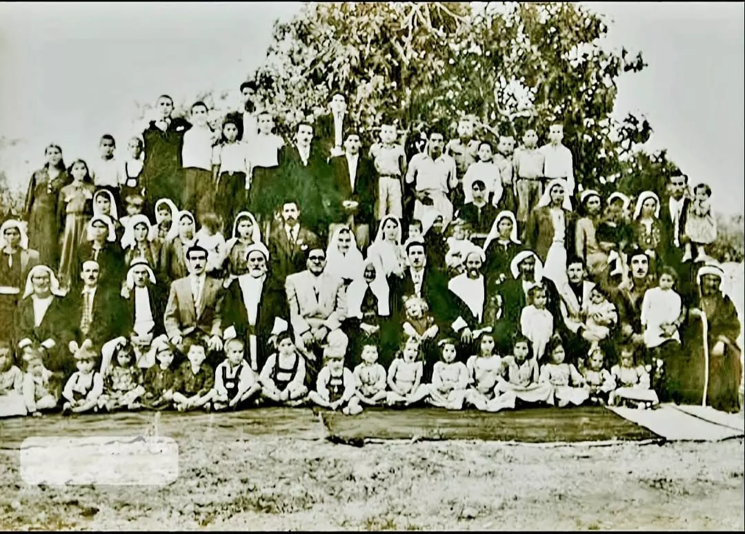
- صورة تذكارية لمجموعة من أهالي قرية بيت صفافا قضاء القدس نهاية الأربعينيات من القرن العشرين..
- A street view soon after Nakba
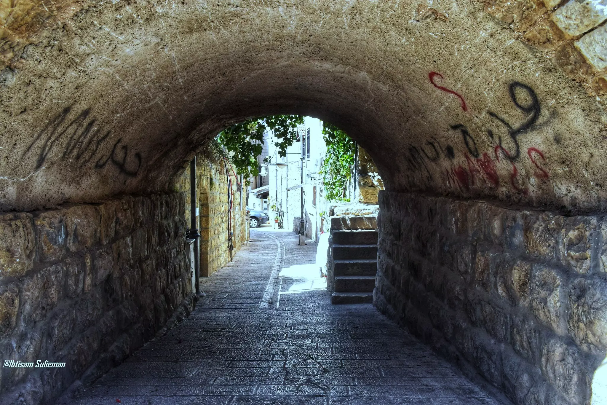
- جولة بين بيوت القرية القديمة--Ibtisam Sulieman
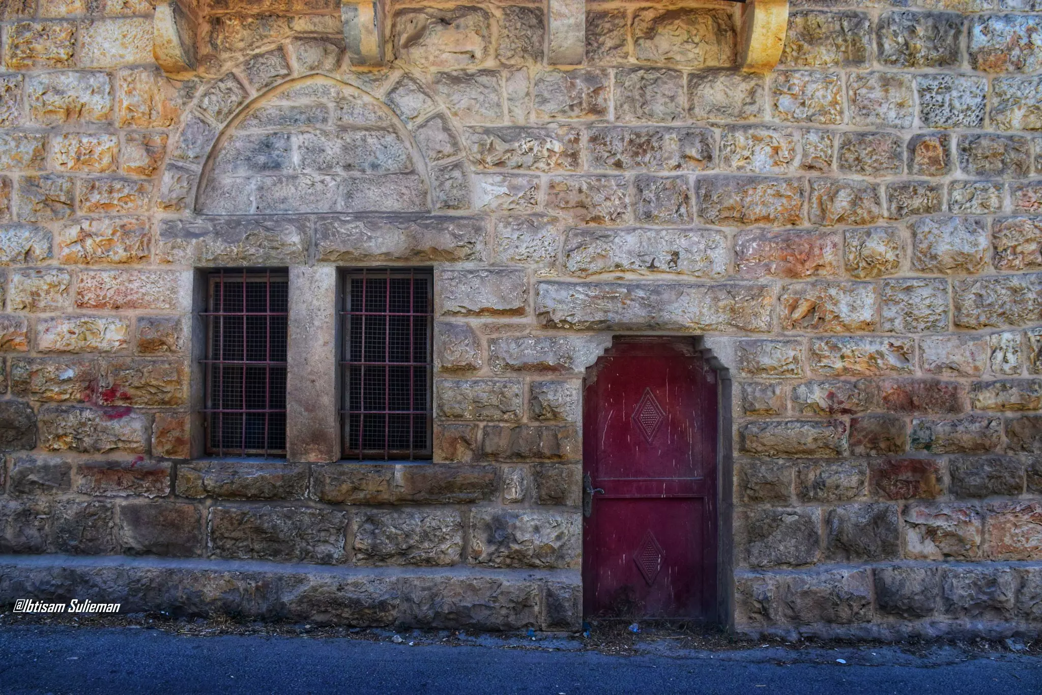
- جولة بين بيوت القرية القديمة--Ibtisam Sulieman #2
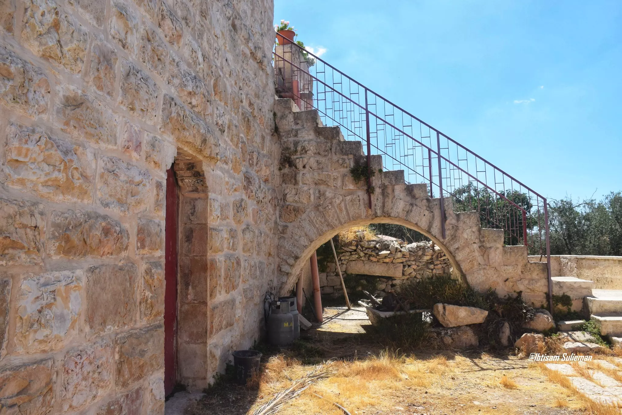
- جولة بين بيوت القرية القديمة--Ibtisam Sulieman #3
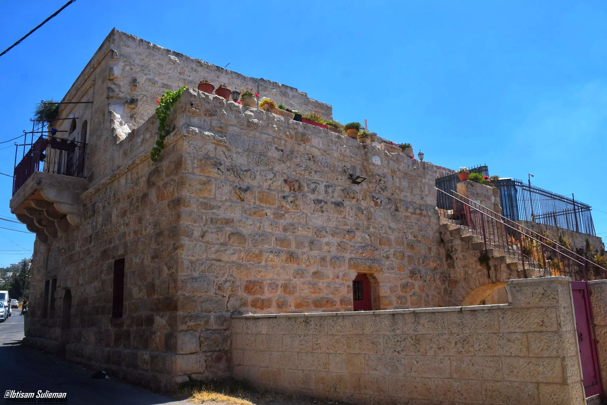
- جولة بين بيوت القرية القديمة--Ibtisam Sulieman #4
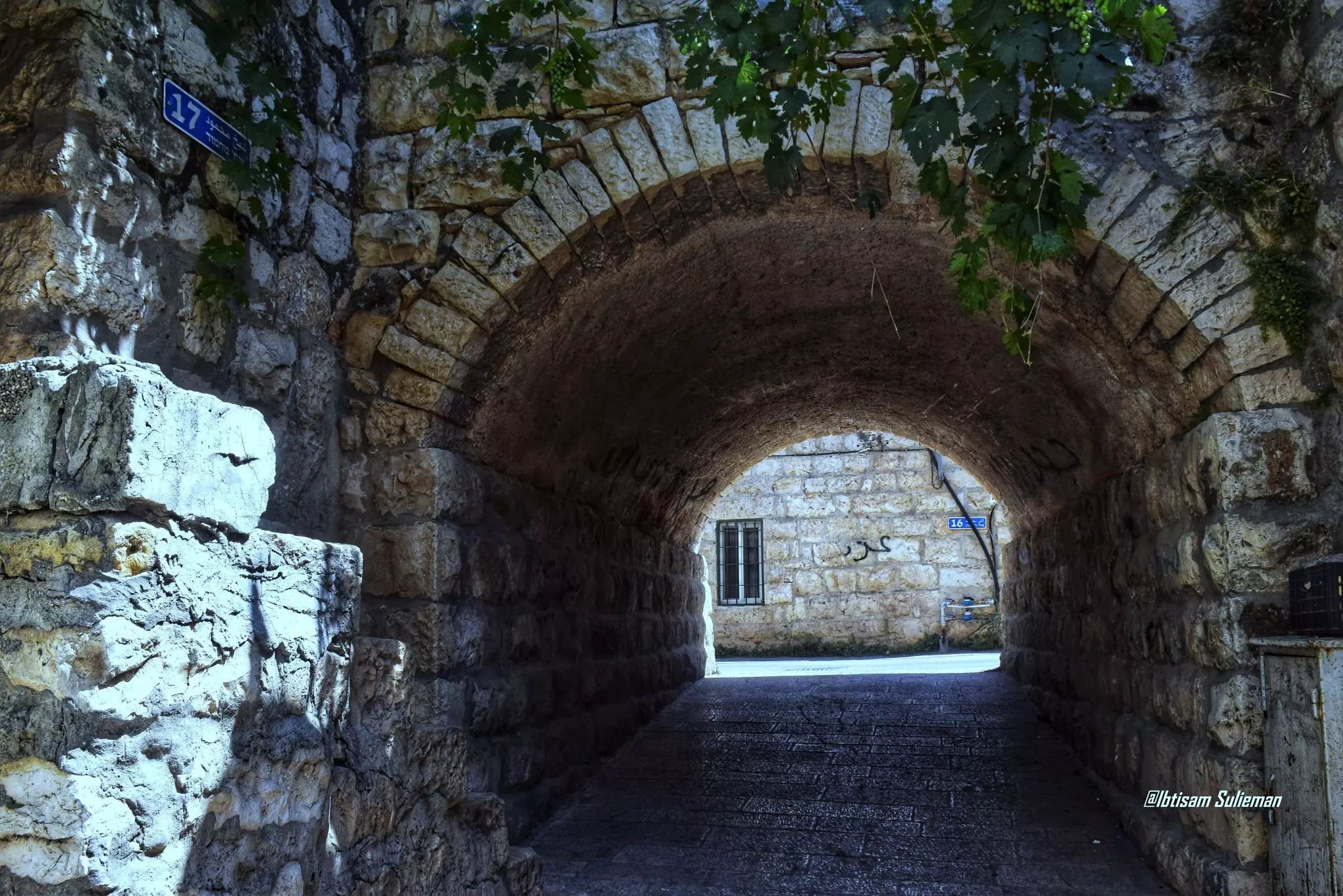
- جولة بين بيوت القرية القديمة--Ibtisam Sulieman #5
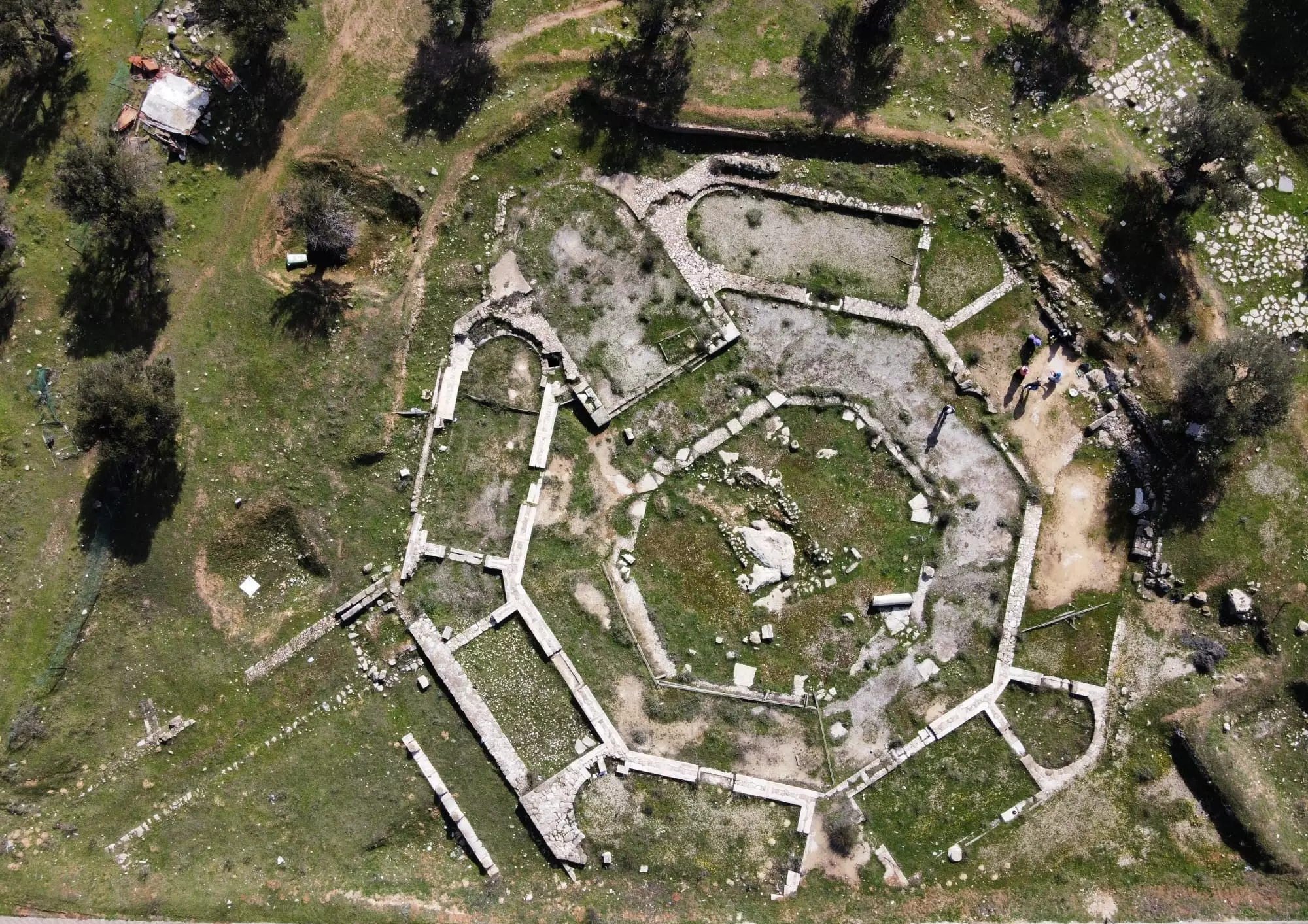
- كنيسة... تتوسطها صخرة، والهيكل يتجه كبقية الكنائس نحو الشرق (مصدر ظهور الشمس - قِبلة المسيحيين ومن قبلهم الكنعانيين).. كنيسة قاديسمو بالآرامية وتعني المُقَدّس، وباليونانية كاثيزما وتعني محل الإستراحة، تقع على الطريق بين القدس وبيت لحم وتحديدا بالقرب من بيت صفافا.
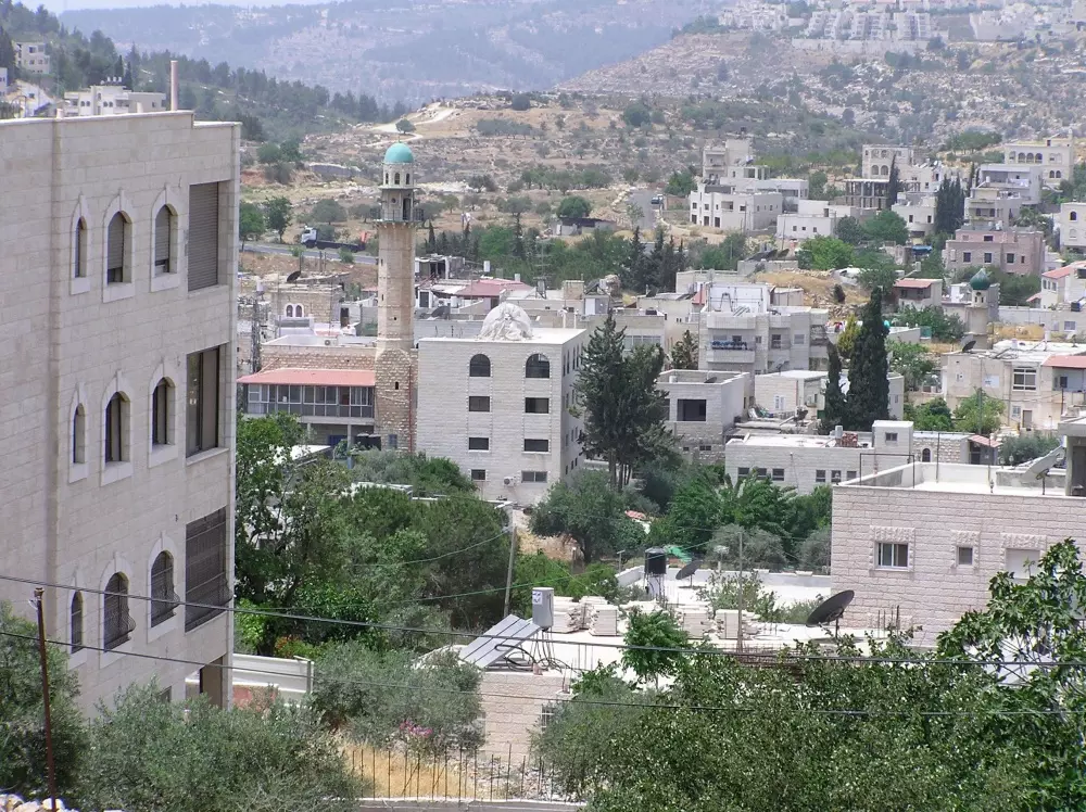
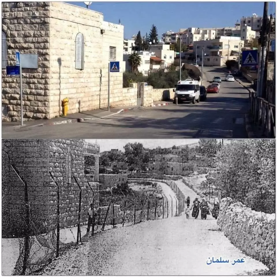
- بيت صفافا بين الماضي والحاضر ..
من تصميم : عمر سلمان.
- Pre-Nakba view
- فرقة النجادة الكشفية من قرية بيت صفافا في القدس -- 1946 -- المزيد في قسم التعليقات
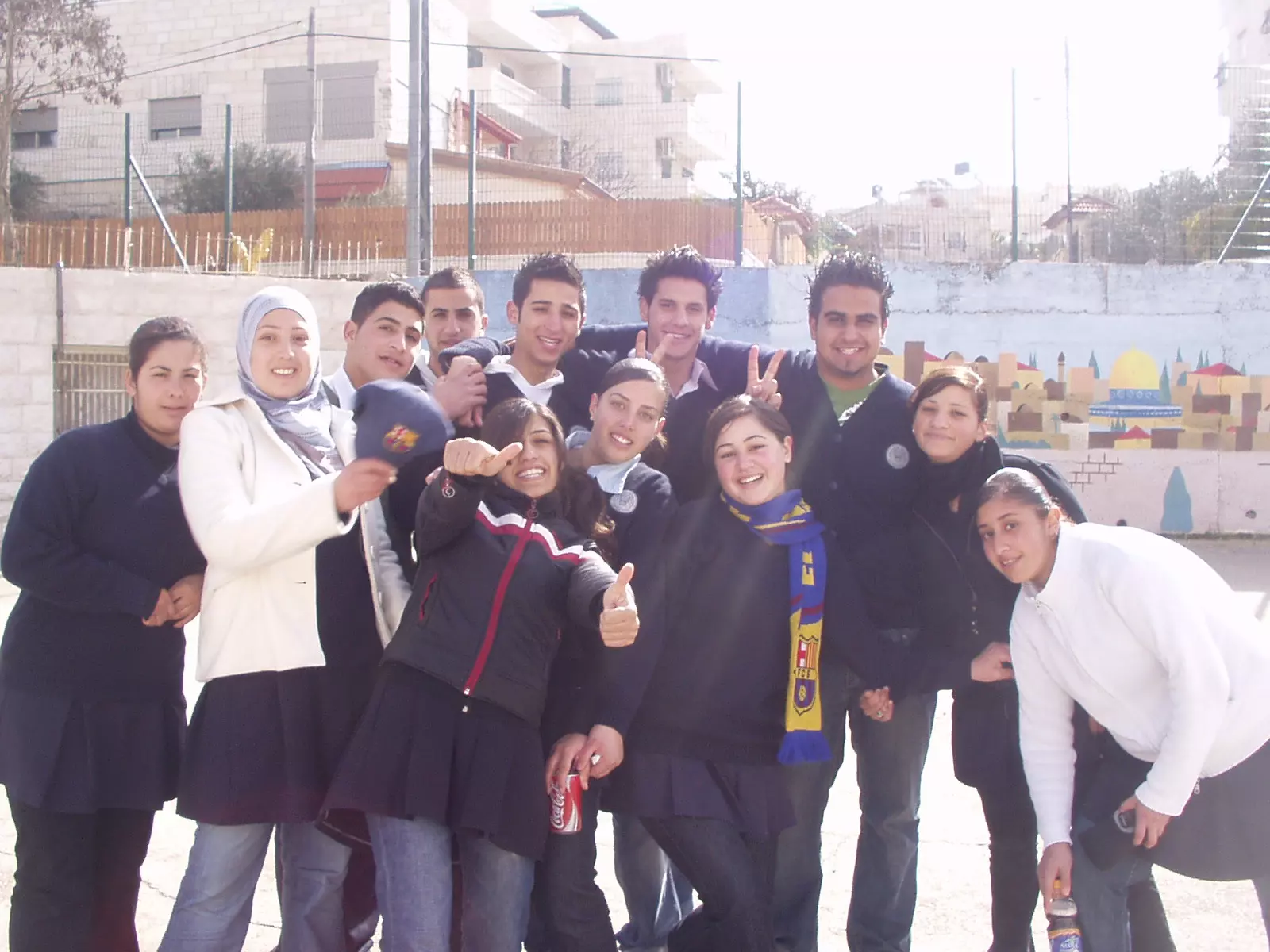
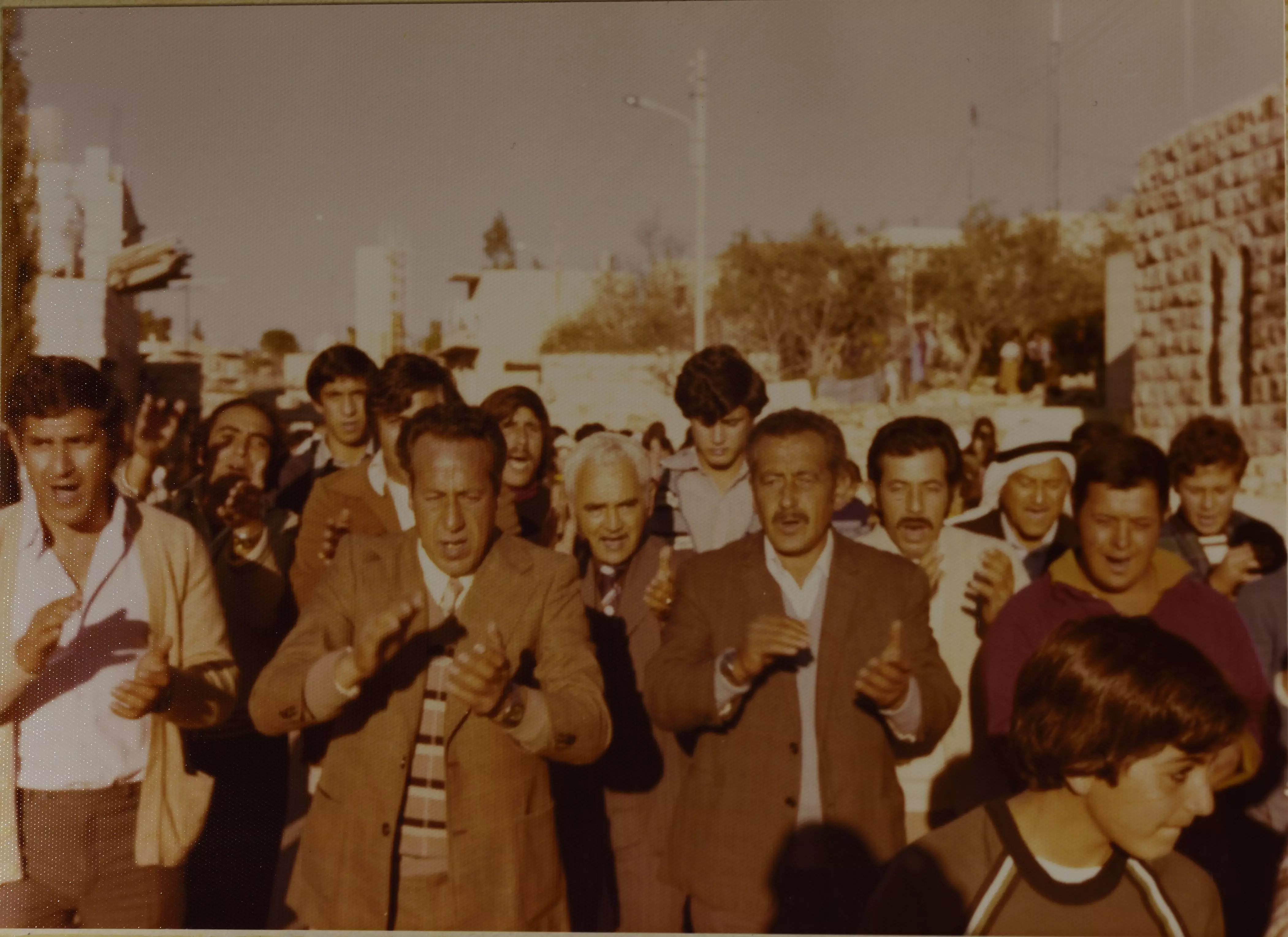
1 - A painful picture mixed with joy: a Palestinian wedding on both sides of the fence separating the side governed by Jordan and the side under the Israeli occupation in Beit Safafa, Jerusalem, in 1926
- صورة لمصطفى عثمان من قرية بيت صفافا في القدس في عرس موسى نعمان شيخة عام 1977
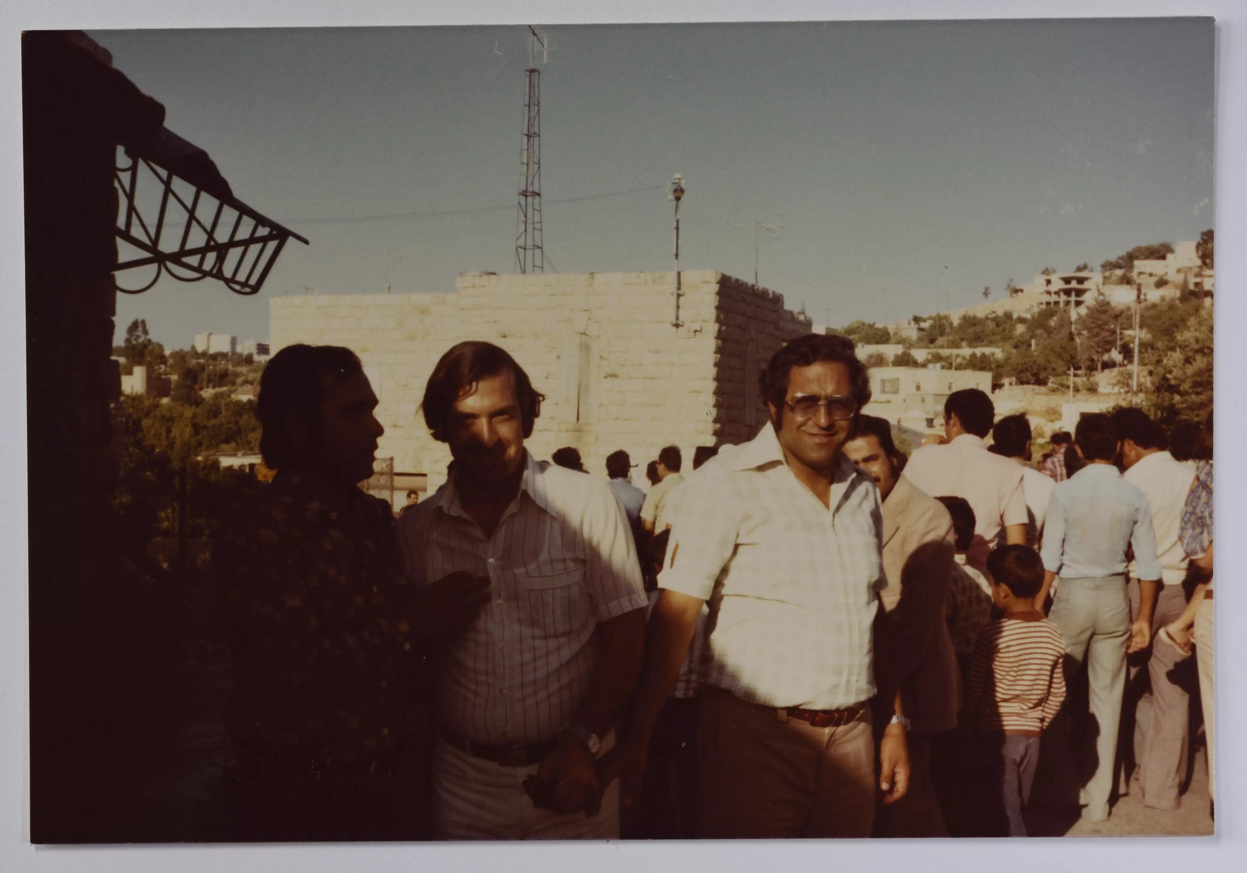
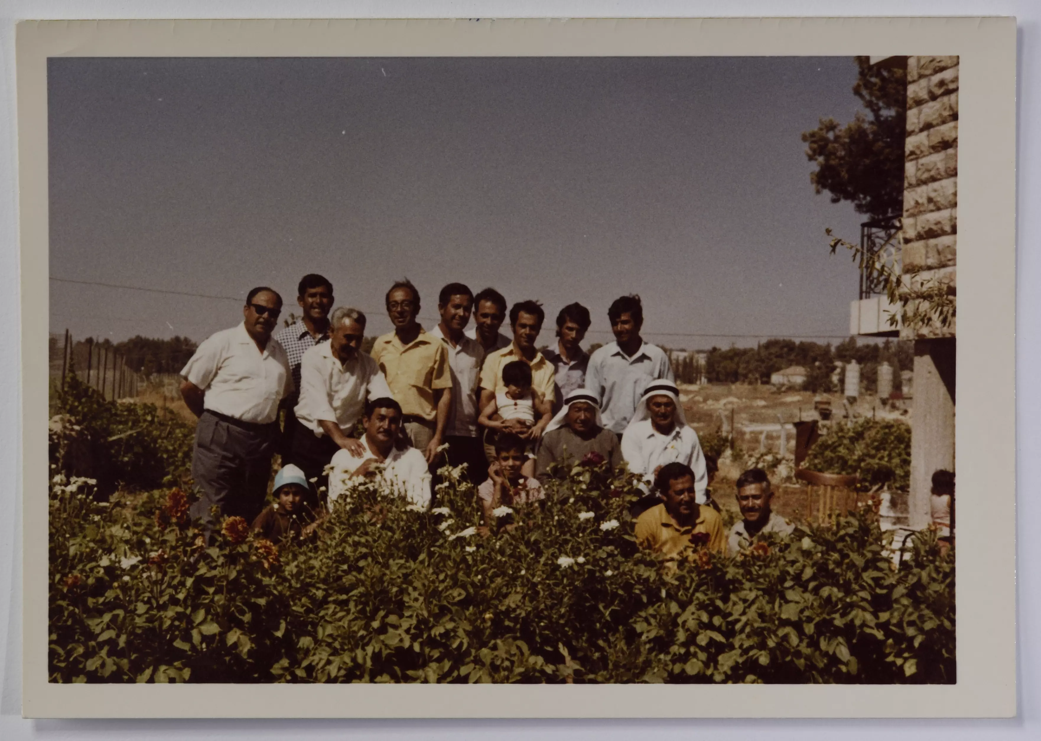
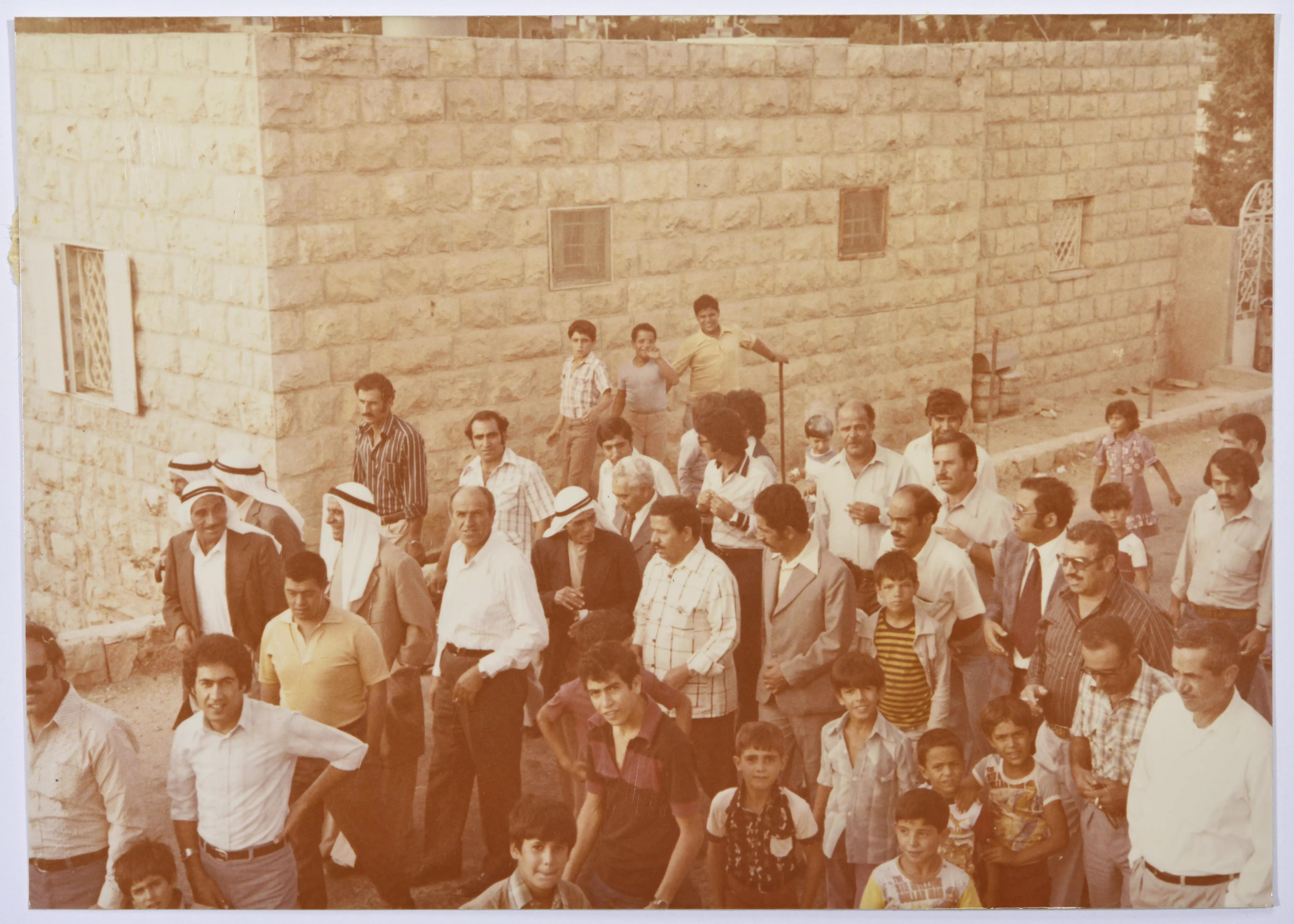
- صورة لمجموعة من ذكور عائلة عثمان في حديقة منزل طه عثمان أحد أفراد العائلة في بيت صفافا في العام 1968
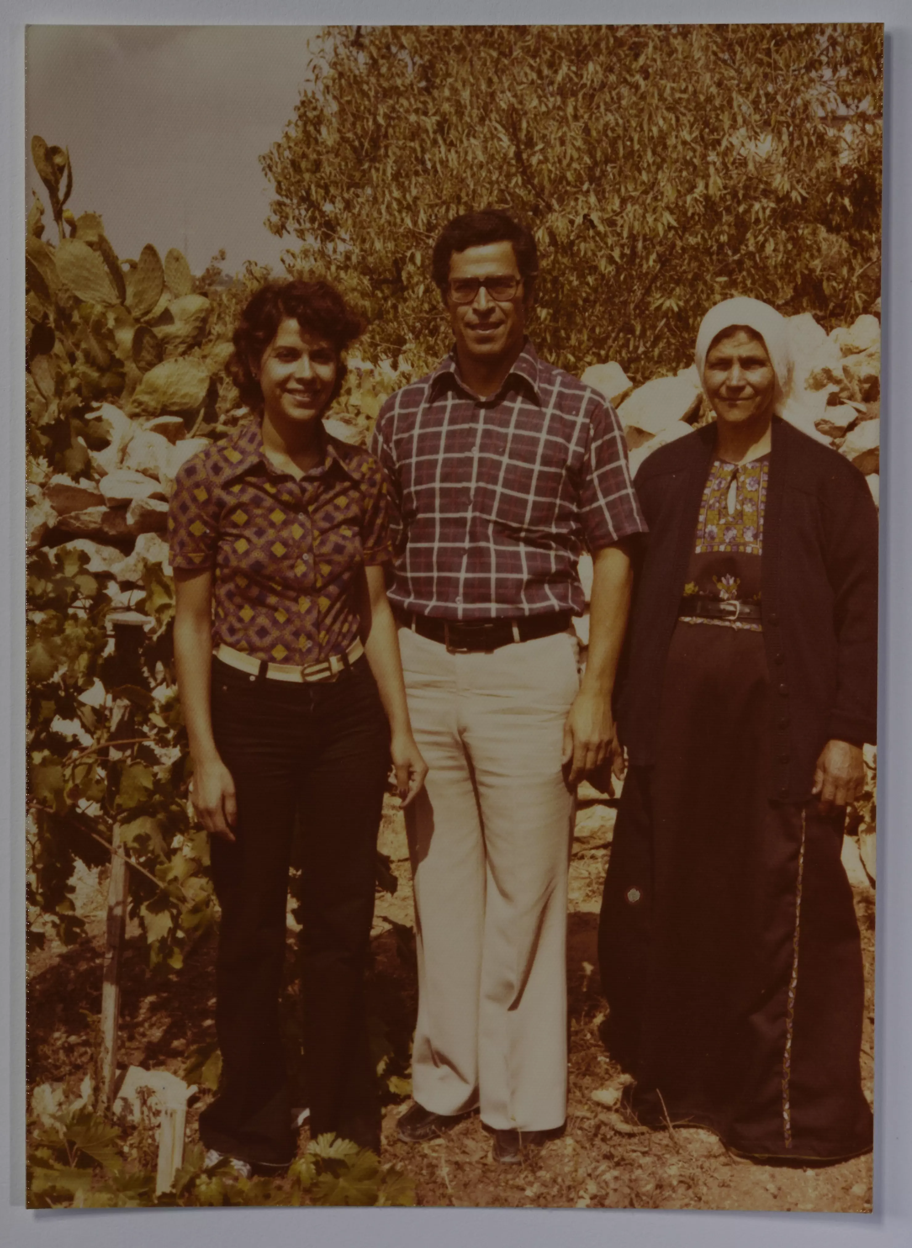
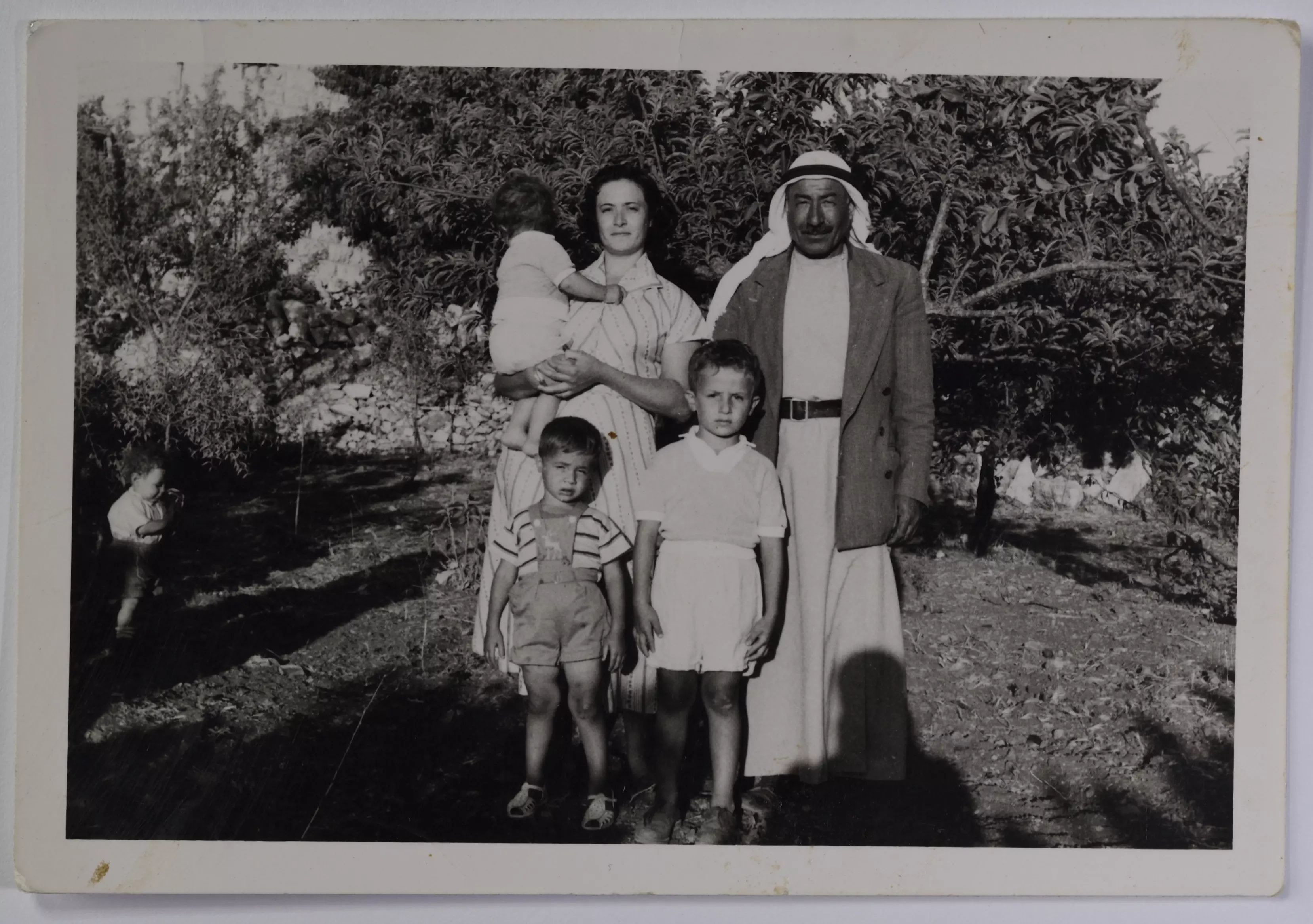
- صورة لأفراد من عائلة مصطفى عثمان أمام منزلهم وهم والدته المرحومة صبحة عثمان والدكتور خليل عثمان وأخته نهى عثمان في قرية بيت صفافا في القدس عام 1977
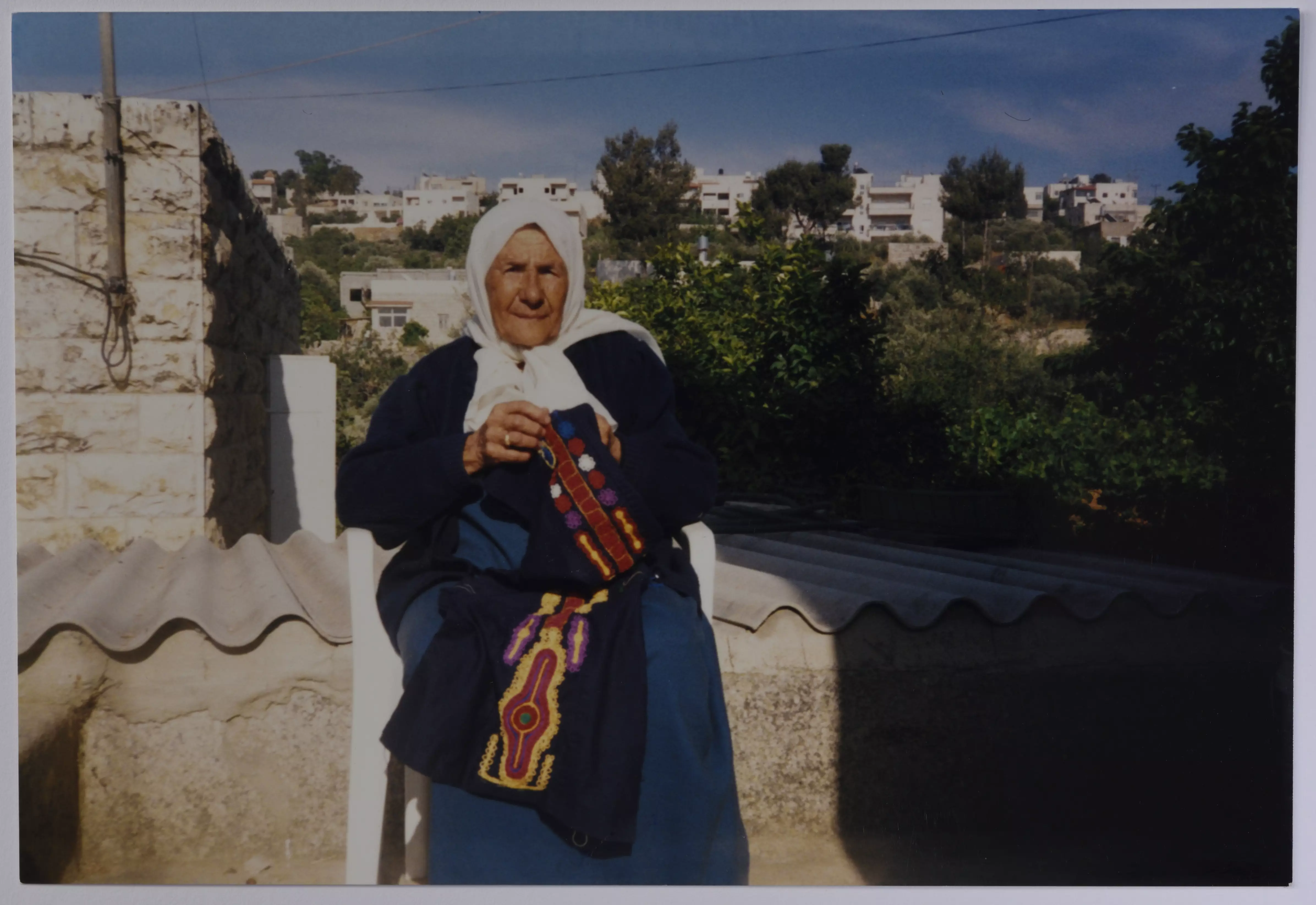
- صورة لمريم محمد خليل عثمان (ام فتحي) قريبة مصطفى عثمان وهي تطرز الثوب القباني الفلسطيني في قرية بيت صفافا عام 1985
- منظر عام لقرية بيت صفافا في القدس أحذت من فوق منزل مصطفى عثمان عام 1977
- منظر عام لقرية بيت صفافا في القدس أحذت من فوق منزل مصطفى عثمان عام 1977 #2
- منظر عام لقرية بيت صفافا في القدس أحذت من فوق منزل مصطفى عثمان عام 1977 #3
- حمدة الصالح وماجدة العاص من قرية بيت صفافا في القدس عام 1960
- محمد عثمان وابنته زينب وابنائها من قرية بيت صفافا في القدس عام 1970
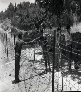
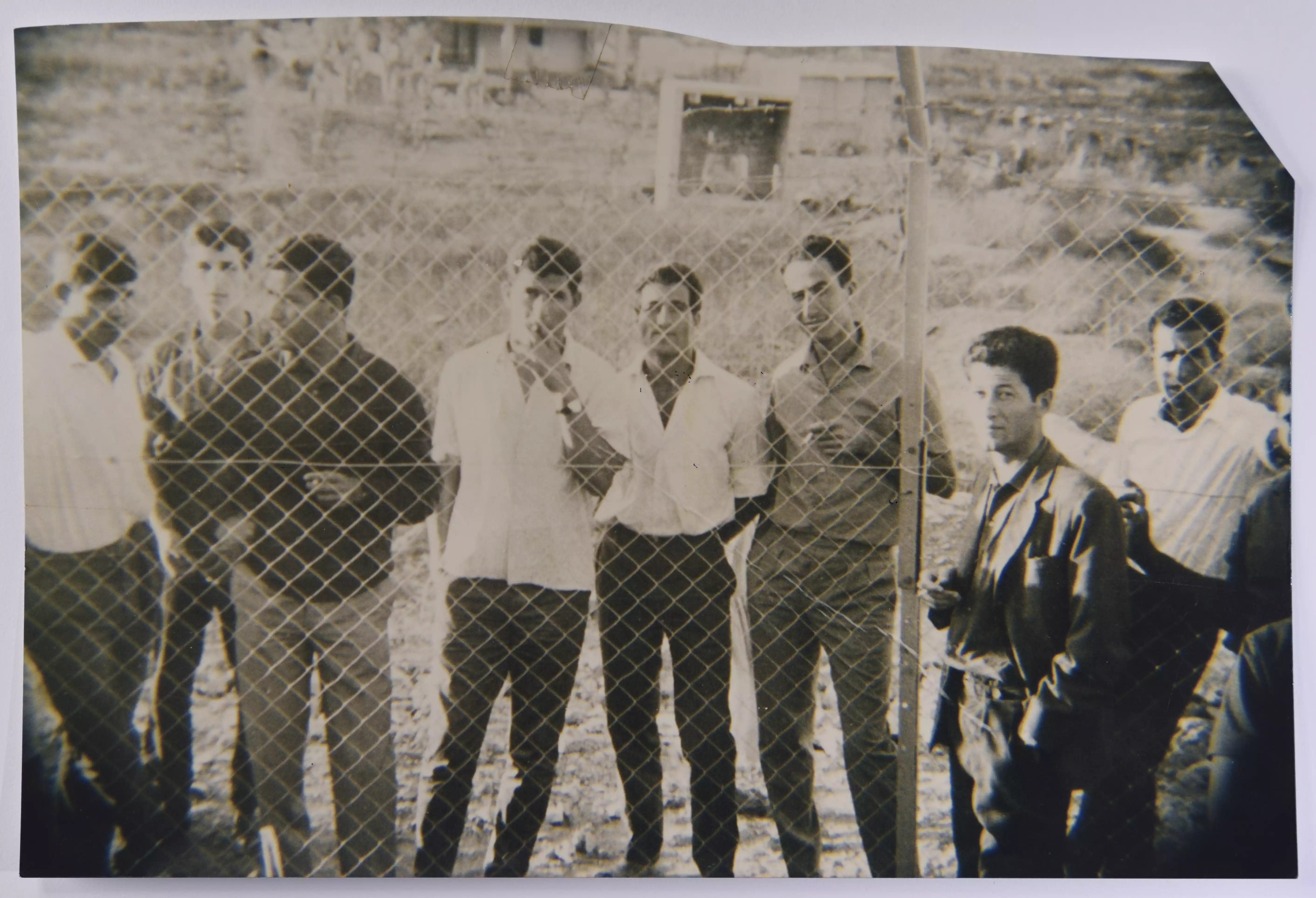
- صورة لشبان على جانبي السلك الفاصل في قرية بيت صفافا في القدس، ماجد موسى عثمان في القسم الذي كان تحت الحكم الأردني و في القسم المحتل من اسرائيل كل من موسى ابراهيم جناح، وتوفيق عثمان، وعمر عثمان، و شوقي عثمان عام 1964.
- دبكة رجال في عرس داوود عثمان من قرية بيت صفافا عام 1947
- صورة من عرس عثمان خليل وزينب عثمان، 1959
- العريس خليل صالح على السلك الفاصل في قرية بيت صفافا في القدس
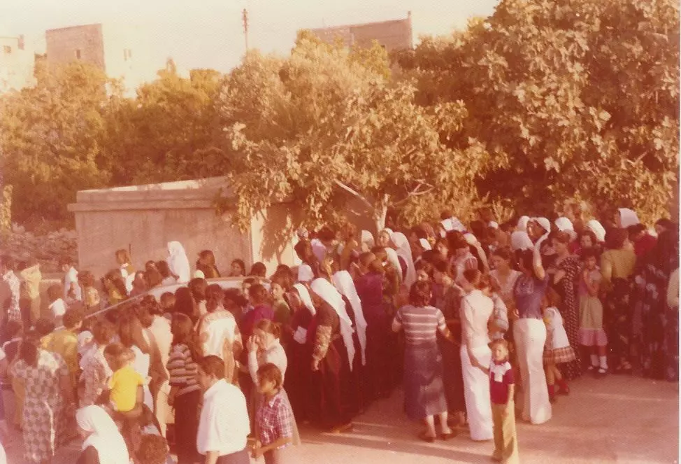
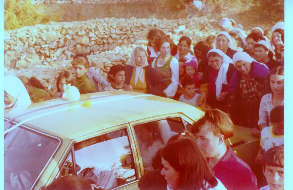
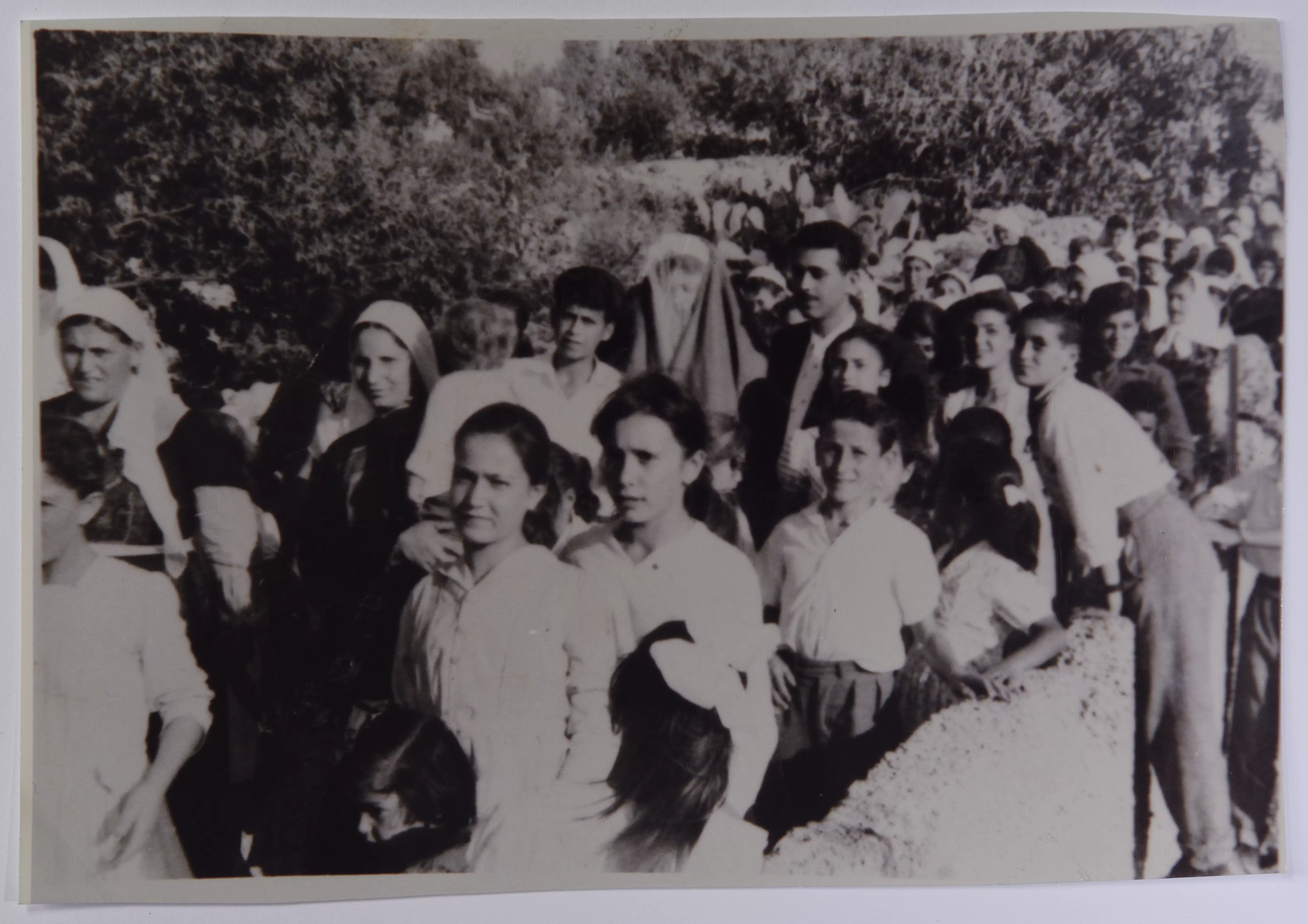
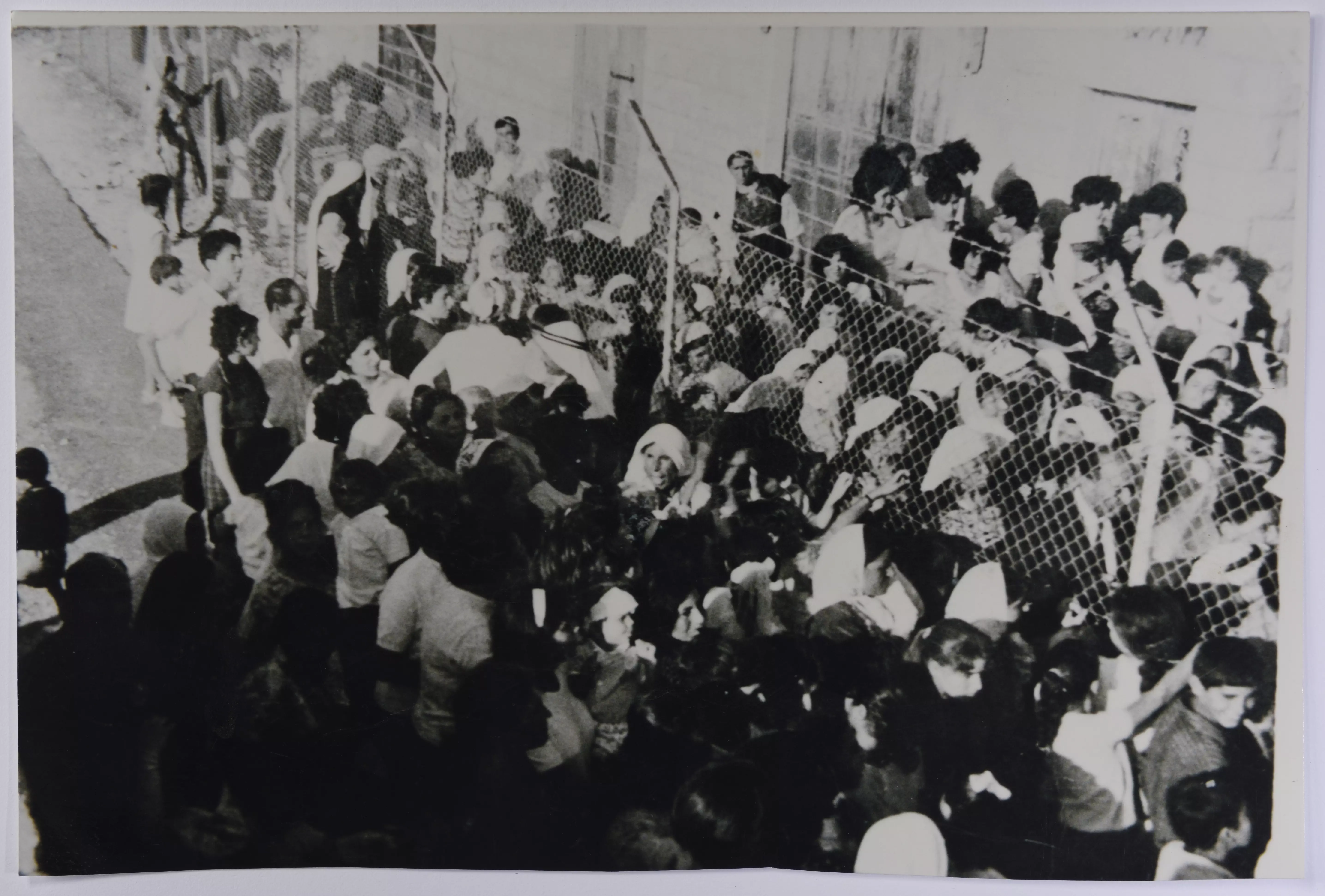
- عرس فلسطيني على جانبي السلك الفاصل في قرية بيت صفافا في القدس عام 1962
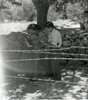
- جميل عليان وابنه محمد على جانبي السلك الفاصل في قرية بيت صفافا في القدس
-
عرس فلسطيني على جانبي السلك الفاصل في قرية بيت صفافا في القدس عام 1965
-
عرس فلسطيني على جانبي السلك الفاصل في قرية بيت صفافا في القدس عام 1965 #2
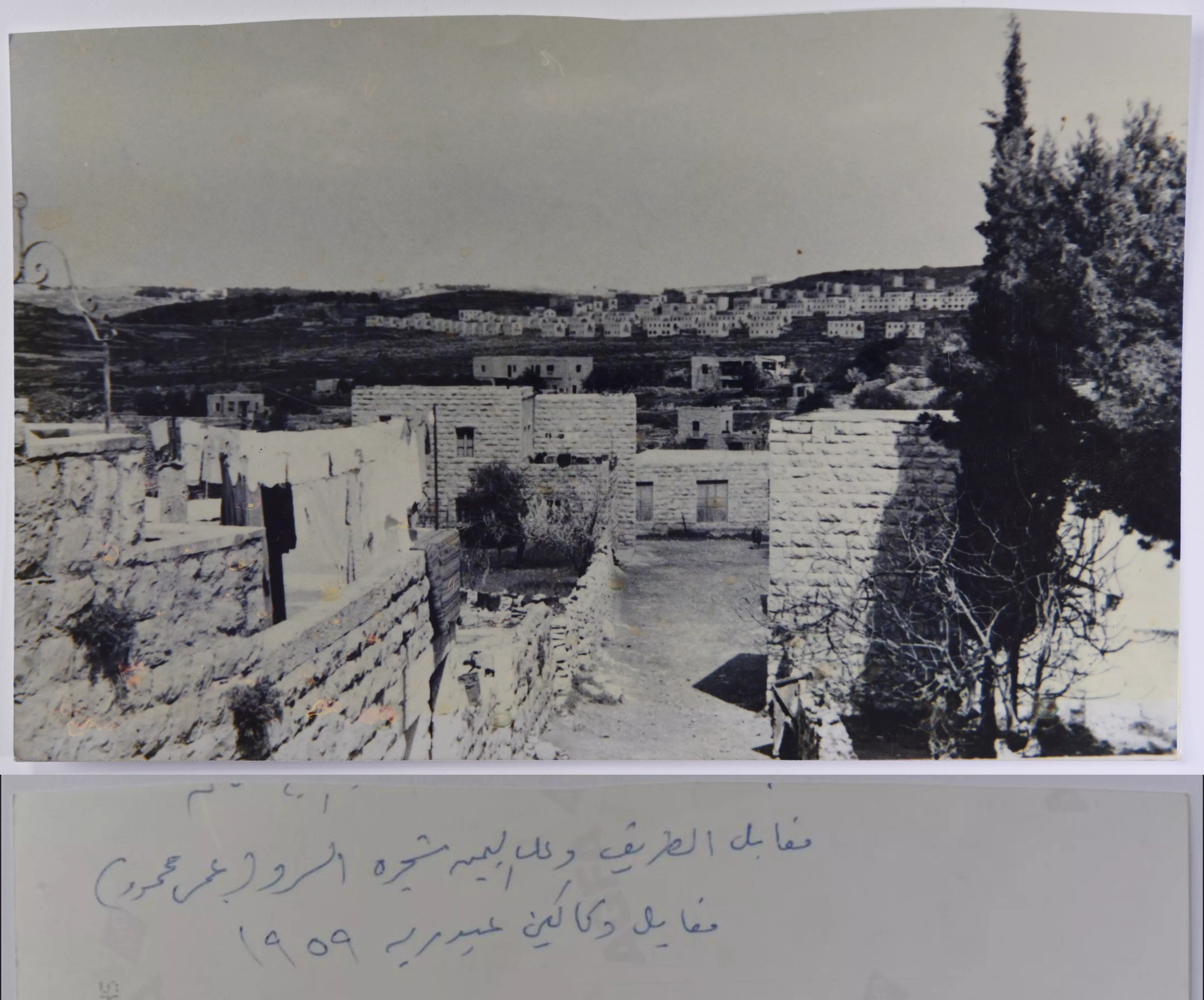
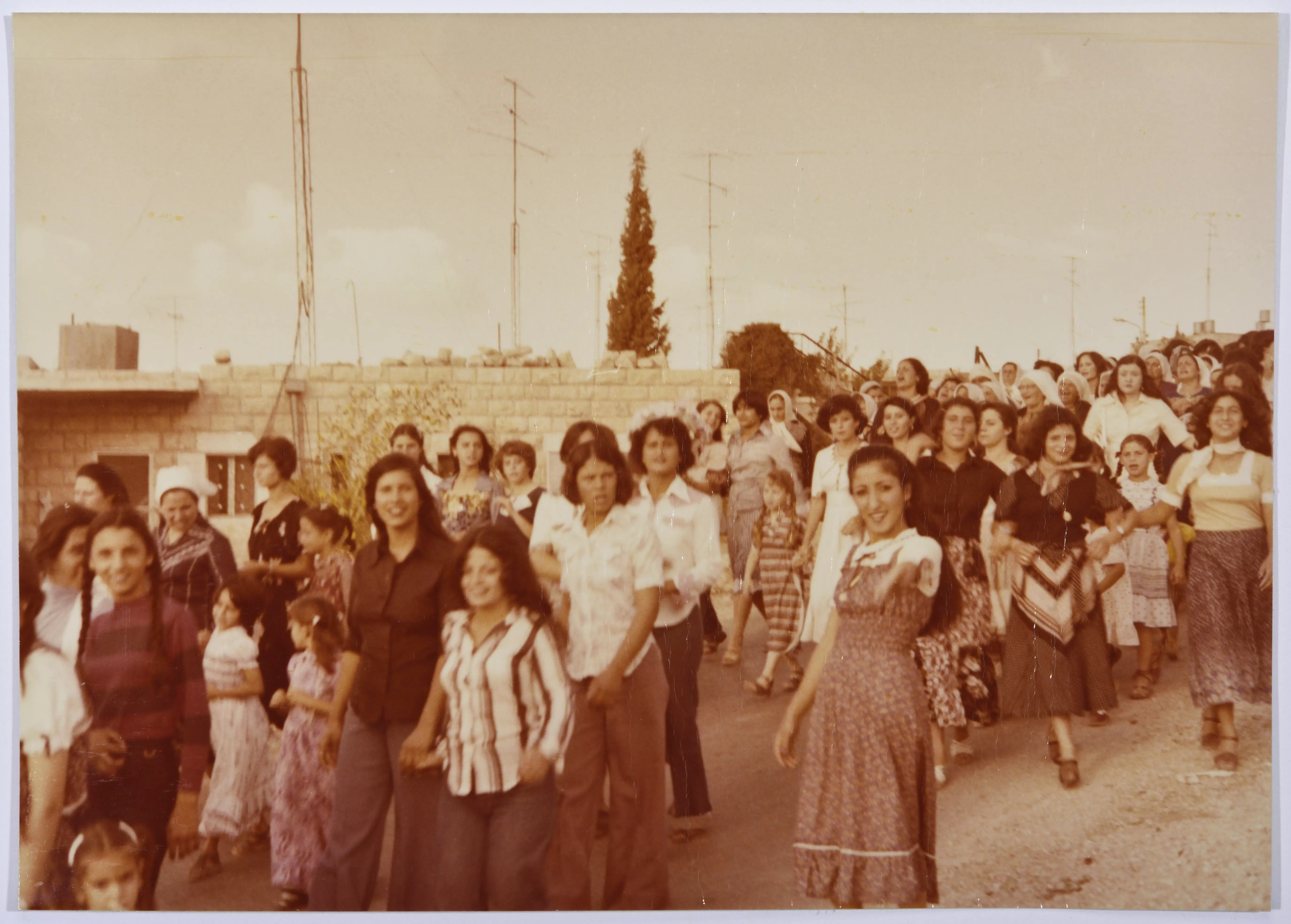
- بيوت قرية بيت صفافا في القدس عام 1959
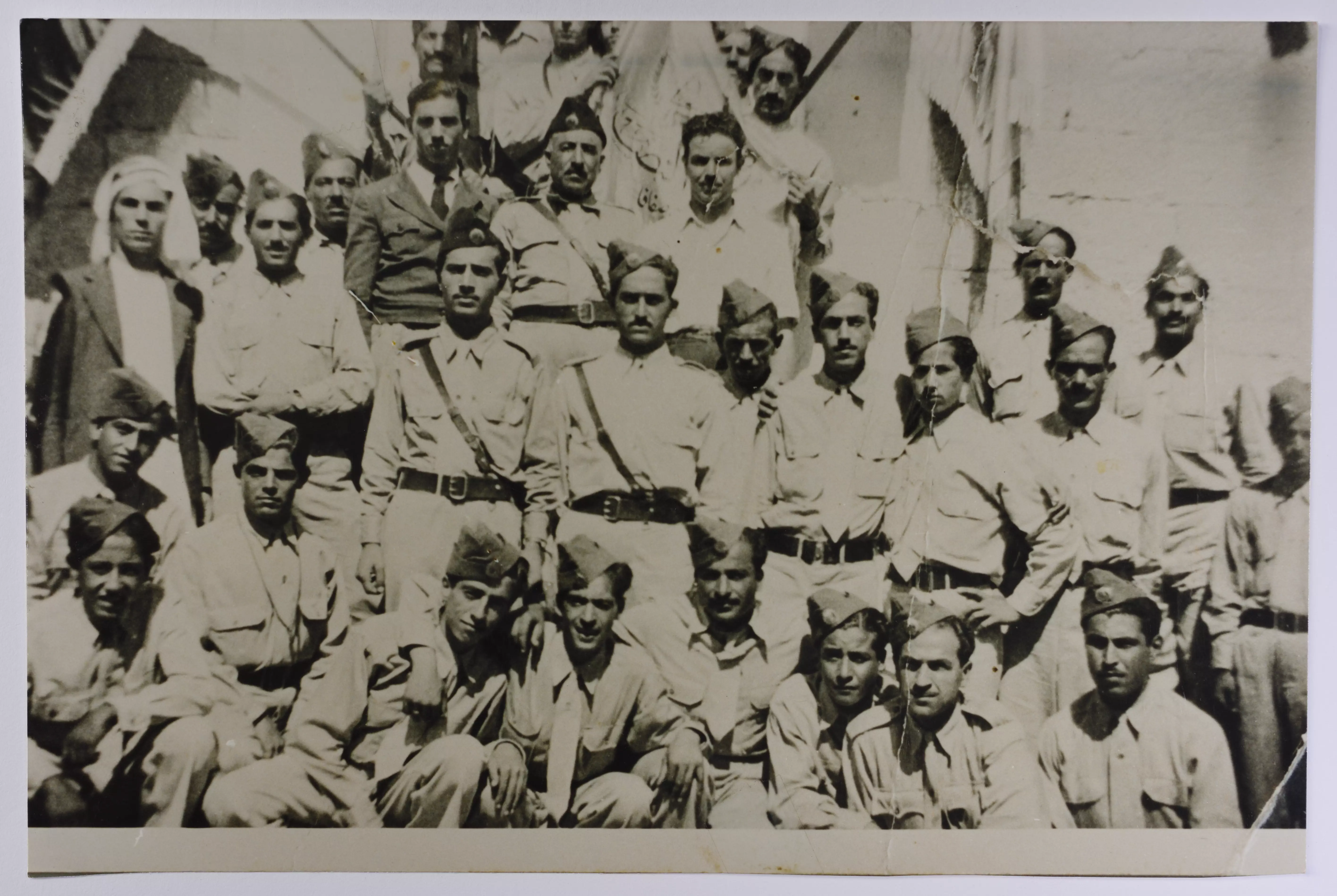
- فرقة النجادة الكشفية من قرية بيت صفافا أثناء زيارة لمدينة الخليل عام 1944
- صورة لفرقة النجادة الكشفية في قرية بيت صفافا في القدس يظهر فيها الضابط عبد السلام صبحي وموسى عثمان.
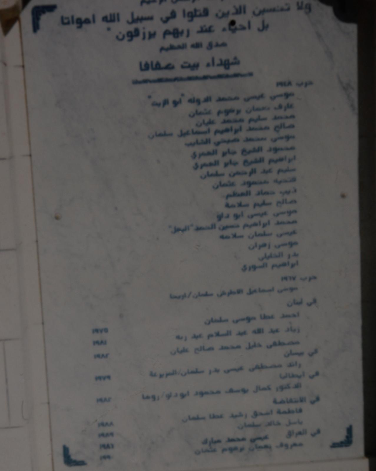
- شهداء القرية
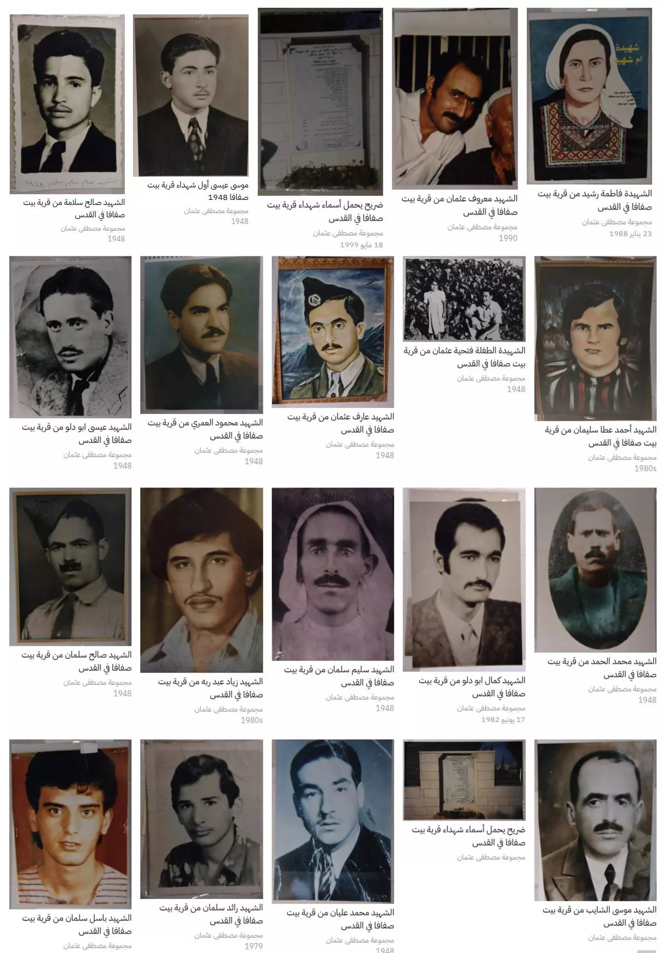
- ضريح يحمل أسماء شهداء قرية بيت صفافا في القدس
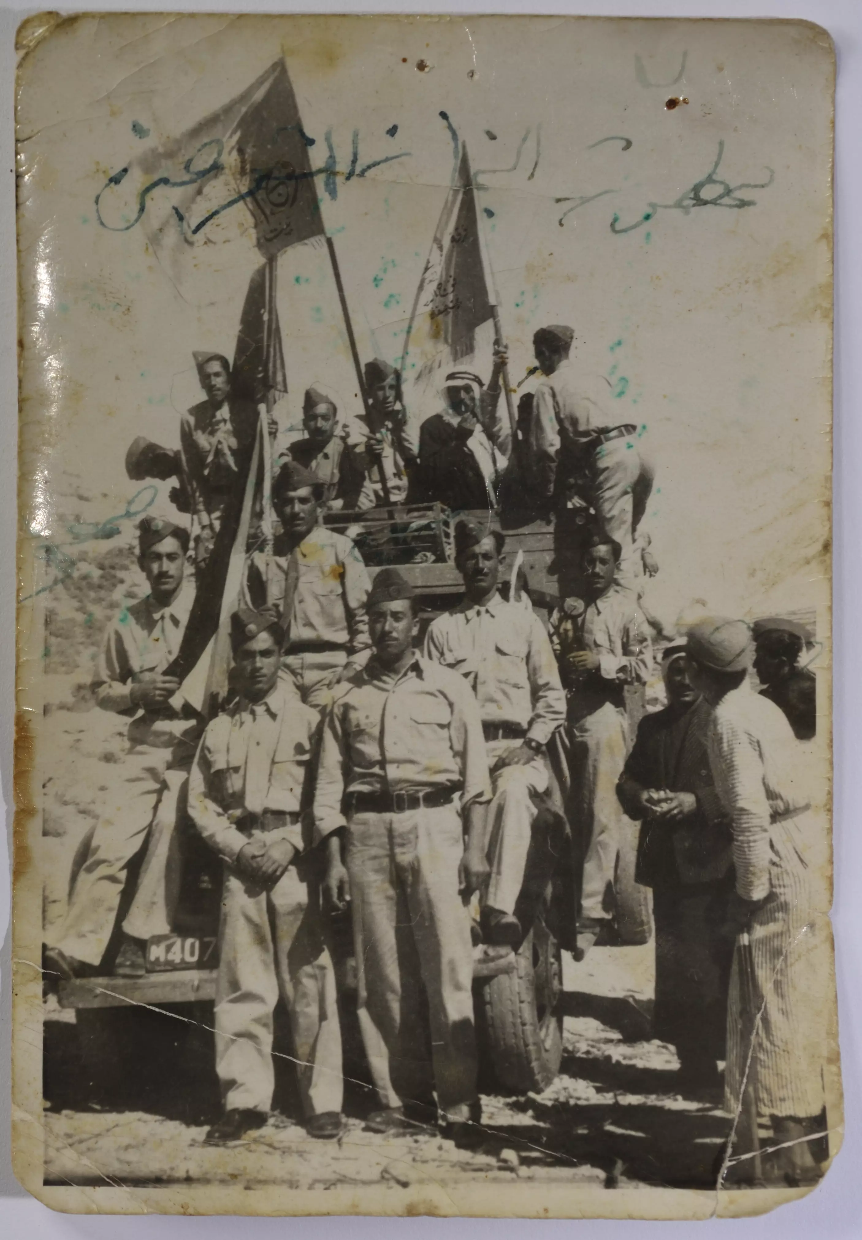
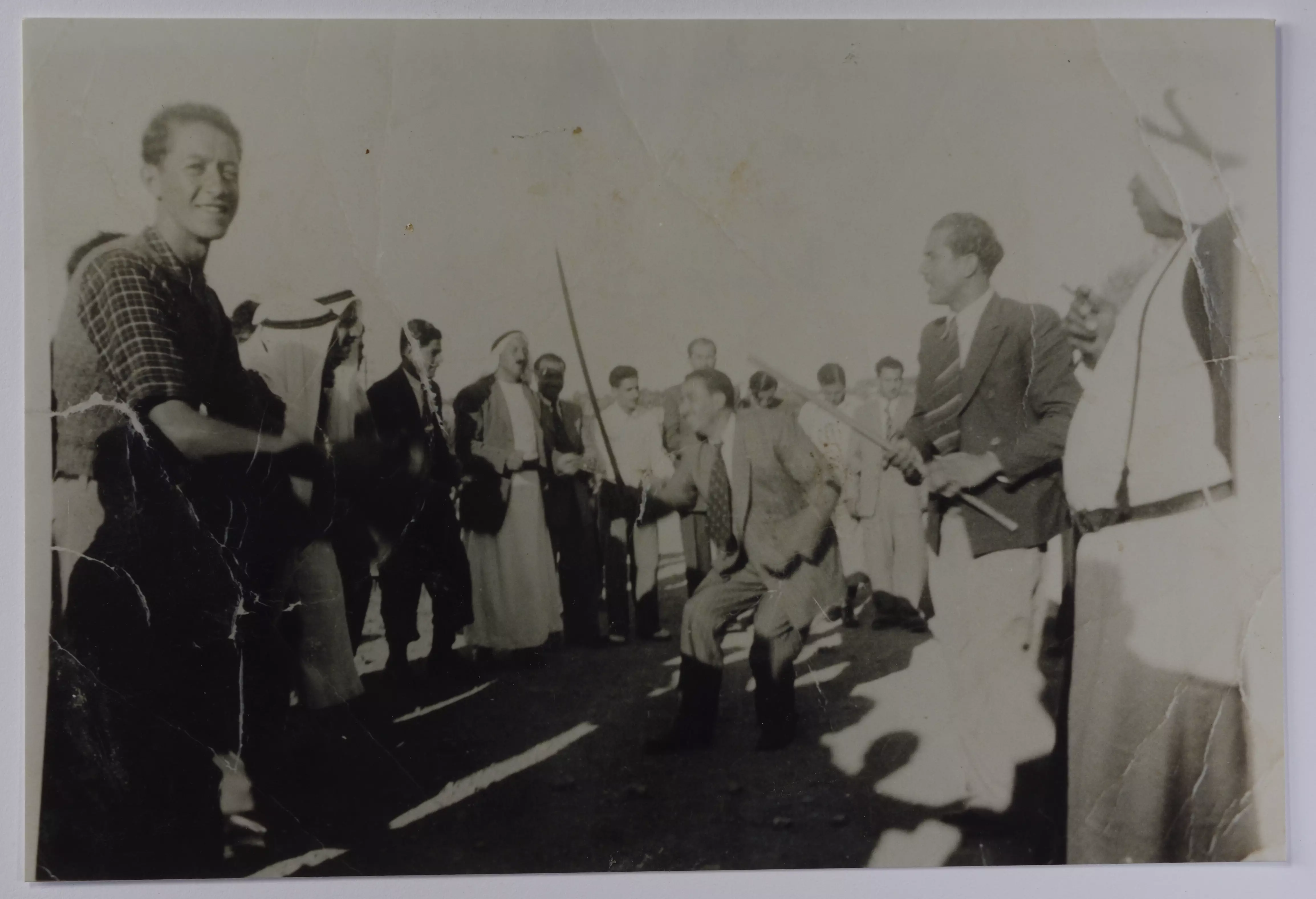
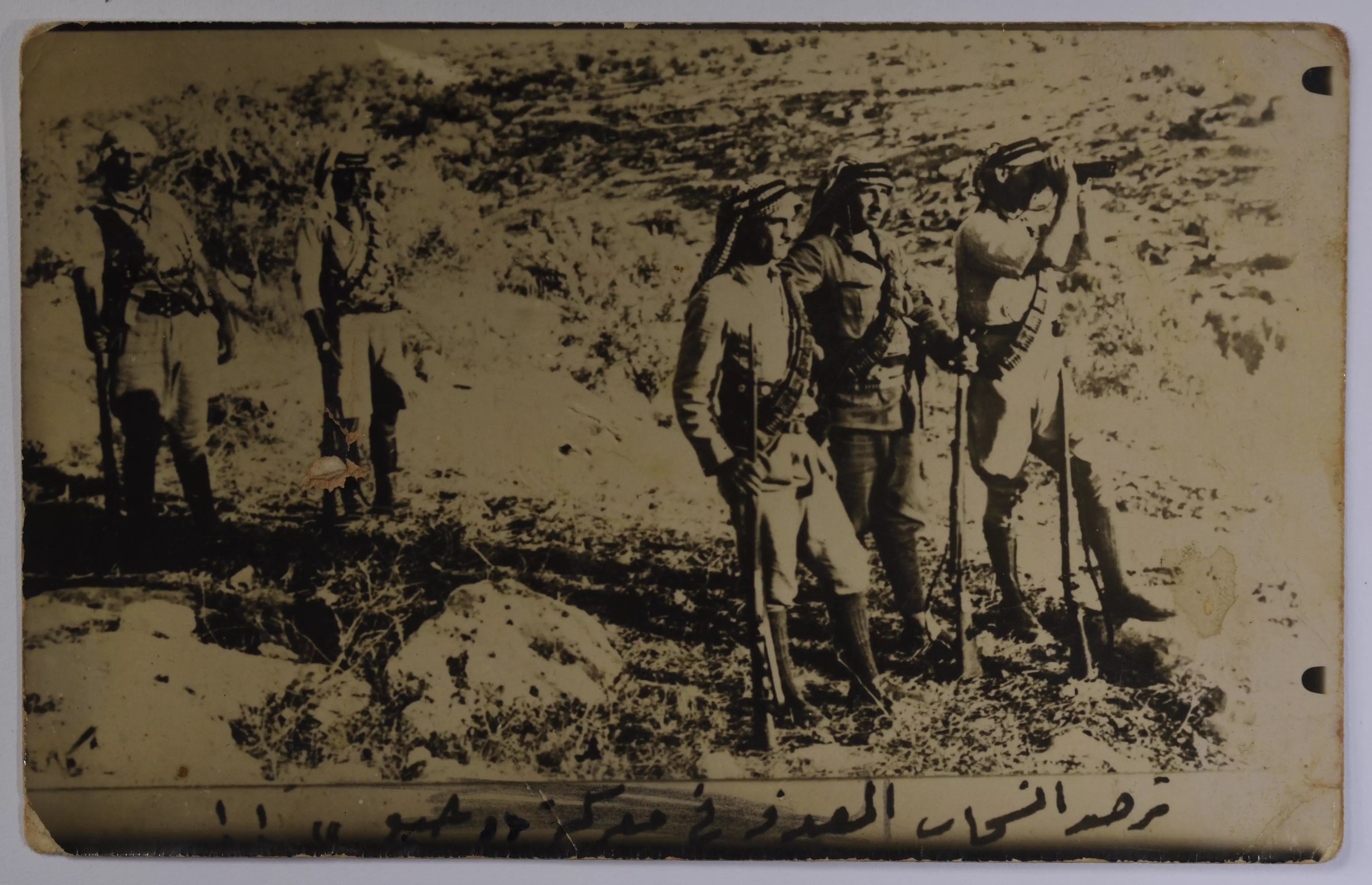
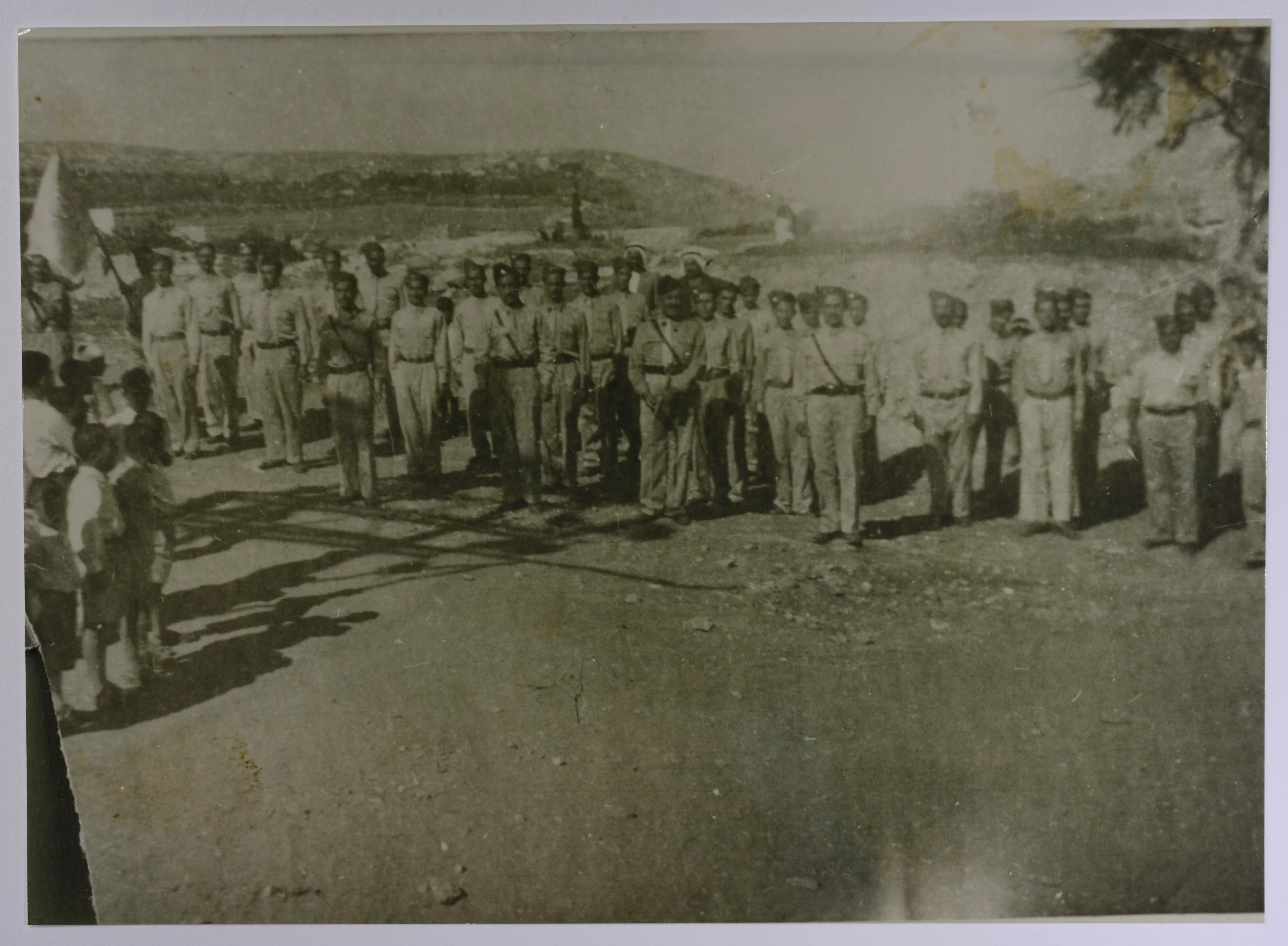
- المقاتلين الفلسطينيين في معركة جبع عام 1936
-
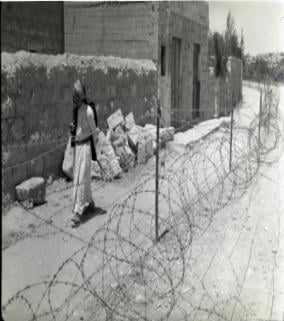
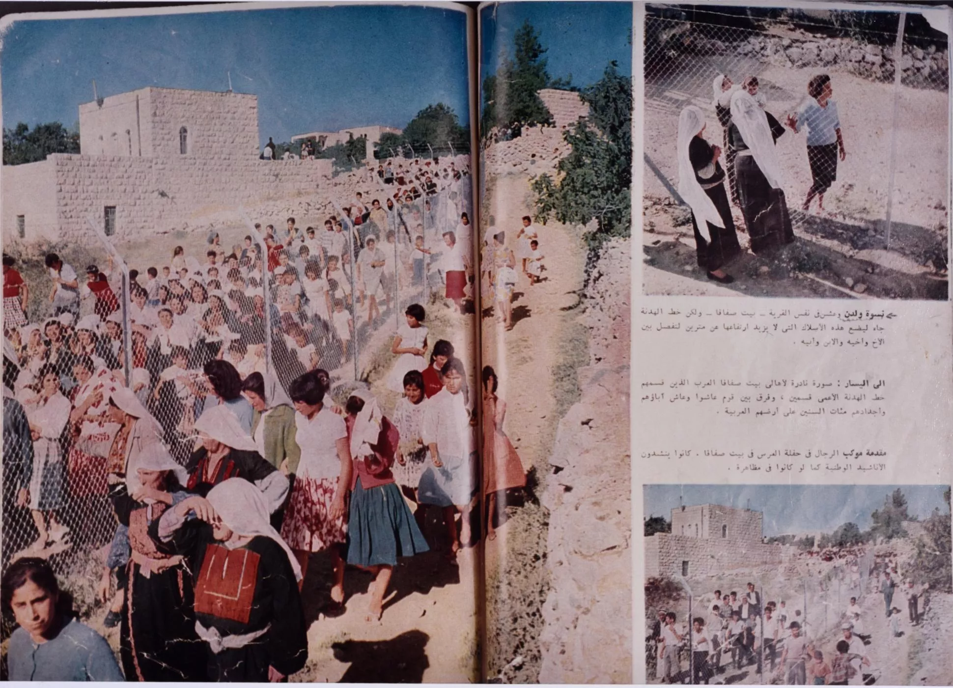
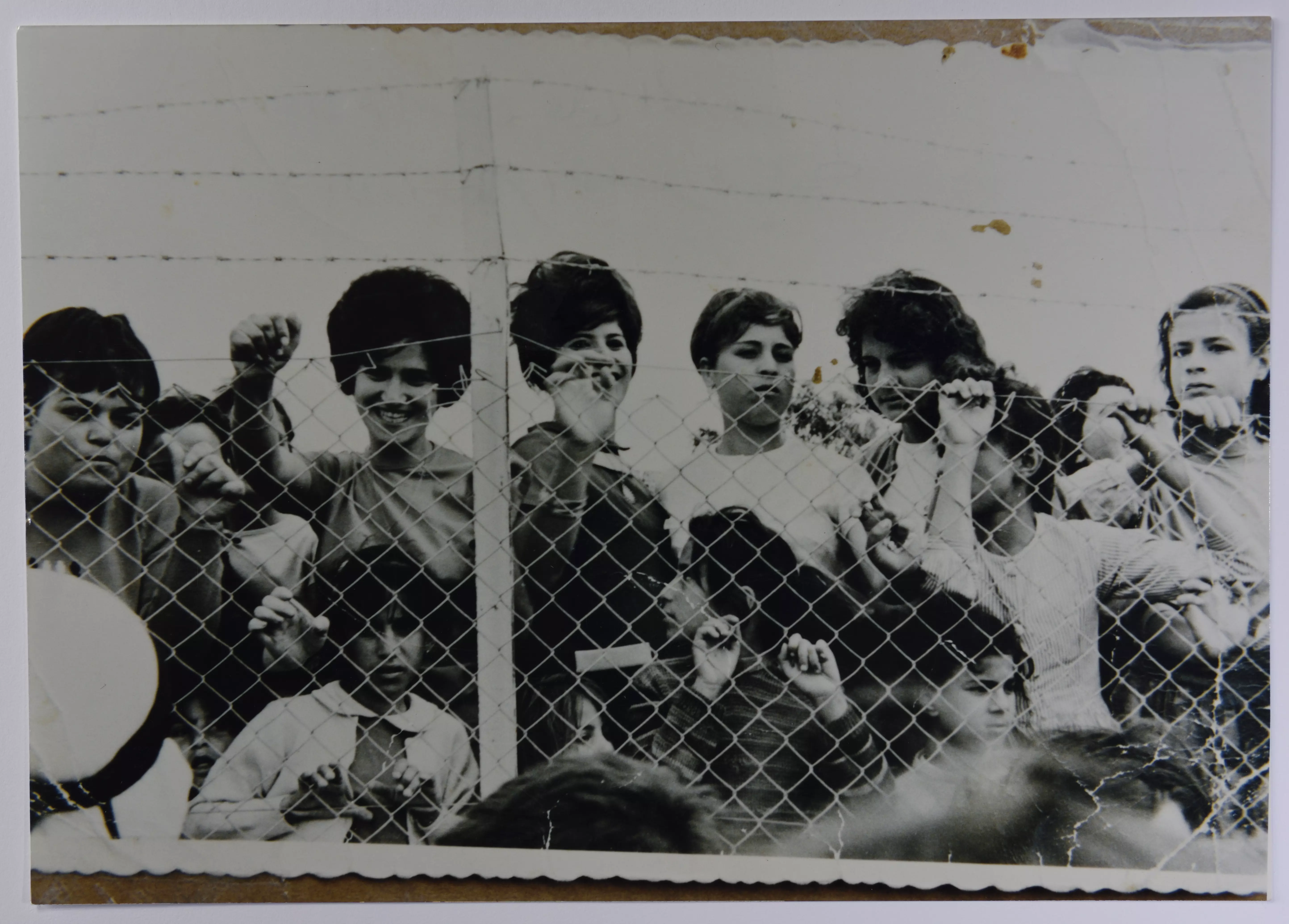
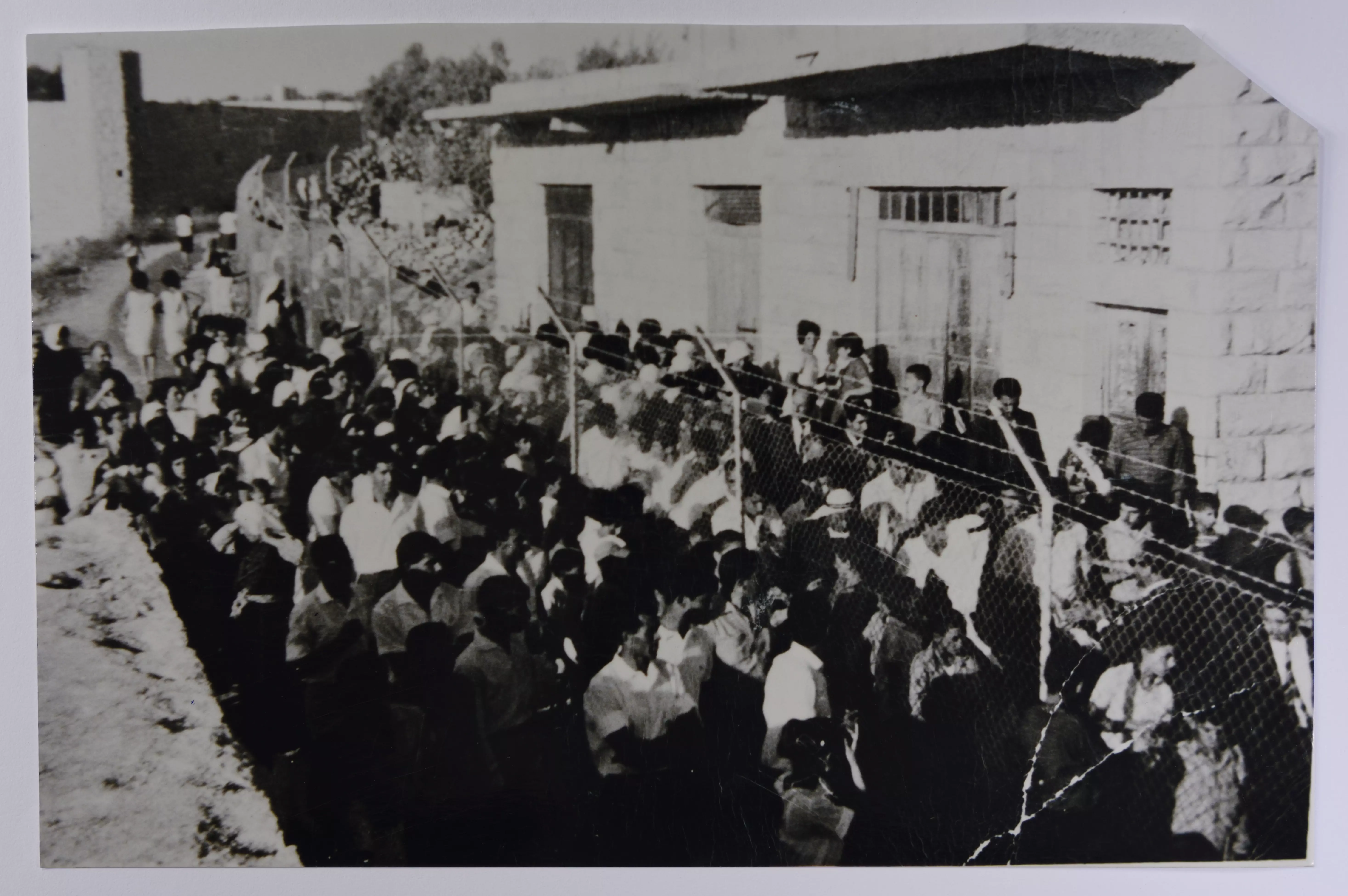
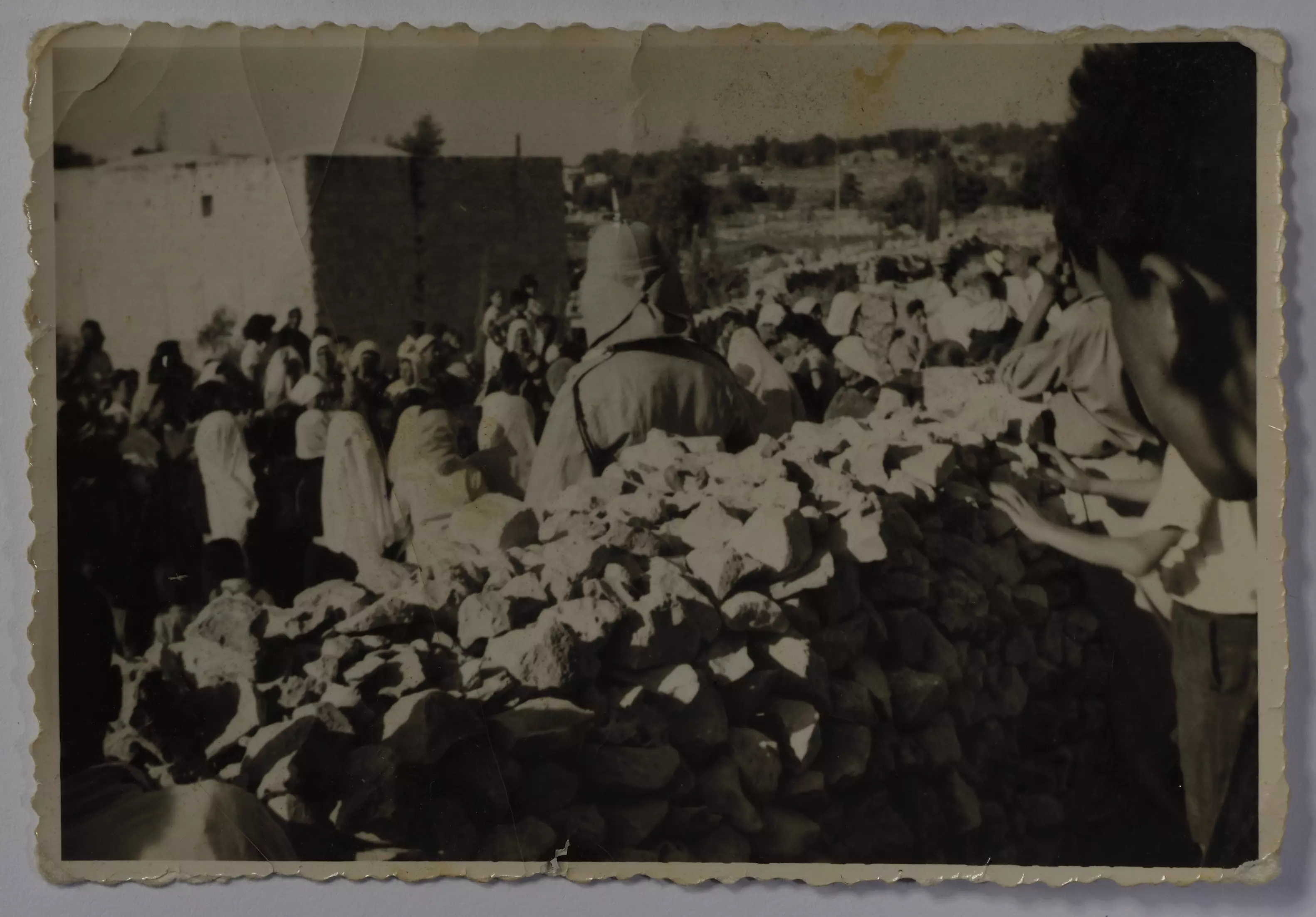
السلك الفاصل في قرية بيت صفافا في القدس عام 1958
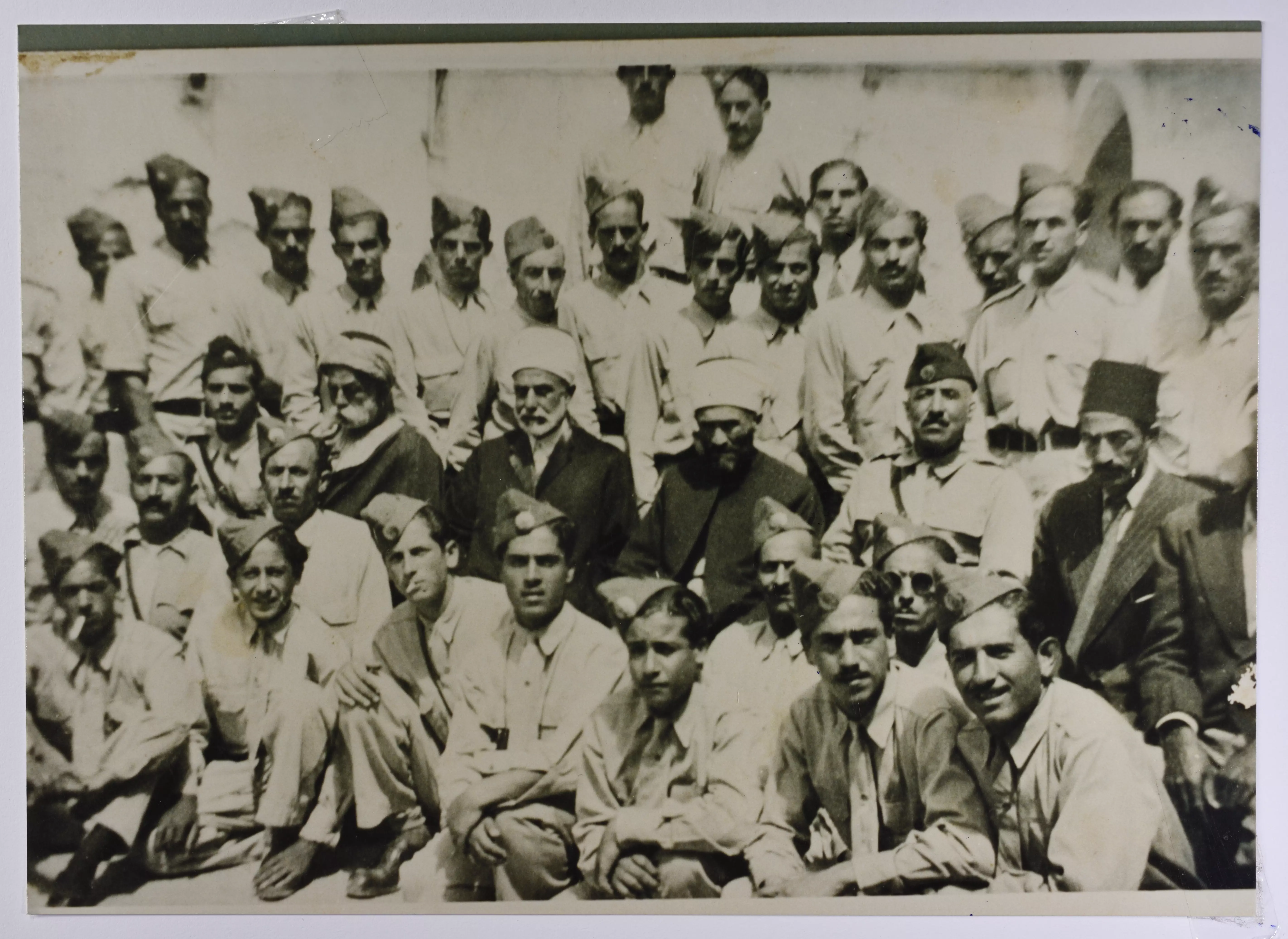
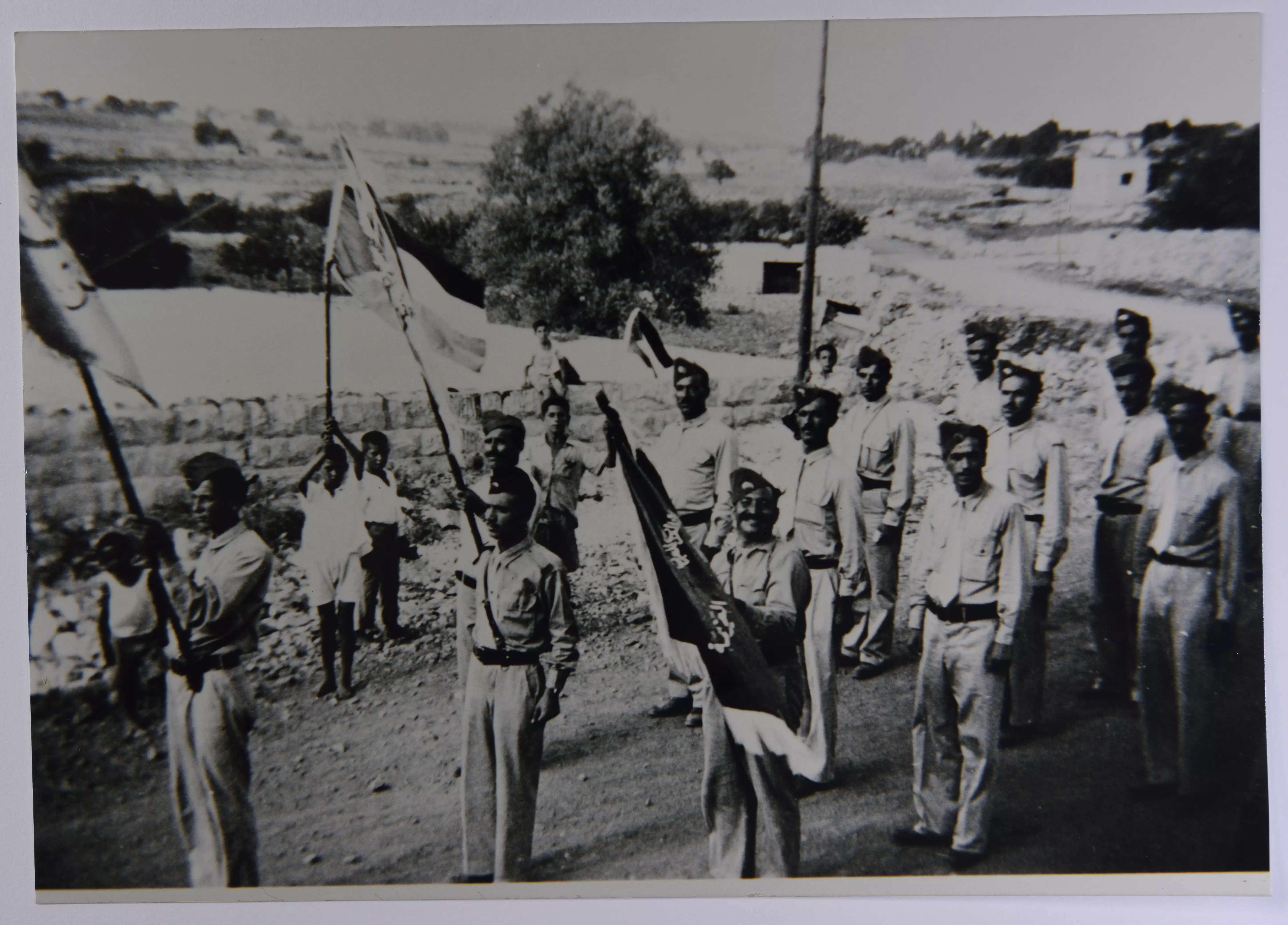
- صورة لفرقة النجادة في قرية بيت صفافا في القدس عام 1945.
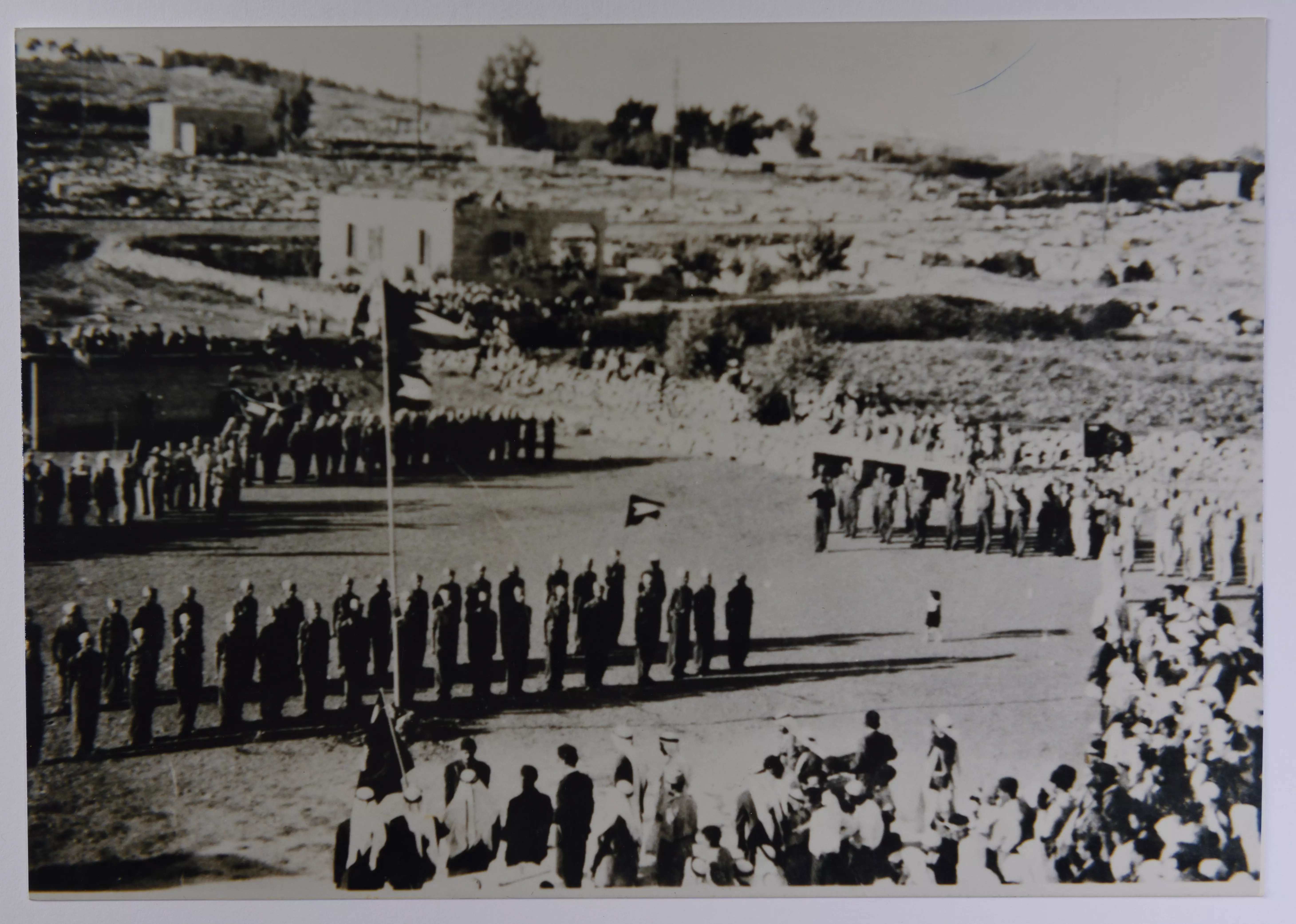
- صورة لاستعراض لفرقتي النجادة والفتوة الكشفية، المسؤول عنها جمال الدين الحسيني في ملعب قرية بيت صفافا في القدس عام 1945
- صورة غير ملونة لاستعراض لفرقة النجادة الكشفية في قرية بيت صفافا في القدس عام 1948
- عرس مصطفى عثمان من قرية بيت صفافا -- 1978
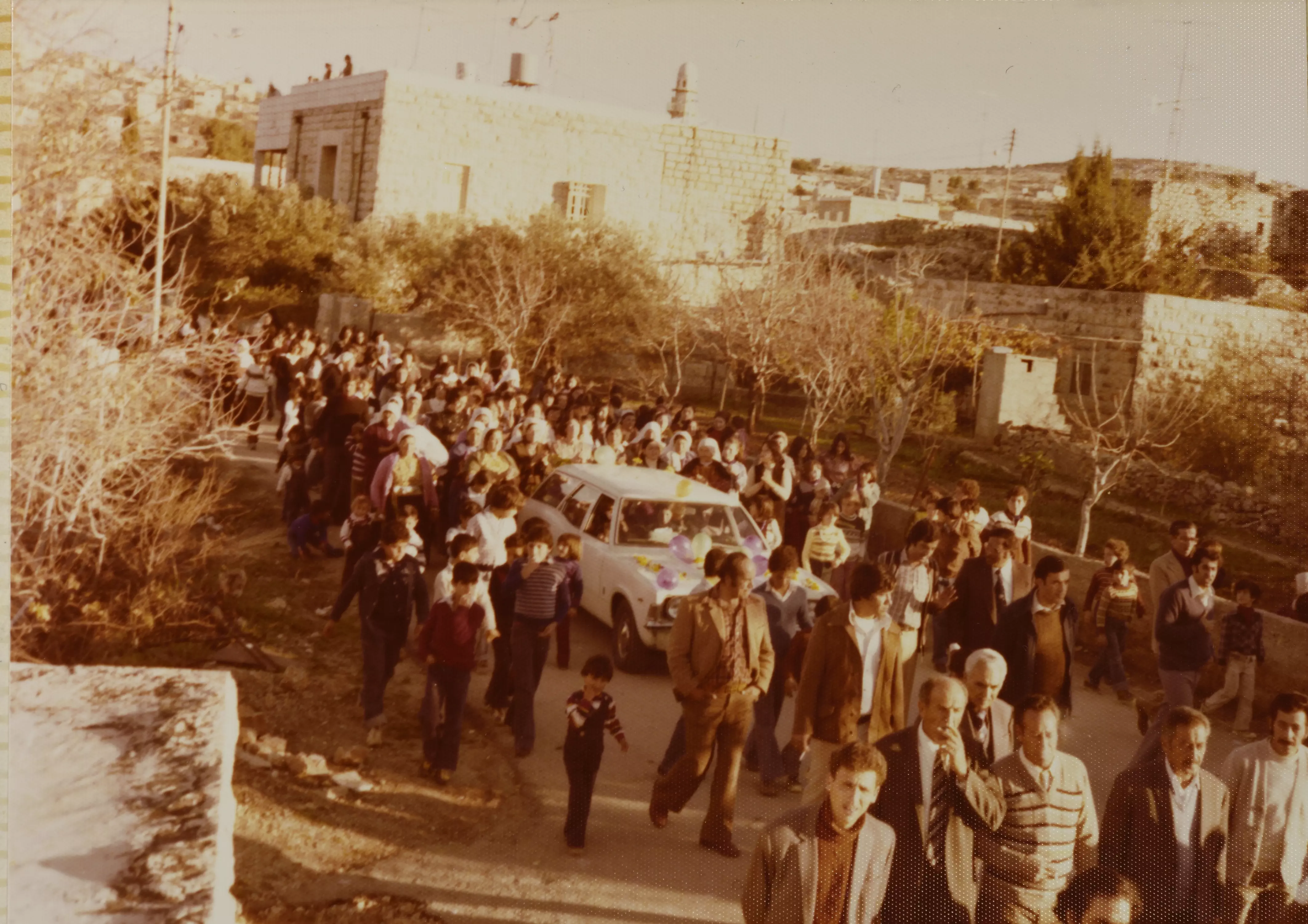
- عرس مصطفى عثمان من قرية بيت صفافا -- 1978 #2
- عرس مصطفى عثمان من قرية بيت صفافا -- 1978 #3
- عرس مصطفى عثمان من قرية بيت صفافا -- 1978 #4
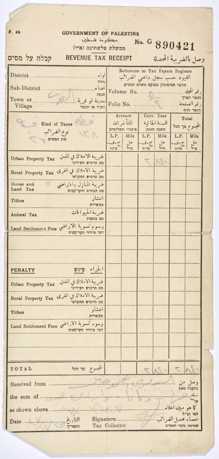
- وثيقة وصل ضريبة محصلة من موسى أحمد خير عام 1948
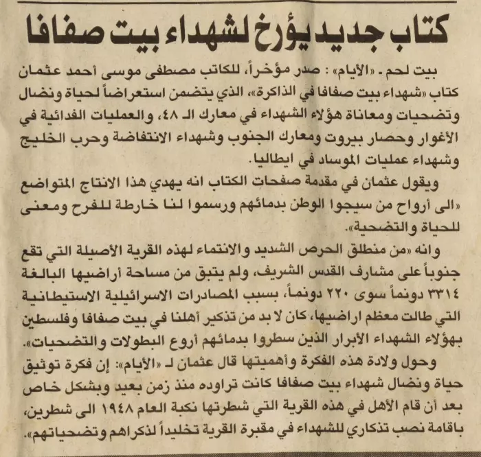
- قصاصة من جريدة القدس فيها خبر إطلاق كتاب "شهداء بيت صفافا في الذاكرة" للكاتب مصطفى موسى أحمد عثمان عام 1999
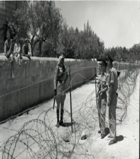
- صورة لرجالٍ من قريّة بيت صَفافا بمحاذاة السلك الفاصل، 1958
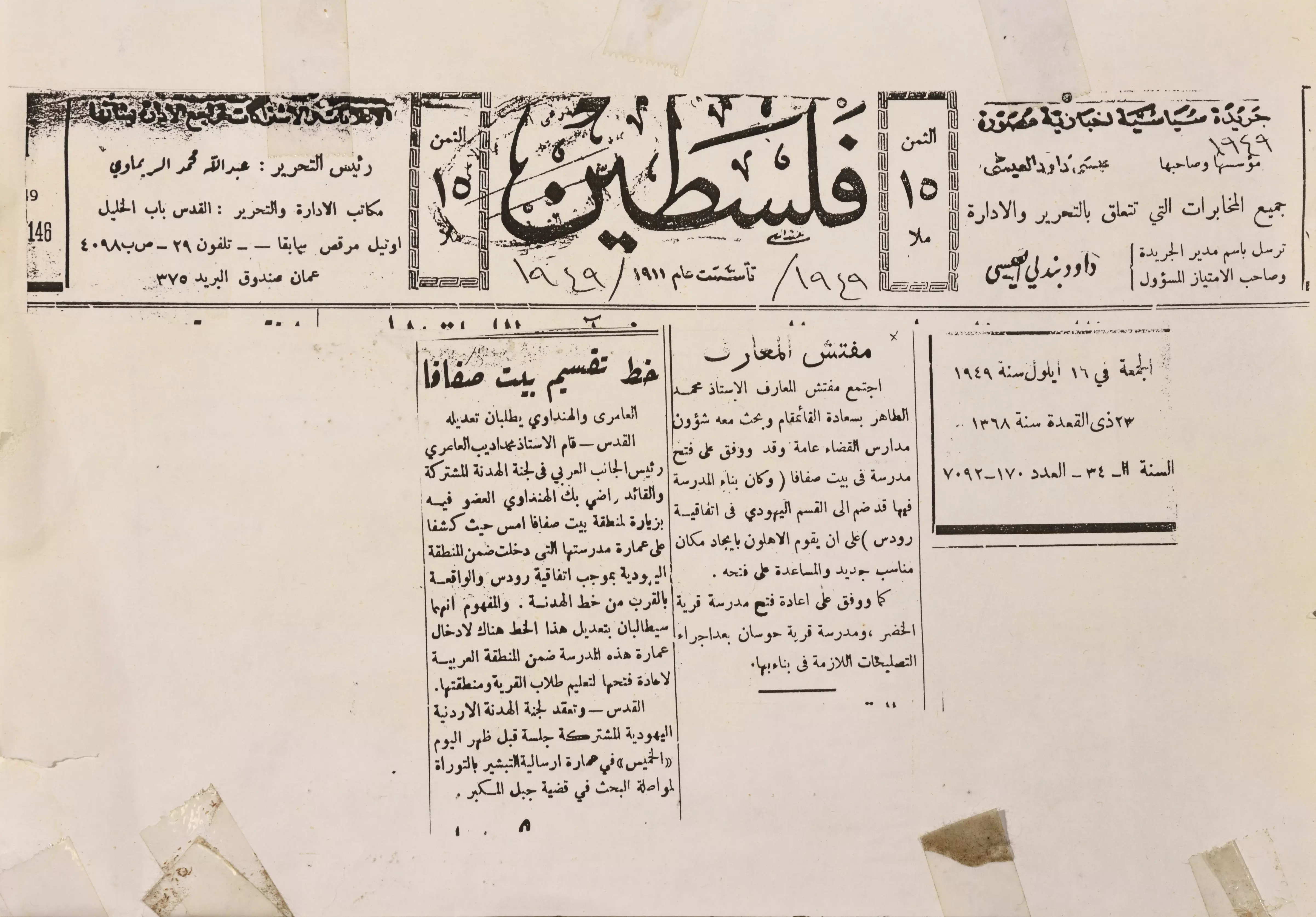
- تُظهر القصاصة خبرًا عن مطالبة لجنة الهدنة بتعديل خط تقسيم قرية بيت صفافا عقب النكبة
Want to browse more? 80,000 pictures were grouped in these gallaries:
| Display Name | Clan/Hamolah | Country of Residence |
| صقر الصحراء | - | القدس |
| Raed Elayyan | Suliaman | - |
| 7andala | سلمان | فلسطين, بيت صفافا |
| منير تايه عليان | عليان | jordan |
| صابرين حسين | سلمان | بيت صفافا - القدس |
| ايمان | حسين | doha |
| ibraheem subhi | - | - |
| علي ابو جيش | علي ابو جيش | - |
| ibrahim olayan | - | - |
| مازن فرج | - | القدس, فلسطين |
| معاذ مصلح | حسين | القدس, فلسطين |
| jasmen | husain | - |
| dode | حسين | jerusalem, beitsafafa |
| suha | hussien | Palestine |
| bisso | bisso | palestine, jerusalem |
| safafia | حسين | - |
| ابو ابراهيم | - | - |
| Abu Khalil | Sheikha | Jerusalem |
| basheer sheikha | husain | jerusalem, beit safafa |
| Maan Musleh | حسين | Ontario, Canada |
| امـــجــد كيلاني | كيلاني | الخبر, الخبر |
- فيديو نادر جدآ لقرية بيت صفافا بعد حرب 48
- حلوة يا دنيا - تقرير عن قرية بيت صفافا - فلسطين Duration: 11 min 50 sec
- خربة طباليا في القدس. بيت صفافا Duration: 3 min 10 sec
No links have been shared yet, be free to the first to share the first link.
 Fake Valor: Why Did Zionist Jews Hoist Nazis Flag on Their Ships in the 1930s?
What is new?
-
Facts About Oct. 7th Gaza Raid
-
Remined Us Please:: Who Did Rape Who? Palestinians Raped Israelis? Or, was the other way around?
-
When Prof. Edward Said was invited to debate Bibi Netanyahu in the 1980s, watch what happened!
-
Ezra Klein of the NY Times on the "Jewish Race".
-
Abusing Blood Libel!
-
Did Israeli Soldiers Activate The Hanniba Direective On Oct. 7th? You Be The Judge
-
Zionist FAQ: Isn't it true that Palestinians don't want peace? Palestinians never accepted the two-state solution
- Facts about Haavara (Transfer) Agreement between Ben-Gurion & Hitler
-
Haavara FAQs: Why Did Zionist Jews Hoist Nazis' Flags on Their Ships in the 1930s?
- Haavara FAQs: When Chaim Weizmann met FDR in mid-1943, why was he silent about rescuing European Jewry?
-
Dear ChatGPT: How did Palestinians resist Napoleon's invasion of their country in 1799?
-
Dear ChatGPT: Gaza had a vibrant Jewish community in the mid-17th century. What happened to them?
-
Dear ChatGPT: Why did the Jewish Agency suppress news of the Holocaust during WWII?
-
Video Playlist: Jews share their DNA tests to end the conflict for good.
-
A Tale of Two Conflicts: Examining the Definition of Genocide
-
Prof. Abraham Polak And The Suppressed History of the Khazars and European Jewry
-
How Ronald Reagan would have framed the genocide in Gaza if he were still alive?
-
Haavara FAQs: Let us do the math: how many German Jews did The Haavara Agreement save?
-
Zionist FAQs: The Hebron Massacre of 1929, "clearly proves" that Palestinians are antisemitic, how could you deny it?
-
Zionist FAQs: Why Anti-Zionist Is Not Antisemitism?
-
Zionist FAQs: Isn't it true that the KGB created Palestinian Nationalism in the early 1960s?
- Zionist FAQs: Muslims are killing Muslims all the time; why are Israeli Jews being singled out in the media?
- Zionist FAQs: How is Israel an apartheid state when 20% of its citizens are Arabs who enjoy full rights?
-
Haavara FAQs: Why Did Dorothy Thompson Flip From A Zionist Advocate to A Silenced Dissenter?
-
Haavara FAQs: Analysis of Herzl's Uganda Scheme and how it could have saved millions of Jews.
-
Haavara FAQs: Why did Hayim Greenberg describe American Jewry as "morally bankrupt" in early 1943?
-
Haavara FAQs: What if the Evian Conference was a resounding success? What would have been the impact of saving European Jewry on Zionism?
- Haavara FAQs: What if the six million were saved, how that would have impacted the Zionist project?
-
Haavara FAQs: How did Zionist leaders react when Europe's Jews lingered in the DP camps after WWII ended?
-
Why does the American Jewish community repeat lies that David Ben-Gurion had debunked before he died?
-
Who has the power to rename the Tatar/Khazar Gene Marker to Jewish IV?
-
Zionist FAQs: Why won't Egypt, Syria, and Jordan take their people back? Jews are indigenous to Palestine, and Arabs immigrated after Jews developed the country. Arabs should leave.
-
Haavara FAQs: Did Hitler and the Nazis conflate between Judaism and Zionist? If that wasn't case, then why?
-
Haavara FAQs: Winston Churchill and antisemitism, a collection of articles written Churchill.
-
Haavara FAQs: Broken by country, how many Jews survived vs. killed during the Holocaust?
-
Haavara FAQs: Why did European Jews vote with their feet and to immigrated to the Americas, not Palestine, after WWII?
-
Watch this American Jewish Girl describing Israeli Jews' cognitive dissonance like no other in under two minutes
-
Haavara FAQs: When the Nazis went out of their way to hide the Holocaust, Israeli Jews did the exact opposite by broadcasting their genocide of Gazans. But why?
-
Haavara FAQs: How Zionist Jews went out of their to show their appreciation to Nazism and Fascism?
- Haavara FAQs: Why Zionist leaders were against bombing the death camps & the Railroads leading to them?
-
Haavara FAQs: Hitler's message to the British and American people: If Jews are such noble citizens and you care about them, how come you're not letting them in? I will gladly ship them to you at my expense, even on luxury liners!
-
A shortlist of Zionist and Israeli false flag operations in the name Jews.
-
The Most Moral Army
- The Land of Kapos (Israel): Where the brave are boycotted and Kapos walk free.
- Why did early Zionists often named their communal enterprises "colonial"?
- Zionist Relations with Nazi Germany by Faris Glubb
-
Two NY Times advertisements by Zionists in the early 1943 that exposes Zionists' treason at the height of the calamity
- Facts Not Lies about the Palestinian-Israeli Conflict.
- Site's pictures have been categorized
- Campgain Against Lice
- A Survey of Palestine, the official source about Palestine before Nakba produced by the British Mandate; over 1200 pages.
- Satellite View & Google Earth: Over 6,000 placemarks identifying all destroyed towns, W. Bank & Gaza Strip Towns, & refugee camps.
- PalestineRemembered.com and its Nakba Oral History Project were featured on al-Jazeera Satellite TV.
- Nakba Oral History Video Podcast:
 Over 700 Oral History interviews (including 3,500+ hours of recording) can be viewed online.
 - Palestine Village Statistics Project
- Gaza Jail Break
- النسخة العربية للموقع الان متوفرة
- Videos: Documenting the destroyed villages in video: Tracing all that remains since Nakba.
- Videos: Responding to Zionist Propaganda
- Interview: The ethnic cleansing of Palestine: George Galloway interviews Israeli Historian Ilan Pappe.
- For Palestinians, memory matters. It provides a blueprint for their future By George Bisharat.
- Zionist FAQ now available in Hebrew שאלות שציונים שואלים, עכשיו בעברית
- Video: The Stephen Walt and John Mearsheimer report on the influence of the Israel Lobby on U.S. Foreign Policy
- The Palestinian-Israeli conflict for beginners
