| PalestineRemembered | About Us | Oral History | العربية | |
| Pictures | Zionist FAQs | Haavara | Maps | |
| Search |
| Camps |
| Districts |
| Acre |
| Baysan |
| Beersheba |
| Bethlehem |
| Gaza |
| Haifa |
| Hebron |
| Jaffa |
| Jericho |
| Jerusalem |
| Jinin |
| Nablus |
| Nazareth |
| Ramallah |
| al-Ramla |
| Safad |
| Tiberias |
| Tulkarm |
| Donate |
| Contact |
| Profile |
| Videos |
Welcome To Bayt Surik - بيت سوريك (בית סוריכ)
|
District of Jerusalem
Occupied days ago |
العربية Google Earth |
 |
Gallery (128) |
- Statistics & Facts
-
Before & After

- Satellite View
- Articles 3
- Pictures 128
- Members 38
- Families
- Wikipedia
- ARIJ Guide
- Videos
- Guest Book 66
- Links 2
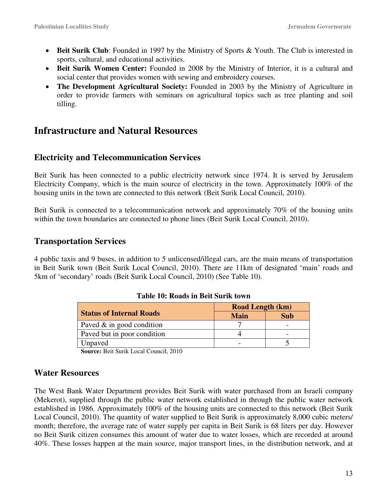
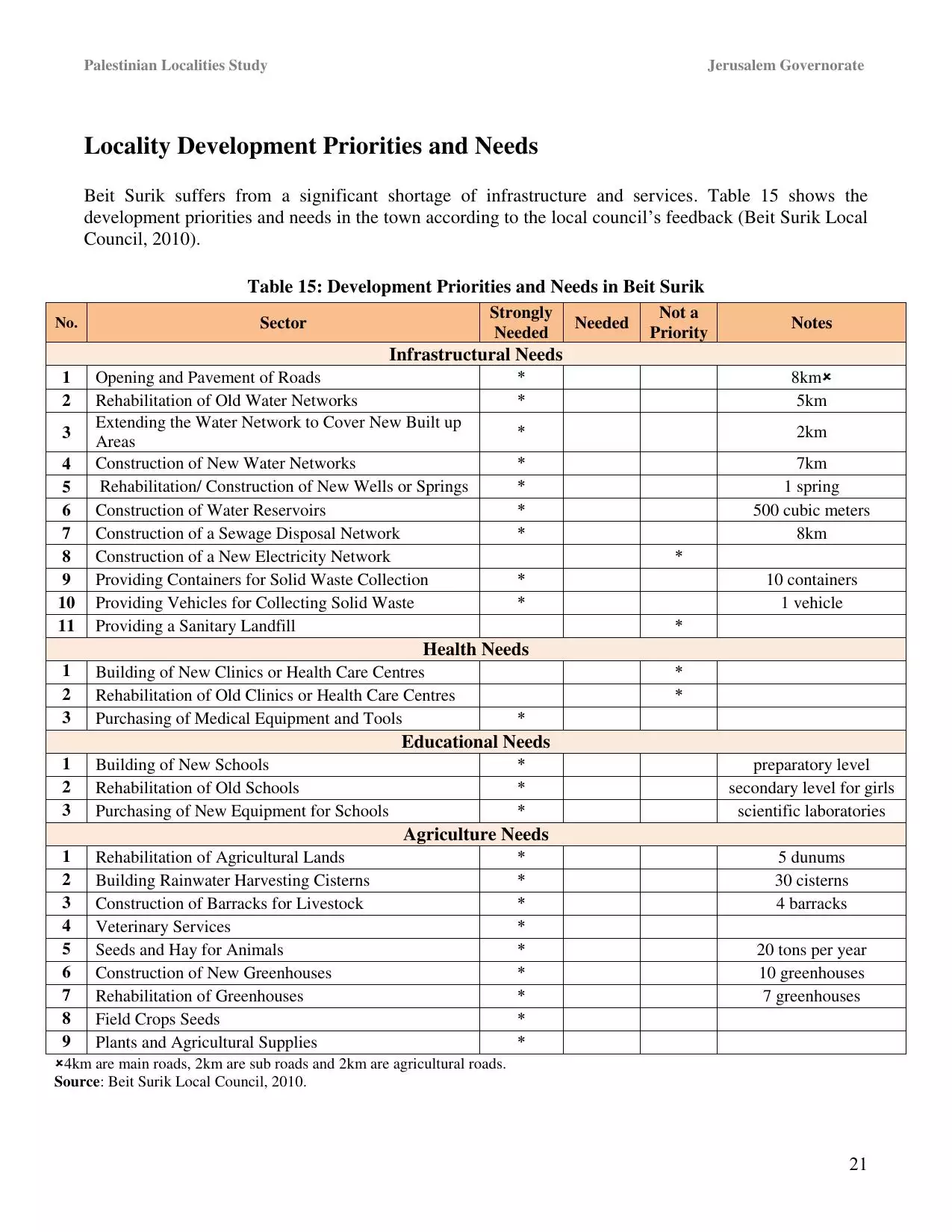
| Statistic & Fact | Value | |||||||||||||||||||||
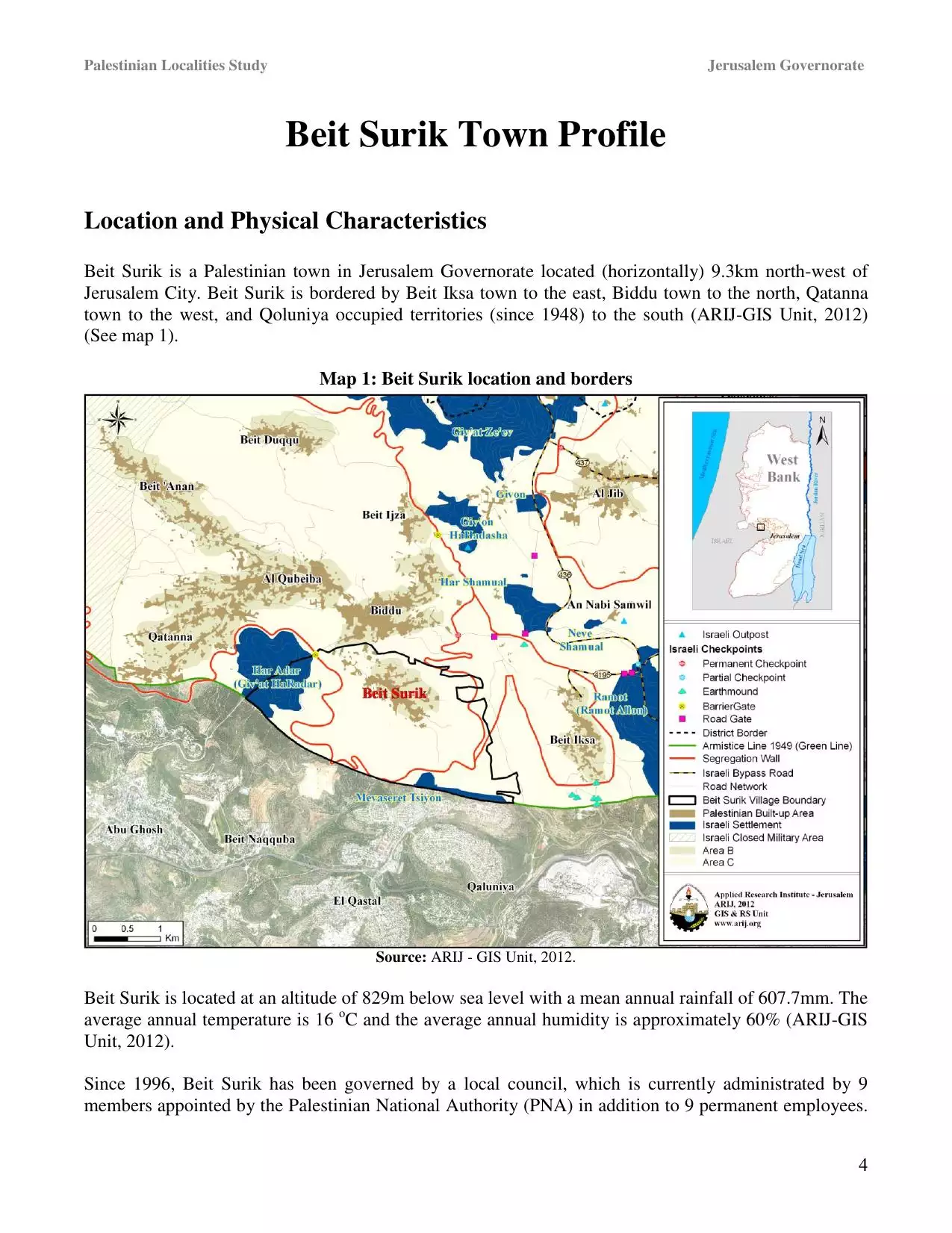
| Distance From District | 12 km northwest of Jerusalem | |||||||||||||||||||||
| Elevation | 830 meters | |||||||||||||||||||||
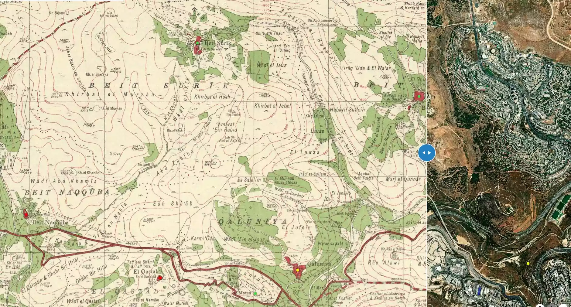
| Before & After Nakba, Click Map For Details |
||||||||||||||||||||||
|
||||||||||||||||||||||
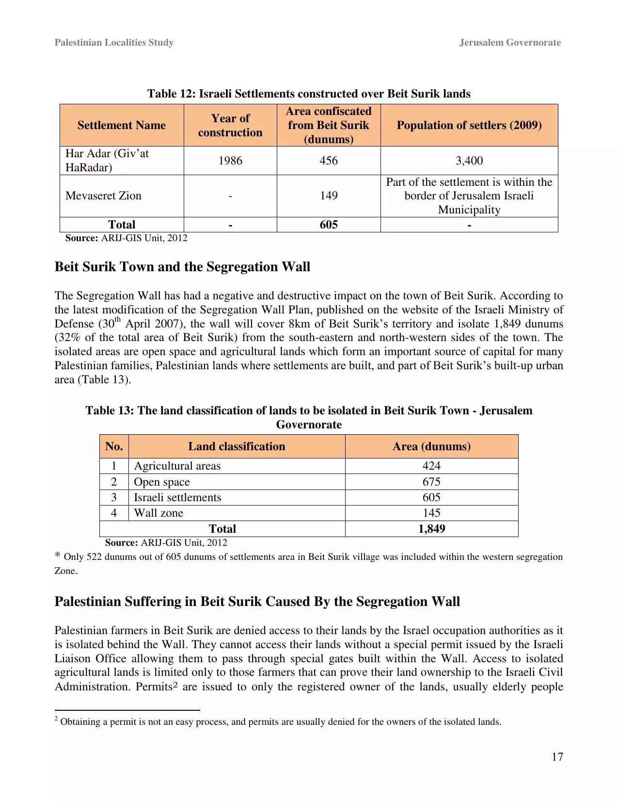
| Land Ownership |
**Town Lands' Demarcation Maps |
|||||||||||||||||||||
| Land Usage As of 1945 |
|
|||||||||||||||||||||
| Lands usurped within armistice area | 1,804 Dunums | |||||||||||||||||||||
| Population |
|
|||||||||||||||||||||
| Near By Towns |
||||||||||||||||||||||
|
||||||||||||||||||||||
| Featured Video | ||||||||||||||||||||||
| ARIJ Guide | ||||||||||||||||||||||
3.
4. 
5. 
6. 
7. 
8. 
9. 
10. 
11. 
12. 
13. 
14. 
15. 
16. 
17. 
18. 
19. 
20. 
21. 
22. 
Click here to browse online. |
||||||||||||||||||||||
| Related Maps | Town Lands' Demarcation Maps خرائط للقضاء توضح حدود القرى والاودية View from satellite Town's map on MapQuest Help us map this town at WikiMapia |
|||||||||||||||||||||
| Related Links | Wikipedia's Page Facebook Page ARIJ Guide Google Search Google For Images Google For Videos في كتاب بلادنا فلسطين في كتاب النكبة والفردوس المفقود دليل أريج المزيد من موقع هوية |
|||||||||||||||||||||
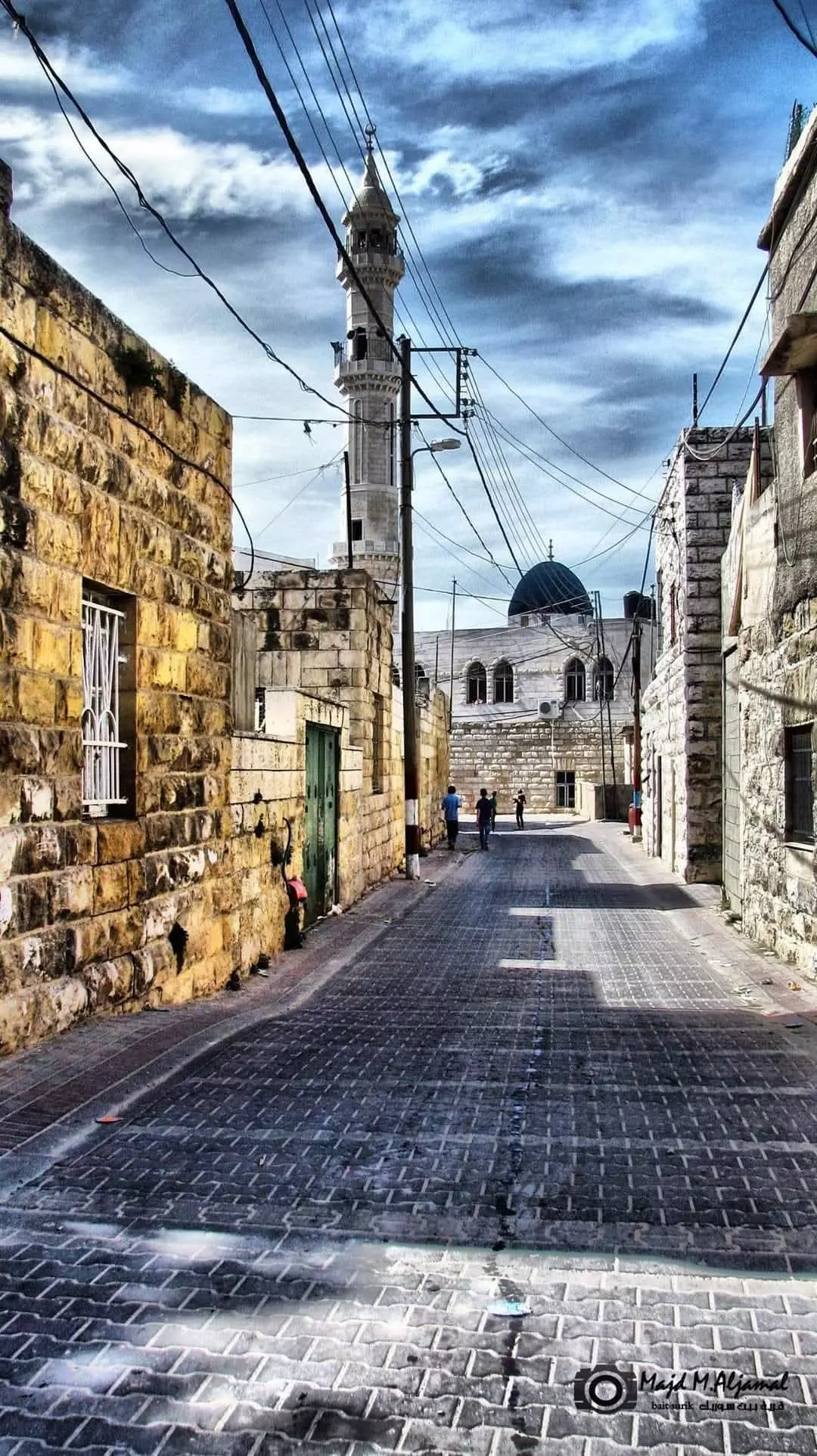
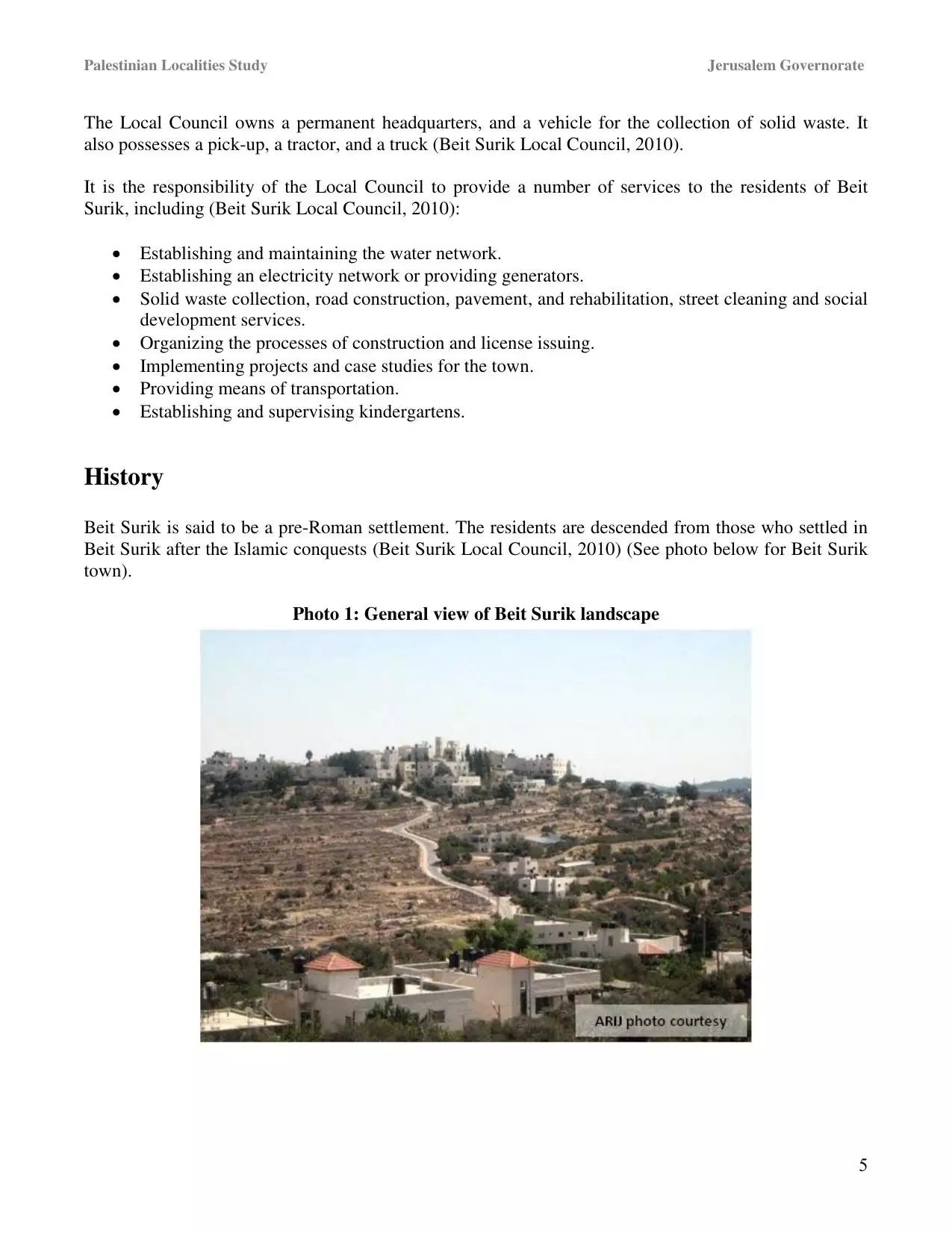
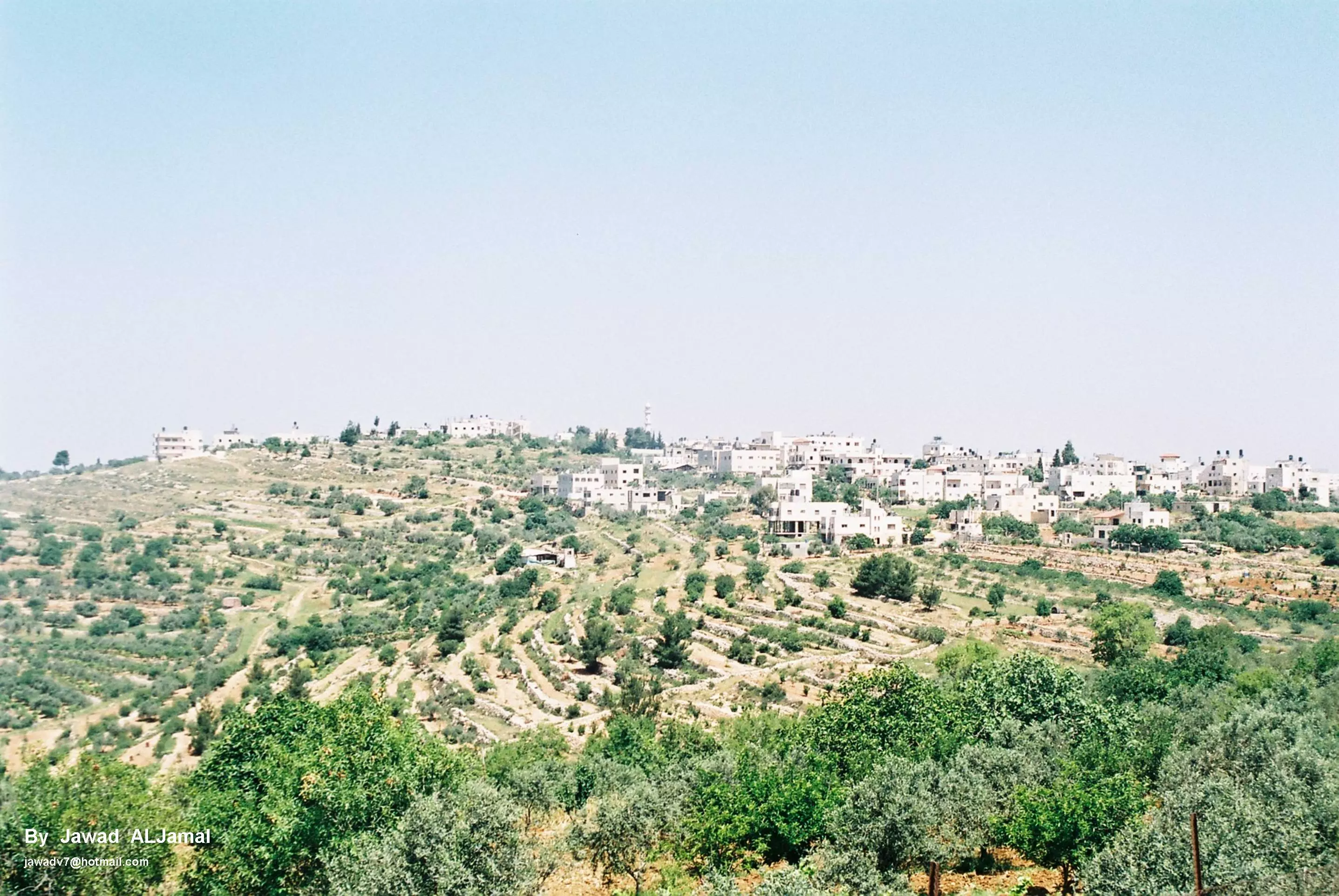
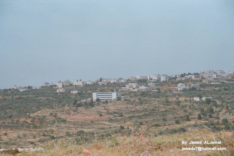
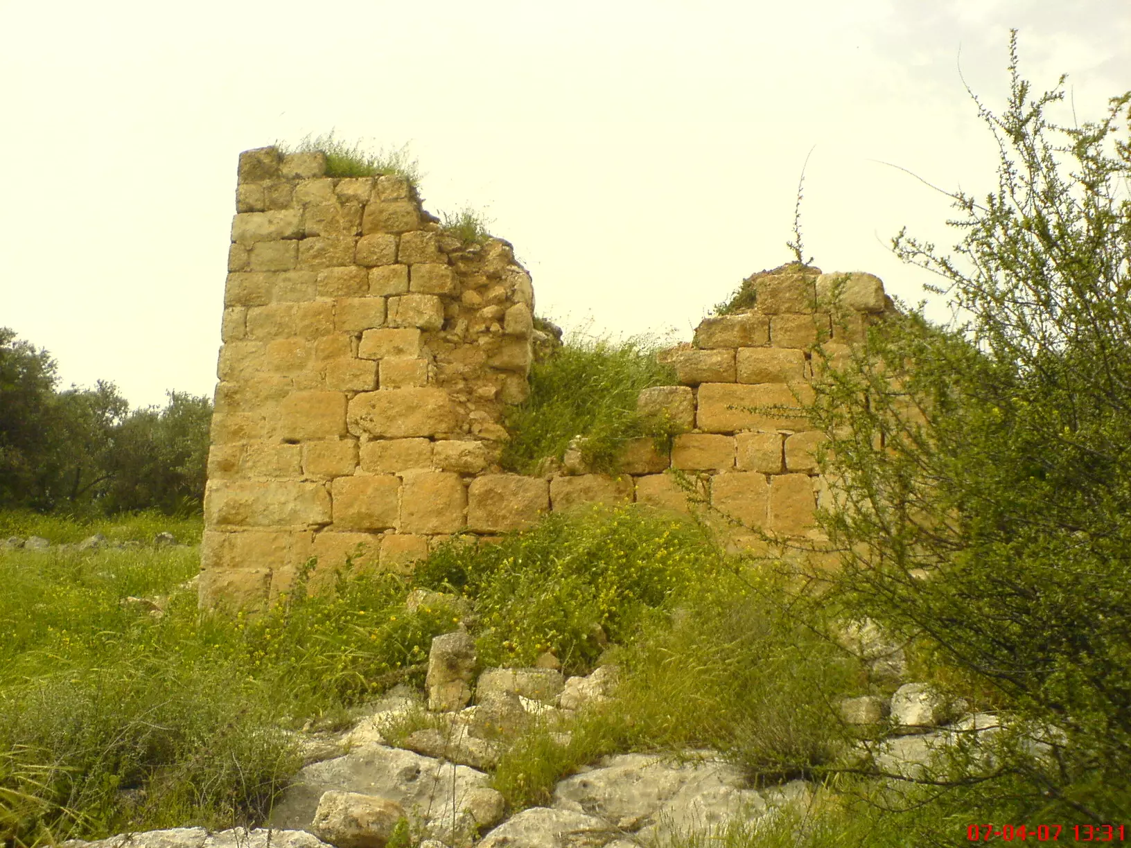
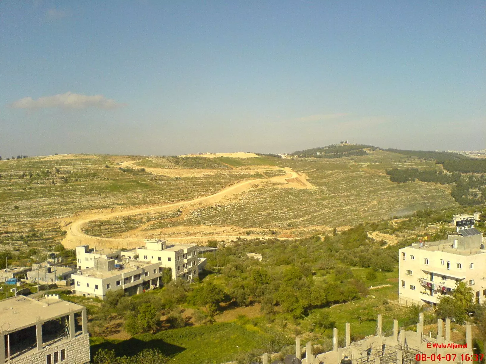
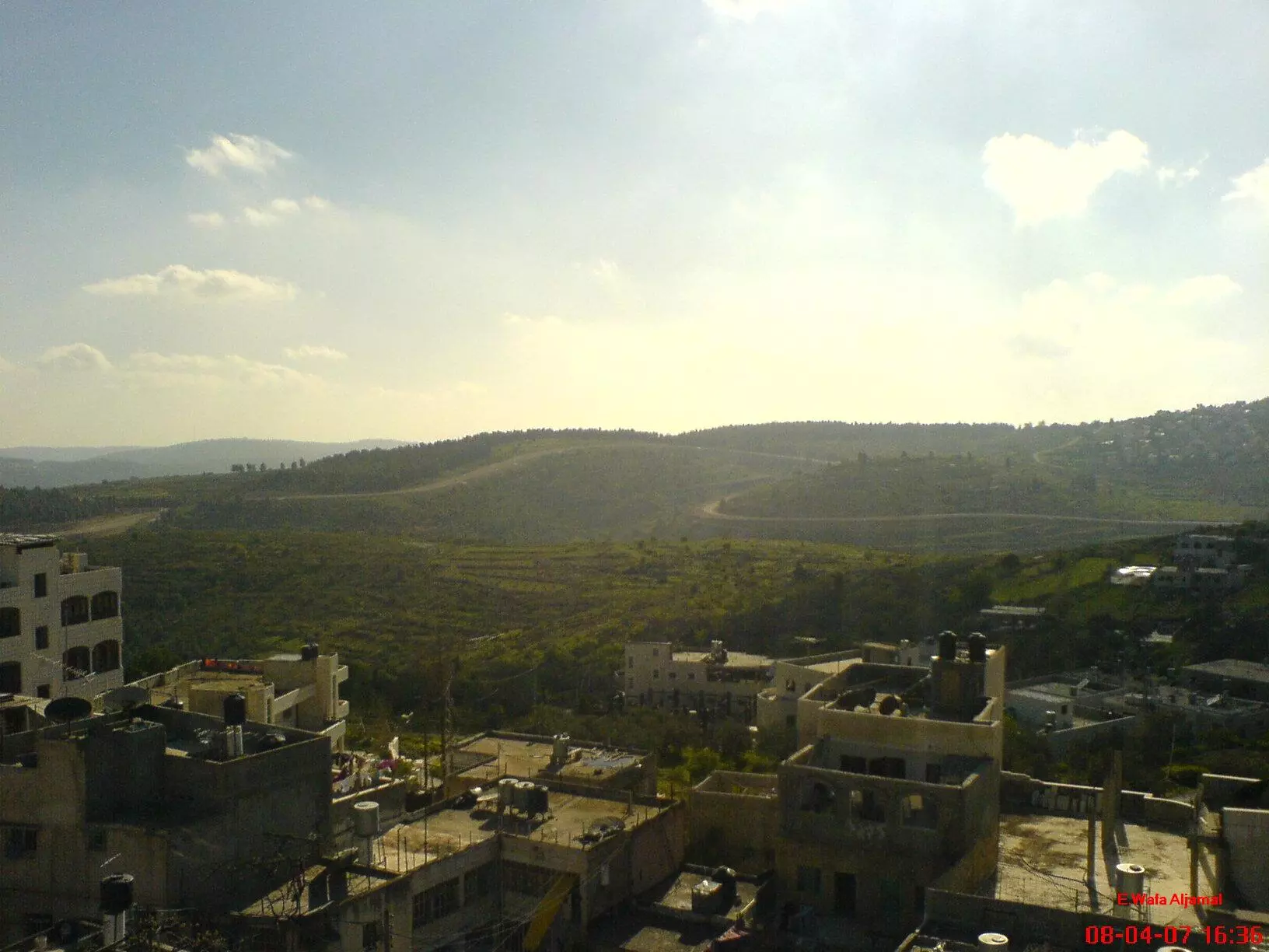
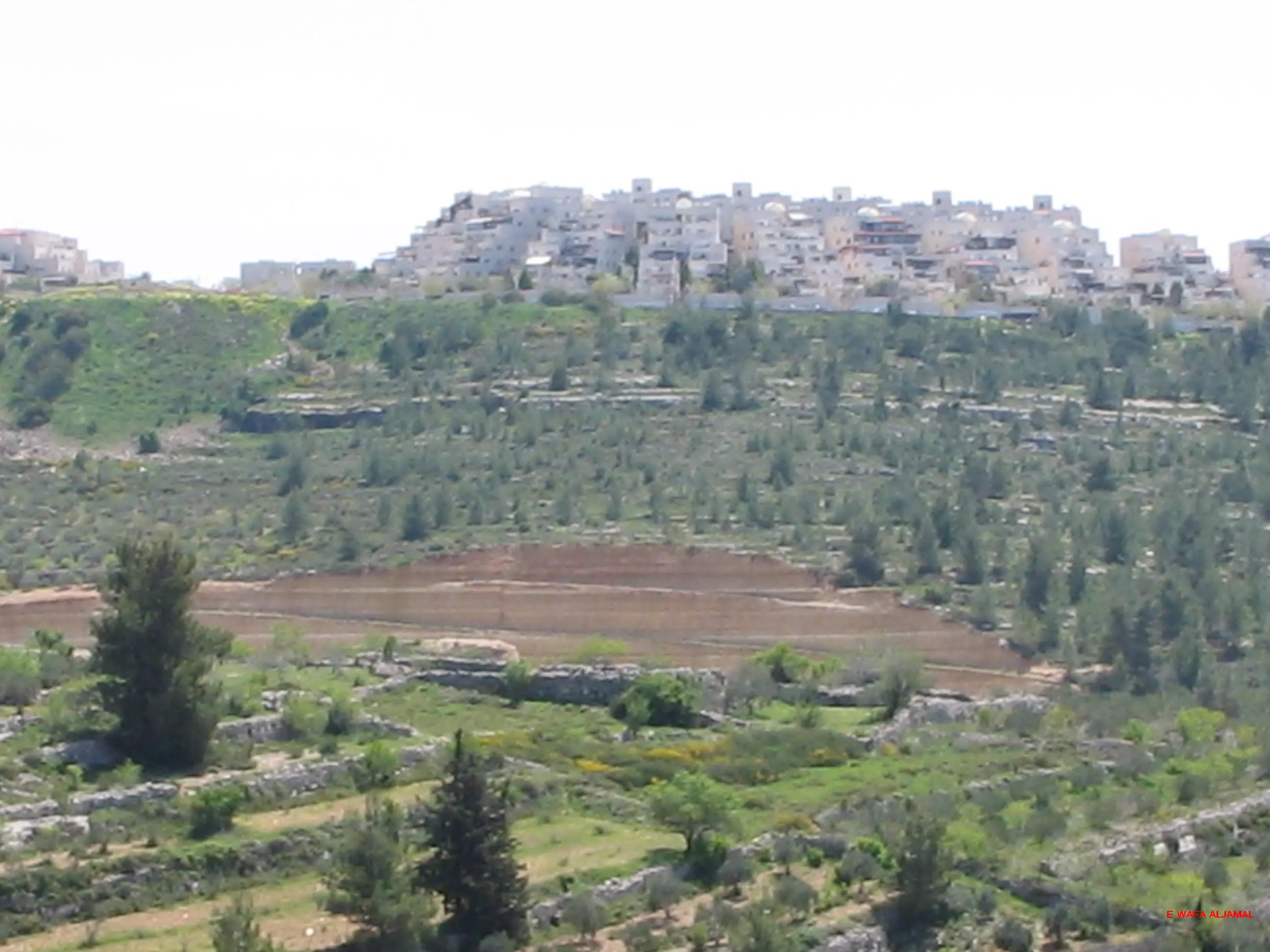
- A General View Of Beit Surik.
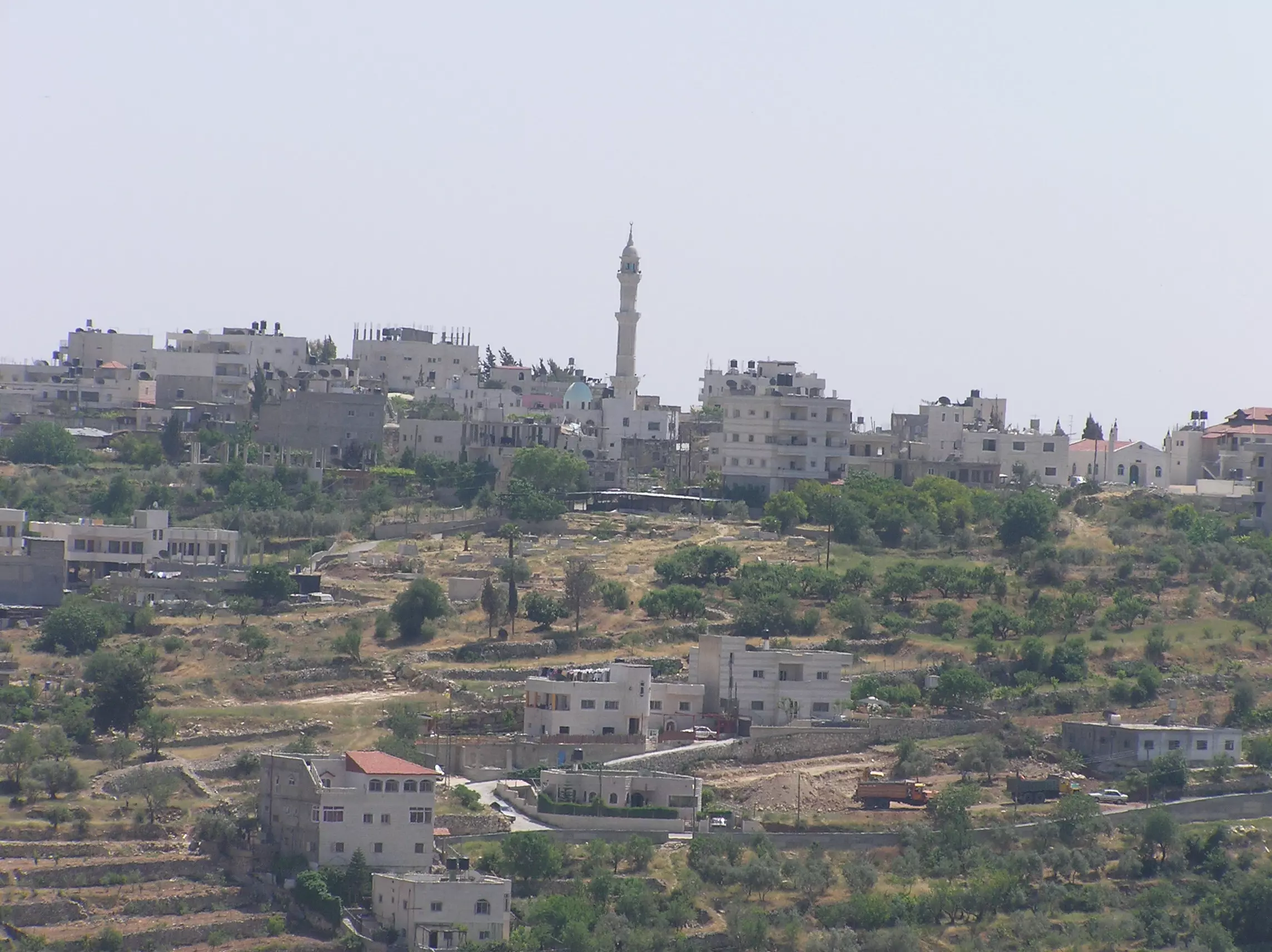
Posted by Umar Abu El-Bararri 20 - General view

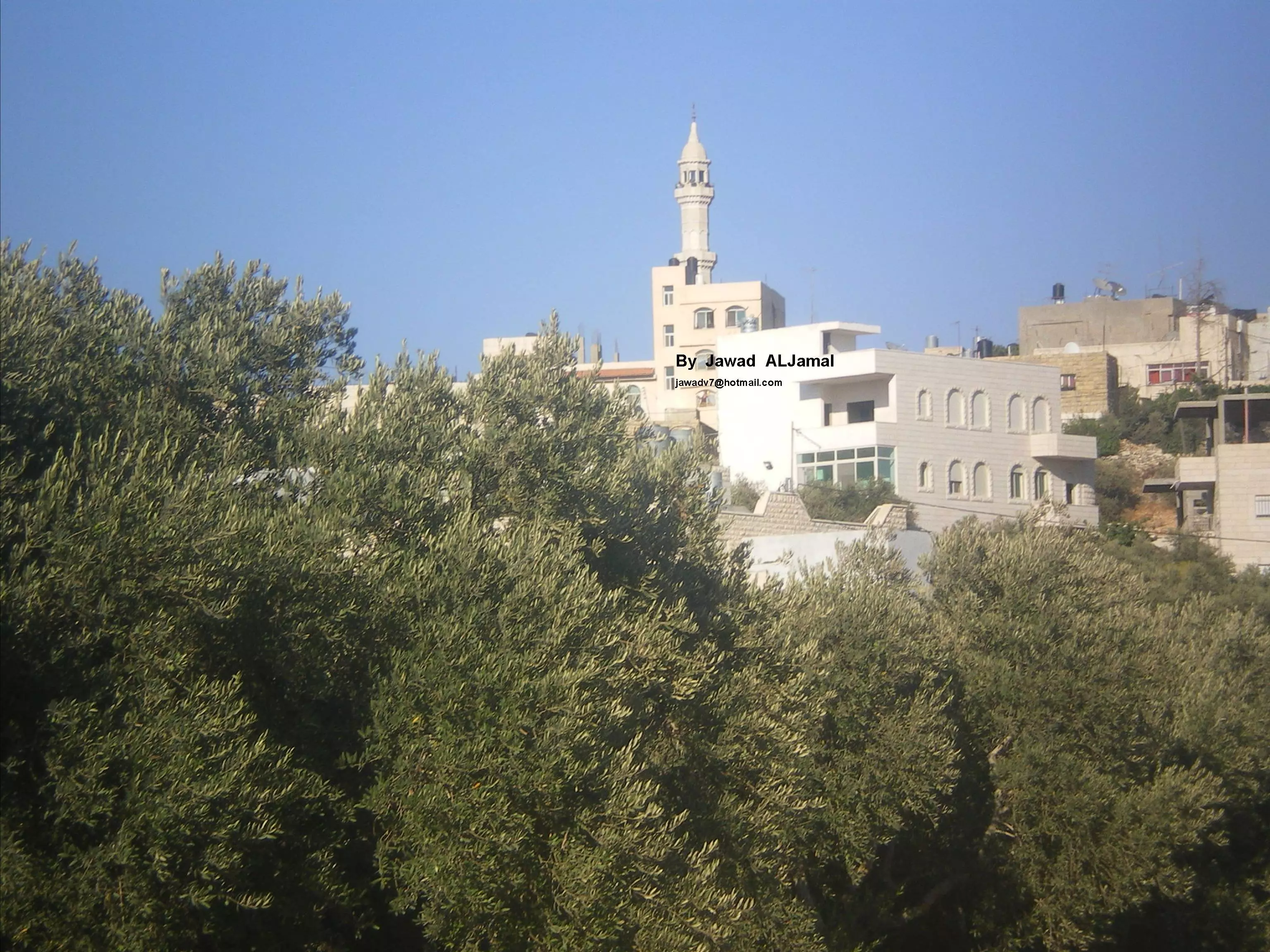
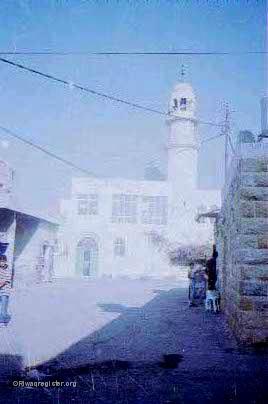
18 - مسجد بيت سوريك (منظر من غرب بيت سوريك -المنزلة)
Posted by Jawad Aljamal 3 - مستعمرة قالونيا (جنوب بيت سوريك)
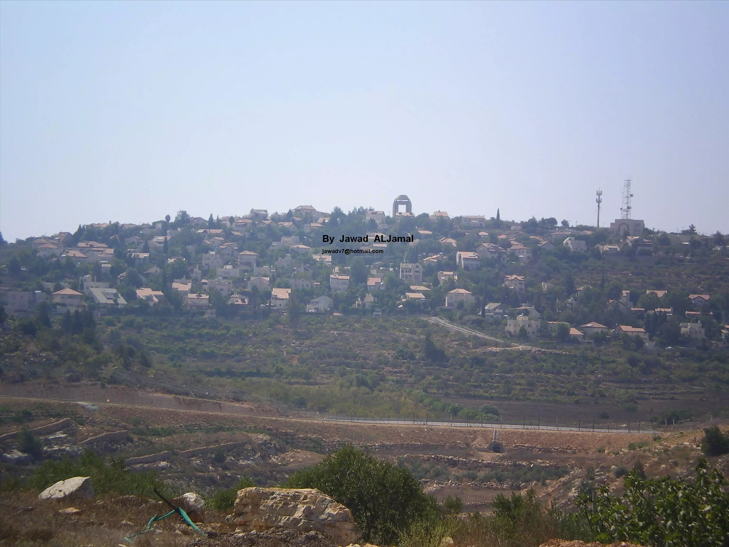
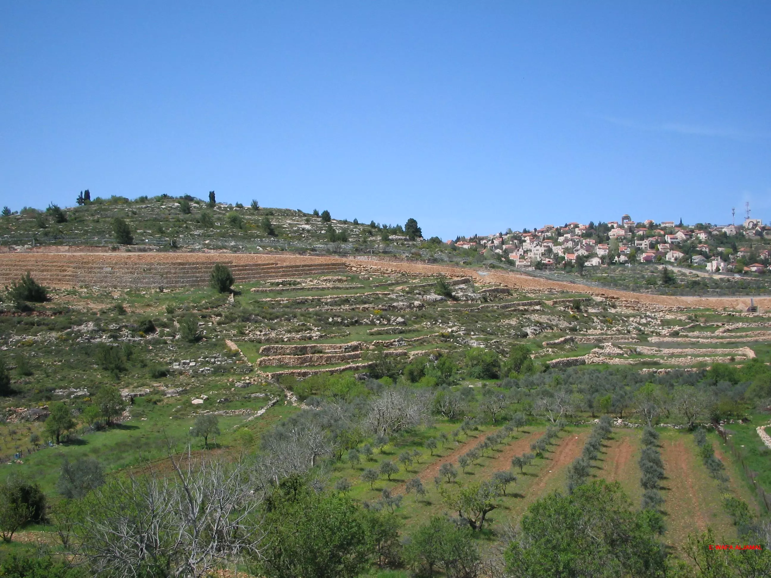
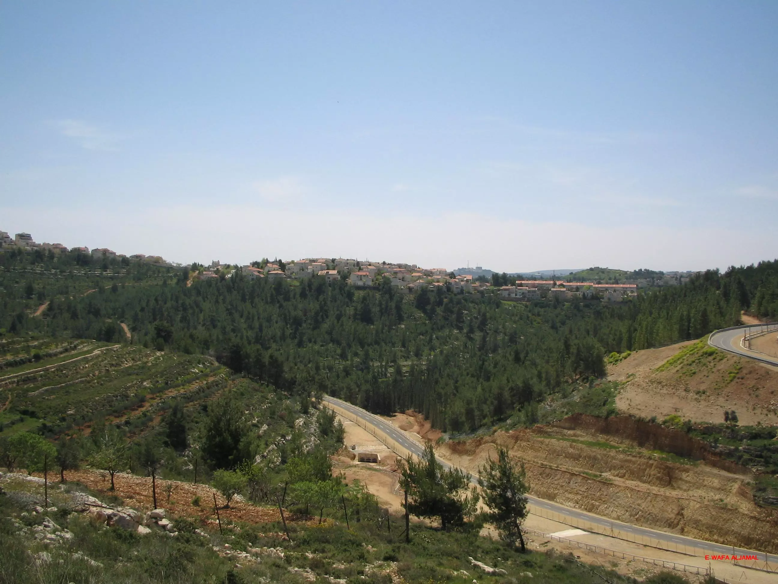
Posted by Jawad Aljamal 5 - مستعمرة هارادار (غرب بيت سوريك)
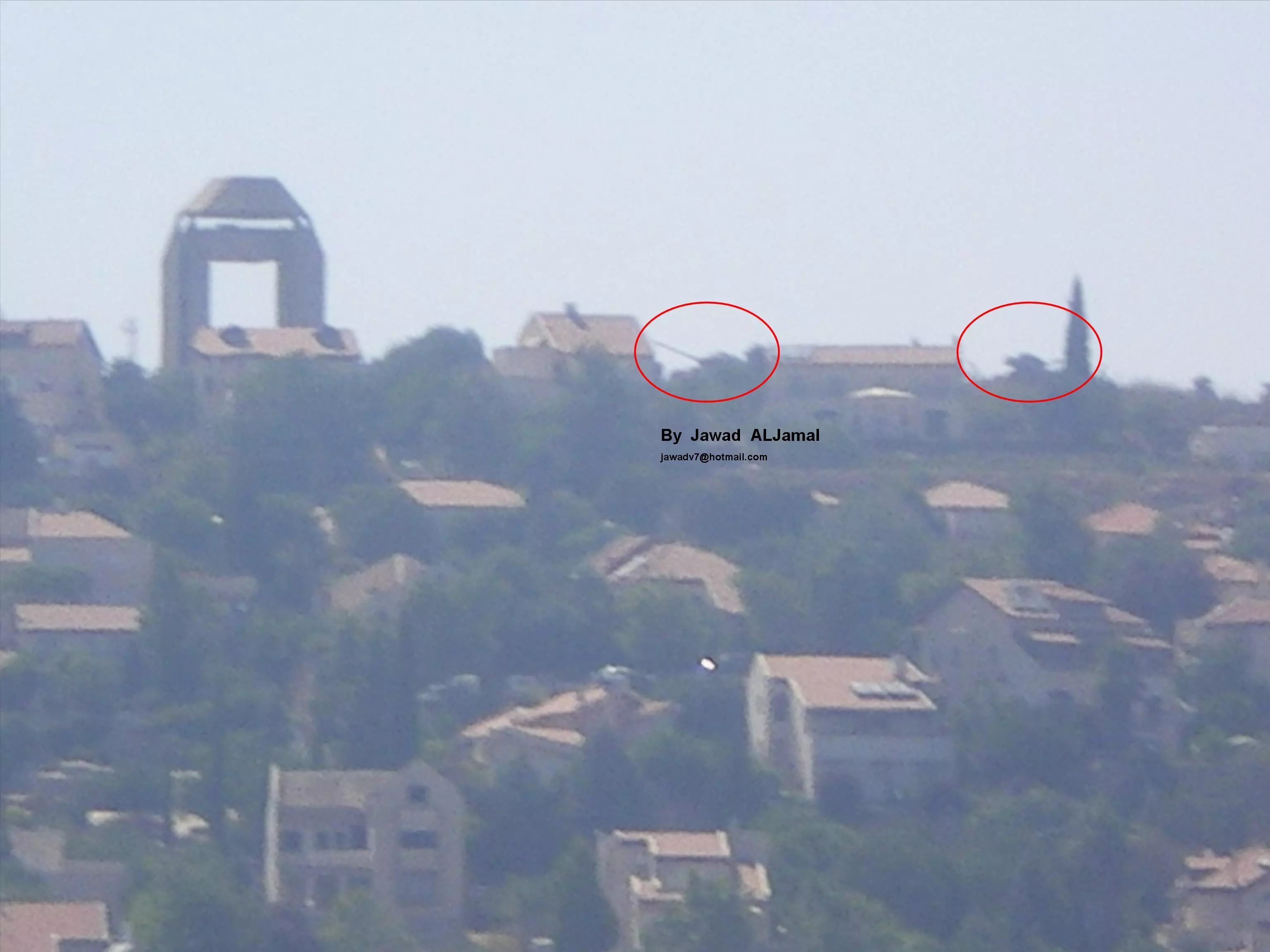
Posted by Jawad Aljamal 3 - مستعمرة هارادار (غرب بيت سوريك) لاحظ الدبابات الأردنية منذ حرب ال1967
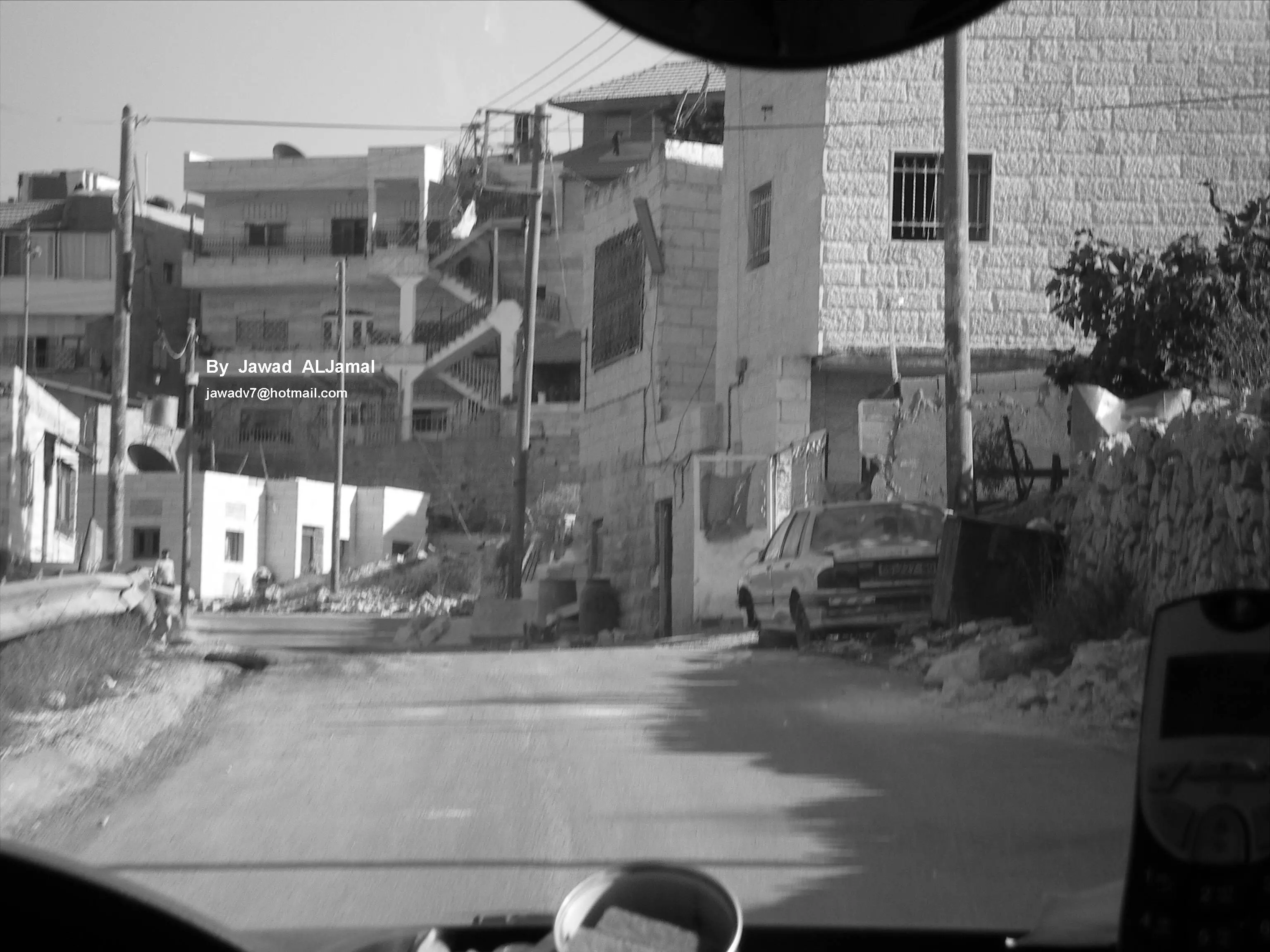
Posted by Jawad Aljamal 2 - مشارف بيت سوريك
Posted by Jawad Aljamal 4 - odah essa aljamal -died in 1971 -october -17th -in jordan barried in bait sourek -he was raeed in the arabic army in 1967
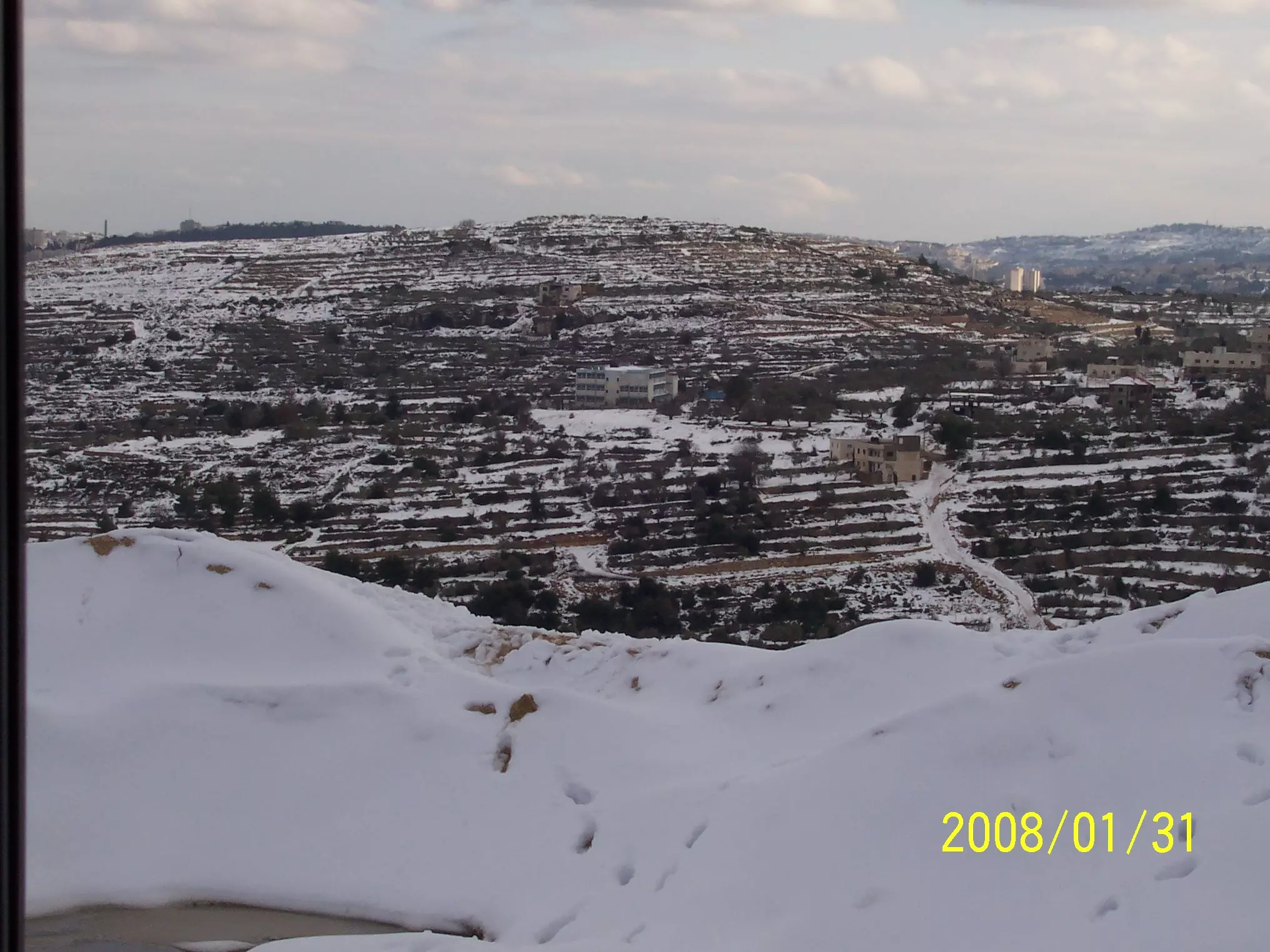
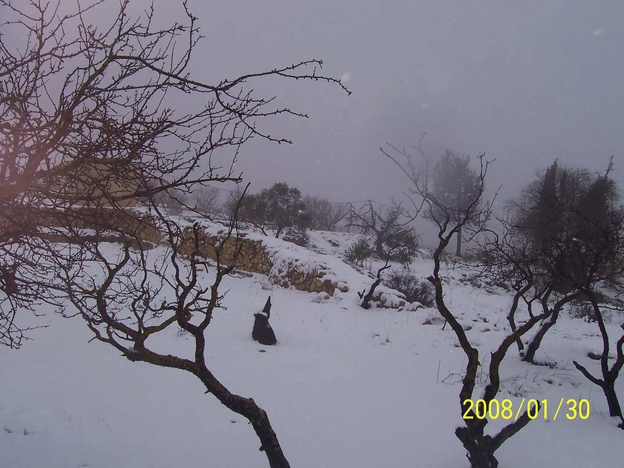
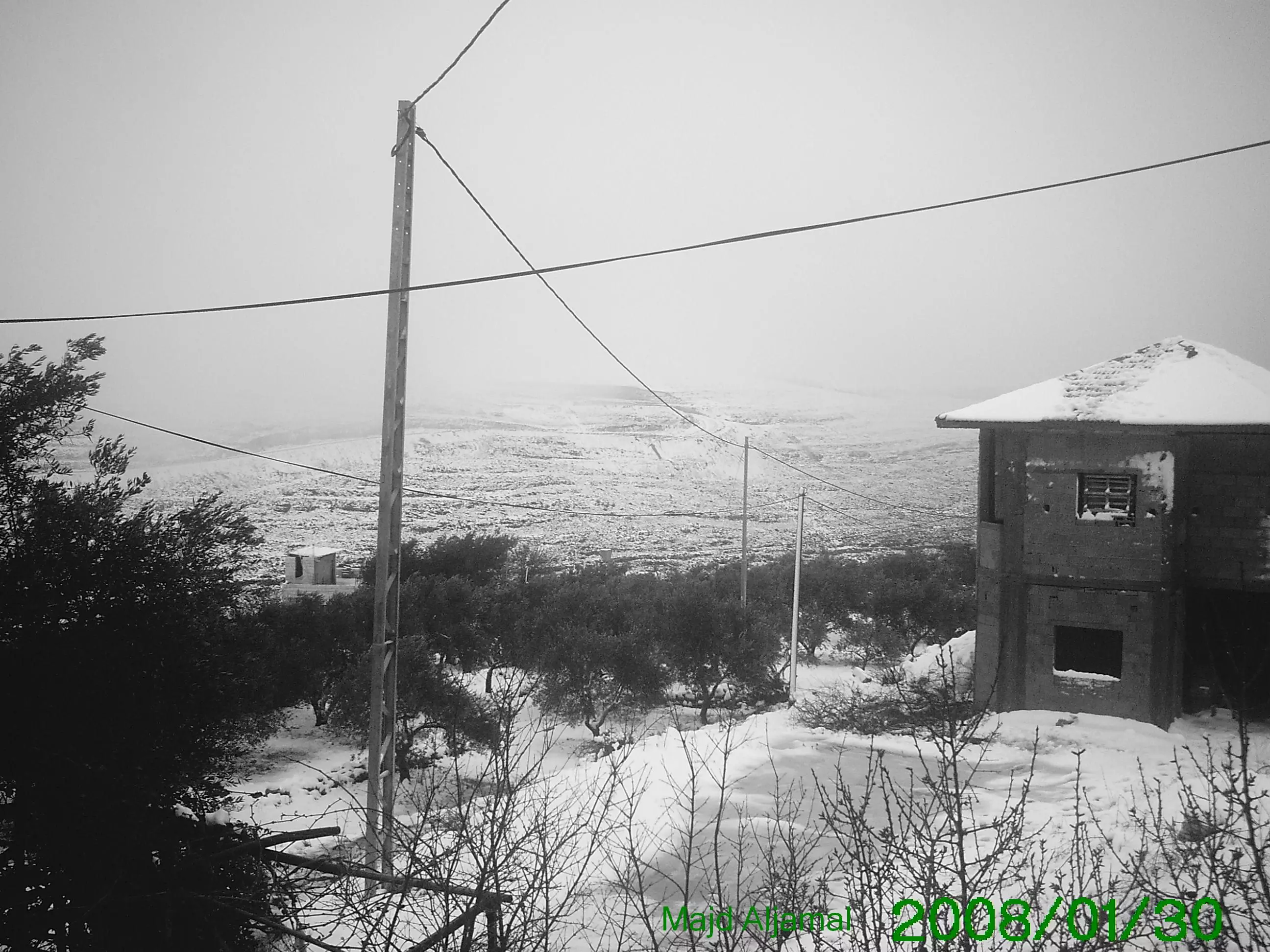
Posted by om dawood-hadya waqqad 7 - بيت سوريك في الثلج
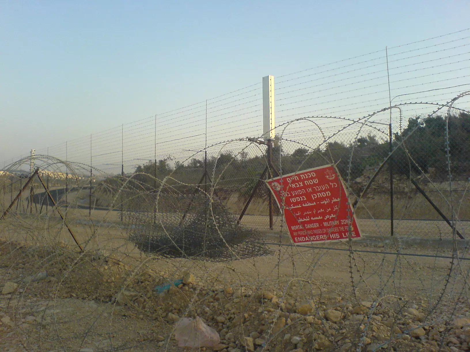
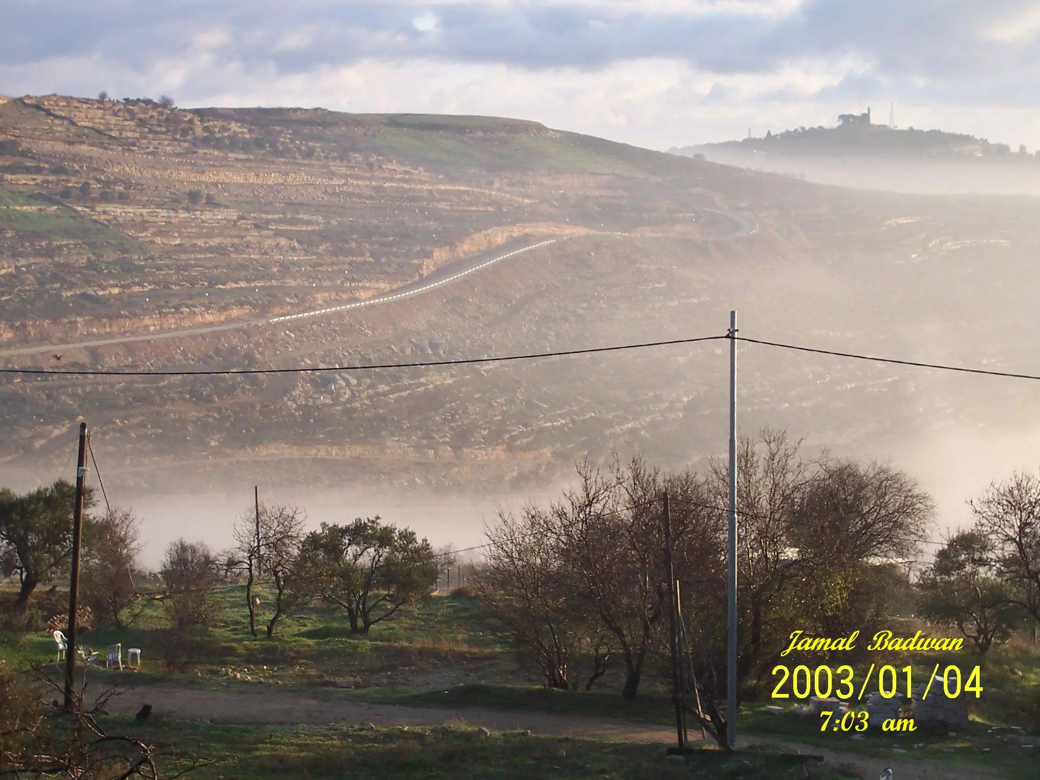
Posted by جمال بدوان 6 - Apartheid Wall
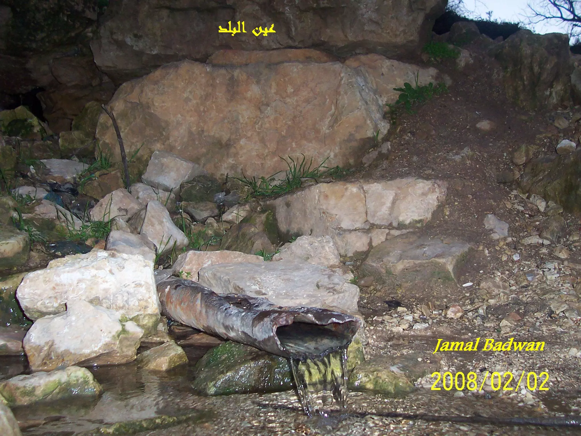
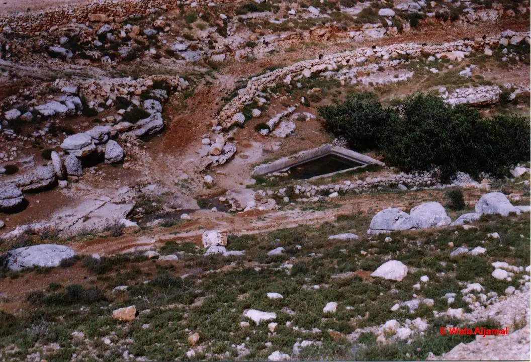
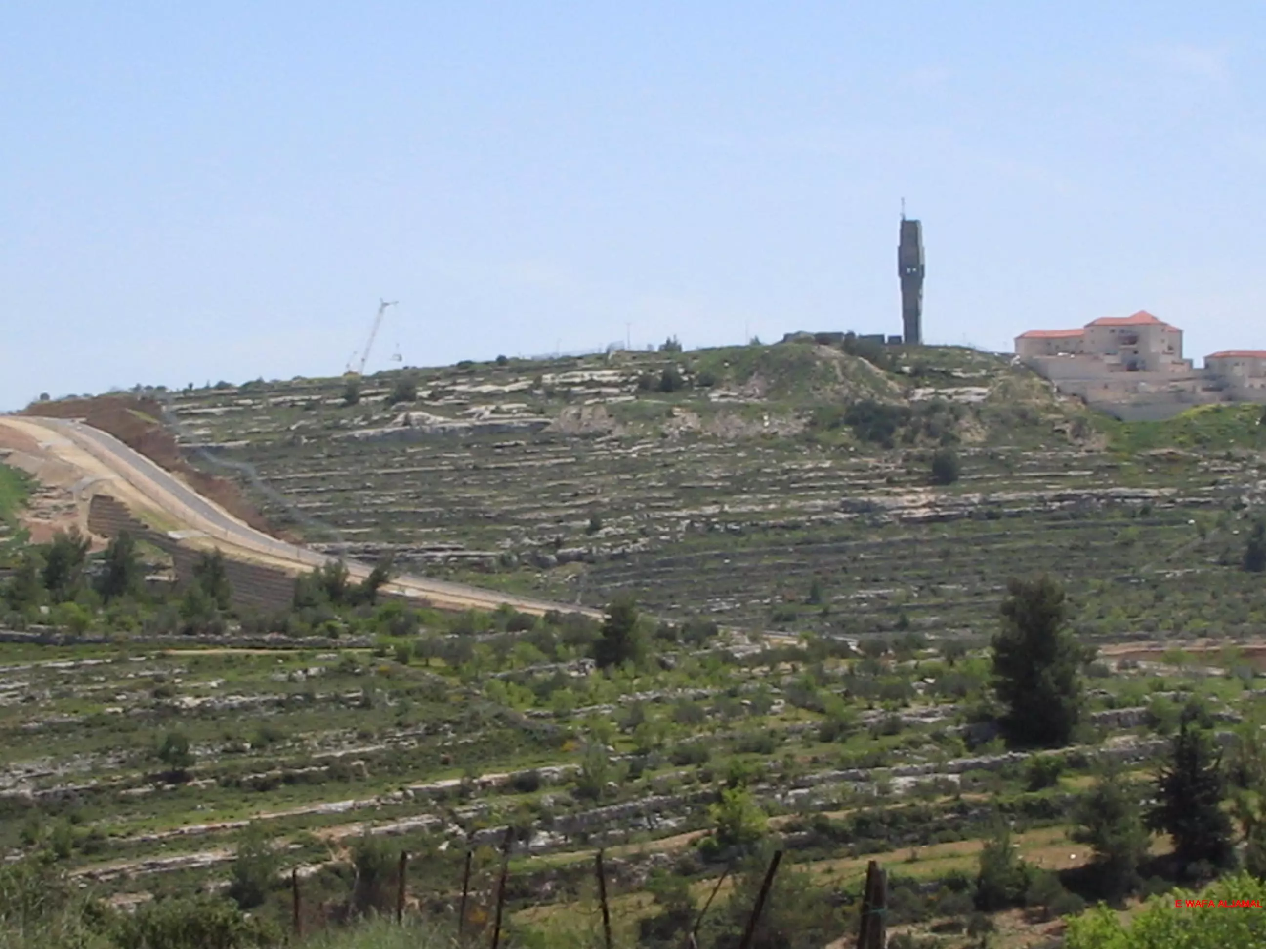
Posted by Jawad Aljamal - عين البلد - بنيت زمن الأحتلال البريطاني وهي مهملة الآن بالرغم من شح المياه في القرية
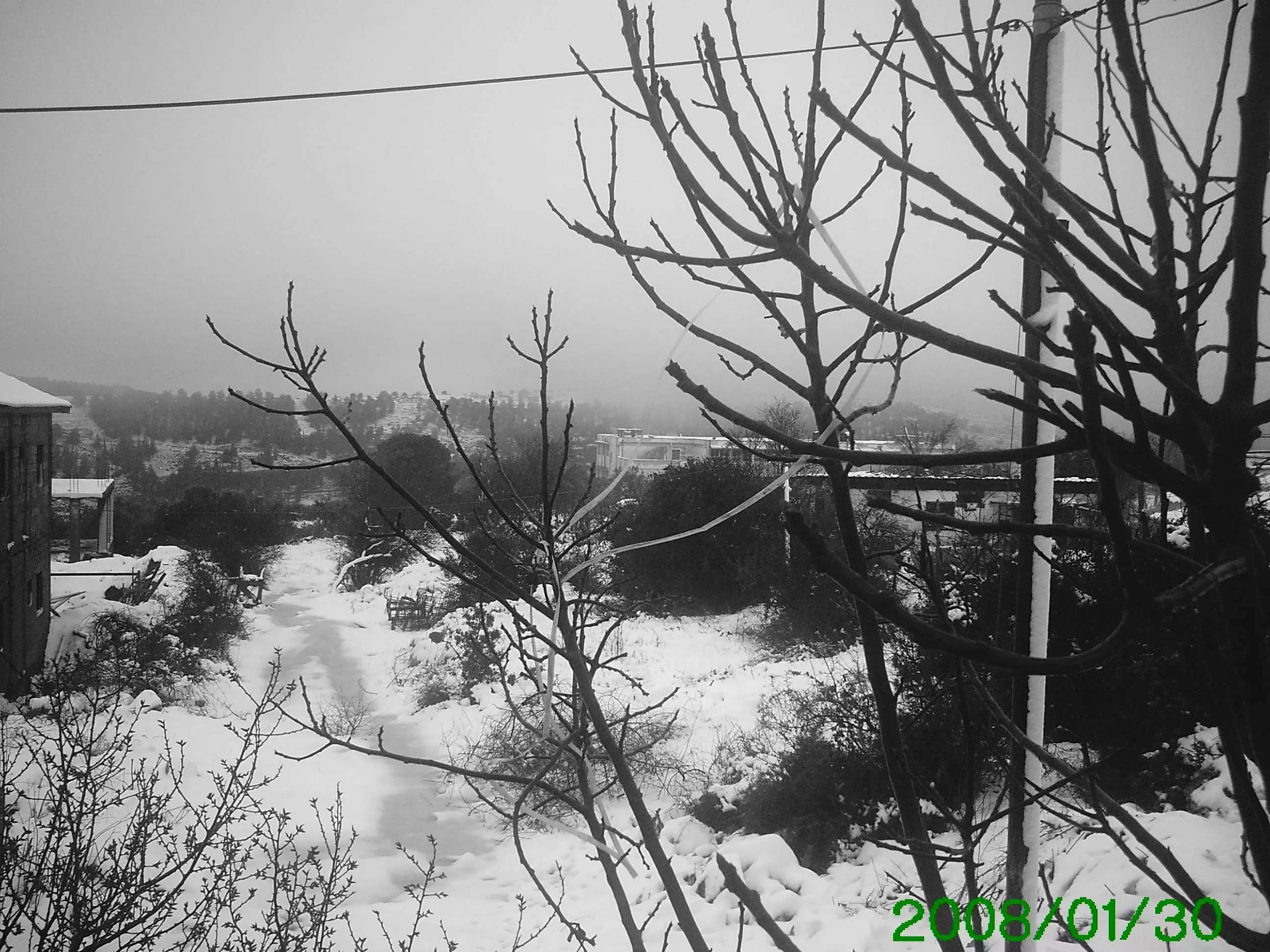
Posted by جمال بدوان 3 - يوم مثلج وبارد جدا في بيت سوريك منطقة القبور
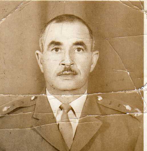
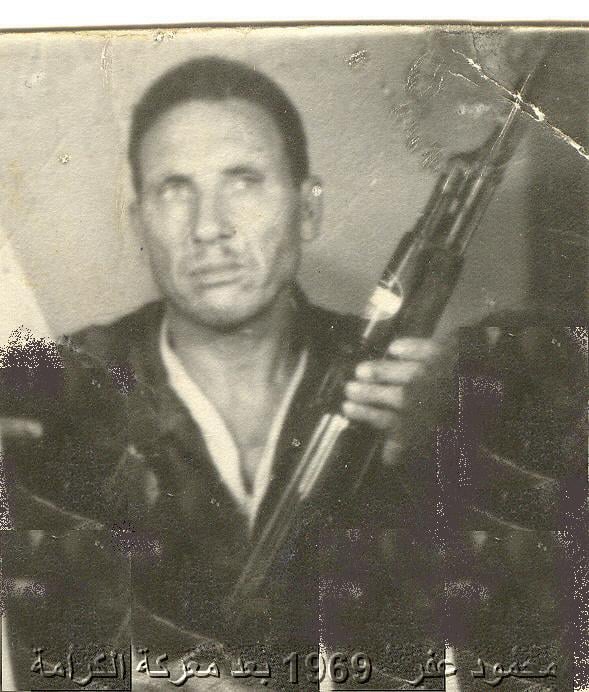
Posted by جمال بدوان 4 - مناضل منذ سنة 1936 وحتى تاريخ استشهاده في بيروت 4\9\1982 التحق بحركة فتح بتاريخ 1\1\1965
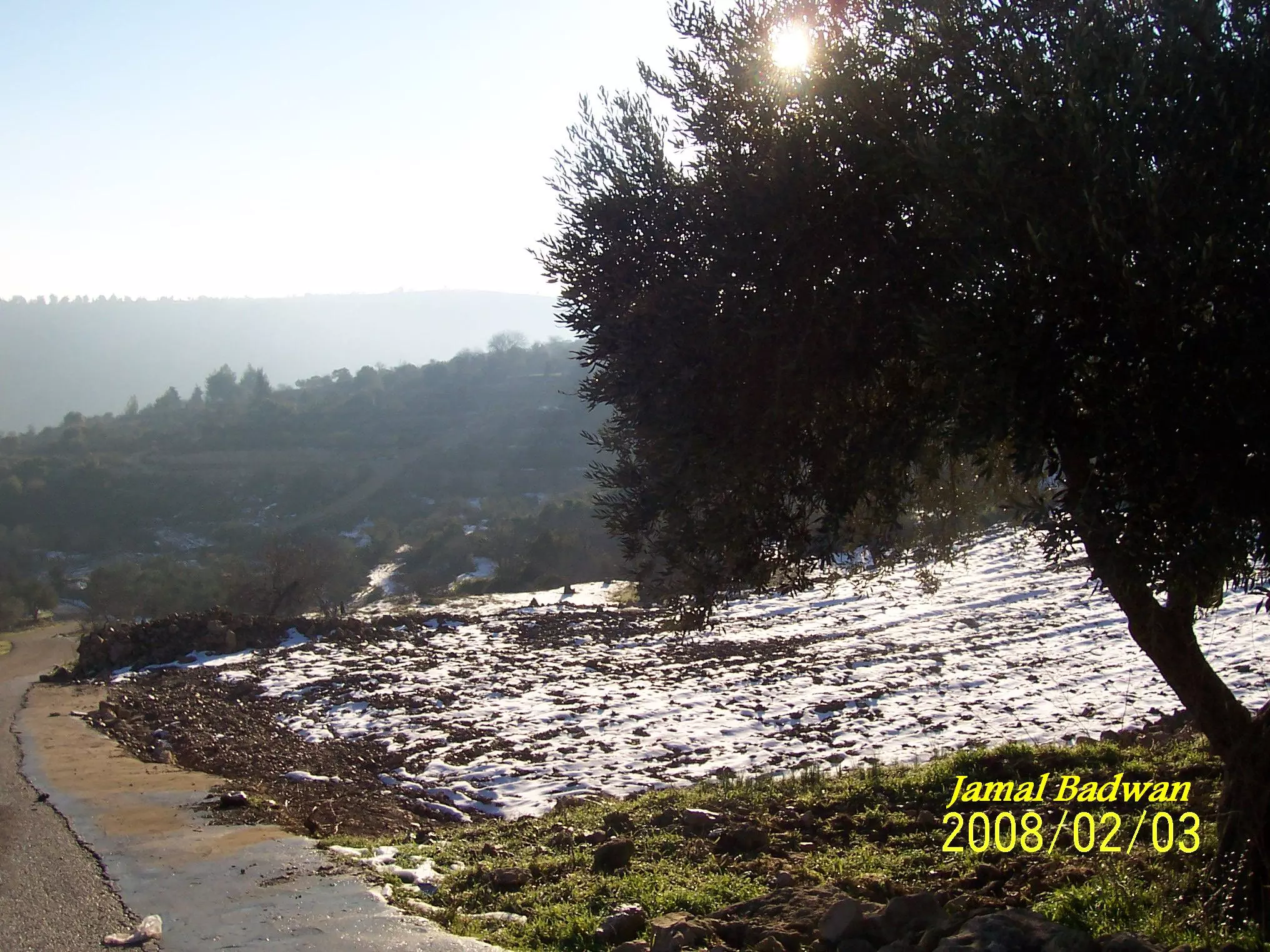
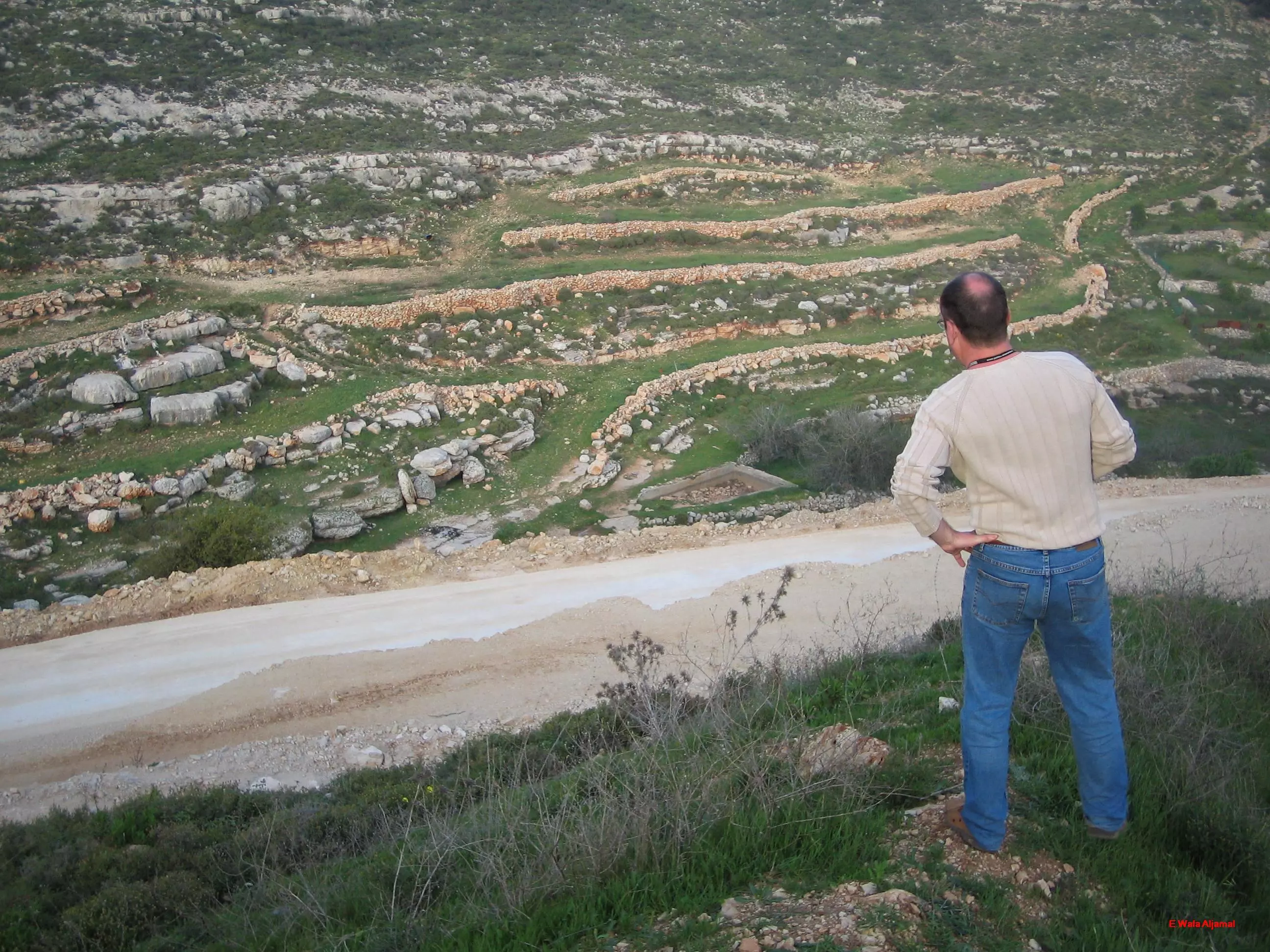
Posted by جمال بدوان 4 - صورة لطريق العين حديثا بعد تعبيد الطريق
Posted by جمال بدوان - النبي صمويل من بيت سوريك صباح يوم ندي جميل
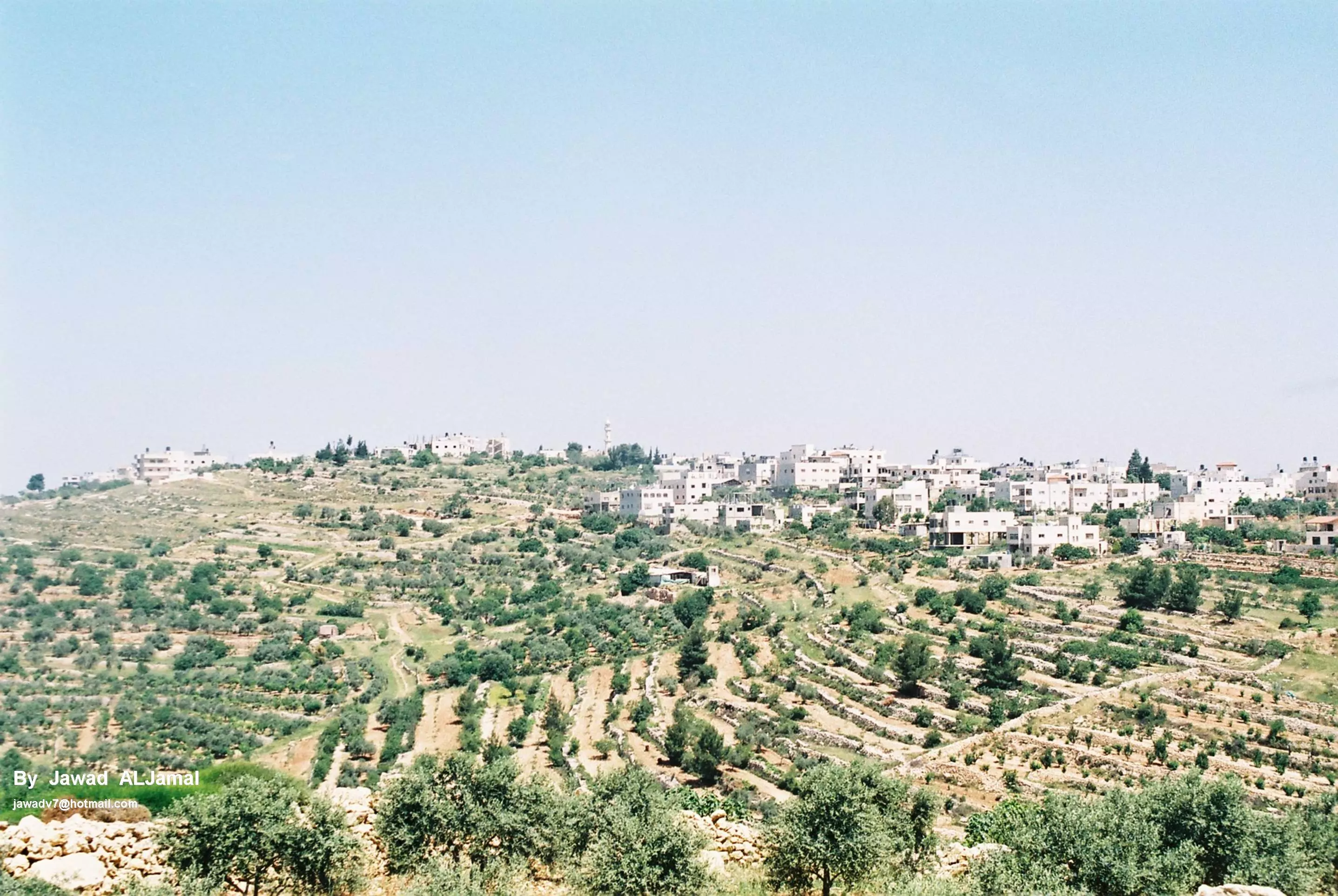
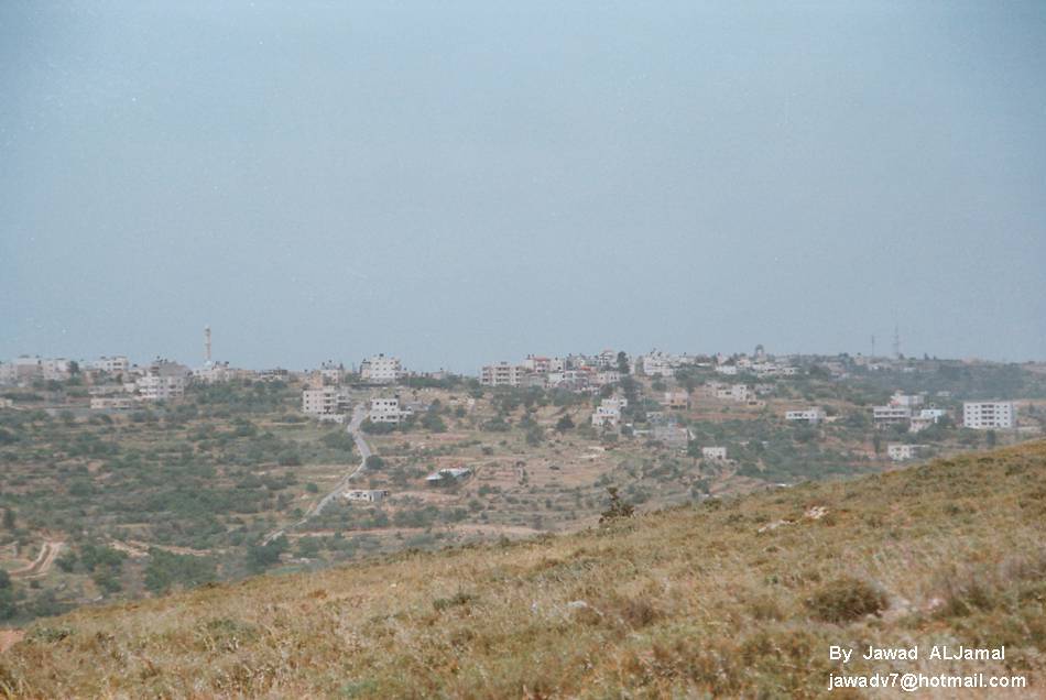
Posted by جمال بدوان 3 - بيت سوريك - منظر من الجنوب
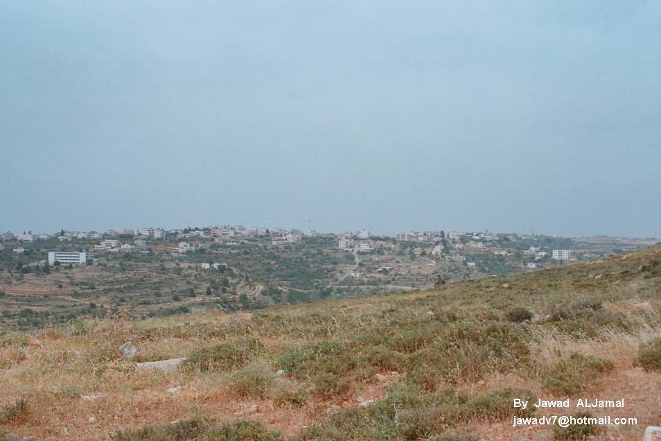
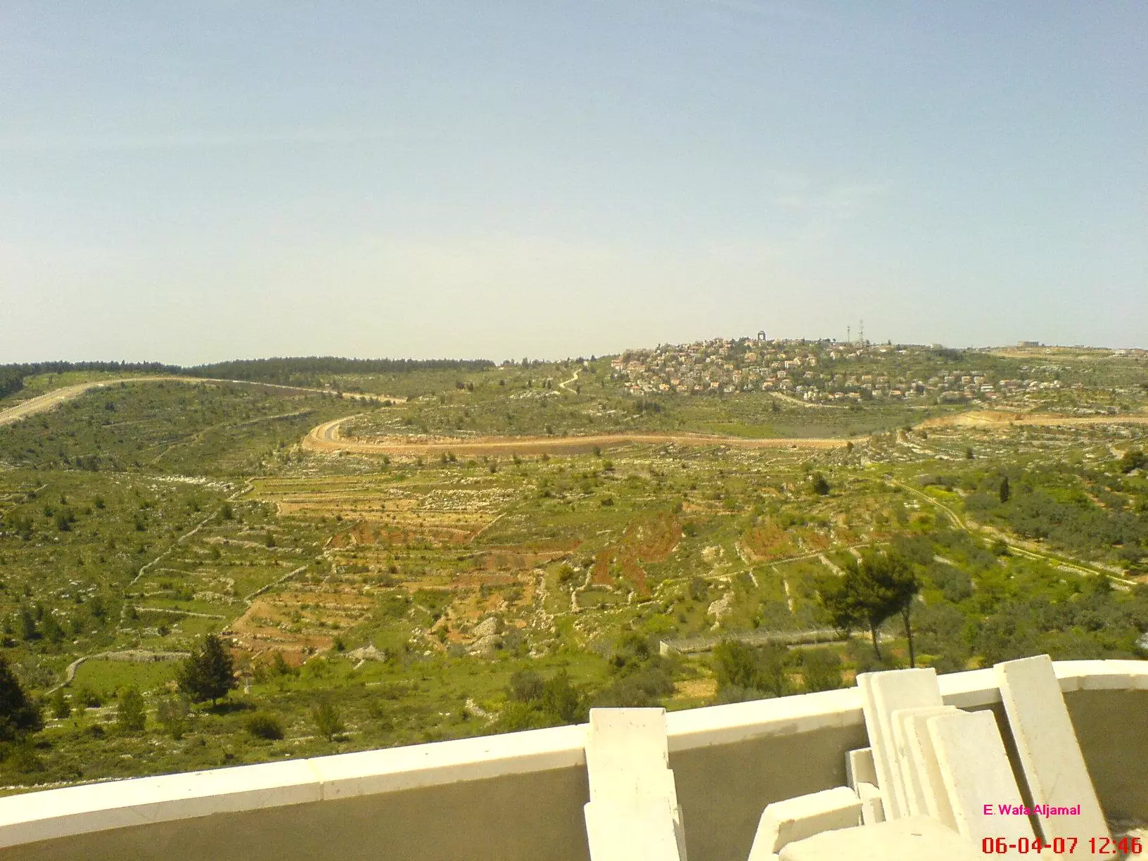
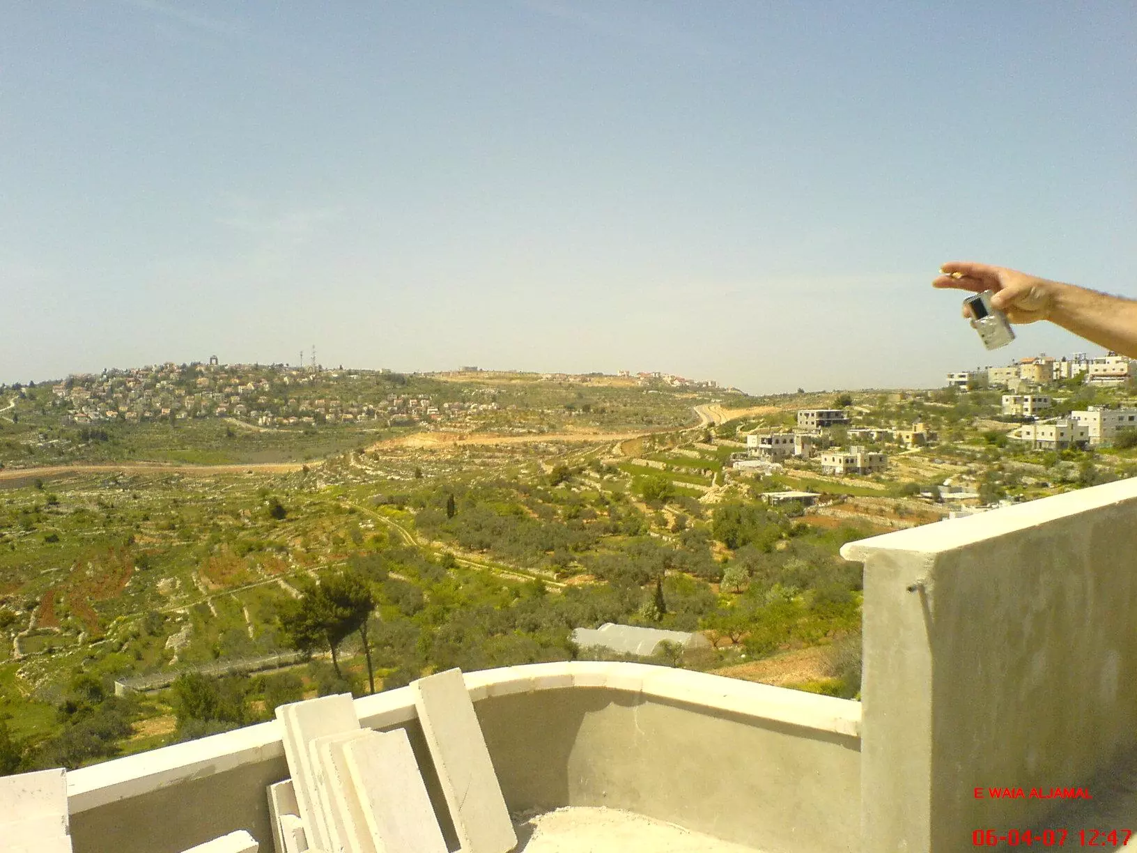
Posted by Jawad Aljamal - منظر عام لمنطقة ما حول بيت سوريك
Posted by om dawood-hadya waqqad 2 - بيت سوريك - منظر من الجنوب
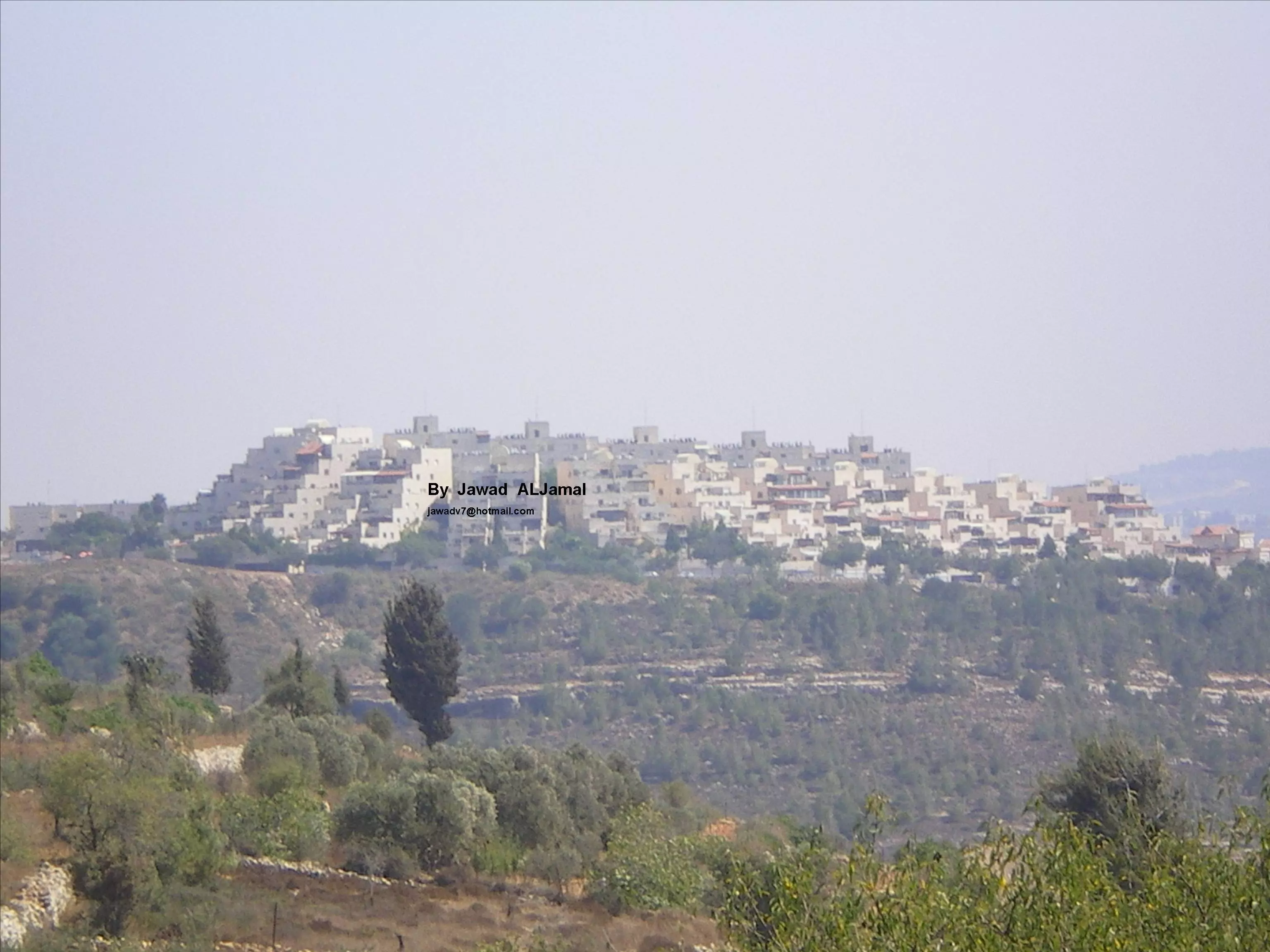
Posted by Jawad Aljamal - بيت سوريك - منظر من الشرق
Posted by Jawad Aljamal - بيت سوريك - منظر من الشرق - مدرسة بيت سوريك للبنات
Posted by Jawad Aljamal - بيت سوريك - منظر من الشمال
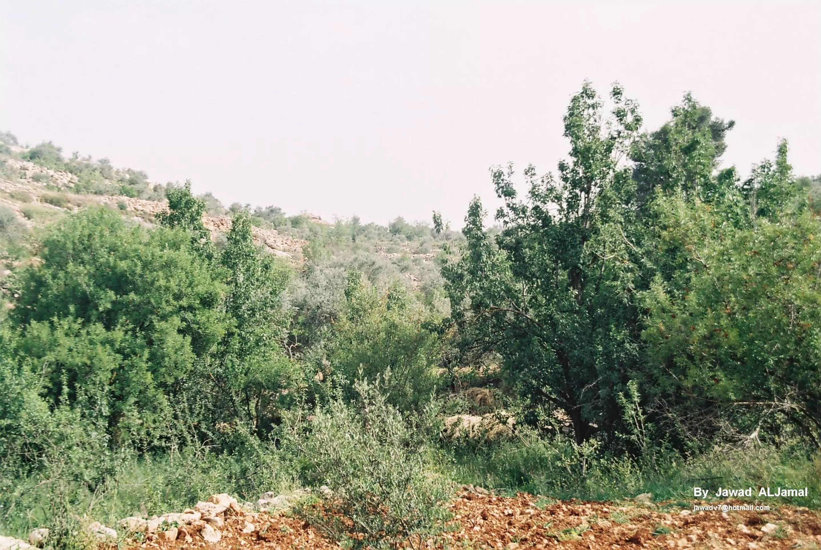
Posted by Jawad Aljamal - طبيعة بيت سوريك - عروس الريف المقدسي
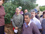
Posted by Jawad Aljamal 8 - اهل بيت سوريك في مواجهة مع جنود الاحتلال لمنع الجدار العنصري الذي استولت الدوله الصهيونيه فيه على نسبة كبيرة من ارض القريه الزراعيه
Posted by om dawood-hadya waqqad 7 - اهل بيت سوريك في مواجهة مع جنود الاحتلال لمنع الجدار العنصري الذي استولت الدوله الصهيونيه فيه على نسبة كبيرة من ارض القريه الزراعيه (2003)2
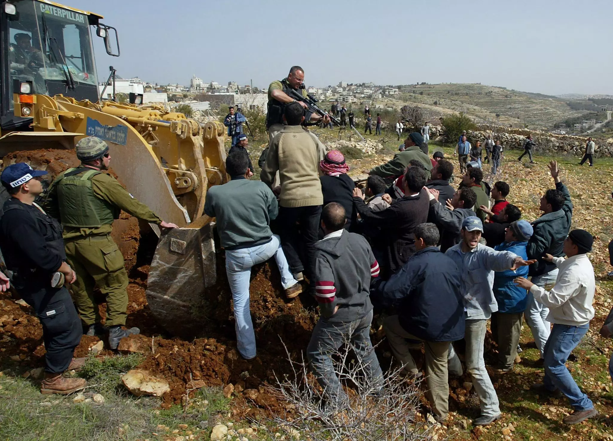
Posted by om dawood-hadya waqqad - اهل بيت سوريك في مواجهة مع جنود الاحتلال لمنع الجدار العنصري الذي استولت الدوله الصهيونيه فيه على نسبة كبيرة من ارض القريه الزراعيه (2003)2
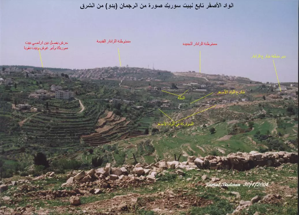
Posted by om dawood-hadya waqqad 5 - الواد الأصفر من جبل الرجمان (بدو) ومستوطنة الرادار
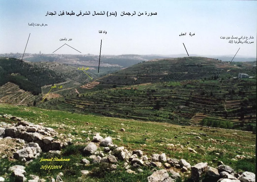
Posted by جمال بدوان 3 - الأراضي شرق بيت سوريك من جبل الرجمان (بدو) واد لفتا ، عين عليق ، عين لوزة
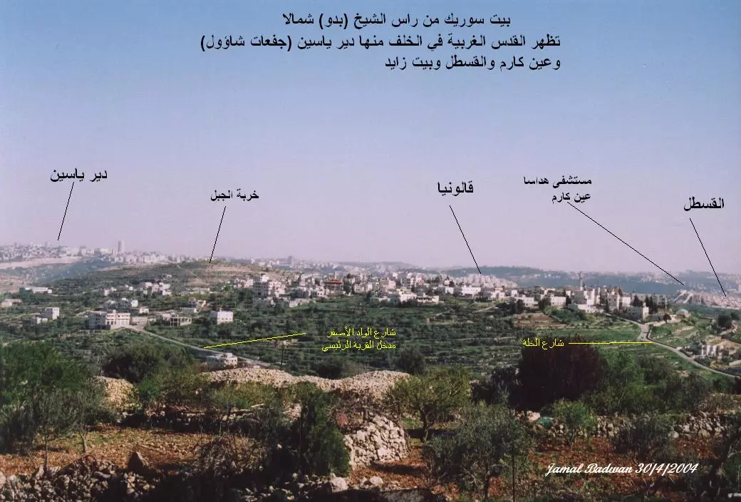
Posted by جمال بدوان - بيت سوريك من الشمال (راس الشيخ ) بدو تظهر معظم مناطق القدس الغربية خلفها
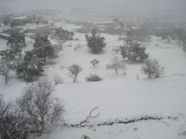
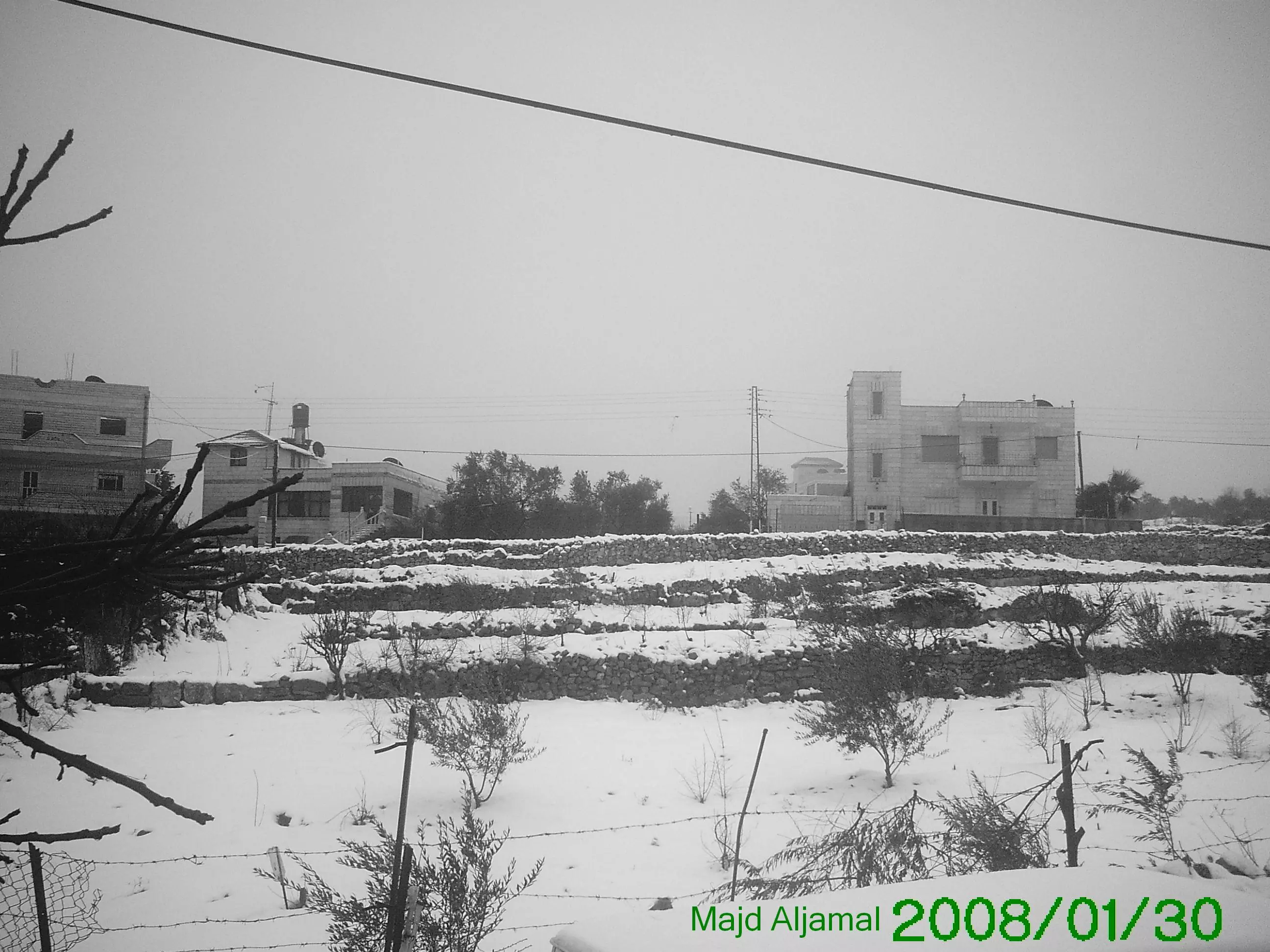
Posted by جمال بدوان - صورة للقرية خلال الشتاء منظر الثلج
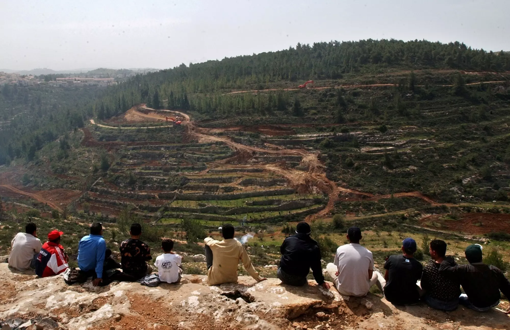
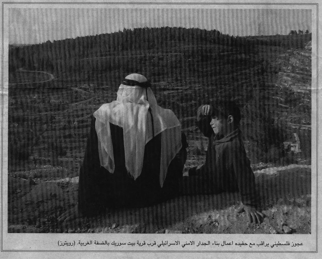
Posted by نديم 1 - عجوز فلسطيني يراقب مع حفيده أعمال بناء الجدار العنصري قرب قرية بيت سوريك الصامدة في وجه الاحتلا الصهيوني البغيض
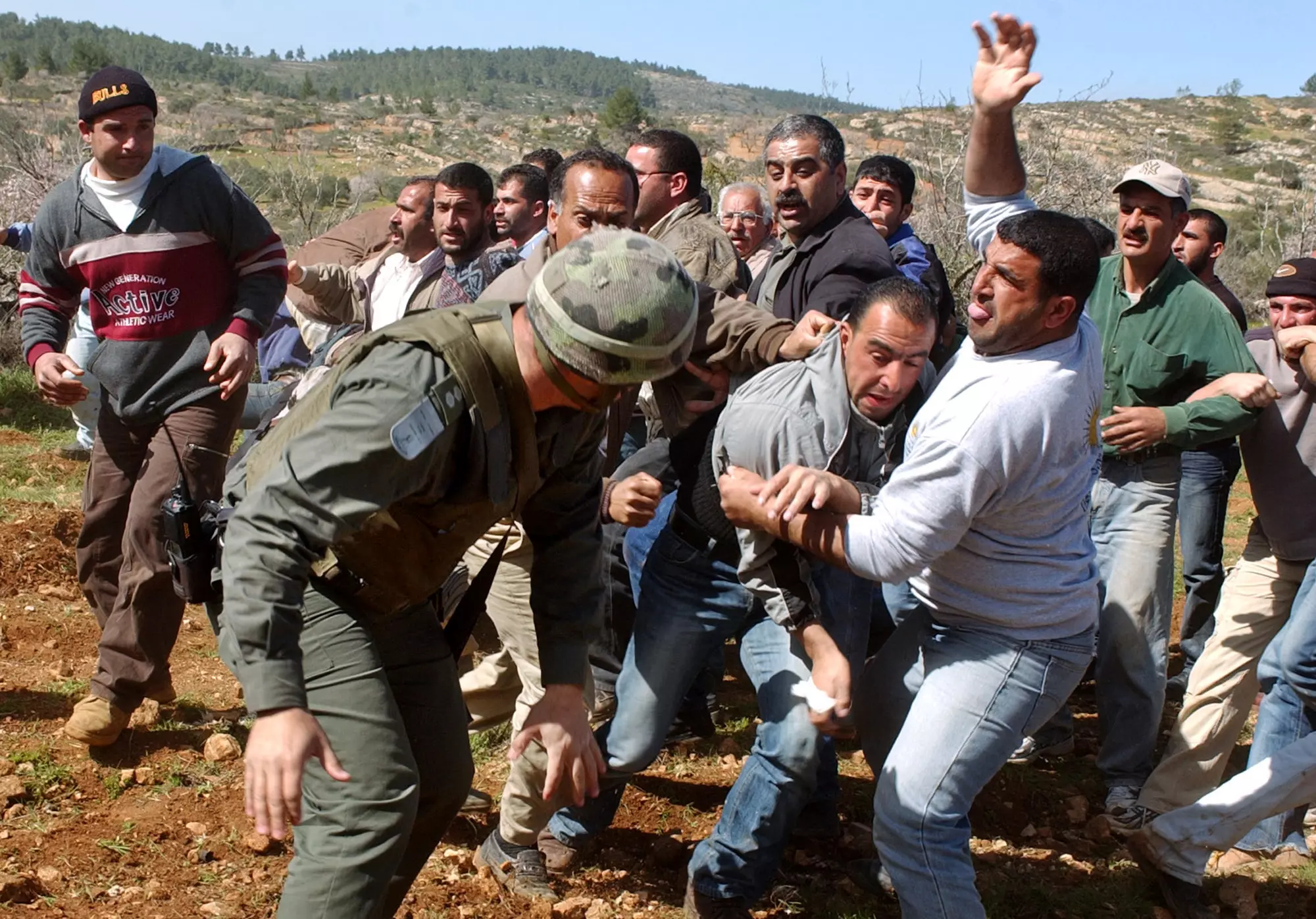
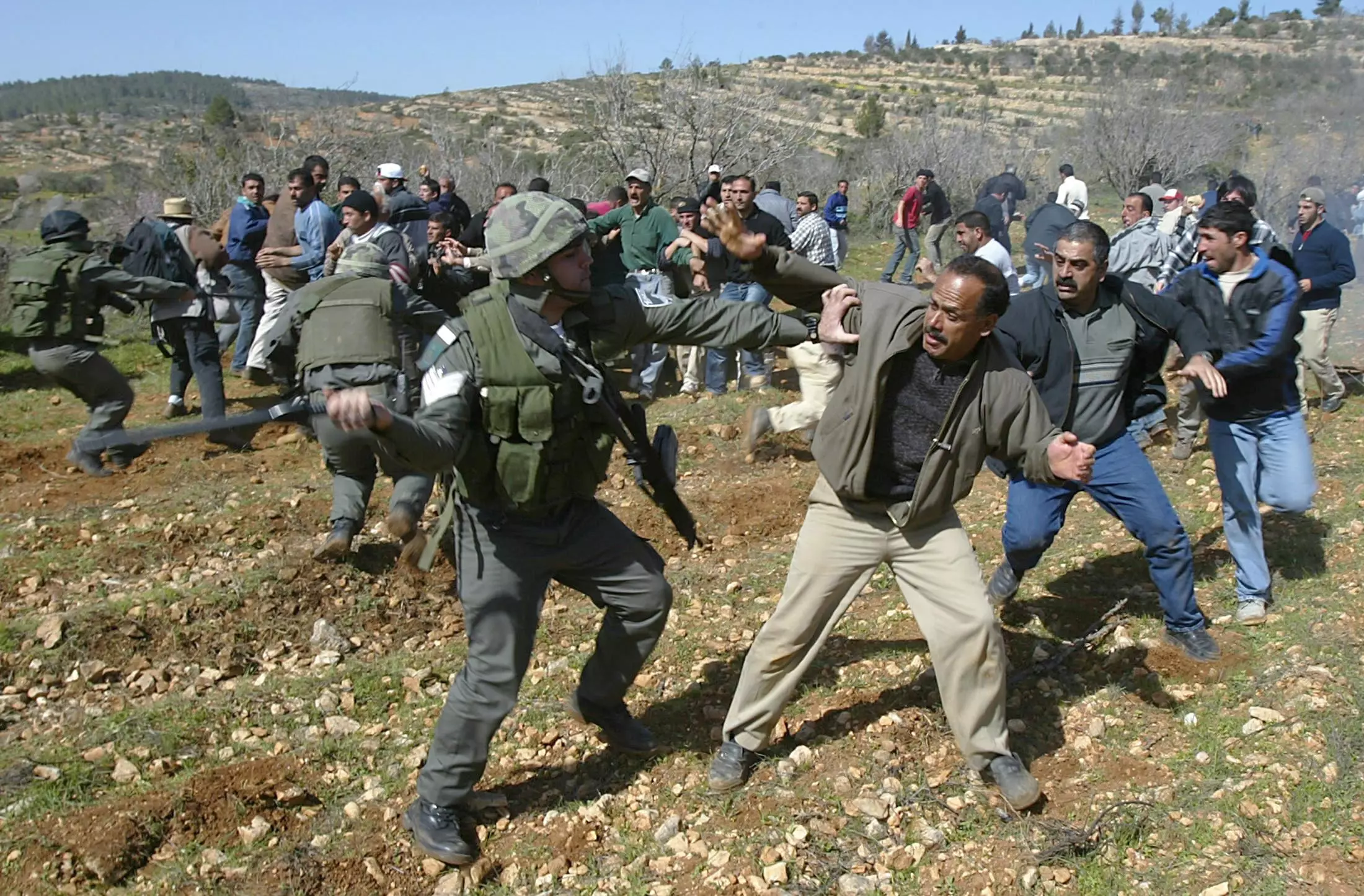
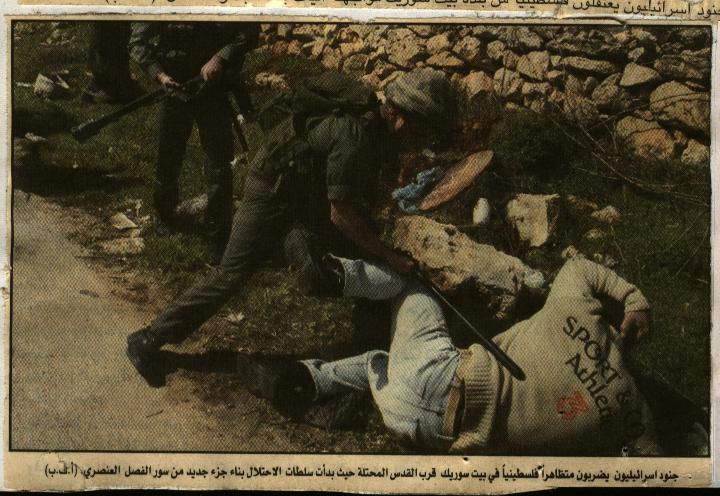
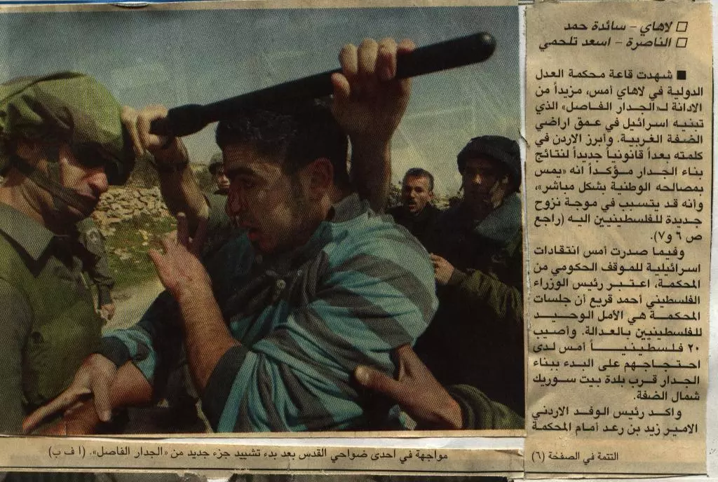
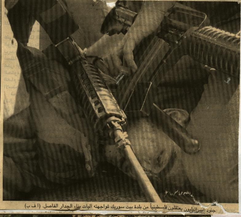
Posted by ابو يوسف - جنود اسرائيليون يضربون متظاهراً فلسطينيا في بيت سوريك تظاهر ضد بناء جدار الفصل العنصري حول القرية
Posted by ابو يوسف - صورة مأخوذة لبيت شنا وهي مسقط رأس الكثير من أهالي القرية قبل رحيلهم الى بيت سوريك سنة 1948
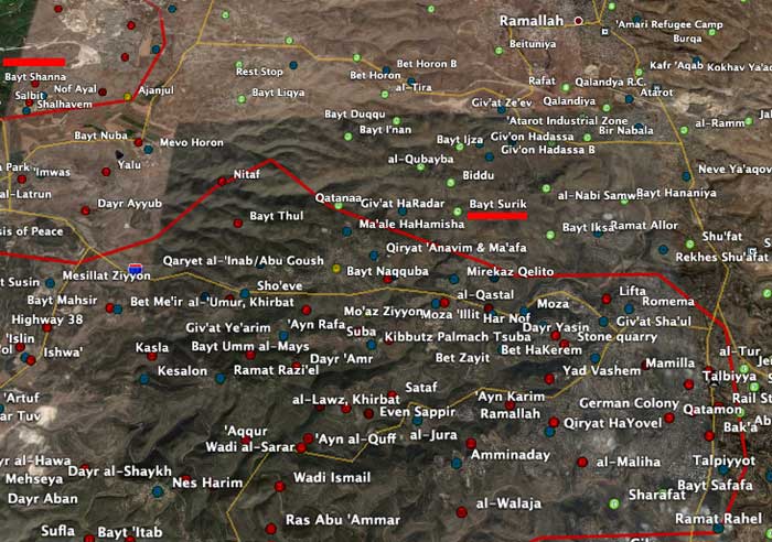
Posted by ابو يوسف 3 - خريطة تبين موقع قرية بيت سوريك وقرية بيت شنا (مسقط رأس الكثير من أهالي بيت سوريك)
Posted by ابو يوسف 1 - تحية اجلال واكبار لهذا الطفل البطل من قرية بيت سوريك
Posted by ابو يوسف - تحية اجلال واكبار لهذا البطل من قرية بيت سوريك
Posted by ابو يوسف 1 - الصورة تتحدث عن نفسها عن همجية الاحتلال
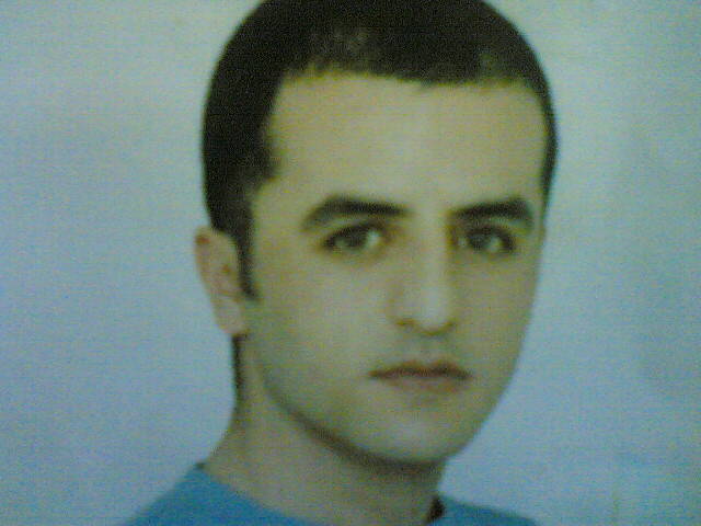
Posted by ابو يوسف - المناضل الأسير/ وائل علي حسن عبدالله العفالكي فك الله أسره وجميع المأسورين من أبناء شعبنا الفلسطيني العظيم.
Posted by ابو يوسف 4 - هكـذا كانت الوقفتة للدفاع عن الارض ضد جدار الفصل اللعنصري- عين جميل - والشيخ عبد العزيز
Posted by ABU DAWOOD 3 - سلمت سواعد اطفال بيت سوريك.

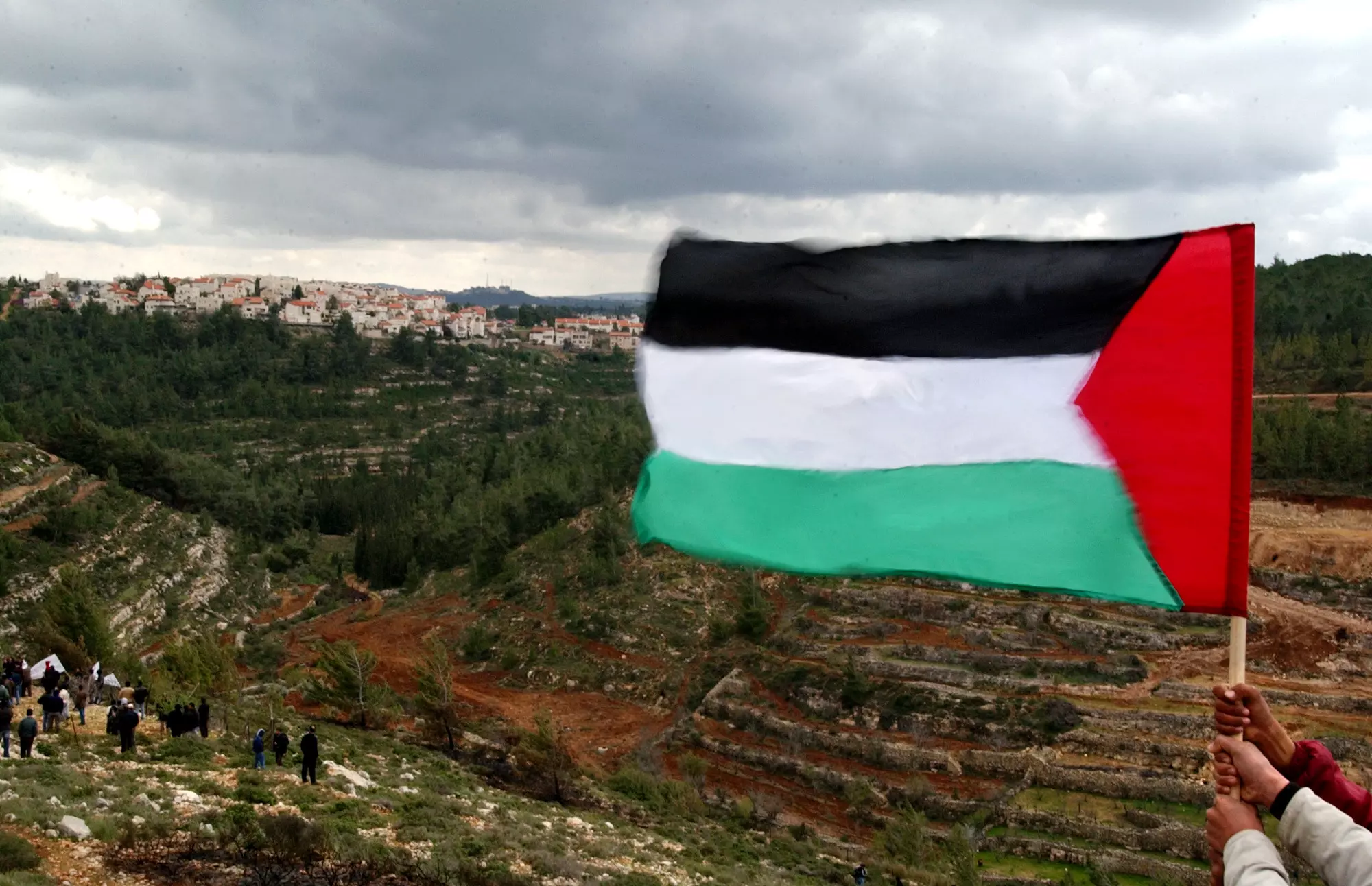
Posted by ABU DAWOOD 2 - علم فلسطين يرفرف على جبال ووديان بيت سوريك (سلمت سواعدكم )
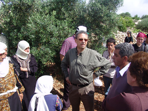
Posted by ABU DAWOOD 2 - مسيرة ضد جدار الفصل العنصري في بيت سوريك يشارك فيها السيد/ مصطفى البرغوثي
Posted by ابو يوسف - مسيرة ضد جدار الفصل العنصري في بيت سوريك يشارك فيها السيد/ مصطفى البرغوثي
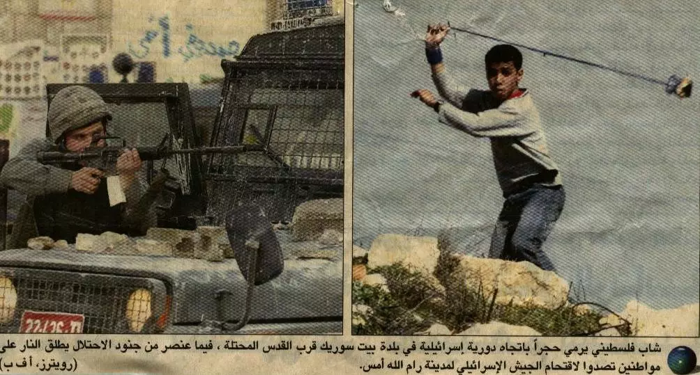
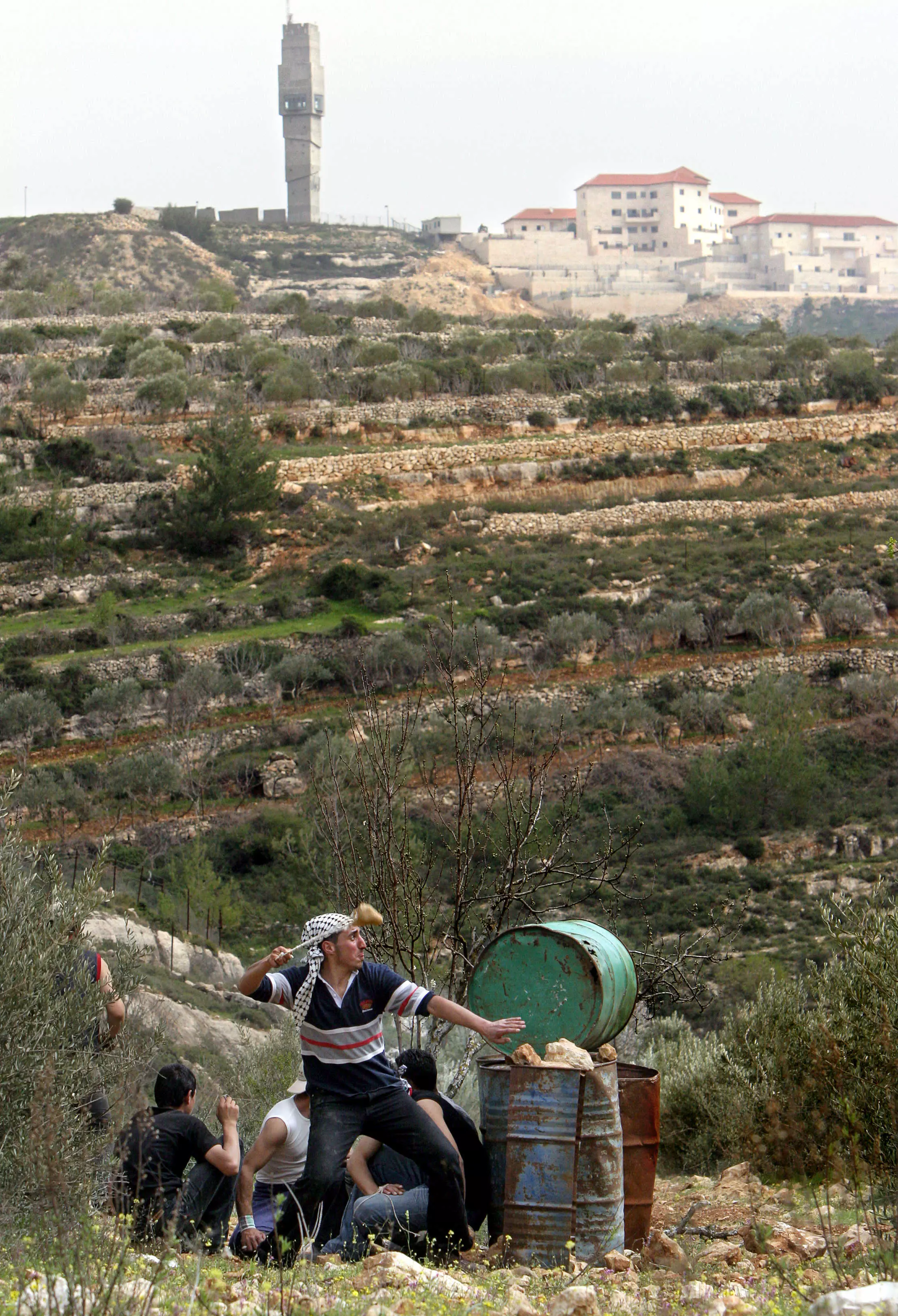
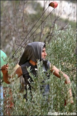
Posted by ابو يوسف - شاب فلسطيني من بيت سوريك يرشق جنود الاحتلال بالحجارة احتجاجا على بناء جدار الفصل العنصري
Posted by ابو يوسف 3 - مسجد بيت سوريك
Posted by ابو يوسف 1 - بيت سوريك عشقي للتراب
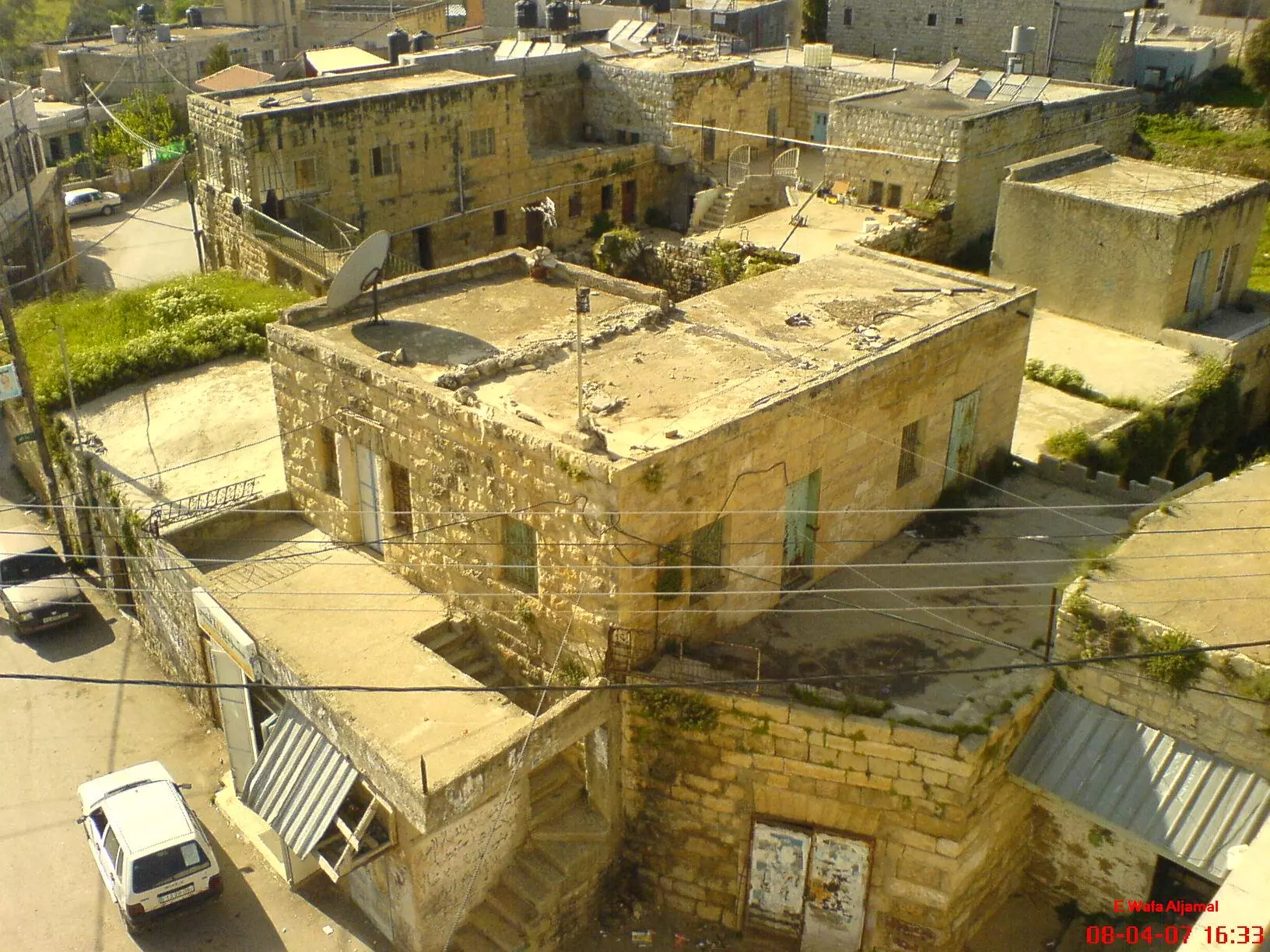
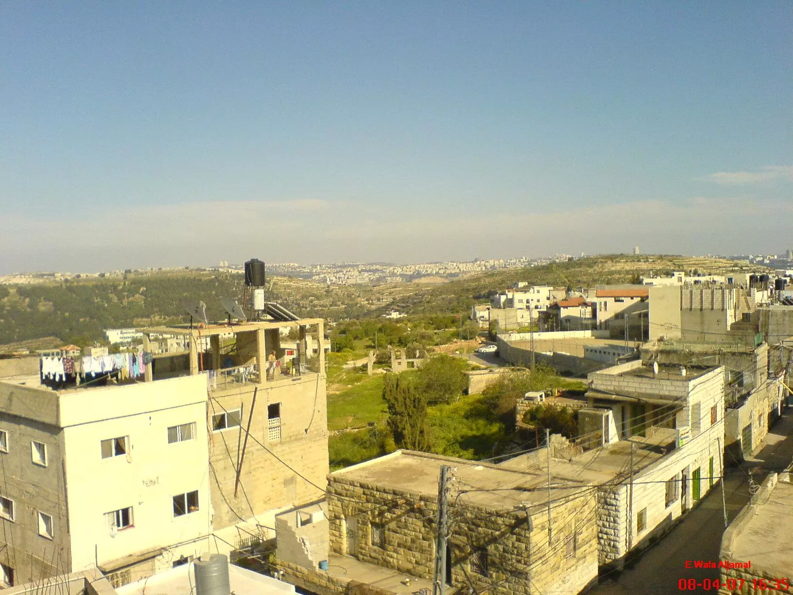
Posted by وفا 3 - بيت سوريك صورة من قوق مأذنة المسجد2
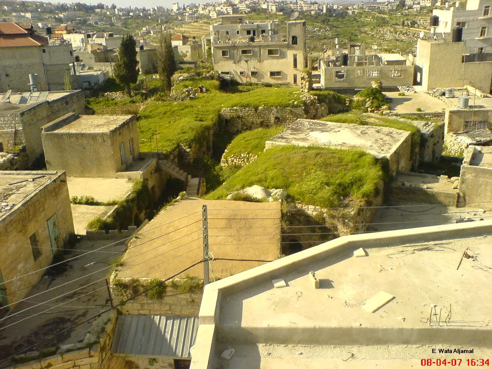
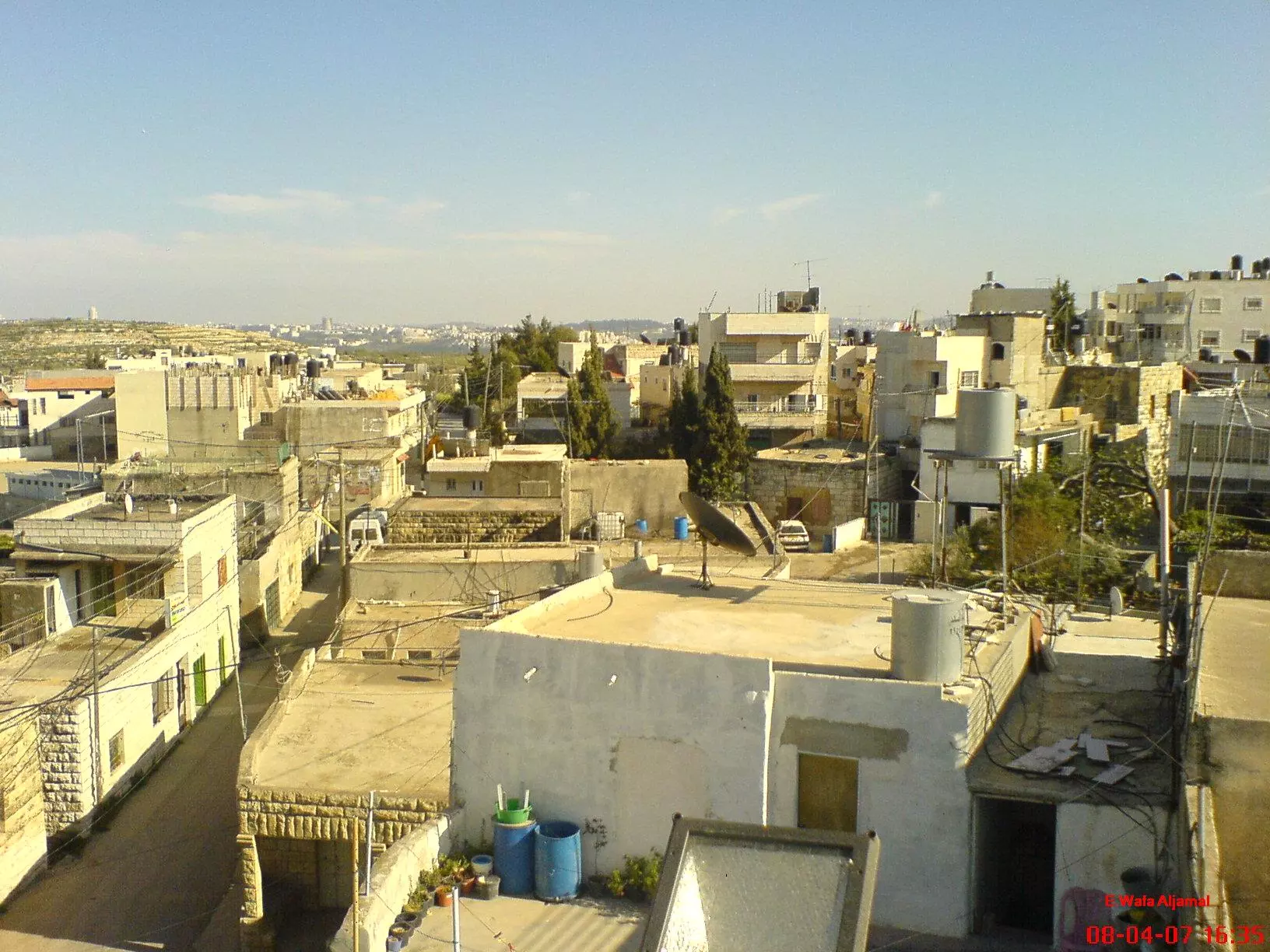
Posted by وفا 4 - بيت سوريك صورة من قوق مأذنة المسجد3
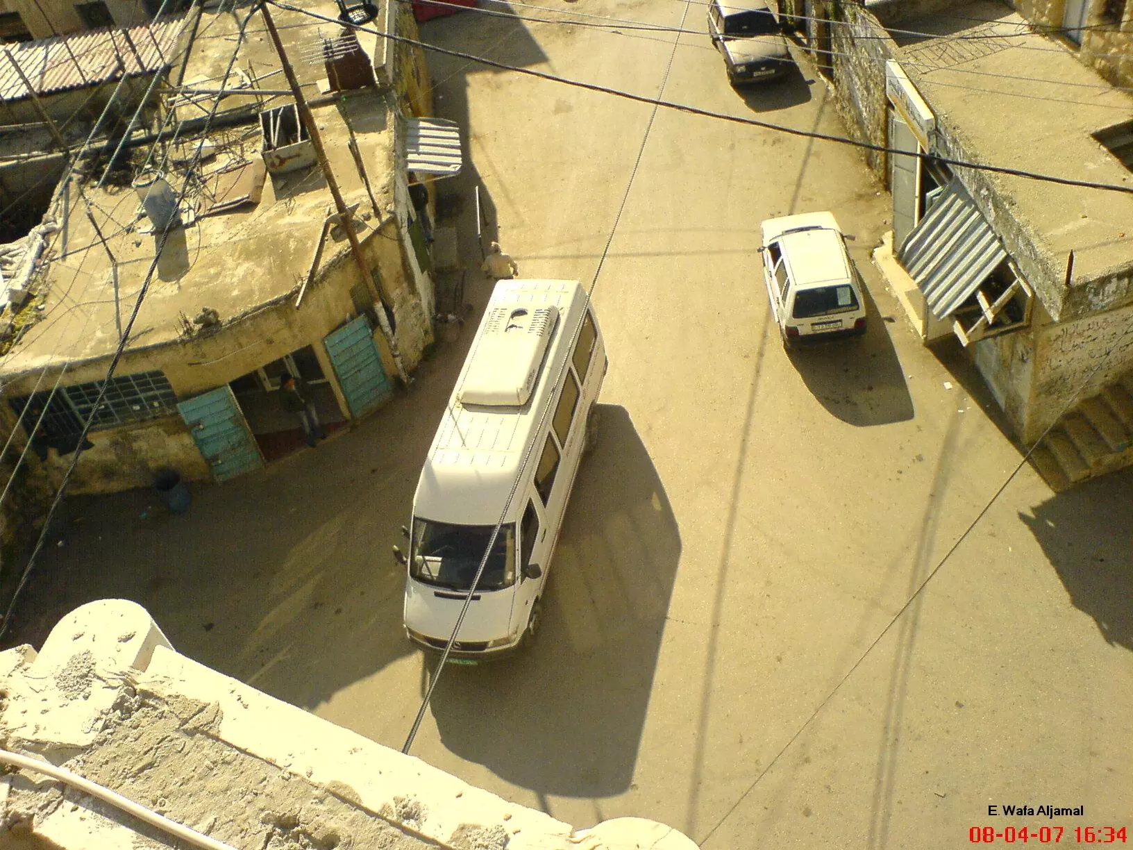
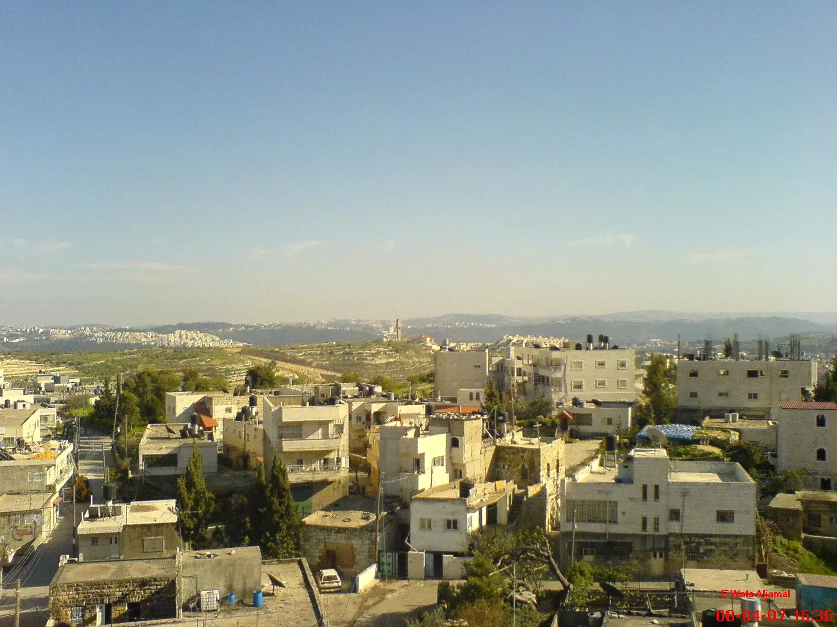
Posted by وفا - بيت سوريك صورة من فوق مأذنة المسجد4
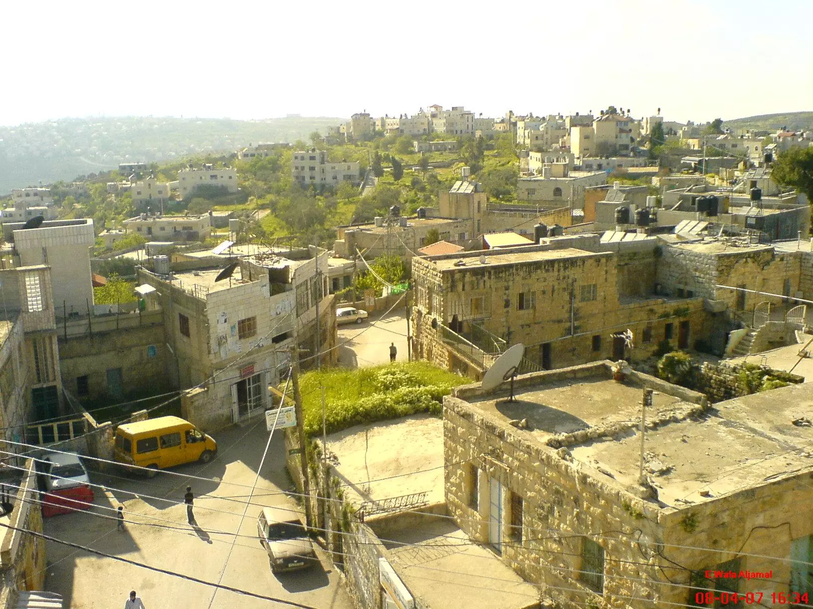
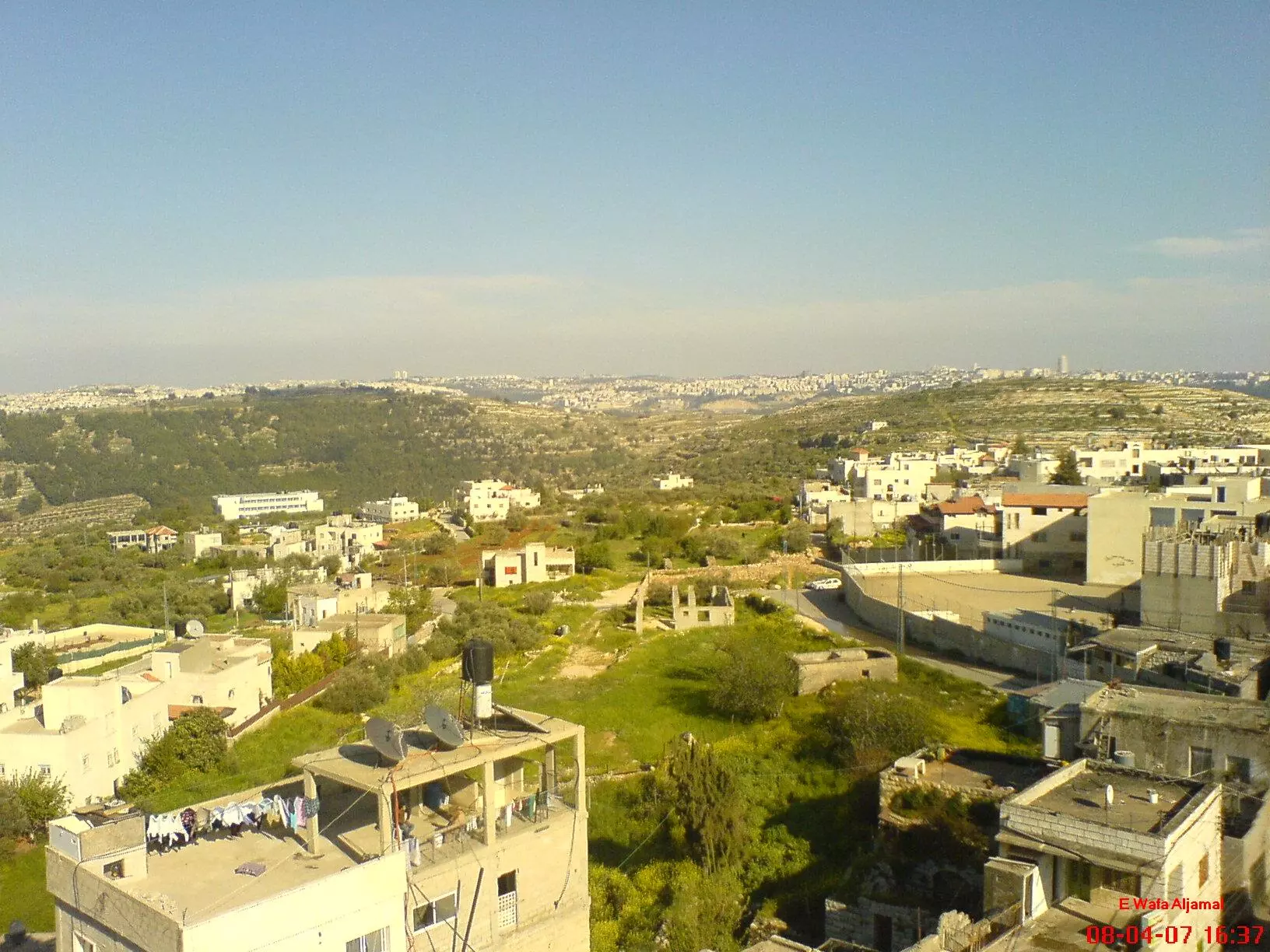
Posted by وفا 3 - بيت سوريك صورة من فوق مأذنة المسجد5
Posted by وفا 1 - بيت سوريك صورة من فوق مأذنة المسجد 6
Posted by وفا 2 - بيت سوريك صورة من فوق مأذنة المسجد 7
Posted by وفا 1 - بيت سوريك صورة من فوق مأذنة المسجد 8
Posted by وفا 1 - بيت سوريك صورة من فوق مأذنة المسجد 9
Posted by وفا - بيت سوريك صورة من فوق مأذنة المسجد 10
Posted by وفا - عين عليق قبل الجدار
Posted by وفا 1 - عين عليق بعد الجدار
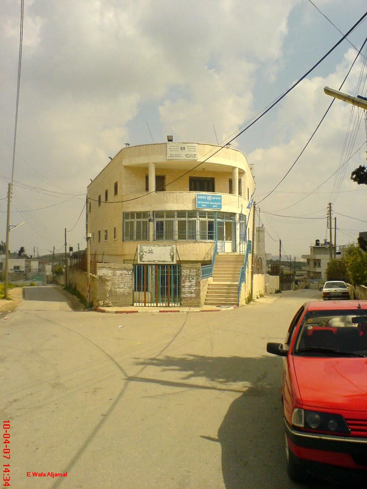
Posted by وفا 1 - مجلس قروي بيت سوريك
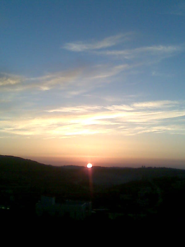
Posted by وفا - منظر لشروق الشمس من المدرسة الغربية2
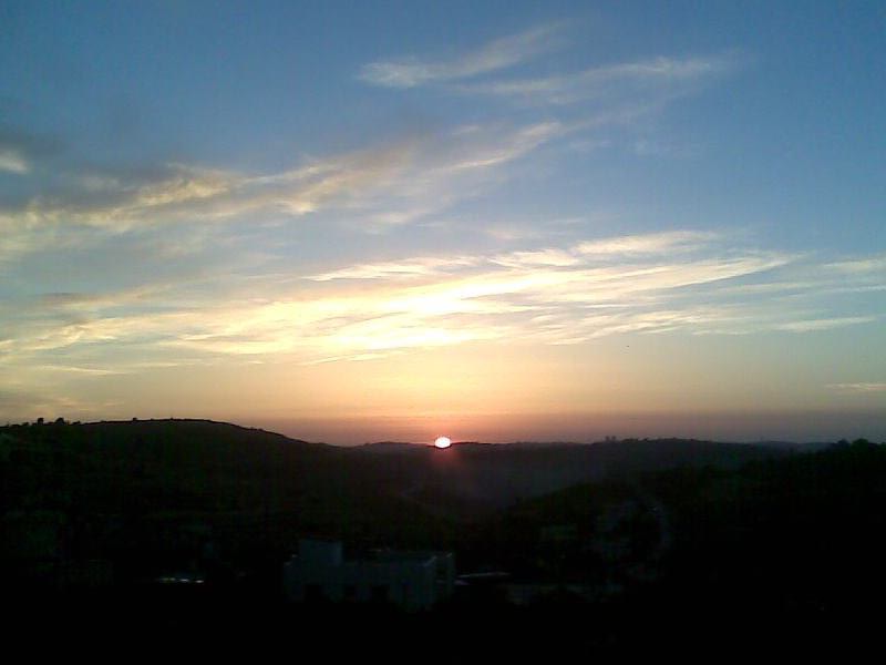
Posted by انا وليلى 2 - منظر لشروق الشمس ملتقطة من المدرسة الغربية 3
Posted by انا وليلى - صور الجهة الغربية للبلد بعد الجدار
Posted by وفا - الجهة الغربية للبلد بعد الجدار
Posted by وفا - منطقة النصافات في الجهة الغربية للبلد
Posted by وفا - منطقة عين جميل
Posted by وفا 1 - ارض الشيخ عبد العزيز
Posted by وفا - صور للجهة الجنوبية للبلد ارض العمارة
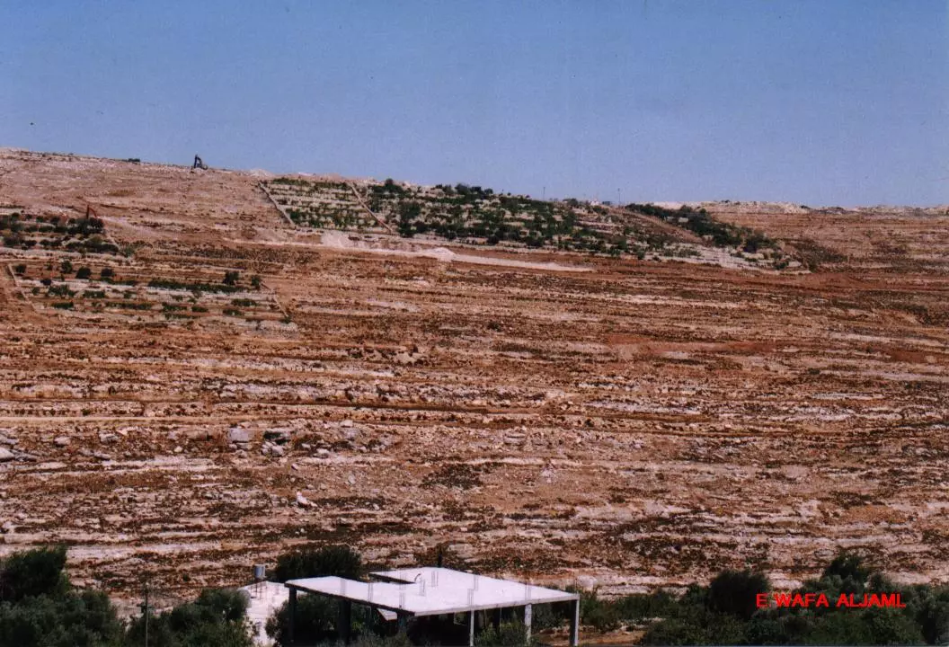
Posted by وفا 1 - صور الرجمان اول ما بدأ العمل في الجدار
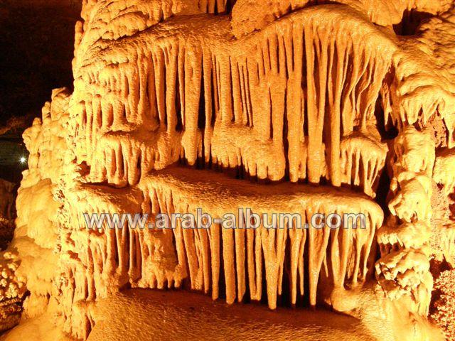
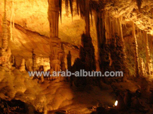
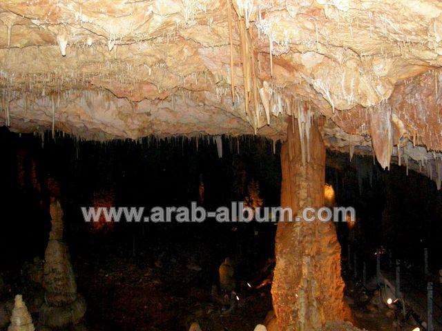
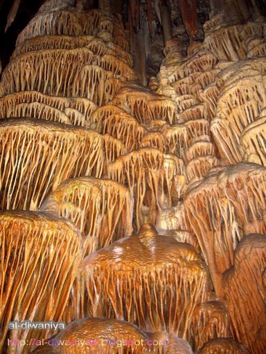
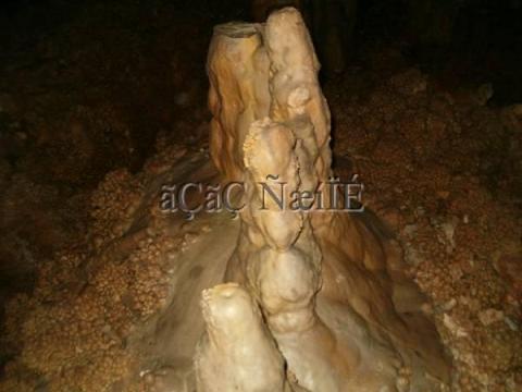
Posted by وفا - مغارة الشموع أذن الفيل في الإذابة الكارستية
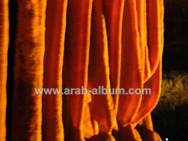
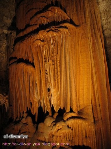
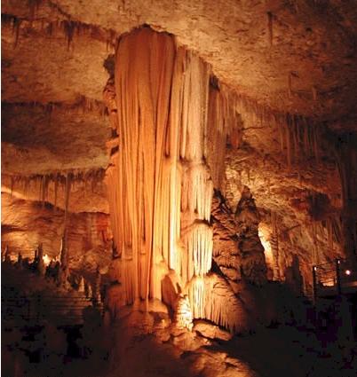
Posted by AboFalstin - مغارة الشموع من اشهر الأشكال شكل يسمى "الستارة"
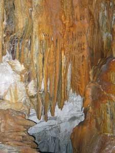
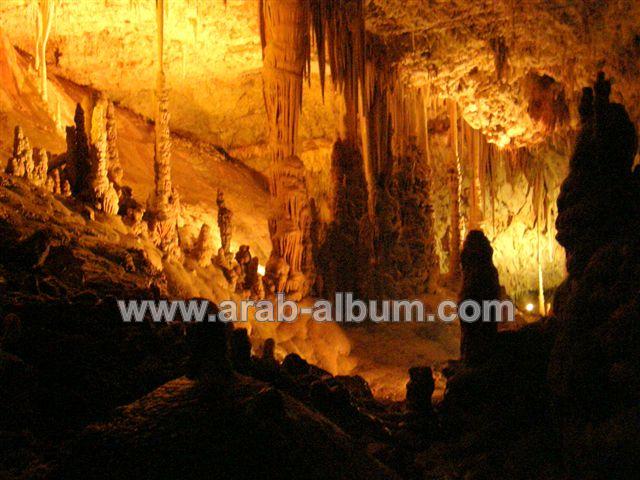
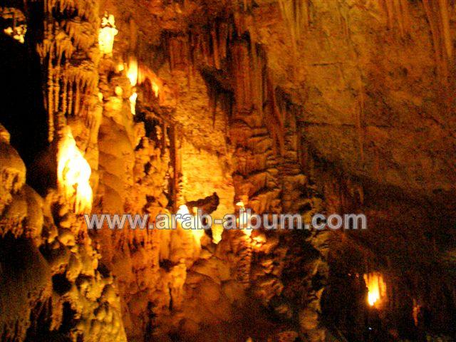
Posted by AboFalstin 1 - مغارة الشموع ظواهر كارستية Stalactite
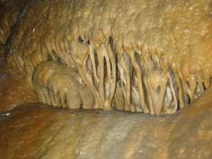
Posted by AboFalstin - مغارة الشموع هوابط إذابة صخر الجير بواسطة المياه والمواد الكيماوية
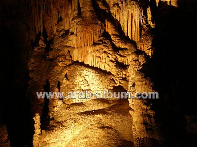
Posted by AboFalstin - مغارة الشموع نوازل هوابط كارستية
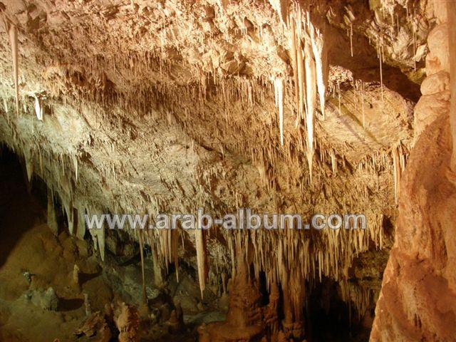
Posted by AboFalstin - مغارة الشموع كل سم من الإذابة يحتاج إلى نحو 50 سنة ليتكون
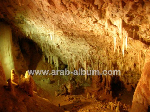
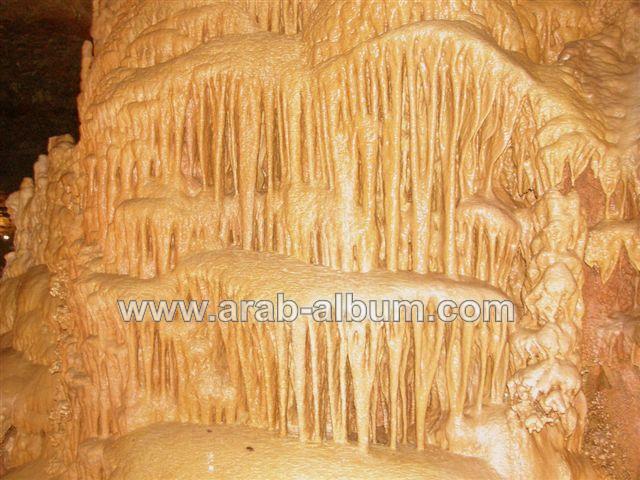
Posted by AboFalstin - مغارة الشموع عامود جميل من الكارست
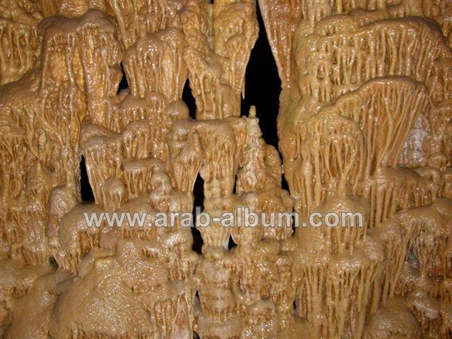
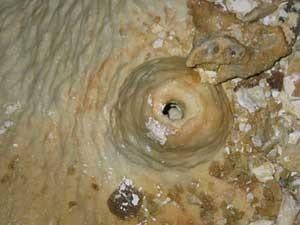
Posted by AboFalstin 1 - مغارة الشموع صواعد هوابط كارست صخيرات بالوعة فولييه
Posted by AboFalstin - مغارة الشموع إذابة الصخور بواسطة المياه
Posted by AboFalstin - مغارة الشموع إذابة الصخور كربون ثاني أكسيد الكربون
Posted by AboFalstin - مغارة الشموع صواعد هوابط نوازل
Posted by AboFalstin 2 - مغارة الشموع صخور جميلة
Posted by AboFalstin 1 - مغارة الشموع اكتشفت عام 1968م
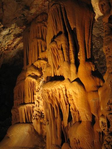
Posted by AboFalstin - مغارة الشموع اكتشفت هذه المغارة عام 1968 اثر انفجار كبير وقع باحدى الكسّارات القريبة
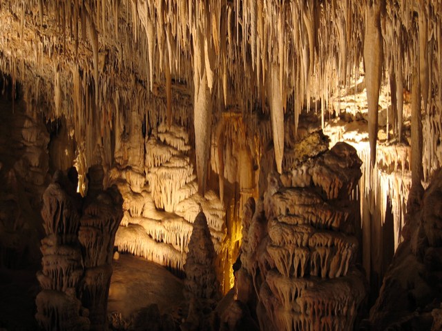
Posted by AboFalstin 1 - مغارة الشموع مناظر خلابة
Posted by AboFalstin - مغارة الشموع هنا تتجلى قدرة الخالق عزوجل
Posted by AboFalstin - مغارة الشموع لا نملك إلا القول سبحان الله
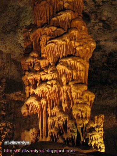
Posted by AboFalstin - مغارة الشموع أشكال تسمى الهوابط
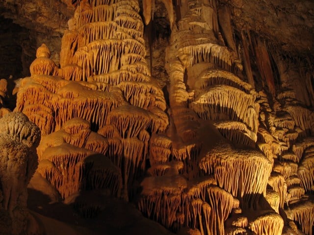
Posted by AboFalstin 1 - مغارة الشموع أشكال تسمى صواعد
Posted by AboFalstin - مغارة الشموع منظر خلاب يفتن العقول

Posted by AboFalstin 2 - مغارة الشموع عمود هابط ( نازل ) يخترق سطح المغارة
Posted by AboFalstin 1 - مغارة الشموع أحد الأشكال داخل المغارة
Posted by AboFalstin - مغارة الشموع أحد الأشكال داخل المغارة 2
Posted by AboFalstin - مظر عام
Posted by محمد الحاج 1 - بيت سوريك
Posted by majd aljamal 4 - بيت سوريك
Posted by majd aljamal - صورة جدي العزيز ابو محمد ابراهيم عفر
Posted by Ezzo 9 - صوره لمنطقة العين +جبل النبي صمؤيل مغطاه بالثلج
Posted by مجد الجمل - منطقة شارع مدرسة الوكاله للبنات
Posted by مجد الجمل - مدرسة البنات + جزء من جبل النبي صمؤيل
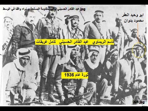
Posted by مجد الجمل - محمود العفر ابو وحيد مع عبد القادر الحسيني وقاسم الريماوي وكامل عريقات في ثورة البراق عام 1936 اثبات على مشاركة أهل بيت سوريك في ثورة البراق
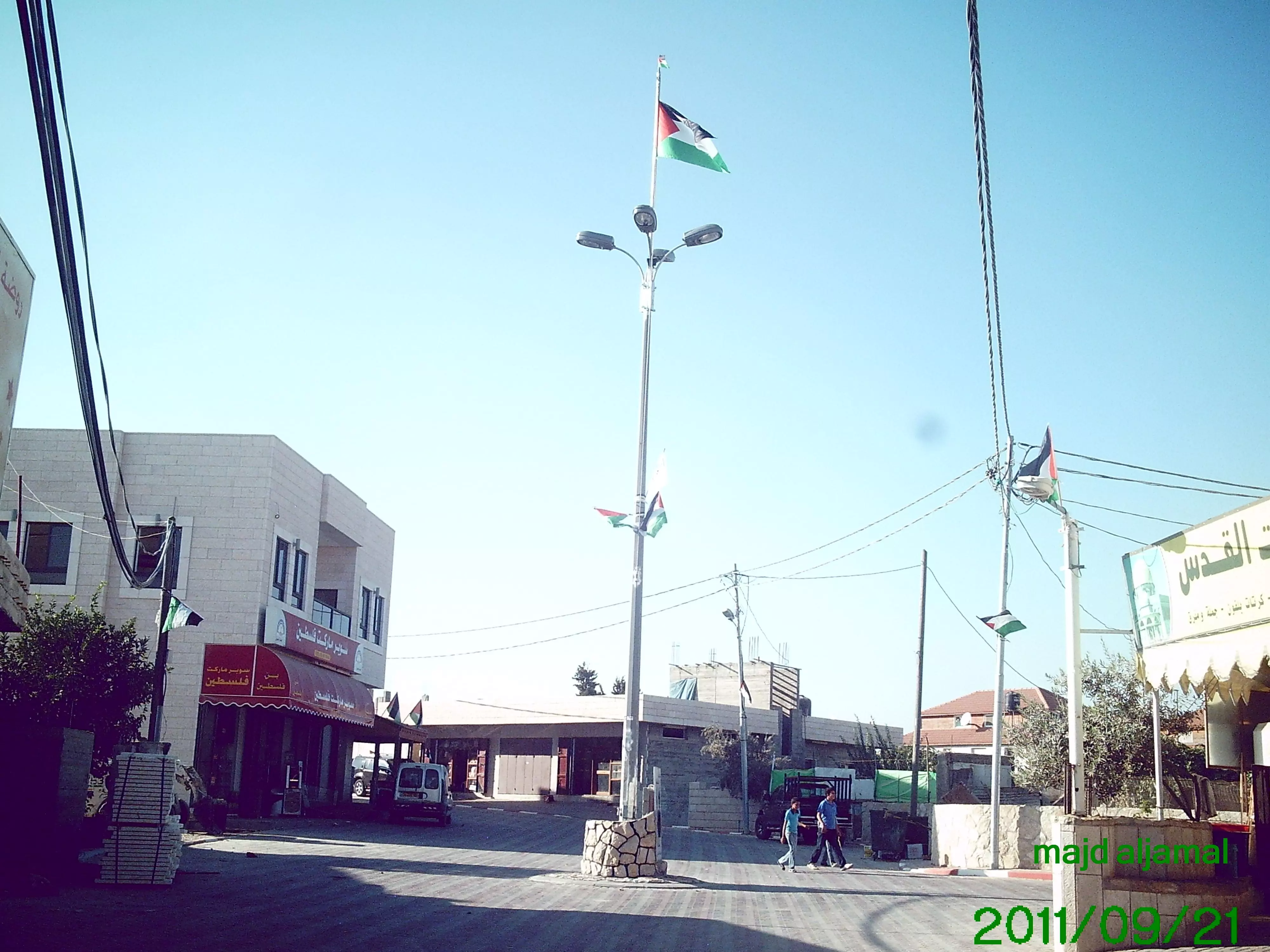
Posted by ابو يحيى بدوان - العلم الفلسطيني - الميدان الجديد - بيت سوريك -2011
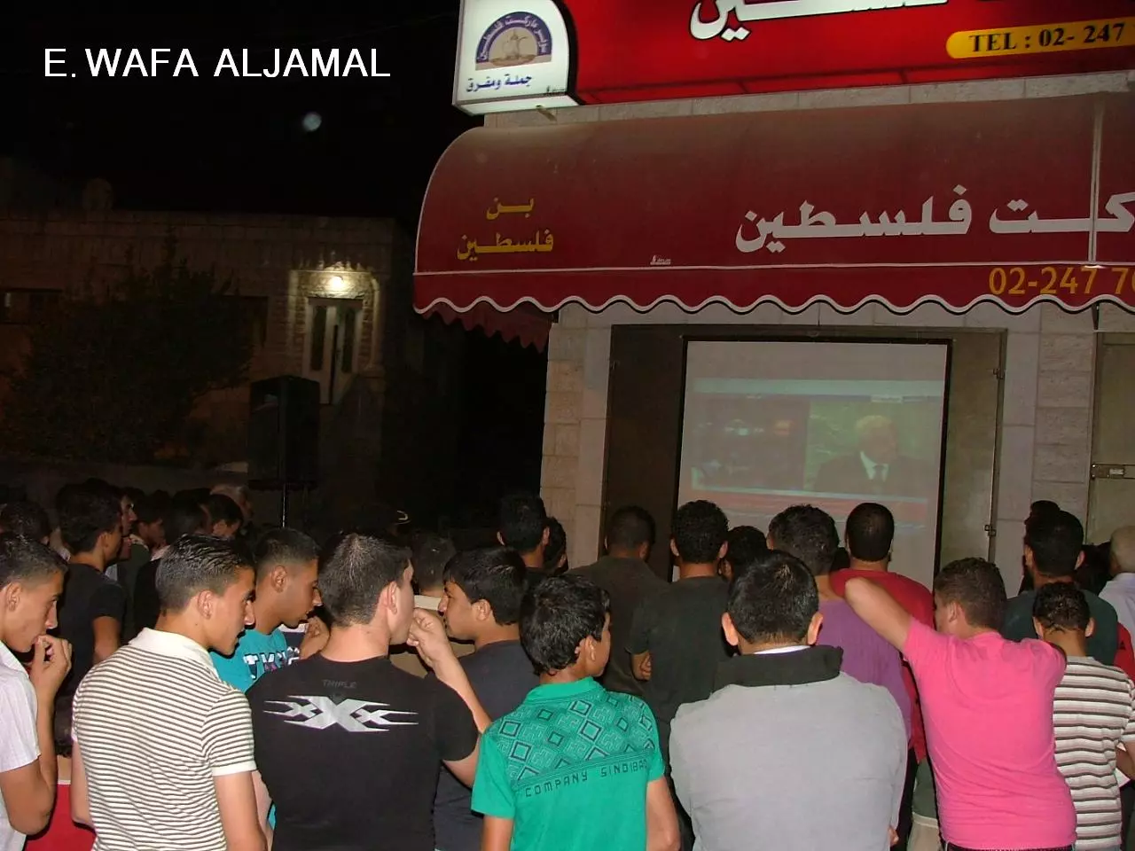
Posted by مجد الجمل 4 - بيت سوريك يوم تقديم فخامة السيد الرئيس ابوا مازن طلب اعتماد دولة فلسطين الى الامم المتحدة وخطابه التاريخي
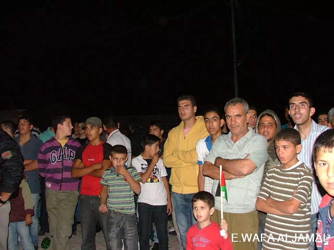
Posted by وفا 2 - بيت سوريك يوم تقديم فخامة السيد الرئيس ابوا مازن طلب اعتماد دولة فلسطين الى الامم المتحدة وخطابه التاريخي
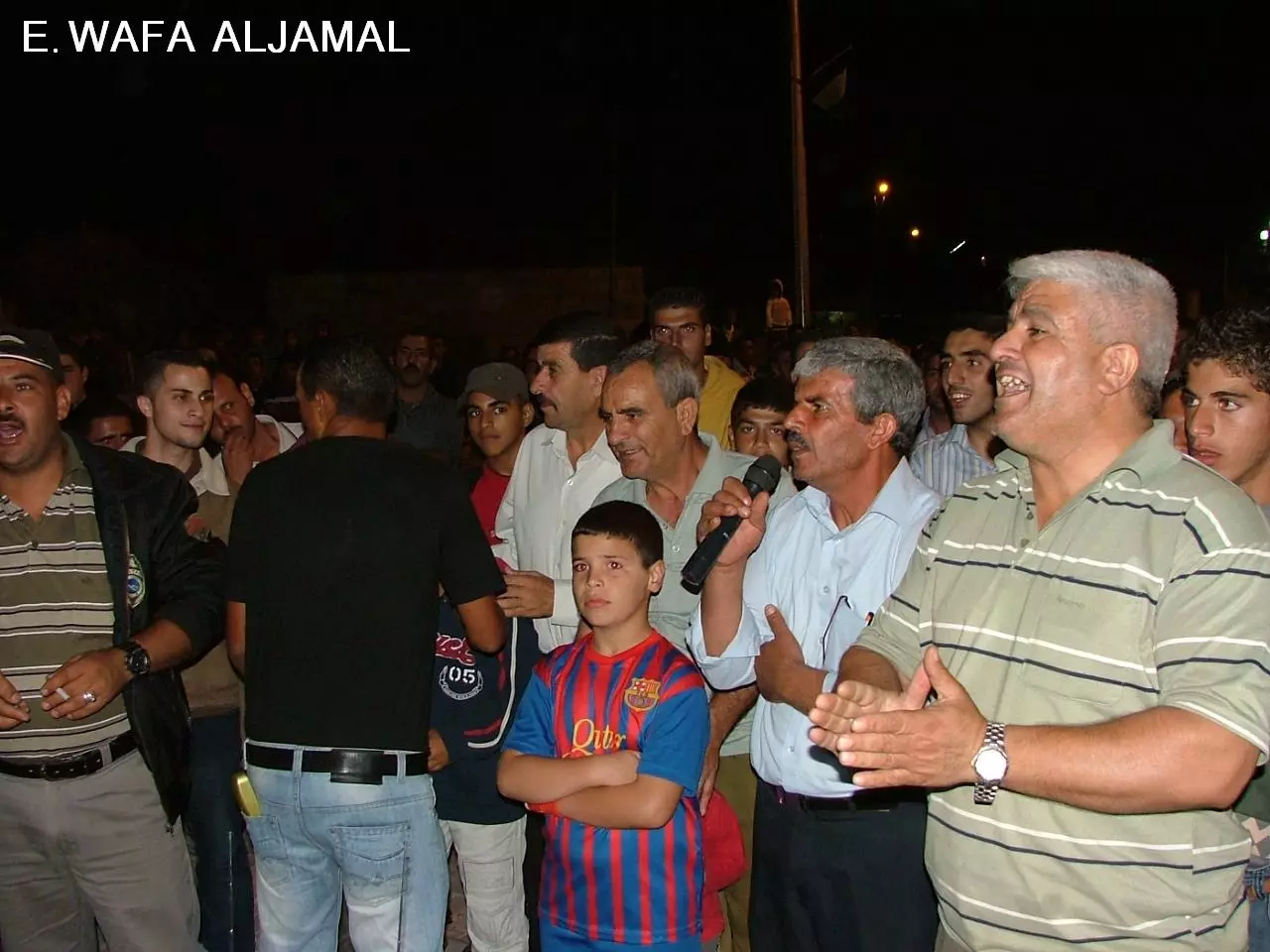
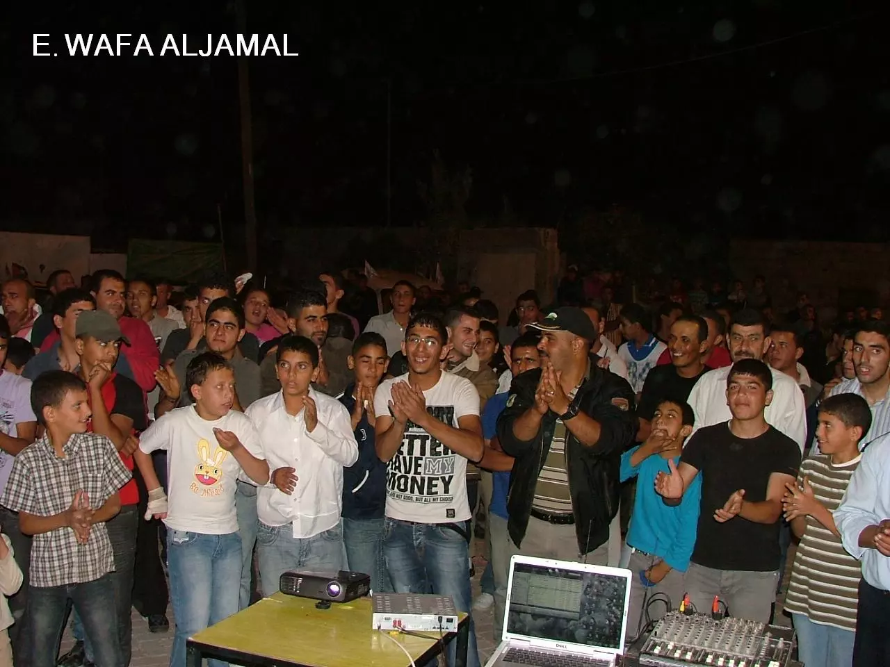
Posted by وفا 4 - بيت سوريك يوم تقديم فخامة السيد الرئيس ابوا مازن طلب اعتماد دولة فلسطين الى الامم المتحدة وخطابه التاريخي
Posted by وفا - بيت سوريك يوم تقديم فخامة السيد الرئيس ابوا مازن طلب اعتماد دولة فلسطين الى الامم المتحدة وخطابه التاريخي
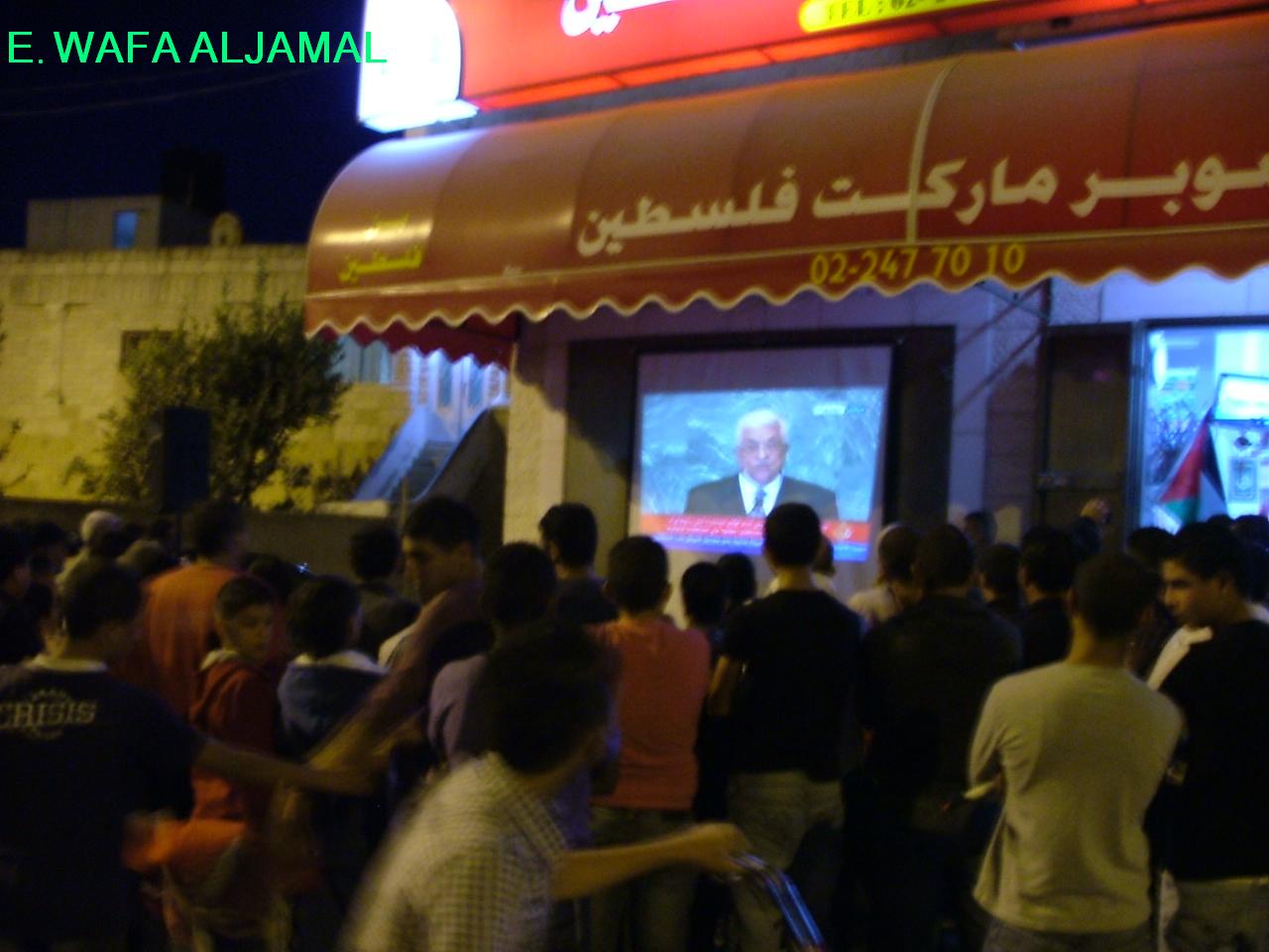
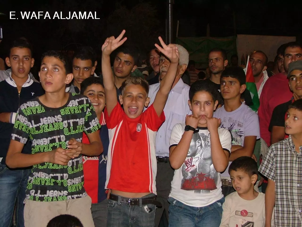
Posted by وفا - بيت سوريك يوم تقديم فخامة السيد الرئيس ابوا مازن طلب اعتماد دولة فلسطين الى الامم المتحدة وخطابه التاريخي
Posted by وفا - بيت سوريك يوم تقديم فخامة السيد الرئيس ابوا مازن طلب اعتماد دولة فلسطين الى الامم المتحدة وخطابه التاريخي
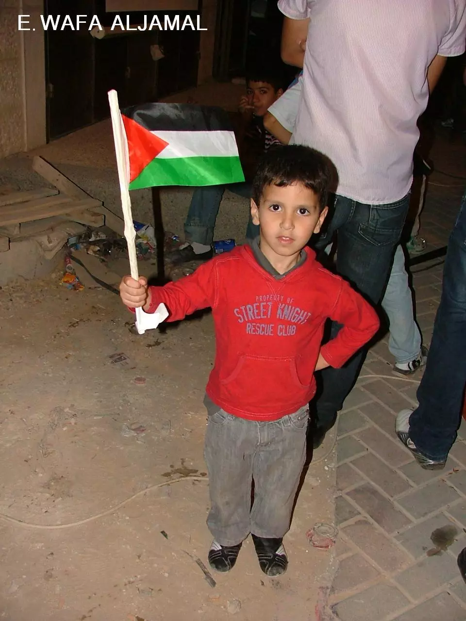
Posted by وفا - بيت سوريك يوم تقديم فخامة السيد الرئيس ابوا مازن طلب اعتماد دولة فلسطين الى الامم المتحدة وخطابه التاريخي
Posted by وفا 1 - الاسير البطل وليد وحيد بدوان
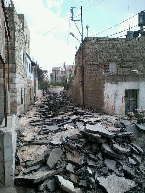
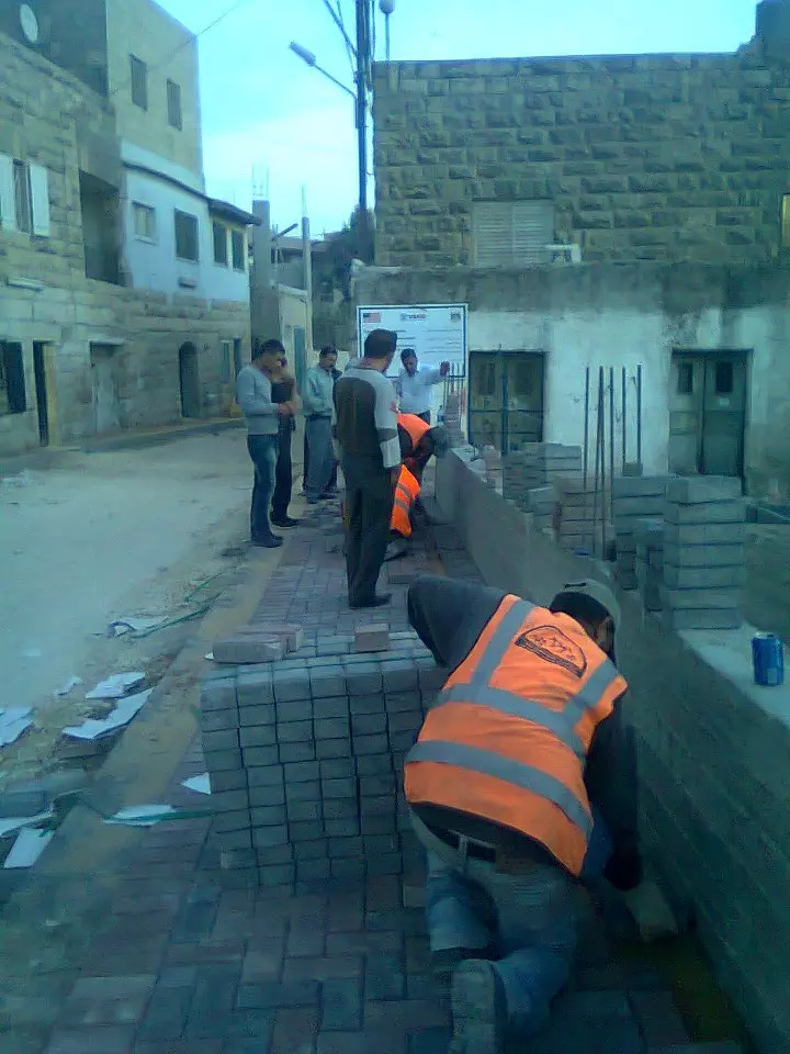
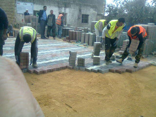
Posted by badwan 1 - صورة منطقة المسجد اثناء القيام بإعادة بناء شارع القرية الرئيسي
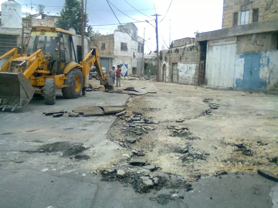
Posted by مجد الجمل - صورة منطقة دوار الاستقلال الجديد اثناء القيام بإعادة بناء شارع القرية الرئيسي
Posted by مجد الجمل - صورة منطقة المسجد اثناء القيام بإعادة بناء شارع القرية الرئيسي
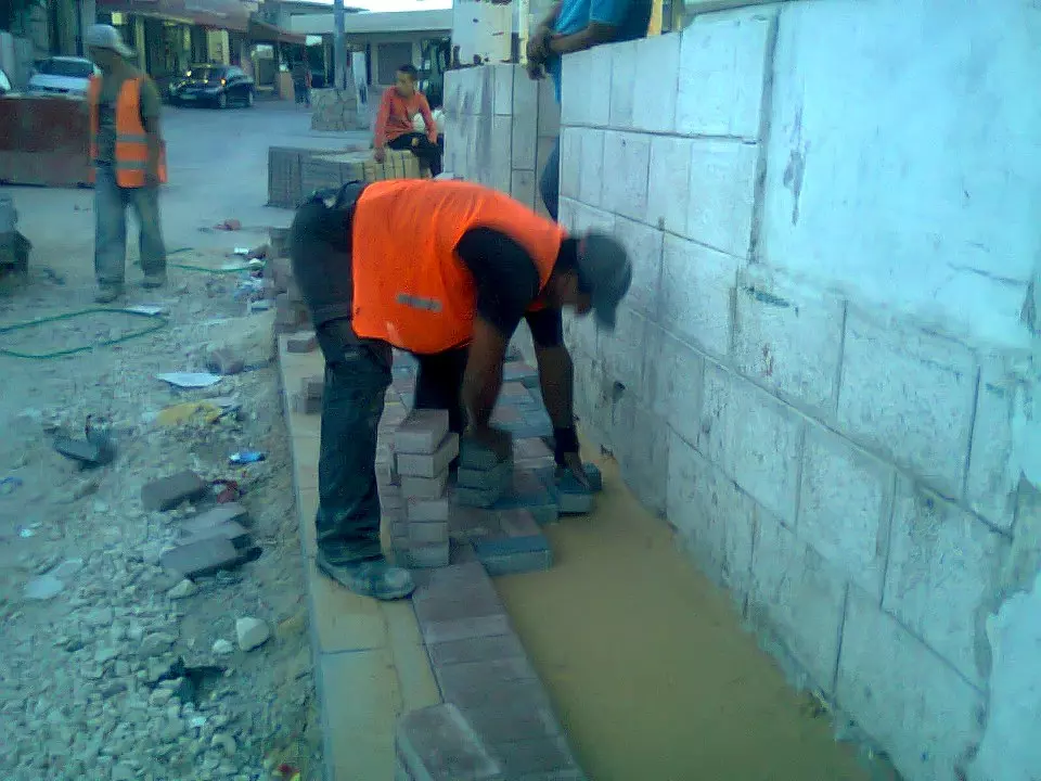
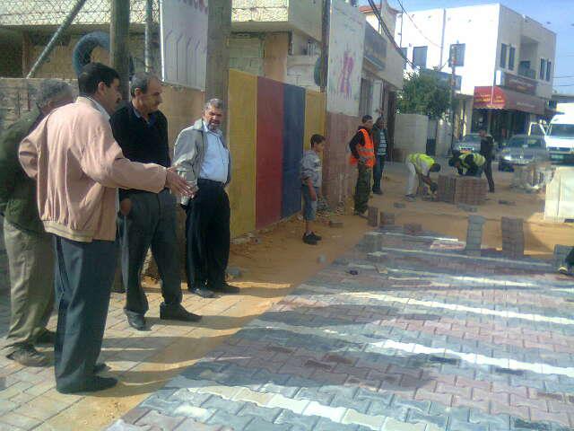
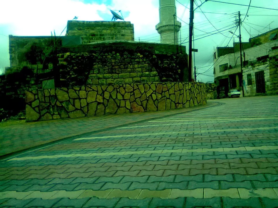
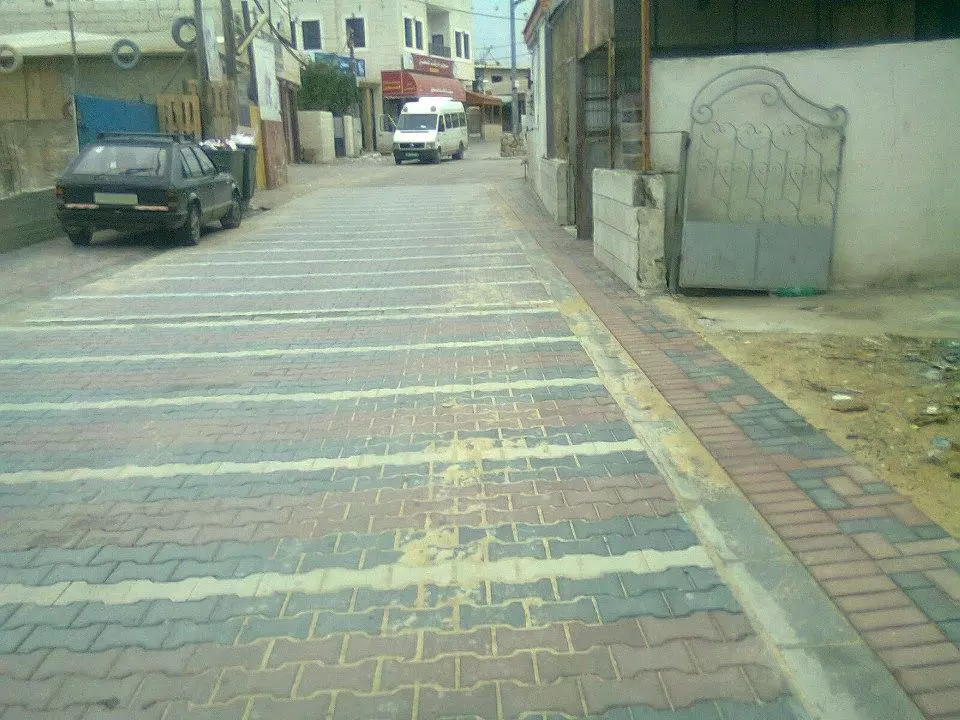
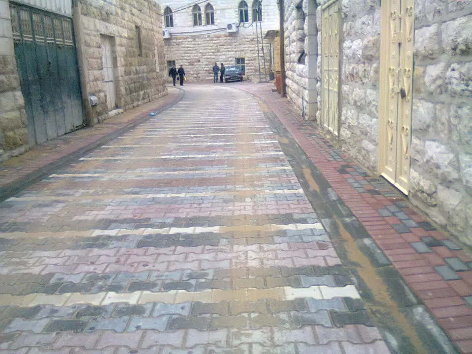
Posted by مجد الجمل 1 - الشارع الواصل بين الدوار الجديد والمسجد اثناء القيام بأعادة رصف هذا الشارع
Posted by مجد الجمل 1 - الشارع الواصل بين الدوار الجديد والمسجد اثناء القيام بأعادة رصف هذا الشارع
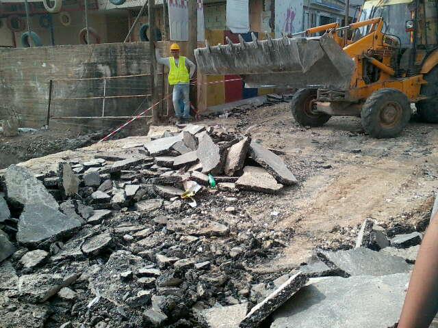
Posted by مجد الجمل - الشارع الواصل بين الدوار الجديد والمسجد اثناء القيام بأعادة رصف هذا الشارع
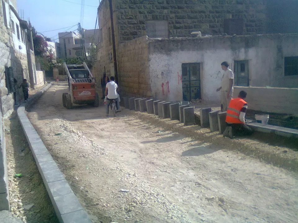
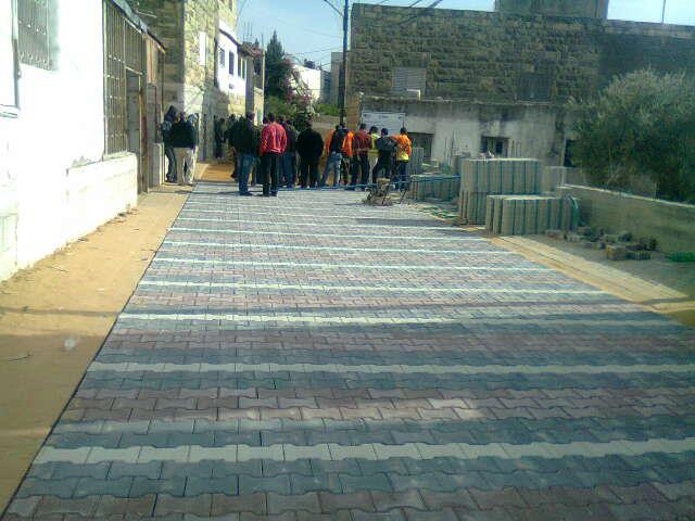
Posted by مجد الجمل - بيت سوريك : الشارع الواصل بين الدوار الجديد والمسجد اثناء القيام بأعادة رصف هذا الشارع
Posted by مجد الجمل - بيت سوريك : الشارع الواصل بين الدوار الجديد والمسجد اثناء القيام بأعادة رصف هذا الشارع
Posted by مجد الجمل - بيت سوريك : الشارع الواصل بين الدوار الجديد والمسجد اثناء القيام بأعادة رصف هذا الشارع
Posted by مجد الجمل - بيت سوريك : الشارع الواصل بين الدوار الجديد والمسجد اثناء القيام بأعادة رصف هذا الشارع
Posted by مجد الجمل - بيت سوريك : الشارع الواصل بين الدوار الجديد والمسجد اثناء القيام بأعادة رصف هذا الشارع
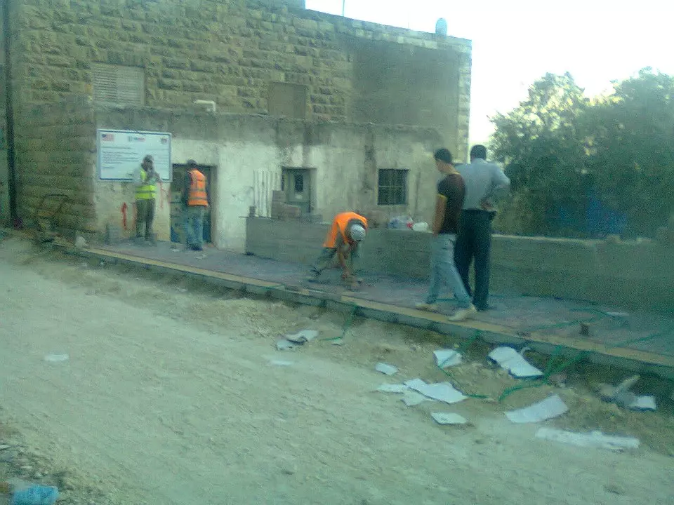
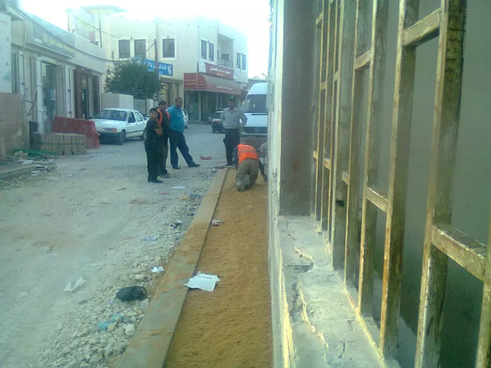
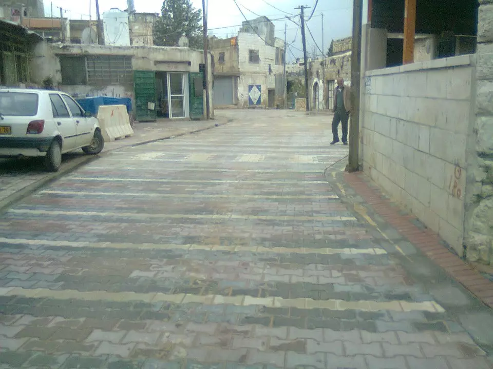
Posted by مجد الجمل - تبليط الشارع الرئيسي بالقرب من دوار صدام الجديد
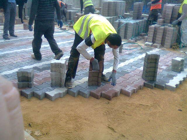
Posted by مجد الجمل - تبليط الشارع الرئيسي بالقرب من دوار صدام الجديد
Posted by مجد الجمل - تبليط الشارع الرئيسي بالقرب من دوار صدام الجديد
Posted by مجد الجمل - تبليط الشارع الرئيسي بالقرب من دوار صدام الجديد
Posted by مجد الجمل - تبليط الشارع الرئيسي بالقرب من دوار صدام الجديد
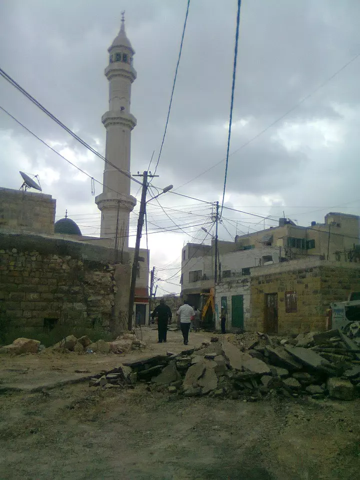
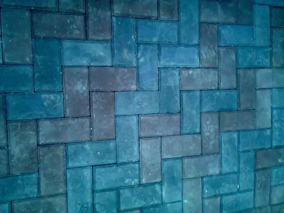
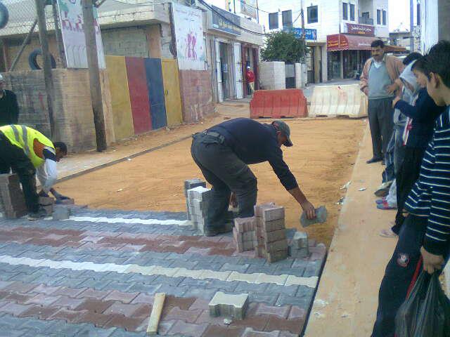
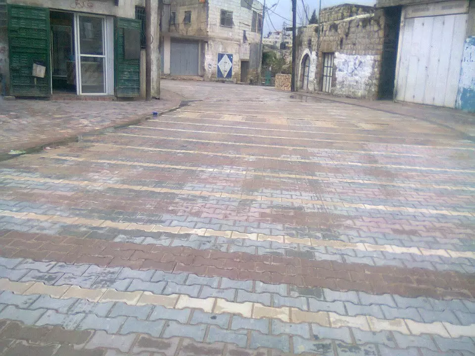
Posted by مجد الجمل - شارع البلد الرئيسي - منطقة المسجد
Posted by مجد الجمل - شارع البلد الرئيسي - منطقة المسجد
Posted by مجد الجمل - شارع البلد الرئيسي - منطقة المسجد
Posted by مجد الجمل - شارع البلد الرئيسي - الدورار الجديد - دوار صدام
Posted by مجد الجمل - شارع البلد الرئيسي - منطقة المسجد
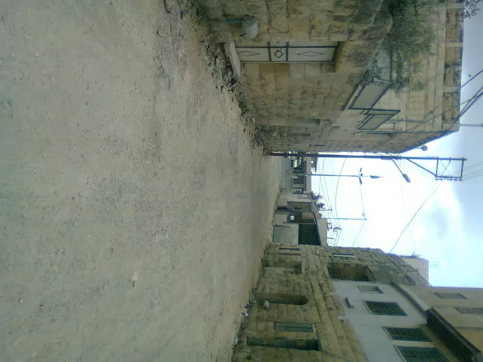
Posted by مجد الجمل - A view in old town
Want to browse more? 80,000 pictures were grouped in these gallaries:
| Display Name | Clan/Hamolah | Country of Residence |
| Rami Hihi | - | Dubai, Dubai |
| saed shehadeh | RADAD | - |
| Sureke Rasas | Rasas | - |
| sybil cokc | - | Hackney, London, UK |
| ابو يحيى بدوان | بدوان | القدس, بيت سوريك |
| بيت سوريك | - | شمال غرب القدس |
| hazem qandeel | qandeel | - |
| محمد عفالكي | عفالكي | عمان, بيت سوريك |
| اسامة جبر | الشيخ | القدس بيت سوريك, فلسطين |
| ابو زيد | - | رام الله, حي الطيرة |
| السوريكي | - | عمان |
| moafaq aljamal | الجمل | - |
| ابو بسام | عفالكي | - |
| AboFalstin | Palestine | Palestine, Palestine |
| dina Issa | KANDEEL | CA, USA |
| رنا ريماوي | ريماوي | رام الله, رام الله |
| HasanBawayeh | العفالقة | amman |
| مجد الجمل | الجمل | ضواحي القدس, بيت سوريك |
| صالح شقير | شقير | بيت سوريك |
| manar aljaml | aljaml | jerusalem, palestine |
| وفا | الجمل | بيت سوريك, بيت سوريك |
| Wajeeh | Qandil | - |
| ابو قصي | ابو اسماعيل | رام الله, بيت سوريك |
| tharwat issa | kandeel | CA, CA |
| نديم | الجمل | رام الله, فلسطين |
| عصمت الجمل | الجمل | السعودية |
| احمد ابو شهد | ابو اسماعيل | القدس, بيت سوريك |
| نبيل الجمل | الجمل | لبقدس, بيت سوريك |
| DAWOOD (ABU FAISAL | الجمل | - |
| mustafa | Raddad | Amman, Jordan |
| جمال بدوان | بدوان | القدس, بيت سوريك |
| IYAD AFALQA, MD | BAWAYA- AFALQA | CALIFORNIA, USA |
| رنيم قنديل | - | - |
| Modafer Aljamal | Aljamal | - |
| نضال الشيخ | - | amman |
| Jawad Aljamal | Aljamal | - |
| سامر الشيخ | الشيخ | - |
| Freedom Has A Price | - | - |
 Fake Valor: Why Did Zionist Jews Hoist Nazis Flag on Their Ships in the 1930s?
What is new?
-
Facts About Oct. 7th Gaza Raid
-
Remined Us Please:: Who Did Rape Who? Palestinians Raped Israelis? Or, was the other way around?
-
When Prof. Edward Said was invited to debate Bibi Netanyahu in the 1980s, watch what happened!
-
Ezra Klein of the NY Times on the "Jewish Race".
-
Abusing Blood Libel!
-
Did Israeli Soldiers Activate The Hanniba Direective On Oct. 7th? You Be The Judge
-
Zionist FAQ: Isn't it true that Palestinians don't want peace? Palestinians never accepted the two-state solution
- Facts about Haavara (Transfer) Agreement between Ben-Gurion & Hitler
-
Haavara FAQs: Why Did Zionist Jews Hoist Nazis' Flags on Their Ships in the 1930s?
- Haavara FAQs: When Chaim Weizmann met FDR in mid-1943, why was he silent about rescuing European Jewry?
-
Dear ChatGPT: How did Palestinians resist Napoleon's invasion of their country in 1799?
-
Dear ChatGPT: Gaza had a vibrant Jewish community in the mid-17th century. What happened to them?
-
Dear ChatGPT: Why did the Jewish Agency suppress news of the Holocaust during WWII?
-
Video Playlist: Jews share their DNA tests to end the conflict for good.
-
A Tale of Two Conflicts: Examining the Definition of Genocide
-
Prof. Abraham Polak And The Suppressed History of the Khazars and European Jewry
-
How Ronald Reagan would have framed the genocide in Gaza if he were still alive?
-
Haavara FAQs: Let us do the math: how many German Jews did The Haavara Agreement save?
-
Zionist FAQs: The Hebron Massacre of 1929, "clearly proves" that Palestinians are antisemitic, how could you deny it?
-
Zionist FAQs: Why Anti-Zionist Is Not Antisemitism?
-
Zionist FAQs: Isn't it true that the KGB created Palestinian Nationalism in the early 1960s?
- Zionist FAQs: Muslims are killing Muslims all the time; why are Israeli Jews being singled out in the media?
- Zionist FAQs: How is Israel an apartheid state when 20% of its citizens are Arabs who enjoy full rights?
-
Haavara FAQs: Why Did Dorothy Thompson Flip From A Zionist Advocate to A Silenced Dissenter?
-
Haavara FAQs: Analysis of Herzl's Uganda Scheme and how it could have saved millions of Jews.
-
Haavara FAQs: Why did Hayim Greenberg describe American Jewry as "morally bankrupt" in early 1943?
-
Haavara FAQs: What if the Evian Conference was a resounding success? What would have been the impact of saving European Jewry on Zionism?
- Haavara FAQs: What if the six million were saved, how that would have impacted the Zionist project?
-
Haavara FAQs: How did Zionist leaders react when Europe's Jews lingered in the DP camps after WWII ended?
-
Why does the American Jewish community repeat lies that David Ben-Gurion had debunked before he died?
-
Who has the power to rename the Tatar/Khazar Gene Marker to Jewish IV?
-
Zionist FAQs: Why won't Egypt, Syria, and Jordan take their people back? Jews are indigenous to Palestine, and Arabs immigrated after Jews developed the country. Arabs should leave.
-
Haavara FAQs: Did Hitler and the Nazis conflate between Judaism and Zionist? If that wasn't case, then why?
-
Haavara FAQs: Winston Churchill and antisemitism, a collection of articles written Churchill.
-
Haavara FAQs: Broken by country, how many Jews survived vs. killed during the Holocaust?
-
Haavara FAQs: Why did European Jews vote with their feet and to immigrated to the Americas, not Palestine, after WWII?
-
Watch this American Jewish Girl describing Israeli Jews' cognitive dissonance like no other in under two minutes
-
Haavara FAQs: When the Nazis went out of their way to hide the Holocaust, Israeli Jews did the exact opposite by broadcasting their genocide of Gazans. But why?
-
Haavara FAQs: How Zionist Jews went out of their to show their appreciation to Nazism and Fascism?
- Haavara FAQs: Why Zionist leaders were against bombing the death camps & the Railroads leading to them?
-
Haavara FAQs: Hitler's message to the British and American people: If Jews are such noble citizens and you care about them, how come you're not letting them in? I will gladly ship them to you at my expense, even on luxury liners!
-
A shortlist of Zionist and Israeli false flag operations in the name Jews.
-
The Most Moral Army
- The Land of Kapos (Israel): Where the brave are boycotted and Kapos walk free.
- Why did early Zionists often named their communal enterprises "colonial"?
- Zionist Relations with Nazi Germany by Faris Glubb
-
Two NY Times advertisements by Zionists in the early 1943 that exposes Zionists' treason at the height of the calamity
- Facts Not Lies about the Palestinian-Israeli Conflict.
- Site's pictures have been categorized
- Campgain Against Lice
- A Survey of Palestine, the official source about Palestine before Nakba produced by the British Mandate; over 1200 pages.
- Satellite View & Google Earth: Over 6,000 placemarks identifying all destroyed towns, W. Bank & Gaza Strip Towns, & refugee camps.
- PalestineRemembered.com and its Nakba Oral History Project were featured on al-Jazeera Satellite TV.
- Nakba Oral History Video Podcast:
 Over 700 Oral History interviews (including 3,500+ hours of recording) can be viewed online.
 - Palestine Village Statistics Project
- Gaza Jail Break
- النسخة العربية للموقع الان متوفرة
- Videos: Documenting the destroyed villages in video: Tracing all that remains since Nakba.
- Videos: Responding to Zionist Propaganda
- Interview: The ethnic cleansing of Palestine: George Galloway interviews Israeli Historian Ilan Pappe.
- For Palestinians, memory matters. It provides a blueprint for their future By George Bisharat.
- Zionist FAQ now available in Hebrew שאלות שציונים שואלים, עכשיו בעברית
- Video: The Stephen Walt and John Mearsheimer report on the influence of the Israel Lobby on U.S. Foreign Policy
- The Palestinian-Israeli conflict for beginners
