| PalestineRemembered | About Us | Oral History | العربية | |
| Pictures | Zionist FAQs | Haavara | Maps | |
| Search |
| Camps |
| Districts |
| Acre |
| Baysan |
| Beersheba |
| Bethlehem |
| Gaza |
| Haifa |
| Hebron |
| Jaffa |
| Jericho |
| Jerusalem |
| Jinin |
| Nablus |
| Nazareth |
| Ramallah |
| al-Ramla |
| Safad |
| Tiberias |
| Tulkarm |
| Donate |
| Contact |
| Profile |
| Videos |
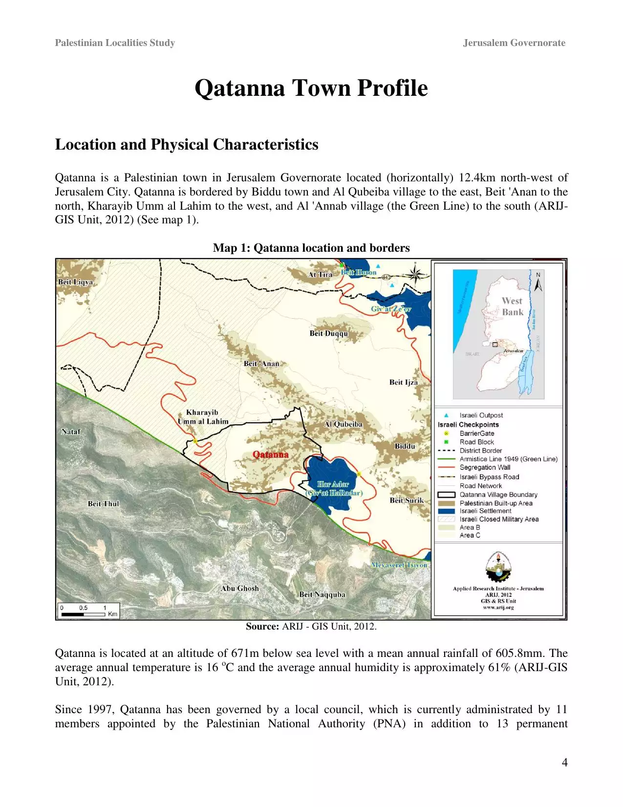
Welcome To Qatanaa - قطنّه (קטנה (כפר))
|
District of Jerusalem
Occupied days ago |
العربية Google Earth |
 |
Gallery (85) |
- Statistics & Facts
-
Before & After

- Satellite View
- Articles 1
- Pictures 85
- Members 16
- Families
- Wikipedia
- ARIJ Guide
- Videos
- Guest Book 3
- Links
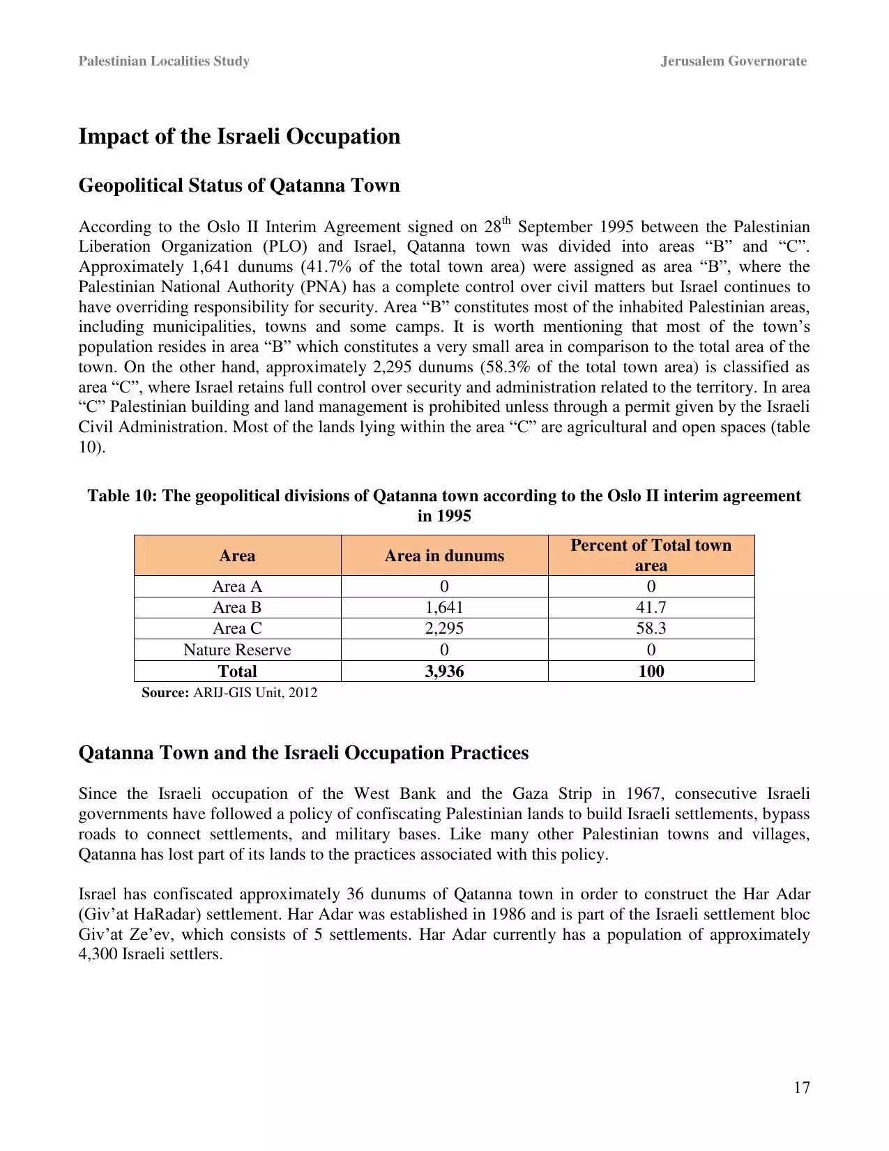
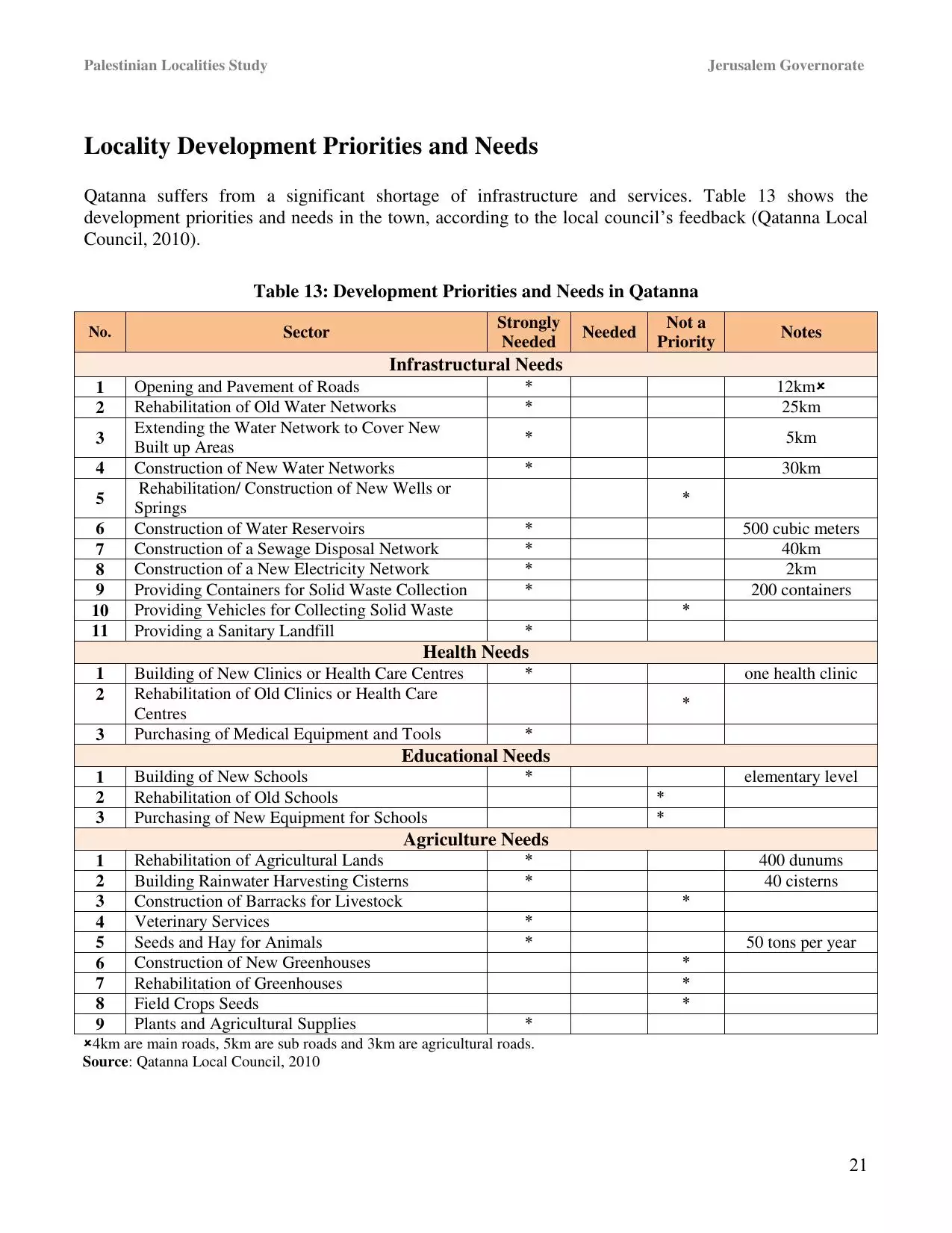
| Statistic & Fact | Value | ||||||||||||||||||||
| Distance From District | 18 km northwest of Jerusalem | ||||||||||||||||||||
| Elevation | 650 meters | ||||||||||||||||||||
| Before & After Nakba, Click Map For Details |
|||||||||||||||||||||
|
|||||||||||||||||||||
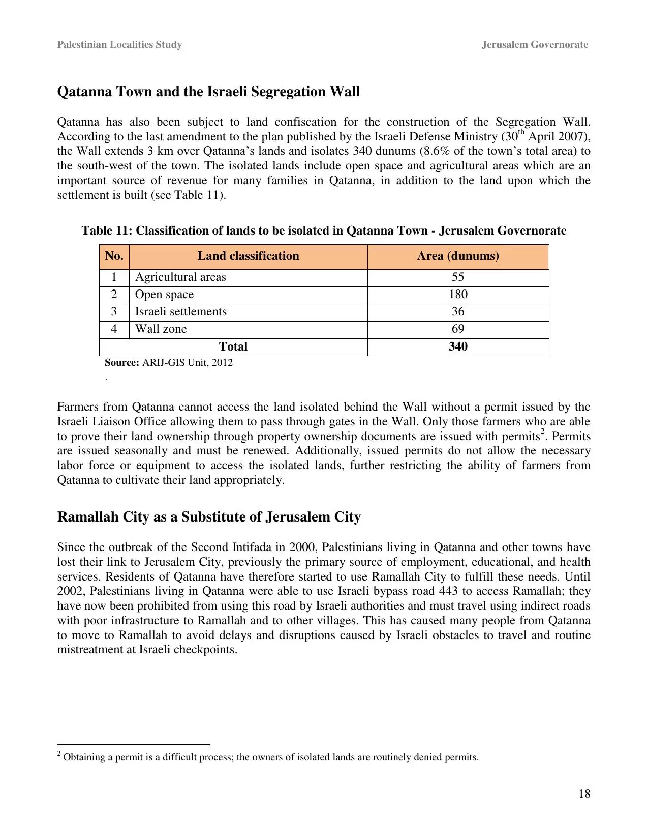
| Land Ownership |
**Town Lands' Demarcation Maps |
||||||||||||||||||||
| Land Usage As of 1945 |
|
||||||||||||||||||||
| Lands usurped within armistice area | 6,834 Dunums | ||||||||||||||||||||
| Population |
|
||||||||||||||||||||
| Near By Towns |
|||||||||||||||||||||
|
|
|||||||||||||||||||||
| Featured Video | |||||||||||||||||||||
| ARIJ Guide | |||||||||||||||||||||
3.
4. 
5. 
6. 
7. 
8. 
9. 
10. 
11. 
12. 
13. 
14. 
15. 
16. 
17. 
18. 
19. 
20. 
21. 
22. 
Click here to browse online. |
|||||||||||||||||||||
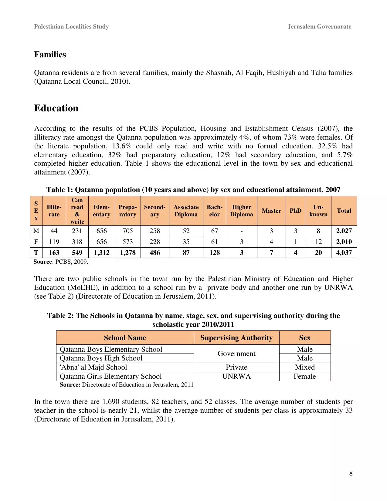
| Related Maps | Town Lands' Demarcation Maps خرائط للقضاء توضح حدود القرى والاودية View from satellite Town's map on MapQuest Help us map this town at WikiMapia |
||||||||||||||||||||
| Related Links | Wikipedia's Page Facebook Page ARIJ Guide Google Search Google For Images Google For Videos في كتاب بلادنا فلسطين دليل أريج المزيد من موقع هوية |
||||||||||||||||||||
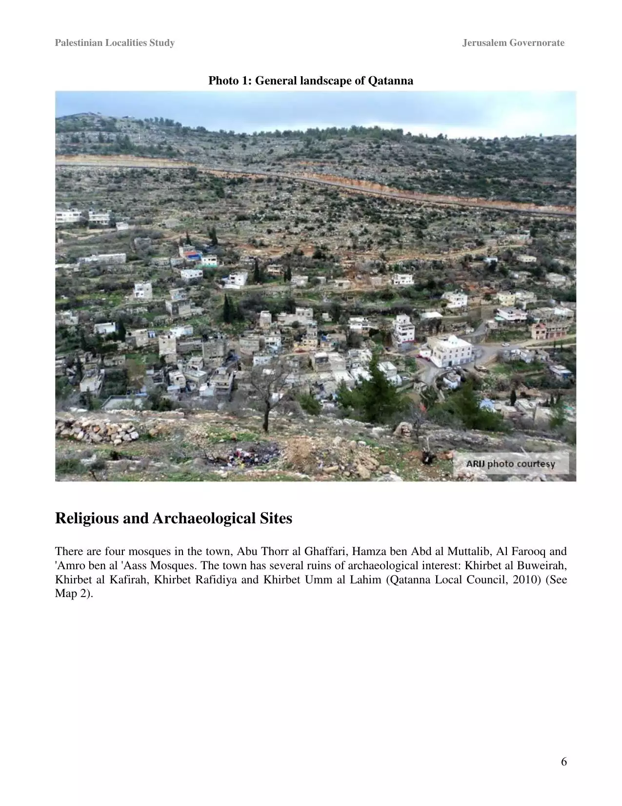
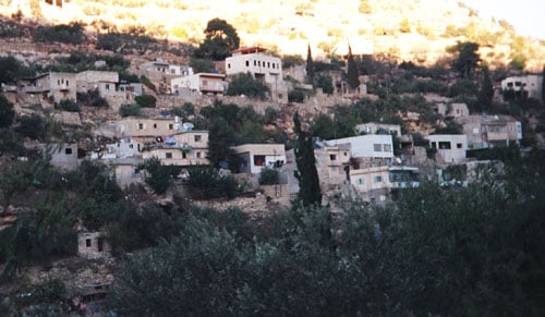
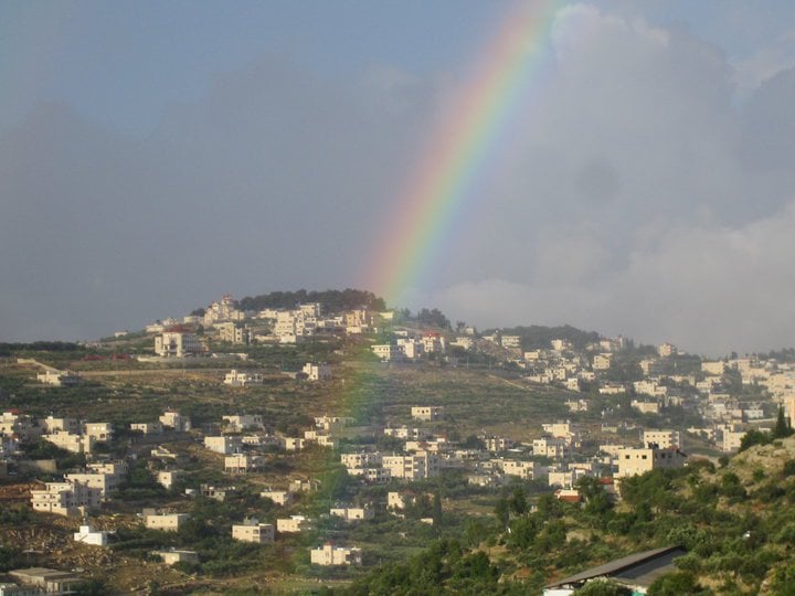
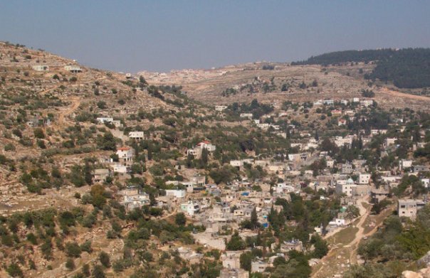
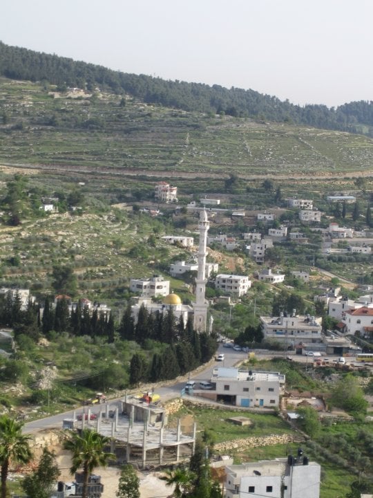
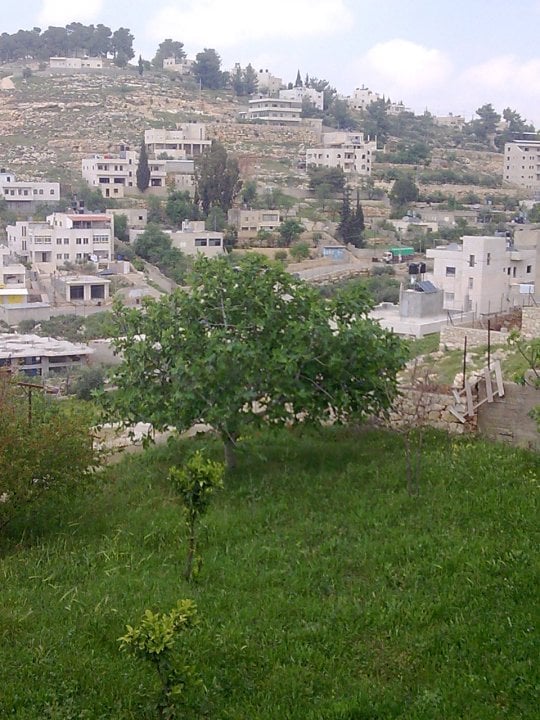
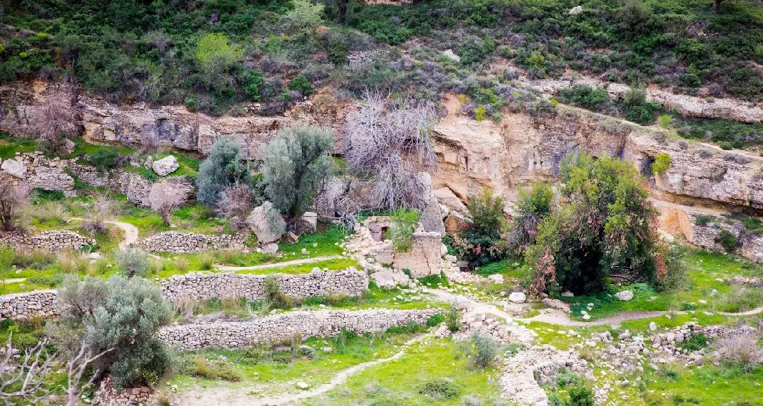
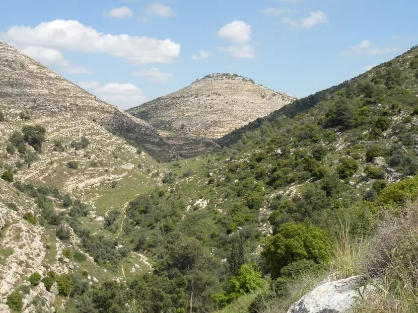
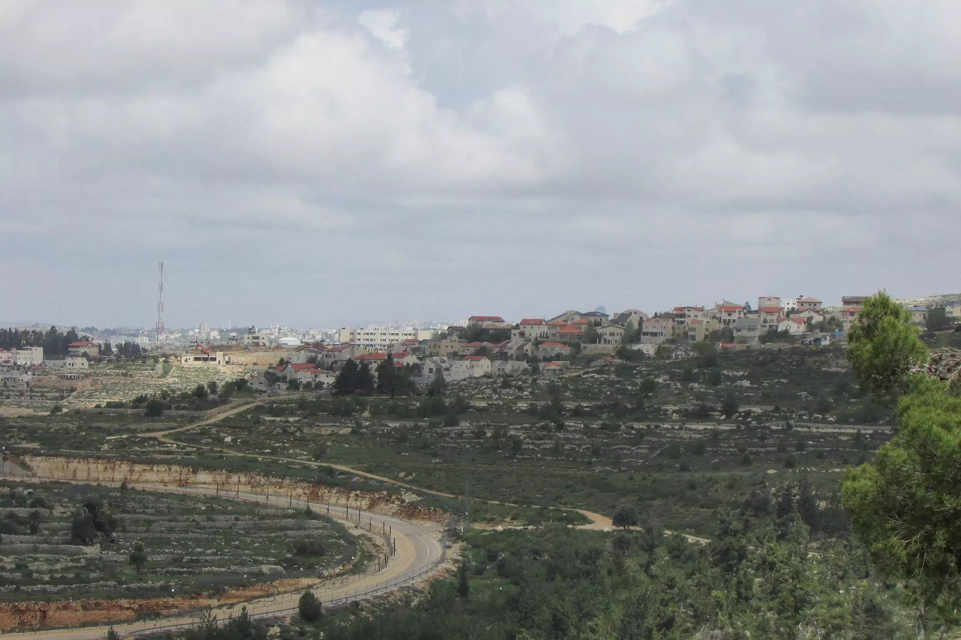
- منظر عام

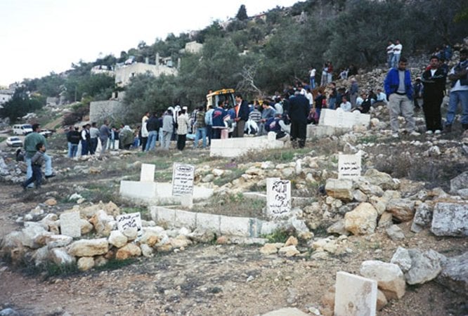
Posted by Laila Zk. 10 - المقبرة
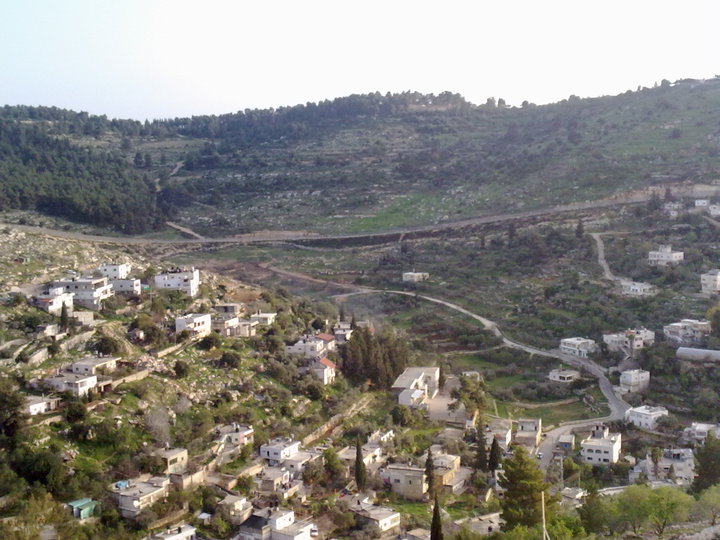
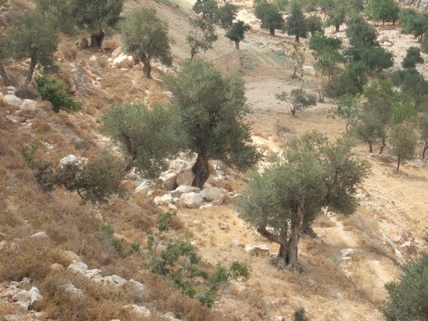
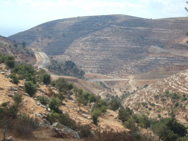
Posted by Laila Zk. 4 - منظر عام
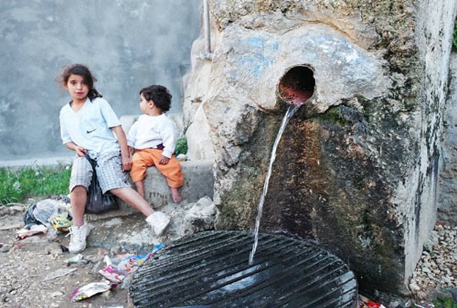
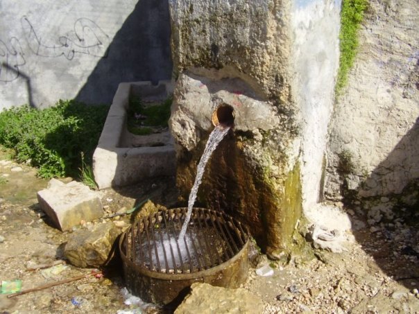
Posted by Laila Zk. 2 - العين
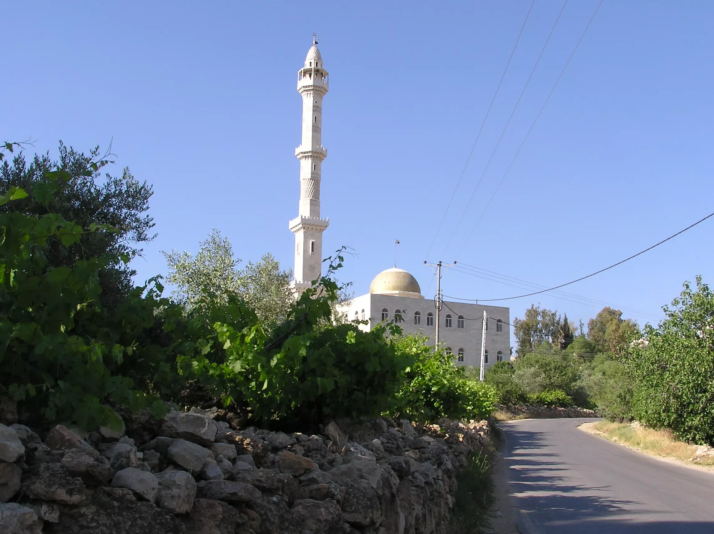
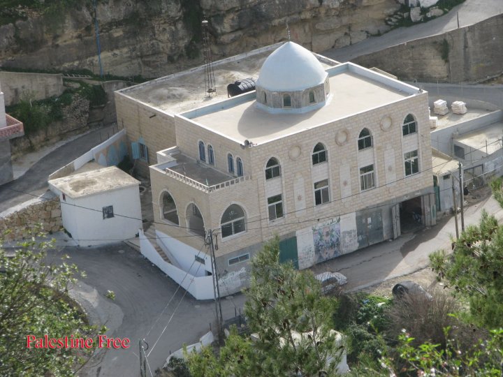
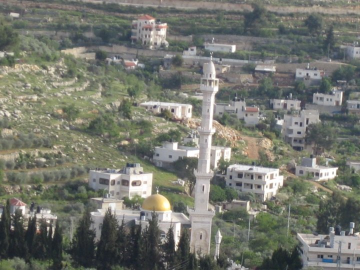
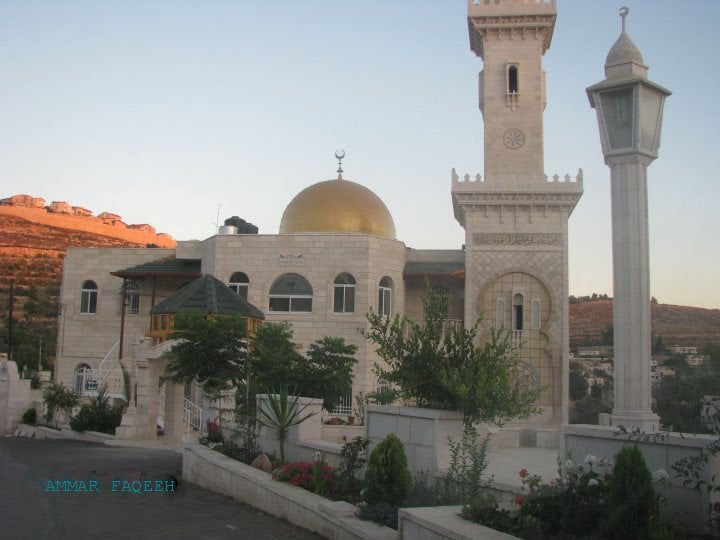
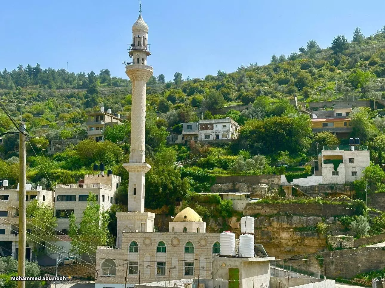
Posted by Laila Zk. 2 - Masjid Hamza
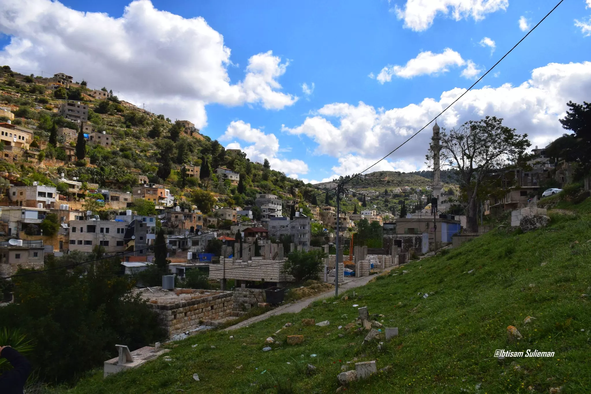
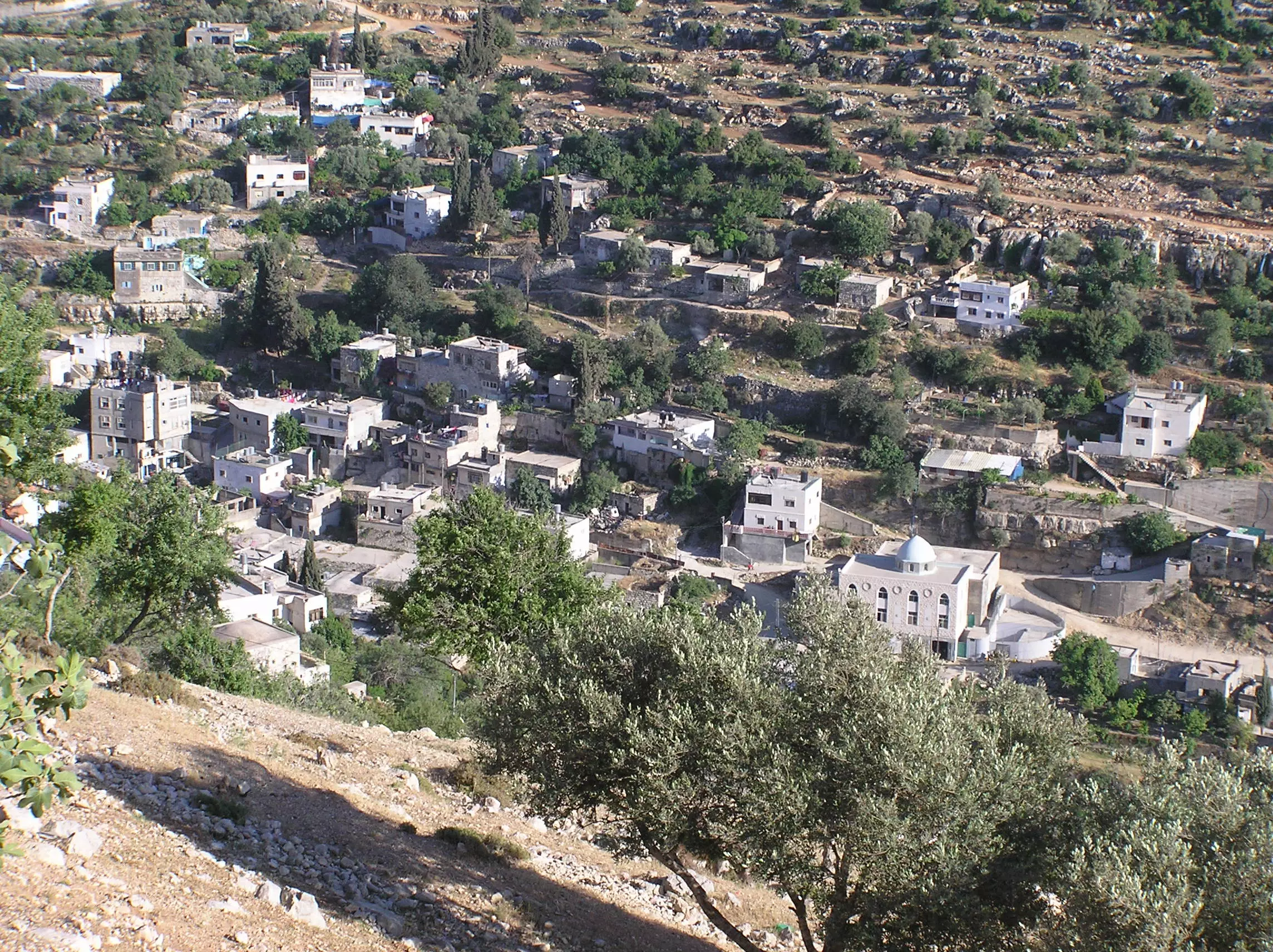
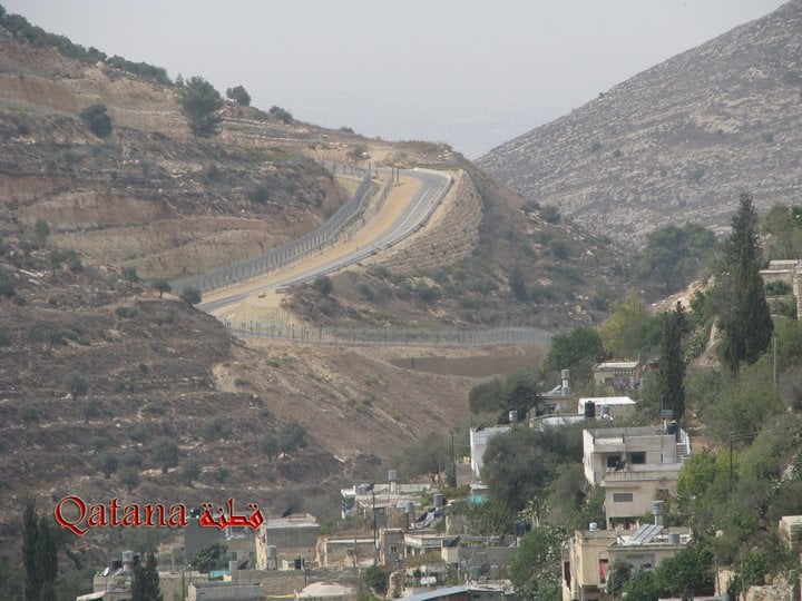
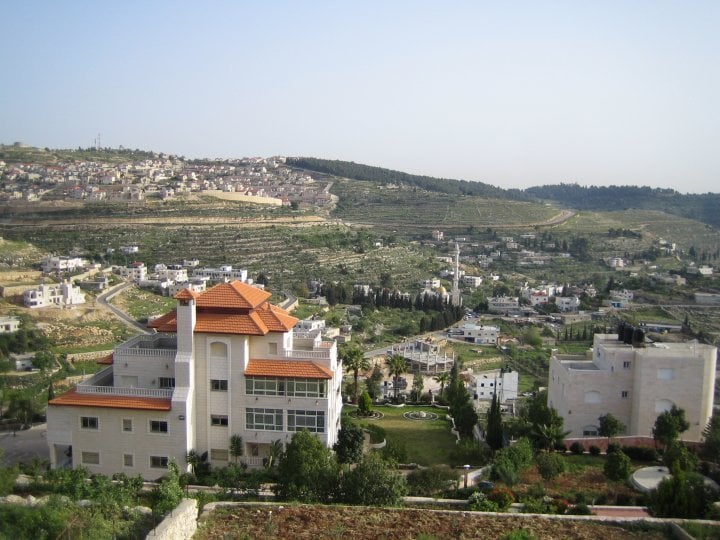
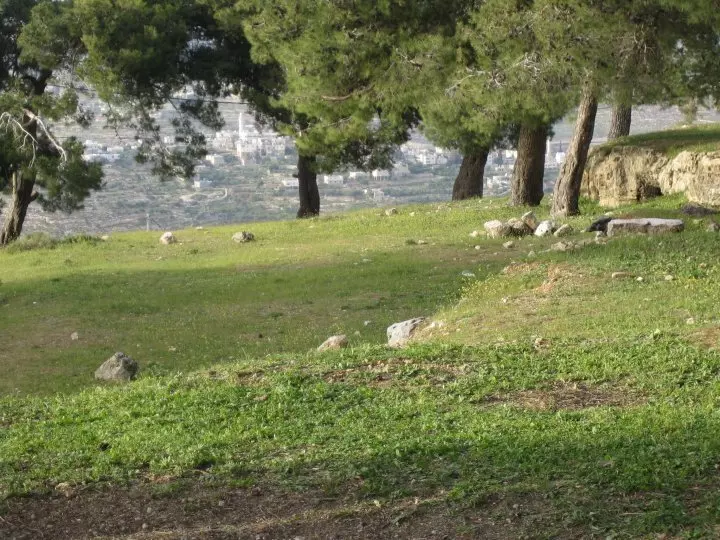
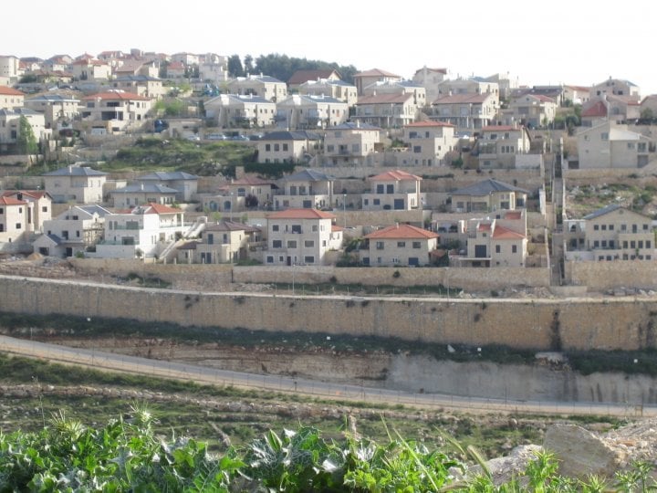
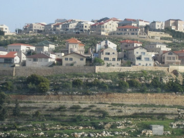
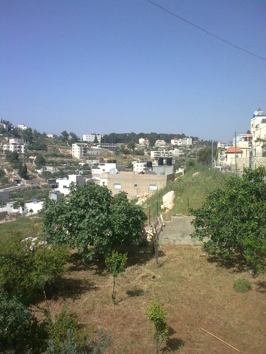
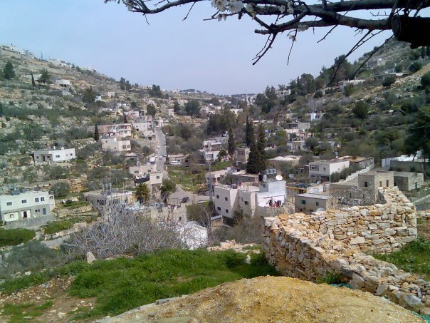
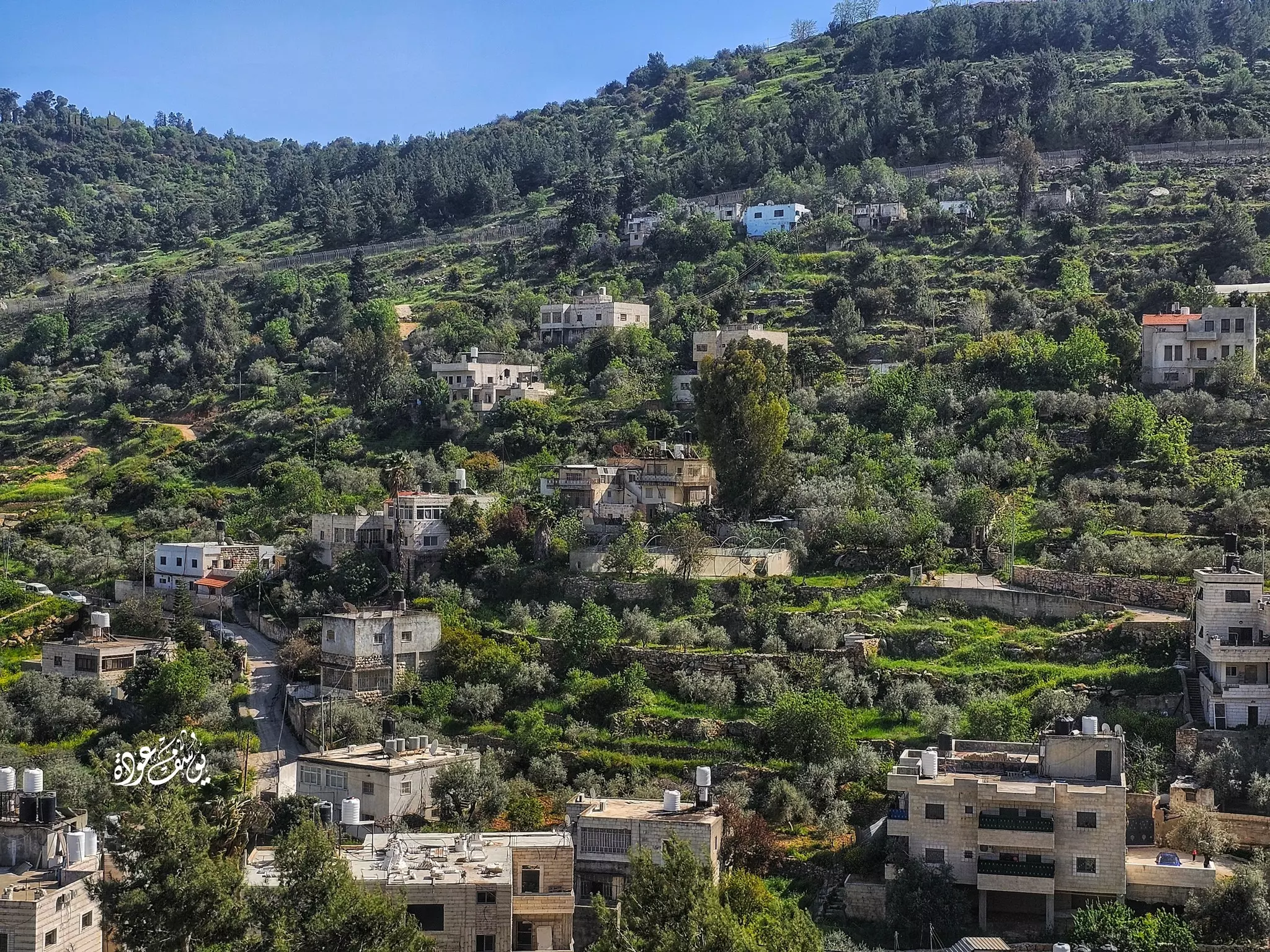
Posted by Umar Abu El-Bararri 5 - Qatanaa - A View From Its Surrounding Hills.
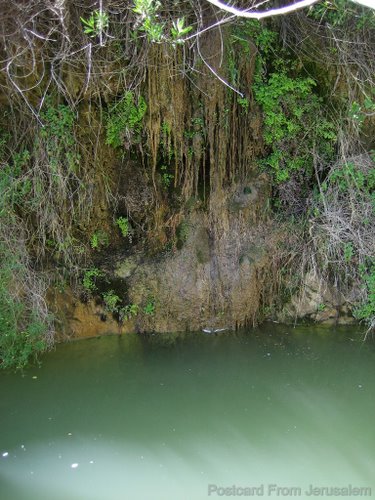
Posted by Umar Abu El-Bararri 6 - عين ناموس
Posted by علي شماسنه - جدار الحاره
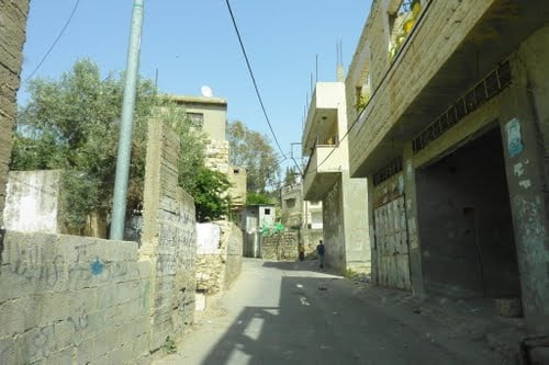
Posted by علي شماسنه 1 - الحاره التحتا
Posted by علي شماسنه - جدار المدور
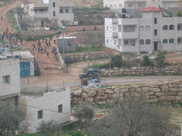
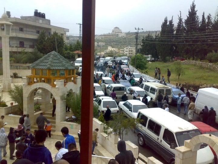
Posted by علي شماسنه 1 - ضرب على الجنود في البلد
Posted by علي شماسنه 1 - جامع الحاره التحتا
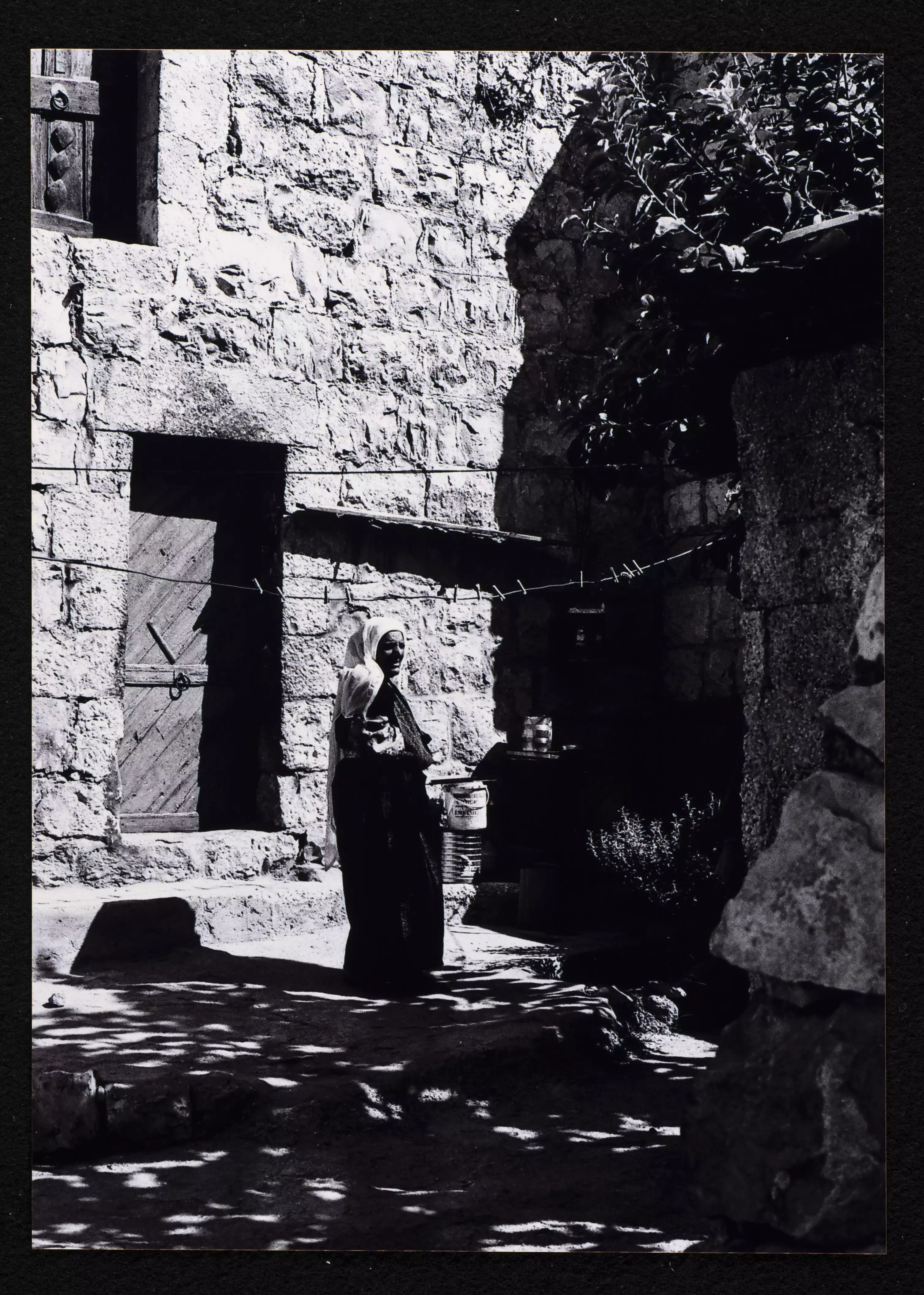
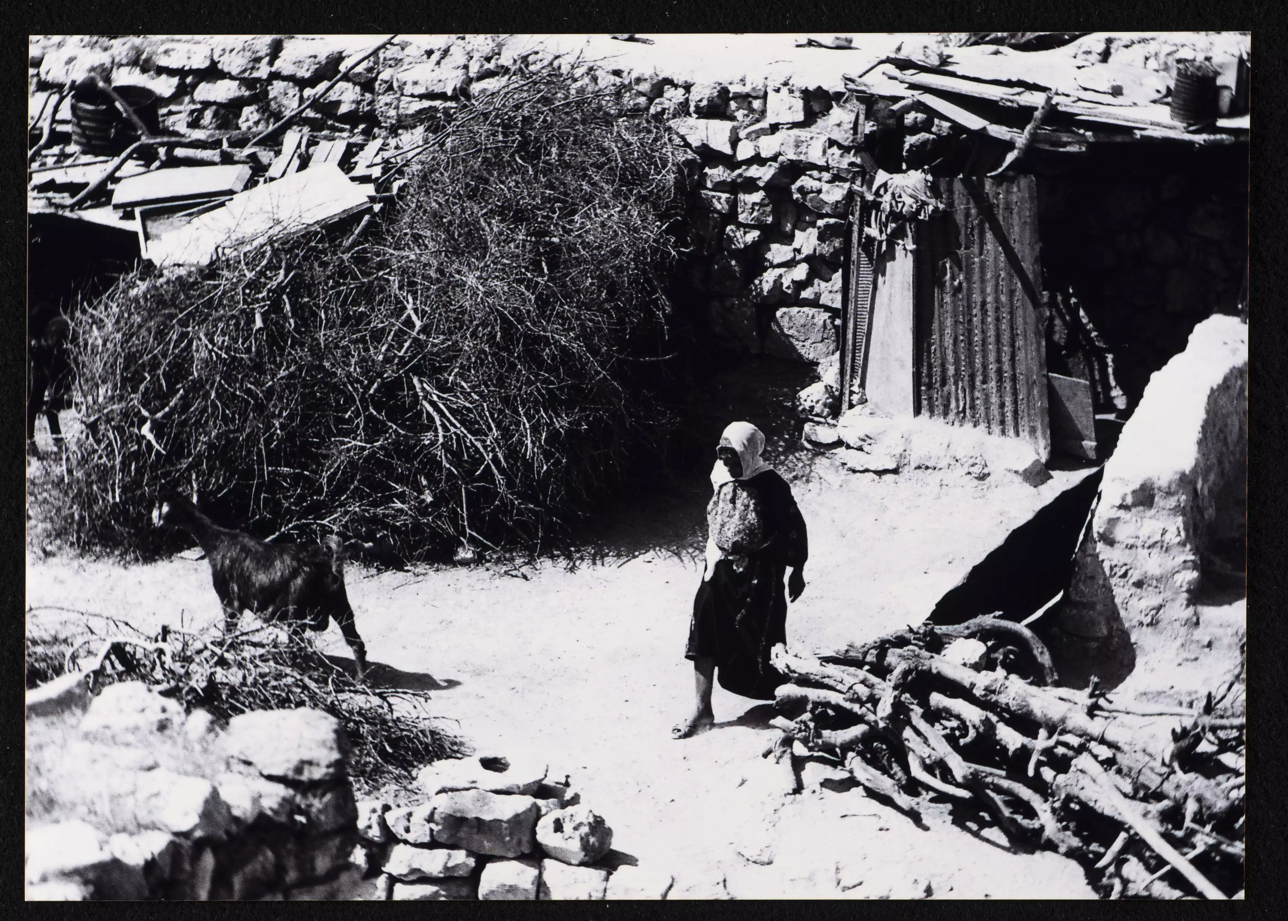
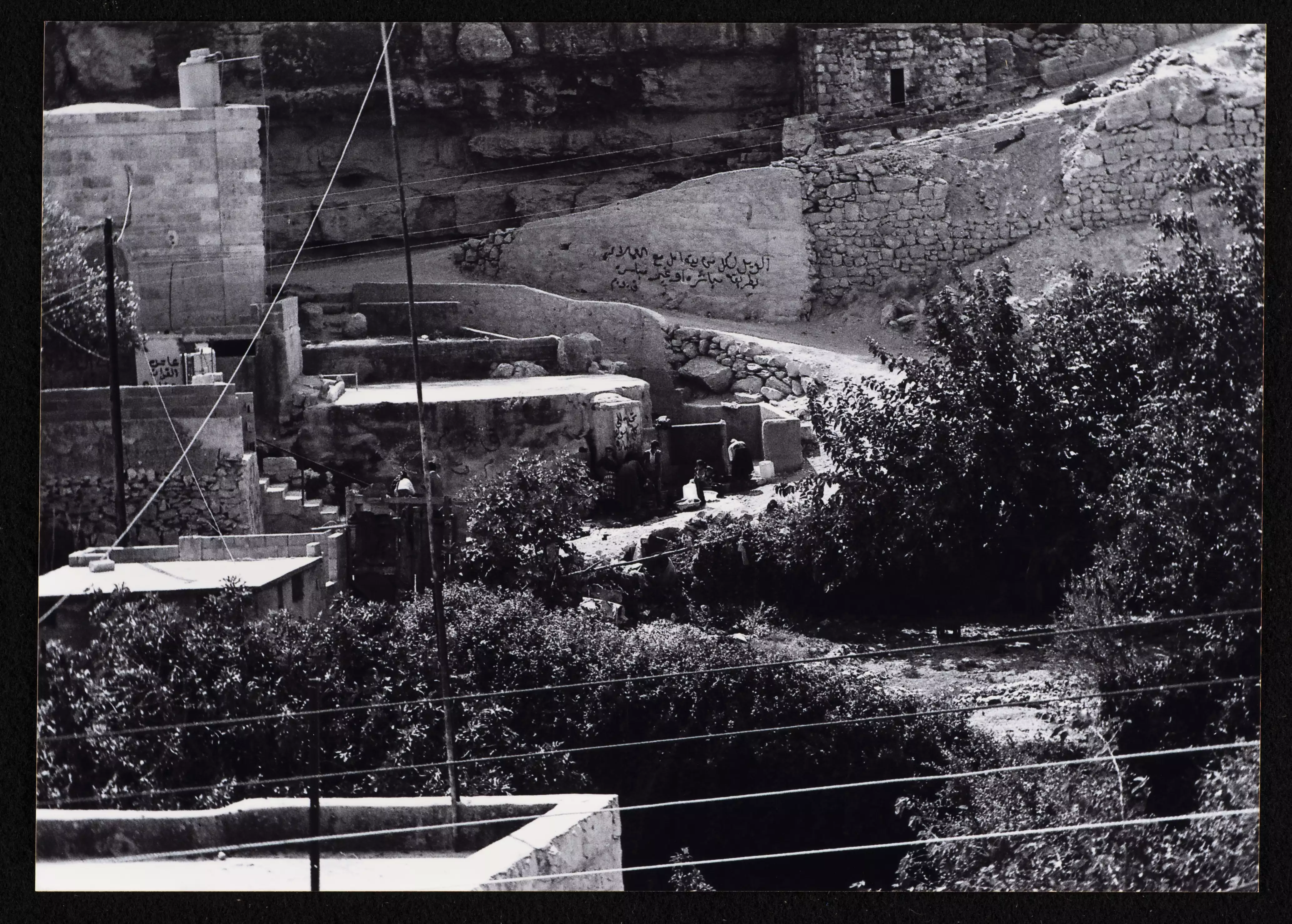
Posted by علي شماسنه 1 - قطنة
Posted by بلدي الحبيبه - قطنة

Posted by بلدي الحبيبه - قطنة
Posted by بلدي الحبيبه - قطنة
Posted by بلدي الحبيبه - قطنة
Posted by بلدي الحبيبه - قطنة
Posted by بلدي الحبيبه - قطنة
Posted by بلدي الحبيبه - قطنة
Posted by بلدي الحبيبه - قطنة
Posted by بلدي الحبيبه - قطنة
Posted by بلدي الحبيبه - قطنة
Posted by بلدي الحبيبه - قطنة
Posted by بلدي الحبيبه - قطنة
Posted by بلدي الحبيبه - قطنة
Posted by بلدي الحبيبه 1 - قطنة
Posted by بلدي الحبيبه - قطنة
Posted by بلدي الحبيبه - قطنة
Posted by بلدي الحبيبه 2 - قطنة

Posted by بلدي الحبيبه - قطنة
Posted by بلدي الحبيبه - قطنه
Posted by بلدي الحبيبه - قطنه
Posted by بلدي الحبيبه 1 - قطنة عين الناموس
Posted by سائد القصيص - قطنة عين الناموس

Posted by سائد القصيص - قطنة عين الناموس
Posted by سائد القصيص 1 - منظر عام
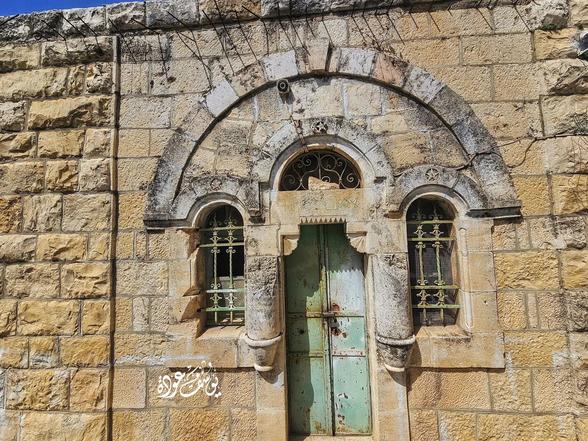
- جمال بيوت قطنة القديمة - Yousef Odeh
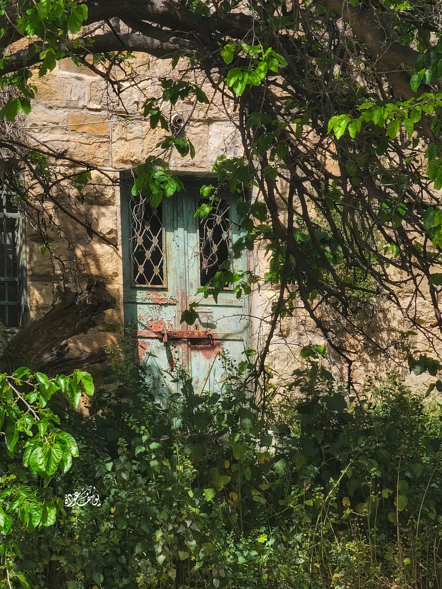
- جمال بيوت قطنة القديمة - Yousef Odeh #2
- جمال بيوت قطنة القديمة - Yousef Odeh #3
- جمال بيوت قطنة القديمة - Yousef Odeh #4
- جمال بيوت قطنة القديمة - Yousef Odeh #5

- جمال بيوت قطنة القديمة - Yousef Odeh #6
- جمال بيوت قطنة القديمة - Yousef Odeh #7
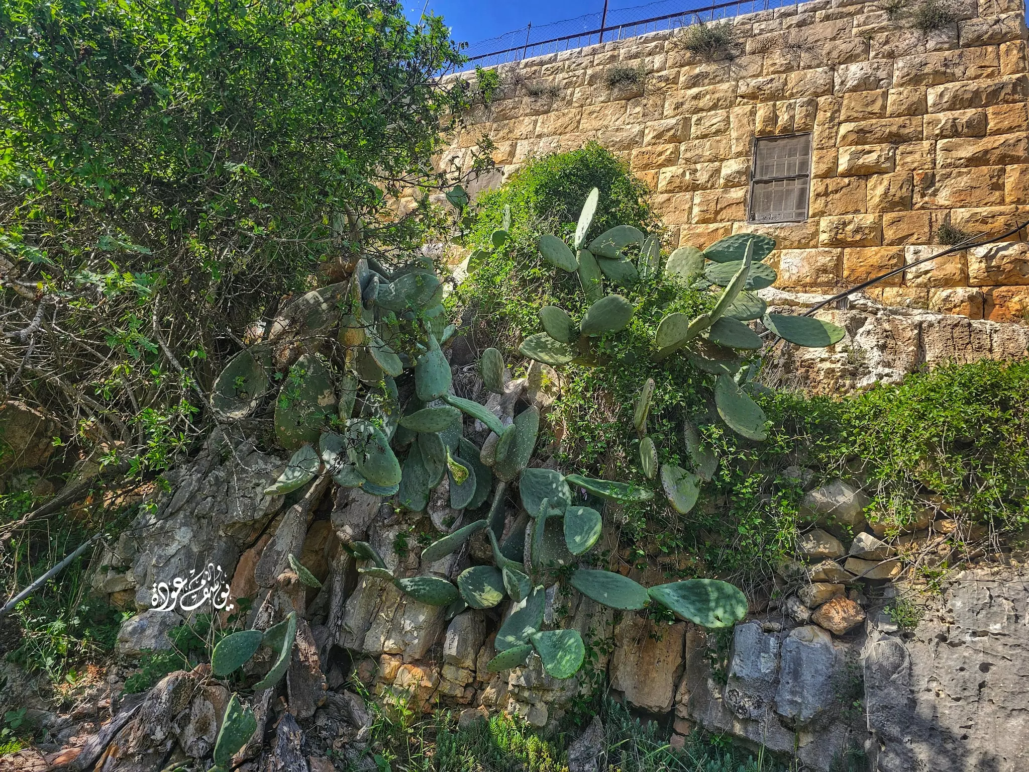
- جمال بيوت قطنة القديمة - Yousef Odeh #8
- جمال بيوت قطنة القديمة - Yousef Odeh #9
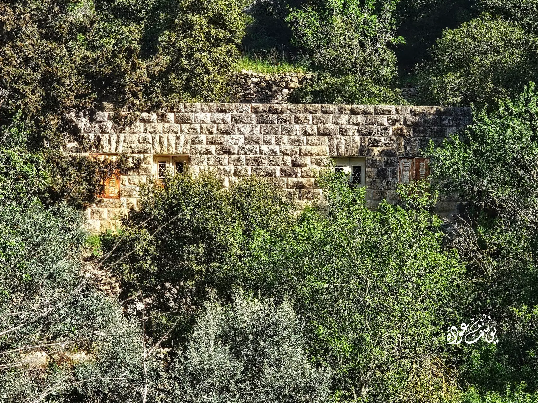
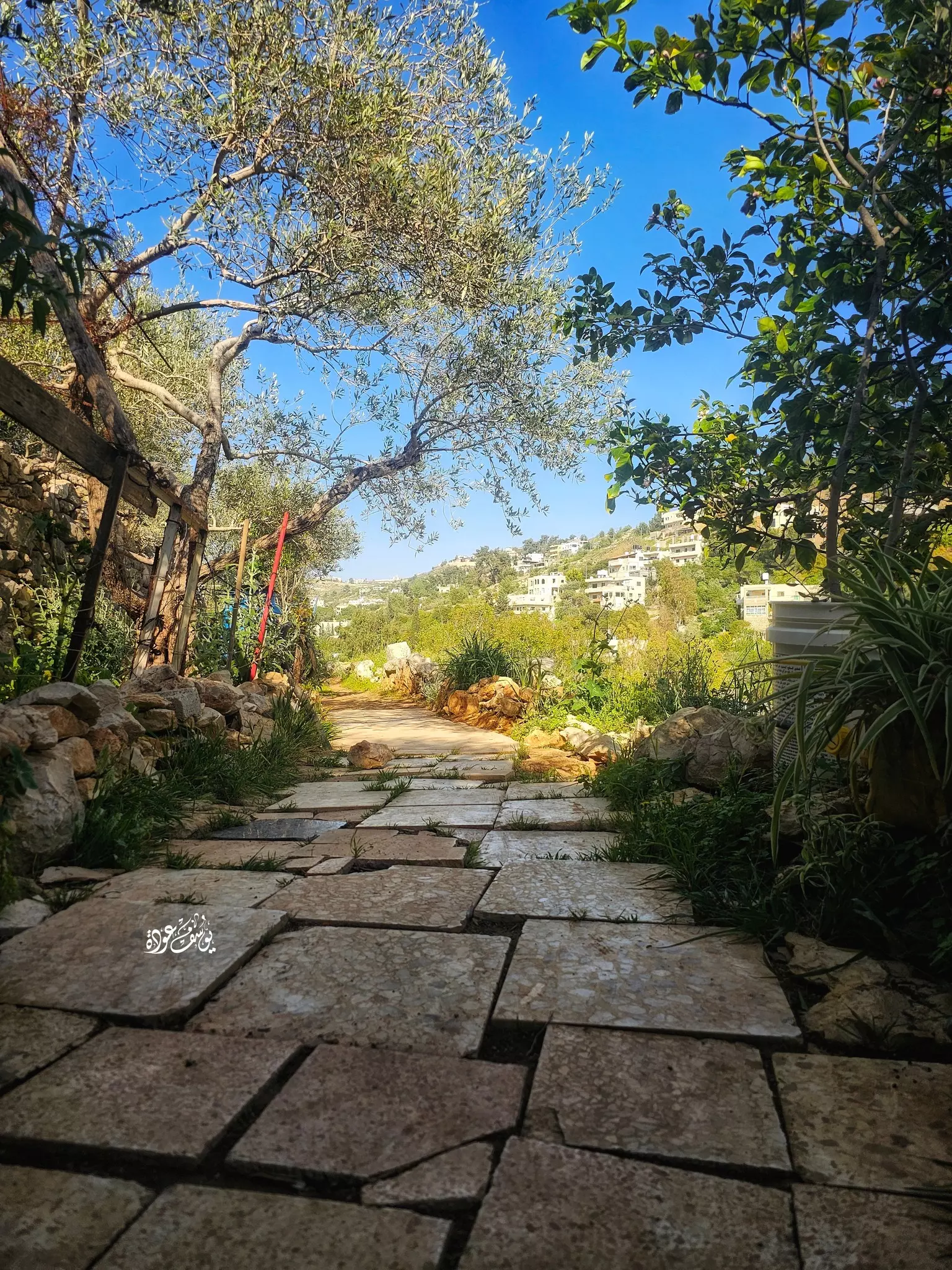
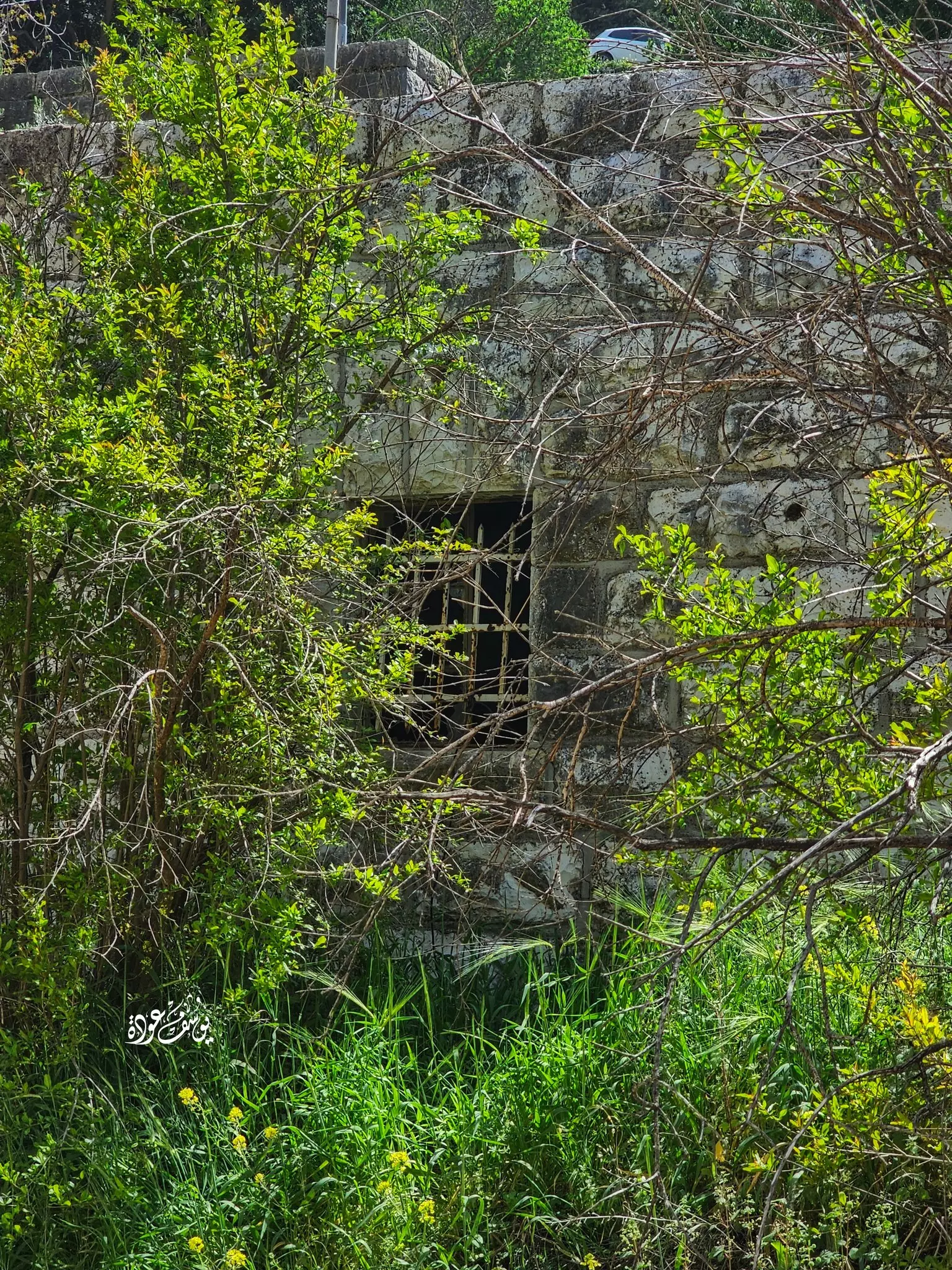
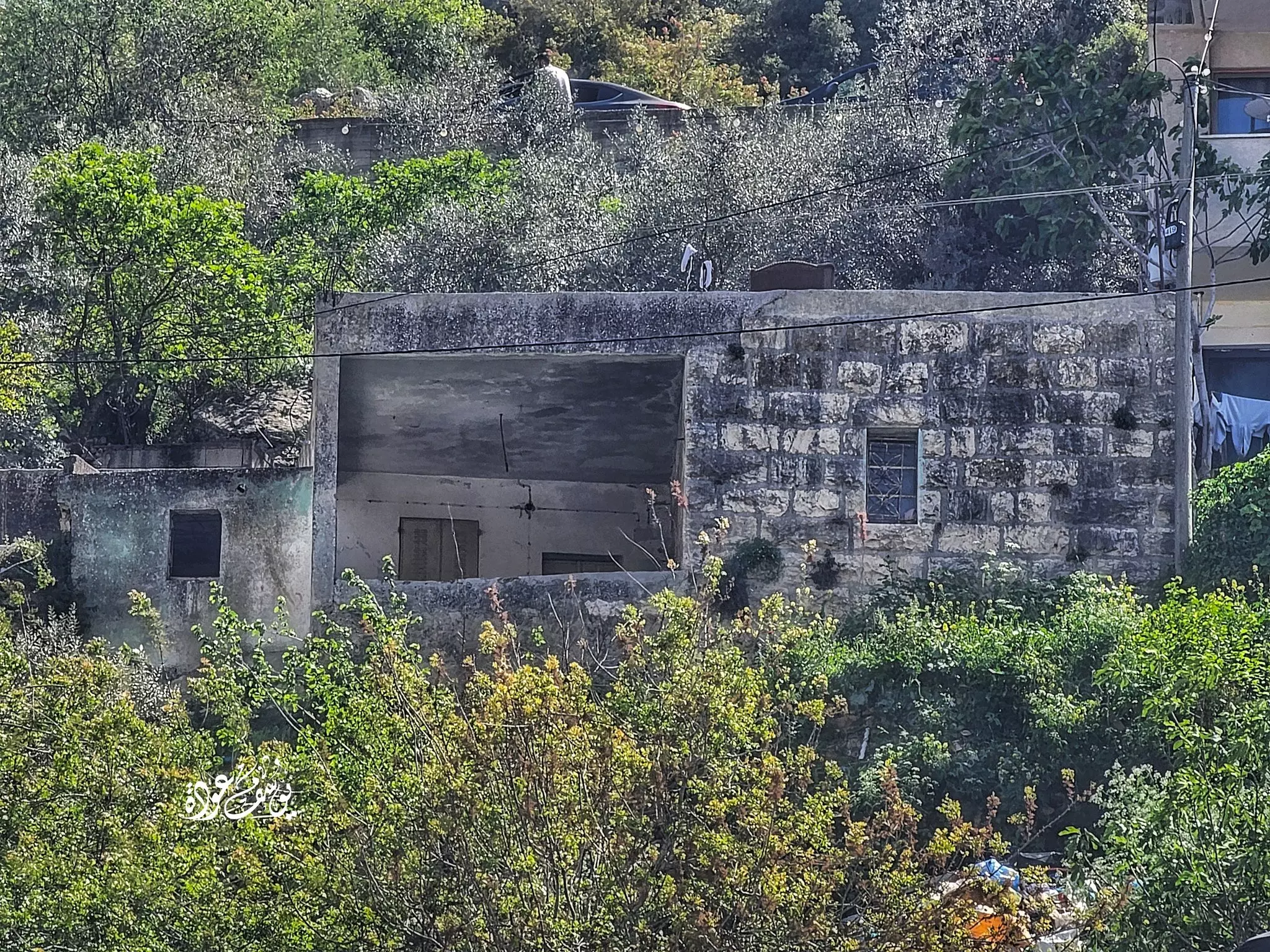
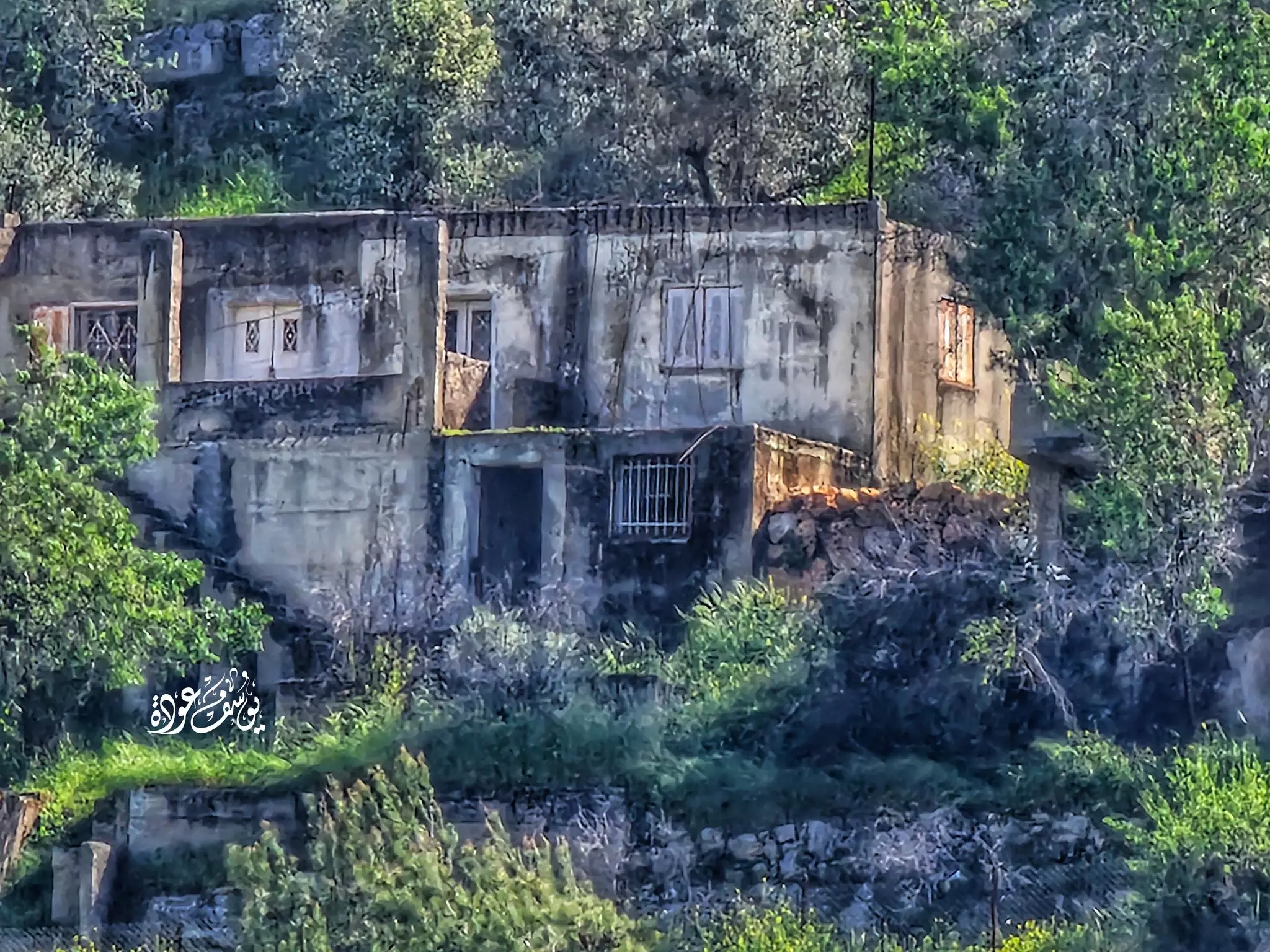
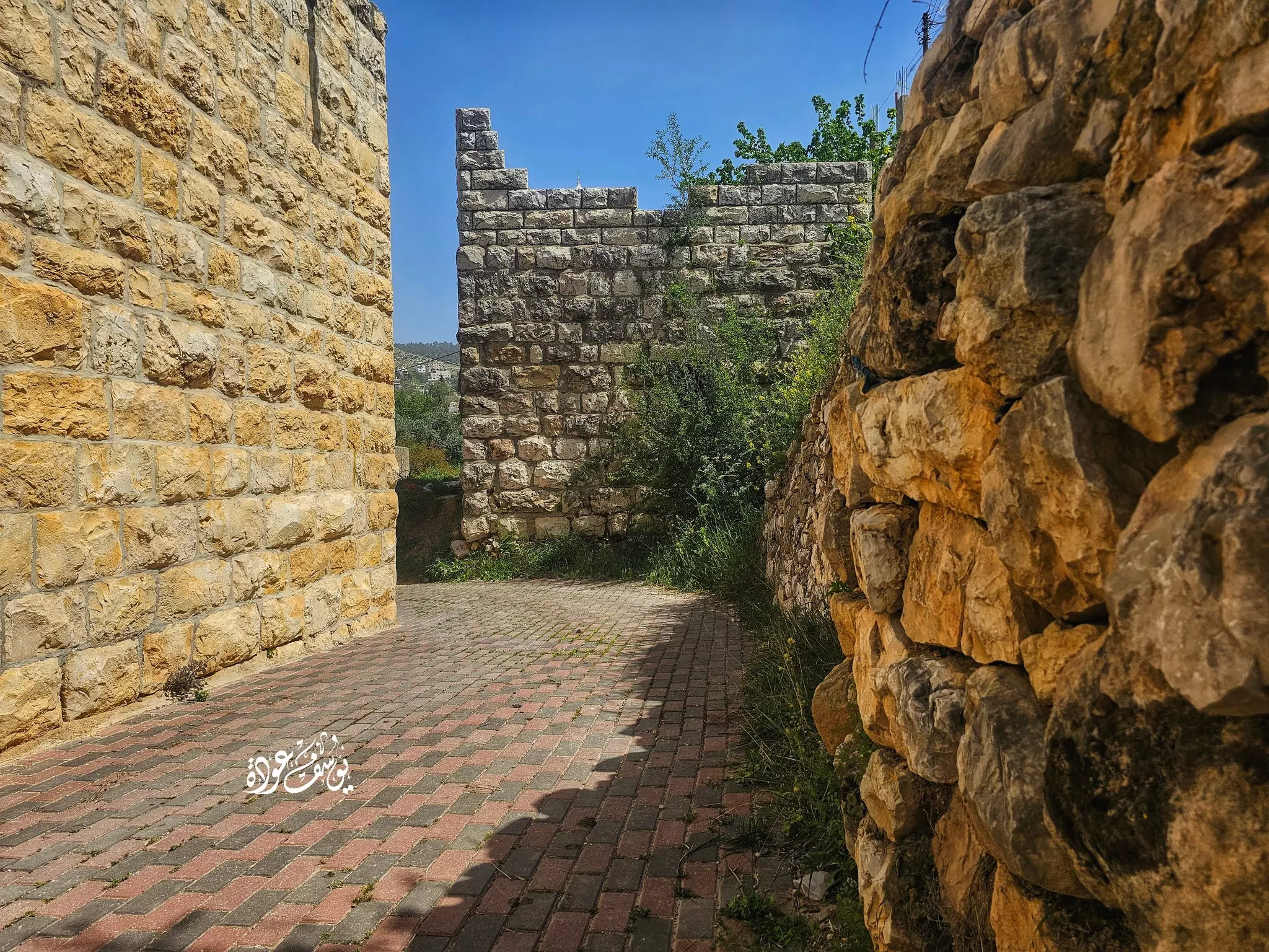
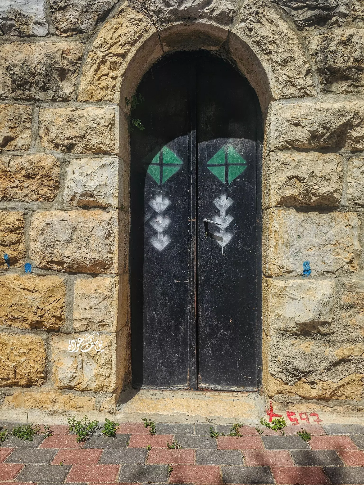
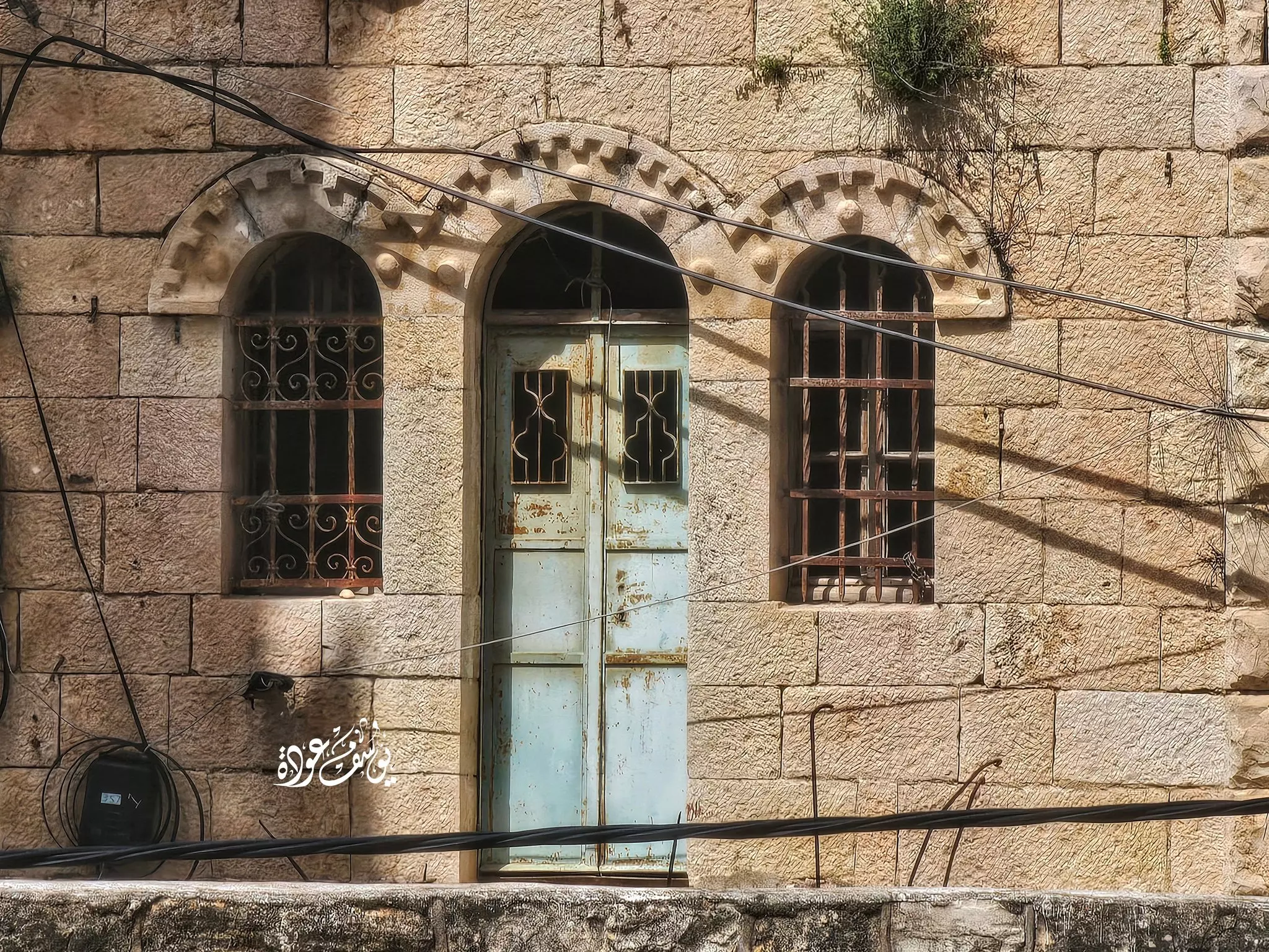
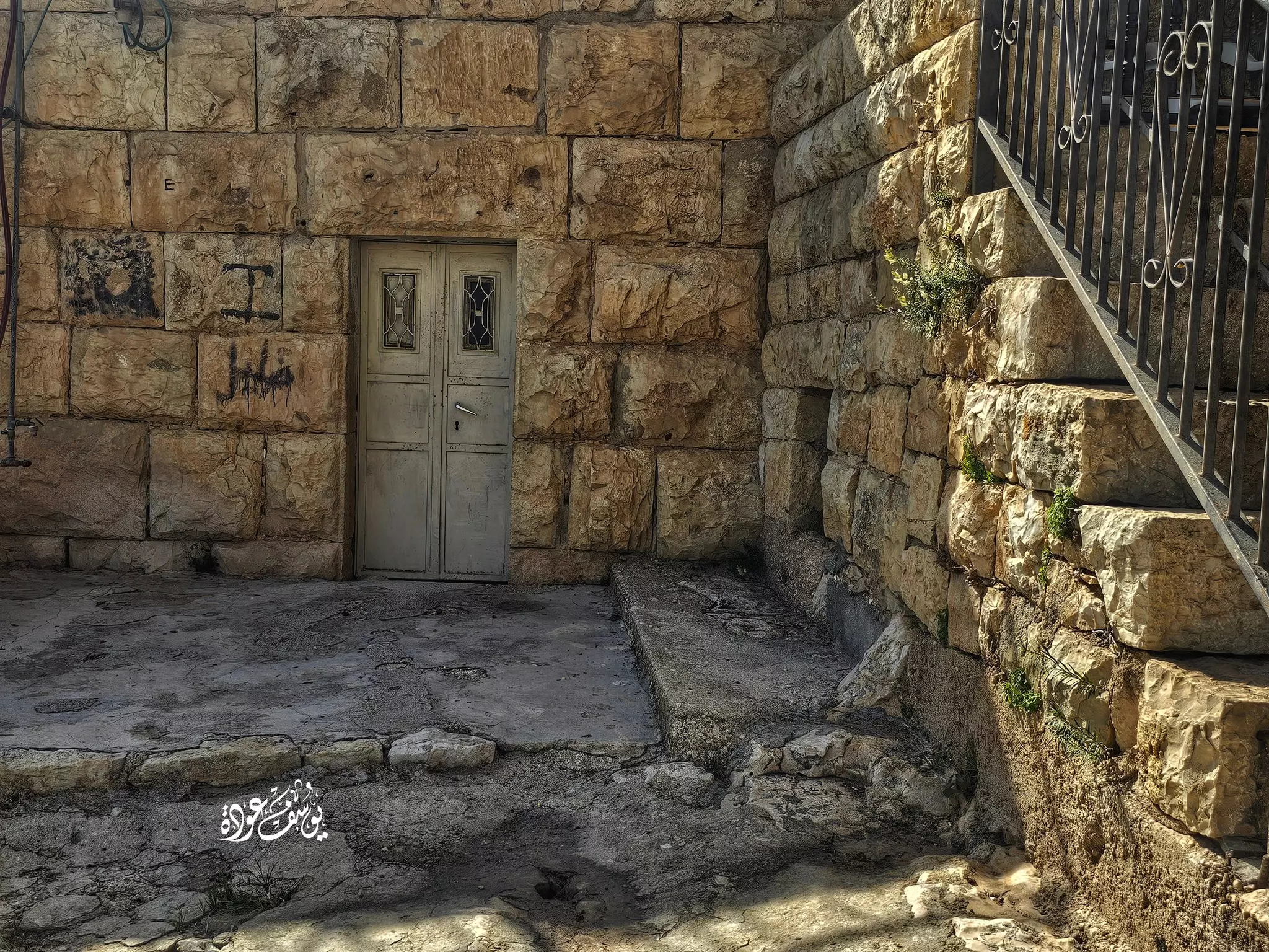
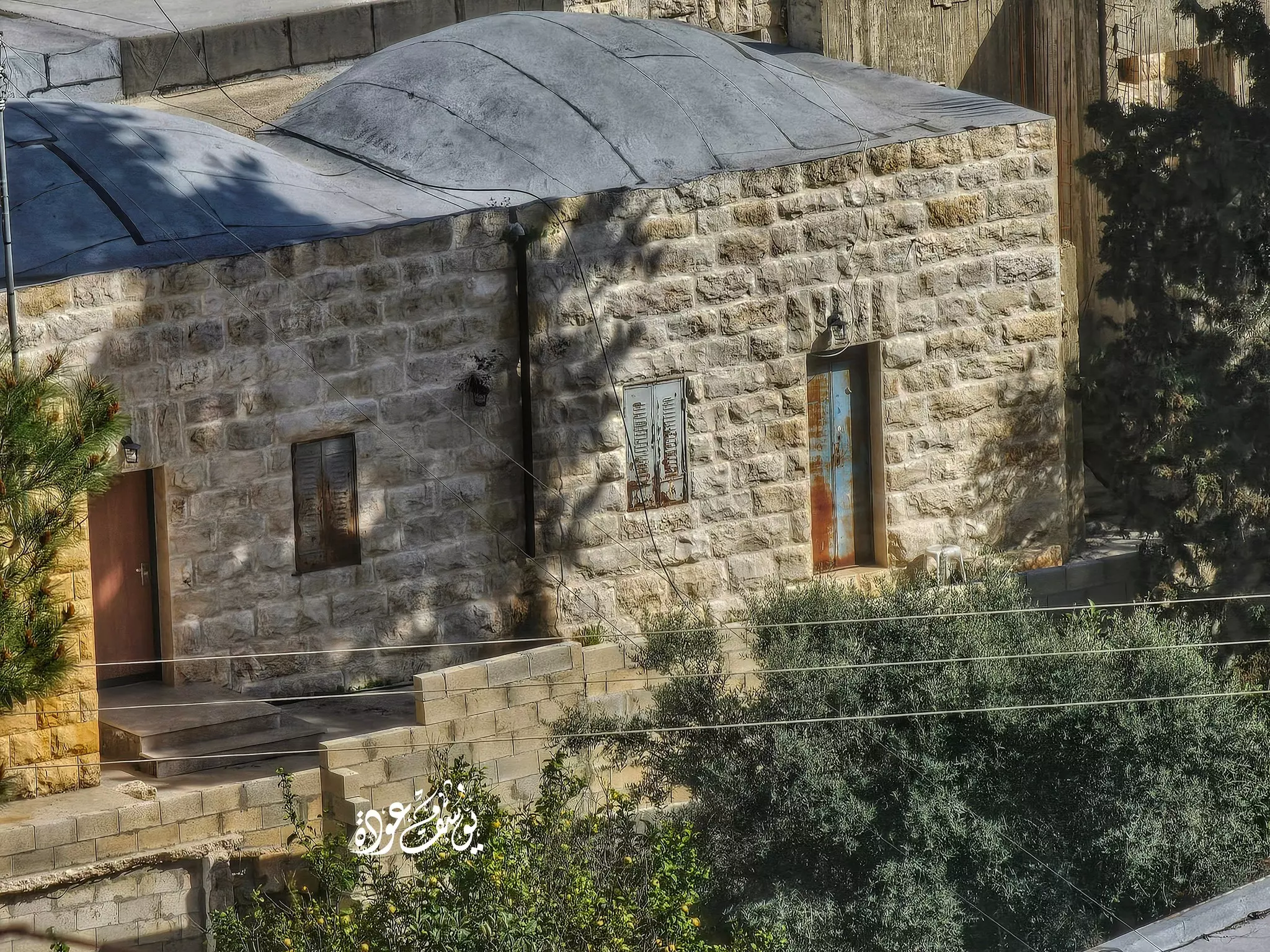
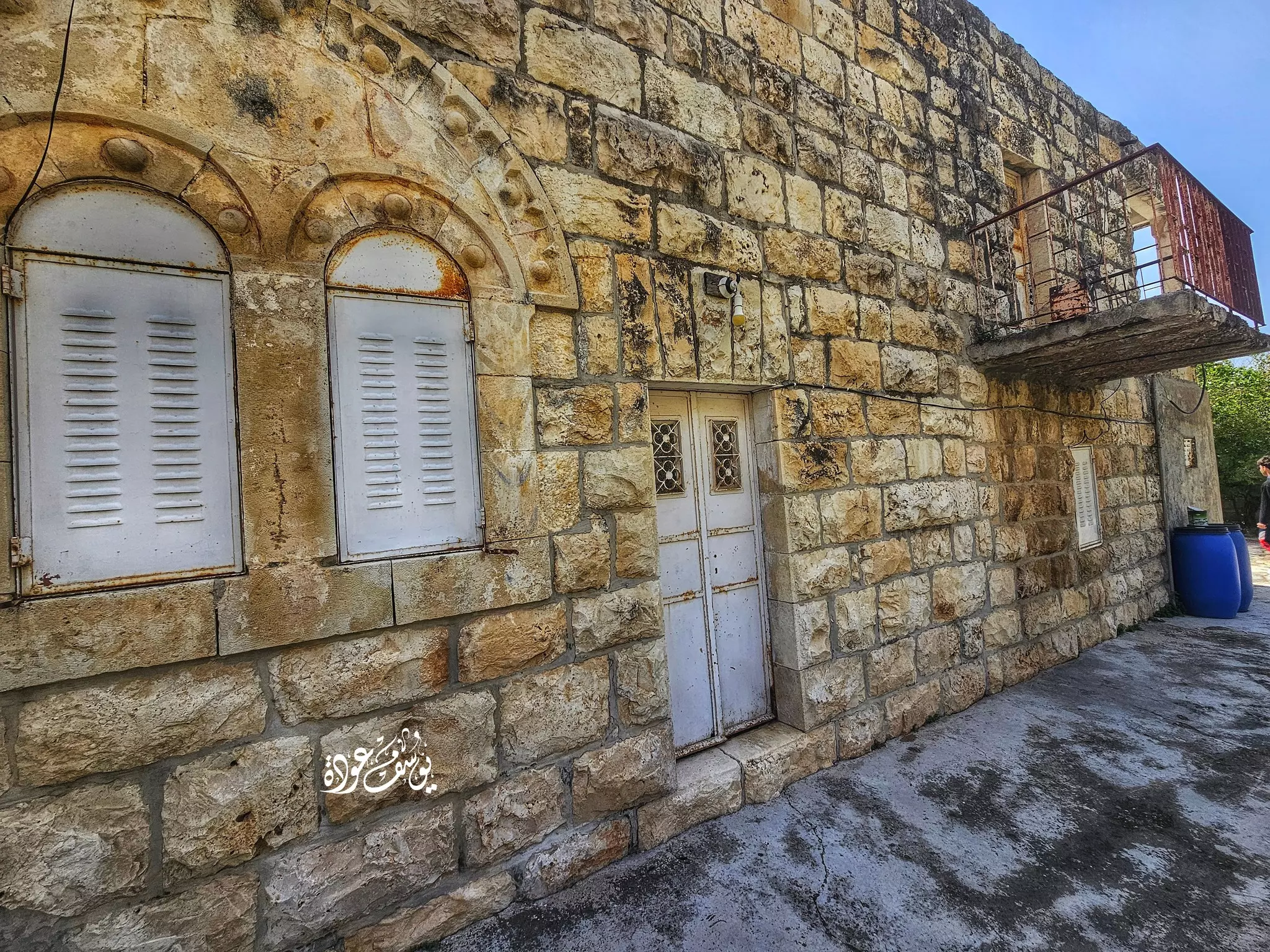
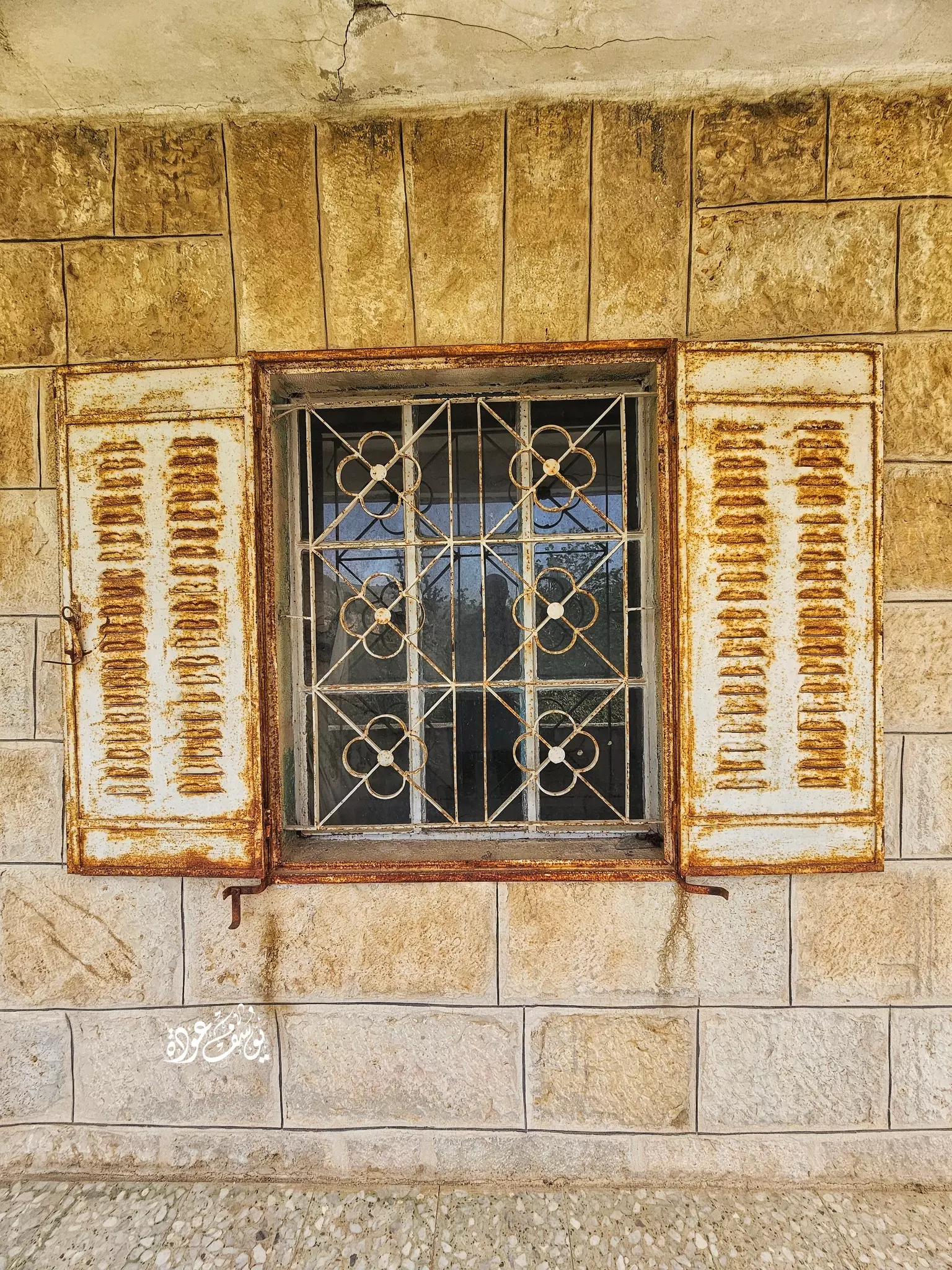
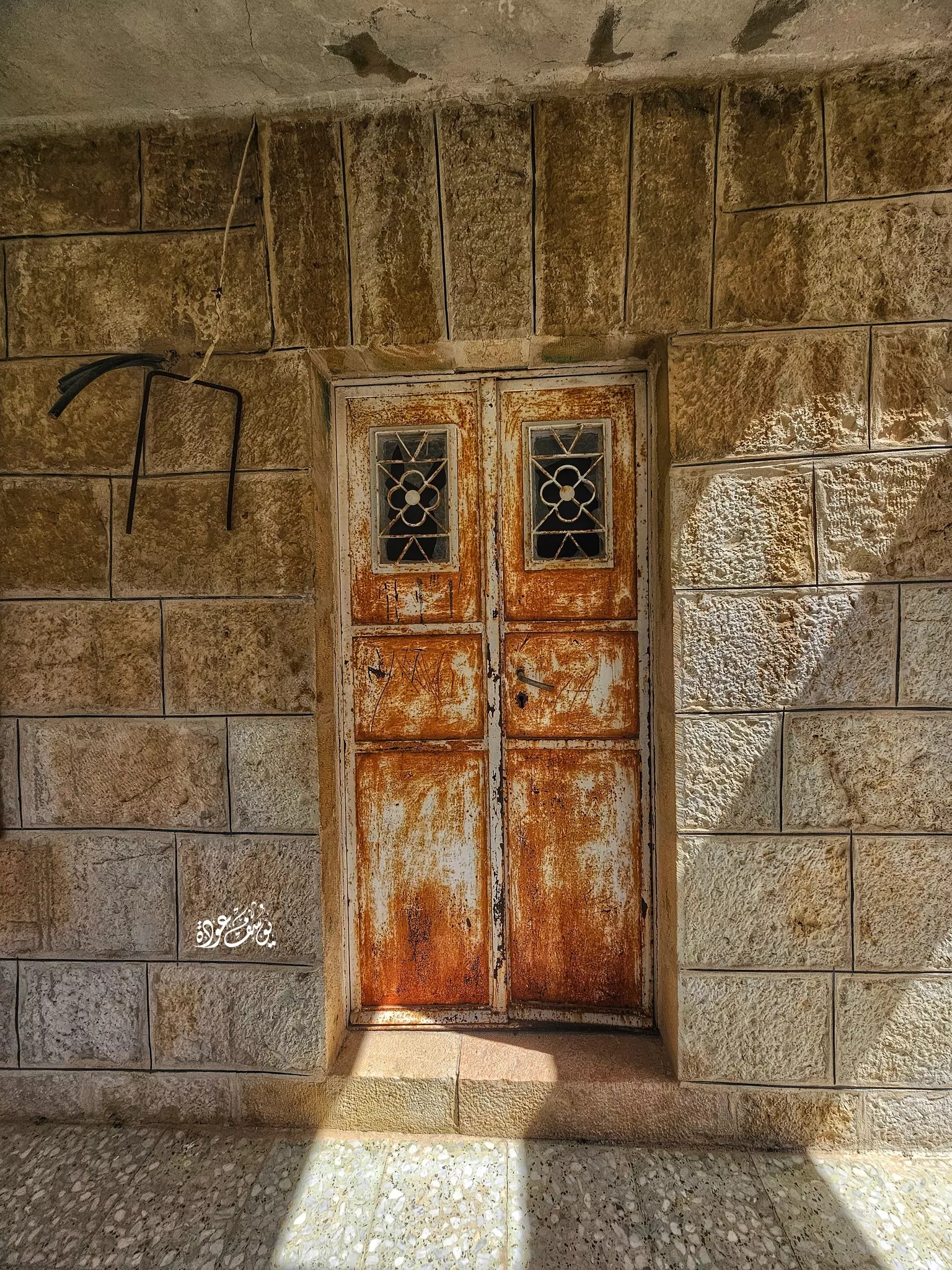
- جولة بين بيوت القرية القديمة -- Yousef Odeh
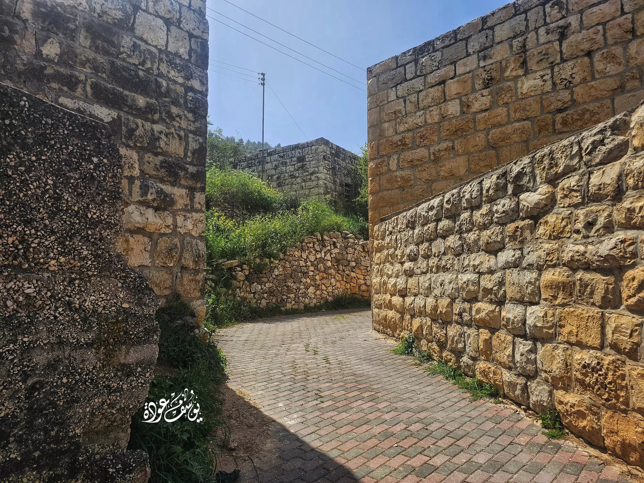
- جولة بين بيوت القرية القديمة -- Yousef Odeh #2
- جولة بين بيوت القرية القديمة -- Yousef Odeh #3
- جولة بين بيوت القرية القديمة -- Yousef Odeh #4
- جولة بين بيوت القرية القديمة -- Yousef Odeh #5
- جولة بين بيوت القرية القديمة -- Yousef Odeh #6
- جولة بين بيوت القرية القديمة -- Yousef Odeh #7
- جولة بين بيوت القرية القديمة -- Yousef Odeh #8
- جولة بين بيوت القرية القديمة -- Yousef Odeh #9
- جولة بين بيوت القرية القديمة -- Yousef Odeh #10
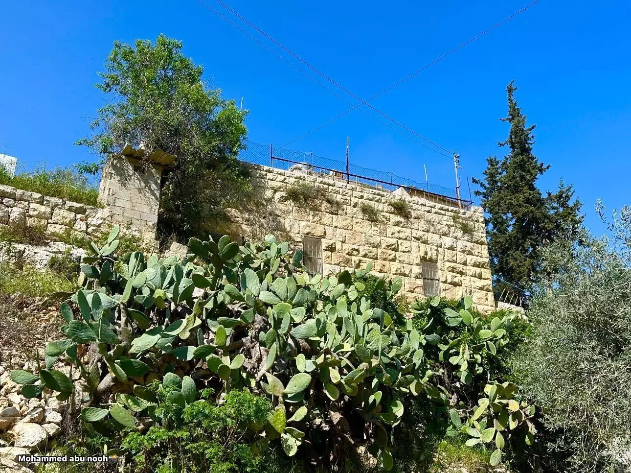
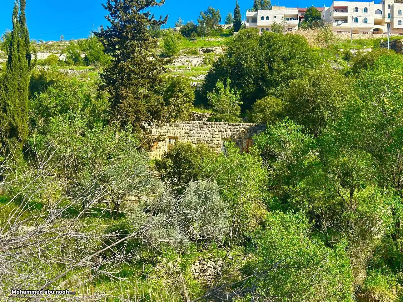
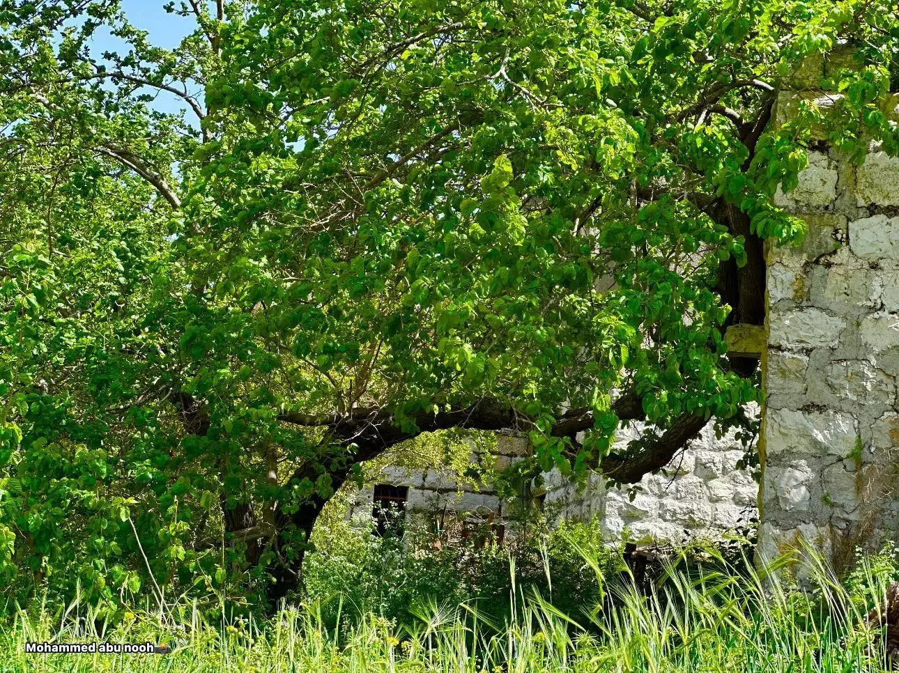
- منظر عام -- محمد أبو نوح
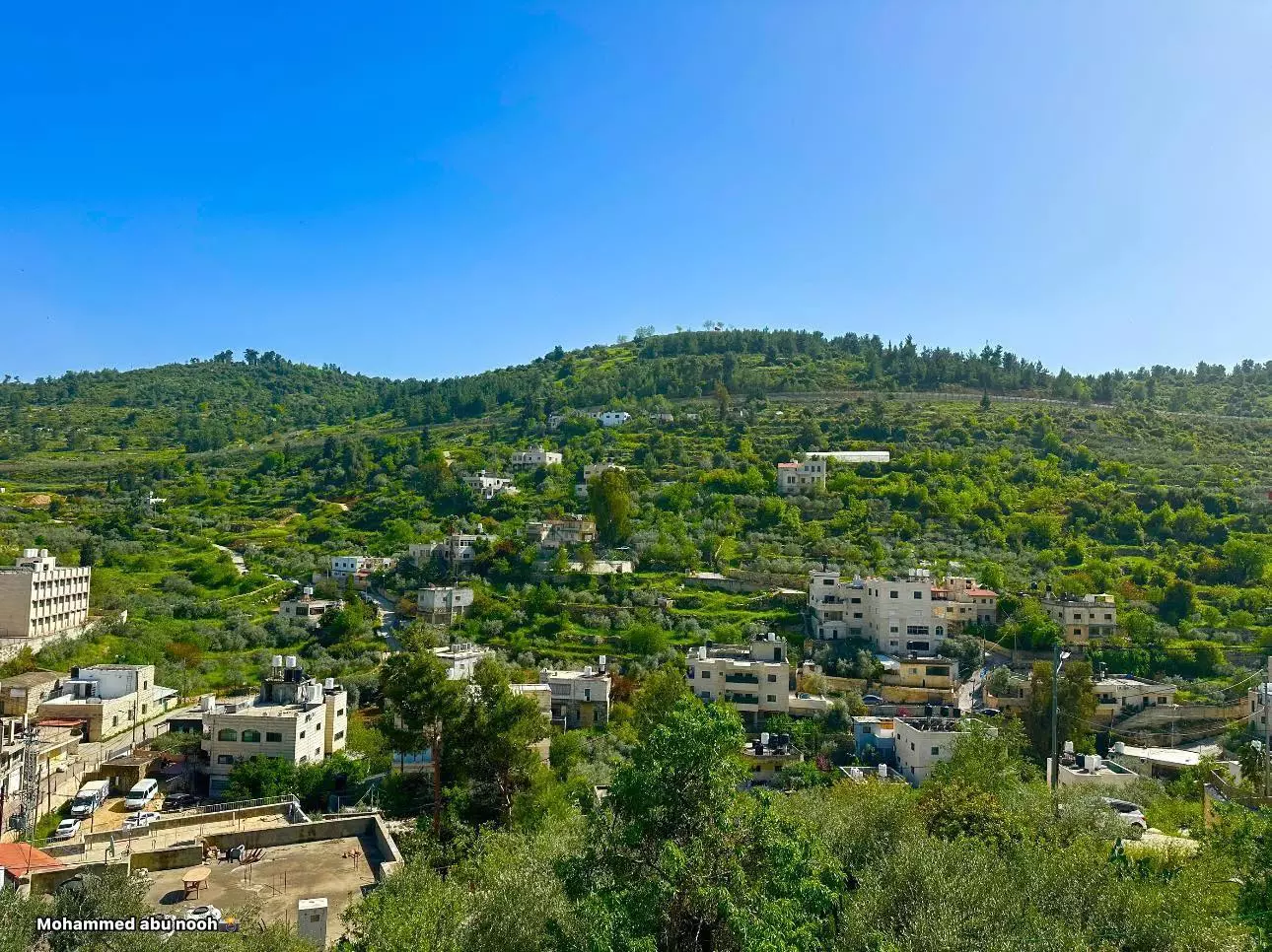
- منظر عام -- محمد أبو نوح #2
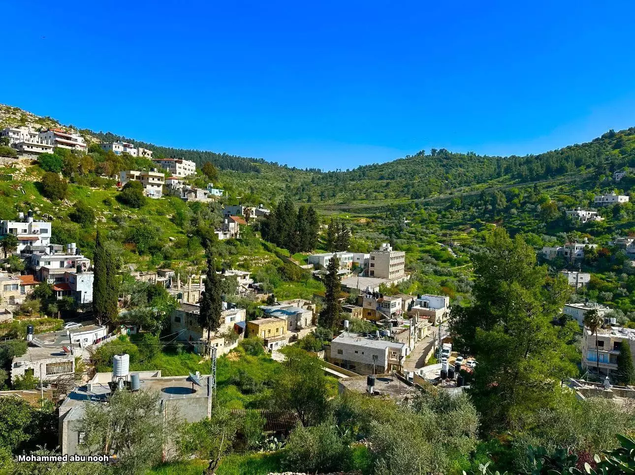
- منظر عام -- محمد أبو نوح #3
- منظر عام -- محمد أبو نوح #4

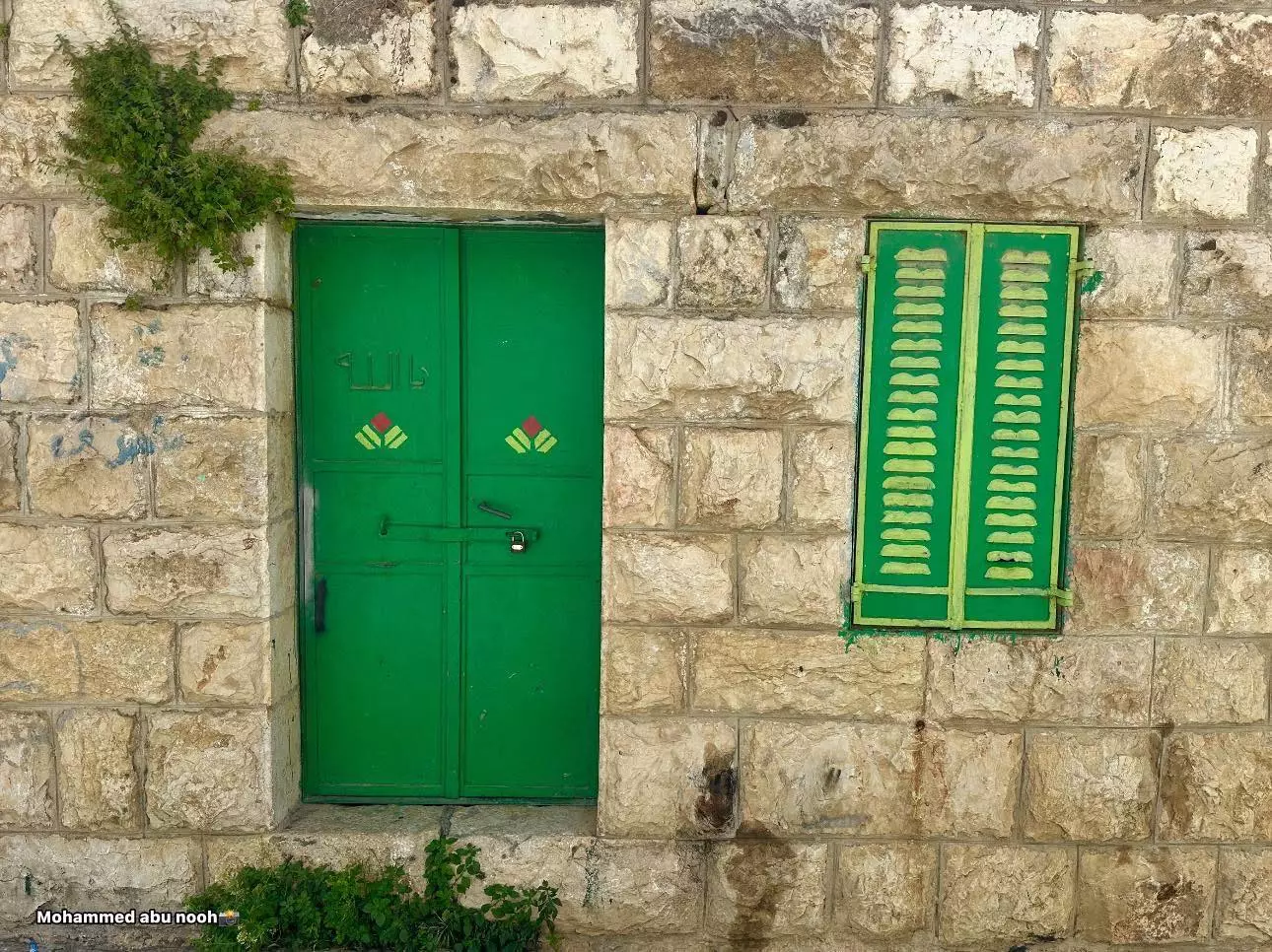
- جولة بين بيوت القرية القديمة -- محمد أبو نوح
- جولة بين بيوت القرية القديمة -- محمد أبو نوح #2
- جولة بين بيوت القرية القديمة -- محمد أبو نوح #3
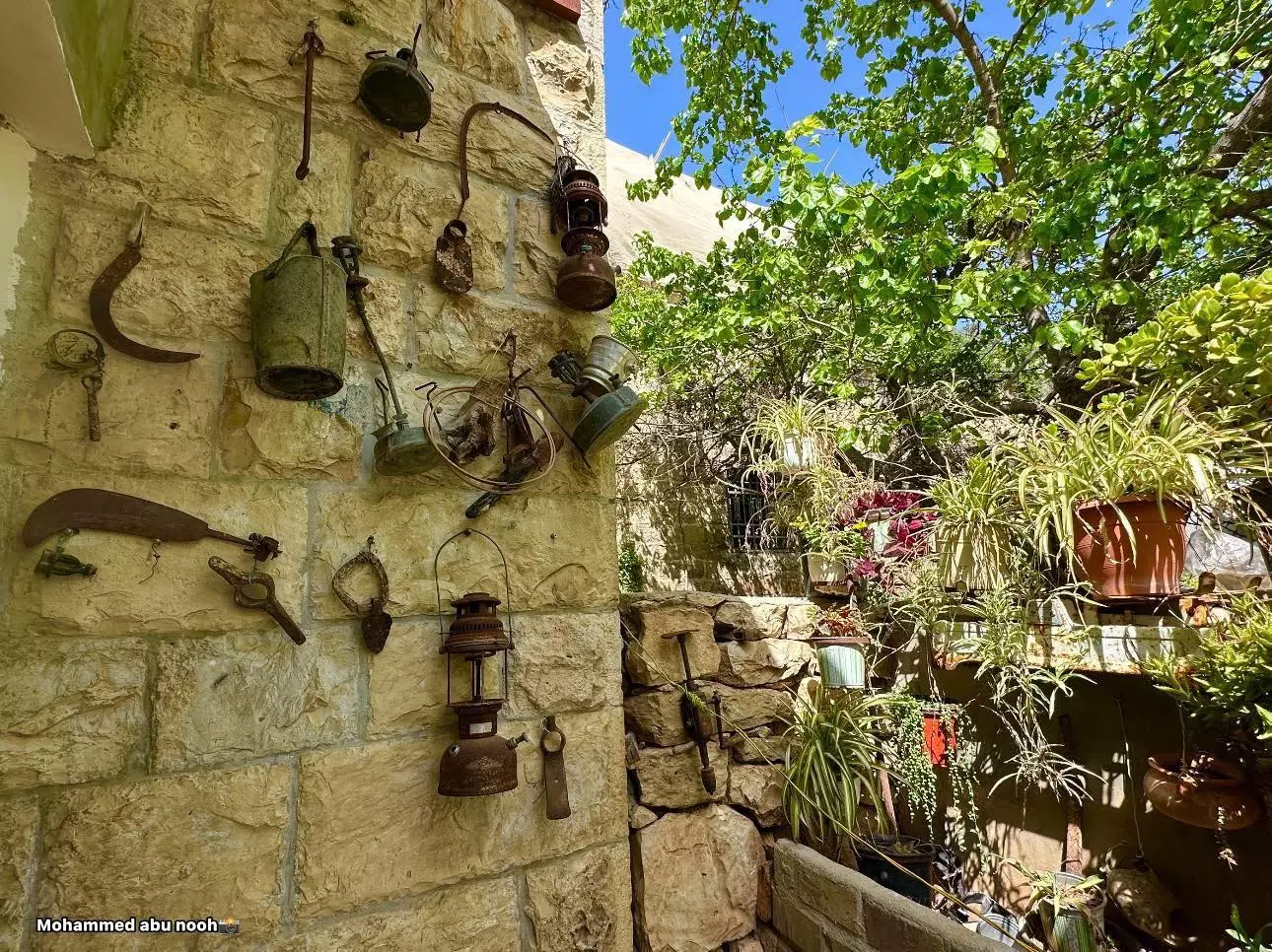
- جولة بين بيوت القرية القديمة -- محمد أبو نوح #4
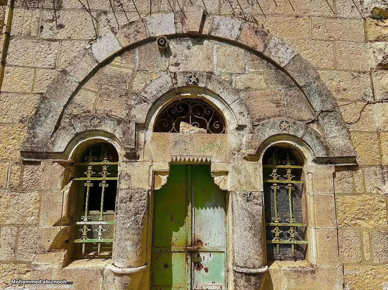
- جولة بين بيوت القرية القديمة -- محمد أبو نوح #5
- جولة بين بيوت القرية القديمة -- محمد أبو نوح #6
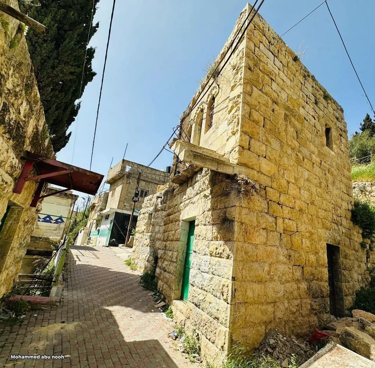
- جولة بين بيوت القرية القديمة -- محمد أبو نوح #7
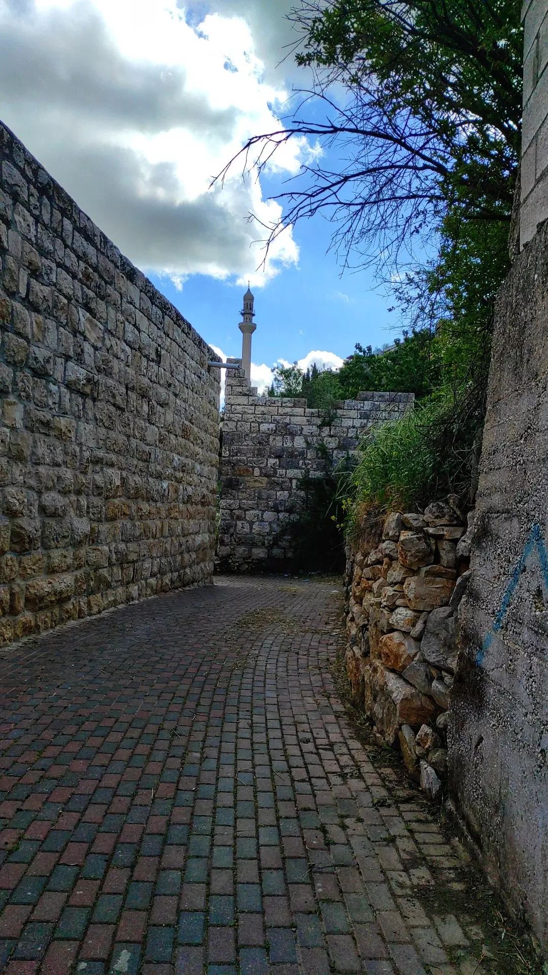
- من ريفنا الجميل قرية قطنة وبيوتها العتيقة -- Ibtisam Sulieman
- من ريفنا الجميل قرية قطنة وبيوتها العتيقة -- Ibtisam Sulieman #2
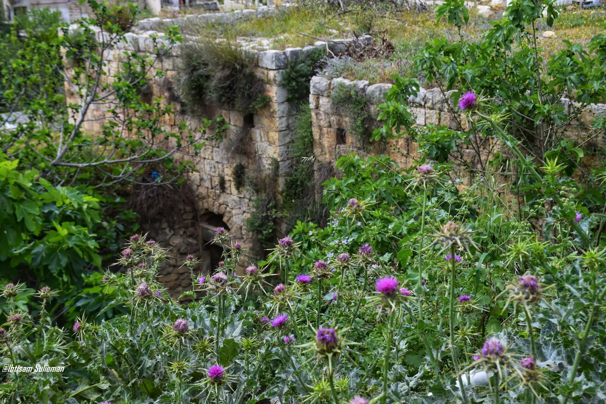
- من ريفنا الجميل قرية قطنة وبيوتها العتيقة -- Ibtisam Sulieman #3
- من ريفنا الجميل قرية قطنة وبيوتها العتيقة -- Ibtisam Sulieman #4
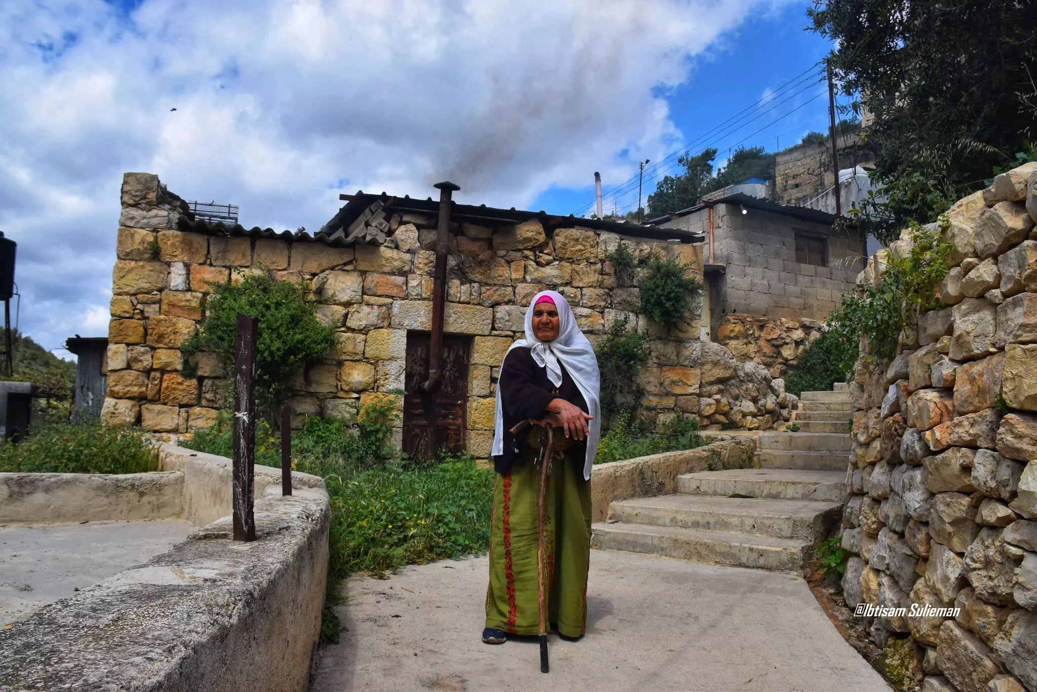
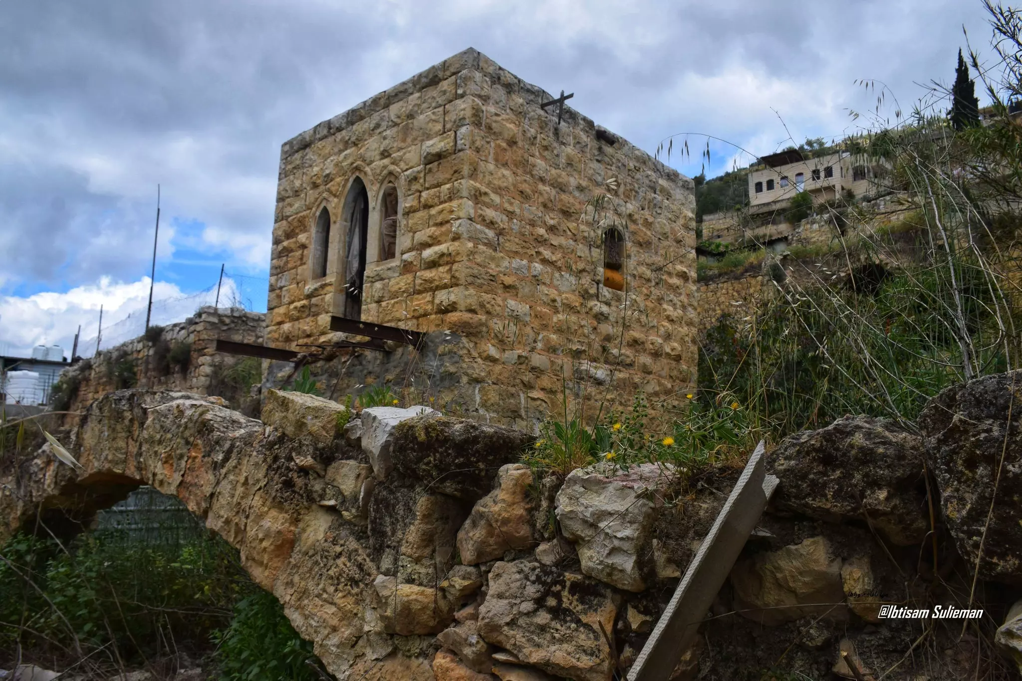
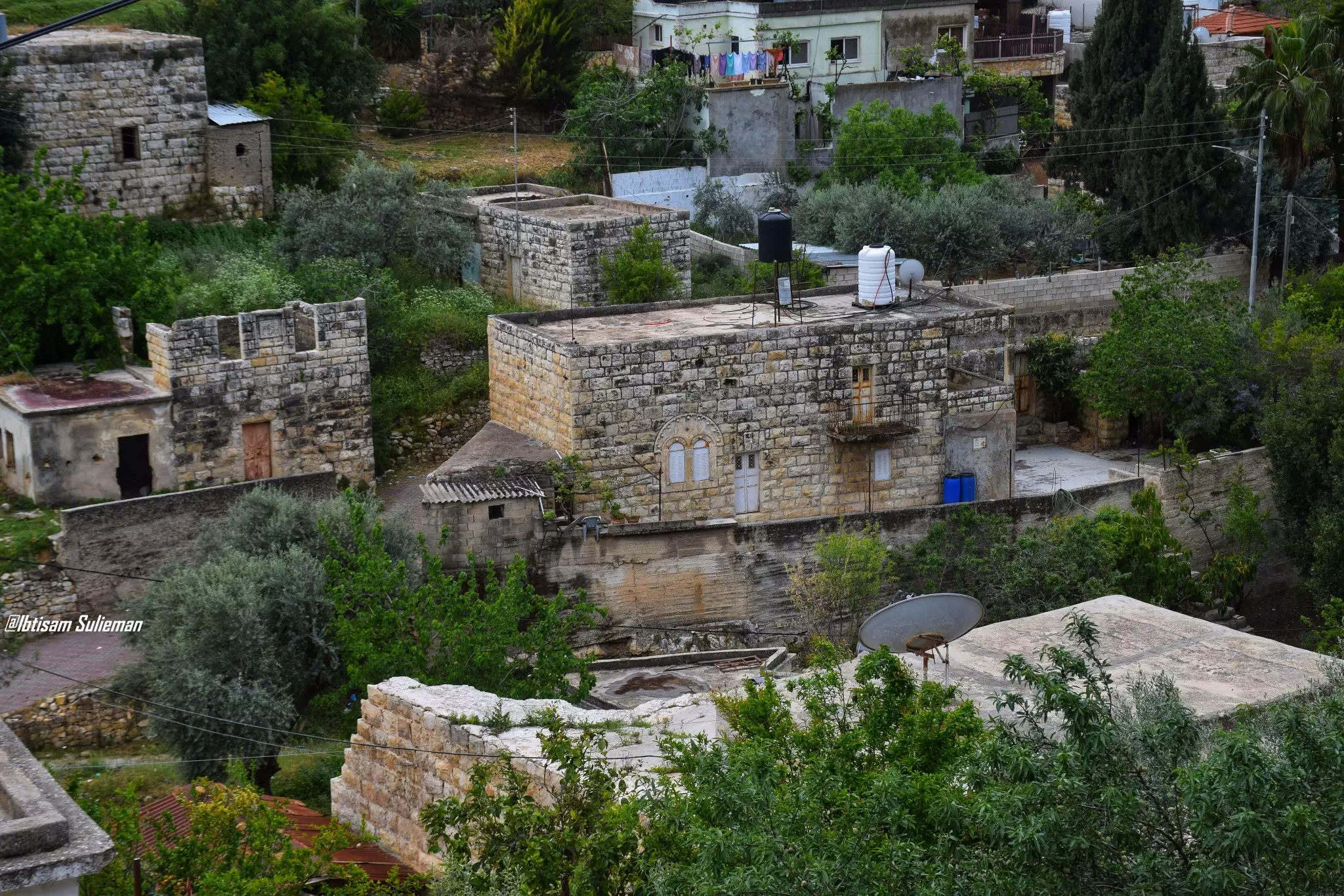
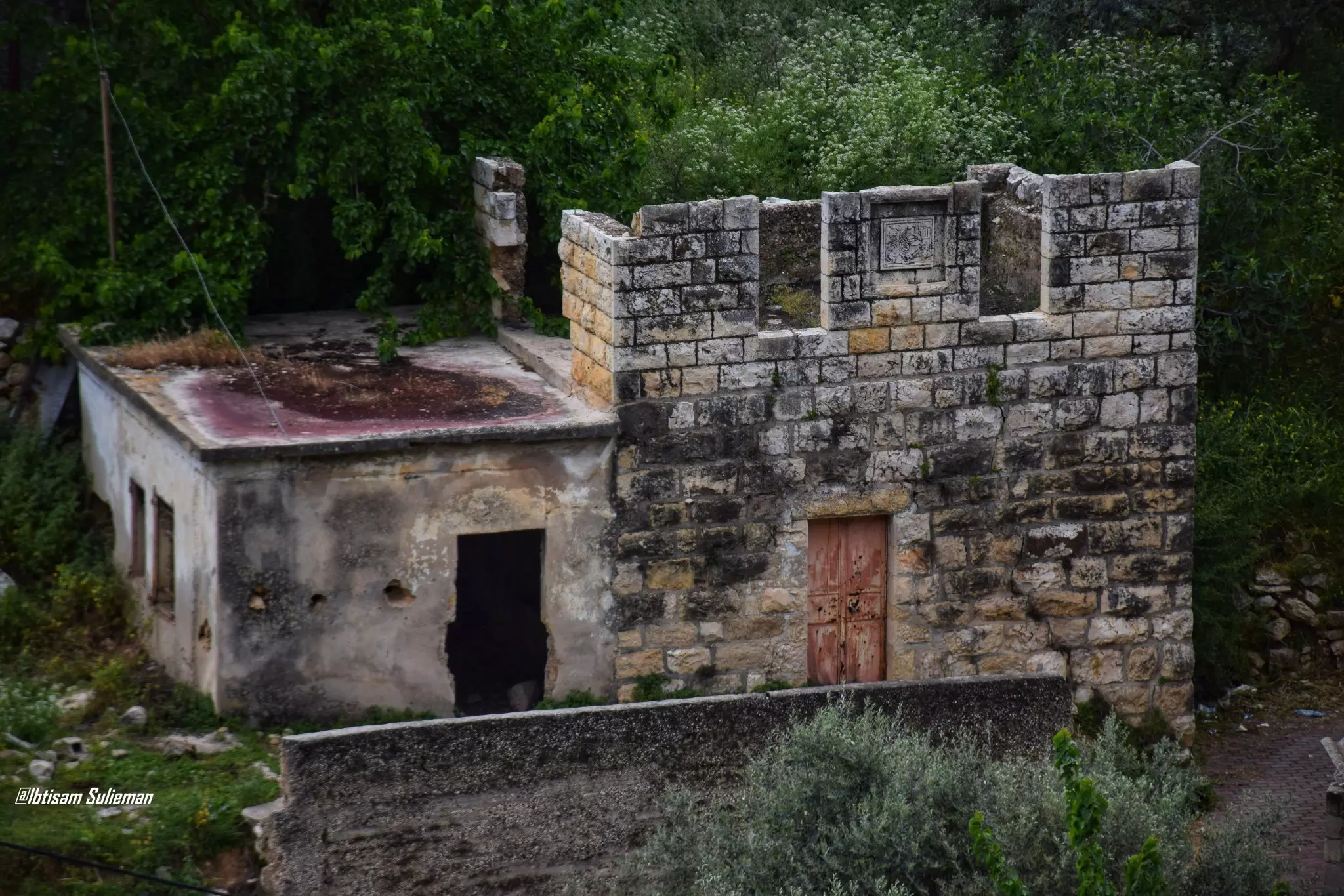
- من ريفنا الجميل قرية قطنة وبيوتها العتيقة -- Ibtisam Sulieman #5
- من ريفنا الجميل قرية قطنة وبيوتها العتيقة -- Ibtisam Sulieman #6
- من ريفنا الجميل قرية قطنة وبيوتها العتيقة -- Ibtisam Sulieman #7
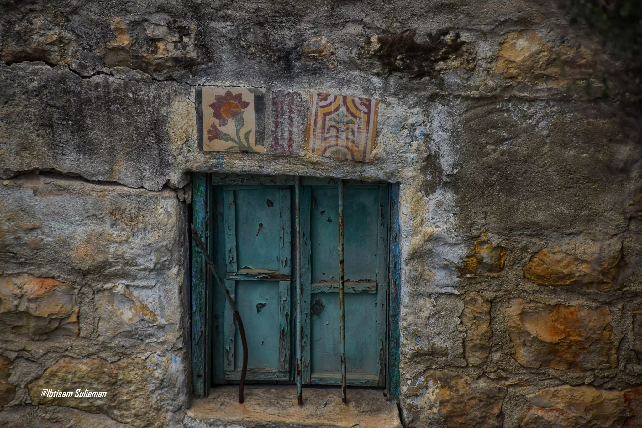
- من ريفنا الجميل قرية قطنة وبيوتها العتيقة -- Ibtisam Sulieman #8
- جولة في بيت ام خضر شماسنة تعود لثمانينيات القرن الماضي -- مؤسسة رواق
- جولة في بيت ام خضر شماسنة تعود لثمانينيات القرن الماضي -- مؤسسة رواق #2
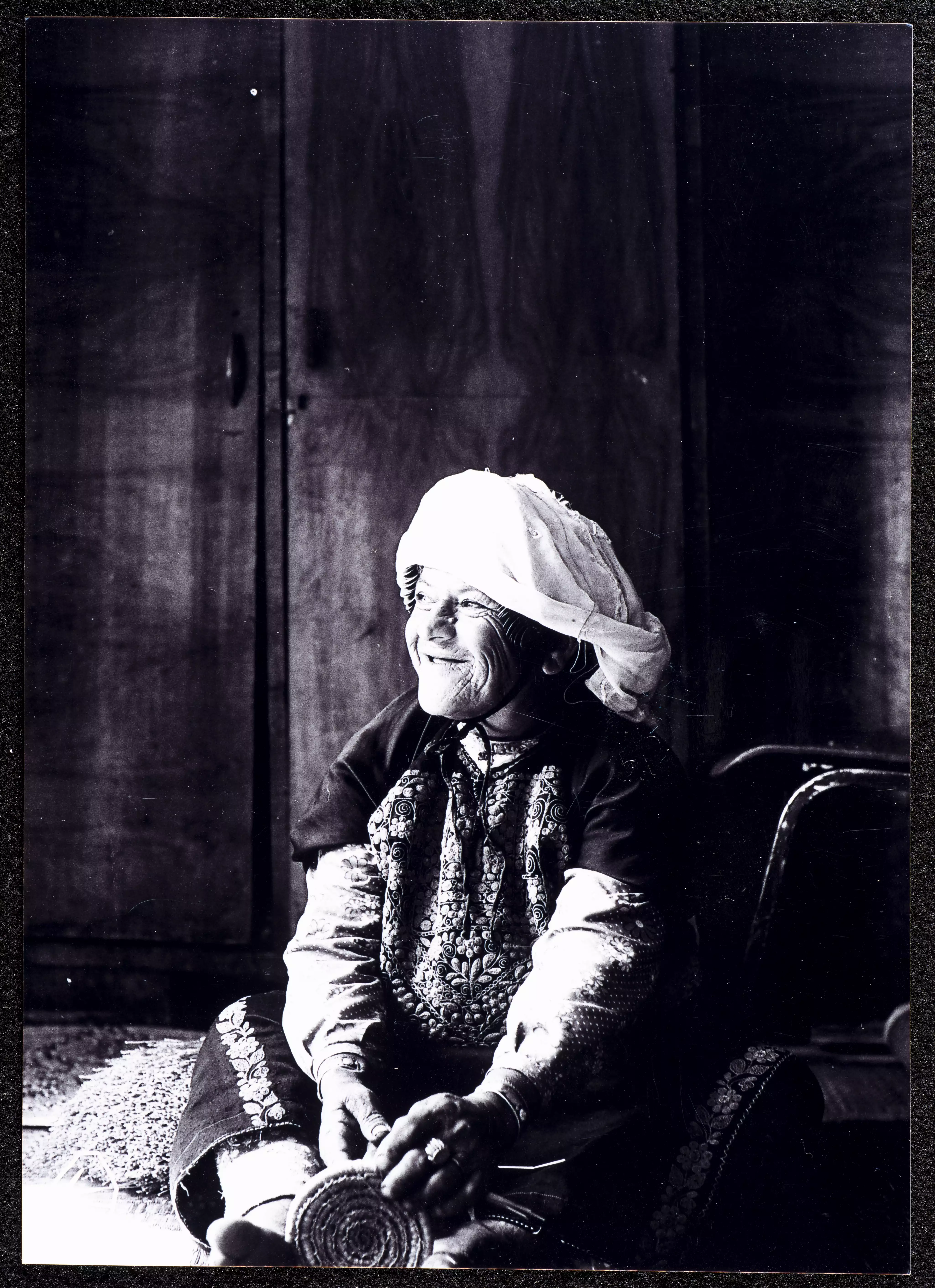
- جولة في بيت ام خضر شماسنة تعود لثمانينيات القرن الماضي -- مؤسسة رواق #3
- جولة في بيت ام خضر شماسنة تعود لثمانينيات القرن الماضي -- مؤسسة رواق #4
- جولة في بيت ام خضر شماسنة تعود لثمانينيات القرن الماضي -- مؤسسة رواق #5
- جولة في بيت ام خضر شماسنة تعود لثمانينيات القرن الماضي -- مؤسسة رواق #6
- جولة في بيت ام خضر شماسنة تعود لثمانينيات القرن الماضي -- مؤسسة رواق #7

- جولة في بيت ام خضر شماسنة تعود لثمانينيات القرن الماضي -- مؤسسة رواق #8
- جولة في بيت ام خضر شماسنة تعود لثمانينيات القرن الماضي -- مؤسسة رواق #9
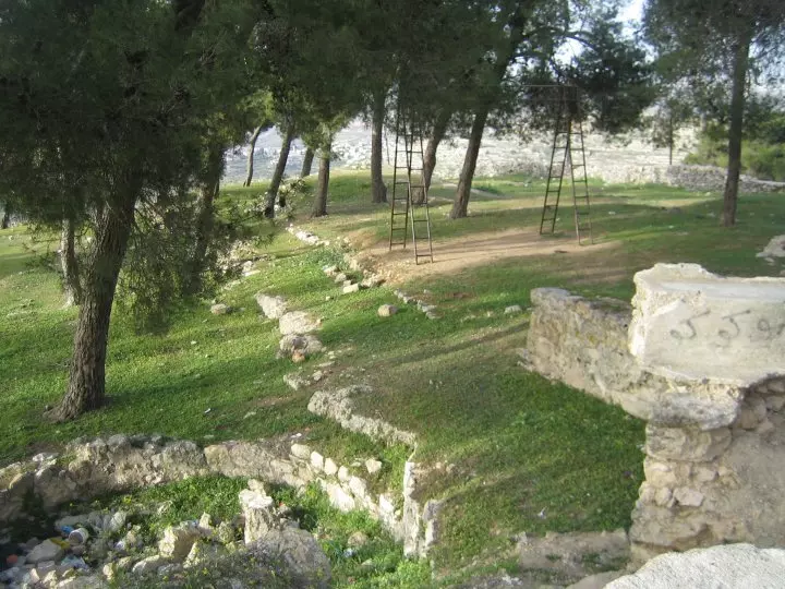
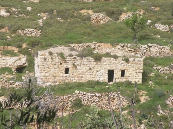
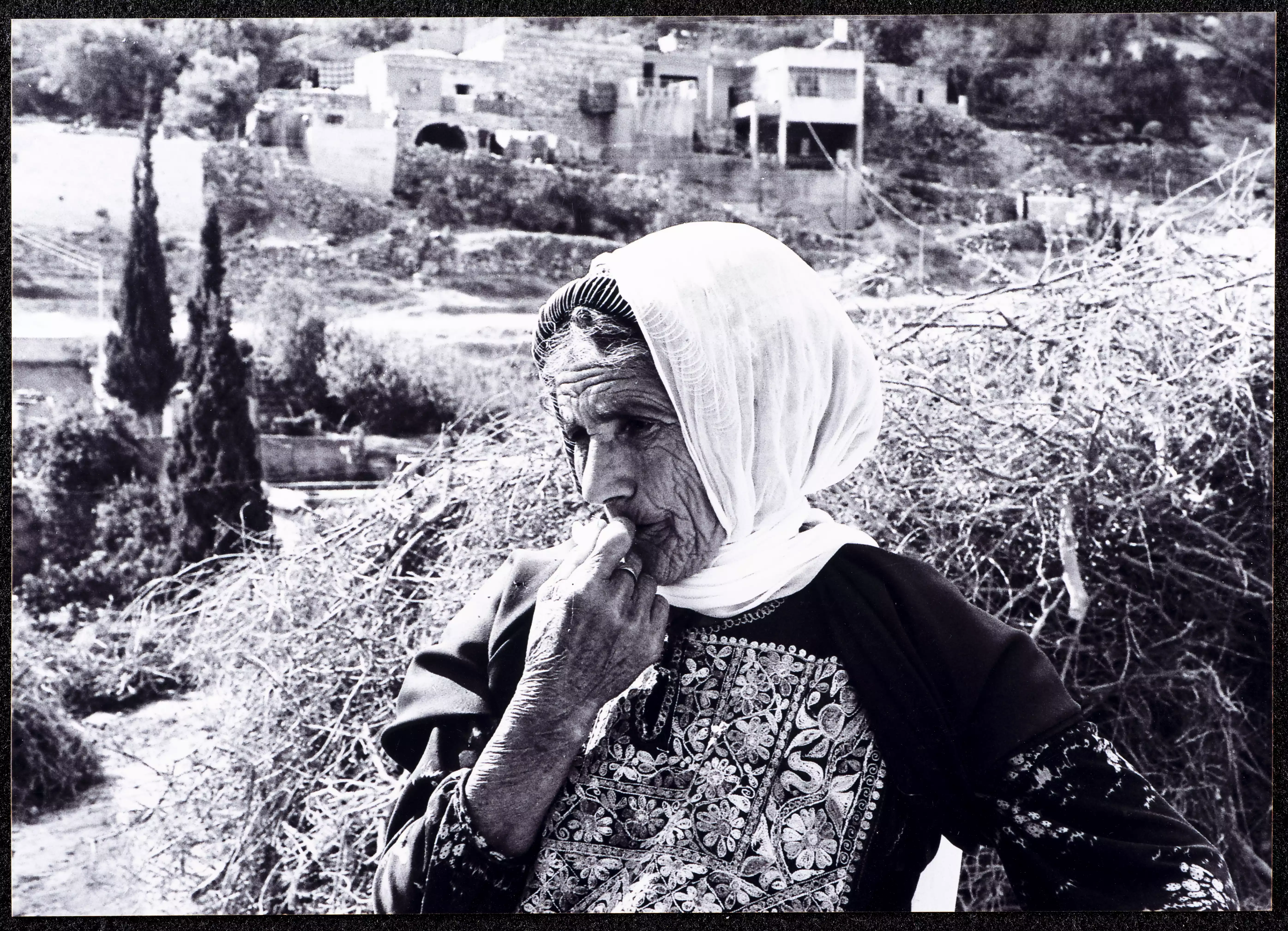
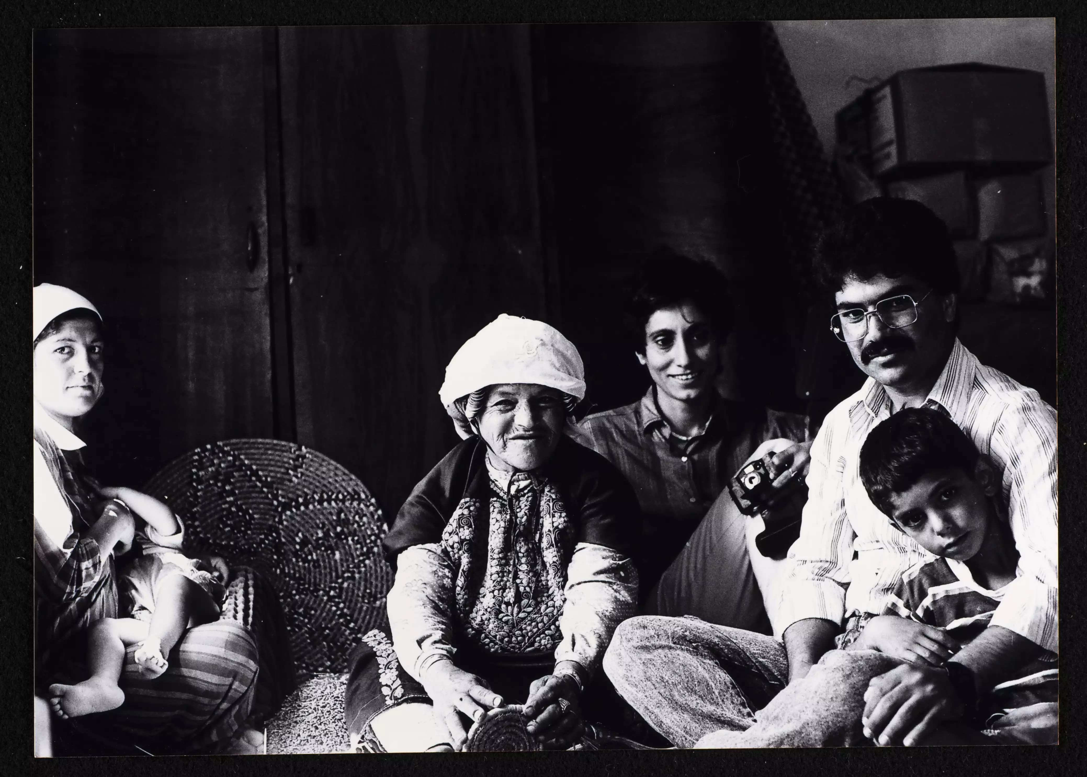
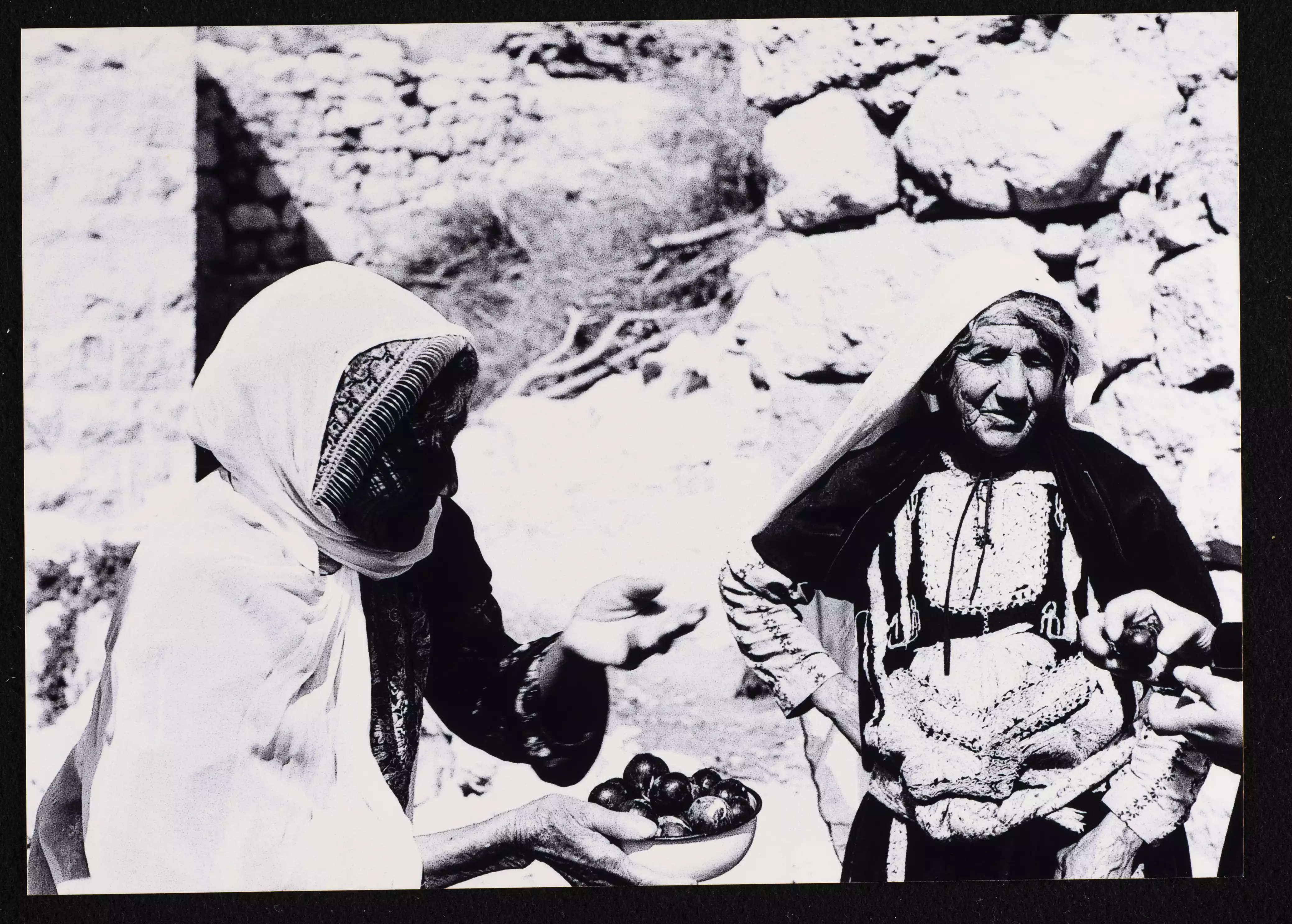
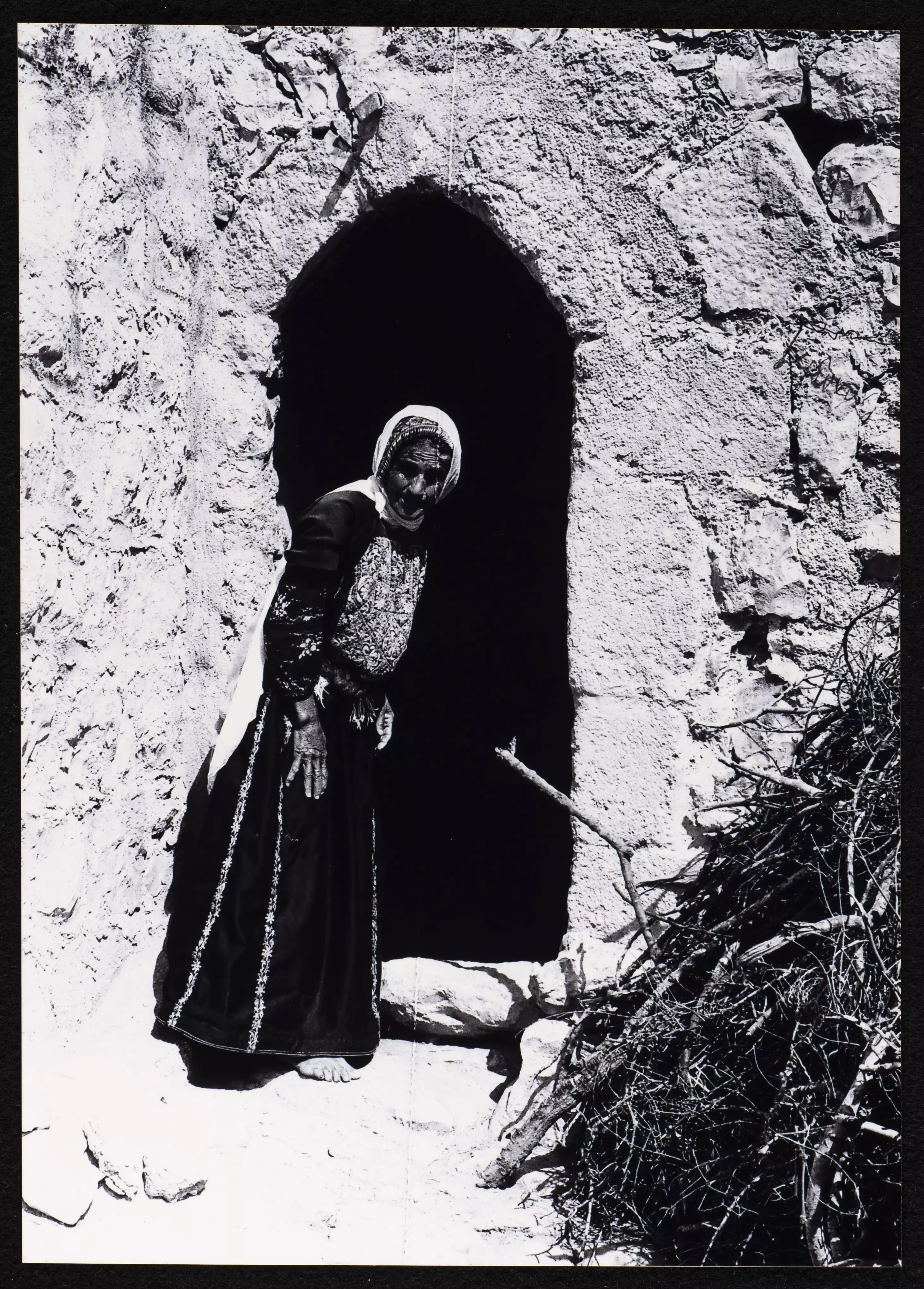
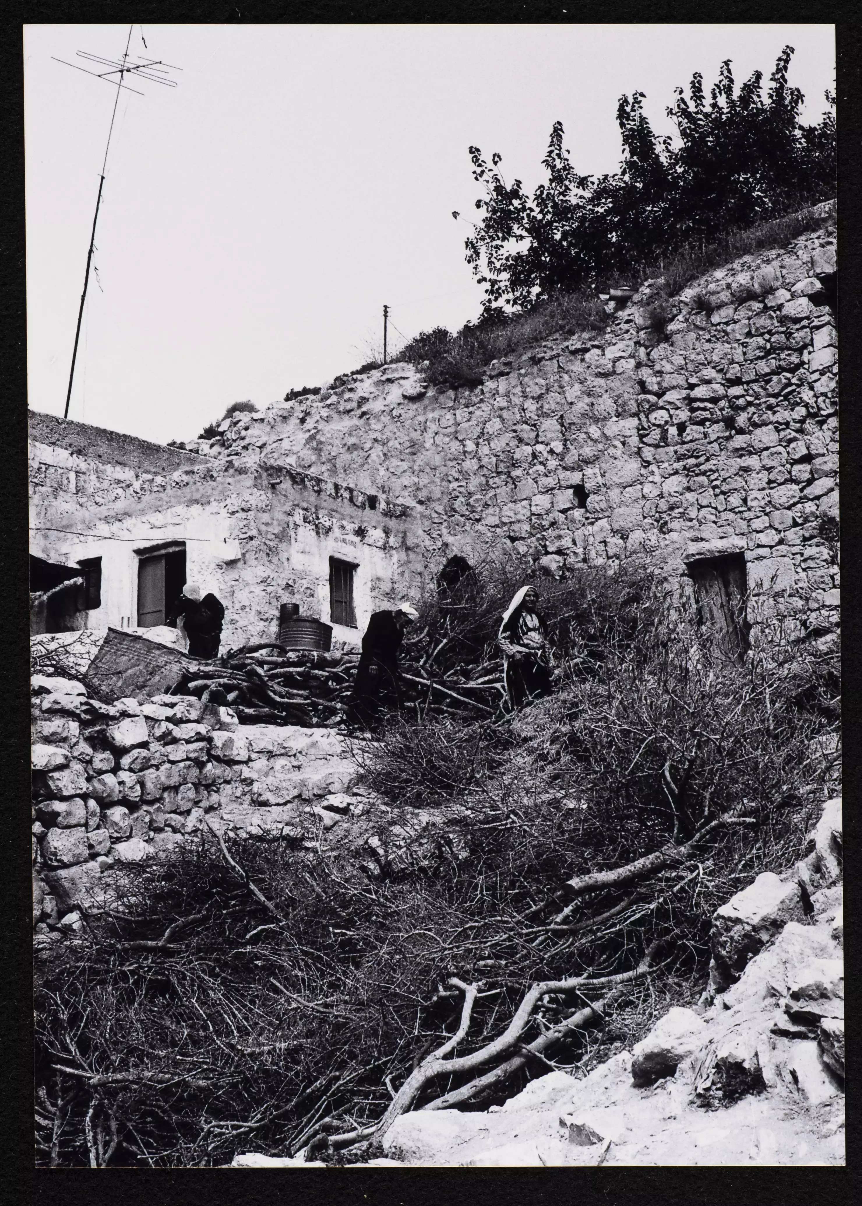
- General view taken in the 1980s by Riwaq Center
Want to browse more? 80,000 pictures were grouped in these gallaries:
| Display Name | Clan/Hamolah | Country of Residence |
| Omar Abuzeina | - | - |
| [email protected] | - | - |
| Mohammed Hussain | Taha | Dubai, United Arab Emirates |
| محمد طه | TAHA | JERUSALEM |
| عبدالله صلاح الزغاري | الحوشيه | الرياض, الاردن |
| alqatanawi | الشماسنة | Amman |
| Hussam shamasnah | - | kronoberg, sweden |
| Abu Iyad | Shamasna | - |
| ابو اسماعيل | طة | - |
| دارين الفقيه الحسيني | - | Amman |
| علاء الفقيه | الفقيه | - |
| ابواسيد | - | عمان, قطنة |
| ليلى الحاج علي شماسنة | الشماسنة | - |
| mojahed omer tbanjh | طبنجه | قطنه |
| ام عبد الرحمن | شماسنة | colorado, USA |
| fatoom shamsna | - | canada, canada |
No links have been shared yet, be free to the first to share the first link.
 Fake Valor: Why Did Zionist Jews Hoist Nazis Flag on Their Ships in the 1930s?
What is new?
-
Facts About Oct. 7th Gaza Raid
-
Remined Us Please:: Who Did Rape Who? Palestinians Raped Israelis? Or, was the other way around?
-
When Prof. Edward Said was invited to debate Bibi Netanyahu in the 1980s, watch what happened!
-
Ezra Klein of the NY Times on the "Jewish Race".
-
Abusing Blood Libel!
-
Did Israeli Soldiers Activate The Hanniba Direective On Oct. 7th? You Be The Judge
-
Zionist FAQ: Isn't it true that Palestinians don't want peace? Palestinians never accepted the two-state solution
- Facts about Haavara (Transfer) Agreement between Ben-Gurion & Hitler
-
Haavara FAQs: Why Did Zionist Jews Hoist Nazis' Flags on Their Ships in the 1930s?
- Haavara FAQs: When Chaim Weizmann met FDR in mid-1943, why was he silent about rescuing European Jewry?
-
Dear ChatGPT: How did Palestinians resist Napoleon's invasion of their country in 1799?
-
Dear ChatGPT: Gaza had a vibrant Jewish community in the mid-17th century. What happened to them?
-
Dear ChatGPT: Why did the Jewish Agency suppress news of the Holocaust during WWII?
-
Video Playlist: Jews share their DNA tests to end the conflict for good.
-
A Tale of Two Conflicts: Examining the Definition of Genocide
-
Prof. Abraham Polak And The Suppressed History of the Khazars and European Jewry
-
How Ronald Reagan would have framed the genocide in Gaza if he were still alive?
-
Haavara FAQs: Let us do the math: how many German Jews did The Haavara Agreement save?
-
Zionist FAQs: The Hebron Massacre of 1929, "clearly proves" that Palestinians are antisemitic, how could you deny it?
-
Zionist FAQs: Why Anti-Zionist Is Not Antisemitism?
-
Zionist FAQs: Isn't it true that the KGB created Palestinian Nationalism in the early 1960s?
- Zionist FAQs: Muslims are killing Muslims all the time; why are Israeli Jews being singled out in the media?
- Zionist FAQs: How is Israel an apartheid state when 20% of its citizens are Arabs who enjoy full rights?
-
Haavara FAQs: Why Did Dorothy Thompson Flip From A Zionist Advocate to A Silenced Dissenter?
-
Haavara FAQs: Analysis of Herzl's Uganda Scheme and how it could have saved millions of Jews.
-
Haavara FAQs: Why did Hayim Greenberg describe American Jewry as "morally bankrupt" in early 1943?
-
Haavara FAQs: What if the Evian Conference was a resounding success? What would have been the impact of saving European Jewry on Zionism?
- Haavara FAQs: What if the six million were saved, how that would have impacted the Zionist project?
-
Haavara FAQs: How did Zionist leaders react when Europe's Jews lingered in the DP camps after WWII ended?
-
Why does the American Jewish community repeat lies that David Ben-Gurion had debunked before he died?
-
Who has the power to rename the Tatar/Khazar Gene Marker to Jewish IV?
-
Zionist FAQs: Why won't Egypt, Syria, and Jordan take their people back? Jews are indigenous to Palestine, and Arabs immigrated after Jews developed the country. Arabs should leave.
-
Haavara FAQs: Did Hitler and the Nazis conflate between Judaism and Zionist? If that wasn't case, then why?
-
Haavara FAQs: Winston Churchill and antisemitism, a collection of articles written Churchill.
-
Haavara FAQs: Broken by country, how many Jews survived vs. killed during the Holocaust?
-
Haavara FAQs: Why did European Jews vote with their feet and to immigrated to the Americas, not Palestine, after WWII?
-
Watch this American Jewish Girl describing Israeli Jews' cognitive dissonance like no other in under two minutes
-
Haavara FAQs: When the Nazis went out of their way to hide the Holocaust, Israeli Jews did the exact opposite by broadcasting their genocide of Gazans. But why?
-
Haavara FAQs: How Zionist Jews went out of their to show their appreciation to Nazism and Fascism?
- Haavara FAQs: Why Zionist leaders were against bombing the death camps & the Railroads leading to them?
-
Haavara FAQs: Hitler's message to the British and American people: If Jews are such noble citizens and you care about them, how come you're not letting them in? I will gladly ship them to you at my expense, even on luxury liners!
-
A shortlist of Zionist and Israeli false flag operations in the name Jews.
-
The Most Moral Army
- The Land of Kapos (Israel): Where the brave are boycotted and Kapos walk free.
- Why did early Zionists often named their communal enterprises "colonial"?
- Zionist Relations with Nazi Germany by Faris Glubb
-
Two NY Times advertisements by Zionists in the early 1943 that exposes Zionists' treason at the height of the calamity
- Facts Not Lies about the Palestinian-Israeli Conflict.
- Site's pictures have been categorized
- Campgain Against Lice
- A Survey of Palestine, the official source about Palestine before Nakba produced by the British Mandate; over 1200 pages.
- Satellite View & Google Earth: Over 6,000 placemarks identifying all destroyed towns, W. Bank & Gaza Strip Towns, & refugee camps.
- PalestineRemembered.com and its Nakba Oral History Project were featured on al-Jazeera Satellite TV.
- Nakba Oral History Video Podcast:
 Over 700 Oral History interviews (including 3,500+ hours of recording) can be viewed online.
 - Palestine Village Statistics Project
- Gaza Jail Break
- النسخة العربية للموقع الان متوفرة
- Videos: Documenting the destroyed villages in video: Tracing all that remains since Nakba.
- Videos: Responding to Zionist Propaganda
- Interview: The ethnic cleansing of Palestine: George Galloway interviews Israeli Historian Ilan Pappe.
- For Palestinians, memory matters. It provides a blueprint for their future By George Bisharat.
- Zionist FAQ now available in Hebrew שאלות שציונים שואלים, עכשיו בעברית
- Video: The Stephen Walt and John Mearsheimer report on the influence of the Israel Lobby on U.S. Foreign Policy
- The Palestinian-Israeli conflict for beginners
