| PalestineRemembered | About Us | Oral History | العربية | |
| Pictures | Zionist FAQs | Haavara | Maps | |
| Search |
| Camps |
| Districts |
| Acre |
| Baysan |
| Beersheba |
| Bethlehem |
| Gaza |
| Haifa |
| Hebron |
| Jaffa |
| Jericho |
| Jerusalem |
| Jinin |
| Nablus |
| Nazareth |
| Ramallah |
| al-Ramla |
| Safad |
| Tiberias |
| Tulkarm |
| Donate |
| Contact |
| Profile |
| Videos |
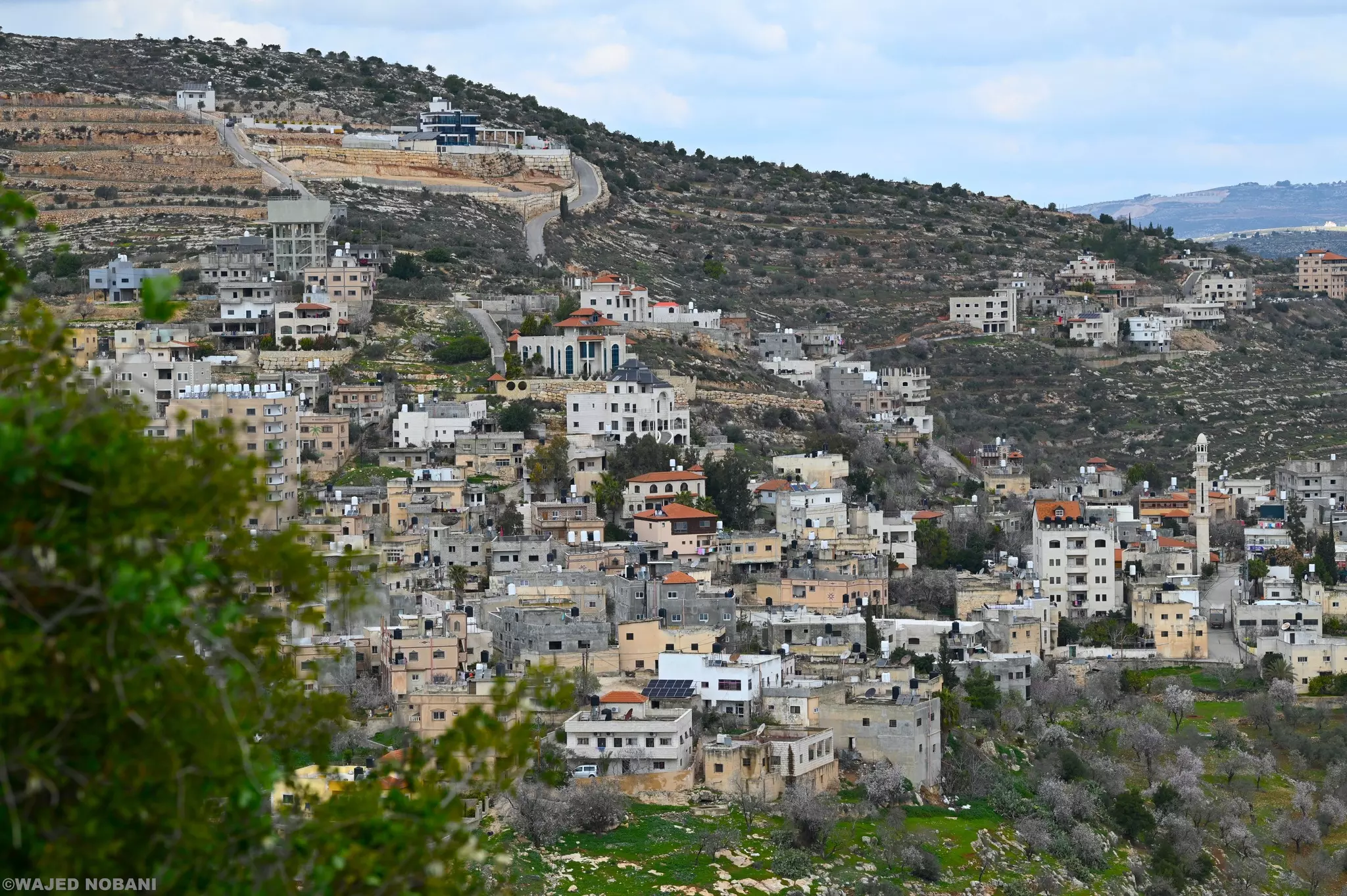
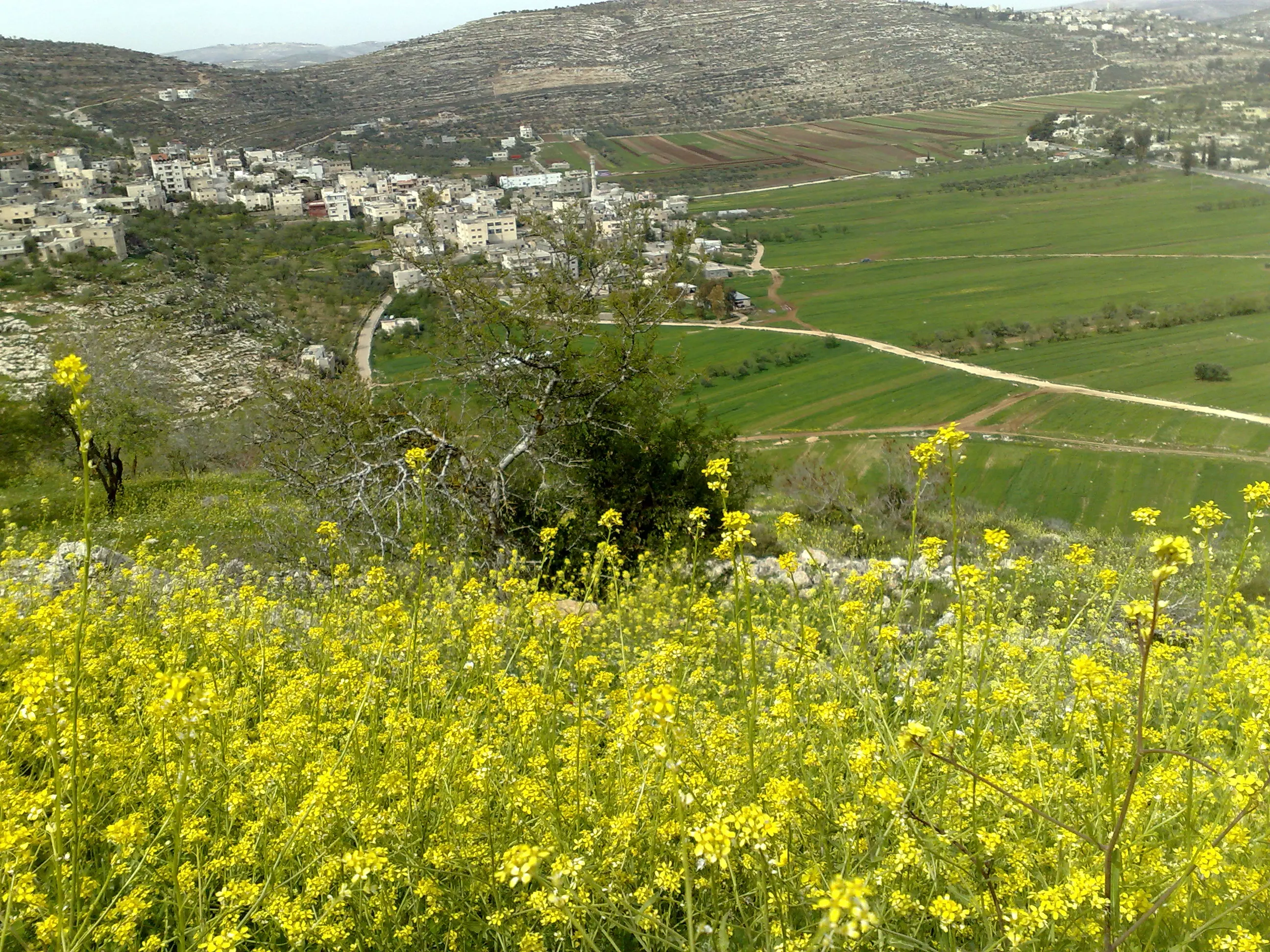
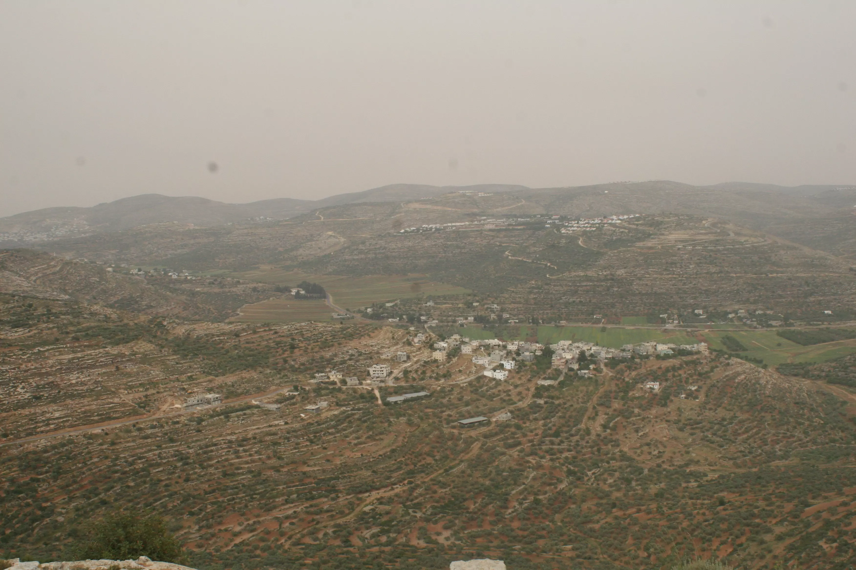
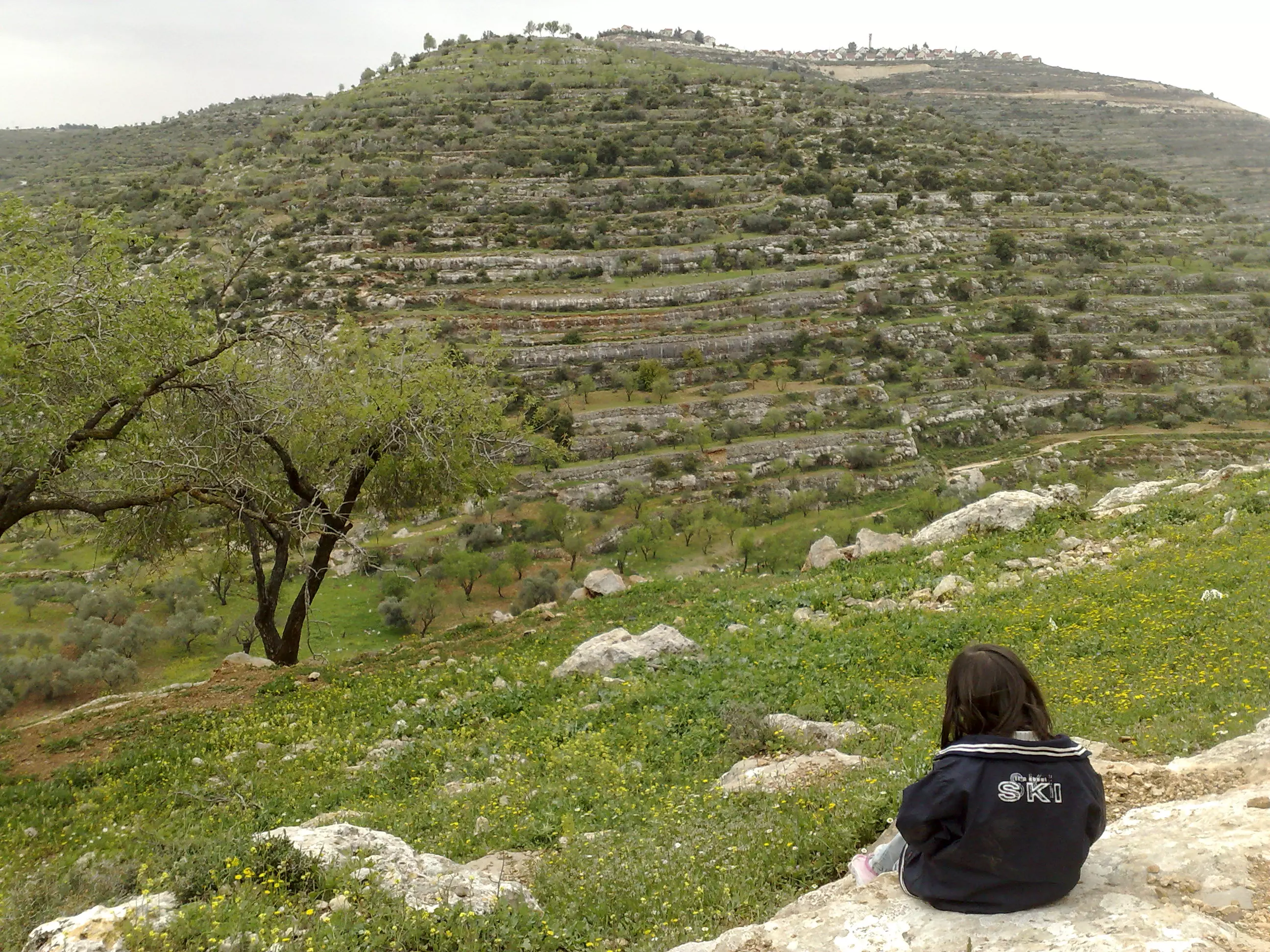
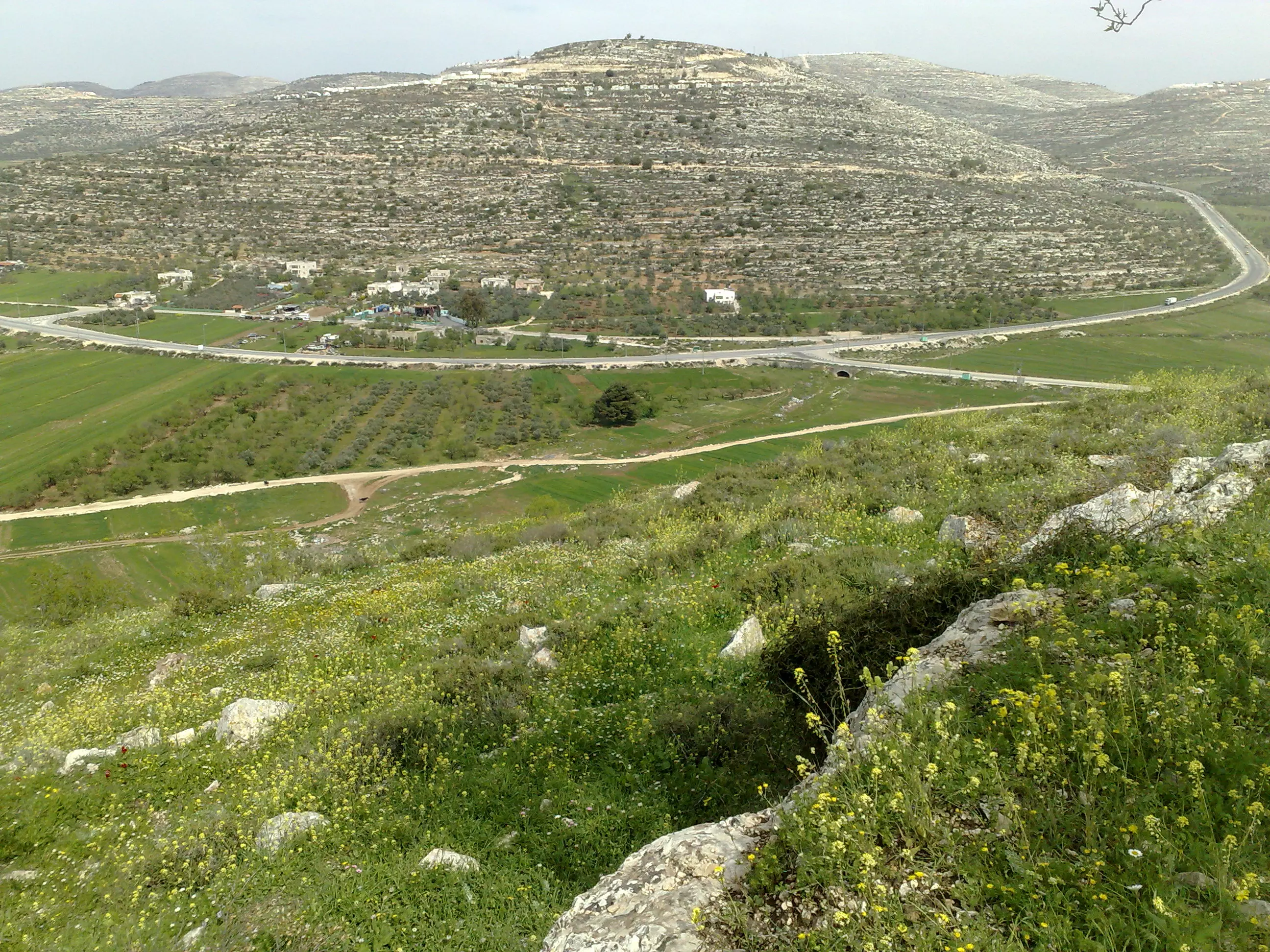
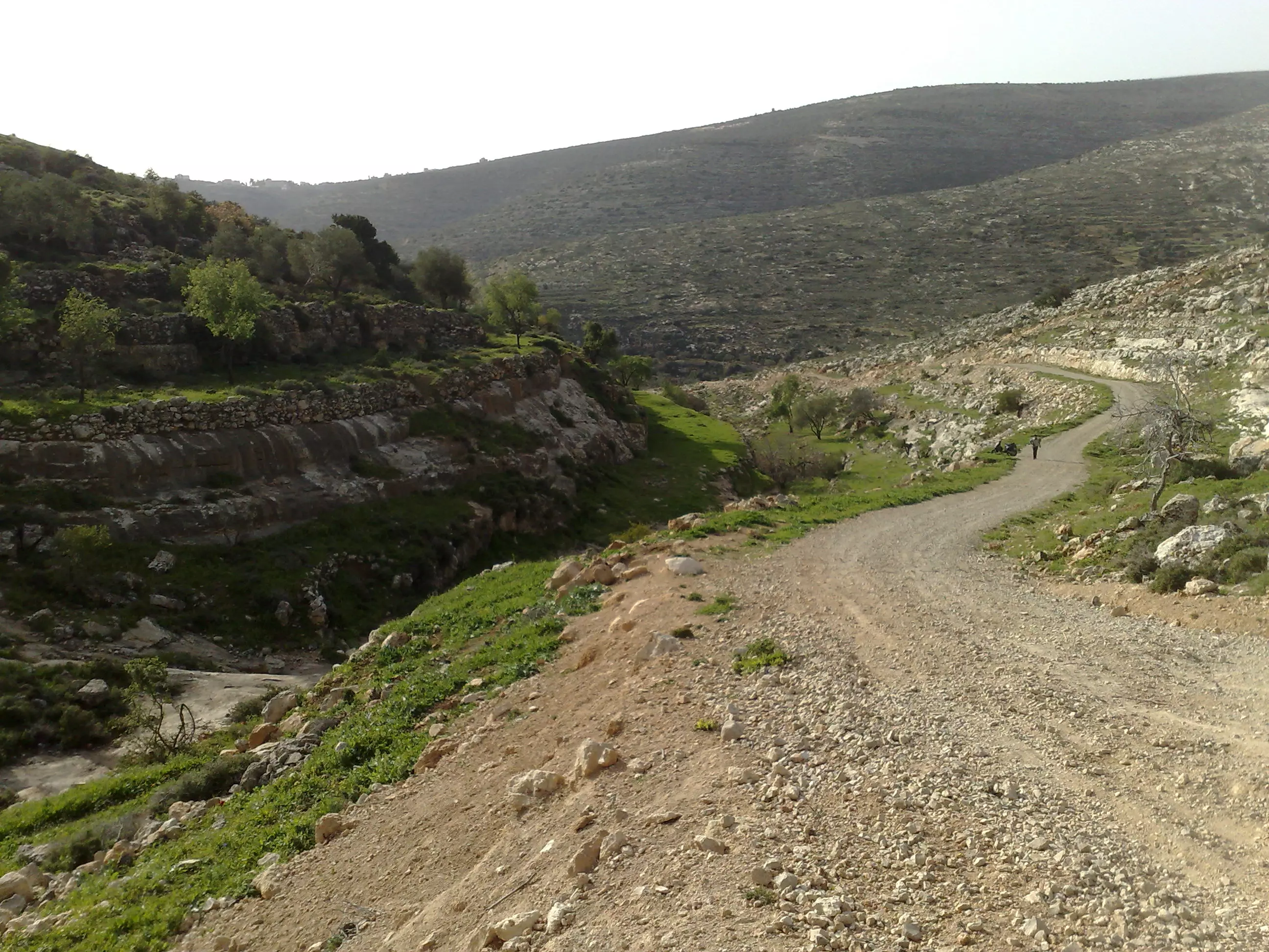
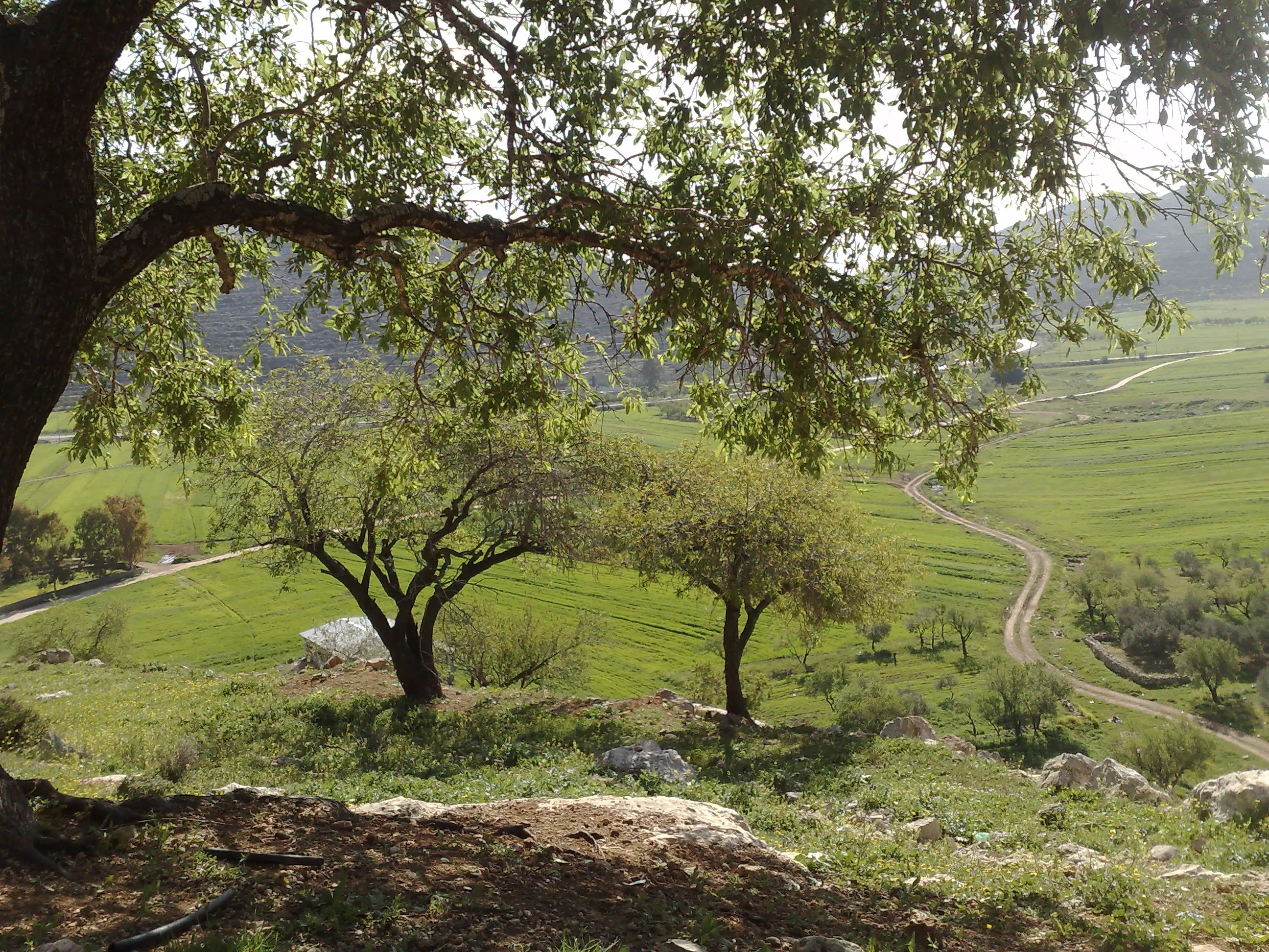
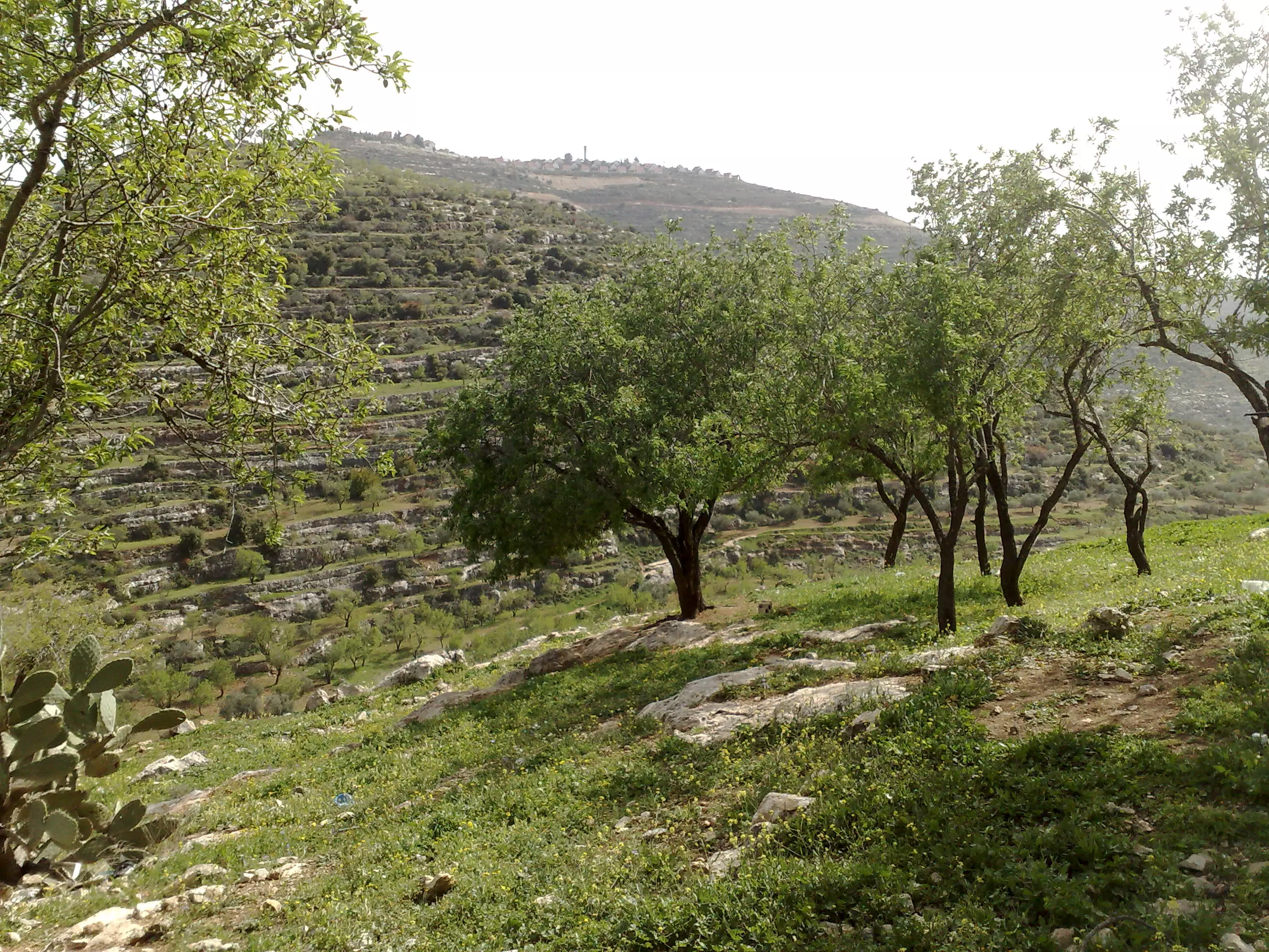
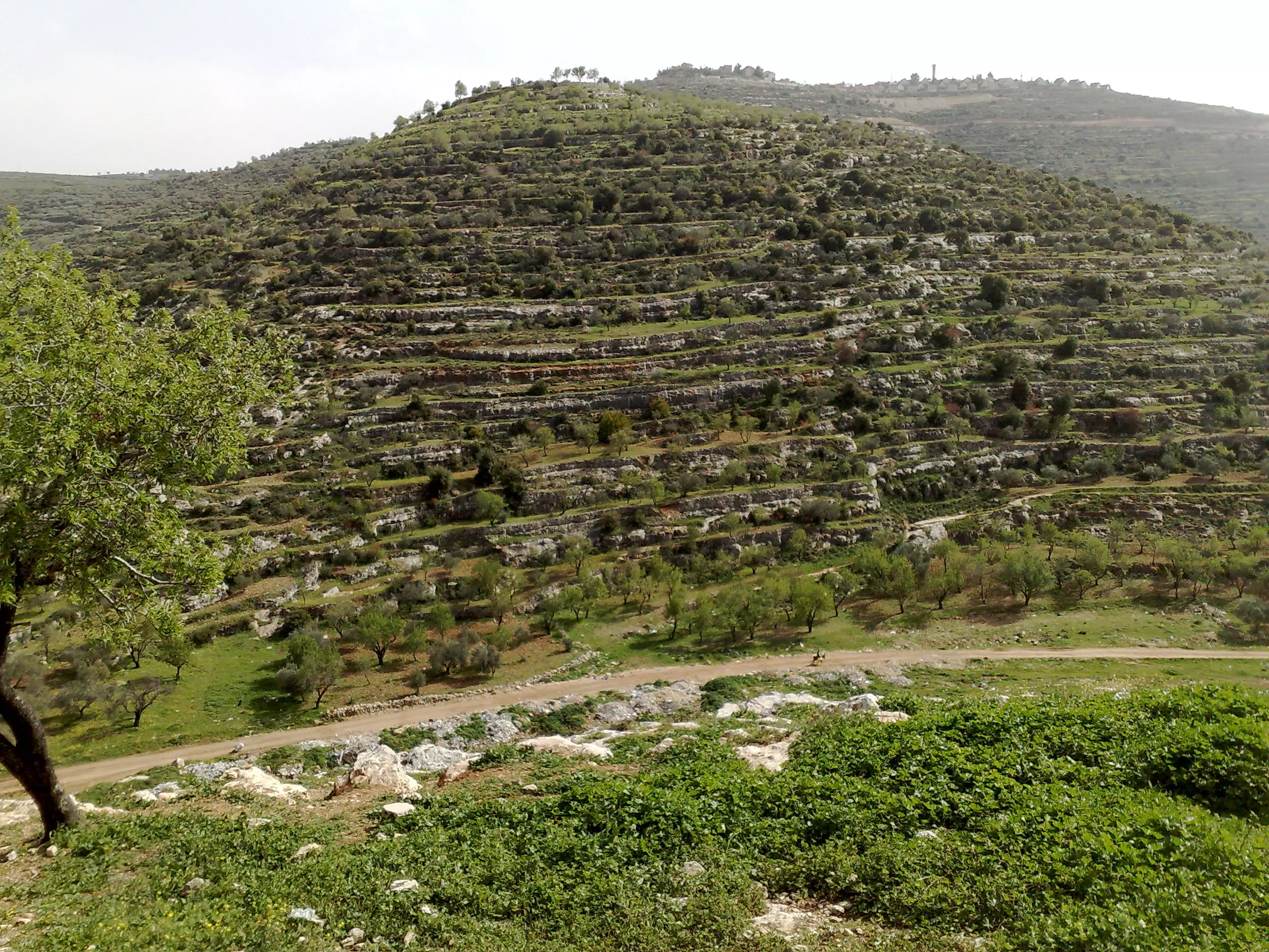
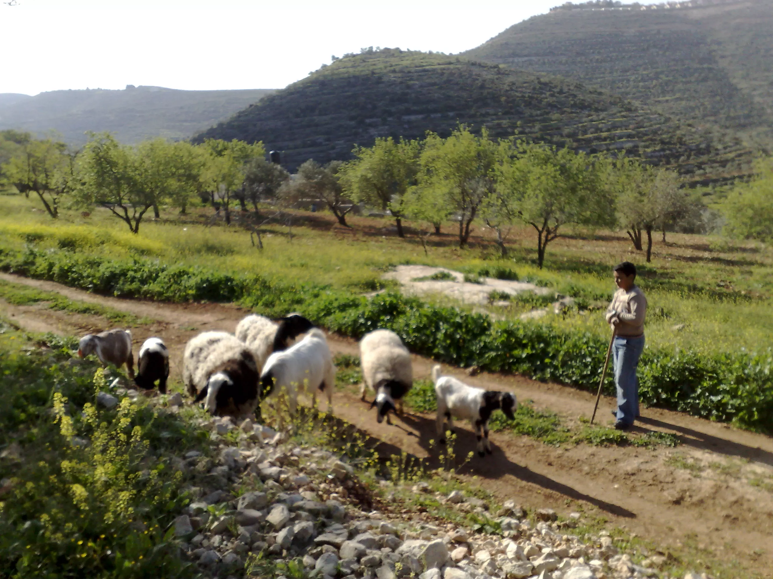
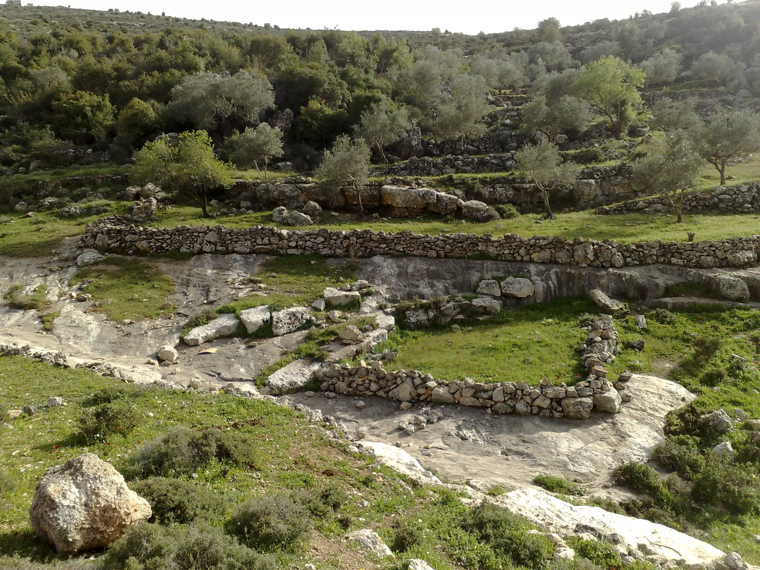
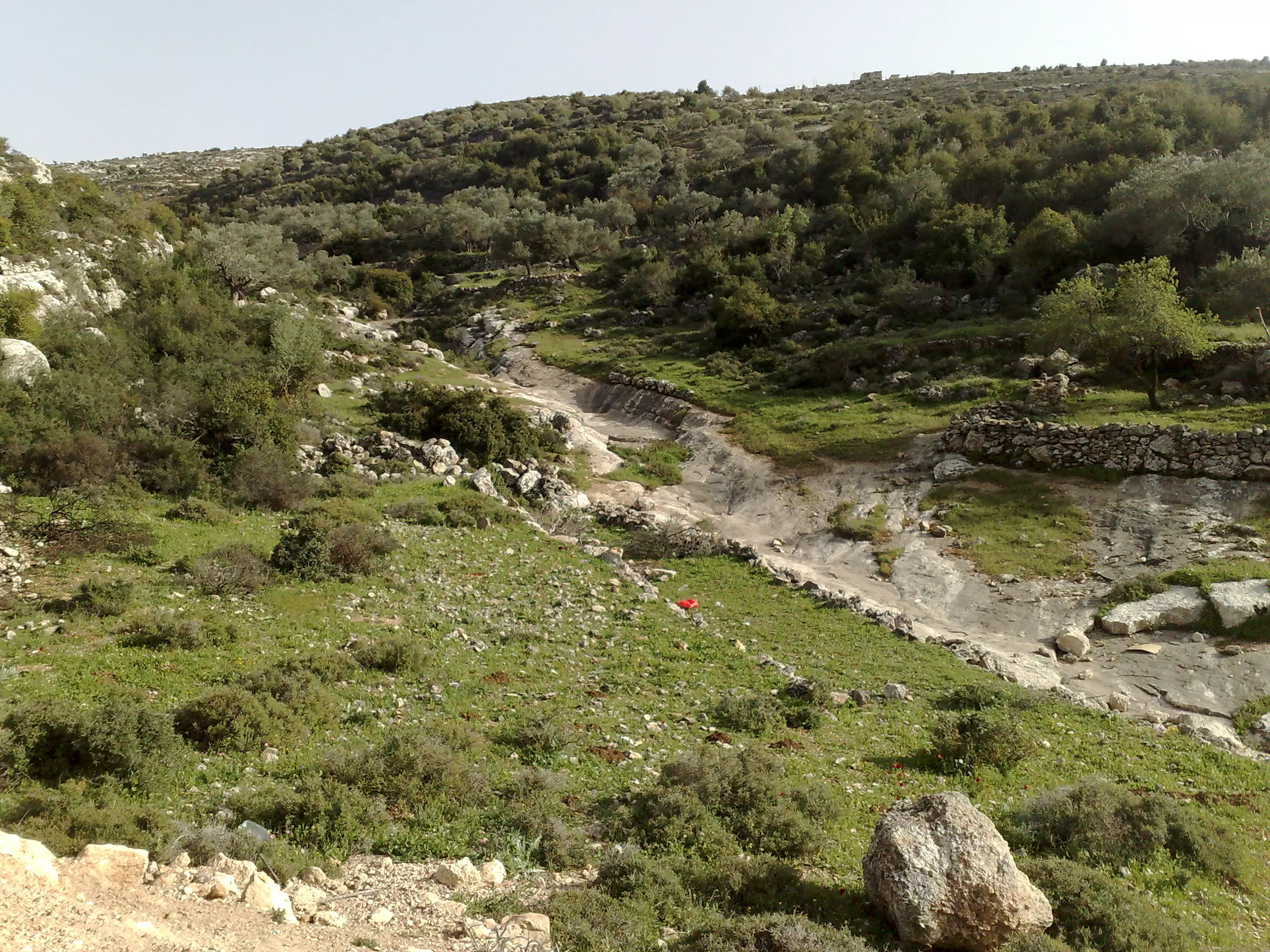
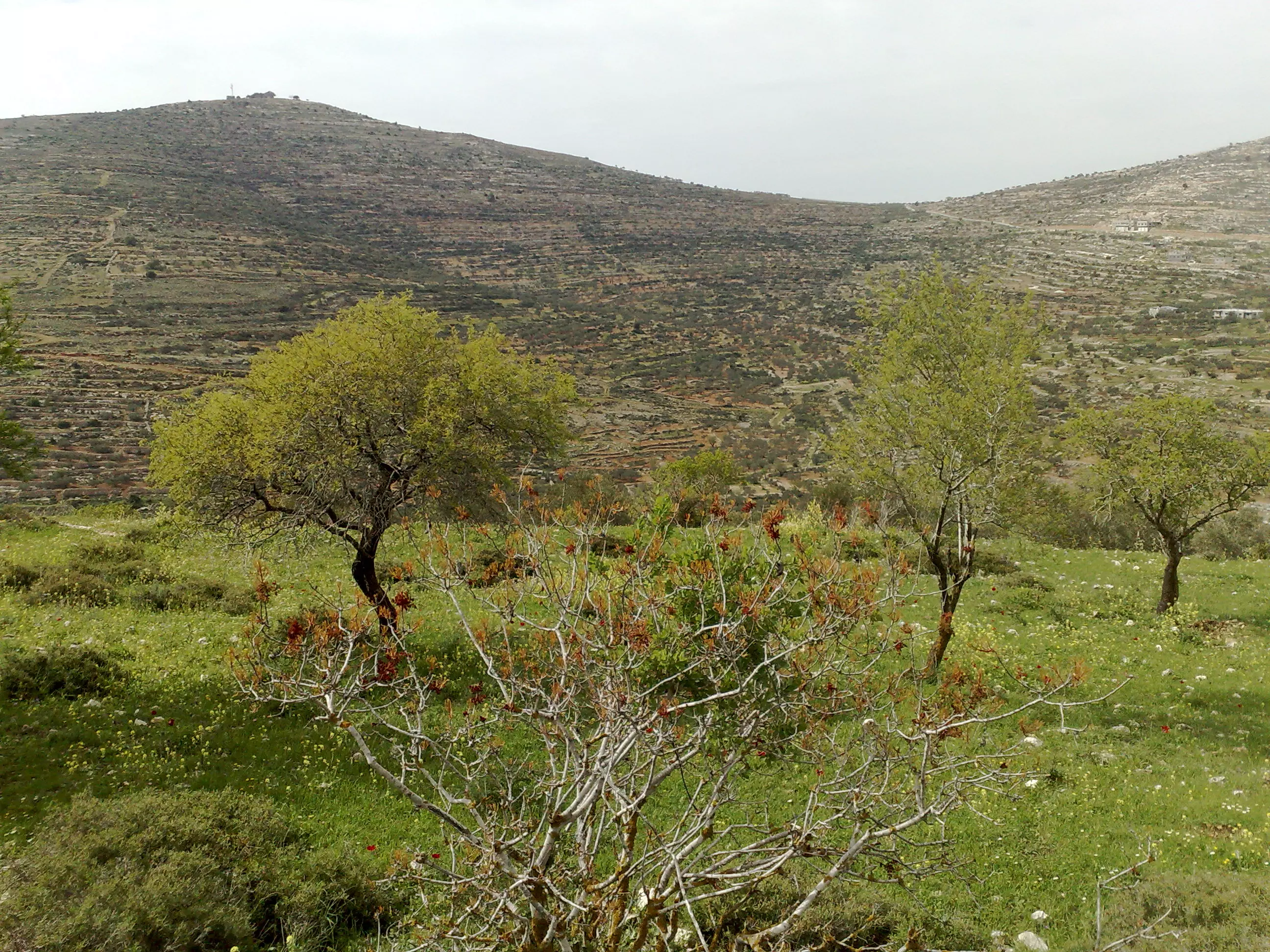
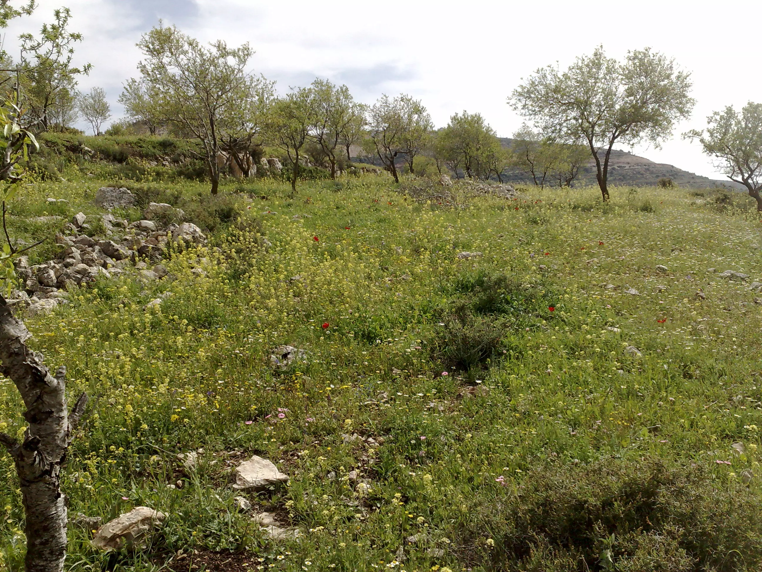
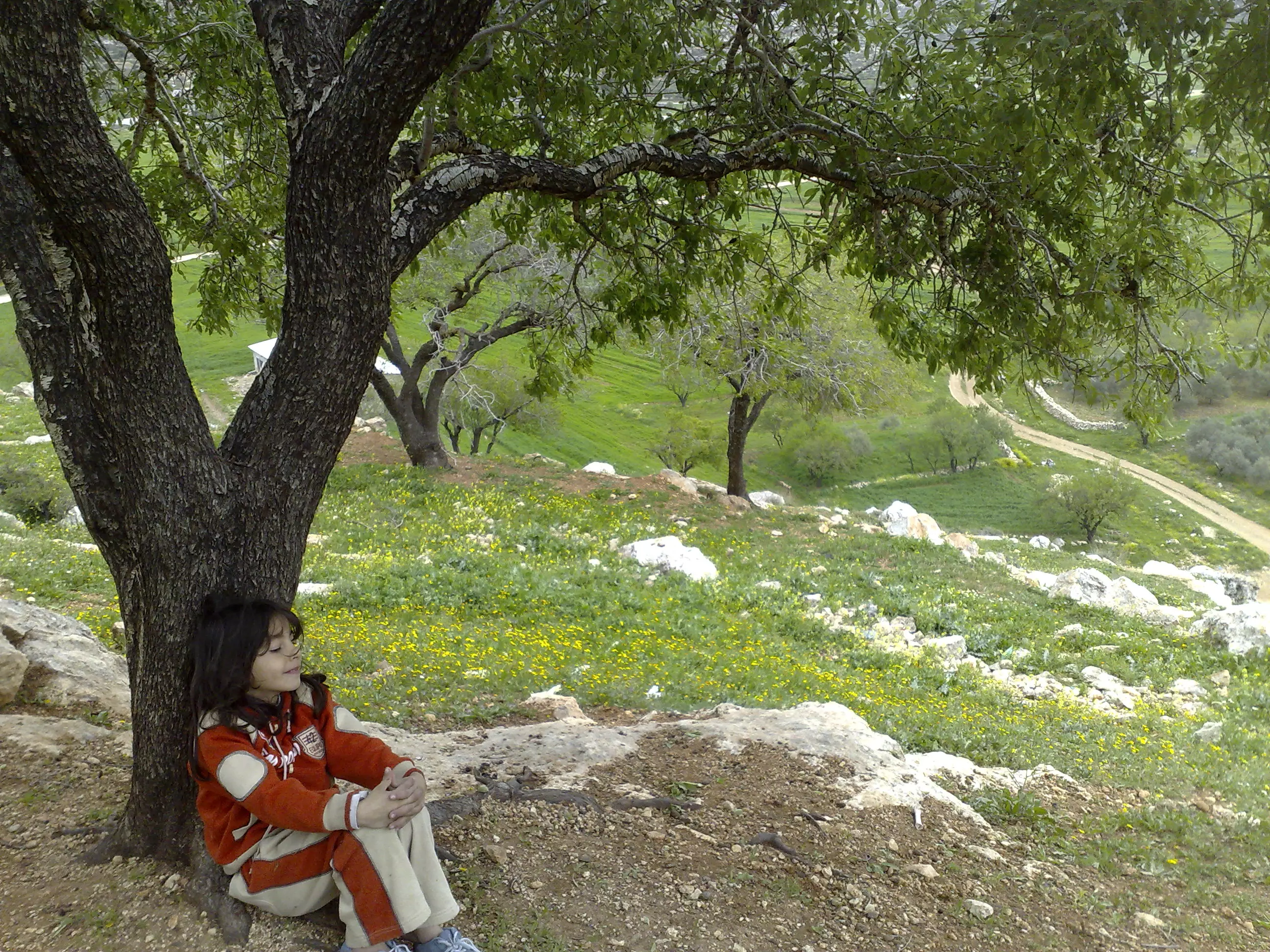
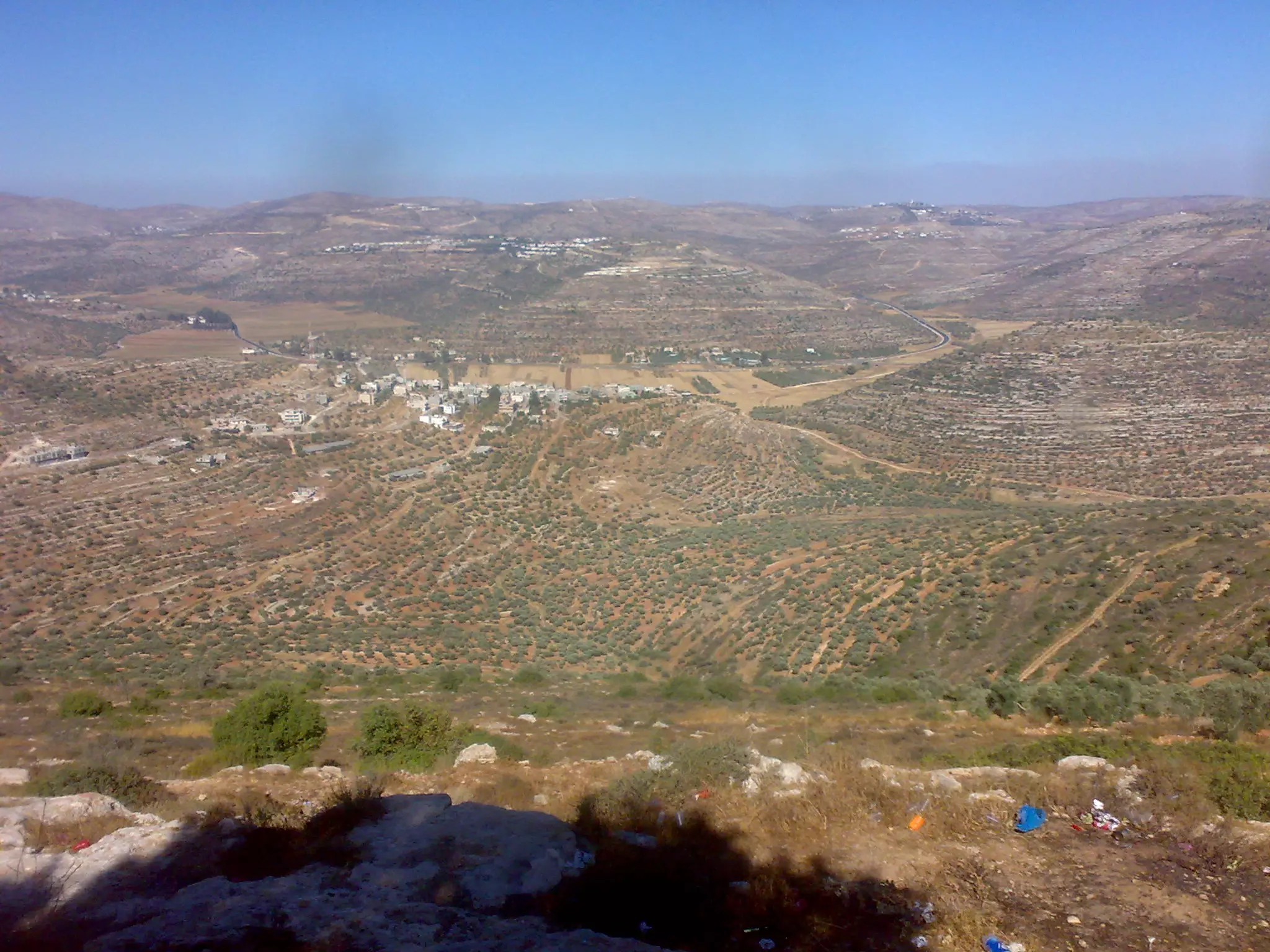
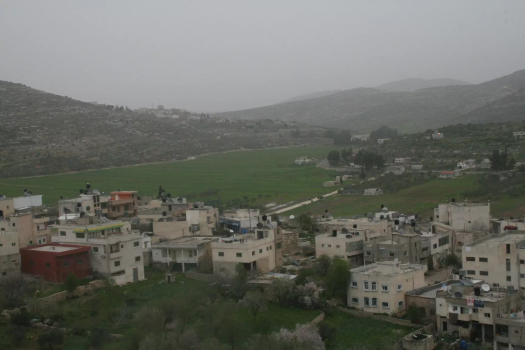
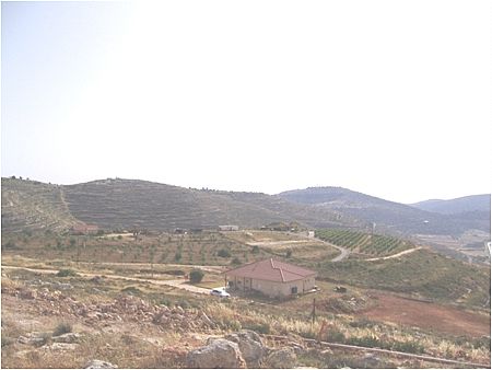
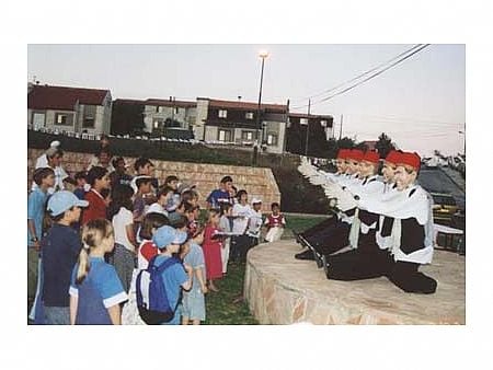
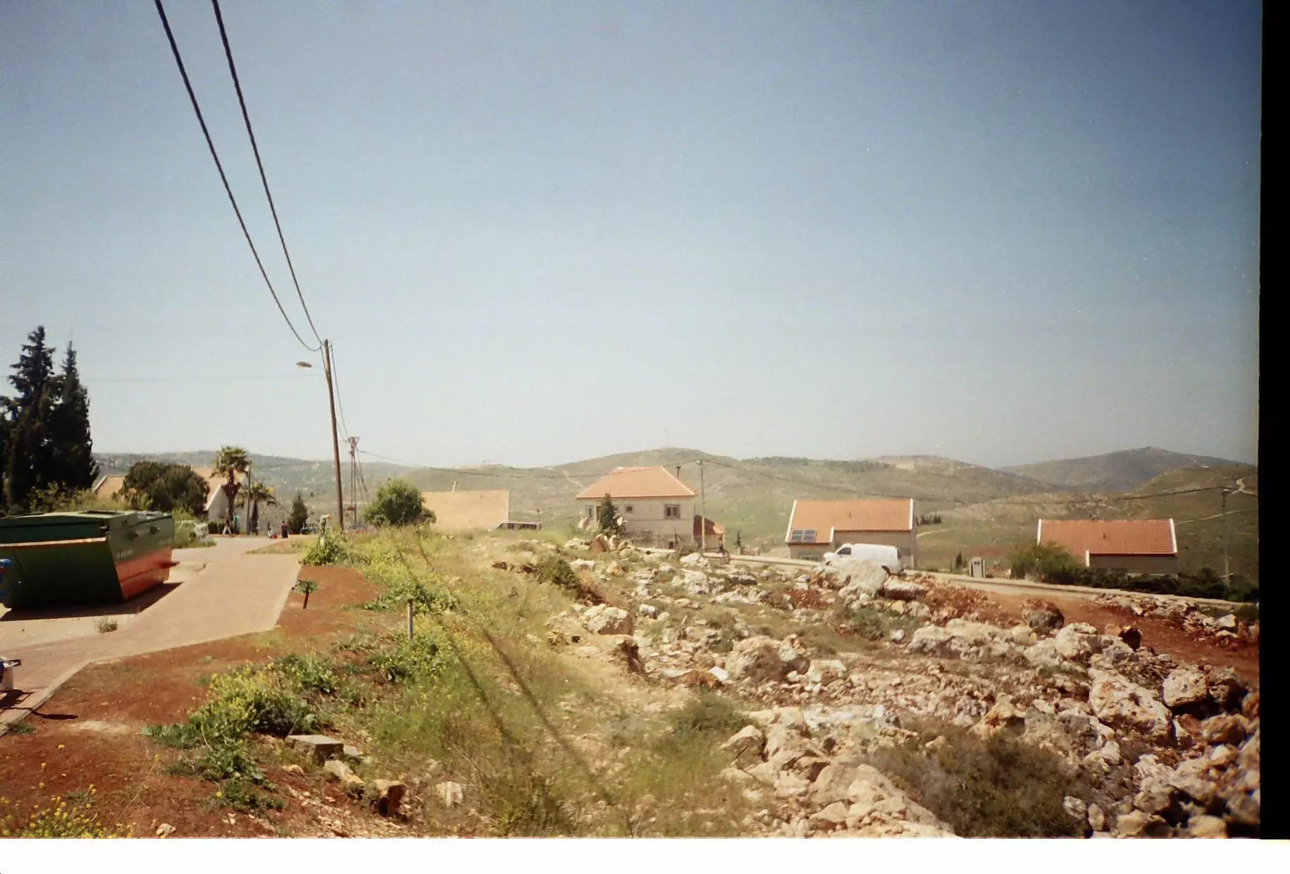
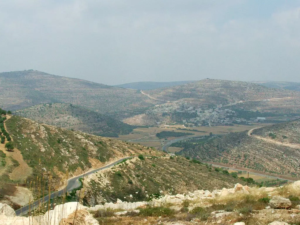
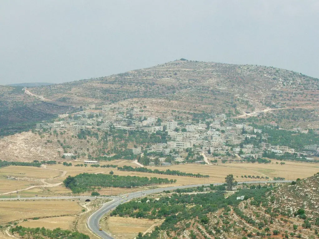
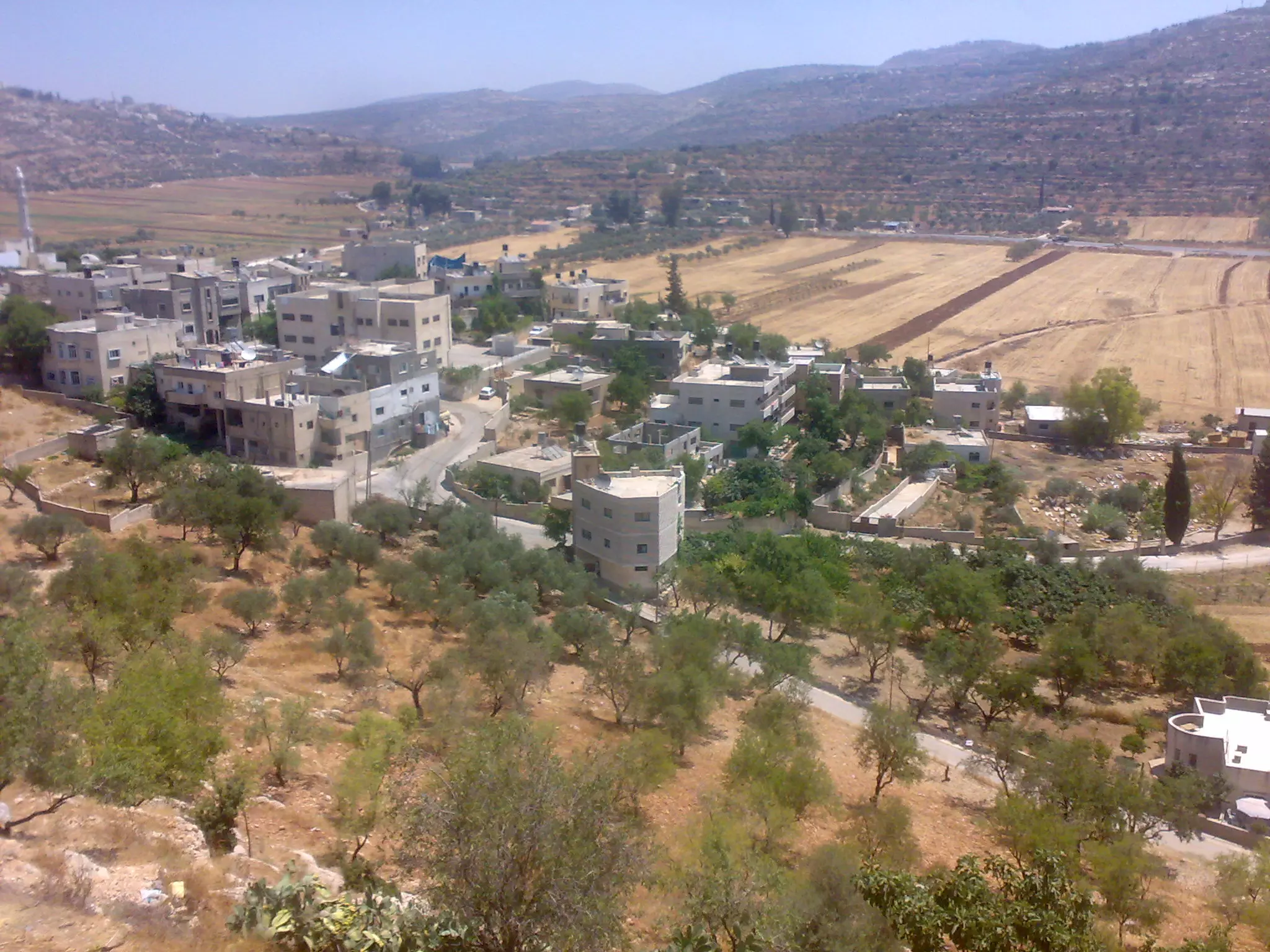
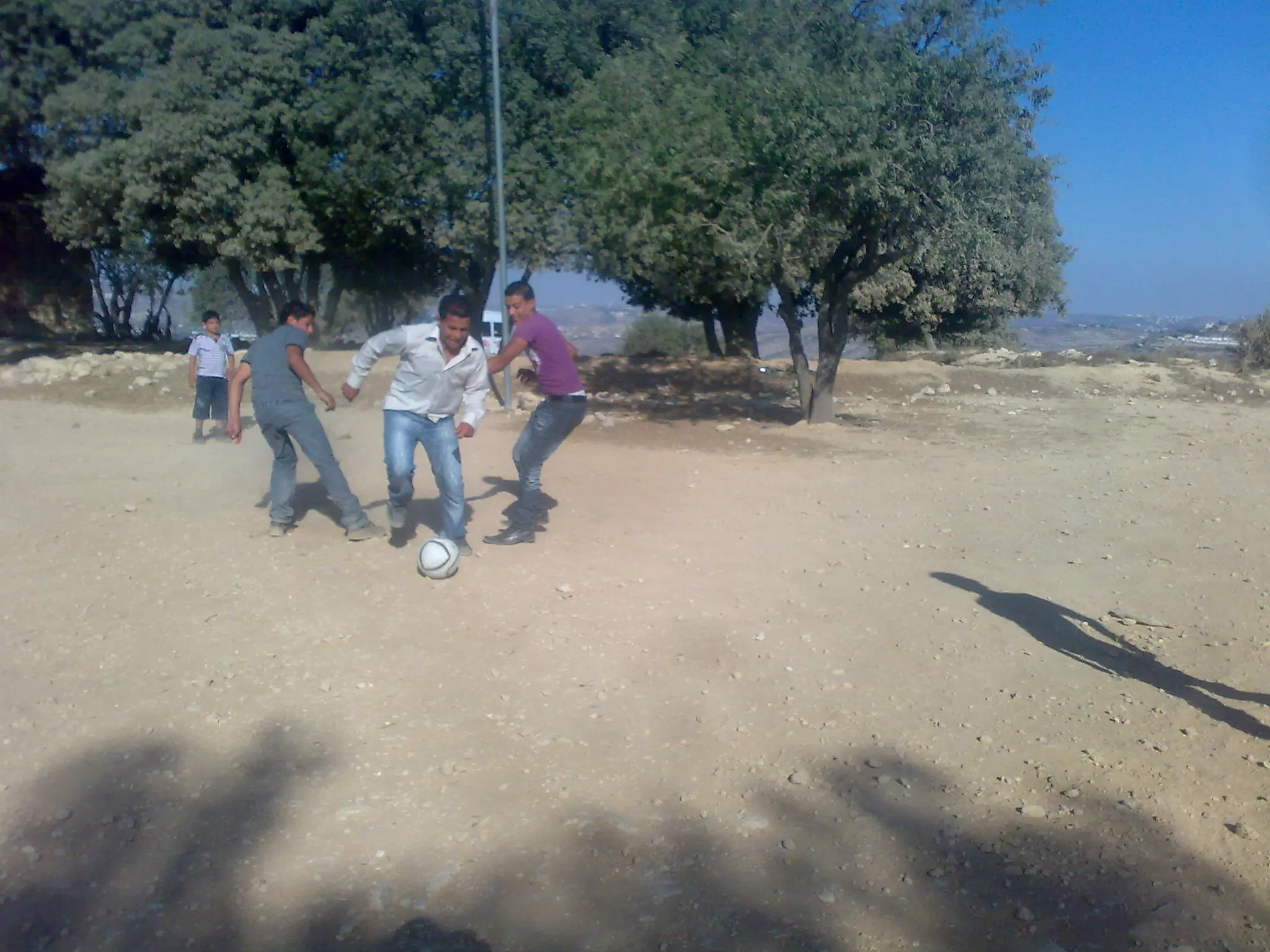
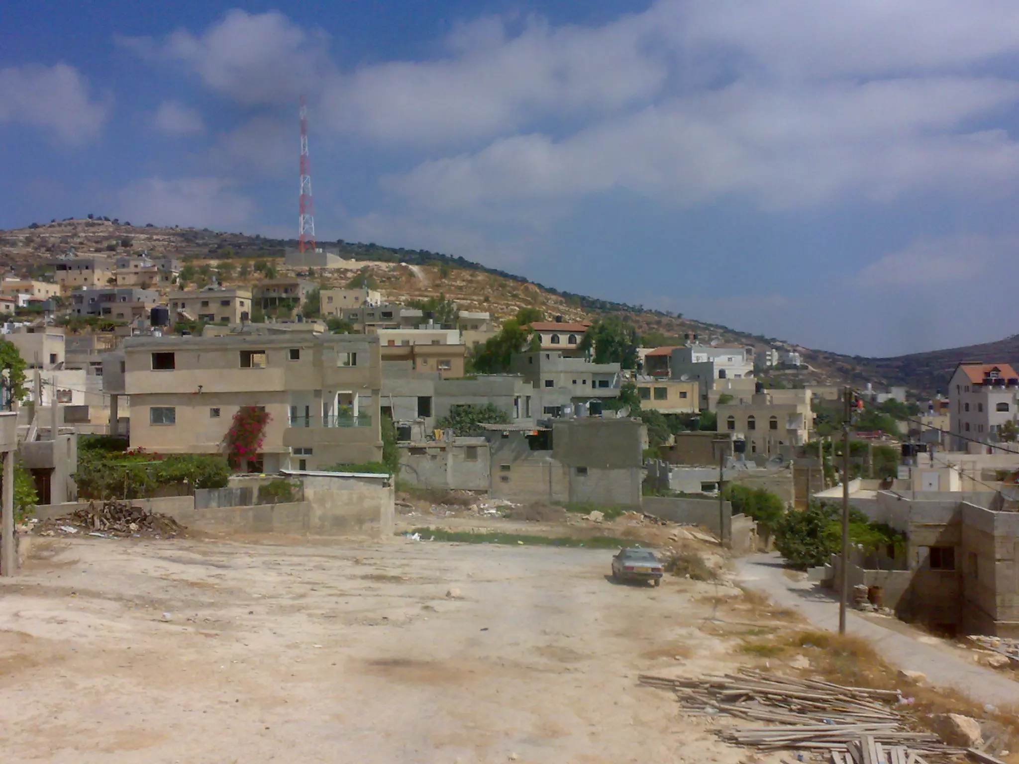
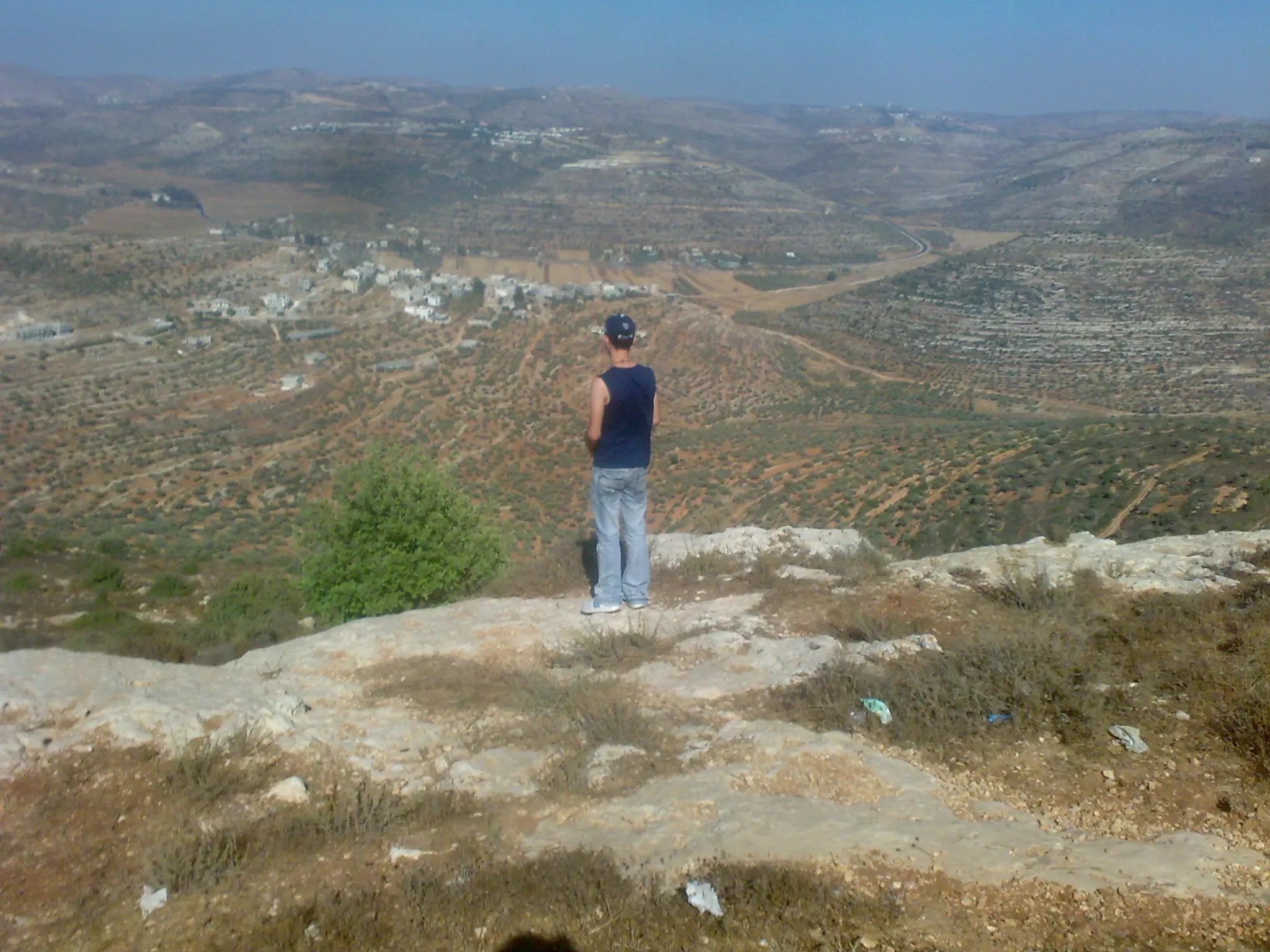
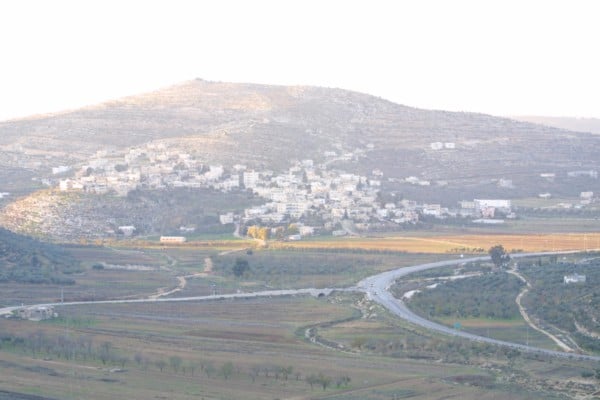
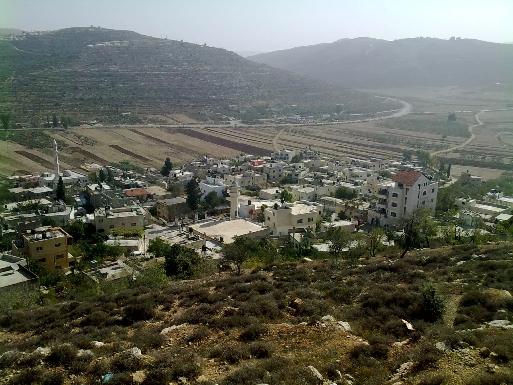
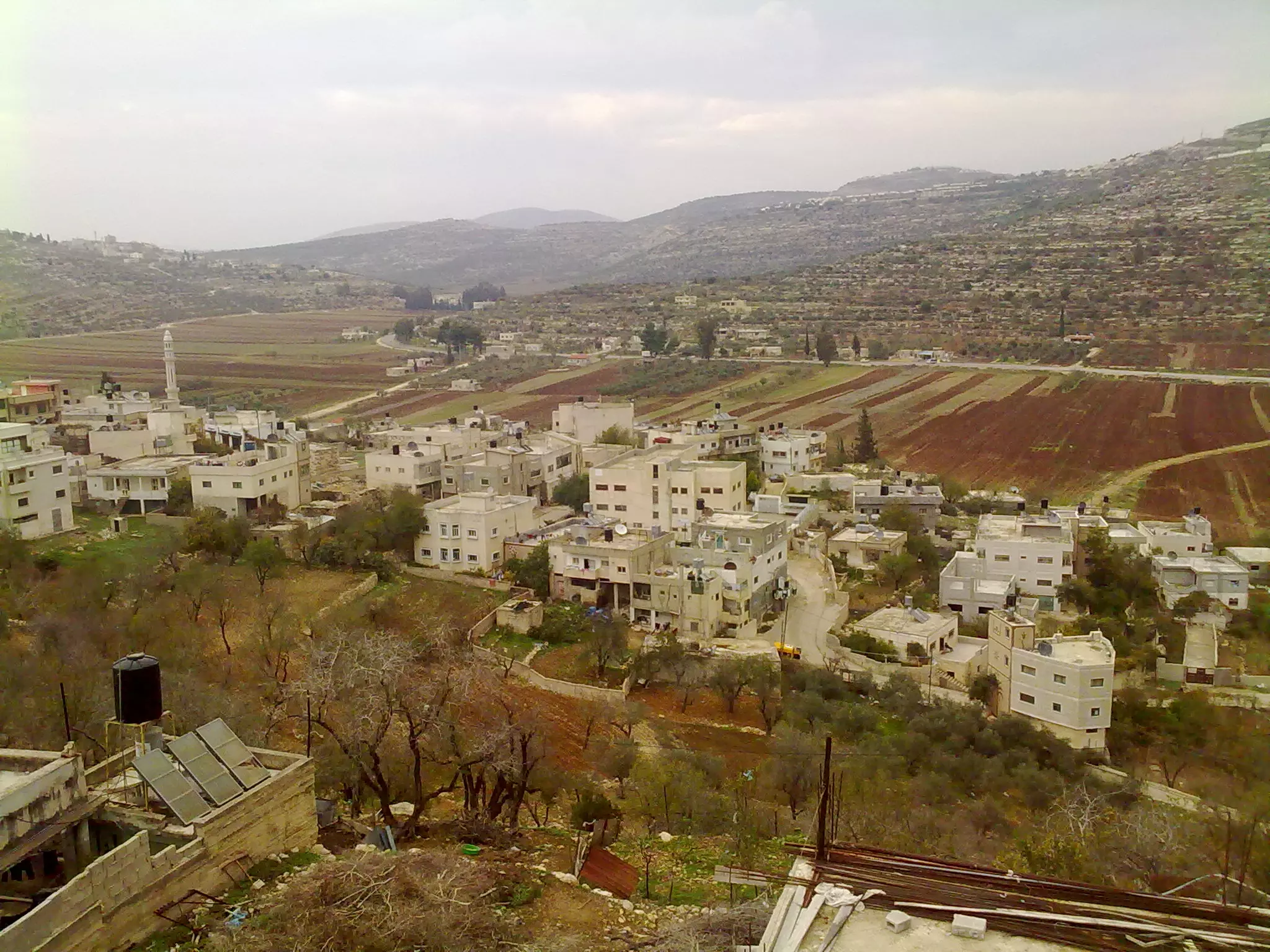
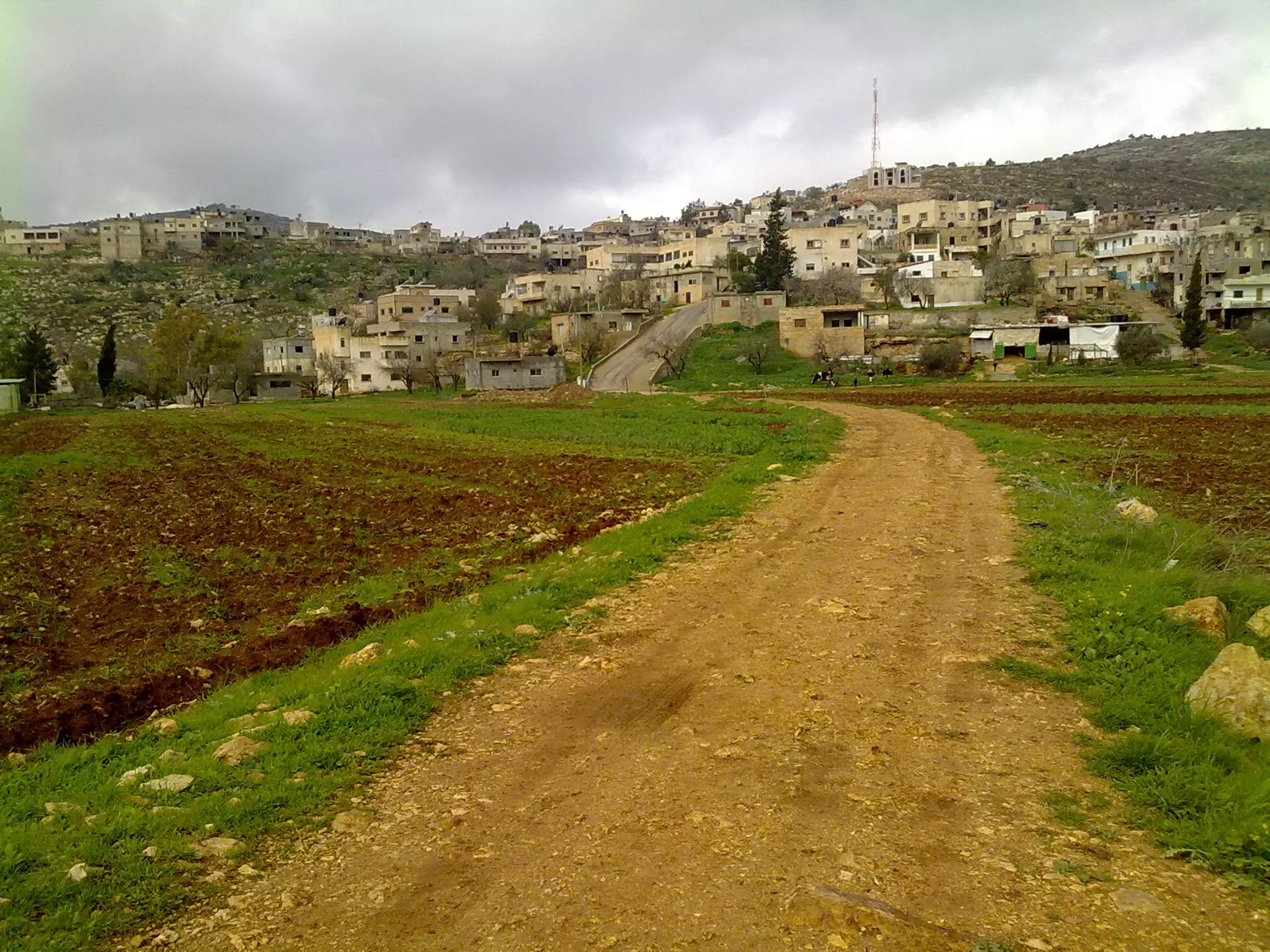
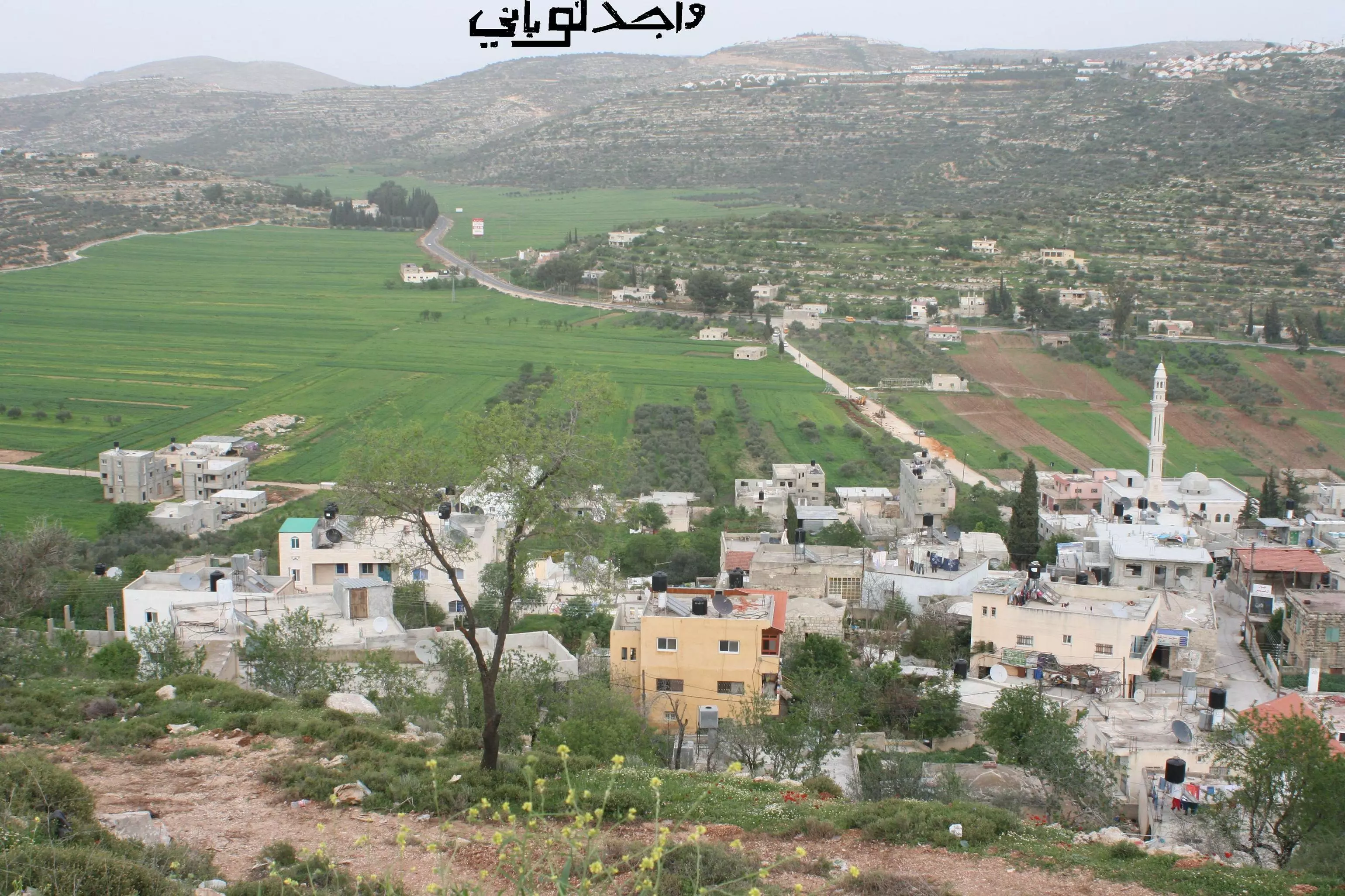
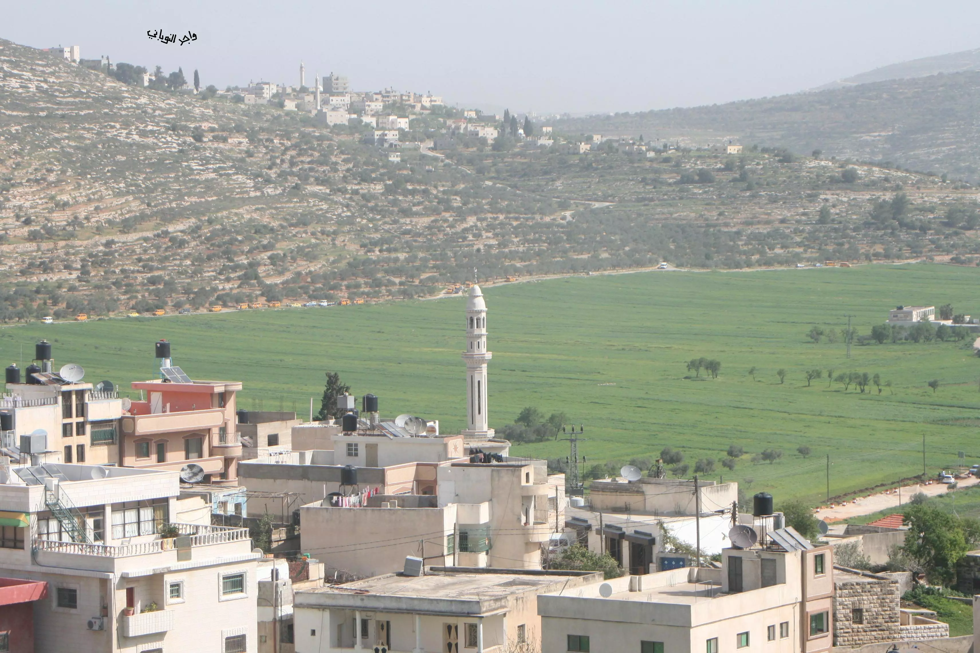
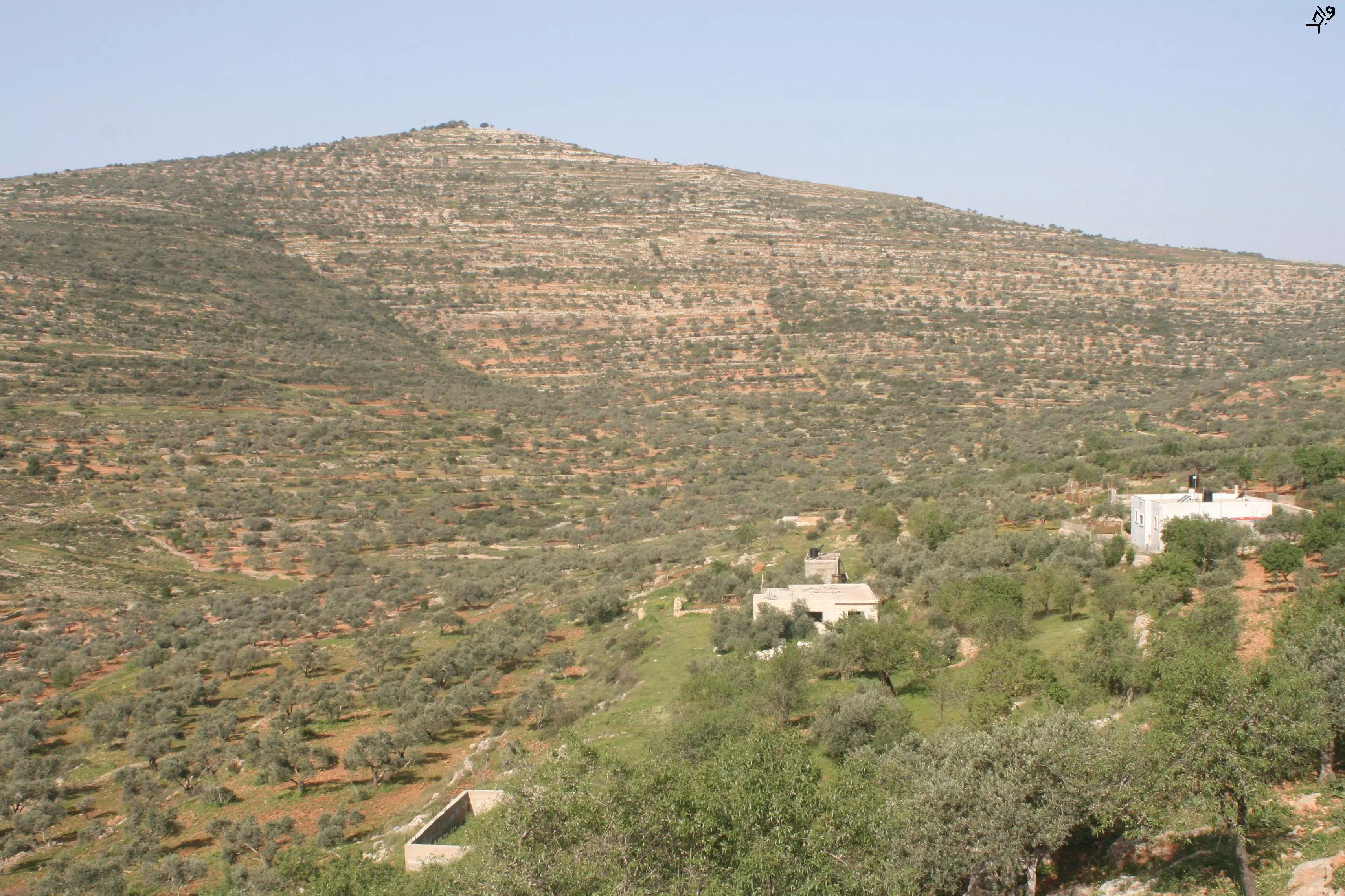
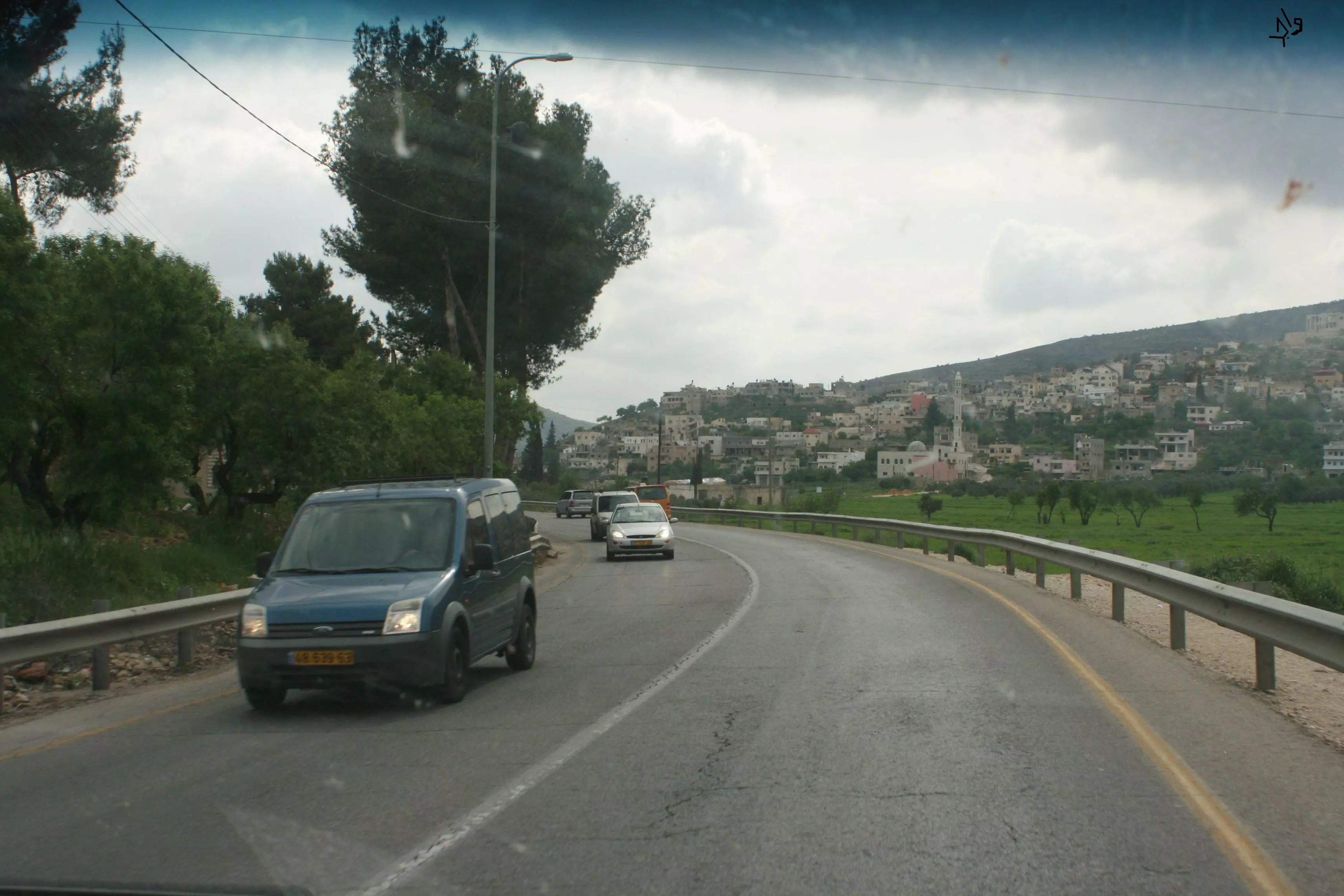
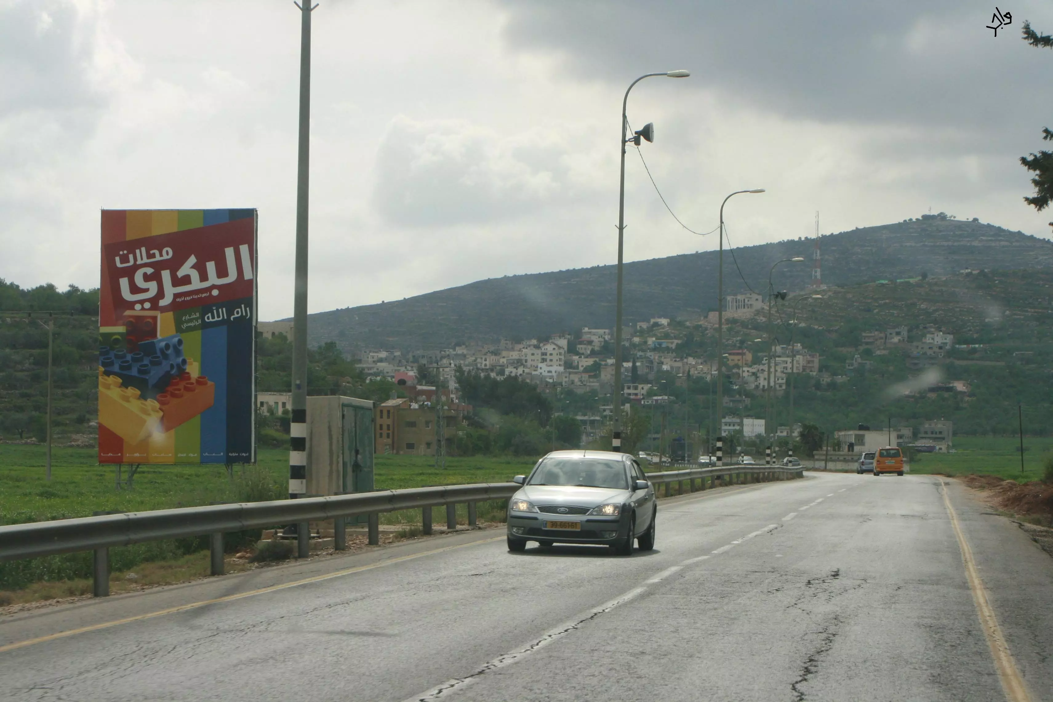
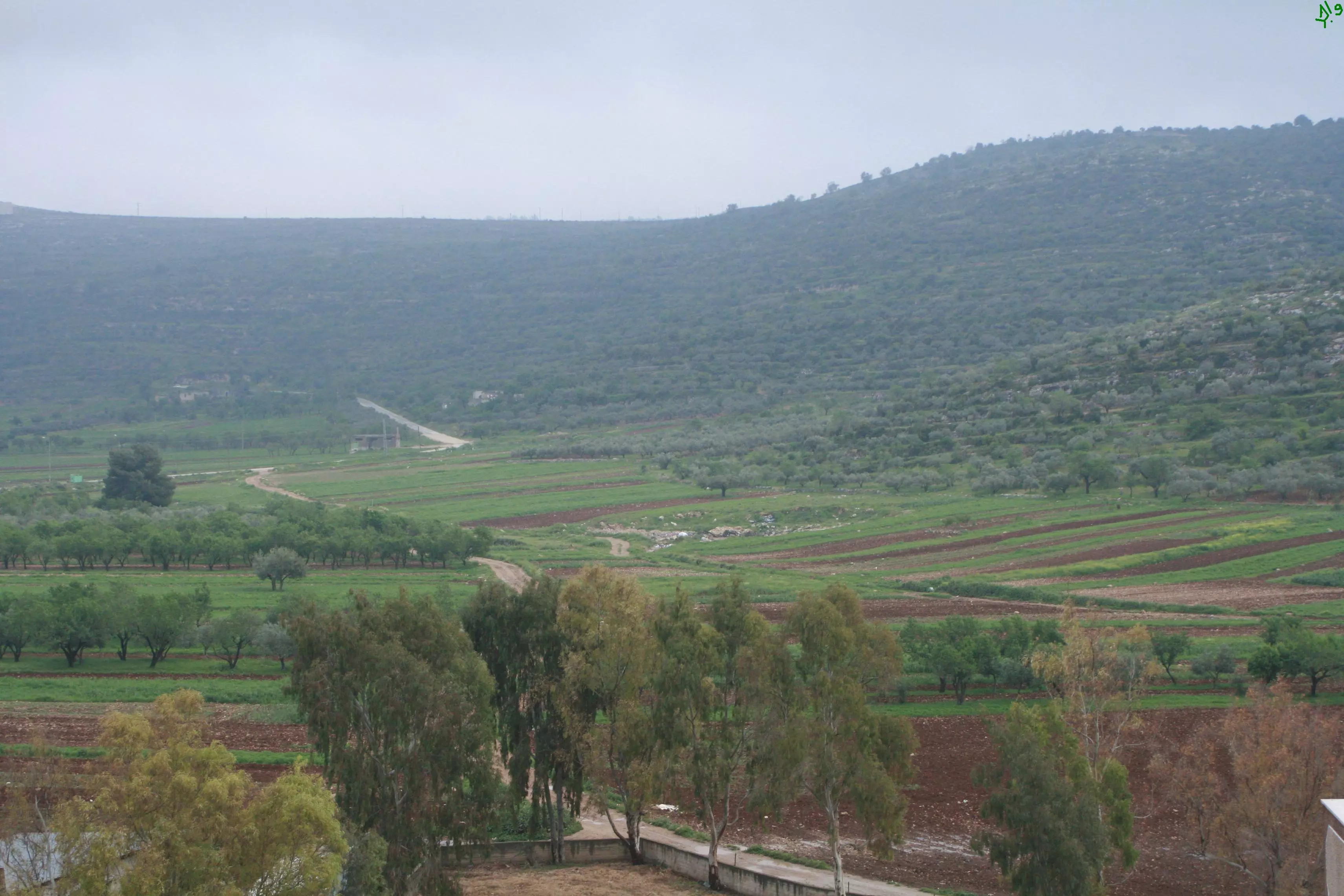
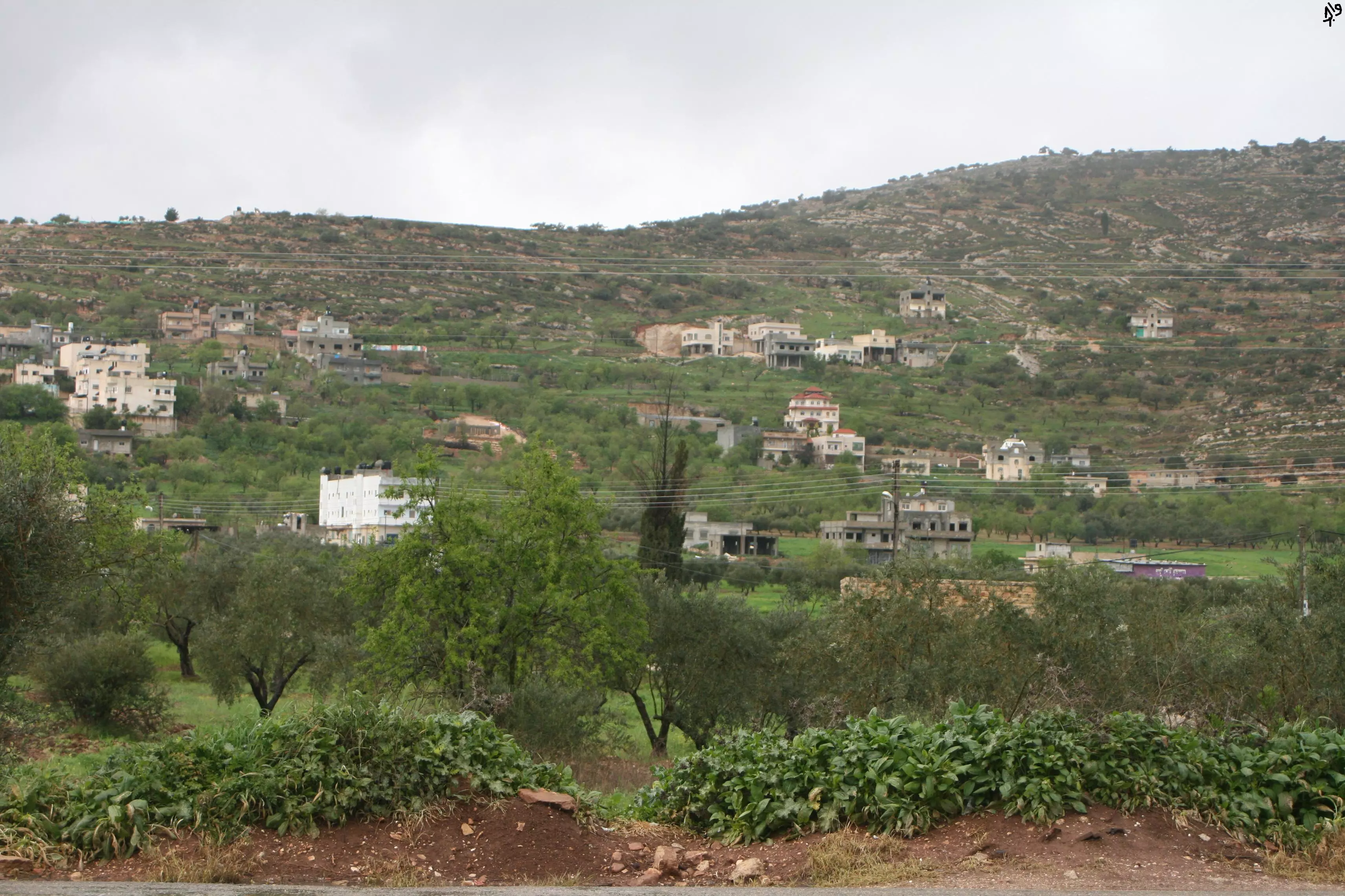
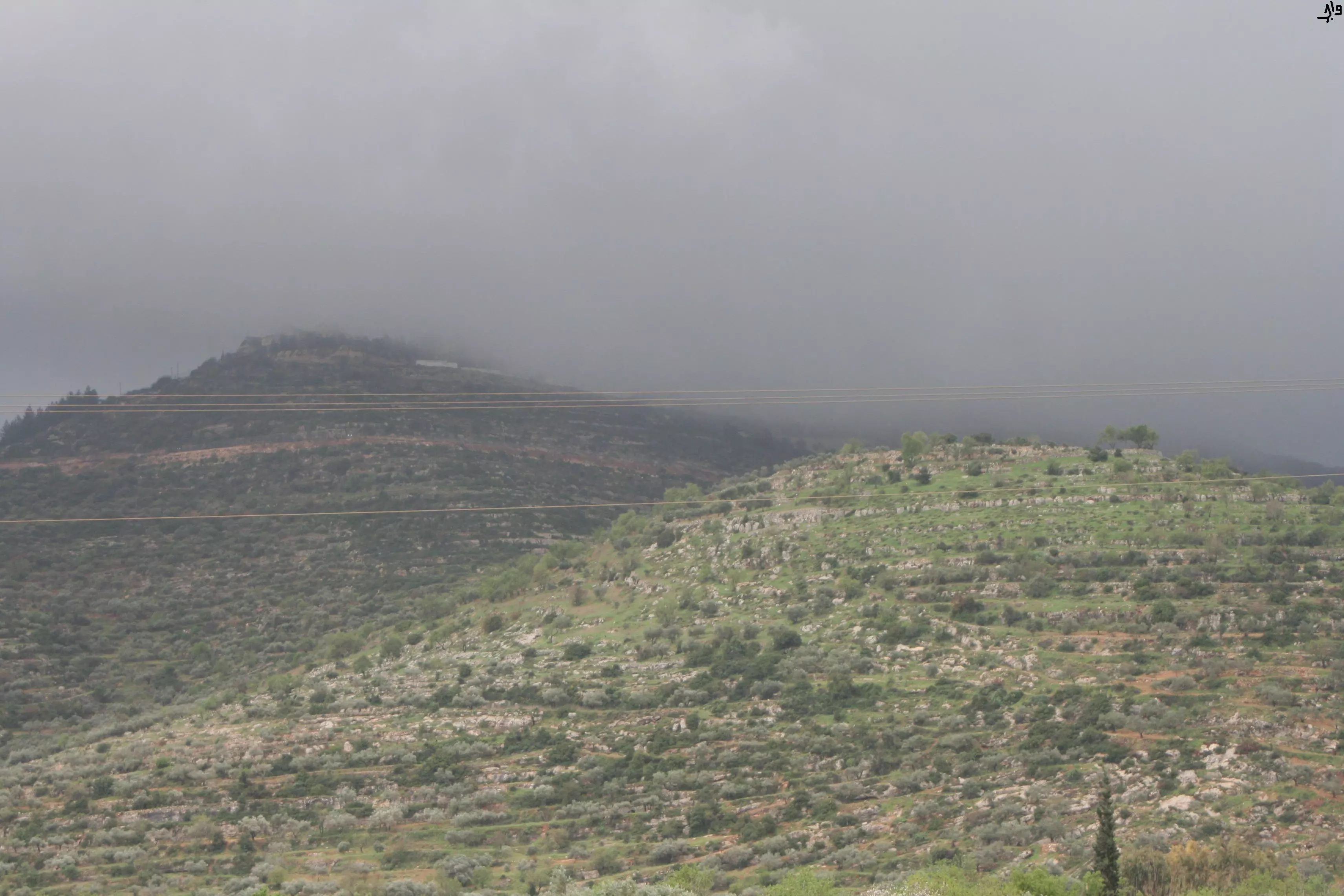
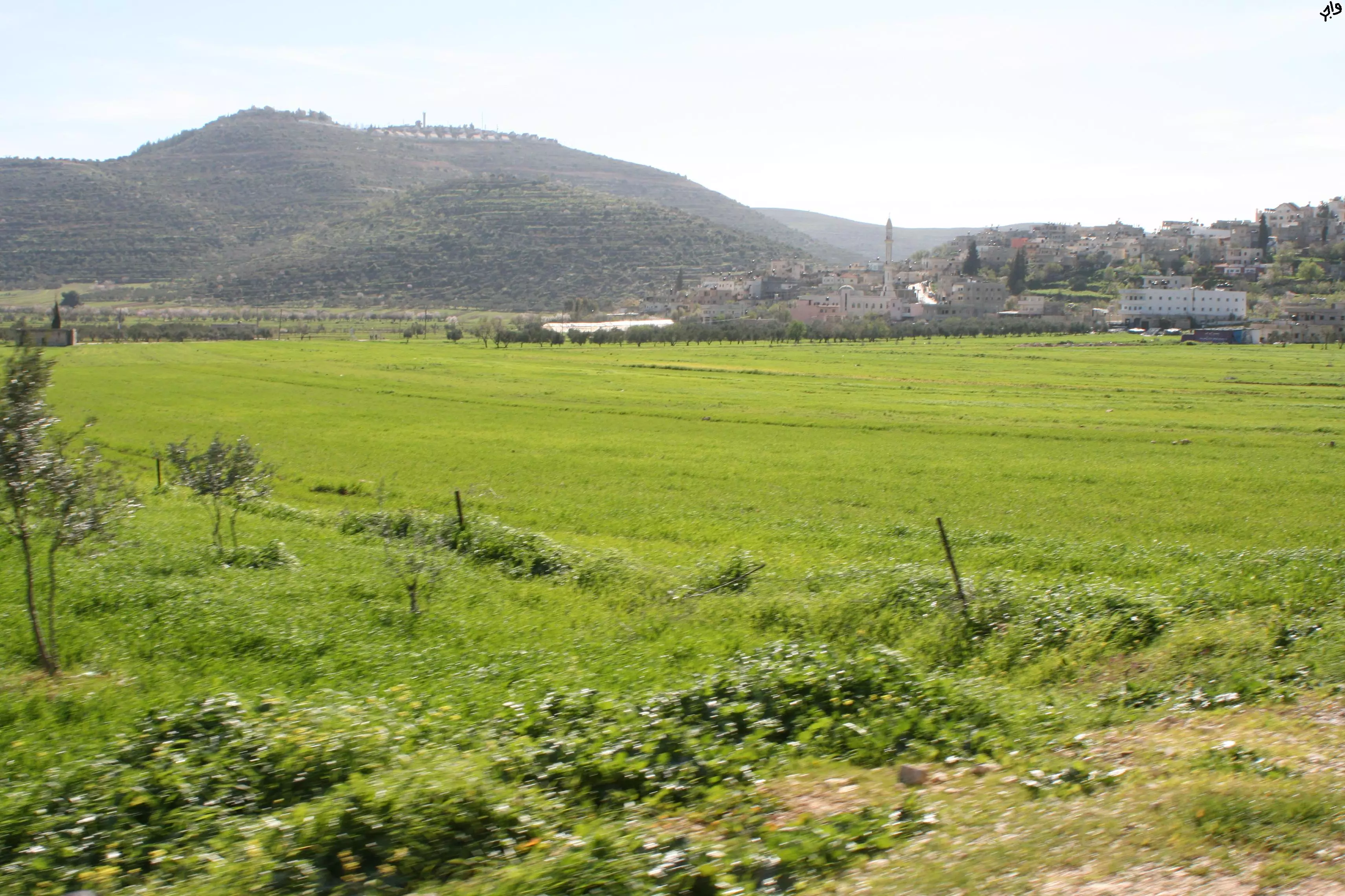
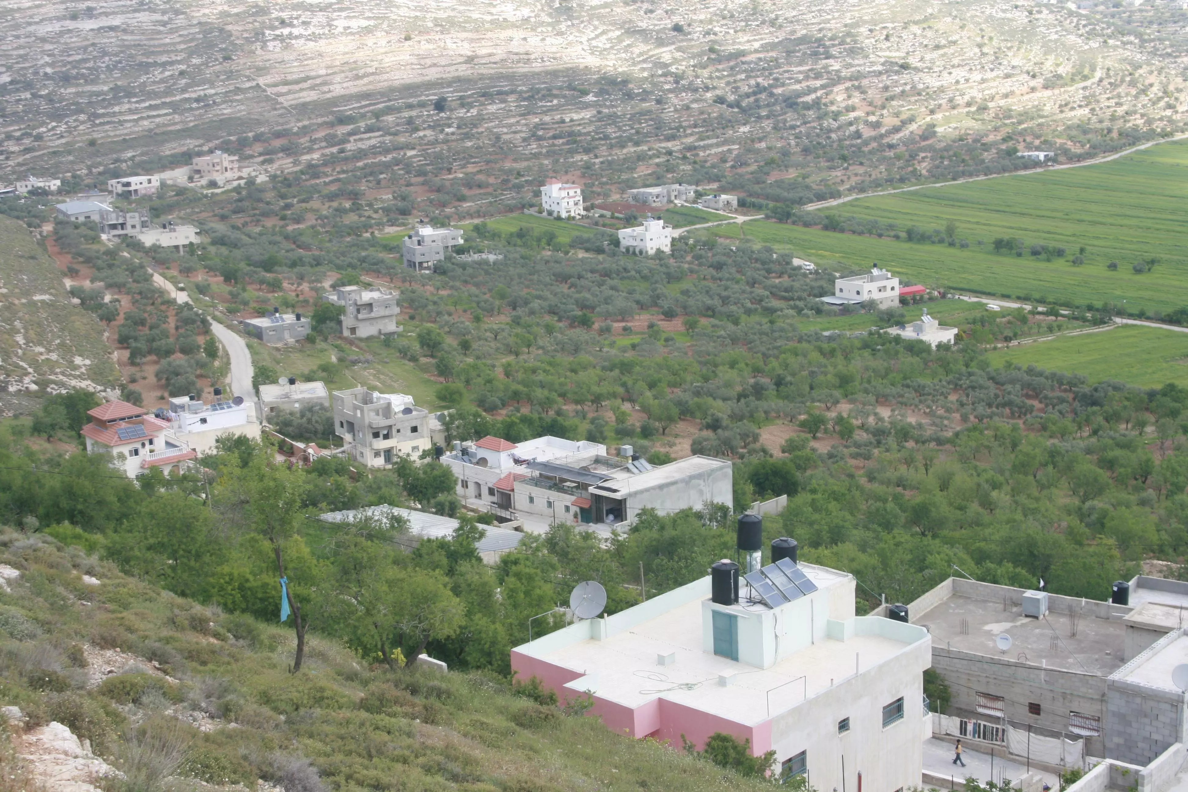
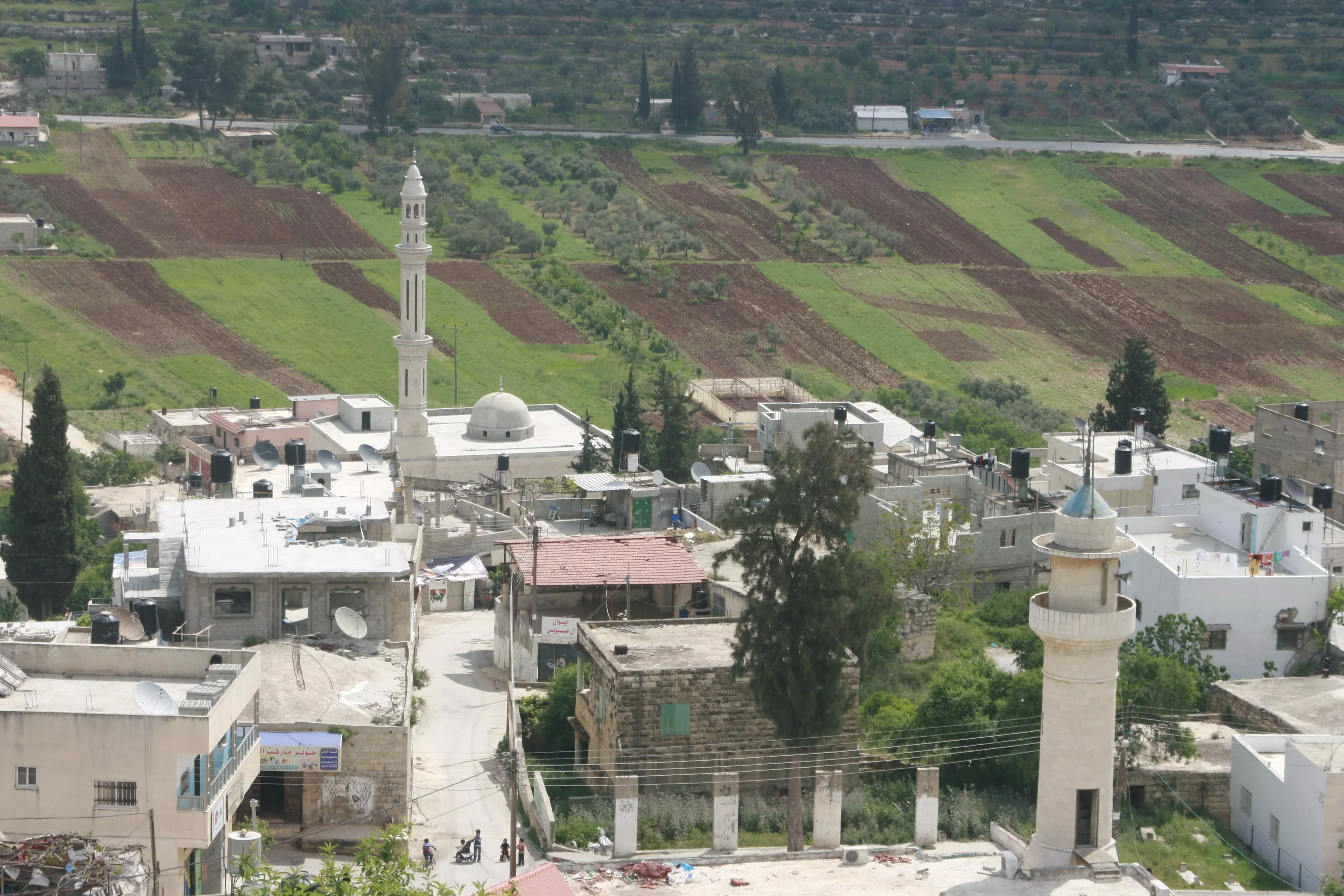
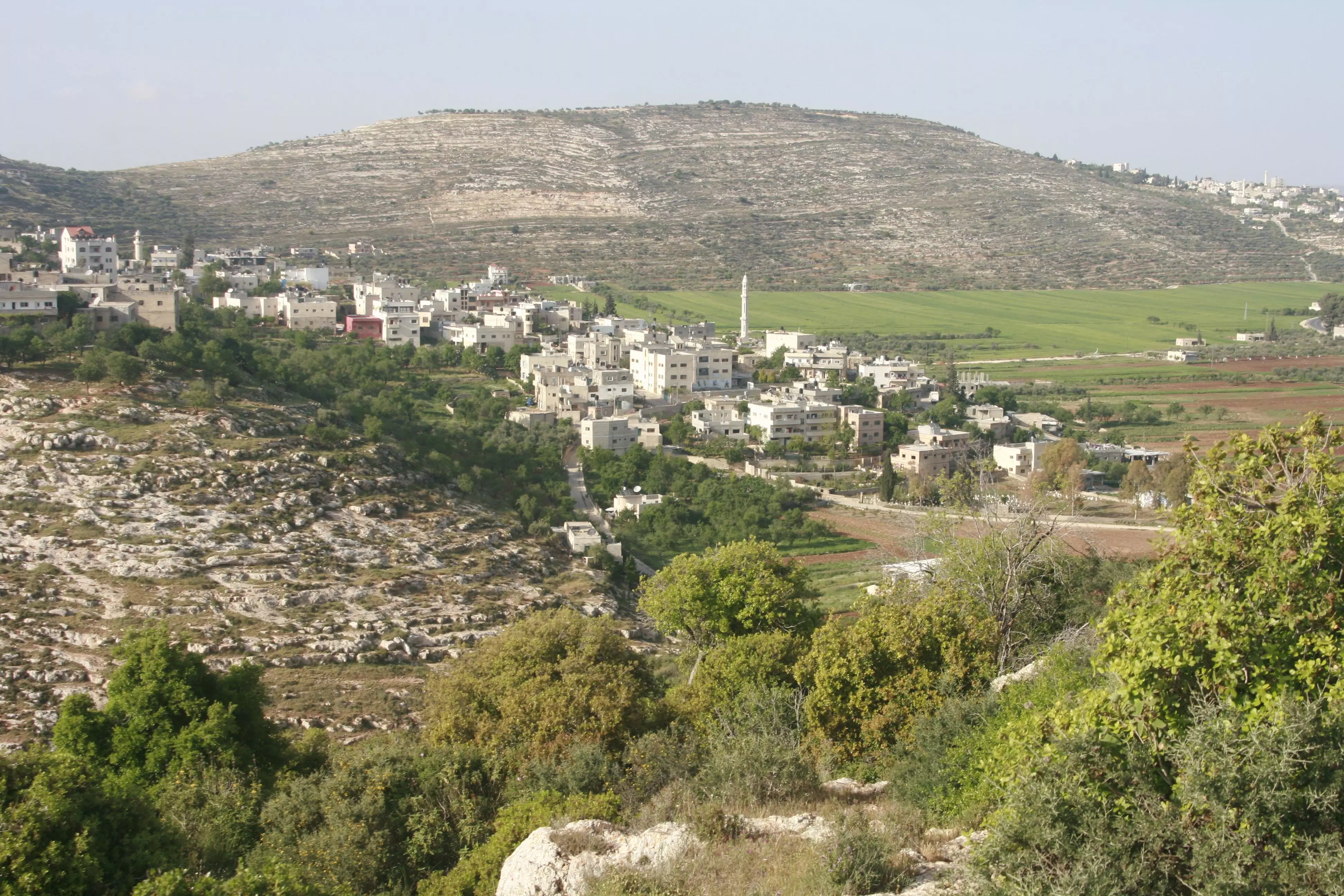
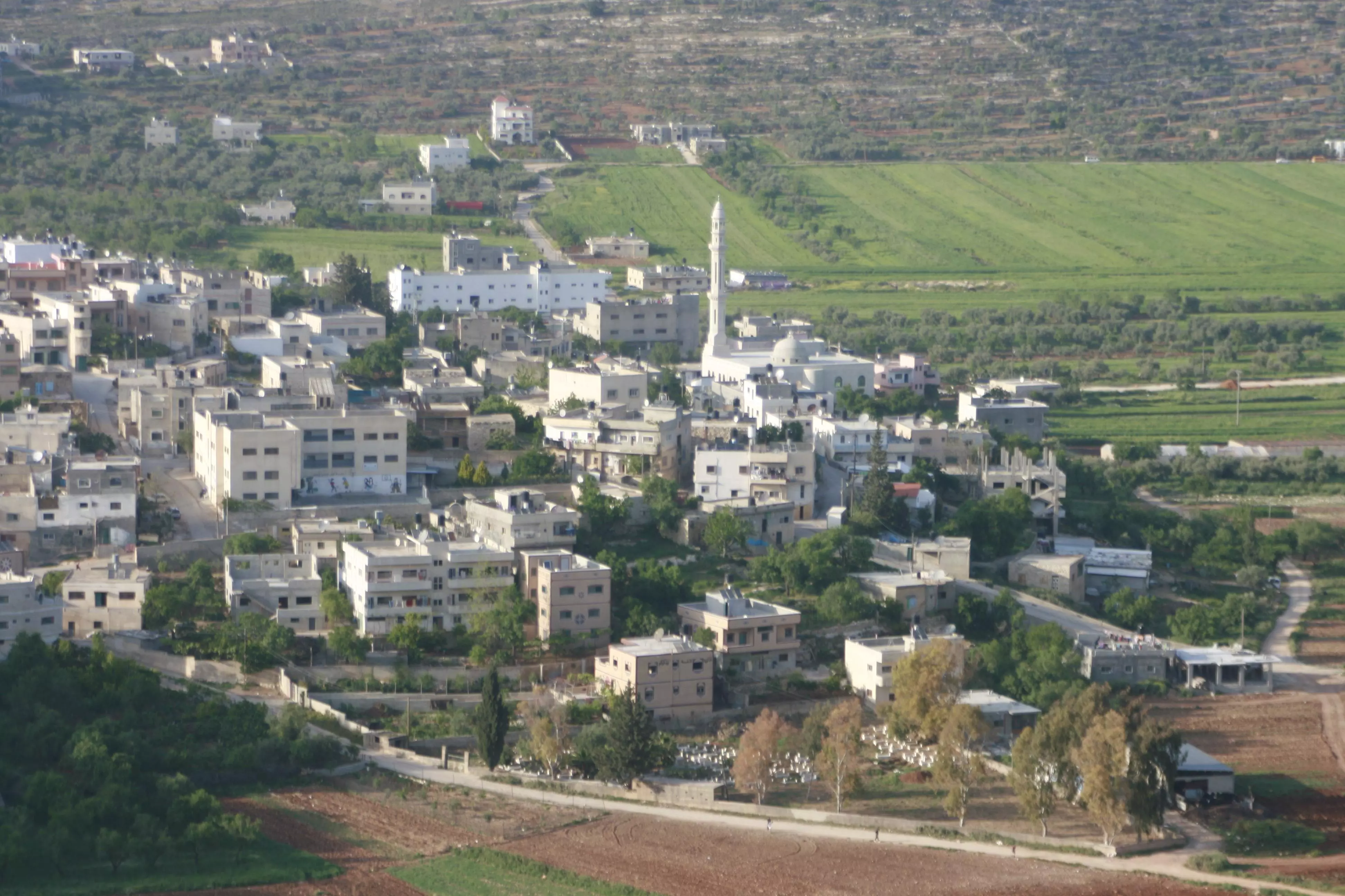
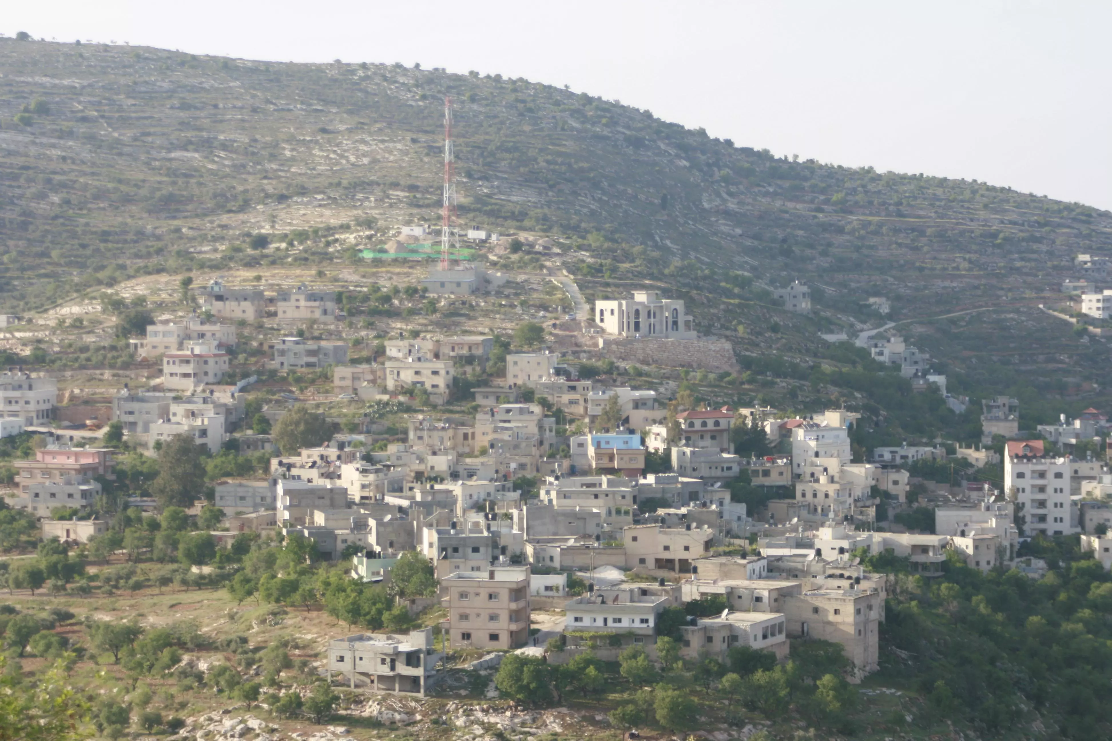
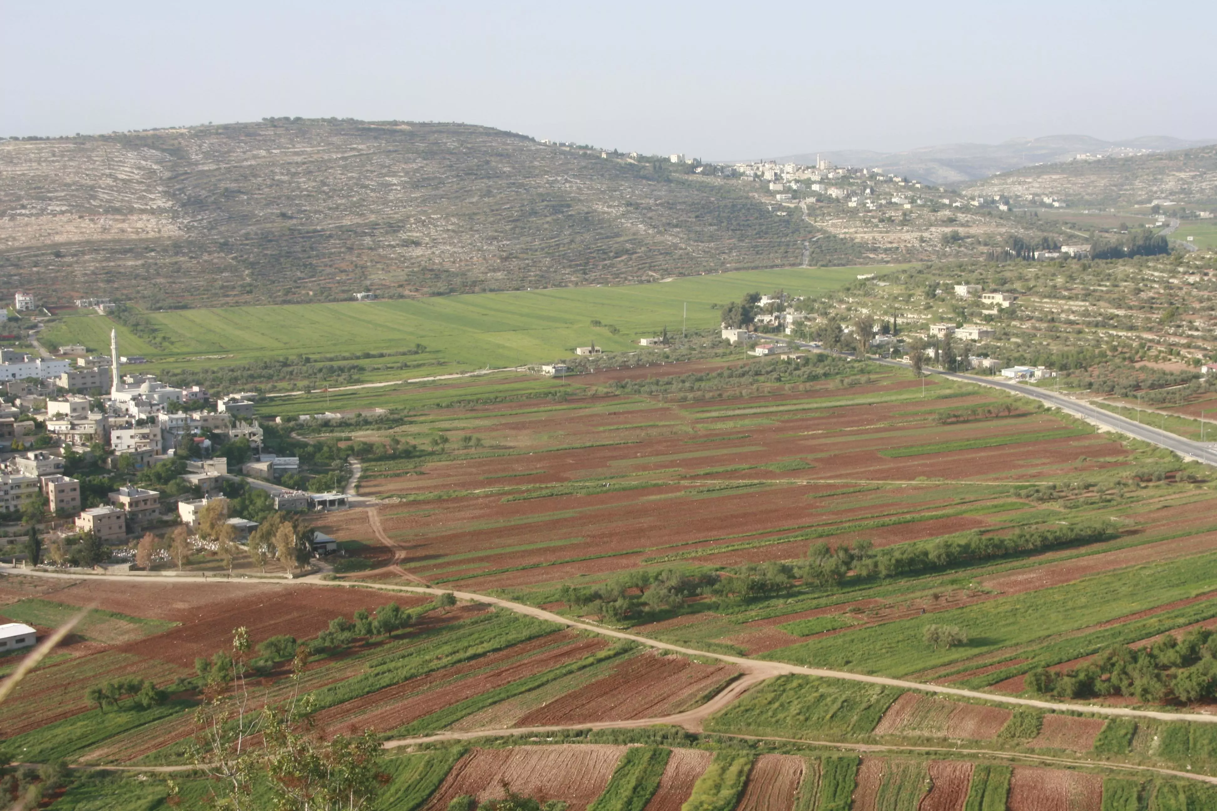
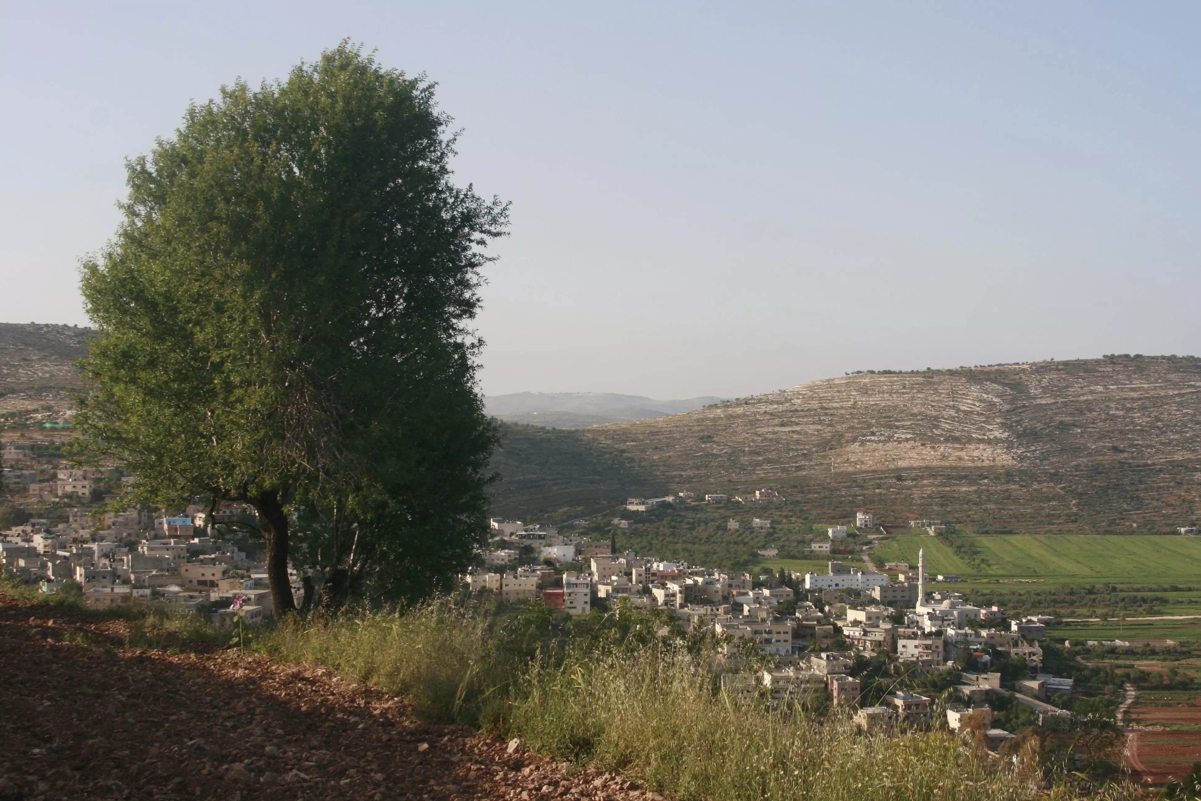
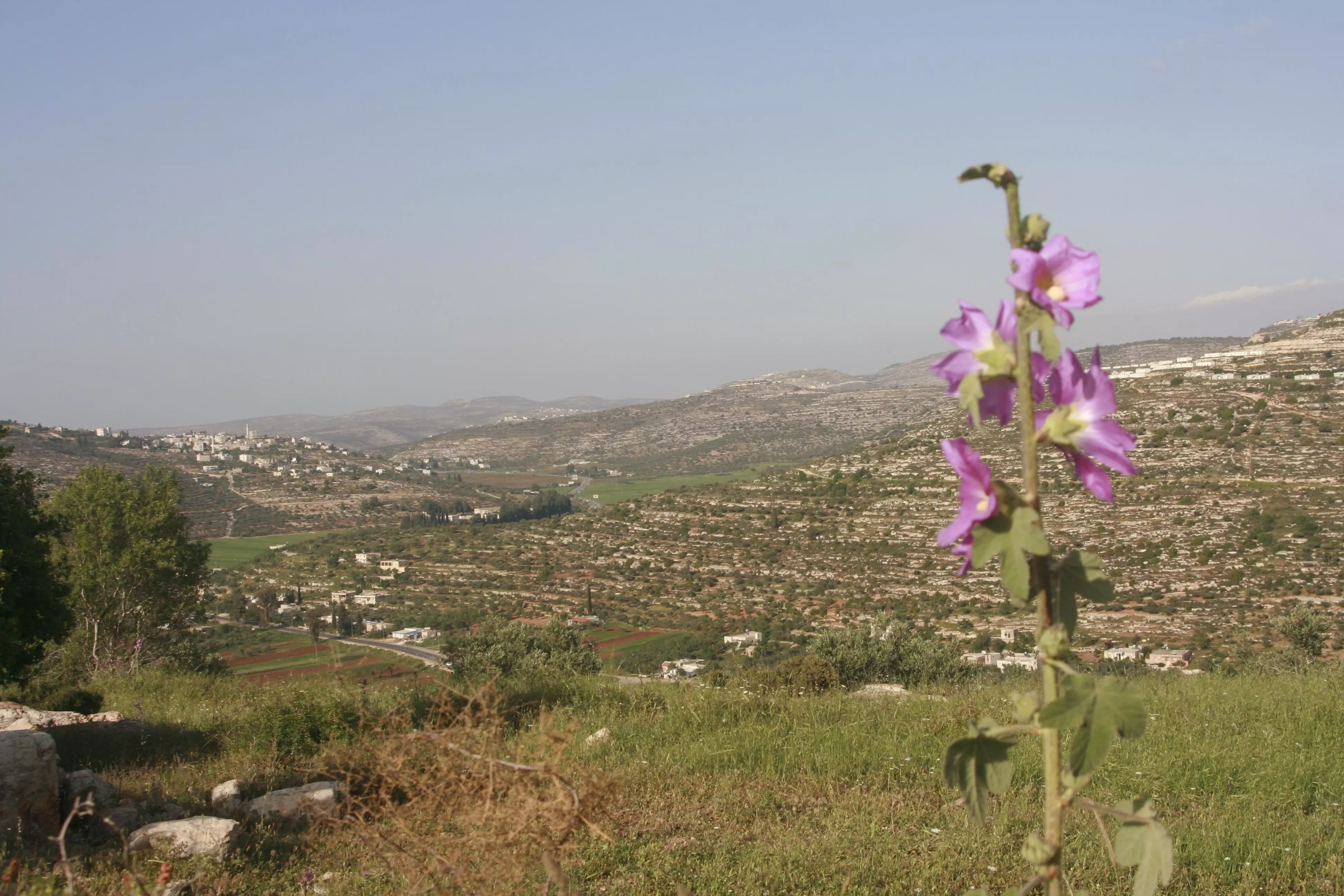
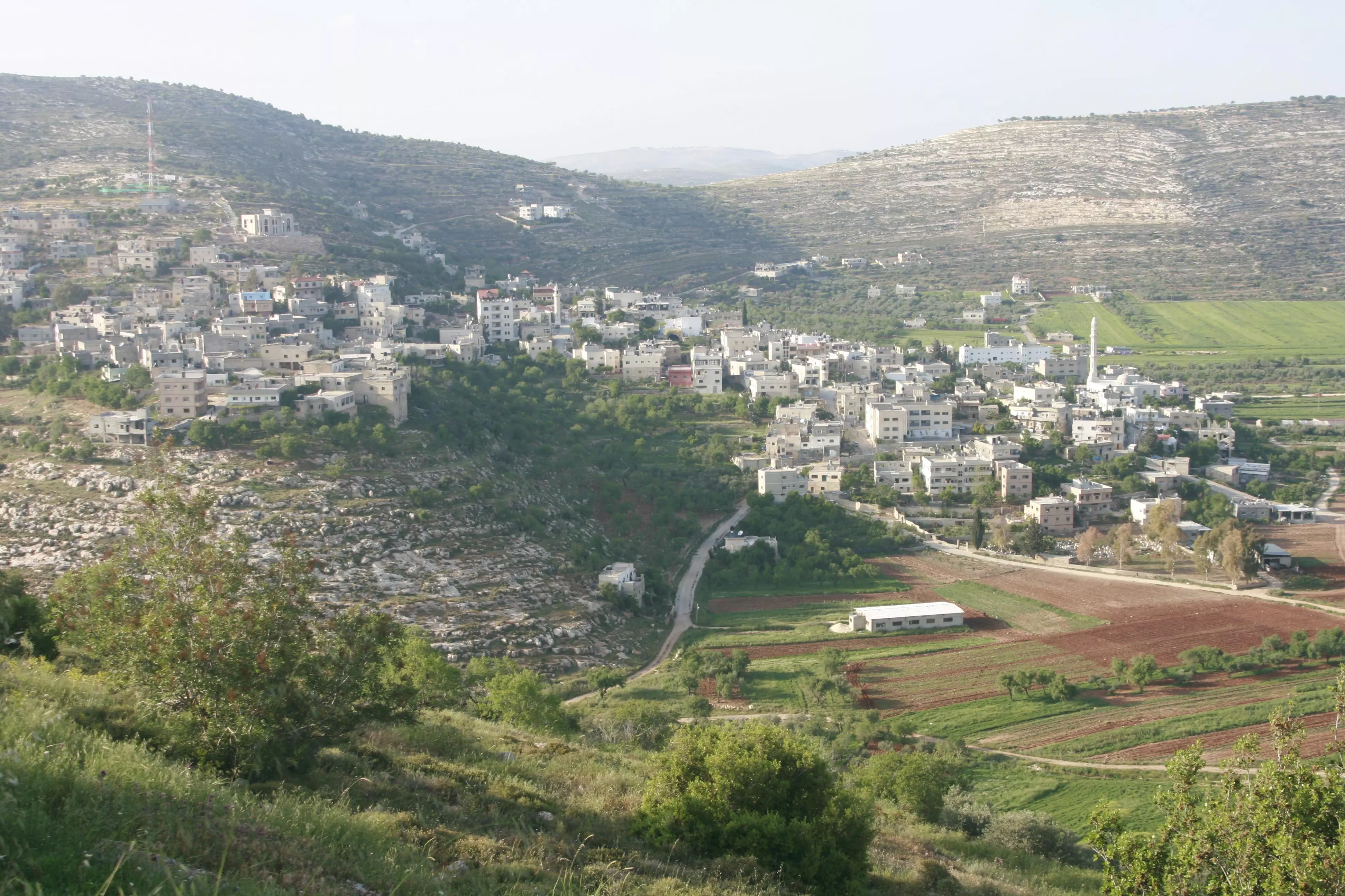
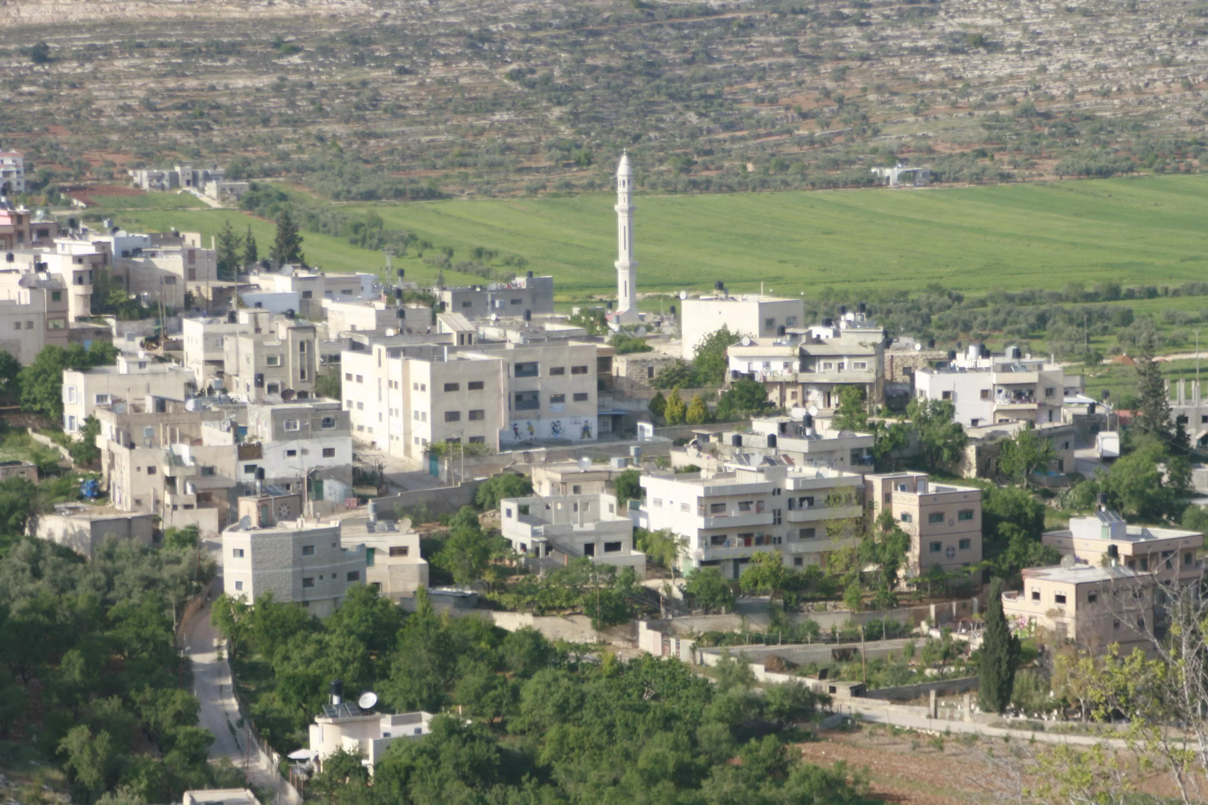
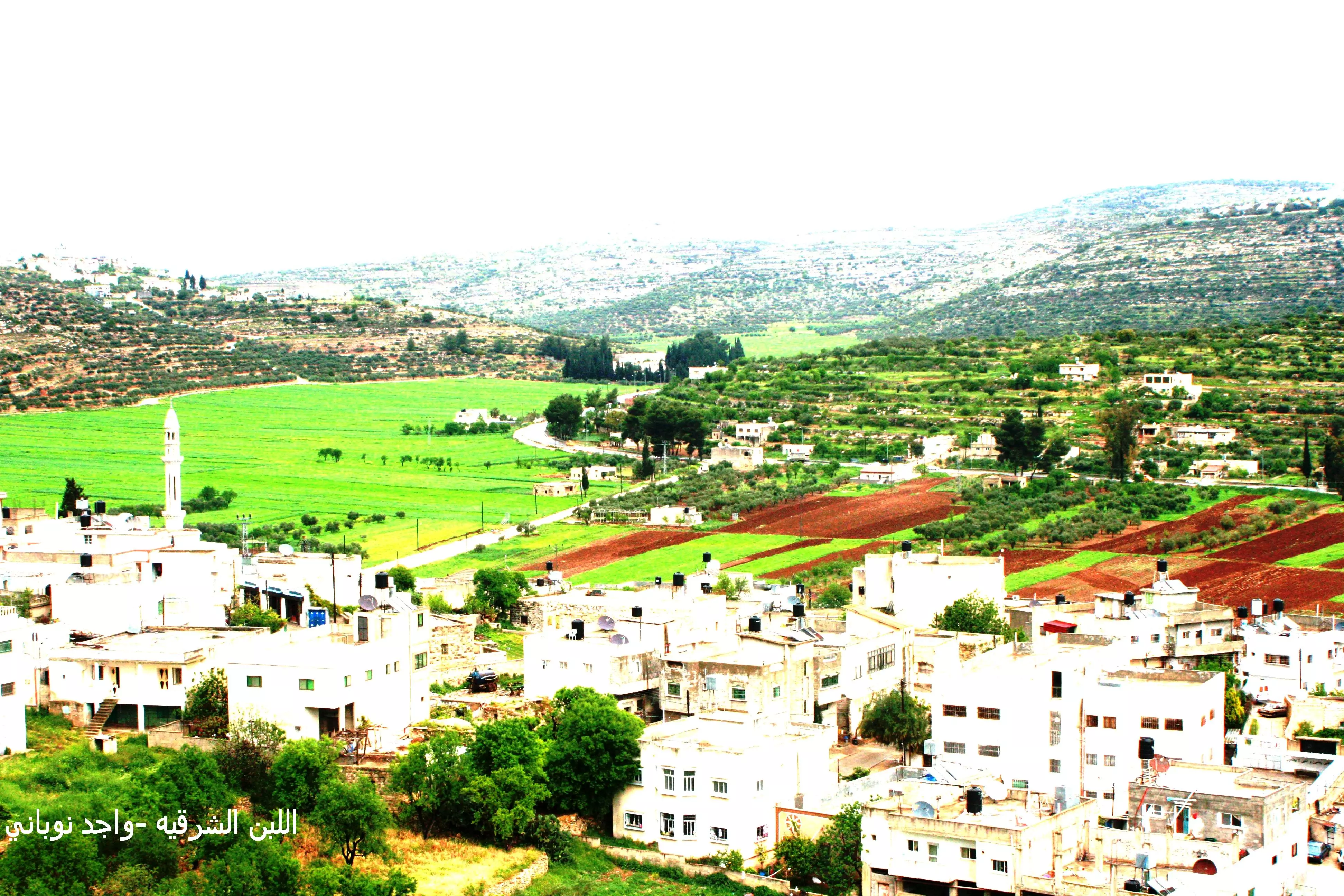
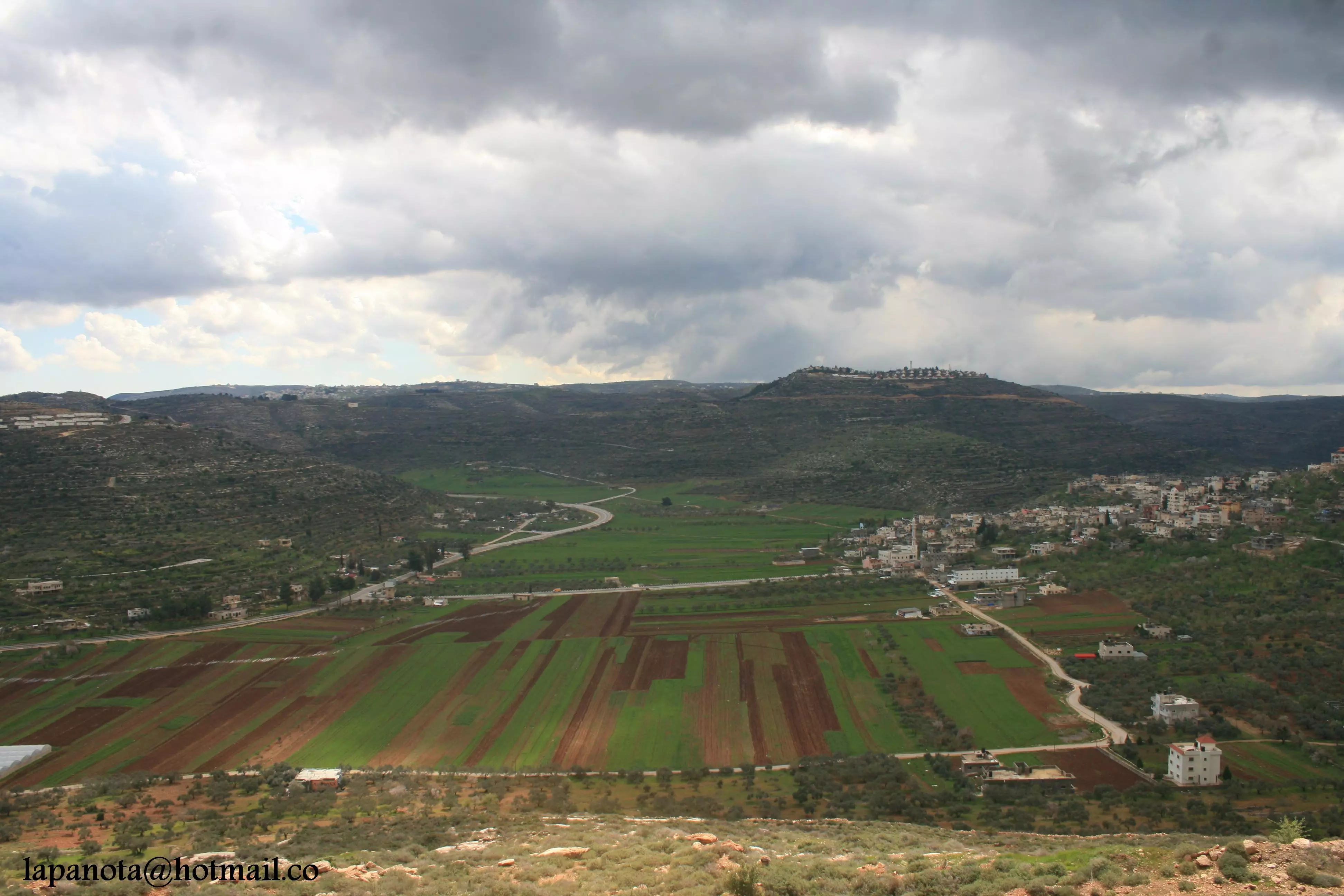
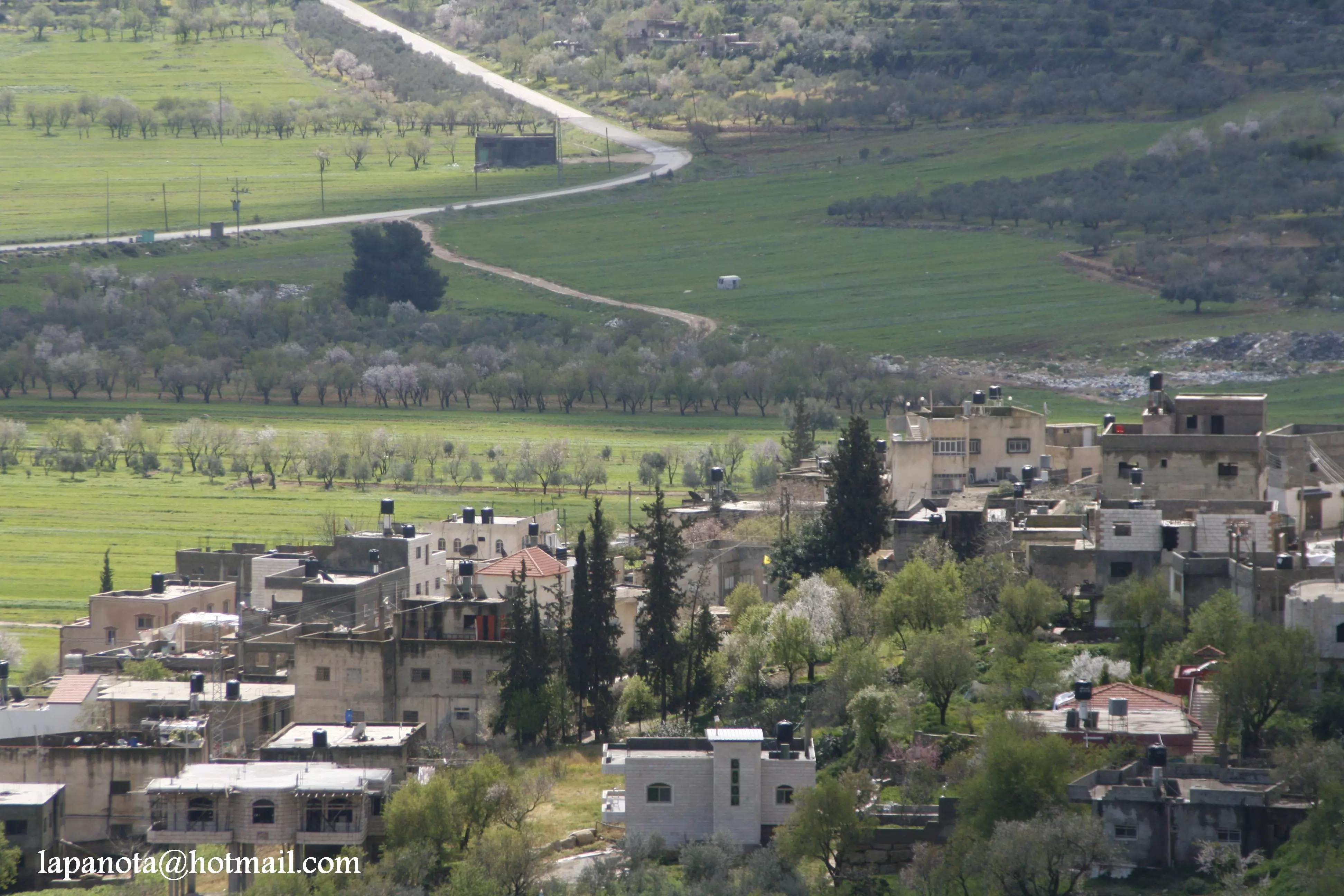
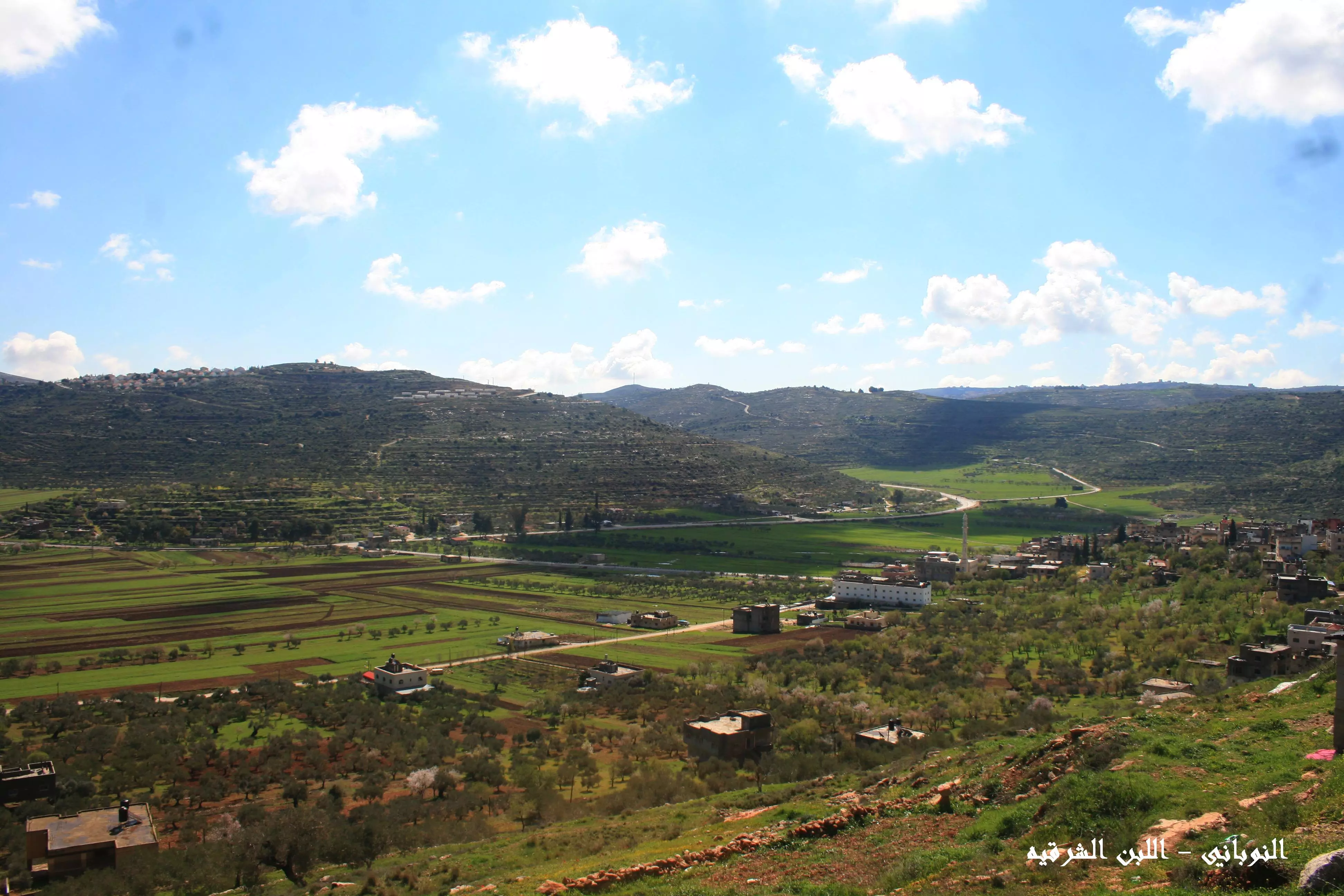
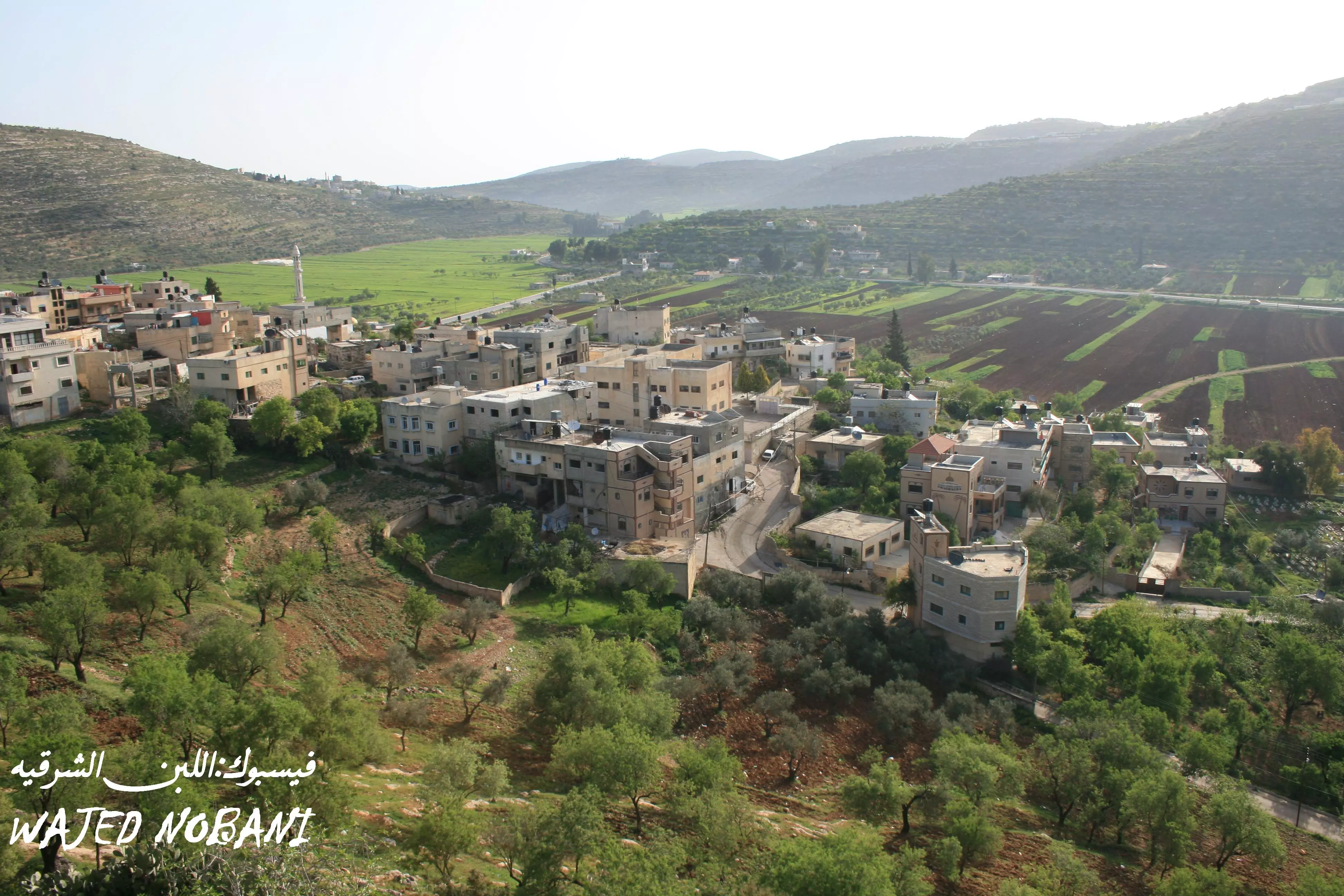
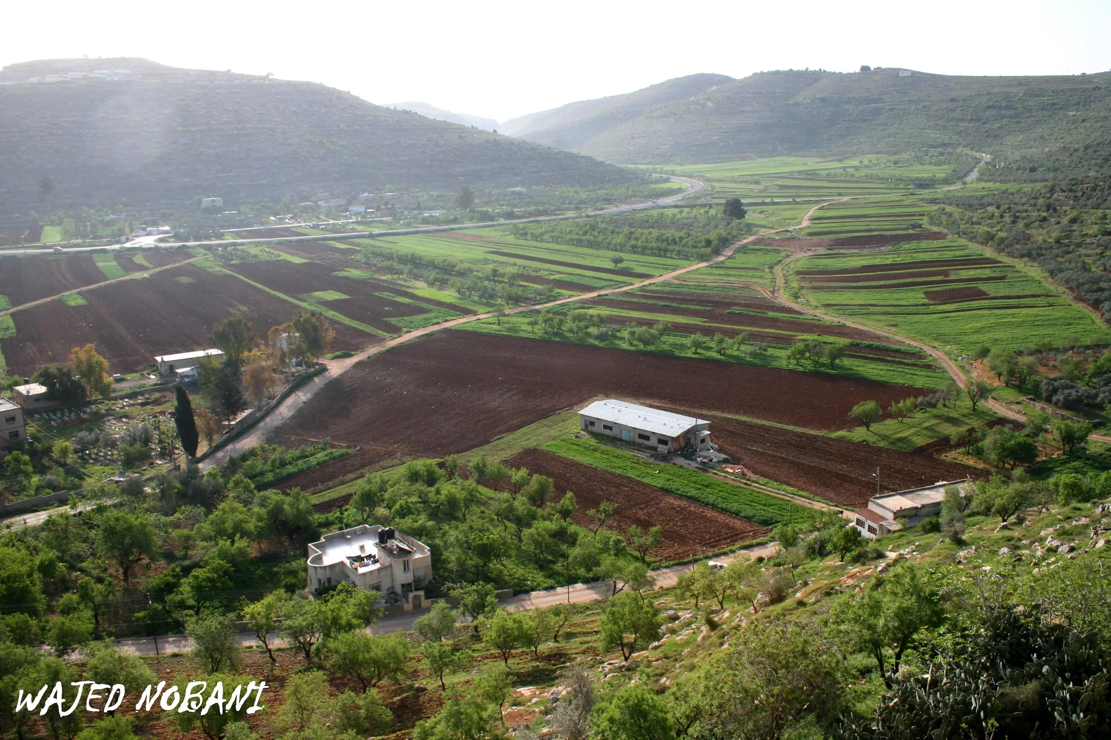
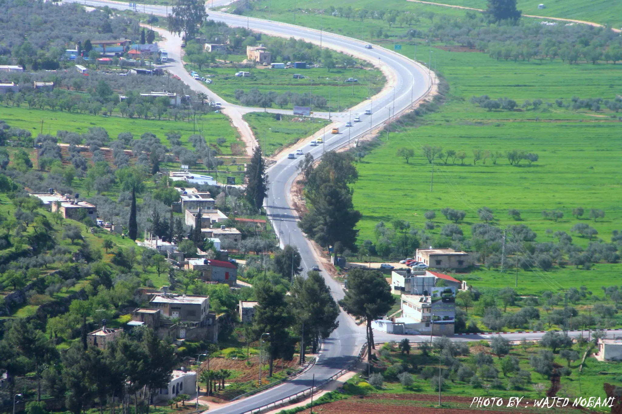
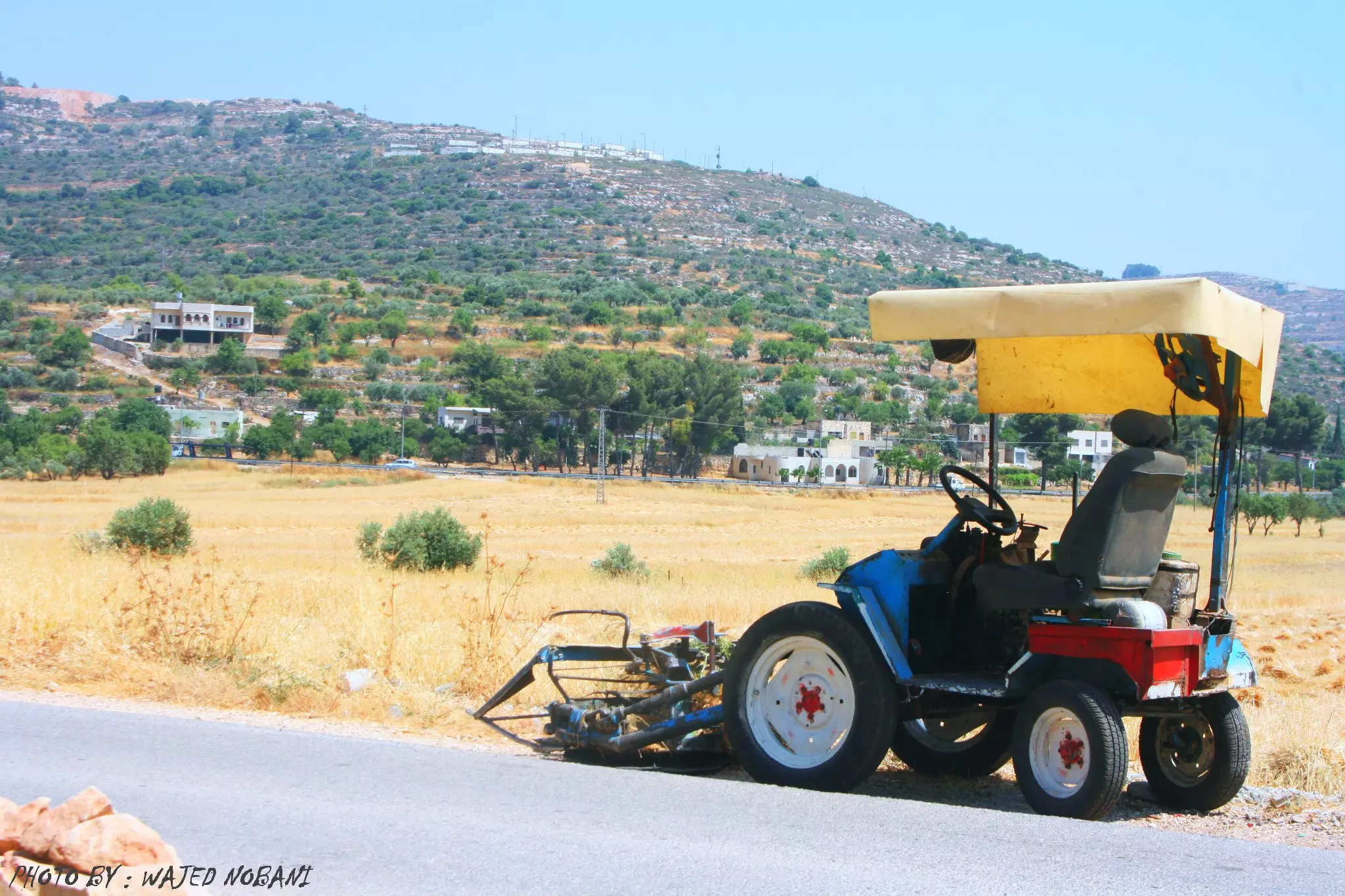
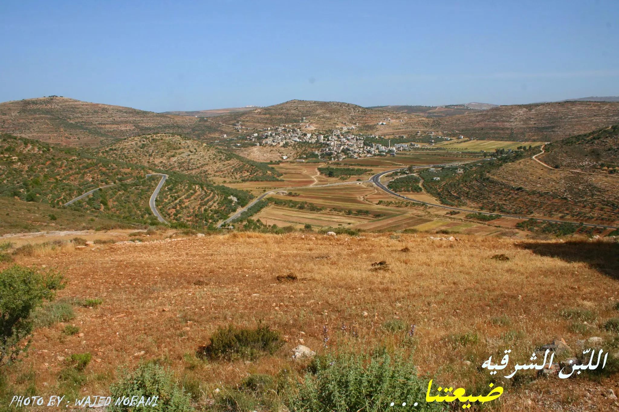
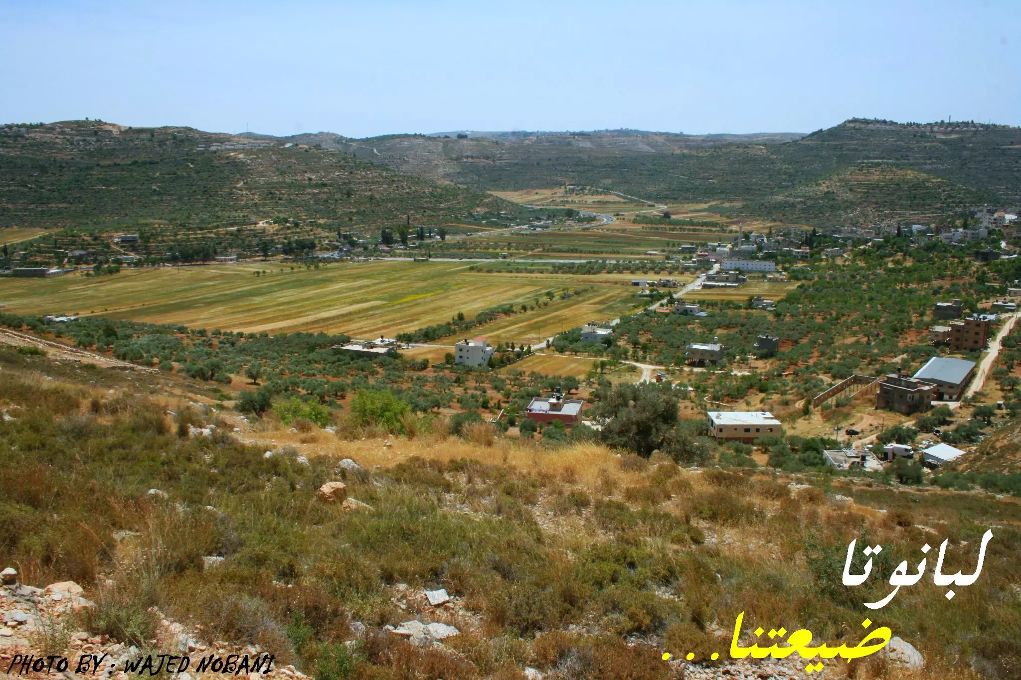
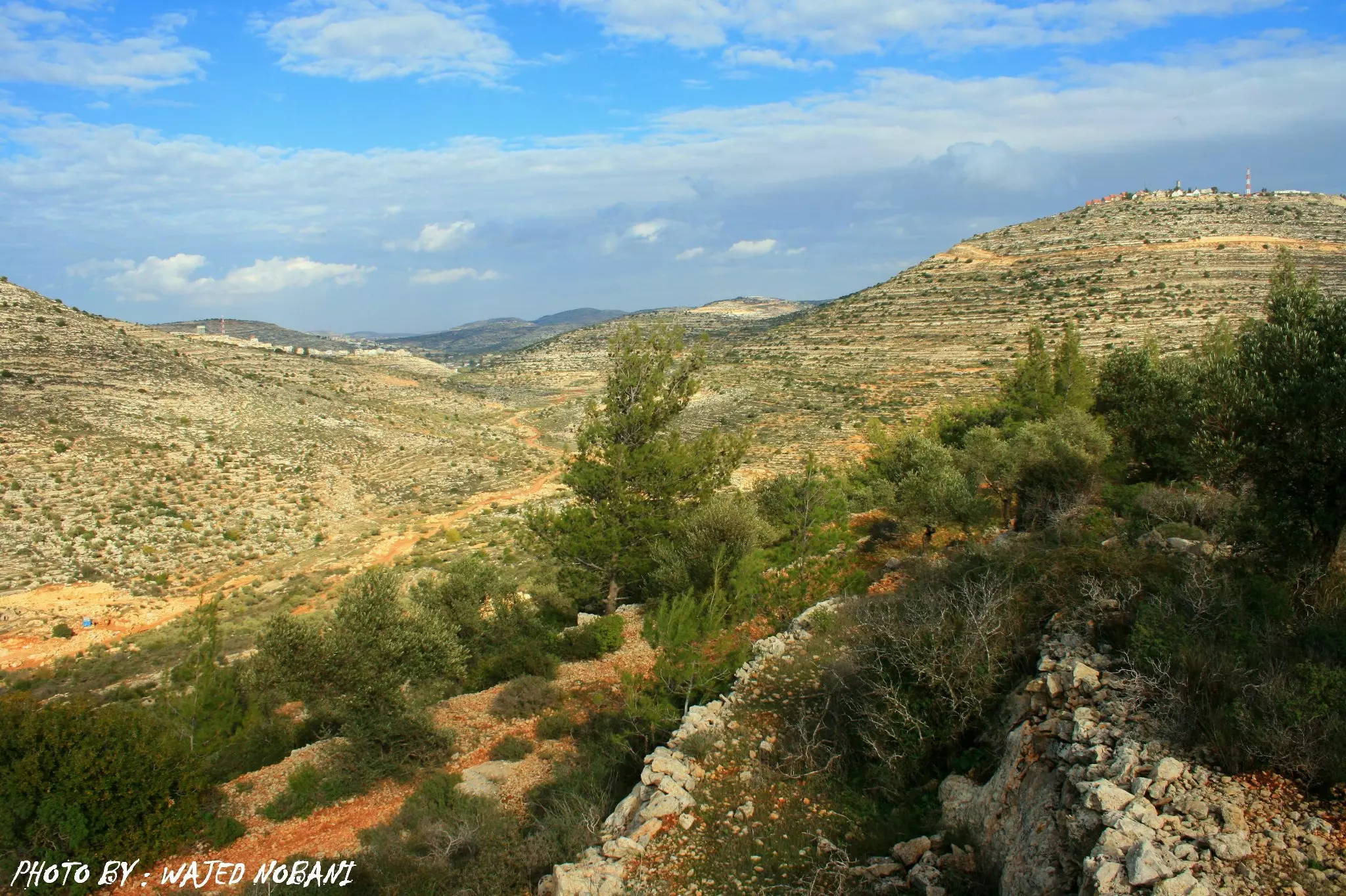
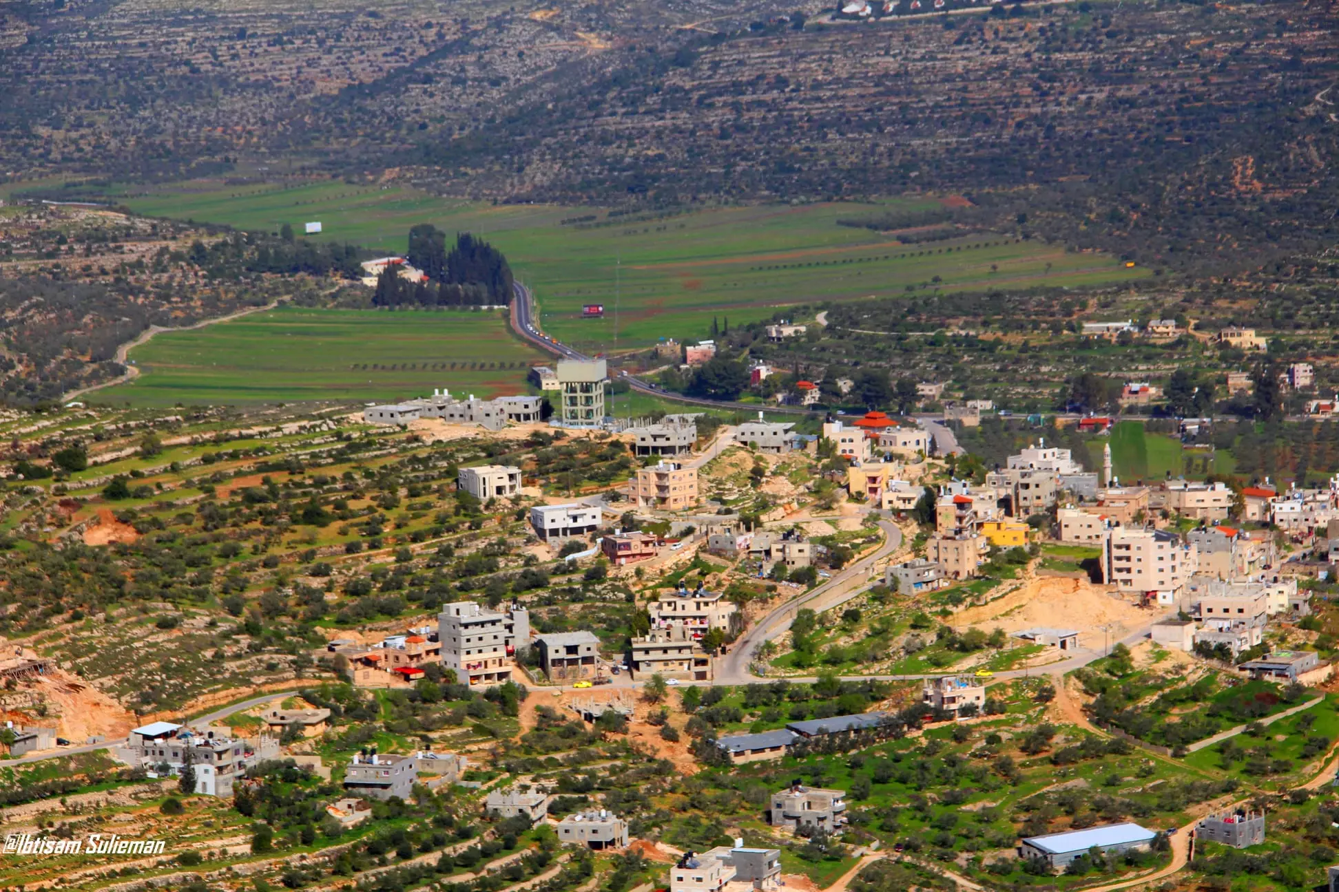
Welcome To Lubban Sharqiya - اللبن الشرقية (לובאן א-שרקיה)
|
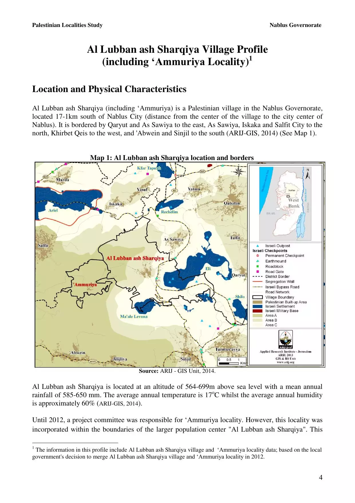
District of Nablus
Occupied days ago |
العربية Google Earth |
 |
Gallery (470) |
- Statistics & Facts
-
Before & After

- Satellite View
- Articles 51
- Pictures 470
- Aerial Views 1
- Mayrters & Prisoners 5
- Members 34
- Families
- Wikipedia
- ARIJ Guide
- Videos 7
- Guest Book 29
- Links 2
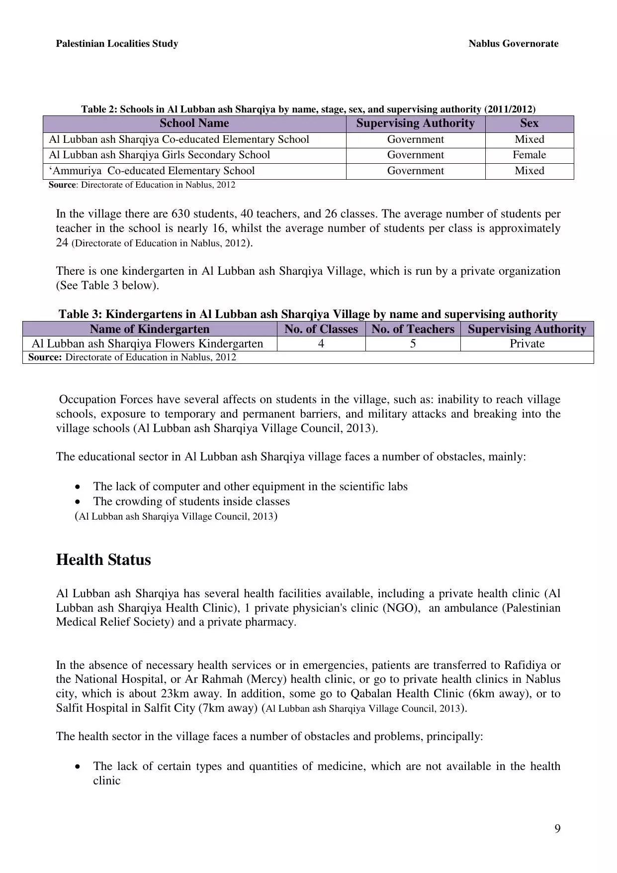
| Statistic & Fact | Value | ||||||||||||||||||
| Distance From District | 22 km south of Nablus | ||||||||||||||||||
| Elevation | 502 meters | ||||||||||||||||||
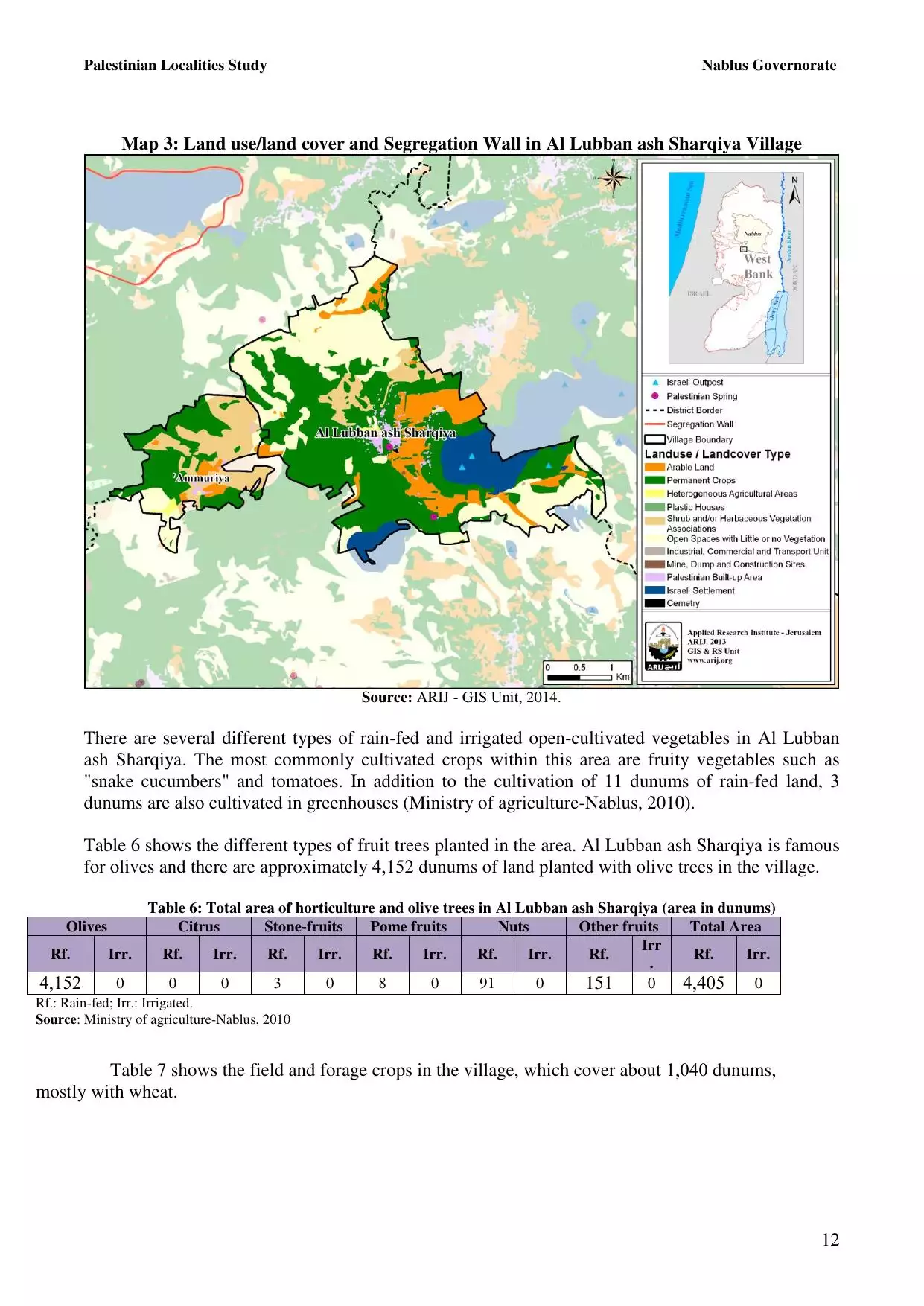
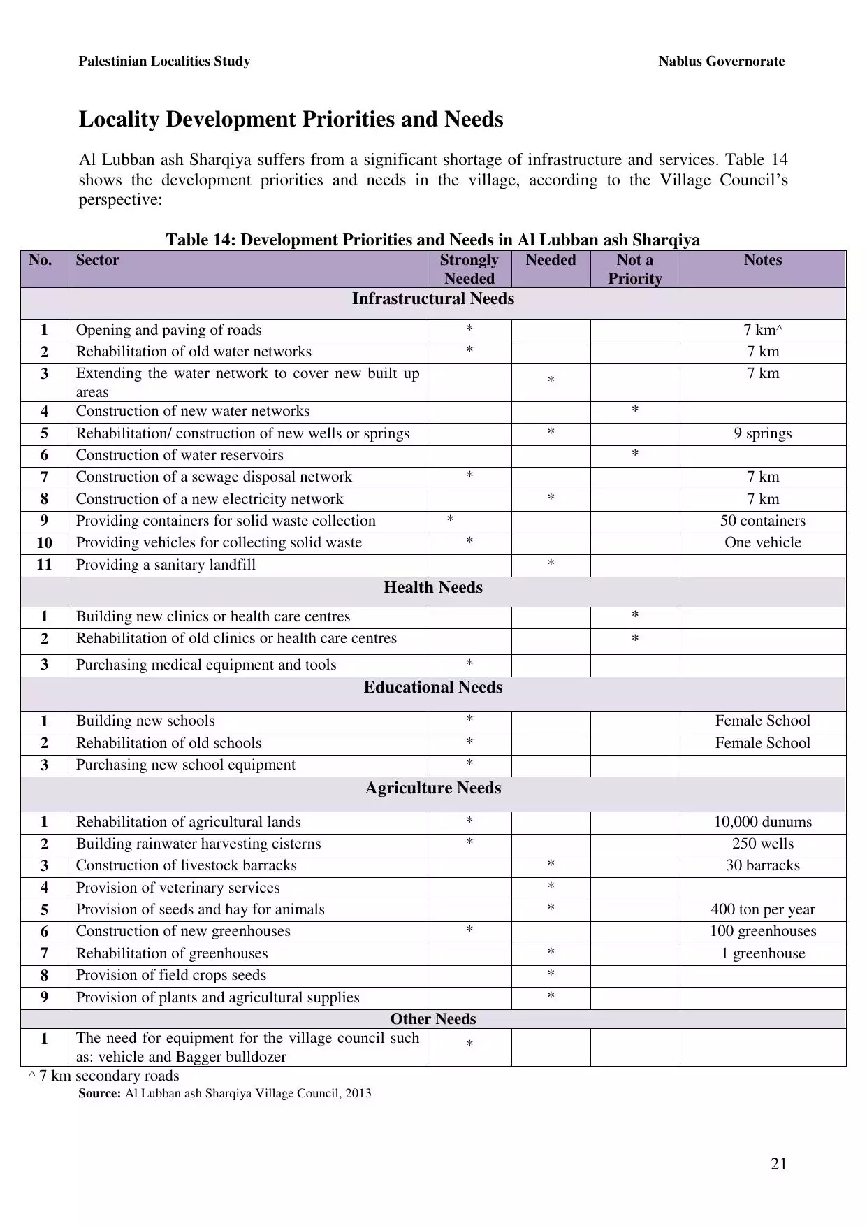
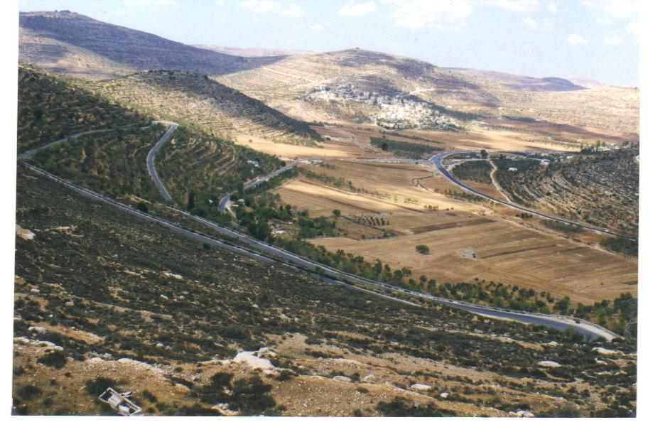
| Before & After Nakba, Click Map For Details |
|||||||||||||||||||
|
|||||||||||||||||||
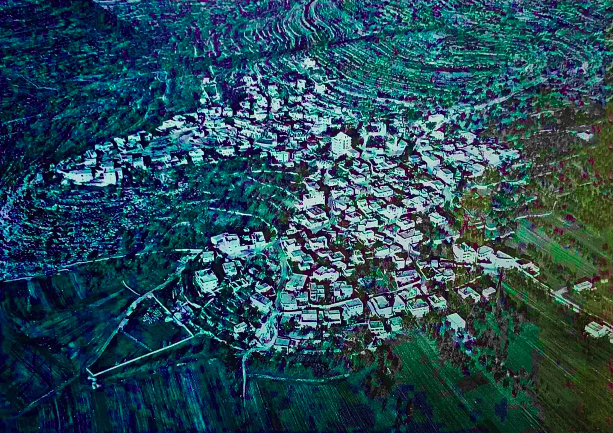
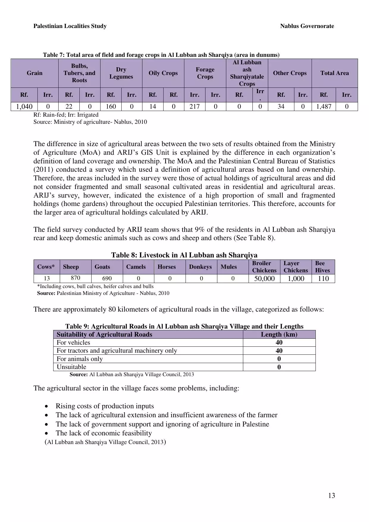
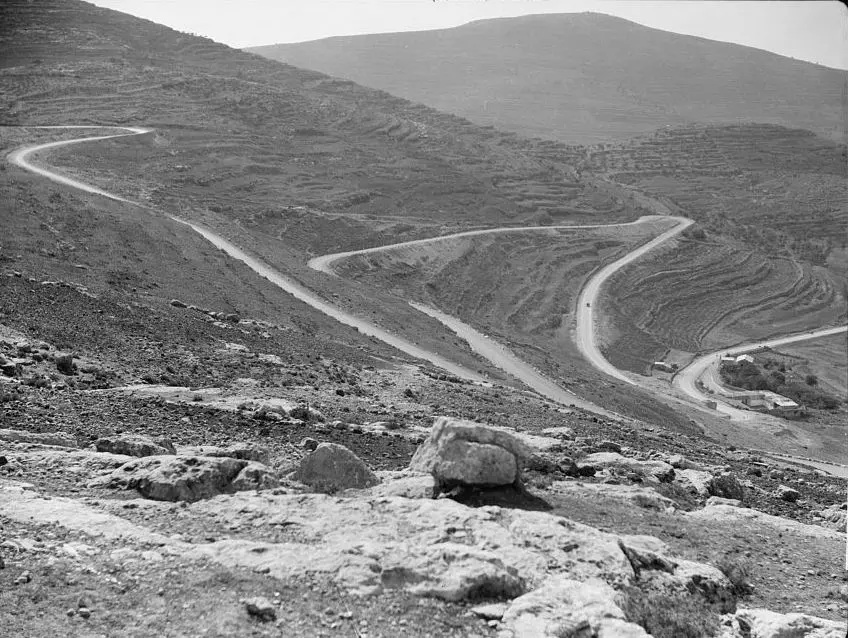
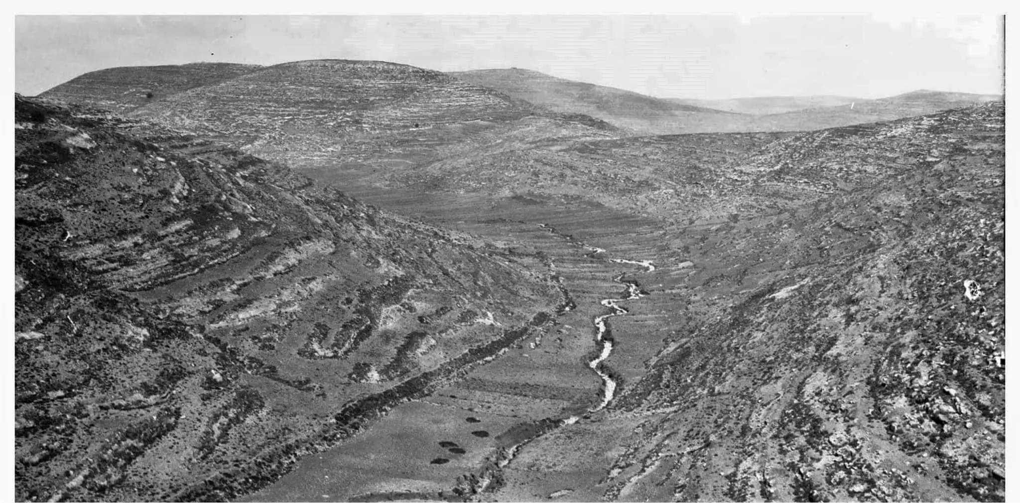
| Pre-Nakba Aerial View |
|||||||||||||||||||
|
|||||||||||||||||||
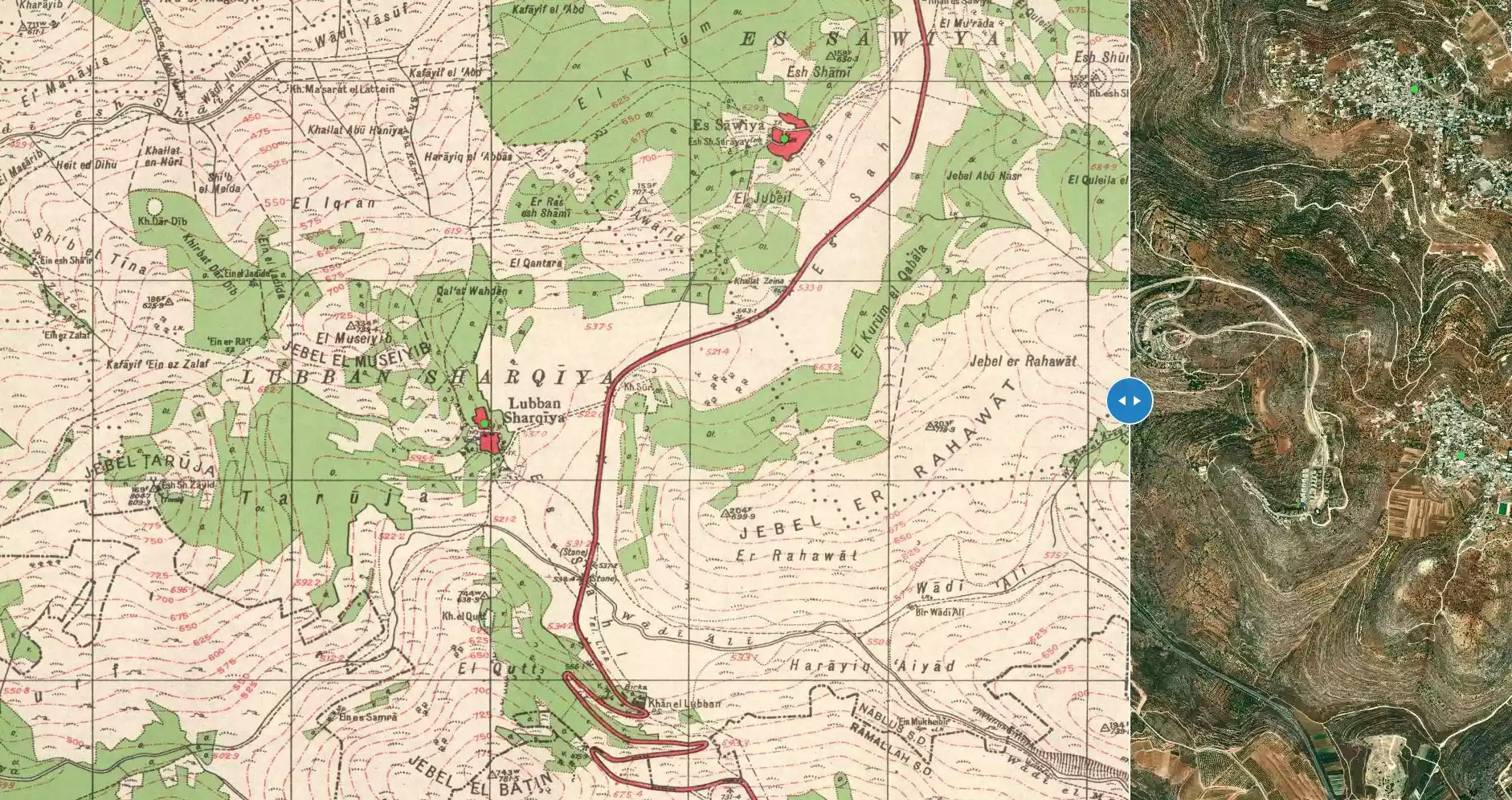
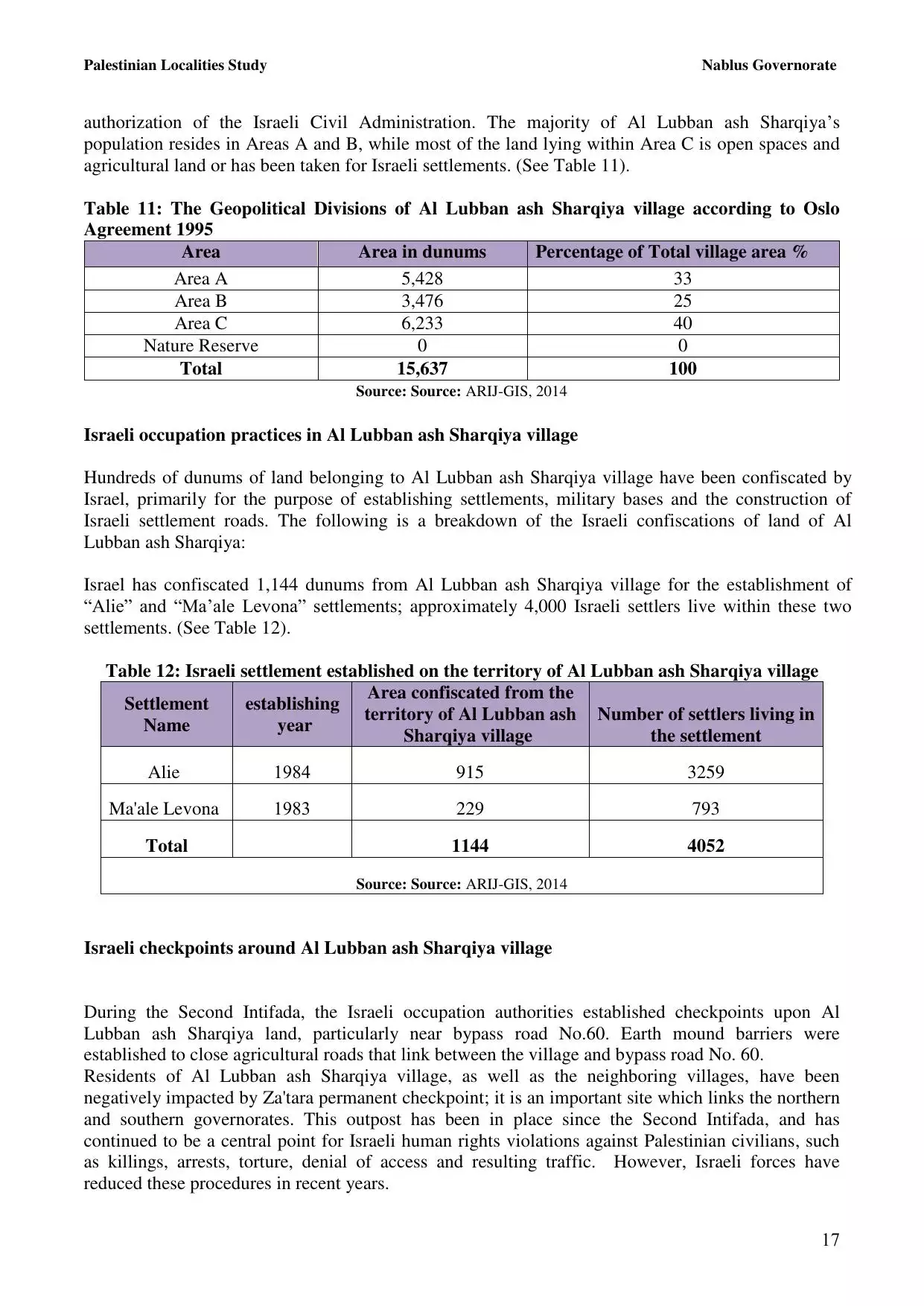
| Land Ownership |
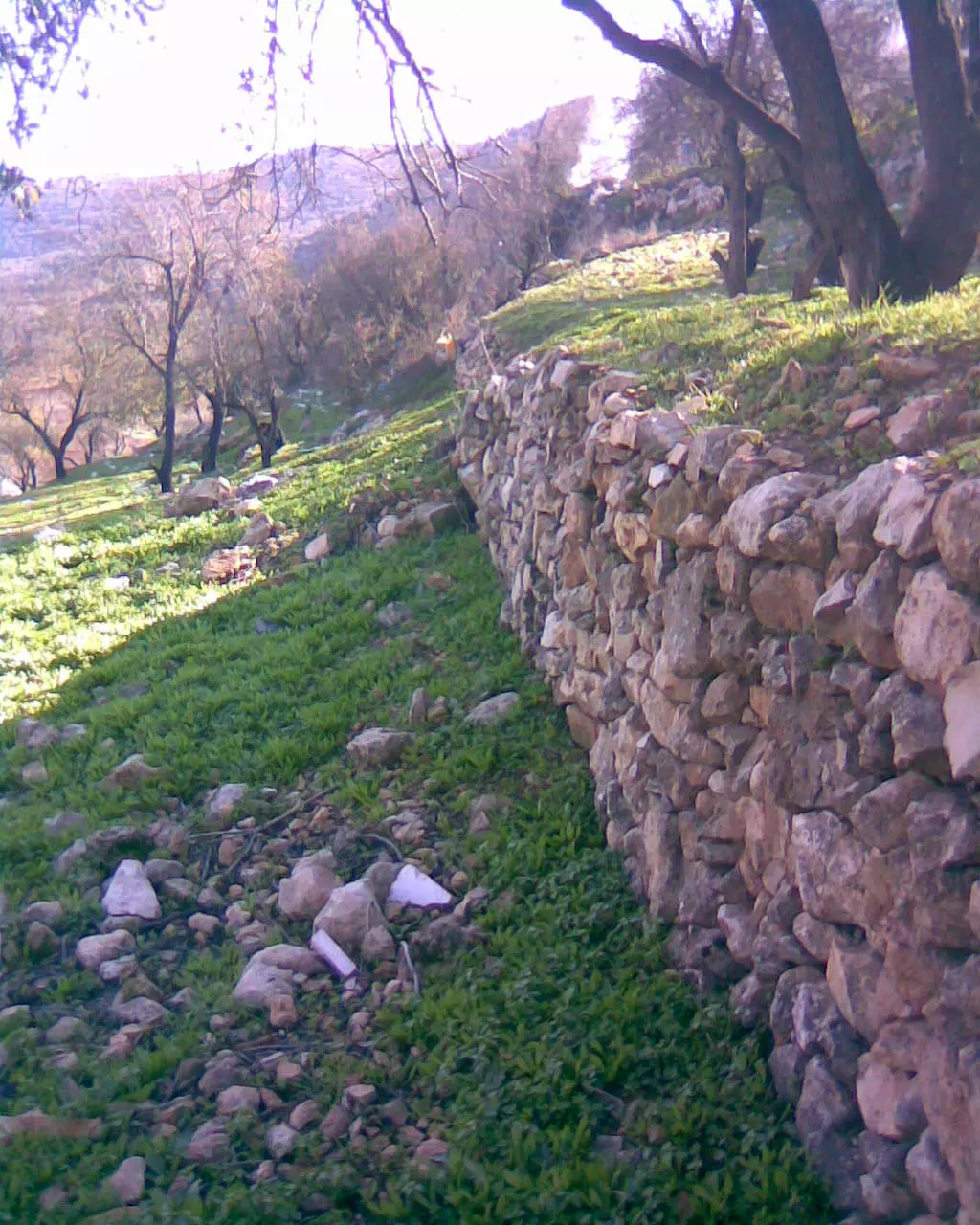
**Town Lands' Demarcation Maps |
||||||||||||||||||
| Land Usage As of 1945 |
|
||||||||||||||||||
| Population |
|
||||||||||||||||||
| Near By Towns |
|||||||||||||||||||
|
|||||||||||||||||||
| Featured Video | |||||||||||||||||||
| ARIJ Guide | |||||||||||||||||||
3.
4. 
5. 
6. 
7. 
8. 
9. 
10. 
11. 
12. 
13. 
14. 
15. 
16. 
17. 
18. 
19. 
20. 
21. 
22. 
Click here to browse online. |
|||||||||||||||||||
| Related Maps | Town Lands' Demarcation Maps خرائط للقضاء توضح حدود القرى والاودية View from satellite Town's map on MapQuest Help us map this town at WikiMapia |
||||||||||||||||||
| Related Links | Wikipedia's Page Facebook Page ARIJ Guide Google Search Google For Images Google For Videos في كتاب بلادنا فلسطين دليل أريج المزيد من موقع هوية |
||||||||||||||||||
- [email protected]
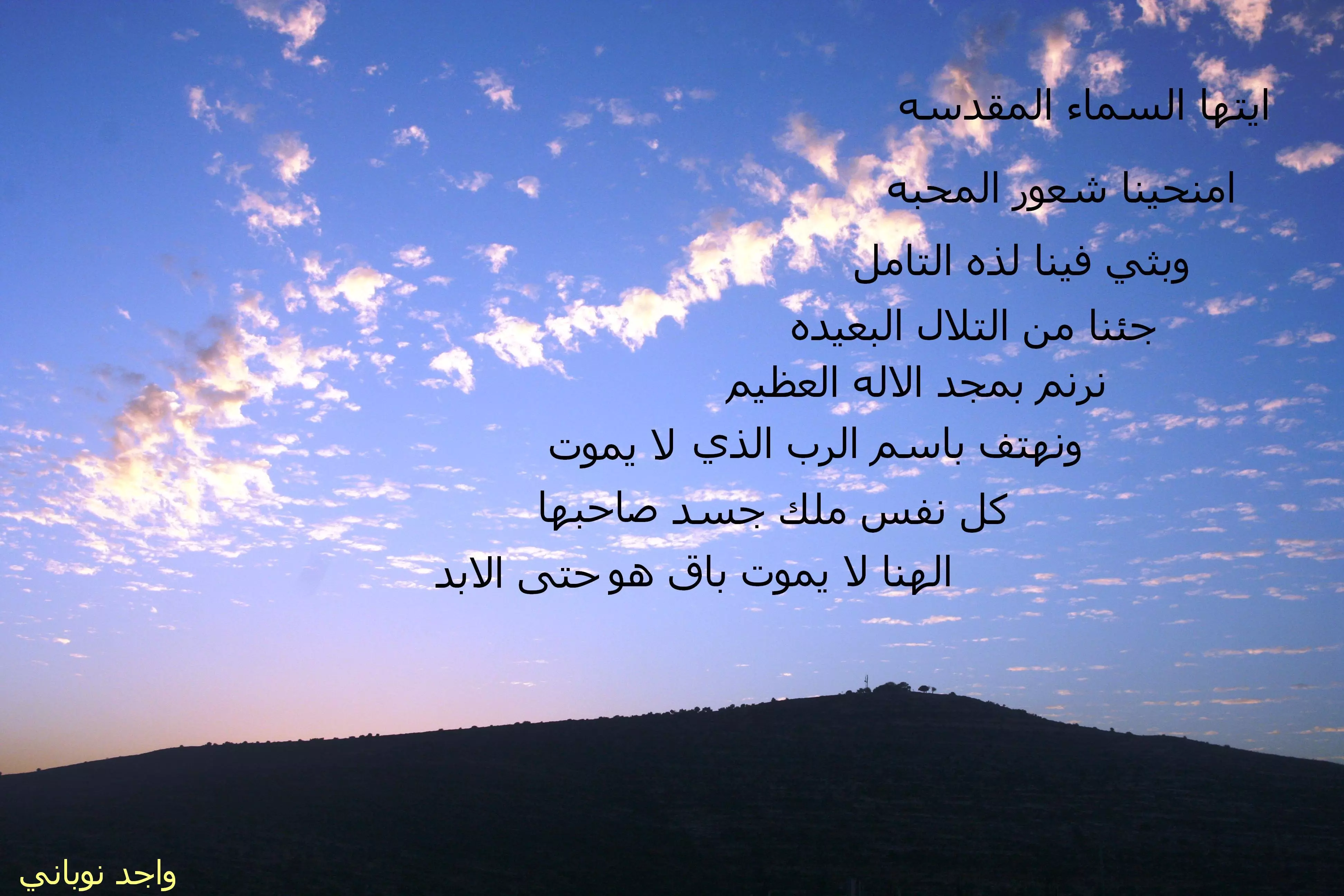
- اللبن الشرقيه زهره الريف تذبلها مستوطنات اليهود
- أهلا بأرضي الغالية
- اغنيه المطر عجبالنا - عاشق فيروز ابن البيادر جرح اللبن الشرقيه عاشق جبل الراس
- ماذا يعني ان تكون حاملا هويه اللبن الشرقيه
- اغنيه على صوت الشتا
- كلمات على لحن الدلعونا والتراث الفلسطيني الى اللبن الشرقيه
- عشيقين مثل السنابل
- العليه
- قلتلك بدي اياك
- الف قصه حب
- حيفا-اجمل مدن الارض - (ستي من حيفا).......واجد امين النوباني
- لمسه روحي زعتر التلال
- 'طل الصبح من التلات .
- الروح المظلمه
- ترانيم ريفيه
- معلومة
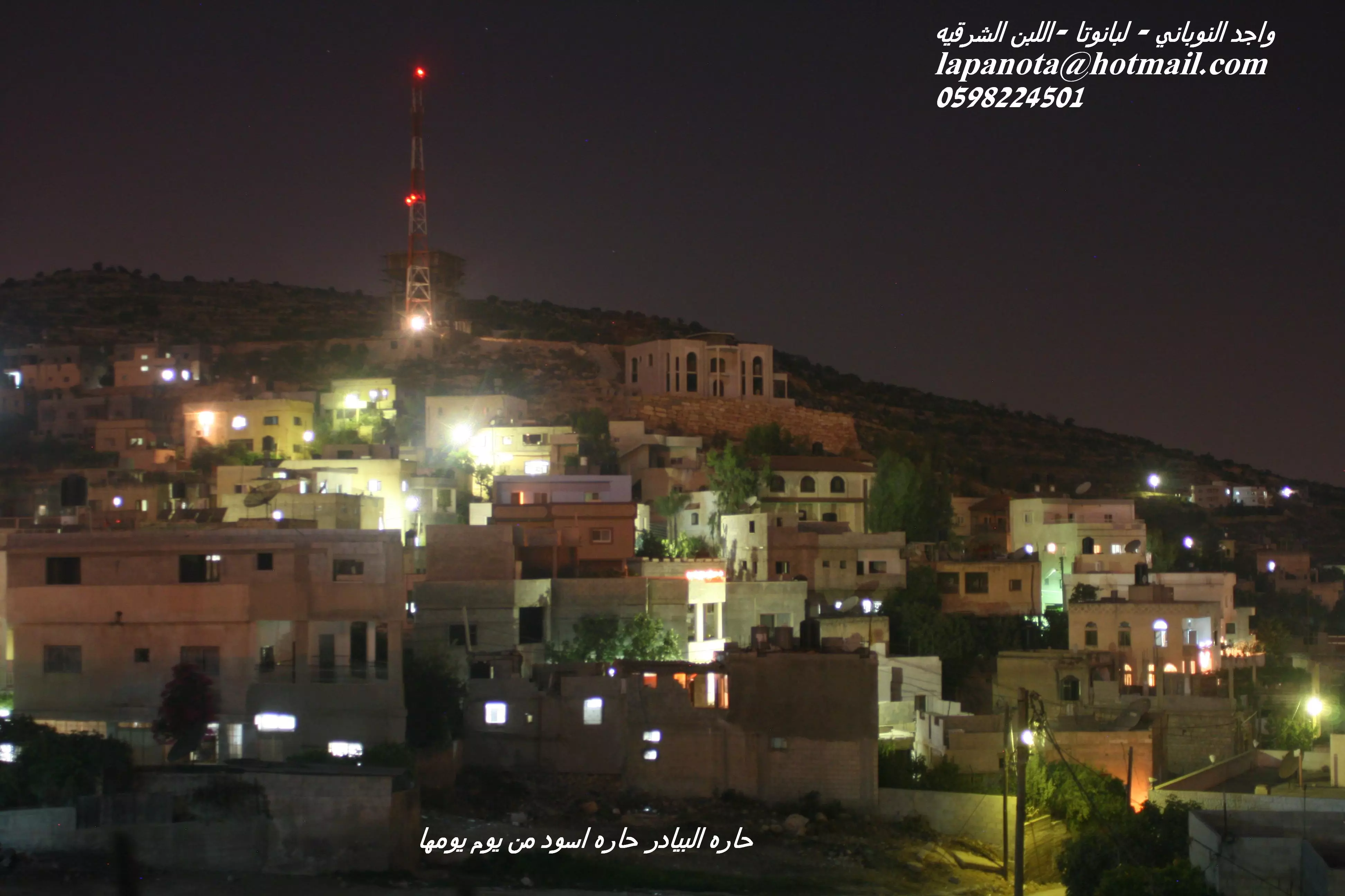
- حارات القرية
- رحله الفاتنات - اول فتاه حيفا والثانيه اللبن والثالثه سنجل - بقلم واجد
- عدد السكان
- من هي اللبن بارق الكلمات
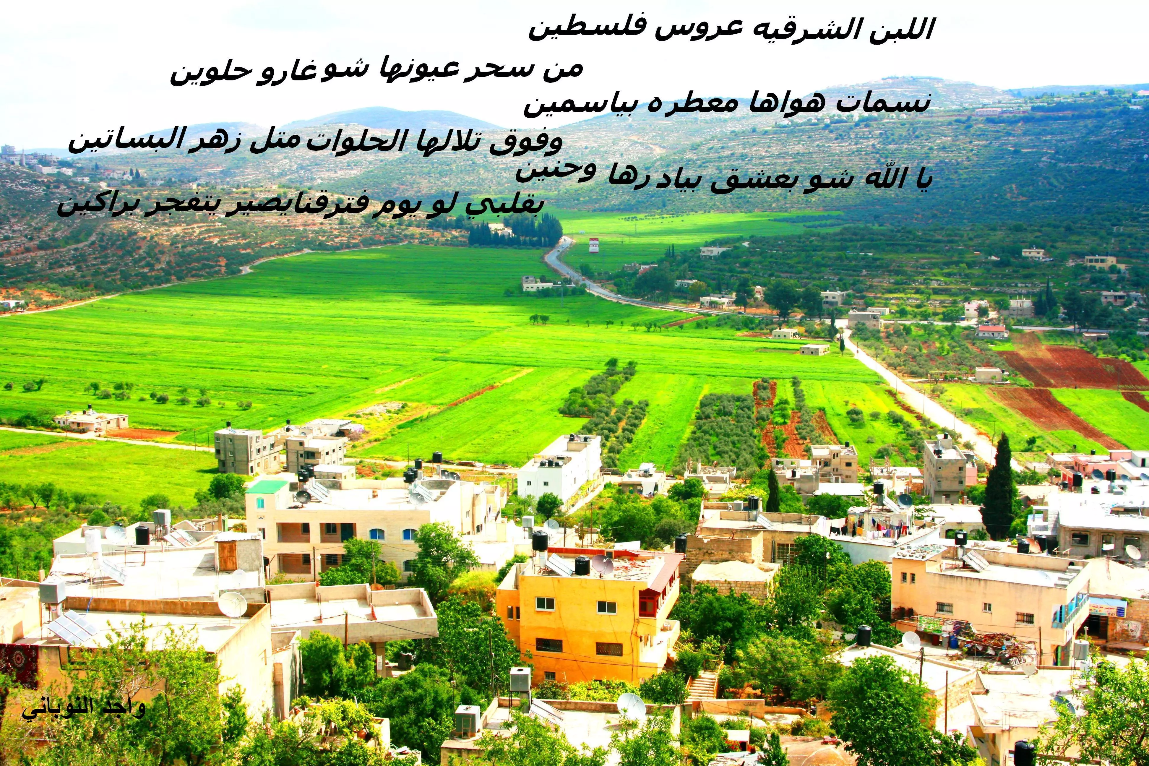
- اللبن الشرقيه عشيقتي الصغيره رائعتي الفاتنه الانثى الريفيه الاتيه من رائحه الزعتر والريحان..واجد النوباني ابن البيادر
- اغنيه قرى عرب48
- زرقه الفجر
- مسؤولون فلسطينيون يتهمون مستوطنين بإحراق مسجد في الضفة الغربية
- يا لبن الشرقيه وجهك شو حليان
- اغنيه الشهداء..واجد نوباني- حسام -الحج علي-الشيخ طايل فرج رحمه الله عليهم
- اغنيه 2 شهداء الريف واجد نوباني الحج علي فرج الشيخ طايل فرج وحسام فرج
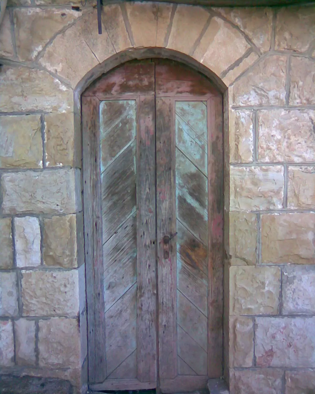
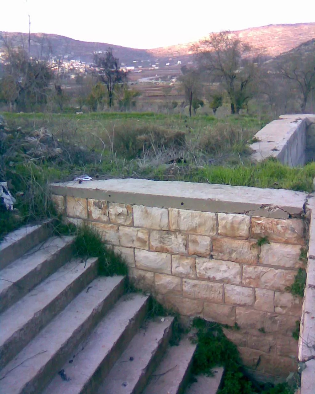
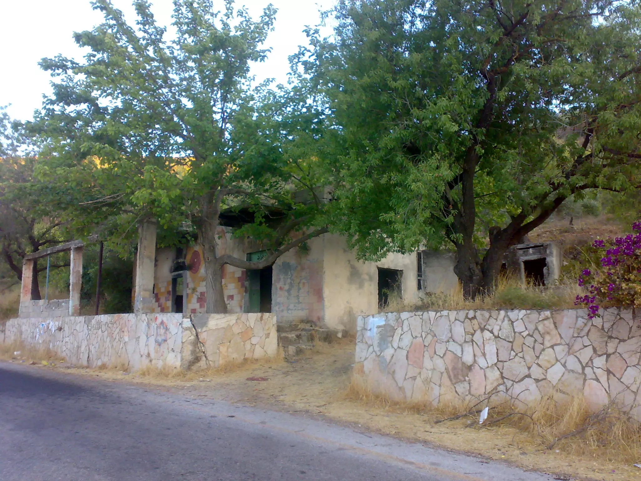
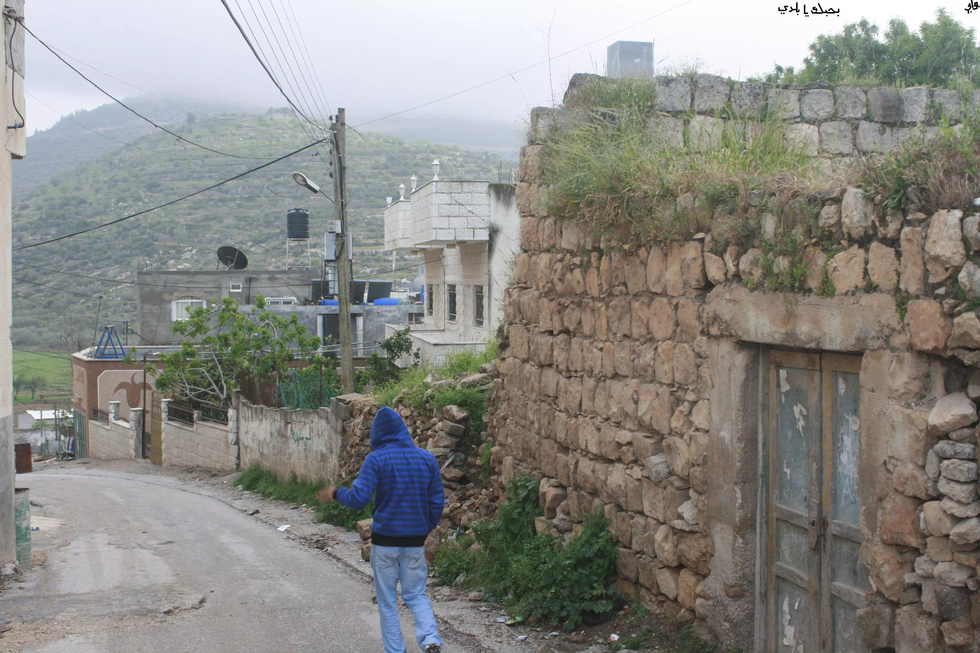
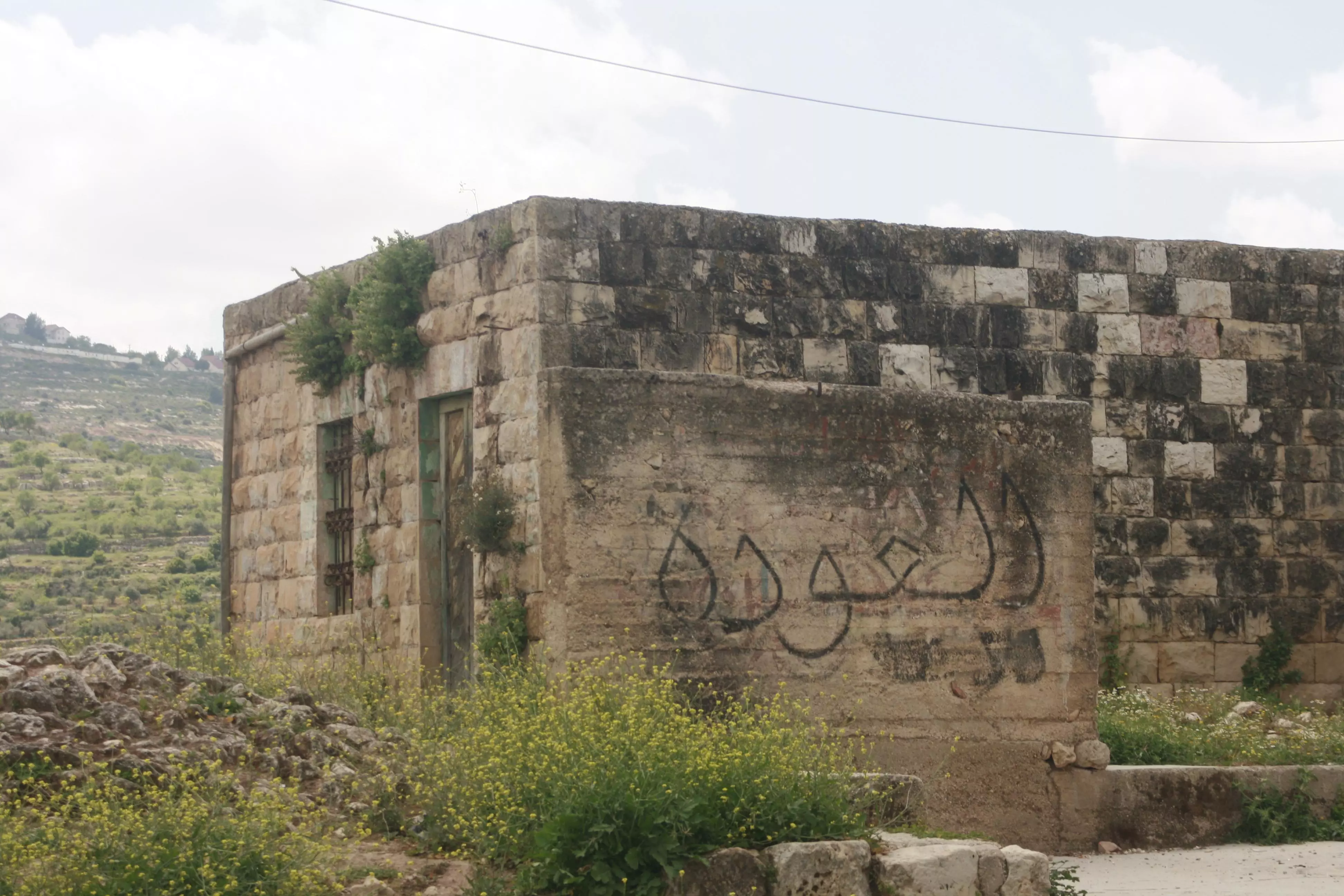
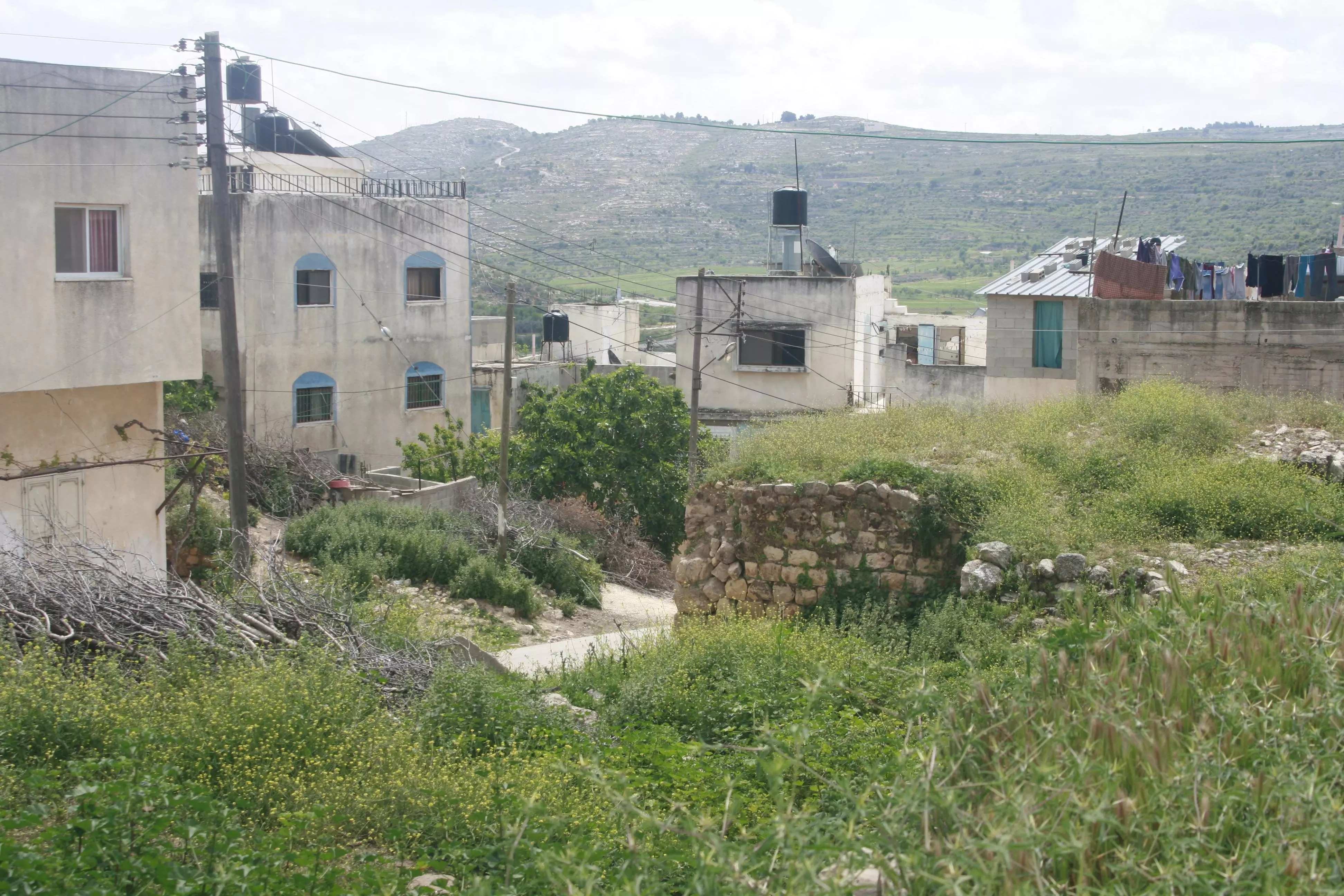
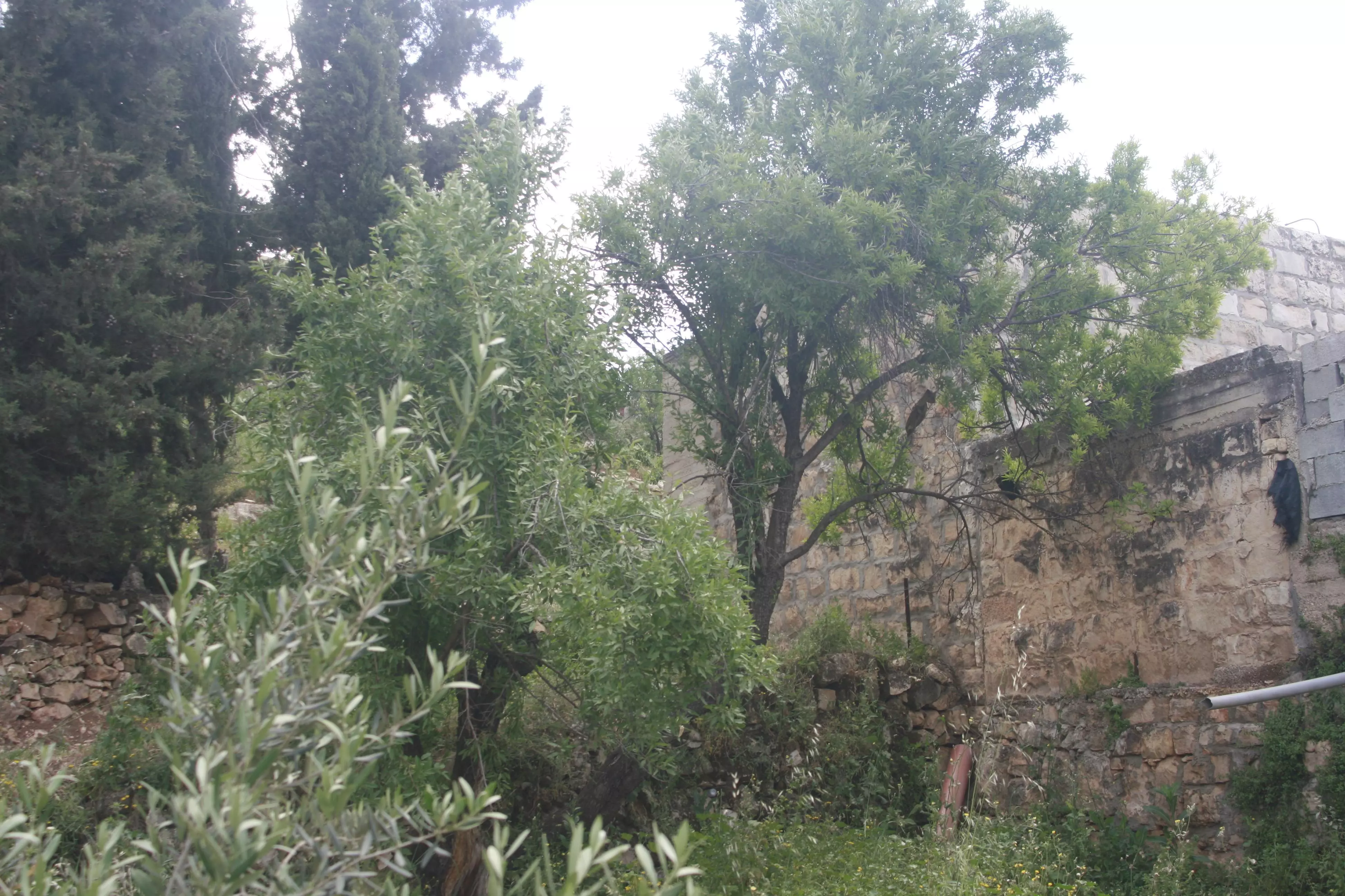
- بيوت اللبن العتيقه
- دلعونا فلسطينيه الدلعونا اشهر اغاني الزجل الفلسطيني
- يا دارنا
- ما قاله ايميل حبيبي عن طلعه اللبن (طلعه اللوز)في روايه واخيرا نور اللوز
- بدك تتركي الوادي
- زجل فلسطيني ..عربي ..تركي ..يهودي..لبناني ..سوري
- مقاطع اغاني الى اللبن الشرقيه فقط على لحن الدلعونا
- ذكريات المغتربين عن اللبن
- فيروز ......صوت الانوثه و اول رقه
- موعدنا المطر
- اغنيه لاحلى اللبن الشرقيه قريتي العسل
- اللبن الشرقيه ذاكره لن تمحى وطفوله ستبقى انشوده قلبي الاحلى والاعذب
- دلعونااا
- اللبن الشرقيه وعشاقا كثار..ان متت قولو يا حسرته شو كان يغار
- انا وياك والعصافير
- دلعونا
- عاللبن الشرقيه .... نشيد اللبن الاروع
- خبرني يا بيي عن بيتي العتيق
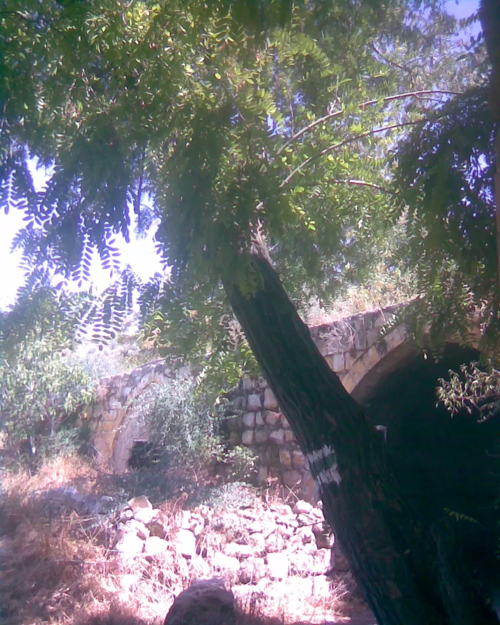
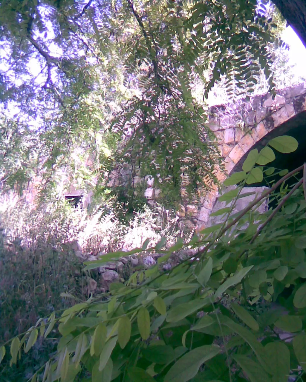
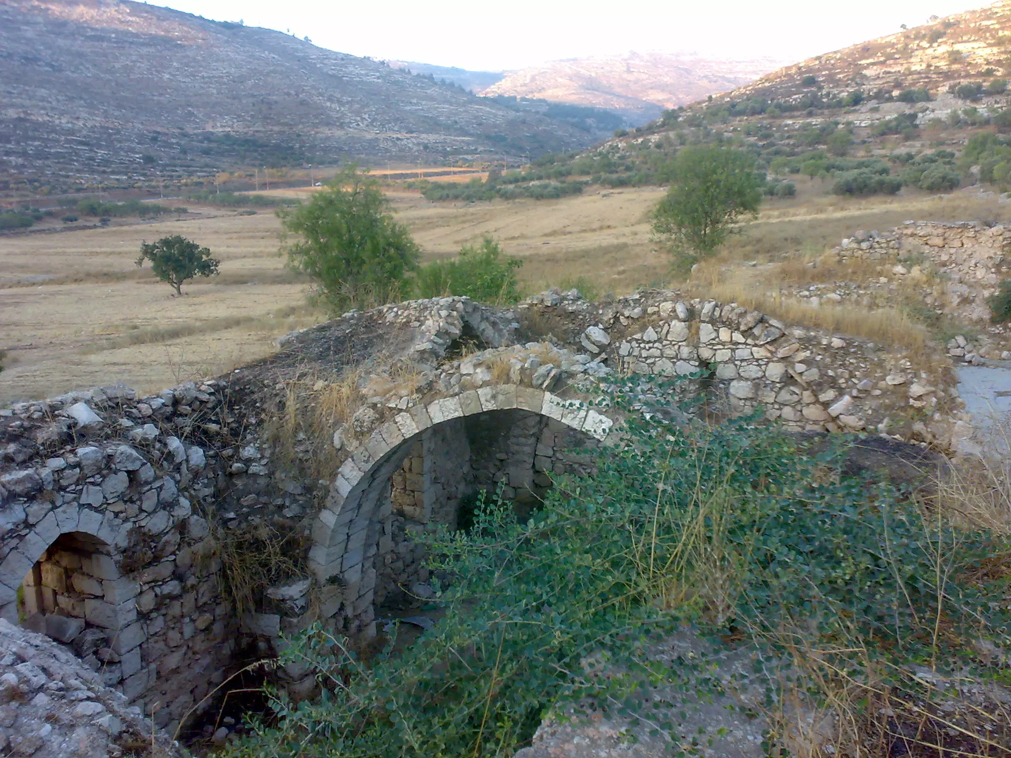
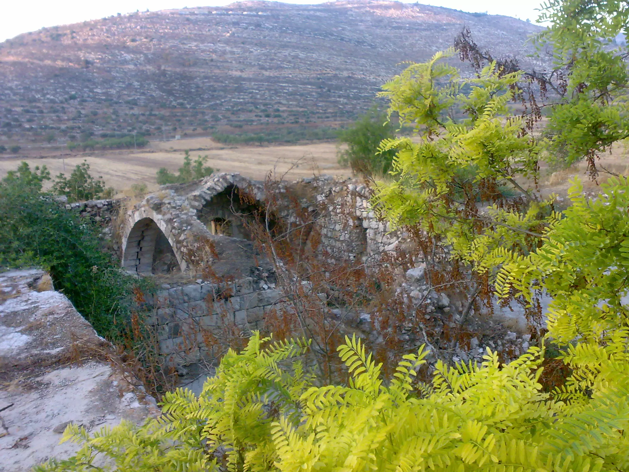
- الجسر العتيق
- اغنيه خان اللبن..(.طلعه اللوز..طلعه اللبن)
- اغنيه طريق القوربات طلعه نوار اللوز - اللبن الشرقيه
- اللبن نوار اللوز
- راجع على البيادر
- wajed nopani-lubban2
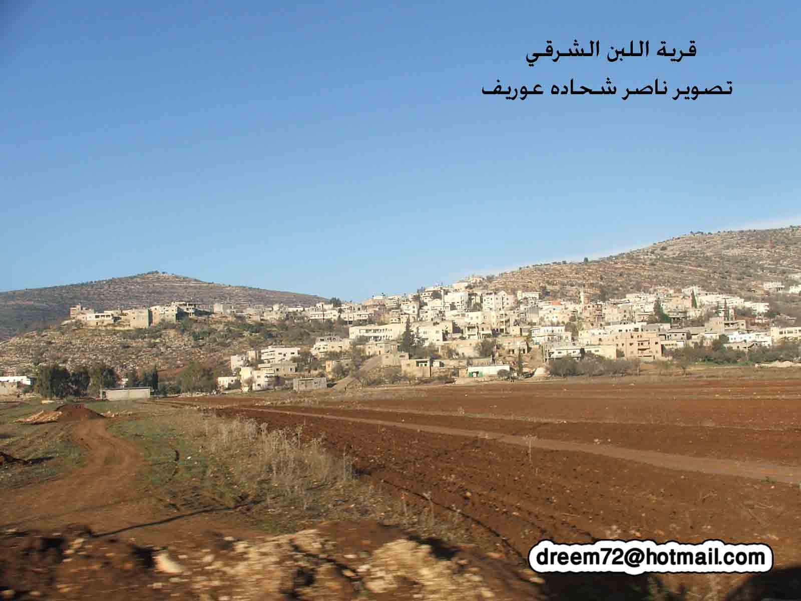
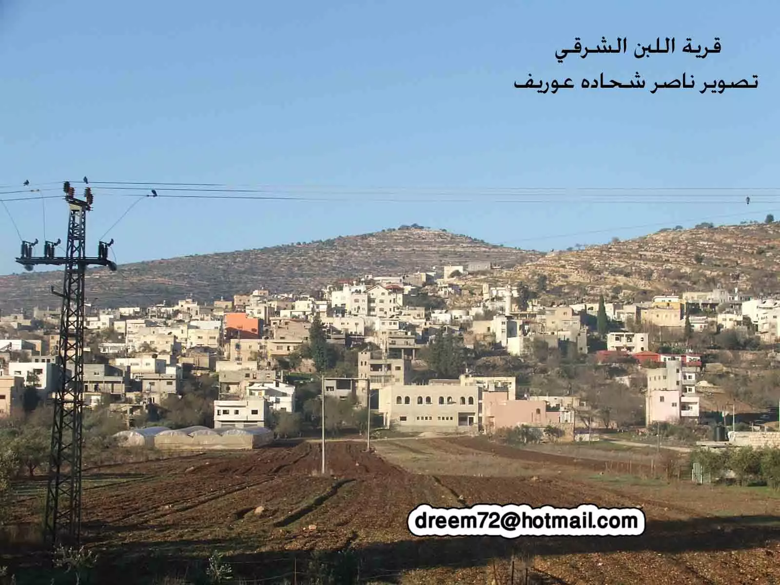
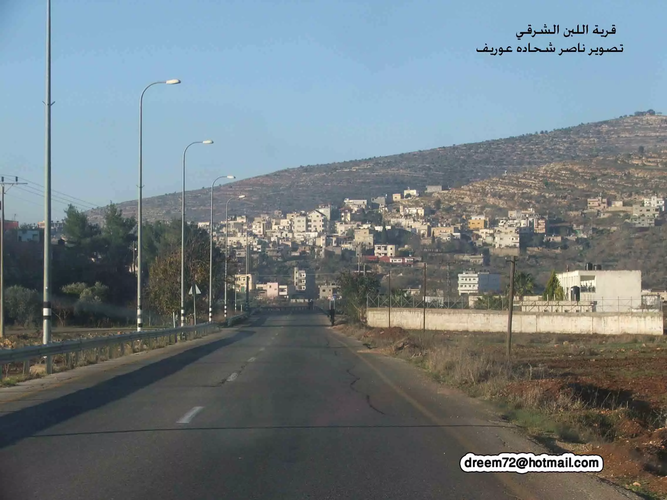
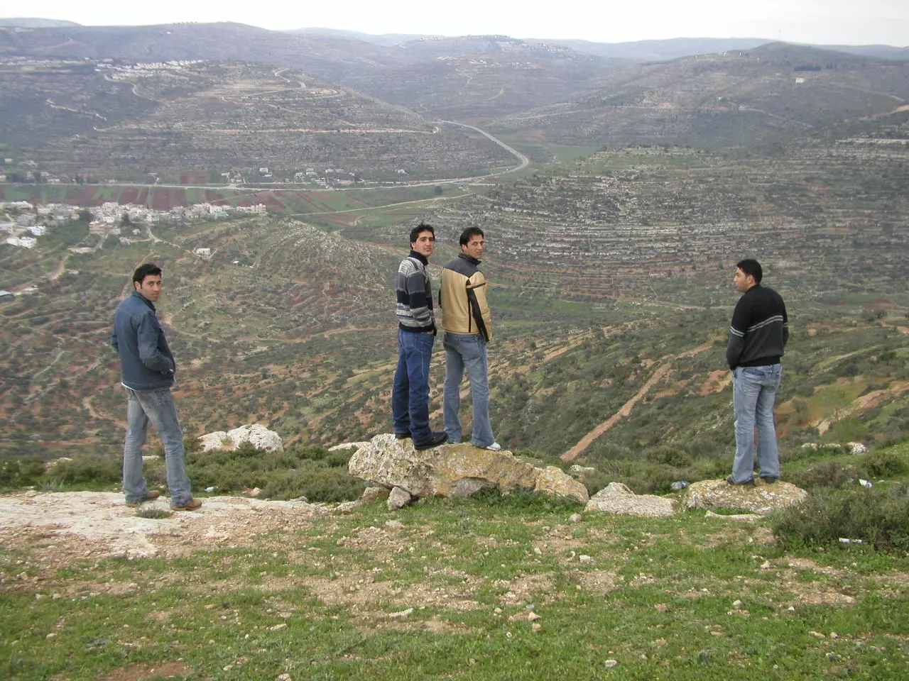
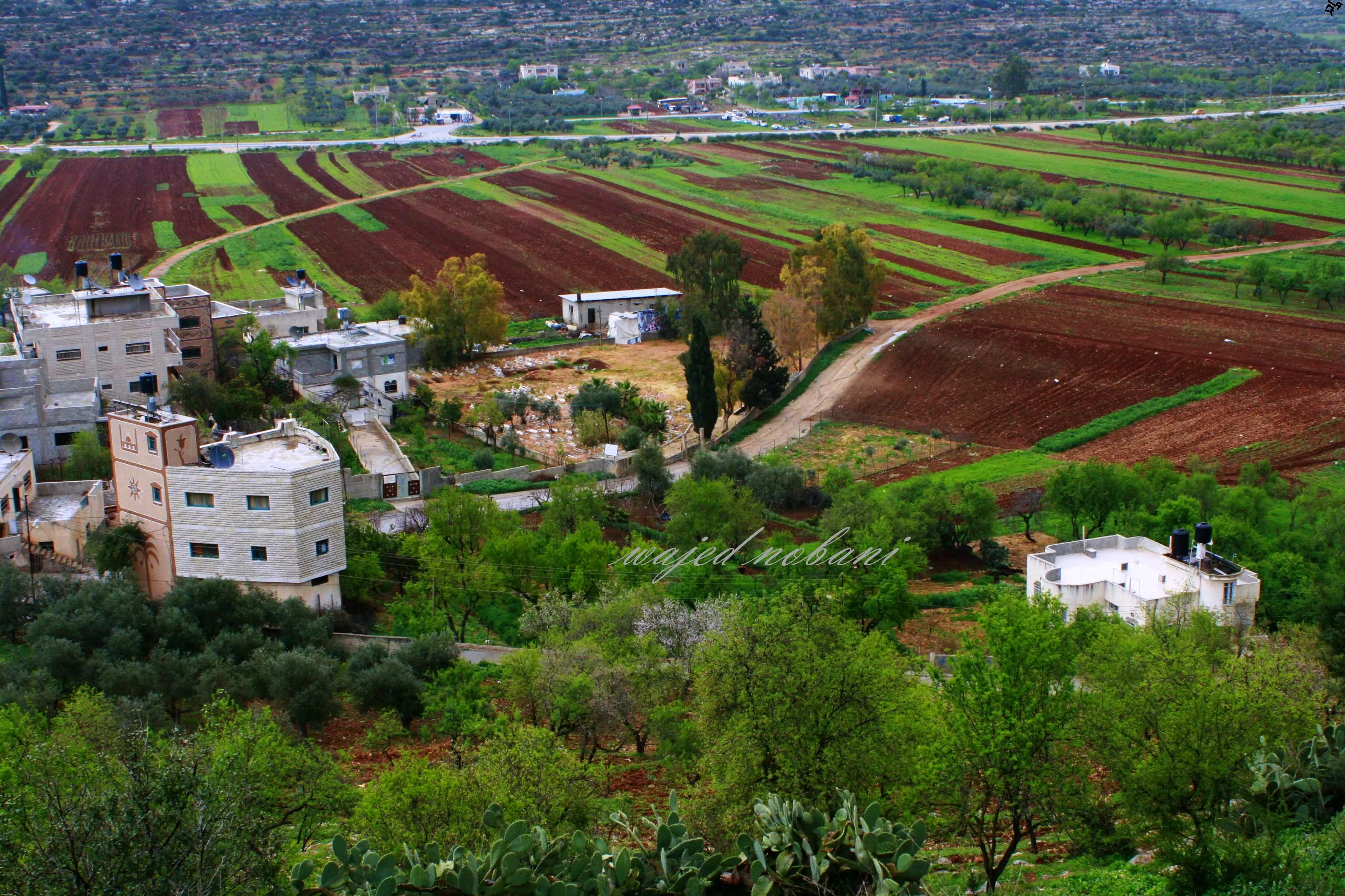
Posted by ابوثوره النوباني - اللبن الشرقية تصوير ناصر شحاده عوريف 0507559901
Posted by naser abed - اللبن الشرقية تصوير ناصر شحاده عوريف 0507559901
Posted by naser abed 1 - اللبن الشرقية تصوير ناصر شحاده عوريف 0507559901
Posted by naser abed 1 - اللبن الشرقية مطلع القرن الماضي-هدية من صفافي للأستاذ أسماعيل أبو مصعب
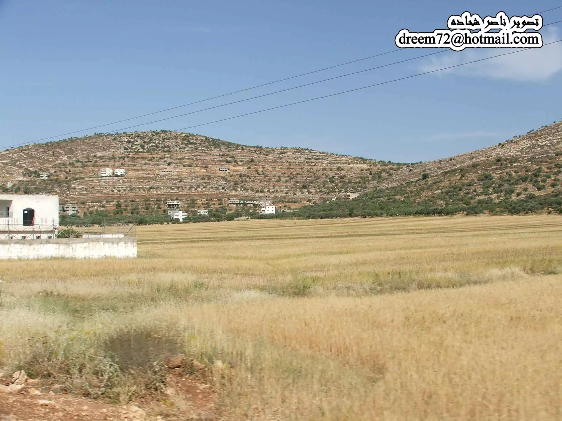
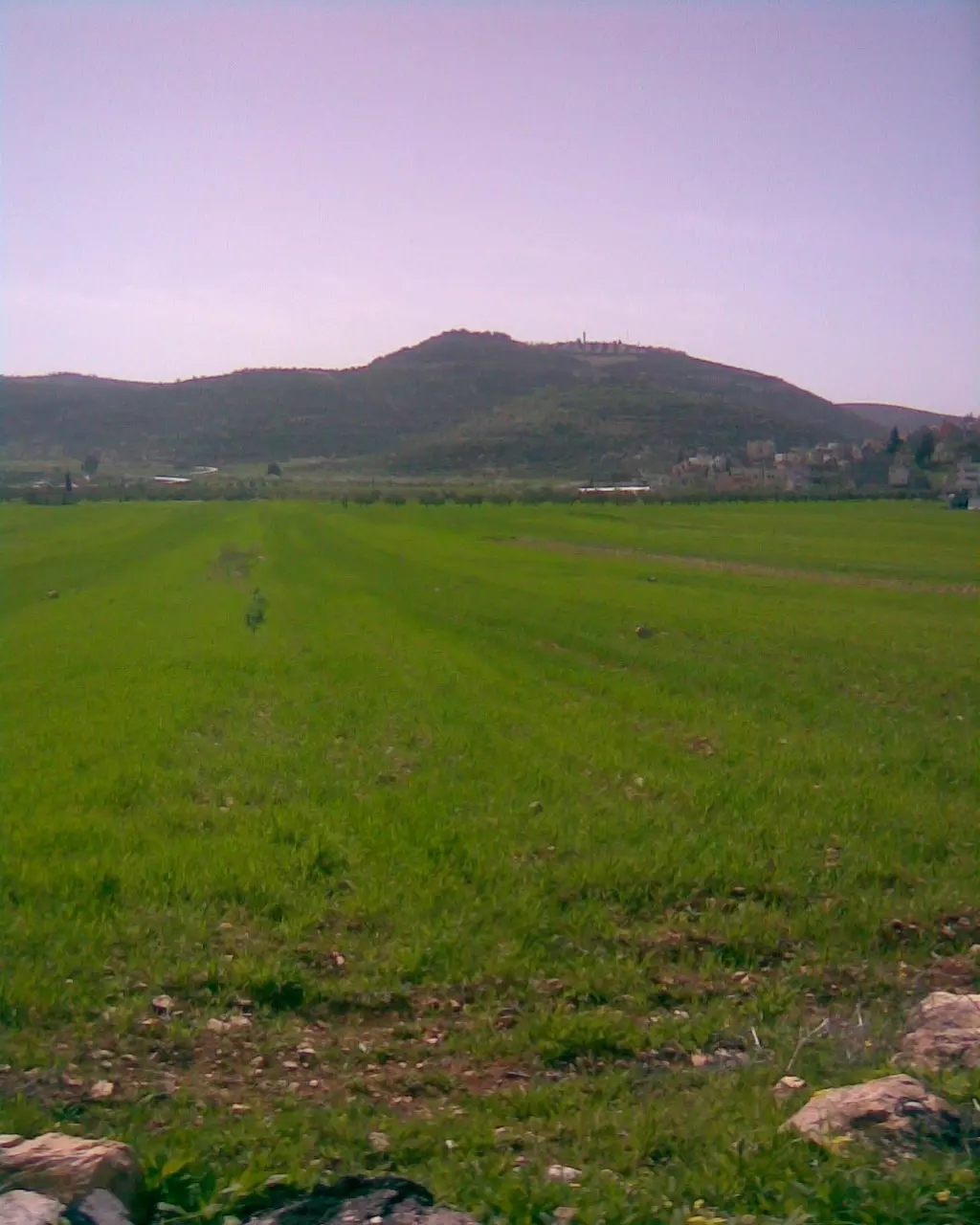
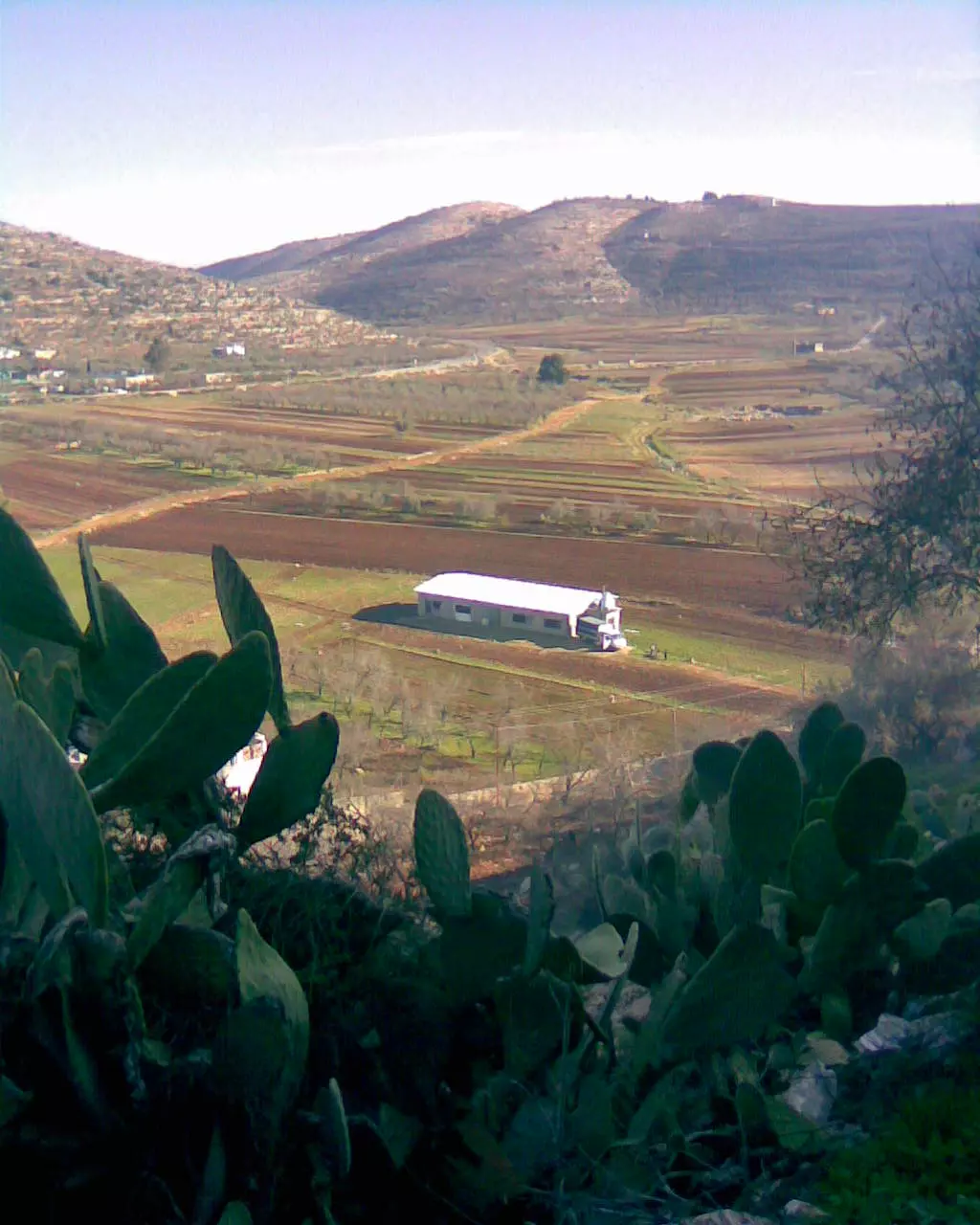
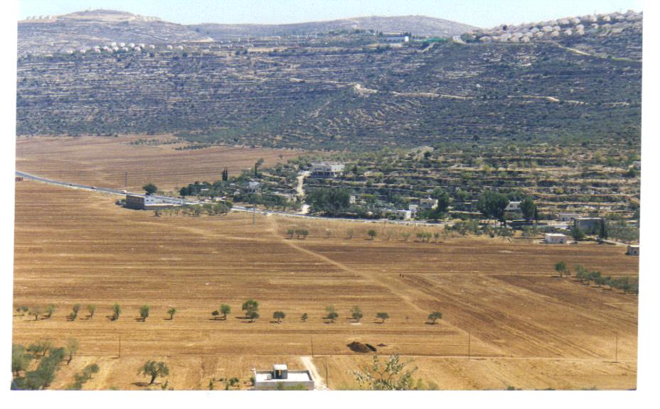
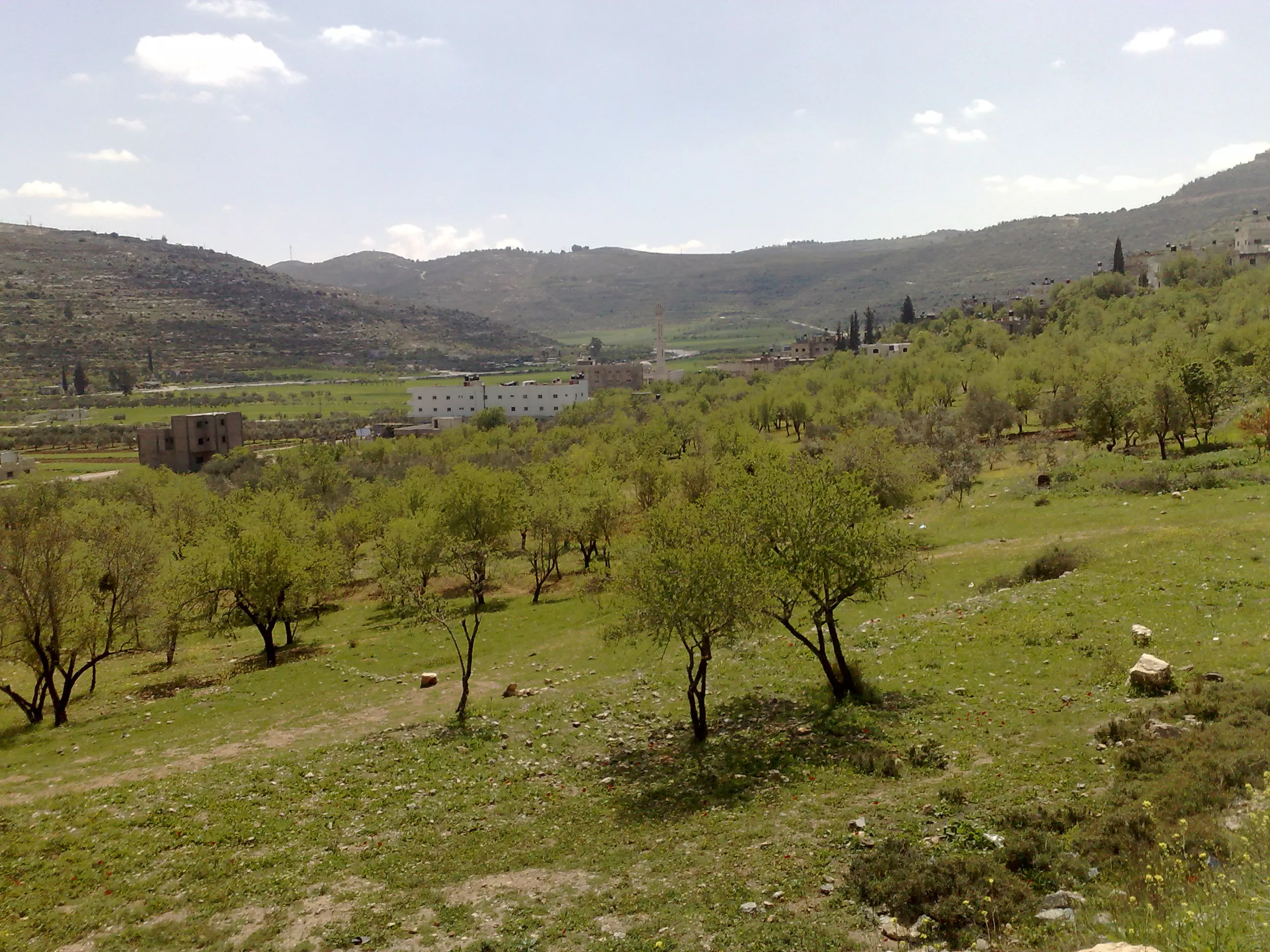
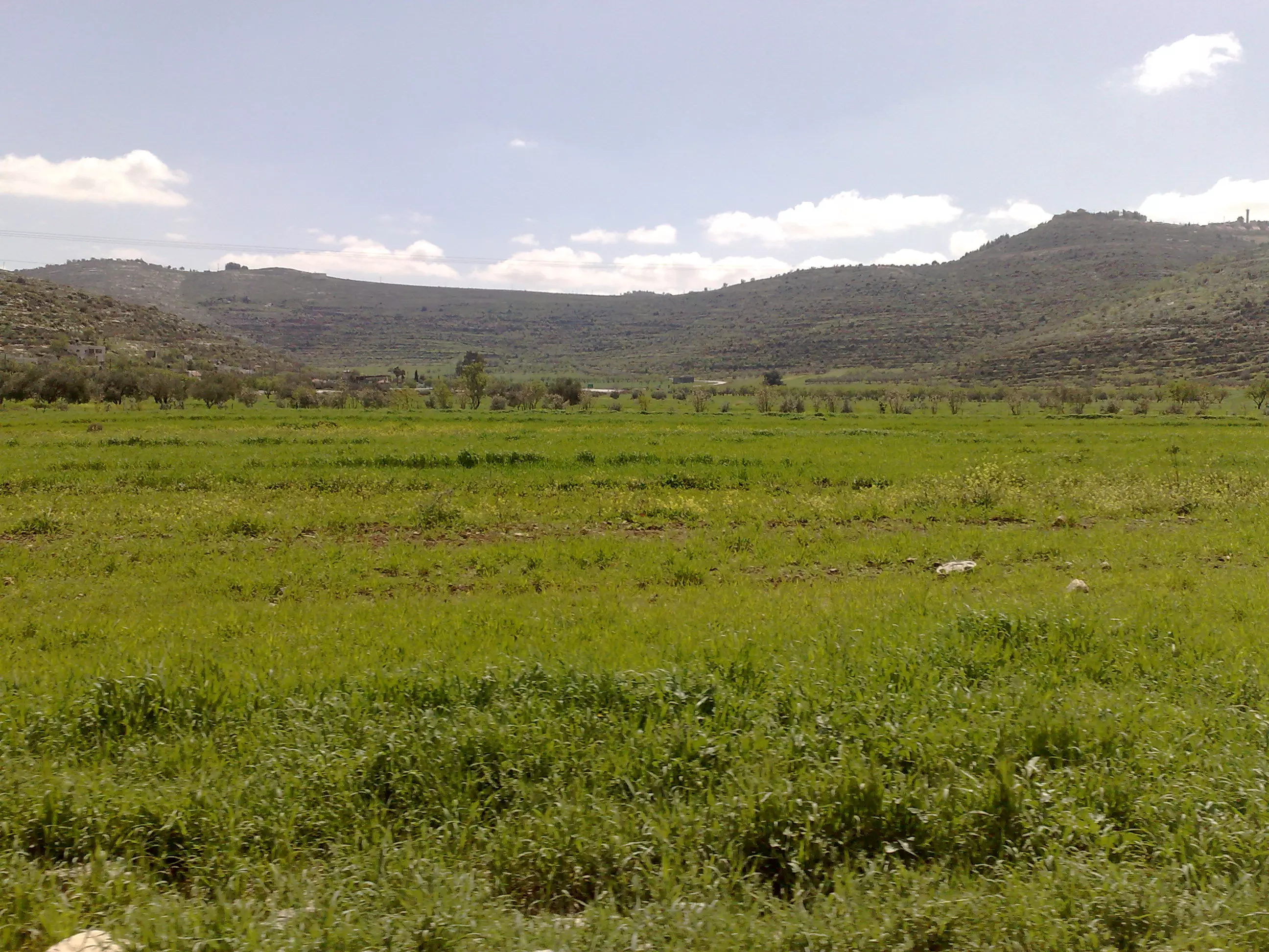
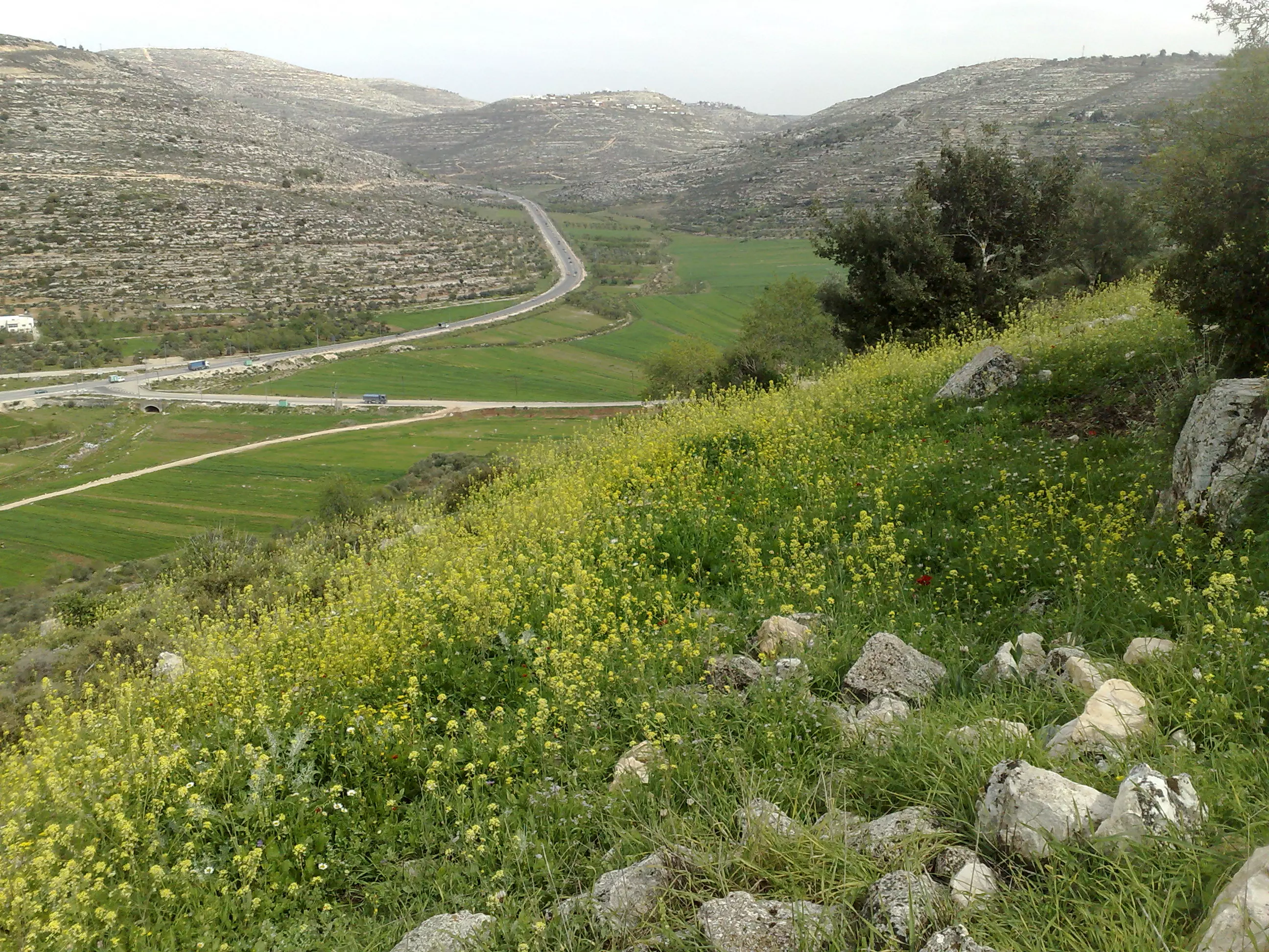
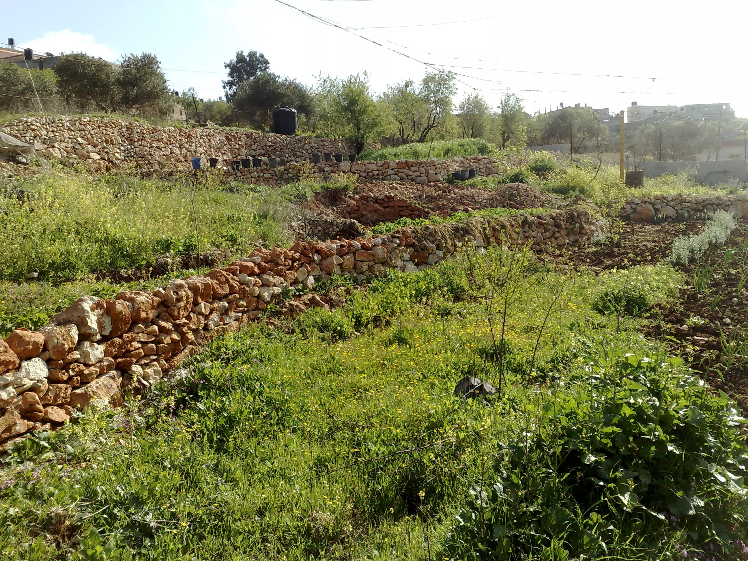
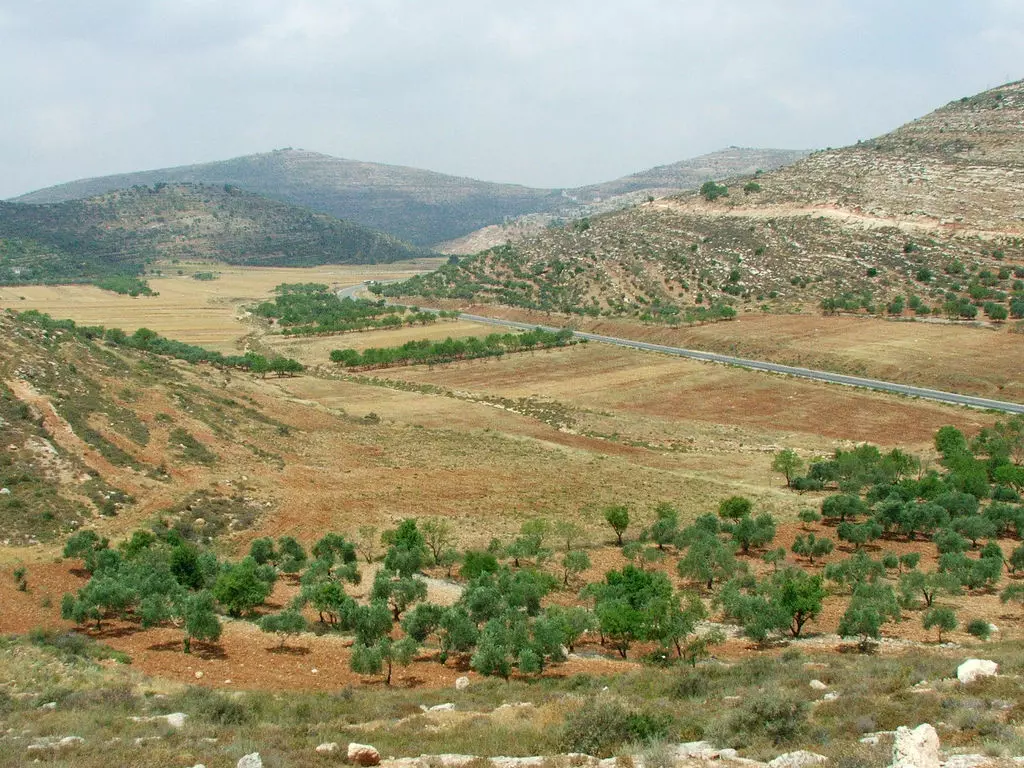
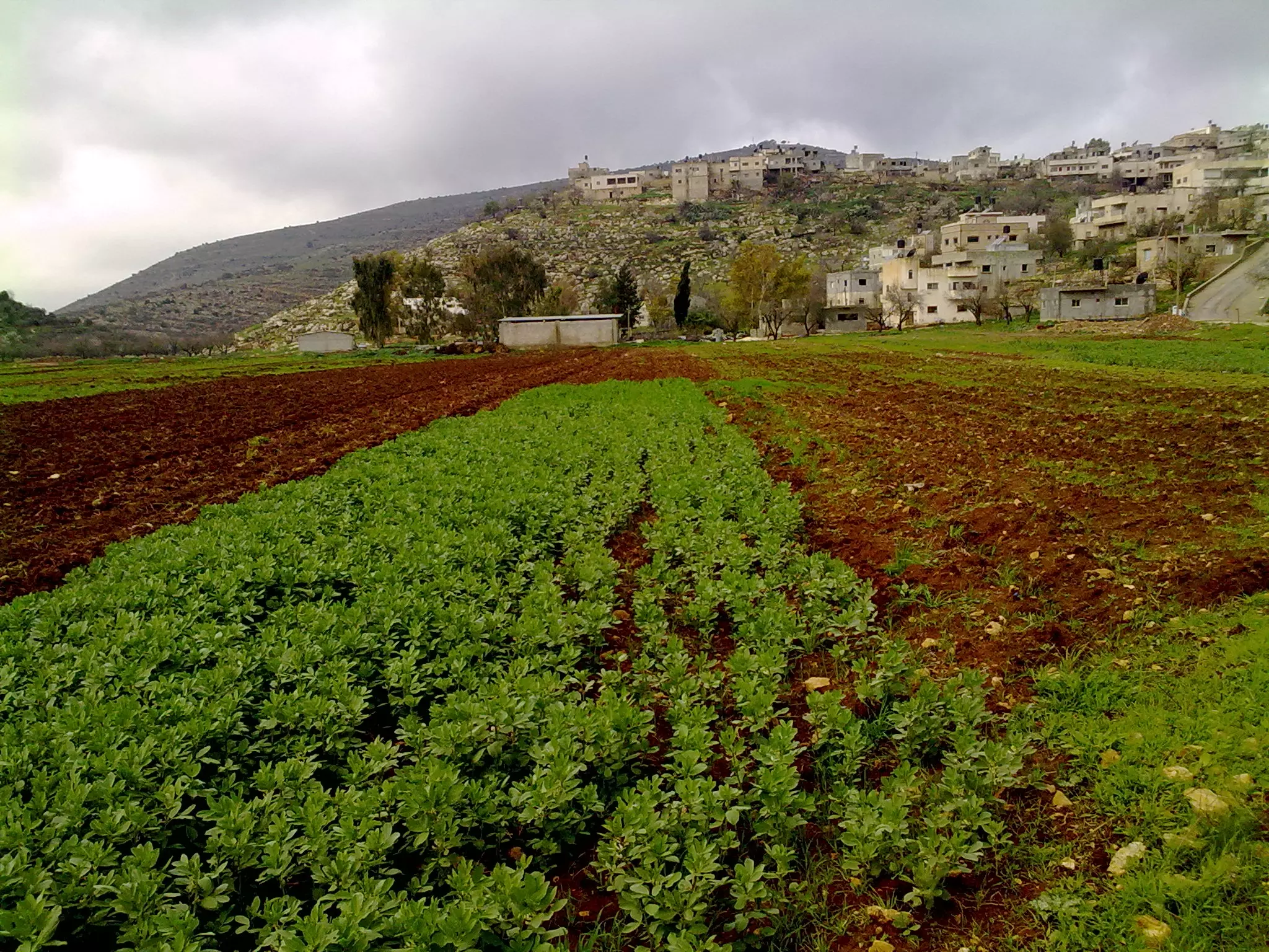
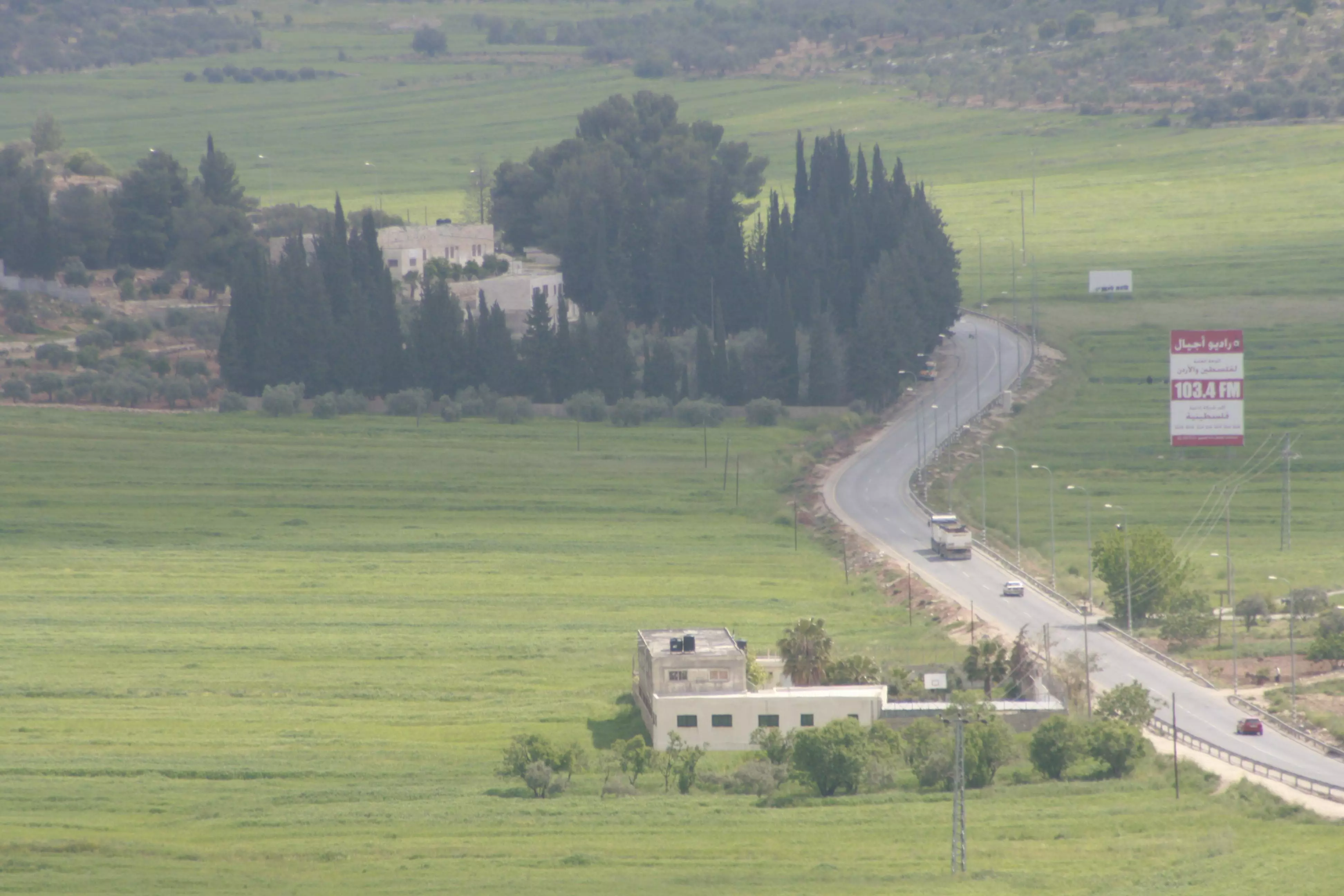
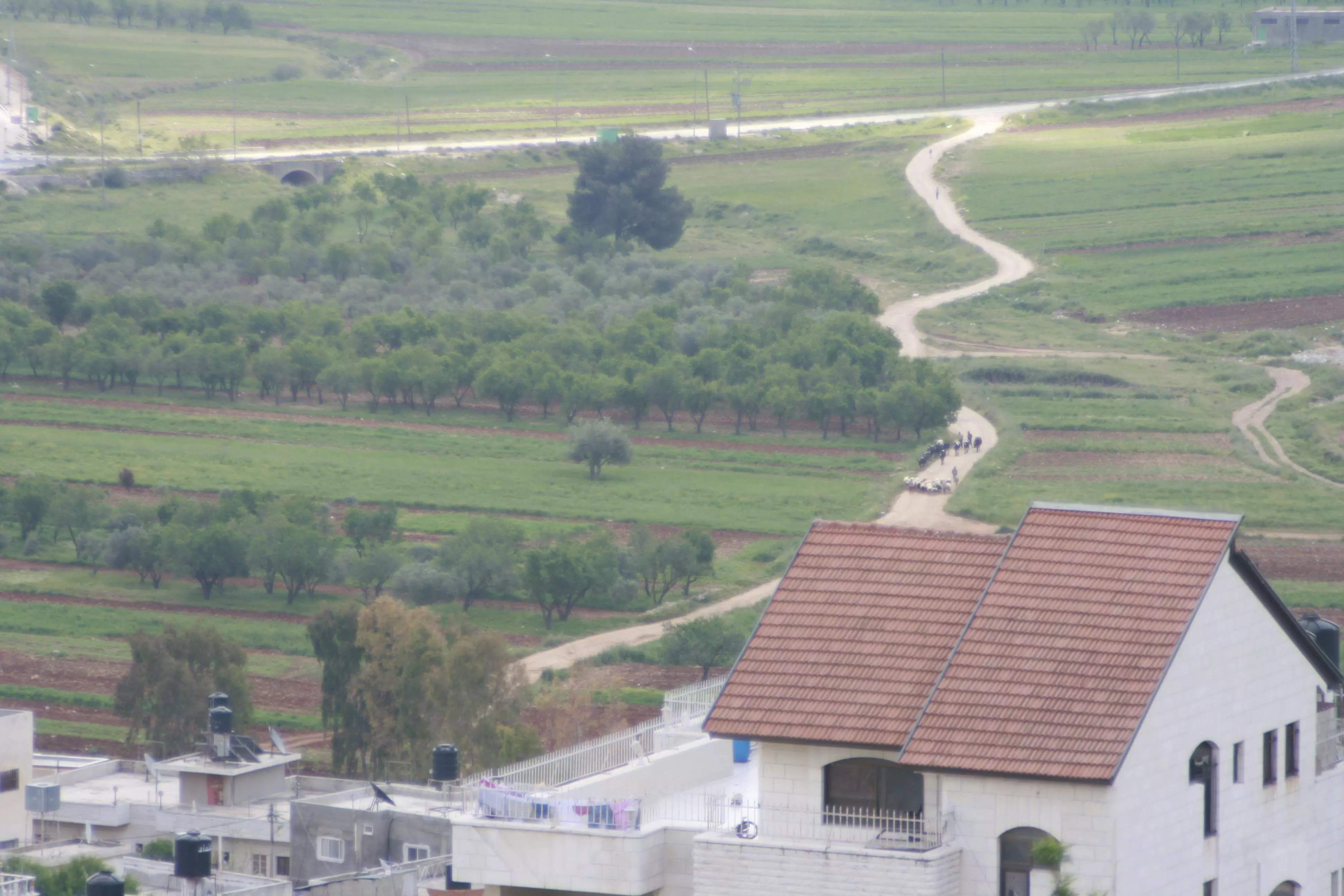
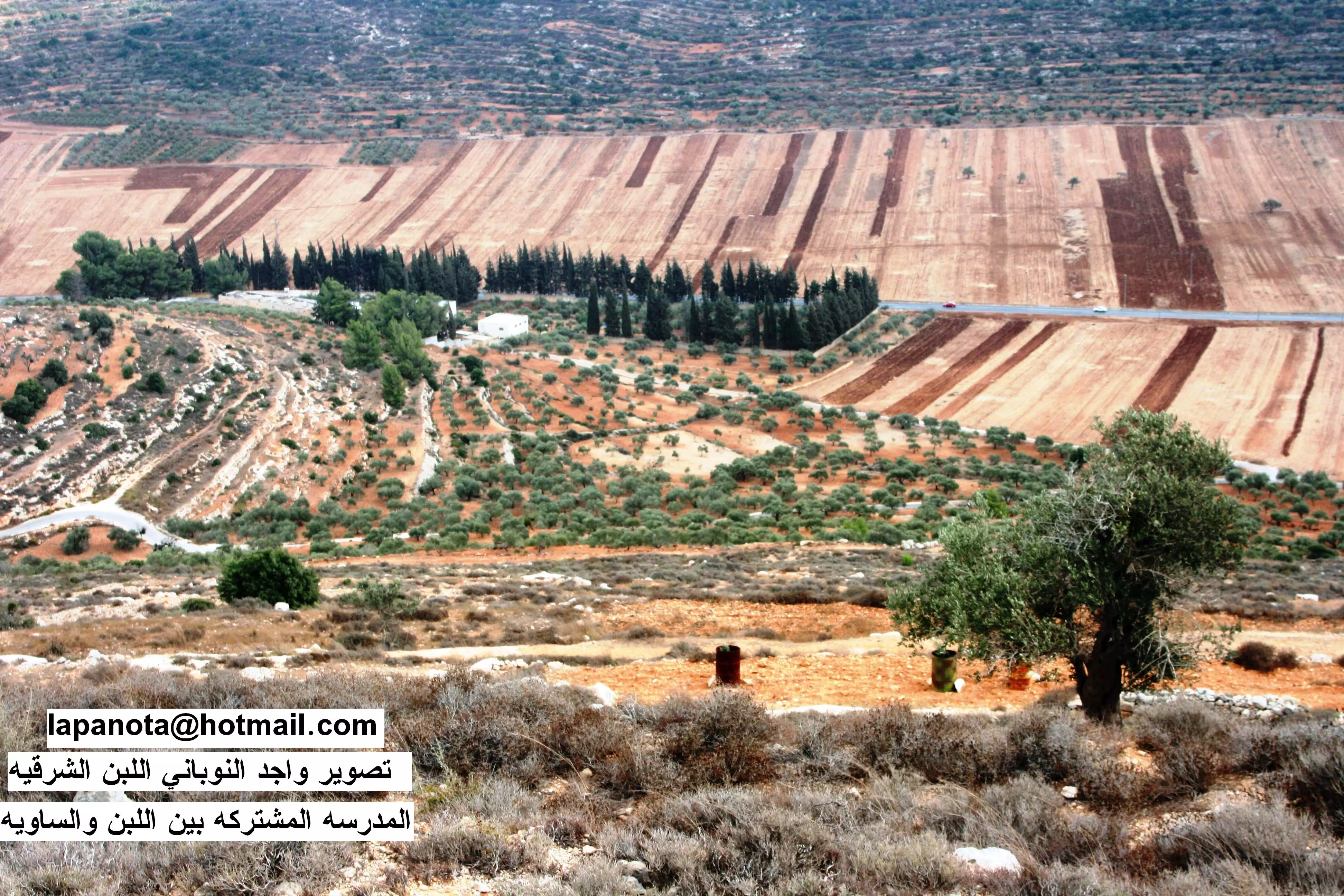
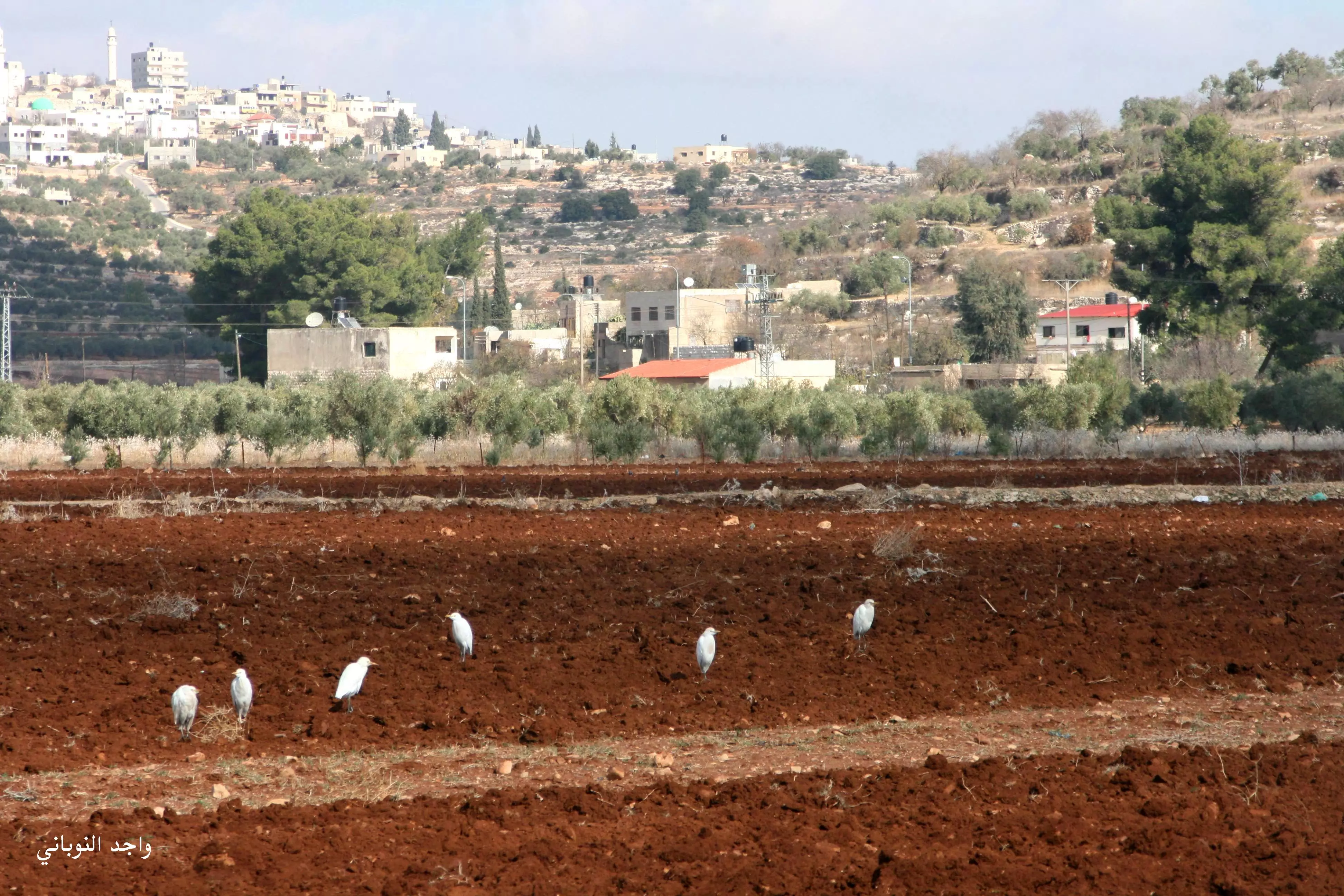
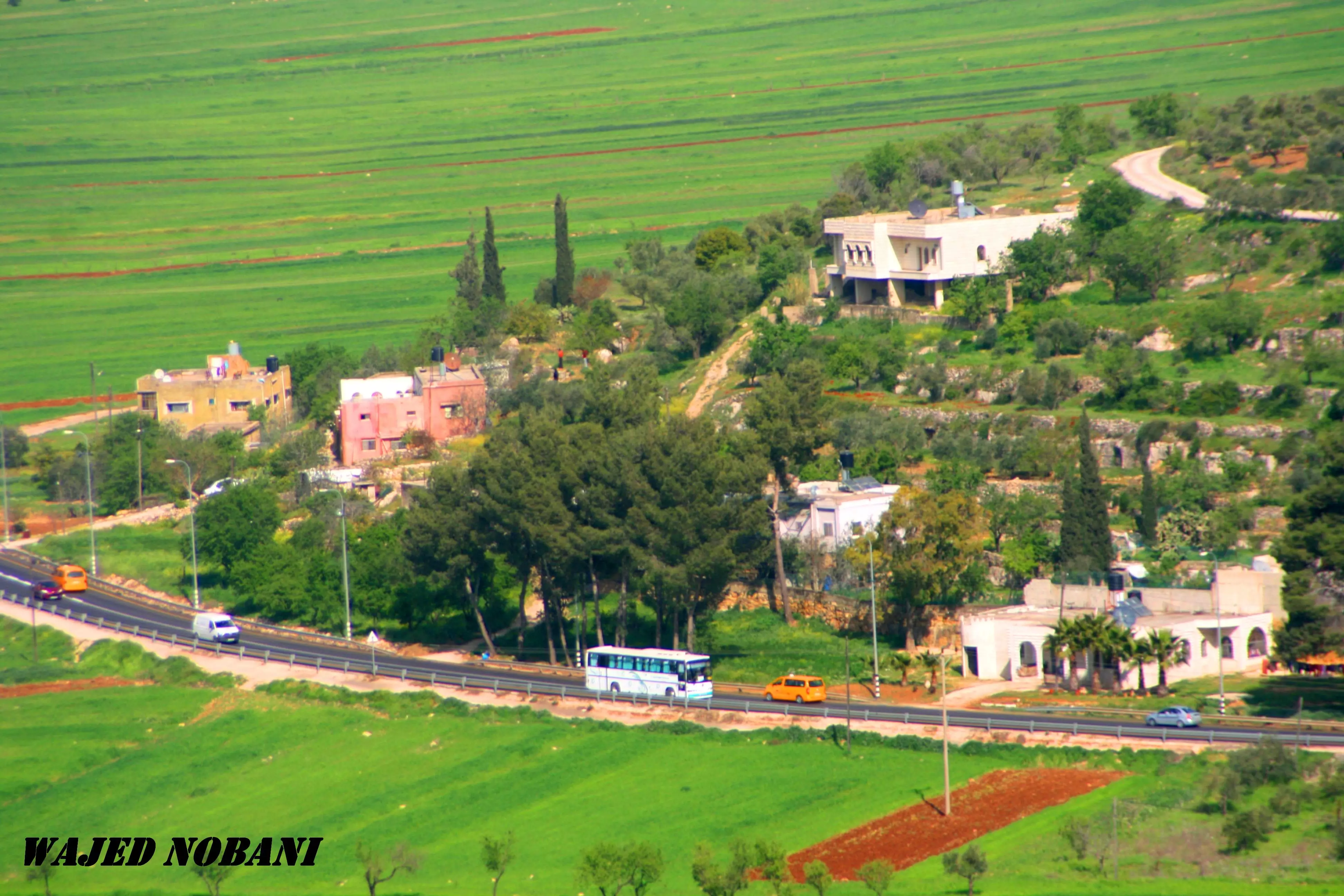
Posted by ابو عمر 5 - سهل اللبن الشرقي مزروع بالقمح والشعير تصوير ناصر شحاده
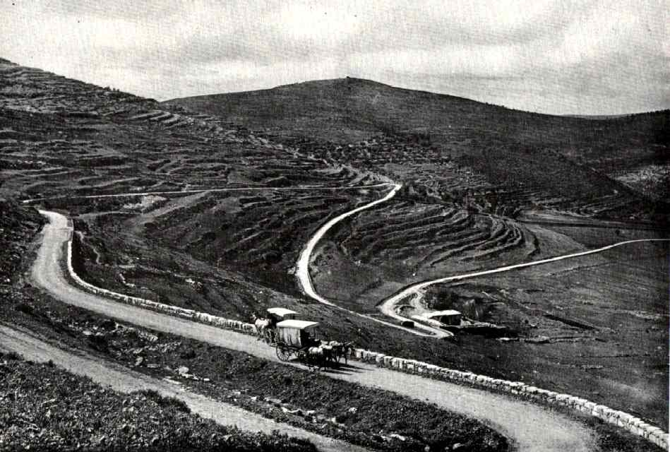
Posted by naser abed 1 - طريق اللبن ايام تركيا -1913
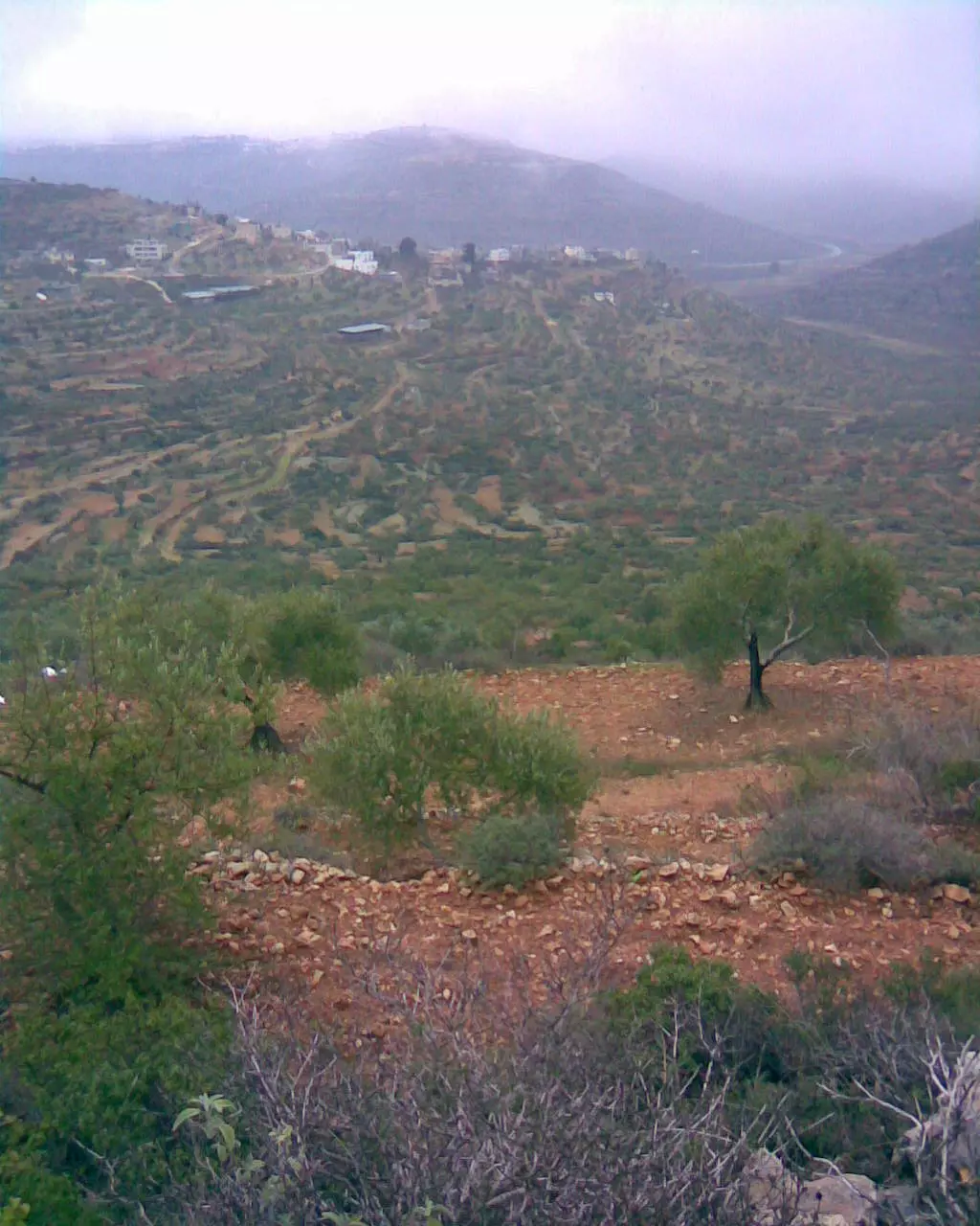
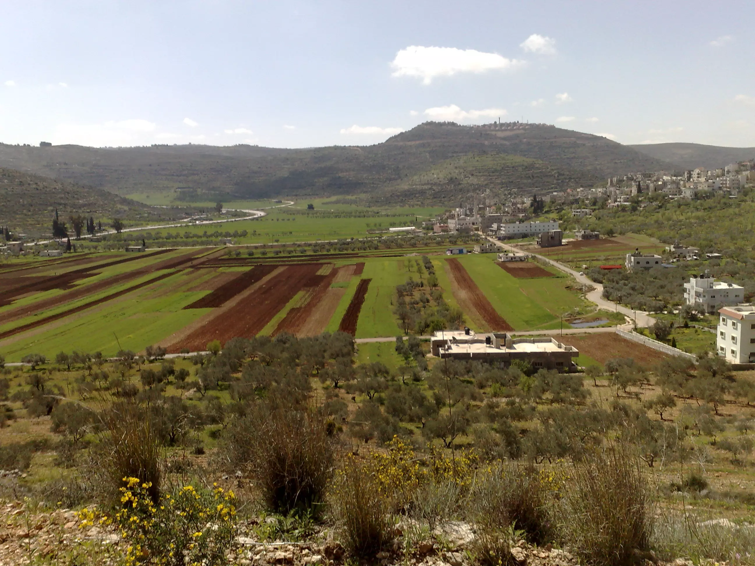
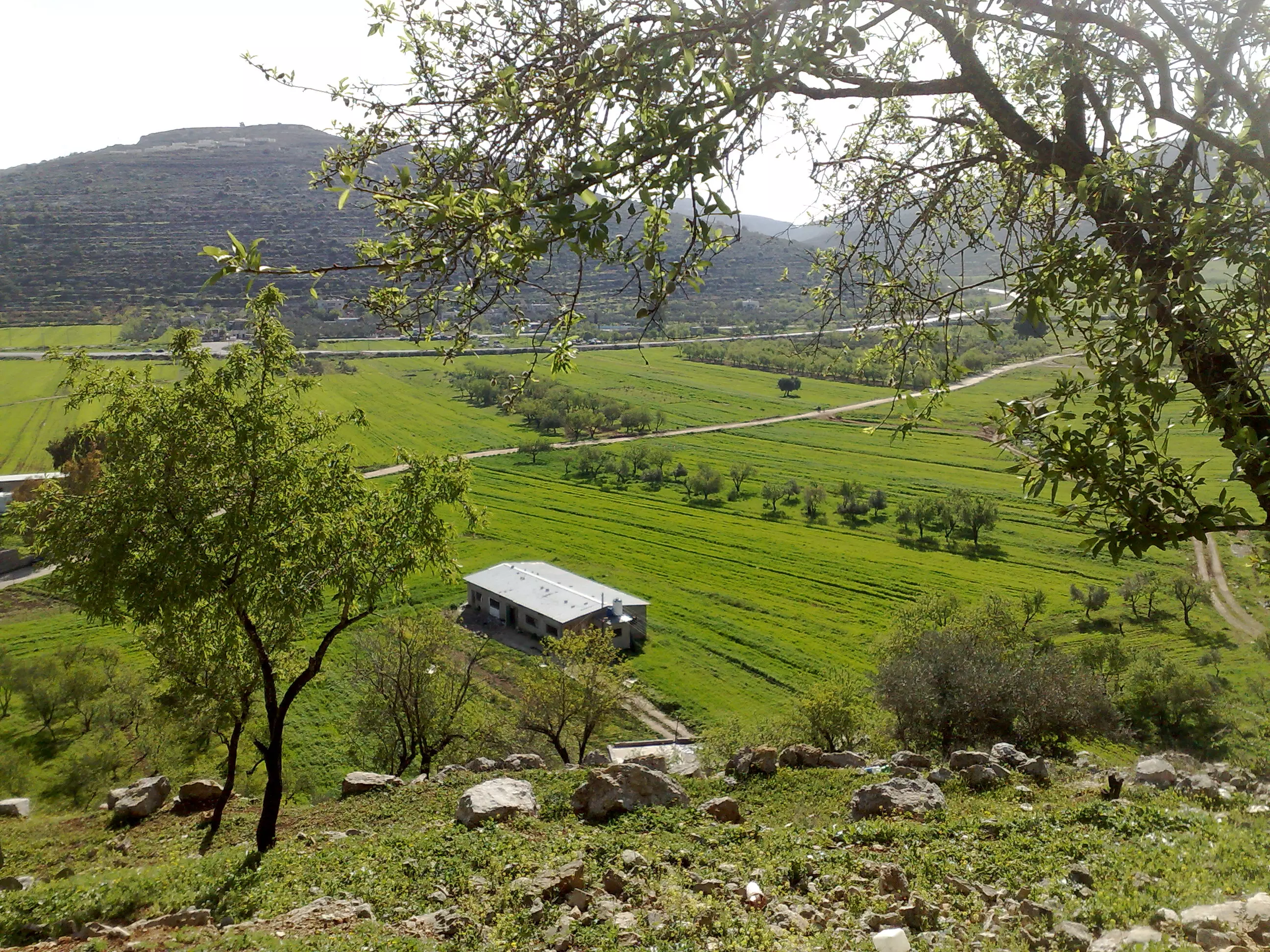
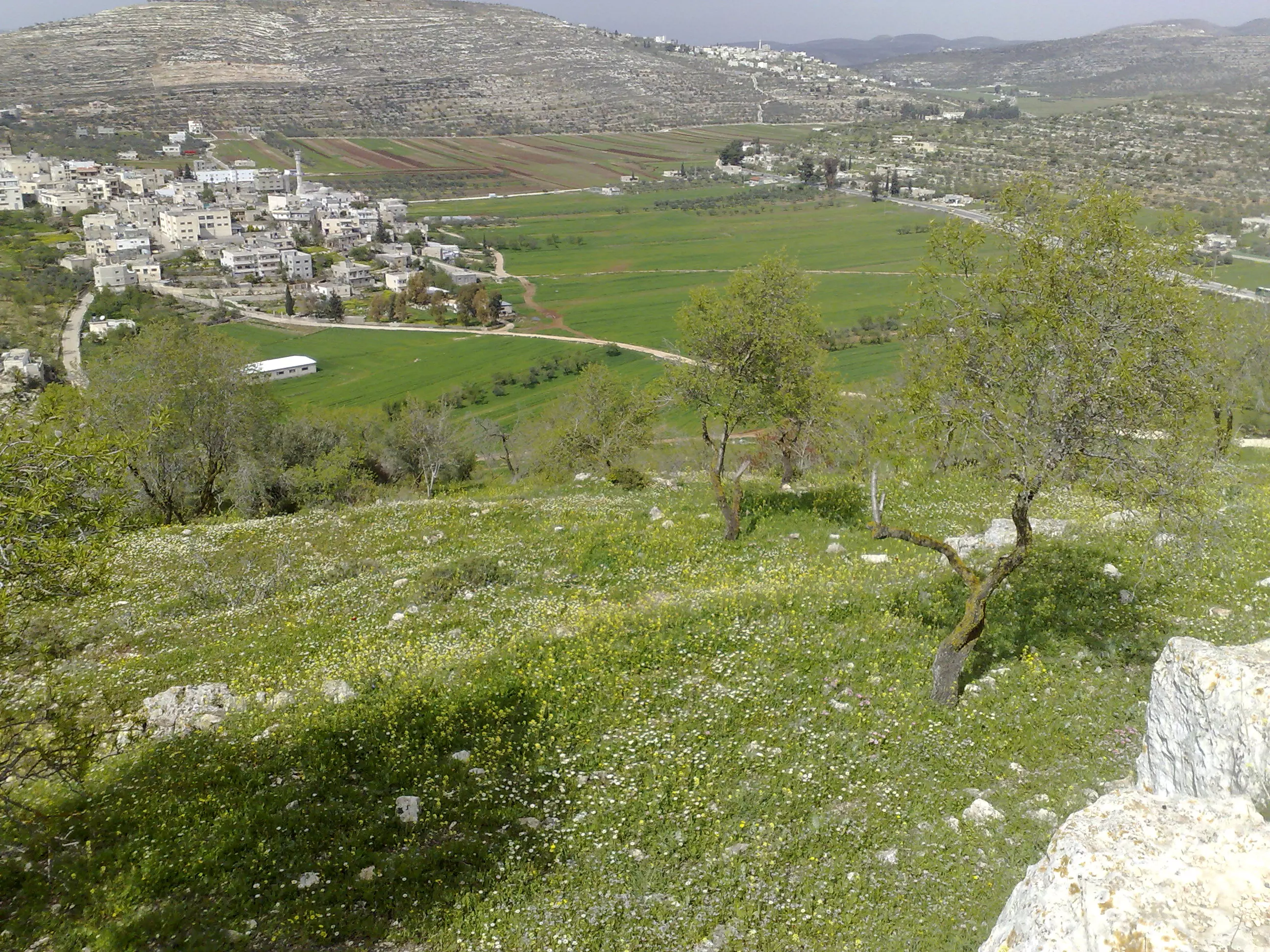
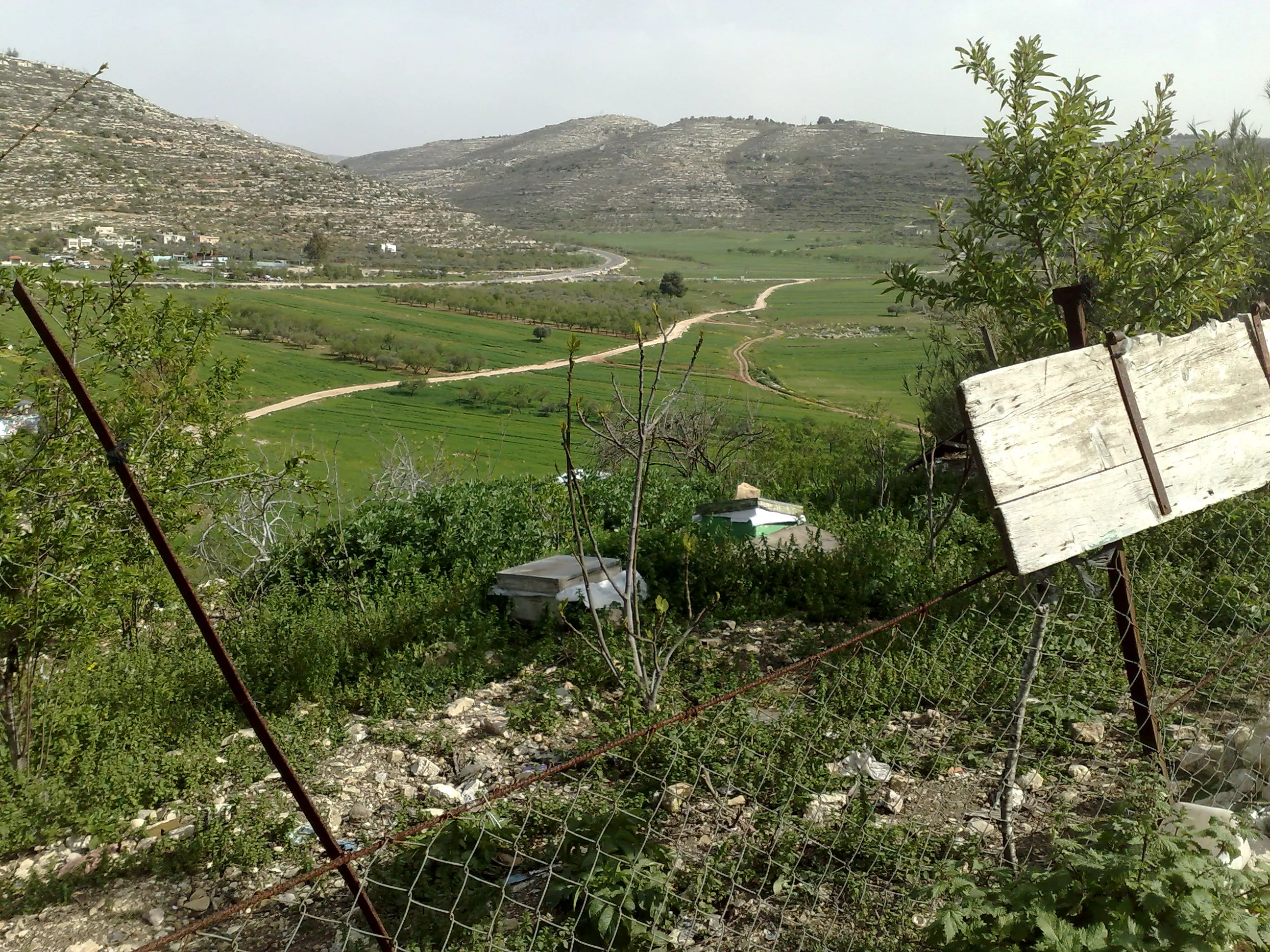
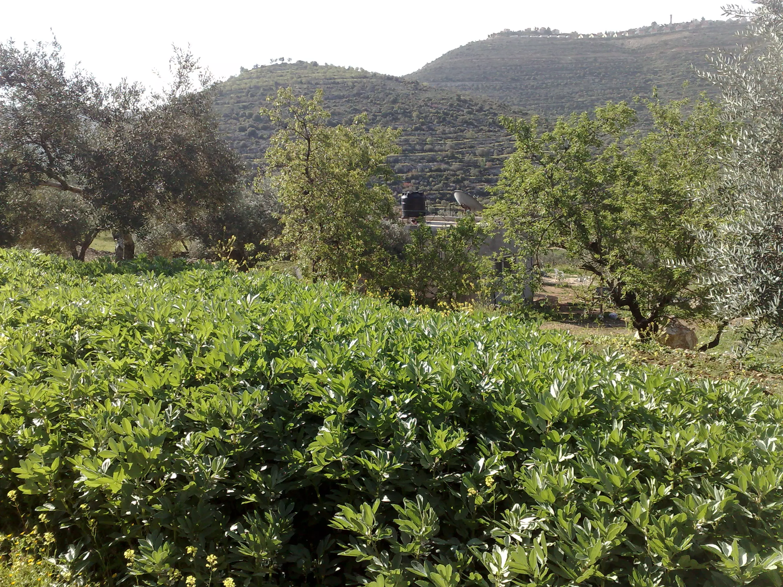
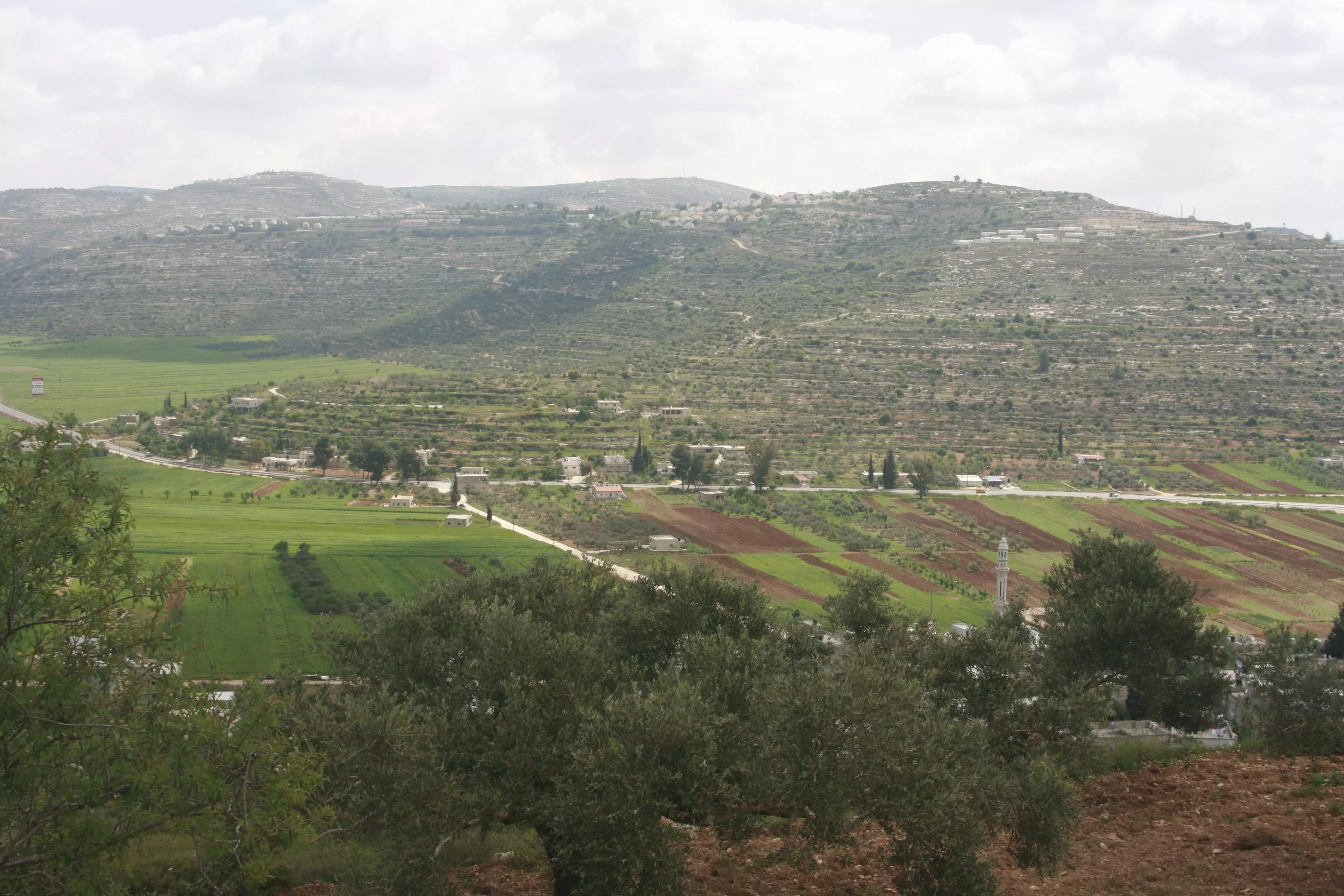
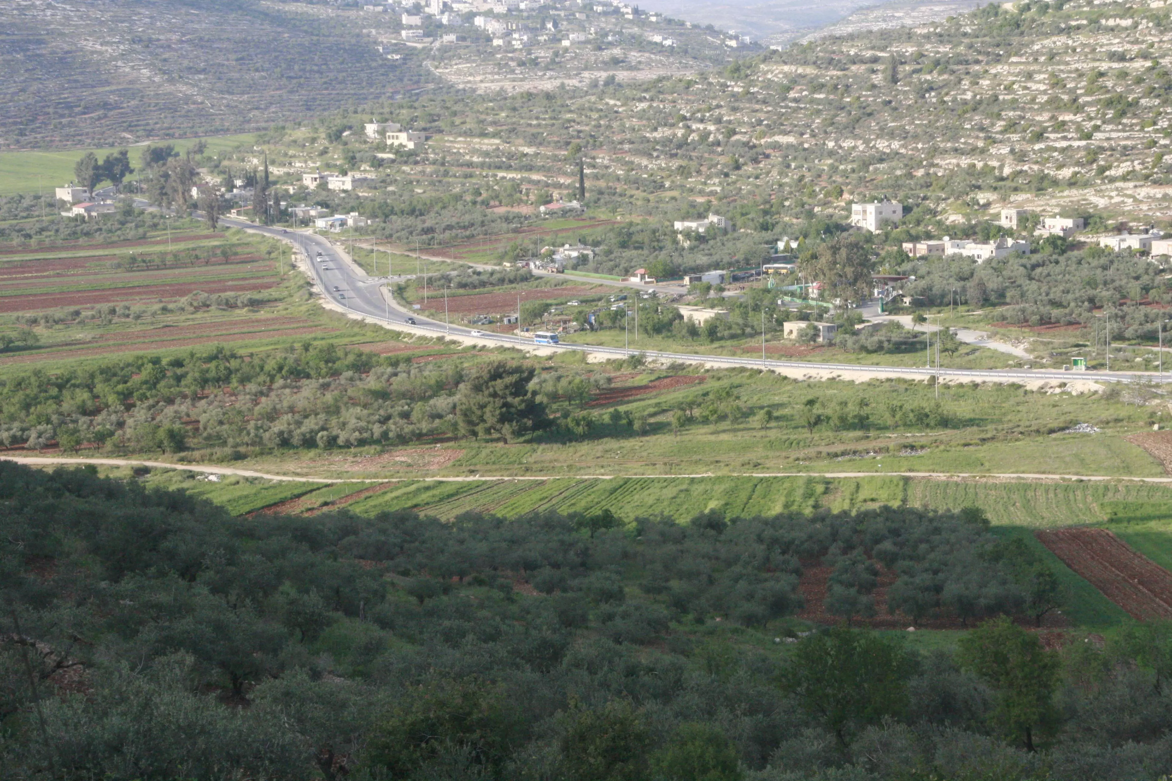
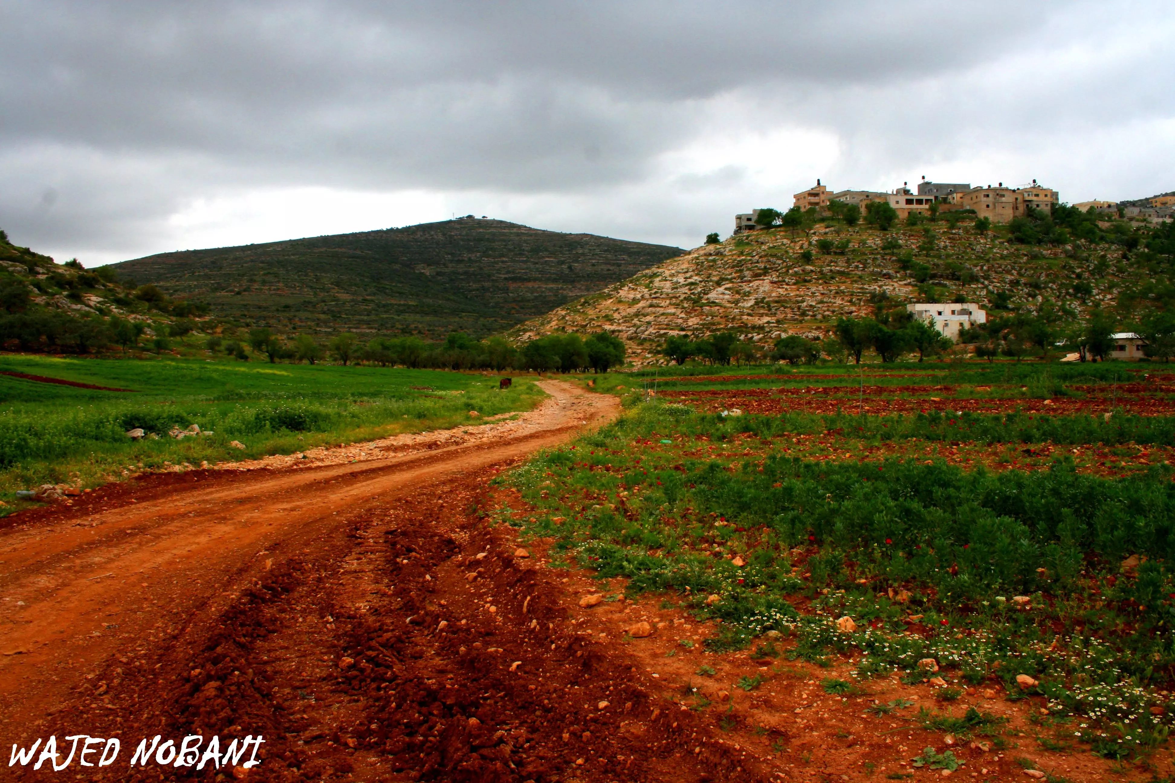
Posted by ابو عمر 4 - سهل اللبن الشرقيه(سهل العرايس) من واجد امين النوباني الى البيادر
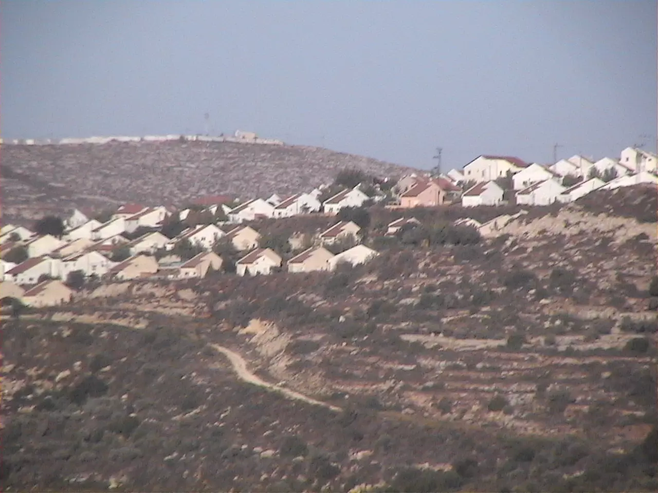
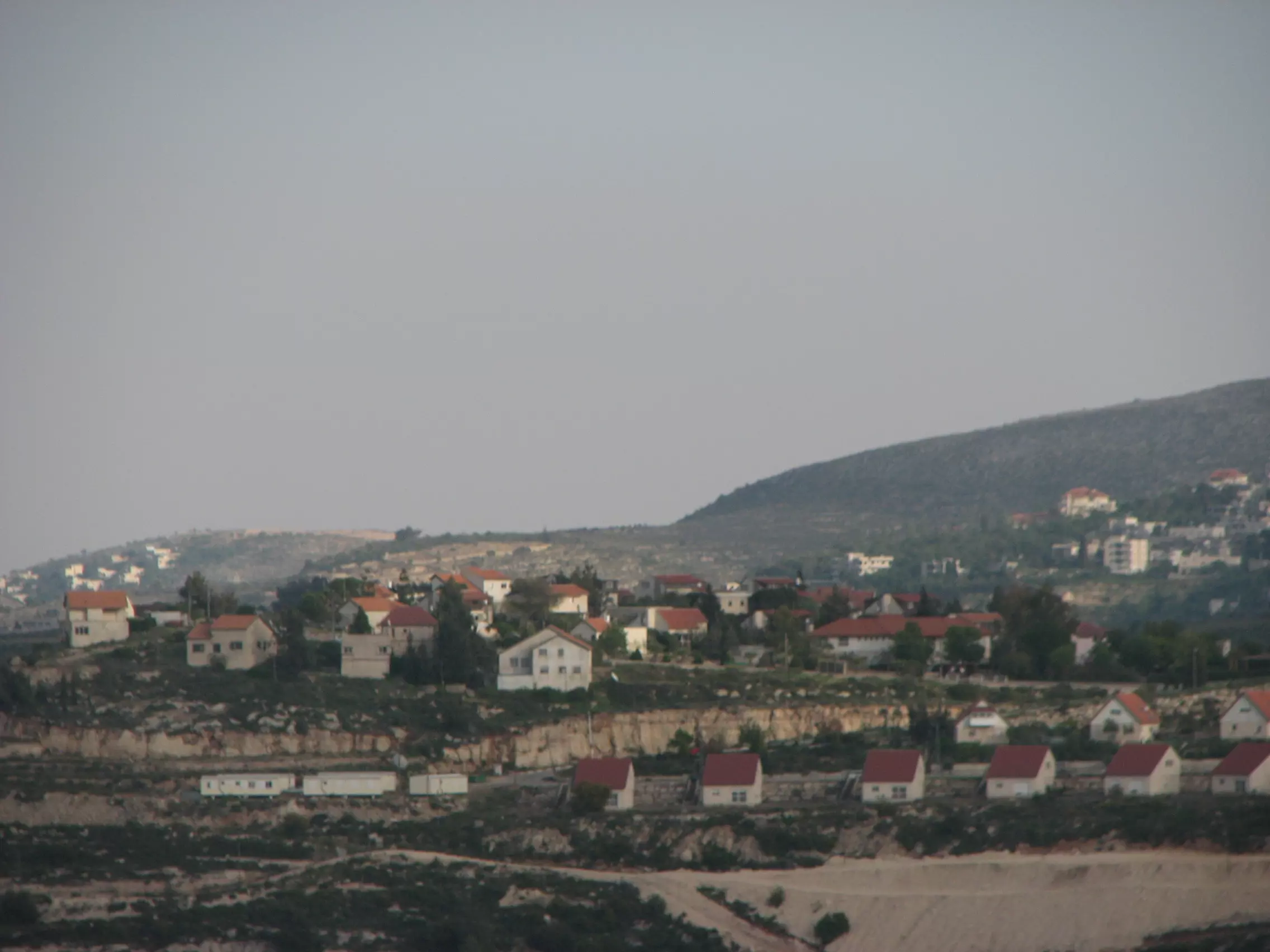
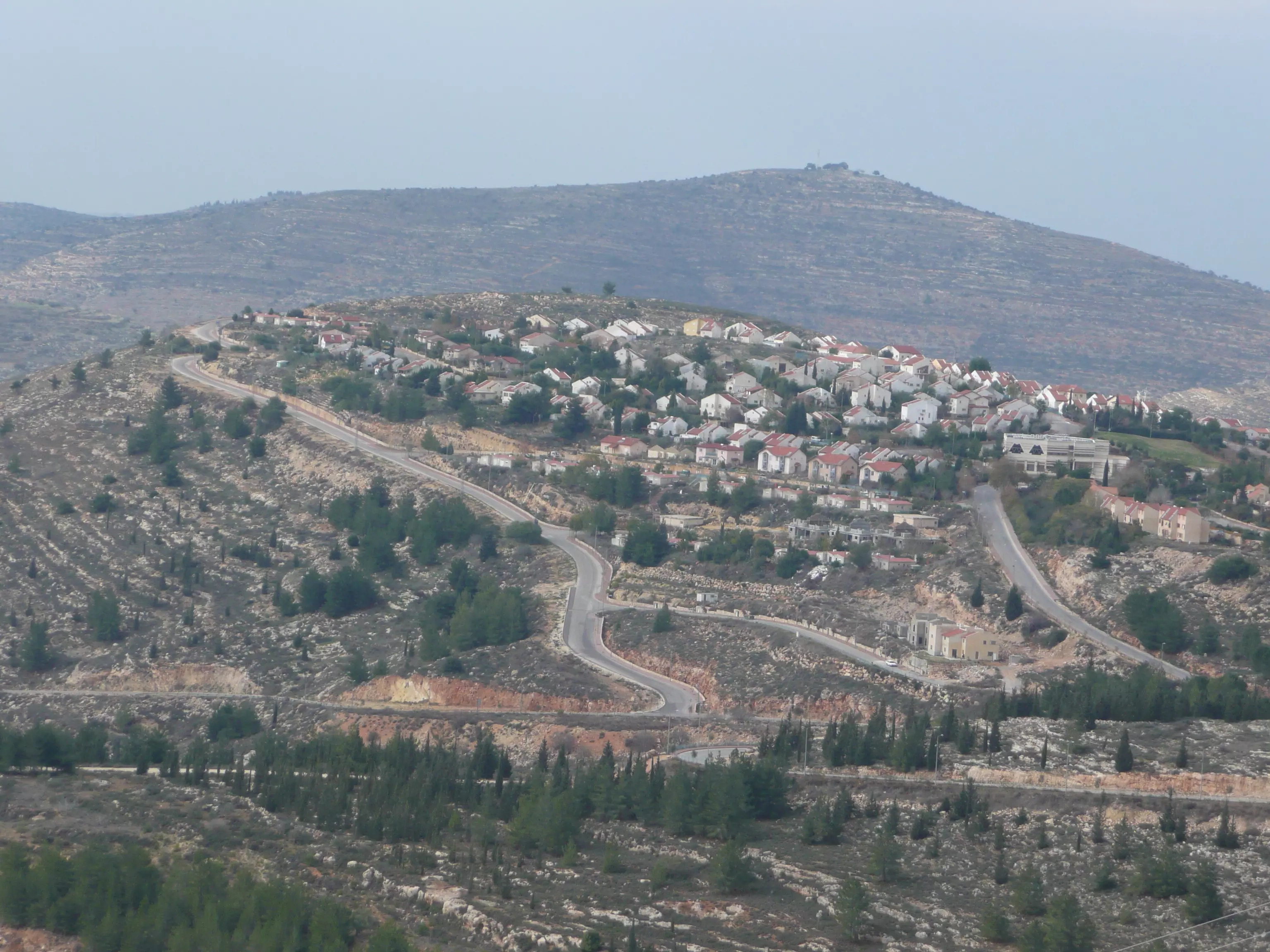
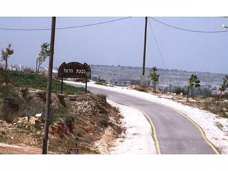
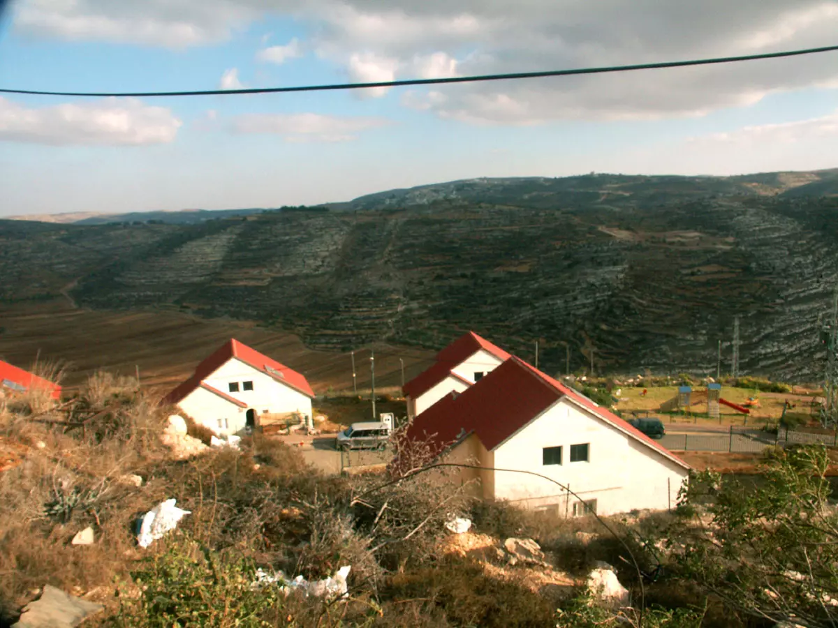
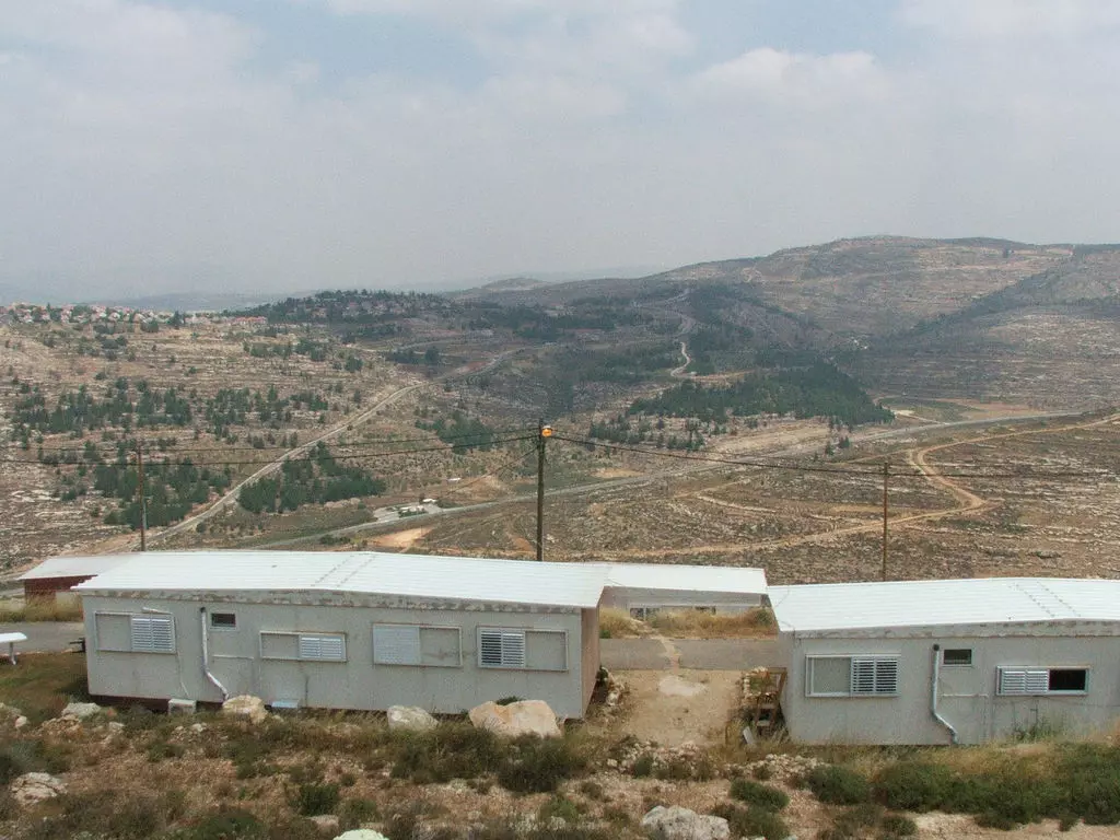
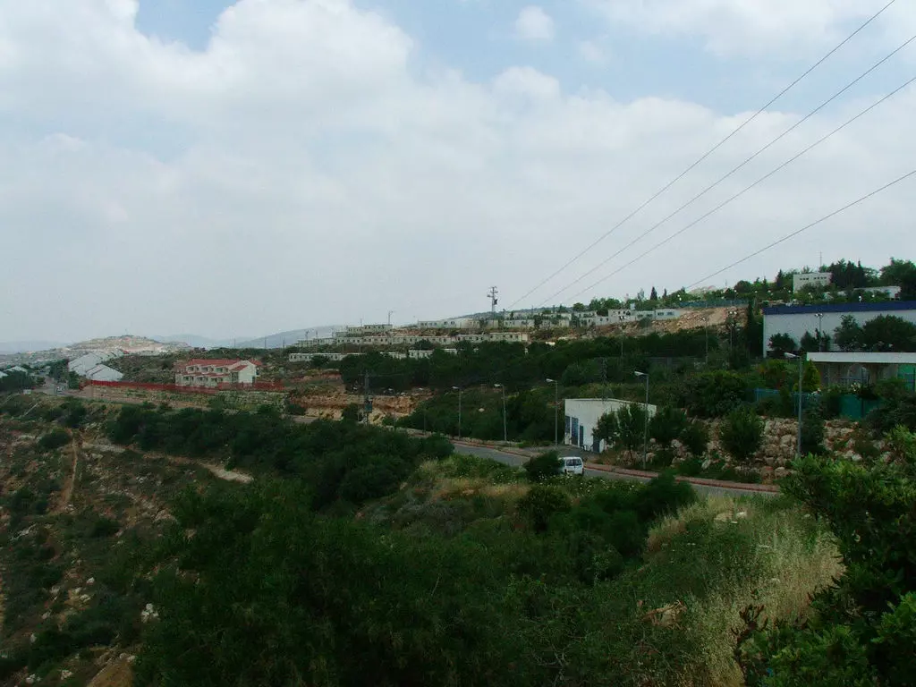
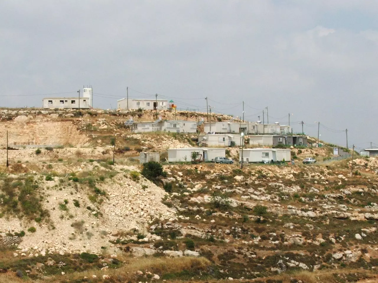
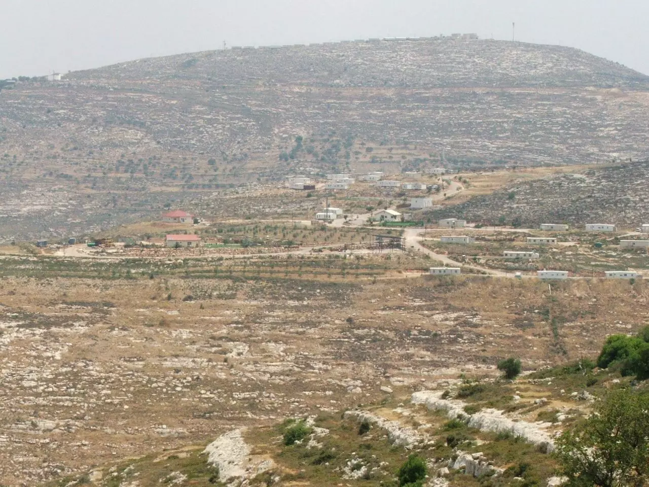
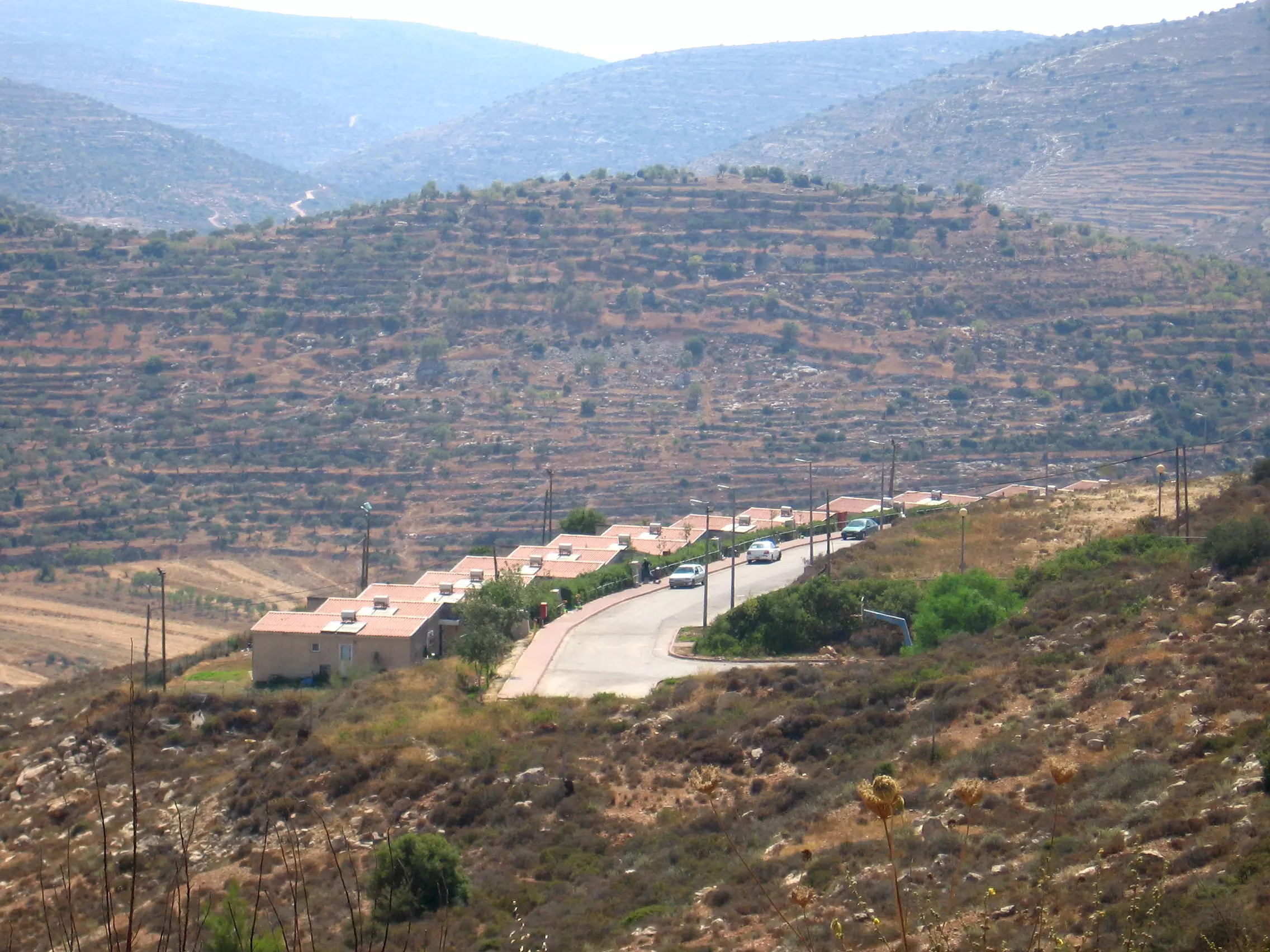
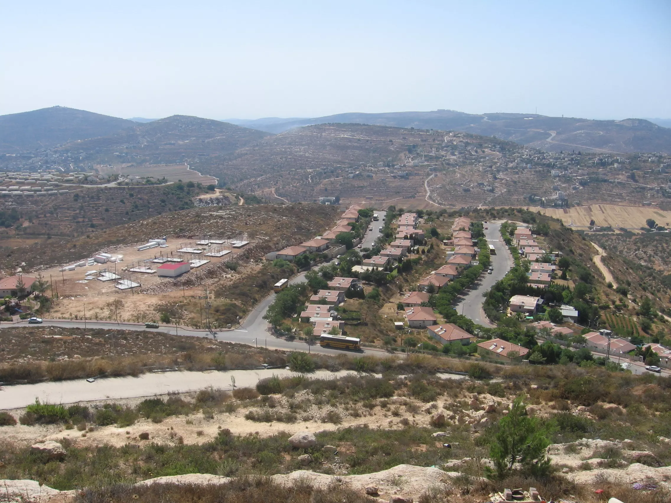
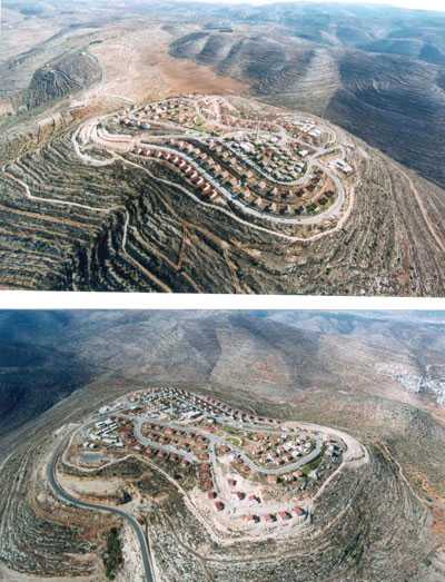
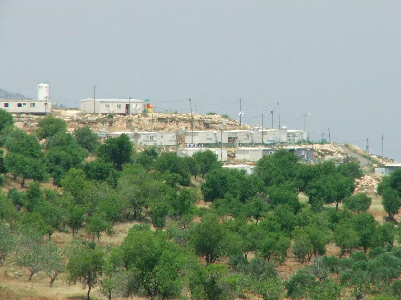
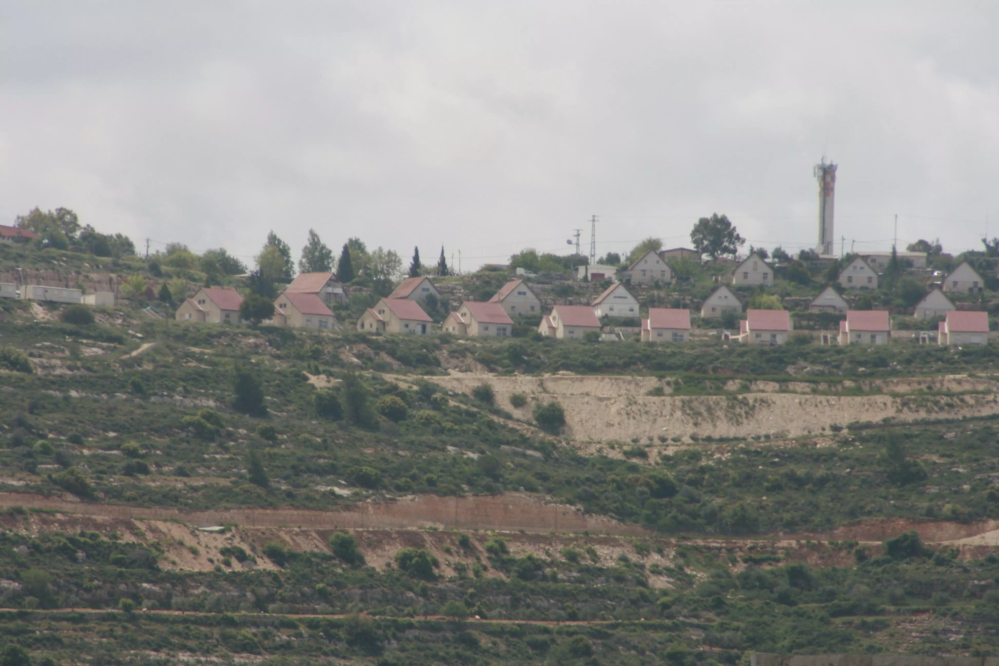
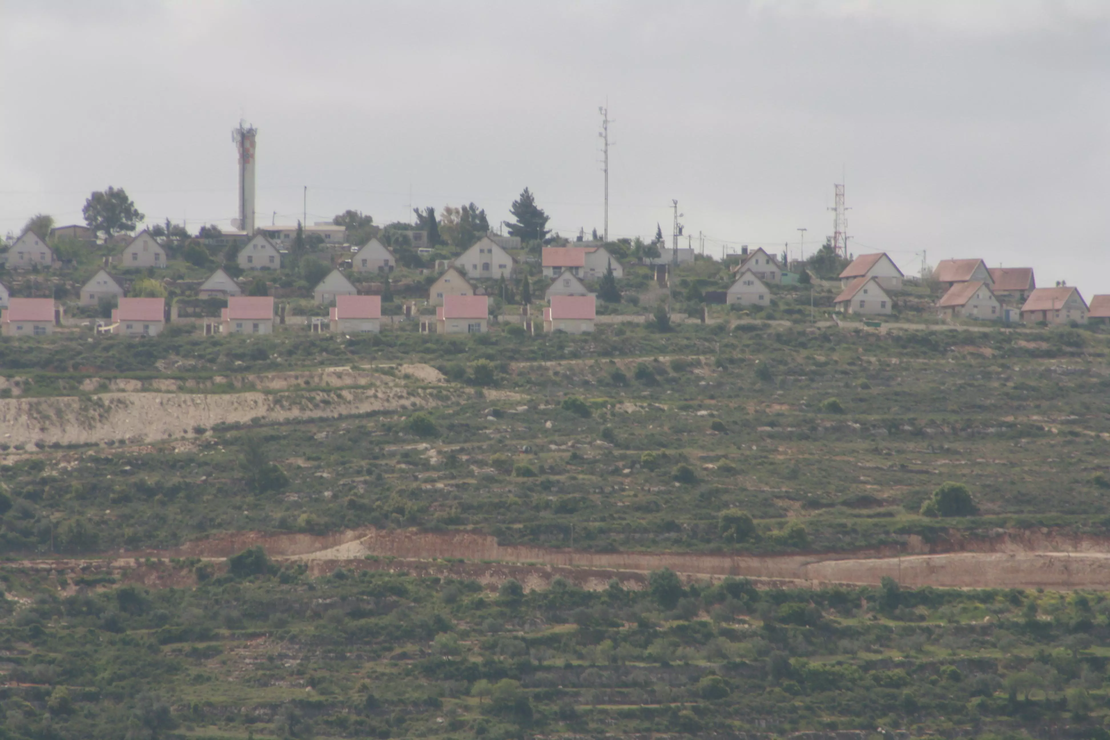
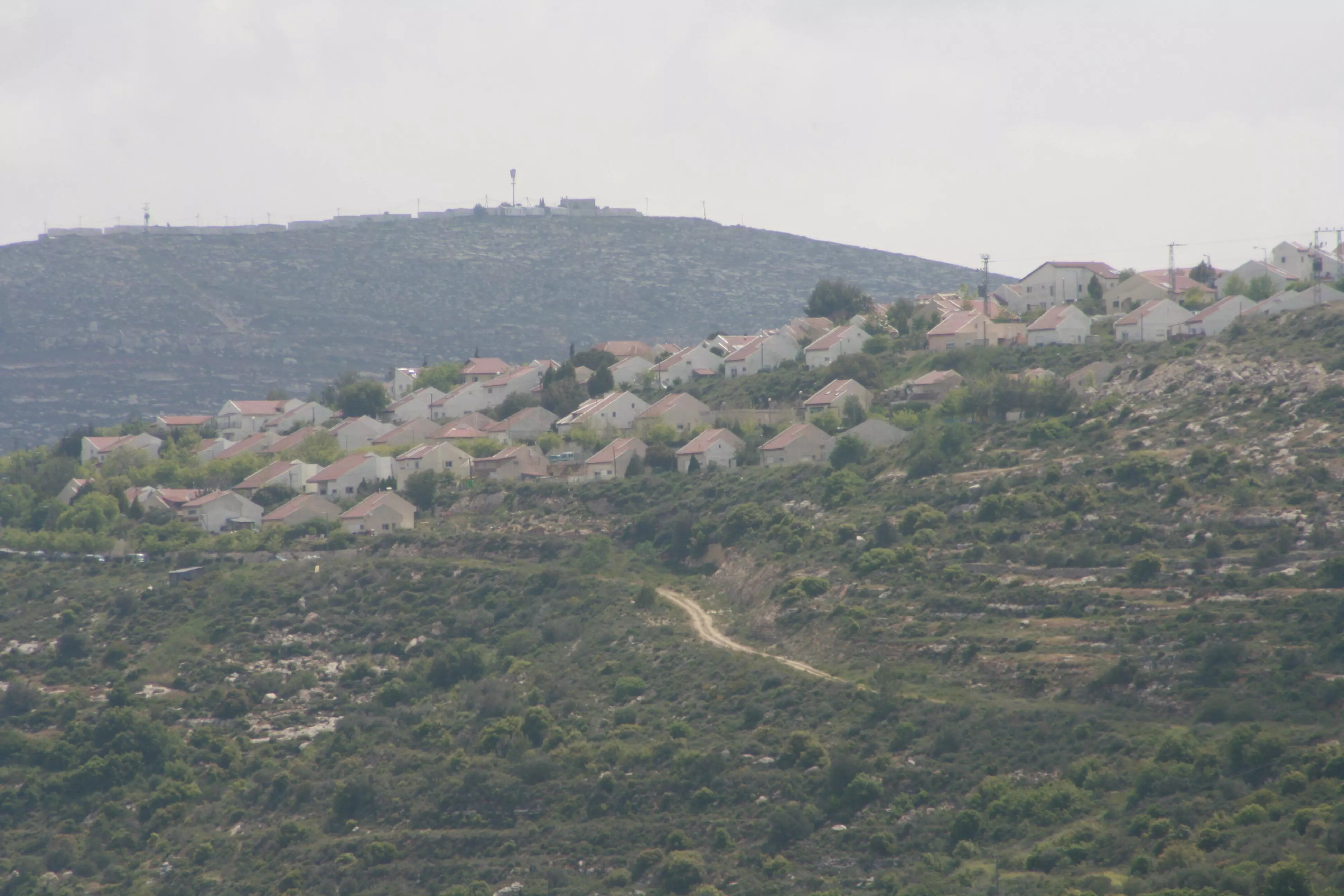
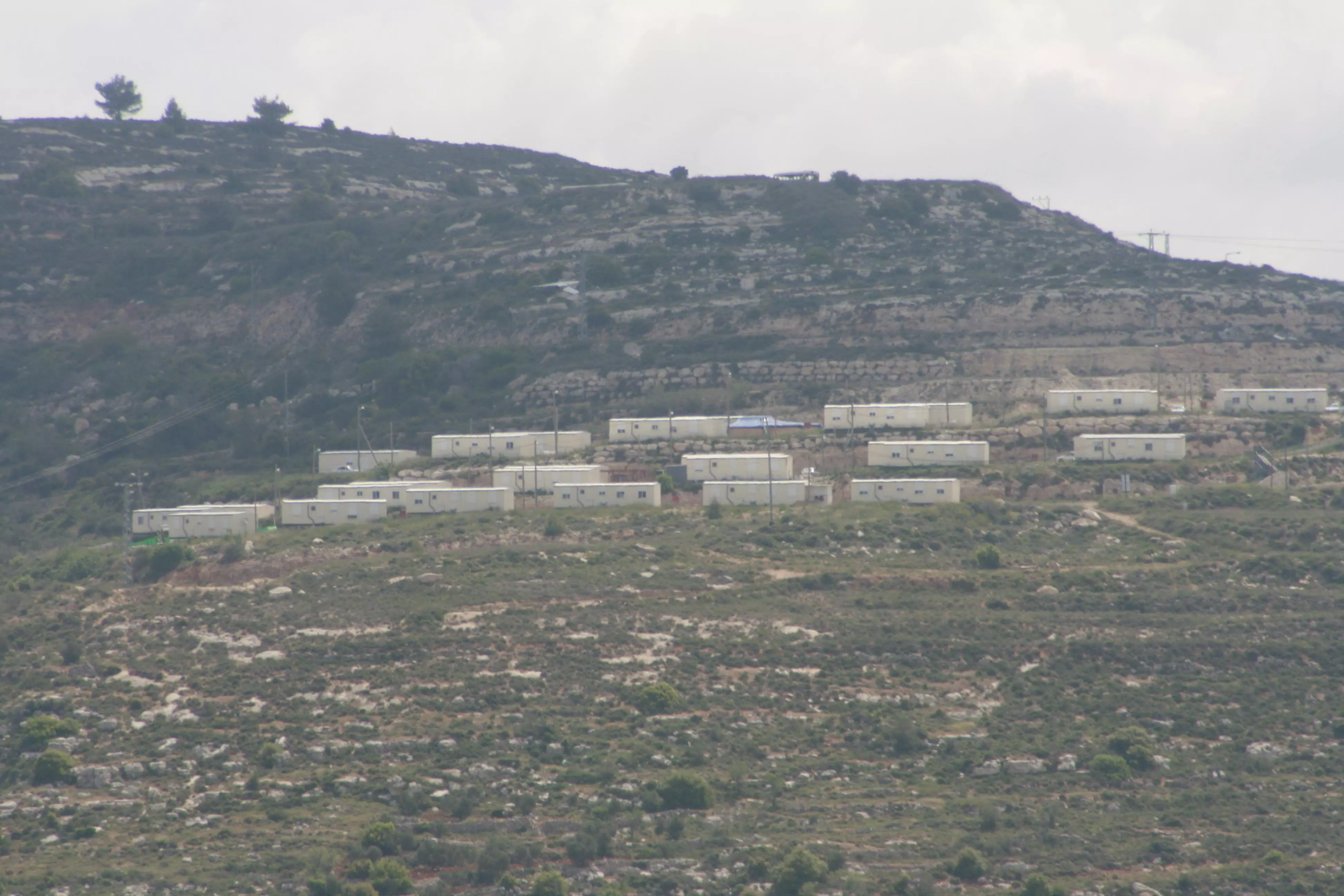
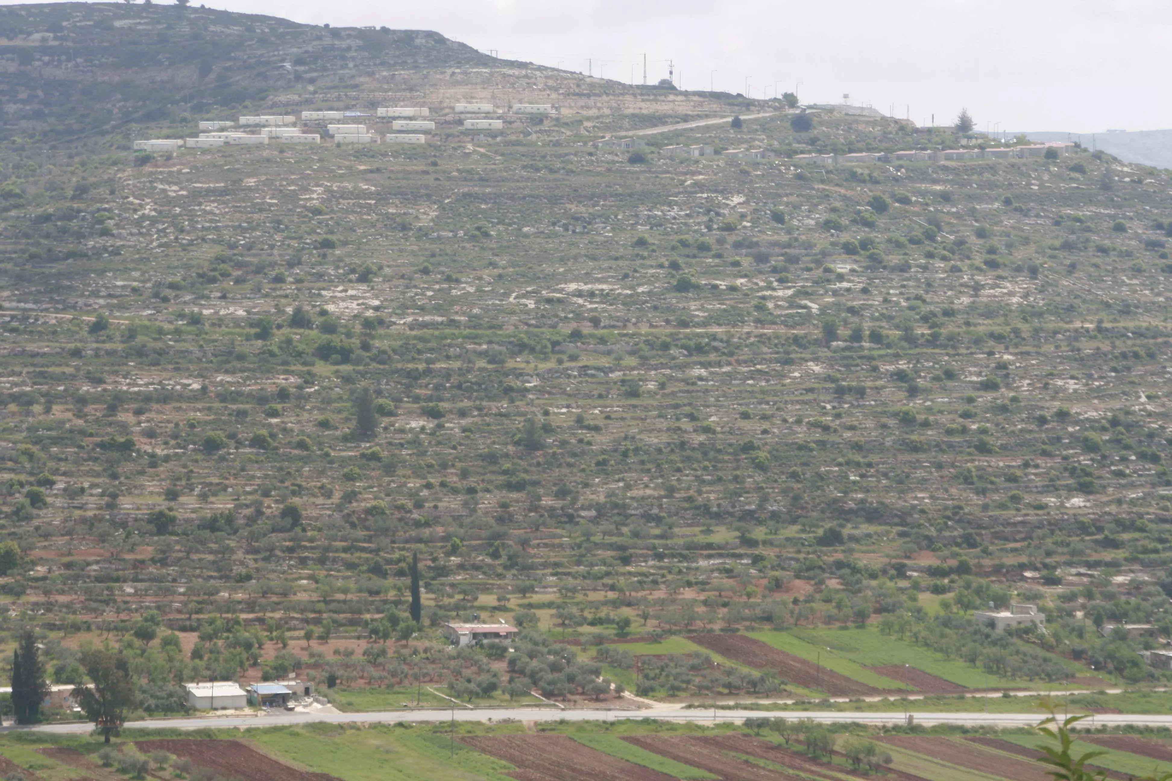
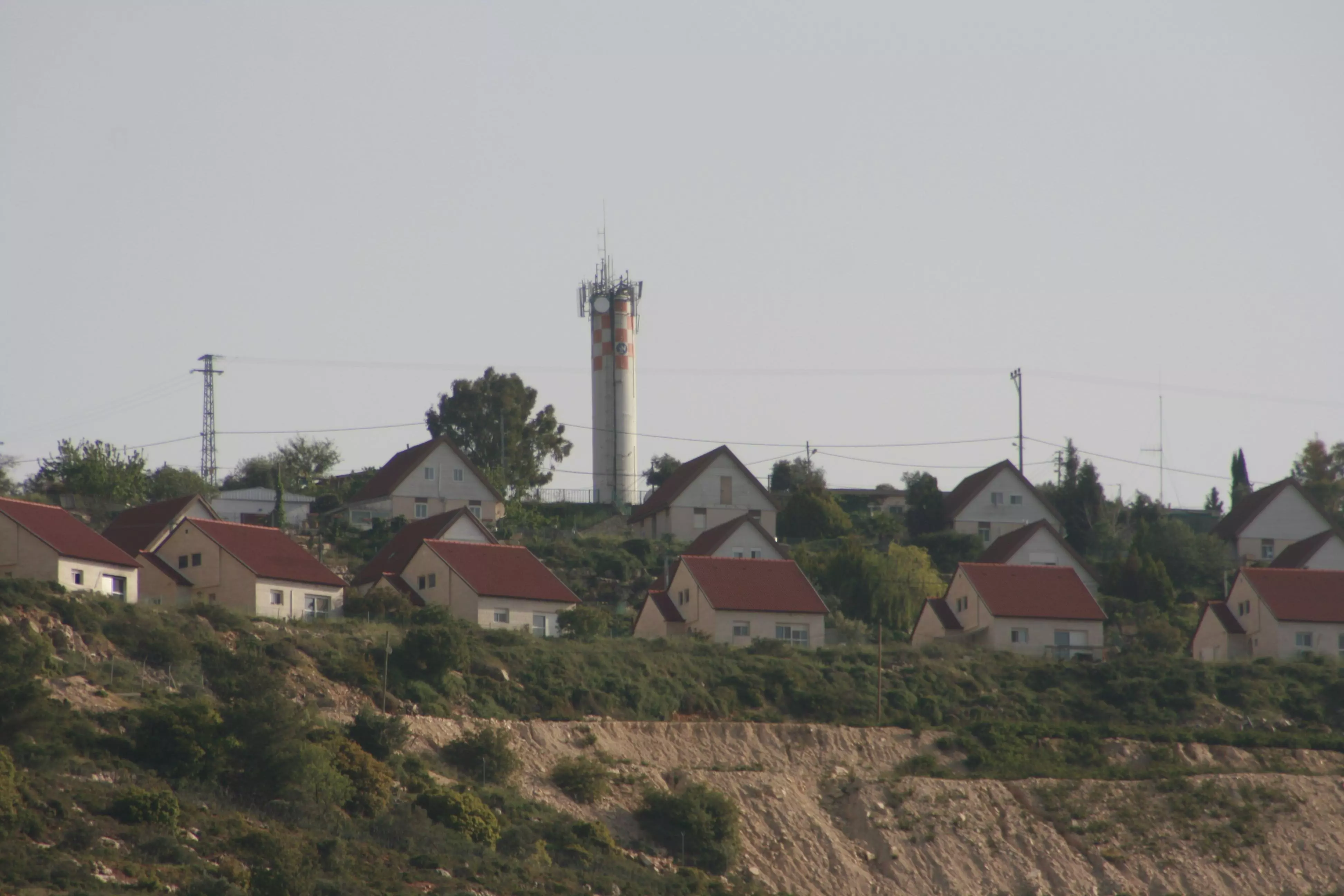
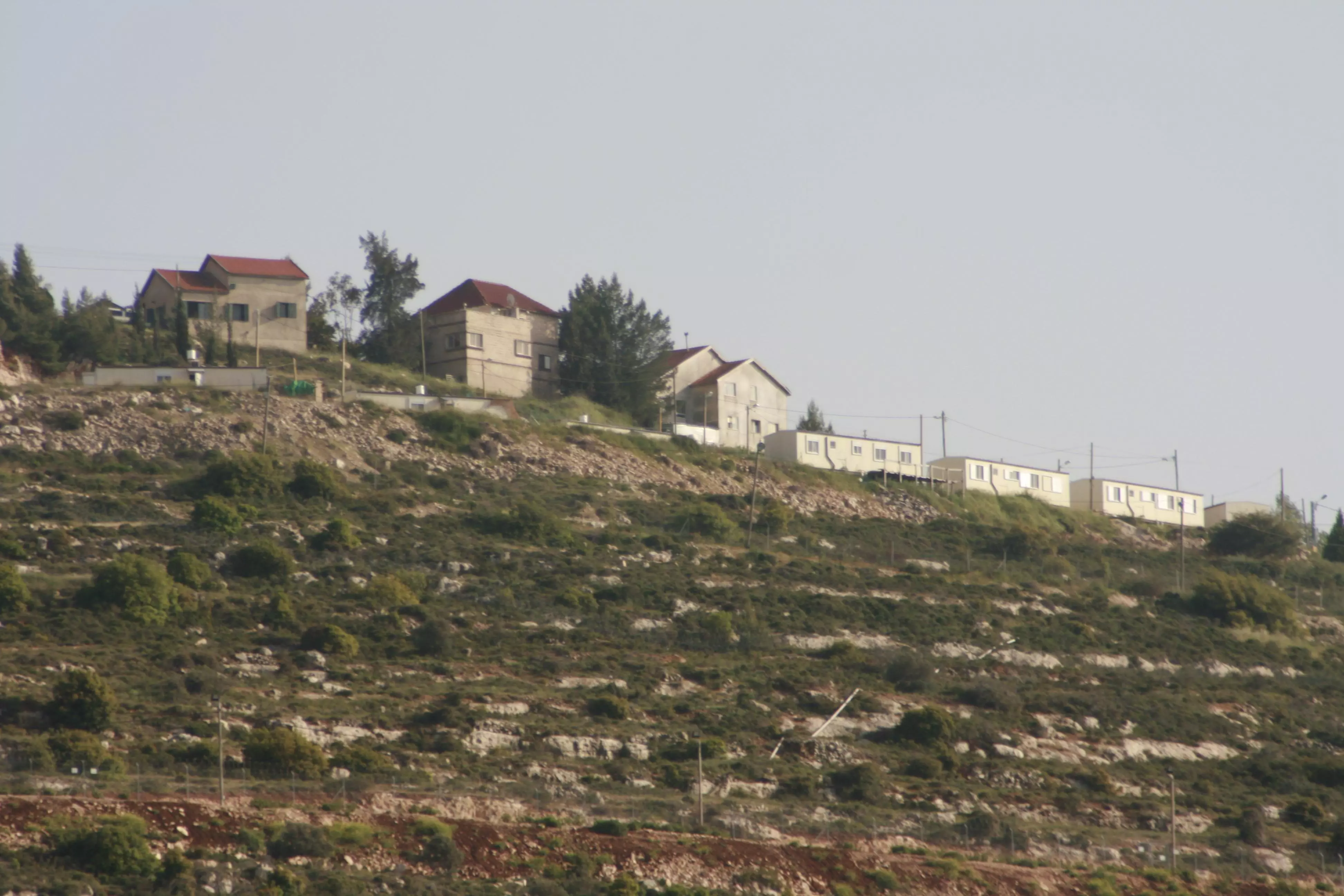
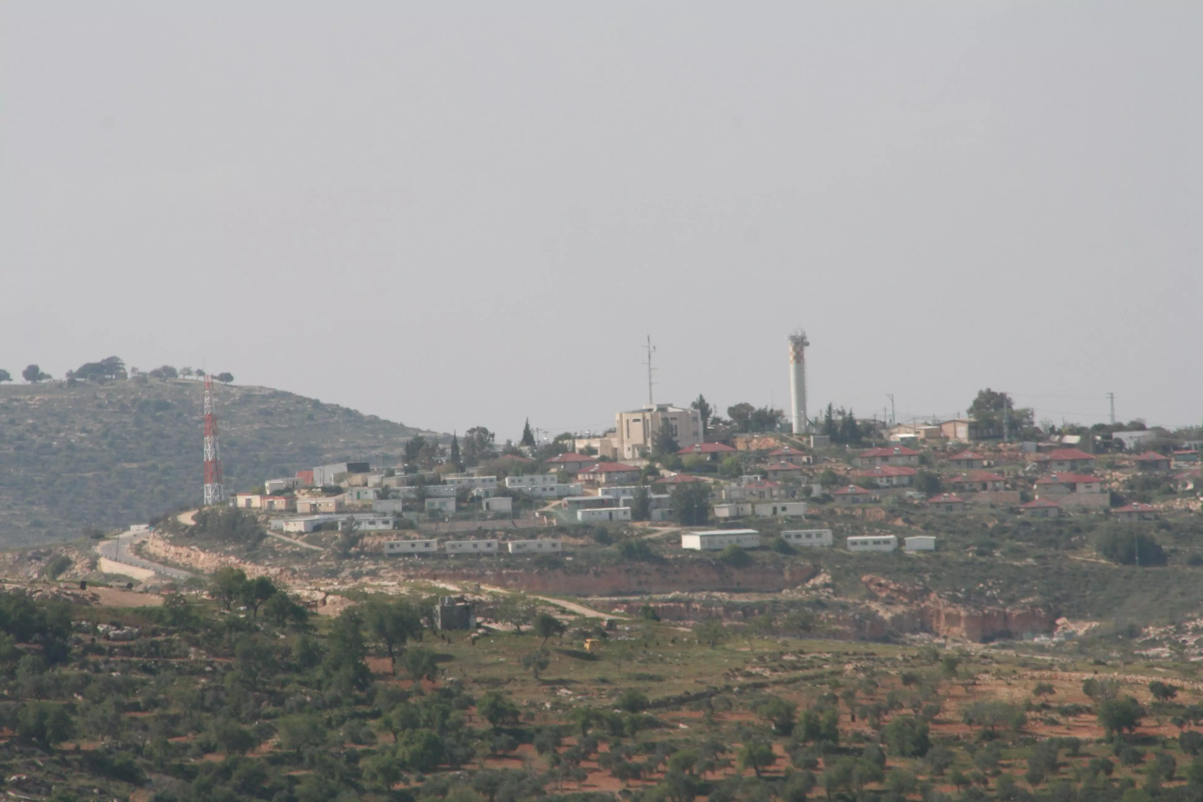
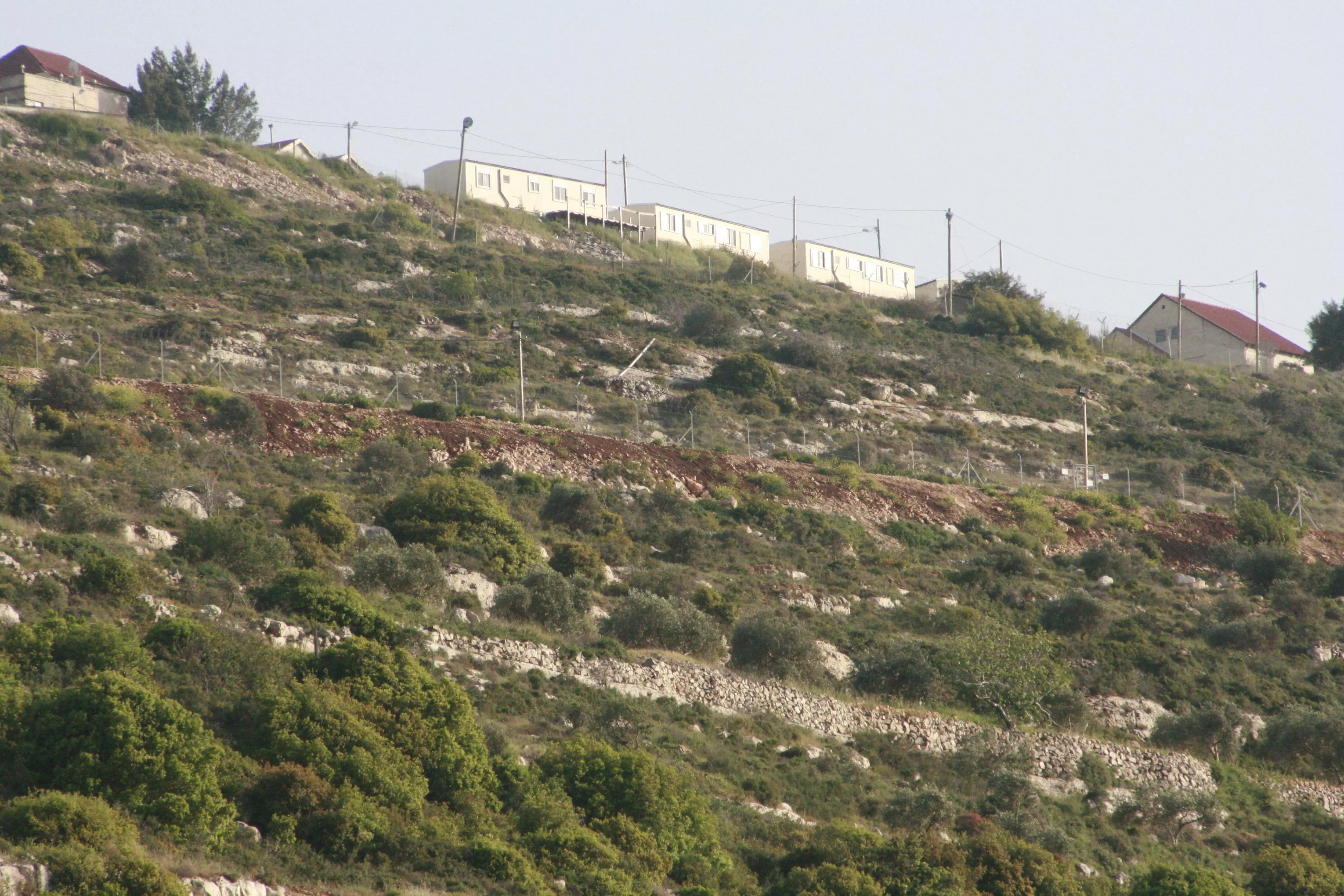
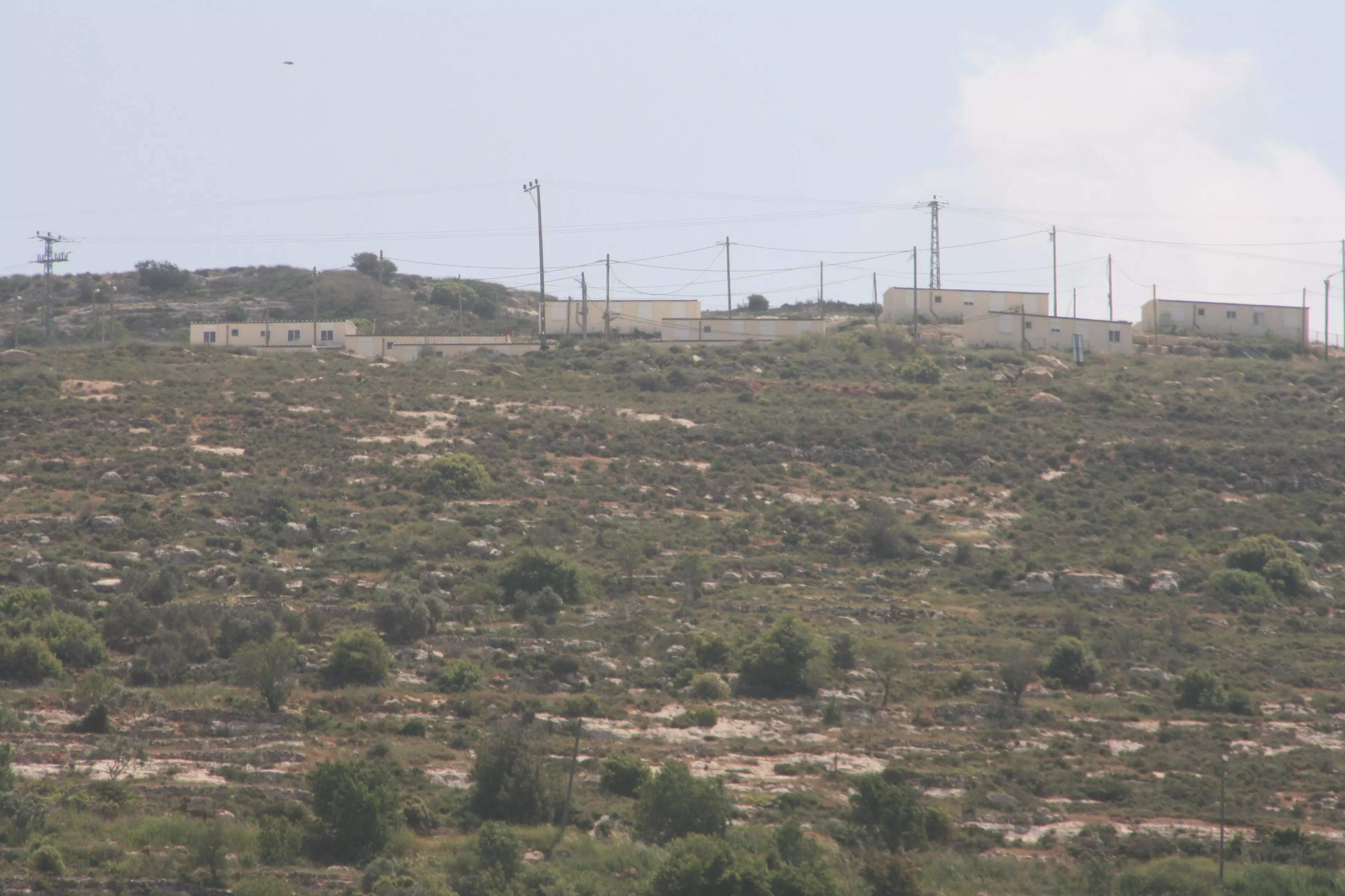
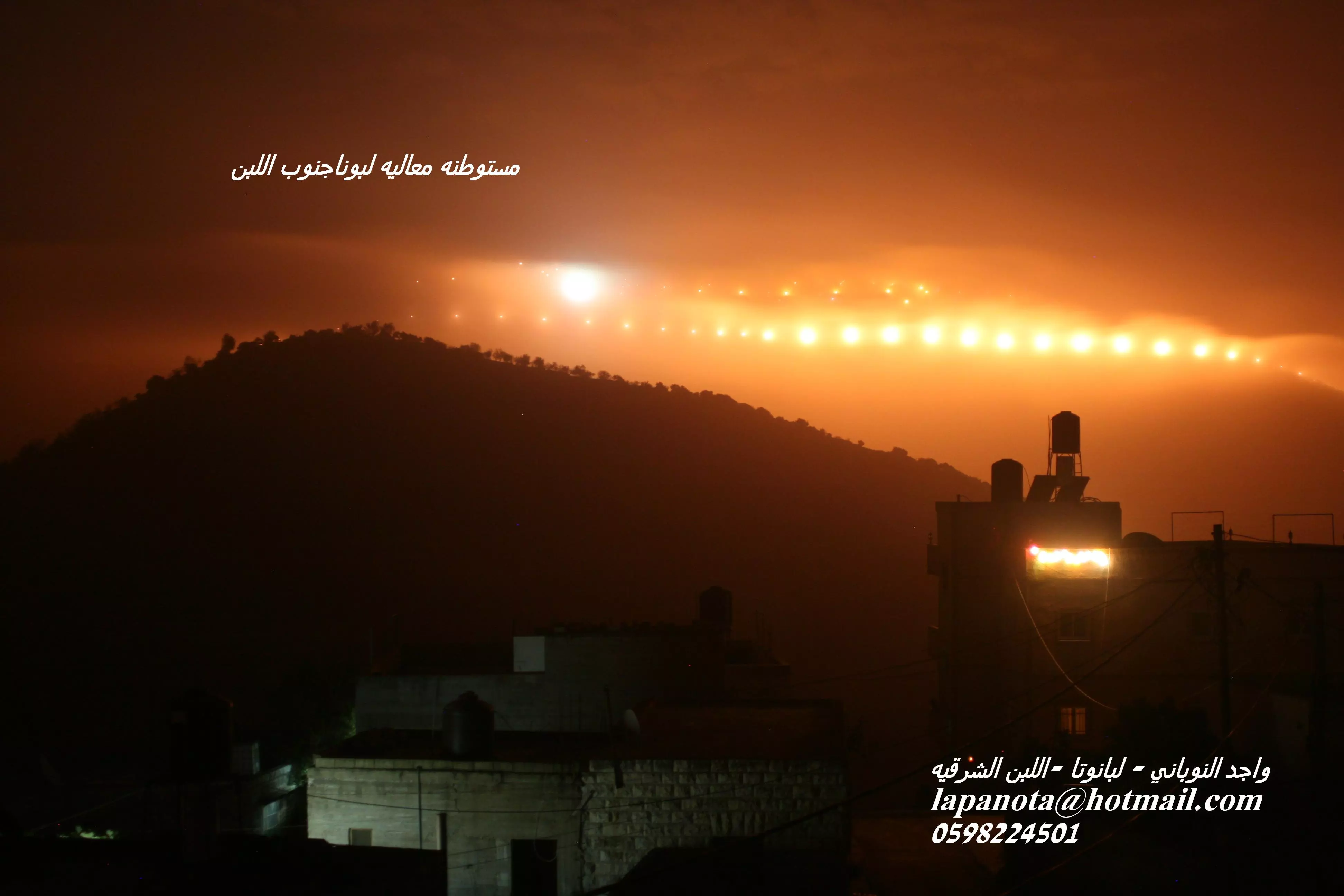
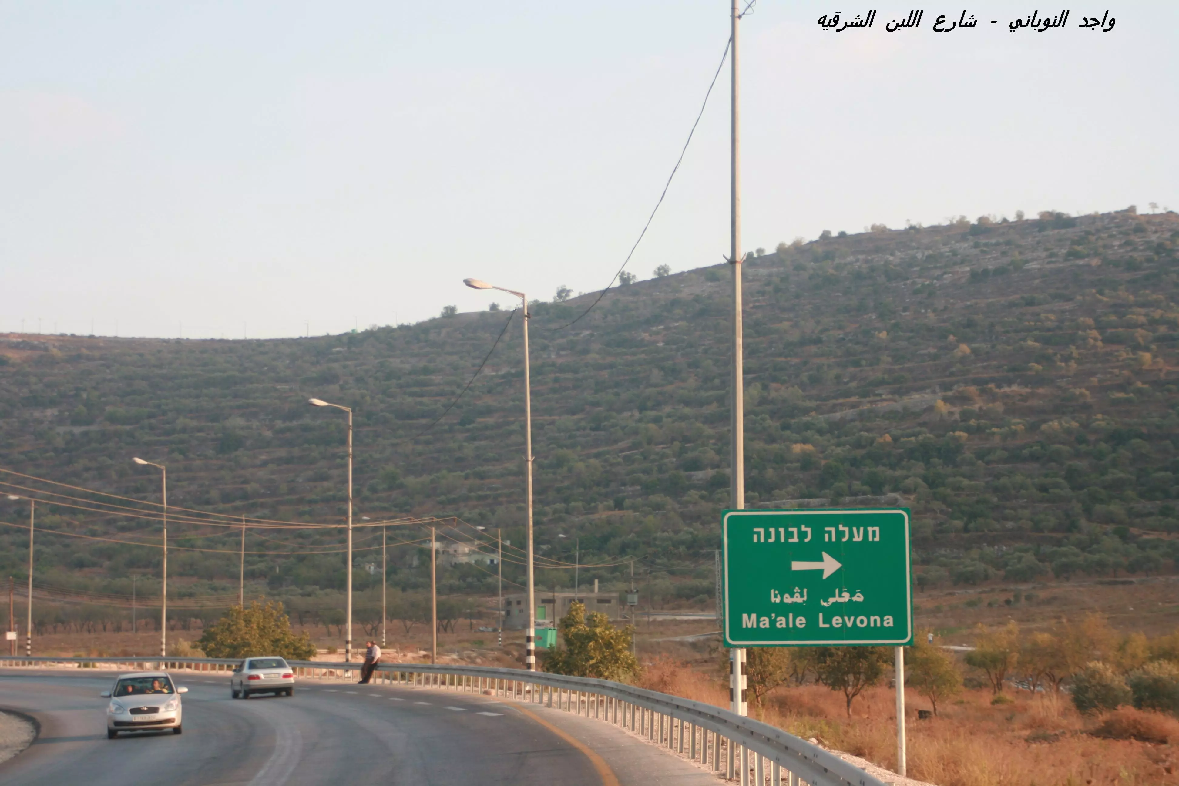
Posted by واجد امين نوباني 1 - مستوطنه معالي لبونه على جبل اللبن الشرقيه(الباطن)وعددها 452مستوطن تصوير واجد امين نوباني
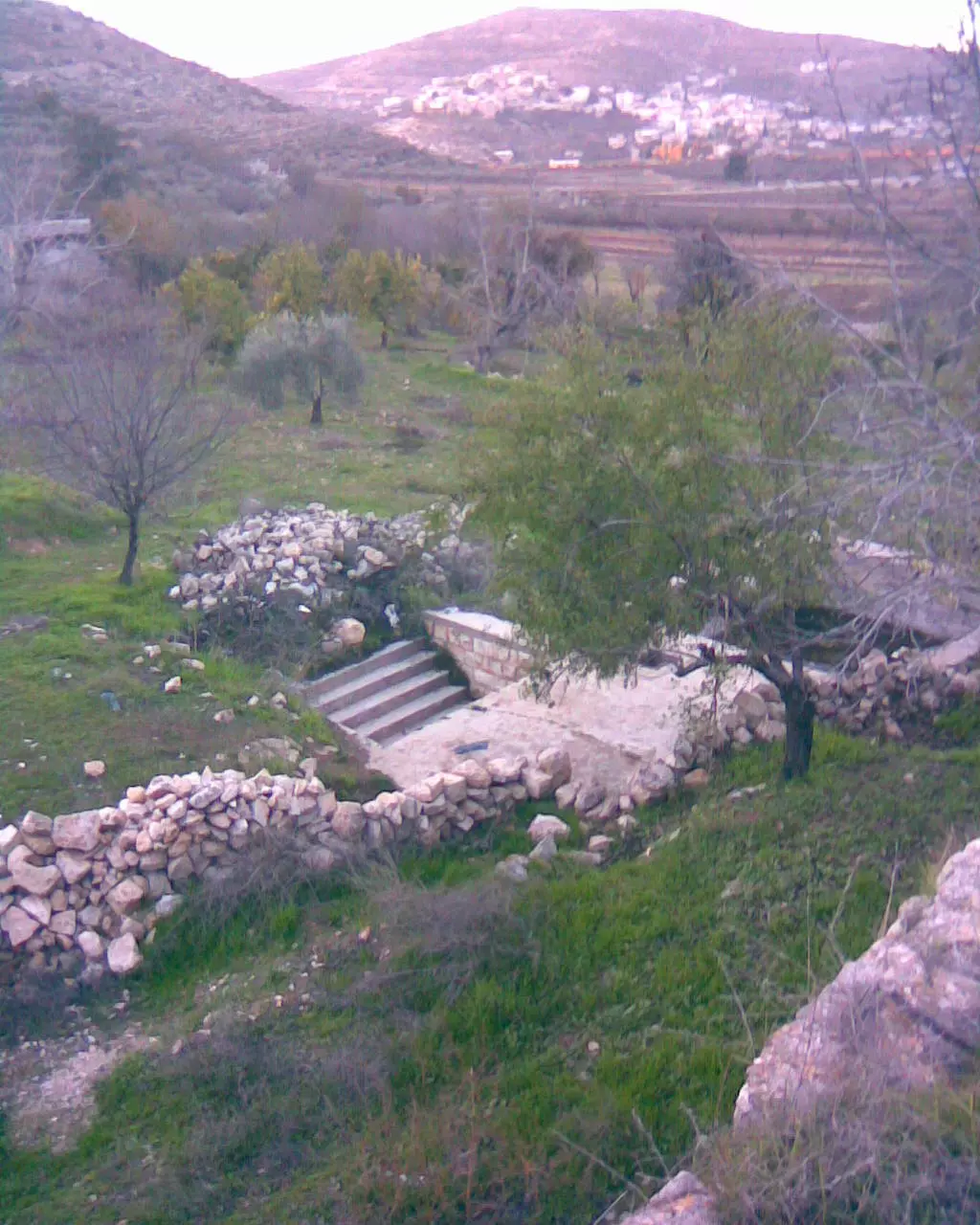
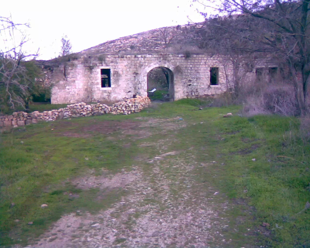
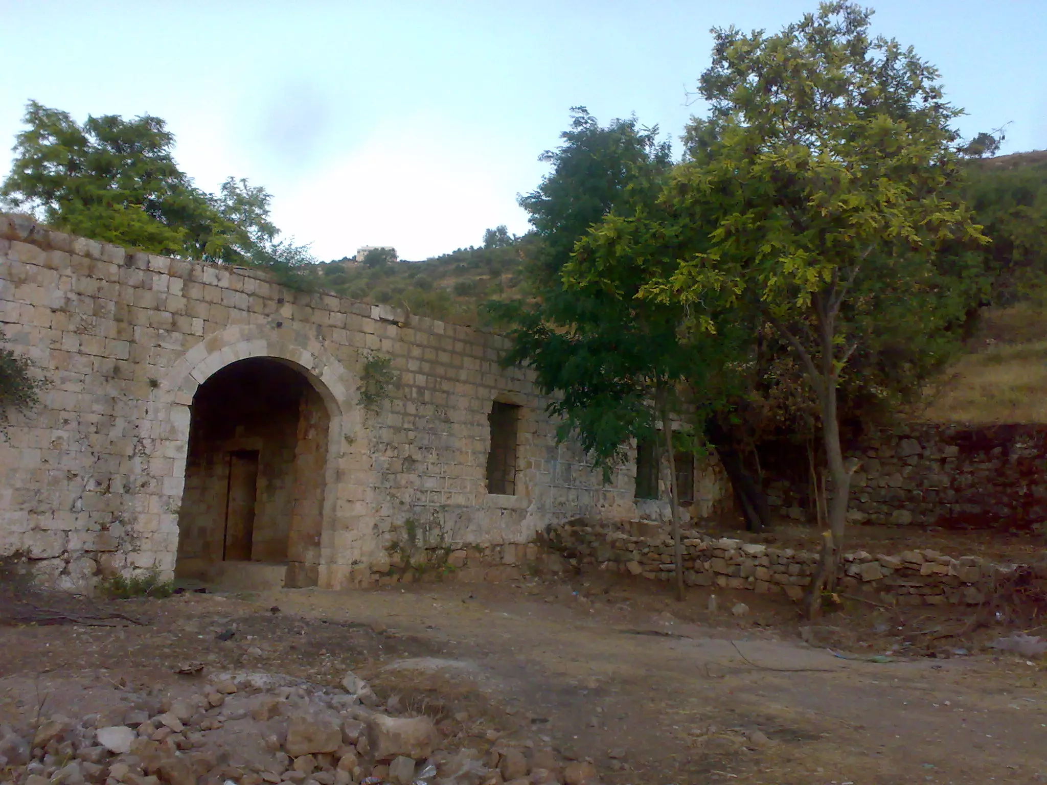
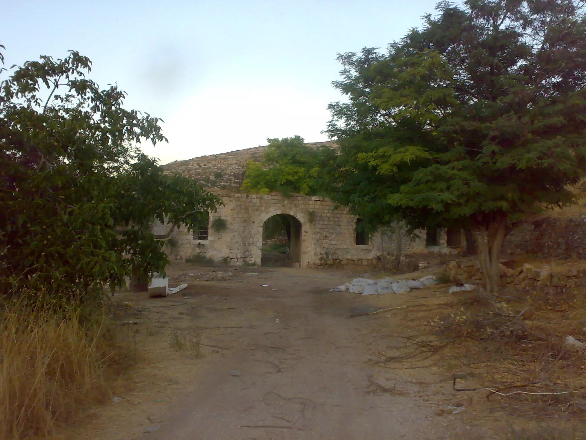
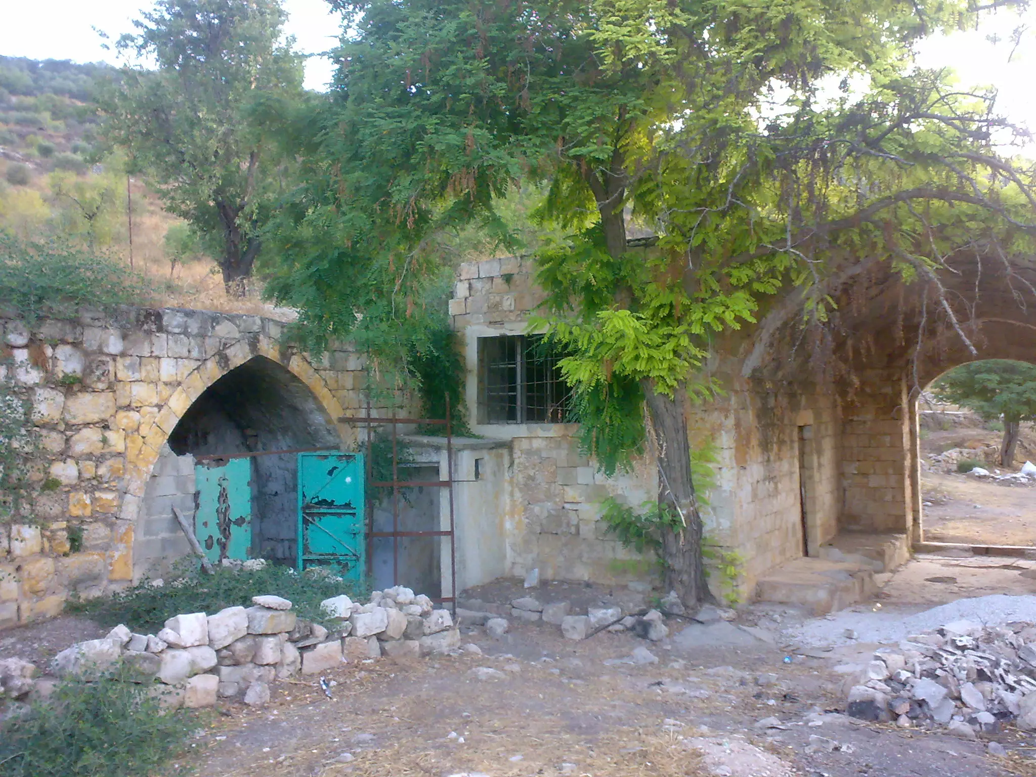
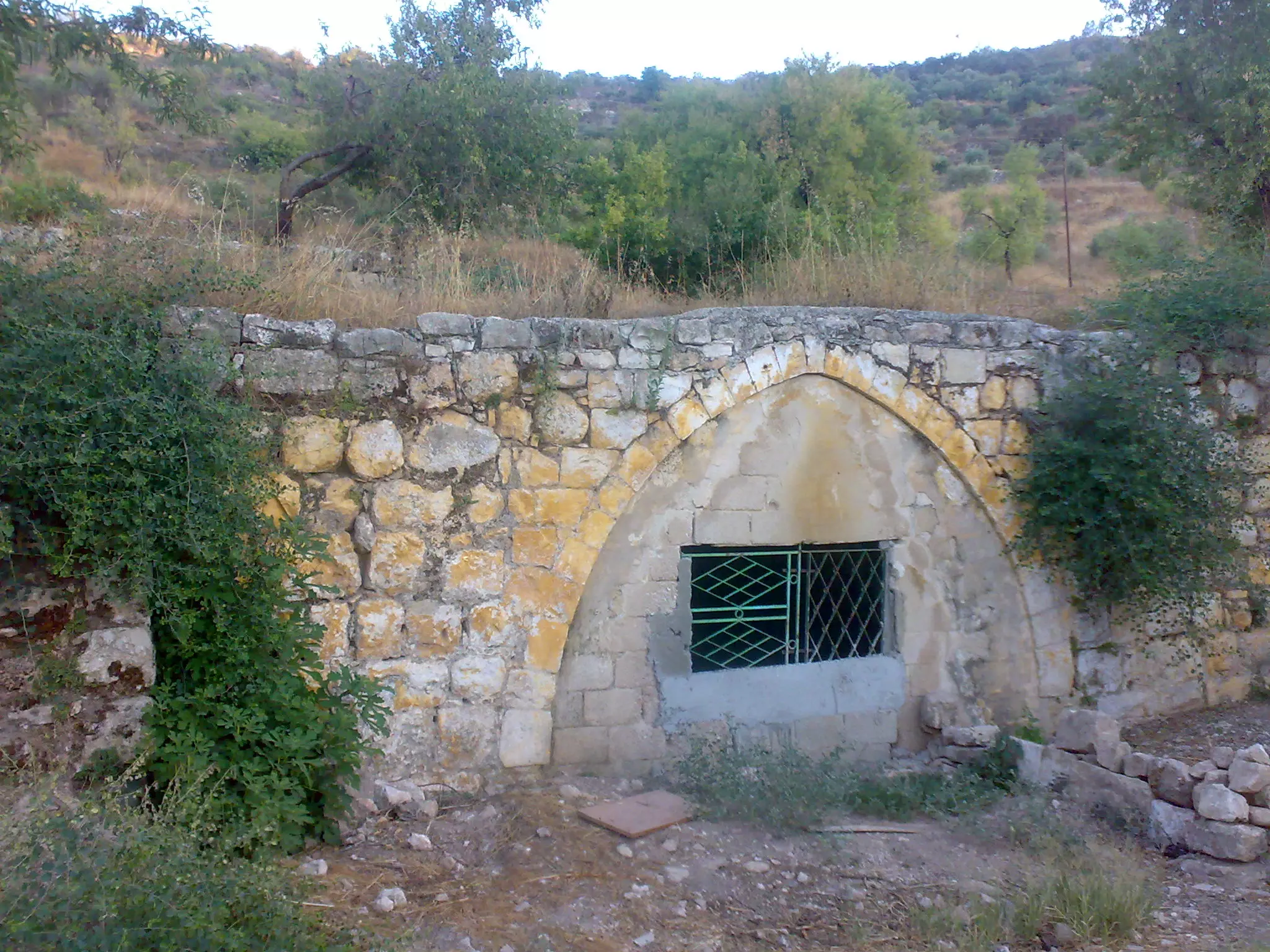
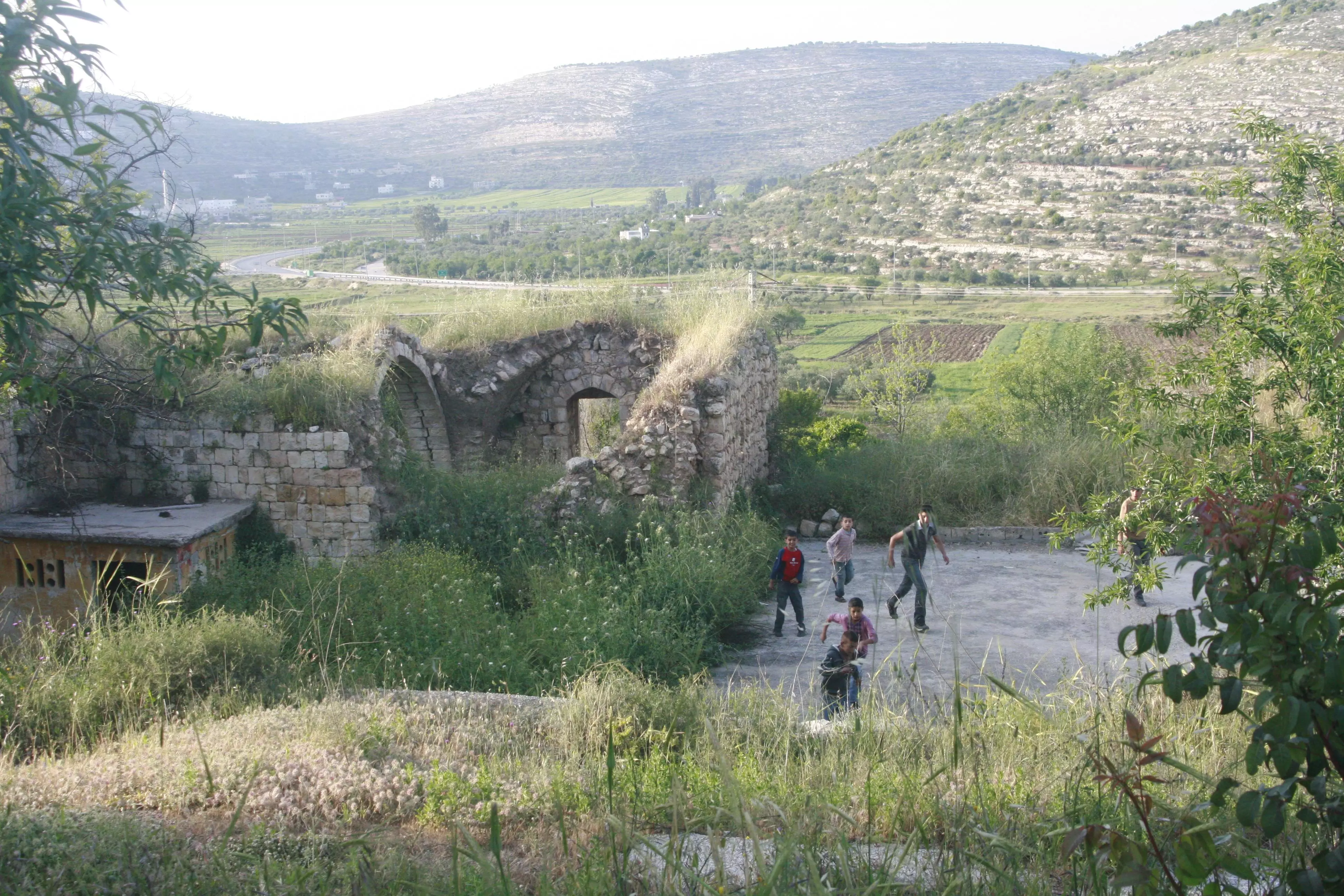
Posted by واجد امين نوباني 1 - خان اللبن الشرقيه اجمل واحلى مكان سيبقى للابد فلسطيني تصوير واجد امين النوباني
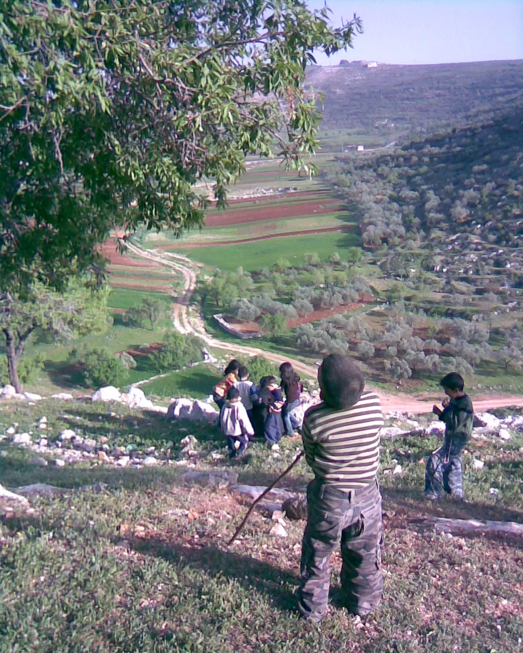
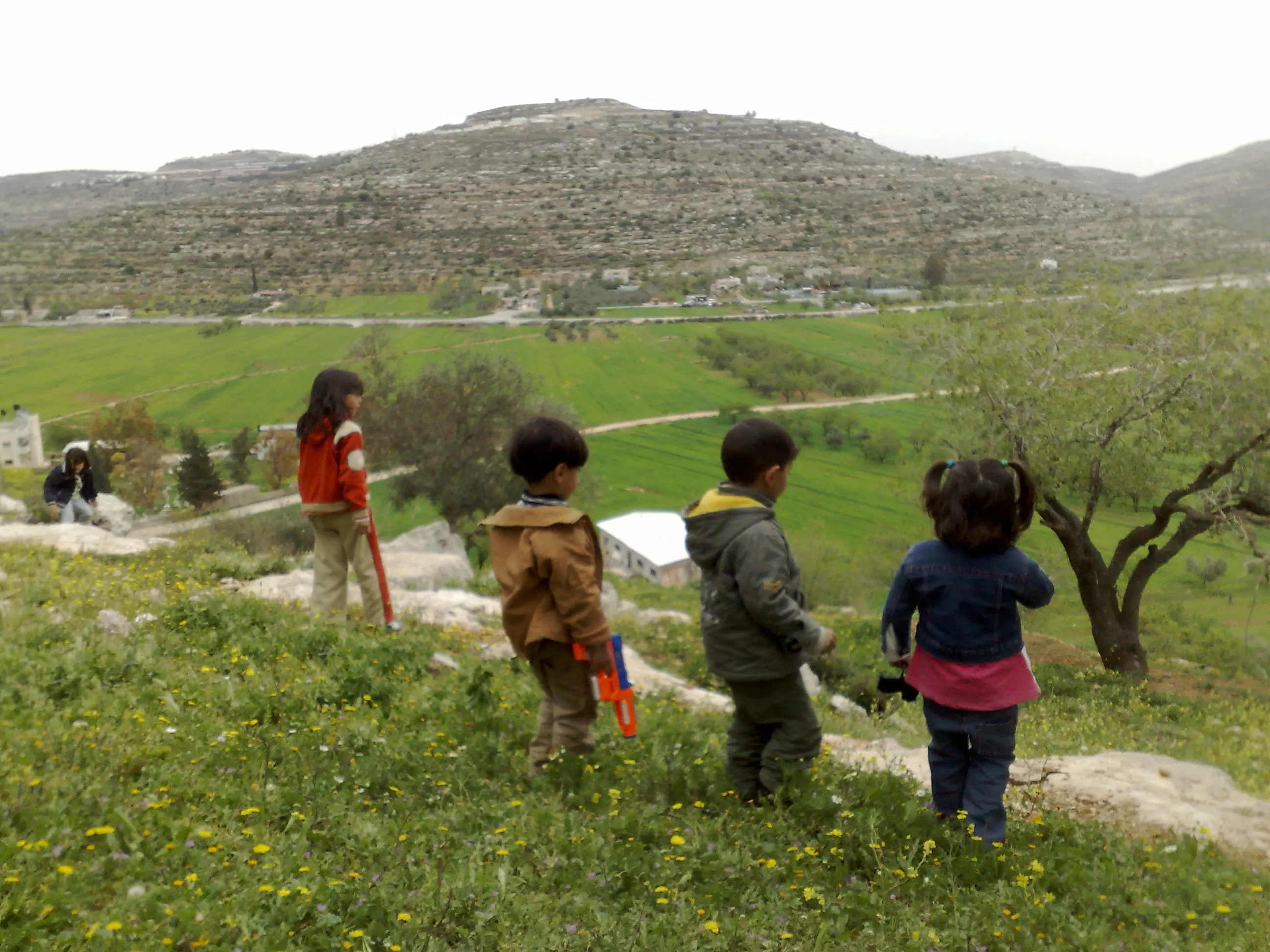
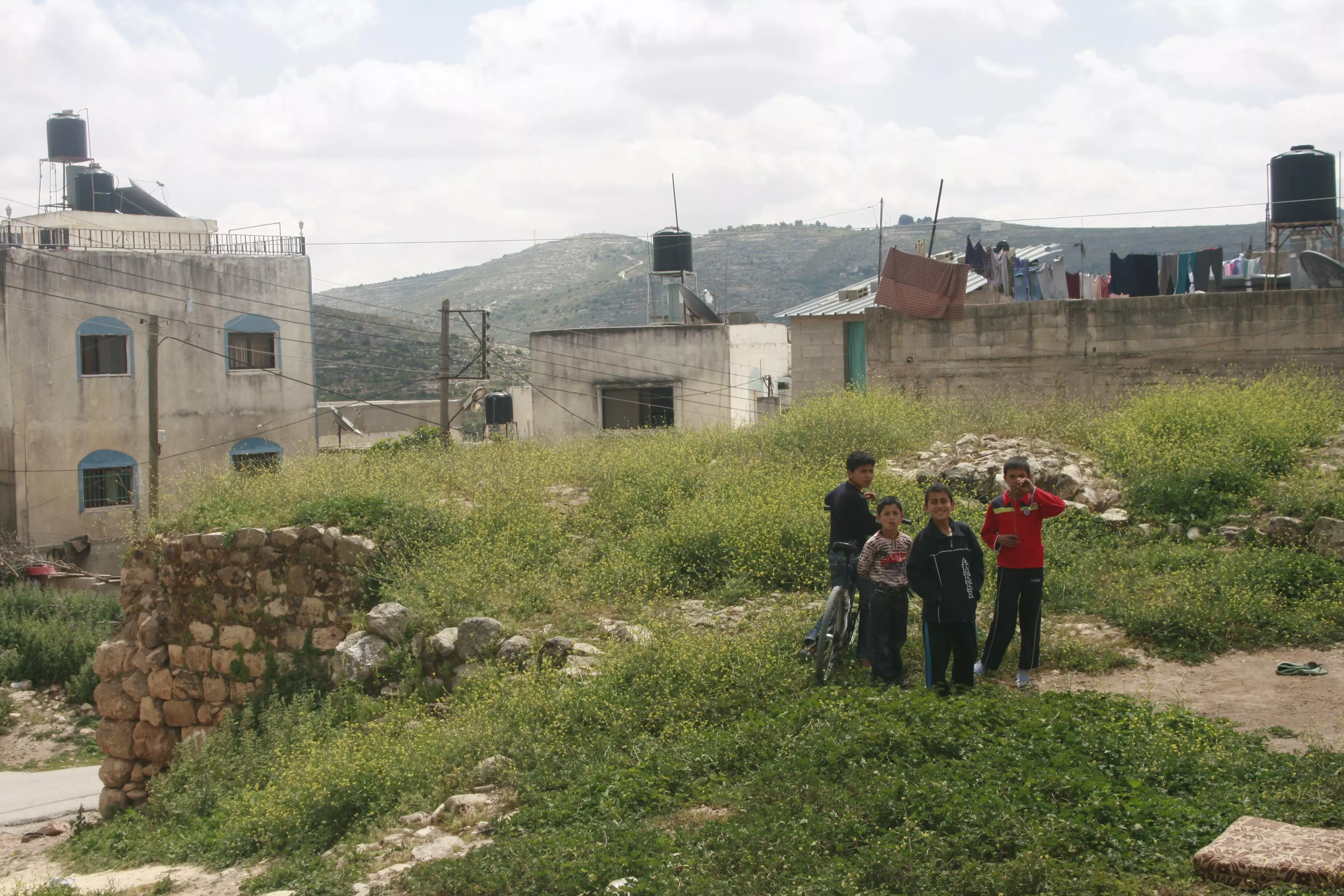
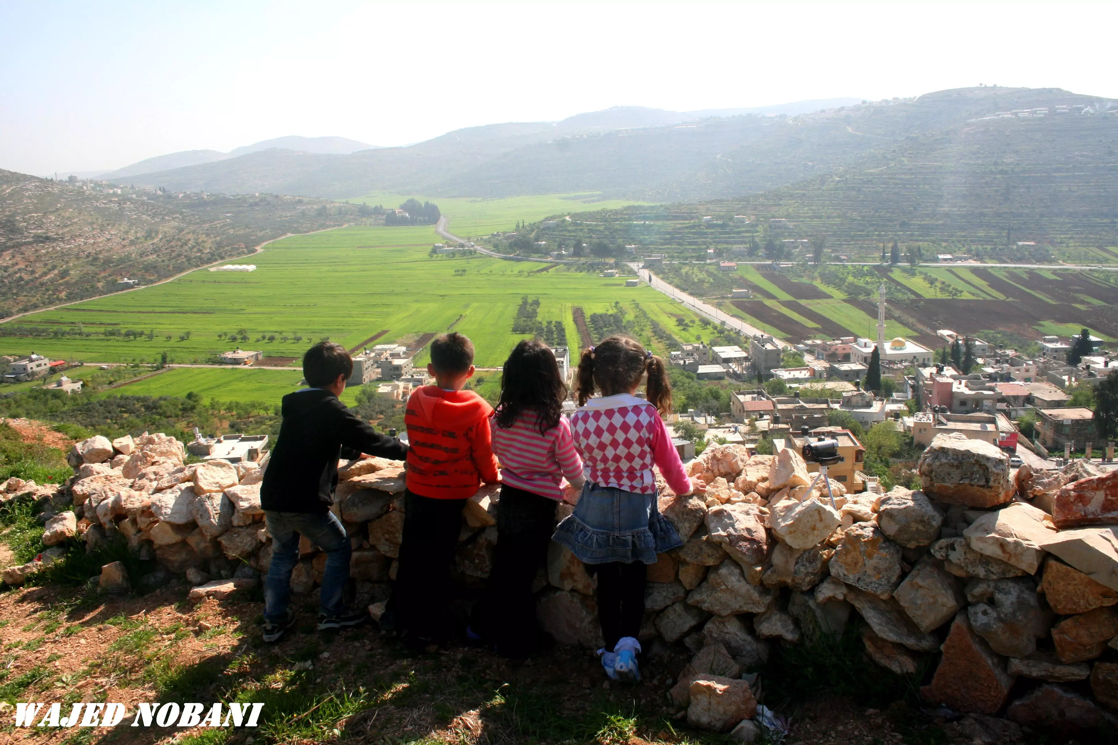
Posted by واجد امين نوباني 1 - طفل فلسطيني يقطف لوز اللبن الشرقيه وبالاسفل اطفال مرابطين يتاملون السهل الذي يحاول اليهود اغتصابه تصوير واجد نوباني
Posted by واجد امين نوباني - اول قوربات اللبن على اليمين الخان وعاليسار من فوق المستعمره وشوفو ما اجمل هالطبيعه عند طلعه اللبن -واجد [email protected]
Posted by واجد امين نوباني - خان اللبن الشرقيه من الداخل تاملو هذا السحر الريفي باقدس بقعه في هذا المكان يعتقد التوراه ان اليهود وضعو ابنائهم ونسائهم زمن الحرب مع الفلسطينيين على ارض كنعان-واجد
Posted by واجد امين نوباني - الصوره من فوق الخان
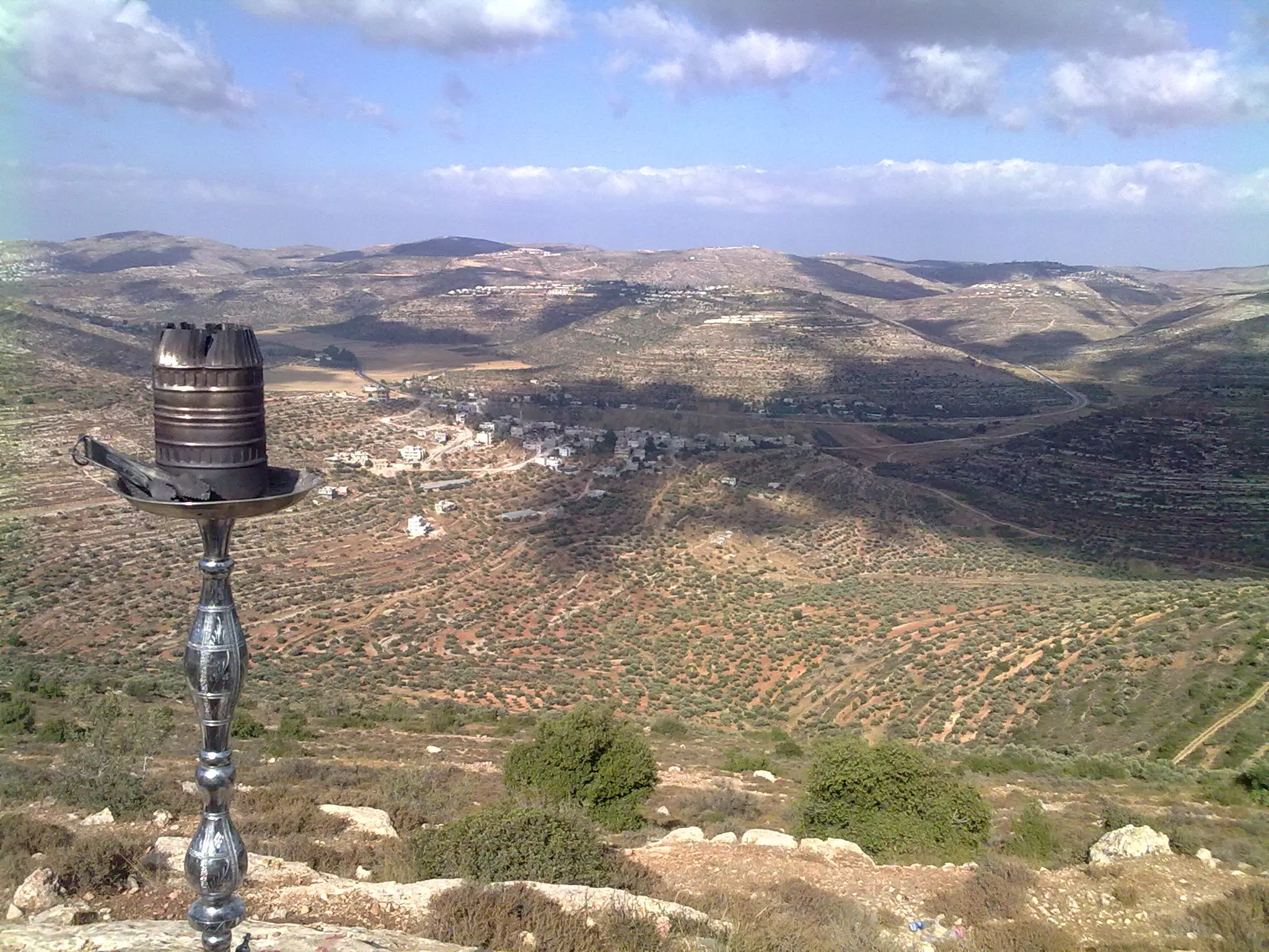
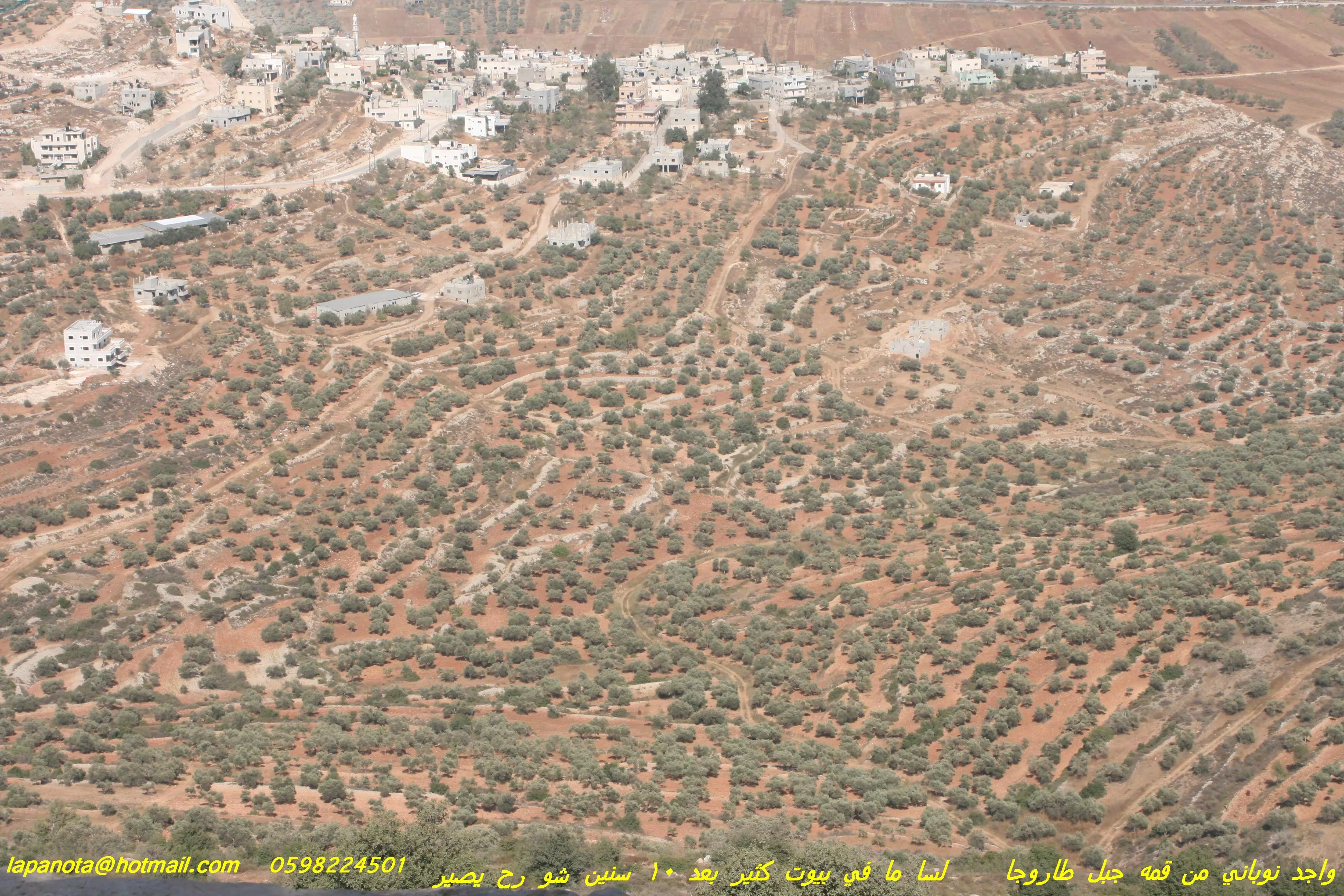
Posted by واجد امين نوباني - البريه الوادعه والجميله من اسفل قمه جبل طاروجا في اللبن الشرقيه منطقه (العساسفه) تصوير واجد امين النوباني
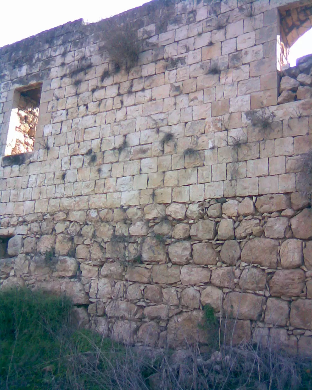
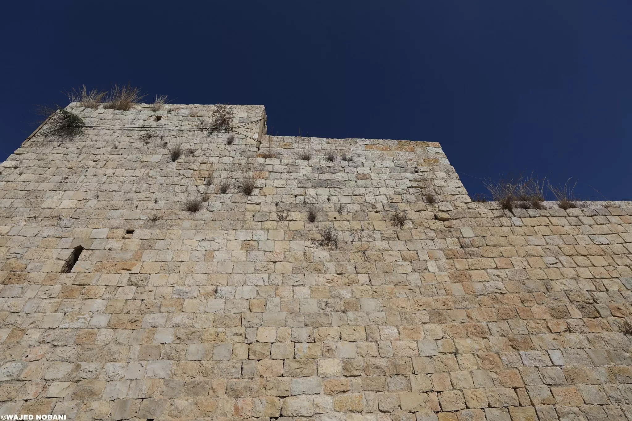
Posted by واجد امين نوباني - قلعه الخان جنوب اللبن الشرقيه وهذا السور الخارجي للخان الجميل والاكثر من رائع -تصوير واجد نوباني salam_91_1990
Posted by واجد امين نوباني - خان اللبن الشرقيه تصوير واجد salam_91_1990
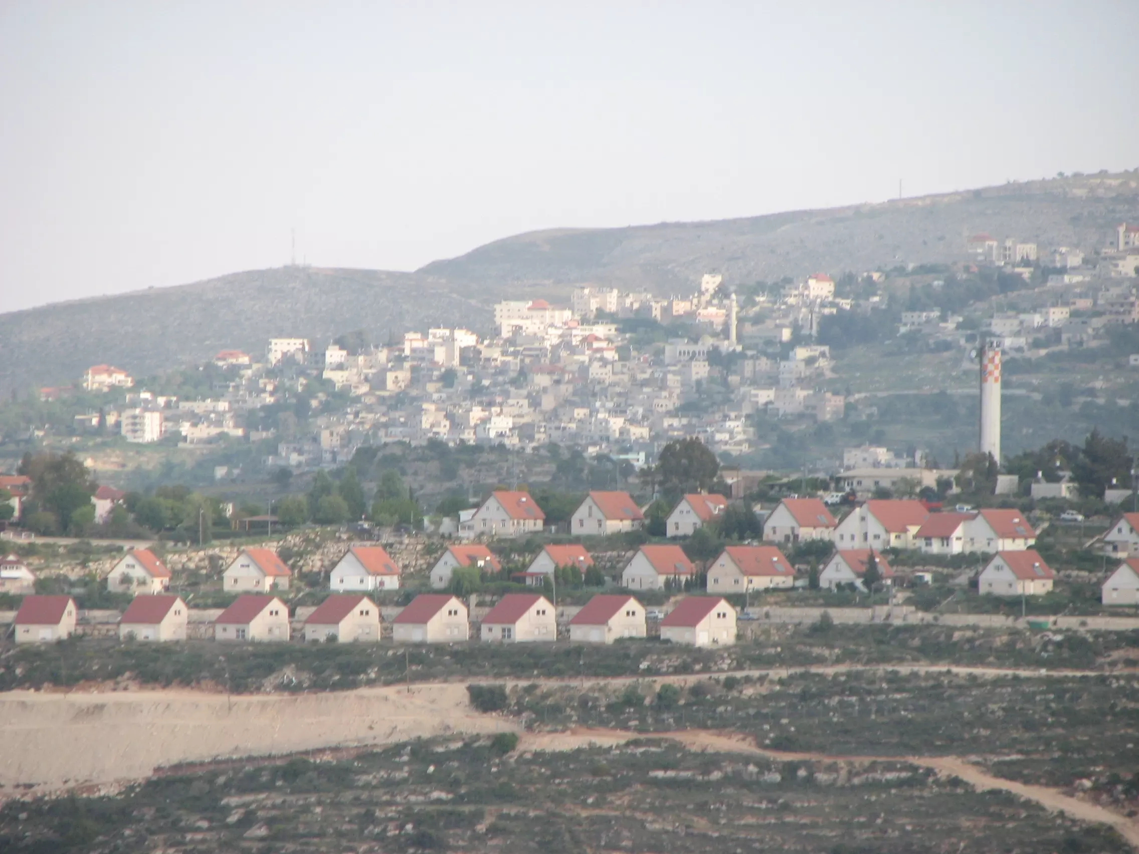
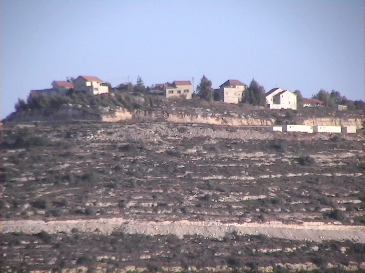
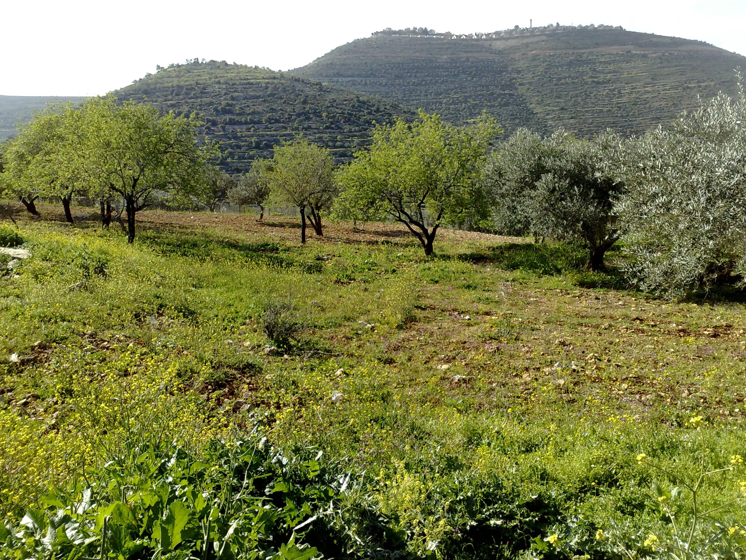
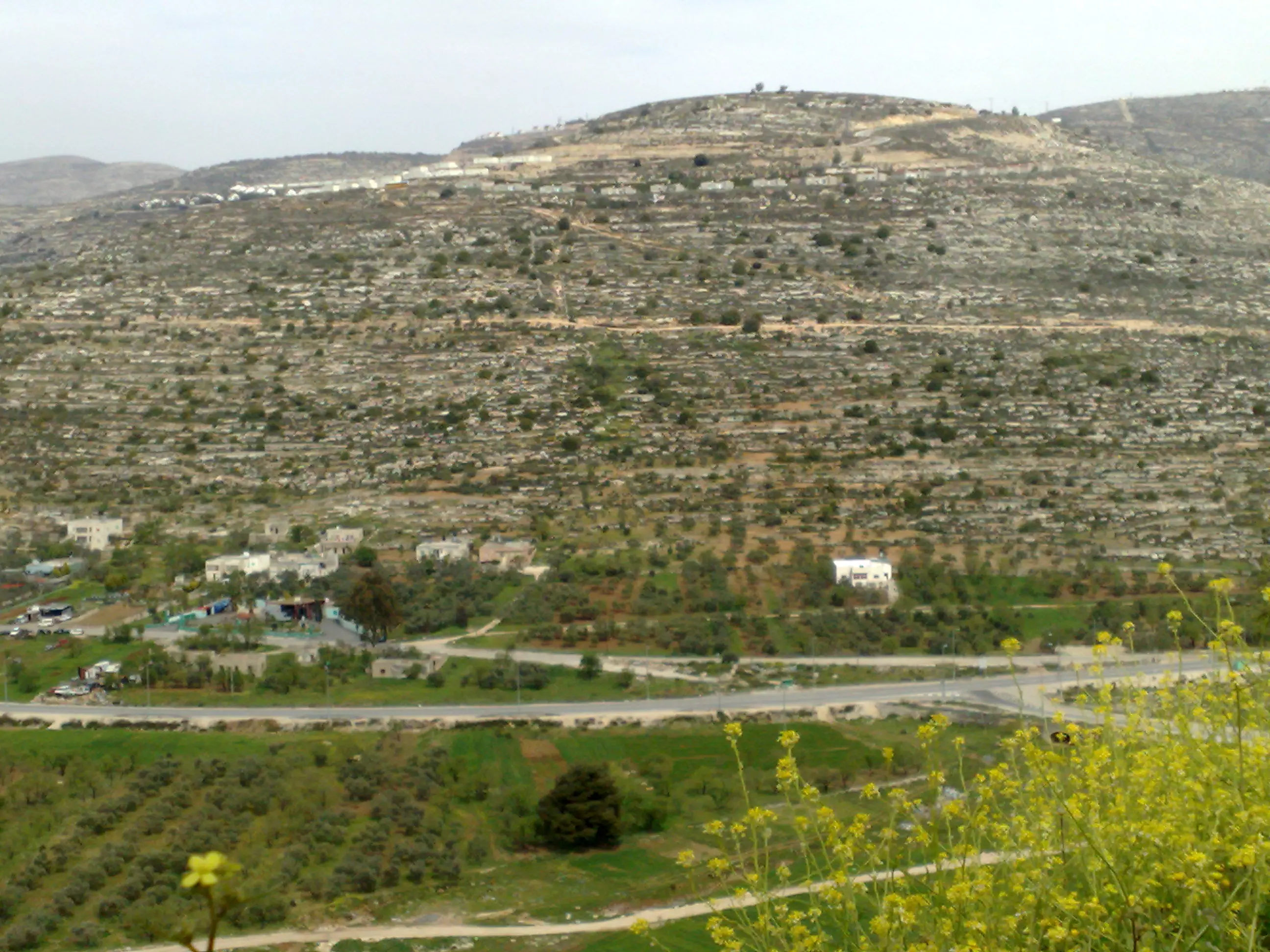
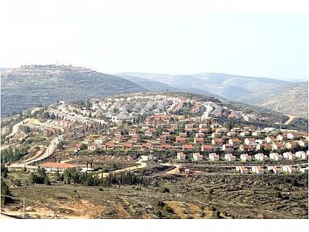
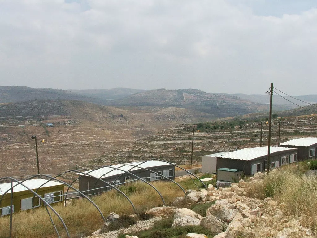
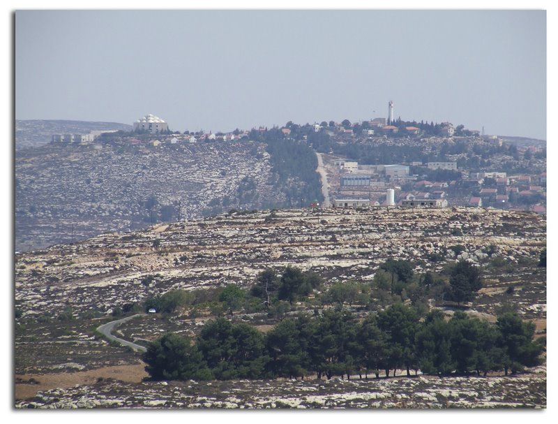
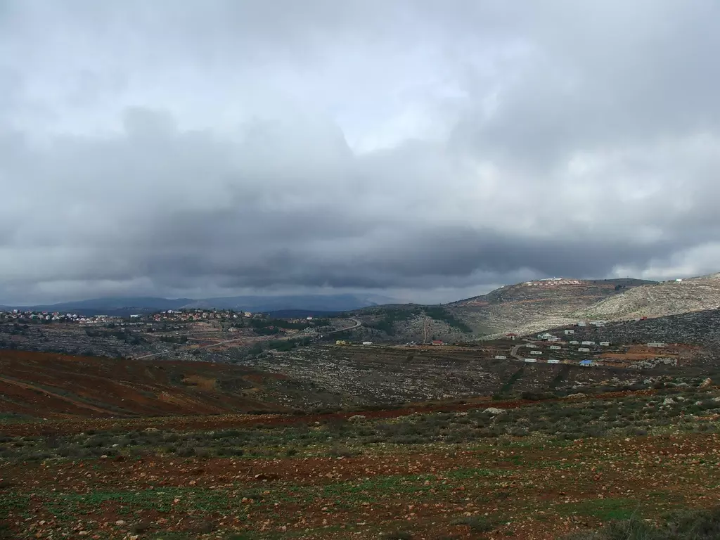
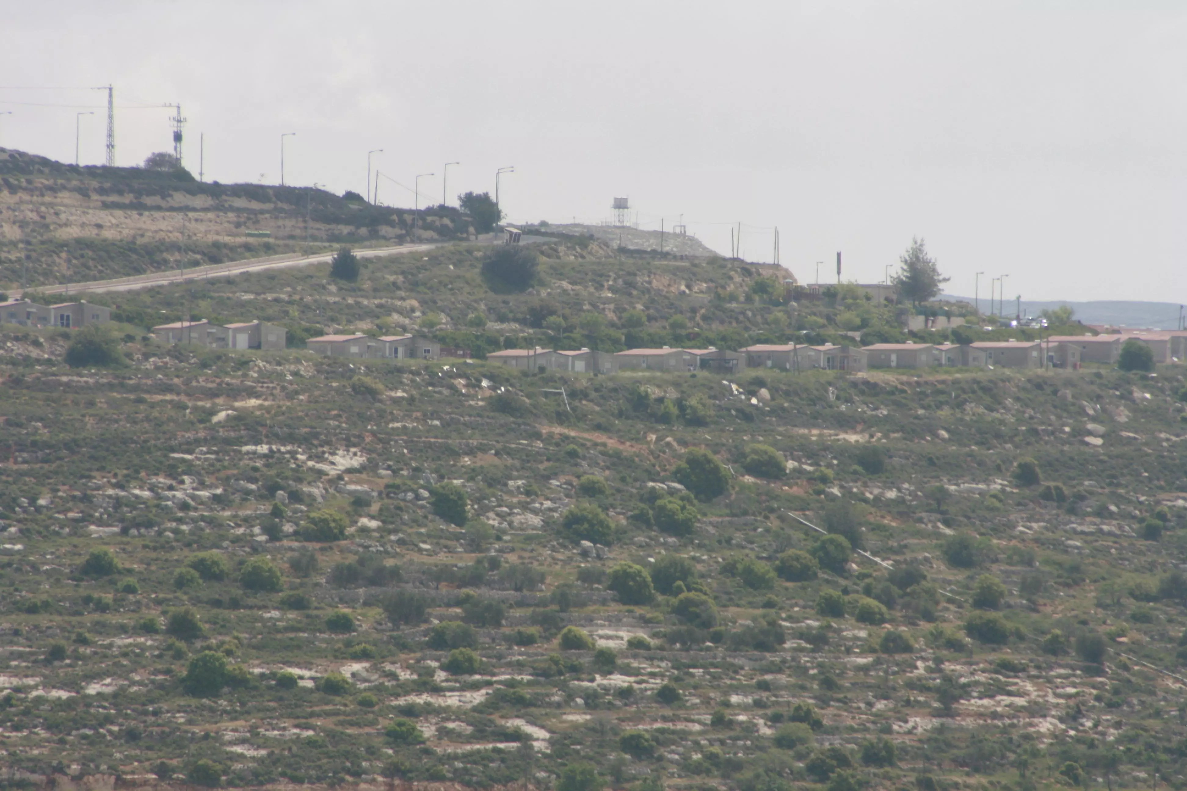
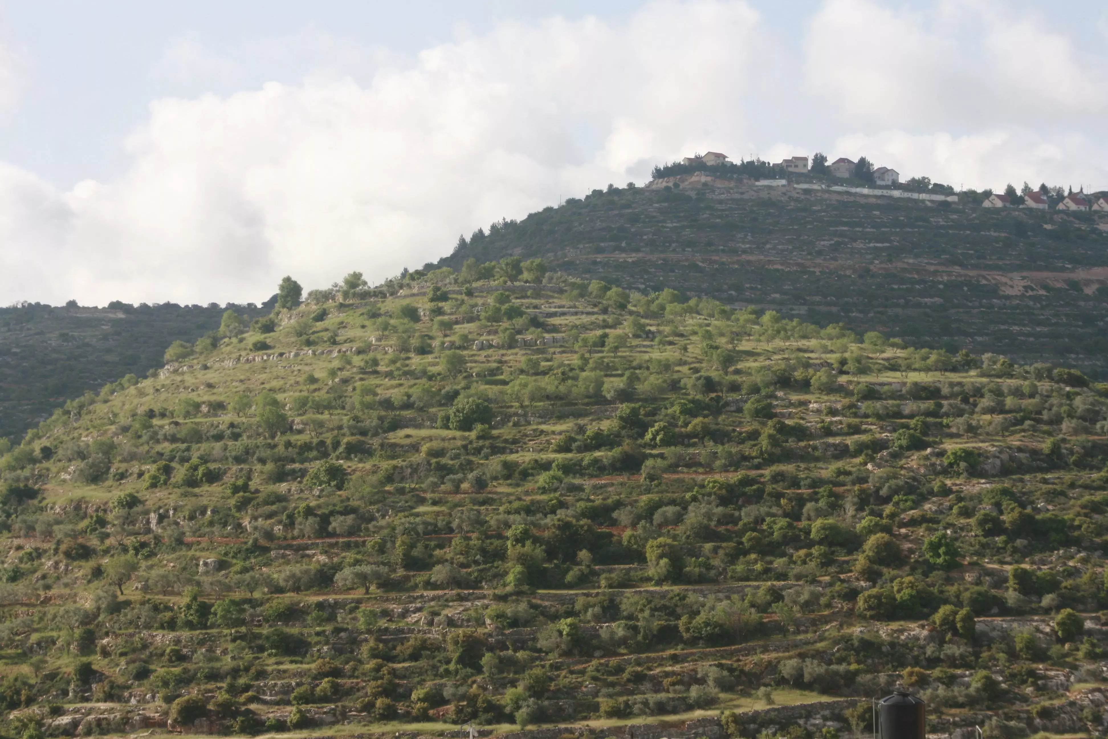
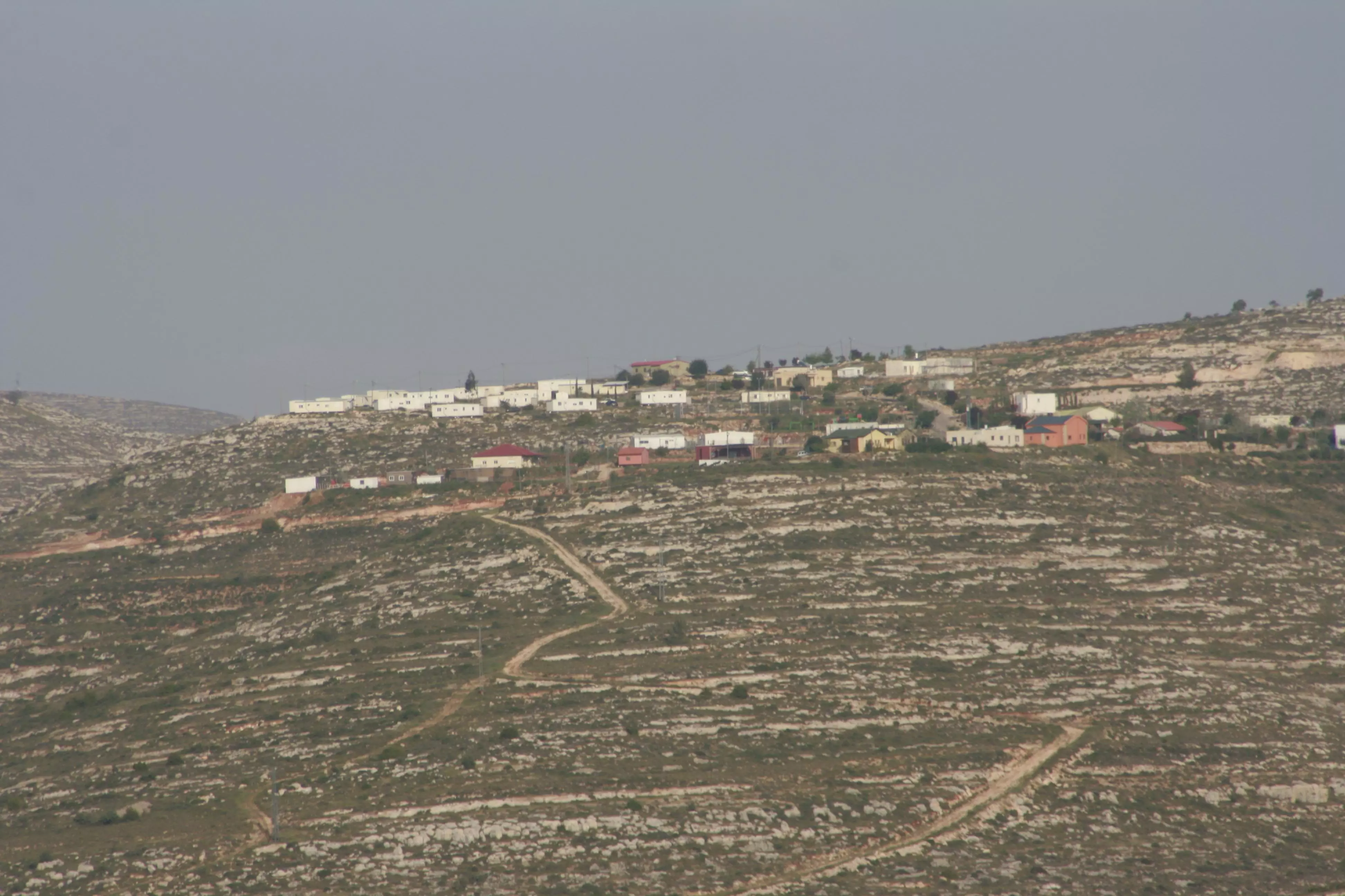
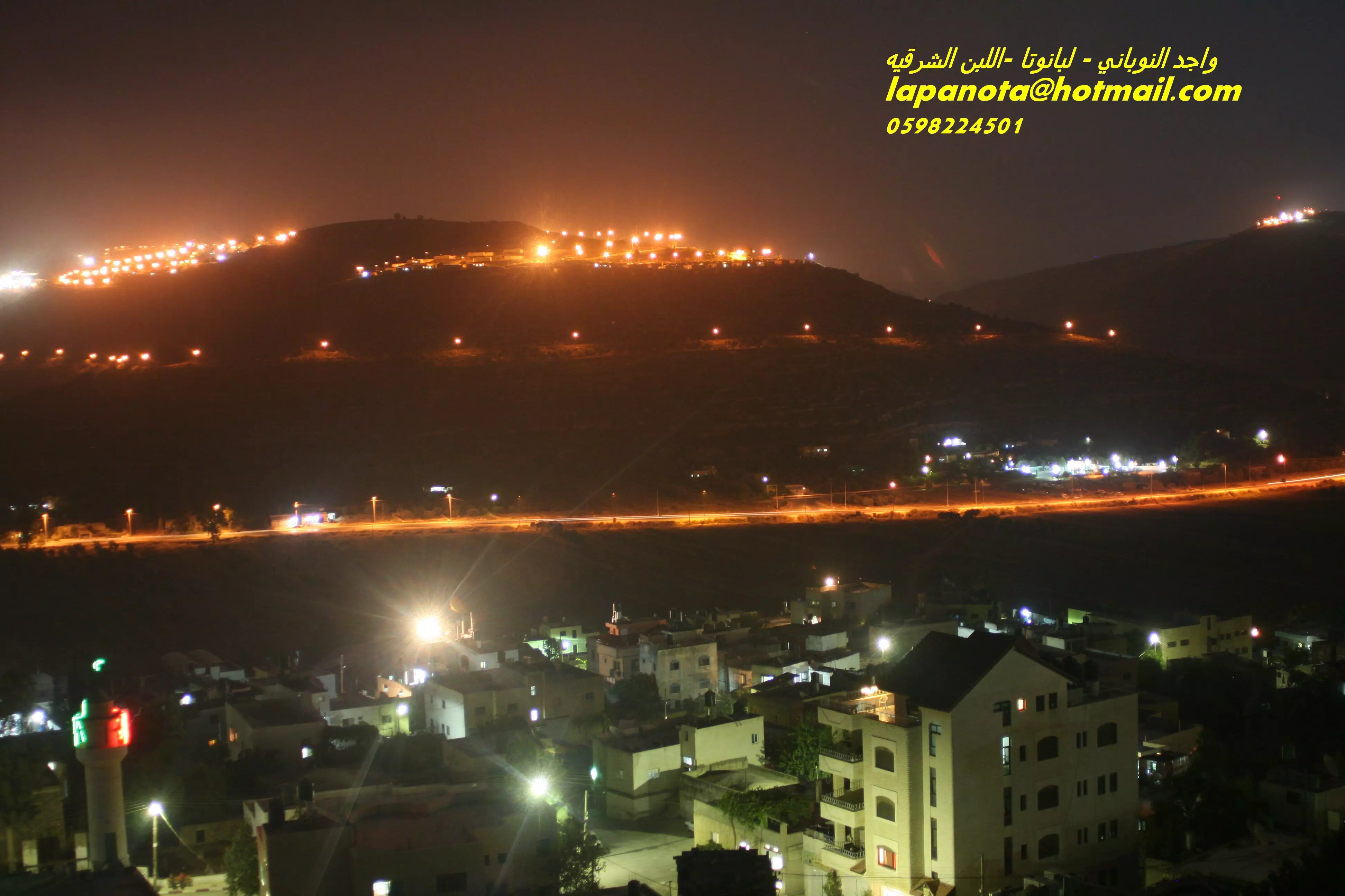
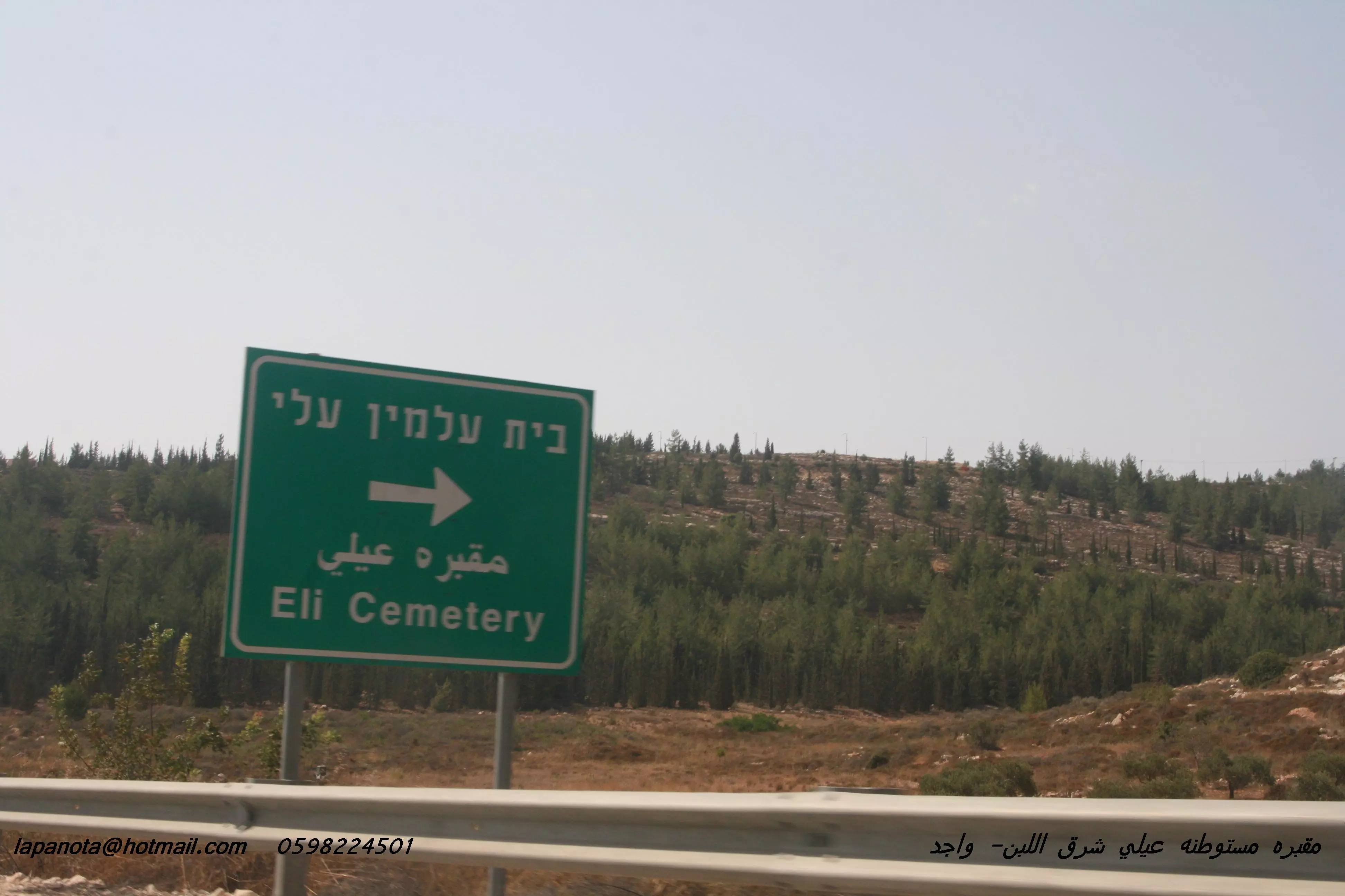
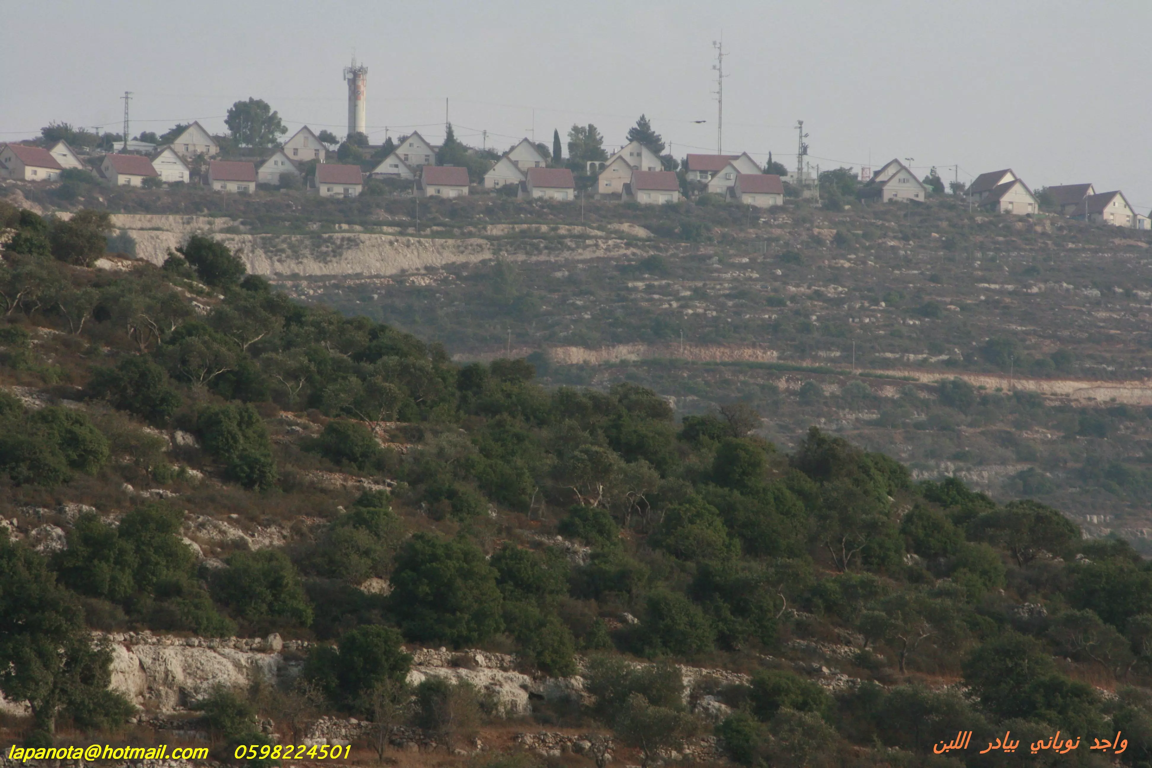
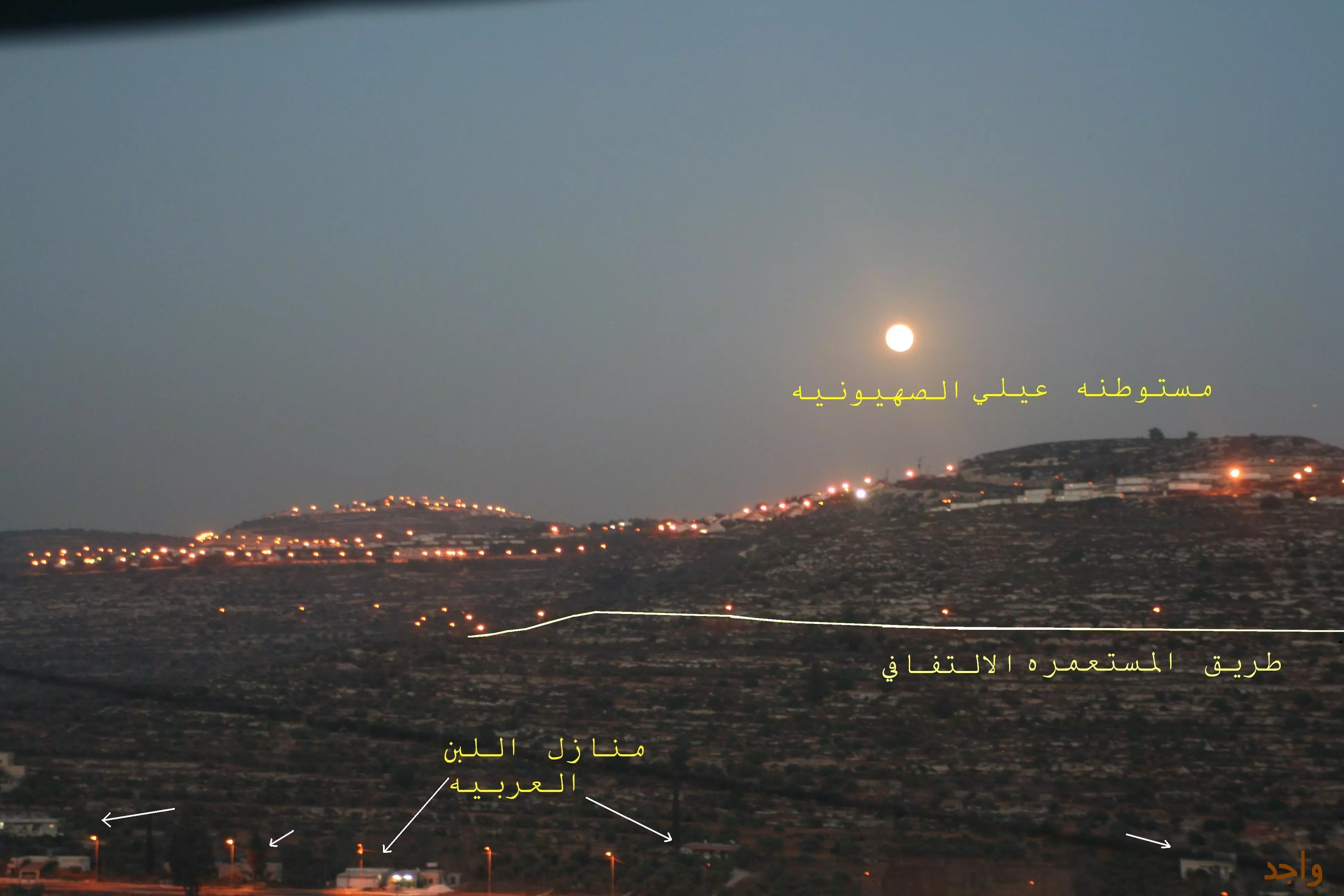
Posted by واجد امين نوباني - مستوطنه عيلي فوق جبل الرهوات باللبن الشرقيه فيها ما 2500 مستوطن من المتطرفين اليهود -تصوير واجد النوباني
Posted by واجد امين نوباني - احدى بيوت مستوطنه معاليه لبونه المتطرفه تطل على القوربات والشارع الرئيسي والخان وعيلي وشيلو وراحيل تصوير واجد امين
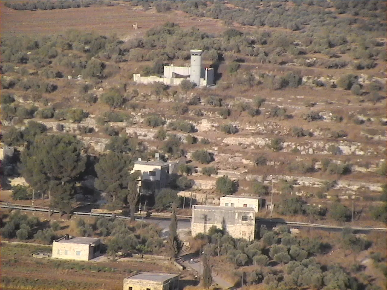
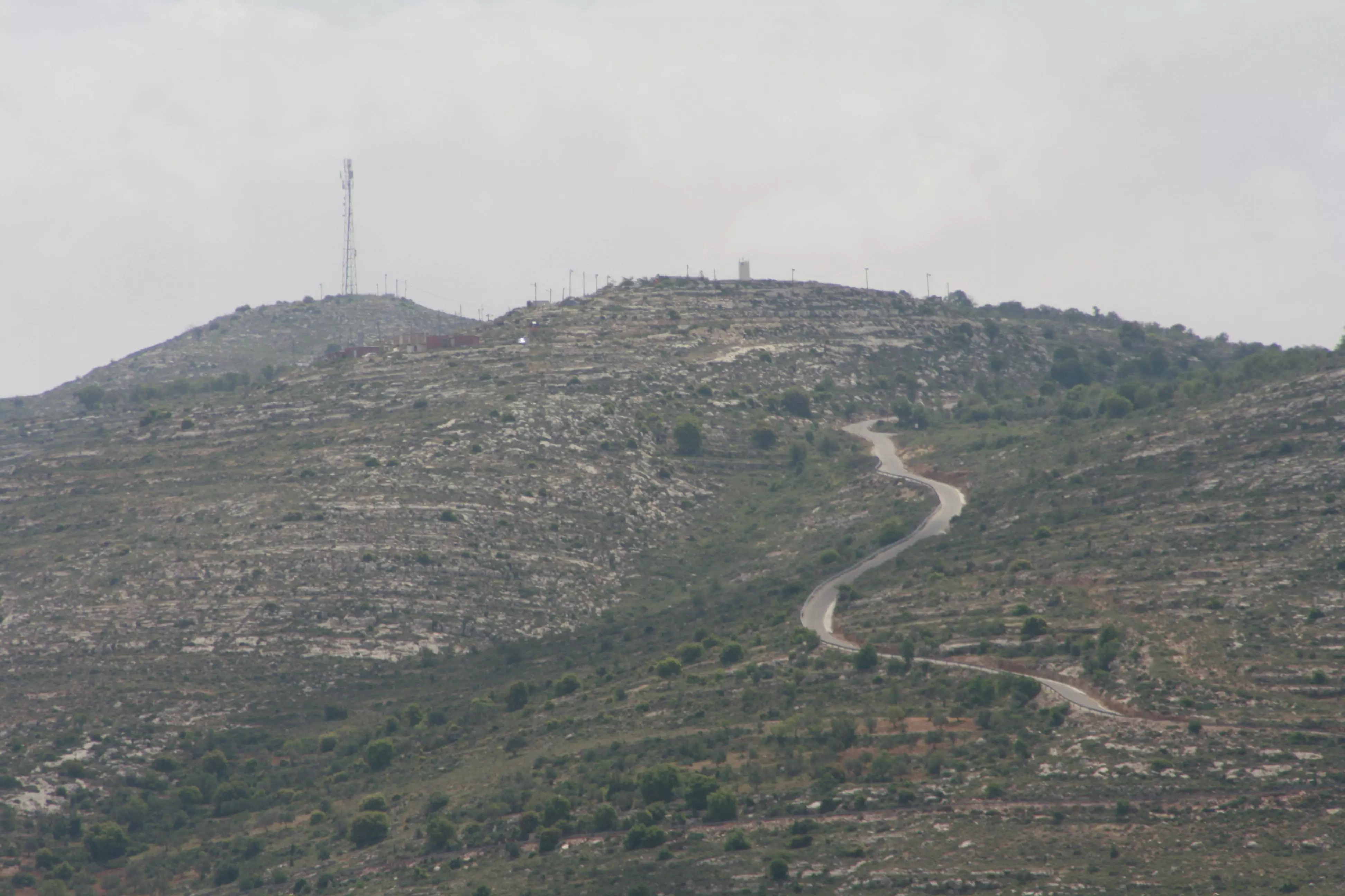
Posted by واجد امين نوباني - النقطه العسكريه في اللبن برج احتلالي صهيوني بعدسه واجد امين النوباني
Posted by واجد امين نوباني 1 - صوره معبره لخان اللبن جميله جدا تصوير واجد امين النوباني
Posted by واجد امين نوباني - صوره جميله للسنابل وهي صغيره في سهل اللبن الشرقيه تصوير واجد امين النوباني
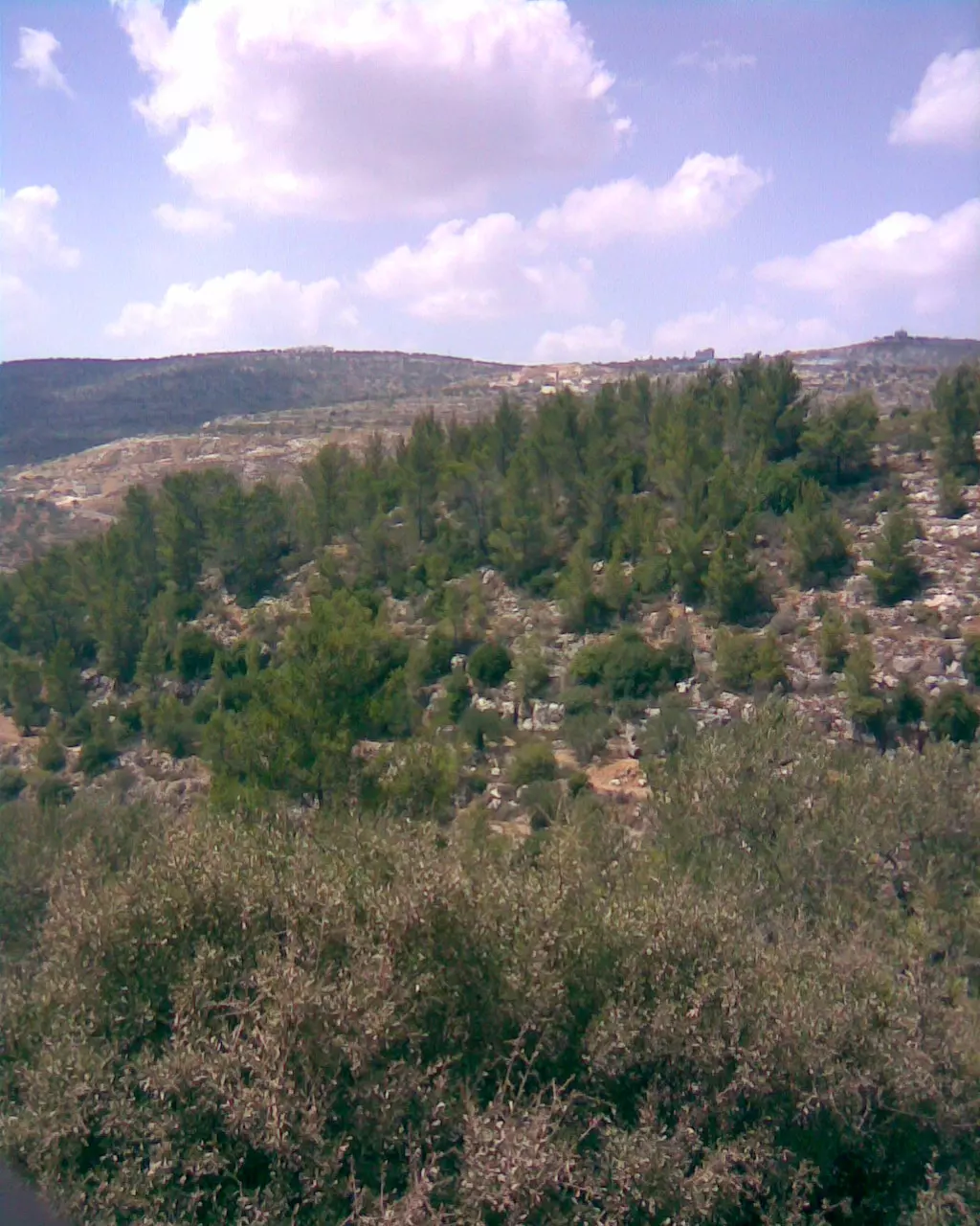
Posted by واجد امين نوباني - احراش كثيفه في منطقه عين الشاعر باللبن الشرقيه من واجد امين نوباني [email protected]
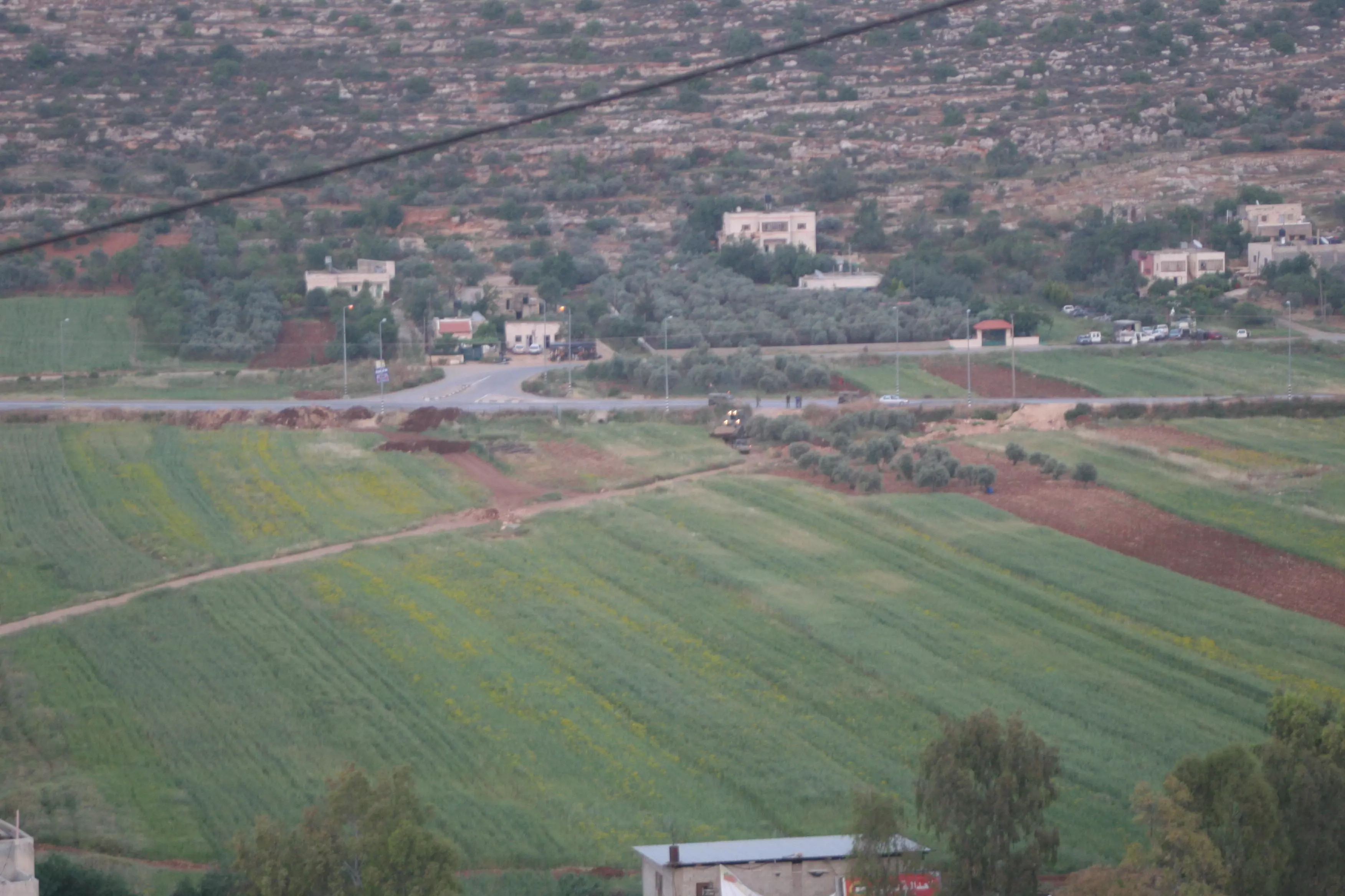
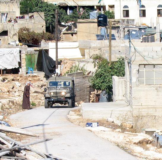
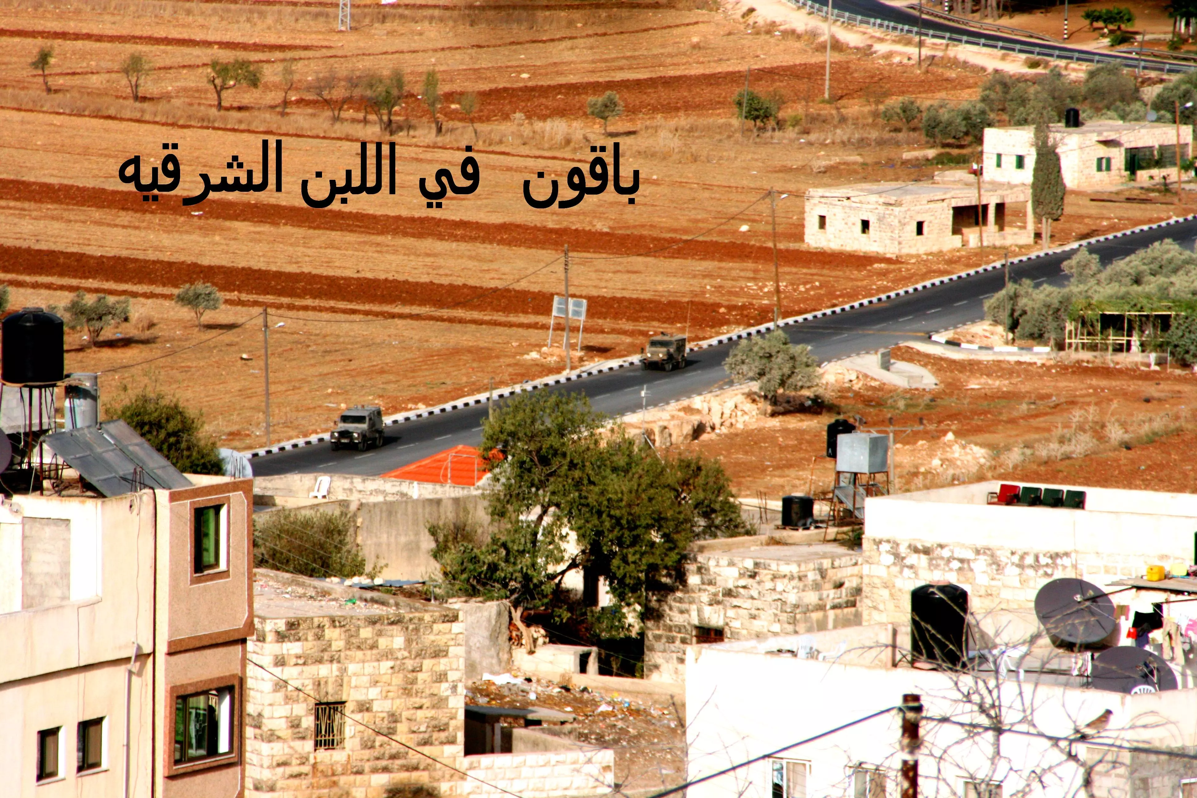
Posted by واجد امين نوباني - جرافات اليهود بحراسه الجيش تغلق طريق ترابي بين القريه والشارع مقابل كازيه الضراغمه اصوير واجد النوباني
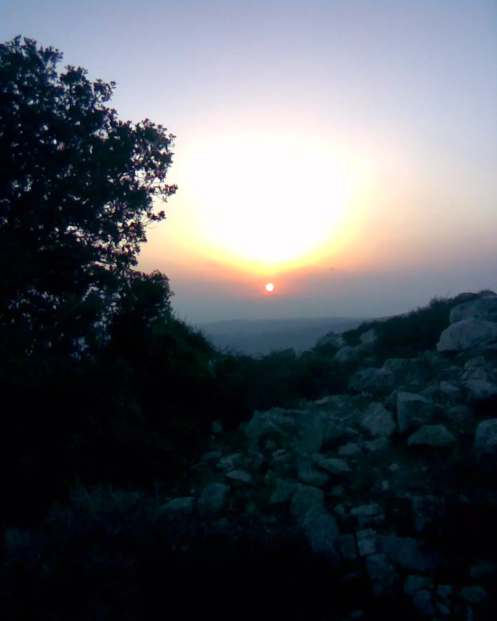
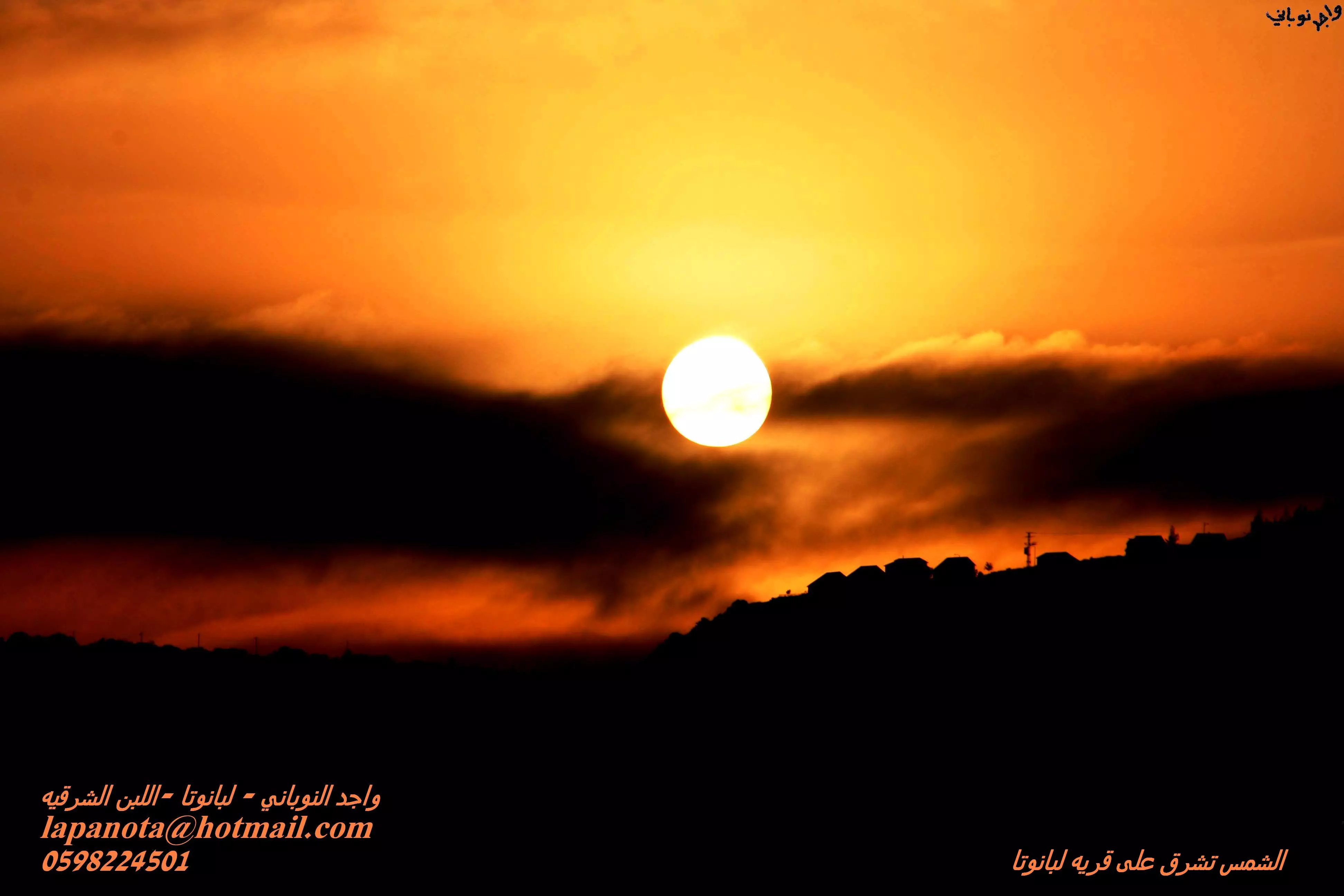
Posted by واجد امين نوباني - غروب الشمس في اللبن من جبل المسيب المطل على مدينه الشهيد واجد النوباني(سلفيت)وعموريه وعين الشاعر تصوير واجد نوباني
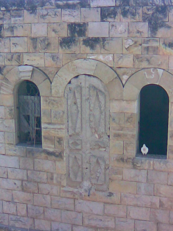
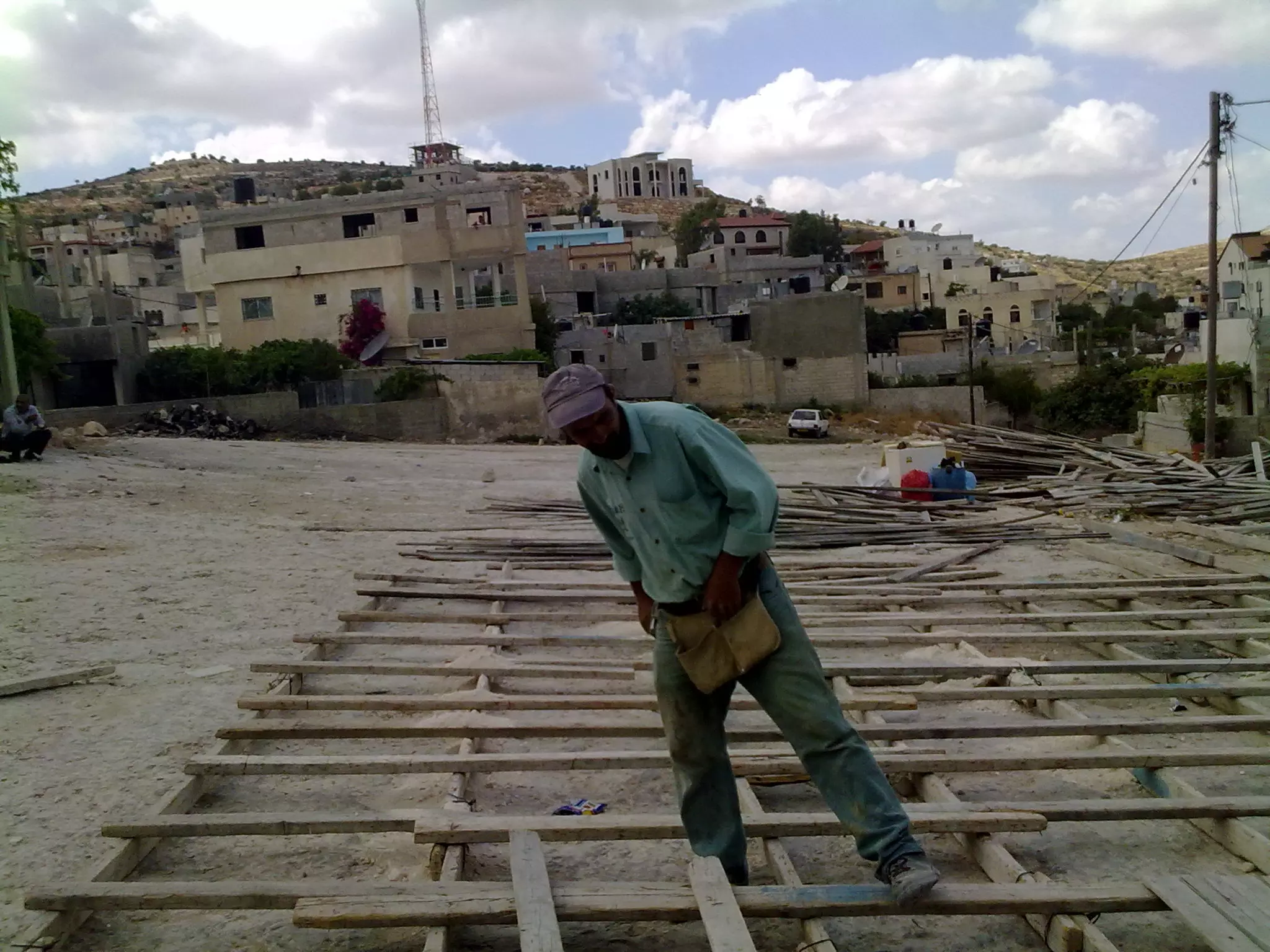
Posted by واجد امين نوباني - عليه البيادر هذه العليه لابو مازن بلوطه وهي بناء تراثي قديم جاري البناء والترميم لتحويلها الى مركز ثقافي وتظهر في الصوره حمامه بيضاء تصوير واجد امين النوباني
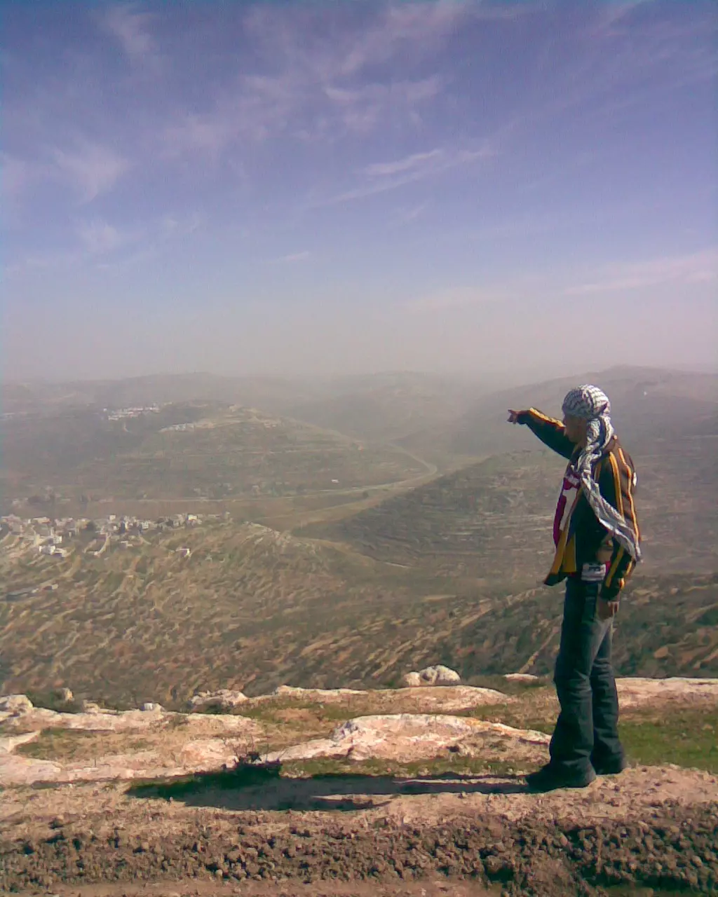
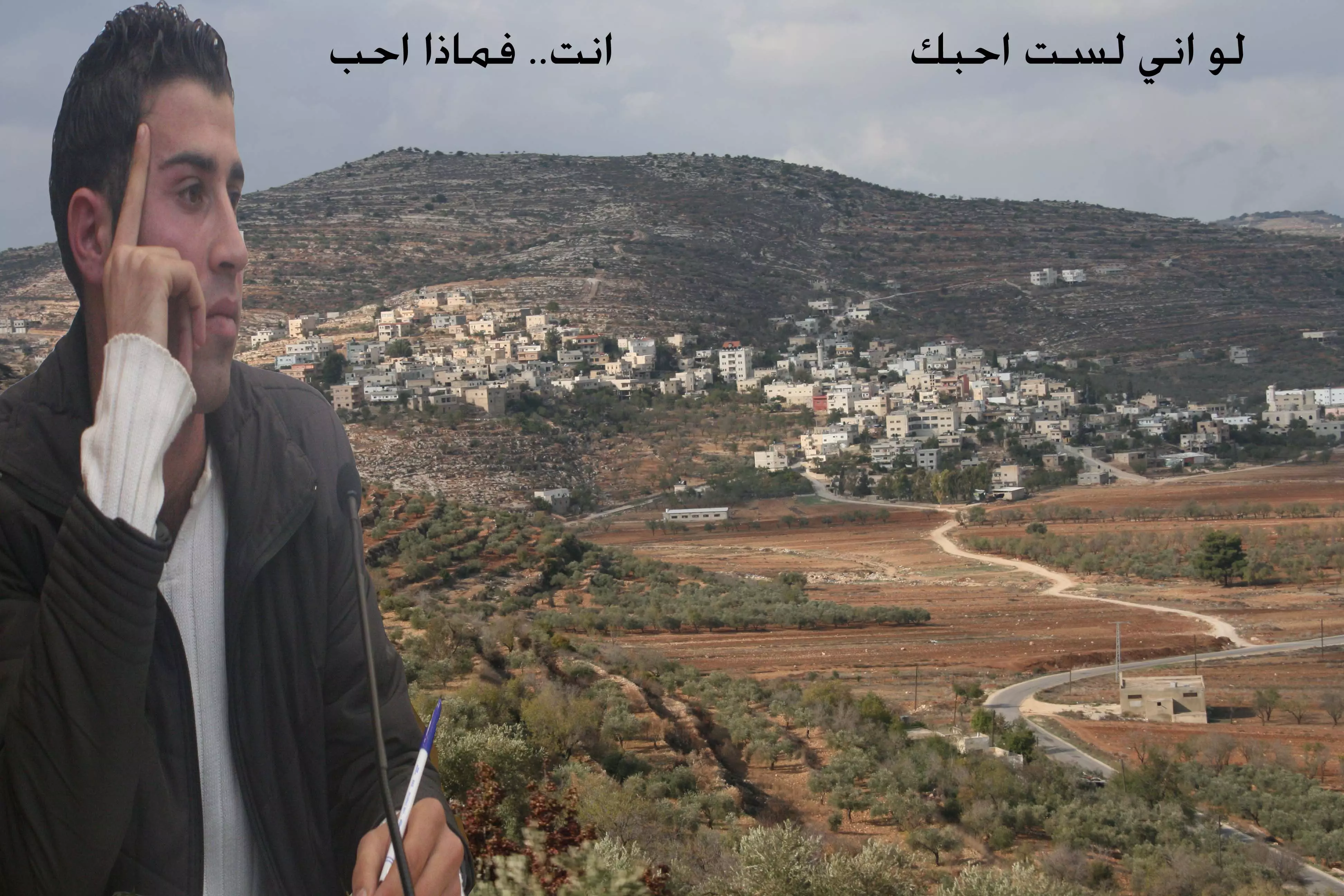
Posted by واجد امين نوباني - احد ابناء القريه يشير الى بلدته اللبن من مرتفع قمه جبل طاروجا ------------واجد النوباني
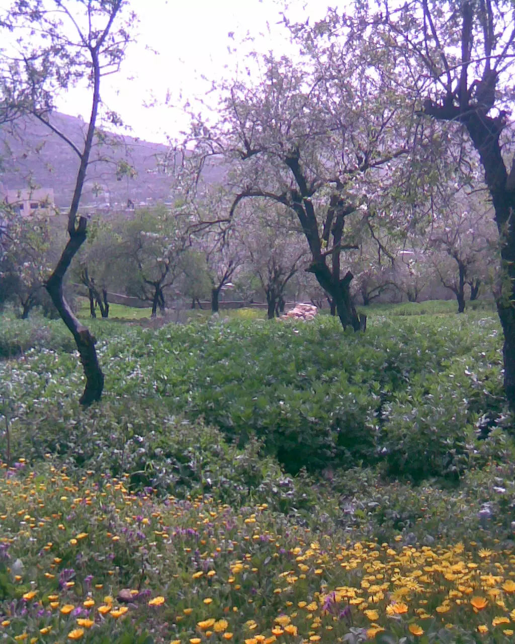
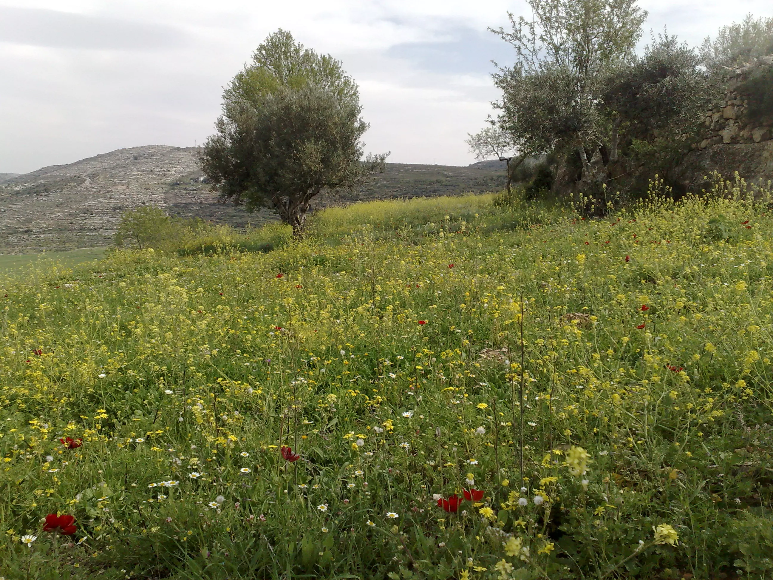
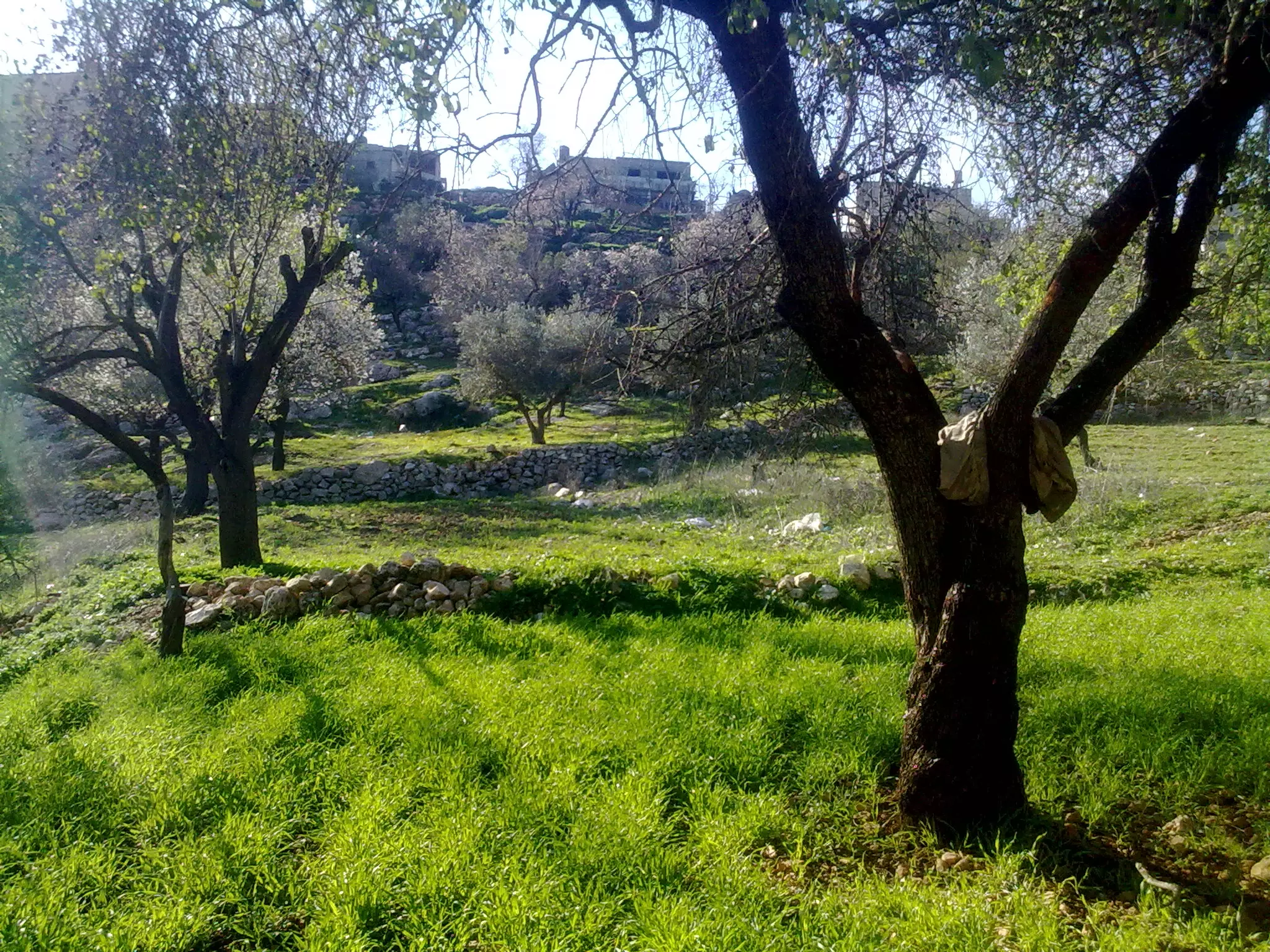
Posted by واجد امين نوباني - الجناين في فصل الربيع -اللبن الشرقيه عدسه واجد امين نوباني salam_91_1990
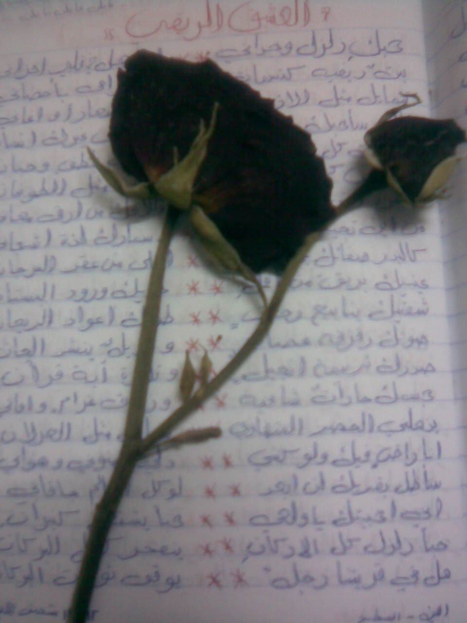
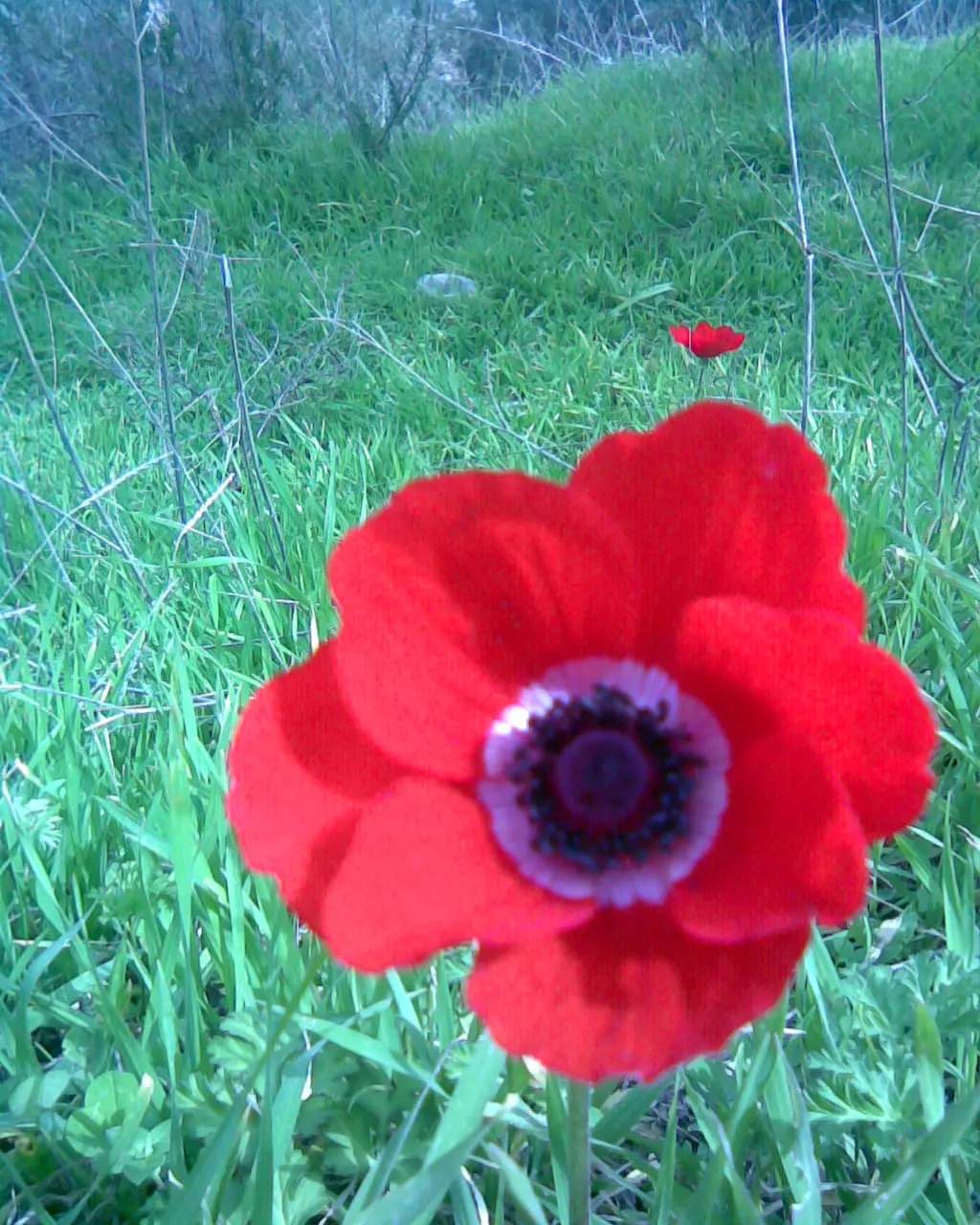
Posted by واجد امين نوباني - ورده جوريه حمراء من اللبن الشرقيه تناتم على قصيده جميله للقريه-تصوير واجد امين النوباني
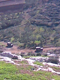
Posted by واجد امين نوباني 1 - دوريتين اسرائيليه متوغله من سهل اللبن لواد عبوين تصوير واجد نوباني
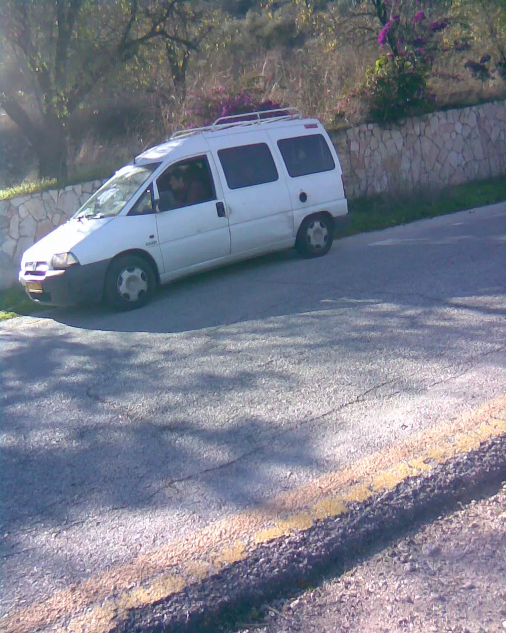
Posted by واجد امين نوباني - سياره لمستوطنه اسرائيليه تقف امام الخان وهي من معاليه لبونه تصوير واجد امين النوباني
Posted by واجد امين نوباني - خريف اللبن الشرقيه في منطقه سريا بالسهل تصوير واجد امين نوباني
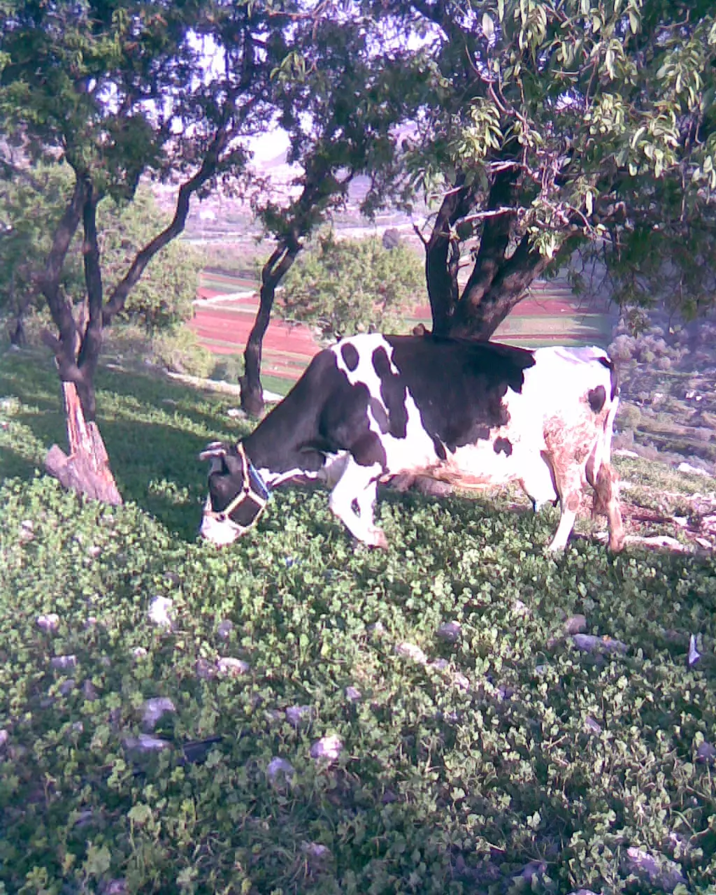
Posted by واجد امين نوباني 1 - بقره ترعى الربيع بمنطقه 0(لعرار)ومنظر جميل للزهور واللوز تصوير واجد امين نوباني لعيونك ياحمودي
Posted by واجد امين نوباني - باب العليه التي تعود ملكيتها لابو مازن بلوطه وهي لازالت قائمه حتى اليوم وتربى فيها عدد من الخيول تصوير واجد امين النوباني لعيونك يا ابوخليل
Posted by واجد امين نوباني - سقيفه قديمه على اطراف البيادر تعود لابويوسف النوباني تصوير واجد امين اللبن الشرقيه
Posted by واجد امين نوباني - بوابه الخان قلعه العاشقين اللبناويه بعدسه جوال واجد امين النوباني ابن البيادر حاره الاسود لعيونك يا احمد موسى
Posted by واجد امين نوباني - احلى ريف من البيادر والاطلاله الجميله على السهل وواد علي تصوير واجد امين النوباني دمعه الريف
Posted by واجد امين نوباني 1 - سنسله تمتد على ربيع الجناين الخضراء في البيادر الساحره حاره الشعراء والدبيكه لعيونك يا ورده

Posted by واجد امين نوباني - احد المواقع الاثريه في خان اللبن ومؤخرا قامت جمعيات يهوديه بعمليات حفريه بحثا عن الذهب واثار تدل على احقيتهم بالمكان تصوير واجد امين نوباني
Posted by واجد امين نوباني - سهل البلد ومن فوق بتبين مستوطنه عيلي اليهوديه
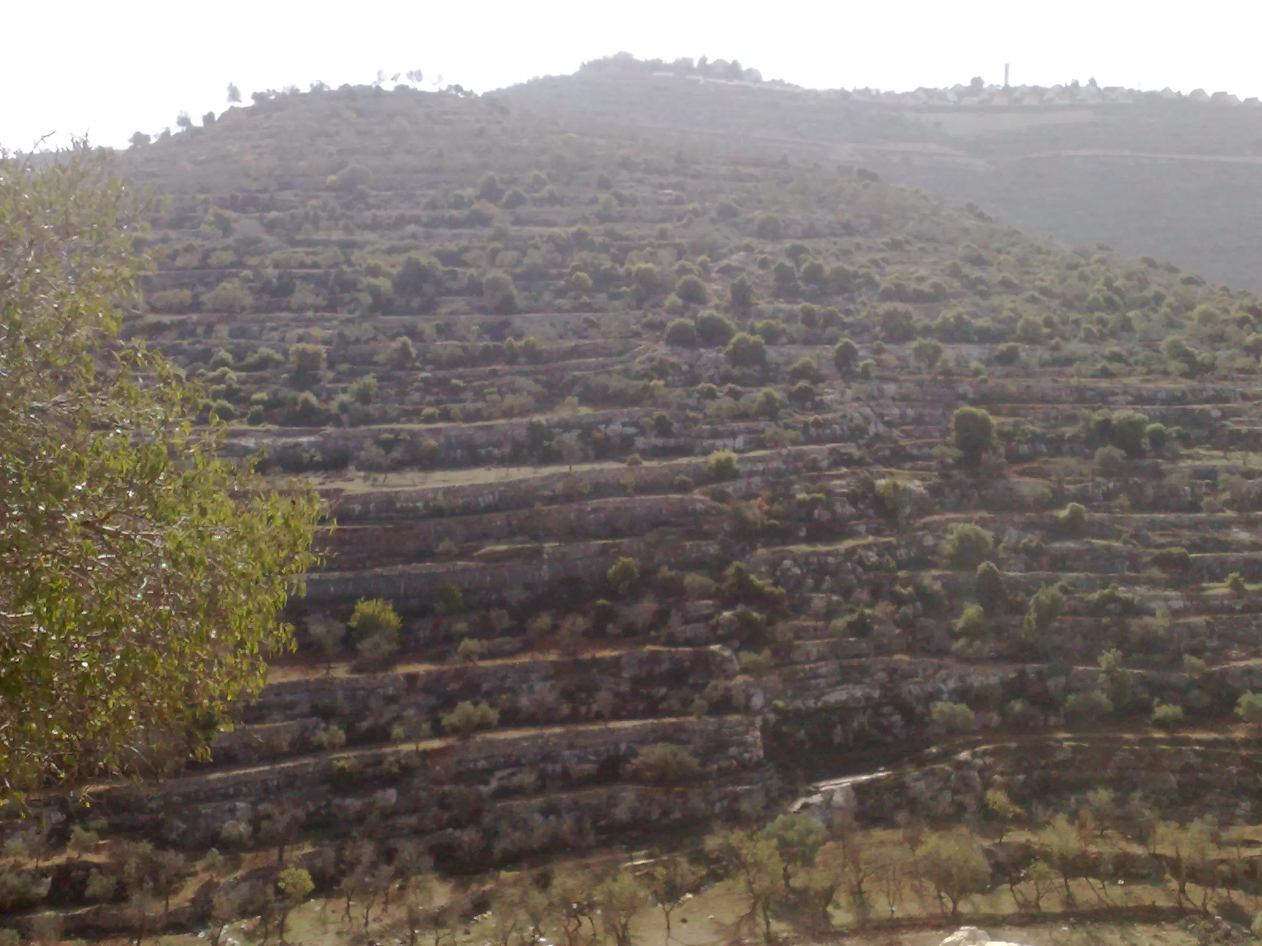
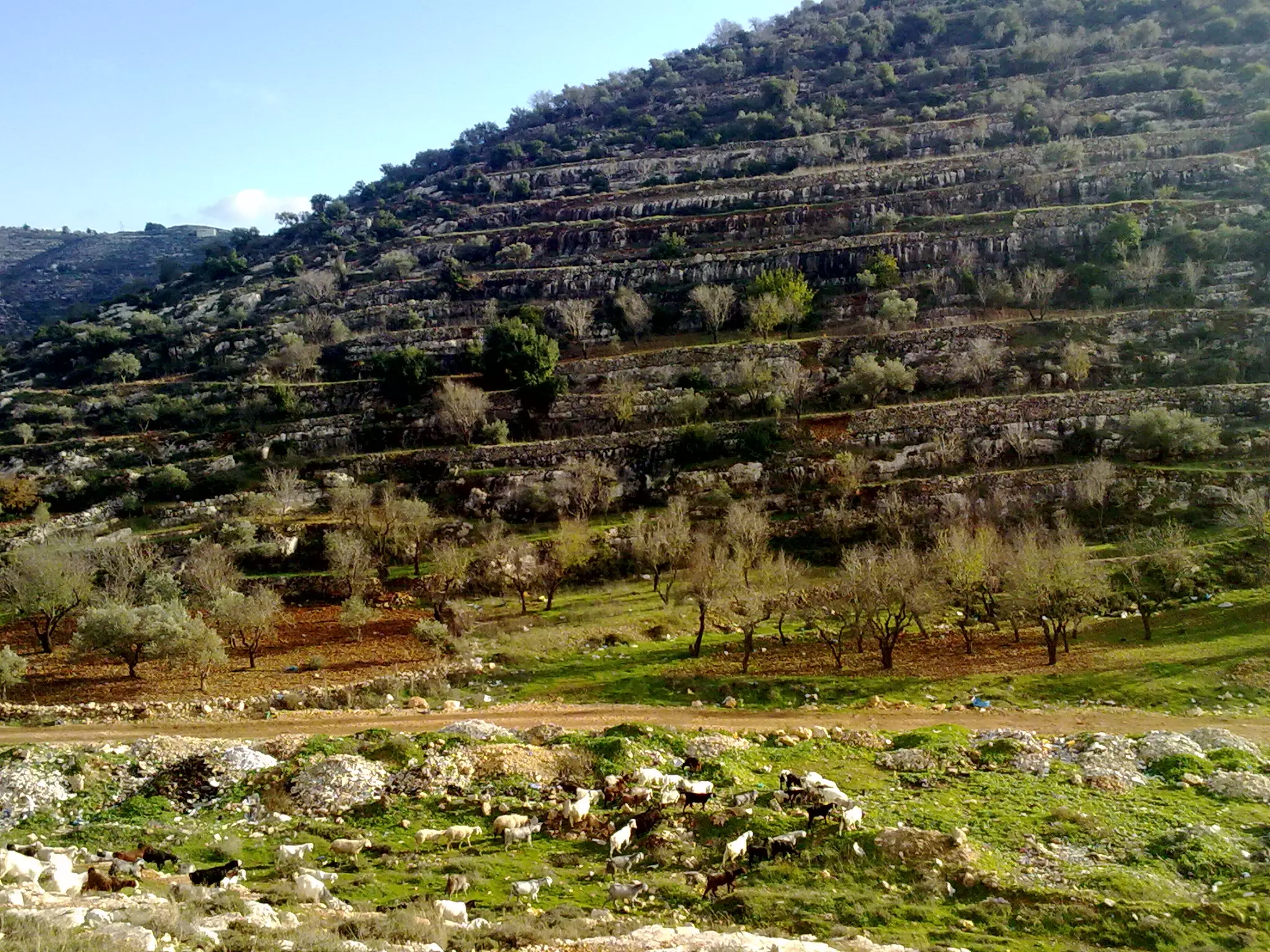
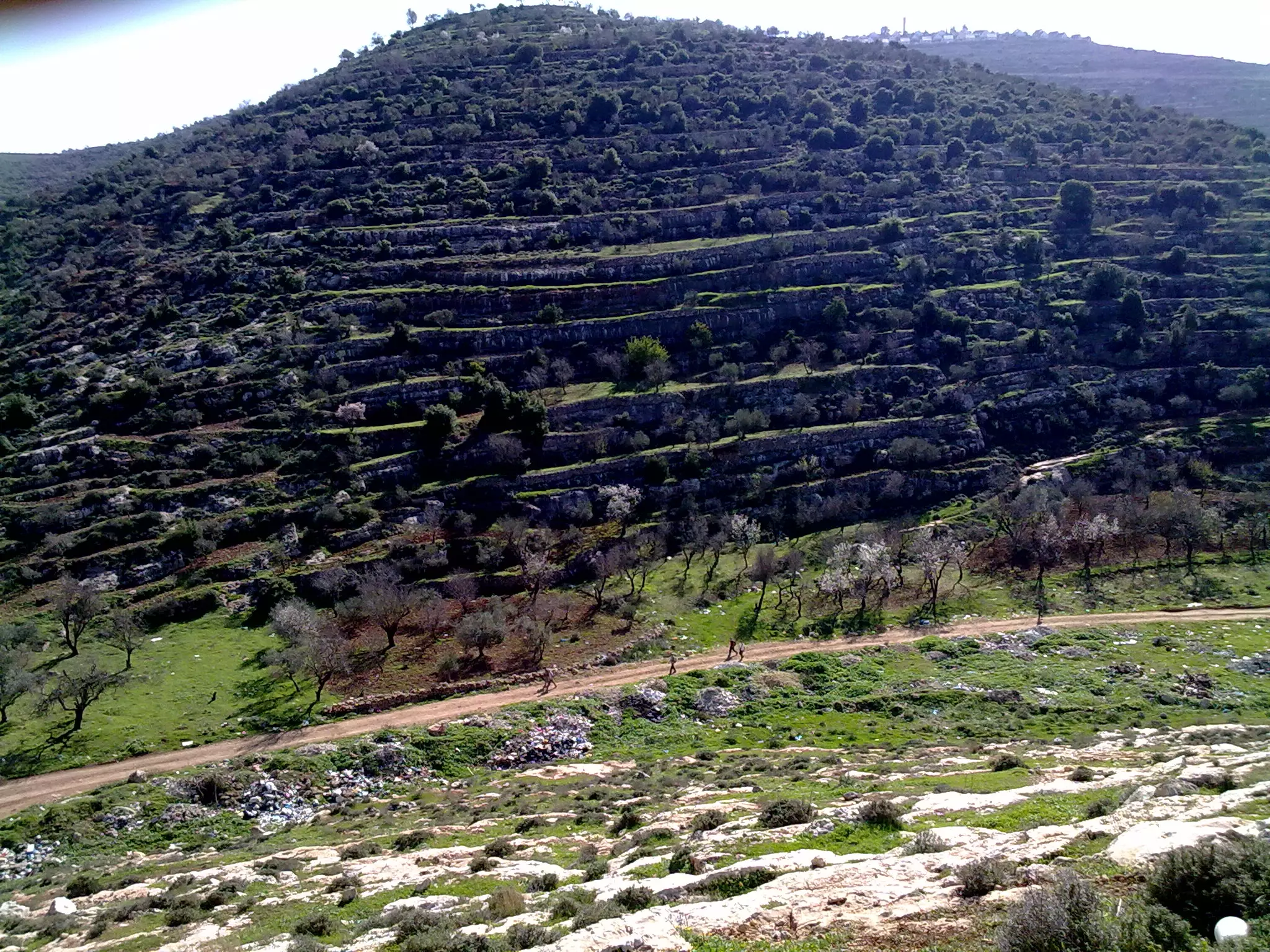
Posted by واجد امين نوباني - زيتون فلسطين ينحدر من جبل الراس في اللبن الشرقيه الى سهل العرايس تصوير واجد النوباني
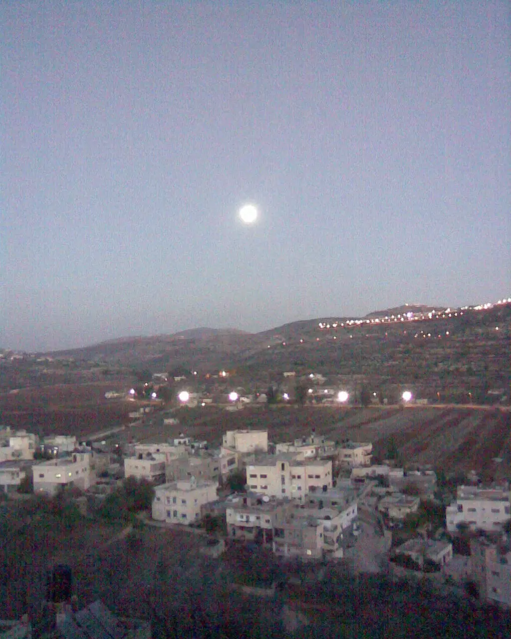
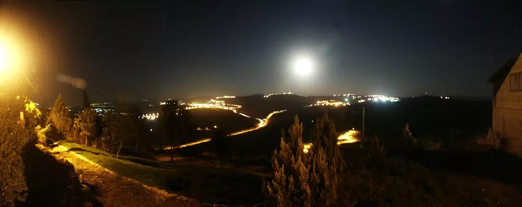
Posted by واجد امين نوباني - القمر يظهر عند غروب الشمس واضواء المستوطنات تظهر من كثرتها تصوير واجد النوباني
Posted by واجد امين نوباني 1 - صوره مؤلمه لمستوطنه اللبن العليا الجاثمه فوق صدور اهل اللبن والتي سيزيلها دم ياسر عرفات تصوير واجد نوباني
Posted by واجد امين نوباني - زهره حنون من خان اللبن الشرقيه تصوير عاشق الورود والياسمين والجوري والنرجس واجد امين نوباني
Posted by واجد امين نوباني - سنابل اللبن وهي كبيره وعلى راس الجبل مستعمره عيلي المقامه على اراضي اللبن والساويه وقريوت تصوير واجد النوباني

Posted by واجد امين نوباني - متاسف خربشت بالصور هاي هي صور الجيش -واجد نوباني
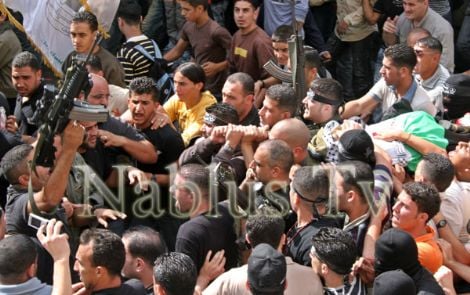
Posted by واجد امين نوباني - جنازه الشهيد الحي القائد البطل ابن نابلس ابن الياسمينه باسم ابوسريه(القذافي)قائد مجموعات فارس الليل تنزيل واجد امين نوباني
Posted by واجد امين نوباني - سهل اللبن من جناين البيادر في اللبن الشرقيه تصوير واجد امين النوباني
Posted by واجد امين نوباني - اللبن كما صورتها عدسه مركز اريج في القدس تنزيل واجد امين نوباني
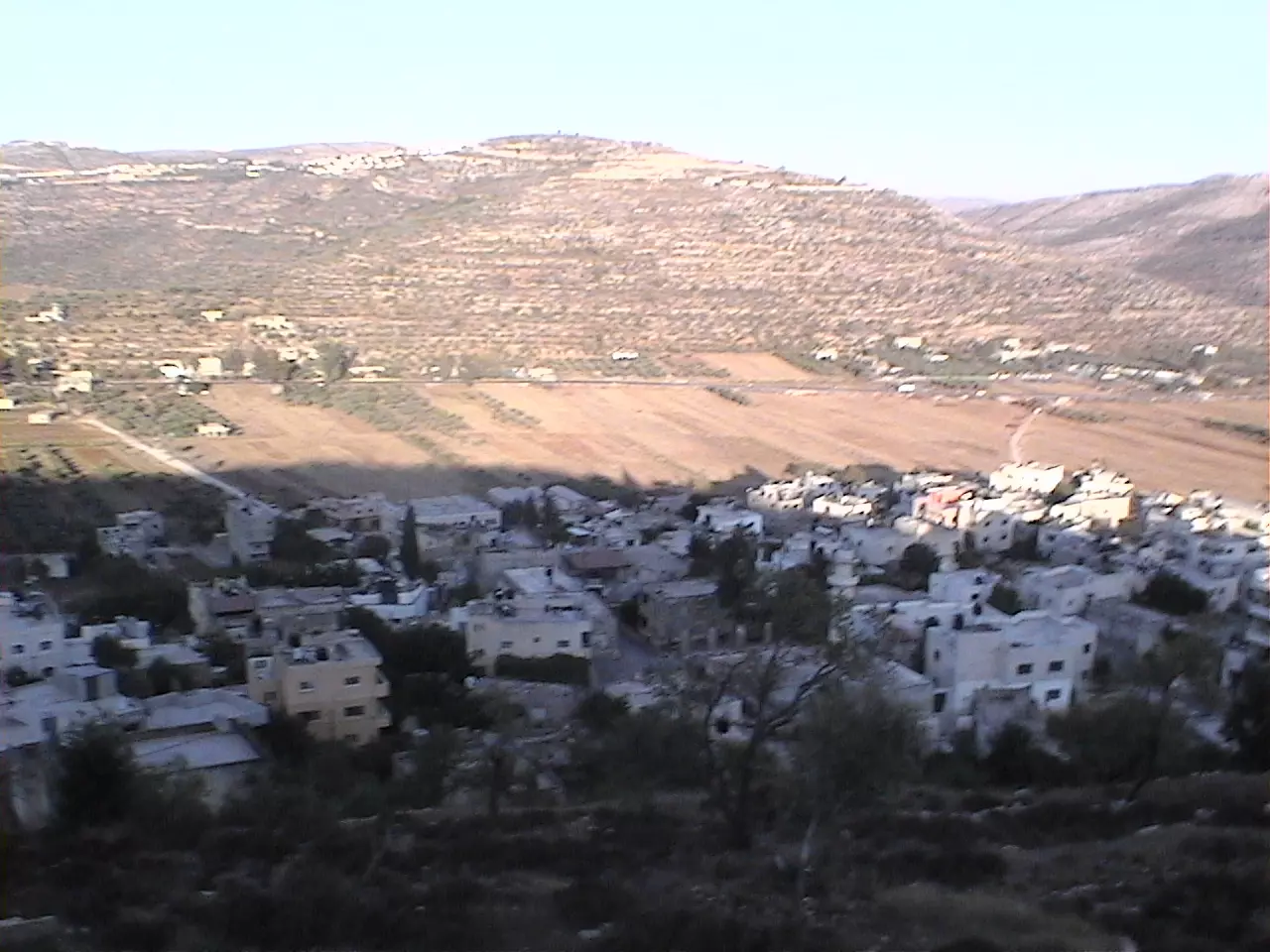
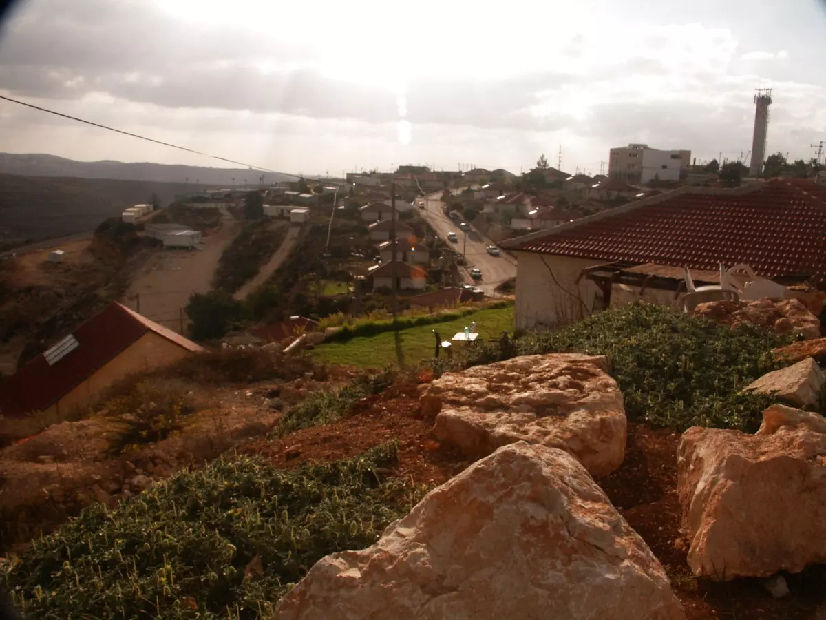
Posted by واجد امين نوباني - اللبن كما تبدو من الشارع الرئيسي تصوير واجد امين نوباني
Posted by واجد امين نوباني - مفرق اللبن مغلق لاكثر من سبع سنين بتهمه رشق طلاب اللبن سيارات اليهود بالحجاره
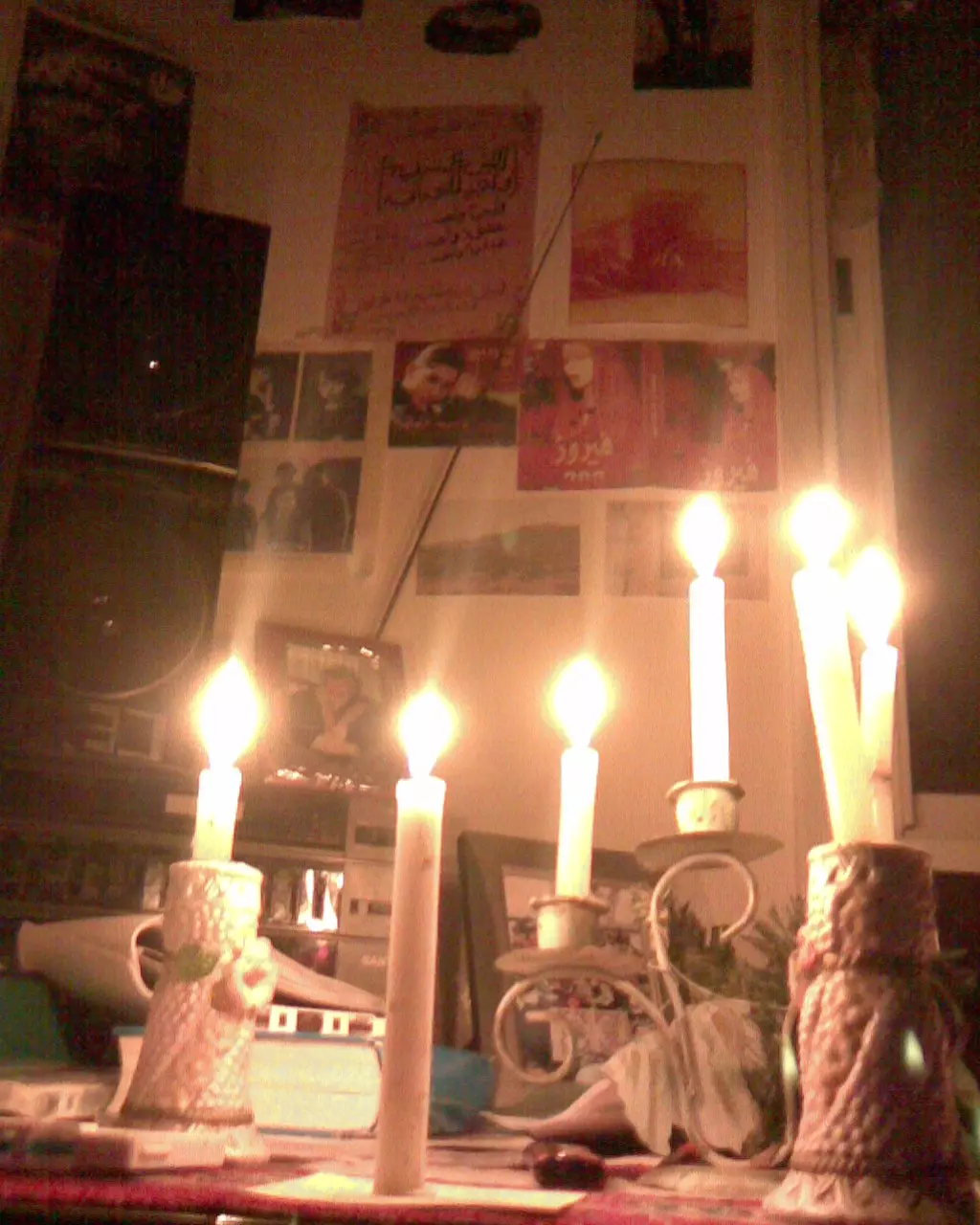
Posted by واجد امين نوباني - شموع الامل حين يغيب الامل وتنساب الدموع على وجنه الورده الحمراء ولا يبقى غير الاسى والم الخيانه -صورت مع الشموع كوفيه ابو عمار لتكتمل احلام الزهور في عيوني العسليه-واجد امين النوباني

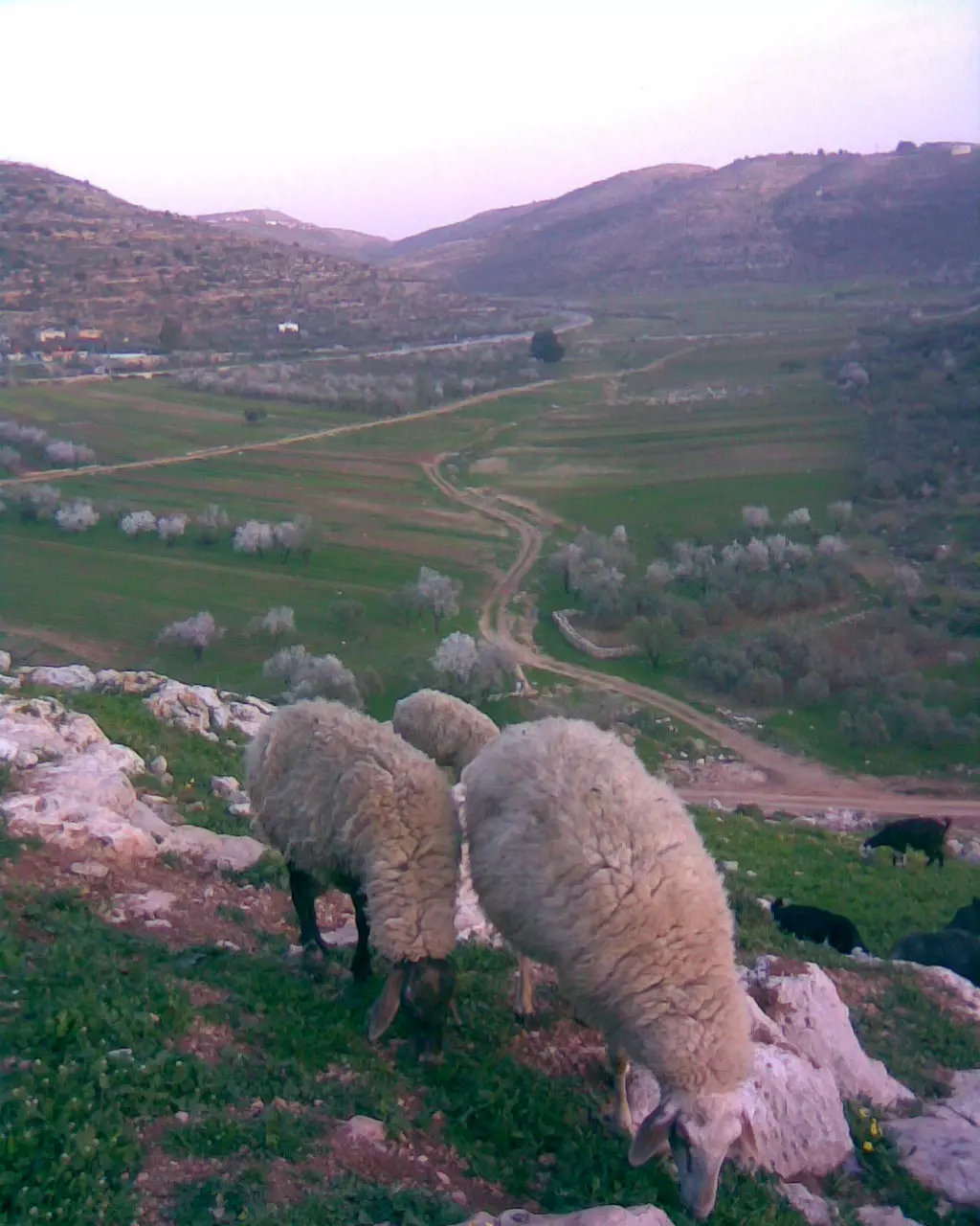
Posted by واجد امين نوباني - اغنام ترعى اعشاب الجبل في اللبن الشرقيه تصوير واجد امين النوباني لعيونك ياعبد
Posted by واجد امين نوباني - شموع رفيديا لعاشق من اللبن يعشق اللبن وسهول اللبن وجبال وكروم وبيادر وخان اللبن كم من قصيده وكم من اغنيه وكم من همسه دفئ امتدت الى السماءلتغازل القمر وتبث شوق صدري الى الارض الواسعه لعيون التامل ومواويل الرعيان في الاوديه السحيقه رغم الخيانه ورغم الالم والعذاب فلا زال الشمع مضيئا يحكي قصه حب ريفيه صارت اسطوره تتناقلها الاجيال عن عاشقين التقيا بين الزيتون على سطوح التامل بين اوراق التين والرمان ليتغازلا بالقصائد والاشعار-تصوير النوباني
Posted by واجد امين نوباني - خان اللبن الشرقيه انا بموت بالخان وما رح احب اشي بالدنيا مثلو بتمنى يضل النا يضل لفلسطين وما يتفرط في ويكون اخر اشي بيحلم في المستوطنين لانو ما رح يكون الهم بيوم من الايام بدهم يزورو ويصلو فيه ييجو بس اكتر من هيك لا باذن الله تصوير واجد النوباني عاشق الخان
Posted by واجد امين نوباني - واجد امين النوباني-اللبن من مرتفعات القناطر اطلاله على السهل والشارع ومستوطنه عيلي
Posted by واجد امين نوباني - واجد امين النوباني-اللبن من قمه جبل طاروجا [email protected]
Posted by واجد امين نوباني - واجد النوباني عاشق الربيع -هذه منطقه الجناين شرق حاره البيادر حاره اسود الضفه الغربيه في اللبن
Posted by واجد امين نوباني - واجد امين النوباني-الحلم ما بيموت وطريق الحريه ما بتنتهي طول ما عنا بيوت قديمه ودبكه وهمه تراثيه رح تظل فلسطي هي فلسطين -سقيفه ابويوسف النوباني باللبن
Posted by واجد امين نوباني - واجد امين نوباني-من هالباب كانت ستي ام جمعه الضرغاميه تناديني وتقلي يا محمد تعال اقعد لطعميك خبز واسقيك شاي اقعد الصبحيات وتخرفني حكايه عن زمان وتقول هالبلاد بعمرها ما وطت لظالم الاقسى من اليهود والاصعب من اسرائيل والاعظم من هالزعران اجا عليها احتلها بس بصمود وكرامه اهلها انهزم كل جبان وطلع منها بذله فلسطين يا ابني ما تعودت على الانكسار بدها ترجع انراد الله
Posted by واجد امين نوباني 2 - واجد امين نوباني-هذه بعض اقواس الخان وتظهر اجزاء مهدمه من البناء
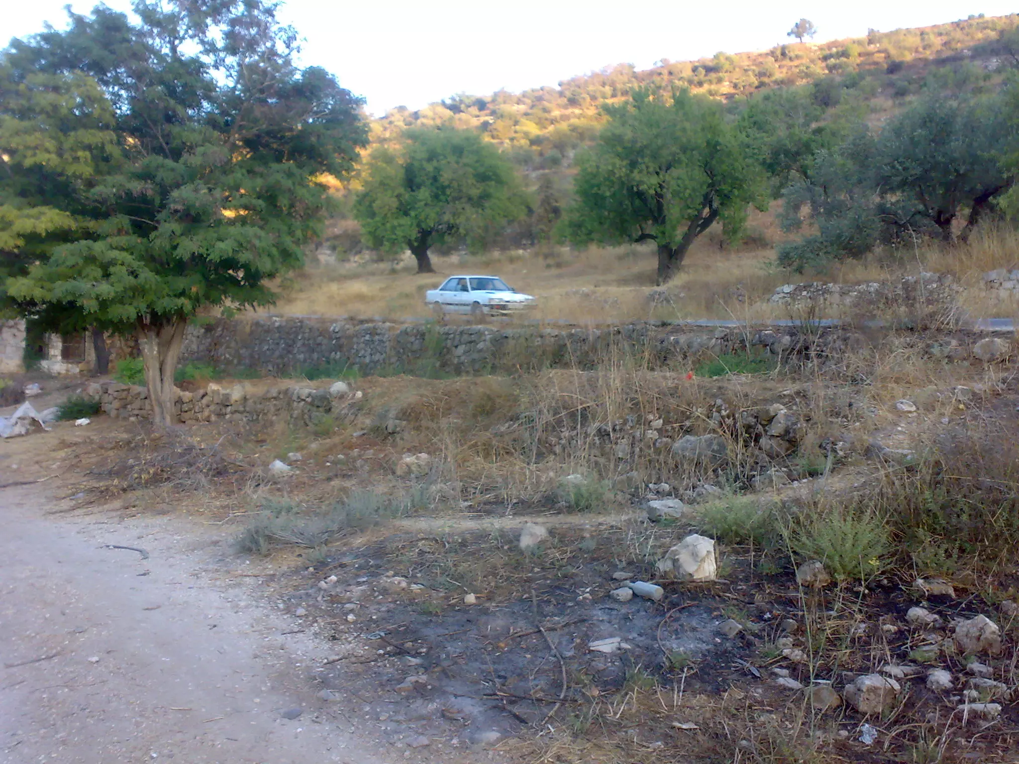
Posted by واجد امين نوباني - واجد امين نوباني-جزء من سهل اللبن التقطت الصوره من العرار في حاره البيادر عيوني يالبن
Posted by واجد امين نوباني 5 - زيتون اللبن الشرقيه عند البير قبال كازيه اللبن الشرقيه تصوير ابوثوره نوباني
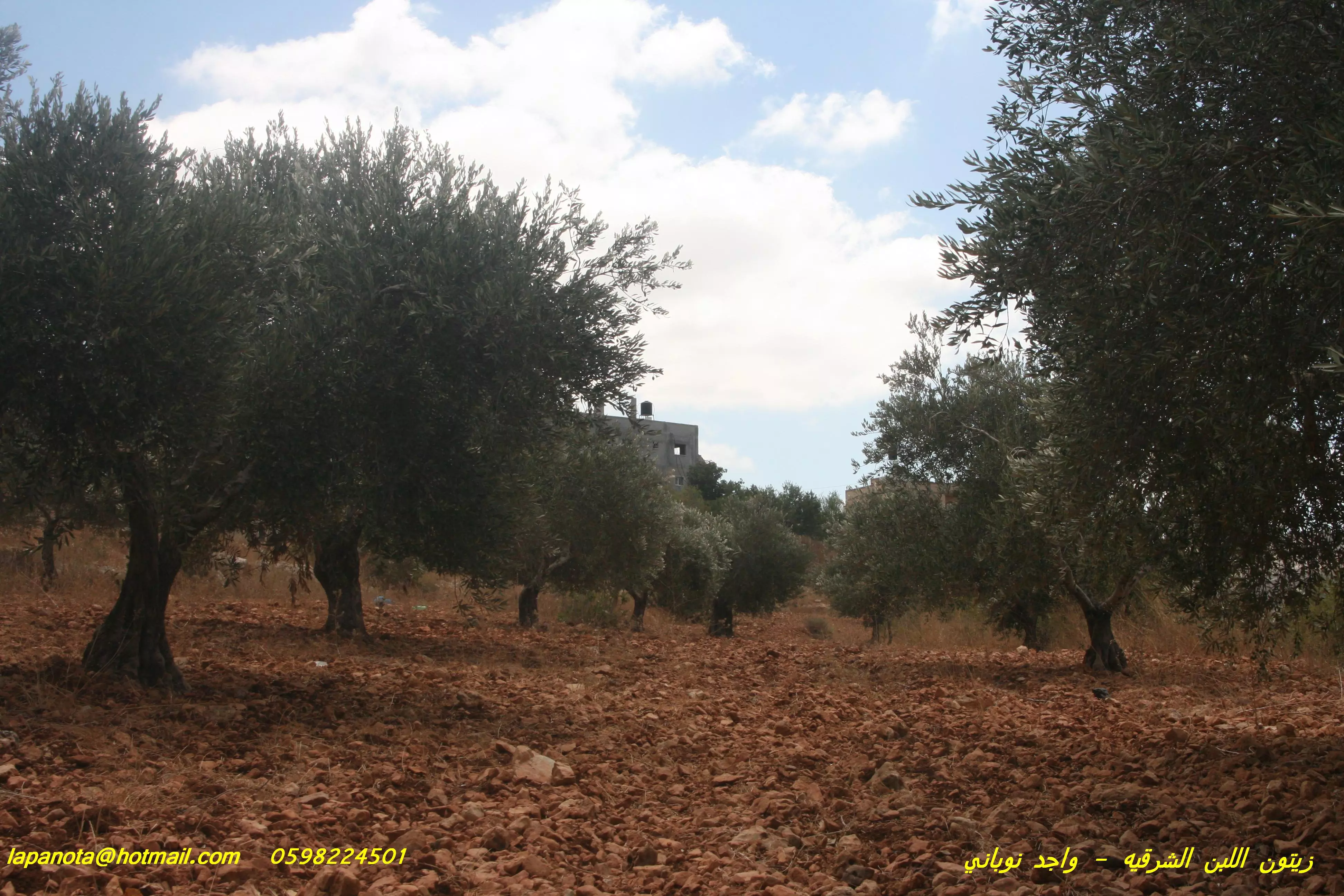
Posted by ابوثوره النوباني - زيتون السهل باللبن الشرقيه زهره الريف تصوير واجد نوباني
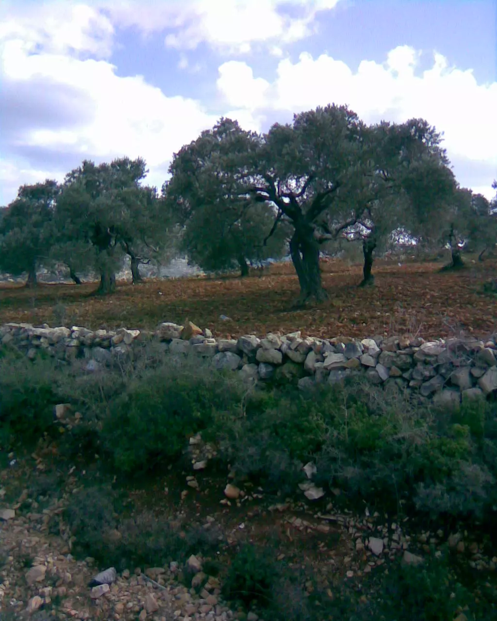
Posted by ابوثوره النوباني - اجمل شي باللبن الشرقيه هو الزيتون وانا بموت بالزيتون وتراب الزيتون وريحه حبات الزيتون وفيات الزيتون-ابو ثوره نوباني-زيتون المراح
Posted by ابوثوره النوباني - لا تحزني يا لبن معاك الله -اللبن من جبل المسيب-تصوير ابو ثوره النوباني
Posted by ابوثوره النوباني - ***** شو حلوه عيونك يا سهل اللبن -معاليه لبونه تظهر على الجبل اخر السهل جنوب اللبن-ابو فيروز
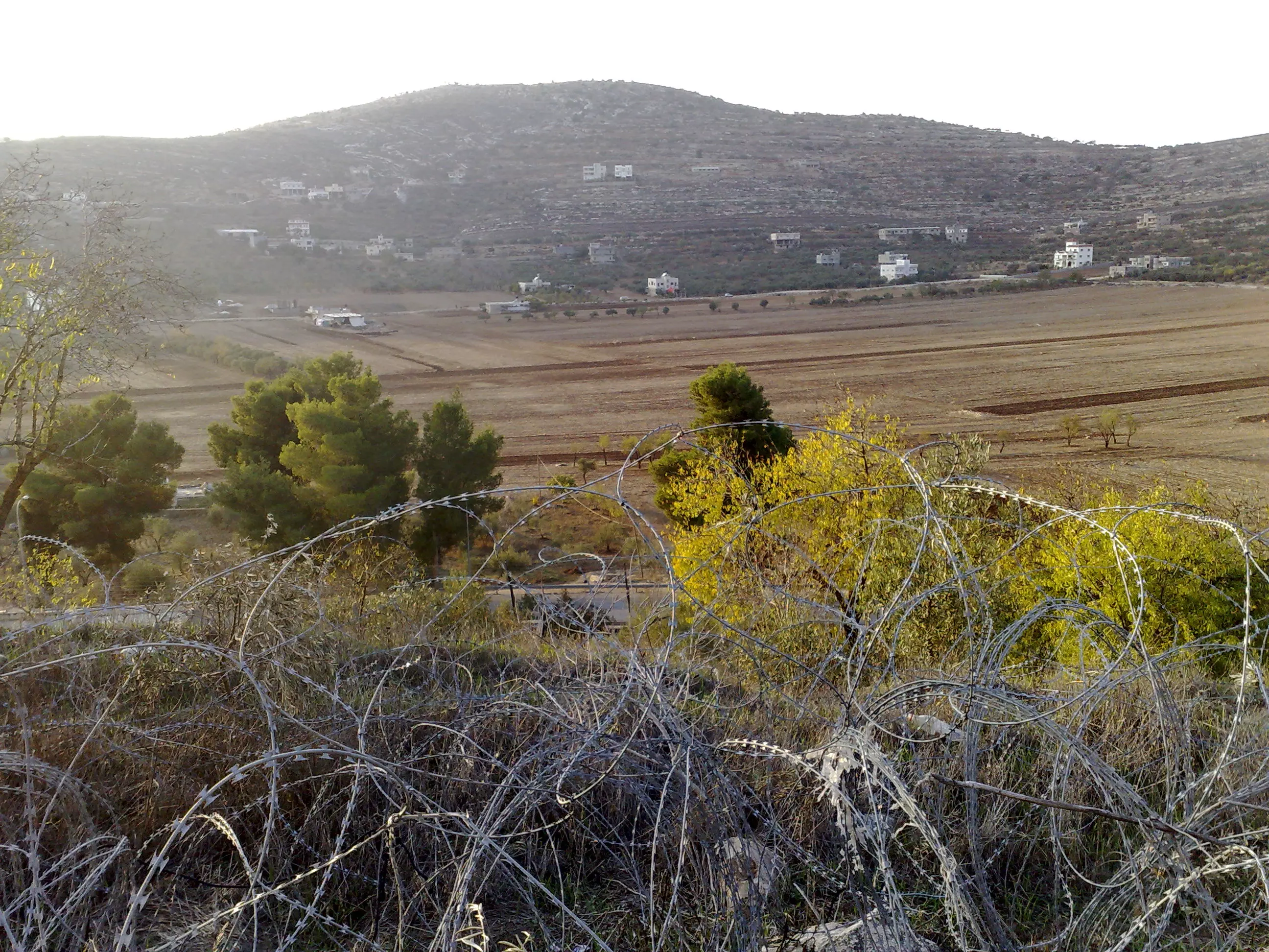
Posted by ابوثوره النوباني 2 - سهل اللبن من خلف سياج اسرائيلي لطريق التفافيه قرب مستعمره عيلي-واجد امين نوباني
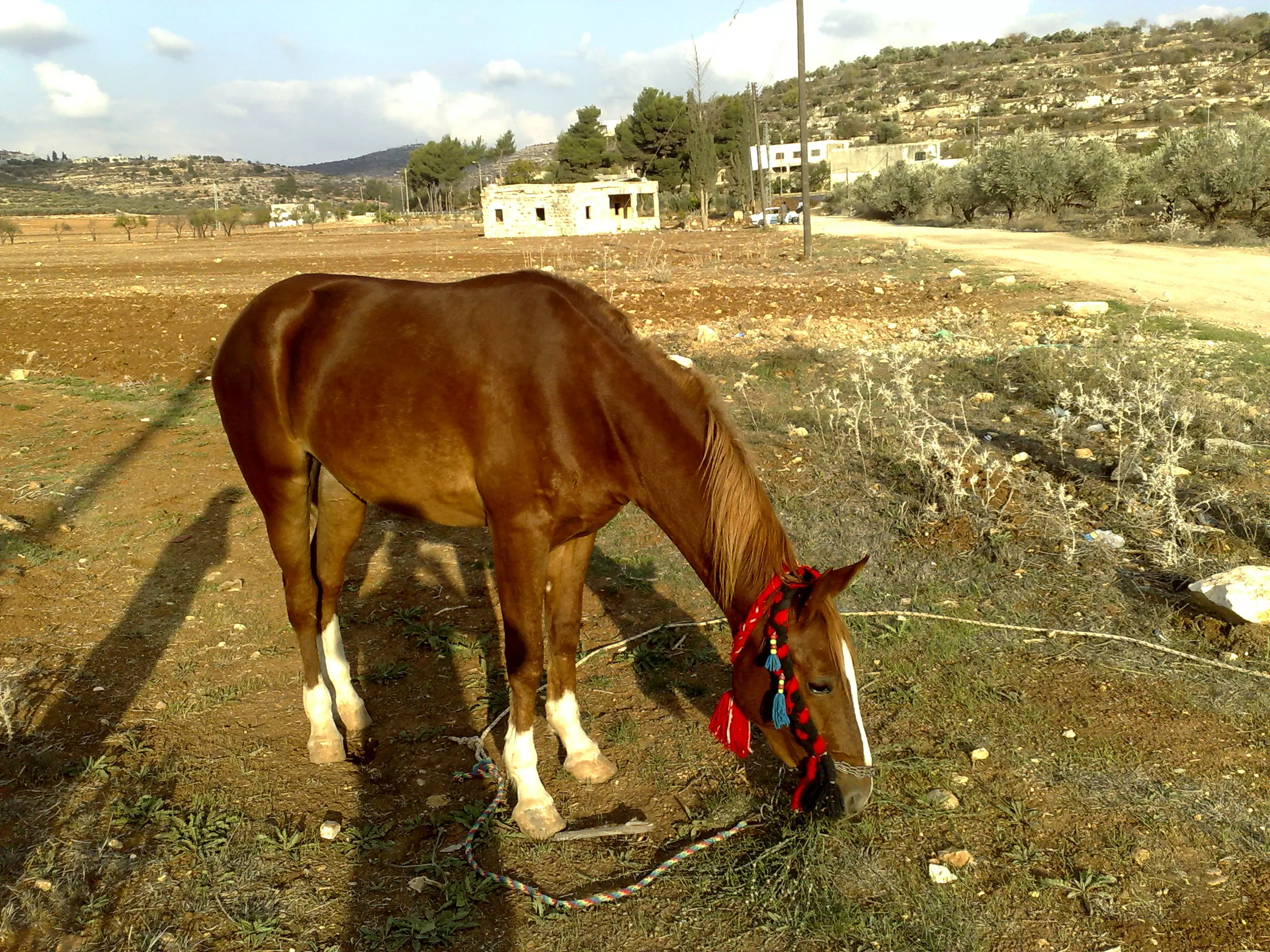
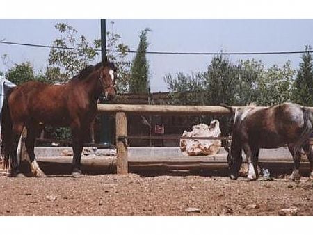
Posted by واجد امين نوباني - خيل اللبن الاصيله ترعى في السهل-من واجد امين نوباني
Posted by واجد امين نوباني - جبل الراس اروع المناطق الطبيعيه في اللبن وكم اعشق الصعود الى قمته الخضراء المليئه بالتاملات -واجد نوباني
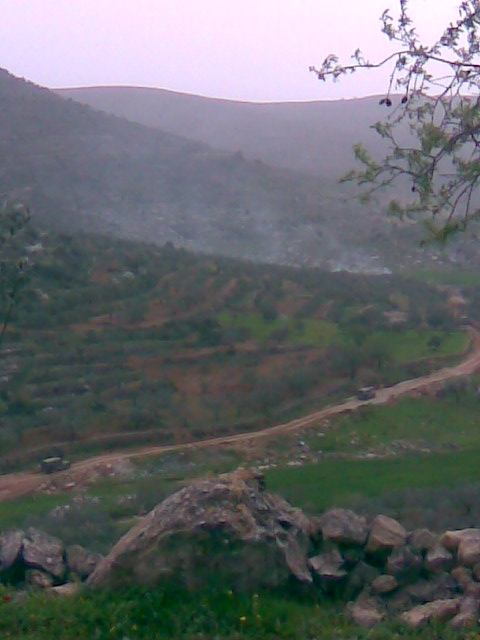
Posted by واجد امين نوباني - منظر عام لمنطقه واد اللبن ويظر جبل الراس والباطن وطاروجا والطريق الى عبوين-واجد امين نوباني
Posted by واجد امين نوباني - مئات السيارات محتجزه على شارع اللبن الرئيسي من قبل 20 مستوطنه من بنات عيلي -واجد النوباني
Posted by واجد امين نوباني - ليتني اظل فوق هذه الجبال وادفن في سهل قريتي مكللا بالزهور واغصان الزيتون-عبد النوباني من واجد النوباني
Posted by واجد امين نوباني 2 - جبل الراس -جبل الراس -جبل الراس-جبل الراس-جبل الراس--تصوير واجد النوباني
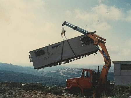
Posted by واجد امين نوباني - اشجار الزيتون في اللبن ومن فوق كرفانات للمستوطنين-واجد امين نوباني
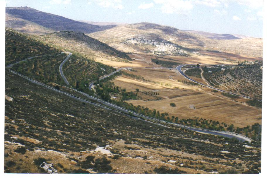
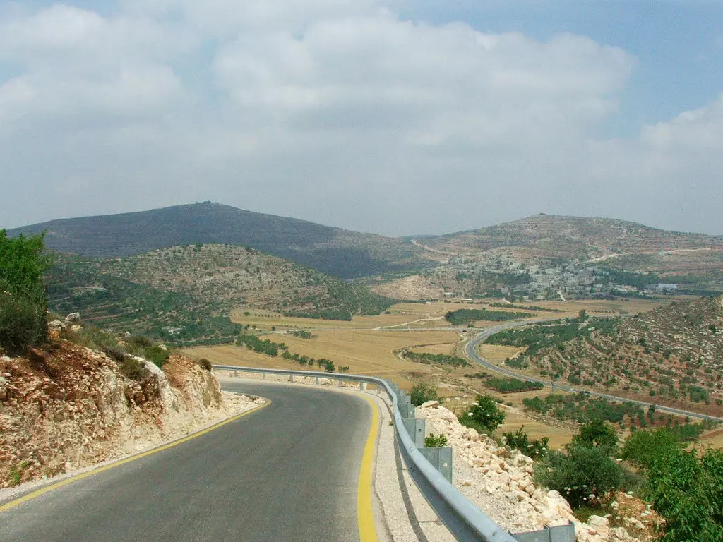
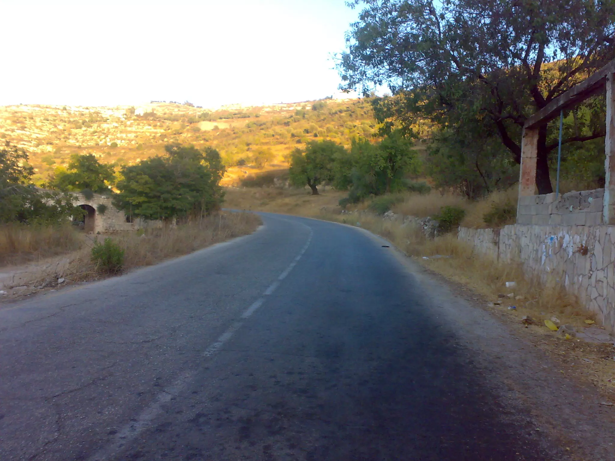
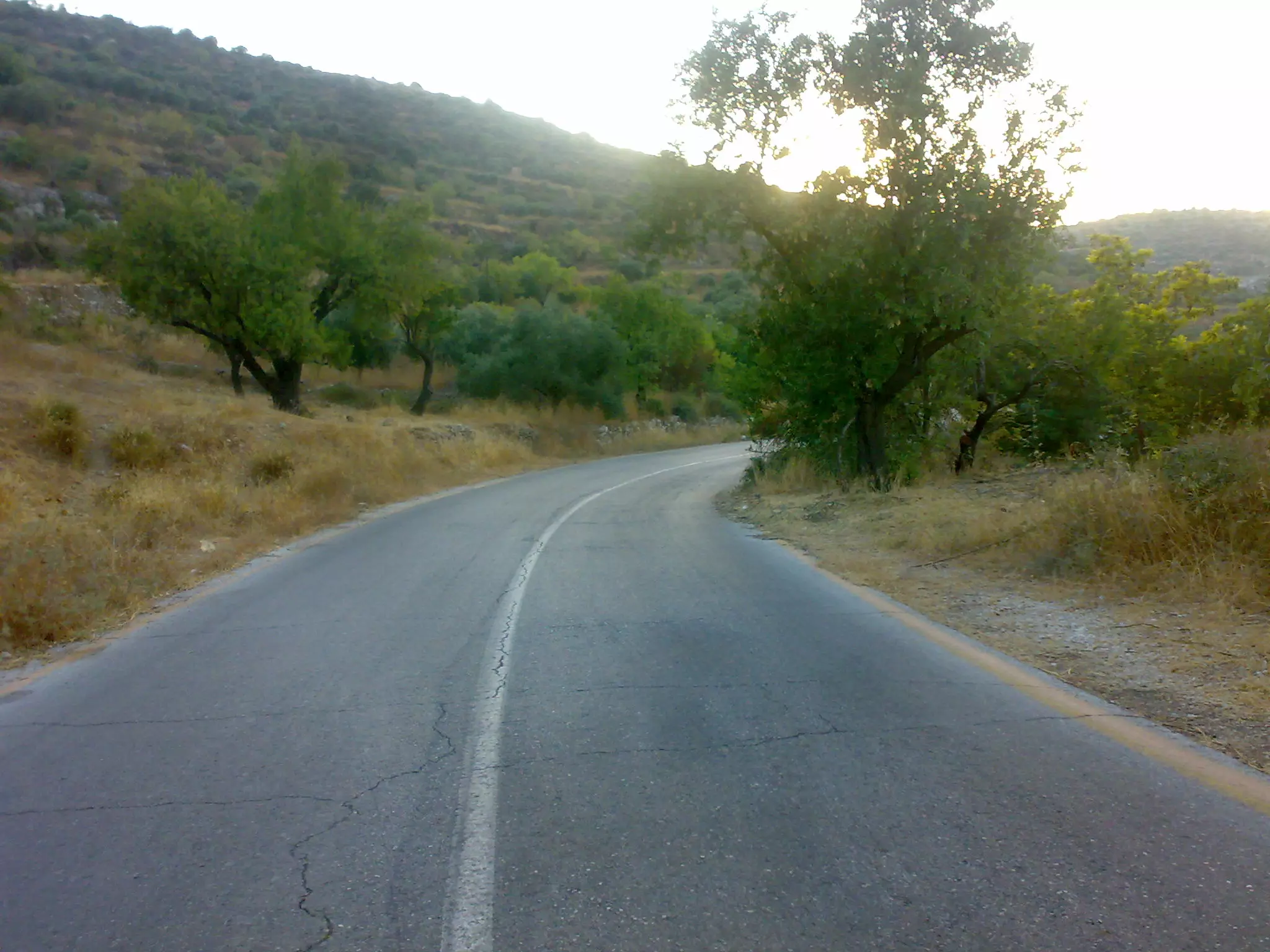
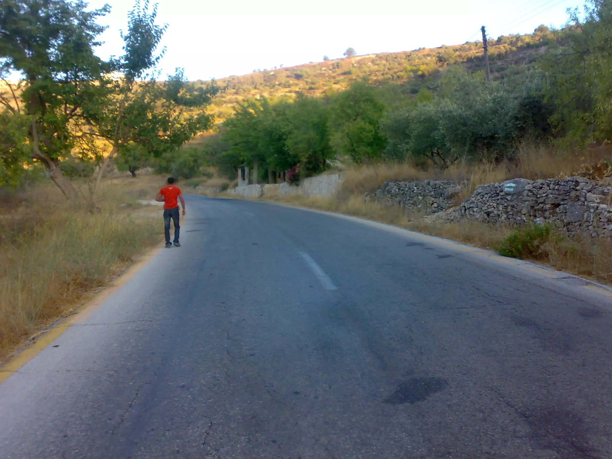
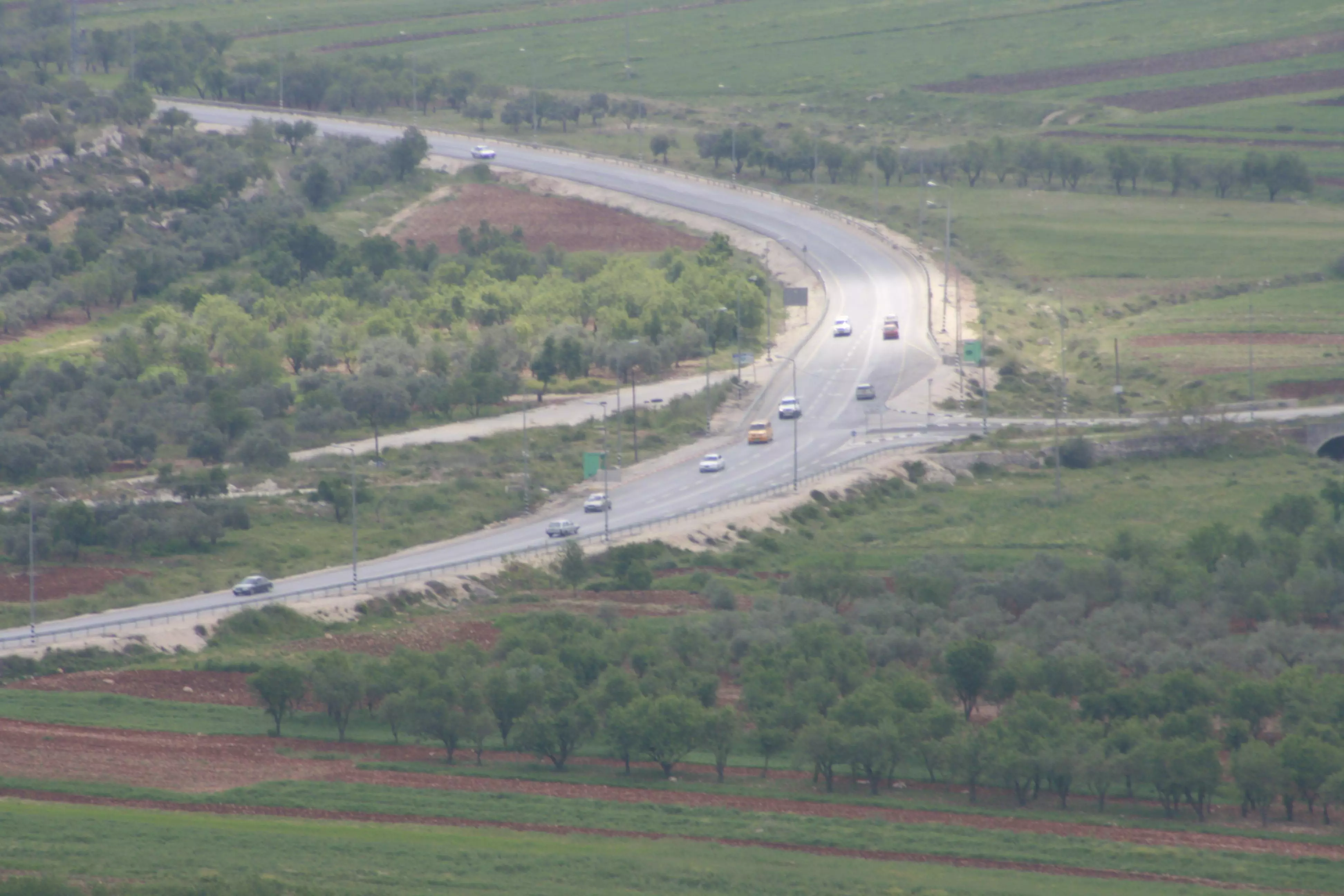
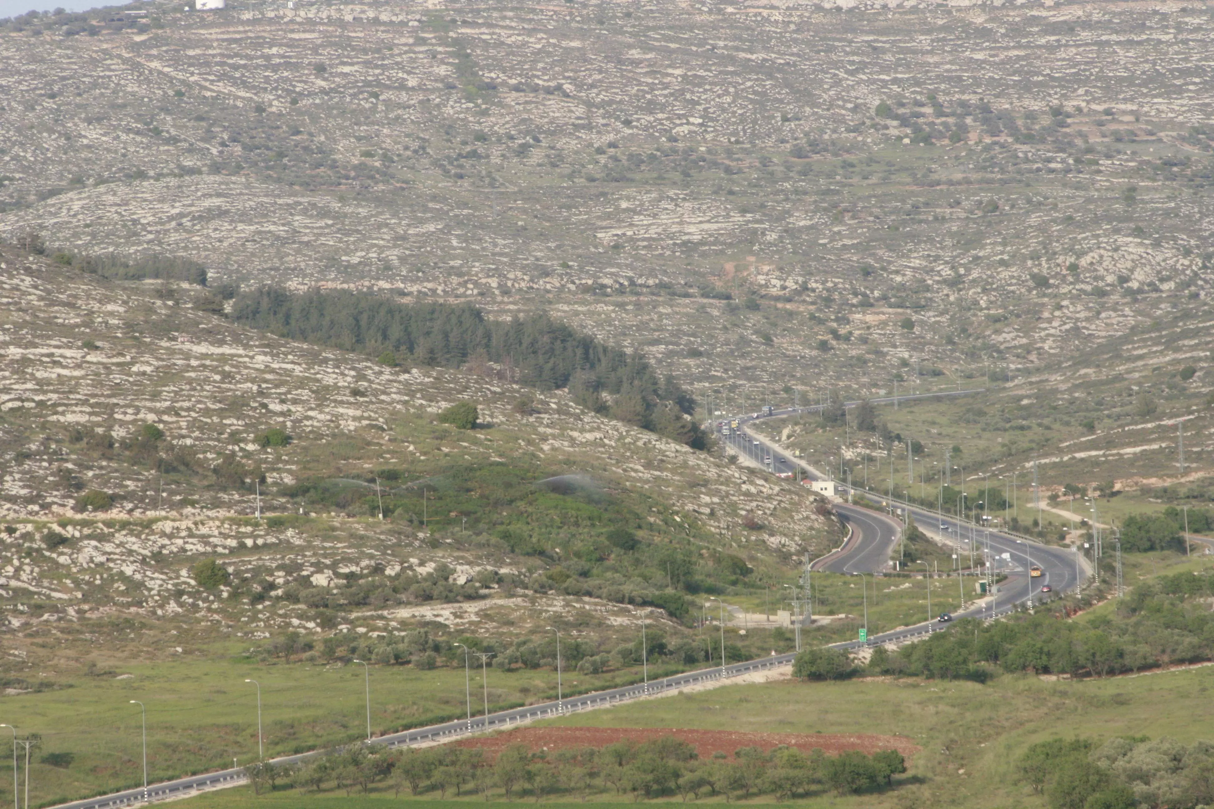
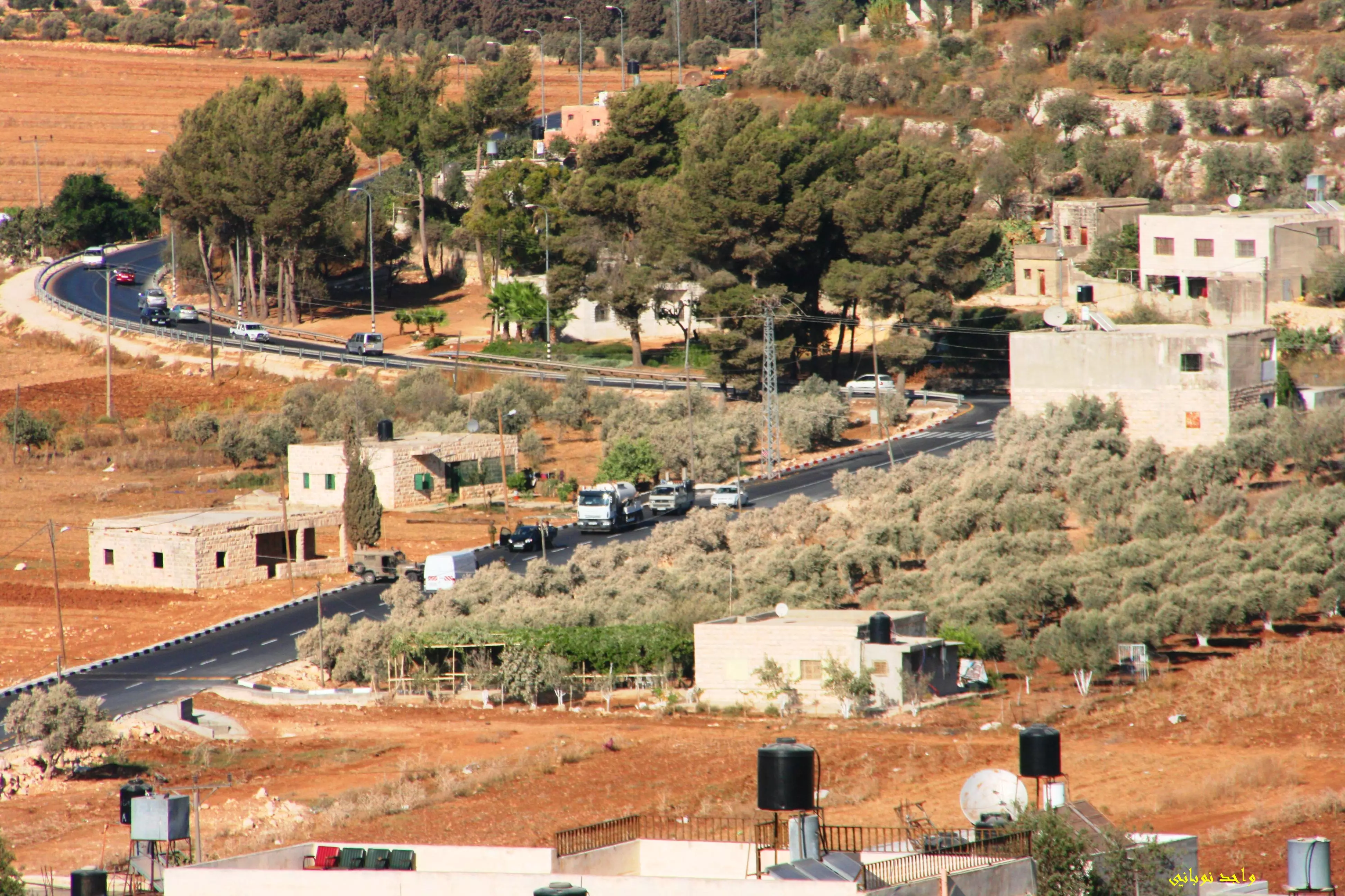
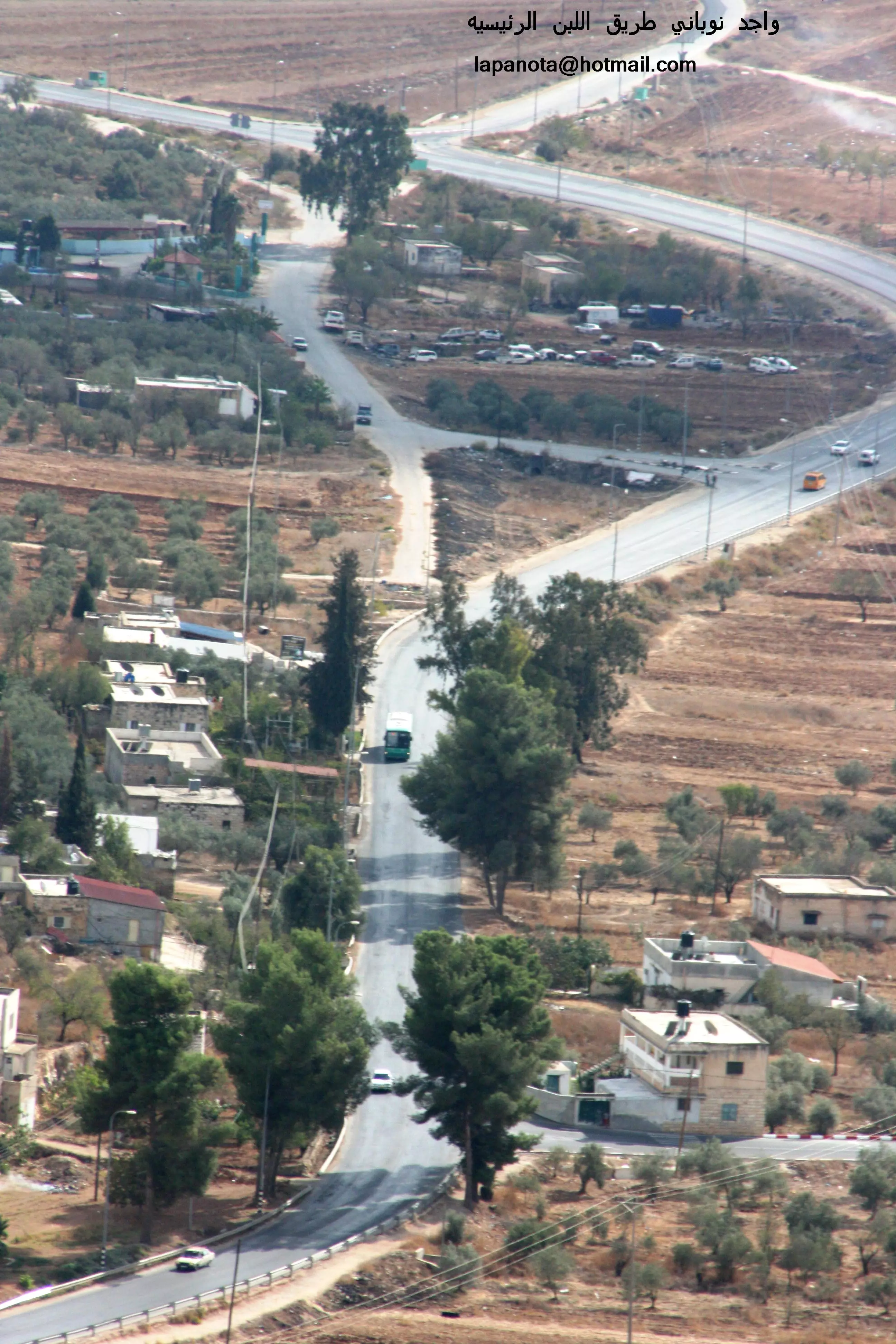
Posted by واجد امين نوباني - الطريق اليى نابلس من اللبن الشرقيه الى مدينه الثوار والاحرار والقاده والابطال-واجد النوباني
Posted by واجد امين نوباني - سقيفه ال النوباني والاطلاله الرائعه على البريه الوادعه -تصوير واجد امين النوباني
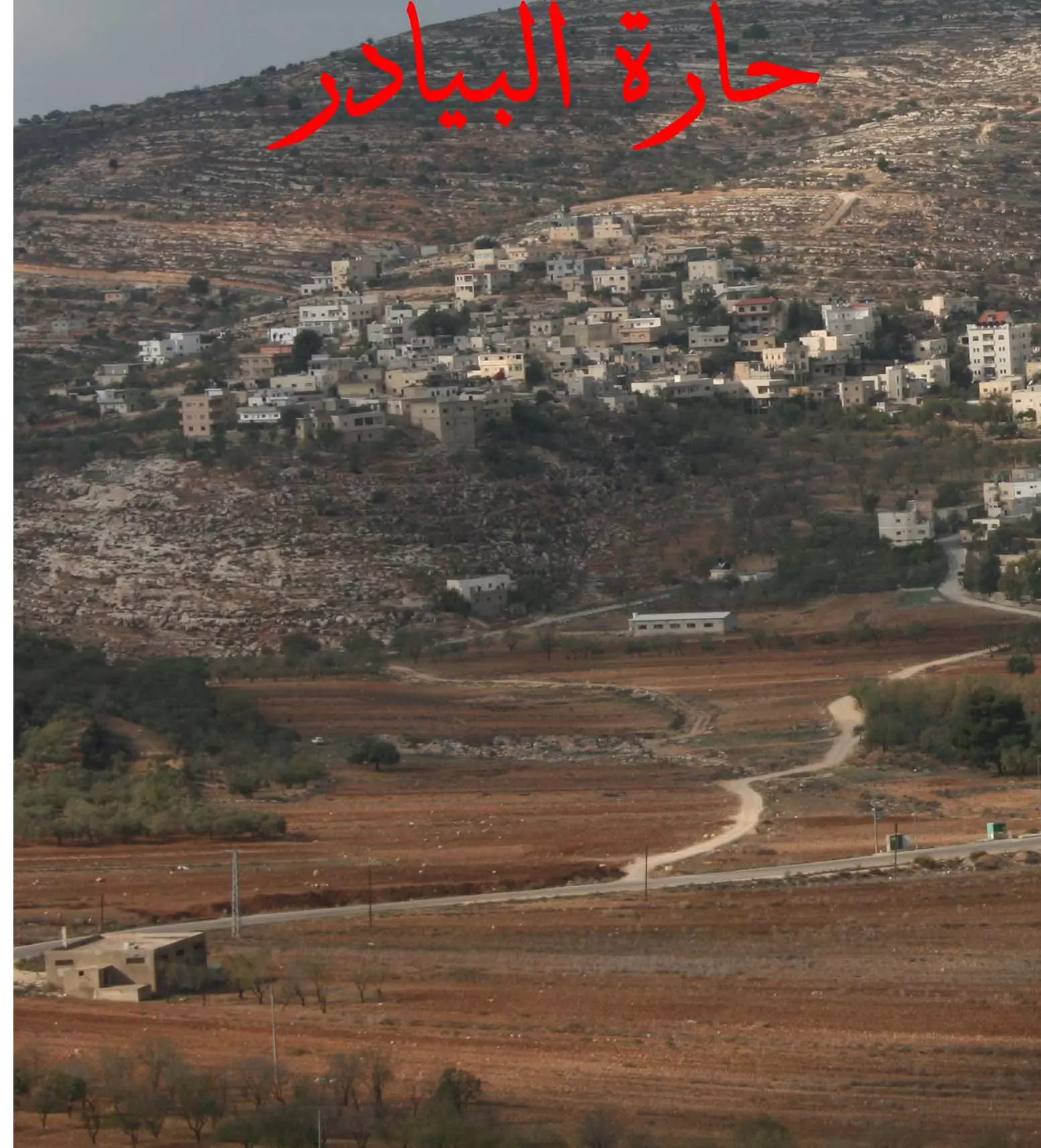
Posted by واجد امين نوباني - قريه البيادر الانفصاليه المتمرده بقياده القيصر يامن وصارت اقليم مستقل عن اللبن لاحتياطات امنيه- واجد
Posted by واجد امين نوباني - Al Lubban posted by Samhan
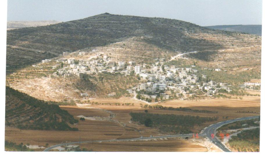
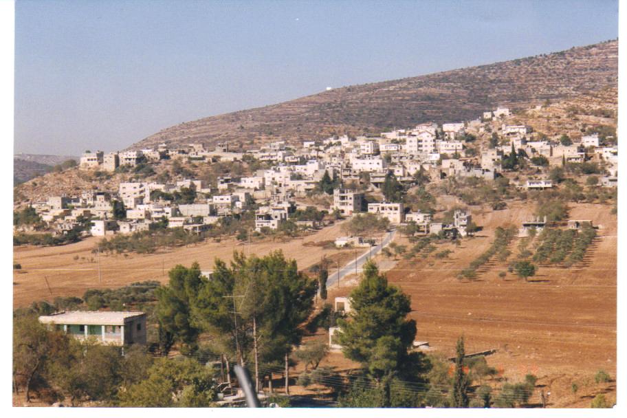
Posted by Mohammad Samhan - Al Lubban Picture was taken in 1999 by Mohammad Samhan
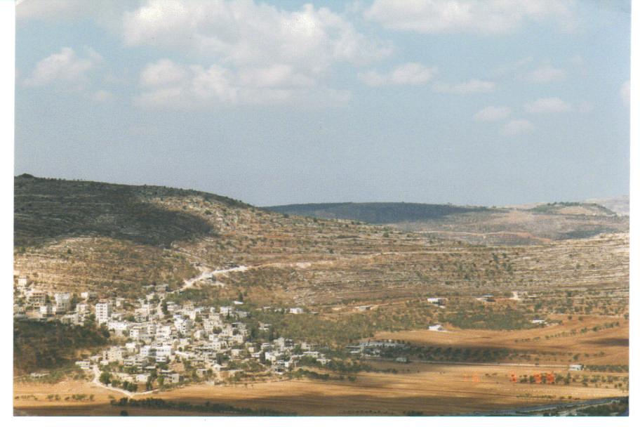
Posted by Mohammad Samhan 1 - Al Lubban Picture was taken in 1999 by Mohammad Samhan
Posted by Mohammad Samhan - Al Lubban Picture was taken in 1999 by Mohammad Samhan
Posted by Mohammad Samhan - Al Lubban Picture was taken in 1999 by Mohammad Samhan
Posted by Mohammad Samhan - Al Lubban Picture was taken in 1999 by Mohammad Samhan
Posted by Mohammad Samhan - Al Lubban Picture was taken in 1999 by Mohammad Samhan
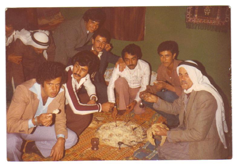
Posted by Mohammad Samhan - This picture was taken at a wedding in 1983 or 1984 shows Abu Al Abid Salameh,WAJED AL NOBANY,Ibrahim Mohammad. Ghasan Badawy, Mohammad Samhan, Najey Huseen, Subhy Arorey
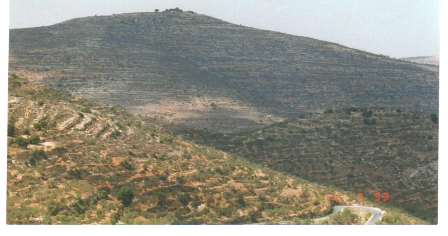
Posted by Mohammad Samhan 2 - Al Lubban Picture was taken in 1999 by Mohammad Samhan ( Jabal Taroja)
Posted by Mohammad Samhan - Al Lubban Picture was taken in 1999 by Mohammad Samhan
Posted by Mohammad Samhan 1 - Al Lubban Picture was taken in 1999 by Mohammad Samhan
Posted by Mohammad Samhan 1 - اطفال اللبن يركضون في السهل وذلك قبل البدئ بمهرجان الحمير
Posted by واجد امين نوباني - البيادر-قريبا ستتحول الى ضاحيه راقيه قريبا انشالله -واجد امين النوباني
Posted by واجد امين نوباني - al lubban in 1913 and 1999
Posted by Mohammad Samhan - صوره رائعه من جبل طاروجا ويظهر فيها من اليسار الاسير البطل يامن نوباني
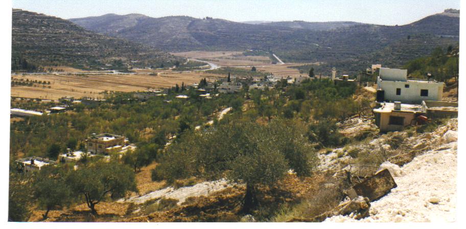
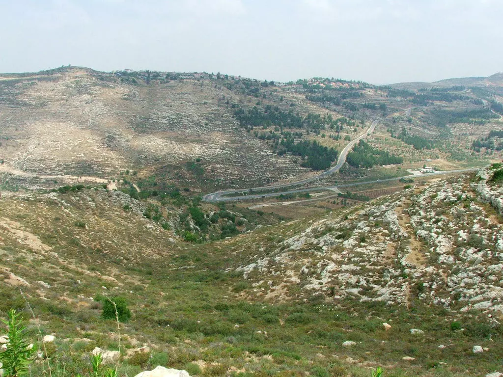
Posted by واجد امين نوباني - general view
Posted by واجد امين نوباني 3 - wajid nopani-lubban3
Posted by ابوثوره النوباني - wajid nopani- lubban4
Posted by ابوثوره النوباني - wajid nopani-lubba5
Posted by ابوثوره النوباني - wajid nopani-lubban6
Posted by ابوثوره النوباني 1 - wajid nopani-lubban7
Posted by ابوثوره النوباني - wajed8
Posted by ابوثوره النوباني - wajed9
Posted by ابوثوره النوباني - wajid nopani-10
Posted by ابوثوره النوباني - wajid nopani-11-3en alsha3er
Posted by ابوثوره النوباني - wajid nopani -12-sahel al3raes
Posted by ابوثوره النوباني - wajid nopani-13-lubban
Posted by ابوثوره النوباني - wajid nopani-14-lubban
Posted by ابوثوره النوباني - wajid nopani-15-lubban
Posted by ابوثوره النوباني - wajid nopani-16- lubban
Posted by ابوثوره النوباني - wajid nopani-17-lubban
Posted by ابوثوره النوباني 1 - wajid nopani-18-lubban
Posted by ابوثوره النوباني - wajid nopani-19-lubban واجد امين النوباني
Posted by ابوثوره النوباني - واجد امين النوباني 20 wajid
Posted by ابوثوره النوباني - واجد امين النوباني 21 wajid
Posted by ابوثوره النوباني - wajid-22

Posted by ابوثوره النوباني - rape3 allubban-2009-wajid23
Posted by ابوثوره النوباني - wajid-24(23\3|2009)
Posted by ابوثوره النوباني - wajid25
Posted by ابوثوره النوباني - wajid-26
Posted by ابوثوره النوباني - wajid-28
Posted by ابوثوره النوباني - wajid29
Posted by ابوثوره النوباني - wajid30
Posted by ابوثوره النوباني - ard abo mazen balota
Posted by ابوثوره النوباني - alras
Posted by ابوثوره النوباني - الاسير يامن امين نوباني ومظهر عام للبن الشرقيه من طريق القوربات
Posted by واجد امين نوباني - الطريق الى خان اللبن الشرقيه wajed nopani
Posted by واجد امين نوباني - صوره جميله جدا في صيف اللبن من قمه جبل طاروجا wajed nopani
Posted by واجد امين نوباني - خان اللبن الشرقيه منطقه اثريه ساحره ومهمه wajed nopani
Posted by واجد امين نوباني - خان اللبن wajed nopani
Posted by واجد امين نوباني - على طريق الخان - القوربات wajed nopani

Posted by واجد امين نوباني - سهل اللبن الشرقيه الاخضر
Posted by واجد امين نوباني - مستعمره عيلي اليهوديه على اراضي اللبن الشرقيه
Posted by واجد امين نوباني - مستوطني شيلو خلال توجههم نحو اللبن لاقامه شعائر العربده الحاقده
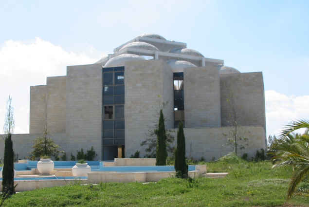
Posted by واجد امين نوباني 1 - الكنيس اليهودي في عيلي
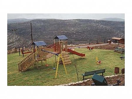
Posted by واجد امين نوباني - منتزه مستعمره معاليه لبونا
Posted by واجد امين نوباني - جفعات هاريئيل انشئها اريئيل شقيق مستوطن من شيلو قتل عند يتسهار عام 1998
Posted by واجد امين نوباني - خيول لليهود في مستعمره معاليه لبونا
Posted by واجد امين نوباني - اطلاله على مستوطنه عيلي شرق اللبن الشرقيه
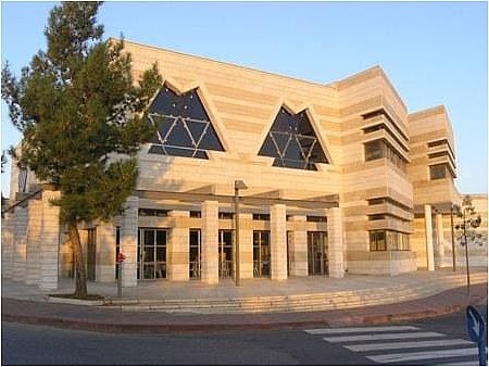
Posted by واجد امين نوباني - معبد شيلو
Posted by واجد امين نوباني - مدخل جفعات هاريئيل
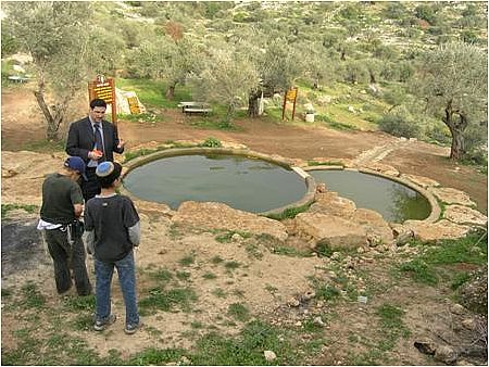
Posted by واجد امين نوباني - عين ماء يسيطر عليها مستوطني عيلي وهي في اراضي اللبن
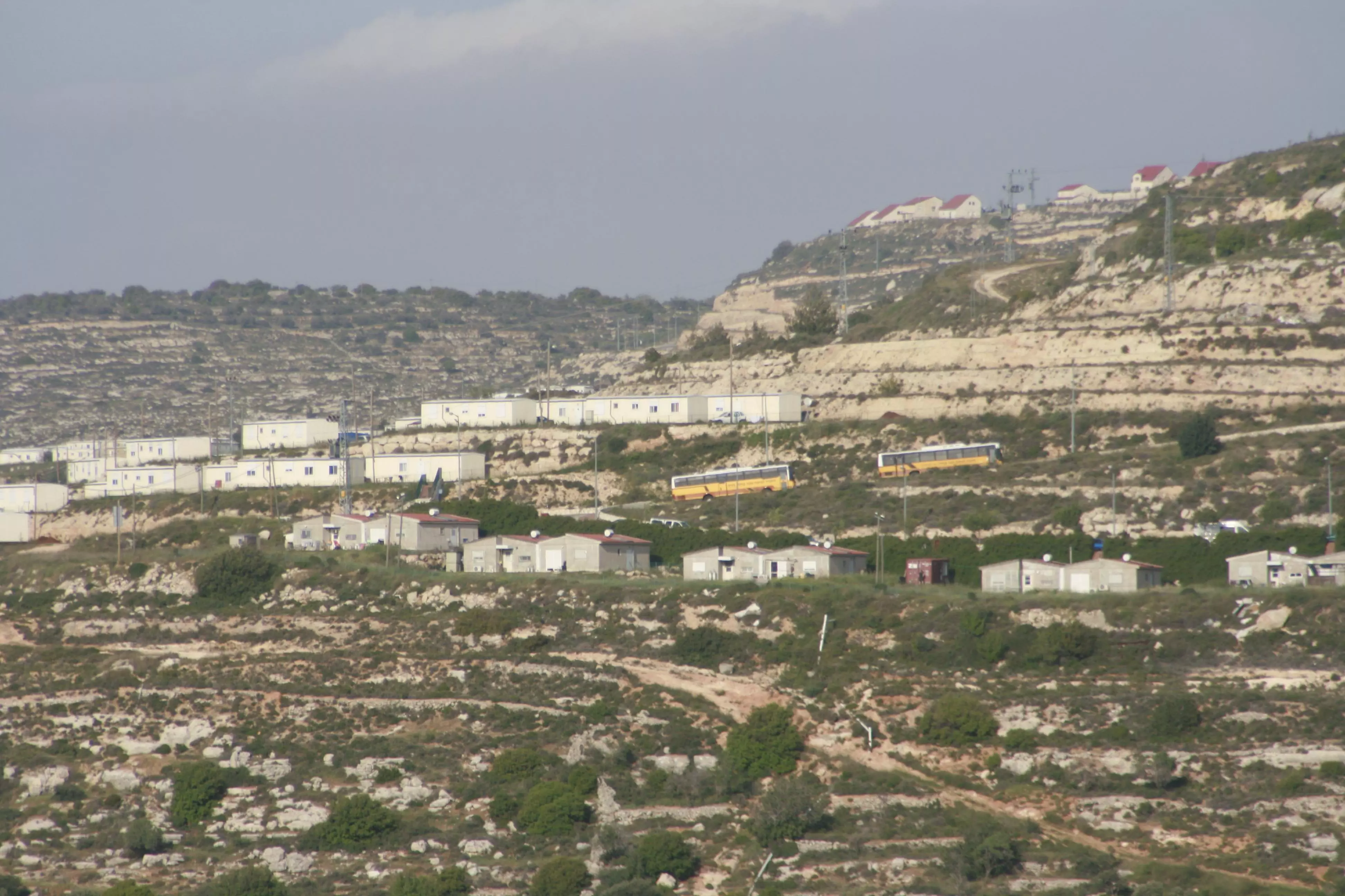
Posted by واجد امين نوباني 1 - وضع كرافانات في عيلي تطل على سهل اللبن
Posted by واجد امين نوباني 1 - شيلو
Posted by واجد امين نوباني - للترفيه عن اطفال معاليه لبونا استخدمو الزي العربي في عيد المساخر بالمستعمره
Posted by واجد امين نوباني - شعار معاليه لبونا بوصفها قريه وليست مستعمره احتلاليه سلبت جبال اللبن وكرومها
Posted by واجد امين نوباني - 1-صوره من داخل مستعمره معاليه لبونا maale levona
Posted by واجد امين نوباني 1 - اللبن والسهل من جفعات هاروئيه
Posted by واجد امين نوباني - اطلاله على eli من اسفل جفعات هاروئيه
Posted by واجد امين نوباني - اللبن كما تظهر مع السهل من القوربات
Posted by واجد امين نوباني - مدخل مستوطنه عيلي
Posted by واجد امين نوباني - معاليه لبونا كما تبدو من الداخل
Posted by واجد امين نوباني - بيوت يسموها اكوخ وهي عندنا فلل داخل معاليه لبونا maale levona
Posted by واجد امين نوباني - خان اللبن الشرقيه صوره غايه في السحر والروعه افتحو وشووووووووووفوها
Posted by واجد امين نوباني - جسر قريه اللبن الشرقيه
Posted by واجد امين نوباني - عيلي كما تبدو من موقع جفعات هاروئيه
Posted by واجد امين نوباني - من داخل مستعمره عيلي
Posted by واجد امين نوباني - هاروئيه هاريئيل شيلو
Posted by واجد امين نوباني - بيوت لبونا تبدو متناسقه
Posted by واجد امين نوباني - برج معاليه لبونا من الداخل
Posted by واجد امين نوباني - منظر عام في صيف اللبن الشرقيه
Posted by واجد امين نوباني - جفعات هاريئيل 1 شرق اللبن
Posted by واجد امين نوباني - جفعات هاريئيل 2
Posted by واجد امين نوباني - ليل عيلي من معالي لبونا
Posted by واجد امين نوباني - عيلي من الداخل 4
Posted by واجد امين نوباني - عيلي من الداخل 5
Posted by واجد امين نوباني - اطلاله على معاليه لبونا
Posted by واجد امين نوباني - اطلاله من عند سياج معاليه لبونا على اللبن وعيلي والسهل
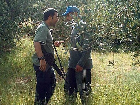
Posted by واجد امين نوباني - مستوطن من عيلي يهاجم احد المزارعين
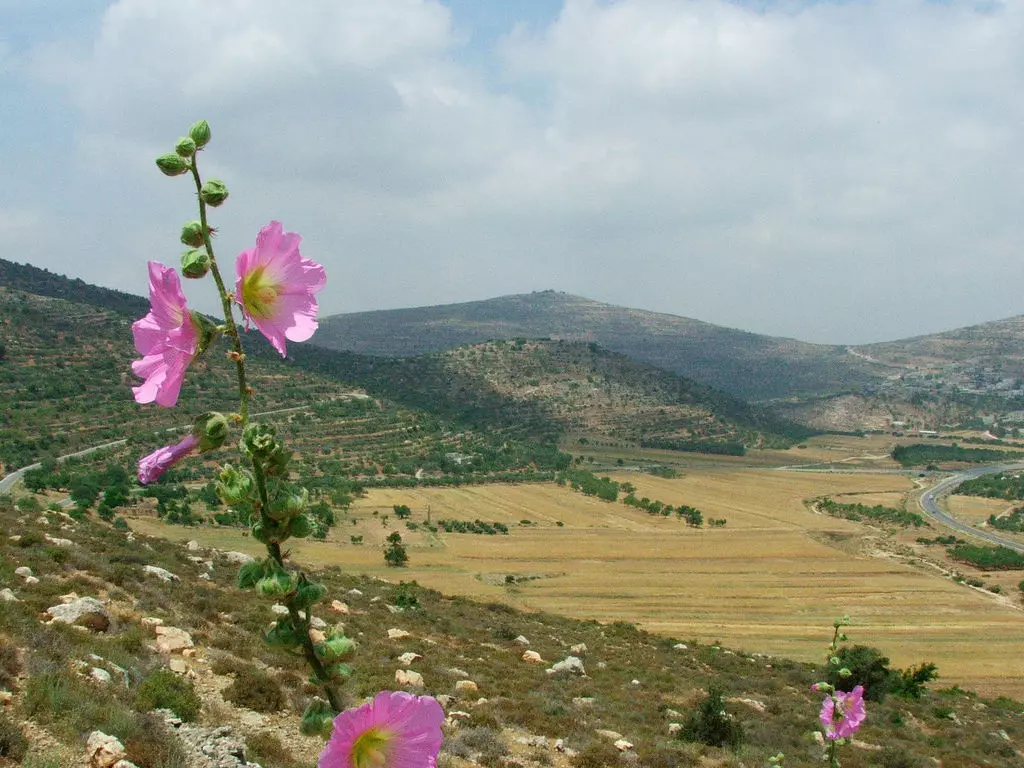
Posted by واجد امين نوباني - اجمل زهر بري في اللبن الشرقيه
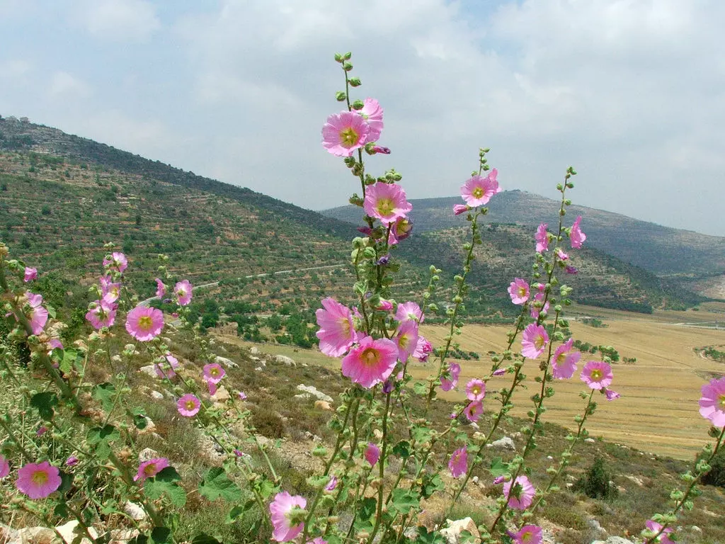
Posted by واجد امين نوباني 1 - زهر من اللبن الشرقيه2
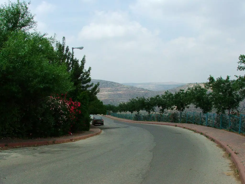
Posted by واجد امين نوباني 1 - احد شوارع عيلي اليهوديه
Posted by واجد امين نوباني - واد علي سهل اللبن الشارع الرئيسي - الصوره شرق اللبن
Posted by واجد امين نوباني - كرفان في هاروئيه واطلاله على اللبن الشرقيه والسهل
Posted by واجد امين نوباني - شيلو ما تبدو من معاليه لبونا
Posted by واجد امين نوباني - اللبن الشرقيه في شهر 8 - بعدسه جوال واجد امين النوباني
Posted by واجد امين نوباني - صيف اللبن الشرقيه2-تصوير واجد النوباني
Posted by واجد امين نوباني - صيف اللبن الشرقيه3 اللبن من جبل طاروجا

Posted by واجد امين نوباني - الطريق الى الخان - تصوير واجد النوباني
Posted by واجد امين نوباني - في الخان الساحر - تصوير واجد امين النوباني
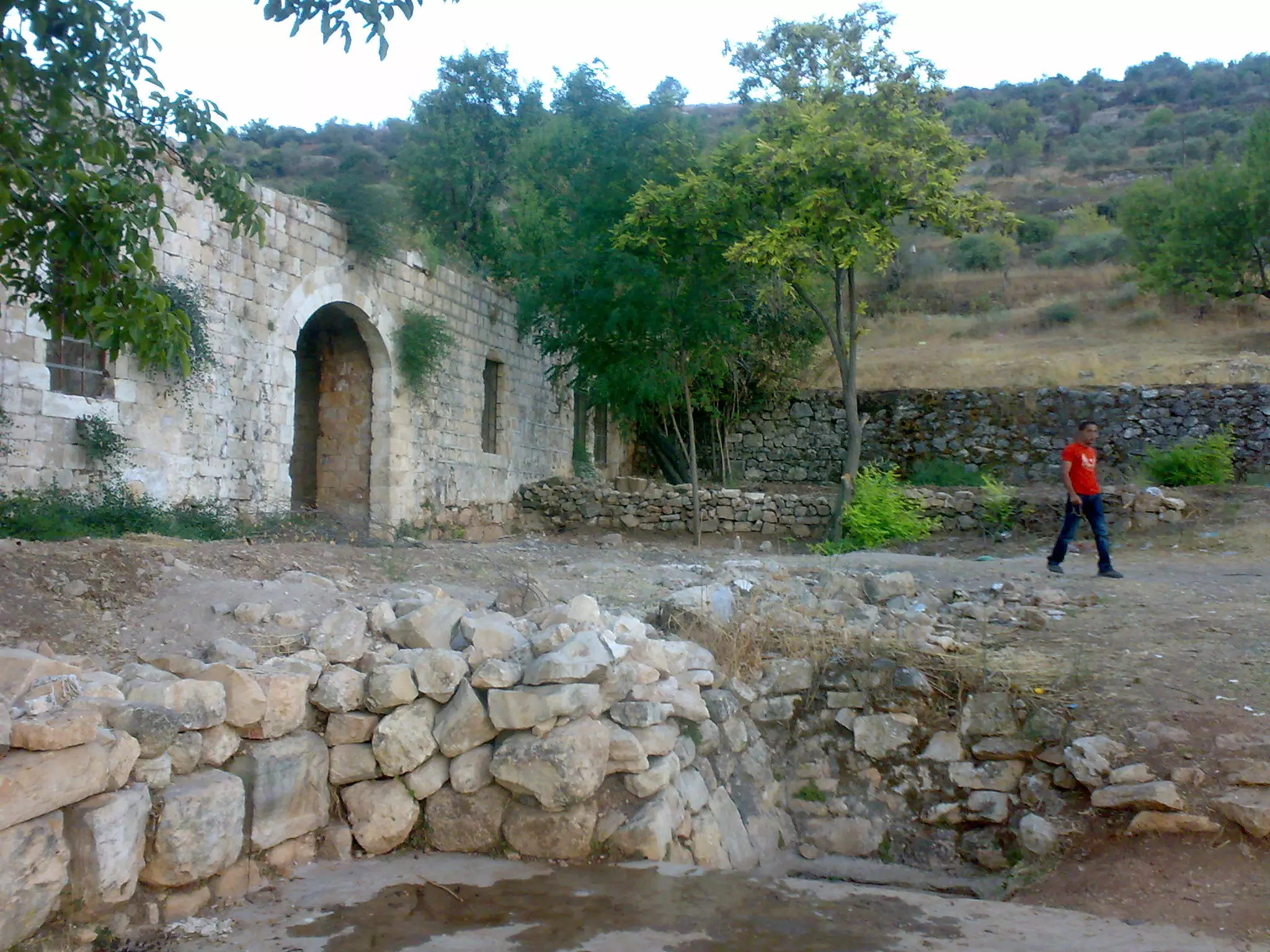
Posted by واجد امين نوباني - الخان 2 تصوير واجد امين نوباني
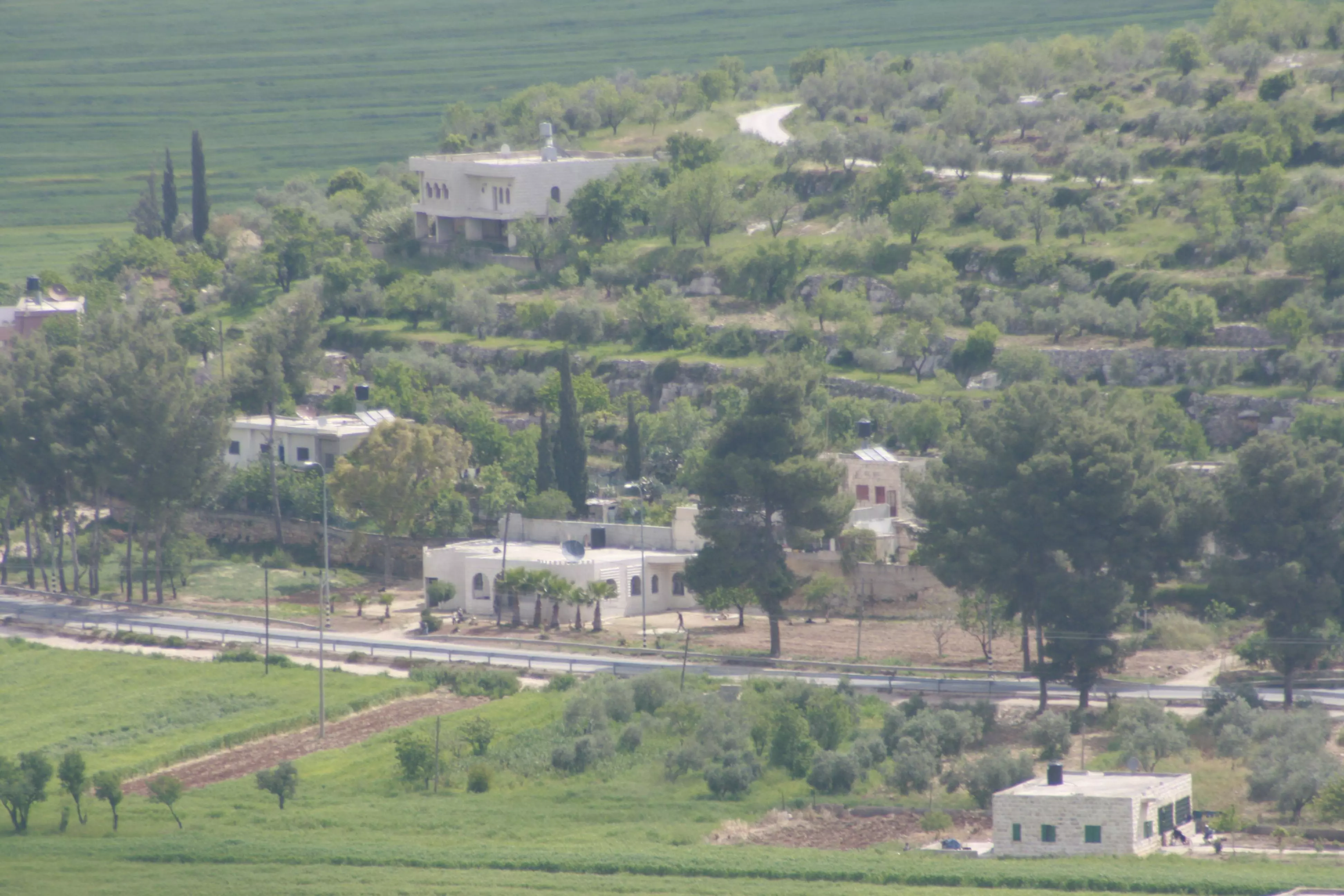
Posted by واجد امين نوباني - منزل جميل مقابل الخان - تصوير واجد نوباني
Posted by واجد امين نوباني - القوربات - تصوير واجد نوباني
Posted by واجد امين نوباني - احد المعالم الاثريه في الخان - تصوير واجد نوباني
Posted by واجد امين نوباني - سياره تمر عن الخان واجد نوباني
Posted by واجد امين نوباني - الخان مع الغروب واجد نوباني
Posted by واجد امين نوباني - نبعه الخان واجد نوباني
Posted by واجد امين نوباني - هذا ما تبقى من الخان وجد النوباني
Posted by واجد امين نوباني - كل الطرق تؤدي الى الخان واجد النوباني
Posted by واجد امين نوباني - جمال الخان واجد نوباني
Posted by واجد امين نوباني - انتهاء الرحله للخان والطريق للعوده واجد نوباني
Posted by واجد امين نوباني - جبل طاروجا 1 اللبن - واجد نوباني
Posted by واجد امين نوباني - جبل طاروجا اللبن الشرقيه 2 واجد نوباني
Posted by واجد امين نوباني - جبل طاروجا 3 واجد نوباني
Posted by واجد امين نوباني - جبل طاروجا5 واجد نوباني
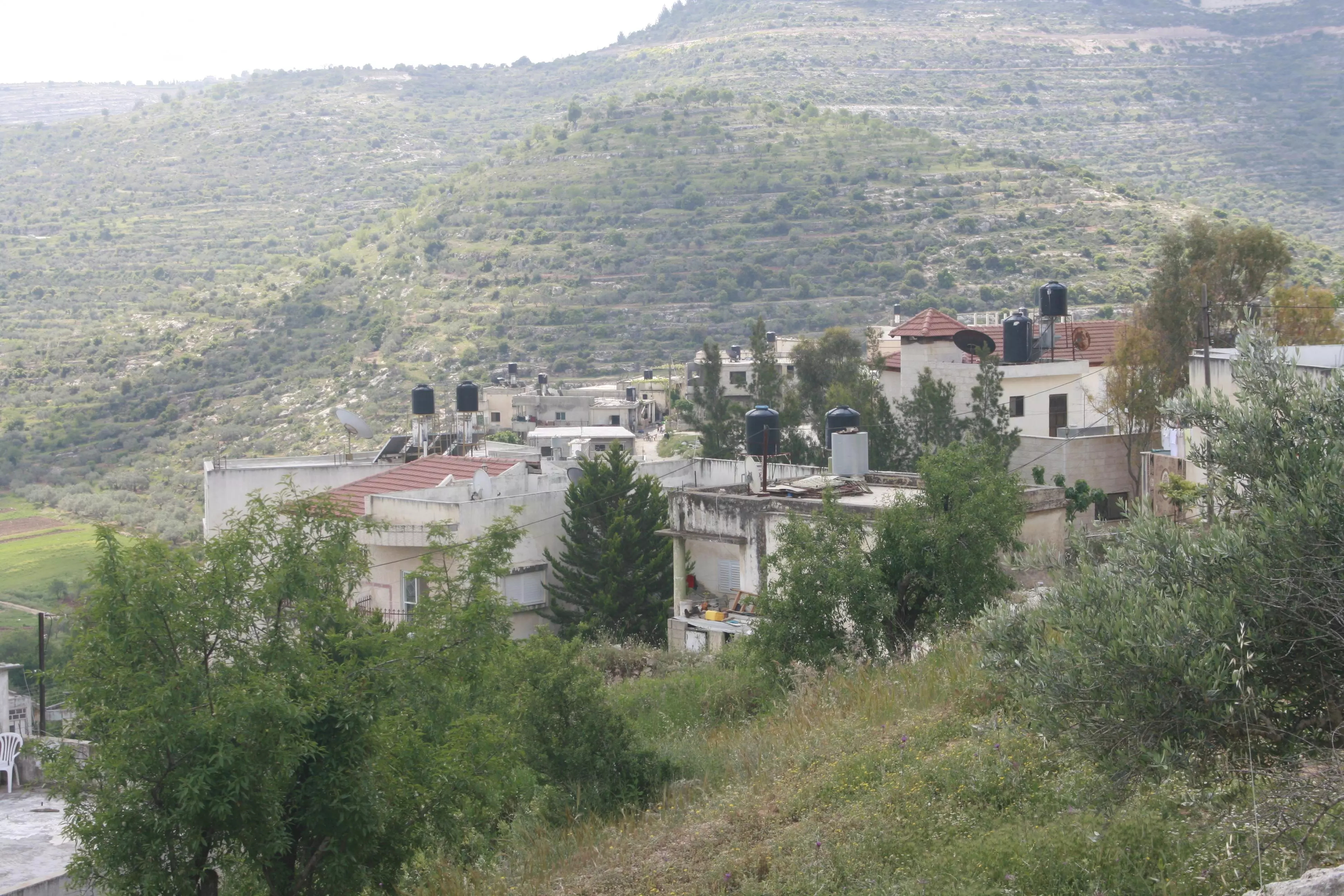
Posted by واجد امين نوباني 1 - حاره البيادر الحي الذي هز اركان اليهود متصديا باسوده لكل محاولات الاقتحام واجد النوباني
Posted by واجد امين نوباني - اللبن الشرقيه وروعه الاطلاله من جبل طاروجا واااااااااااااااجد النوباني
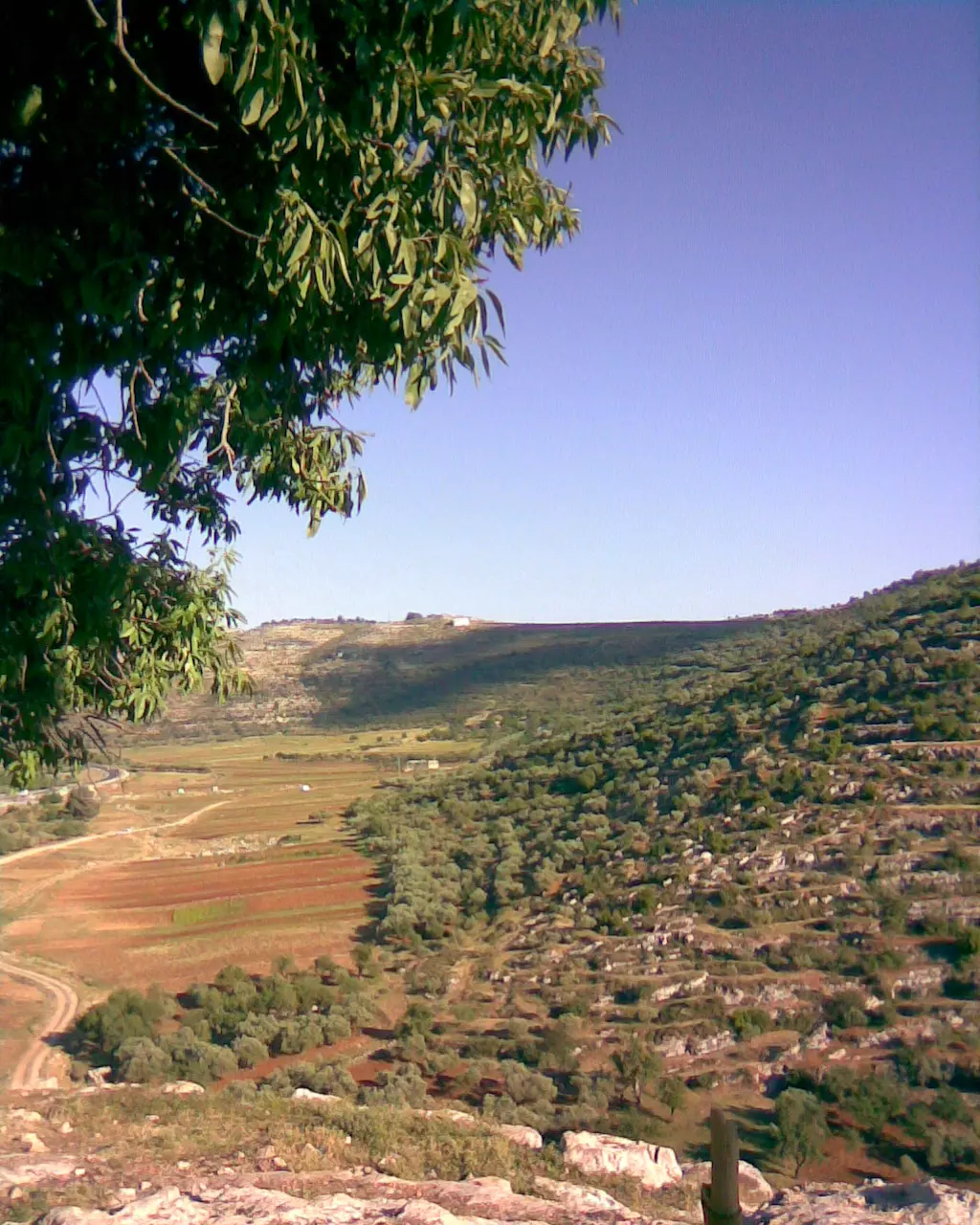
Posted by واجد امين نوباني - واد اللبن الشرقيه
Posted by ابو الفتح - القرية
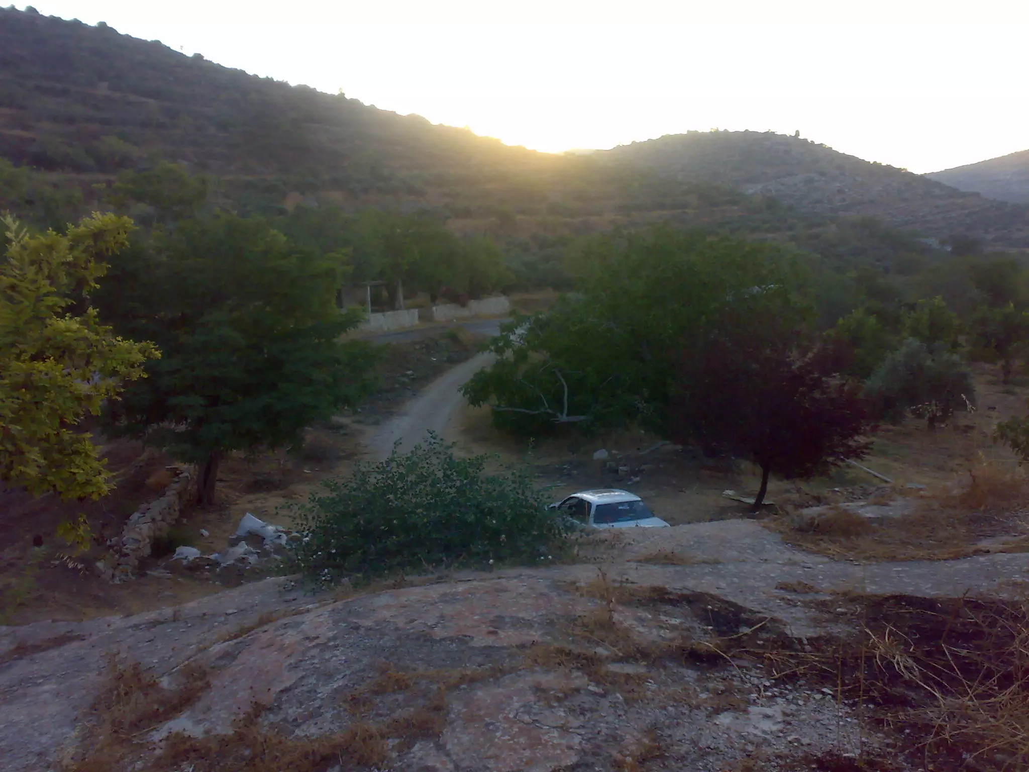
Posted by فلسطين - سهل الضباب اللبن الشرقيه واجد نوباني
Posted by واجد امين نوباني - روعه اللبن الشرقيه من الجبال واجد نوباني
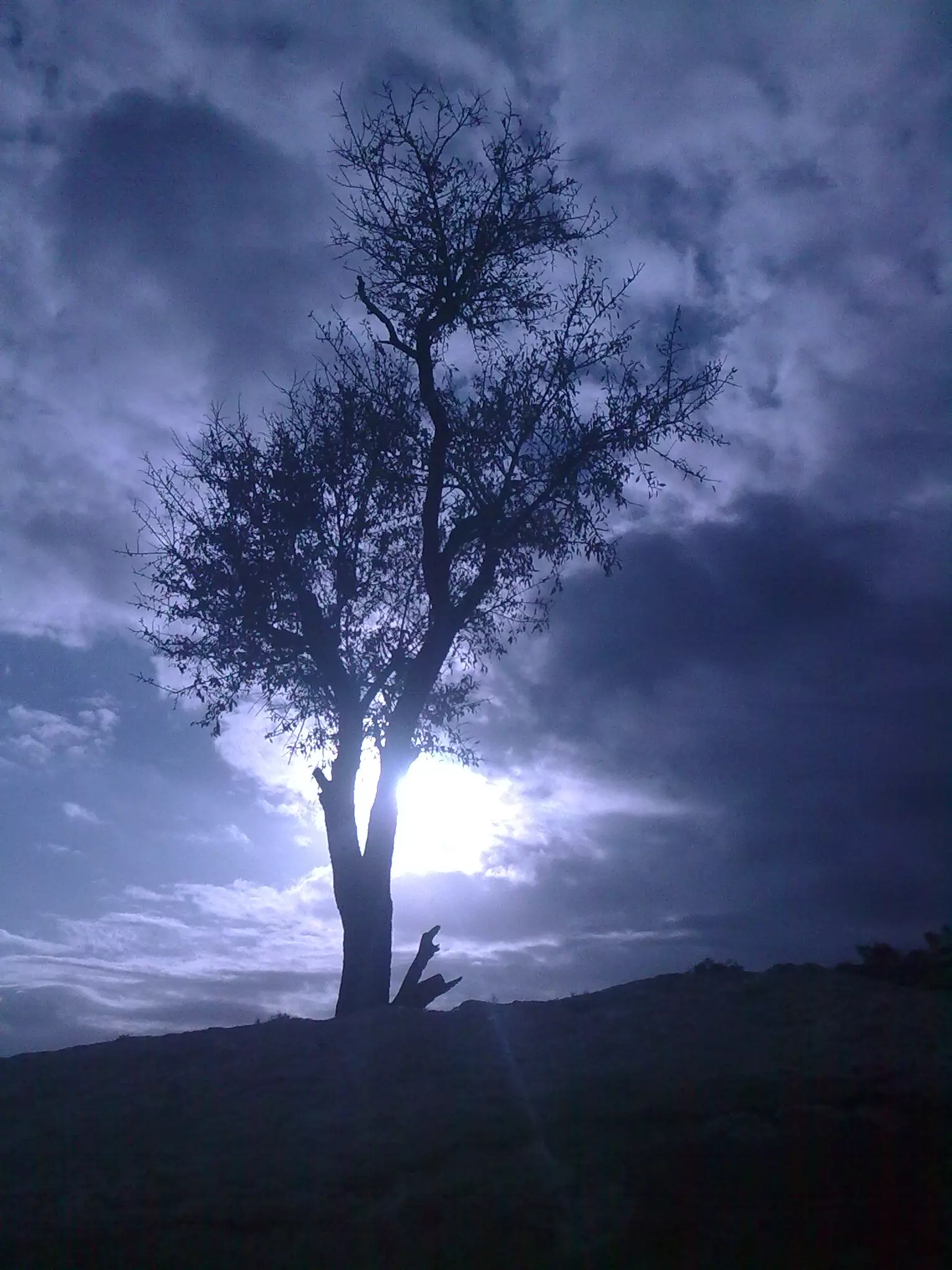
Posted by واجد امين نوباني - اشعه الشمس في اللبن الشرقيه واجد النوباني

Posted by واجد امين نوباني - سنبقى في اللبن الشرقيه نحمي البيادر ولن نتخلى ولن ننسى
Posted by واجد امين نوباني - اجمل واروع صوره صورتها بحياتي منطقه الواد -واجد النوباني
Posted by واجد امين نوباني - جبل الراس الاخضر من عاشقه واجد النوباني الى كل من يحب طبيعه الريف
Posted by واجد امين نوباني - صوره تحاكي الخيال واجد النوباني
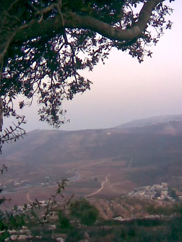
Posted by واجد امين نوباني - مظهر عام للبن الشرقيه والسهل رائعه جدا - واجد النوباني
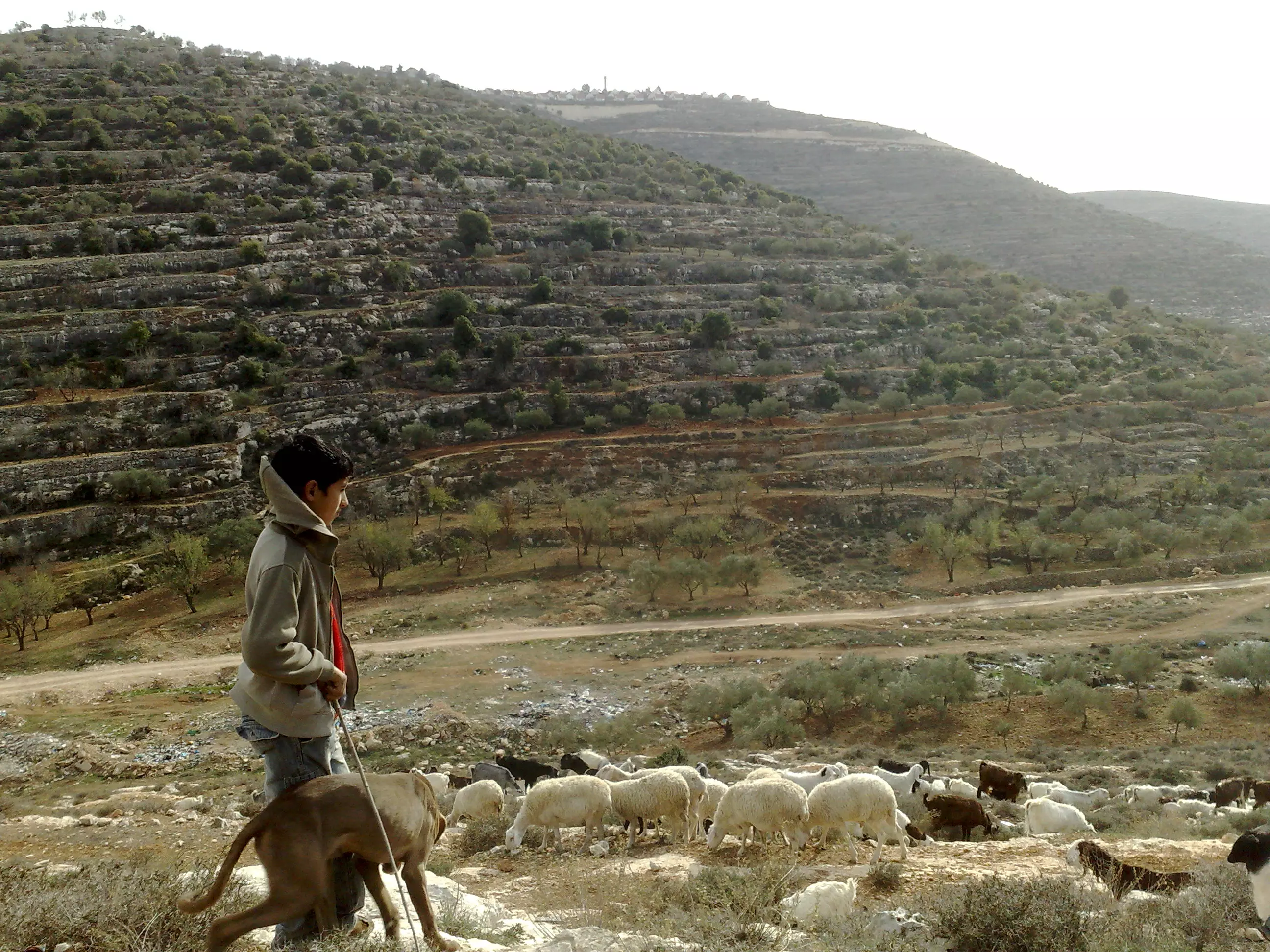
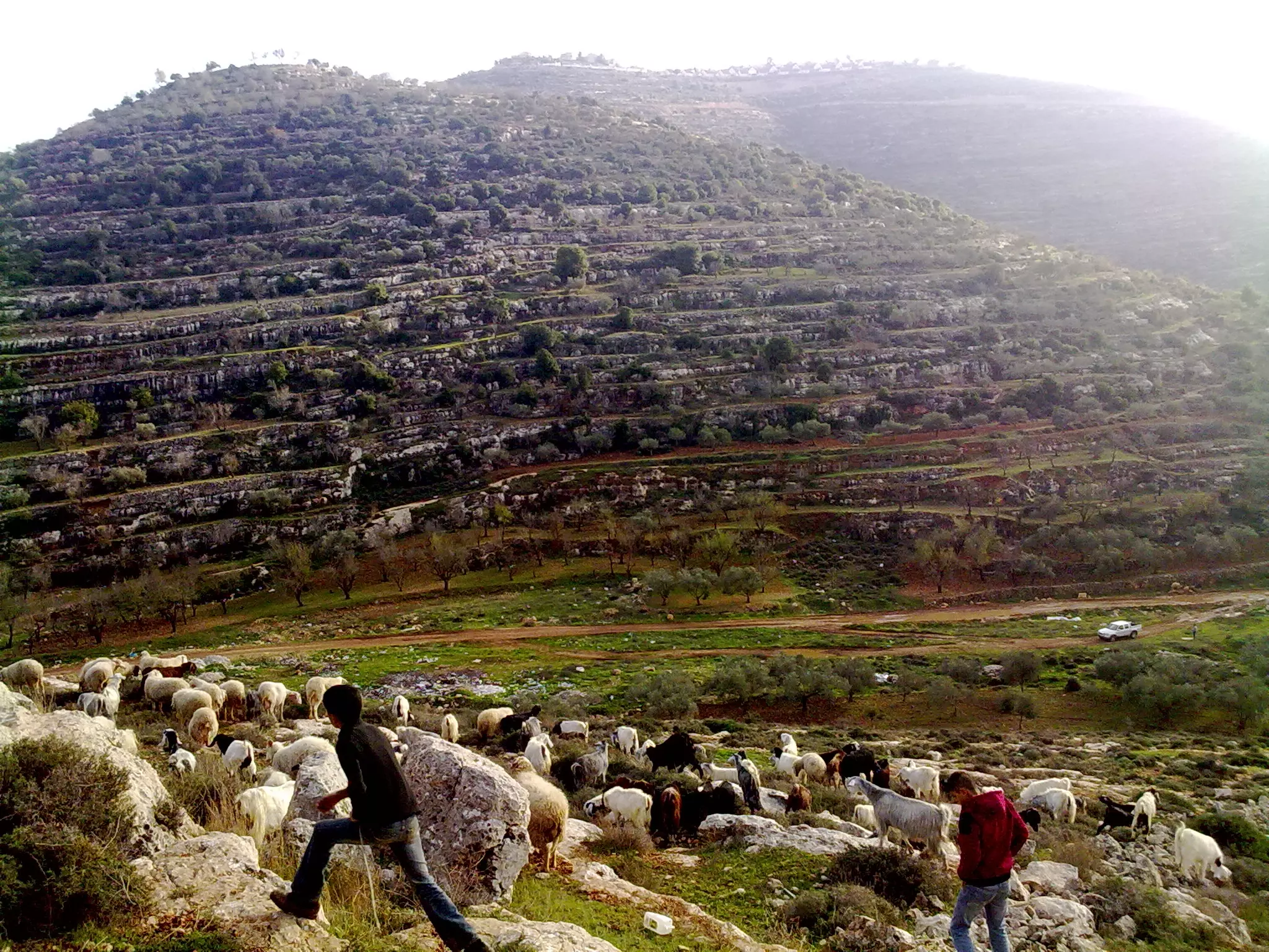
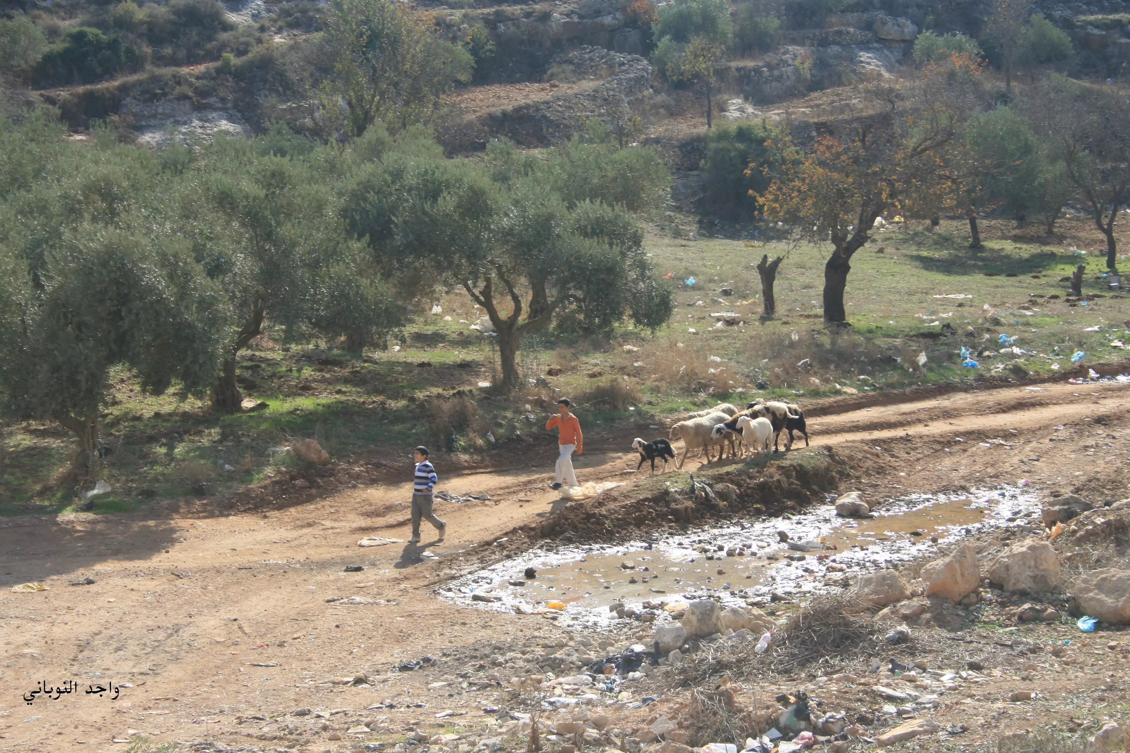
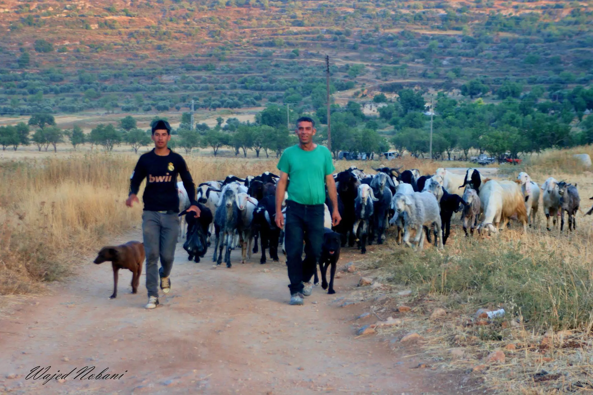
Posted by واجد امين نوباني - رعيان اللبن الشرقيه سراحه الغنم الرائعه ويظهر جبل طاروجا -واجد النوباني
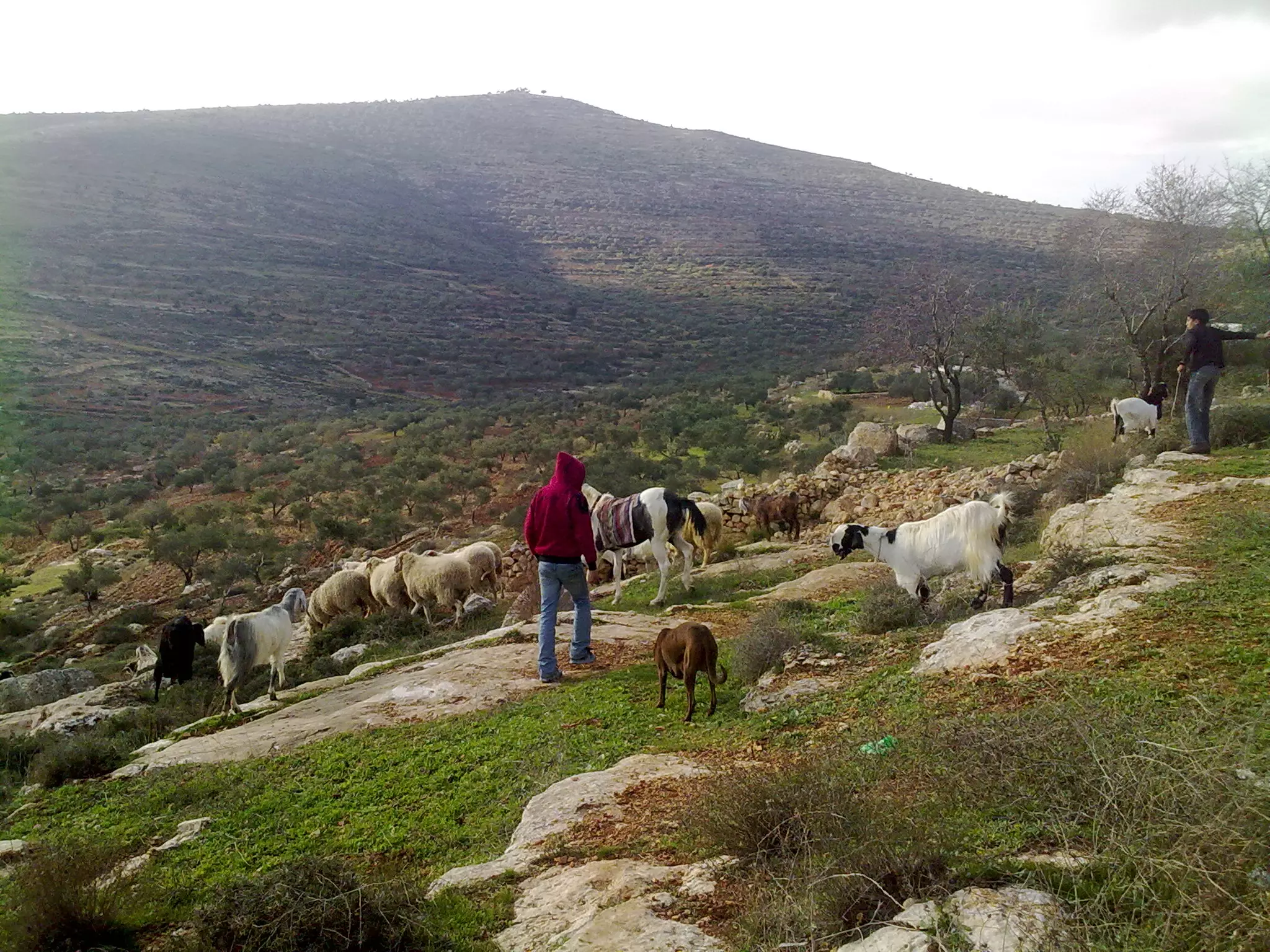
Posted by واجد امين نوباني - عبد النوباني يرعى شليه الغنم والخرفان تصوير واجد النوباني
Posted by واجد امين نوباني - اللبن الشرقيه 20\12\2010 لساتها اللبن زاكيه وحلوه ودافيه - واجد النوباني
Posted by واجد امين نوباني - سهل اللبن 2 والله بتضل اموره هالبلد وياريت بلاقي احن من ترابها - واجد النوباني
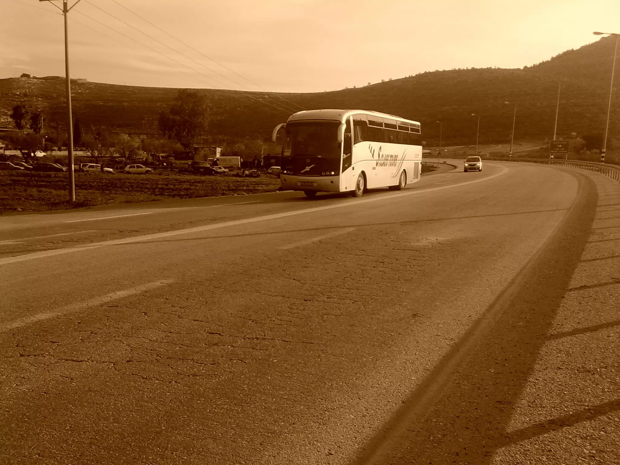
Posted by واجد امين نوباني - باص سياح يهود على الشارع الرئيسي - واجد النوباني
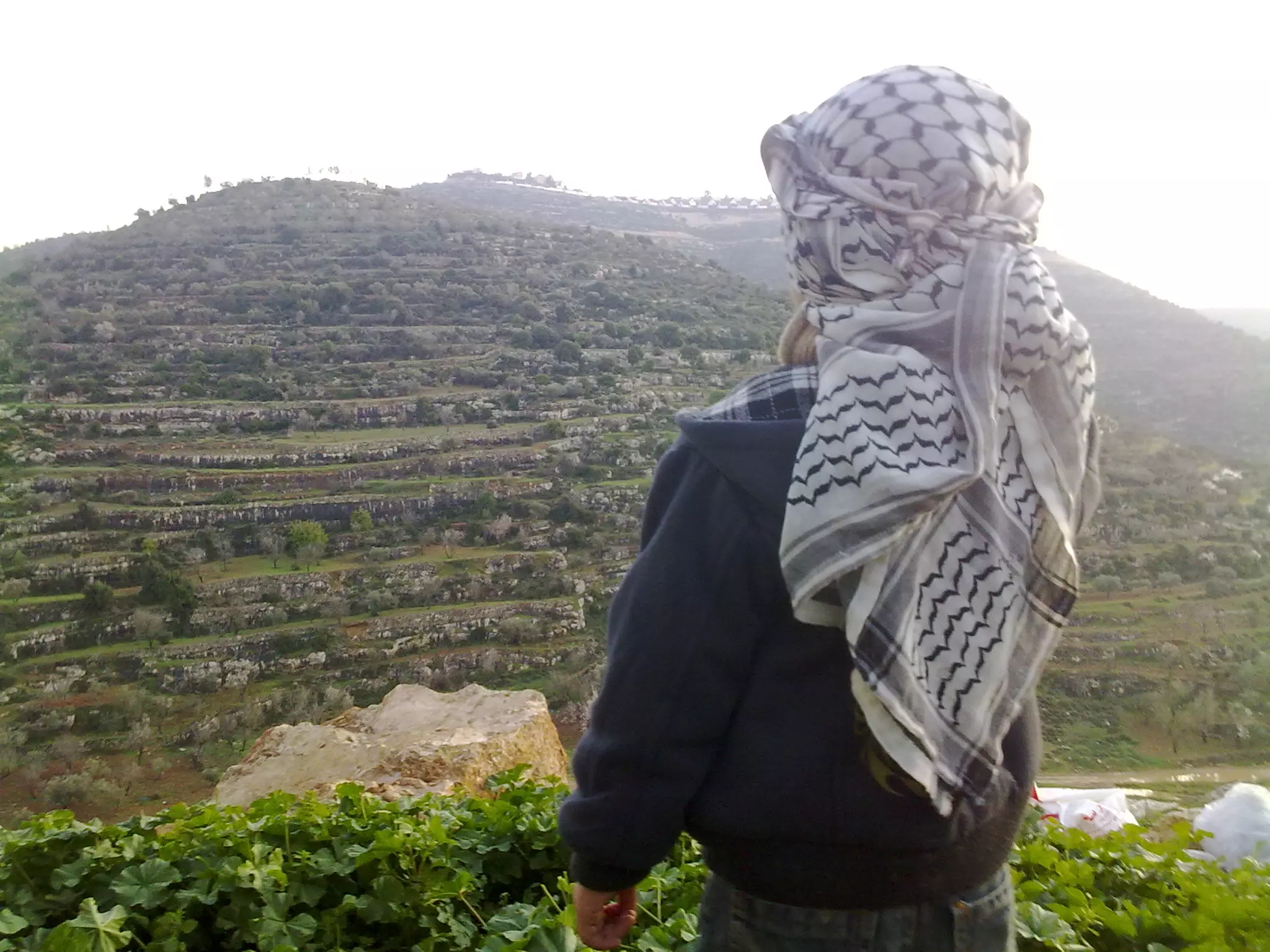
Posted by واجد امين نوباني - طفل يتامل بحزن تلال قريته المستعمره وبلاده الاسيره خلف الاسلاك - واجد
Posted by واجد امين نوباني - 6مستوطنين من بين 150مستوطن كانو على طاروجا وهمي هسا مروحين من طريق السهل للشارع الرئيسي
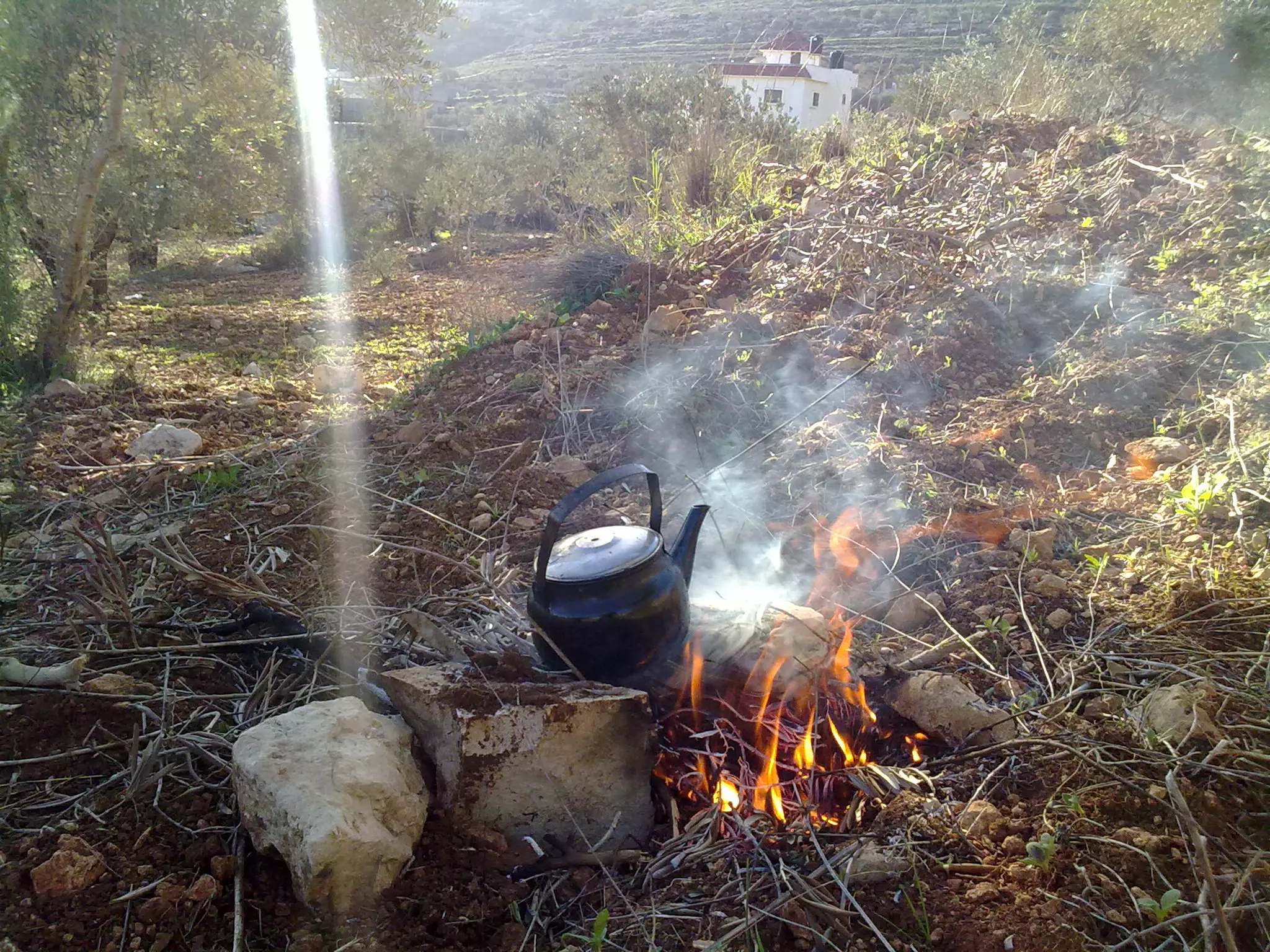
Posted by واجد امين نوباني - من اجمل لحظات السراحه عالارض-قطعه ارضي بالعواريظ وهذا بريق شاي وانا بحرث وبعشب الارض
Posted by واجد امين نوباني - اثار البيوت القديمه منطقه خان اللبن -واجد النوباني
Posted by واجد امين نوباني - اثار البيوت القديمه في الخان 2 - واجد النوباني
Posted by واجد امين نوباني - خان اللبن 22\12010
Posted by واجد امين نوباني - نوار اللوز في اللبن ويظهر جبل الراس -الصوره على يمين القوربات
Posted by واجد امين نوباني - منظر عام لكروم الخان والقوربات
Posted by واجد امين نوباني - محطه الانتظار اول القوربات الى معالي لبونا maale levona
Posted by واجد امين نوباني - من شارع اللبن الرئيسي باص اسرائيلي
Posted by واجد امين نوباني - روعه الجناين الخضراء
Posted by واجد امين نوباني - خان اللبن الاخضر

Posted by واجد امين نوباني - صوره مؤلمه من بيوت عيلي واطلاله على السهل وجبل الراس - للتنبيه فقط هذه الصور هي من تصوير اليهود
Posted by واجد امين نوباني - سرقه مياه القريه وتحويلها الى منتزهات للمستوطنين -عيلي
Posted by واجد امين نوباني - جمال الطبيعه واطلاله على جفعات هاريئيل وعيلي
Posted by واجد امين نوباني - اطلاله من مستعمره عيلي وتظهر الساويه واللبن الشرقيه
Posted by واجد امين نوباني - معالي لبونا من الجو المنظر الاول باتجاه اراضي سنجل والمنظر الثاني اراضي اللبن الشرقيه المحتله
Posted by واجد امين نوباني - جفعات هاروئيه -اللبن الشرقيه وسنجل
Posted by واجد امين نوباني - قوربات اللبن وروعه الطبيعه عدسه واجد النوباني
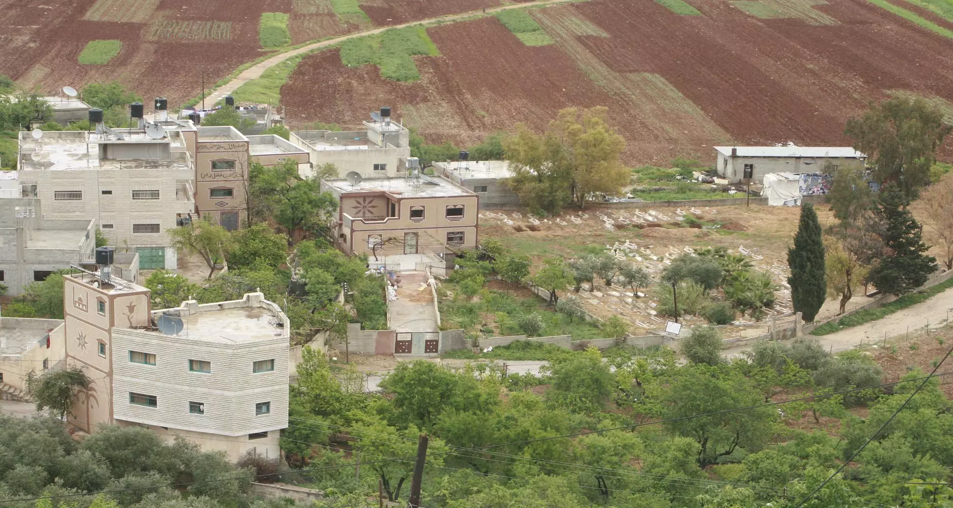
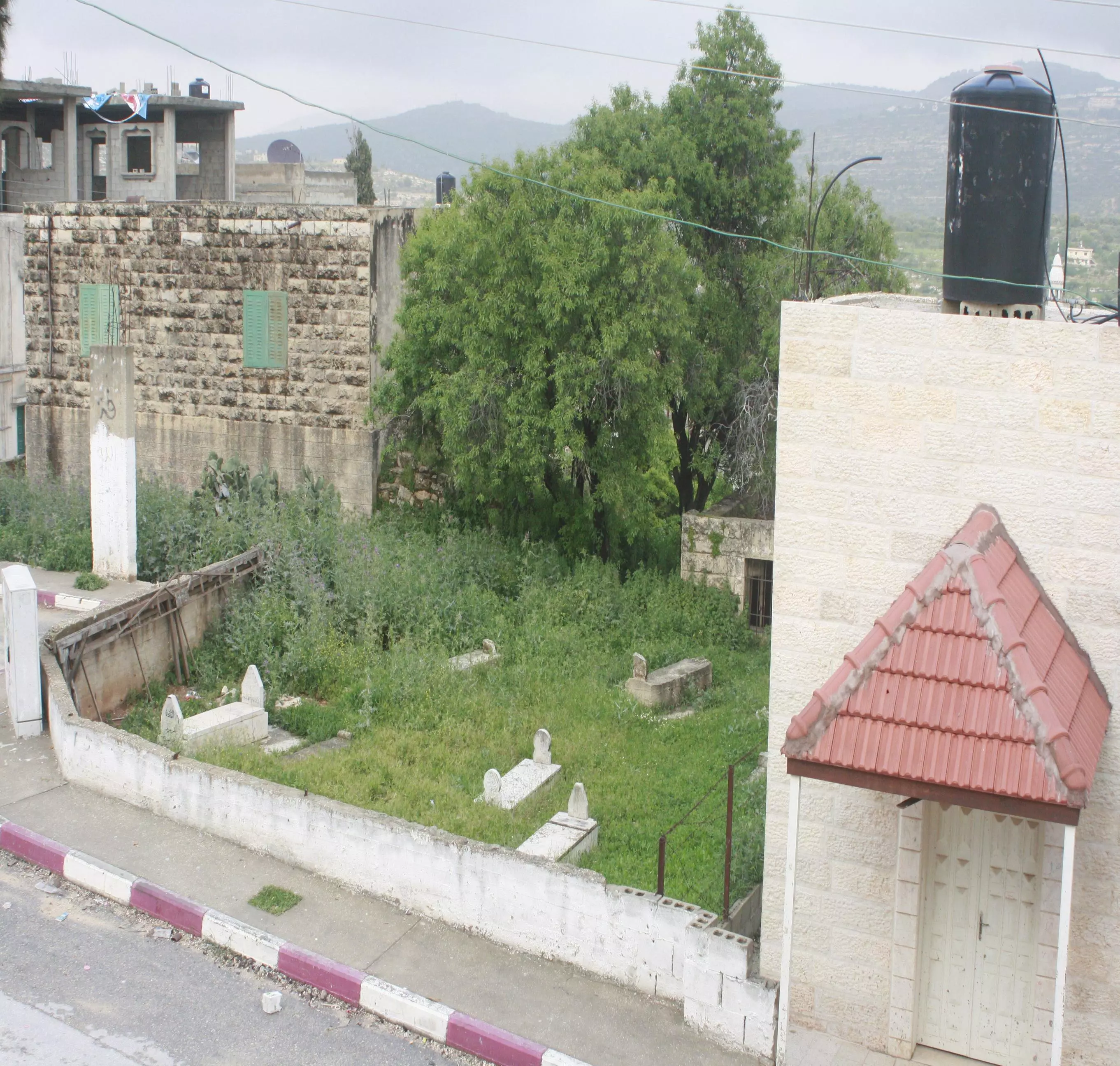
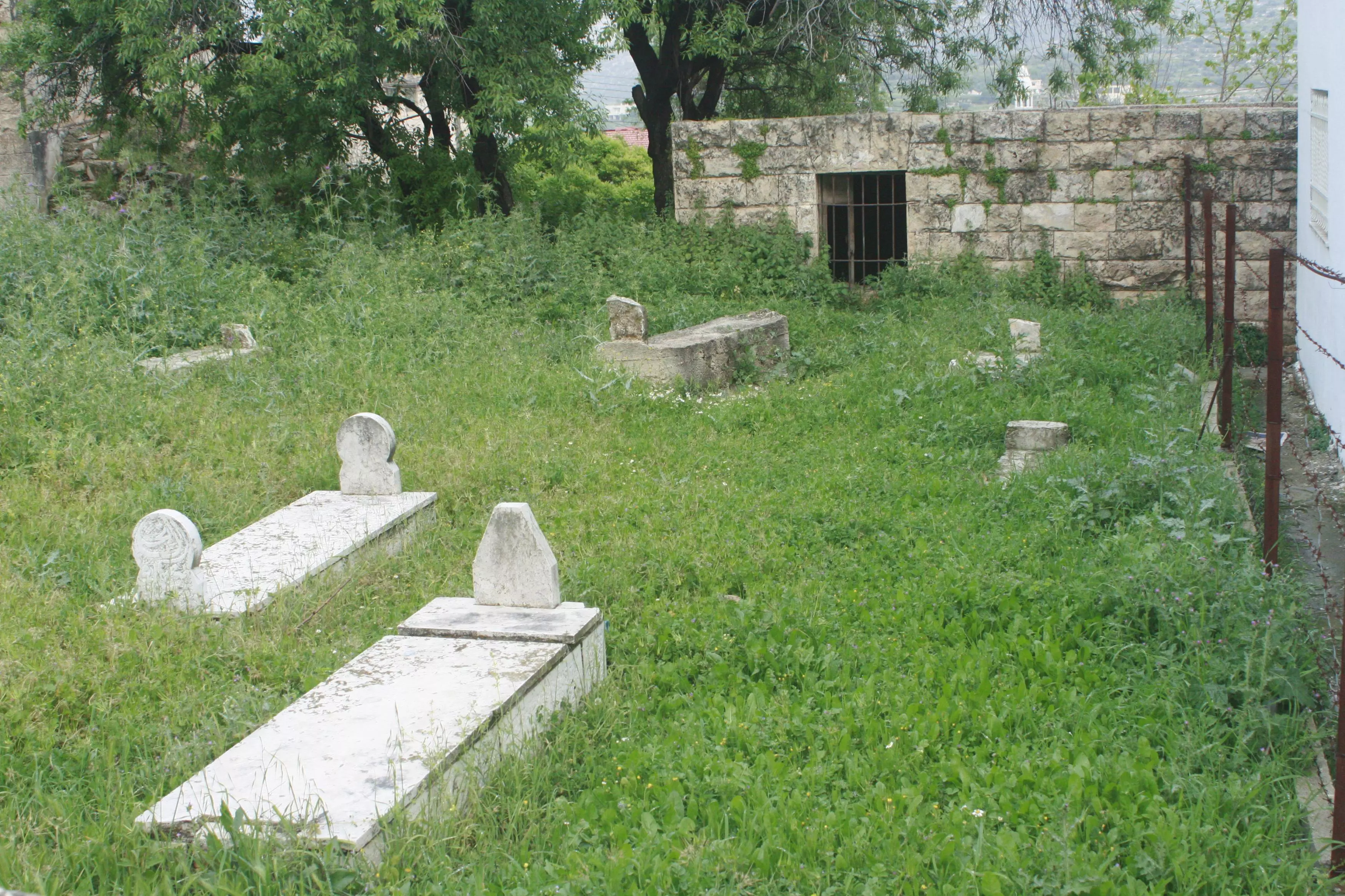
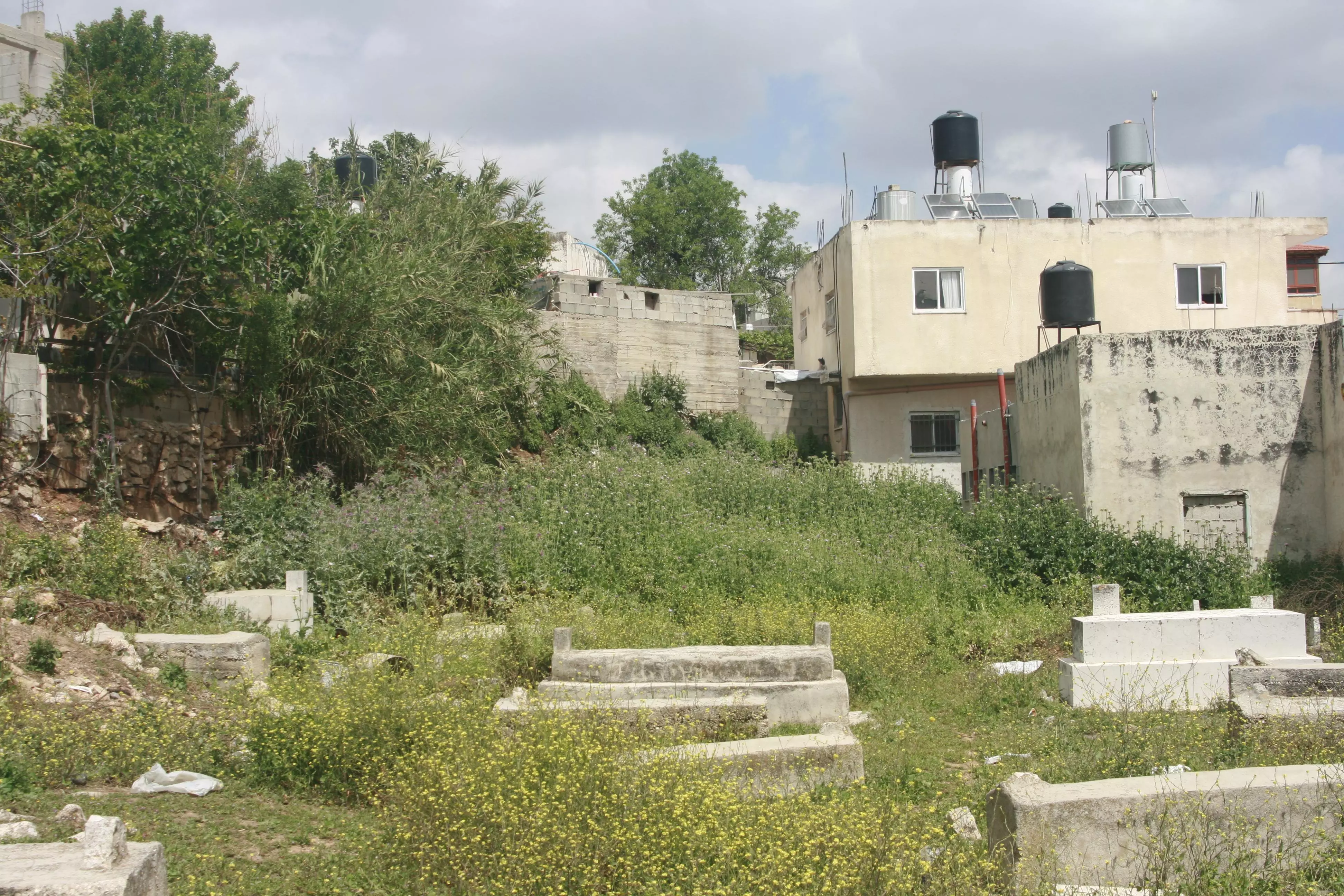
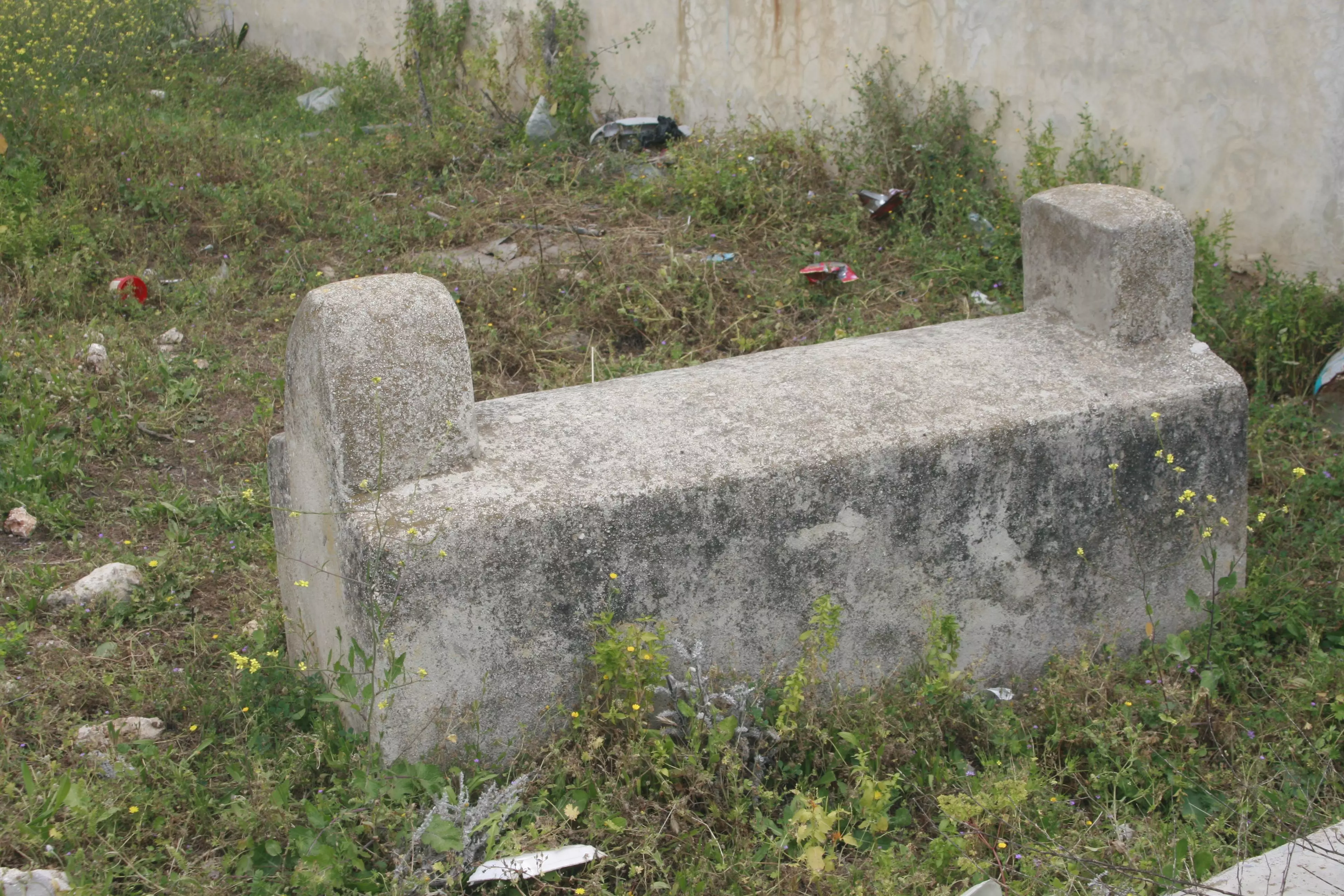
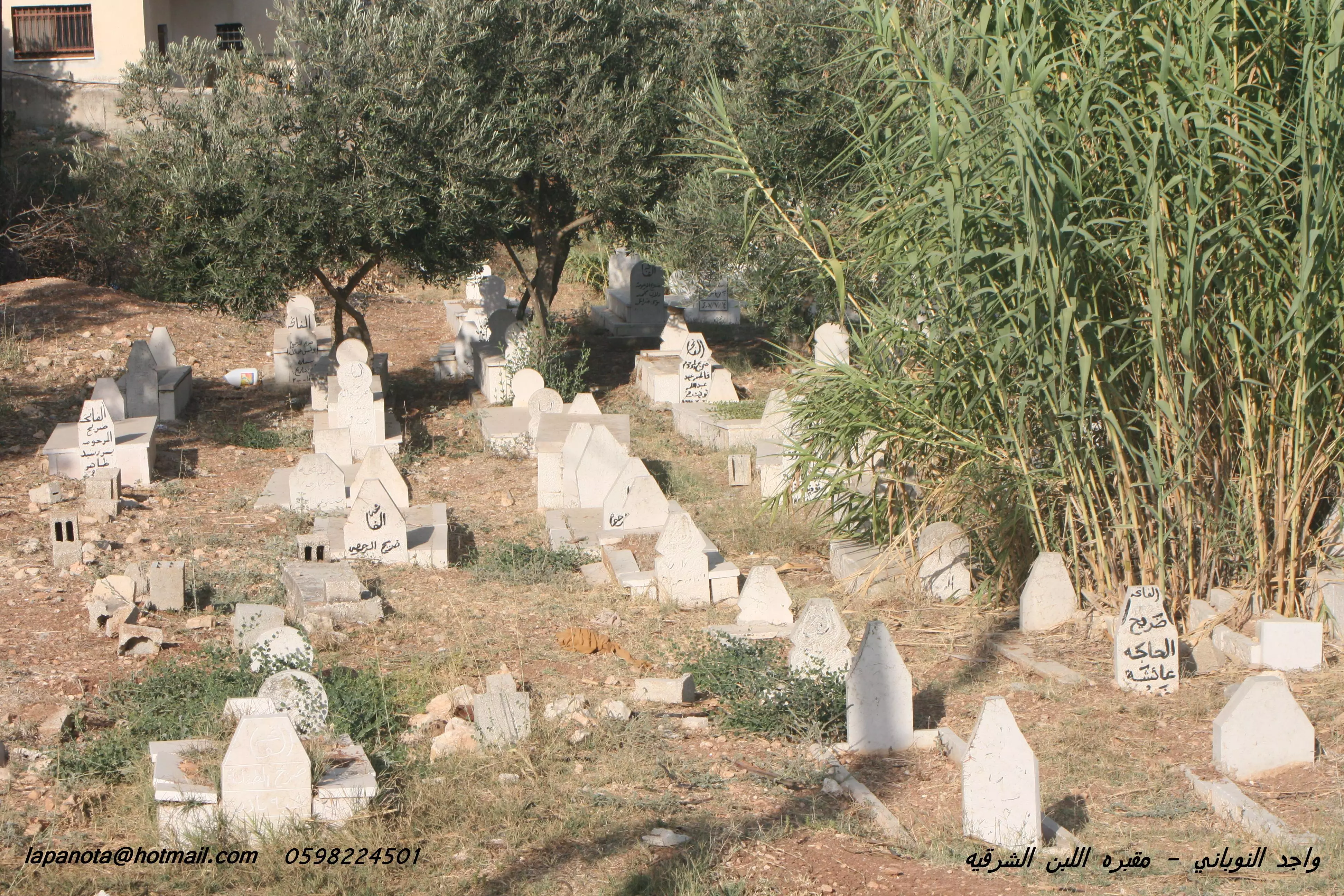
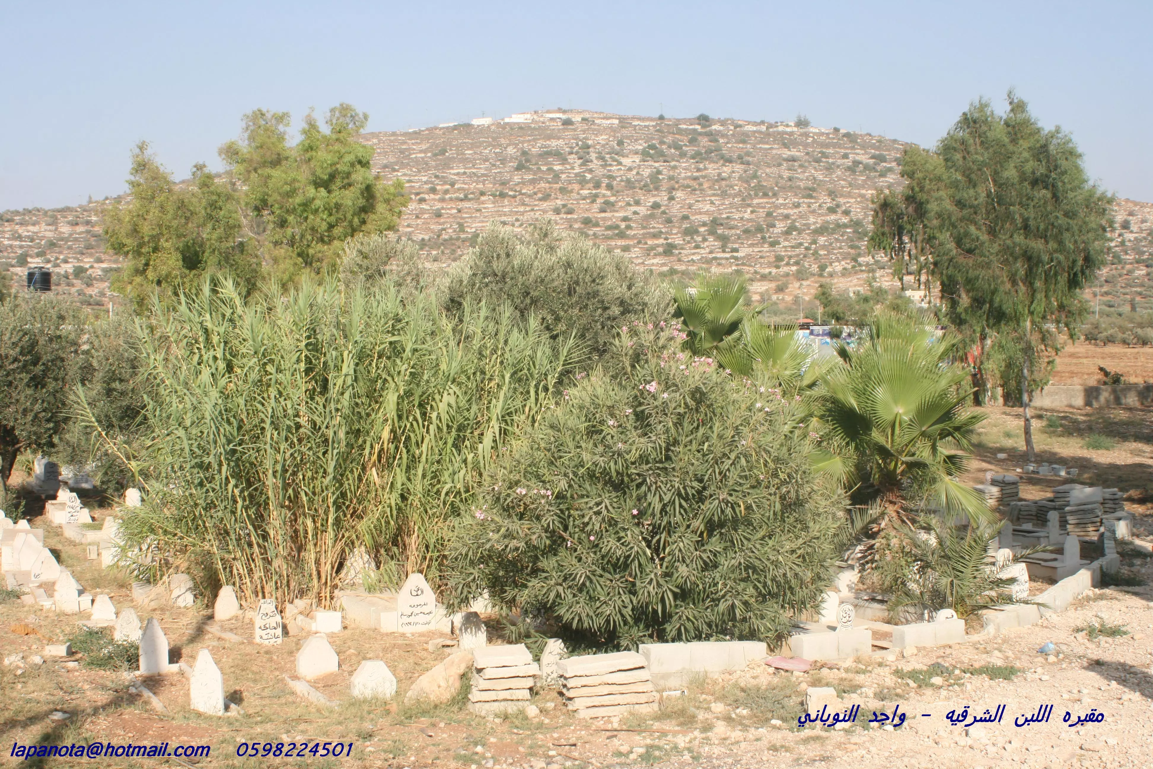
Posted by واجد امين نوباني - مقبره اللبن في السهل تصوير واجد النوباني
Posted by واجد امين نوباني - بين هذه القبور قبر الحجه زريفه.....واجد النوباني
Posted by واجد امين نوباني 5 - من اروع واحلى واجمل وارق واعذب صور اللبن الشرقيه تصوير واجد النوباني
Posted by واجد امين نوباني - قبر الحجه زريفه ......واجد النوباني
Posted by واجد امين نوباني - صوره اخرى للمقبره القديمه وسط اللبن
Posted by واجد امين نوباني - لبانوتا قريه السحر والفتون اروع وارق انثى ريفيه عدسه واجد النوباني
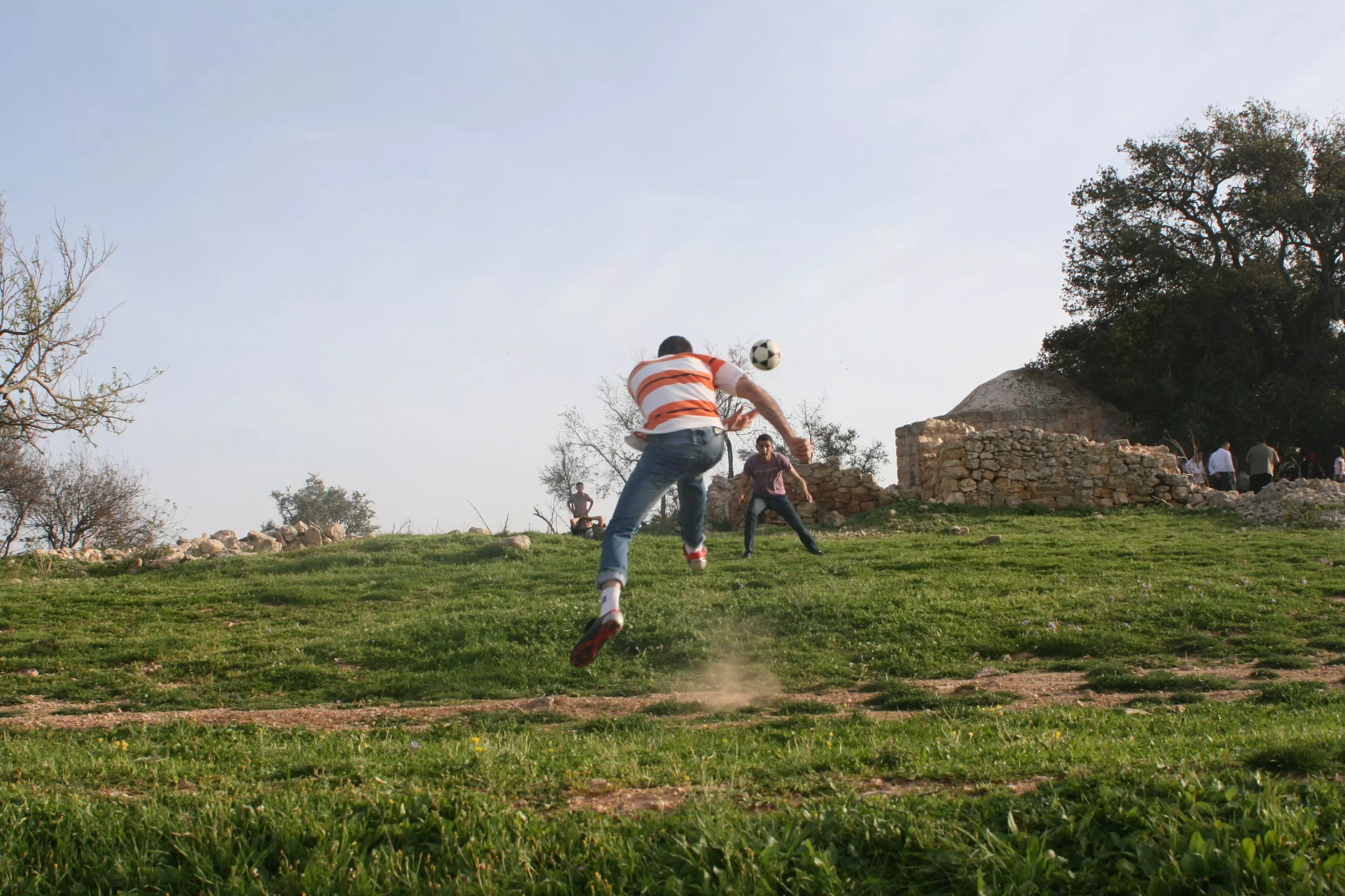
Posted by واجد امين نوباني 1 - شباب اللبن على جبل طاروجا مباره كره قدم لمشجعي ريال مدريد الاسطوري
Posted by واجد امين نوباني - حاجز اسرائيلي على طريه خله زينه في السهل يوقف عشرات السيارات...تصوير واجد
Posted by واجد امين نوباني - صوره لجبل طاروجا والمصراره والعساسفه تصوير واجد نوباني
Posted by واجد امين نوباني - طريق اللبن الشرقيه ويظهر سيارات لليهود الاسرائيليين ........واجد
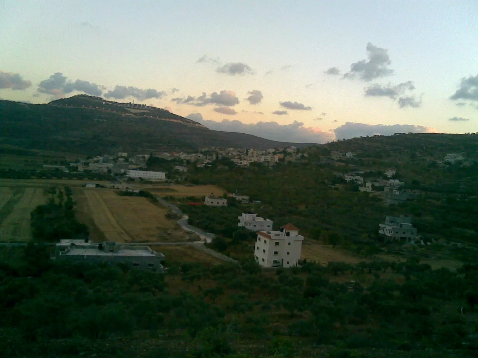
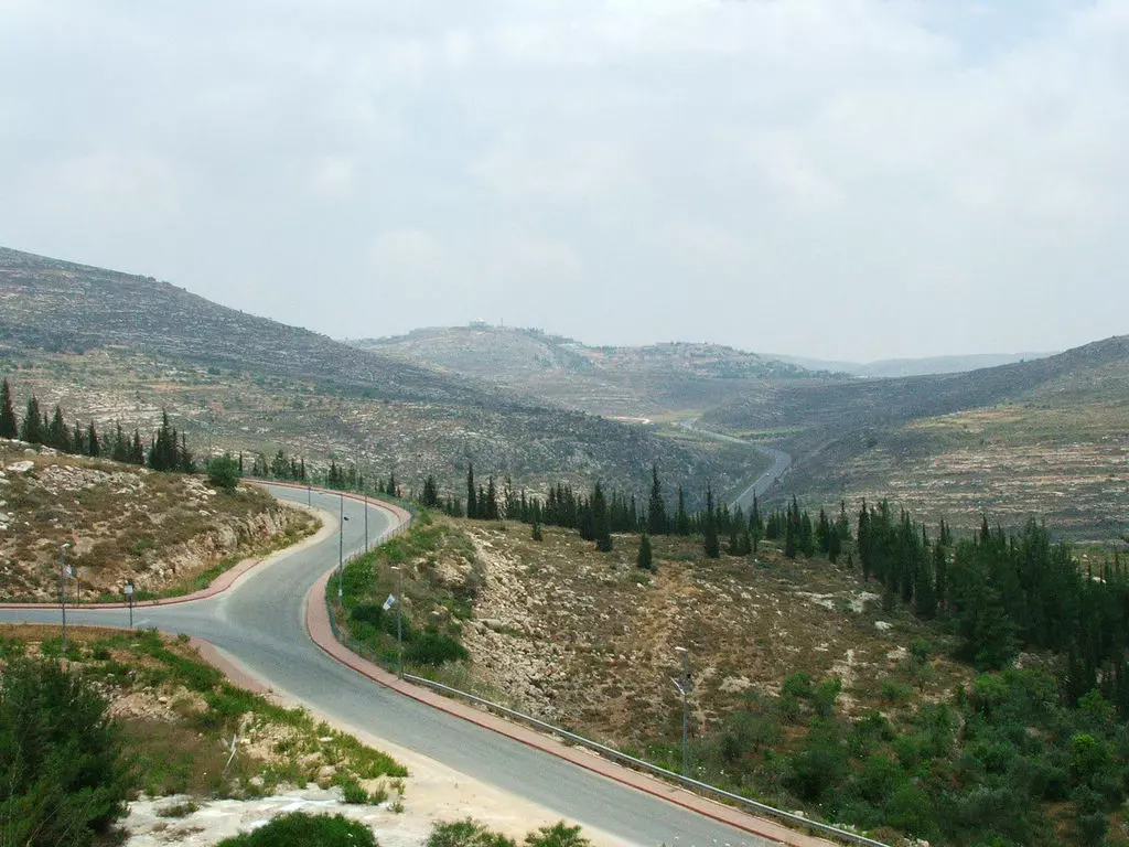
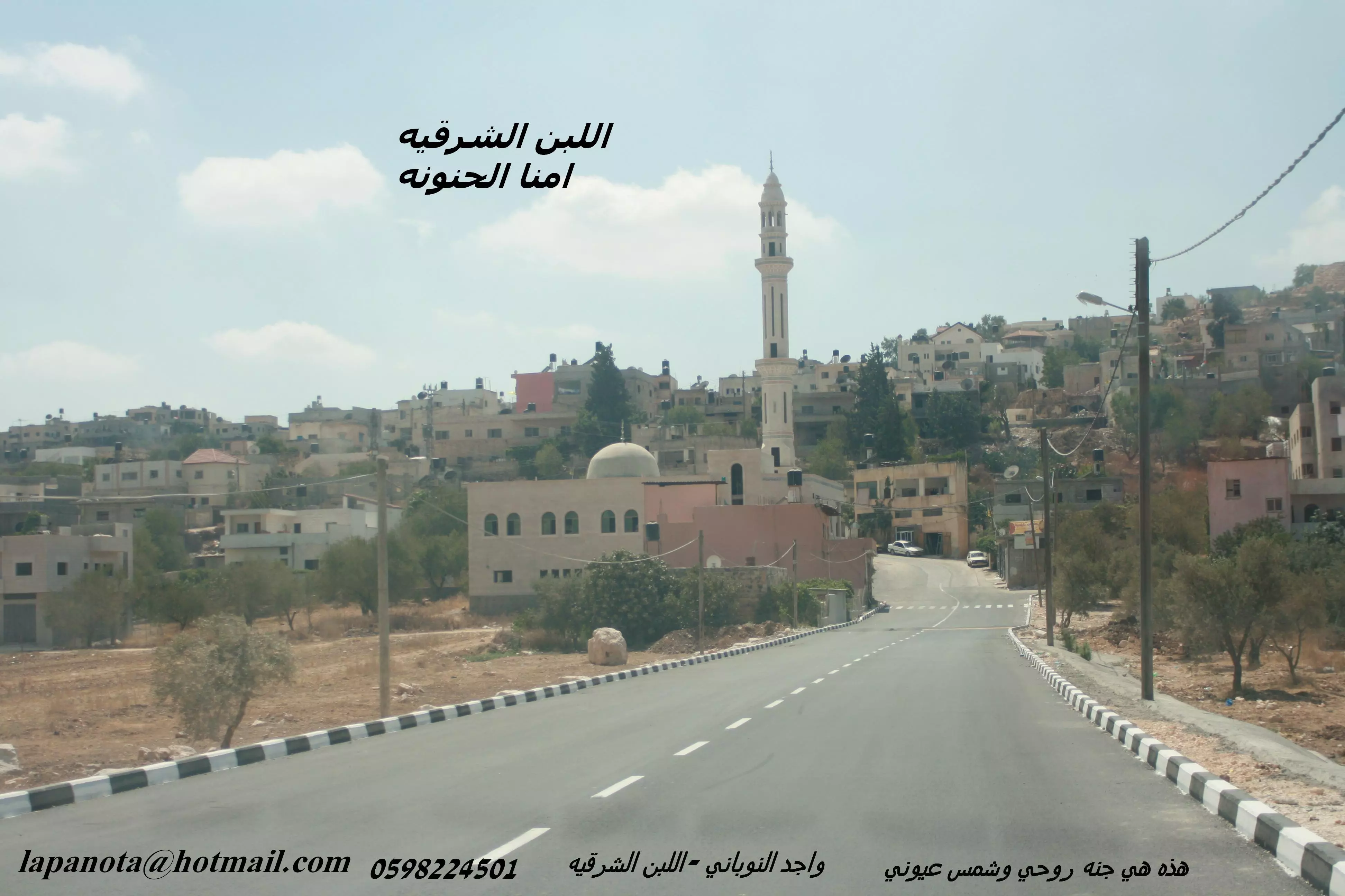
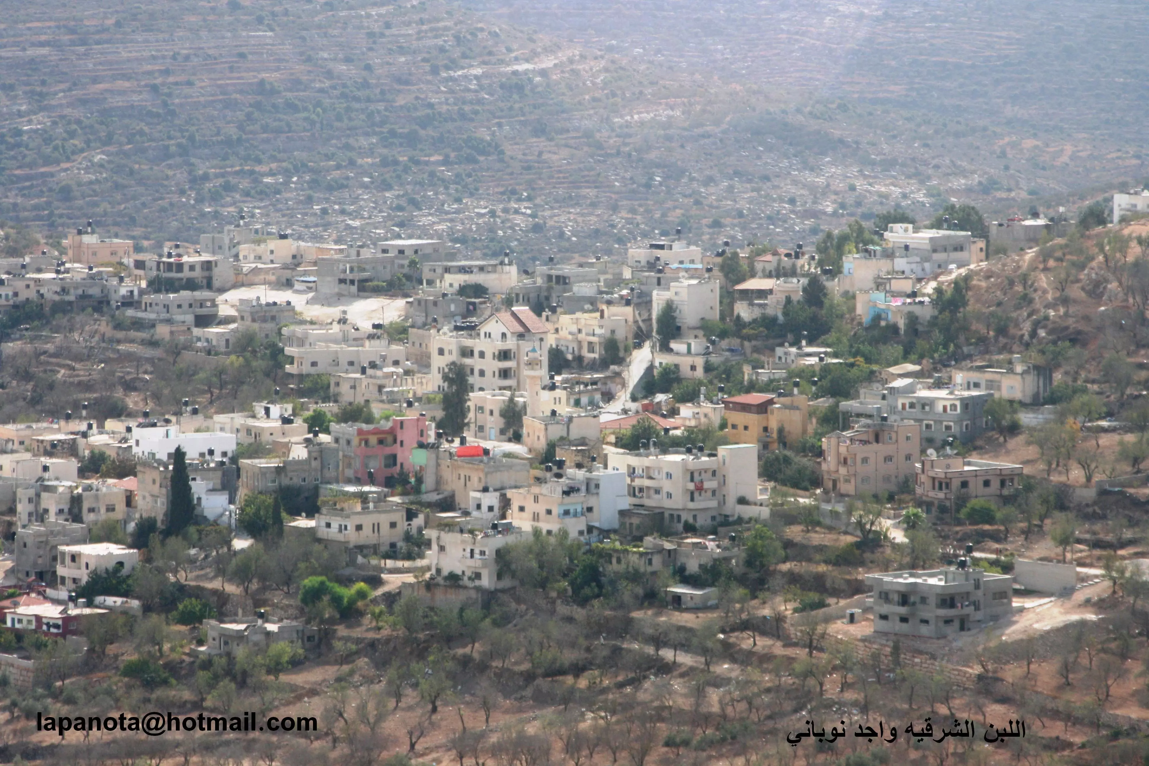
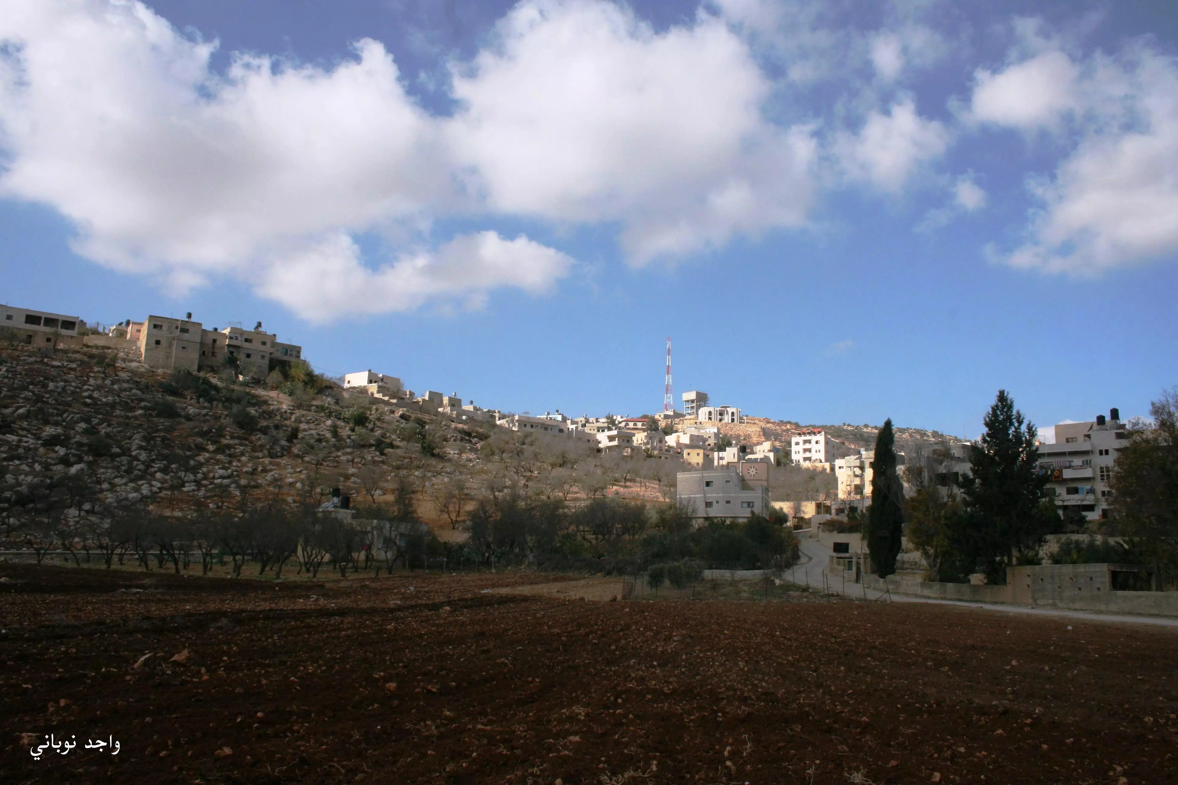
Posted by واجد امين نوباني - اللبن الشرقيه كما تظهر من الشارع الرئيسي
Posted by واجد امين نوباني - من روائع صور اللبن الشرقيه وروعه الطبيعه الخضراء....واجد

Posted by واجد امين نوباني - من اروع صور اللبن الشرقيه عمري وكل حياتي ......واجد
Posted by واجد امين نوباني - الطريق الى حاره الحاووز......واجد
Posted by واجد امين نوباني - مناظر رائعه لزيتون اللبن الشرقيه...واجد النوباني
Posted by واجد امين نوباني - ساحه اعراس اللبن الشرقيه
Posted by واجد امين نوباني - دائما ساحره ومن اي مكان تعجبين الكل يا اروع قريه ....عاشق ترابك واجد
Posted by واجد امين نوباني 1 - السهل والشجر ورقه الاطلاله من البيادر
Posted by واجد امين نوباني - اللبن الشرقيه وسحر الطبيعه صوره من الشارع الرئيسي
Posted by واجد امين نوباني - جبل الراس الاخضر والغيوم تكتسي جبل الباطن وتخفي المستعمره
Posted by واجد امين نوباني - سهل اللبن والسنابل الساحره تستقبل الشمس وترسل للعاشقين لوحه من الهدوء والتغزل
Posted by واجد امين نوباني 1 - مروان ضراغمه ابو محمد يقرا الفاتحه على روح المرحومه الحجه زريفه
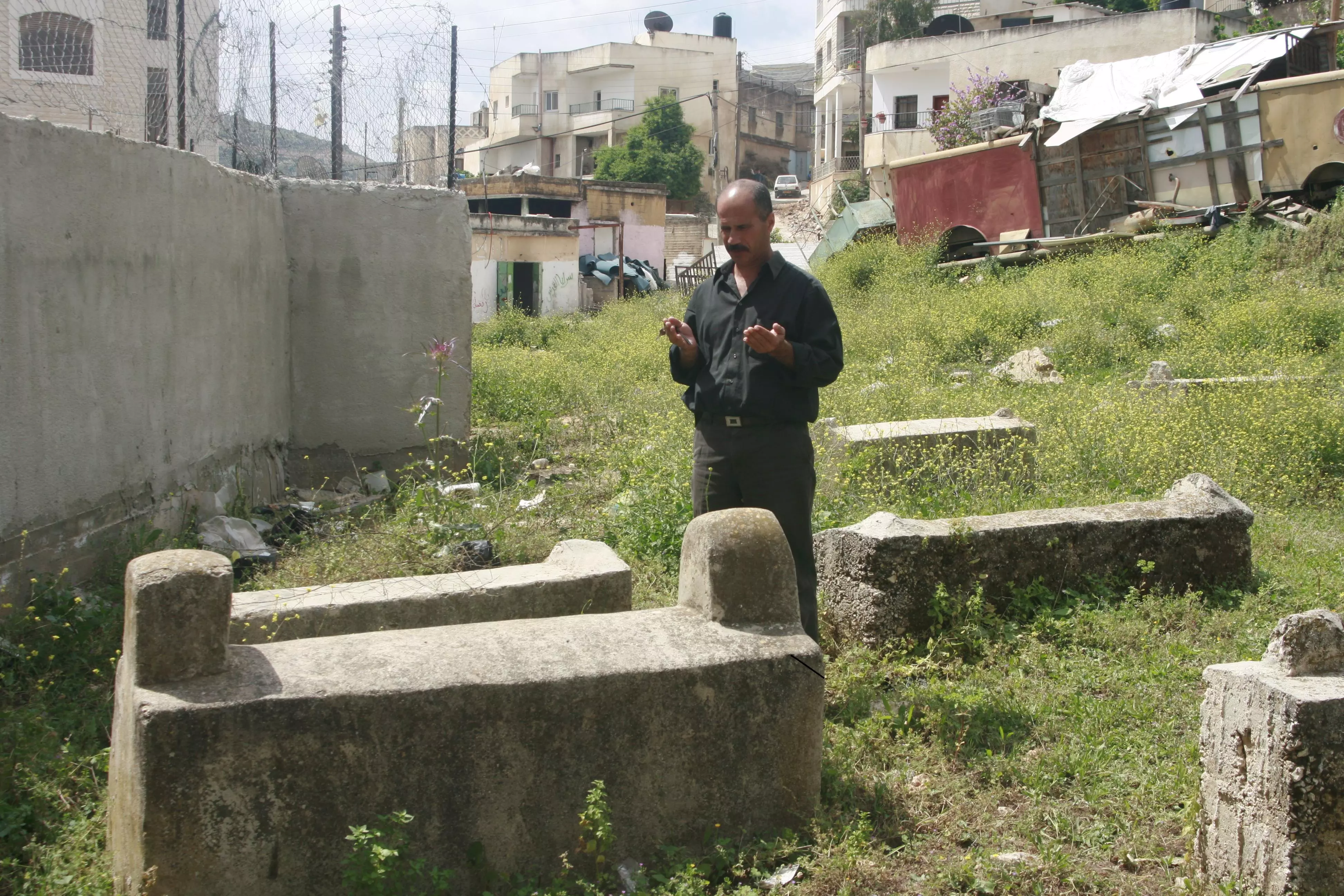
Posted by واجد امين نوباني 3 - مقبره اللبن القديمه
Posted by واجد امين نوباني - هنا كانت اللبن القديمه
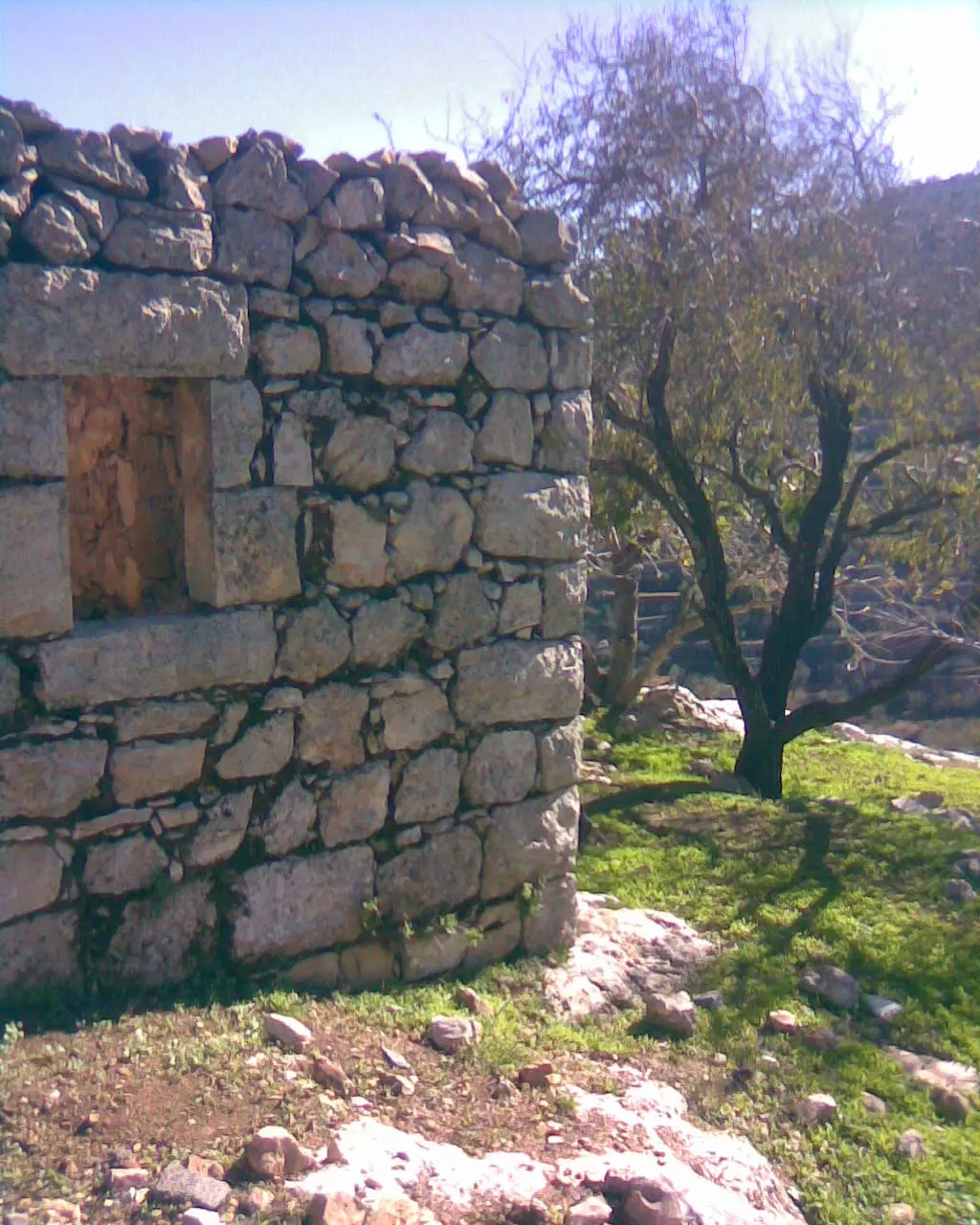
Posted by واجد امين نوباني - اثار بيوت اللبن يعود هذا المنزل الظاهر بعض الشيء الى ذيب الموسى
Posted by واجد امين نوباني - اثار بيوت اللبن هذه المنطقه تعود للضراغمه القدماء واول مغاره هي بيت ذيب الموسى
Posted by واجد امين نوباني - ابو محمد امام اول دكانه في اللبن الشرقيه..العوده
Posted by واجد امين نوباني - دكانه العوده لمروان ضراغمه وهي تاريخيه جدا تعود لعشرات السنين
Posted by واجد امين نوباني - المناطق القديمه في اللبن اثار مكان سكن الضراغمه
Posted by واجد امين نوباني - فتيه من اللبن فوق اطلال البيوت القديمه
Posted by واجد امين نوباني - بيت قديم
Posted by واجد امين نوباني - اثار بيوت اللبن لعائله الضراغمه
Posted by واجد امين نوباني - طابون ام كمال ضراغمه القديم
Posted by واجد امين نوباني - اثار المنازل القديمه
Posted by واجد امين نوباني - تحت شجره الرمان لا زالت الاثار ظاهره لبيوت اللبن القديمه
Posted by واجد امين نوباني - اثار احد البيوت القديمه
Posted by واجد امين نوباني - كان هنا منزل والان اصبح بضع حجاره تنتظر لتهوي نحو الارض
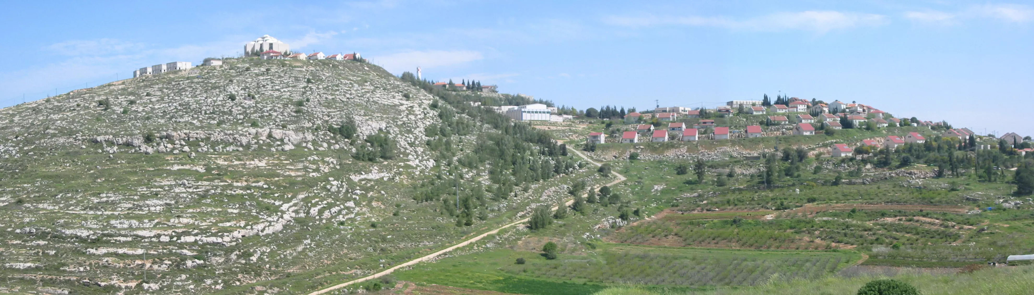
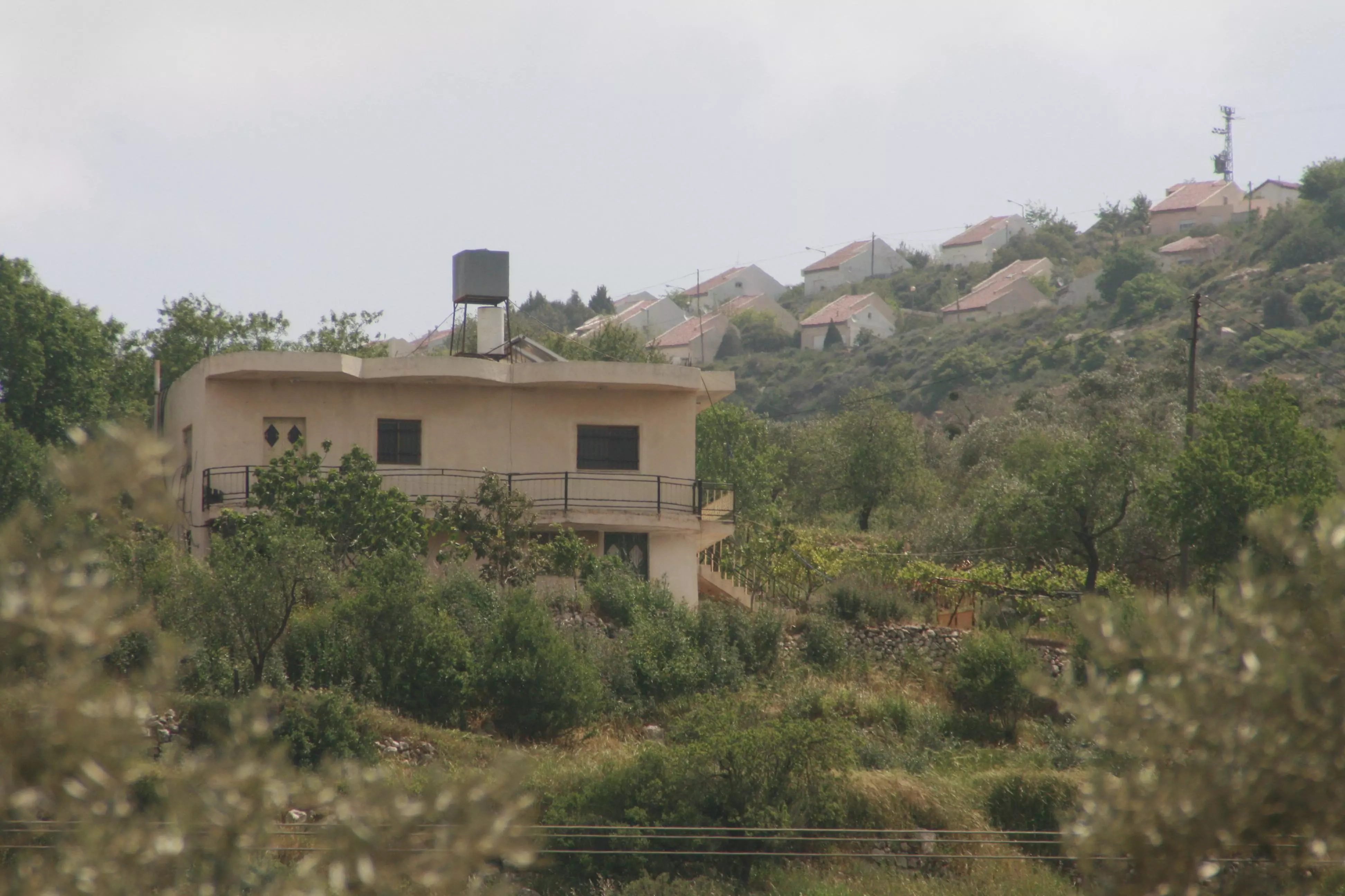
Posted by واجد امين نوباني - معاليه لبوناmaale levona المستعمره اليهوديه في اللبن...واجد النوباني
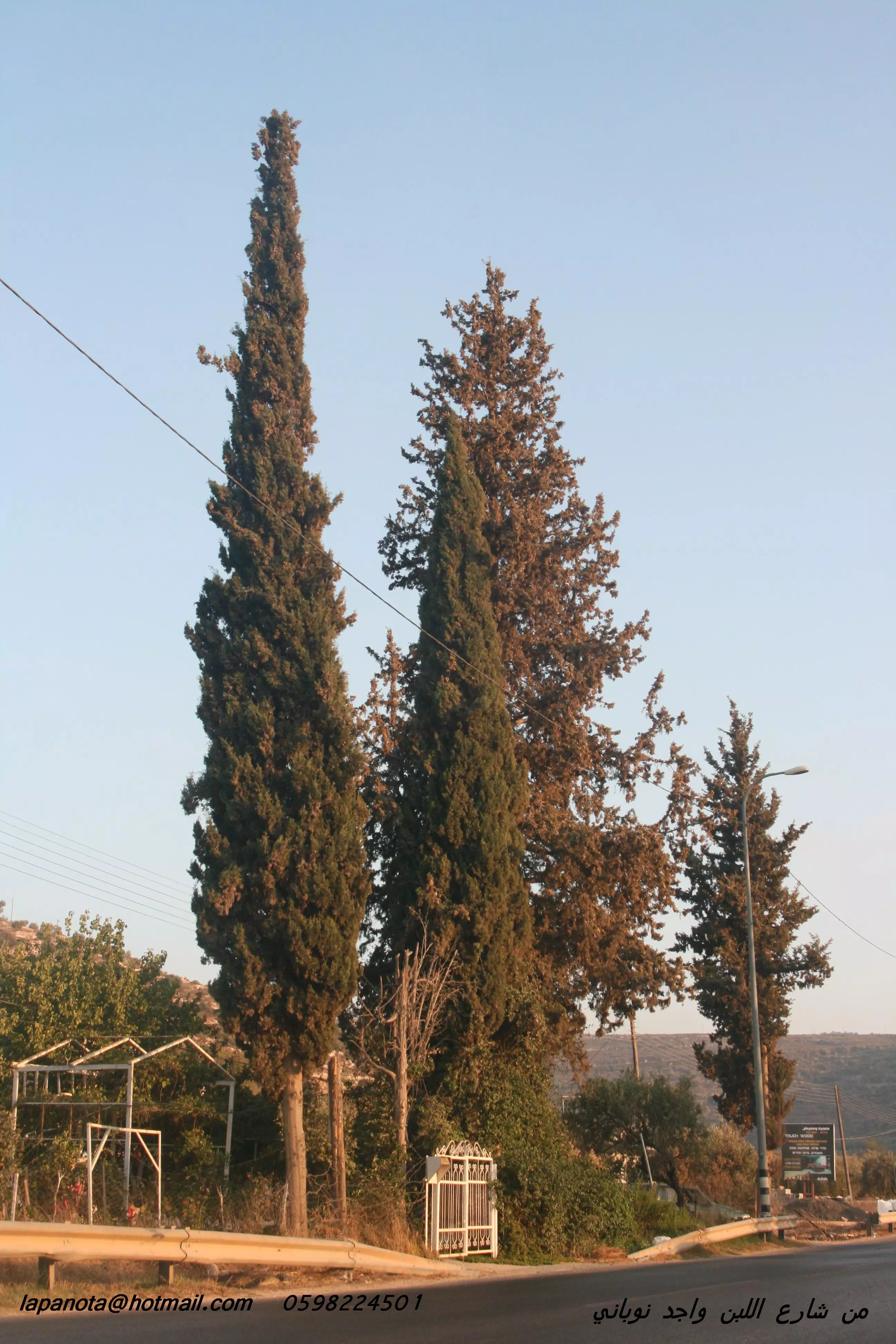
Posted by واجد امين نوباني - مدرسه بنات اللبن ومدرسه اللبن للذكر المحاطه بالسرو والصنوبر...واجد النوباني
Posted by واجد امين نوباني - معاليه لونا maale levona جنوب اللبن
Posted by واجد امين نوباني - مستعمره جفعات هاروئيه المطله على اللبن..واجد النوباني
Posted by واجد امين نوباني - بيوت مستعمره عيليwli المطله في اللبن الشرقيه...واجد النوباني
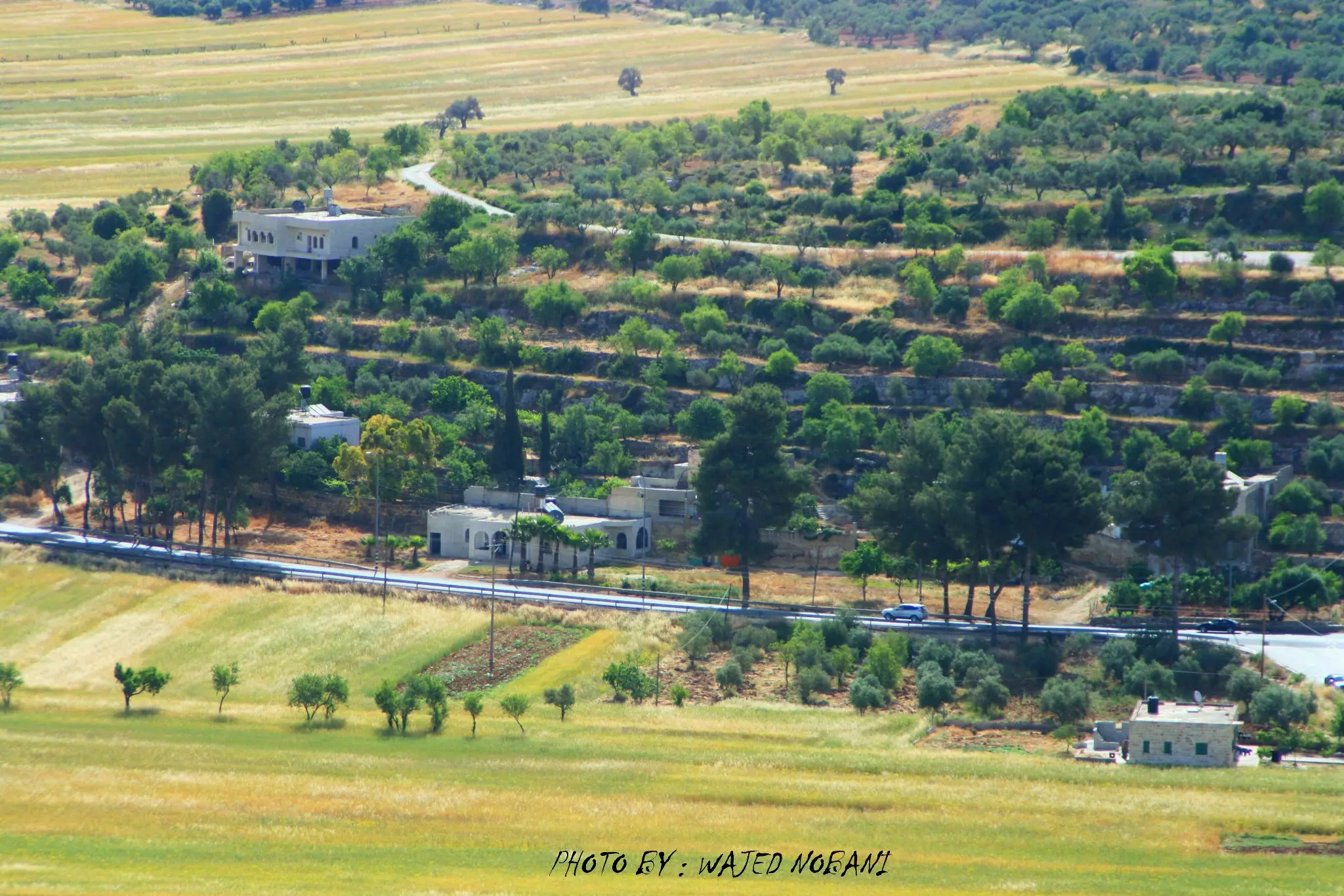
Posted by واجد امين نوباني - بيوت اللبن على الشارع الرئيسي صوره رائعه...واجد النوباني
Posted by واجد امين نوباني - سهل اللبن صباح يوم الجمعه
Posted by واجد امين نوباني - اللبن نظره باتجاه الجنوب ويظهر جبل الراس
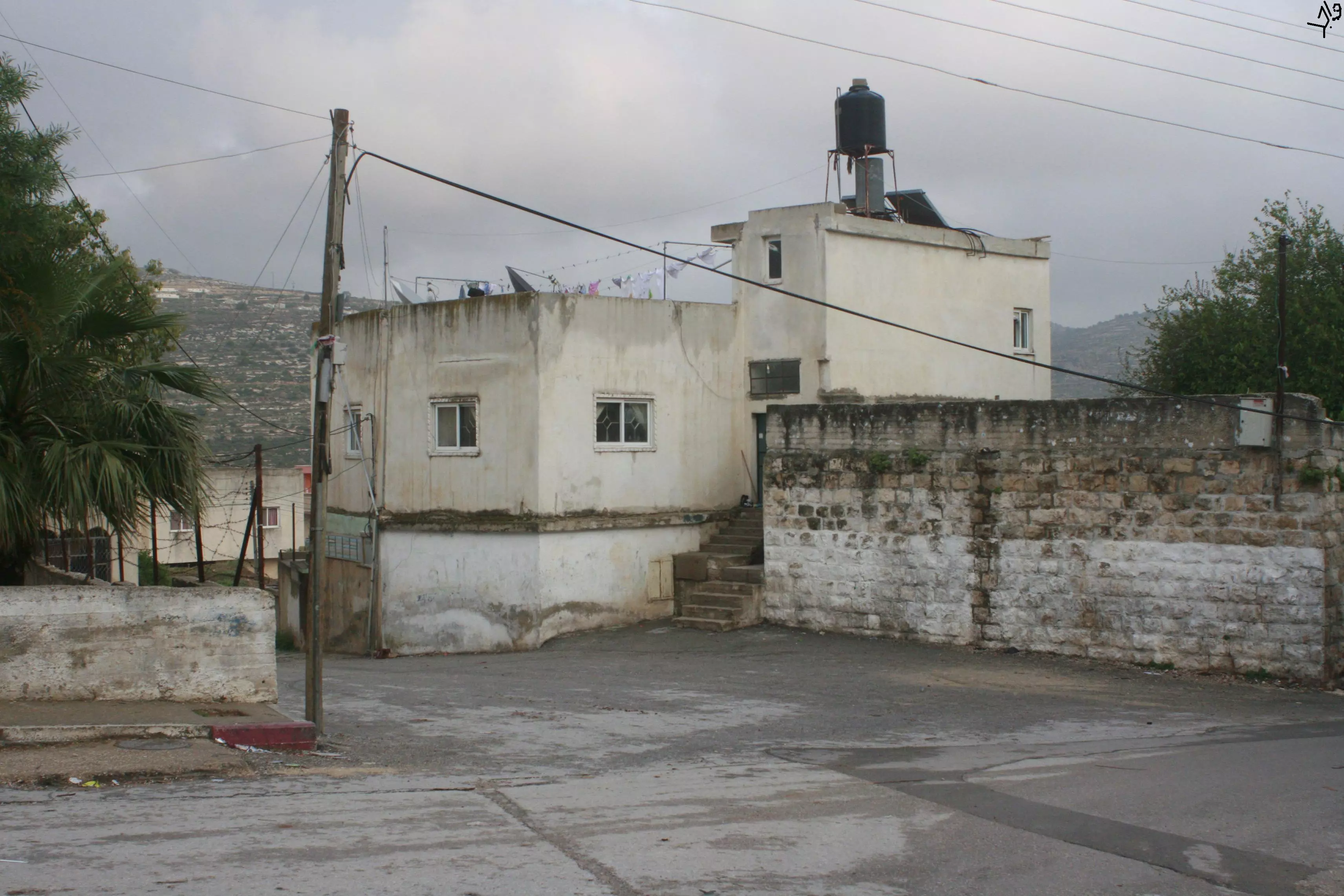
Posted by واجد امين نوباني - بيوت السهل
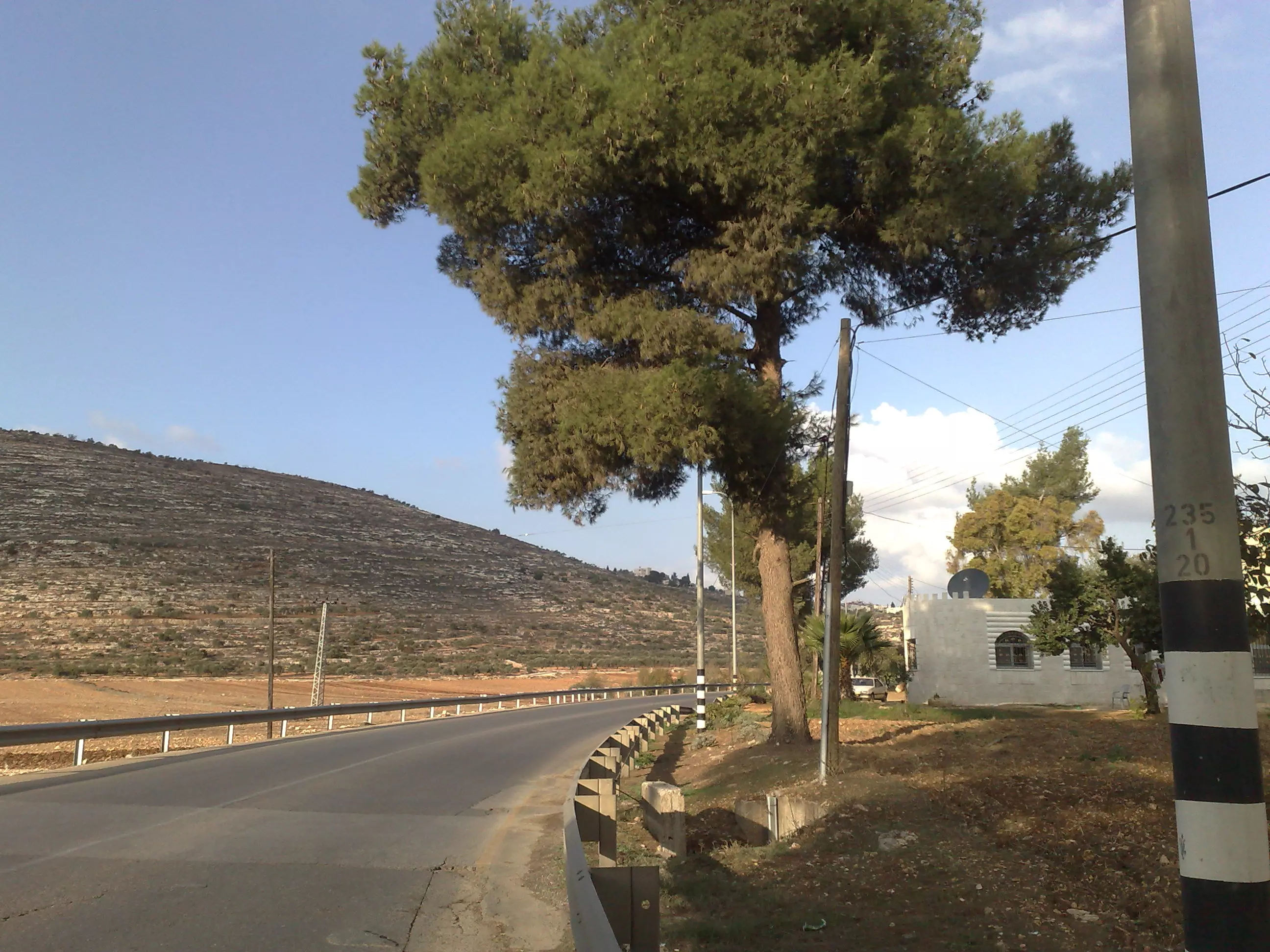
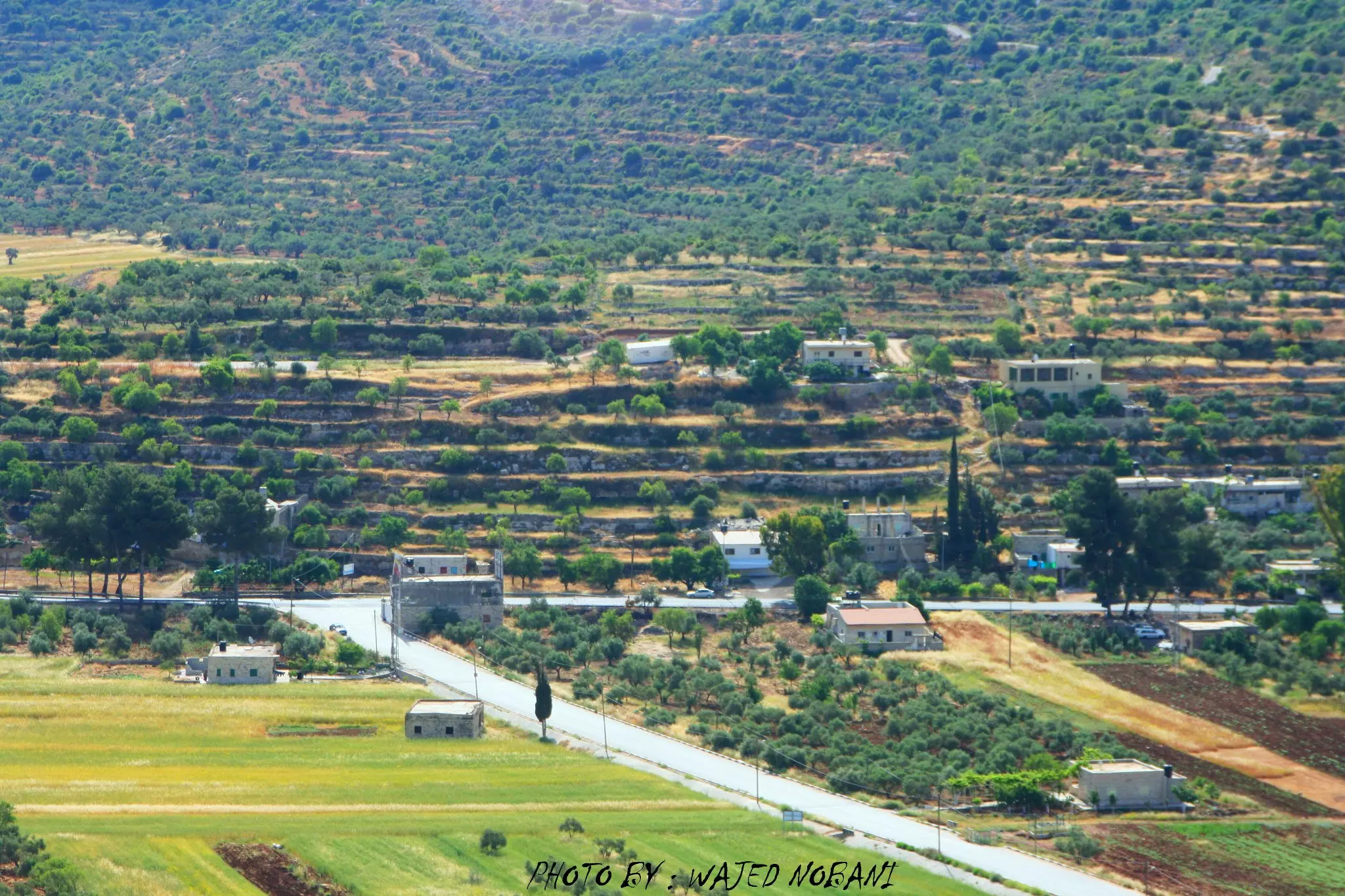
Posted by واجد امين نوباني - شارع اللبن الرئيسي منطقه الجسر
Posted by واجد امين نوباني - مستعمره عيلي وبناء حي جديد من27كرفان تطل مباشره على بيوت اللبن والسهل
Posted by واجد امين نوباني - مستعمره عيلي نهار الجمعه
Posted by واجد امين نوباني - بيوت مستعمره عيلي اليهوديه اعلى الجبل وبيوت اللبن الشرقيه اول الجبل وفي السهل
Posted by واجد امين نوباني - ماذن مساجد اللبن ترتفع المسجد القديم والجديد...
Posted by واجد امين نوباني - منطقه القناطر....واجد النوباني
Posted by واجد امين نوباني - روعه جبل الراس وتظهر معالي لبونا
Posted by واجد امين نوباني - السهل والقرميد الاحمر
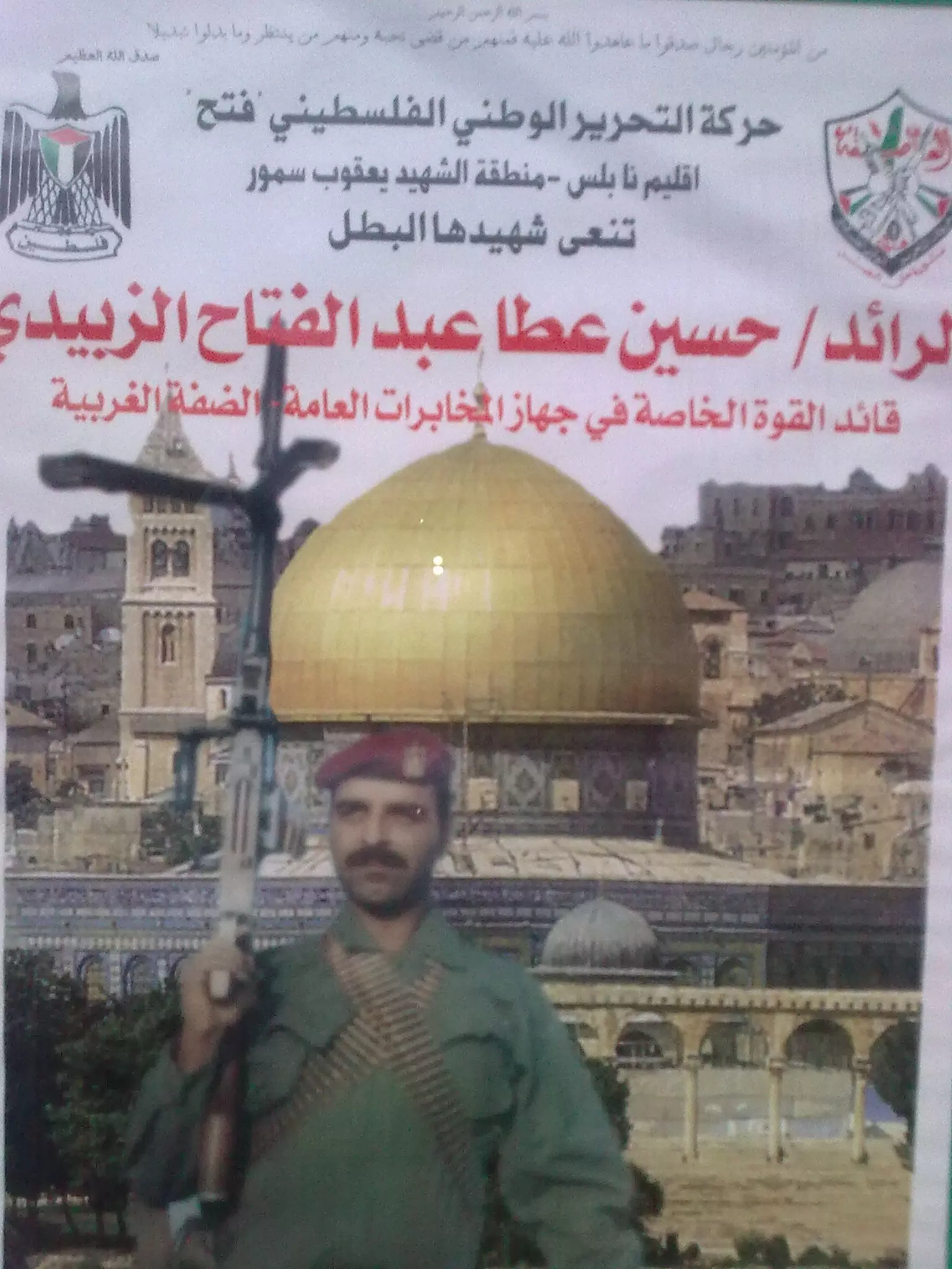
Posted by واجد امين نوباني - الشهيد البطل الرائد حسين الزبيدي ابن اللبن الشرقية
Posted by mohammad alzubidi - احلى قريه لبانوتا اللبن من جبل الراس ..واجد النوباني
Posted by واجد امين نوباني - صوره قريبه جدا لمستعمره معالي لبونا...تصوير واجد نوباني
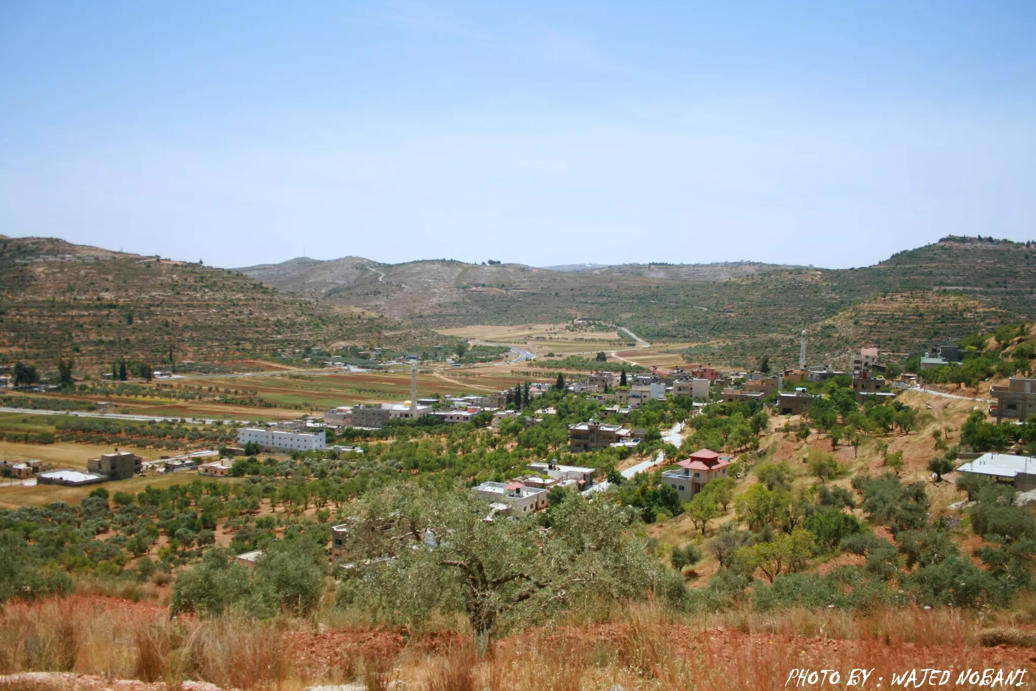
Posted by واجد امين نوباني - منظر عام للقريه من جبل الراس
Posted by واجد امين نوباني - خان اللبن يعج بالسياح والزوار العرب اهلا وسهلا
Posted by واجد امين نوباني - مشهد للبيادر والحاره الفوقا من جبل الراس
Posted by واجد امين نوباني - سهل اللبن الشرقيه من قمه الراس الاخضر
Posted by واجد امين نوباني - اللبن من جبل الراس
Posted by واجد امين نوباني - زهره البنفسج على تلال اللبن
Posted by واجد امين نوباني - فلل وكرفانات مستوطنه لبونا
Posted by واجد امين نوباني - مستعمره جفعات هاريئيل من جبل الراس ...عدسه واجد نوباني
Posted by واجد امين نوباني - رغم محاولات التهويد الا ان الاطفال يلعبون في الخان دون اكتراث للمستوطنين الطامعين
Posted by واجد امين نوباني - الطريق الى رام الله من اللبن ومدخل عيلي وتظهر احراش المستعمره
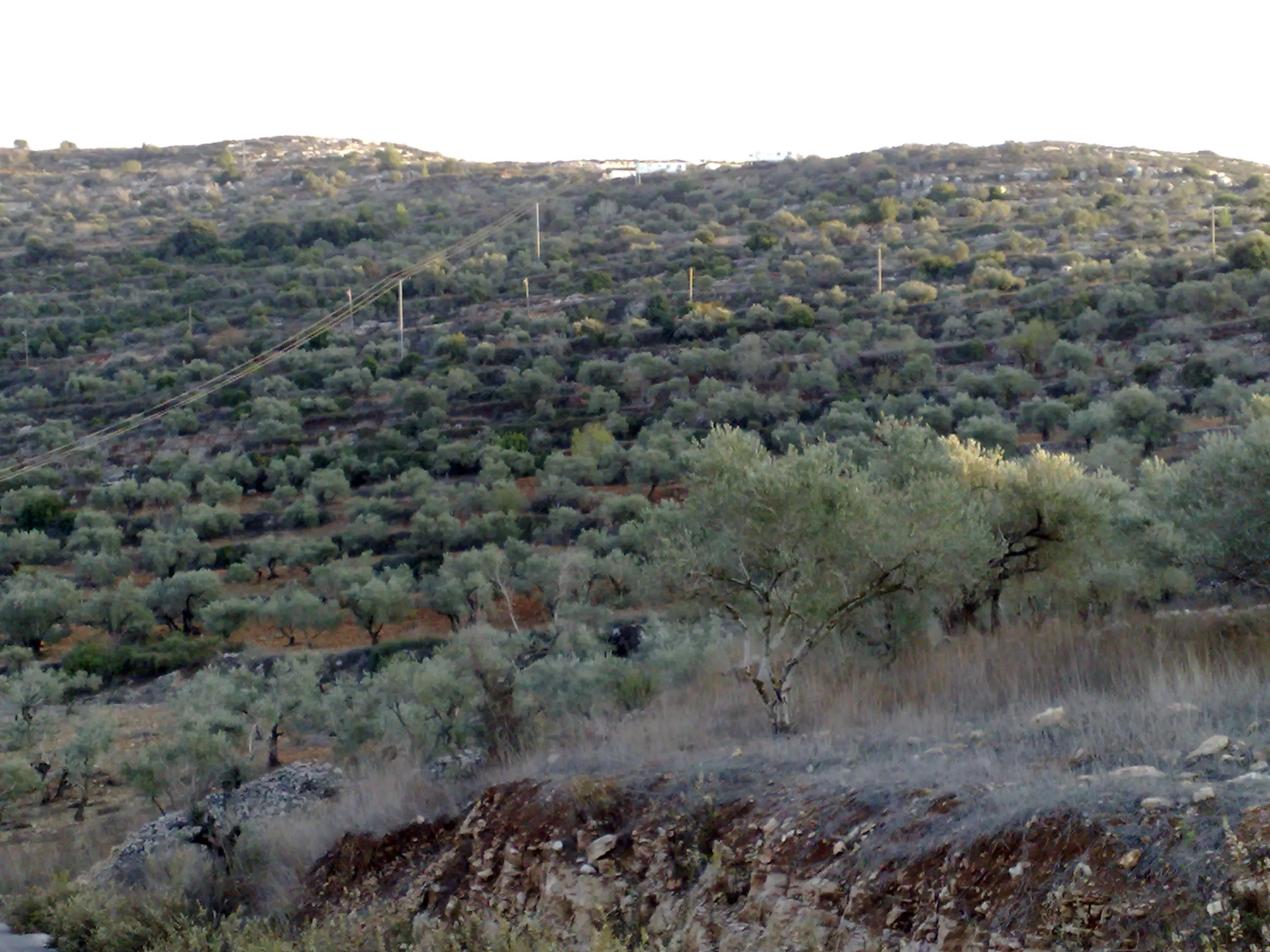
Posted by واجد امين نوباني - كروم الزيتون والسهل والشارع
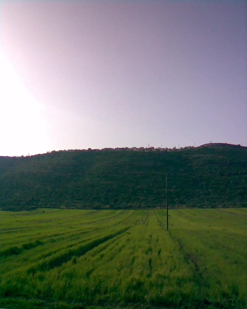
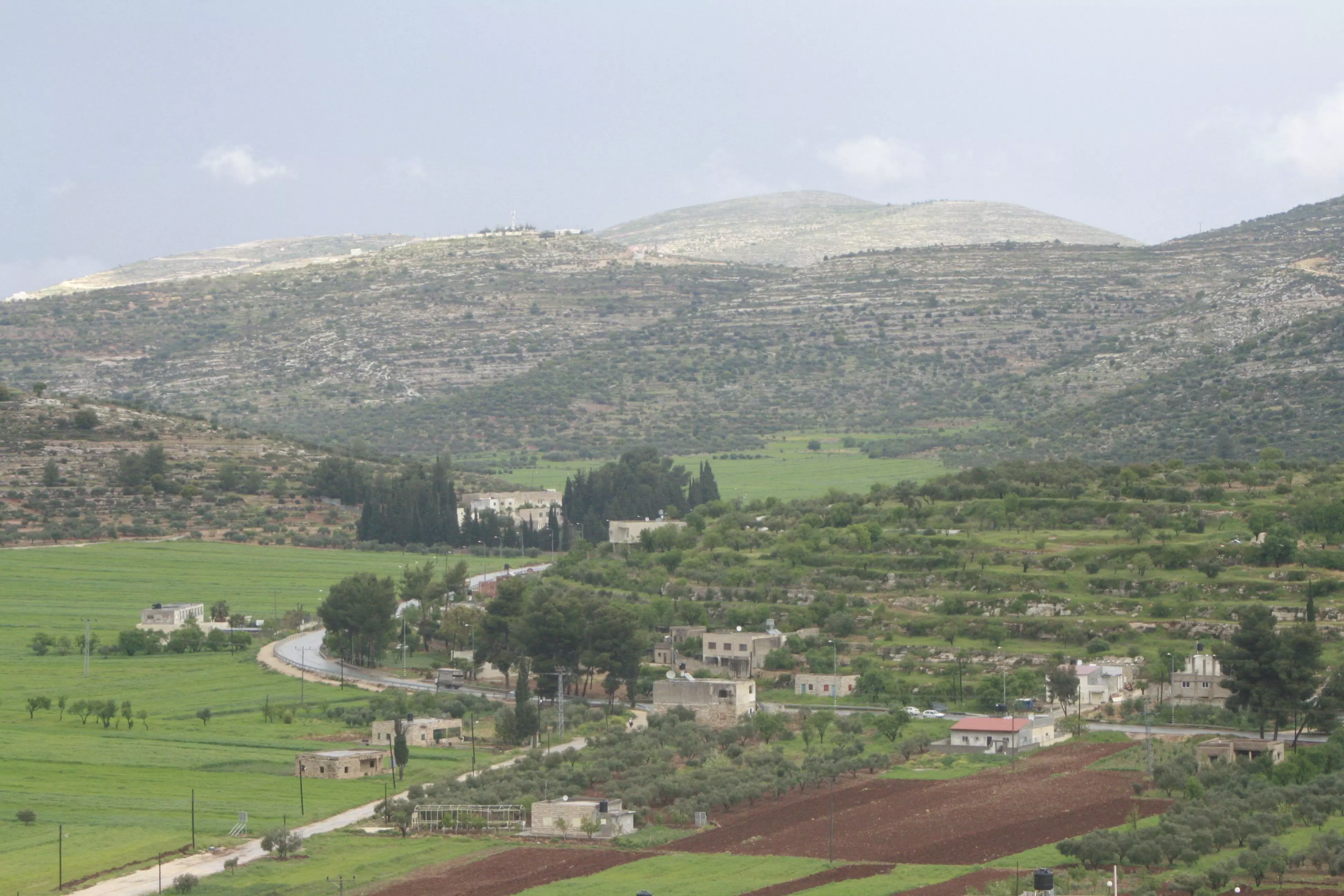
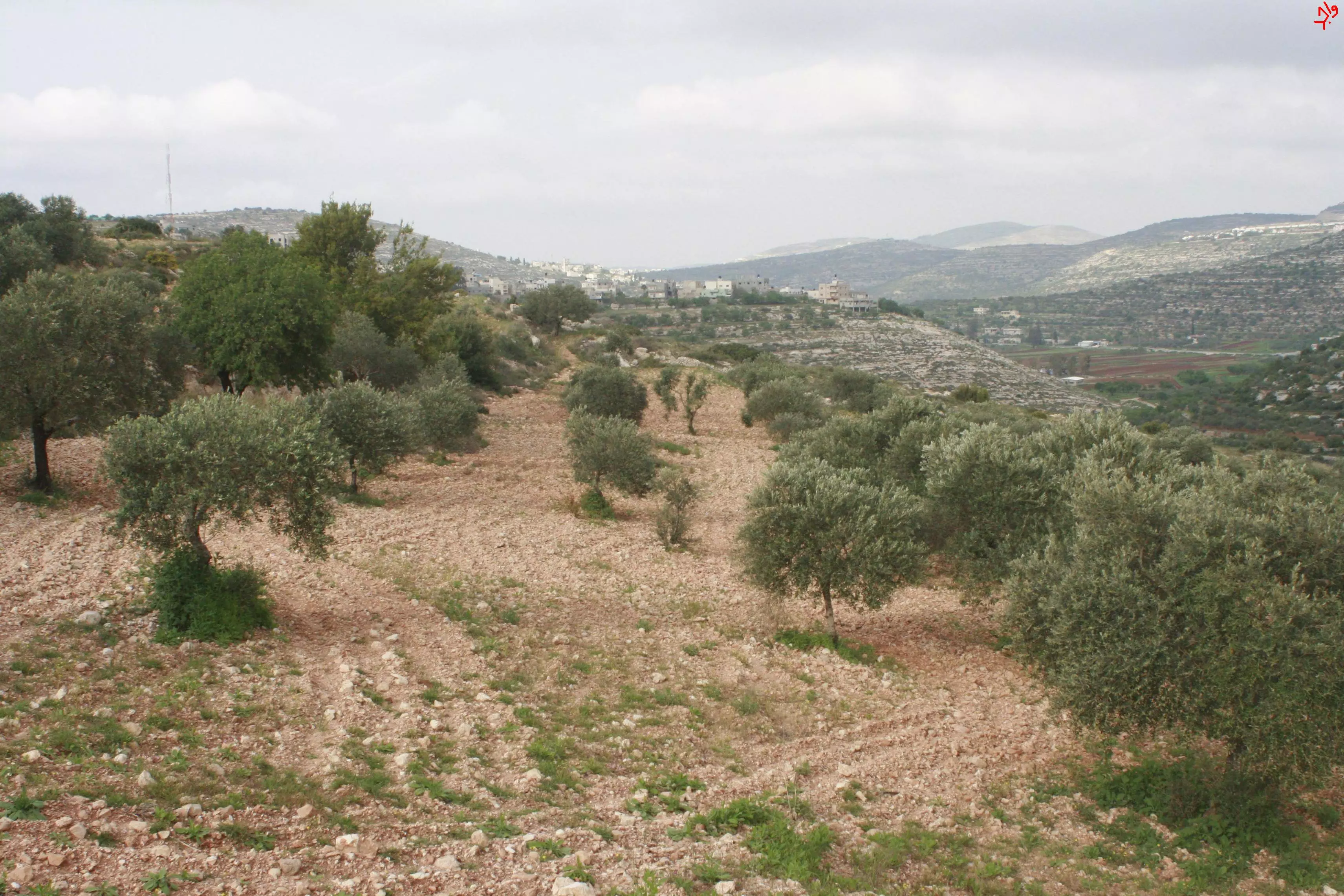
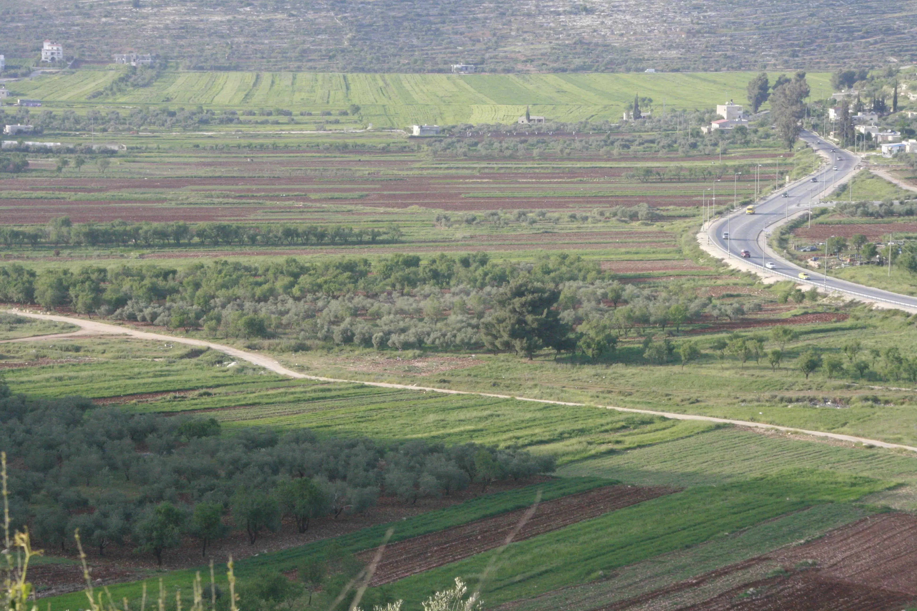
Posted by واجد امين نوباني - سهل اللبن الشرقيه
Posted by واجد امين نوباني - معالي لبونا من سنجل...تصوير واجد النوباني
Posted by واجد امين نوباني - مستعمره عيلي المطله مباشره على بيوت اهل القريه من جبل الراس
Posted by واجد امين نوباني - مستعمره عيلي الاحتلاليه
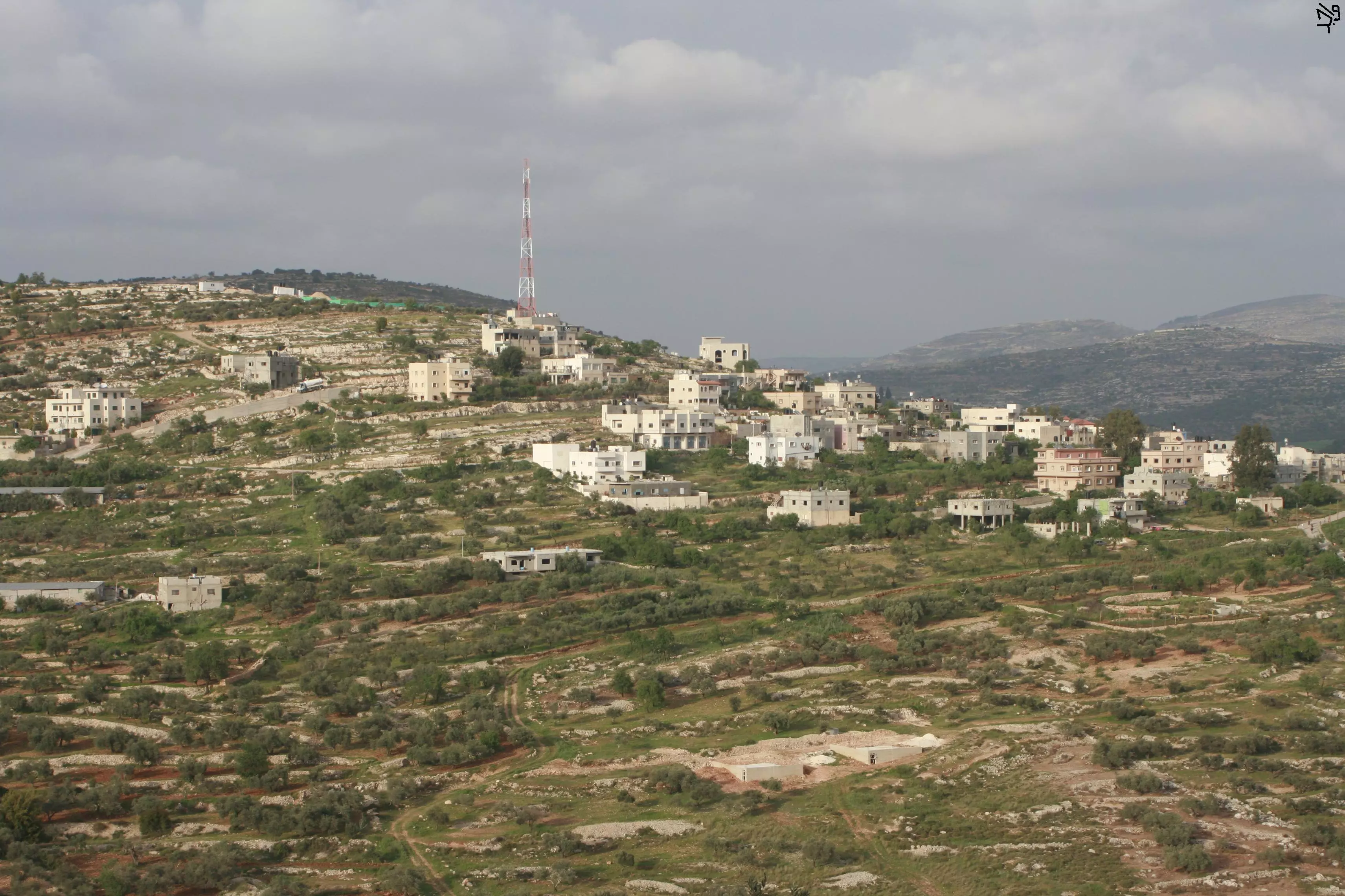
Posted by واجد امين نوباني - منظر عام للبن الشرقيه من جبل الراس الساحر
Posted by واجد امين نوباني - من جبل الراس
Posted by واجد امين نوباني - صور على جبل الراس ويظهر اثار لبيوت قديمه
Posted by واجد امين نوباني 1 - اثار بيوت قديمه على الراس
Posted by واجد امين نوباني - نظره على تلال اللبن باتجاه عبوين من جبل الراس
Posted by واجد امين نوباني - رقه اللبن وعيونها الحلوين
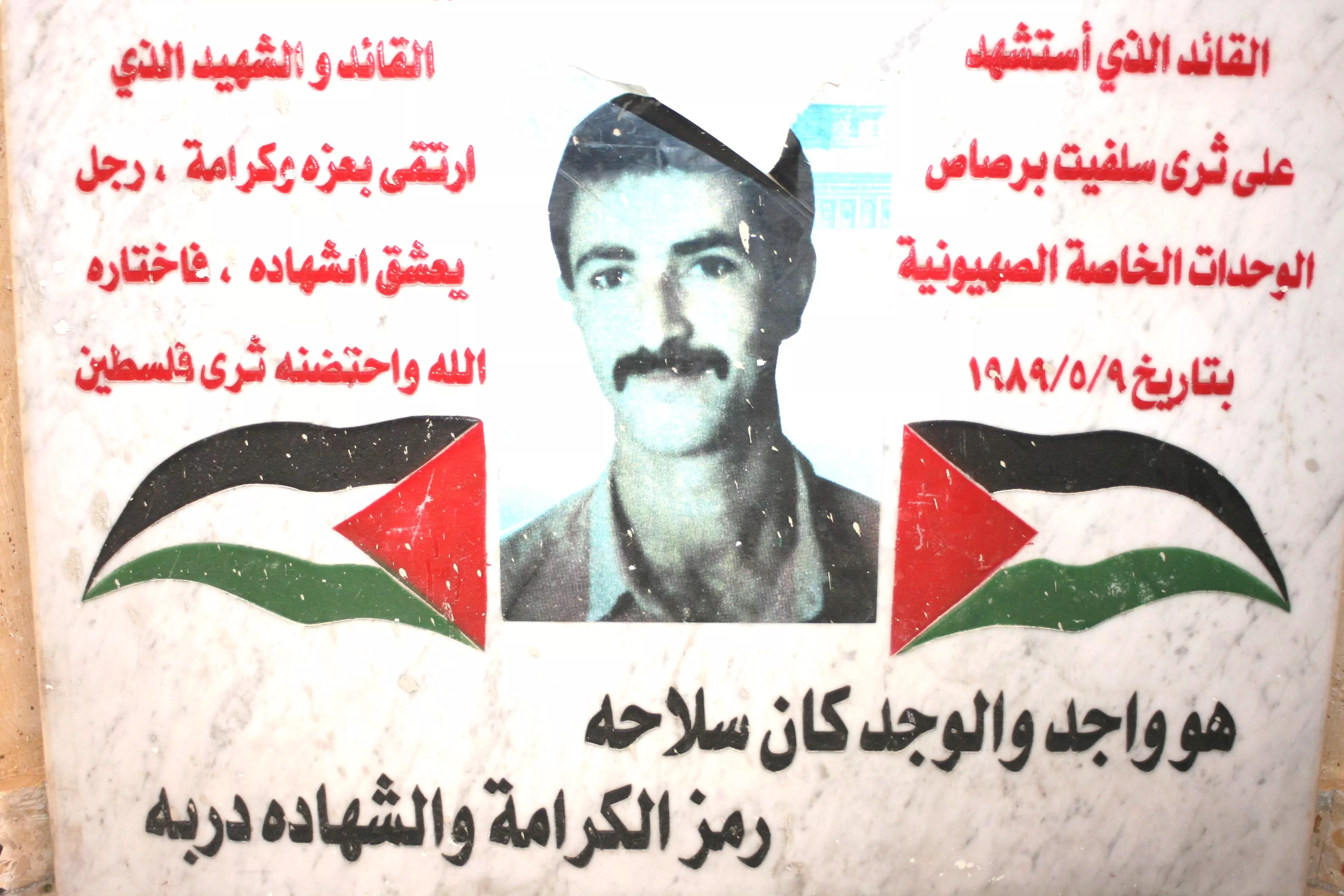
Posted by واجد امين نوباني - الشهيد واجد النوباني اغتالته الوحدات الخاصه اليهوديه في 9-5-1989 بين اشجار زيتون سلفيت-الفاتحه
Posted by واجد امين نوباني - كرفانات معالي لبونا تطل من اراضي اللبن على اراضي اللبن
Posted by واجد امين نوباني - لك الله يا ارض اللبن الشرقيه..من اقسى واصعب ما اراه في قريتي..بيوت اليهود تظهر وراء بيت لاهل القريه
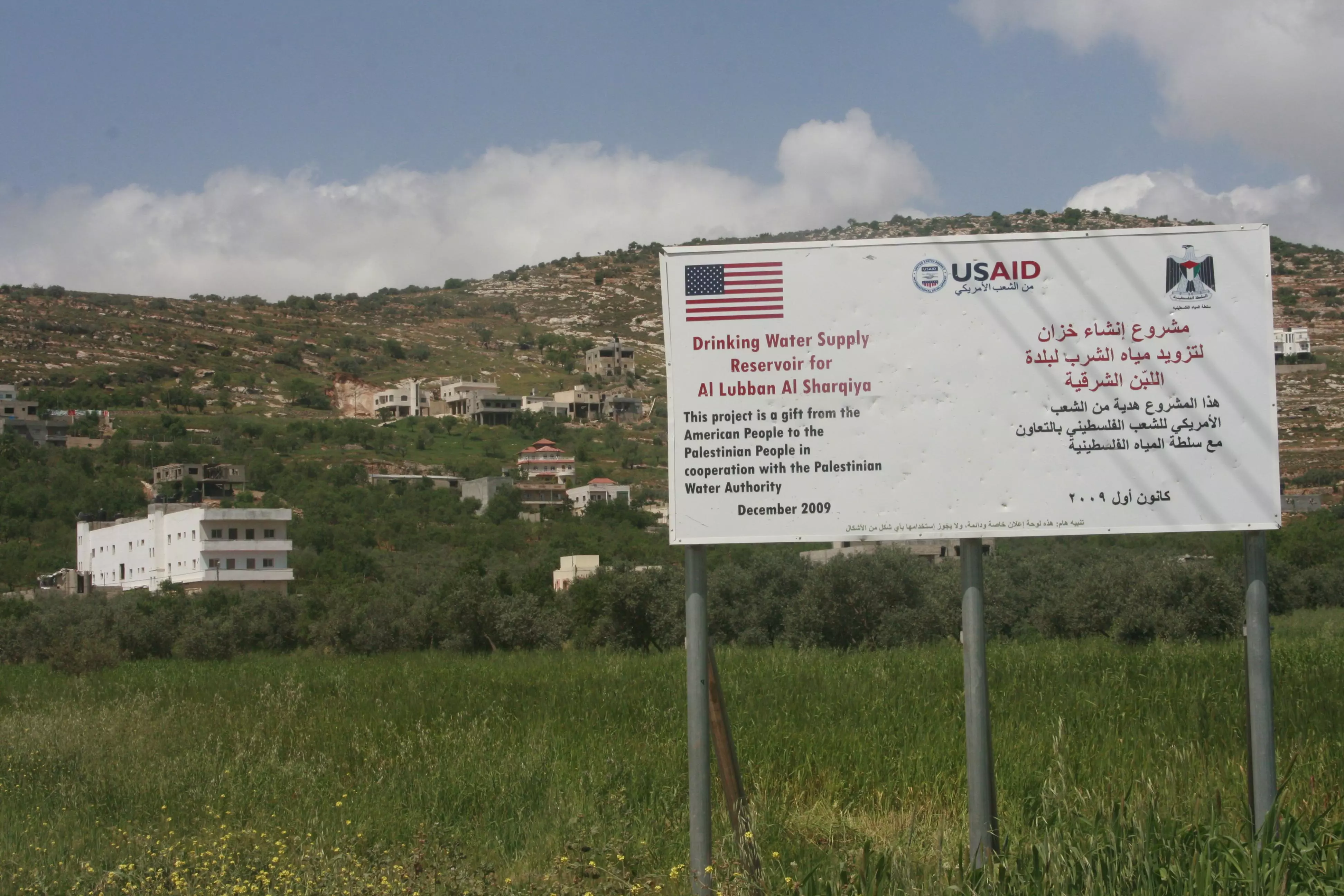
Posted by واجد امين نوباني - الشعب الامريكي يهدي للبن الشرقيه..لا حول ولا قوه الا بالله
Posted by واجد امين نوباني - شارع اللبن الرئيسي ويظهر سيارتين للمستوطنين صباح يوم الاثنين13\4
Posted by واجد امين نوباني - بيت قديم رممه يوسف ضراغمه ابو مجاهد والان يسكنه مع اسرته الكريمه
Posted by واجد امين نوباني - سقيفه موسى العلي على الشارع الرئيسي
Posted by واجد امين نوباني - الاشجار تحيط بسقيفه موسى العلي على الشارع الرئيسي
Posted by واجد امين نوباني - جره ماء تحت شجره كينا من عشرات السنين ولا زالت الى الان على شارع اللبن
Posted by واجد امين نوباني - كرفانات عيلي المطله على بيوت الشارع
Posted by واجد امين نوباني - صوره خاصه لقبر الحجه زريفه رحمها الله
Posted by واجد امين نوباني - دوريه اسرائيليه في حاره البيادر...واجد النوباني..ويظهر في الصوره الحاج ابراهيم النوباني وهو متوجه الى المسجد
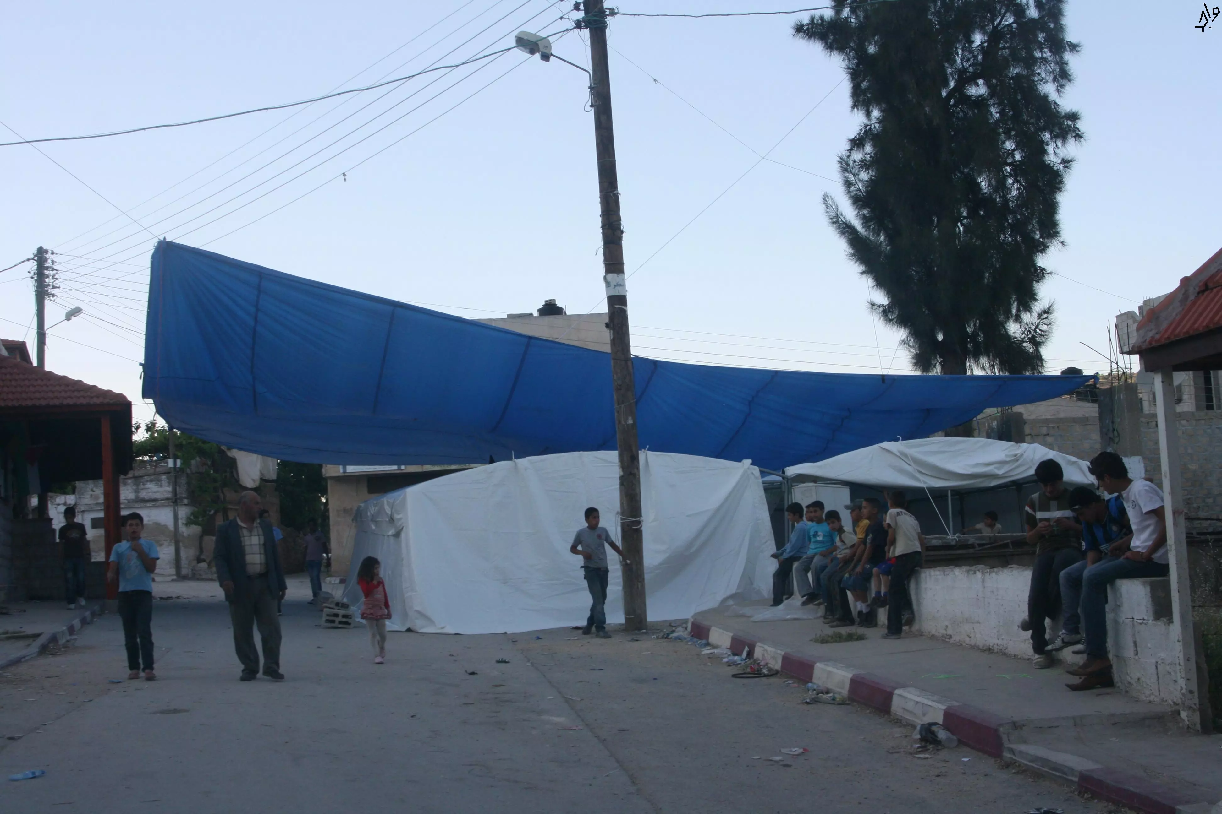
Posted by واجد امين نوباني - الخيم التي يصلي فيها اهالي اللبن والمتضامنين مع القريه
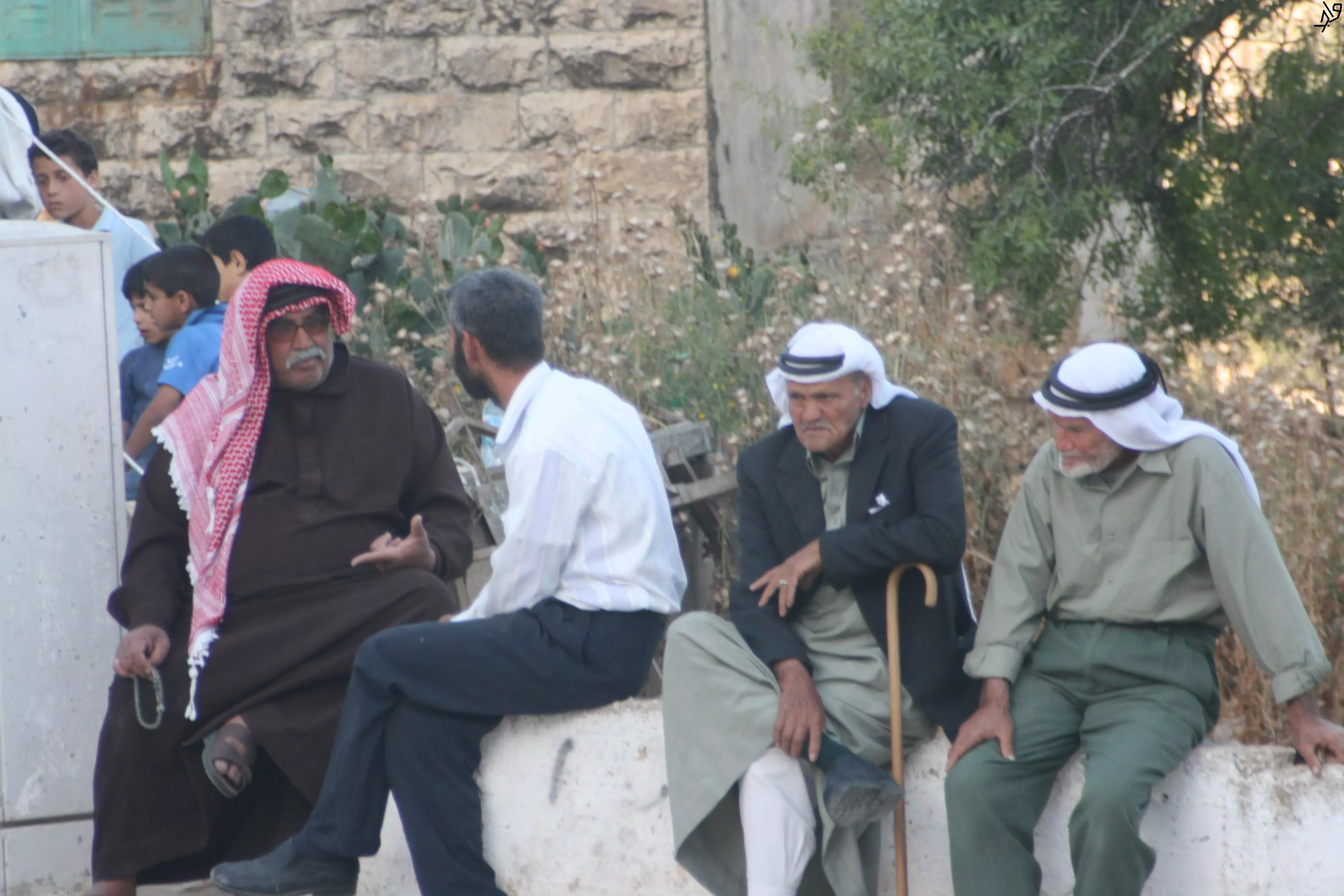
Posted by واجد امين نوباني - ختياريه من اللبن الشرقيه صوره لذكريات اهل البلد بعد احراق المسجد..واجد النوباني
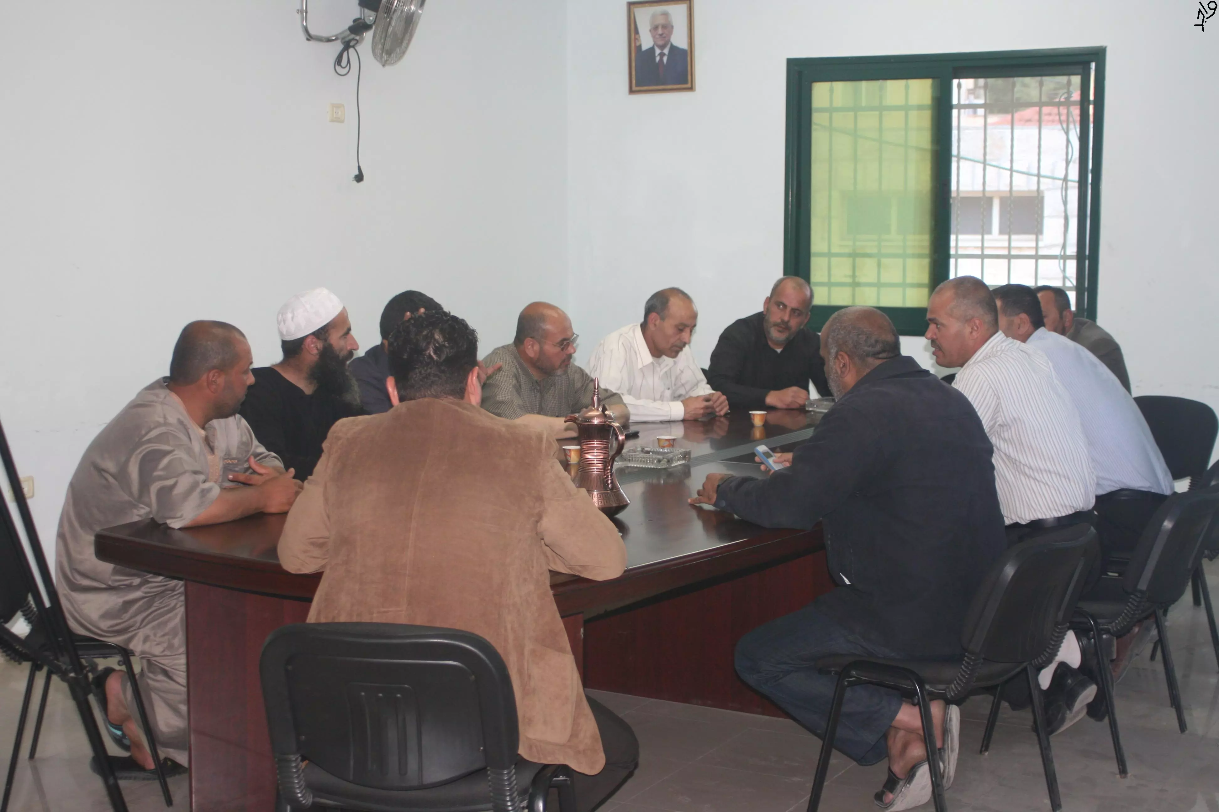
Posted by واجد امين نوباني - وجهاء بلده اللبن الشرقيه اجتماعات متواصله بعد احراق المسجد..تصوير واجد النوباني
Posted by واجد امين نوباني - ضراغمه ابو محمد كباقي اهل اللبن لا زال يورث للابناء عشق الارض والبيادر..تصوير واجد
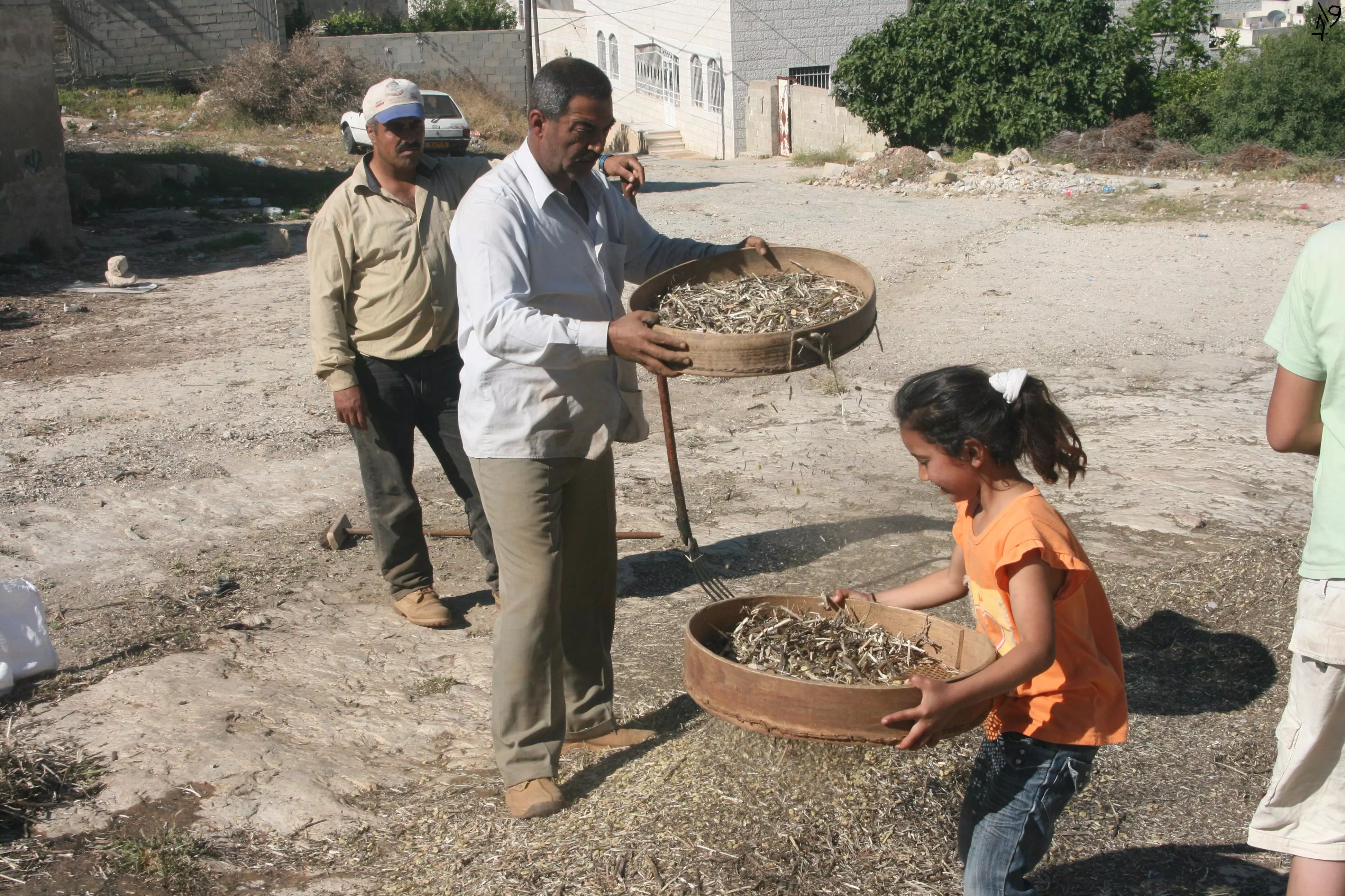
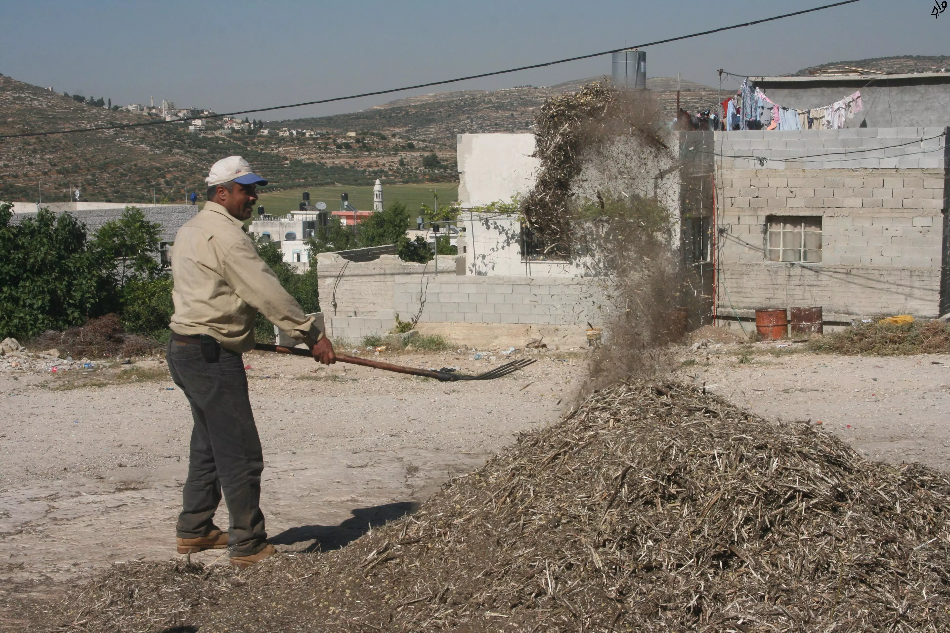
Posted by واجد امين نوباني - من تراث البيادر في اللبن الشرقيه..الغربله على البيادر اواخر الربيع..تصوير واجد نوباني
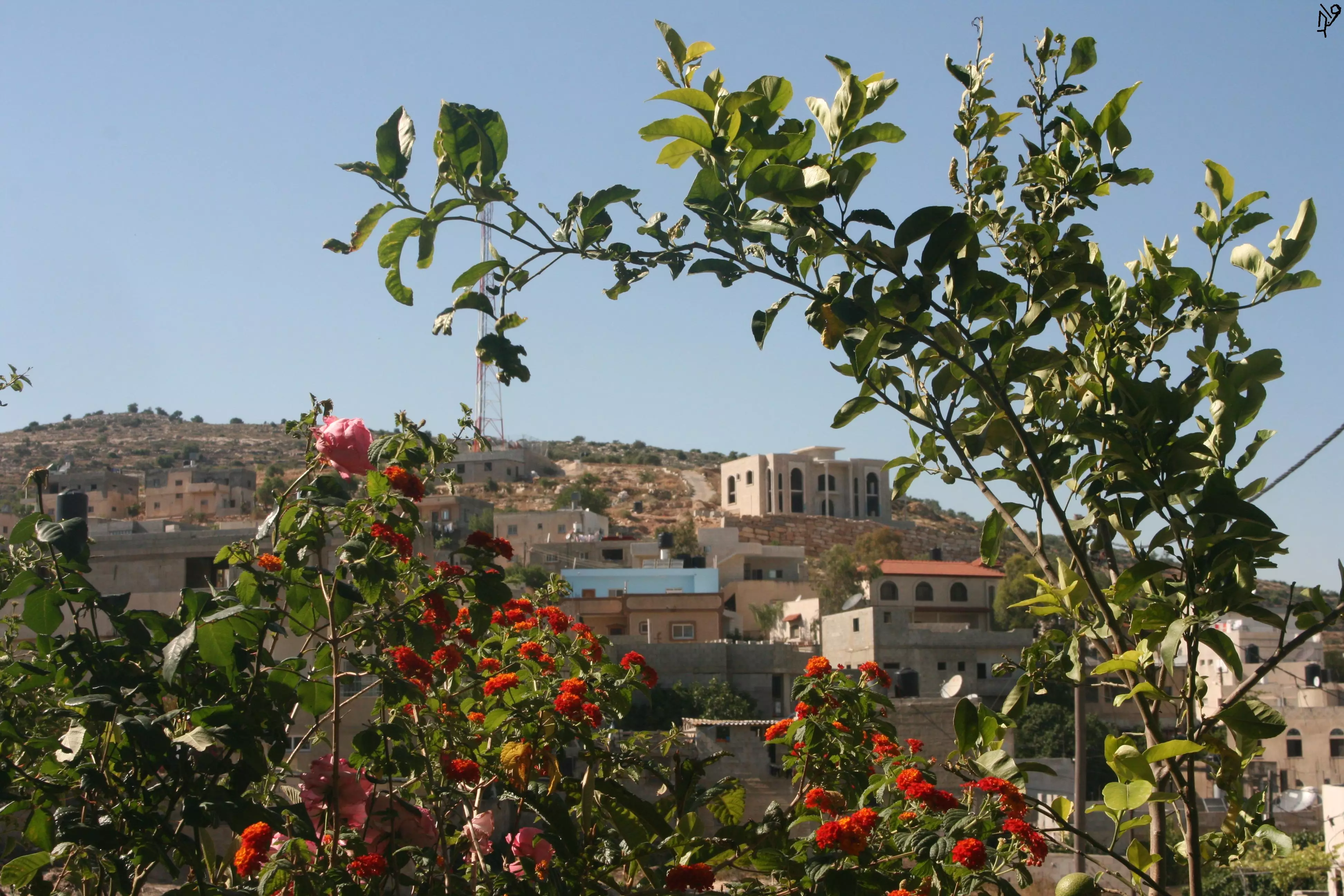
Posted by واجد امين نوباني - اطلاله من البيادر من وراء زهور بيتي..واجد نوباني
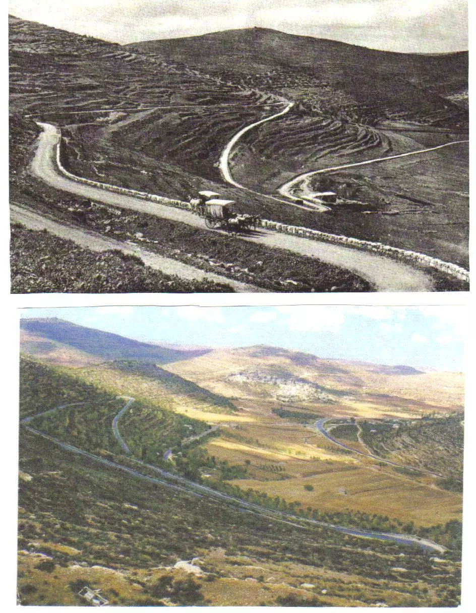
Posted by واجد امين نوباني - واد علي قبل 100عام وتظهر الرهوات التي تقوم عليها اليوم مستعمره عيلي واليوم تمر من هذا السهل طريق رام الله نابلس
Posted by واجد امين نوباني - خان اللبن الشرقيه قبل 100عام
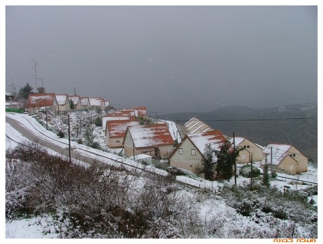
Posted by واجد امين نوباني - ثلوج مستعمره معالي لبونا
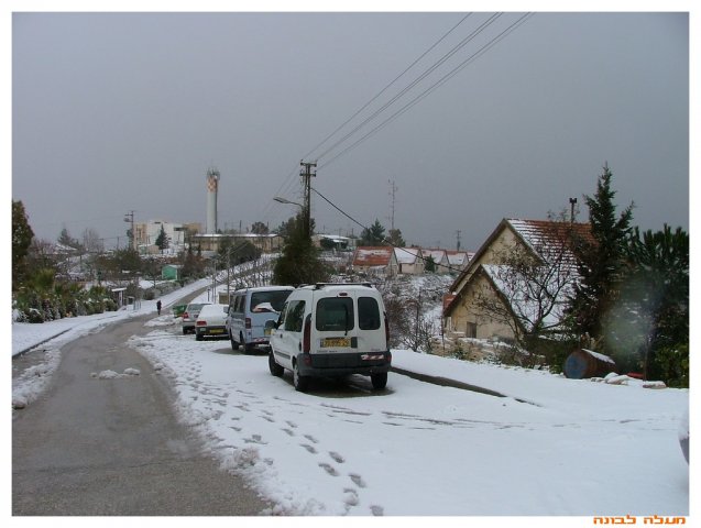
Posted by واجد امين نوباني - ثلج مستعمره معالي لبونا 2 الله يرجعك يا بلادنا ونلعب بهالثلجات
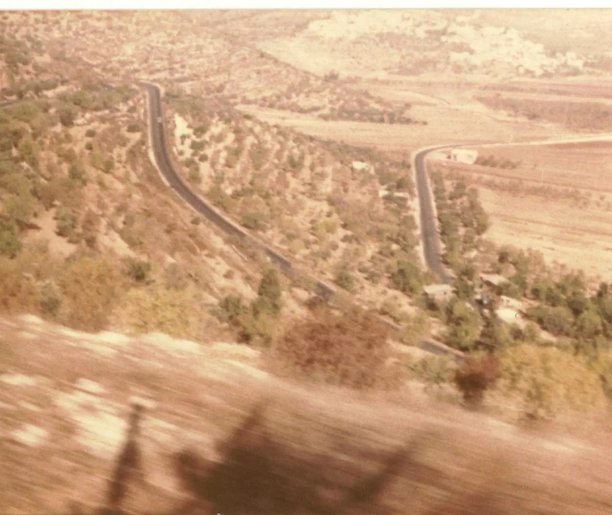
Posted by واجد امين نوباني - مرتفعات اللبن - الطريق من نابلس الى رام الله - بعدسة ماهر ابو خضر 1982
Posted by Maher Abu Khader - العمل في حاره البيادر ملك الشاكوش يوسف ضراغمه ابو مجاهد
Posted by واجد امين نوباني - جبل طاروجا يوم الجمعه 25\6\2010
Posted by واجد امين نوباني - كنت نايم عالسطح ولما صحيت لقيت منظر الشمس بجنن ويااااااااااا الله شو كنت الصوره حلوه
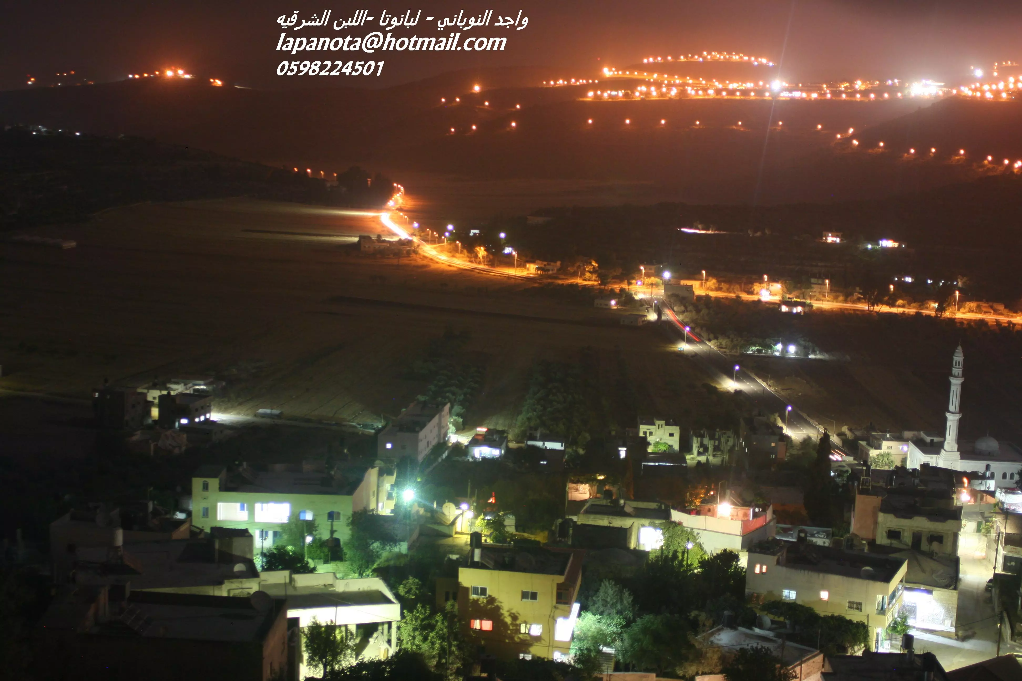
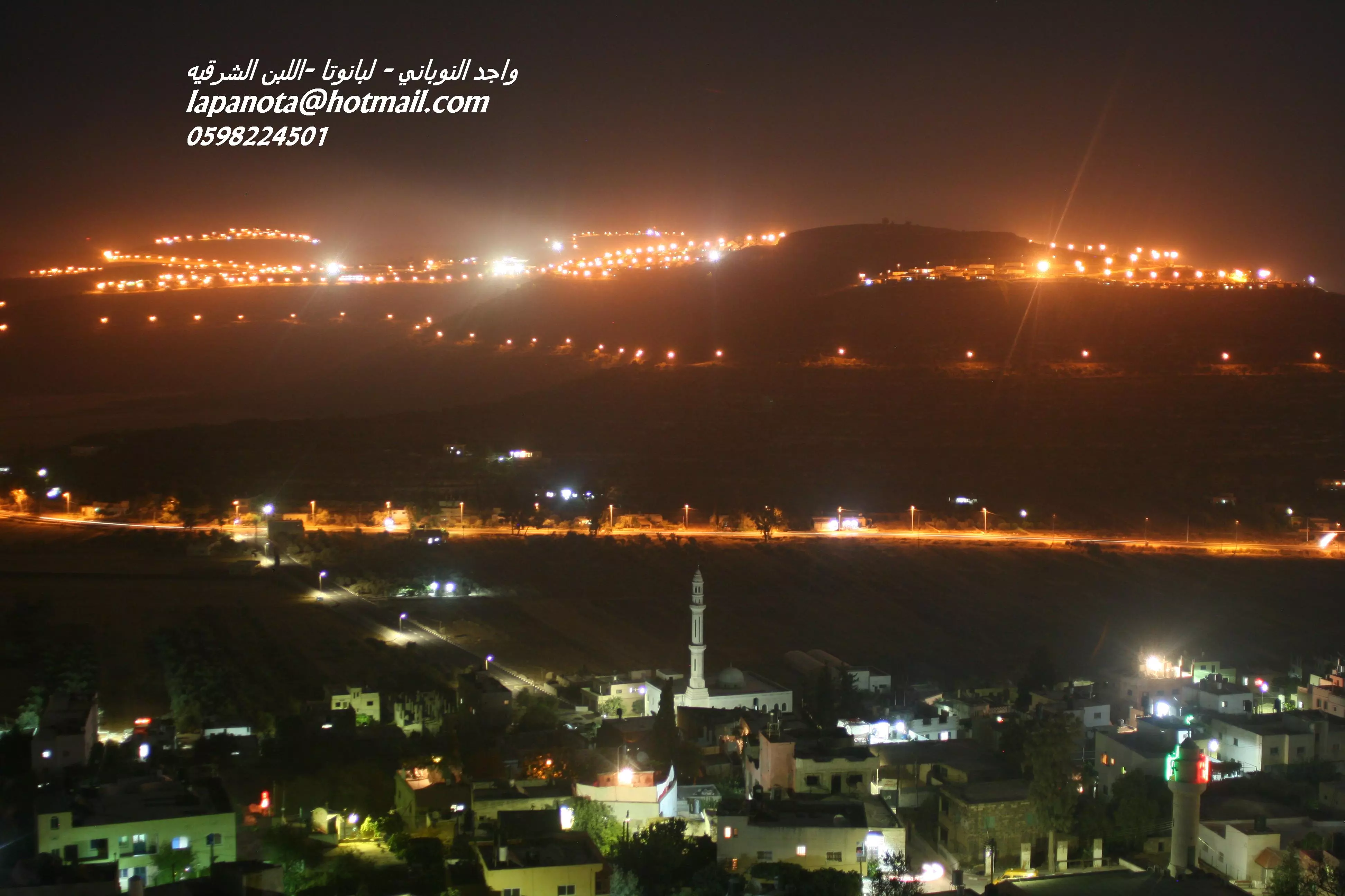
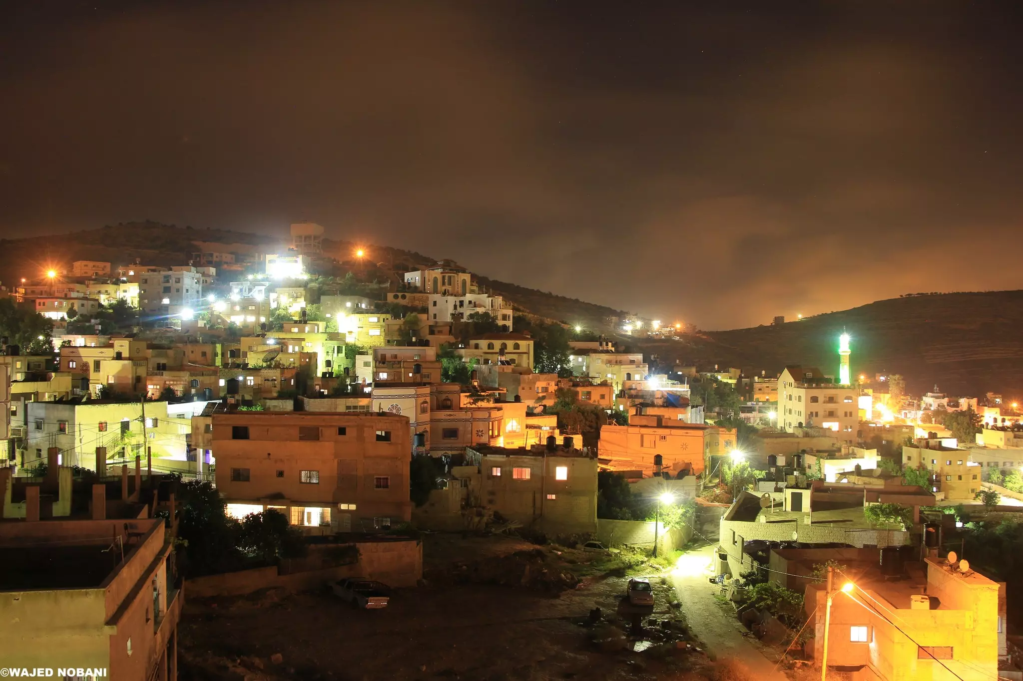
Posted by واجد امين نوباني - اروع منظر ليلي لقريتي وعمري اللبن الشرقيه
Posted by واجد امين نوباني - سحر حاره البيادر معقل الاسود البشريه.......واجد النوباني
Posted by واجد امين نوباني - ليلا..وسط اللبن الشرقيه الصوره التقطت من قصر رامي ابو مسعود ..واجد امين النوباني -البيادر
Posted by واجد امين نوباني - ليلا..اللبن الشرقيه من الشارع الرئيسي.........واجد النوباني
Posted by واجد امين نوباني - ليلا..انوار مستوطنه معاليه لبونا maale levona وجبل الراس من حاره البيادر
Posted by واجد امين نوباني - ليلا....اروع واحلى واجكل بلد اللبن الشرقيه انثى الريف عروس القرى اميره التلال العذراء..واجد
Posted by واجد امين نوباني - اللبن بشكلها الجديد مع طريق المفرق والسهل
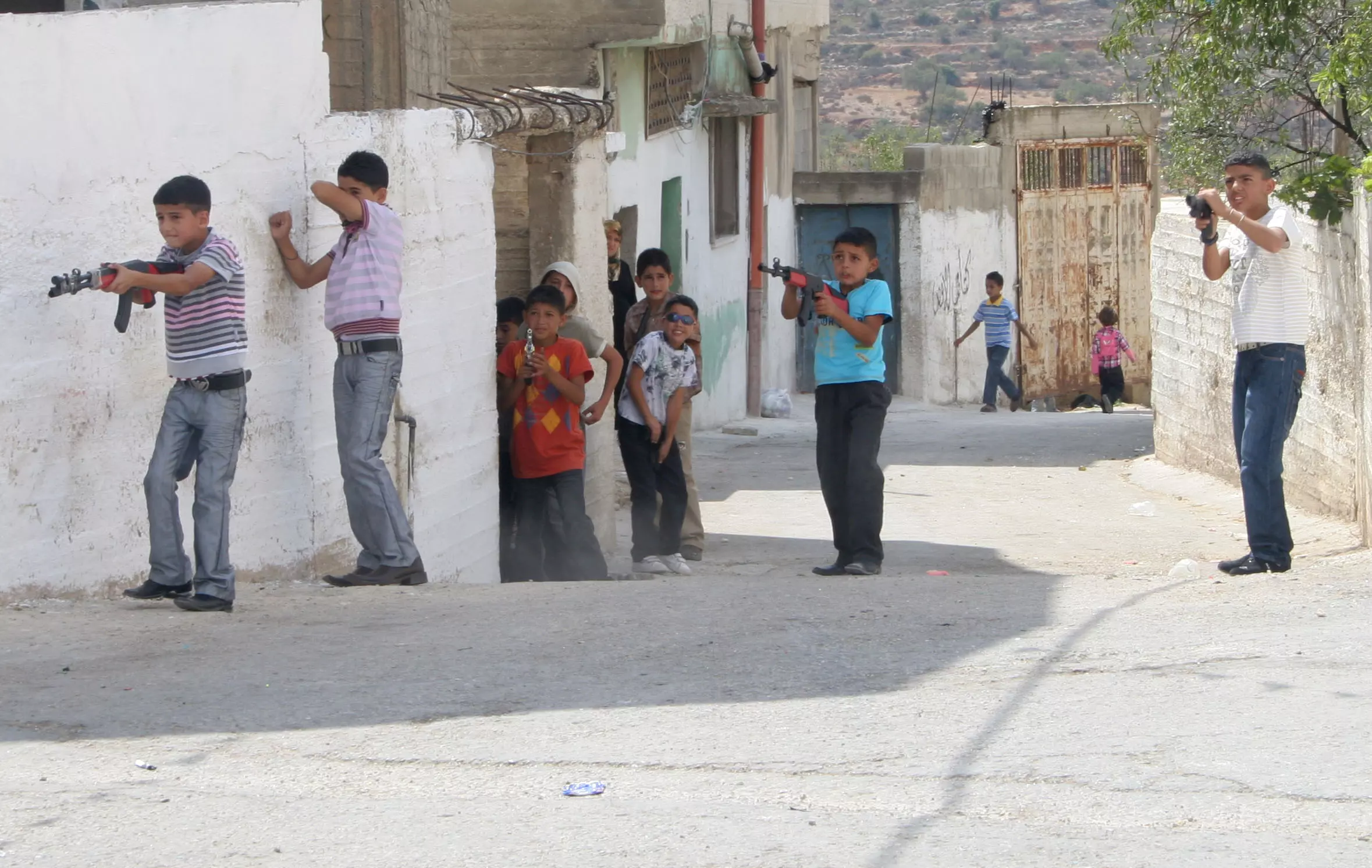
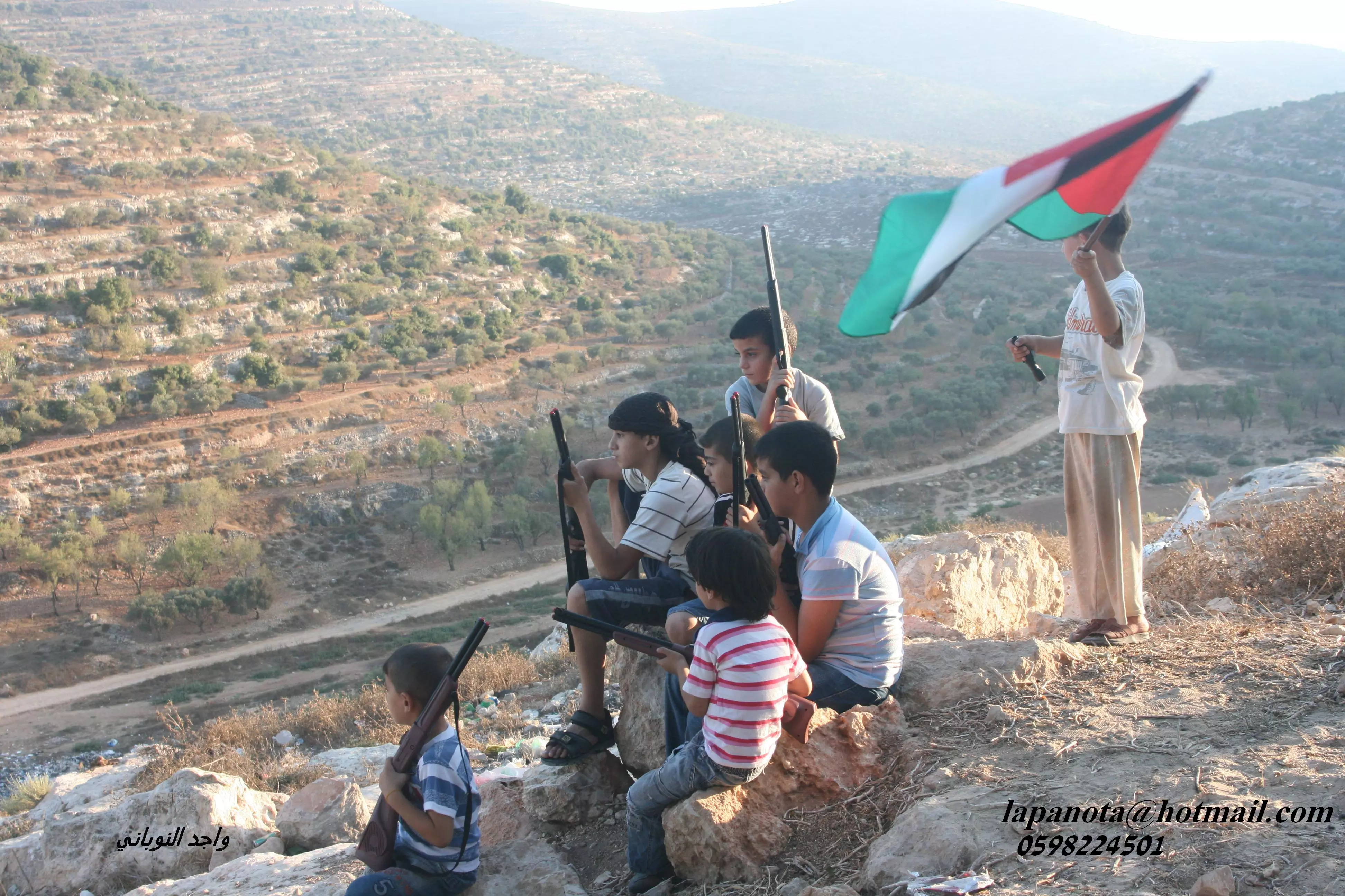
Posted by واجد امين نوباني - اصغر ثوار في العالم قريه اللبن الشرقيه اطفال نوبانيه يترصدون تحركات العدو
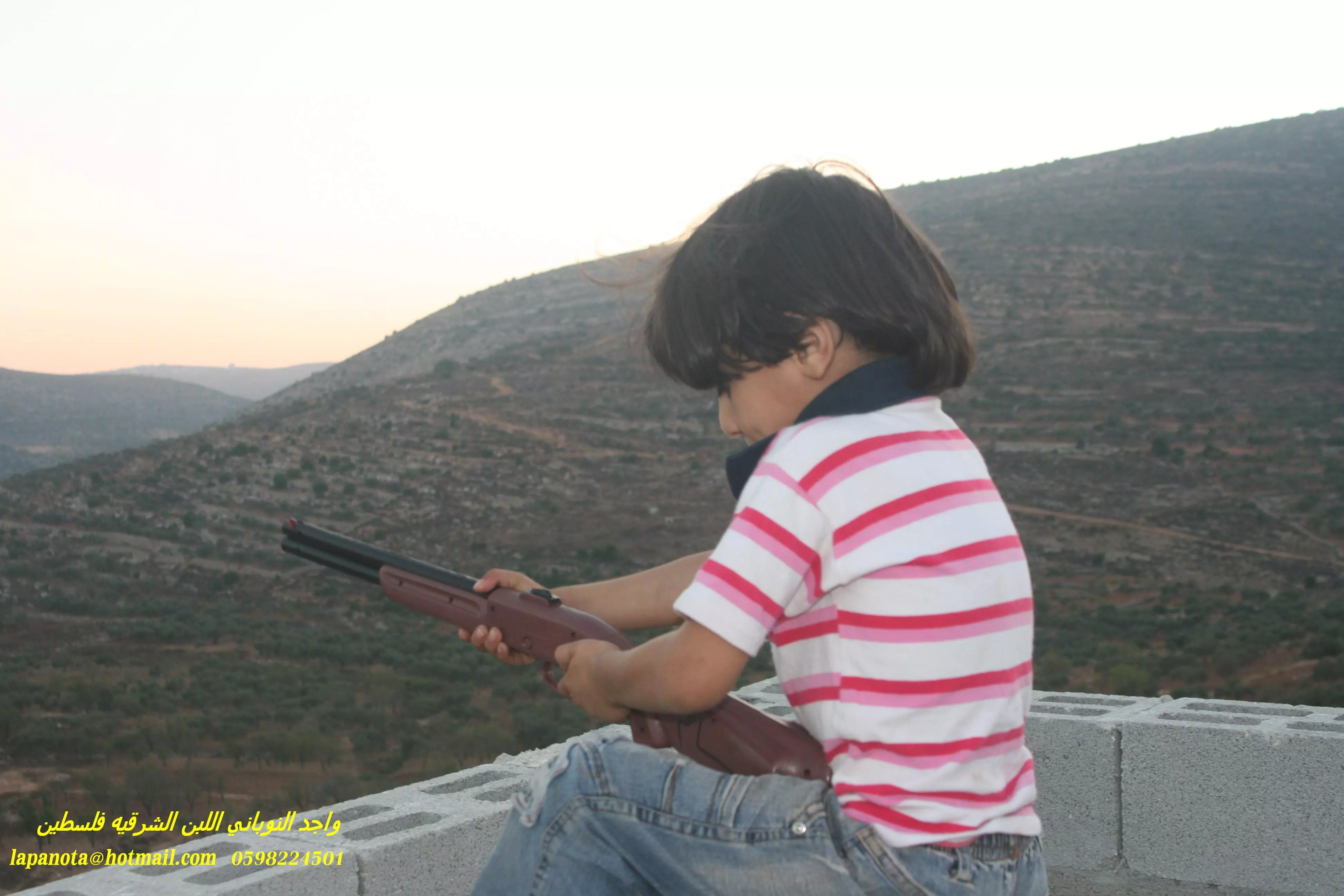
Posted by واجد امين نوباني - يوميات مقاتل لبناوي ابن البيادر الطفل الصغير حسام
Posted by واجد امين نوباني - من شارع اللبن الرئيسي وتظهر كارمه تشير الى معلي لبونه
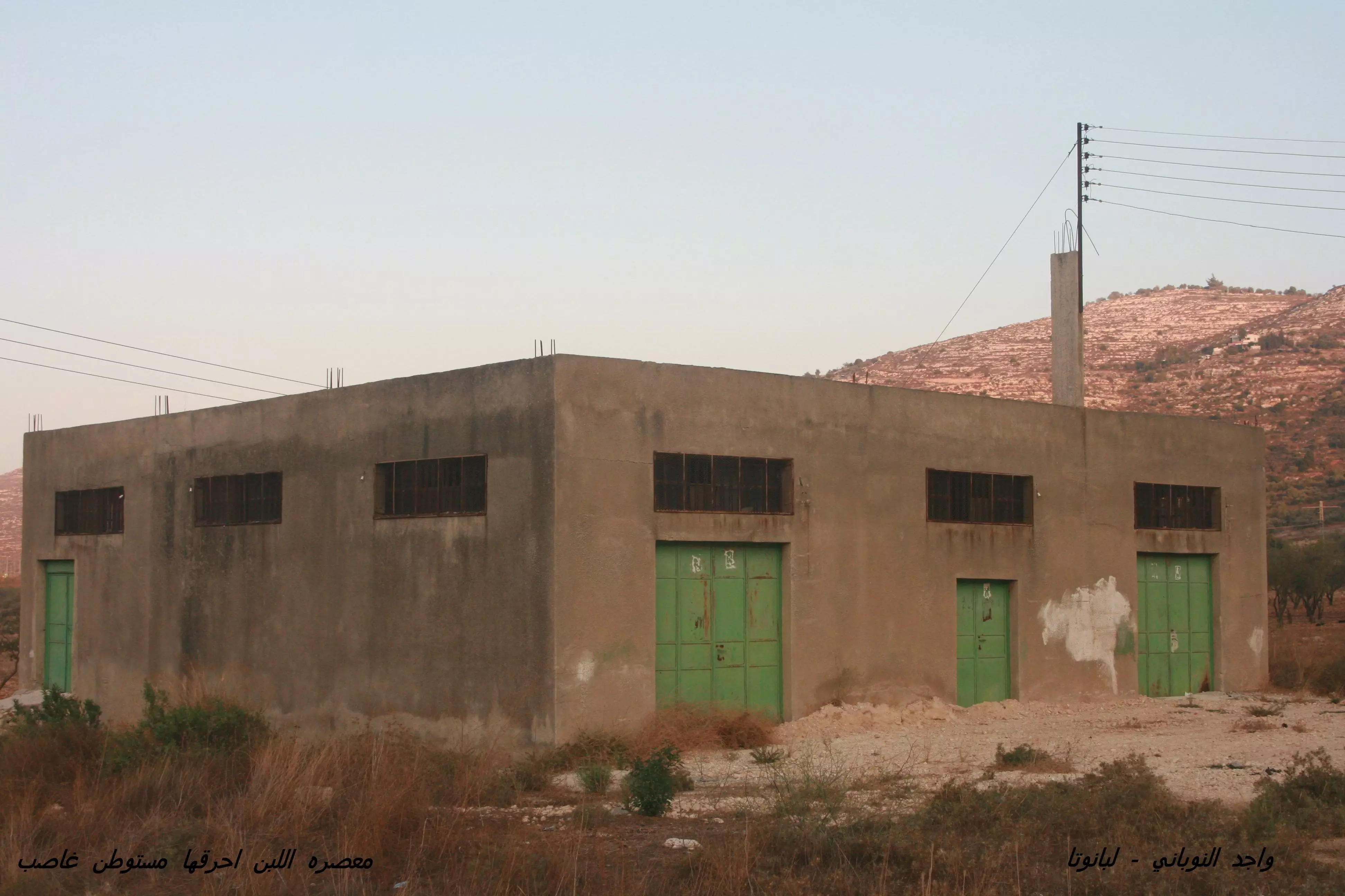
Posted by واجد امين نوباني - معصره اللبن الشرقيه اول طريق القوربات(طلعه اللوز) احرقها مستوطن
Posted by واجد امين نوباني - مدخل منزل على شارع اللبن الرئيسي
Posted by واجد امين نوباني - من مقبره اللبن الشرقيه
Posted by واجد امين نوباني 1 - مقبره مستعمره عيلي شرق اللبن الشرقيه المقبره بارضنا وبدها ترجع
Posted by واجد امين نوباني 1 - سريا اروع مكان طبيعي في سهل اللبن

Posted by واجد امين نوباني - روعه ورقه وفتون جبل اللبن الاخضر جبل الراس وتظهر معلي لبونه
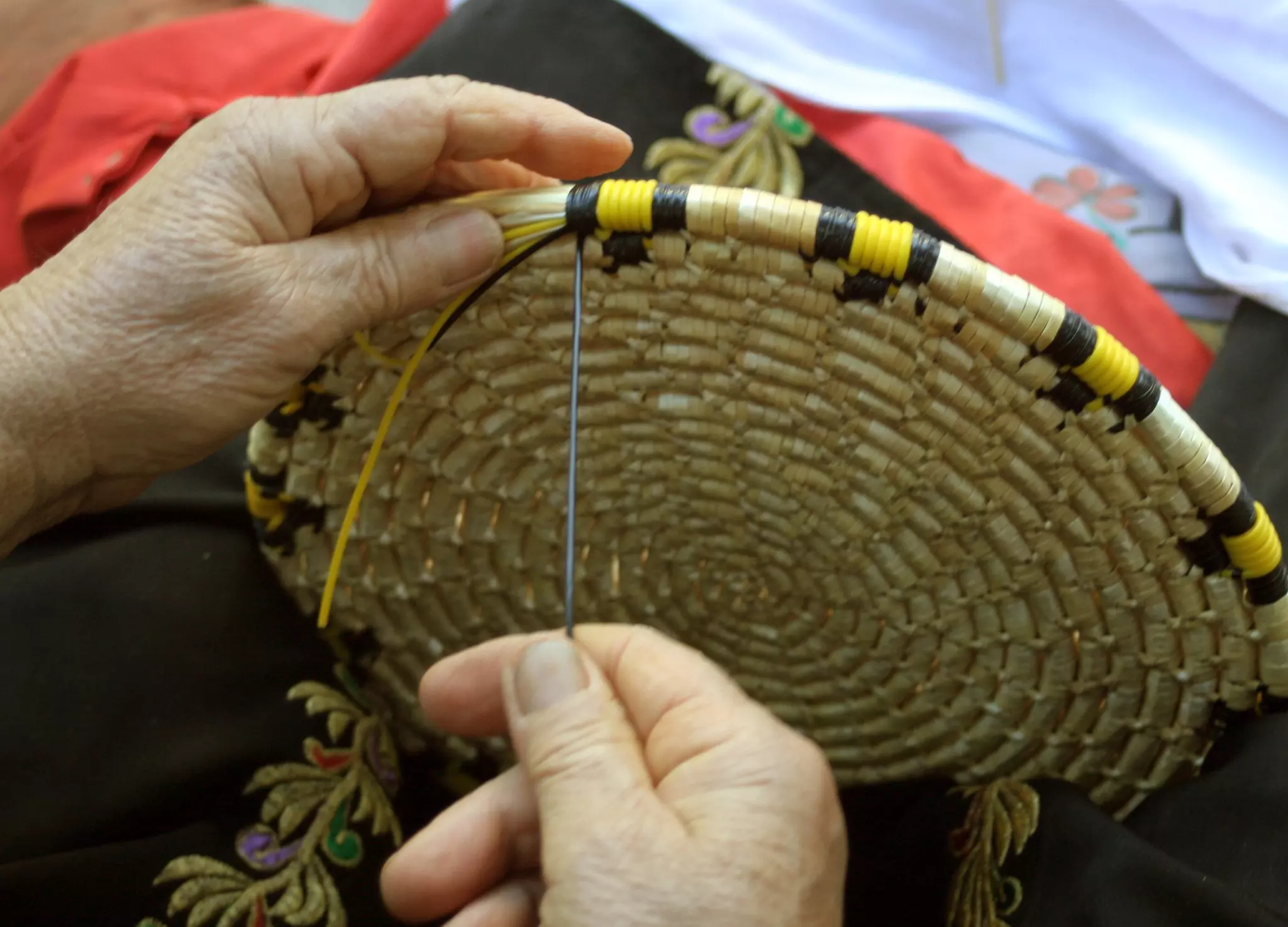
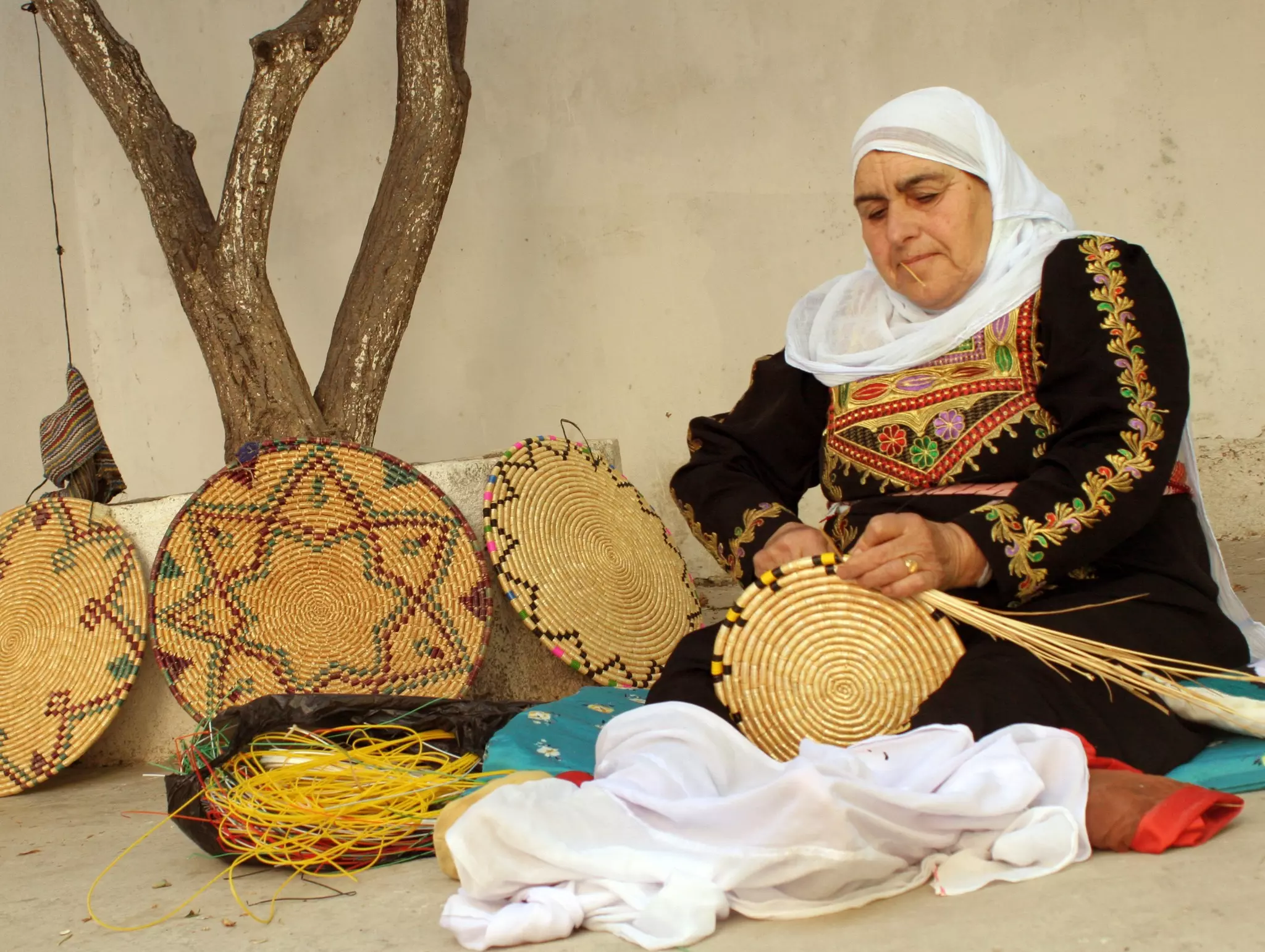
Posted by واجد امين نوباني - صواني الكش من تراث اللبن القديم
Posted by واجد امين نوباني - احلى تراث لبناوي
Posted by واجد امين نوباني - مقبره اللبن الجديده
Posted by واجد امين نوباني - الطريق الى سهل اللبن
Posted by واجد امين نوباني - كيف رح يكون منظر المكان بعد عشر سنين مثلا -صوره من طاروجا 28\8\ 2010
Posted by واجد امين نوباني - احلى زيتون زيتون اللبن الشرقيه
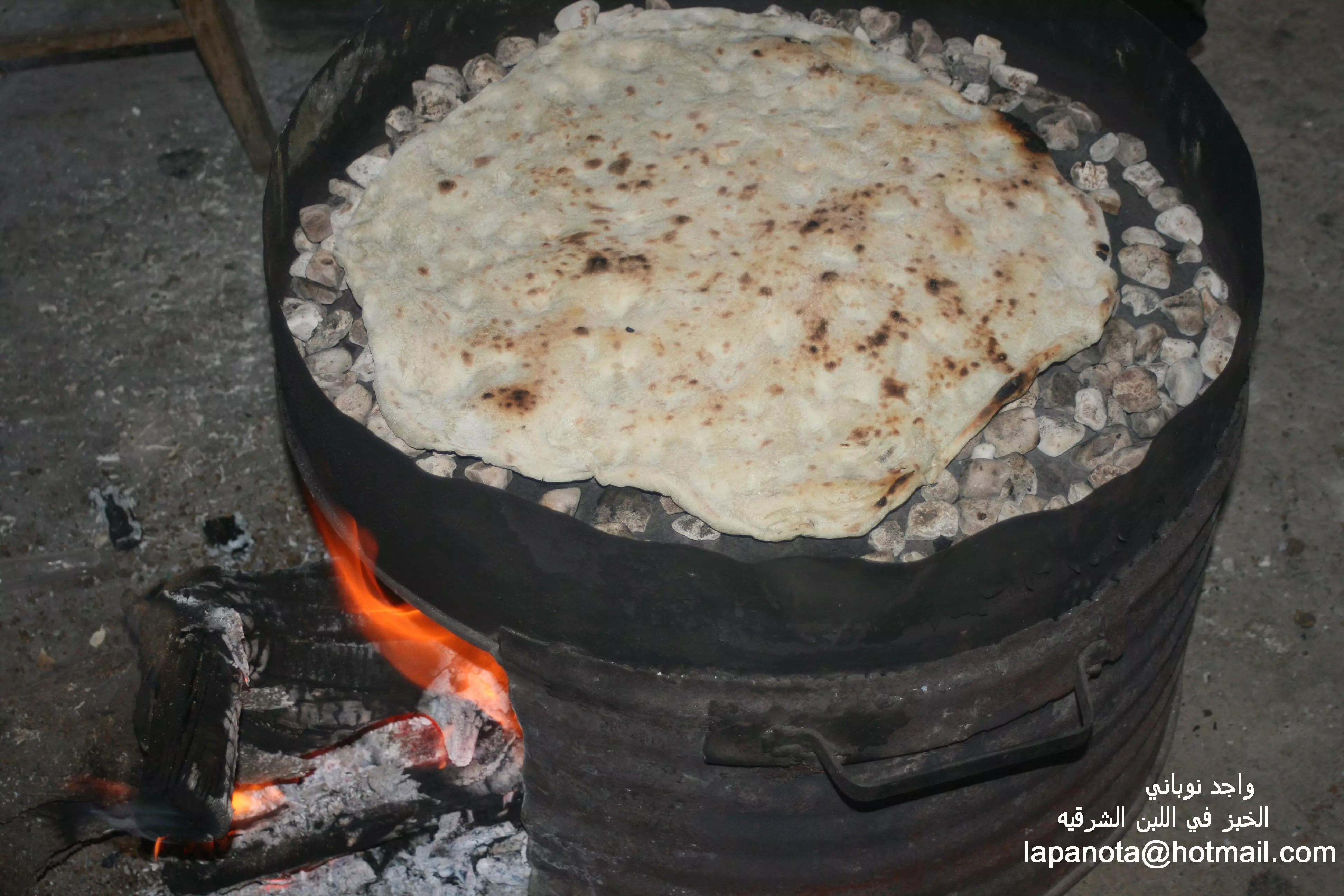
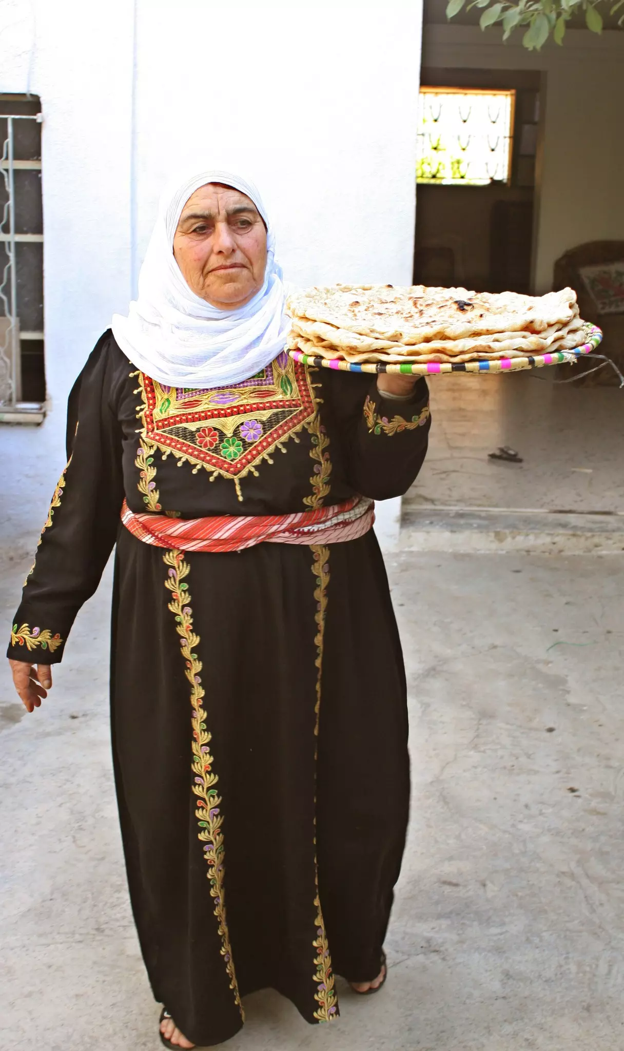
Posted by واجد امين نوباني - الخبز في اللبن الشرقيه على نار الحطب
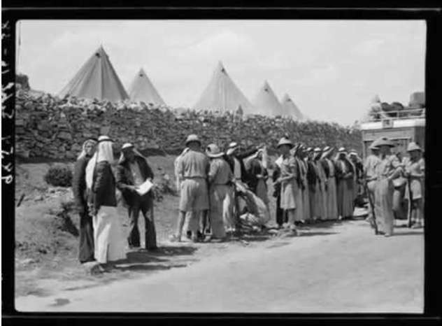
Posted by واجد امين نوباني 1 - حاجز تفتيش بريطاني عند معسكرهم في اعلى معرجات اللبن ( الموقع شجر الصنوبر على طريق سنجل )
Posted by عاصم ابو عمر - قرية اللبن , هدية من عاصم ابو عمر الصفافي
Posted by عاصم ابو عمر - عشرات المستوطنين من مستوطنه معلي لبونه وايلي يغلقون طريق اللبن ويعتدون على الاهالي والسيارات
Posted by واجد امين نوباني - مع شويه تزبيط وتلاعب بالاولوان وعلمت هيك لاني بتمنى اللبن تصير بهالشكل الساحر
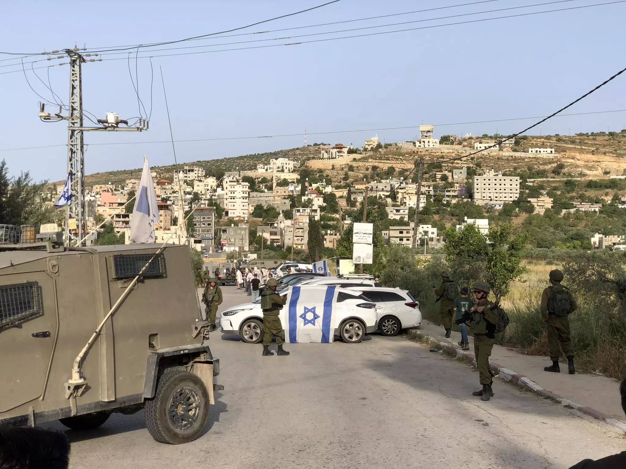
Posted by واجد امين نوباني - الجيش الاسرائيلي يقتحم اللبن الشرقيه
Posted by واجد امين نوباني - مشهد مؤلم لمستوطنه عيلي وبيوت اليهود تحتل تلال اللبن
Posted by واجد امين نوباني - دوريه اسرائيليه تحتجز السيارات اول اللبن الشرقيه..واجد النوباني
Posted by واجد امين نوباني - صوره جميله للسما والغيوم عند الغروب فوق جبل طاروجا المقدس..واجد
Posted by واجد امين نوباني - احلى مدرسه من سنه 1945 ما بين اللبن والساويه.....واجد نوباني
Posted by واجد امين نوباني - الشارع الرئيسي ...واجد النوباني
Posted by واجد امين نوباني - منظر عام للبن الشرقيه....واجد النوباني
Posted by واجد امين نوباني - طلعه اللوز والخان صوره قديمه جدا لايام الخان وعزه في اللبن الشرقيه
Posted by واجد امين نوباني - الرقه والطفوله وطبيعه اللبن
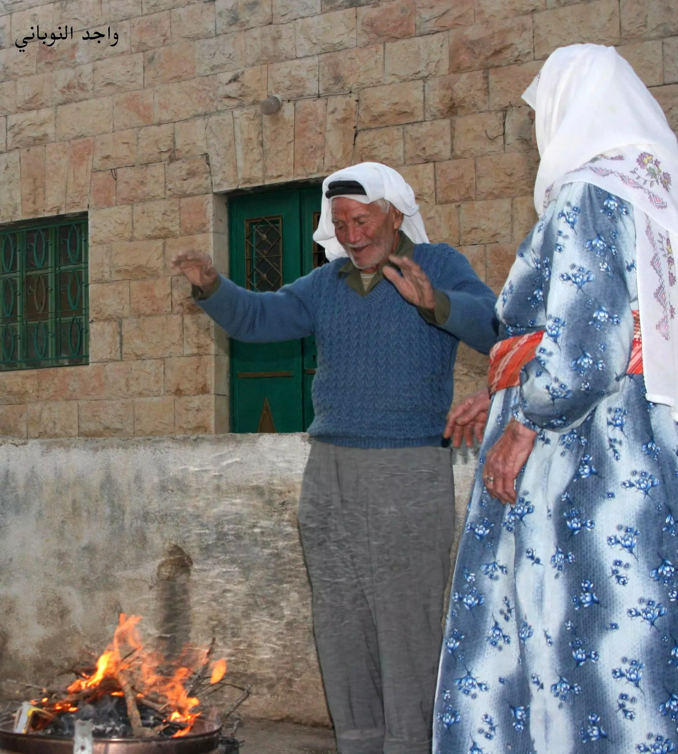
Posted by واجد امين نوباني - كانون النار وابو ياسر واللبن العتيقه
Posted by واجد امين نوباني 2 - السهل والغيوم والشجر الرائع
Posted by واجد امين نوباني - روعه السهل والطيور مع بيوت الشارع الرئيسي
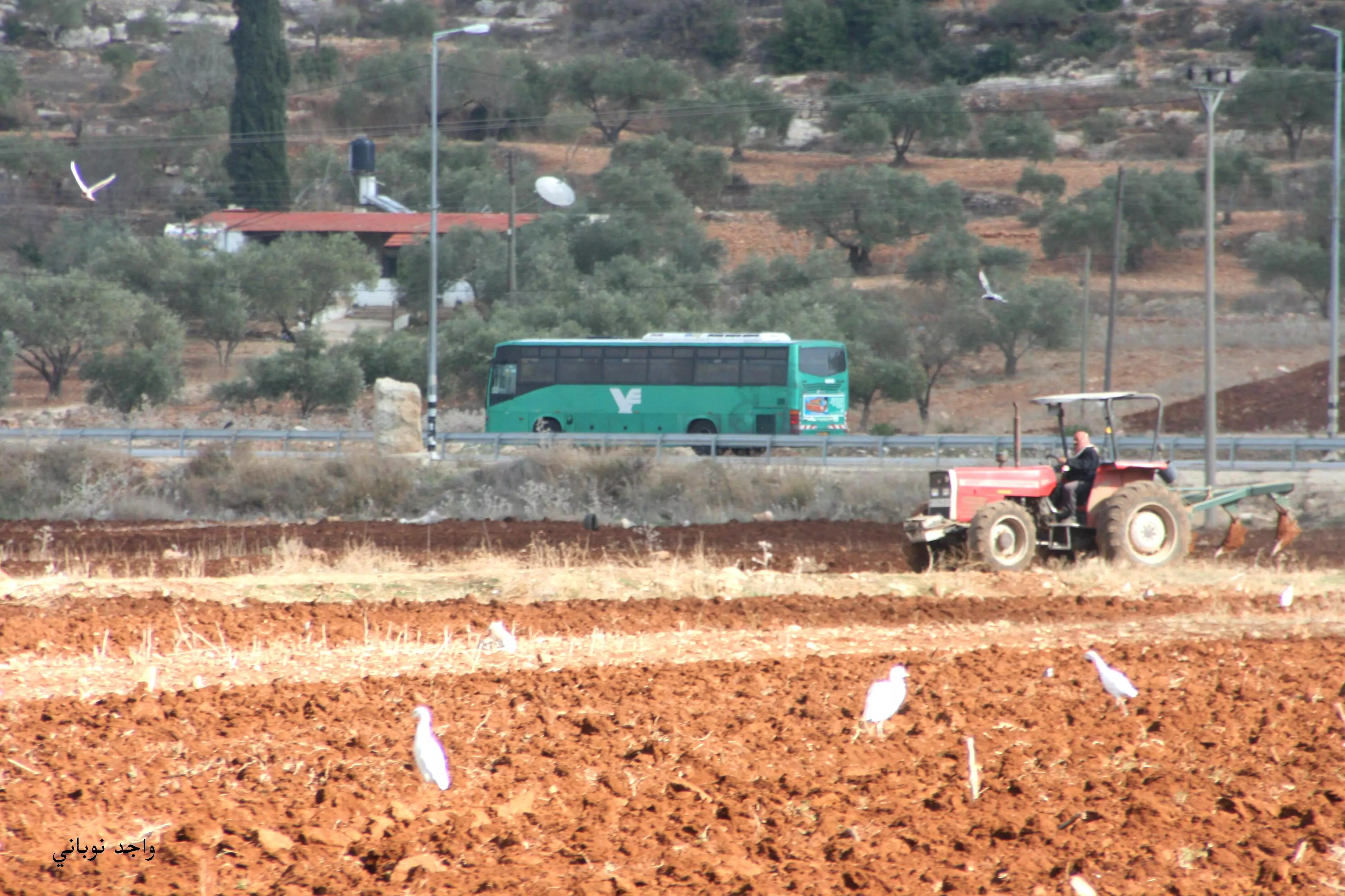
Posted by واجد امين نوباني - حراثه السهل مع الطيور الرائعه
Posted by واجد امين نوباني - رعاه الغنم في الواد قرب جبل الراس الاخضر
Posted by واجد امين نوباني - من القناطر ربيع اللبن الشرقيه
Posted by واجد امين نوباني - روعه الطبيعه الخضراء سهل وتلال اللبن
Posted by واجد امين نوباني - بيوت من اللبن الشرقيه
Posted by واجد امين نوباني - احلى واغلى واجمل طبيعه اللبن الشرقيه طريق القناطر
Posted by واجد امين نوباني - جندي بريطاني في خان اللبن ..من واجد النوباني
Posted by واجد امين نوباني - ربيع اللبذن الشرقيه 2012
Posted by واجد امين نوباني - سهل اللبّن 2012
Posted by واجد امين نوباني - ابو حسام
Posted by واجد امين نوباني - ابو محمد عوايسه.. ابو غالب نوباني.. ابو رزق نوباني
Posted by واجد امين نوباني - ربيع2012
Posted by واجد امين نوباني - تراث اللبّن - اريس - حلا - جنى النوباني
Posted by واجد امين نوباني 2 - فلاحه الارض في القريه
Posted by واجد امين نوباني - سهل اللبّن الشرقيه - نيسان 2012
Posted by واجد امين نوباني - السهل ومنازل اللبن على الشارع ربيع 2012
Posted by واجد امين نوباني - اطلاله اطفال اللبّن على السهل
Posted by واجد امين نوباني - صوره من جبل المسيب 740م لسهل اللبّن منطقه سريا
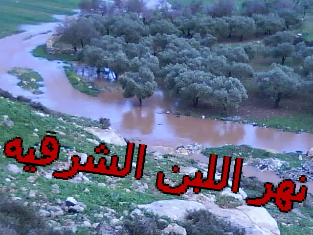
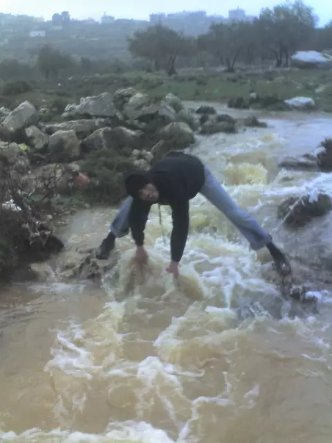
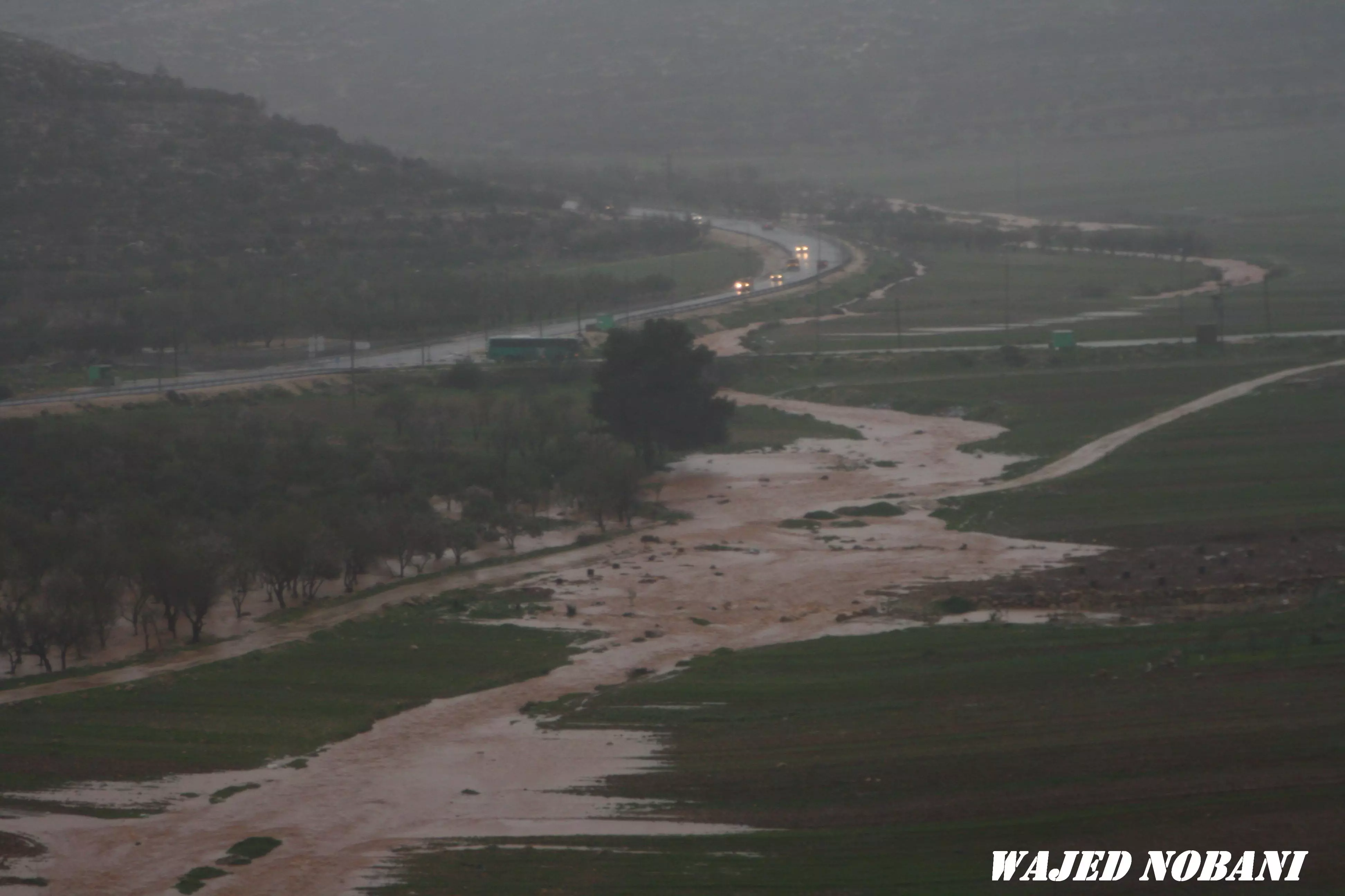
Posted by واجد امين نوباني - فيضان سهل اللبّن 1
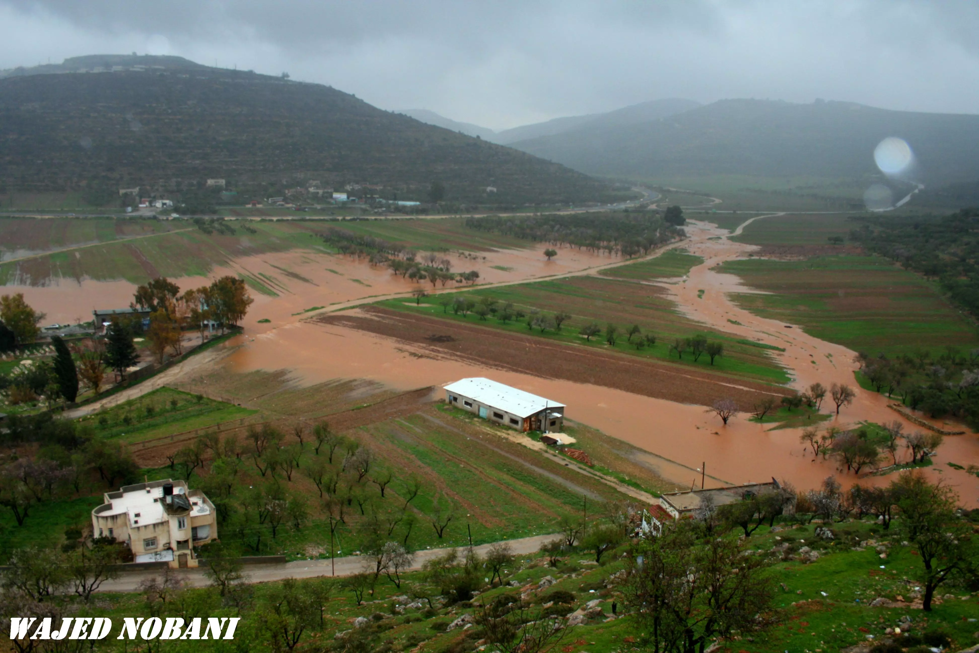
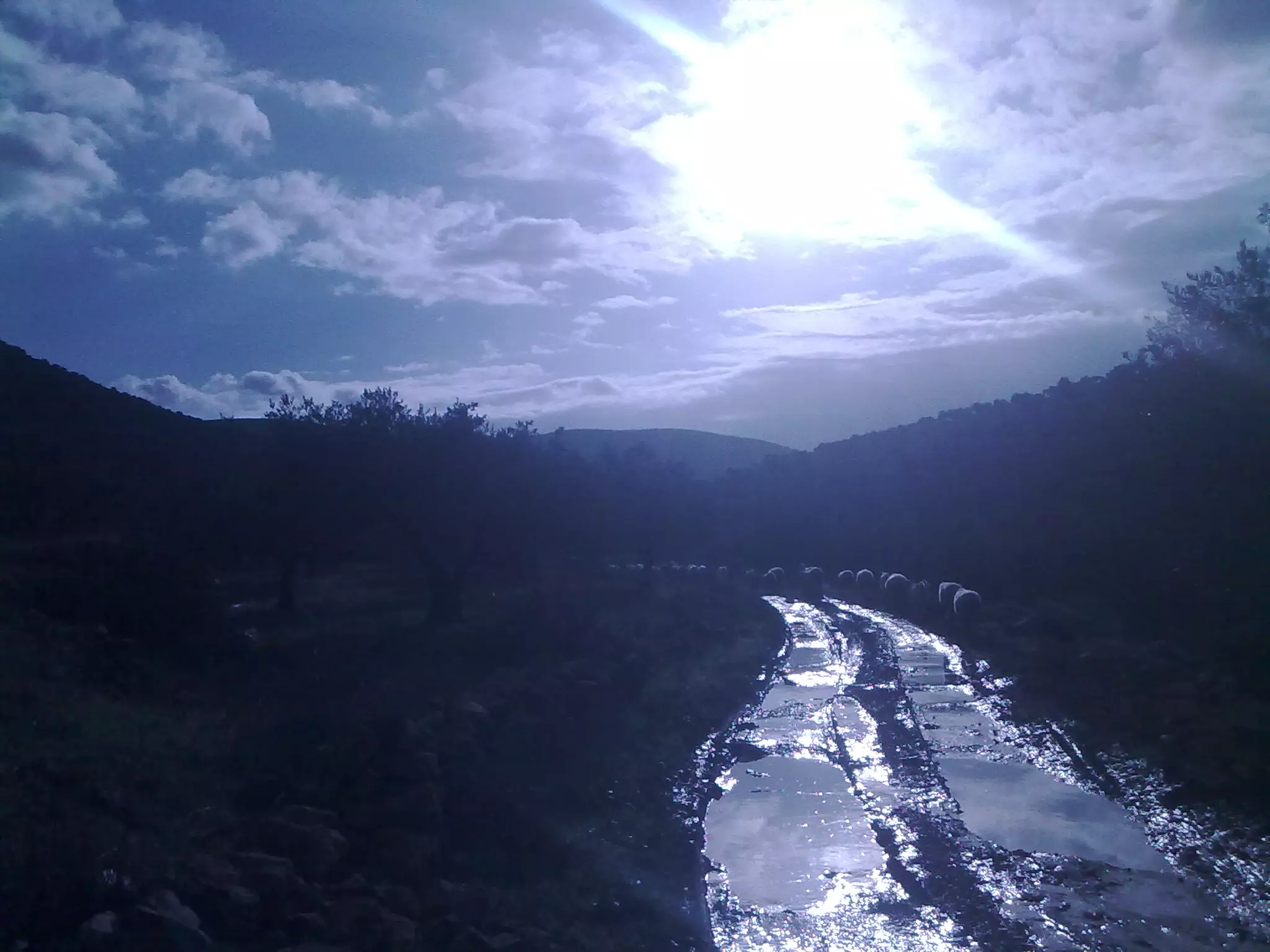
Posted by واجد امين نوباني - فيضان وادي اللبّن 2
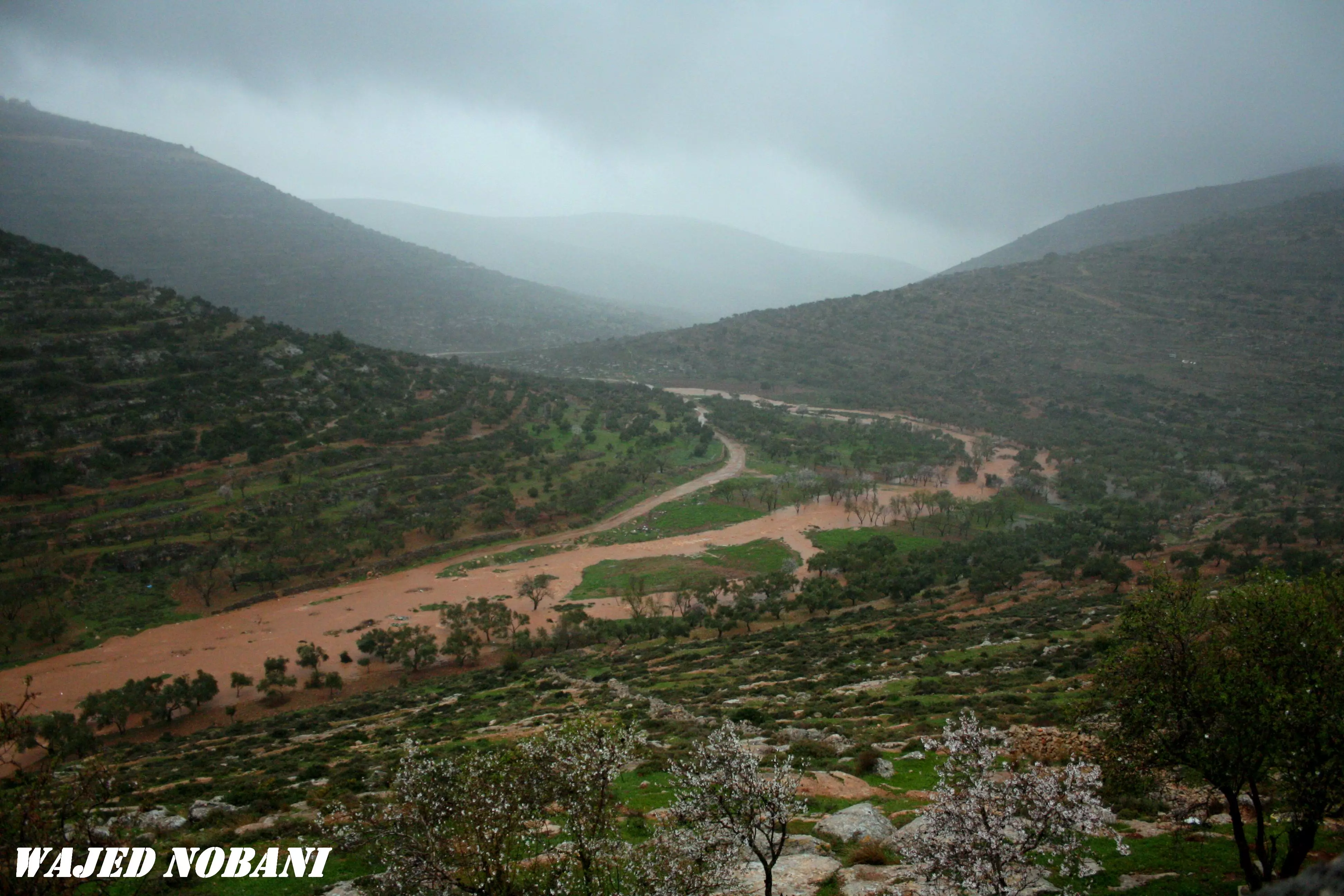
Posted by واجد امين نوباني - فيضان اللبن واد علي 3
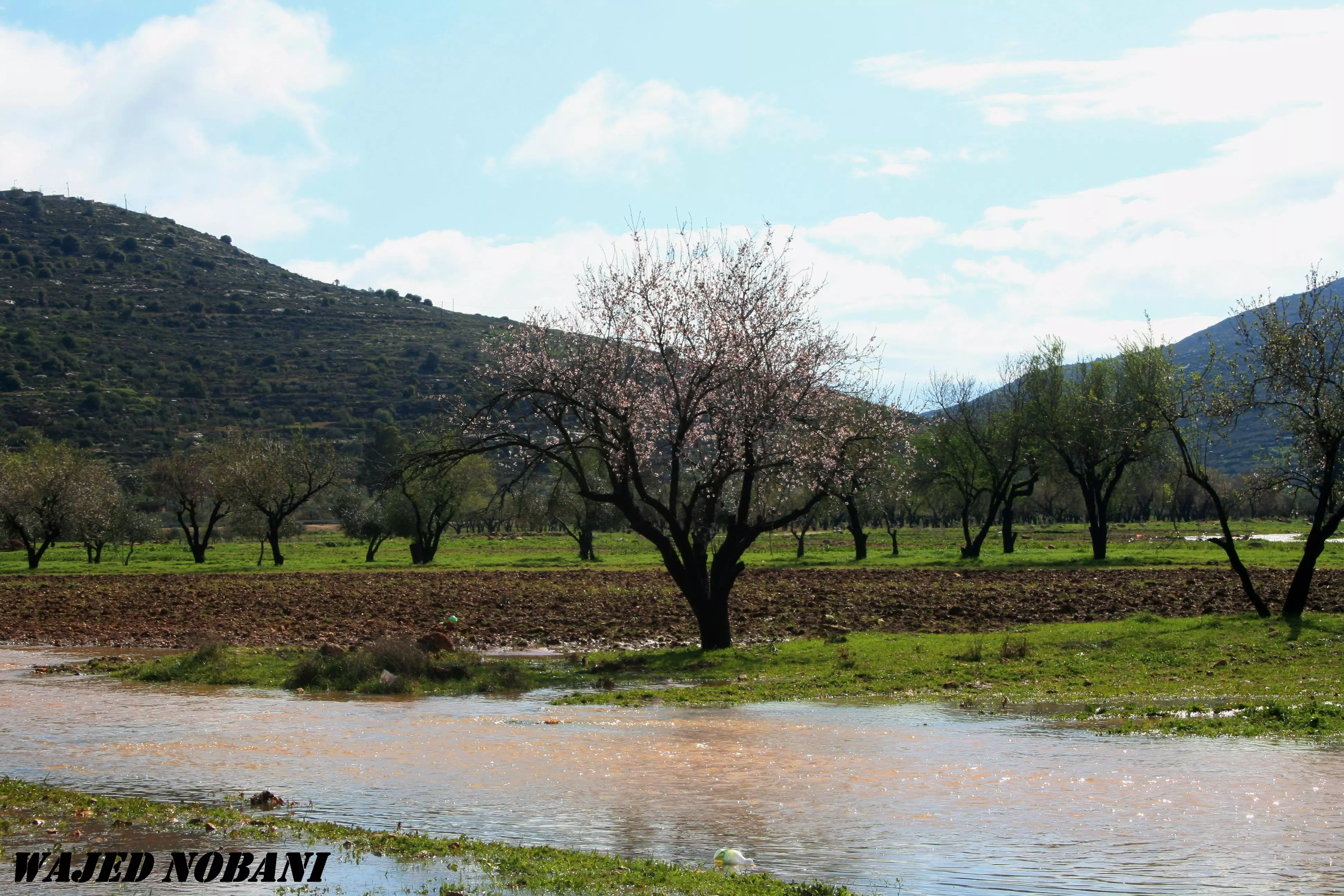
Posted by واجد امين نوباني - من شتاء 2012
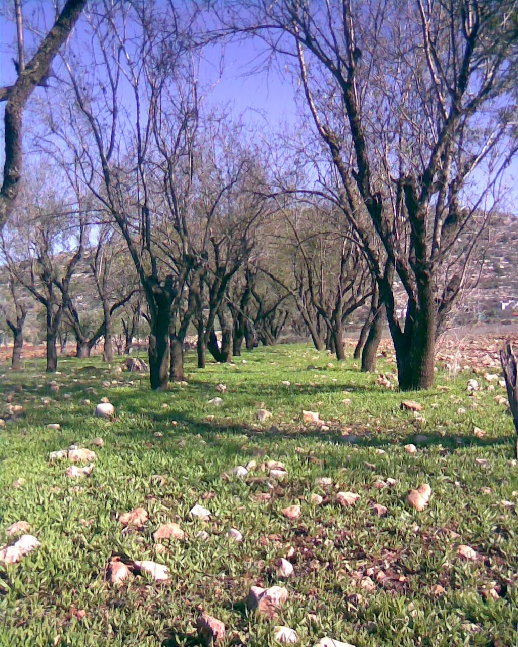
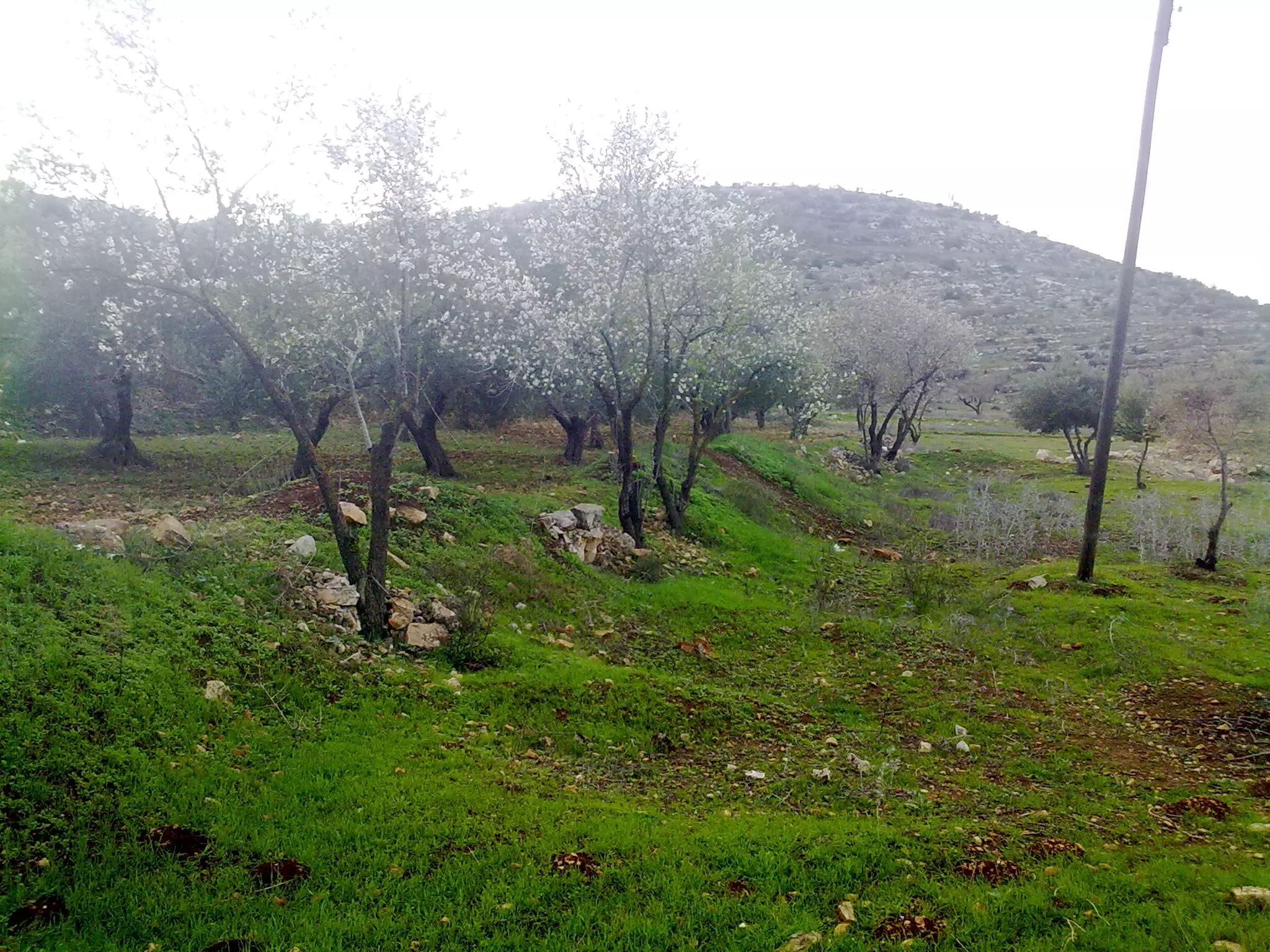
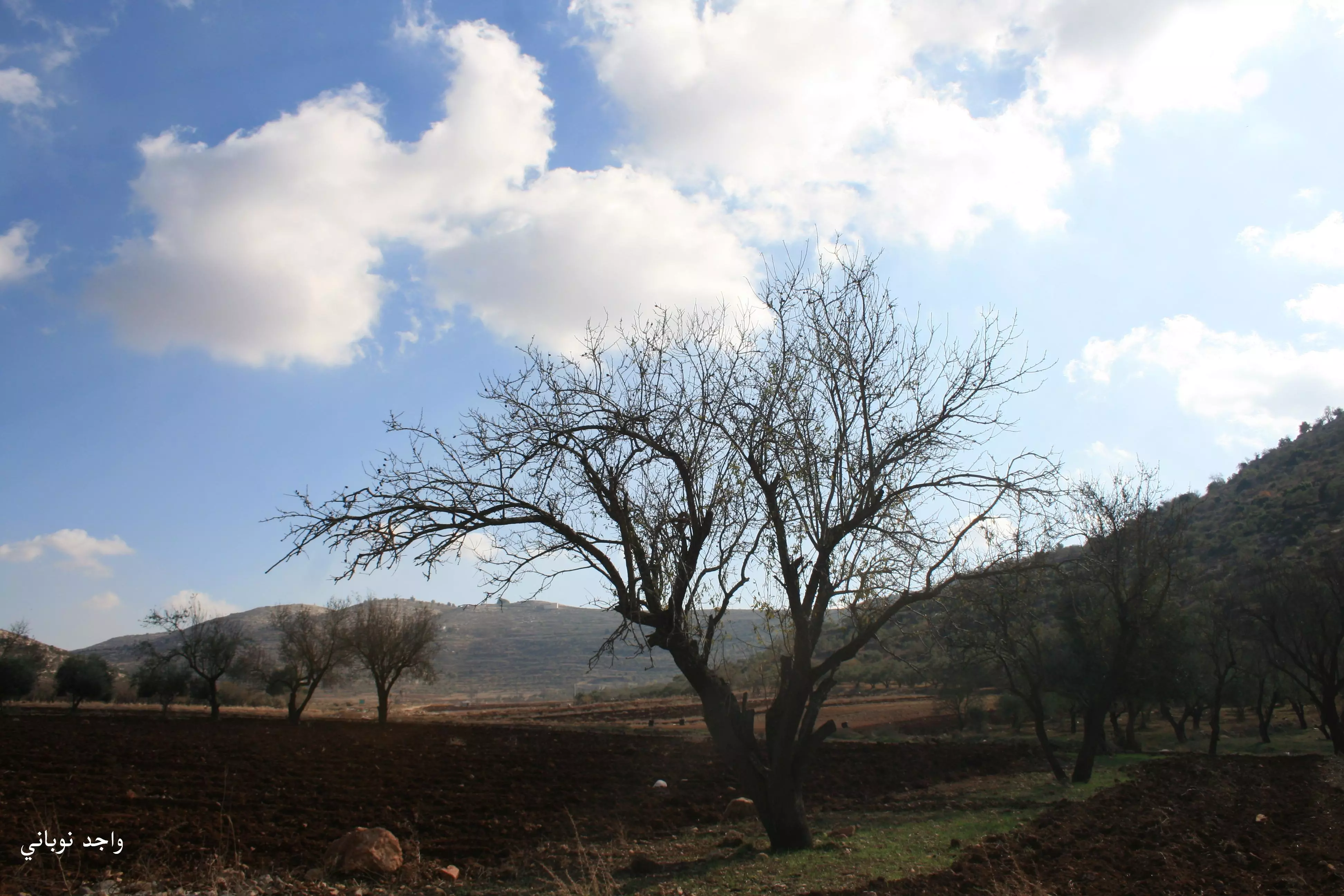
Posted by واجد امين نوباني 1 - منظر عام من منطقة المرج (السهل) بإتجاه الشرق وتظهر أشجار اللوز، 12 آذار 2013
Posted by واجد امين نوباني - رعاه القريه العائدين من السهل .. 13-6-2013
Posted by واجد امين نوباني - منظر عام 2012
Posted by واجد امين نوباني - منظر عام 2012
Posted by واجد امين نوباني - منظر عام 2012
Posted by واجد امين نوباني - منظر عام 2012
Posted by واجد امين نوباني - منظر عام 2012
Posted by واجد امين نوباني - منظر عام 2012
Posted by واجد امين نوباني - منظر عام 2012
Posted by واجد امين نوباني - منظر عام 2012
Posted by واجد امين نوباني - منظر عام 2012

Posted by واجد امين نوباني - قريه اللبن الشرقيه قبل 1948
Posted by abu raya - منظر عام
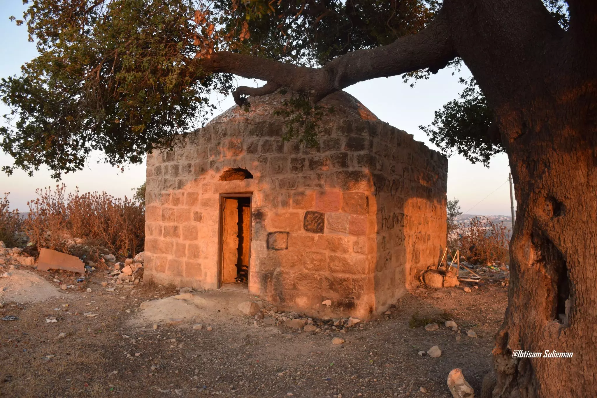
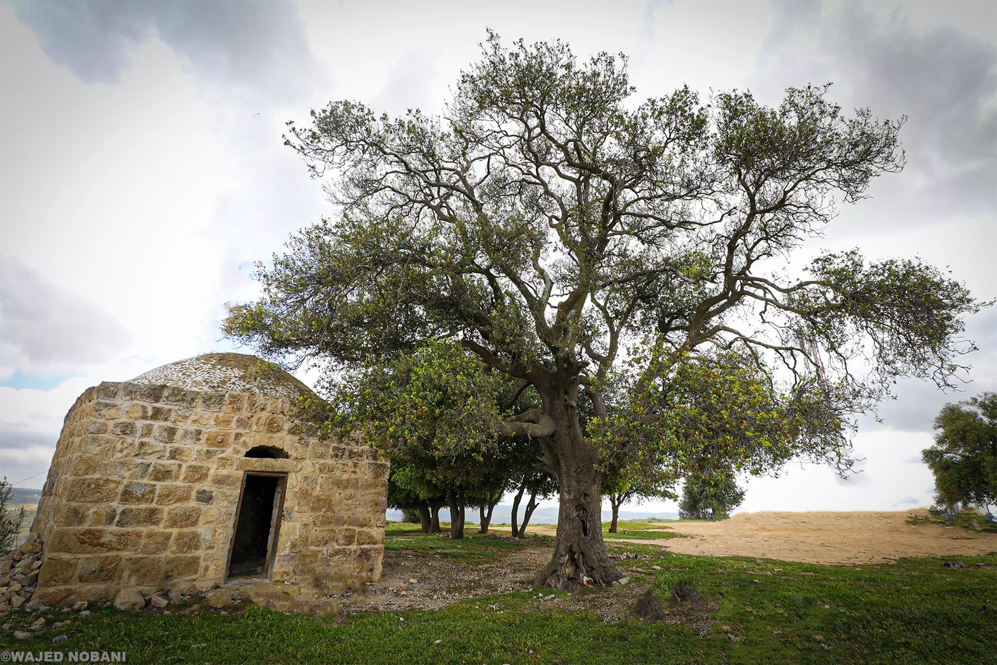
- مقام يقع على جيل طاروجة -- Ibtisam Sulieman
- مقام يقع على جيل طاروجة -- Ibtisam Sulieman #2
- مقام يقع على جيل طاروجة -- Ibtisam Sulieman #3
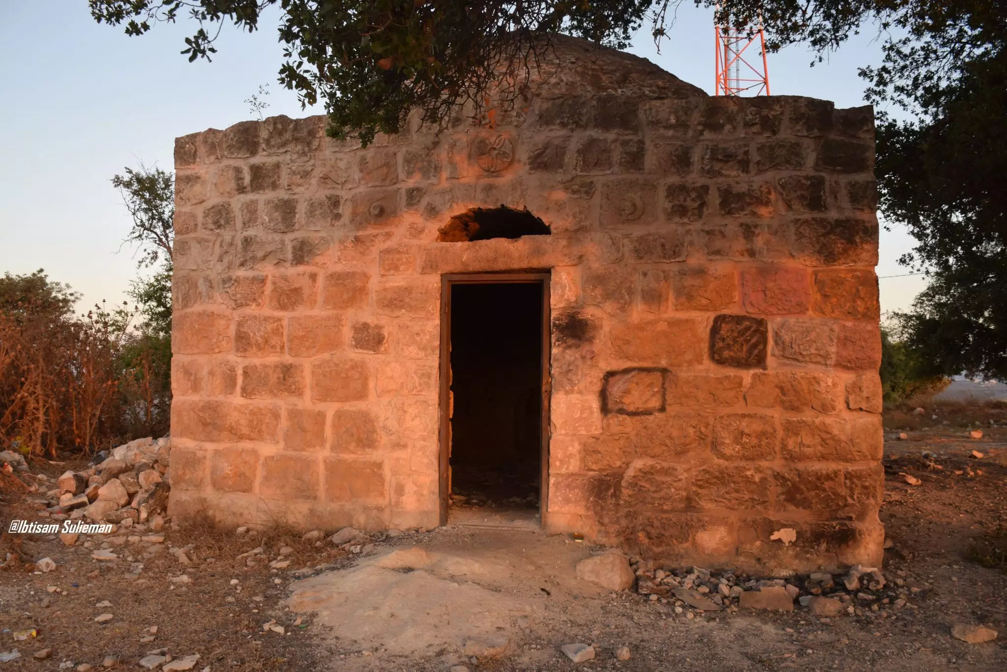
- مقام يقع على جيل طاروجة -- Ibtisam Sulieman #4
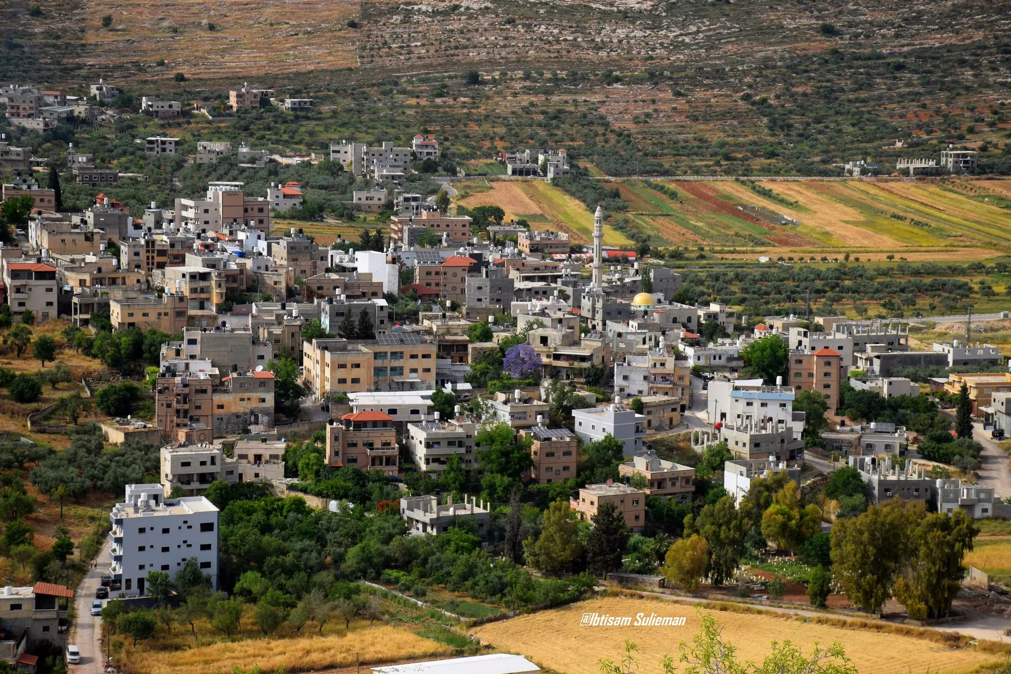
- منظر عام--Ibtisam Sulieman
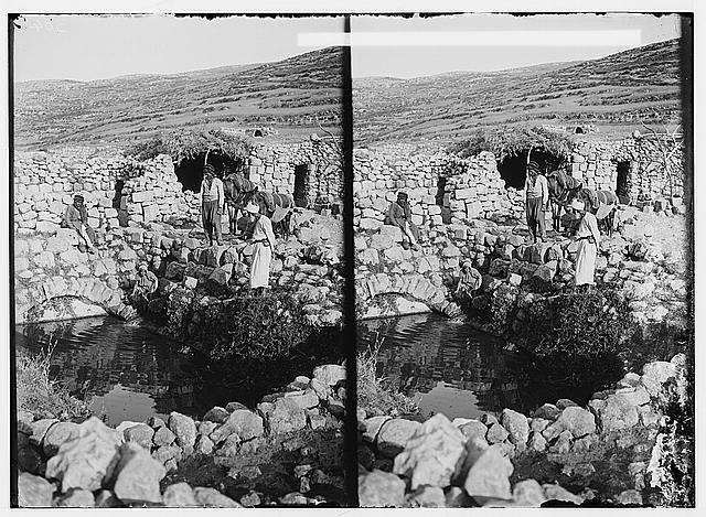
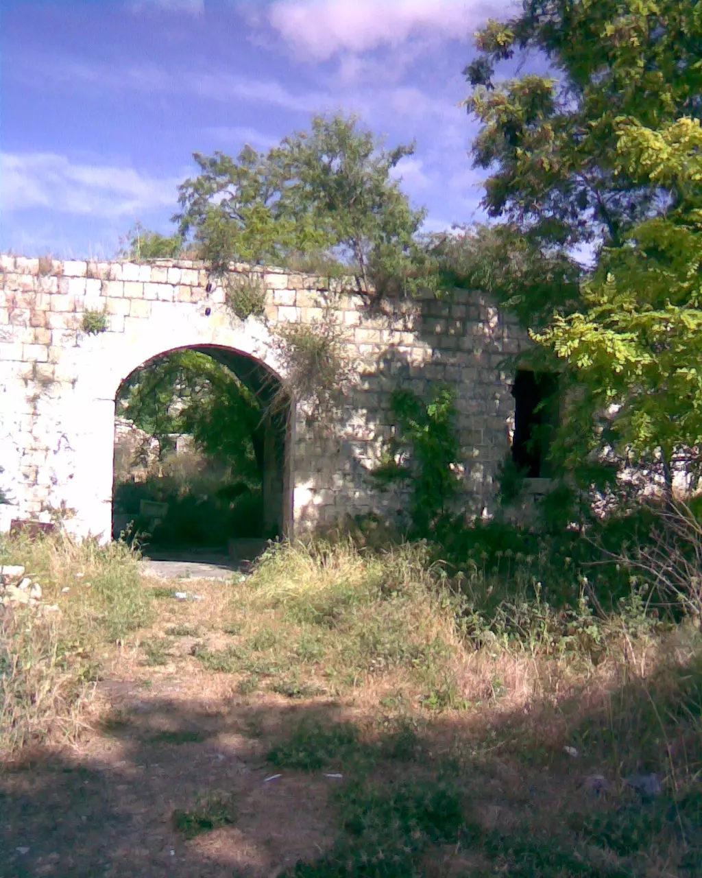
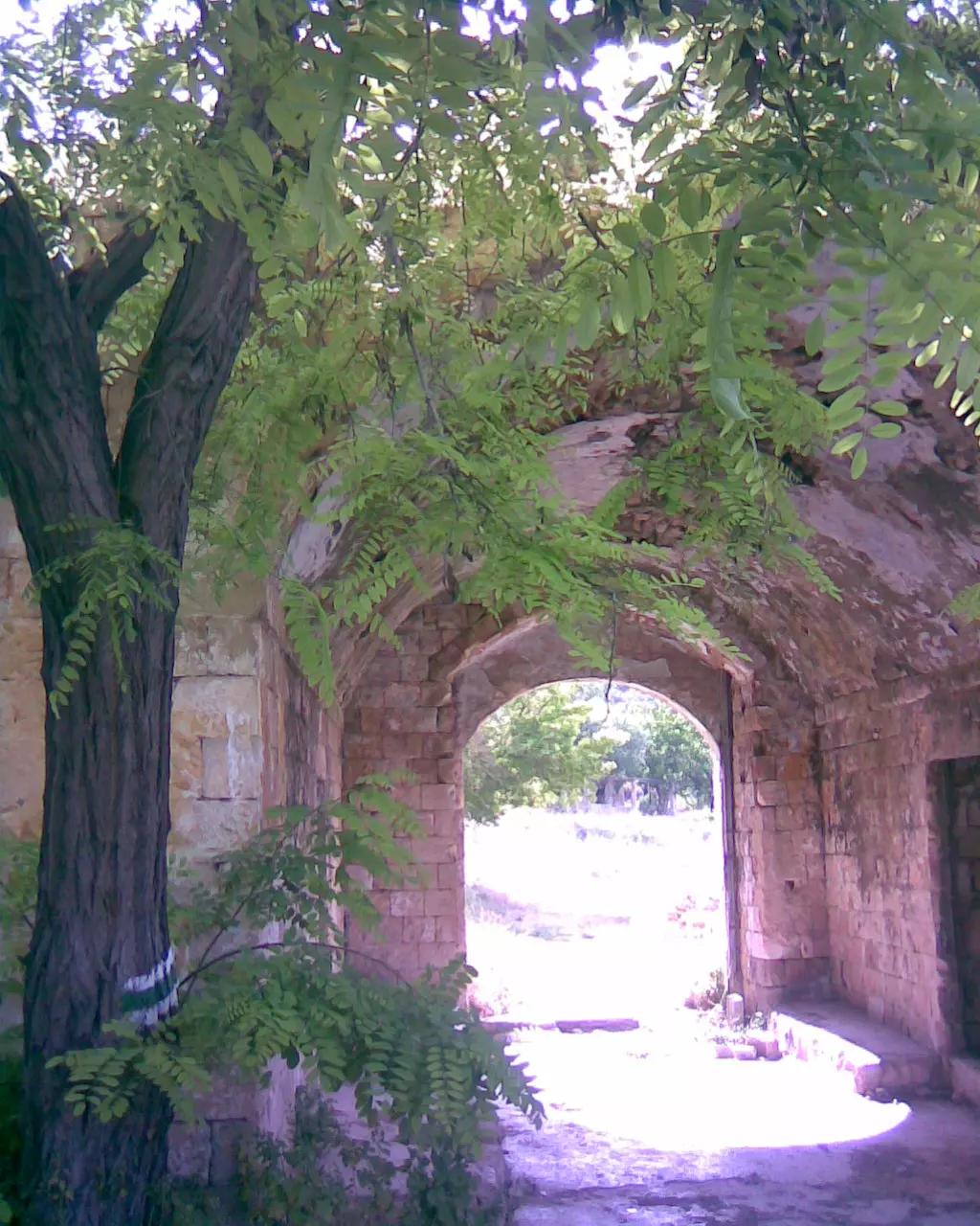
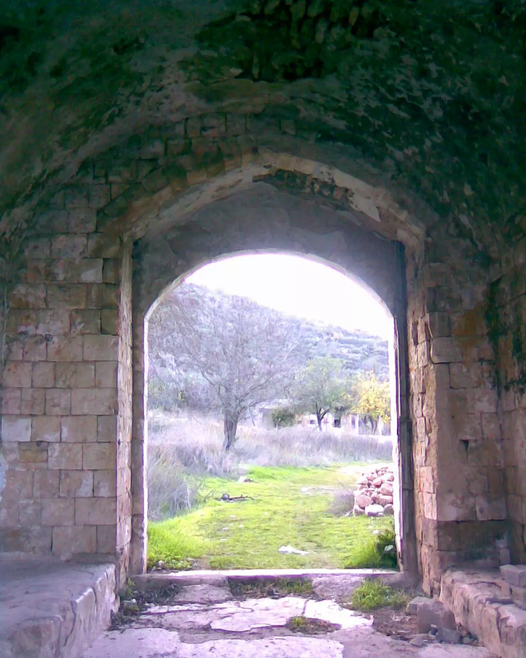
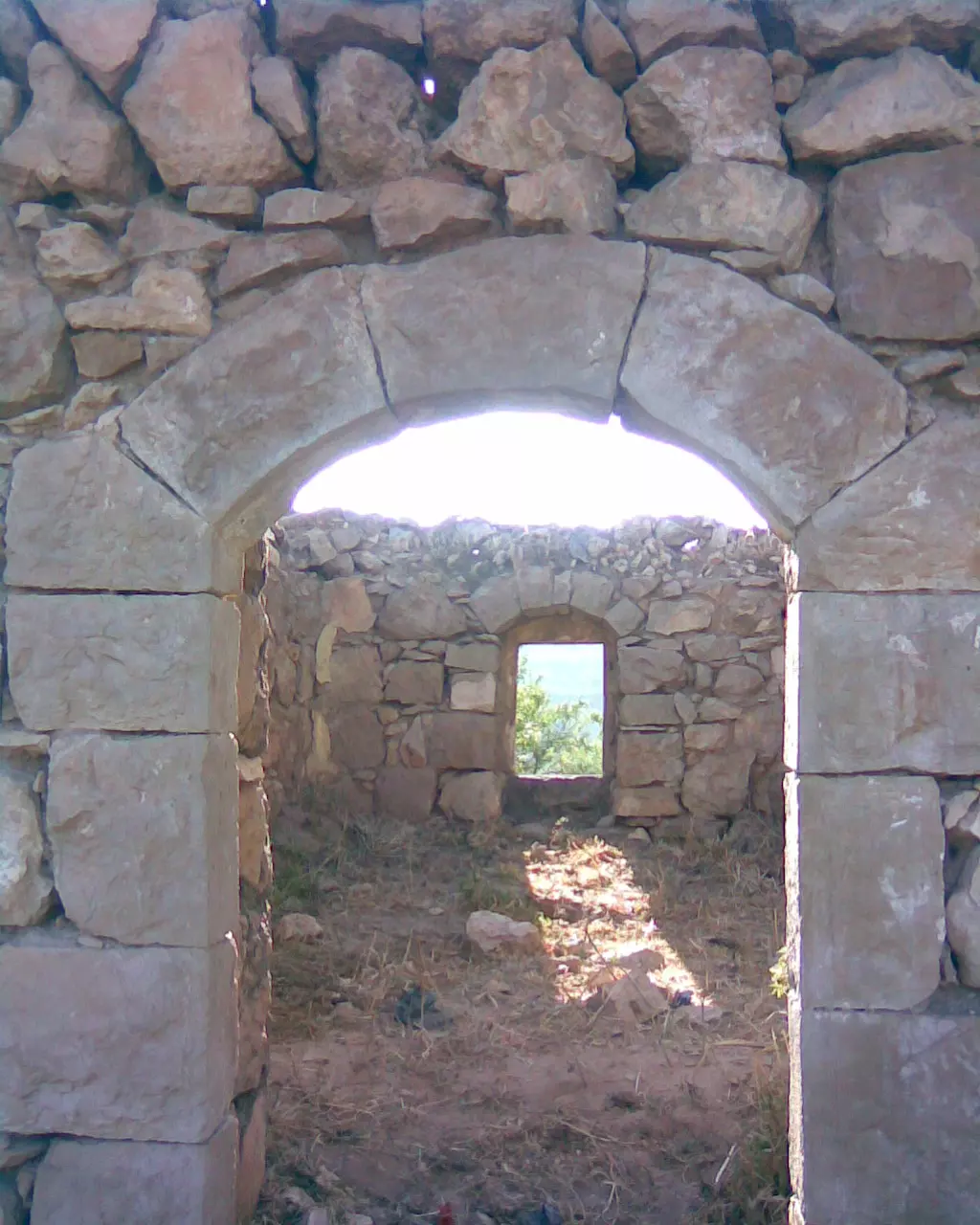
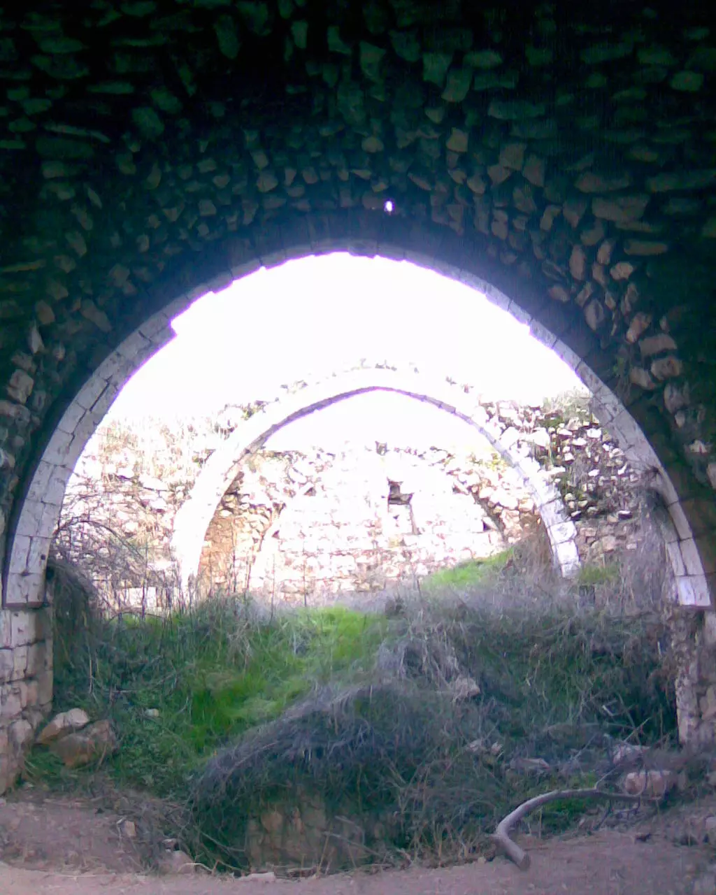
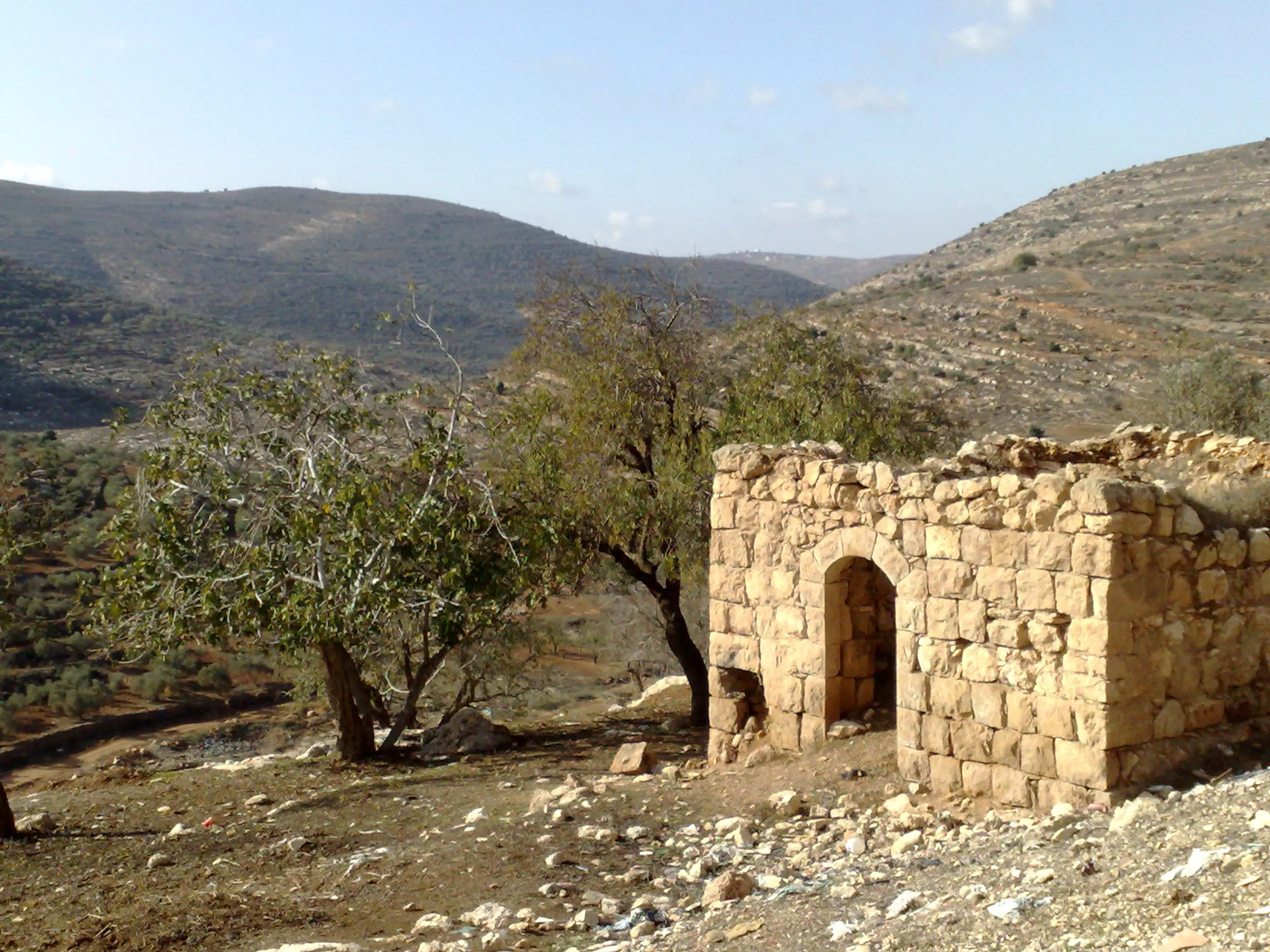
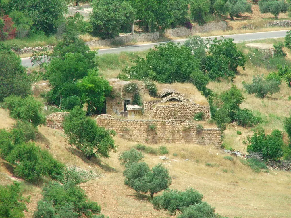
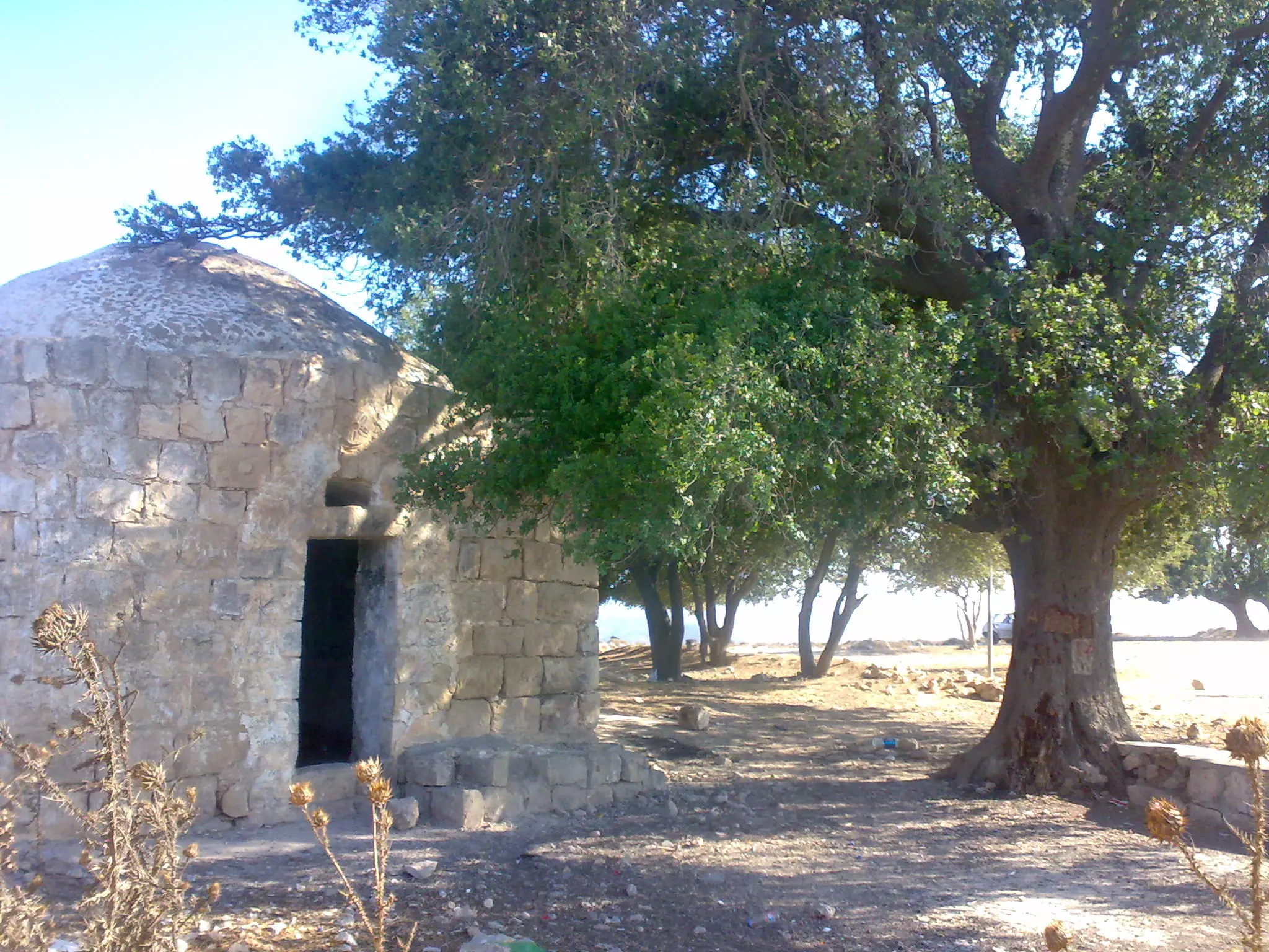
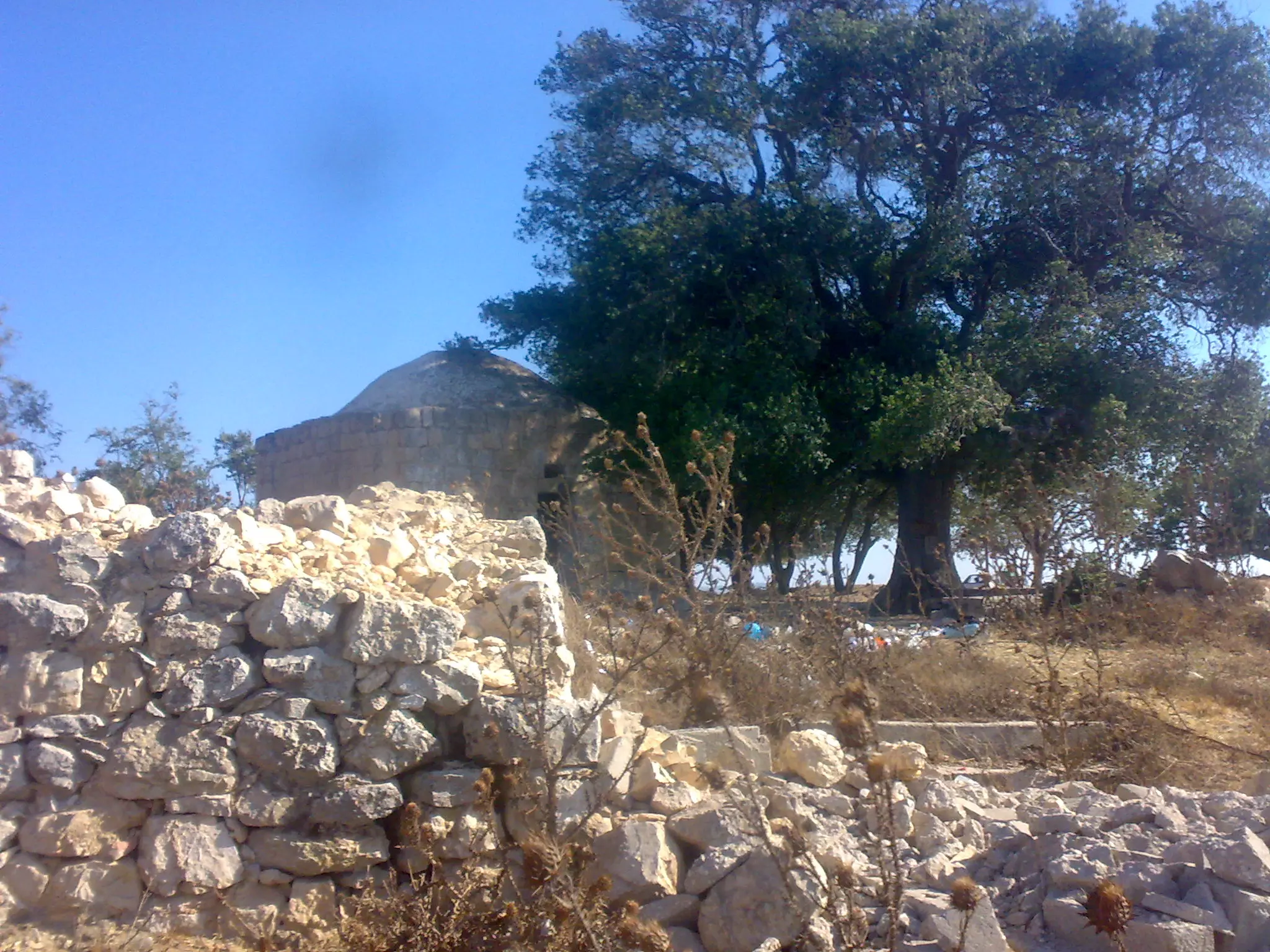
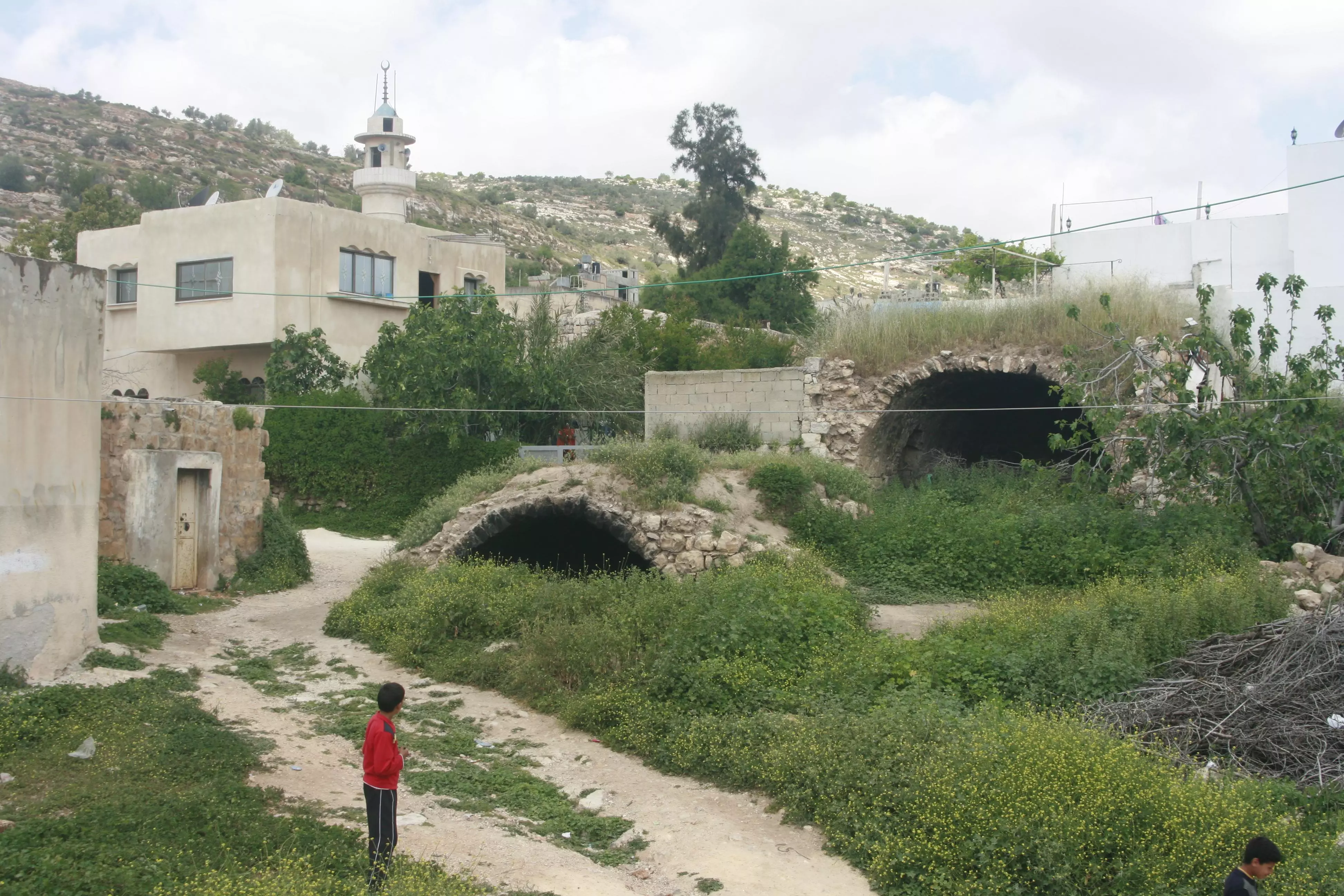
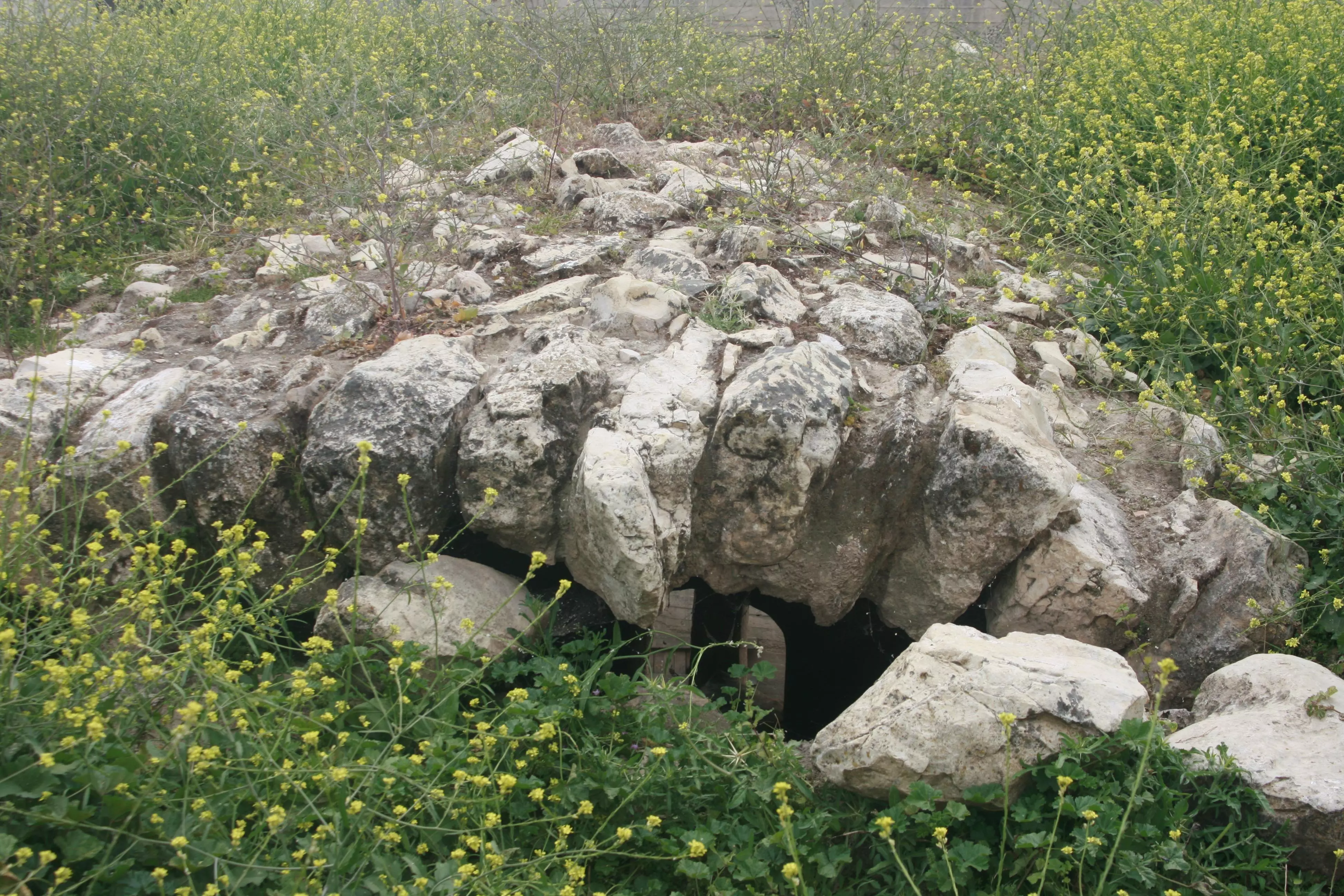
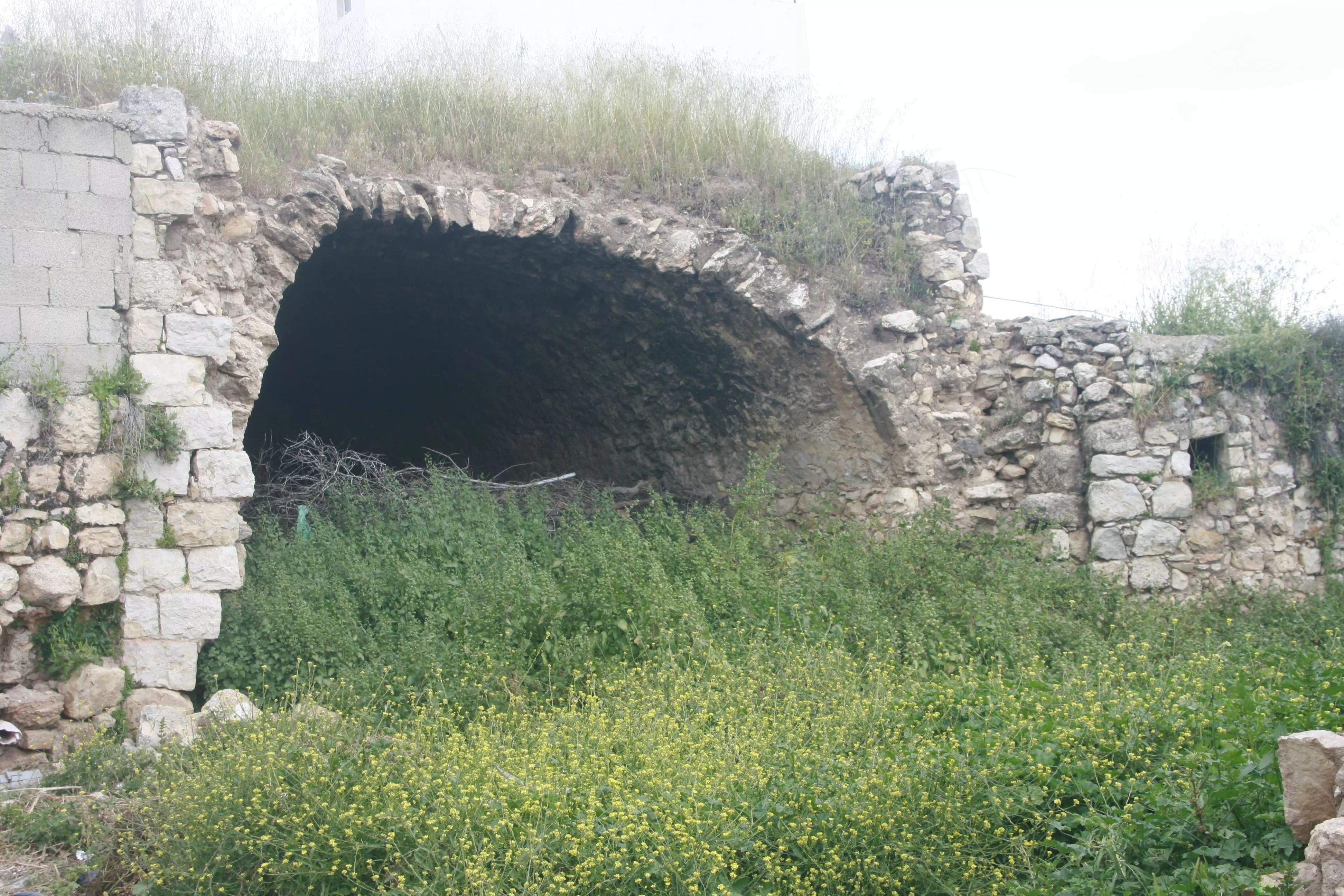
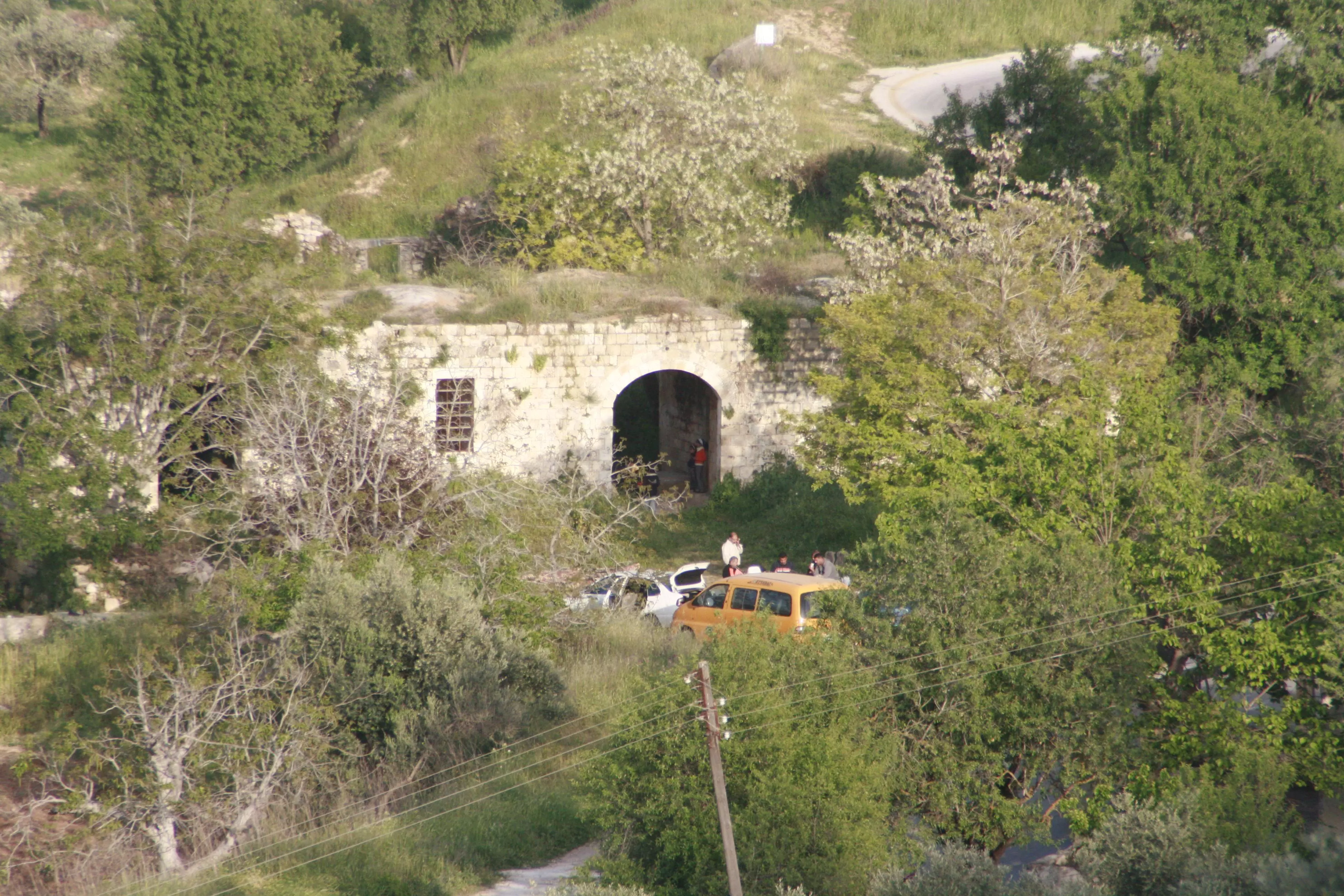
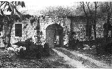
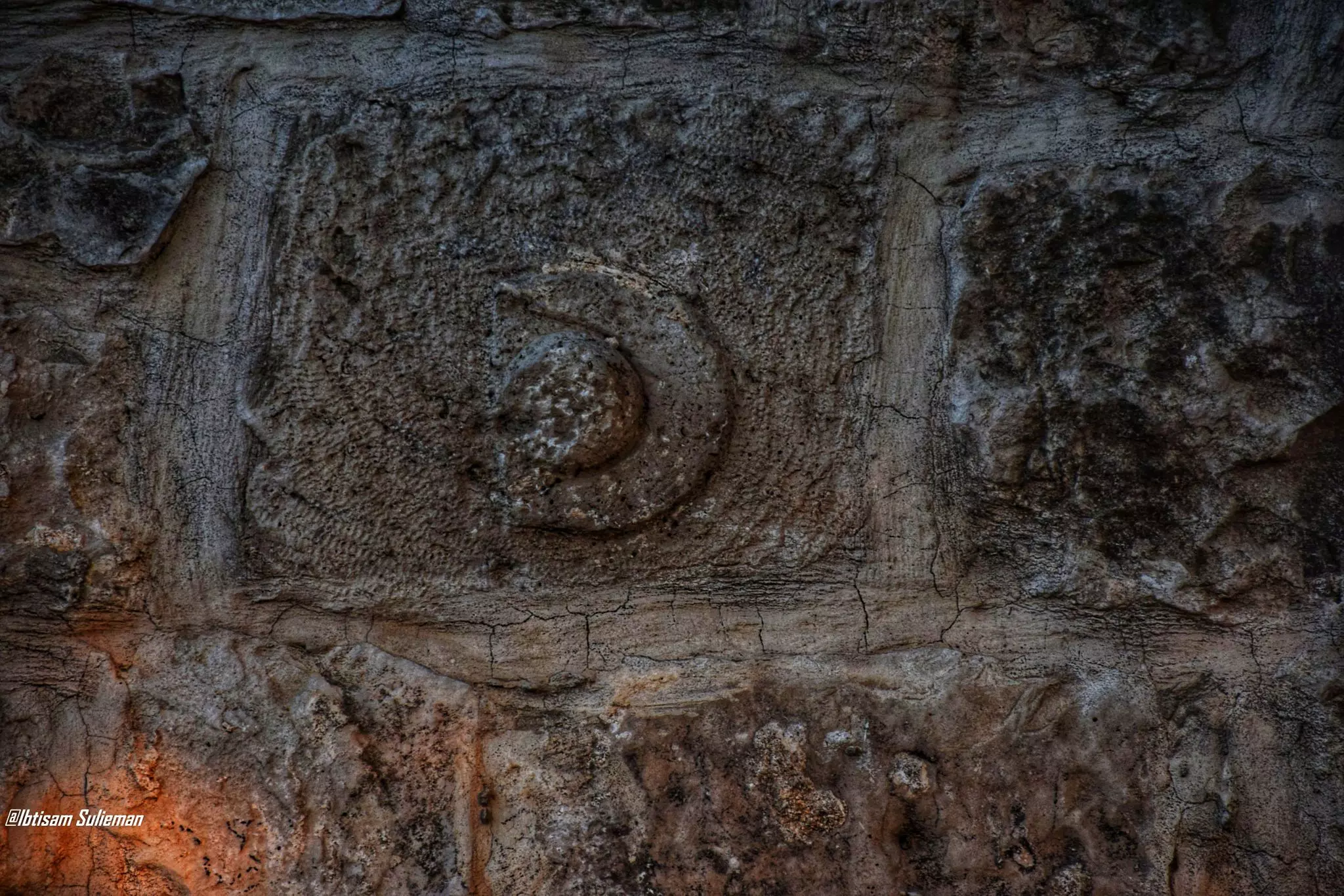
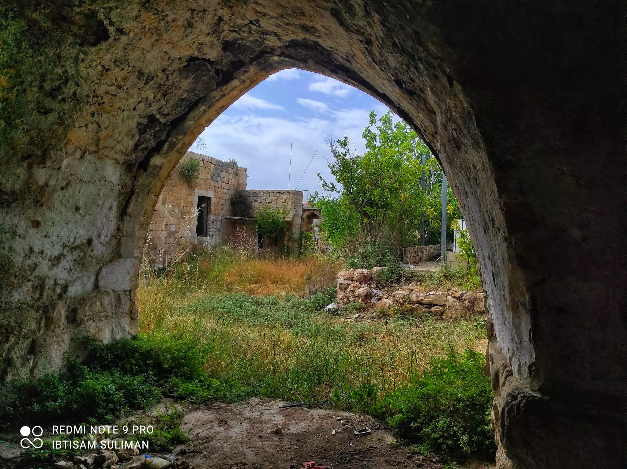
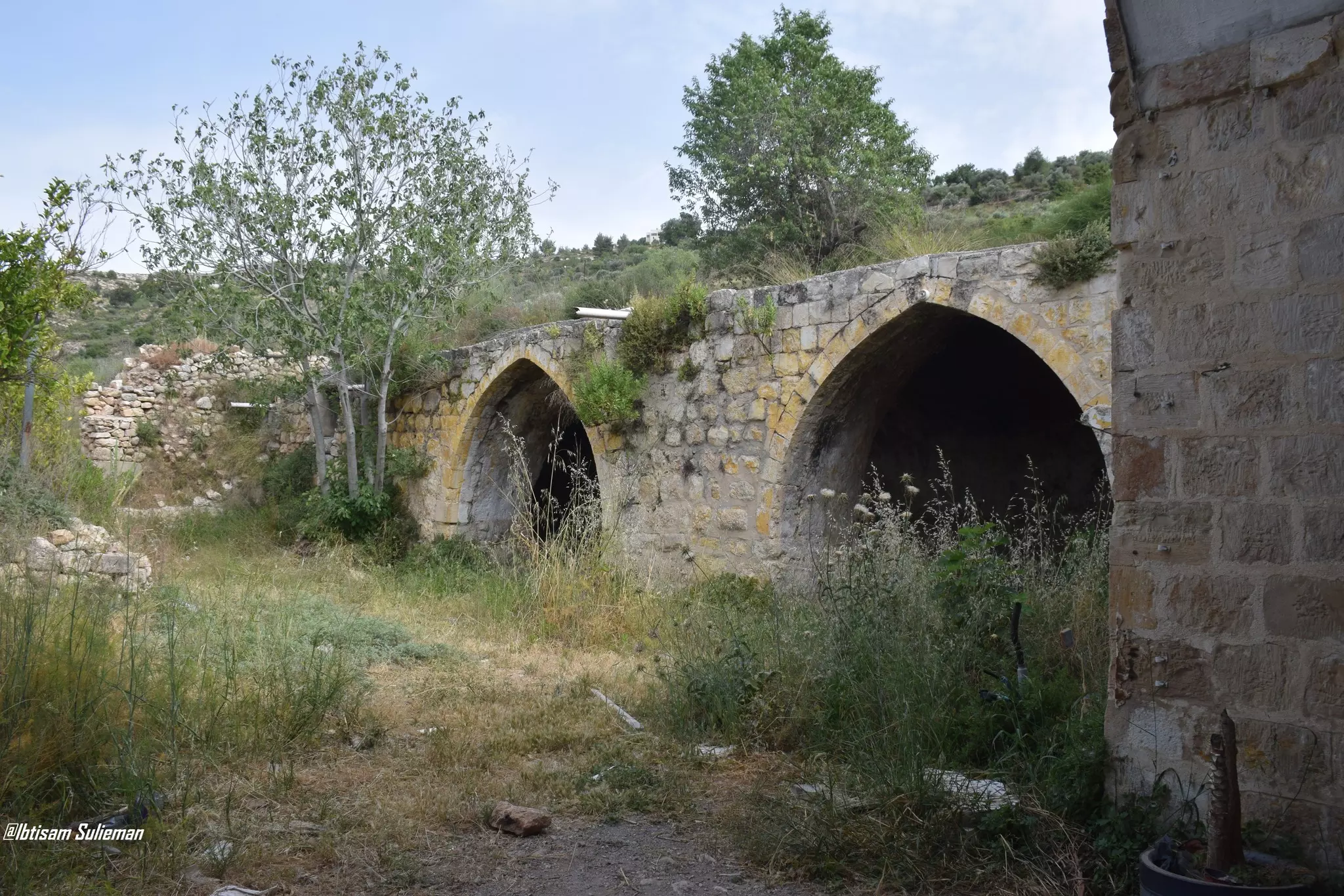
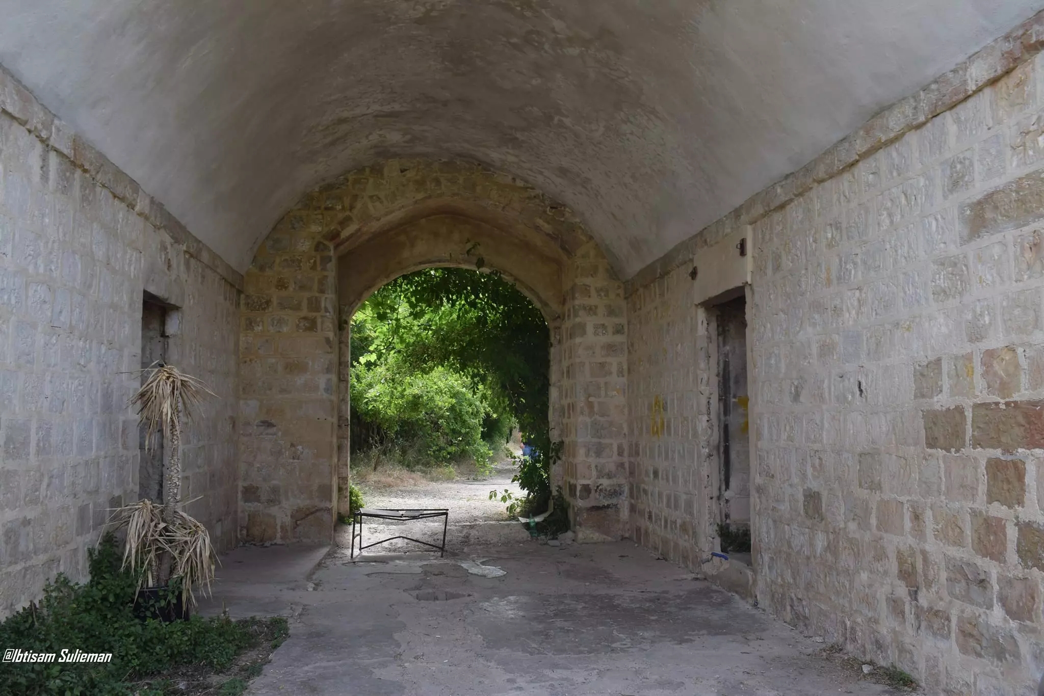
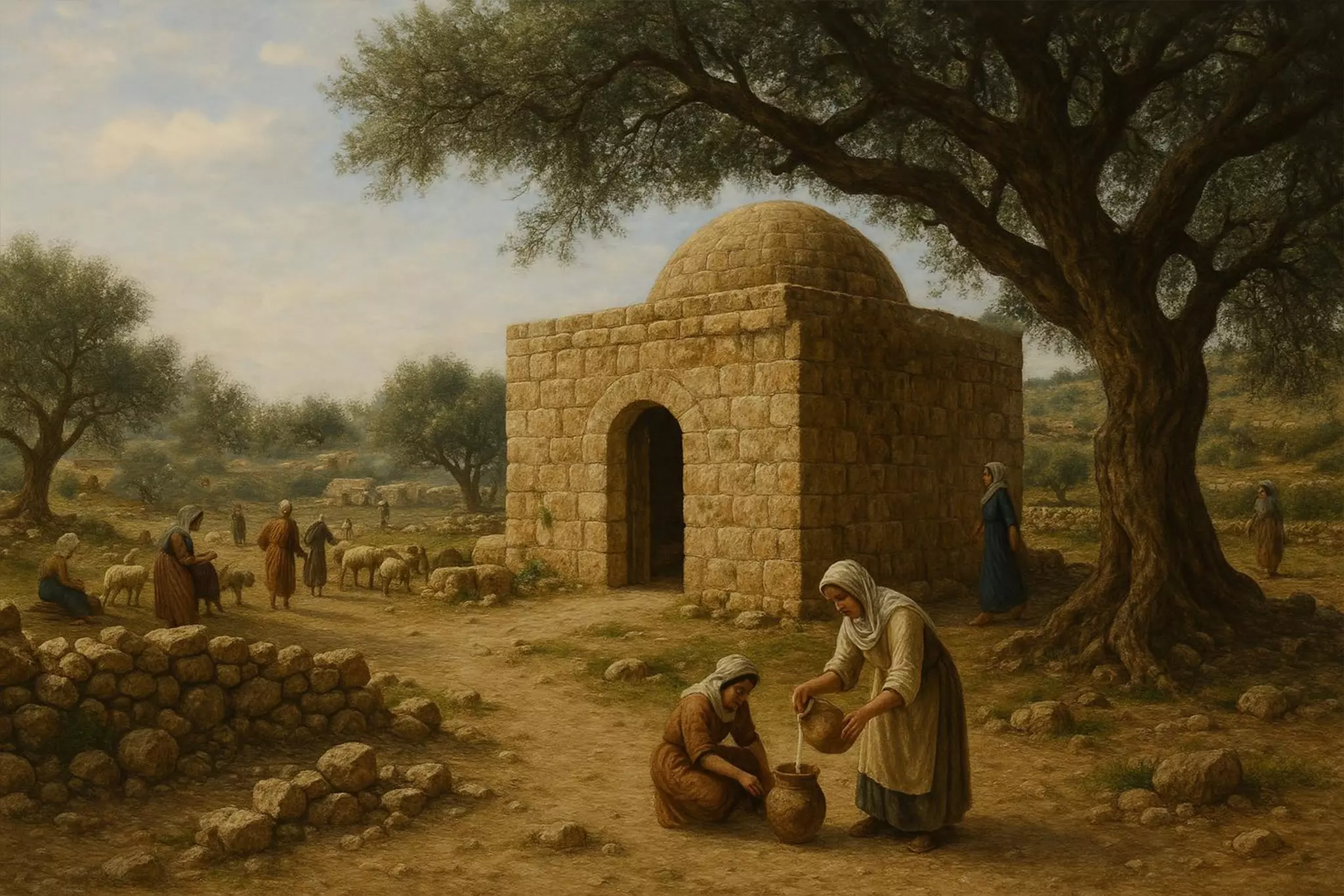
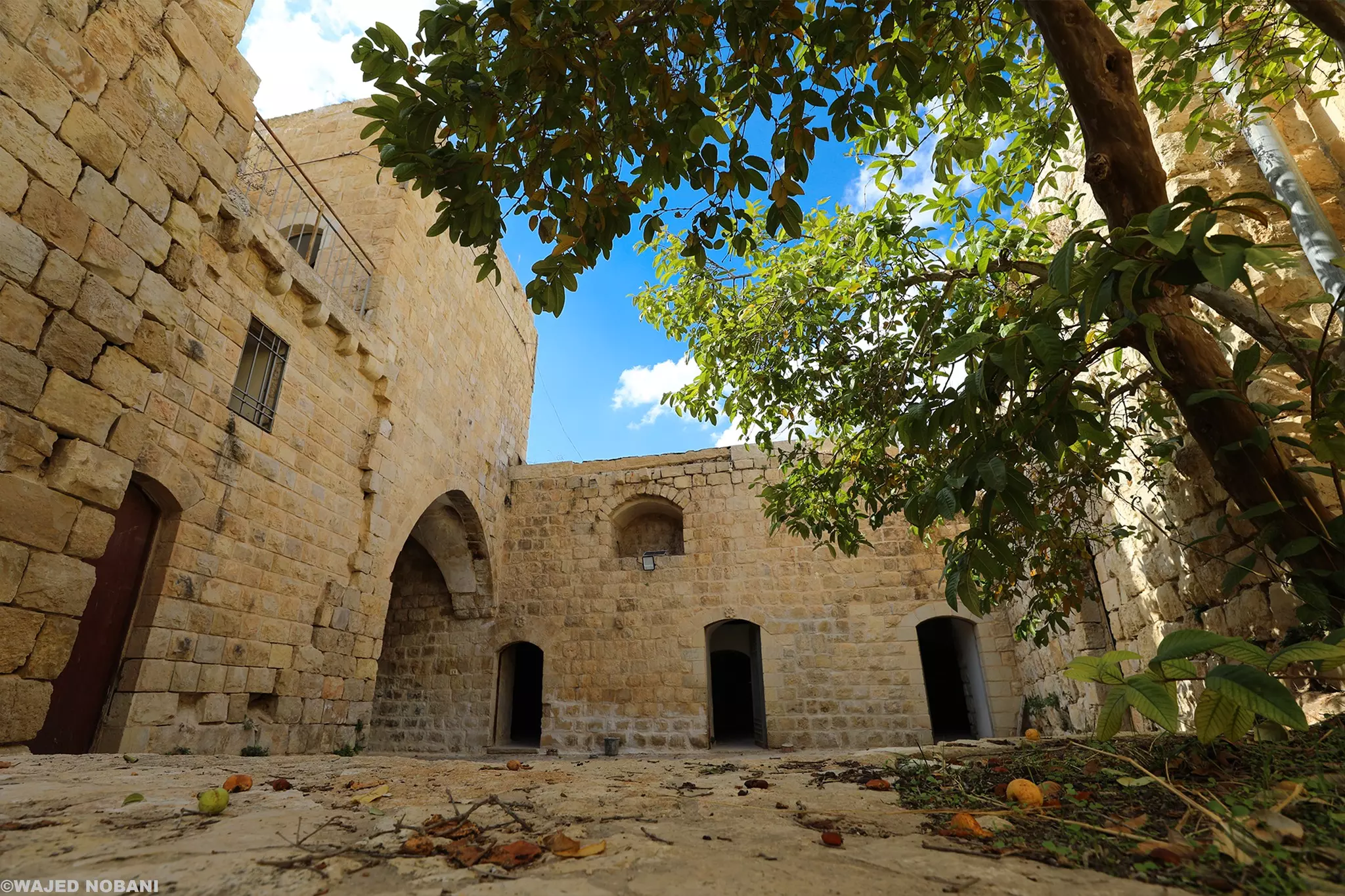
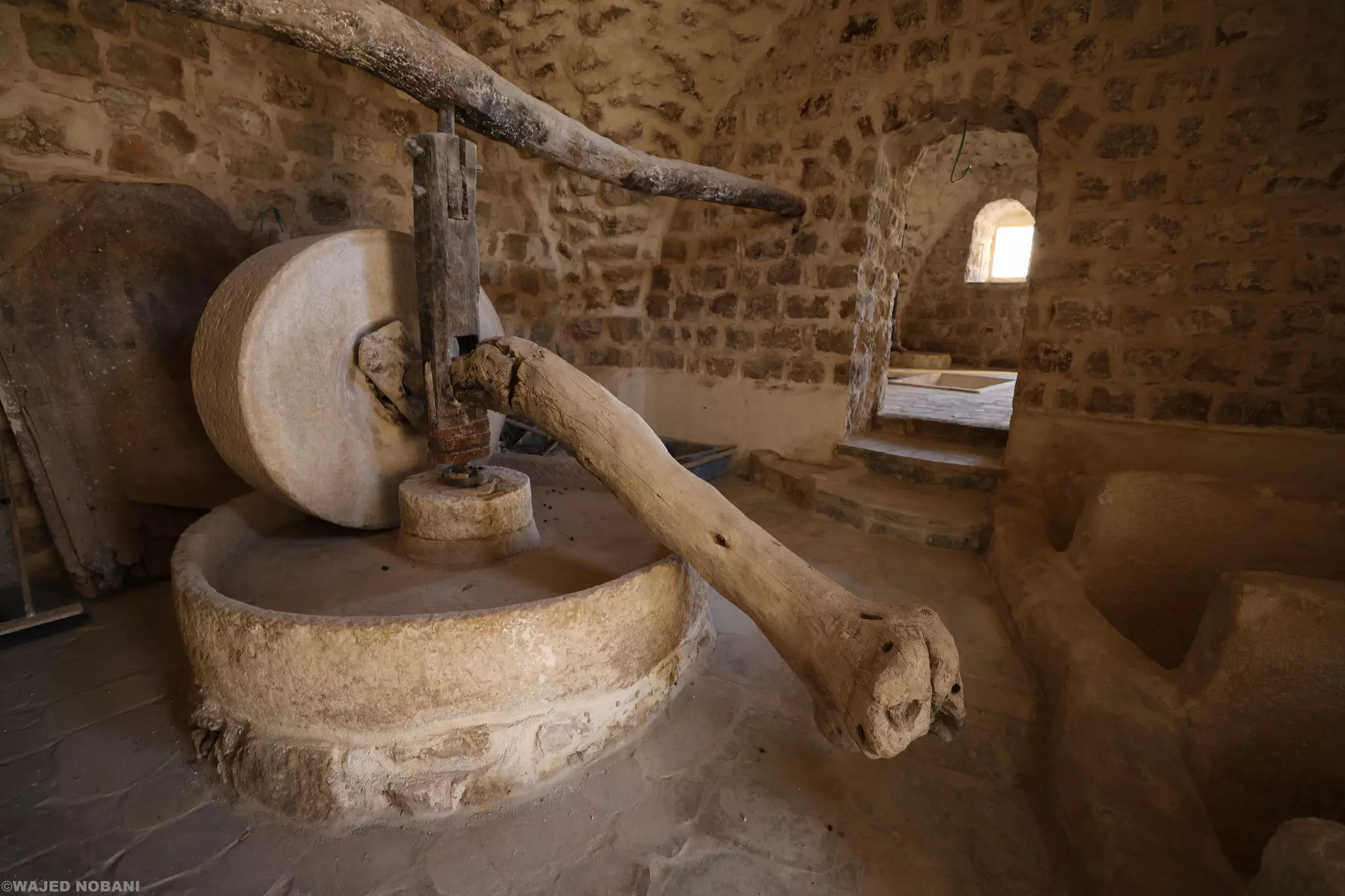
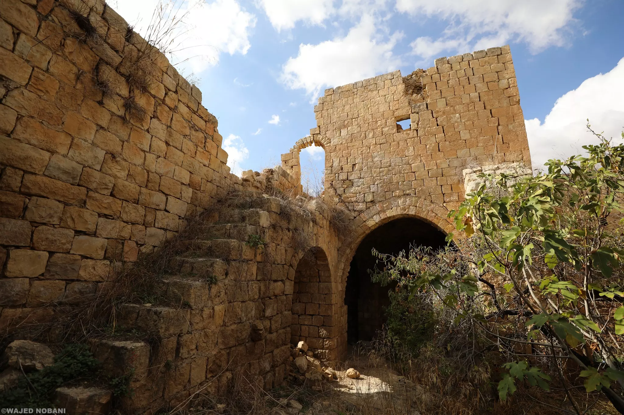
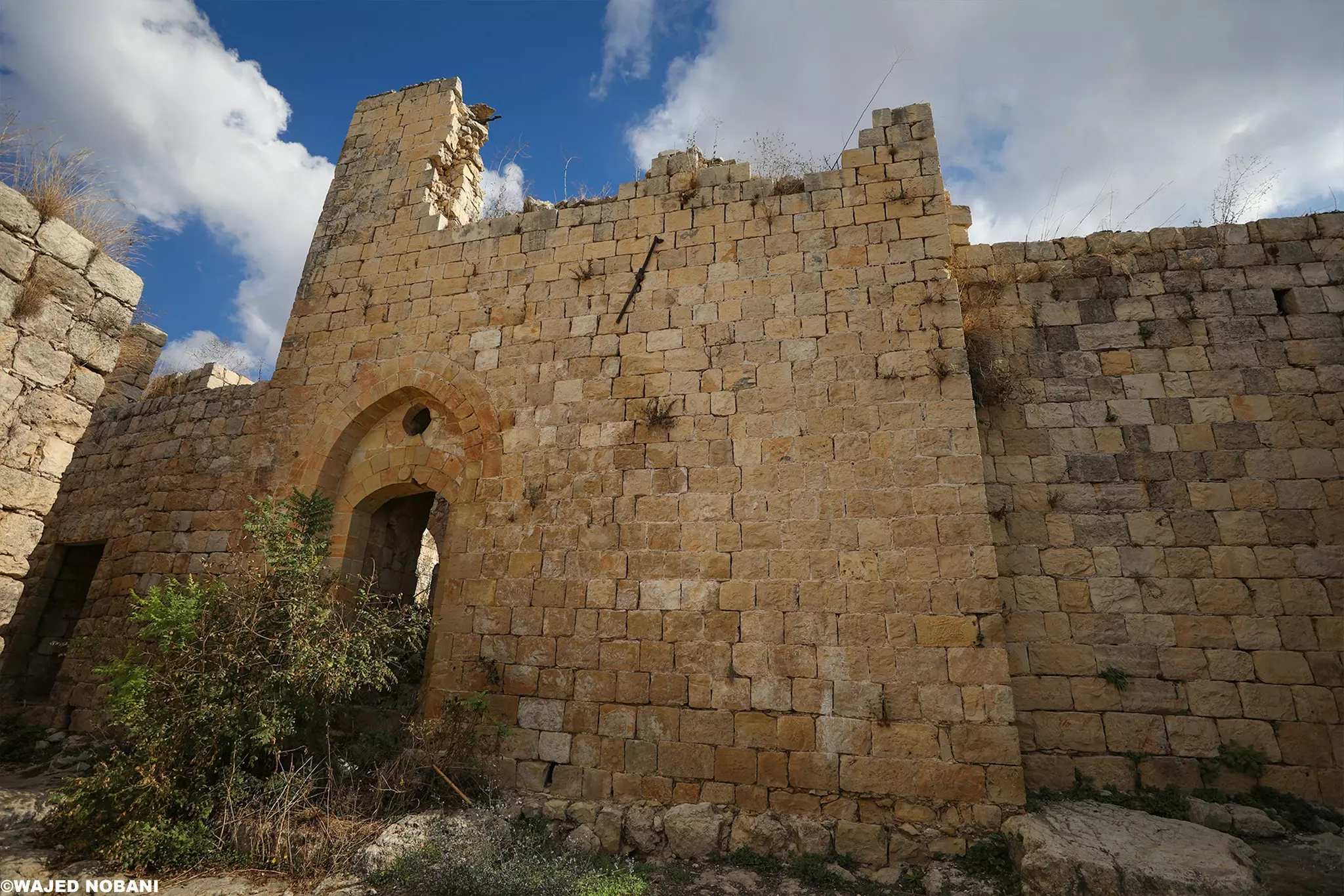
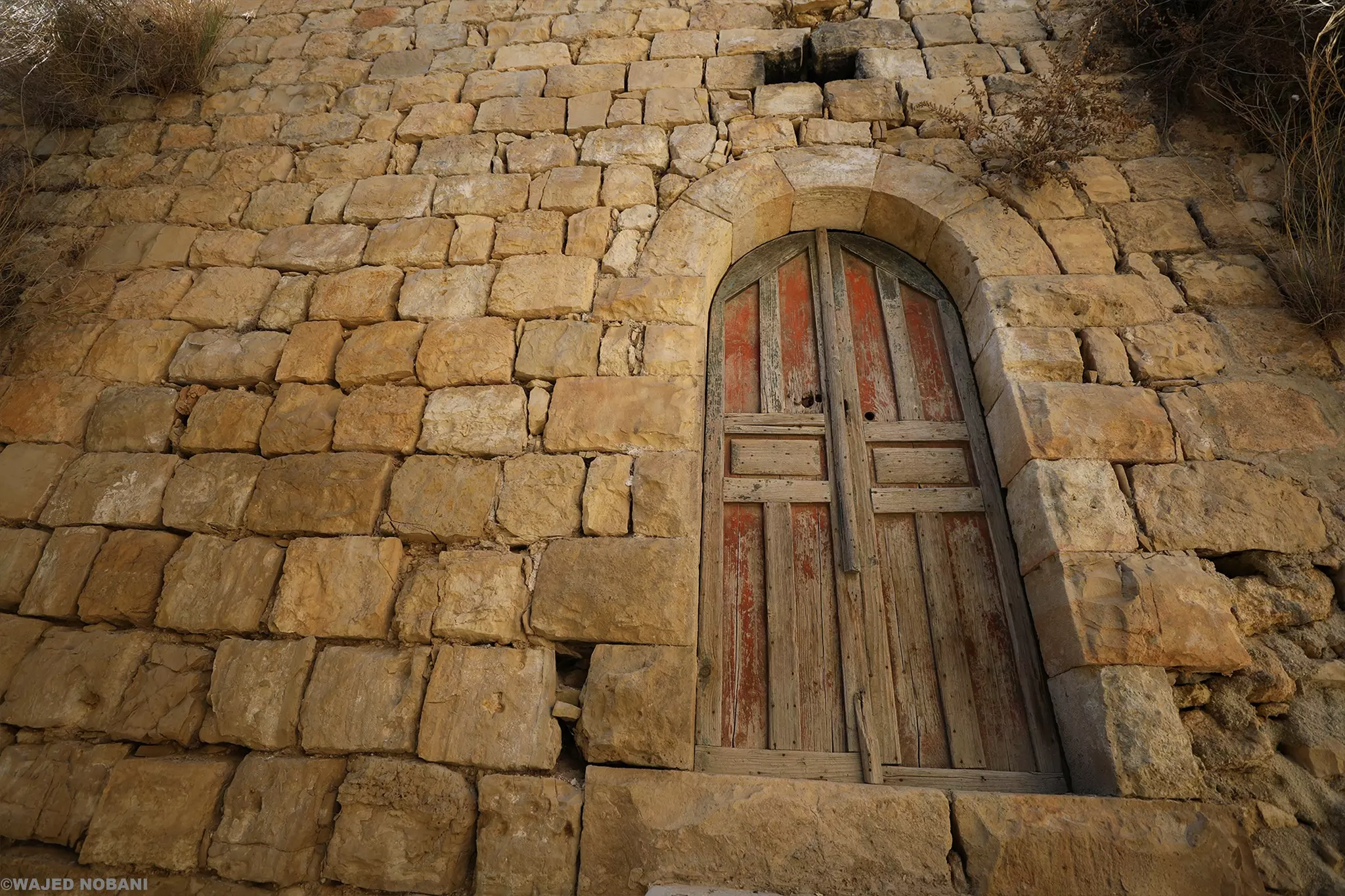
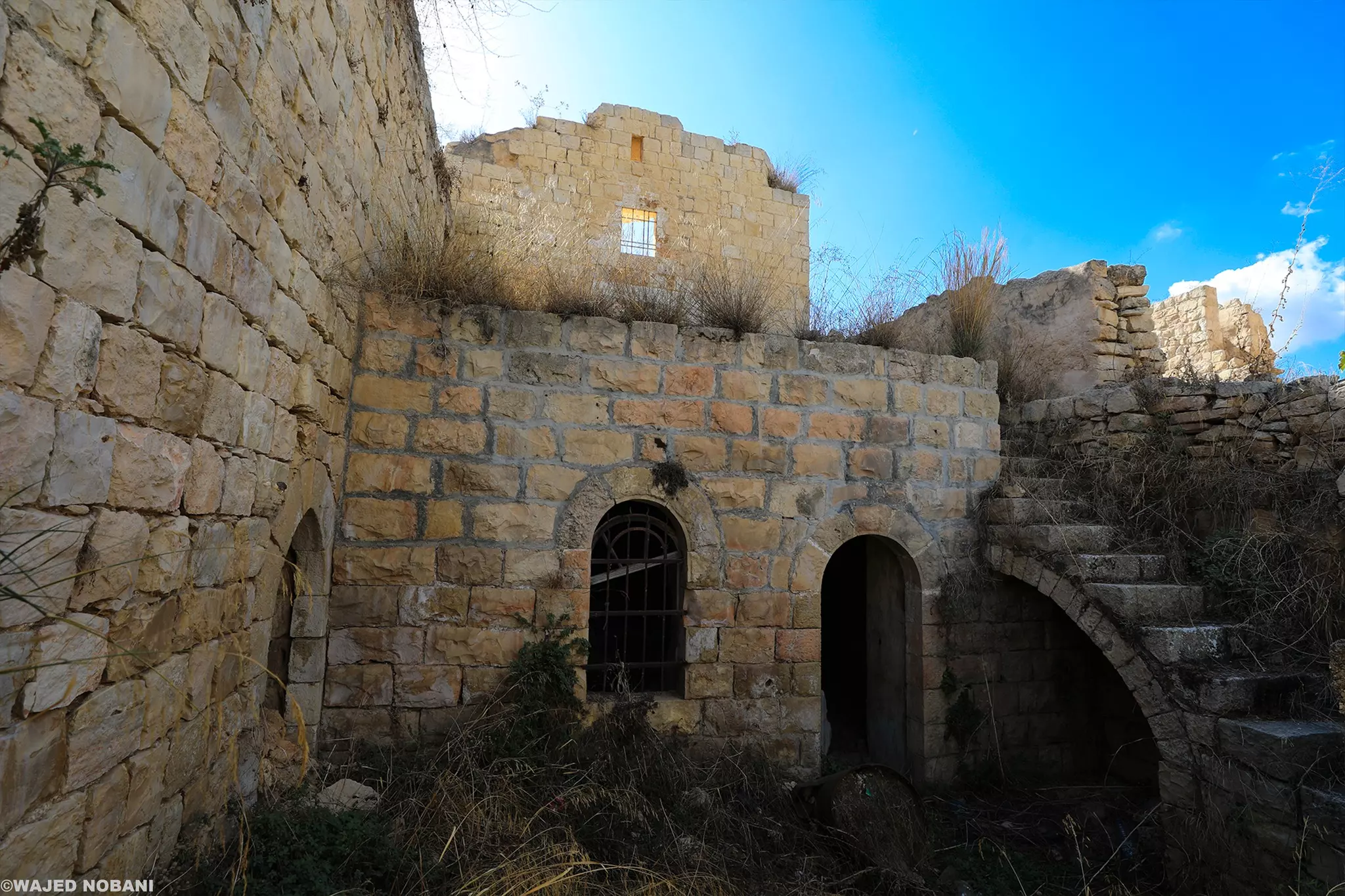
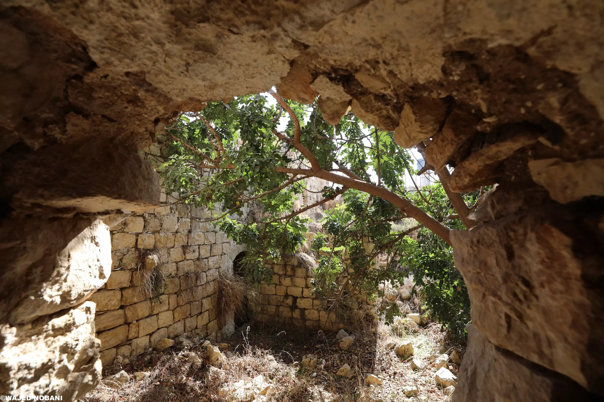
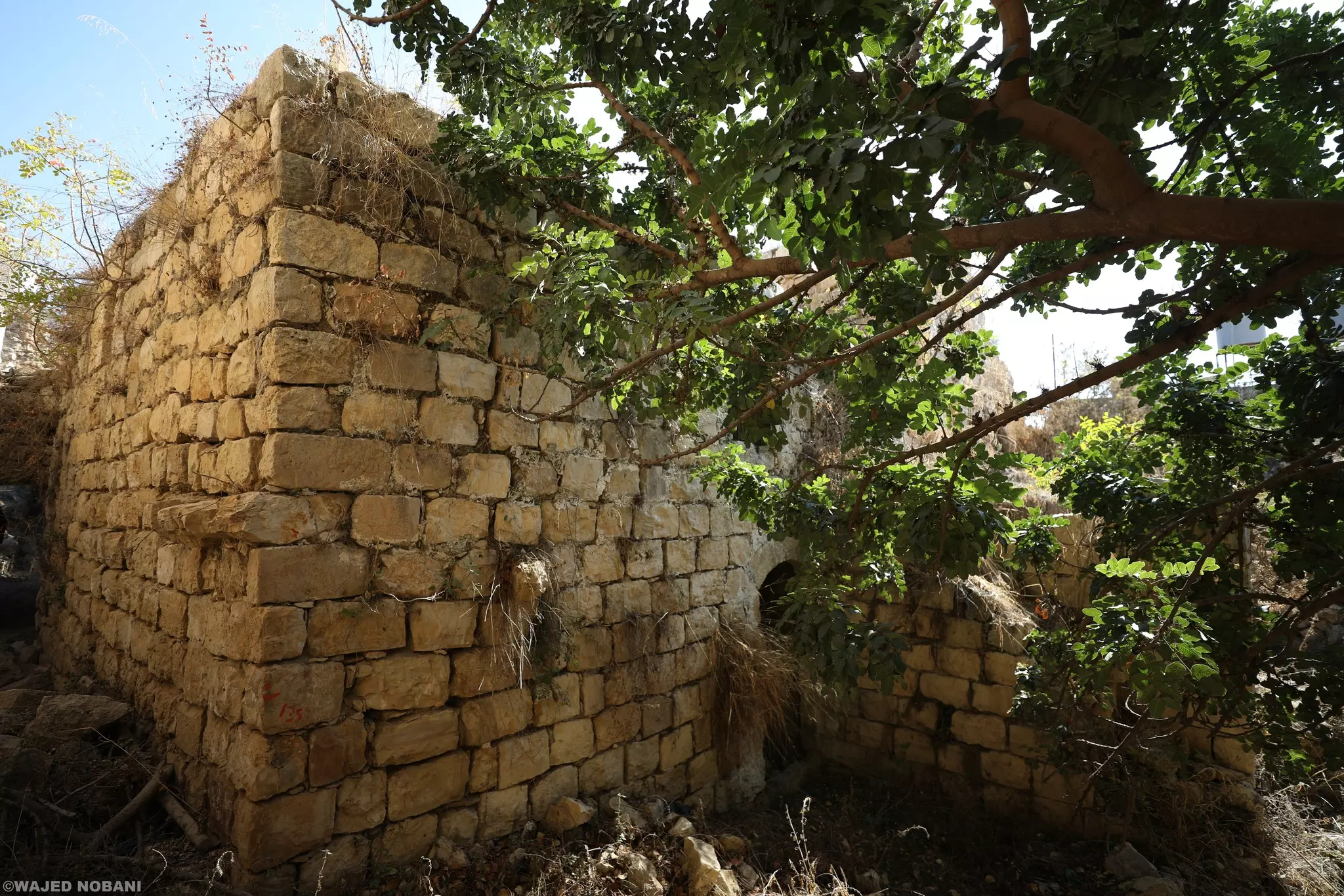
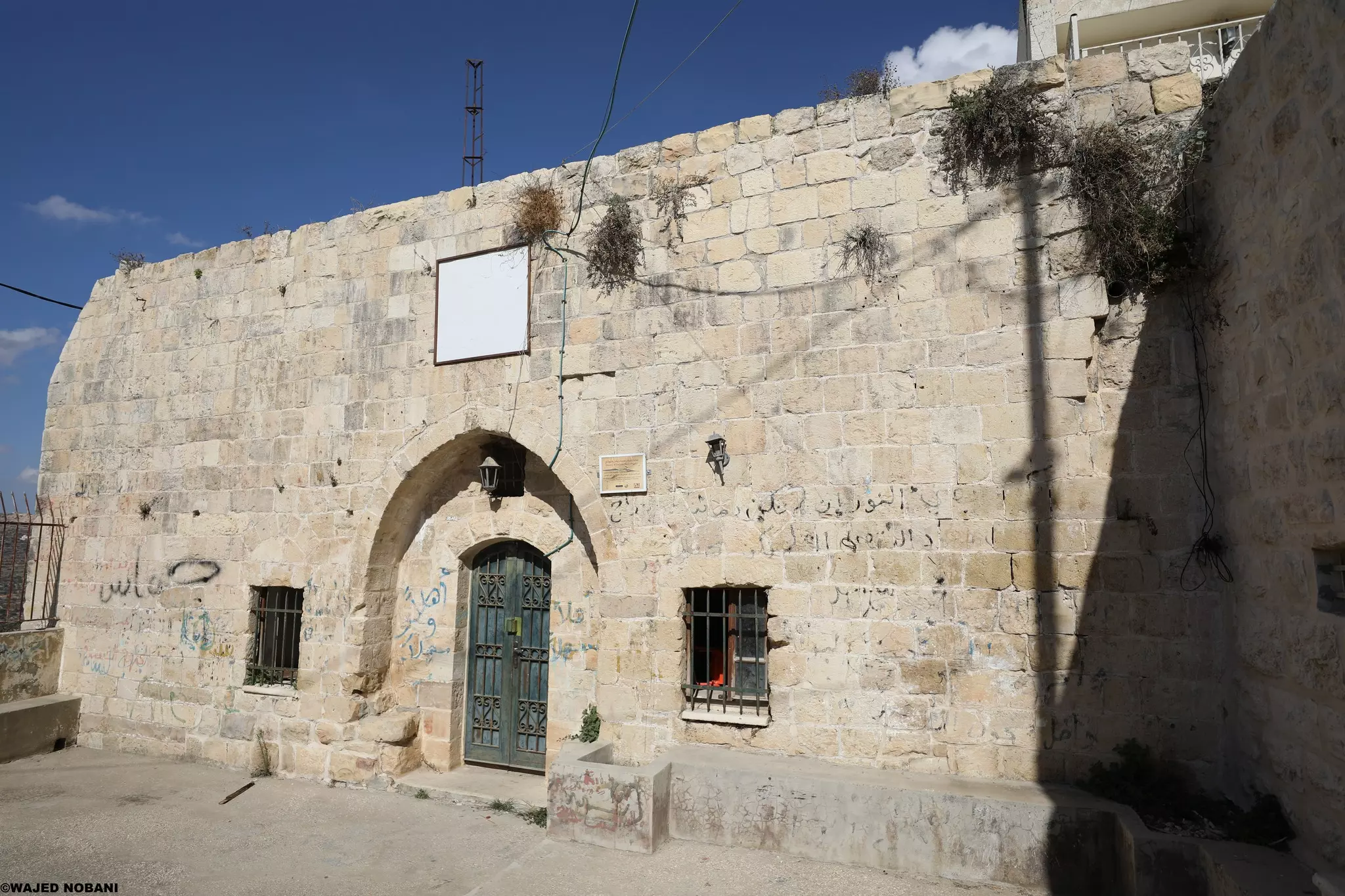
- خان اللبن هو بناء قديم من العهد العثماني -- Ibtisam Sulieman
- خان اللبن هو بناء قديم من العهد العثماني -- Ibtisam Sulieman #2
- خان اللبن هو بناء قديم من العهد العثماني -- Ibtisam Sulieman #3
- خان اللبن هو بناء قديم من العهد العثماني -- Ibtisam Sulieman #4
- خان اللبن هو بناء قديم من العهد العثماني -- Ibtisam Sulieman #5
- خان اللبن هو بناء قديم من العهد العثماني -- Ibtisam Sulieman #6
- خان اللبن هو بناء قديم من العهد العثماني -- Ibtisam Sulieman #7
- خان اللبن هو بناء قديم من العهد العثماني -- Ibtisam Sulieman #8

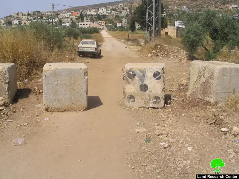
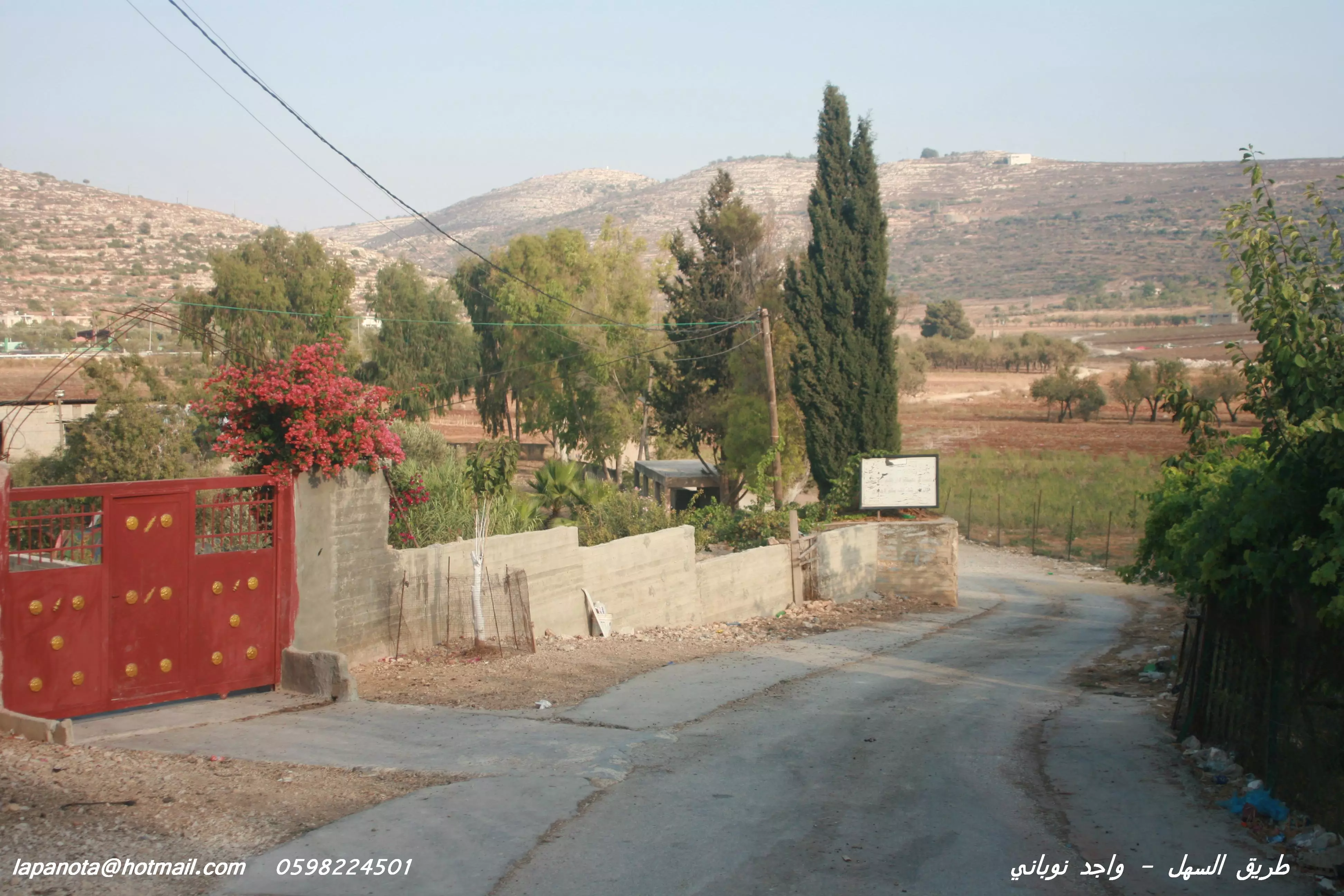
- وضع بوابة للإغلاق - مدخل قريتنا "اللُبَّن الشرقية"
مع العلم أن البوابة كانت موجودة من سنوات لكن تم نقلها قبل أشهر قليلة لقرية أخرى في شمال رام الله، واليوم وضعوا بوابة -- واجد النوباني
- مقام جبل طاروجة -- الصورة معدلة بالذكاء الاسطناعة -- واجد النوباني
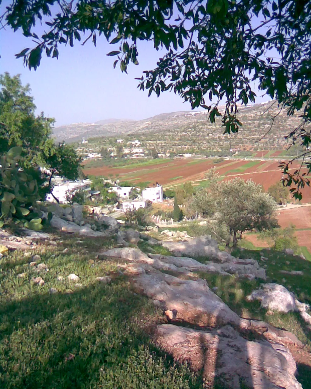
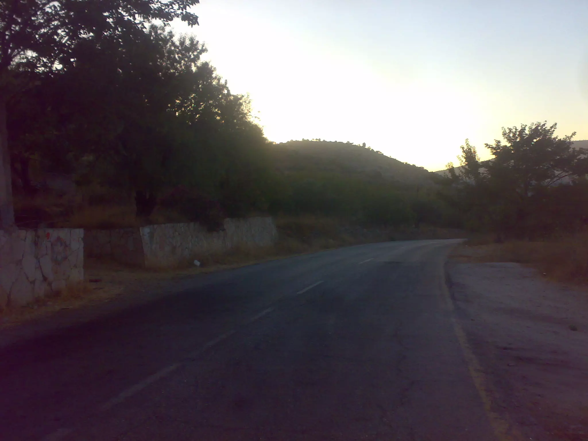
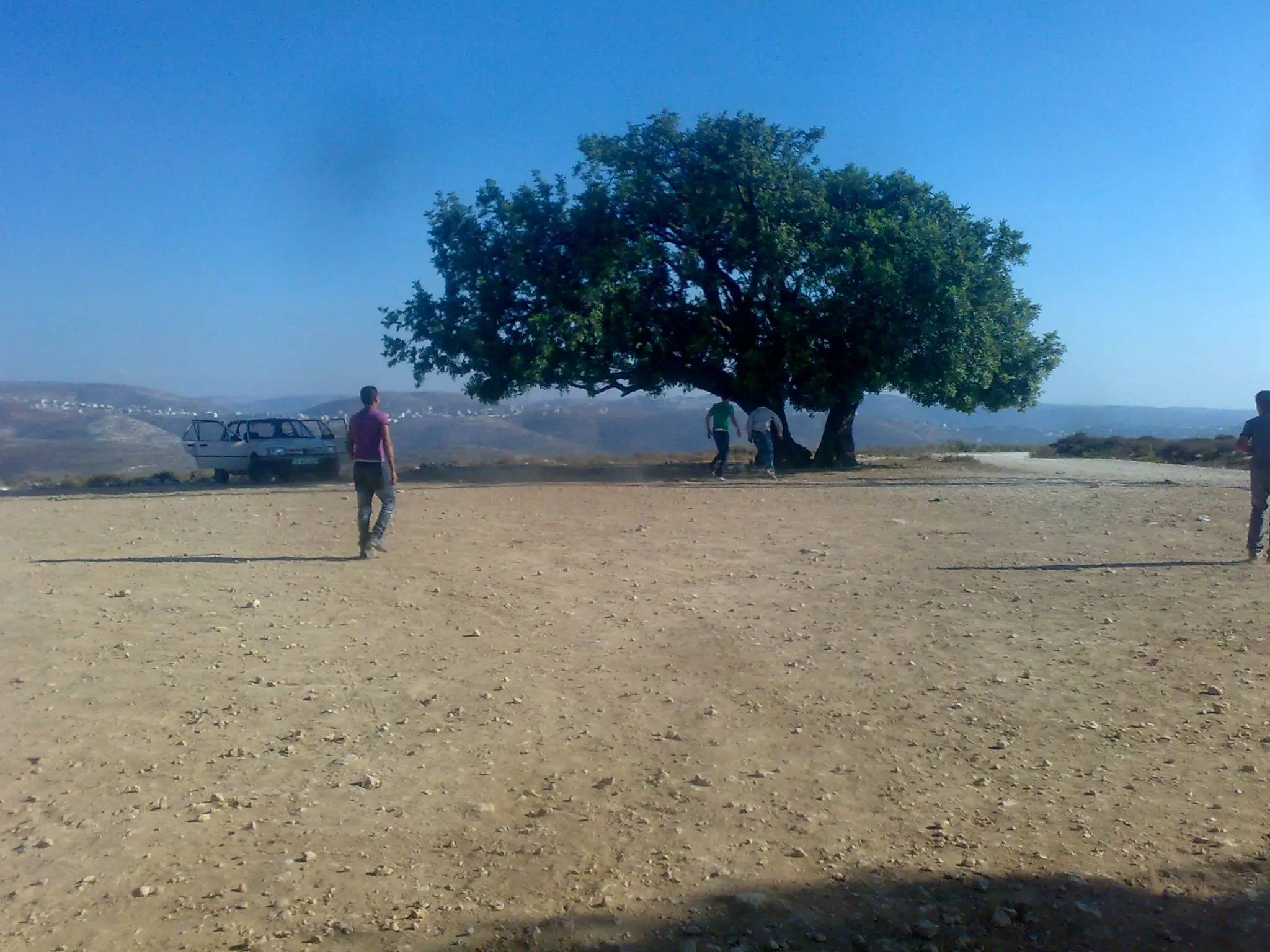
- General view
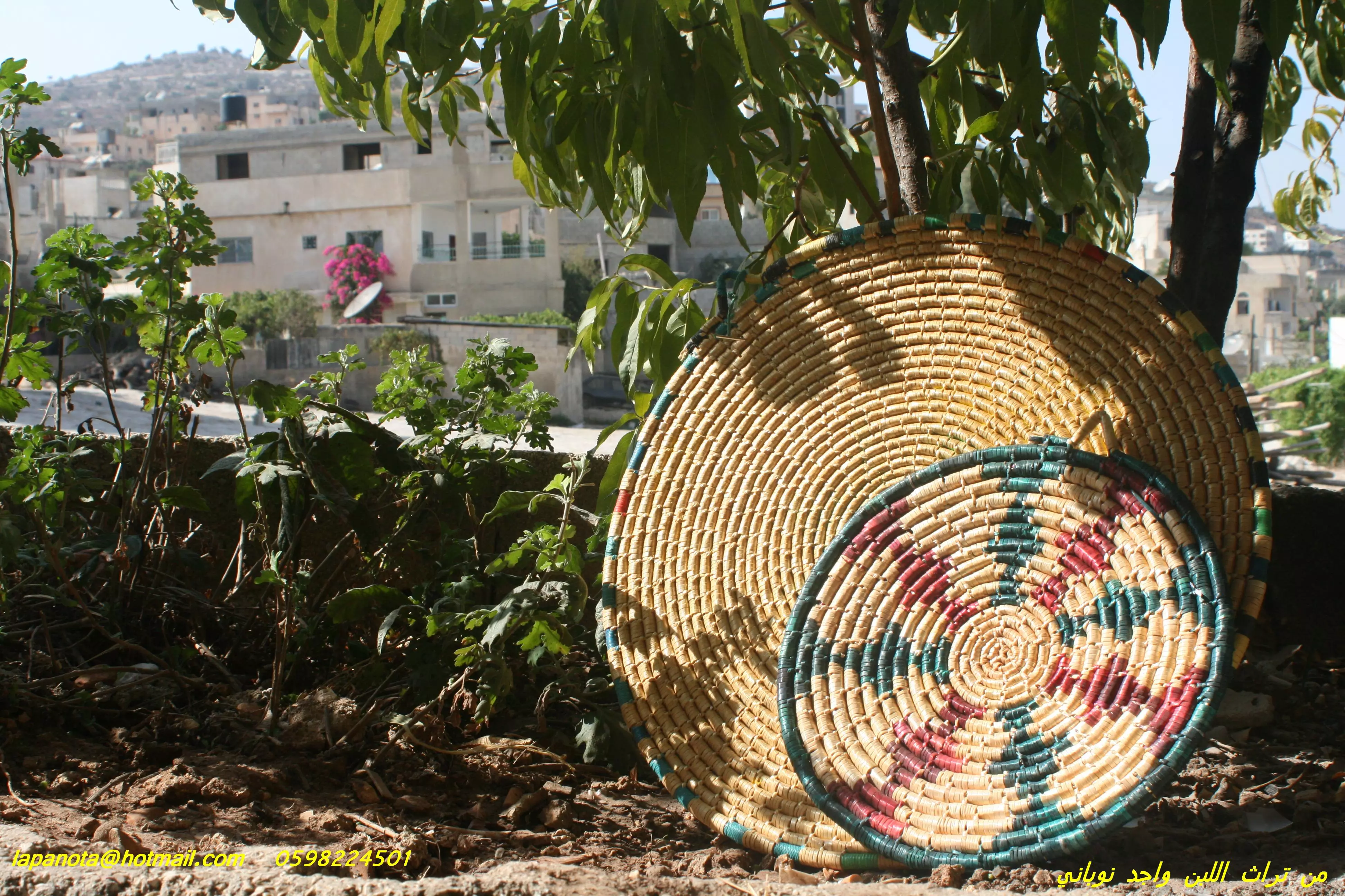
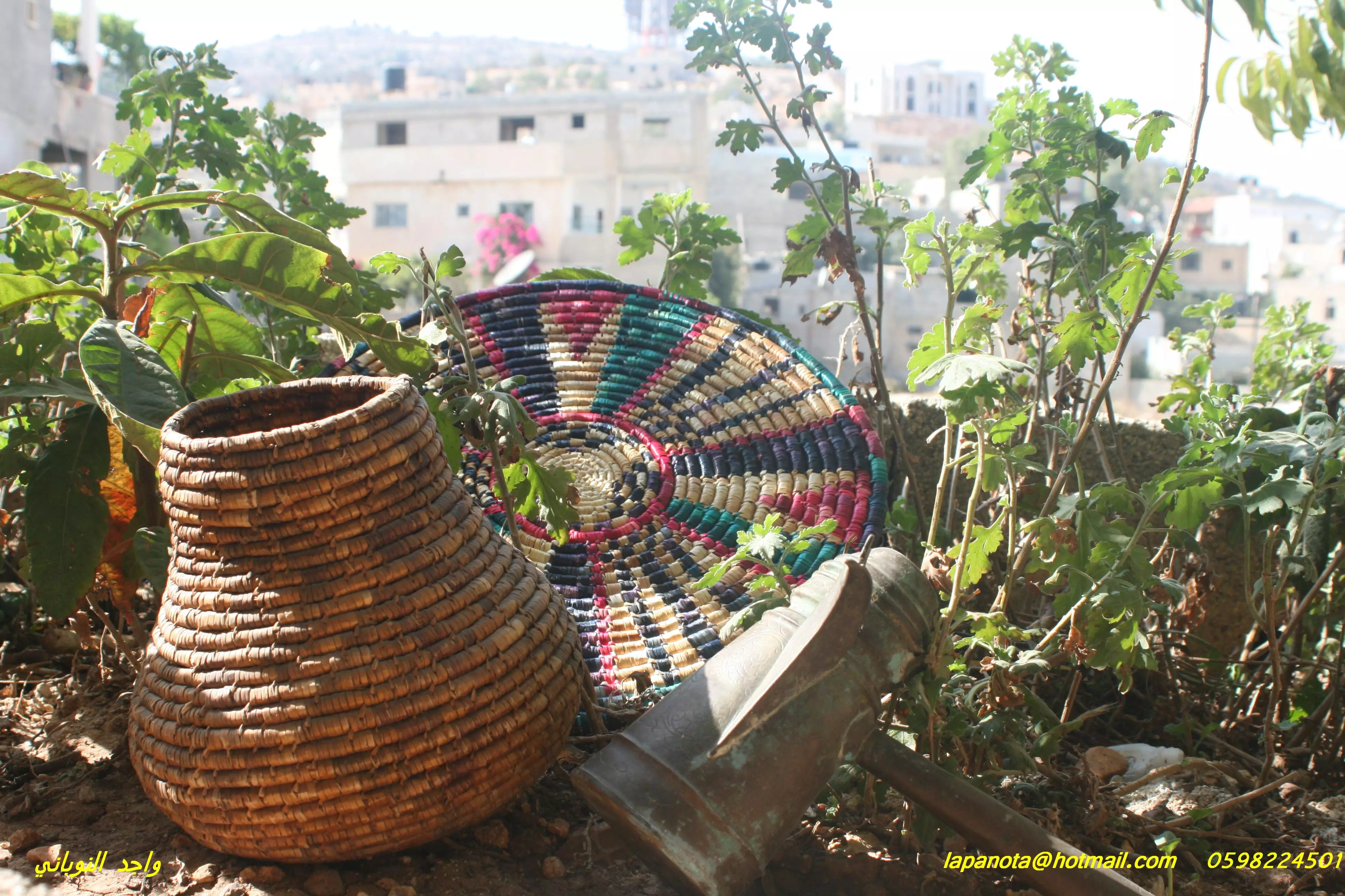
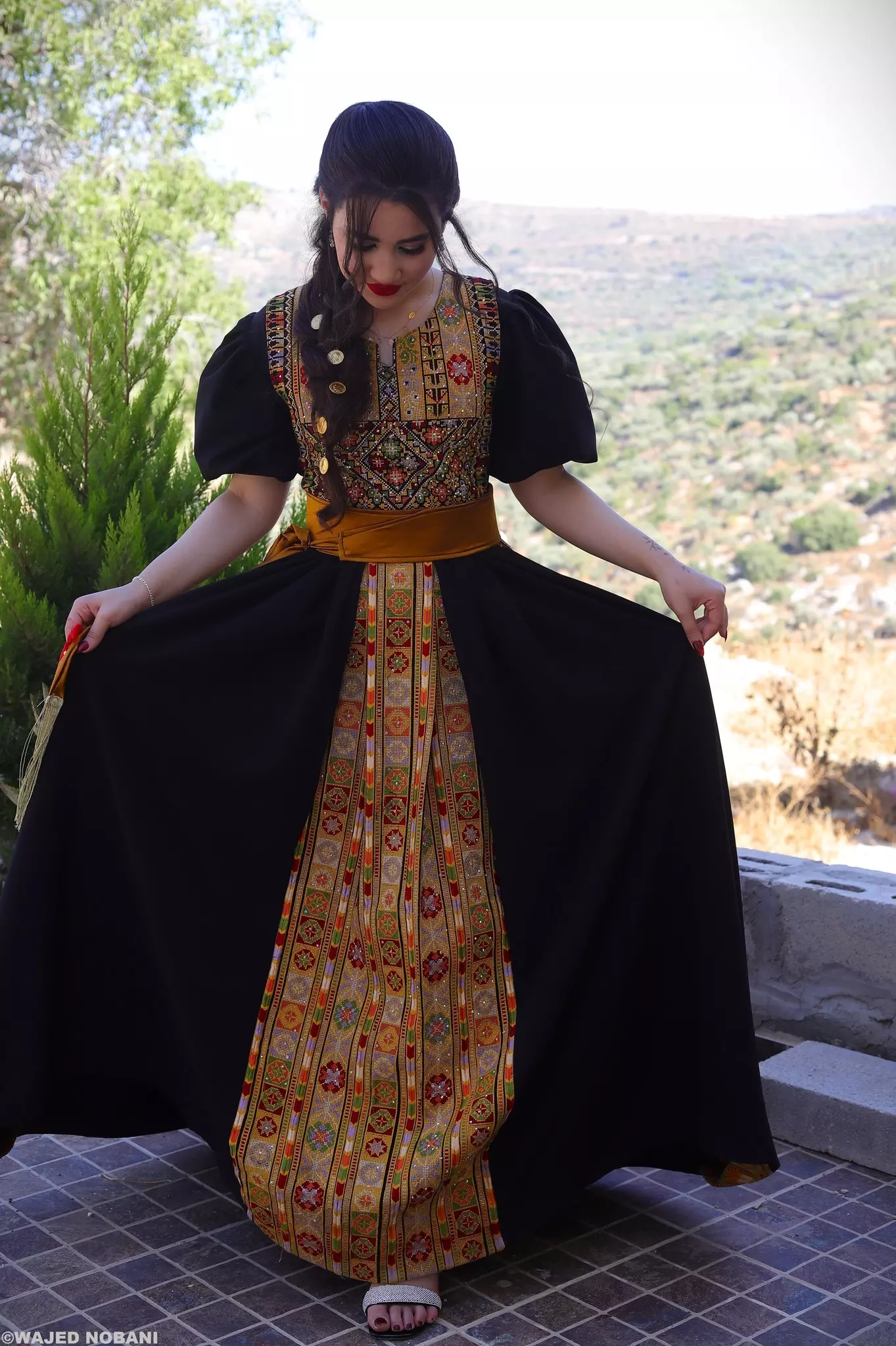
- ثوب من التطريز الفلسطيني -- واجد النوباني
- General view by Wajid Nobani
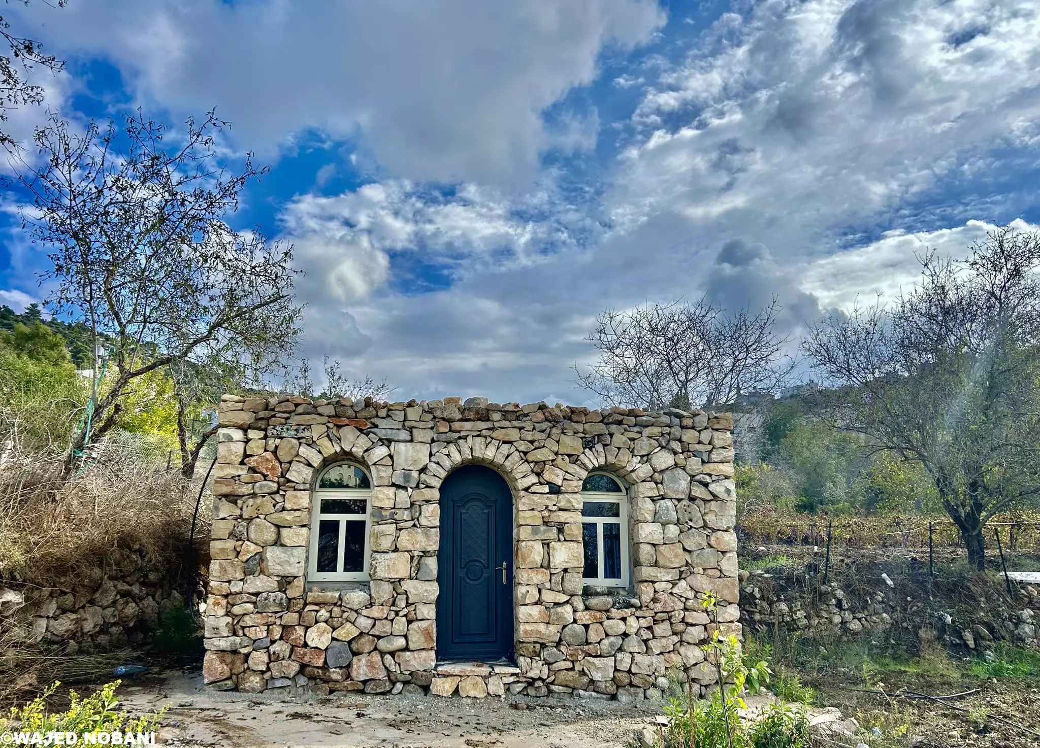
- New but old - Wjaid Nobani
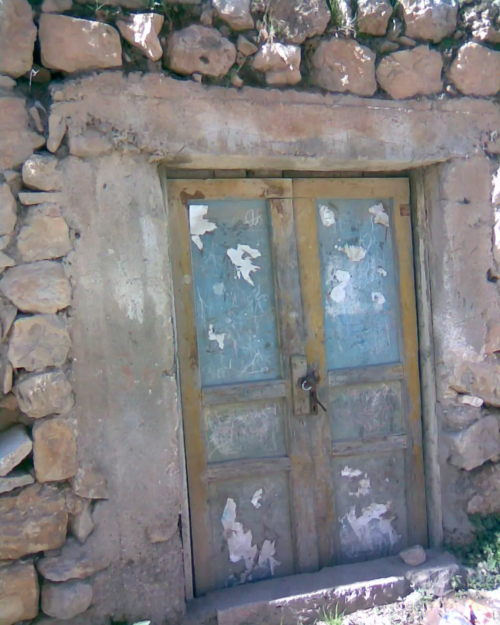
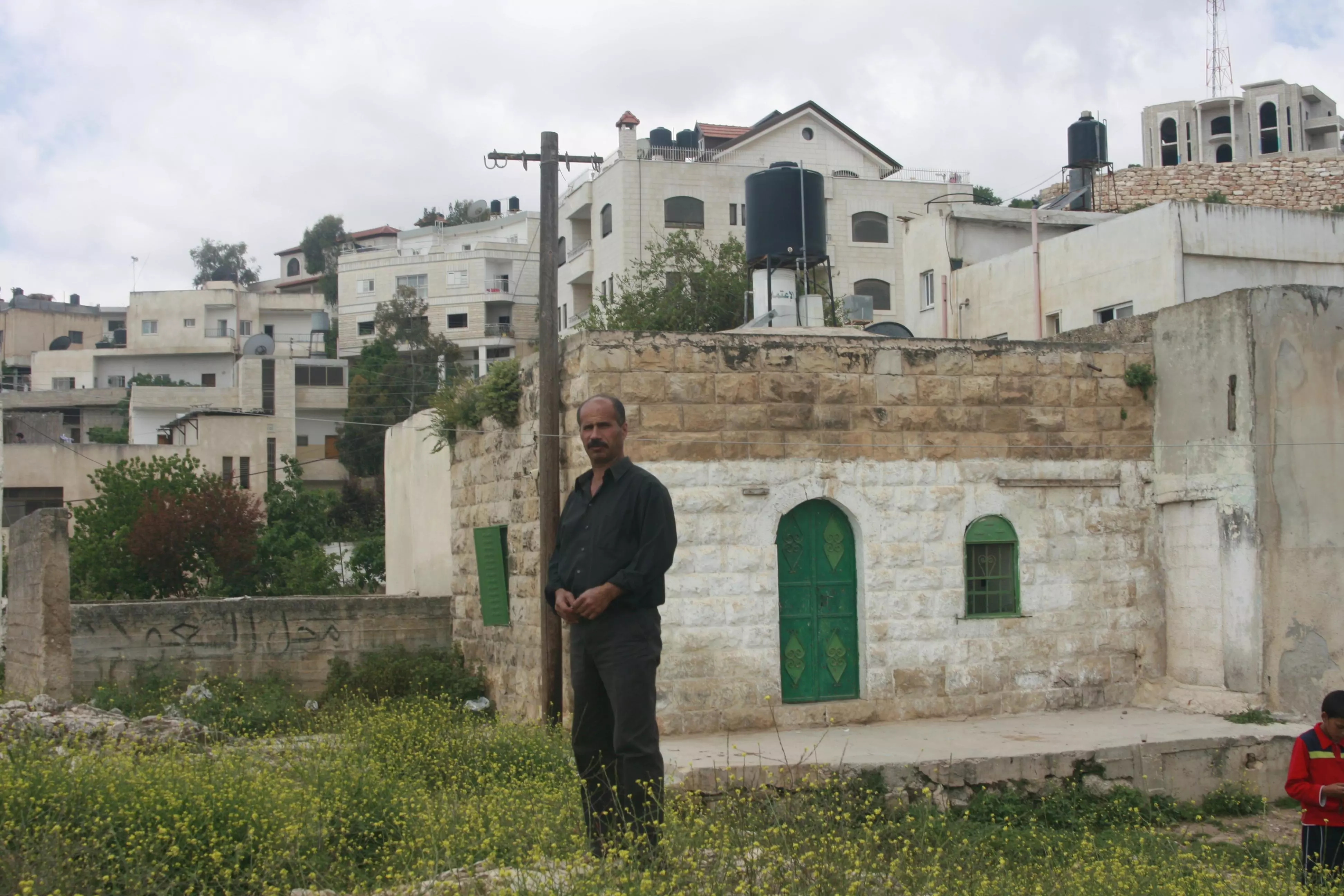
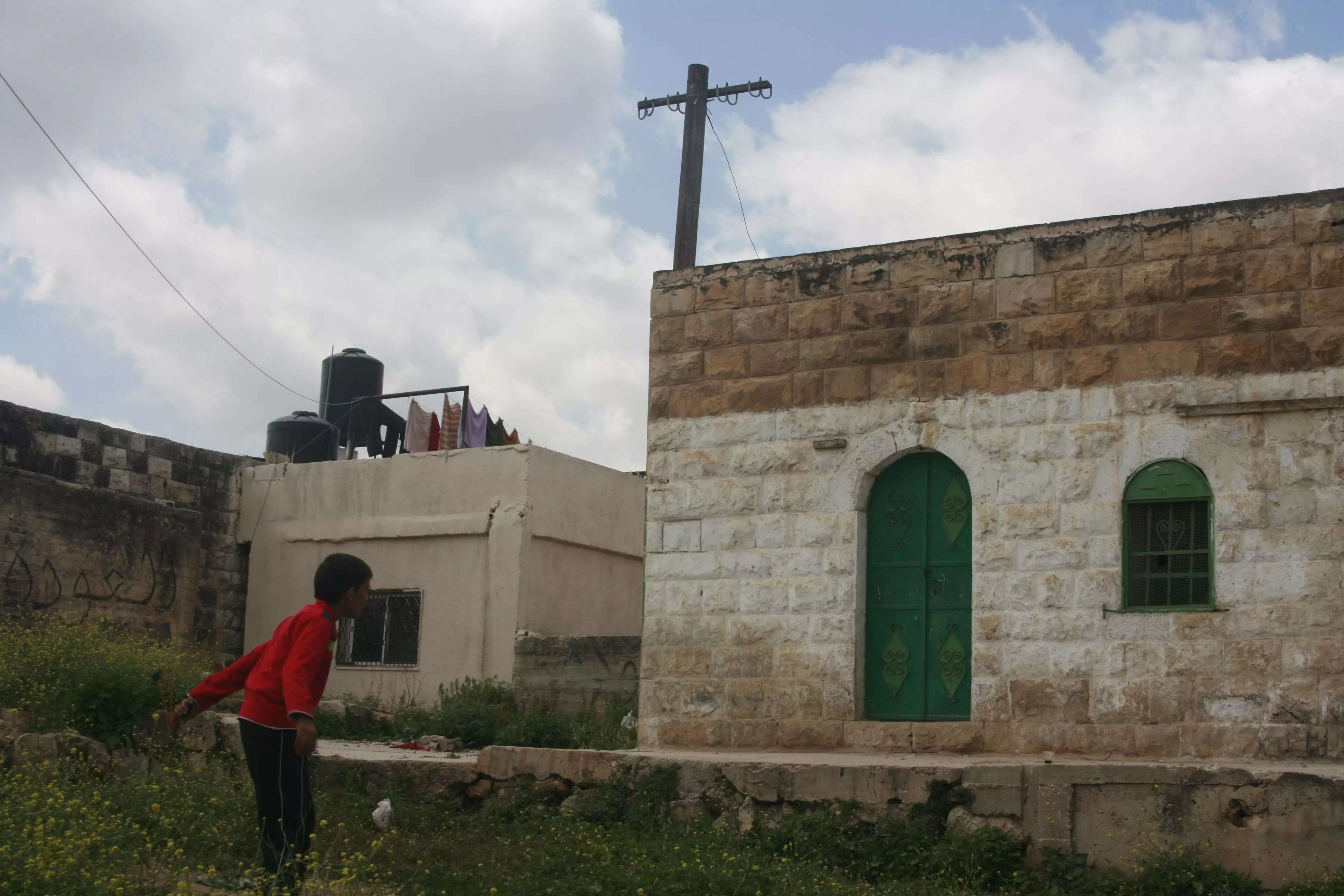
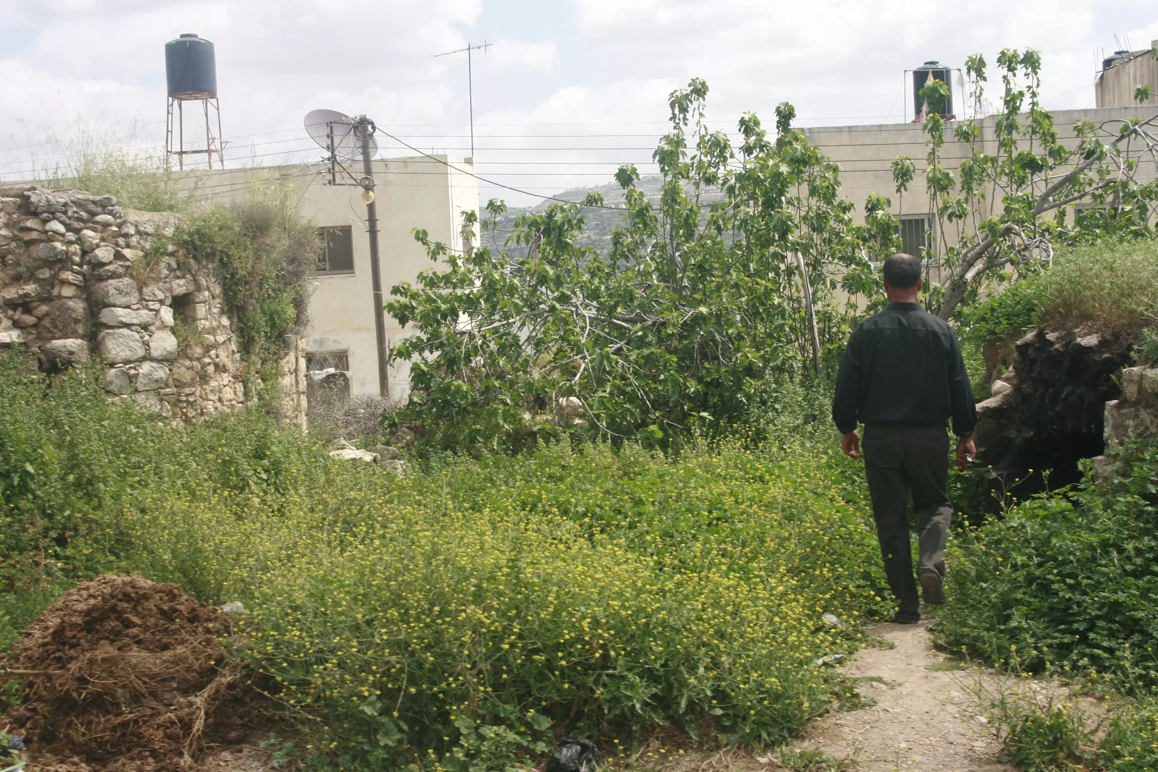
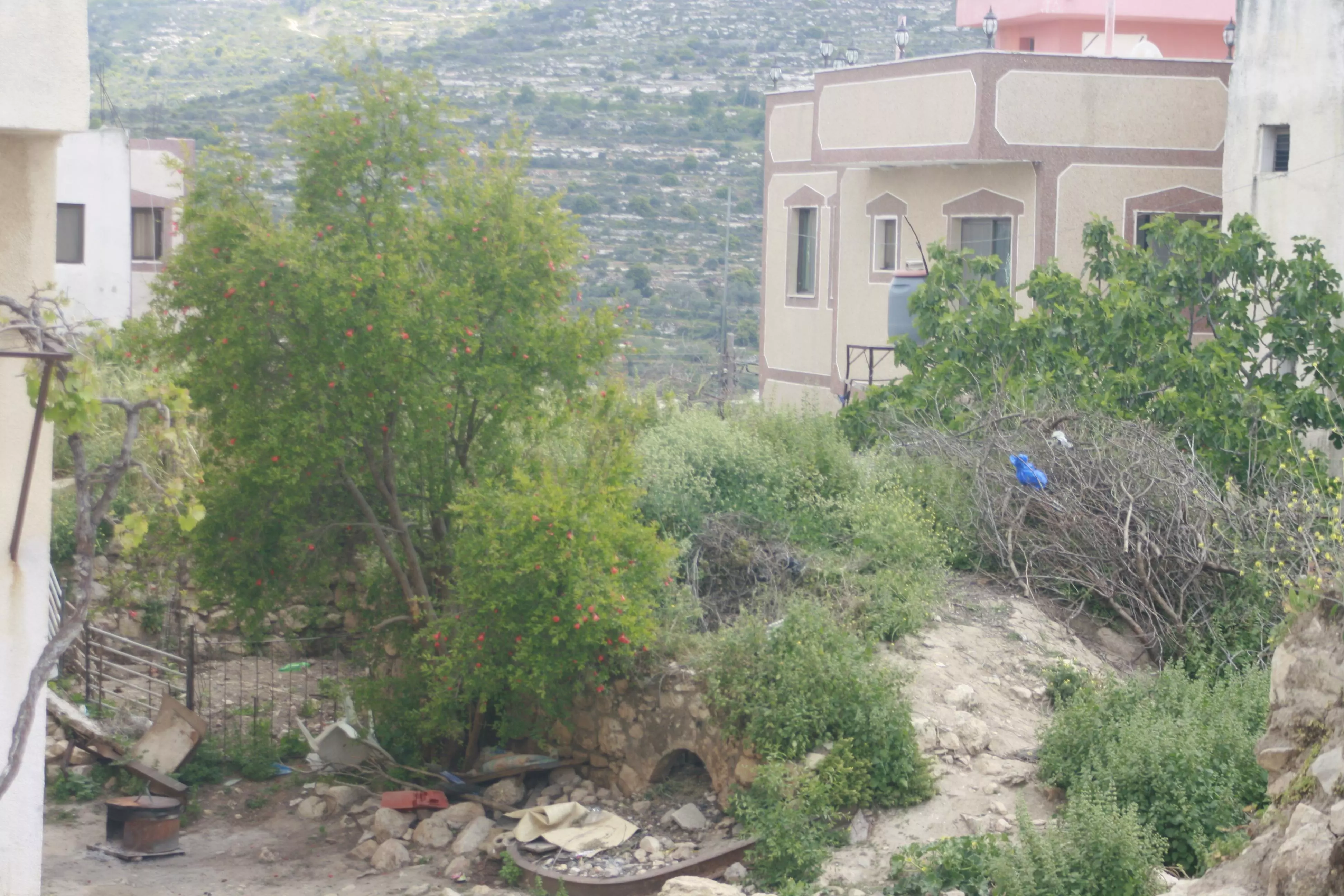
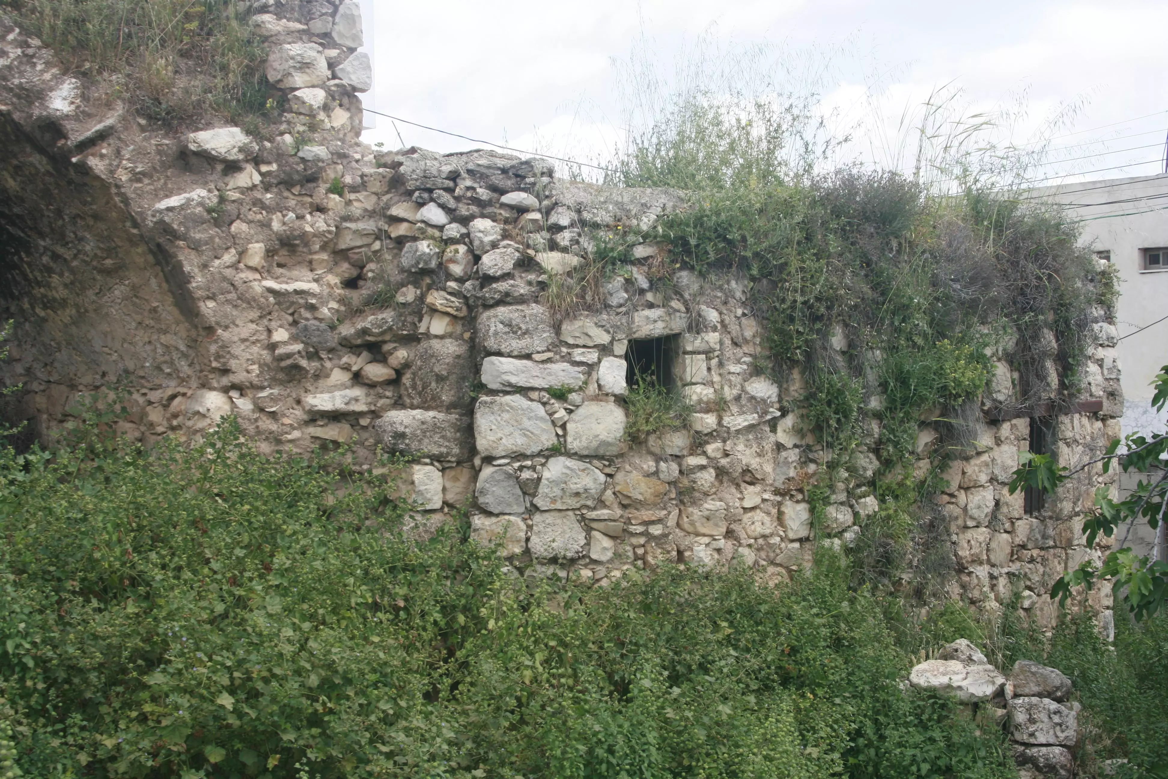
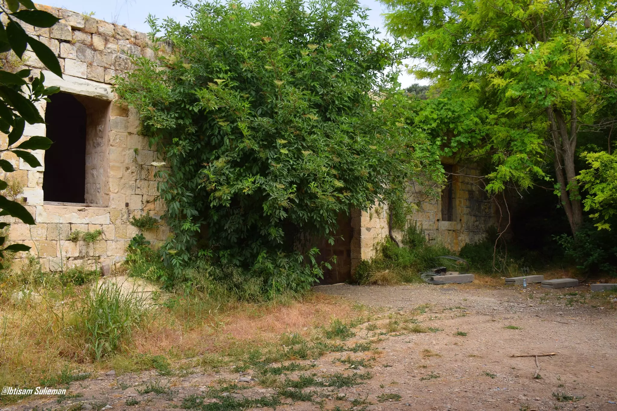
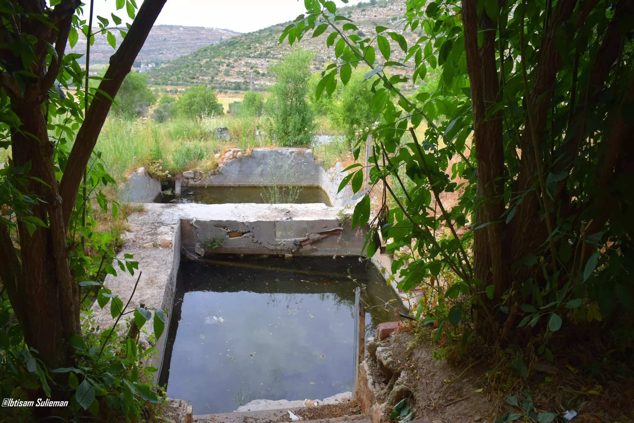
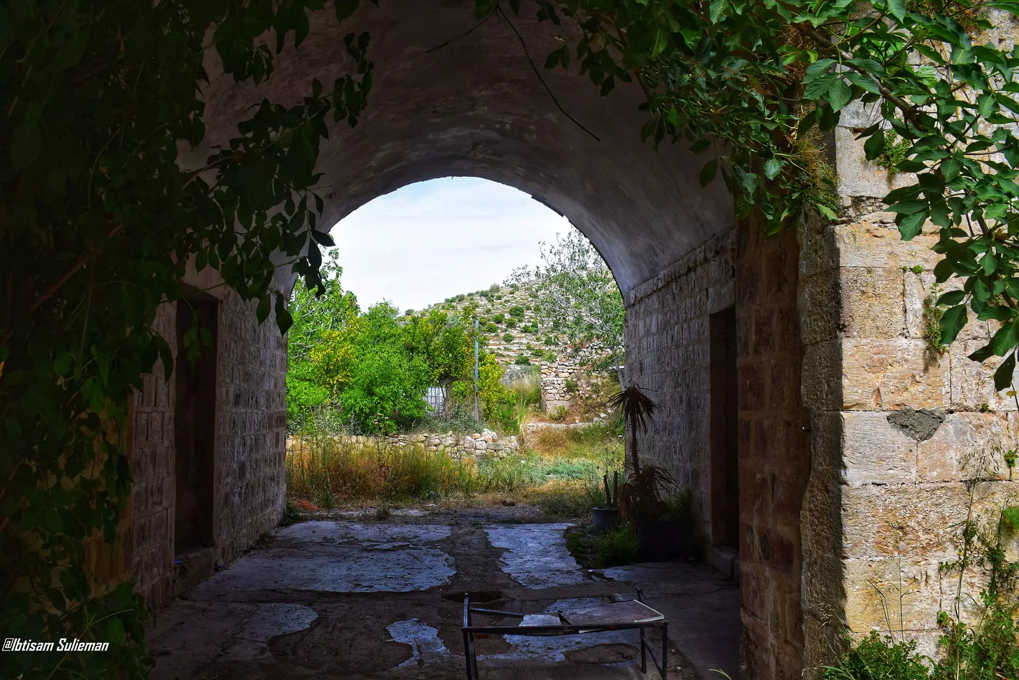
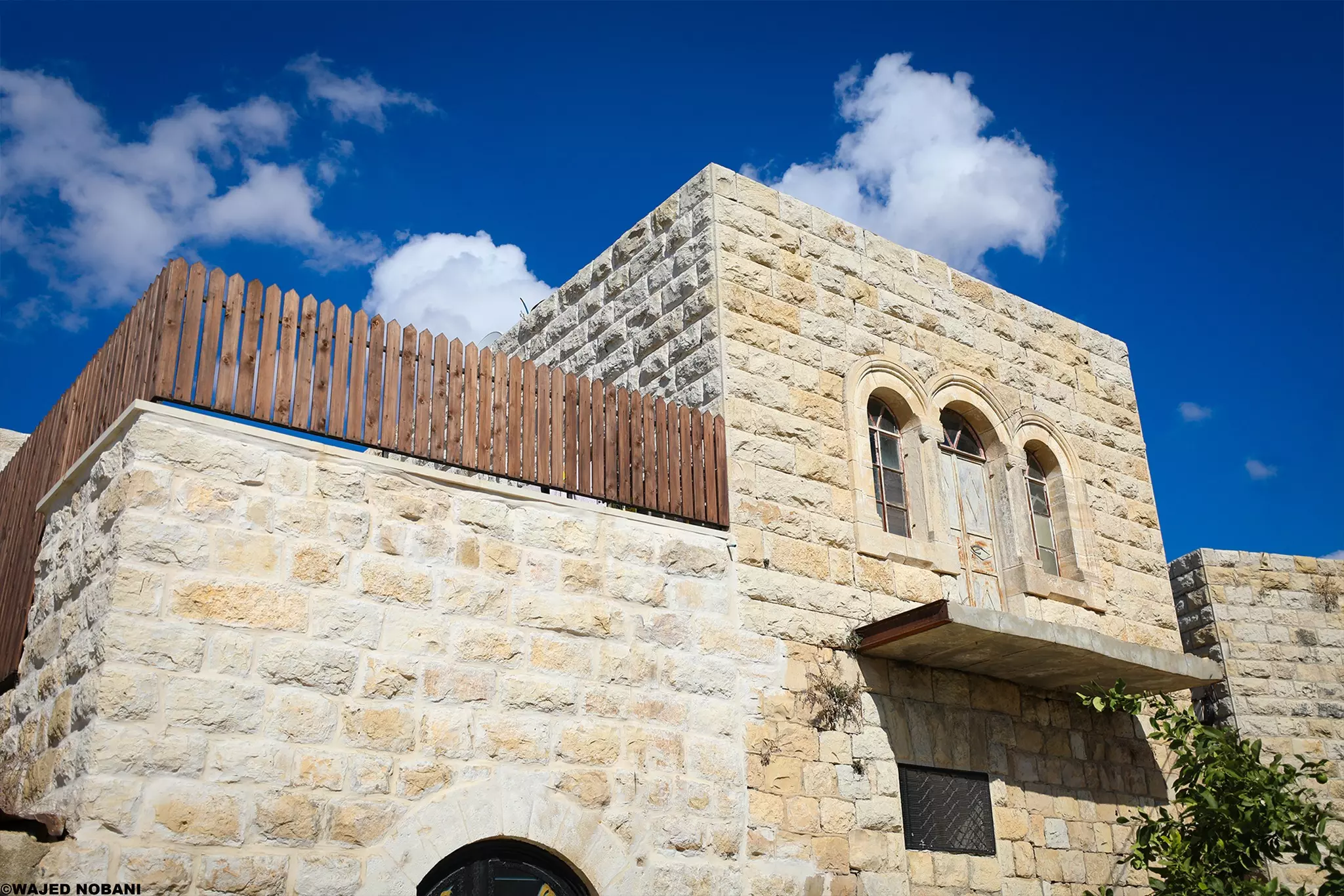
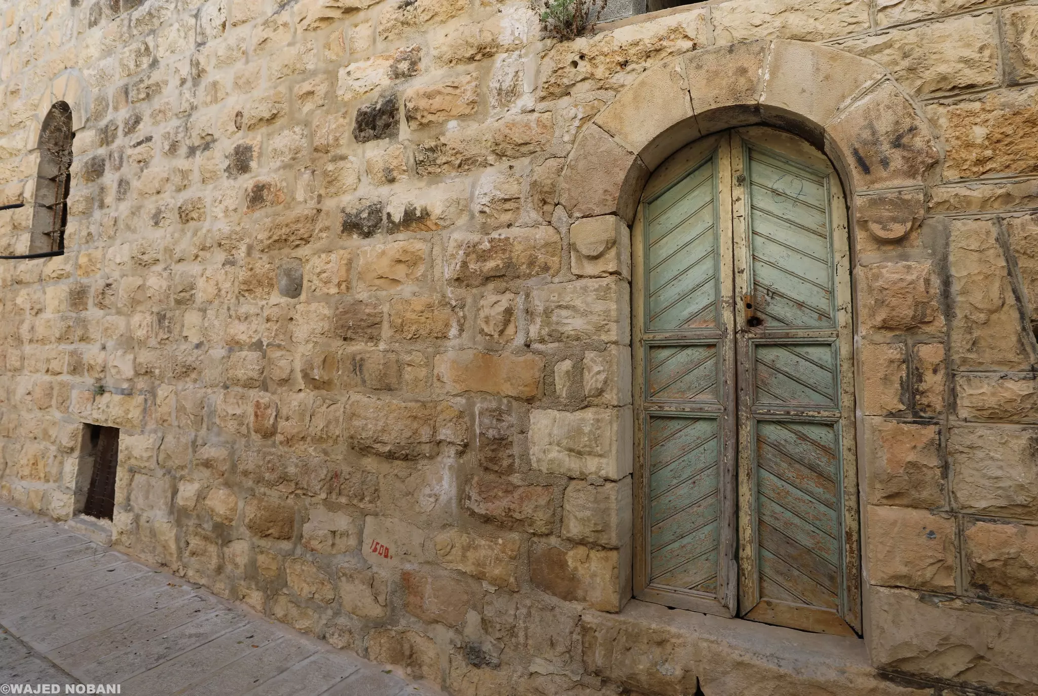
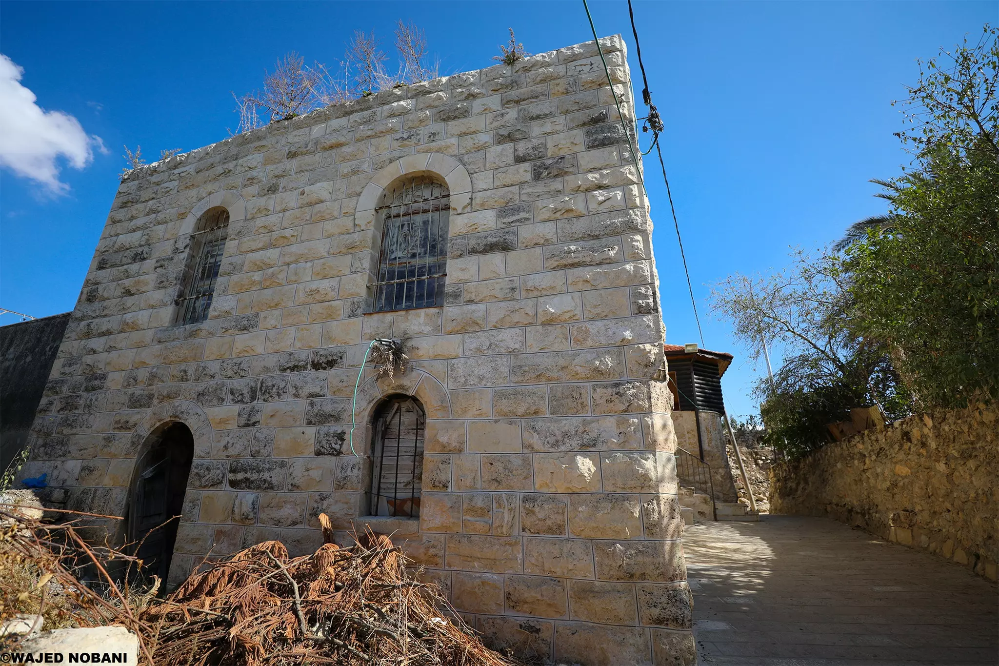
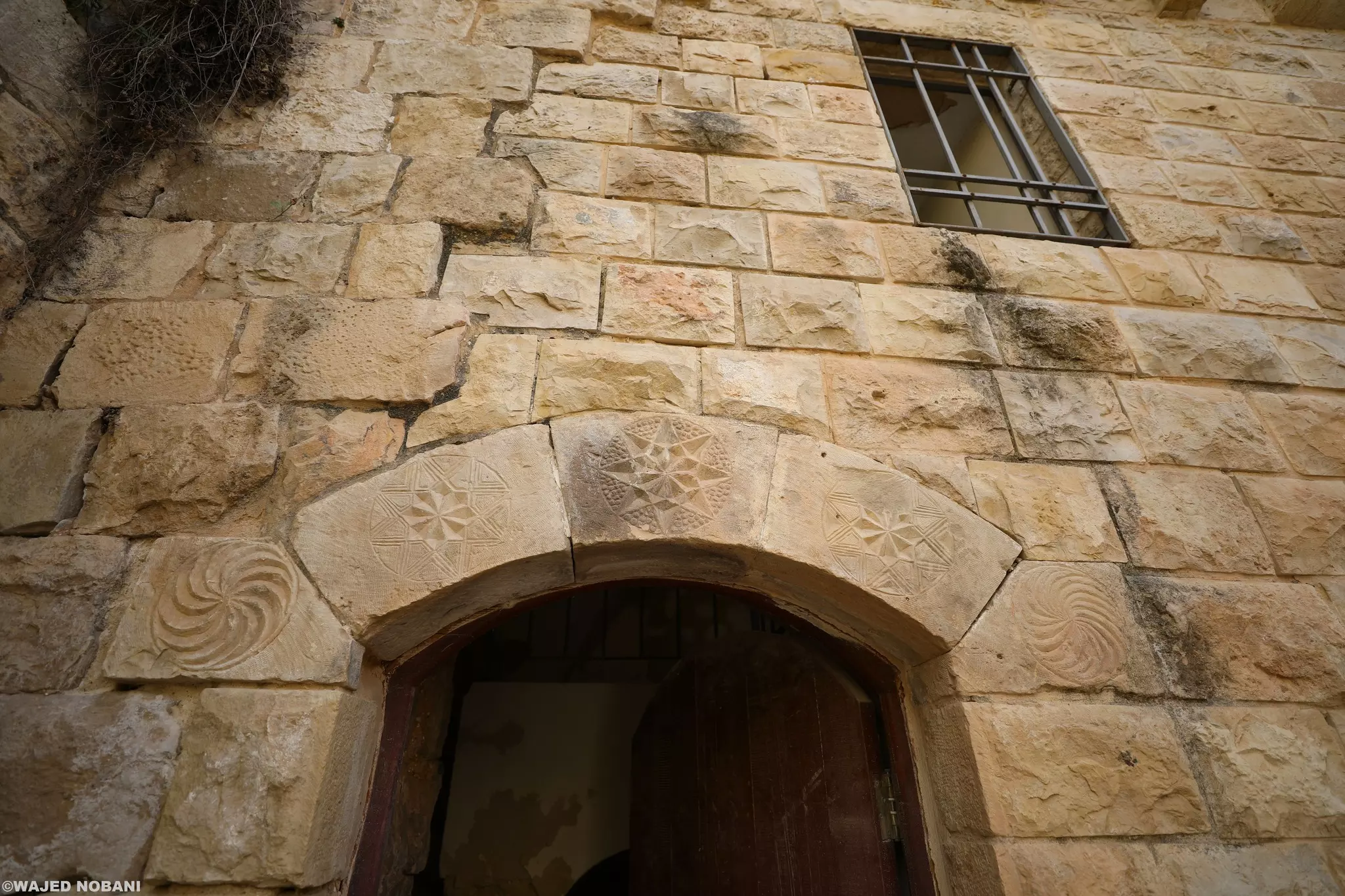
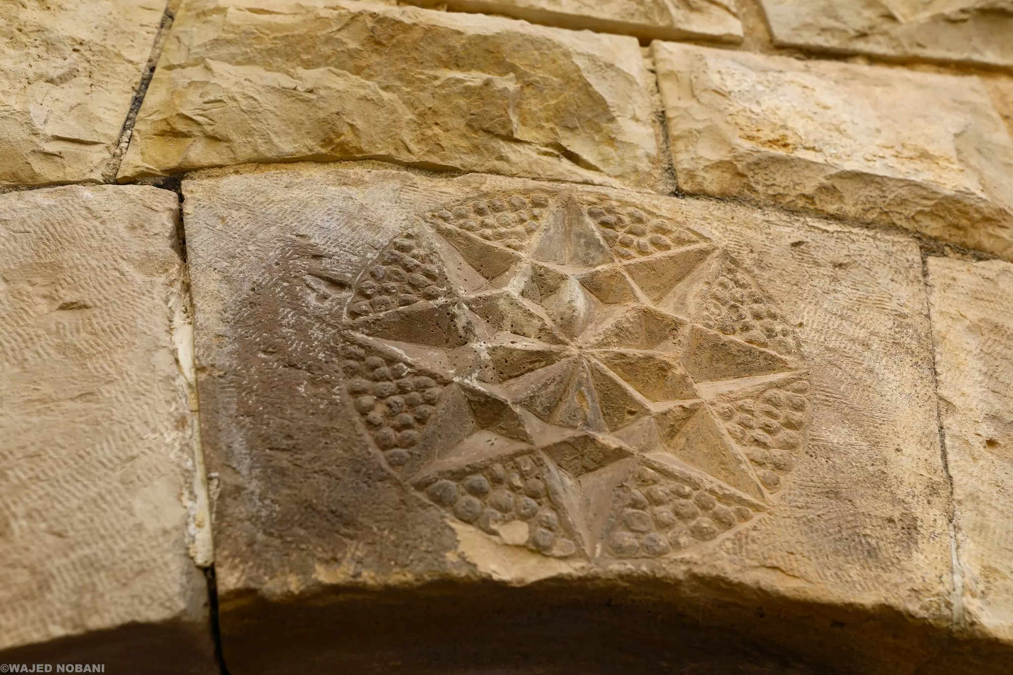
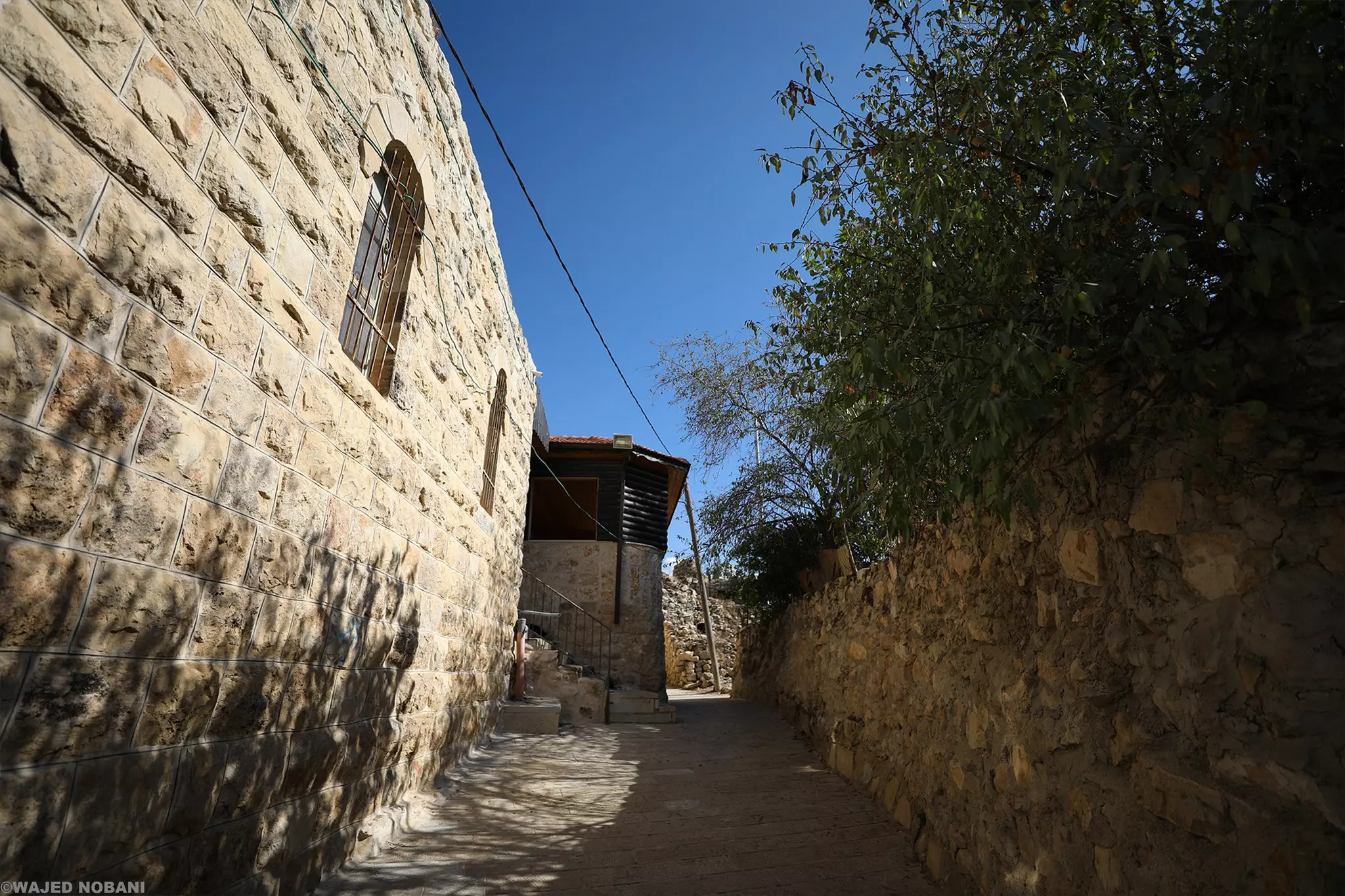
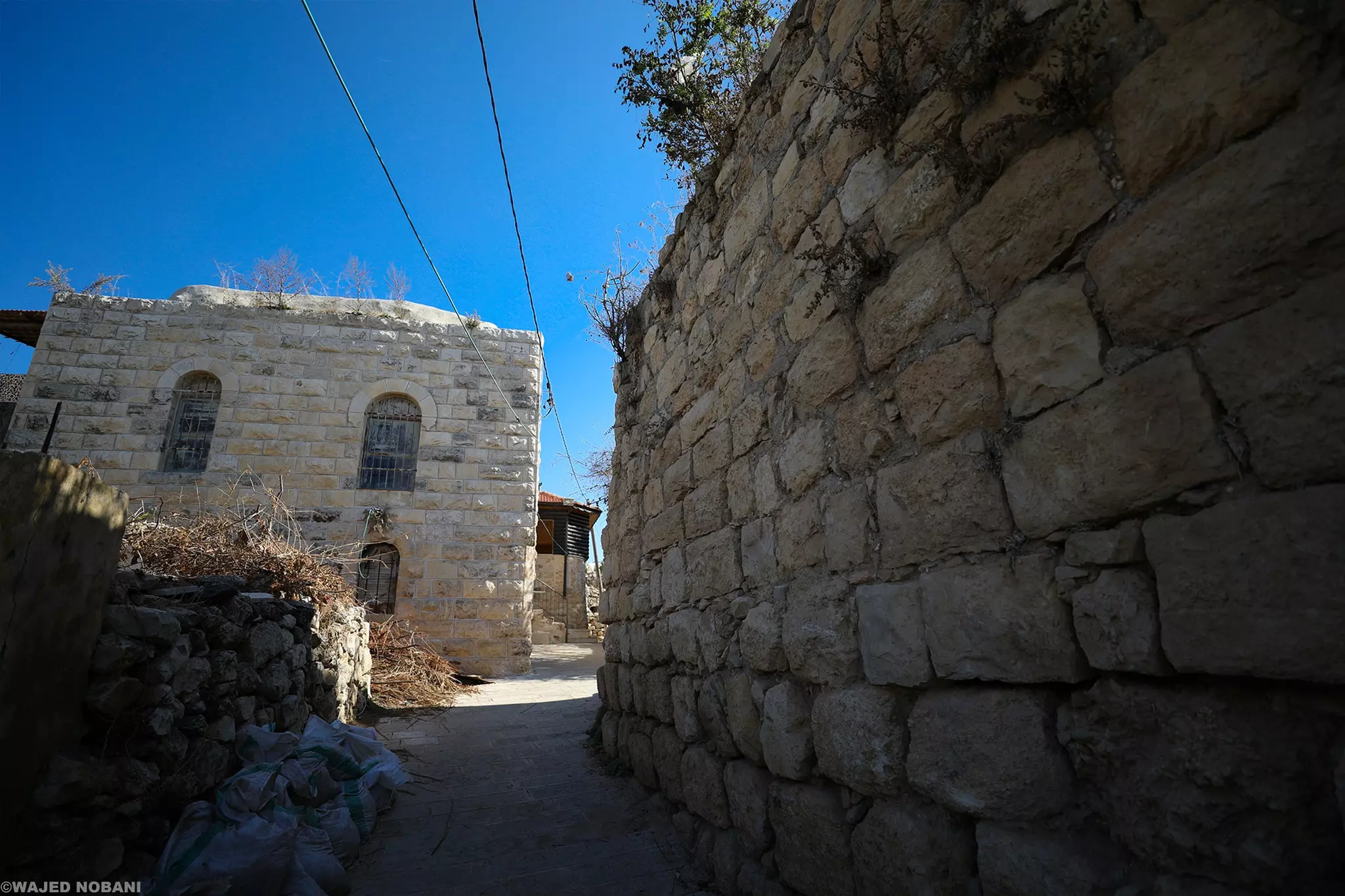
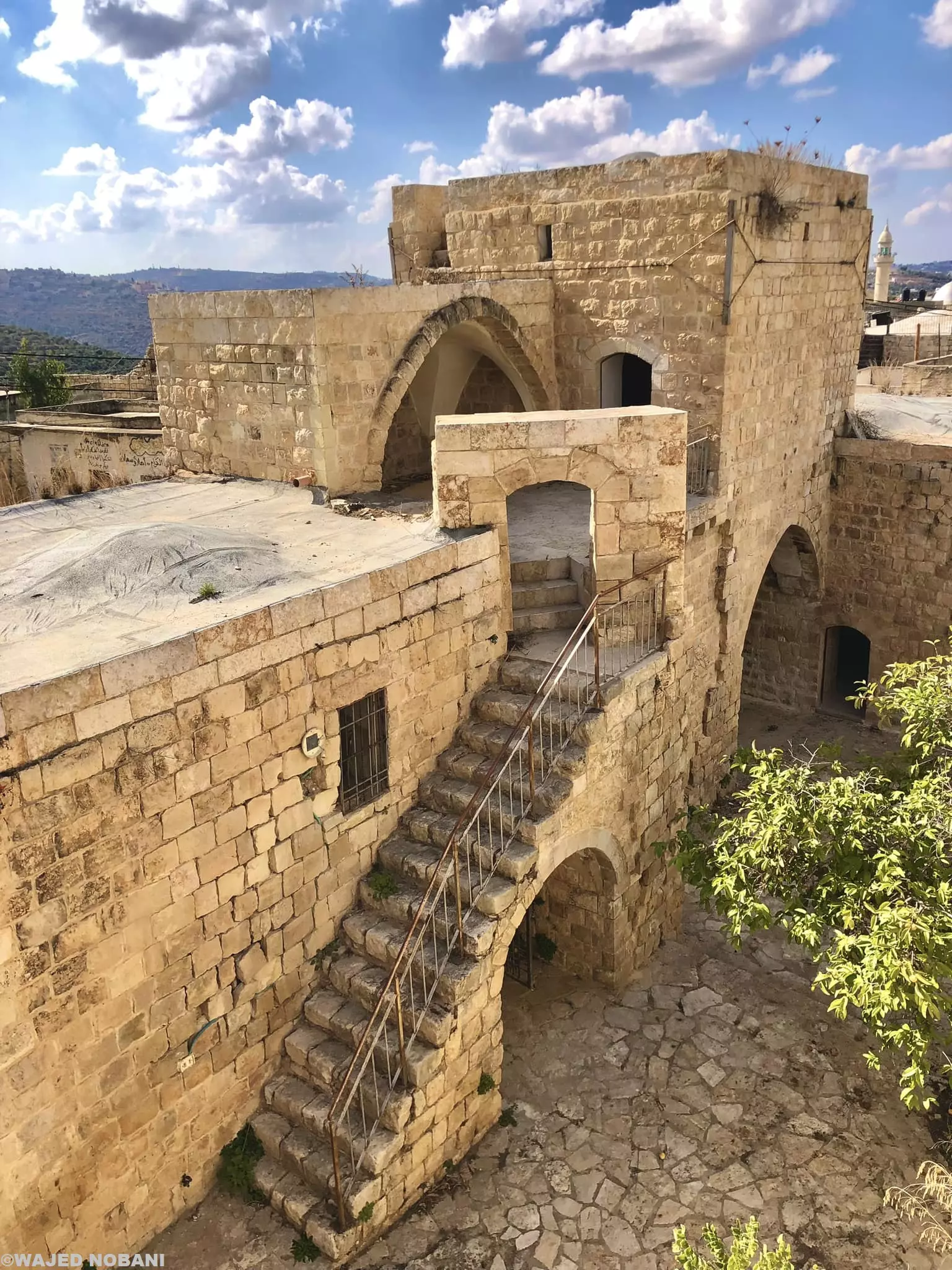
- جولة في بيوت القرية القديمة -- واجد النوباني
- جولة في بيوت القرية القديمة -- واجد النوباني #2
- جولة في بيوت القرية القديمة -- واجد النوباني #3
- جولة في بيوت القرية القديمة -- واجد النوباني #4
- جولة في بيوت القرية القديمة -- واجد النوباني #5
- جولة في بيوت القرية القديمة -- واجد النوباني #6
- جولة في بيوت القرية القديمة -- واجد النوباني #7
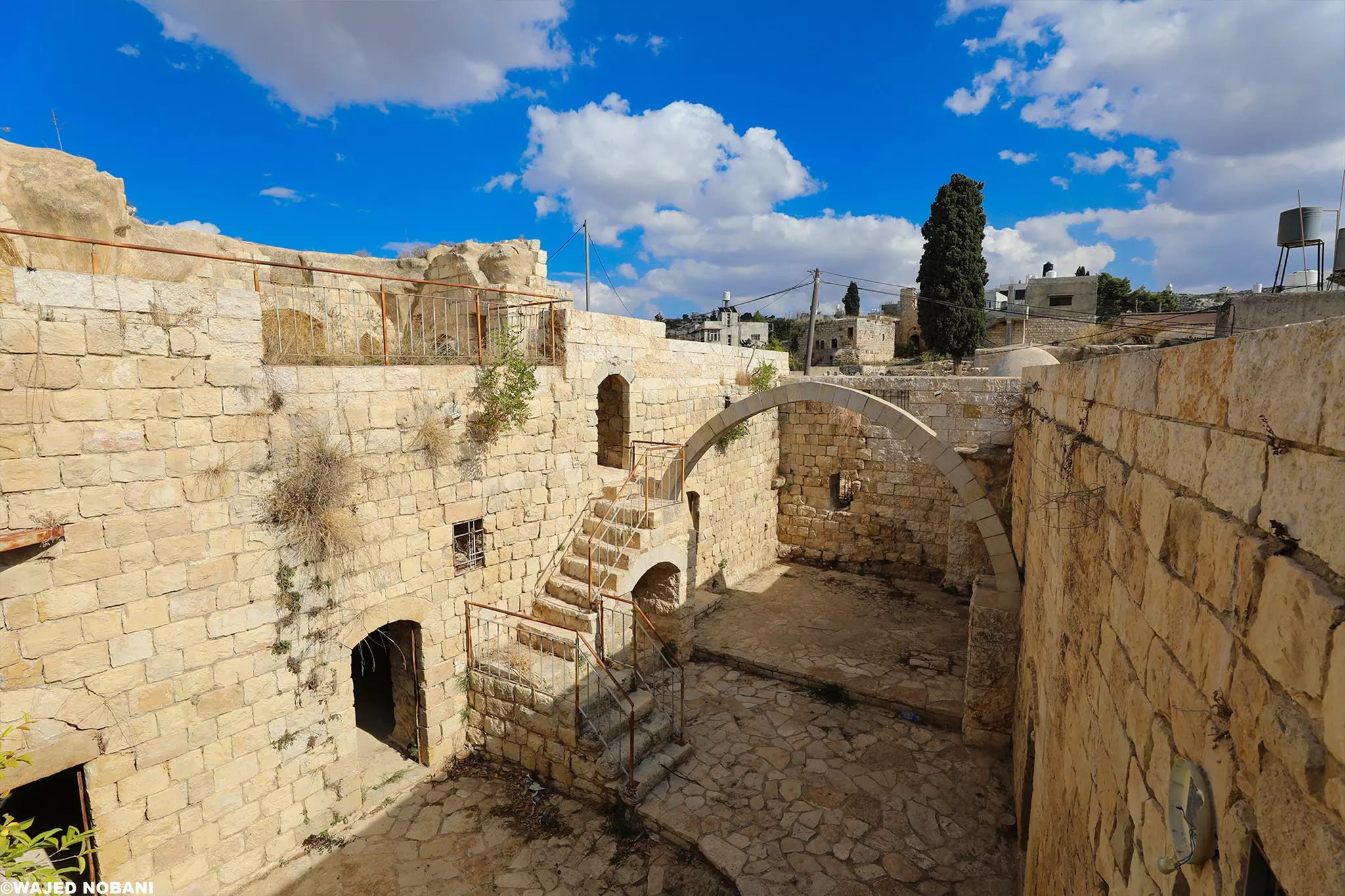
- جولة في بيوت القرية القديمة -- واجد النوباني #8
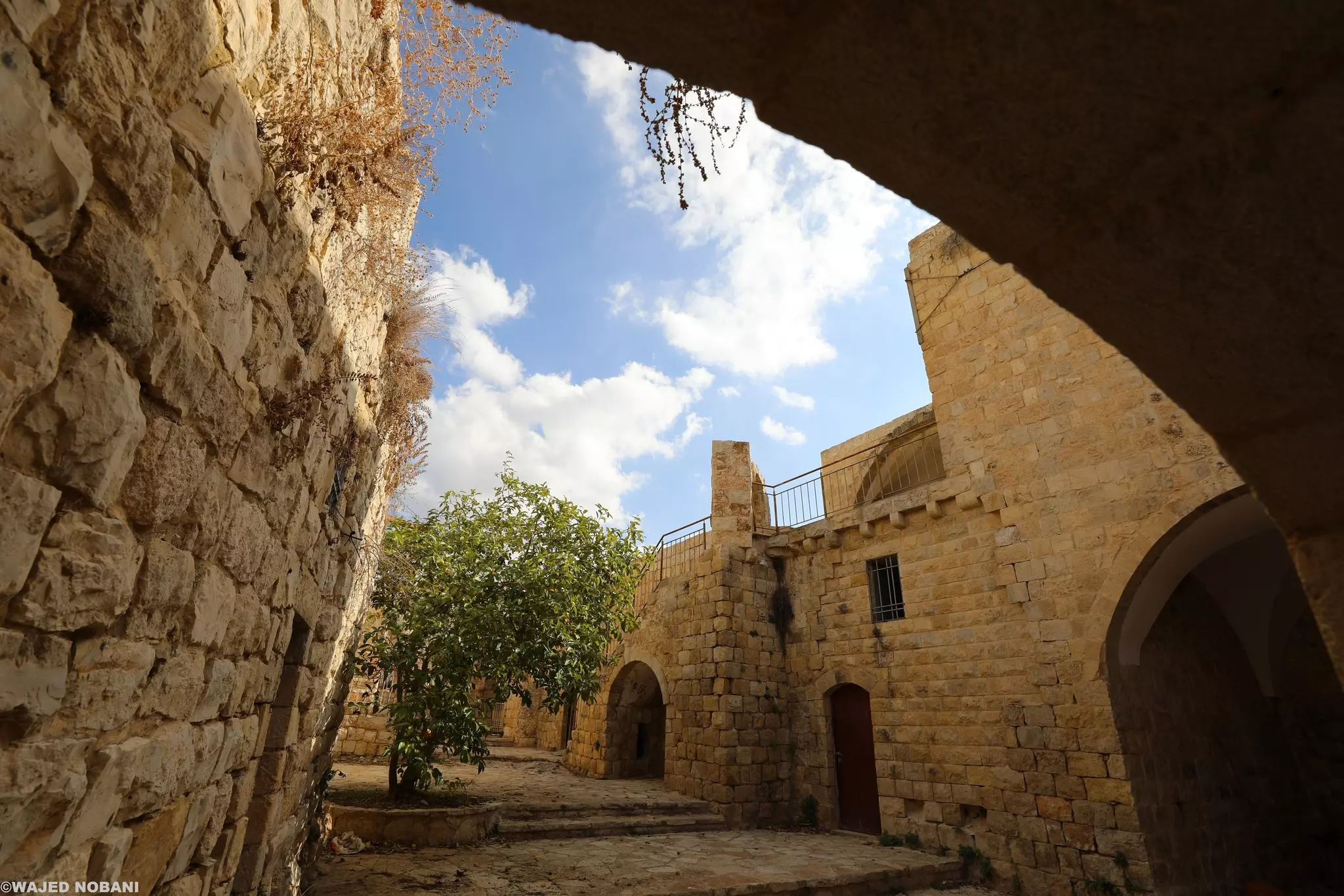
- جولة في بيوت القرية القديمة -- واجد النوباني #9
- جولة في بيوت القرية القديمة -- واجد النوباني #10
- جولة في بيوت القرية القديمة -- واجد النوباني #11
- جولة في بيوت القرية القديمة -- واجد النوباني #12
- جولة في بيوت القرية القديمة -- واجد النوباني #13
- جولة في بيوت القرية القديمة -- واجد النوباني #14
- جولة في بيوت القرية القديمة -- واجد النوباني #15
- جولة في بيوت القرية القديمة -- واجد النوباني #16
- جولة في بيوت القرية القديمة -- واجد النوباني #17
- جولة في بيوت القرية القديمة -- واجد النوباني #18
- جولة في بيوت القرية القديمة -- واجد النوباني #19
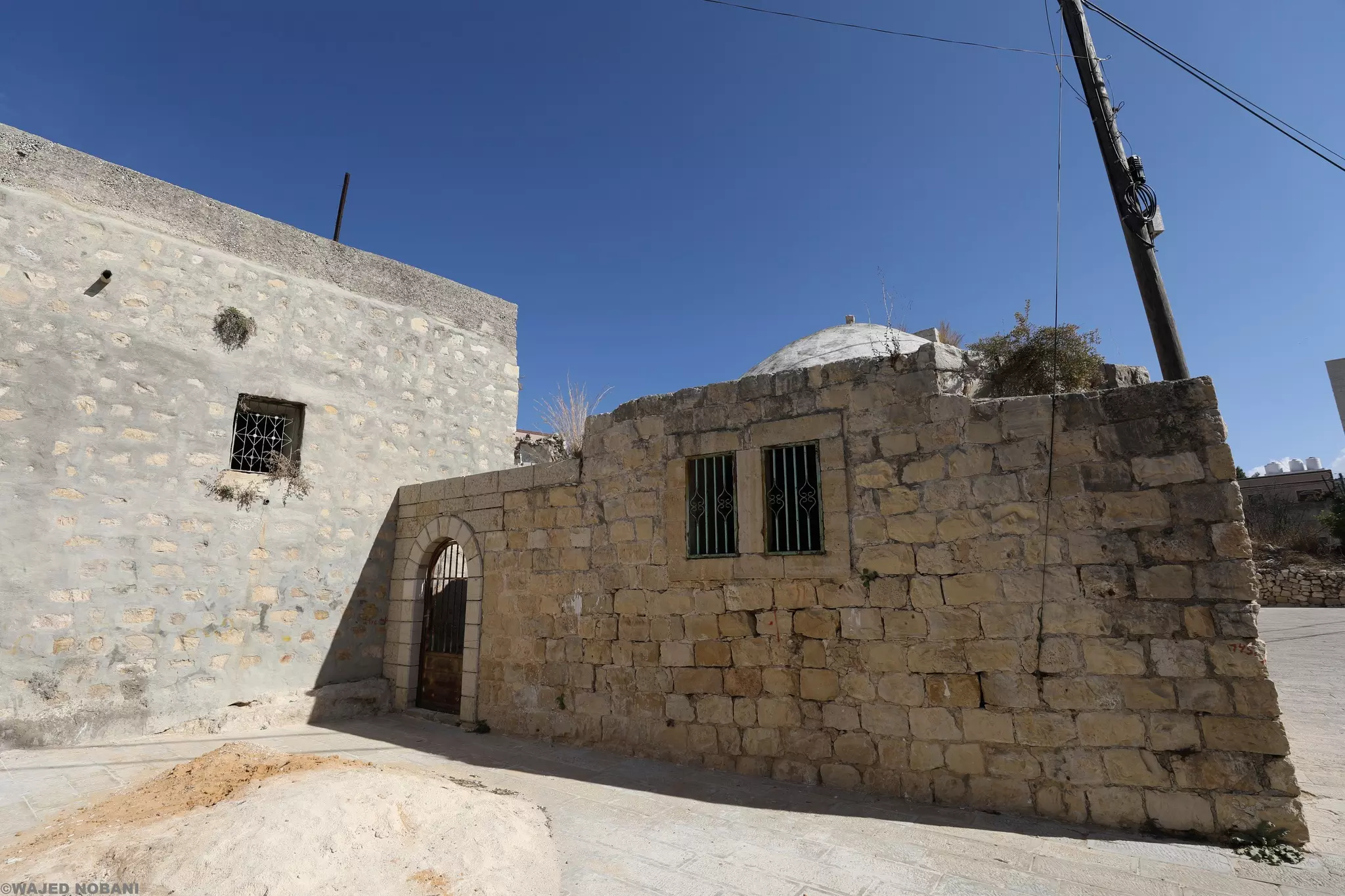
- جولة في بيوت القرية القديمة -- واجد النوباني #20
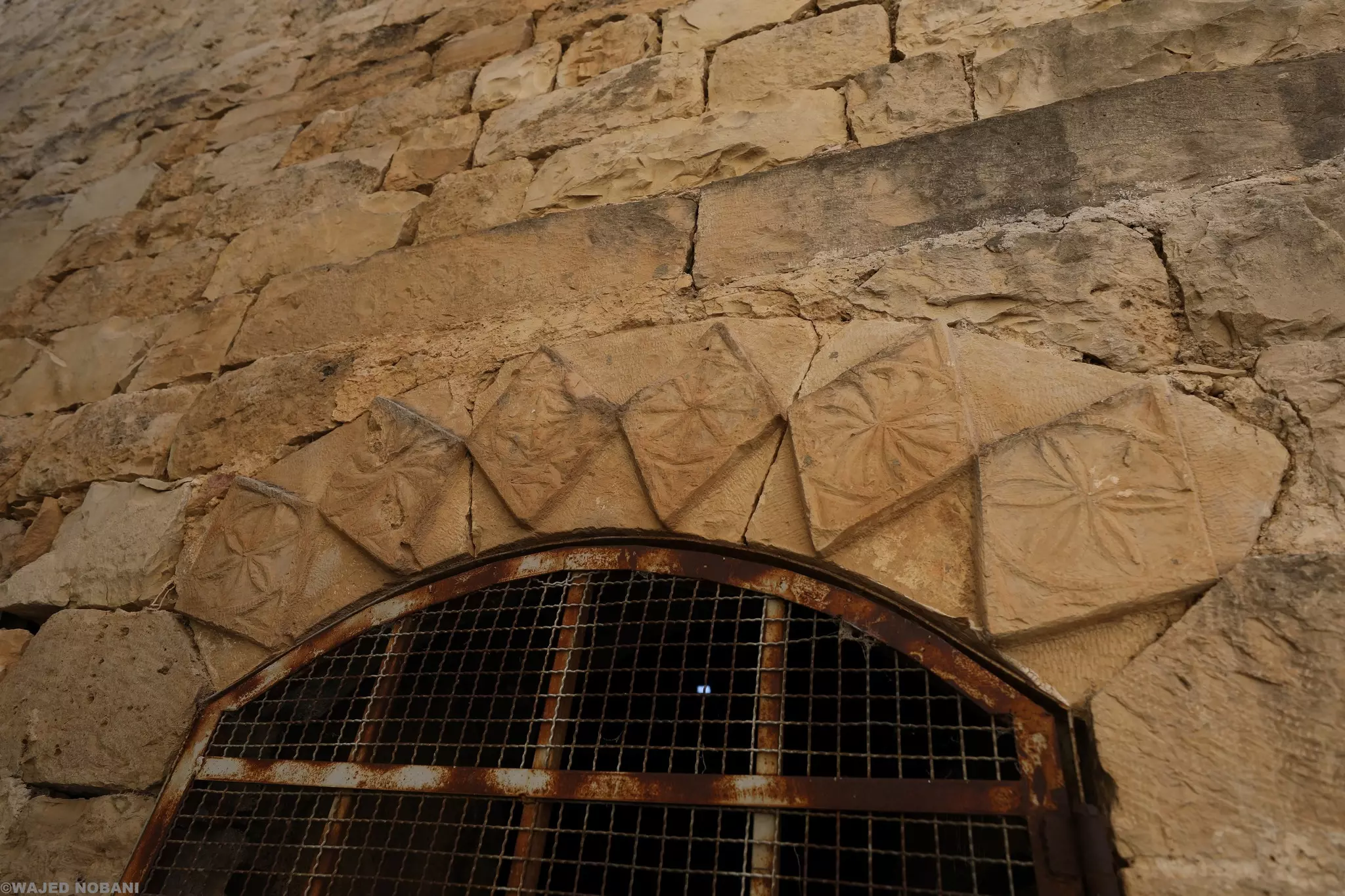
- جولة في بيوت القرية القديمة -- واجد النوباني #21
- جولة في بيوت القرية القديمة -- واجد النوباني #22
- جولة في بيوت القرية القديمة -- واجد النوباني #23

- حوش عائلة ضمرة -- واجد النوباني
- منظر عام-- واجد النوباني

- قبل 100 سنة
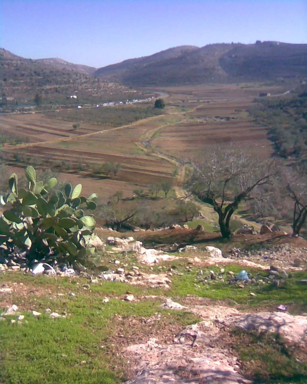
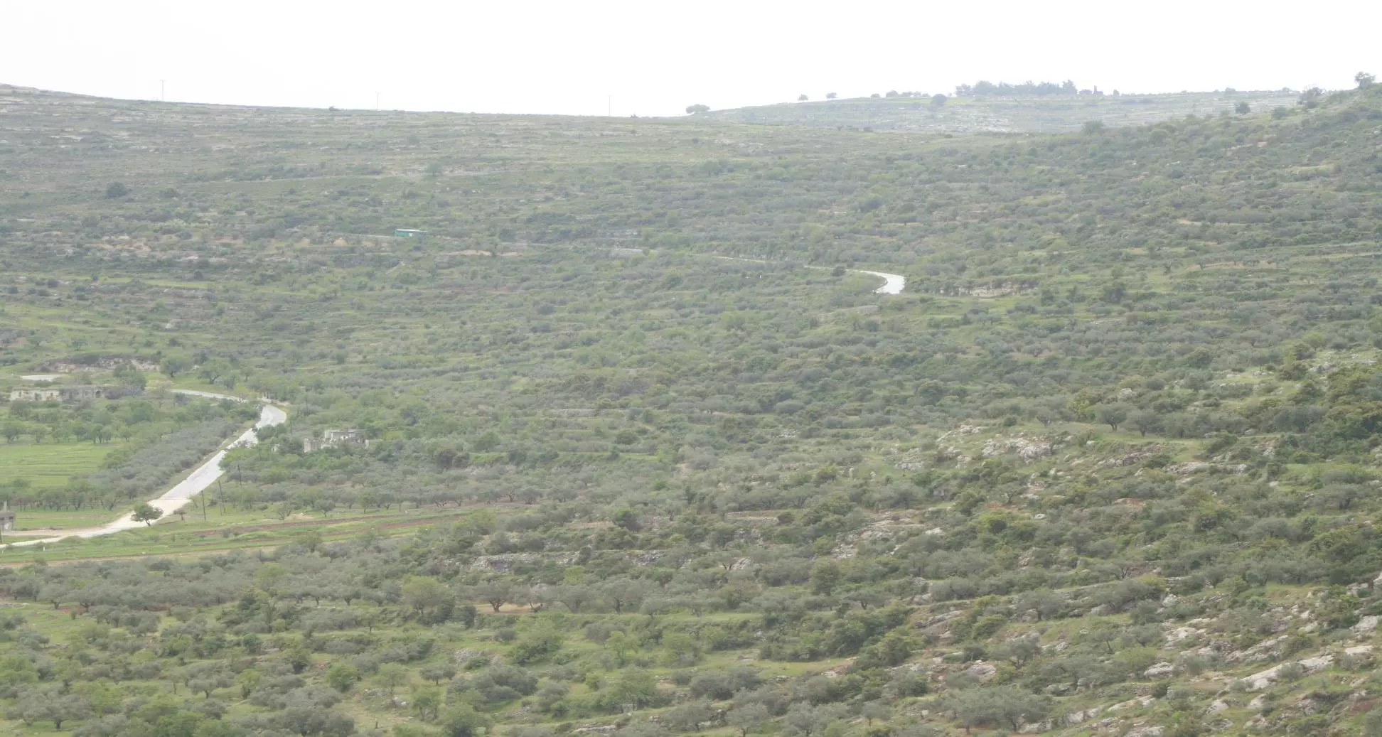
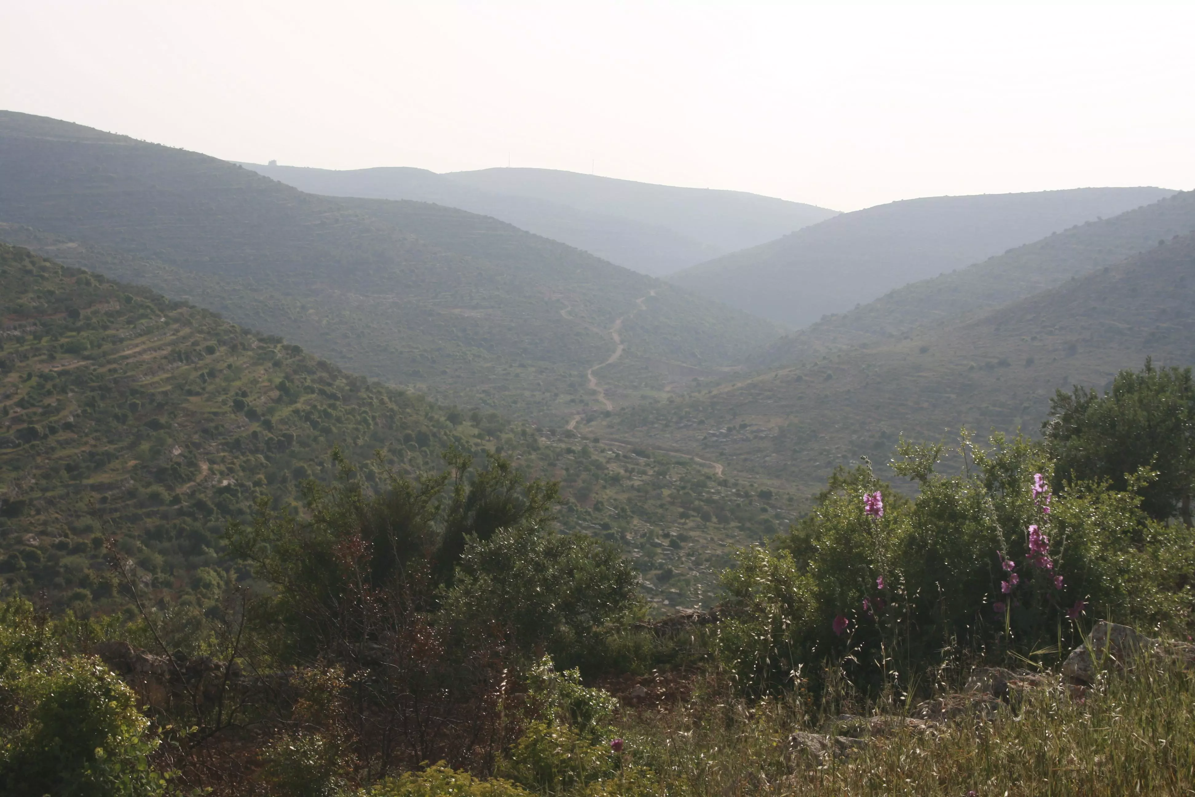
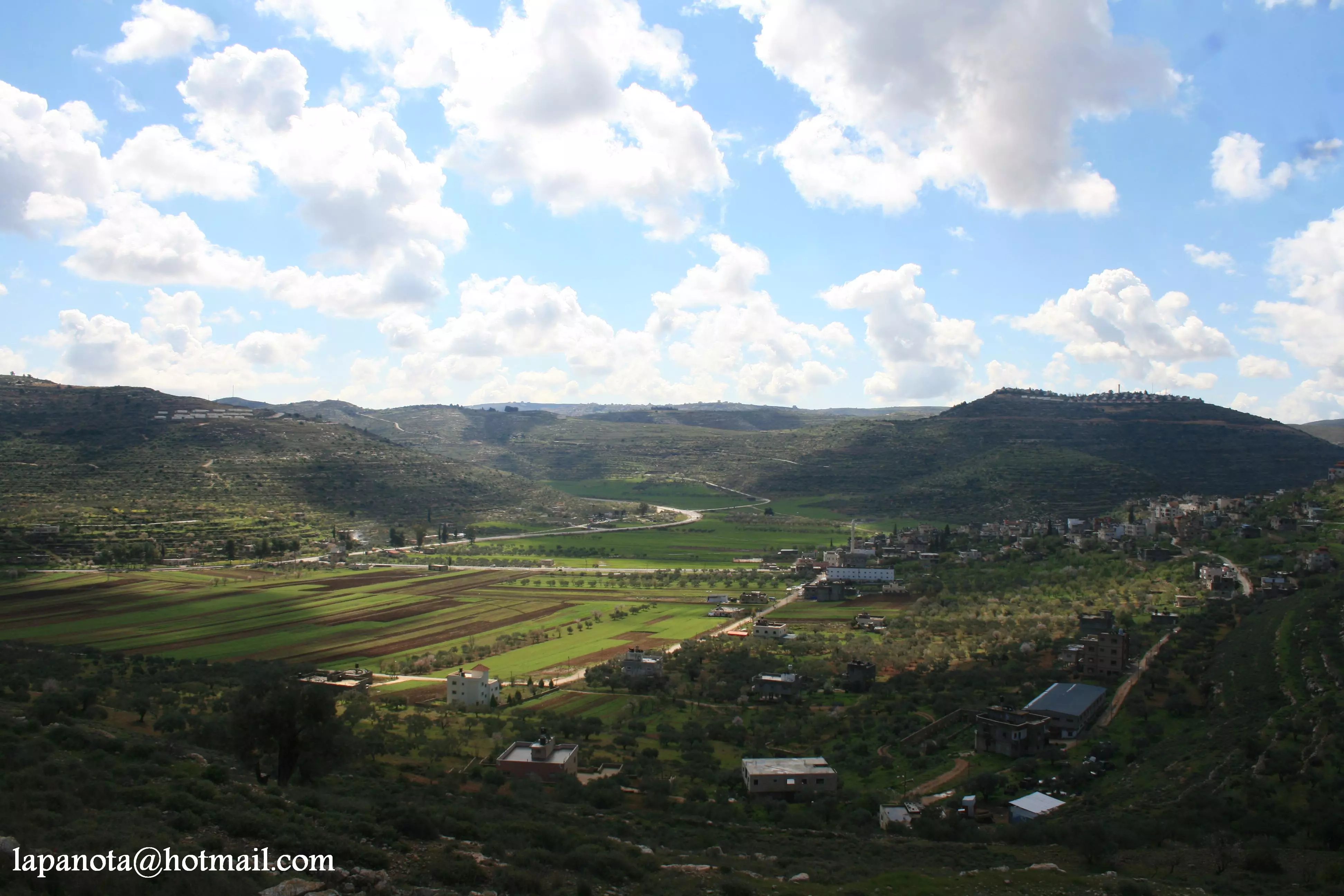
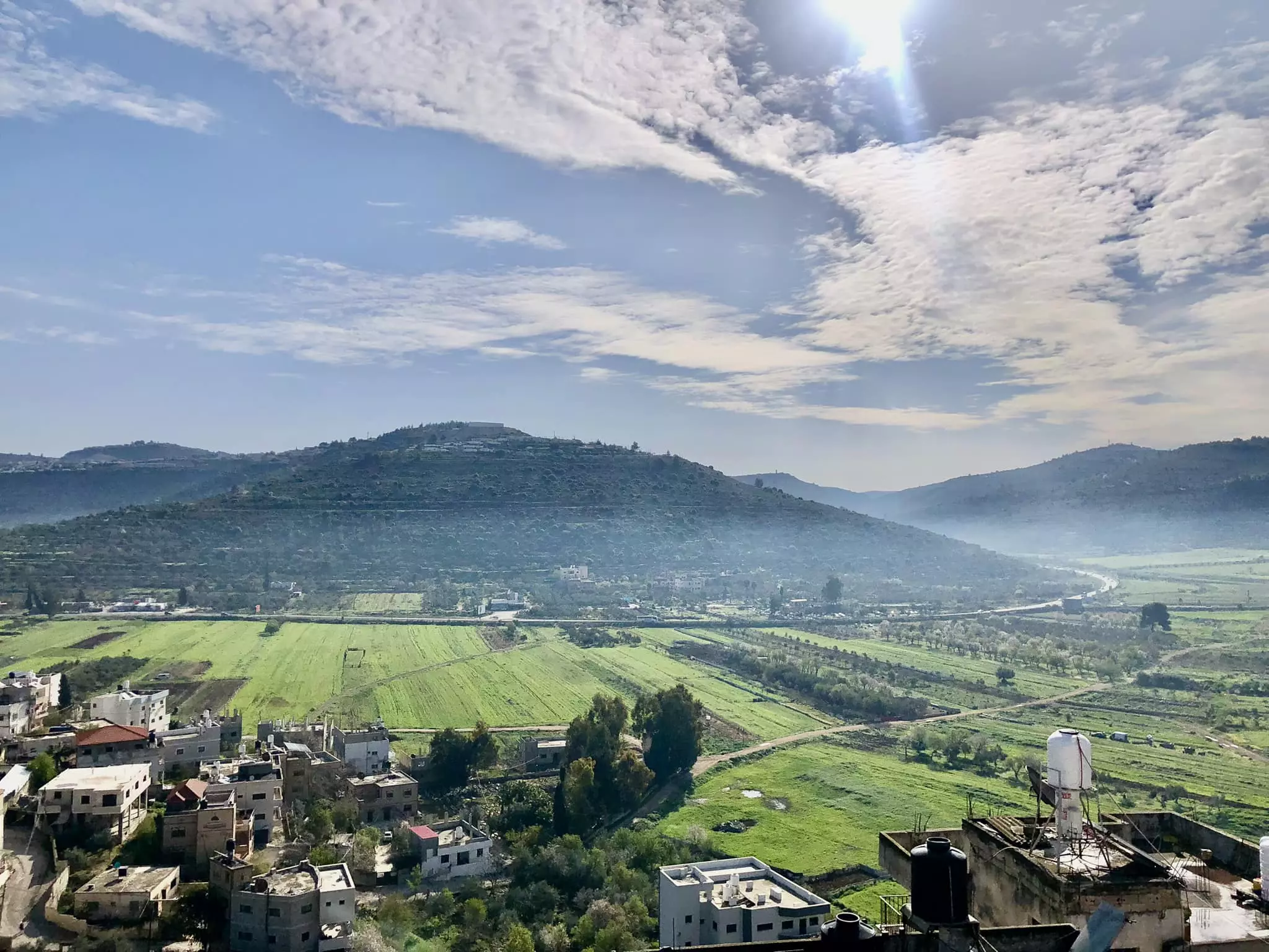
- صورة من الطريق بين سنجل واللُبَّن وتحديدا بعد صعود طريق قوربات اللُبَّن. يظهر بالأسفل مرج سنجل، ويطل عليه جبل الباطن الذي يجمع أراضي اللبّن وسنجل، وفي الوسط تعلو قمة جبل طاروجة غرب اللُبّن وعلى يمين الصورة جبل المسَيَّب.
الصورة قبل حوالي 100 عام
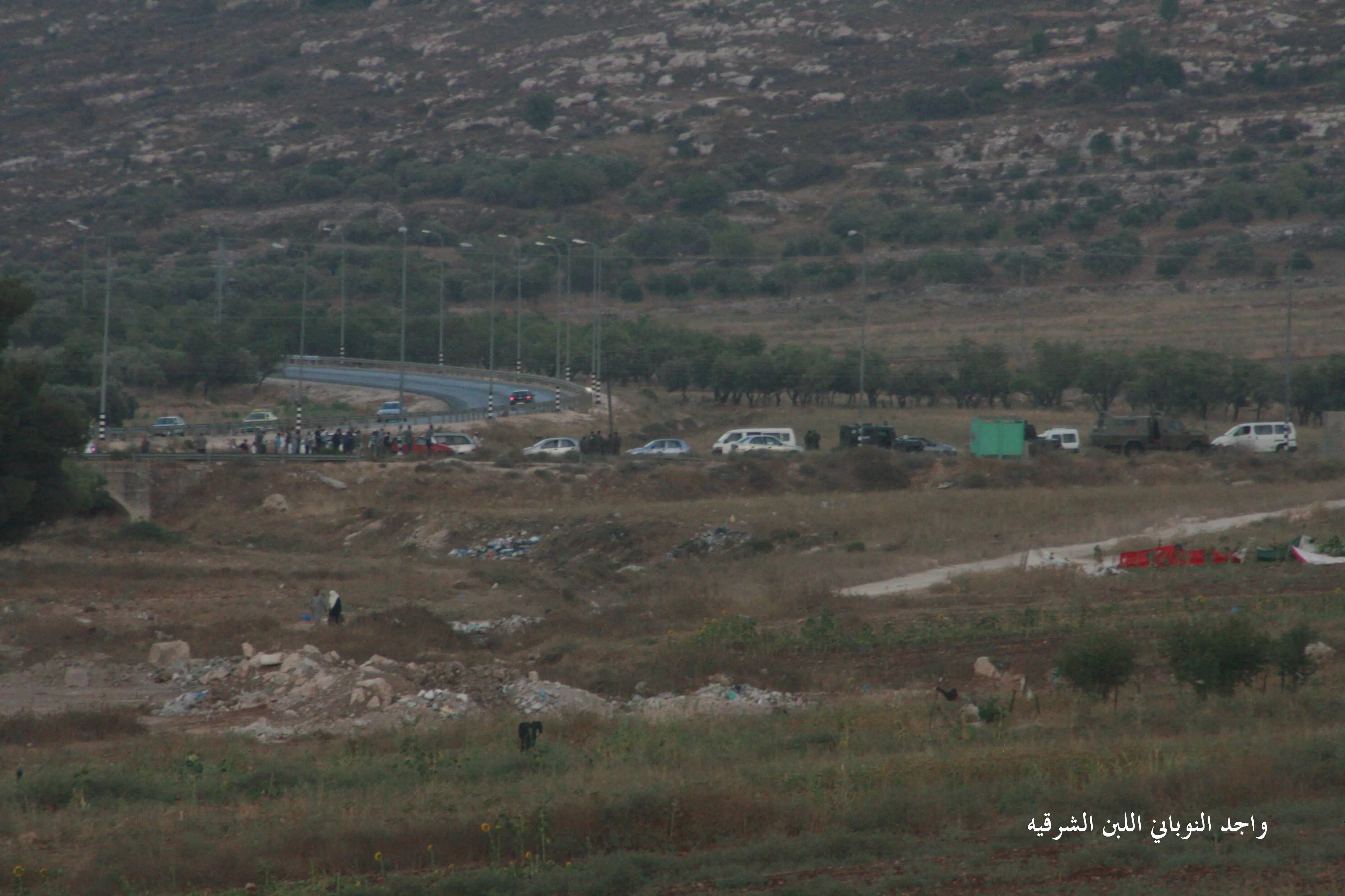
- قريتنا الآن "اللبّن الشرقية" إغلاق الطريق لتأمين احتشاد للمستوطنين -- واجد النوباني --June 1st, 2022
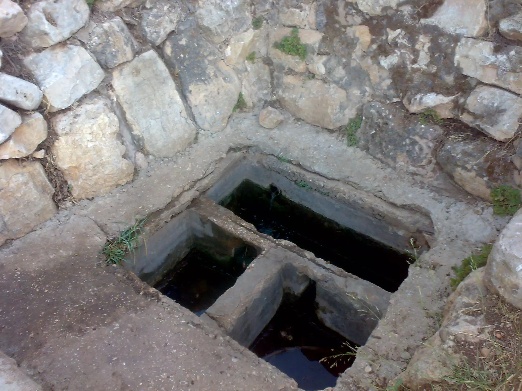
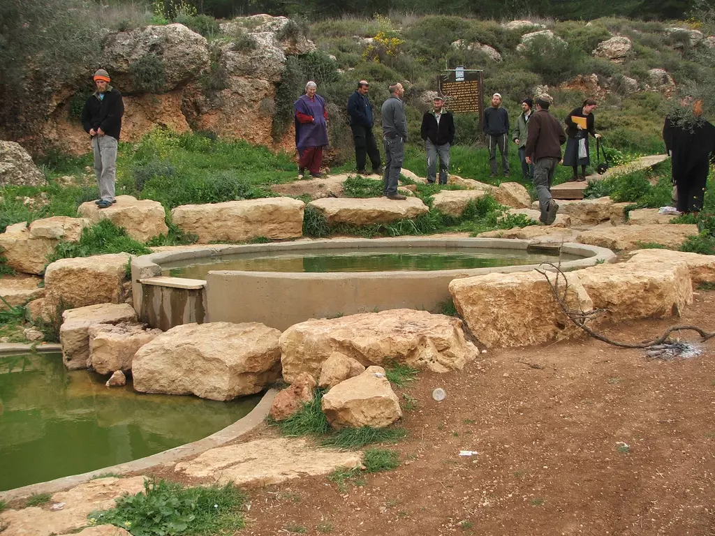
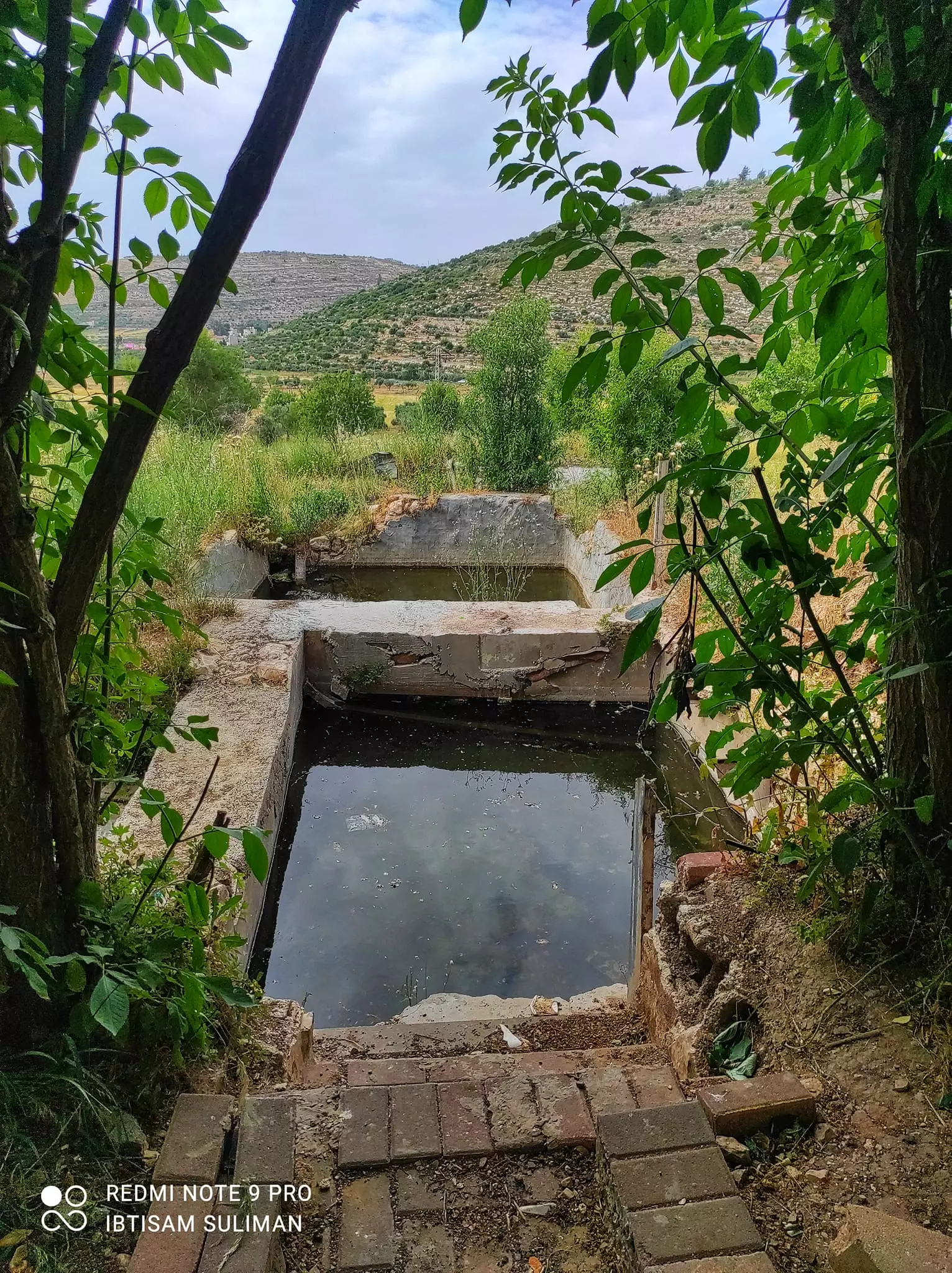
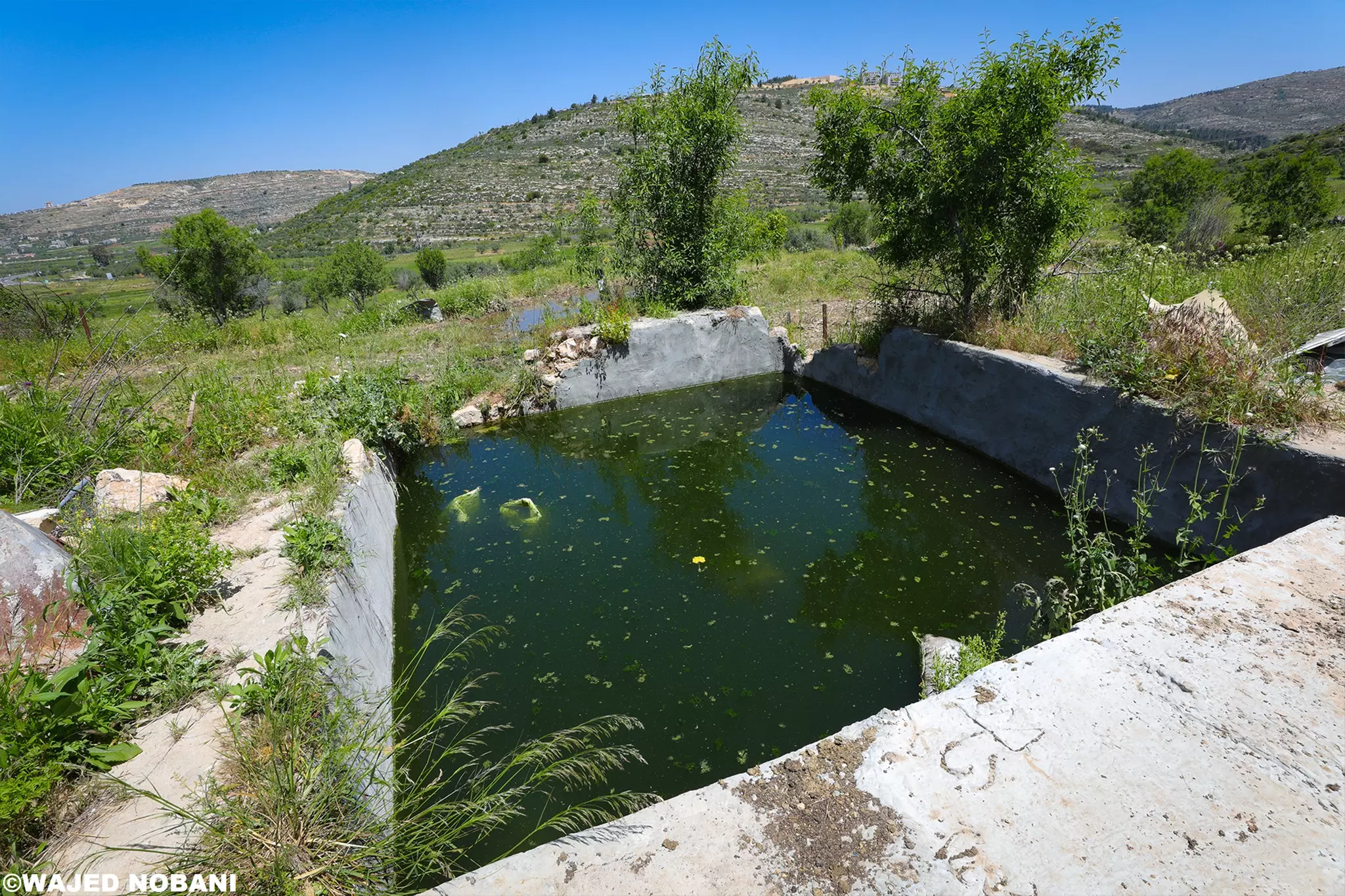
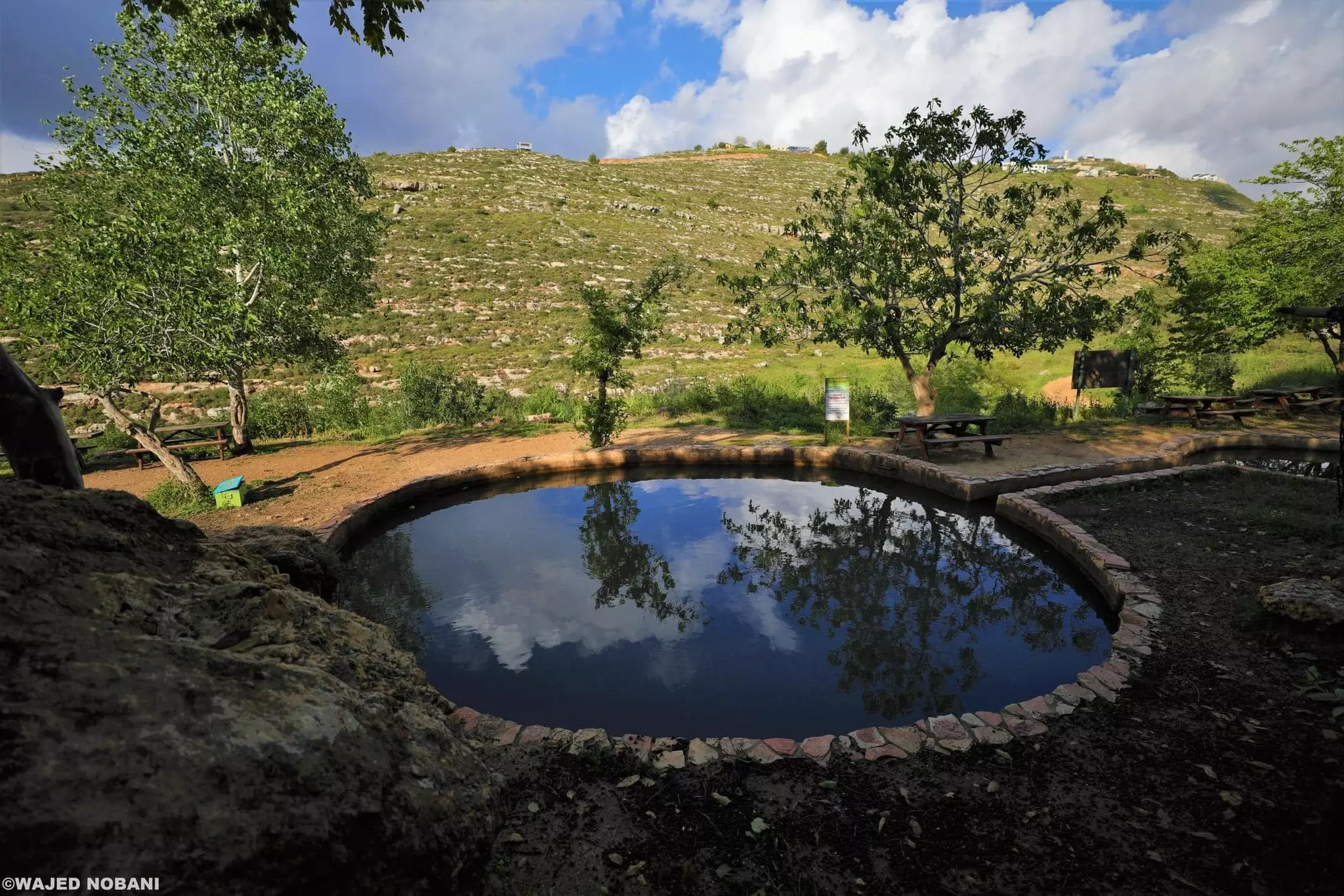
- عين خان -- واجد النوباني
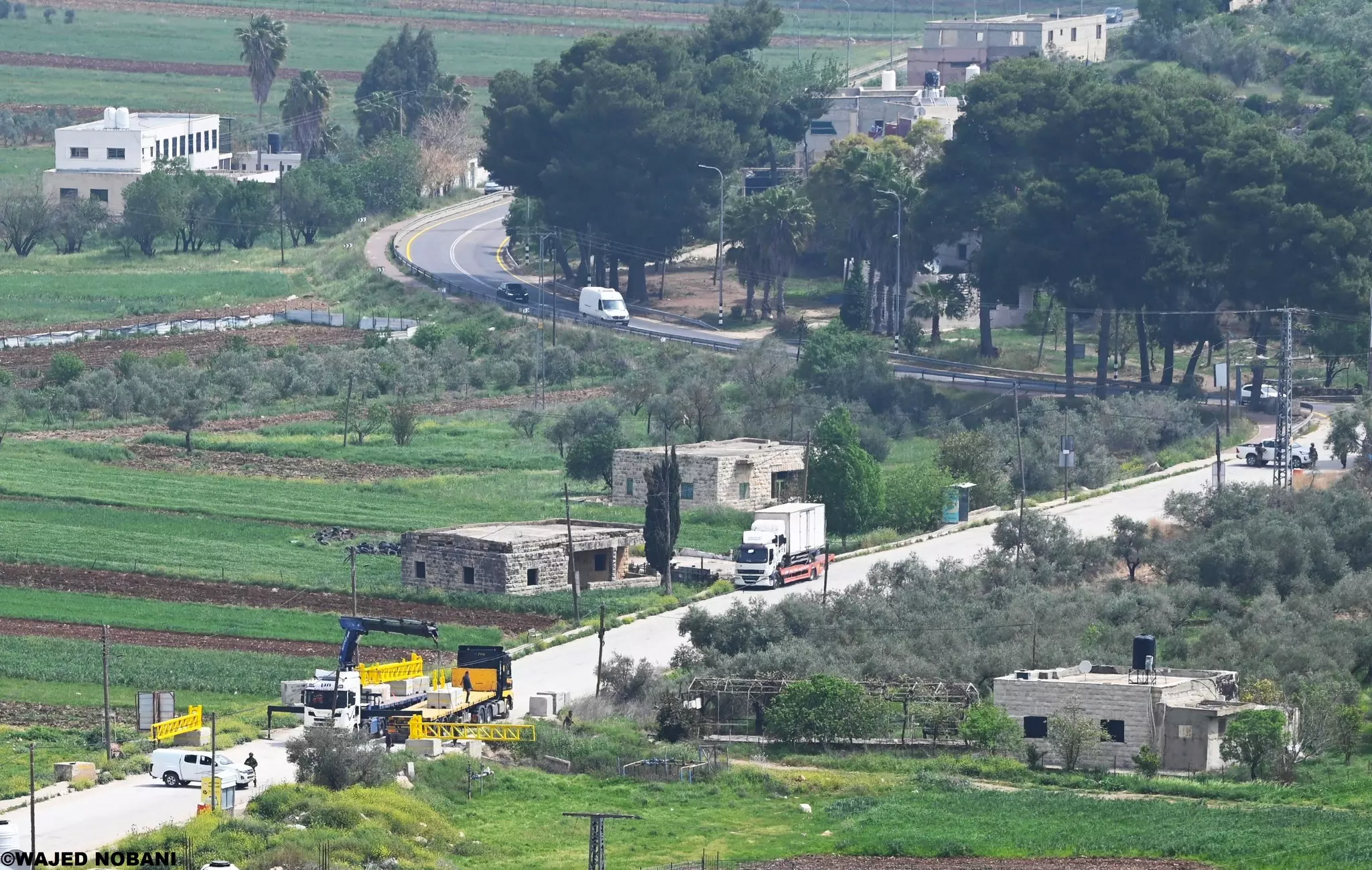
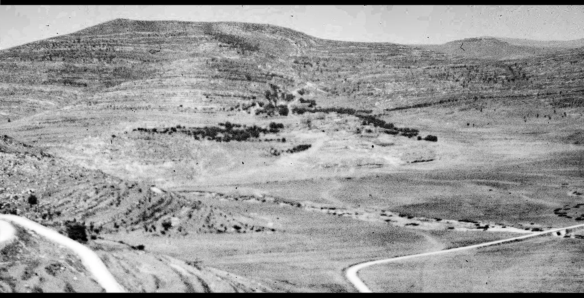
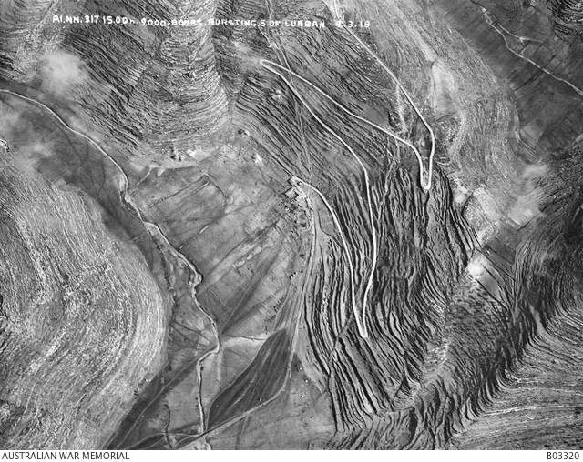
- صورة جوية لقرية اللبّن الشرقية وتحديدا جنوبها حيث طريق القوربات الواصلة بين نابلس والقدس ويظهر خان اللبّن.. يوجد انفجارات قنابل كما توضح المعلومات وكما يظهر أيضا.
الصورة في اذار 1918
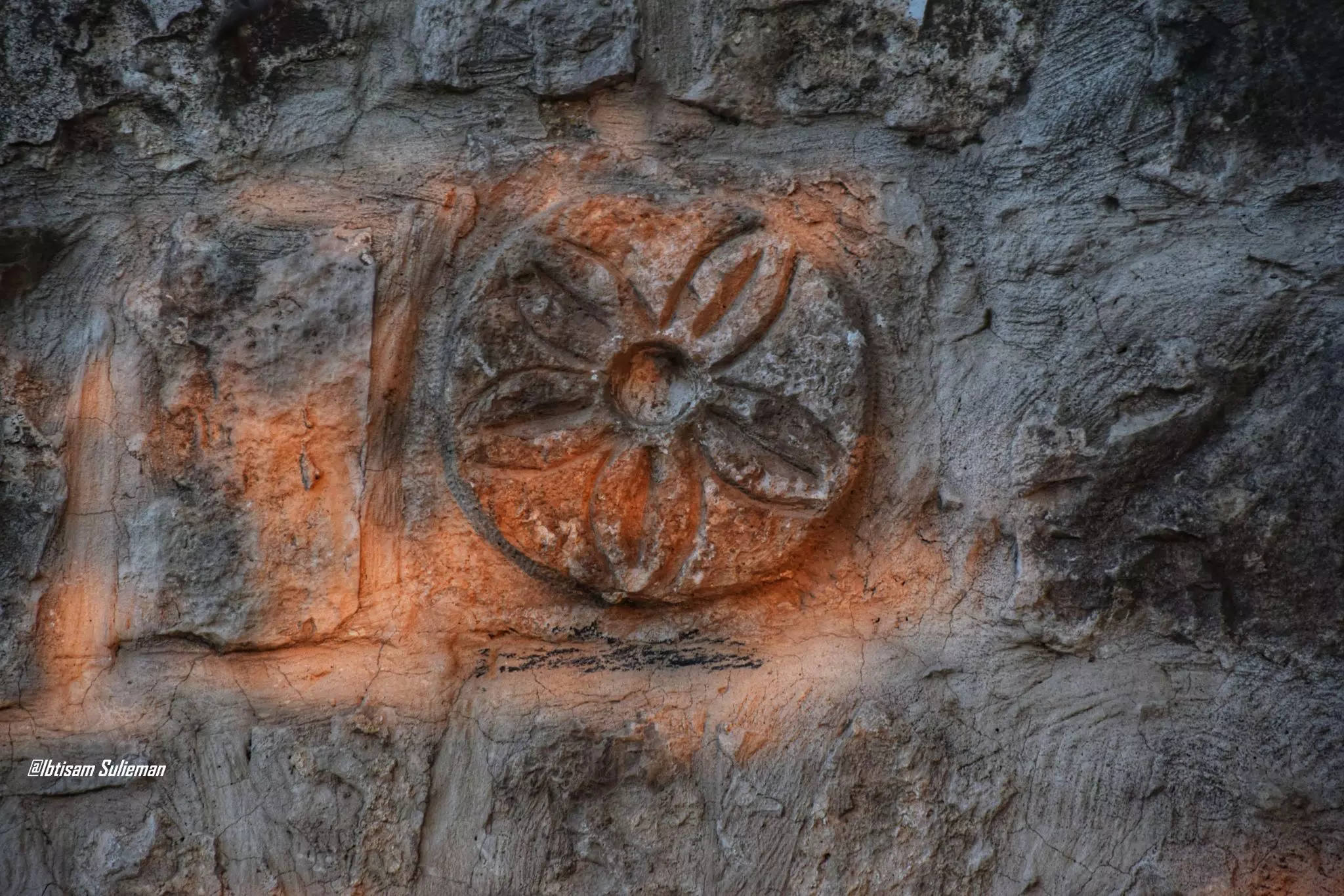
- مسجد ومقام وهو على قمة جبل طاروجة غربي قرية اللبّن الشرقية. علينا الحفاظ على الأماكن التاريخية والدينية -- واجد النوباني
- الطيبة إم انور.: الحجة كلنا كبرنا مع صوتها وخبزها وقعداتها وضحكتها الي ما كانت تنطفي.. قديش عزّيتي ع قلوبنا -- واجد النوباني

- الطيبة إم انور.: الحجة كلنا كبرنا مع صوتها وخبزها وقعداتها وضحكتها الي ما كانت تنطفي.. قديش عزّيتي ع قلوبنا -- واجد النوباني #2
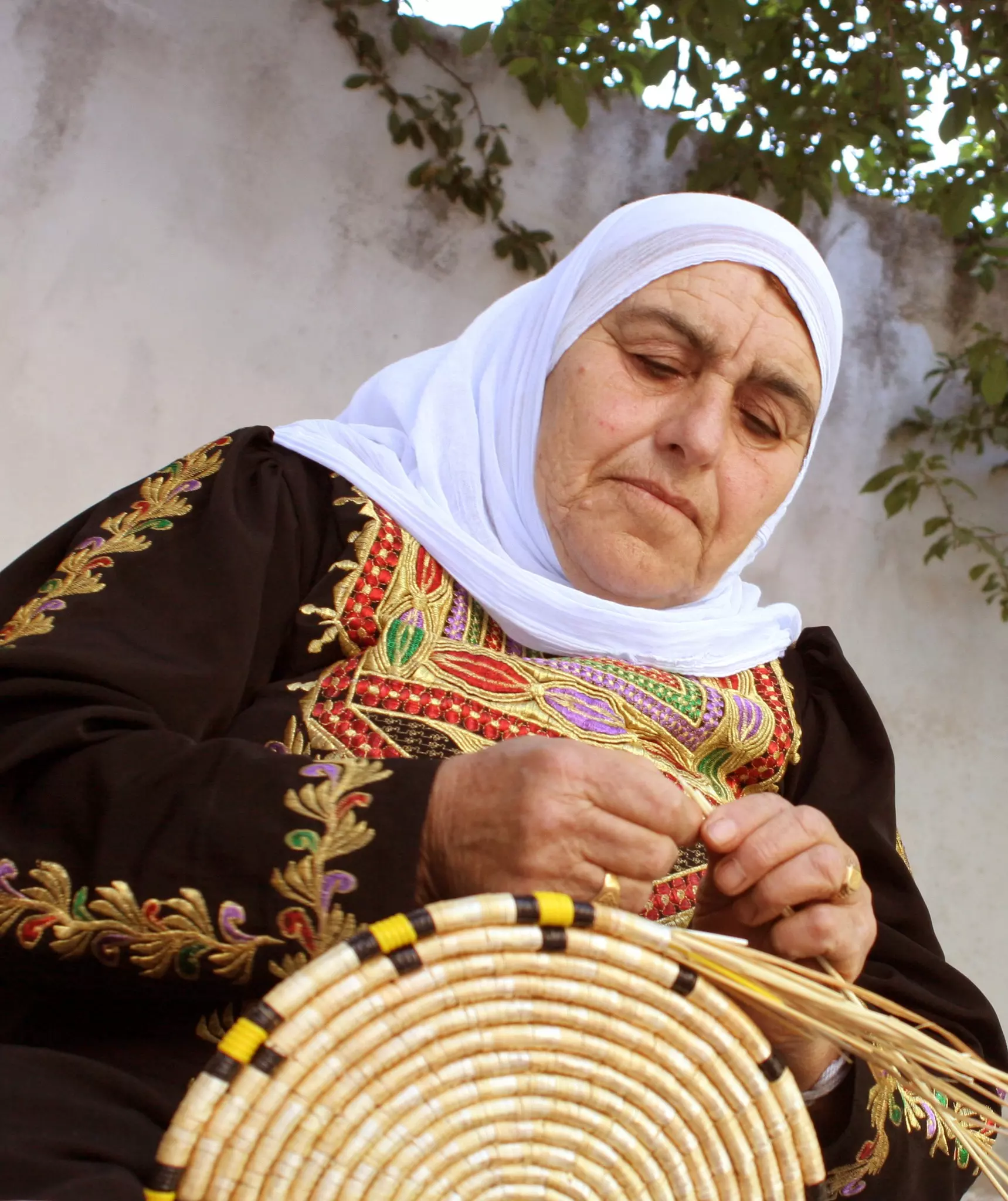
- الطيبة إم انور.: الحجة كلنا كبرنا مع صوتها وخبزها وقعداتها وضحكتها الي ما كانت تنطفي.. قديش عزّيتي ع قلوبنا -- واجد النوباني #3
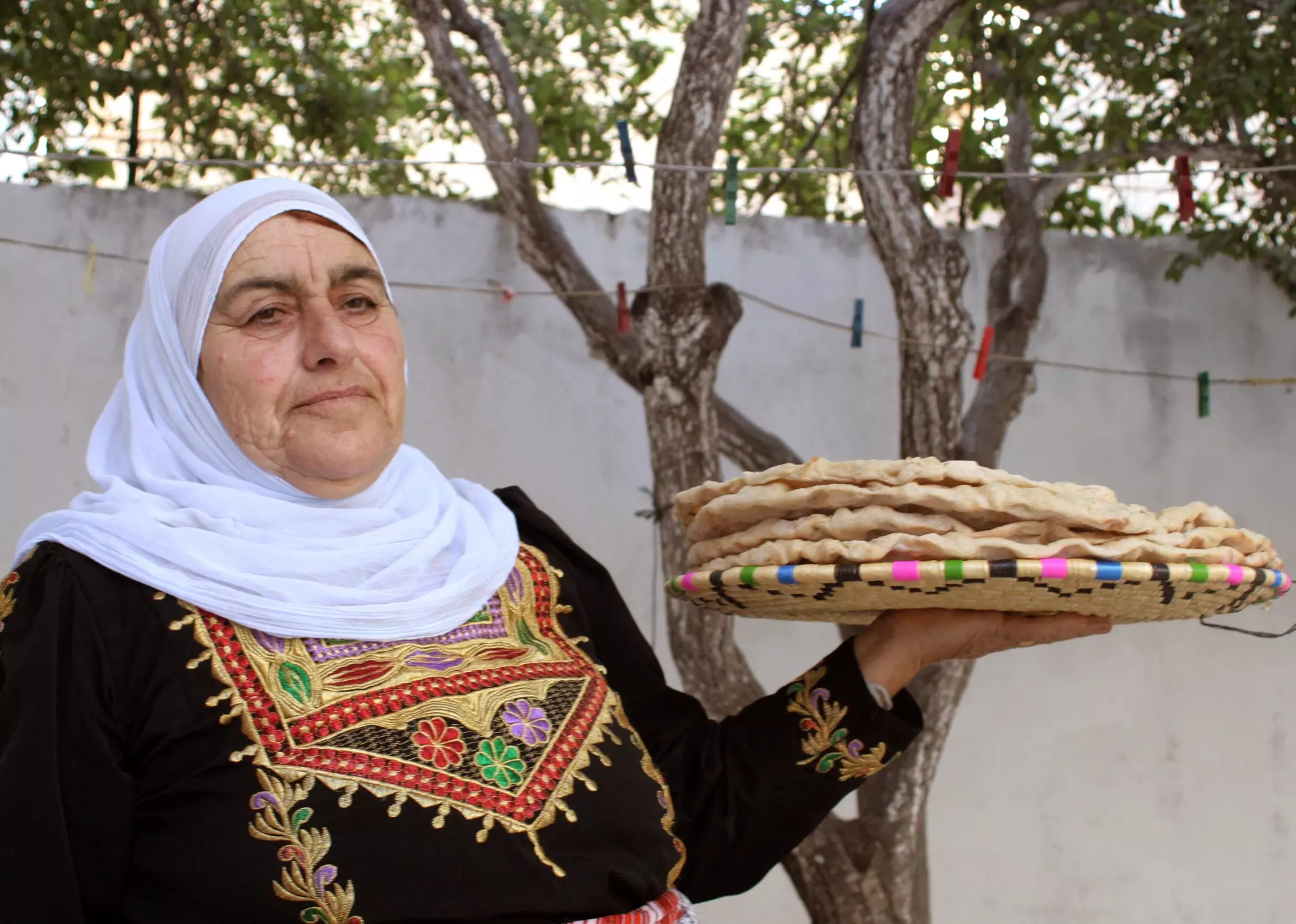
- الطيبة إم انور.: الحجة كلنا كبرنا مع صوتها وخبزها وقعداتها وضحكتها الي ما كانت تنطفي.. قديش عزّيتي ع قلوبنا -- واجد النوباني #4

- الطيبة إم انور.: الحجة كلنا كبرنا مع صوتها وخبزها وقعداتها وضحكتها الي ما كانت تنطفي.. قديش عزّيتي ع قلوبنا -- واجد النوباني #5
- الطيبة إم انور.: الحجة كلنا كبرنا مع صوتها وخبزها وقعداتها وضحكتها الي ما كانت تنطفي.. قديش عزّيتي ع قلوبنا -- واجد النوباني #6
- الطيبة إم انور.: الحجة كلنا كبرنا مع صوتها وخبزها وقعداتها وضحكتها الي ما كانت تنطفي.. قديش عزّيتي ع قلوبنا -- واجد النوباني #7
- منظر ليلي رائع للقرية -- واجد النوباني
- صورة قديمة من الثمانينات
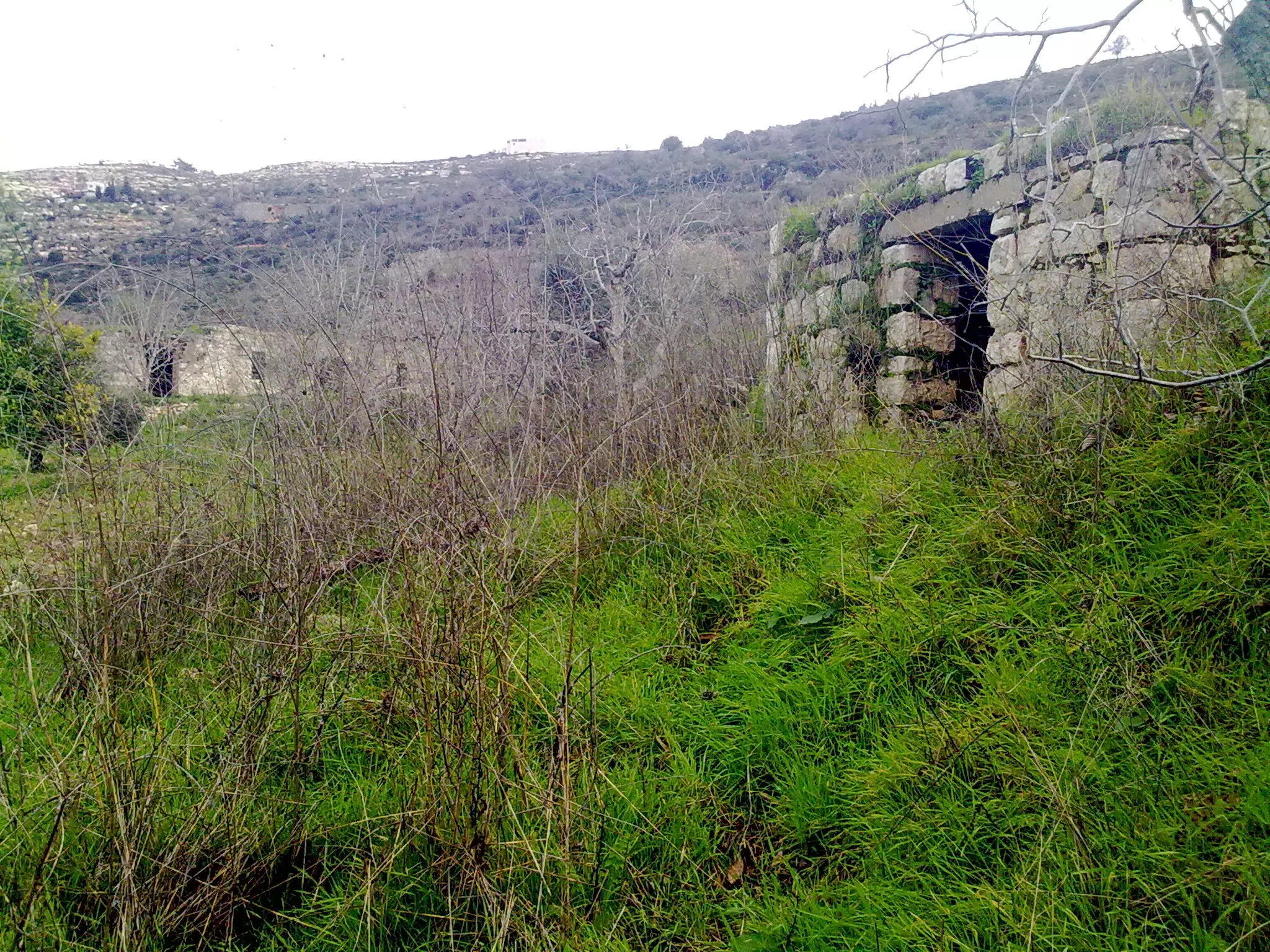
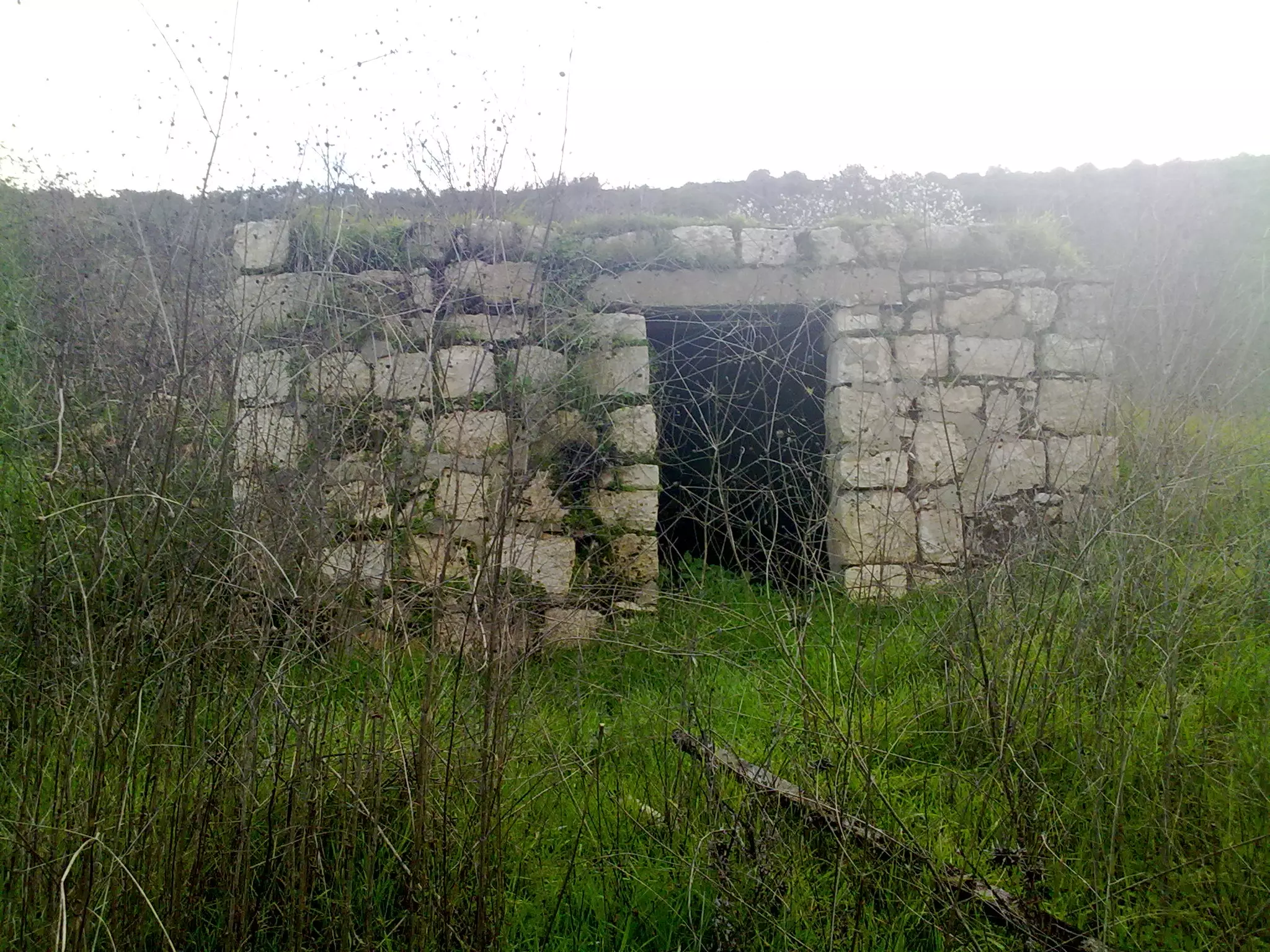
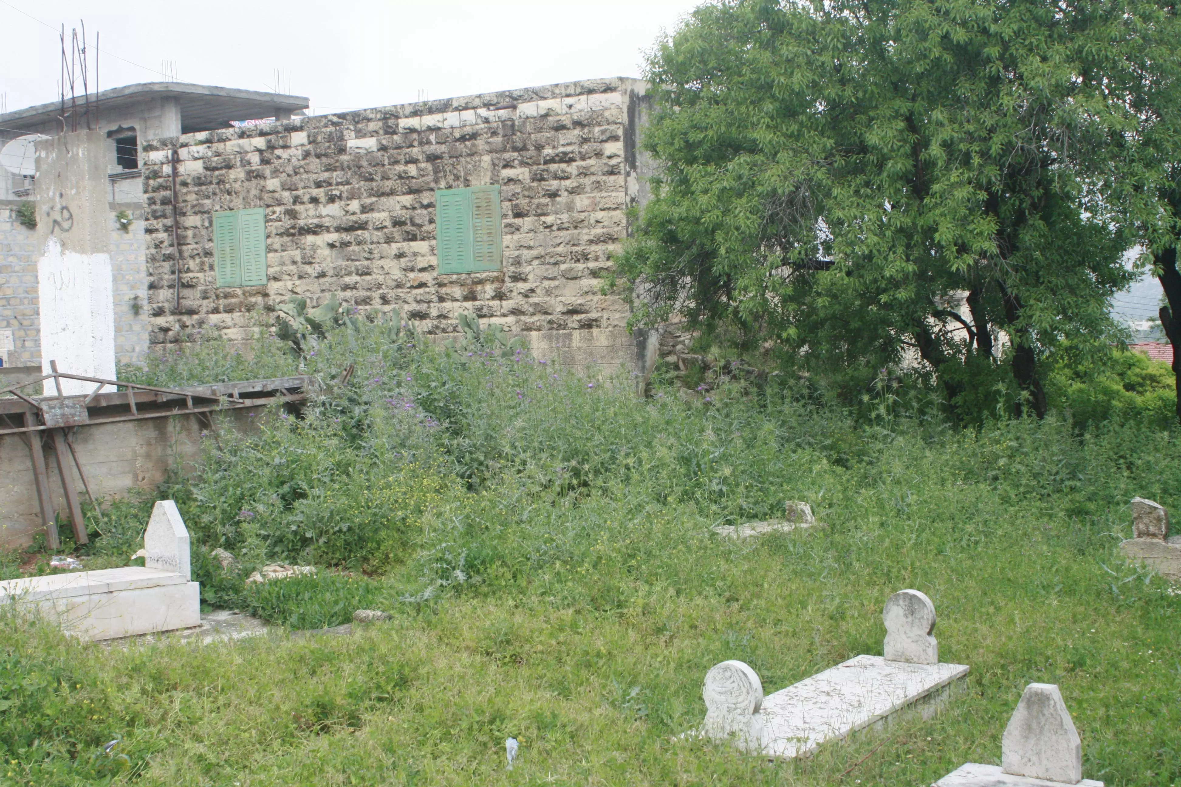
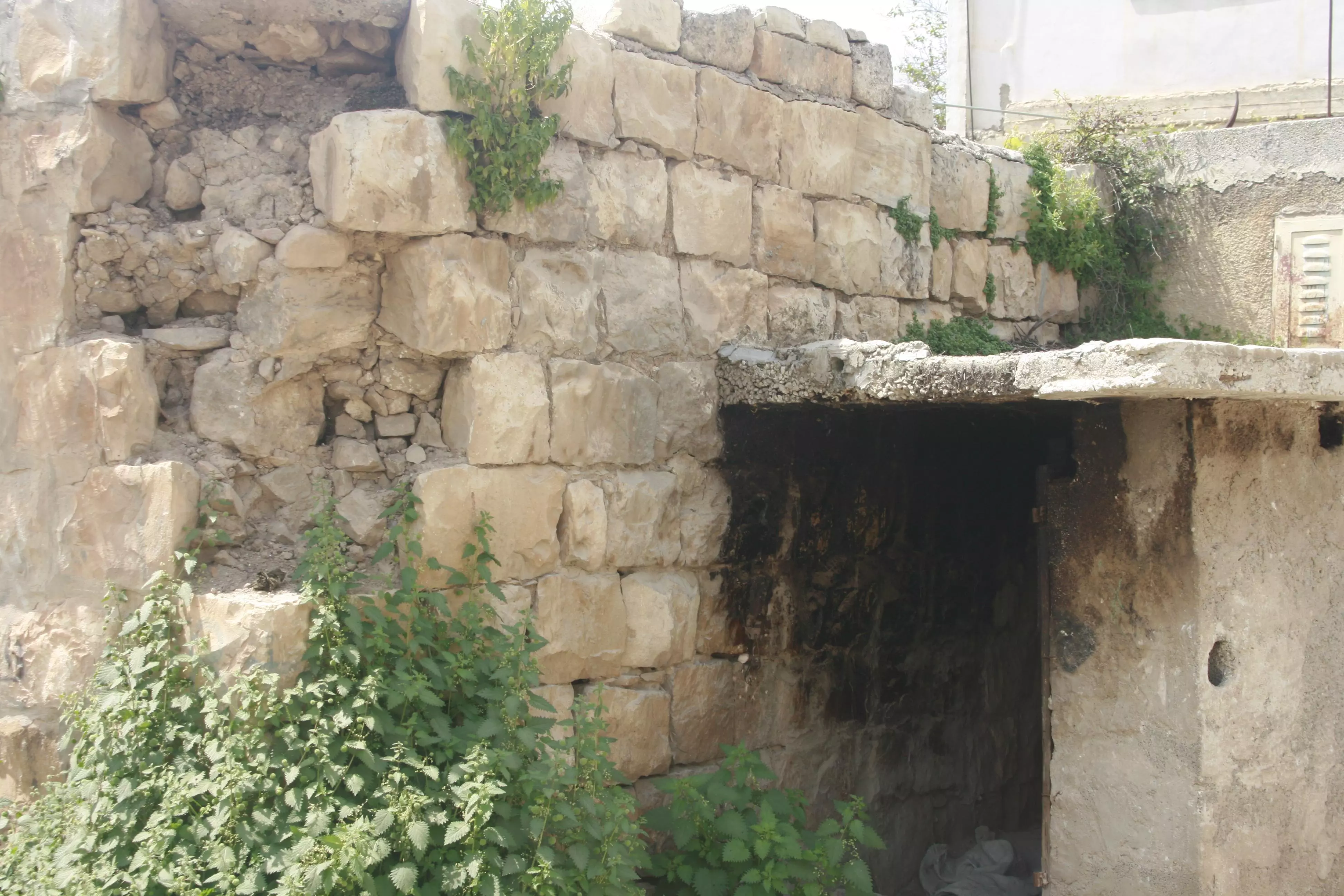
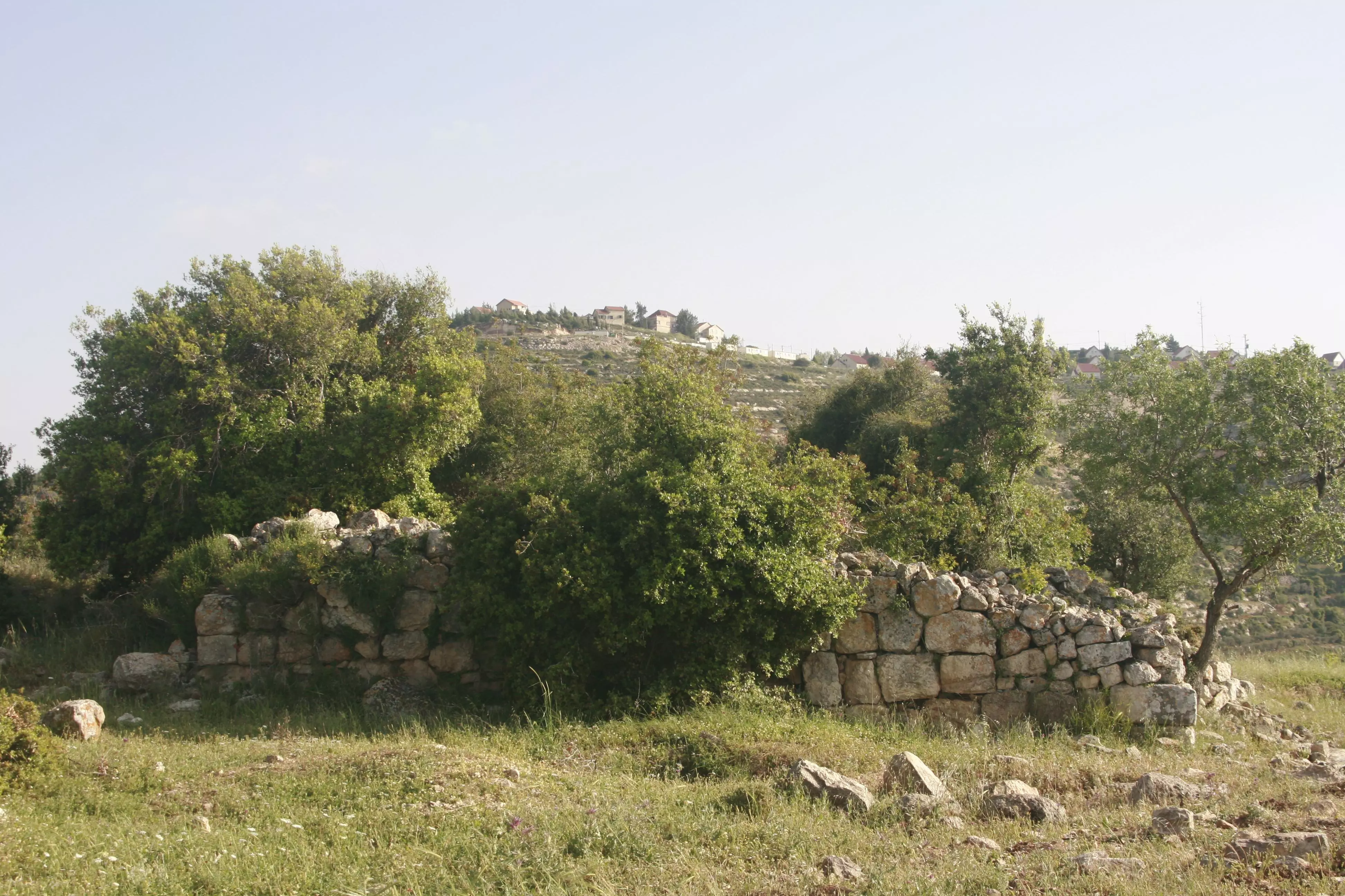
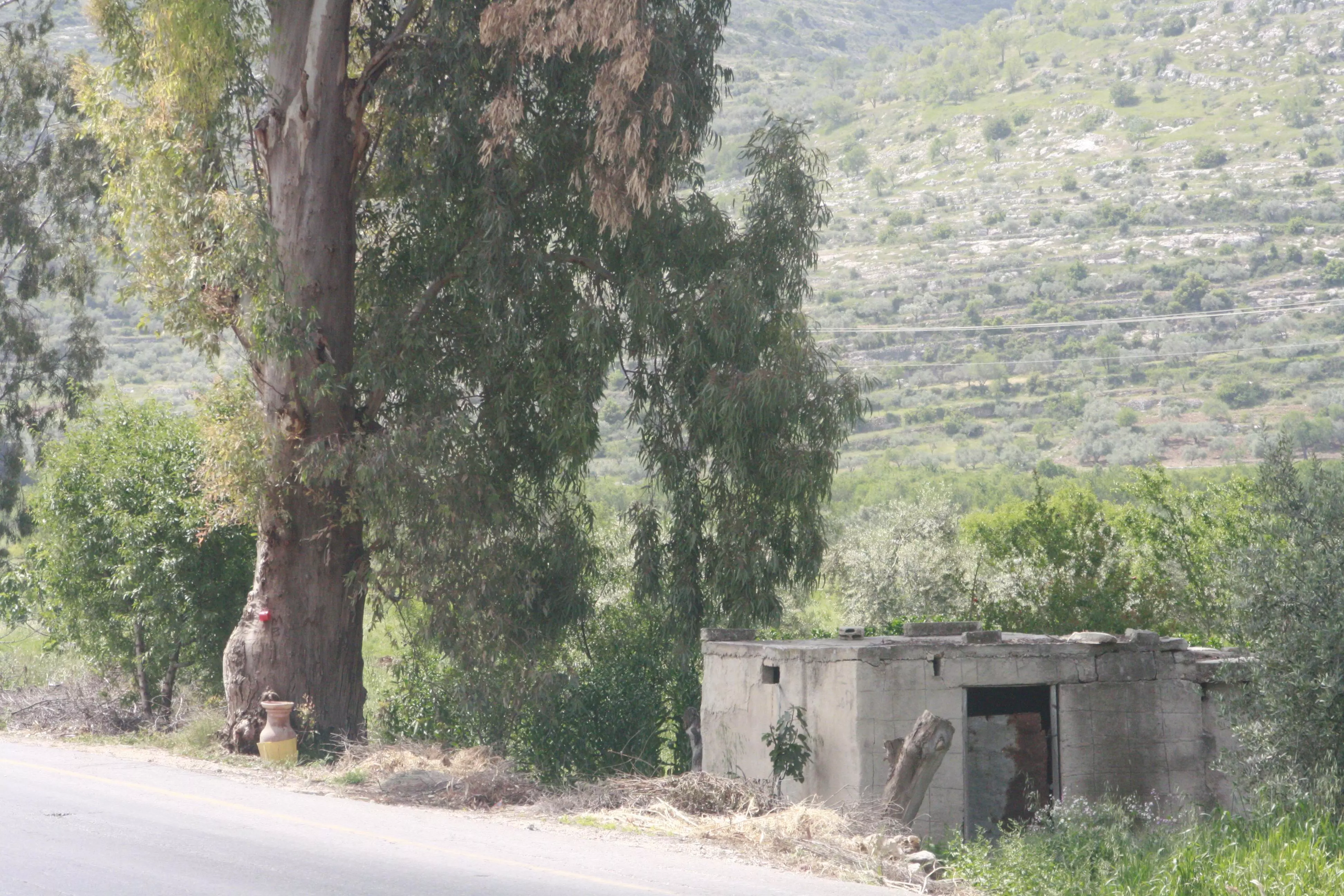
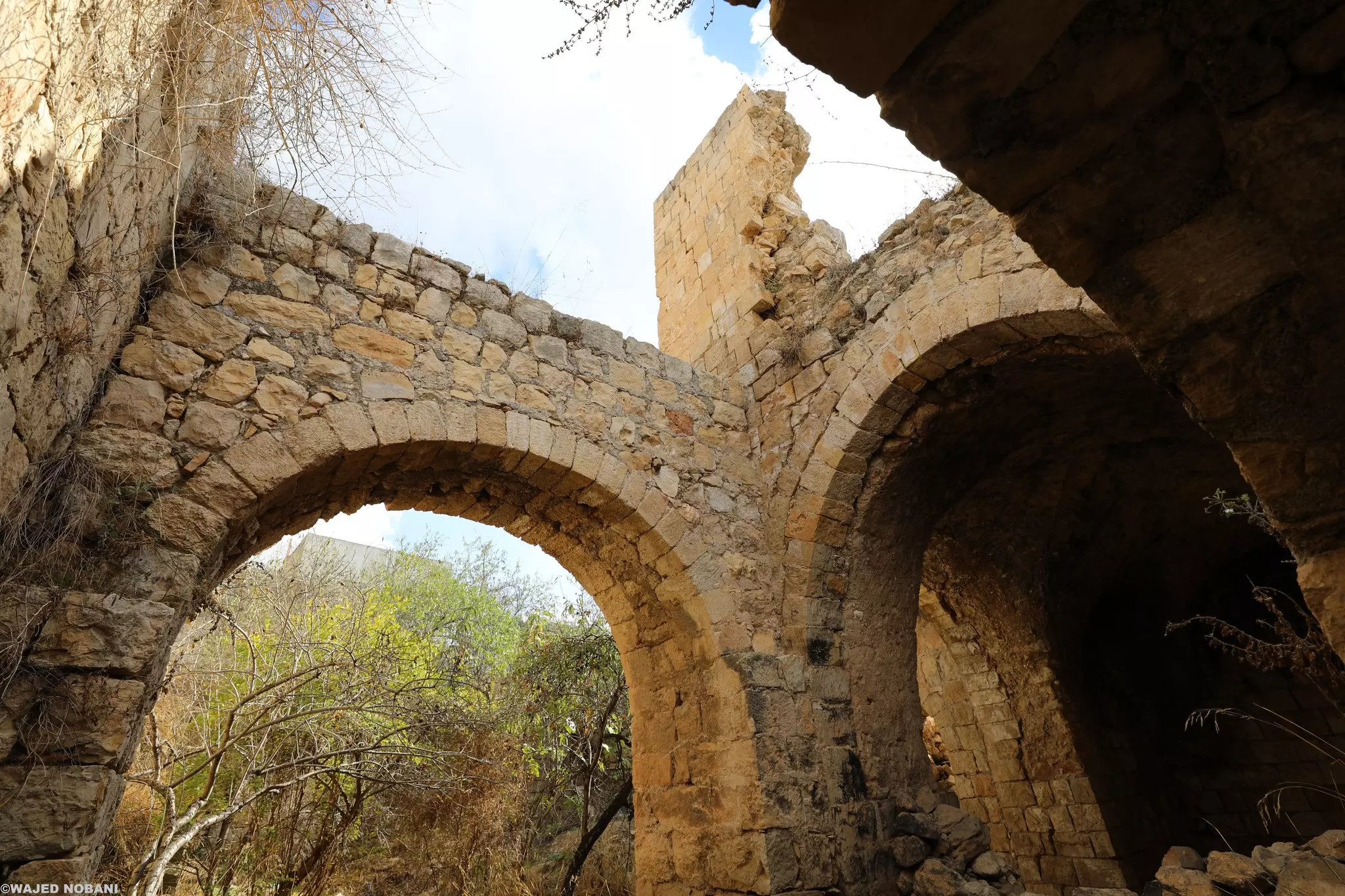
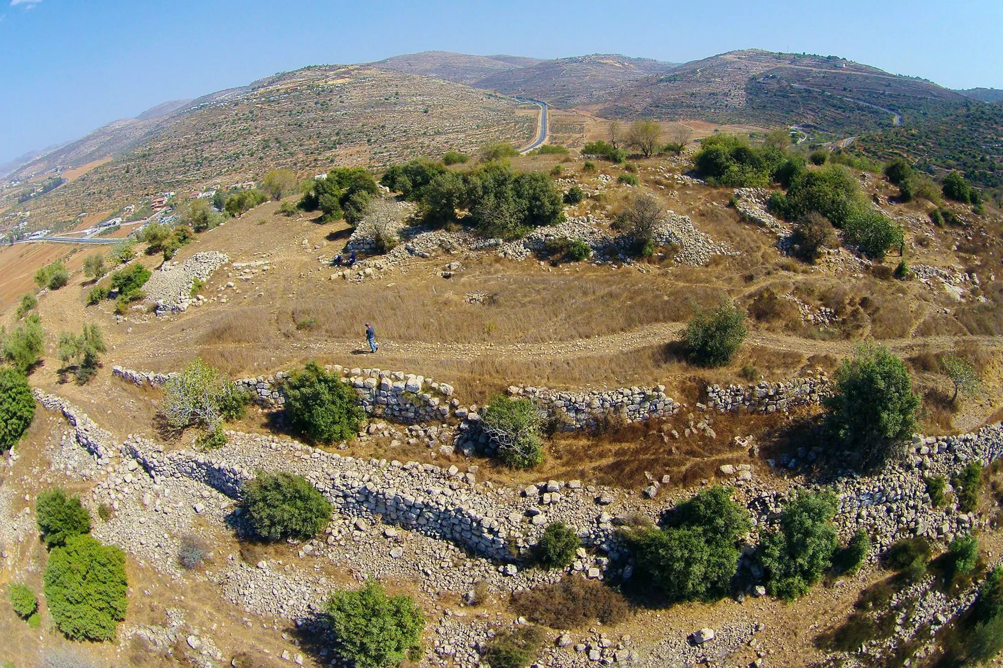
- خربة في محيط القرية
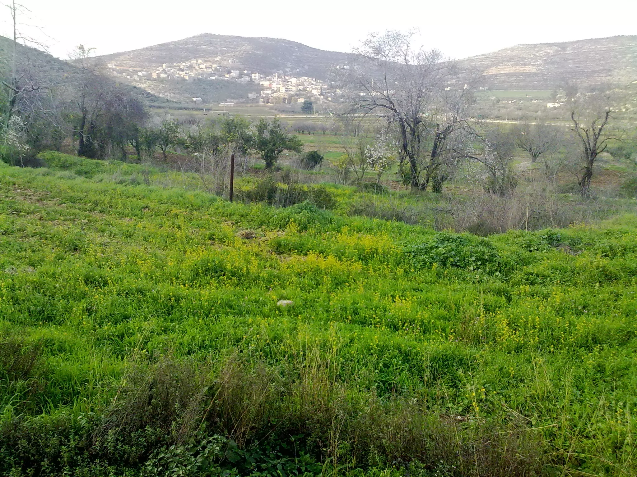
- منطقة عين مخيمر شرقي قرية اللبّن الشرقية -- واجد النوباني
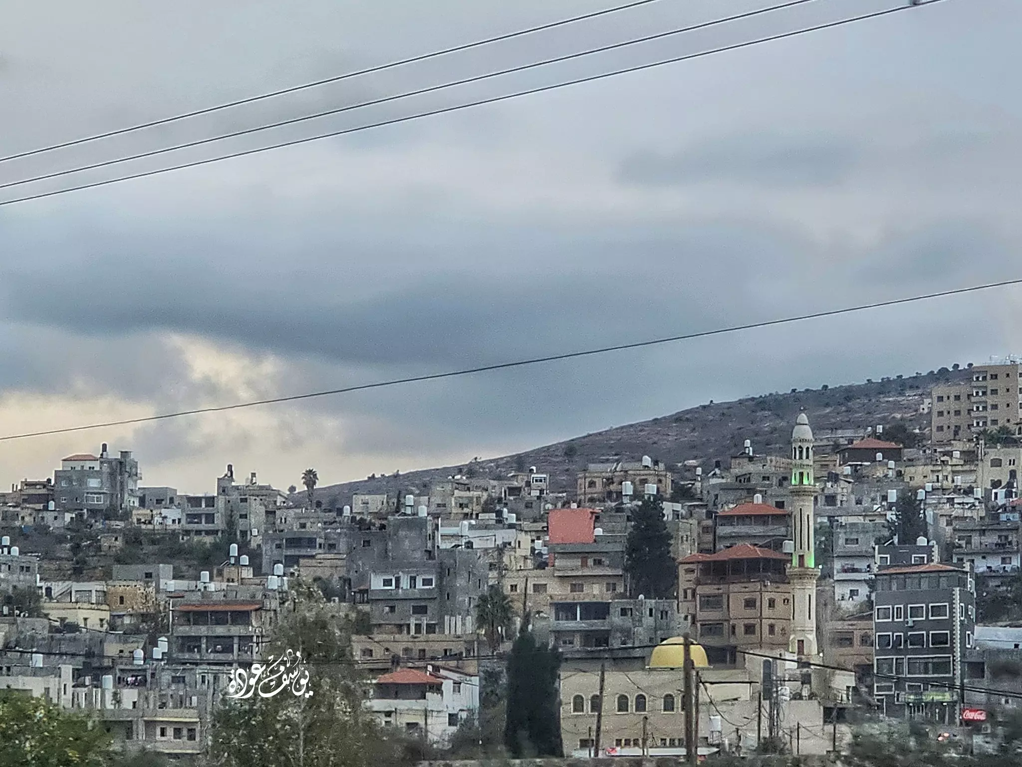
- منظر عام -- يوسف عودة
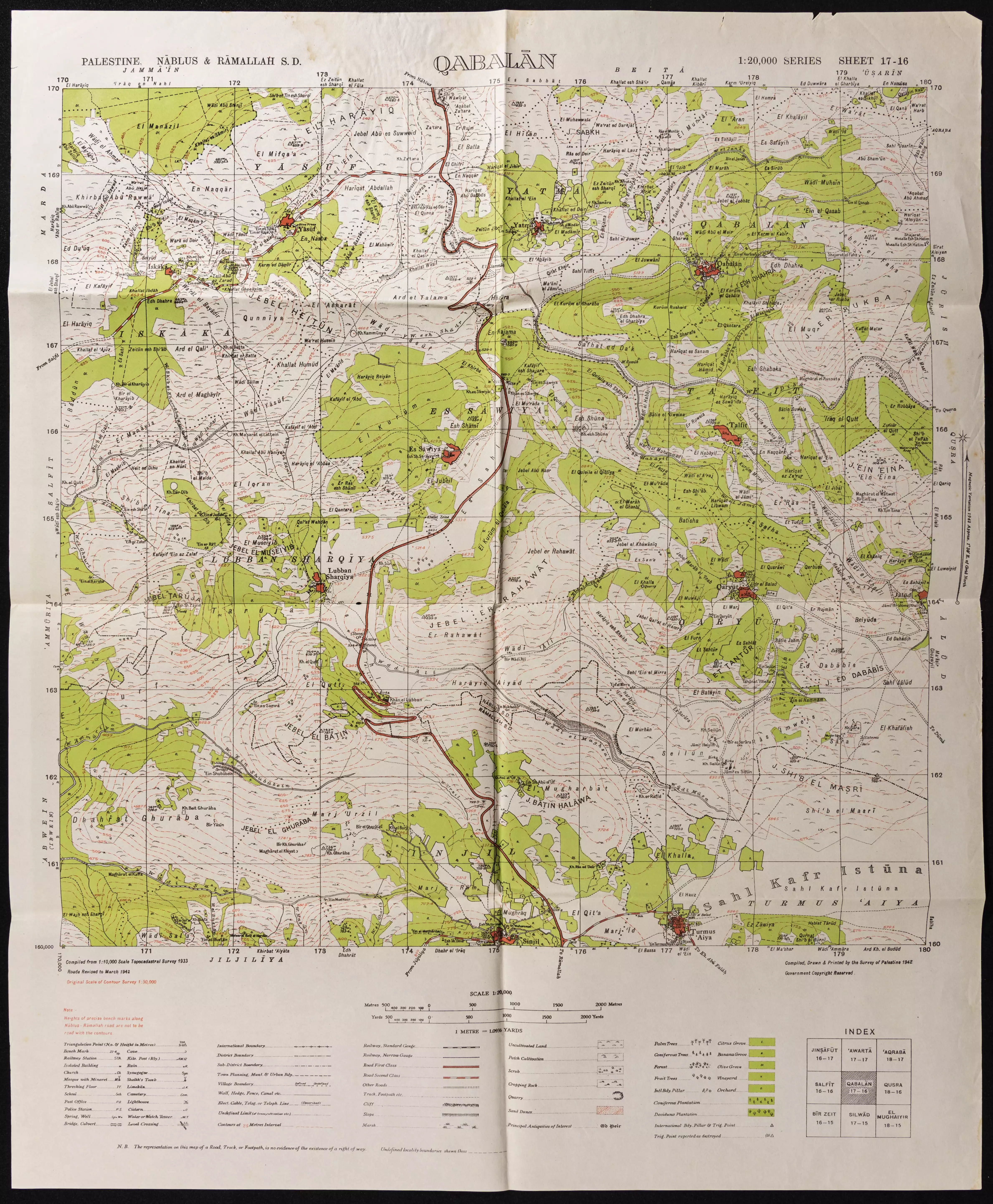
- خارطة تُظهِر الحدود والطرق بأنواعها والأماكن المقدسة والطبيعة الطوبغرافية من تلال وسهول ومنحدرات والتشكيلة الطبيعية للأرض وأنواع المزروعات. نُشرت الخريطة فترة الانتداب البريطاني، تم إضافة تعديلات عليها من قِبَل خدمة الخرائط والصور التابعة للقوات العسكرية الاسرائيلية فترة الأربعينيات.
Want to browse more? 80,000 pictures were grouped in these gallaries:
- جنازه الشهيد الحي القائد البطل ابن نابلس ابن الياسمينه باسم ابوسريه(القذافي)قائد مجموعات فارس الليل تنزيل واجد امين نوباني
Posted by واجد امين نوباني - صوره رائعه من جبل طاروجا ويظهر فيها من اليسار الاسير البطل يامن نوباني
Posted by واجد امين نوباني - الاسير يامن امين نوباني ومظهر عام للبن الشرقيه من طريق القوربات
Posted by واجد امين نوباني - الشهيد البطل الرائد حسين الزبيدي ابن اللبن الشرقية
Posted by mohammad alzubidi - الشهيد واجد النوباني اغتالته الوحدات الخاصه اليهوديه في 9-5-1989 بين اشجار زيتون سلفيت-الفاتحه
Posted by واجد امين نوباني
| Display Name | Clan/Hamolah | Country of Residence |
| Nazrene Alsiro | - | United States |
| Ahmad Al-Awaisa | - | - |
| عبدالله حامد | عويس | دبي, الامارات |
| زياد عويس | - | - |
| فلسطين | - | نابلس, اللبن الشرقية |
| بلال ضراغمه | - | نابلس |
| توفيق السيد | عوايسة | عمان, الأردن |
| هيثم عبدالله عويس | عوايسة | الكويت |
| alawisy | awis | MD, USA |
| Fadi Isam Samara | - | ill, usa |
| isam samara | daraghmeh | - |
| loay ewais | ewais | maryland, aluban all shrqeh--nablus |
| malik a. samara | - | - |
| Yousef Samara | - | - |
| juma daraghmeh | - | - |
| محمد عويس | - | اللبن الشرقية |
| واجد امين نوباني | نوباني | نابلس |
| mzaj_hi | سلمان | amman |
| abdullah khatem | عويس | amman, jordan |
| اسود الظلام | ذكر | فلسطين, فلسطين |
| هيام | عويس | - |
| lobna | - | عمان |
| shosh samara | ضراغمة | عمان, الأردن |
| ابراهيم ضراغمة | ضراغمة | hawaliy |
| عطاء | صنوبر | - |
| Abu Aweis | Aweis | New Jersey, USA |
| سوزان | - | - |
| ميار | ضراغمة | نابلس |
| ميار | - | فلسطين, فلسطين |
| ahmad ballouta | عويس | - |
| Mohammad Abdullatif | AL-Awaisa | Hawalliy, Kuwait |
| Mohammad Samhan | Daraghmeh | Miami Forida ,USA |
| Ahlam Daraghmeh | Daraghmeh | Texas, Texas |
| waelalshikh | - | damascus |
 Fake Valor: Why Did Zionist Jews Hoist Nazis Flag on Their Ships in the 1930s?
What is new?
-
Facts About Oct. 7th Gaza Raid
-
Remined Us Please:: Who Did Rape Who? Palestinians Raped Israelis? Or, was the other way around?
-
When Prof. Edward Said was invited to debate Bibi Netanyahu in the 1980s, watch what happened!
-
Ezra Klein of the NY Times on the "Jewish Race".
-
Abusing Blood Libel!
-
Did Israeli Soldiers Activate The Hanniba Direective On Oct. 7th? You Be The Judge
-
Zionist FAQ: Isn't it true that Palestinians don't want peace? Palestinians never accepted the two-state solution
- Facts about Haavara (Transfer) Agreement between Ben-Gurion & Hitler
-
Haavara FAQs: Why Did Zionist Jews Hoist Nazis' Flags on Their Ships in the 1930s?
- Haavara FAQs: When Chaim Weizmann met FDR in mid-1943, why was he silent about rescuing European Jewry?
-
Dear ChatGPT: How did Palestinians resist Napoleon's invasion of their country in 1799?
-
Dear ChatGPT: Gaza had a vibrant Jewish community in the mid-17th century. What happened to them?
-
Dear ChatGPT: Why did the Jewish Agency suppress news of the Holocaust during WWII?
-
Video Playlist: Jews share their DNA tests to end the conflict for good.
-
A Tale of Two Conflicts: Examining the Definition of Genocide
-
Prof. Abraham Polak And The Suppressed History of the Khazars and European Jewry
-
How Ronald Reagan would have framed the genocide in Gaza if he were still alive?
-
Haavara FAQs: Let us do the math: how many German Jews did The Haavara Agreement save?
-
Zionist FAQs: The Hebron Massacre of 1929, "clearly proves" that Palestinians are antisemitic, how could you deny it?
-
Zionist FAQs: Why Anti-Zionist Is Not Antisemitism?
-
Zionist FAQs: Isn't it true that the KGB created Palestinian Nationalism in the early 1960s?
- Zionist FAQs: Muslims are killing Muslims all the time; why are Israeli Jews being singled out in the media?
- Zionist FAQs: How is Israel an apartheid state when 20% of its citizens are Arabs who enjoy full rights?
-
Haavara FAQs: Why Did Dorothy Thompson Flip From A Zionist Advocate to A Silenced Dissenter?
-
Haavara FAQs: Analysis of Herzl's Uganda Scheme and how it could have saved millions of Jews.
-
Haavara FAQs: Why did Hayim Greenberg describe American Jewry as "morally bankrupt" in early 1943?
-
Haavara FAQs: What if the Evian Conference was a resounding success? What would have been the impact of saving European Jewry on Zionism?
- Haavara FAQs: What if the six million were saved, how that would have impacted the Zionist project?
-
Haavara FAQs: How did Zionist leaders react when Europe's Jews lingered in the DP camps after WWII ended?
-
Why does the American Jewish community repeat lies that David Ben-Gurion had debunked before he died?
-
Who has the power to rename the Tatar/Khazar Gene Marker to Jewish IV?
-
Zionist FAQs: Why won't Egypt, Syria, and Jordan take their people back? Jews are indigenous to Palestine, and Arabs immigrated after Jews developed the country. Arabs should leave.
-
Haavara FAQs: Did Hitler and the Nazis conflate between Judaism and Zionist? If that wasn't case, then why?
-
Haavara FAQs: Winston Churchill and antisemitism, a collection of articles written Churchill.
-
Haavara FAQs: Broken by country, how many Jews survived vs. killed during the Holocaust?
-
Haavara FAQs: Why did European Jews vote with their feet and to immigrated to the Americas, not Palestine, after WWII?
-
Watch this American Jewish Girl describing Israeli Jews' cognitive dissonance like no other in under two minutes
-
Haavara FAQs: When the Nazis went out of their way to hide the Holocaust, Israeli Jews did the exact opposite by broadcasting their genocide of Gazans. But why?
-
Haavara FAQs: How Zionist Jews went out of their to show their appreciation to Nazism and Fascism?
- Haavara FAQs: Why Zionist leaders were against bombing the death camps & the Railroads leading to them?
-
Haavara FAQs: Hitler's message to the British and American people: If Jews are such noble citizens and you care about them, how come you're not letting them in? I will gladly ship them to you at my expense, even on luxury liners!
-
A shortlist of Zionist and Israeli false flag operations in the name Jews.
-
The Most Moral Army
- The Land of Kapos (Israel): Where the brave are boycotted and Kapos walk free.
- Why did early Zionists often named their communal enterprises "colonial"?
- Zionist Relations with Nazi Germany by Faris Glubb
-
Two NY Times advertisements by Zionists in the early 1943 that exposes Zionists' treason at the height of the calamity
- Facts Not Lies about the Palestinian-Israeli Conflict.
- Site's pictures have been categorized
- Campgain Against Lice
- A Survey of Palestine, the official source about Palestine before Nakba produced by the British Mandate; over 1200 pages.
- Satellite View & Google Earth: Over 6,000 placemarks identifying all destroyed towns, W. Bank & Gaza Strip Towns, & refugee camps.
- PalestineRemembered.com and its Nakba Oral History Project were featured on al-Jazeera Satellite TV.
- Nakba Oral History Video Podcast:
 Over 700 Oral History interviews (including 3,500+ hours of recording) can be viewed online.
 - Palestine Village Statistics Project
- Gaza Jail Break
- النسخة العربية للموقع الان متوفرة
- Videos: Documenting the destroyed villages in video: Tracing all that remains since Nakba.
- Videos: Responding to Zionist Propaganda
- Interview: The ethnic cleansing of Palestine: George Galloway interviews Israeli Historian Ilan Pappe.
- For Palestinians, memory matters. It provides a blueprint for their future By George Bisharat.
- Zionist FAQ now available in Hebrew שאלות שציונים שואלים, עכשיו בעברית
- Video: The Stephen Walt and John Mearsheimer report on the influence of the Israel Lobby on U.S. Foreign Policy
- The Palestinian-Israeli conflict for beginners
