| PalestineRemembered | About Us | Oral History | العربية | |
| Pictures | Zionist FAQs | Haavara | Maps | |
| Search |
| Camps |
| Districts |
| Acre |
| Baysan |
| Beersheba |
| Bethlehem |
| Gaza |
| Haifa |
| Hebron |
| Jaffa |
| Jericho |
| Jerusalem |
| Jinin |
| Nablus |
| Nazareth |
| Ramallah |
| al-Ramla |
| Safad |
| Tiberias |
| Tulkarm |
| Donate |
| Contact |
| Profile |
| Videos |
Welcome To Dayr Nakhkhas - دير النخاس (דיר נח'אס)
|
District of Hebron
Ethnically cleansed days ago |
العربية Google Earth |
 |
Gallery (35) |
- Statistics & Facts
-
Before & After

- Satellite View
- Articles 2
- Pictures 35
- Aerial Views 1
- Oral History 3
- Members 13
- All That Remains
- Wikipedia
- Videos
- Guest Book 4
- Links
| Statistic & Fact | Value | ||||||||||||||
| Occupation Date | October 29, 1948 | ||||||||||||||
| Distance From District | 20 (km) Northwest of Hebron | ||||||||||||||
| Elevation | 325 (meters) | ||||||||||||||
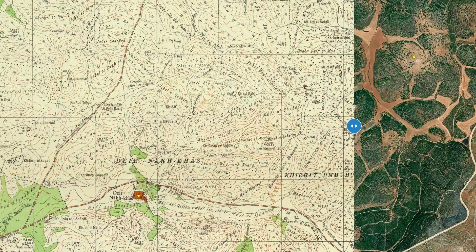
| Before & After Nakba, Click Map For Details |
|||||||||||||||
|
|||||||||||||||
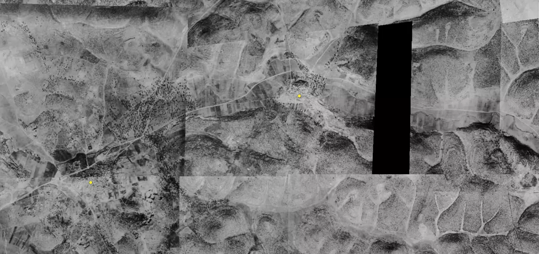
| Pre-Nakba Aerial View |
|||||||||||||||
|
|||||||||||||||
| Map Location | See location #13 on the map View from satellite |
||||||||||||||
| Military Operation | Operation Yo'av (commanded by the ethnic cleansing champion Yigal Allon). | ||||||||||||||
| Defenders | Egyptian Army | ||||||||||||||
| Exodus Cause | Military assault by Zionist troops | ||||||||||||||
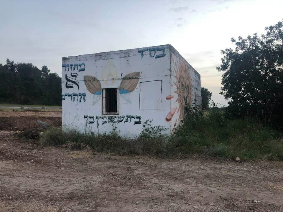
| Village Temains | Dayr Nakhkhas was completely destroyed with the exception of few deserted and partially destroyed houses. | ||||||||||||||
| Ethnically Cleansing | Soon after the massacre committed at al-Dawayima, a nearby village, Dayr Nakhkhas inhabitants were terrorized in leaving their village. | ||||||||||||||
| Pre-Nakba Land Ownership |
**Town Lands' Demarcation Maps |
||||||||||||||
| Land Usage As of 1945 |
|
||||||||||||||
| Population |
|
||||||||||||||
| Number of Houses |
|
||||||||||||||
| Near By Towns |
|||||||||||||||
|
|
|||||||||||||||
| Nearby Wadies & Rivers | The village overlooks Wadi Bayt Jibrin to the north. | ||||||||||||||
| Archeological Sites | Dayr Nakhkhas was built on top of an archaeological site, and it also contains fifteen other archaeological sites. | ||||||||||||||
| Exculsive Jewish Colonies Who Usurped Village Lands |
No Israeli settlements on village lands. | ||||||||||||||
| Featured Video | |||||||||||||||
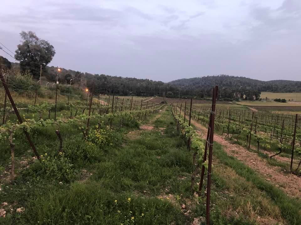
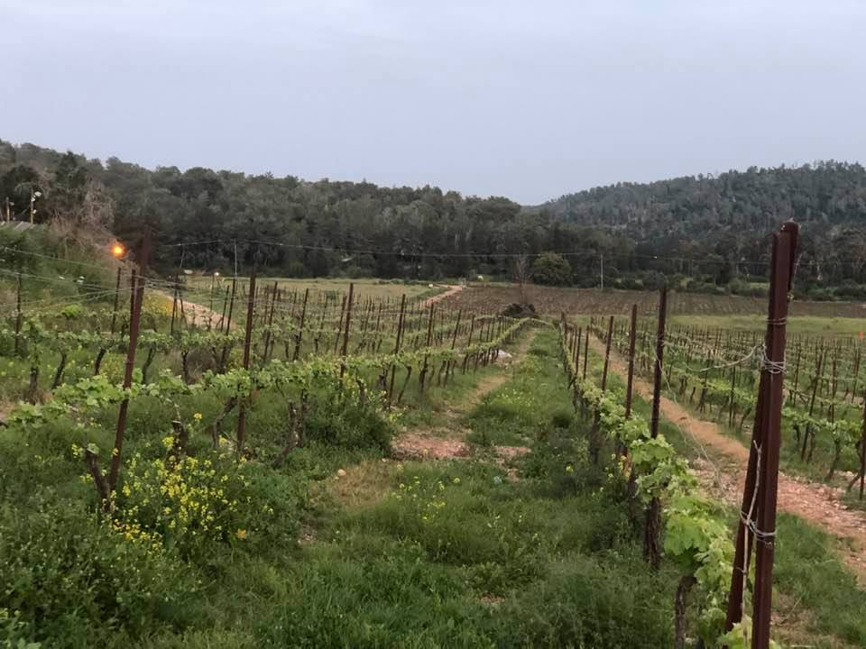
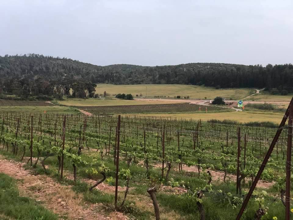
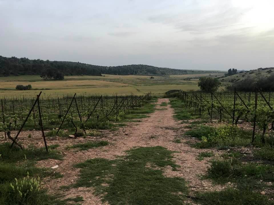
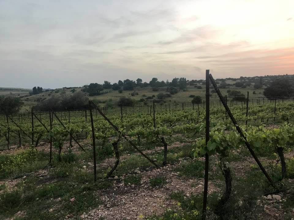
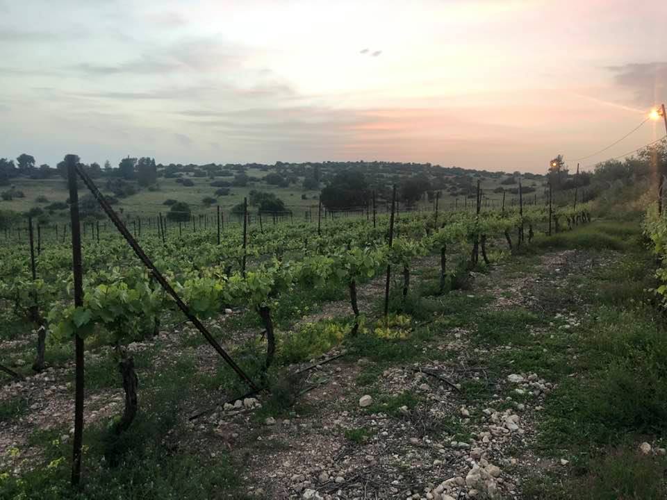
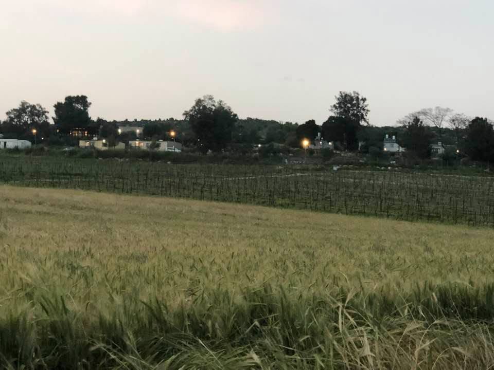
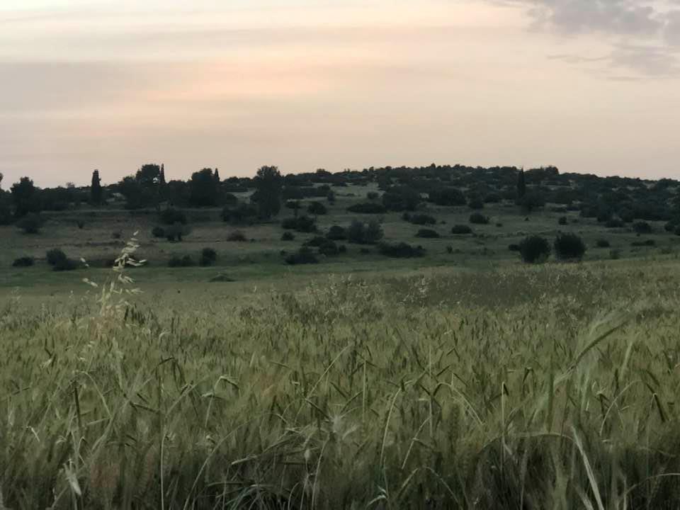
Village Before NakbaThe village was situated on a hilltop underlain by hard limestone, overlooking Wadi Bayt Jibrin to the north. It was on the south side of the Hebron-Bayt Jibrin-al-Majdal highway and was linked to several adjacent villages by secondary roads. The second part of its name, Nakhkhas, may have been derived from a common Semitic word for copper. In 1596, Dayr Nakhkhas was a village in the nahiya of Halil , in the liwa' of Jerusalem, with a population of seventy-two. It paid taxes on a number of crops, including wheat, barley, and olives, as well as on other types of produce, such as goats and beehives.In the late nineteenth century, Dayr Nakhkhas was a small village perched on a high steep hill overlooking a valley to the north. Rectangular in layout, the village expanded along, and toward, the road linking it to Hebron. The people of Dayr Nakhkhas were Muslims, and their houses were built of stone. The children attended schools in the adjacent villages. The residents of Dayr Nakhkhas were engaged mainly in agriculture and animal husbandry they cultivated a number of crops, especially grain, olives, and grapes. In 1944/45 a total of 4,887 dunums was allotted to cereals 362 dunums were irrigated or used for orchards. Their nonagricultural land, overgrown with woods, shrubs, and wild grasses, served as pasture for their goats and sheep. Dayr Nakhkhas was located in an area rich in archaeological sites. In the nearly 15,000 dunums that belonged to the village there were some fifteen sites, including the village itself (which was built over an archaeological site). Village Occupation and Ethnic CleaningThe village was occupied at the same time as Bayt Jibrin, in the third stage of Operation Yo' av. After the bulk of the operation was over, some Israeli units continued to advance eastwards in the Hebron area, occupying Dayr Nakhkhas on 29 October 1948. On the same day, the Israelis perpetrated a massacre at nearby al-Dawayima. Israeli historian Benny Morris claims that the massacre precipitated a massive flight of people from the area around Dayr Nakhkhas.Zionists Colonies on Village LandsThere are no Israeli settlements on village lands. Nechusha, founded in 1982, is about 3 km due west on the land of Khirbat Umm Burj.Village TodayNothing remains of the village except a few deserted houses and the rubble of others. One deserted house is made of concrete and has rectangular windows and a flat roof. It is marked with Arabic graffiti and stands in the midst of tall wild grasses and weeds. There is a fenced-in cave. The surrounding land is cultivated by Israeli farmers.SourceDr. Walid al-Khalidi, 1992: All That Remains. |
|||||||||||||||
| Related Maps | Town Lands' Demarcation Maps خرائط للقضاء توضح حدود القرى والاودية Town's map on MapQuest View from satellite Help us map this town at WikiMapia |
||||||||||||||
| Related Links | Wikipedia's Page Facebook Page Google Search Google For Images Google For Videos |
||||||||||||||
| More Information | في كتاب كي لا ننسى في كتاب بلادنا فلسطين المزيد من موقع هوية |
||||||||||||||
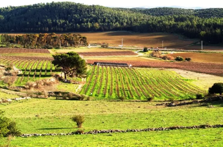
- Village Land Being Cultivated By Israelis In 1987
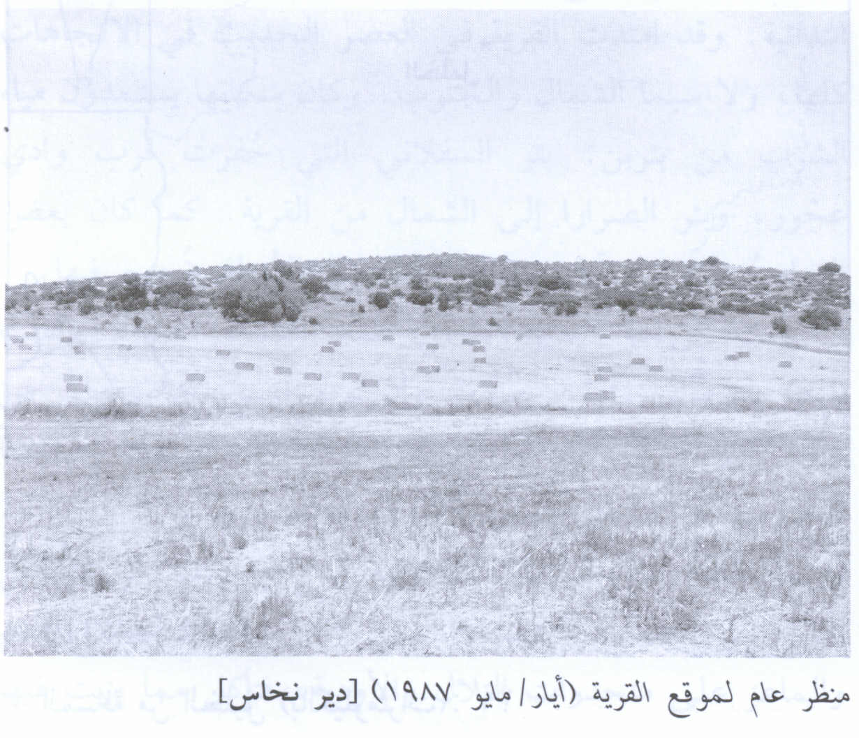
Scanned from "All That Remains" by Dr. Walid Khalidi 2 - Mahmood Lafi Alshatart -Abu Ratib
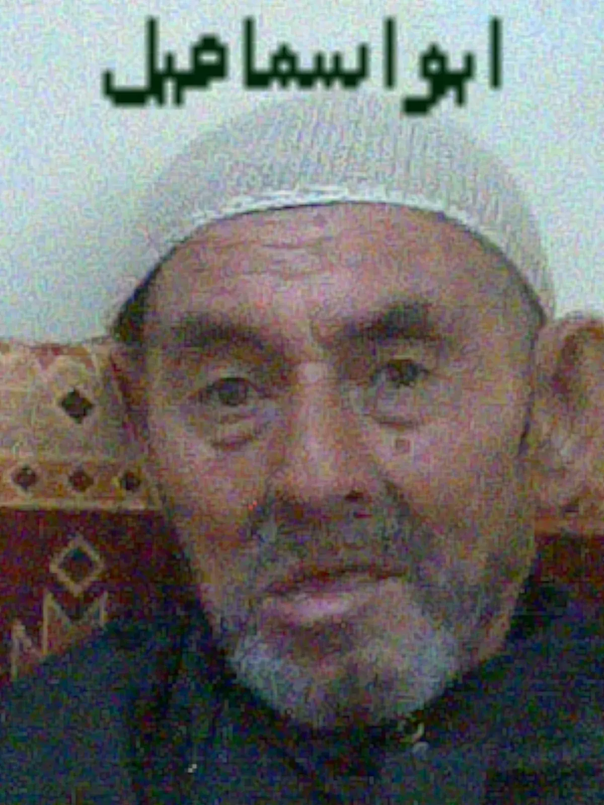
Posted by رامي عزمي يوسف الشطرات 13 - مصطفى اسماعيل احمد مصطفى سلامة غانم
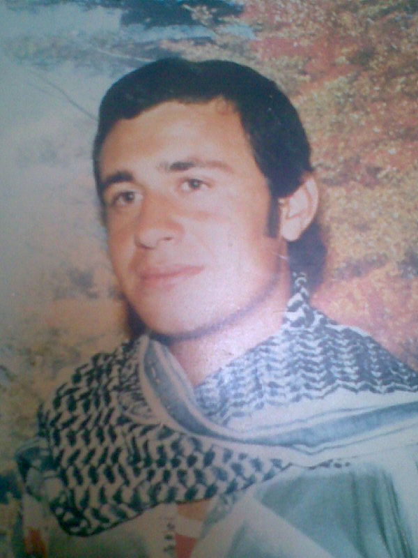
Posted by خليل - الشهيد غالب بوسف احمد غانم من مواليد 14/10/1962 في مخيم عبن السلطان شارك في النضال الفلسطيني واستشهد في حاصبيا جنوب لبنان بتاريخ 5/2/1989
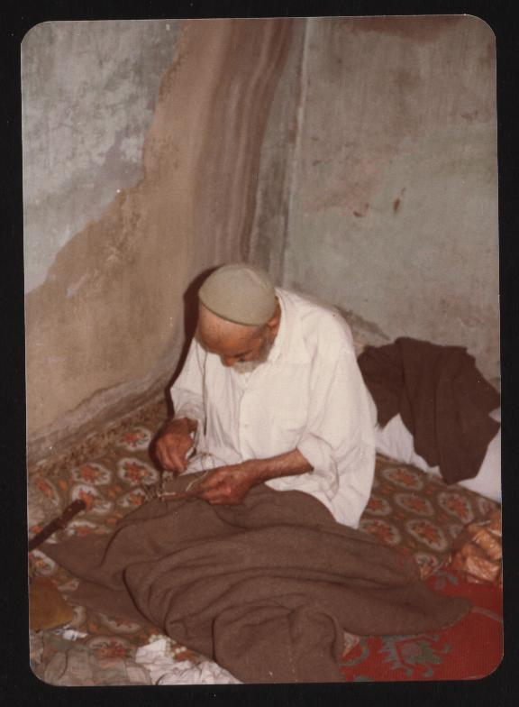
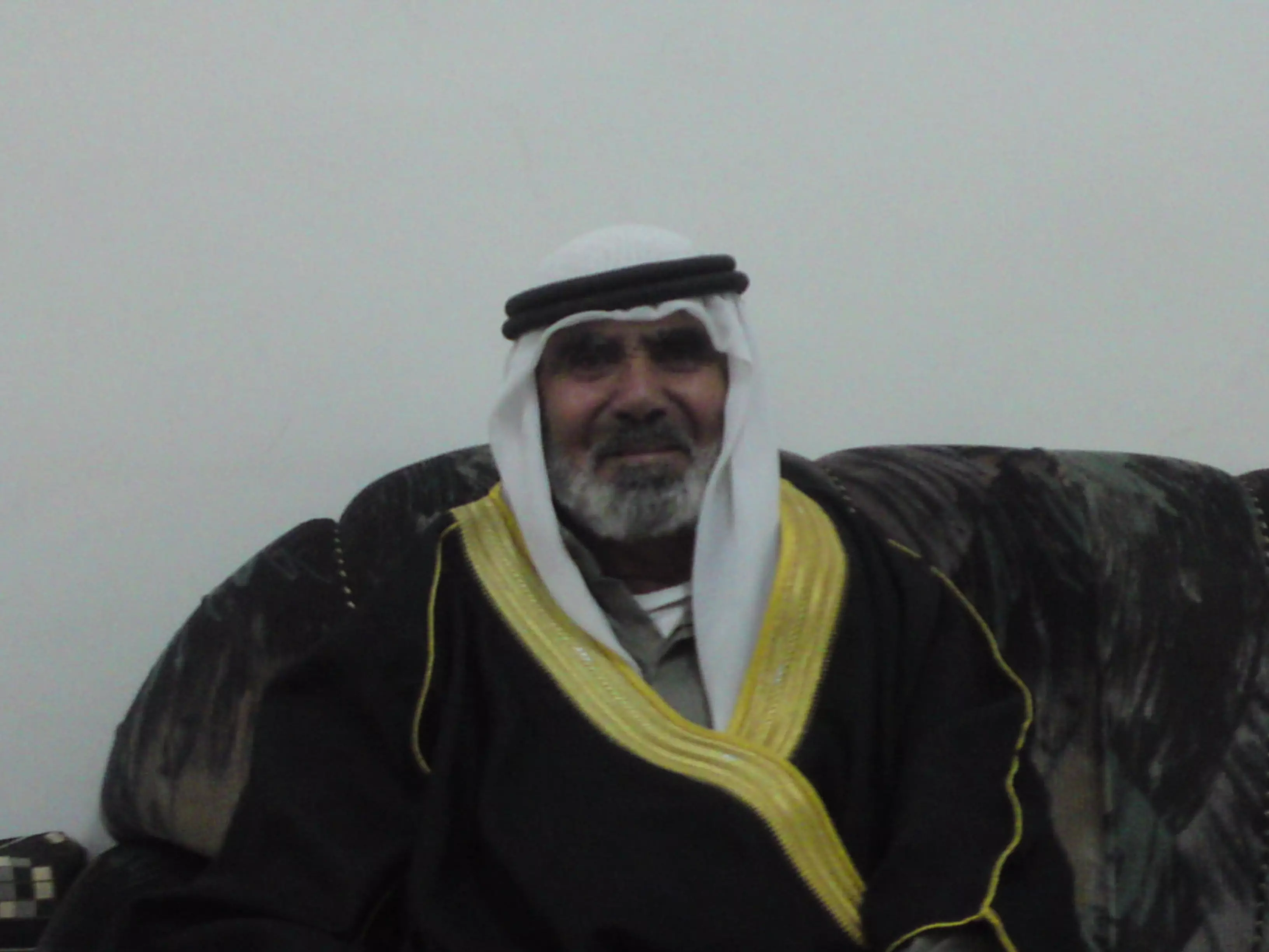
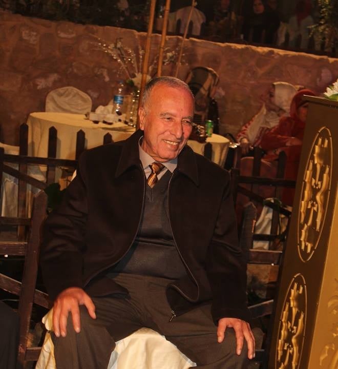
Posted by خليل 1 - الحاج/جبريل احمد ابو زيدان
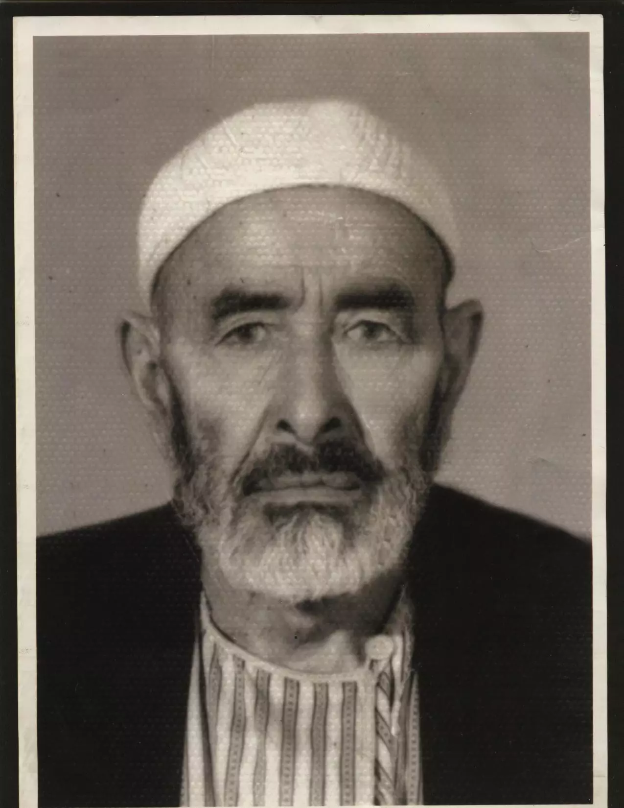
Posted by مي ابو زيدان - الحاج/جبريل احمد ابو زيدان
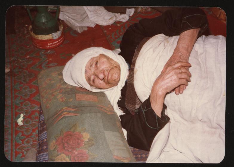
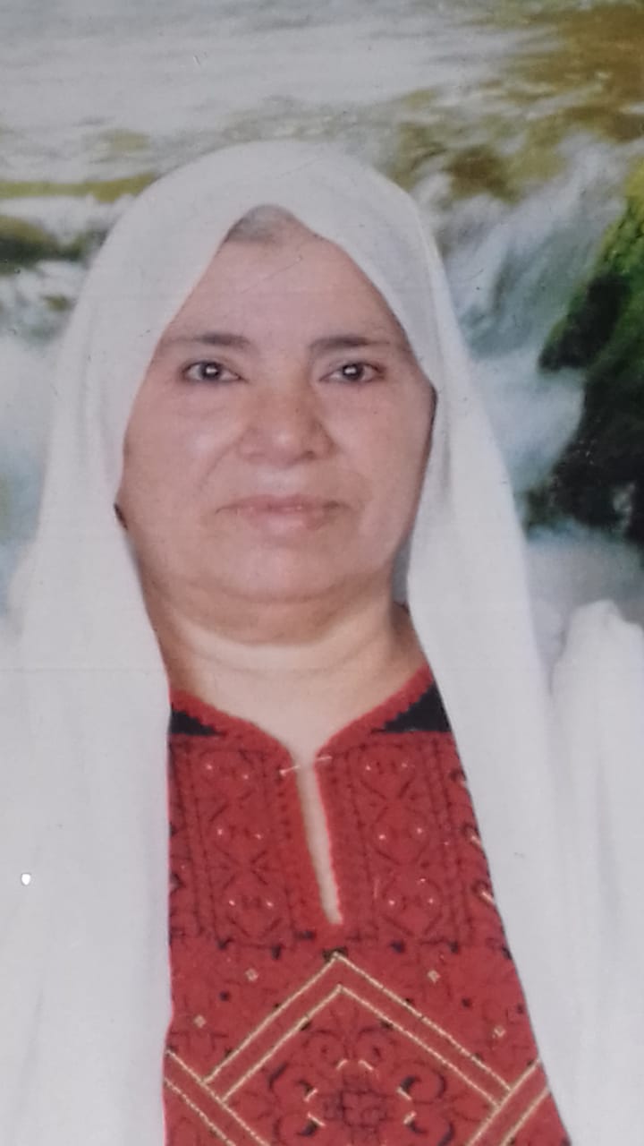
Posted by مي ابو زيدان - الحاجة/مريم زوجة الحاج/جبريل احمد ابو زيدان
Posted by مي ابو زيدان - الحاج/محمد خليل احمد ابو زيدان
Posted by مي ابو زيدان 1 - الحاجة/ نعمة جبريل احمد ابو زيدان ــــــــ زوجة الحاج/محمد خليل احمد ابو زيدان
Posted by مي ابو زيدان - علي محمد بدوان الشطرات
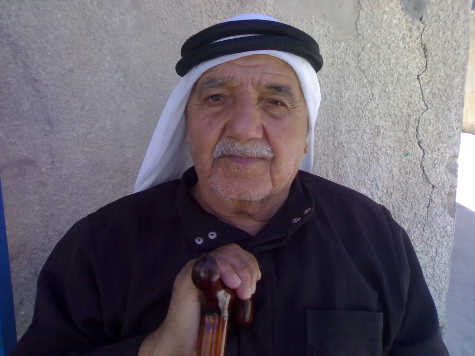
Posted by هاني الشطرات 3 - الشيخ ابو سفيان الشطرات ونجله سفيان
Posted by أبو غزل - الحاج ابو طلال ابوقطام - كبير حمولة ابو قطام / دير نخاس
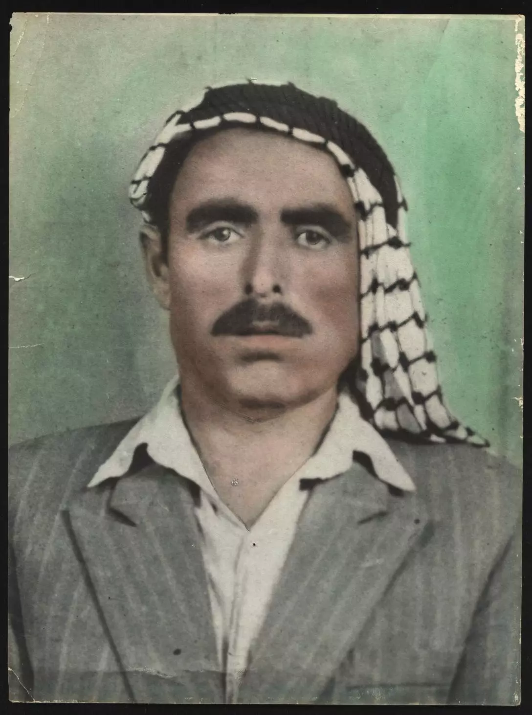
Posted by فراس ابوقطام 1 - الحاج محمد عطا الله العزاومه
Posted by fadi2m arbee - اللواء / إسماعيل محمد خليل أبوزيدان ,,, حفظه الله
Posted by محمد أبوزيدان - اراضي دير نخاس
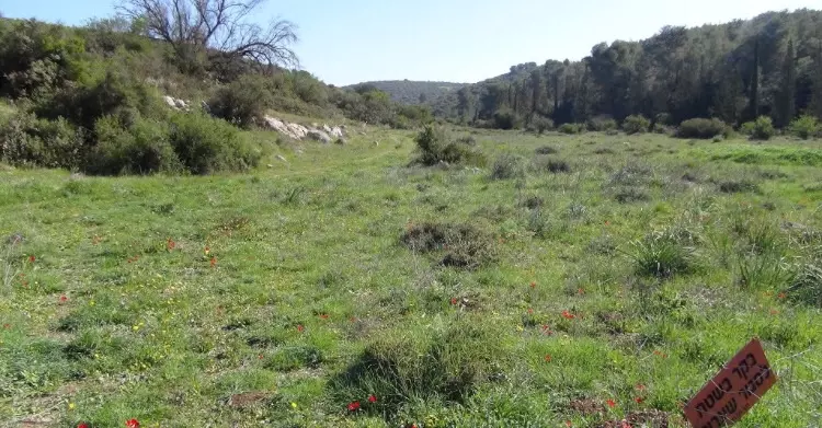
Posted by abu raya - دير نخاس
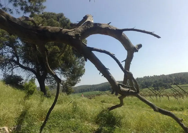
Posted by abu raya - دير نخاس
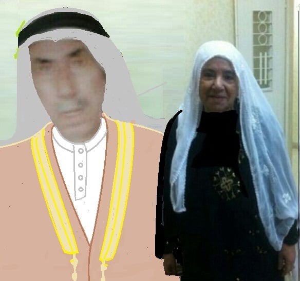
Posted by abu raya - ابو موسى حسين نصار عبدالوهاب وزوجته عزيزه محمود عرب
Posted by ابو حسن - ابو موسى حسين نصار عبدالوهاب وزوجته عزيزه محمود عرب
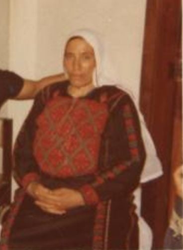
Posted by ابو حسن - عزيزه محمود عرب ام موسى زوجة حسين حسن نصار عبدالوهاب

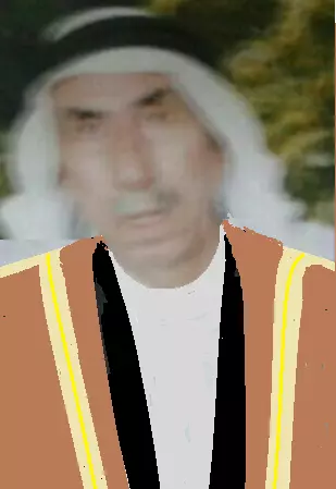
Posted by ابو حسن - ابو موسى حسين نصار عبدالوهاب
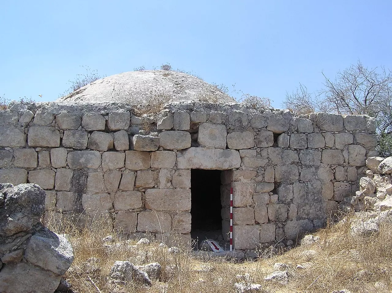
Posted by ابو حسن - مقام الشيخ عشيش
- Pre-Nakba Aerial view of the village / صورة من الجو للقرية اخذت قبل النكبة
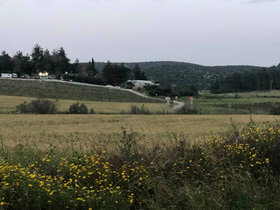
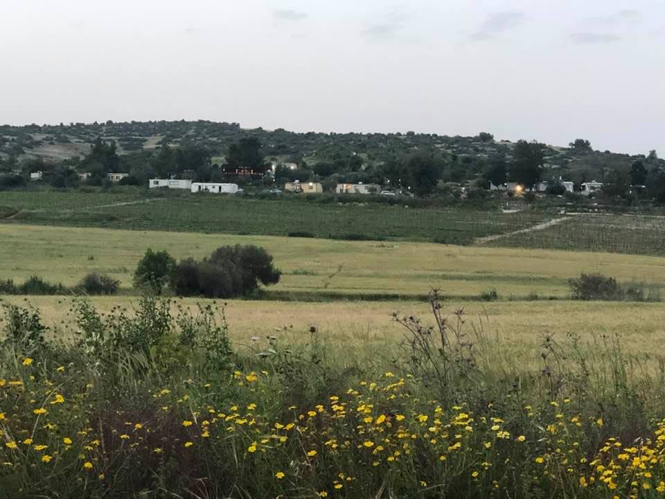
- Let us see how the most "liberal & civilized" of world Jewry had obliterated our village. How else will the Jews be great & safe again? We found only two structures remaining
- Let us see how the most "liberal & civilized" of world Jewry had obliterated our village. How else will the Jews be great & safe again? We found only two structures remaining #2
- Let us see how the most "liberal & civilized" of world Jewry had obliterated our village. How else will the Jews be great & safe again? We found only two structures remaining #3
- Let us see how the most "liberal & civilized" of world Jewry had obliterated our village. How else will the Jews be great & safe again? We found only two structures remaining #4
- Let us see how the most "liberal & civilized" of world Jewry had obliterated our village. How else will the Jews be great & safe again? We found only two structures remaining #5
- Let us see how the most "liberal & civilized" of world Jewry had obliterated our village. How else will the Jews be great & safe again? We found only two structures remaining #6
- Let us see how the most "liberal & civilized" of world Jewry had obliterated our village. How else will the Jews be great & safe again? We found only two structures remaining #7
- Let us see how the most "liberal & civilized" of world Jewry had obliterated our village. How else will the Jews be great & safe again? We found only two structures remaining #8
- Let us see how the most "liberal & civilized" of world Jewry had obliterated our village. How else will the Jews be great & safe again? We found only two structures remaining #9
- Let us see how the most "liberal & civilized" of world Jewry had obliterated our village. How else will the Jews be great & safe again? We found only two structures remaining #10
- Let us see how the most "liberal & civilized" of world Jewry had obliterated our village. How else will the Jews be great & safe again? We found only two structures remaining #11
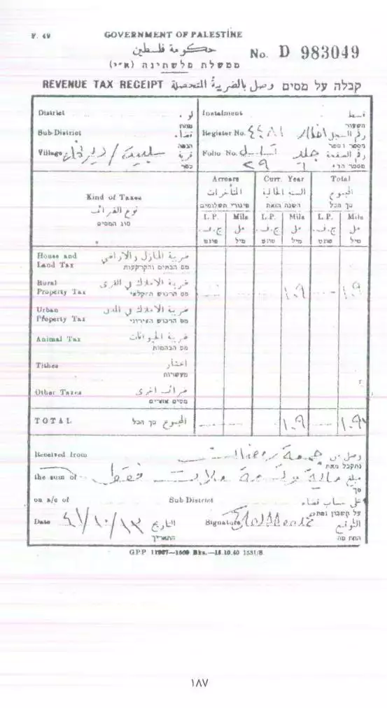
- وصل دفع ضريبة قبل النكبة -- 1941
Want to browse more? 80,000 pictures were grouped in these gallaries:
| Display Name | Clan/Hamolah | Country of Residence |
| علي أبو قطام | أبو قطام | Not Applicable, España |
| محمد أبوزيدان | - | فلسطين |
| فراس ابوقطام | ابو قطام | - |
| سفيان داود لافي الشطرات | الشطرات | عمان |
| mohammed al khatib | - | - |
| صبري المزرعاوي | المزرعاوي | الرياض |
| ناصر محمود عبد الرحيم الشطرات | الشطرات | California, USA |
| رامي عزمي يوسف الشطرات | الشطرات | California, USA |
| نزار محمود الشطرات | - | - |
| رامي محمود الشطرات | الشطرات | - |
| عمر محمد عبدالفتاح | الشطرات | - |
| khaled alshatarat | Alshatarat | - |
| Ahmad Shatarat | Alshatarat | Jordan, Jordan |
No links have been shared yet, be free to the first to share the first link.
 Fake Valor: Why Did Zionist Jews Hoist Nazis Flag on Their Ships in the 1930s?
What is new?
-
Facts About Oct. 7th Gaza Raid
-
Remined Us Please:: Who Did Rape Who? Palestinians Raped Israelis? Or, was the other way around?
-
When Prof. Edward Said was invited to debate Bibi Netanyahu in the 1980s, watch what happened!
-
Ezra Klein of the NY Times on the "Jewish Race".
-
Abusing Blood Libel!
-
Did Israeli Soldiers Activate The Hanniba Direective On Oct. 7th? You Be The Judge
-
Zionist FAQ: Isn't it true that Palestinians don't want peace? Palestinians never accepted the two-state solution
- Facts about Haavara (Transfer) Agreement between Ben-Gurion & Hitler
-
Haavara FAQs: Why Did Zionist Jews Hoist Nazis' Flags on Their Ships in the 1930s?
- Haavara FAQs: When Chaim Weizmann met FDR in mid-1943, why was he silent about rescuing European Jewry?
-
Dear ChatGPT: How did Palestinians resist Napoleon's invasion of their country in 1799?
-
Dear ChatGPT: Gaza had a vibrant Jewish community in the mid-17th century. What happened to them?
-
Dear ChatGPT: Why did the Jewish Agency suppress news of the Holocaust during WWII?
-
Video Playlist: Jews share their DNA tests to end the conflict for good.
-
A Tale of Two Conflicts: Examining the Definition of Genocide
-
Prof. Abraham Polak And The Suppressed History of the Khazars and European Jewry
-
How Ronald Reagan would have framed the genocide in Gaza if he were still alive?
-
Haavara FAQs: Let us do the math: how many German Jews did The Haavara Agreement save?
-
Zionist FAQs: The Hebron Massacre of 1929, "clearly proves" that Palestinians are antisemitic, how could you deny it?
-
Zionist FAQs: Why Anti-Zionist Is Not Antisemitism?
-
Zionist FAQs: Isn't it true that the KGB created Palestinian Nationalism in the early 1960s?
- Zionist FAQs: Muslims are killing Muslims all the time; why are Israeli Jews being singled out in the media?
- Zionist FAQs: How is Israel an apartheid state when 20% of its citizens are Arabs who enjoy full rights?
-
Haavara FAQs: Why Did Dorothy Thompson Flip From A Zionist Advocate to A Silenced Dissenter?
-
Haavara FAQs: Analysis of Herzl's Uganda Scheme and how it could have saved millions of Jews.
-
Haavara FAQs: Why did Hayim Greenberg describe American Jewry as "morally bankrupt" in early 1943?
-
Haavara FAQs: What if the Evian Conference was a resounding success? What would have been the impact of saving European Jewry on Zionism?
- Haavara FAQs: What if the six million were saved, how that would have impacted the Zionist project?
-
Haavara FAQs: How did Zionist leaders react when Europe's Jews lingered in the DP camps after WWII ended?
-
Why does the American Jewish community repeat lies that David Ben-Gurion had debunked before he died?
-
Who has the power to rename the Tatar/Khazar Gene Marker to Jewish IV?
-
Zionist FAQs: Why won't Egypt, Syria, and Jordan take their people back? Jews are indigenous to Palestine, and Arabs immigrated after Jews developed the country. Arabs should leave.
-
Haavara FAQs: Did Hitler and the Nazis conflate between Judaism and Zionist? If that wasn't case, then why?
-
Haavara FAQs: Winston Churchill and antisemitism, a collection of articles written Churchill.
-
Haavara FAQs: Broken by country, how many Jews survived vs. killed during the Holocaust?
-
Haavara FAQs: Why did European Jews vote with their feet and to immigrated to the Americas, not Palestine, after WWII?
-
Watch this American Jewish Girl describing Israeli Jews' cognitive dissonance like no other in under two minutes
-
Haavara FAQs: When the Nazis went out of their way to hide the Holocaust, Israeli Jews did the exact opposite by broadcasting their genocide of Gazans. But why?
-
Haavara FAQs: How Zionist Jews went out of their to show their appreciation to Nazism and Fascism?
- Haavara FAQs: Why Zionist leaders were against bombing the death camps & the Railroads leading to them?
-
Haavara FAQs: Hitler's message to the British and American people: If Jews are such noble citizens and you care about them, how come you're not letting them in? I will gladly ship them to you at my expense, even on luxury liners!
-
A shortlist of Zionist and Israeli false flag operations in the name Jews.
-
The Most Moral Army
- The Land of Kapos (Israel): Where the brave are boycotted and Kapos walk free.
- Why did early Zionists often named their communal enterprises "colonial"?
- Zionist Relations with Nazi Germany by Faris Glubb
-
Two NY Times advertisements by Zionists in the early 1943 that exposes Zionists' treason at the height of the calamity
- Facts Not Lies about the Palestinian-Israeli Conflict.
- Site's pictures have been categorized
- Campgain Against Lice
- A Survey of Palestine, the official source about Palestine before Nakba produced by the British Mandate; over 1200 pages.
- Satellite View & Google Earth: Over 6,000 placemarks identifying all destroyed towns, W. Bank & Gaza Strip Towns, & refugee camps.
- PalestineRemembered.com and its Nakba Oral History Project were featured on al-Jazeera Satellite TV.
- Nakba Oral History Video Podcast:
 Over 700 Oral History interviews (including 3,500+ hours of recording) can be viewed online.
 - Palestine Village Statistics Project
- Gaza Jail Break
- النسخة العربية للموقع الان متوفرة
- Videos: Documenting the destroyed villages in video: Tracing all that remains since Nakba.
- Videos: Responding to Zionist Propaganda
- Interview: The ethnic cleansing of Palestine: George Galloway interviews Israeli Historian Ilan Pappe.
- For Palestinians, memory matters. It provides a blueprint for their future By George Bisharat.
- Zionist FAQ now available in Hebrew שאלות שציונים שואלים, עכשיו בעברית
- Video: The Stephen Walt and John Mearsheimer report on the influence of the Israel Lobby on U.S. Foreign Policy
- The Palestinian-Israeli conflict for beginners
