| PalestineRemembered | About Us | Oral History | العربية | |
| Pictures | Zionist FAQs | Haavara | Maps | |
| Search |
| Camps |
| Districts |
| Acre |
| Baysan |
| Beersheba |
| Bethlehem |
| Gaza |
| Haifa |
| Hebron |
| Jaffa |
| Jericho |
| Jerusalem |
| Jinin |
| Nablus |
| Nazareth |
| Ramallah |
| al-Ramla |
| Safad |
| Tiberias |
| Tulkarm |
| Donate |
| Contact |
| Profile |
| Videos |
Welcome To Ra'na - رعنا (רענא)
|
District of Hebron
Ethnically cleansed days ago |
العربية Google Earth |
| Gallery (5) |
- Statistics & Facts
-
Before & After

- Satellite View
- Articles 1
- Pictures 5
- Aerial Views 1
- Oral History 2
- Members 8
- All That Remains
- Wikipedia
- Videos
- Guest Book
- Links
| Statistic & Fact | Value | ||||||||||||||
| Occupation Date | October 22, 1948 | ||||||||||||||
| Distance From District | 26 (km) Northwest of Hebron | ||||||||||||||
| Elevation | 200 (meters) | ||||||||||||||
| Before & After Nakba, Click Map For Details |
|||||||||||||||

|
|||||||||||||||
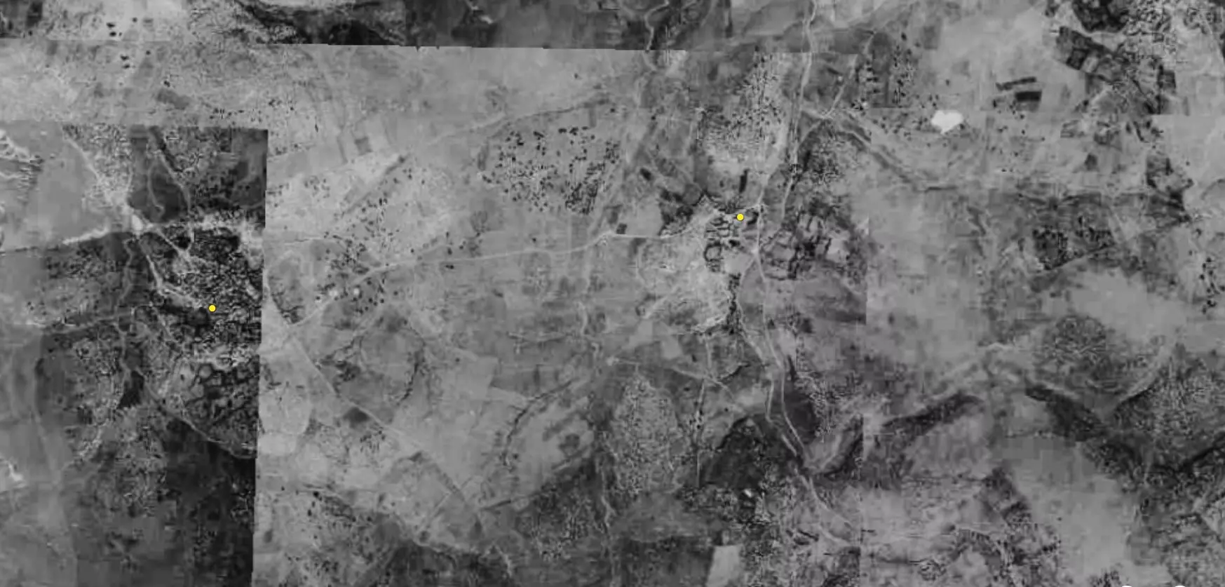
| Pre-Nakba Aerial View |
|||||||||||||||

|
|||||||||||||||
| Map Location | See location #8 on the map View from satellite |
||||||||||||||
| Military Operation | Operation Yo'av (commanded by the ethnic cleansing champion Yigal Allon) | ||||||||||||||
| Attacking Units | Giv'ati Brigade | ||||||||||||||
| Defenders | Egyptian Muslim Brotherhoods, local Palestinian militias and some Arab Liberation Army volunteers. | ||||||||||||||
| Refugees' Migration Routes | Many of the refugees headed for the Hebron hills. | ||||||||||||||
| Exodus Cause | Military assault by Zionist troops | ||||||||||||||
| Village Temains | Ra'na was completely obliterated and defaced. | ||||||||||||||
| Ethnically Cleansing | Ra'na inhabitants were completely ethnically cleansed. | ||||||||||||||
| Pre-Nakba Land Ownership |
**Town Lands' Demarcation Maps |
||||||||||||||
| Land Usage As of 1945 |
|
||||||||||||||
| Population |
|
||||||||||||||
| Number of Houses |
|
||||||||||||||
| Near By Towns |
|||||||||||||||
|
|||||||||||||||
| Exculsive Jewish Colonies Who Usurped Village Lands |
Gal-On | ||||||||||||||
| Featured Video | |||||||||||||||
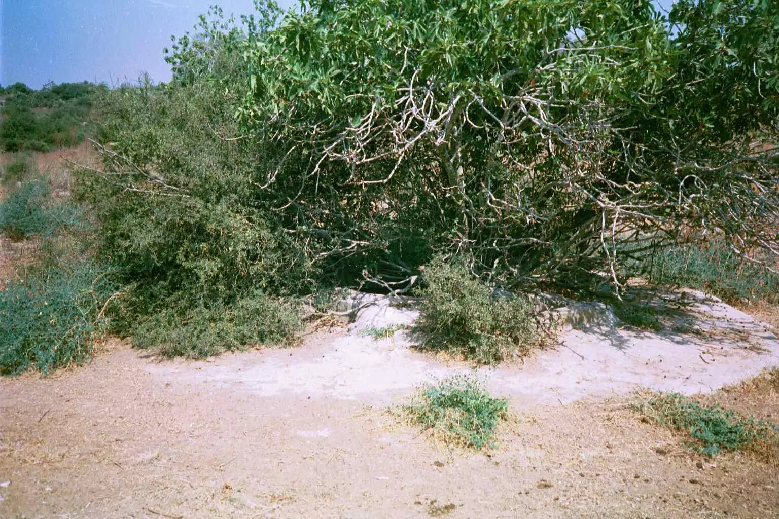
Village TodayAccording to the Palestinian historian Walid Khalidi, the village remaining structures on the village land are:"The site is fenced in with barbed wire and is overgrown in part by cactuses, especially where there is limestone soil, and by carob trees. No houses or rubble remains." |
|||||||||||||||
| Related Maps | Town Lands' Demarcation Maps خرائط للقضاء توضح حدود القرى والاودية Town's map on MapQuest View from satellite Help us map this town at WikiMapia |
||||||||||||||
| Related Links | Wikipedia's Page Facebook Page Google Search Google For Images Google For Videos |
||||||||||||||
| More Information | في كتاب كي لا ننسى في كتاب بلادنا فلسطين المزيد من موقع هوية |
||||||||||||||
Want to browse more? 80,000 pictures were grouped in these gallaries:
| Display Name | Clan/Hamolah | Country of Residence |
| يحيى خاطر | - | الرصيفة |
| ابو ثائر | خاطر | فست فالين المانيا, المانيا |
| اشرف ابوحمره | ال خاطر | - |
| احمد خاطرخاطر | خاطر | الزرقاء, الاردن |
| هبه خاطر | خاطر | عمان, الاردن |
| حسام ابوحمرة خاطر | خاطر | الاردن, الاردن |
| murad alhawi | - | - |
| nats semreen | - | - |
No links have been shared yet, be free to the first to share the first link.


