| PalestineRemembered | About Us | Oral History | العربية | |
| Pictures | Zionist FAQs | Haavara | Maps | |
| Search |
| Camps |
| Districts |
| Acre |
| Baysan |
| Beersheba |
| Bethlehem |
| Gaza |
| Haifa |
| Hebron |
| Jaffa |
| Jericho |
| Jerusalem |
| Jinin |
| Nablus |
| Nazareth |
| Ramallah |
| al-Ramla |
| Safad |
| Tiberias |
| Tulkarm |
| Donate |
| Contact |
| Profile |
| Videos |
Welcome To al-Sawalima - السوالمة (ערב א-סואלמה)
|
District of Jaffa
Ethnically cleansed days ago |
العربية Google Earth |
 |
Gallery (19) |
- Statistics & Facts
-
Before & After

- Satellite View
- Articles 2
- Pictures 19
- Members 13
- All That Remains
- Wikipedia
- Videos 1
- Guest Book 15
- Links
| Statistic & Fact | Value | ||||||||||||
| Occupation Date | March 30, 1948 | ||||||||||||
| Distance From District | 11 (km) Northeast of Jaffa | ||||||||||||
| Elevation | 50 (meters) | ||||||||||||
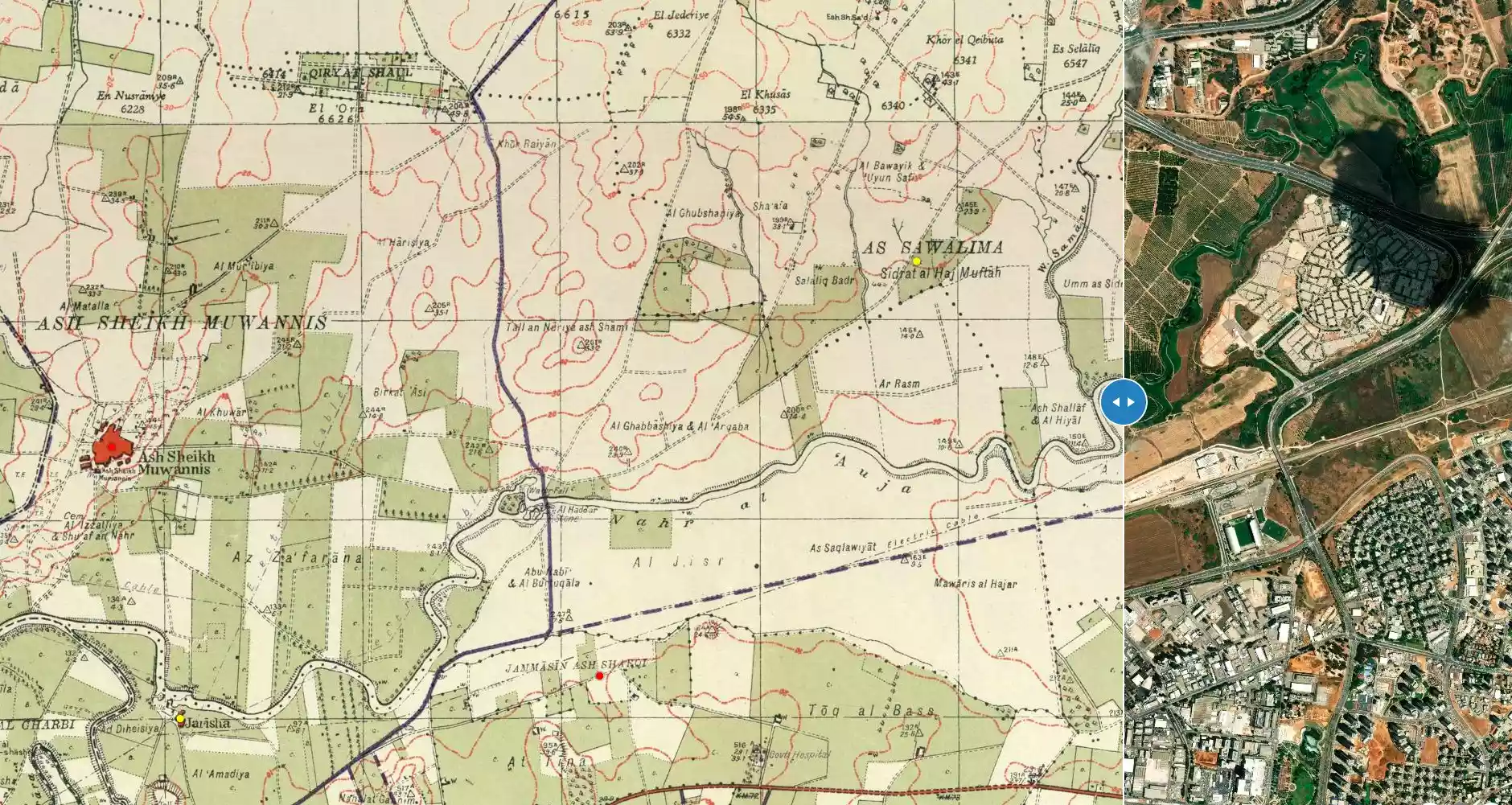
| Before & After Nakba, Click Map For Details |
|||||||||||||
|
|||||||||||||
| Map Location | See location #5 on the map View from satellite |
||||||||||||
| Exodus Cause | Fear of Jewish attack, or of being caught in the fighting | ||||||||||||
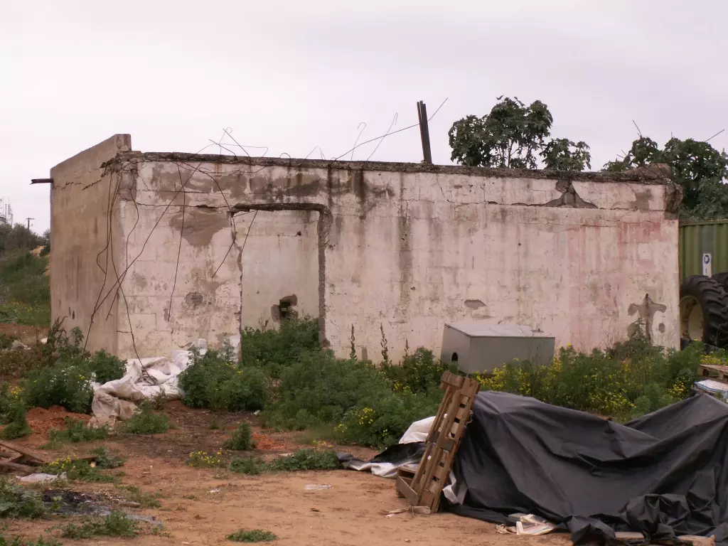
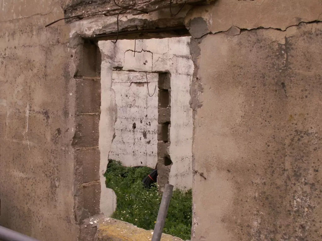
| Village Temains | al-Sawalima was completely obliterated with the exception of one school room still standing | ||||||||||||
| Ethnically Cleansing | al-Sawalima inhabitants were intimidated into fleeing by the Haganah and IZL (ETZEL) on March 30th 1948, especially after the IZL's kidnapping of al-Shaykh Muwannis notables. | ||||||||||||
| Pre-Nakba Land Ownership |
**Town Lands' Demarcation Maps |
||||||||||||
| Land Usage As of 1945 |
|
||||||||||||
| Population |
|
||||||||||||
| Schools | al-Sawalima had an elementary school for boys in founded in 1946, and it had an initial enrollment of 31 students (one school room remain standing). | ||||||||||||
| Inhabitants Place of Origin | The village was frist founded and settled by the nomadic' Arab al-Sawalima. | ||||||||||||
| Nearby Wadies & Rivers | The village is situated 2 km north of al-'Awja River. | ||||||||||||
| Exculsive Jewish Colonies Who Usurped Village Lands |
Neveh Sharet | ||||||||||||
| Featured Video | |||||||||||||
Village TodayAccording to the Palestinian historian Walid Khalidi, the village remaining structures on the village land are:"No identifiable traces of the former dwellings (tents or adobe houses) remain. Only the remnants of the one-room school are discernable." |
|||||||||||||
| Related Maps | Town Lands' Demarcation Maps خرائط للقضاء توضح حدود القرى والاودية Town's map on MapQuest View from satellite Help us map this town at WikiMapia |
||||||||||||
| Related Links | Wikipedia's Page Google Search Google For Images Google For Videos |
||||||||||||
| More Information | في كتاب كي لا ننسى في كتاب بلادنا فلسطين المزيد من موقع هوية |
||||||||||||
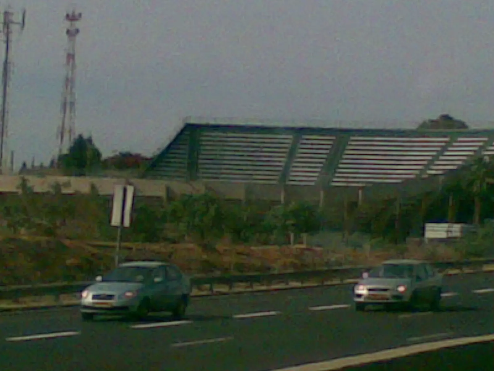
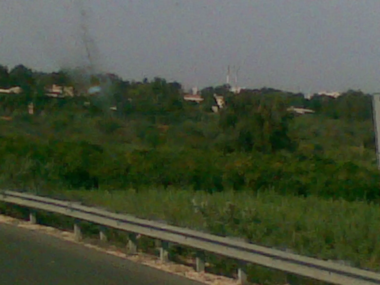
- Village lands In 1990
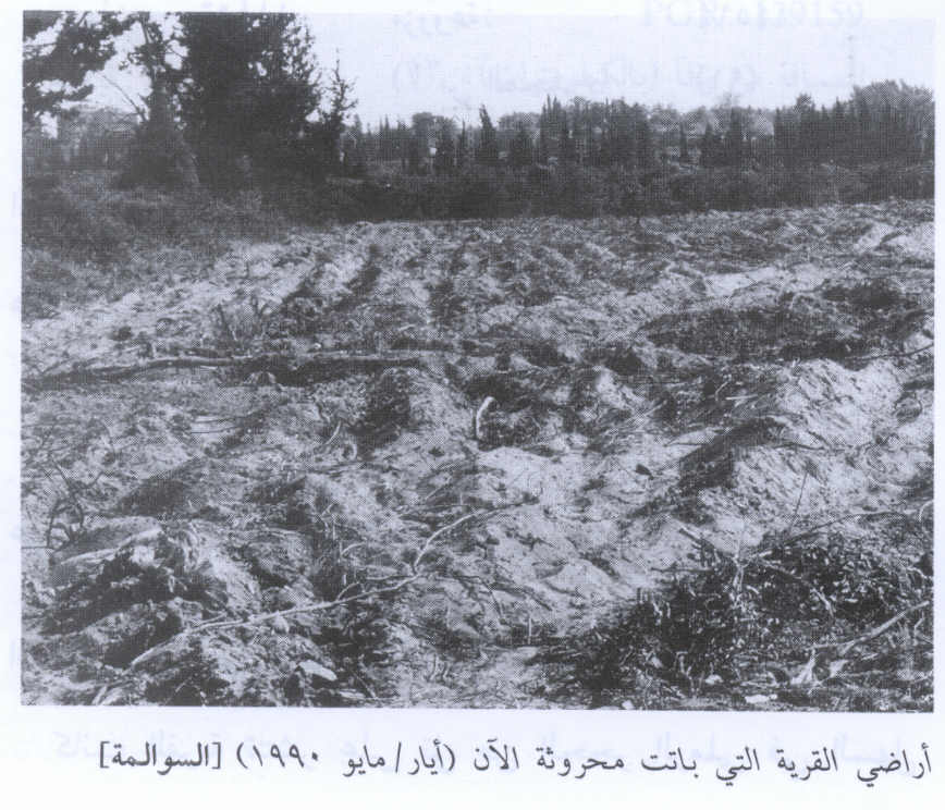
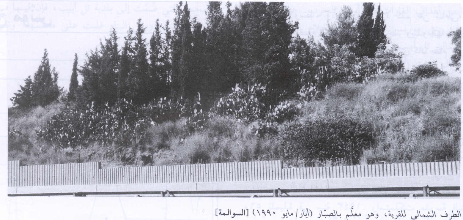
Scanned from "All That Remains" by Dr. Walid Khalidi 7 - The northern section for the village. 1990
Scanned from "All That Remains" by Dr. Walid Khalidi 1 - This house is a part of a horse ranch, near the Kfar HaYaron jctn, SW of the Ramat HaSharon tennis centre.
Posted by Uri Zackhem 4 - This house is west and adjacent to the tennis cenre, and seen from road No. 5
Posted by Uri Zackhem 1 - This house is west and adjacent to the tennis centre (looking inside).
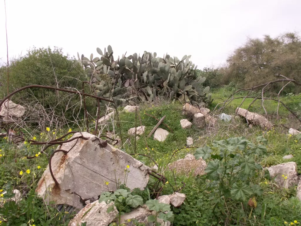
Posted by Uri Zackhem - A few hundred metres east from the tennis centre, there is a eucalyptus grove to camouflage the rubble
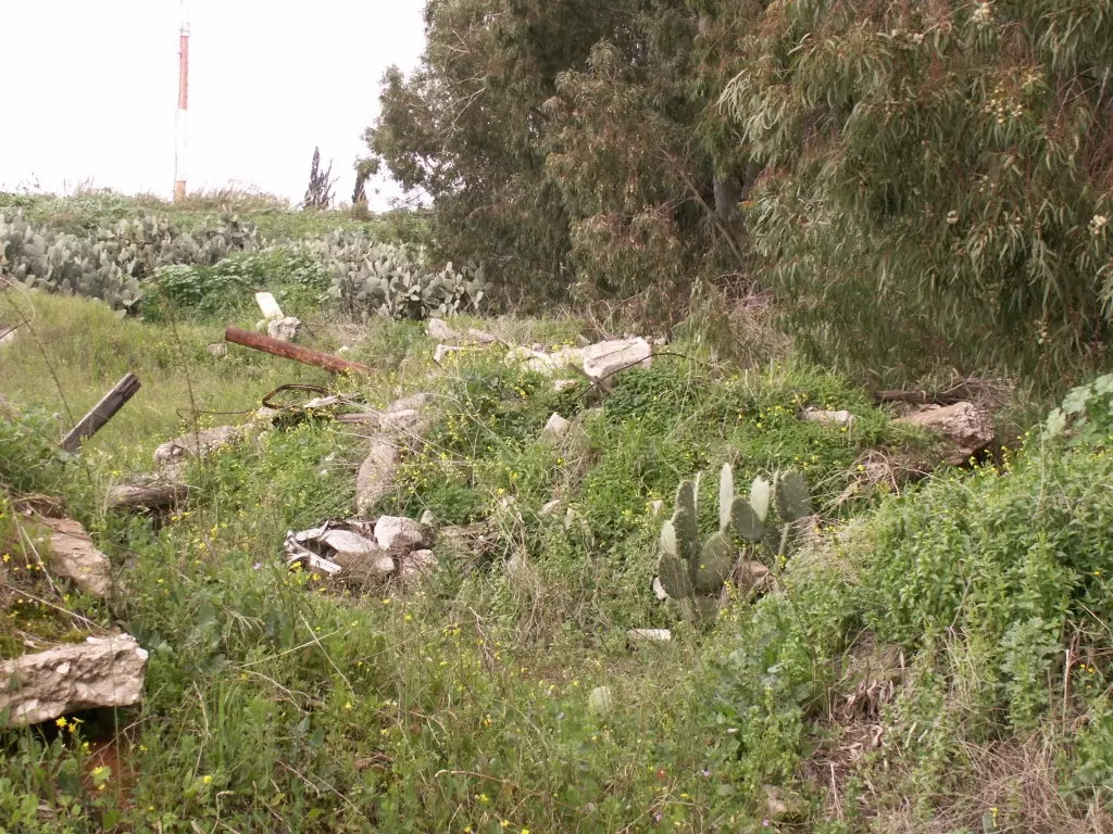
Posted by Uri Zackhem - A few hundred metres east from the tennis centre, there is a eucalyptus grove to camouflage the rubble
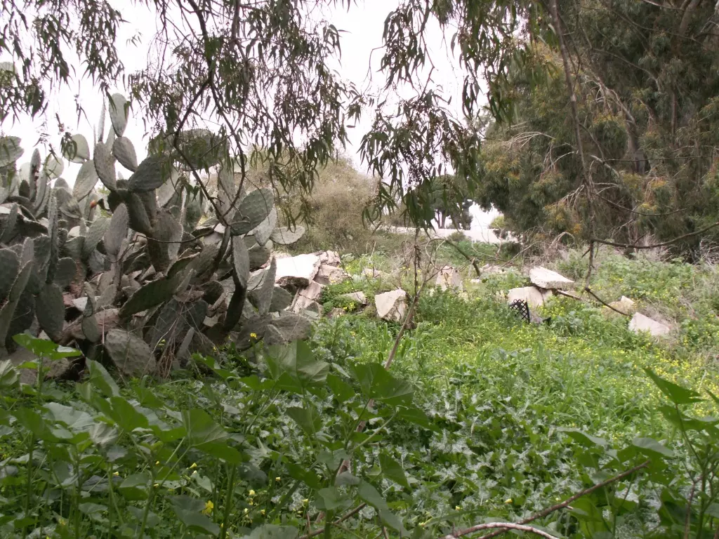
Posted by Uri Zackhem 2 - A few hundred metres east from the tennis centre, there is a eucalyptus grove to camouflage the rubble
Posted by Uri Zackhem - ملعب تينس دولي للصهاينه مقام على اراضي السوالمه
Posted by ابو الثائر - مصنع لوزارة الدفاع على قسم من اراضي القريه
Posted by ابو الثائر 1 - اراضي القريه
Posted by abu raya - اراضي القريه
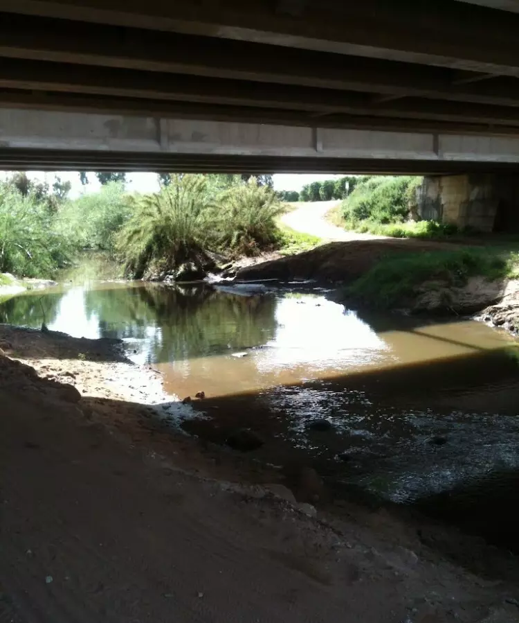
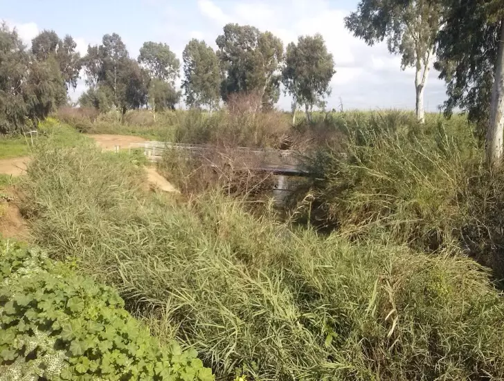
Posted by abu raya - نهر العوجا جنوب القريه
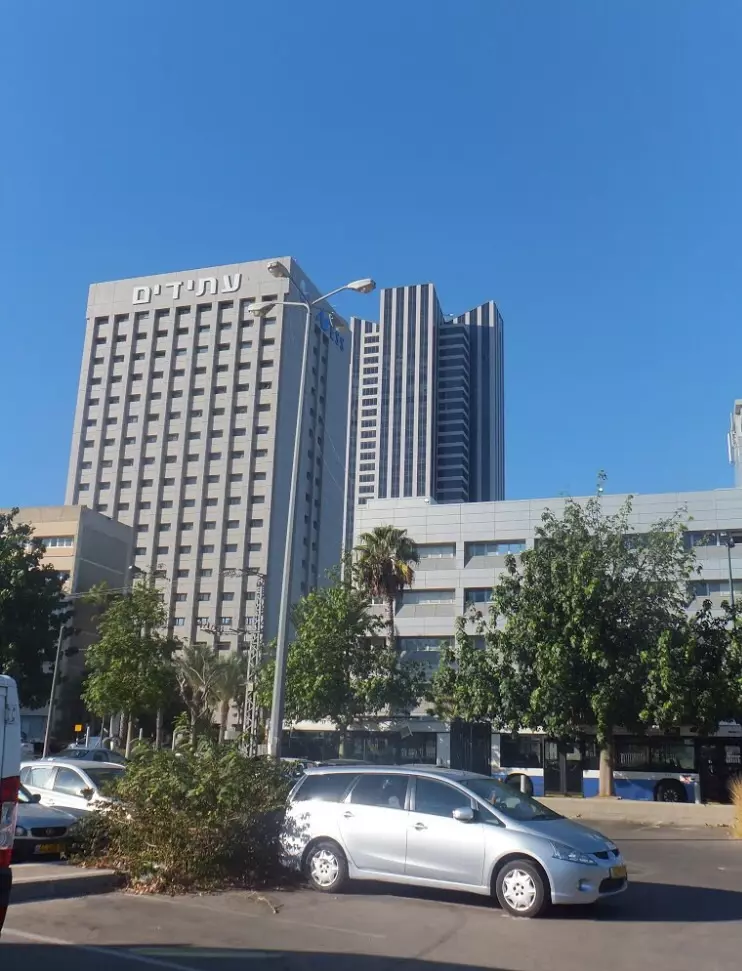
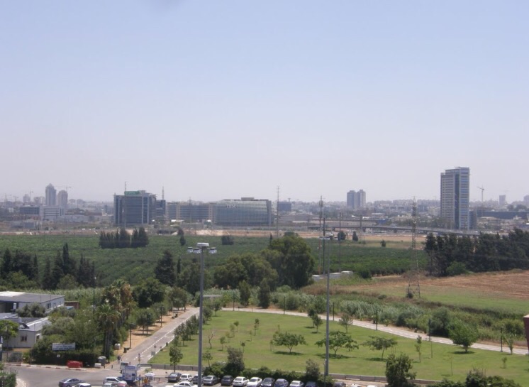
Posted by abu raya - القسم الغربي من القريه وبيوت تل ابيب
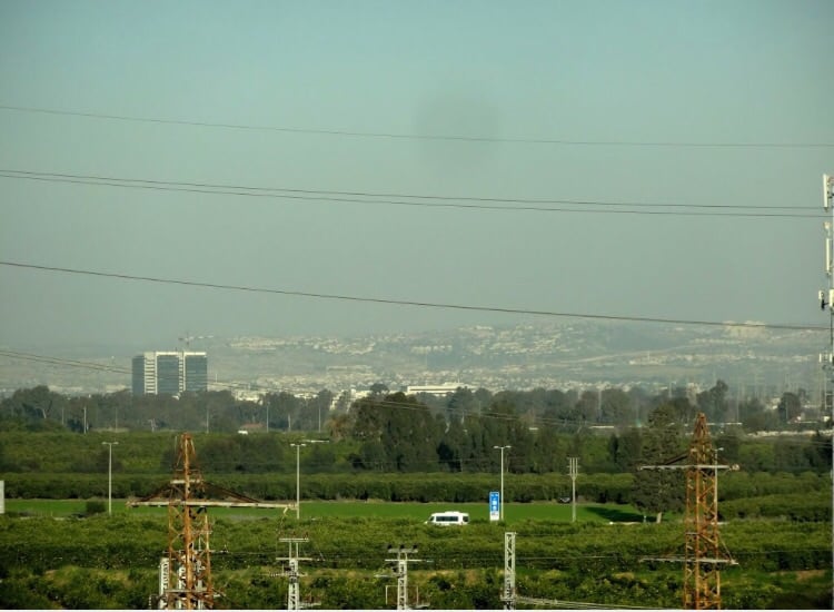
Posted by abu raya - جنوب القريه
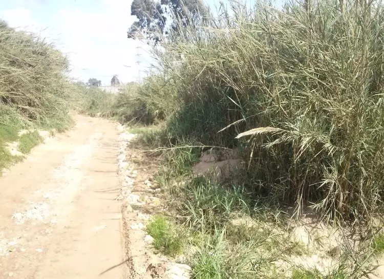
Posted by abu raya - اراضي القريه
Posted by abu raya - العوجا جنوب القريه
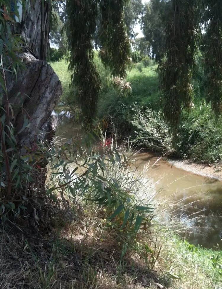
Posted by abu raya - العوجا جنوب القريه
Posted by abu raya - موقع واراضي القريه
Posted by abu raya
Want to browse more? 80,000 pictures were grouped in these gallaries:
| Display Name | Clan/Hamolah | Country of Residence |
| هتــلر | السوالمه | نابلس |
| زياد درويش سوالمة | السوالمة | نابلس مخيم بلاطة |
| ابو حسن | - | - |
| ابو رشدي | - | - |
| abou frah | - | dubai |
| AbdelRaouf Sawalmeh | Sawalmeh | Dubai, UAE |
| جهاد المهر | المهر | - |
| محمد السوالمه | عبدالله | عمان, فاسطين |
| Jamil Sawalmeh | Al Sawalmeh | West Bank, Palestine |
| Abu_Alm3tsm | - | فلسطين, فلسطين |
| المغترب | السوالمه | - |
| محمود نشأت السوالمة | السوالمة | ابو ضبي, الامارات |
| Nedal | Sawalmeh | Al Faraa - Palestine, Palestine |
- All that remains of al-Sawalima since Nakba Duration: 2 min
No links have been shared yet, be free to the first to share the first link.
 Fake Valor: Why Did Zionist Jews Hoist Nazis Flag on Their Ships in the 1930s?
What is new?
-
Facts About Oct. 7th Gaza Raid
-
Remined Us Please:: Who Did Rape Who? Palestinians Raped Israelis? Or, was the other way around?
-
When Prof. Edward Said was invited to debate Bibi Netanyahu in the 1980s, watch what happened!
-
Abusing Blood Libel!
-
Zionist FAQ: Isn't it true that Palestinians don't want peace? Palestinians never accepted the two-state solution
- Facts about Haavara (Transfer) Agreement between Ben-Gurion & Hitler
-
Haavara FAQs: Why Did Zionist Jews Hoist Nazis' Flags on Their Ships in the 1930s?
-
Dear ChatGPT: Why did the Jewish Agency suppress news of the Holocaust during WWII?
-
Video Playlist: Jews share their DNA tests to end the conflict for good.
-
A Tale of Two Conflicts: Examining the Definition of Genocide
-
Prof. Abraham Polak And The Suppressed History of the Khazars and European Jewry
-
How Ronald Reagan would have framed the genocide in Gaza if he were still alive?
-
Haavara FAQs: Let us do the math: how many German Jews did The Haavara Agreement save?
-
Zionist FAQs: The Hebron Massacre of 1929, "clearly proves" that Palestinians are antisemitic, how could you deny it?
-
Zionist FAQs: Why Anti-Zionist Is Not Antisemitism?
-
Zionist FAQs: Isn't it true that the KGB create Palestinian Nationalism in the early 1960s?
- Zionist FAQs: Muslims are killing Muslims all the time; why are Israeli Jews being singled out in the media?
- Zionist FAQs: How is Israel an apartheid state when 20% of its citizens are Arabs who enjoy full rights?
-
Haavara FAQs: Analysis of Herzl's Uganda Scheme and how it could have saved millions of Jews.
-
Haavara FAQs: Why did Hayim Greenberg describe American Jewry as "morally bankrupt" in early 1943?
-
Haavara FAQs: What if the Evian Conference was a resounding success? What would have been the impact of saving European Jewry on Zionism?
- Haavara FAQs: What if the six million were saved, how that would have impacted the Zionist project?
-
Haavara FAQs: How did Zionist leaders react when Europe's Jews lingered in the DP camps after WWII ended?
-
Why does the American Jewish community repeat lies that David Ben-Gurion had debunked before he died?
-
Who has the power to rename the Tatar/Khazar Gene Marker to Jewish IV?
-
Zionist FAQs: Why won't Egypt, Syria, and Jordan take their people back? Jews are indigenous to Palestine, and Arabs immigrated after Jews developed the country. Arabs should leave.
-
Haavara FAQs: Did Hitler and the Nazis conflate between Judaism and Zionist? If that wasn't case, then why?
-
Haavara FAQs: Winston Churchill and antisemitism, a collection of articles written Churchill.
-
Haavara FAQs: Broken by country, how many Jews survived vs. killed during the Holocaust?
-
Haavara FAQs: Why did European Jews vote with their feet and to immigrated to the Americas, not Palestine, after WWII?
-
Watch this American Jewish Girl describing Israeli Jews' cognitive dissonance like no other in under two minutes
-
Haavara FAQs: When the Nazis went out of their way to hide the Holocaust, Israeli Jews did the exact opposite by broadcasting their genocide of Gazans. But why?
-
Haavara FAQs: How Zionist Jews went out of their to show their appreciation to Nazism and Fascism?
- Haavara FAQs: Why Zionist leaders were against bombing the death camps & the Railroads leading to them?
-
Haavara FAQs: Hitler's message to the British and American people: If Jews are such noble citizens and you care about them, how come you're not letting them in? I will gladly ship them to you at my expense, even on luxury liners!
-
A shortlist of Zionist and Israeli false flag operations in the name Jews.
-
The Most Moral Army
- The Land of Kapos (Israel): Where the brave are boycotted and Kapos walk free.
- Why did early Zionists often named their communal enterprises "colonial"?
- Zionist Relations with Nazi Germany by Faris Glubb
-
Two NY Times advertisements by Zionists in the early 1943 that exposes Zionists' treason at the height of the calamity
- Facts Not Lies about the Palestinian-Israeli Conflict.
- Site's pictures have been categorized
- Campgain Against Lice
- A Survey of Palestine, the official source about Palestine before Nakba produced by the British Mandate; over 1200 pages.
- Satellite View & Google Earth: Over 6,000 placemarks identifying all destroyed towns, W. Bank & Gaza Strip Towns, & refugee camps.
- PalestineRemembered.com and its Nakba Oral History Project were featured on al-Jazeera Satellite TV.
- Nakba Oral History Video Podcast:
 Over 700 Oral History interviews (including 3,500+ hours of recording) can be viewed online.
 - Palestine Village Statistics Project
- Gaza Jail Break
- النسخة العربية للموقع الان متوفرة
- Videos: Documenting the destroyed villages in video: Tracing all that remains since Nakba.
- Videos: Responding to Zionist Propaganda
- Interview: The ethnic cleansing of Palestine: George Galloway interviews Israeli Historian Ilan Pappe.
- For Palestinians, memory matters. It provides a blueprint for their future By George Bisharat.
- Zionist FAQ now available in Hebrew שאלות שציונים שואלים, עכשיו בעברית
- Video: The Stephen Walt and John Mearsheimer report on the influence of the Israel Lobby on U.S. Foreign Policy
- The Palestinian-Israeli conflict for beginners
