| PalestineRemembered | About Us | Oral History | العربية | |
| Pictures | Zionist FAQs | Haavara | Maps | |
| Search |
| Camps |
| Districts |
| Acre |
| Baysan |
| Beersheba |
| Bethlehem |
| Gaza |
| Haifa |
| Hebron |
| Jaffa |
| Jericho |
| Jerusalem |
| Jinin |
| Nablus |
| Nazareth |
| Ramallah |
| al-Ramla |
| Safad |
| Tiberias |
| Tulkarm |
| Donate |
| Contact |
| Profile |
| Videos |
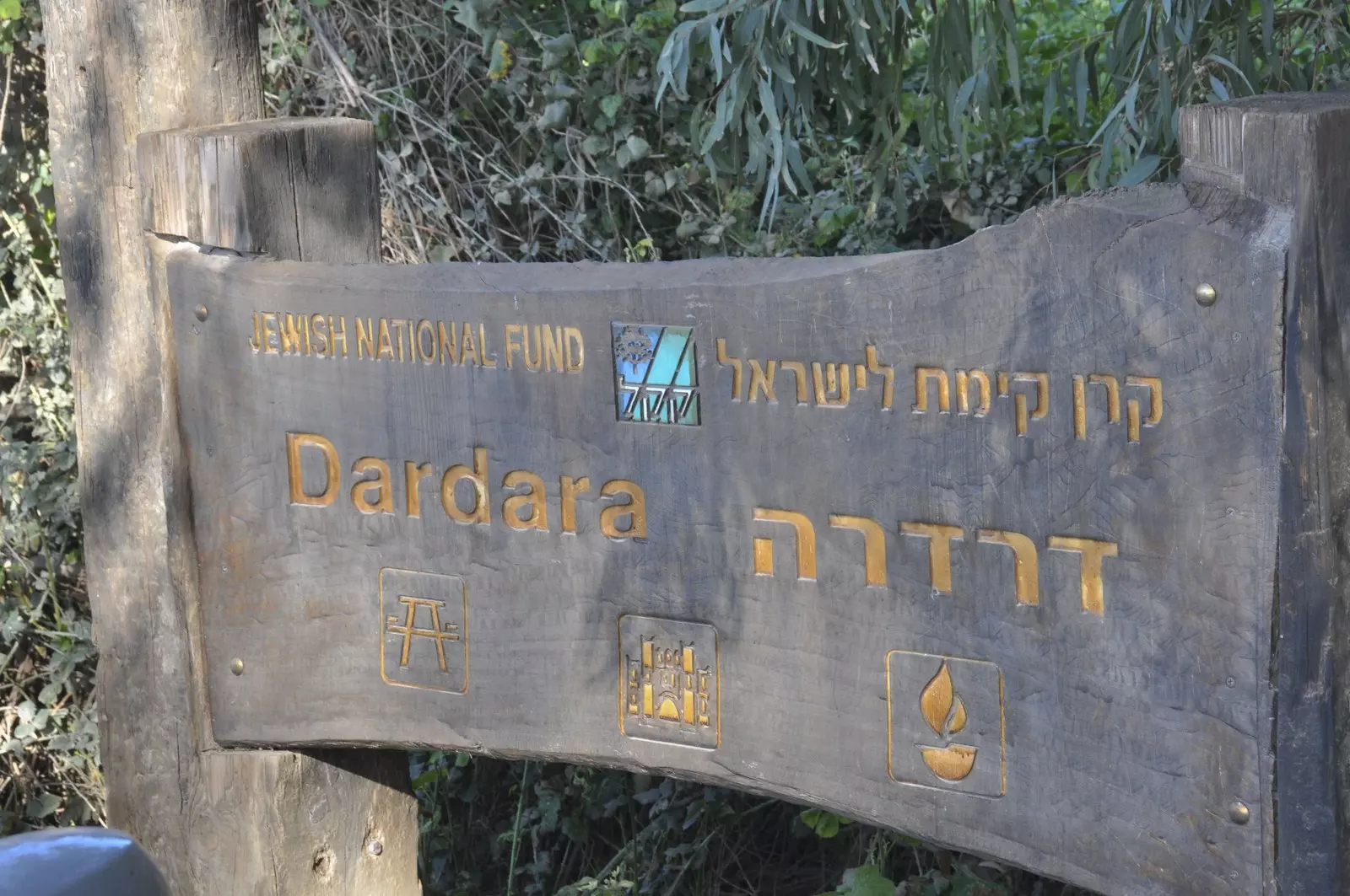
Welcome To al-Dirdara - الدردارة (א-דרדארה)
|
District of Safad
Ethnically cleansed days ago |
العربية Google Earth |
 |
Gallery (40) |
- Statistics & Facts
-
Before & After

- Satellite View
- Articles 1
- Pictures 40
- Members
- All That Remains
- Wikipedia
- Videos
- Guest Book
- Links
| Statistic & Fact | Value | ||||||||||
| Occupation Date | May 1, 1948 | ||||||||||
| Distance From District | 13 (km) East of Safad | ||||||||||
| Elevation | 75 (meters) | ||||||||||
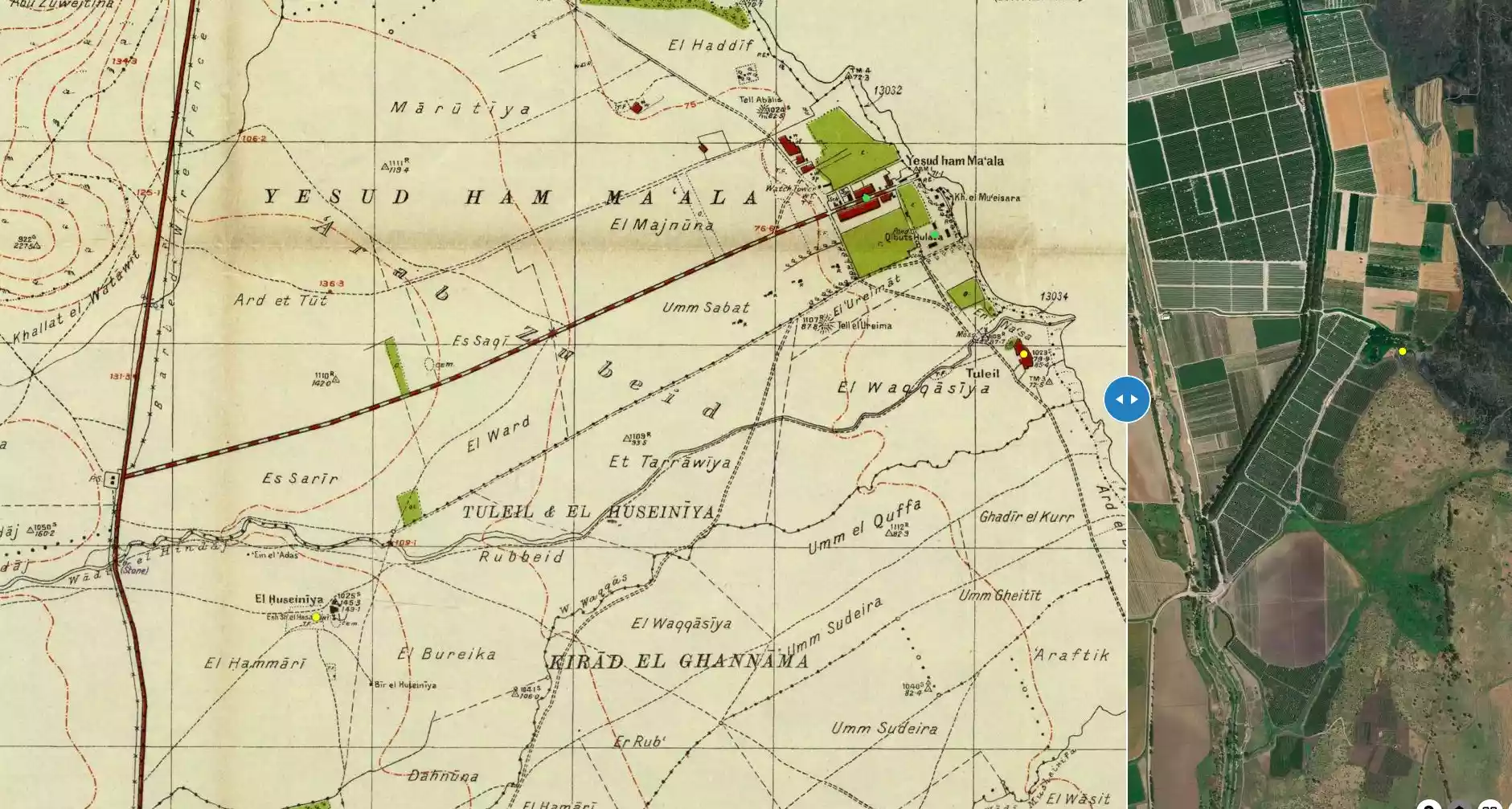
| Before & After Nakba, Click Map For Details |
|||||||||||
|
|||||||||||
| Map Location | See location #58 on the map View from satellite |
||||||||||
| Military Operation | Operation Yiftach (commanded by the ethnic cleansing champion Yigal Allon) | ||||||||||
| Attacking Units | The Palmach's First Battalion | ||||||||||
| Exodus Cause | Military assault by Zionist troops | ||||||||||
| Village Temains | The village has been completely obliterated | ||||||||||
| Ethnically Cleansing | al-Dirdara was ethnically cleansed as a result of psychological warfare conducted on late April 1948. | ||||||||||
| Pre-Nakba Land Ownership |
|
||||||||||
| Population |
|
||||||||||
| Near By Towns |
|||||||||||
|
|||||||||||
| Exculsive Jewish Colonies Who Usurped Village Lands |
No settlements on village lands | ||||||||||
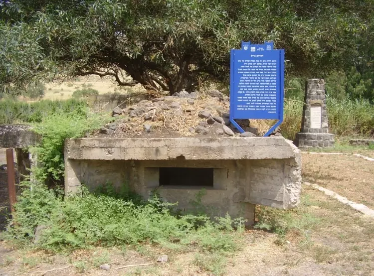
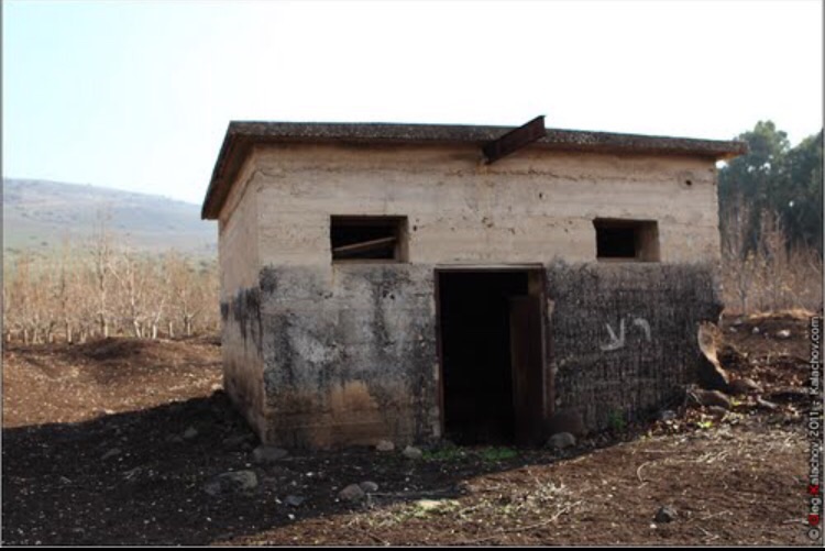
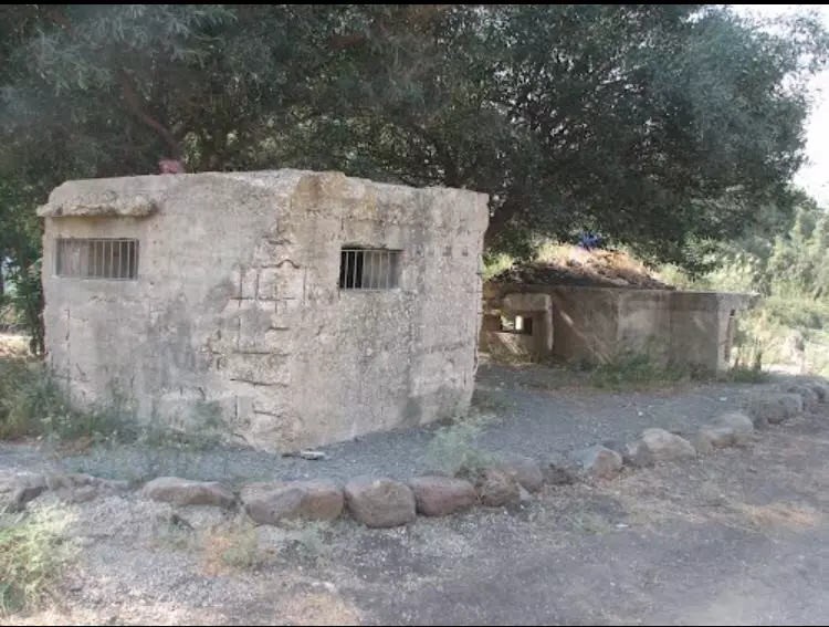
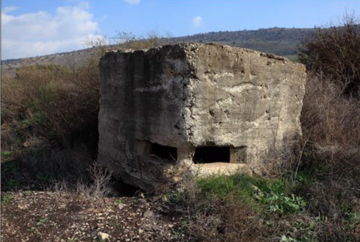
Village Before NakbaThe village, located in the middle of a flat plain, faced a mountain range in the east and overlooked the aI-Hula Plain to the north and south. Although most of its houses were made of mud, a few were built of stone. The villagers cultivated the fertile land around the village, especially the area to the south and southwest. Grain, vegetables, citrus, almonds, and figs were the most important agricultural products. In 1944/45 a total of 1,623 dunums was allocated to cereals, and 795 dunums were irrigated or used for orchards.Village Occupation and Ethnic CleaningIt is not clear when al-Dirdara was occupied. It may have fallen during Operation Yiftach (see Abil al-Qamh, Safad sub-district) in late April or May 1948. At any rate, it was in Israeli hands by early July 1948, at the end of the first truce of the war. The History of the War of Independence states that it served as one of the launching points for Operation Berosh, an attack against a Syrian bridgehead on the Syrian border that the Israeli forces mounted during the Ten Days between the two truces of the war (8-18 July). Syrian forces tried to capture the village shortly after this operation but were forced to withdraw after encountering a minefield and losing at least fifty men, according to the same Haganah account. In the armistice agreement signed between Israel and Syria in July 1949, the village and the area around it were to be demilitarized. By that time, the Israeli settlement of Eyal had already been established on the lands of al-Dirdara.Zionists Colonies on Village LandsThe settlement of Eyal (210273), established in 1947 on village land, was destroyed during the 1948 war. After the people of al-Dirdara had been expelled, the Israelis rebuilt the settlement and named it ha-Goverim. They changed its name once more, to Ashmura, in 1953. It is no longer inhabited.Village TodayThe site is a mound of stones and earth, overgrown with trees. There is a canal at the northern edge through which water flows in a north-south direction. The area around the site is cultivated (see photos section).SourceDr. Walid al-Khalidi, 1992: All That Remains. |
|||||||||||
| Related Maps | Town Lands' Demarcation Maps خرائط للقضاء توضح حدود القرى والاودية Town's map on MapQuest View from satellite Help us map this town at WikiMapia |
||||||||||
| Related Links | Wikipedia's Page Google Search Google For Images Google For Videos |
||||||||||
| More Information | في كتاب كي لا ننسى في كتاب بلادنا فلسطين المزيد من موقع هوية |
||||||||||
- View Of Village Site In 1990
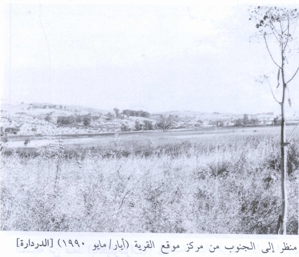
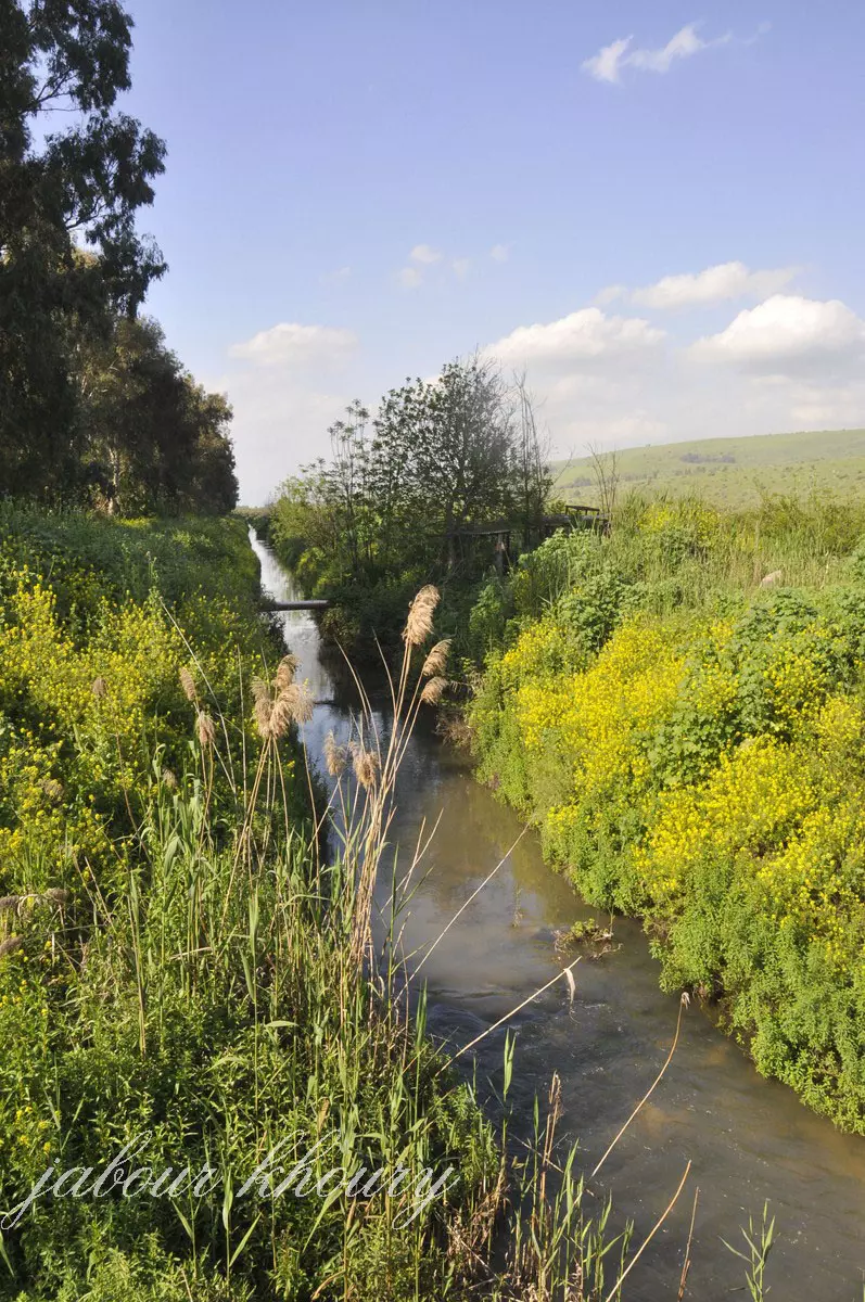
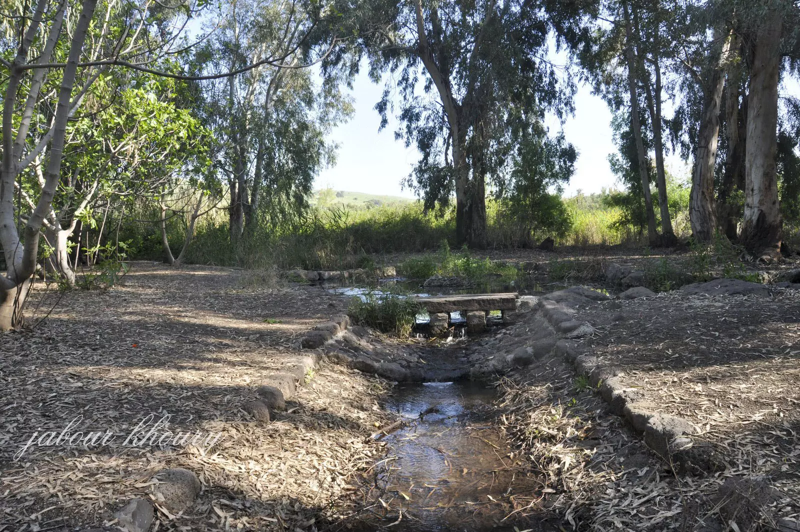
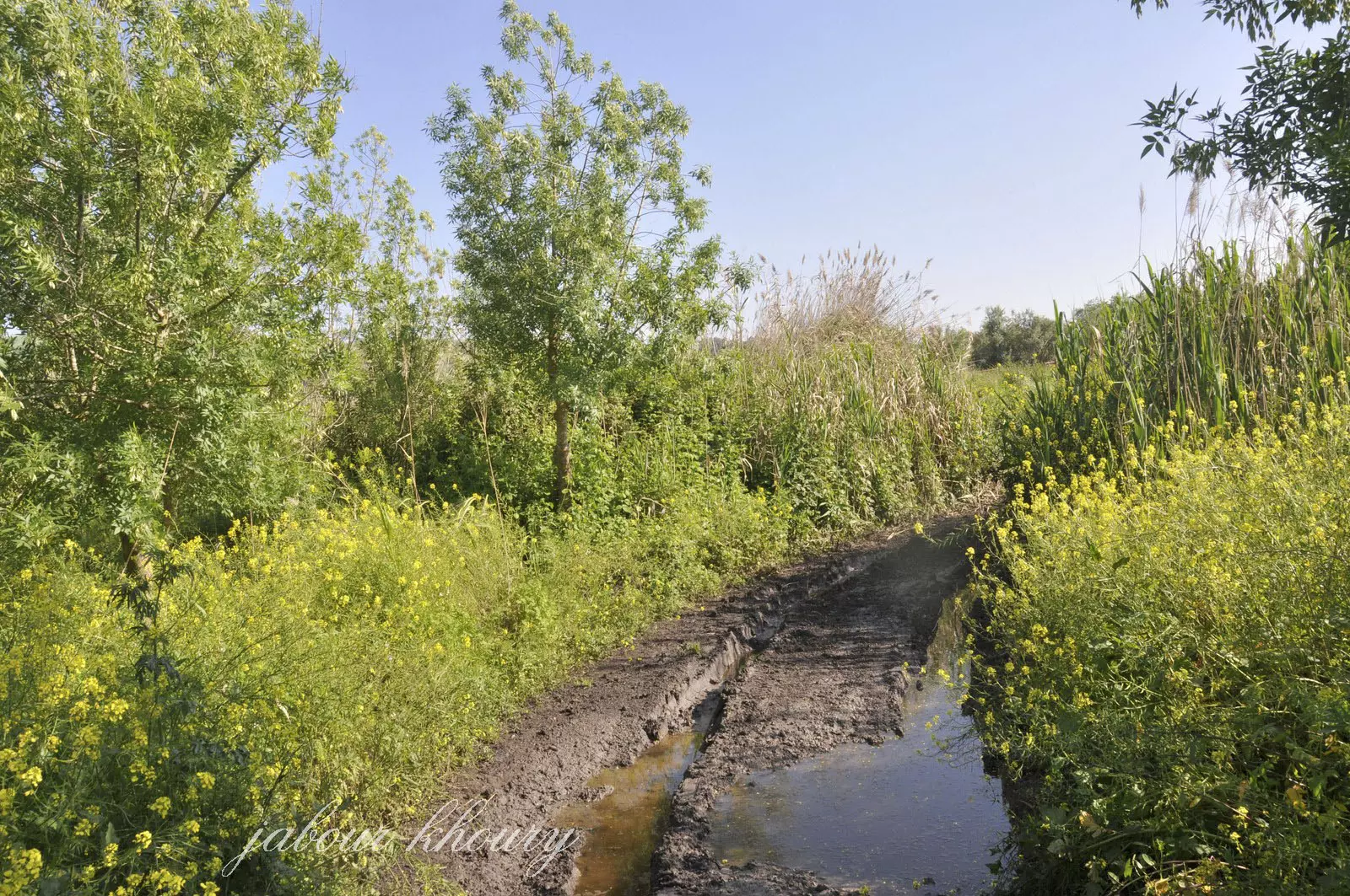
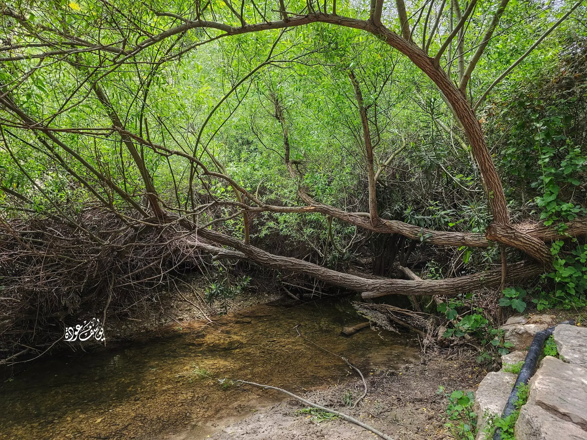
Scanned from "All That Remains" by Dr. Walid Khalidi - النهر الذي يمر بموقع القريه من الجهه الشماليه
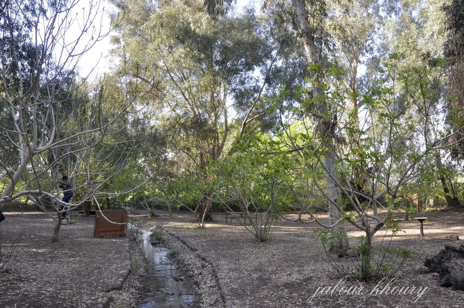
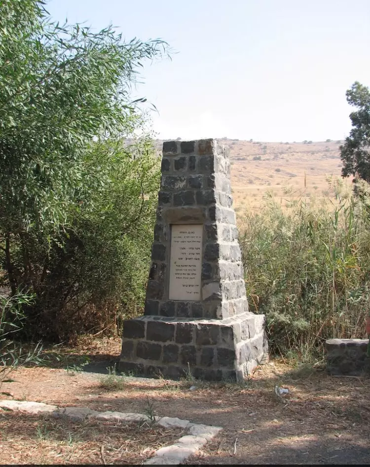
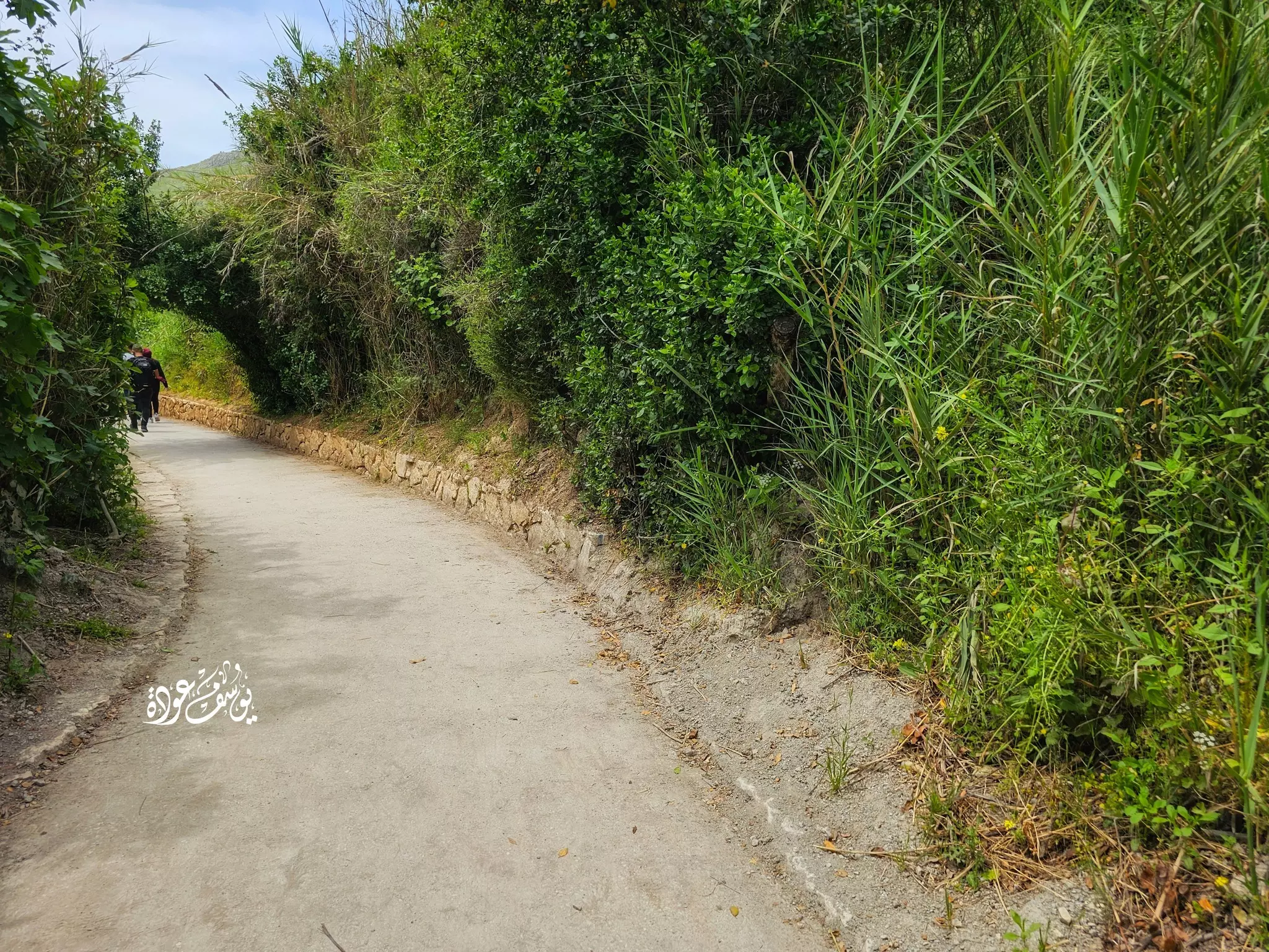
Posted by Jabour Khoury - موقع القريه- لم يتبقى ايا اثر للقريه وقد اقيم متنزه في موقع القريه وتشهد اشجار الزيتون التوت الرمان والتين على هويه المكان
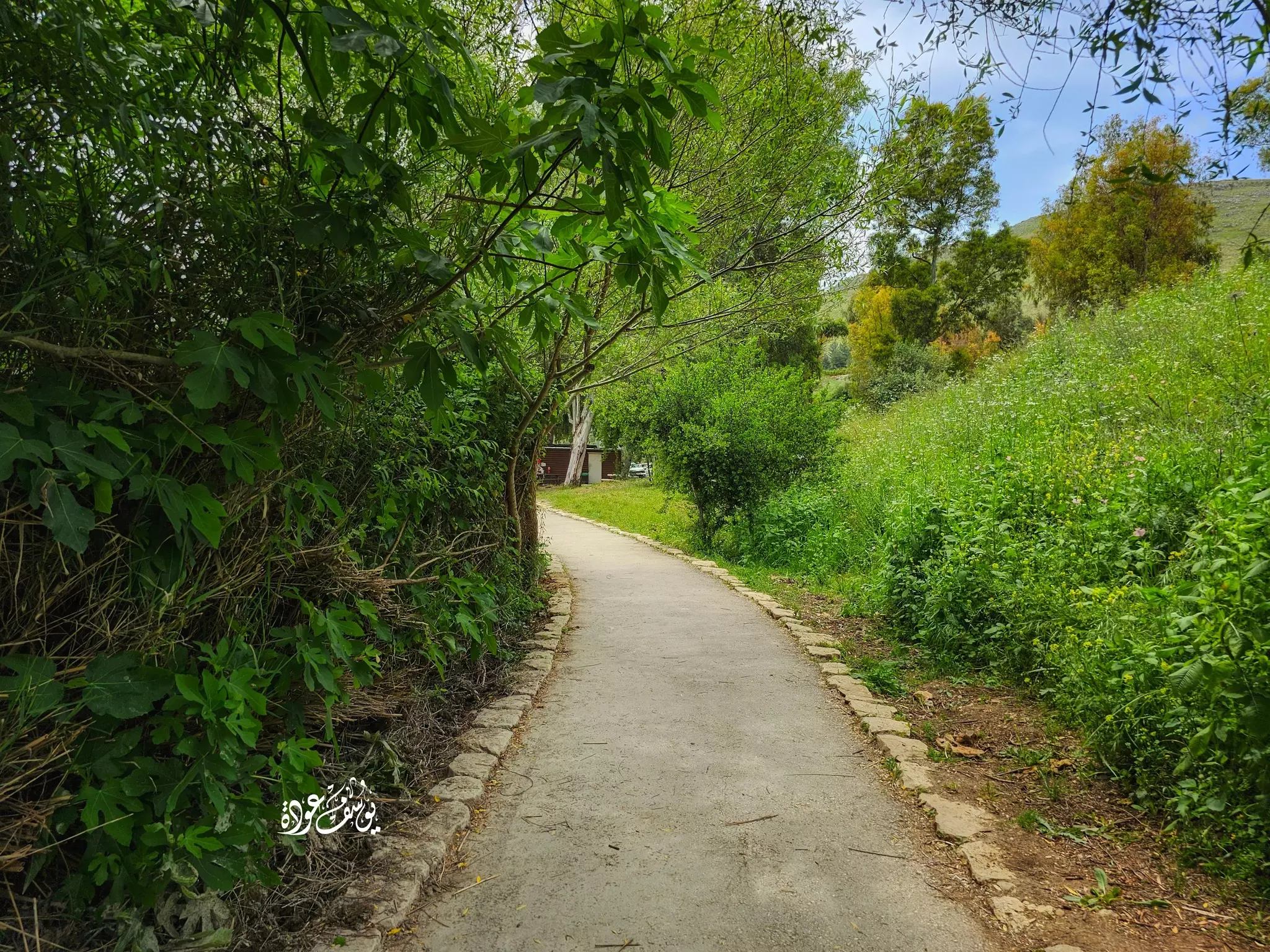
Posted by Jabour Khoury - اشجار التين والتوت في الموقع
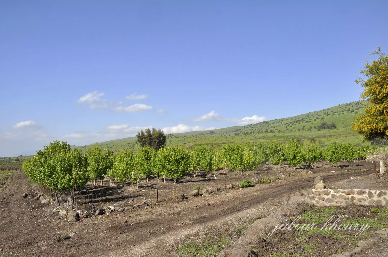
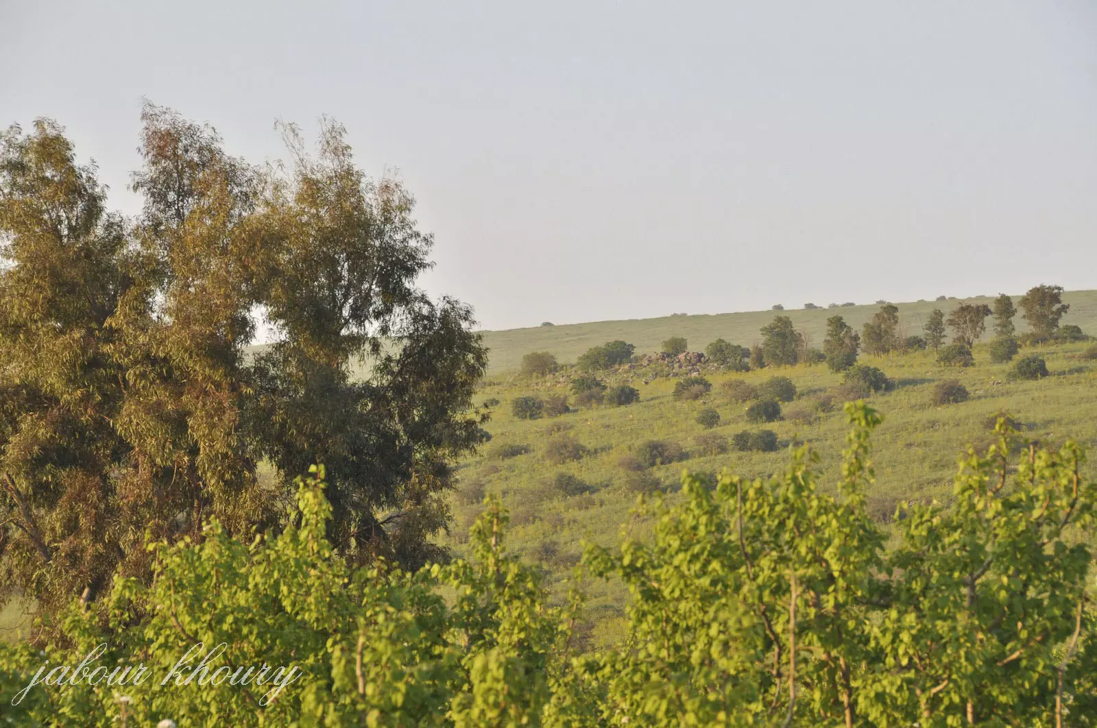
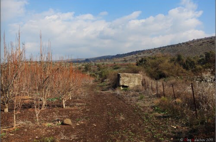
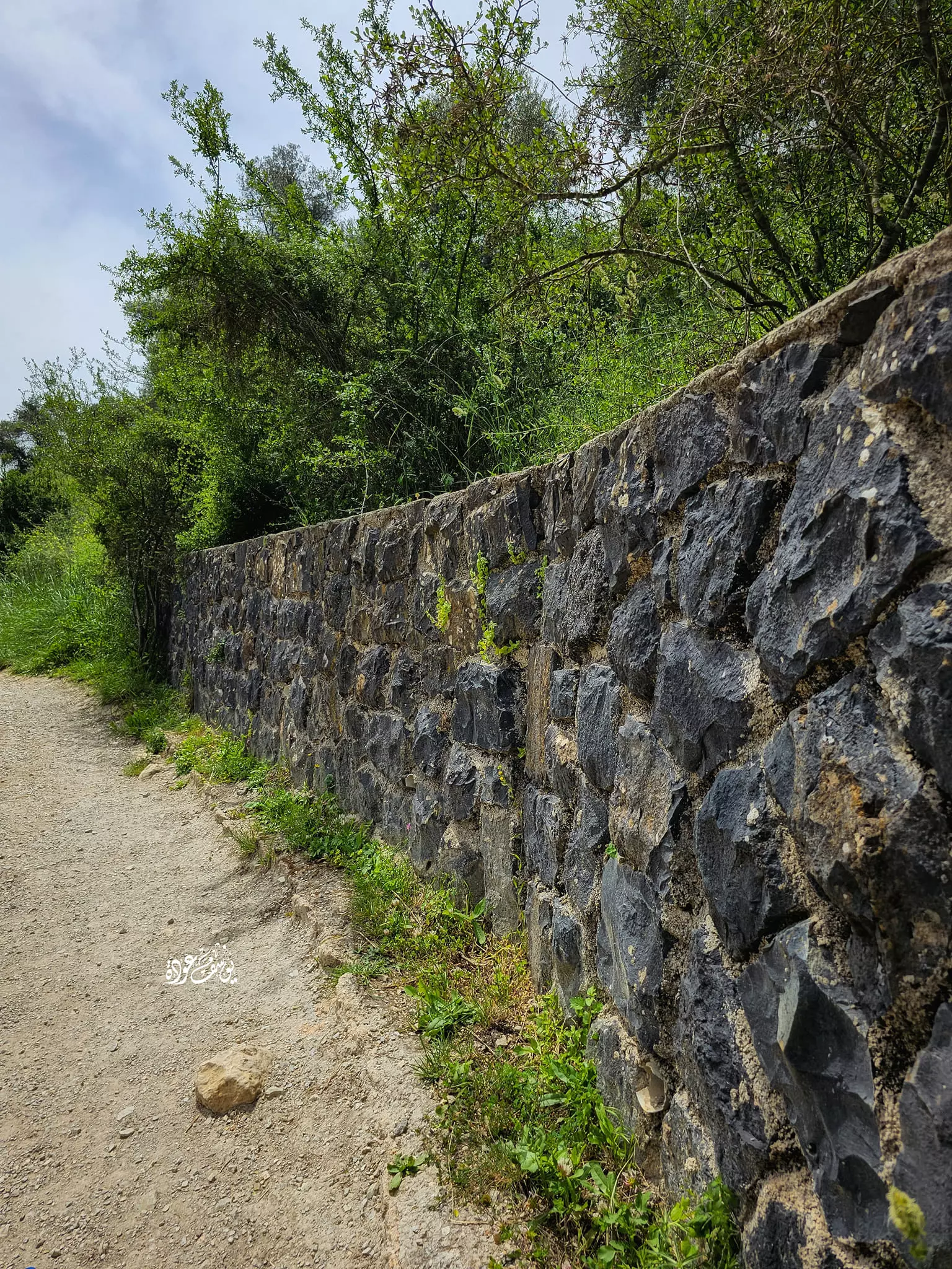
Posted by Jabour Khoury - اراضي القريه المزروعه بالبساتين من الجهه الشماليه -كل الاراضي مسجه ولا يمكن دخولها عدا عن المتنزه
Posted by Jabour Khoury - اراضي القريه
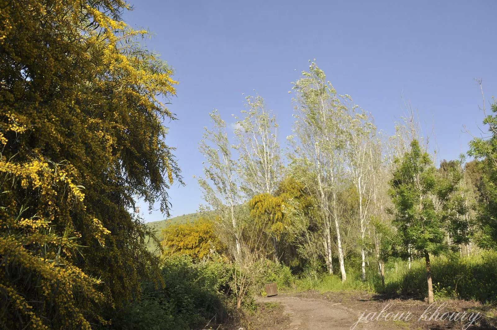
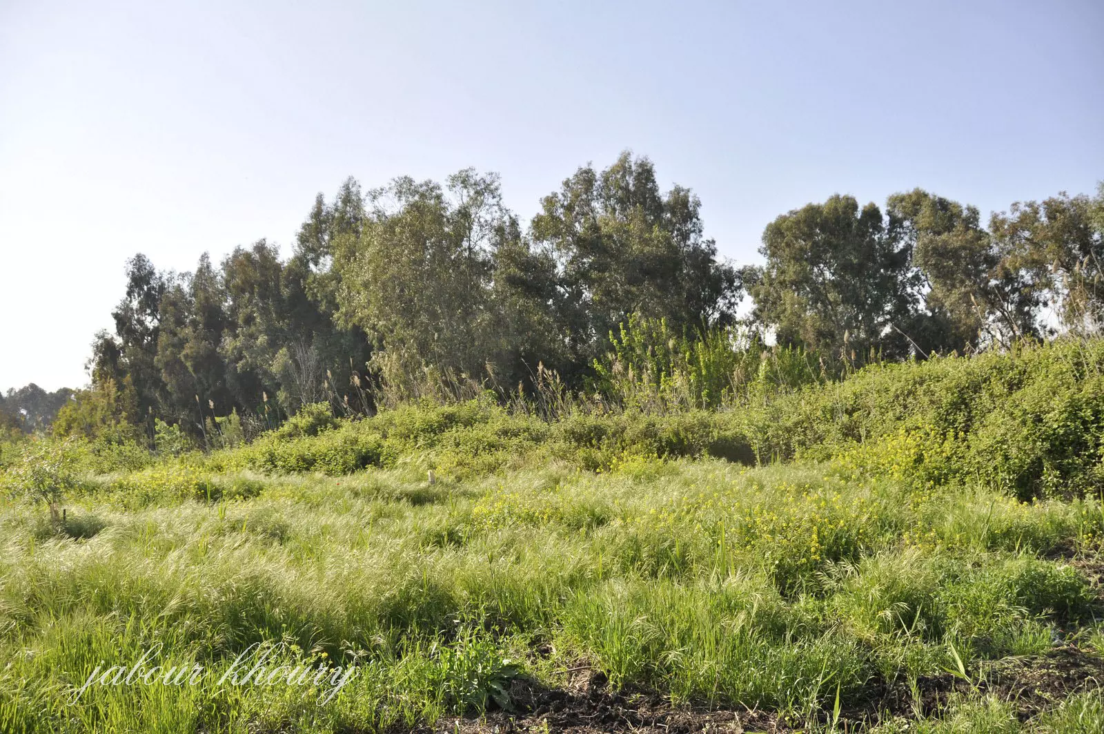
Posted by Jabour Khoury - اراضي القريه التي تغطيها الاعشاب والاشجار
Posted by Jabour Khoury - اراضي القريه
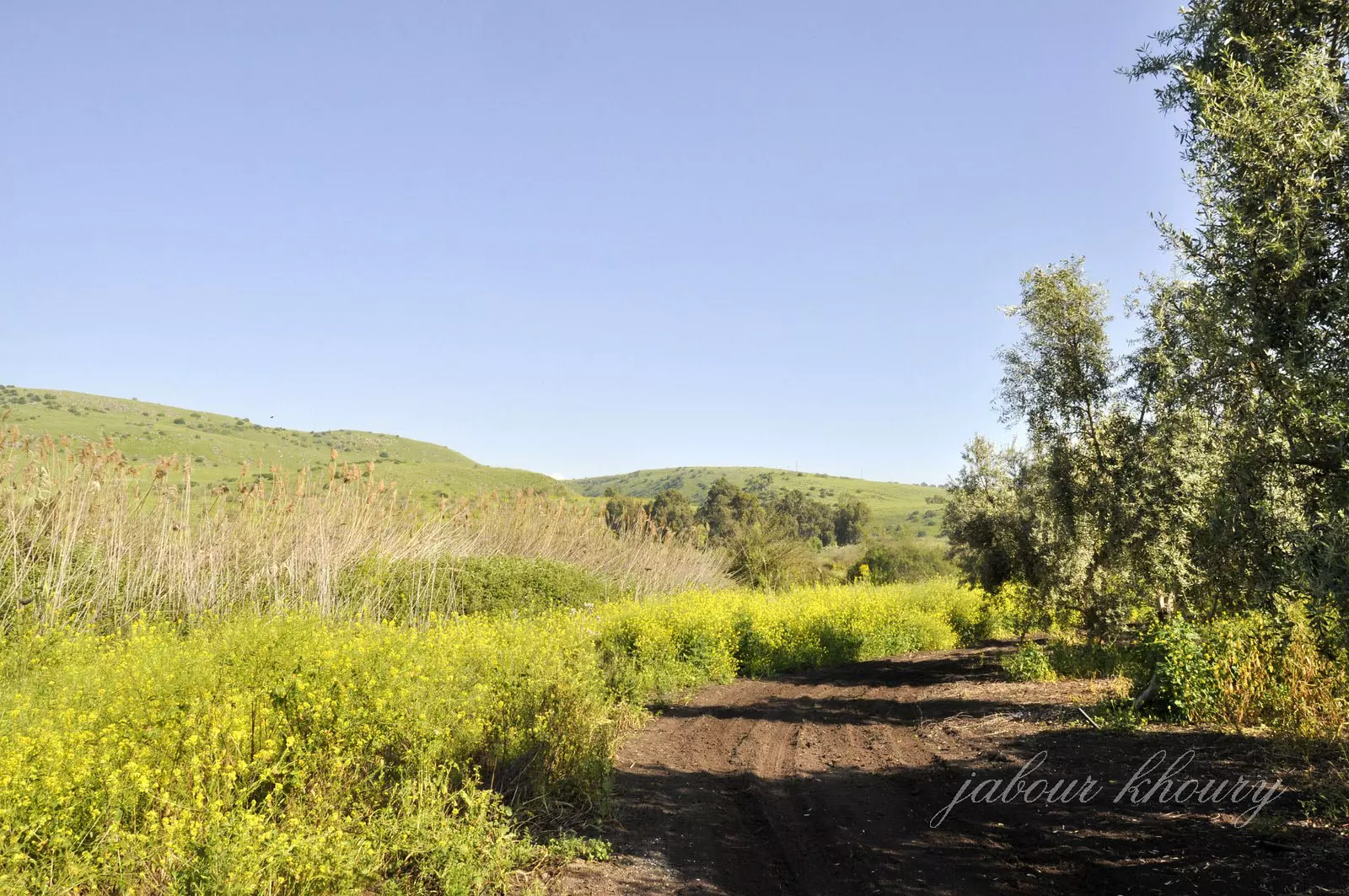
Posted by Jabour Khoury - اراضي القريه من الجهه الجنوبيه وفي الخلفيه بدايه هضبه الجولان
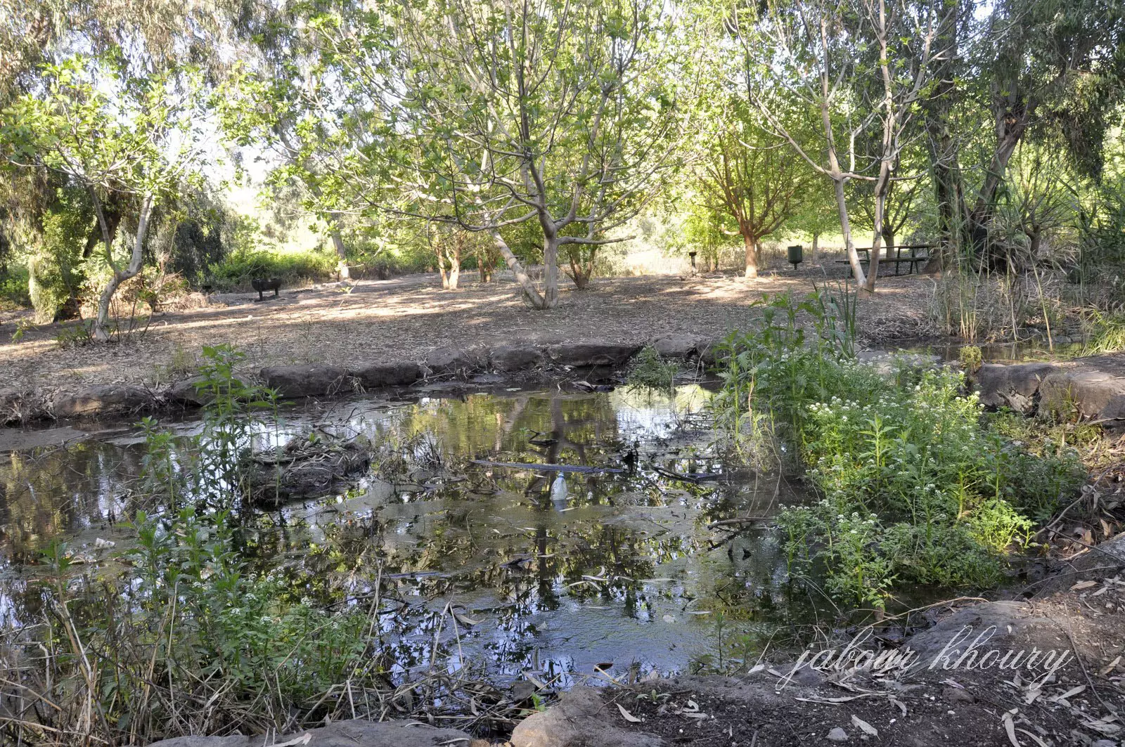
Posted by Jabour Khoury - بركه ماء وسط المتنزه
Posted by Jabour Khoury - مدخل المتنزه
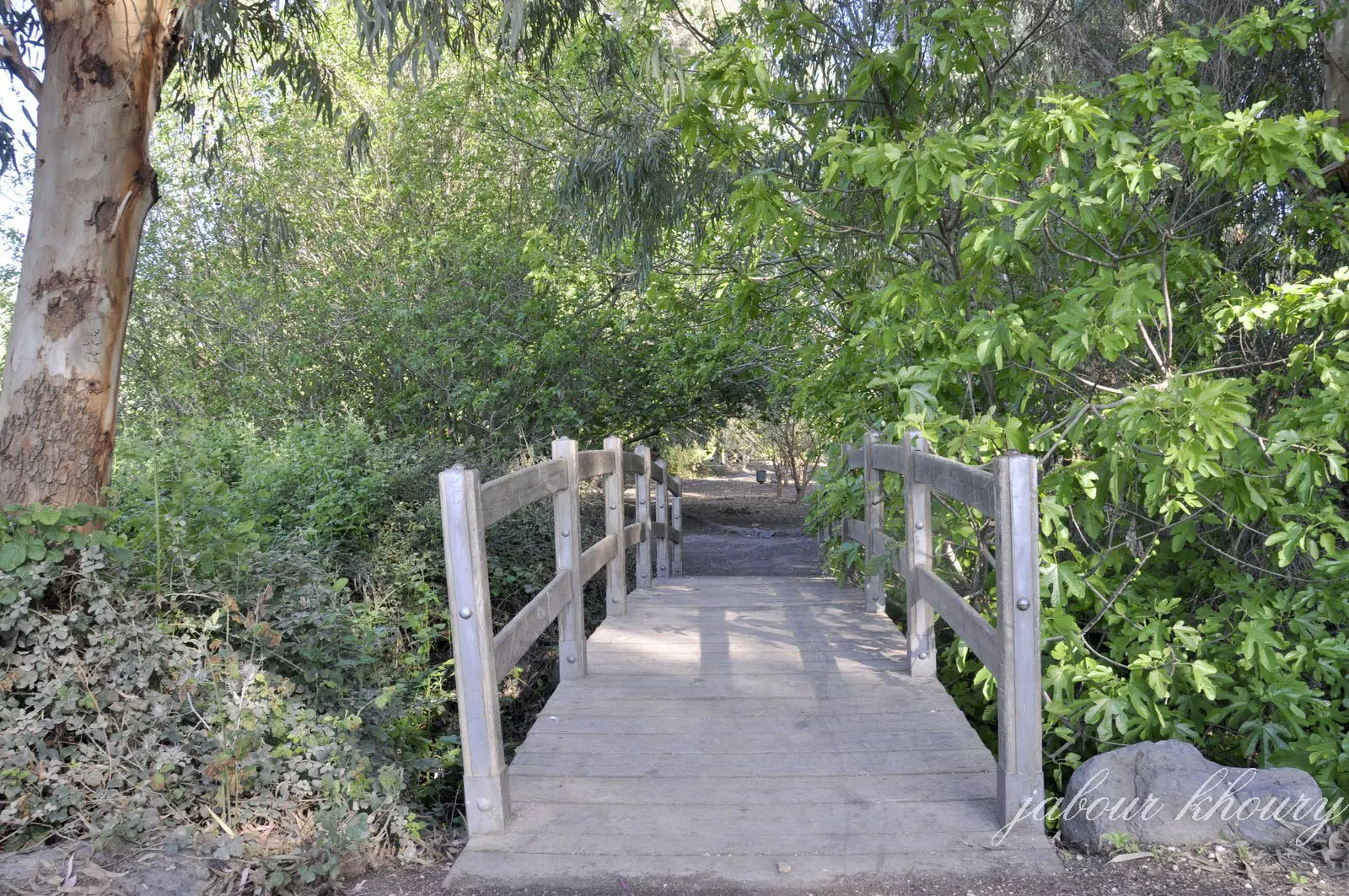
Posted by Jabour Khoury - المتنزه يتبع للصندوق القومي اليهودي
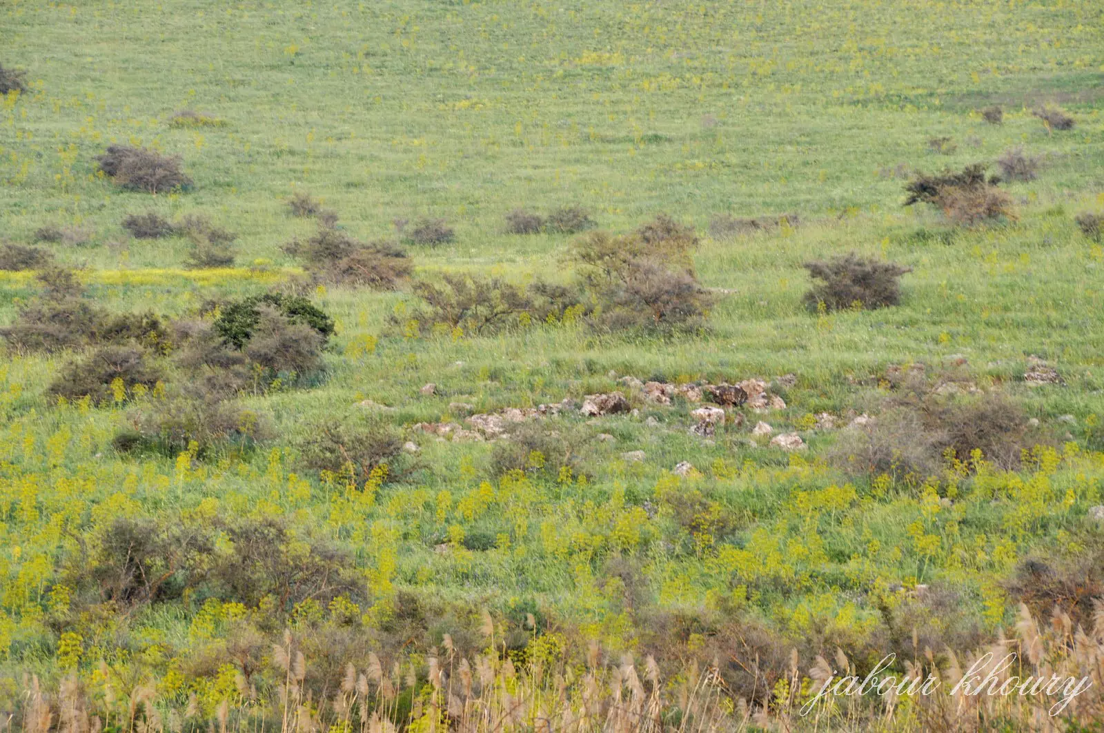
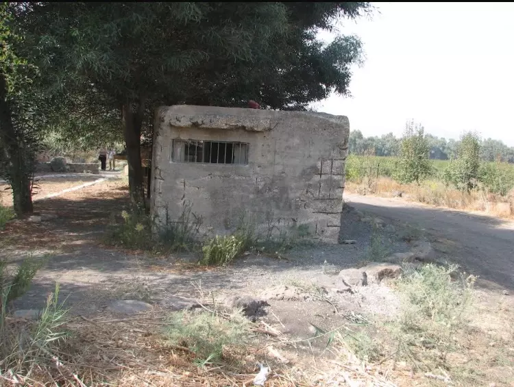
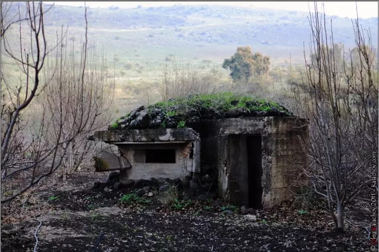
Posted by Jabour Khoury - اثار ردم البيوت في الجهه الشماليه من القريه
Posted by Jabour Khoury - ردم البيوت في الجهه الشرقيه من القريه
Posted by Jabour Khoury - موقع القريه من الجهه الغربيه
Posted by abu raya - ااراضي القريه من الغرب لموقعها
Posted by abu raya - موقع من شمال القريه
Posted by abu raya - شمال القريه
Posted by abu raya - من شمال القريه التي اقيم في موقعها منتزه للسياحه
Posted by abu raya - من موقع القريه
Posted by abu raya - منظر من شمال القريه
Posted by abu raya - اراضي القريه واثار لاحدى البيوت الباقيه في شمالها
Posted by abu raya - اراضي القريه يستغلها المستوطنون
Posted by abu raya - من موقع القريه
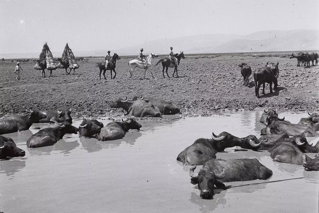
Posted by abu raya - جواميس حول بحيرة الحولة، ويظهر في الصورة مزارعون في مواسم الحصاد، عام 1946.
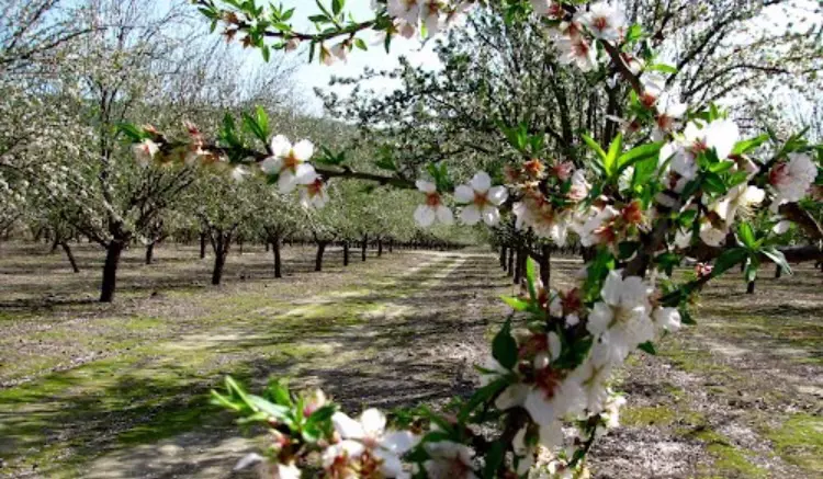
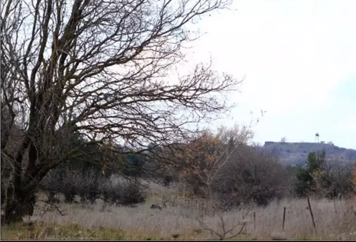
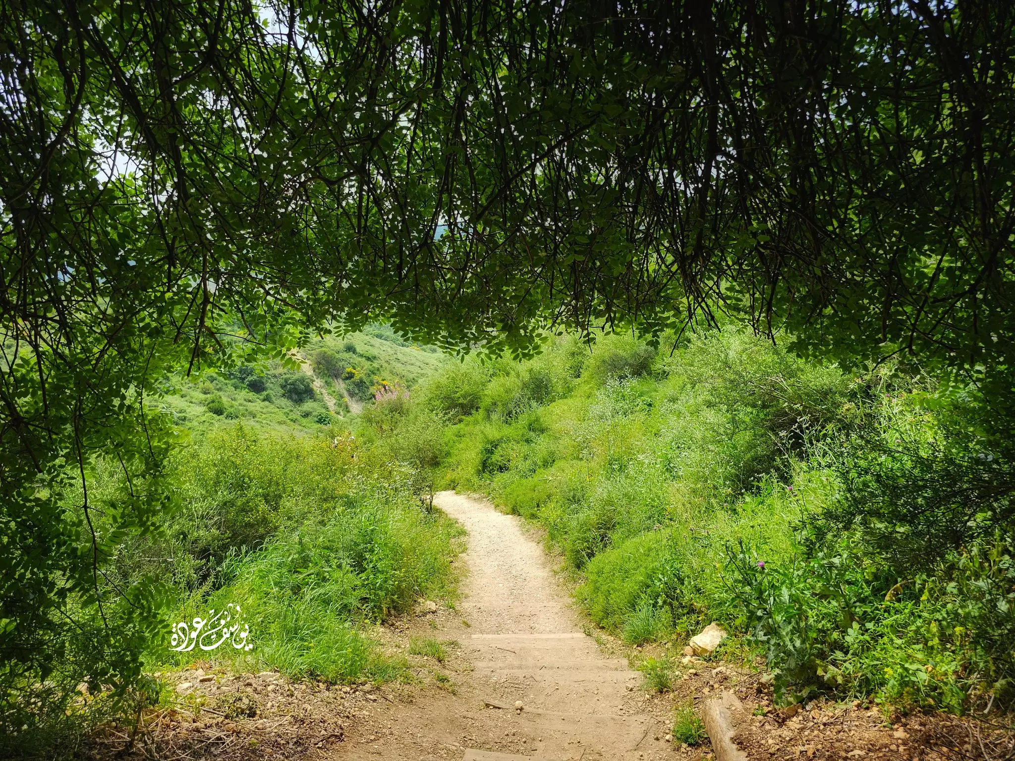
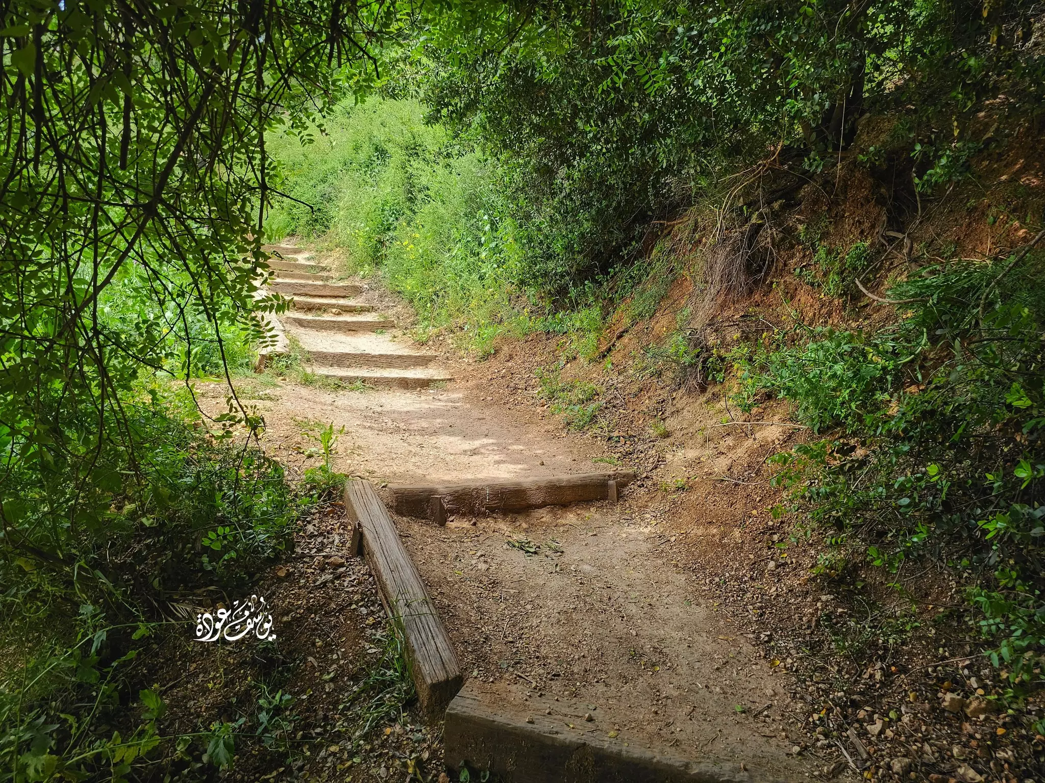
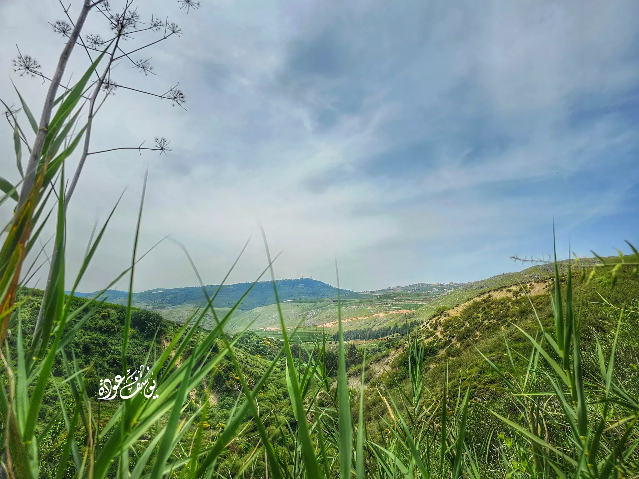
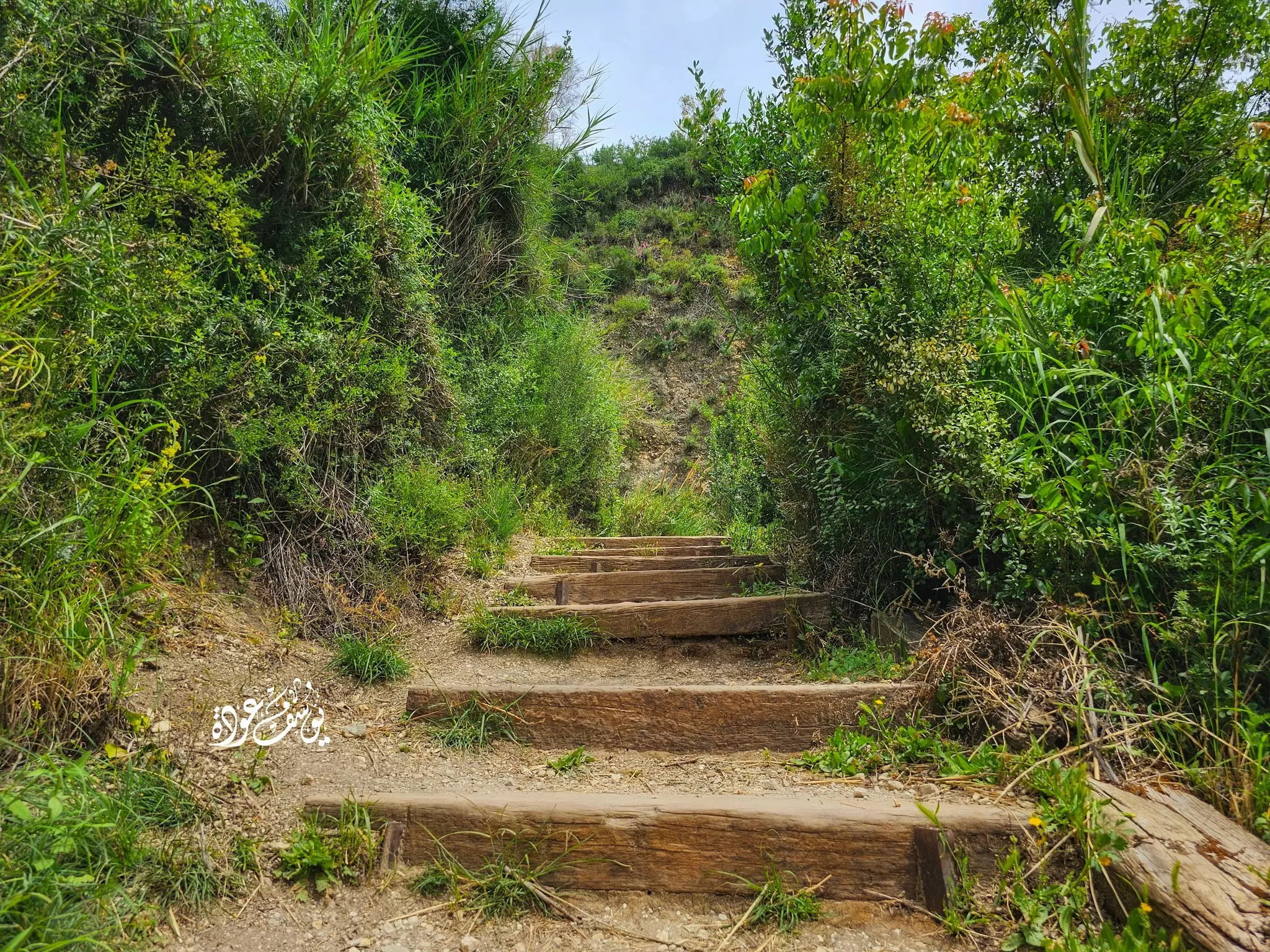
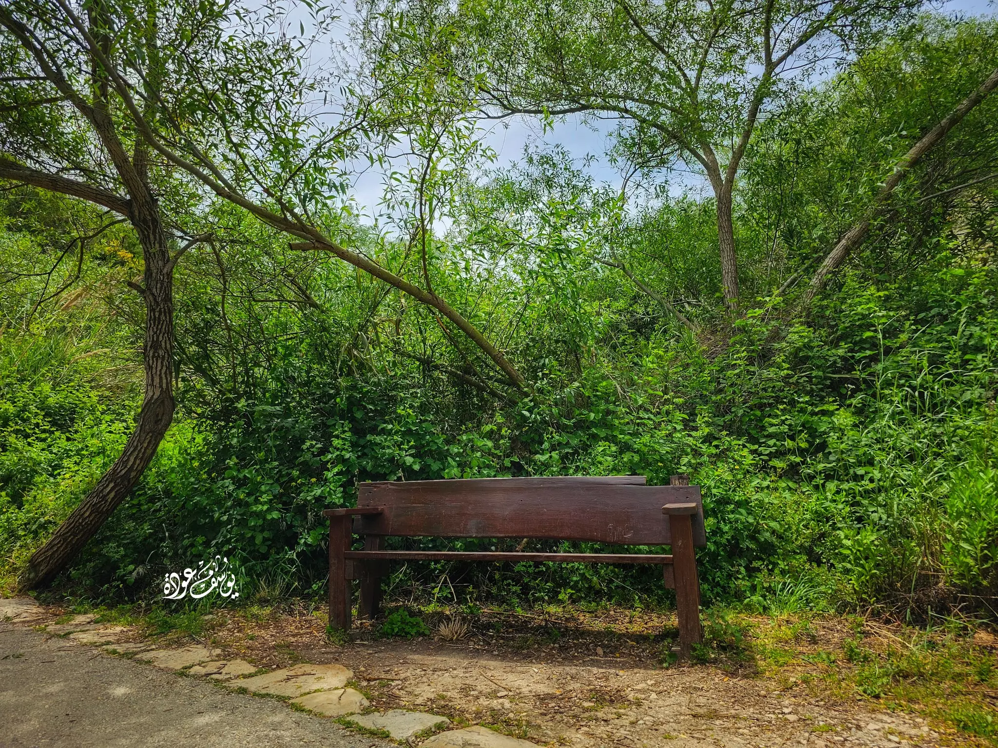
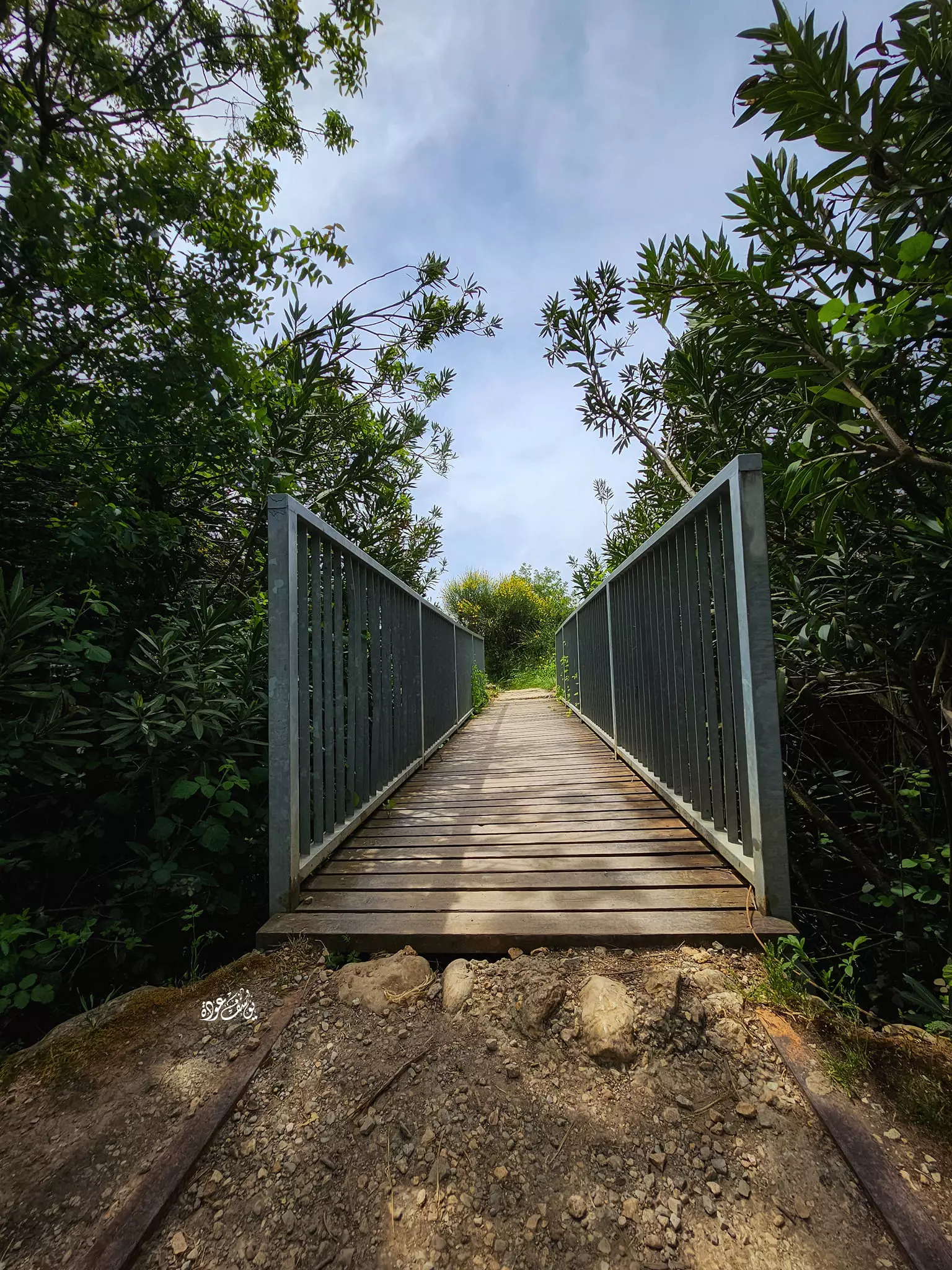
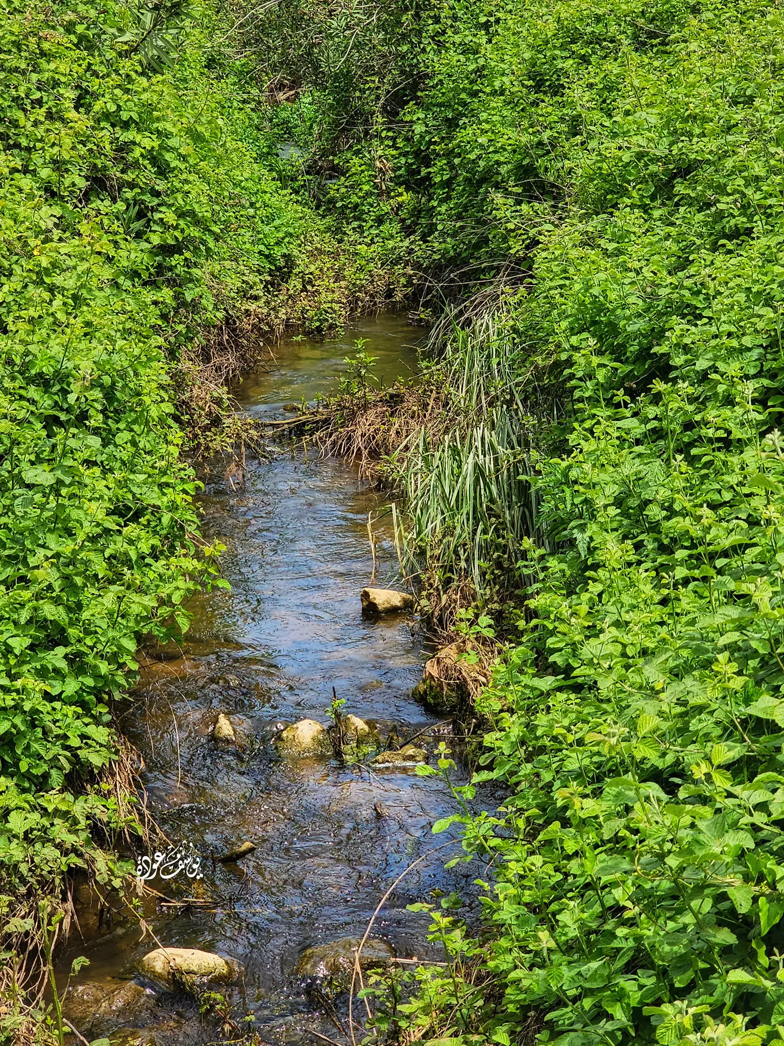
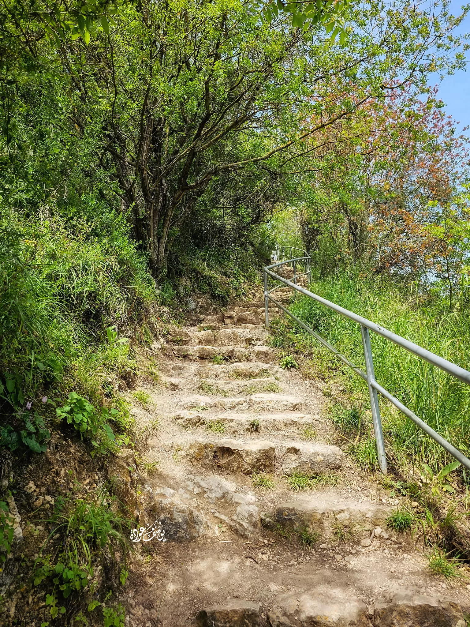
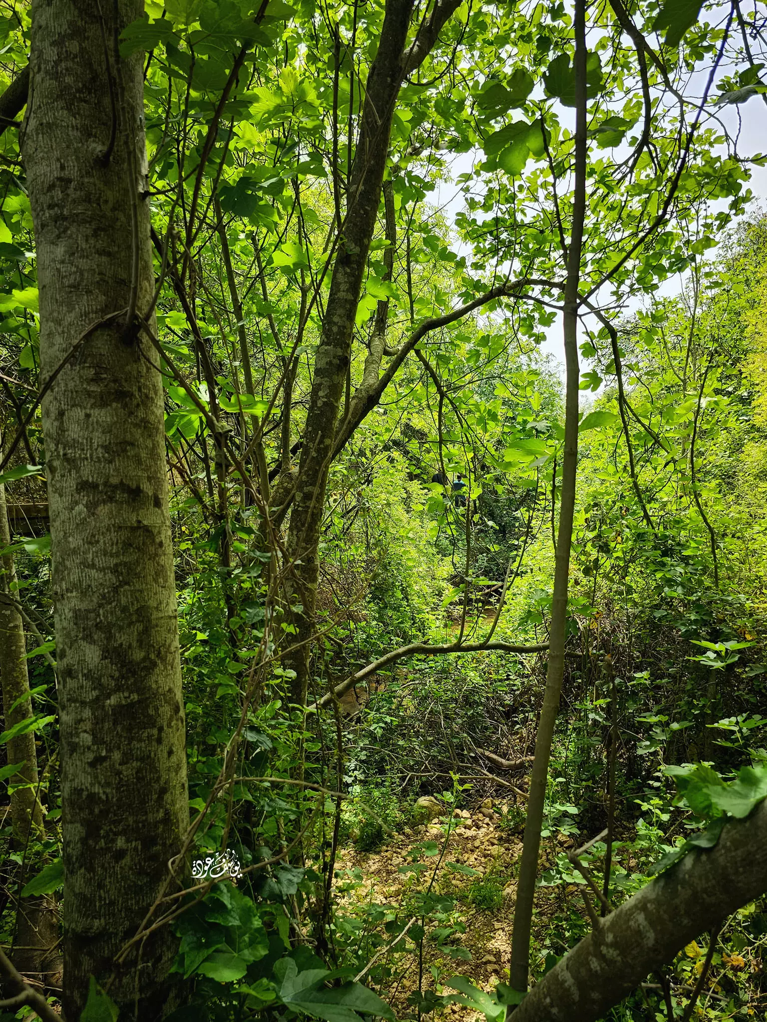
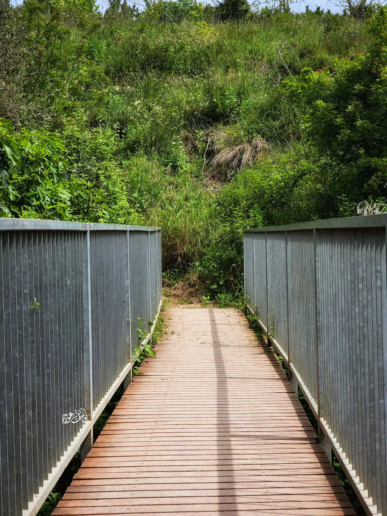
- جولة في واد الدردارة أو واد بريغيت -- يوسف عودة
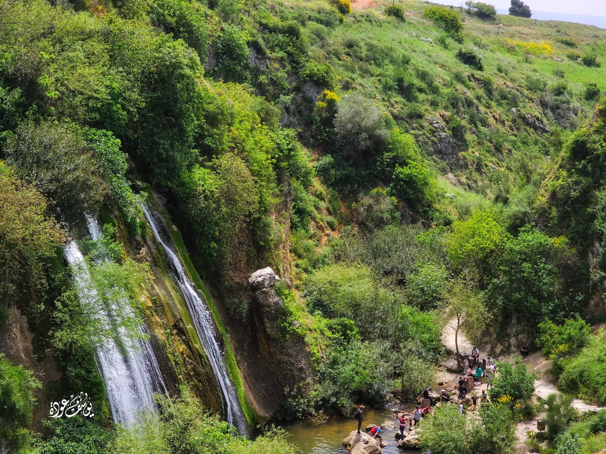
- جولة في واد الدردارة أو واد بريغيت -- يوسف عودة #2
- جولة في واد الدردارة أو واد بريغيت -- يوسف عودة #3
- جولة في واد الدردارة أو واد بريغيت -- يوسف عودة #4
- جولة في واد الدردارة أو واد بريغيت -- يوسف عودة #5
- جولة في واد الدردارة أو واد بريغيت -- يوسف عودة #6
- جولة في واد الدردارة أو واد بريغيت -- يوسف عودة #7
- جولة في واد الدردارة أو واد بريغيت -- يوسف عودة #8
- جولة في واد الدردارة أو واد بريغيت -- يوسف عودة #9
- جولة في واد الدردارة أو واد بريغيت -- يوسف عودة
- جولة في واد الدردارة أو واد بريغيت -- يوسف عودة #2
- جولة في واد الدردارة أو واد بريغيت -- يوسف عودة #3
- جولة في واد الدردارة أو واد بريغيت -- يوسف عودة #4
- جولة في واد الدردارة أو واد بريغيت -- يوسف عودة #5
- جولة في واد الدردارة أو واد بريغيت -- يوسف عودة #6
Want to browse more? 80,000 pictures were grouped in these gallaries:
| Display Name | Clan/Hamolah | Country of Residence |
No links have been shared yet, be free to the first to share the first link.
 Fake Valor: Why Did Zionist Jews Hoist Nazis Flag on Their Ships in the 1930s?
What is new?
-
Facts About Oct. 7th Gaza Raid
-
Remined Us Please:: Who Did Rape Who? Palestinians Raped Israelis? Or, was the other way around?
-
When Prof. Edward Said was invited to debate Bibi Netanyahu in the 1980s, watch what happened!
-
Ezra Klein of the NY Times on the "Jewish Race".
-
Abusing Blood Libel!
-
Did Israeli Soldiers Activate The Hanniba Direective On Oct. 7th? You Be The Judge
-
Zionist FAQ: Isn't it true that Palestinians don't want peace? Palestinians never accepted the two-state solution
- Facts about Haavara (Transfer) Agreement between Ben-Gurion & Hitler
-
Haavara FAQs: Why Did Zionist Jews Hoist Nazis' Flags on Their Ships in the 1930s?
- Haavara FAQs: When Chaim Weizmann met FDR in mid-1943, why was he silent about rescuing European Jewry?
-
Dear ChatGPT: How did Palestinians resist Napoleon's invasion of their country in 1799?
-
Dear ChatGPT: Gaza had a vibrant Jewish community in the mid-17th century. What happened to them?
-
Dear ChatGPT: Why did the Jewish Agency suppress news of the Holocaust during WWII?
-
Video Playlist: Jews share their DNA tests to end the conflict for good.
-
A Tale of Two Conflicts: Examining the Definition of Genocide
-
Prof. Abraham Polak And The Suppressed History of the Khazars and European Jewry
-
How Ronald Reagan would have framed the genocide in Gaza if he were still alive?
-
Haavara FAQs: Let us do the math: how many German Jews did The Haavara Agreement save?
-
Zionist FAQs: The Hebron Massacre of 1929, "clearly proves" that Palestinians are antisemitic, how could you deny it?
-
Zionist FAQs: Why Anti-Zionist Is Not Antisemitism?
-
Zionist FAQs: Isn't it true that the KGB created Palestinian Nationalism in the early 1960s?
- Zionist FAQs: Muslims are killing Muslims all the time; why are Israeli Jews being singled out in the media?
- Zionist FAQs: How is Israel an apartheid state when 20% of its citizens are Arabs who enjoy full rights?
-
Haavara FAQs: Why Did Dorothy Thompson Flip From A Zionist Advocate to A Silenced Dissenter?
-
Haavara FAQs: Analysis of Herzl's Uganda Scheme and how it could have saved millions of Jews.
-
Haavara FAQs: Why did Hayim Greenberg describe American Jewry as "morally bankrupt" in early 1943?
-
Haavara FAQs: What if the Evian Conference was a resounding success? What would have been the impact of saving European Jewry on Zionism?
- Haavara FAQs: What if the six million were saved, how that would have impacted the Zionist project?
-
Haavara FAQs: How did Zionist leaders react when Europe's Jews lingered in the DP camps after WWII ended?
-
Why does the American Jewish community repeat lies that David Ben-Gurion had debunked before he died?
-
Who has the power to rename the Tatar/Khazar Gene Marker to Jewish IV?
-
Zionist FAQs: Why won't Egypt, Syria, and Jordan take their people back? Jews are indigenous to Palestine, and Arabs immigrated after Jews developed the country. Arabs should leave.
-
Haavara FAQs: Did Hitler and the Nazis conflate between Judaism and Zionist? If that wasn't case, then why?
-
Haavara FAQs: Winston Churchill and antisemitism, a collection of articles written Churchill.
-
Haavara FAQs: Broken by country, how many Jews survived vs. killed during the Holocaust?
-
Haavara FAQs: Why did European Jews vote with their feet and to immigrated to the Americas, not Palestine, after WWII?
-
Watch this American Jewish Girl describing Israeli Jews' cognitive dissonance like no other in under two minutes
-
Haavara FAQs: When the Nazis went out of their way to hide the Holocaust, Israeli Jews did the exact opposite by broadcasting their genocide of Gazans. But why?
-
Haavara FAQs: How Zionist Jews went out of their to show their appreciation to Nazism and Fascism?
- Haavara FAQs: Why Zionist leaders were against bombing the death camps & the Railroads leading to them?
-
Haavara FAQs: Hitler's message to the British and American people: If Jews are such noble citizens and you care about them, how come you're not letting them in? I will gladly ship them to you at my expense, even on luxury liners!
-
A shortlist of Zionist and Israeli false flag operations in the name Jews.
-
The Most Moral Army
- The Land of Kapos (Israel): Where the brave are boycotted and Kapos walk free.
- Why did early Zionists often named their communal enterprises "colonial"?
- Zionist Relations with Nazi Germany by Faris Glubb
-
Two NY Times advertisements by Zionists in the early 1943 that exposes Zionists' treason at the height of the calamity
- Facts Not Lies about the Palestinian-Israeli Conflict.
- Site's pictures have been categorized
- Campgain Against Lice
- A Survey of Palestine, the official source about Palestine before Nakba produced by the British Mandate; over 1200 pages.
- Satellite View & Google Earth: Over 6,000 placemarks identifying all destroyed towns, W. Bank & Gaza Strip Towns, & refugee camps.
- PalestineRemembered.com and its Nakba Oral History Project were featured on al-Jazeera Satellite TV.
- Nakba Oral History Video Podcast:
 Over 700 Oral History interviews (including 3,500+ hours of recording) can be viewed online.
 - Palestine Village Statistics Project
- Gaza Jail Break
- النسخة العربية للموقع الان متوفرة
- Videos: Documenting the destroyed villages in video: Tracing all that remains since Nakba.
- Videos: Responding to Zionist Propaganda
- Interview: The ethnic cleansing of Palestine: George Galloway interviews Israeli Historian Ilan Pappe.
- For Palestinians, memory matters. It provides a blueprint for their future By George Bisharat.
- Zionist FAQ now available in Hebrew שאלות שציונים שואלים, עכשיו בעברית
- Video: The Stephen Walt and John Mearsheimer report on the influence of the Israel Lobby on U.S. Foreign Policy
- The Palestinian-Israeli conflict for beginners
