| PalestineRemembered | About Us | Oral History | العربية | |
| Pictures | Zionist FAQs | Haavara | Maps | |
| Search |
| Camps |
| Districts |
| Acre |
| Baysan |
| Beersheba |
| Bethlehem |
| Gaza |
| Haifa |
| Hebron |
| Jaffa |
| Jericho |
| Jerusalem |
| Jinin |
| Nablus |
| Nazareth |
| Ramallah |
| al-Ramla |
| Safad |
| Tiberias |
| Tulkarm |
| Donate |
| Contact |
| Profile |
| Videos |
Welcome To al-Malikiyya - المالكية (אל-מאלכיה)
|
District of Safad
Ethnically cleansed days ago |
العربية Google Earth |
 |
Gallery (32) |
- Statistics & Facts
-
Before & After

- Satellite View
- Articles 1
- Pictures 32
- Oral History 5
- Members
- All That Remains
- Wikipedia
- Videos
- Guest Book 5
- Links
| Statistic & Fact | Value | ||||||||||||||
| Occupation Date | May 28, 1948 | ||||||||||||||
| Distance From District | 15.5 (km) North East of Safad | ||||||||||||||
| Elevation | 675 (meters) | ||||||||||||||
| Before & After Nakba, Click Map For Details |
|||||||||||||||

|
|||||||||||||||
| Map Location | See location #29 on the map View from satellite |
||||||||||||||
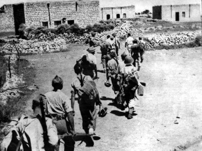
| Military Operation | Operation Hiram | ||||||||||||||
| Attacking Units | Ninth Battalion of the Sheva' (Seven) Brigade | ||||||||||||||
| Defenders | Local militia & Arab Liberation Army | ||||||||||||||
| Exodus Cause | Military assault by Zionist troops | ||||||||||||||
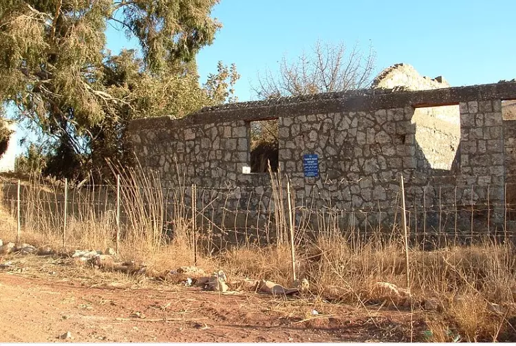
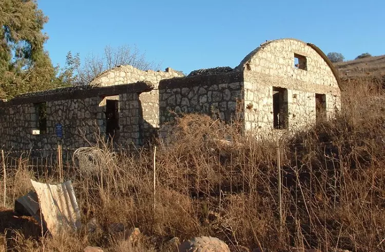
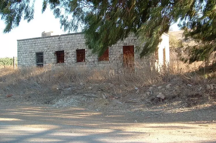
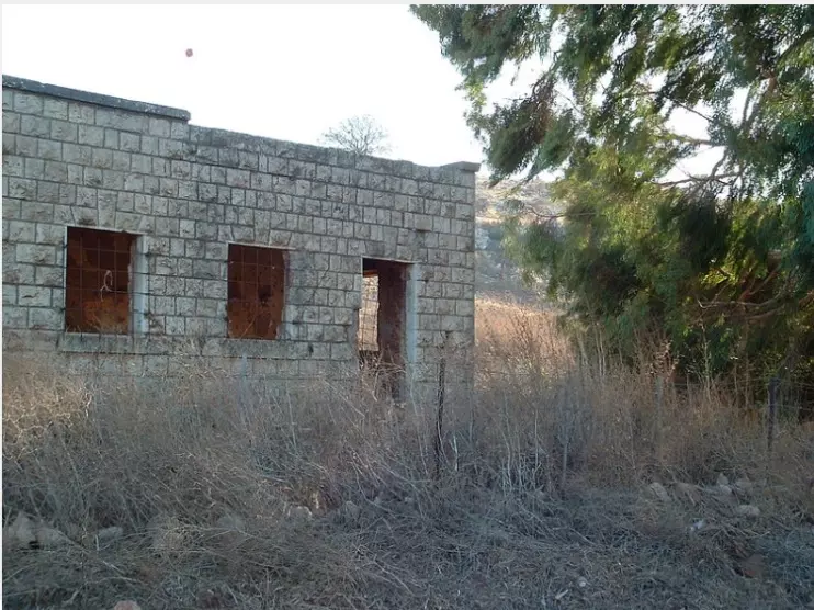
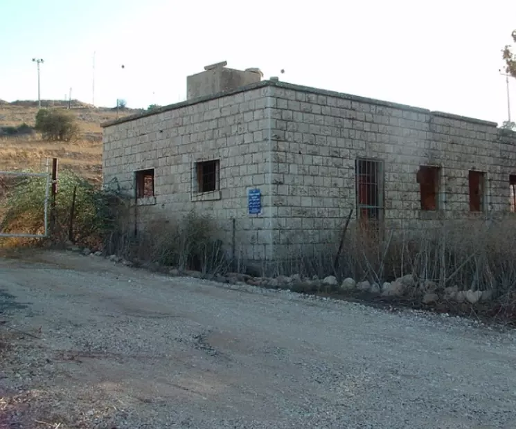
| Village Temains | The village has been completely destroyed | ||||||||||||||
| Ethnically Cleansing | al-Malikiyya inhabitants were completely ethnically cleansed. | ||||||||||||||
| Pre-Nakba Land Ownership |
**Town Lands' Demarcation Maps |
||||||||||||||
| Land Usage As of 1945 |
|
||||||||||||||
| Population |
|
||||||||||||||
| Number of Houses |
|
||||||||||||||
| Near By Towns |
|||||||||||||||
|
|||||||||||||||
| Exculsive Jewish Colonies Who Usurped Village Lands |
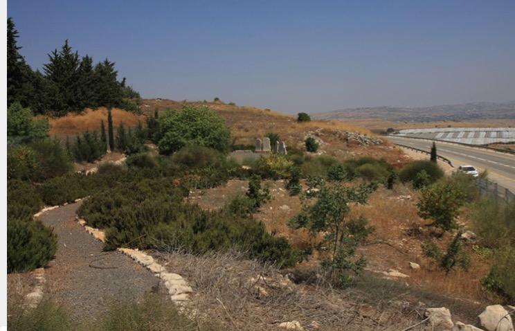
Malkiyya and an Israeli Army base. | ||||||||||||||
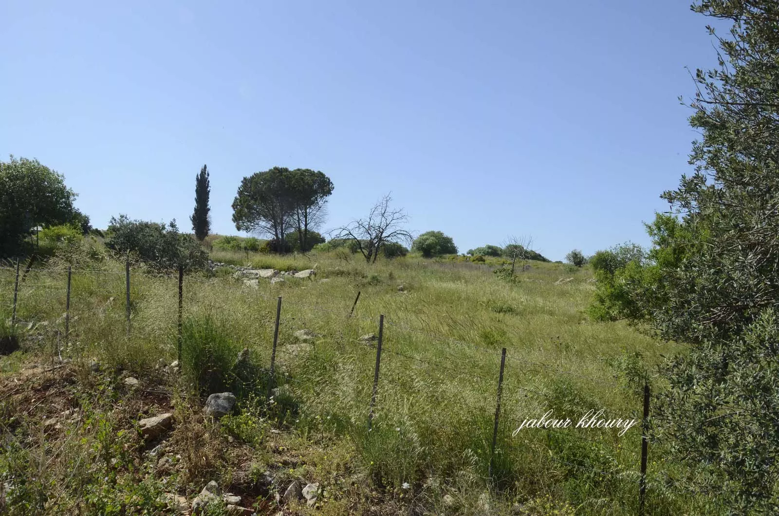
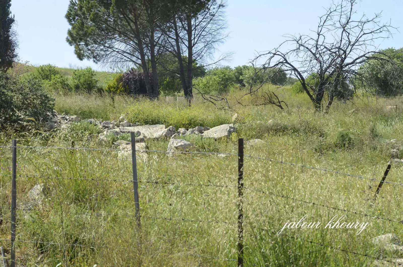
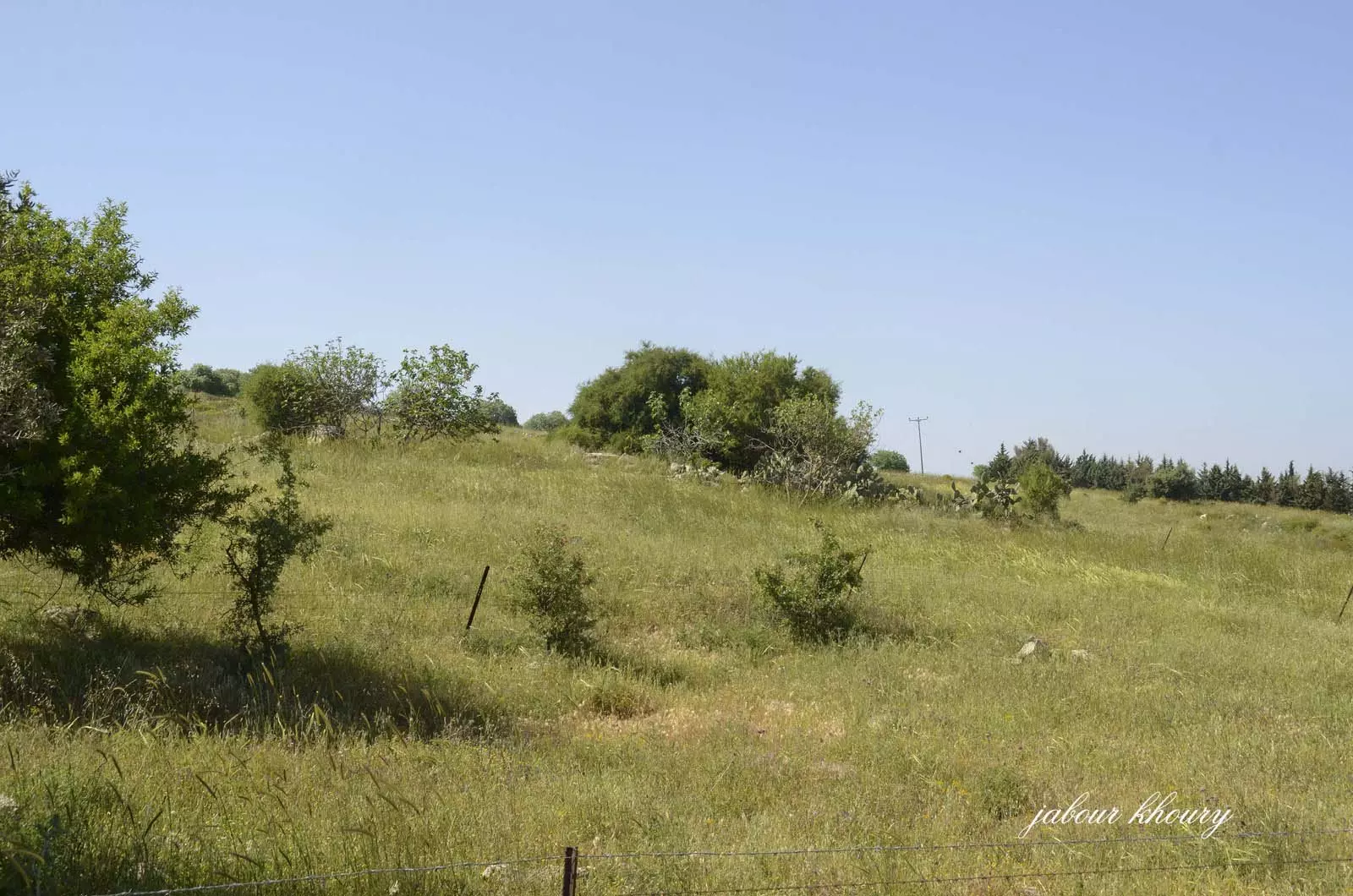
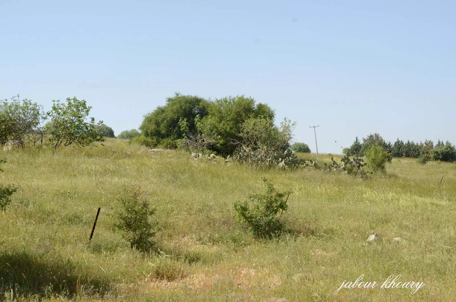
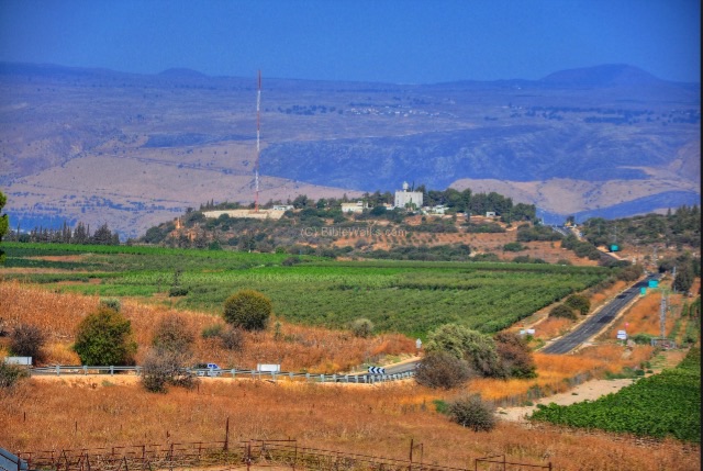
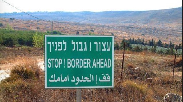
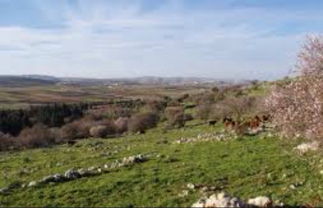
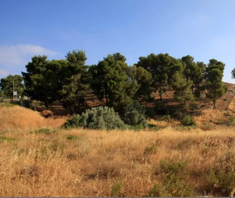
Village Before NakbaThe village was located in the mountains of Upper Galilee on the northern slope of a hill, less than 0.5 km from the Lebanese border. A secondary road linked it to a highway in the east that led to Safad, to other villages, and to the coastal highway, in the west. Al-Malikiyya may have been built on the site of the Byzantine village of Caphargun; it is also possible that this ancient site was occupied by the village of Umm Juniyya (203233), 1 km south of Lake Tiberias. [cf. Abel 1967:288] According to the Arab geographer Yaqut al-Hamawi (d. 1228), the people of al-Malikiyya had a wooden platter that they believed was originally owned by the prophet Muhammad [Mu’jam, cited in Le Strange 1965:77] In 1596, al-Malikiyya was a village in the nahiya of Tibnin (liwa' of Safad) with a population of 369. It paid taxes on a number of crops, including wheat and barley, as well as on goats and beehives. [Hut. and Abd.:179] In the late nineteenth century, travelers described al-Malikiyya as a village built of stone and mud, lying on a plain to the east of a valley. Well supplied with water from a nearby wadi, the village's 200 to 300 inhabitants cultivated olives. [SWP (1881) I:202, 251]Al-Malikiyya was part of Lebanon until 1923, when the final borders between Palestine and Lebanon were delineated. It had a square configuration and its houses were clustered together. There was a police station near the village to the southeast. Rainwater was collected in wells (including one that was east of the site) and used for domestic purposes. Most of the villagers worked in animal husbandry and agriculture, growing mainly grain, olives, and fruit. In the 1942/43 season, olive trees covered 105 dunums of village land to the north, northeast, south, and southwest of the village. In 1944/45 a total of 4,225 dunums was planted in cereals. Village Occupation and Ethnic CleaningAl-Malikiyya changed hands no fewer than five times between May and October 1948. It was first occupied by the Palmach in mid-May before the end of the British Mandate. Palestinian historian Hani al-Hindi states that the village was initially in the hands of the Arab Liberation Army's Second Yarmuk Battalion under the command of Lt. Col. Adib al-Shishakli, later president of Syria. He reports that al-Malikiyya was seized by the Palmach on the night of 12 May but was retaken by Arab forces the next day. According to al-Hindi, Jewish forces did not regain the village until 29 May. [Al-Hindi 1973:125]The New York Times, however, states that Jewish paratroopers were dropped into the village on 15 May, the day on which the British Mandate ended. Lebanese forces soon crossed the border and managed to recapture al-Malikiyya later that same day. Subsequently, the Haganah claimed that it had killed 200 Lebanese troops during fighting around the village. On 20 May, Israeli forces made a thrust against the area of al-Malikiyya, according to Israeli sources quoted by the Associated Press. A couple of weeks later, the Haganah devised an elaborate ploy to reoccupy the village. First it mounted an attack against the Lebanese defenders of the village, so that they would be forced to request reinforcements. Then an Israeli column infiltrated into Lebanese territory, using a nearby road, and approached the village from the rear, pretending to be the Lebanese reinforcements. The History of the Haganah states that 'The convoy made its way safely, traversing several Lebanese villages, and the inhabitants welcomed it with joy, thinking it was the Lebanese convoy.' On the way, it also met up with the actual Lebanese reinforcements and carried out a devastating surprise assault. Finally, the convoy attacked and reoccupied al-Malikiyya itself in the early morning of 29 May. The Haganah account states that the convoy found the village empty. 'With the exception of the enemy dead, a large quantity of ammunition, and a number of French mortars, nothing remained in the place.' The Arab and Zionist accounts differ mainly in the dates cited for these initial battles. Both accounts confirm that the village was in Zionist hands at the end of May 1948. However, the battle for al-Malikiyya was not over. Just over a week later, on 7 June, Lebanese forces recaptured the village, and held on to it throughout the summer. [Al-Hindi 1973:125; M:123-24; NYT:16/5/48, 17/5/48,21/5/48,30/5/48,8/6/48; S:1596; T:173-76,184] The village was at the northeastern corner of the area covered by Operation Hiram (see 'Arab al-Samniyya, Acre sub-district). A composite force, drawn from four different Israeli brigades, carried out another operation to regain control of the village. Al-Malikiyya was again taken by surprise. The History of the War of Independence relates that it had been fortified for an attack from the east, but the Ninth Battalion of the Sheva' Brigade approached from the south and attacked under cover of the Israeli air force, taking the village with ease in late October 1948. If some of the villagers had returned, they apparently fled during this final attack, according to Israeli historian Benny Morris. Zionists Colonies on Village LandsIn 1949, the settlement of Malkiyya (198278) was established southeast of the village site, on village lands.Village TodayThe area is a fenced-in military zone, and the site is inaccessible.SourceDr. Walid al-Khalidi, 1992: All That Remains. |
|||||||||||||||
| Related Maps | Town Lands' Demarcation Maps خرائط للقضاء توضح حدود القرى والاودية Town's map on MapQuest View from satellite Help us map this town at WikiMapia |
||||||||||||||
| Related Links | Wikipedia's Page Google Search Google For Images Google For Videos |
||||||||||||||
| More Information | في كتاب كي لا ننسى في كتاب بلادنا فلسطين في كتاب النكبة والفردوس المفقود المزيد من موقع هوية |
||||||||||||||
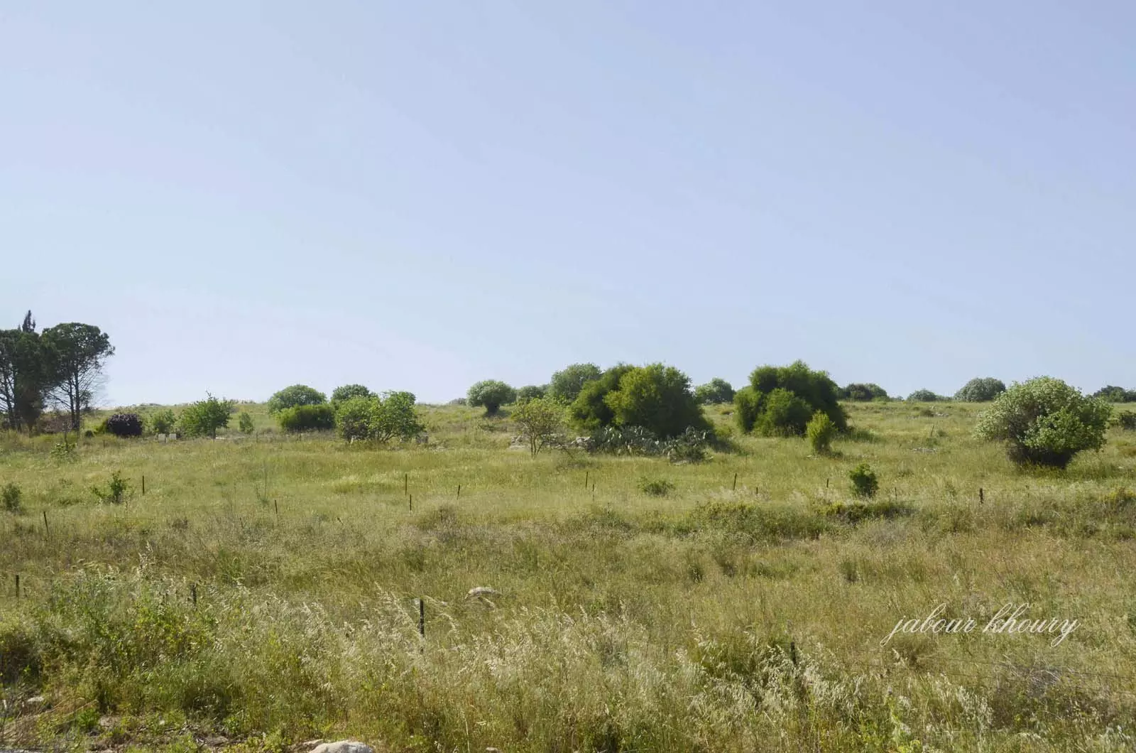
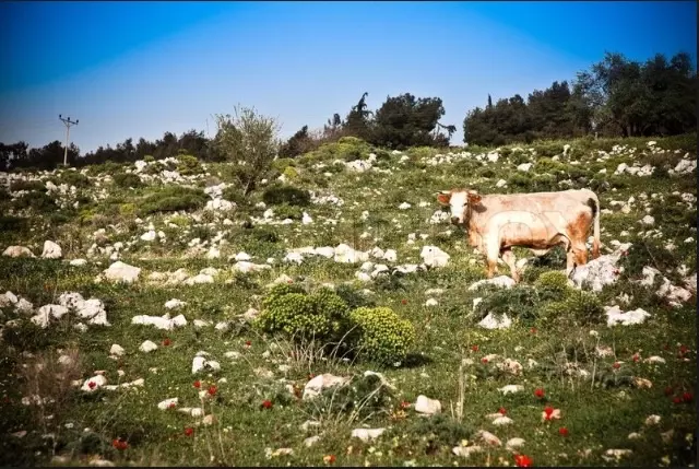
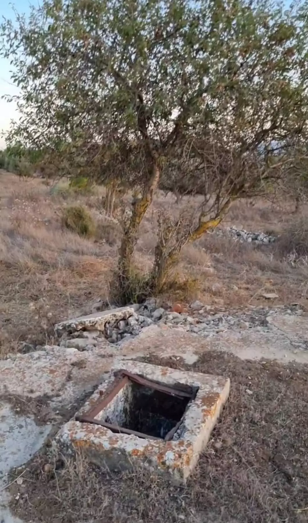
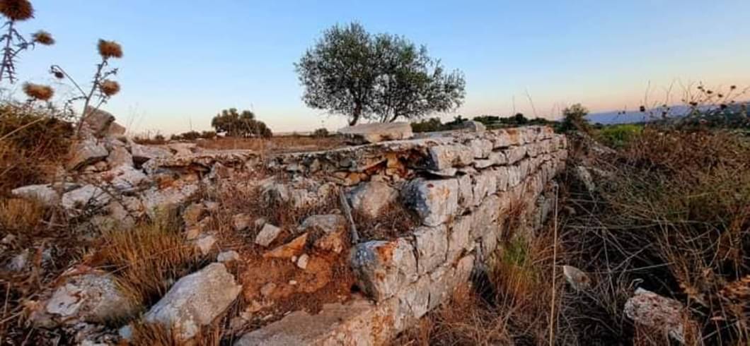
- موقع القريه
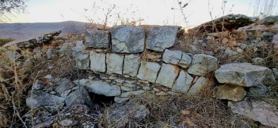
Posted by Jabour Khoury - اثار الردم في موقع القريه
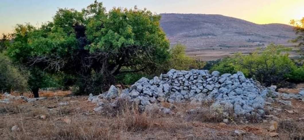
Posted by Jabour Khoury - موقع القريه وتظهر اشجار الزيتون الرمان والتين
Posted by Jabour Khoury - موقع القريه
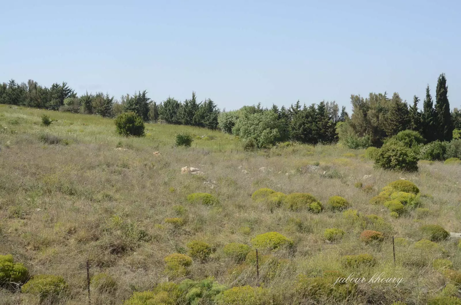
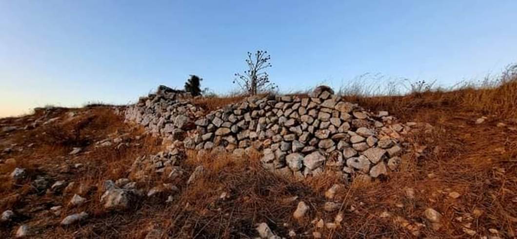
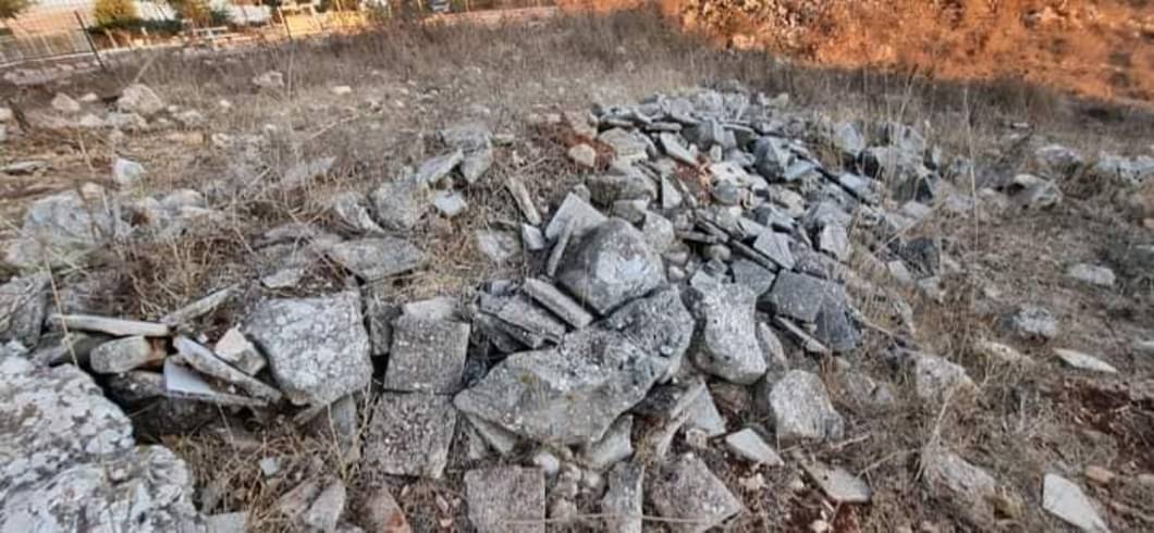
Posted by Jabour Khoury - اثار الردم
Posted by Jabour Khoury - اثار الردم
Posted by Jabour Khoury - اثار الردم
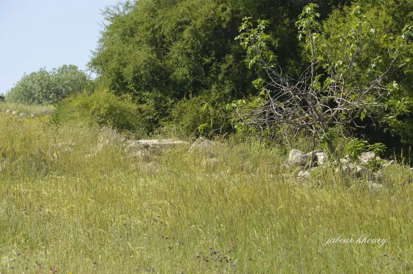
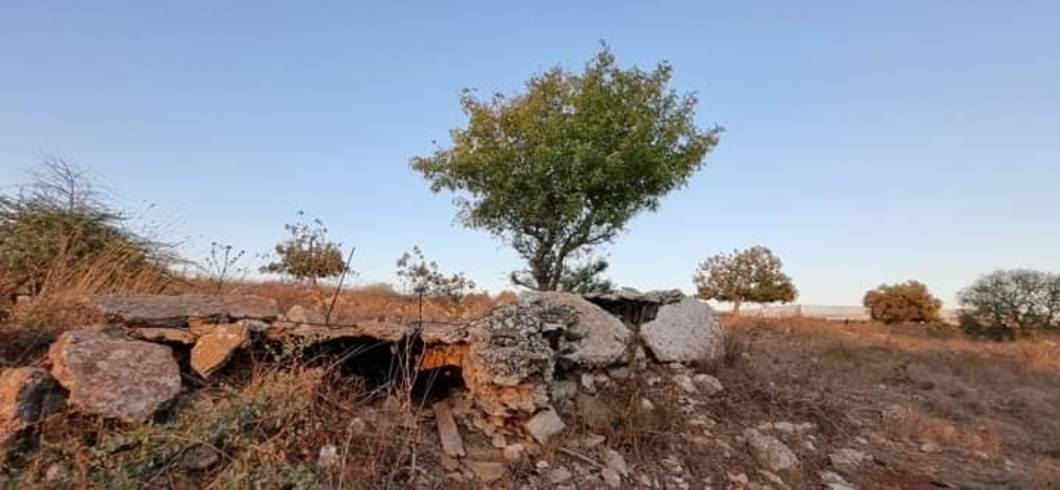
Posted by Jabour Khoury - موقع القريه
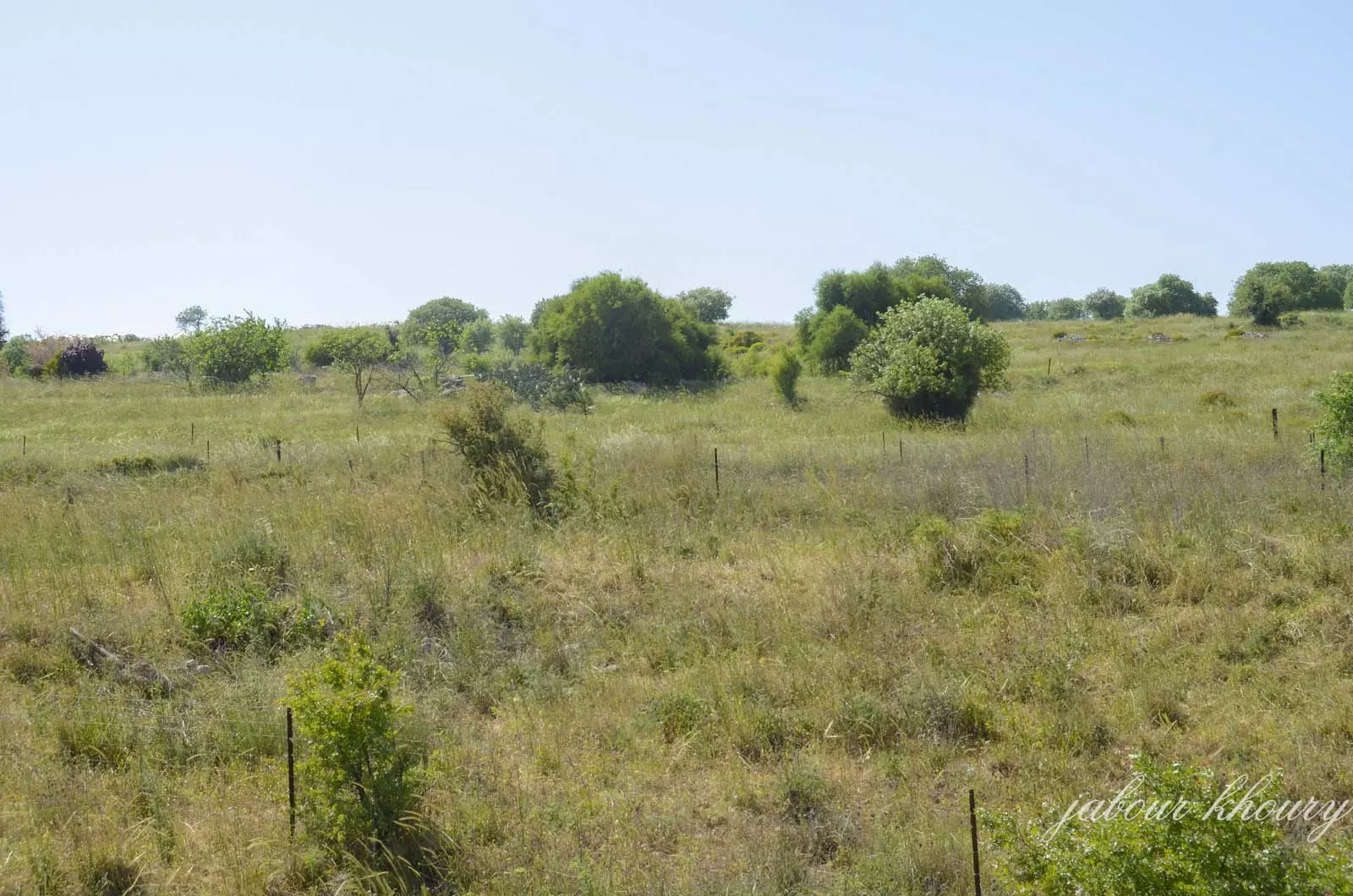
Posted by Jabour Khoury - موقع القريه نبات الصبار وشجر التين يشهد على هويه المكان
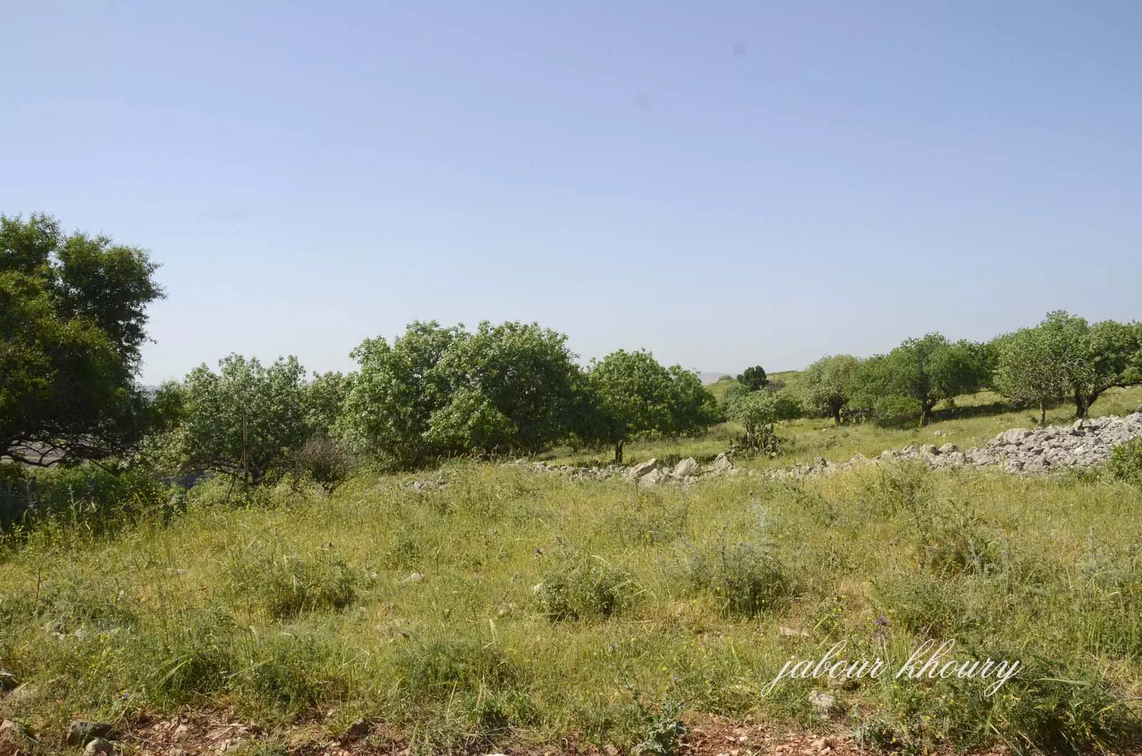
Posted by Jabour Khoury - اراضي القريه من الجهه الشماليه
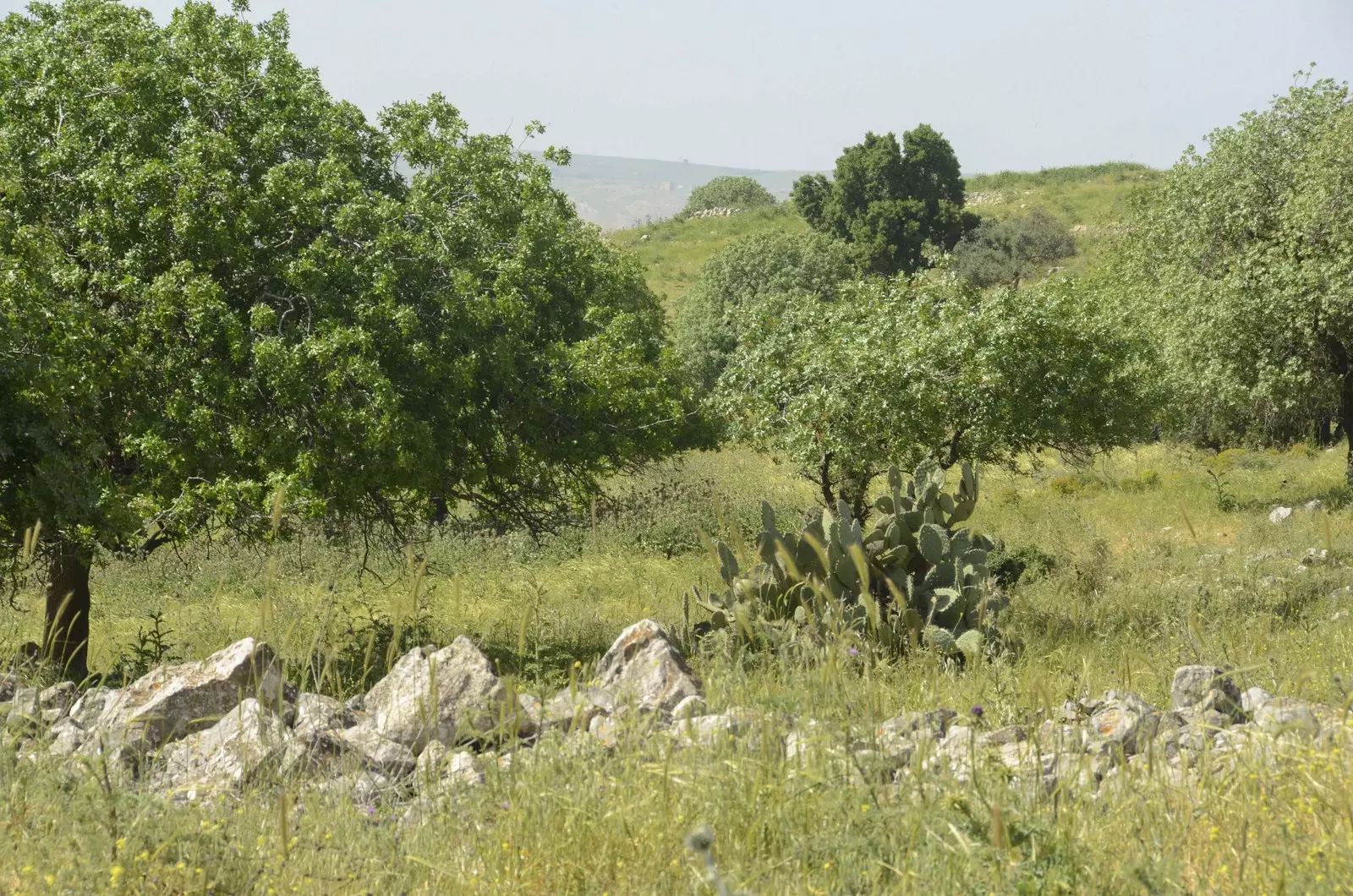
Posted by Jabour Khoury - موقع القريه
Posted by Jabour Khoury - موقع القريه
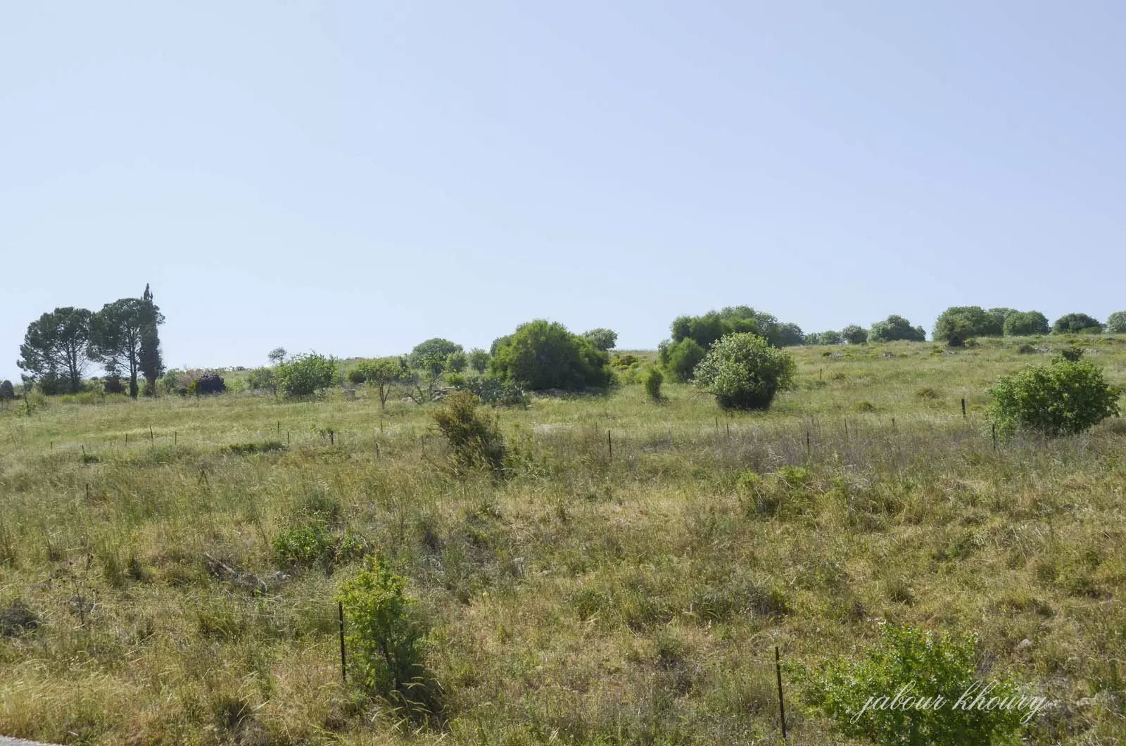
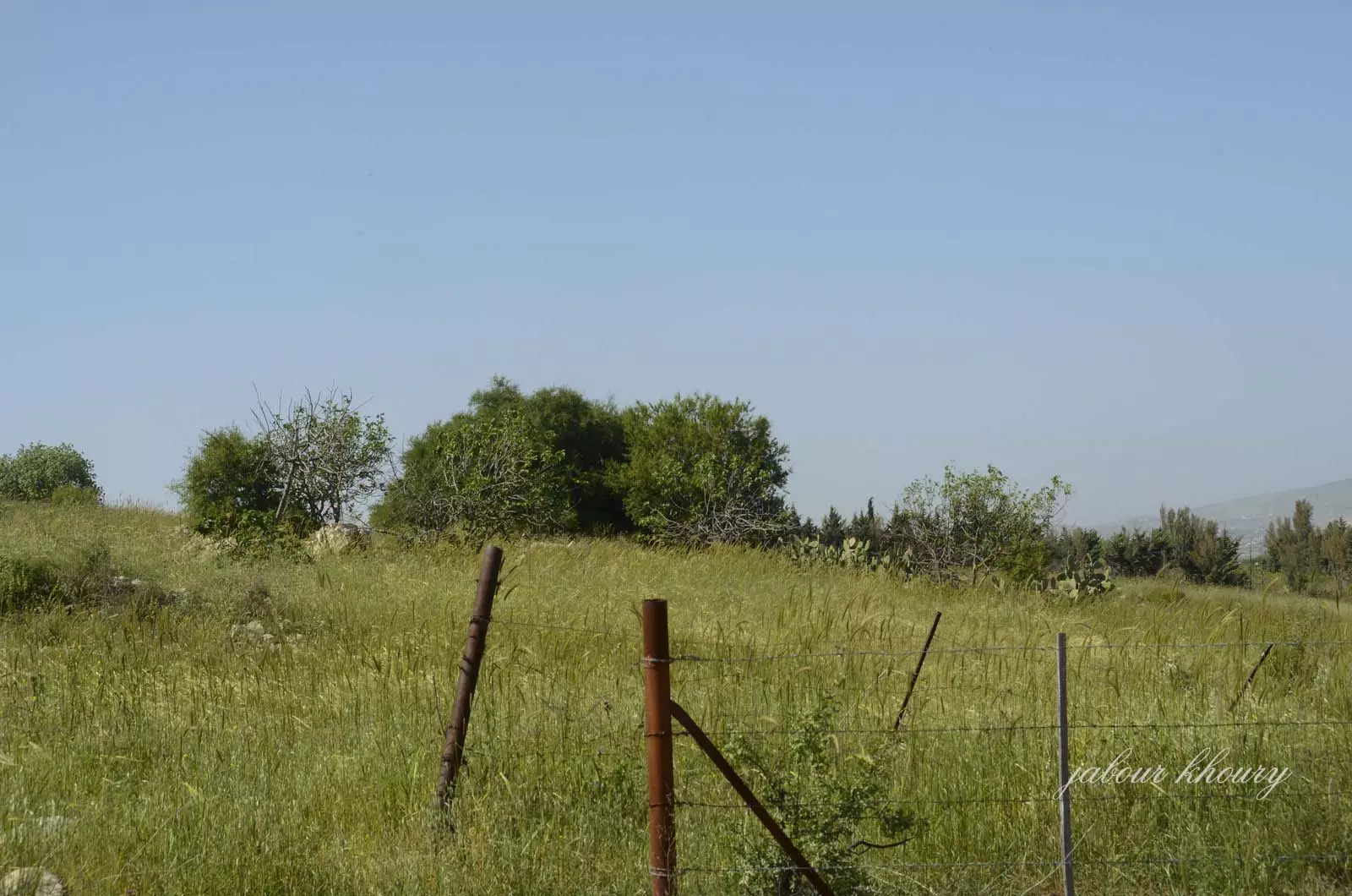
Posted by Jabour Khoury - موقع القريه من الجهه الغربيه
Posted by abu raya - موقع من جنوب القريه والى الشرق يظهر موقع الشرطه الذي كانت تستعمله قوات الانتداب
Posted by abu raya - حدود القريه من الغرب
Posted by abu raya - موقع القريه من الجنوب
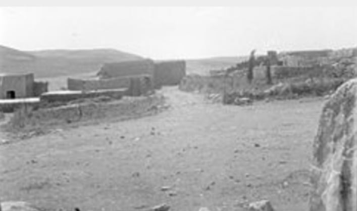
Posted by abu raya - بعد احتلال القرية غضون حرب النكبة
- المالكيه . داىره الجمارك
Posted by abu raya - المالكيه
Posted by abu raya - من موقع قريه المالكيه
Posted by abu raya - المالكيه
Posted by abu raya - المالكيه
Posted by abu raya - المالكيه
Posted by abu raya - من موقع القريه
Posted by abu raya - قريه المالكيه قبل احتلالها
Posted by abu raya - جولة بين انقاض القرية المهجرة
- جولة بين انقاض القرية المهجرة #2
- جولة بين انقاض القرية المهجرة #3
- جولة بين انقاض القرية المهجرة #4
- جولة بين انقاض القرية المهجرة #5
- جولة بين انقاض القرية المهجرة #6
- جولة بين انقاض القرية المهجرة #7
Want to browse more? 80,000 pictures were grouped in these gallaries:
| Display Name | Clan/Hamolah | Country of Residence |
No links have been shared yet, be free to the first to share the first link.
 Fake Valor: Why Did Zionist Jews Hoist Nazis Flag on Their Ships in the 1930s?
What is new?
-
Facts About Oct. 7th Gaza Raid
-
Remined Us Please:: Who Did Rape Who? Palestinians Raped Israelis? Or, was the other way around?
-
When Prof. Edward Said was invited to debate Bibi Netanyahu in the 1980s, watch what happened!
-
Ezra Klein of the NY Times on the "Jewish Race".
-
Abusing Blood Libel!
-
Zionist FAQ: Isn't it true that Palestinians don't want peace? Palestinians never accepted the two-state solution
- Facts about Haavara (Transfer) Agreement between Ben-Gurion & Hitler
-
Haavara FAQs: Why Did Zionist Jews Hoist Nazis' Flags on Their Ships in the 1930s?
-
Dear ChatGPT: How did Palestinians resist Napoleon's invasion of their country in 1799?
-
Dear ChatGPT: Gaza had a vibrant Jewish community in the mid-17th century. What happened to them?
-
Dear ChatGPT: Why did the Jewish Agency suppress news of the Holocaust during WWII?
-
Video Playlist: Jews share their DNA tests to end the conflict for good.
-
A Tale of Two Conflicts: Examining the Definition of Genocide
-
Prof. Abraham Polak And The Suppressed History of the Khazars and European Jewry
-
How Ronald Reagan would have framed the genocide in Gaza if he were still alive?
-
Haavara FAQs: Let us do the math: how many German Jews did The Haavara Agreement save?
-
Zionist FAQs: The Hebron Massacre of 1929, "clearly proves" that Palestinians are antisemitic, how could you deny it?
-
Zionist FAQs: Why Anti-Zionist Is Not Antisemitism?
-
Zionist FAQs: Isn't it true that the KGB create Palestinian Nationalism in the early 1960s?
- Zionist FAQs: Muslims are killing Muslims all the time; why are Israeli Jews being singled out in the media?
- Zionist FAQs: How is Israel an apartheid state when 20% of its citizens are Arabs who enjoy full rights?
-
Haavara FAQs: Analysis of Herzl's Uganda Scheme and how it could have saved millions of Jews.
-
Haavara FAQs: Why did Hayim Greenberg describe American Jewry as "morally bankrupt" in early 1943?
-
Haavara FAQs: What if the Evian Conference was a resounding success? What would have been the impact of saving European Jewry on Zionism?
- Haavara FAQs: What if the six million were saved, how that would have impacted the Zionist project?
-
Haavara FAQs: How did Zionist leaders react when Europe's Jews lingered in the DP camps after WWII ended?
-
Why does the American Jewish community repeat lies that David Ben-Gurion had debunked before he died?
-
Who has the power to rename the Tatar/Khazar Gene Marker to Jewish IV?
-
Zionist FAQs: Why won't Egypt, Syria, and Jordan take their people back? Jews are indigenous to Palestine, and Arabs immigrated after Jews developed the country. Arabs should leave.
-
Haavara FAQs: Did Hitler and the Nazis conflate between Judaism and Zionist? If that wasn't case, then why?
-
Haavara FAQs: Winston Churchill and antisemitism, a collection of articles written Churchill.
-
Haavara FAQs: Broken by country, how many Jews survived vs. killed during the Holocaust?
-
Haavara FAQs: Why did European Jews vote with their feet and to immigrated to the Americas, not Palestine, after WWII?
-
Watch this American Jewish Girl describing Israeli Jews' cognitive dissonance like no other in under two minutes
-
Haavara FAQs: When the Nazis went out of their way to hide the Holocaust, Israeli Jews did the exact opposite by broadcasting their genocide of Gazans. But why?
-
Haavara FAQs: How Zionist Jews went out of their to show their appreciation to Nazism and Fascism?
- Haavara FAQs: Why Zionist leaders were against bombing the death camps & the Railroads leading to them?
-
Haavara FAQs: Hitler's message to the British and American people: If Jews are such noble citizens and you care about them, how come you're not letting them in? I will gladly ship them to you at my expense, even on luxury liners!
-
A shortlist of Zionist and Israeli false flag operations in the name Jews.
-
The Most Moral Army
- The Land of Kapos (Israel): Where the brave are boycotted and Kapos walk free.
- Why did early Zionists often named their communal enterprises "colonial"?
- Zionist Relations with Nazi Germany by Faris Glubb
-
Two NY Times advertisements by Zionists in the early 1943 that exposes Zionists' treason at the height of the calamity
- Facts Not Lies about the Palestinian-Israeli Conflict.
- Site's pictures have been categorized
- Campgain Against Lice
- A Survey of Palestine, the official source about Palestine before Nakba produced by the British Mandate; over 1200 pages.
- Satellite View & Google Earth: Over 6,000 placemarks identifying all destroyed towns, W. Bank & Gaza Strip Towns, & refugee camps.
- PalestineRemembered.com and its Nakba Oral History Project were featured on al-Jazeera Satellite TV.
- Nakba Oral History Video Podcast:
 Over 700 Oral History interviews (including 3,500+ hours of recording) can be viewed online.
 - Palestine Village Statistics Project
- Gaza Jail Break
- النسخة العربية للموقع الان متوفرة
- Videos: Documenting the destroyed villages in video: Tracing all that remains since Nakba.
- Videos: Responding to Zionist Propaganda
- Interview: The ethnic cleansing of Palestine: George Galloway interviews Israeli Historian Ilan Pappe.
- For Palestinians, memory matters. It provides a blueprint for their future By George Bisharat.
- Zionist FAQ now available in Hebrew שאלות שציונים שואלים, עכשיו בעברית
- Video: The Stephen Walt and John Mearsheimer report on the influence of the Israel Lobby on U.S. Foreign Policy
- The Palestinian-Israeli conflict for beginners
