| PalestineRemembered | About Us | Oral History | العربية | |
| Pictures | Zionist FAQs | Haavara | Maps | |
| Search |
| Camps |
| Districts |
| Acre |
| Baysan |
| Beersheba |
| Bethlehem |
| Gaza |
| Haifa |
| Hebron |
| Jaffa |
| Jericho |
| Jerusalem |
| Jinin |
| Nablus |
| Nazareth |
| Ramallah |
| al-Ramla |
| Safad |
| Tiberias |
| Tulkarm |
| Donate |
| Contact |
| Profile |
| Videos |
Welcome To Bir Ma'in - بئر ماعين (ביר מעין)
|
District of al-Ramla
Ethnically cleansed days ago |
العربية Google Earth |
 |
Gallery (41) |
- Statistics & Facts
-
Before & After

- Satellite View
- Articles 8
- Pictures 41
- Aerial Views 2
- Mayrters & Prisoners 3
- Oral History 2
- Members 24
- All That Remains
- Wikipedia
- Videos 1
- Guest Book 5
- Links 18
| Statistic & Fact | Value | ||||||||||||||
| Occupation Date | July 15, 1948 | ||||||||||||||
| Distance From District | 14 (km) East of al-Ramla | ||||||||||||||
| Elevation | 275 (meters) | ||||||||||||||
| Before & After Nakba, Click Map For Details |
|||||||||||||||
|
|||||||||||||||
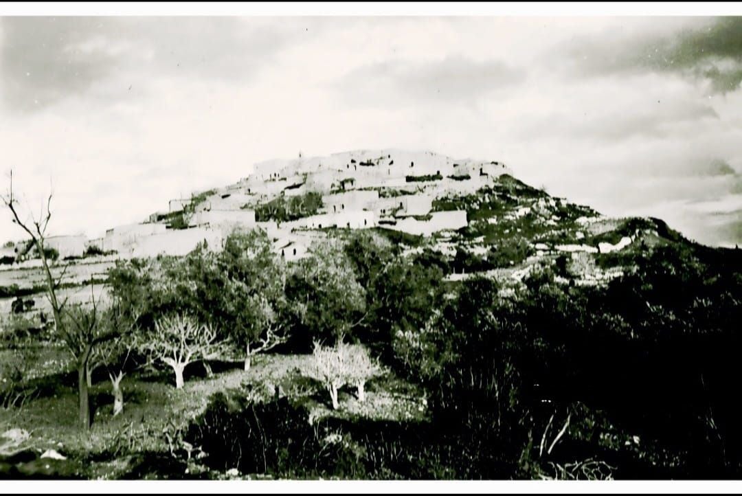
| Pre-Nakba Aerial View |
|||||||||||||||
|
|||||||||||||||
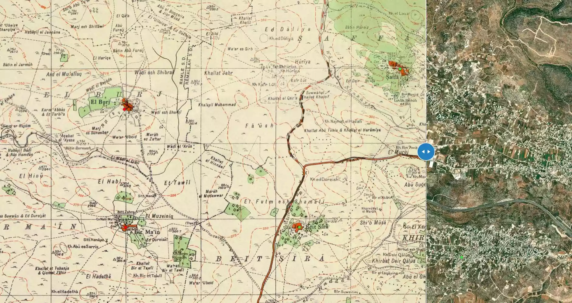
| Map Location | See location #27 on the map View from satellite |
||||||||||||||
| Military Operation | Second phase of Operation Dani | ||||||||||||||
| Attacking Units | The First and Second Battalions of the Yiftach Brigade | ||||||||||||||
| Defenders | Jordanian Army | ||||||||||||||
| Exodus Cause | Military assault by Zionist troops | ||||||||||||||
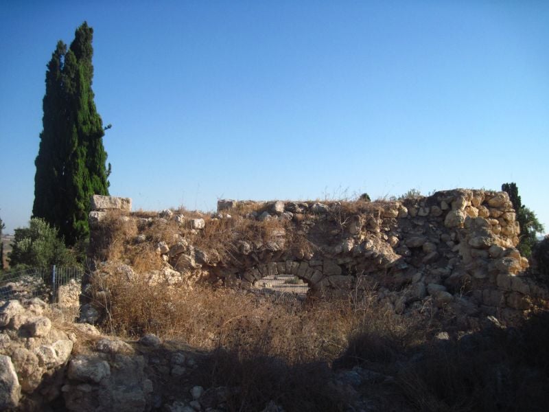
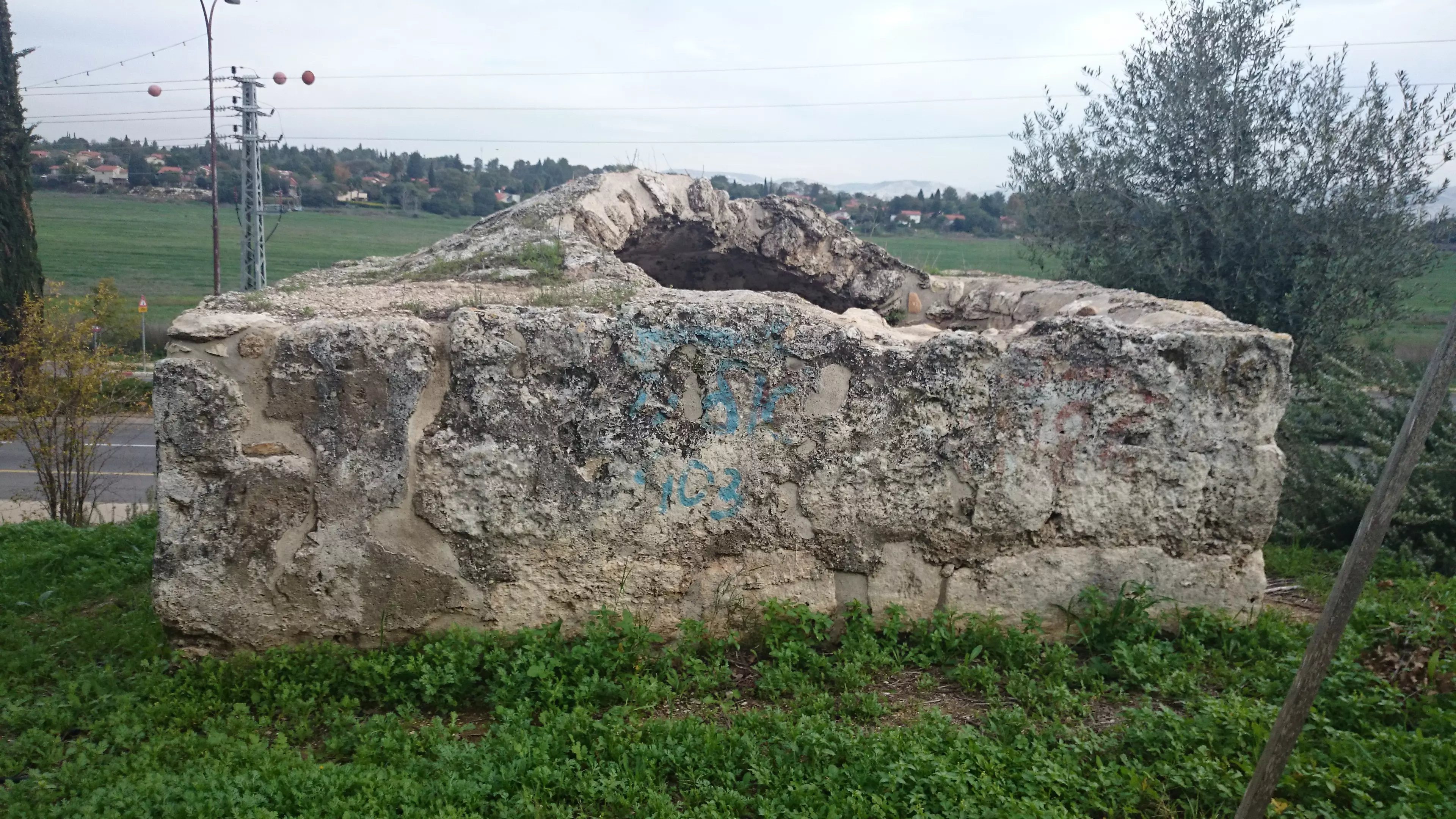
| Village Temains | Bir Ma'in was mostly destroyed with the exception of two deserted houses remain standing. | ||||||||||||||
| Ethnically Cleansing | Bir Ma'in inhabitants were completely ethnically cleansed. | ||||||||||||||
| Pre-Nakba Land Ownership |
**Town Lands' Demarcation Maps |
||||||||||||||
| Land Usage As of 1945 |
|
||||||||||||||
| Population |
|
||||||||||||||
| Number of Houses |
|
||||||||||||||
| Near By Towns |
|||||||||||||||
|
|
|||||||||||||||
| Town's Name Through History | The Crusades referred to Bir Ma'in by Bermenayn. | ||||||||||||||
| Schools | An elementary school for boys which was founded in 1934. | ||||||||||||||
| Places of Warship | One Mosque | ||||||||||||||
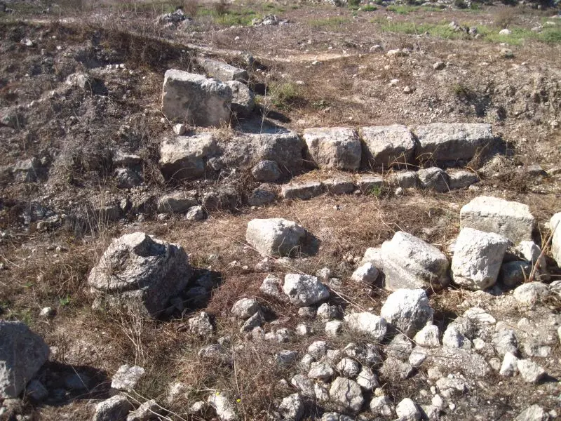
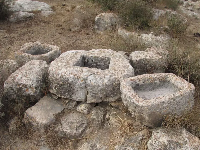
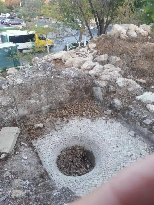
| Archeological Sites | Three khirbats containing the foundations of houses, fragments of columns, cisterns, caves carved in rock, burial places, and a large square corral. | ||||||||||||||
| Exculsive Jewish Colonies Who Usurped Village Lands |
The military settlement of Makkabim. | ||||||||||||||
| Featured Video | |||||||||||||||
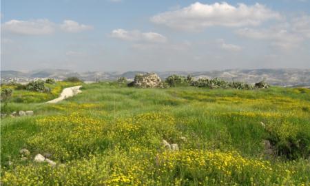
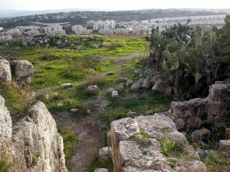
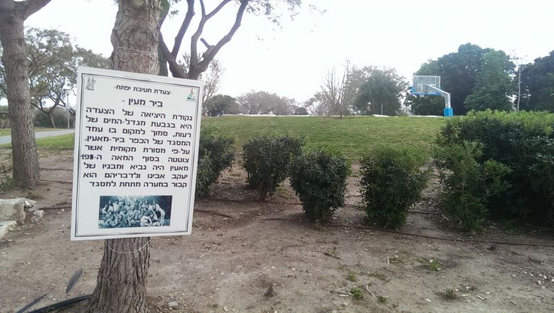
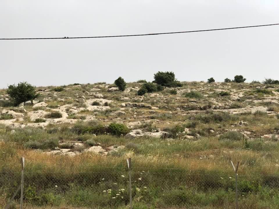
Village Before NakbaThe village stood on rolling terrain on the edge of the western foothills of the Ramallah Mountains. It was linked by a secondary road to the Ramla-Ramallah highway (which passed the village on the northeast), and by other roads to several neighboring villages. Bir Ma'in was built around an old well that bore the same name. It was called Bermenayn by the Crusaders and was a fief of the Church of the Holy Sepulchre in the twelfth century. In 1596, Bir Ma'in was a village in the nahiya of Ramla (liwa' of Gaza) with a population of 165. It paid taxes on a number of crops, including wheat, barley, olives, and sesame, as well as on other types of produce and property, such as goats, beehives, and a press that was used for processing either olives or grapes.In the late nineteenth century, Bir Ma'in was described as a small hamlet situated on high ground. In modern times it was divided into two sections, separated by a paved street. The northern section was rectangular; the southern one had a semi-circular plan. The houses were made of mud and stone, and many houses were built during the final years of the Mandate, especially in the northwest. The village had a mosque-Bir Ma'in's population was predominantly Muslim-and, next to it, an elementary school that was founded in 1934. Its land was well endowed with ground water, which permitted the villagers to grow a variety of crops, such as grain, vegetables, grapes, figs, plums, almonds, and olives. Olives were planted on 146 dunums.1n 1944/45 a total of 2,880 dunums was allocated to cereals; 176 dunums were irrigated or used for orchards. Three khirbas next to the village contained foundations of houses, fragments of columns, cisterns, caves carved in rock, burial places, and a large square corral. Village Occupation and Ethnic CleaningWith the occupation of this village on 15-16 July 1948, Israeli forces gained control of the Ramallah-al-Latrun highway. That was the objective of the second phase of Operation Dani (see Abu al-FadI, Ramla sub-disctrict), following the capture of Ramla and Lydda. The History of the War of Independence relates that the units involved in capturing the village were two platoons from the First and Second Battalions of the Yiftach Brigade. In a counterattack during the afternoon of 16 July, the Transjordanian Arab Legion suffered heavy casualties when it tried, unsuccessfully, to recapture the neighboring villages of Salbit and Barfiliya. The following day, as the Associated Press reported, Israeli forces quartered in Bir Ma'in and al-Burj put the al-Latrun-Ramallah highway under small arms fire.Zionists Colonies on Village LandsThe military settlement of Makkabim was established on village lands in 1986.Village TodayTwo deserted buildings with crumbling walls can be seen on the site, which is otherwise overgrown with cactuses, thorny plants, foxtail, an herbal plant known as anchusa tinctoria (called "dove's foot," or rijl al-hamam, in Arabic), and pine and almond trees. Part of the surrounding land is used for target practice and other Israeli military purposes, and part of it is cultivated by Israeli farmers.SourceDr. Walid al-Khalidi, 1992: All That Remains. |
|||||||||||||||
| Related Maps | Town Lands' Demarcation Maps خرائط للقضاء توضح حدود القرى والاودية Town's map on MapQuest View from satellite Help us map this town at WikiMapia |
||||||||||||||
| Related Links | Wikipedia's Page Facebook Page Google Search Google For Images Google For Videos |
||||||||||||||
| More Information | في كتاب كي لا ننسى في كتاب بلادنا فلسطين المزيد من موقع هوية |
||||||||||||||
- صور لابناء العائلة
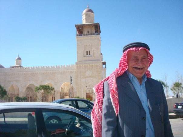
Posted by محمد عبد الرؤوف خضر - الحاج عبد الرؤوف عبد الرحيم خضر
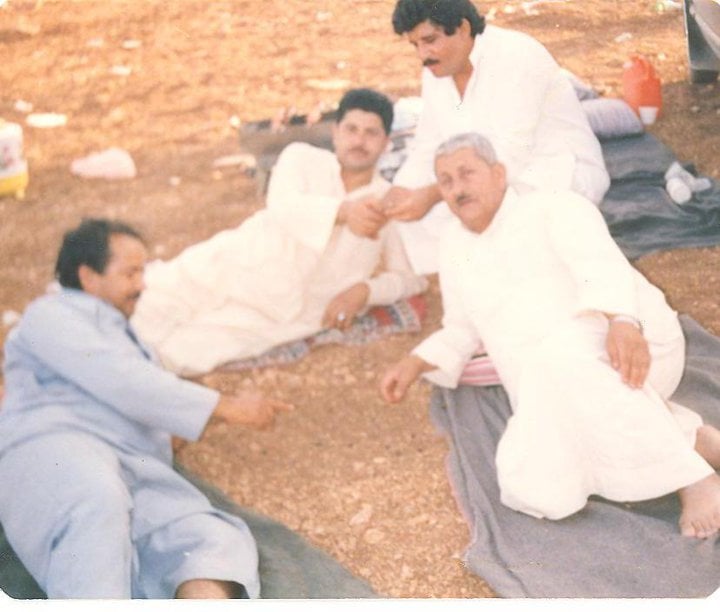
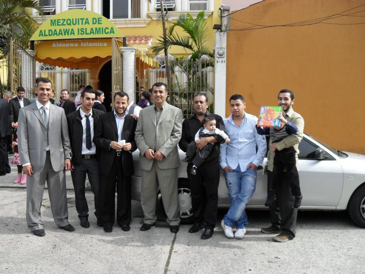
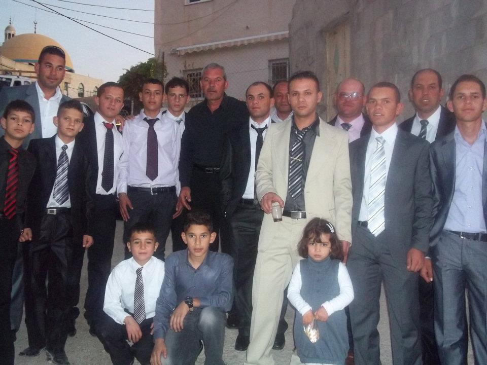
Posted by محمد عبد الرؤوف خضر 1 - صور جماعية لابناء العائلة بير ماعين
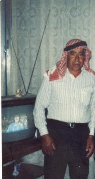
Posted by محمد عبد الرؤوف خضر - المرحوم سليمان سليم خضر
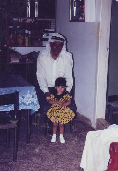
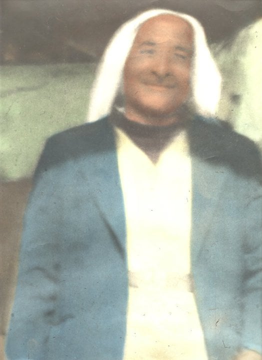
Posted by محمد عبد الرؤوف خضر - المرحوم سالم عبد الرحيم خضر
Posted by محمد عبد الرؤوف خضر - صورة جماعية لأفراد من عائلة خضر من بير ماعين في المهجر جواتيمالاا
Posted by محمد عبد الرؤوف خضر - المرحوم عيد خضر من بير ماعين
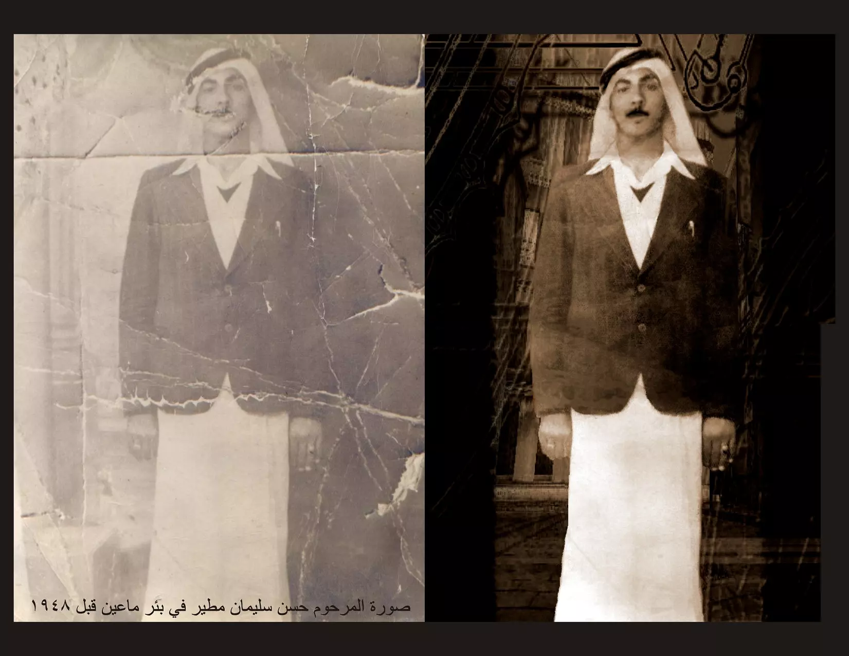
Posted by محمد عبد الرؤوف خضر - صورة المرحوم حسن سليمان مطير في بئر ماعين قبل عام ١٩٤٧ ، مع ترميم .
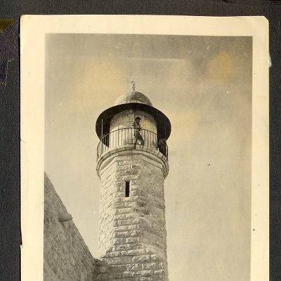
Posted by Ahmad Khader 1 - جندي صهيوني علي مسجد القرية اثناء الاحتلال
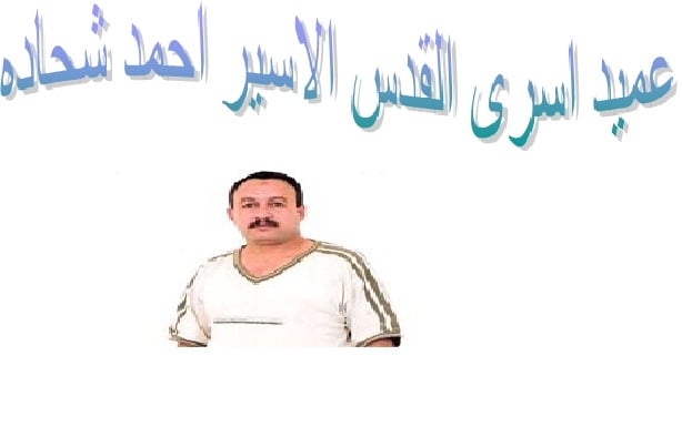
Posted by خالد دويات - عميد اسرى القدس الاسير احمد فريد شحاده
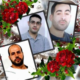
Posted by حامد شحاده 1 - الاسير القائد حسام عقل شحاده

Posted by حامد شحاده - الاسير القائد حسام عقل شحاده و الاسير محمد الصالحي و الاسير هيثم حمدان
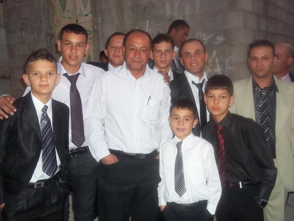
Posted by حامد شحاده - عائله الامارة
Posted by محمد الحاج - عائله امارة
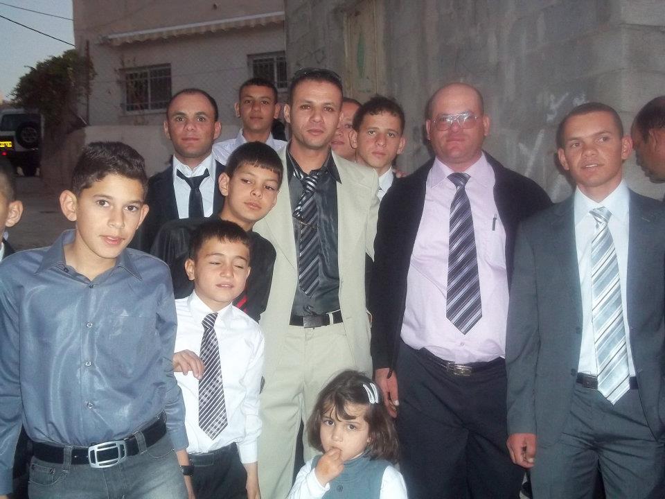
Posted by محمد الحاج - عائله الامارة
Posted by محمد الحاج - عائله الامارة

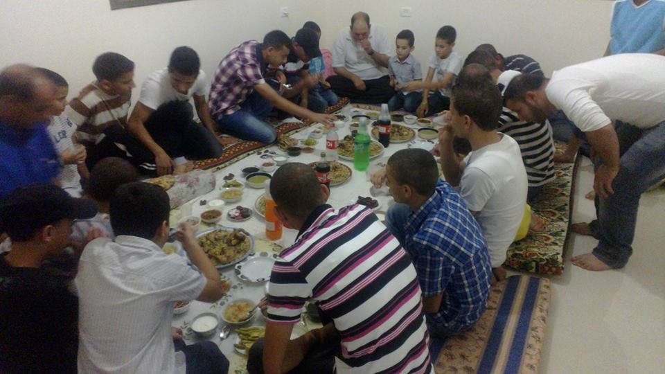
Posted by محمد الحاج - افطار في رمضان
Posted by محمد الحاج - المرحوم : توفيق عبدالله يوسف حماد ( ابو عبدالله )
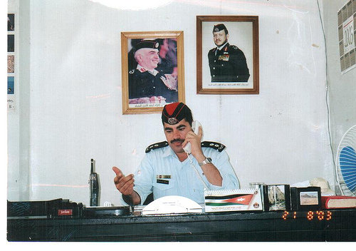
Posted by عبدالله توفيق عبدالله حماد ( ابو اسامه ) 1 - النقيب المتقاعد عبدالله توفيق حماد
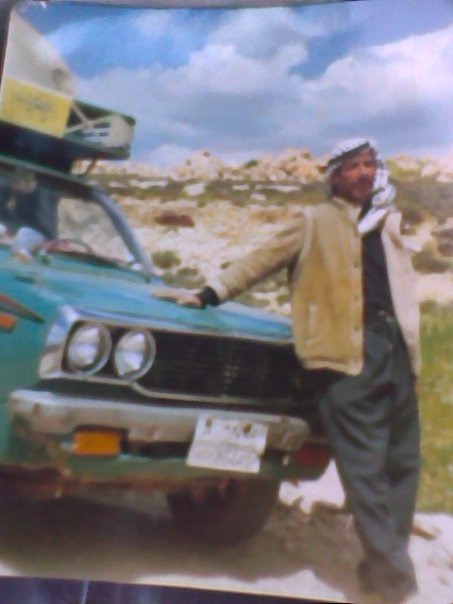
Posted by عبدالله توفيق عبدالله حماد ( ابو اسامه ) - صورة 01
Posted by يوسف شحاده - صورة 02
Posted by يوسف شحاده - خربة ام الرجمان الواقعه في اراضي بير ماعين .
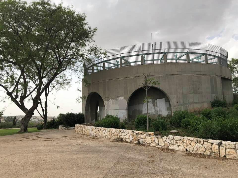
Posted by يوسف شحاده - تلة برج الماء مركز القرية قام اليهود بهدمها واقام عليها مدينة مكابيم ريعوت
Posted by يوسف شحاده - بئر ماعين - قبر الشيخ ماعين .و يقال انه كان زعيم حكم القرية وقسم اخر يقول انه ولي او صحابي اعلن السلطات الاسرائيليه انه مكان اثري في 2006 و قامت سلطة الاثار بترميمه في عام 2010
Posted by يوسف شحاده - خربة الحدثة
Posted by يوسف شحاده - بئر ماء على اراضي القرية المحاذية لقرية بيت شنة
Posted by يوسف شحاده - صورة احجار فسيفساء - قريبه من مركز القرية
Posted by يوسف شحاده - لوحه معلقة على شجره مكتوب عليها اسم القرية - وهو المكان التي كانت مقامة عليه القرية على تله برج الماء في مدينه مكابيم ريعوت
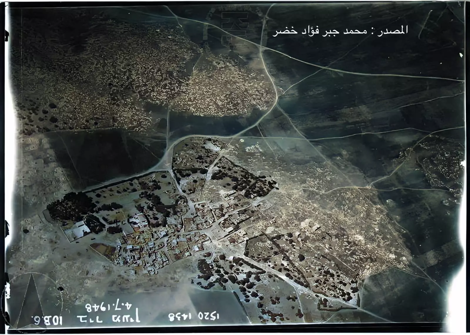
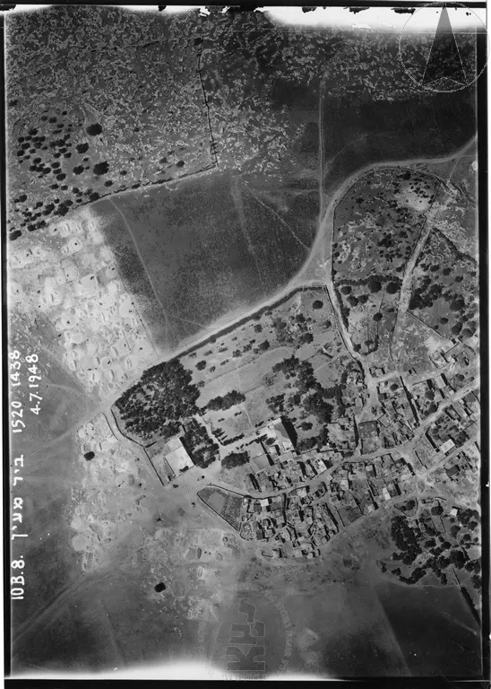
Posted by يوسف شحاده - تصوير جوي لقرية بئر ماعين عام 1948 , قبل هدمها وبناء مستوطنه مودعين على انقاضها
Posted by yousef shehadeh 2 - صورة جوية لقرية بئر معين / بير معين
تعود لتاريخ ٤/٧/١٩٤٨
خارطة بير معير
المصدر : المحامي محمد جبر فؤاد خضر
Posted by MOHAMAD KHADER - صورة نادرة لقرية بير معين قضاء الرملة عام 1939..
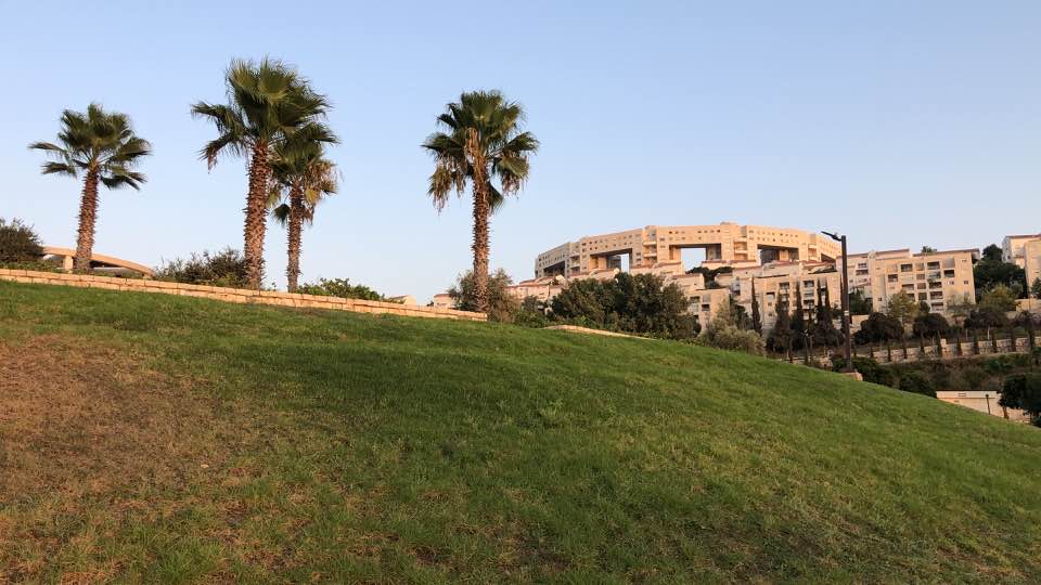
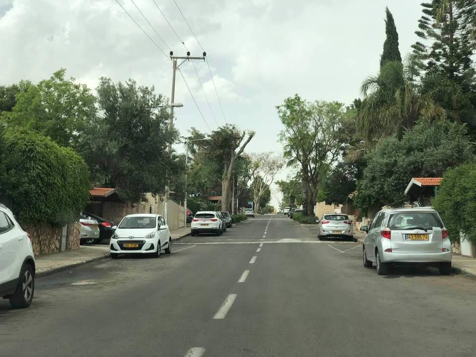
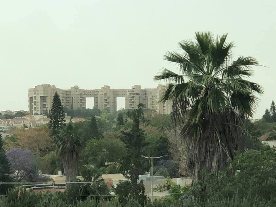
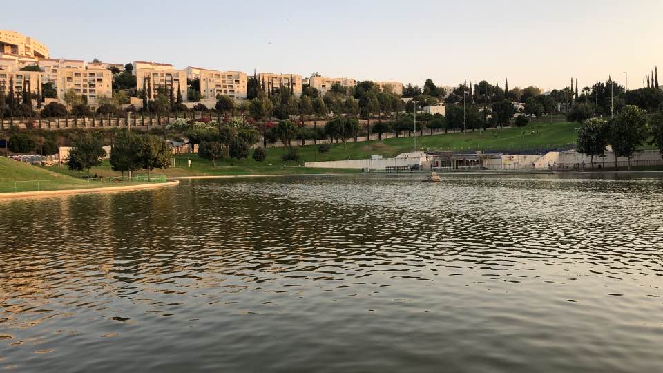
- Let us see how the most "liberal and civilized" of world Jewry has obliterated our village. How else will the Jews be great and safe again?
- Let us see how the most "liberal and civilized" of world Jewry has obliterated our village. How else will the Jews be great and safe again? #2
- Let us see how the most "liberal and civilized" of world Jewry has obliterated our village. How else will the Jews be great and safe again? #3
- Let us see how the most "liberal and civilized" of world Jewry has obliterated our village. How else will the Jews be great and safe again? #4
- Let us see how the most "liberal and civilized" of world Jewry has obliterated our village. How else will the Jews be great and safe again? #5
- Let us see how the most "liberal and civilized" of world Jewry has obliterated our village. How else will the Jews be great and safe again? #6
- Let us see how the most "liberal and civilized" of world Jewry has obliterated our village. How else will the Jews be great and safe again? #7
- Let us see how the most "liberal and civilized" of world Jewry has obliterated our village. How else will the Jews be great and safe again? #8
- Let us see how the most "liberal and civilized" of world Jewry has obliterated our village. How else will the Jews be great and safe again? #9
- Let us see how the most "liberal and civilized" of world Jewry has obliterated our village. How else will the Jews be great and safe again? #10
Want to browse more? 80,000 pictures were grouped in these gallaries:
| Display Name | Clan/Hamolah | Country of Residence |
| احمد ماجد شحاده | - | - |
| يوسف شحاده | شحاده | فلسطين, palestine |
| عبدالله توفيق عبدالله حماد ( ابو اسامه ) | حماد | ZARKA, JORDAN |
| رأفت الأمير | الأمير | عمان - جاوا |
| محمد عودة عبد الرحمن | عبد الرحمن | - |
| Shadi Nazmi Khader | Khader | - |
| مروان شحادة | - | الزرقاء, الاردن |
| nabil khdeer | خضر | الاردن , الاردن |
| اجد خضر | خضر | الزرقاء , الاردن |
| رامي عبد الرحمن خضر | خضر | جبل طارق, جبل طارق |
| Ahmad Khader | - | CA, USA |
| Hamza Thaer khder | - | الاردن, الاردن |
| ابن كنعان | خضر | - |
| محمد عبد الرؤوف خضر | خضر | الزرقاء, الاردن |
| حمزة خضر | خضر | عمان - اسكان ابو نصير, الاردن |
| mohammad.khader | khader | zarqa, jordan |
| ابو امجد | خضر | الزرقاء جبل طارق |
| هيثم عبد الرحمن | عبد الرحمن | القدس, فلسطين |
| اسامة مطير | مطير | عمان, الاردن |
| مهند الخضور | khadir | - |
| shafiq eid khader | khader | jordan, jordan |
| jebril mohammad mteir | mteir | veraguas, panamل |
| Shafiq Eid Khader | khader | Zarka / Jordan, Jordan |
| mohamad khalil | khader | guajera, colombia |
- ذكرى النكبة .. استذكار لمأساة احتلال بلدة بئر ماعين Duration: 3 min 30 sec
- كتاب قرية بئر ماعين - الحلم والحقيقة - شفيق عيد خضر
- عائلة ال خضر بير ماعين ....محمد عيد الرؤوف خضر
- شهيد من بلدي
- ديوان ال خضر الاردن - الزرقاء
- العشق بين فلسطين .......والرحلون عنها .....عشقا يتوارث
- أحمد فريد شحادة
- أحمد فريد شحادة ........
- في ذكرى النكبة .. استذكار لمأساة احتلال بلدة بئر ماعين
- شخصيات من بلدي ...بير ماعين السيد موسى عبد العزيز شحادة
- هذه هي التغريبة الفلسطينية.
- ريمكس فلسطين
- قرية بير ماعين على الفيس بوك
- قرية بير ماعين على الفيس بوك 2
- قرية بير ماعين تقرير قناة رؤيا الاردنية عن القرية
- قرية بير ماعين فيديو مشاركة
- المصدر : وليد ألخالدي ، كي لا ننسى (1997) مؤسسة الدراسات الفلسطينية فيديو
- فاطمة خضر.. مناضلة يشغلها هم القدس والأقصى تقرير قناة الجزيرة
- قرية بير ماعين إعداد الباحث عباس نمر عضو اتحاد المؤرخين العرب
 Fake Valor: Why Did Zionist Jews Hoist Nazis Flag on Their Ships in the 1930s?
What is new?
-
Facts About Oct. 7th Gaza Raid
-
Remined Us Please:: Who Did Rape Who? Palestinians Raped Israelis? Or, was the other way around?
-
When Prof. Edward Said was invited to debate Bibi Netanyahu in the 1980s, watch what happened!
-
Ezra Klein of the NY Times on the "Jewish Race".
-
Abusing Blood Libel!
-
Zionist FAQ: Isn't it true that Palestinians don't want peace? Palestinians never accepted the two-state solution
- Facts about Haavara (Transfer) Agreement between Ben-Gurion & Hitler
-
Haavara FAQs: Why Did Zionist Jews Hoist Nazis' Flags on Their Ships in the 1930s?
-
Dear ChatGPT: Why did the Jewish Agency suppress news of the Holocaust during WWII?
-
Video Playlist: Jews share their DNA tests to end the conflict for good.
-
A Tale of Two Conflicts: Examining the Definition of Genocide
-
Prof. Abraham Polak And The Suppressed History of the Khazars and European Jewry
-
How Ronald Reagan would have framed the genocide in Gaza if he were still alive?
-
Haavara FAQs: Let us do the math: how many German Jews did The Haavara Agreement save?
-
Zionist FAQs: The Hebron Massacre of 1929, "clearly proves" that Palestinians are antisemitic, how could you deny it?
-
Zionist FAQs: Why Anti-Zionist Is Not Antisemitism?
-
Zionist FAQs: Isn't it true that the KGB create Palestinian Nationalism in the early 1960s?
- Zionist FAQs: Muslims are killing Muslims all the time; why are Israeli Jews being singled out in the media?
- Zionist FAQs: How is Israel an apartheid state when 20% of its citizens are Arabs who enjoy full rights?
-
Haavara FAQs: Analysis of Herzl's Uganda Scheme and how it could have saved millions of Jews.
-
Haavara FAQs: Why did Hayim Greenberg describe American Jewry as "morally bankrupt" in early 1943?
-
Haavara FAQs: What if the Evian Conference was a resounding success? What would have been the impact of saving European Jewry on Zionism?
- Haavara FAQs: What if the six million were saved, how that would have impacted the Zionist project?
-
Haavara FAQs: How did Zionist leaders react when Europe's Jews lingered in the DP camps after WWII ended?
-
Why does the American Jewish community repeat lies that David Ben-Gurion had debunked before he died?
-
Who has the power to rename the Tatar/Khazar Gene Marker to Jewish IV?
-
Zionist FAQs: Why won't Egypt, Syria, and Jordan take their people back? Jews are indigenous to Palestine, and Arabs immigrated after Jews developed the country. Arabs should leave.
-
Haavara FAQs: Did Hitler and the Nazis conflate between Judaism and Zionist? If that wasn't case, then why?
-
Haavara FAQs: Winston Churchill and antisemitism, a collection of articles written Churchill.
-
Haavara FAQs: Broken by country, how many Jews survived vs. killed during the Holocaust?
-
Haavara FAQs: Why did European Jews vote with their feet and to immigrated to the Americas, not Palestine, after WWII?
-
Watch this American Jewish Girl describing Israeli Jews' cognitive dissonance like no other in under two minutes
-
Haavara FAQs: When the Nazis went out of their way to hide the Holocaust, Israeli Jews did the exact opposite by broadcasting their genocide of Gazans. But why?
-
Haavara FAQs: How Zionist Jews went out of their to show their appreciation to Nazism and Fascism?
- Haavara FAQs: Why Zionist leaders were against bombing the death camps & the Railroads leading to them?
-
Haavara FAQs: Hitler's message to the British and American people: If Jews are such noble citizens and you care about them, how come you're not letting them in? I will gladly ship them to you at my expense, even on luxury liners!
-
A shortlist of Zionist and Israeli false flag operations in the name Jews.
-
The Most Moral Army
- The Land of Kapos (Israel): Where the brave are boycotted and Kapos walk free.
- Why did early Zionists often named their communal enterprises "colonial"?
- Zionist Relations with Nazi Germany by Faris Glubb
-
Two NY Times advertisements by Zionists in the early 1943 that exposes Zionists' treason at the height of the calamity
- Facts Not Lies about the Palestinian-Israeli Conflict.
- Site's pictures have been categorized
- Campgain Against Lice
- A Survey of Palestine, the official source about Palestine before Nakba produced by the British Mandate; over 1200 pages.
- Satellite View & Google Earth: Over 6,000 placemarks identifying all destroyed towns, W. Bank & Gaza Strip Towns, & refugee camps.
- PalestineRemembered.com and its Nakba Oral History Project were featured on al-Jazeera Satellite TV.
- Nakba Oral History Video Podcast:
 Over 700 Oral History interviews (including 3,500+ hours of recording) can be viewed online.
 - Palestine Village Statistics Project
- Gaza Jail Break
- النسخة العربية للموقع الان متوفرة
- Videos: Documenting the destroyed villages in video: Tracing all that remains since Nakba.
- Videos: Responding to Zionist Propaganda
- Interview: The ethnic cleansing of Palestine: George Galloway interviews Israeli Historian Ilan Pappe.
- For Palestinians, memory matters. It provides a blueprint for their future By George Bisharat.
- Zionist FAQ now available in Hebrew שאלות שציונים שואלים, עכשיו בעברית
- Video: The Stephen Walt and John Mearsheimer report on the influence of the Israel Lobby on U.S. Foreign Policy
- The Palestinian-Israeli conflict for beginners
