| PalestineRemembered | About Us | Oral History | العربية | |
| Pictures | Zionist FAQs | Haavara | Maps | |
| Search |
| Camps |
| Districts |
| Acre |
| Baysan |
| Beersheba |
| Bethlehem |
| Gaza |
| Haifa |
| Hebron |
| Jaffa |
| Jericho |
| Jerusalem |
| Jinin |
| Nablus |
| Nazareth |
| Ramallah |
| al-Ramla |
| Safad |
| Tiberias |
| Tulkarm |
| Donate |
| Contact |
| Profile |
| Videos |
Welcome To Qumya - قوميه (קומיה)
|
District of Baysan
Ethnically cleansed days ago |
العربية Google Earth |
 |
Gallery (25) |
- Statistics & Facts
-
Before & After

- Satellite View
- Articles 4
- Pictures 25
- Oral History 2
- Members 13
- All That Remains
- Wikipedia
- Videos 1
- Guest Book 9
- Links
| Statistic & Fact | Value | ||||||||||||||||||
| Occupation Date | March 26, 1948 | ||||||||||||||||||
| Distance From District | 12.5 (km) Northwest of Baysan | ||||||||||||||||||
| Elevation | 75 (meters) | ||||||||||||||||||
| Before & After Nakba, Click Map For Details |
|||||||||||||||||||
|
|||||||||||||||||||
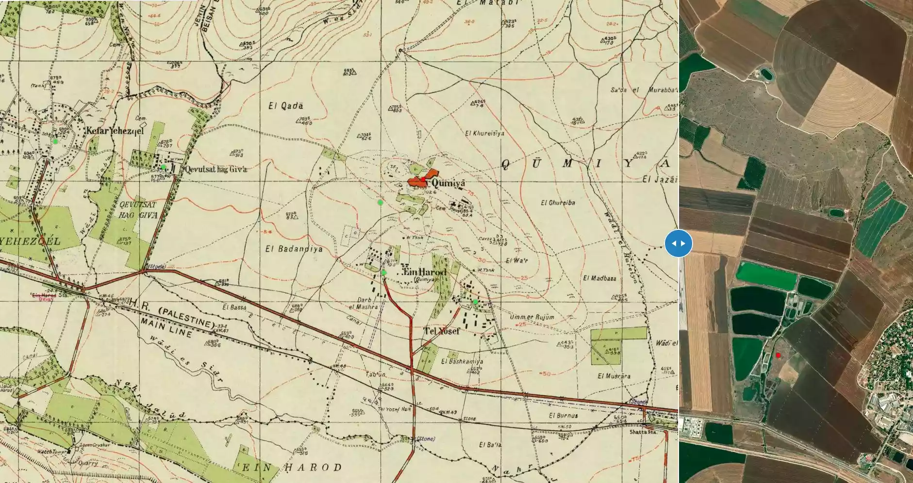
| Map Location | See location #11 on the map View from satellite |
||||||||||||||||||
| Military Operation | Operation Gideon | ||||||||||||||||||
| Attacking Units | Golani Brigade | ||||||||||||||||||
| Exodus Cause | Fear of Jewish attack, or of being caught in the fighting | ||||||||||||||||||
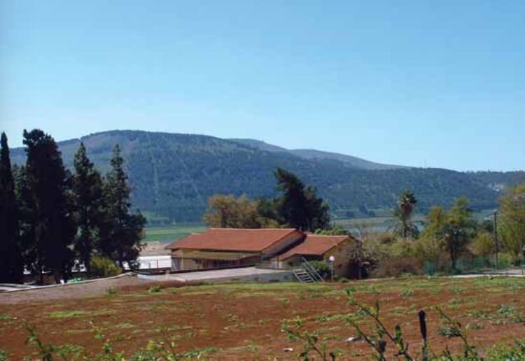
| Village Temains | The village was completely destroyed and only the village schools remain standing. | ||||||||||||||||||
| Ethnically Cleansing |
On March 26th, 1948, Qumya was ethnically cleansed based on the
orders of Yosef Weitz (a Jewish National Fund official). Weitz wrote
in his diary about the inhabitants of Qumya and al-Tira
in the Baysan valley: |
||||||||||||||||||
| Pre-Nakba Land Ownership |
**Town Lands' Demarcation Maps |
||||||||||||||||||
| Land Usage As of 1945 |
|
||||||||||||||||||
| Population |
|
||||||||||||||||||
| Number of Houses |
|
||||||||||||||||||
| Near By Towns |
|||||||||||||||||||
|
|||||||||||||||||||
| Schools | One schools which is still standing, but iy needs serious renovation guys! | ||||||||||||||||||
| Archeological Sites | The village contains Khirbat Qumya, and 'Ayn Jalud, an archaeological site where Roman milestones were found. | ||||||||||||||||||
| Exculsive Jewish Colonies Who Usurped Village Lands |
'En Charod and Geva' | ||||||||||||||||||
| Featured Video | |||||||||||||||||||
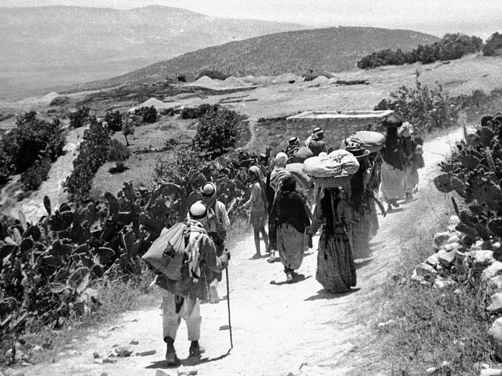
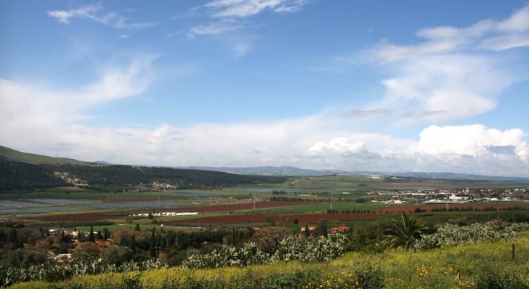
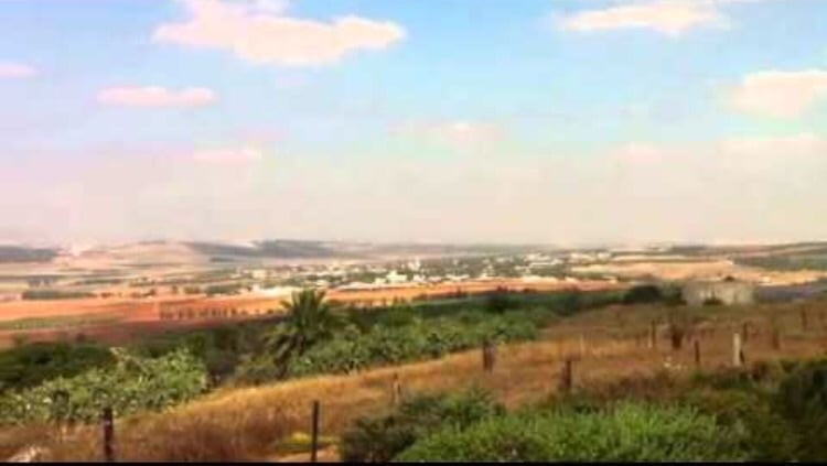
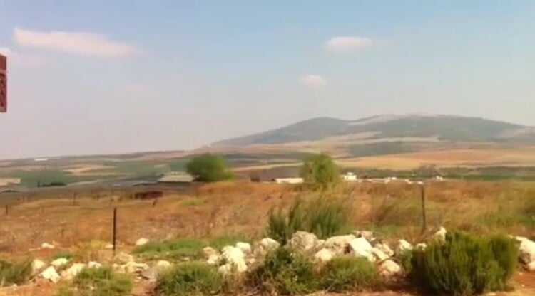
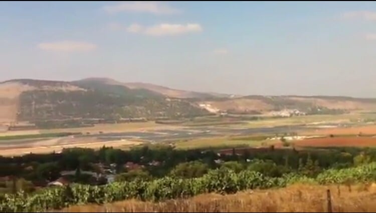
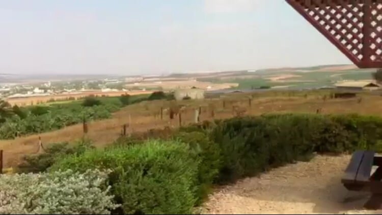
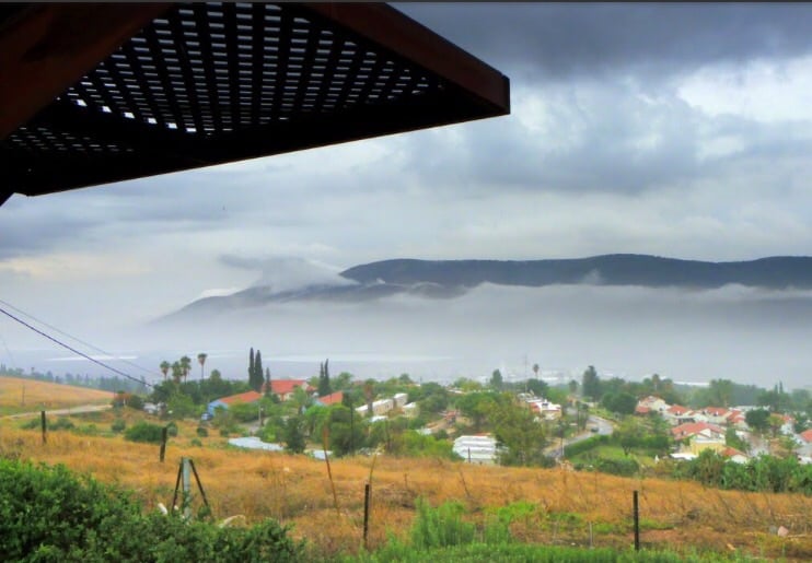
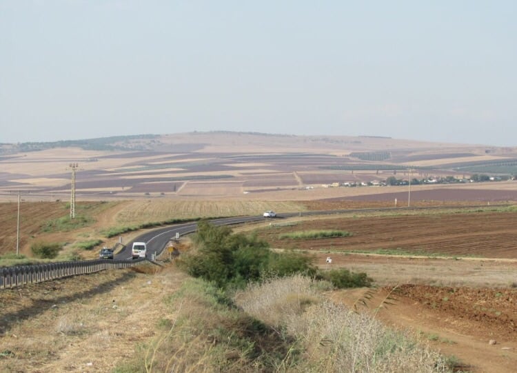
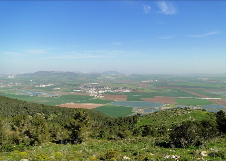
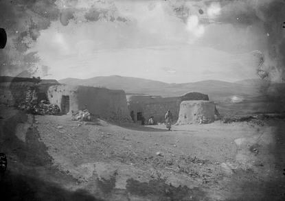
Village Before NakbaThe village stood on a hilltop. Together with the village of Shatta, it was considered the western gate to the plain of Baysan. The Baysan-Haifa highway passed on the outskirts of the village. In 1596, Qumya fell within the administrative jurisdiction of the liwa' of Lajjun and was a farm that paid taxes to the Ottoman government. In the late nineteenth century, the village of Qumya was located on a knoll in the middle of a valley, surrounded by gardens of prickly pear. The village houses, built of adobe bricks, were densely clustered together on the hilltop, while vegetable gardens were planted on the lower slopes around the hill. It had one elementary school for boys. In 1944/45 a total of 4,205 dunums was allocated to cereals; 33 dunums were irrigated or used for orchards. Qumya was well known for its archaeological sites, including Khirbat Qumya, which contained rectangular understructures, caves, and rock-hewn cisterns. There was evidence that the village site had also been inhabited in earlier times; the ruins of a rectangular building, architectural fragments, and bossed stones were found on the site. About 800 m south of Qumya was Ayn Jalud, an archaeological site where Roman milestones and a large pool cut in the rock were found.Village Occupation and Ethnic CleaningIn the months before the outbreak of wide-scale fighting, nonmilitary Zionist organizations managed to arrange the expulsion of Palestinian communities from a number of villages. The Jewish National Fund (JNF), and particularly the director of its Lands Department, Yosef Weitz, took an active role in this effort. According to historian Benny Morris, Weitz met with other JNF officials on 26 March 1948 and called for the expulsion of the inhabitants of Qumya (along with those of al-Tira, a few km to the northeast). The reason he gave was that they were 'not taking upon themselves the responsibility of preventing the infiltration of irregulars [i.e. Arab guerrillas],' adding that, 'They must be forced to leave their village until peace comes.' According to Morris, by sheer coincidence, most of the inhabitants of Qumya left on their own initiative on the very same day. He writes that they left 'out of fear of Jewish attack and out of a sense of vulnerability as well as economic pressures. They were not ordered to leave by their Jewish neighbours, but there may have been 'friendly advice' to this effect.' Morris does not mention the nature of the 'economic pressures' that were applied but does say that the villagers were evacuated on British army trucks. A few days later, Weitz wrote to his superior that Qumya had been depopulated, commenting that, 'There is a tendency among our neighbours... to leave their villages.' A dozen men who stayed behind to guard the village were subsequently evicted.Four months later, in late July, a neighboring settlement, Kibbutz 'En Charod, applied for permission from the Israeli Agriculture Center to seize the land of Qumya. Morris does not make clear whether the appropriation was approved. Zionists Colonies on Village LandsZionists established the settlement of En Charod on what was traditionally village land in 1921, south of the village site. In the early 1950s En Charod was divided into two independent settlements, each affiliated with a different wing of the settlement movement: En Charod-Ichud, and En Charod-Me'uchad. The former is on the land of Qumya, but the latter is on the land of the still existing Arab village of Tamra. Geva', also established in 1921, is about 2 km west of the village site but is not on village land.Village TodayThe whole site is fenced in. Almond, mulberry, and pomegranate trees and cactuses grow around the rubble that dots the village site. Cypress trees grow among the ruins of the village school. The Israeli settlements of Tel Yosef, En Charod-Ichud, and En Charod-Me'uchad cultivate the land south of the village, while Geva' cultivates the land to the west.SourceDr. Walid al-Khalidi, 1992: All That Remains. |
|||||||||||||||||||
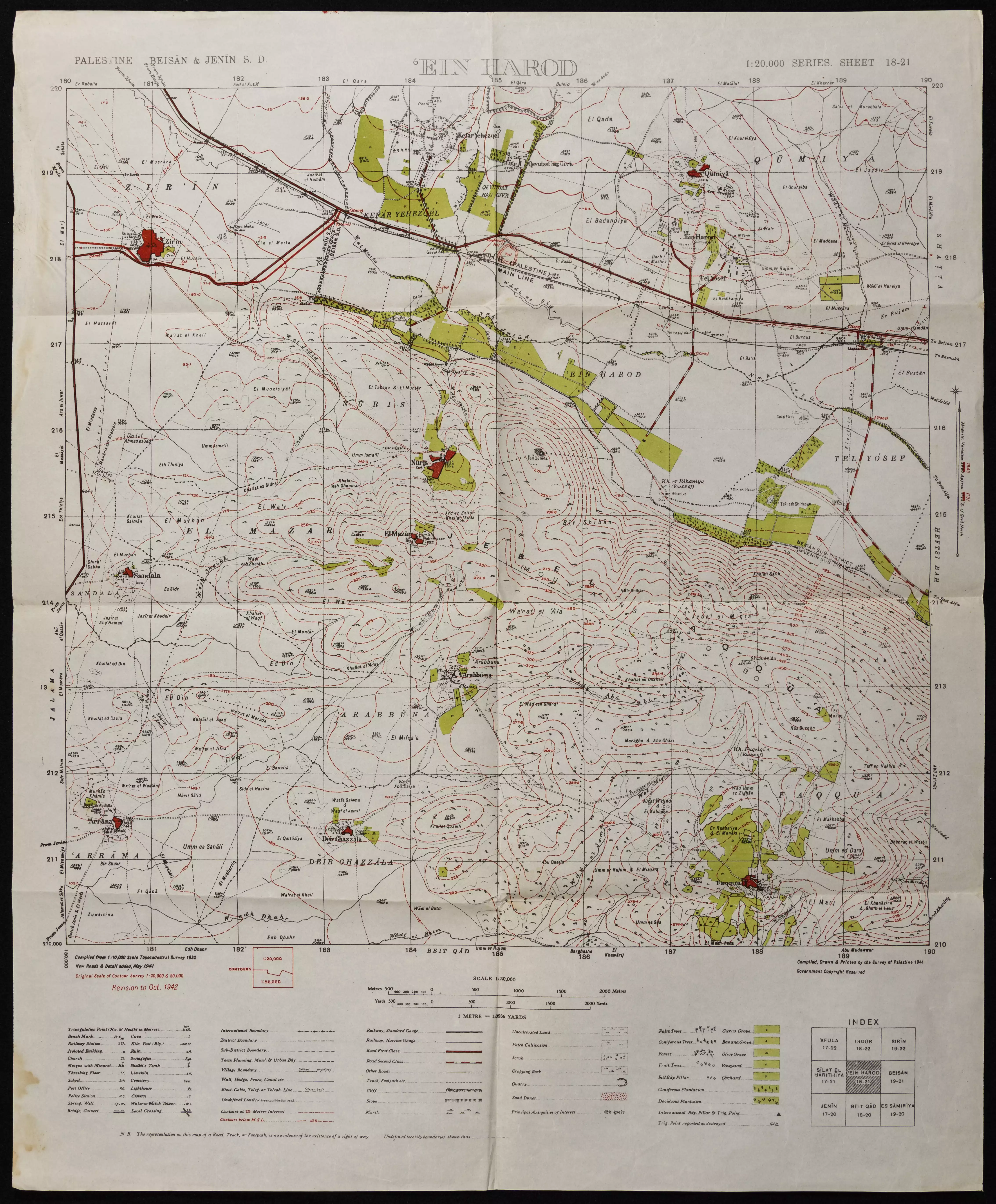
| Related Maps | Town Lands' Demarcation Maps خرائط للقضاء توضح حدود القرى والاودية Town's map on MapQuest View from satellite Help us map this town at WikiMapia |
||||||||||||||||||
| Related Links | Wikipedia's Page Google Search Google For Images Google For Videos |
||||||||||||||||||
| More Information | في كتاب كي لا ننسى في كتاب بلادنا فلسطين المزيد من موقع هوية |
||||||||||||||||||
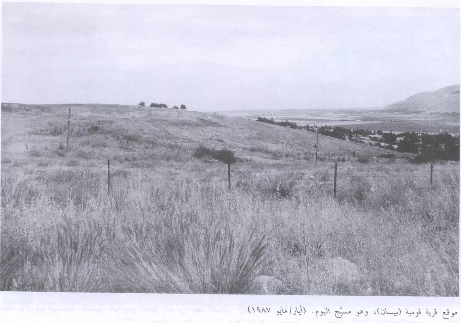
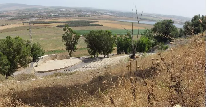
- موقع القرية المدمرة والمُطهرة عرقياً، اُنقر الصورة لتكبيرها. 1987
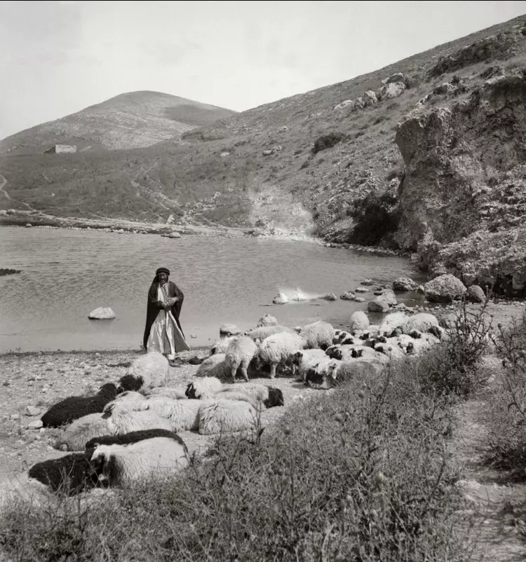
Scanned from "All That Remains" by Dr. Walid Khalidi 6 - تهجير اهالي قرية قومية عام 1948، منقول من صفحة أحمد مروات
1 - من موقع القريه
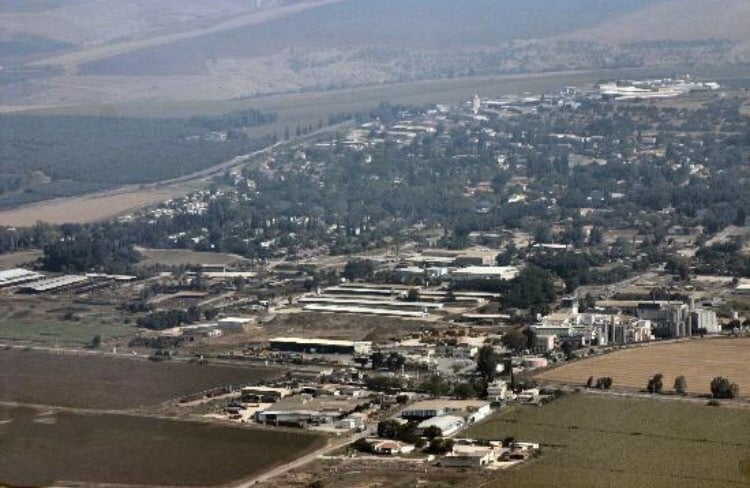
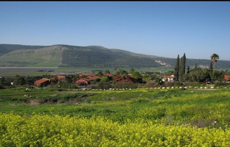
Posted by abu raya - اراضي القريه والمستوطنه المقامه عليها
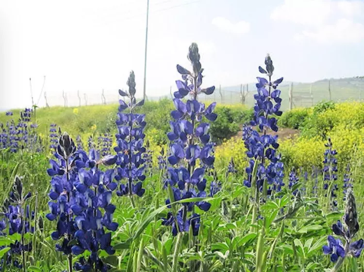
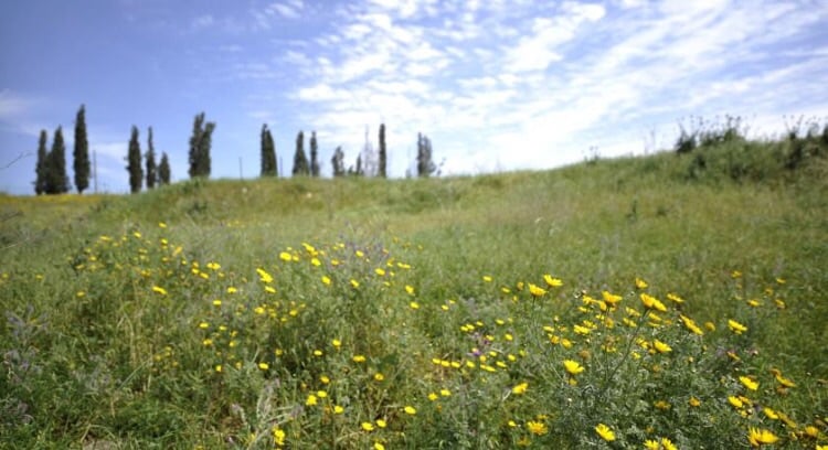
Posted by abu raya - الربيع في قوميه
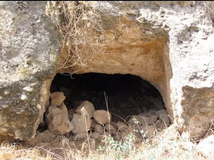
Posted by abu raya - من مغر القريه
Posted by abu raya - من جانب القريه
Posted by abu raya - موقع القريه
Posted by abu raya - موقع القريه
Posted by abu raya - موقع القريه
Posted by abu raya - موقع القريه
Posted by abu raya - موقع القريه من الشرق
Posted by abu raya - صوره قديمه من القريه
Posted by abu raya - موقع القريه من الشرق
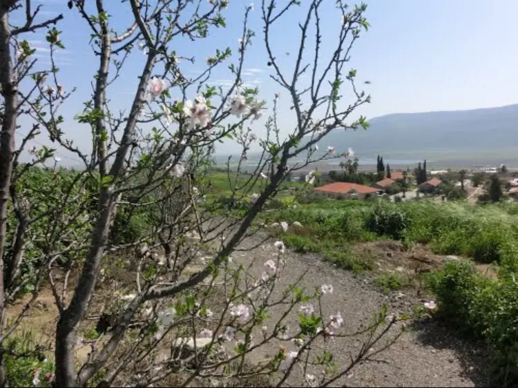
Posted by abu raya - اشجار اللوز في القريه
Posted by abu raya - من اراضي القريه
Posted by abu raya - منظر من موقع القريه باتجاه المستوطنه المقامه على اراضيها
Posted by abu raya - منظر لاراضي القريه وشارع العفوله بيسان يمر من جانبها
Posted by abu raya - منظر من شرق موقع القريه باتجاه بيسان
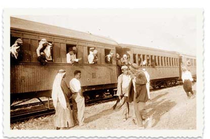
Posted by abu raya - محطه قطار الحجاز بالقرب من قوميه سنه 1926
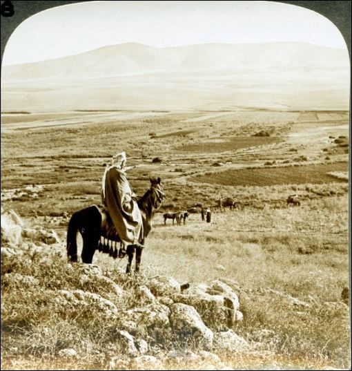
Posted by abu raya - رجل علي ظهر حصان علي مشارف قرية قومية بلدة فلسطينية تقع إلى الشمال الغربي من قضاء بيسان ١٨٩٨
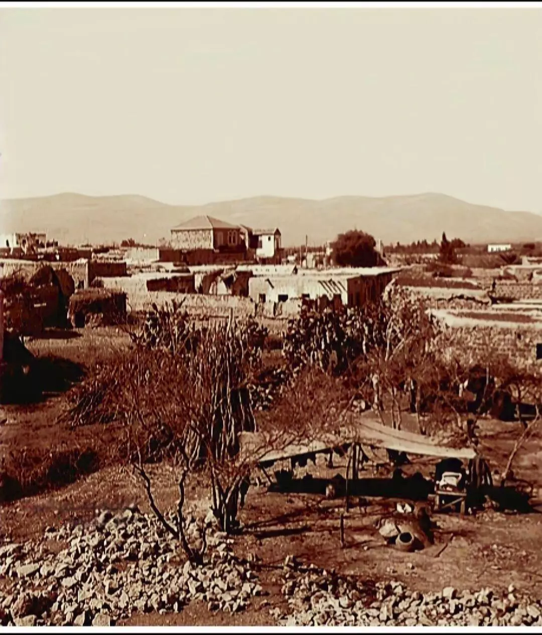
Posted by أبو اليزن السعافين - صورة نادرة وساحرة لقرية قومية قضاء بيسان وتظهر في العمق جبال فقوعة عام 1900..
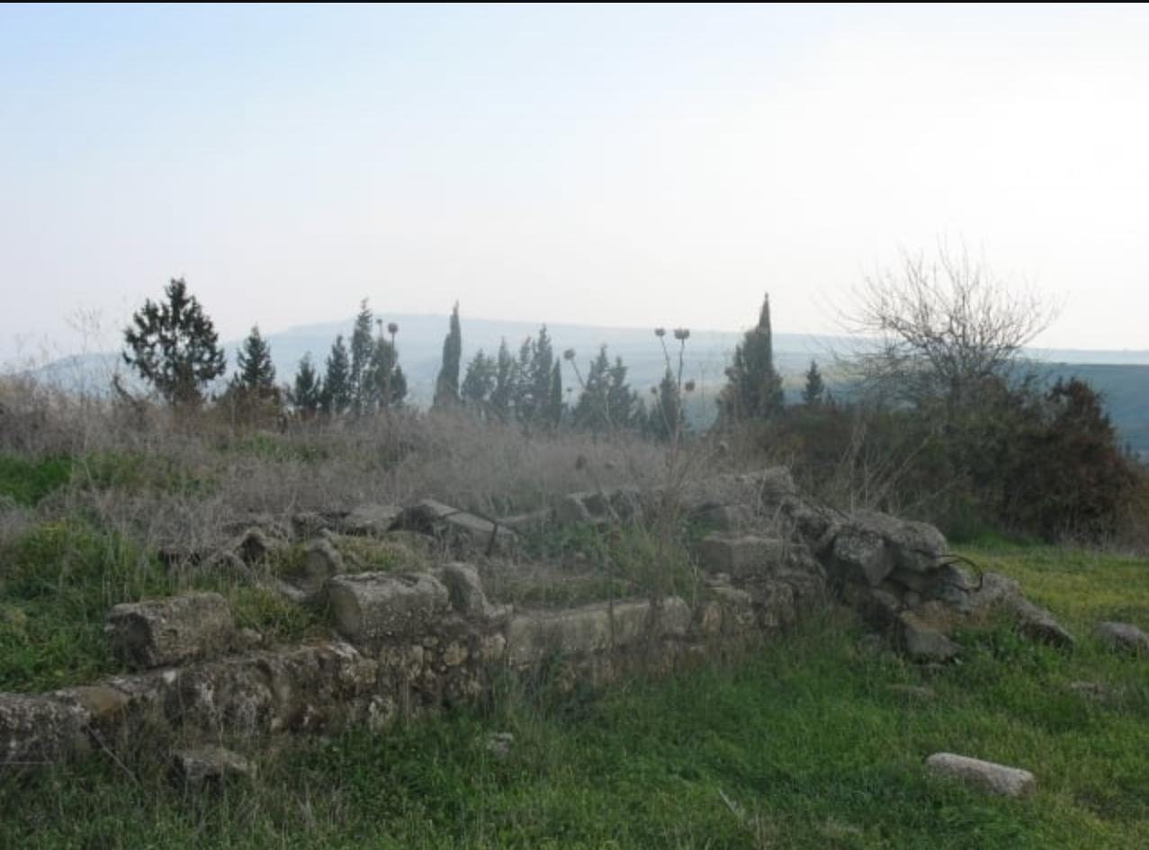
- منظر لأحد البيوت المهدمة في موقع قرية قومية المهجرة ( قضاء بيسان )
- منظر عام -- 1925
- خارطة تُظهِر الحدود والطرق بأنواعها والأماكن المقدسة والطبيعة الطوبغرافية من تلال وسهول ومنحدرات والتشكيلة الطبيعية للأرض وأنواع المزروعات. نُشرت الخريطة فترة الانتداب البريطاني، تم إضافة تعديلات عليها من قِبَل خدمة الخرائط والصور التابعة للقوات العسكرية الاسرائيلية فترة الأربعينيات.
Want to browse more? 80,000 pictures were grouped in these gallaries:
| Display Name | Clan/Hamolah | Country of Residence |
| أيمن عيادي | - | - |
| MOna | - | - |
| MUTAZ ABU ALHASAN | - | uk, uk |
| احمد بن بيلا | ابوالحسن | دمشق, قومية |
| Ahmad Abdulwahab Nemer AL-Khatib | الخطيب | الرياض, الرياض |
| أبو عبدالوهاب | الخطيب | السعودية, السعودية |
| Mahmoud Al-Khatib | Al-Khatib | Irbid, Jordan |
| hazem khateeb | - | amman, jordan |
| أيمن عيادي | Ayadi | Amman, Jordan |
| RAFIQ | abu el hassan | kuwait, kuwait |
| malsayed | Al sayyed Ahmad | - |
| saabneh | صعابنة | اربد, اربد |
| محمود أبو الحسن | أبو الحسن | ـ ـ ـ, الأردن |
- في موقع قرية قومية المهجرة (قضاء بيسان ) Duration: min 36 sec
No links have been shared yet, be free to the first to share the first link.
 Fake Valor: Why Did Zionist Jews Hoist Nazis Flag on Their Ships in the 1930s?
What is new?
-
Facts About Oct. 7th Gaza Raid
-
Remined Us Please:: Who Did Rape Who? Palestinians Raped Israelis? Or, was the other way around?
-
When Prof. Edward Said was invited to debate Bibi Netanyahu in the 1980s, watch what happened!
-
Ezra Klein of the NY Times on the "Jewish Race".
-
Abusing Blood Libel!
-
Did Israeli Soldiers Activate The Hanniba Direective On Oct. 7th? You Be The Judge
-
Zionist FAQ: Isn't it true that Palestinians don't want peace? Palestinians never accepted the two-state solution
- Facts about Haavara (Transfer) Agreement between Ben-Gurion & Hitler
-
Haavara FAQs: Why Did Zionist Jews Hoist Nazis' Flags on Their Ships in the 1930s?
- Haavara FAQs: When Chaim Weizmann met FDR in mid-1943, why was he silent about rescuing European Jewry?
-
Dear ChatGPT: How did Palestinians resist Napoleon's invasion of their country in 1799?
-
Dear ChatGPT: Gaza had a vibrant Jewish community in the mid-17th century. What happened to them?
-
Dear ChatGPT: Why did the Jewish Agency suppress news of the Holocaust during WWII?
-
Video Playlist: Jews share their DNA tests to end the conflict for good.
-
A Tale of Two Conflicts: Examining the Definition of Genocide
-
Prof. Abraham Polak And The Suppressed History of the Khazars and European Jewry
-
How Ronald Reagan would have framed the genocide in Gaza if he were still alive?
-
Haavara FAQs: Let us do the math: how many German Jews did The Haavara Agreement save?
-
Zionist FAQs: The Hebron Massacre of 1929, "clearly proves" that Palestinians are antisemitic, how could you deny it?
-
Zionist FAQs: Why Anti-Zionist Is Not Antisemitism?
-
Zionist FAQs: Isn't it true that the KGB created Palestinian Nationalism in the early 1960s?
- Zionist FAQs: Muslims are killing Muslims all the time; why are Israeli Jews being singled out in the media?
- Zionist FAQs: How is Israel an apartheid state when 20% of its citizens are Arabs who enjoy full rights?
-
Haavara FAQs: Why Did Dorothy Thompson Flip From A Zionist Advocate to A Silenced Dissenter?
-
Haavara FAQs: Analysis of Herzl's Uganda Scheme and how it could have saved millions of Jews.
-
Haavara FAQs: Why did Hayim Greenberg describe American Jewry as "morally bankrupt" in early 1943?
-
Haavara FAQs: What if the Evian Conference was a resounding success? What would have been the impact of saving European Jewry on Zionism?
- Haavara FAQs: What if the six million were saved, how that would have impacted the Zionist project?
-
Haavara FAQs: How did Zionist leaders react when Europe's Jews lingered in the DP camps after WWII ended?
-
Why does the American Jewish community repeat lies that David Ben-Gurion had debunked before he died?
-
Who has the power to rename the Tatar/Khazar Gene Marker to Jewish IV?
-
Zionist FAQs: Why won't Egypt, Syria, and Jordan take their people back? Jews are indigenous to Palestine, and Arabs immigrated after Jews developed the country. Arabs should leave.
-
Haavara FAQs: Did Hitler and the Nazis conflate between Judaism and Zionist? If that wasn't case, then why?
-
Haavara FAQs: Winston Churchill and antisemitism, a collection of articles written Churchill.
-
Haavara FAQs: Broken by country, how many Jews survived vs. killed during the Holocaust?
-
Haavara FAQs: Why did European Jews vote with their feet and to immigrated to the Americas, not Palestine, after WWII?
-
Watch this American Jewish Girl describing Israeli Jews' cognitive dissonance like no other in under two minutes
-
Haavara FAQs: When the Nazis went out of their way to hide the Holocaust, Israeli Jews did the exact opposite by broadcasting their genocide of Gazans. But why?
-
Haavara FAQs: How Zionist Jews went out of their to show their appreciation to Nazism and Fascism?
- Haavara FAQs: Why Zionist leaders were against bombing the death camps & the Railroads leading to them?
-
Haavara FAQs: Hitler's message to the British and American people: If Jews are such noble citizens and you care about them, how come you're not letting them in? I will gladly ship them to you at my expense, even on luxury liners!
-
A shortlist of Zionist and Israeli false flag operations in the name Jews.
-
The Most Moral Army
- The Land of Kapos (Israel): Where the brave are boycotted and Kapos walk free.
- Why did early Zionists often named their communal enterprises "colonial"?
- Zionist Relations with Nazi Germany by Faris Glubb
-
Two NY Times advertisements by Zionists in the early 1943 that exposes Zionists' treason at the height of the calamity
- Facts Not Lies about the Palestinian-Israeli Conflict.
- Site's pictures have been categorized
- Campgain Against Lice
- A Survey of Palestine, the official source about Palestine before Nakba produced by the British Mandate; over 1200 pages.
- Satellite View & Google Earth: Over 6,000 placemarks identifying all destroyed towns, W. Bank & Gaza Strip Towns, & refugee camps.
- PalestineRemembered.com and its Nakba Oral History Project were featured on al-Jazeera Satellite TV.
- Nakba Oral History Video Podcast:
 Over 700 Oral History interviews (including 3,500+ hours of recording) can be viewed online.
 - Palestine Village Statistics Project
- Gaza Jail Break
- النسخة العربية للموقع الان متوفرة
- Videos: Documenting the destroyed villages in video: Tracing all that remains since Nakba.
- Videos: Responding to Zionist Propaganda
- Interview: The ethnic cleansing of Palestine: George Galloway interviews Israeli Historian Ilan Pappe.
- For Palestinians, memory matters. It provides a blueprint for their future By George Bisharat.
- Zionist FAQ now available in Hebrew שאלות שציונים שואלים, עכשיו בעברית
- Video: The Stephen Walt and John Mearsheimer report on the influence of the Israel Lobby on U.S. Foreign Policy
- The Palestinian-Israeli conflict for beginners
