| PalestineRemembered | About Us | Oral History | العربية | |
| Pictures | Zionist FAQs | Haavara | Maps | |
| Search |
| Camps |
| Districts |
| Acre |
| Baysan |
| Beersheba |
| Bethlehem |
| Gaza |
| Haifa |
| Hebron |
| Jaffa |
| Jericho |
| Jerusalem |
| Jinin |
| Nablus |
| Nazareth |
| Ramallah |
| al-Ramla |
| Safad |
| Tiberias |
| Tulkarm |
| Donate |
| Contact |
| Profile |
| Videos |
Welcome To al-Tira - الطيرة الزعبية (المرج) (א-טירה)
|
District of Baysan
Ethnically cleansed days ago |
العربية Google Earth |
 |
Gallery (38) |
- Statistics & Facts
-
Before & After

- Satellite View
- Articles 1
- Pictures 38
- Members 7
- All That Remains
- Wikipedia
- Videos 8
- Guest Book 2
- Links
| Statistic & Fact | Value | ||||||||||||||||||
| Occupation Date | April 15, 1948 | ||||||||||||||||||
| Distance From District | 17.5 (km) North of Baysan | ||||||||||||||||||
| Elevation | 125 (meters) | ||||||||||||||||||
| Before & After Nakba, Click Map For Details |
|||||||||||||||||||

|
|||||||||||||||||||
| Map Location | See location #2 on the map View from satellite |
||||||||||||||||||
| Exodus Cause | Haganah 'Wispering' campaign (psychological warfare) | ||||||||||||||||||
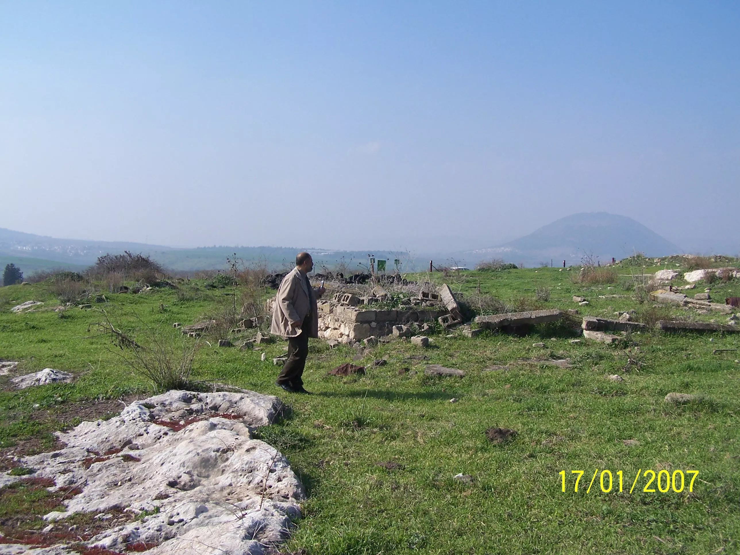
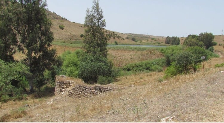
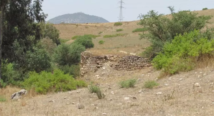
| Village Temains | al-Tira was completely destroyed and defaced. | ||||||||||||||||||
| Ethnically Cleansing |
On 26th of March 1948, the village was ethnically cleansed based on the
orders of Yosef Weitz (a Jewish National Fund official). Weitz wrote
in his diary about the inhabitants of Qumya and al-Tira
in the Baysan valley: |
||||||||||||||||||
| Pre-Nakba Land Ownership |
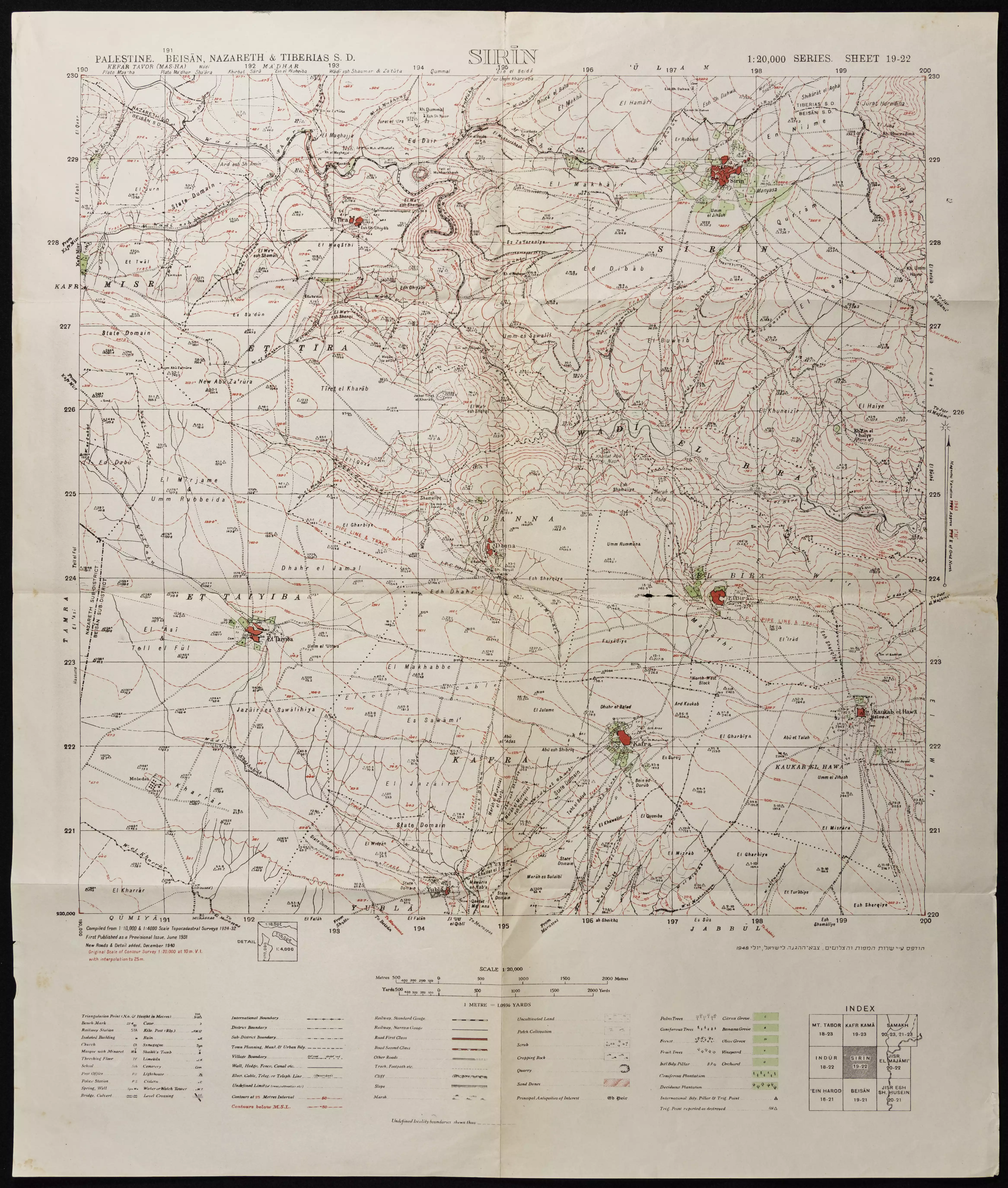
**Town Lands' Demarcation Maps |
||||||||||||||||||
| Land Usage As of 1945 |
|
||||||||||||||||||
| Population |
|
||||||||||||||||||
| Number of Houses |
|
||||||||||||||||||
| Near By Towns |
|||||||||||||||||||
|
|||||||||||||||||||
| Shrines / Maqams | A shrine for a local sage known as al-Shaykh Dhiyab. | ||||||||||||||||||
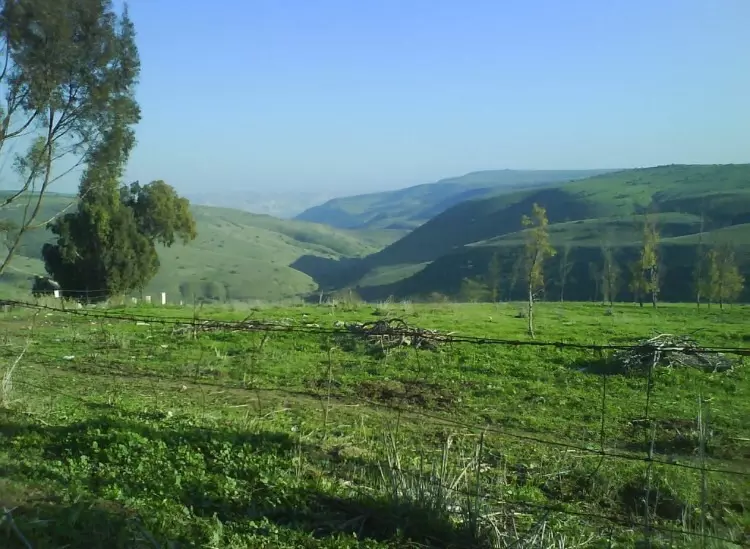
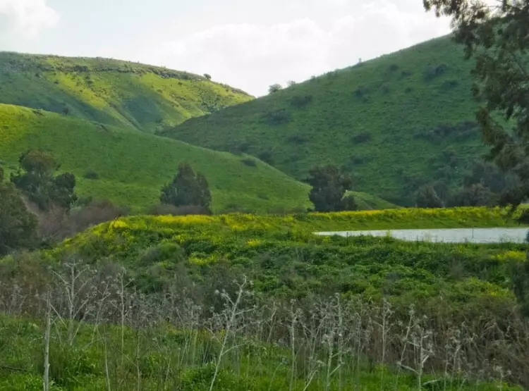
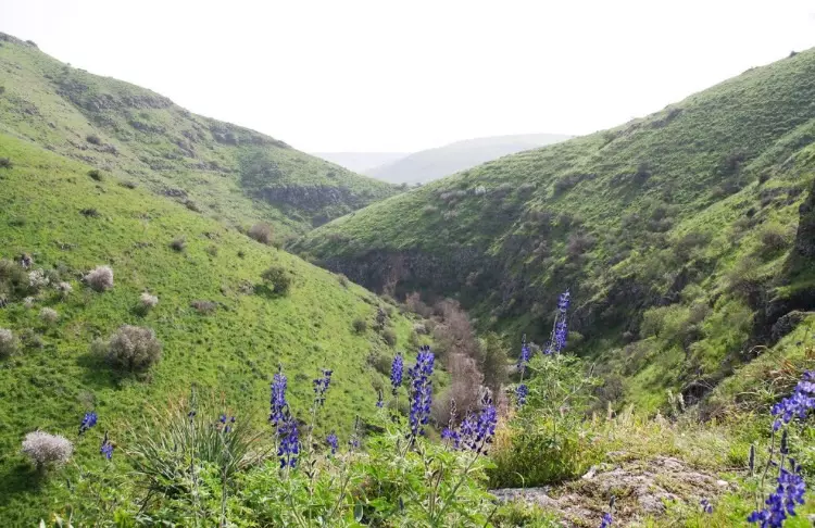
| Nearby Wadies & Rivers | The village overlooks Wadi al-Bira. | ||||||||||||||||||
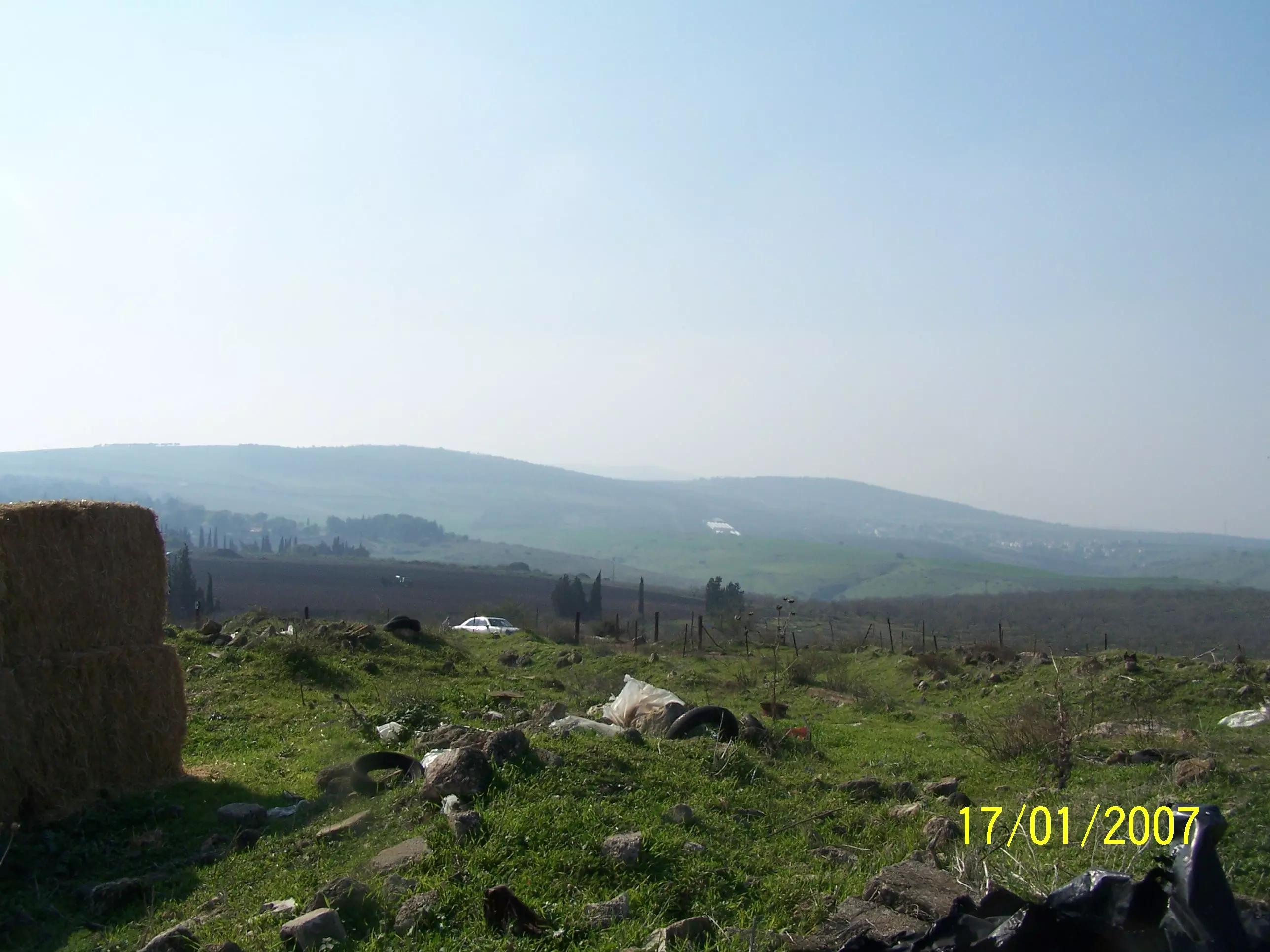
| Water Supply | 'Ayn al-Bayda was the main source of drinking water for al-Tira inhabitants. | ||||||||||||||||||
| Archeological Sites | al-Tira has a khirba which contains ancient ruins, inhabited caves and cisterns. | ||||||||||||||||||
| Exculsive Jewish Colonies Who Usurped Village Lands |
Kibbutz Gazit, Kefar Qish, & Ma'dharare | ||||||||||||||||||
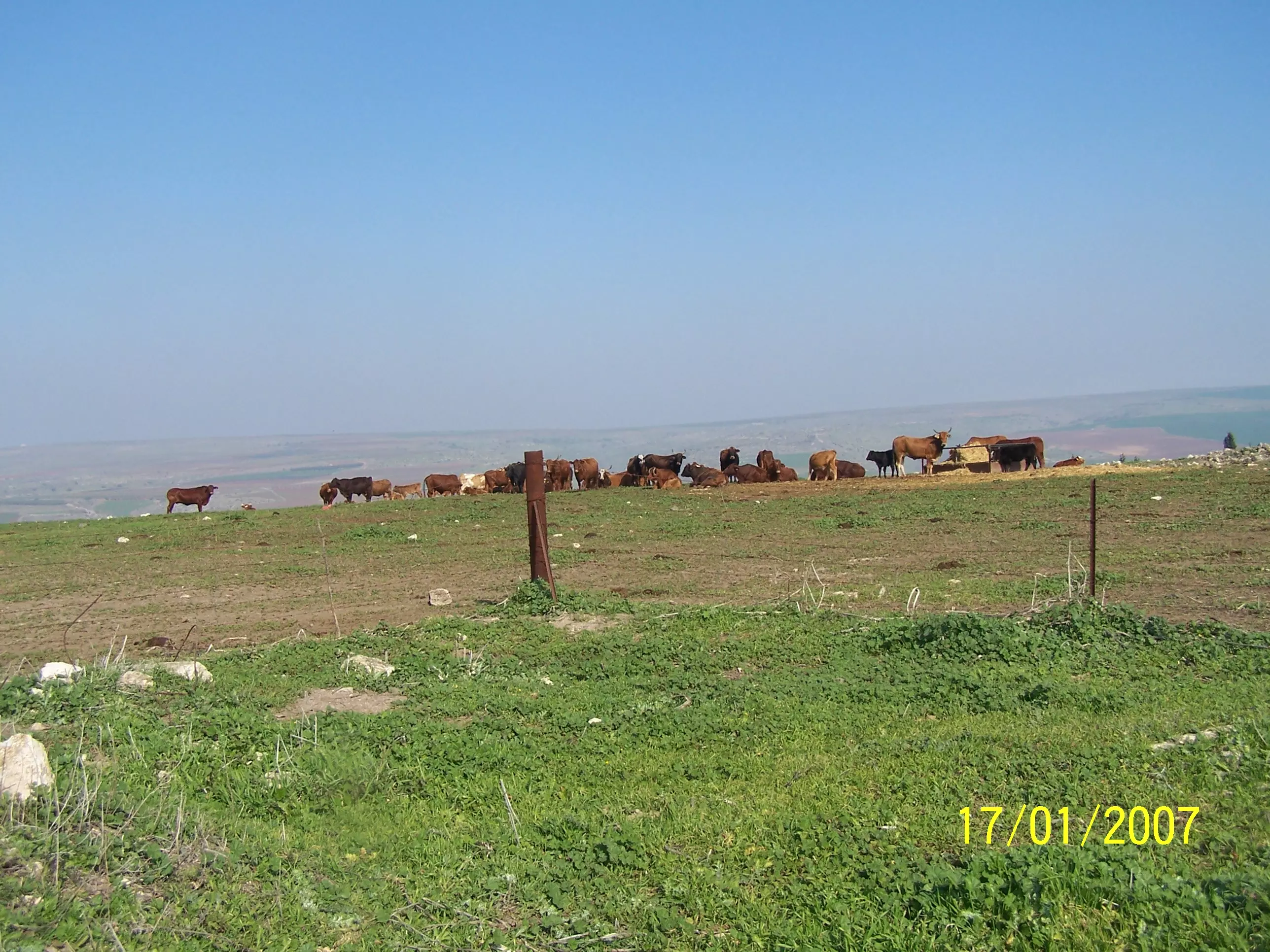
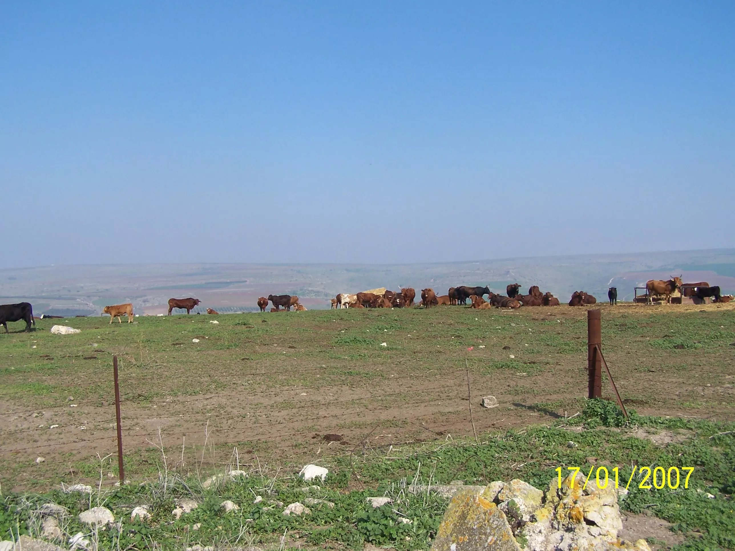
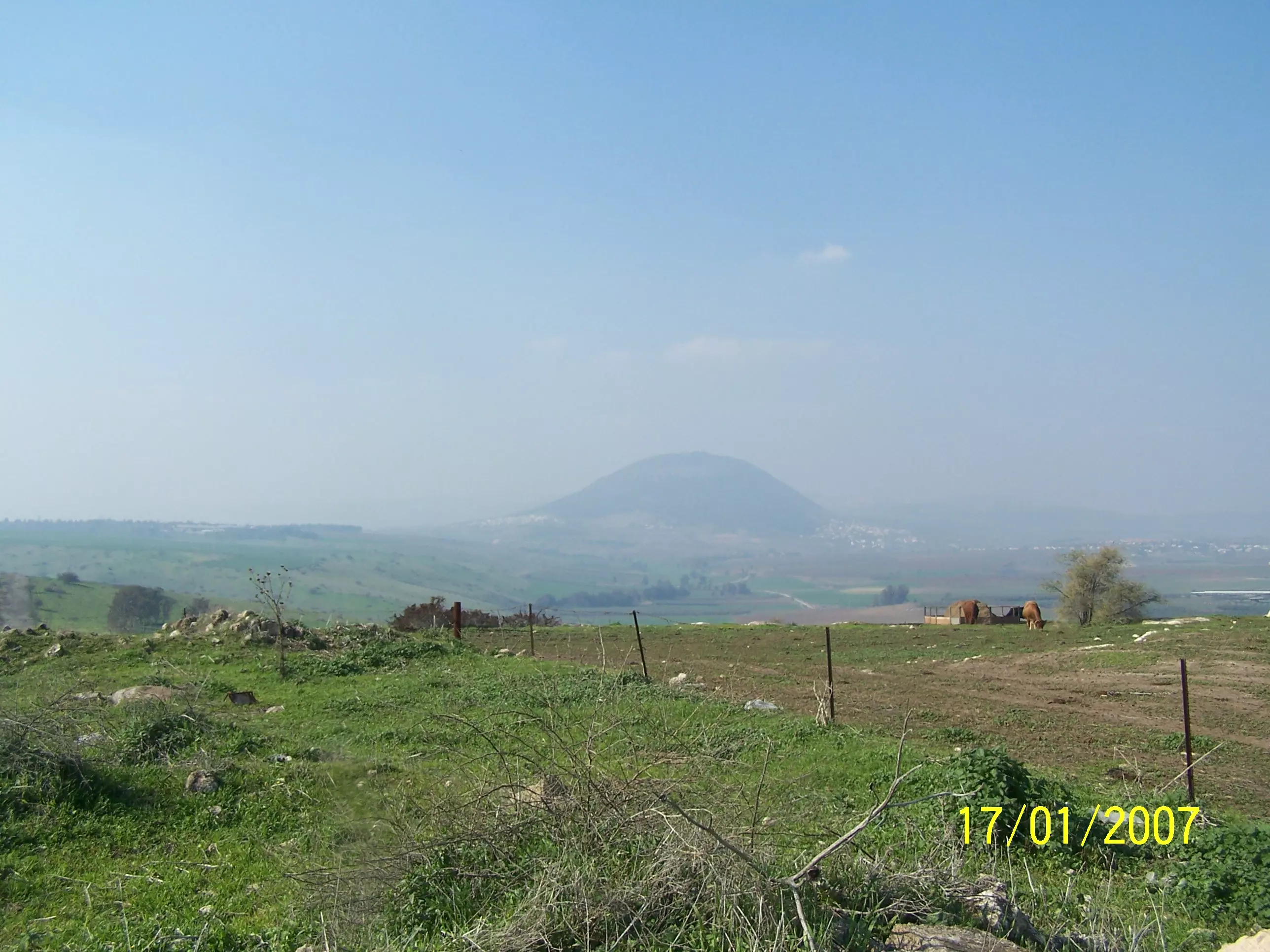
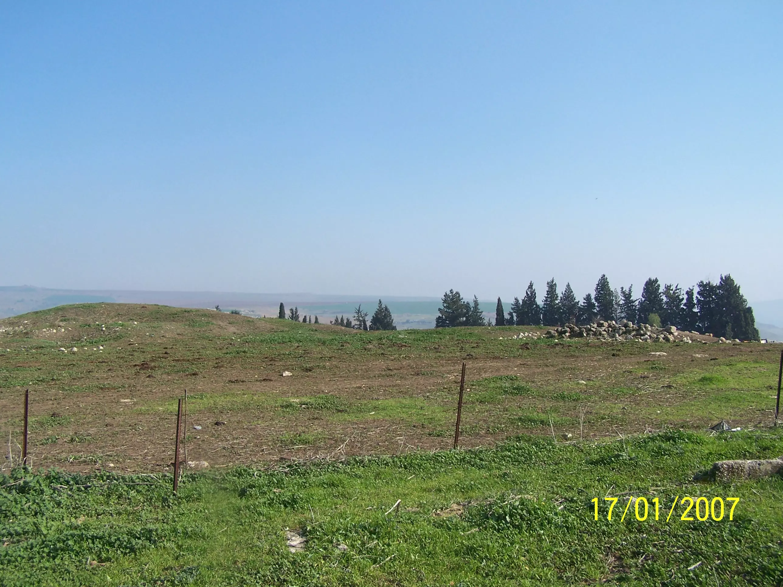
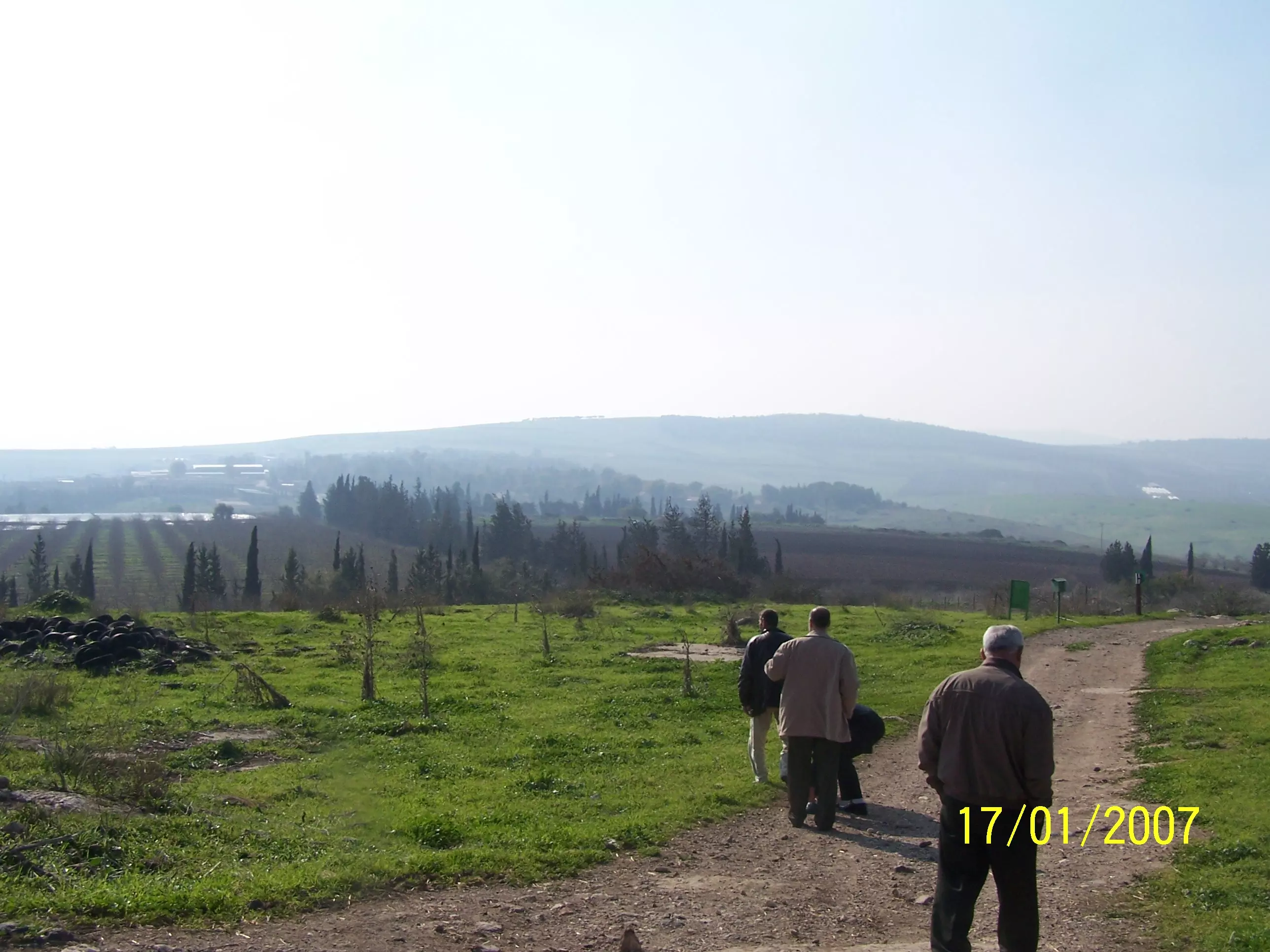
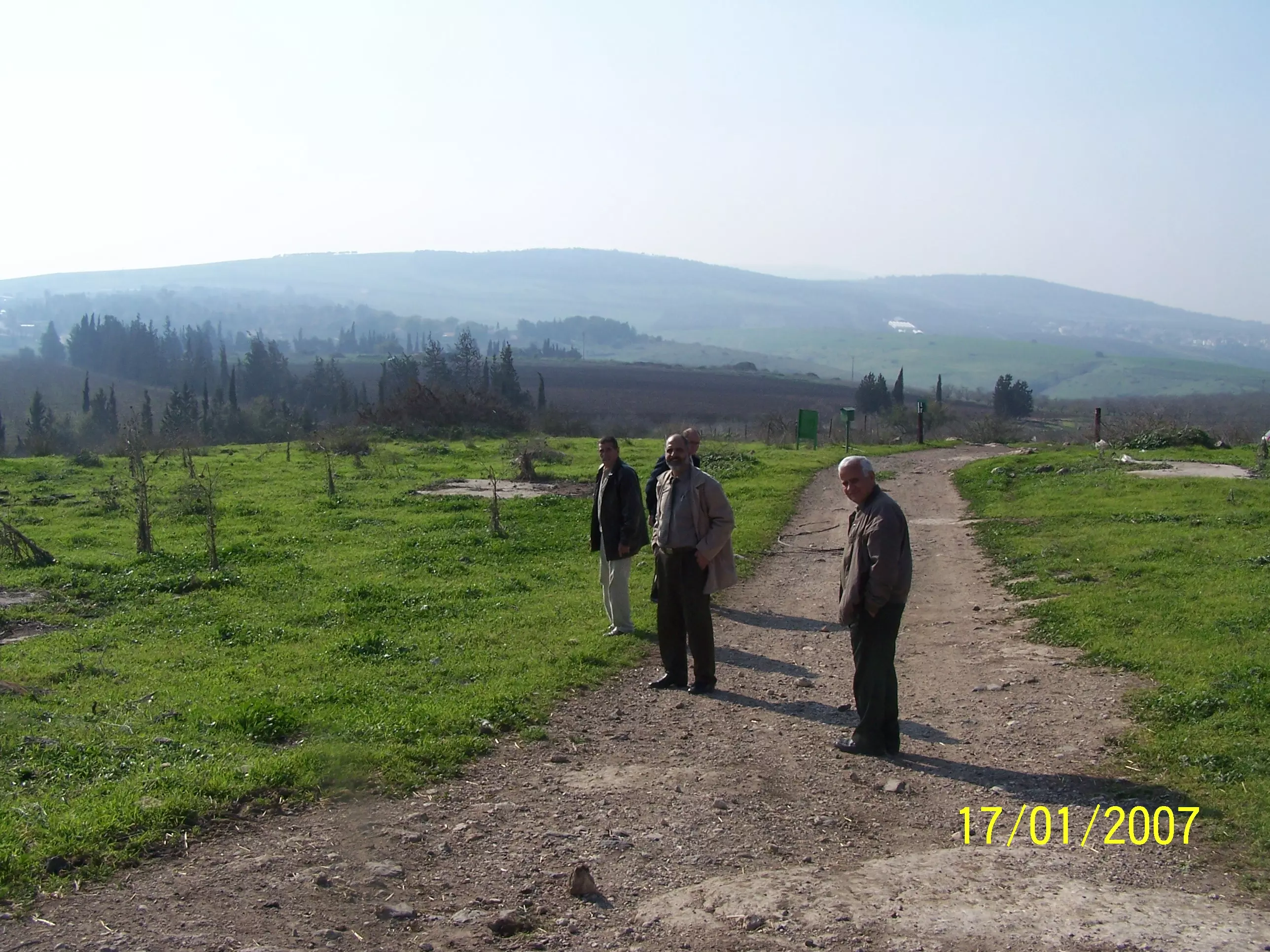
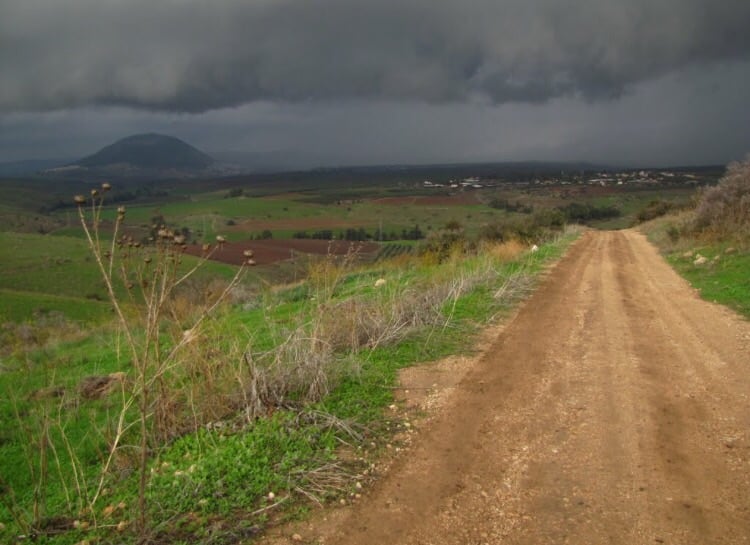
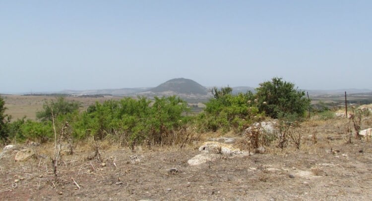
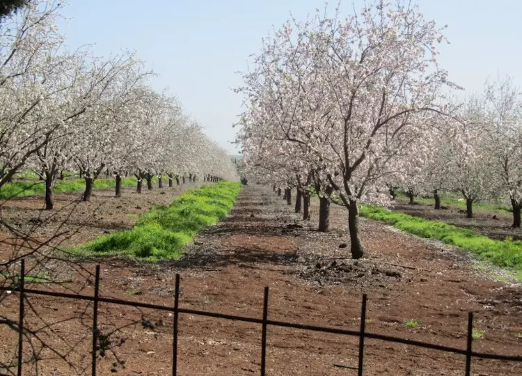
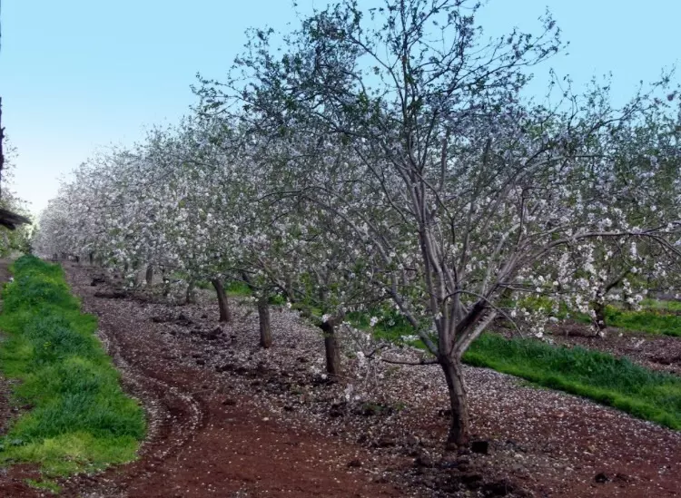
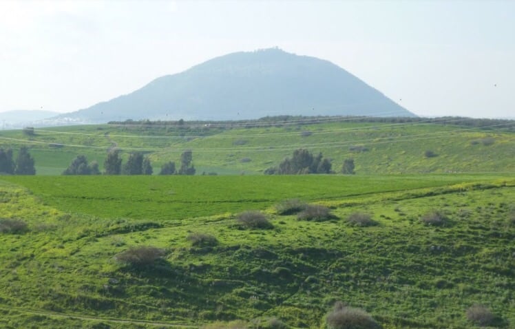
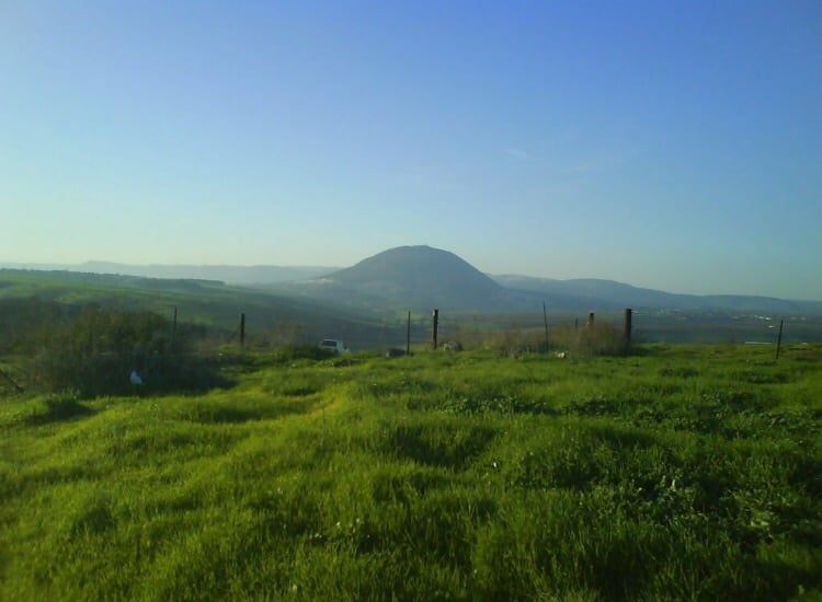
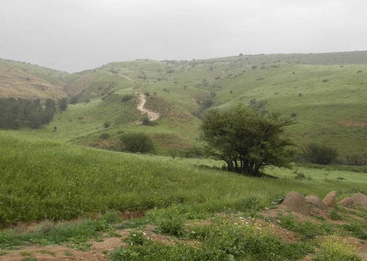
Village Before NakbaThe village stood on the side of a gently sloping hill and overlooked the steep slopes of Wadi al-Bira, to the north and northeast, and flat areas to the west and southwest. A secondary road linked it to a highway that led to Samakh in the north and Baysan in the south. Similar roads and dirt paths also connected it to neighboring villages, as well as to the spring of Ayn al-Bayda, which was the inhabitants' main water source. A shrine (maqam) for a local religious figure, Shaykh Dhiyab, lay to the south of the village. The people of al-Tira were Muslims, and earned their livelihood chiefly from agriculture. In 1944/45 a total of 4,326 dunums was allocated to cereals; 56 dunums were irrigated or used for orchards. Khirbat al-Tira lay to the south of the village and, when excavated, revealed ancient ruins, including caves and cisterns.Village Occupation and Ethnic CleaningThe Jewish National Fund (JNF) decided to expel the people of al-Tira as early as 26 March 1948, when it organized a series of expulsions around the country in the weeks before the major military operations were launched. Israeli historian Benny Morris describes a meeting of JNF officials in which the director of the Lands Department, Yosef Weitz, argued that the inhabitants of al-Tira and nearby Qumya 'must be forced to leave' because they were 'not taking upon themselves the responsibility of preventing the infiltration of irregulars [i.e. Palestinian guerrillas].' But the decision was not implemented for almost three weeks. On 15 April the village was emptied 'after receiving 'friendly advice' from the Haganah,' according to Morris. (Morris also writes, inconsistently, that the villagers 'were ordered to leave by Arab irregular forces' over one month later, on 20 May.)Zionists Colonies on Village LandsThe settlement of Irgun Borokhov, founded in 1943, was close to the village site. On 10 September 1948, it was taken over by a different settler organization and renamed Kibbutz Gazit , and in late 1948 it absorbed the village of al-Tira. Gazit is 1.5 km southwest of the village site, on village land. Another settlement, Kefar Qish , was founded in 1946 on the lands of Ma'dhar, in Tiberias sub-disctrict. It is about 1 km northwest of the site of al-Tira.Village TodayThe ruins of stone houses, covered with grass and thorns, are all that remain of al-Tira. The site is fenced in and serves Israeli farmers as pasture land. Cypress trees grow on surrounding land.SourceDr. Walid al-Khalidi, 1992: All That Remains. |
|||||||||||||||||||
| Related Maps | Town Lands' Demarcation Maps خرائط للقضاء توضح حدود القرى والاودية Town's map on MapQuest View from satellite Help us map this town at WikiMapia |
||||||||||||||||||
| Related Links | Wikipedia's Page Google Search Google For Images Google For Videos |
||||||||||||||||||
| More Information | في كتاب كي لا ننسى في كتاب بلادنا فلسطين المزيد من موقع هوية |
||||||||||||||||||
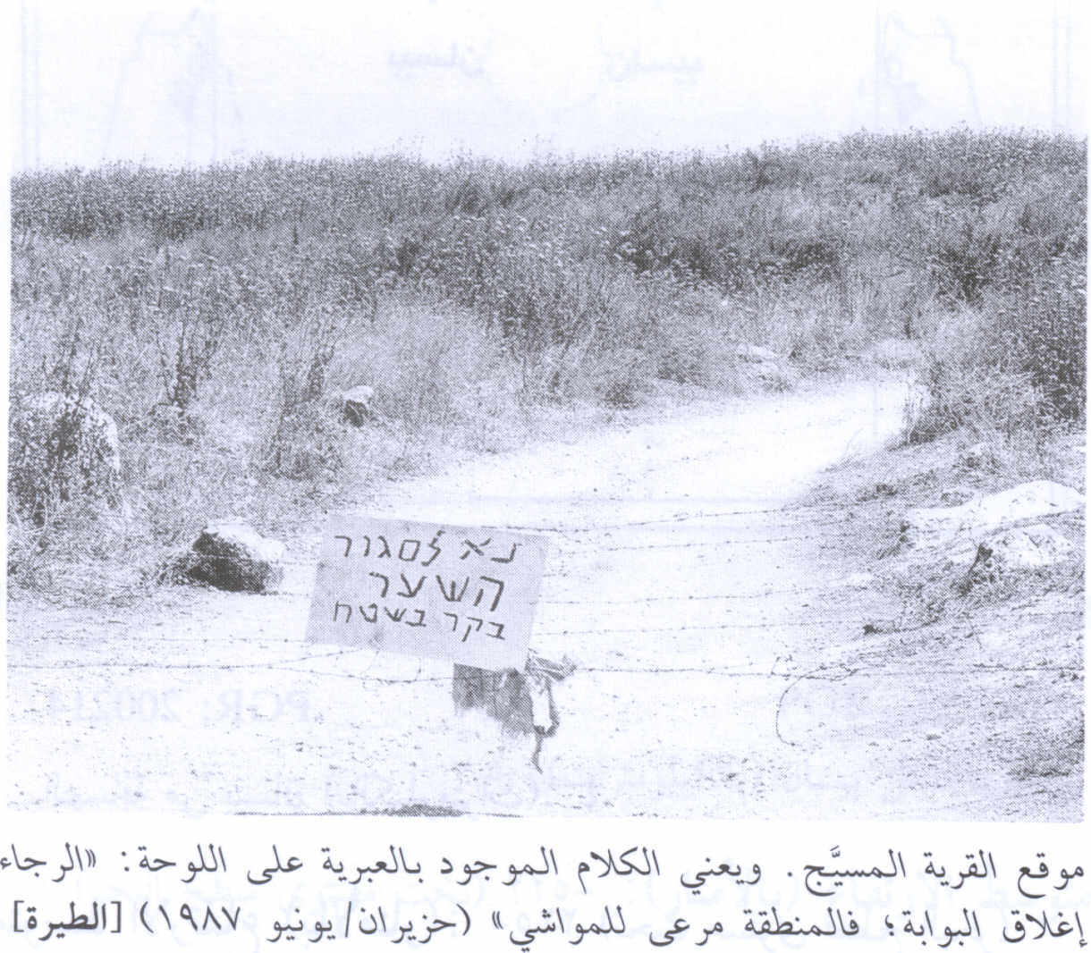
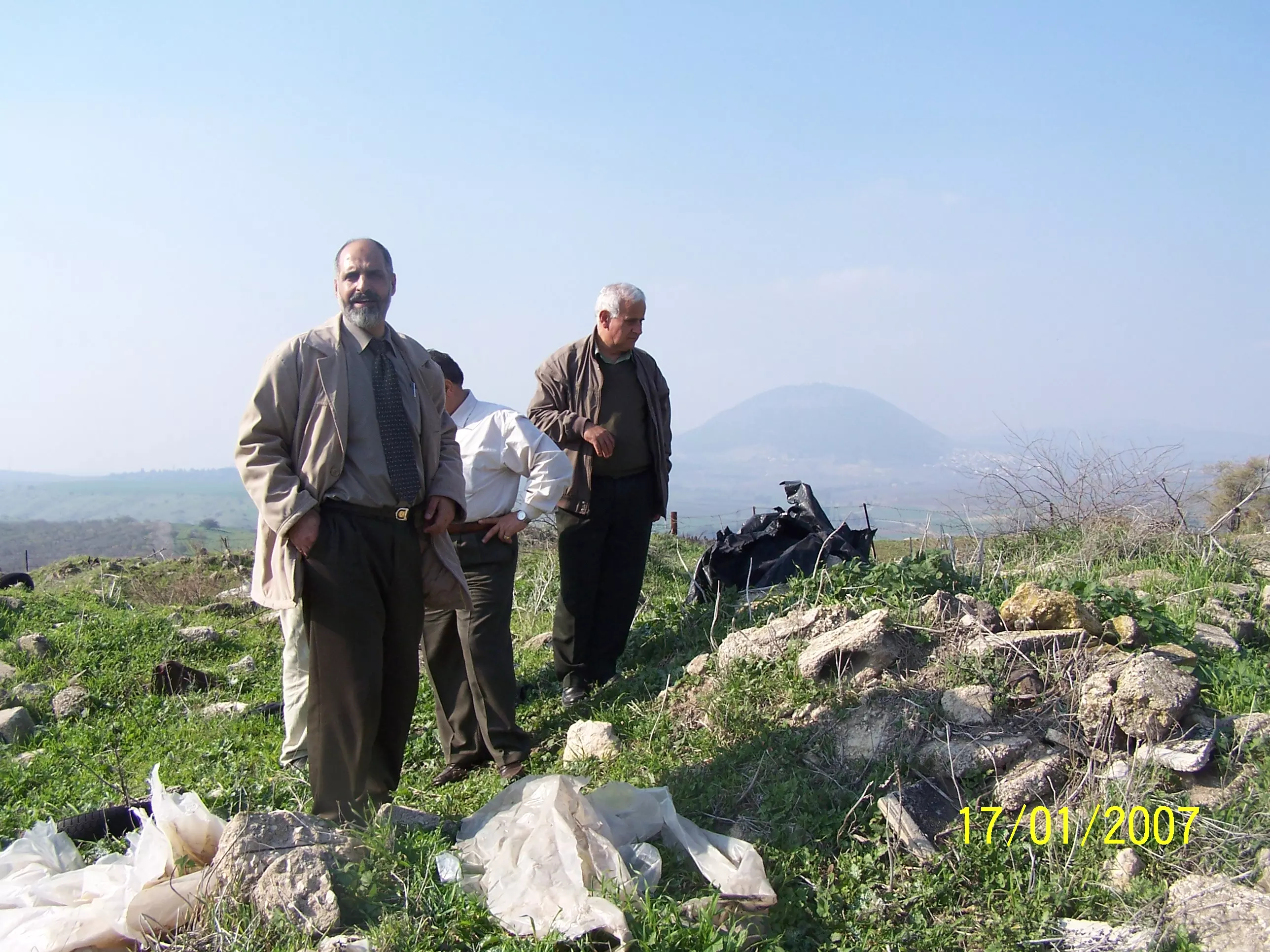
- al-Tira In 1987
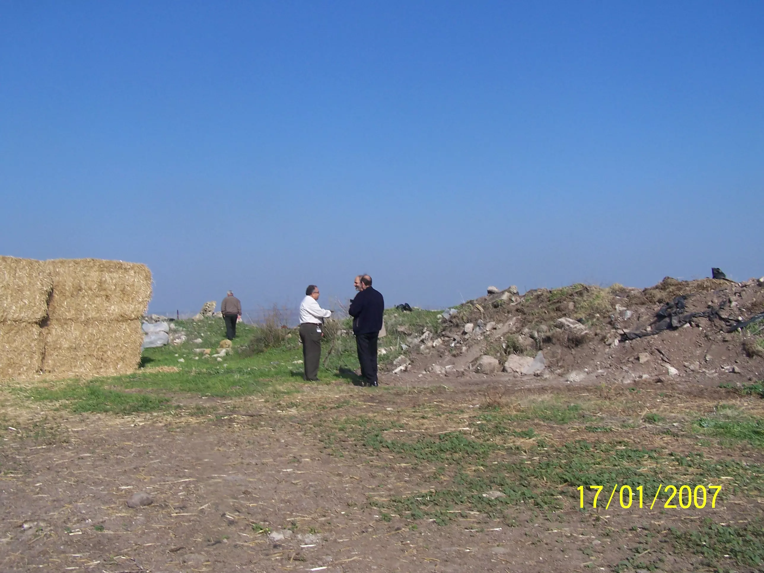
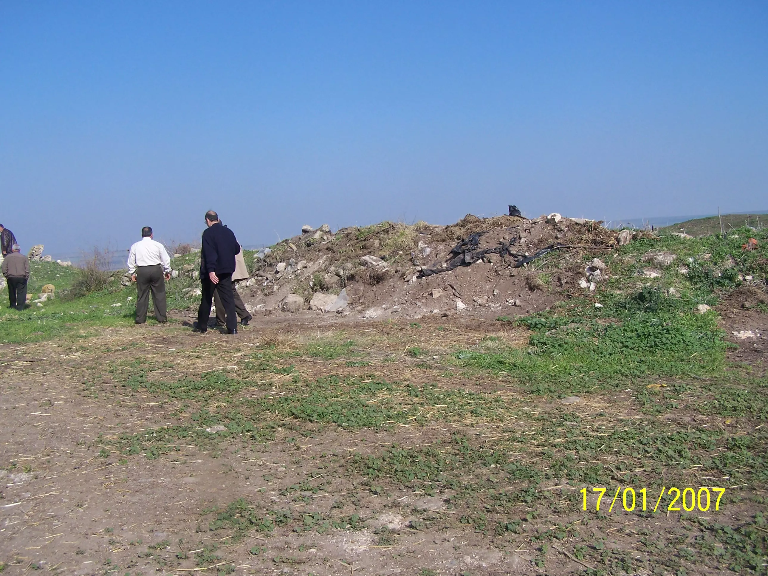
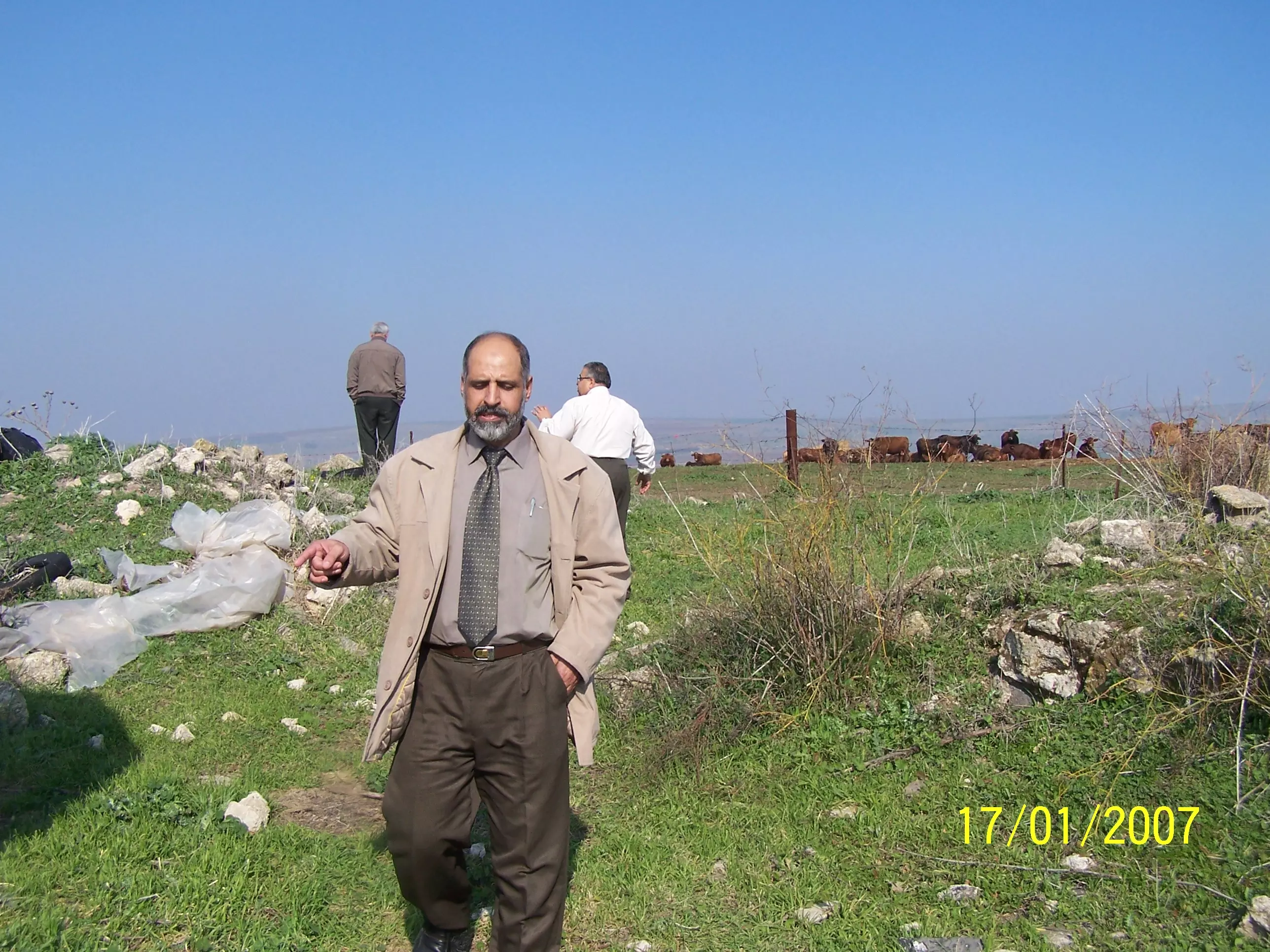
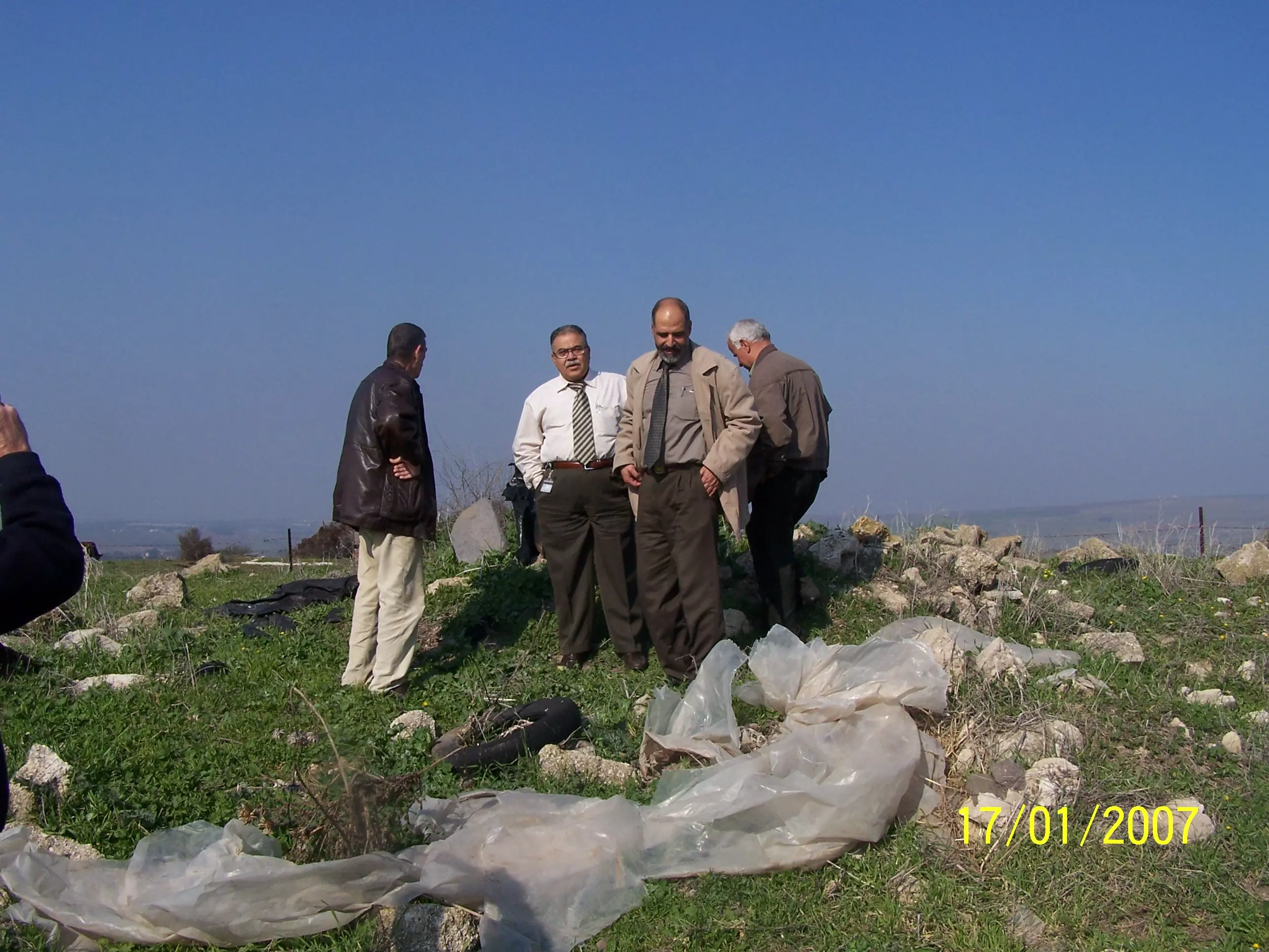
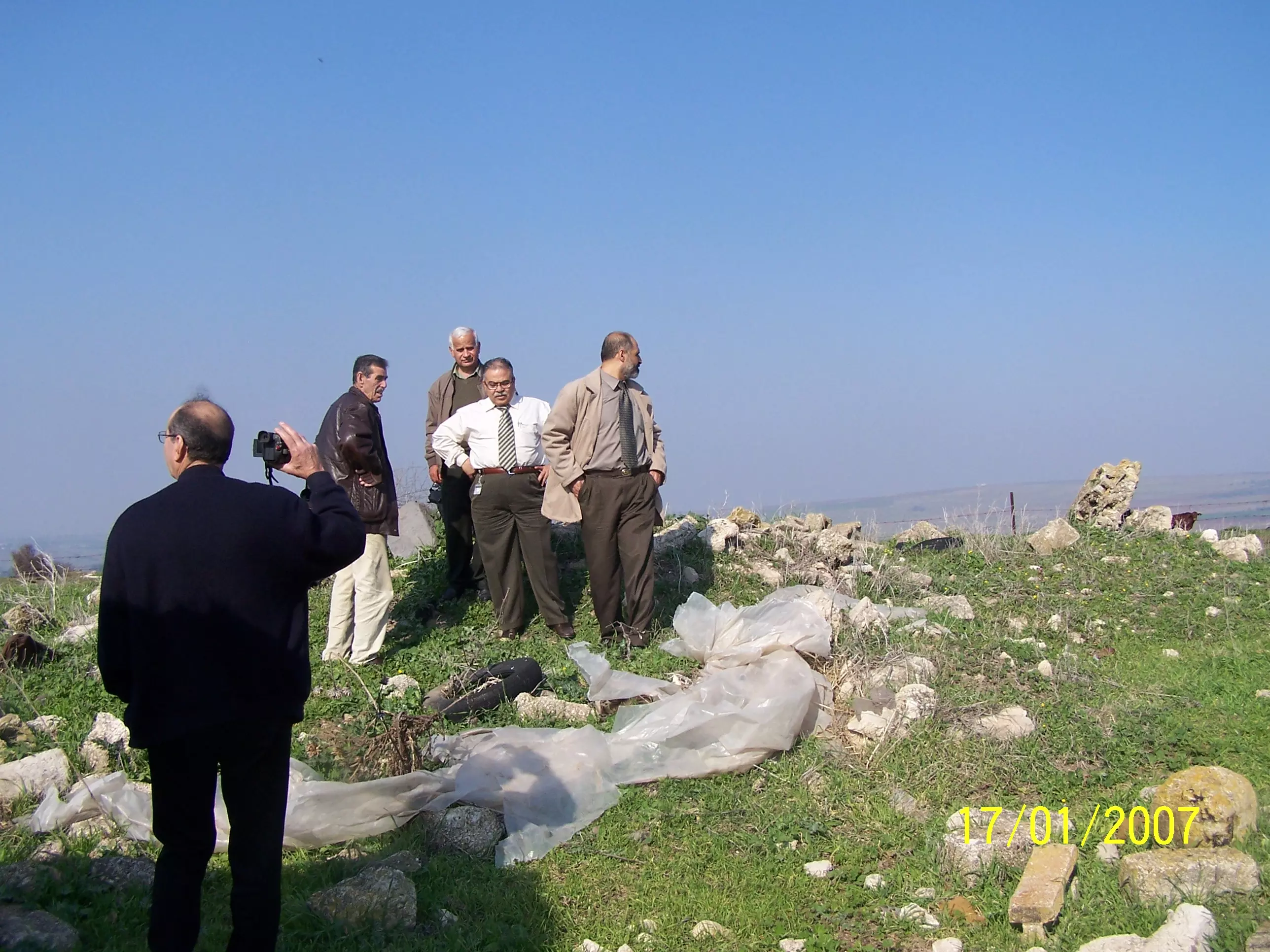
- Sights from Al Tira - January 2007

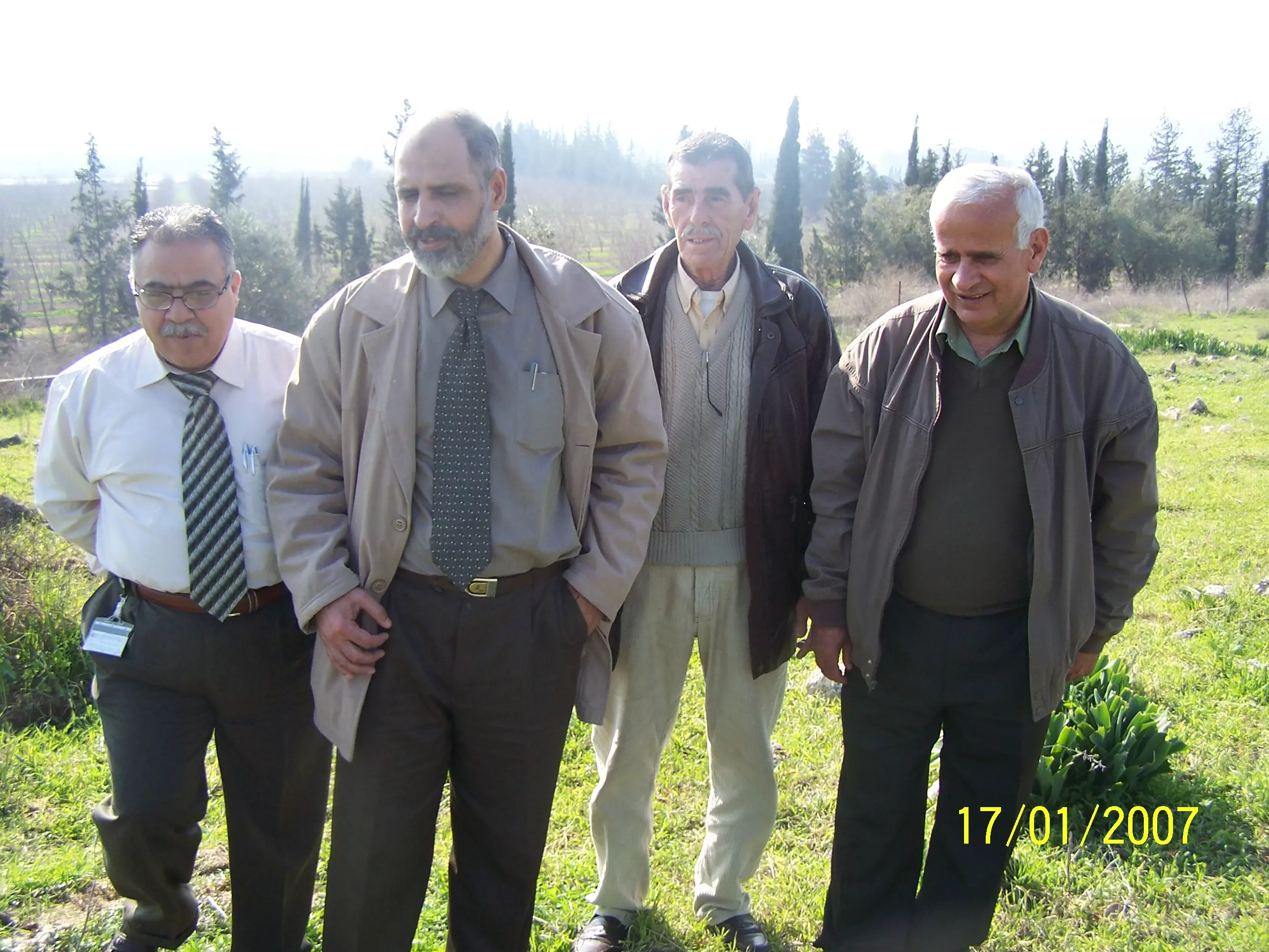
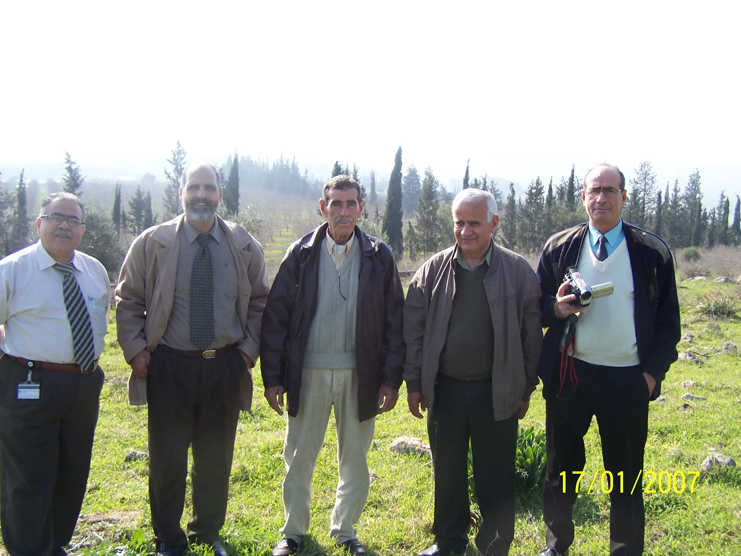
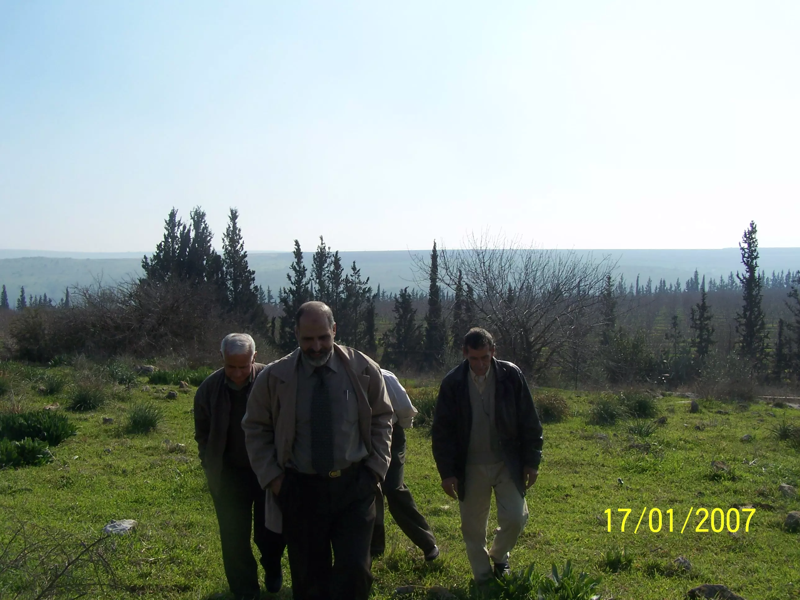
Posted by Ahmad Al-Natour 1 - Sights from Al Tira - January 2007
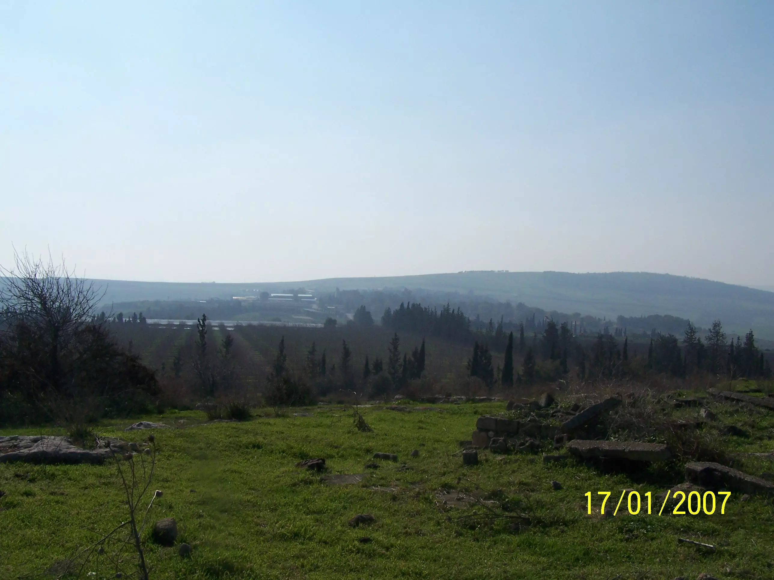
Posted by Ahmad Al-Natour 1 - Sights from Al Tira - January 2007
Posted by Ahmad Al-Natour - ركام منزل الجد يونس علي الناطور

Posted by Ahmad Al-Natour 1 - منظر عام لطيرة بيسان 1
Posted by Ahmad Al-Natour - منظر عام لطيرة بيسان 2
Posted by Ahmad Al-Natour 1 - منظر عام لطيرة بيسان 3
Posted by Ahmad Al-Natour - منظر عام لطيرة بيسان 5
Posted by Ahmad Al-Natour - منظر عام لطيرة بيسان 6
Posted by Ahmad Al-Natour - منظر عام لطيرة بيسان 7

Posted by Ahmad Al-Natour - منظر عام لطيرة بيسان 8
Posted by Ahmad Al-Natour - منظر عام لطيرة بيسان 9
Posted by Ahmad Al-Natour - منظر عام لطيرة بيسان 10
Posted by Ahmad Al-Natour - منظر عام لطيرة بيسان 11
Posted by Ahmad Al-Natour - منظر عام لطيرة بيسان 12

Posted by Ahmad Al-Natour - منظر عام لطيرة بيسان 13
Posted by Ahmad Al-Natour - منظر عام لطيرة بيسان 13
Posted by Ahmad Al-Natour - منظر عام لطيرة بيسان 14
Posted by Ahmad Al-Natour - منظر عام لطيرة بيسان 15
Posted by Ahmad Al-Natour - منظر عام لطيرة بيسان 16
Posted by Ahmad Al-Natour - منظر عام لطيرة بيسان 17
Posted by Ahmad Al-Natour - منظر عام لطيرة بيسان 18
Posted by Ahmad Al-Natour - قريه الطيره بيسان
Posted by abu raya - قريه الطيره بيسان
Posted by abu raya - اراضي القريه
Posted by abu raya - اراضي القريه
Posted by abu raya - الطيره بيسان
Posted by abu raya - قريه الطيره بيسان . موقع القريه
Posted by abu raya - الطيره بيسان
Posted by abu raya - من نواحي القريه
Posted by abu raya - بالقرب من القريه
Posted by abu raya - اراضي الطيره
Posted by abu raya - وادي البيره شمال القريه
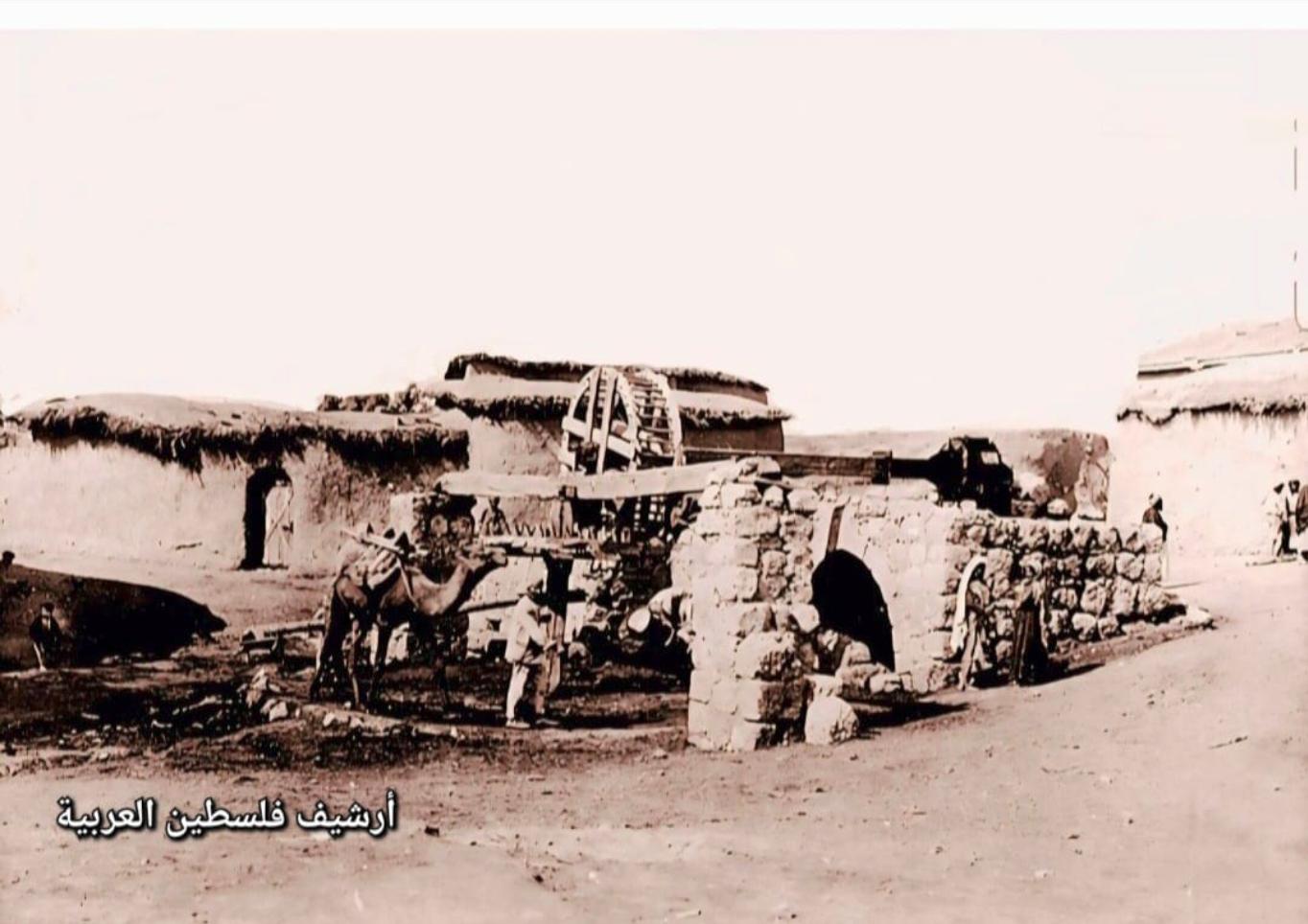
Posted by abu raya - طاحونه على وادي البيره شمال شرق القريه
Posted by abu raya - الطاحونه شمال شرق القريه
Posted by abu raya - الطيره الزعبيه قبل النكبه
Posted by abu raya - خارطة تُظهِر الحدود والطرق بأنواعها والأماكن المقدسة والطبيعة الطوبغرافية من تلال وسهول ومنحدرات والتشكيلة الطبيعية للأرض وأنواع المزروعات. نُشرت الخريطة فترة الانتداب البريطاني، تم إضافة تعديلات عليها من قِبَل خدمة الخرائط والصور التابعة للقوات العسكرية الاسرائيلية فترة الأربعينيات.
Want to browse more? 80,000 pictures were grouped in these gallaries:
| Display Name | Clan/Hamolah | Country of Residence |
| بنت الوطن | - | - |
| eyad | قريص | - |
| سيرين محمد علي زعبي | - | - |
| أحفاد عبد الله يونس | الناطور | اربد, JORDAN |
| edimido | natour | Irbid, Jordan |
| Ahmad Al-Natour | Al Natour | - |
| Mahmoud Qreis | Qurreis | - |
No links have been shared yet, be free to the first to share the first link.
 Fake Valor: Why Did Zionist Jews Hoist Nazis Flag on Their Ships in the 1930s?
What is new?
-
Facts About Oct. 7th Gaza Raid
-
Remined Us Please:: Who Did Rape Who? Palestinians Raped Israelis? Or, was the other way around?
-
When Prof. Edward Said was invited to debate Bibi Netanyahu in the 1980s, watch what happened!
-
Ezra Klein of the NY Times on the "Jewish Race".
-
Abusing Blood Libel!
-
Did Israeli Soldiers Activate The Hanniba Direective On Oct. 7th? You Be The Judge
-
Zionist FAQ: Isn't it true that Palestinians don't want peace? Palestinians never accepted the two-state solution
- Facts about Haavara (Transfer) Agreement between Ben-Gurion & Hitler
-
Haavara FAQs: Why Did Zionist Jews Hoist Nazis' Flags on Their Ships in the 1930s?
- Haavara FAQs: When Chaim Weizmann met FDR in mid-1943, why was he silent about rescuing European Jewry?
-
Dear ChatGPT: How did Palestinians resist Napoleon's invasion of their country in 1799?
-
Dear ChatGPT: Gaza had a vibrant Jewish community in the mid-17th century. What happened to them?
-
Dear ChatGPT: Why did the Jewish Agency suppress news of the Holocaust during WWII?
-
Video Playlist: Jews share their DNA tests to end the conflict for good.
-
A Tale of Two Conflicts: Examining the Definition of Genocide
-
Prof. Abraham Polak And The Suppressed History of the Khazars and European Jewry
-
How Ronald Reagan would have framed the genocide in Gaza if he were still alive?
-
Haavara FAQs: Let us do the math: how many German Jews did The Haavara Agreement save?
-
Zionist FAQs: The Hebron Massacre of 1929, "clearly proves" that Palestinians are antisemitic, how could you deny it?
-
Zionist FAQs: Why Anti-Zionist Is Not Antisemitism?
-
Zionist FAQs: Isn't it true that the KGB created Palestinian Nationalism in the early 1960s?
- Zionist FAQs: Muslims are killing Muslims all the time; why are Israeli Jews being singled out in the media?
- Zionist FAQs: How is Israel an apartheid state when 20% of its citizens are Arabs who enjoy full rights?
-
Haavara FAQs: Why Did Dorothy Thompson Flip From A Zionist Advocate to A Silenced Dissenter?
-
Haavara FAQs: Analysis of Herzl's Uganda Scheme and how it could have saved millions of Jews.
-
Haavara FAQs: Why did Hayim Greenberg describe American Jewry as "morally bankrupt" in early 1943?
-
Haavara FAQs: What if the Evian Conference was a resounding success? What would have been the impact of saving European Jewry on Zionism?
- Haavara FAQs: What if the six million were saved, how that would have impacted the Zionist project?
-
Haavara FAQs: How did Zionist leaders react when Europe's Jews lingered in the DP camps after WWII ended?
-
Why does the American Jewish community repeat lies that David Ben-Gurion had debunked before he died?
-
Who has the power to rename the Tatar/Khazar Gene Marker to Jewish IV?
-
Zionist FAQs: Why won't Egypt, Syria, and Jordan take their people back? Jews are indigenous to Palestine, and Arabs immigrated after Jews developed the country. Arabs should leave.
-
Haavara FAQs: Did Hitler and the Nazis conflate between Judaism and Zionist? If that wasn't case, then why?
-
Haavara FAQs: Winston Churchill and antisemitism, a collection of articles written Churchill.
-
Haavara FAQs: Broken by country, how many Jews survived vs. killed during the Holocaust?
-
Haavara FAQs: Why did European Jews vote with their feet and to immigrated to the Americas, not Palestine, after WWII?
-
Watch this American Jewish Girl describing Israeli Jews' cognitive dissonance like no other in under two minutes
-
Haavara FAQs: When the Nazis went out of their way to hide the Holocaust, Israeli Jews did the exact opposite by broadcasting their genocide of Gazans. But why?
-
Haavara FAQs: How Zionist Jews went out of their to show their appreciation to Nazism and Fascism?
- Haavara FAQs: Why Zionist leaders were against bombing the death camps & the Railroads leading to them?
-
Haavara FAQs: Hitler's message to the British and American people: If Jews are such noble citizens and you care about them, how come you're not letting them in? I will gladly ship them to you at my expense, even on luxury liners!
-
A shortlist of Zionist and Israeli false flag operations in the name Jews.
-
The Most Moral Army
- The Land of Kapos (Israel): Where the brave are boycotted and Kapos walk free.
- Why did early Zionists often named their communal enterprises "colonial"?
- Zionist Relations with Nazi Germany by Faris Glubb
-
Two NY Times advertisements by Zionists in the early 1943 that exposes Zionists' treason at the height of the calamity
- Facts Not Lies about the Palestinian-Israeli Conflict.
- Site's pictures have been categorized
- Campgain Against Lice
- A Survey of Palestine, the official source about Palestine before Nakba produced by the British Mandate; over 1200 pages.
- Satellite View & Google Earth: Over 6,000 placemarks identifying all destroyed towns, W. Bank & Gaza Strip Towns, & refugee camps.
- PalestineRemembered.com and its Nakba Oral History Project were featured on al-Jazeera Satellite TV.
- Nakba Oral History Video Podcast:
 Over 700 Oral History interviews (including 3,500+ hours of recording) can be viewed online.
 - Palestine Village Statistics Project
- Gaza Jail Break
- النسخة العربية للموقع الان متوفرة
- Videos: Documenting the destroyed villages in video: Tracing all that remains since Nakba.
- Videos: Responding to Zionist Propaganda
- Interview: The ethnic cleansing of Palestine: George Galloway interviews Israeli Historian Ilan Pappe.
- For Palestinians, memory matters. It provides a blueprint for their future By George Bisharat.
- Zionist FAQ now available in Hebrew שאלות שציונים שואלים, עכשיו בעברית
- Video: The Stephen Walt and John Mearsheimer report on the influence of the Israel Lobby on U.S. Foreign Policy
- The Palestinian-Israeli conflict for beginners
