| PalestineRemembered | About Us | Oral History | العربية | |
| Pictures | Zionist FAQs | Haavara | Maps | |
| Search |
| Camps |
| Districts |
| Acre |
| Baysan |
| Beersheba |
| Bethlehem |
| Gaza |
| Haifa |
| Hebron |
| Jaffa |
| Jericho |
| Jerusalem |
| Jinin |
| Nablus |
| Nazareth |
| Ramallah |
| al-Ramla |
| Safad |
| Tiberias |
| Tulkarm |
| Donate |
| Contact |
| Profile |
| Videos |
Welcome To Huj - هوج (הוג')
|
District of Gaza
Ethnically cleansed days ago |
العربية Google Earth |
 |
Gallery (24) |
- Statistics & Facts
-
Before & After

- Satellite View
- Articles 2
- Pictures 24
- Land Deeds 2
- Members 14
- All That Remains
- Wikipedia
- Videos
- Guest Book 12
- Links 1
| Statistic & Fact | Value | ||||||||||||||||||
| Occupation Date | May 31, 1948 | ||||||||||||||||||
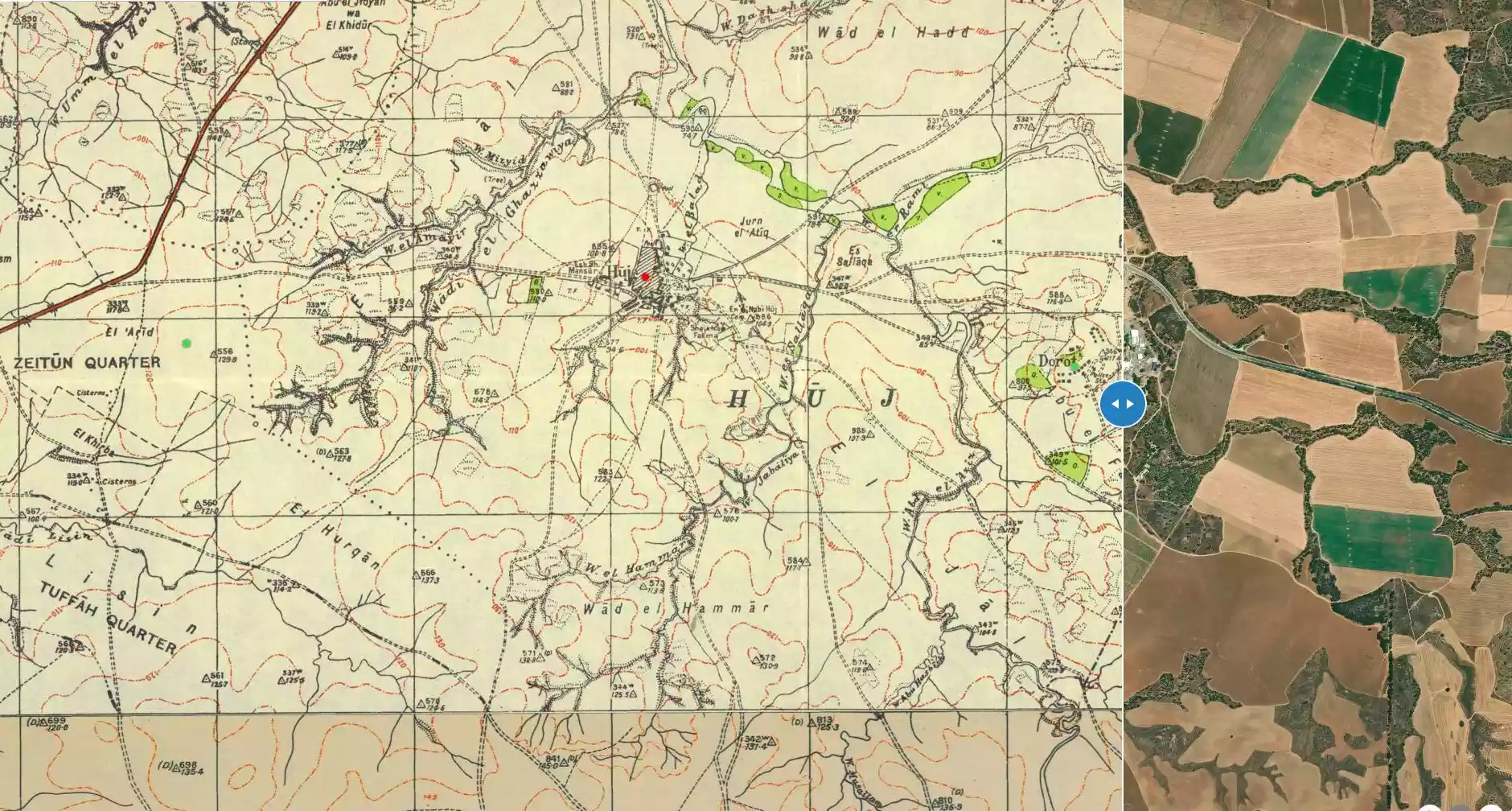
| Distance From District | 15 (km) North East of Gaza | ||||||||||||||||||
| Elevation | 100 (meters) | ||||||||||||||||||
| Before & After Nakba, Click Map For Details |
|||||||||||||||||||
|
|||||||||||||||||||
| Map Location | See location #43 on the map View from satellite |
||||||||||||||||||
| Attacking Units | Negev Brigade | ||||||||||||||||||
| Defenders | Egyptian Army | ||||||||||||||||||
| Refugees' Migration Routes | Huj refugees were forced to Dimra, however, many refugees attempted to go back during the truce, but they were terrorized into fleeing again. | ||||||||||||||||||
| Exodus Cause | Expulsion by Zionist troops | ||||||||||||||||||
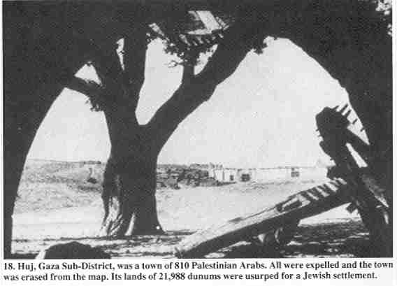
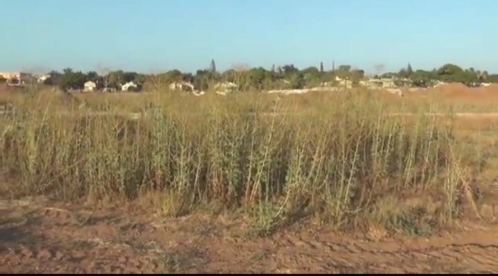
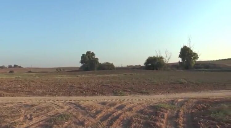
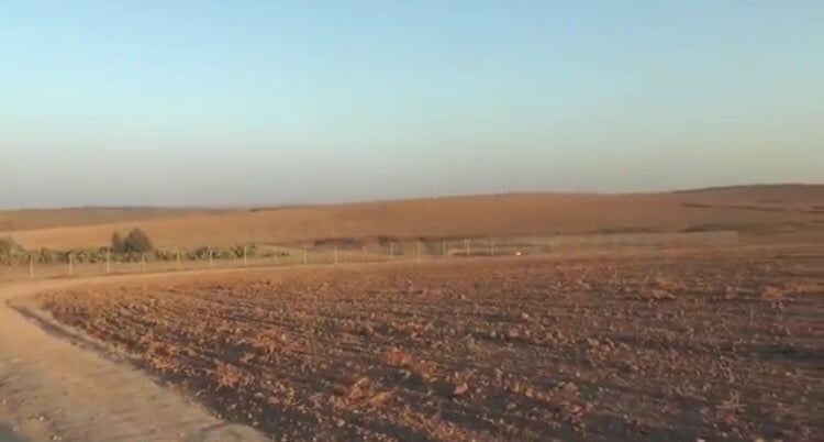
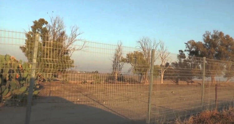
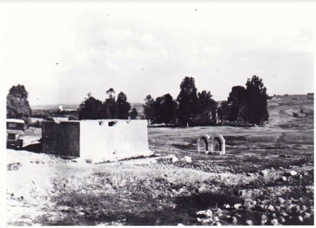
| Village Temains | The village was completely destroyed, and only house rubble left behind. | ||||||||||||||||||
| Ethnically Cleansing | Despite the inhabitants friendly relationship with the Zionists, the village has been completely ethnically cleansed. | ||||||||||||||||||
| Pre-Nakba Land Ownership |
|
||||||||||||||||||
| Land Usage As of 1945 |
|
||||||||||||||||||
| Population |
|
||||||||||||||||||
| Near By Towns |
|||||||||||||||||||
|
|||||||||||||||||||
| Town's Name Through History | Huj was identified with an ancient town of Oga, from which the village may have picked up its name from! | ||||||||||||||||||
| Exculsive Jewish Colonies Who Usurped Village Lands |
Dorot | ||||||||||||||||||
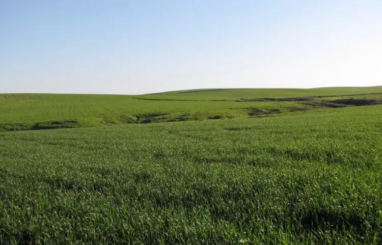
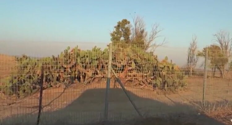
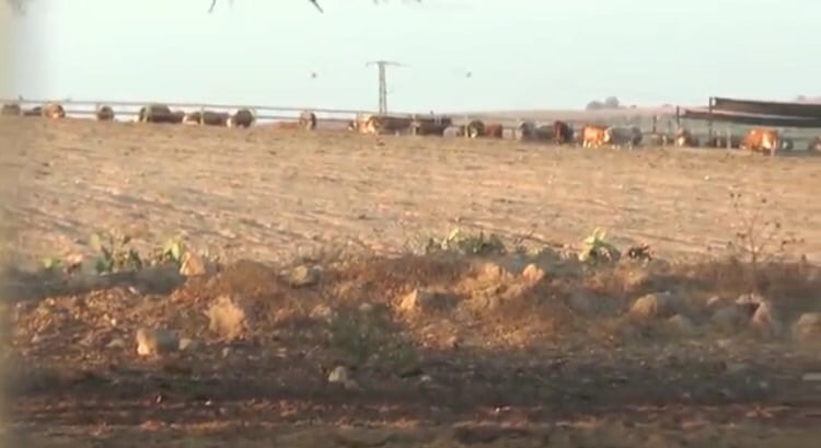
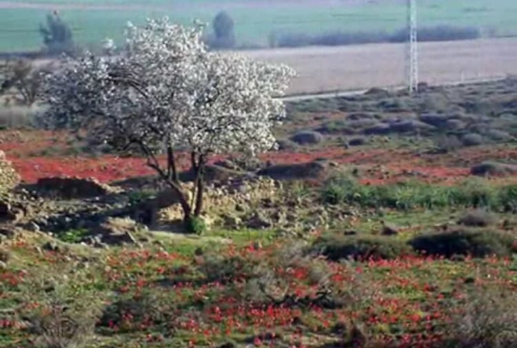
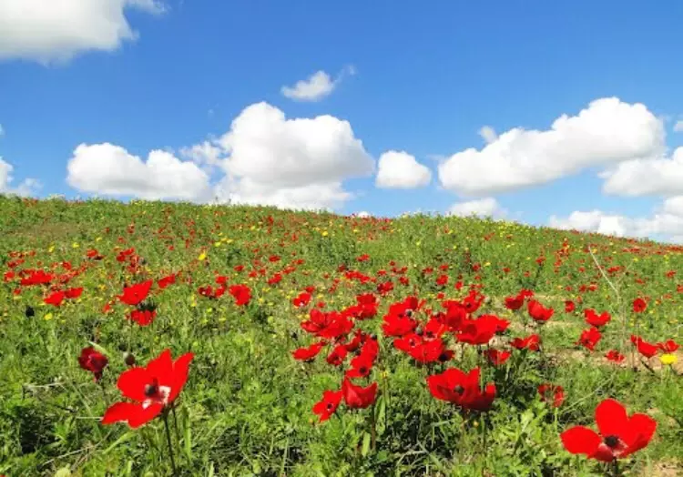
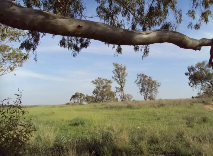
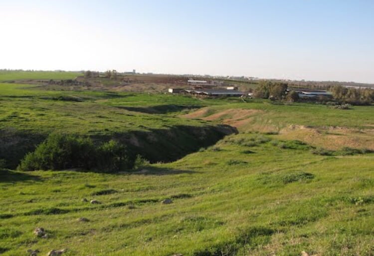
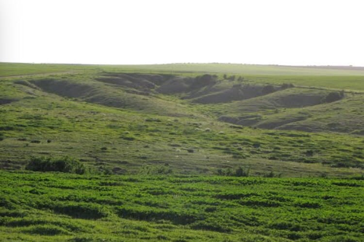
Village Before NakbaThe village was situated in a hilly area on the northern edge of the Negev desert, dominated by two hills on the east and west sides. It was at the intersection of a number of secondary roads that linked it to Gaza, Bir al-Sabi', and other urban centers. It has been identified with the ancient village of Oga, which appeared on the Madaba map (a document dating from the late sixth century). The village name ended with the Arabic consonant jim. This consonant may have been pronounced like a g rather than a j in antiquity, however, which means that the Arabic name would have been pronounced 'Hug' in earlier times and so would have been an Arabicized version of the ancient name.Modern Huj was established in the early nineteenth century during the time of Mustafa Bey, who was governor of Gaza and Jaffa from 1818 to 1820. This governor offered land free of charge and built a police station to make the area secure and encourage people from Gaza to move to the site. The American biblical scholar Edward Robinson visited Huj in 1838. He noted that the village houses were built of mud and that its population was between 200 and 300. In the late nineteenth century, Huj had a rectangular layout and adobe brick structures. Huj witnessed battles between Ottoman and British forces in 1917; it was close to the scene of the fighting. During the years that followed the village first expanded eastward and then expanded to the west, conserving the agricultural land which lay east and northeast of the village proper. The Arab population of Huj was Muslim. (Some 230 Jews resided within the administrative unit known as Huj, but they lived in their own settlement, not in the village.) The village was well endowed with groundwater. Water for domestic use was provided by a 200-foot-deep well inside the village, and there were other wells in the beds of the surrounding wadis. The villagers grew grain, fruit (such as grapes, figs, and apricots) and almonds. In 1944/45 a total of 16,236 dunums was allocated to cereals; 93 dunums were irrigated or used for orchards. Village Occupation and Ethnic CleaningDuring one of its pushes northwards, the Israeli army's Negev Brigade ordered the villagers of Huj to leave their homes on 31 May 1948. Israeli historian Benny Morris states that the villagers were expelled westwards and their houses were then looted and blown up. Although many Zionist officials considered the village to be 'friendly,' the prevailing opinion was that it was 'unreliable' on the front lines with the Egyptian army, according to Morris.In September, the exiled villagers appealed to Israel to be allowed to return, on the grounds that the truce was holding. Their case was argued by a couple of Israeli officials, who were overruled by the military authorities on grounds of security or precedent. (Minister of Minority Affairs Bechor Shitrit had recommended that they be allowed to go back, albeit not to their village but to a location deeper inside Israeli-held territory.) Zionists Colonies on Village LandsThe settlement of Dorot, established in 1941 on what had traditionally been village lands, took over more of Huj's lands after 1948.Village TodayOnly one dilapidated building remains, a concrete structure with rectangular doors and windows and a flat roof. Its former function is not clear; it now serves as a farm storehouse. One can also identify the remnants of a watering trough. Sycamore trees and cactuses grow on the eastern and western edges of the site. An Israeli sheep farm has also been established on the site.SourceDr. Walid al-Khalidi, 1992: All That Remains. |
|||||||||||||||||||
| Related Maps | Town Lands' Demarcation Maps خرائط للقضاء توضح حدود القرى والاودية Town's map on MapQuest View from satellite Help us map this town at WikiMapia |
||||||||||||||||||
| Related Links | Wikipedia's Page Google Search Google For Images Google For Videos |
||||||||||||||||||
| More Information | في كتاب كي لا ننسى في كتاب بلادنا فلسطين المزيد من موقع هوية |
||||||||||||||||||
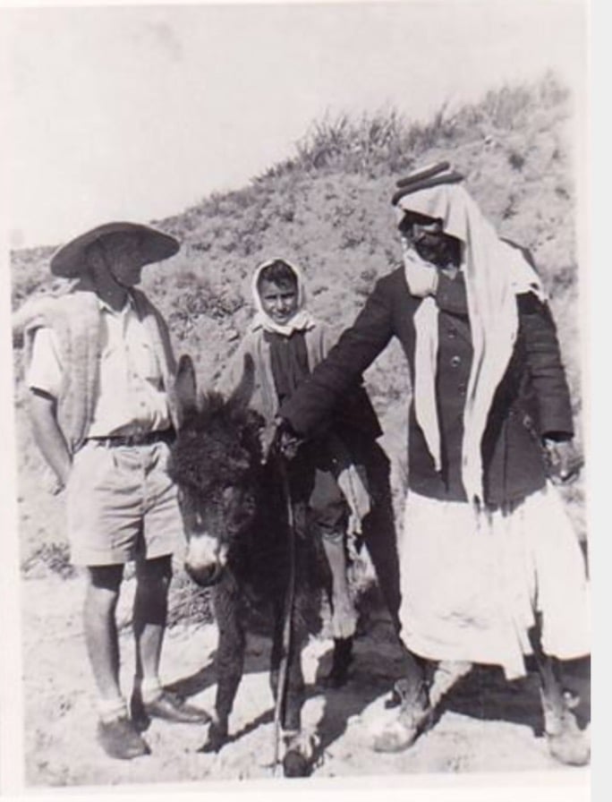
- Huj In The 1940s
26 - اراضي قريه هوج
Posted by abu raya - من موقع القريه
Posted by abu raya - من موقع القريه
Posted by abu raya - هوج
Posted by abu raya - قسم من موقع القريه محاط بالسياج
Posted by abu raya - اثار ردم بيوت القريه
Posted by abu raya - اراضي القريه
Posted by abu raya - مركز القريه محاط بالسياج
Posted by abu raya 1 - اثار لاحد بيوت القريه
Posted by abu raya - من موقع القريه
Posted by abu raya - هوج
Posted by abu raya - هوج
Posted by abu raya - هوج
Posted by abu raya - من وديان القريه
Posted by abu raya - قريه هوج قبل النكبه
Posted by abu raya - هوج قبل النكبه
Posted by abu raya - هوج سنه 1942
Posted by abu raya - هوج سنه 1941
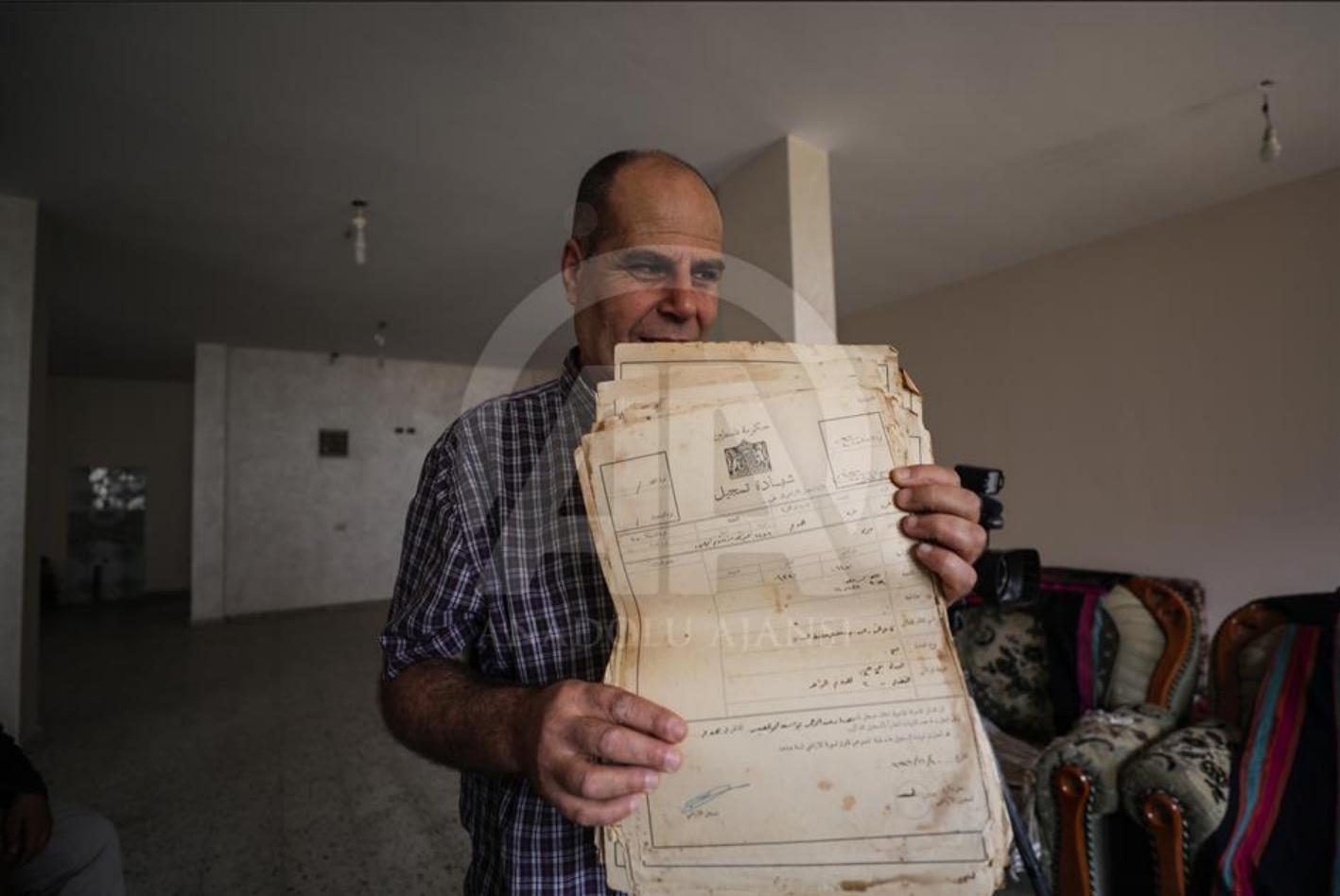
Posted by abu raya - أمين أبو العيش يحمل حزمة من كواشين الارض التي تثبت الملكية في قرية هوج المغتصبة
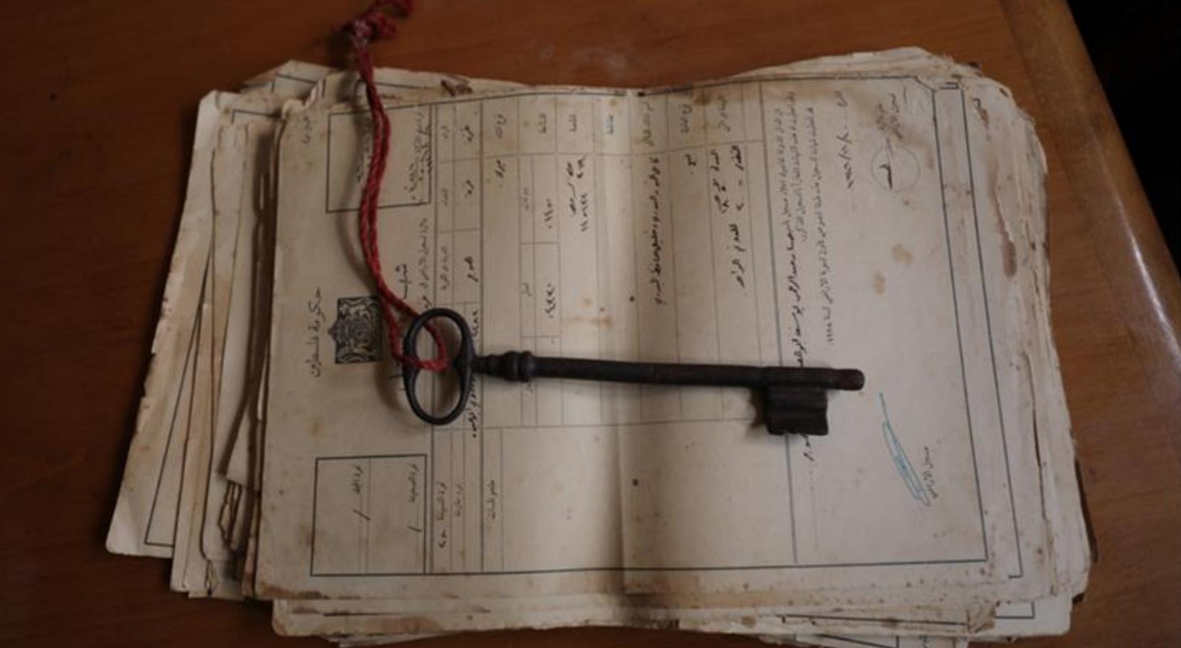
- أمين أبو العيش يحمل حزمة من كواشين الارض التي تثبت الملكية في قرية هوج المغتصبة #2
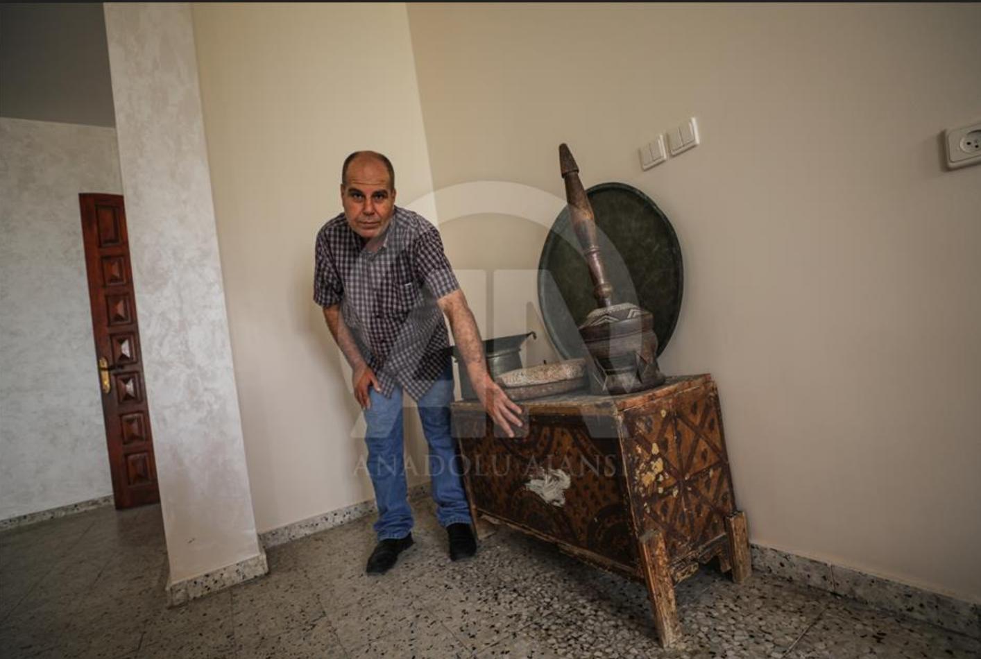
- المهباش أو المهباج الخشبي، الذي يعود للعصر العثماني أيضا، والذي كان أجداده يستخدموه في طحن حبيبات القهوة. لا حظو صندوق العروس
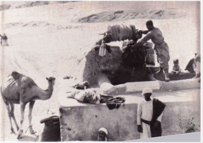
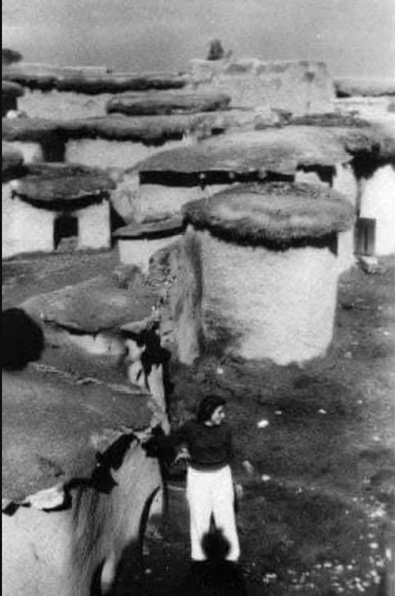
- صورة نادرة لقرية هوج، قضاء غزة، عام 1948، والتي تشتهر بوفرة مياهها الجوفية وبئرها الشهير الذي كان مصدر حياة لأهلها
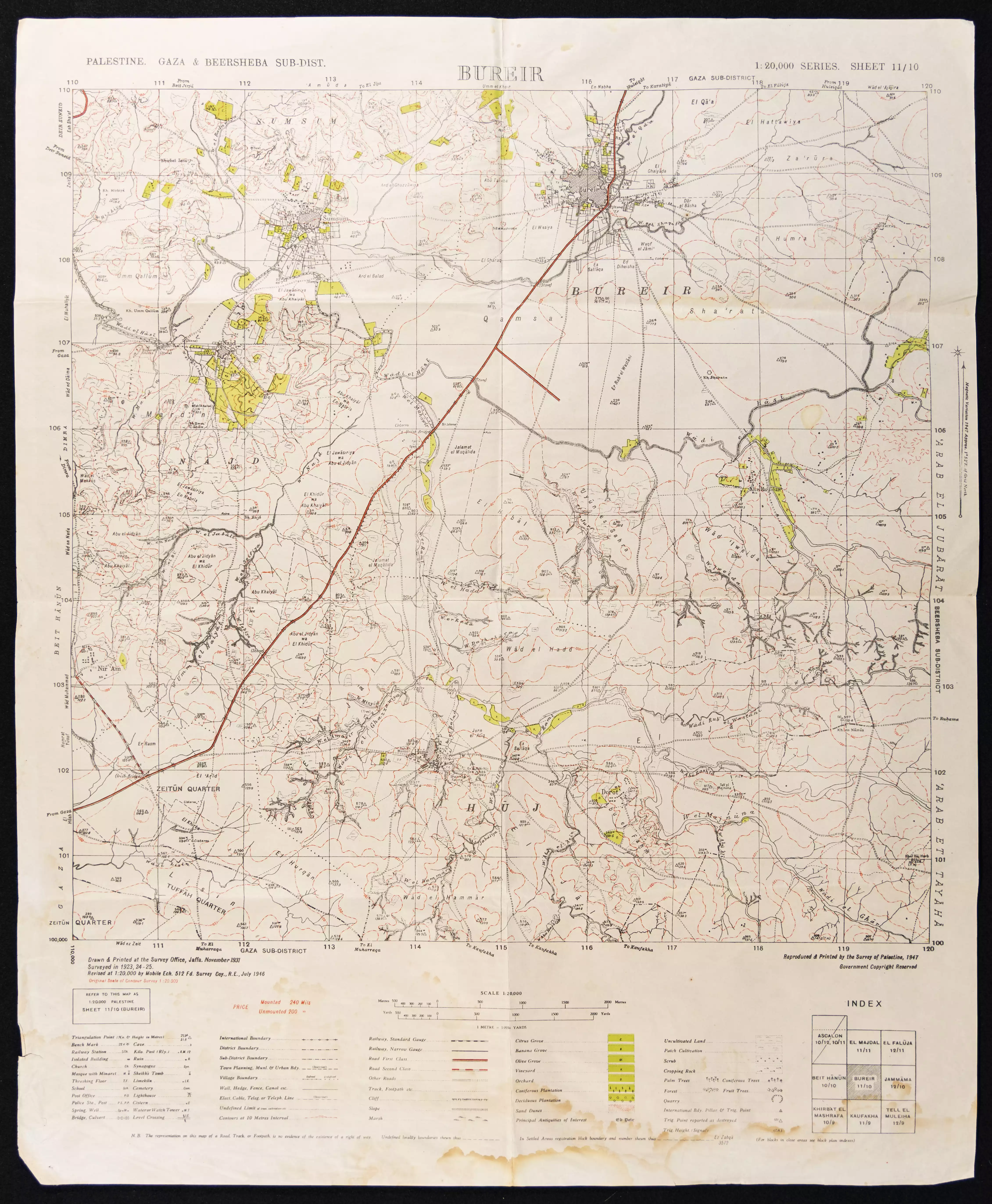
- خارطة تُظهِر الحدود والطرق بأنواعها والأماكن المقدسة والطبيعة الطوبغرافية من تلال وسهول ومنحدرات والتشكيلة الطبيعية للأرض وأنواع المزروعات. نُشرت الخريطة فترة الانتداب البريطاني، تم إضافة تعديلات عليها من قِبَل خدمة الخرائط والصور التابعة للقوات العسكرية الاسرائيلية فترة الأربعينيات.
Want to browse more? 80,000 pictures were grouped in these gallaries:
| Display Name | Clan/Hamolah | Country of Residence |
| أحمد شعبان | - | - |
| Noor Elaish | - | - |
| Maram Abumaree | Abumaree | Auckland, New Zealand |
| عادل عطاالله | - | - |
| محمد | النجار | غزة |
| محمد من رفح | - | - |
| Mohammed | ابو العيش | هوج |
| Maha Al-Najjar | Al-Najjar | South Carolina, United States of America |
| ابن الوطن | - | - |
| محمد شعبان | هوج | غزة |
| houji | houji | - |
| aarif | - | gujarat, india |
| alhelwan | - | alsfa, 21477 |
| huj | huj | huj, huj |
 Fake Valor: Why Did Zionist Jews Hoist Nazis Flag on Their Ships in the 1930s?
What is new?
-
Facts About Oct. 7th Gaza Raid
-
Remined Us Please:: Who Did Rape Who? Palestinians Raped Israelis? Or, was the other way around?
-
When Prof. Edward Said was invited to debate Bibi Netanyahu in the 1980s, watch what happened!
-
Ezra Klein of the NY Times on the "Jewish Race".
-
Abusing Blood Libel!
-
Did Israeli Soldiers Activate The Hanniba Direective On Oct. 7th? You Be The Judge
-
Zionist FAQ: Isn't it true that Palestinians don't want peace? Palestinians never accepted the two-state solution
- Facts about Haavara (Transfer) Agreement between Ben-Gurion & Hitler
-
Haavara FAQs: Why Did Zionist Jews Hoist Nazis' Flags on Their Ships in the 1930s?
- Haavara FAQs: When Chaim Weizmann met FDR in mid-1943, why was he silent about rescuing European Jewry?
-
Dear ChatGPT: How did Palestinians resist Napoleon's invasion of their country in 1799?
-
Dear ChatGPT: Gaza had a vibrant Jewish community in the mid-17th century. What happened to them?
-
Dear ChatGPT: Why did the Jewish Agency suppress news of the Holocaust during WWII?
-
Video Playlist: Jews share their DNA tests to end the conflict for good.
-
A Tale of Two Conflicts: Examining the Definition of Genocide
-
Prof. Abraham Polak And The Suppressed History of the Khazars and European Jewry
-
How Ronald Reagan would have framed the genocide in Gaza if he were still alive?
-
Haavara FAQs: Let us do the math: how many German Jews did The Haavara Agreement save?
-
Zionist FAQs: The Hebron Massacre of 1929, "clearly proves" that Palestinians are antisemitic, how could you deny it?
-
Zionist FAQs: Why Anti-Zionist Is Not Antisemitism?
-
Zionist FAQs: Isn't it true that the KGB created Palestinian Nationalism in the early 1960s?
- Zionist FAQs: Muslims are killing Muslims all the time; why are Israeli Jews being singled out in the media?
- Zionist FAQs: How is Israel an apartheid state when 20% of its citizens are Arabs who enjoy full rights?
-
Haavara FAQs: Why Did Dorothy Thompson Flip From A Zionist Advocate to A Silenced Dissenter?
-
Haavara FAQs: Analysis of Herzl's Uganda Scheme and how it could have saved millions of Jews.
-
Haavara FAQs: Why did Hayim Greenberg describe American Jewry as "morally bankrupt" in early 1943?
-
Haavara FAQs: What if the Evian Conference was a resounding success? What would have been the impact of saving European Jewry on Zionism?
- Haavara FAQs: What if the six million were saved, how that would have impacted the Zionist project?
-
Haavara FAQs: How did Zionist leaders react when Europe's Jews lingered in the DP camps after WWII ended?
-
Why does the American Jewish community repeat lies that David Ben-Gurion had debunked before he died?
-
Who has the power to rename the Tatar/Khazar Gene Marker to Jewish IV?
-
Zionist FAQs: Why won't Egypt, Syria, and Jordan take their people back? Jews are indigenous to Palestine, and Arabs immigrated after Jews developed the country. Arabs should leave.
-
Haavara FAQs: Did Hitler and the Nazis conflate between Judaism and Zionist? If that wasn't case, then why?
-
Haavara FAQs: Winston Churchill and antisemitism, a collection of articles written Churchill.
-
Haavara FAQs: Broken by country, how many Jews survived vs. killed during the Holocaust?
-
Haavara FAQs: Why did European Jews vote with their feet and to immigrated to the Americas, not Palestine, after WWII?
-
Watch this American Jewish Girl describing Israeli Jews' cognitive dissonance like no other in under two minutes
-
Haavara FAQs: When the Nazis went out of their way to hide the Holocaust, Israeli Jews did the exact opposite by broadcasting their genocide of Gazans. But why?
-
Haavara FAQs: How Zionist Jews went out of their to show their appreciation to Nazism and Fascism?
- Haavara FAQs: Why Zionist leaders were against bombing the death camps & the Railroads leading to them?
-
Haavara FAQs: Hitler's message to the British and American people: If Jews are such noble citizens and you care about them, how come you're not letting them in? I will gladly ship them to you at my expense, even on luxury liners!
-
A shortlist of Zionist and Israeli false flag operations in the name Jews.
-
The Most Moral Army
- The Land of Kapos (Israel): Where the brave are boycotted and Kapos walk free.
- Why did early Zionists often named their communal enterprises "colonial"?
- Zionist Relations with Nazi Germany by Faris Glubb
-
Two NY Times advertisements by Zionists in the early 1943 that exposes Zionists' treason at the height of the calamity
- Facts Not Lies about the Palestinian-Israeli Conflict.
- Site's pictures have been categorized
- Campgain Against Lice
- A Survey of Palestine, the official source about Palestine before Nakba produced by the British Mandate; over 1200 pages.
- Satellite View & Google Earth: Over 6,000 placemarks identifying all destroyed towns, W. Bank & Gaza Strip Towns, & refugee camps.
- PalestineRemembered.com and its Nakba Oral History Project were featured on al-Jazeera Satellite TV.
- Nakba Oral History Video Podcast:
 Over 700 Oral History interviews (including 3,500+ hours of recording) can be viewed online.
 - Palestine Village Statistics Project
- Gaza Jail Break
- النسخة العربية للموقع الان متوفرة
- Videos: Documenting the destroyed villages in video: Tracing all that remains since Nakba.
- Videos: Responding to Zionist Propaganda
- Interview: The ethnic cleansing of Palestine: George Galloway interviews Israeli Historian Ilan Pappe.
- For Palestinians, memory matters. It provides a blueprint for their future By George Bisharat.
- Zionist FAQ now available in Hebrew שאלות שציונים שואלים, עכשיו בעברית
- Video: The Stephen Walt and John Mearsheimer report on the influence of the Israel Lobby on U.S. Foreign Policy
- The Palestinian-Israeli conflict for beginners
