| PalestineRemembered | About Us | Oral History | العربية | |
| Pictures | Zionist FAQs | Haavara | Maps | |
| Search |
| Camps |
| Districts |
| Acre |
| Baysan |
| Beersheba |
| Bethlehem |
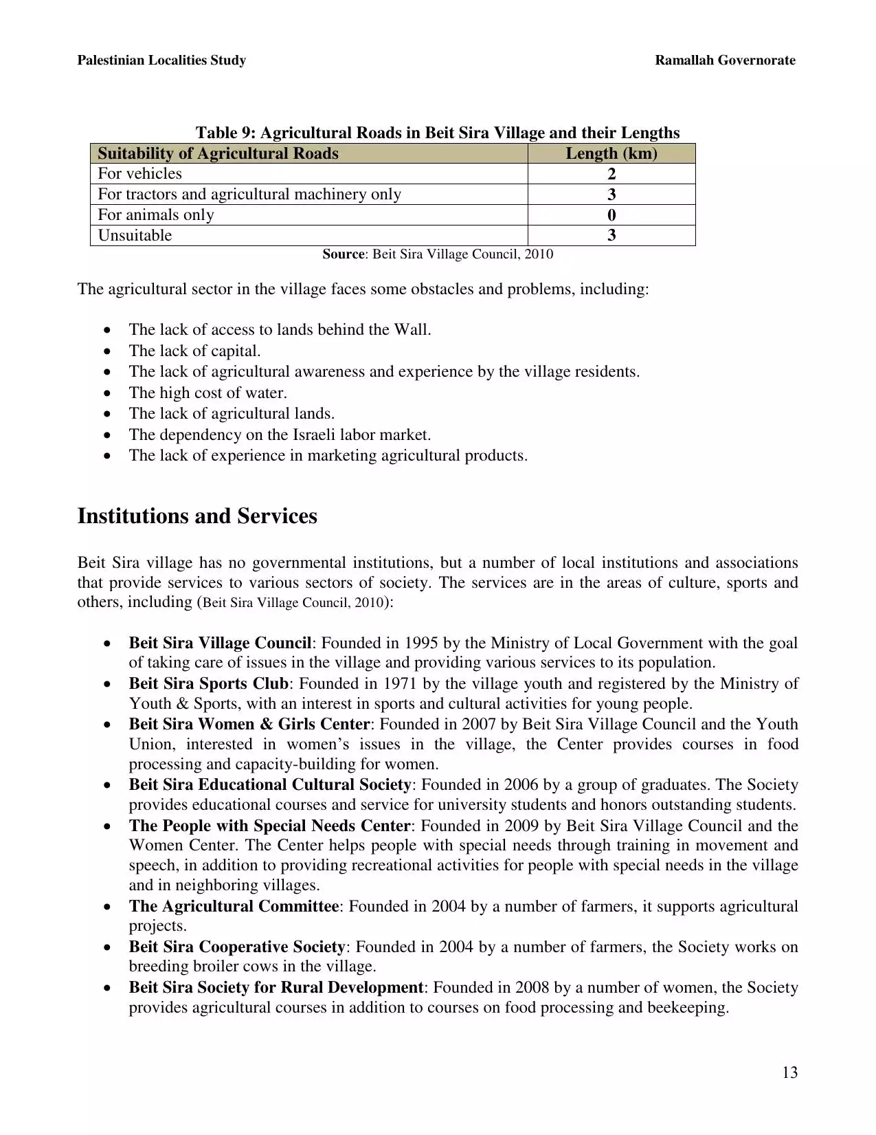
| Gaza |
| Haifa |
| Hebron |
| Jaffa |
| Jericho |
| Jerusalem |
| Jinin |
| Nablus |
| Nazareth |
| Ramallah |
| al-Ramla |
| Safad |
| Tiberias |
| Tulkarm |
| Donate |
| Contact |
| Profile |
| Videos |
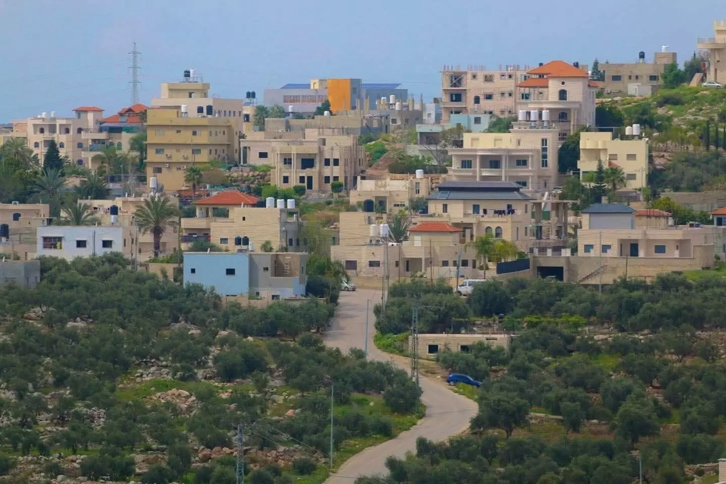
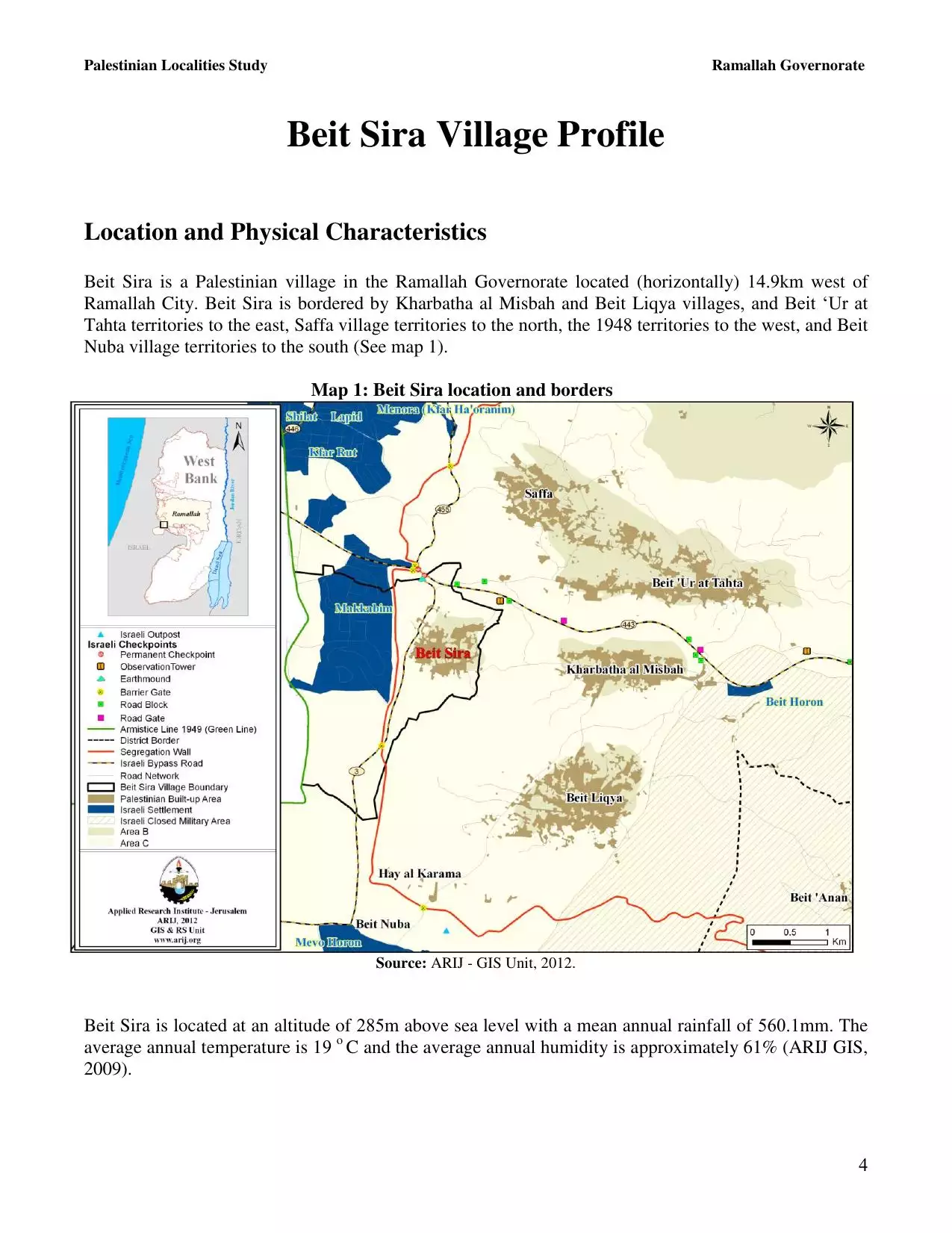
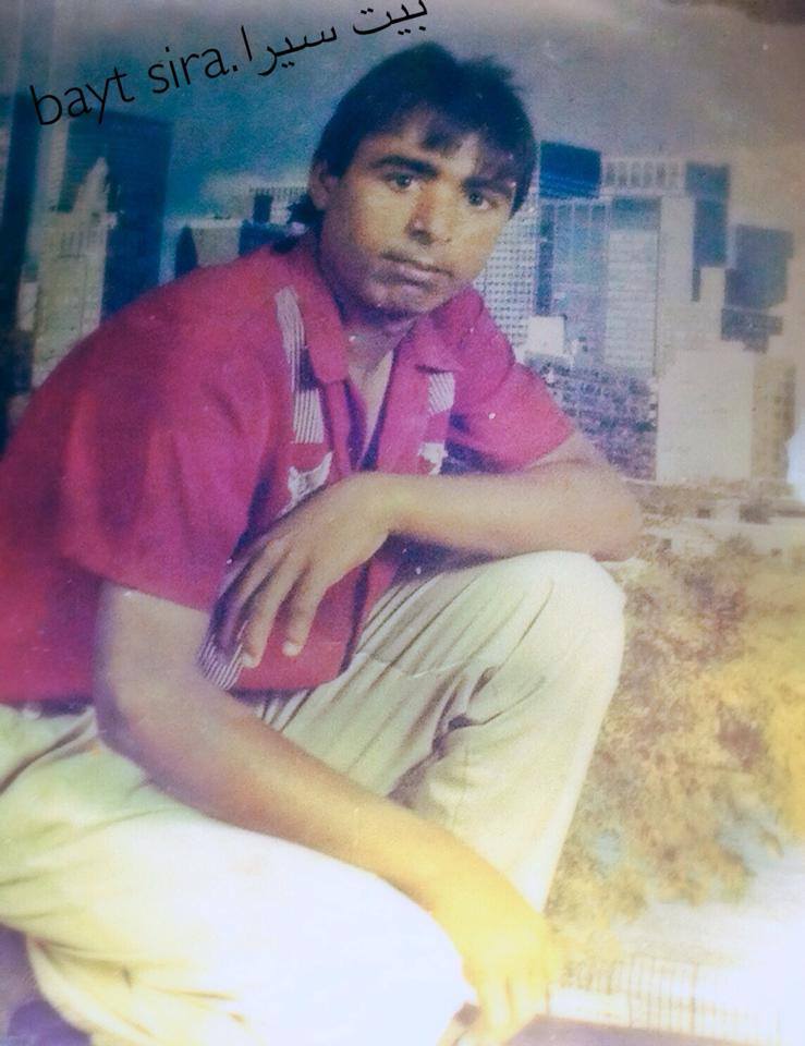
Welcome To Bayt Sira - بيت سيرا (בית סירא)
|
District of Ramallah
Occupied days ago |
العربية Google Earth |
 |
Gallery (333) |
- Statistics & Facts
-
Before & After

- Satellite View
- Articles 59
- Pictures 333
- Aerial Views 3
- Mayrters & Prisoners 4
- Members 39
- Families
- Wikipedia
- ARIJ Guide
- Videos 3
- Guest Book 37
- Links 2
| Statistic & Fact | Value | ||||||||||||||||||||
| Distance From District | 22 km west of Ramallah | ||||||||||||||||||||
| Elevation | 350 meters | ||||||||||||||||||||
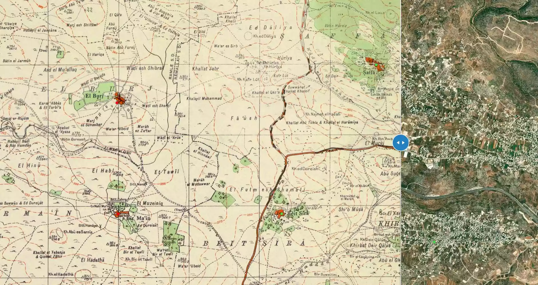
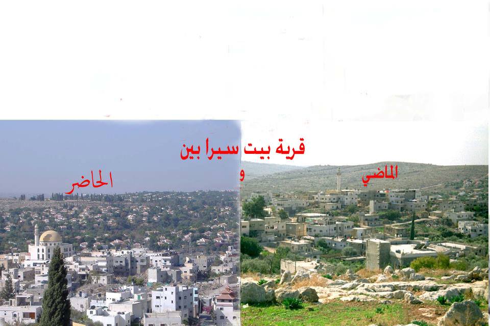
| Before & After Nakba, Click Map For Details |
|||||||||||||||||||||
|
|||||||||||||||||||||
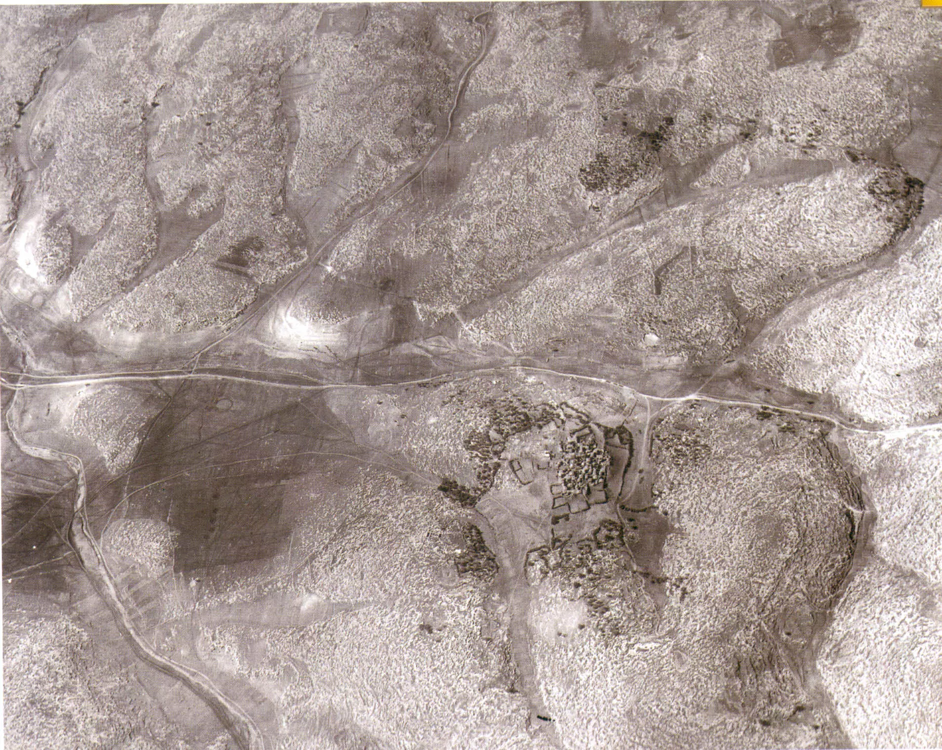
| Pre-Nakba Aerial View |
|||||||||||||||||||||
|
|||||||||||||||||||||
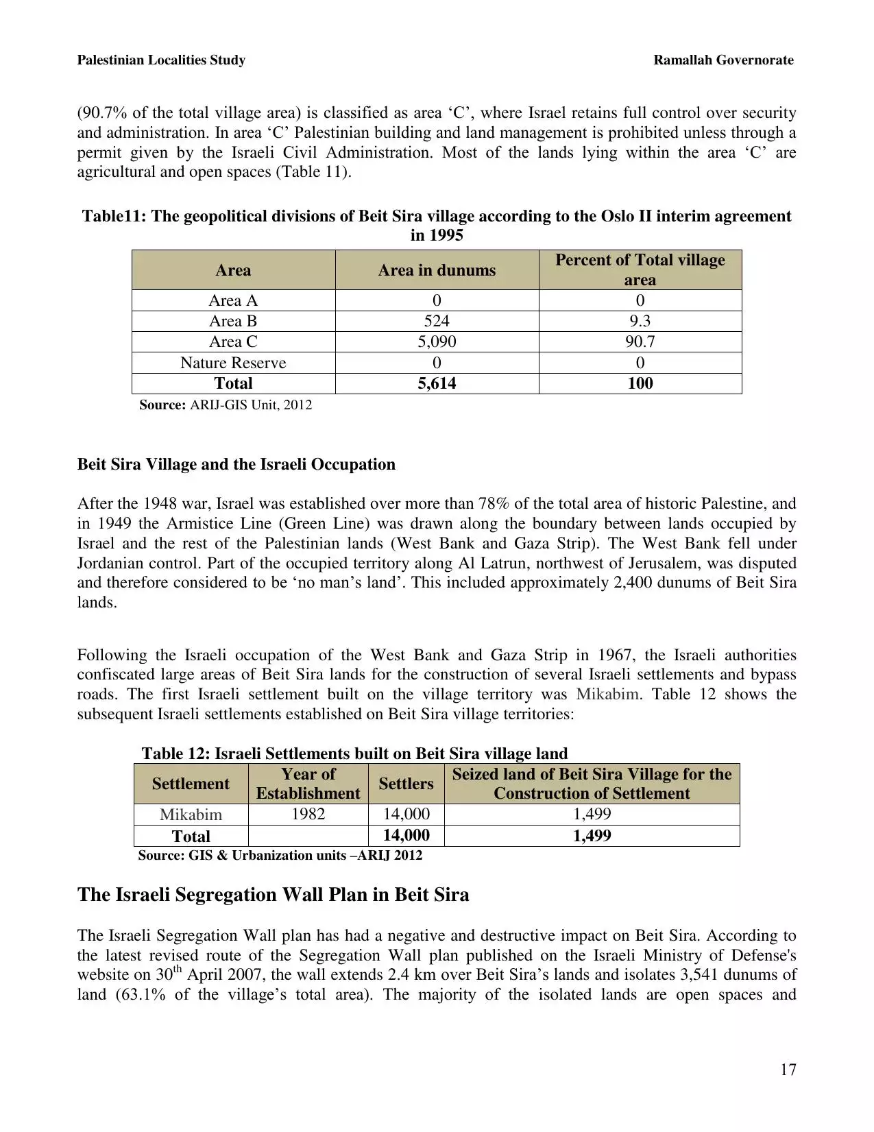
| Land Ownership |
**Town Lands' Demarcation Maps |
||||||||||||||||||||
| Land Usage As of 1945 |
|
||||||||||||||||||||
| Lands usurped within armistice area | 2,676 Dunums | ||||||||||||||||||||
| Population |
|
||||||||||||||||||||
| Near By Towns |
|||||||||||||||||||||
|
|||||||||||||||||||||
| Featured Video | |||||||||||||||||||||
| ARIJ Guide | |||||||||||||||||||||
|
Click here to browse online. |
|||||||||||||||||||||
| Related Maps | Town Lands' Demarcation Maps خرائط للقضاء توضح حدود القرى والاودية View from satellite Town's map on MapQuest Help us map this town at WikiMapia |
||||||||||||||||||||
| Related Links | Wikipedia's Page Facebook Page ARIJ Guide Google Search Google For Images Google For Videos في كتاب بلادنا فلسطين دليل أريج المزيد من موقع هوية |
||||||||||||||||||||
- اسماء عشائر وحمائل واعيان ومشايخ قرية بيت سيرا_ رام الله
- تحيه طيبه واشوق من اخوكم محمد الحاج
- حياة الموطن عمر ابراهيم الحاج ابن قريه بيت سيرا رام الله من موليد عام 1964
- بيت سيرا عبر التاريخ
- زنزانتي
- بيت سيرا في القلب بالرغم من البعد
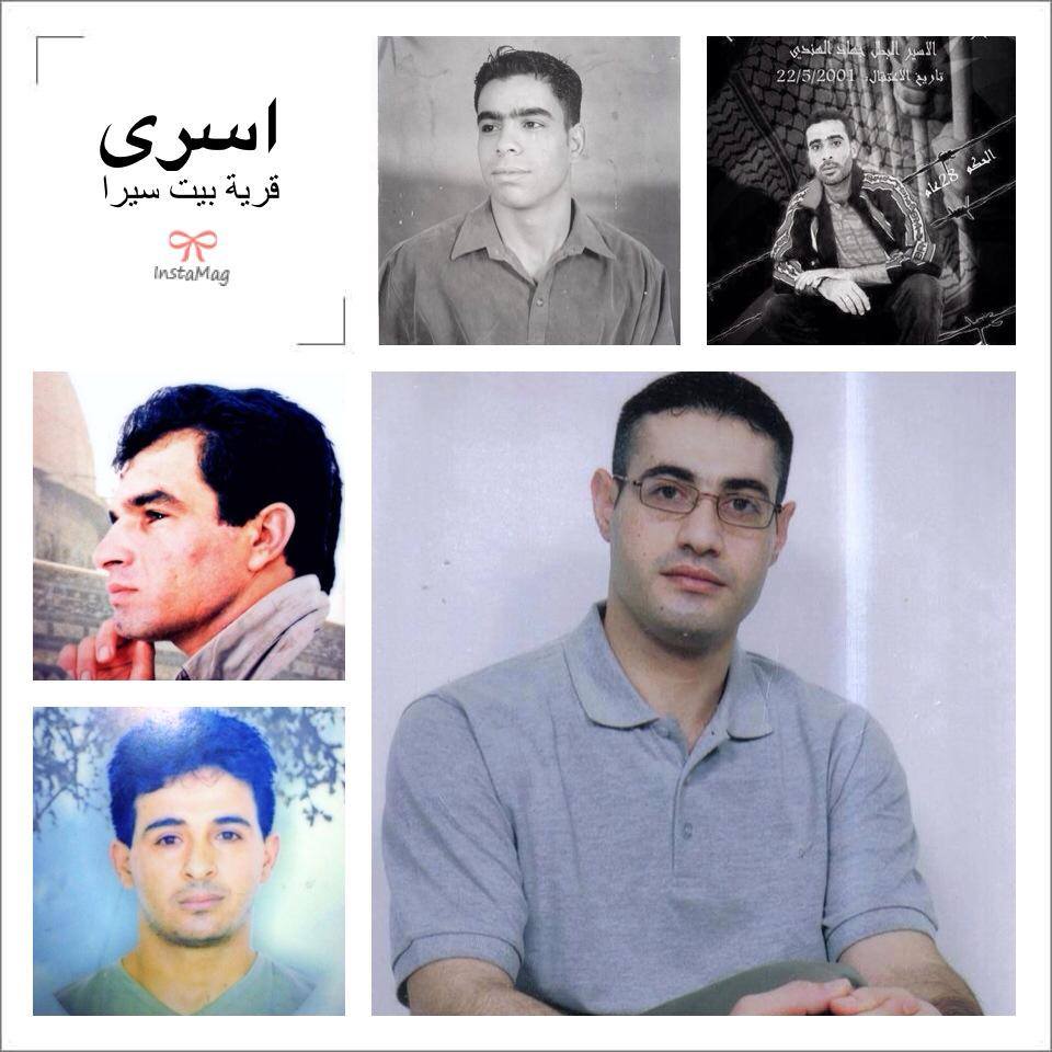
- اسماء اسري قرية بيت سيرا
- احداث القريه عبر قرن من الزمان اقوال الشيخ حسين صالح الحاج بن الشهيد صالح الحاج
- رام الله - بيت سيرا
- كلمات اغنية مين ارهابي لفرقة الدام -تامر النفار والجوكر اخووي
- قضيدة من تاليفي للقائد الشهيد ياسر عرفات
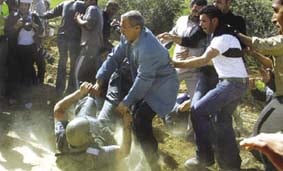
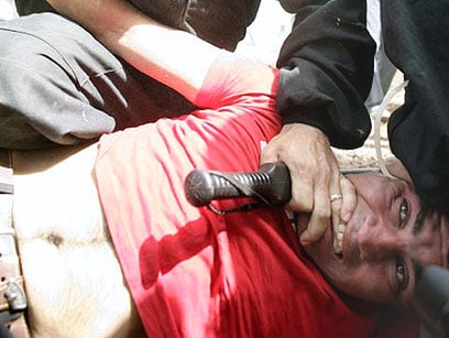
- قوات الاحتلال تعتدي على الاسرى الفلسطينيين
- كلمات اصغر اسير في العالم وهو الاسير يوسف الزق -غزة
- بيت سيرا (قصيدة)
- قصيدة كتبها المرحوم الشاب ابن بيت سيرا يوسف ابو صفية الله يرحمك يا يوسف
- تأسيس نادي بيت سيرا
- معلومات عن قريتي
- شوق و حنين
- رامالله
- خبر عاجل
- فريق بيت سيرا الى القمه
- من اجل نادي بيت سيرا
- ابو عمار
- معاناة طلاب مدرسة اتحاد صفا الثانوية عند ذهابهم الى المدرسة
- الحياة
- p.o.box 9797, Amman 11191, Jordan
- التوبا
- طرق قيام الليل
- هل ترغب بحياة مثل الوردة البيضاء
- الصداقة
- لفعاليات الثقافية في القدس
- يعلن مركز جوكر نت في بيت سيرا عن عقد دورات لتعليم الحاسوب والانترنت
- اسماء المناطق والجبال والحارت في قريه بيت سيرا
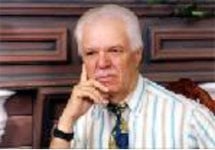
- الاستاذ نازك ضمره
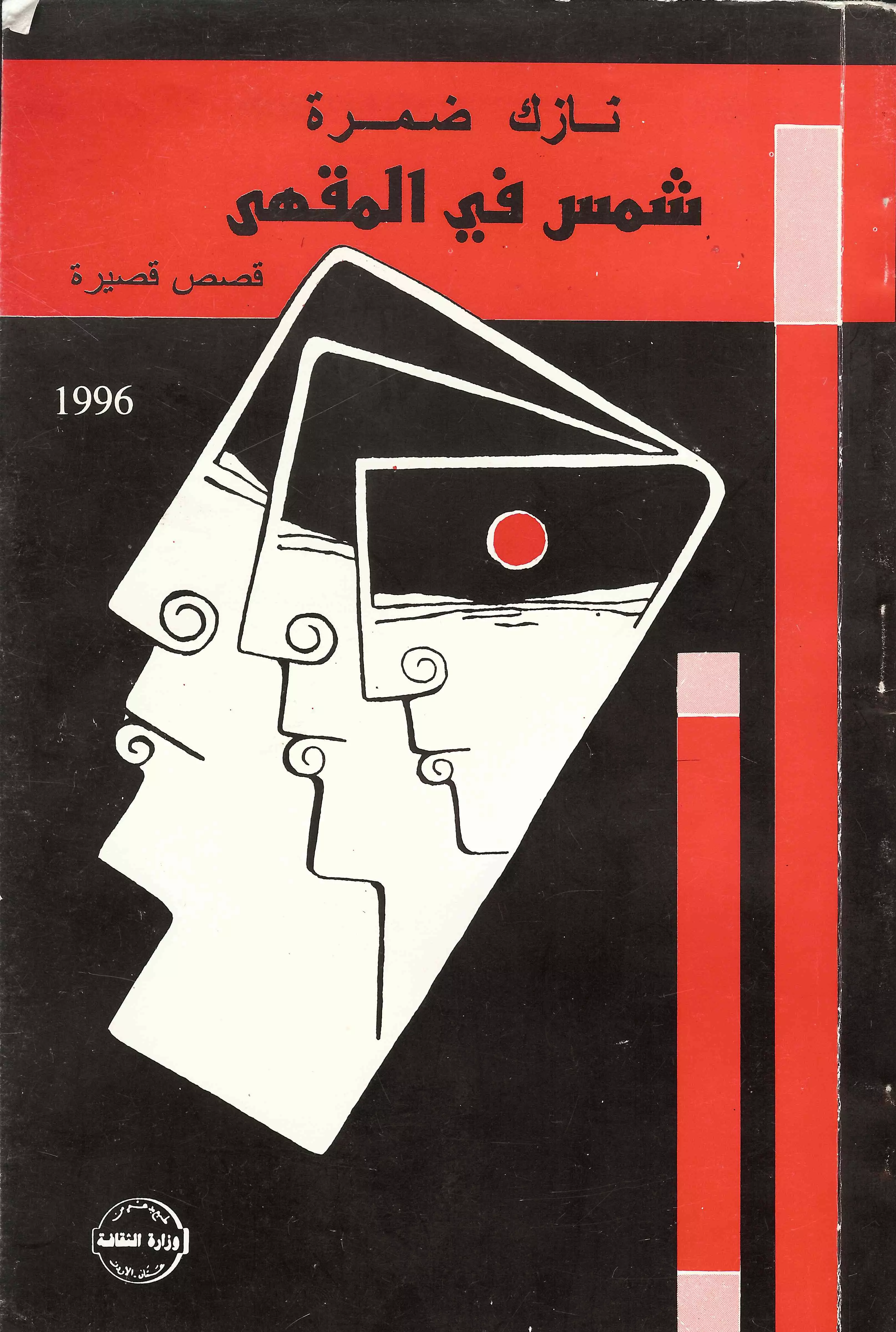
- كاتب ومؤلف من قرية بيت سيرا \ الأديب نازك ضمرة
- رواية ثريّا السيراوية \ للمؤلف والاديب نازك ضمرة السيراوي
- لمن يود التعرف اكثر على الاديب نازك ضمرة
- رواية رحلة طويلة \ للأديب نازك ضمرة السراوي
- رواية ايسكريم وتمر \ الاديب نازك ضمرة
- اقصر قصص قصيرة جداً في العالم \ للاديب نازك ضمرة
- رواية عذبة لفحماوي حرب طروادة جديدة
- كل عام وانتي لي \ للكاتب نازك ضمرة
- قصة حب حقيقية بين شاب من منطقة رام الله وبنت من الناصرة
- صبراً أمي فلسطين
- اه يا عرب
- لحظة فراق
- krt m7rook
- نعي الرئيس الاداري لرابطة التضامن
- اغنية راب \\للرابرز صامد الحاج \\ اسم الاغنية قصر بيت سيرا
- مشخص ونضارة لابس ... اغنية جديدة للجوكر
- قصة حب بين فلاح و فلاحة بالهجه الفلاحية
- اهداااء لكل الامهات في العالم .. كلمات اغنية راب للام .. تاليف صامد الحاج
- اغنية راب لبيت سيرا كلمات صامد الحج
- الفاتحة على روح العقيد المرحوم محمد عوده الحاج " ابو جهاد "
- راب عربي ... من صامد الحاج .. رسالتي
- كلمات اغنية راب عربي ... تأليف صامد الحاج
- كلمات اغنية راب باسم معاناة شاب .. من فرقة يلا راب .. غناء وتأليف صامد الحاج
- كلمات اغنية راب .. نحنا الي كنا .. فرقة يلا راب - بيت سيرا .. صامد الحاج
- حدائق وجناين محمود الحاج
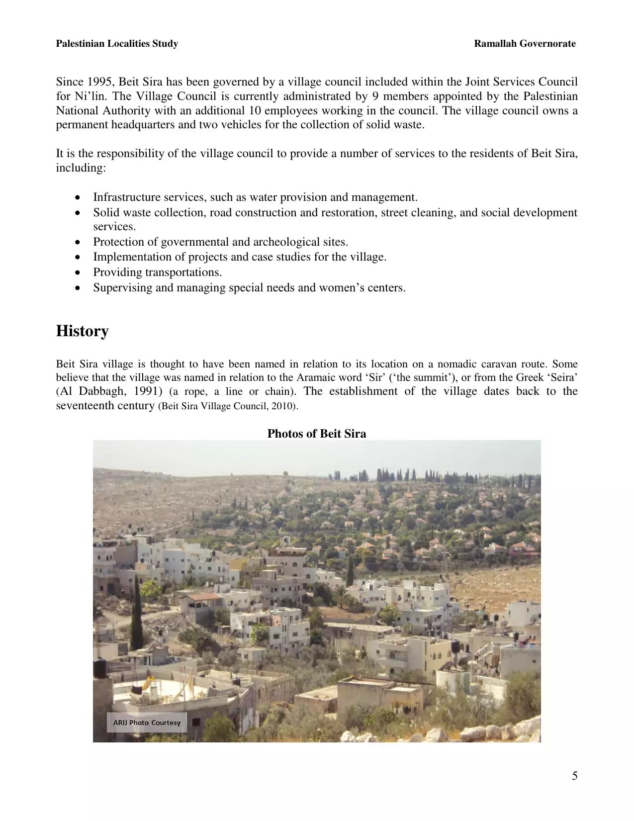
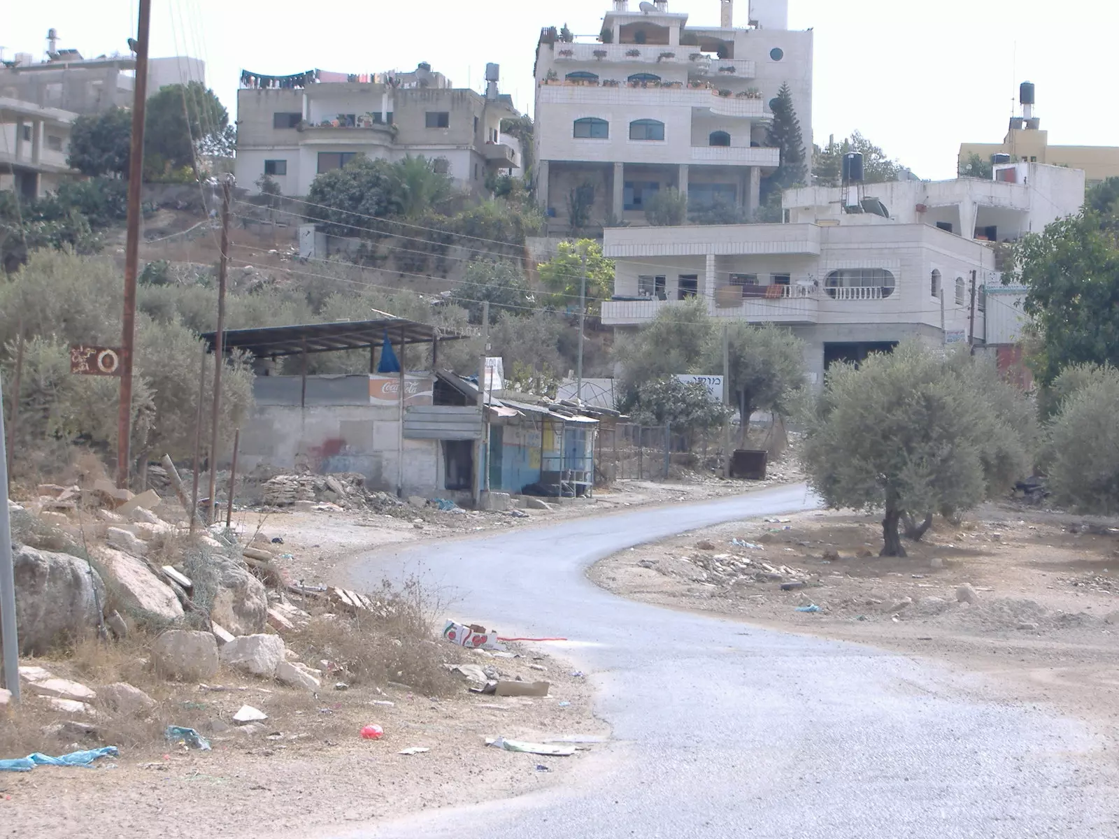
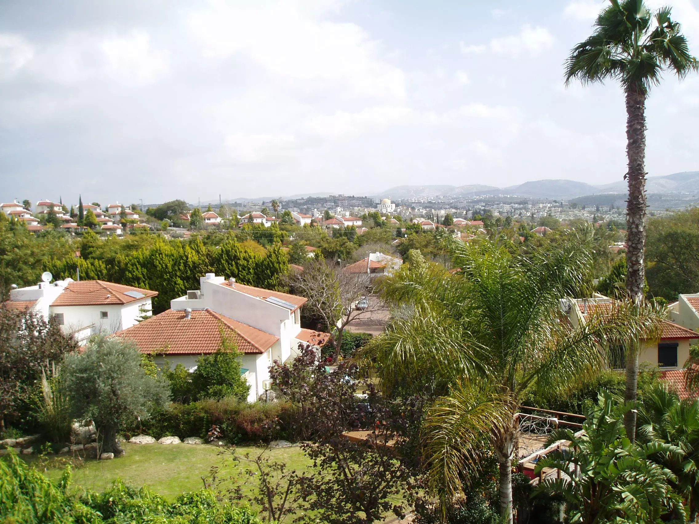
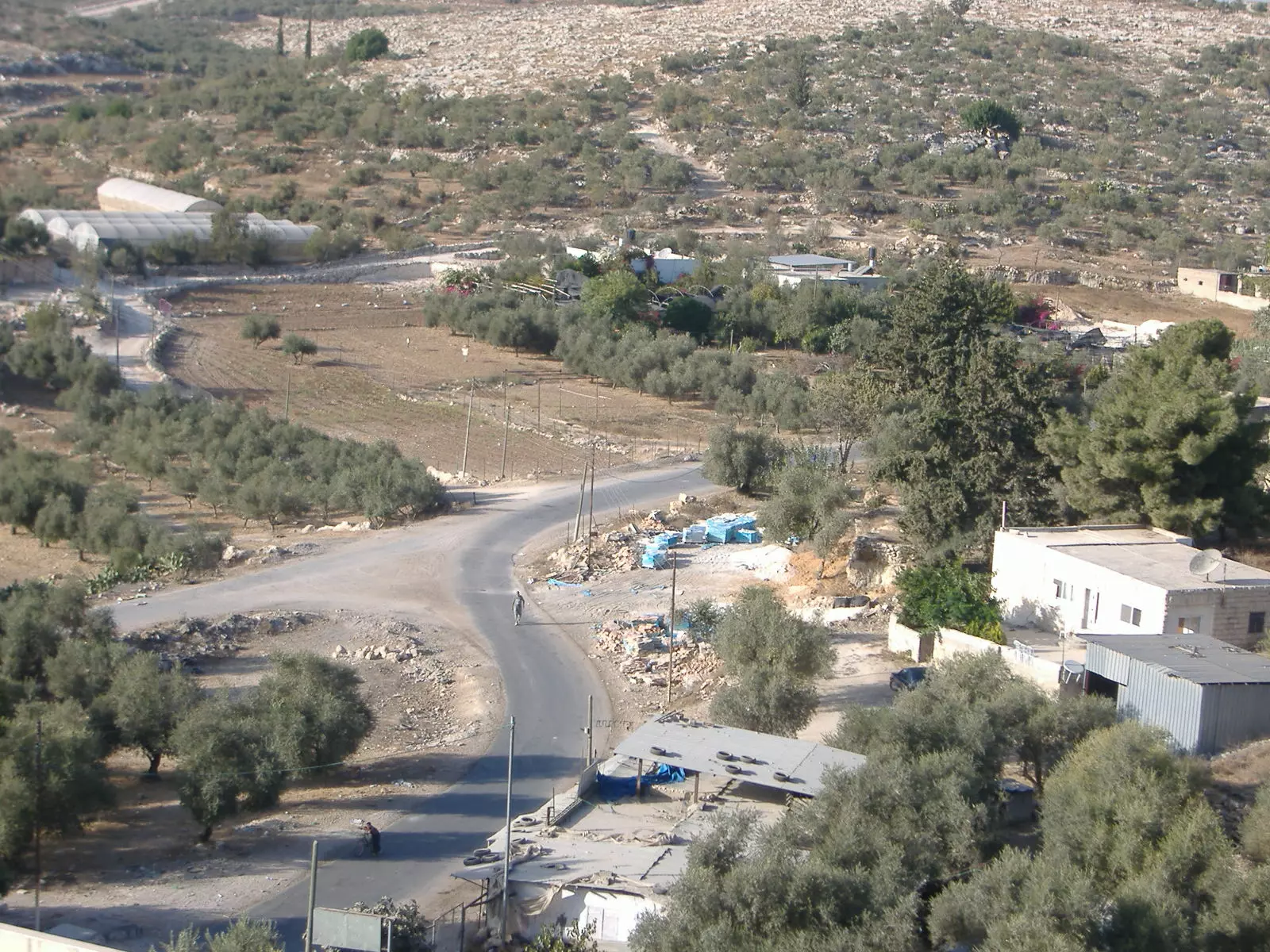
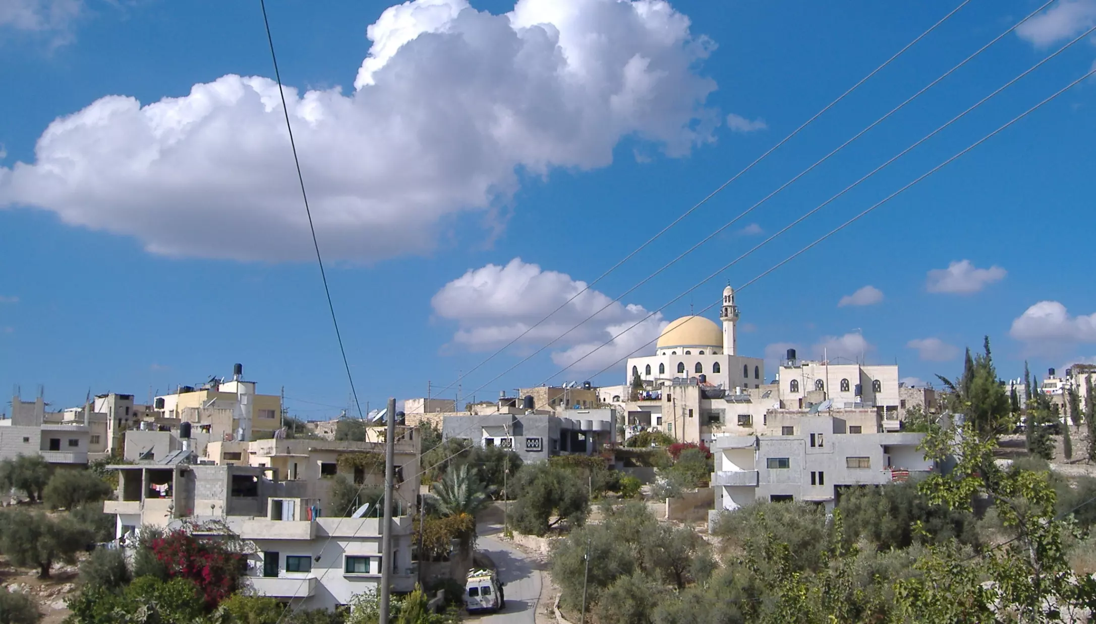
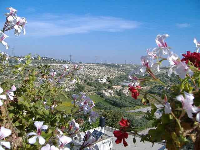
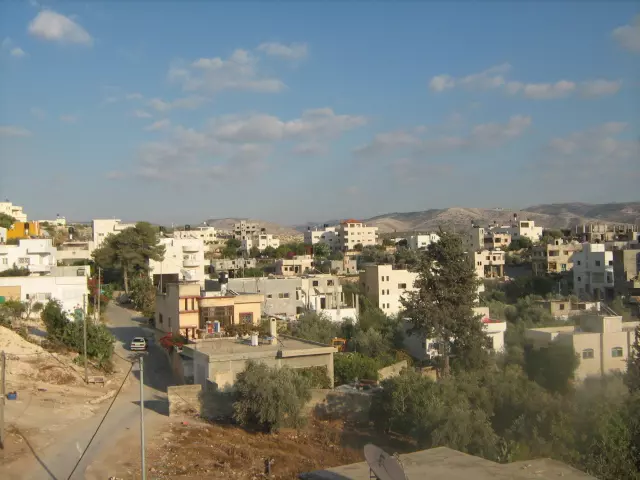
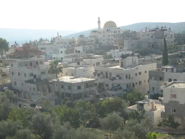
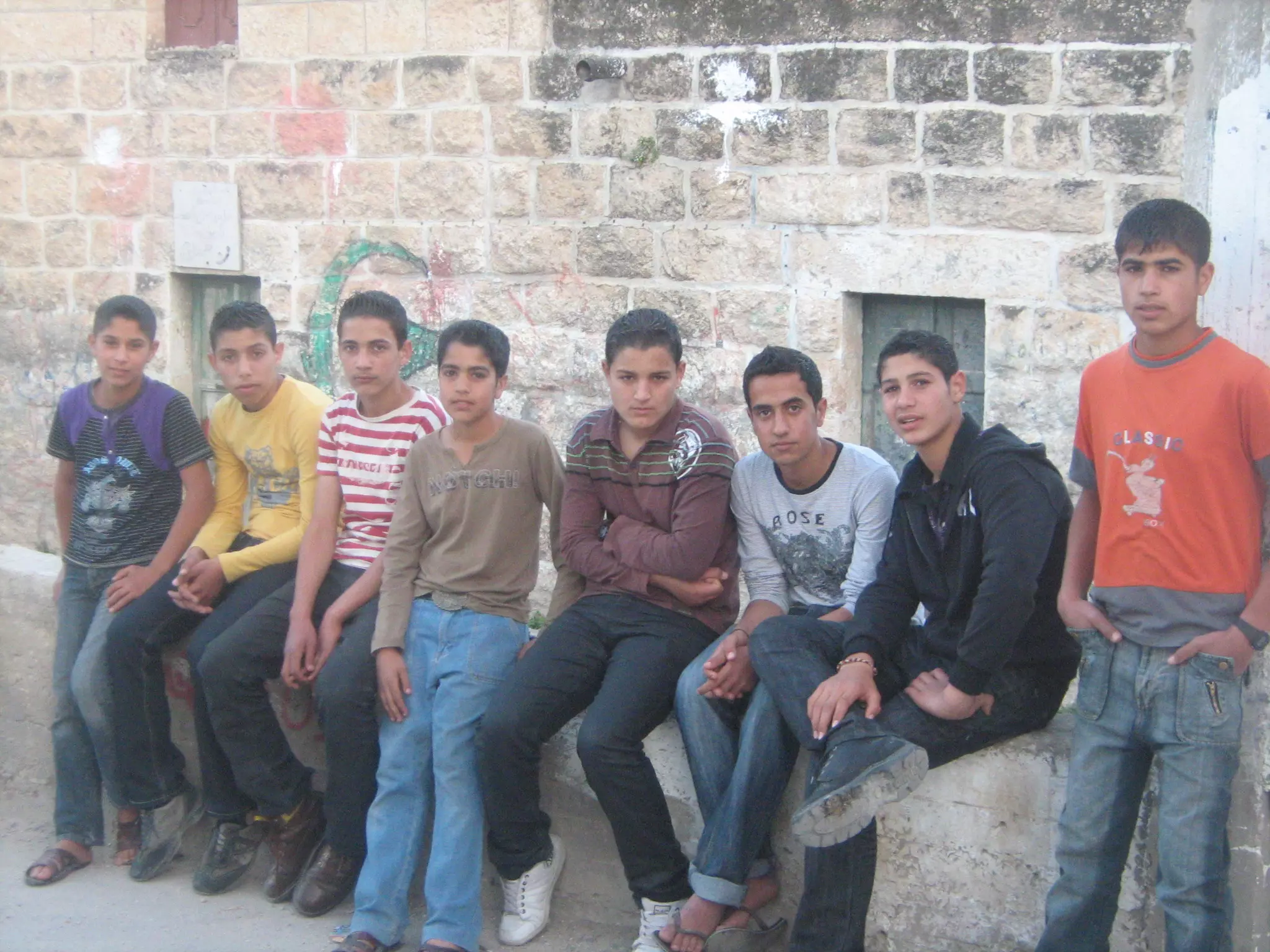
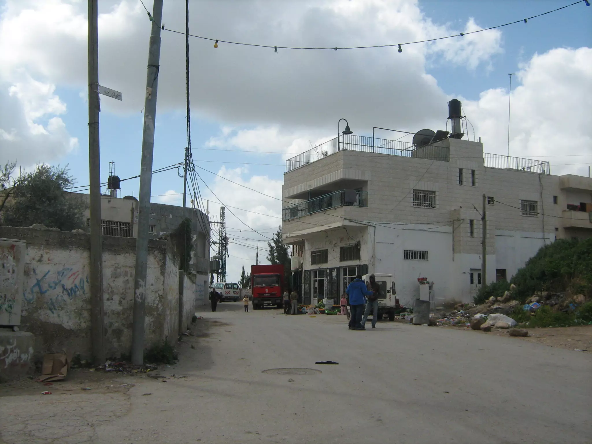
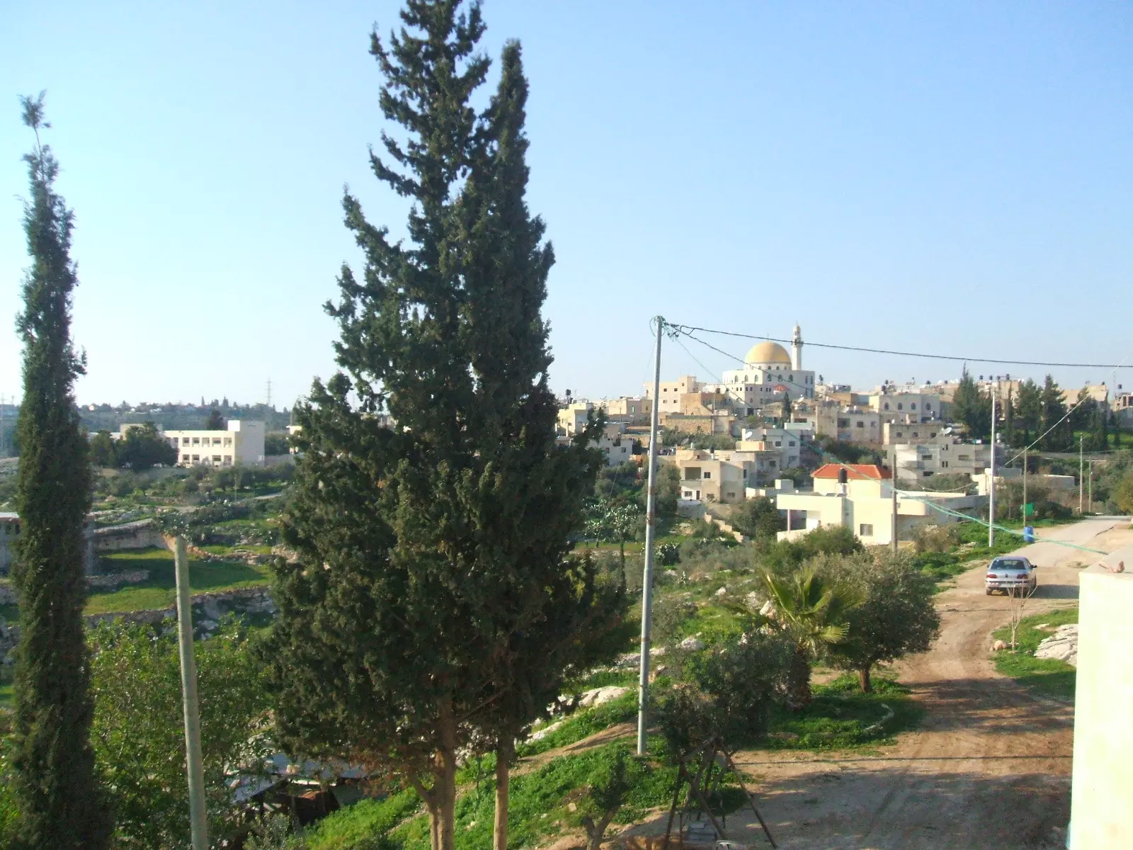
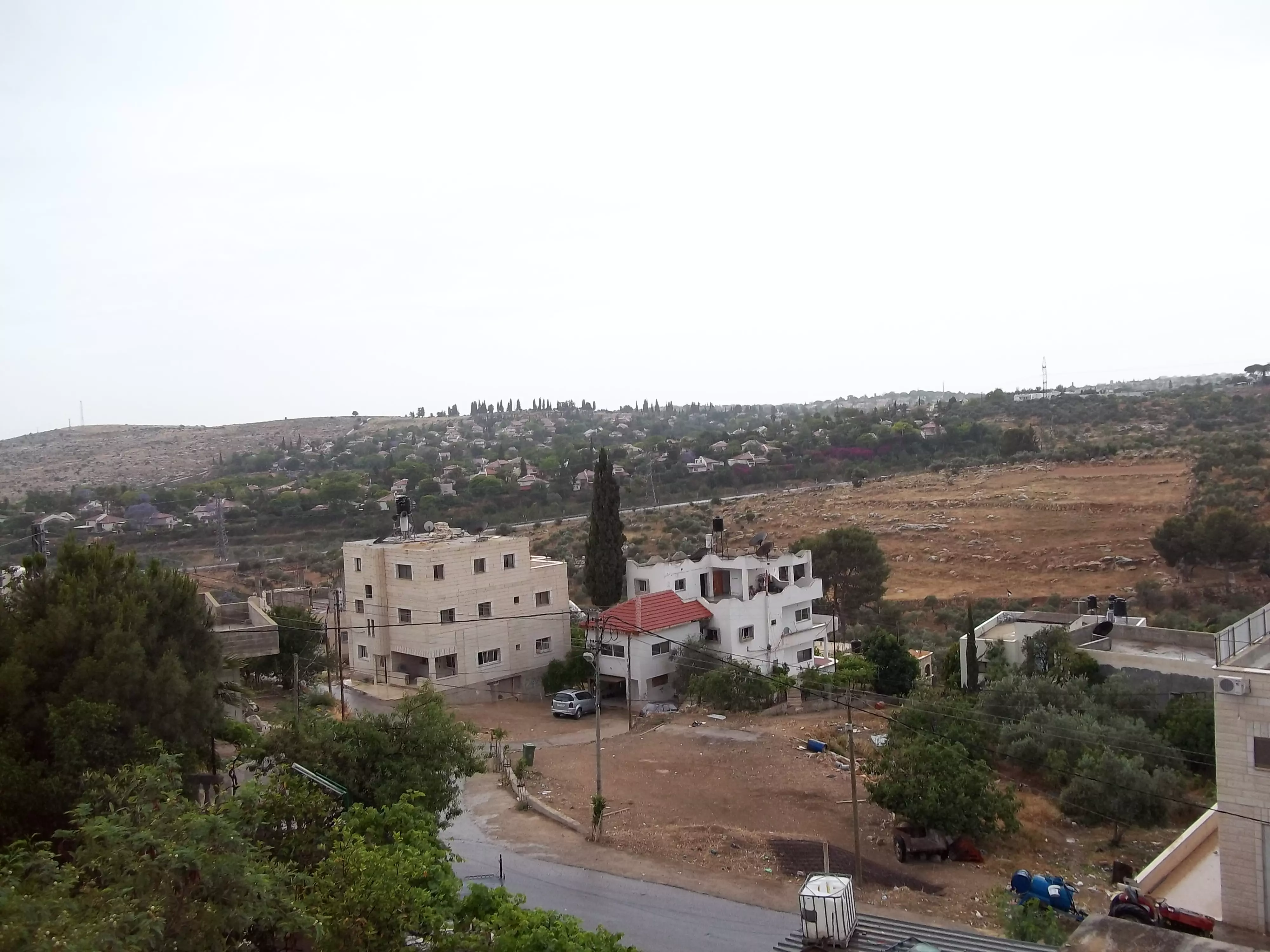
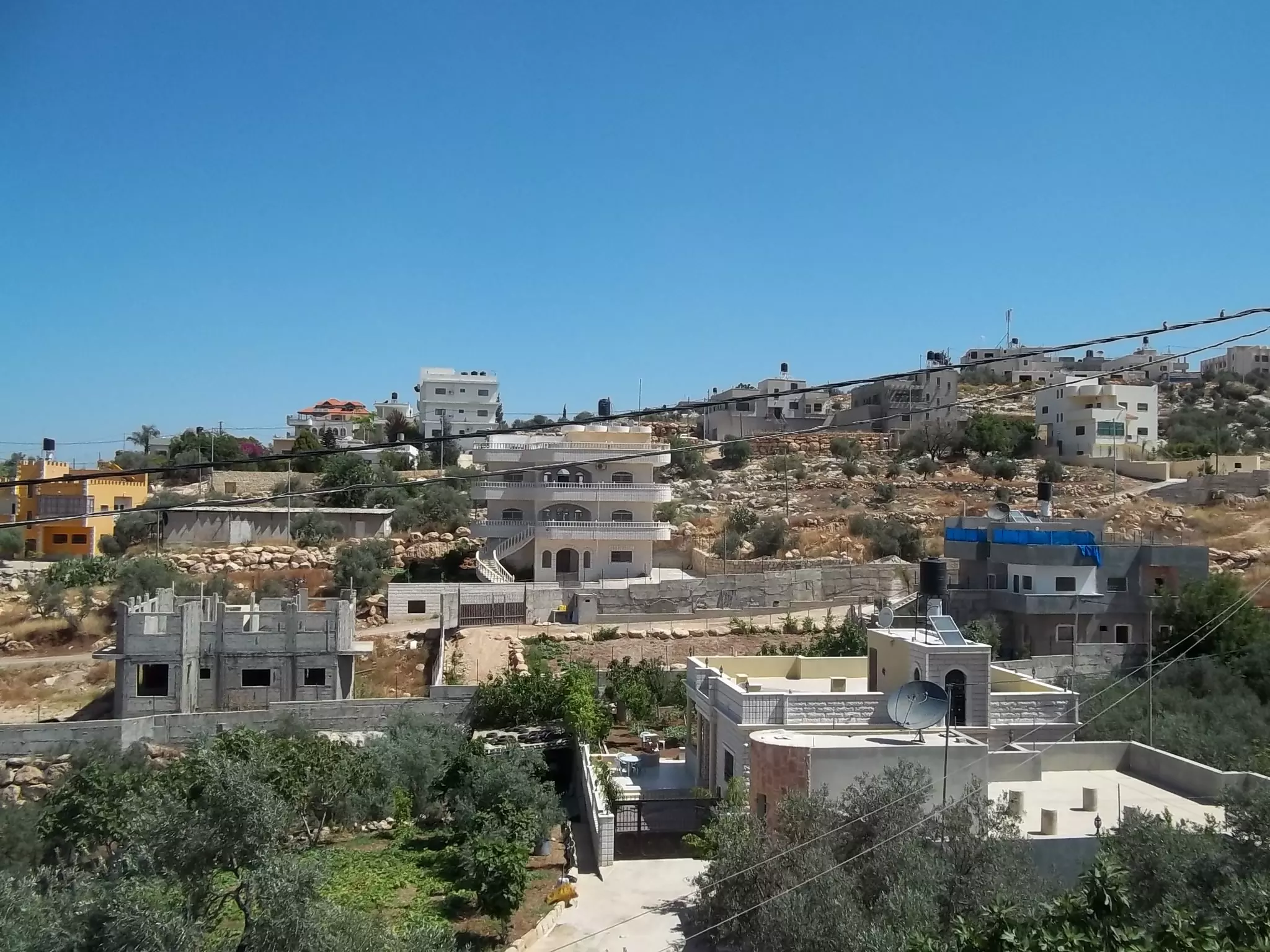
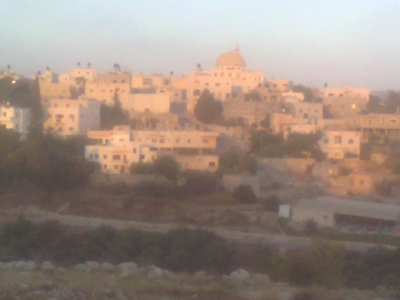
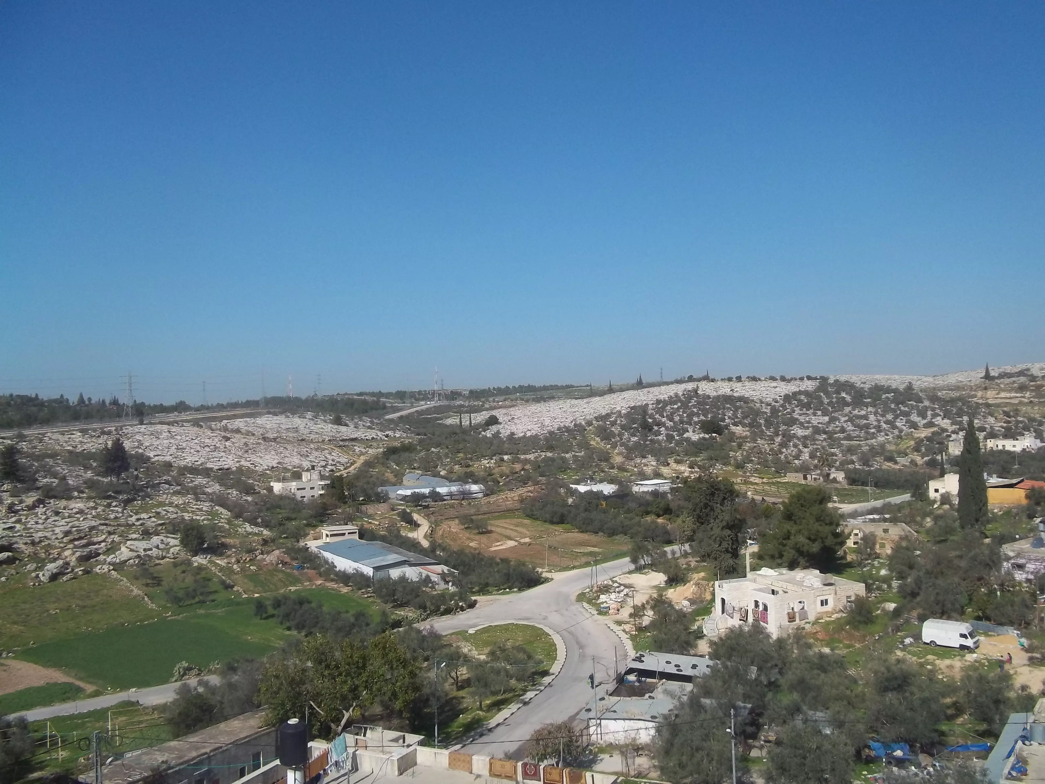
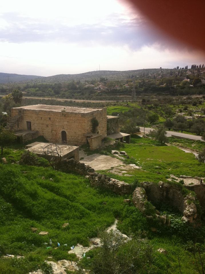
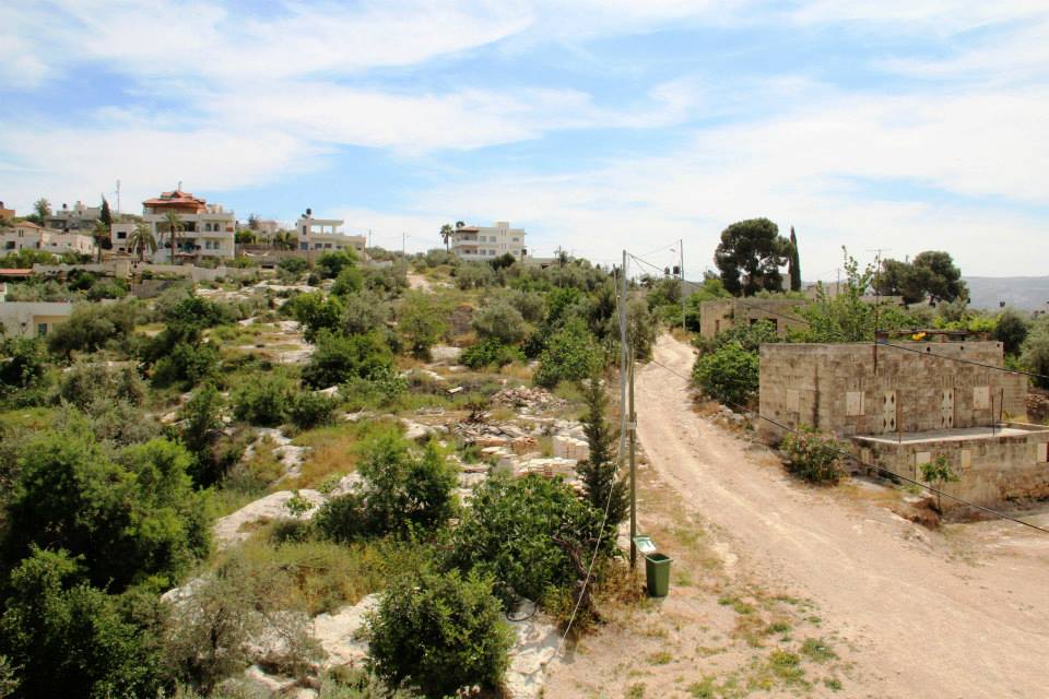
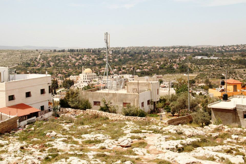
- منظر عام، اُنقر الصورة لتكبيرها.
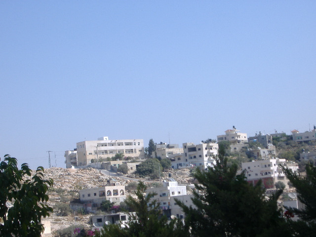
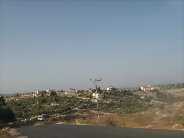
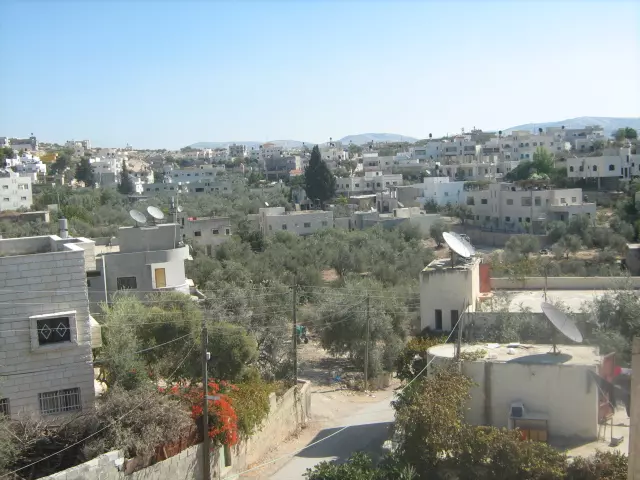
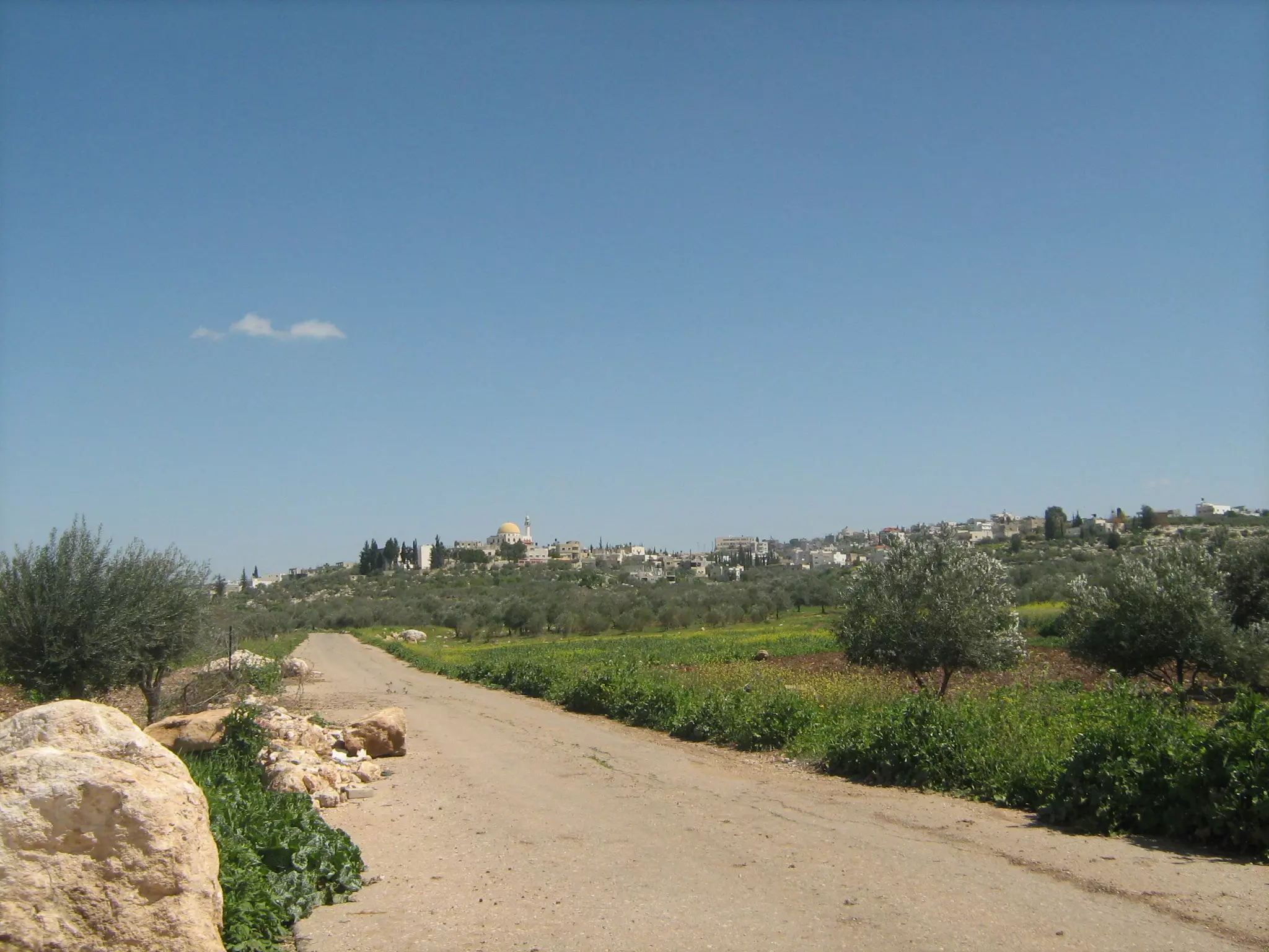
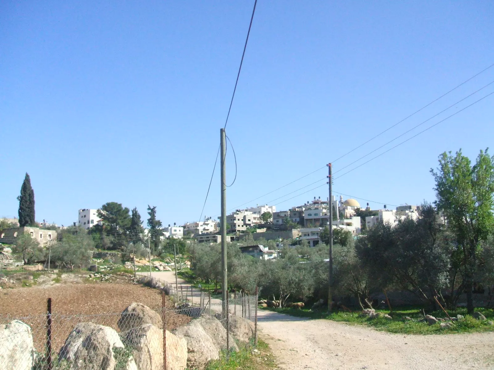
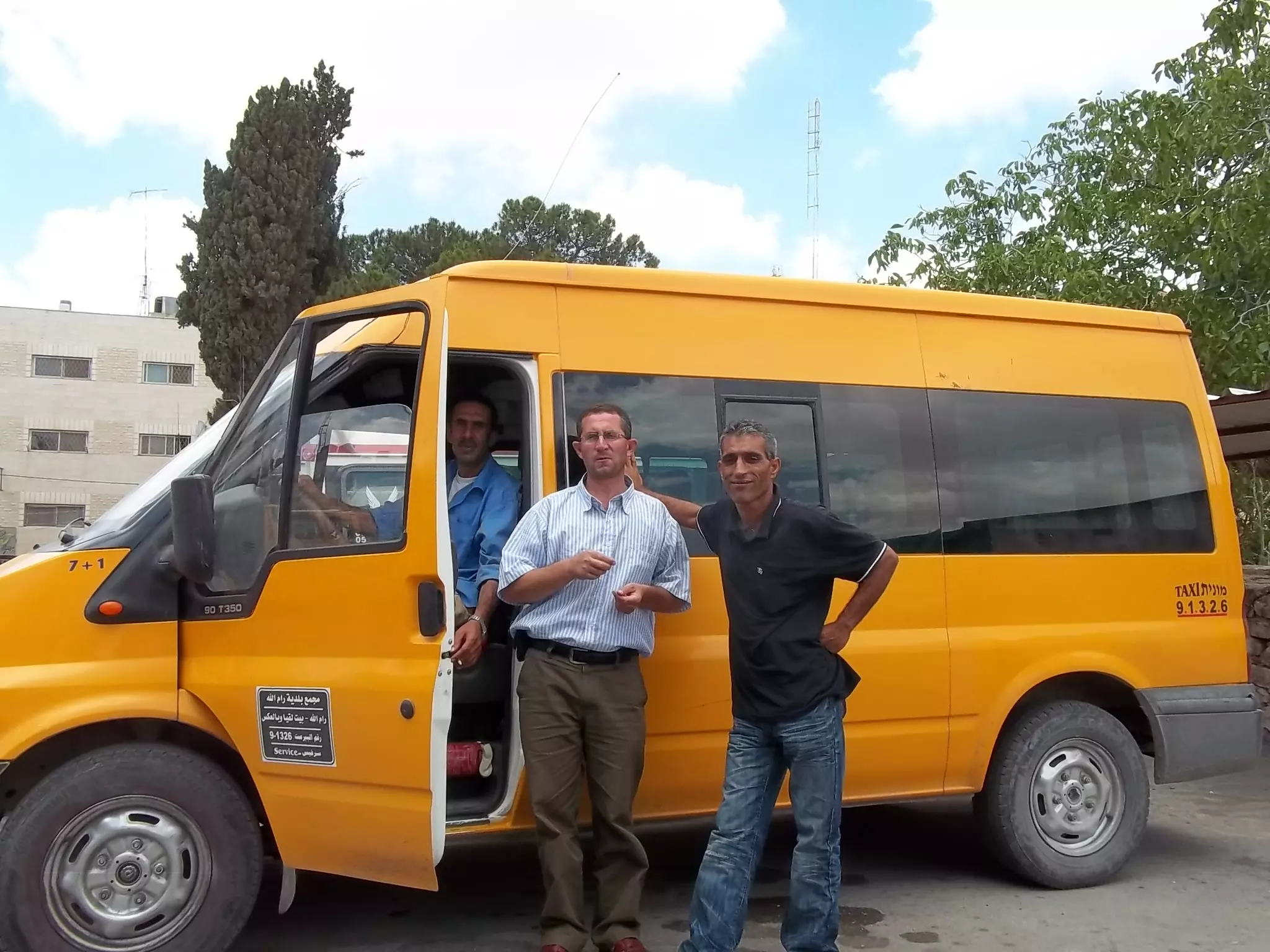
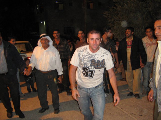
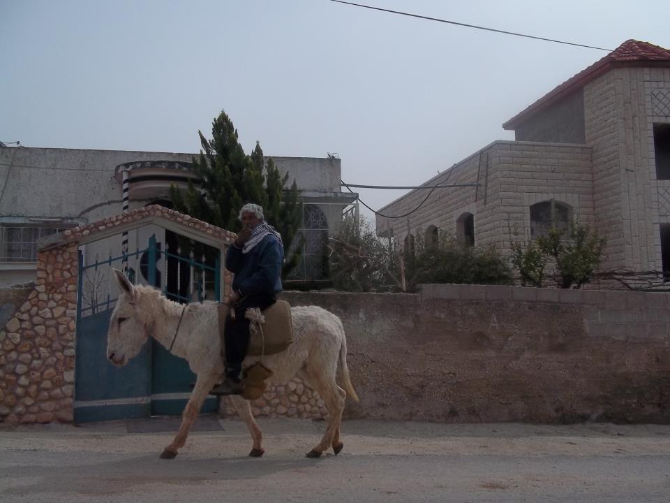
Posted by محمد الحاج 13 - منظر عام
Posted by محمد الحاج 6 - منظر عام
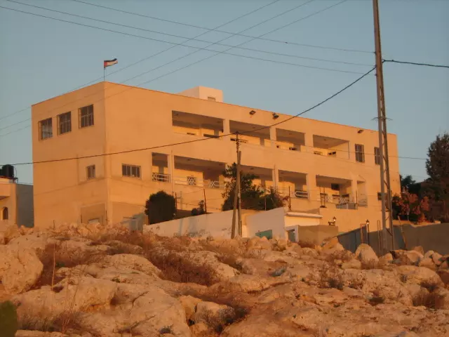
Posted by محمد الحاج 5 - مدخل قريه بيت سيرا القديم
Posted by محمد الحاج - 1917 Aerial View, right hand side points north
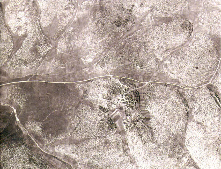
- 1945 Aerial view, again right hand side point north
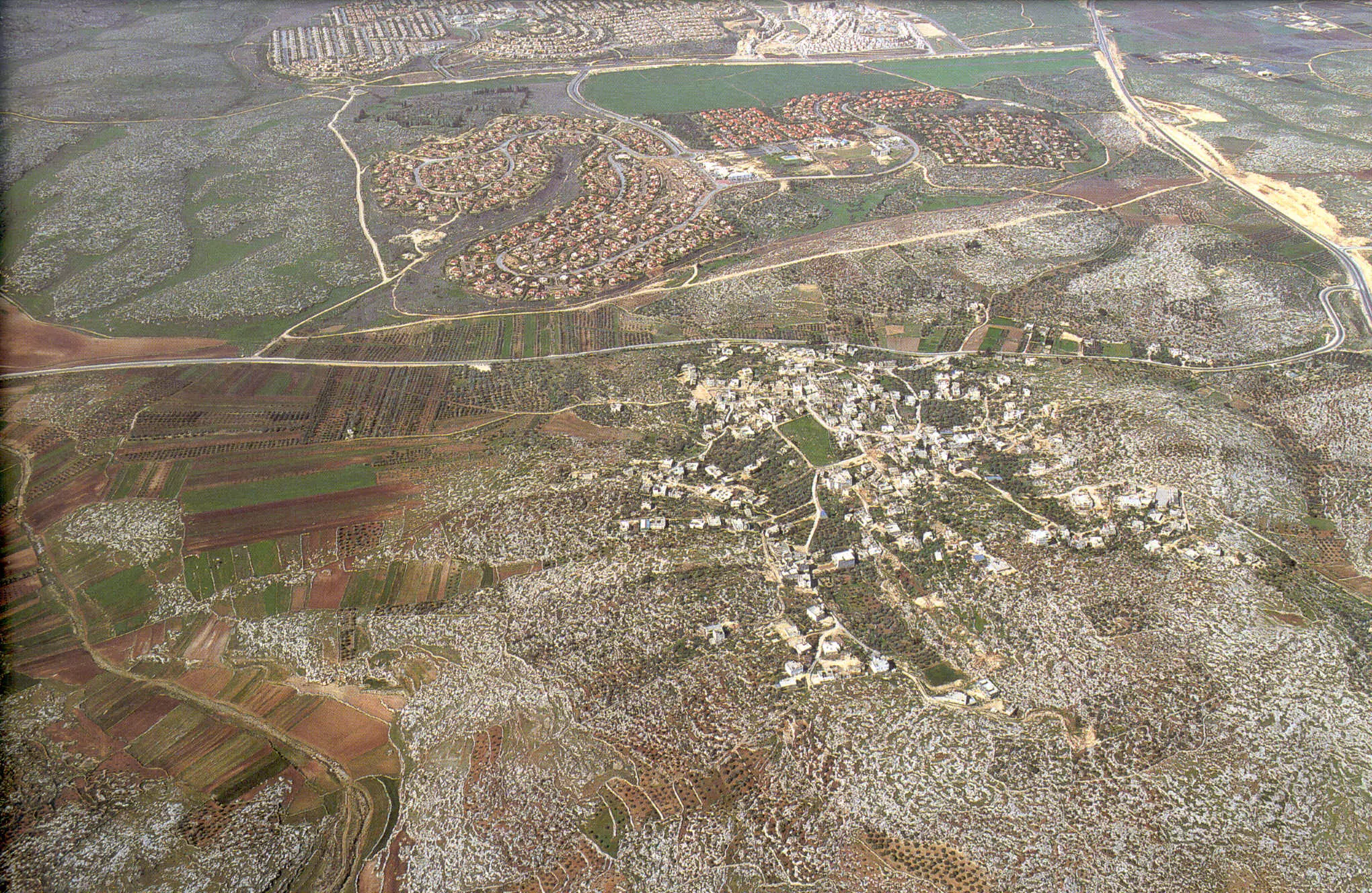
- 1997 Aerial View, right hand side points north
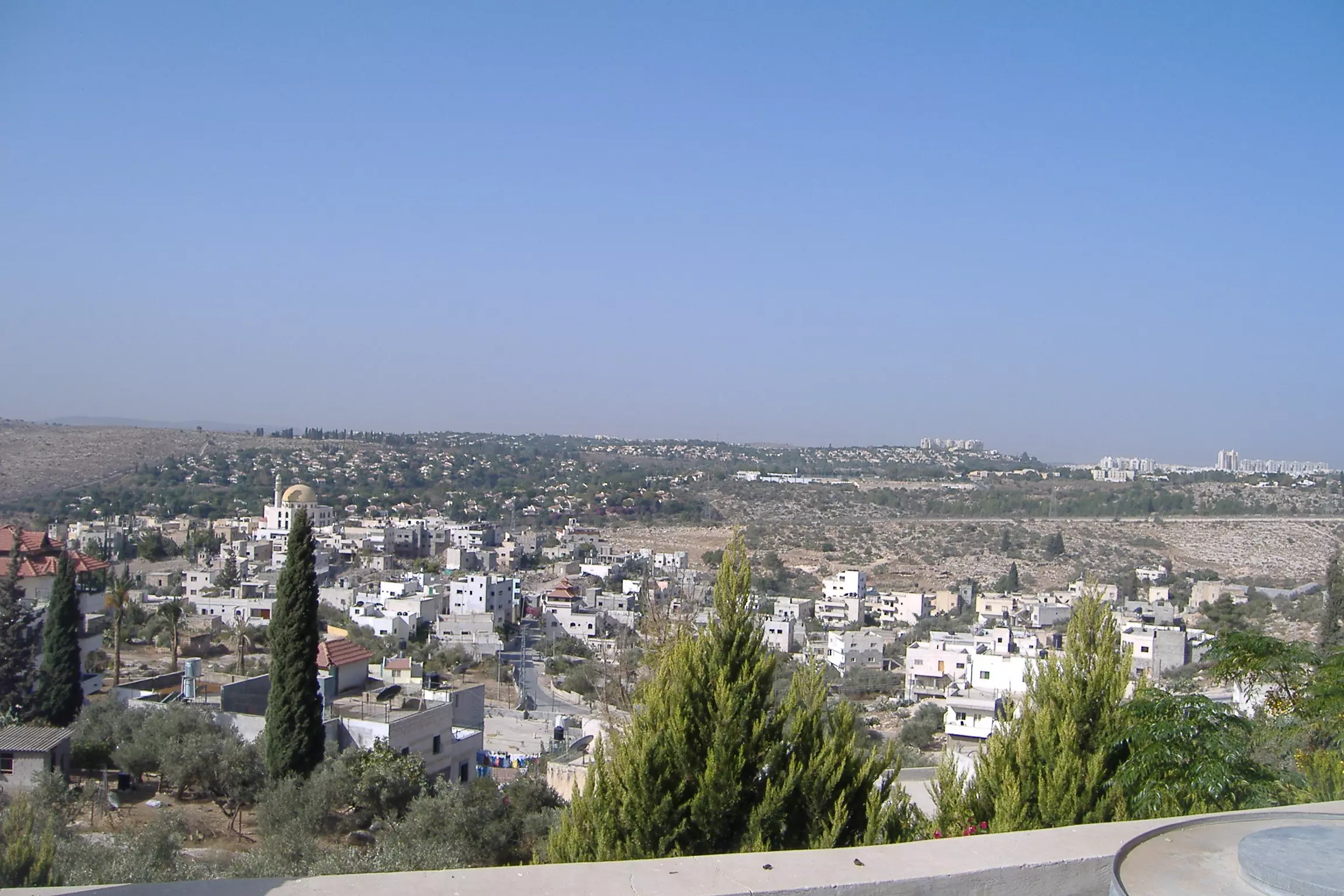
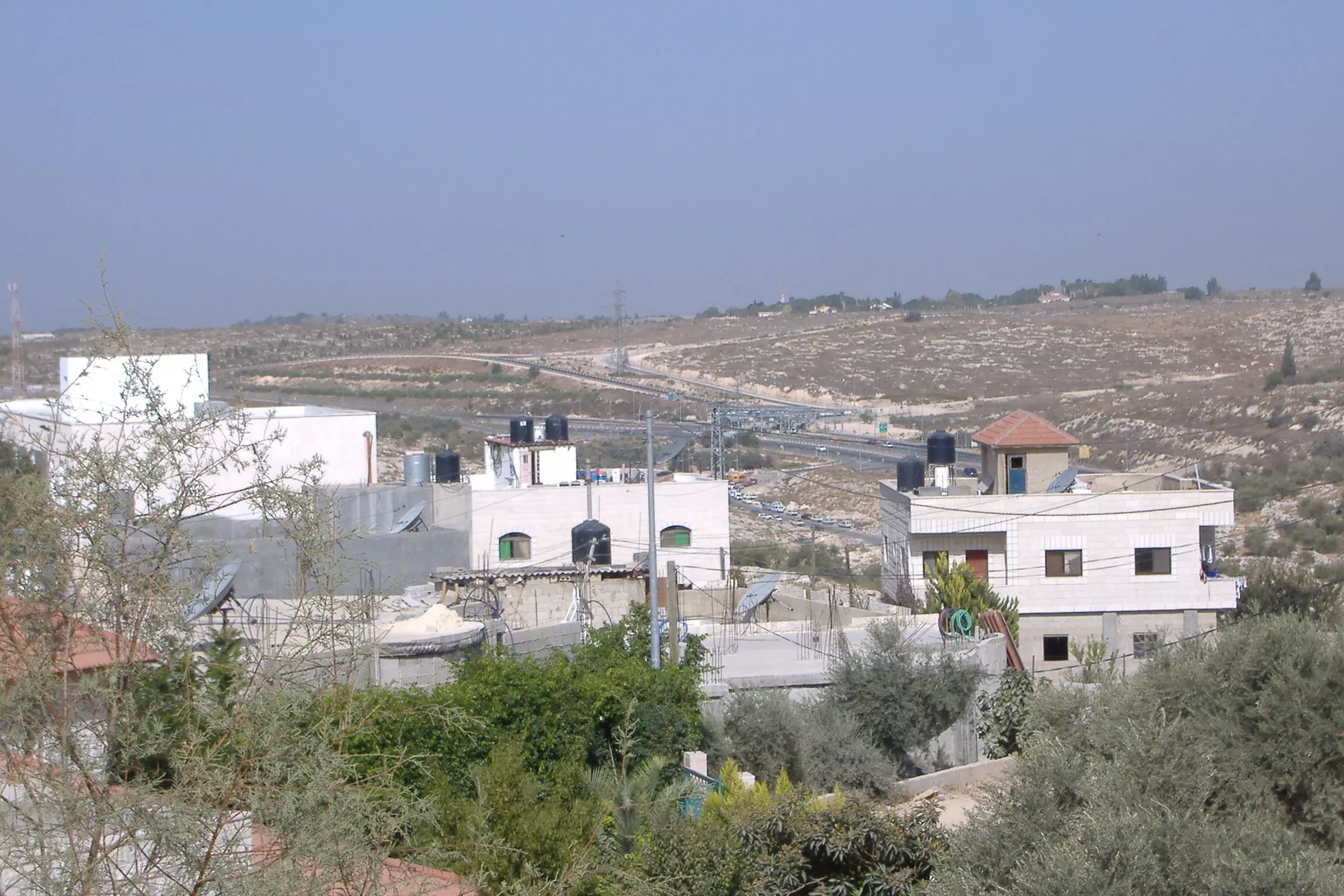
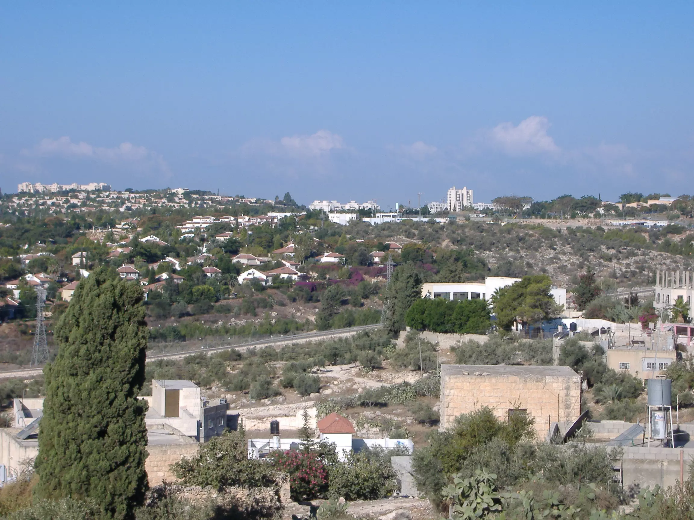
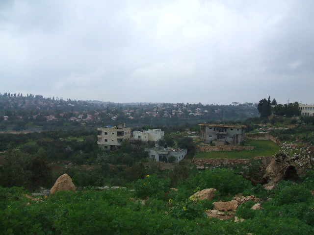
4 - General view from the exclusive Jewish colony Re'ut
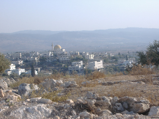
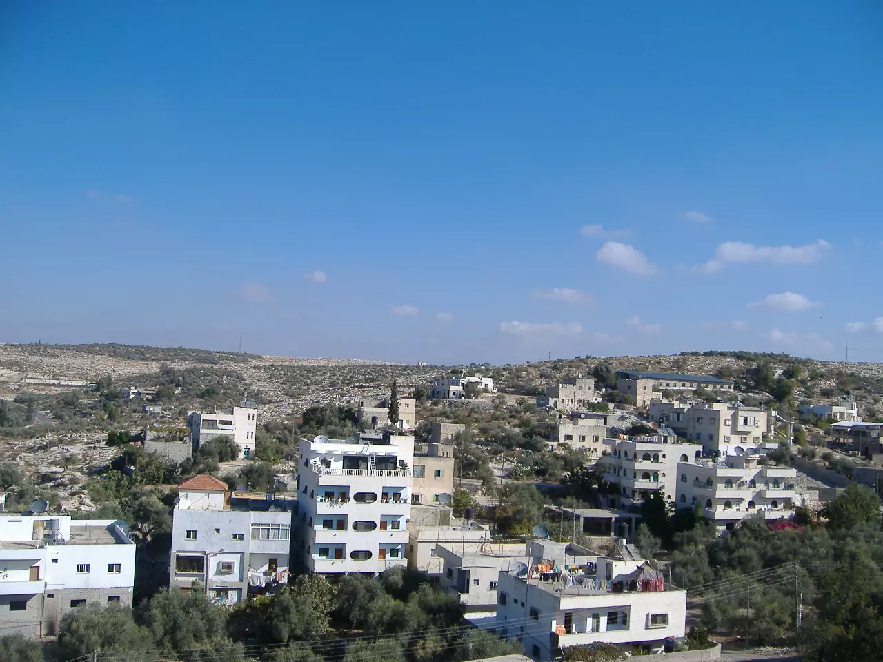
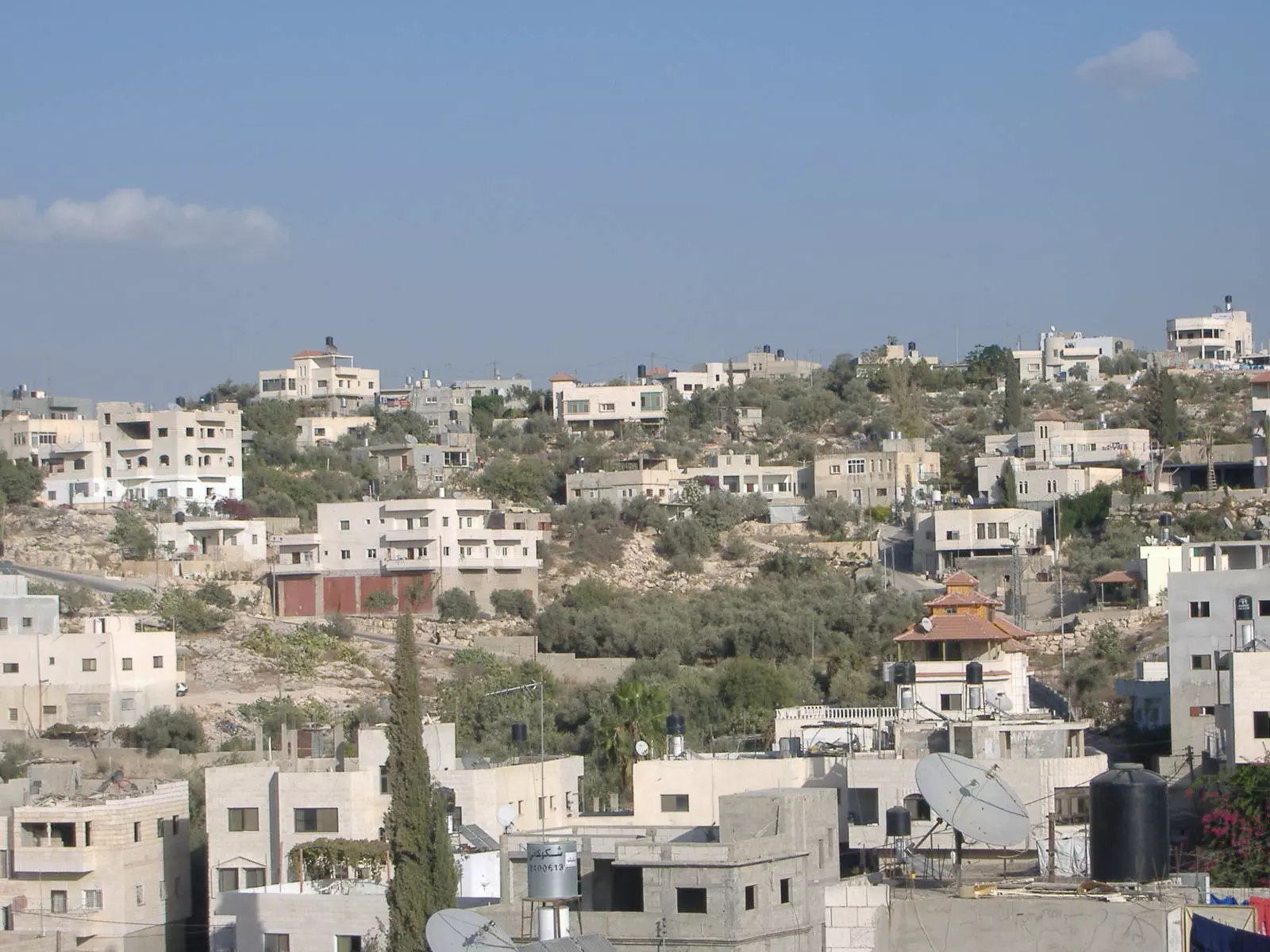
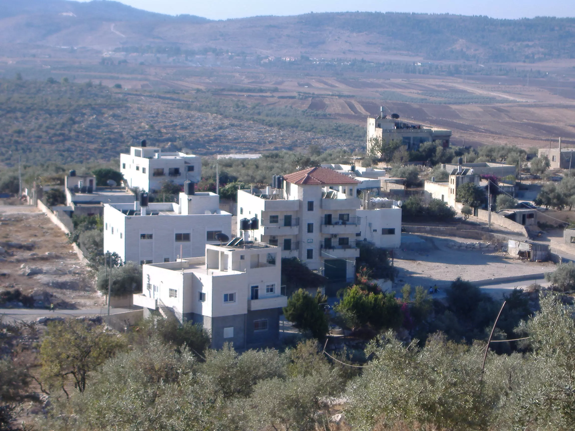
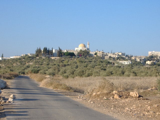
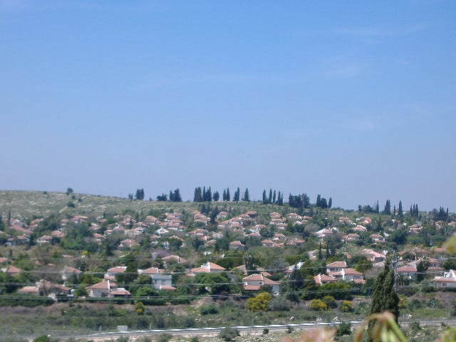
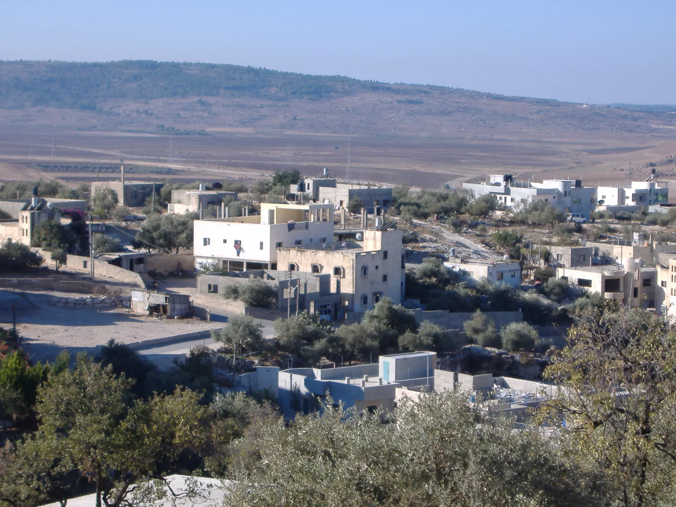
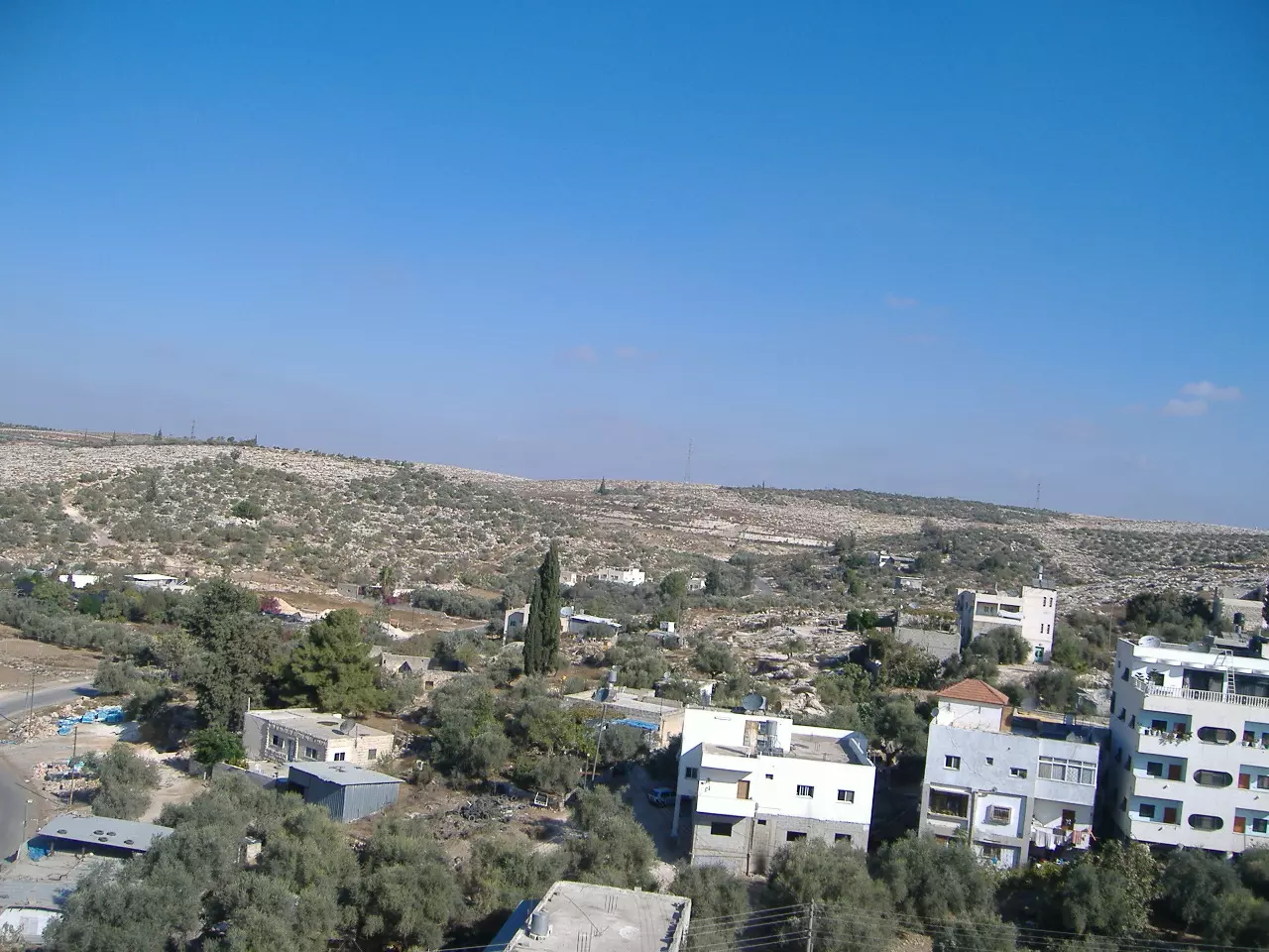
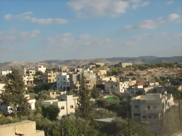
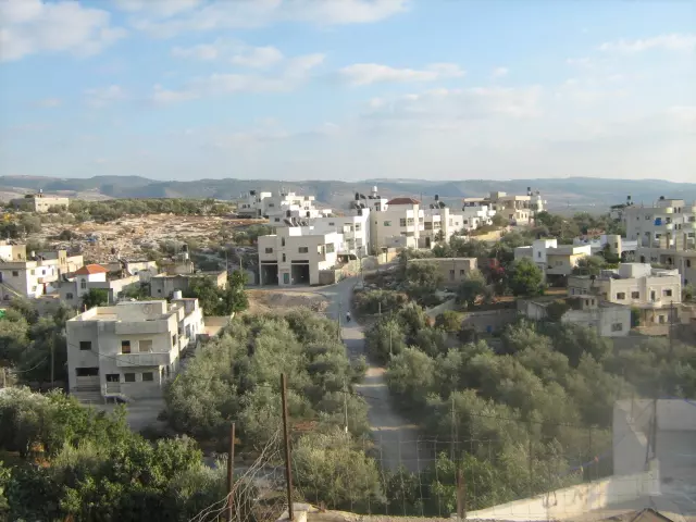
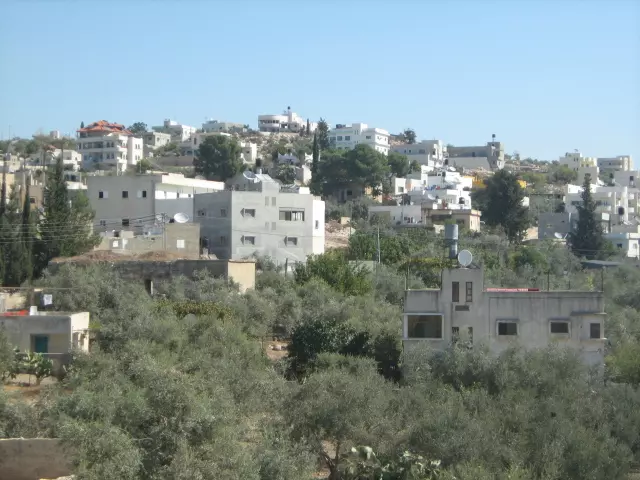
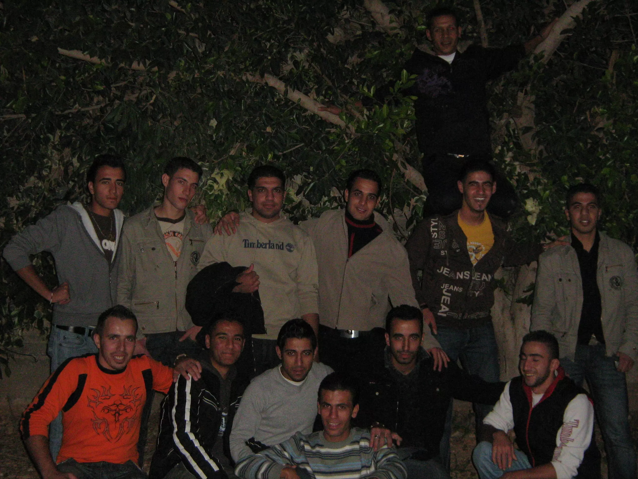
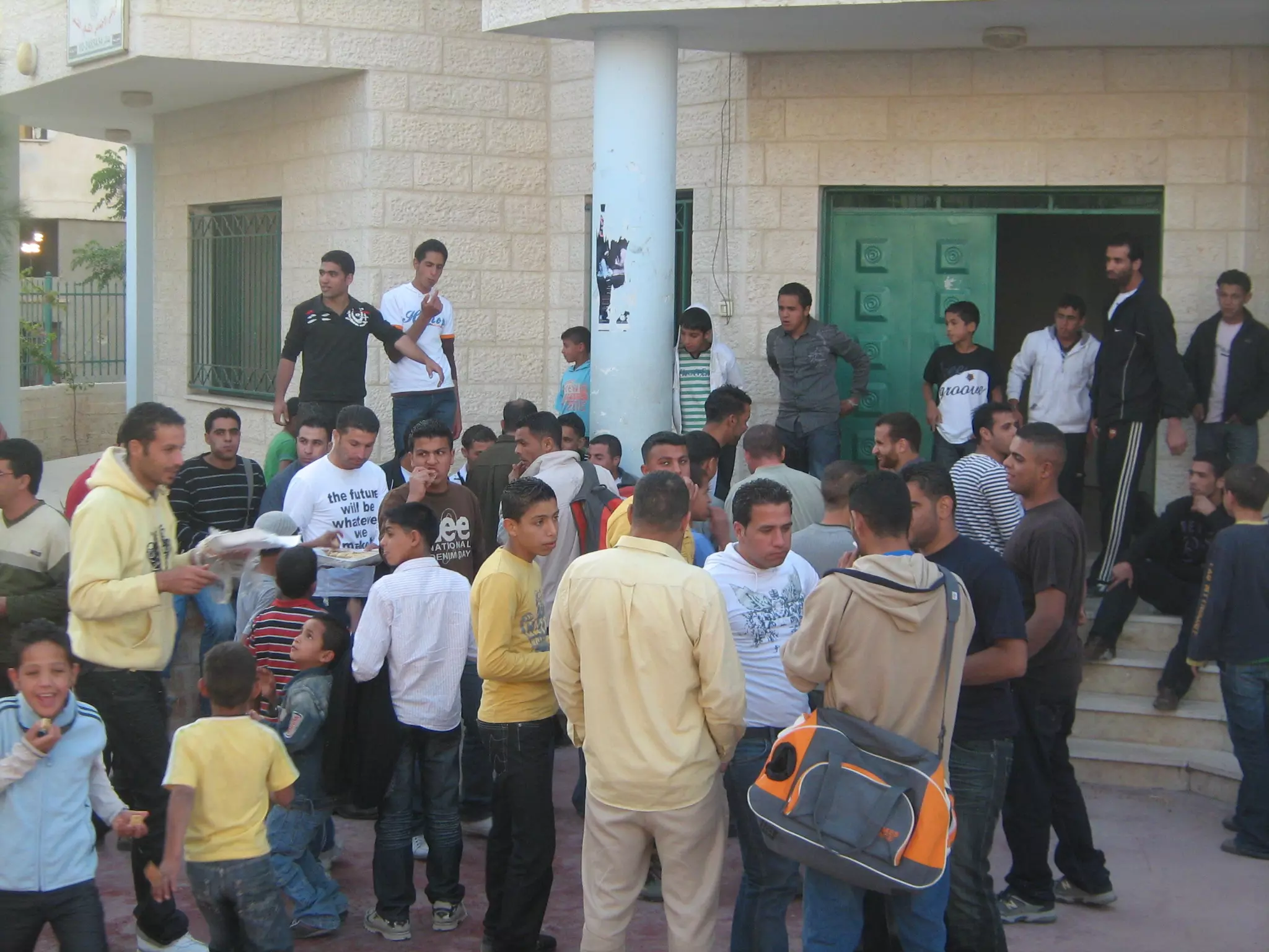
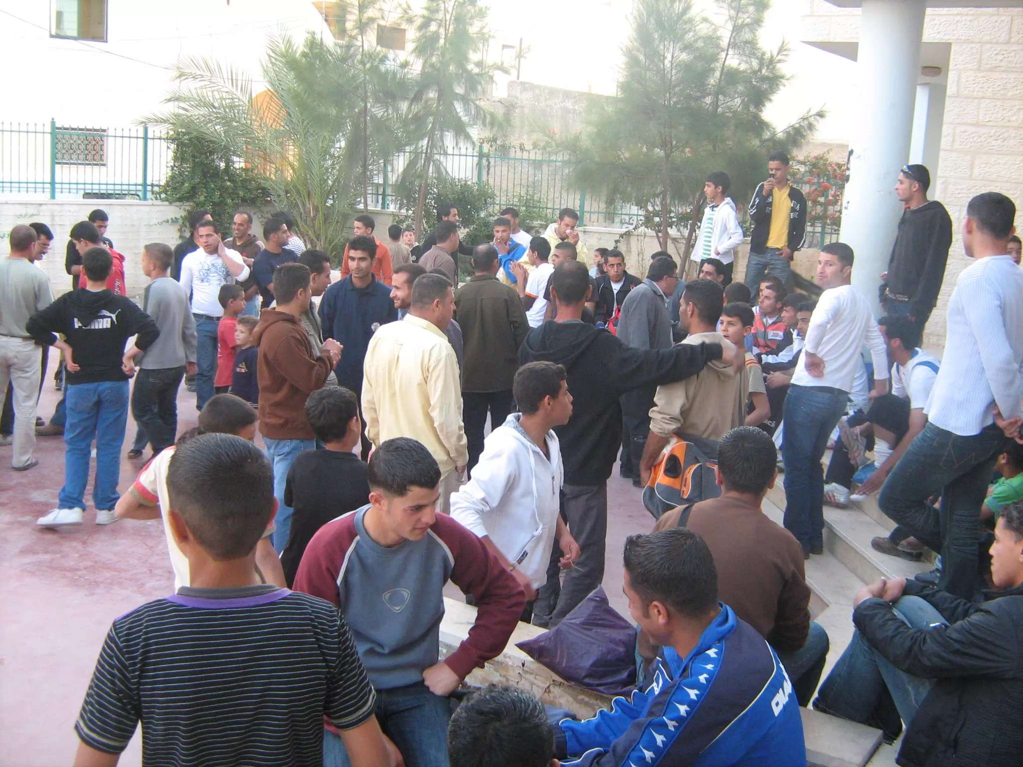
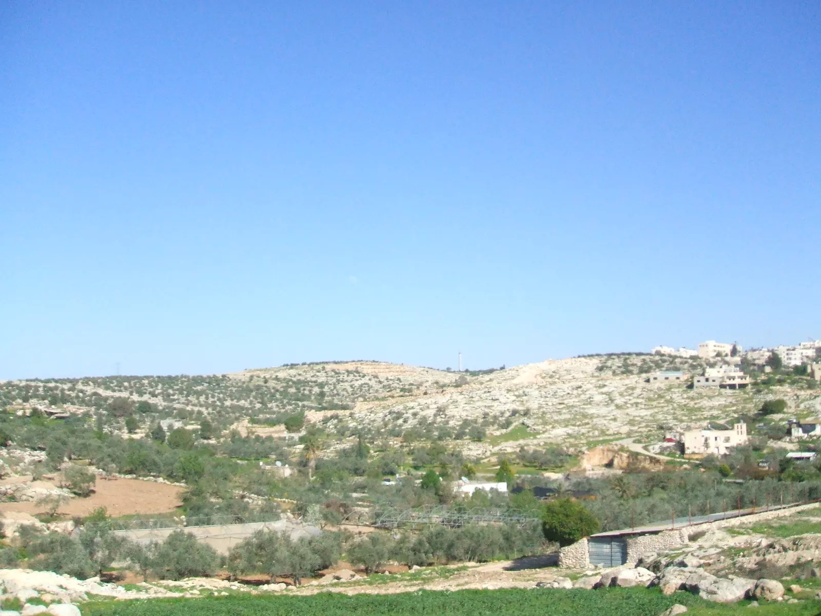
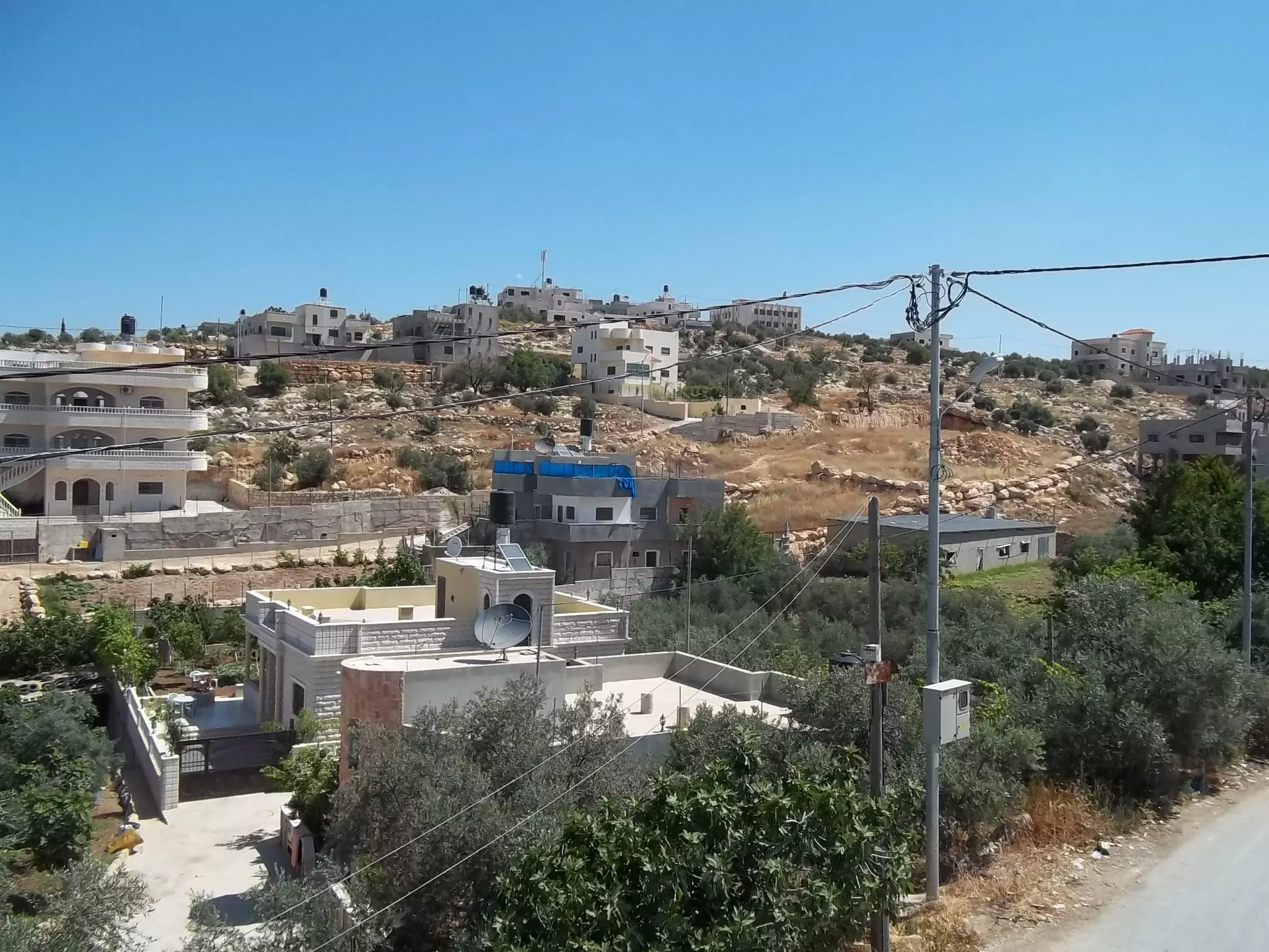
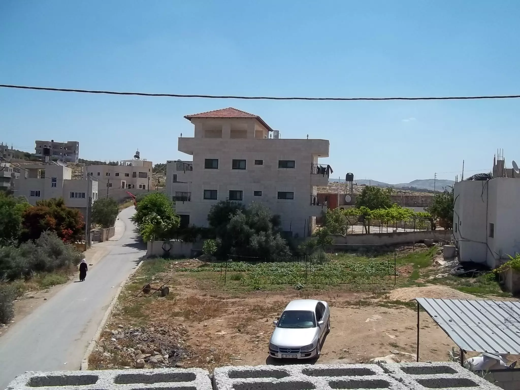
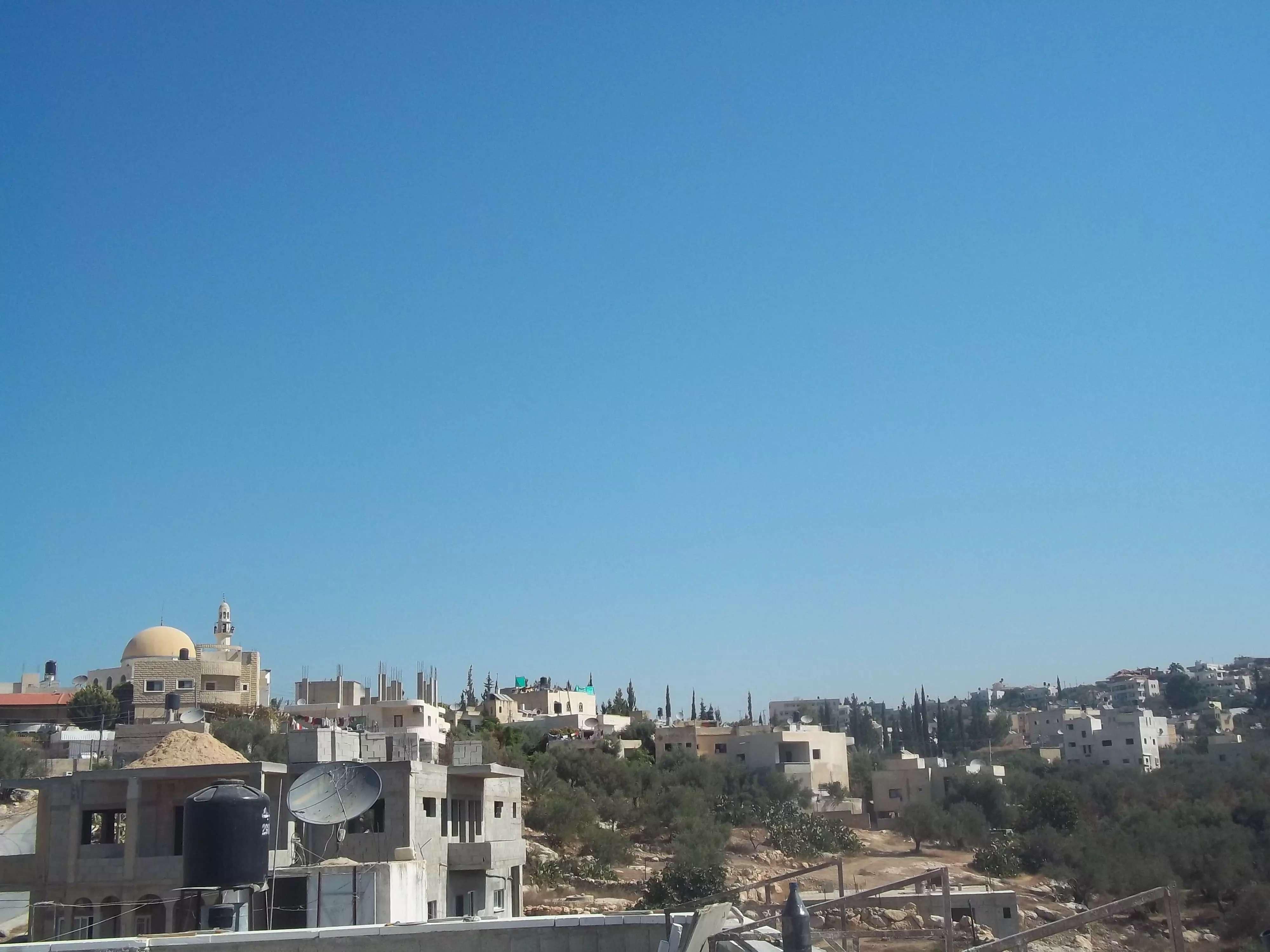
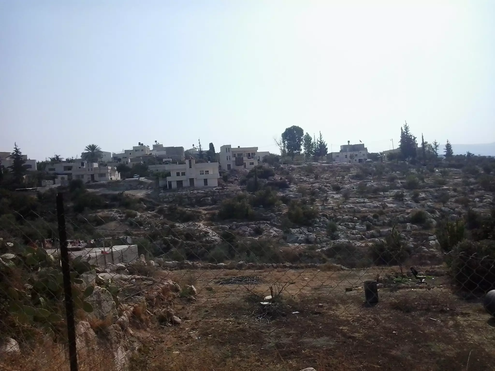
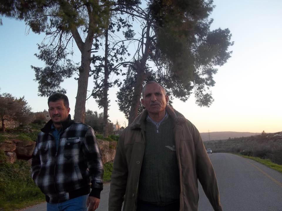
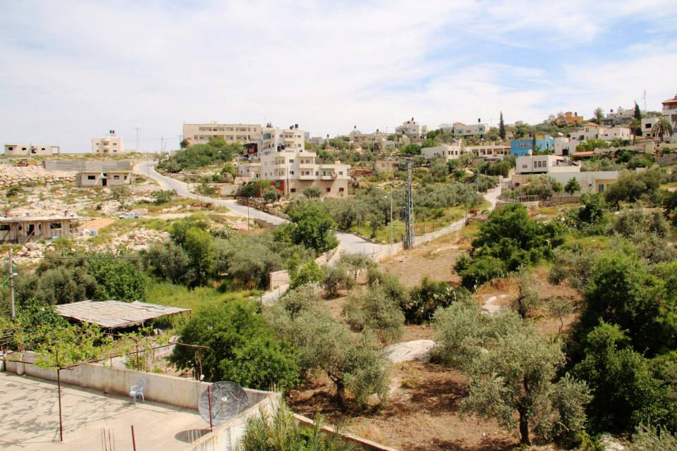
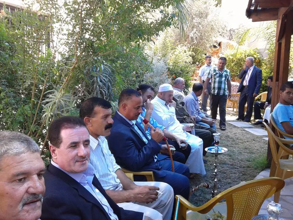
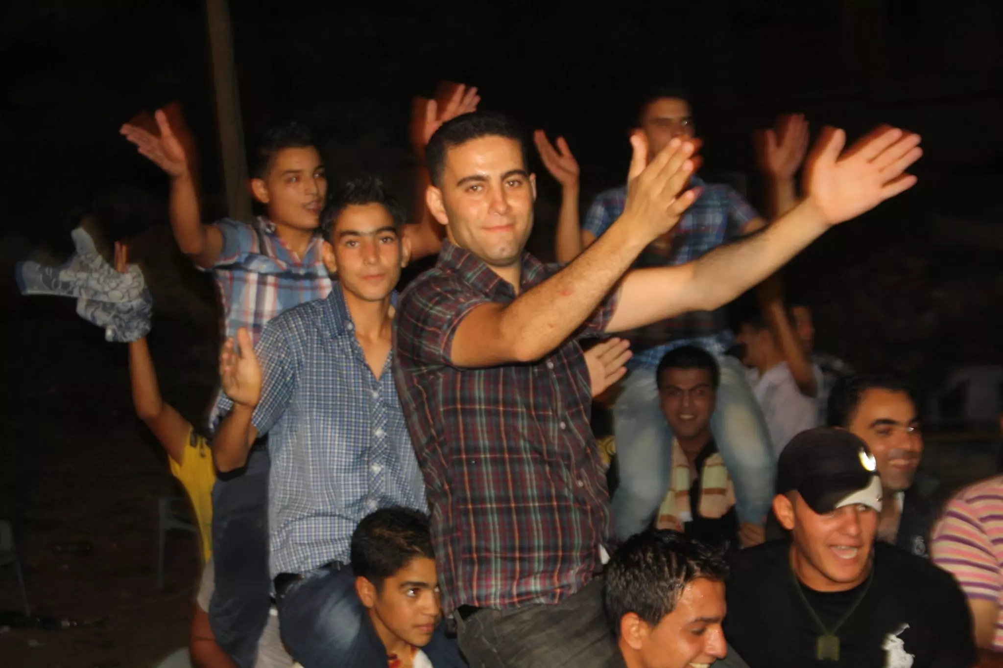
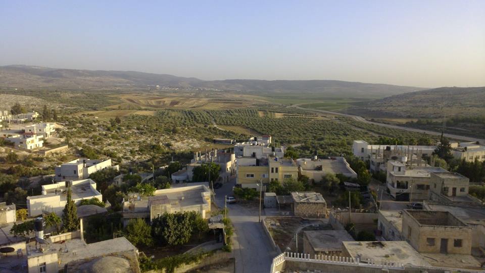
2 - منظر عام
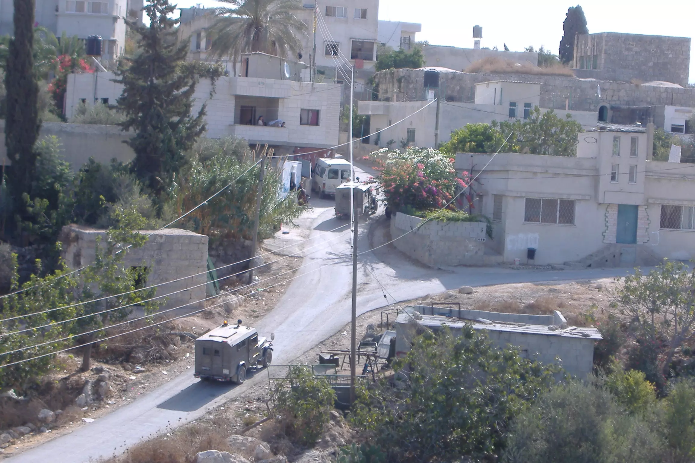
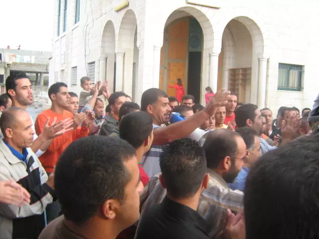
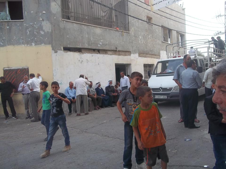
Posted by محمد الحاج 1 - اقتحام قريه بيت سيرا من الاحتلال الاسرائيلي
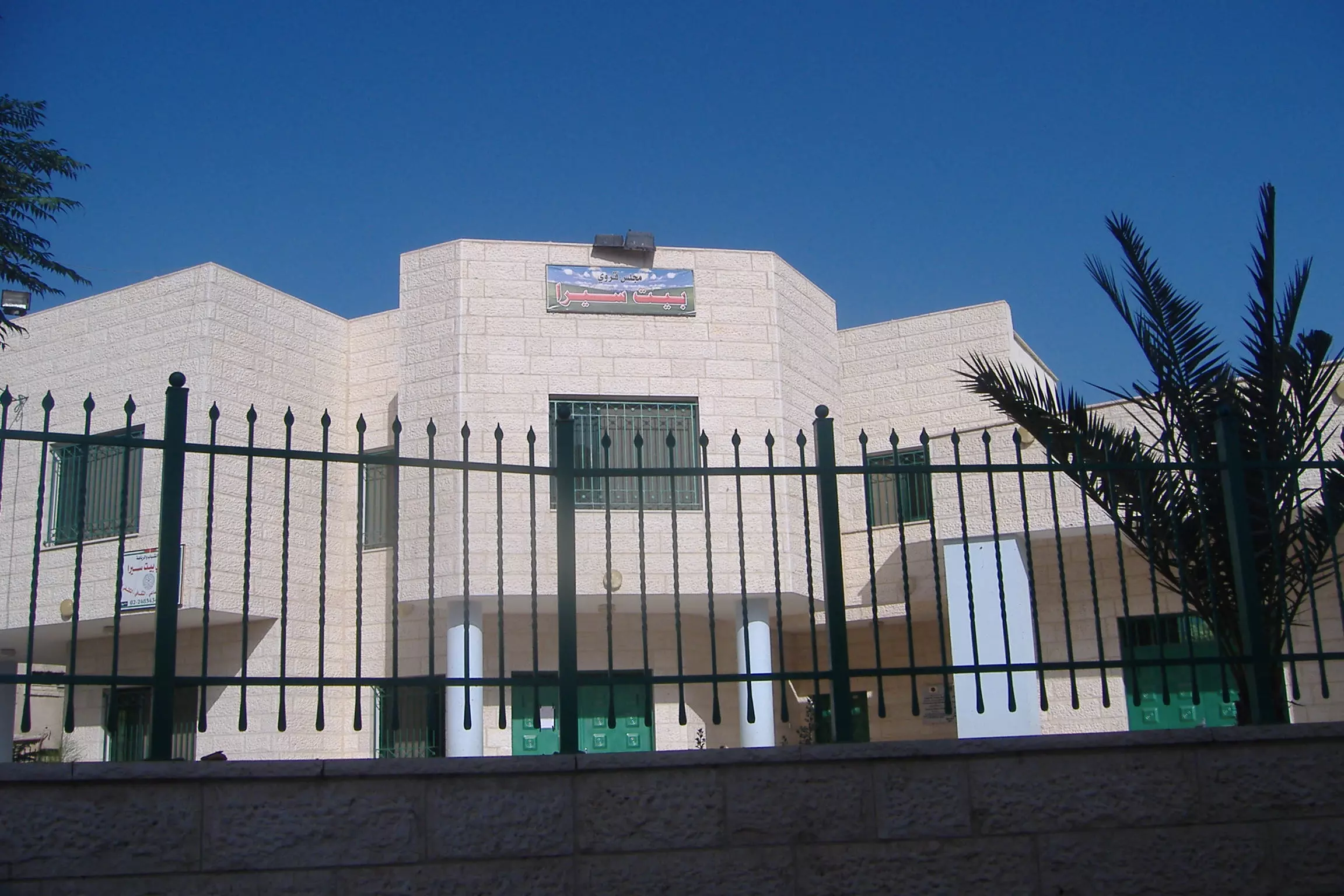
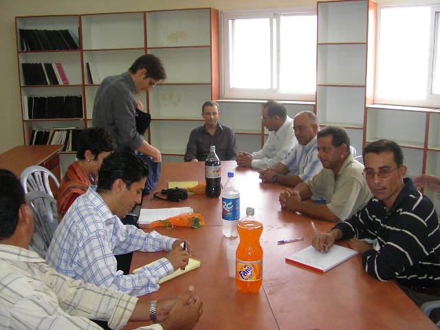
Posted by محمد الحاج 4 - مجلس قريه بيت سيرا
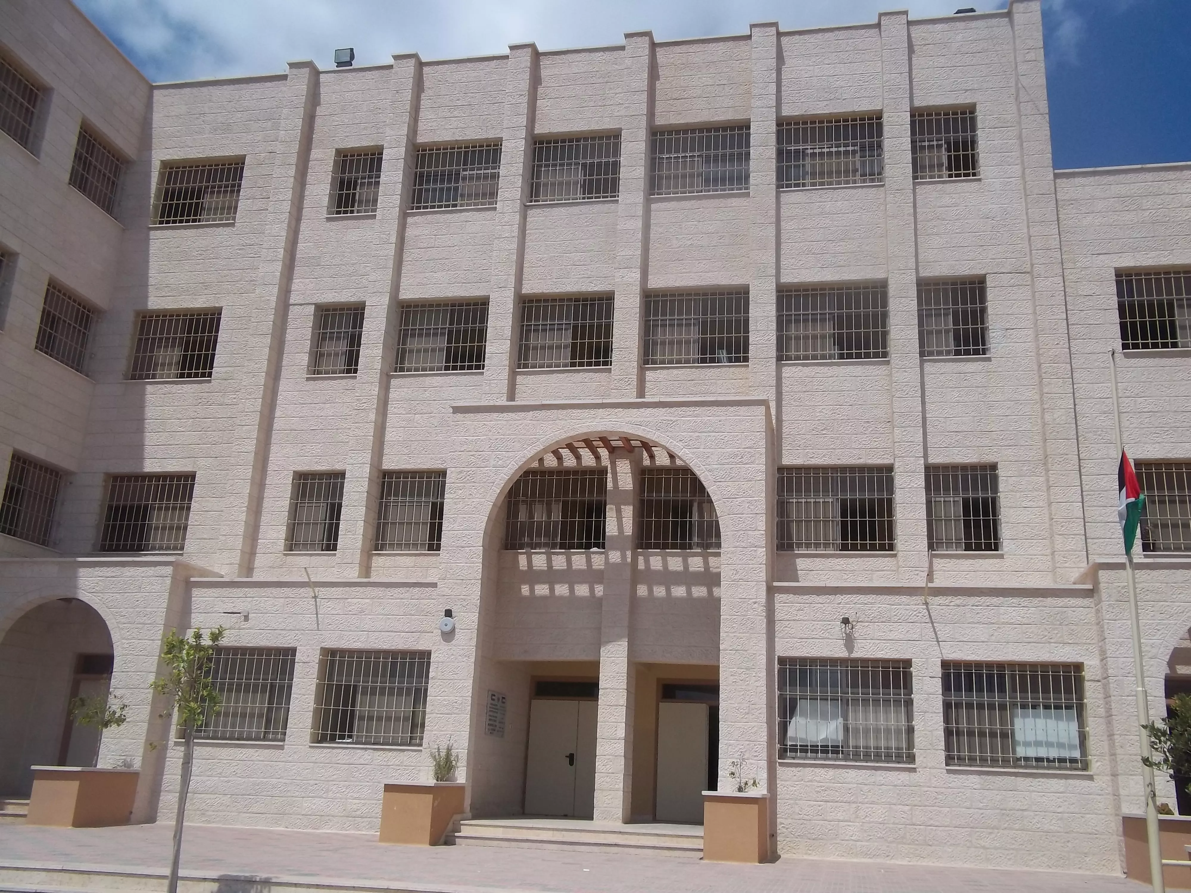
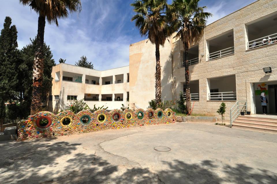
Posted by محمد الحاج 3 - مدرسه ذكور قريه بيت سيرا
Posted by محمد الحاج 2 - المنطقه الغربيه من قريه بيت سيرا
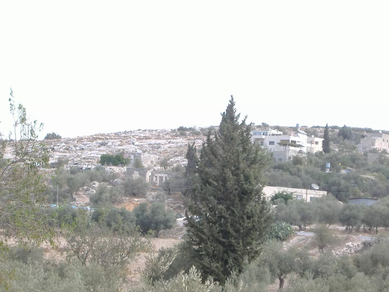
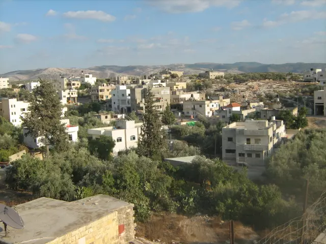
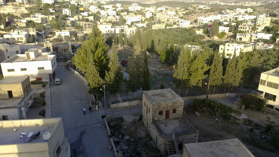
Posted by محمد الحاج 1 - منظر عام
Posted by محمد الحاج - 1967 Aerial view, again right hand side point north

- حارة العين
Posted by محمد الحاج 2 - مدخل قريه بيت سيرا
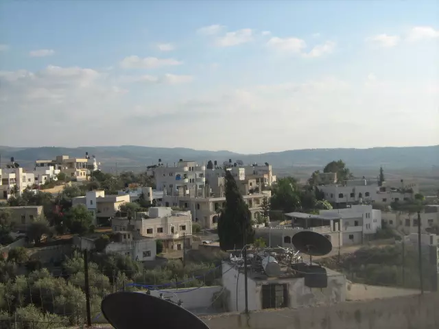
Posted by محمد الحاج - منظر عام
Posted by محمد الحاج - الحارة الشرقيه
Posted by محمد الحاج - مظر عام
Posted by محمد الحاج - حارة الجسر
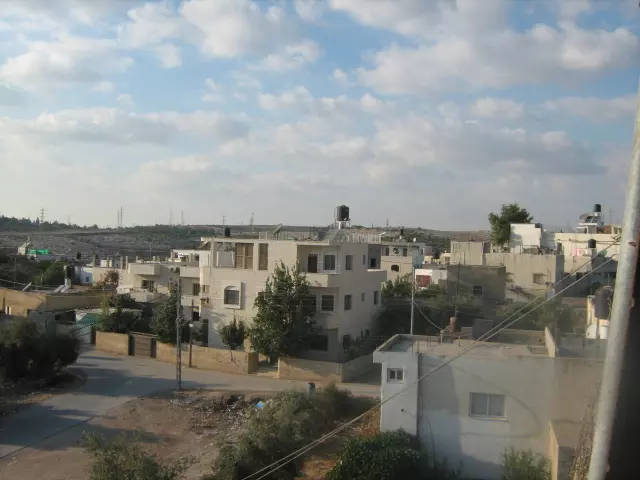
Posted by محمد الحاج 1 - منظر عام
Posted by محمد الحاج - منظر للقرية
Posted by محمد الحاج 1 - مدخل قريه بيت سيرا
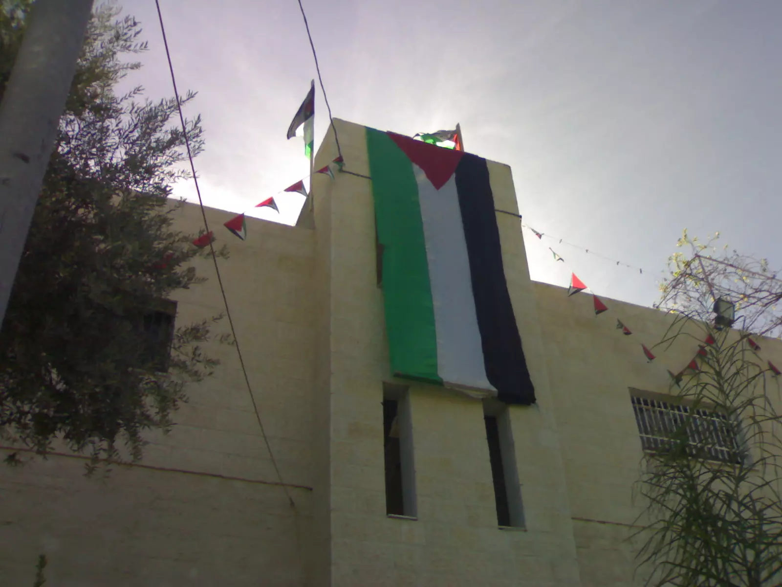
Posted by محمد الحاج - مغتصبة مكبيم المقامه على ارض قريه بيت سيرا
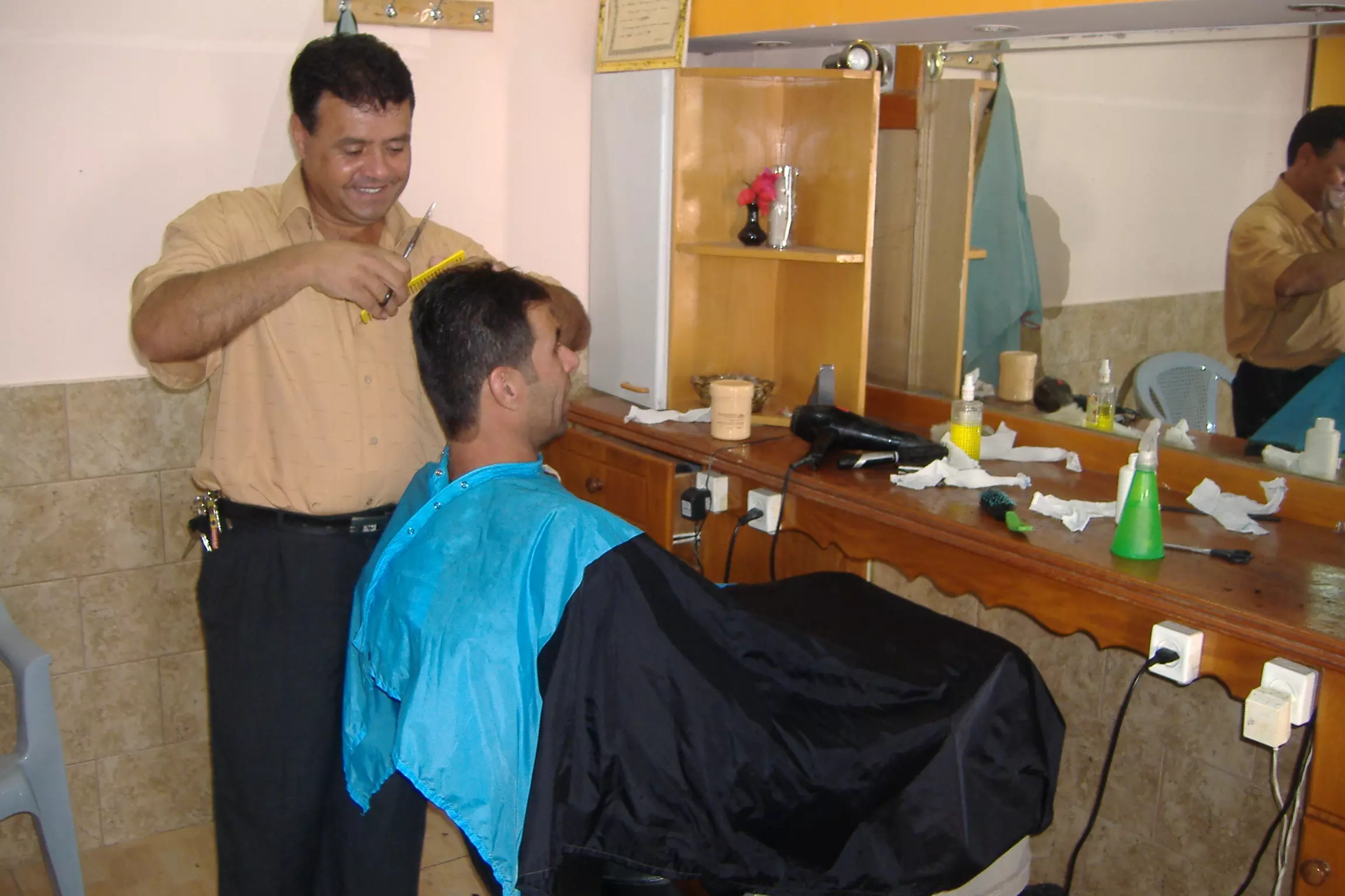
Posted by محمد الحاج - حلاق قريه بيت سيرا
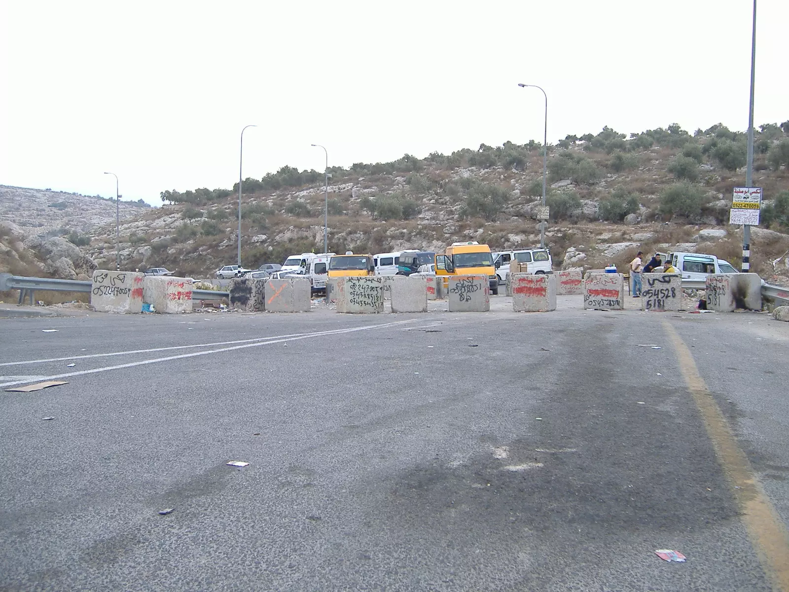
Posted by محمد الحاج 4 - اغلاق مدخل طريق اللطرون المودي الى قريه بيت سيرا
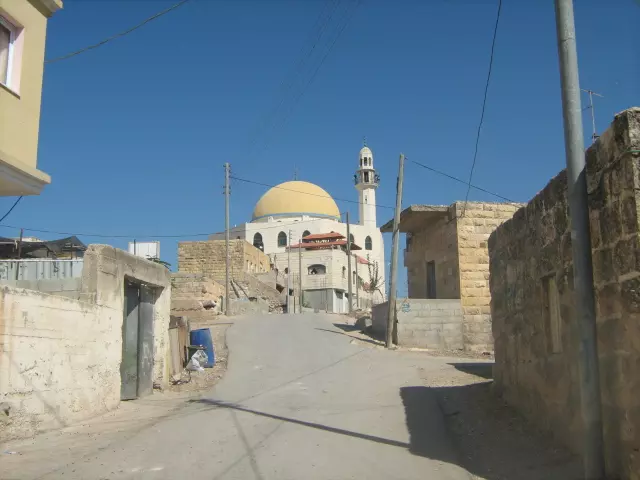
Posted by محمد الحاج 1 - باب مسجد بيت سيرا
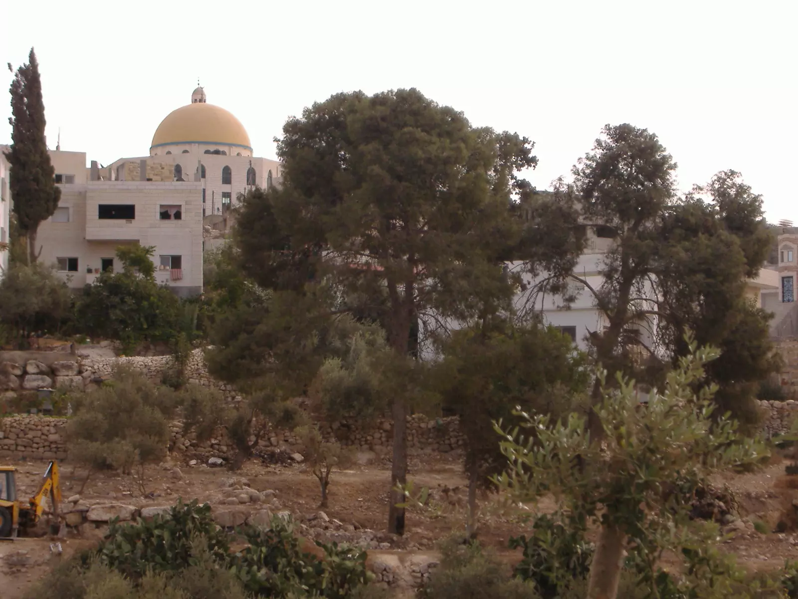
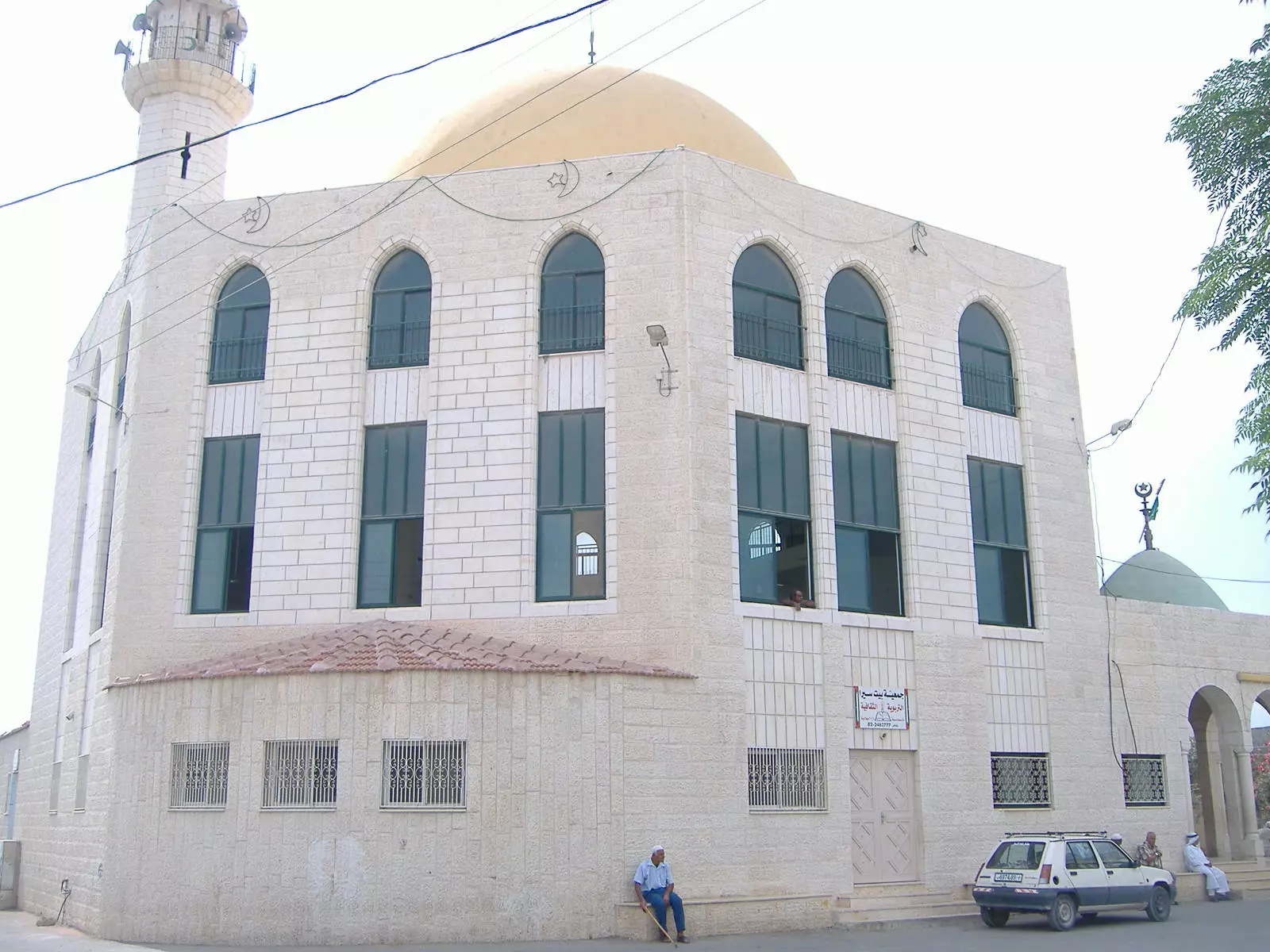
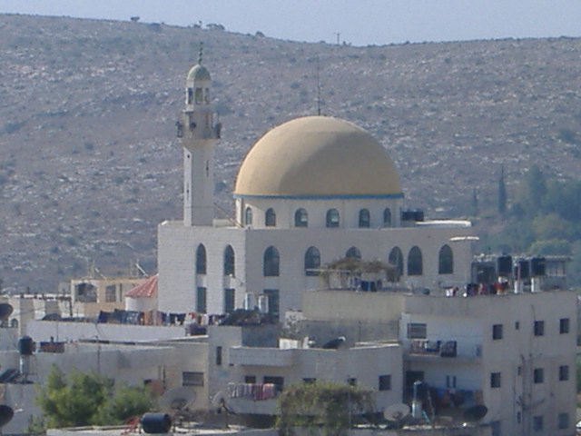
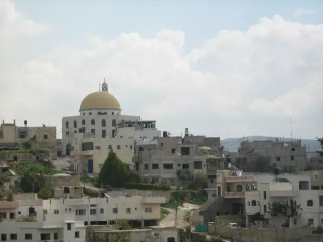
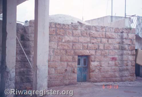
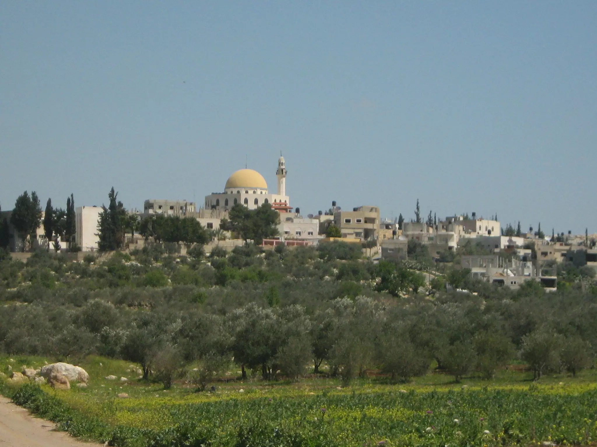
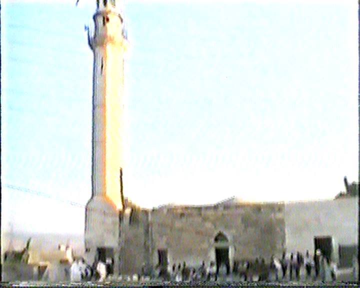
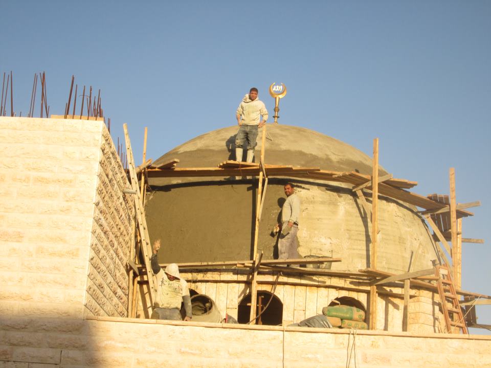
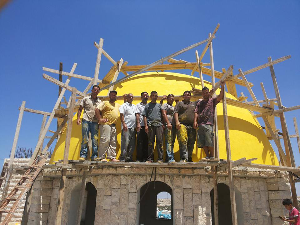
Posted by محمد الحاج 5 - صورة مسجد قريه بيت سيرا حيث ان قبه المسجد ثاني اكبر قبه في فلسطبن بعد قبه صخرة
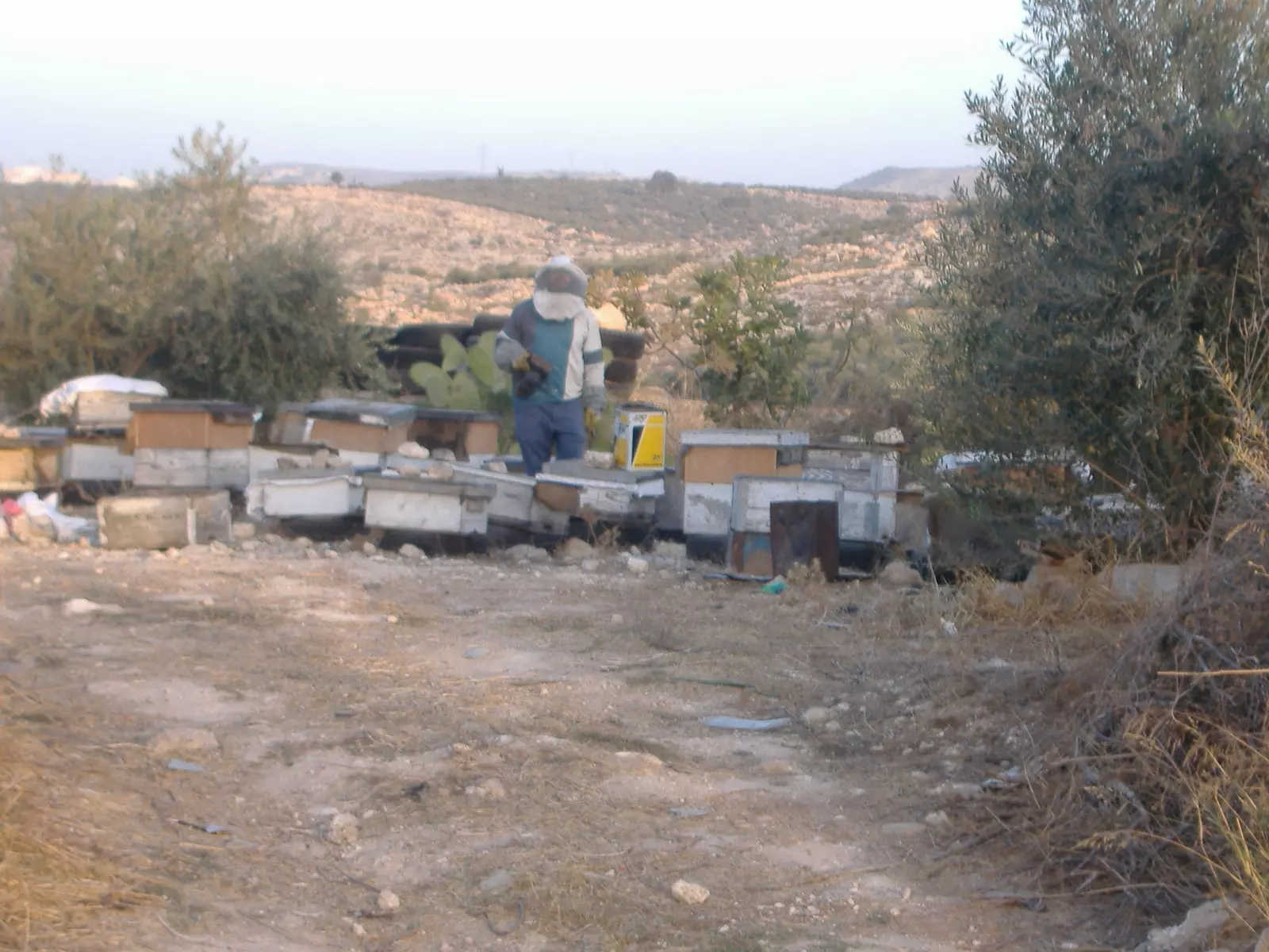
Posted by محمد الحاج 2 - صورة نحال من قريه بيت سيرا
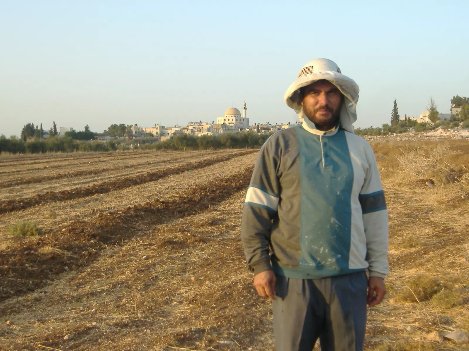
Posted by محمد الحاج - صورة نحال من قريه بيت سيرا
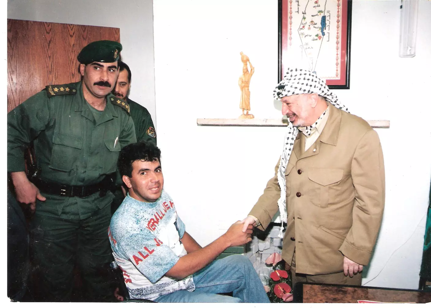
Posted by محمد الحاج - محمد الحاج مع الرئيس ابو عمار
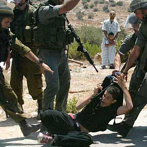
Posted by محمد الحاج 1 - بيت الاسير هيثم حمدان المهدوم من قبل الاحتلال
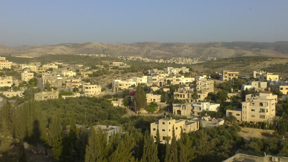
Posted by محمد الحاج 2 - منظر عام
Posted by محمد الحاج 1 - منظر عام بيت سيرا وجبال يالو وعمواس المدمرتين سنه 1967
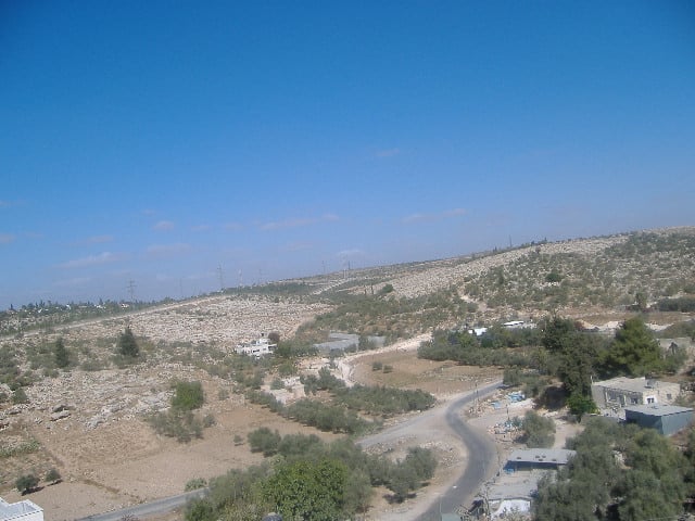
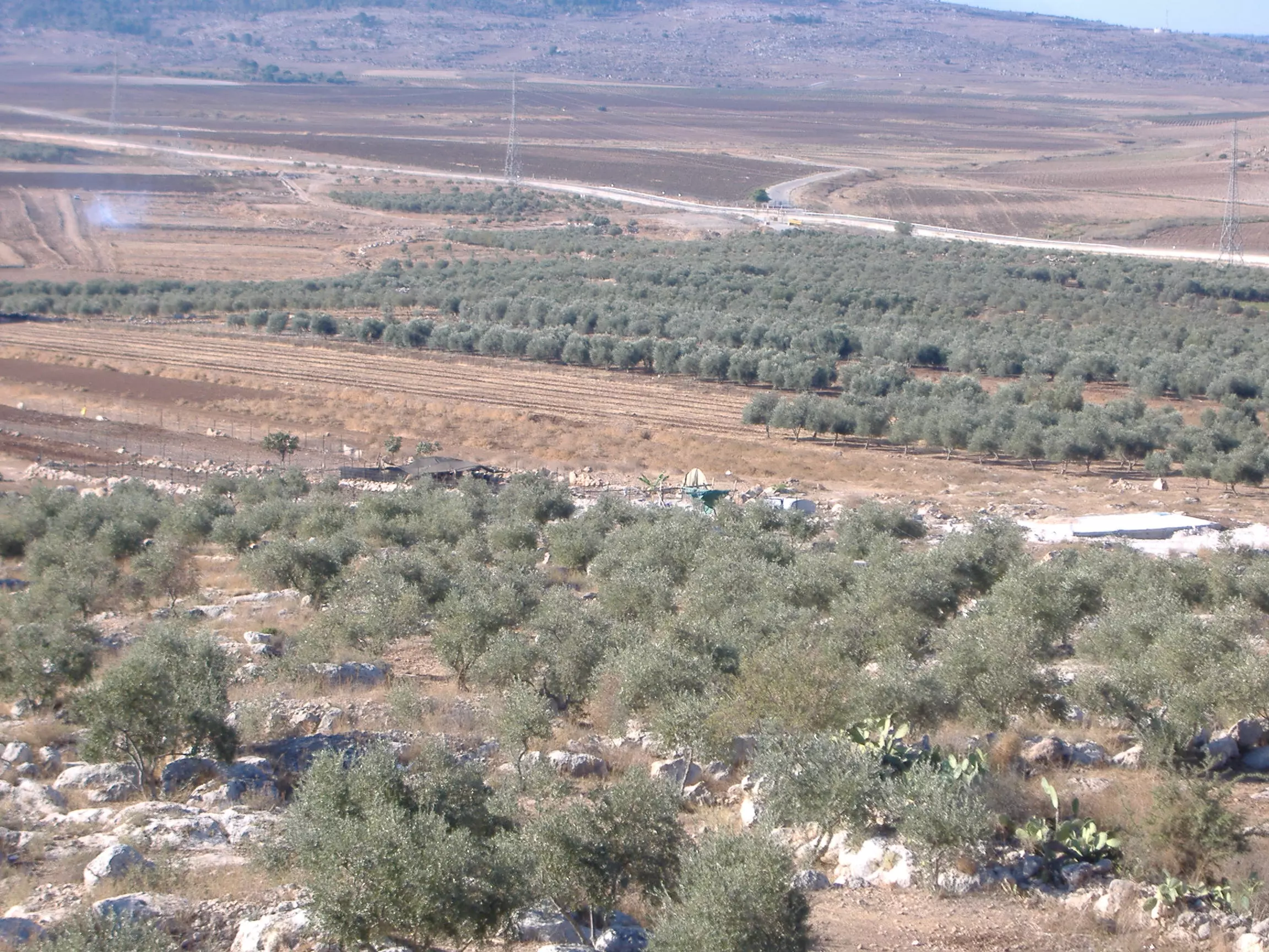
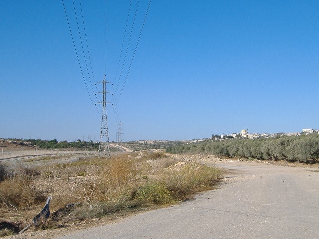
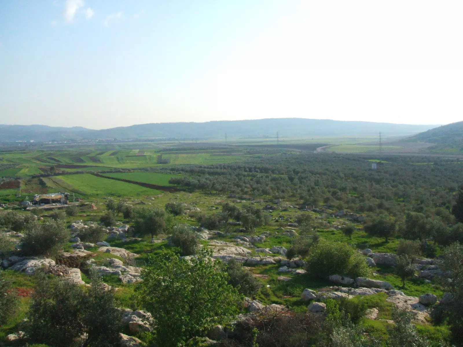
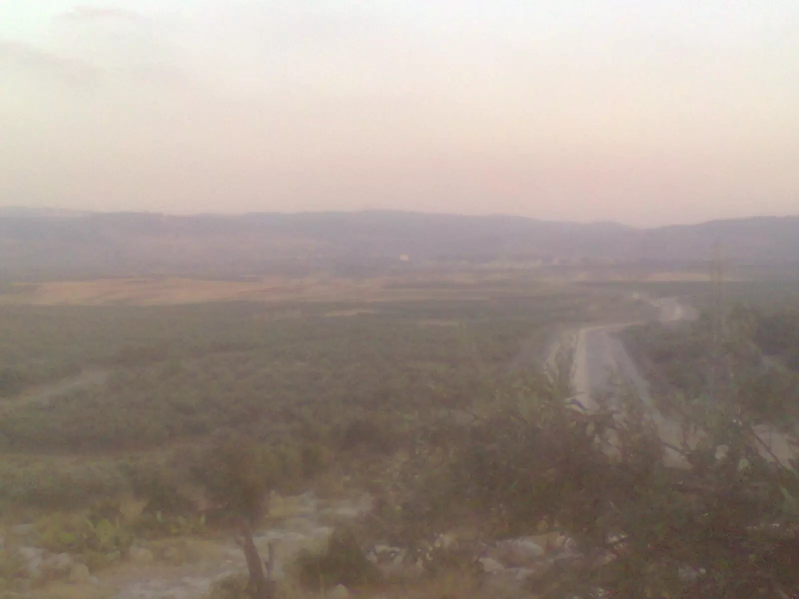
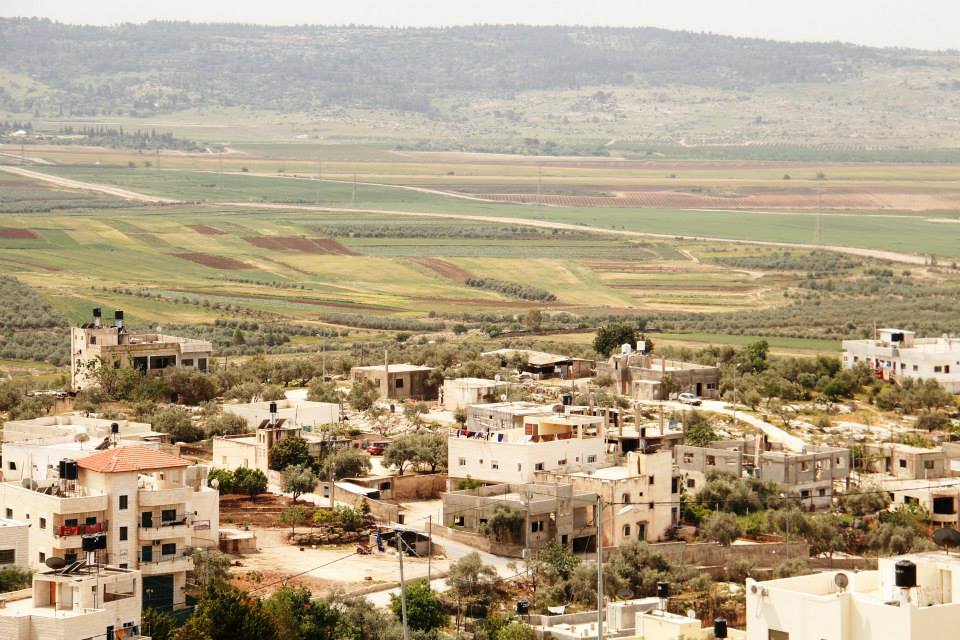
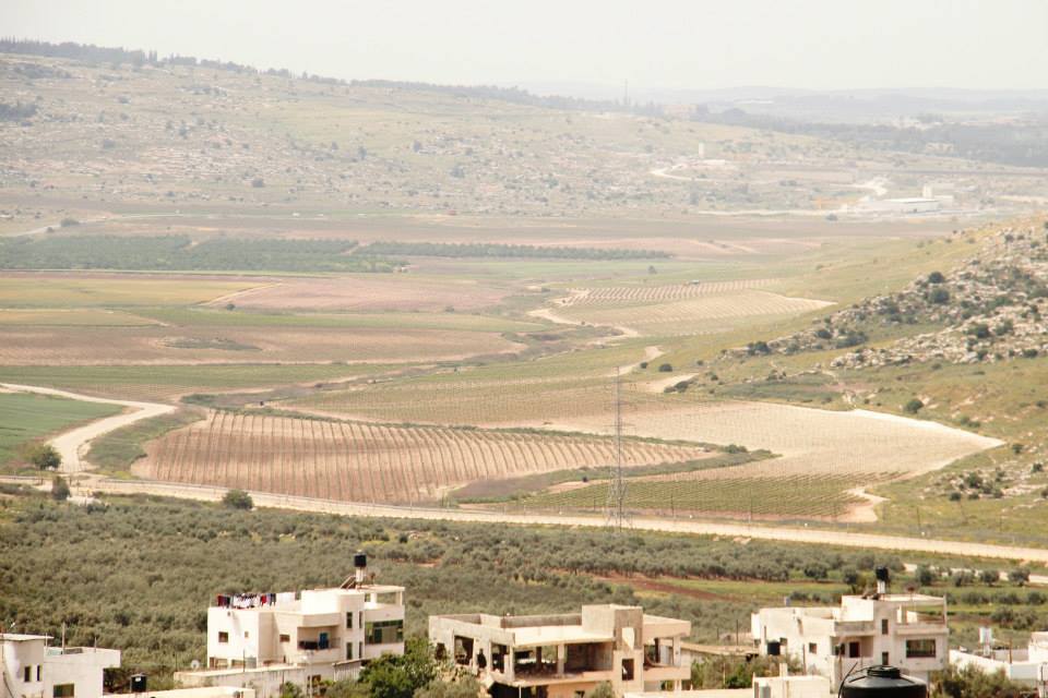
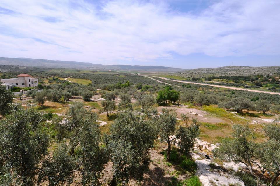
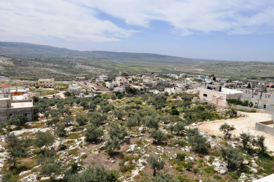
Posted by محمد الحاج 3 - منظر عام لسهول بيت سيرا
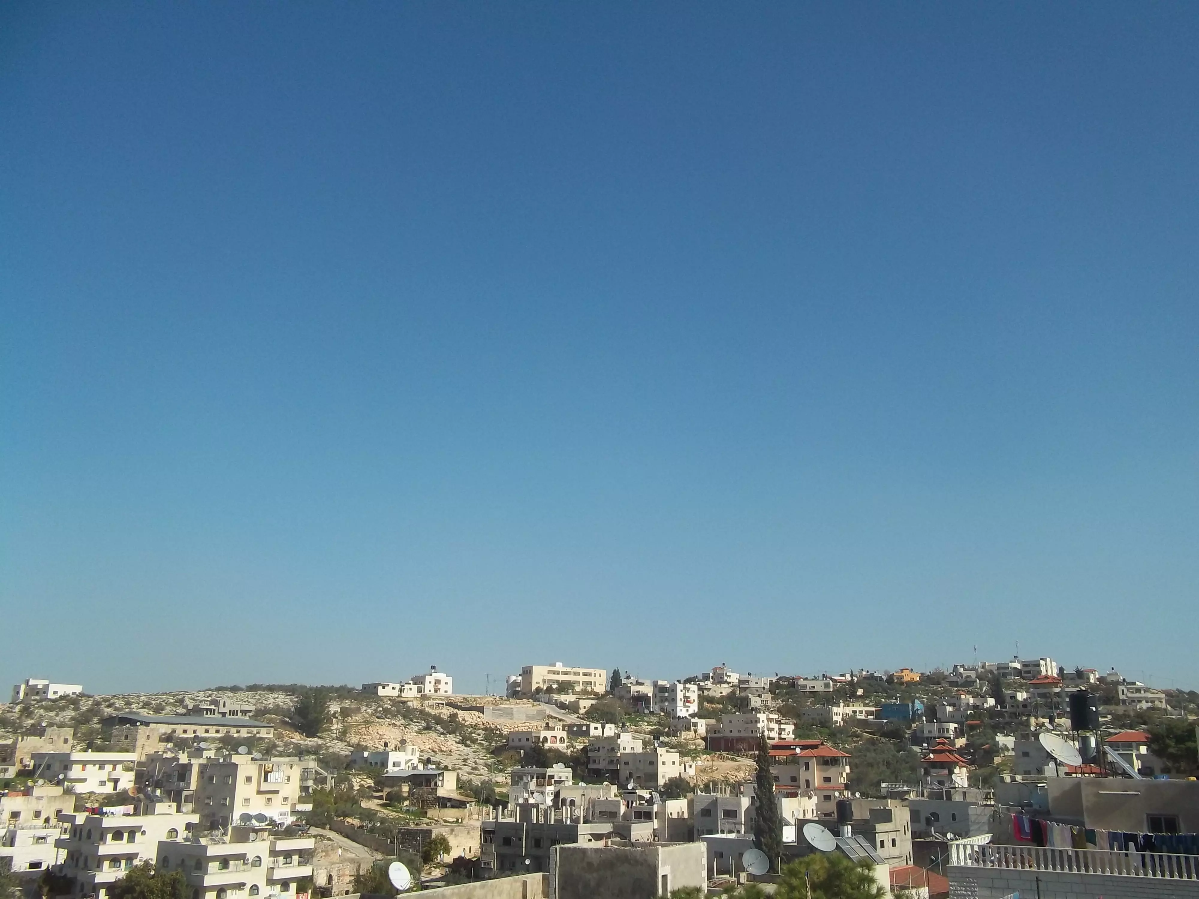
Posted by محمد الحاج 1 - مظر عام
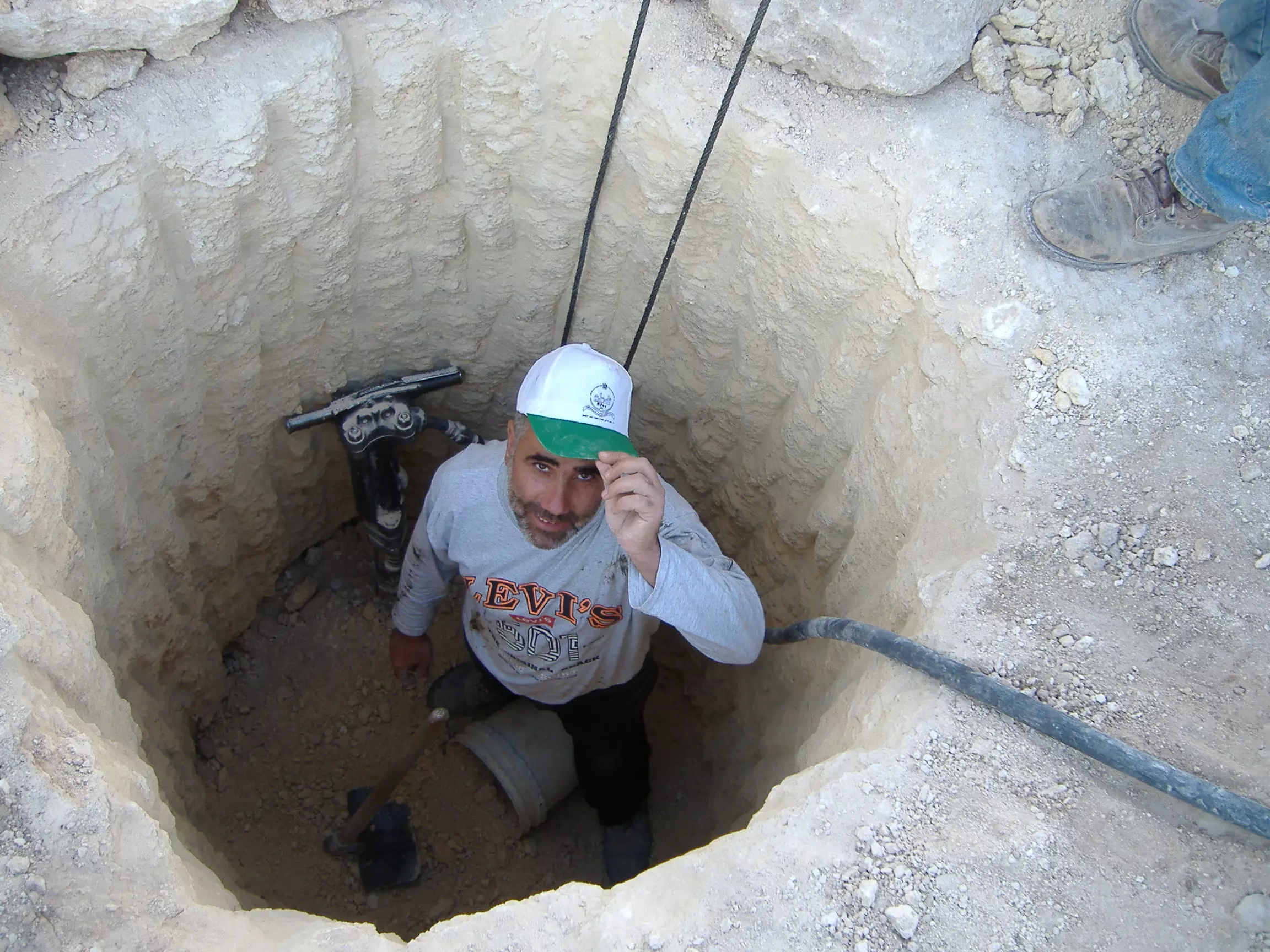
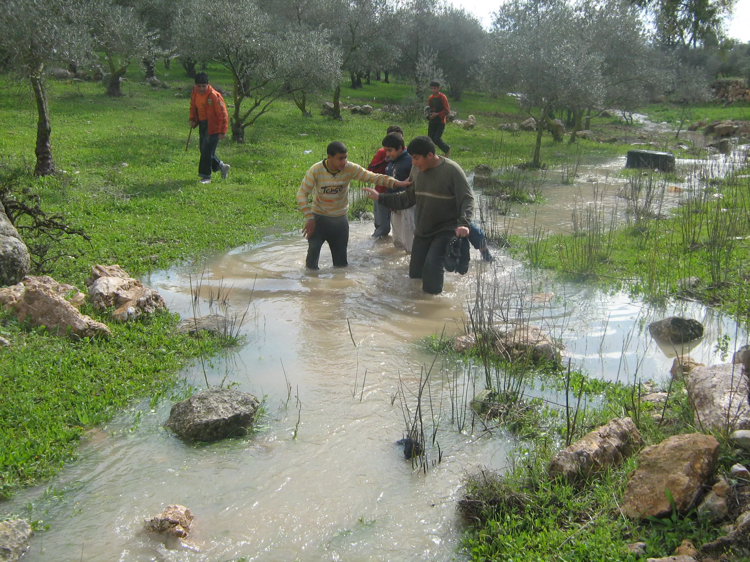
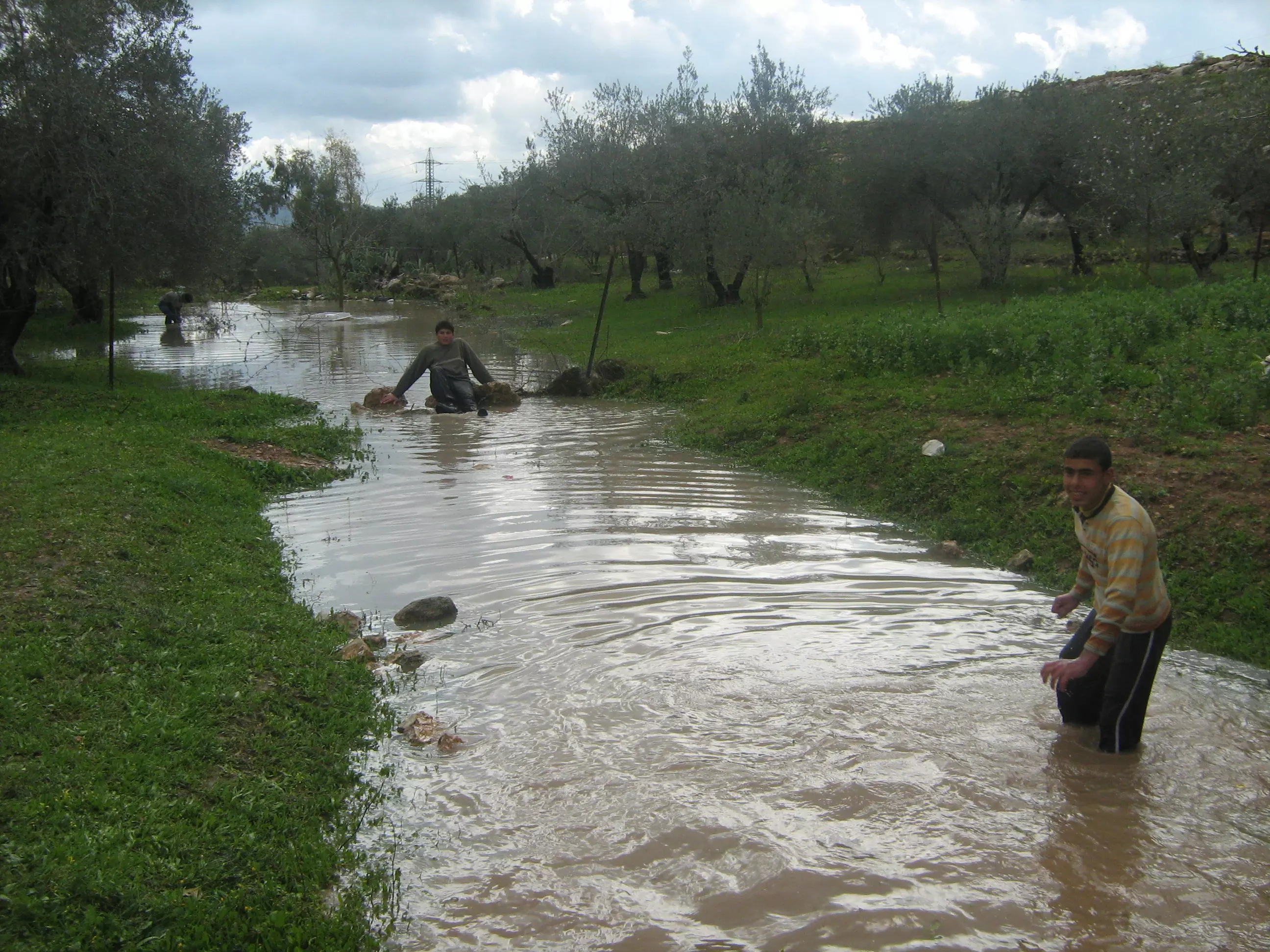
Posted by محمد الحاج - حفر الابار لتجميع مياة الشتاء
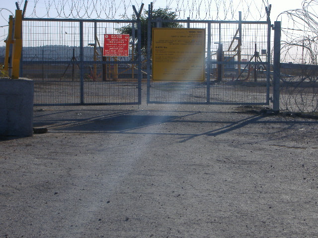
Posted by محمد الحاج 2 - بوابة الجدار
Posted by صامد الحاج 1 - شارع الجدار
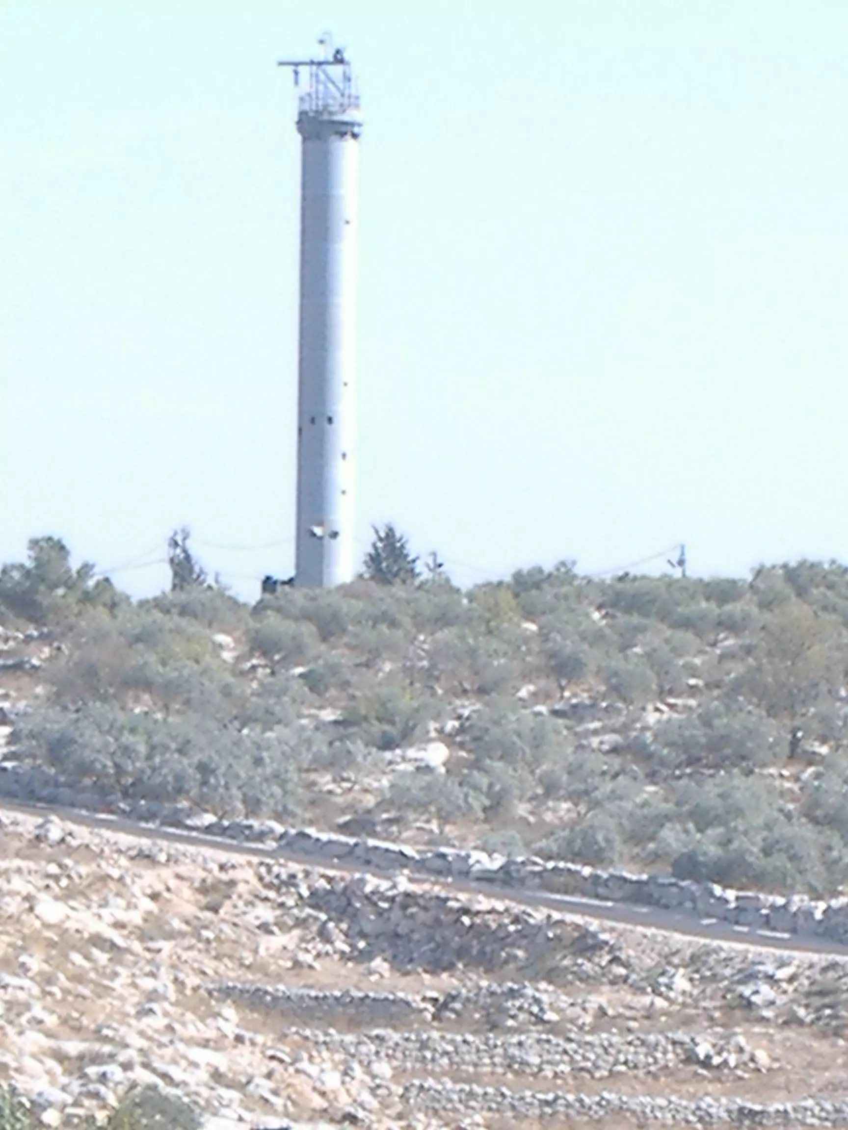
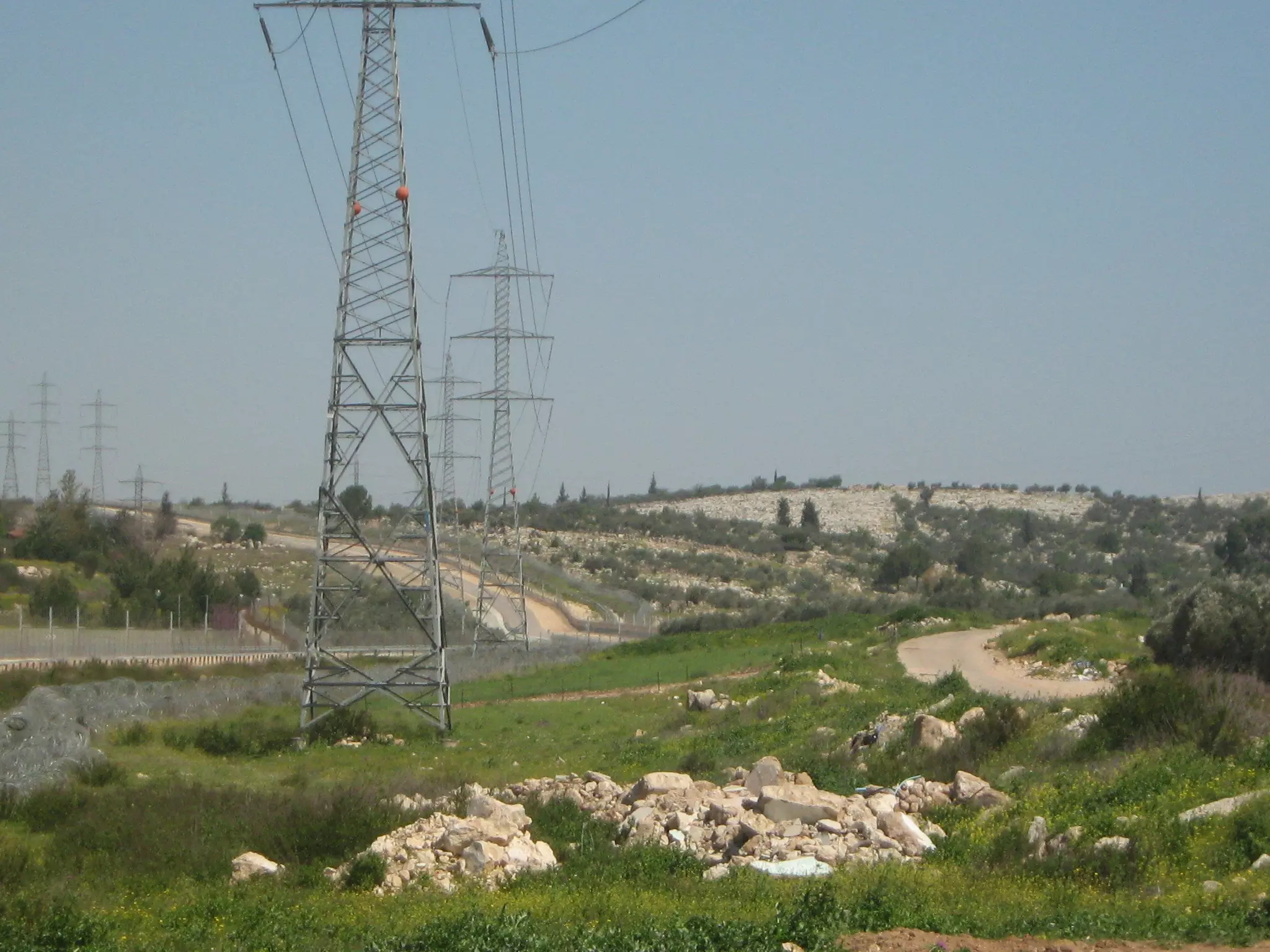
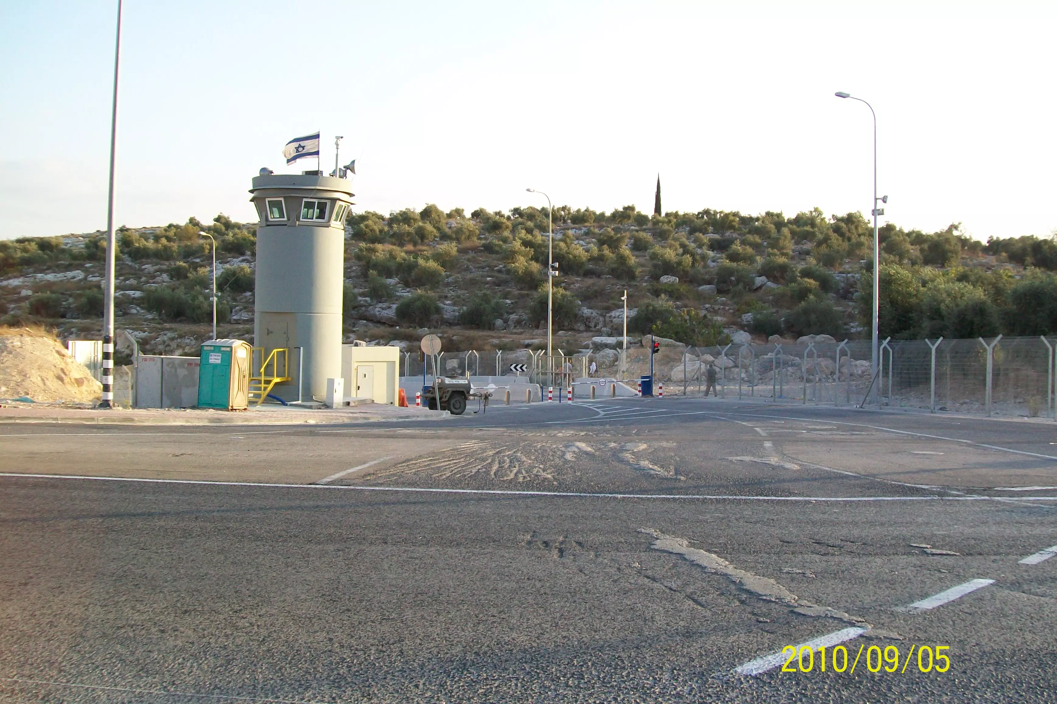
Posted by صامد الحاج 2 - برج عسكري اسرائيلي على ارض بيت سيرا
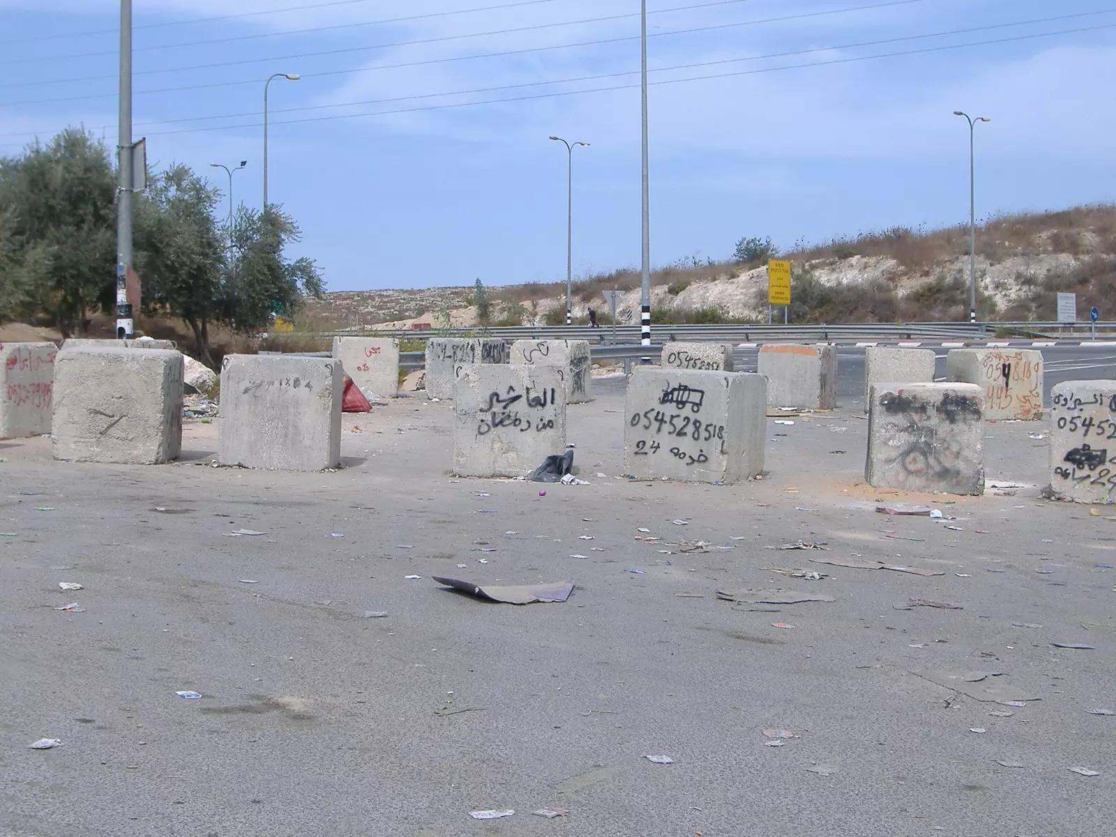
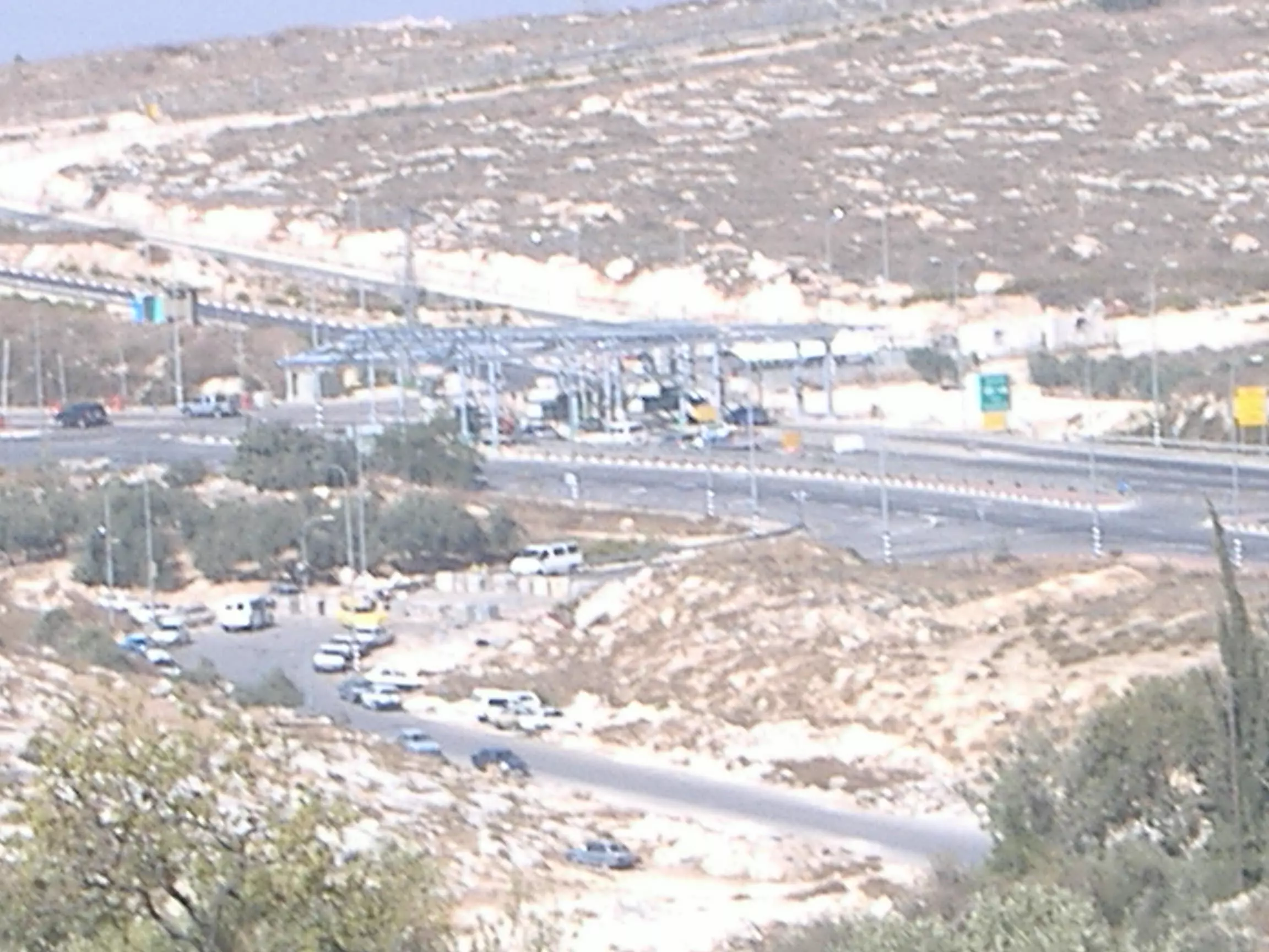
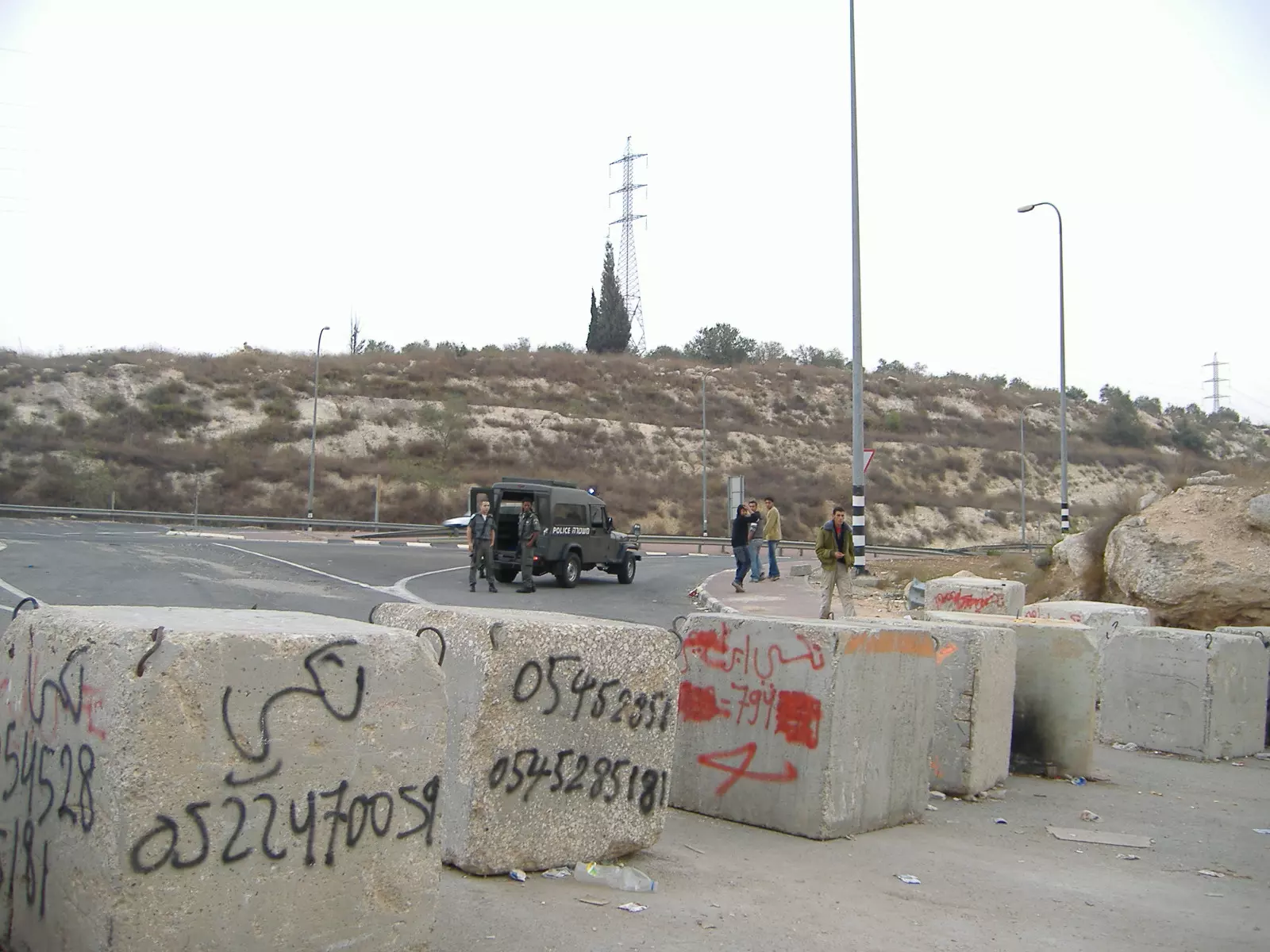
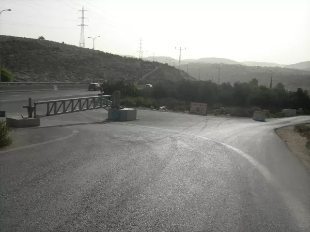
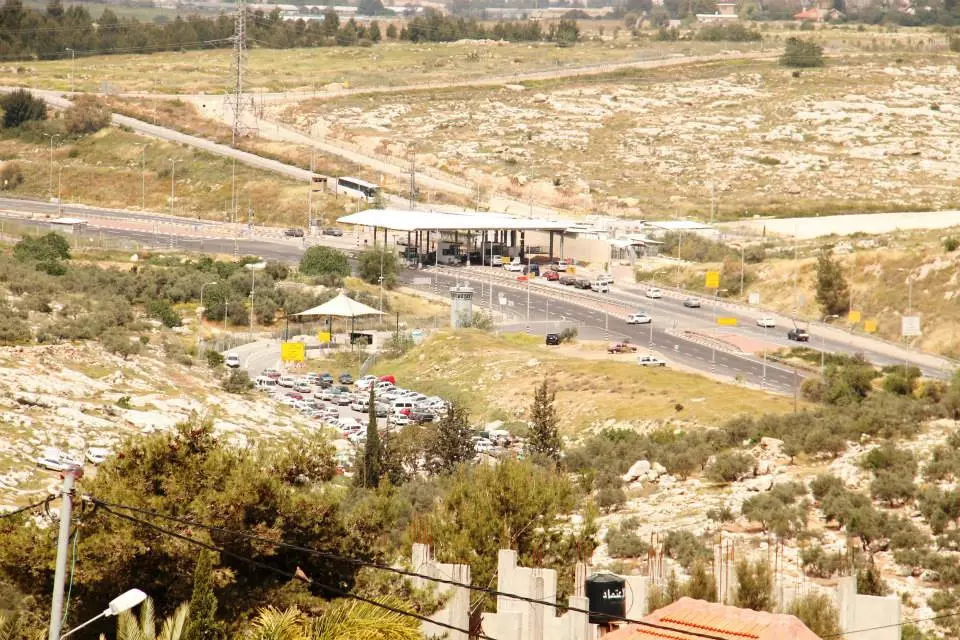
Posted by محمد الحاج - حاجز بيت سيرا الاسرائيلي الذي يفصل الضفة الغربية عن اسرائيل
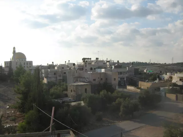
Posted by صامد الحاج - صورة مسجد بيت سيرا منظر طبيعي
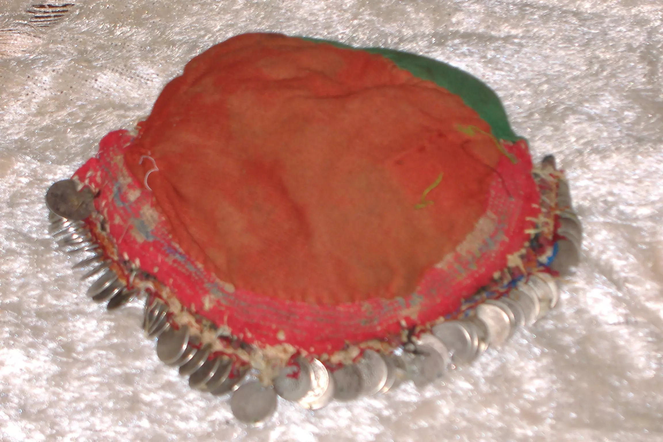
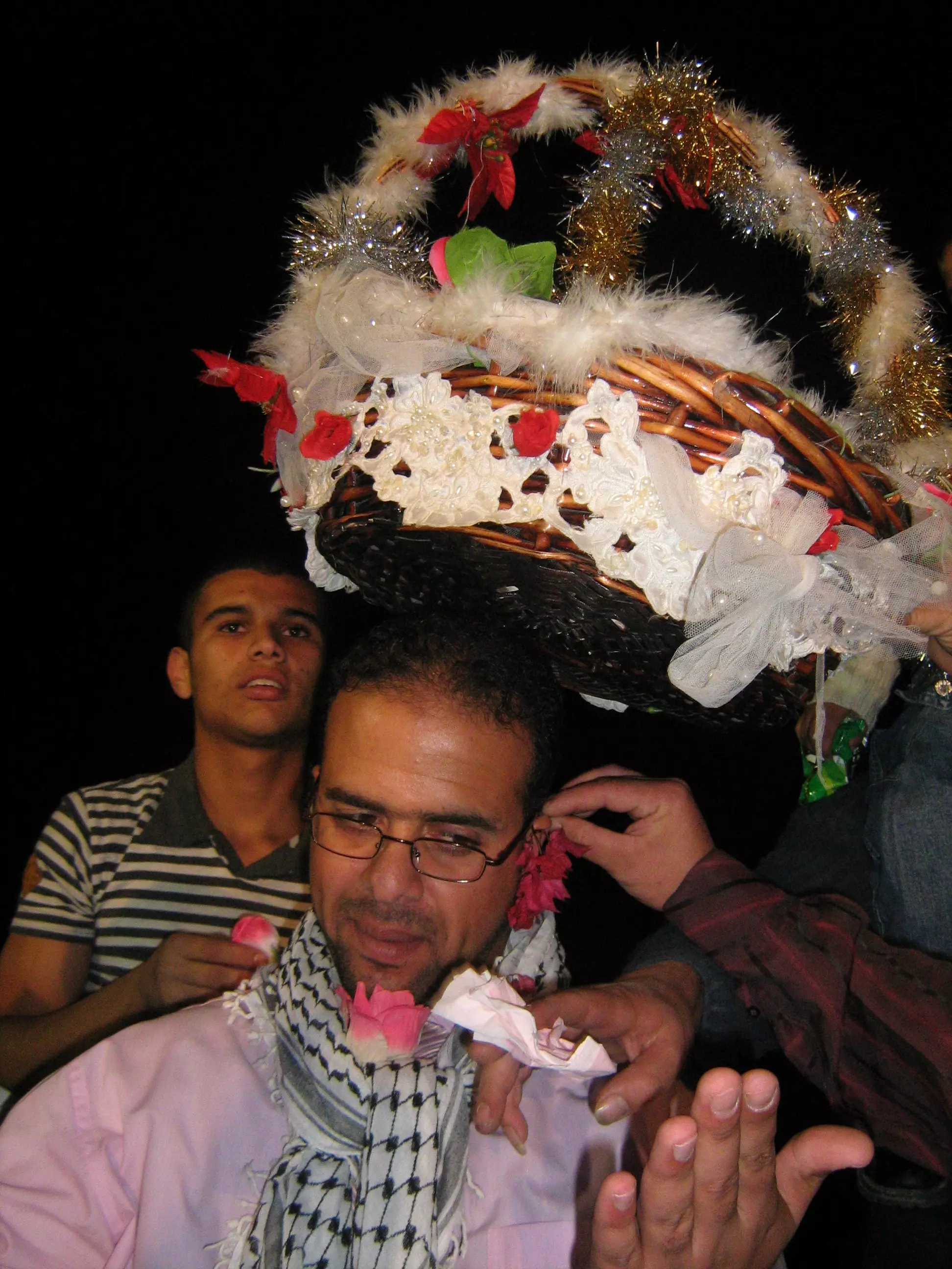
Posted by صامد الحاج 3 - اوقا غطاء الرائس يوضع على راس المراء الفلسطينيه قديما يعود تاريخها الى ما يقارب 200 عام
Posted by محمد الحاج - طريق راقم 1 من الضفه الى غزة عبر طريق بيت سيرا اللطرون المغلق من بدايه انتفاضه الاقصى
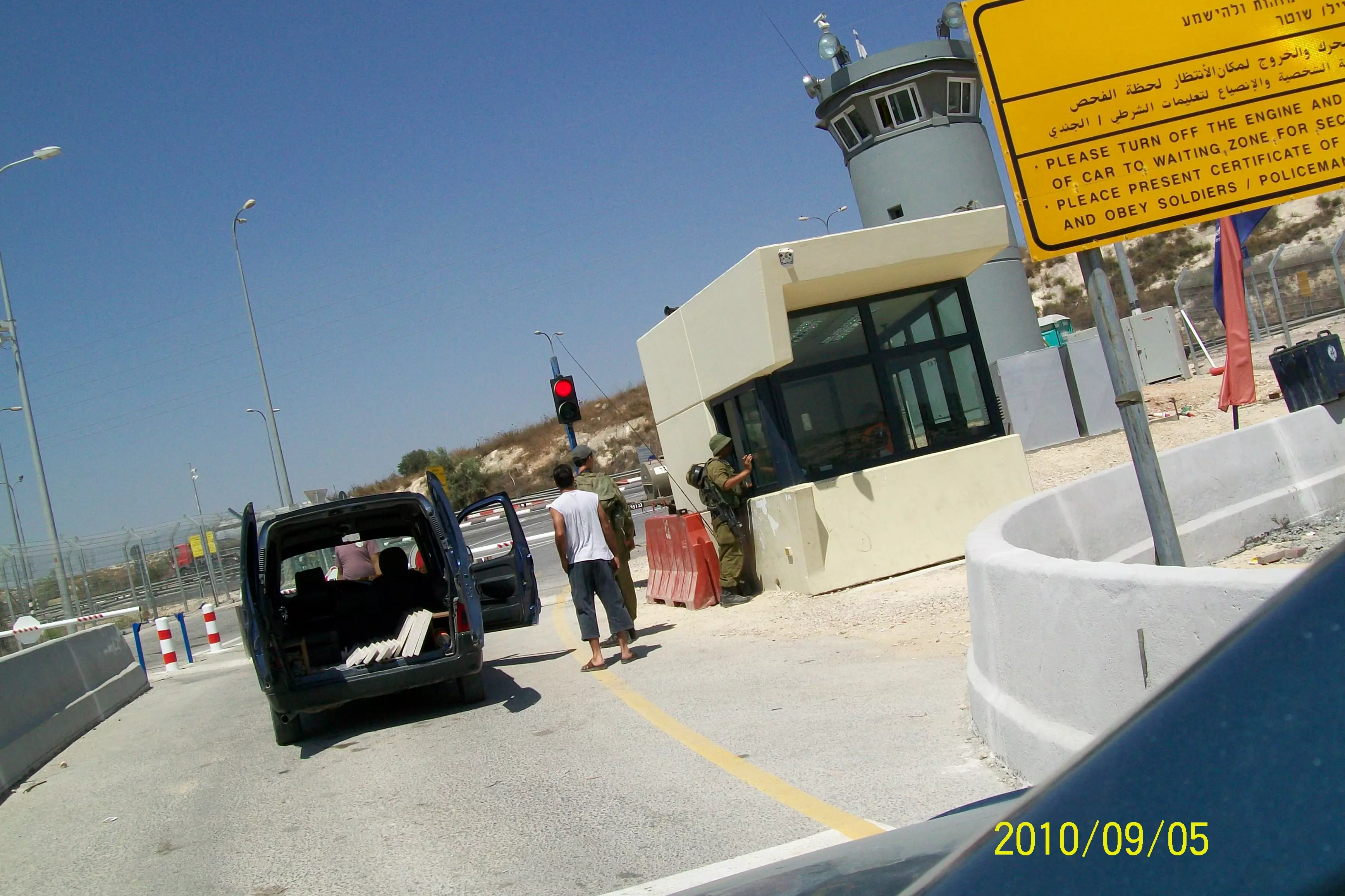
Posted by محمد الحاج - معاناة العمال الفلسطينين اليوميه على حاجز بيت سيرا
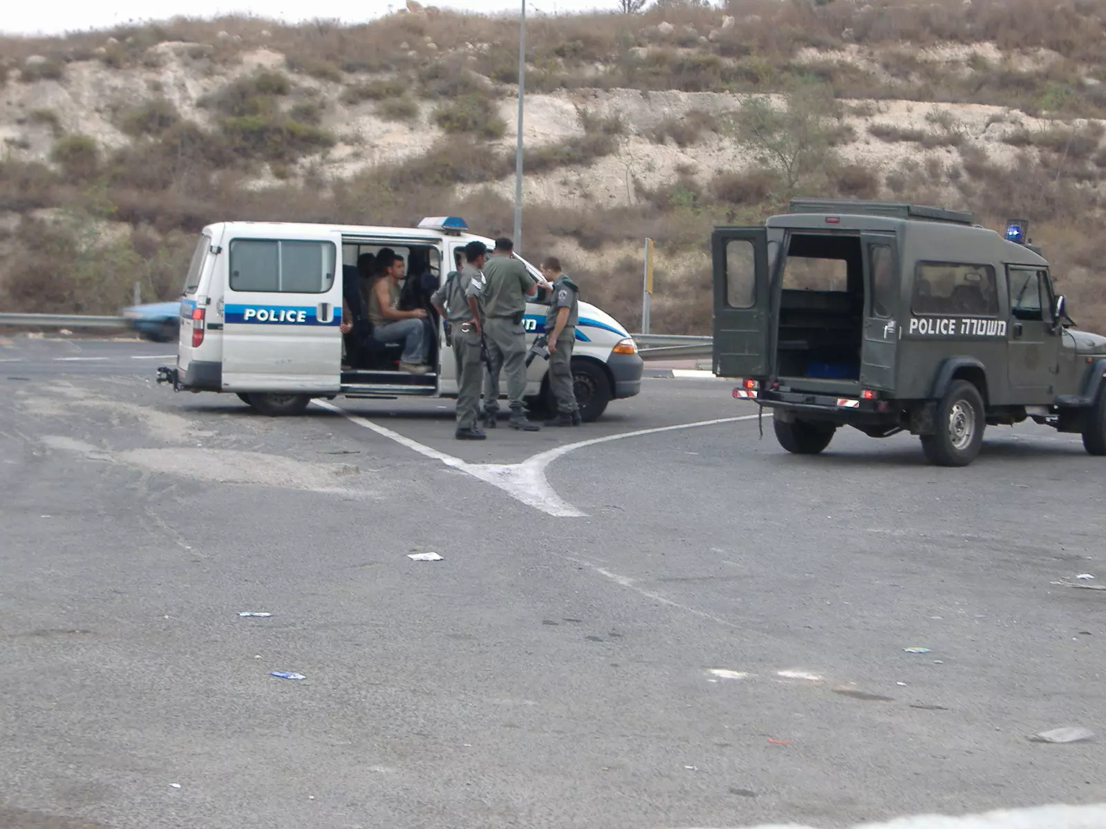
Posted by محمد الحاج - بشاعة الاحتلال في احتجاز العمال الفلسطينيين على حاجز قرية بيت سيرا
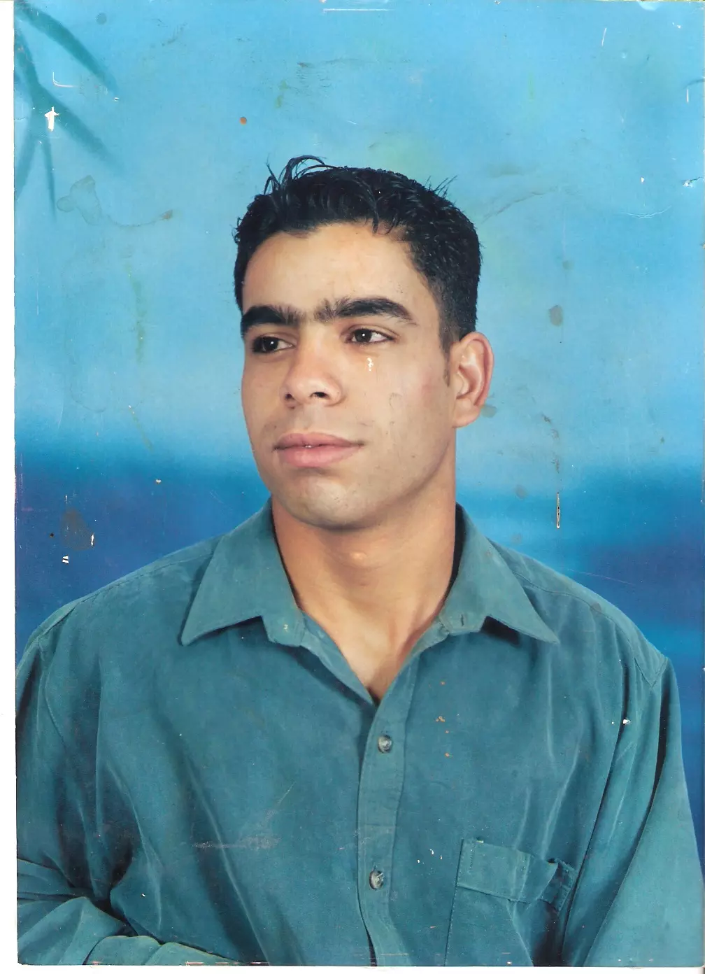
Posted by صامد الحاج - الاسير احمد محمد موسى الحاج من قرية بيت سيرا محكوم 22 سنة وامضى 6 سنوات وما زال يقبع داخل السجون الاسرائيلية
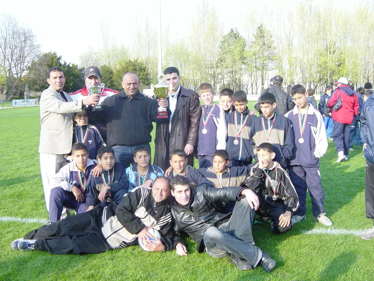
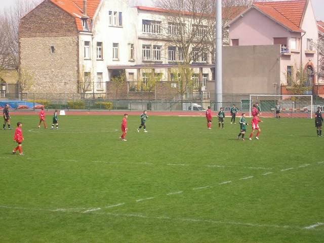
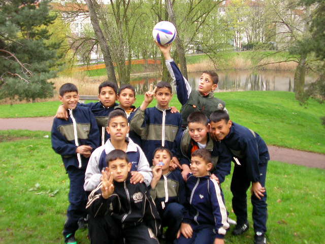
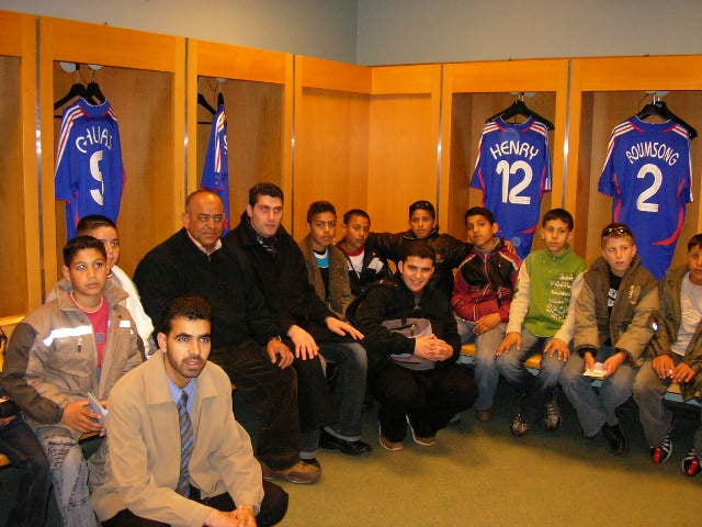
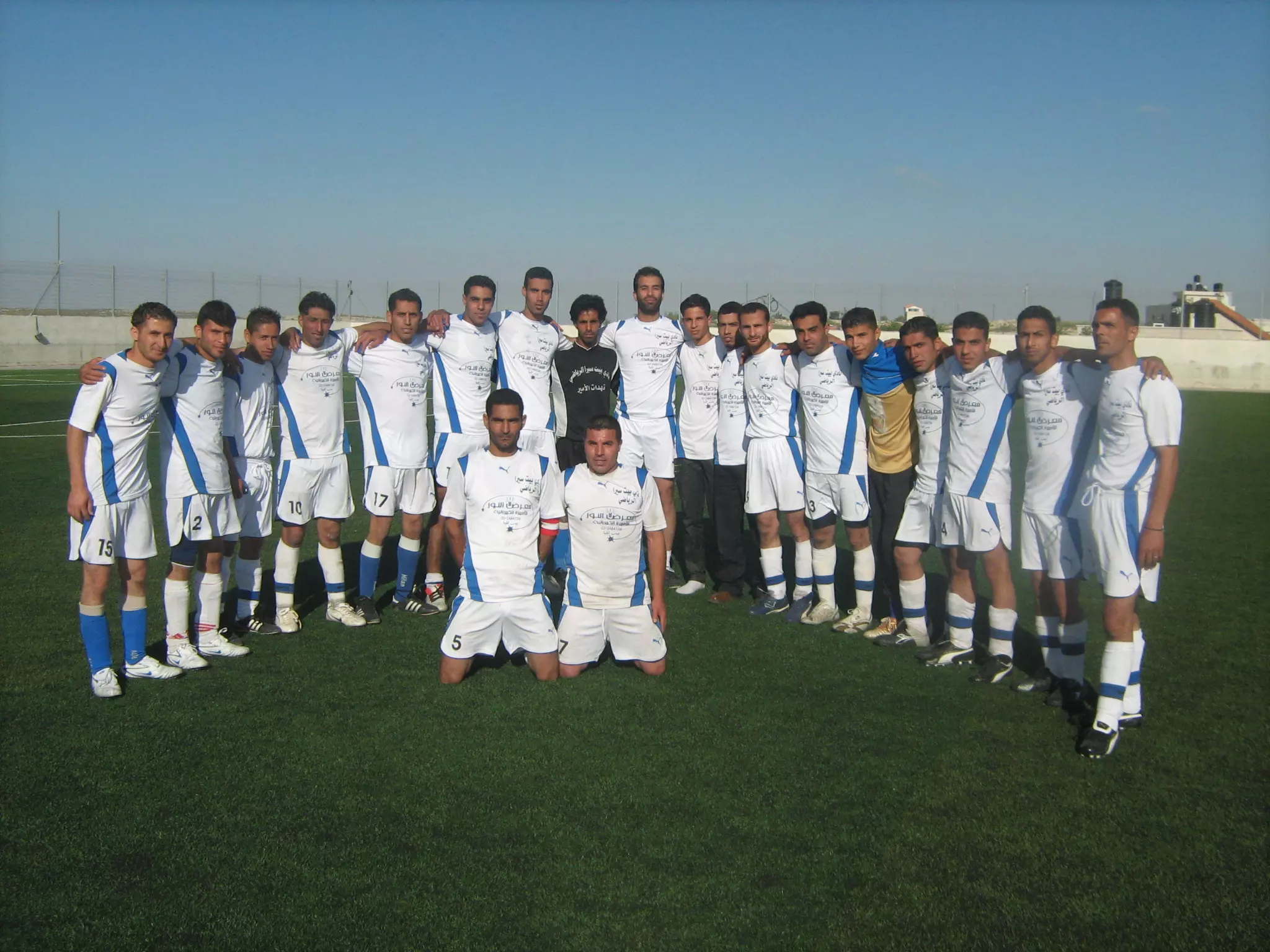
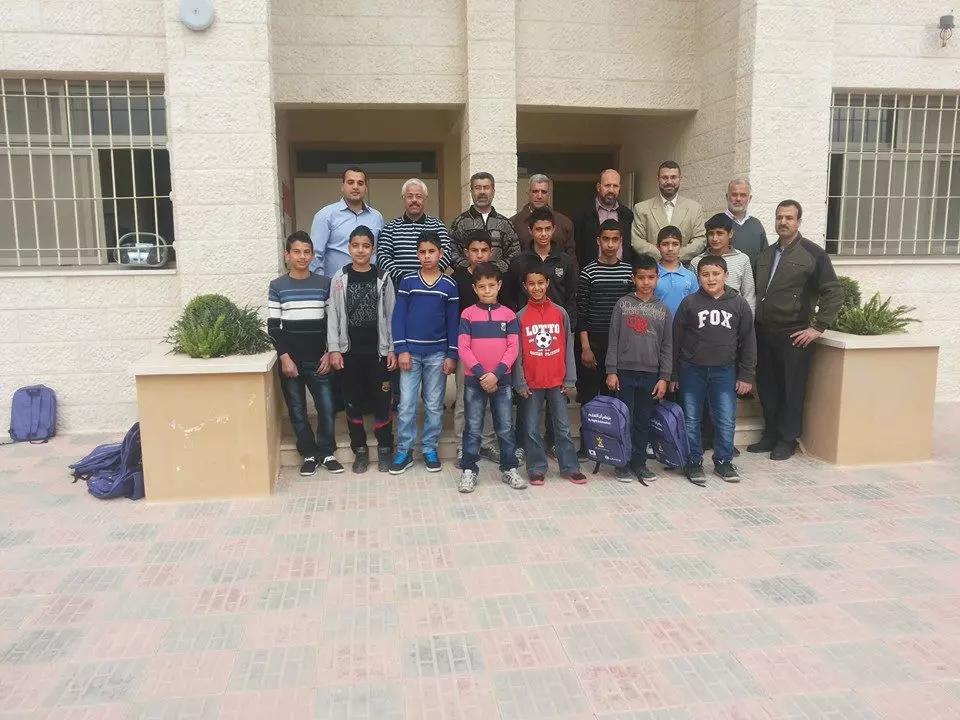
Posted by صامد الحاج 3 - اعضاء فريق قرية بيت سيرا البراعم في مدينة باريس _فرنسا يخوض مباريات دولية لكرة القدم ويتم تكريمه
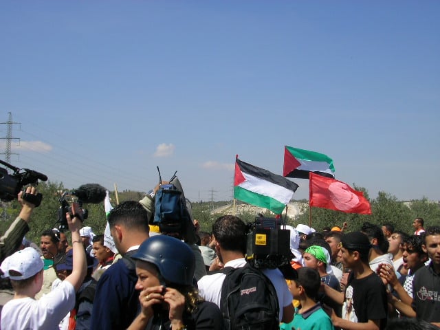
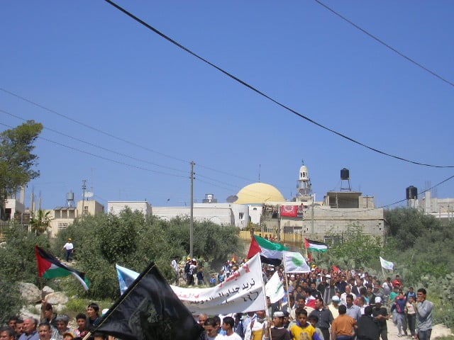
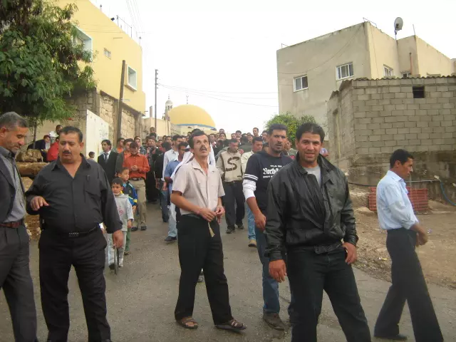
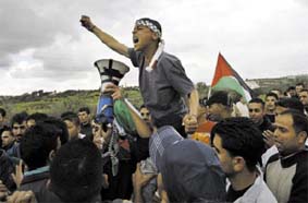
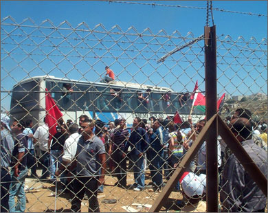
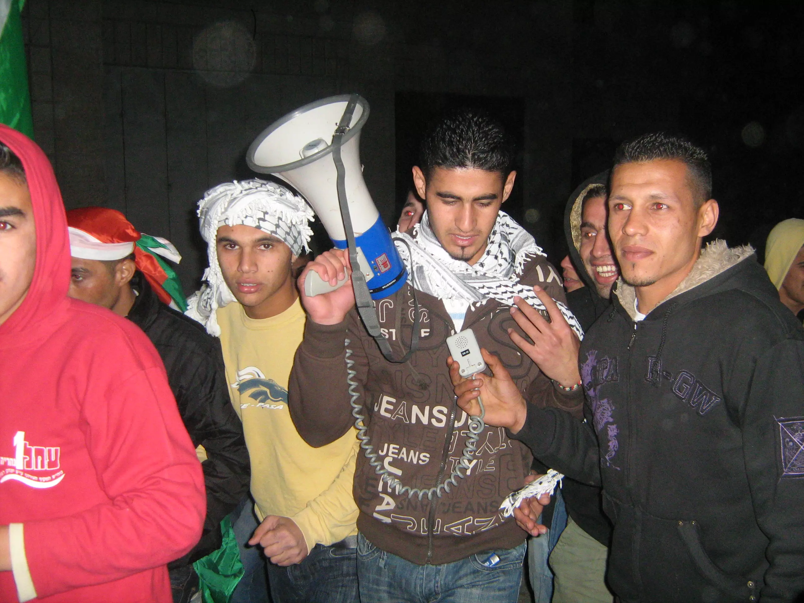
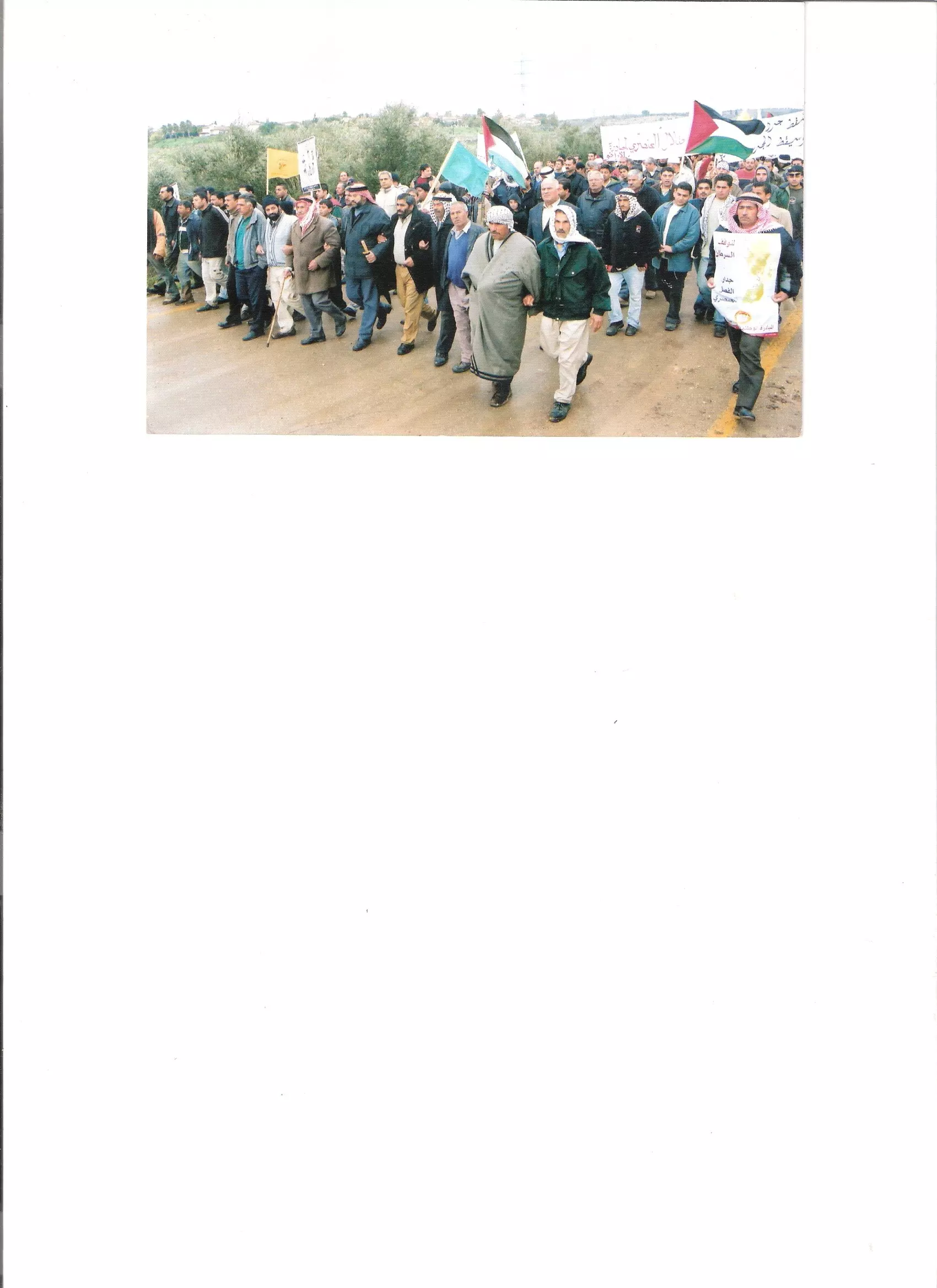
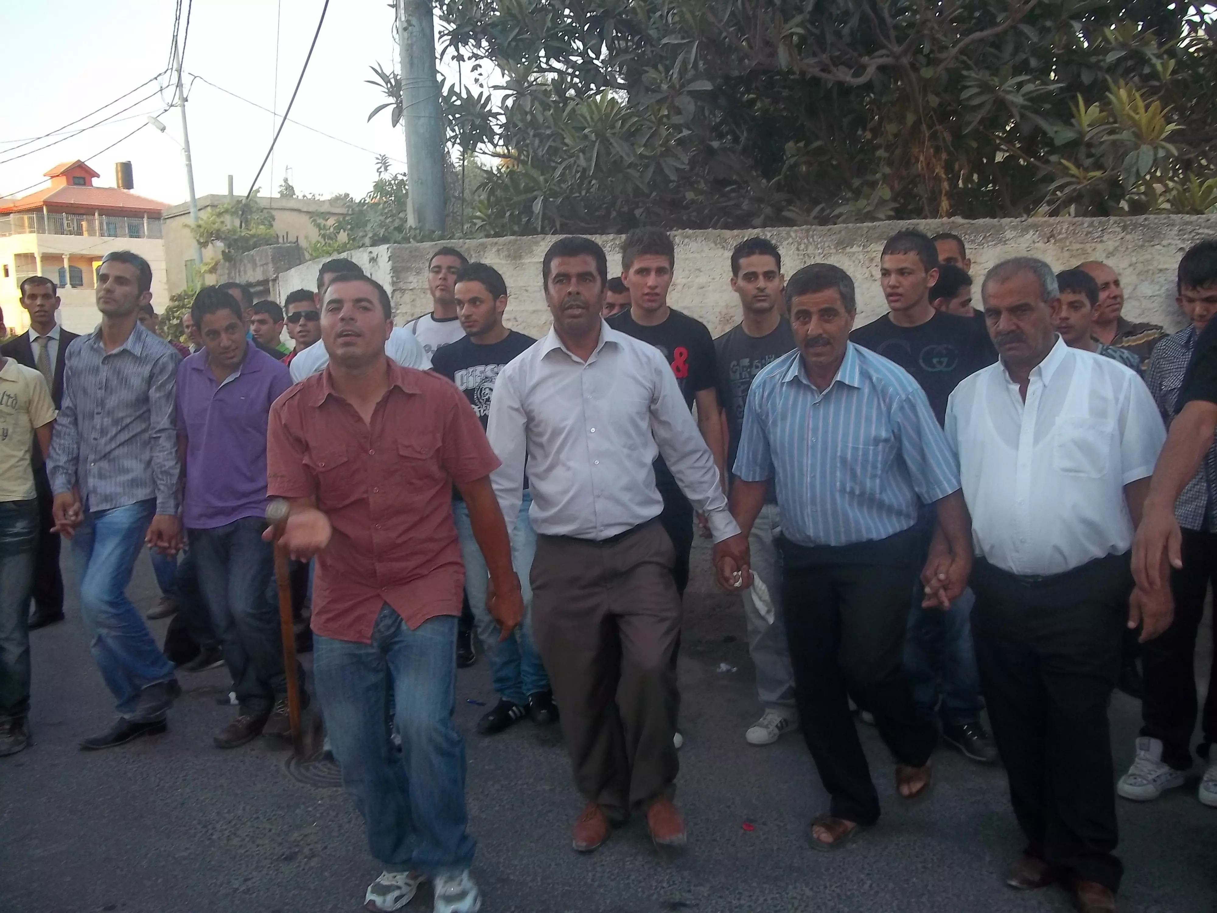
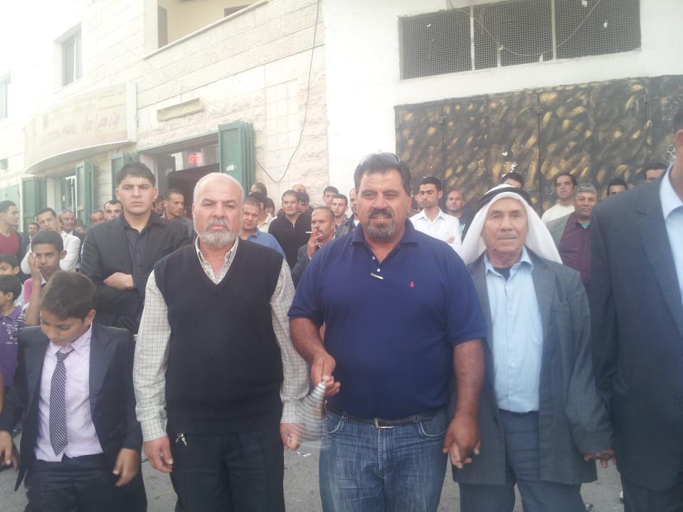
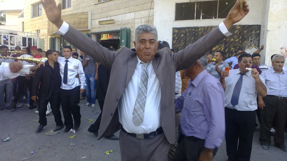
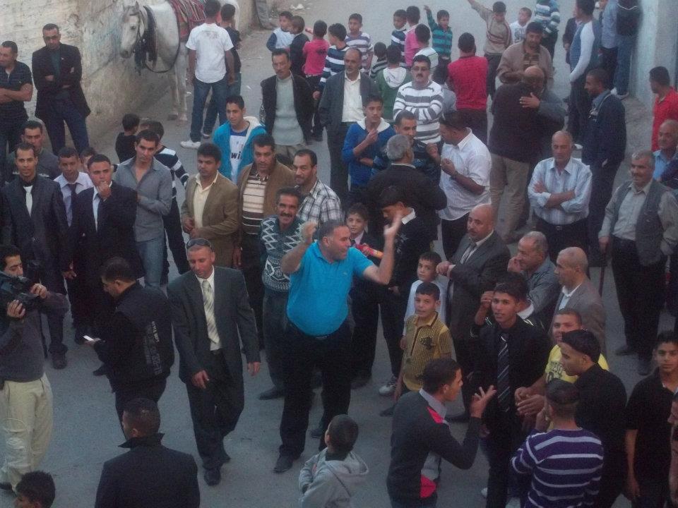
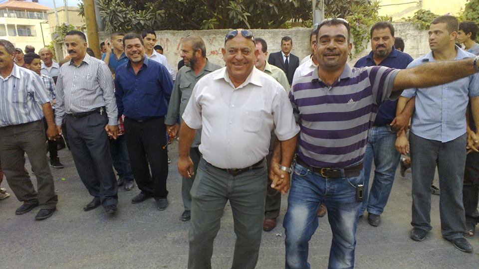
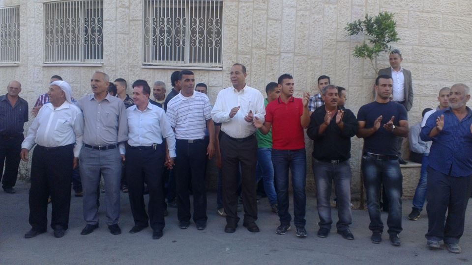
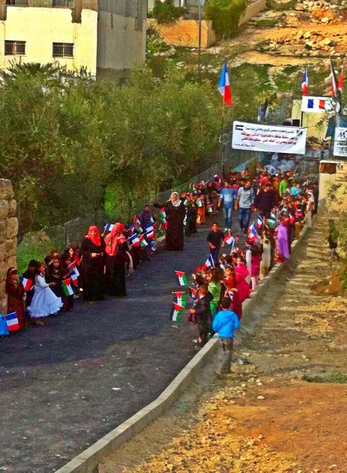
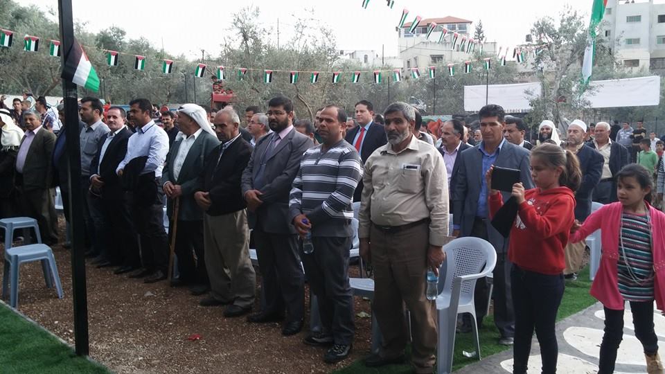
Posted by صامد الحاج 2 - مسيرة جماهيرية لابناء بيت سيرا احتجاجا على اغتصاب الاحتلا لاراضي القرية في ذكرى يوم الارض

Posted by صامد الحاج - مسيرة جماهيرية لابناء بيت سيرا احتجاجا على اغتصاب الاحتلا لاراضي القرية في ذكرى يوم الارض
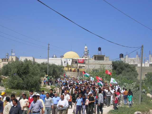
Posted by صامد الحاج - قرية بيت سيرا في ذكرى يوم الارض
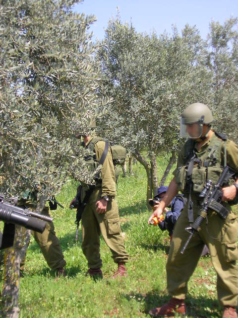
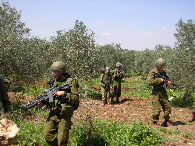
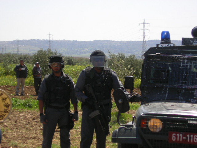
Posted by صامد الحاج 1 - قوات الاحتلال يطوقون قرية بيت سيرا لمنع ابناء القرية من الاحتجاج على اعمال الاسرائيلين
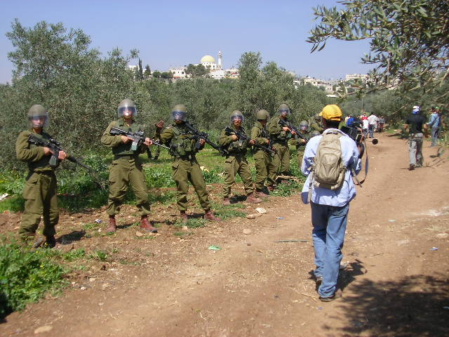
Posted by صامد الحاج - قوات الاحتلال الاسرائيلئ يطلقون النار وقنابل الصوت على ابناء قرية بيت سيرا
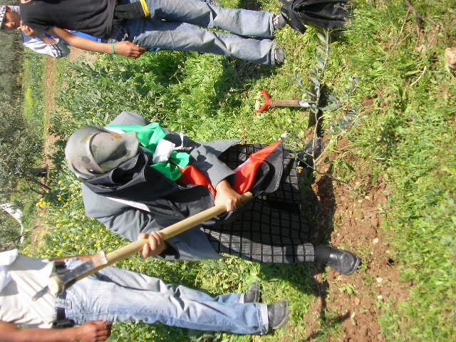
Posted by صامد الحاج 2 - صورة لرجل من قرية بيت سيرا يزرع شجرة الزيتون في ارضه رغما عن الاحتلال الاسرائيلي
Posted by صامد الحاج - اعضاء فريق قرية بيت سيرا يبدا خوض مباراة على ملعب مدينة باريس عاصمة فرنسا مع خصمه الدولي
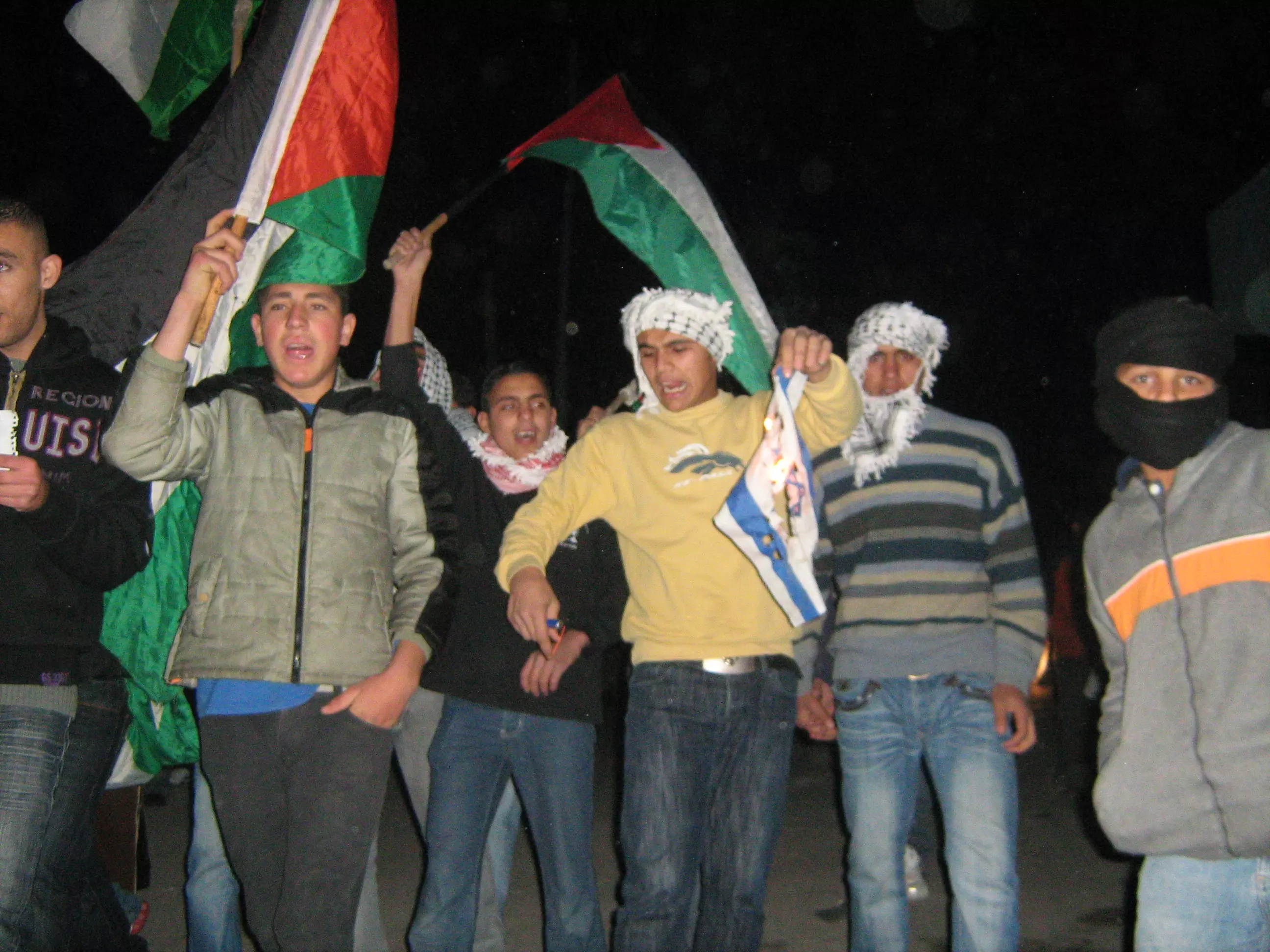
Posted by صامد الحاج 3 - في ذكرى يوم الارض في قرية بيت سيرا احتجاجا على جدار الفصل العنصري وقوات الاحتلال تضرب المتظاهرين
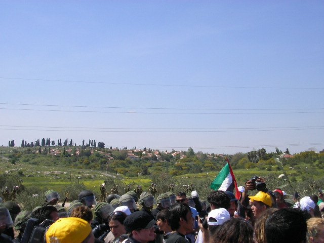
Posted by صامد الحاج - صورة على ارض قرية بيت سيرا لاحتجاج ابناء القرية على قيام جدار الفصل العنصري
Posted by صامد الحاج - قوات الاحتلال الاسرائيلي يطلقون النار وقنابل الصوت على ابناء قرية بيت سيرا بكل وحشية
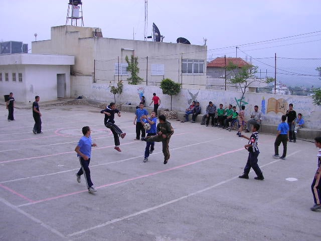
Posted by صامد الحاج - اطفال قرية بيت سيرا يلعبون كرة القدم في ملعب مدرسة ذكور بيت سيرا
Posted by صامد الحاج - اطفال قرية بيت سيرا يرفعون علامة النصر في دولة فرنسا
Posted by صامد الحاج - نادي فريق قرية بيت سيرا يججتمعون مع المدرب لاعطائهم الارشادات الشاملة لخوض مباراة دولية مع الدول الاوروبية
Posted by صامد الحاج 2 - صورة لحرس الحدود الاسرائيلي يقفون في اراضي قرية بيت سيرا رغما عن اهل القرية
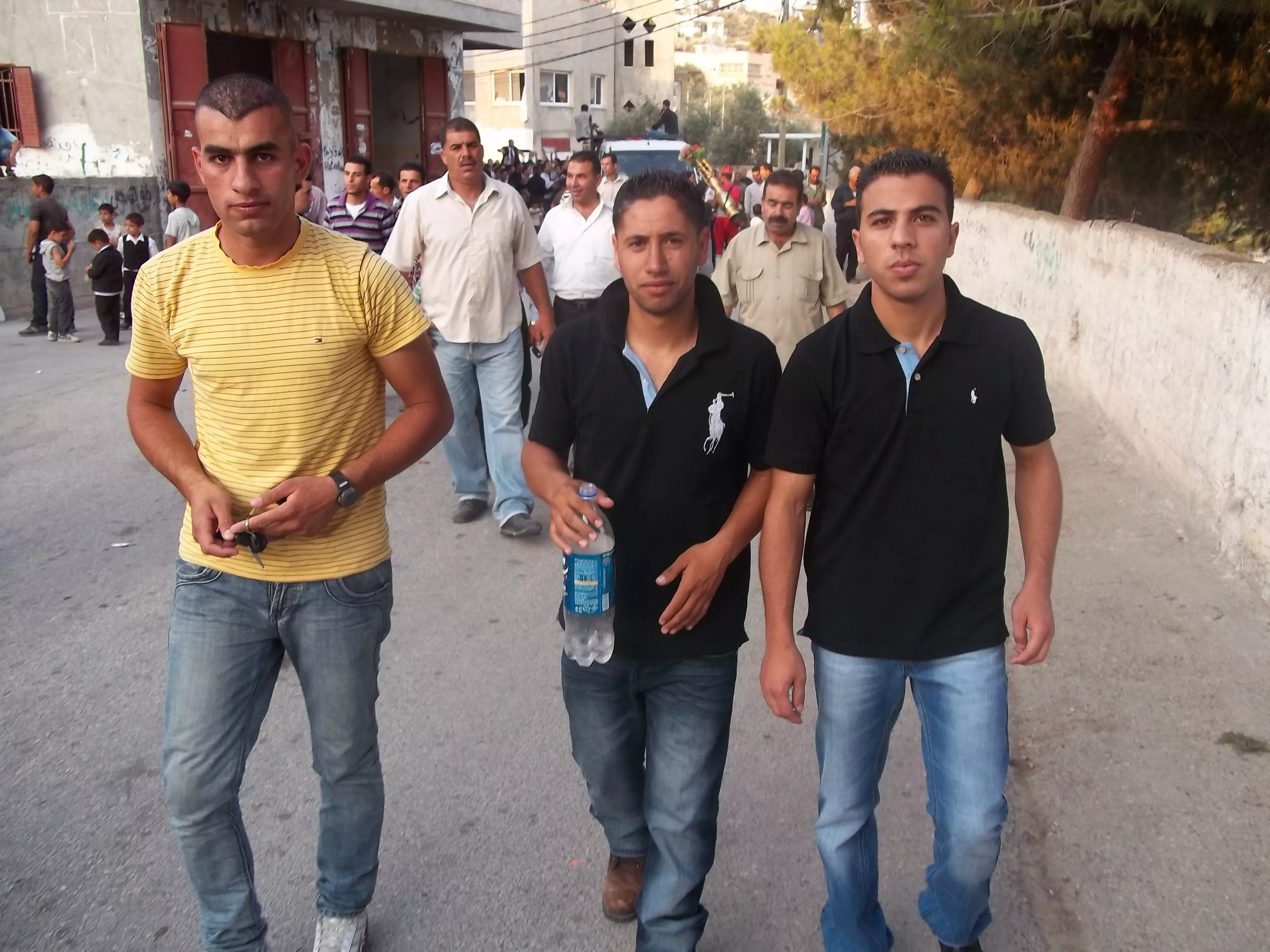
Posted by صامد الحاج 2 - منظر عام
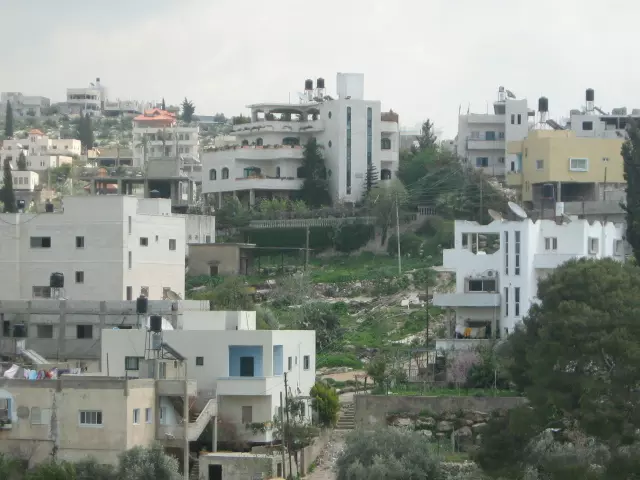
Posted by محمد الحاج - منظر عام
Posted by محمد الحاج 2 - منظر عام
Posted by محمد الحاج 1 - الاخ عبد الله الحاج من قلرية بيت سيرا حيث يعاني الان من جروح في راسه وجسمه نتيجة تعرضه للضرب المبرح من قبل جنود الاحتلال الاسرائيلي اثناء تصديه للجدار العازل فعلى من يحب الاتصال به على الرقم التالي 0525926572
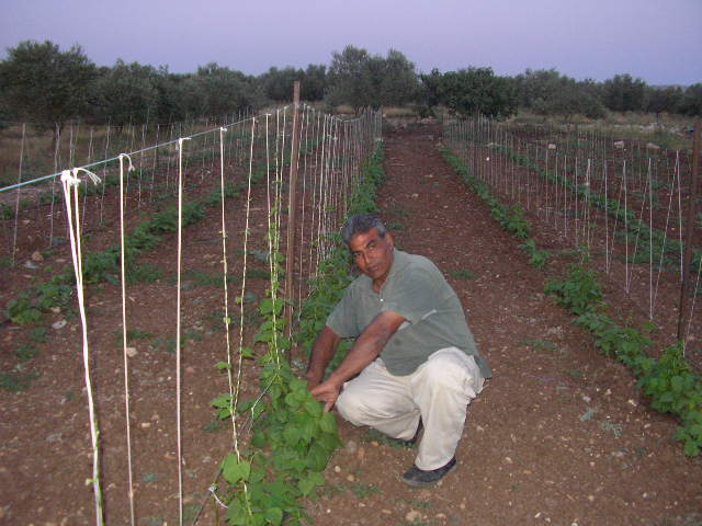
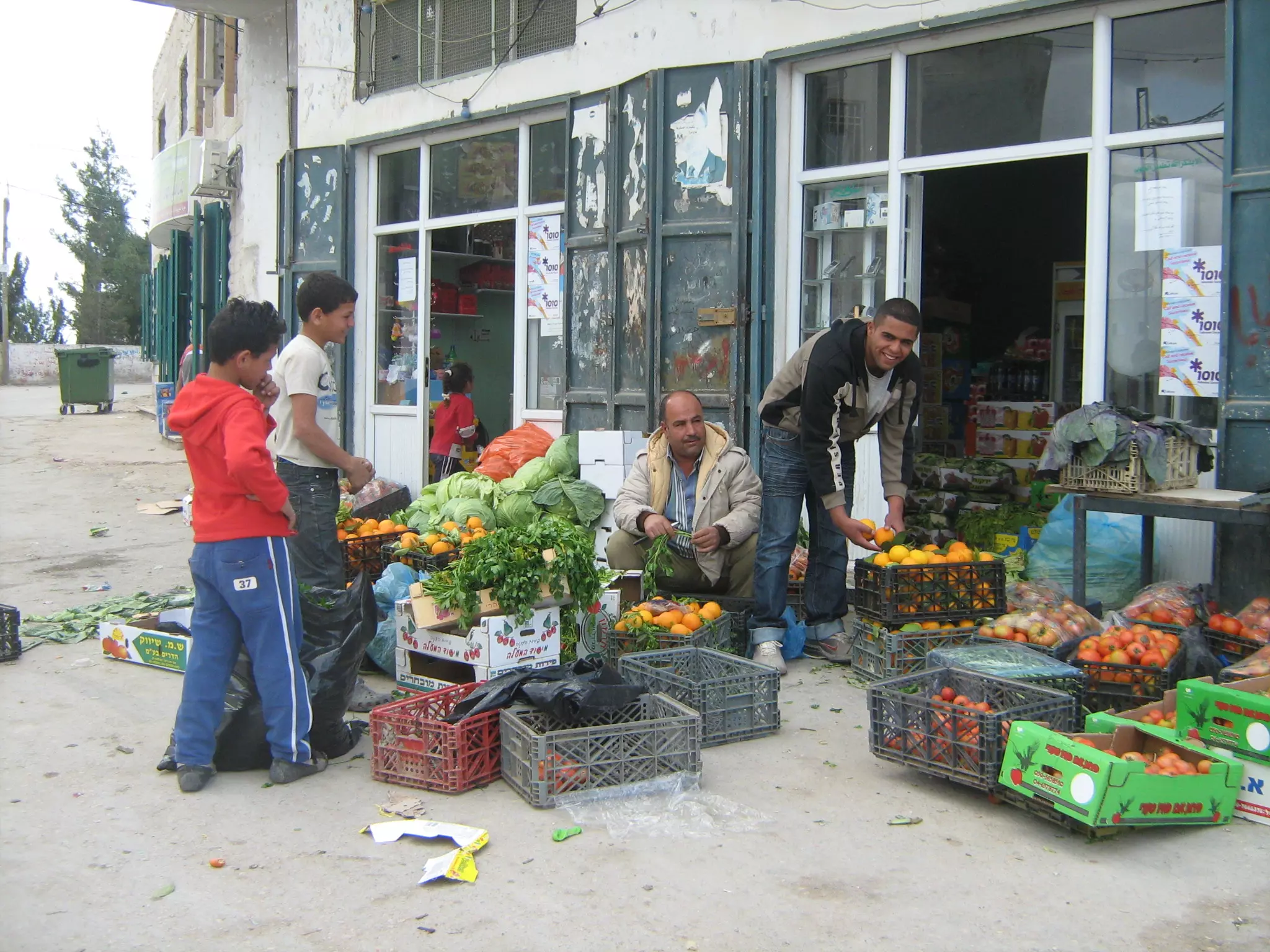
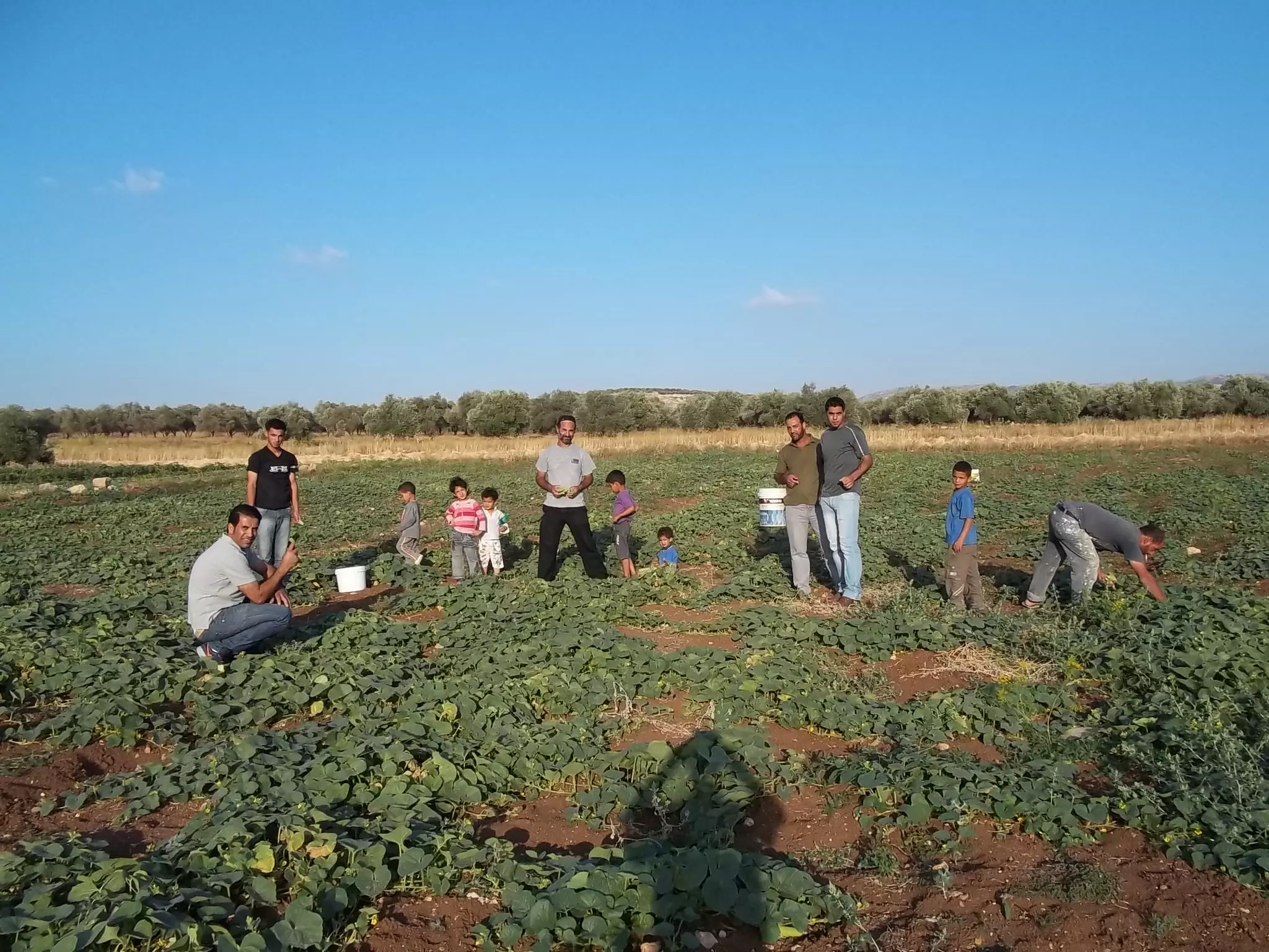
Posted by صامد الحاج 5 - احد مزرعين الخضروات في القريه
Posted by محمد الحاج 1 - احد الاشخاص يدافع عن ارضه ضد جدار الفصل المقام على قرية بيت سيرا والصورة تحكي لكم من هم المعندون
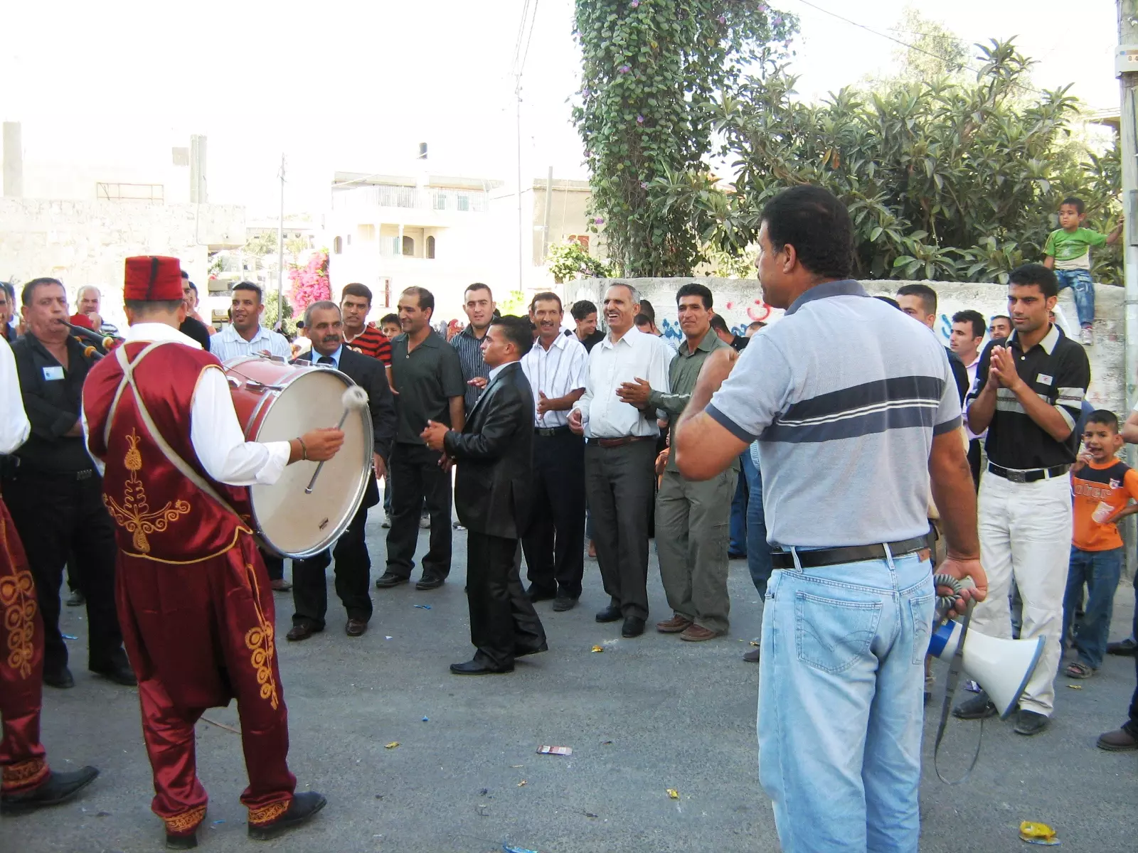
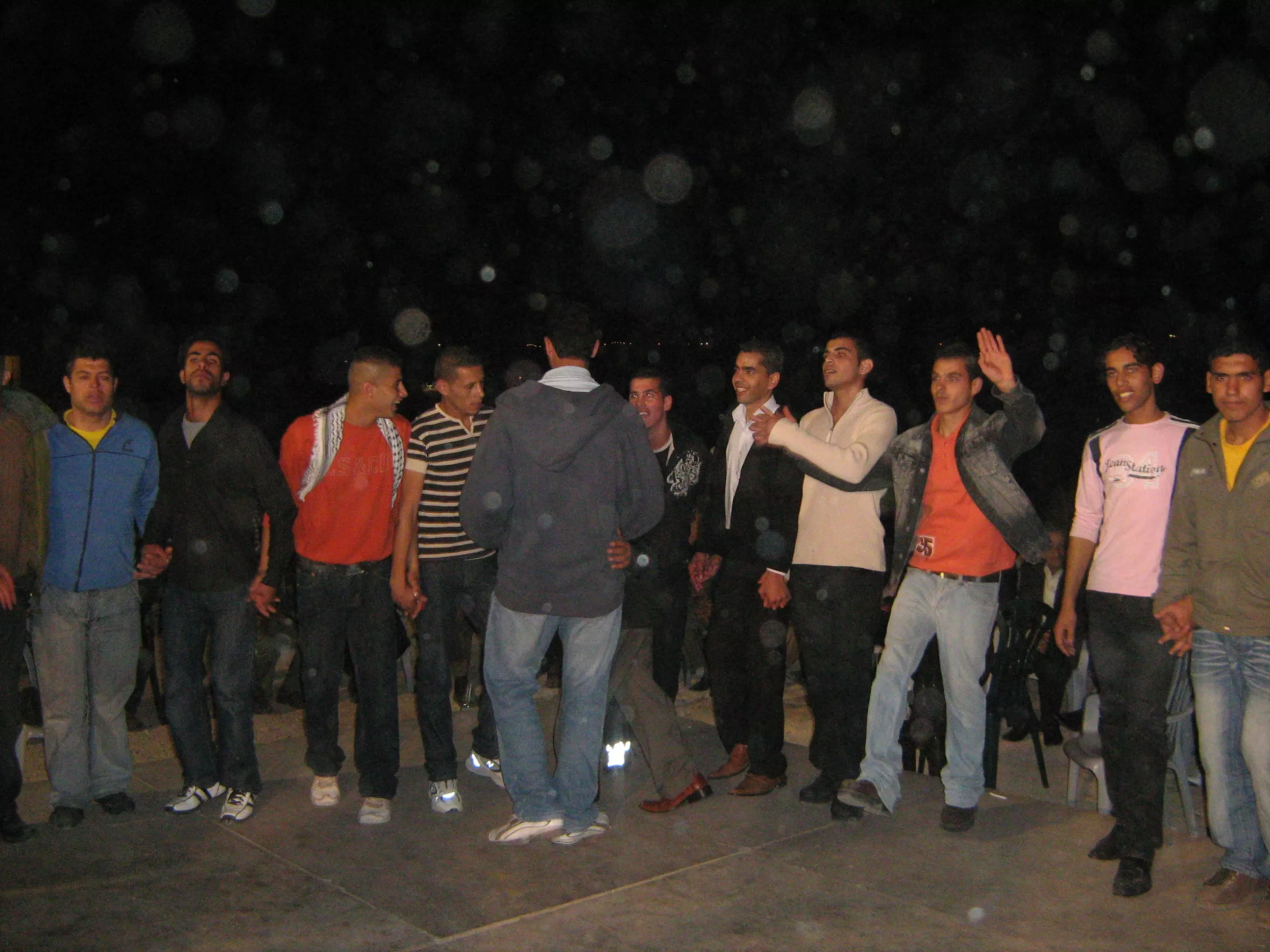
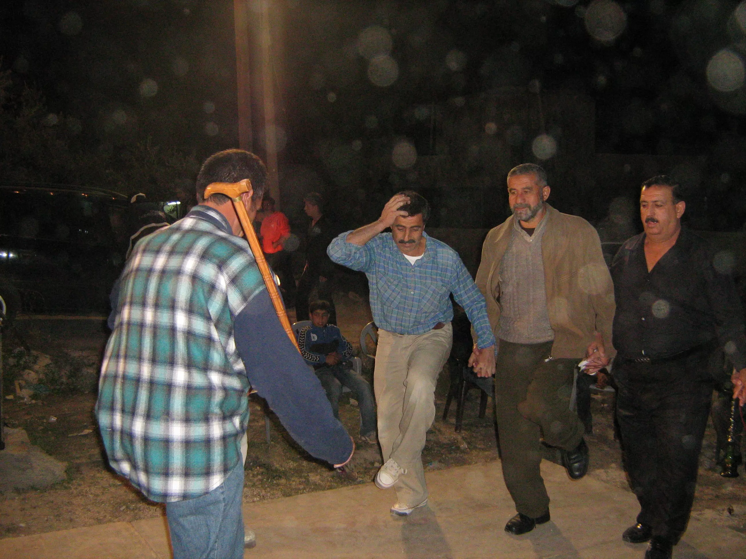
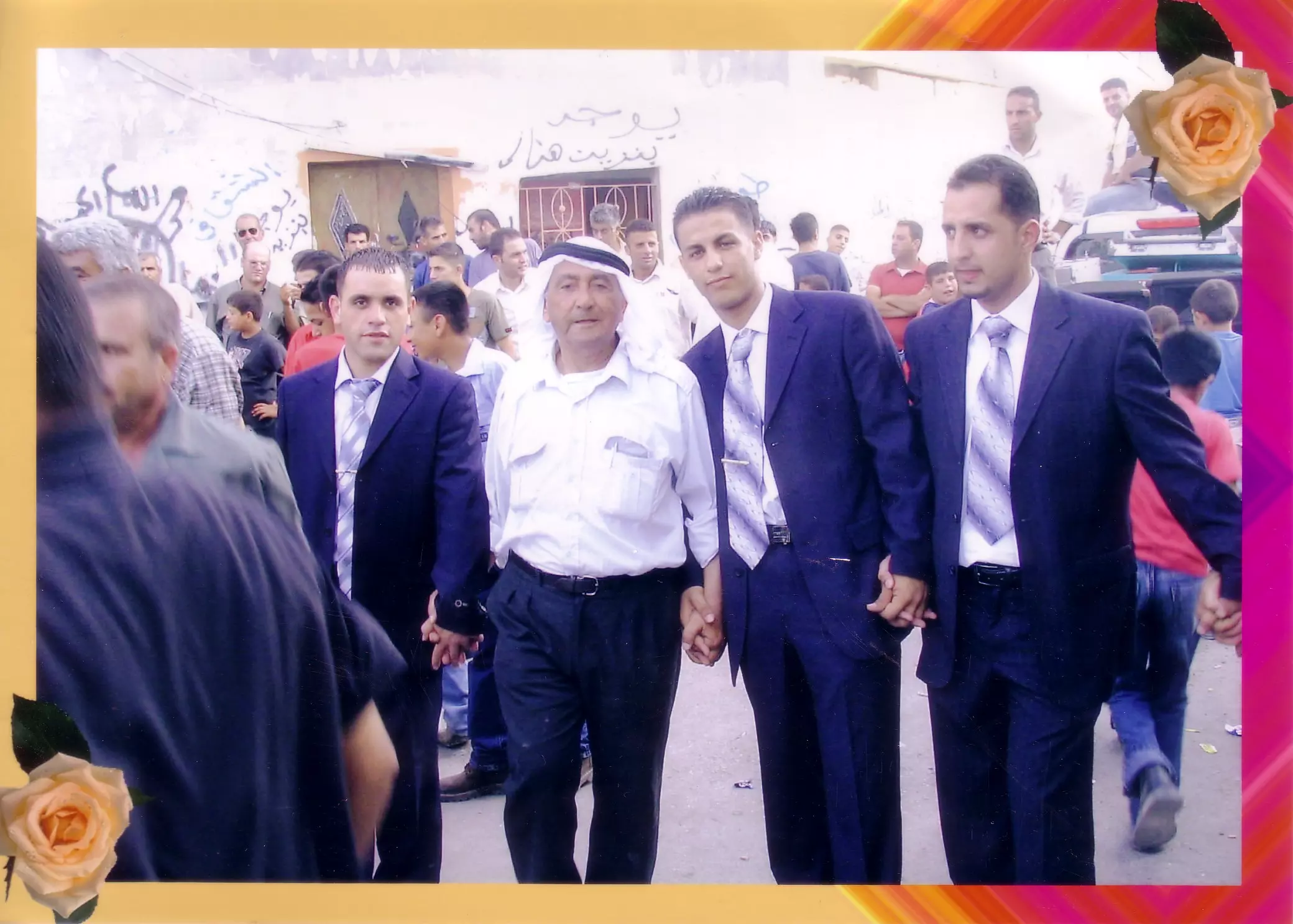
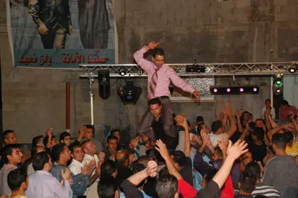
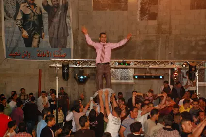
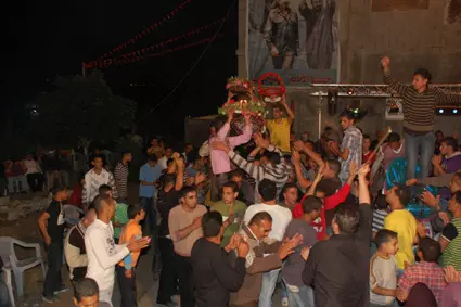
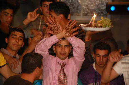
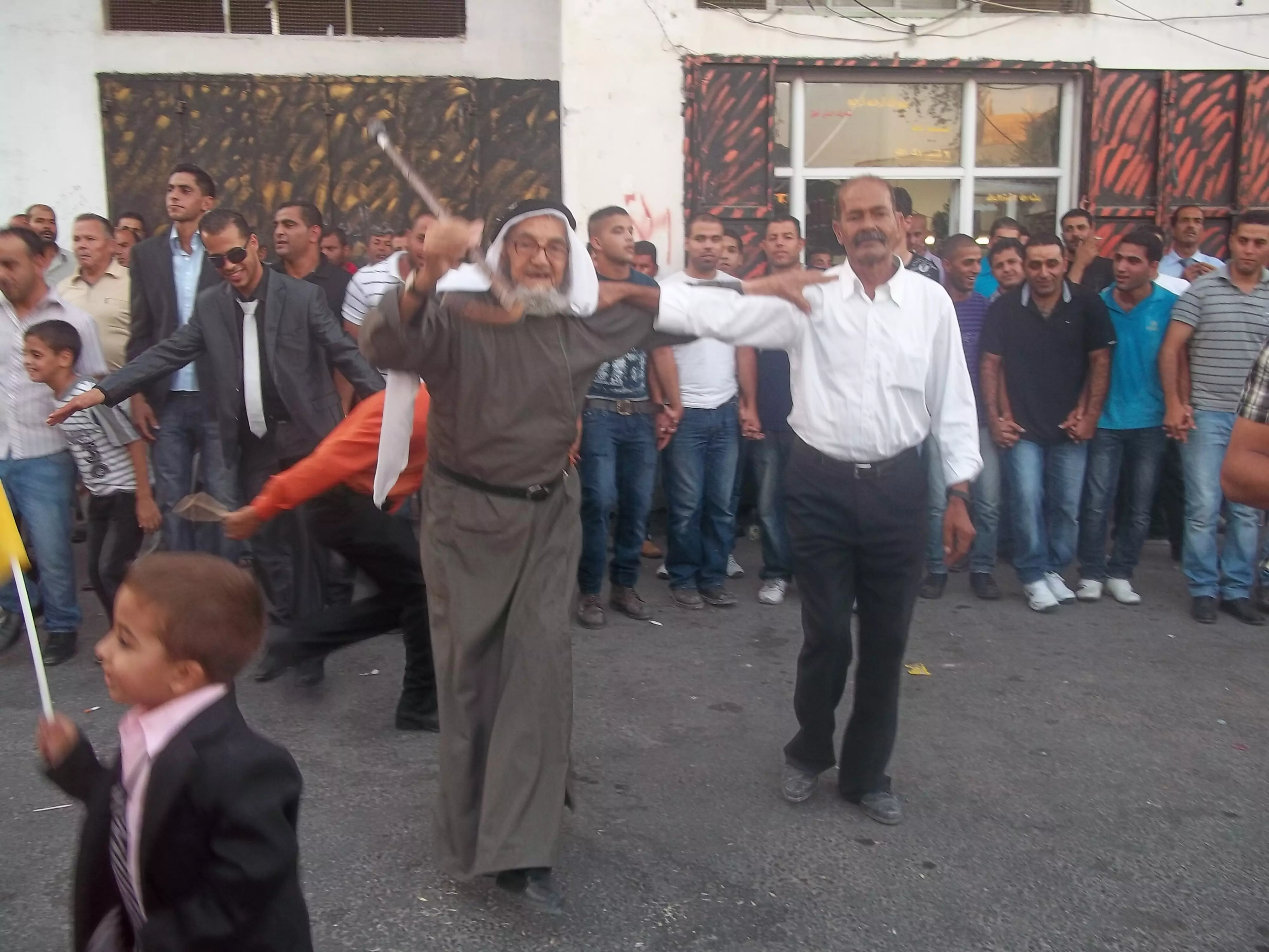
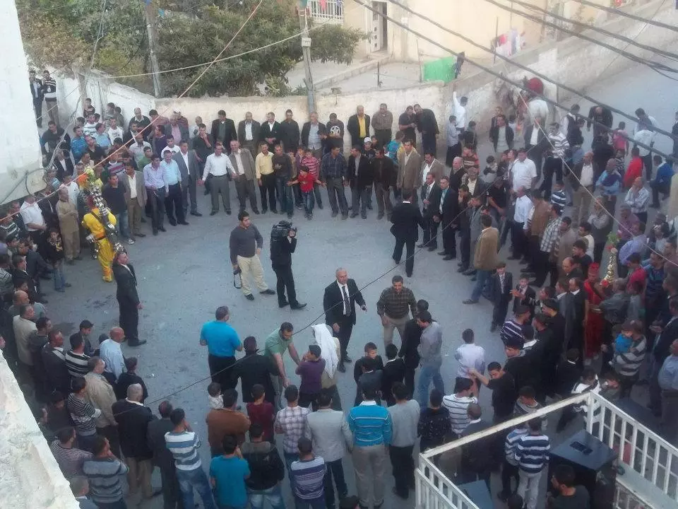
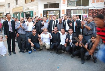
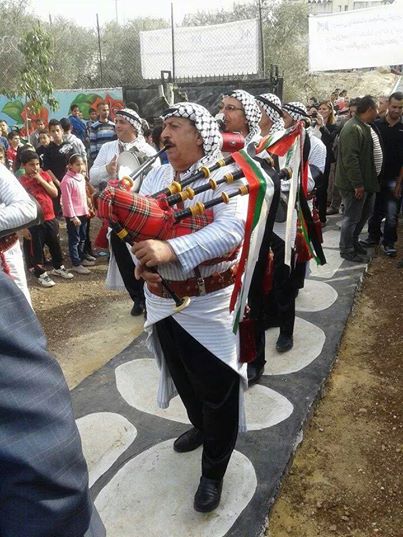
Posted by صامد الحاج 2 - حفل زفاف
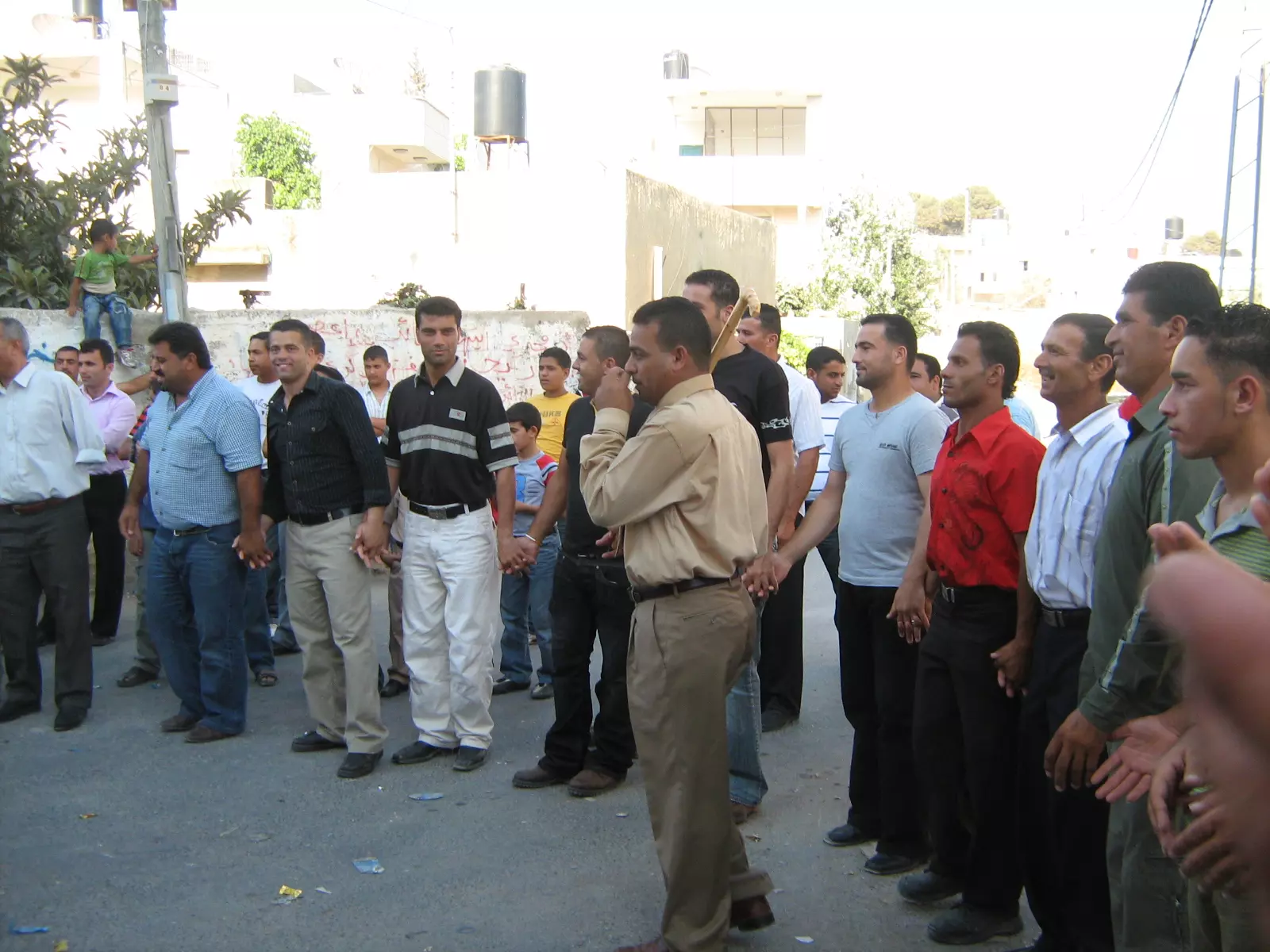
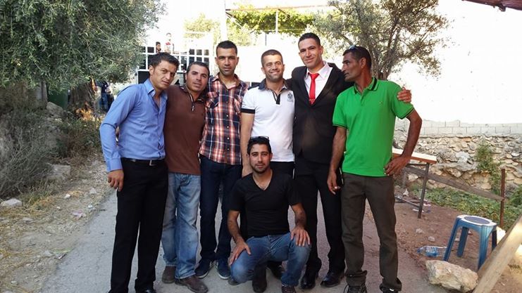
Posted by محمد الحاج 1 - حفل زفاف
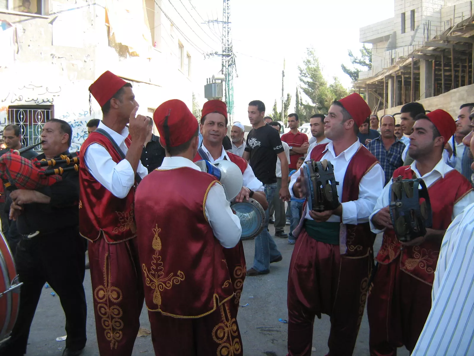
Posted by محمد الحاج 1 - حفل زفاف
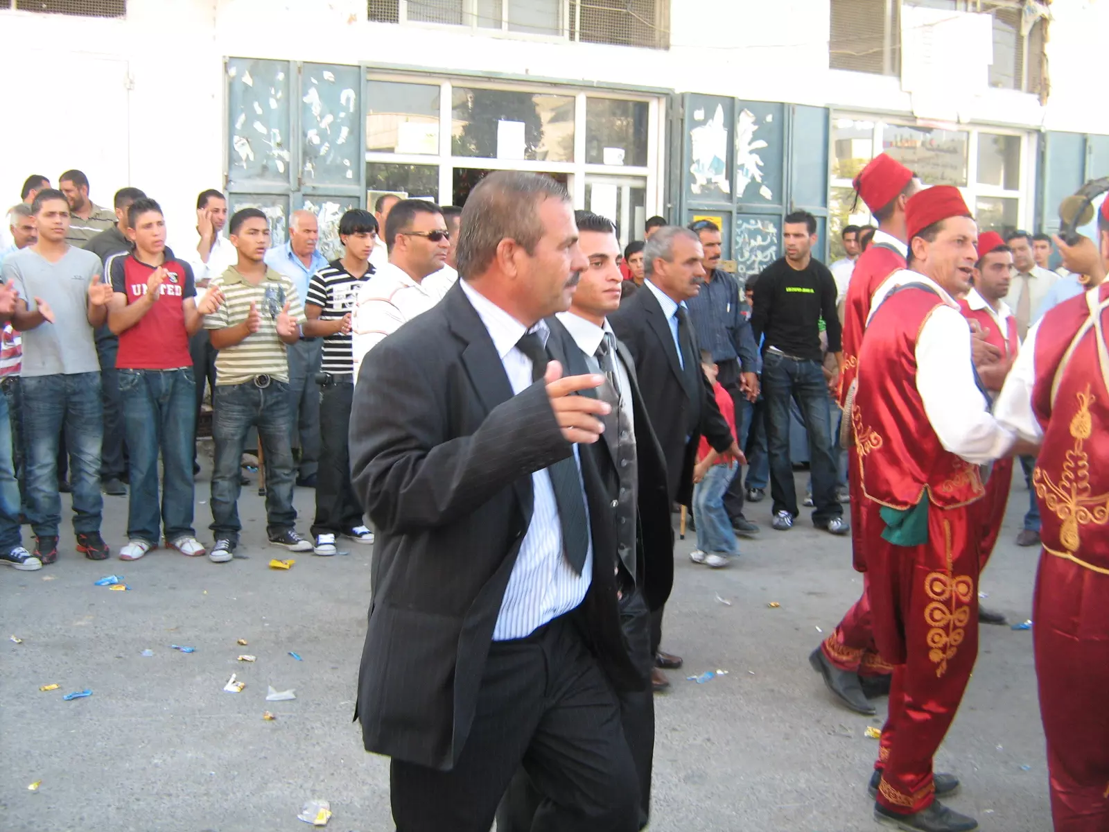
Posted by محمد الحاج 8 - حفل زفاف
Posted by محمد الحاج 2 - بيت سيرا بيت الحاج عبدخميس القديم
Posted by سارة عنقاوي 2 - حرب عام 1967عندما خرجنه من البلاد وصورة باب القريه
Posted by محمد الحاج 2 - منظر عام
Posted by محمد الحاج - مضر عام
Posted by محمد الحاج - مظر عام
Posted by محمد الحاج 1 - مظر عام
Posted by محمد الحاج - مظر عام
Posted by محمد الحاج 1 - مظر عام
Posted by محمد الحاج 1 - مظر عام
Posted by محمد الحاج 2 - منظر عام
Posted by محمد الحاج - مظر عام
Posted by محمد الحاج - البوابات الموجودة على باب القريه
Posted by محمد الحاج 1 - مدخل خاص للجيش الاسرائيلي المودي الى القريه والبرج الموجود على ارض بيت سيرا
Posted by محمد الحاج - طريق العين من بيت سيرا الى رام الله والى بيت عور اتحتا واتحاد صفا الثانويه
Posted by محمد الحاج - حارة الجسر
Posted by محمد الحاج - حارة الجسر
Posted by محمد الحاج - مظر عام
Posted by محمد الحاج - مظر عام
Posted by محمد الحاج - مظر عام
Posted by محمد الحاج 1 - حفل زفاف
Posted by محمد الحاج 1 - حفل زفاف
Posted by محمد الحاج - معلمين ابناء الوطن ومدير مدرسه اتحاد صفا الثانويه
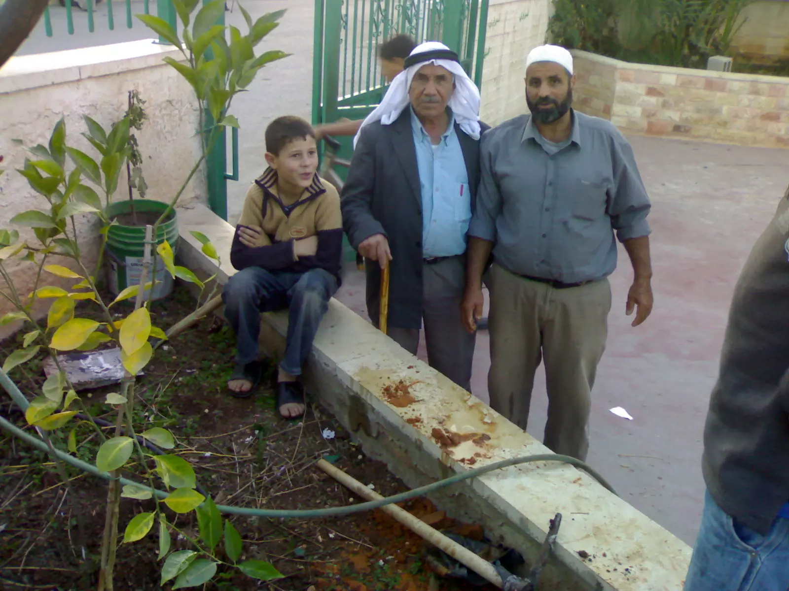
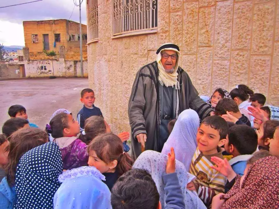
Posted by محمد الحاج 2 - اكبرمسن في القريه
Posted by محمد الحاج 1 - انتقاضة الجدار
Posted by صامد الحاج - احد شبان القرية ينتفض ويقاوم جندي اسرائيلي انظرو الى الصورة
Posted by صامد الحاج 2 - عرس في القريه
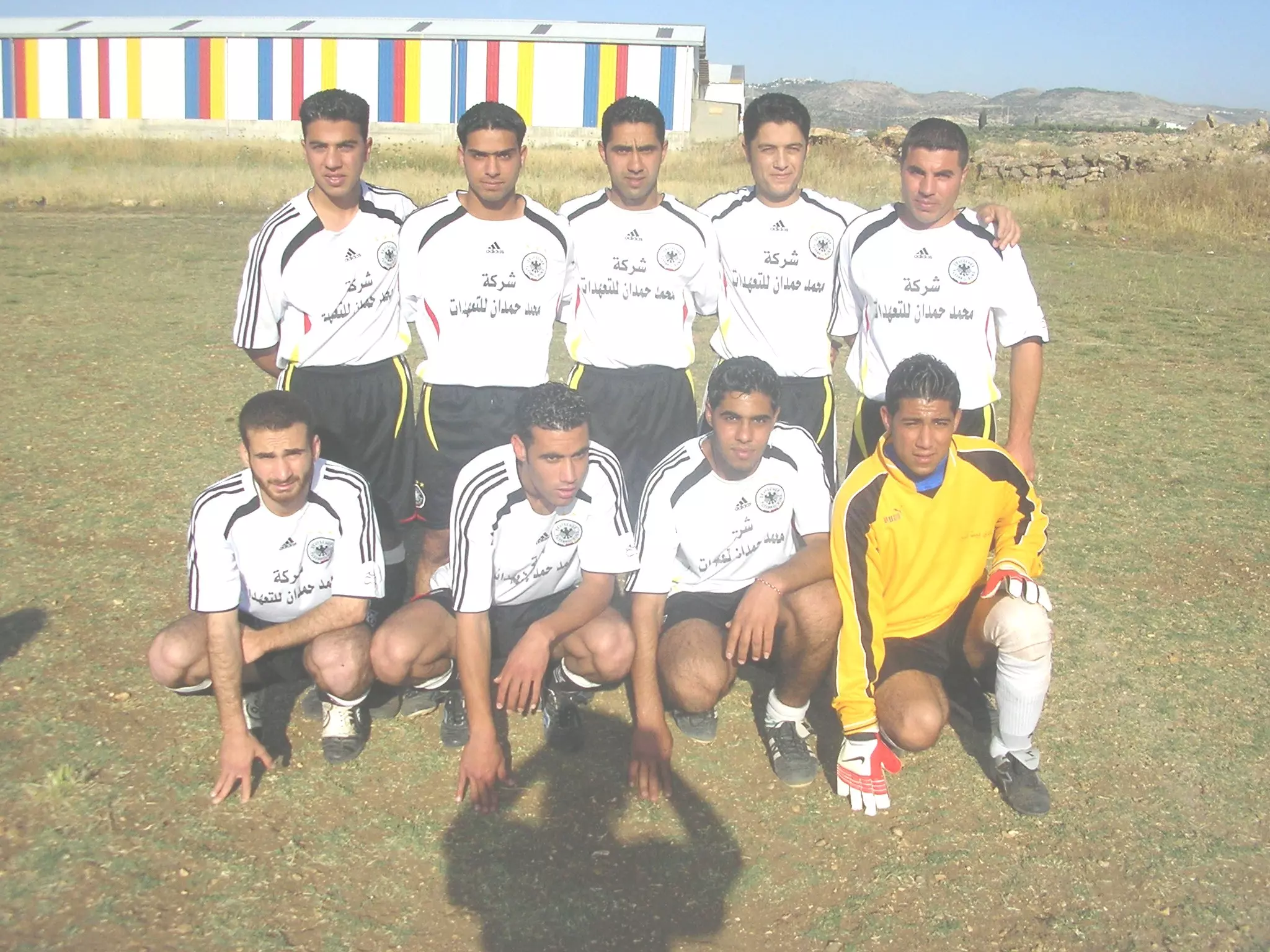
Posted by عبدخميس 2 - فريق بيت سيرا في ملعب الأتحاد
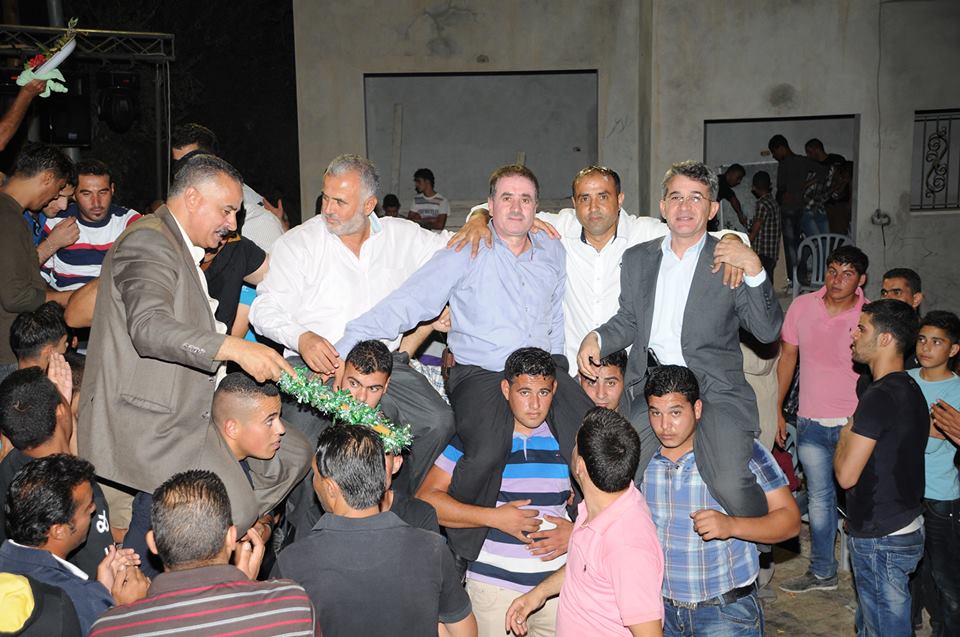
Posted by محمد الحاج 9 - يوم اطلاق سراح الاسرى
Posted by صامد الحاج 1 - وسط البلاد
Posted by محمد الحاج 1 - مدرسه ذكور بيت سيرا
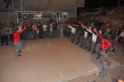
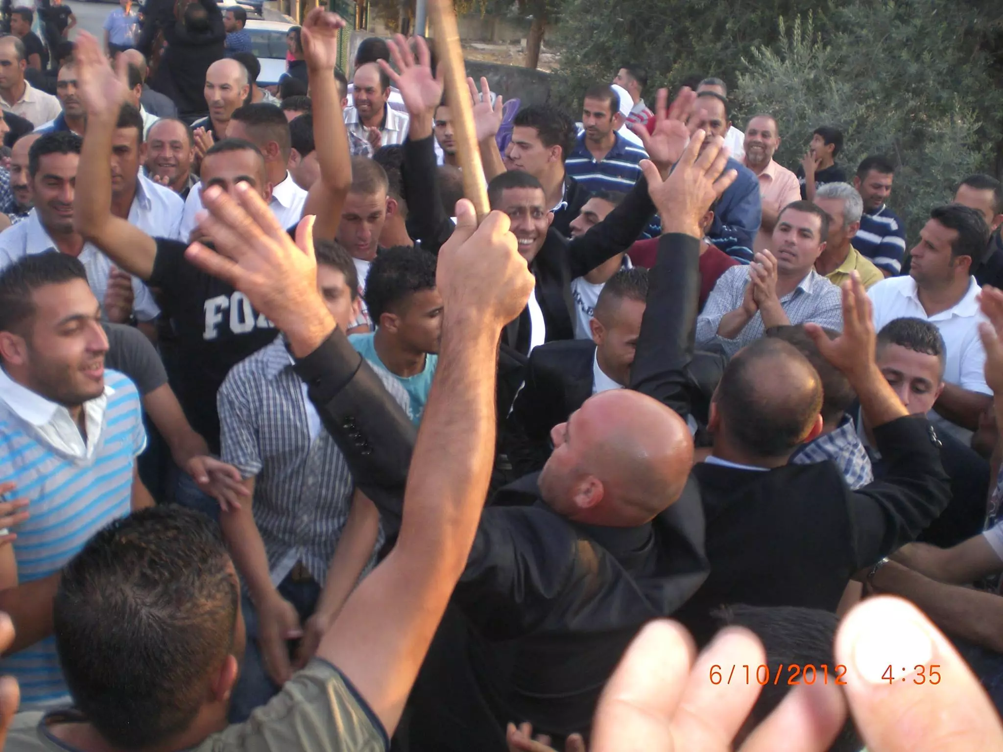
Posted by محمد الحاج 2 - حفلة سهرة العريس عمر الطاهر الحاج
Posted by صامد الحاج 1 - سهرة العريس عمر الطاهر الحاج
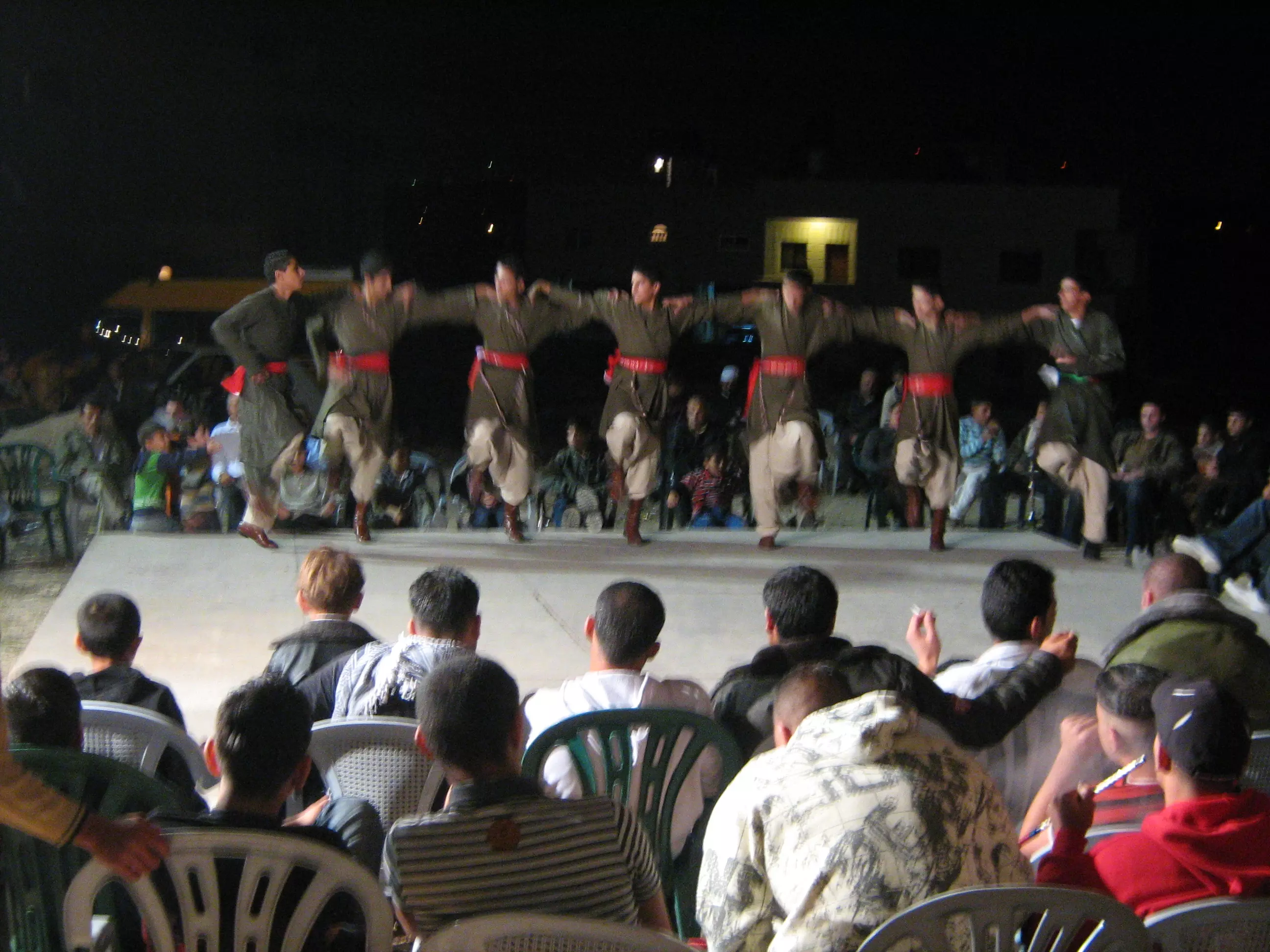
Posted by صامد الحاج - فرقة الدبكة في حفلة العريس عمر الحاج
Posted by صامد الحاج 1 - العريس عمر وهو في الحناء
Posted by صامد الحاج 2 - بيت الاسير منتصر حمدان
Posted by عبيدة حمدان 3 - اهالي القرية يشاركون في زراعة الاشجار في النادي
Posted by عبيدة حمدان 1 - شباب جامعة بيرزيت-بيت سيرا
Posted by صامد الحاج 2 - ثلاث عرسان من بيت سيرا عائله العبدخميس
Posted by علي عبدخميس 5 - مسيرة في قرية بيت سيرا تضامنا مع شهداء غزة
Posted by صامد الحاج 3 - مسيرة بيت سيرا لاجل الشهداء
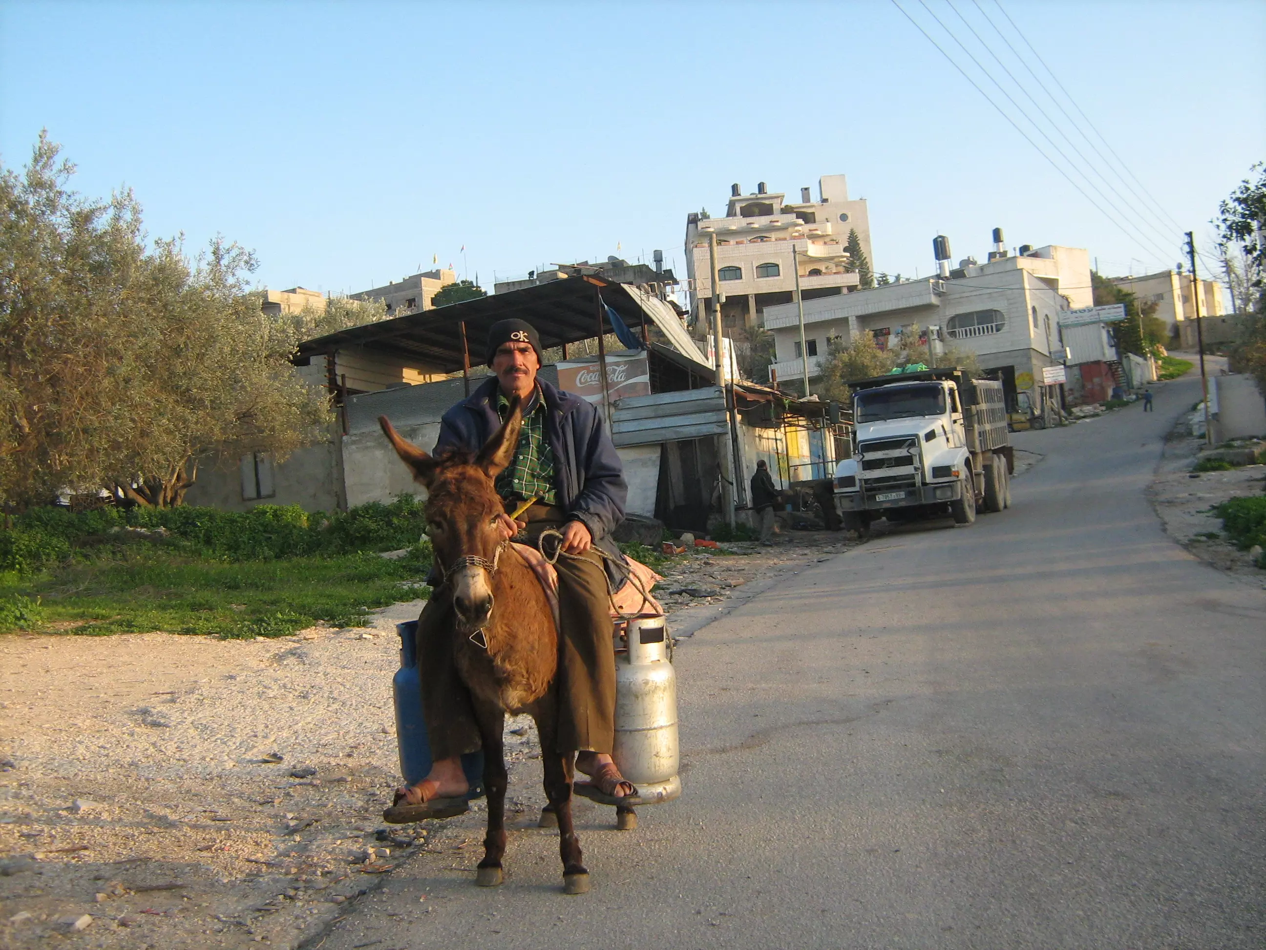
Posted by صامد الحاج 1 - باع الغاز في قريه بيت سيرا
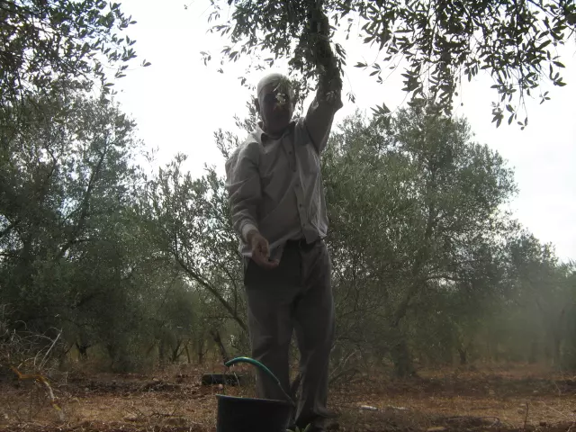
Posted by محمد الحاج 2 - عجوز يقطف الزيتون
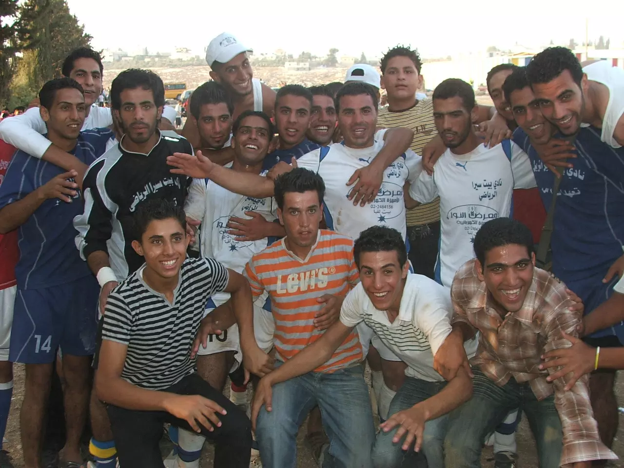
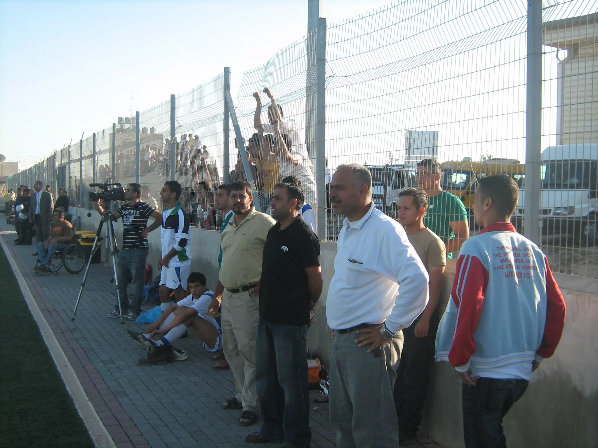
Posted by محمد الحاج 2 - فريق بيت سيرا يحصل على المركز الأول في اتحاد صفا الثانويه
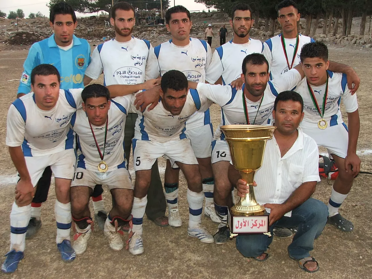
Posted by محمد الحاج 7 - فريق بيت سيرا يحصل على المركز الأول في اتحاد صفا الثانويه
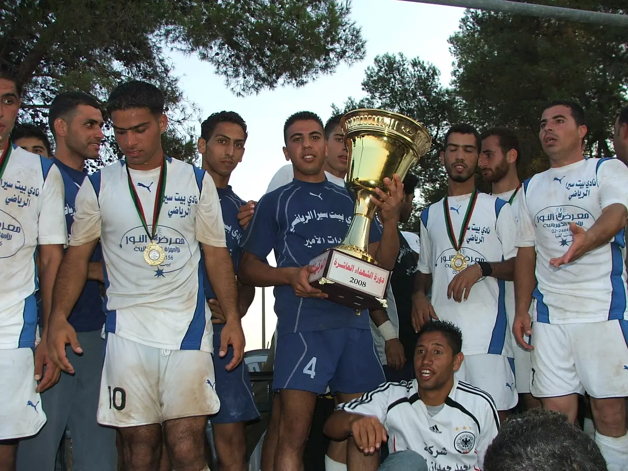
Posted by محمد الحاج 9 - فريق بيت سيرا يحصل على المركز الأول في اتحاد صفا الثانويه
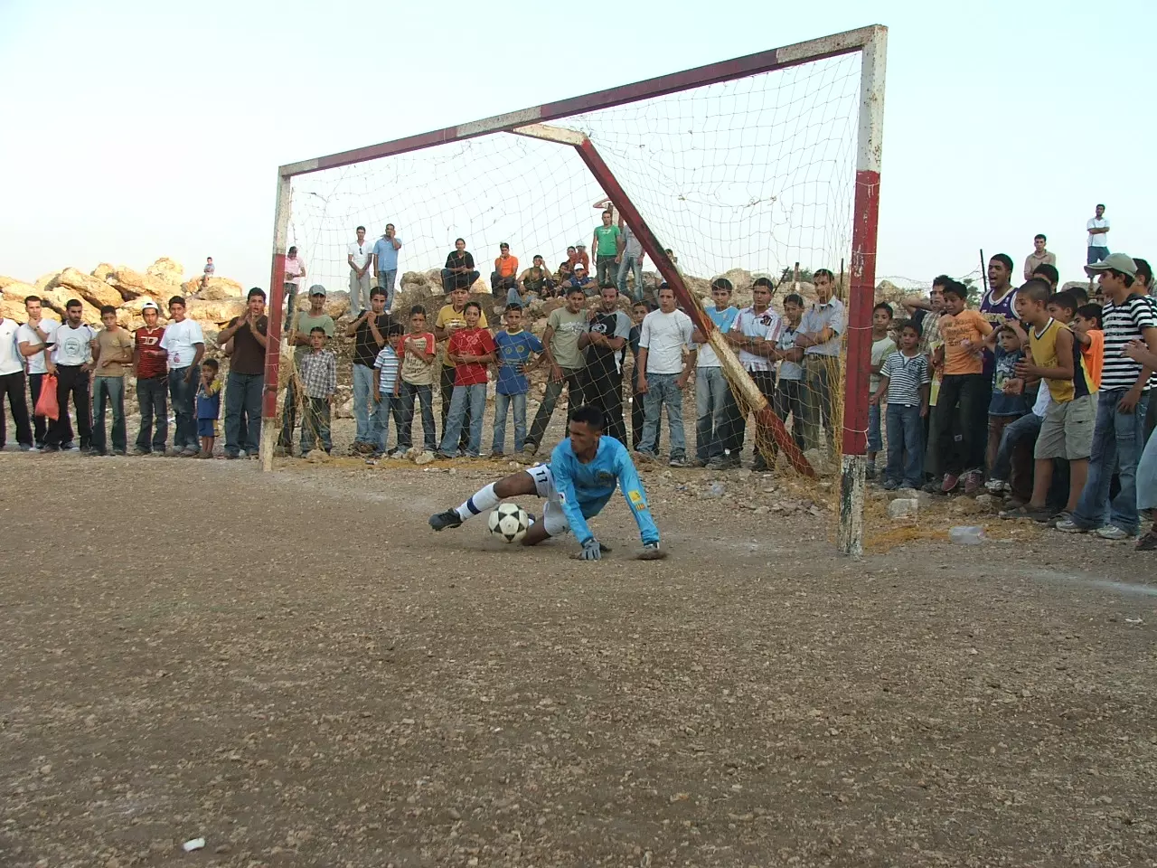
Posted by محمد الحاج 1 - حارس الفريق يتصدى لركلة جزاء من فريق صفا
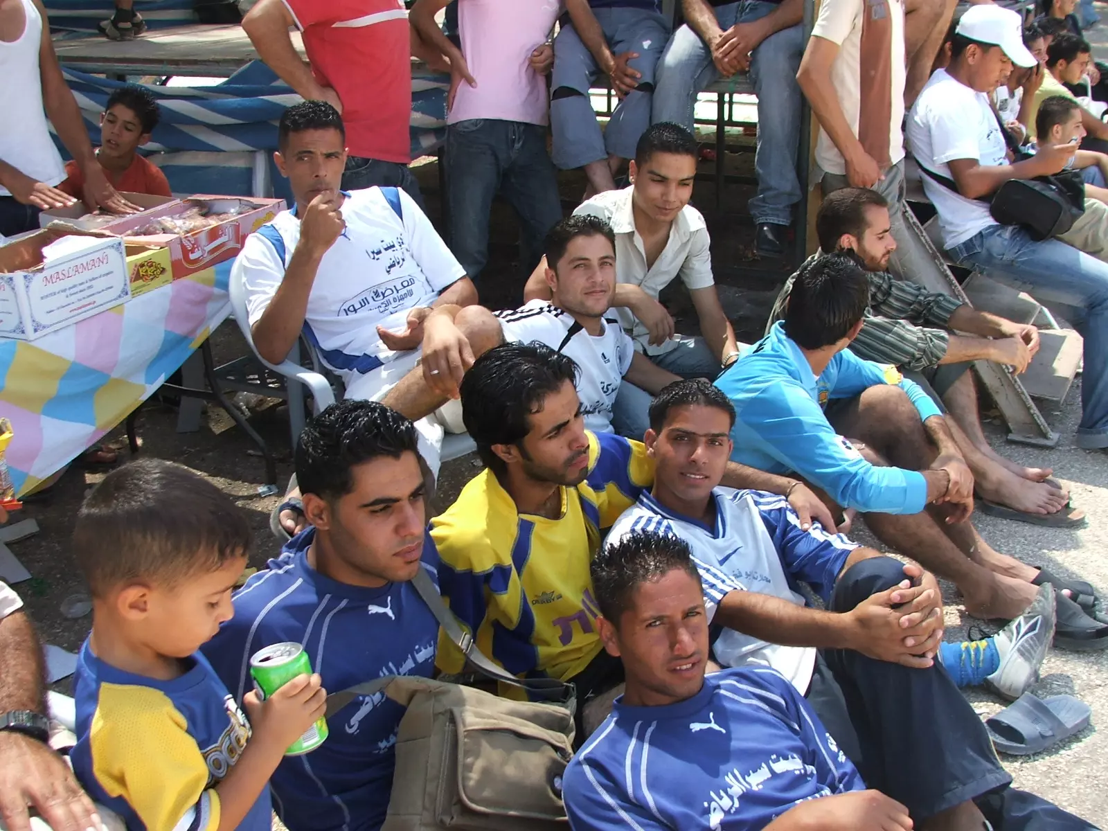
Posted by محمد الحاج 7 - جمهور نادي بيت سيرا في اتحاد صفا
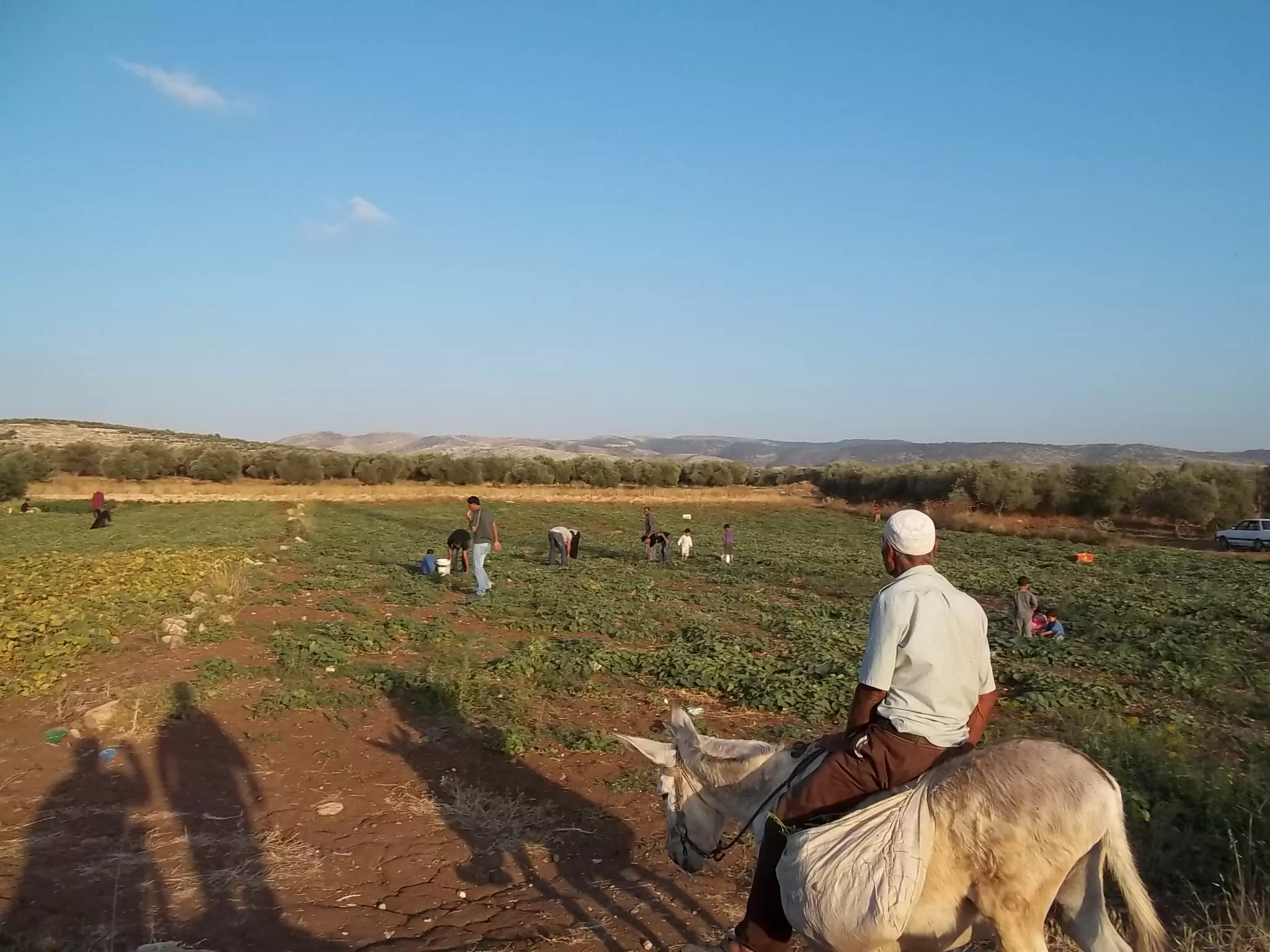
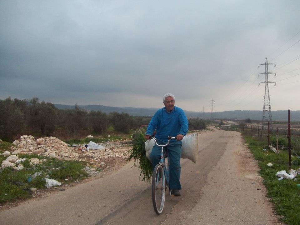
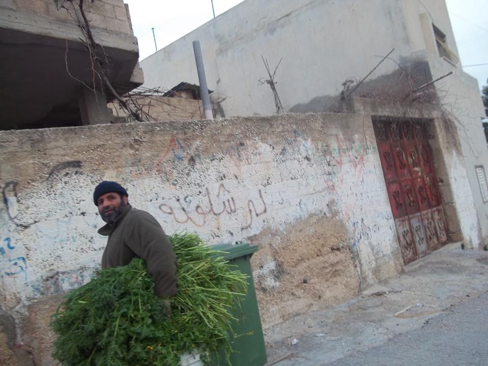
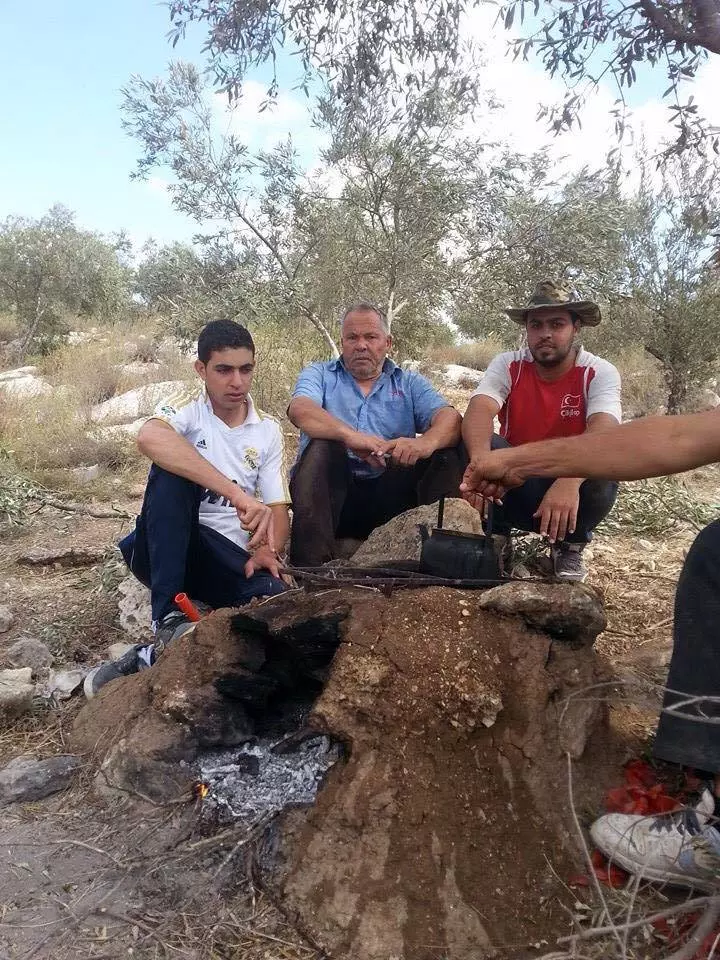
Posted by محمد الحاج 3 - مزارع في القريه
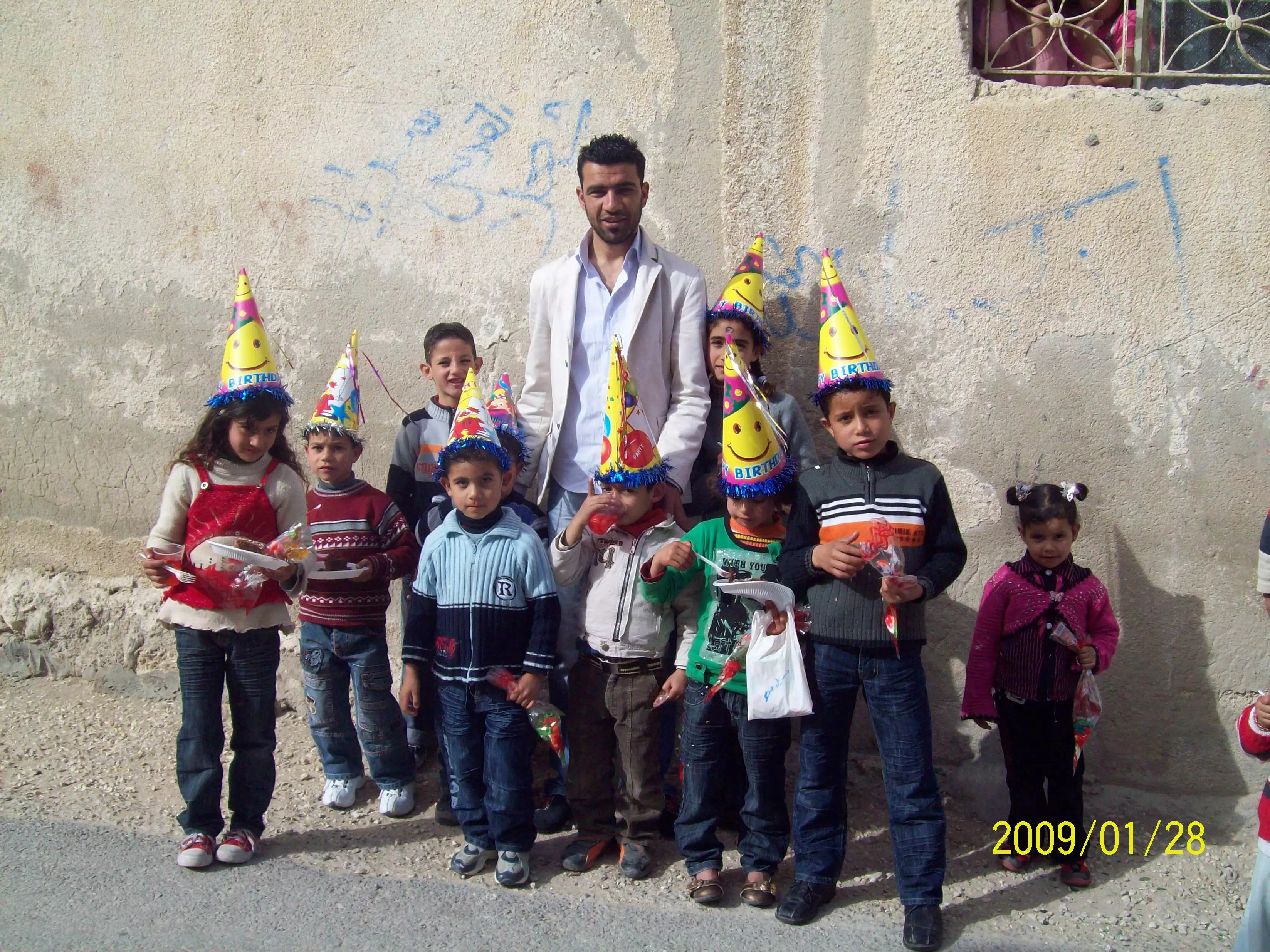
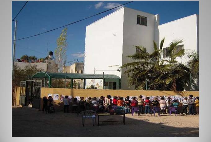
Posted by محمد الحاج - عينة من أطفال القرية في احتفال
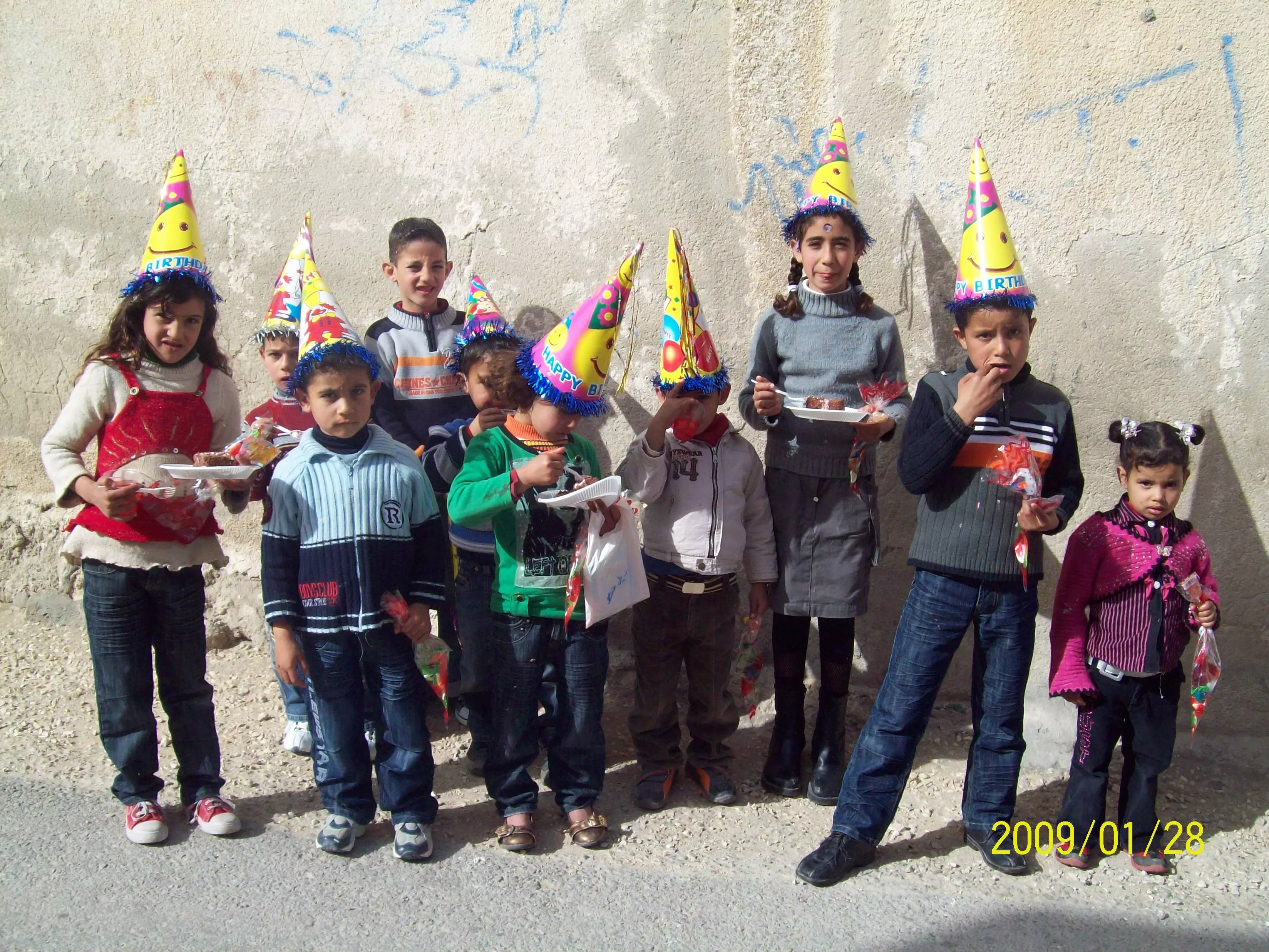
Posted by Safia F Barakat 2 - عينة اخرى من أطفال القرية في احتفال
Posted by Safia F Barakat 2 - باع الغاز في قريه بيت سيرا
Posted by محمد الحاج 4 - فرقة النجوم لزفاف العرسان بيت سيرا بقيادة يحيى سمور عنقاوي
Posted by samoor 1 - الجدار الاسرائيلي
Posted by محمد الحاج - حارة الجسر
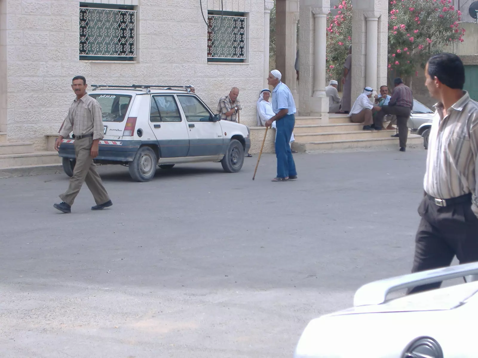
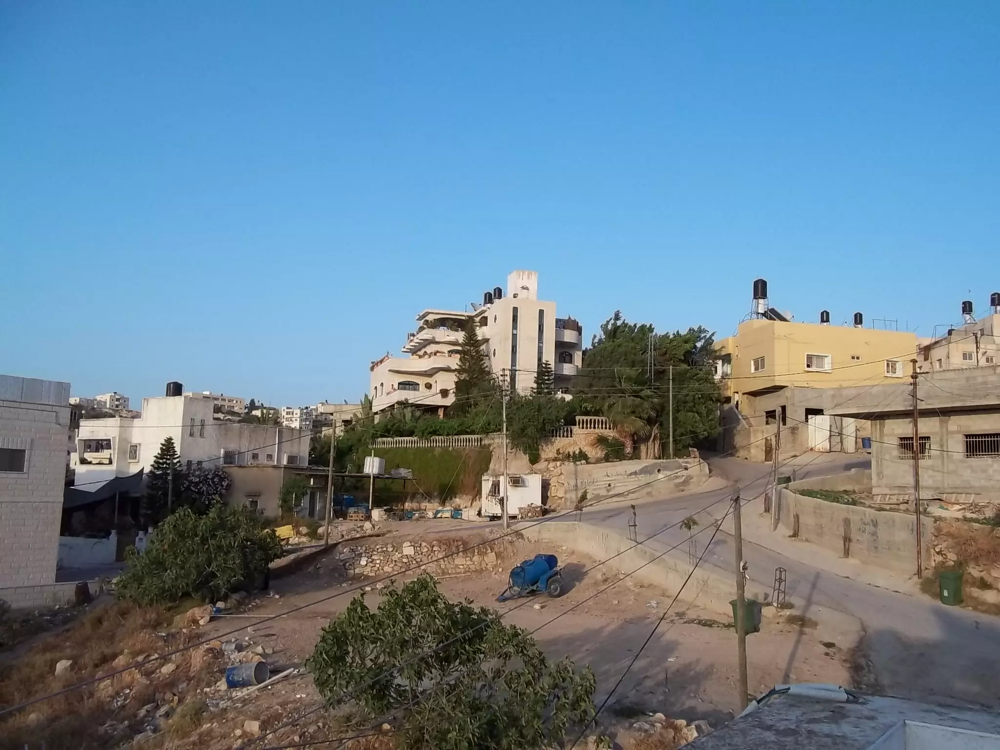
Posted by محمد الحاج - وسط البلاد
Posted by محمد الحاج 2 - شباب نادي بيت سيرا
Posted by محمد الحاج 1 - حفله نادي بيت سيرا بتصدر المجموعه الحديديه
Posted by محمد الحاج - حفله نادي بيت سيرا بتصدر المجموعه على مستوى رام الله
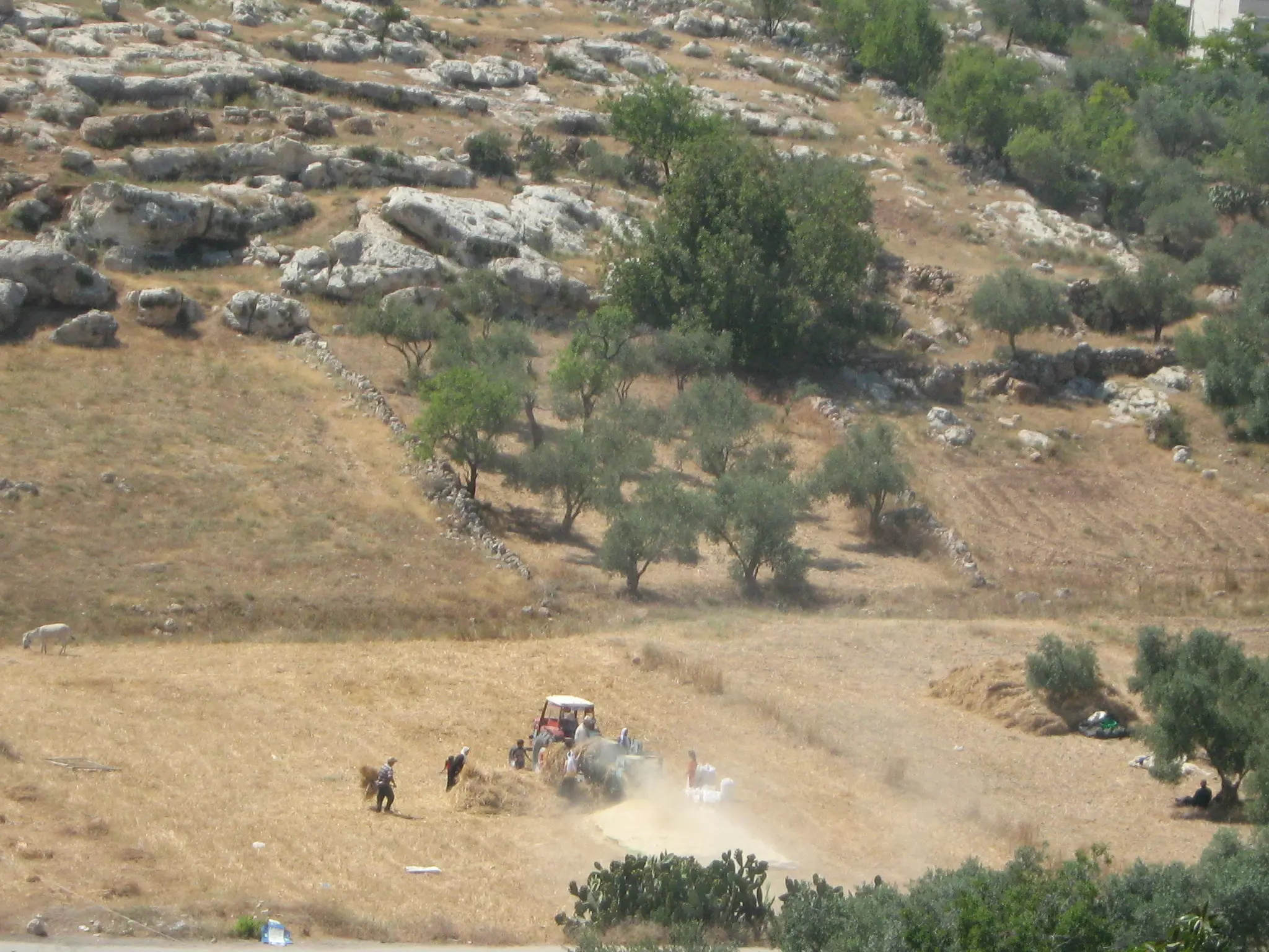
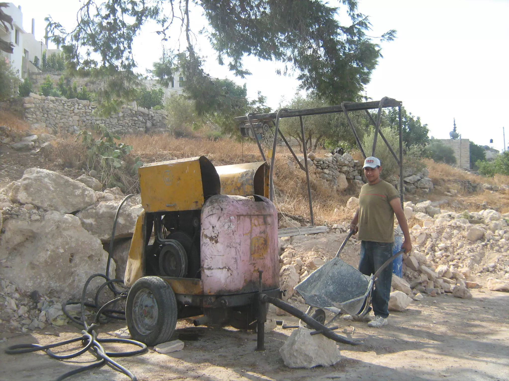
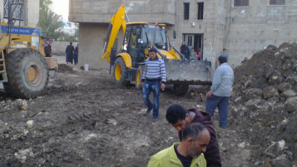
Posted by محمد الحاج 1 - تركتر مع دراست قمح
Posted by محمد الحاج - The Village of Beit Sira - This picture was identified ( by mistake) as another village called Imwas. I have been advised that this picture belongs to village of Bait Sira.
Posted by Umar Abu El-Bararri 3 - مسيرة جماهيريه ضد الجدار
Posted by محمد الحاج - مجلس قروي بيت سيرا
Posted by محمد الحاج - باب المسجد
Posted by محمد الحاج 1 - الحارة
Posted by محمد الحاج 1 - حفر الابار
Posted by محمد الحاج - اطفال يحتفلون بفوز نادي بيت سيرا
Posted by محمد الحاج - حسن ابوصفيه يحرث الارض عند الجدار
Posted by محمد الحاج - مظر عام
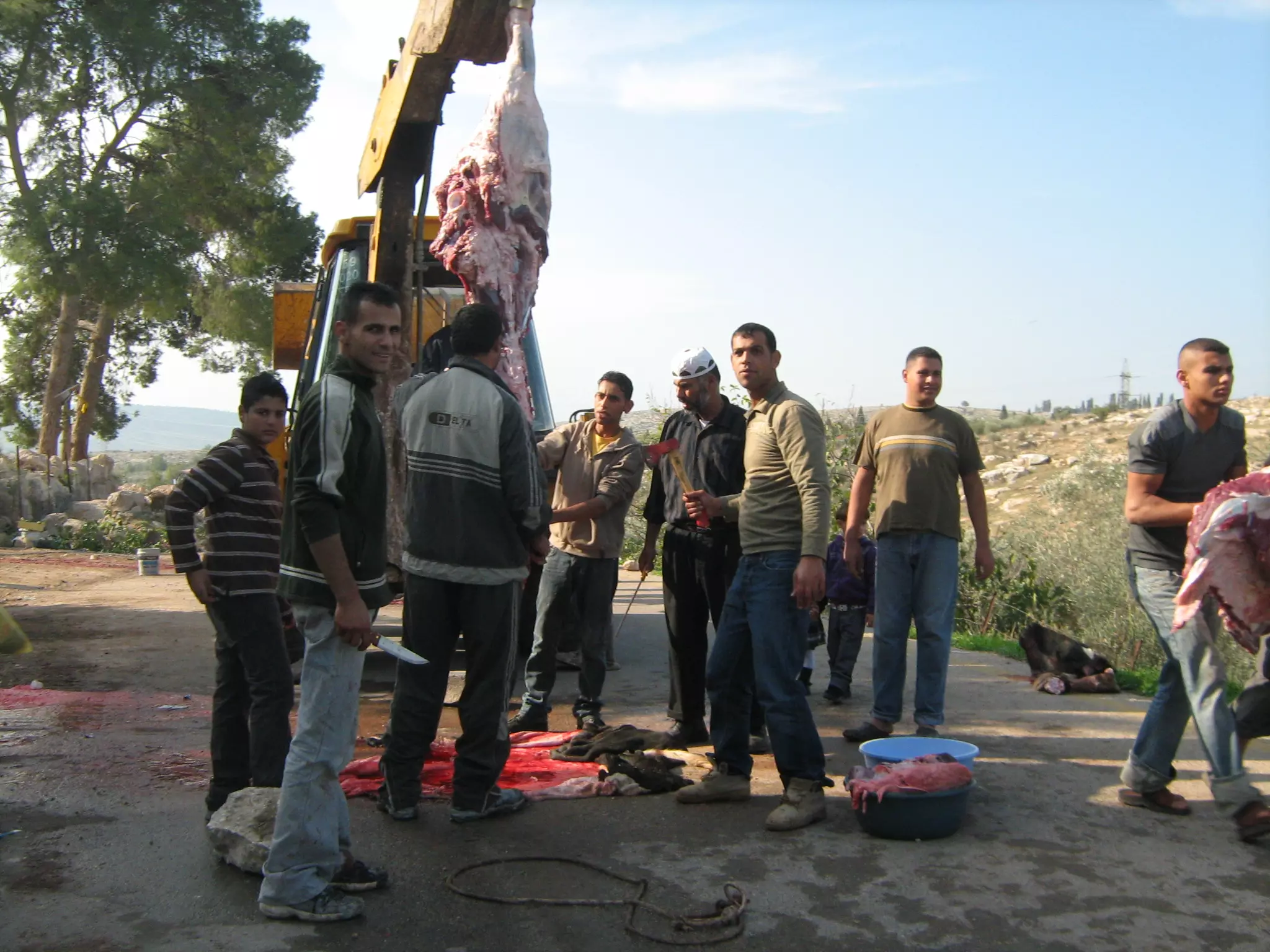
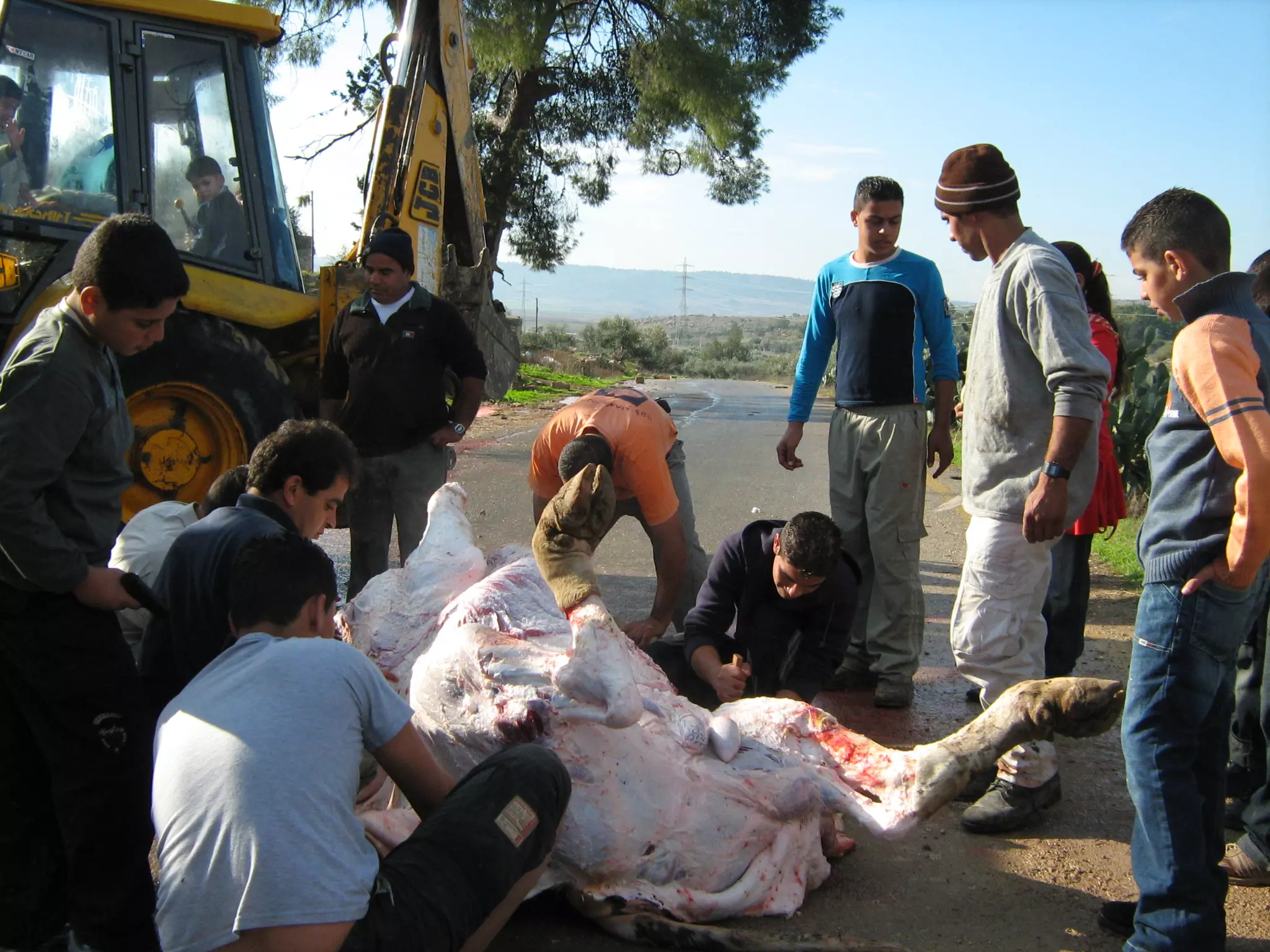
Posted by محمد الحاج - عيد الاضحى
Posted by محمد الحاج 4 - منطقه الببور
Posted by محمد الحاج 1 - صور الاديب نازك ضمرة
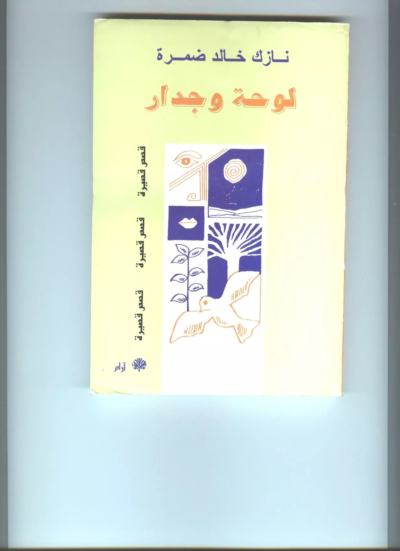
Posted by صامد الحاج - صورة غلاف لكتاب لوحة وجدار للمؤلف نازك ضمرة _ ابن قرية بيت سيرا
Posted by صامد الحاج 1 - صورة غلاف لكتاب شمس في المقهى للمؤلف نازك ضمرة _ ابن قرية بيت سيرا
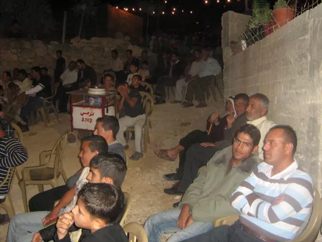
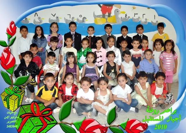
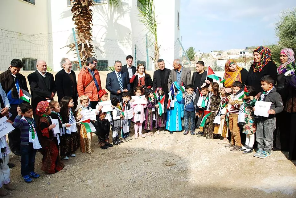
Posted by صامد الحاج - حفل تكريم براعم روضة اجيال المستقبل 2009-2010
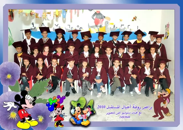
Posted by ستوديو ايمن للتصوير - حفل تكريم براعم روضة اجيال المستقبل 2009-2010
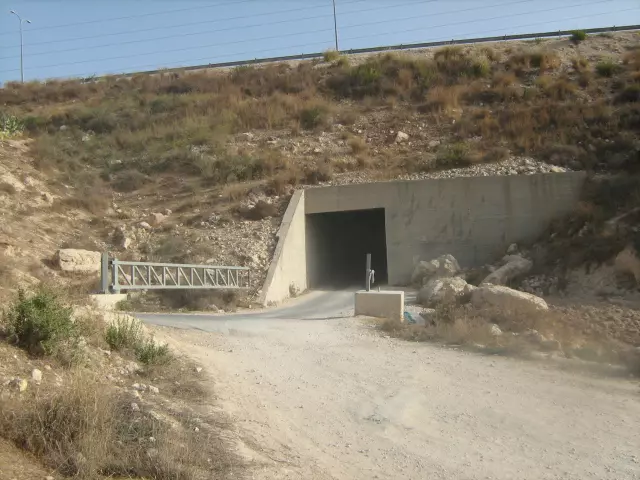
Posted by ستوديو ايمن للتصوير 1 - حاجز على طريق بيت سيرا رام الله مسموح الدخول والخروج بشرط التفتيش السيارات والبشر
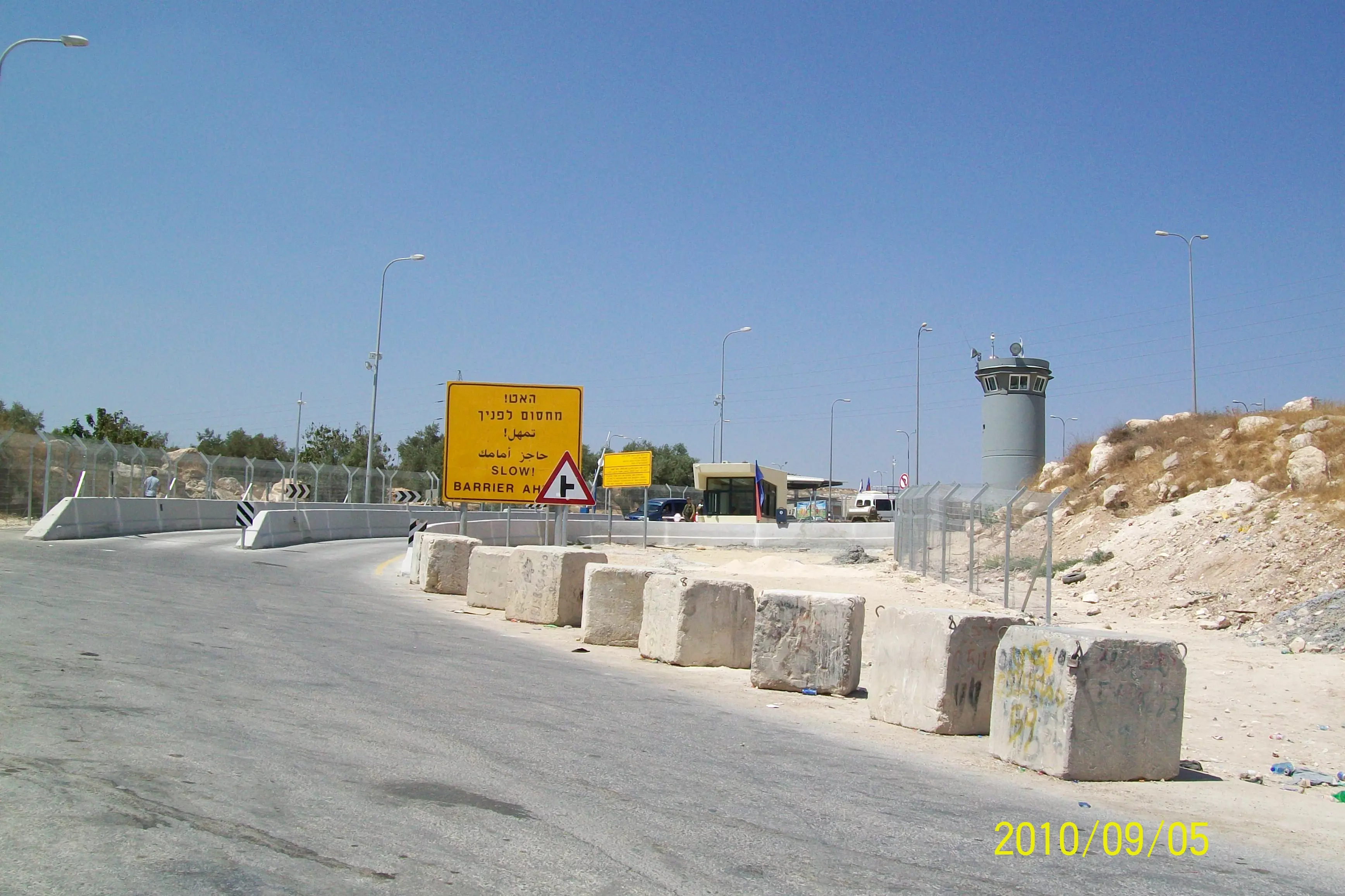
Posted by محمد الحاج 1 - الدخول الى بيت سيرا من طريق رام الله عبر شارع 443
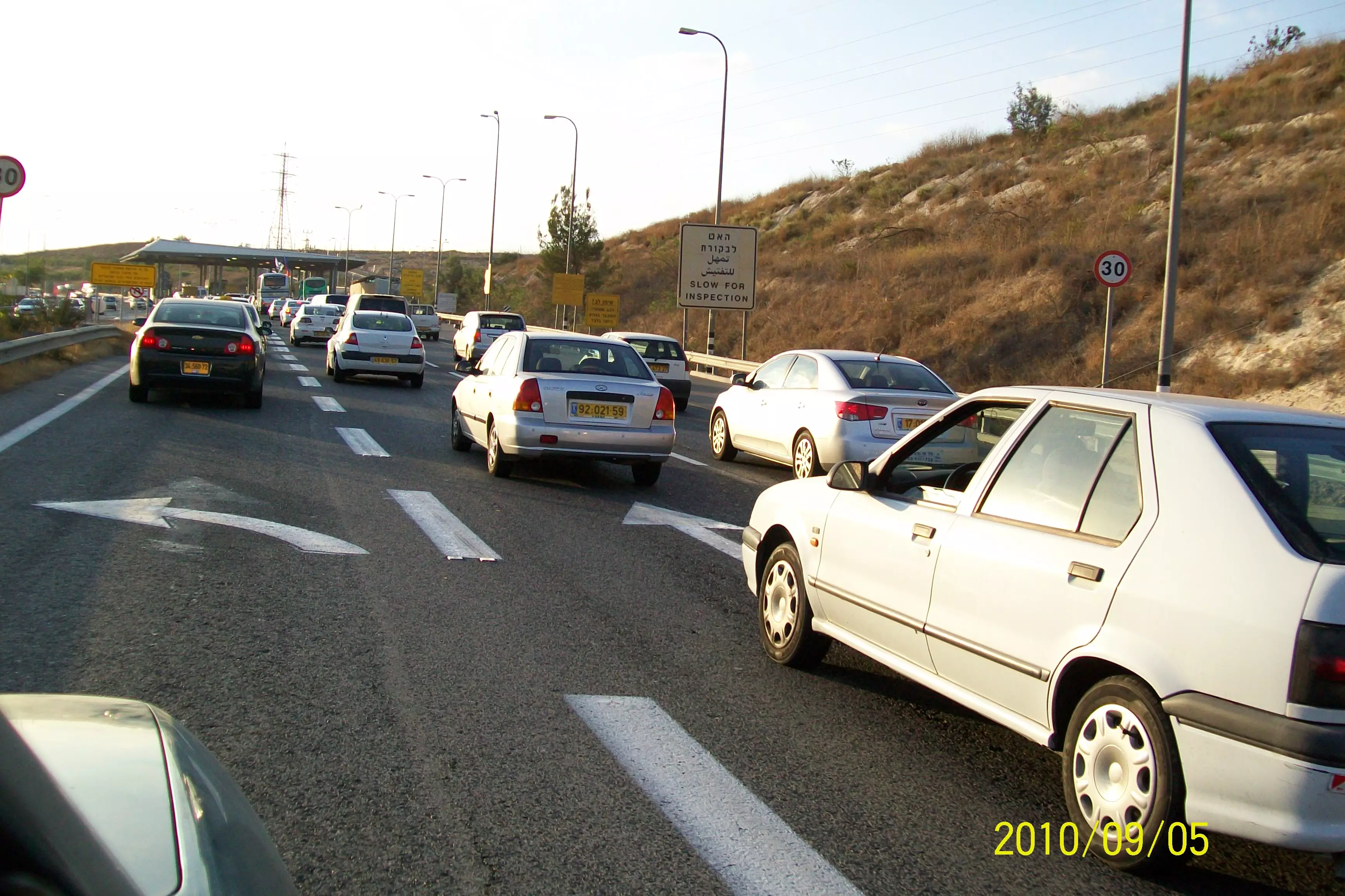
Posted by محمد الحاج - معناةكل من يذهب الى بيت سيرا او يخرج منها قف لتفتيش وهذا هو الحال
Posted by محمد الحاج - طريق القس تل ابيب شارع 443 الذي يفصل الضفه عن اسرائيل حاجز بيت سيرا
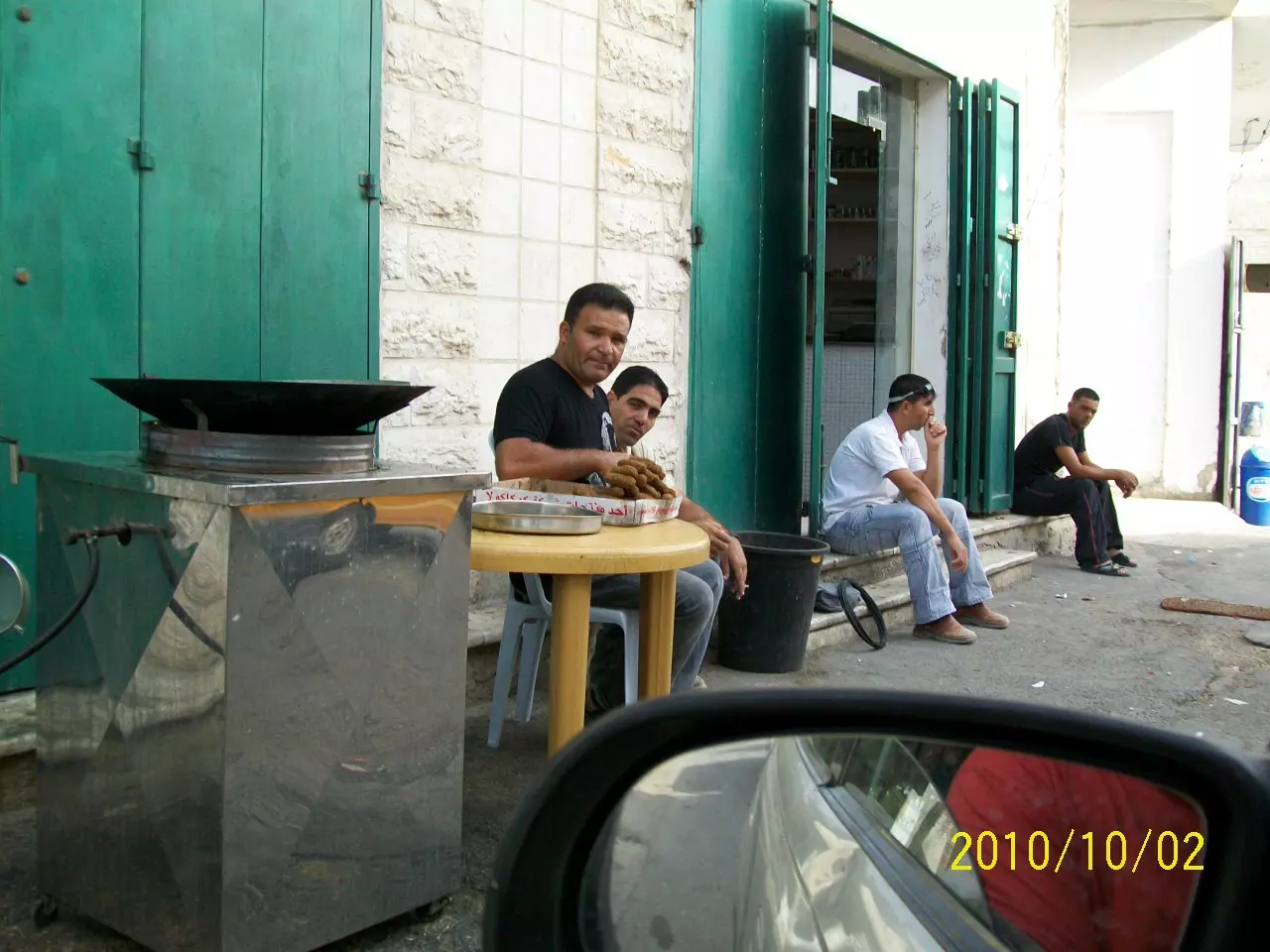
Posted by محمد الحاج - فلافل حمدان
Posted by محمد الحاج 2 - سهرة العرس محمود الحاج (عكوش).
Posted by صامد الحاج - سهرة العريس محمود الحاج (عكوش).
Posted by صامد الحاج - سهرة العريس (عكوش).
Posted by صامد الحاج - سهرة عرس محمود الحاج
Posted by صامد الحاج - سهرة عرس محمود الحاج
Posted by صامد الحاج - الحب القاتل
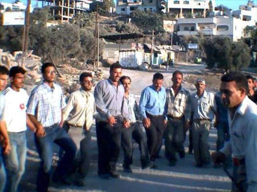
Posted by krt m7rook - وسط البلاد
Posted by محمد الحاج 1 - مدير مدرسه اتحاد صفا الاستاذ اسماعيل عنقاوي ابن بيت سيرا
Posted by محمد الحاج 1 - من البلاد
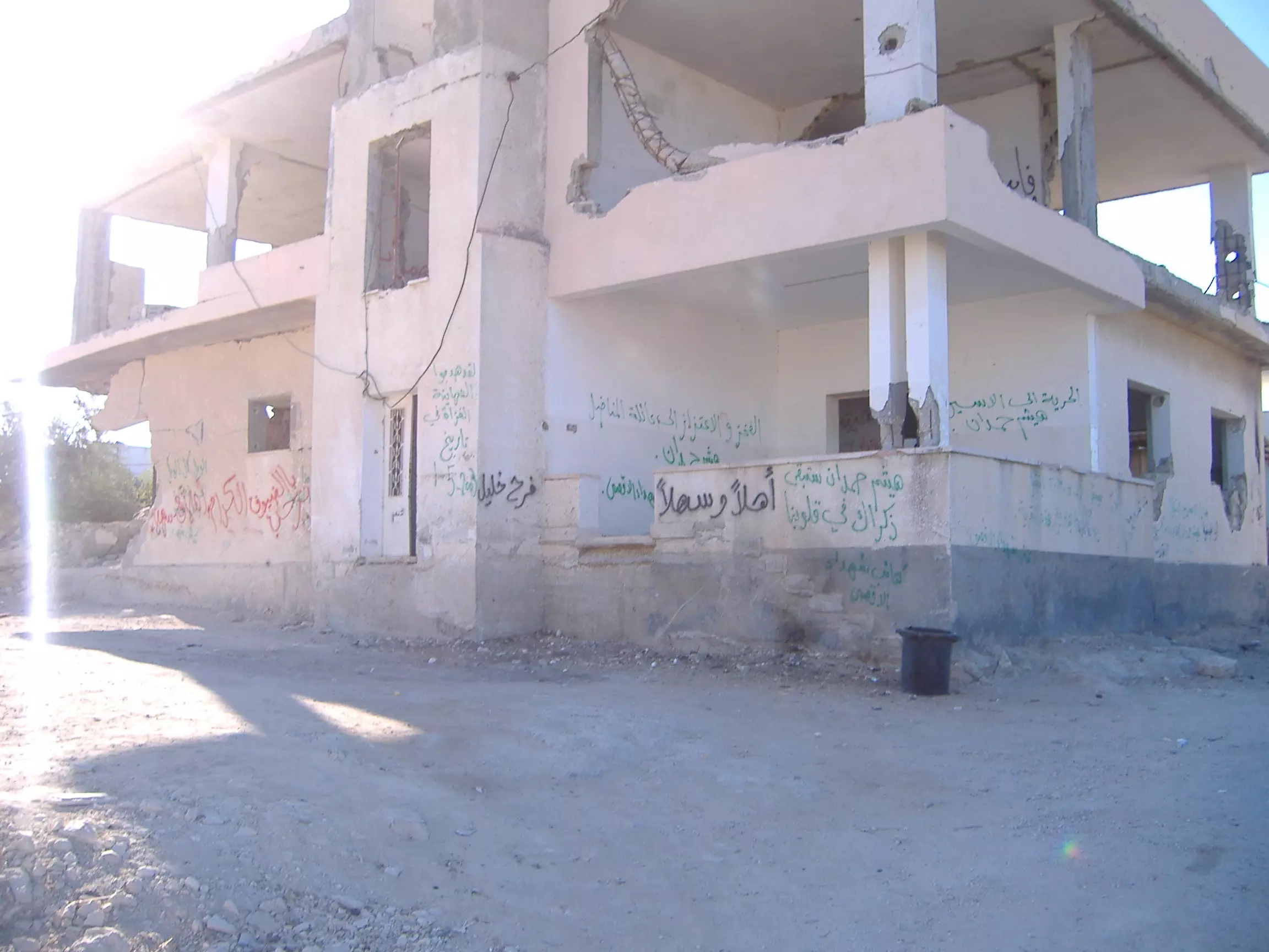
Posted by ام علي 1 - مدرسه بيت سيرا الثانويه المهدادةبلهدم من قبل الاحتلال الاسرائيلي

Posted by محمد الحاج - حارة الجسر
Posted by محمد الحاج - مدرسه بنات بيت سيرا الثانويه
Posted by محمد الحاج 1 - سهول بيت سيرا
Posted by محمد الحاج - منظر عام
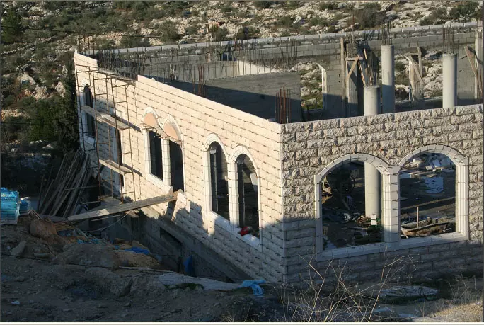
Posted by محمد الحاج - مدرسه بيت سيرا الثانويه ا
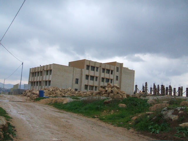
Posted by محمد الحاج - مدرسه بيت سيرا لثانويه الجديدة المهدد بلهدم من قبل الاحتلال الاسرائيلي بحجه منطقه س
Posted by محمد الحاج - منظر عام
Posted by محمد الحاج 1 - طريق فعوش
Posted by محمد الحاج - جبال قريه بيت سيرا
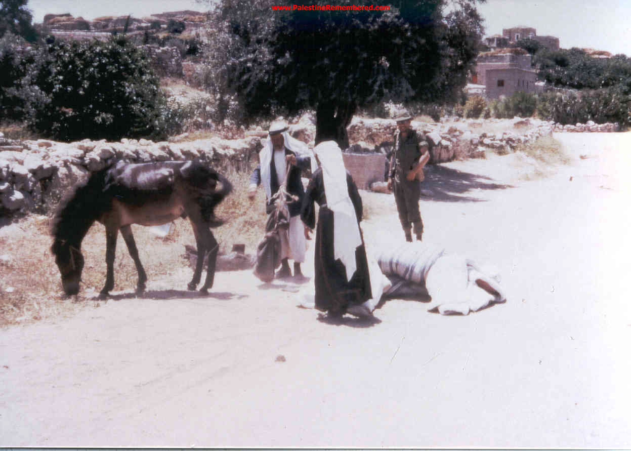
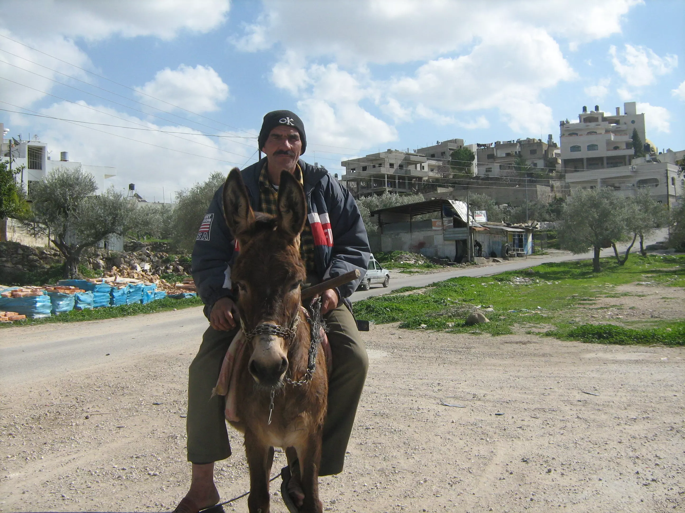
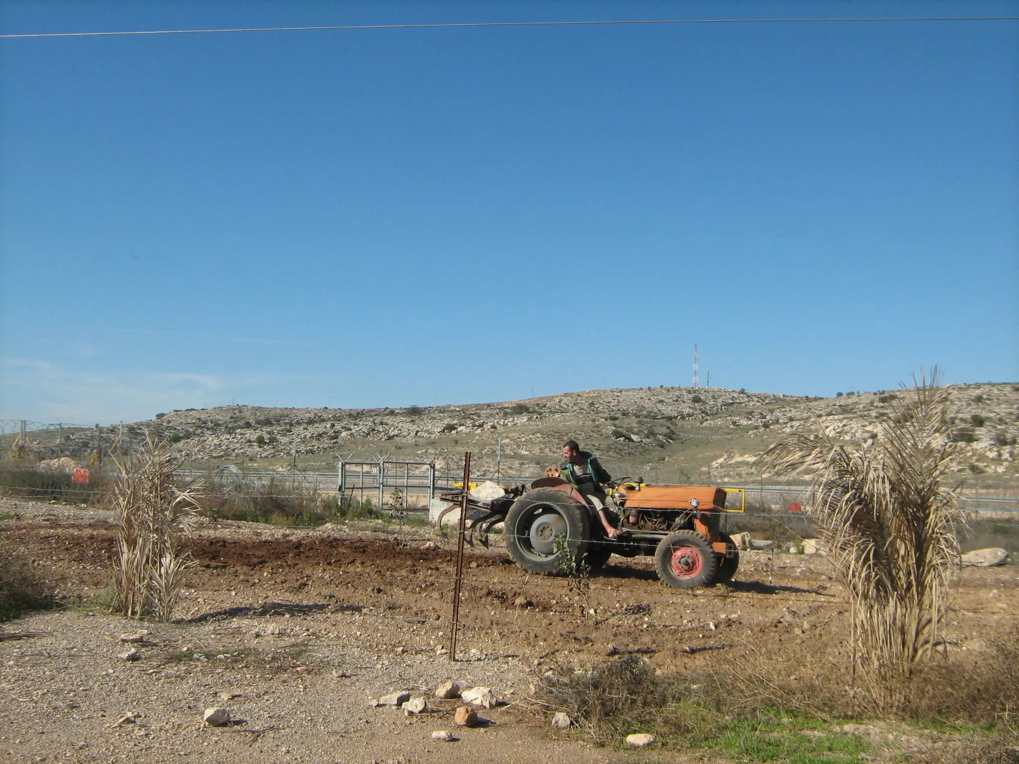
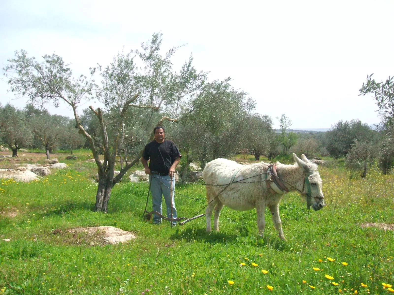
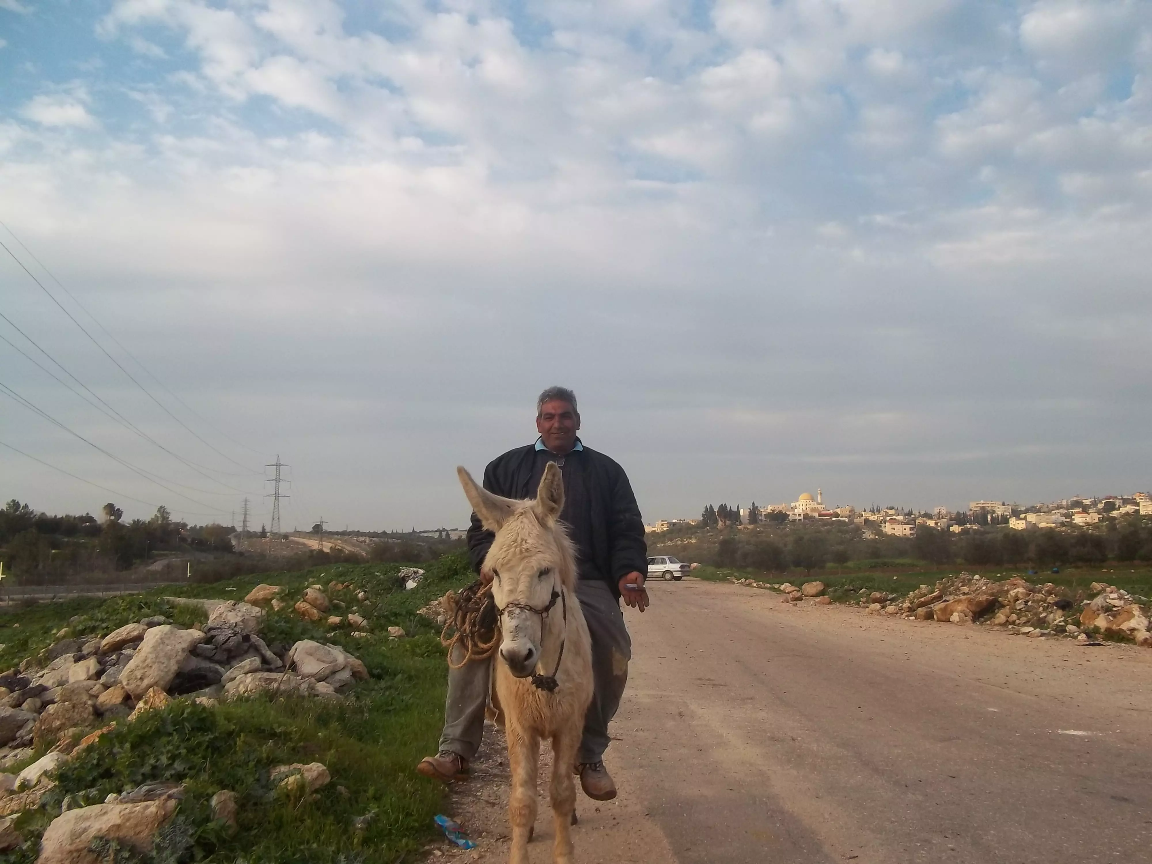
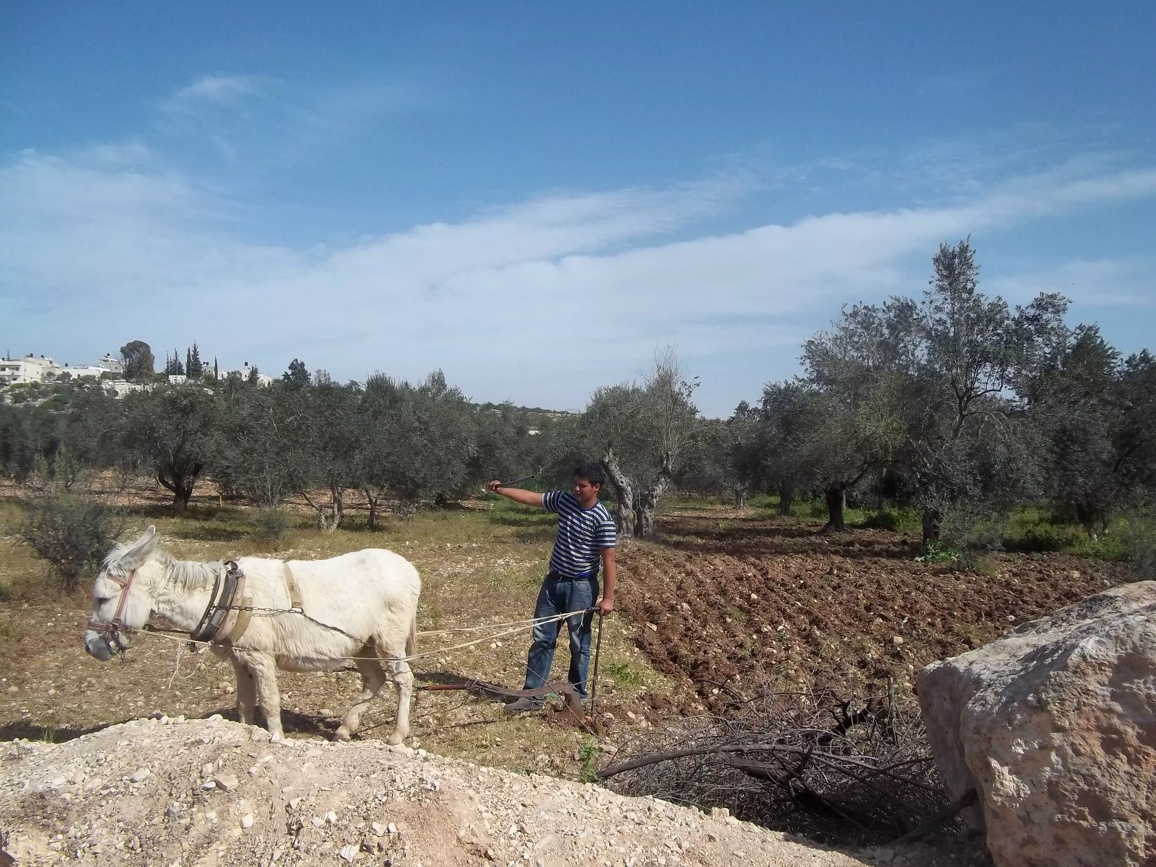
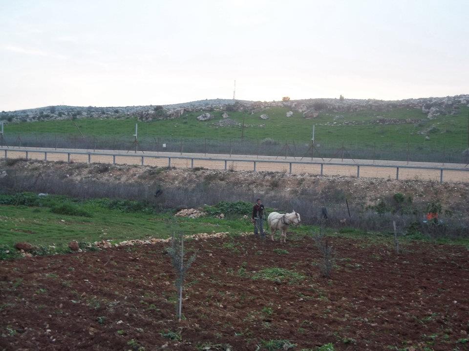
Posted by محمد الحاج 1 - شاب يحرث الارض على حيوان
Posted by محمد الحاج 2 - الاربعيني
Posted by محمد الحاج - مظرعام
Posted by محمد الحاج - موسم قطف الفقوس في القريه
Posted by محمد الحاج 4 - الحارة الشرقيه

Posted by محمد الحاج - الحارة الشرقيه
Posted by محمد الحاج - الحارة الشرقيه
Posted by محمد الحاج - منظر في مجمع رام الله لسيارات
Posted by محمد الحاج 1 - الحارة الشرقبه بيت رائس مجلس قروي بيت سيرا ابو زياد
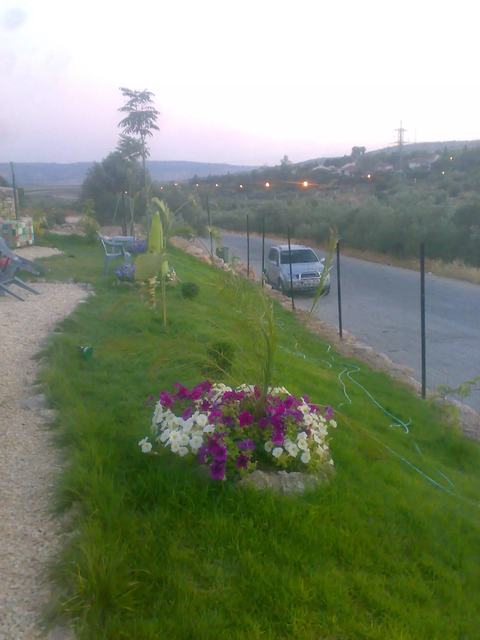
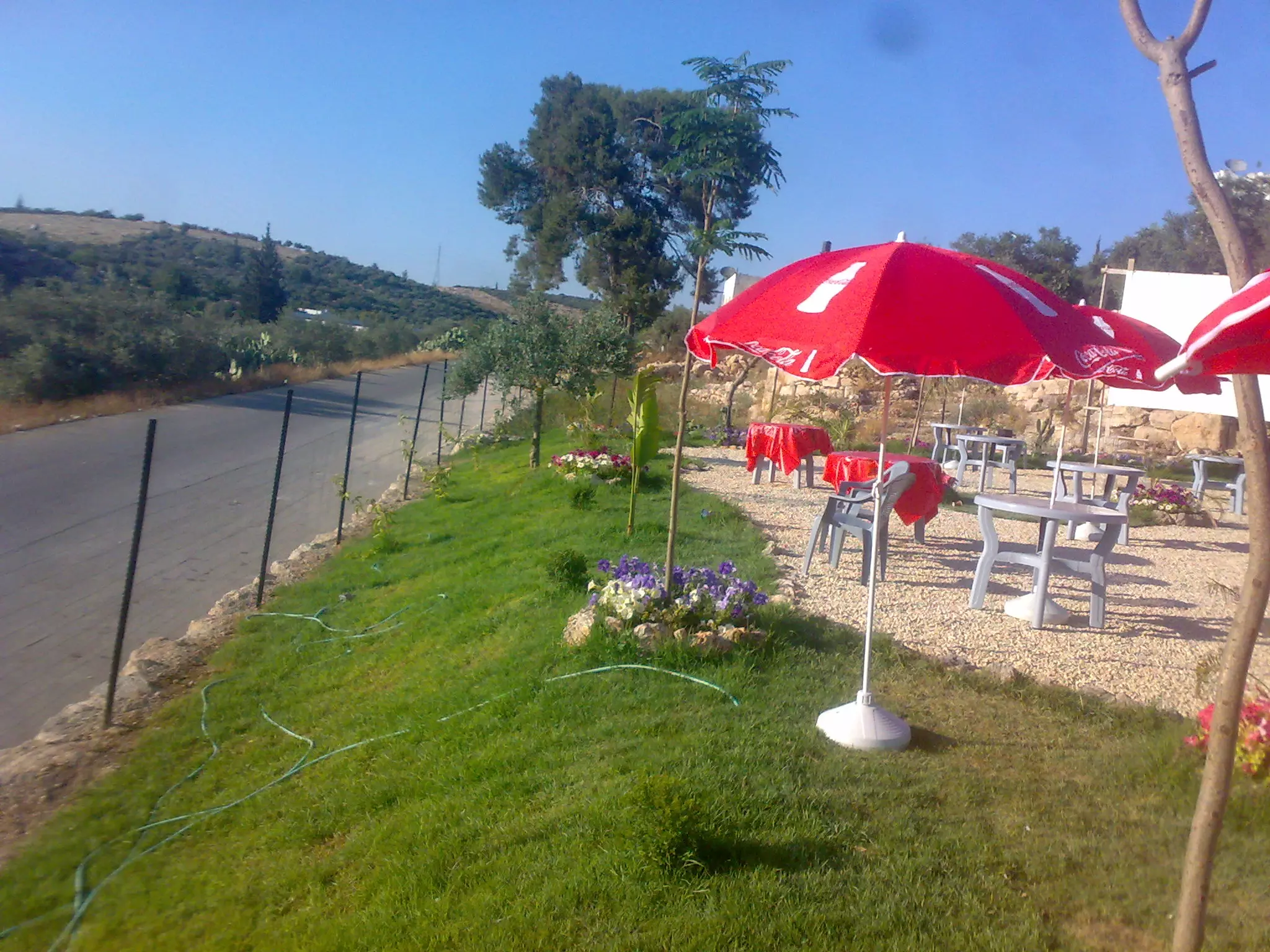
Posted by محمد الحاج 2 - منتزه قرية بيت سيرا لصاحبه ابو صامد
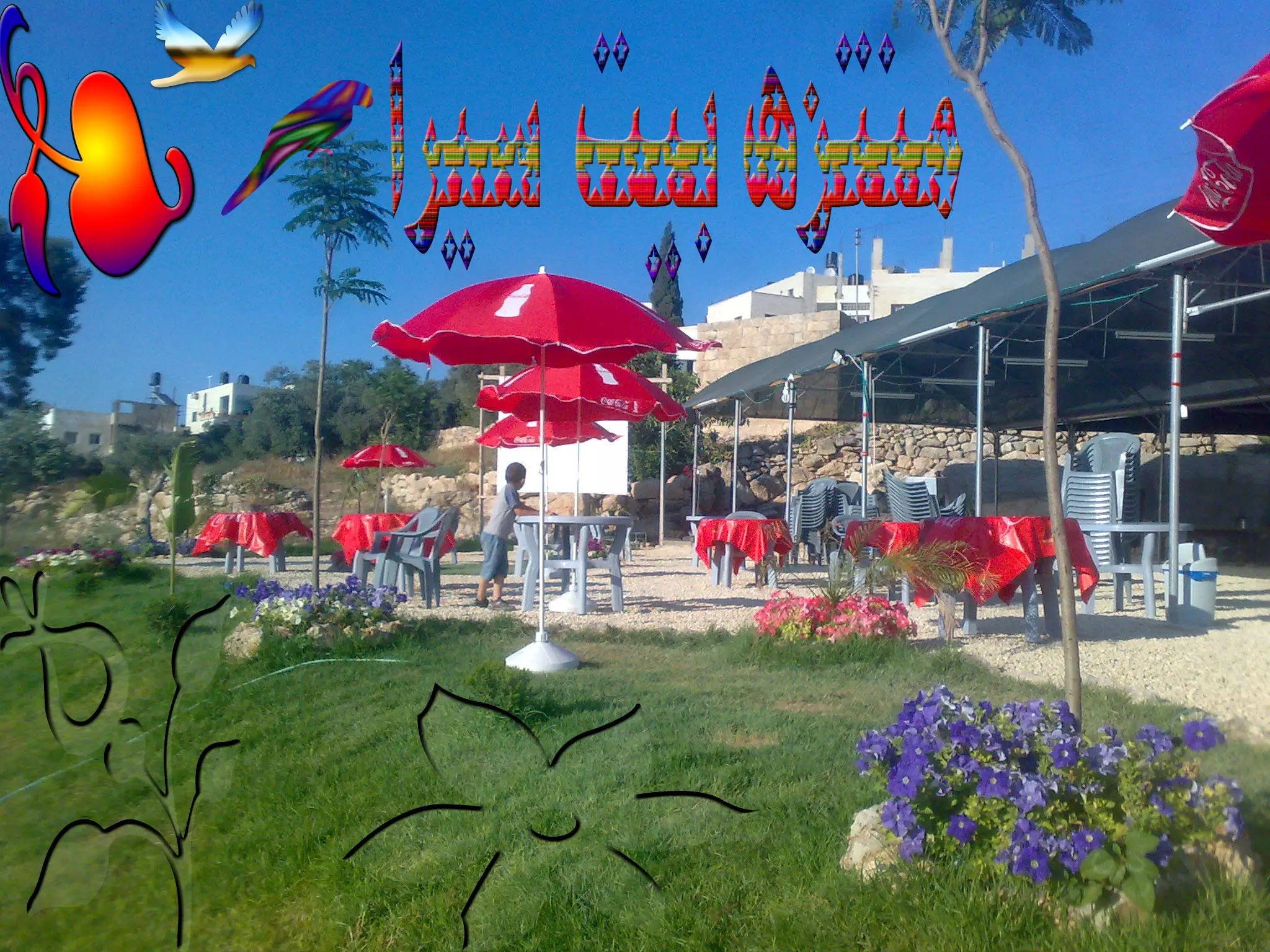
Posted by صامد الحاج - منتزه قرية بيت سيرا لصاحبه ابو صامد ...
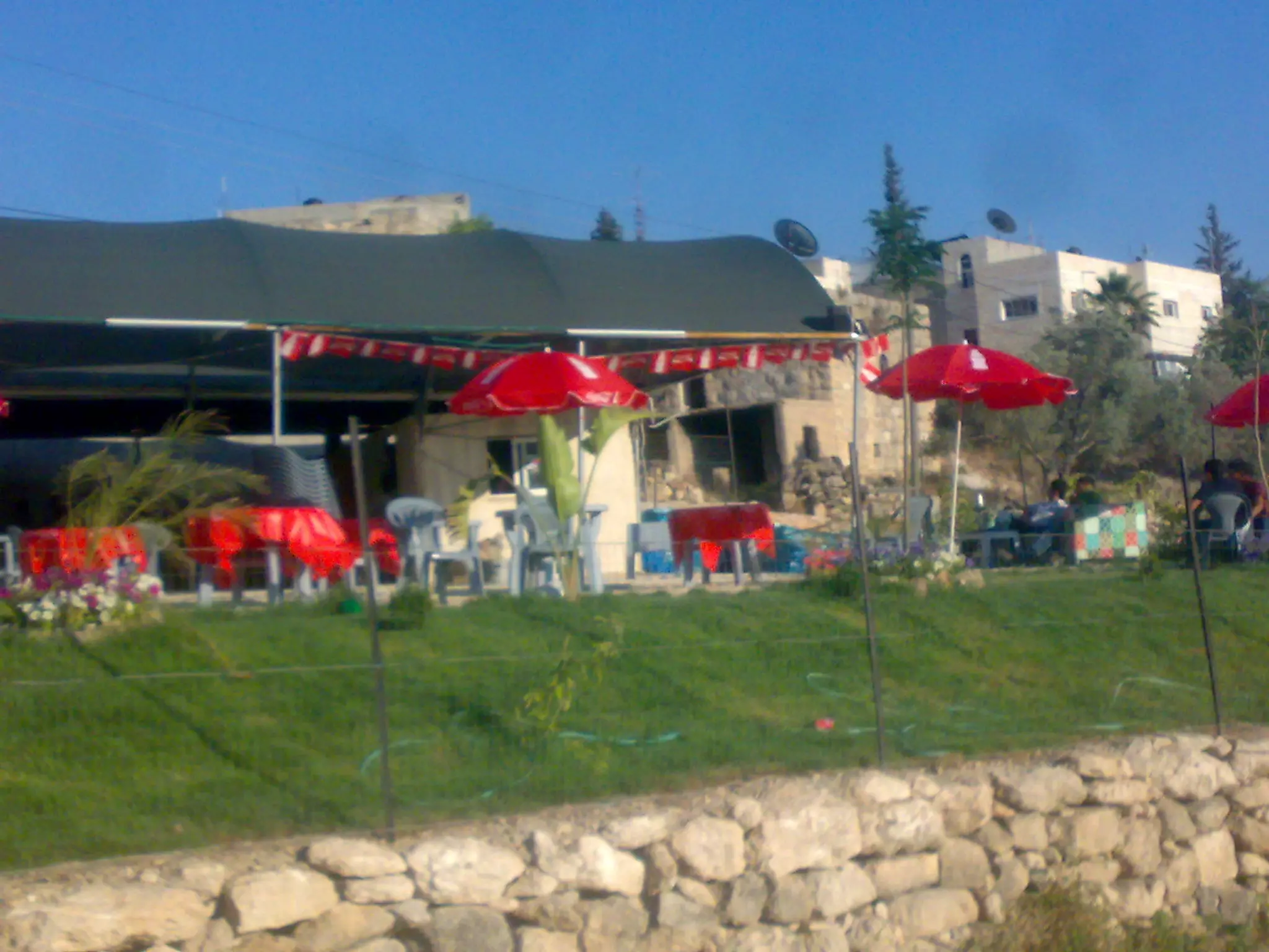
Posted by صامد الحاج - منتزه قرية بيت سيرا لصاحبه ابو صامد.......
Posted by صامد الحاج 1 - منتزه قرية بيت سيرا بادارة ابو صامد
Posted by صامد الحاج 1 - اعراس
Posted by محمد الحاج - افراح
Posted by محمد الحاج - افراح
Posted by محمد الحاج - افراح
Posted by محمد الحاج - مختار دار حمدان الحج جمال
Posted by محمد الحاج - افراح
Posted by محمد الحاج 1 - منظر عام
Posted by محمد الحاج - شلال واد الزيتون
Posted by محمد الحاج - شلال واد الزيتون
Posted by محمد الحاج - نادي بيت سيرا
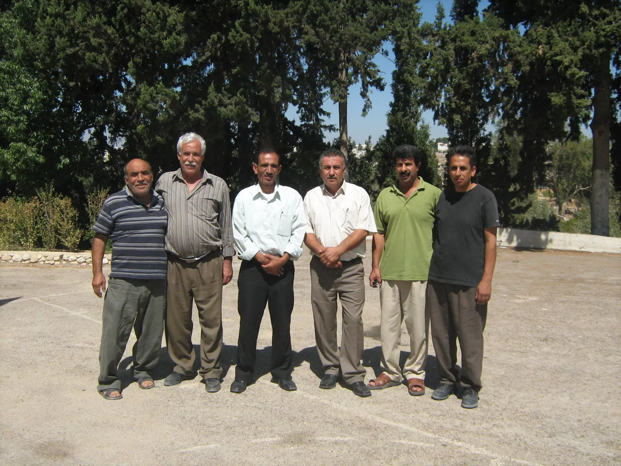
Posted by محمد الحاج 2 - مجلس بيت سيرا
Posted by محمد الحاج 1 - رئيس مجلس بيت سيرا ابو زياد علي ابو صفيه
Posted by محمد الحاج - عيد الاضى في بيت سيرا
Posted by محمد الحاج 1 - يحي عنقاوي
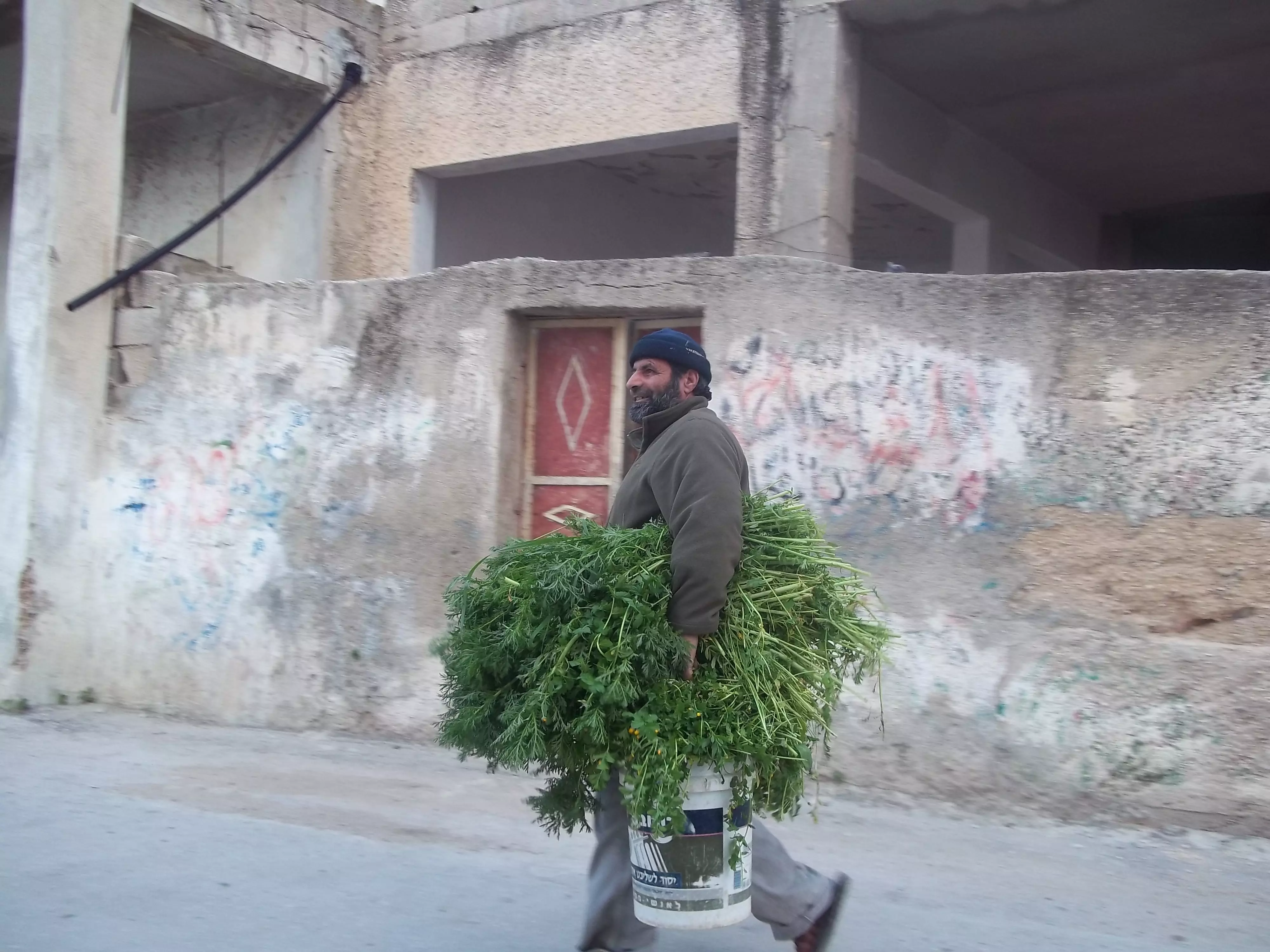
Posted by محمد الحاج - المزارعين في القريه
Posted by ام علي - منظر عام
Posted by محمد الحاج - المزارع الشيخ قاسم فوائد
Posted by محمد الحاج - منظر عام
Posted by محمد الحاج - صور مسجد بيت سيرا الجديد ( الحارة الفوقة )
Posted by صامد الحاج - المزارعين في القريه

Posted by محمد الحاج - اطفال روضة بيت سيرا
Posted by صامد الحاج - اطفال روضة بيت سيرا 1
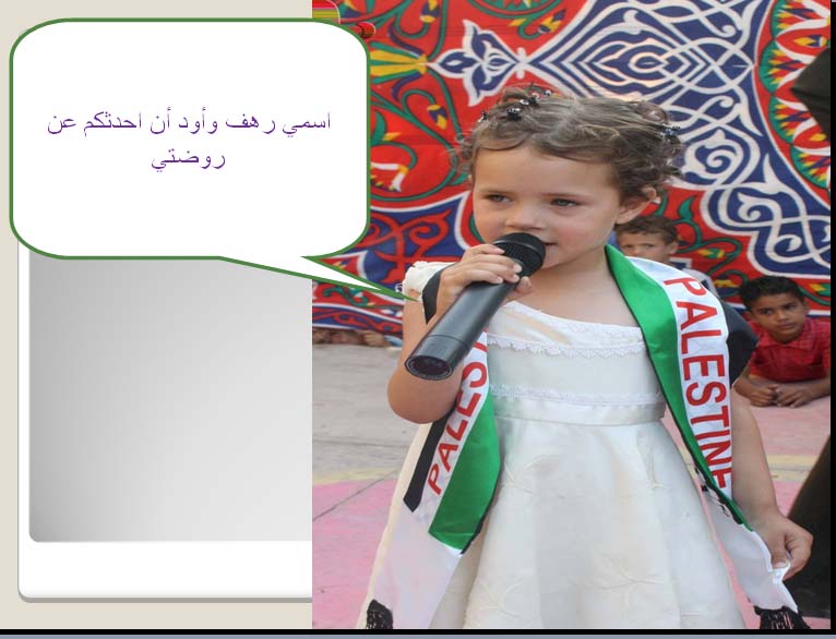
Posted by صامد الحاج - الطفلة رهف من روضة بيت سيرا
Posted by صامد الحاج 2 - روضة بيت سيرا
Posted by صامد الحاج - اطفال الروضة
Posted by صامد الحاج - وسط البلد
Posted by محمد الحاج - صورة لبيت دار ابوحافظ في قرية بيت سيرا
Posted by صامد الحاج - صورة حديثة للقرية من منطقة المستوطنة
Posted by صامد الحاج - صورة لمنطقة المرج ومنطقة الجدار في قرية بيت سيرا
Posted by صامد الحاج - صورة حديثة لمستوطنة مكابيم القريبة من بيت سيرا
Posted by صامد الحاج - مزارعين
Posted by محمد الحاج - مظر عام
Posted by محمد الحاج - منطقه الجسر
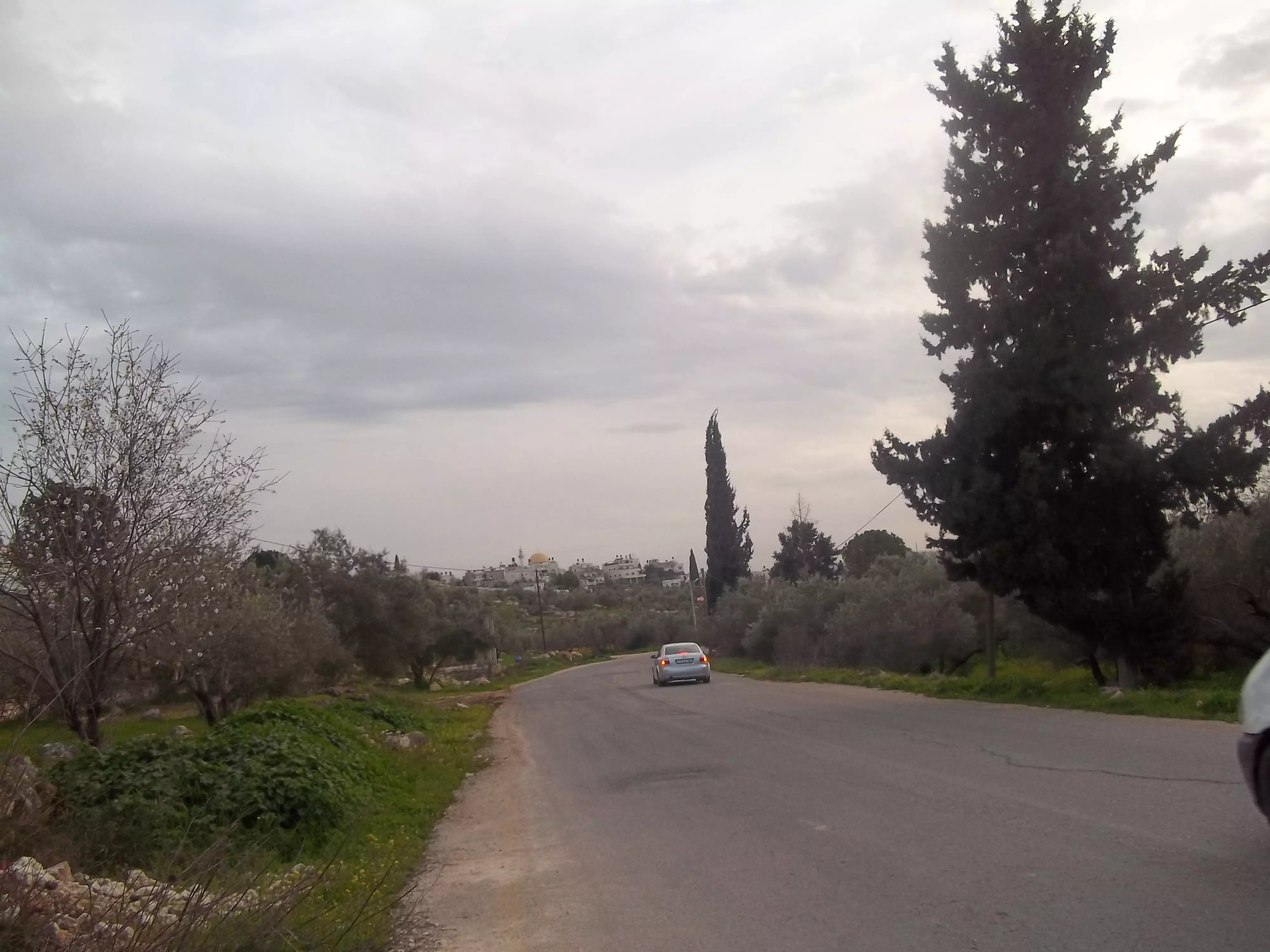
Posted by محمد الحاج - شارع غزة رام الله الذي يمر من بيت سيرا اليوم مسكر من قبل الاحتلال
Posted by محمد الحاج - منطقه العين
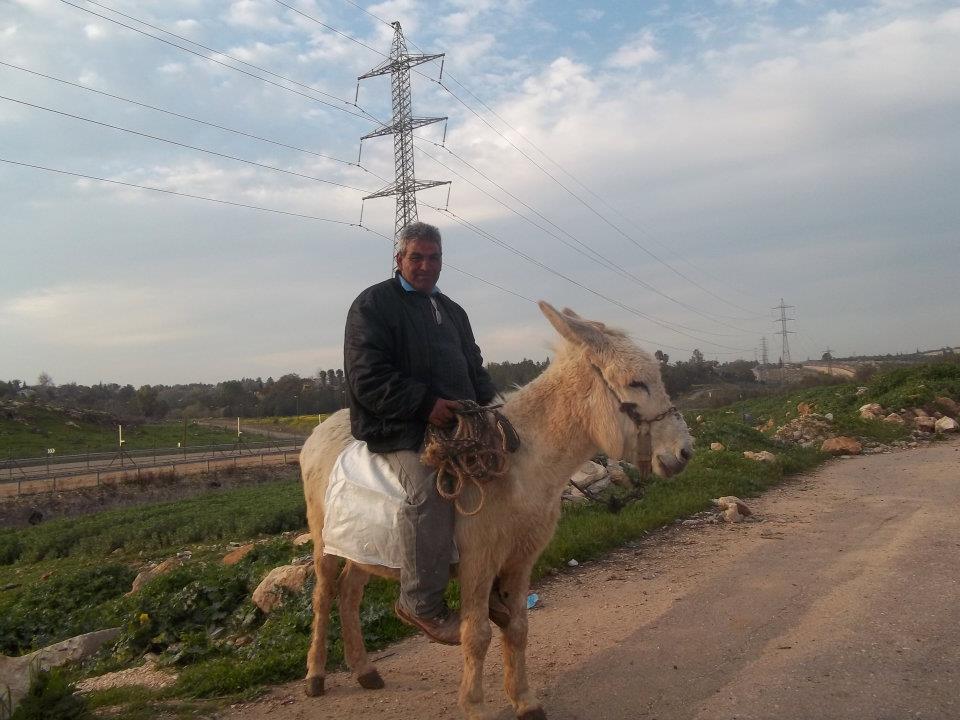
Posted by محمد الحاج - حراث على حيوان
Posted by محمد الحاج - مقبرة بيت سيرا وسط البلد
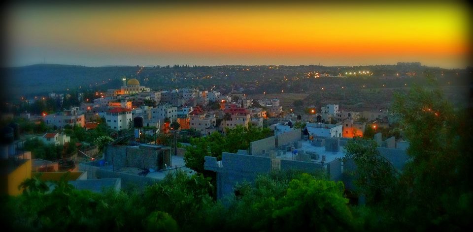
Posted by محمد الحاج - منظر في الليل

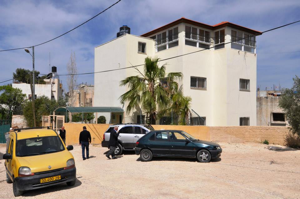
Posted by محمد الحاج - بيت سيرا

Posted by محمد الحاج 1 - منظر في الليل

Posted by محمد الحاج - منظر في الليل
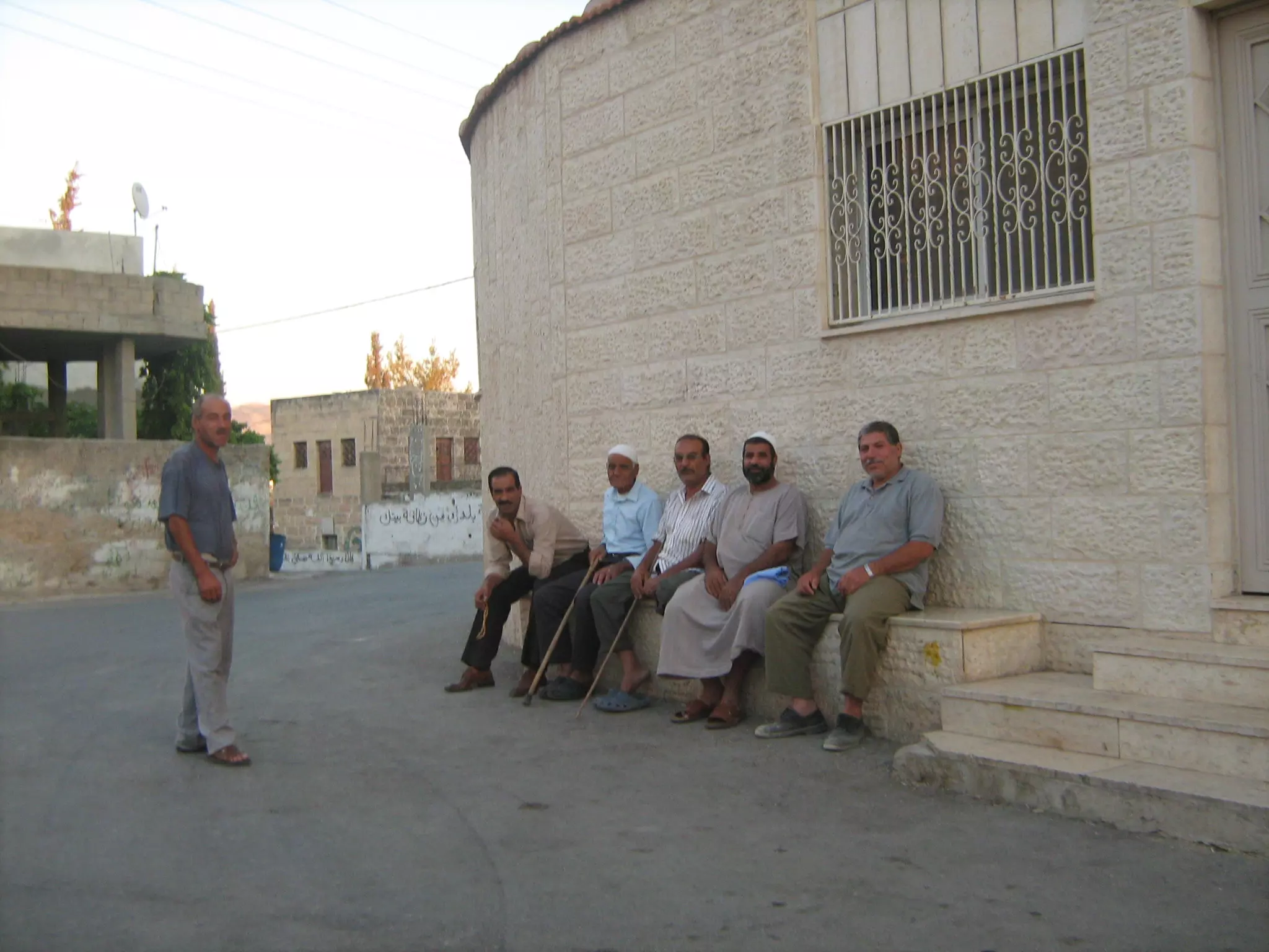
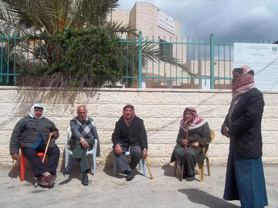
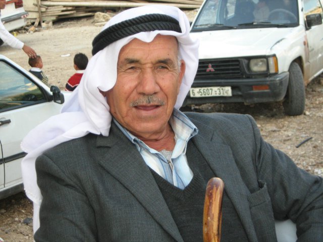
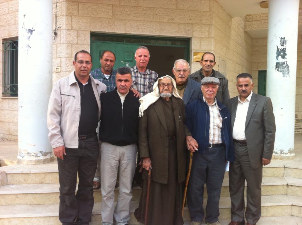
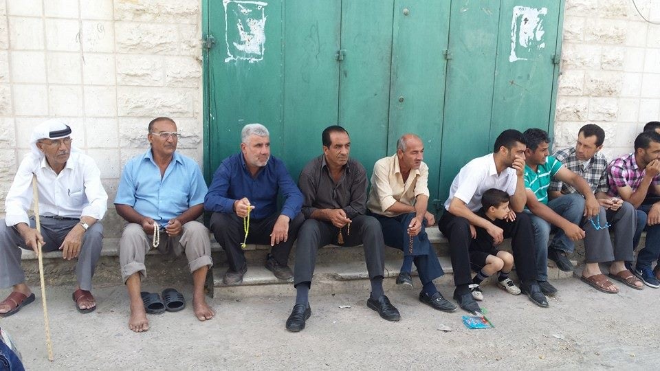
Posted by محمد الحاج - مشايخ بيت سيرا
Posted by محمد الحاج - مزارعين القريه
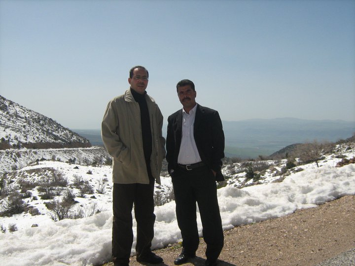
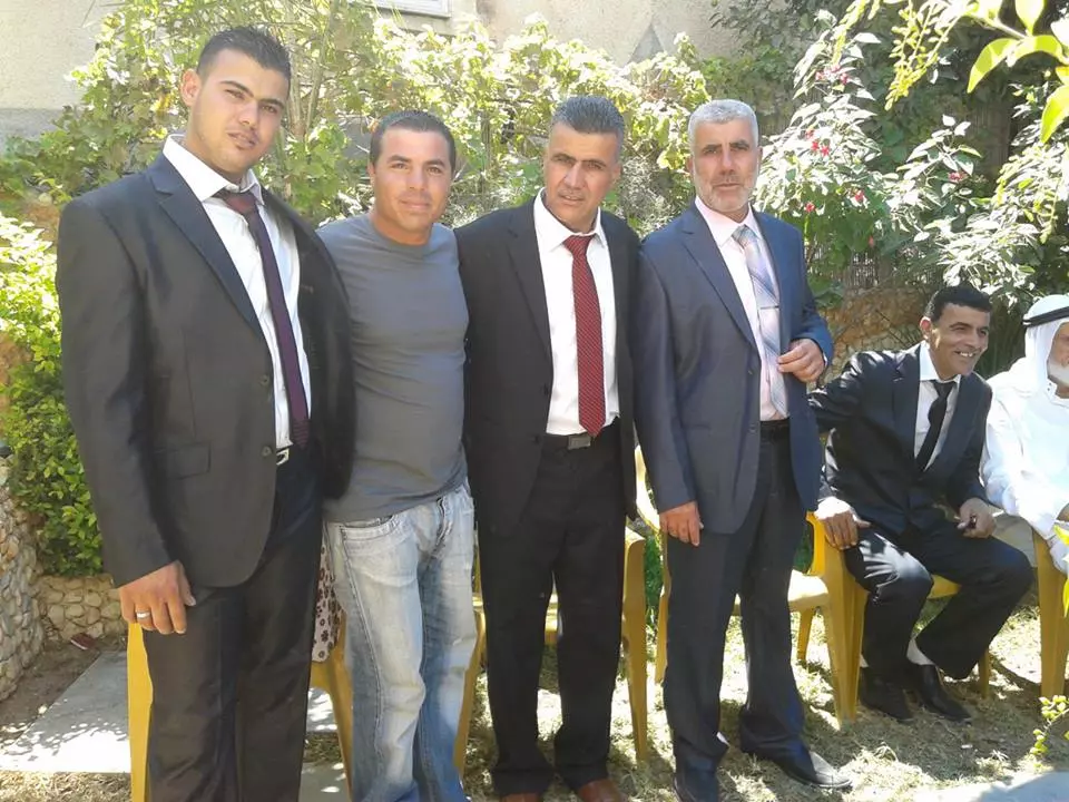
Posted by محمد الحاج - مدير بنك الاستثمار الفلسطيني مصطفى الحاج وراجل العمال سلمان الحاج في زيارة الى جبل الشيخ
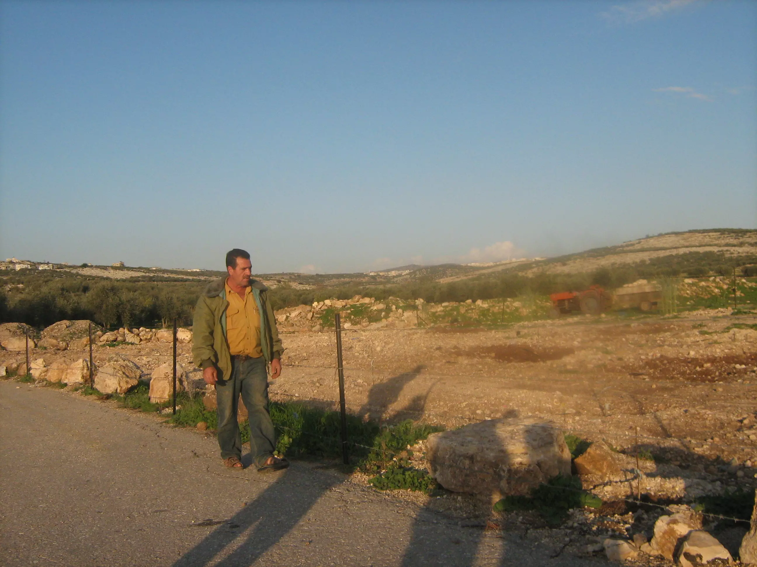
Posted by محمد الحاج - االمزارع ابراهيم ابوصفيه
Posted by محمد الحاج - افراح دار الحاج
Posted by محمد الحاج - وسط البلد
Posted by محمد الحاج - افتتاح مدرسه بيت سيرا امين حمدان مع الدكتور سلام فياض
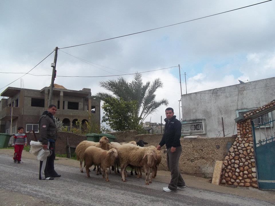
Posted by محمد الحاج - راعي الاغنام
Posted by محمد الحاج - اول اسير في قريه بيت سيرا سنه 1972
Posted by محمد الحاج - زراعه الفكوس

Posted by محمد الحاج - افرح الي عنقاوي
Posted by محمد الحاج - الاسير ابو ماهر البابا
Posted by محمد الحاج - المزارع قاسم ابوصفيه
Posted by محمد الحاج - شاب يحرث الارض بجانب الجدار
Posted by محمد الحاج - راعي الاغنام سلامه ابو حشيش
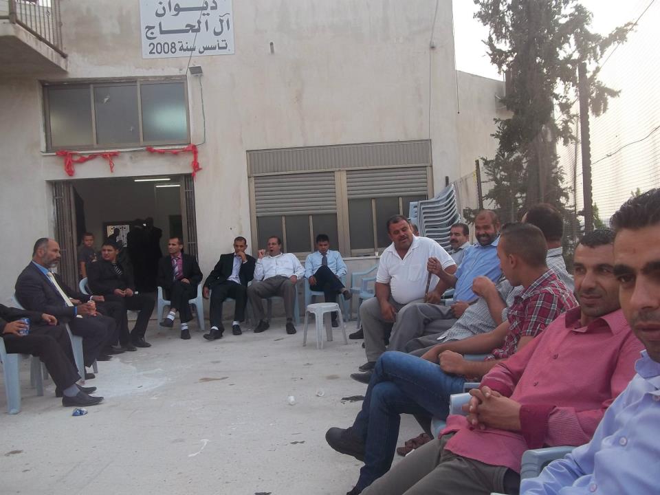
Posted by محمد الحاج - مسوول في مجلس قروي بيت سيرا
Posted by محمد الحاج - مدرسه ذكور بيت سيرا الثانويه
Posted by محمد الحاج - مسجد بيت سيرا
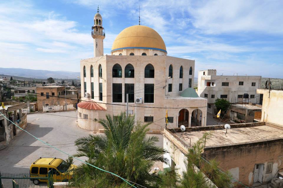
Posted by محمد الحاج - مسجد بيت سيرا القديم
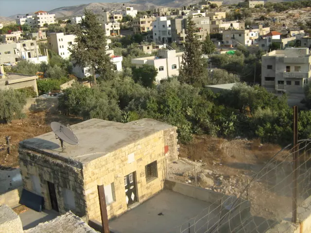
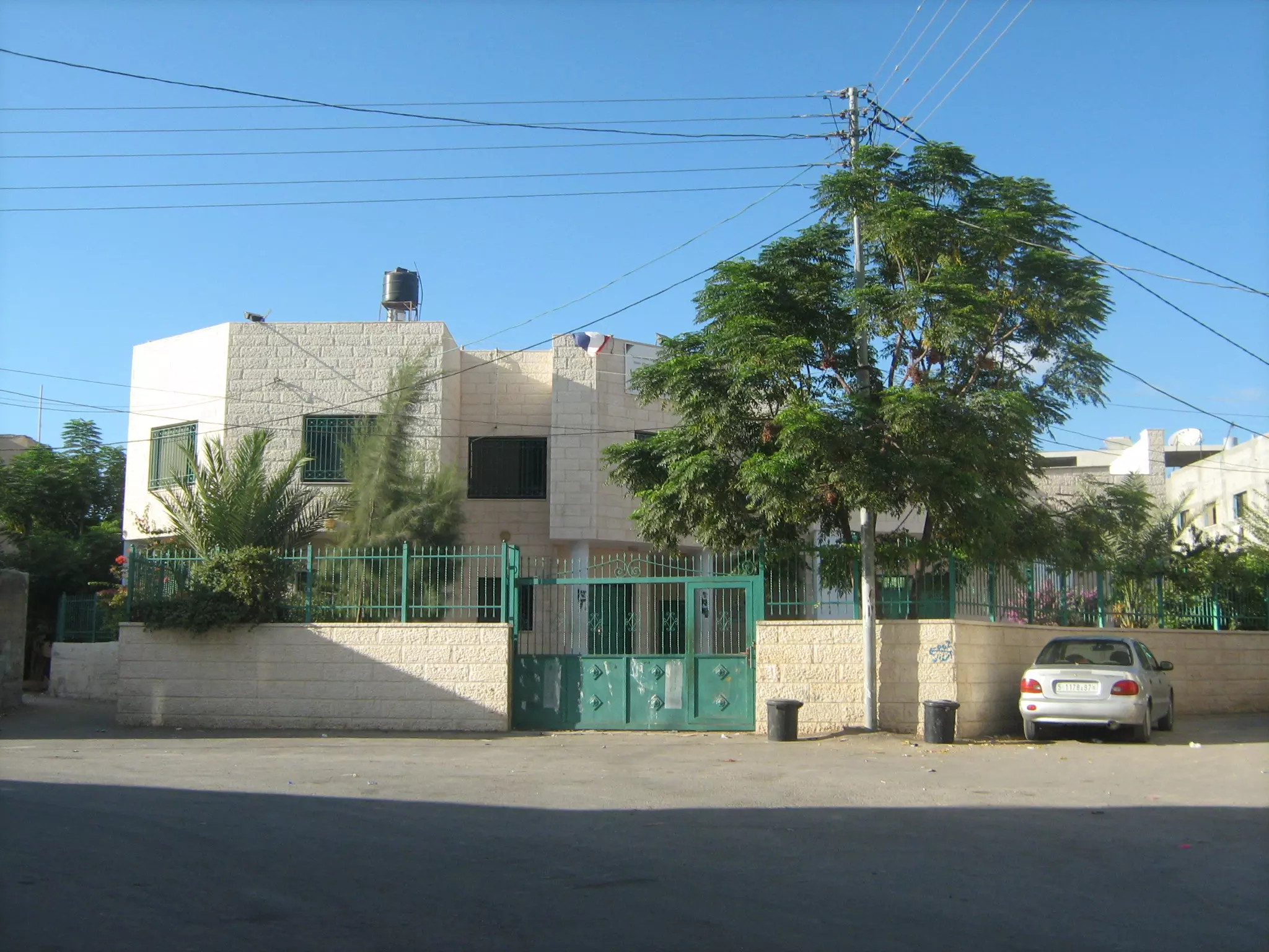
Posted by محمد الحاج - بيت سيرا الجديدة
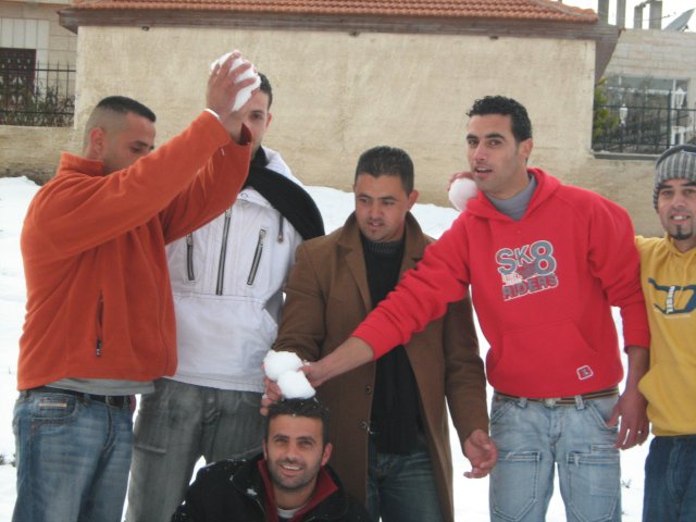
Posted by محمد الحاج - شباب يتزلجون على الثلج
Posted by محمد الحاج - اعراس
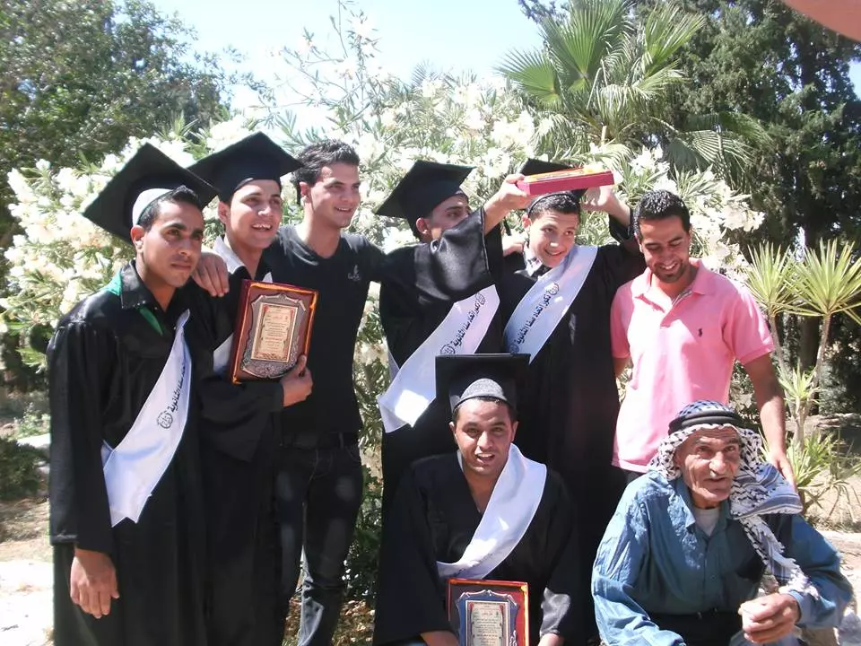
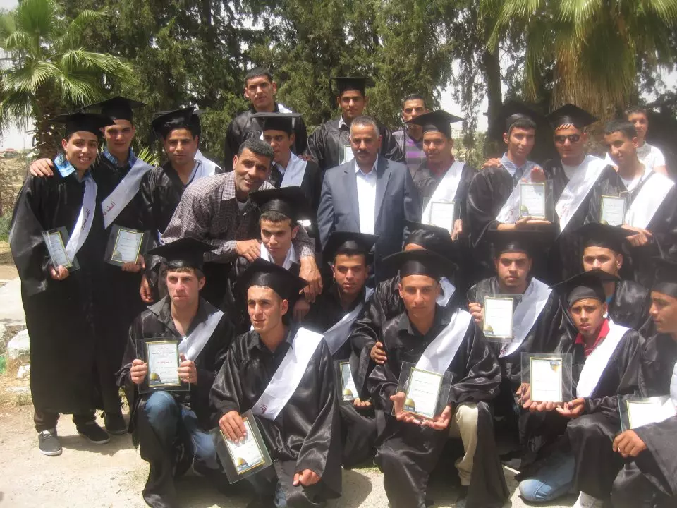
Posted by محمد الحاج - تخرج التوجيهي
Posted by محمد الحاج - عيد الاضحى
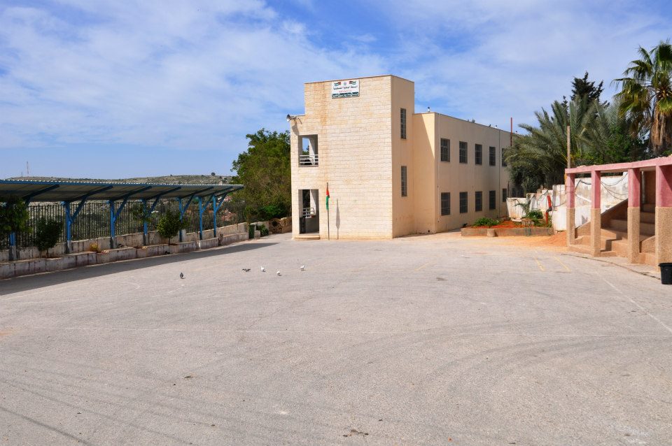
Posted by محمد الحاج - مسجد العين

Posted by محمد الحاج - منظر عام
Posted by محمد الحاج - بلاط مسجد العين

Posted by محمد الحاج - زرعه القريه من الشجار
Posted by محمد الحاج - منظر عام
Posted by محمد الحاج - مسجد العين
Posted by محمد الحاج - بلاط مسجد العين
Posted by محمد الحاج - بلاط مسجد العين
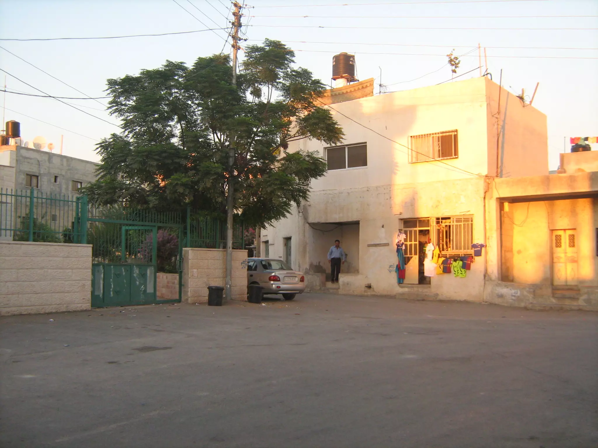
Posted by محمد الحاج - عمل وسط البلد
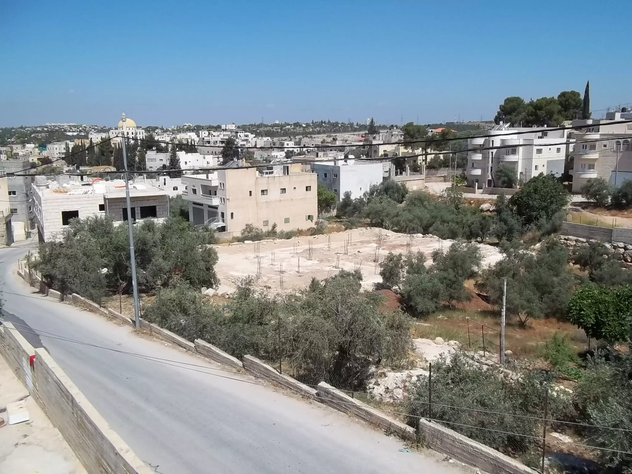
Posted by محمد الحاج - منظر عام
Posted by محمد الحاج - مدرسه ذكور بيت سيرا
Posted by محمد الحاج - مدرسه بنات بيت سيرا
Posted by محمد الحاج - مدرسه بنات بيت سيرا
Posted by محمد الحاج - روضه بيت سيرا
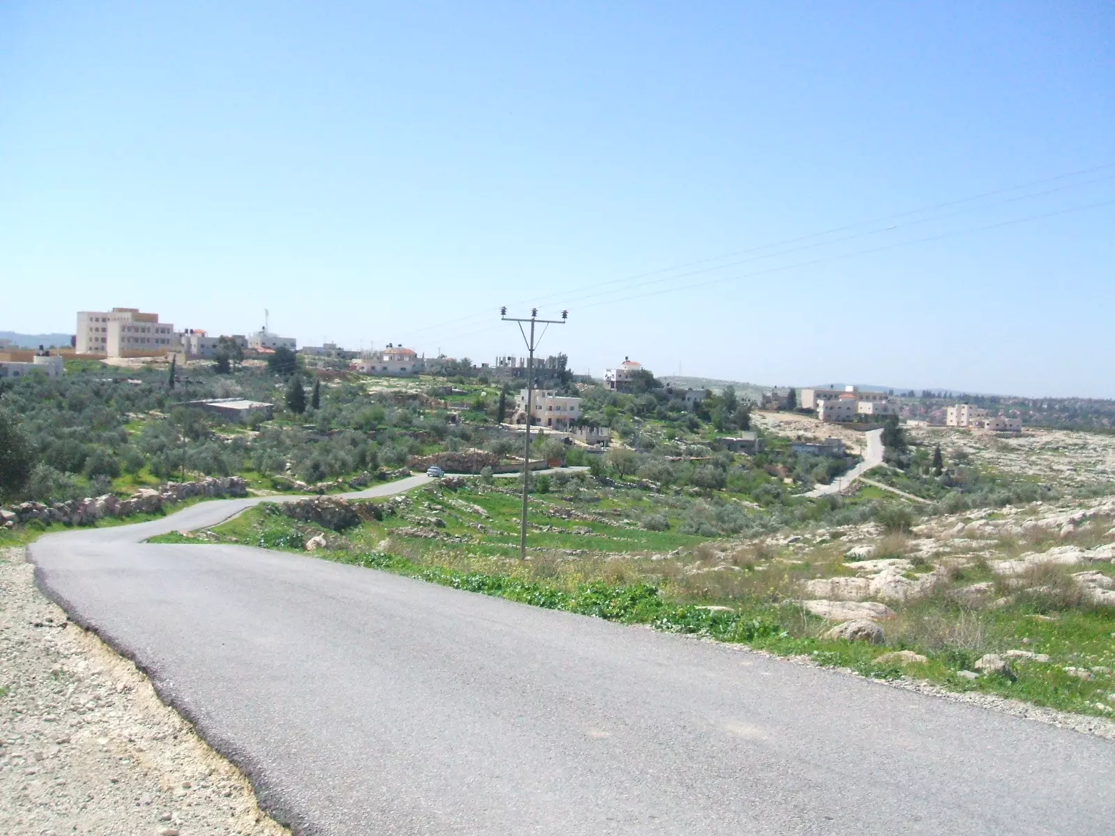
Posted by محمد الحاج - سهول بيت سيرا
Posted by محمد الحاج - منطقه العين الطريق الى المدرسه
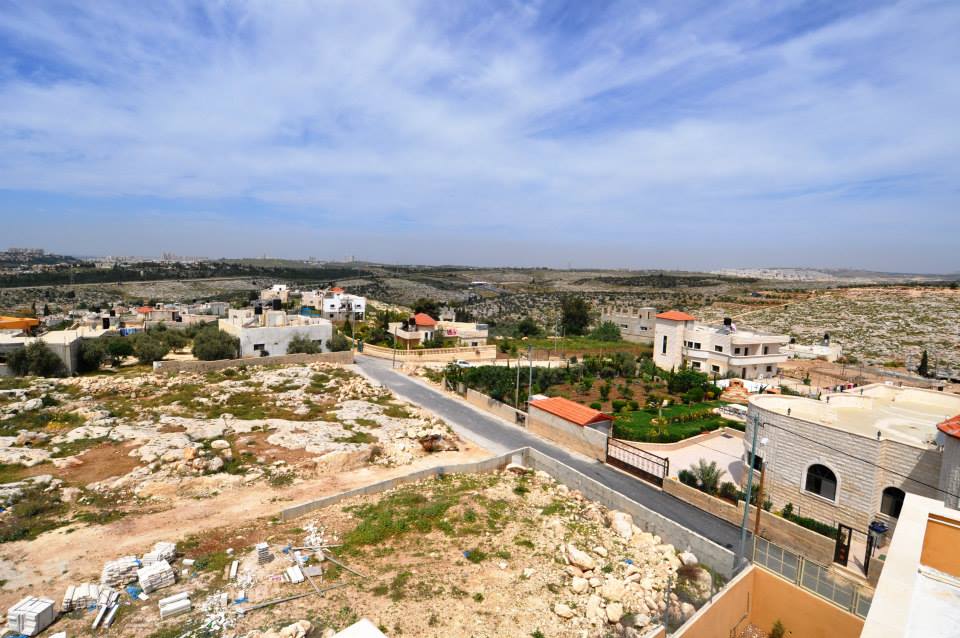
Posted by محمد الحاج - منظر عام

Posted by محمد الحاج - منظر عام
Posted by محمد الحاج - منطقه العين الطريق الى المدرسه
Posted by محمد الحاج - سهل بيت سيرا
Posted by محمد الحاج - منظر عام
Posted by محمد الحاج - منظر عام
Posted by محمد الحاج - منظر عام
Posted by محمد الحاج - منظر عام
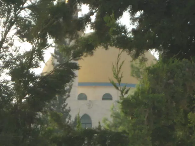
Posted by محمد الحاج - قبه مسجد العين
Posted by محمد الحاج - افراح ابو صفيه
Posted by محمد الحاج - اعراس في البلد
Posted by محمد الحاج - اافراح ابو صفيه
Posted by محمد الحاج - اعراس في البلد
Posted by محمد الحاج - اعراس في البلد
Posted by محمد الحاج - اعراس في البلد
Posted by محمد الحاج - افراح عائله خميس
Posted by محمد الحاج - افراح عائله حمدان
Posted by محمد الحاج - افراح عائله حمدان
Posted by محمد الحاج - افراح دار البابا
Posted by محمد الحاج - افراح دار البابا
Posted by محمد الحاج - افراح دار القط
Posted by محمد الحاج - افراح دار القط
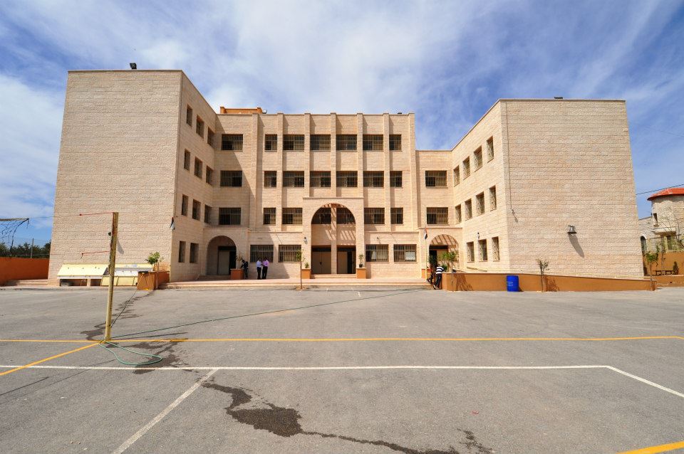
Posted by محمد الحاج - مدرسة ذكور بيت سيرا الاساسية العليا

Posted by عنقاوي - مدرسة ذكور بيت سيرا الاساسية العليا
Posted by عنقاوي - مدرسة بيت سيرا الاساسية العليا تحتفل بيوم اللغة العربية
Posted by عنقاوي - مدير مدرسة ذكور بيت سيرا الاساسية العليا في احتفال بيوم اللغة العربية
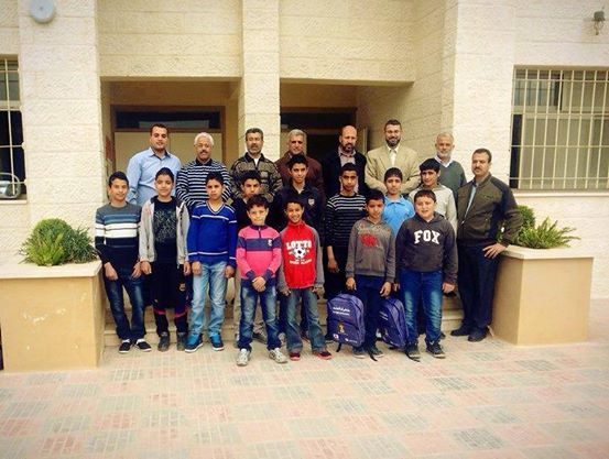
Posted by عنقاوي 1 - تكريم الطلبة المتفوقين في مدرسة ذكور بيت سيرا الاساية العليا
Posted by عنقاوي - الشهيد عبدالله ابو صفيه

Posted by محمد الحاج - الشهيد عبدالله ابو صفيه
Posted by محمد الحاج - روضه بيت سيرا
Posted by محمد الحاج - مجلس بيت سيرا
Posted by محمد الحاج - روضه بيت سيرا
Posted by محمد الحاج - اسرى بيت سيرا
Posted by محمد الحاج - منظر عام
Posted by محمد الحاج - مدرسه بيت سيرا
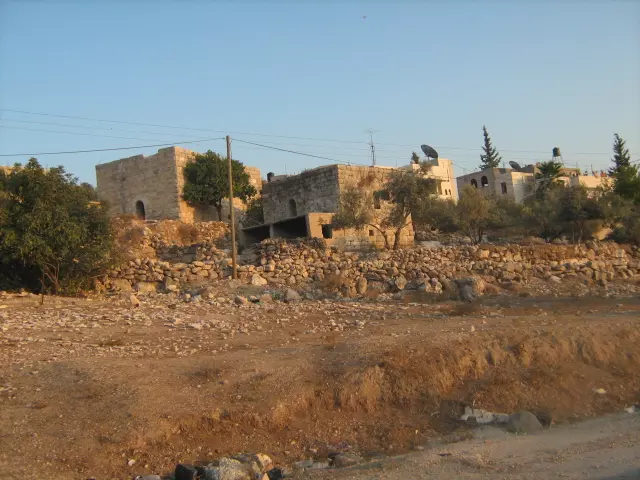
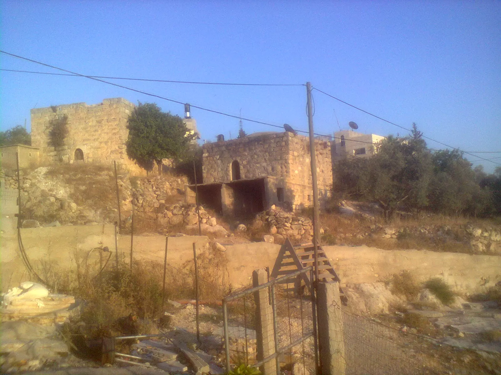
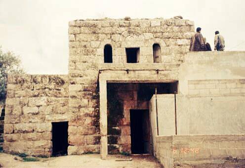
Posted by محمد الحاج - بيت قديم يعود الى 1820
Posted by محمد الحاج - منطقه المحسوم
Posted by محمد الحاج - منظر عام
Posted by محمد الحاج - اقراح عنقاوي
Posted by محمد الحاج - حفلة تخرج محمد ابو صفية بيت سيرا 2012
Posted by محمد ابو صفية - زفه عرس
Posted by محمد الحاج - طلاب التوجيهي
Posted by محمد الحاج - منظر عام
Posted by محمد الحاج - افراح دار خطاب
Posted by محمد الحاج - فرقه ابو احمد
Posted by محمد الحاج - منظر عام

Posted by محمد الحاج - منظر عام

Posted by محمد الحاج - منظر عام
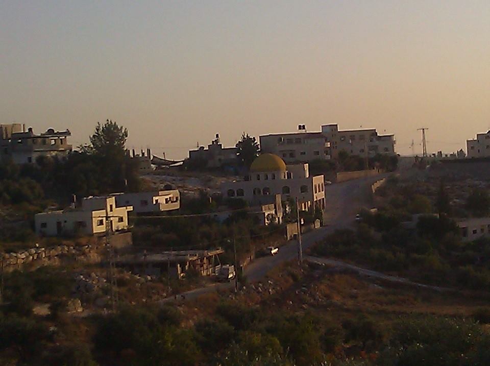
Posted by محمد الحاج - منظر عام
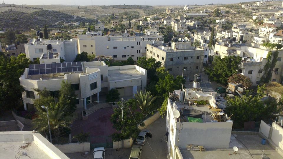
Posted by محمد الحاج - منظر عام
Posted by محمد الحاج - منظر عام
Posted by محمد الحاج - منظر عام
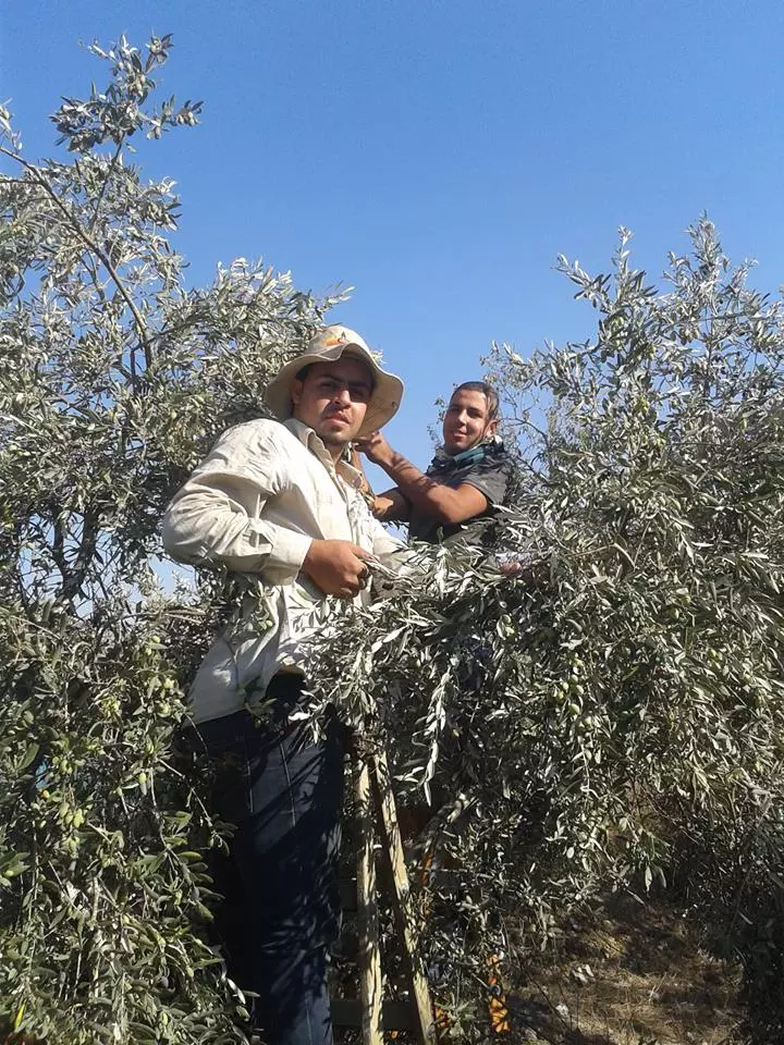
Posted by محمد الحاج - موسم قطف الزيتون في بيت سيرا
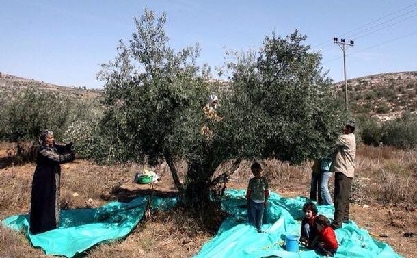
Posted by محمد الحاج - موسم قطف الزيتون في بيت سيرا
Posted by محمد الحاج - ام علي
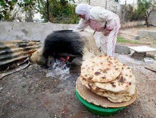
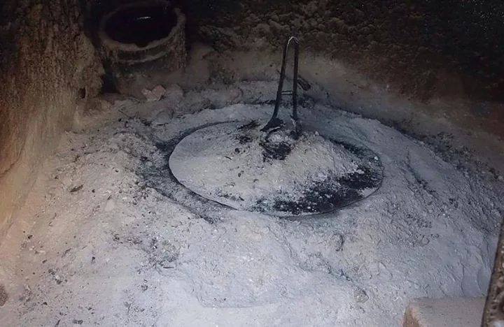
Posted by محمد الحاج - طبون ابلادي
Posted by محمد الحاج - موسم قطف الزيتون في بيت سيرا
Posted by محمد الحاج - افتتاح حديقه روضه بيت سيرا
Posted by محمد الحاج - افتتاح حديقه روضه بيت سيرا
Posted by محمد الحاج - افتتاح حديقه روضه بيت سيرا
Posted by محمد الحاج - موسم قطف الزيتون كبير صغير موسم رائع
Posted by محمد الحاج - حديقه الروضه

Posted by محمد الحاج - افراح دار ابوصفيه
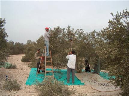
Posted by محمد الحاج 1 - موسم قطف الزيتون في بيت سيرا
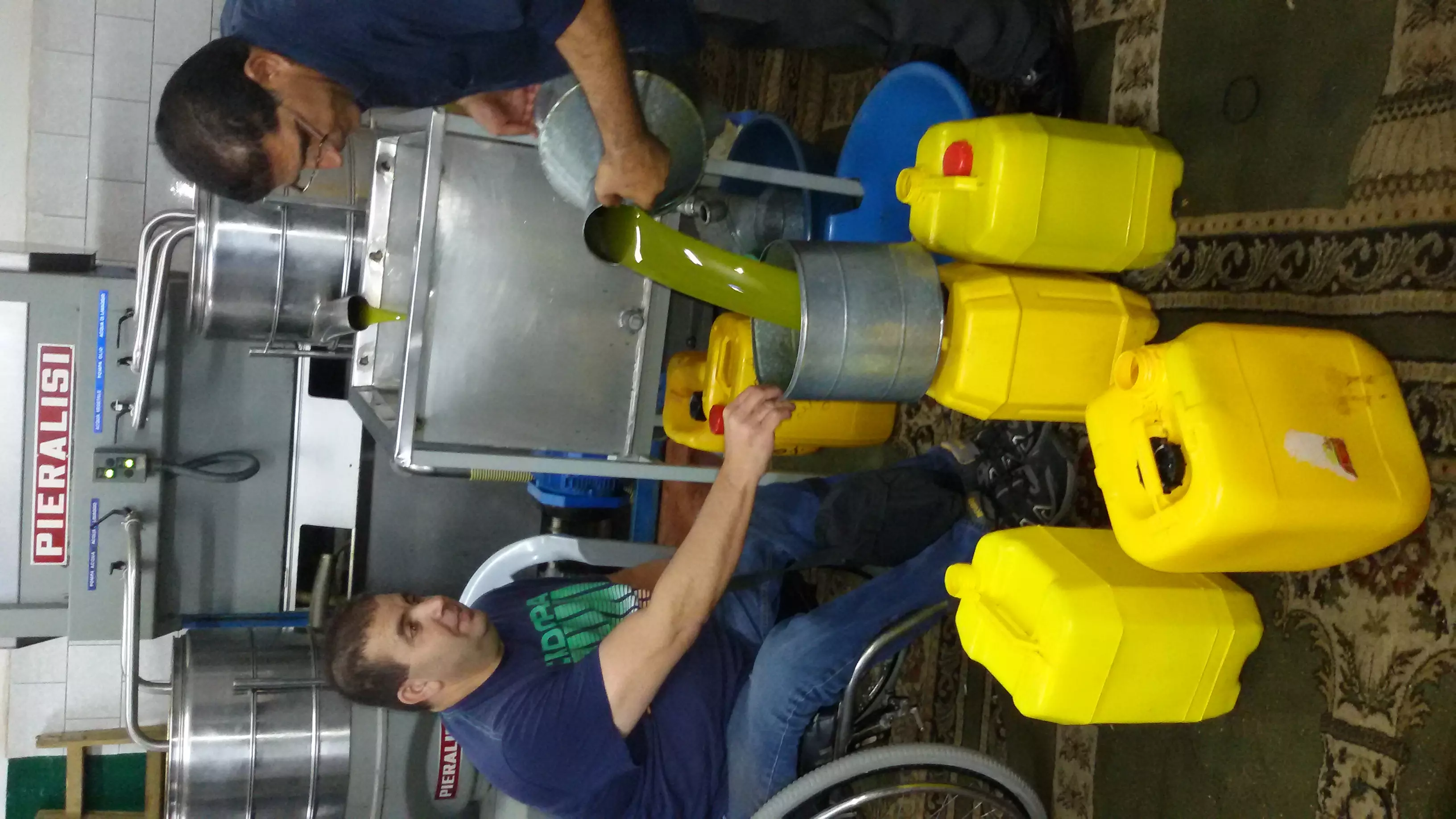
Posted by محمد الحاج - قطف الزيتون
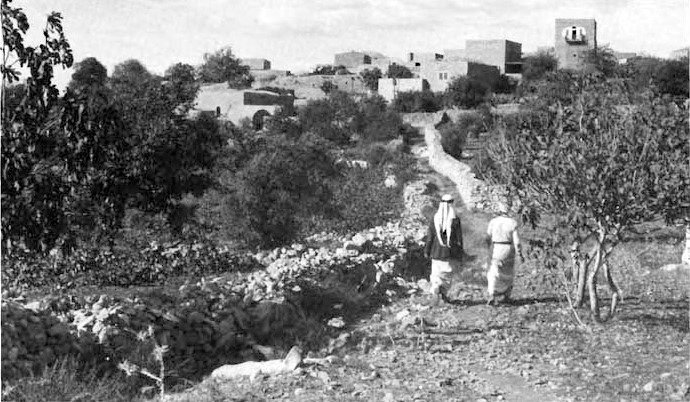
Posted by محمد الحاج - صورة نادرة وساحرة لقرية بيت سيرا قضاء رام الله أواخر الأربعينيات من القرن العشرين..
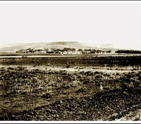
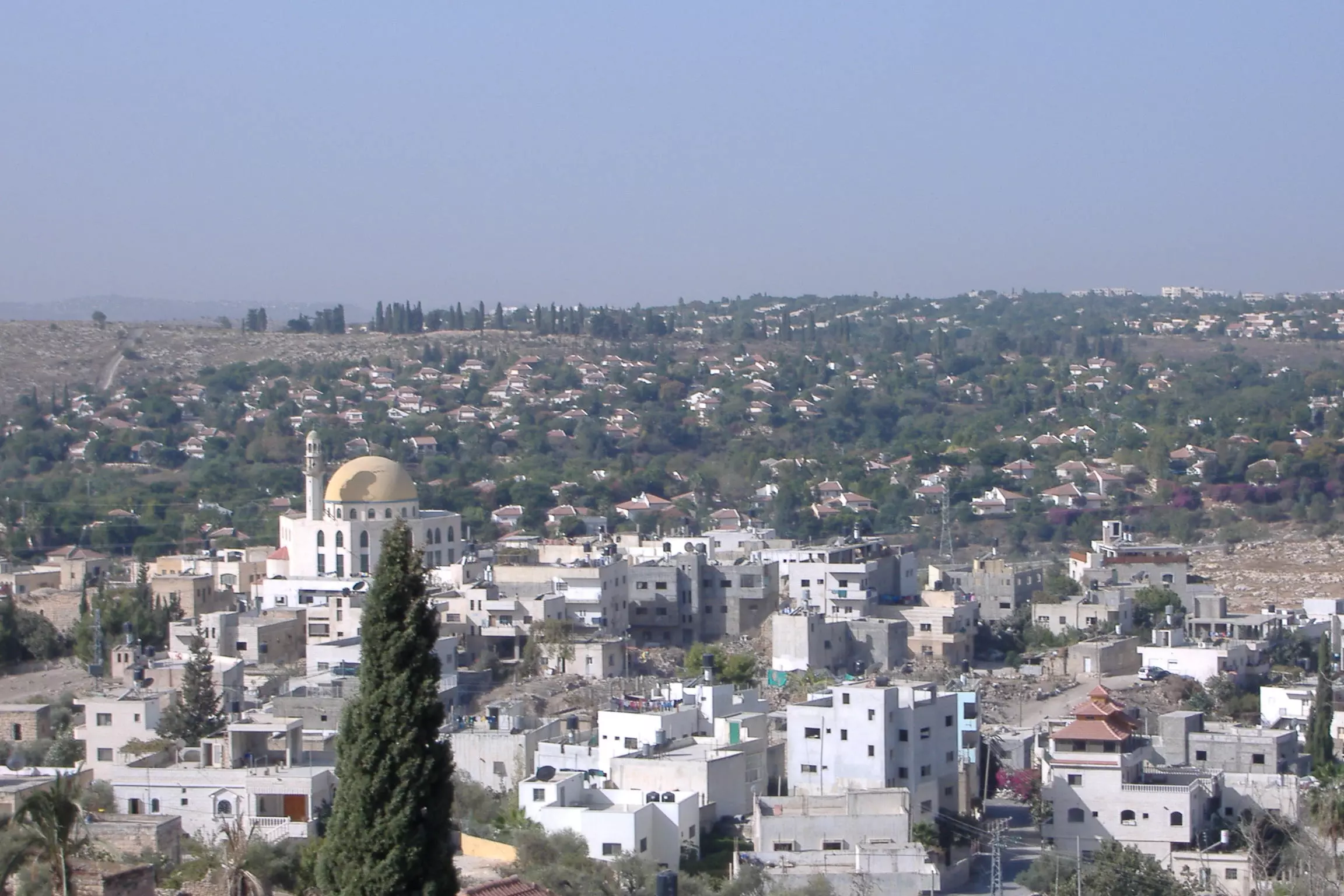
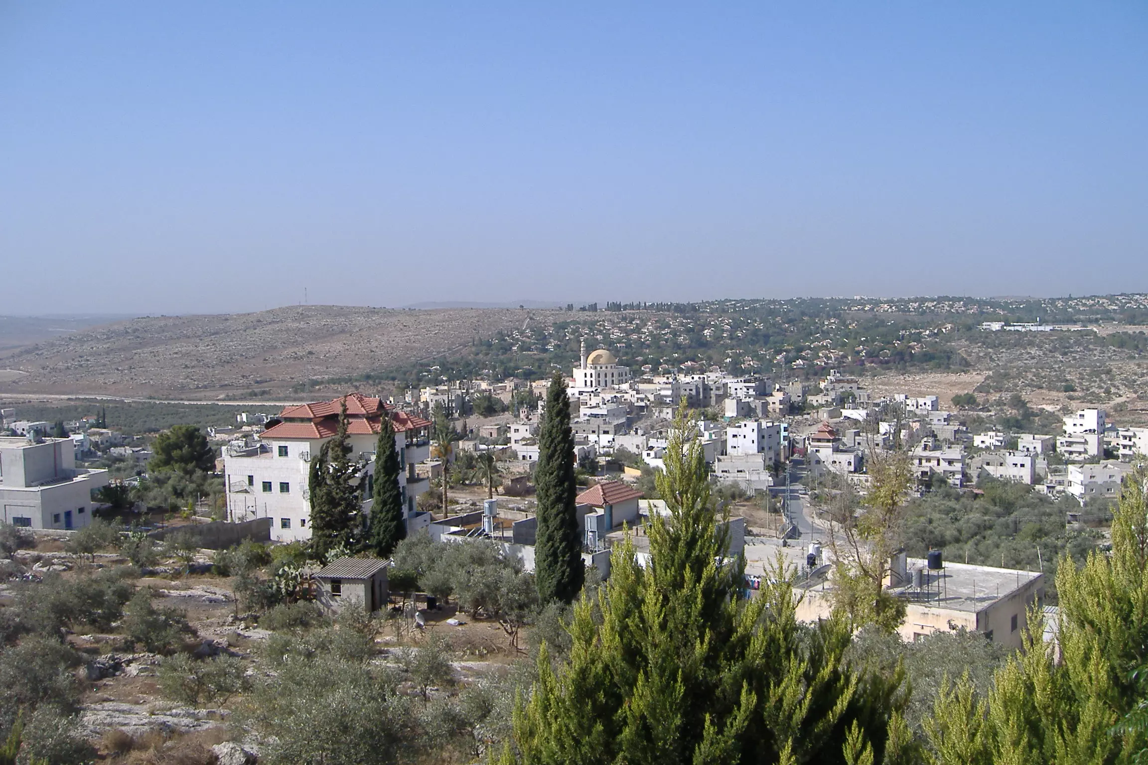
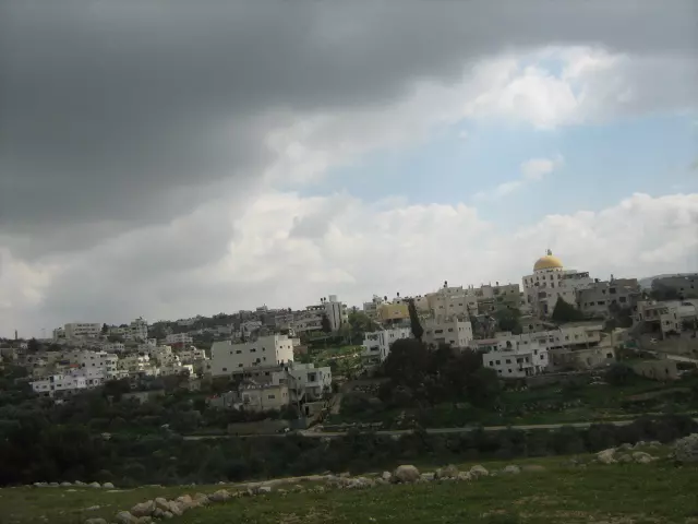
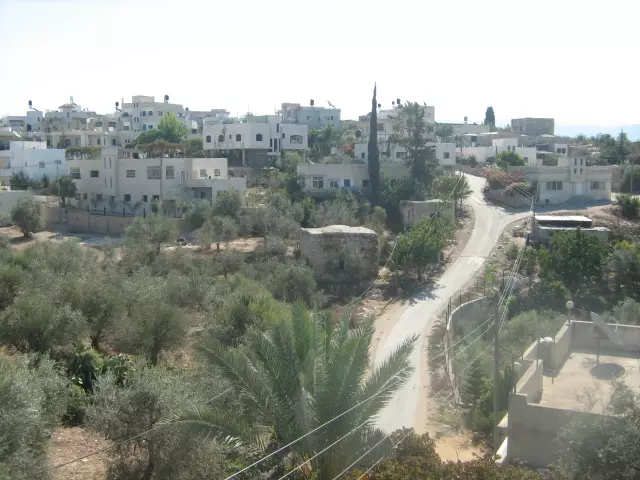
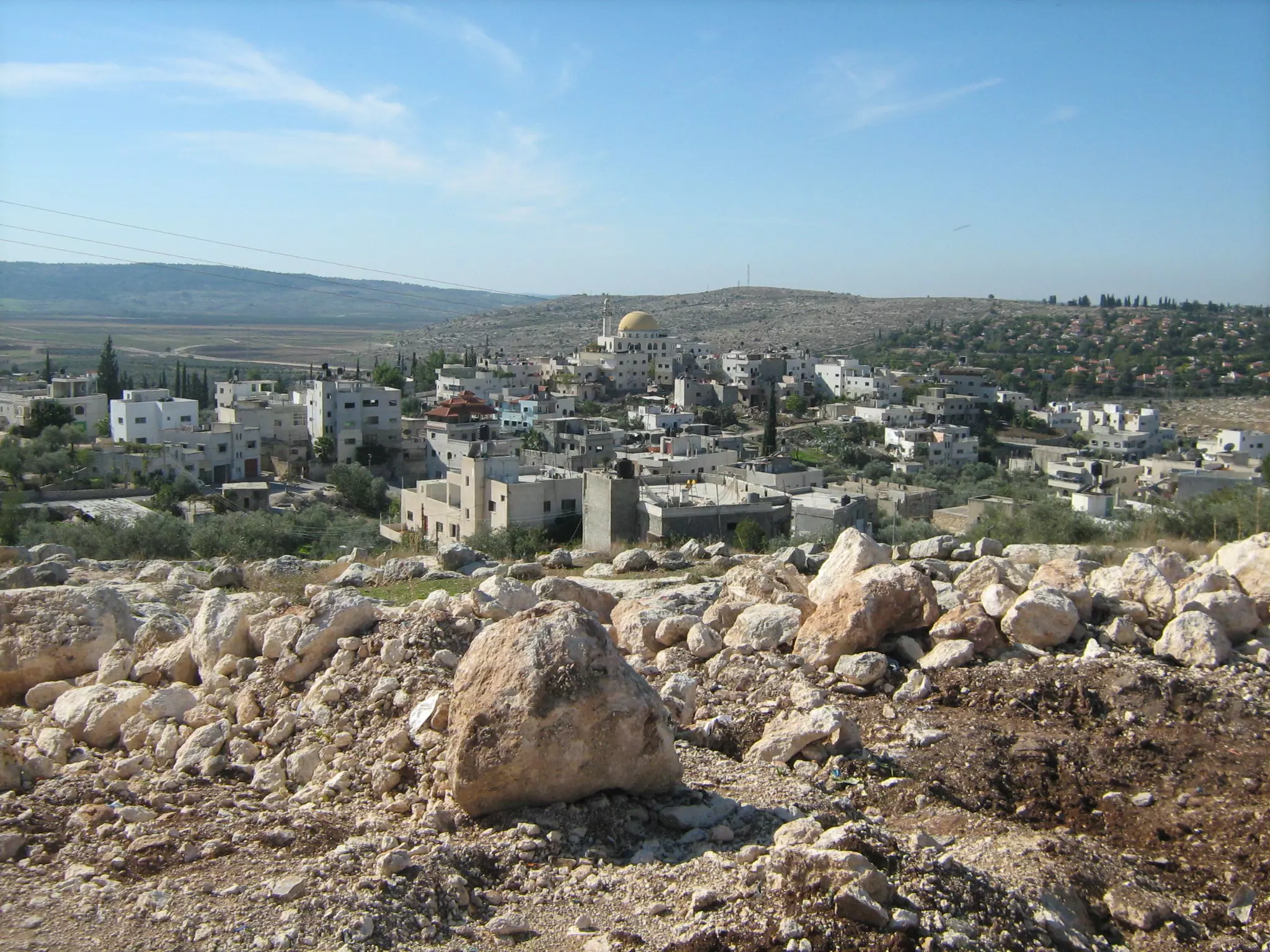
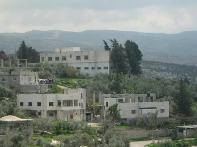
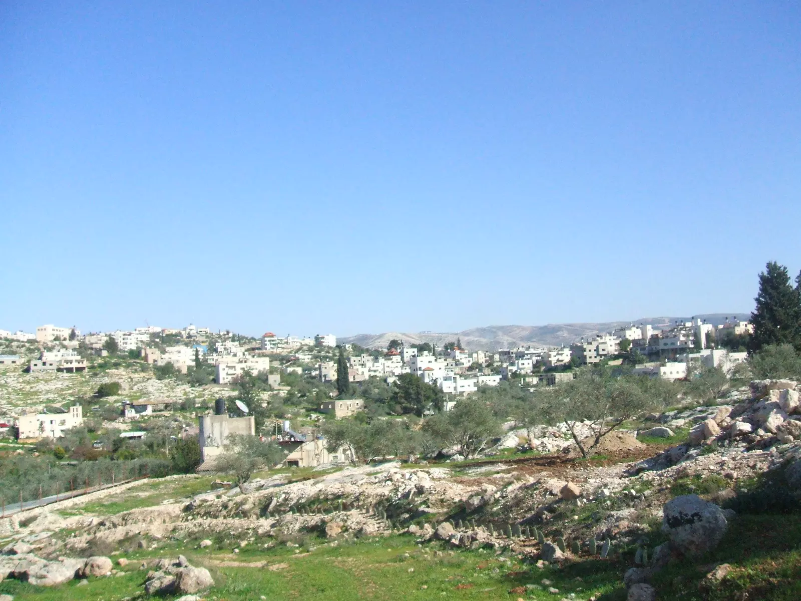
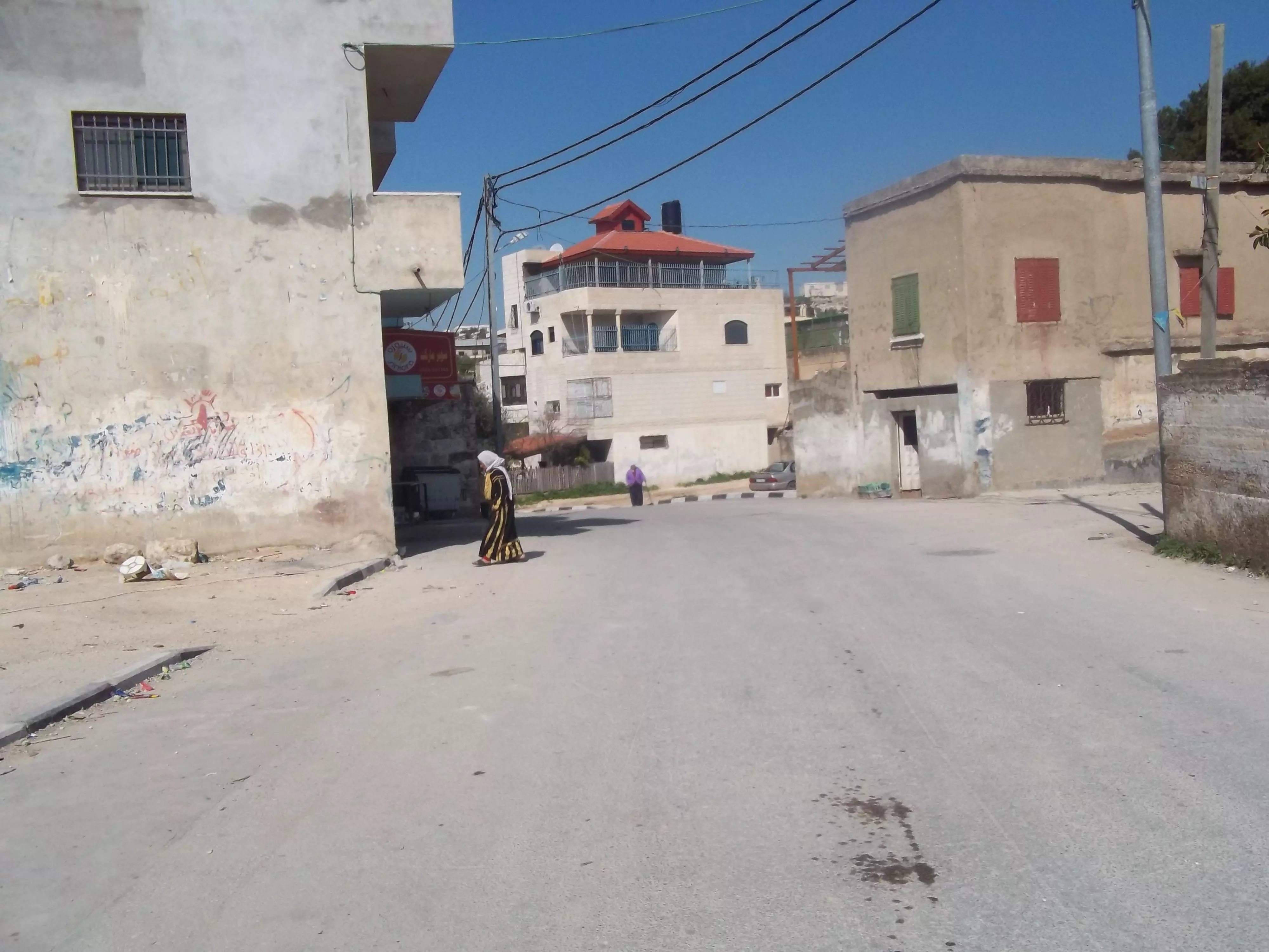
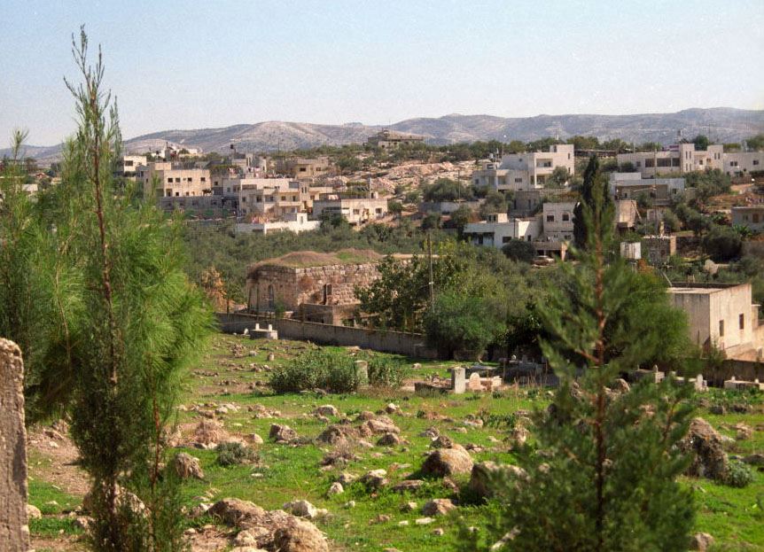
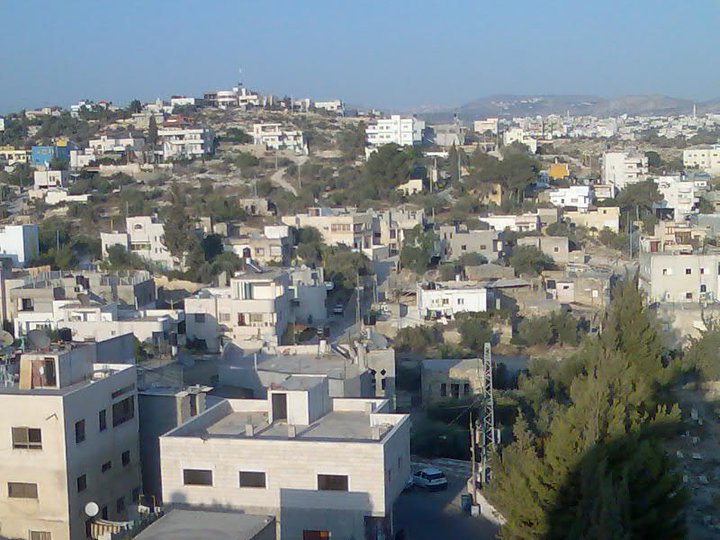
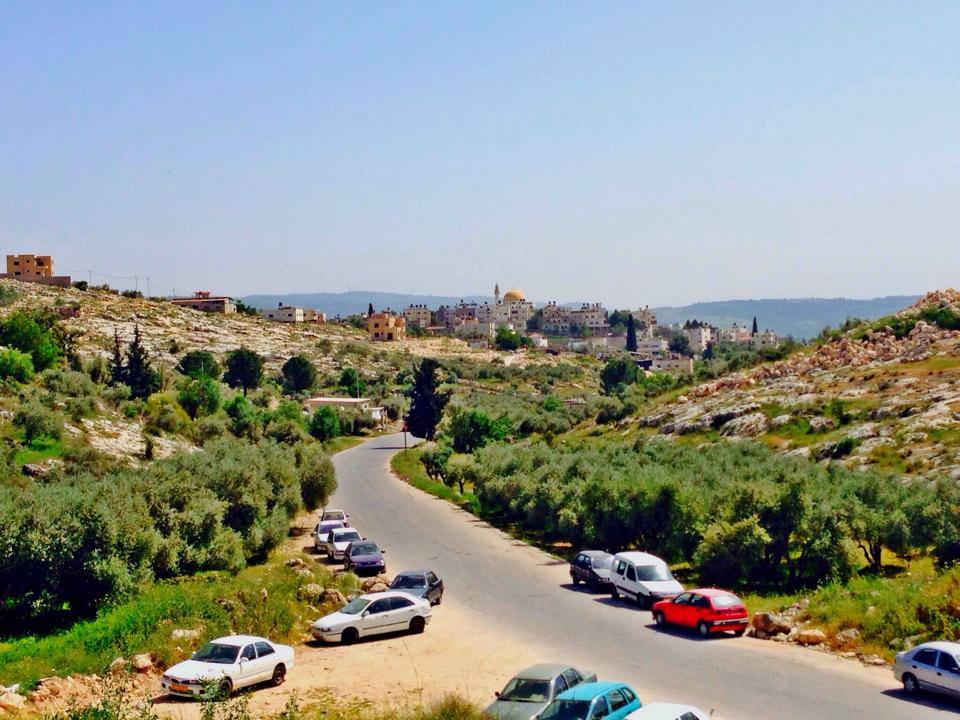
- منظر عام للقرية
Want to browse more? 80,000 pictures were grouped in these gallaries:
| Display Name | Clan/Hamolah | Country of Residence |
| abed inqawi | inqawi | beit sira, beit sira |
| معاذ عنقاوي | عنقاوي | فلسطين, بيت سيرا |
| ام علي | الحاج | فلسطين, بيا سيرا |
| D.Ali haj | haj | france , france |
| ابو اوس | حمدان | رام الله, بيت سيرا |
| ابوصفية | - | را م الله, بيت سيرا |
| منير | حمدان | رام الله, بيت سيرا |
| المنسي | - | رام الله, بيت سيرا |
| mahmoud | حمدان | ramallah, Bayt Sira |
| سيراويه | - | - |
| ibrahim anqawi | عنقاوي | ط¨ظ؟طھ ط³ظ؟ط±ط§, ط¨ظ؟طھ ط³ظ؟ط±ط§ |
| تامر | عنقاوي | - |
| المشتاق الى ثر ى فلسطين | العنقاوي | الزرقاء, الزرقاء |
| بسام عبد الحميد علي الحاج | - | - |
| عاشق فلسطين | القط | الاردن |
| قلب الأسد | - | محافظة رام الله والبيرة, بيت سيرا |
| ابراهيم ابوصفيه | - | رام الله |
| ابن فلسطين | علان | رام الله, بيت عور التحتا |
| كوسفي | حمدان | - |
| Luay Amin Damra | - | Oregon, USA |
| Abu Luay | Damra | Oregon, USA |
| احمد محمد عنقاوي | عنقاوي | فلسطين, بيت سيرا |
| محمد عطا الحاج | الحاج | رامالله, بيت سيرا |
| سنباطي | - | - |
| aimn | hamadan | - |
| سلام خطاب | خطاب | - |
| خميس | القط | - |
| ابو حمادة | القط | الأردن |
| fadi | abusafiyah | - |
| ناصر القط | القط | - |
| عبيدة | - | - |
| abo salih | hamdan | aljeza, bait sira |
| Rashid Rashid-Alinqawi | Alinqawi | - |
| assad | - | دوما, سوريا |
| معاذ حسام محمد حمدان | - | طولكرم, كفر جمال |
| صامد الحاج | الحاج | رام الله, بيت سيرا |
| محمد الحاج | - | بيت سيرا, بيت سيرا |
| خليل ابو صفيه | ابو صفيه | - |
| احمد خطاب | خطاب | بيت سيرا |
 Fake Valor: Why Did Zionist Jews Hoist Nazis Flag on Their Ships in the 1930s?
What is new?
-
Facts About Oct. 7th Gaza Raid
-
Remined Us Please:: Who Did Rape Who? Palestinians Raped Israelis? Or, was the other way around?
-
When Prof. Edward Said was invited to debate Bibi Netanyahu in the 1980s, watch what happened!
-
Ezra Klein of the NY Times on the "Jewish Race".
-
Abusing Blood Libel!
-
Zionist FAQ: Isn't it true that Palestinians don't want peace? Palestinians never accepted the two-state solution
- Facts about Haavara (Transfer) Agreement between Ben-Gurion & Hitler
-
Haavara FAQs: Why Did Zionist Jews Hoist Nazis' Flags on Their Ships in the 1930s?
-
Dear ChatGPT: Why did the Jewish Agency suppress news of the Holocaust during WWII?
-
Video Playlist: Jews share their DNA tests to end the conflict for good.
-
A Tale of Two Conflicts: Examining the Definition of Genocide
-
Prof. Abraham Polak And The Suppressed History of the Khazars and European Jewry
-
How Ronald Reagan would have framed the genocide in Gaza if he were still alive?
-
Haavara FAQs: Let us do the math: how many German Jews did The Haavara Agreement save?
-
Zionist FAQs: The Hebron Massacre of 1929, "clearly proves" that Palestinians are antisemitic, how could you deny it?
-
Zionist FAQs: Why Anti-Zionist Is Not Antisemitism?
-
Zionist FAQs: Isn't it true that the KGB create Palestinian Nationalism in the early 1960s?
- Zionist FAQs: Muslims are killing Muslims all the time; why are Israeli Jews being singled out in the media?
- Zionist FAQs: How is Israel an apartheid state when 20% of its citizens are Arabs who enjoy full rights?
-
Haavara FAQs: Analysis of Herzl's Uganda Scheme and how it could have saved millions of Jews.
-
Haavara FAQs: Why did Hayim Greenberg describe American Jewry as "morally bankrupt" in early 1943?
-
Haavara FAQs: What if the Evian Conference was a resounding success? What would have been the impact of saving European Jewry on Zionism?
- Haavara FAQs: What if the six million were saved, how that would have impacted the Zionist project?
-
Haavara FAQs: How did Zionist leaders react when Europe's Jews lingered in the DP camps after WWII ended?
-
Why does the American Jewish community repeat lies that David Ben-Gurion had debunked before he died?
-
Who has the power to rename the Tatar/Khazar Gene Marker to Jewish IV?
-
Zionist FAQs: Why won't Egypt, Syria, and Jordan take their people back? Jews are indigenous to Palestine, and Arabs immigrated after Jews developed the country. Arabs should leave.
-
Haavara FAQs: Did Hitler and the Nazis conflate between Judaism and Zionist? If that wasn't case, then why?
-
Haavara FAQs: Winston Churchill and antisemitism, a collection of articles written Churchill.
-
Haavara FAQs: Broken by country, how many Jews survived vs. killed during the Holocaust?
-
Haavara FAQs: Why did European Jews vote with their feet and to immigrated to the Americas, not Palestine, after WWII?
-
Watch this American Jewish Girl describing Israeli Jews' cognitive dissonance like no other in under two minutes
-
Haavara FAQs: When the Nazis went out of their way to hide the Holocaust, Israeli Jews did the exact opposite by broadcasting their genocide of Gazans. But why?
-
Haavara FAQs: How Zionist Jews went out of their to show their appreciation to Nazism and Fascism?
- Haavara FAQs: Why Zionist leaders were against bombing the death camps & the Railroads leading to them?
-
Haavara FAQs: Hitler's message to the British and American people: If Jews are such noble citizens and you care about them, how come you're not letting them in? I will gladly ship them to you at my expense, even on luxury liners!
-
A shortlist of Zionist and Israeli false flag operations in the name Jews.
-
The Most Moral Army
- The Land of Kapos (Israel): Where the brave are boycotted and Kapos walk free.
- Why did early Zionists often named their communal enterprises "colonial"?
- Zionist Relations with Nazi Germany by Faris Glubb
-
Two NY Times advertisements by Zionists in the early 1943 that exposes Zionists' treason at the height of the calamity
- Facts Not Lies about the Palestinian-Israeli Conflict.
- Site's pictures have been categorized
- Campgain Against Lice
- A Survey of Palestine, the official source about Palestine before Nakba produced by the British Mandate; over 1200 pages.
- Satellite View & Google Earth: Over 6,000 placemarks identifying all destroyed towns, W. Bank & Gaza Strip Towns, & refugee camps.
- PalestineRemembered.com and its Nakba Oral History Project were featured on al-Jazeera Satellite TV.
- Nakba Oral History Video Podcast:
 Over 700 Oral History interviews (including 3,500+ hours of recording) can be viewed online.
 - Palestine Village Statistics Project
- Gaza Jail Break
- النسخة العربية للموقع الان متوفرة
- Videos: Documenting the destroyed villages in video: Tracing all that remains since Nakba.
- Videos: Responding to Zionist Propaganda
- Interview: The ethnic cleansing of Palestine: George Galloway interviews Israeli Historian Ilan Pappe.
- For Palestinians, memory matters. It provides a blueprint for their future By George Bisharat.
- Zionist FAQ now available in Hebrew שאלות שציונים שואלים, עכשיו בעברית
- Video: The Stephen Walt and John Mearsheimer report on the influence of the Israel Lobby on U.S. Foreign Policy
- The Palestinian-Israeli conflict for beginners
