| PalestineRemembered | About Us | Oral History | العربية | |
| Pictures | Zionist FAQs | Haavara | Maps | |
| Search |
| Camps |
| Districts |
| Acre |
| Baysan |
| Beersheba |
| Bethlehem |
| Gaza |
| Haifa |
| Hebron |
| Jaffa |
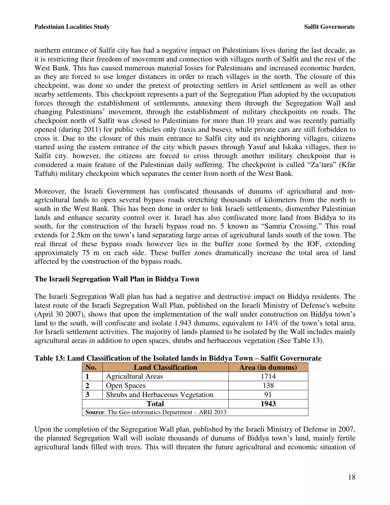
| Jericho |
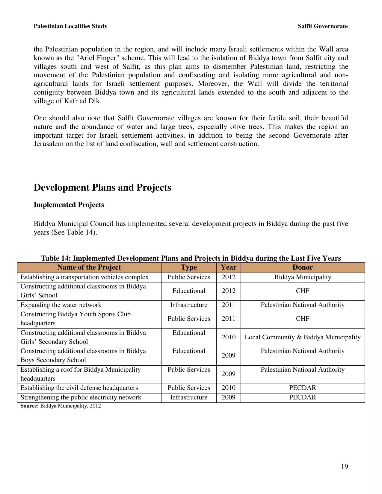
| Jerusalem |
| Jinin |
| Nablus |
| Nazareth |
| Ramallah |
| al-Ramla |
| Safad |
| Tiberias |
| Tulkarm |
| Donate |
| Contact |
| Profile |
| Videos |
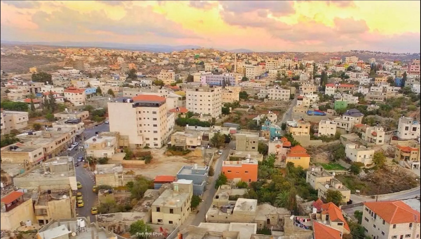
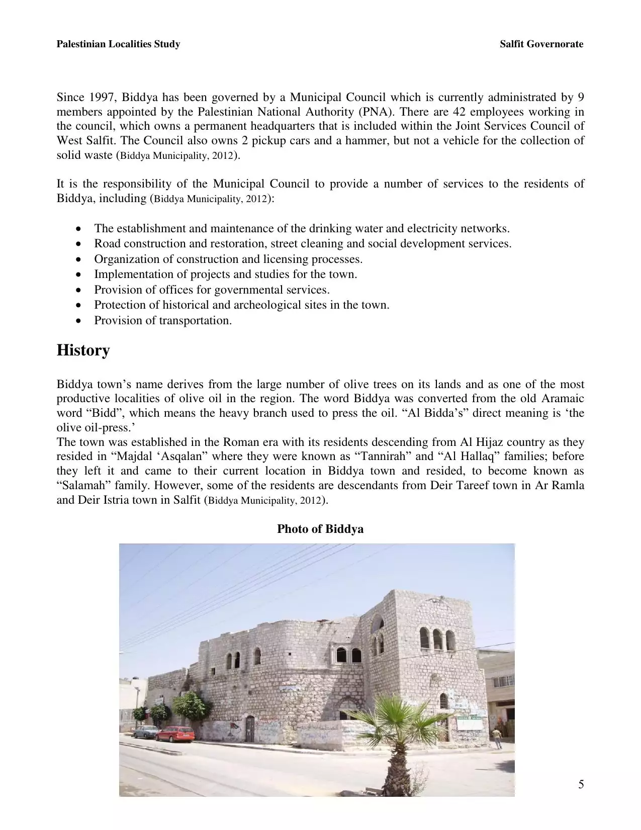
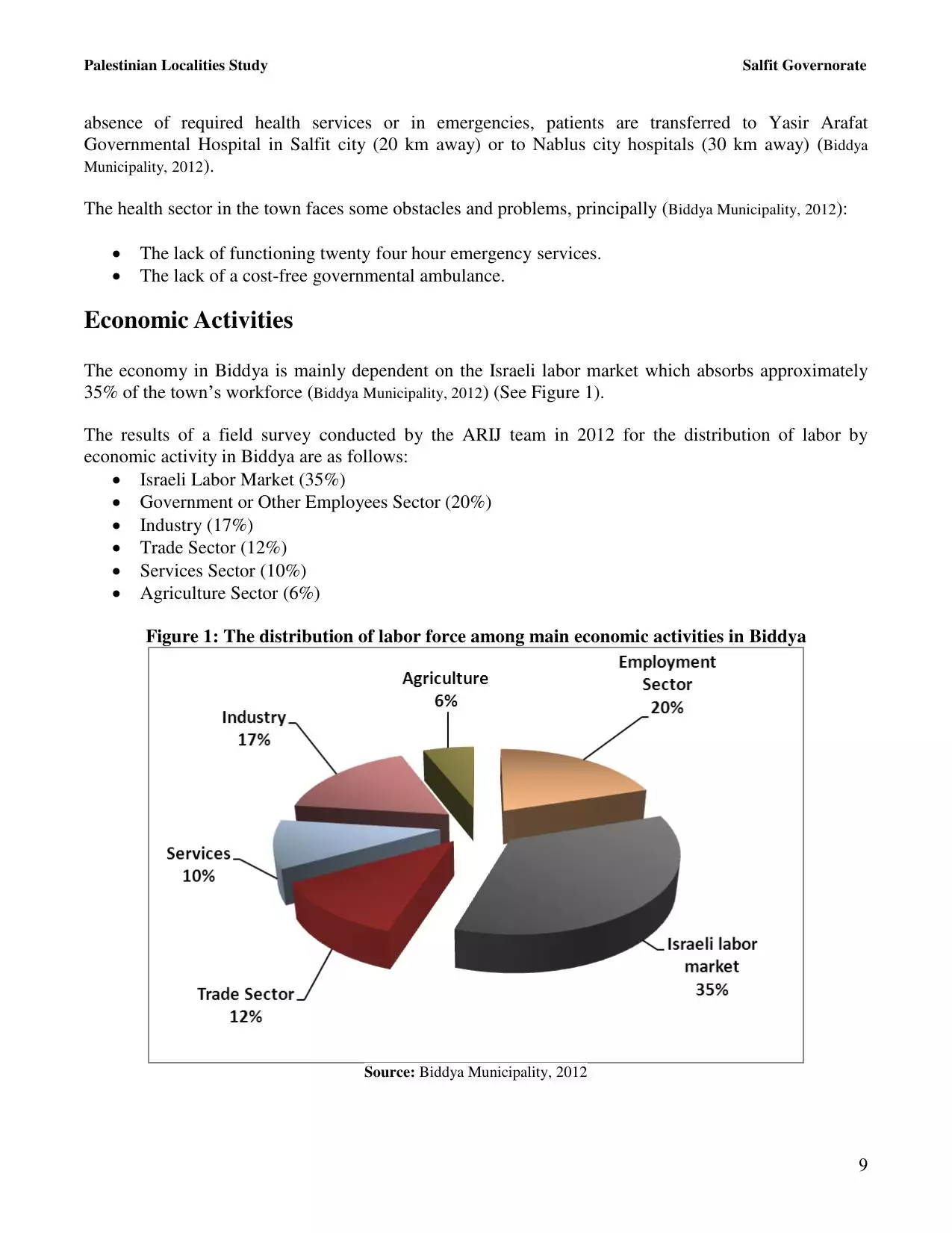
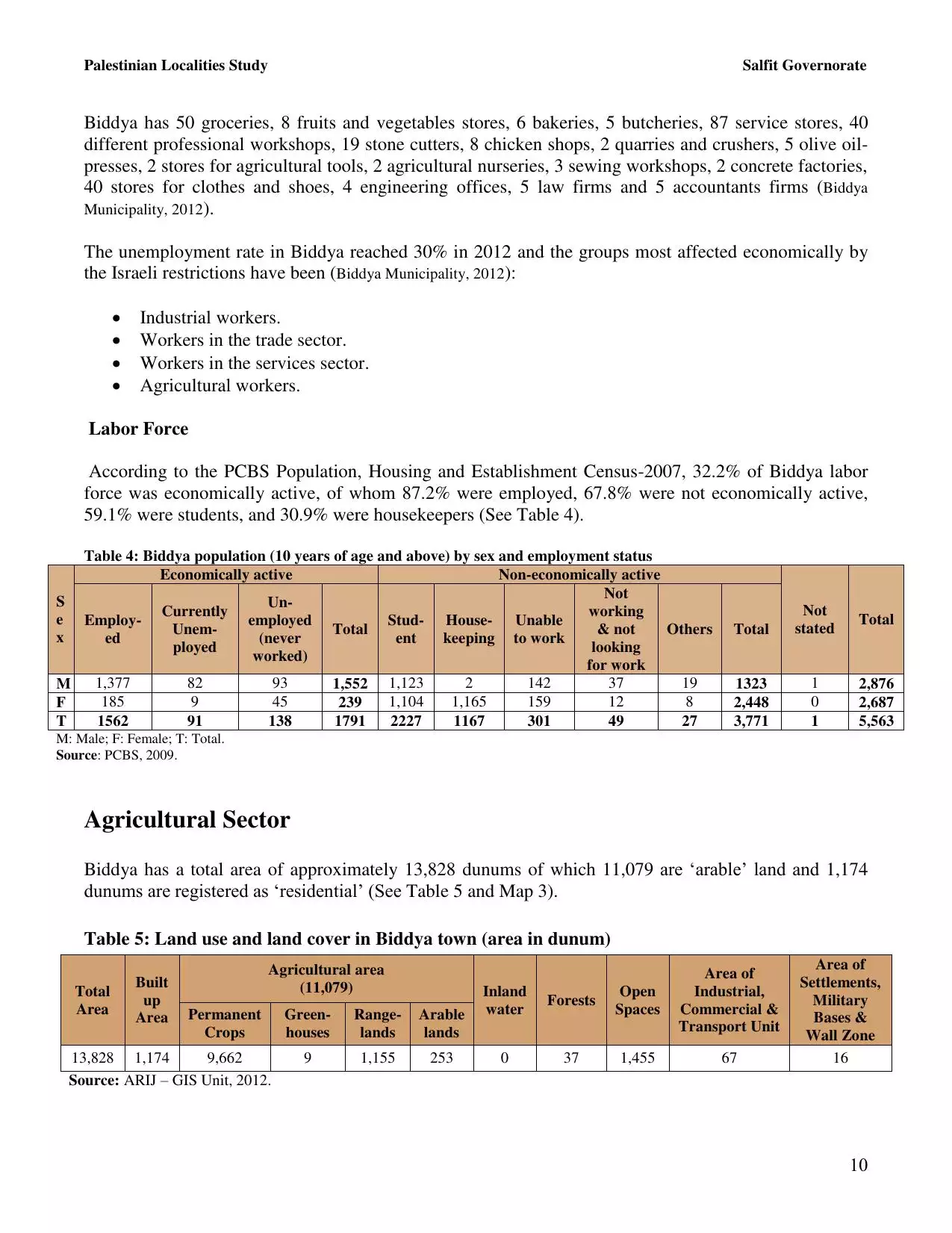
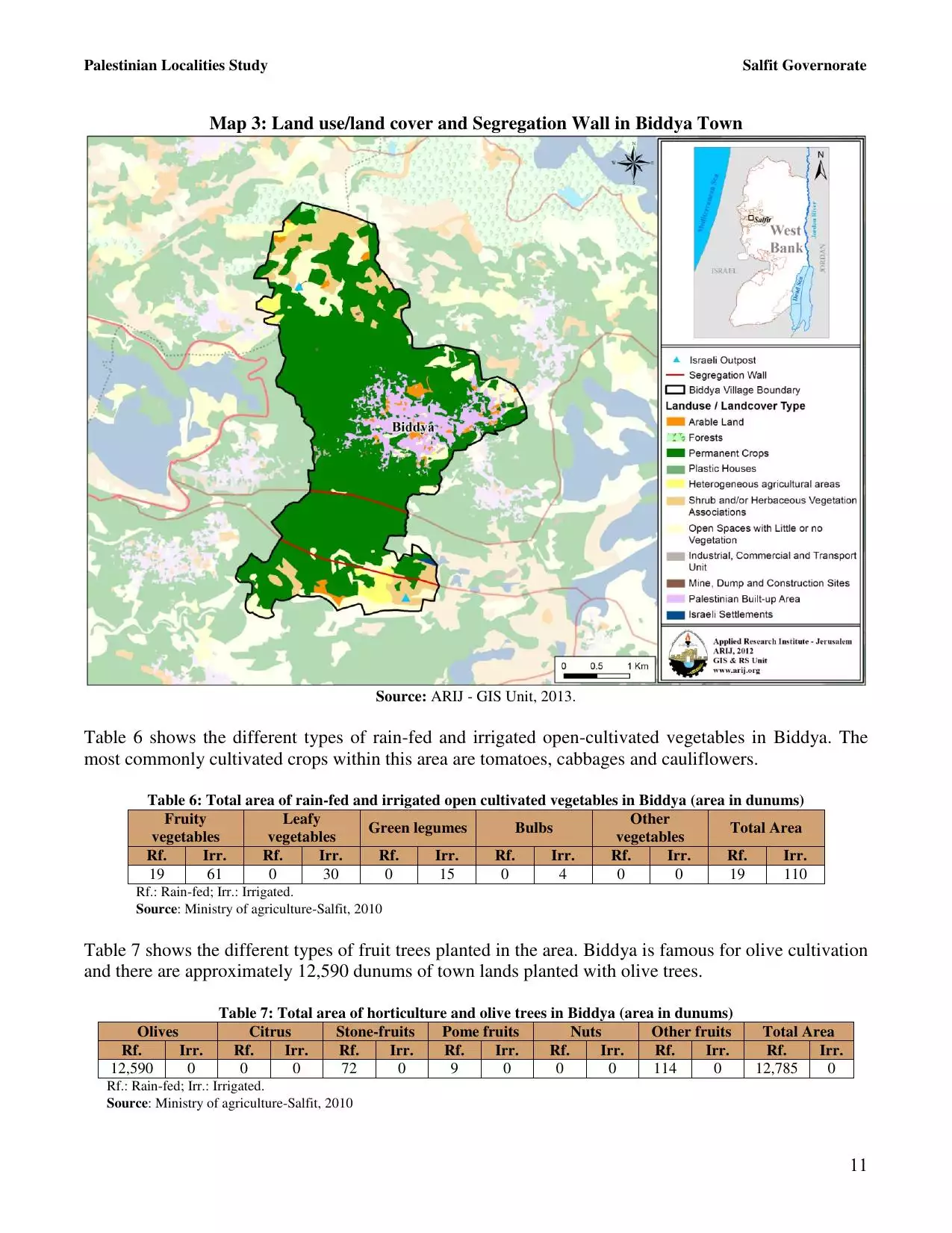
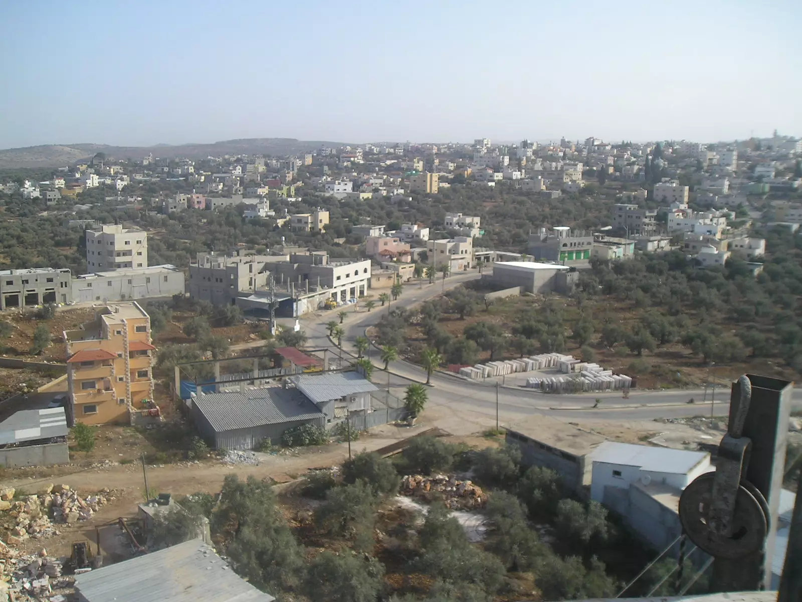
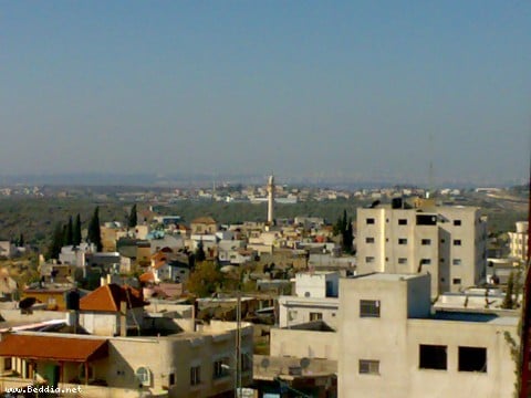
Welcome To Biddya - بديا (בידיא)
|
District of Nablus
Occupied days ago |
العربية Google Earth |
 |
Gallery (94) |
- Statistics & Facts
-
Before & After

- Satellite View
- Articles 6
- Pictures 94
- Members 36
- Families
- Wikipedia
- ARIJ Guide
- Videos 1
- Guest Book 15
- Links
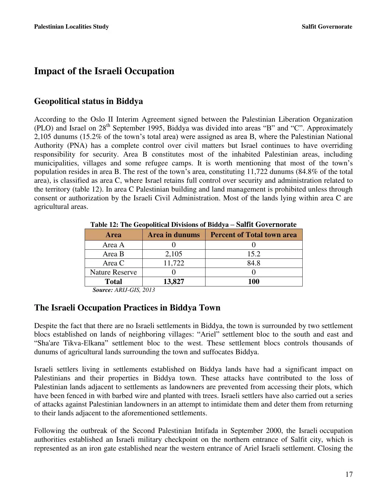
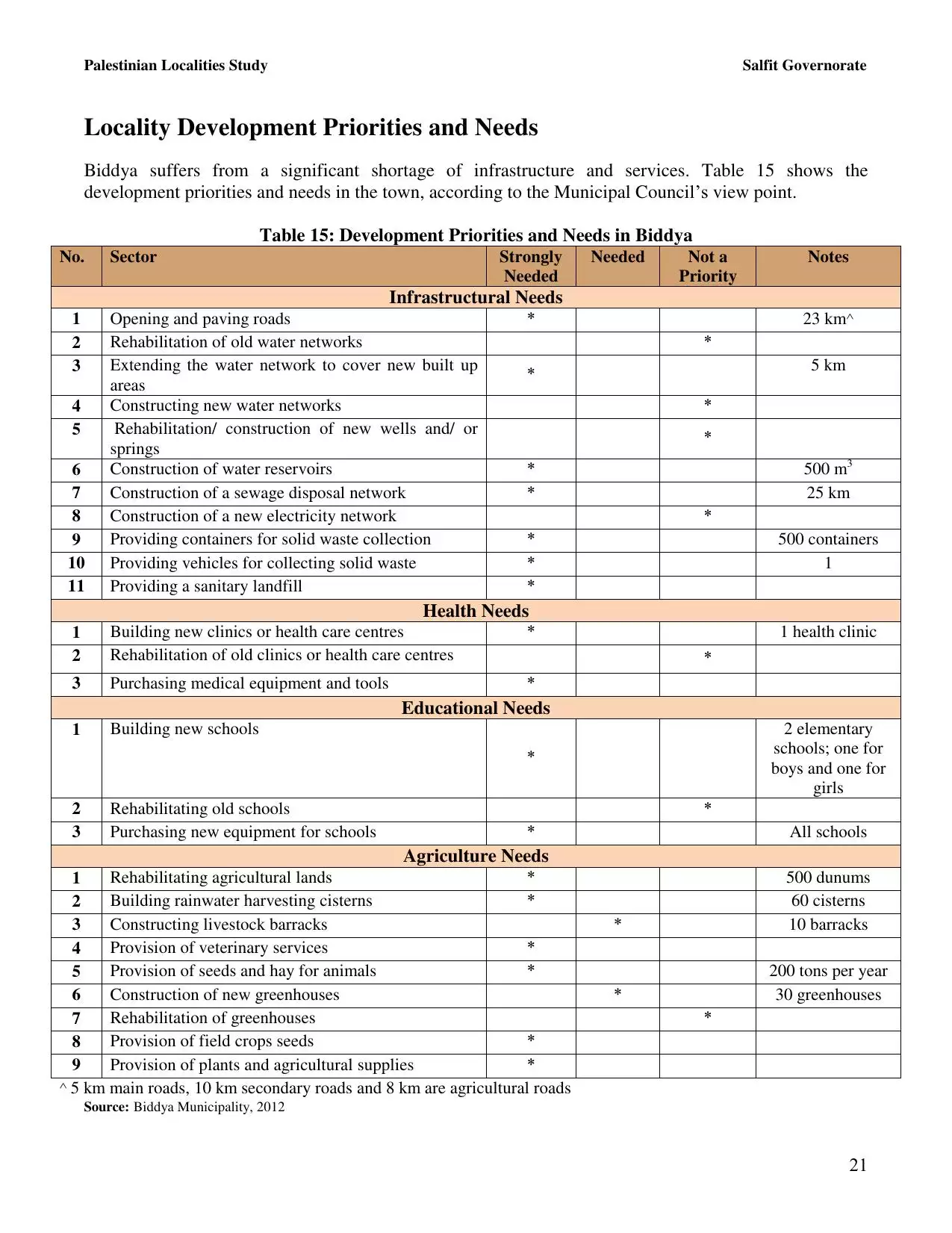
| Statistic & Fact | Value | ||||||||||||||||||||
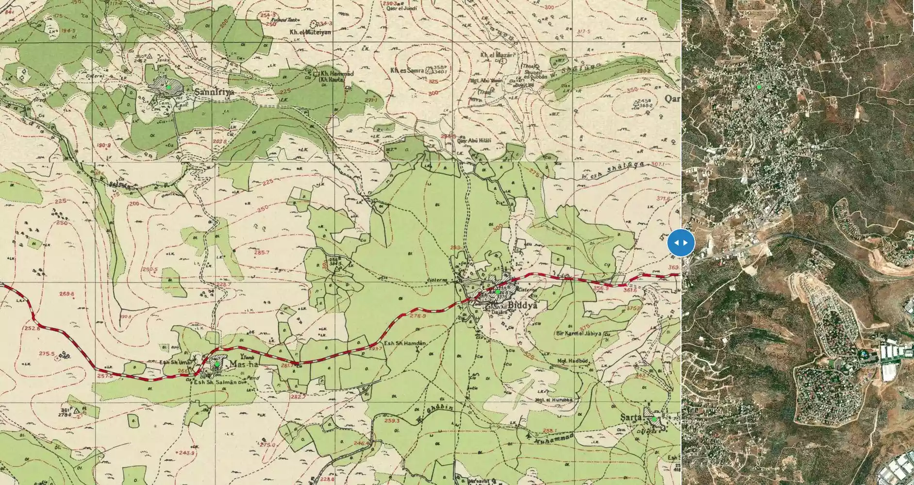
| Distance From District | 32 km southwest of Nablus | ||||||||||||||||||||
| Elevation | 315 meters | ||||||||||||||||||||
| Before & After Nakba, Click Map For Details |
|||||||||||||||||||||
|
|||||||||||||||||||||
| Land Ownership |
**Town Lands' Demarcation Maps |
||||||||||||||||||||
| Land Usage As of 1945 |
|
||||||||||||||||||||
| Population |
|
||||||||||||||||||||
| Near By Towns |
|||||||||||||||||||||
|
|||||||||||||||||||||
| Featured Video | |||||||||||||||||||||
| ARIJ Guide | |||||||||||||||||||||
3.
4. 
5. 
6. 
7. 
8. 
9. 
10. 
11. 
12. 
13. 
14. 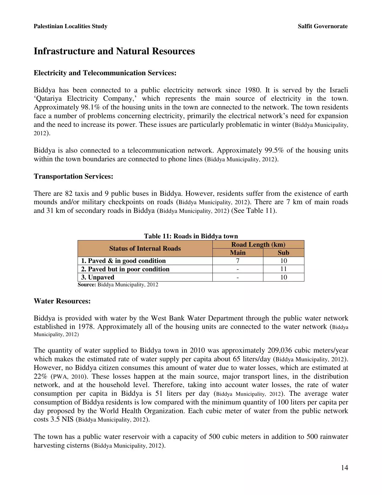
15. 
16. 
17. 
18. 
19. 
20. 
21. 
22. 
Click here to browse online. |
|||||||||||||||||||||
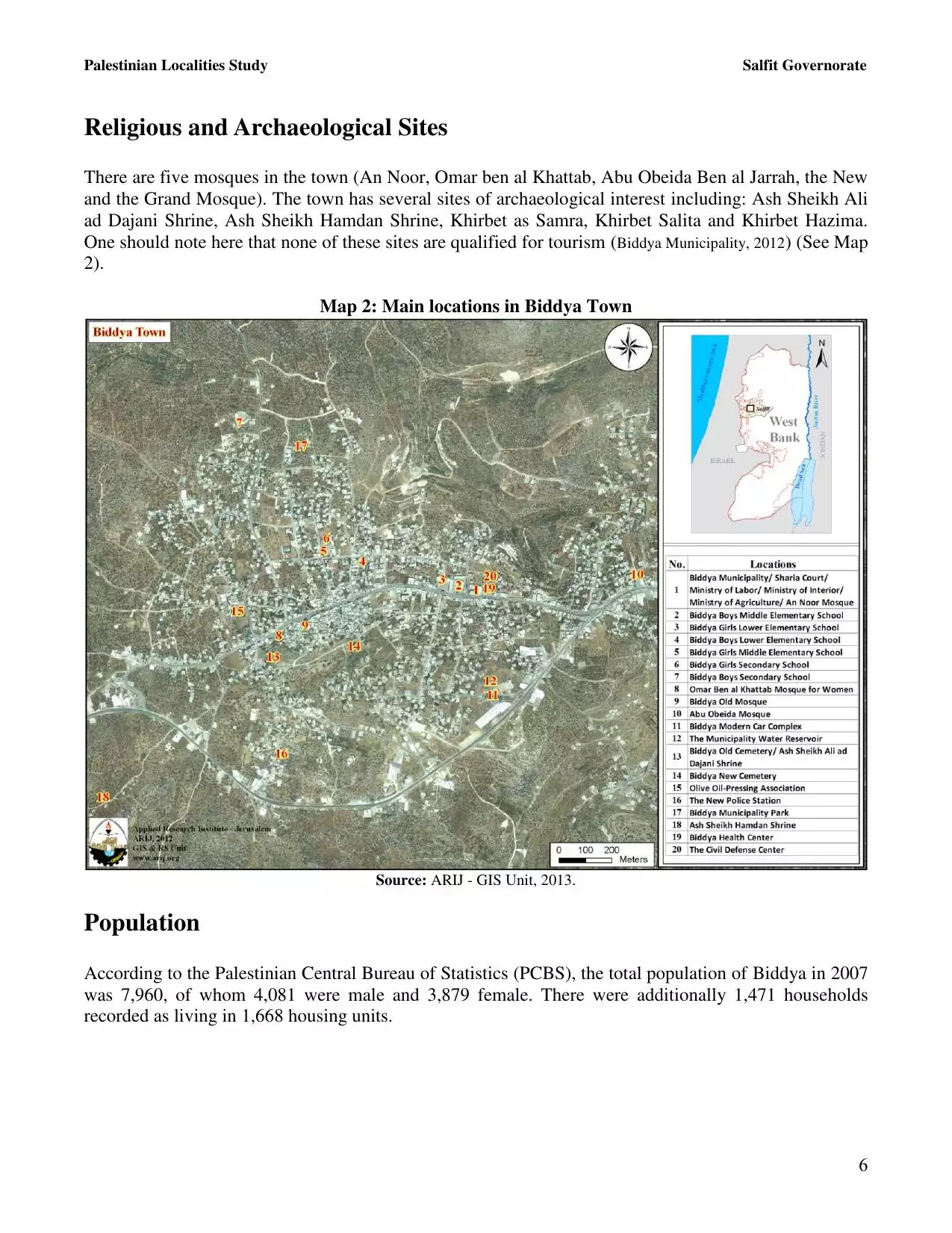
| Related Maps | Town Lands' Demarcation Maps خرائط للقضاء توضح حدود القرى والاودية View from satellite Town's map on MapQuest Help us map this town at WikiMapia |
||||||||||||||||||||
| Related Links | Wikipedia's Page Facebook Page ARIJ Guide Google Search Google For Images Google For Videos في كتاب بلادنا فلسطين دليل أريج المزيد من موقع هوية |
||||||||||||||||||||
- بديا (اخذت هذه الصوره من على ماذنة مسجدالتقوى)
Posted by جعفر خنفر 2 - فرع البنك العربي في مدينة بديا

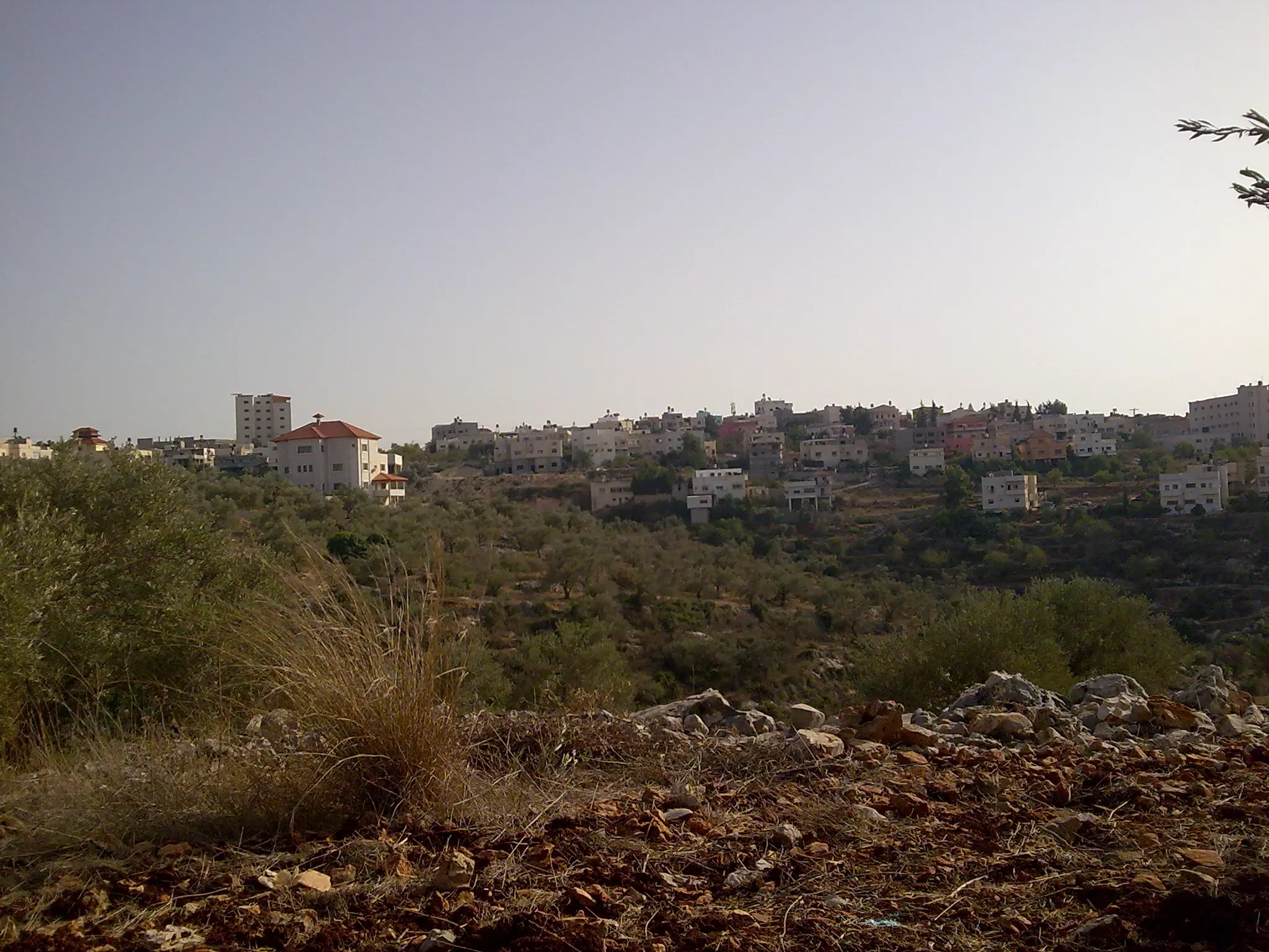
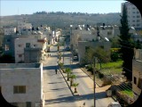
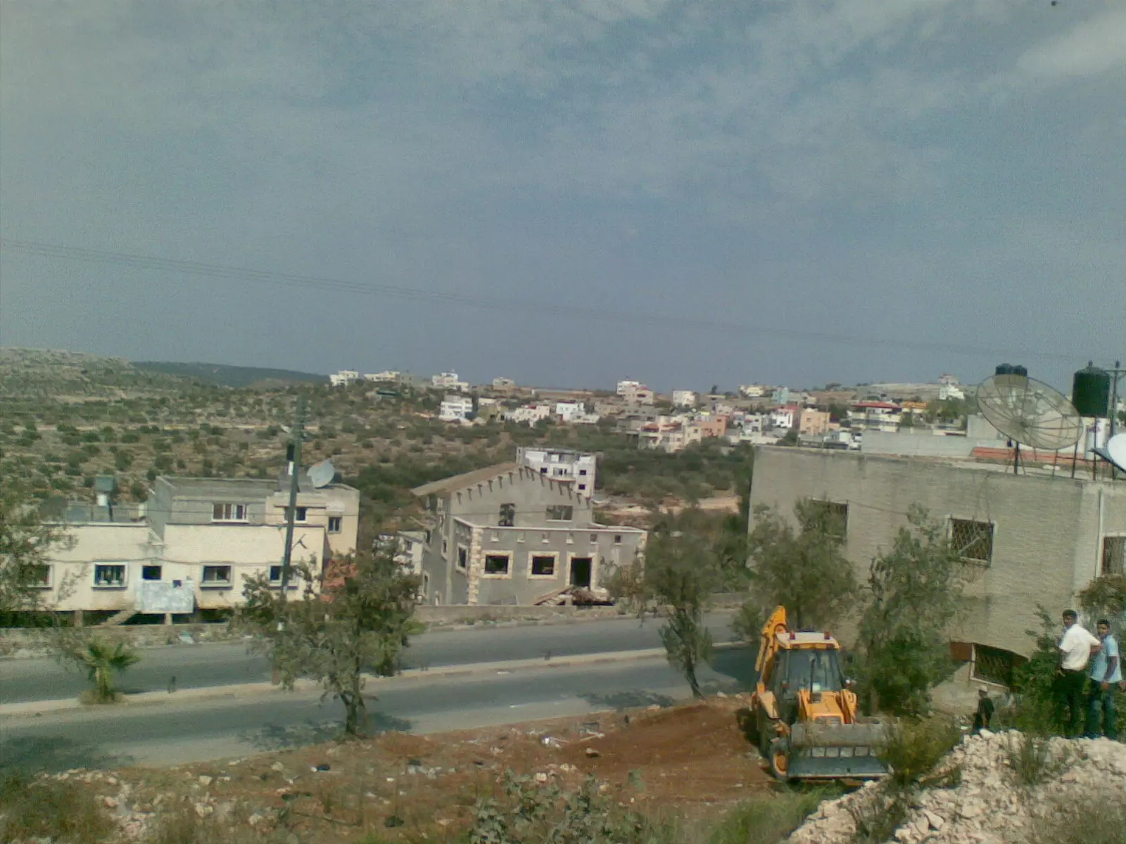
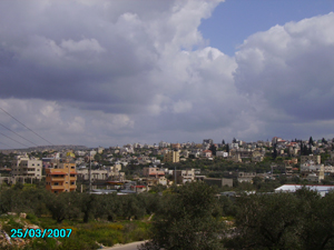
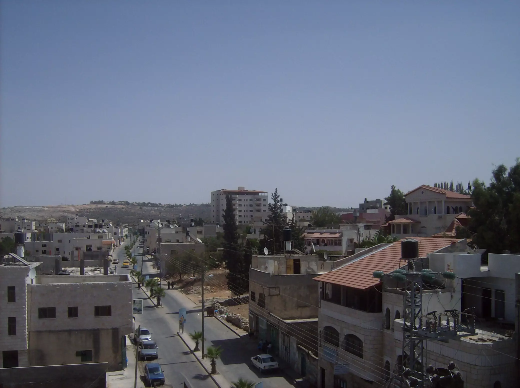
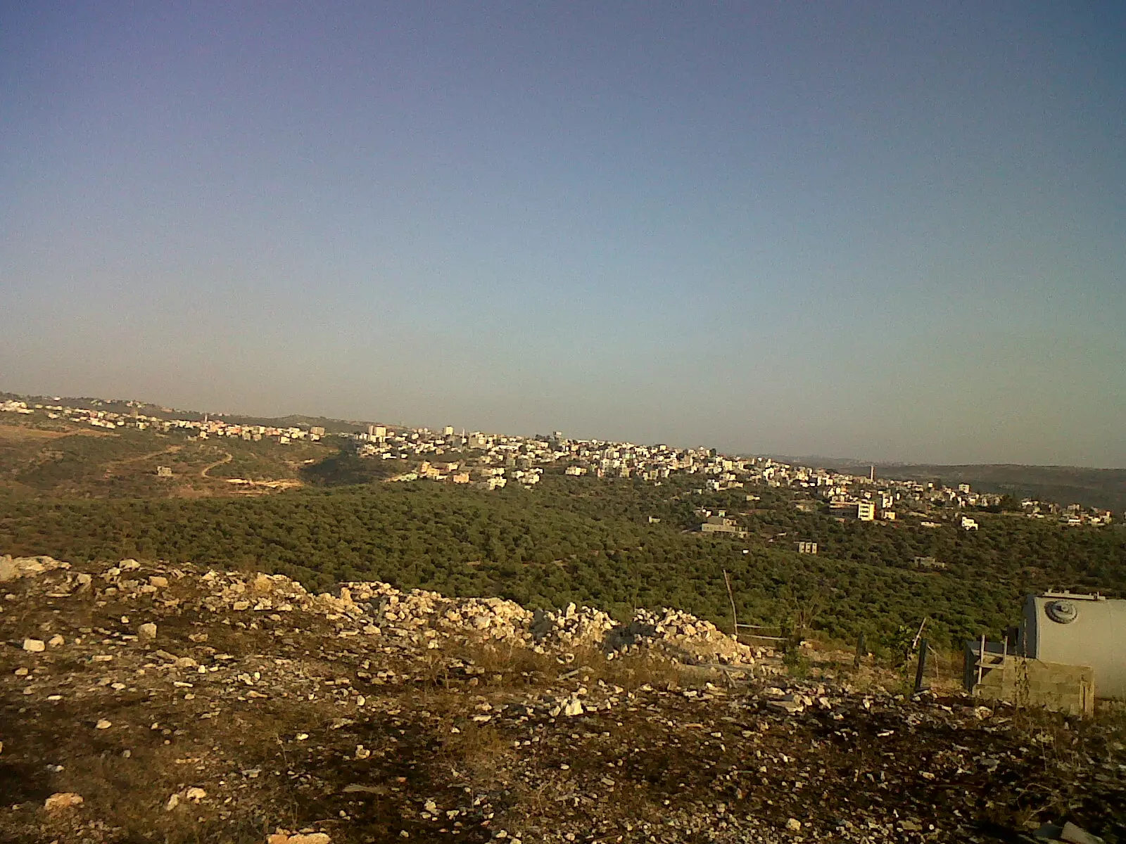
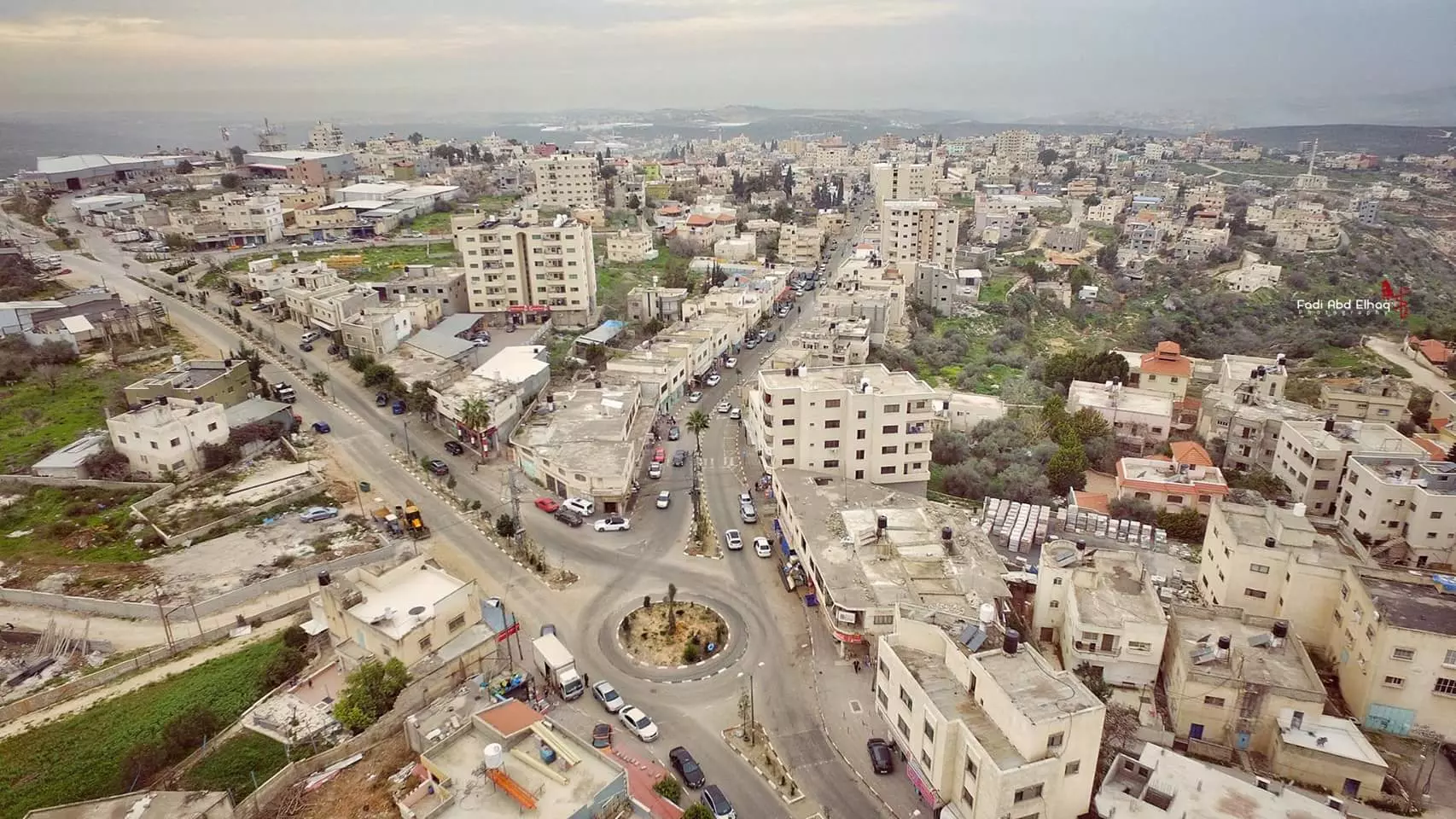
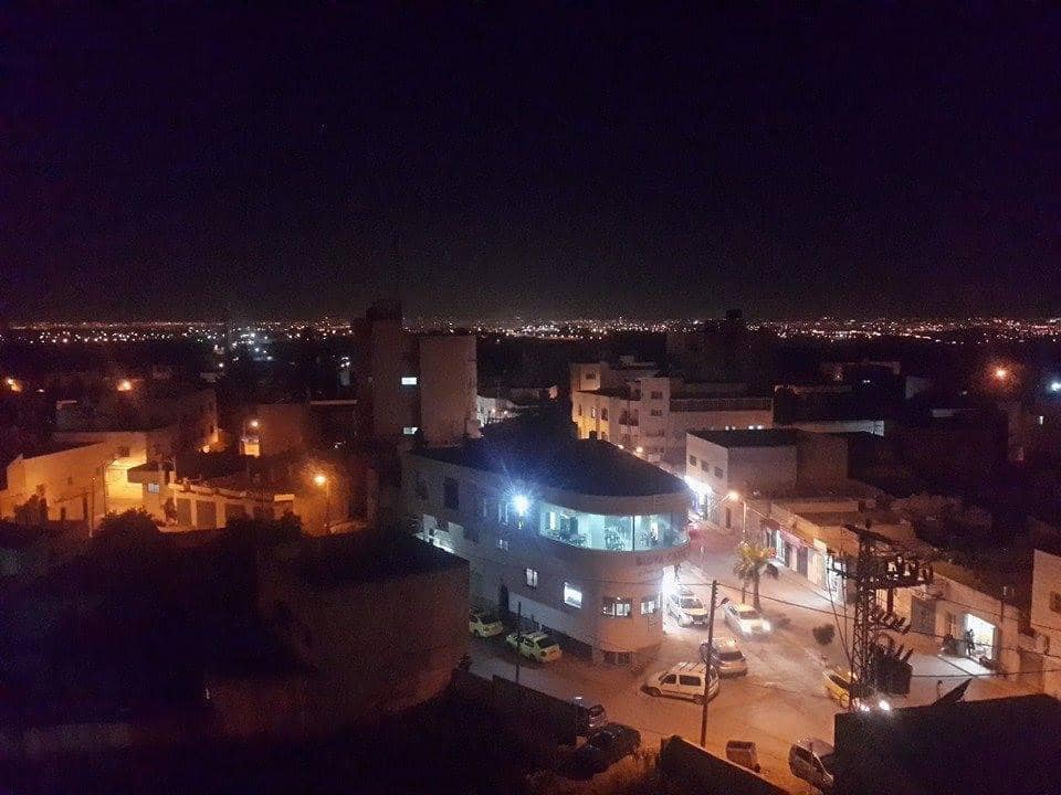
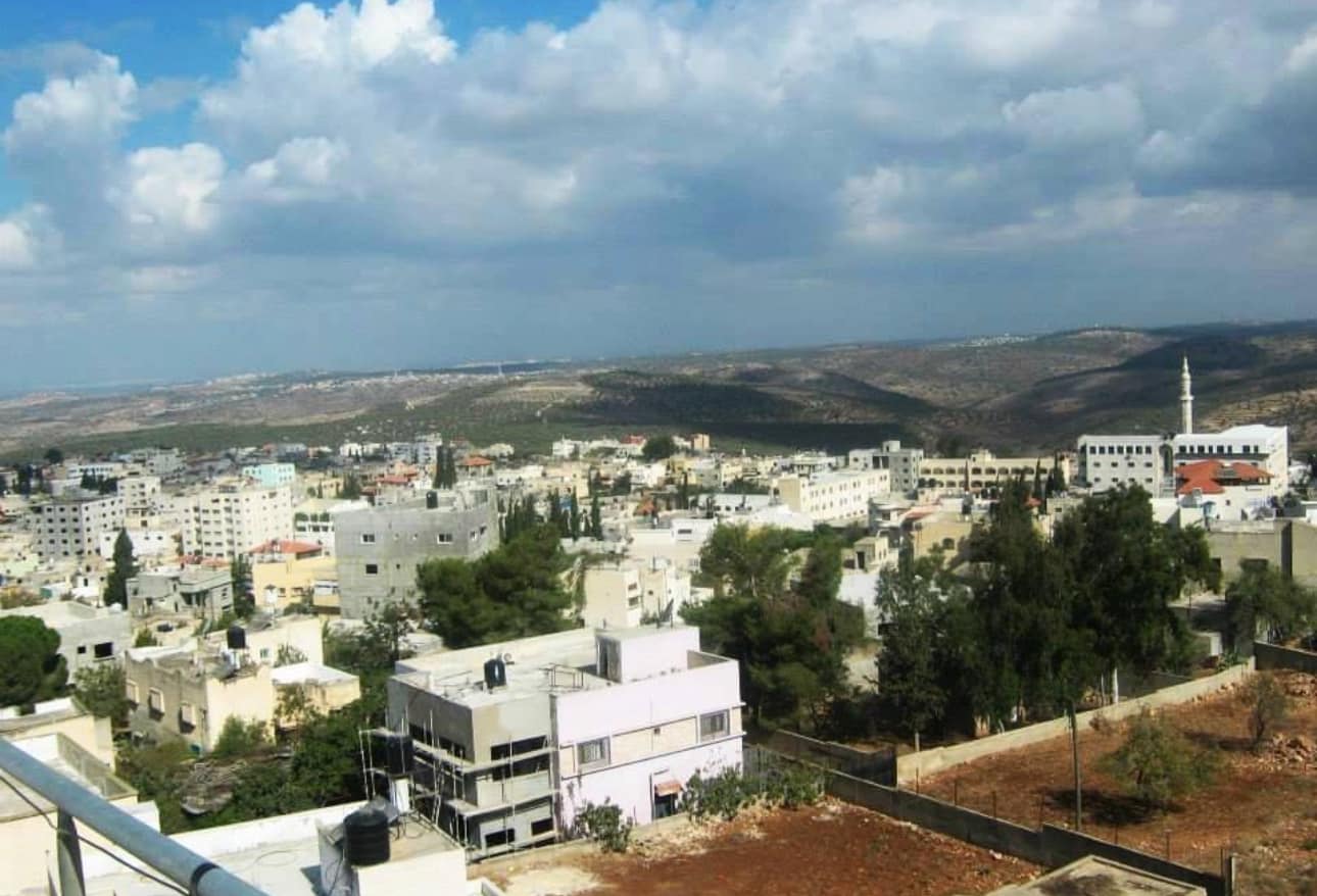
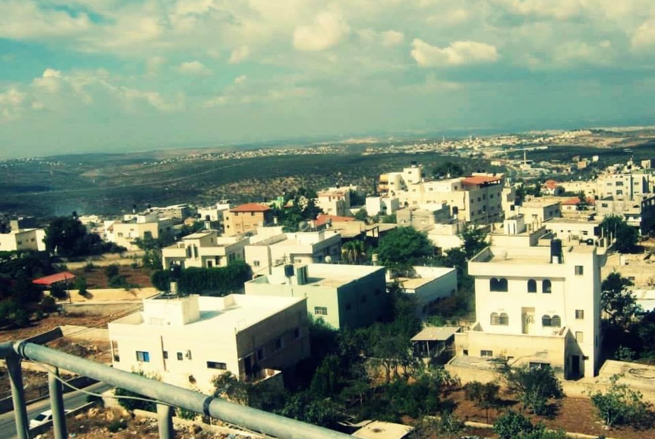
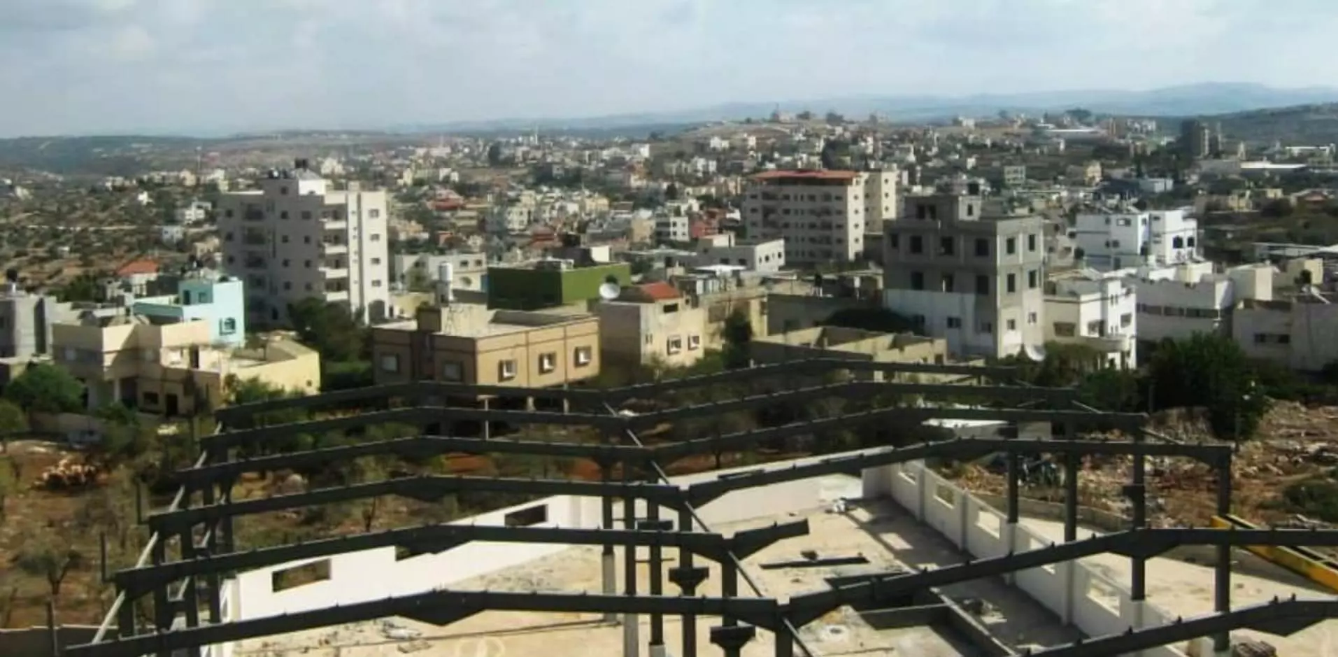
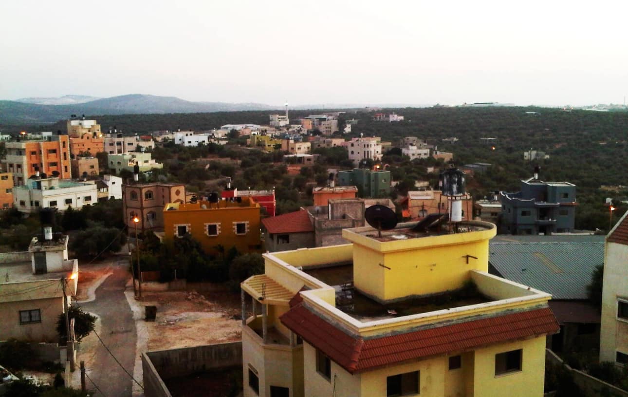
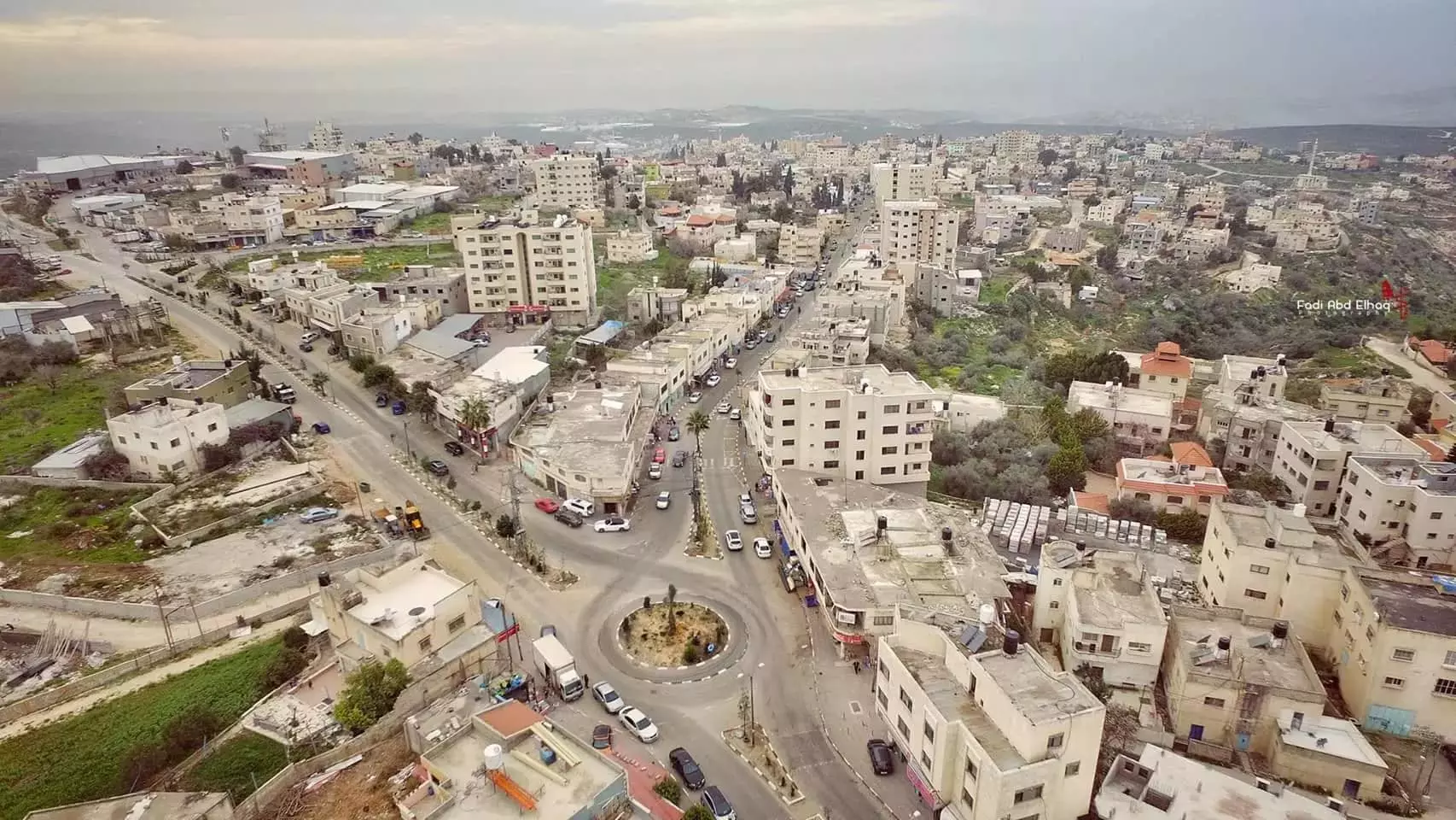
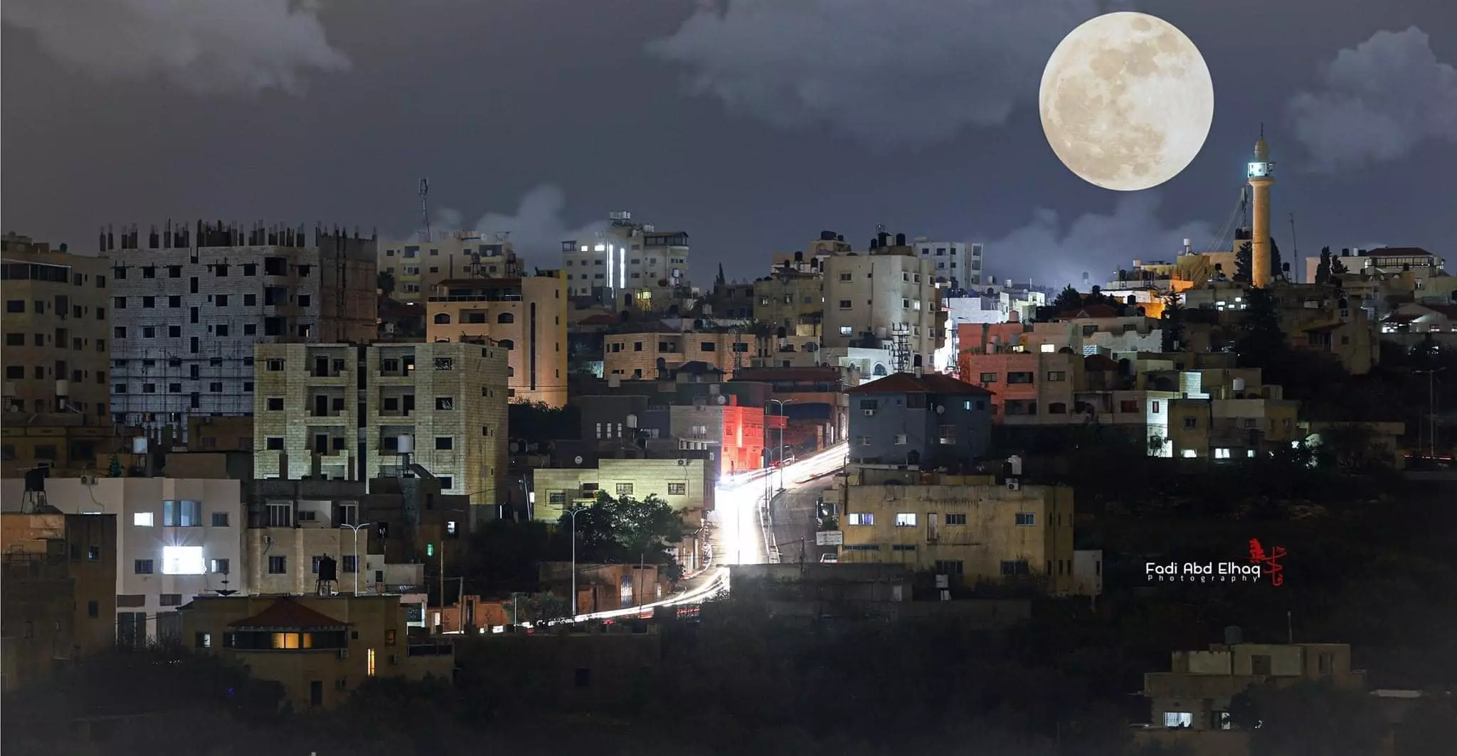
Posted by حامد طه 2 - منظر عام لمدينة بديا
Posted by حامد طه 17 - منظر للجهه الشرقيه -بديا ا
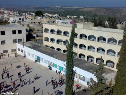
Posted by ahmad abdul all 1 - مدرسة في مدينة بديا
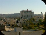
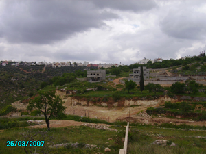
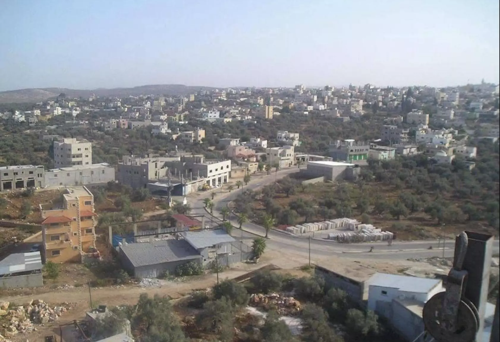
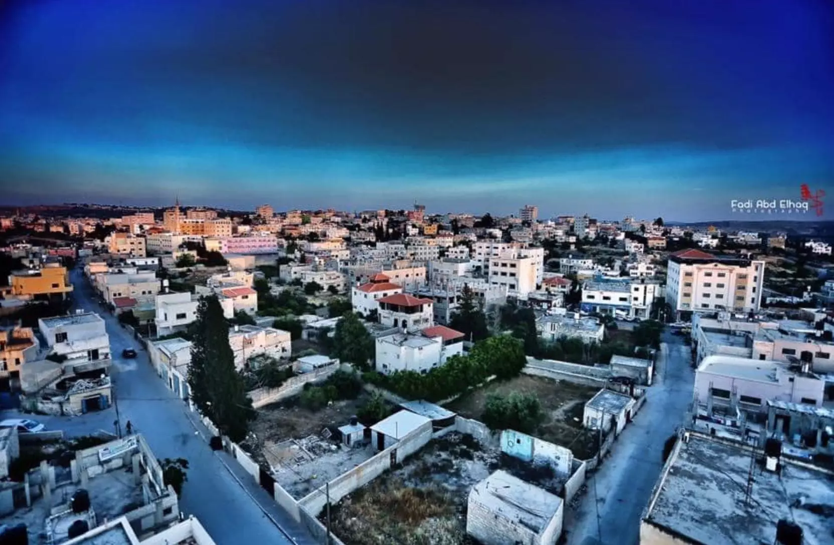
Posted by حامد طه 10 - منظر عام من الجنوب في مدينة بديا
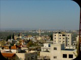
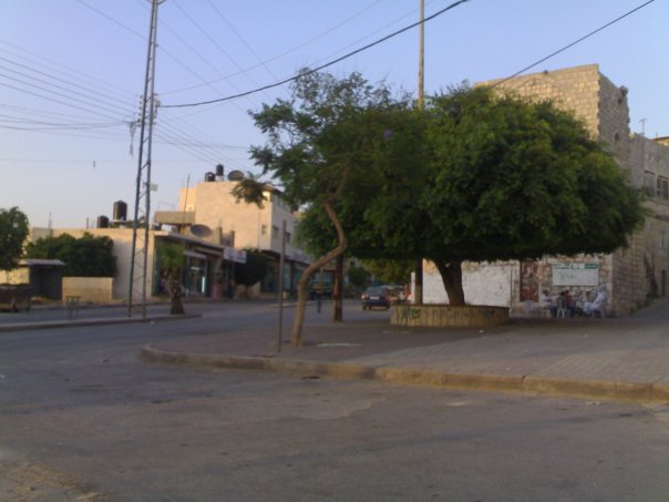
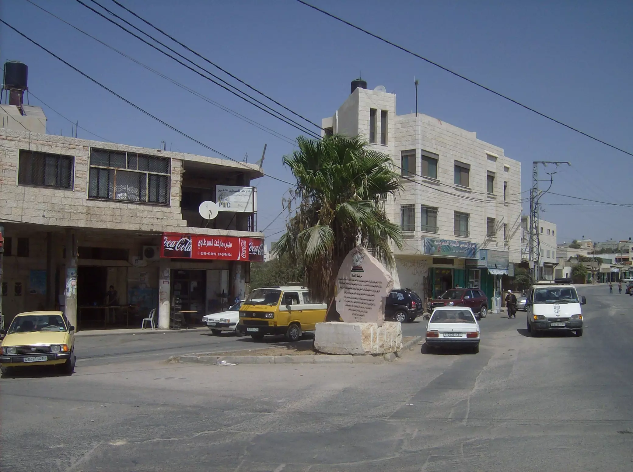
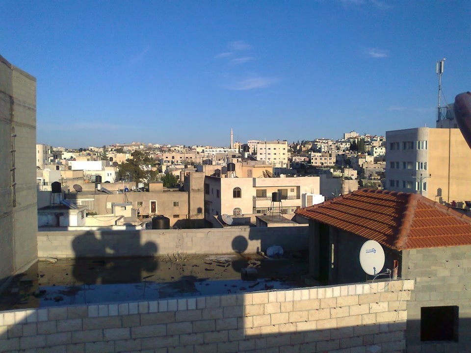
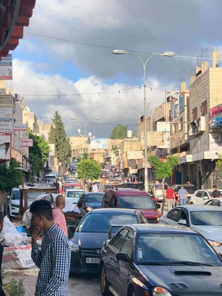
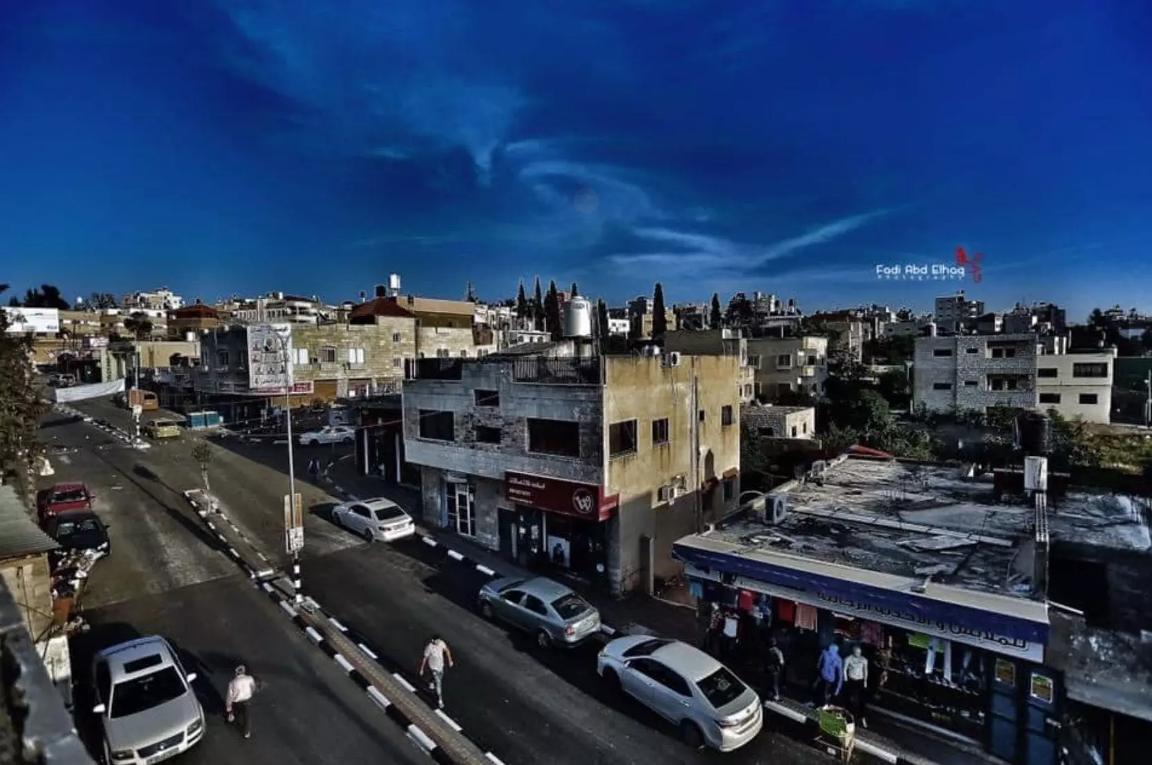
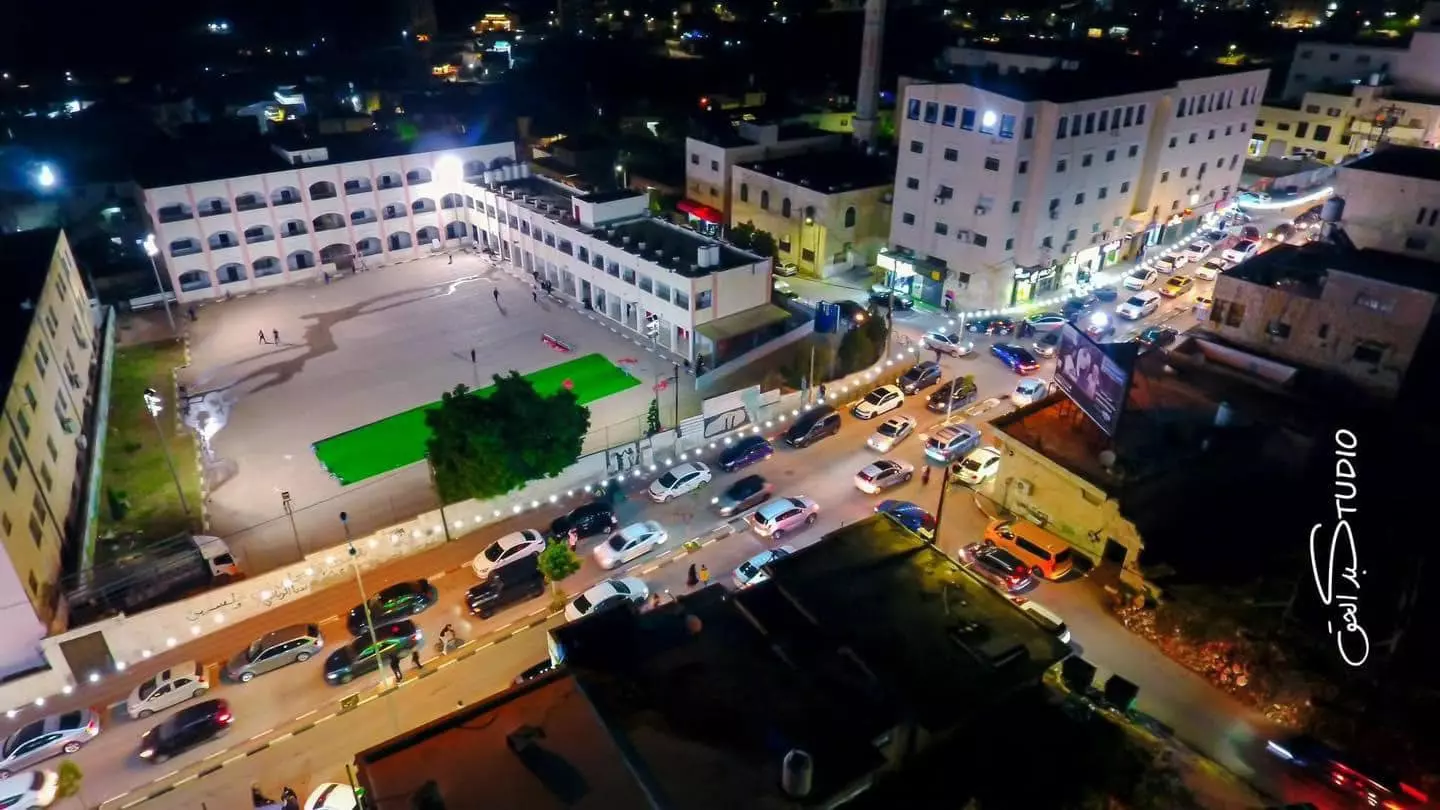
Posted by ظافر يا سلام 3 - منظر عام وسط المدينة
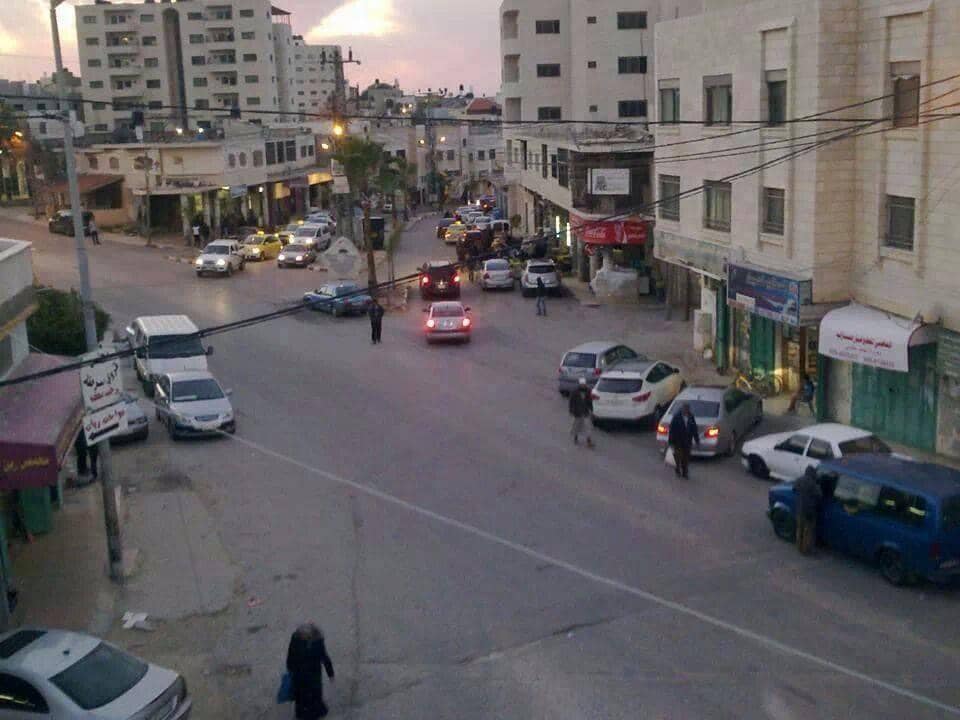
Posted by ظافر يا سلام 2 - مدخل المدينة الشرقي
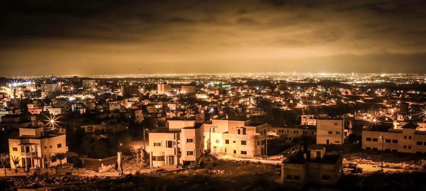
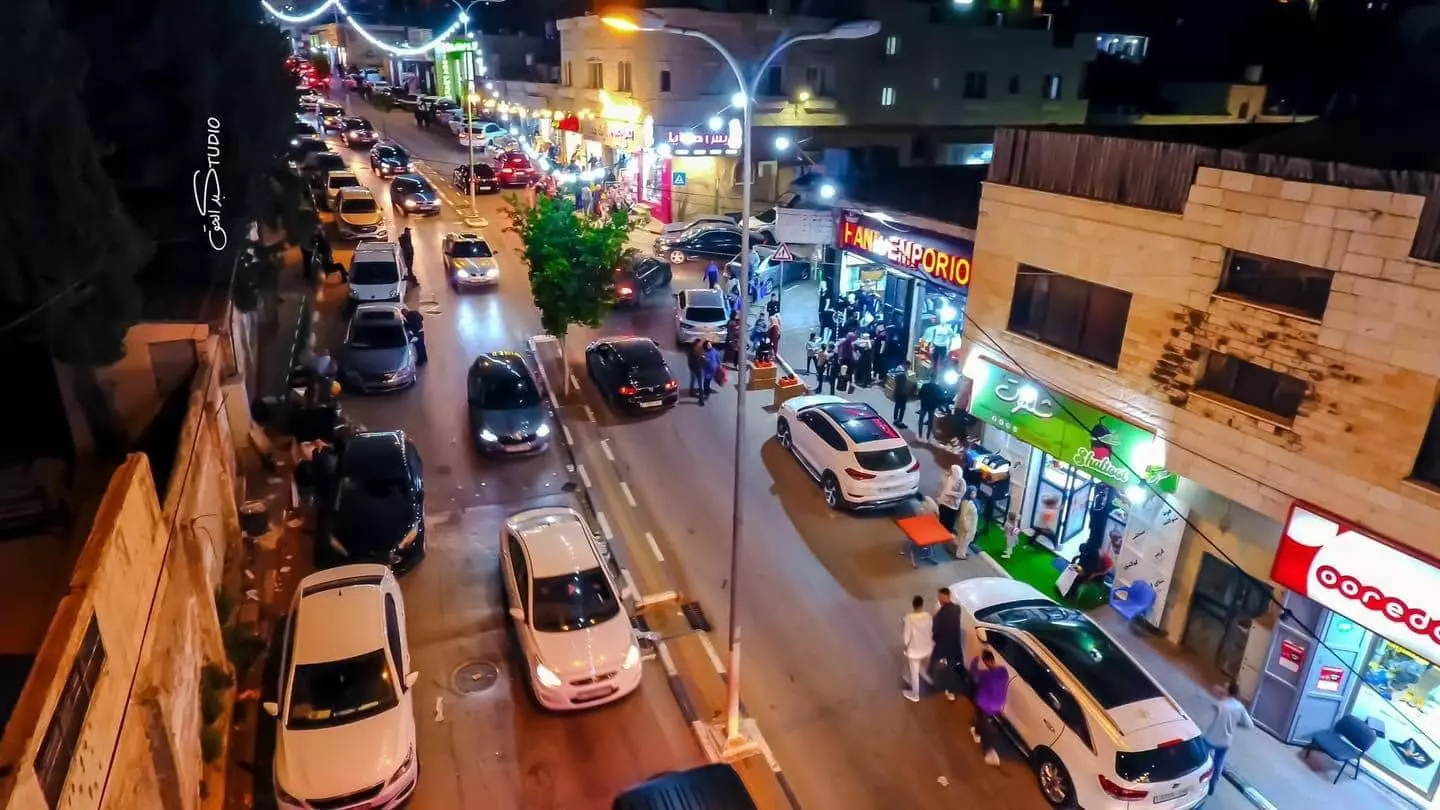
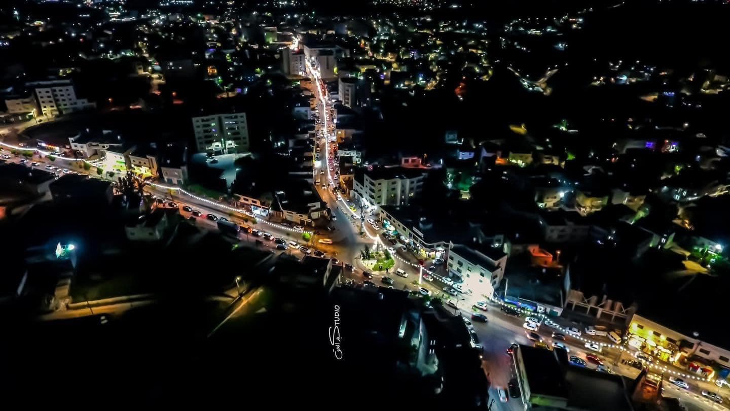
Posted by ظافر يا سلام - البنك العربي وسط المدينة بالليل..... منظر جميل جداا

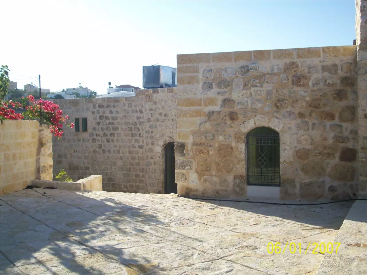
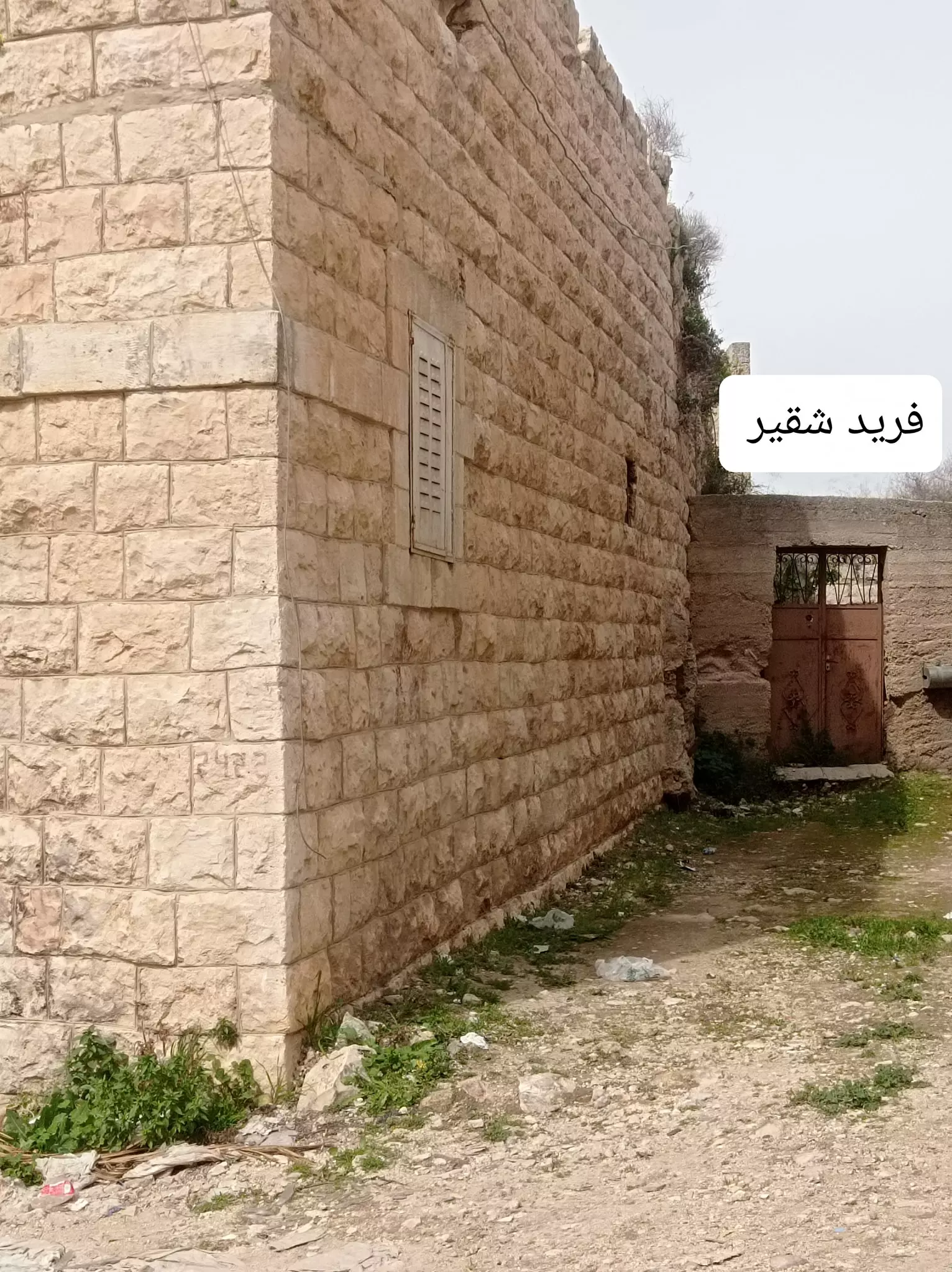
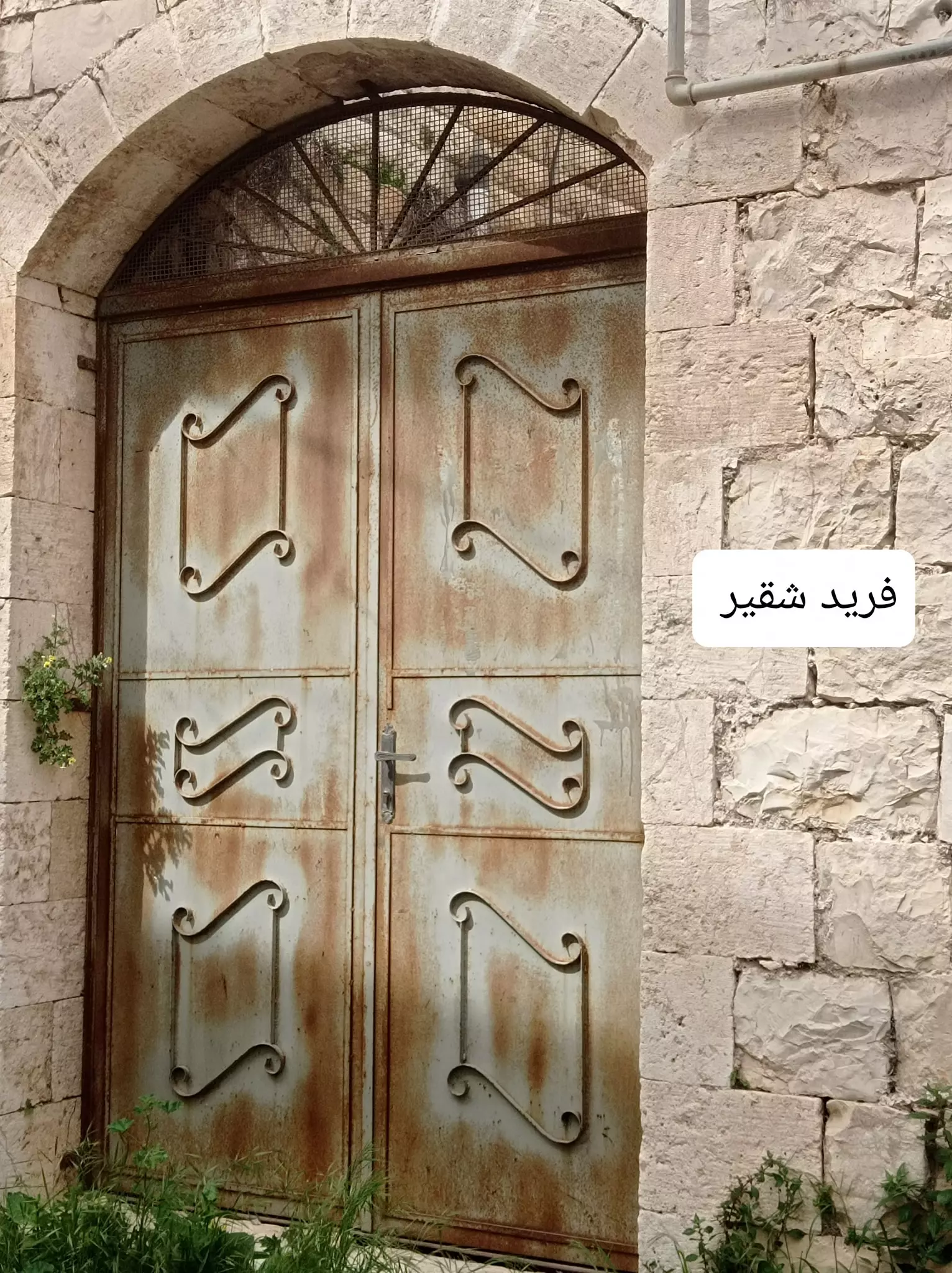
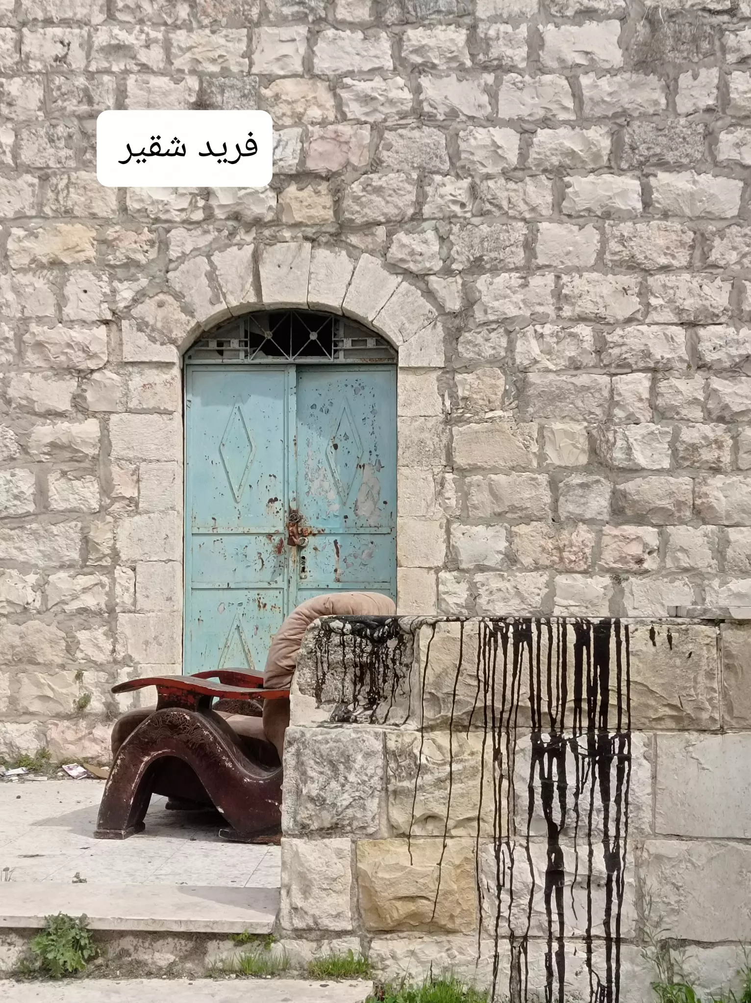
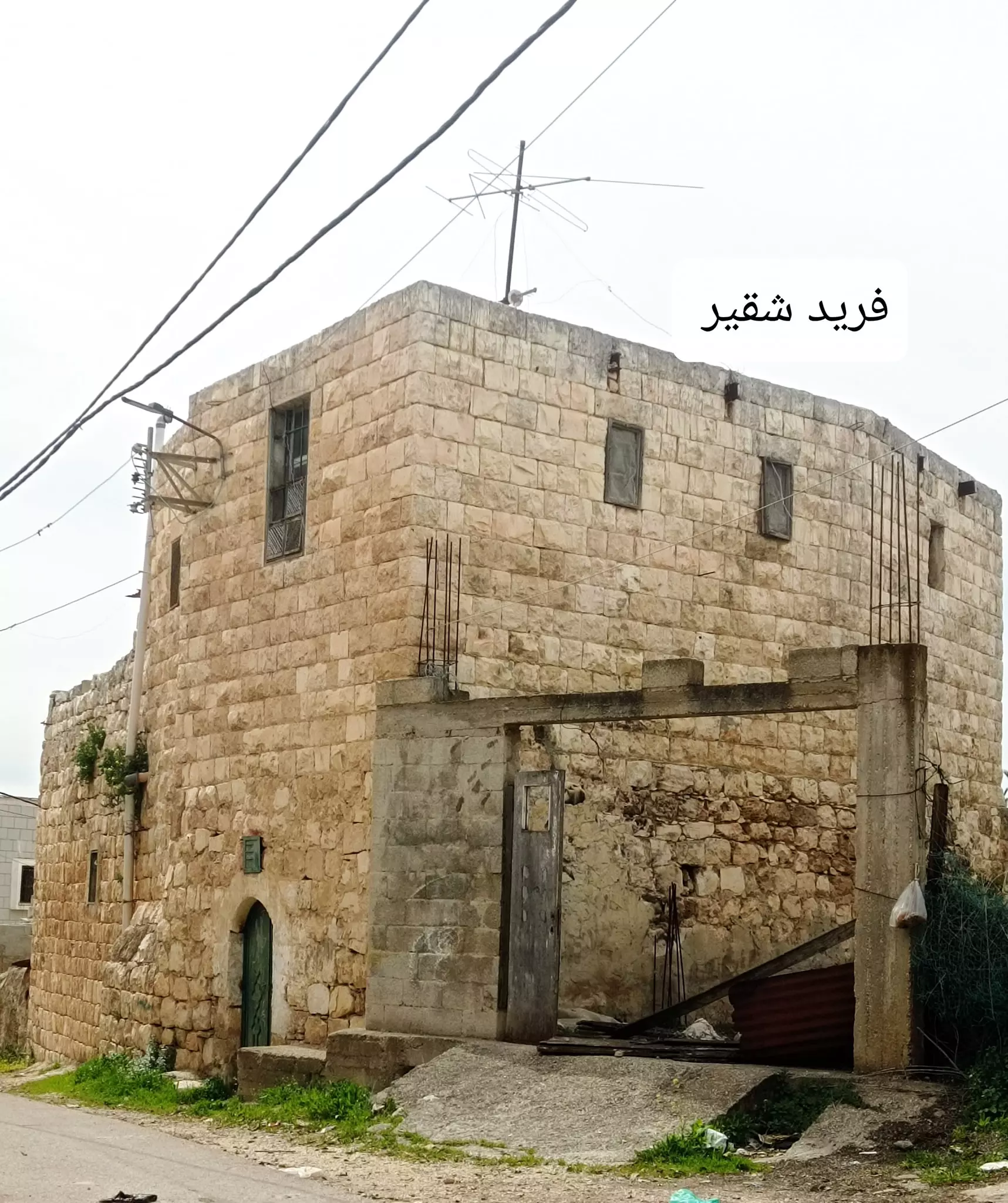
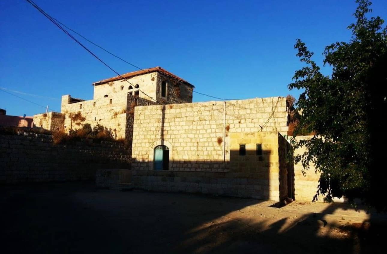
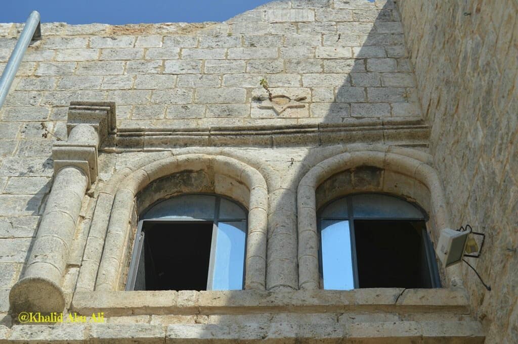
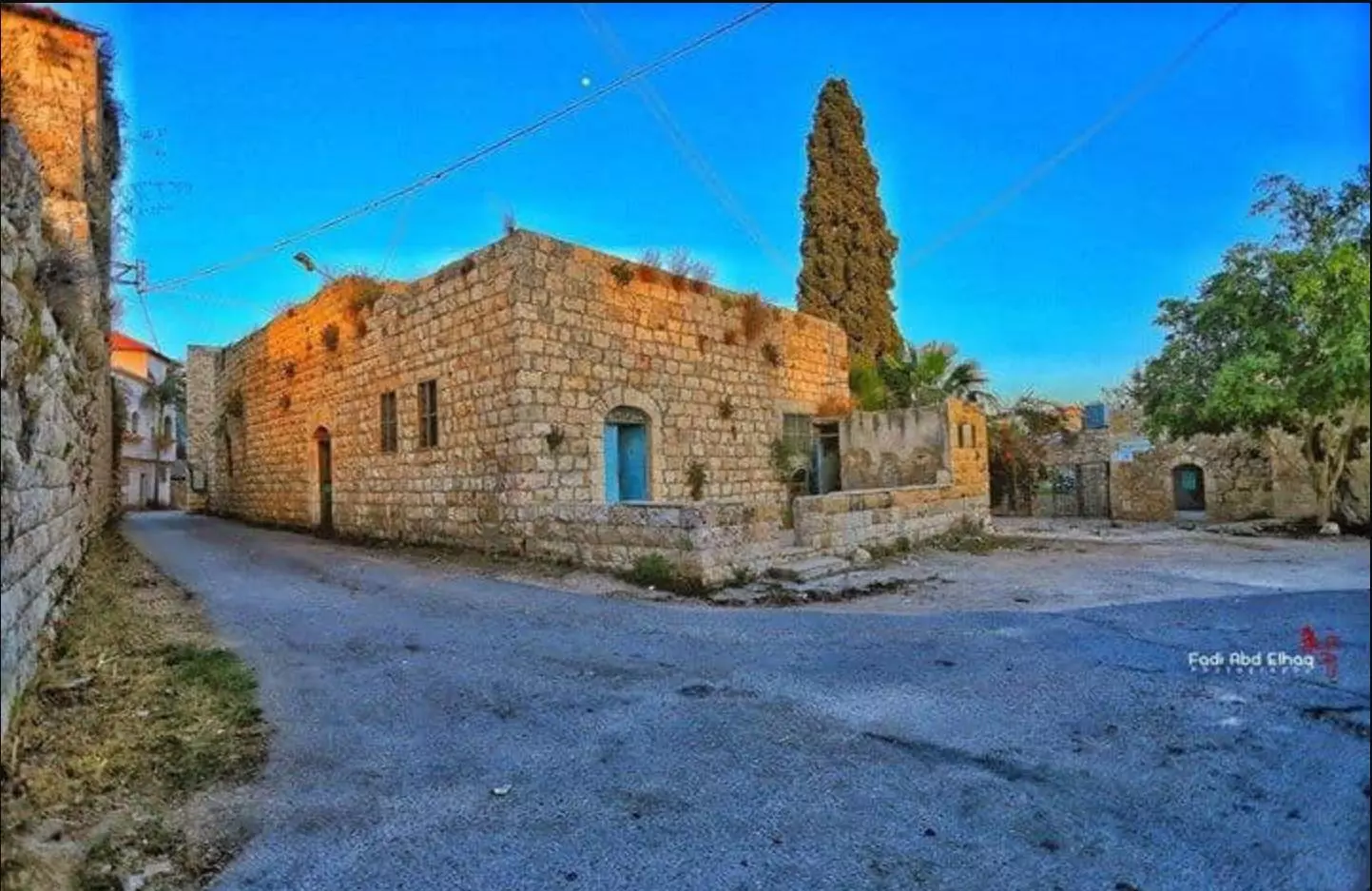
Posted by ظافر يا سلام 2 - بيوت فديمة - منزل المرحوم ابو عواد
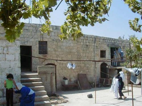
Posted by أبونزار 3 - بيوت قديمة (بيت اسماعبل سالم)
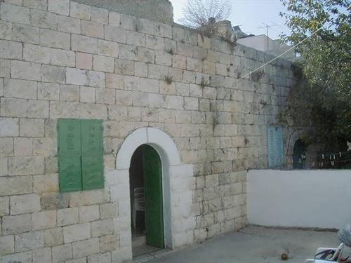
Posted by أبونزار 2 - بيوت قديمة (بيت محمد ظرف)

Posted by أبونزار 1 - بيوت قديمة (بيت أبو فؤاد)

Posted by أبونزار 2 - منظر عام (الحارة الشرقية)
Posted by أبونزار 3 - منظرعام (حي البركة )
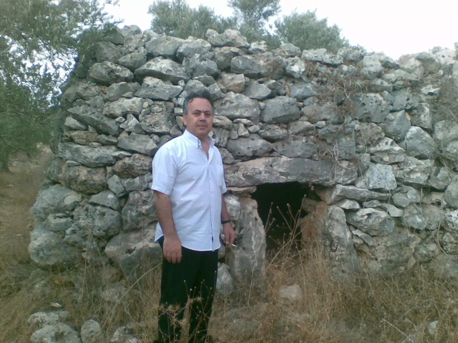
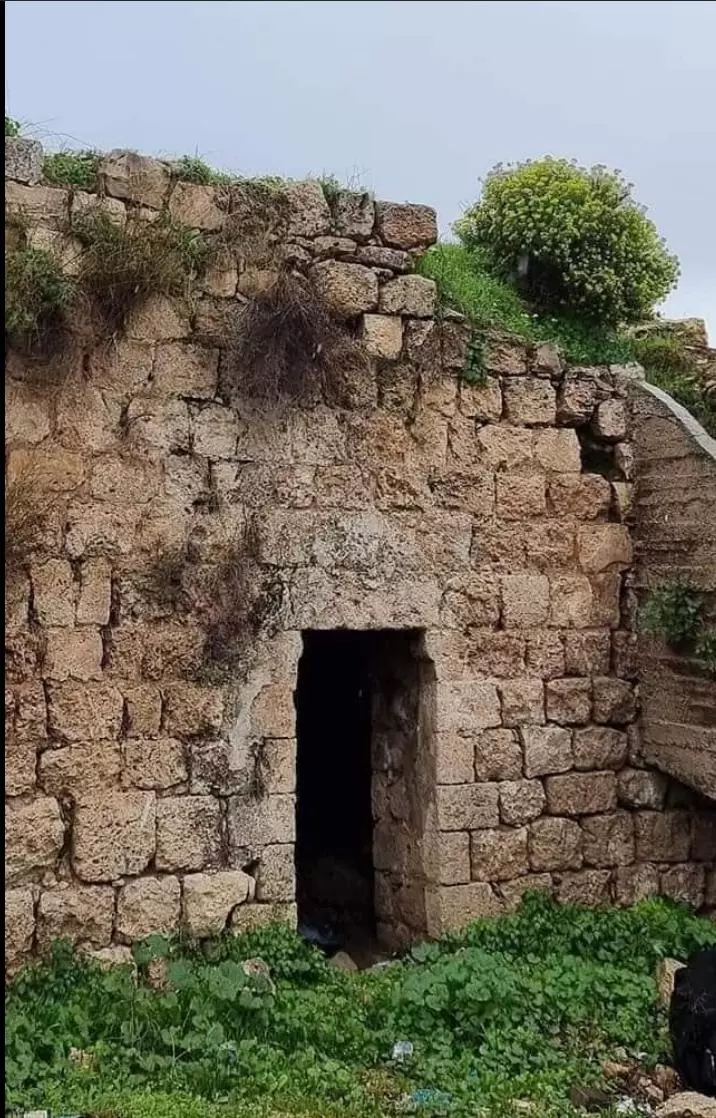
Posted by أبونزار 3 - الطيار (آثار)
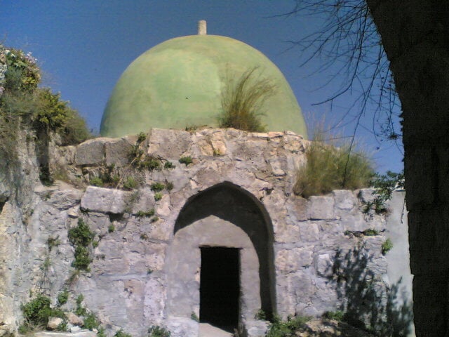
Posted by أبونزار 2 - آثار قديمة ... قبة الشيخ علي
Posted by Ra'fat Issa 1 - آثار قديمة
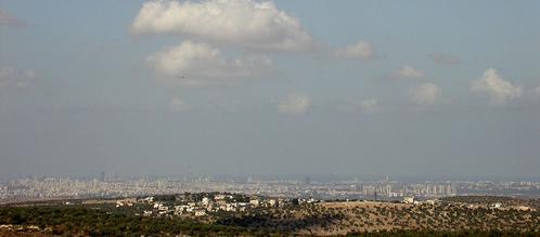
Posted by Ra'fat Issa 8 - منظر تل ابيب من جبال بديا
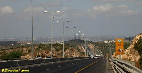
Posted by Ghanem Mustafa - الطريق السريع جنوب بديا
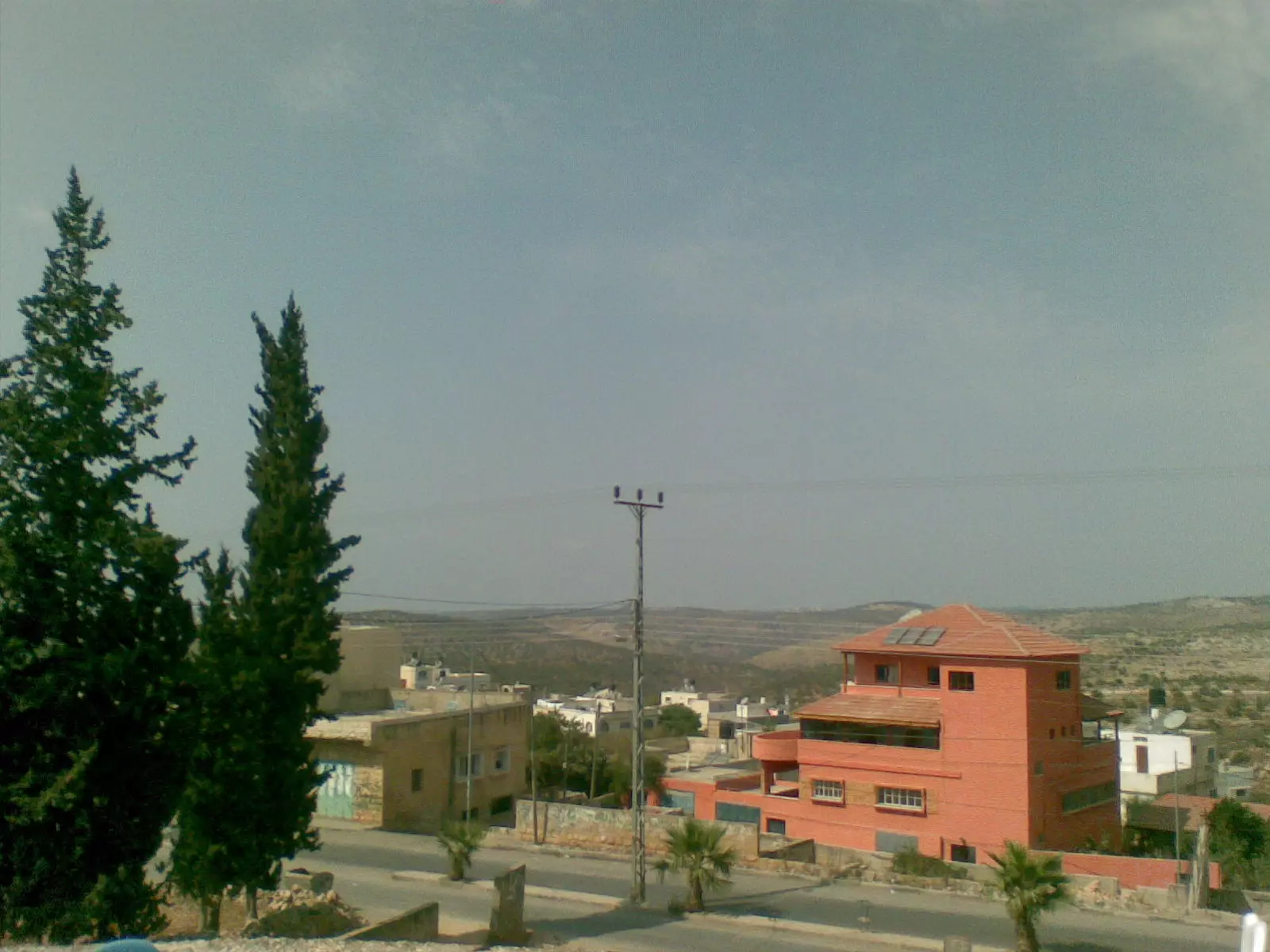
Posted by Ghanem Mustafa 4 - منظر لمدينة بديا من الغرب
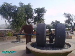
Posted by Abu Elbara 1 - صورة البد القديم ( سبب التسمية للمدينة )
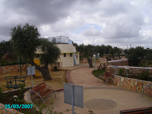
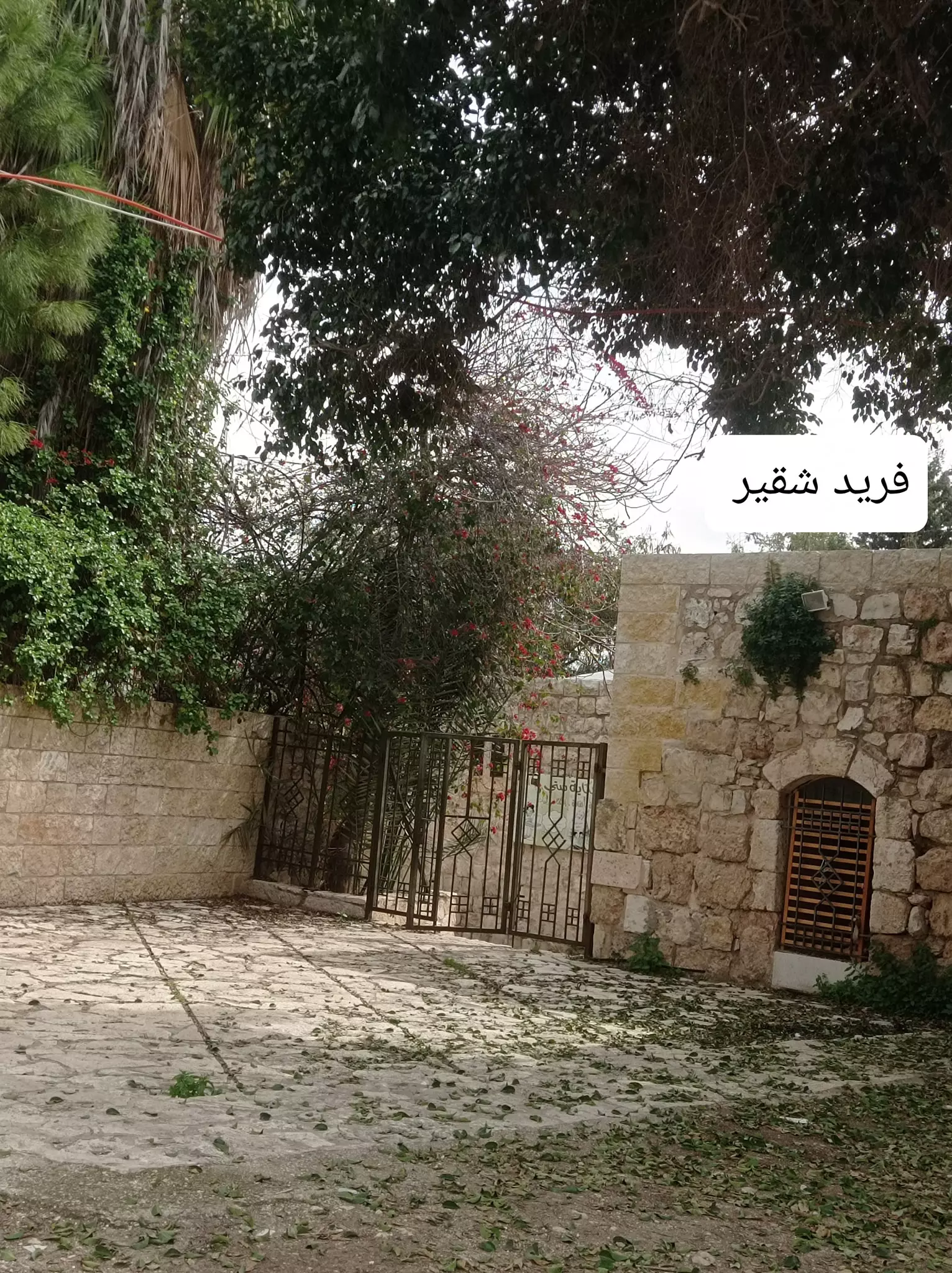
Posted by Abu Elbara - مدخل منتزه البلدية في الدينة
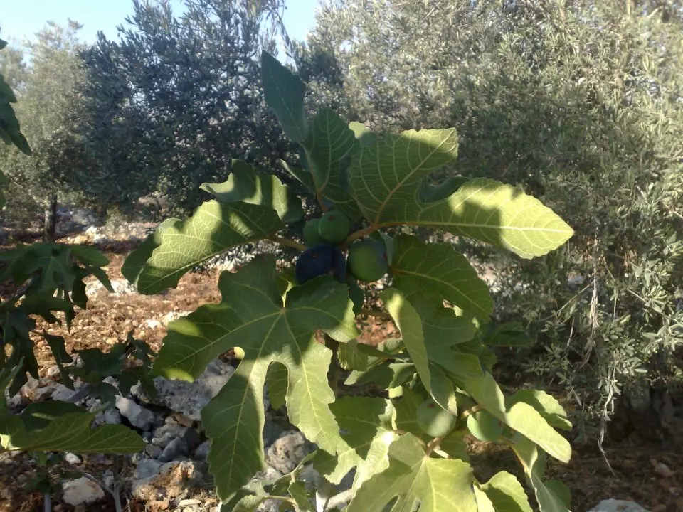
Posted by Abu Elbara 1 - حقول الزيتون الجميلة في المدينة
Posted by Abu Elbara 3 - بيت احمد بعدين
Posted by ابن سلامه 6 - صورة مدينة بديا من الجهة الغربية
Posted by ابن بديا 1 - منظر عام وسط مدينة بديا
Posted by ابن بديا 8 - صوره اول مدينة بديا
Posted by ابن بديا 1 - بيت السيد يوسف عزت عقل في بديا
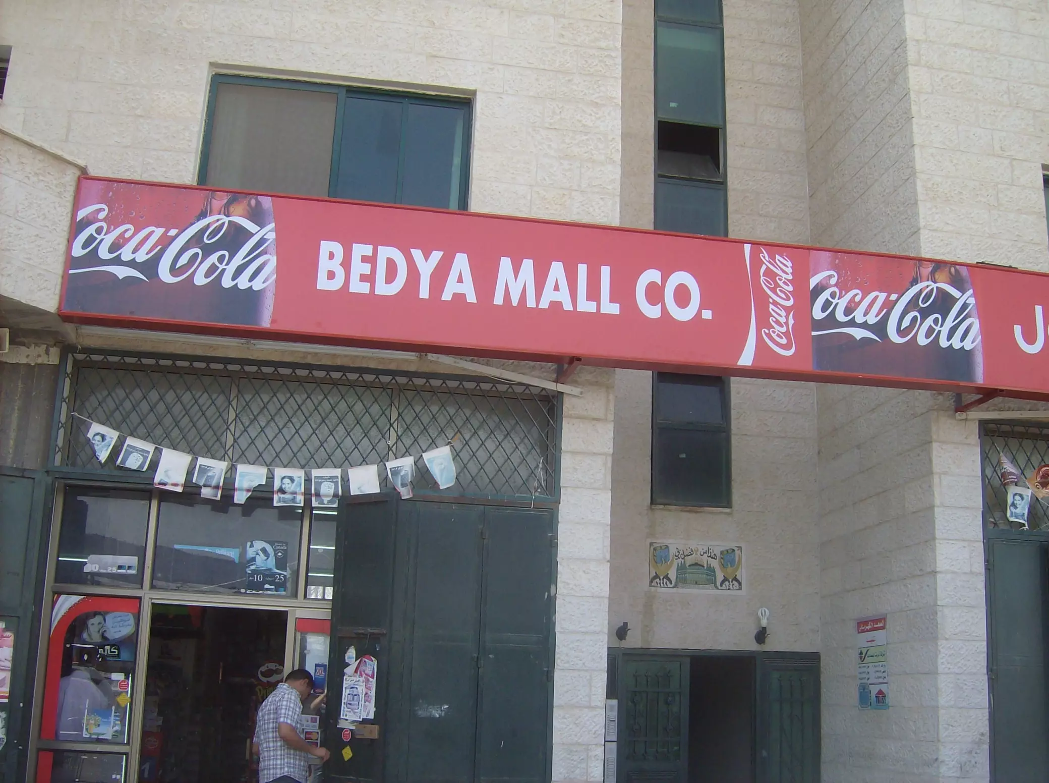
Posted by ابن بديا - بديا مول الاكبر في محافظة سلفيت والقرى المجاورة
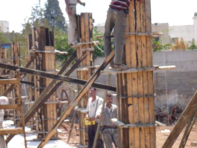
Posted by ابن بديا 1 - بديا البناء
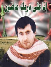
Posted by ابو كامل 1 - الشهيد يحيى عياش
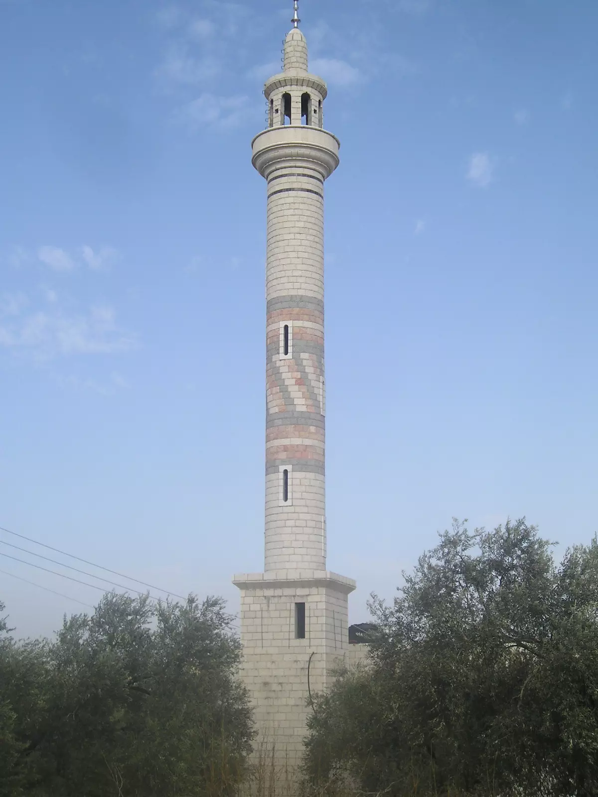
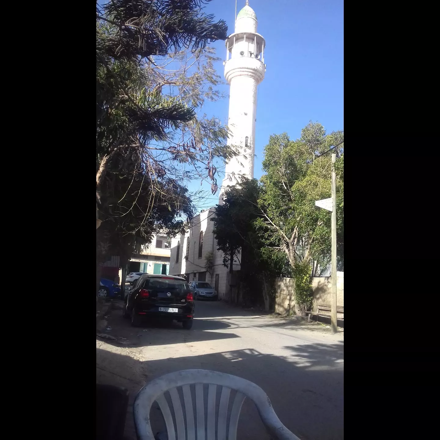
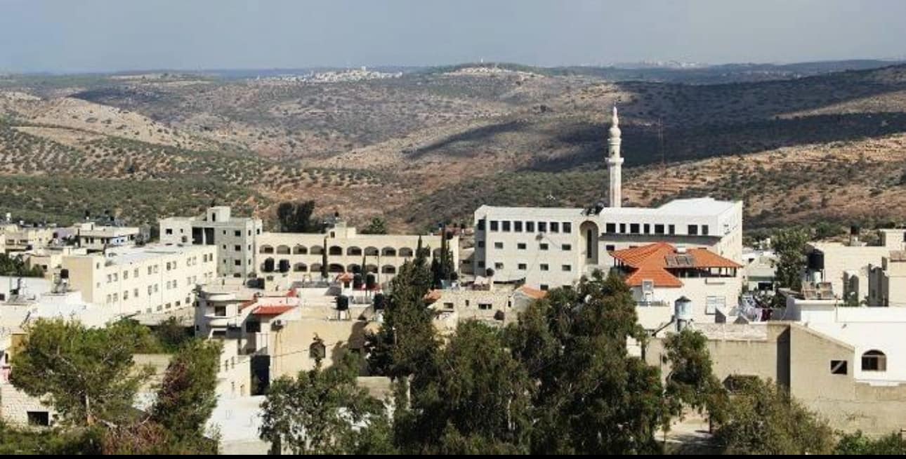
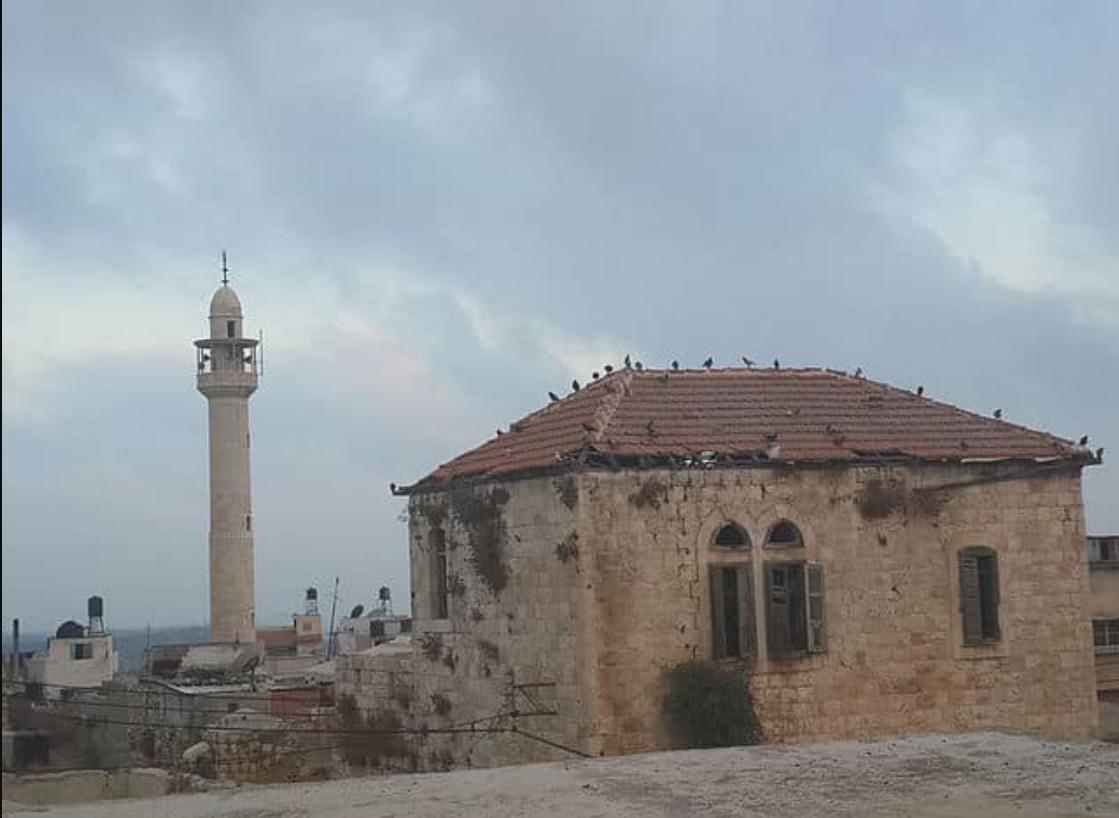
Posted by ابو كامل - مسجد التقوى(بديا)
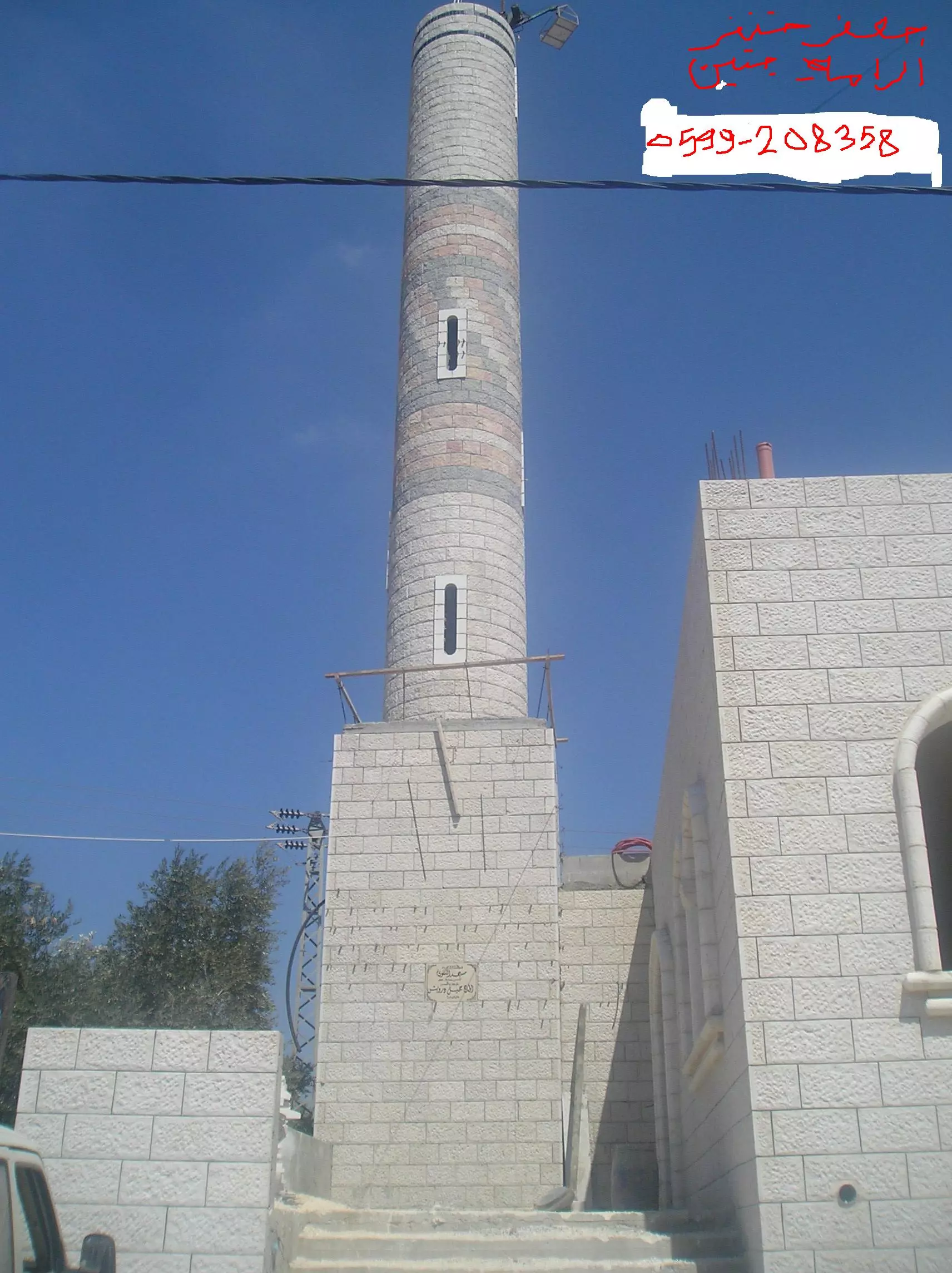
Posted by جعفر خنفر 1 - ماذنة مسجد التقوى (يوم تركيب الهلال)
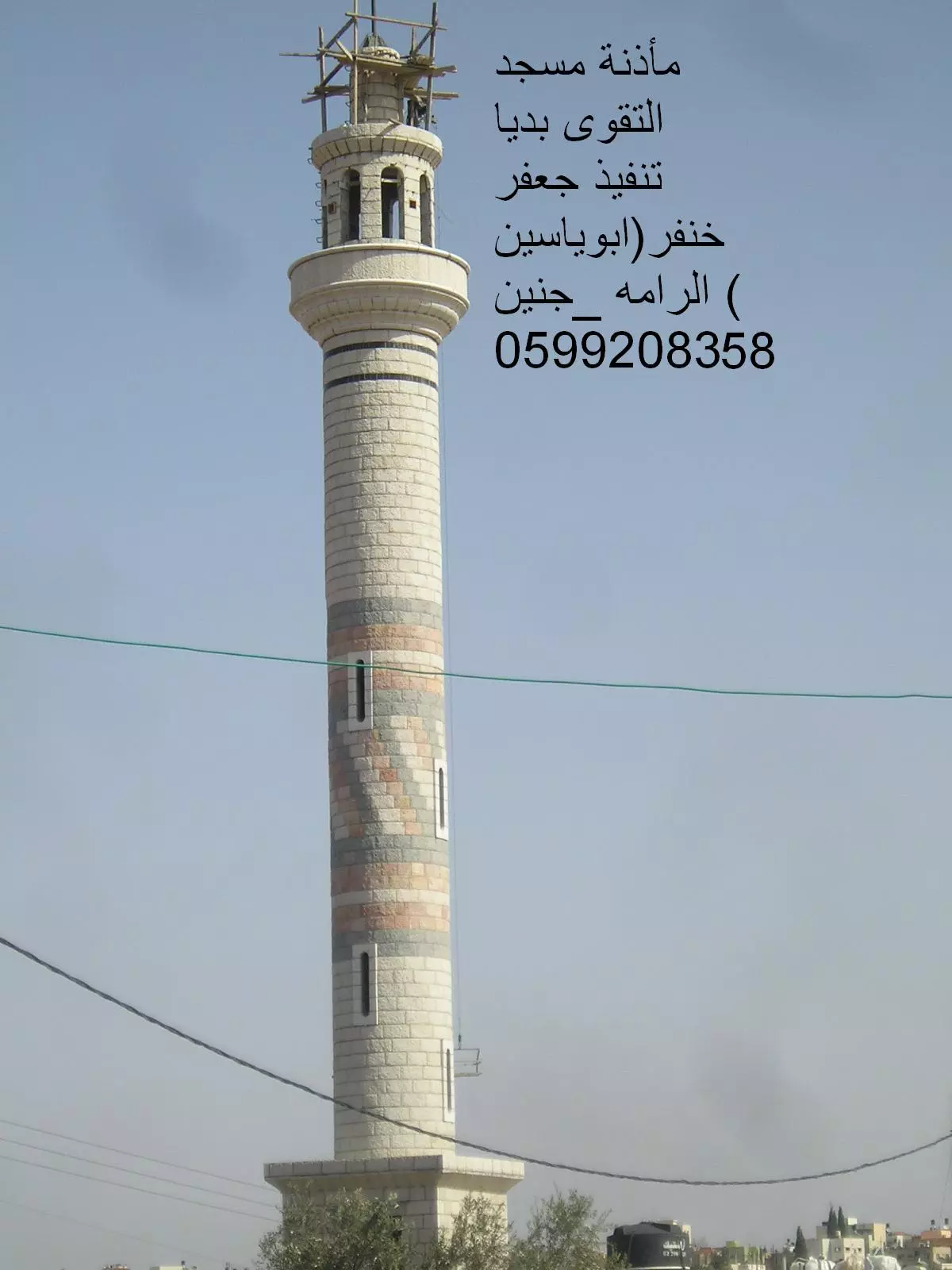
Posted by جعفر خنفر - مسجد التقوى(بديا)
Posted by جعفر خنفر - بديا من الجهه الغربيه-8-رمضان-2011
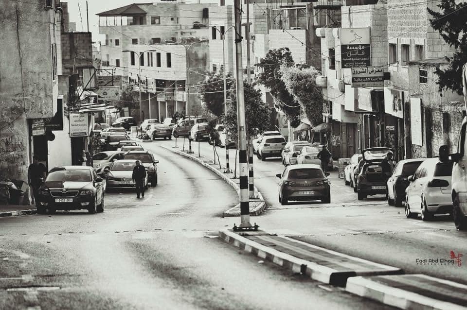
Posted by ahmad abdul all 1 - وسط البلد.... صورة مأخوذة من عمارة الحاج داوود أبو ليلى باتجاه الشرق
Posted by مغترب - تين وزيتون فلسطين
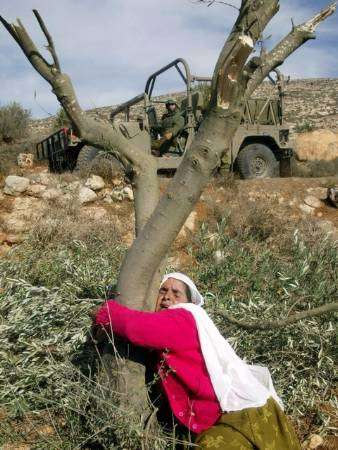
Posted by مغترب - صورة لكل قرية وبلدة ومدينة فلسطينية... ولكل ام وفلاحة فلسطينية .... ولكل فلسطيني يعرف معنى الحب لفلسطين
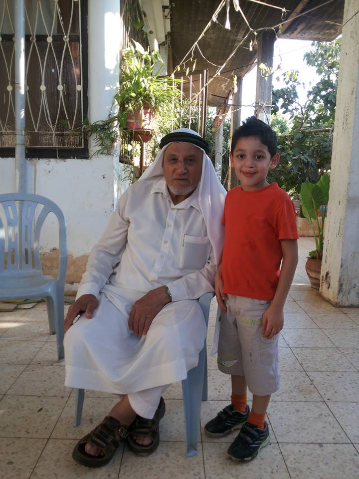
Posted by مغترب - Imam Ahmad A'abed with his grand son Amjad
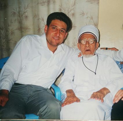
Posted by Abu Majd - Imam Ahmad A'abed with his grand son Amjad
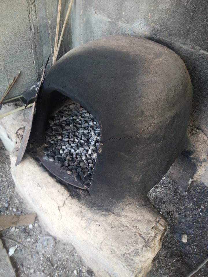
Posted by Abu Majd - Arabic taboon
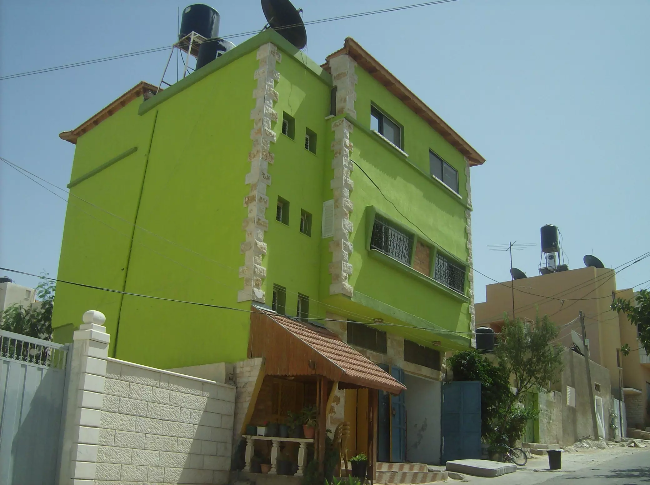
Posted by Abu Majd - منظر عام
Posted by Abu Al-Sous - مسجد ابو عبيدة
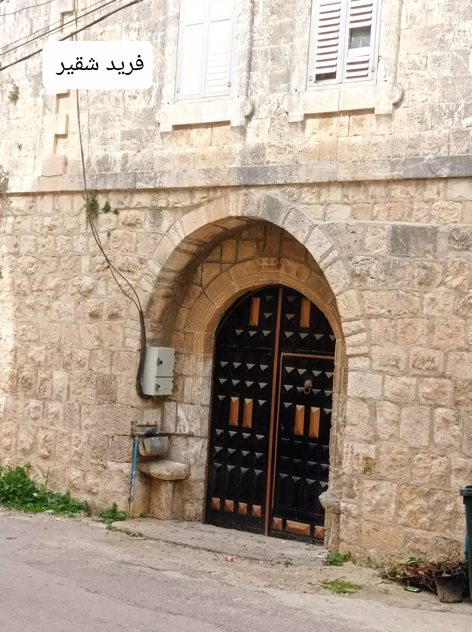
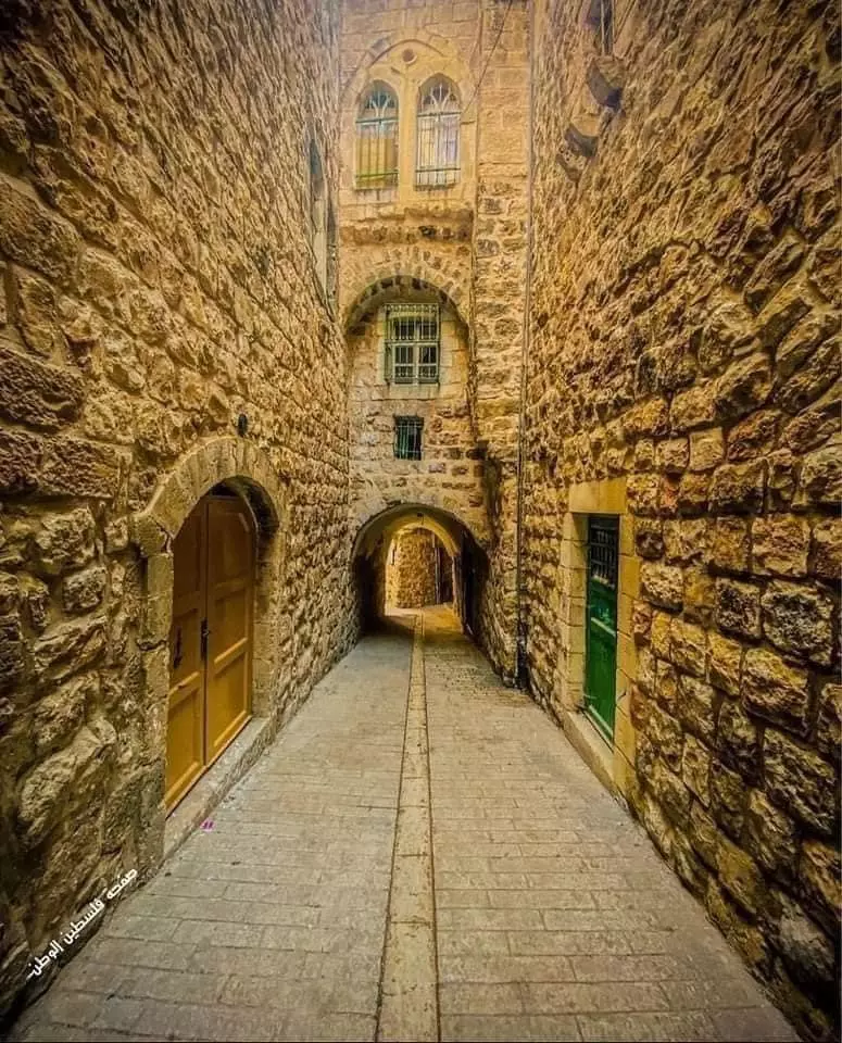
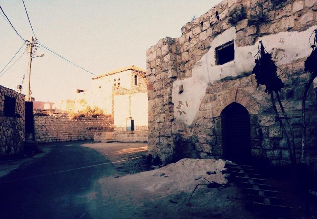
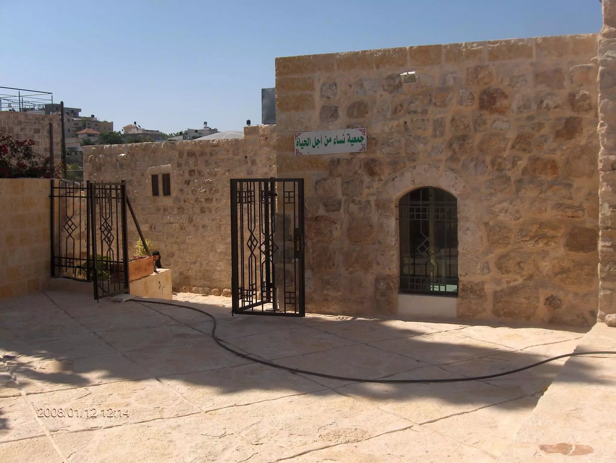
- جولة في البلدة القديمة
- جولة في البلدة القديمة #2
- جولة في البلدة القديمة #3
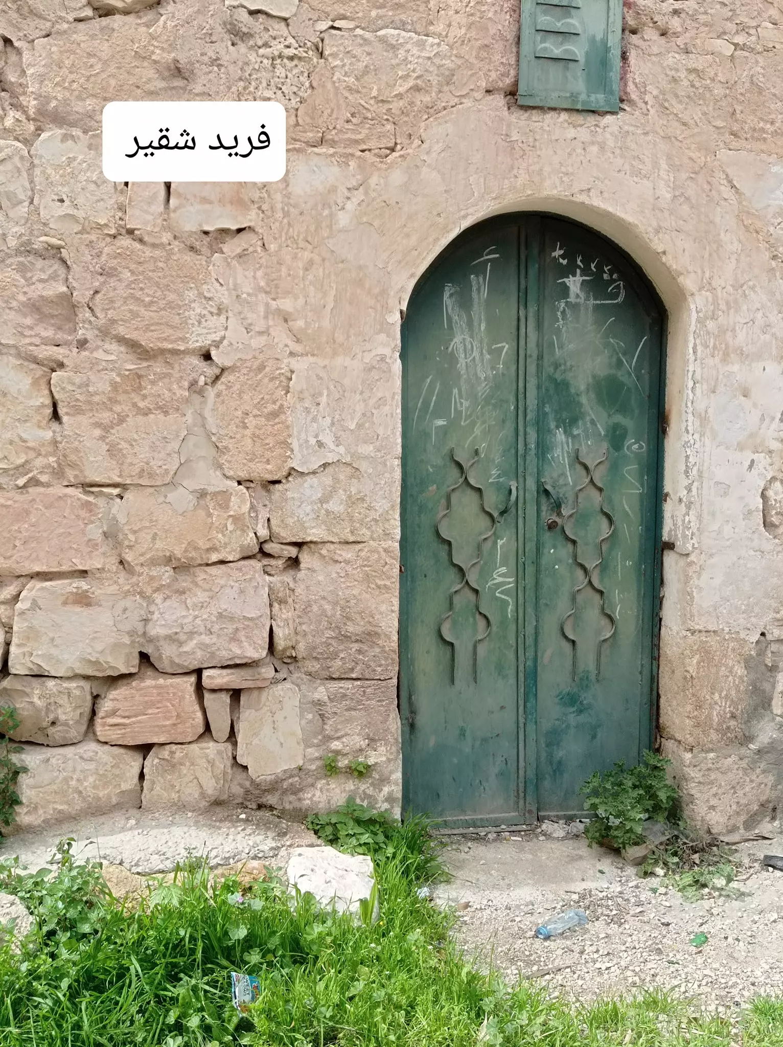
- جولة في البلدة القديمة #4
- جولة في البلدة القديمة #5
- جولة في البلدة القديمة #6
- جولة في البلدة القديمة #7
- جولة في البلدة القديمة #8
- جولة في البلدة القديمة #9
- جولة في البلدة القديمة #10
- جولة في البلدة القديمة #11
- جولة في البلدة القديمة #12
- جولة في البلدة القديمة #13
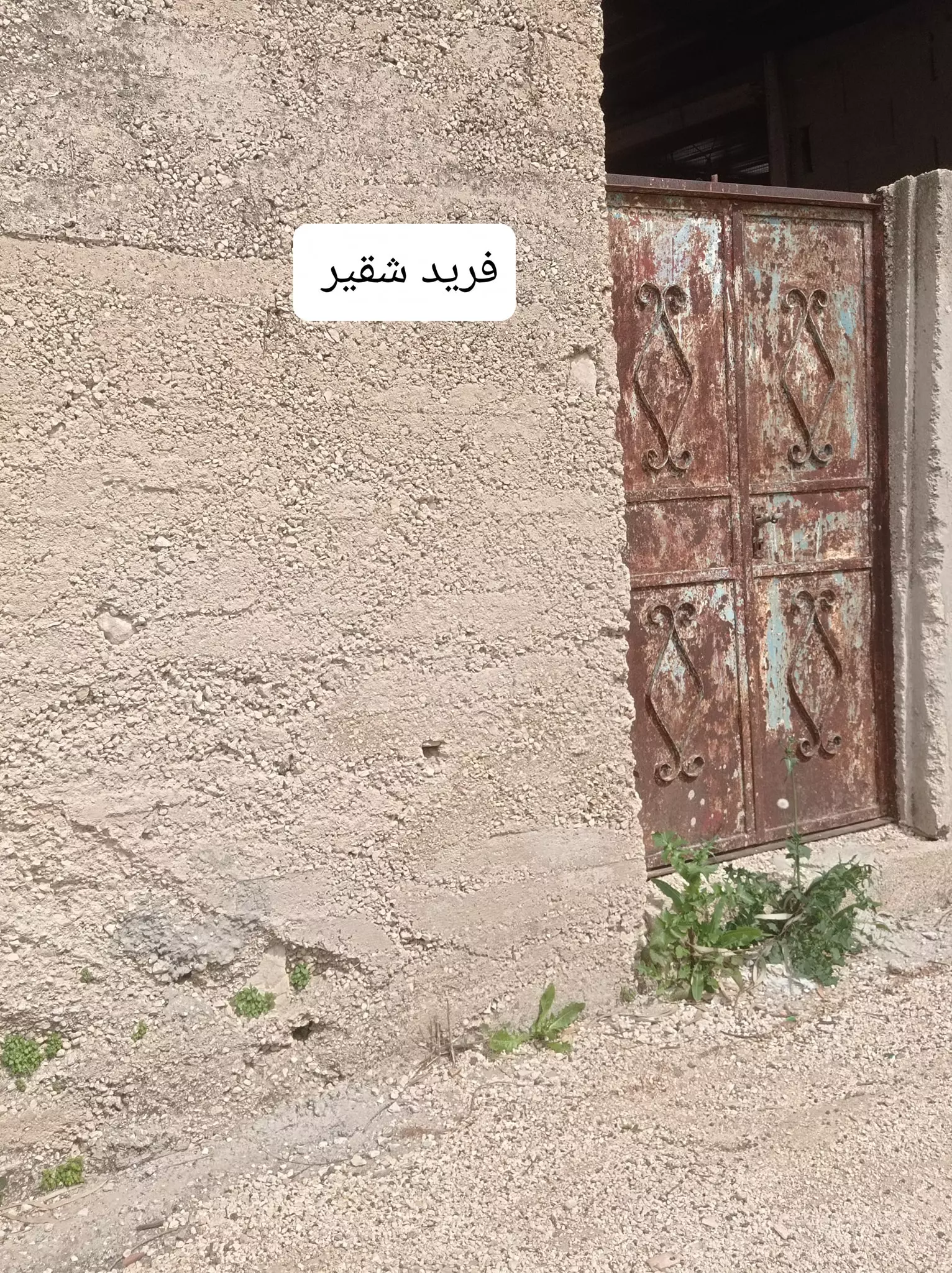
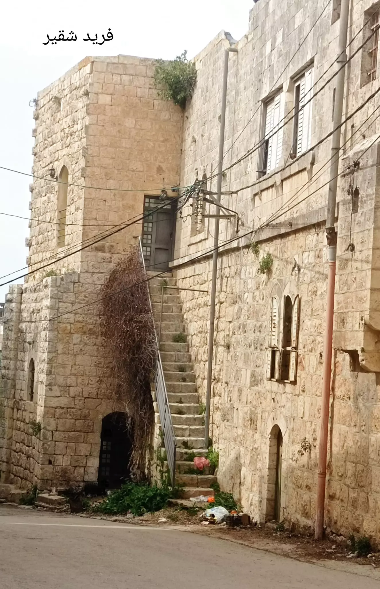
- جولة بين حارات بديا العامرة
- جولة بين حارات بديا العامرة #2
- جولة بين حارات بديا العامرة #3
- جولة بين حارات بديا العامرة #4
- جولة بين حارات بديا العامرة #5
- جولة بين حارات بديا العامرة #6
- جولة بين حارات بديا العامرة #7
- جولة بين حارات بديا العامرة #8
- جولة بين حارات بديا العامرة #9
- جولة بين حارات بديا العامرة #10
- جولة بين حارات بديا العامرة #11
- جولة بين حارات بديا العامرة #12
- جولة بين حارات بديا العامرة #13
- جولة بين حارات بديا العامرة #14
- جولة بين حارات بديا العامرة #15
- جولة بين حارات بديا العامرة #16
- جولة بين حارات بديا العامرة #17
- جولة بين حارات بديا العامرة #18
- جولة بين حارات بديا العامرة #19
- جولة بين حارات بديا العامرة #20
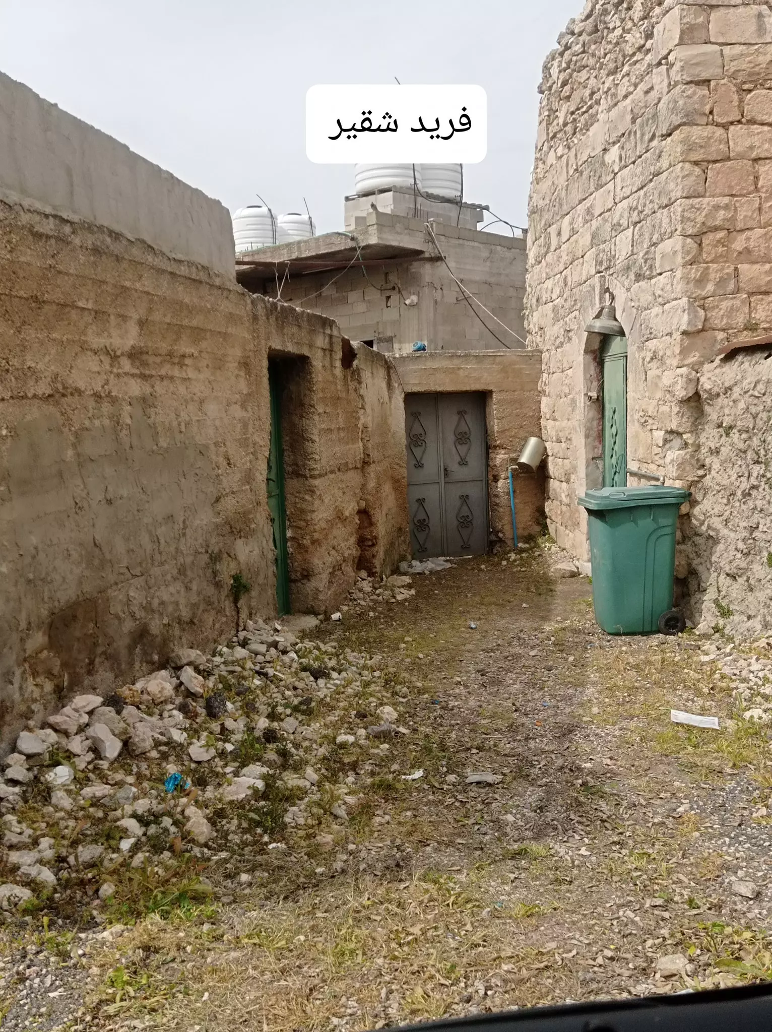
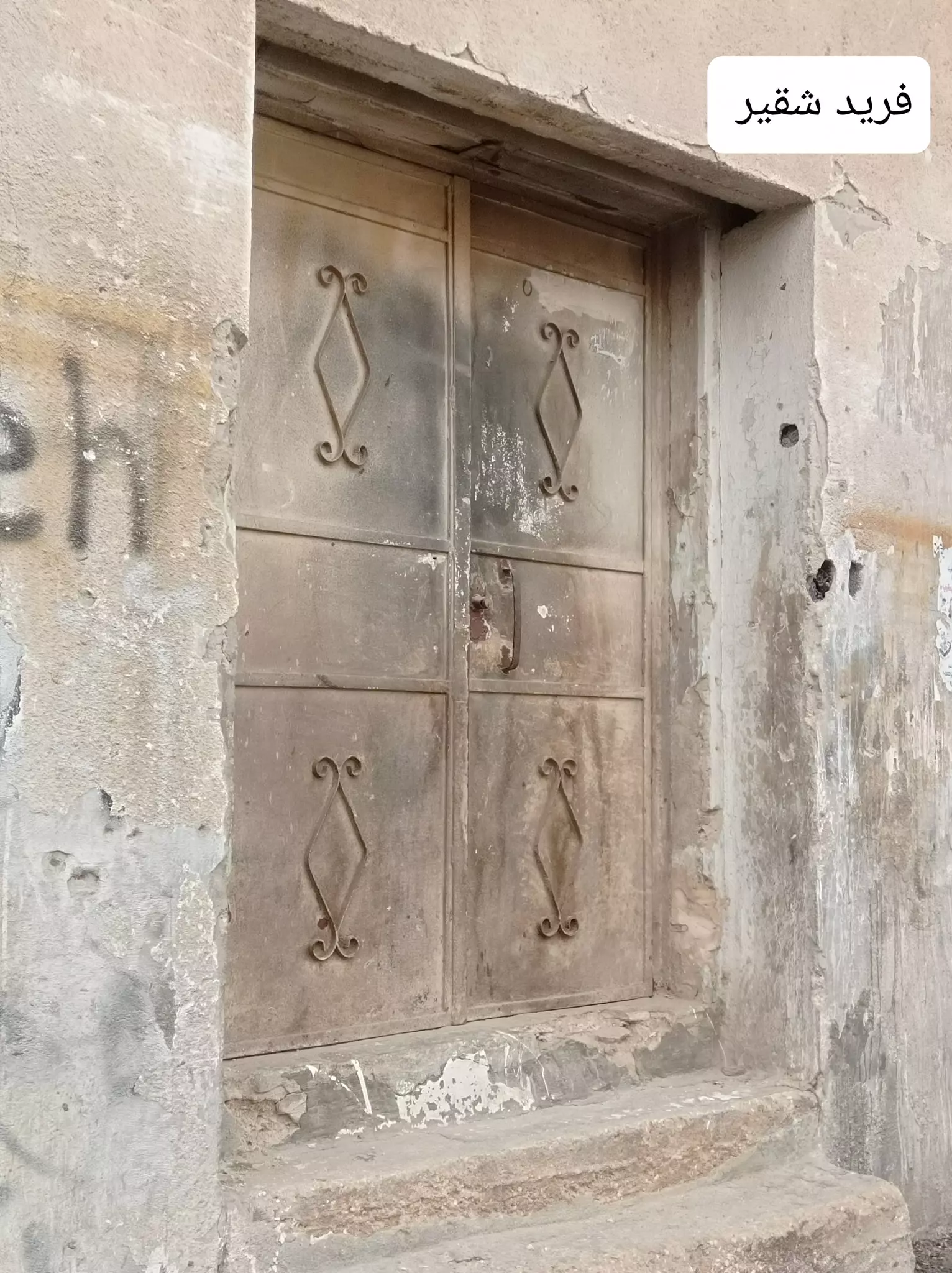
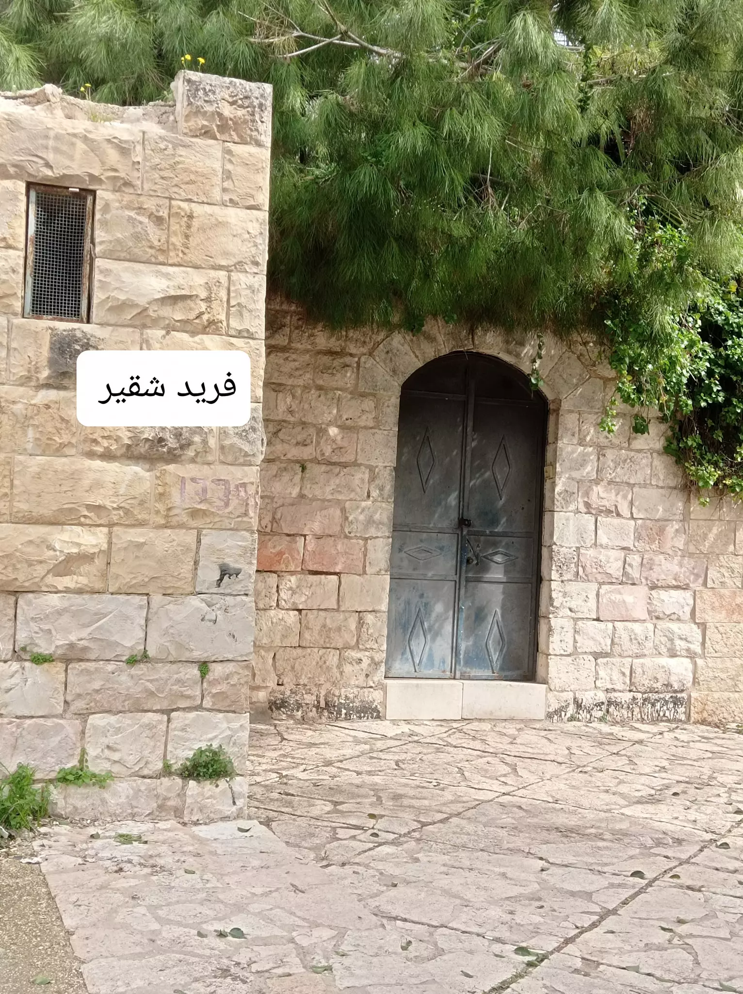
- جولة بين بيوت بديا القديمة
- جولة بين بيوت بديا القديمة #5
- جولة بين بيوت بديا القديمة #6
- جولة بين بيوت بديا القديمة #7
- جولة بين بيوت بديا القديمة #8

- جولة بين بيوت بديا القديمة #9
- جولة بين بيوت بديا القديمة #10
- جولة بين بيوت بديا القديمة #11
- جولة بين بيوت بديا القديمة #12
- جولة بين بيوت بديا القديمة #13
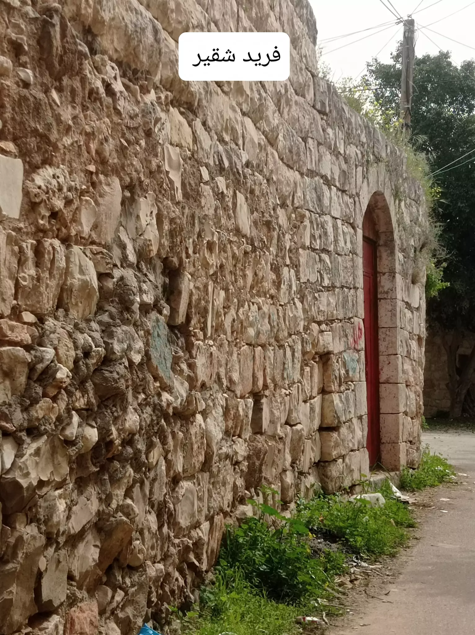
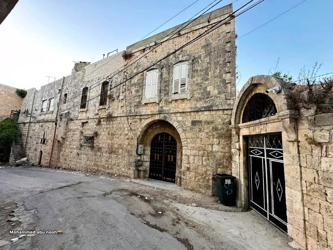
- جولة بين بيوت البلدة القديمة وأزقتها -- محمد أبو نوح
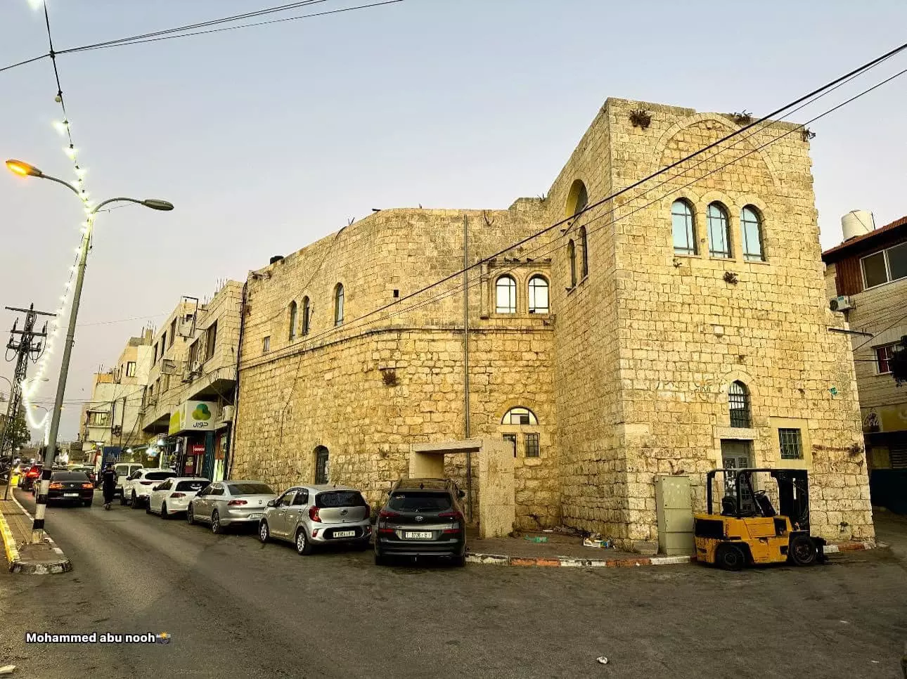
- جولة بين بيوت البلدة القديمة وأزقتها -- محمد أبو نوح #2
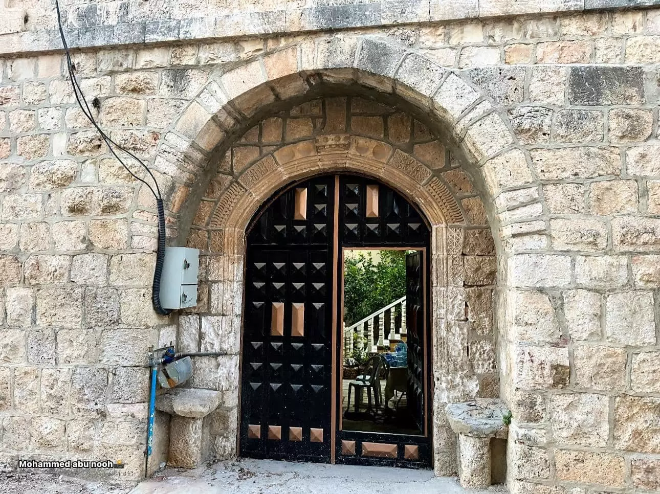
- جولة بين بيوت البلدة القديمة وأزقتها -- محمد أبو نوح #3
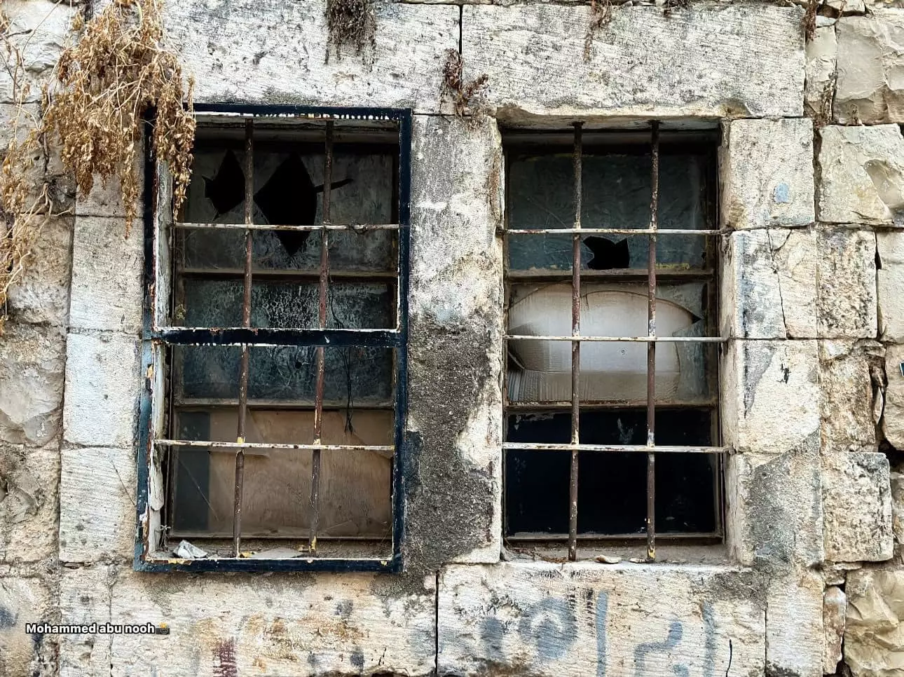
- جولة بين بيوت البلدة القديمة وأزقتها -- محمد أبو نوح #4
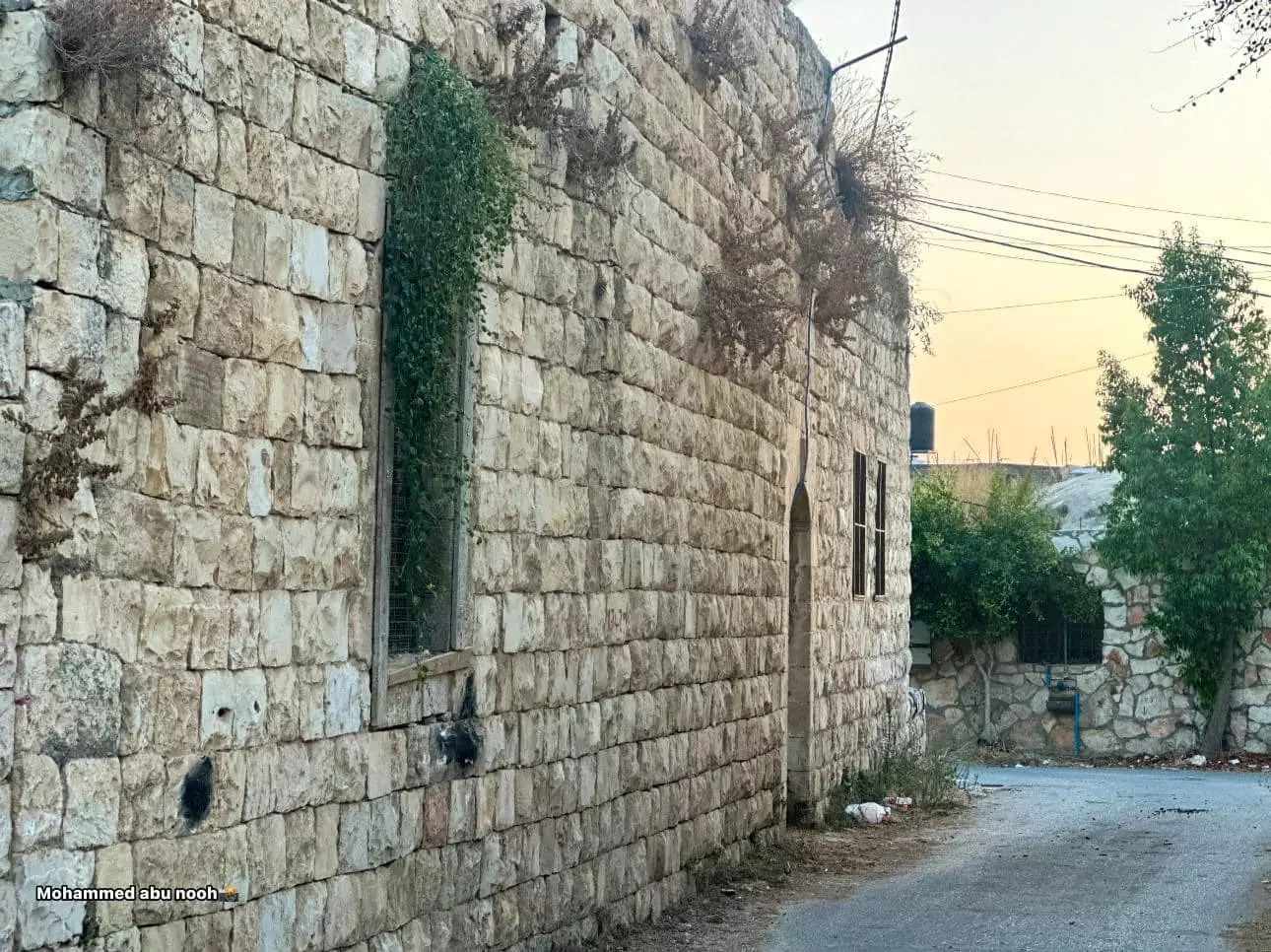
- جولة بين بيوت البلدة القديمة وأزقتها -- محمد أبو نوح #5
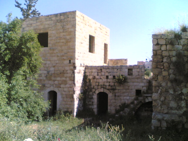
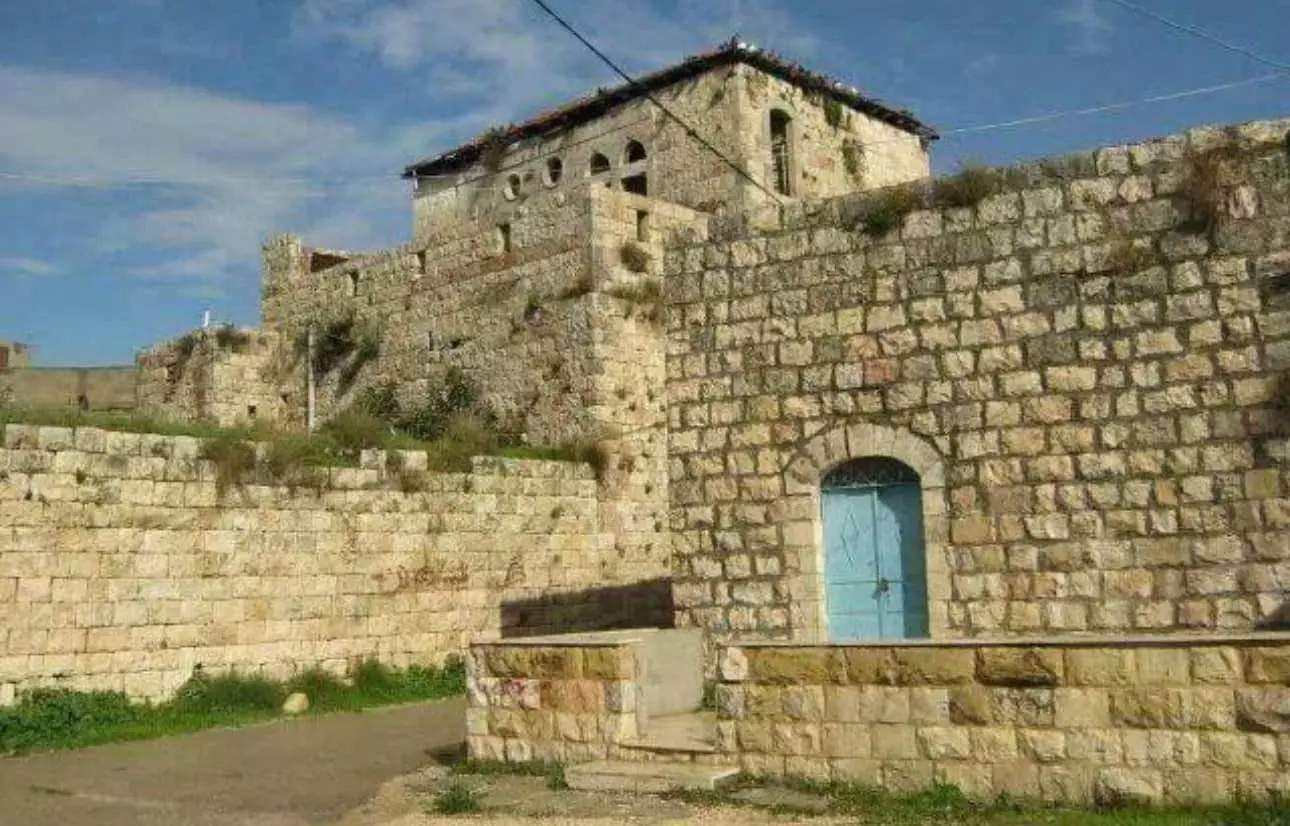
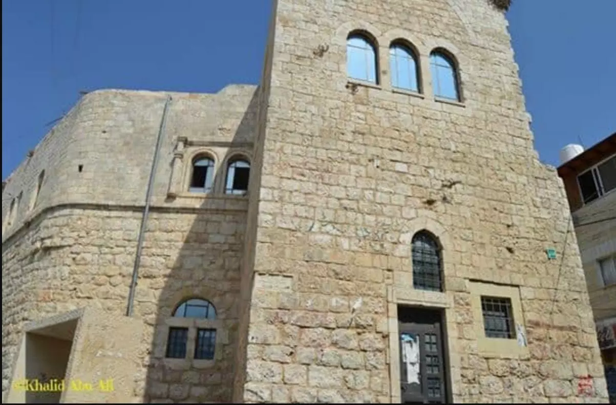
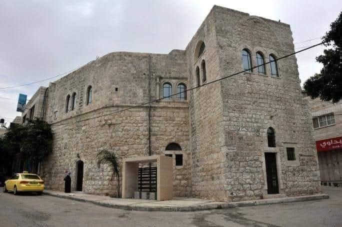
- قصر الأمير طه أو قصر آل طه مبنى تاريخي وأثري من عام 1936م يقع في مدينة بديا
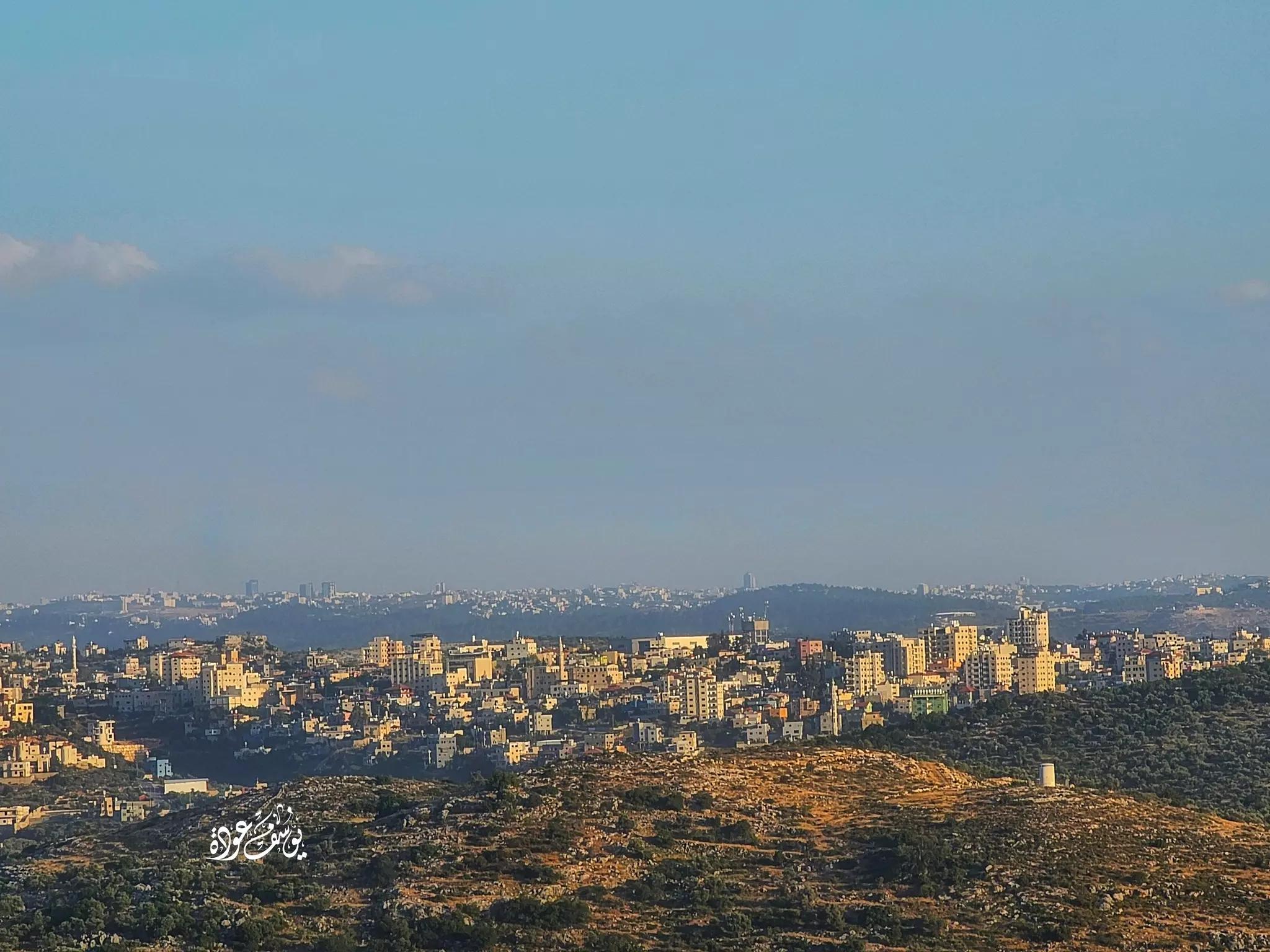
- منظر عام رائع للبلدة من كفر ثلث -- Yousif Odeh
Want to browse more? 80,000 pictures were grouped in these gallaries:
| Display Name | Clan/Hamolah | Country of Residence |
| Abu Jadd | Attrash | tx, usa |
| husne | alaqraa | alzarqa, jordan |
| محمد ذيب سليمان | - | - |
| Ahmad AbdelSalam | Salameh | Amman, Jordan |
| ابو علاء | شتات | - |
| ابوليلى | ابوليلى | Amman, Jordan |
| ابو كامل | - | بديا, بديا |
| ابو عساف | عساف | الزرقاء, الزرقاء |
| ابن بديا | دعاس | فلسطين, فلسطين |
| وائل دعاس | ال عثمان | الزرقاء, الاردن |
| abu zaid | salameh | tx, usa |
| كرم احمد بعدين | - | jordan |
| ابن سلامه | بعدين | jordan |
| Saed Alqorum | - | - |
| ابو سامر | عبد السلام | عمان, الاردن |
| ayman.daas | abo ethman | doha, doha |
| MUSTAFA ALQORUM | - | Rostov-on-don, RUSSIA |
| مغترب | سلامة | - |
| ابو تيسير | - | حولي, الكويت |
| ahmad alqorum | - | TX, TX |
| Fadi Al-qorum | Ahmad | TX, USA |
| abdulwahab | - | uae |
| نورالدين العامور | - | - |
| أبو خالد | أبو عثمان | Abu Dhabi, UAE |
| Ra'fat Issa | Issa | - |
| أبونزار | سلامة | Doha, +9745500376 |
| Suhad Kan3an | KAN3AN | - |
| حامد طه | طه | - |
| ALI RABI | الرابي | ZARQA, JORDAN |
| OMAR JAMAL AHED TAHA | - | AMMAN, JORDAN |
| almuhajer | Salama | - |
| Osama Taha | Taha | Saudi Arabia |
| البداوي | othman | Amman, Jordan |
| زينب | بكر | - |
| عمر | - | - |
| ظافر يا سلام | - | بديا, فلسطين |
No links have been shared yet, be free to the first to share the first link.
 Fake Valor: Why Did Zionist Jews Hoist Nazis Flag on Their Ships in the 1930s?
What is new?
-
Facts About Oct. 7th Gaza Raid
-
Remined Us Please:: Who Did Rape Who? Palestinians Raped Israelis? Or, was the other way around?
-
When Prof. Edward Said was invited to debate Bibi Netanyahu in the 1980s, watch what happened!
-
Ezra Klein of the NY Times on the "Jewish Race".
-
Abusing Blood Libel!
-
Did Israeli Soldiers Activate The Hanniba Direective On Oct. 7th? You Be The Judge
-
Zionist FAQ: Isn't it true that Palestinians don't want peace? Palestinians never accepted the two-state solution
- Facts about Haavara (Transfer) Agreement between Ben-Gurion & Hitler
-
Haavara FAQs: Why Did Zionist Jews Hoist Nazis' Flags on Their Ships in the 1930s?
- Haavara FAQs: When Chaim Weizmann met FDR in mid-1943, why was he silent about rescuing European Jewry?
-
Dear ChatGPT: How did Palestinians resist Napoleon's invasion of their country in 1799?
-
Dear ChatGPT: Gaza had a vibrant Jewish community in the mid-17th century. What happened to them?
-
Dear ChatGPT: Why did the Jewish Agency suppress news of the Holocaust during WWII?
-
Video Playlist: Jews share their DNA tests to end the conflict for good.
-
A Tale of Two Conflicts: Examining the Definition of Genocide
-
Prof. Abraham Polak And The Suppressed History of the Khazars and European Jewry
-
How Ronald Reagan would have framed the genocide in Gaza if he were still alive?
-
Haavara FAQs: Let us do the math: how many German Jews did The Haavara Agreement save?
-
Zionist FAQs: The Hebron Massacre of 1929, "clearly proves" that Palestinians are antisemitic, how could you deny it?
-
Zionist FAQs: Why Anti-Zionist Is Not Antisemitism?
-
Zionist FAQs: Isn't it true that the KGB created Palestinian Nationalism in the early 1960s?
- Zionist FAQs: Muslims are killing Muslims all the time; why are Israeli Jews being singled out in the media?
- Zionist FAQs: How is Israel an apartheid state when 20% of its citizens are Arabs who enjoy full rights?
-
Haavara FAQs: Why Did Dorothy Thompson Flip From A Zionist Advocate to A Silenced Dissenter?
-
Haavara FAQs: Analysis of Herzl's Uganda Scheme and how it could have saved millions of Jews.
-
Haavara FAQs: Why did Hayim Greenberg describe American Jewry as "morally bankrupt" in early 1943?
-
Haavara FAQs: What if the Evian Conference was a resounding success? What would have been the impact of saving European Jewry on Zionism?
- Haavara FAQs: What if the six million were saved, how that would have impacted the Zionist project?
-
Haavara FAQs: How did Zionist leaders react when Europe's Jews lingered in the DP camps after WWII ended?
-
Why does the American Jewish community repeat lies that David Ben-Gurion had debunked before he died?
-
Who has the power to rename the Tatar/Khazar Gene Marker to Jewish IV?
-
Zionist FAQs: Why won't Egypt, Syria, and Jordan take their people back? Jews are indigenous to Palestine, and Arabs immigrated after Jews developed the country. Arabs should leave.
-
Haavara FAQs: Did Hitler and the Nazis conflate between Judaism and Zionist? If that wasn't case, then why?
-
Haavara FAQs: Winston Churchill and antisemitism, a collection of articles written Churchill.
-
Haavara FAQs: Broken by country, how many Jews survived vs. killed during the Holocaust?
-
Haavara FAQs: Why did European Jews vote with their feet and to immigrated to the Americas, not Palestine, after WWII?
-
Watch this American Jewish Girl describing Israeli Jews' cognitive dissonance like no other in under two minutes
-
Haavara FAQs: When the Nazis went out of their way to hide the Holocaust, Israeli Jews did the exact opposite by broadcasting their genocide of Gazans. But why?
-
Haavara FAQs: How Zionist Jews went out of their to show their appreciation to Nazism and Fascism?
- Haavara FAQs: Why Zionist leaders were against bombing the death camps & the Railroads leading to them?
-
Haavara FAQs: Hitler's message to the British and American people: If Jews are such noble citizens and you care about them, how come you're not letting them in? I will gladly ship them to you at my expense, even on luxury liners!
-
A shortlist of Zionist and Israeli false flag operations in the name Jews.
-
The Most Moral Army
- The Land of Kapos (Israel): Where the brave are boycotted and Kapos walk free.
- Why did early Zionists often named their communal enterprises "colonial"?
- Zionist Relations with Nazi Germany by Faris Glubb
-
Two NY Times advertisements by Zionists in the early 1943 that exposes Zionists' treason at the height of the calamity
- Facts Not Lies about the Palestinian-Israeli Conflict.
- Site's pictures have been categorized
- Campgain Against Lice
- A Survey of Palestine, the official source about Palestine before Nakba produced by the British Mandate; over 1200 pages.
- Satellite View & Google Earth: Over 6,000 placemarks identifying all destroyed towns, W. Bank & Gaza Strip Towns, & refugee camps.
- PalestineRemembered.com and its Nakba Oral History Project were featured on al-Jazeera Satellite TV.
- Nakba Oral History Video Podcast:
 Over 700 Oral History interviews (including 3,500+ hours of recording) can be viewed online.
 - Palestine Village Statistics Project
- Gaza Jail Break
- النسخة العربية للموقع الان متوفرة
- Videos: Documenting the destroyed villages in video: Tracing all that remains since Nakba.
- Videos: Responding to Zionist Propaganda
- Interview: The ethnic cleansing of Palestine: George Galloway interviews Israeli Historian Ilan Pappe.
- For Palestinians, memory matters. It provides a blueprint for their future By George Bisharat.
- Zionist FAQ now available in Hebrew שאלות שציונים שואלים, עכשיו בעברית
- Video: The Stephen Walt and John Mearsheimer report on the influence of the Israel Lobby on U.S. Foreign Policy
- The Palestinian-Israeli conflict for beginners
