| PalestineRemembered | About Us | Oral History | العربية | |
| Pictures | Zionist FAQs | Haavara | Maps | |
| Search |
| Camps |
| Districts |
| Acre |
| Baysan |
| Beersheba |
| Bethlehem |
| Gaza |
| Haifa |
| Hebron |
| Jaffa |
| Jericho |
| Jerusalem |
| Jinin |
| Nablus |
| Nazareth |
| Ramallah |
| al-Ramla |
| Safad |
| Tiberias |
| Tulkarm |
| Donate |
| Contact |
| Profile |
| Videos |
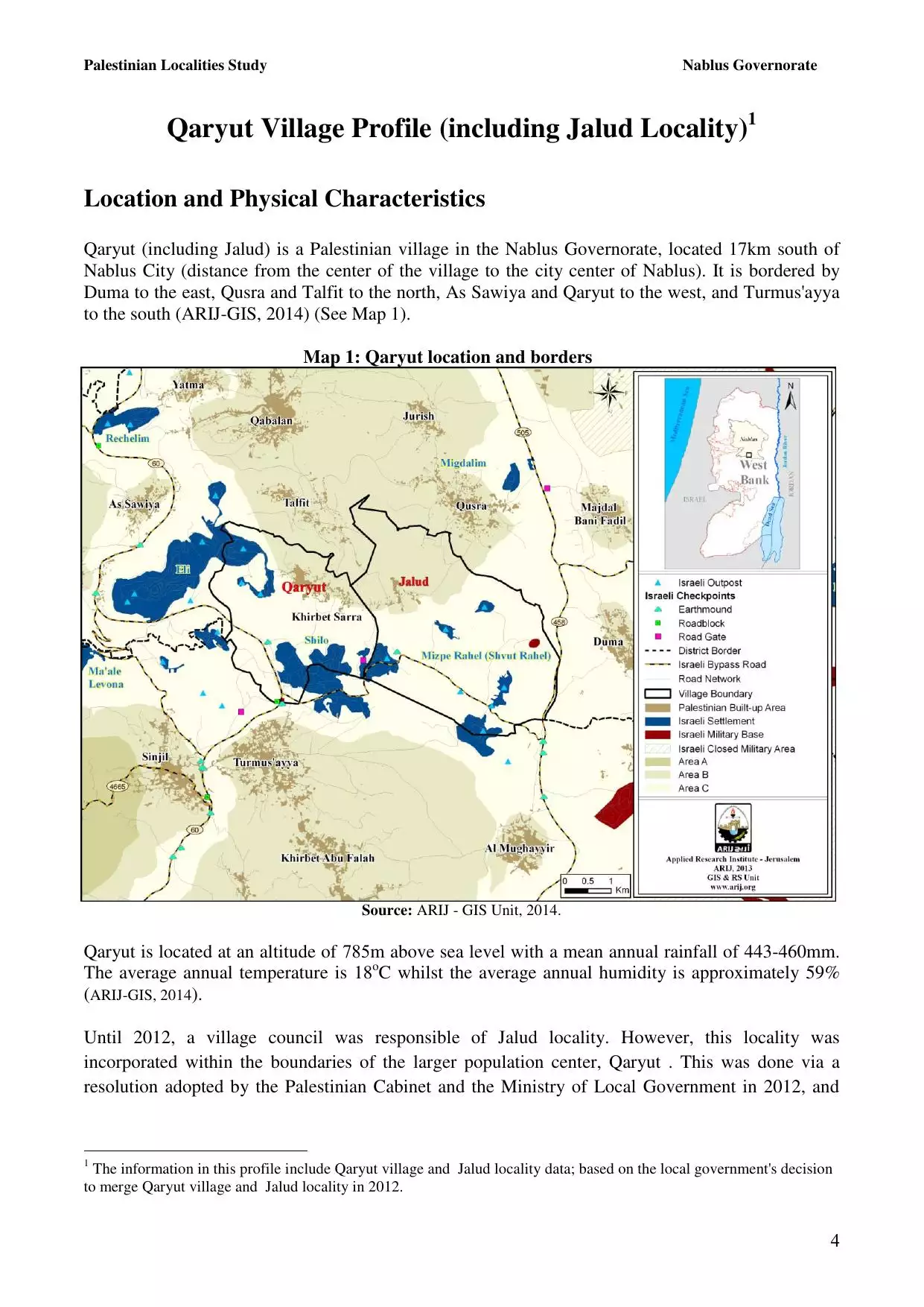
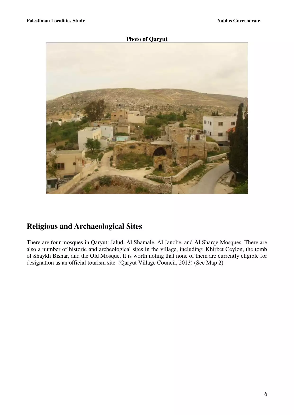
Welcome To Qaryut - قريوت (קריות (נפת שכם))
|
District of Nablus
Occupied days ago |
العربية Google Earth |
 |
Gallery (56) |
- Statistics & Facts
-
Before & After

- Satellite View
- Articles 7
- Pictures 56
- Members 32
- Families
- Wikipedia
- ARIJ Guide
- Videos 2
- Guest Book 66
- Links 1
| Statistic & Fact | Value | ||||||||||||||||||||
| Distance From District | 28 km southeast of Nablus | ||||||||||||||||||||
| Elevation | 795 meters | ||||||||||||||||||||
| Before & After Nakba, Click Map For Details |
|||||||||||||||||||||
|
|||||||||||||||||||||
| Land Ownership |
**Town Lands' Demarcation Maps |
||||||||||||||||||||
| Land Usage As of 1945 |
|
||||||||||||||||||||
| Population |
|
||||||||||||||||||||
| Near By Towns |
|||||||||||||||||||||
|
|||||||||||||||||||||
| Featured Video | |||||||||||||||||||||
| ARIJ Guide | |||||||||||||||||||||
3.
4. 
5. 
6. 
7. 
8. 
9. 
10. 
11. 
12. 
13. 
14. 
15. 
16. 
17. 
18. 
19. 
20. 
21. 
22. 
23. 
Click here to browse online. |
|||||||||||||||||||||
| Related Maps | Town Lands' Demarcation Maps خرائط للقضاء توضح حدود القرى والاودية View from satellite Town's map on MapQuest Help us map this town at WikiMapia |
||||||||||||||||||||
| Related Links | Wikipedia's Page Facebook Page ARIJ Guide Google Search Google For Images Google For Videos في كتاب بلادنا فلسطين دليل أريج المزيد من موقع هوية |
||||||||||||||||||||
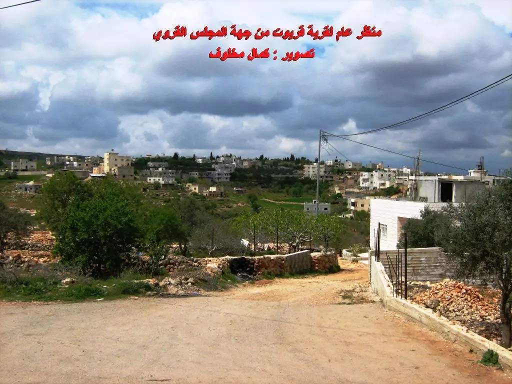
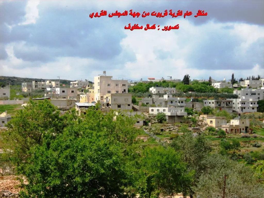
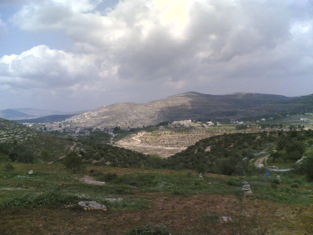
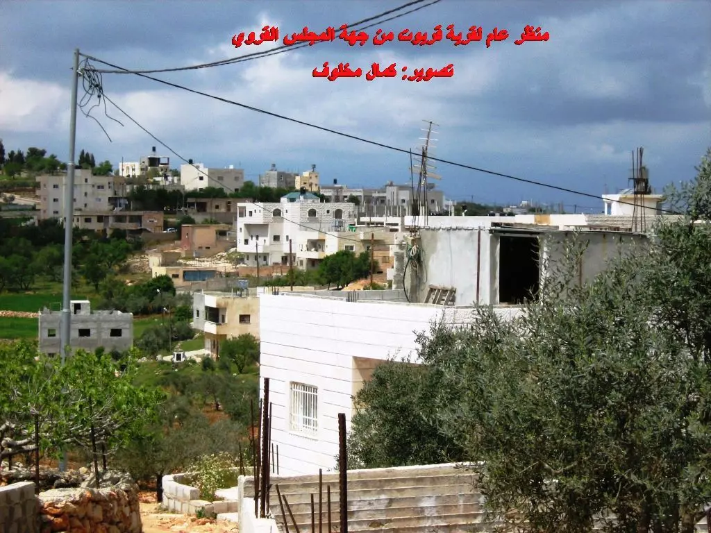
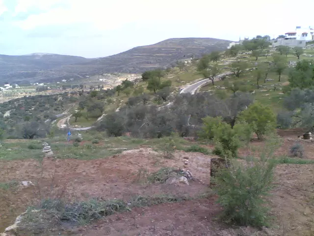
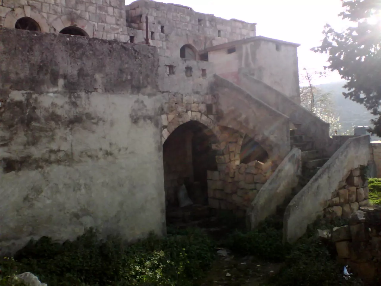
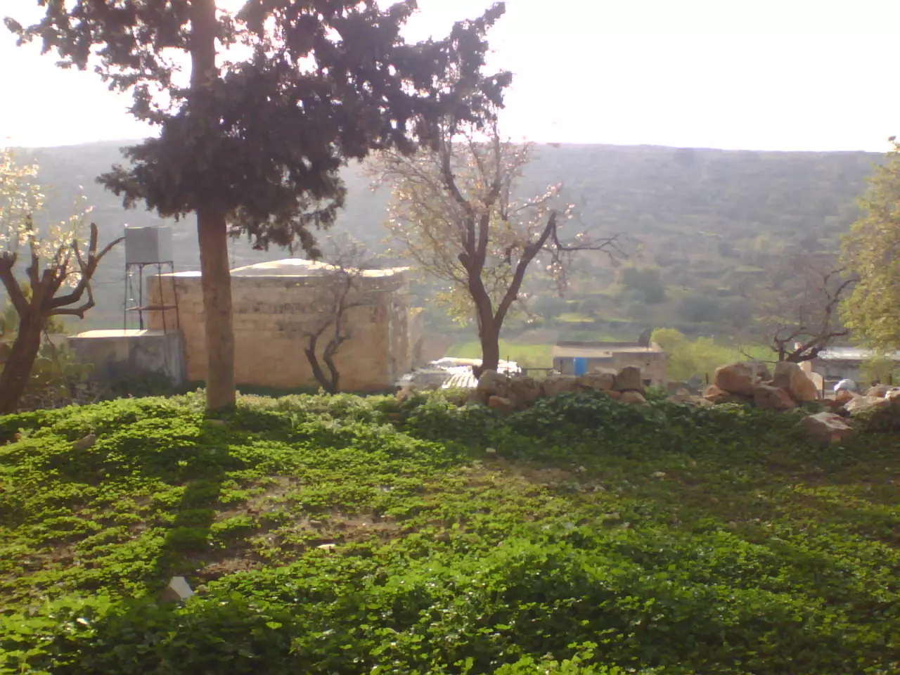
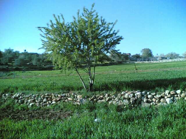
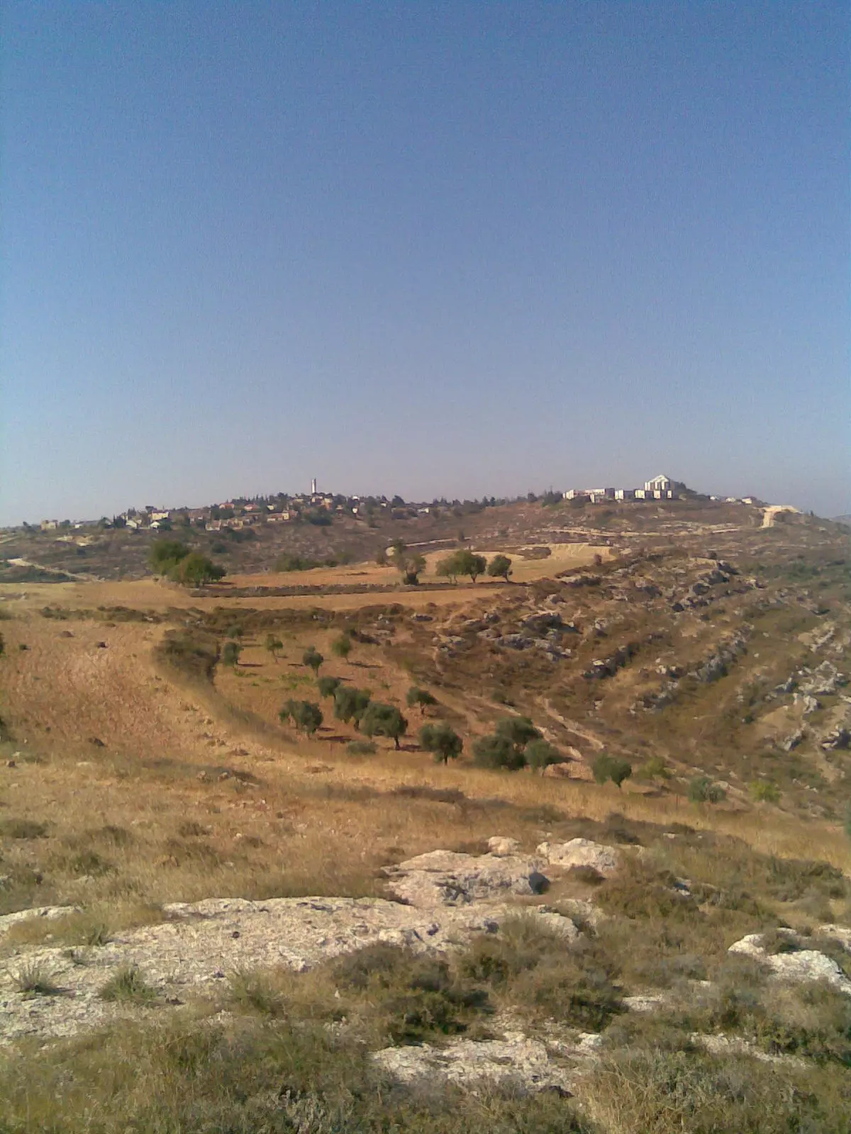
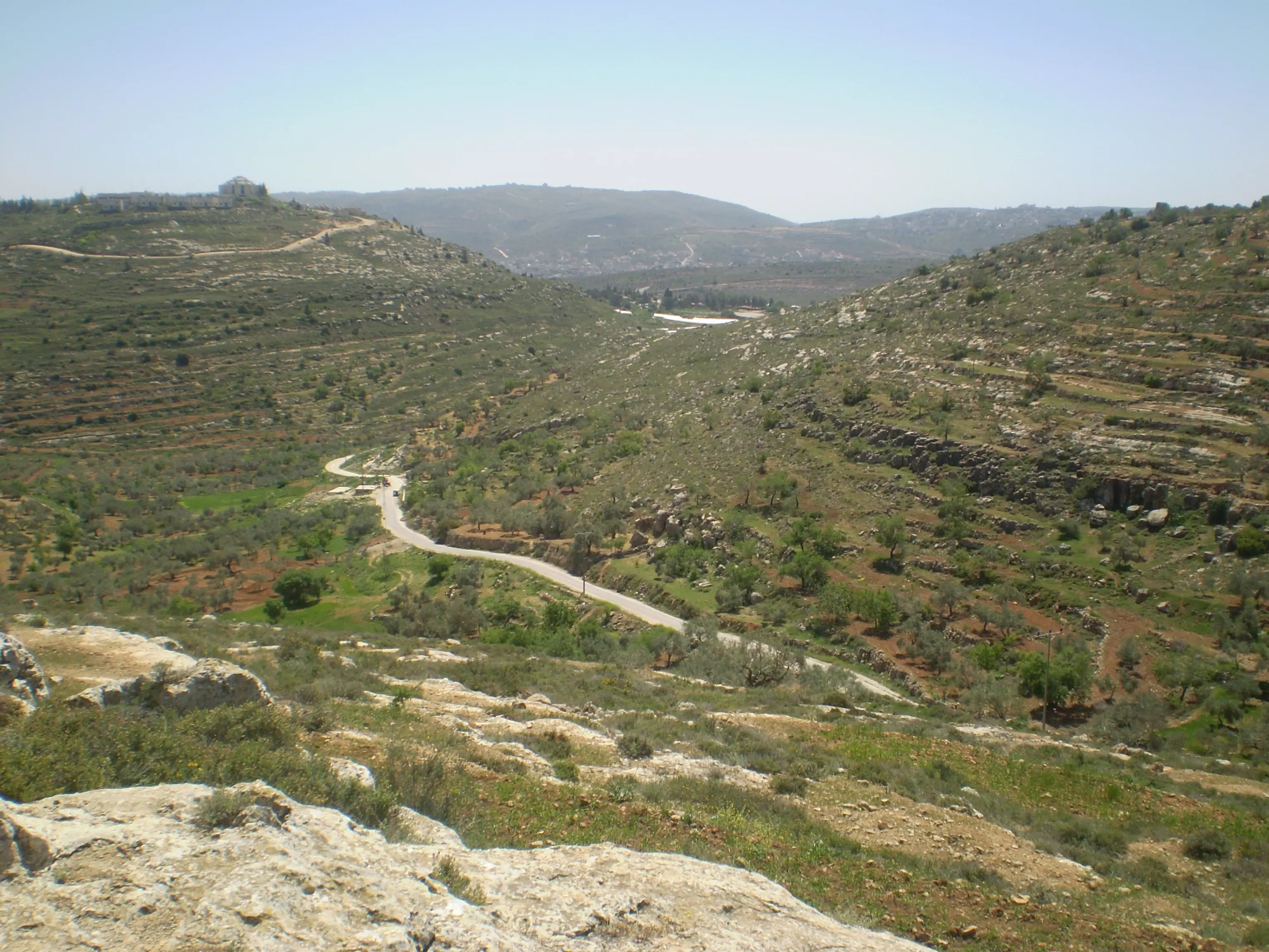
- منظر عام لقرية قريوت (1 ) من جهة المجلس القروي 000تصوير : كمال مخلوف
Posted by كمال مخلوف 7 - منظر عام لقرية قريوت (2) من جهة المجلس القروي 000تصوير : كمال مخلوف
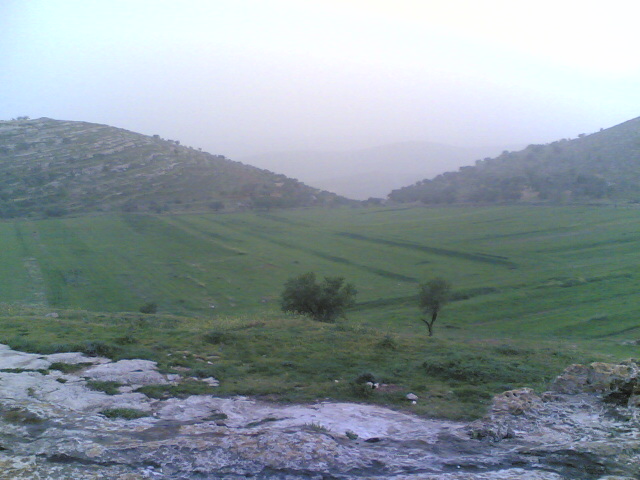
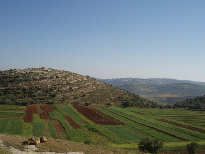
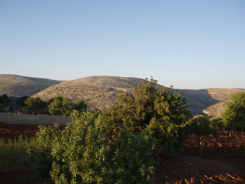
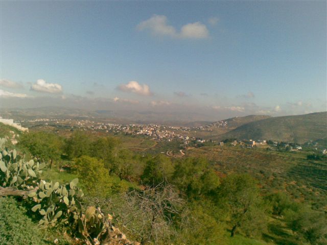
Posted by كمال مخلوف 2 - منظر عام للجبال المحيطة بالقرية
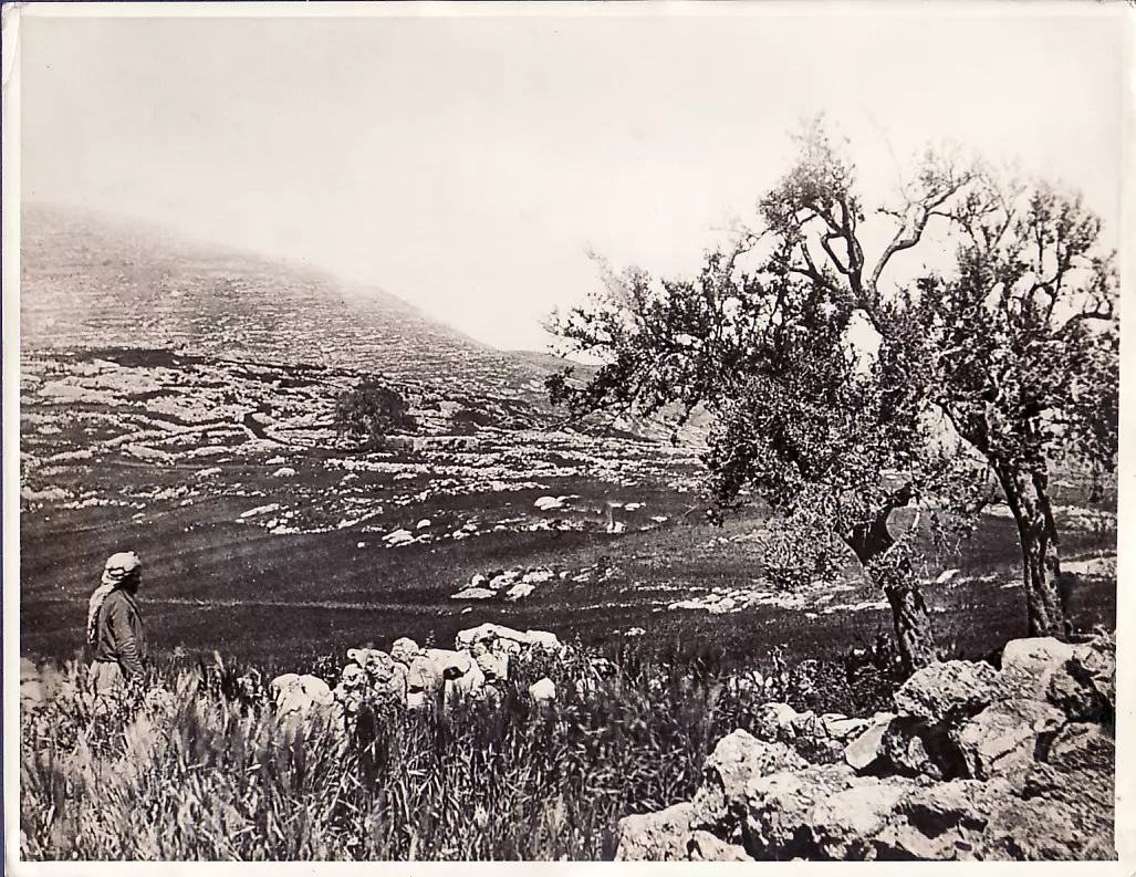
Posted by فلسطين 2 - منظر من منطقة البيادر بالقرية مطل على منطقة تسمّى (الشّعب) الواقعة بين الجبلين
Posted by فلسطين 6 - منظر عام لقرية قريوت (3) من جهة المجلس القروي 000تصوير : كمال مخلوف
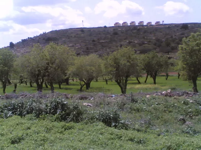
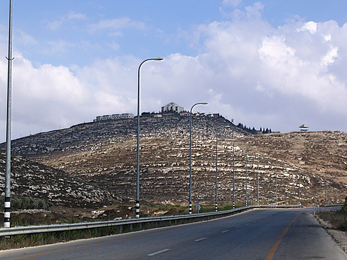
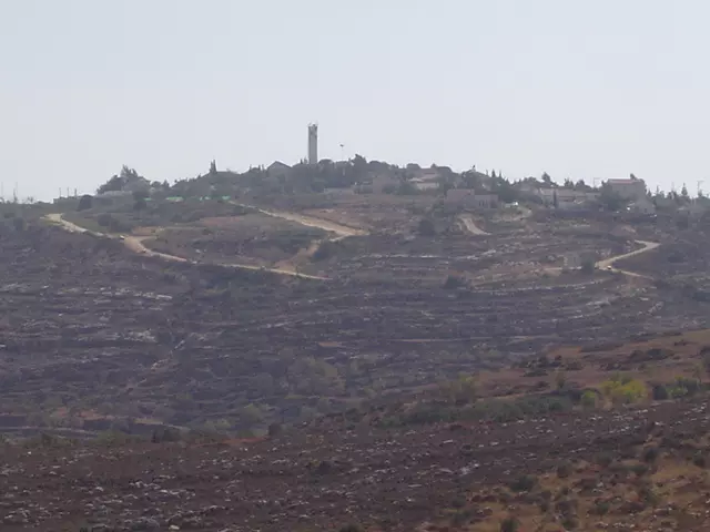
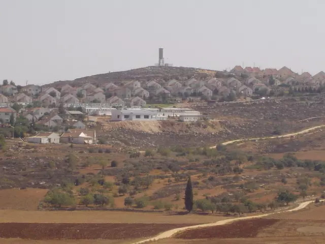
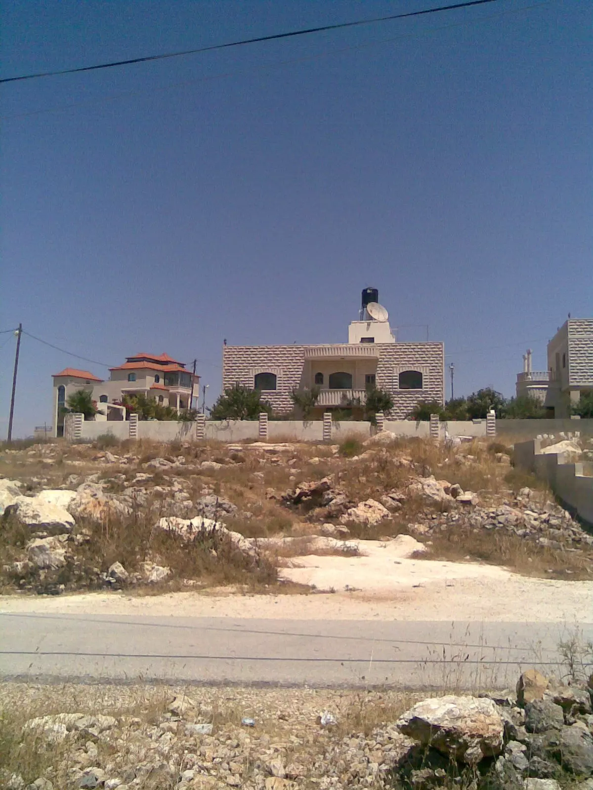
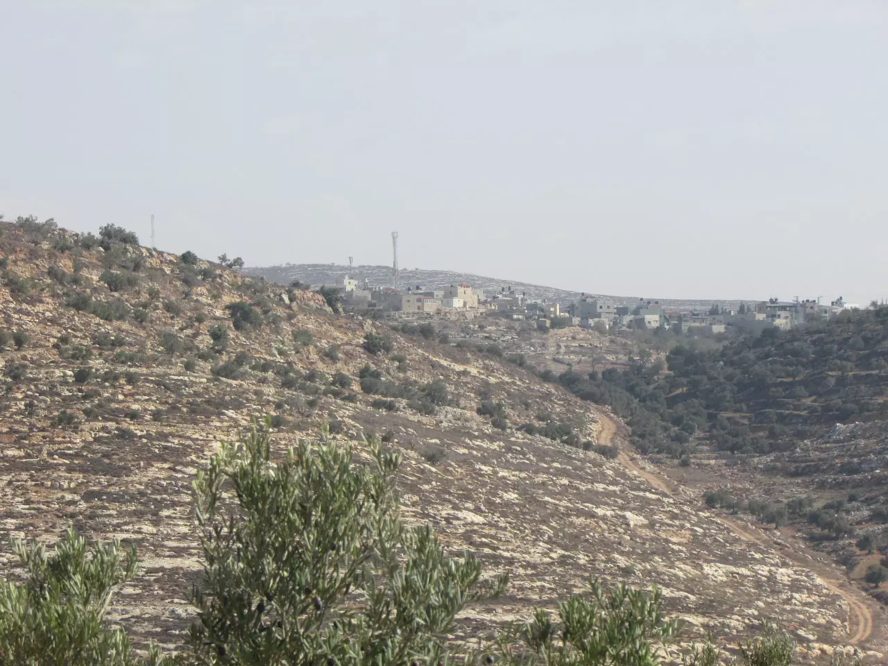
Posted by كمال مخلوف 2 - مستوطنة (عليي) مطلة على أراضي البلدة و الواقعة الى الجهة الغربية من قريوت .. فوق عين قريوت
Posted by فلسطين 5 - منظر للجهة الغربية من القرية , و قد أُخذت هذه الصورة من طريق شجرة الخروب المعروفة في القرية
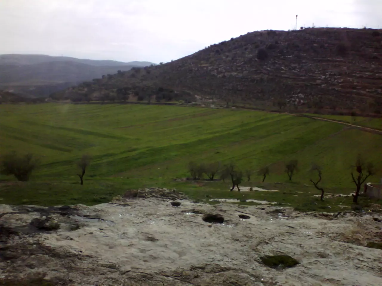
Posted by فلسطين 3 - المرج
Posted by anwar 6 - المضافة
Posted by anwar 1 - this is called qundail, and it smells aromatic
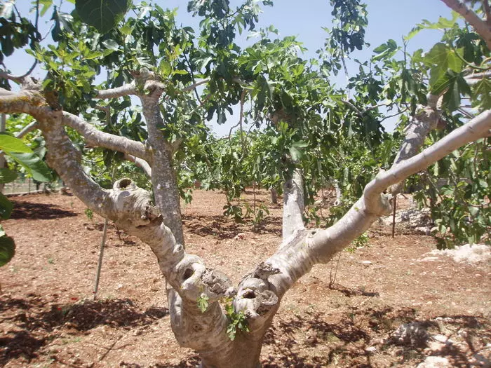
Posted by anwar 1 - شجر التين
Posted by anwar 3 - this what makes a perfect grape leaves feast.
Posted by anwar 2 - the road to qaryout near the spring
Posted by anwar 3 - the road to qaryout near the spring 2
Posted by anwar 4 - صوة أخذت ما بين 1898-1918 لمقام قديم - من ايامها وعين يهود عليها واليوم مغتصبة شيلو
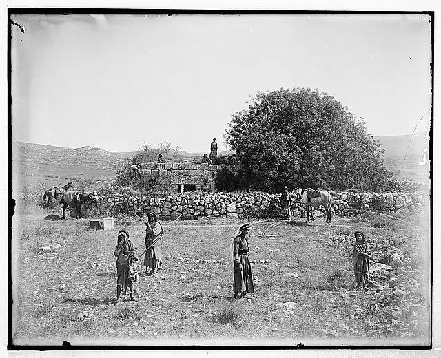
Posted by ابو عمر 6 - صوة أخذت ما بين 1898-1918 لمقام قديم - من ايامها وعين يهود عليها واليوم مغتصبة شيلو
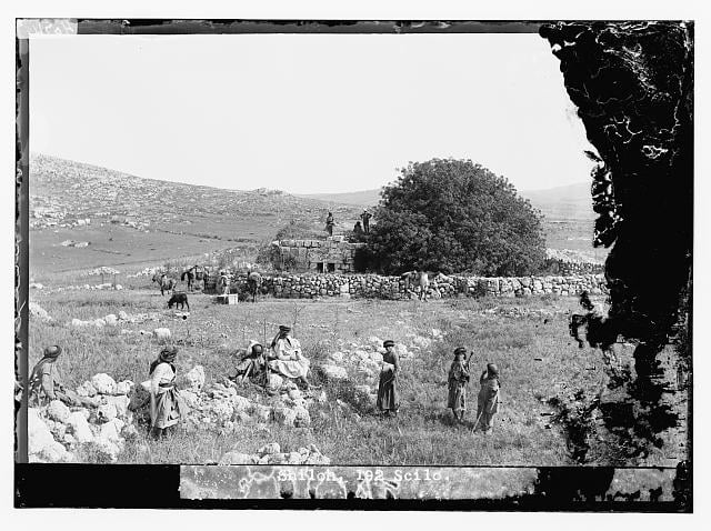
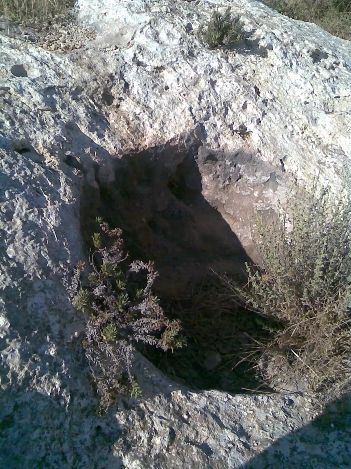
Posted by ابو عمر 2 - صوة أخذت ما بين 1900-1920لأطلال قديمة - من ايامها وعين يهود عليها واليوم مغتصبة شيلو -هدية من صفافي
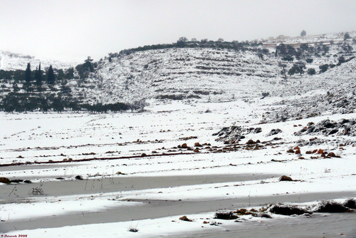
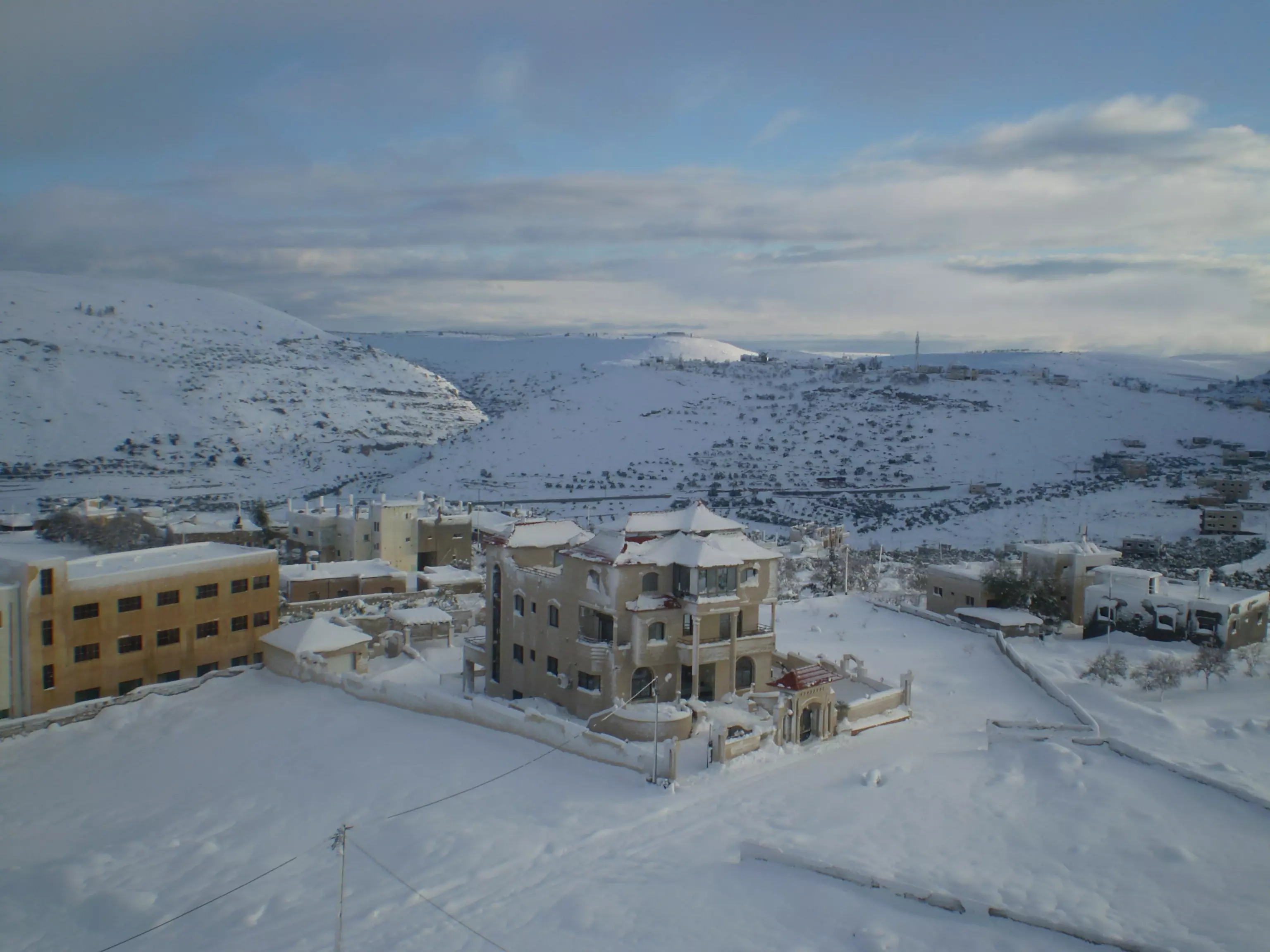
Posted by ابو عمر 3 - ثلوج على جبال قريوت
Posted by Ghanem Mustafa 2 - الطريق الى قريوت
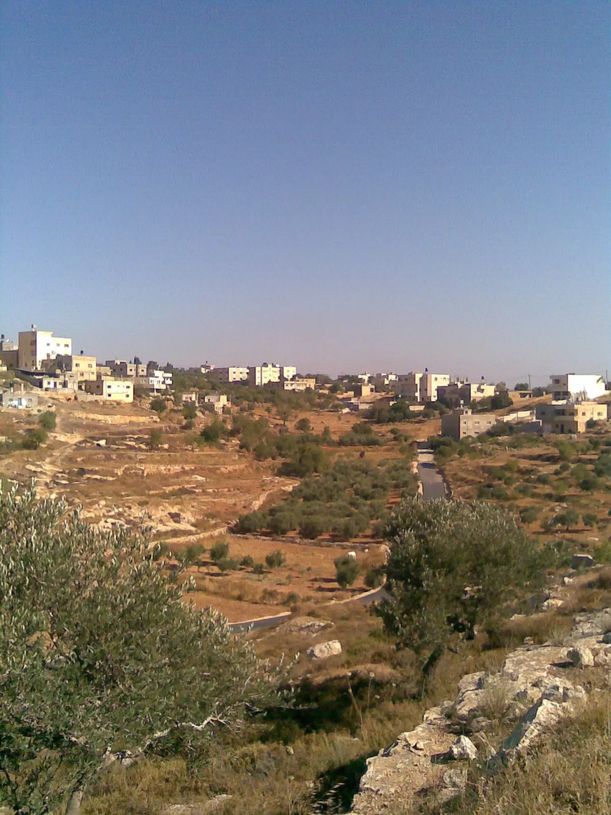
Posted by Ghanem Mustafa 2 - منظر من قريوت
Posted by Ghanem Mustafa 2 - من أراضي قريوت-1
Posted by Ghanem Mustafa 2 - من أراضي قريوت-2
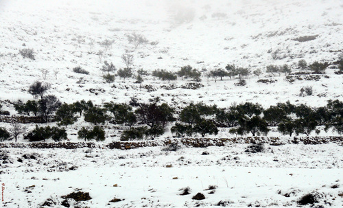
Posted by Ghanem Mustafa 2 - ثلوج حول قريوت
Posted by Ghanem Mustafa 2 - ايام العز والخصاب -ويهود يصورون المنطقة تحت أسم
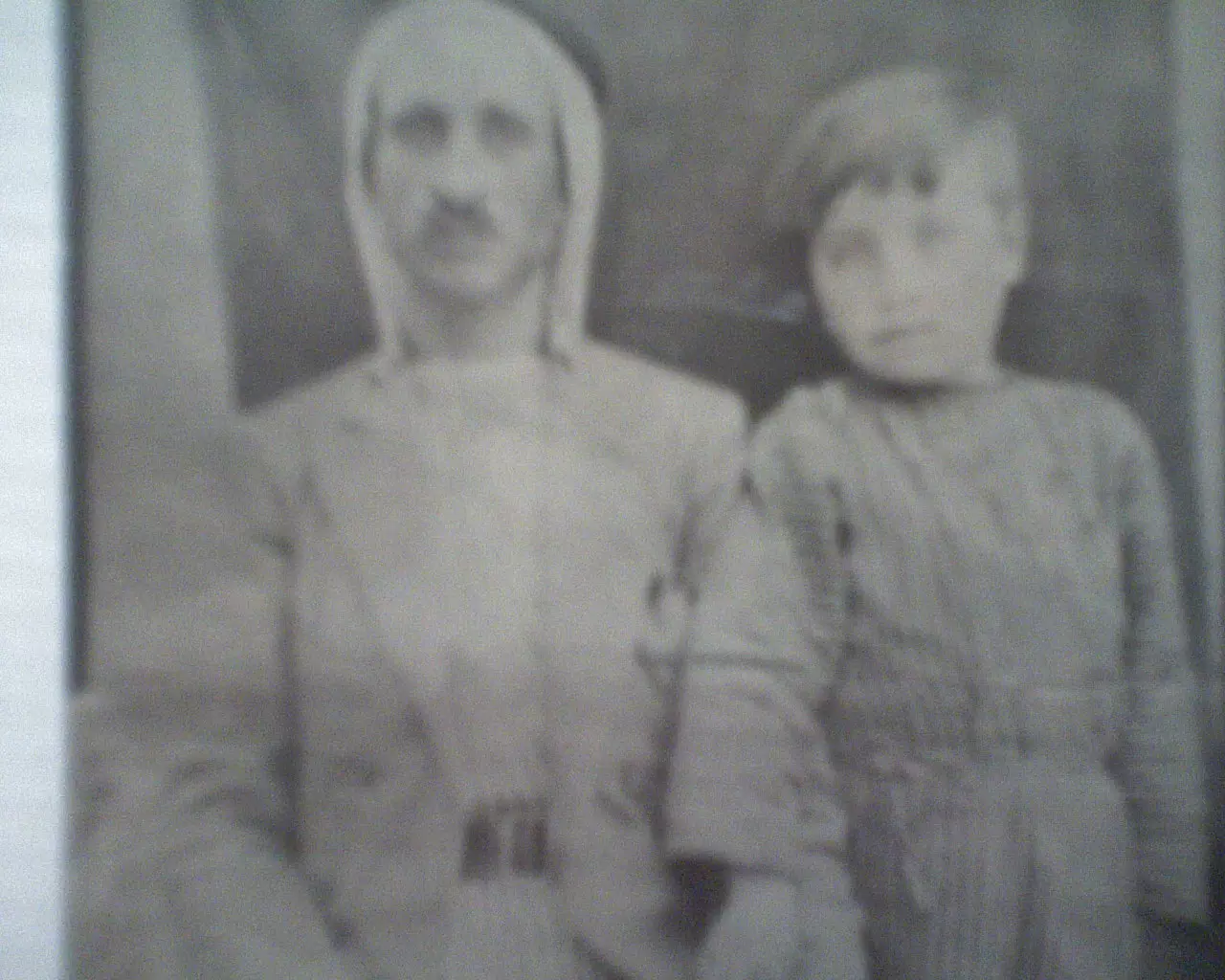
Posted by ابو عمر 1 - حاج فلسطيني قريوتي وطفله ١٩٤٠م
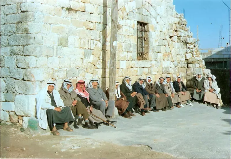
Posted by khaled azeem 2 - مجموعة من ختيارية البلد بإنتظار صلاة العصر ،هذه الصوره أخذها المرحوم الوالد أبو الطيب أظن عام 1990.
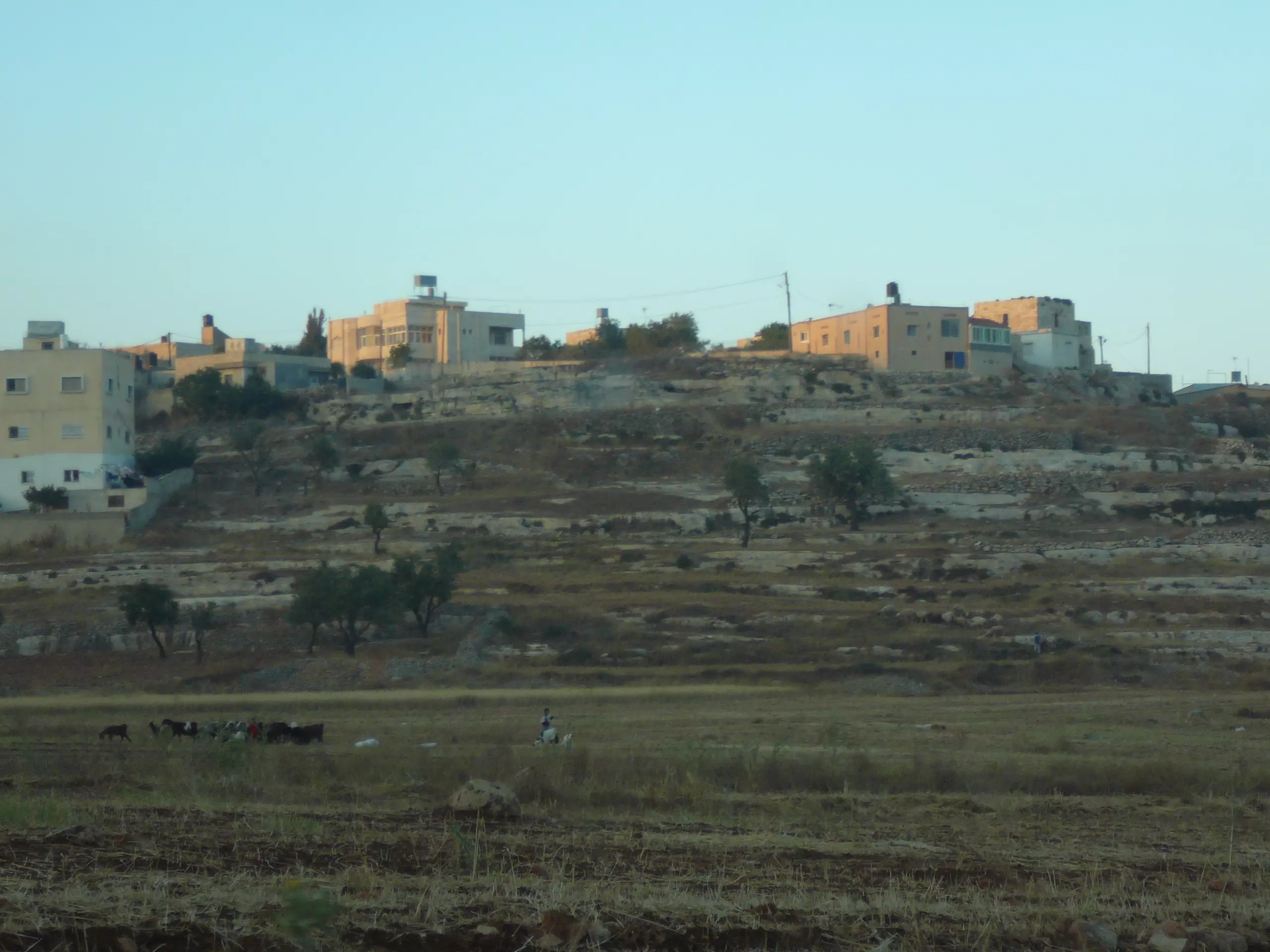
Posted by anwar 5 - قريوت من الجهه الغربيه
Posted by احمدرفعت سلامه مرداوي - قريوت
Posted by القريوتي 1 - مناظر طبيعية
Posted by القريوتي 2 - قريوت التراث
Posted by احمدرفعت سلامه مرداوي - منظر من غرب القريه
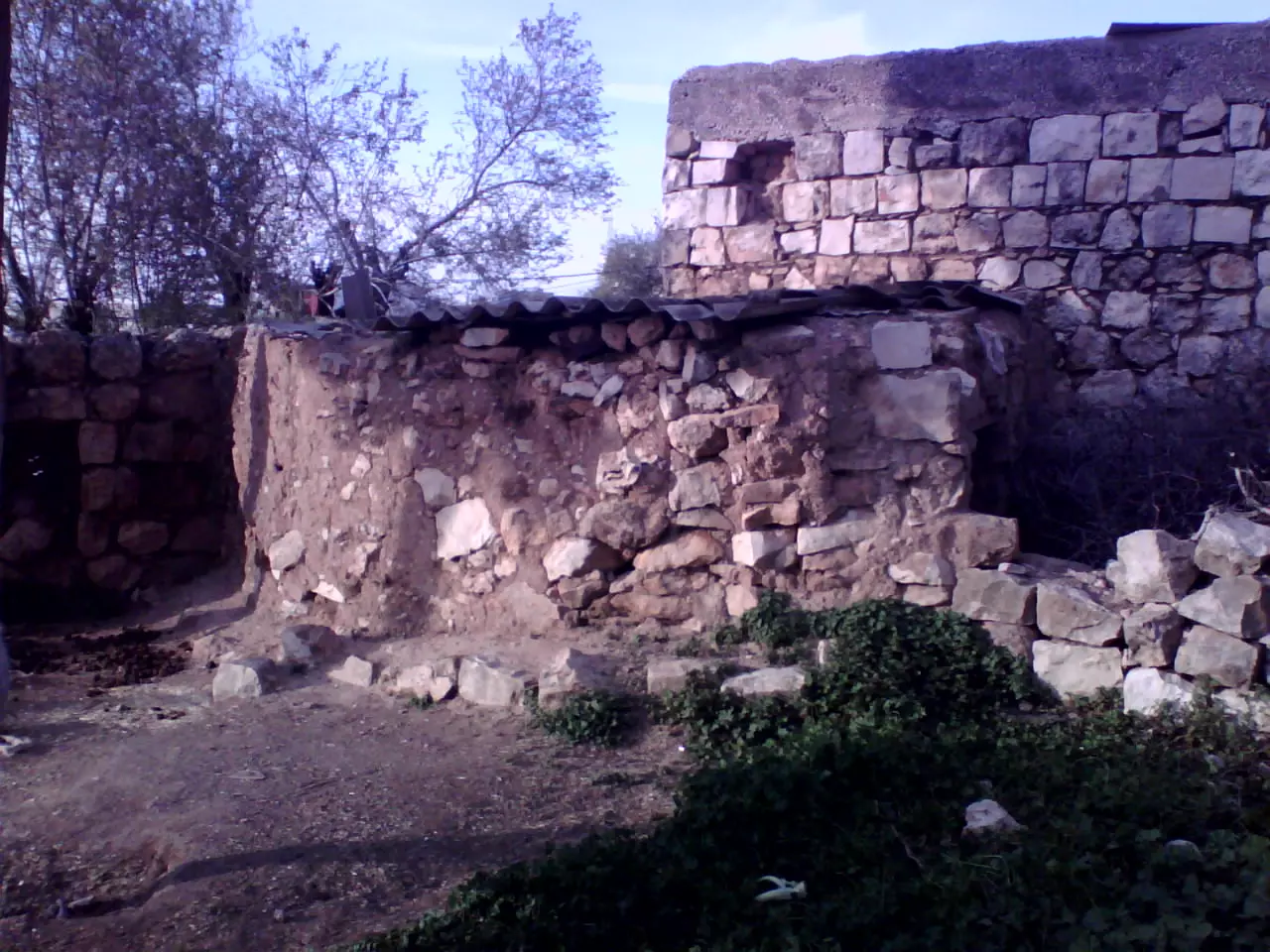
Posted by احمدرفعت سلامه مرداوي 3 - طابون قديم في قريه قريوت
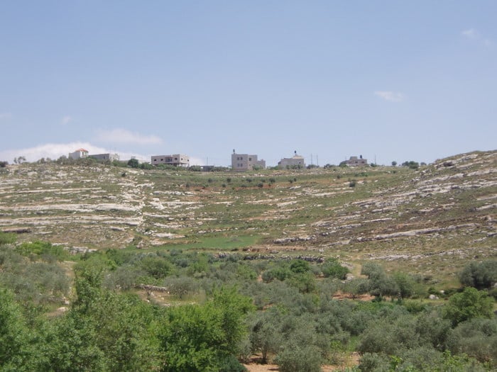
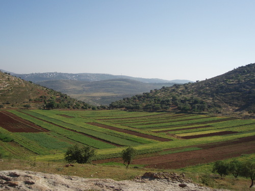
Posted by احمدرفعت سلامه مرداوي 2 - سهل قريوت
Posted by احمدرفعت سلامه مرداوي 1 - قريوت من الجهة الغربية-تصوير مالك جمال زعل
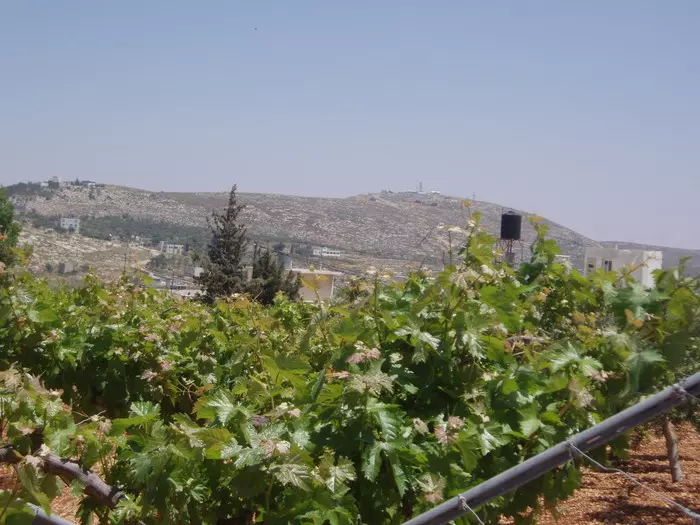
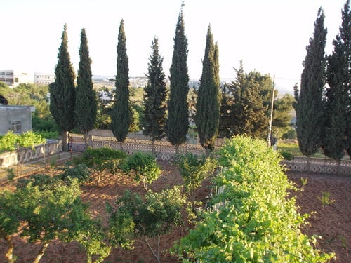
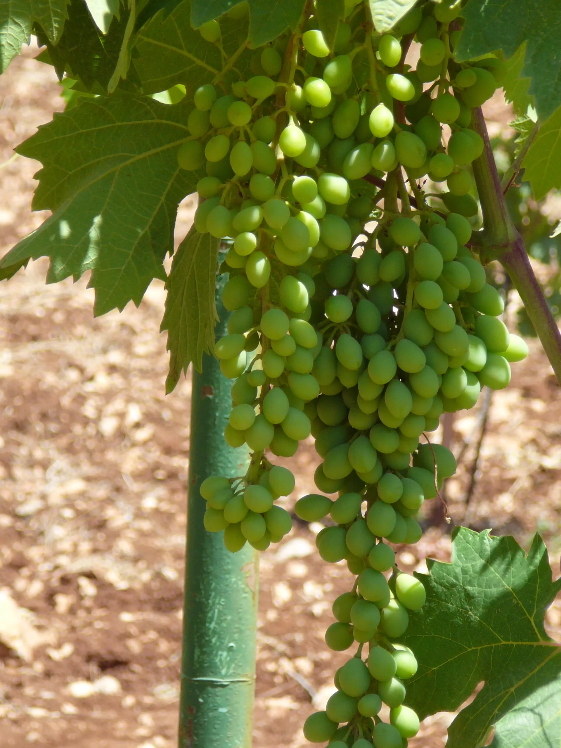
Posted by gharad shehadeh - عنب
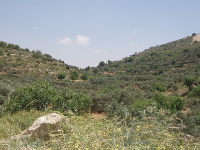
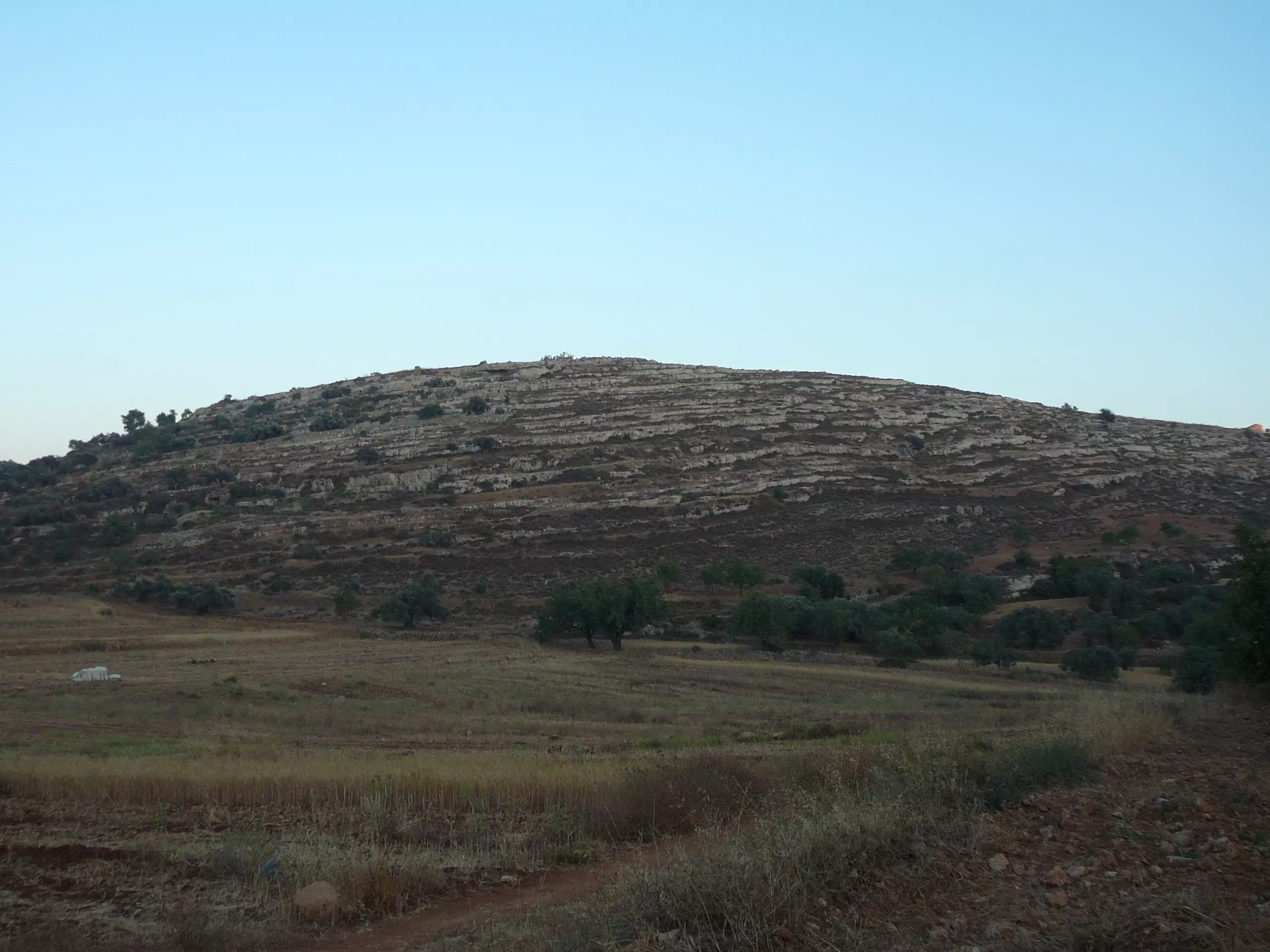
Posted by gharad shehadeh 1 - تلال جميلة تايعة للبلدة
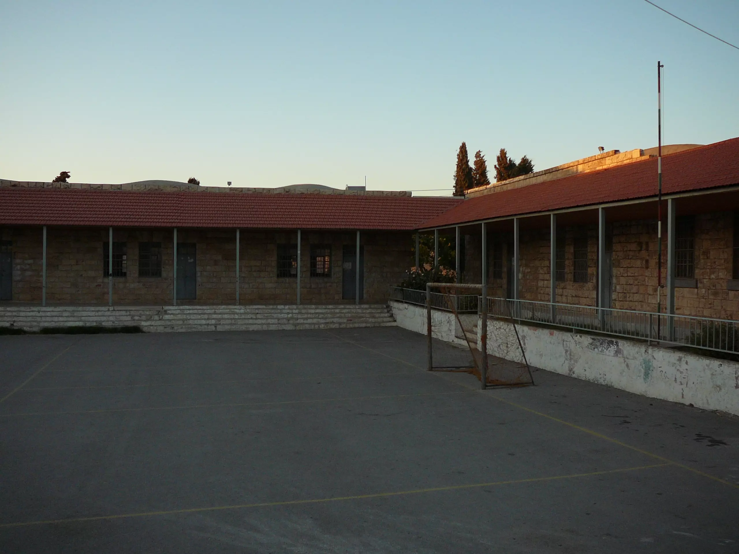
Posted by gharad shehadeh 2 - صورة للمدرسة الثانوية
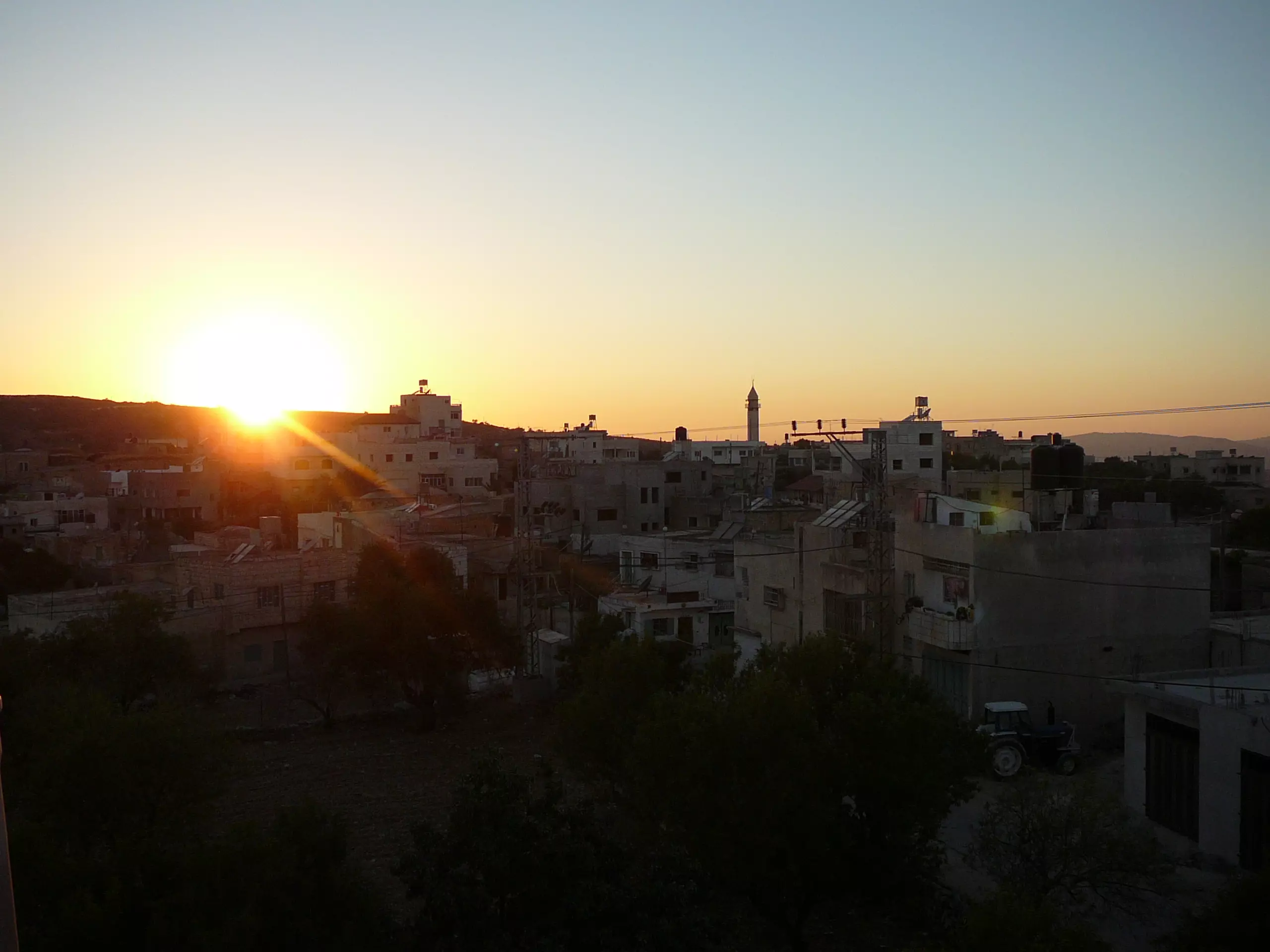
Posted by gharad shehadeh 4 - منظر للبلدة عند الغروب
Posted by gharad shehadeh 1 - سهل قريوت
Posted by احمدرفعت سلامه مرداوي - منظر الربيع في قريوت وما حولها
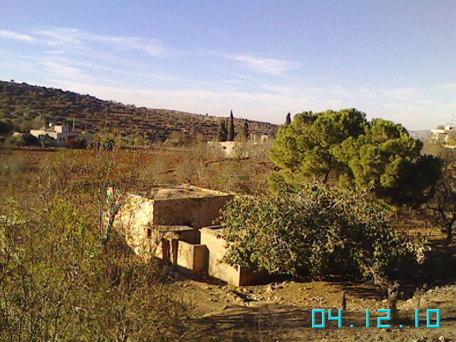
Posted by المشتاق 3 - صوره من بيت قديم
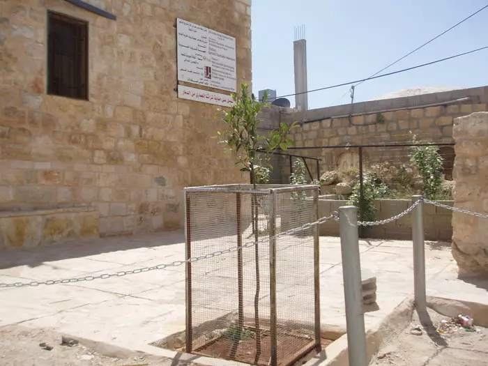
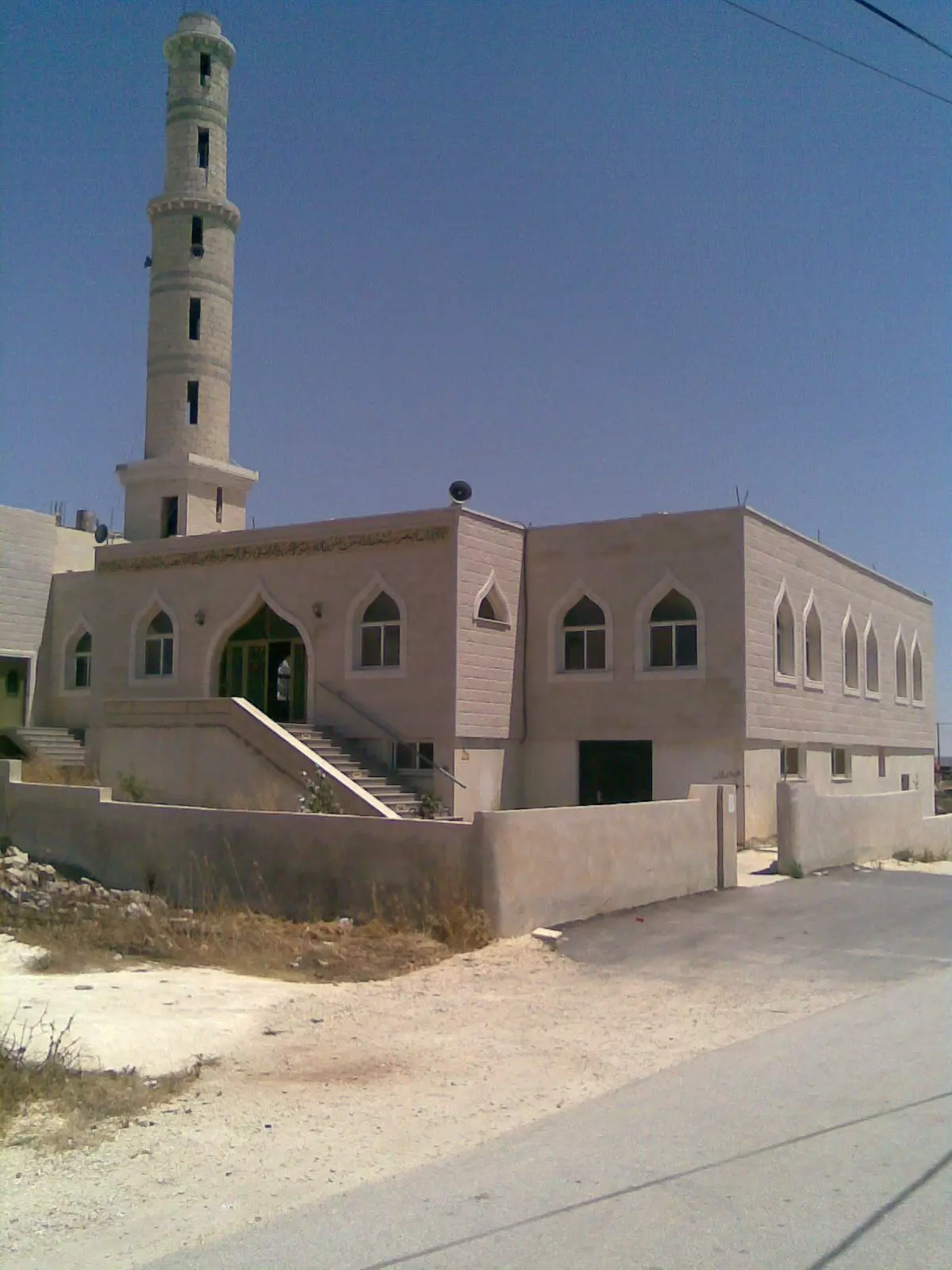
Posted by عمر العمري-البشتاوي - مسجد الدبابيس
Posted by احمد شحادة مقبل 1 - مراح فريز
Posted by احمد شحادة مقبل 1 - الدبابيس
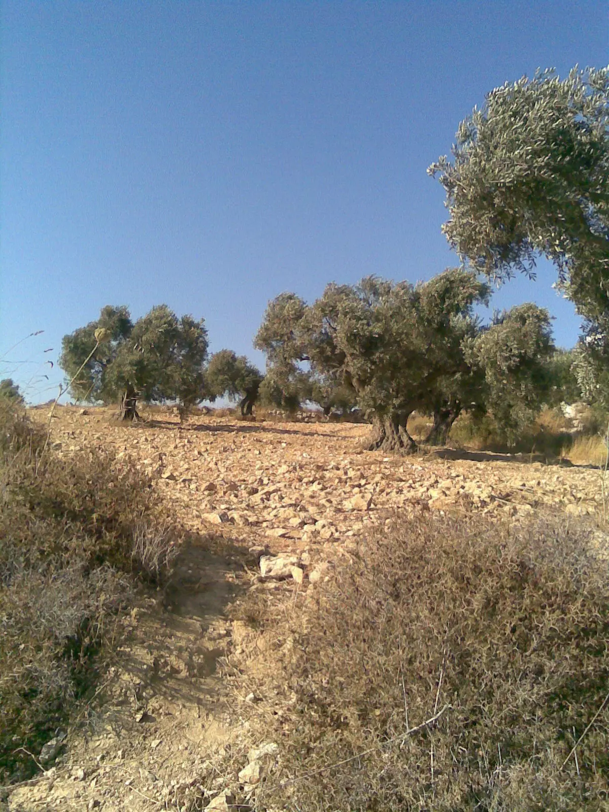
Posted by احمد شحادة مقبل 1 - الزيتون في قريوت
Posted by احمد شحادة مقبل - قريوت
Posted by احمد شحادة مقبل - معصرة الدبابيس
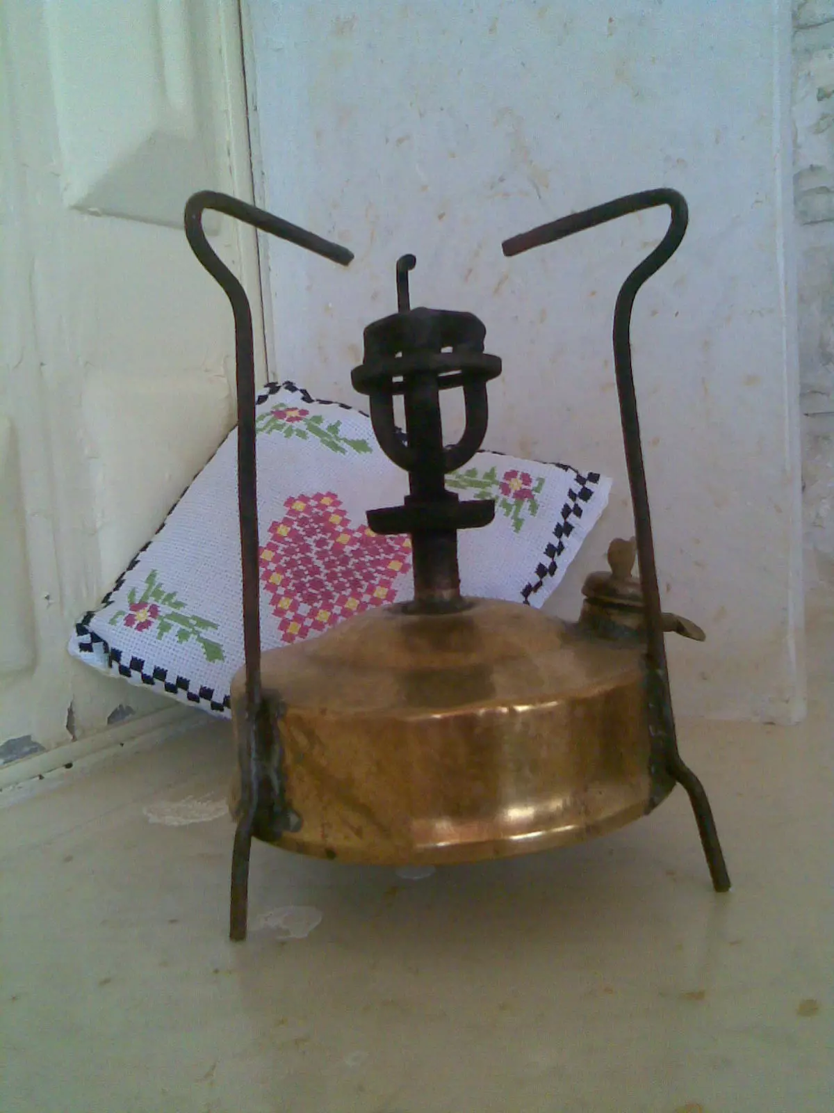
Posted by احمد شحادة مقبل - من تراث قريوت
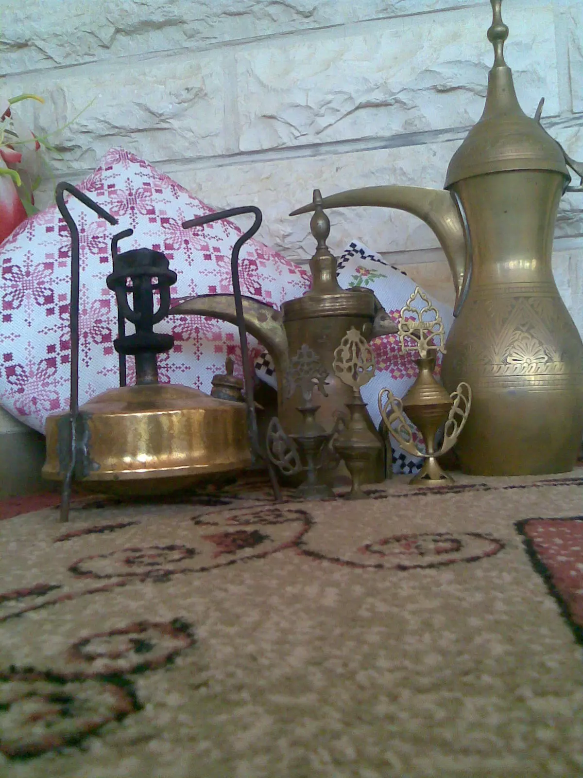
Posted by احمد شحادة مقبل - تراث قريوت
Posted by احمد شحادة مقبل - الدبابيس -قريوت
Posted by احمد الدبابيسي - عين قريوت
Posted by احمد الدبابيسي - منظر عام
- أتمنى من كل قلبي التعرف على أسمائهم. هؤلاء في منطقة "تل سيلون - تل شيلو" وهو يتوسط قرى قريوت واللبّن الشرقية وسنجل. الذين في الصورة ربما يكونوا من قريوت بسبب أن غالبية أراضي التل تابعة لهذه البلدة-- واجد النوباني
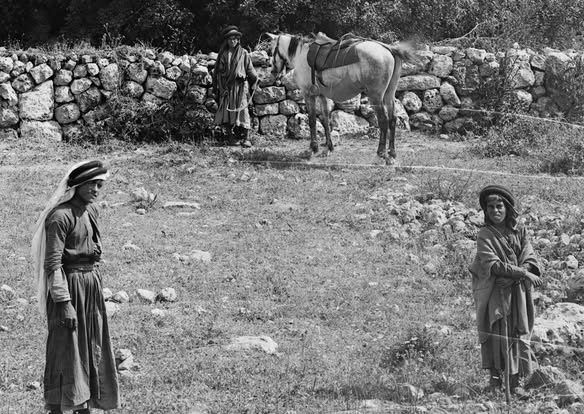
- أتمنى من كل قلبي التعرف على أسمائهم. هؤلاء في منطقة "تل سيلون - تل شيلو" وهو يتوسط قرى قريوت واللبّن الشرقية وسنجل. الذين في الصورة ربما يكونوا من قريوت بسبب أن غالبية أراضي التل تابعة لهذه البلدة-- واجد النوباني #2
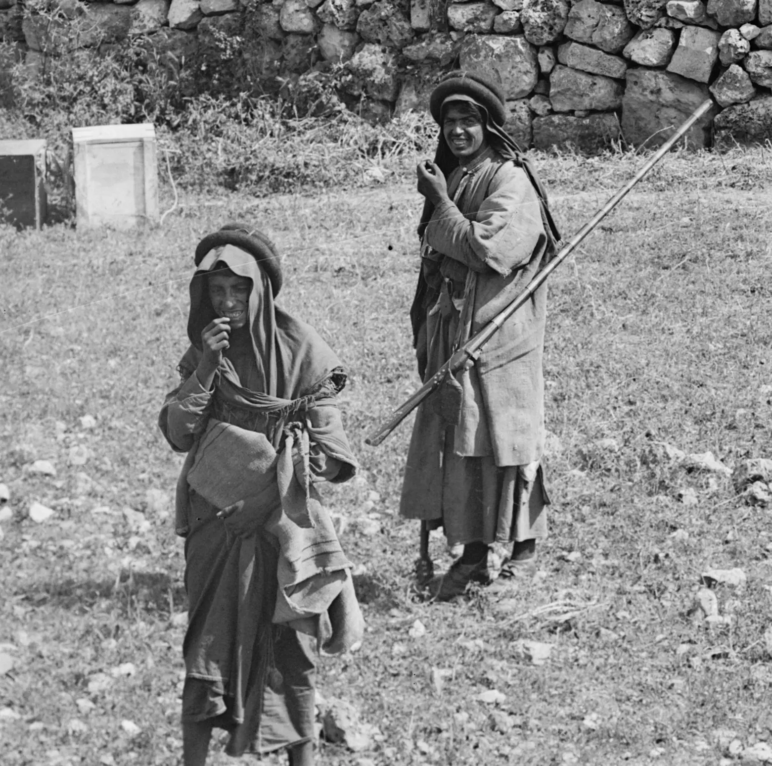
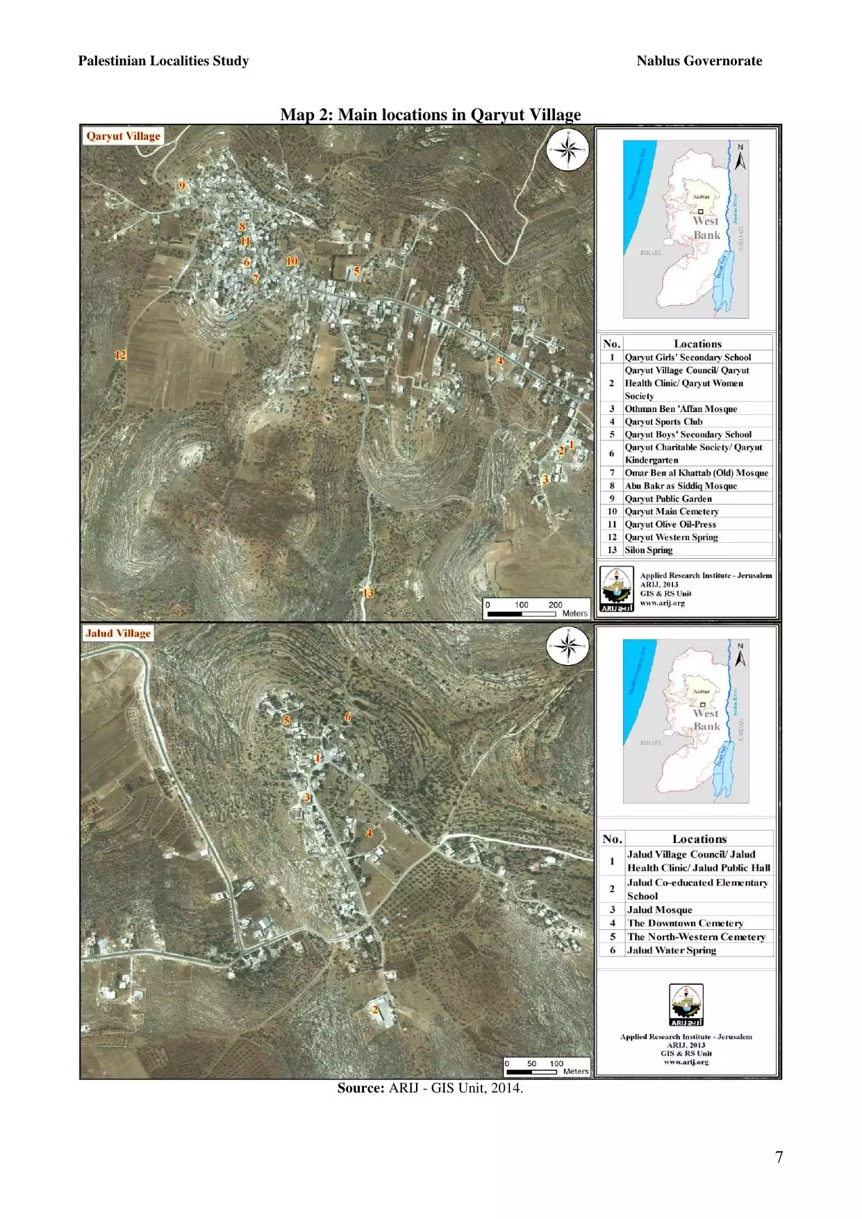
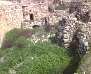
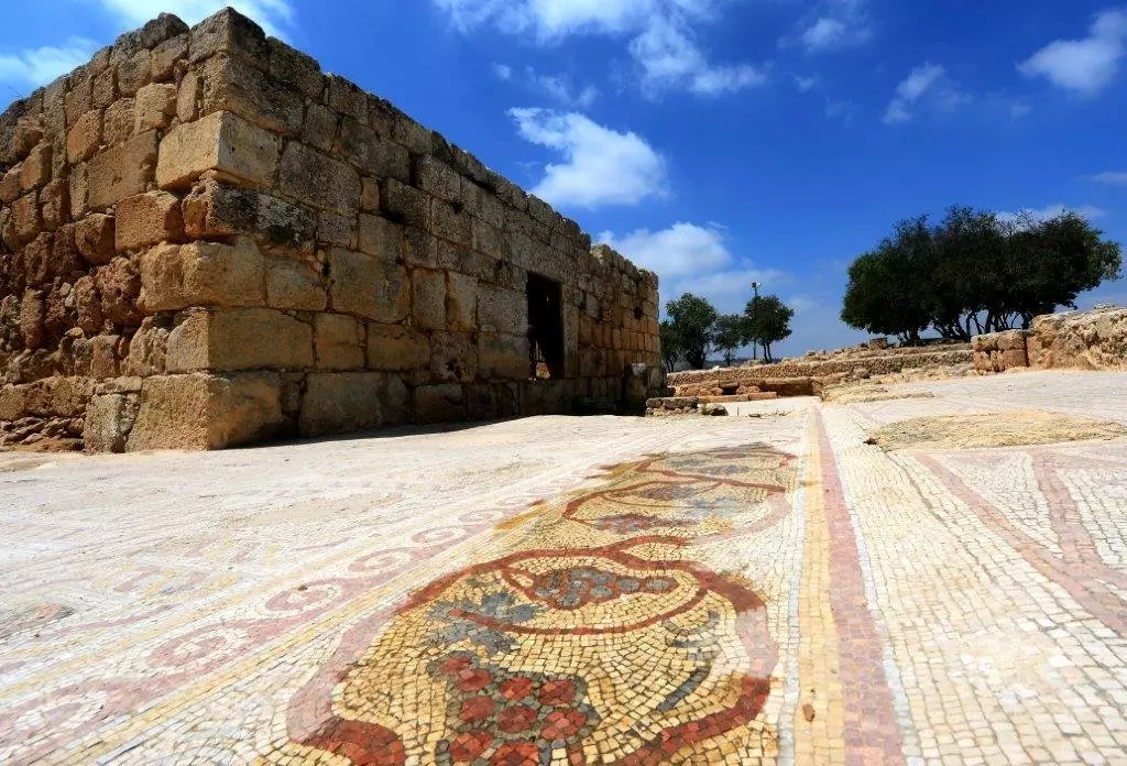
- ساحة فسيفساء لكنيسة من الفترة البيزنطية ومسجد إسلامي من الفترة العباسية.
تل شيلو - شمال رام الله. وسط الطريق بين رام الله ونابلس.
يتوسط قرى قريوت واللبّن الشرقية وسنجل وترمسعيا. ويتبع التل لأراضي قريوت.. الموقع تحت سيطرة الإحتلال، زيارته متاحة ولكن بدخولية. تم الإستيلاء على الموقع بعد حرب ال67 وإقيمت مستعمرة شيلو في المكان.
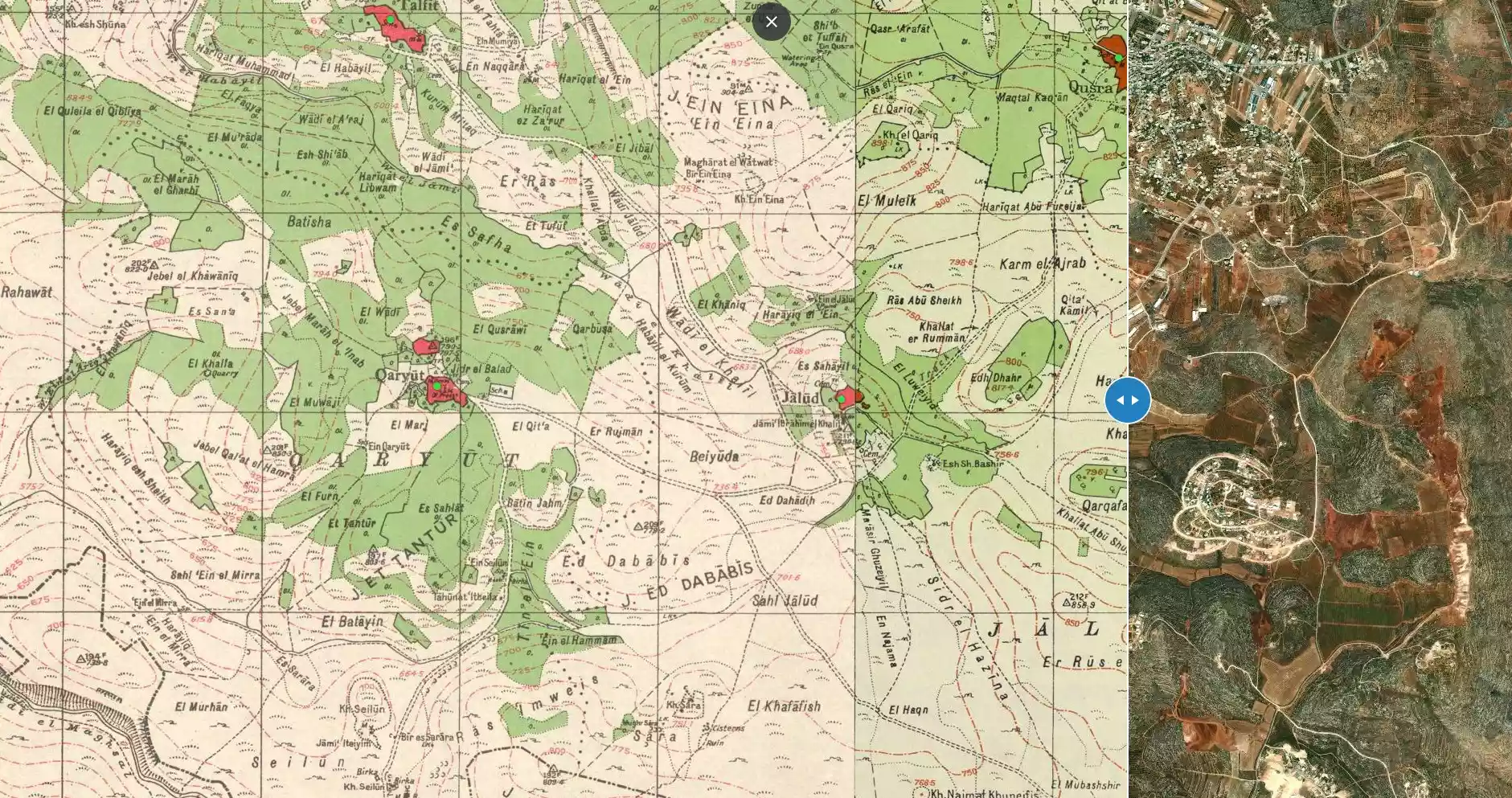
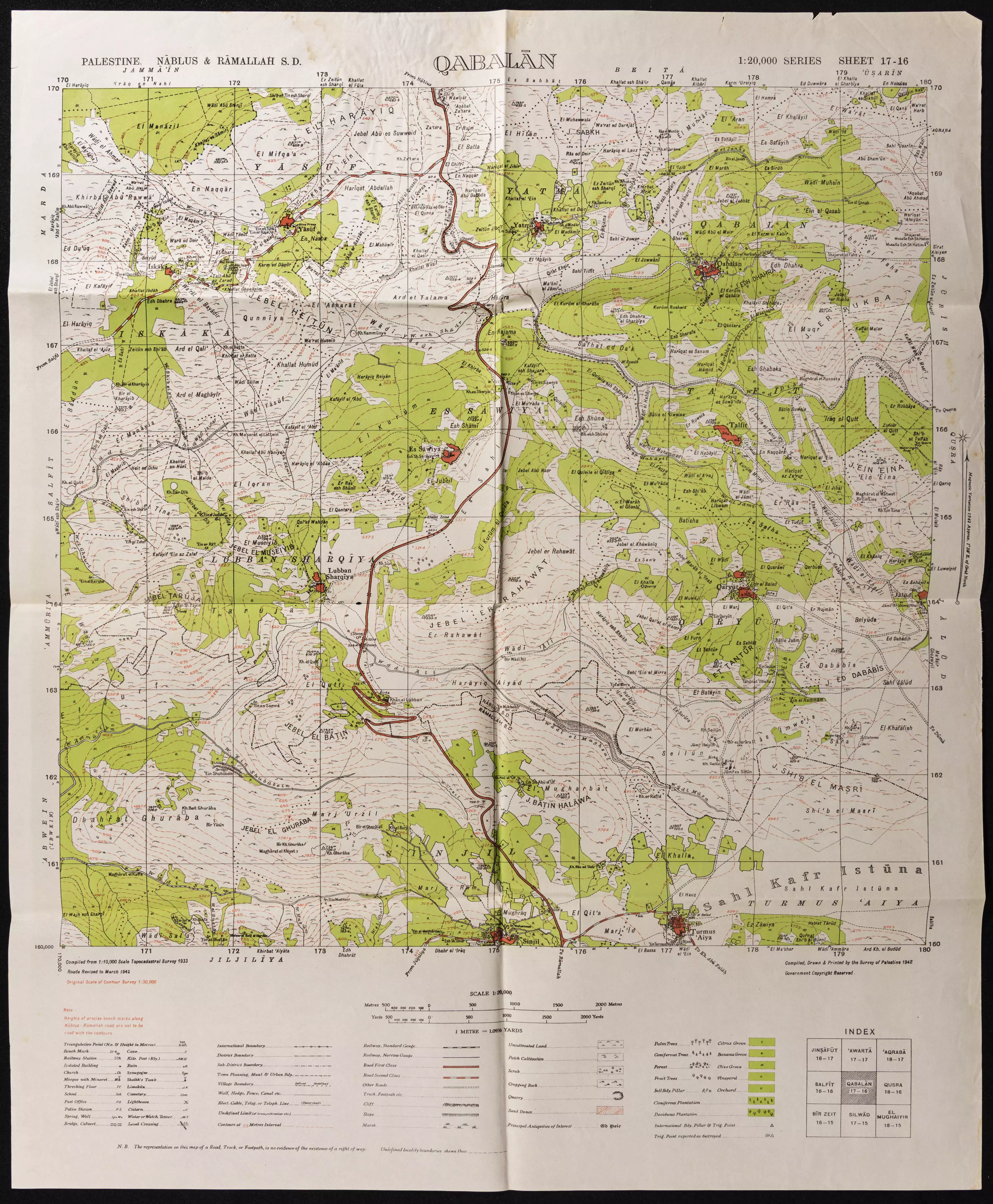
- خارطة تُظهِر الحدود والطرق بأنواعها والأماكن المقدسة والطبيعة الطوبغرافية من تلال وسهول ومنحدرات والتشكيلة الطبيعية للأرض وأنواع المزروعات. نُشرت الخريطة فترة الانتداب البريطاني، تم إضافة تعديلات عليها من قِبَل خدمة الخرائط والصور التابعة للقوات العسكرية الاسرائيلية فترة الأربعينيات.
Want to browse more? 80,000 pictures were grouped in these gallaries:
| Display Name | Clan/Hamolah | Country of Residence |
| محمود محمد البوم | البوم | Palestine |
| موسى عبد المطلب موسى | - | رام الله, رام الله |
| سلامه المرداوي | مرادوه | الرياض, السعودية |
| معن محمد عايش خروش | المرادوه | الامارات - دبي |
| سامر محمد عايش خروش | - | - |
| عماد مرزوق | مرزوق | عمان, الأردن |
| رياض مرزوق | مرزوق | NRW, Germany |
| ابوعمر | حمدان/البوم | لزرقاء, الاردن |
| طالب موسى | معمر | نابلس- قريوت |
| ضياء مشهور محمود سليمان مقبل | موسى | الكويت, 0096566898947 |
| محمد نهيل موسى | UH.L | ZARQA, JORDAN |
| احمدرفعت سلامه مرداوي | المرادوه | نابلس, قريوت |
| سامر القريوتي | - | - |
| ملاك الصمت | العبد | الزرقاء, الاردن |
| محمد القريوتي | - | rvdmj |
| QrUtY bIoMeDiCal eNg. | موسى | قريوت |
| محمد القريوتي | - | عمان, الاردن |
| Philadelphia University | - | Amman, Jordan |
| Mohammed Mahmoud Salem Al boum | Al Boum | - |
| naeem almaradweh | - | - |
| أبو خليل | علان | نابلس, قريوت |
| خالد عازم القريوتي | العازم | - |
| DR.RAED | - | QARUOT, PALESTINE |
| Mashhour Mahmoud Sulaiman Meqbel | - | kuwait, kuwait |
| اسلام مصطفى | - | - |
| red scorpian | - | اعزب , قريوت |
| anwar | - | - |
| rajaee fathi | alboom | jordan, jordan |
| iyadq | - | amman, jordan |
| ANWAR | - | - |
| al3arabi | - | - |
| fadi shawkat | عازم-معمر | - |
 Fake Valor: Why Did Zionist Jews Hoist Nazis Flag on Their Ships in the 1930s?
What is new?
-
Facts About Oct. 7th Gaza Raid
-
Remined Us Please:: Who Did Rape Who? Palestinians Raped Israelis? Or, was the other way around?
-
When Prof. Edward Said was invited to debate Bibi Netanyahu in the 1980s, watch what happened!
-
Ezra Klein of the NY Times on the "Jewish Race".
-
Abusing Blood Libel!
-
Did Israeli Soldiers Activate The Hanniba Direective On Oct. 7th? You Be The Judge
-
Zionist FAQ: Isn't it true that Palestinians don't want peace? Palestinians never accepted the two-state solution
- Facts about Haavara (Transfer) Agreement between Ben-Gurion & Hitler
-
Haavara FAQs: Why Did Zionist Jews Hoist Nazis' Flags on Their Ships in the 1930s?
- Haavara FAQs: When Chaim Weizmann met FDR in mid-1943, why was he silent about rescuing European Jewry?
-
Dear ChatGPT: How did Palestinians resist Napoleon's invasion of their country in 1799?
-
Dear ChatGPT: Gaza had a vibrant Jewish community in the mid-17th century. What happened to them?
-
Dear ChatGPT: Why did the Jewish Agency suppress news of the Holocaust during WWII?
-
Video Playlist: Jews share their DNA tests to end the conflict for good.
-
A Tale of Two Conflicts: Examining the Definition of Genocide
-
Prof. Abraham Polak And The Suppressed History of the Khazars and European Jewry
-
How Ronald Reagan would have framed the genocide in Gaza if he were still alive?
-
Haavara FAQs: Let us do the math: how many German Jews did The Haavara Agreement save?
-
Zionist FAQs: The Hebron Massacre of 1929, "clearly proves" that Palestinians are antisemitic, how could you deny it?
-
Zionist FAQs: Why Anti-Zionist Is Not Antisemitism?
-
Zionist FAQs: Isn't it true that the KGB created Palestinian Nationalism in the early 1960s?
- Zionist FAQs: Muslims are killing Muslims all the time; why are Israeli Jews being singled out in the media?
- Zionist FAQs: How is Israel an apartheid state when 20% of its citizens are Arabs who enjoy full rights?
-
Haavara FAQs: Why Did Dorothy Thompson Flip From A Zionist Advocate to A Silenced Dissenter?
-
Haavara FAQs: Analysis of Herzl's Uganda Scheme and how it could have saved millions of Jews.
-
Haavara FAQs: Why did Hayim Greenberg describe American Jewry as "morally bankrupt" in early 1943?
-
Haavara FAQs: What if the Evian Conference was a resounding success? What would have been the impact of saving European Jewry on Zionism?
- Haavara FAQs: What if the six million were saved, how that would have impacted the Zionist project?
-
Haavara FAQs: How did Zionist leaders react when Europe's Jews lingered in the DP camps after WWII ended?
-
Why does the American Jewish community repeat lies that David Ben-Gurion had debunked before he died?
-
Who has the power to rename the Tatar/Khazar Gene Marker to Jewish IV?
-
Zionist FAQs: Why won't Egypt, Syria, and Jordan take their people back? Jews are indigenous to Palestine, and Arabs immigrated after Jews developed the country. Arabs should leave.
-
Haavara FAQs: Did Hitler and the Nazis conflate between Judaism and Zionist? If that wasn't case, then why?
-
Haavara FAQs: Winston Churchill and antisemitism, a collection of articles written Churchill.
-
Haavara FAQs: Broken by country, how many Jews survived vs. killed during the Holocaust?
-
Haavara FAQs: Why did European Jews vote with their feet and to immigrated to the Americas, not Palestine, after WWII?
-
Watch this American Jewish Girl describing Israeli Jews' cognitive dissonance like no other in under two minutes
-
Haavara FAQs: When the Nazis went out of their way to hide the Holocaust, Israeli Jews did the exact opposite by broadcasting their genocide of Gazans. But why?
-
Haavara FAQs: How Zionist Jews went out of their to show their appreciation to Nazism and Fascism?
- Haavara FAQs: Why Zionist leaders were against bombing the death camps & the Railroads leading to them?
-
Haavara FAQs: Hitler's message to the British and American people: If Jews are such noble citizens and you care about them, how come you're not letting them in? I will gladly ship them to you at my expense, even on luxury liners!
-
A shortlist of Zionist and Israeli false flag operations in the name Jews.
-
The Most Moral Army
- The Land of Kapos (Israel): Where the brave are boycotted and Kapos walk free.
- Why did early Zionists often named their communal enterprises "colonial"?
- Zionist Relations with Nazi Germany by Faris Glubb
-
Two NY Times advertisements by Zionists in the early 1943 that exposes Zionists' treason at the height of the calamity
- Facts Not Lies about the Palestinian-Israeli Conflict.
- Site's pictures have been categorized
- Campgain Against Lice
- A Survey of Palestine, the official source about Palestine before Nakba produced by the British Mandate; over 1200 pages.
- Satellite View & Google Earth: Over 6,000 placemarks identifying all destroyed towns, W. Bank & Gaza Strip Towns, & refugee camps.
- PalestineRemembered.com and its Nakba Oral History Project were featured on al-Jazeera Satellite TV.
- Nakba Oral History Video Podcast:
 Over 700 Oral History interviews (including 3,500+ hours of recording) can be viewed online.
 - Palestine Village Statistics Project
- Gaza Jail Break
- النسخة العربية للموقع الان متوفرة
- Videos: Documenting the destroyed villages in video: Tracing all that remains since Nakba.
- Videos: Responding to Zionist Propaganda
- Interview: The ethnic cleansing of Palestine: George Galloway interviews Israeli Historian Ilan Pappe.
- For Palestinians, memory matters. It provides a blueprint for their future By George Bisharat.
- Zionist FAQ now available in Hebrew שאלות שציונים שואלים, עכשיו בעברית
- Video: The Stephen Walt and John Mearsheimer report on the influence of the Israel Lobby on U.S. Foreign Policy
- The Palestinian-Israeli conflict for beginners
