| PalestineRemembered | About Us | Oral History | العربية | |
| Pictures | Zionist FAQs | Haavara | Maps | |
| Search |
| Camps |
| Districts |
| Acre |
| Baysan |
| Beersheba |
| Bethlehem |
| Gaza |
| Haifa |
| Hebron |
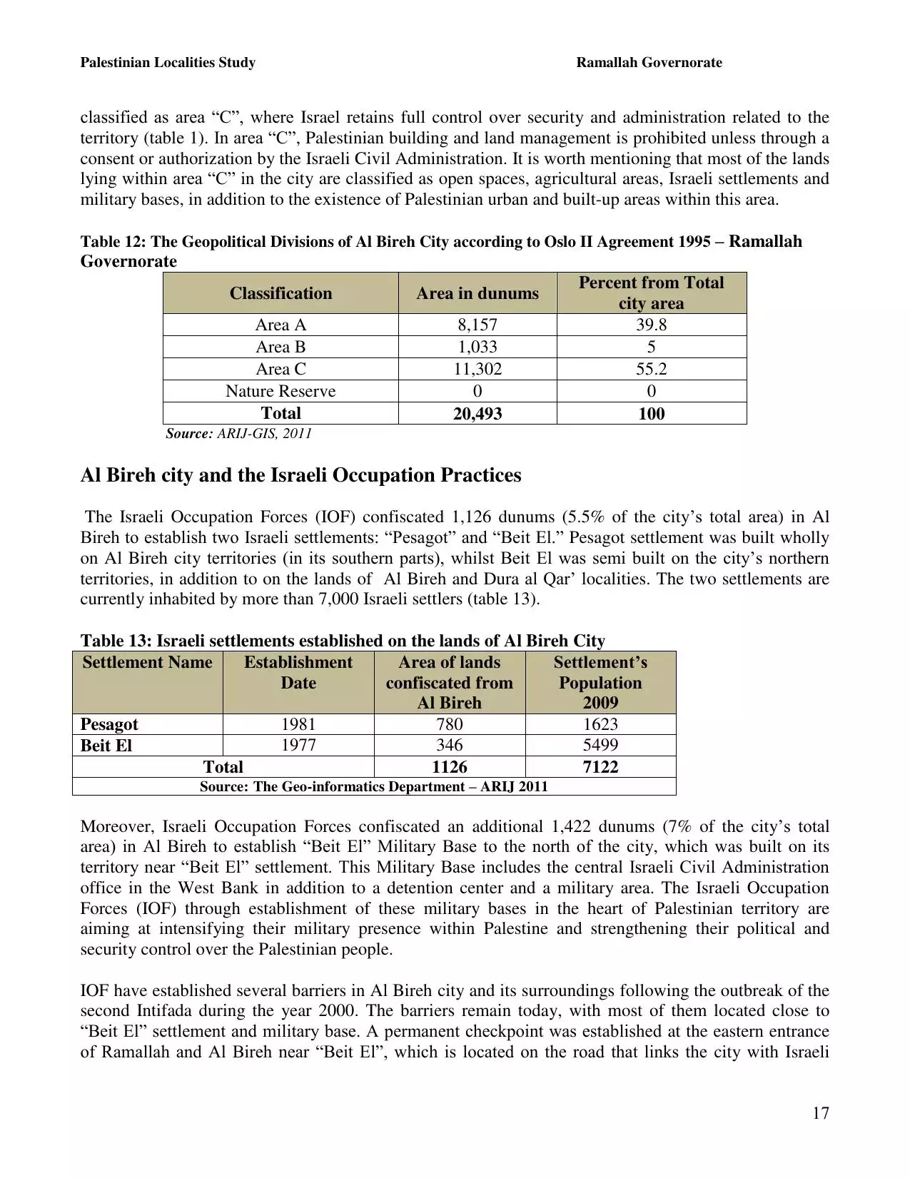
| Jaffa |
| Jericho |
| Jerusalem |
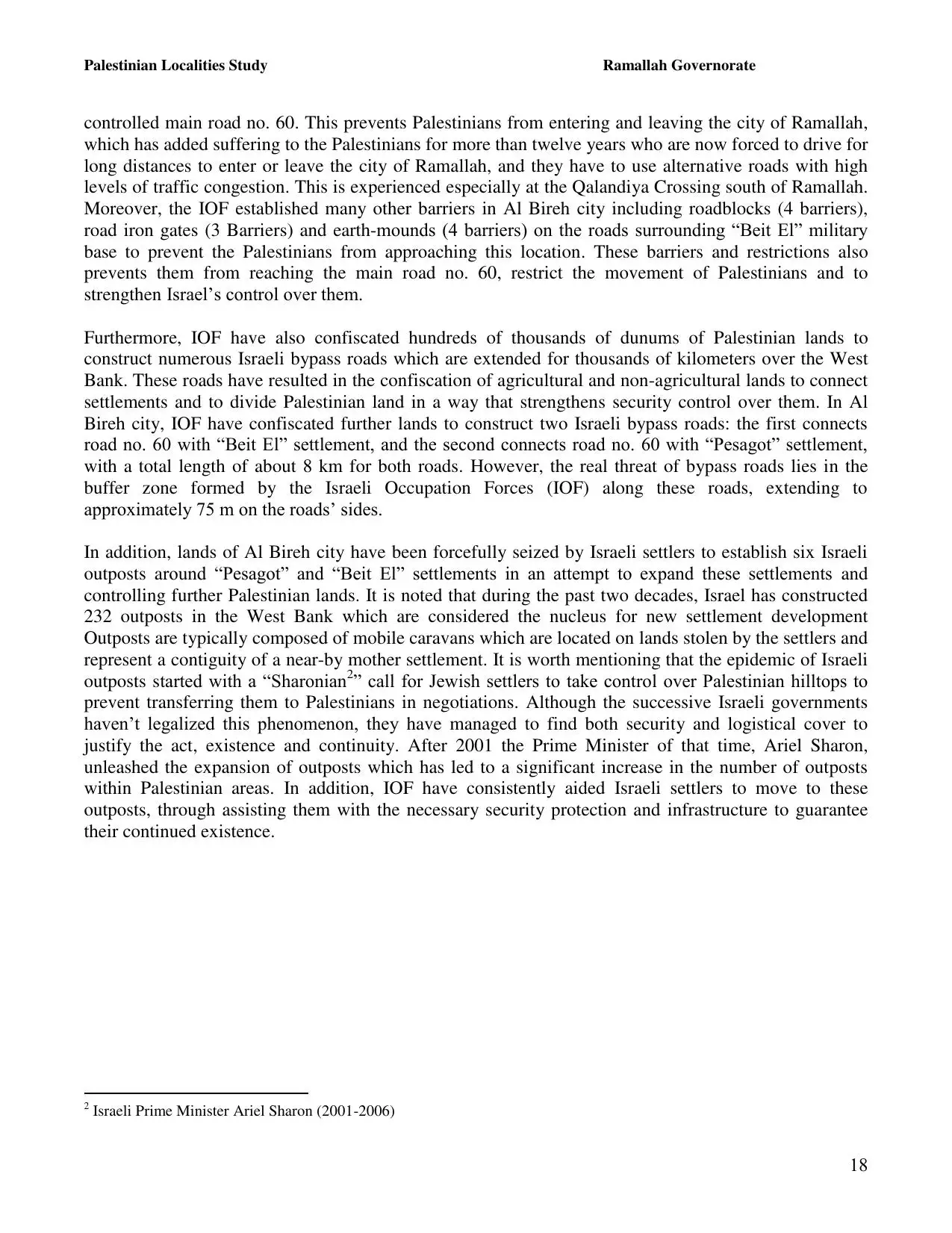
| Jinin |
| Nablus |
| Nazareth |
| Ramallah |
| al-Ramla |
| Safad |
| Tiberias |
| Tulkarm |
| Donate |
| Contact |
| Profile |
| Videos |
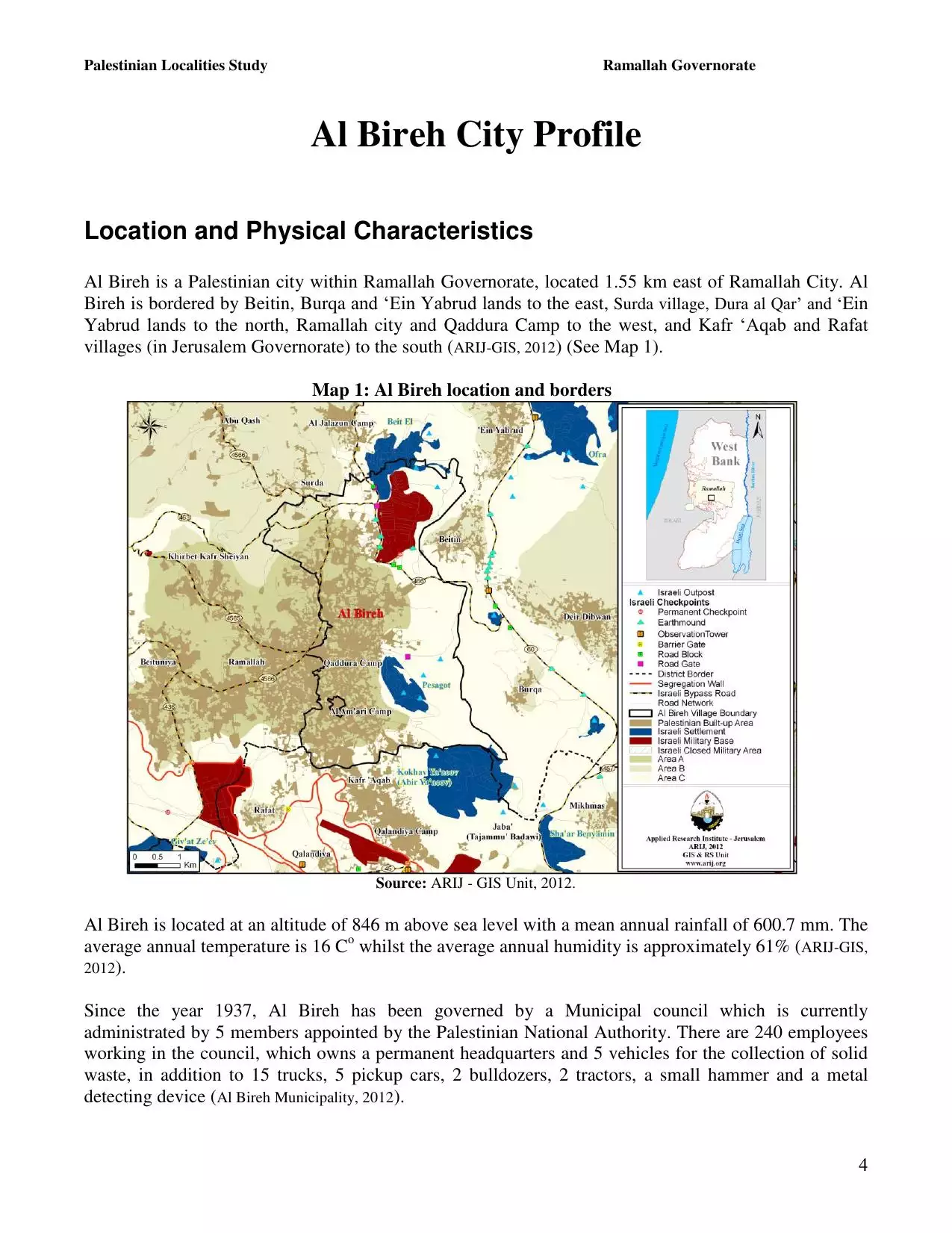
Welcome To al-Bira - البيرة (אל-בירה)
|
District of Ramallah
Occupied days ago |
العربية Google Earth |
 |
Gallery (143) |
- Statistics & Facts
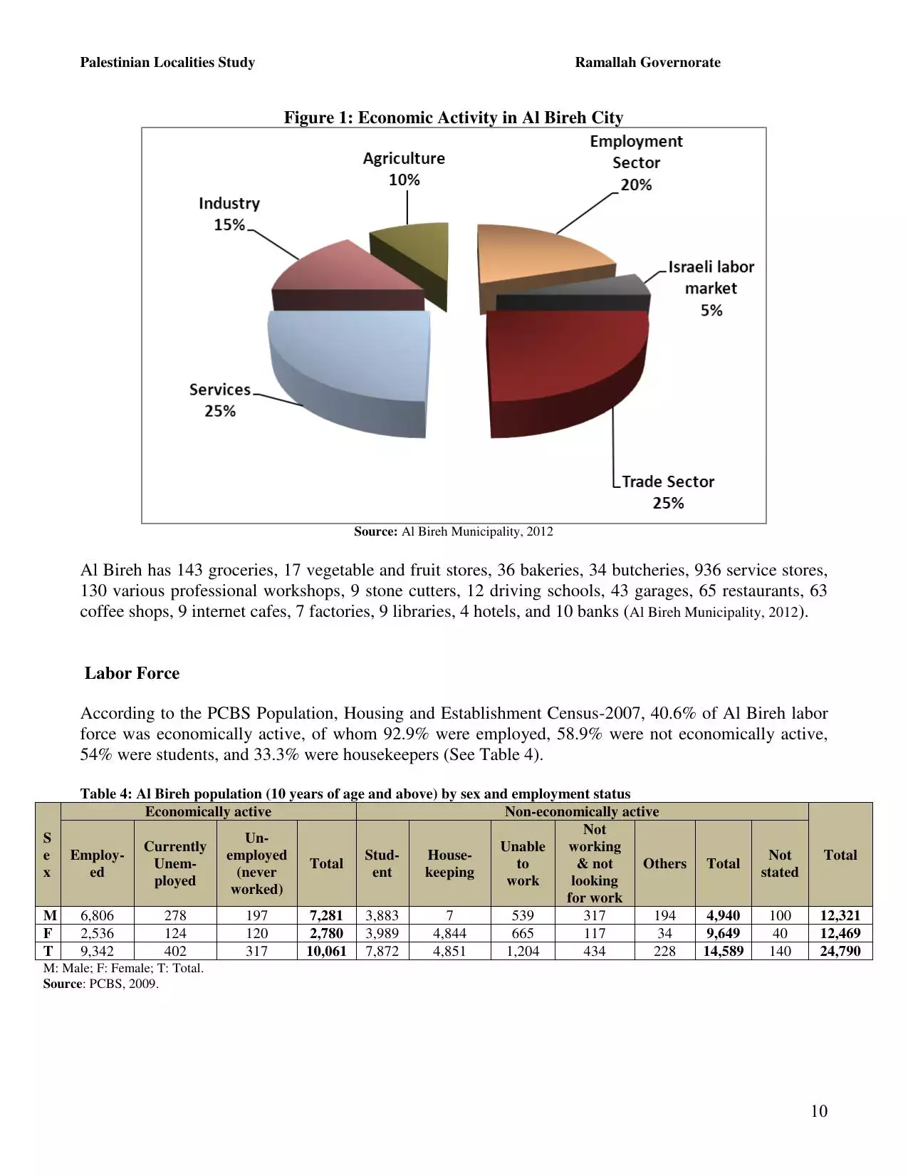
-
Before & After

- Satellite View
- Articles 3
- Pictures 143
- Members 14
- Families
- Wikipedia
- ARIJ Guide
- Videos 6
- Guest Book 5
- Links 5
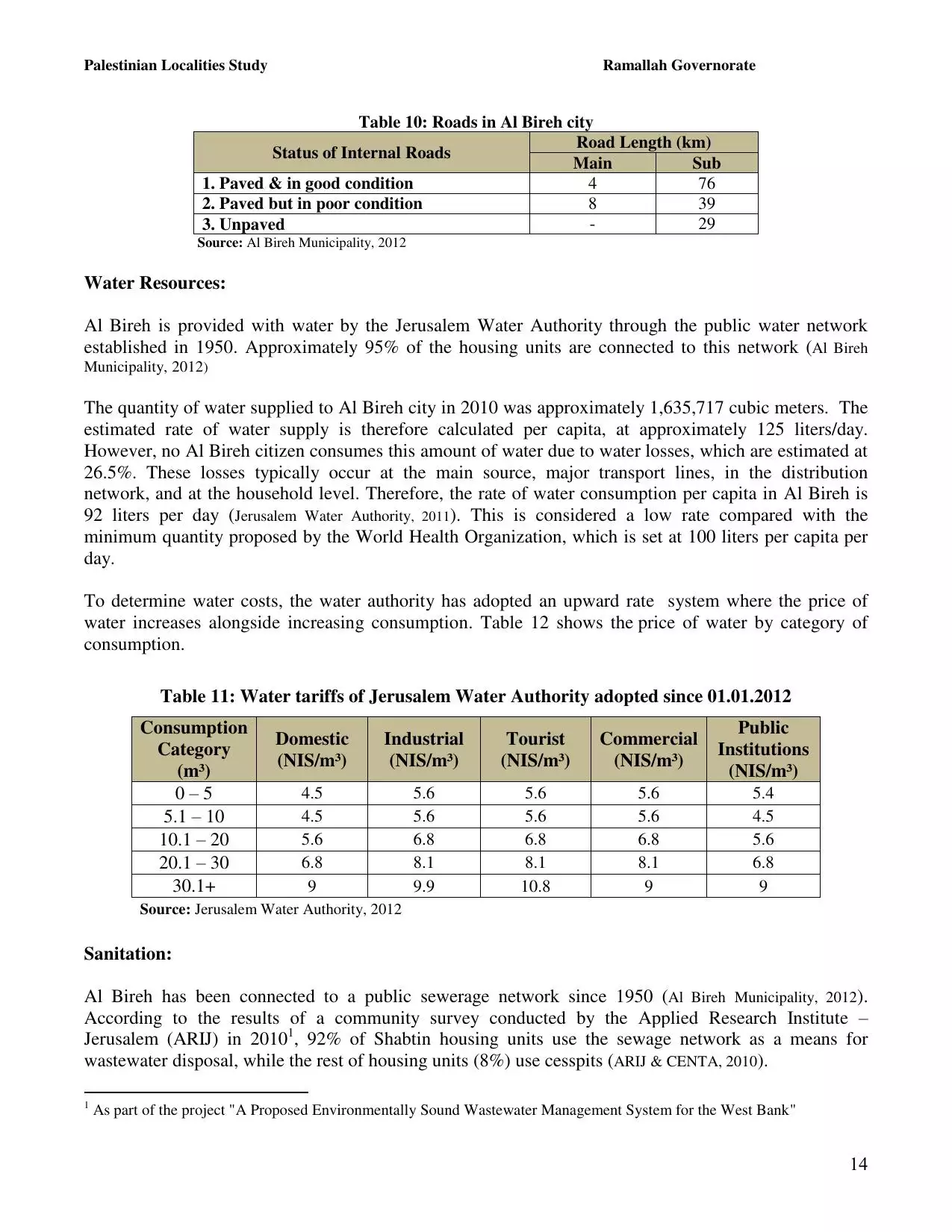
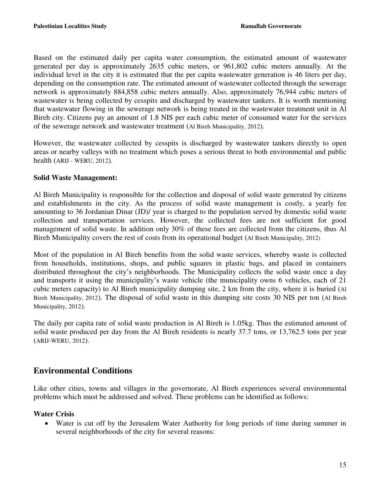
| Statistic & Fact | Value | ||||||||||||||||||||||
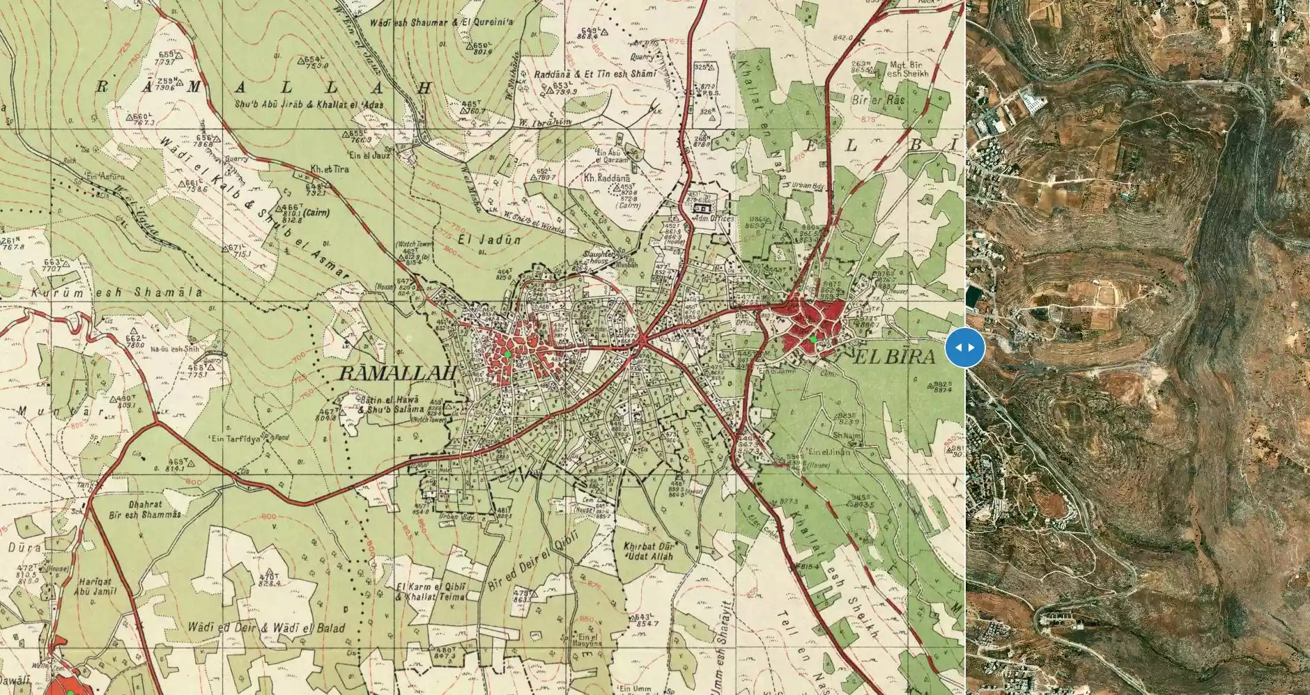
| Distance From District | 1 km east of Ramallah | ||||||||||||||||||||||
| Elevation | 884 meters | ||||||||||||||||||||||
| Before & After Nakba, Click Map For Details |
|||||||||||||||||||||||
|
|||||||||||||||||||||||
| Pre-Nakba Aerial View |
|||||||||||||||||||||||
|
|||||||||||||||||||||||
| Land Ownership |
**Town Lands' Demarcation Maps |
||||||||||||||||||||||
| Land Usage As of 1945 |
|
||||||||||||||||||||||
| Population |
|
||||||||||||||||||||||
| Near By Towns |
|||||||||||||||||||||||
|
|||||||||||||||||||||||
| Featured Video | |||||||||||||||||||||||
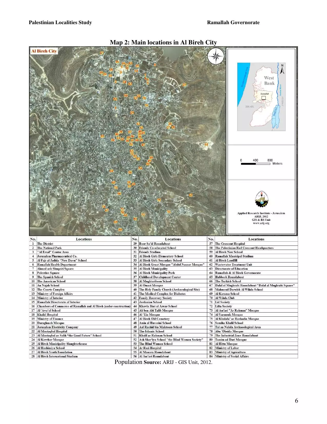
| ARIJ Guide | |||||||||||||||||||||||
|
Click here to browse online. |
|||||||||||||||||||||||
| Related Maps | Town Lands' Demarcation Maps خرائط للقضاء توضح حدود القرى والاودية View from satellite Town's map on MapQuest Help us map this town at WikiMapia |
||||||||||||||||||||||
| Related Links | Wikipedia's Page Facebook Page ARIJ Guide Google Search Google For Images Google For Videos في كتاب بلادنا فلسطين في كتاب النكبة والفردوس المفقود دليل أريج المزيد من موقع هوية |
||||||||||||||||||||||
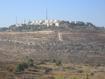
- General view taken from the exclusive Jewish Colony of Pisgot
3 - General view taken from the exclusive Jewish Colony of Pisgot
5 - General view taken from the exclusive Jewish Colony of Pisgot
2 - صورة قديمة للطلاب في مدينة البيرة 1937-8

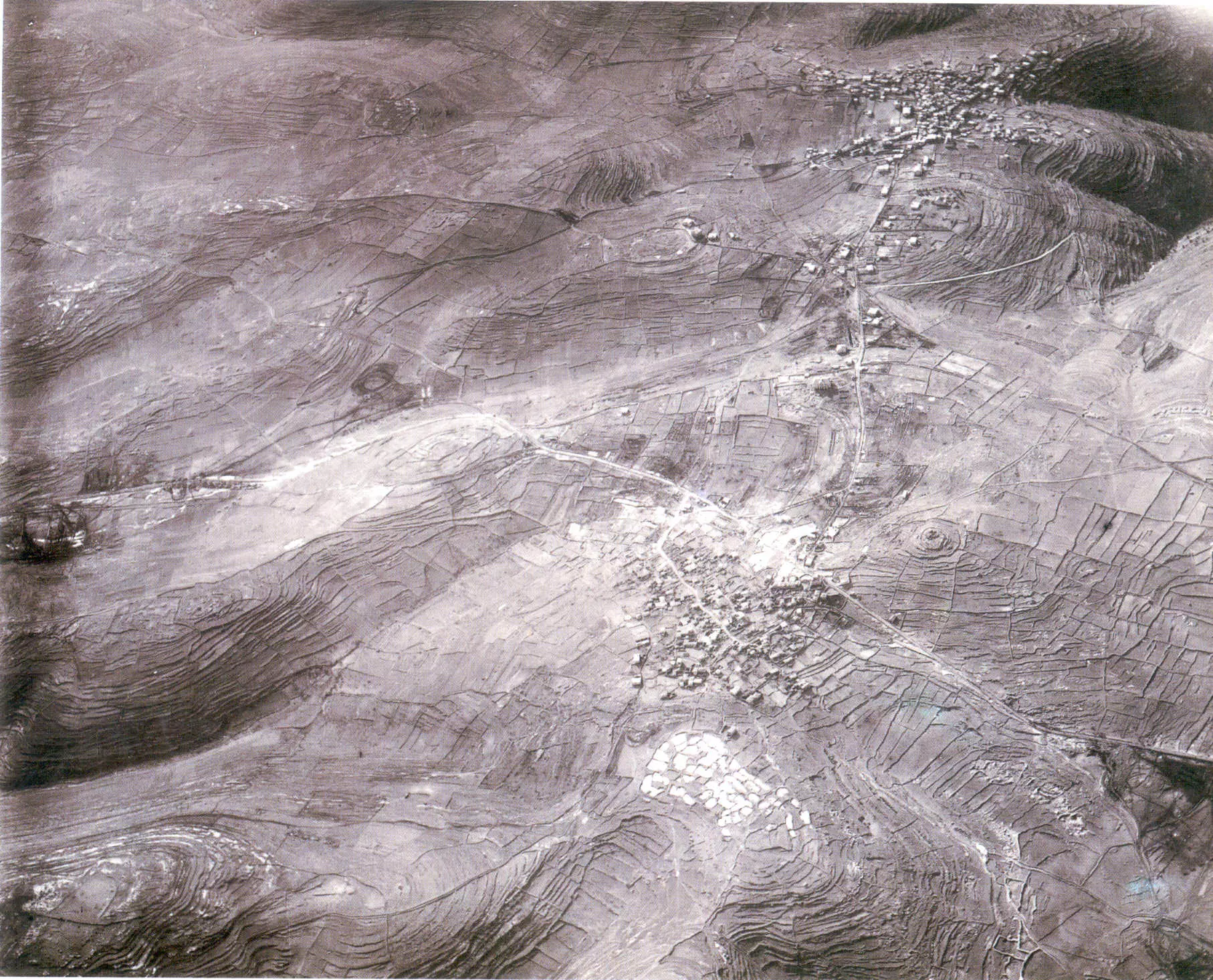
1 - Aerial view of Ramallah and al-Bira in 1918, soon after British occupation. North points tothe right hand. Note Jerusalem-Nablus main road that cross the picture from left to rightand how it branches to Ramaallah
2 - Aerial view of Ramallah and al-Bira in 1945. North points to the right hand
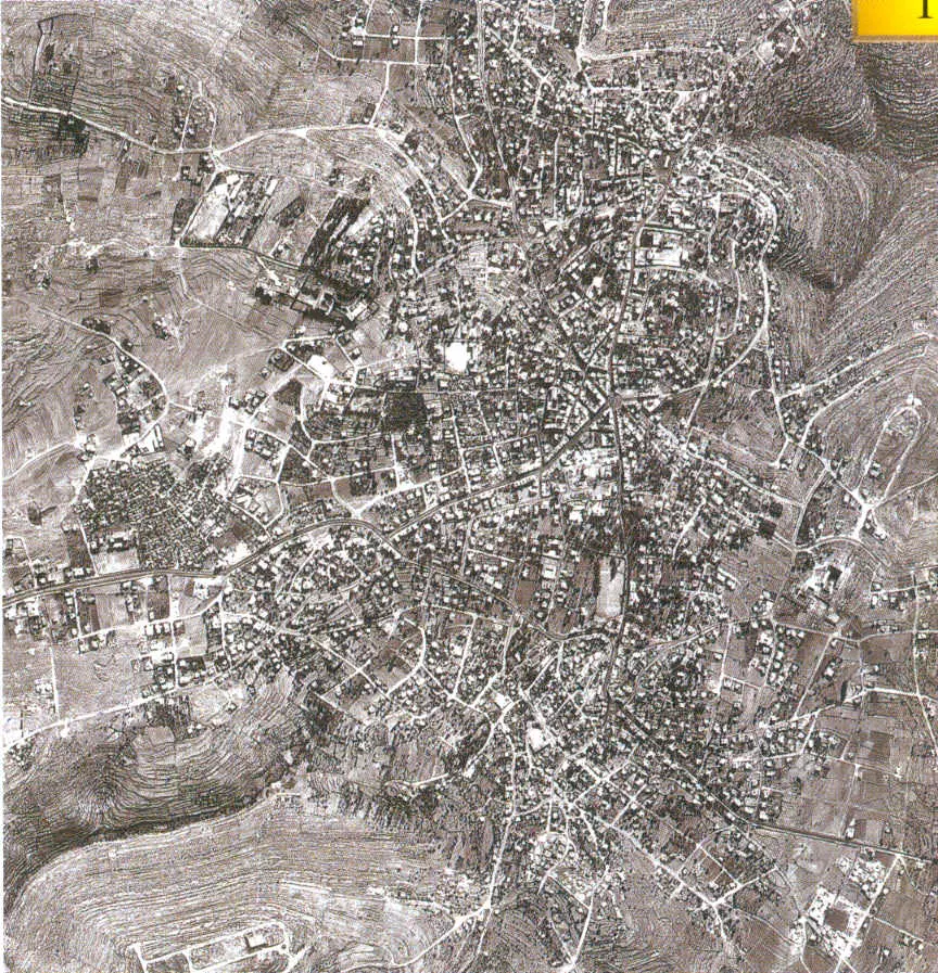
- Aerial view of Ramallah and al-Bira in 1967. North points to the right hand
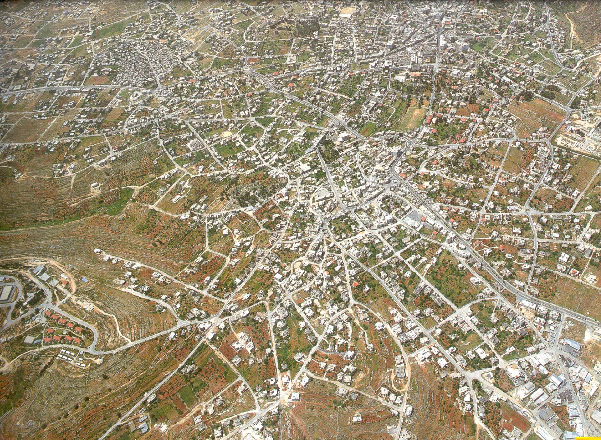
- Aerial view of Ramallah and al-Bira in 1995. North points to the right hand
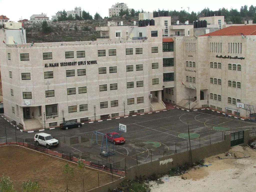
- al-Najah school for girls in the Balou' area
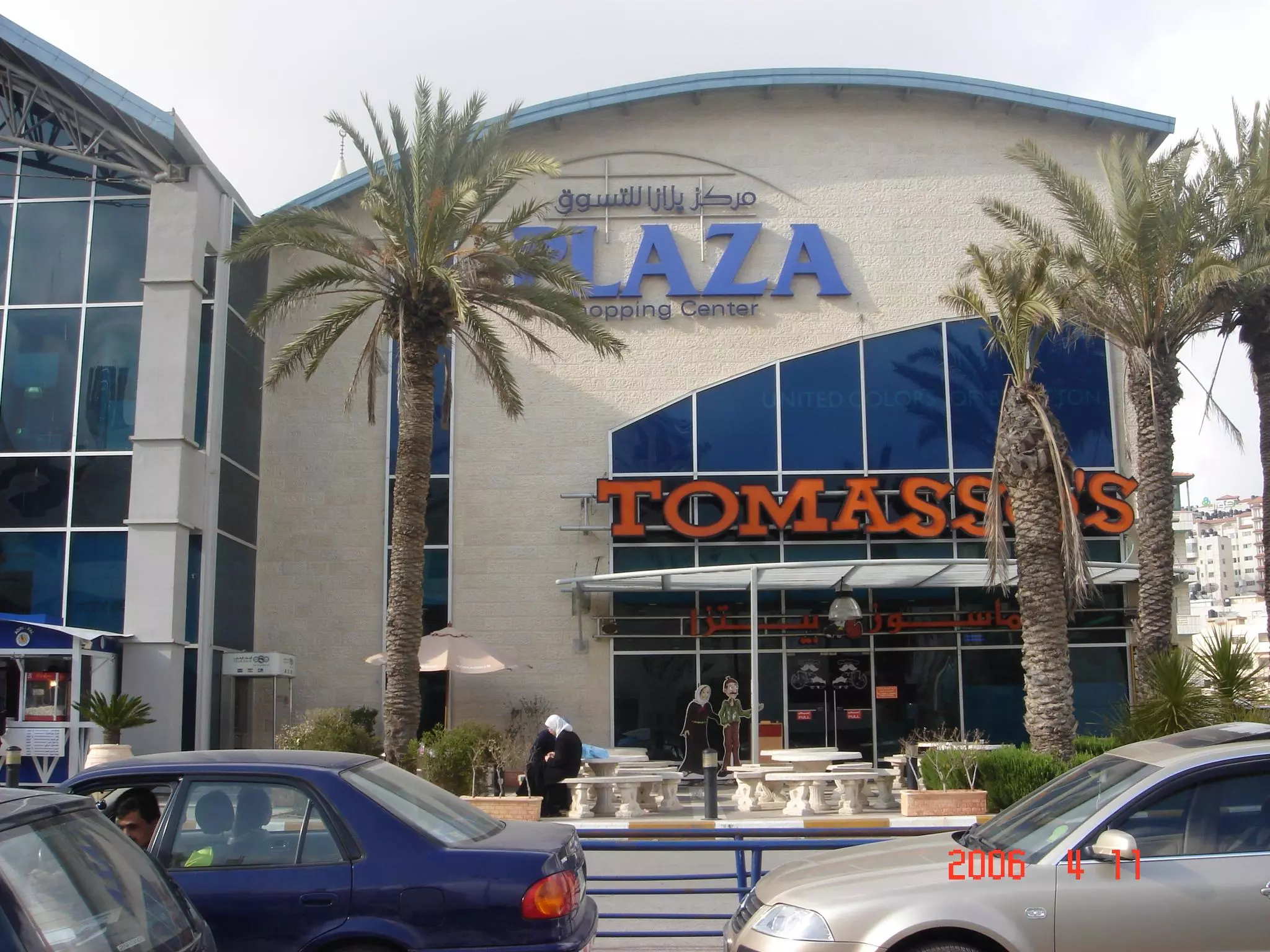
43 - The new Plaza shopping center/American Style
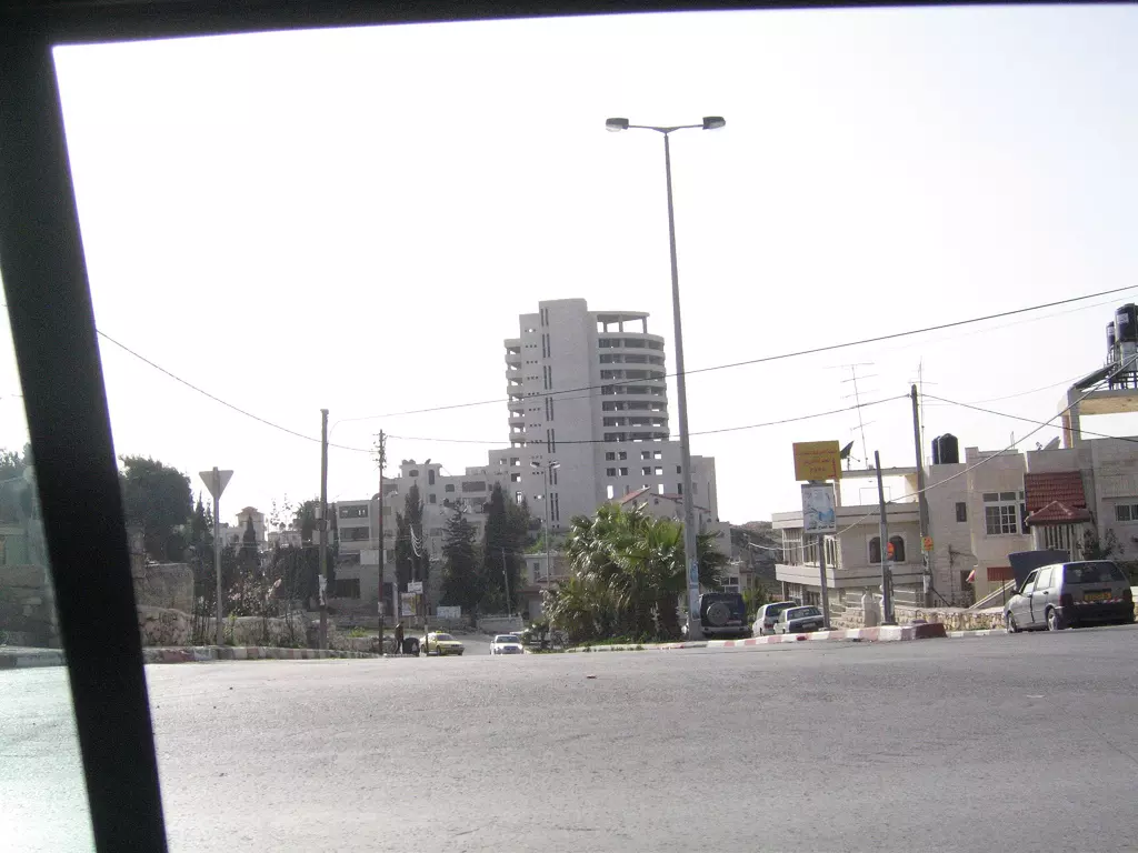
2 - On a Hill Looking north toward Jerusalem, Just down the street the major junction that branches left to Nablus, and right to Ramallah's downtown
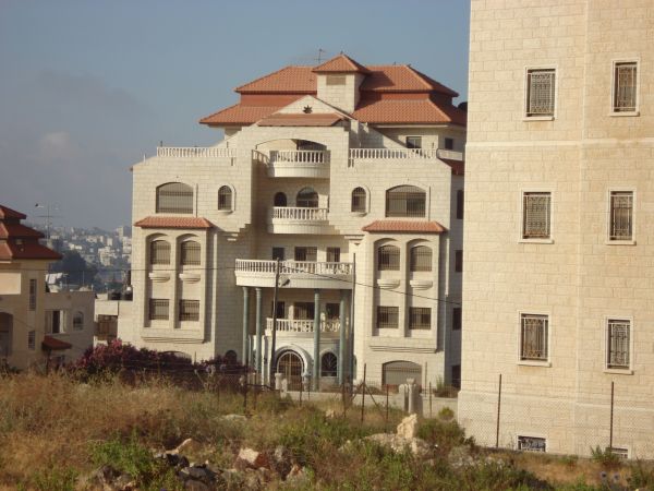
1 - Big mansion
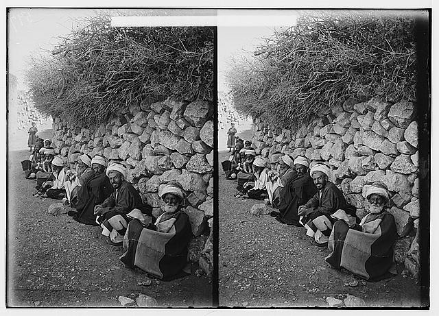
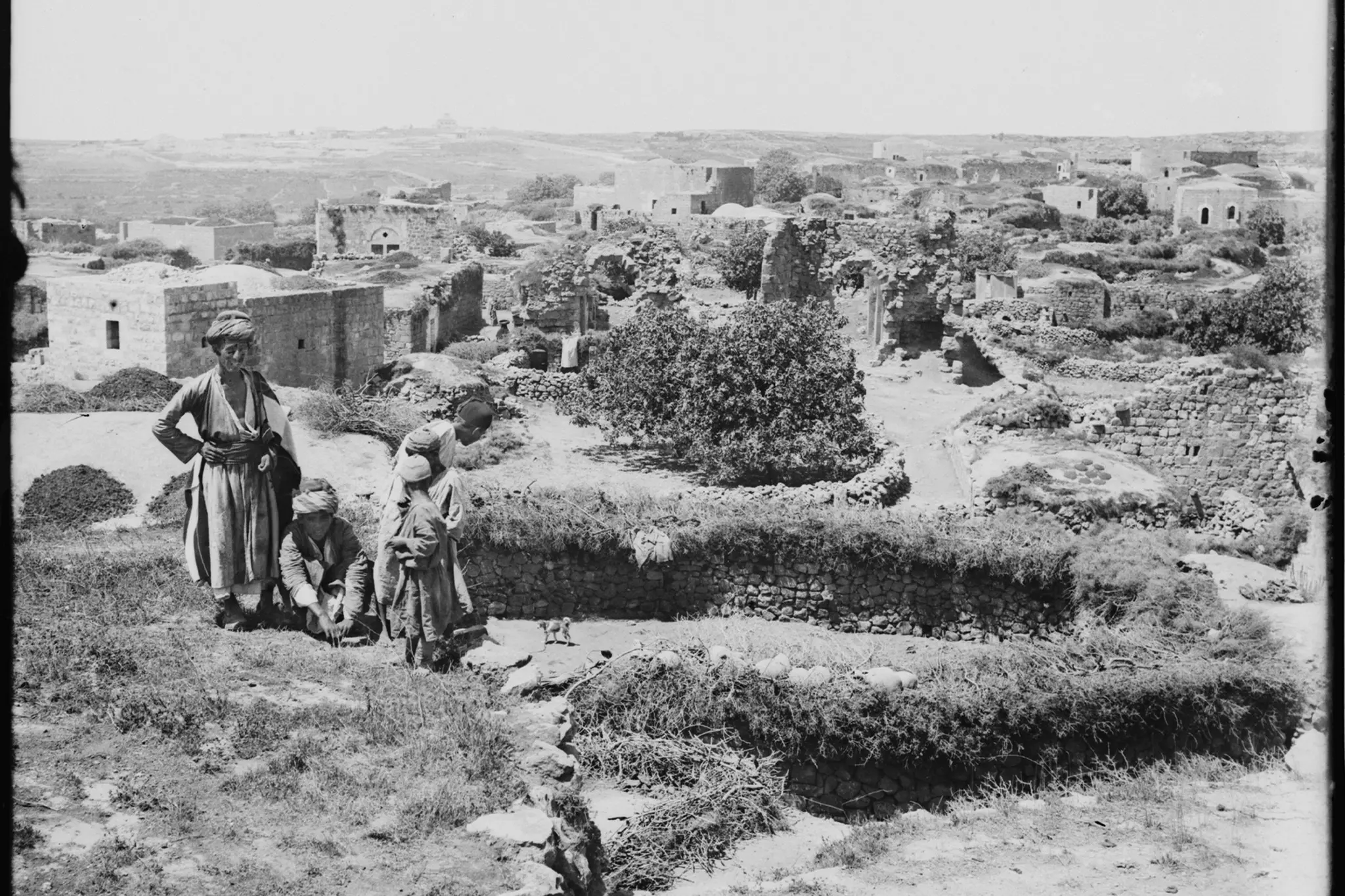
Posted by Fadi Hammad 1 - رجال من البيرة يستظلون في
Posted by ابو عمر - البيرة في اوائل القرن الماضي
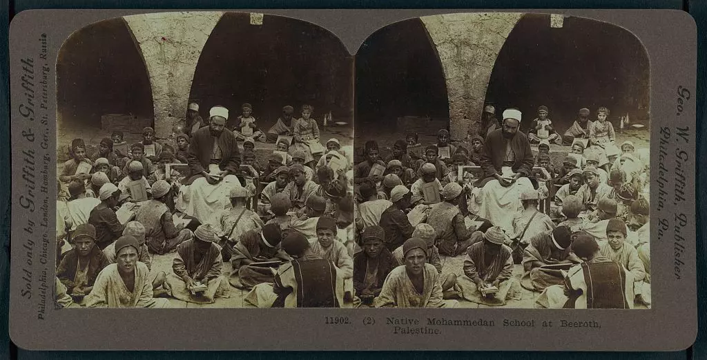
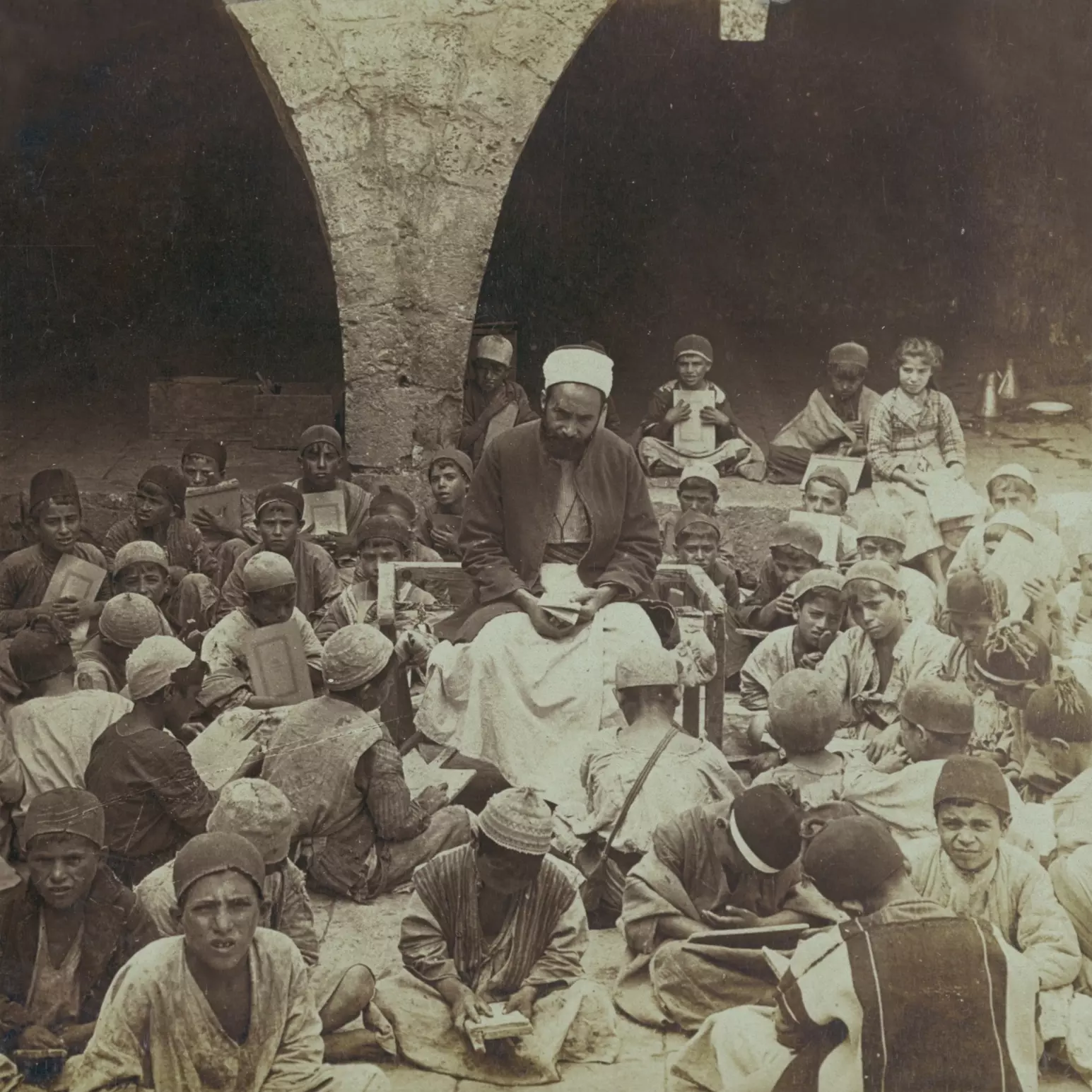
Posted by ابو عمر - A school in al-Bira (Beeroth) in 1905
Posted by Joehar Hamdan 2 - مستعمرة بسجوت _اخذت هذه الصورة من حي سطح مرحبا
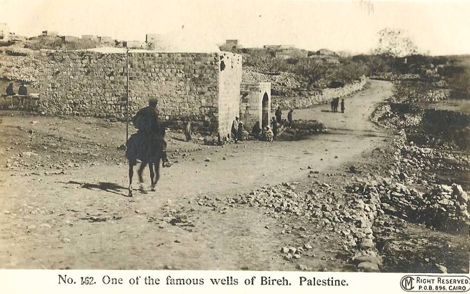
Posted by Safia F Barakat 1 - AL-BIREH - The khan, 1895-7)
Posted by Rami Atwan - A school in Beeroth [i.e., B?rah], Palestine 1905
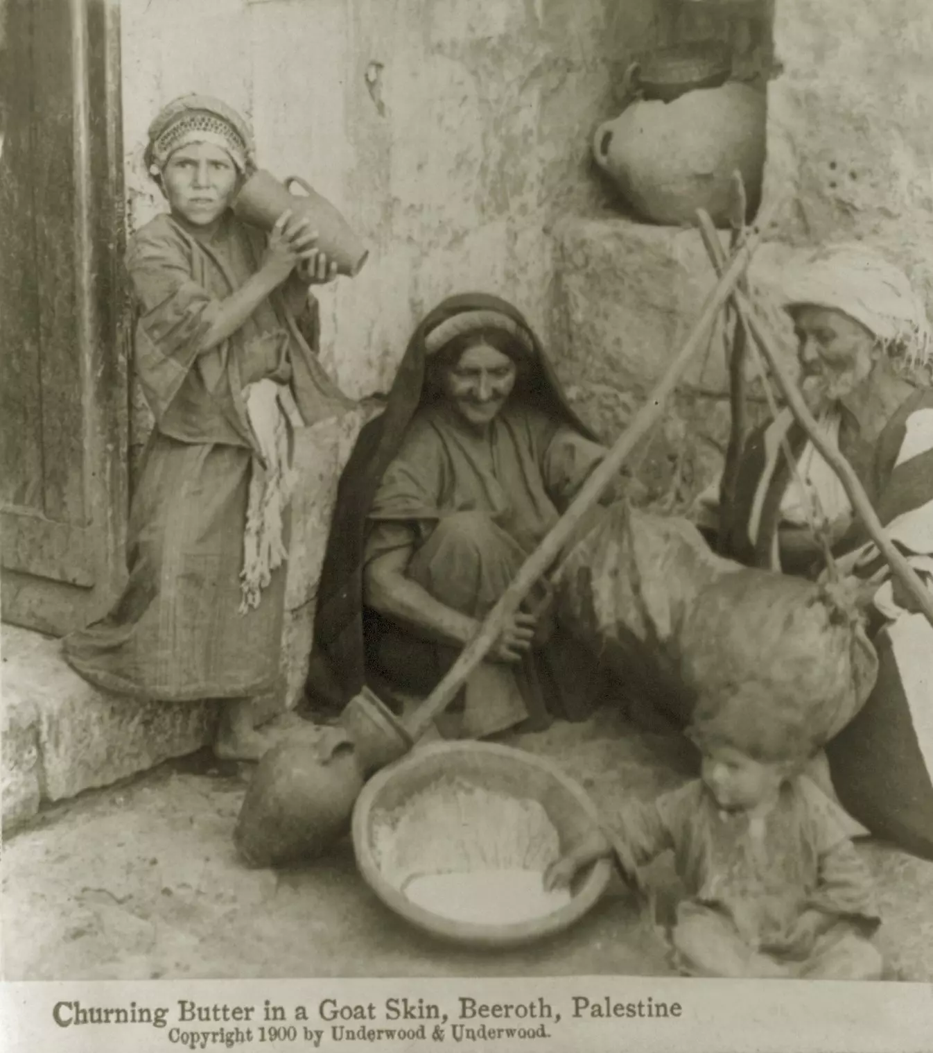
Posted by Rami Atwan 1 - Al-Bira (El-Bireh, Beeroth), Palestine - Churning butter in a goat skin, ca. 1900
Posted by Rami Atwan - Al-Bira (El-Bireh, Beeroth), Palestine - Early 20th c.
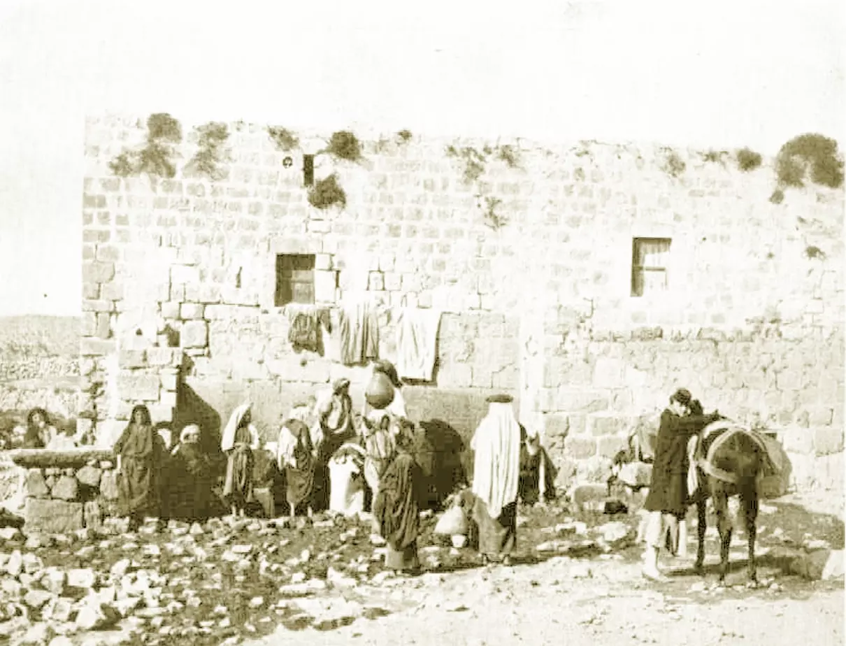
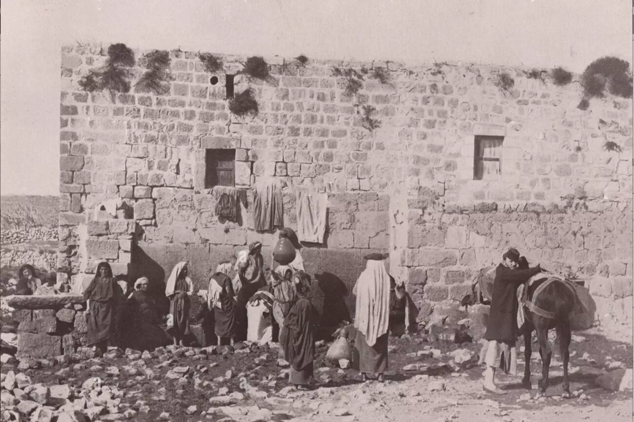
Posted by Rami Atwan - Al-BIRA - (El-Bireh, Beeroth), Palestine, 1893 - Palestinian Arabs from Al-Bira at village fountain
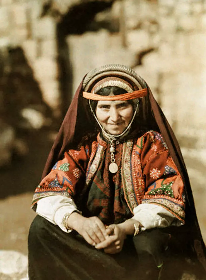
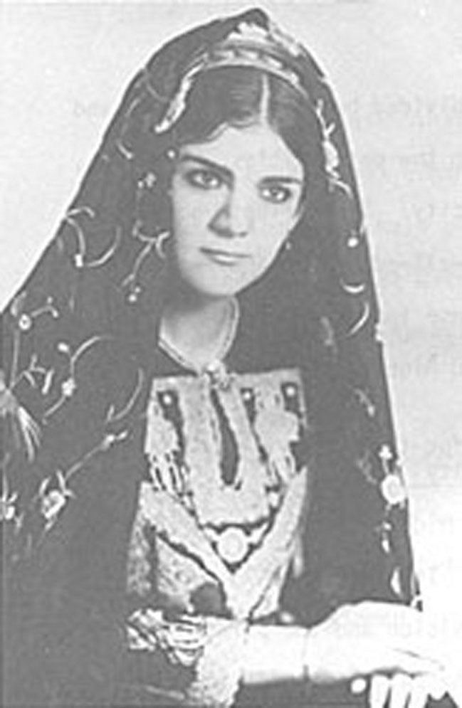
Posted by Rami Atwan 1 - Al-BIRA - Palestinian woman from Al-Bira in locan traditional costume, ca. 1926
Posted by Rami Atwan 1 - AL-BIRA - Wedad Mouhaissan Hasan in El-Bireh, ca. 1967
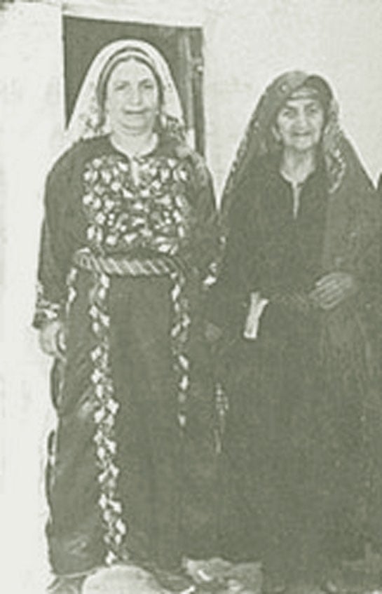
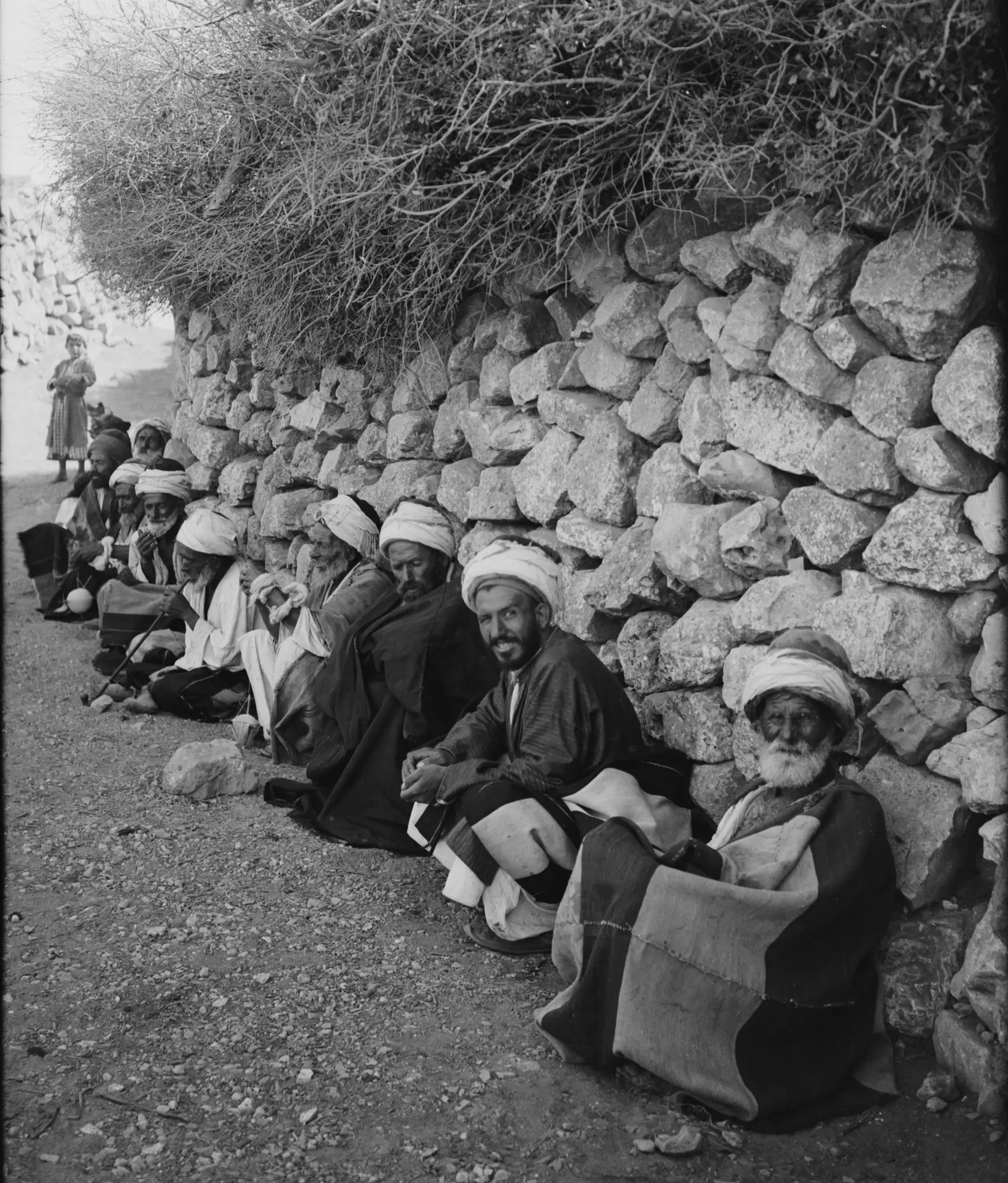
Posted by Rami Atwan - AL-BIRA - Elderly Palestinian matrons in Al-Bira, ca. 1960s
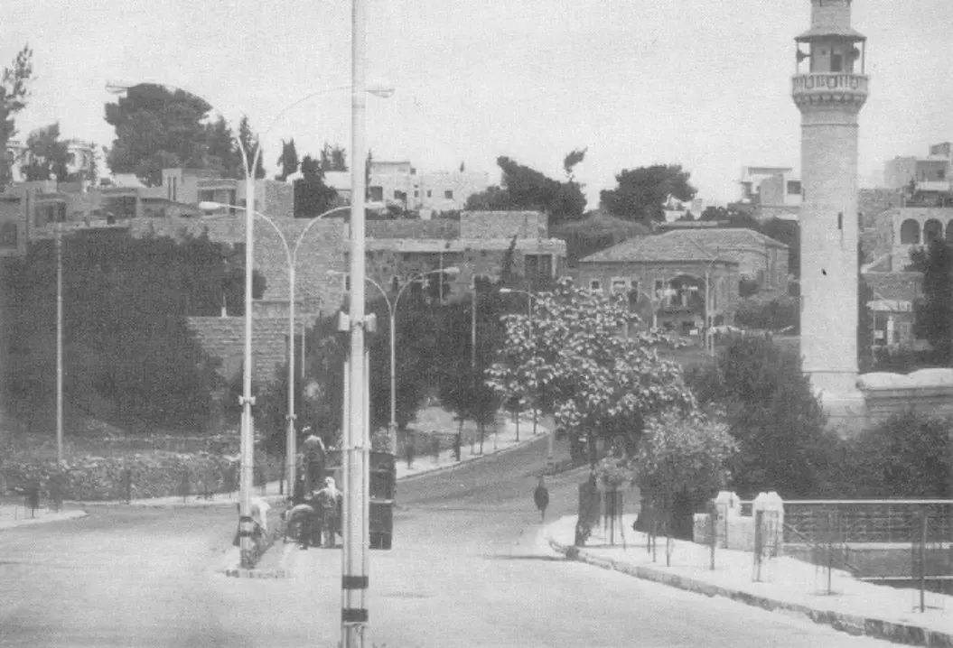
Posted by Rami Atwan 1 - AL-BIRA - A street view, 1980s
Posted by Rami Atwan 1 - AL-BIRA - Eastern outskirts
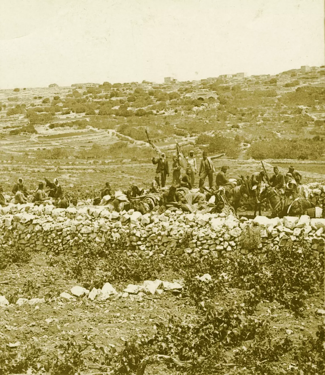
Posted by Rami Atwan - AL-BIRA - A small caravan from Damascus travelling to Jerusalem, in the environs of Ramallah-Bireh, circa 1900s - Keystone-Mast Collection (Per Reem Ackall)
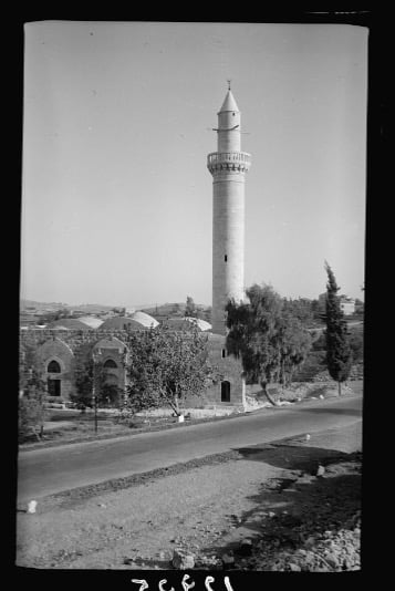
Posted by Rami Atwan - AL-BIRA - Al-Ein mosque in the 1890s
Posted by Rami Atwan 1 - AL-BIRA - Al-Ein mosque in the 1890s (Built by the Ayyubids and dedicated to Umar Ibn Al-Khattab in early 13th c.)
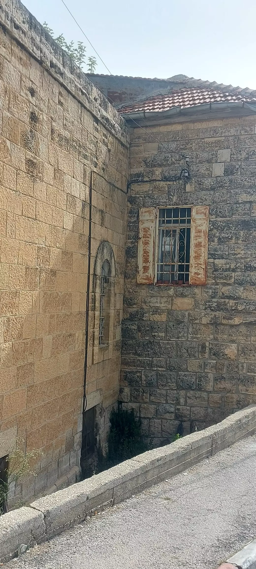
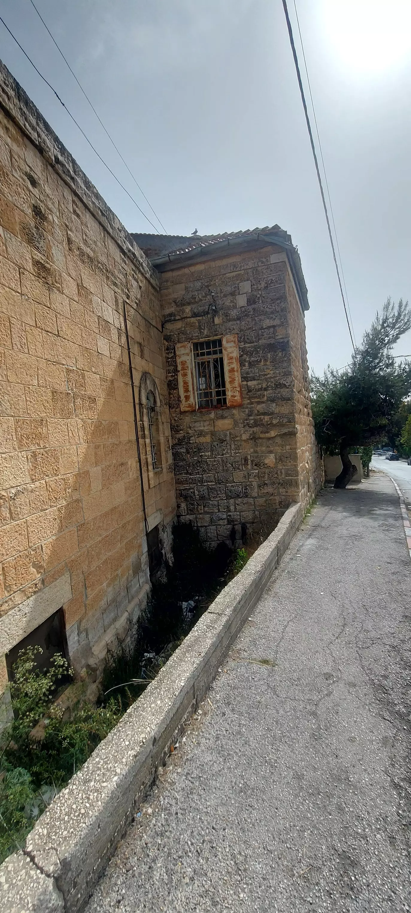
Posted by Rami Atwan 1 - AL-BIRA - Old houses of Al-Bireh - 1
Posted by Rami Atwan 1 - AL-BIRA - Old houses of Al-Bireh - 2
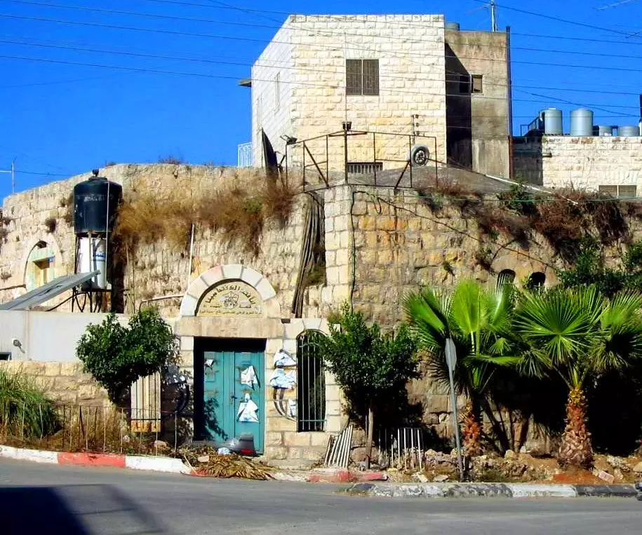
Posted by Rami Atwan - AL-BIRA - Old houses of Al-Bireh - 3
Posted by Rami Atwan 1 - AL-BIRA - Old houses of Al-Bireh - 4
Posted by Rami Atwan 1 - صور بانورامية لمدينة البيرة ملتقطة من فوق مبنى البلدية
Posted by Majed Seif 2 - Entrance to the city in the 1980s
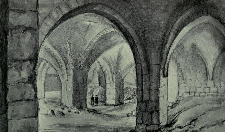
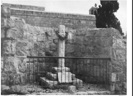
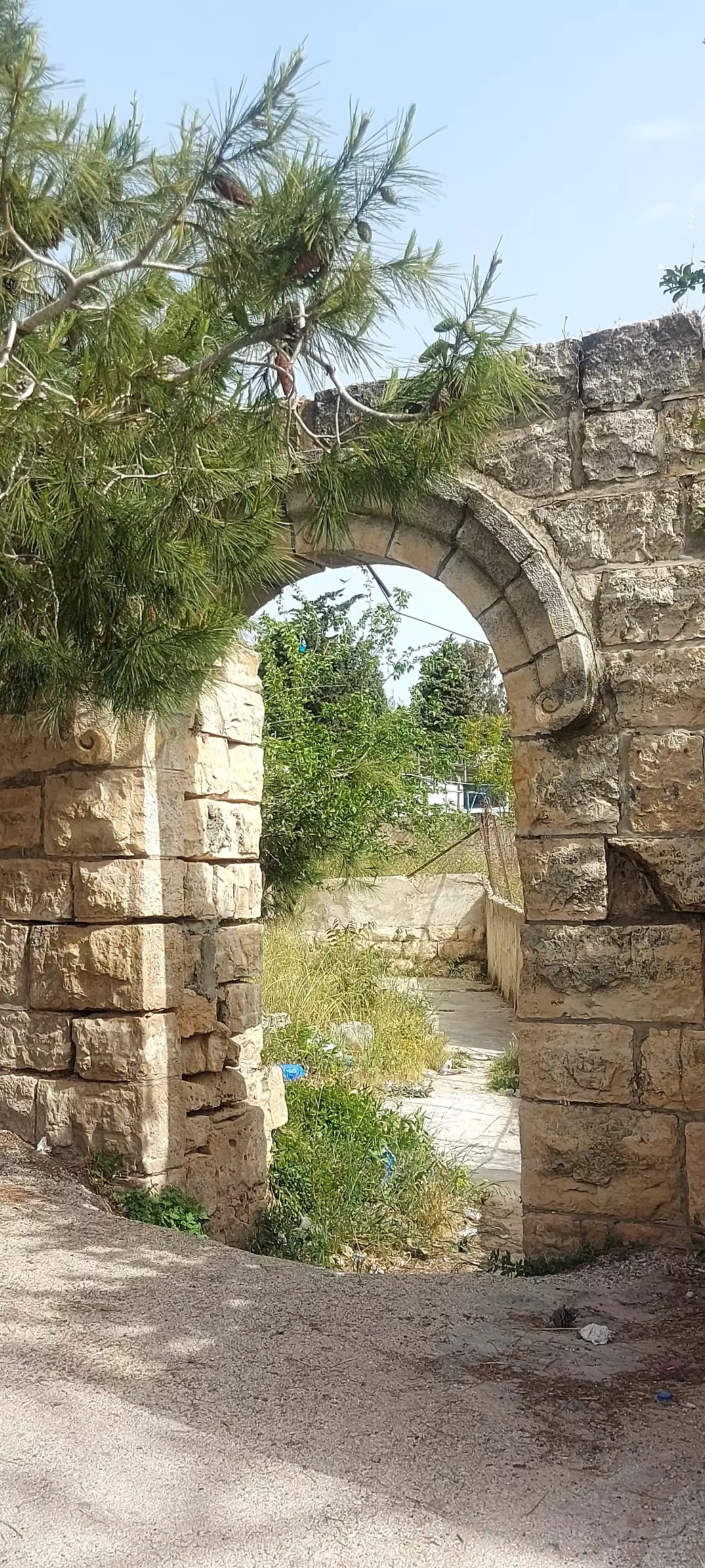
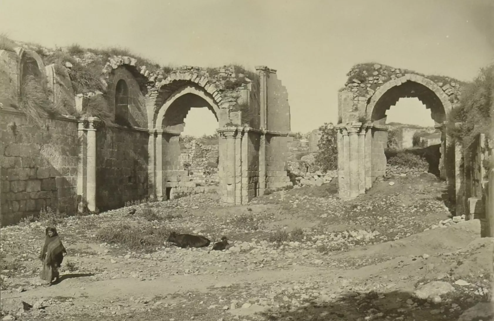
- Ruins of a Crusader church, excavated in El-Bireh in 1987
- Palestine Street
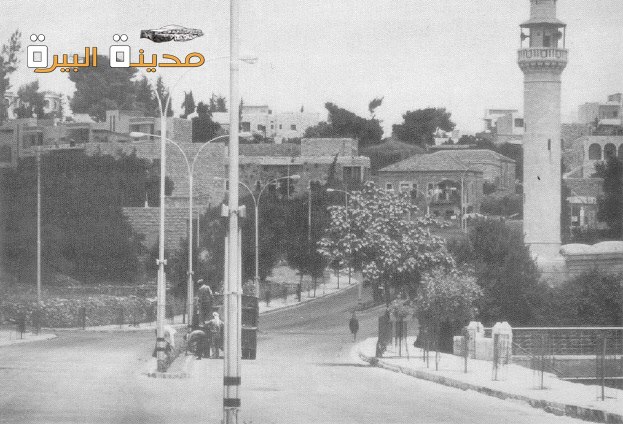
1 - Bira Jerusalem road
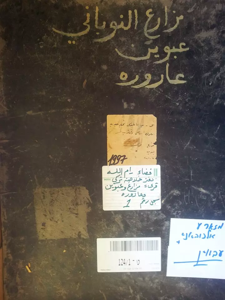
- الارشيف الاسرائيلي بالقدس الغربية .. دفاتر الطابو للاراضي والملكيات الفلسطينية في قرى سنجل قضاء رام الله ودورا الخليل والبيرة وعين قينيا وعارورة ومزارع النوباني وبيت لحم وحلحول 1915 -1890 - منقول من صفحة أحمد مروات
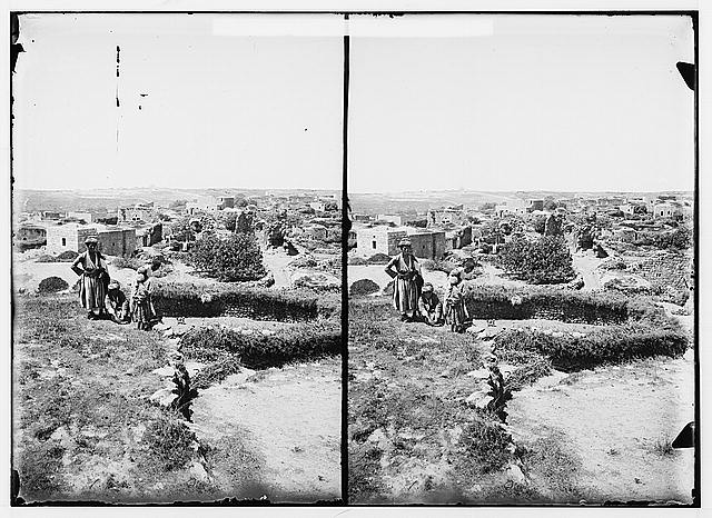
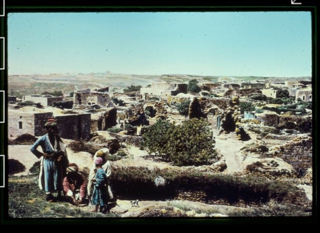
- General view, 1925
1 - صوره قديمه من البيره سنه 1917
Posted by abu raya - كنيسه مدينه البيره سنه 1917
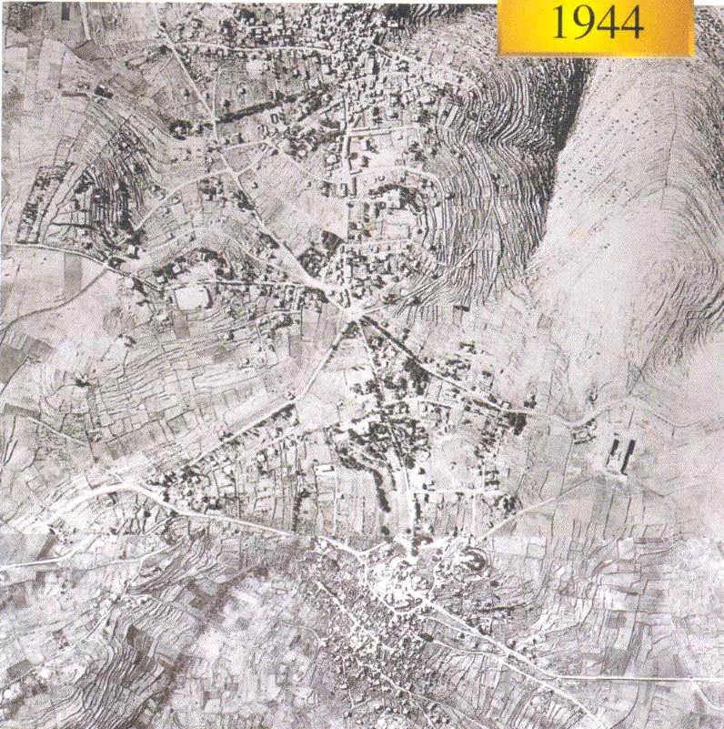
Posted by abu raya - صوره قديمه من البيره سنه 1944
Posted by abu raya - صوره قديمه من مدينه البيره
Posted by abu raya - منظر عام
- منظر عام
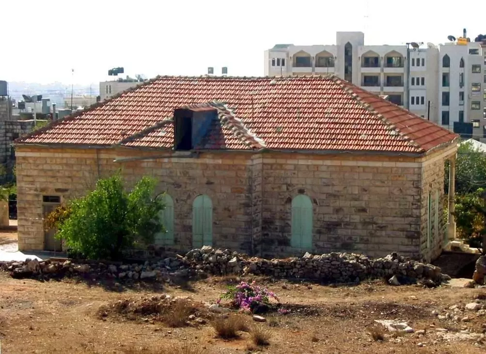
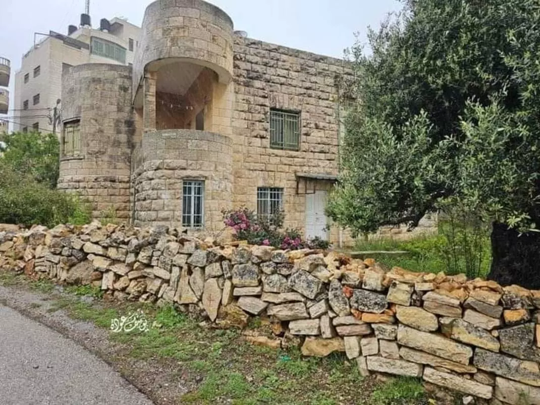
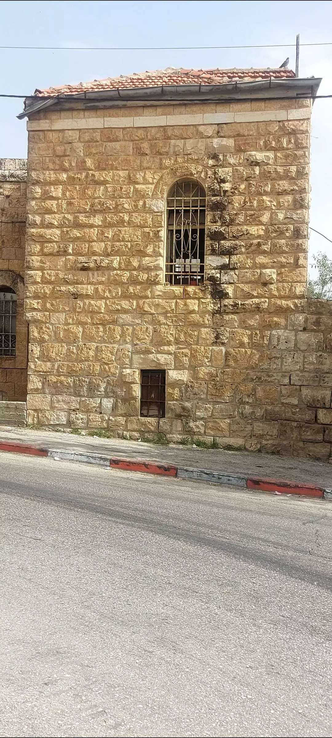
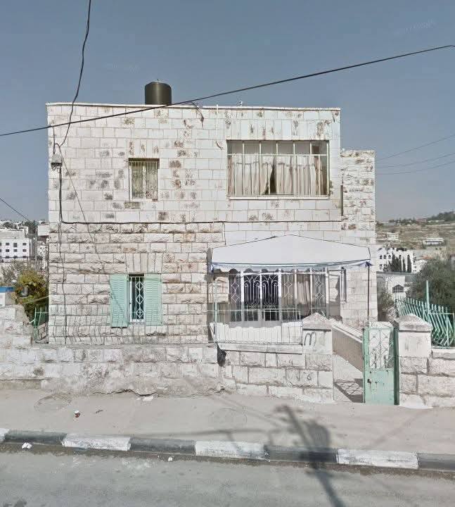
- منزل مهجور في مدينة البيرة بني في خمسينيات القرن الماضي
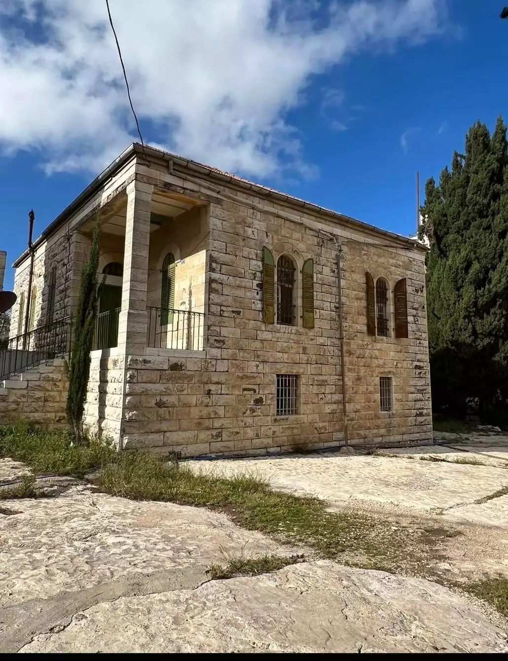
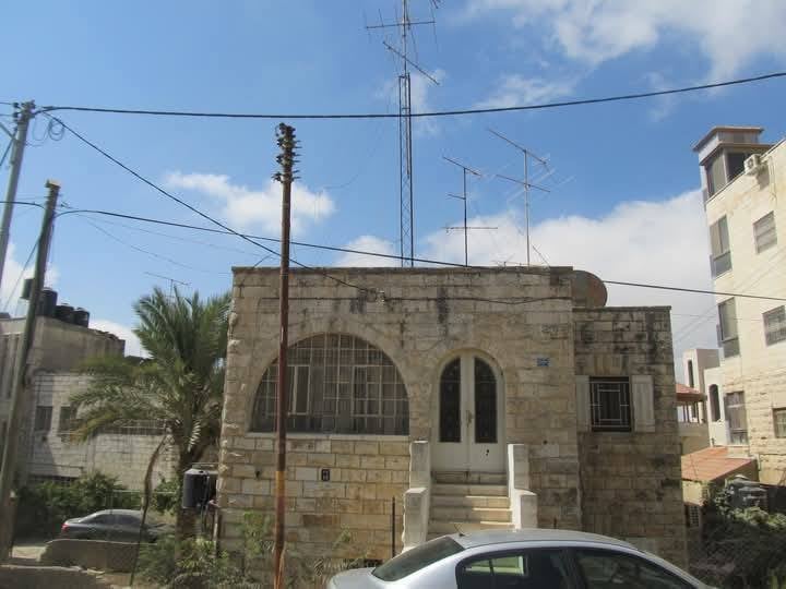
- صورة لمنزل قديم في مدينة البيرة
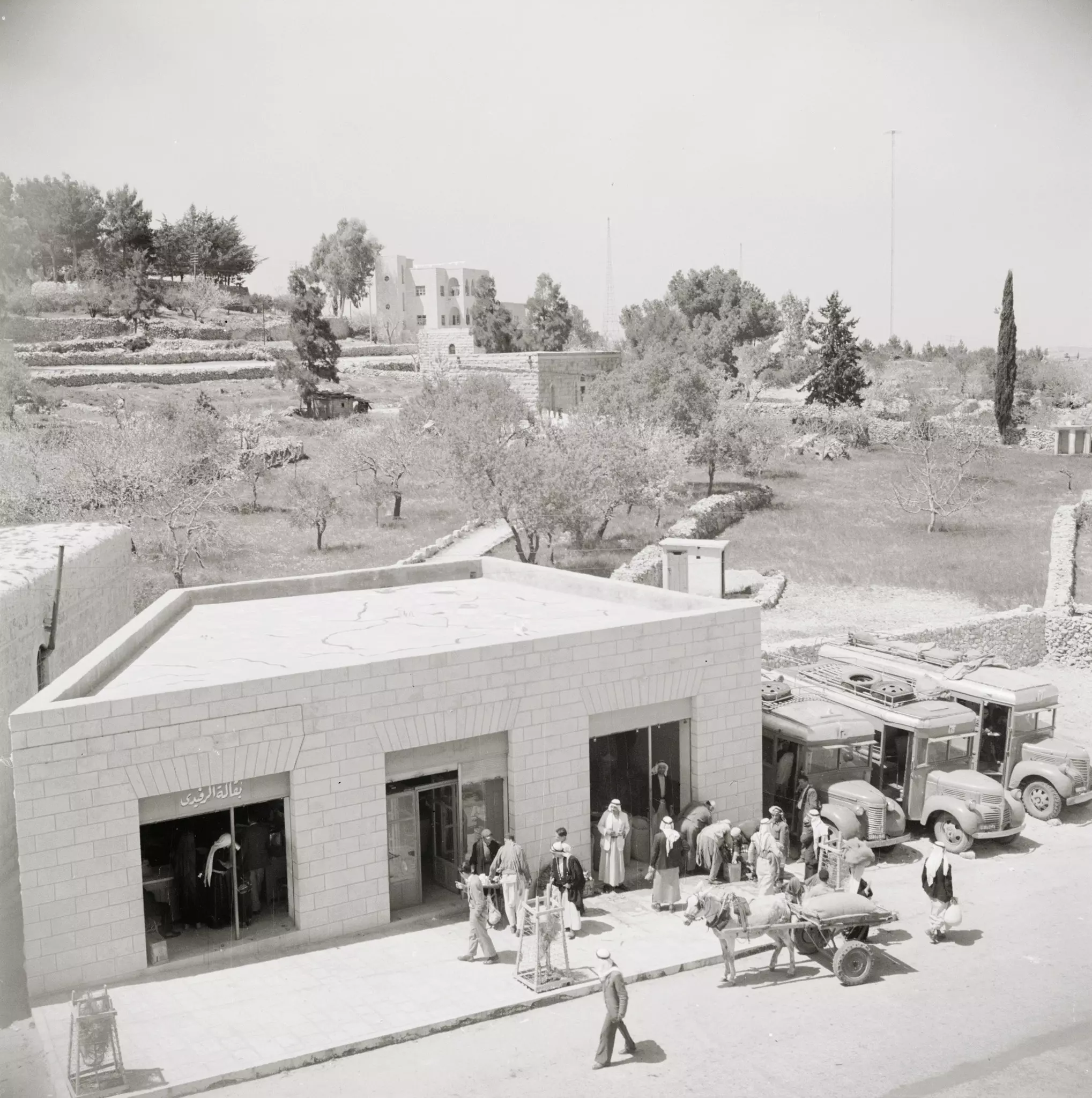
- ًمطحنة الرفيدي في البيرة قديماً سنة 1950
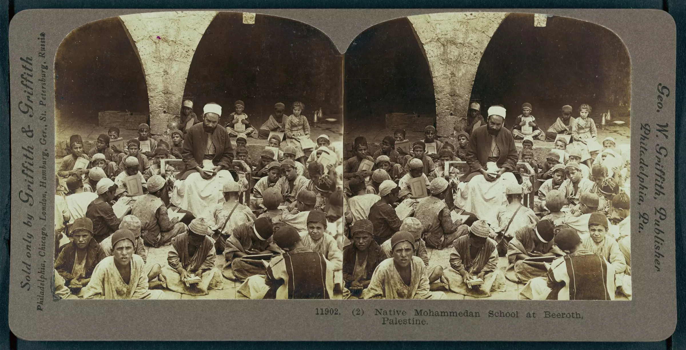
1 - School in Al-B?rah, ca. 1905.
- عبق الماضي ... جمال البيوت القديمة في مدينة البيرة
- عبق الماضي ... جمال البيوت القديمة في مدينة البيرة #2
- عبق الماضي ... جمال البيوت القديمة في مدينة البيرة #3
- عبق الماضي ... جمال البيوت القديمة في مدينة البيرة #4
- عبق الماضي ... جمال البيوت القديمة في مدينة البيرة #5
- عبق الماضي ... جمال البيوت القديمة في مدينة البيرة #6
- عبق الماضي ... جمال البيوت القديمة في مدينة البيرة #7
- عبق الماضي ... جمال البيوت القديمة في مدينة البيرة #8
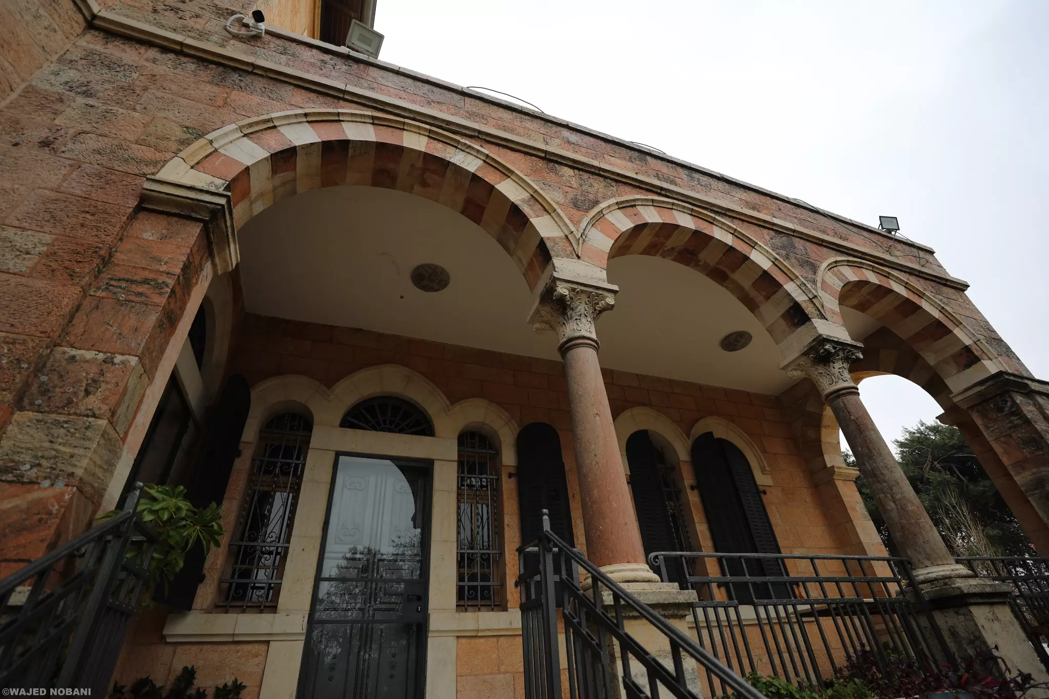
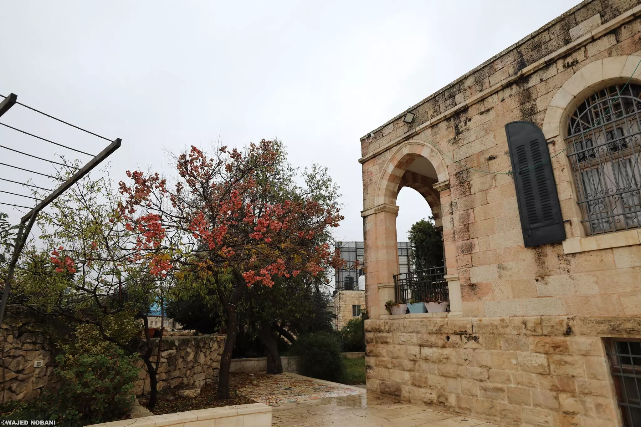
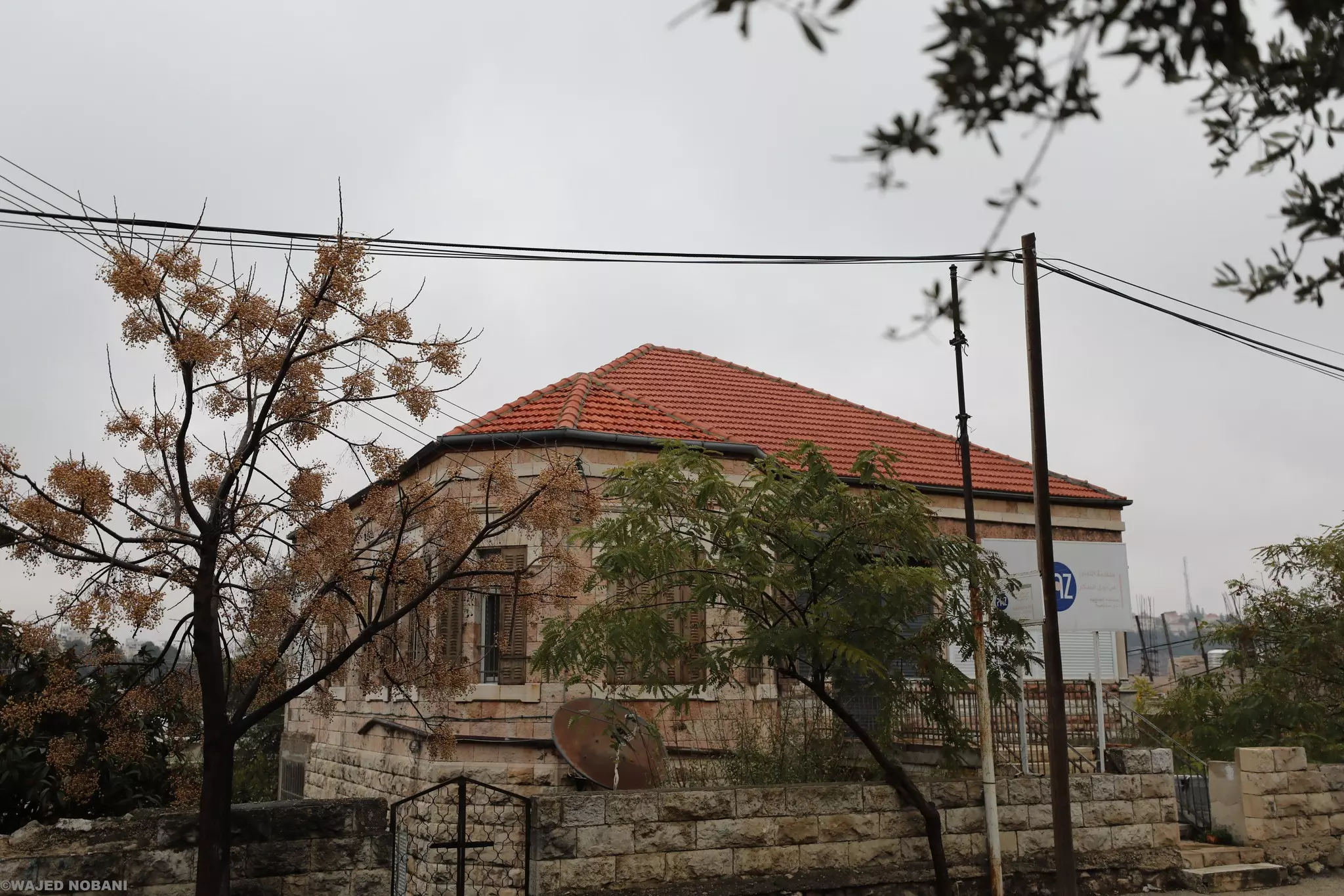
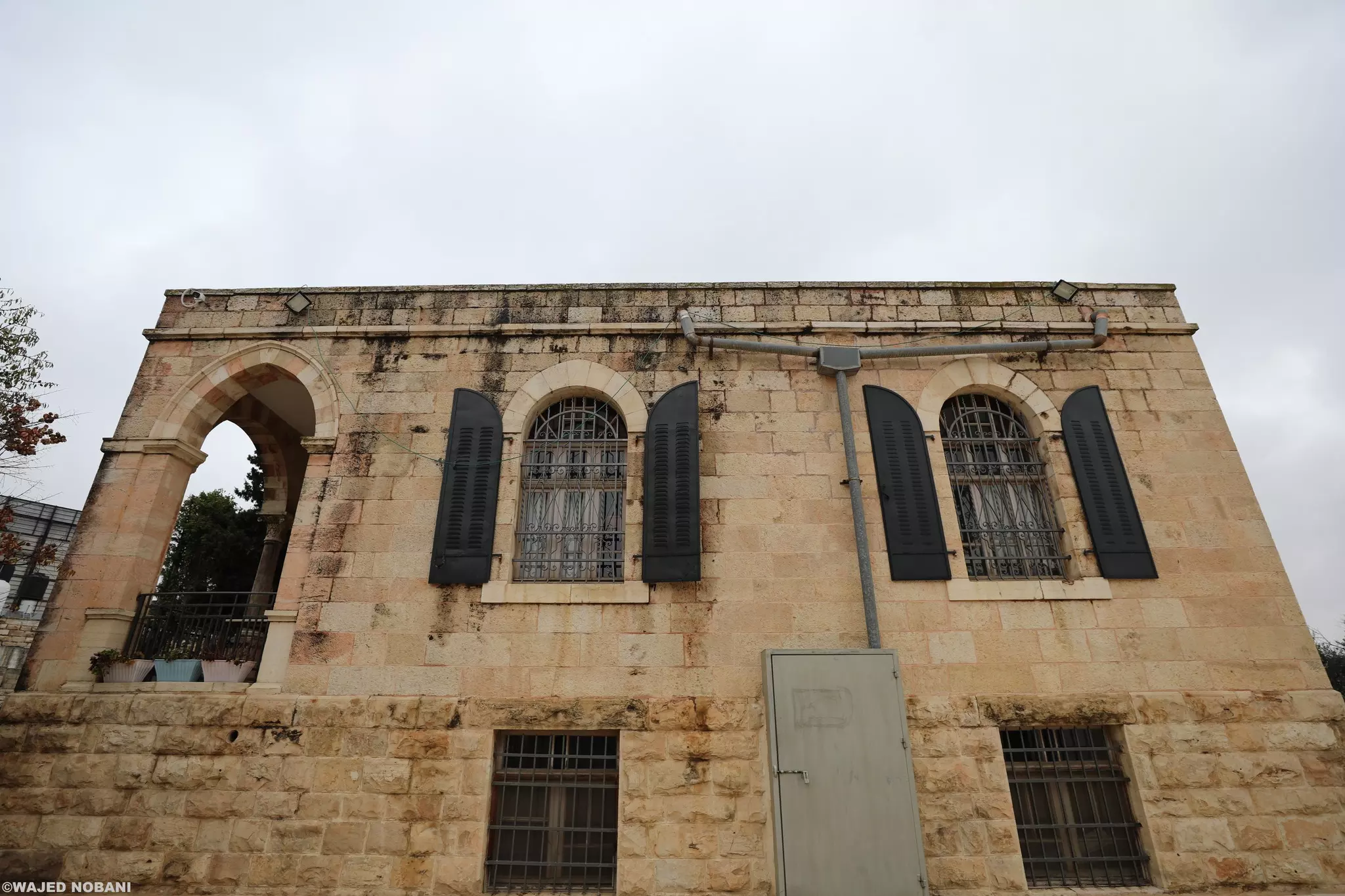
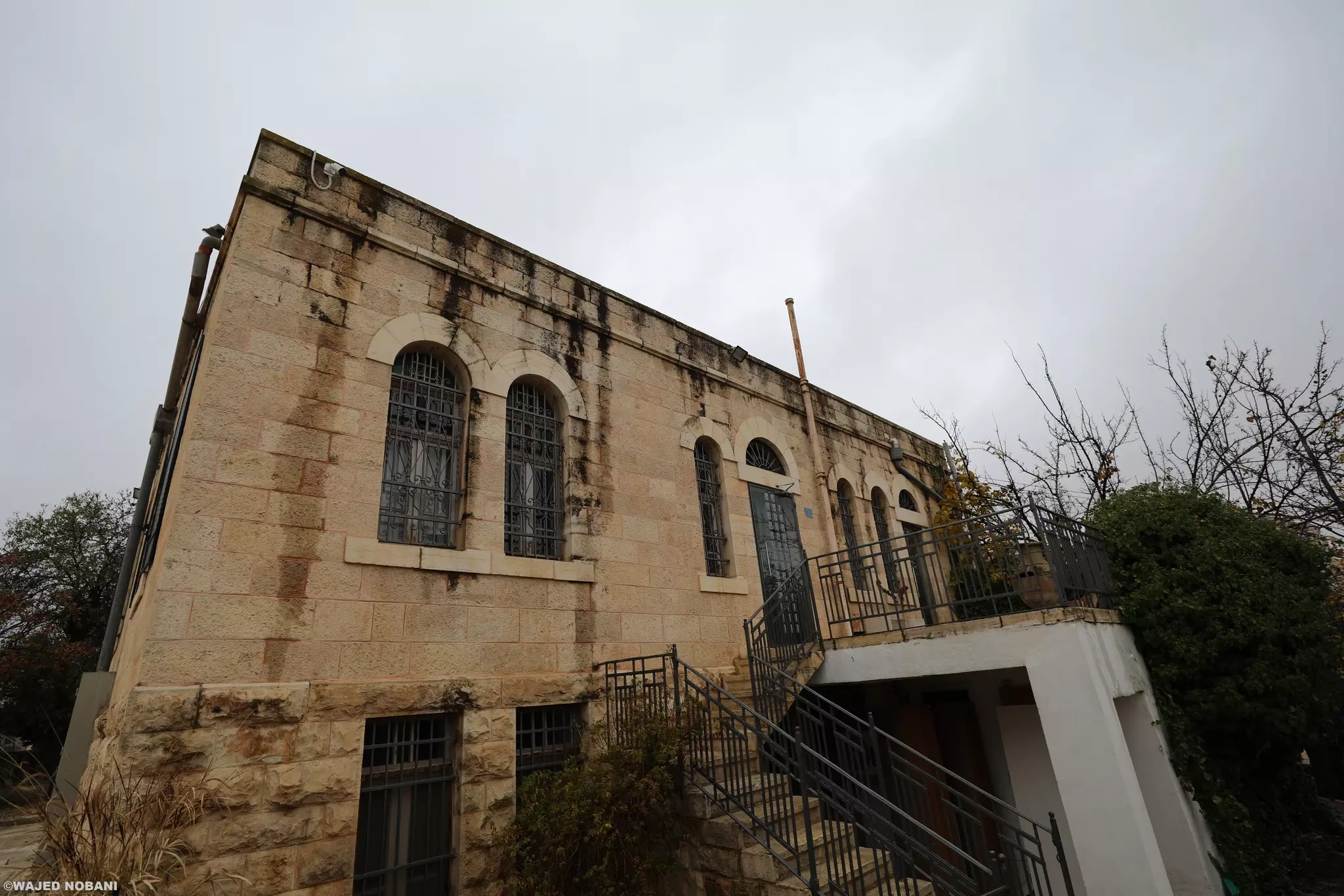
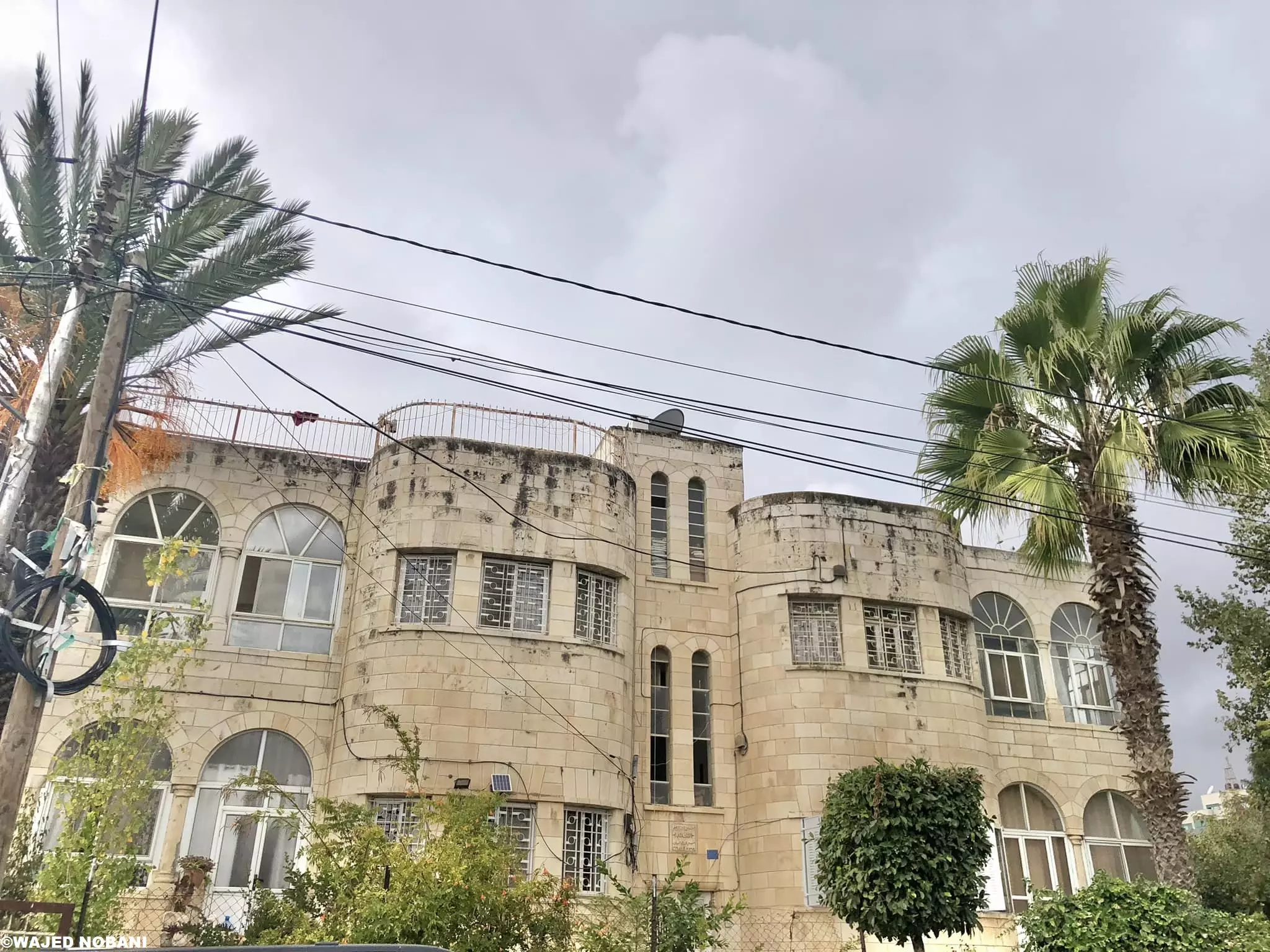
- جولة بين بيوت البيرة القديمة -- واجد النوباني -- واجد النوباني
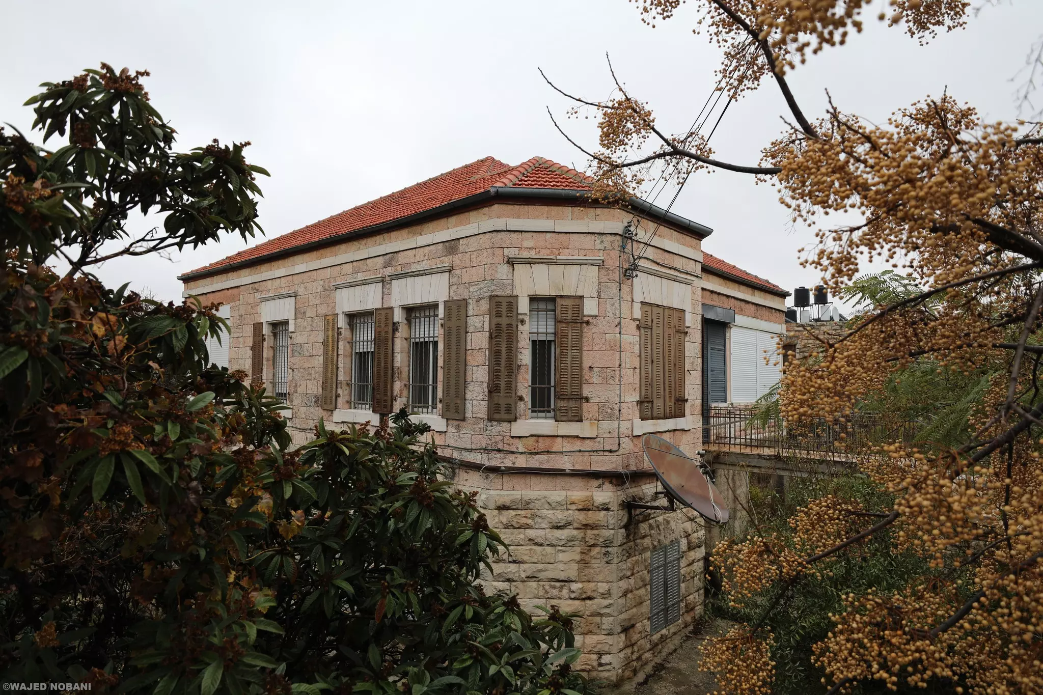
- جولة بين بيوت البيرة القديمة -- واجد النوباني -- واجد النوباني #2
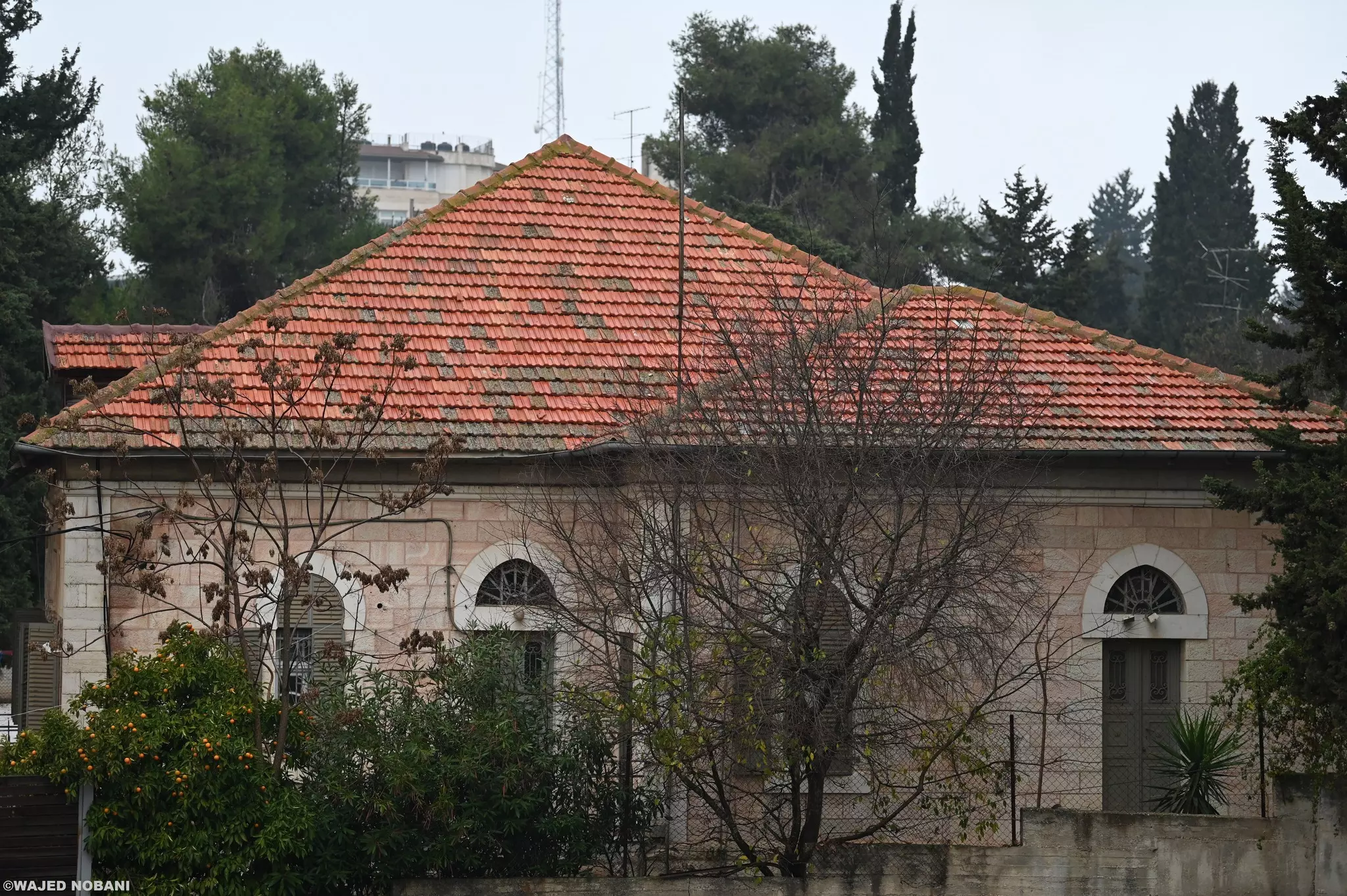
- جولة بين بيوت البيرة القديمة -- واجد النوباني -- واجد النوباني #3
- جولة بين بيوت البيرة القديمة -- واجد النوباني -- واجد النوباني #4
- جولة بين بيوت البيرة القديمة -- واجد النوباني -- واجد النوباني #5
- جولة بين بيوت البيرة القديمة -- واجد النوباني -- واجد النوباني #6
- جولة بين بيوت البيرة القديمة -- واجد النوباني -- واجد النوباني #7
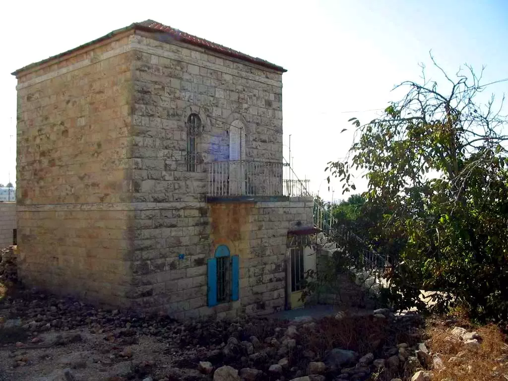
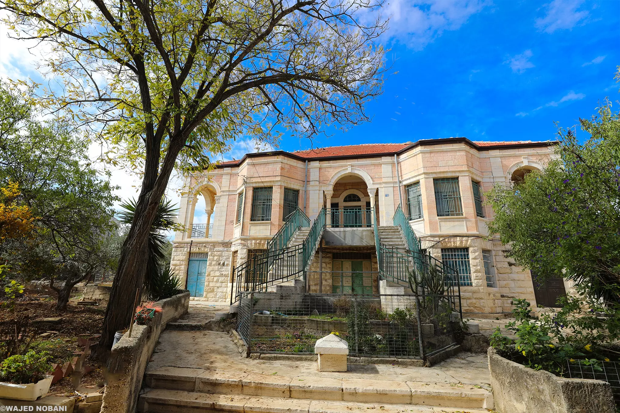
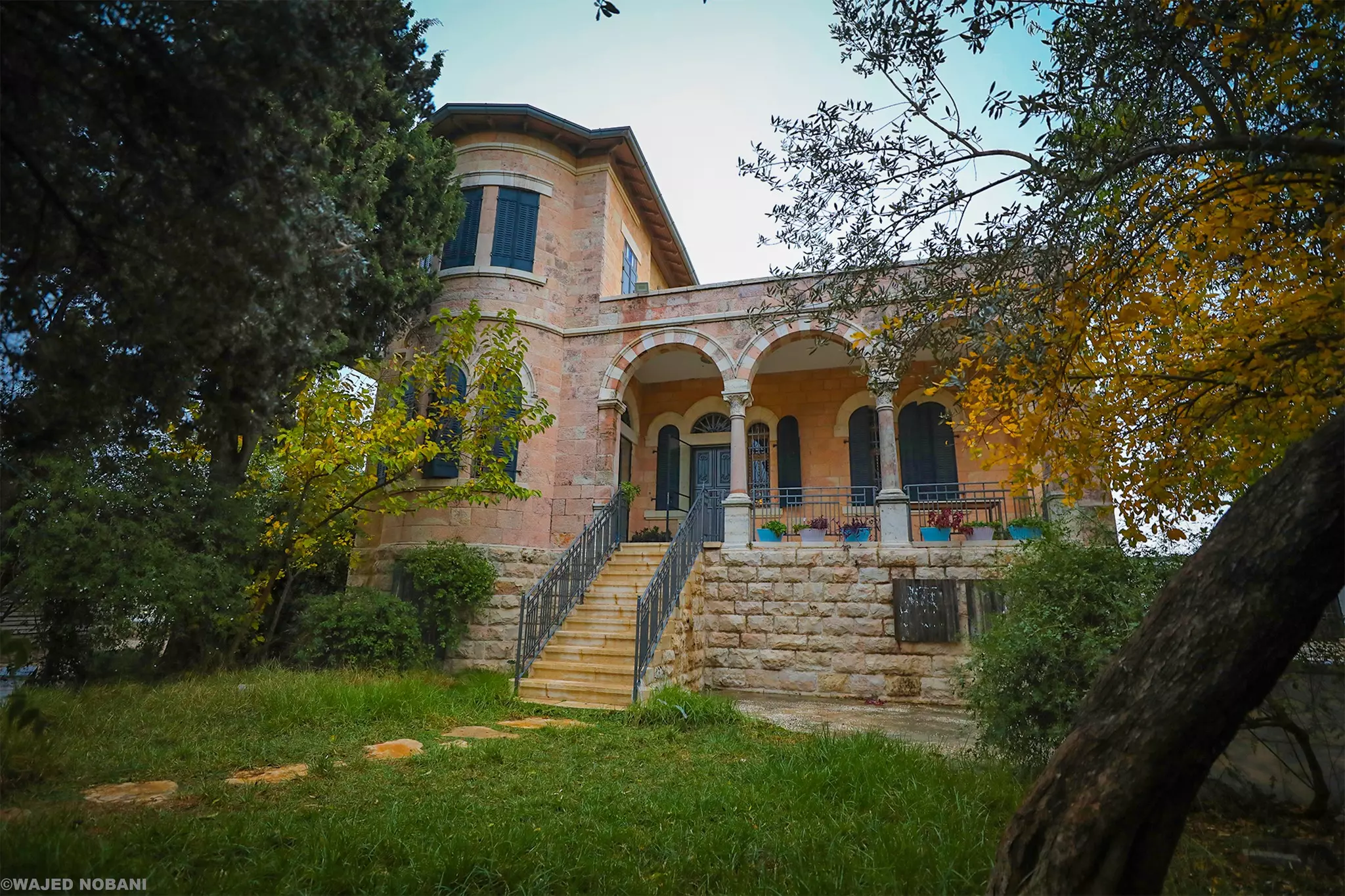
- بيت قديم
- بيت في البيرة، على طريق البيرة القدس -- واجد النوباني
- بيت في البيرة -- واجد النوباني
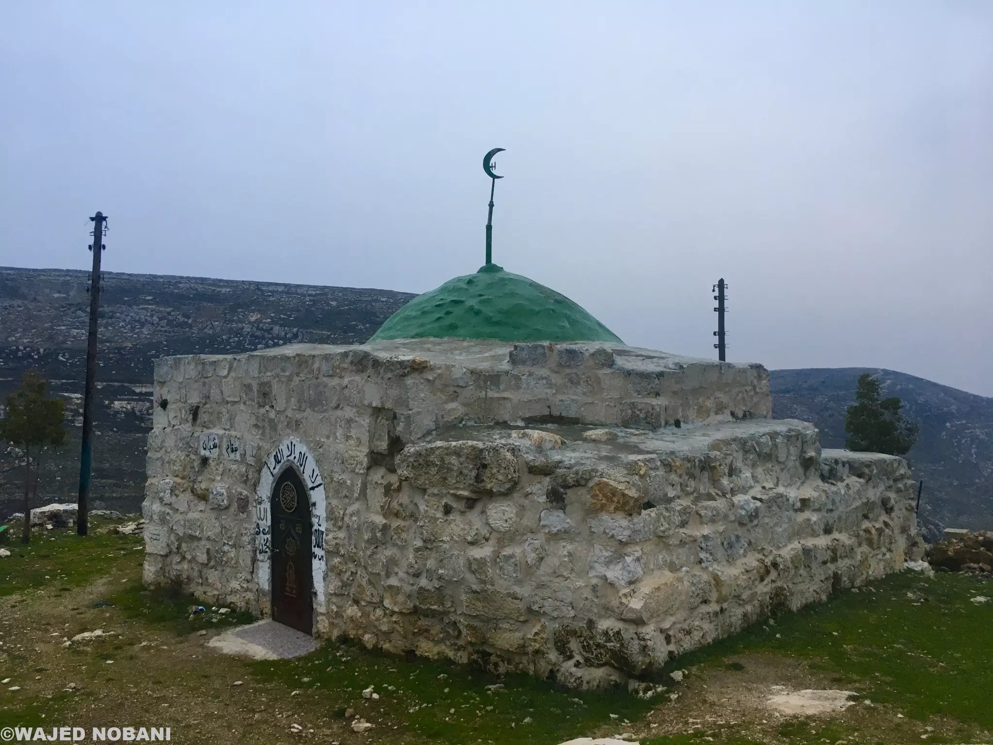
- مقام النبي شيبان -- واجد النوباني
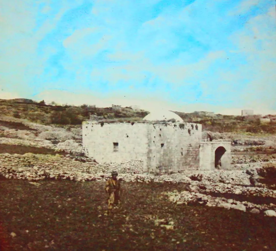
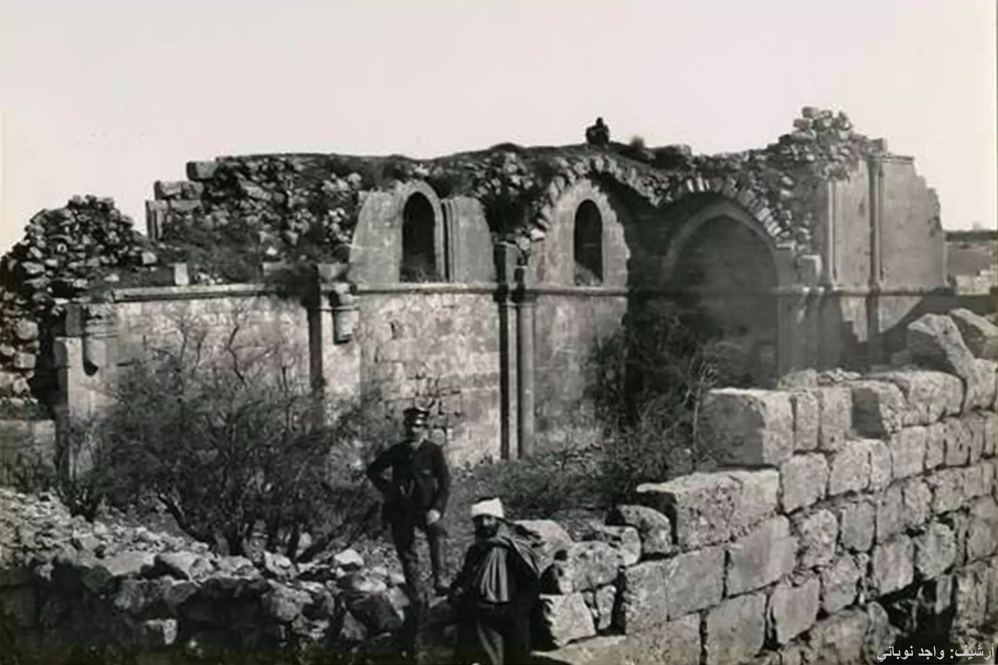
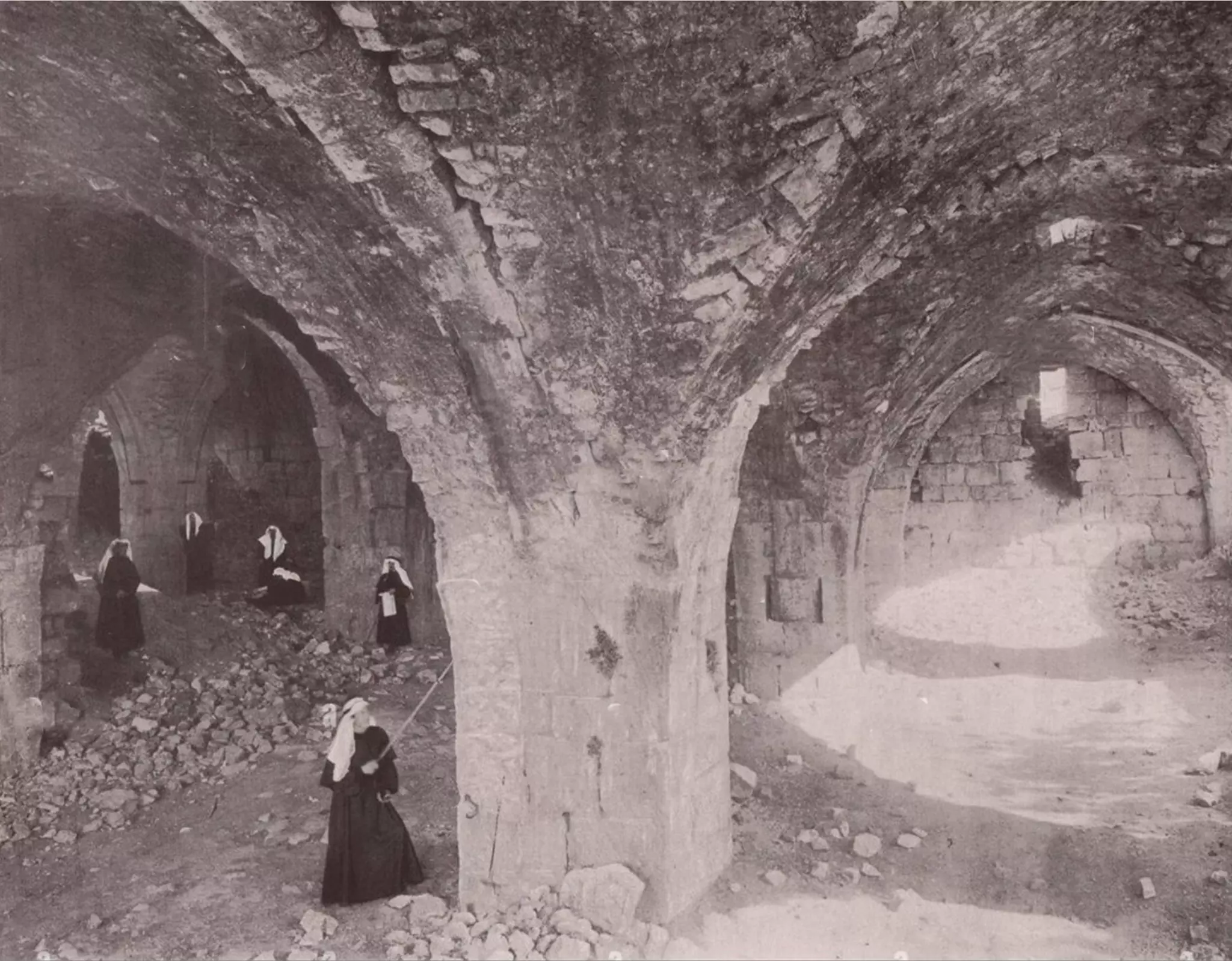
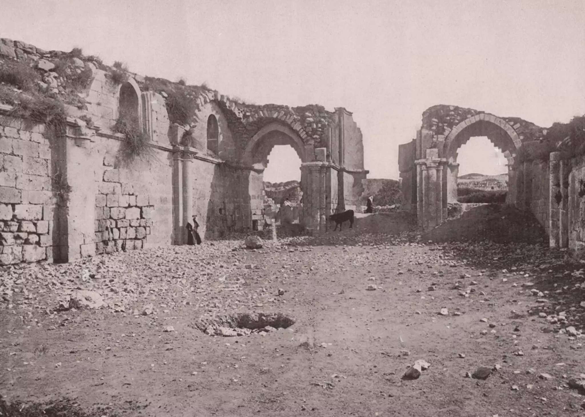
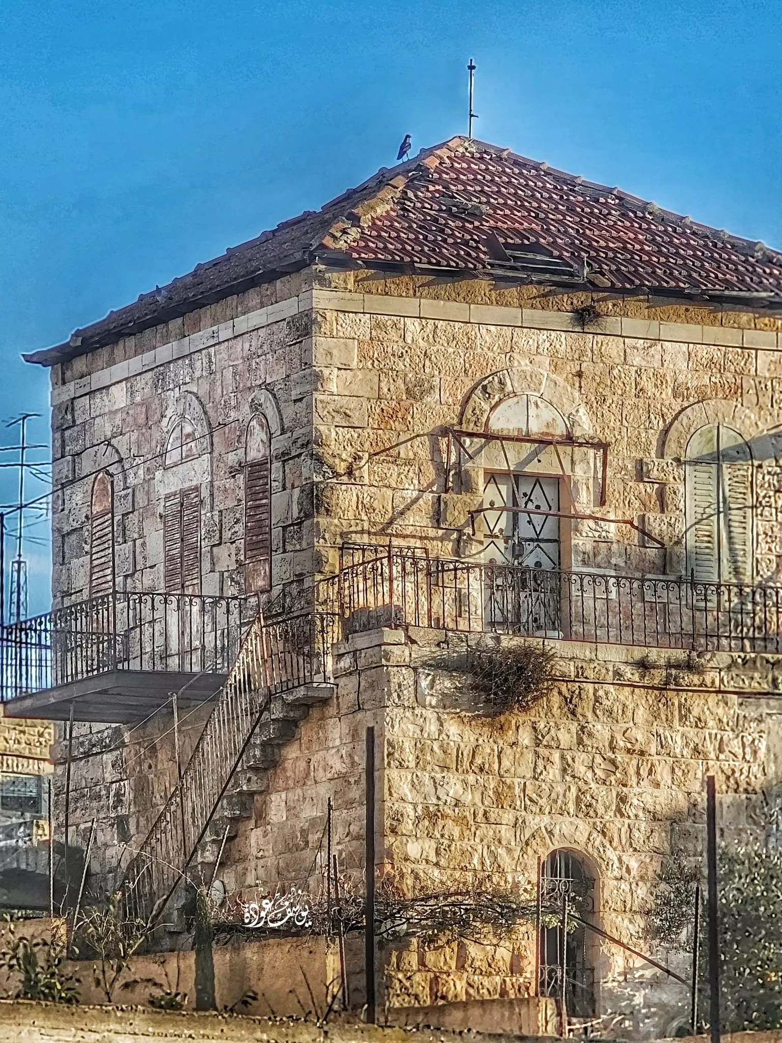
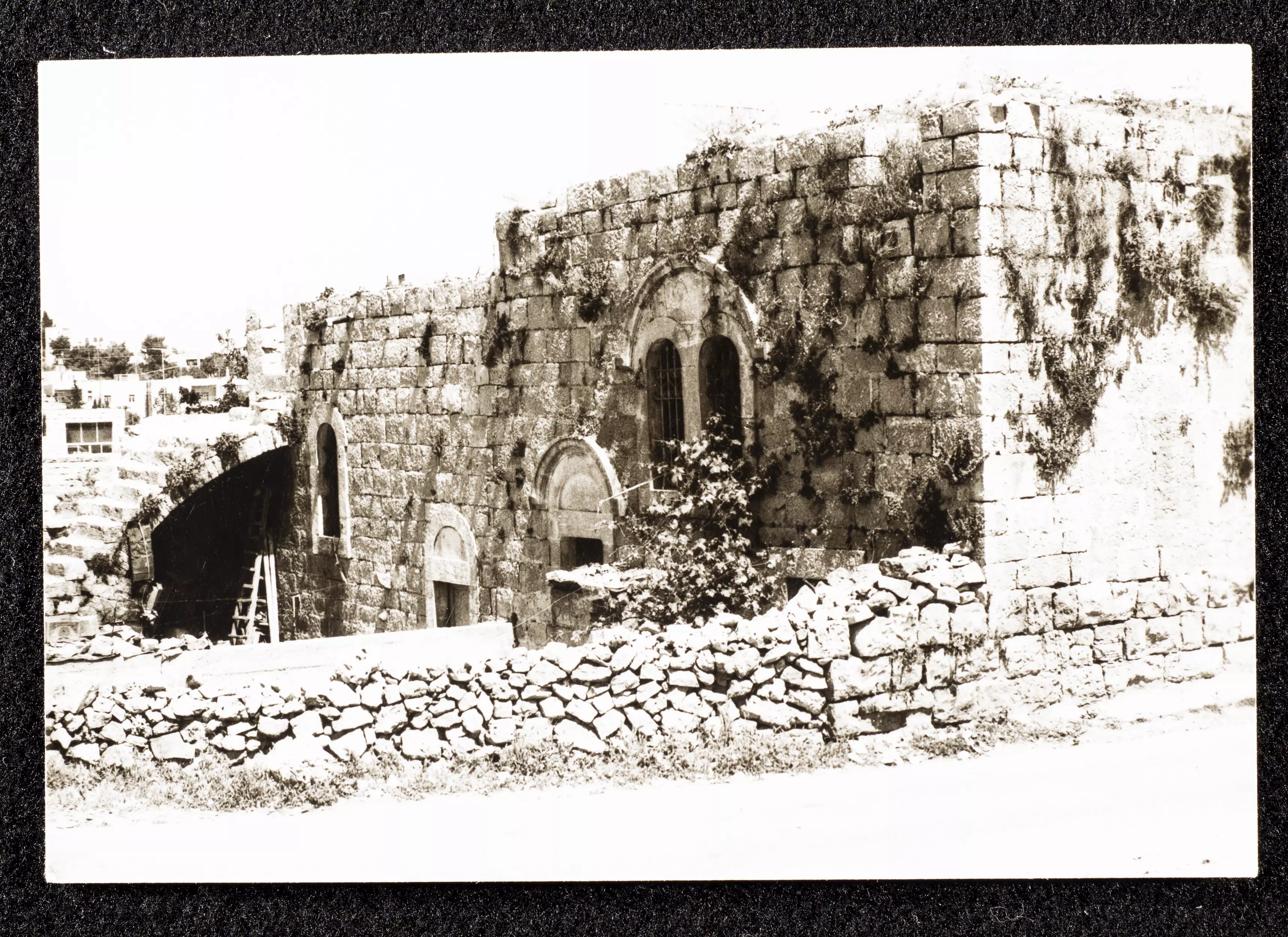
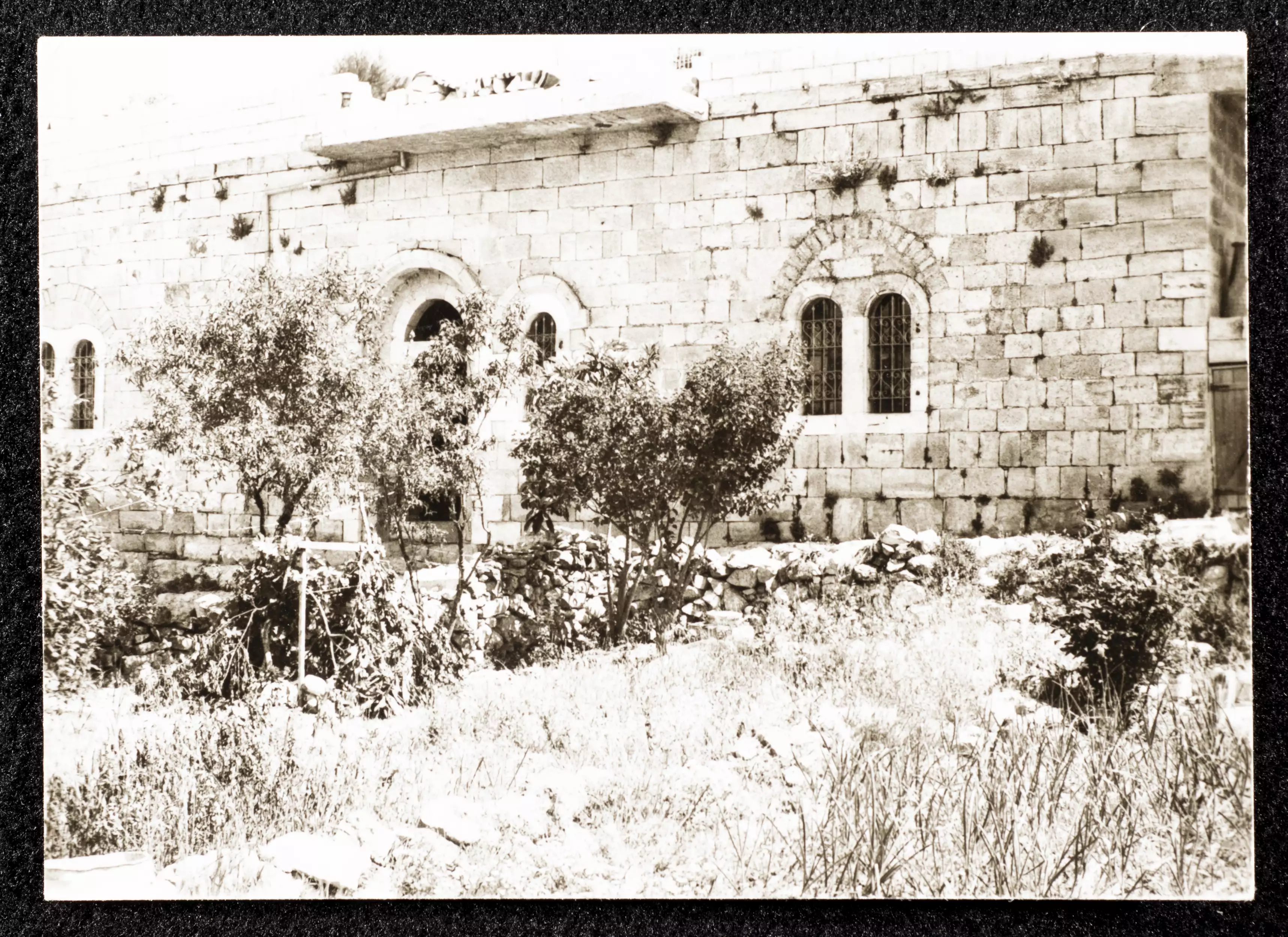
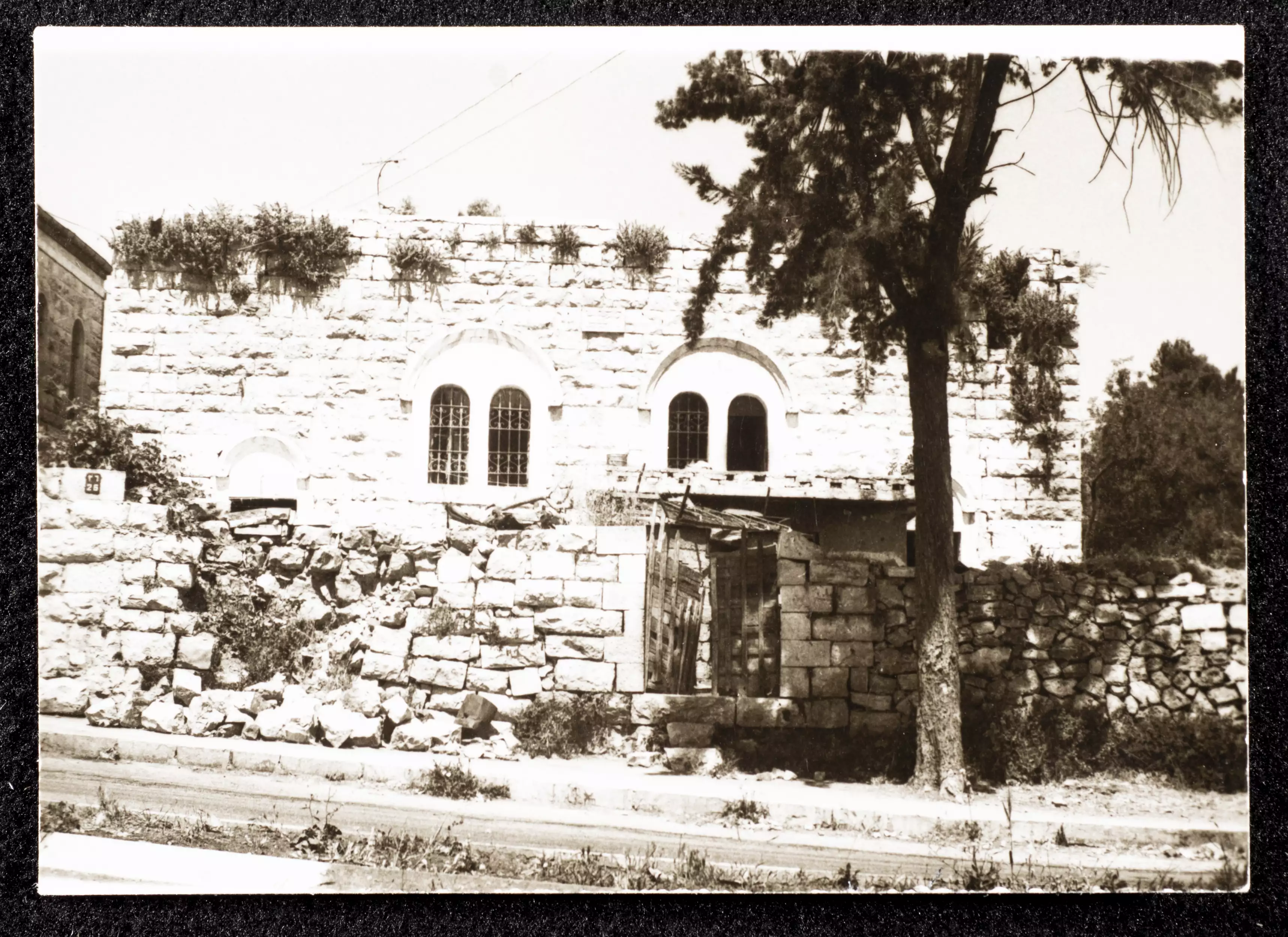
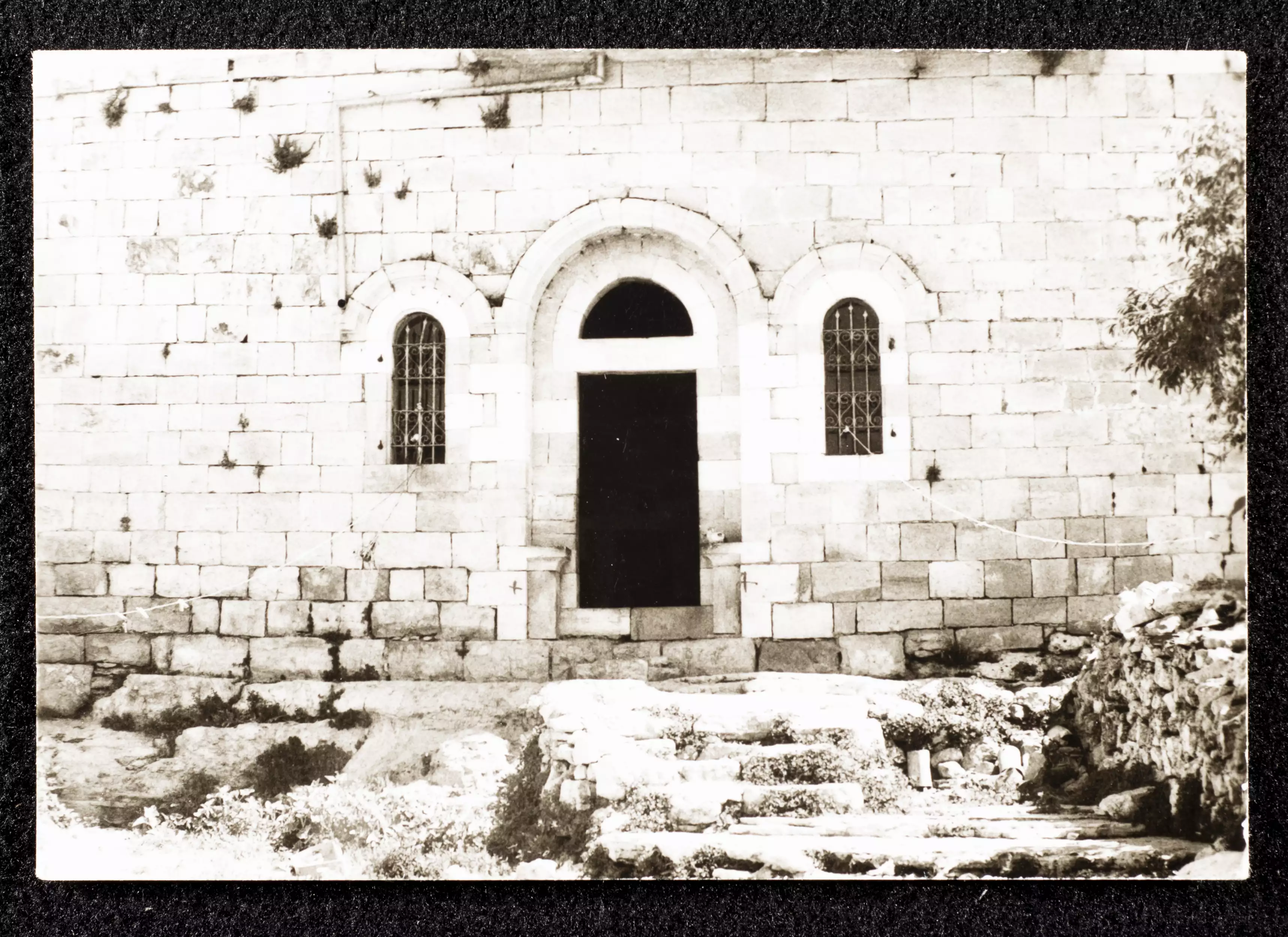
- البيرة في القرن الماضي. كنيسة قديمة مكرسة لمريم البتول.
- كنيسة البيرة المكرسة لمريم البتول. بناها الصليبيون في القرن الثاني عشر وقد حافظت على شكلها باستثناء السقف حتى وقت قريب، للأسف في الحرب العالمية الأولى قام الأتراك بهدم بعض الجدران لاستعمالها في بناء جسر حجري، لكنها حافظت على بعض الجدران وبقيت قائمة كما تظهر صور حتى ما بعد عام 1922م. اليوم بقي الجدرا الجنوبي فقط وأساسات الكنيسة وجرن المعمودية والهيكل.
- البيرة قبل 100 سنة
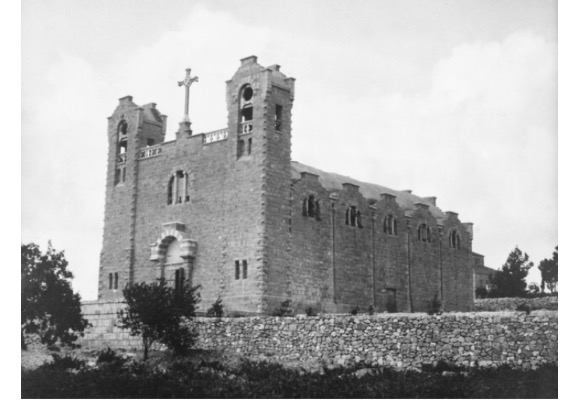
-كنيسة العائلة المقدسة
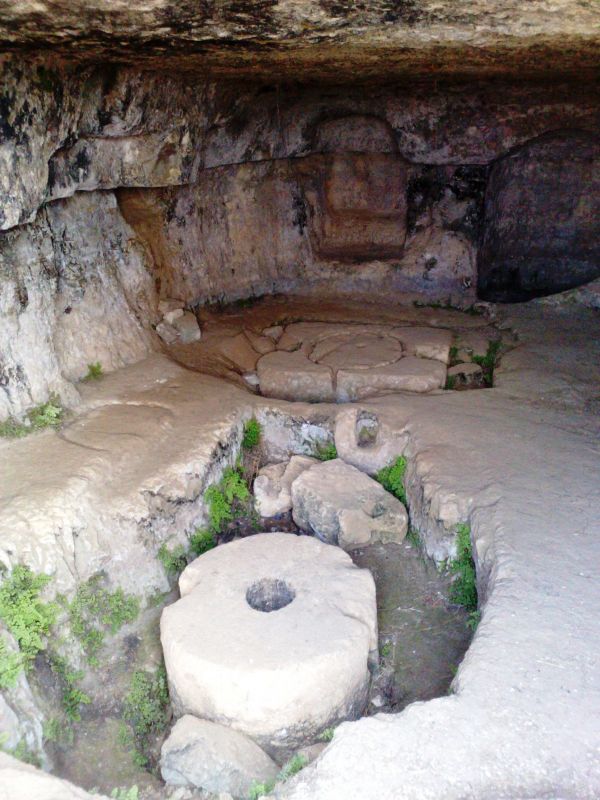
- معصرة زيتون - قرية نيسيا شرق البيرة
نيسيا هي قرية قديمة مهجورة وترجع للفترة الكنعانية ولا تبعد سوى مسافة قليلة عن البيرة حيث تقع على قمة جبلية ترتفع 857م مجاورة لجبل الطويل.
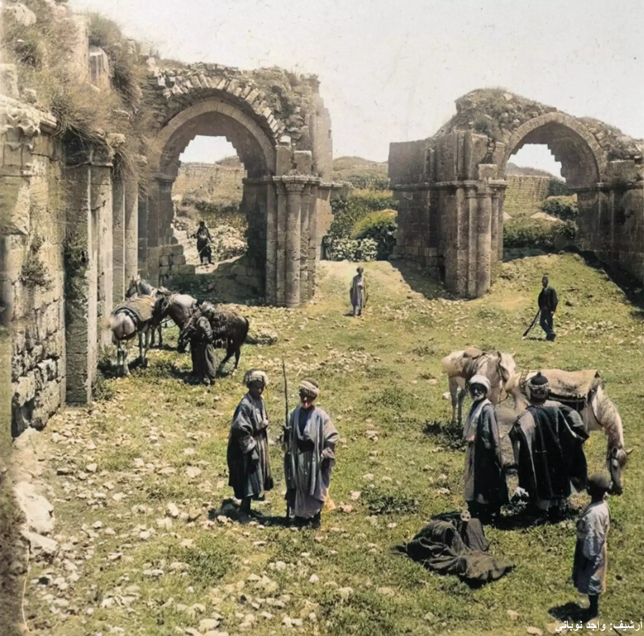
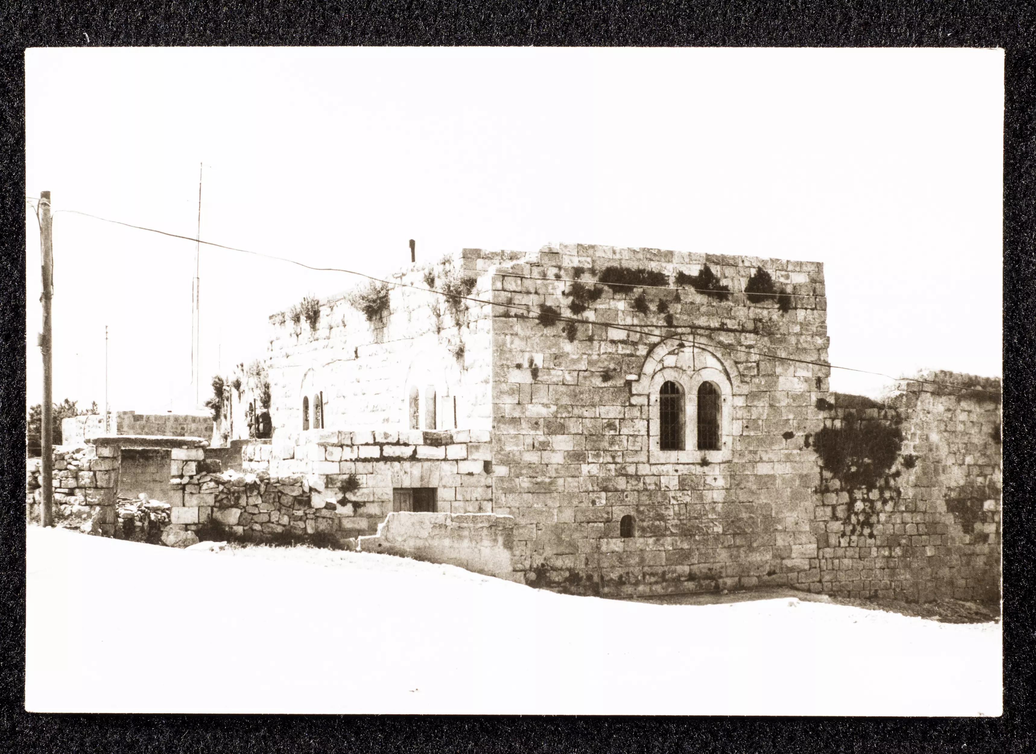
- خان البيرة. البناء من الفترة الصليبة -- 1900
- البيرة 1900م
- البيرة 1900م #2
- البيرة 1900م #3
- البيرة 1900م #4
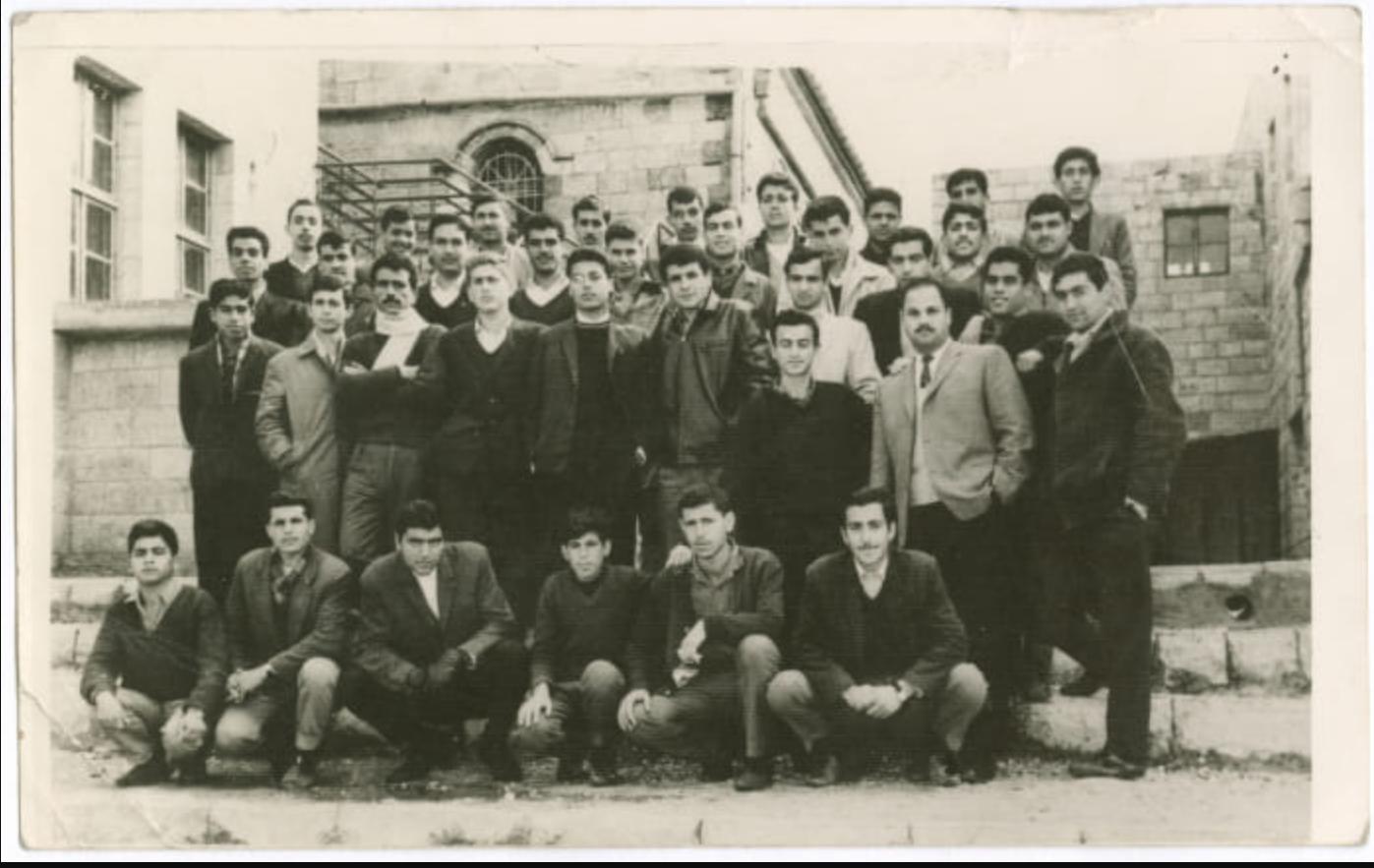
- خريجو التوجيهي في مدرسة الهاشمية البيرة عام 1966 ومنهم أبناء من بلدة بيرزيت
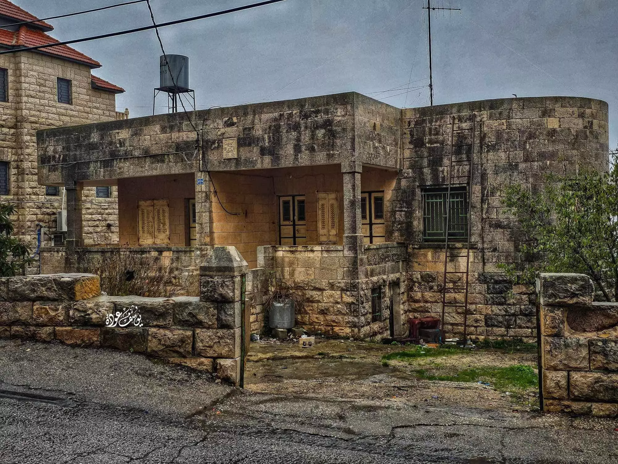
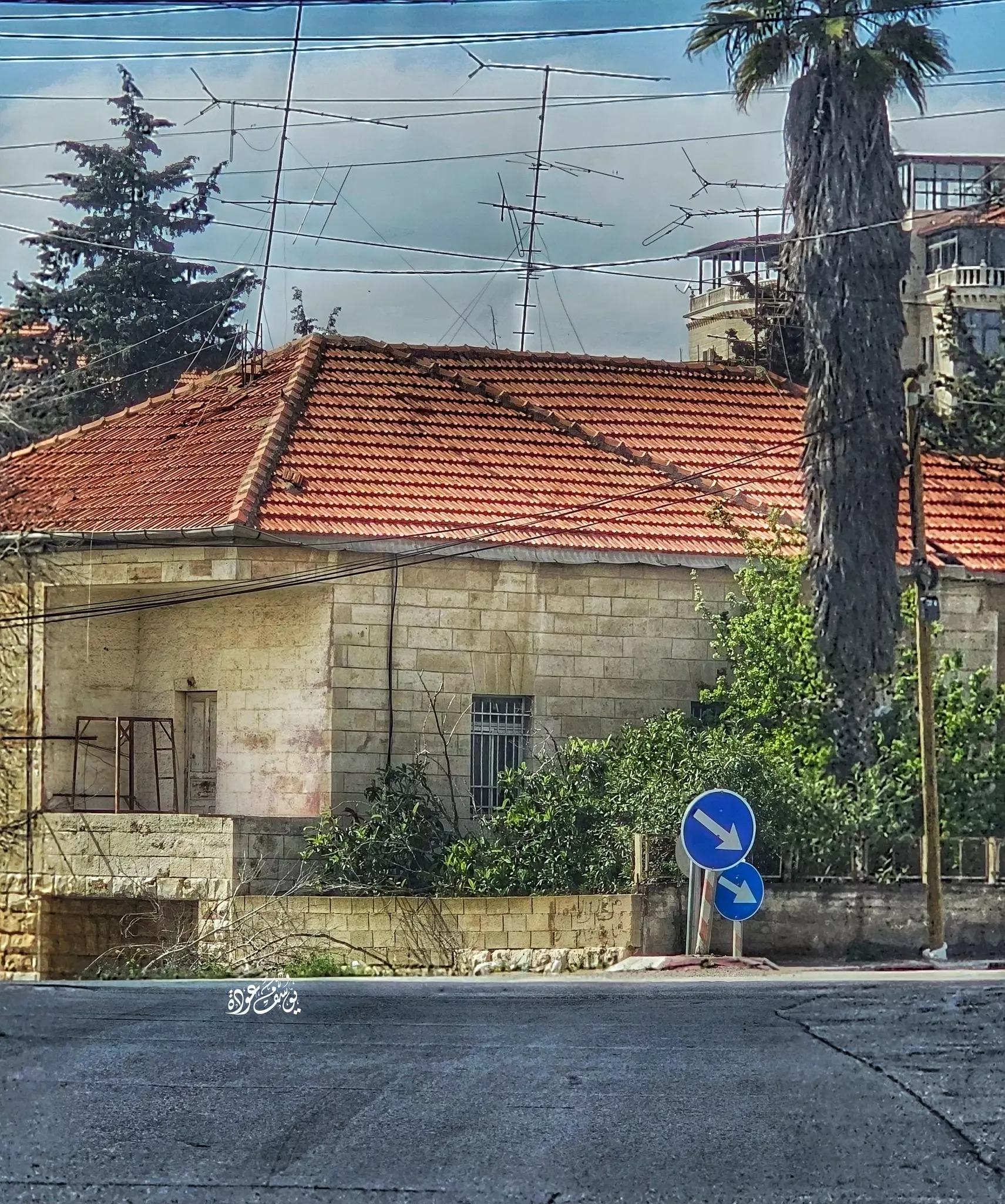
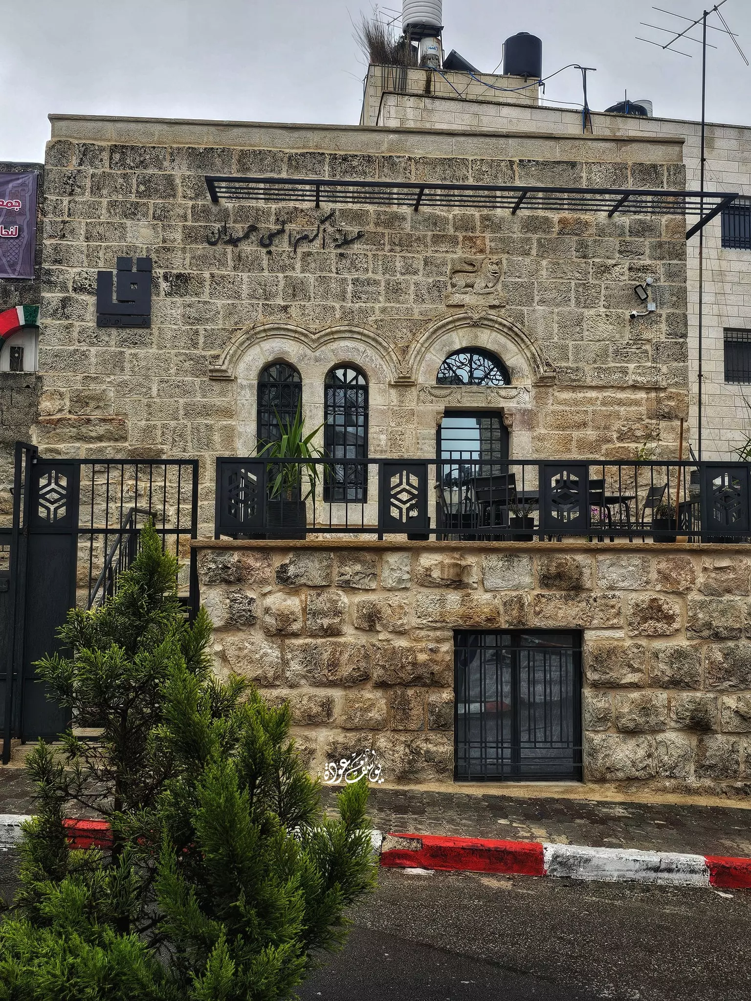
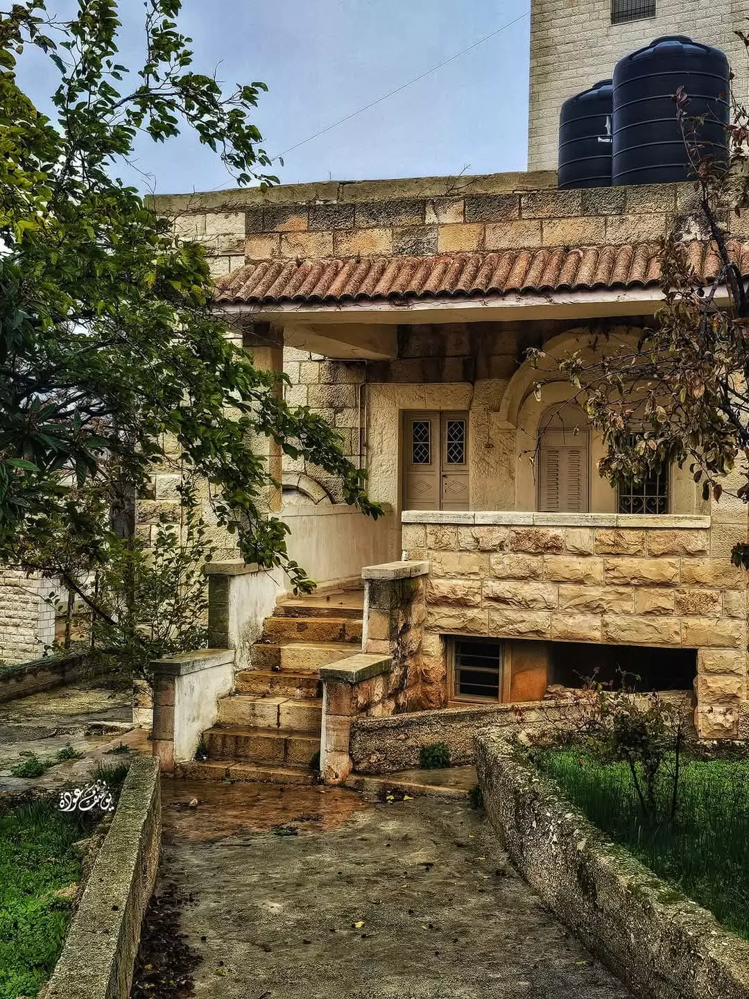
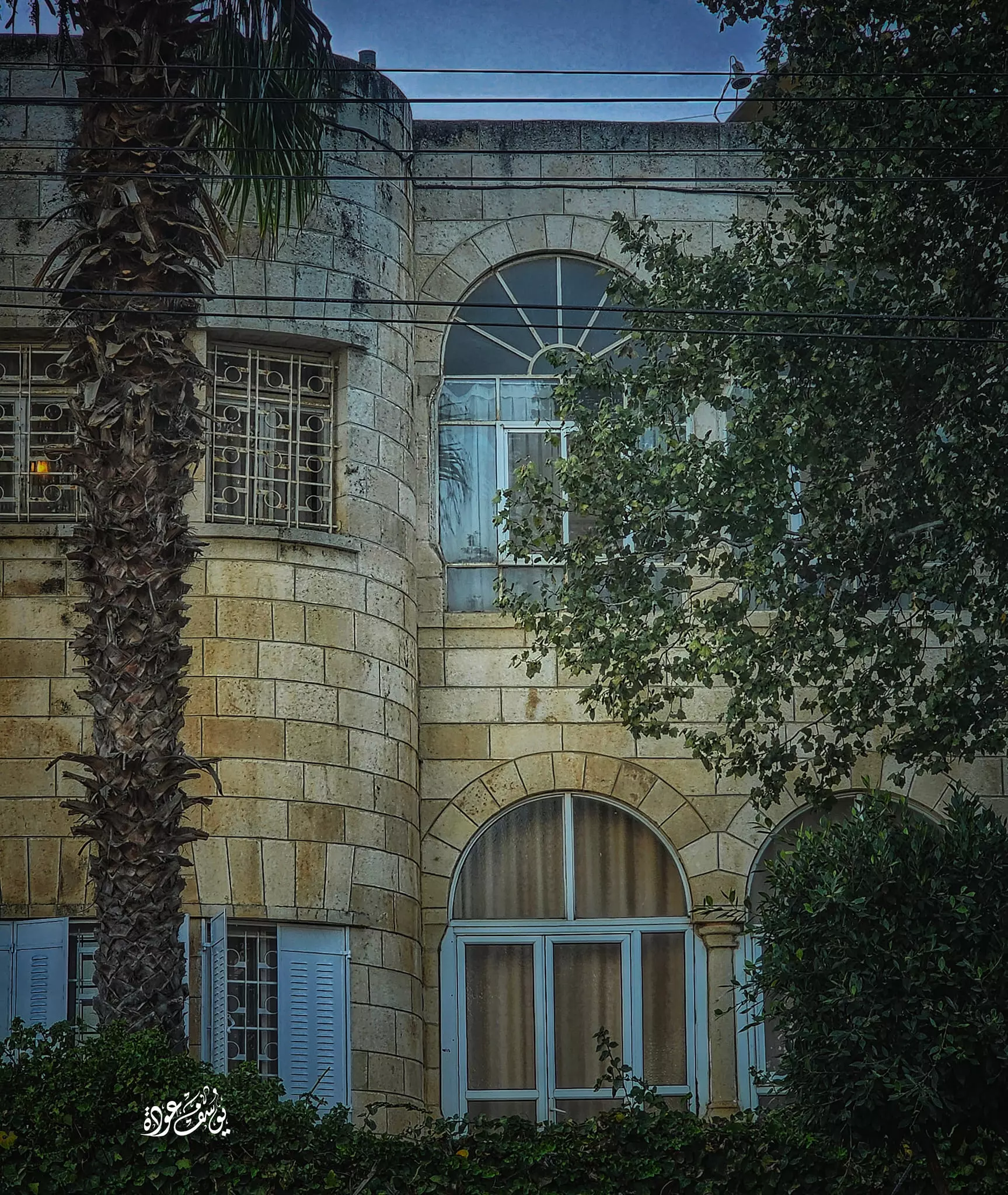
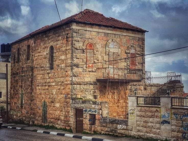
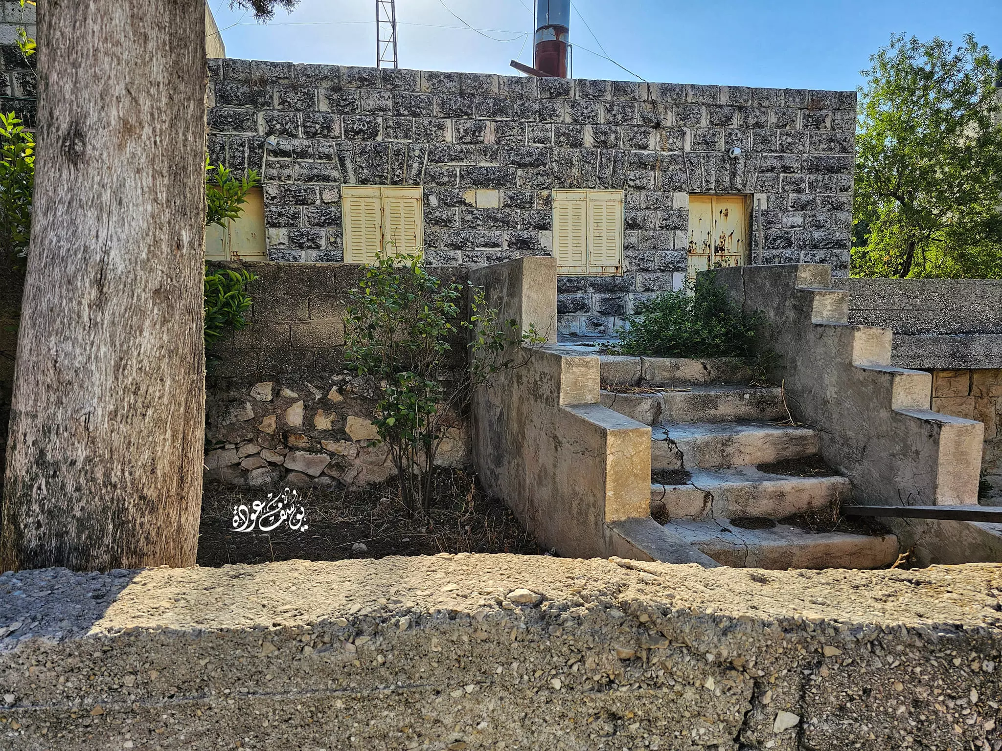
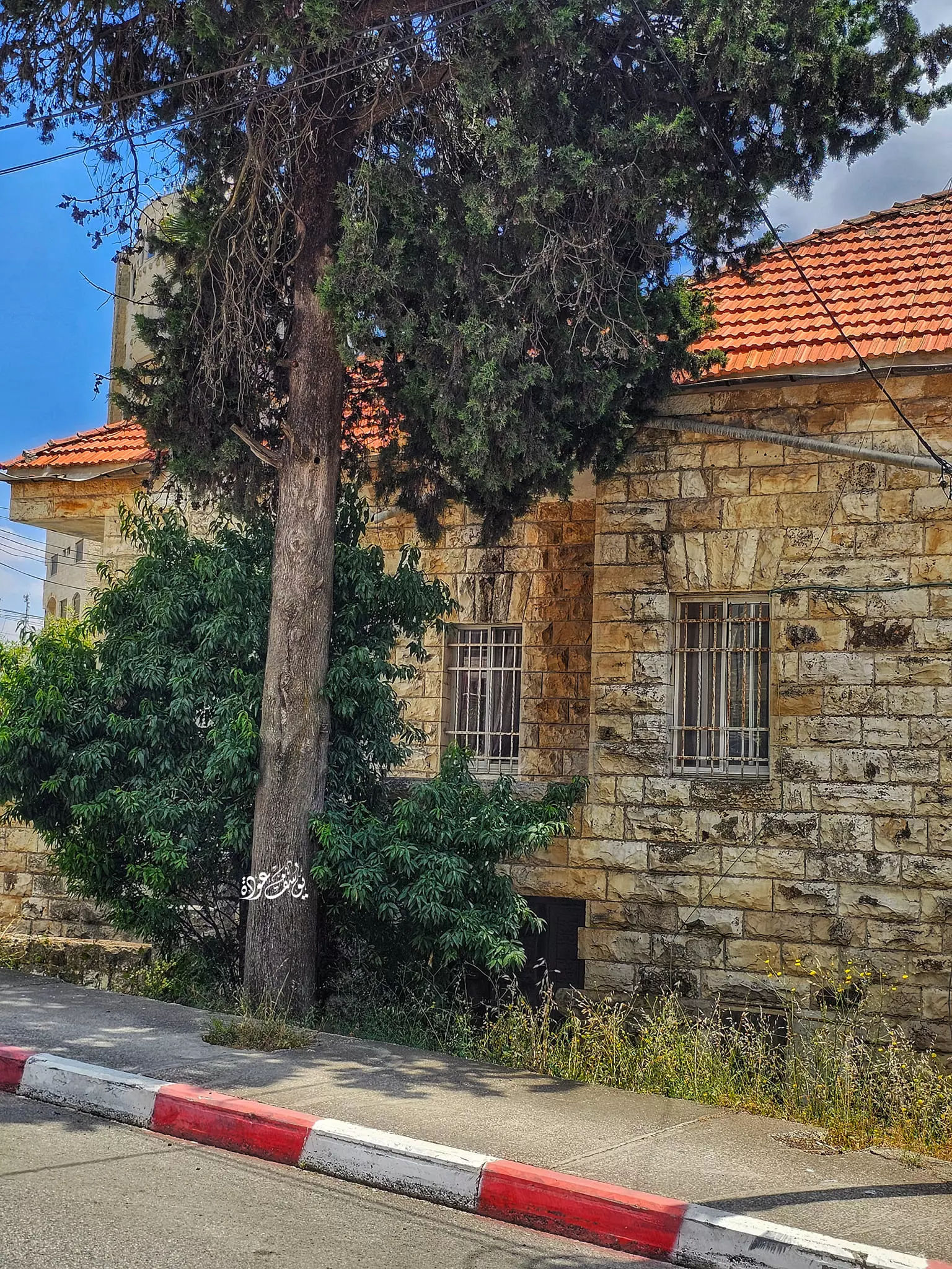
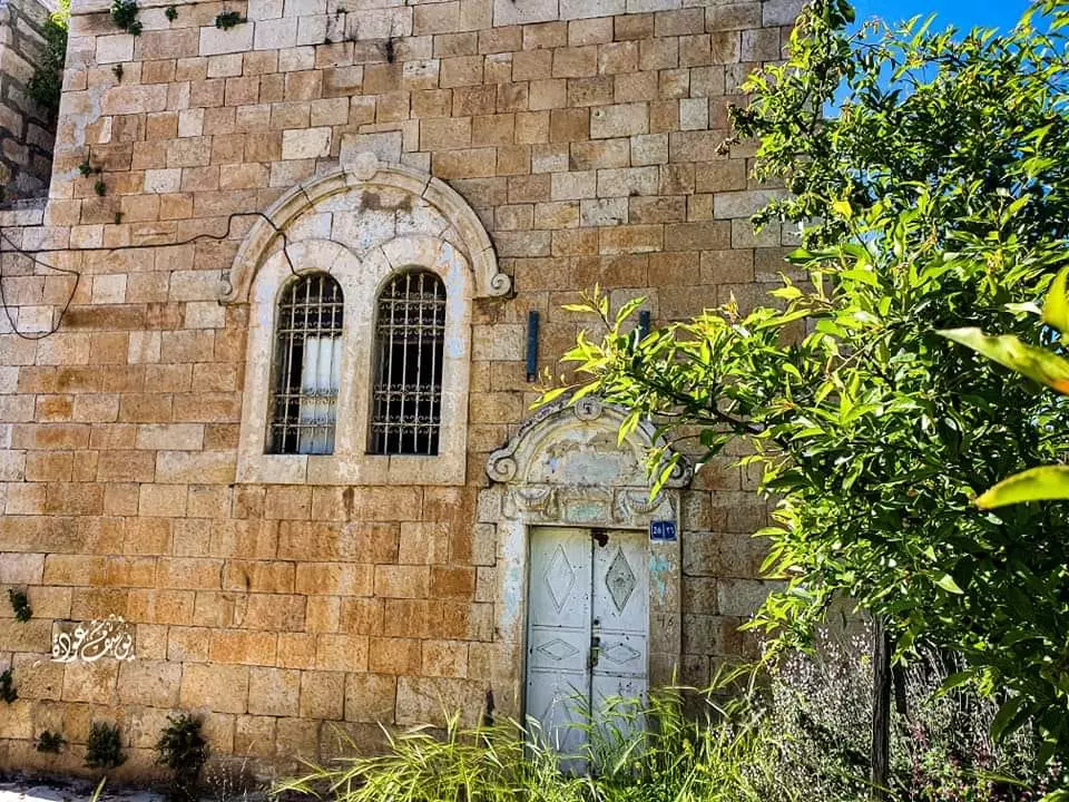
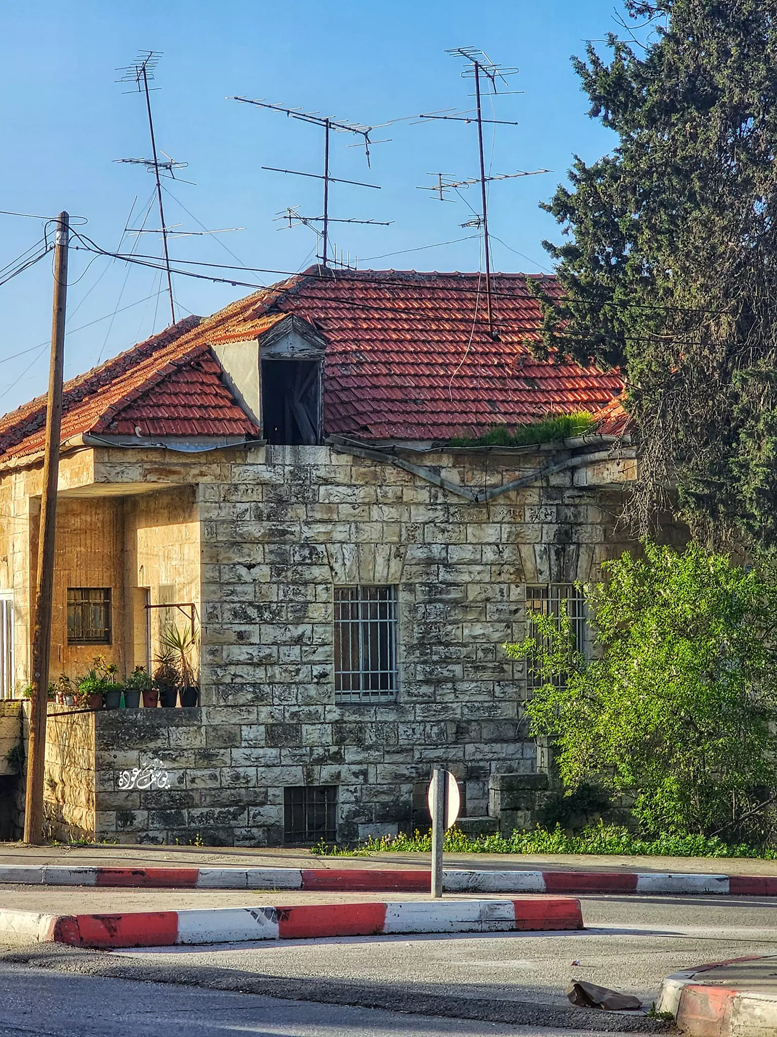
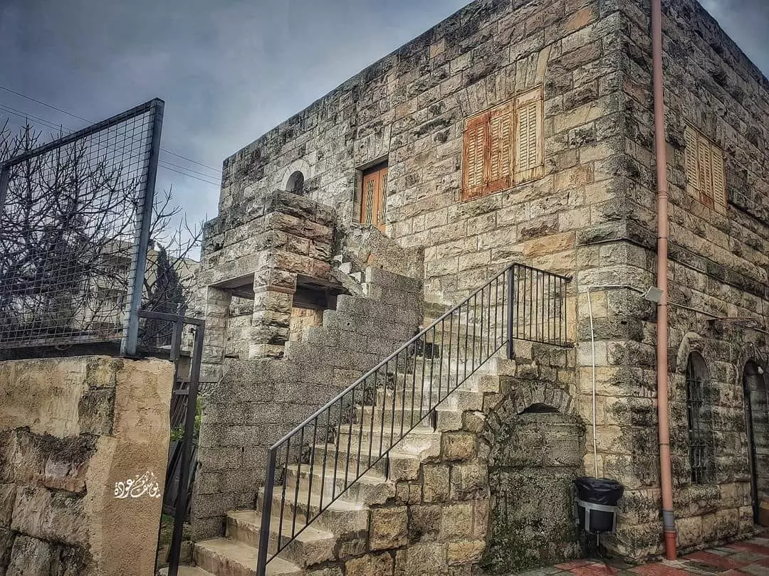
1 - بيت قديم من مدينة البيرة،،
تصوير الأستاذ :يوسف عودة.
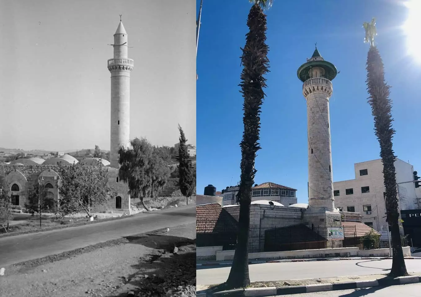
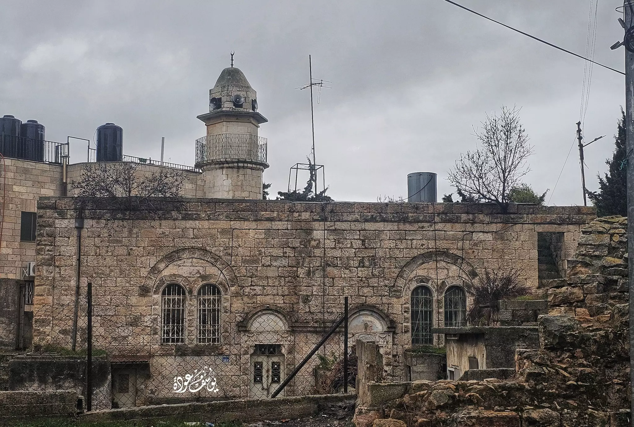
- مسجد العين بين الماضي والحاضر
مسجد العين في مدينة البيرة وقد أقيم على عين ماء ونُسِب لاحقاً إليها (جامع العين)، ويعود تاريخ إنشائه إلى الفترة العثمانية المتأخرة،
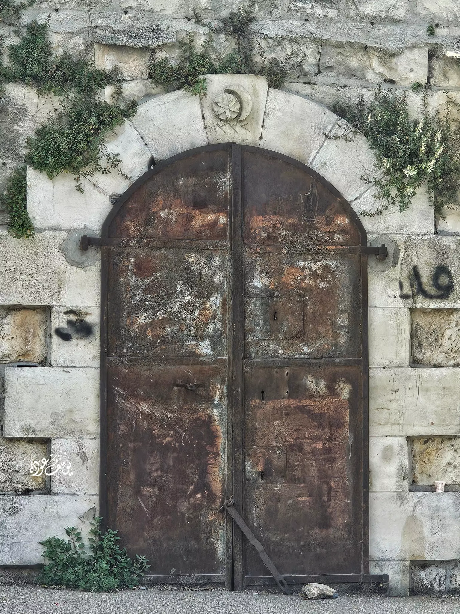
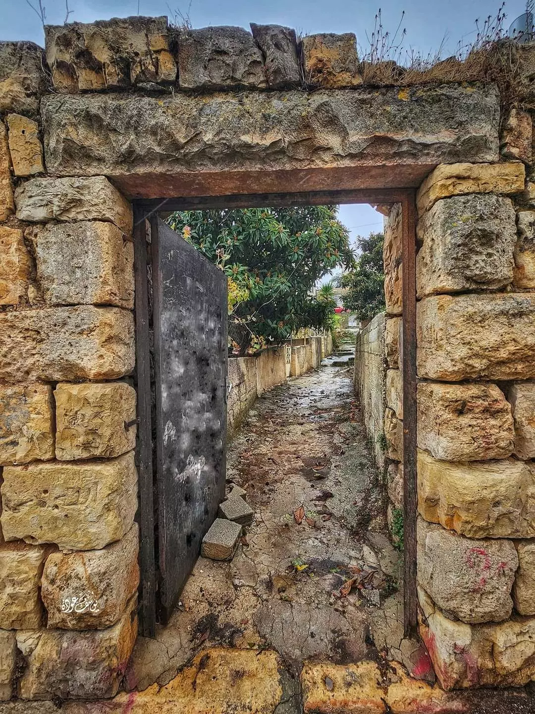
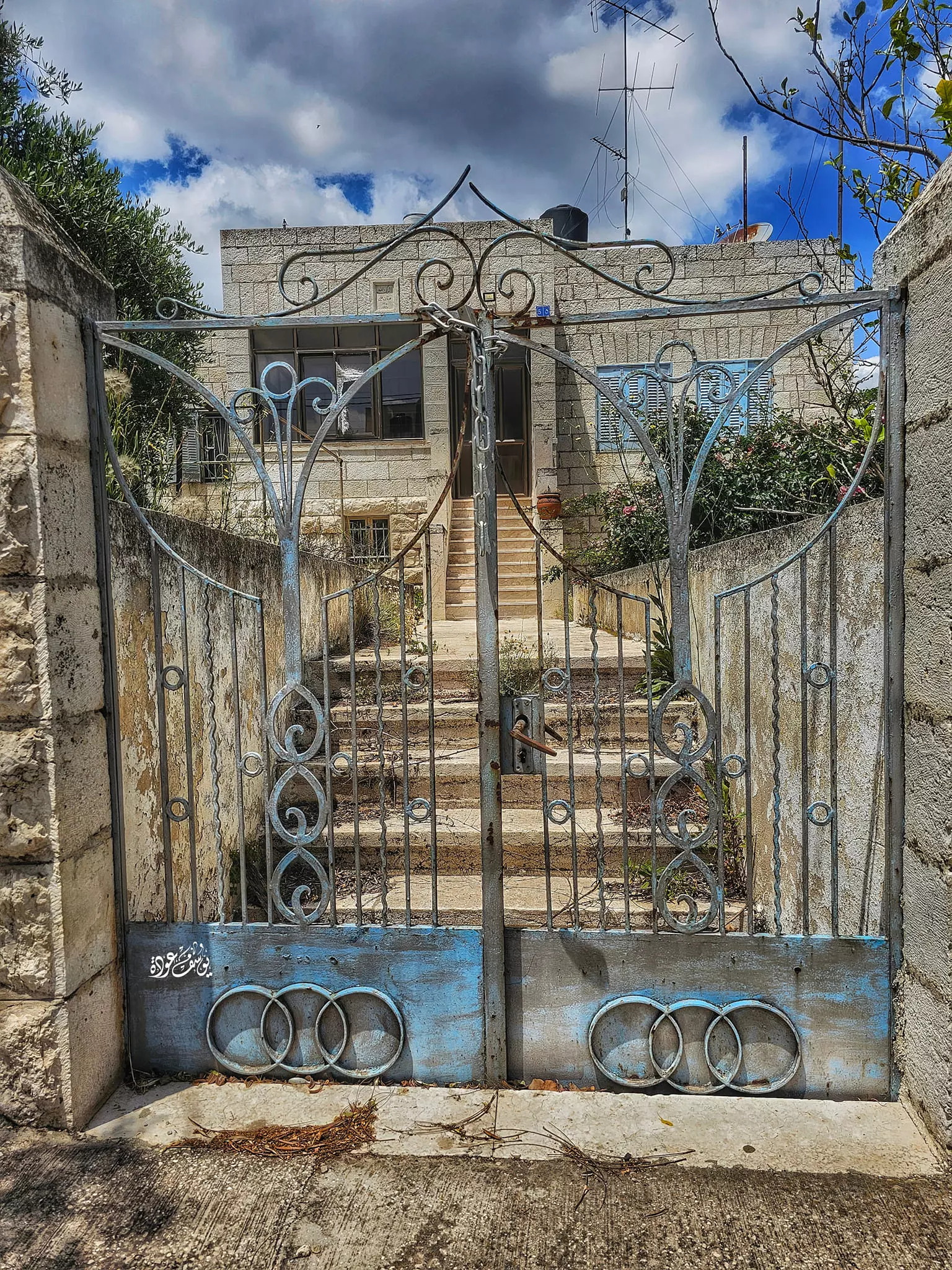
- باب قديم --Yousif Odeh
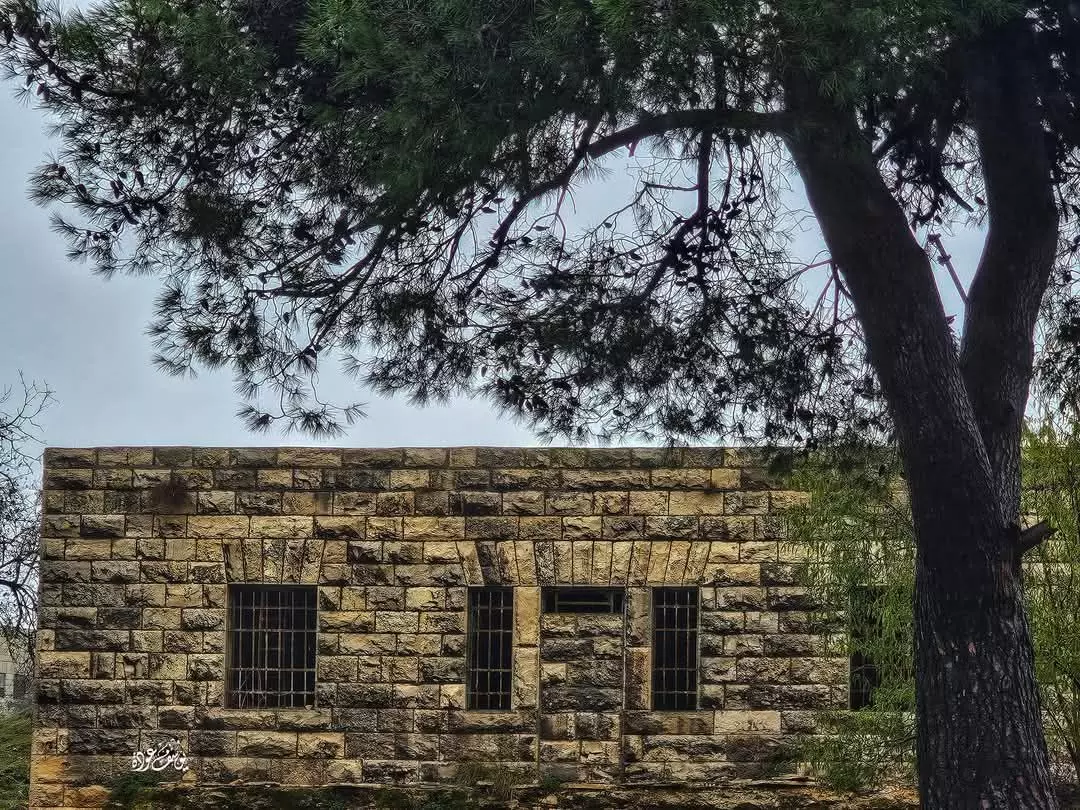
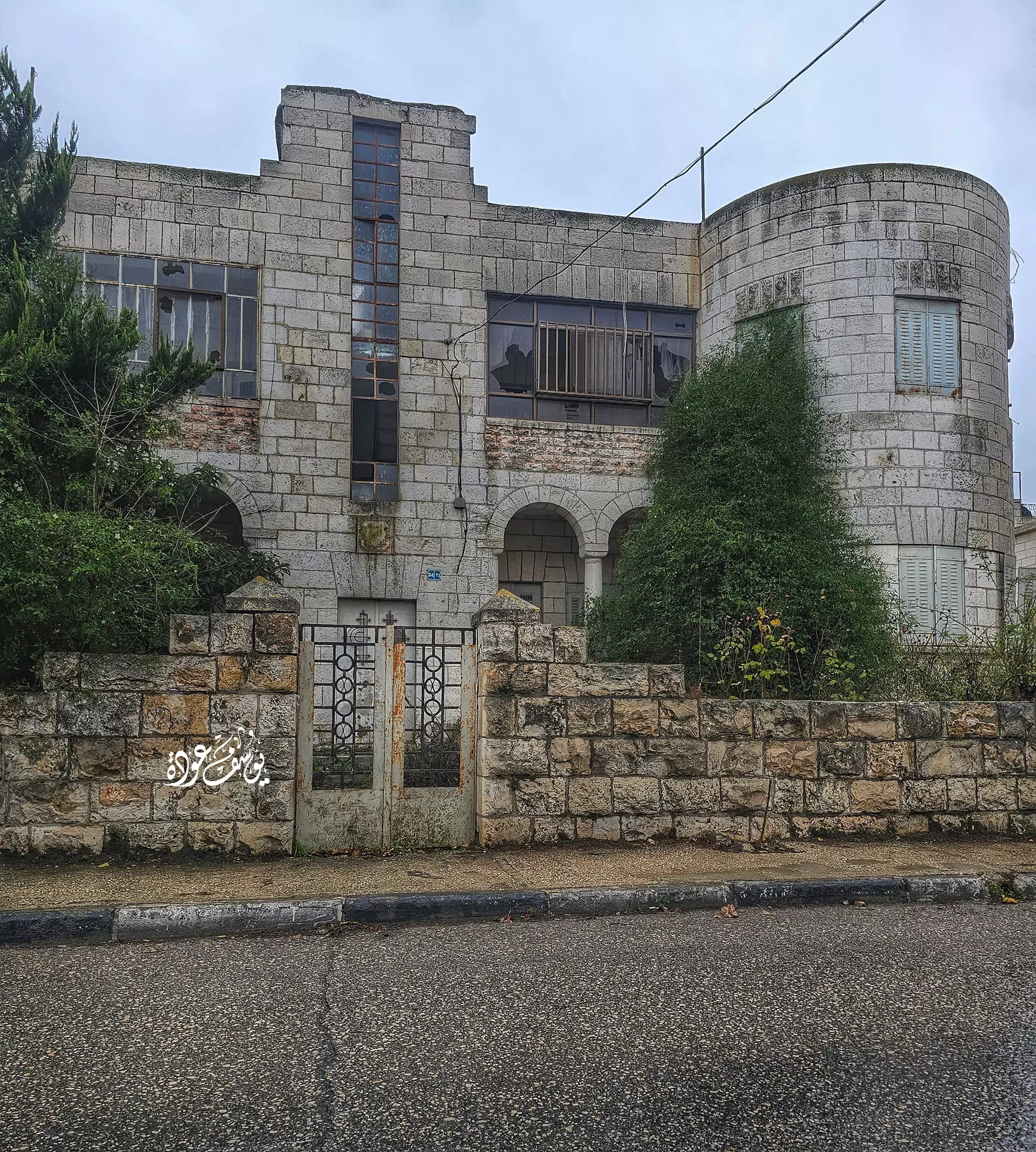
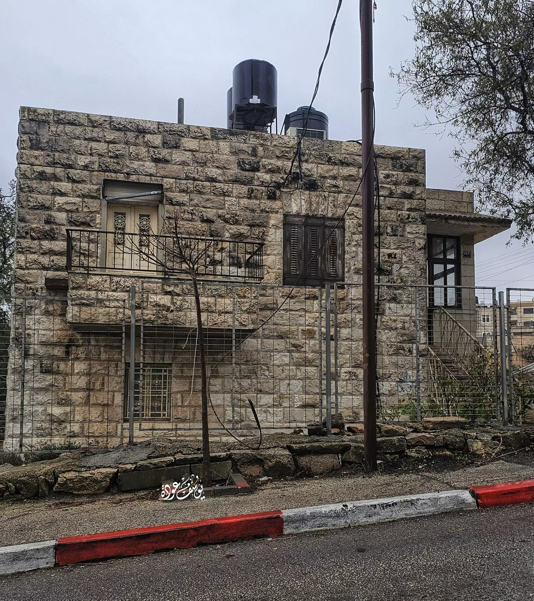
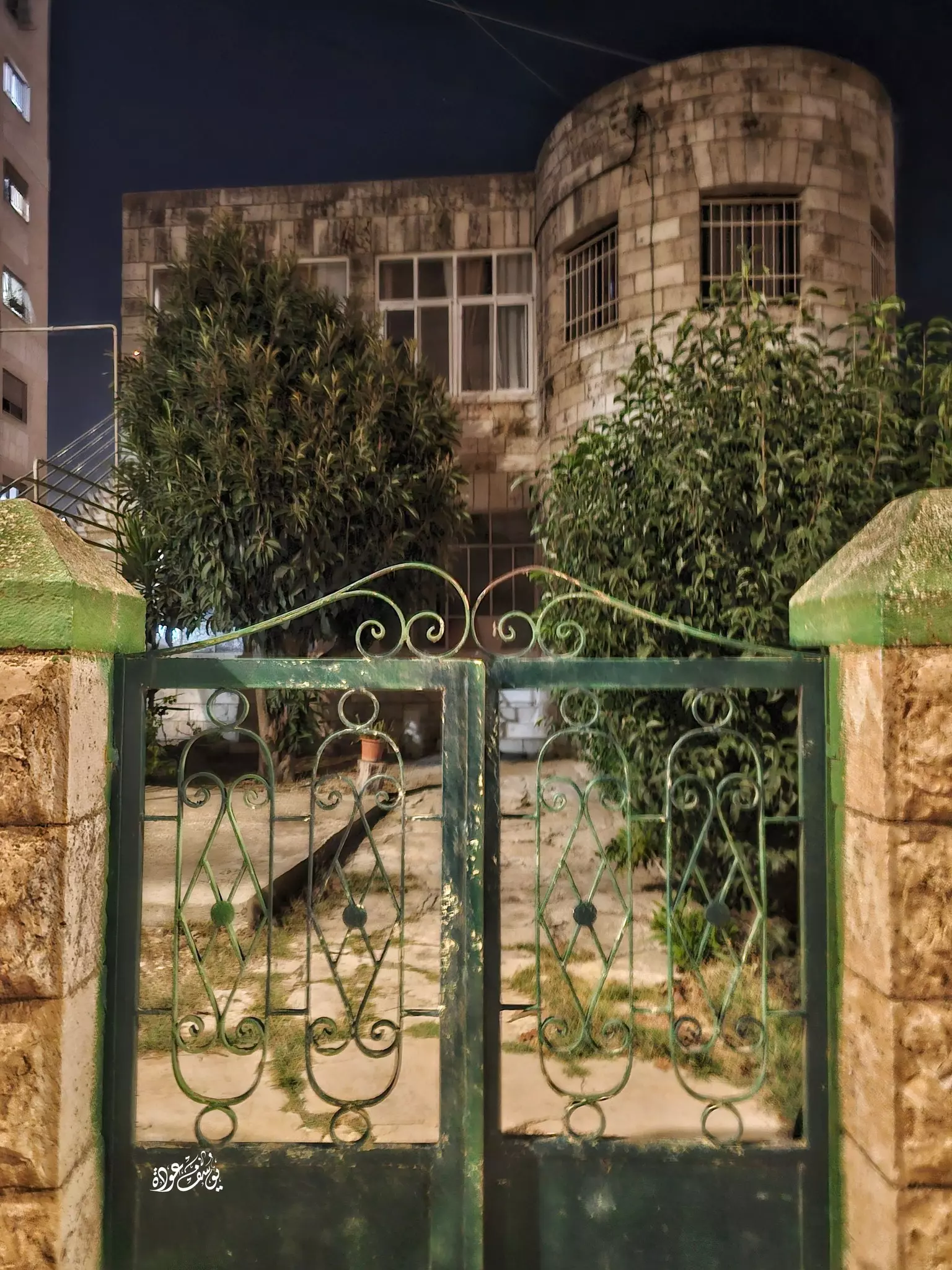
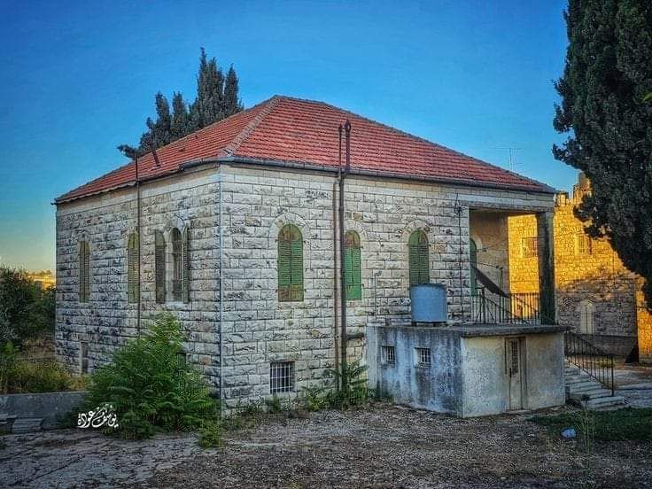
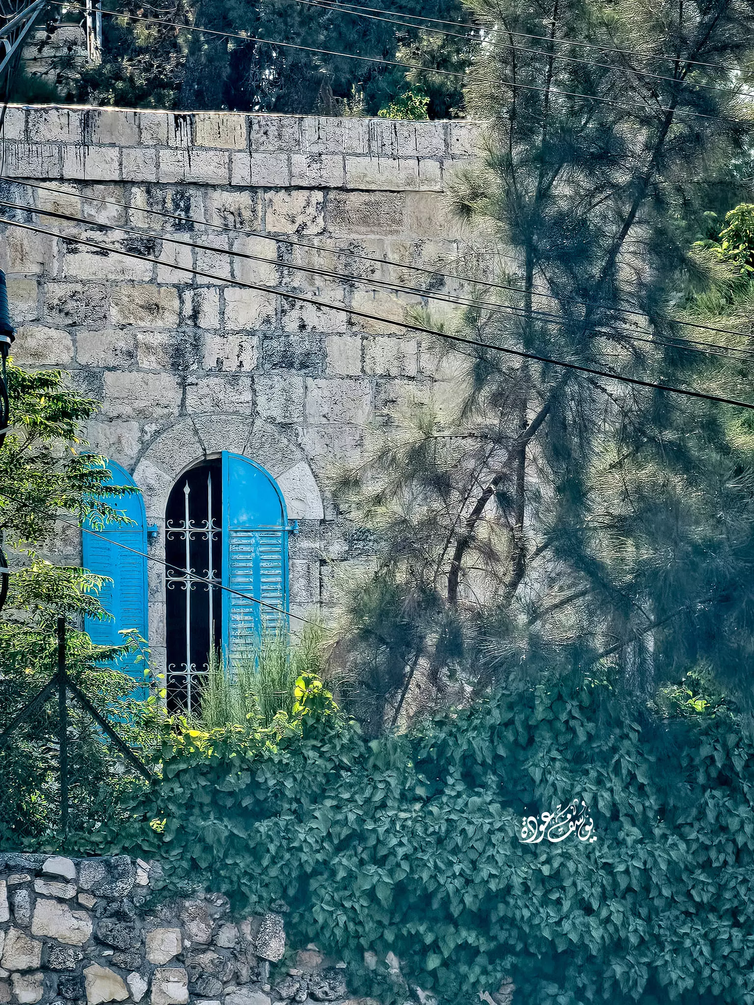
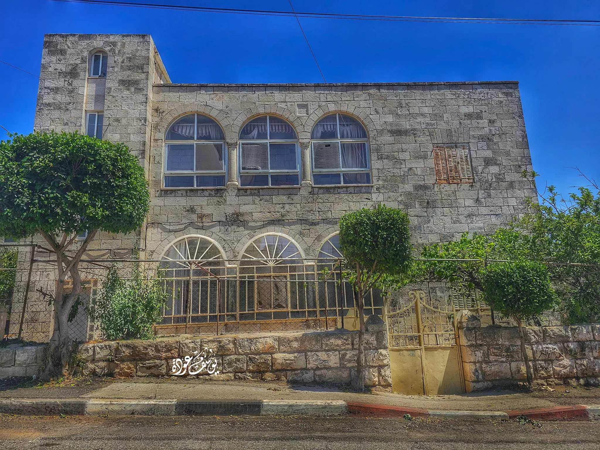
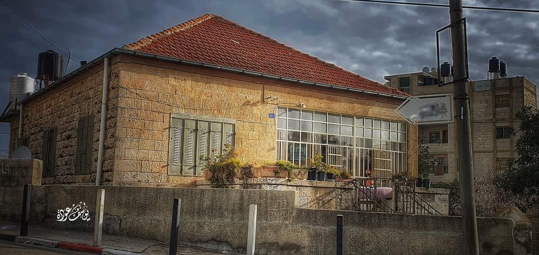
- بيت قديم -- يوسف عودة
- مبنى قديم -- يوسف عودة
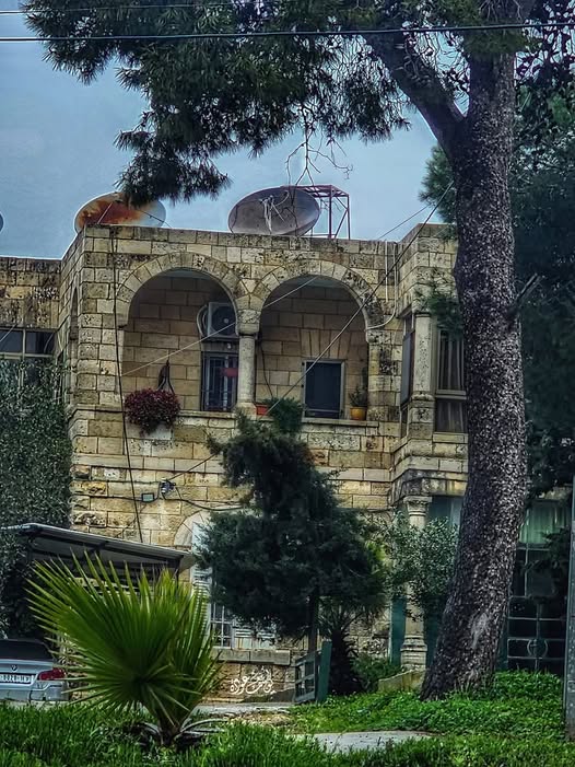
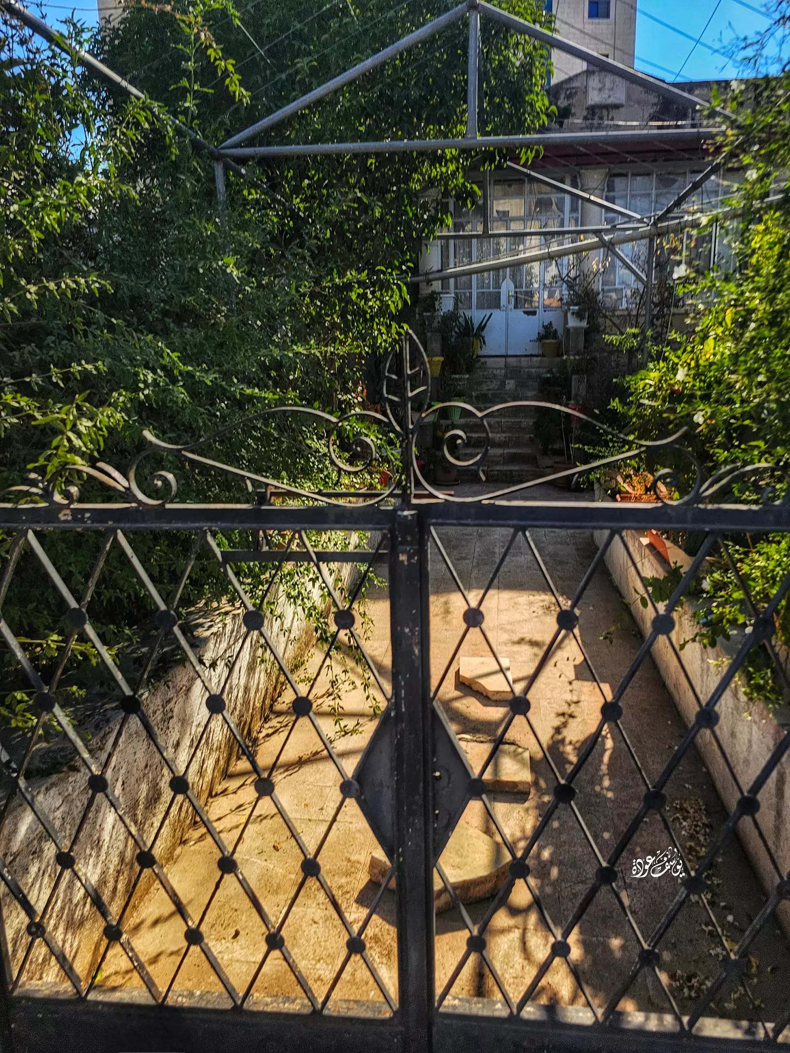
- بيت قديم -- يوسف عودة

- بيت قديم -- يوسف عودة

- بيت قديم -- يوسف عودة
- بيت قديم -- يوسف عودة #2

- بيت قديم -- يوسف عودة #3

- بيت قديم -- يوسف عودة
- حي البالوع -- يوسف عودة

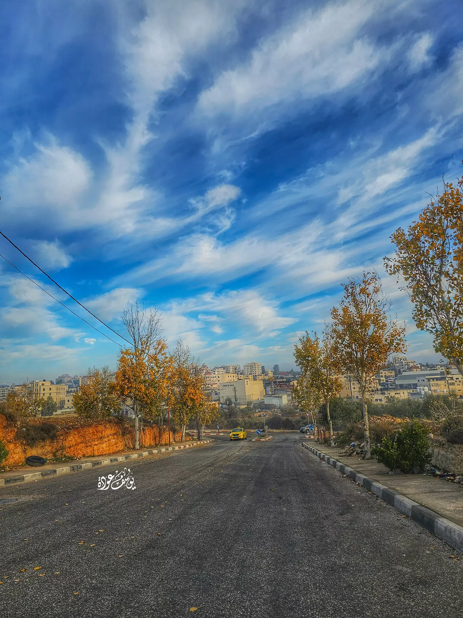
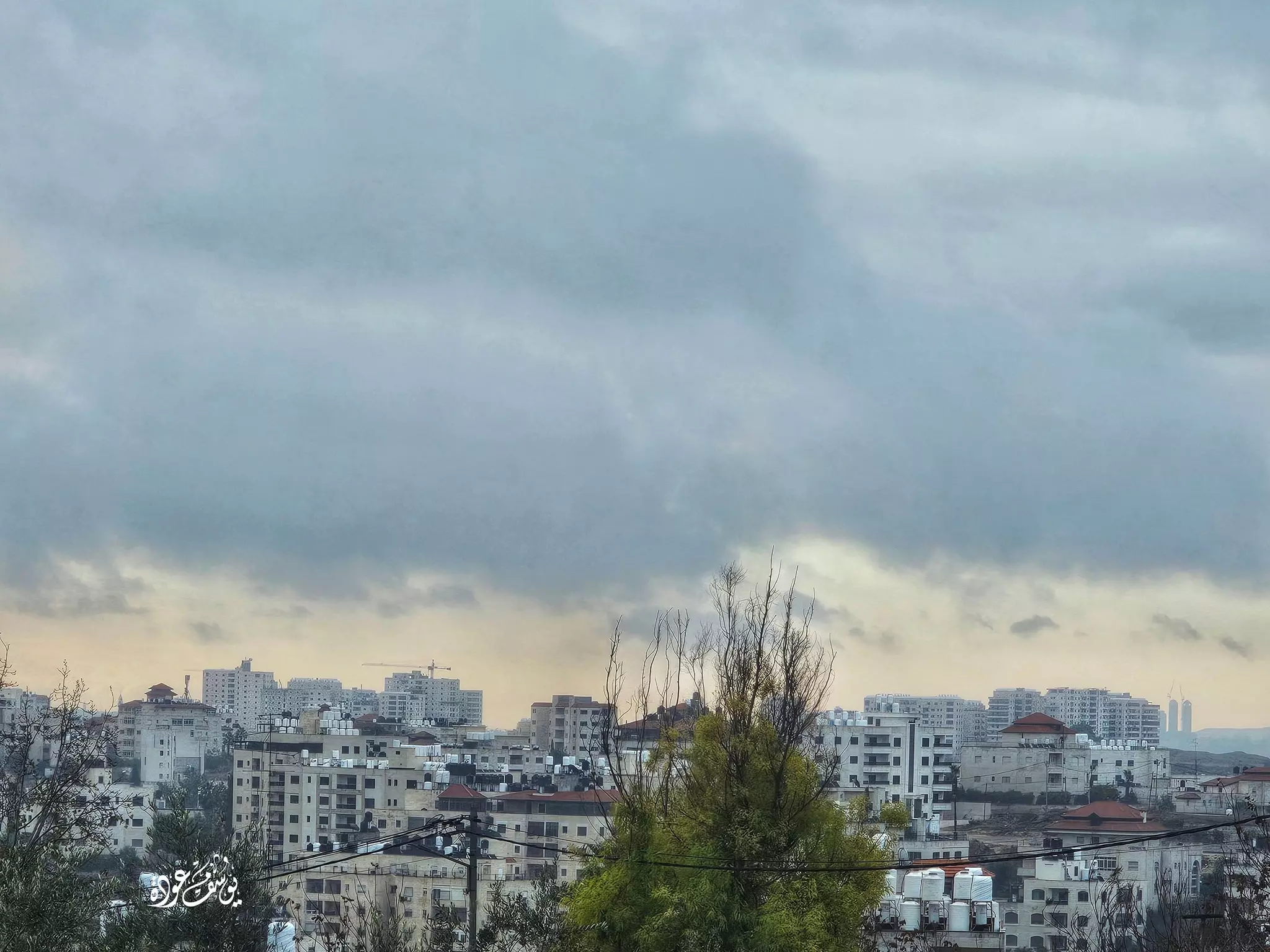
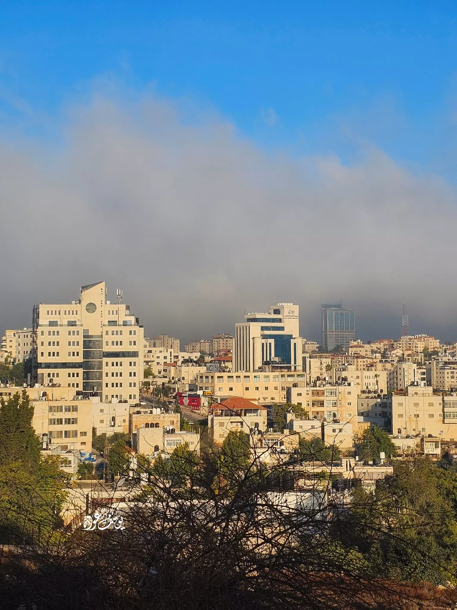
- منظر عام -- يوسف عودة

- بيت قديم -- يوسف عودة
- منظر عام -- يوسف عودة
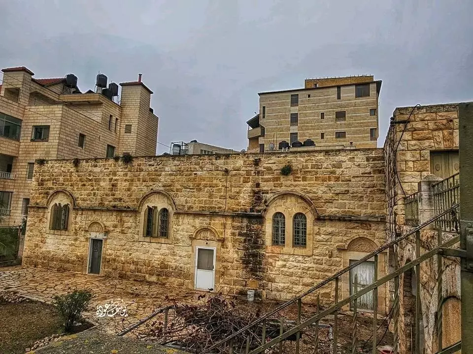
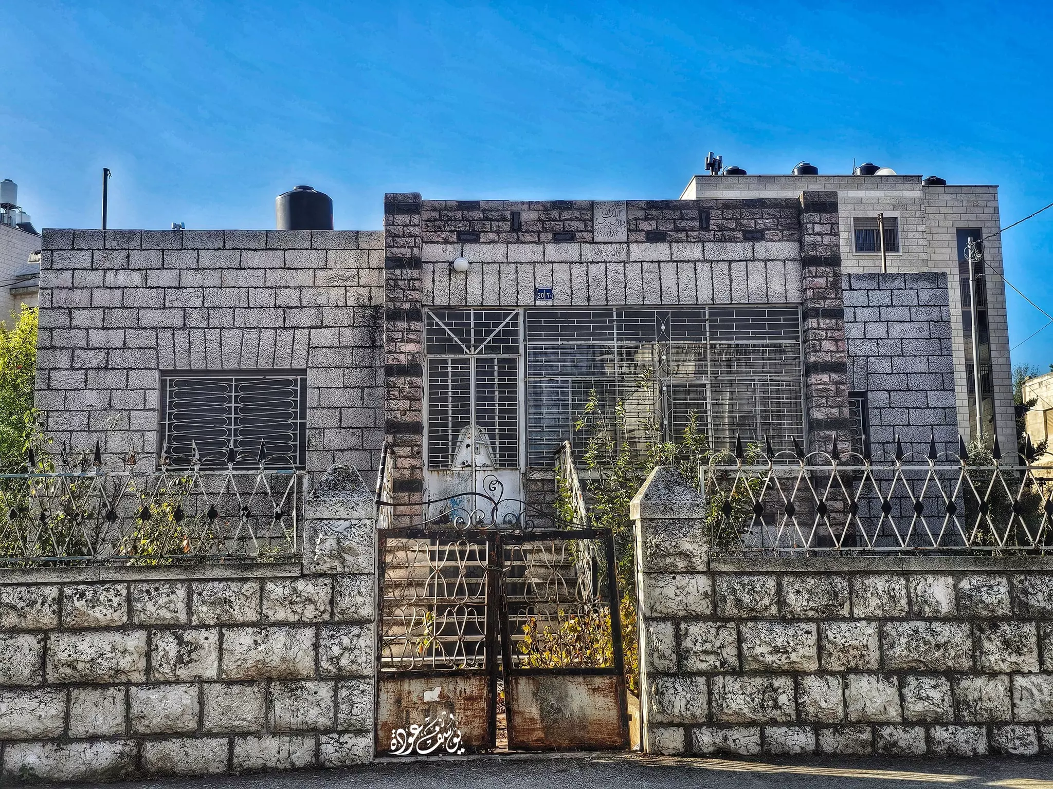
- مبنى قديم -- يوسف عودة
- مبنى قديم -- يوسف عودة #2
- مبنى قديم -- يوسف عودة #3
- بيت قديم يقع شرقي المقاطعه بقليل وغربي مسجد فاطمة الزهراء بقليل -- يوسف عودة
- منظر عام -- يوسف عودة
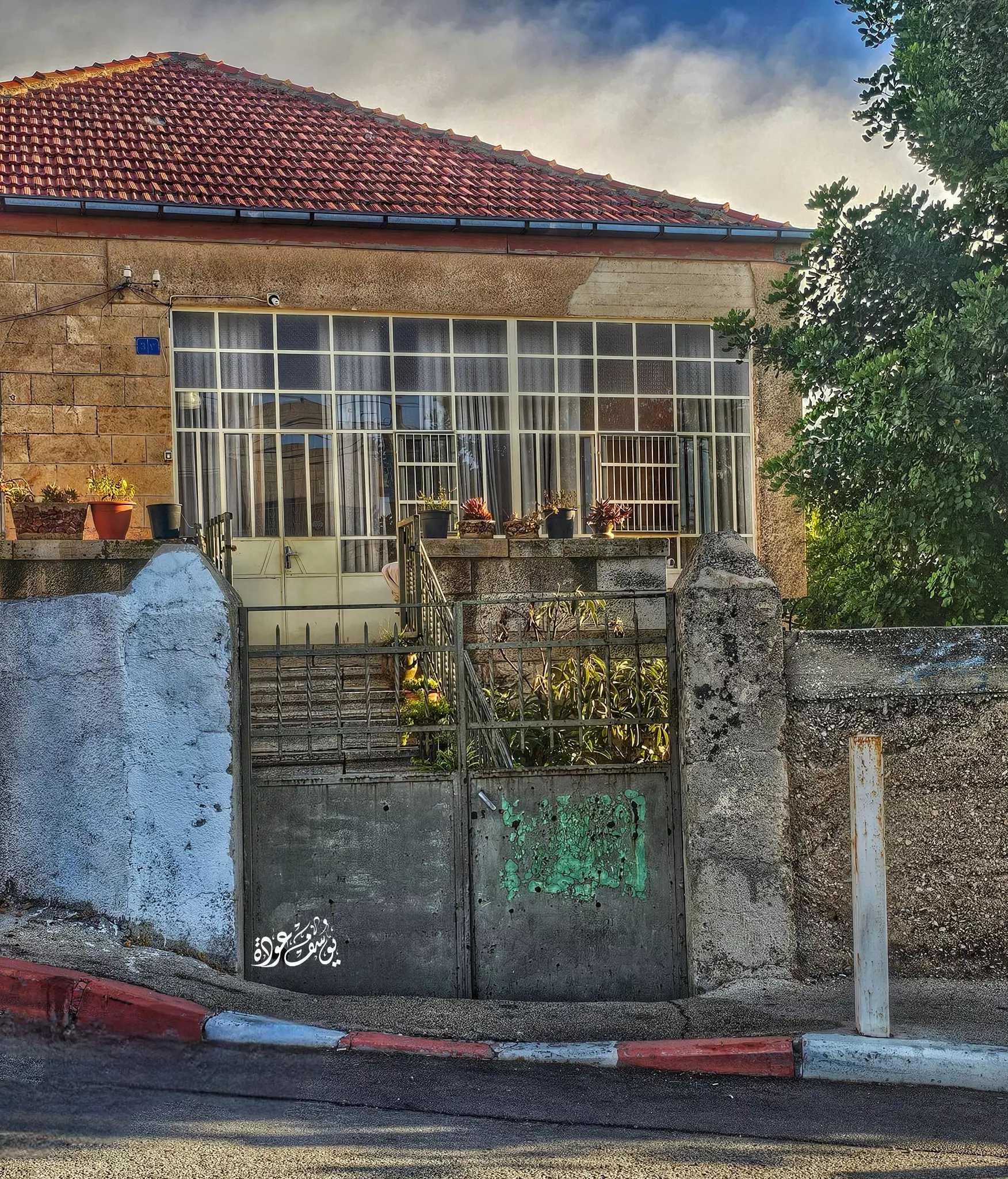
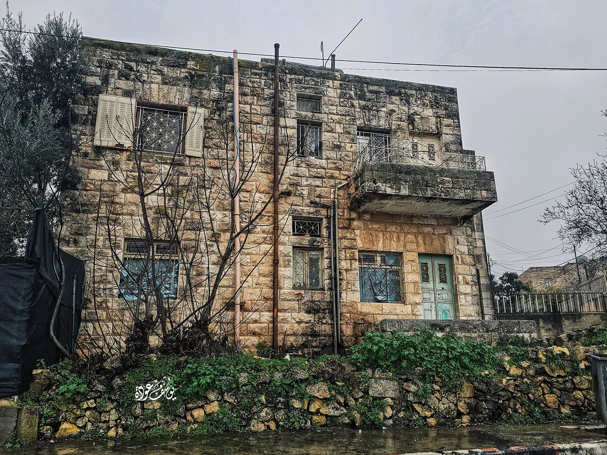
- بيت قديم -- يوسف عودة
- بيت قديم -- يوسف عودة #2
- بيت قديم -- يوسف عودة #3

- بيت قديم -- يوسف عودة #4
- بيت قديم -- يوسف عودة
- منظر عام -- يوسف عودة
- بيت قديم -- يوسف عودة
- بيت قديم -- يوسف عودة
- بيت قديم -- يوسف عودة
- بيت قديم -- يوسف عودة
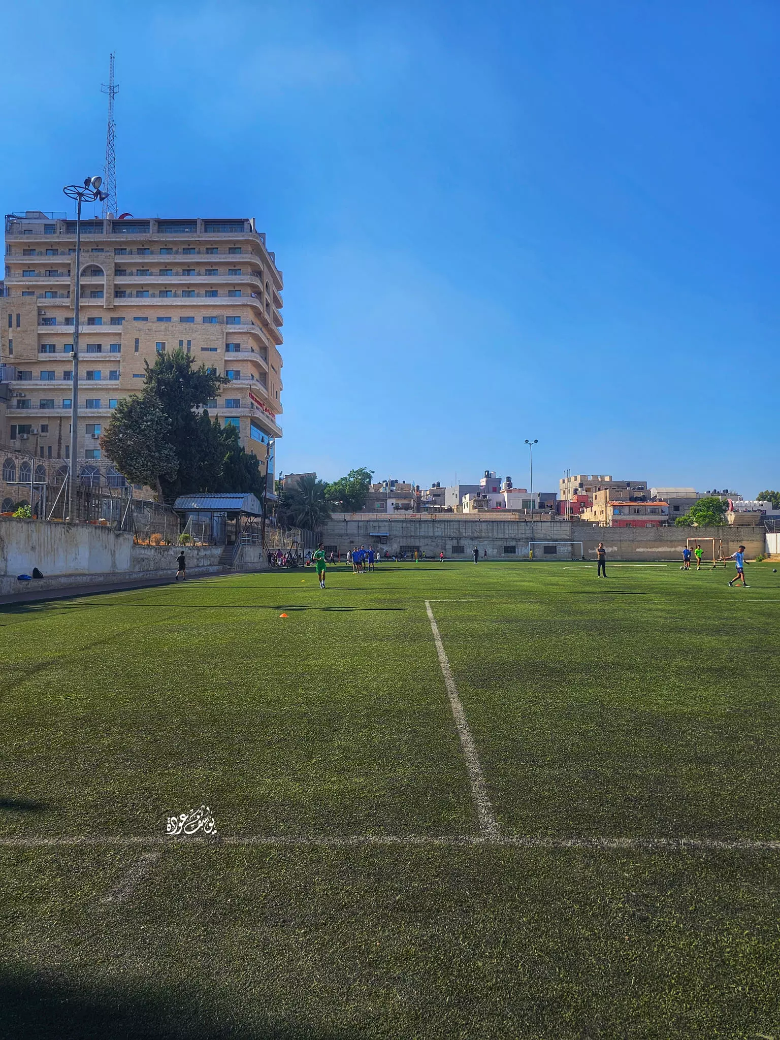
- ملعب البيرة الجديدة -- يوسف عودة
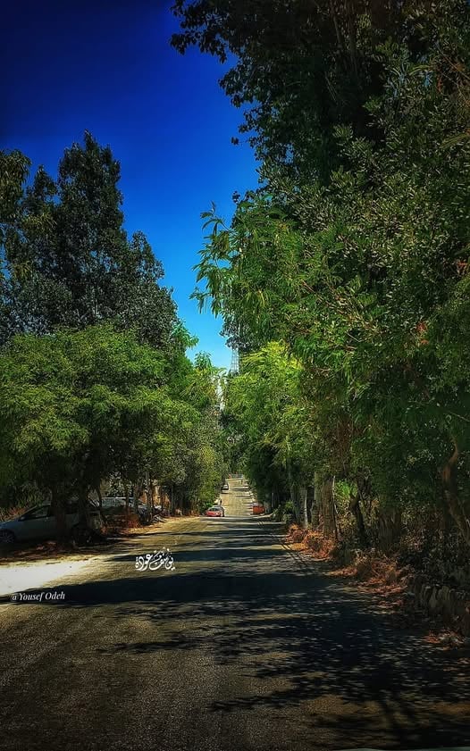
- المصايف -- يوسف عودة
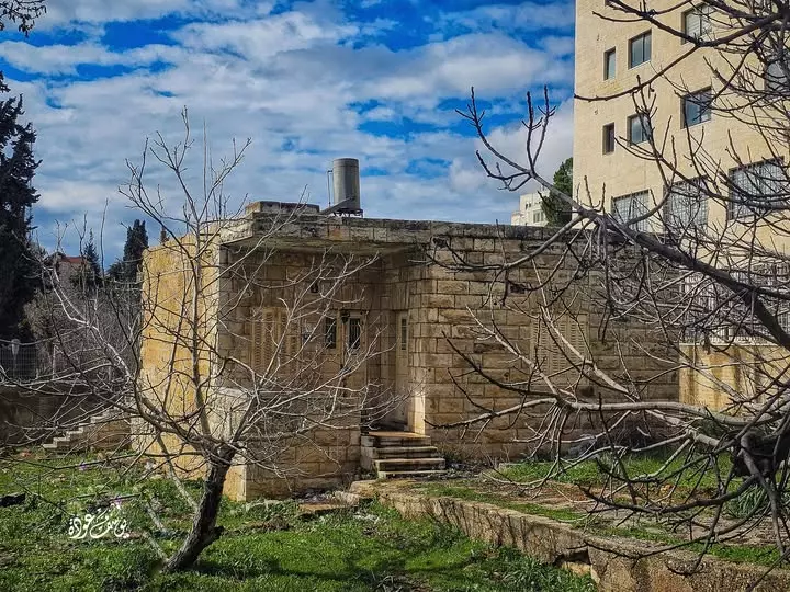
- بيت قديم -- يوسف عودة
- بيت قديم -- يوسف عودة #2
- بيت قديم -- يوسف عودة #3

- بيت قديم -- يوسف عودة
- بيت قديم -- يوسف عودة
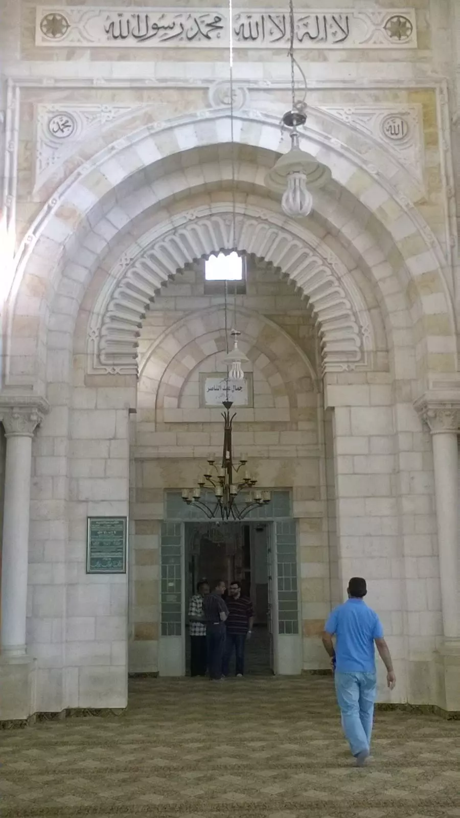
- مسجد جمال عبد الناصر
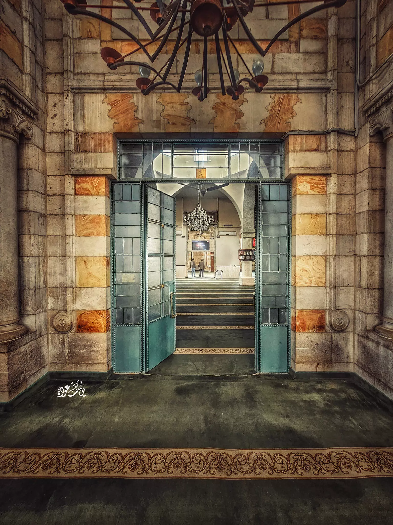
- مسجد جمال عبد الناصر #2
- البالوع -- يوسف عودة
- بيت قديم -- يوسف عودة
- بيت قديم -- يوسف عودة #2
- بيت قديم -- يوسف عودة #3
- بيت قديم -- يوسف عودة

- بيت قديم -- يوسف عودة #2
- بيت قديم -- يوسف عودة #3
- بيت قديم -- يوسف عودة #4
- بيت قديم -- يوسف عودة #5
- بيت قديم -- يوسف عودة #6
- بيت قديم -- يوسف عودة #7
- صورة غير ملونة، يظهر فيها مبنى قديم في مدينة البيرة -- مارس 1981
- بيت قديم --1981
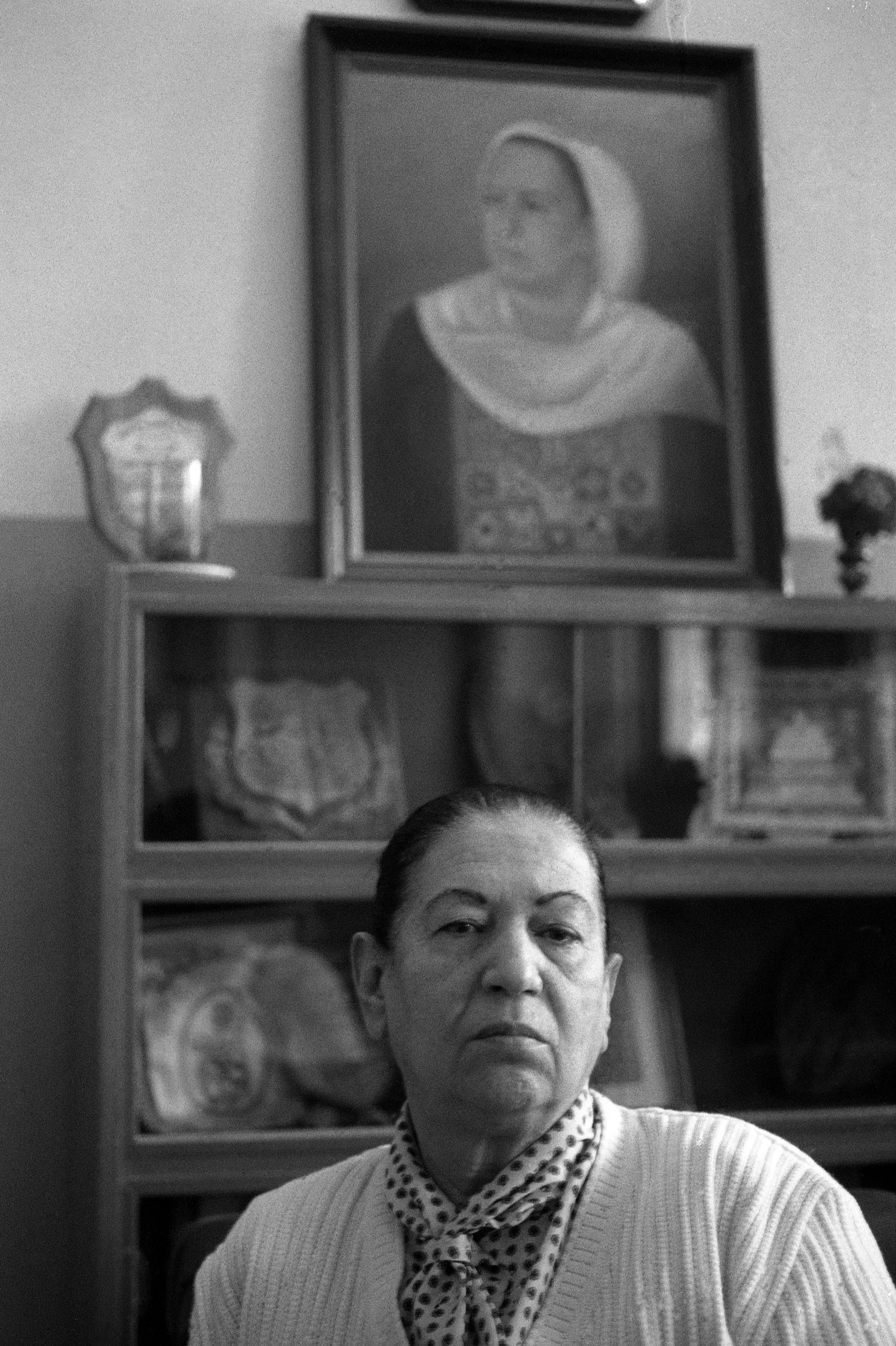
- صورة غير ملونة لسميحة خليل في البيرة، رئيسة جمعية إنعاش الأسرى وأحدى مؤسسيها-- 1987
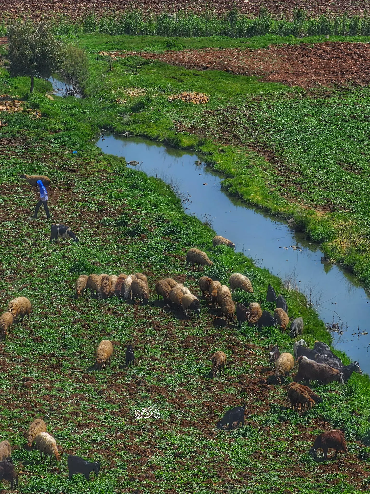
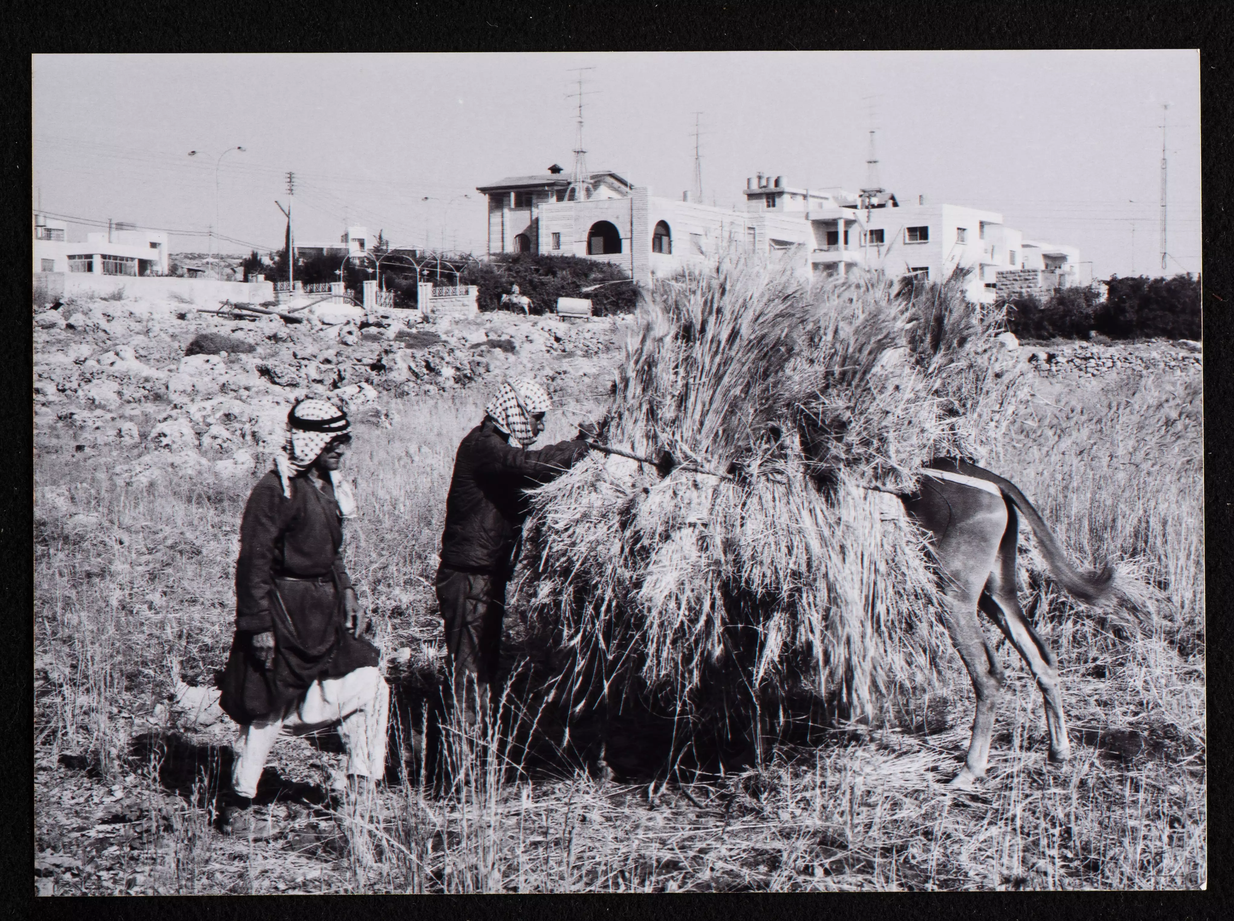
- Harvest time in the 1980s, Riwaq Center

- Harvest time in the 1980s, Riwaq Center #2

- Harvest time in the 1980s, Riwaq Center #3
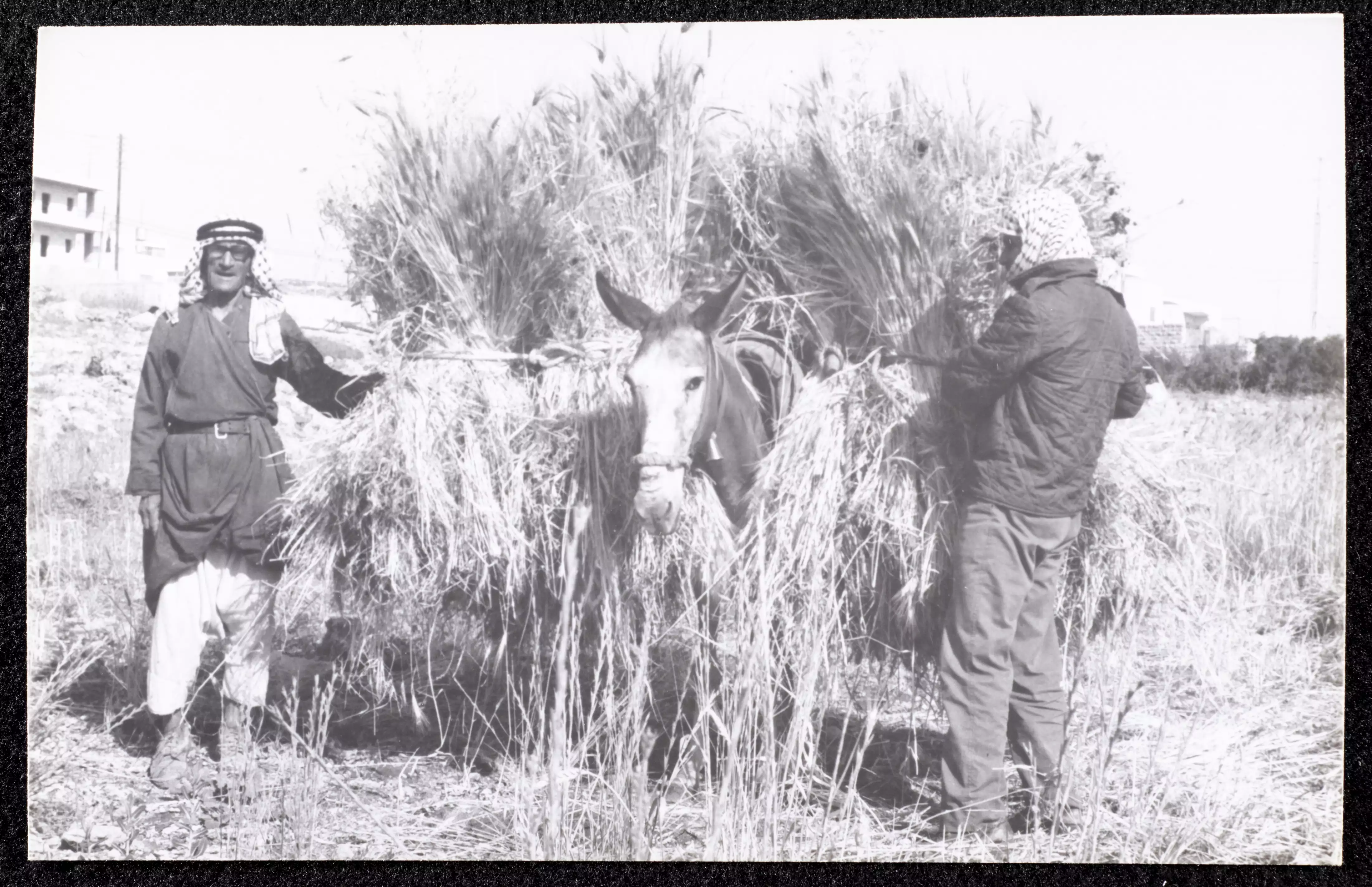
- Harvest time in the 1980s, Riwaq Center #4
- Harvest time in the 1980s, Riwaq Center #5
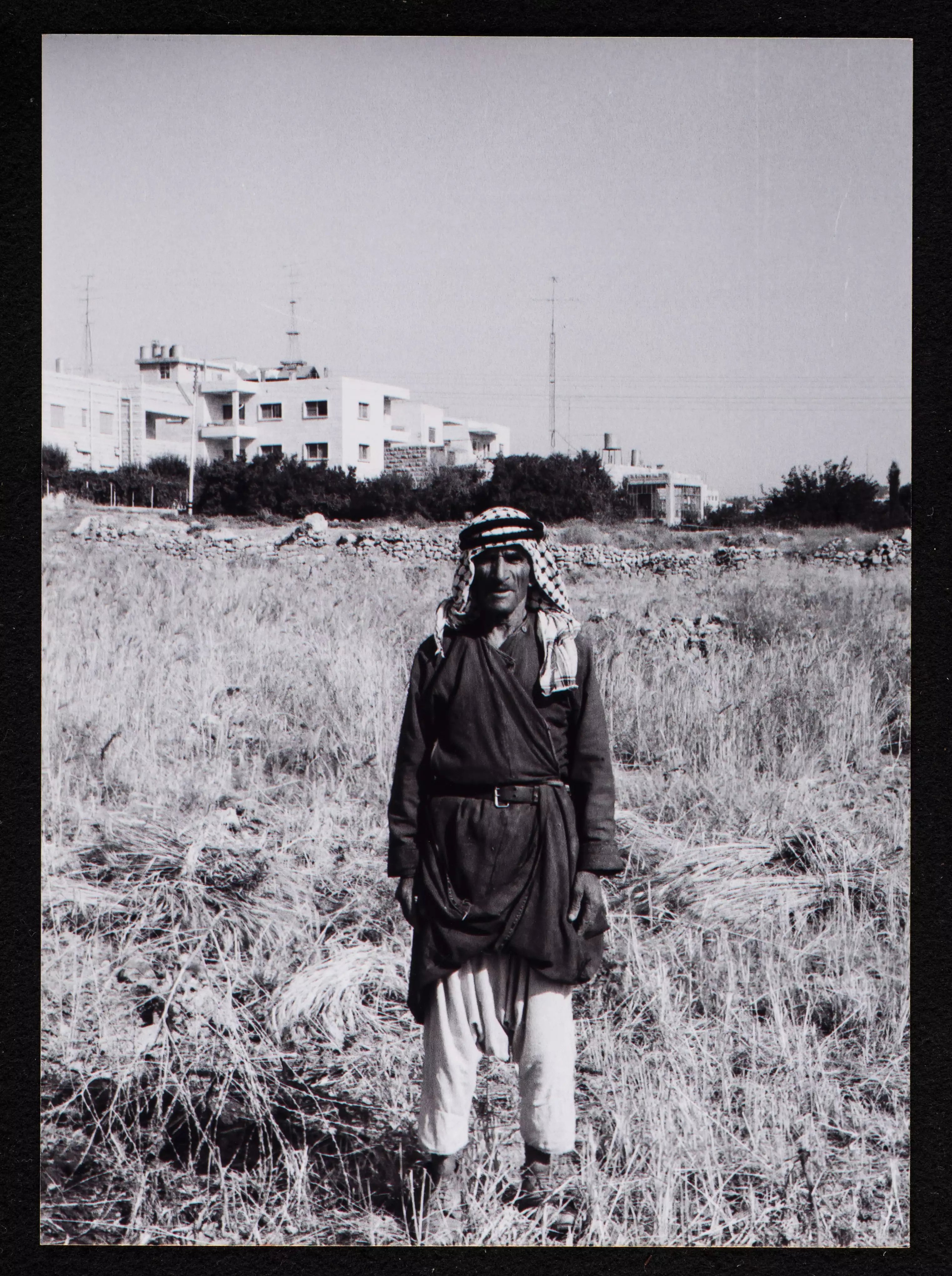
- Harvest time in the 1980s, Riwaq Center #6
- Touring al-Bira's old house in the 1980s was done by the Riwaq Center

- Touring al-Bira's old house in the 1980s was done by the Riwaq Center #2
- Touring al-Bira's old house in the 1980s was done by the Riwaq Center #3
- Touring al-Bira's old house in the 1980s was done by the Riwaq Center #4
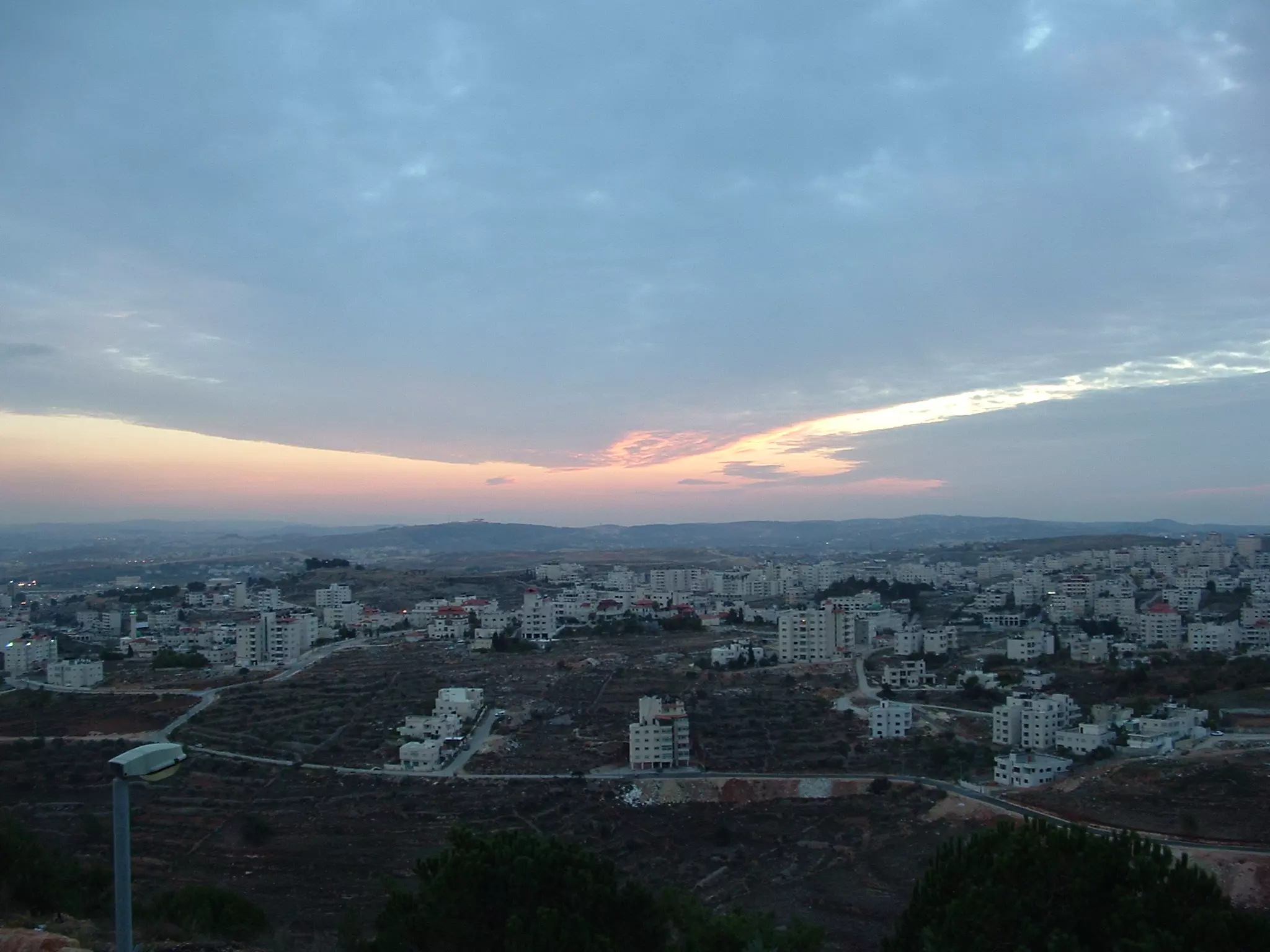
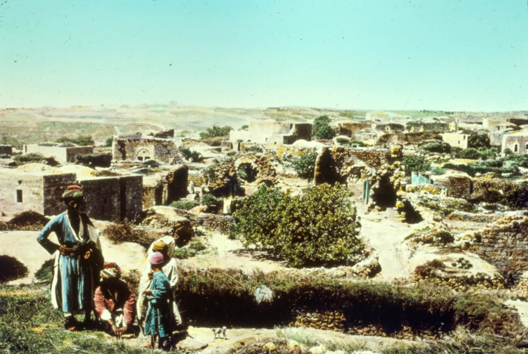
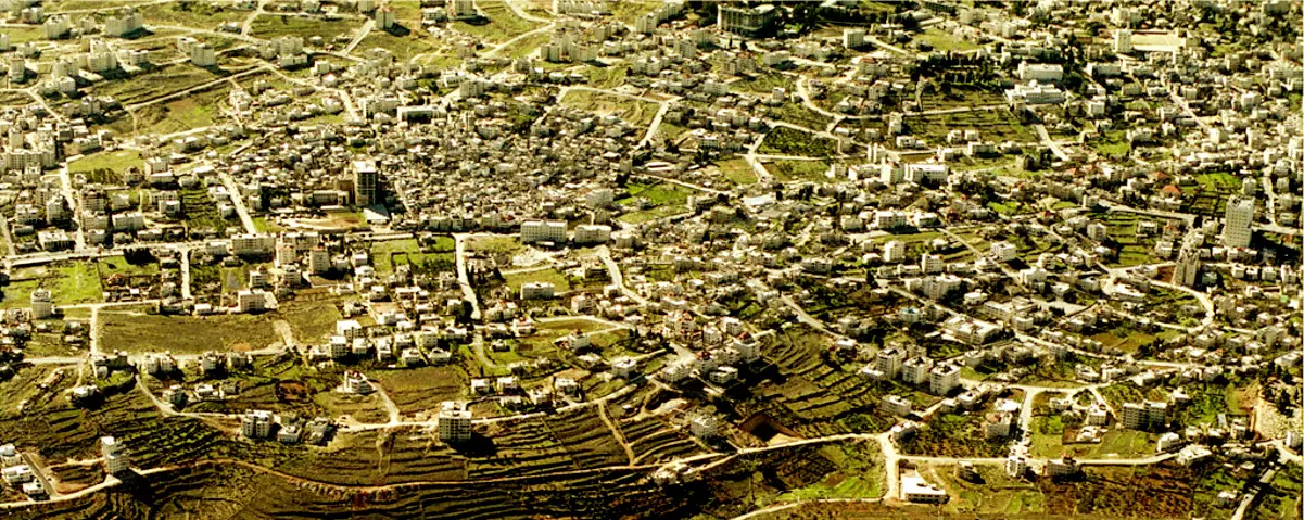
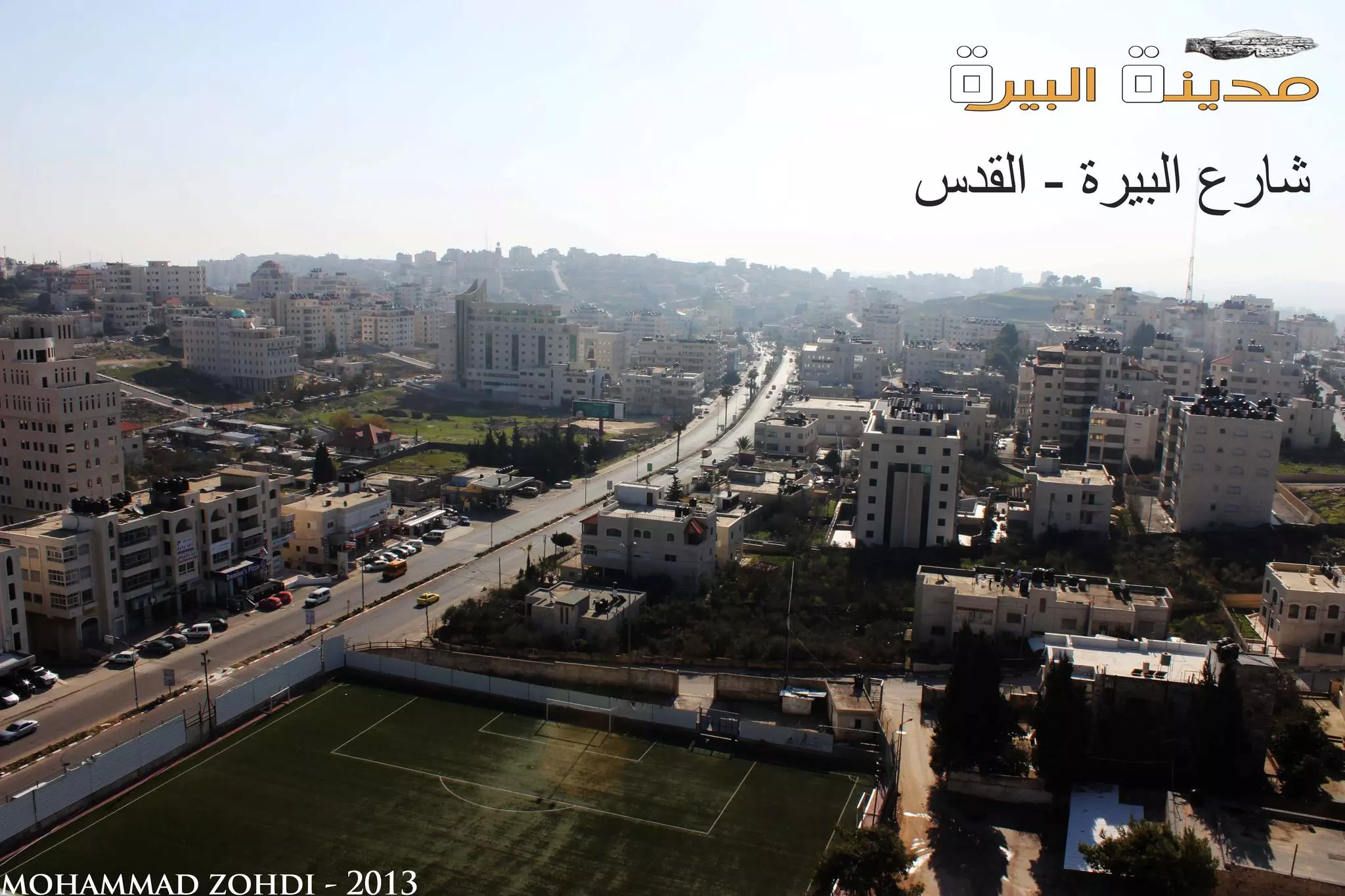
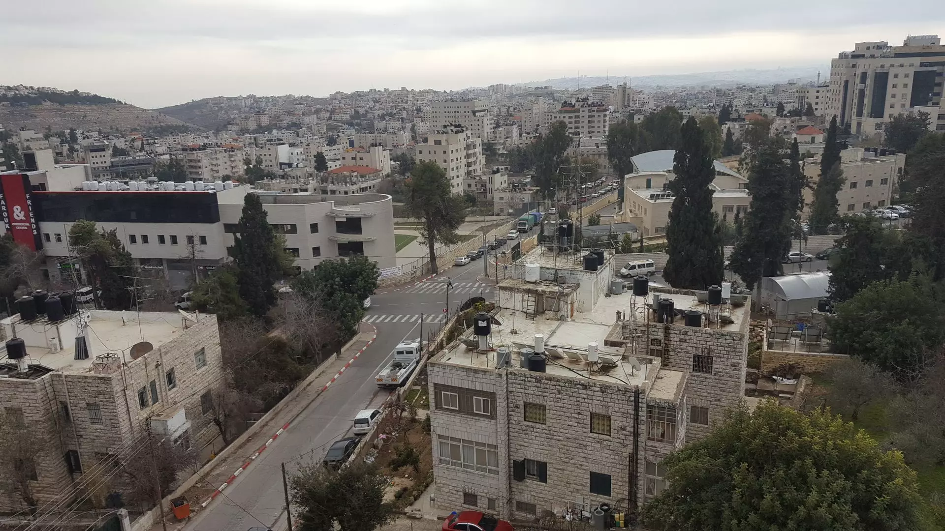
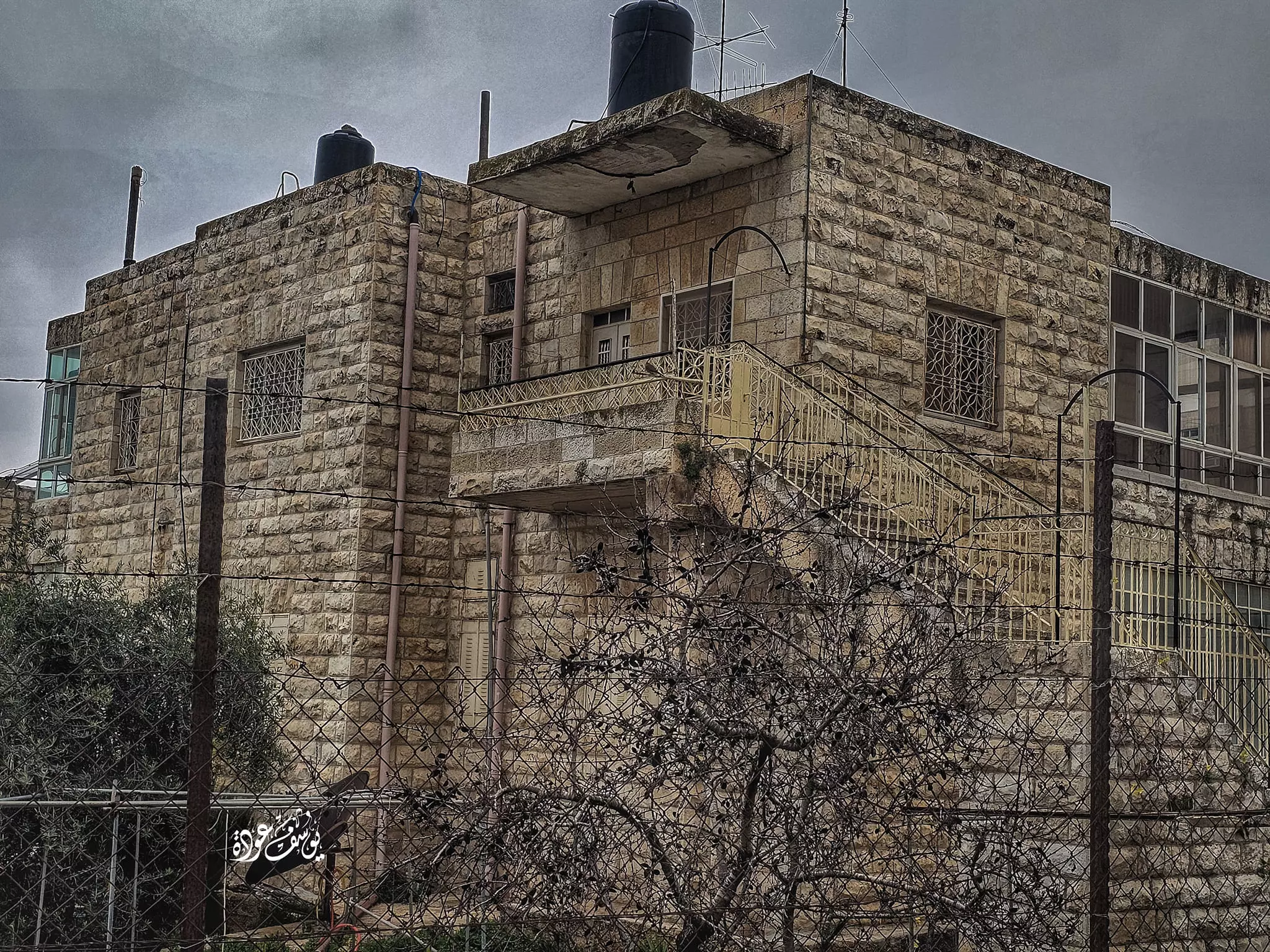
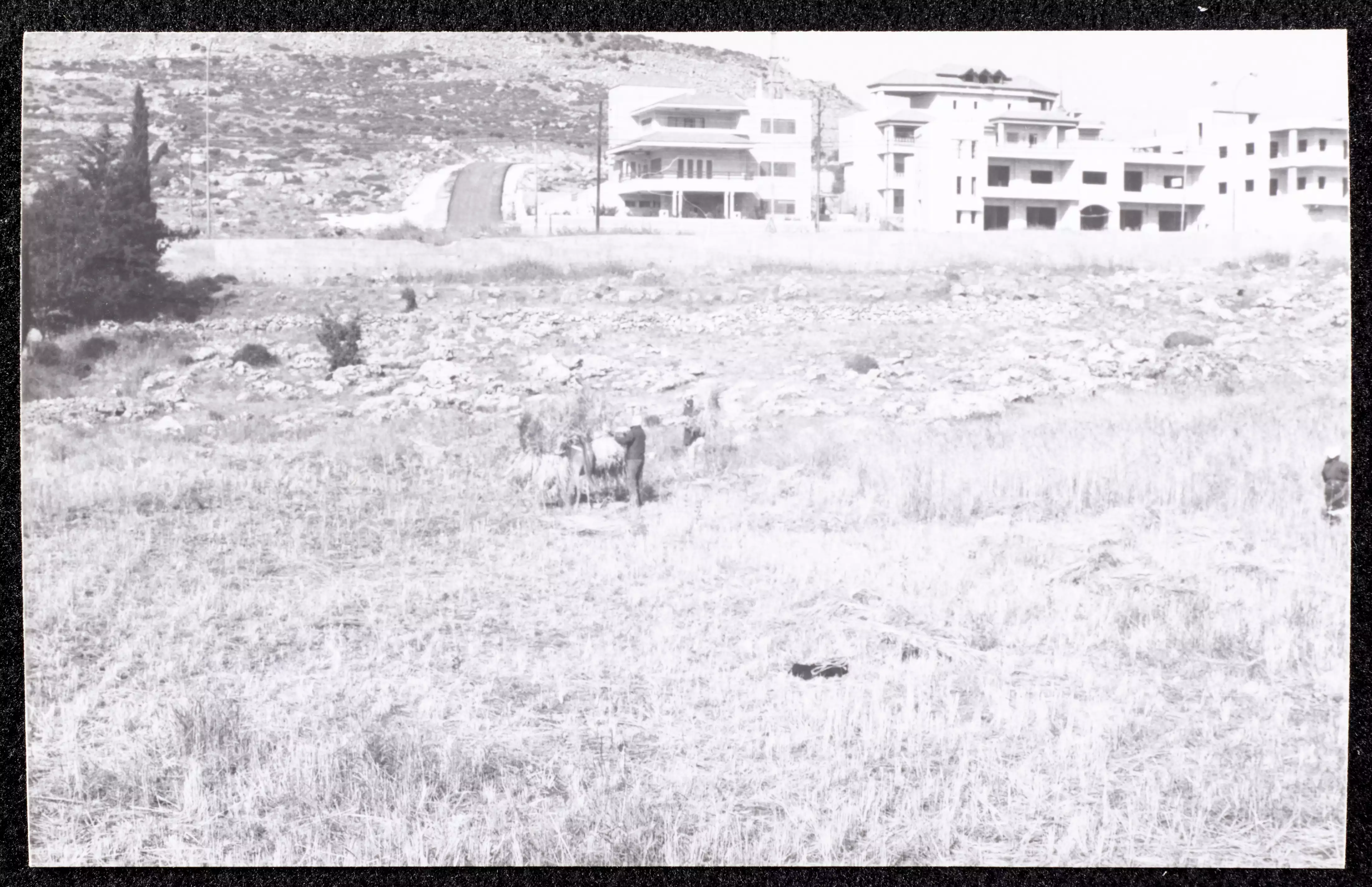
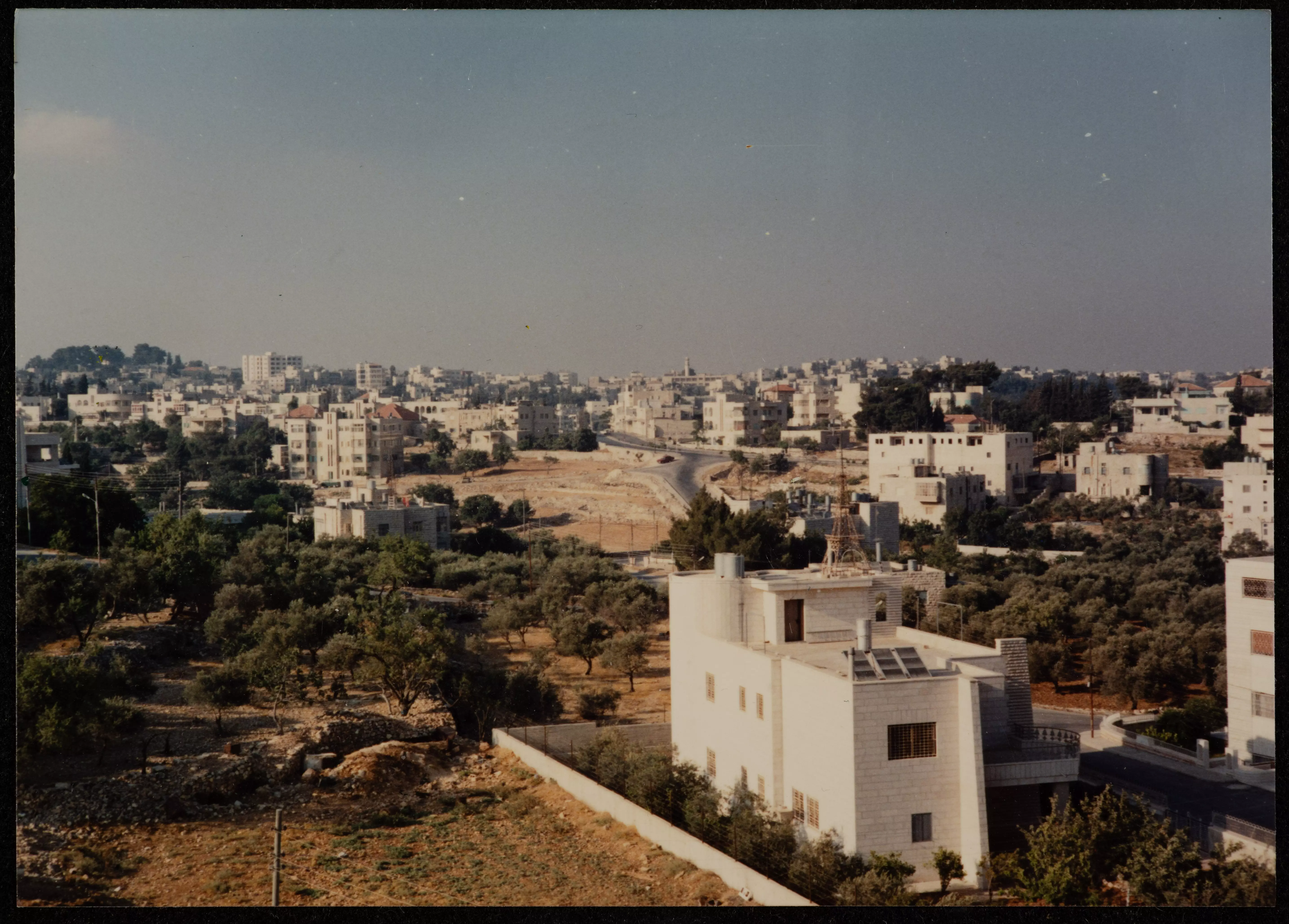
- Taken in the 1980s, this photograph shows the city of al-Bireh.
Want to browse more? 80,000 pictures were grouped in these gallaries:
| Display Name | Clan/Hamolah | Country of Residence |
| Dina Judeh | - | - |
| ibraheem innab | koran | - |
| IHamayel | Hamayel | Ramallah, Palestine |
| Hashem Saleh | Abed | - |
| ابن فلسطين | علان | رام الله, بيت عور التحتا |
| nigem amin | gazawna | michigan, usa |
| Safia F Barakat | Barakat | Ramallah |
| ابو مصطفى | - | - |
| bahjat hamdallah | karakra | st.louis ,missouri |
| sjoudeh | Quraan | - |
| shadia askar | Quran | la, United States |
| mahmoud nabeel hafiz | abu arra | chicago, orland park |
| Nawal Abdel Rahman | - | - |
| حكمت زكي | جاد الله | palestine, بيت عور |
- General view for Ramallah and al-Birah Cities taken from al-Jazeera offices next to al-Manara Square Duration: min 45 sec
- Photo Album for al-Birah City Duration: 5 min 48 sec
- الطريق من البيرة شارع القدس حتى ام الشرايط Duration: 4 min 24 sec
- الطريق من #البيرة حتى #الجلزون طريق #نابلس قديما Duration: 4 min 15 sec
- جبل الطويل - الهاشمية Duration: 2 min 7 sec
- شارع الارسال - البيرة Duration: 2 min 34 sec
 Fake Valor: Why Did Zionist Jews Hoist Nazis Flag on Their Ships in the 1930s?
What is new?
-
Facts About Oct. 7th Gaza Raid
-
Remined Us Please:: Who Did Rape Who? Palestinians Raped Israelis? Or, was the other way around?
-
When Prof. Edward Said was invited to debate Bibi Netanyahu in the 1980s, watch what happened!
-
Abusing Blood Libel!
-
Zionist FAQ: Isn't it true that Palestinians don't want peace? Palestinians never accepted the two-state solution
- Facts about Haavara (Transfer) Agreement between Ben-Gurion & Hitler
-
Haavara FAQs: Why Did Zionist Jews Hoist Nazis' Flags on Their Ships in the 1930s?
-
Dear ChatGPT: Why did the Jewish Agency suppress news of the Holocaust during WWII?
-
Video Playlist: Jews share their DNA tests to end the conflict for good.
-
A Tale of Two Conflicts: Examining the Definition of Genocide
-
Prof. Abraham Polak And The Suppressed History of the Khazars and European Jewry
-
How Ronald Reagan would have framed the genocide in Gaza if he were still alive?
-
Haavara FAQs: Let us do the math: how many German Jews did The Haavara Agreement save?
-
Zionist FAQs: The Hebron Massacre of 1929, "clearly proves" that Palestinians are antisemitic, how could you deny it?
-
Zionist FAQs: Why Anti-Zionist Is Not Antisemitism?
-
Zionist FAQs: Isn't it true that the KGB create Palestinian Nationalism in the early 1960s?
- Zionist FAQs: Muslims are killing Muslims all the time; why are Israeli Jews being singled out in the media?
- Zionist FAQs: How is Israel an apartheid state when 20% of its citizens are Arabs who enjoy full rights?
-
Haavara FAQs: Analysis of Herzl's Uganda Scheme and how it could have saved millions of Jews.
-
Haavara FAQs: Why did Hayim Greenberg describe American Jewry as "morally bankrupt" in early 1943?
-
Haavara FAQs: What if the Evian Conference was a resounding success? What would have been the impact of saving European Jewry on Zionism?
- Haavara FAQs: What if the six million were saved, how that would have impacted the Zionist project?
-
Haavara FAQs: How did Zionist leaders react when Europe's Jews lingered in the DP camps after WWII ended?
-
Why does the American Jewish community repeat lies that David Ben-Gurion had debunked before he died?
-
Who has the power to rename the Tatar/Khazar Gene Marker to Jewish IV?
-
Zionist FAQs: Why won't Egypt, Syria, and Jordan take their people back? Jews are indigenous to Palestine, and Arabs immigrated after Jews developed the country. Arabs should leave.
-
Haavara FAQs: Did Hitler and the Nazis conflate between Judaism and Zionist? If that wasn't case, then why?
-
Haavara FAQs: Winston Churchill and antisemitism, a collection of articles written Churchill.
-
Haavara FAQs: Broken by country, how many Jews survived vs. killed during the Holocaust?
-
Haavara FAQs: Why did European Jews vote with their feet and to immigrated to the Americas, not Palestine, after WWII?
-
Watch this American Jewish Girl describing Israeli Jews' cognitive dissonance like no other in under two minutes
-
Haavara FAQs: When the Nazis went out of their way to hide the Holocaust, Israeli Jews did the exact opposite by broadcasting their genocide of Gazans. But why?
-
Haavara FAQs: How Zionist Jews went out of their to show their appreciation to Nazism and Fascism?
- Haavara FAQs: Why Zionist leaders were against bombing the death camps & the Railroads leading to them?
-
Haavara FAQs: Hitler's message to the British and American people: If Jews are such noble citizens and you care about them, how come you're not letting them in? I will gladly ship them to you at my expense, even on luxury liners!
-
A shortlist of Zionist and Israeli false flag operations in the name Jews.
-
The Most Moral Army
- The Land of Kapos (Israel): Where the brave are boycotted and Kapos walk free.
- Why did early Zionists often named their communal enterprises "colonial"?
- Zionist Relations with Nazi Germany by Faris Glubb
-
Two NY Times advertisements by Zionists in the early 1943 that exposes Zionists' treason at the height of the calamity
- Facts Not Lies about the Palestinian-Israeli Conflict.
- Site's pictures have been categorized
- Campgain Against Lice
- A Survey of Palestine, the official source about Palestine before Nakba produced by the British Mandate; over 1200 pages.
- Satellite View & Google Earth: Over 6,000 placemarks identifying all destroyed towns, W. Bank & Gaza Strip Towns, & refugee camps.
- PalestineRemembered.com and its Nakba Oral History Project were featured on al-Jazeera Satellite TV.
- Nakba Oral History Video Podcast:
 Over 700 Oral History interviews (including 3,500+ hours of recording) can be viewed online.
 - Palestine Village Statistics Project
- Gaza Jail Break
- النسخة العربية للموقع الان متوفرة
- Videos: Documenting the destroyed villages in video: Tracing all that remains since Nakba.
- Videos: Responding to Zionist Propaganda
- Interview: The ethnic cleansing of Palestine: George Galloway interviews Israeli Historian Ilan Pappe.
- For Palestinians, memory matters. It provides a blueprint for their future By George Bisharat.
- Zionist FAQ now available in Hebrew שאלות שציונים שואלים, עכשיו בעברית
- Video: The Stephen Walt and John Mearsheimer report on the influence of the Israel Lobby on U.S. Foreign Policy
- The Palestinian-Israeli conflict for beginners
