| PalestineRemembered | About Us | Oral History | العربية | |
| Pictures | Zionist FAQs | Haavara | Maps | |
| Search |
| Camps |
| Districts |
| Acre |
| Baysan |
| Beersheba |
| Bethlehem |
| Gaza |
| Haifa |
| Hebron |
| Jaffa |
| Jericho |
| Jerusalem |
| Jinin |
| Nablus |
| Nazareth |
| Ramallah |
| al-Ramla |
| Safad |
| Tiberias |
| Tulkarm |
| Donate |
| Contact |
| Profile |
| Videos |
Welcome To Dayr Ayyub - دير أيوب (דיר איוב)
|
District of al-Ramla
Ethnically cleansed days ago |
العربية Google Earth |
 |
Gallery (87) |
- Statistics & Facts
-
Before & After

- Satellite View
- Articles 3
- Pictures 87
- Land Deeds 2
- Oral History 1
- Members 27
- All That Remains
- Wikipedia
- Videos 3
- Guest Book 81
- Links
| Statistic & Fact | Value | ||||||||||||||
| Occupation Date | March 6, 1948 | ||||||||||||||
| Distance From District | 17.5 (km) Southeast of al-Ramla | ||||||||||||||
| Elevation | 325 (meters) | ||||||||||||||
| Before & After Nakba, Click Map For Details |
|||||||||||||||
|
|||||||||||||||
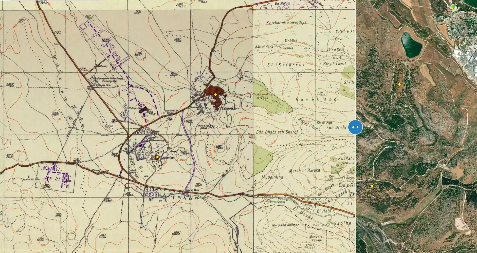
| Map Location | See location #49 on the map View from satellite |
||||||||||||||
| Military Operation | Operation Ben-Nun | ||||||||||||||
| Attacking Units | Giv'ati and Sheva' (Seventh) brigades | ||||||||||||||
| Defenders | Jordanian Army | ||||||||||||||
| Exodus Cause | Military assault by Zionist troops | ||||||||||||||
| Village Temains | Dayr Ayyub was mostly destroyed with the exception of few houses and the village cemetery. | ||||||||||||||
| Ethnically Cleansing | Dayr Ayyub inhabitants were completely ethnically cleansed. | ||||||||||||||
| Pre-Nakba Land Ownership |
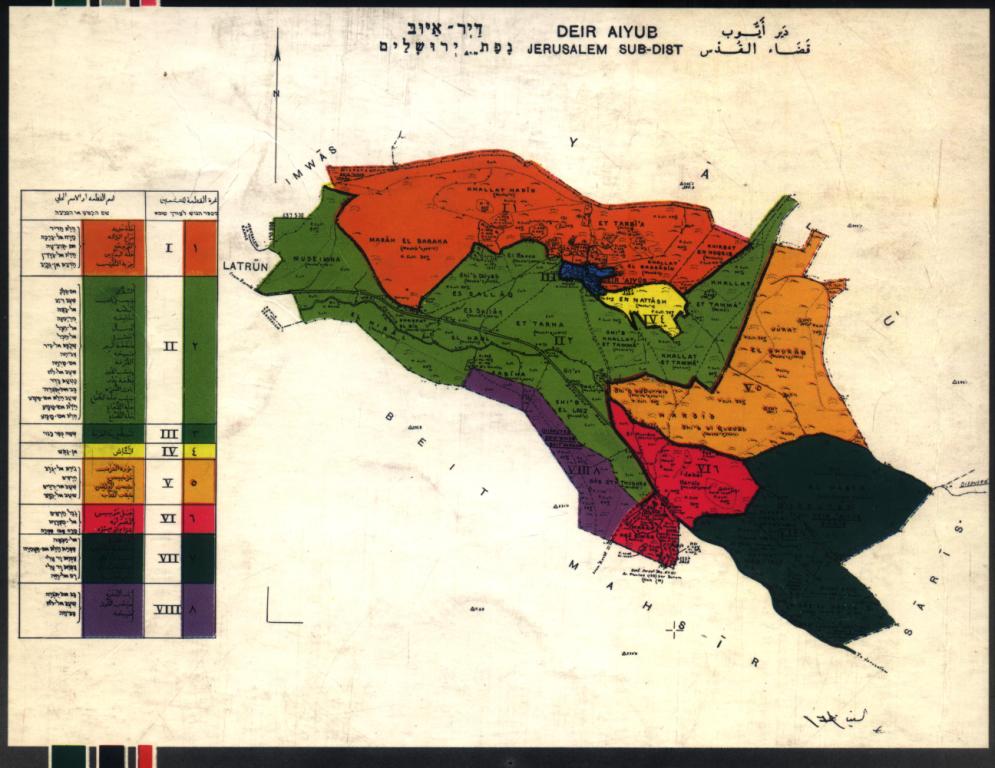
**Town Lands' Demarcation Maps |
||||||||||||||
| Land Usage As of 1945 |
|
||||||||||||||
| Population |
|
||||||||||||||
| Number of Houses |
|
||||||||||||||
| Near By Towns |
|||||||||||||||
|
|
|||||||||||||||
| Schools | An elementary school for boys which was founded in 1947, and when it opened its doors it had an enrollment of 51 students. | ||||||||||||||
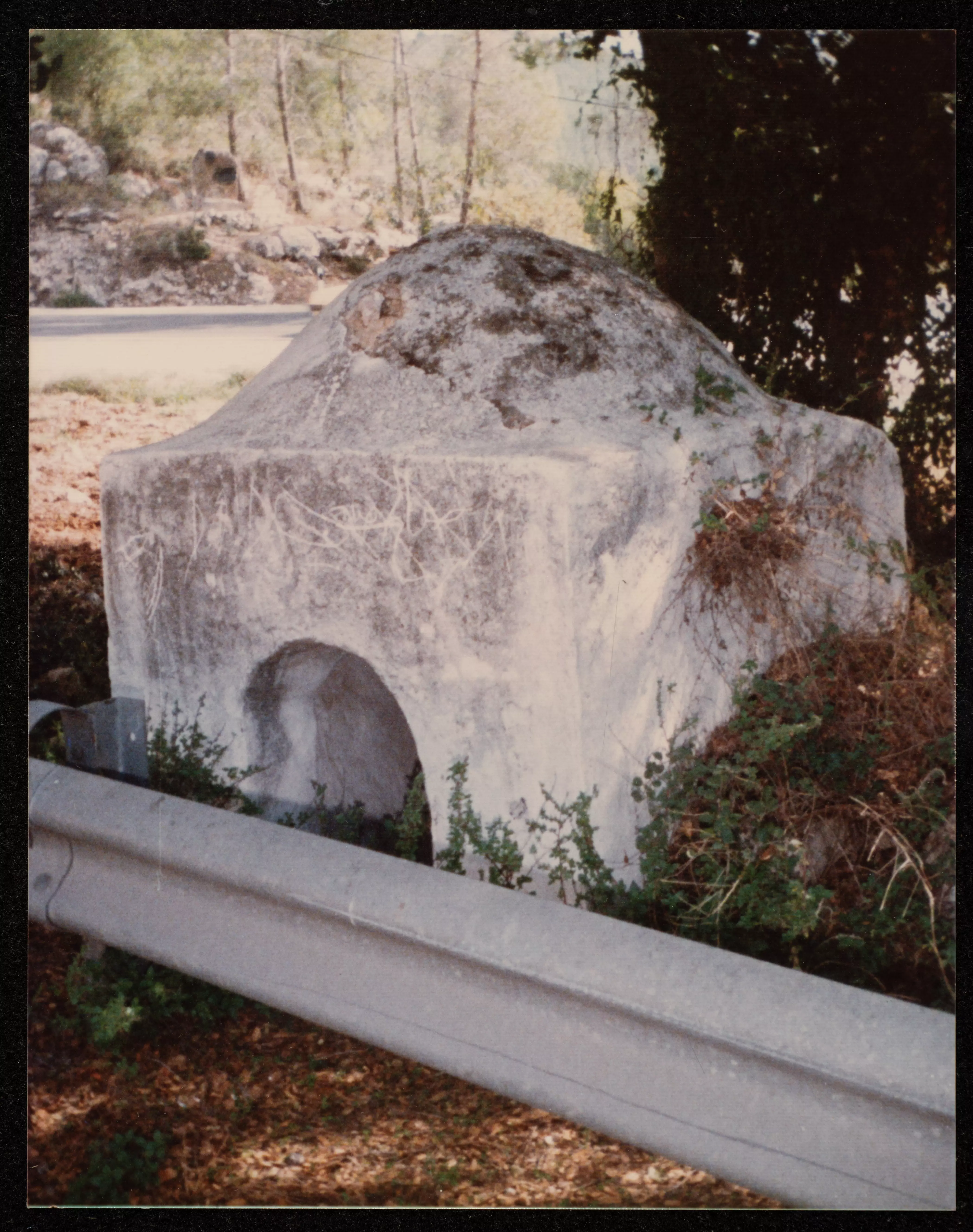
| Shrines / Maqams | The villagers believed that the tomb of the al-Nabi Ayyub was in the village, and for whom they used to maintain a shrine. | ||||||||||||||
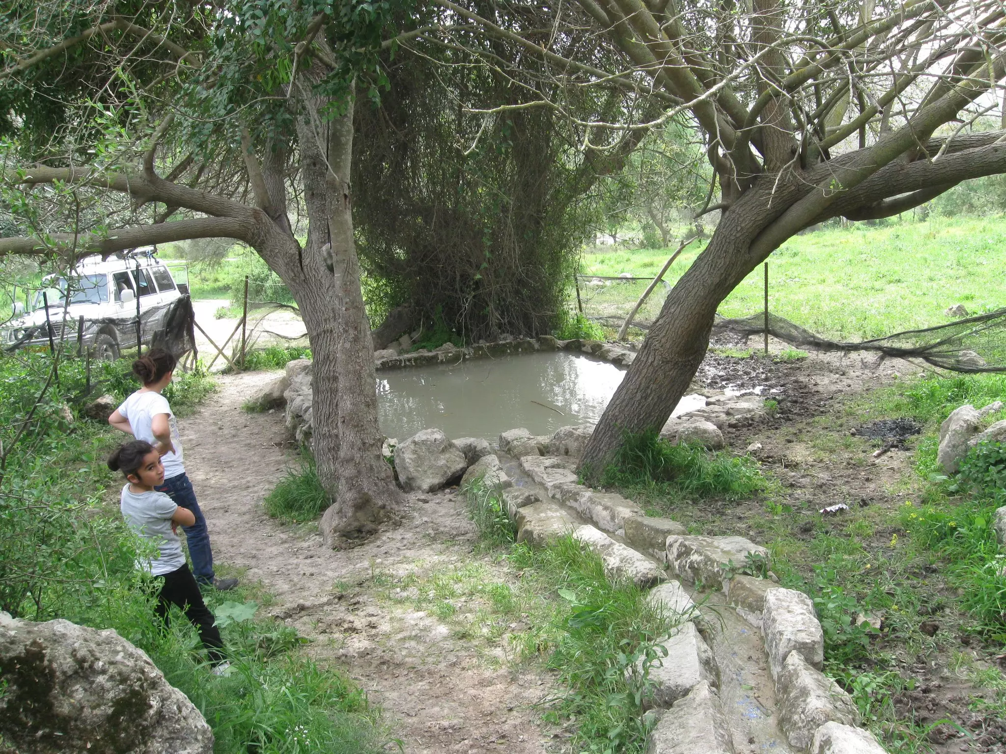
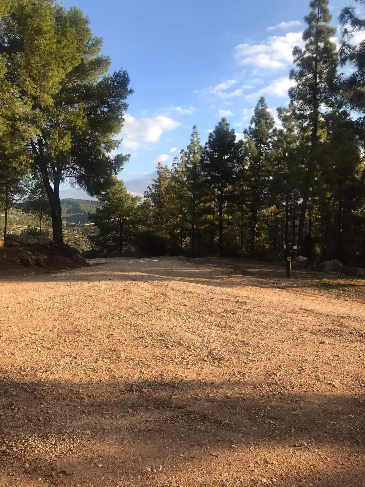
| Nearby Wadies & Rivers | The village is situated close to Baba al-Wad. | ||||||||||||||
| Exculsive Jewish Colonies That Usurped Village Lands |
Mevo Choron | ||||||||||||||
| Featured Video | |||||||||||||||
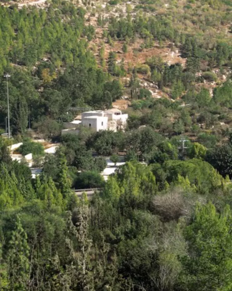
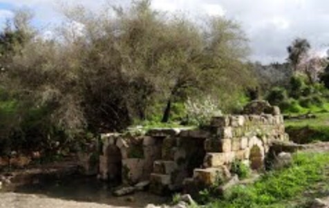
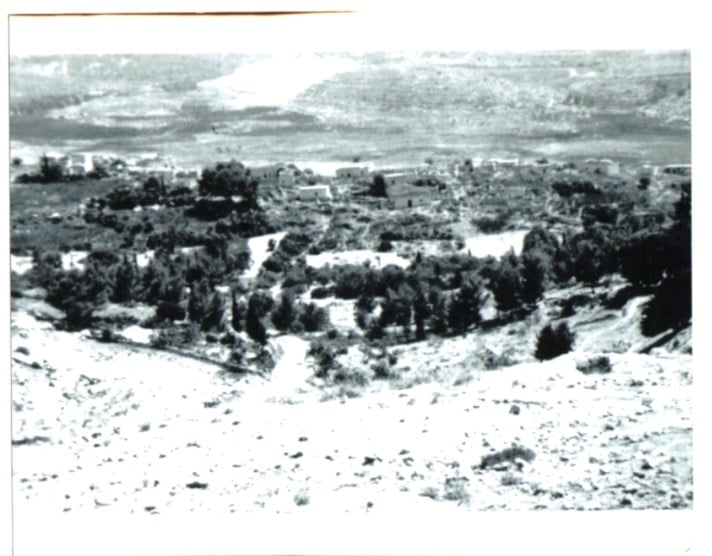
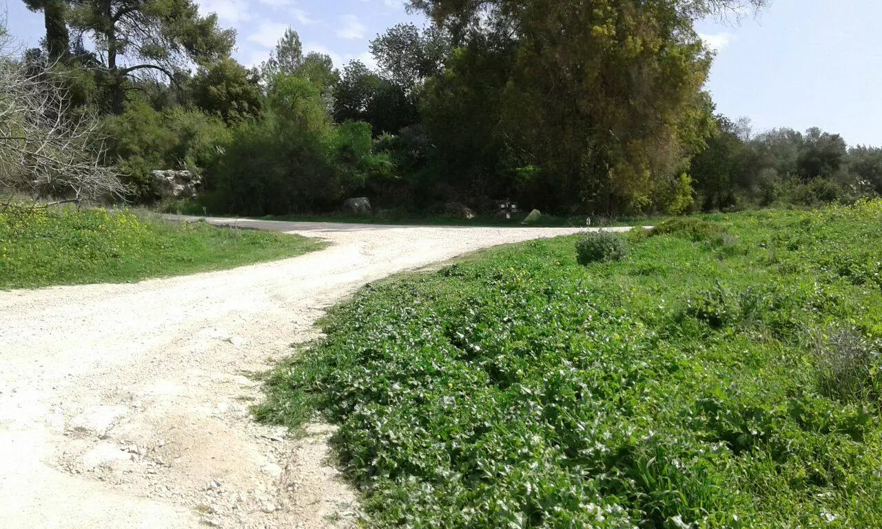
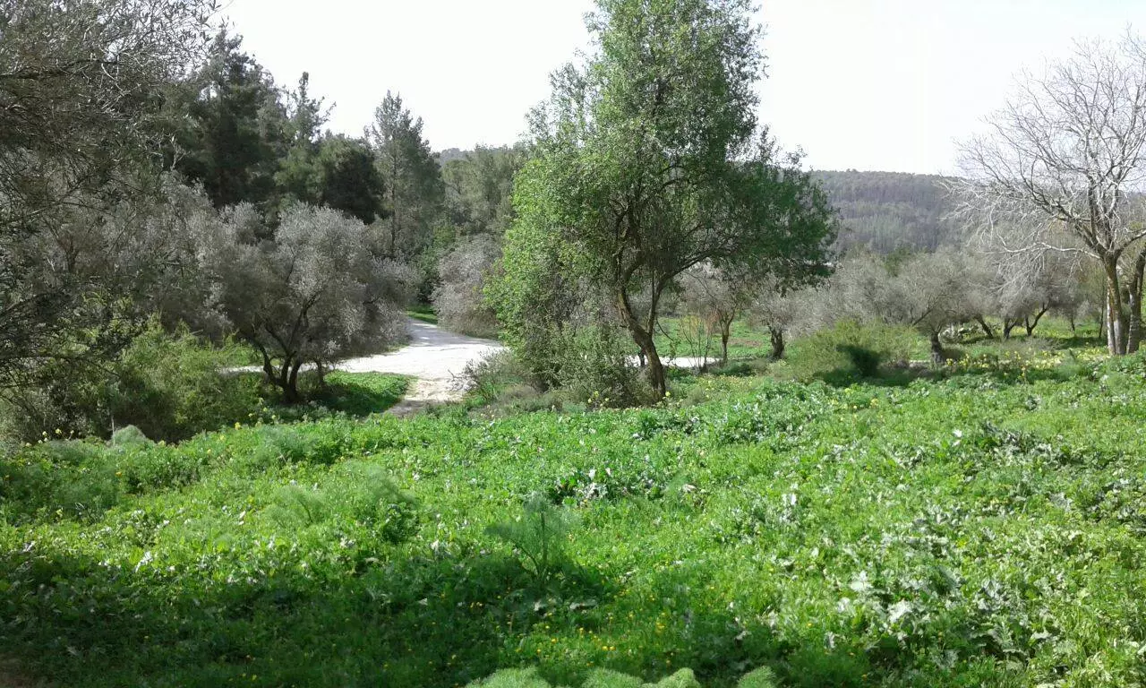
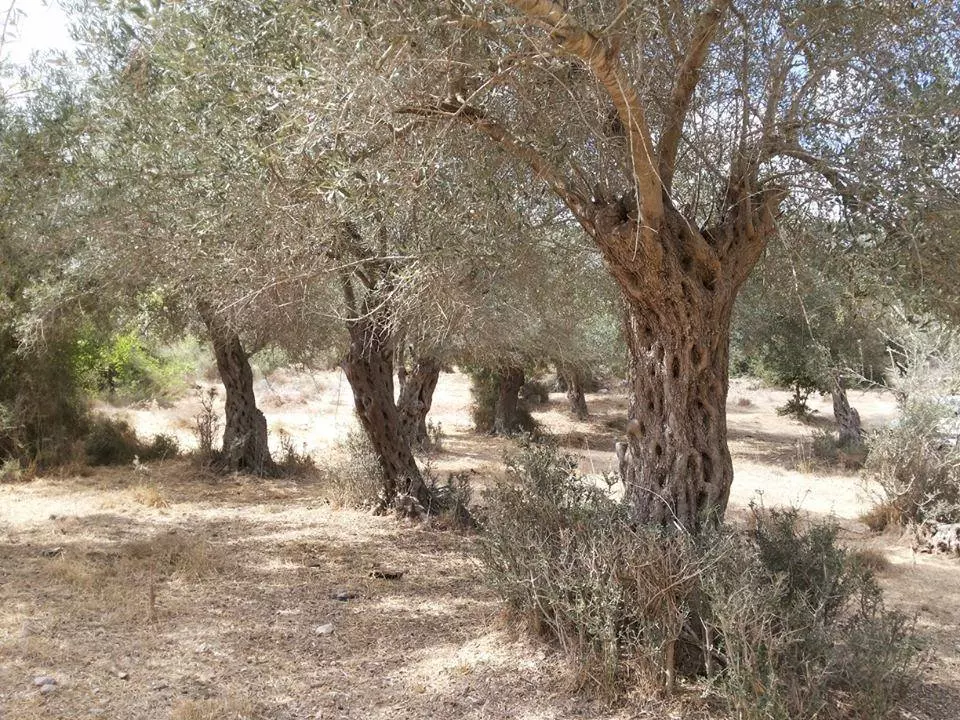
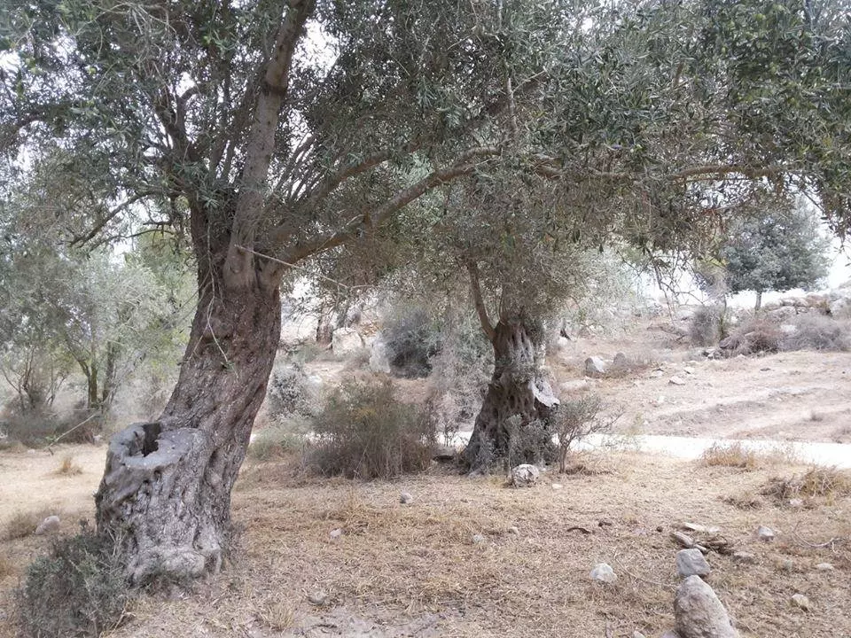
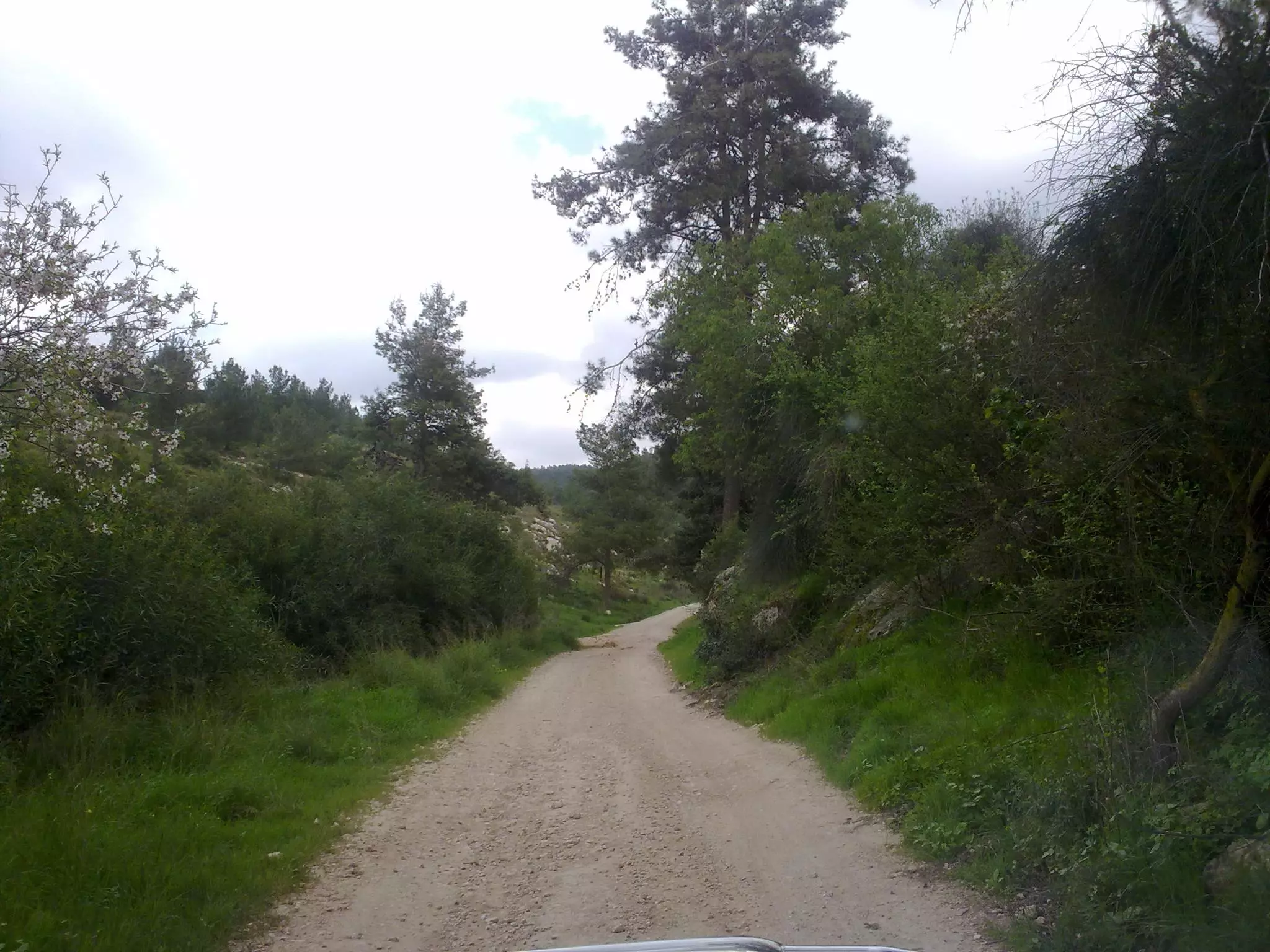
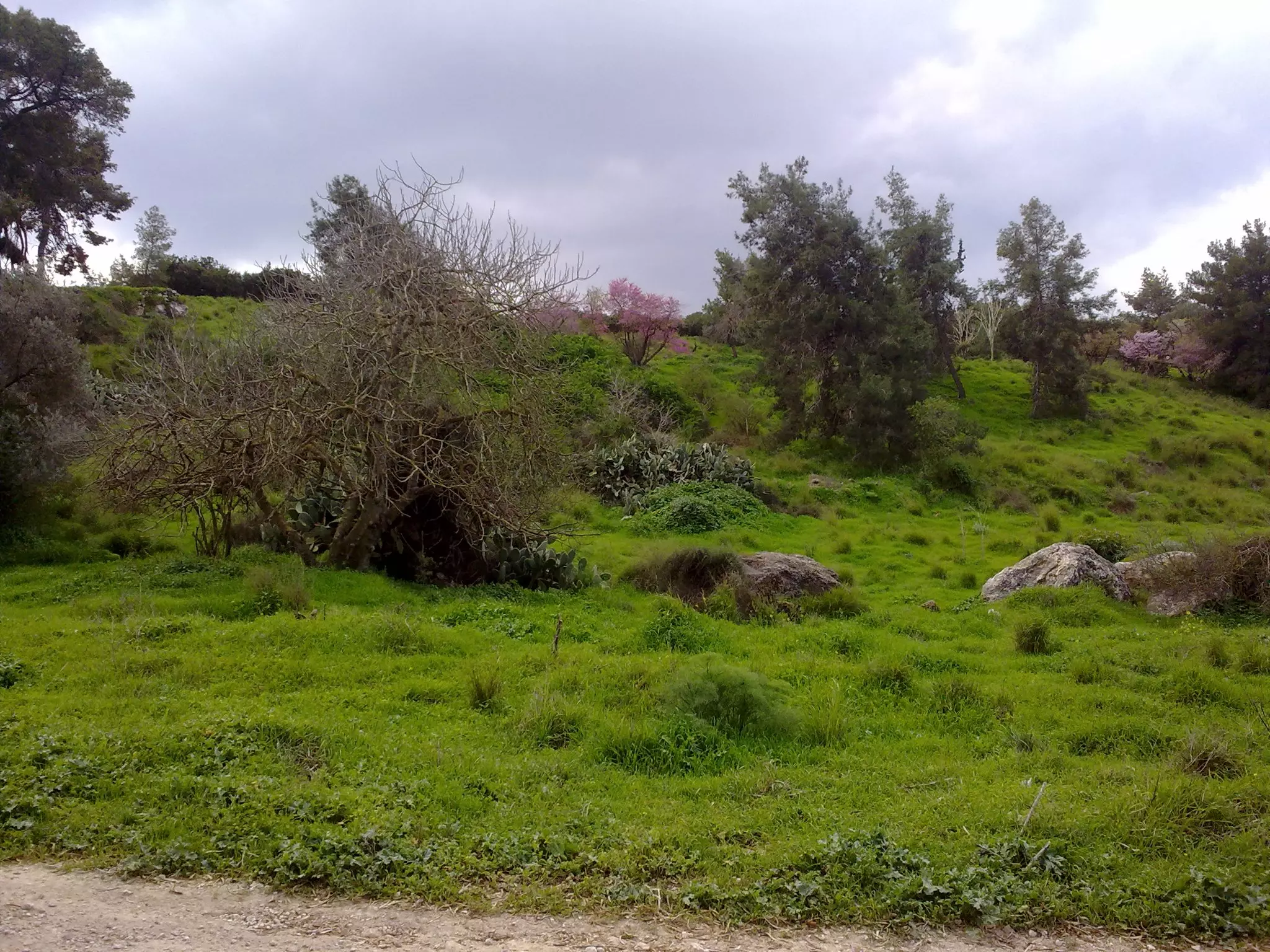
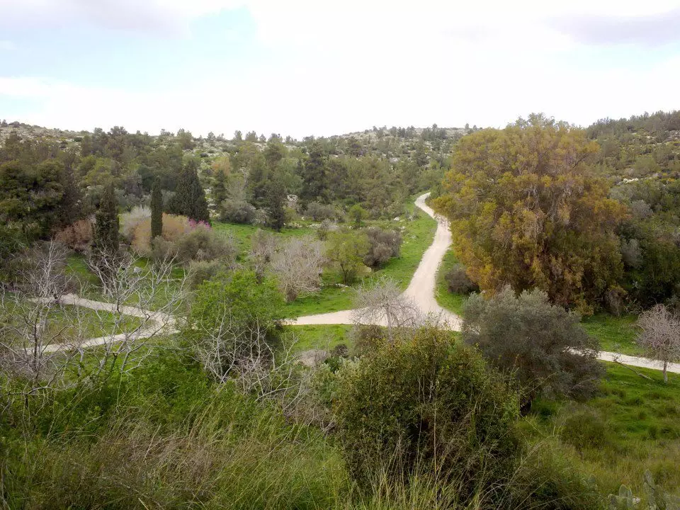
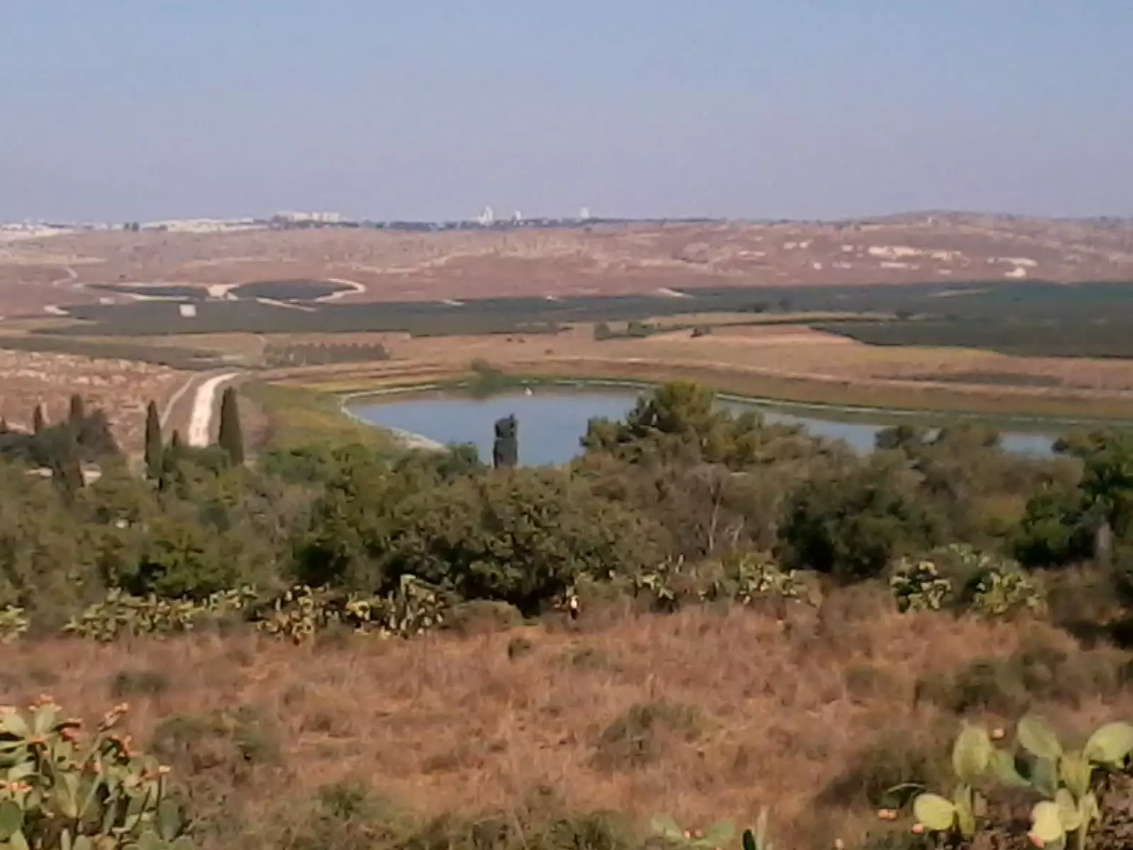
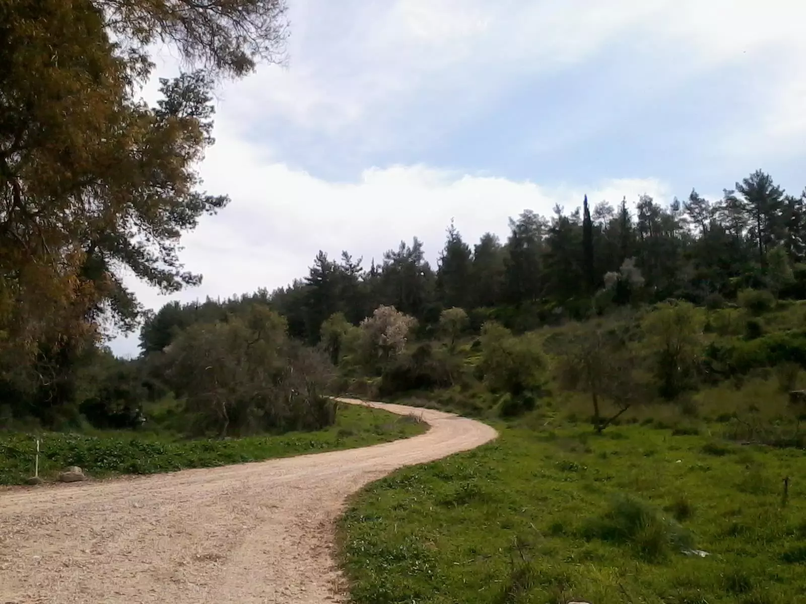
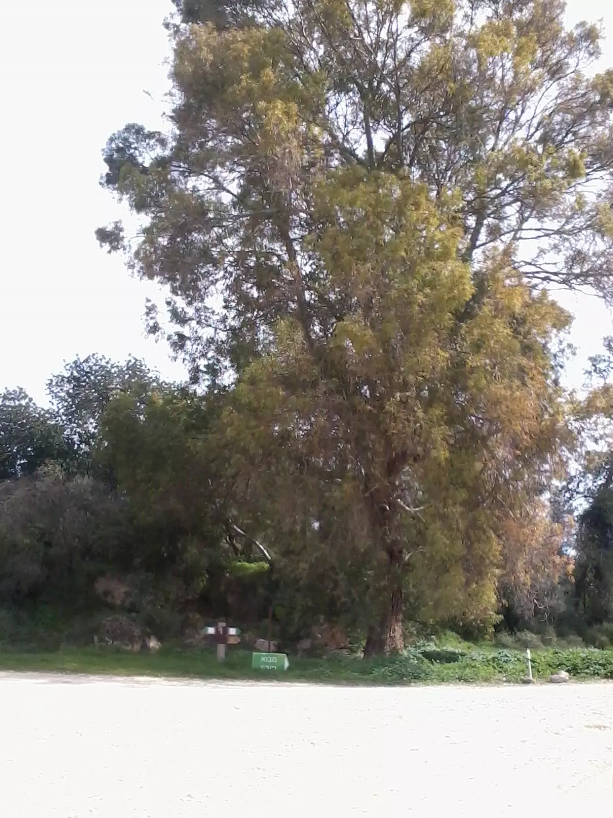
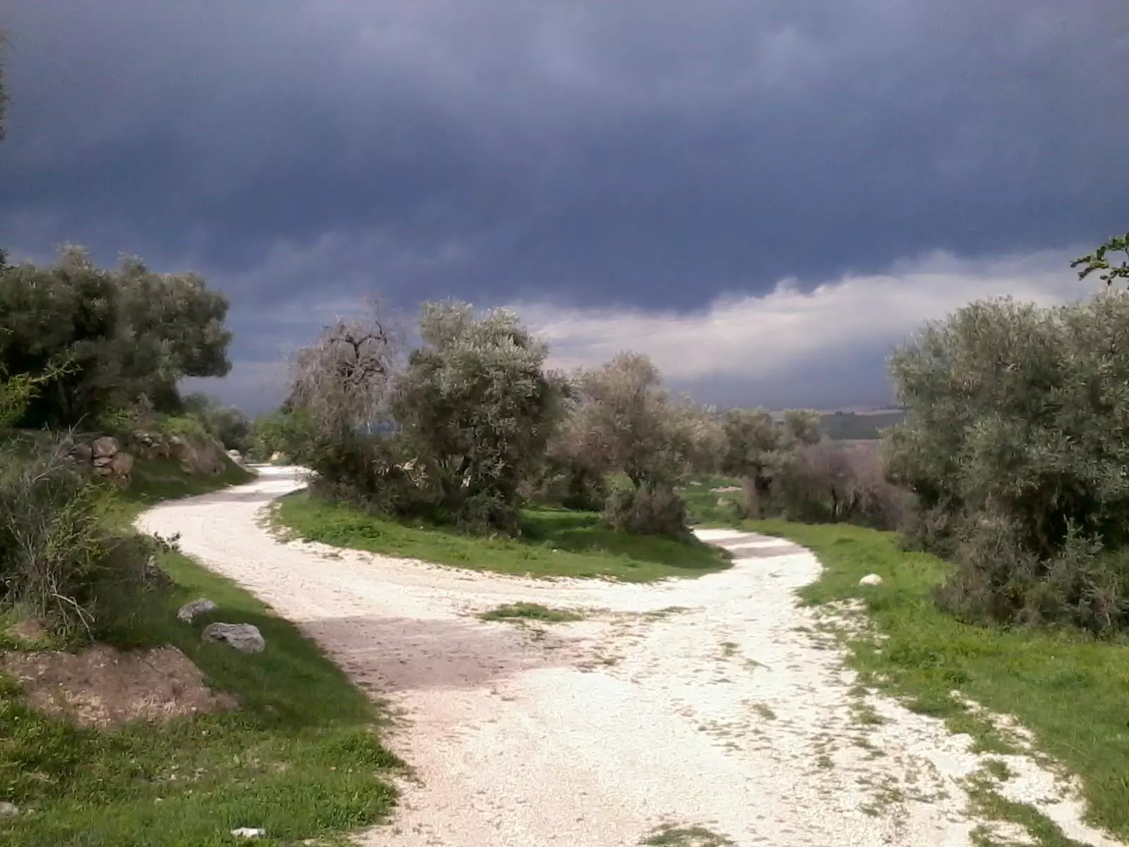
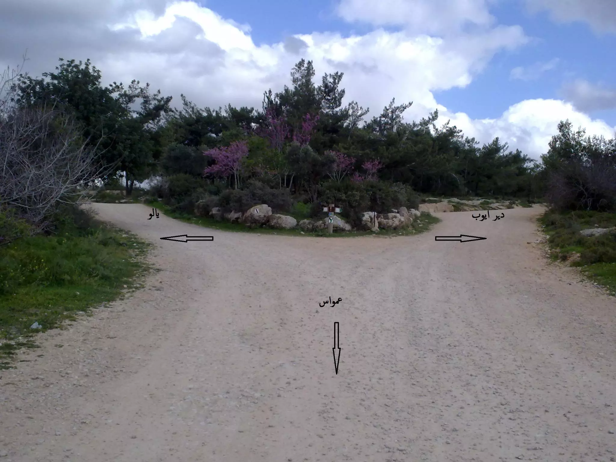
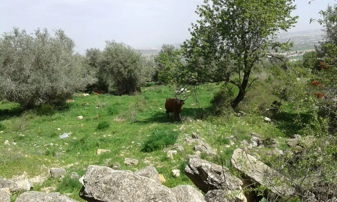
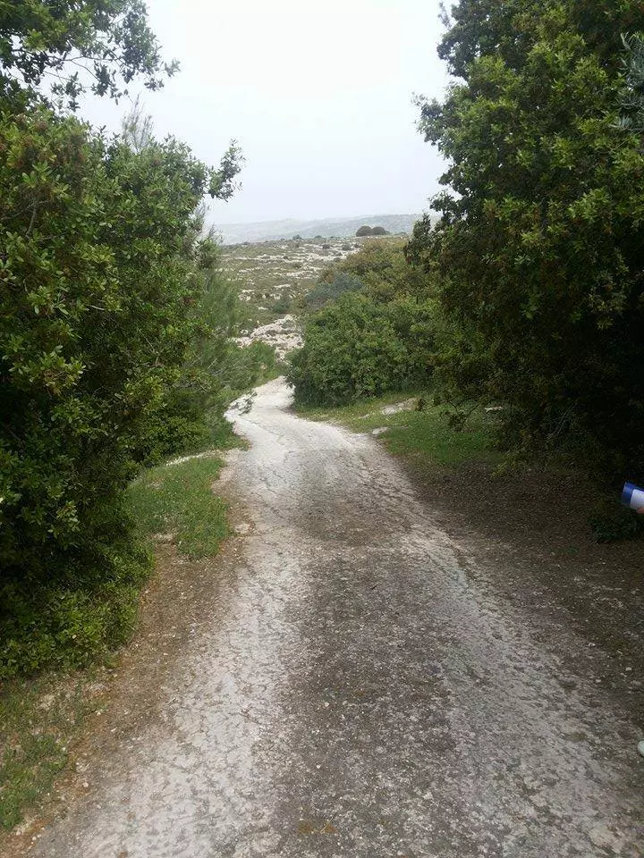
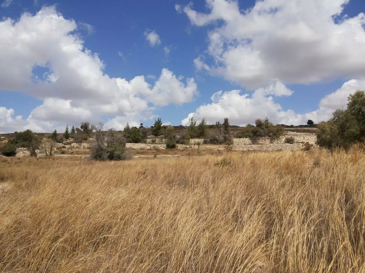
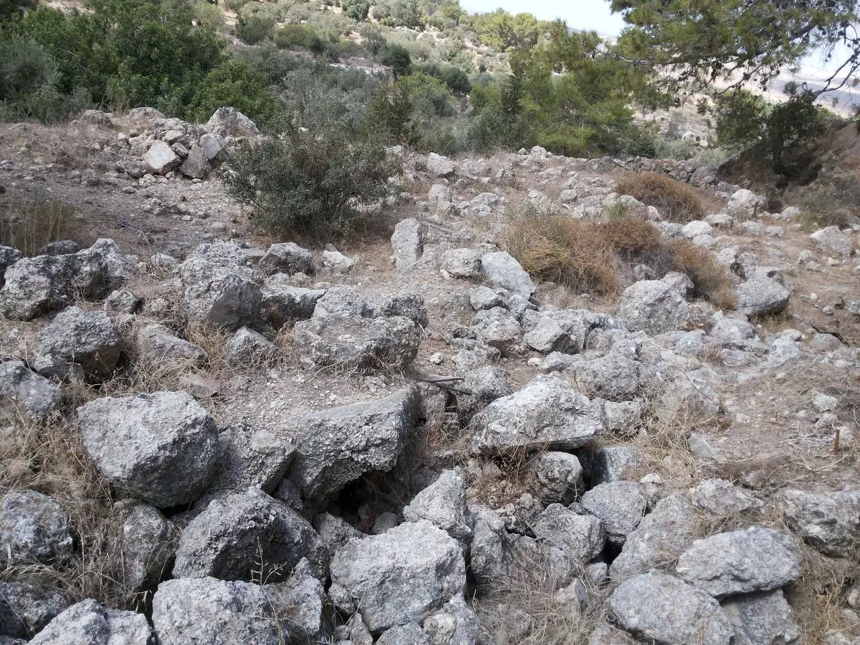
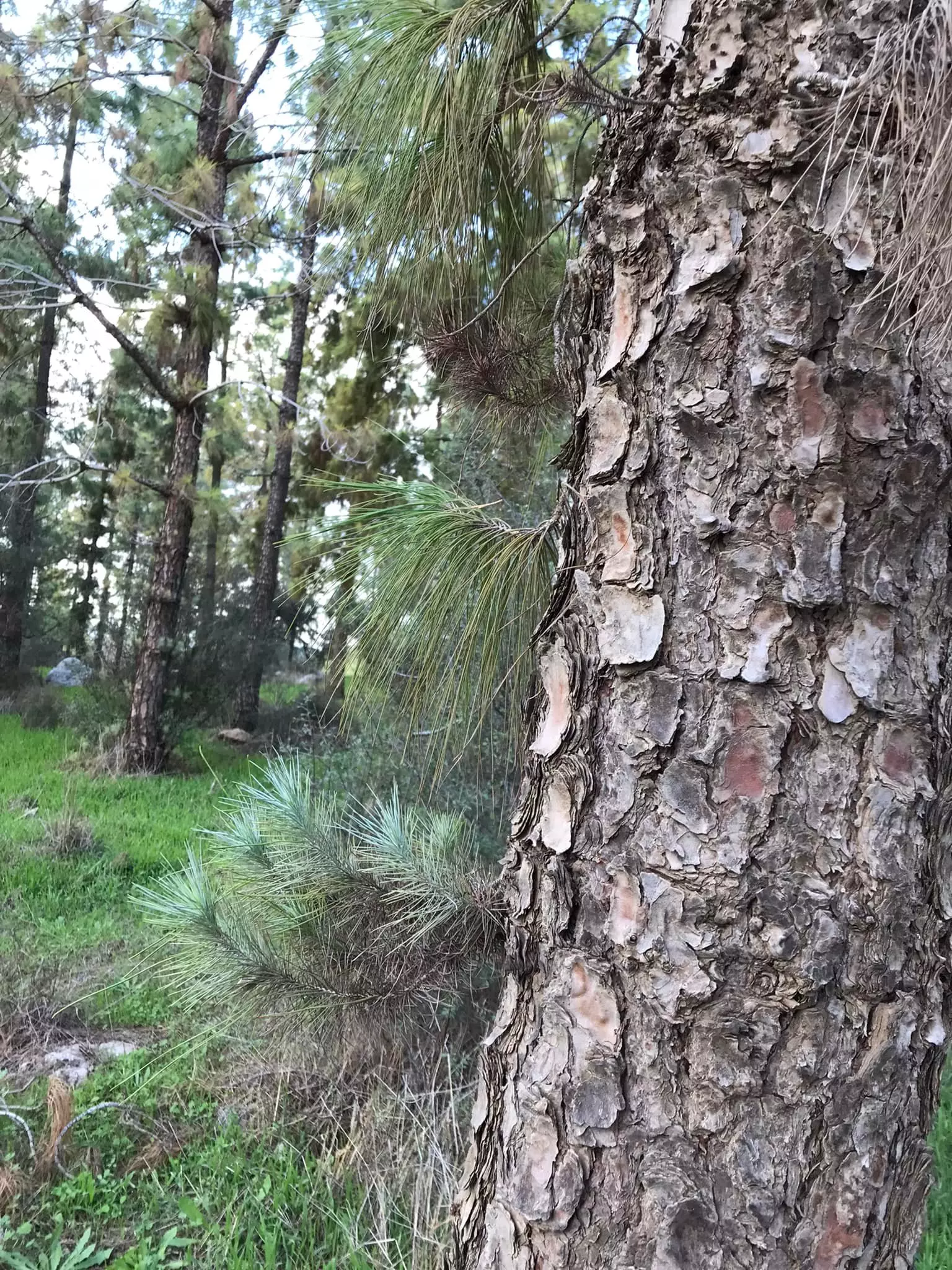
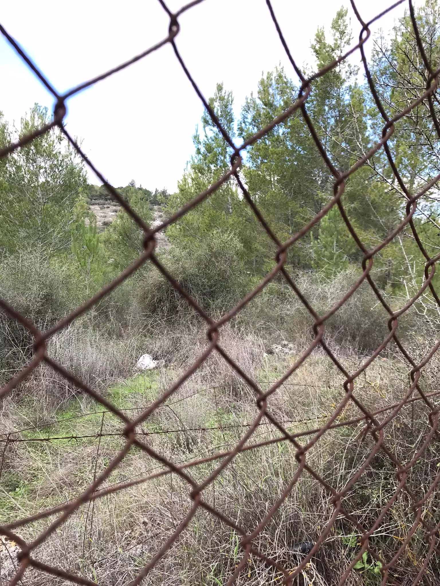
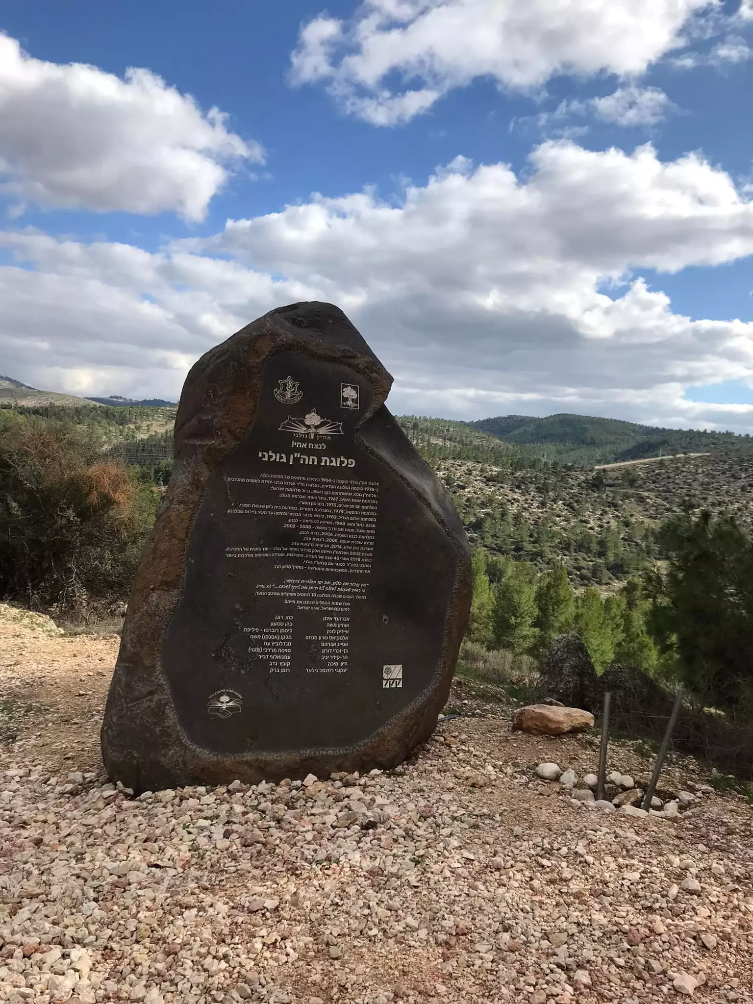
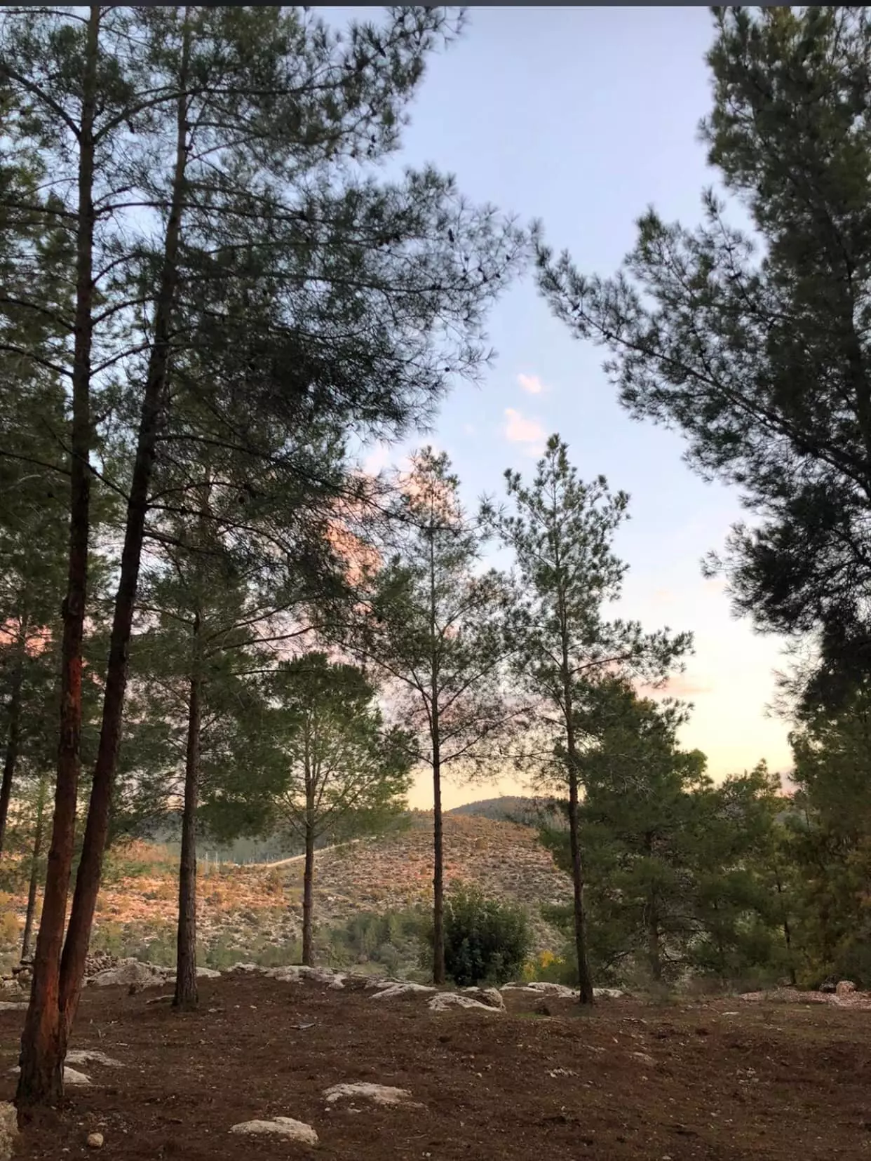
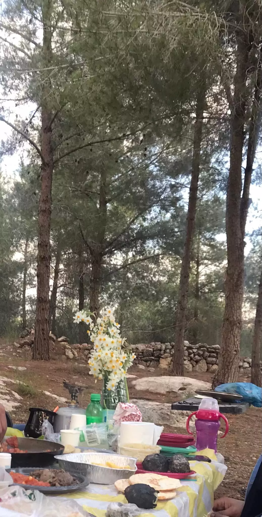
Village Before NakbaThe village, located on slopes facing the southwest, overlooked the Ramla-Jerusalem highway and was linked to it by a secondary road. On the northwestern side of the village was a plot of land that the inhabitants believed was the tomb of the prophet Ayyub (the biblical Job). In 1596, Dayr Ayyub was a village in the nahiya of Ramla (liwa' of Gaza) with a population of ninety-four. It paid taxes on a number of crops, including wheat, barley, and fruits, as well as on other types of produce and property, such as goats, beehives, and vineyards.In the late nineteenth century, Dayr Ayyub was a small hamlet situated on a hillside. Its population was mostly Muslim, and its houses were built of stone and mud. The village expanded along the roads that connected it to other localities. The villagers financed the construction of a school in 1947 (the initial enrollment was fifty-one students), and paid the teacher's salary. Agriculture, concentrated in the north and northwest, and predominantly based on rainfall, was the villagers' main occupation. They grew a variety of crops: grain, fruits, grapes, figs, pomegranates, and vegetables. In 1944/45 a total of 2,769 dunums were planted in cereals; 127 dunums were irrigated or used for orchards, 10 of which were olive groves. Village Occupation and Ethnic CleaningDayr Ayyub was attacked by Zionist forces several months before it was actually captured. In what the New York Times described as 'another reprisal attack by Jews,' twenty-five men raided the village on 21 December 1947, according to the village mukhtar. The invaders bombed three houses, but there were no reports of casualties. Around six weeks later, on 7 February 1948, British troops moved into the village and demolished two houses. A British communique quoted in the Palestinian newspaper Filastin said that the houses had been used to fire on Jewish convoys driving by the village.The village was occupied three times during the battles around al-Latrun, in May and June 1948, according to the History of the Haganah. A series of operations was launched in the wake of Operation Nachshon (see Bayt Naqquba, Jerusalem sub-disctrict), designed to occupy and destroy villages at the western approaches to Jerusalem and to control the strategic al-Latrun salient. The first time Dayr Ayyub fell was on 16 May 1948, during Operation Makkabi (see Khirbat Bayt Far, Ramla sub-disctrict). It was taken by units of the Palmach's Har'el Brigade. These units apparently withdrew some time later, and a force composed of units of the Giv'ati and Sheva' (Seventh) brigades reoccupied Dayr Ayyub at the end of May. This was done in the framework of Operation Ben-Nun which aimed at occupying al-Latrun. The second time, the Israeli units entered the village 'without resistance,' but withdrew immediately under fire. Israeli historian Benny Morris indicates only that Dayr Ayyub was depopulated as a result of a military assault in April 1948. While this information is not necessarily inconsistent with the official Israeli accounts, it suggests that the village changed hands more than once before the end of the war. Another attempt to occupy the village may have been made during the fourth attack on al-Latrun (Operation Yoram), on the night of 8-9 June. But it apparently remained unoccupied during the course of the second truce. Arab Legion sources told the New York Times on 15 August that Israel intended to occupy Dayr Ayyub (in violation of the truce), but that the attack was repulsed. Eventually, the village fell close to the armistice lines drawn in 1949. Zionists Colonies on Village LandsThere are no Israeli settlements on village lands. The settlement of Mevo Choron, founded in 1970, is north of the village site.Village TodayThe eastern segment of Canada Park lies on the village site. The park, which was opened in 1978 and was financed by donations from Canadian Jews, was established on the ruins of three other villages (Bayt Nuba, Imwas, and Yalu) that were destroyed by the Israeli army shortly after it occupied the West Bank in June 1967. The site is strewn with debris, including parts of walls connected to iron rafters. The remains of houses can be seen on a high hill to the south, opposite the village. The cemetery, located on this hill, to the southeast, contains the remains of a tombstone with the inscription: 'Al-Hajj Muhammad 'Ulayyan Taha, died on 14 Muharram 1355 Hijra [Islamic calendar, equivalent to 6 April 1936].' Large cypress, eucalyptus, carob, and fig trees dominate the site, mixed with recently-planted firs. The valleys are used by Israelis for fig cultivation. A spring at the southeastern edge of the village site is surrounded by a cow pen, and the entire area is fenced in.SourceDr. Walid al-Khalidi, 1992: All That Remains. |
|||||||||||||||
| Related Maps | Town Lands' Demarcation Maps خرائط للقضاء توضح حدود القرى والاودية Town's map on MapQuest View from satellite Help us map this town at WikiMapia |
||||||||||||||
| Related Links | Wikipedia's Page Facebook Page Google Search Google For Images Google For Videos |
||||||||||||||
| More Information | في كتاب كي لا ننسى في كتاب بلادنا فلسطين المزيد من موقع هوية |
||||||||||||||
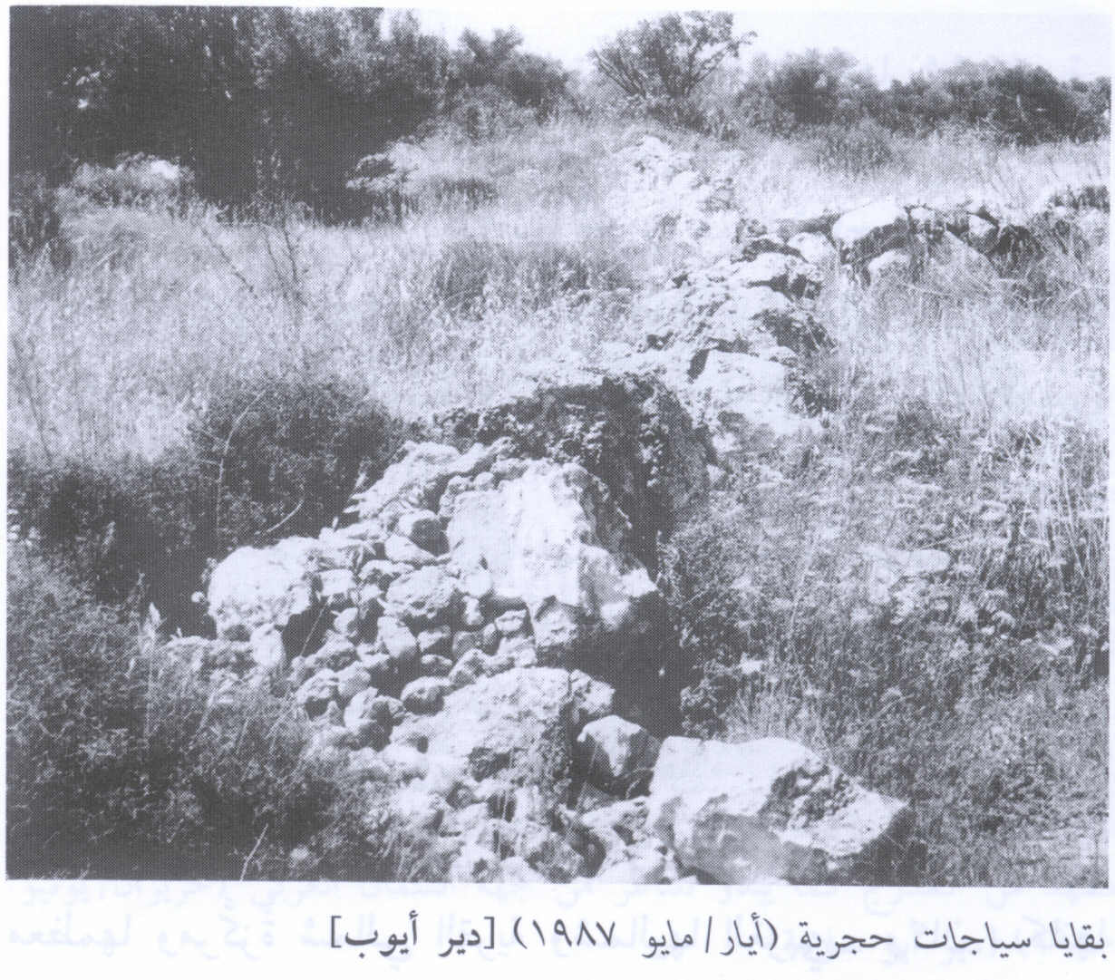
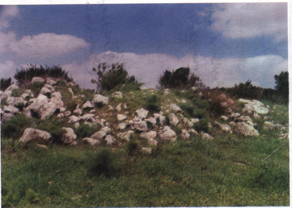
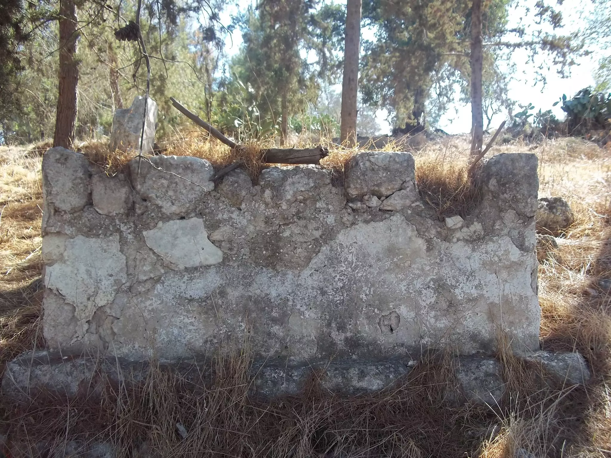
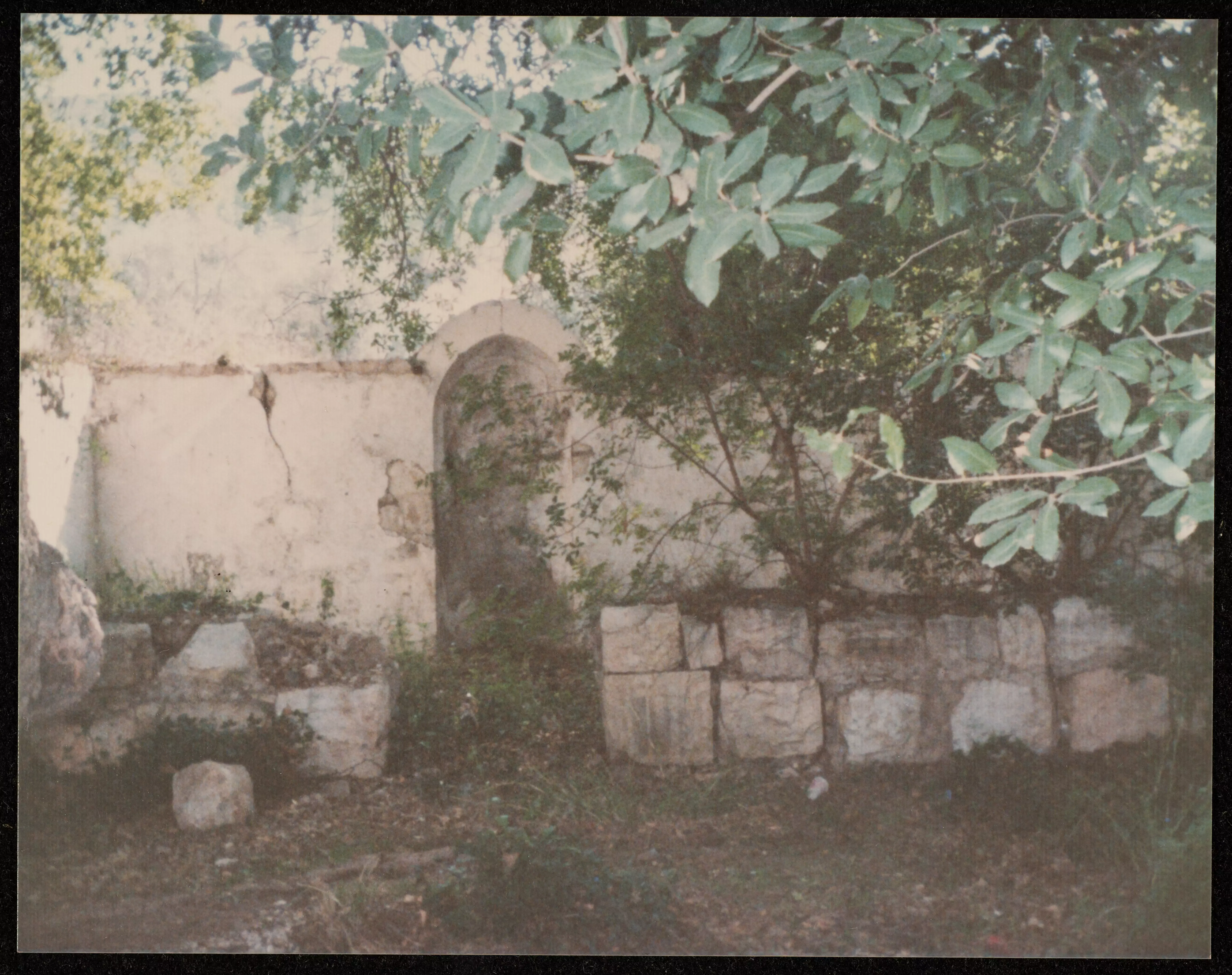
- Remains Of Village Stone Fence In 1987
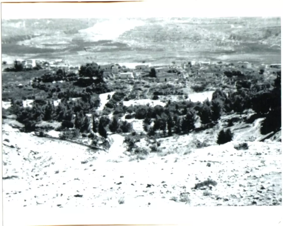
Scanned from "All That Remains" by Dr. Walid Khalidi 10 - صورة نادرة للقرية في منطقة الحرام ويبدو أن القرية لم تدمر في ذلك الوقت. 1965
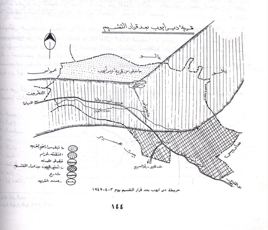
Posted by Nabeel Tinah 4 - Map of Dayr Ayoub after armistrice date early 1949
Posted by Nabeel Tinah 1 - The aftermatch of the Israeli destruction of Dayr Ayoub; house rubble
Posted by Nabeel Tinah - Map for Dayr Ayoub's lands, see comments section for details.
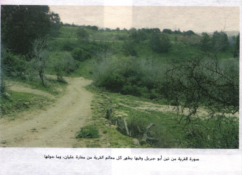
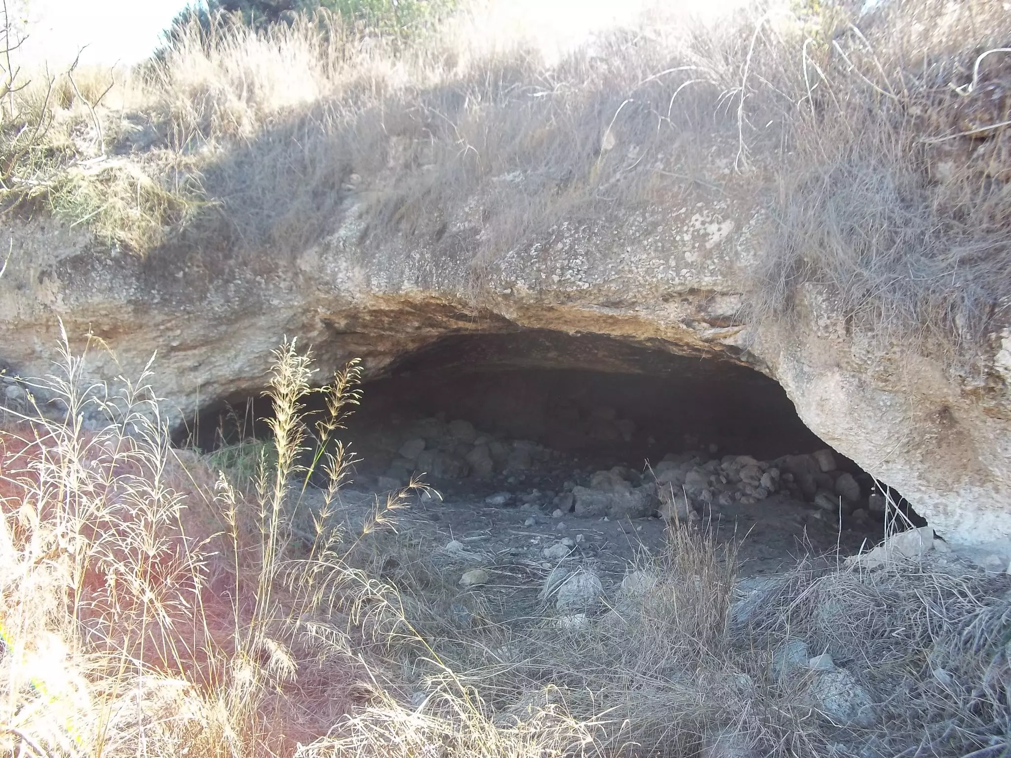
Posted by Nabeel Tinah 2 - Abu Jibril's fig fields and in it you can see Ullayan's cave
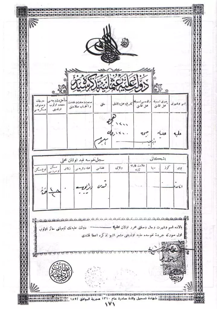
Posted by Nabeel Tinah 2 - شهادة ميلاد جدتي علية عليان سنة 1311 هجري
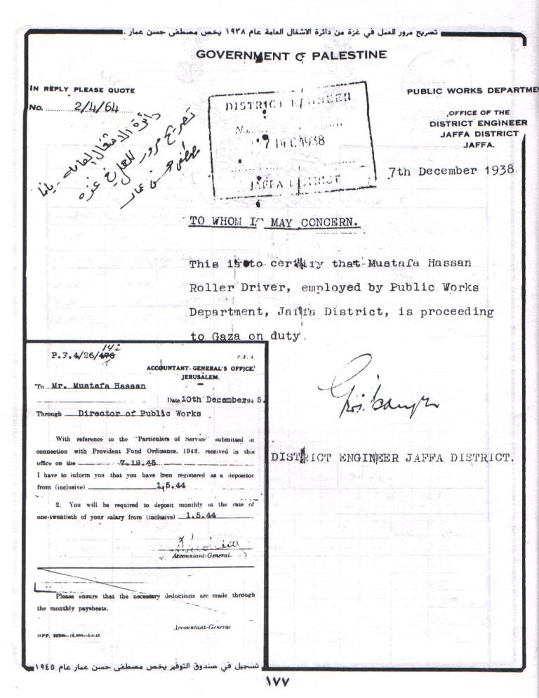
Posted by Nabeel Tinah - تصريح عمل لوالد زوجتي مرووس ب حكومة فلسطين
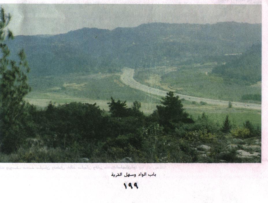
Posted by Nabeel Tinah - لاحظ طريق القدس تل ابييب السريع
Posted by Nabeel Tinah 1 - وصف الصورة موجود
Posted by Nabeel Tinah 1 - Ali Tenah 1950
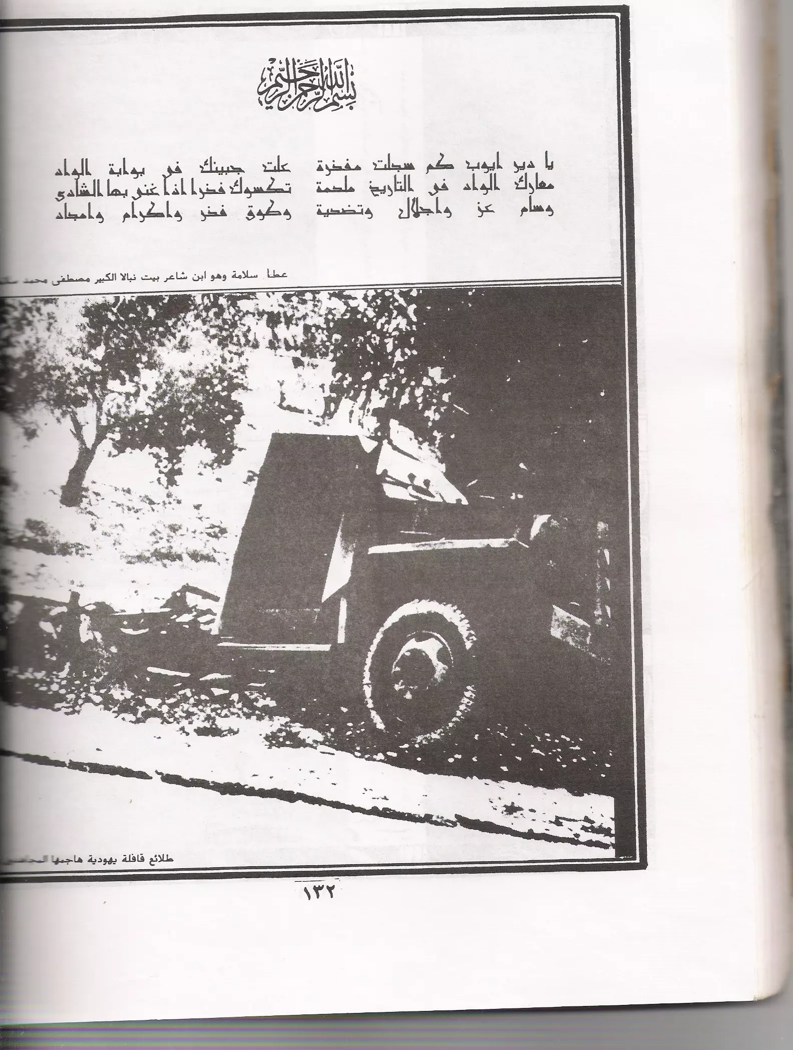
Posted by Shadi Mahmoud Abdullah Jaber 2 - طلائع قافلة يهودية هاجمها المجاهدون
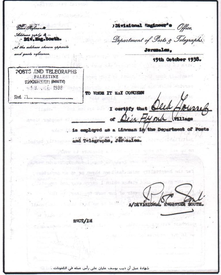
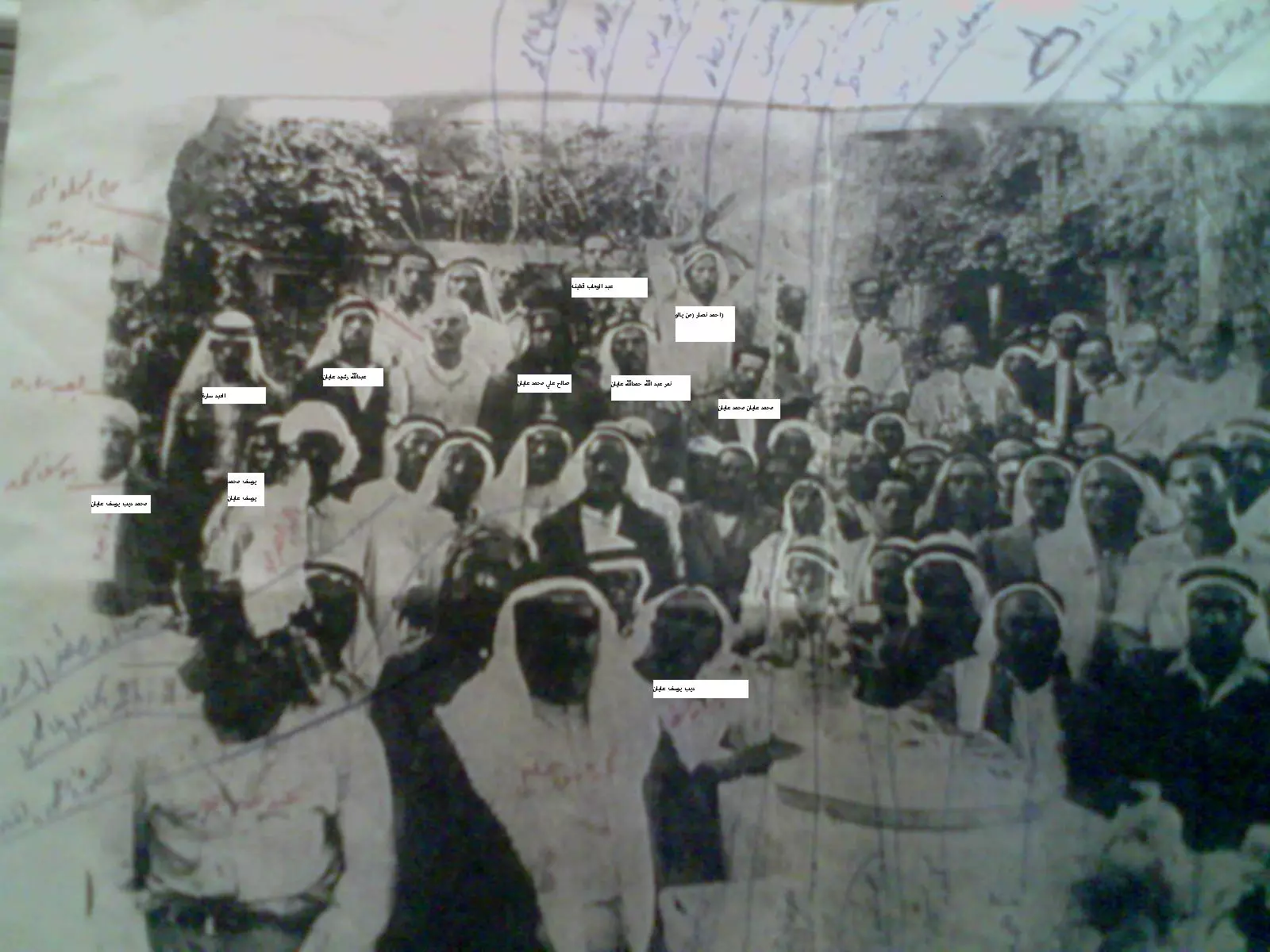
Posted by باسل طينة 2 - شكراً للسيد عباس نمر الذي زودنا بالصورة صورة لبعض اهالي ديرايوب العاملين في دائرة البريد اثناء توديع مدير الدائرة الانكليزي سنة 1939 والظاهرين في الصورة من اهالي ديرايوب 1. ديب يوسف عليان 2. محمد ديب يوسف عليان3. يوسف محمد يوسف عليان4. نمر عبدالله حمدالله عليان5. صالح علي عليان 5. محمد عليان محمد عليان6. عبدالله رشيد عليان7. محمد عبد الله حمدالله عليان 8. عبد الوهاب قطينه احد سكان دير ايوب 9. العبد ساره وظهر من يالو احمد نصار
Posted by Nabeel Tinah - استحكام كان للجيش العربي
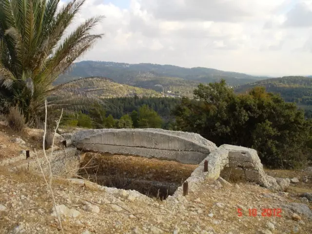
Posted by خالد دويات 1 - استحكامات الجيش العربي قرب القرية
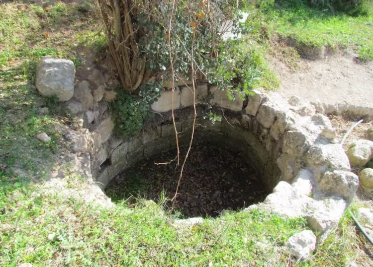
Posted by خالد دويات 1 - ابار دير ايوب المتبقيه
Posted by abu raya - صوره قديمه لاحد مقامات دير ايوب
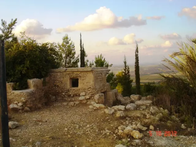
Posted by abu raya - دير ايوب
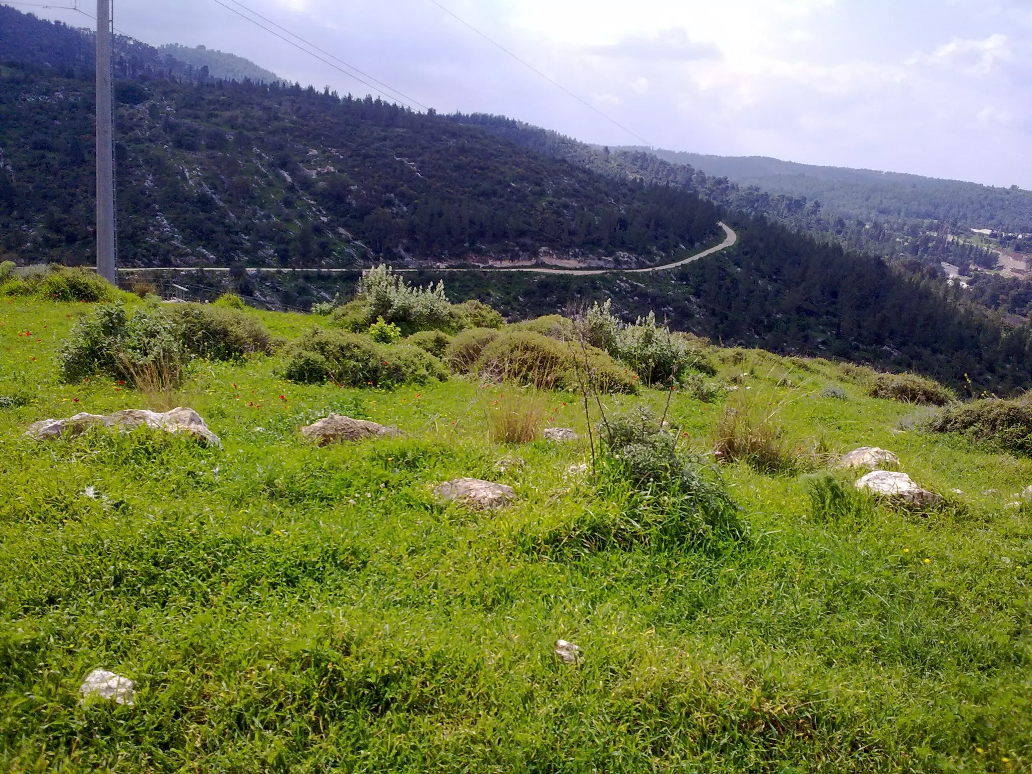
Posted by abu raya - منظر من دير ايوب
Posted by abu raya - اطلال دير ايوب
Posted by abu raya - دير ايوب
Posted by abu raya - منظر عام لقريه دير ايوب قبل النكبه
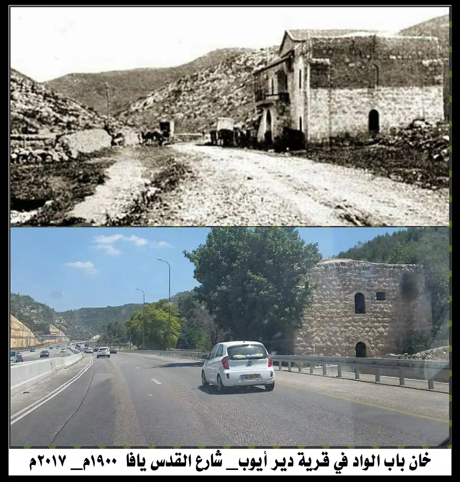
Posted by abu raya - خان باب الواد في دير ايوب قبل وبعد التهجير
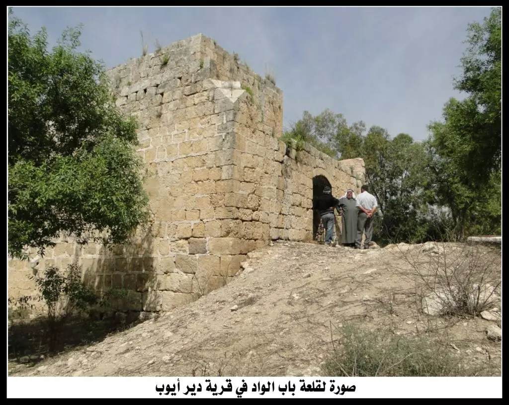
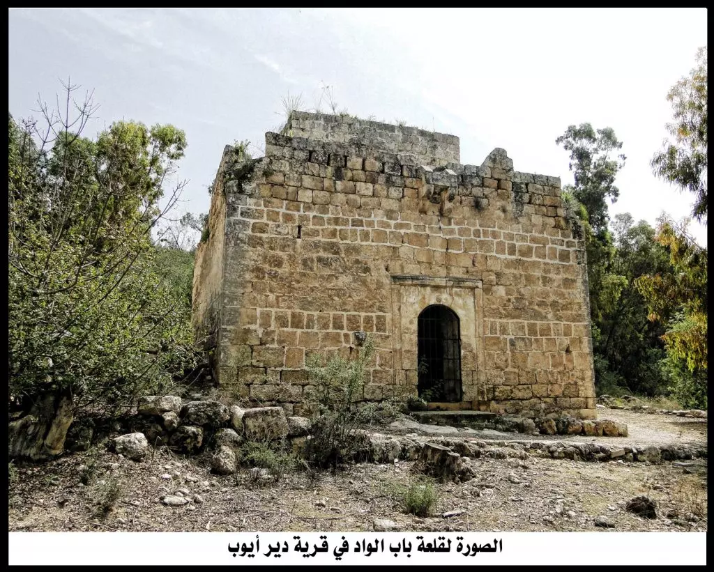
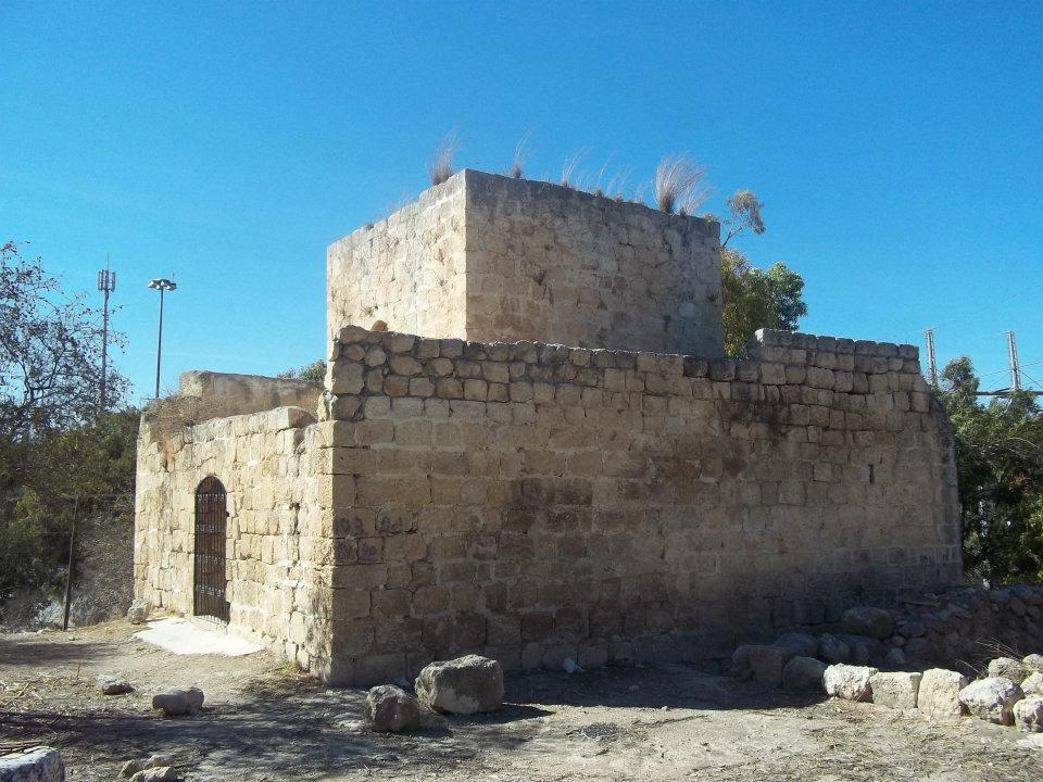
- القلعة في دير ايوب
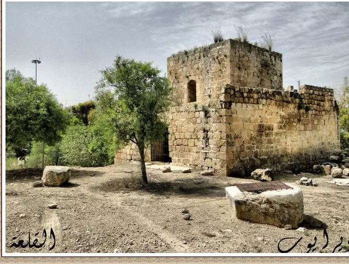
- القلعة في دير ايوب #2
- القلعة في دير ايوب #3
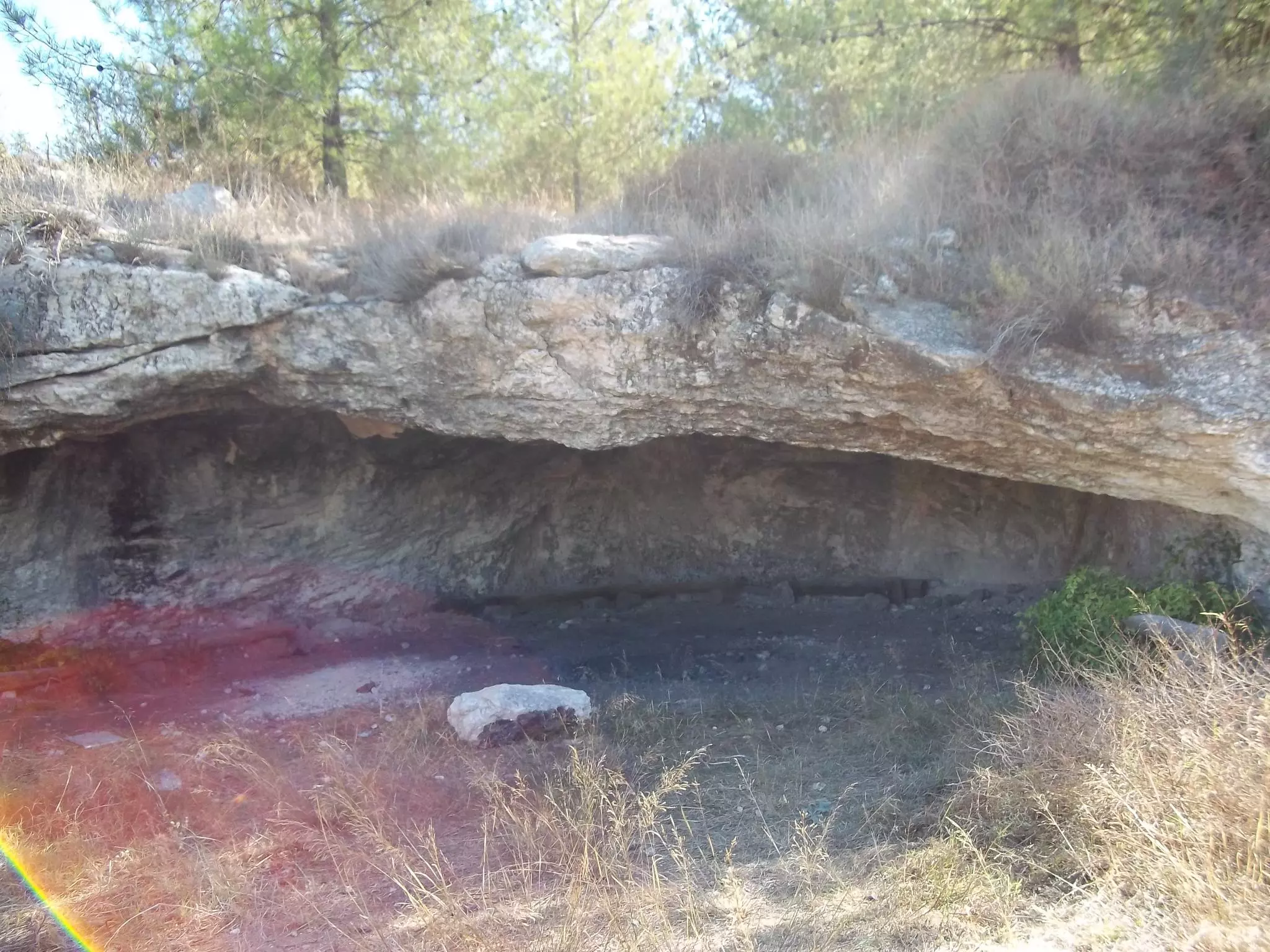
- مغارة عليان
- مغارة عليان #2
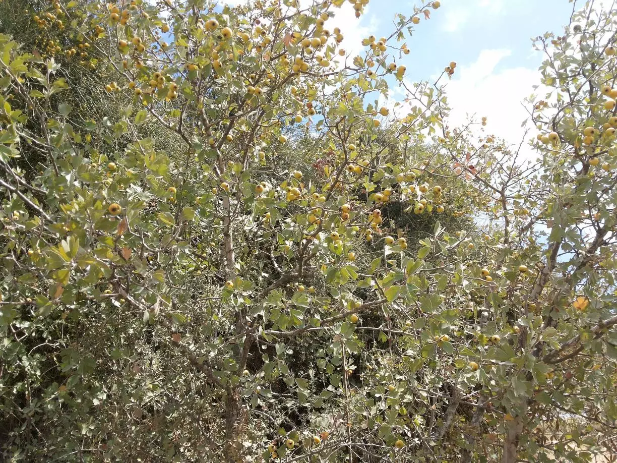
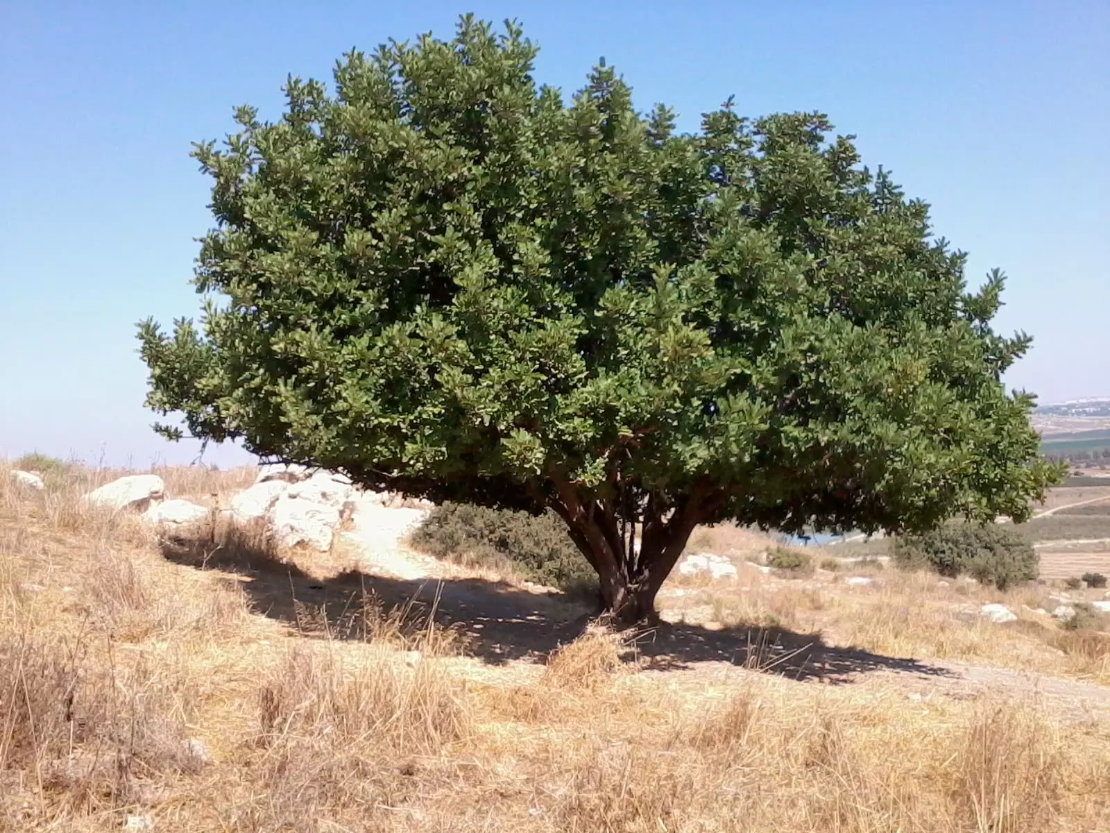
- شجرة زعرور
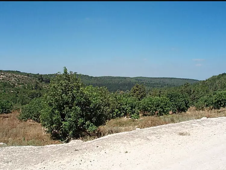
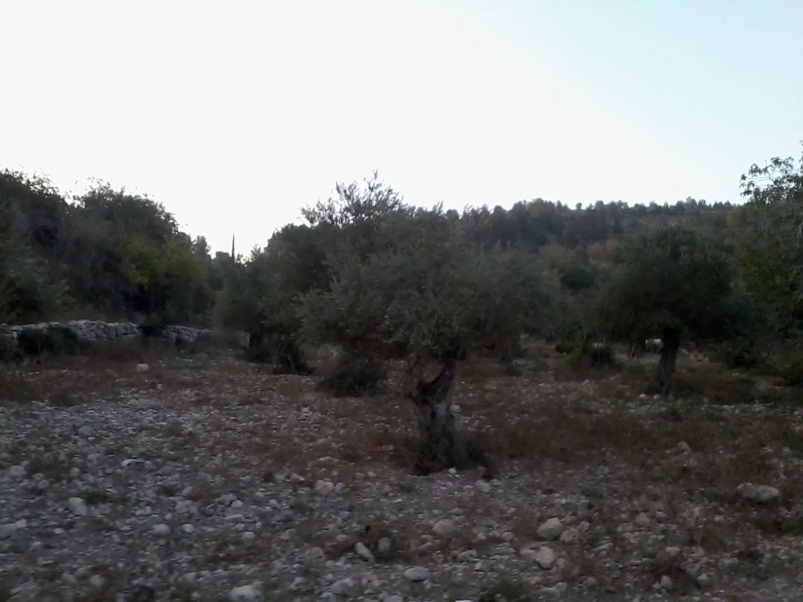
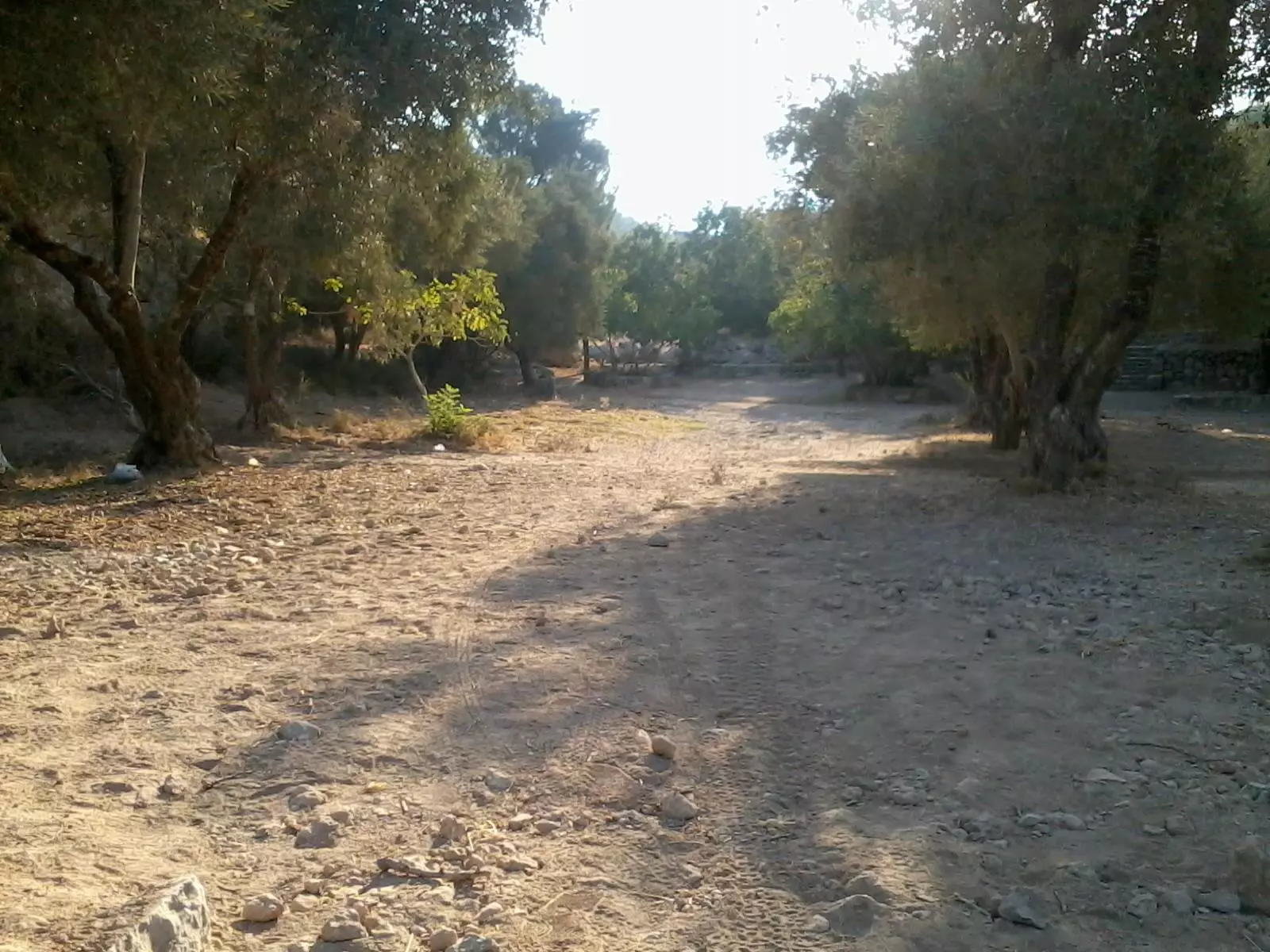
- جولة في حقول وكروم زيتون دير ابان المهجرة
- جولة في حقول وكروم زيتون دير ابان المهجرة #2
- جولة في حقول وكروم زيتون دير ابان المهجرة #3
- جولة في حقول وكروم زيتون دير ابان المهجرة #4
- جولة في حقول وكروم زيتون دير ابان المهجرة #5

- جولة في حقول وكروم زيتون دير ابان المهجرة #6
- جولة في حقول وكروم زيتون دير ابان المهجرة #7
- جولة في حقول وكروم زيتون دير ابان المهجرة #8
- جولة في حقول وكروم زيتون دير ابان المهجرة #9
- جولة في حقول وكروم زيتون دير ابان المهجرة #10
- جولة في حقول وكروم زيتون دير ابان المهجرة #11
- جولة في حقول وكروم زيتون دير ابان المهجرة #12
- جولة في حقول وكروم زيتون دير ابان المهجرة #13
- جولة في حقول وكروم زيتون دير ابان المهجرة #14
- جولة في حقول وكروم زيتون دير ابان المهجرة #15
- جولة في حقول وكروم زيتون دير ابان المهجرة #16
- جولة في حقول وكروم زيتون دير ابان المهجرة #17

- جولة في حقول وكروم زيتون دير ابان المهجرة #18
- جولة في حقول وكروم زيتون دير ابان المهجرة #19
- جولة في حقول وكروم زيتون دير ابان المهجرة #20
- جولة في حقول وكروم زيتون دير ابان المهجرة #21
- جولة في حقول وكروم زيتون دير ابان المهجرة #22
- جولة في حقول وكروم زيتون دير ابان المهجرة #23
- جولة في حقول وكروم زيتون دير ابان المهجرة #24
- جولة في حقول وكروم زيتون دير ابان المهجرة #25
- جولة في حقول وكروم زيتون دير ابان المهجرة #26
- جولة في حقول وكروم زيتون دير ابان المهجرة #27
- جولة في حقول وكروم زيتون دير ابان المهجرة #28
- انقاض بيوت دير ابان االمدمرة
- انقاض بيوت دير ابان االمدمرة #2
- انقاض بيوت دير ابان االمدمرة #3
- انقاض بيوت دير ابان االمدمرة #4
- انقاض بيوت دير ابان االمدمرة #5
- انقاض بيوت دير ابان االمدمرة #6
- انقاض بيوت دير ابان االمدمرة #7
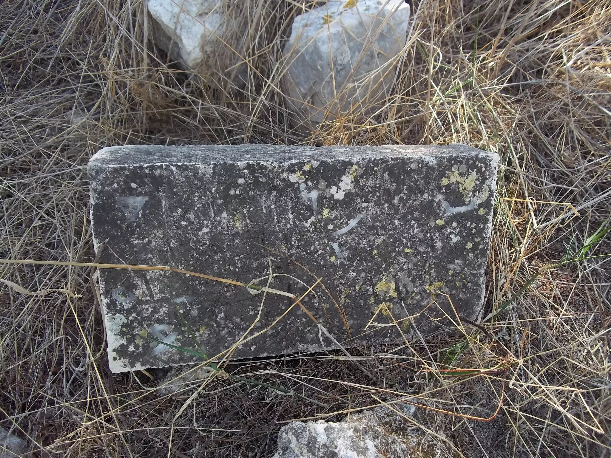
- انقاض بيوت دير ابان االمدمرة #8
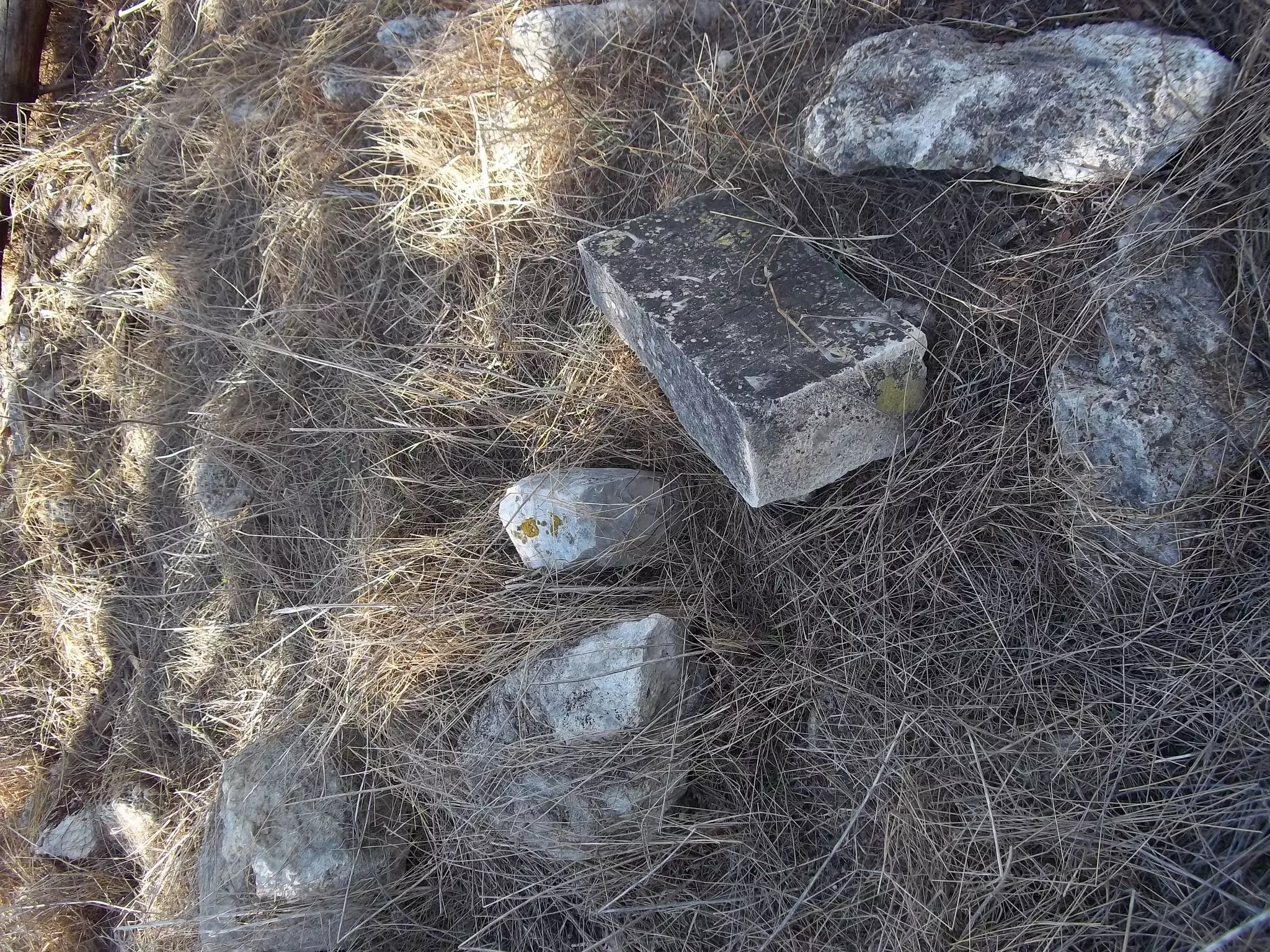
- انقاض بيوت دير ابان االمدمرة #9
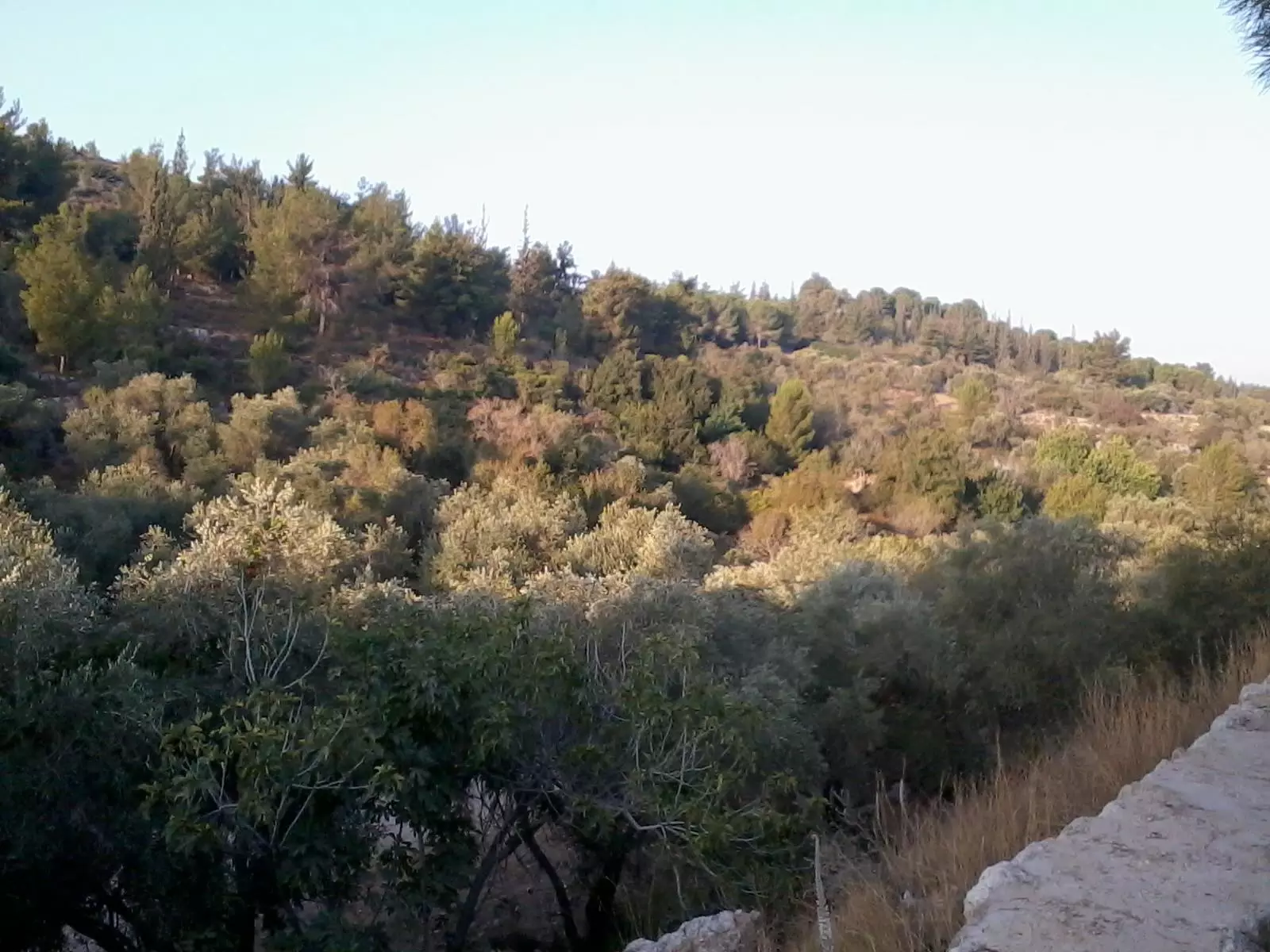
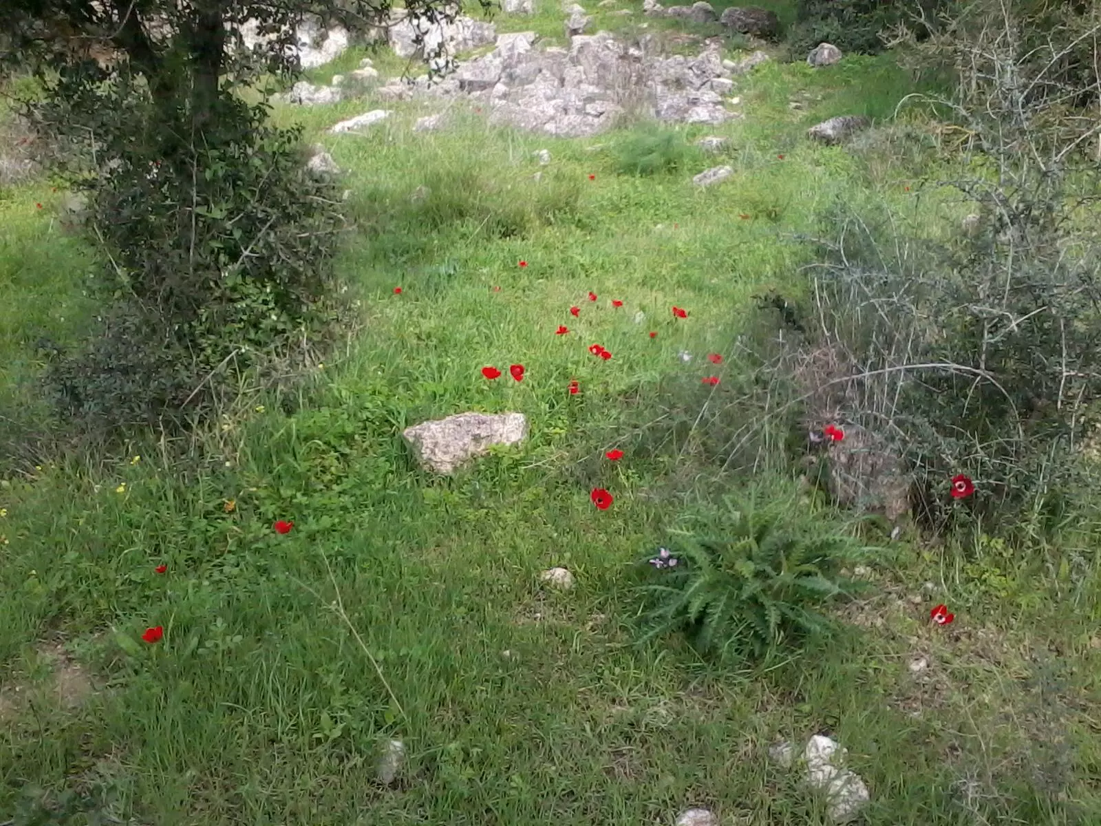
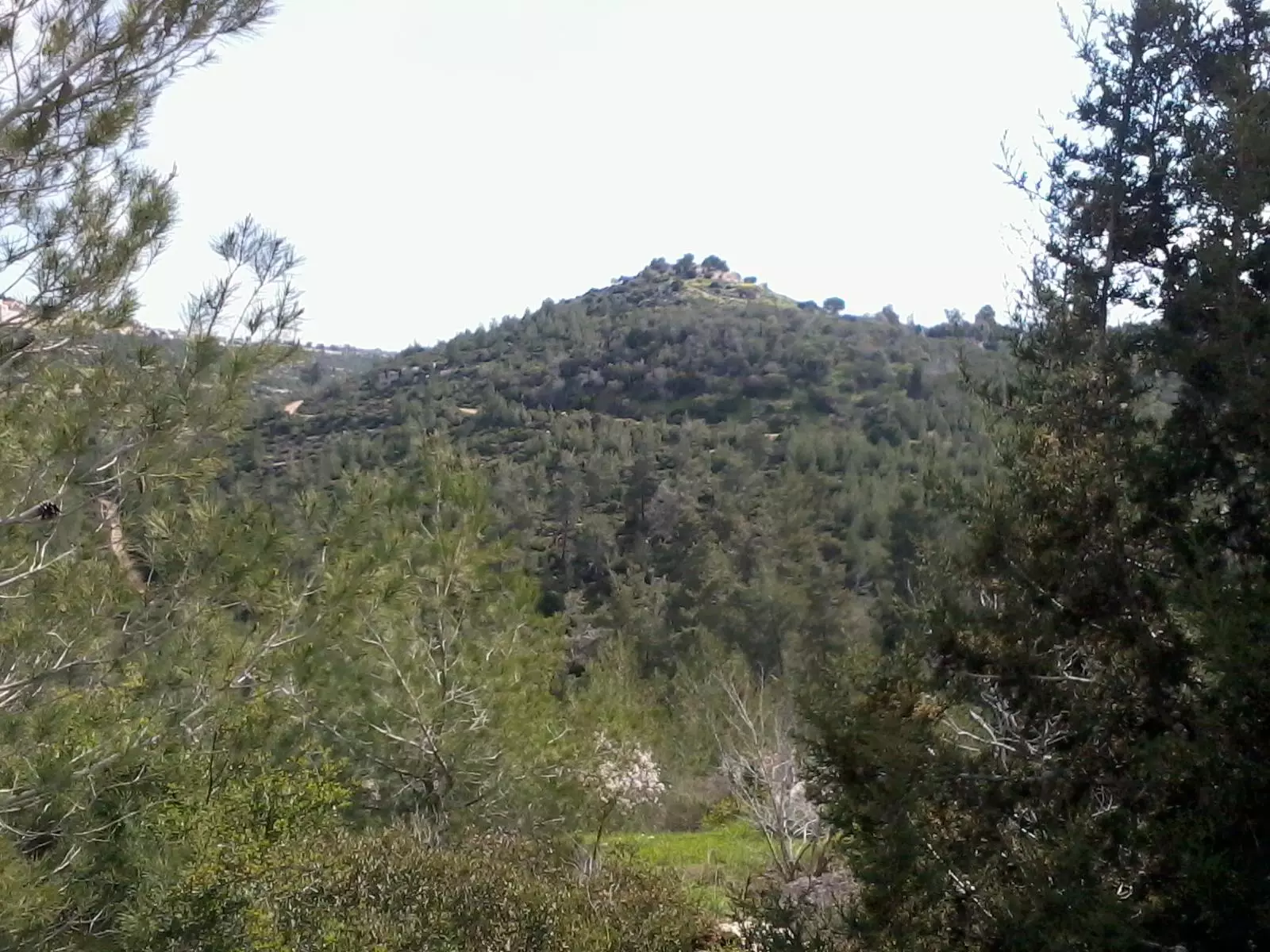
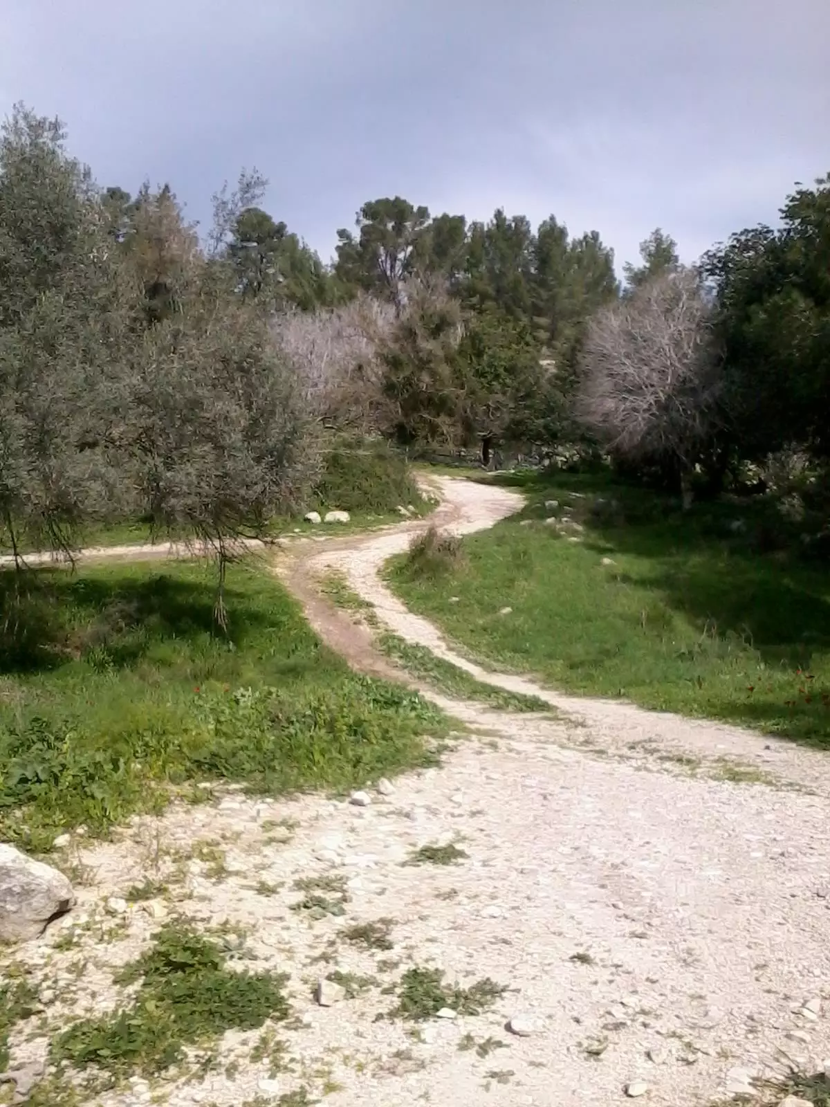
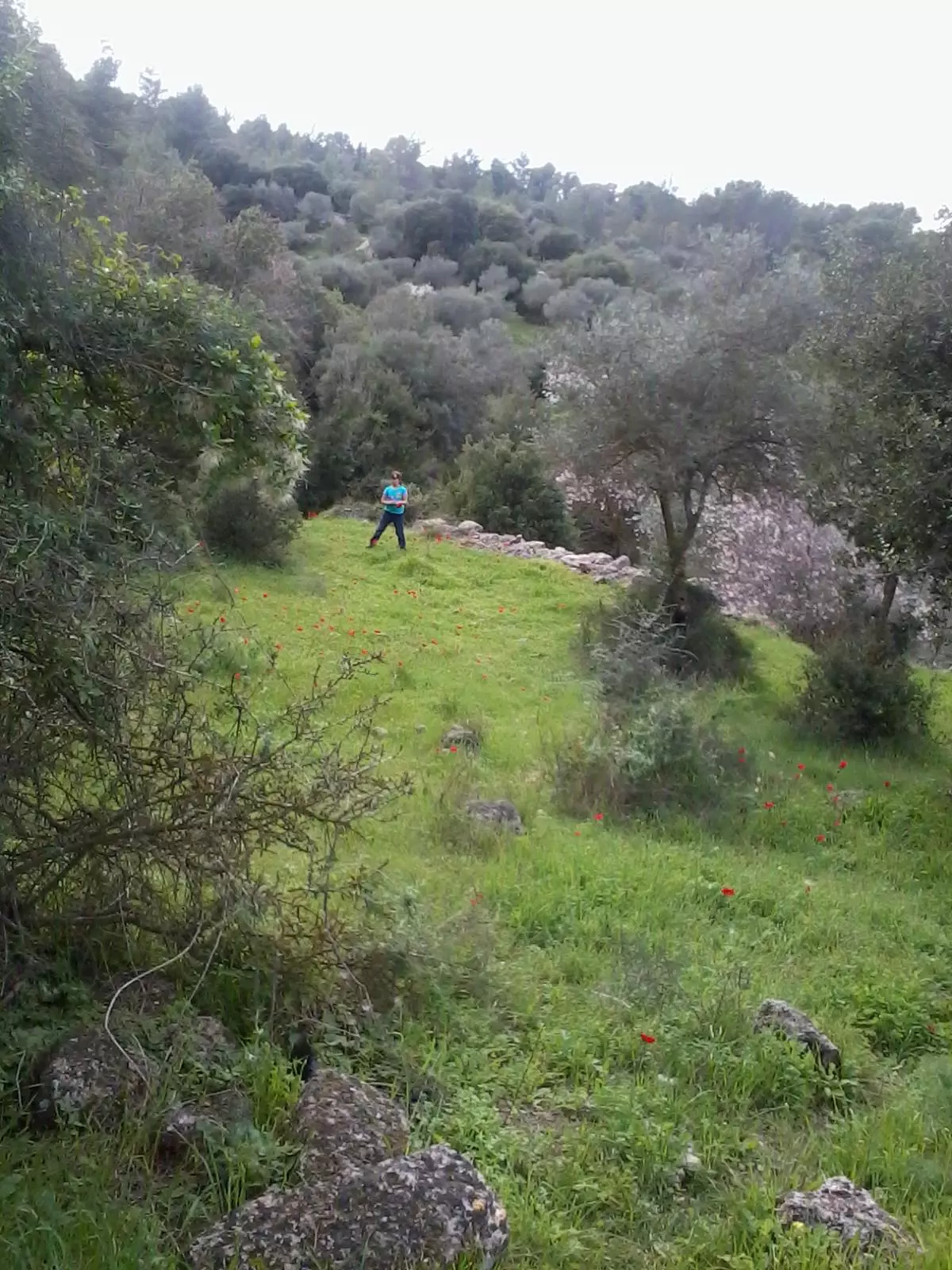
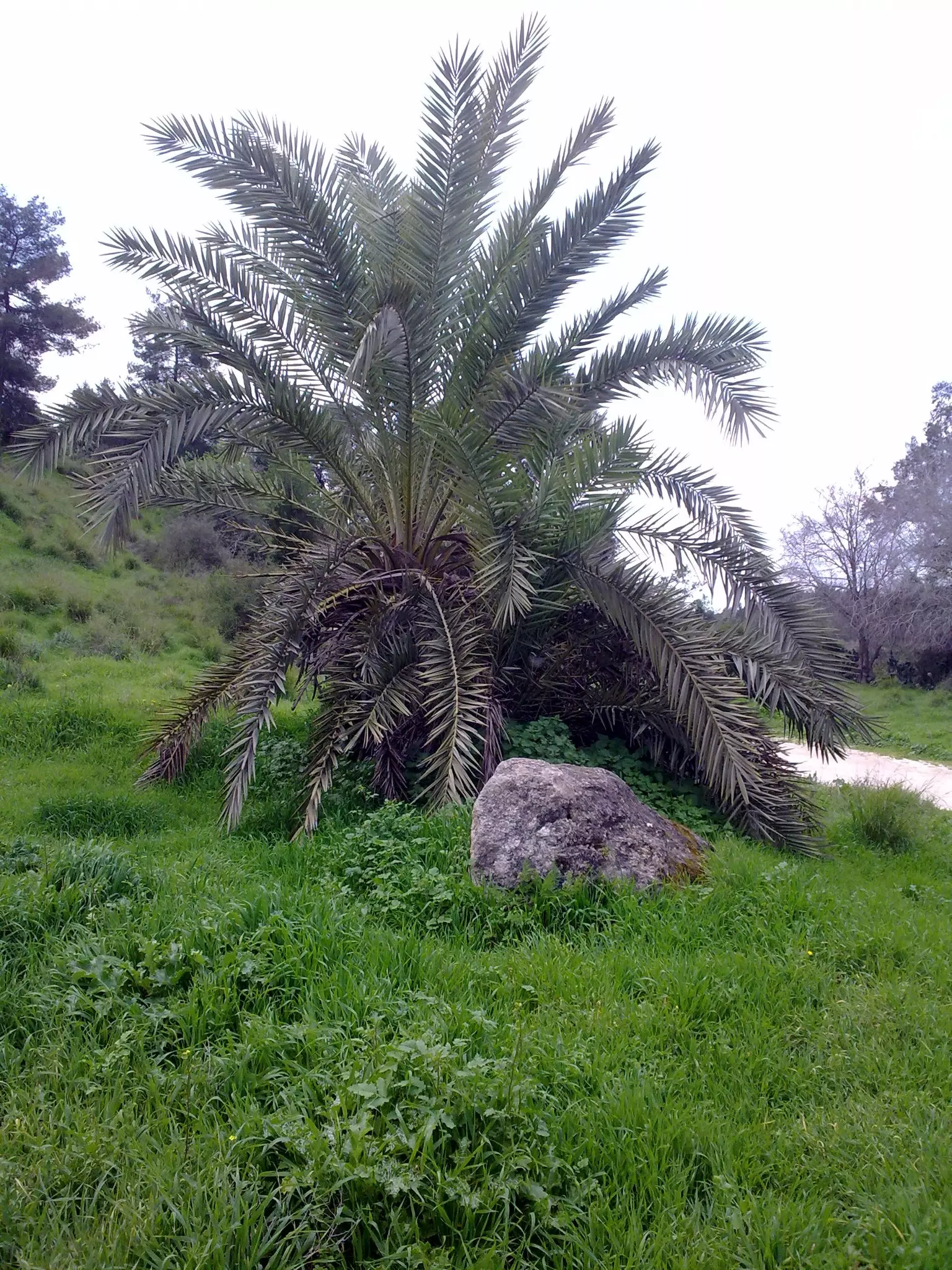
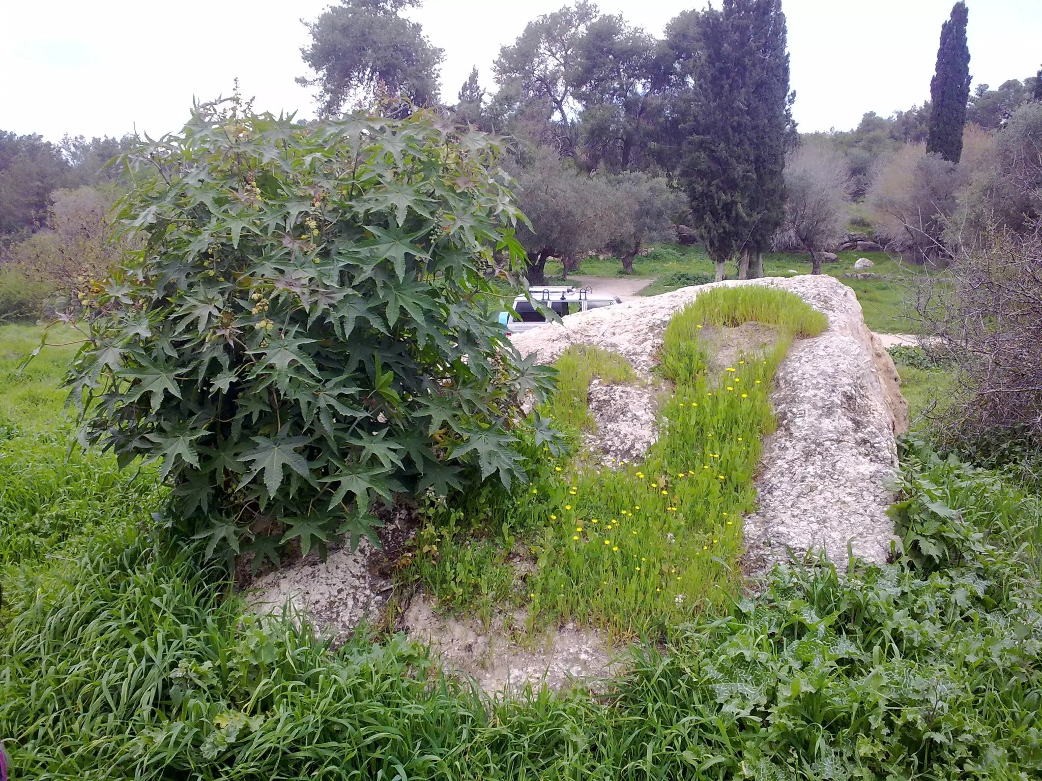
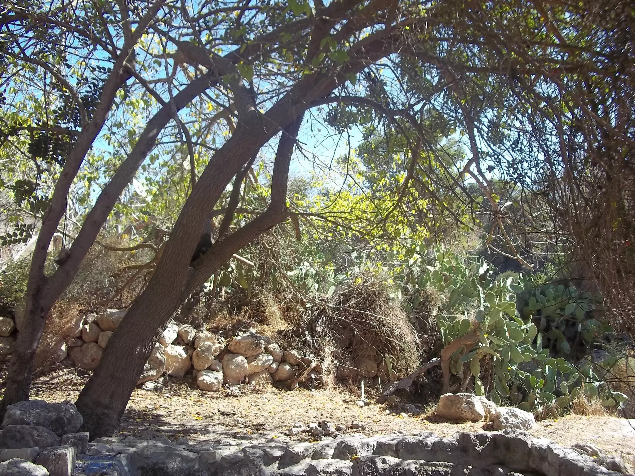
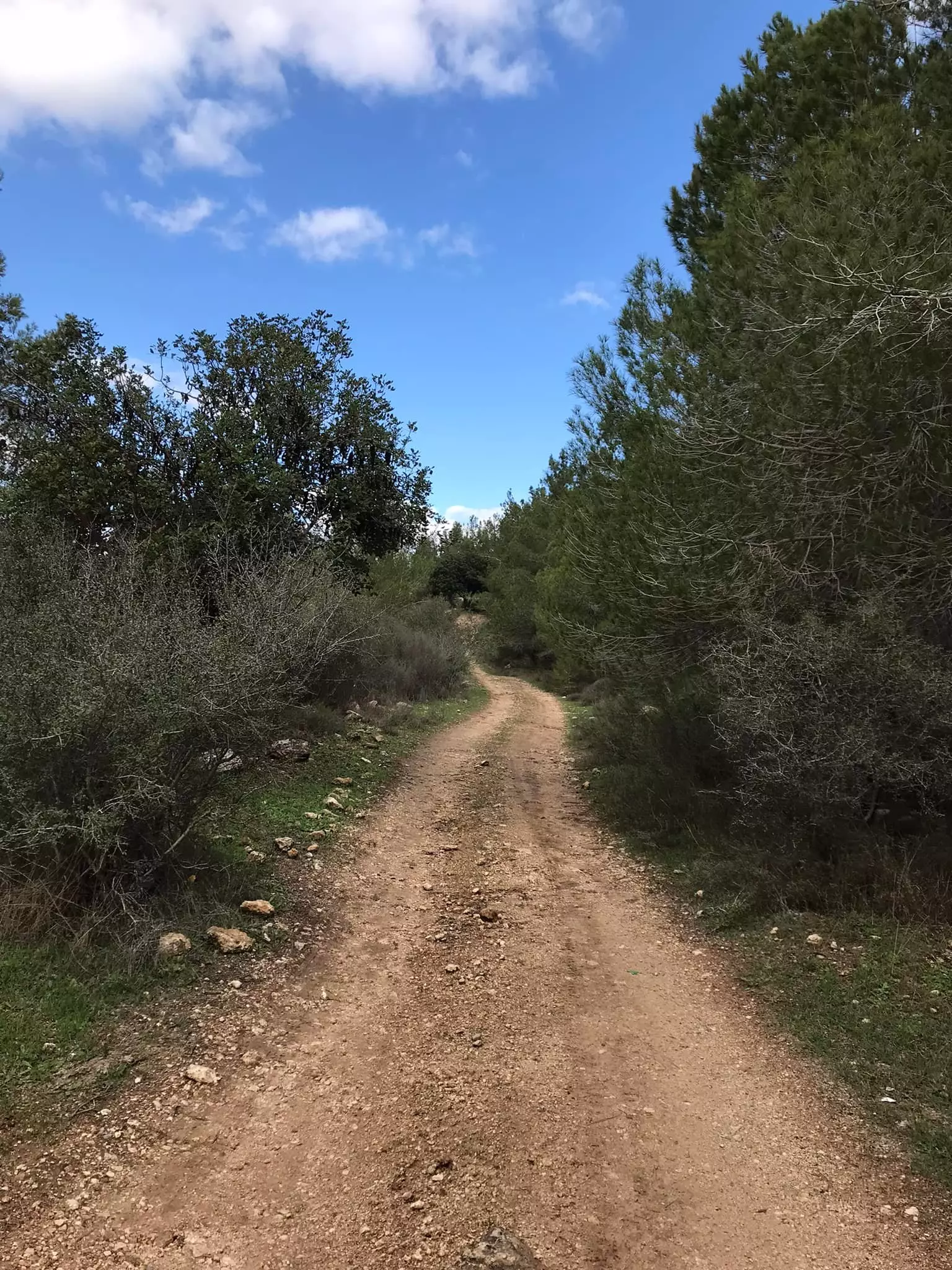
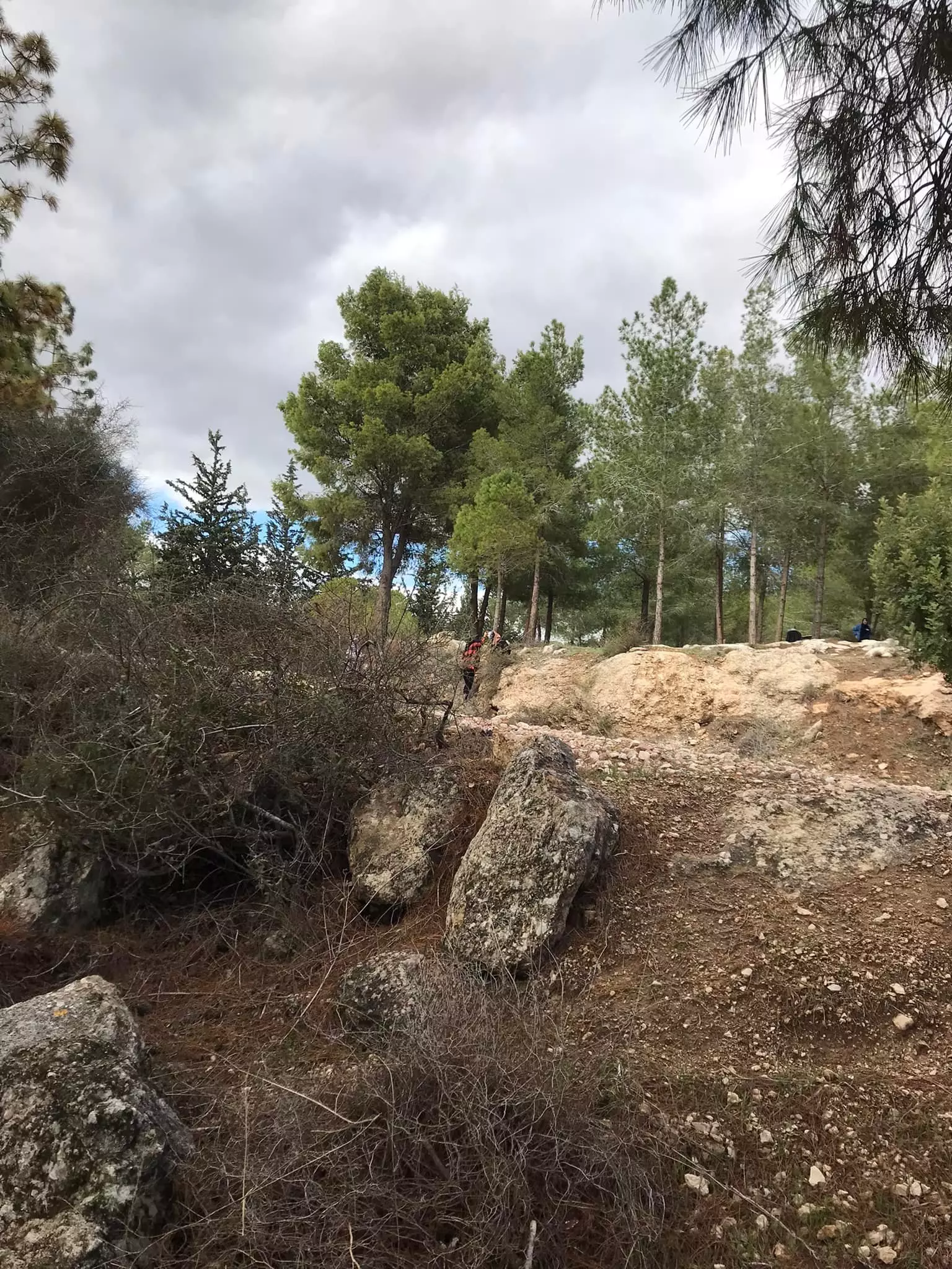
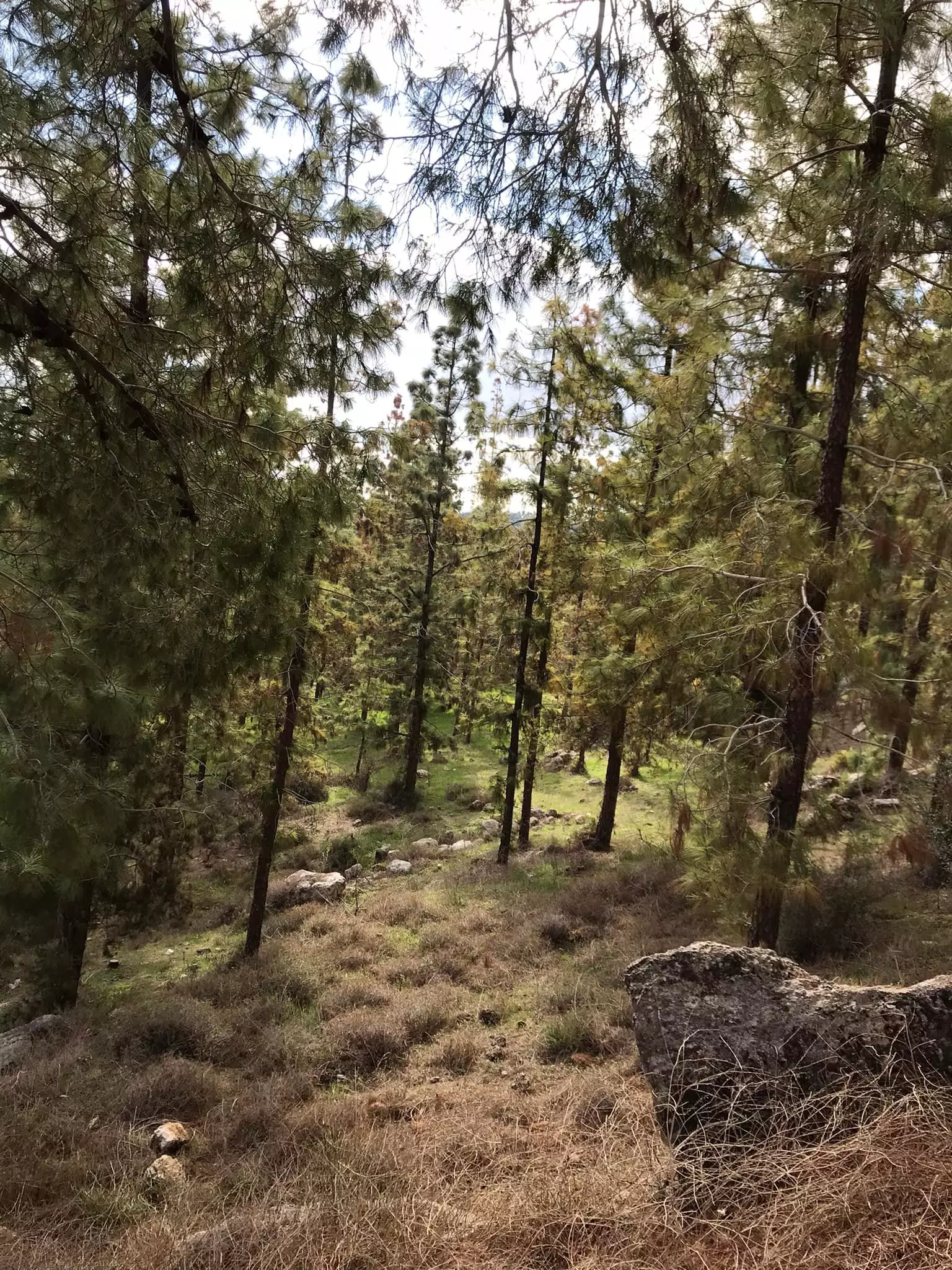
- جولة في ربوع واحراش وبراري قرية دير ايوب المهجرة
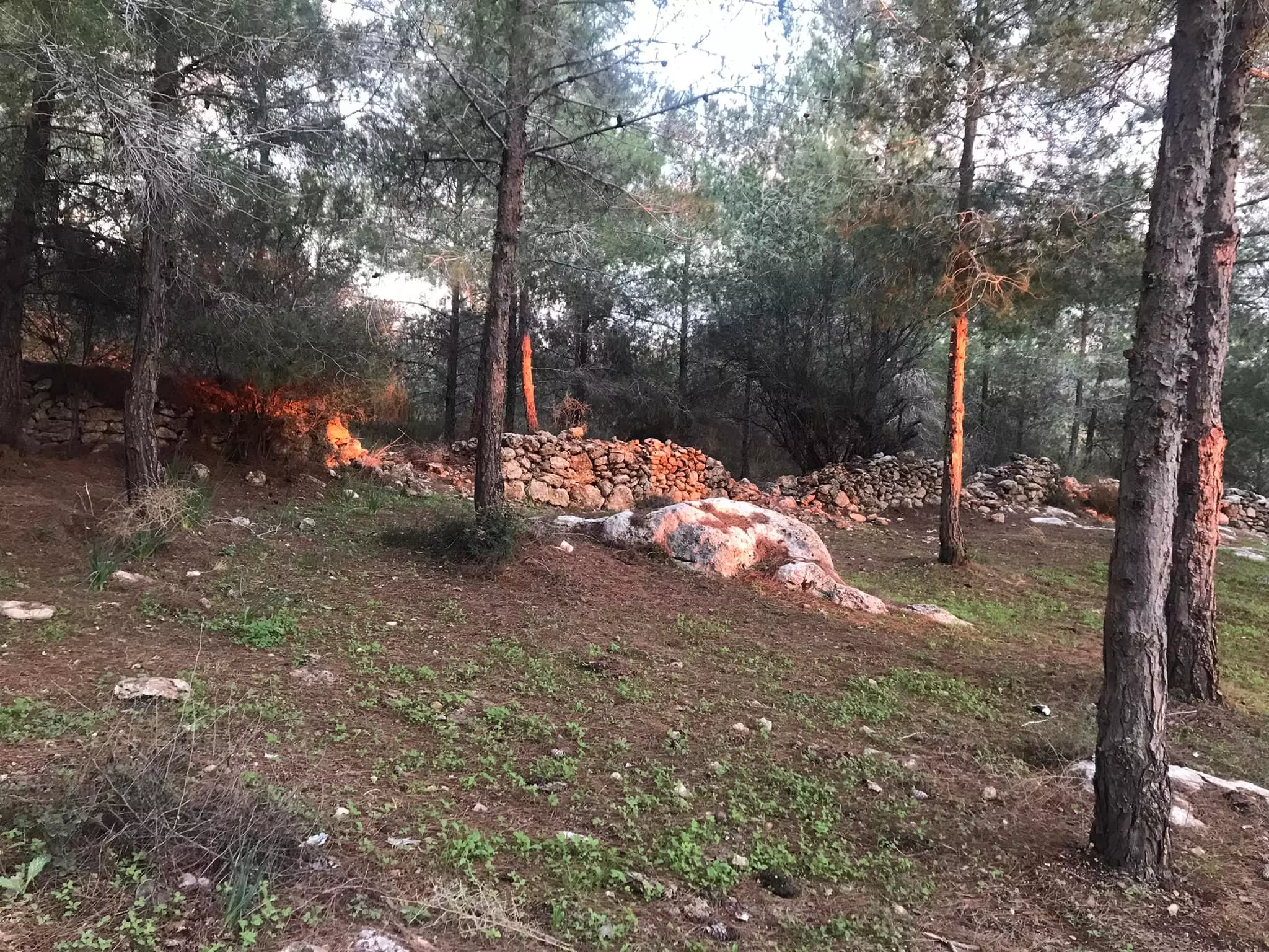
- جولة في ربوع واحراش وبراري قرية دير ايوب المهجرة #2
- جولة في ربوع واحراش وبراري قرية دير ايوب المهجرة #3
- جولة في ربوع واحراش وبراري قرية دير ايوب المهجرة #4
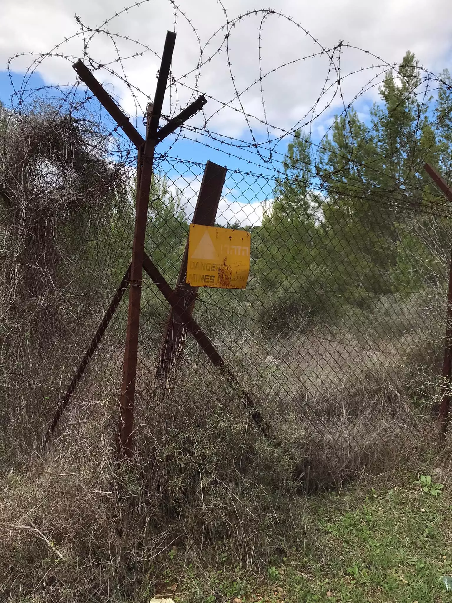
- جولة في ربوع واحراش وبراري قرية دير ايوب المهجرة #5
- جولة في ربوع واحراش وبراري قرية دير ايوب المهجرة #6
- جولة في ربوع واحراش وبراري قرية دير ايوب المهجرة #7
- جولة في ربوع واحراش وبراري قرية دير ايوب المهجرة #8
- جولة في ربوع واحراش وبراري قرية دير ايوب المهجرة #9
- جولة في ربوع واحراش وبراري قرية دير ايوب المهجرة #10
- جولة في ربوع واحراش وبراري قرية دير ايوب المهجرة #11
- جولة في ربوع واحراش وبراري قرية دير ايوب المهجرة #12
- جولة في ربوع واحراش وبراري قرية دير ايوب المهجرة #13
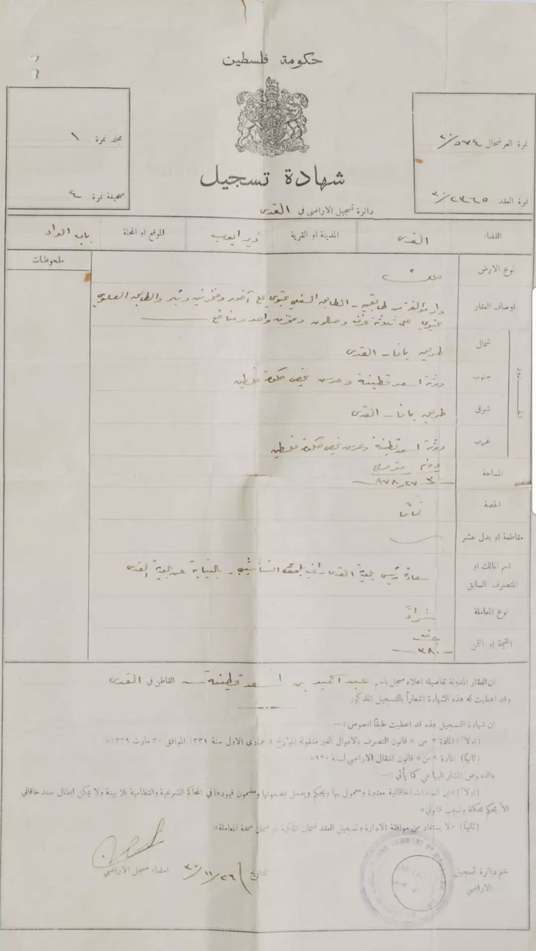
- شهادة تسجيل الدار المؤلفة من طابقين في باب الواد - قرية دير أيوب - صاحبها المالك عبد الحميد بن أسعد قطينة عام 1930
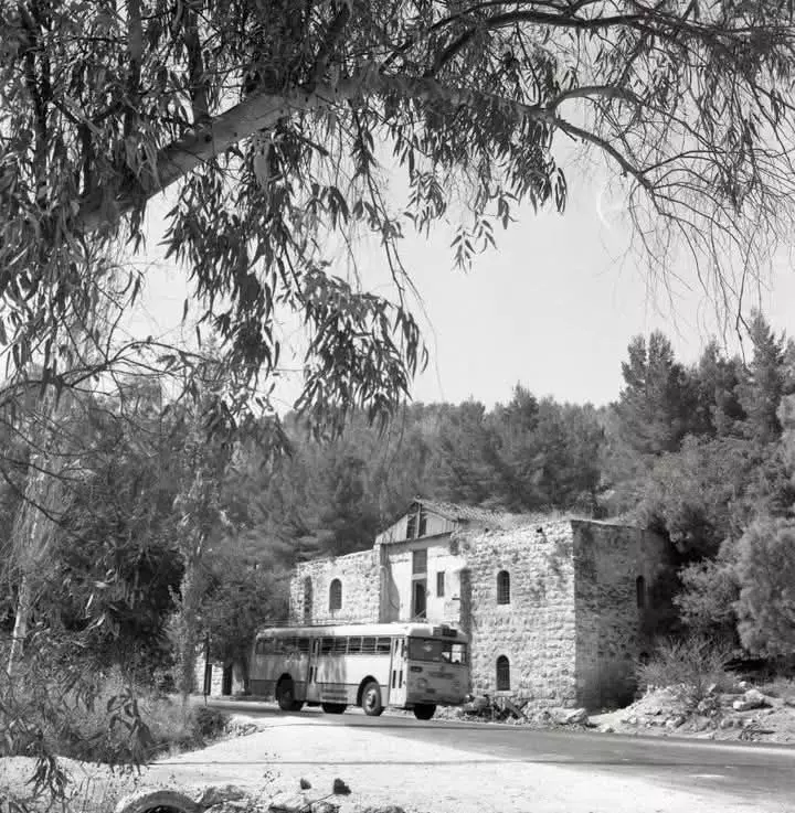
- خان باب الواد: هذا البيت يوجد حتى يومنا هذا بجانب الطريق الواصل بين بين يافا والقدس وما يعرف بطريق باب الواد. بمقربة من مفترق الطرق الذي يوصل البلدات الجنوبية بيت جبرين زكريا عرتوف يذكر ان هذه المنطقة تحتوي ايضا على بعض البيوت والمحلات الصغيرة وهي كانت بمثابة ملتقى استراحة -- 1966
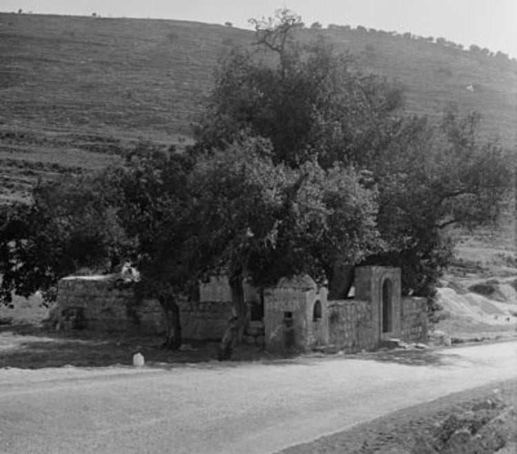
- مقام الشيخ علي في قرية دير أيوب المهجرة، قضاء الرملة، في تشرين الأول 1984.
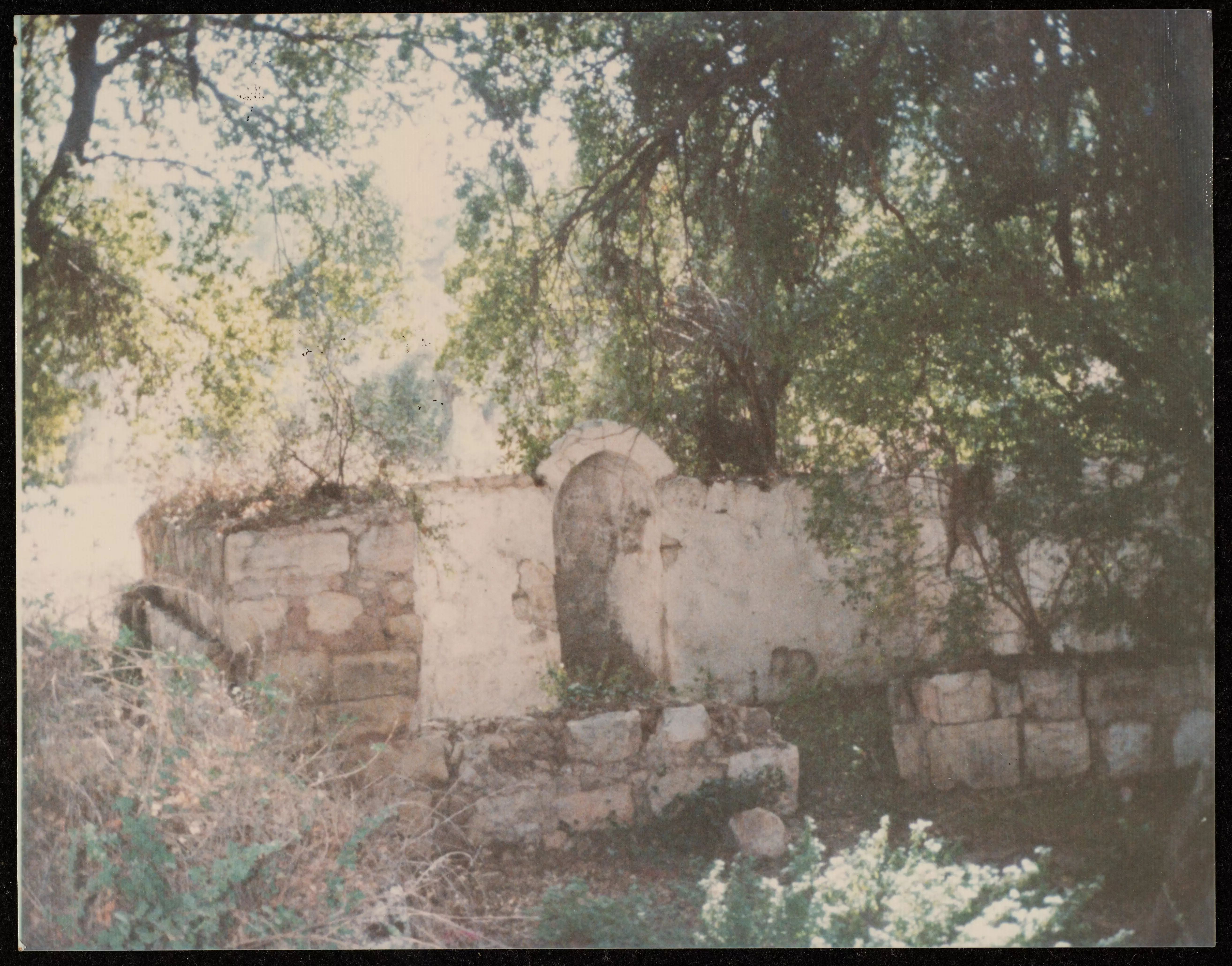
- مقام الشيخ علي في قرية دير أيوب المهجرة، قضاء الرملة، في تشرين الأول 1984. #2
- مقام الشيخ علي في قرية دير أيوب المهجرة، قضاء الرملة، في تشرين الأول 1984. #3
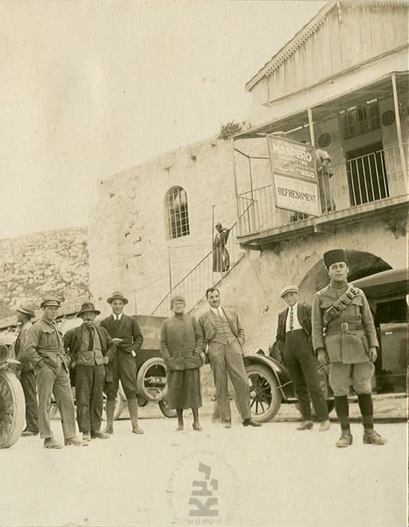
- القدس من أمام خان باب الواد عام 1923-- المزيد في قسم التعليقات
1 -
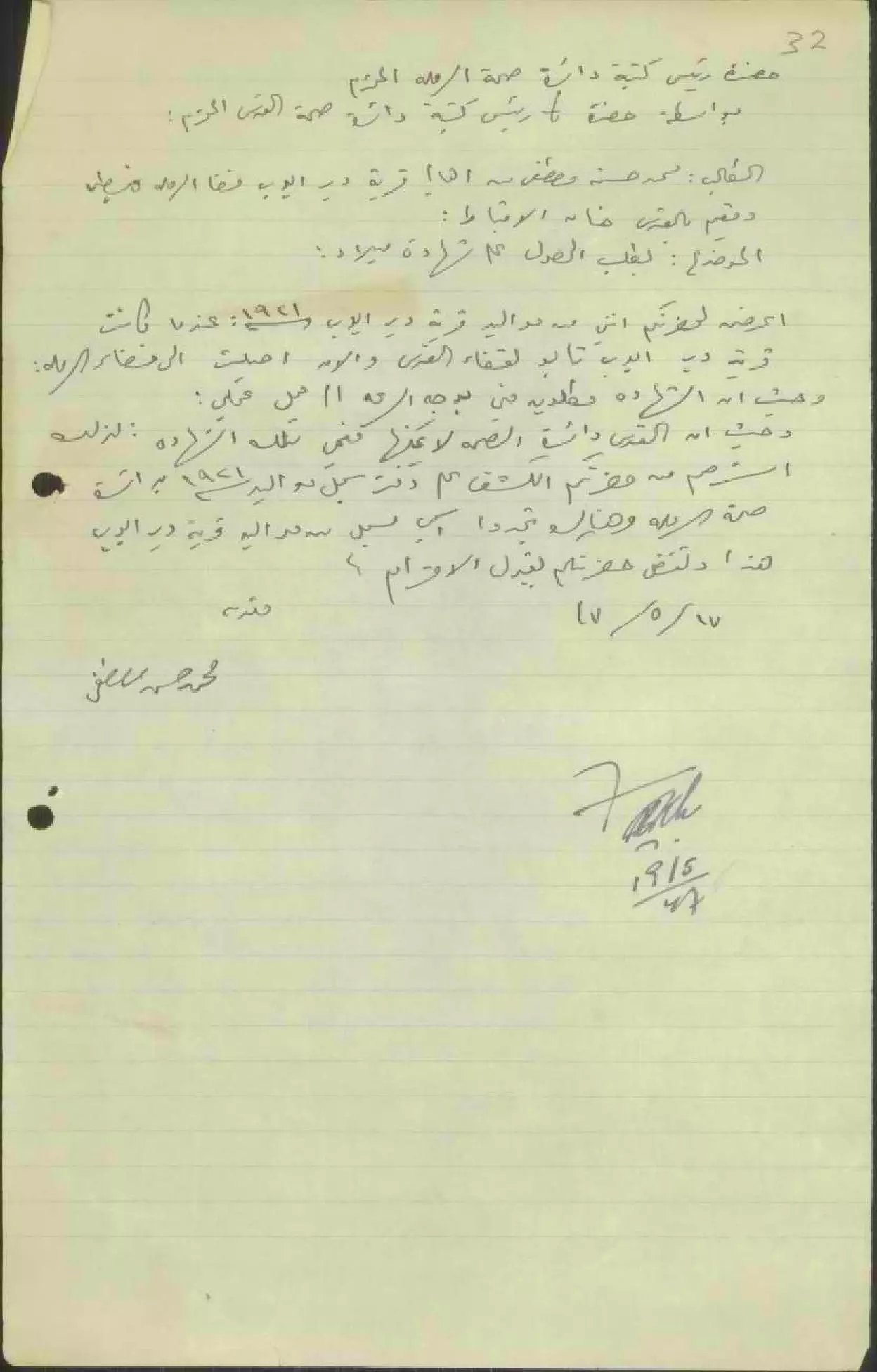
طلب شهادة ميلاد ل محمد حسن مصطفى/دير أيوب -- 17-05-1947
-
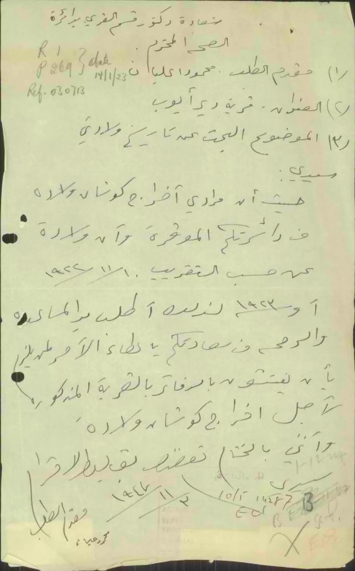
طلب شهادة ميلاد ل محمد حسن مصطفى/دير أيوب -- 03-11-1947
Want to browse more? 80,000 pictures were grouped in these gallaries:
| Display Name | Clan/Hamolah | Country of Residence |
| Ali Elayyan | Elayyan | Chicago, United States |
| Abudahak | Abu dahak | Zarqa, Jordan |
| Lina Elayyan | Elayyan | IL, IL |
| Fatima Fakhri Suleiman Elayyan | - | Chicago |
| Raieda Fakhri Suleiman Elayyan | Elayyan | Chicago , United States |
| مروة عمار | عمار | رام الله , فلسطين |
| بلال | الخطيب | - |
| صبحي ذيب احمد عمار عمار | - | - |
| محمد احمد شاكر | - | - |
| ابو حمزة | سلمان | الزرقاء |
| دعاء عباس عبدالله عليان | - | السعودية, السعودية |
| منار فوزي عليان | عليان | الزرقاء, الأردن |
| محمود البياع | - | - |
| ابو عبدالله | - | الاردن / عمان, الاردن /عمان |
| غادة | عمار | الاردن, الاردن |
| Mustafa Elayan | - | Ramallah, Palestine |
| خولة صبحي ذيب احمد عمار | عمار | عمان, الاردن |
| طارق البياع | - | القدس |
| باسل طينة | طينة | القدس, فلسطين |
| د. خالد يوسف محمد عليان | tinah | - |
| فايز طينه | طينه | - |
| حسن ابو دهاك | ابو دهاك | amman, amman |
| Mohammad Tina | طينة | Ramallah, Palestine |
| Nabeel Tinah | Tinah | Ramallah, Palestine |
| tariq | - | jerusalem, palestine |
| a.r.ayoob | - | karnataka, india |
| usama elayyan | Elayyan | illinois, USA |
- على مشارف باب الواد وموقع قرية دير أيوب المهجرة . Duration: min 20 sec
- عين أيوب في أراضي قرية دير أيوب المهجرة قضاء الرملة waze עין איוב Duration: 13 sec
- خان باب الواد على الطريق الواصل بين يافا والقدس ( واد علي ) . Duration: 7 min 47 sec
No links have been shared yet, be free to the first to share the first link.
 Fake Valor: Why Did Zionist Jews Hoist Nazis Flag on Their Ships in the 1930s?
What is new?
-
Facts About Oct. 7th Gaza Raid
-
Remined Us Please: Who Did Rape Whom? Was it Palestinians who raped Israelis? Or, was the other way around? You'll be the judge
-
When Prof. Edward Said was invited to debate Bibi Netanyahu in the 1980s, watch what happened!
-
Ezra Klein of the NY Times on the "Jewish Race".
-
Abusing Blood Libel!
-
How and why Israeli Jewry has become the most hated cult?
-
Did Israeli Soldiers Activate The Hannibal Direective On Oct. 7th? You Be The Judge
-
Zionist FAQ: Isn't it true that Palestinians don't want peace? Palestinians never accepted the two-state solution
- Facts about Haavara (Transfer) Agreement between Ben-Gurion & Hitler
-
Haavara FAQs: Why Did Zionist Jews Hoist Nazis' Flags on Their Ships in the 1930s?
- Haavara FAQs: When Chaim Weizmann met FDR in mid-1943, why was he silent about rescuing European Jewry?
-
Dear ChatGPT: How did Palestinians resist Napoleon's invasion of their country in 1799?
-
Dear ChatGPT: Gaza had a vibrant Jewish community in the mid-17th century. What happened to them?
-
Dear ChatGPT: Why did the Jewish Agency suppress news of the Holocaust during WWII?
-
Video Playlist: Jews share their DNA tests to end the conflict for good.
-
A Tale of Two Conflicts: Examining the Definition of Genocide
-
Prof. Abraham Polak And The Suppressed History of the Khazars and European Jewry
-
How Ronald Reagan would have framed the genocide in Gaza if he were still alive?
-
Haavara FAQs: Let us do the math: how many German Jews did The Haavara Agreement save?
-
Zionist FAQs: The Hebron Massacre of 1929, "clearly proves" that Palestinians are antisemitic, how could you deny it?
-
Zionist FAQs: Why Anti-Zionist Is Not Antisemitism?
-
Zionist FAQs: Isn't it true that the KGB created Palestinian Nationalism in the early 1960s?
- Zionist FAQs: Muslims are killing Muslims all the time; why are Israeli Jews being singled out in the media?
- Zionist FAQs: How is Israel an apartheid state when 20% of its citizens are Arabs who enjoy full rights?
-
Haavara FAQs: Why Did Dorothy Thompson Flip From A Zionist Advocate to A Silenced Dissenter?
-
Haavara FAQs: Analysis of Herzl's Uganda Scheme and how it could have saved millions of Jews.
-
Haavara FAQs: Why did Hayim Greenberg describe American Jewry as "morally bankrupt" in early 1943?
-
Haavara FAQs: What if the Evian Conference was a resounding success? What would have been the impact of saving European Jewry on Zionism?
- Haavara FAQs: What if the six million were saved, how that would have impacted the Zionist project?
-
Haavara FAQs: How did Zionist leaders react when Europe's Jews lingered in the DP camps after WWII ended?
-
Why does the American Jewish community repeat lies that David Ben-Gurion had debunked before he died?
-
Who has the power to rename the Tatar/Khazar Gene Marker to Jewish IV?
-
Zionist FAQs: Why won't Egypt, Syria, and Jordan take their people back? Jews are indigenous to Palestine, and Arabs immigrated after Jews developed the country. Arabs should leave.
-
Haavara FAQs: Did Hitler and the Nazis conflate between Judaism and Zionist? If that wasn't case, then why?
-
Haavara FAQs: Winston Churchill and antisemitism, a collection of articles written Churchill.
-
Haavara FAQs: Broken by country, how many Jews survived vs. killed during the Holocaust?
-
Haavara FAQs: Why did European Jews vote with their feet and to immigrated to the Americas, not Palestine, after WWII?
-
Watch this American Jewish Girl describing Israeli Jews' cognitive dissonance like no other in under two minutes
-
Haavara FAQs: When the Nazis went out of their way to hide the Holocaust, Israeli Jews did the exact opposite by broadcasting their genocide of Gazans. But why?
-
Haavara FAQs: How Zionist Jews went out of their to show their appreciation to Nazism and Fascism?
- Haavara FAQs: Why Zionist leaders were against bombing the death camps & the Railroads leading to them?
-
Haavara FAQs: Hitler's message to the British and American people: If Jews are such noble citizens and you care about them, how come you're not letting them in? I will gladly ship them to you at my expense, even on luxury liners!
-
A shortlist of Zionist and Israeli false flag operations in the name Jews.
-
The Most Moral Army
- The Land of Kapos (Israel): Where the brave are boycotted and Kapos walk free.
- Why did early Zionists often named their communal enterprises "colonial"?
- Zionist Relations with Nazi Germany by Faris Glubb
-
Two NY Times advertisements by Zionists in the early 1943 that exposes Zionists' treason at the height of the calamity
- Facts Not Lies about the Palestinian-Israeli Conflict.
- Site's pictures have been categorized
- Campgain Against Lice
- A Survey of Palestine, the official source about Palestine before Nakba produced by the British Mandate; over 1200 pages.
- Satellite View & Google Earth: Over 6,000 placemarks identifying all destroyed towns, W. Bank & Gaza Strip Towns, & refugee camps.
- PalestineRemembered.com and its Nakba Oral History Project were featured on al-Jazeera Satellite TV.
- Nakba Oral History Video Podcast:
 Over 700 Oral History interviews (including 3,500+ hours of recording) can be viewed online.
 - Palestine Village Statistics Project
- Gaza Jail Break
- النسخة العربية للموقع الان متوفرة
- Videos: Documenting the destroyed villages in video: Tracing all that remains since Nakba.
- Videos: Responding to Zionist Propaganda
- Interview: The ethnic cleansing of Palestine: George Galloway interviews Israeli Historian Ilan Pappe.
- For Palestinians, memory matters. It provides a blueprint for their future By George Bisharat.
- Zionist FAQ now available in Hebrew שאלות שציונים שואלים, עכשיו בעברית
- Video: The Stephen Walt and John Mearsheimer report on the influence of the Israel Lobby on U.S. Foreign Policy
- The Palestinian-Israeli conflict for beginners
