| PalestineRemembered | About Us | Oral History | العربية | |
| Pictures | Zionist FAQs | Haavara | Maps | |
| Search |
| Camps |
| Districts |
| Acre |
| Baysan |
| Beersheba |
| Bethlehem |
| Gaza |
| Haifa |
| Hebron |
| Jaffa |
| Jericho |
| Jerusalem |
| Jinin |
| Nablus |
| Nazareth |
| Ramallah |
| al-Ramla |
| Safad |
| Tiberias |
| Tulkarm |
| Donate |
| Contact |
| Profile |
| Videos |
Welcome To Ishwa' - إشوع (אישוע)
|
District of Jerusalem
Ethnically cleansed days ago |
العربية Google Earth |
 |
Gallery (74) |
- Statistics & Facts
-
Before & After

- Satellite View
- Articles 3
- Pictures 74
- Oral History 3
- Members 27
- Families
- All That Remains
- Town's Map
- Wikipedia
- Videos 2
- Guest Book 9
- Links
| Statistic & Fact | Value | ||||||||||||||
| Occupation Date | July 18, 1948 | ||||||||||||||
| Distance From District | 20.5 (km) West of Jerusalem | ||||||||||||||
| Elevation | 275 (meters) | ||||||||||||||
| Before & After Nakba, Click Map For Details |
|||||||||||||||
|
|||||||||||||||
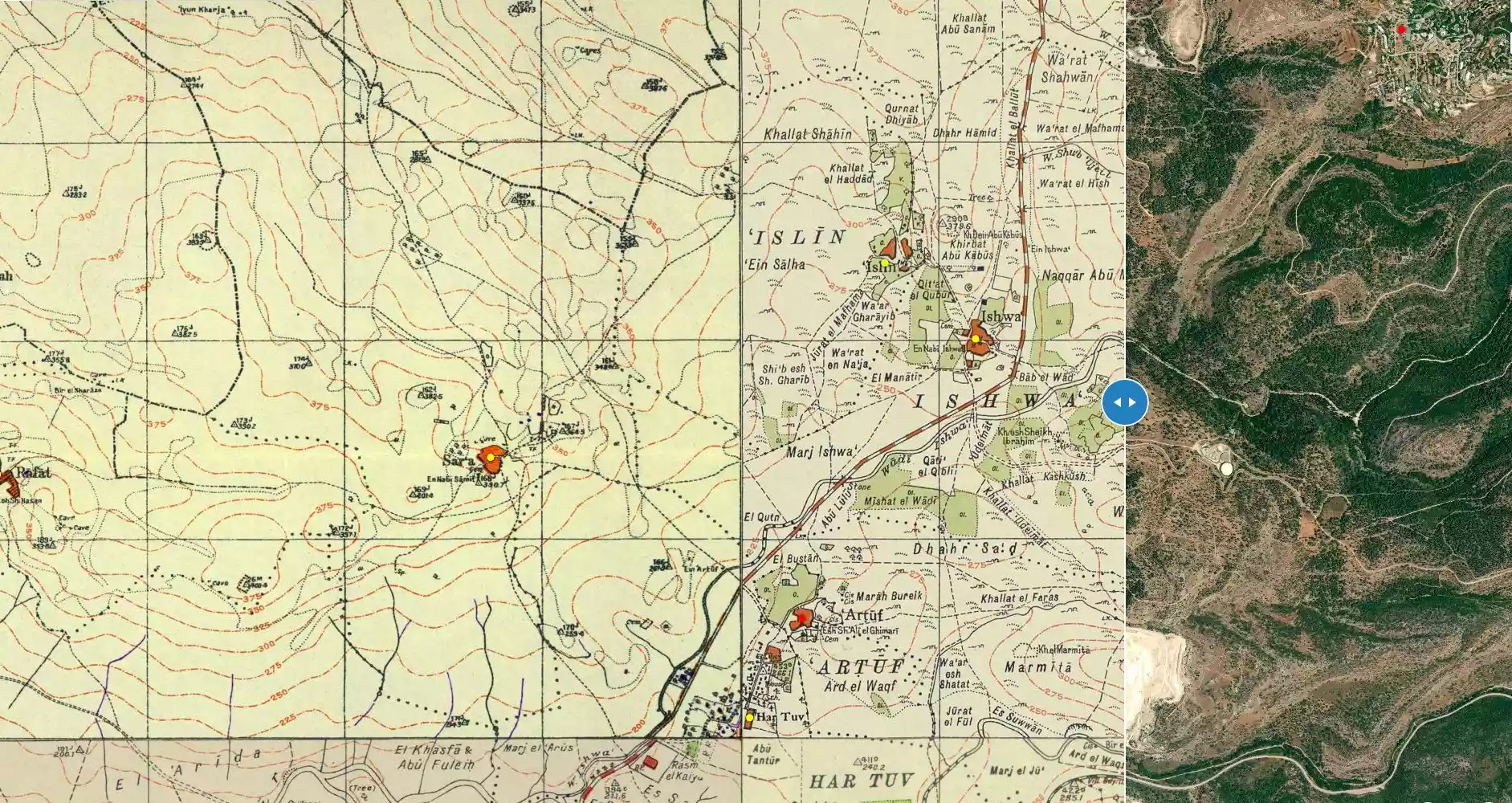
| Map Location | See location #16 on the map View from satellite |
||||||||||||||
| Military Operation | Operation Dani | ||||||||||||||
| Attacking Units | Fourth Battalion of the Har'el Brigade | ||||||||||||||
| Defenders | Egyptian Muslim Brotherhoods, some Arab Liberation Army volunteers, and some local Palestinian militia. | ||||||||||||||
| Exodus Cause | Military assault by Zionist troops | ||||||||||||||
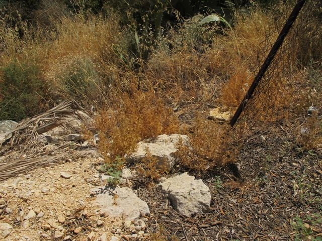
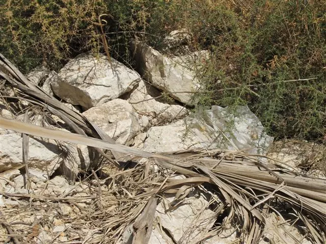
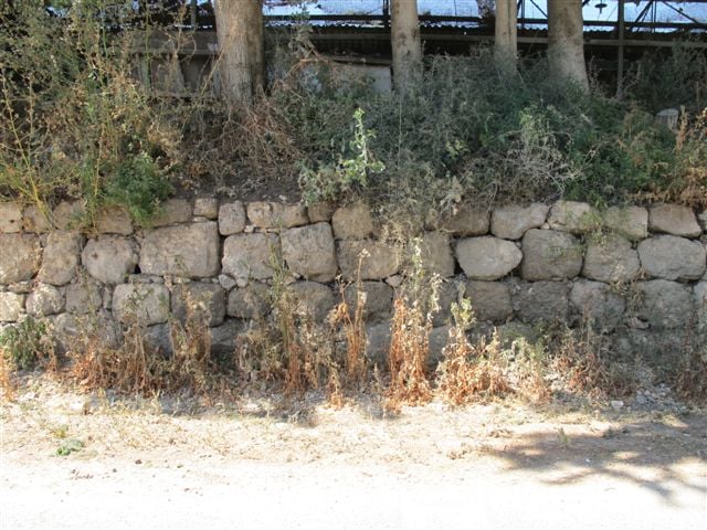
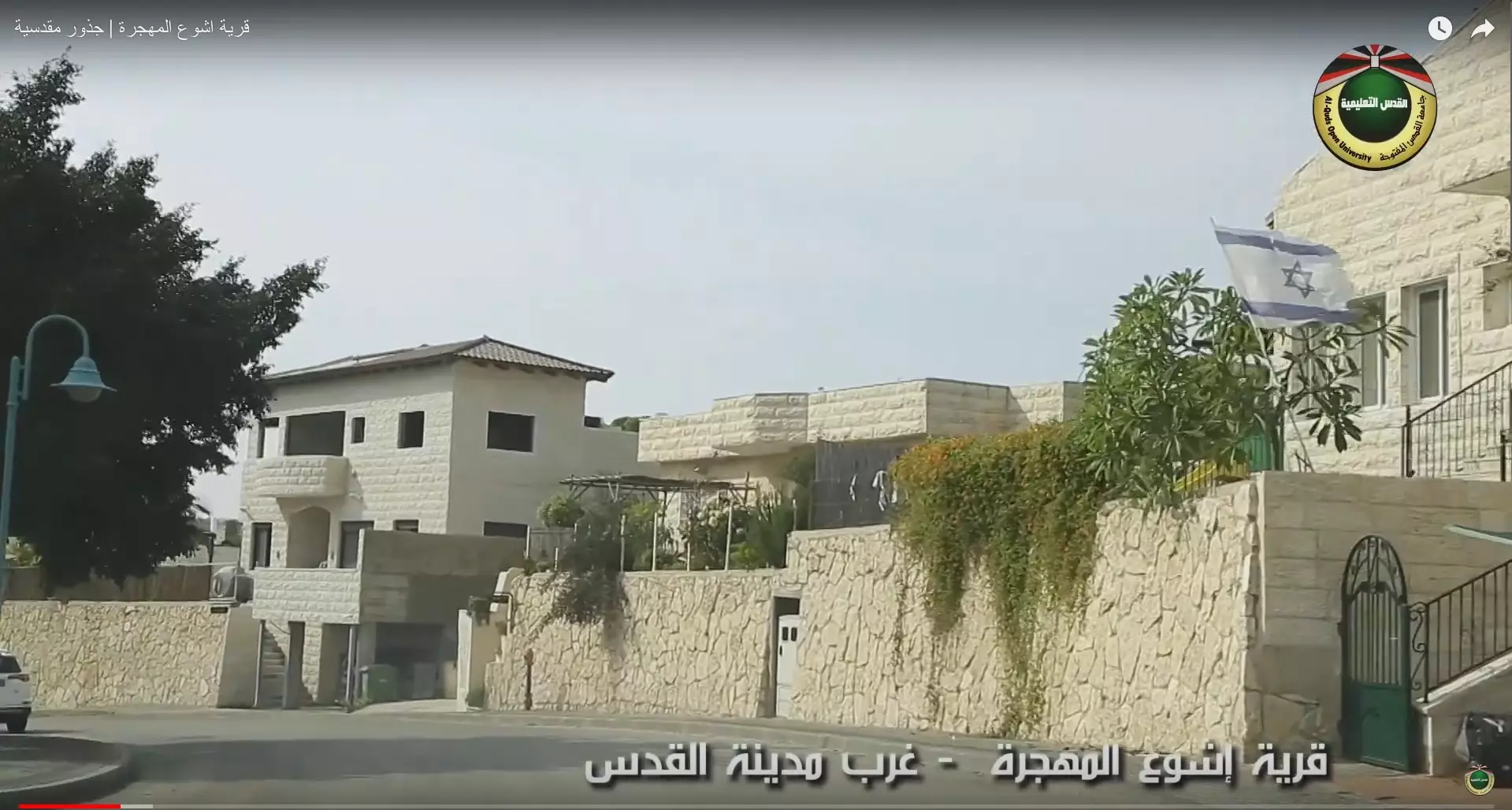
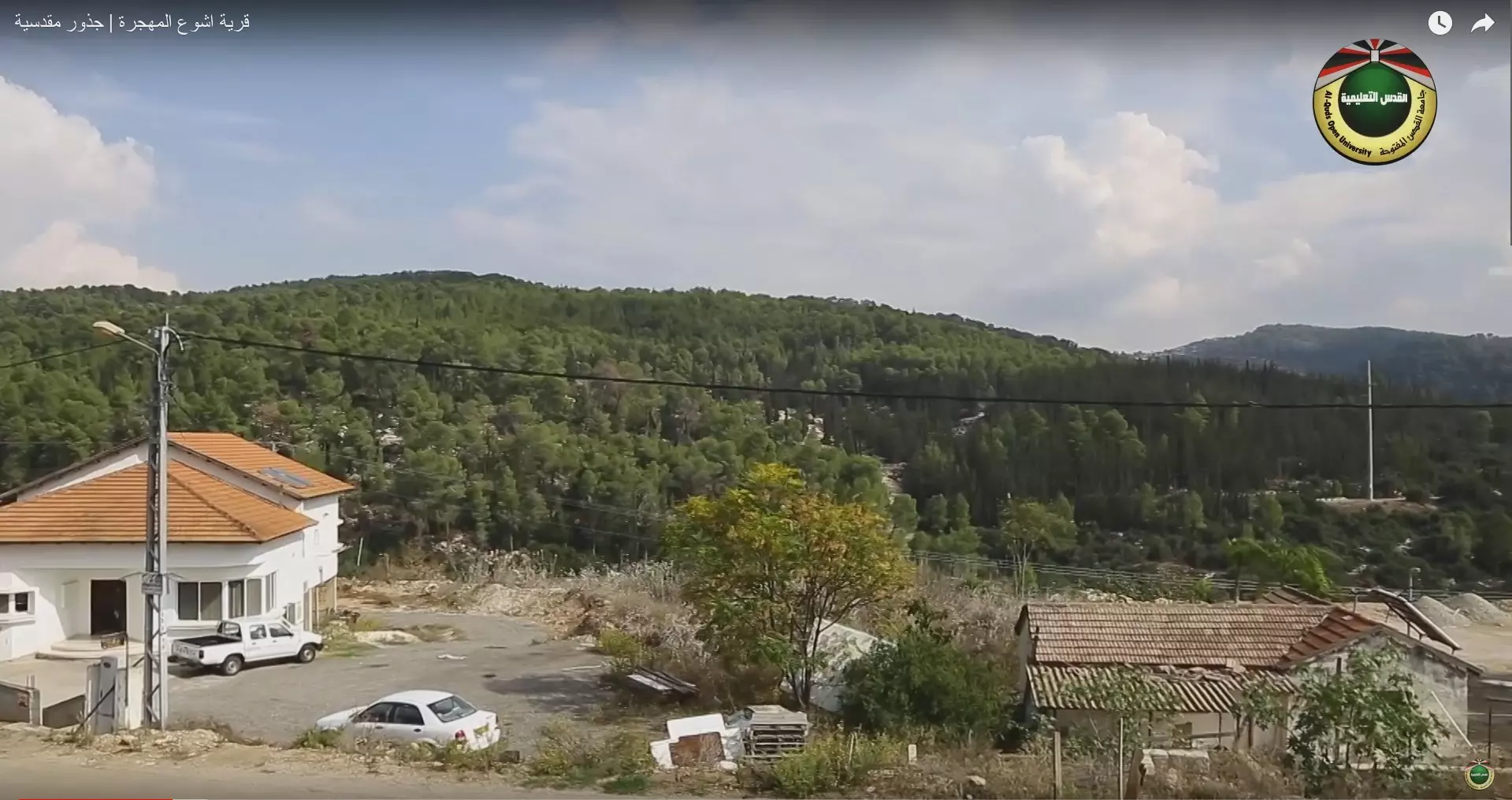
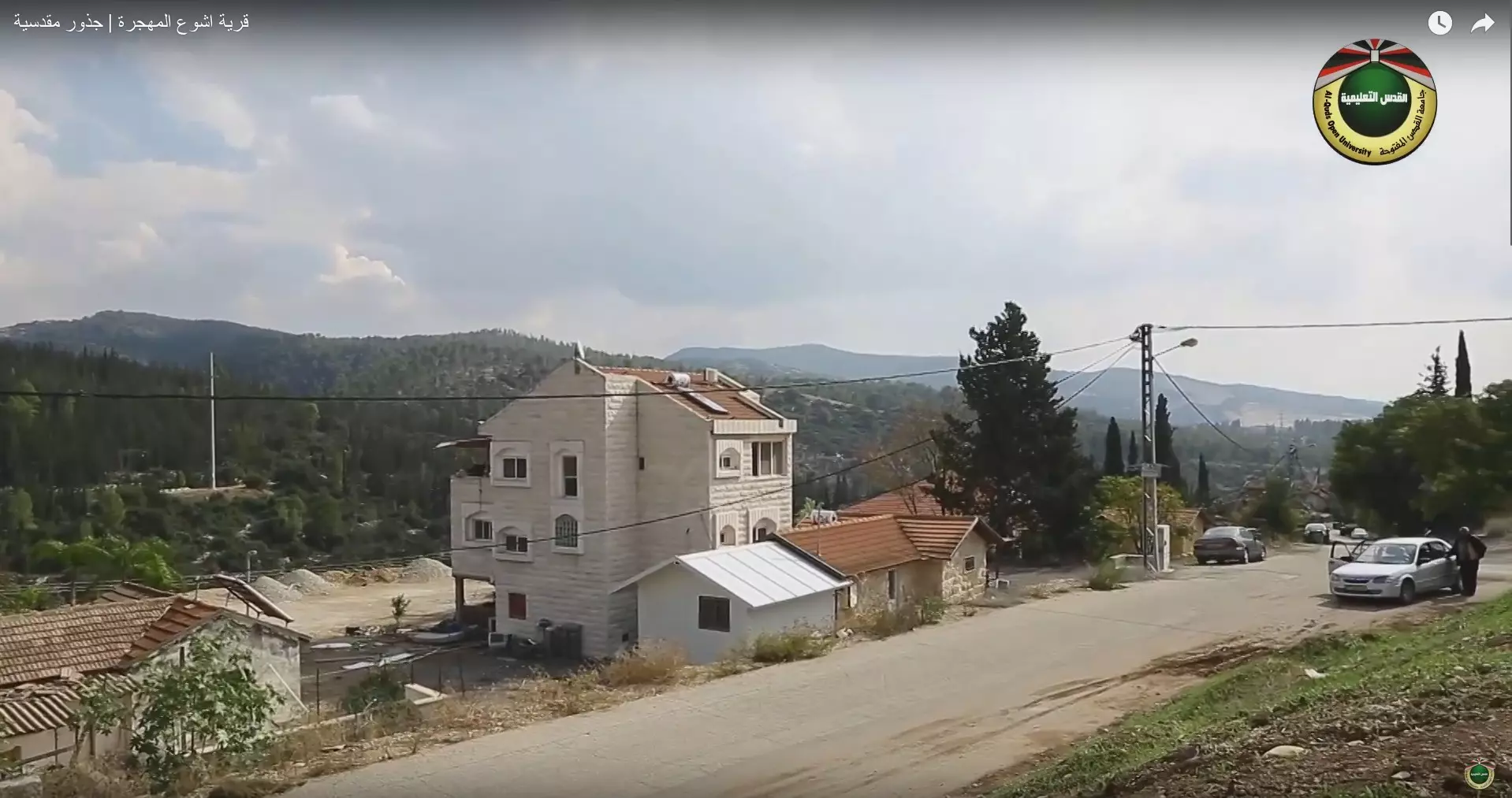
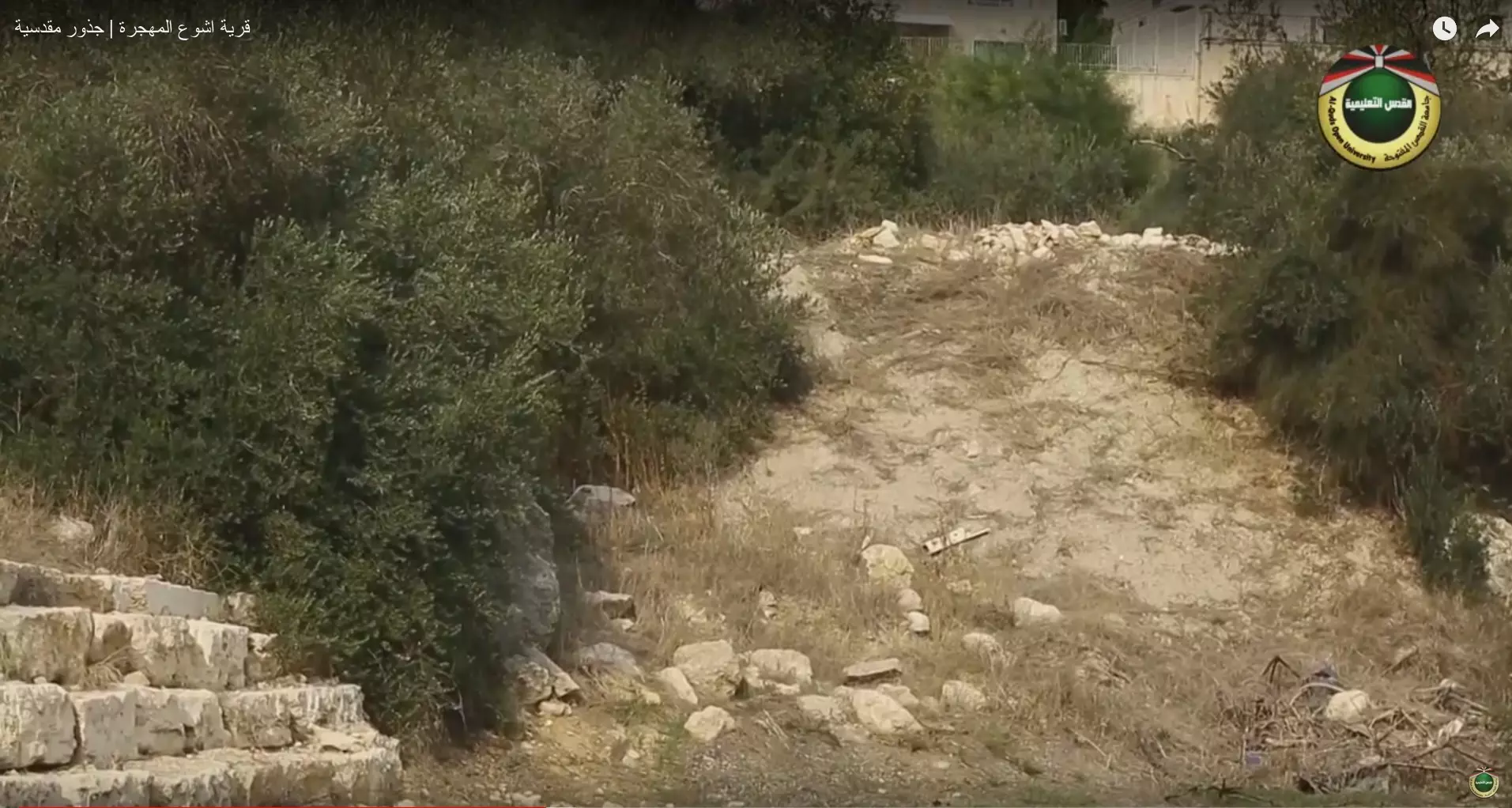
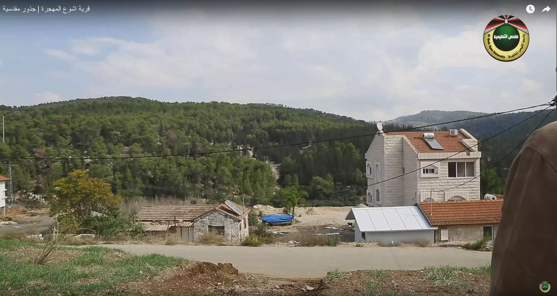
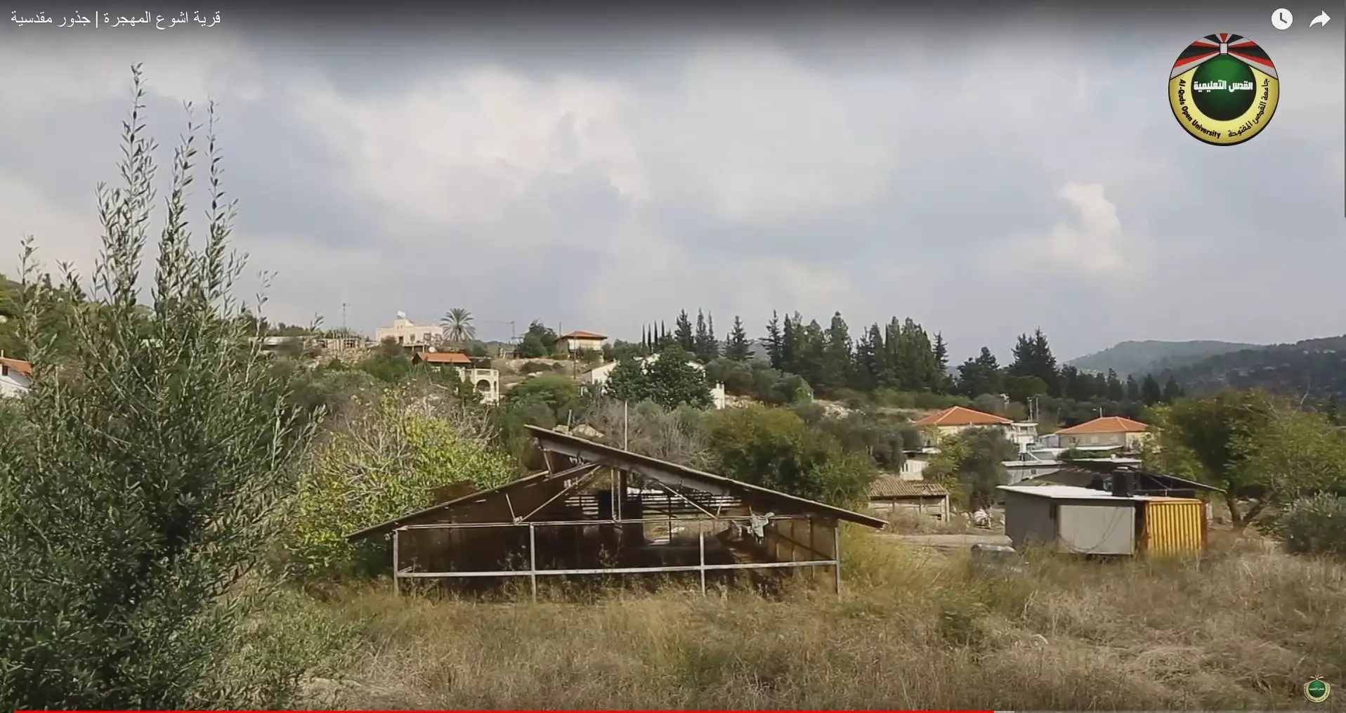
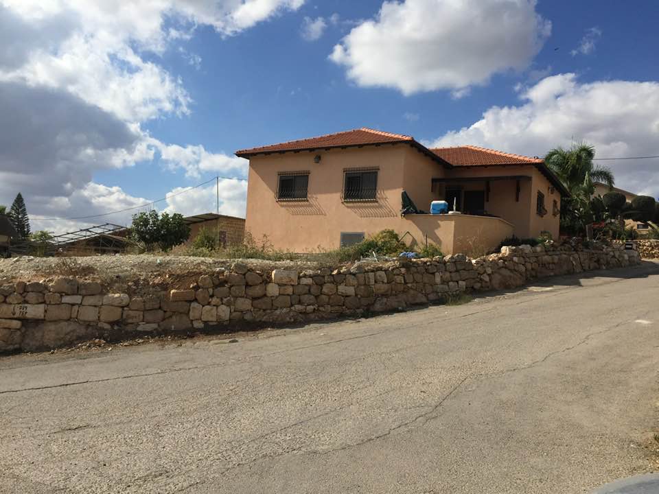
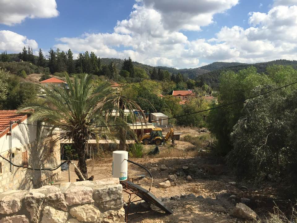
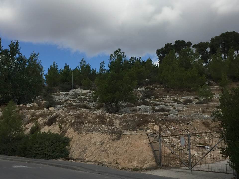
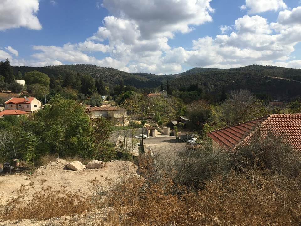
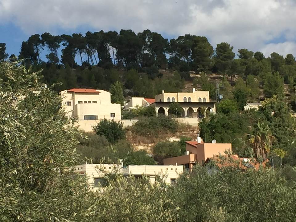
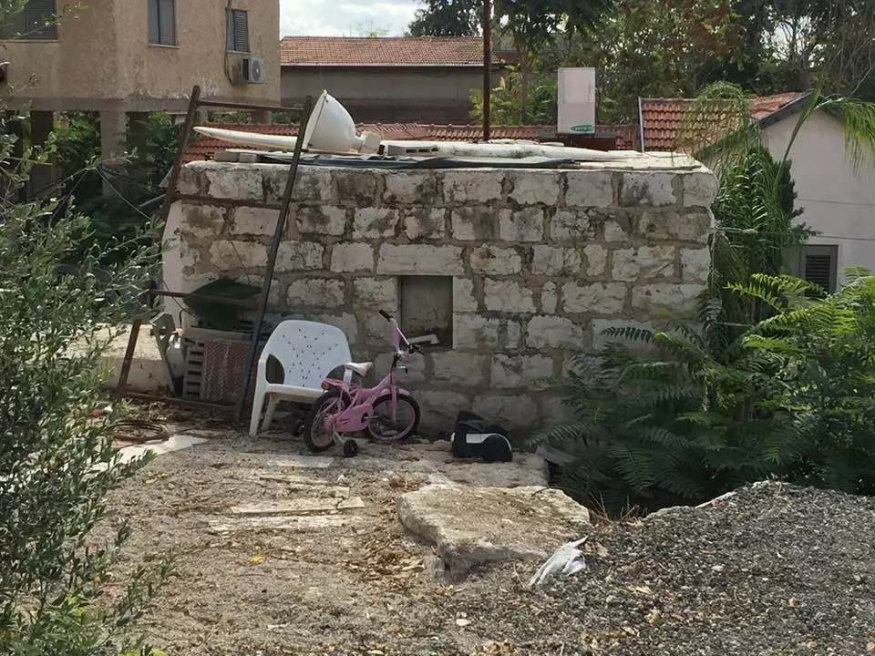
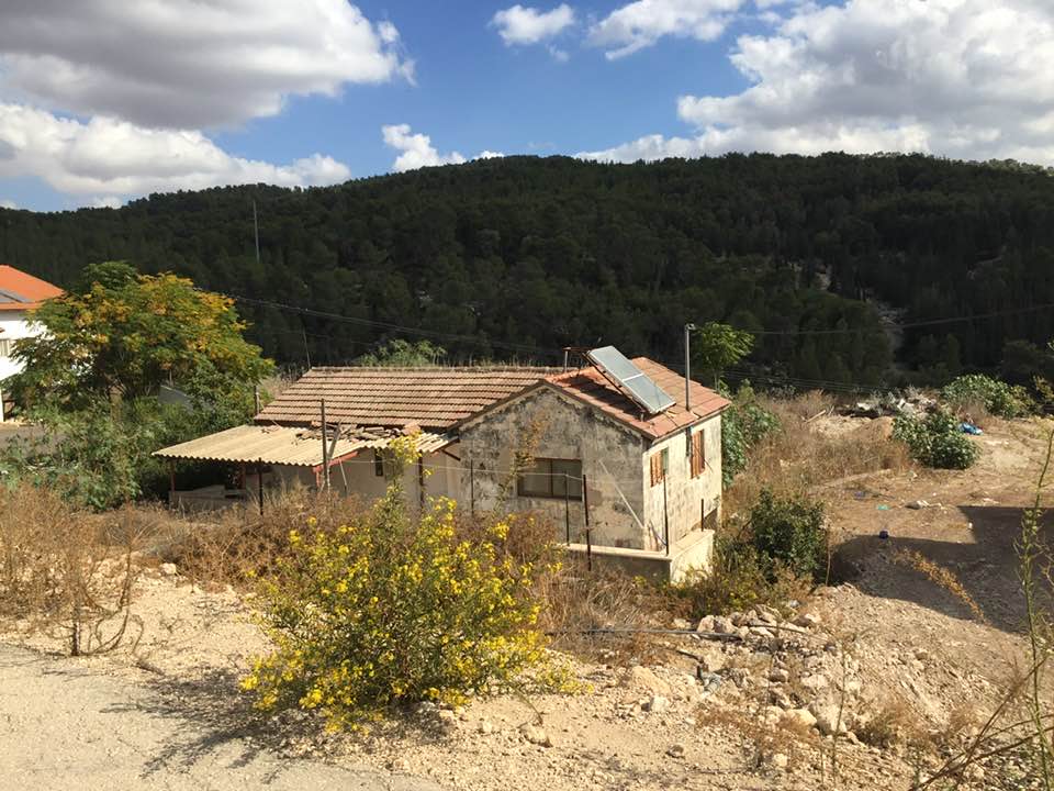
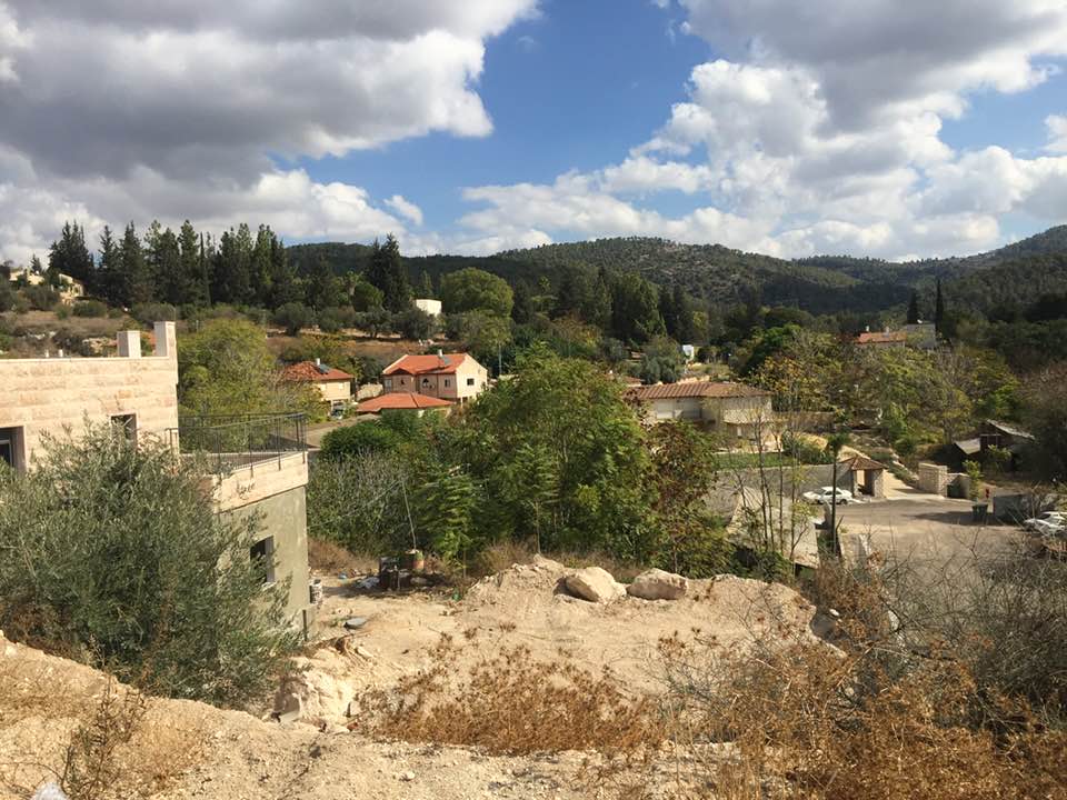
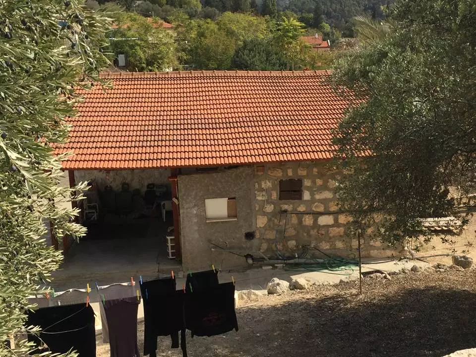
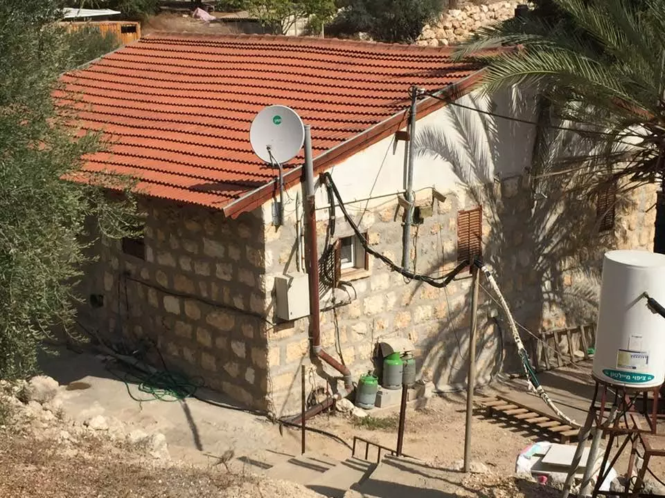
| Village Temains | Ishwa' was mostly destroyed with the exception of few houses currently being occupied by Israeli Jewish settlers. | ||||||||||||||
| Ethnically Cleansing | Ishwa' inhabitants were completely ethnically cleansed. | ||||||||||||||
| Pre-Nakba Land Ownership |
**Town Lands' Demarcation Maps |
||||||||||||||
| Land Usage As of 1945 |
|
||||||||||||||
| Population |
|
||||||||||||||
| Number of Houses |
|
||||||||||||||
| Near By Towns |
|||||||||||||||
|
|||||||||||||||
| Town's Name Through History | The Canaanite and the Romans referred to Ishwa' by Eshta'ol. | ||||||||||||||
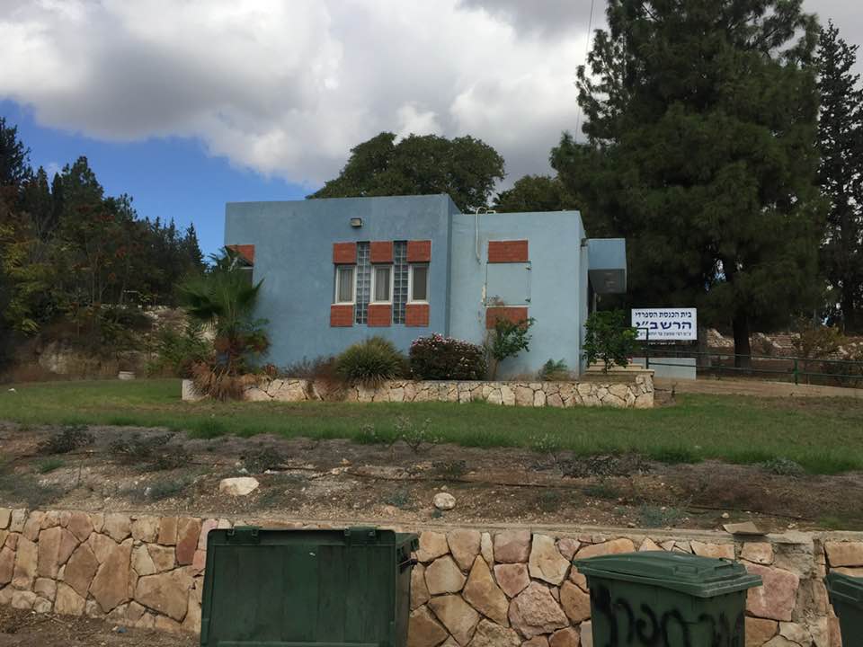
| Places of Warship | Ishwa' had a mosque named after the prophet Joshua (in Hebrew Yeshu'). | ||||||||||||||
| Water Supply | Drinking water was provided by 'Ayn Ishwa', north of the village, and from few other smaller springs and wells. | ||||||||||||||
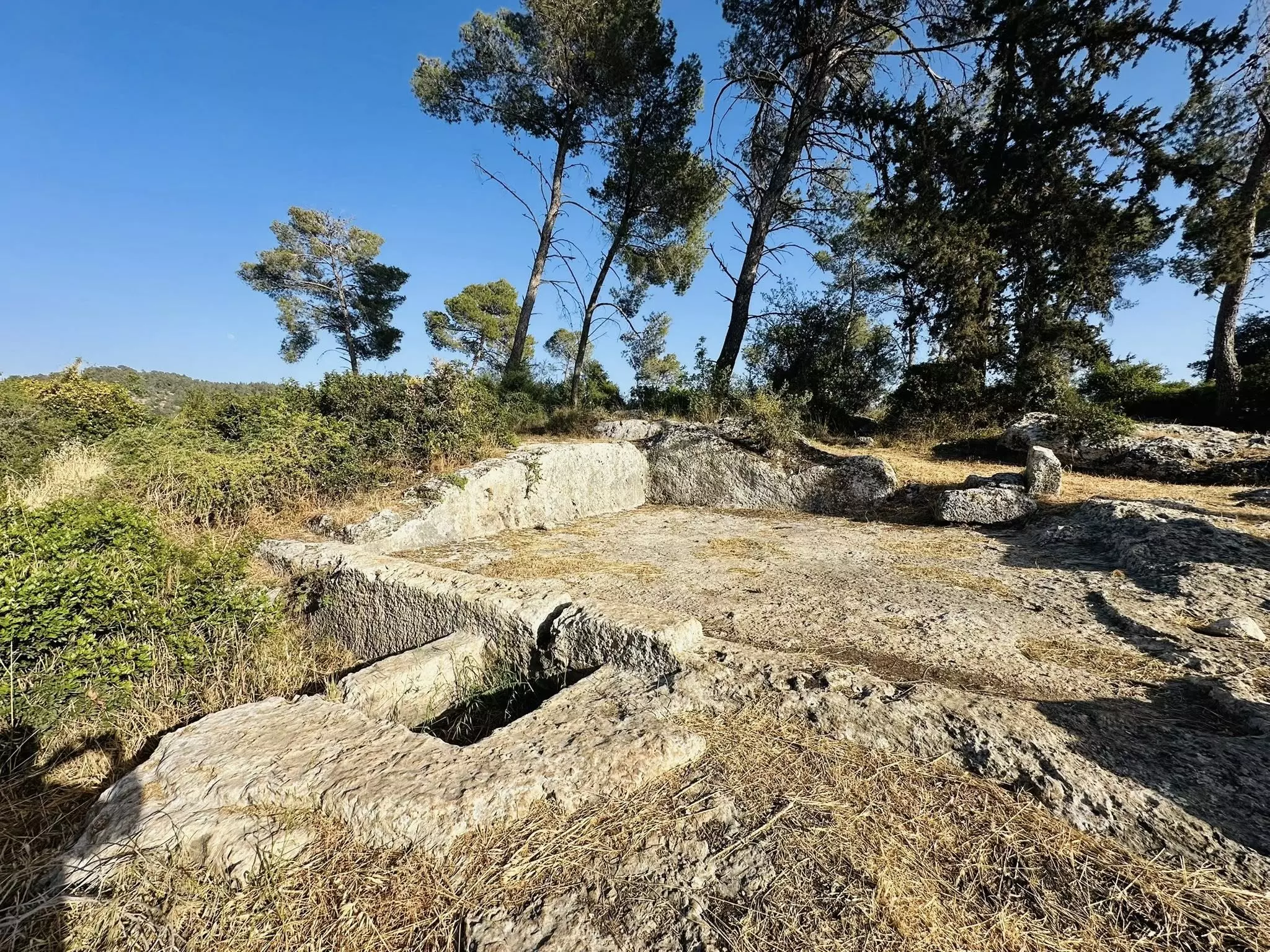
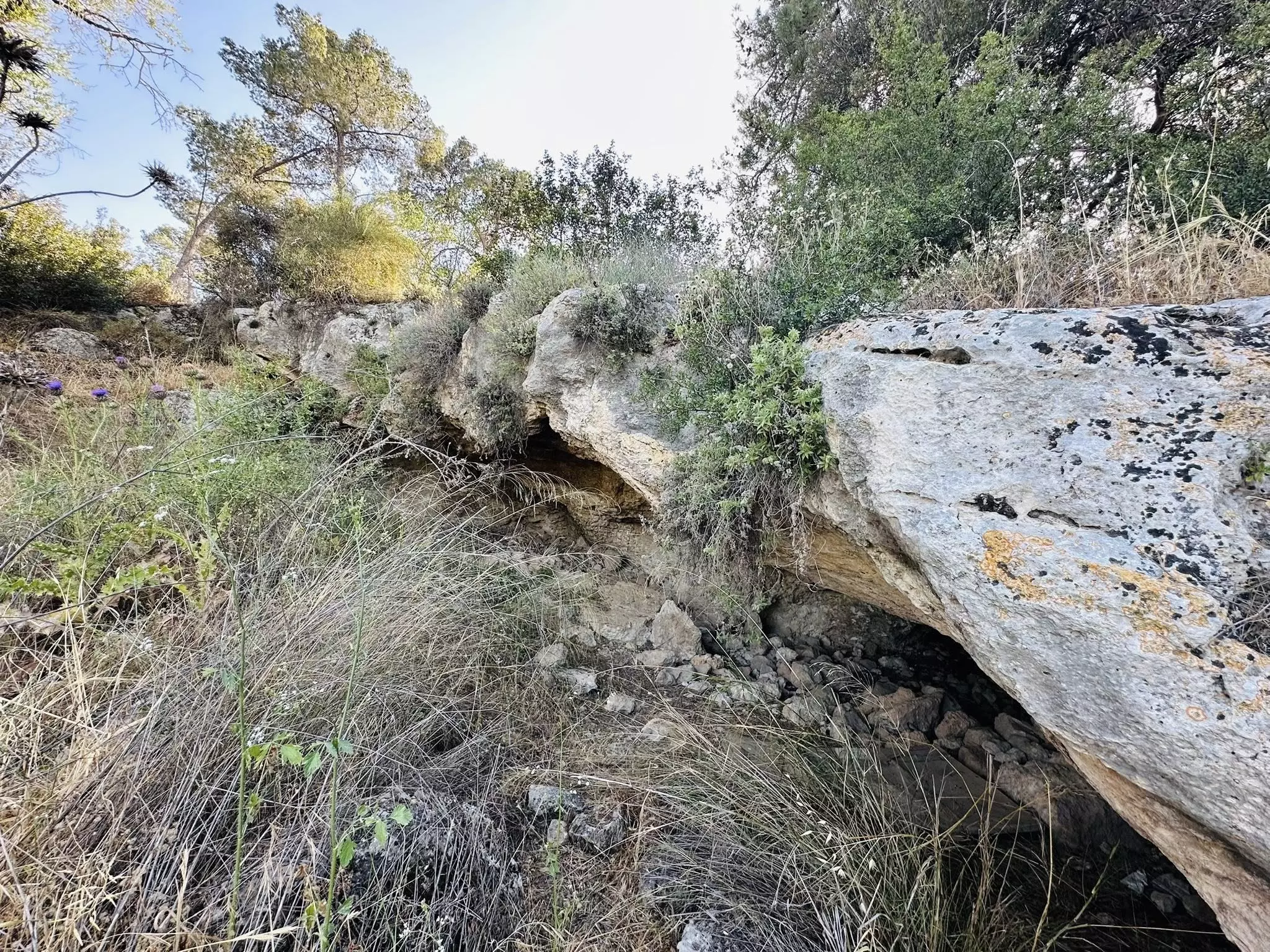
| Archeological Sites | Ishwa' contains Khirbat al-Shaykh Ibrahim and Khirbat Hammada. | ||||||||||||||
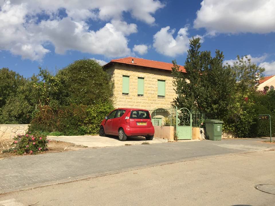
| Exculsive Jewish Colonies Who Usurped Village Lands |
Eshta'ol | ||||||||||||||
| Featured Video | |||||||||||||||
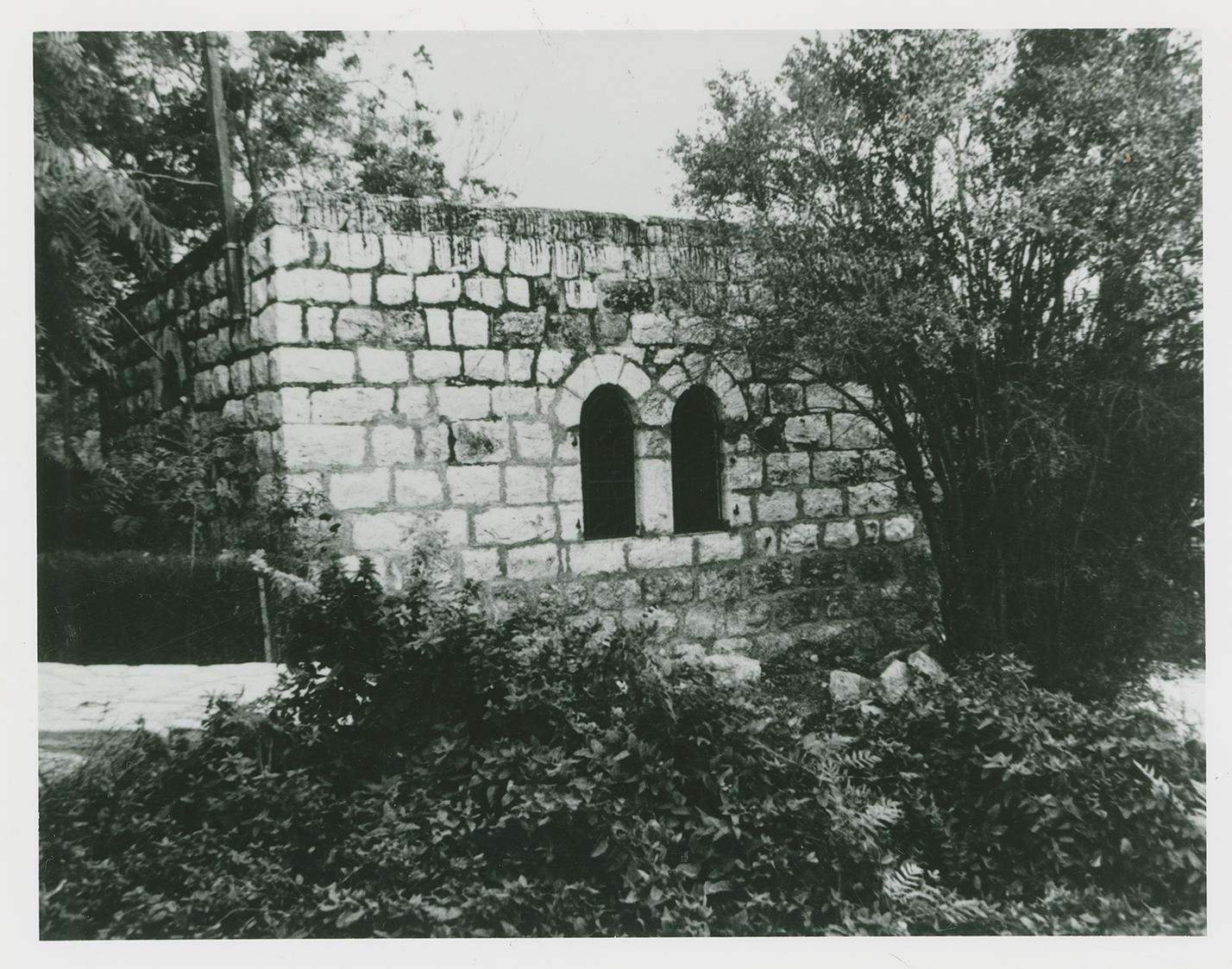
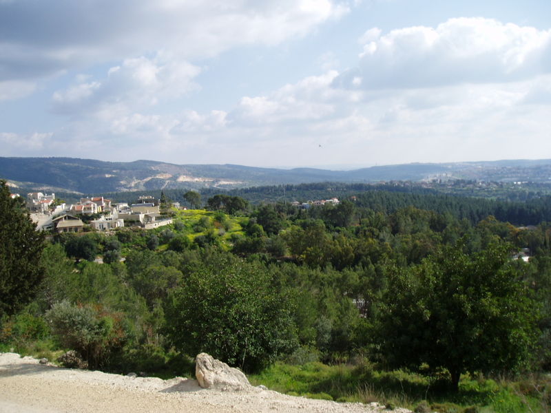
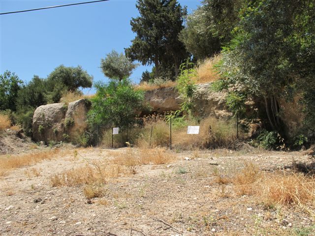
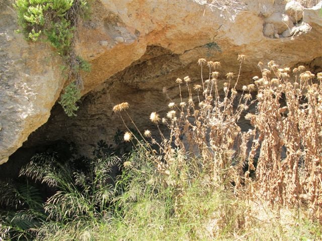
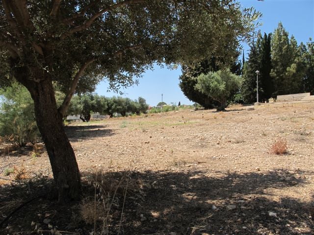
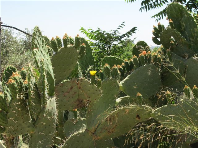
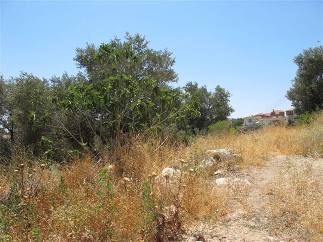
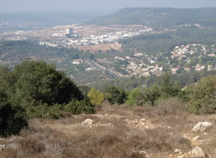
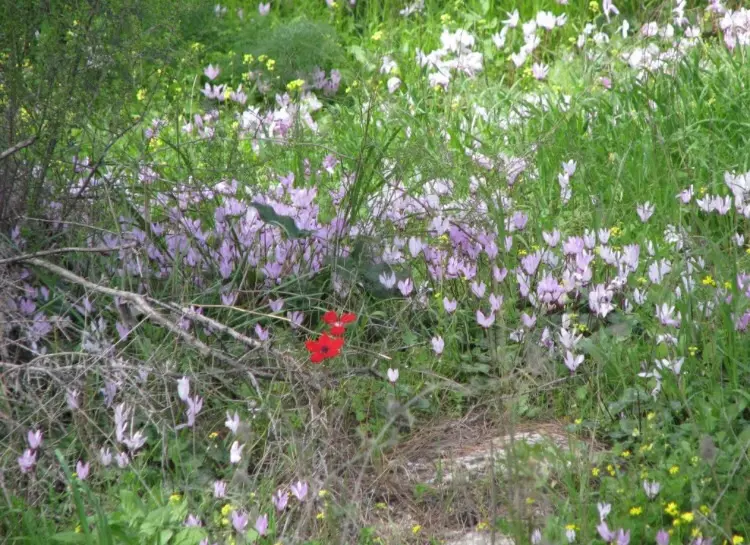
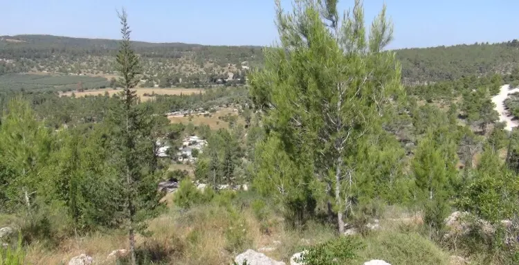
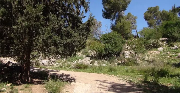
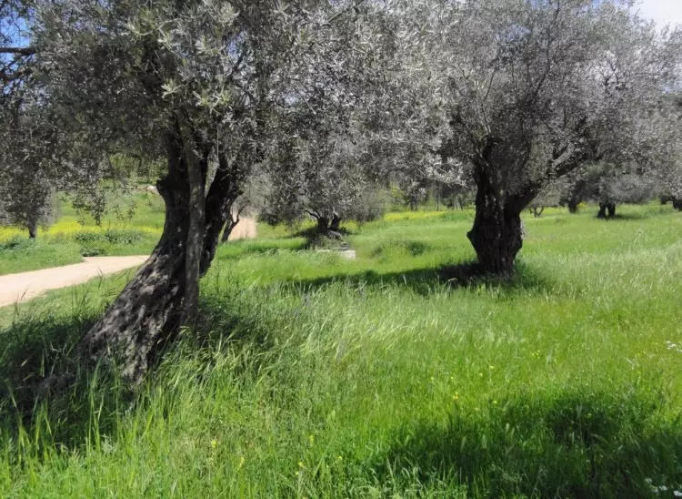
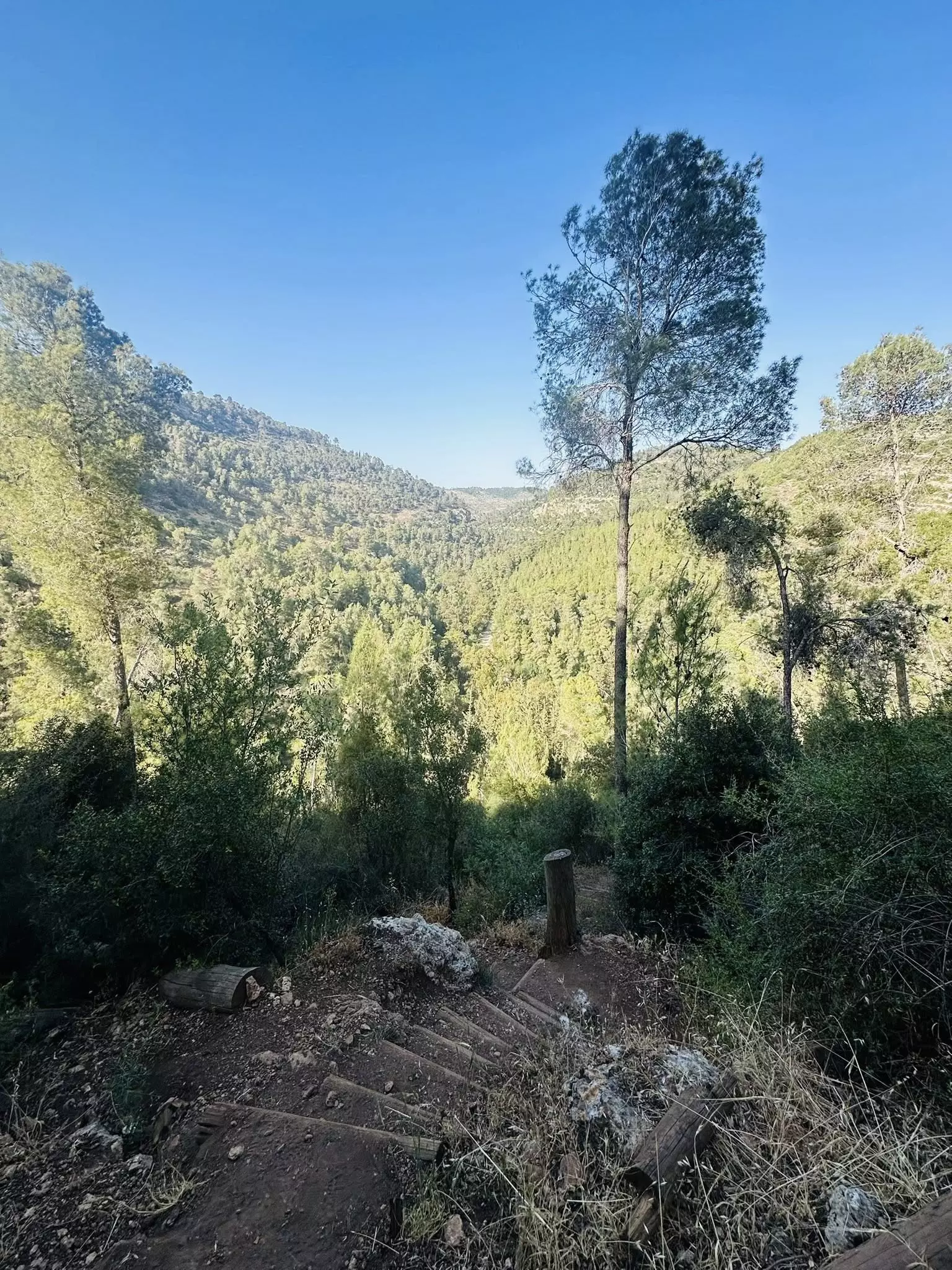
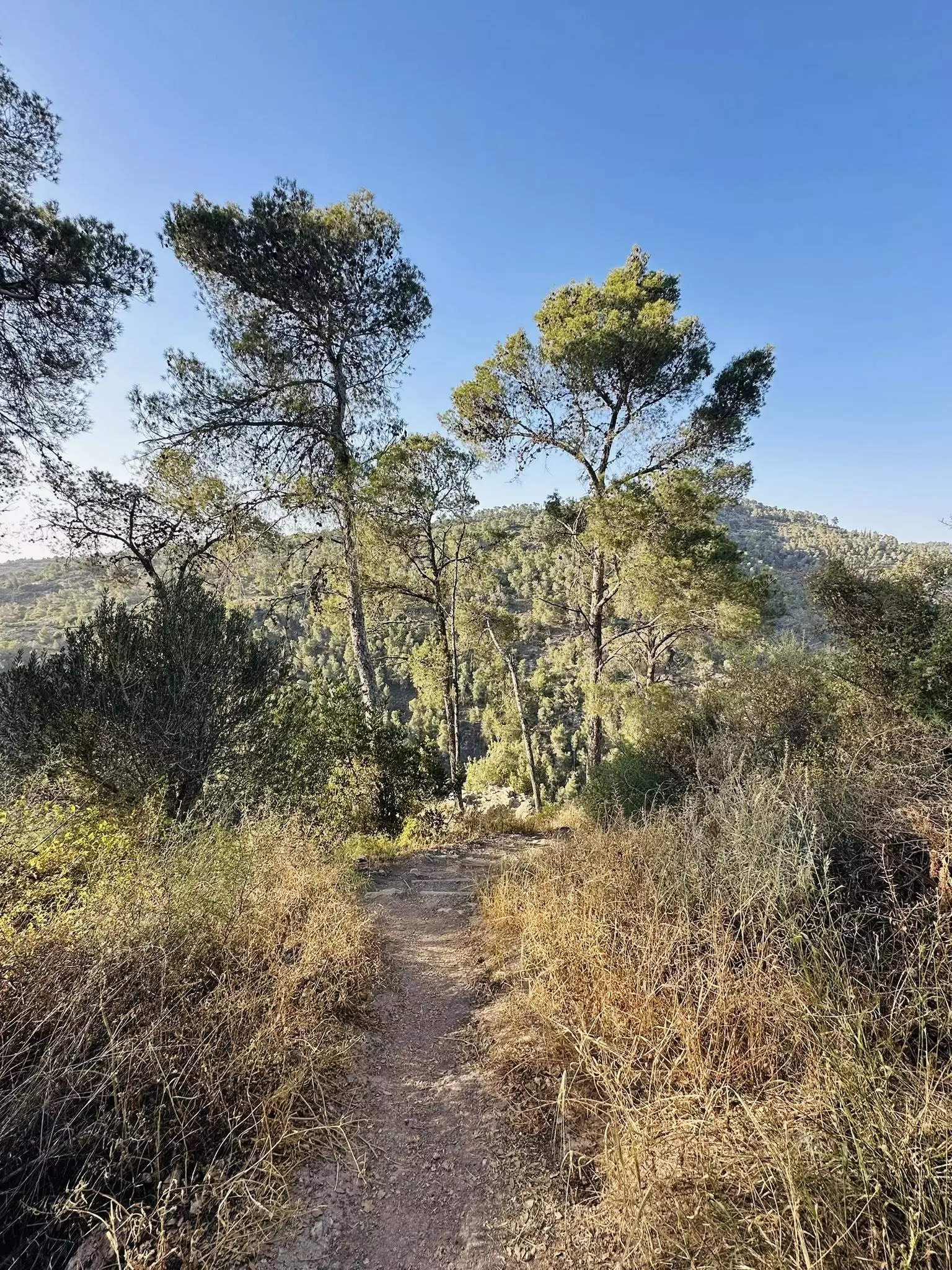
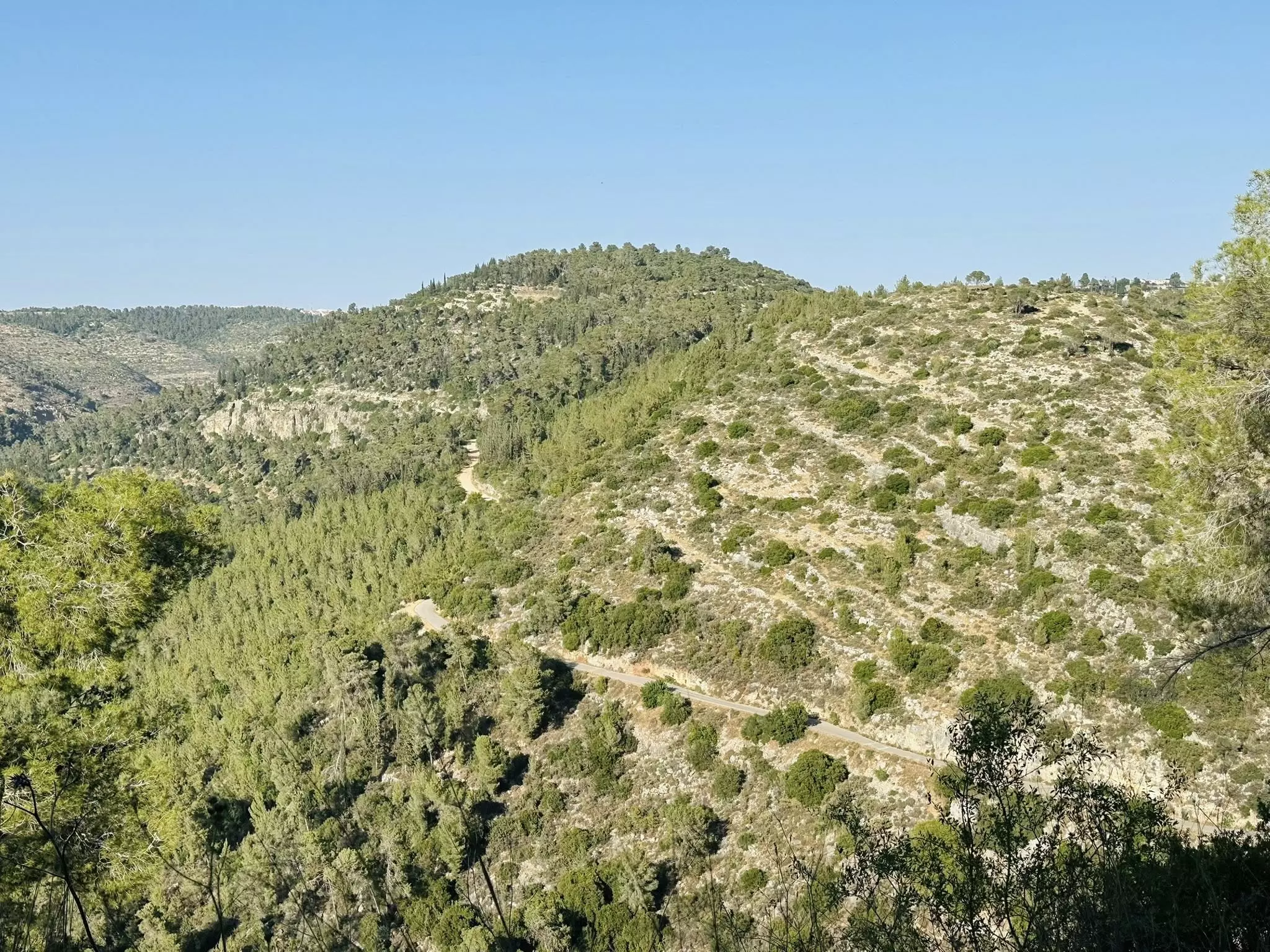
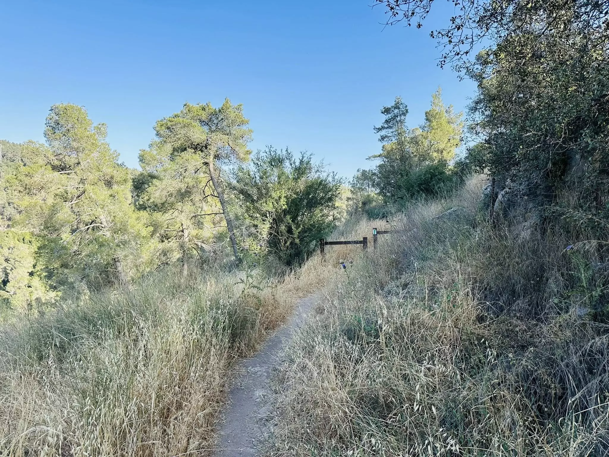
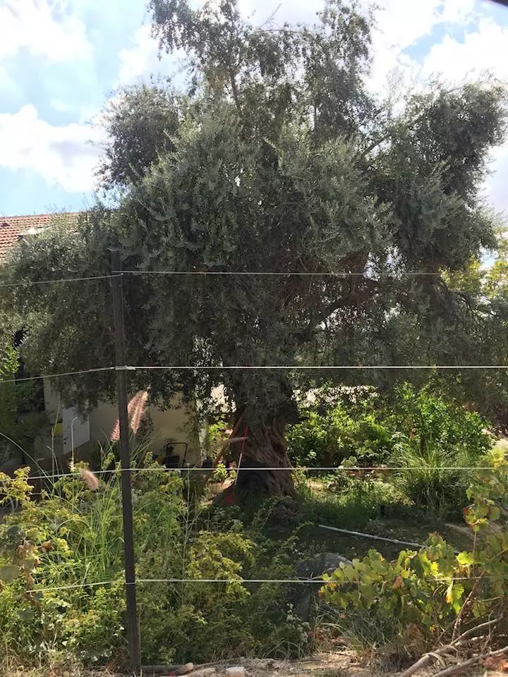
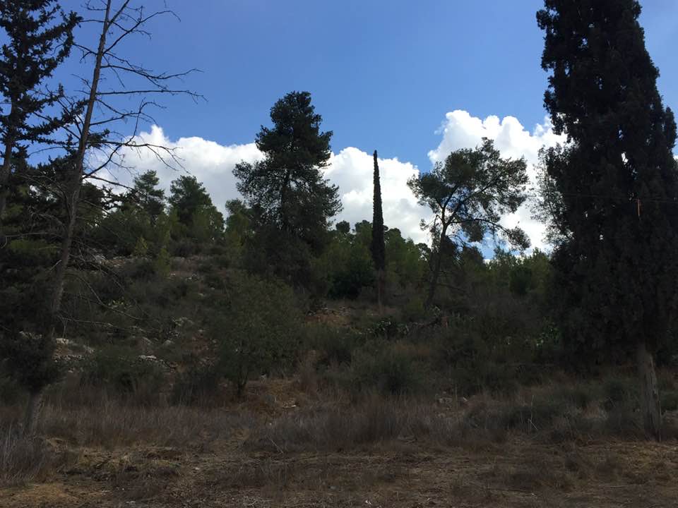
Village Before NakbaThe village stood on a large, low hill on the southeastern slope of a mountain, surrounded by wadis to the east and south. It lay on the highway linking Bayt Jibrin (a major village in Hebron sub-disctrict) to the Jerusalem−Jaffa highway, and was connected by secondary roads to a group of nearby villages. Ishwa' is thought to have been established over the site of the Canaanite city of Eshta'ol. It was known by that name during the Roman period, when it fell within the administrative sub-disctrict of Eleutheropolis (Bayt Jibrin). However, Dayr Abu al-Qabus, 0.5 km to the north, has also been identified with the Eshta'ol of Roman times. During the sixteenth century settlement seems to have shifted 0.5 km to the northwest to the site of the village of 'Islin (see 'Islin, Jerusalem sub-disctrict). When the site of 'Islin went out of use―during the seventeenth or eighteenth century―Ishwa' was probably repopulated; by 1875 it had a population of about 450. In the late nineteenth century, Ishwa' was built near the foot of a hill, and olive trees were planted below the village. Ishwa' had a star-shaped configuration, its (mostly stone) houses extending along the roads leading to other villages. Newer construction extended south and northwest, in the direction of 'Islin.The residents of Ishwa' were Muslims; they maintained a mosque called Ishwa', after the prophet Joshua (in Hebrew Yeshu'). Their village had a few small shops and an elementary school. Drinking water was provided by 'Ayn Ishwa', north of the village, and from a few other, smaller springs and wells. Agriculture was rainfed; the villagers planted grain, olive trees, vineyards, and fruits on their land. In 1944/45 a total of 1,911 dunums was allocated to cereals; 473 dunums were irrigated or used for orchards. Two khirbas lay near the village to the southeast: Khirbat al-Shaykh Ibrahim (151131) and Khirbat Hammada (151131). One contained the remains of walls, stones from collapsed buildings, and caves that once had been inhabited, and the other contained similar caves, rock-hewn cisterns, and an olive press. Village Occupation and Ethnic CleaningAccording to the History of the War of Independence, the village was 'cleansed' by the Fourth Battalion of the Har'el Brigade on 16 July 1948. This probably means that any inhabitants who remained after the mortar barrages were summarily expelled by the occupying troops. A string of other villages in the area met the same fate. The maneuver was 'aimed at expanding the Jewish-held corridor to Jerusalem,' according to Israeli historian Benny Morris. The attacks fell under the umbrella of Operation Dani (see Abu al-Fadl, Ramla sub-disctrict).The village had seen combat earlier, in the course of the battles for the Jerusalem corridor. As early as 18 March, a skirmish was fought on the village outskirts. 'Jewish sources' later told the New York Times that a Haganah armored car was stuck in the mud outside the village and that 250 Arab militiamen had attacked it, killing its crew of 8. The following week, there was an attack by Palestinian militia forces commanded by 'Abd al-Qadir al-Husayni on the neighboring Jewish settlement of Hartuv. British forces intervened on 22 March and ended the firefight by firing 4 high-explosive shells (each weighing 25 pounds) and 16 smoke shells into the village of Ishwa'. The New York Times correspondent wrote that the residents, together with the Arab forces based in the village, were evacuated. The next day, some 600 British troops invaded Ishwa', as well as nearby 'Artuf and Bayt Mahsir. A Times dispatch said that almost all the villagers had already been evacuated before the British assault. It is not mentioned what later transpired at the village, or whether the villagers later returned, although the Haganah's account of its occupation on 16 July implies that they did return, if only briefly. Zionists Colonies on Village LandsIsrael established the settlement of Eshta'ol (150132) in 1949 on land belonging to Ishwa' and the village of 'Islin.Village Todaylevelled and planted with grass. On the southern edge of the cemetery is a cave that contains the large grindstone of a flour mill. Olive and carob trees grow on the site, among other trees more recently planted by the settlers. At the western edge of the village is a soccer field. The walls and fallen roofs of destroyed houses can be seen at the edge of this field (see the photos section).SourceDr. Walid al-Khalidi, 1992: All That Remains. |
|||||||||||||||
| Related Maps | Town Lands' Demarcation Maps خرائط للقضاء توضح حدود القرى والاودية Town's map on MapQuest View from satellite Help us map this town at WikiMapia |
||||||||||||||
| Related Links | Wikipedia's Page Google Search Google For Images Google For Videos |
||||||||||||||
| More Information | مخطط البلد في كتاب كي لا ننسى في كتاب بلادنا فلسطين المزيد من موقع هوية |
||||||||||||||
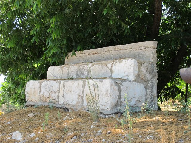
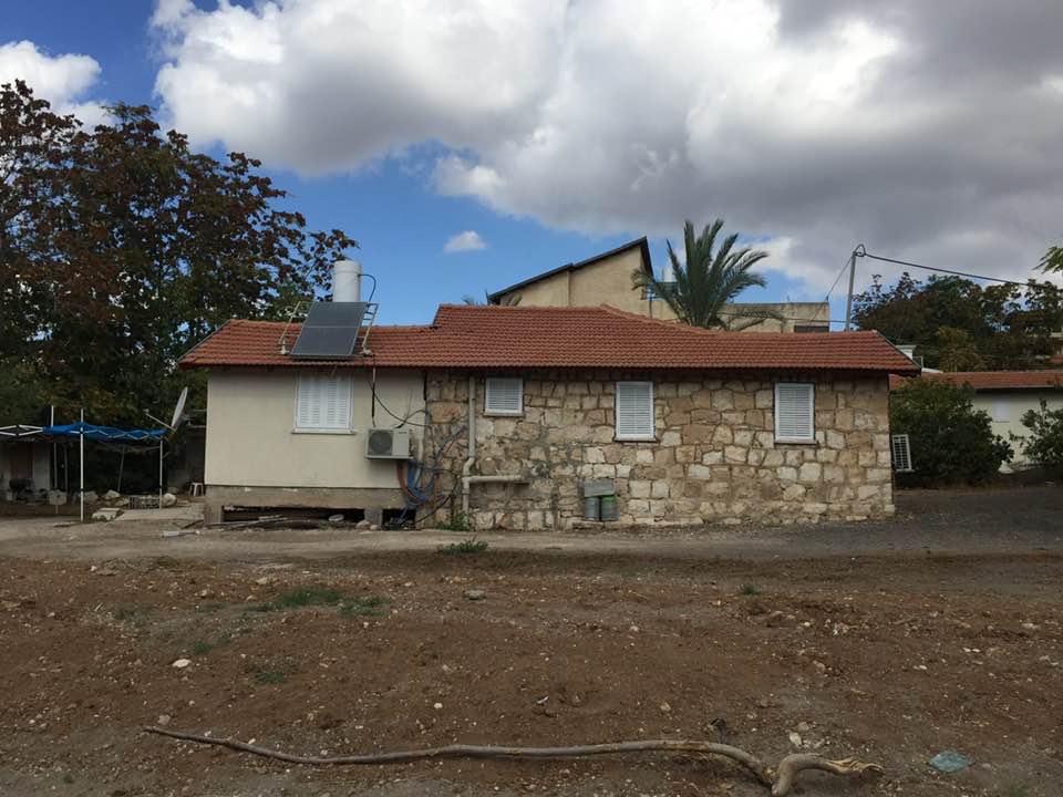
- Village House Rubble In 1986
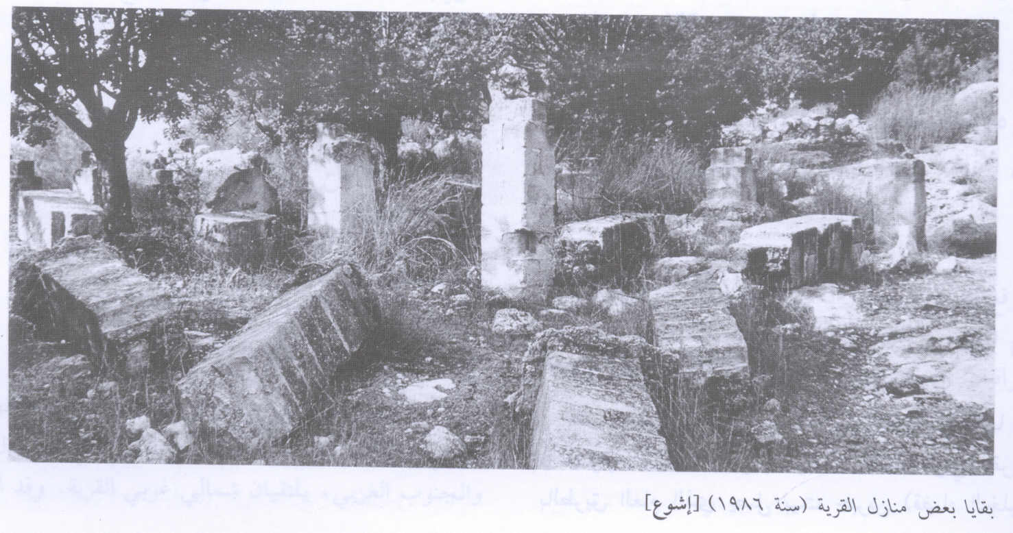
Scanned from "All That Remains" by Dr. Walid Khalidi 2 - Village House 2 Rubble In 1986
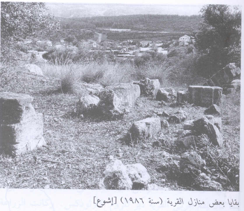
Scanned from "All That Remains" by Dr. Walid Khalidi 1 - Village House 3 Rubble In 1986
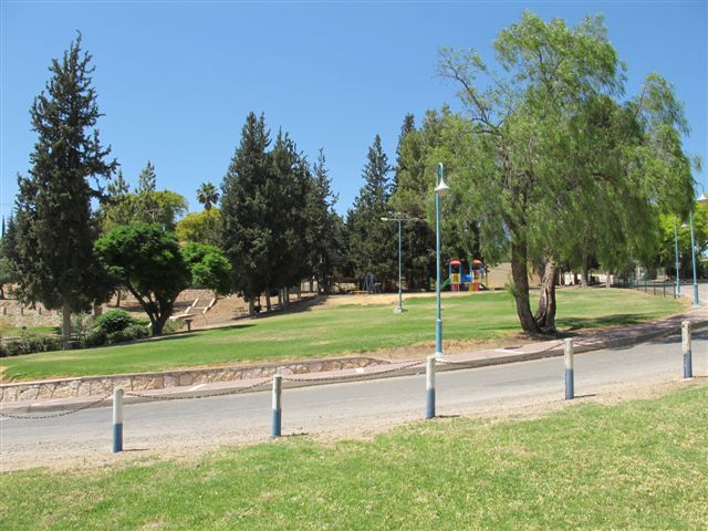
Scanned from "All That Remains" by Dr. Walid Khalidi - A park deticated to the memory of the Israeli soldiers killed in the 1982 war, 1986
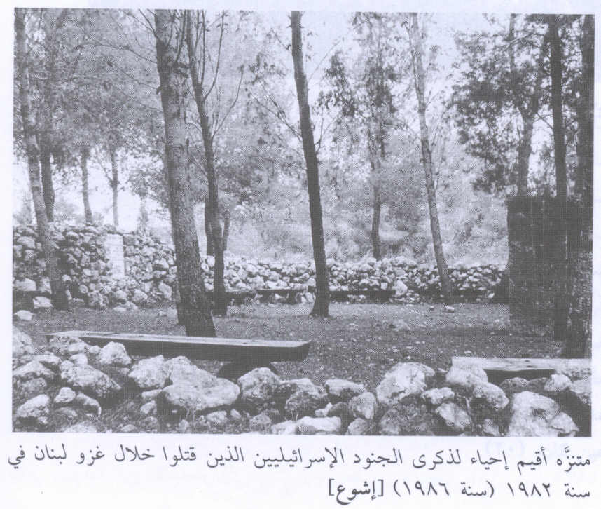
Scanned from "All That Remains" by Dr. Walid Khalidi - مغتصبه أشوع1
Posted by سلطان سعيد عواد 1 - #تضاريس وجبال الحبيبة اشوع#

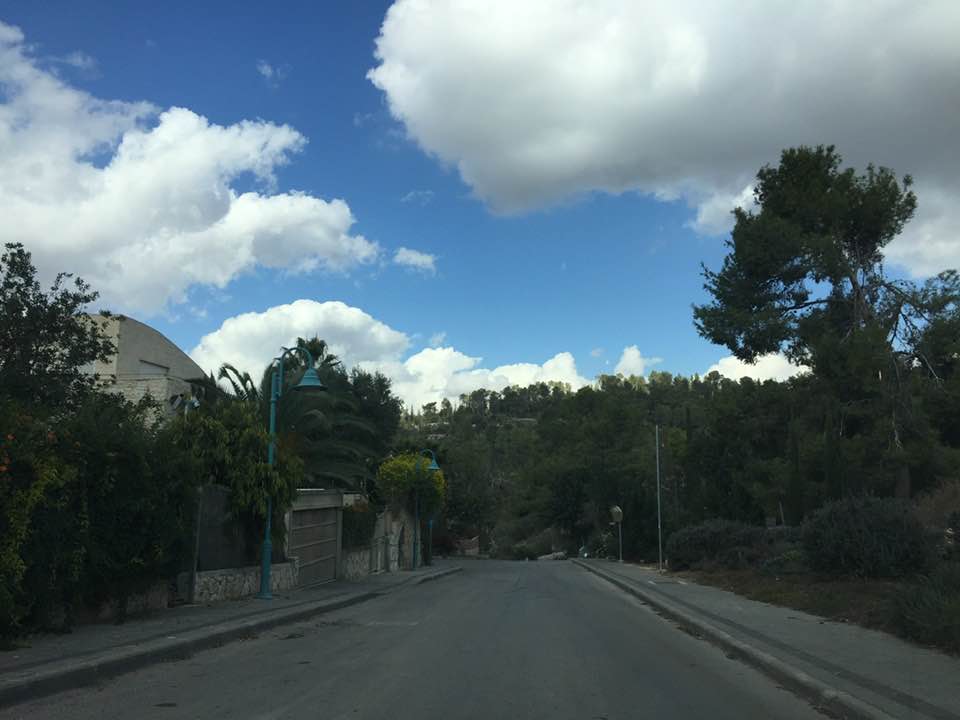
Posted by حمزة الشوعاني 3 - Ishwa 2012
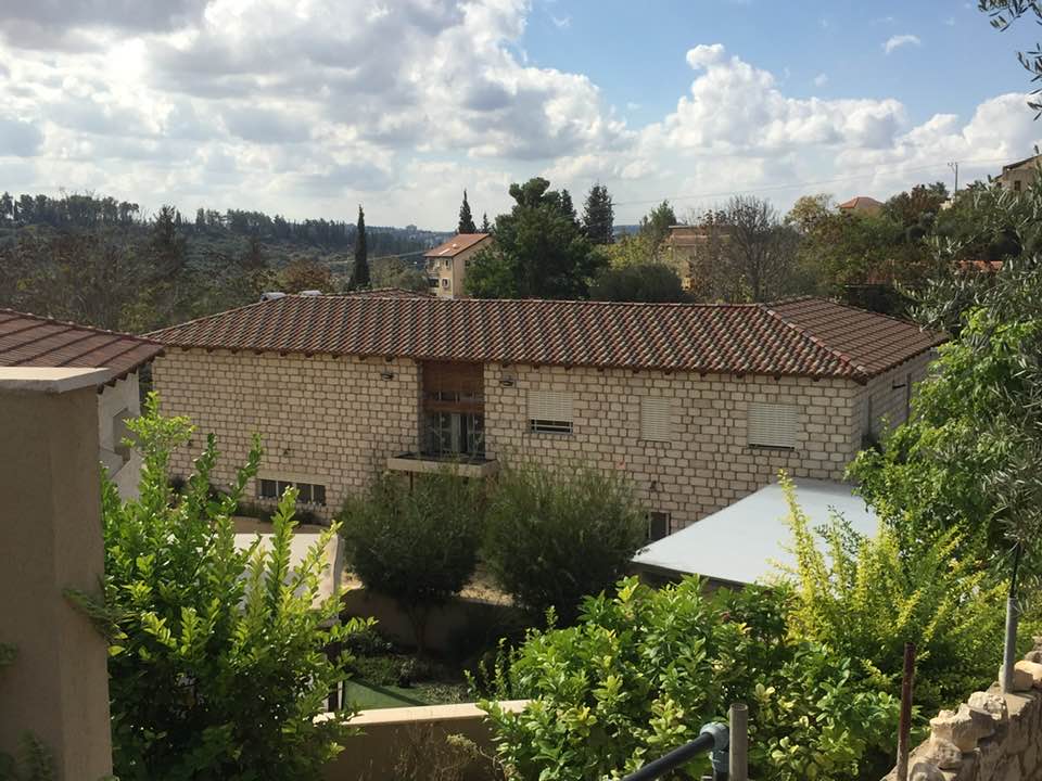
Posted by said - Ishwa 2012
Posted by said - Ishwa 2012
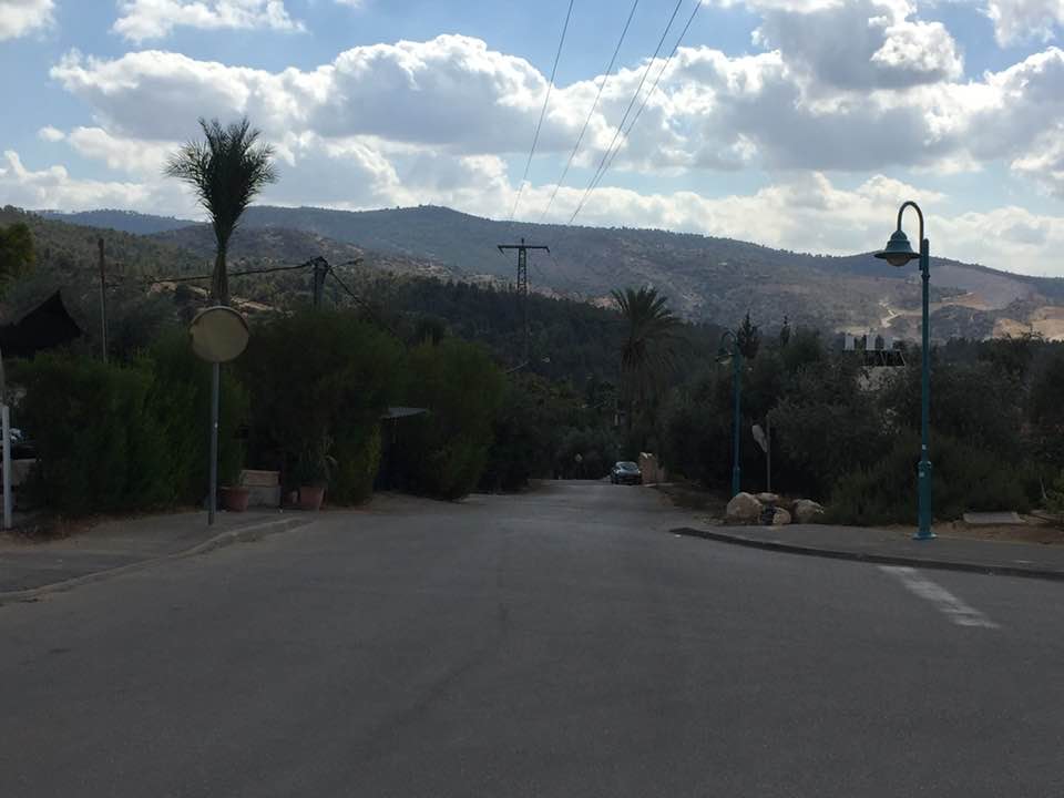
Posted by said - Ishwa 2012
Posted by said - Ishwa 2012
Posted by said - Ishwa 2012
Posted by said - Ishwa 2012
Posted by said - Ishwa 2012
Posted by said - Ishwa 2012
Posted by said - Ishwa 2012
Posted by said - Ishwa 2012
Posted by said - Ishwa 2012
Posted by said - اشوع
Posted by abu raya - الربيع في اشوع
Posted by abu raya - اشوع
Posted by abu raya - اشوع
Posted by abu raya - حقول زيتون اشوع
Posted by abu raya - اراضي اشوع
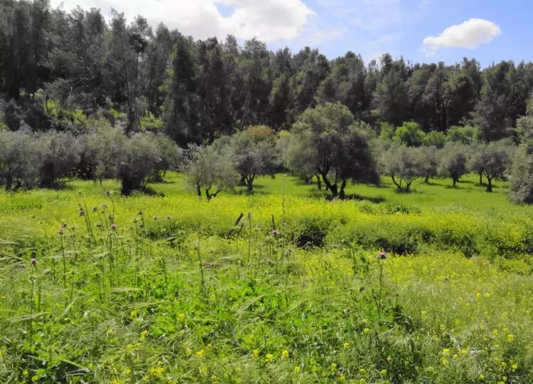
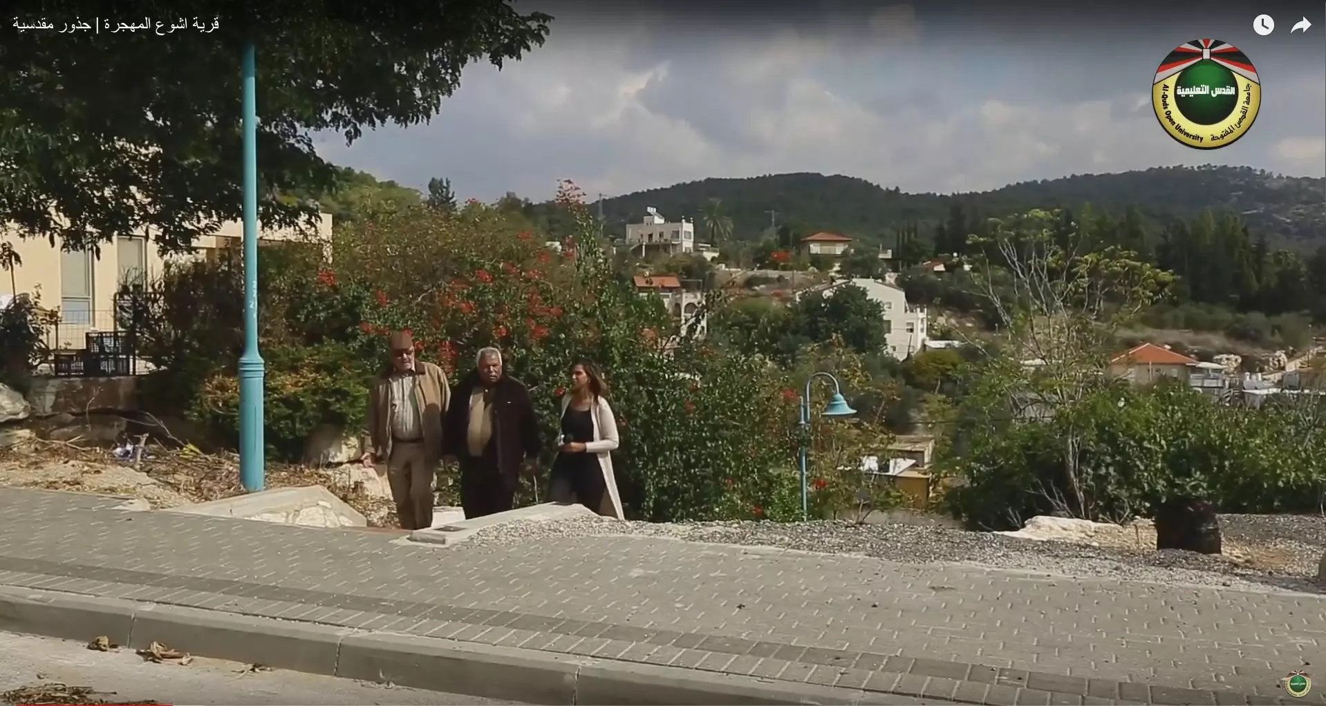
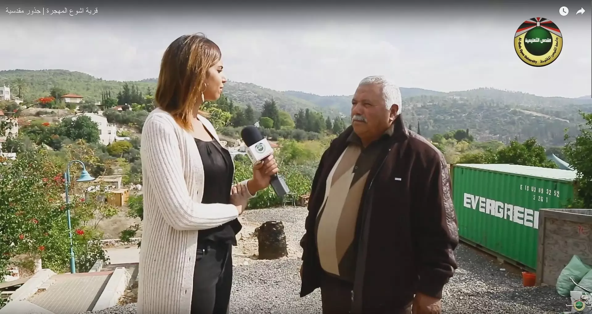
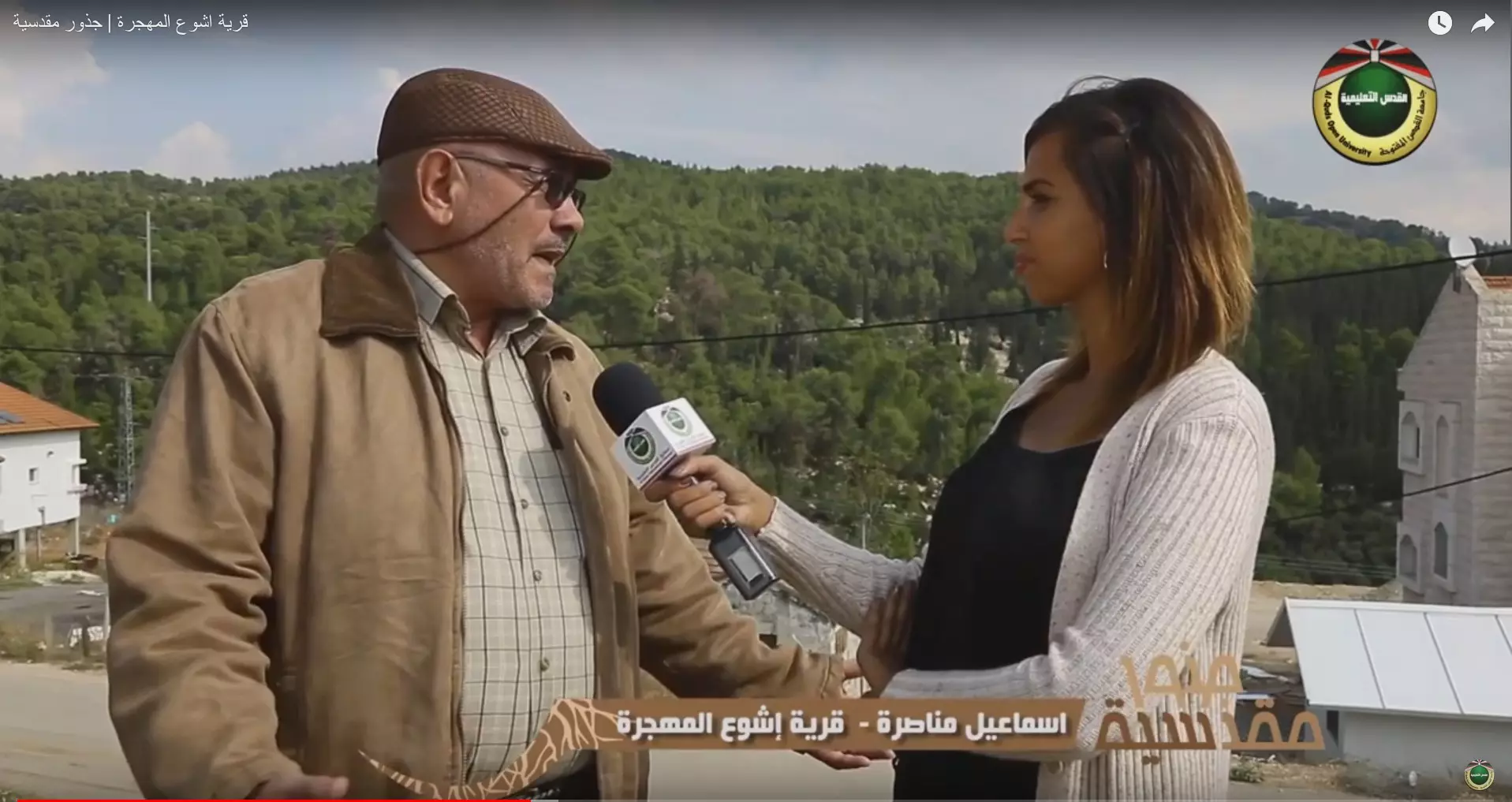
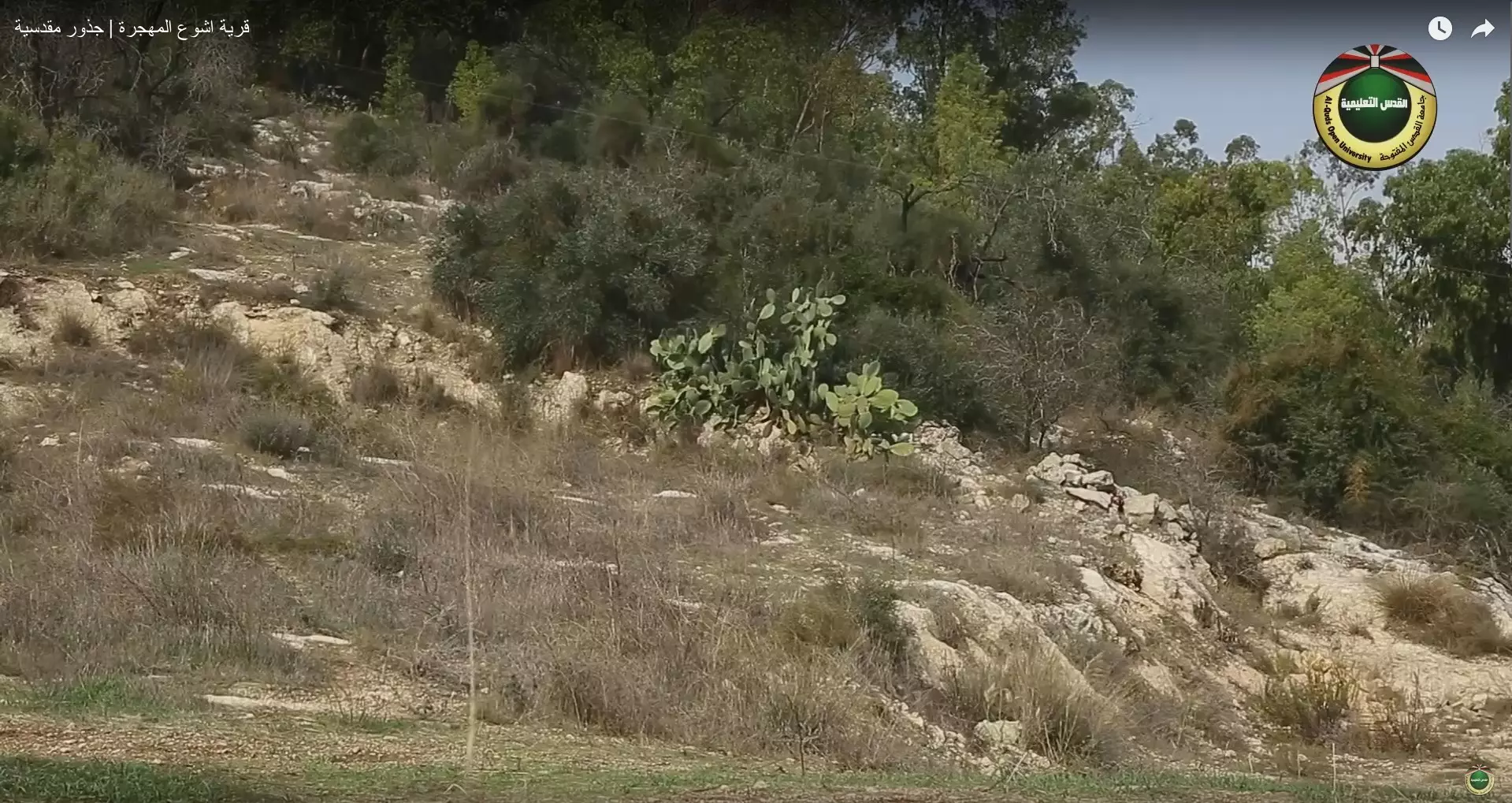
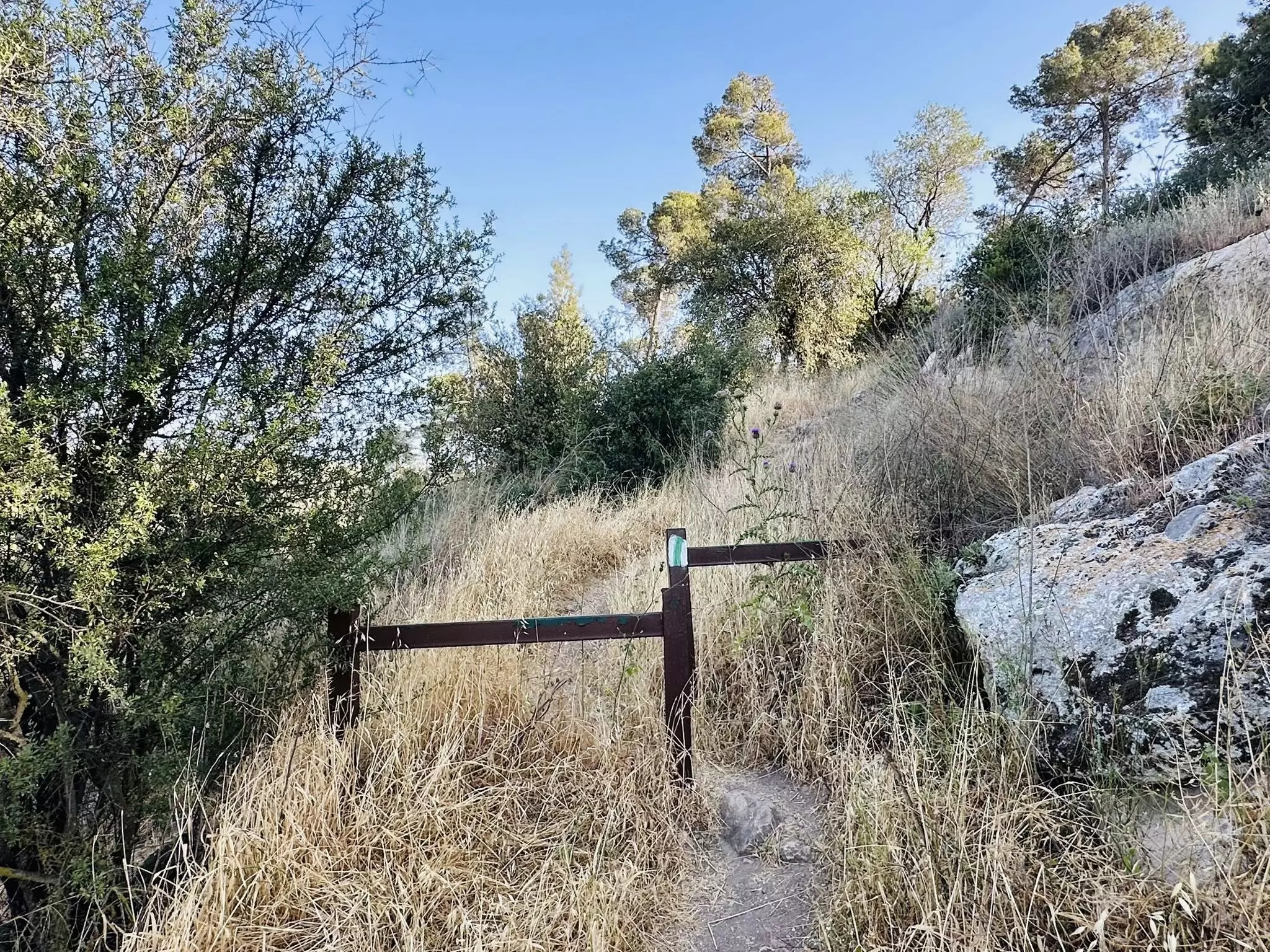
Posted by abu raya - جولة في ربوع إشوع قام ها برنامج جذور مدسة ب 2021
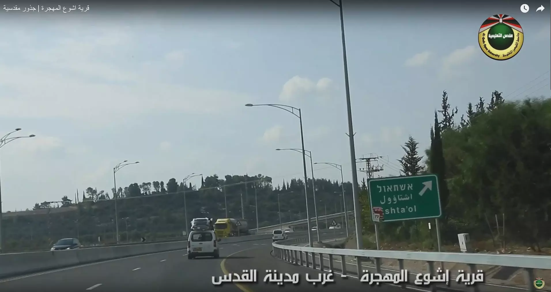
- جولة في ربوع إشوع قام ها برنامج جذور مدسة ب 2021 #2
- جولة في ربوع إشوع قام ها برنامج جذور مدسة ب 2021 #3

- جولة في ربوع إشوع قام ها برنامج جذور مدسة ب 2021 #4

- جولة في ربوع إشوع قام ها برنامج جذور مدسة ب 2021 #5
- جولة في ربوع إشوع قام ها برنامج جذور مدسة ب 2021 #6
- جولة في ربوع إشوع قام ها برنامج جذور مدسة ب 2021 #7
- جولة في ربوع إشوع قام ها برنامج جذور مدسة ب 2021 #8
- جولة في ربوع إشوع قام ها برنامج جذور مدسة ب 2021 #9

- جولة في ربوع إشوع قام ها برنامج جذور مدسة ب 2021 #10
- جولة في ربوع إشوع قام ها برنامج جذور مدسة ب 2021 #11
- جولة في ربوع إشوع قام ها برنامج جذور مدسة ب 2021 #12
- جولة في ربوع إشوع قام ها برنامج جذور مدسة ب 2021 #13

- جولة في ربوع إشوع قام ها برنامج جذور مدسة ب 2021 #14
- جولة في ربوع إشوع قام ها برنامج جذور مدسة ب 2021 #15
- باب الواد "الجنوبي"
قرية أشْوَع المهجرة --- Iyad Jaber
- باب الواد "الجنوبي"
قرية أشْوَع المهجرة --- Iyad Jaber #2

- باب الواد "الجنوبي"
قرية أشْوَع المهجرة --- Iyad Jaber #3
- باب الواد "الجنوبي"
قرية أشْوَع المهجرة --- Iyad Jaber #4

- باب الواد "الجنوبي"
قرية أشْوَع المهجرة --- Iyad Jaber #5
- باب الواد "الجنوبي"
قرية أشْوَع المهجرة --- Iyad Jaber #6

- باب الواد "الجنوبي"
قرية أشْوَع المهجرة --- Iyad Jaber #7
- باب الواد "الجنوبي"
قرية أشْوَع المهجرة --- Iyad Jaber #8
- باب الواد "الجنوبي"
قرية أشْوَع المهجرة --- Iyad Jaber #9
- باب الواد "الجنوبي"
قرية أشْوَع المهجرة --- Iyad Jaber #10
- باب الواد "الجنوبي"
قرية أشْوَع المهجرة --- Iyad Jaber #11
- باب الواد "الجنوبي"
قرية أشْوَع المهجرة --- Iyad Jaber #12
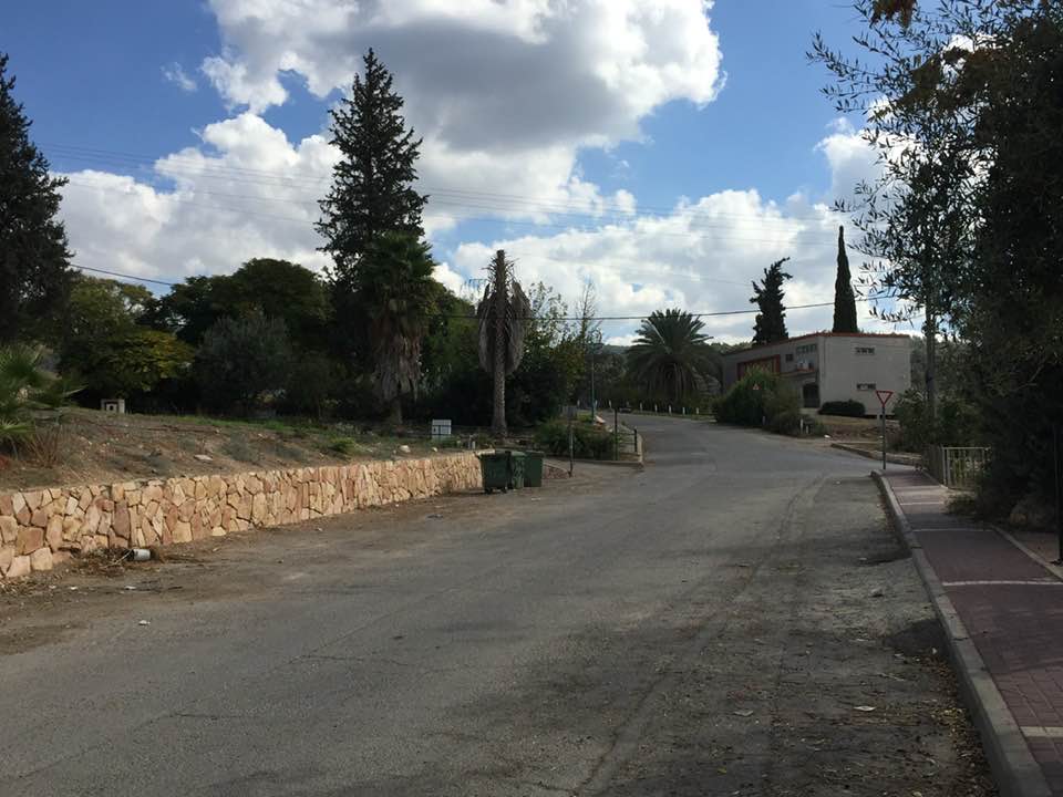
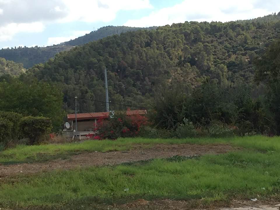
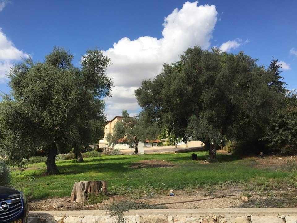
- Let us see how the most "liberal and civilized" of world Jewry has defaced/replaced our village, except for a few structures. How else will the Jews be great and safe again? -- القرية دمرت بالكامل.. من هنا مر الهمج
- Let us see how the most "liberal and civilized" of world Jewry has defaced/replaced our village, except for a few structures. How else will the Jews be great and safe again? -- القرية دمرت بالكامل.. من هنا مر الهمج #2
- Let us see how the most "liberal and civilized" of world Jewry has defaced/replaced our village, except for a few structures. How else will the Jews be great and safe again? -- القرية دمرت بالكامل.. من هنا مر الهمج #3
- Let us see how the most "liberal and civilized" of world Jewry has defaced/replaced our village, except for a few structures. How else will the Jews be great and safe again? -- القرية دمرت بالكامل.. من هنا مر الهمج #4
- Let us see how the most "liberal and civilized" of world Jewry has defaced/replaced our village, except for a few structures. How else will the Jews be great and safe again? -- القرية دمرت بالكامل.. من هنا مر الهمج #5
- Let us see how the most "liberal and civilized" of world Jewry has defaced/replaced our village, except for a few structures. How else will the Jews be great and safe again? -- القرية دمرت بالكامل.. من هنا مر الهمج #6
- Let us see how the most "liberal and civilized" of world Jewry has defaced/replaced our village, except for a few structures. How else will the Jews be great and safe again? -- القرية دمرت بالكامل.. من هنا مر الهمج #7
- Let us see how the most "liberal and civilized" of world Jewry has defaced/replaced our village, except for a few structures. How else will the Jews be great and safe again? -- القرية دمرت بالكامل.. من هنا مر الهمج #8
- Let us see how the most "liberal and civilized" of world Jewry has defaced/replaced our village, except for a few structures. How else will the Jews be great and safe again? -- القرية دمرت بالكامل.. من هنا مر الهمج #9
- Let us see how the most "liberal and civilized" of world Jewry has defaced/replaced our village, except for a few structures. How else will the Jews be great and safe again? -- القرية دمرت بالكامل.. من هنا مر الهمج #10
- Let us see how the most "liberal and civilized" of world Jewry has defaced/replaced our village, except for a few structures. How else will the Jews be great and safe again? -- القرية دمرت بالكامل.. من هنا مر الهمج #11
- Let us see how the most "liberal and civilized" of world Jewry has defaced/replaced our village, except for a few structures. How else will the Jews be great and safe again? -- القرية دمرت بالكامل.. من هنا مر الهمج #12
- Let us see how the most "liberal and civilized" of world Jewry has defaced/replaced our village, except for a few structures. How else will the Jews be great and safe again? -- القرية دمرت بالكامل.. من هنا مر الهمج #13
- Let us see how the most "liberal and civilized" of world Jewry has defaced/replaced our village, except for a few structures. How else will the Jews be great and safe again? -- القرية دمرت بالكامل.. من هنا مر الهمج #14
- Let us see how the most "liberal and civilized" of world Jewry has defaced/replaced our village, except for a few structures. How else will the Jews be great and safe again? -- القرية دمرت بالكامل.. من هنا مر الهمج #15
- Let us see how the most "liberal and civilized" of world Jewry has defaced/replaced our village, except for a few structures. How else will the Jews be great and safe again? -- القرية دمرت بالكامل.. من هنا مر الهمج #16
- Let us see how the most "liberal and civilized" of world Jewry has defaced/replaced our village, except for a few structures. How else will the Jews be great and safe again? -- القرية دمرت بالكامل.. من هنا مر الهمج #17
- Let us see how the most "liberal and civilized" of world Jewry has defaced/replaced our village, except for a few structures. How else will the Jews be great and safe again? -- القرية دمرت بالكامل.. من هنا مر الهمج #18
- Let us see how the most "liberal and civilized" of world Jewry has defaced/replaced our village, except for a few structures. How else will the Jews be great and safe again? -- القرية دمرت بالكامل.. من هنا مر الهمج #19
- Let us see how the most "liberal and civilized" of world Jewry has defaced/replaced our village, except for a few structures. How else will the Jews be great and safe again? -- القرية دمرت بالكامل.. من هنا مر الهمج #20
- Let us see how the most "liberal and civilized" of world Jewry has defaced/replaced our village, except for a few structures. How else will the Jews be great and safe again? -- القرية دمرت بالكامل.. من هنا مر الهمج #21
- Let us see how the most "liberal and civilized" of world Jewry has defaced/replaced our village, except for a few structures. How else will the Jews be great and safe again? -- القرية دمرت بالكامل.. من هنا مر الهمج #22
- Let us see how the most "liberal and civilized" of world Jewry has defaced/replaced our village, except for a few structures. How else will the Jews be great and safe again? -- القرية دمرت بالكامل.. من هنا مر الهمج #23
Want to browse more? 80,000 pictures were grouped in these gallaries:
| Display Name | Clan/Hamolah | Country of Residence |
| Nehaya Deeb Kanaan | الضراغمة | Chicago, USA |
| اسامة مناصرة | المناصرة | رام الله |
| فيصل عليان | - | - |
| انس نضال نمر عواد | الضراغمه | الامارات |
| اكرم عرار | عرار | البقعه, البقعه |
| علاء عطالله | المناصرة | عمان, الاردن |
| عبدالفتاح مفيد الخطيب | المناصرة | الرياض |
| محمد عبدالهادي ابزيع | - | - |
| white heart | القيسي | عمان, الاردن |
| حسام عليان | - | - |
| ok3bmw | المناصره/ الشيخ أحمد | amman, jordan |
| يزن نضال عواد | دراغمه | UAE, UAE |
| بلال | عيسى | - |
| أبو أحمد المقدسي | دراغمة | أشوع |
| Abo Wardeh | الدراغمة | Amman |
| زياد الشيخ احمد | الشيخ احمد | القدس, اشوع |
| MOHAMMAD ASAD | - | NJ, NJ |
| فراس عدوان | عدوان | - |
| ghassan awwad | - | - |
| Dr.Alkhatib | alkhatib | Amman, Jordan |
| سلطان سعيد عواد | الضراغمة | الزرقاء, الأردن |
| al-shoane | - | - |
| Ramez Awad | Al Daraghma-Awwad | - |
| باسل حديدون | دار علي | Jerusalem, Palestine |
| أبوسميح | المناصرة | - |
| JOEALE | ALL-DARAGMAH .. AL-SHOUANI | - |
| Mustafa Moh'd Nassar | Nassar | - |
- قرية اشوع المهجرة | جذور مقدسية Duration: 25 min 22 sec
- الذاكرة مفتاح العودة-- الحلقة 114 -- إشوع
No links have been shared yet, be free to the first to share the first link.
 Fake Valor: Why Did Zionist Jews Hoist Nazis Flag on Their Ships in the 1930s?
What is new?
-
Facts About Oct. 7th Gaza Raid
-
Remined Us Please:: Who Did Rape Who? Palestinians Raped Israelis? Or, was the other way around?
-
When Prof. Edward Said was invited to debate Bibi Netanyahu in the 1980s, watch what happened!
-
Ezra Klein of the NY Times on the "Jewish Race".
-
Abusing Blood Libel!
-
Did Israeli Soldiers Activate The Hanniba Direective On Oct. 7th? You Be The Judge
-
Zionist FAQ: Isn't it true that Palestinians don't want peace? Palestinians never accepted the two-state solution
- Facts about Haavara (Transfer) Agreement between Ben-Gurion & Hitler
-
Haavara FAQs: Why Did Zionist Jews Hoist Nazis' Flags on Their Ships in the 1930s?
- Haavara FAQs: When Chaim Weizmann met FDR in mid-1943, why was he silent about rescuing European Jewry?
-
Dear ChatGPT: How did Palestinians resist Napoleon's invasion of their country in 1799?
-
Dear ChatGPT: Gaza had a vibrant Jewish community in the mid-17th century. What happened to them?
-
Dear ChatGPT: Why did the Jewish Agency suppress news of the Holocaust during WWII?
-
Video Playlist: Jews share their DNA tests to end the conflict for good.
-
A Tale of Two Conflicts: Examining the Definition of Genocide
-
Prof. Abraham Polak And The Suppressed History of the Khazars and European Jewry
-
How Ronald Reagan would have framed the genocide in Gaza if he were still alive?
-
Haavara FAQs: Let us do the math: how many German Jews did The Haavara Agreement save?
-
Zionist FAQs: The Hebron Massacre of 1929, "clearly proves" that Palestinians are antisemitic, how could you deny it?
-
Zionist FAQs: Why Anti-Zionist Is Not Antisemitism?
-
Zionist FAQs: Isn't it true that the KGB created Palestinian Nationalism in the early 1960s?
- Zionist FAQs: Muslims are killing Muslims all the time; why are Israeli Jews being singled out in the media?
- Zionist FAQs: How is Israel an apartheid state when 20% of its citizens are Arabs who enjoy full rights?
-
Haavara FAQs: Why Did Dorothy Thompson Flip From A Zionist Advocate to A Silenced Dissenter?
-
Haavara FAQs: Analysis of Herzl's Uganda Scheme and how it could have saved millions of Jews.
-
Haavara FAQs: Why did Hayim Greenberg describe American Jewry as "morally bankrupt" in early 1943?
-
Haavara FAQs: What if the Evian Conference was a resounding success? What would have been the impact of saving European Jewry on Zionism?
- Haavara FAQs: What if the six million were saved, how that would have impacted the Zionist project?
-
Haavara FAQs: How did Zionist leaders react when Europe's Jews lingered in the DP camps after WWII ended?
-
Why does the American Jewish community repeat lies that David Ben-Gurion had debunked before he died?
-
Who has the power to rename the Tatar/Khazar Gene Marker to Jewish IV?
-
Zionist FAQs: Why won't Egypt, Syria, and Jordan take their people back? Jews are indigenous to Palestine, and Arabs immigrated after Jews developed the country. Arabs should leave.
-
Haavara FAQs: Did Hitler and the Nazis conflate between Judaism and Zionist? If that wasn't case, then why?
-
Haavara FAQs: Winston Churchill and antisemitism, a collection of articles written Churchill.
-
Haavara FAQs: Broken by country, how many Jews survived vs. killed during the Holocaust?
-
Haavara FAQs: Why did European Jews vote with their feet and to immigrated to the Americas, not Palestine, after WWII?
-
Watch this American Jewish Girl describing Israeli Jews' cognitive dissonance like no other in under two minutes
-
Haavara FAQs: When the Nazis went out of their way to hide the Holocaust, Israeli Jews did the exact opposite by broadcasting their genocide of Gazans. But why?
-
Haavara FAQs: How Zionist Jews went out of their to show their appreciation to Nazism and Fascism?
- Haavara FAQs: Why Zionist leaders were against bombing the death camps & the Railroads leading to them?
-
Haavara FAQs: Hitler's message to the British and American people: If Jews are such noble citizens and you care about them, how come you're not letting them in? I will gladly ship them to you at my expense, even on luxury liners!
-
A shortlist of Zionist and Israeli false flag operations in the name Jews.
-
The Most Moral Army
- The Land of Kapos (Israel): Where the brave are boycotted and Kapos walk free.
- Why did early Zionists often named their communal enterprises "colonial"?
- Zionist Relations with Nazi Germany by Faris Glubb
-
Two NY Times advertisements by Zionists in the early 1943 that exposes Zionists' treason at the height of the calamity
- Facts Not Lies about the Palestinian-Israeli Conflict.
- Site's pictures have been categorized
- Campgain Against Lice
- A Survey of Palestine, the official source about Palestine before Nakba produced by the British Mandate; over 1200 pages.
- Satellite View & Google Earth: Over 6,000 placemarks identifying all destroyed towns, W. Bank & Gaza Strip Towns, & refugee camps.
- PalestineRemembered.com and its Nakba Oral History Project were featured on al-Jazeera Satellite TV.
- Nakba Oral History Video Podcast:
 Over 700 Oral History interviews (including 3,500+ hours of recording) can be viewed online.
 - Palestine Village Statistics Project
- Gaza Jail Break
- النسخة العربية للموقع الان متوفرة
- Videos: Documenting the destroyed villages in video: Tracing all that remains since Nakba.
- Videos: Responding to Zionist Propaganda
- Interview: The ethnic cleansing of Palestine: George Galloway interviews Israeli Historian Ilan Pappe.
- For Palestinians, memory matters. It provides a blueprint for their future By George Bisharat.
- Zionist FAQ now available in Hebrew שאלות שציונים שואלים, עכשיו בעברית
- Video: The Stephen Walt and John Mearsheimer report on the influence of the Israel Lobby on U.S. Foreign Policy
- The Palestinian-Israeli conflict for beginners
