| PalestineRemembered | About Us | Oral History | العربية | |
| Pictures | Zionist FAQs | Haavara | Maps | |
| Search |
| Camps |
| Districts |
| Acre |
| Baysan |
| Beersheba |
| Bethlehem |
| Gaza |
| Haifa |
| Hebron |
| Jaffa |
| Jericho |
| Jerusalem |
| Jinin |
| Nablus |
| Nazareth |
| Ramallah |
| al-Ramla |
| Safad |
| Tiberias |
| Tulkarm |
| Donate |
| Contact |
| Profile |
| Videos |
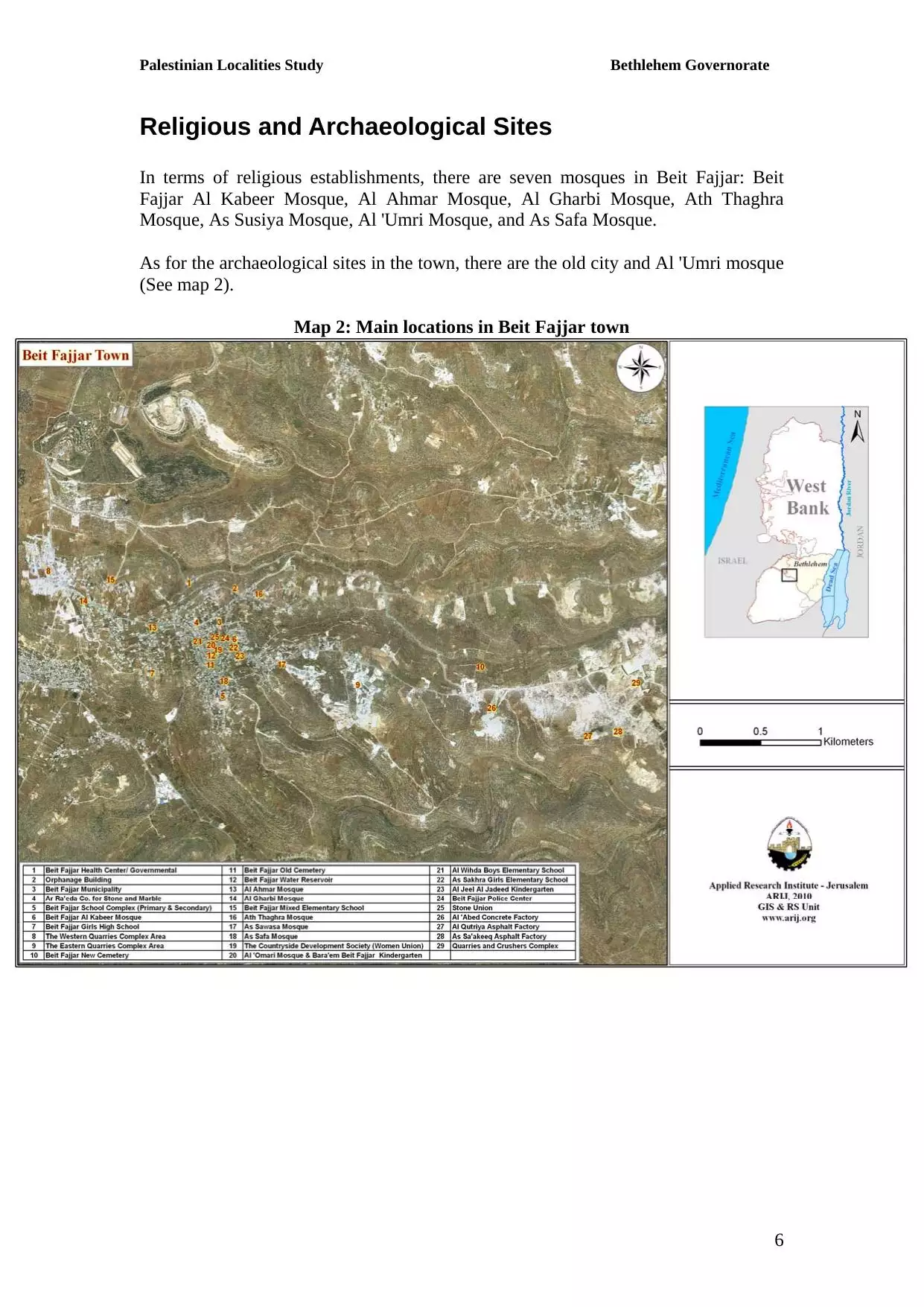
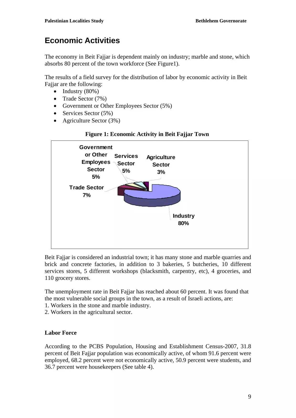
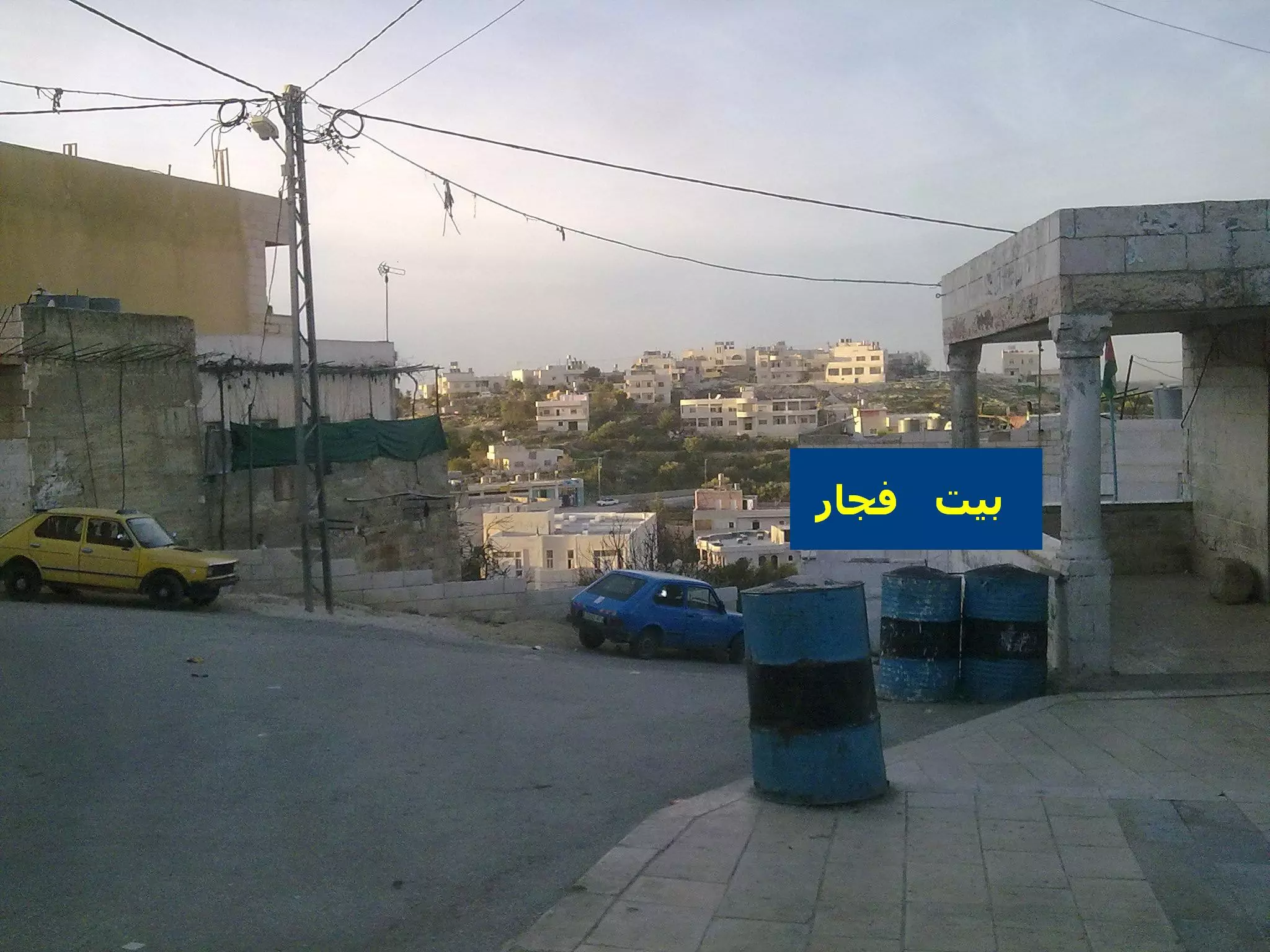
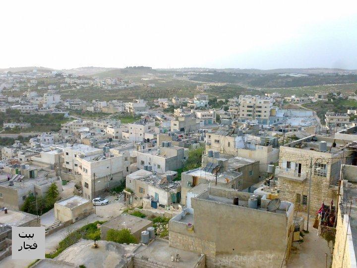
Welcome To Bayt Fajjar - بيت فجّار (בית פג'אר)
|
District of Bethlehem
Occupied days ago |
العربية Google Earth |
 |
Gallery (106) |
- Statistics & Facts
-
Before & After

- Satellite View
- Articles 26
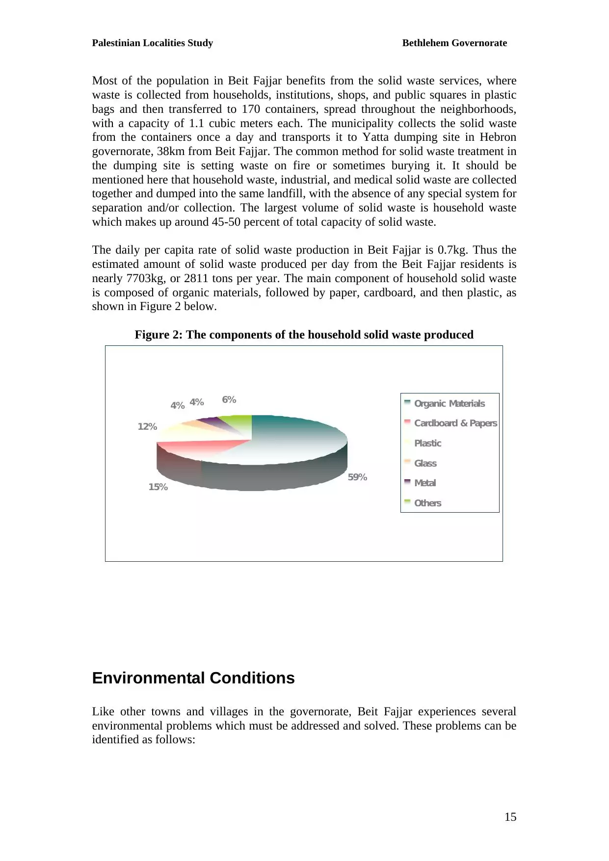
- Pictures 106
- Members 42
- Families
- Wikipedia
- ARIJ Guide
- Videos 2
- Guest Book 27
- Links 1
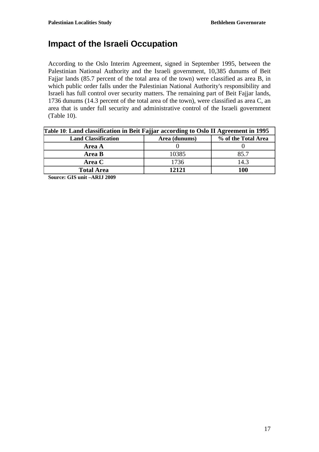
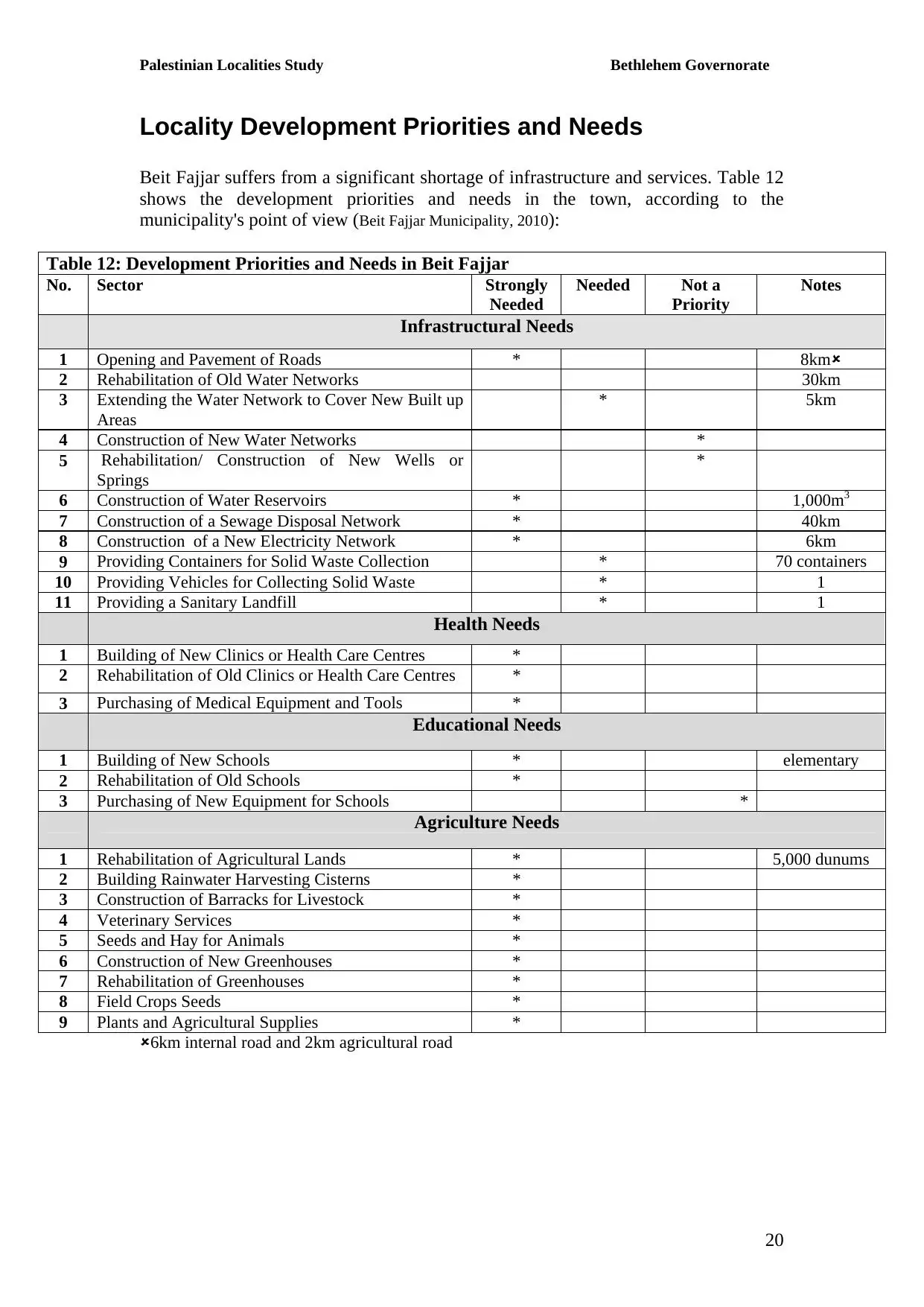
| Statistic & Fact | Value | ||||||||||||||||||||||
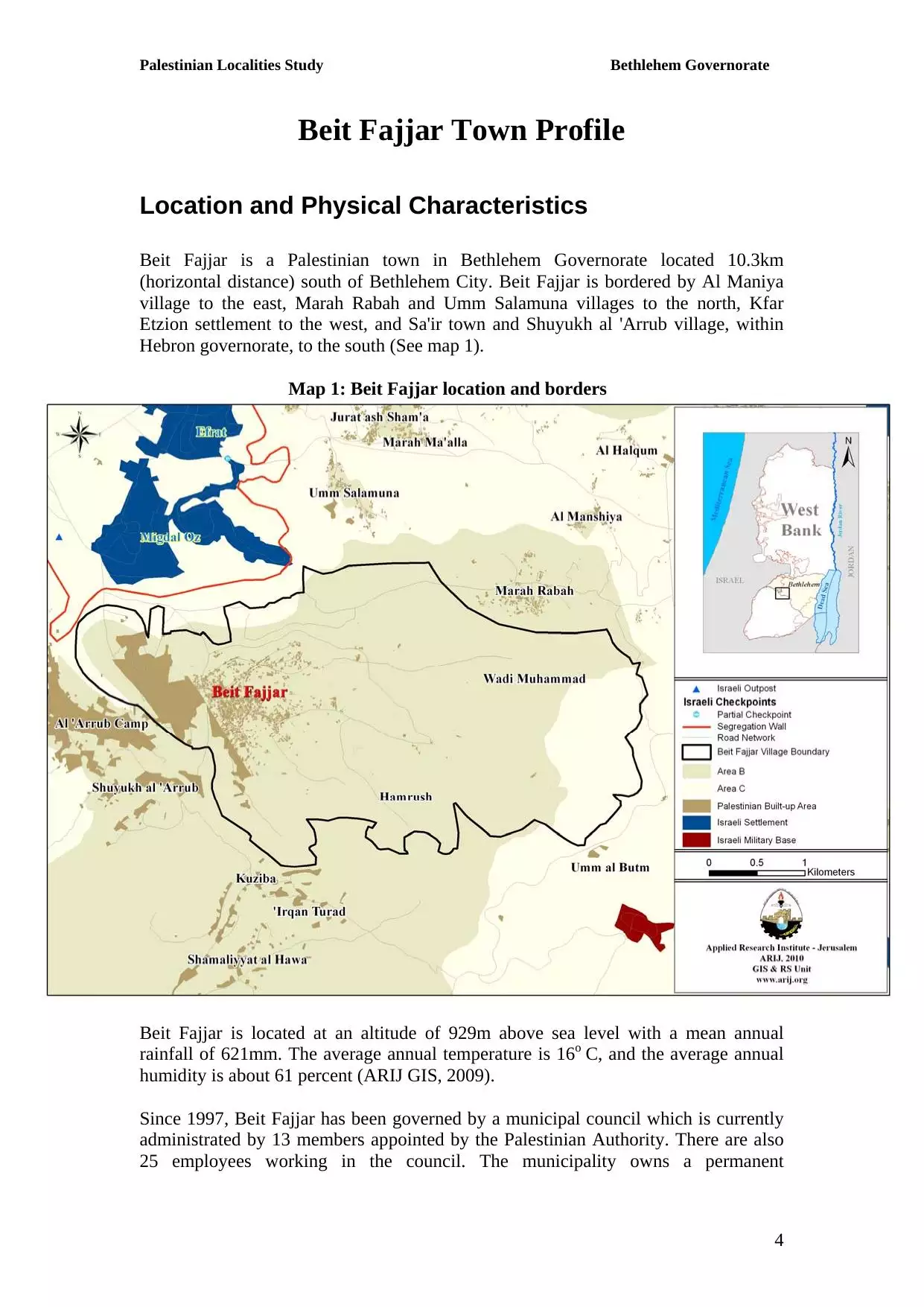
| Distance From District | 8 km south of Bethlehem | ||||||||||||||||||||||
| Elevation | 920 meters | ||||||||||||||||||||||
| Before & After Nakba, Click Map For Details |
|||||||||||||||||||||||
|
|||||||||||||||||||||||
| Land Ownership |
|
||||||||||||||||||||||
| Land Usage As of 1945 |
|
||||||||||||||||||||||
| Population |
|
||||||||||||||||||||||
| Near By Towns |
|||||||||||||||||||||||
|
|||||||||||||||||||||||
| Featured Video | |||||||||||||||||||||||
| ARIJ Guide | |||||||||||||||||||||||
3.
4. 
5. 
6. 
7. 
8. 
9. 
10. 
11. 
12. 
13. 
14. 
15. 
16. 
17. 
18. 
19. 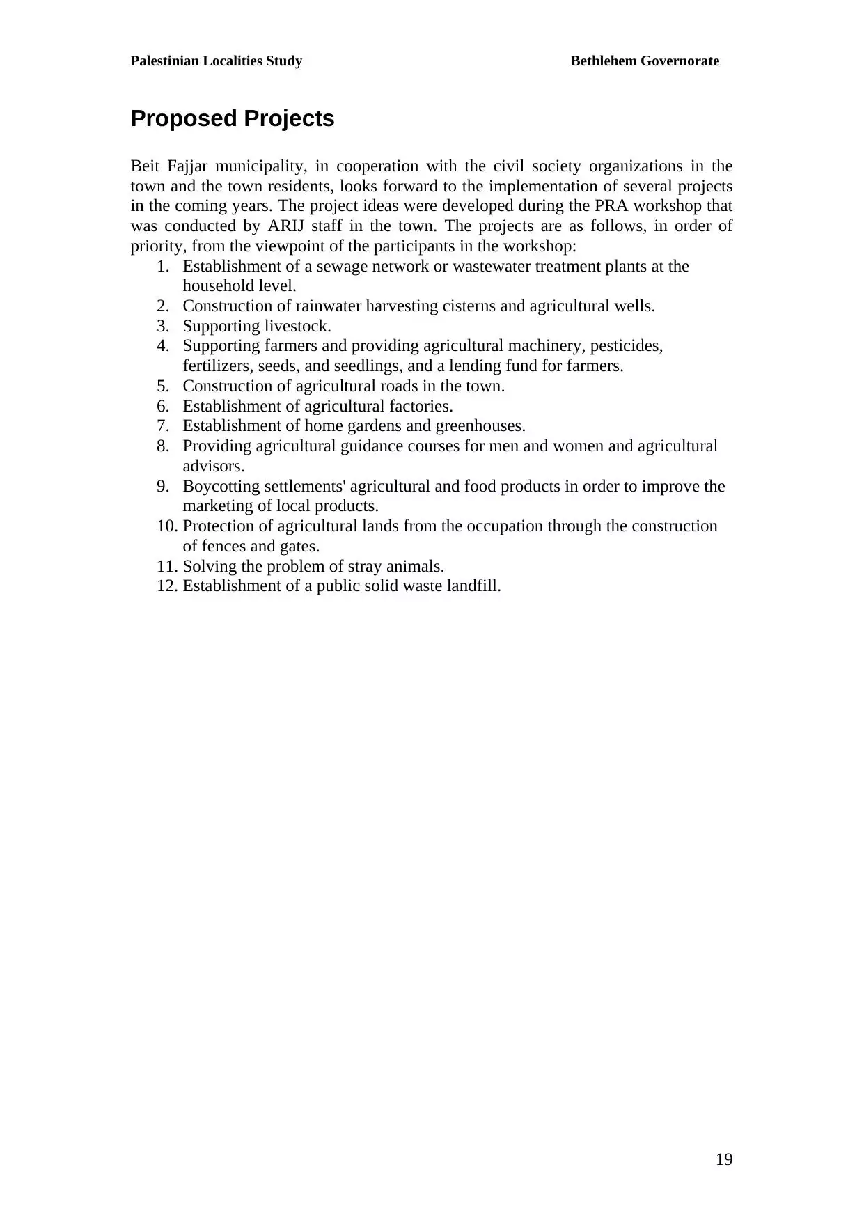
20. 
21. 
Click here to browse online. |
|||||||||||||||||||||||
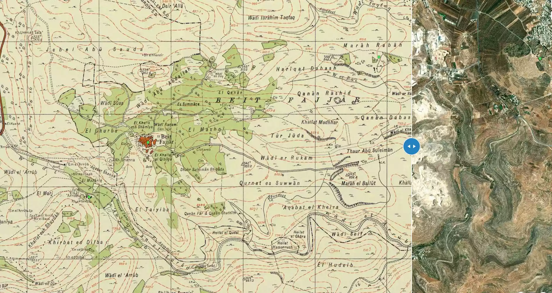
| Related Maps | Town Lands' Demarcation Maps خرائط للقضاء توضح حدود القرى والاودية View from satellite Town's map on MapQuest Help us map this town at WikiMapia |
||||||||||||||||||||||
| Related Links | Wikipedia's Page Facebook Page ARIJ Guide Google Search Google For Images Google For Videos في كتاب بلادنا فلسطين دليل أريج المزيد من موقع هوية |
||||||||||||||||||||||
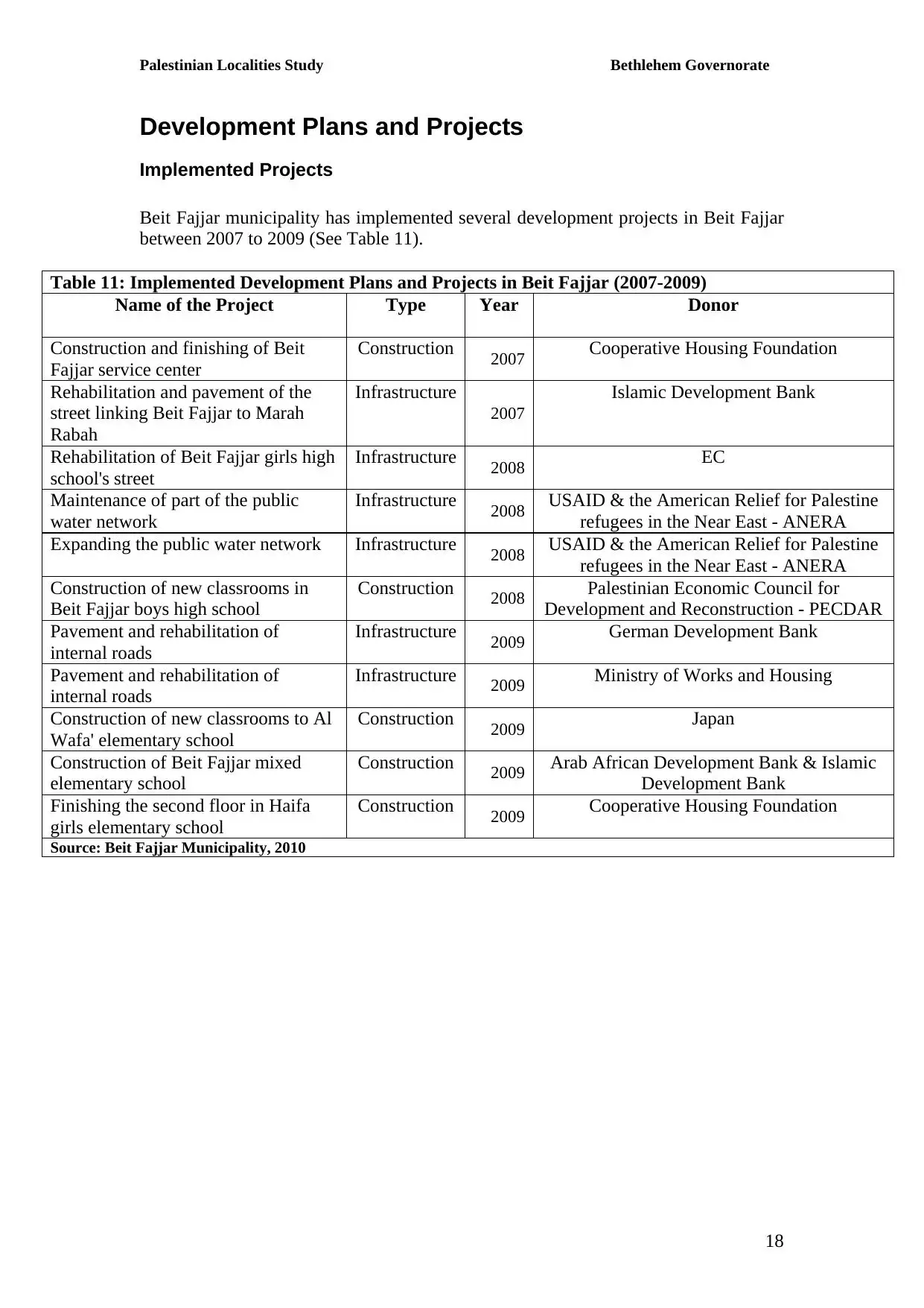
- The Decline of Stone-Cutting Factories in Beit Fajjar and
- تراجع مصانع الأحجار في بيت فجار
- بيت فجَّار وفق معجم البلدان الفلسطينية
- مصانع الحجر: انموذج سئ للامان والصحة للعمل في فلسطين: ترجمها الى الانجليزية الدكتور محمد ثوابتة
- مصانع الحجر: انموذج سئ للامان والصحة للعمل في فلسطين: ترجمها إلى العربية الدكتور محمد ثوابتة
- [ New info dated back to 1939 is added] A brief synopsis of Bayt Fajjar by Dr. Mohammad Thawabteh
- Bayt Fajjar: events and activities in foreign languages
- Bayt Fajjar trailblazer woman
- Bayt Fajjar Statistics_2008
- Bayt Fajjar Statistics in Arabic_2008
- بيت فجار تركت لوحدها واصبحت خارج الخريطة الرسمية..
- مشروع تحرج عن التلوث البيئي في بلدة بيت فجار _جامعة بيت لحم 2008
- بيت فجار عائلات واصول ، وائل عبدالنبي
- المعالم والخرب الاثريه والمباني التاريخيه يجب المحافظه عليها..........
- اسماء اماكن مشهورة قديمة في القرية لا تنسى
- اعمال وحشية
- Leaving no stone unturned in search for the truth about Bayt Fajjar
- وفاة اكبر معمرة
- يوم الثلاثاء
- اضراب العاملين في صناعة الحجر والرخام في بيت فجار
- مشاكل التصدير /مصانع الحجر والرخام في بيت فجار
- انشطة_بيت فجار/الطفل الشاعر محمد عماد ديرية
- بيت فجار تحولت إلى مصنع كبير وأهلها بلا رعاية صحية
- عرس اسرائيل في يوم نكبتنا ... ثلاثة الاف عام على الصراع
- Korans Burnt In West Bank Mosque Attack
- شهداء قرية بيت فجار
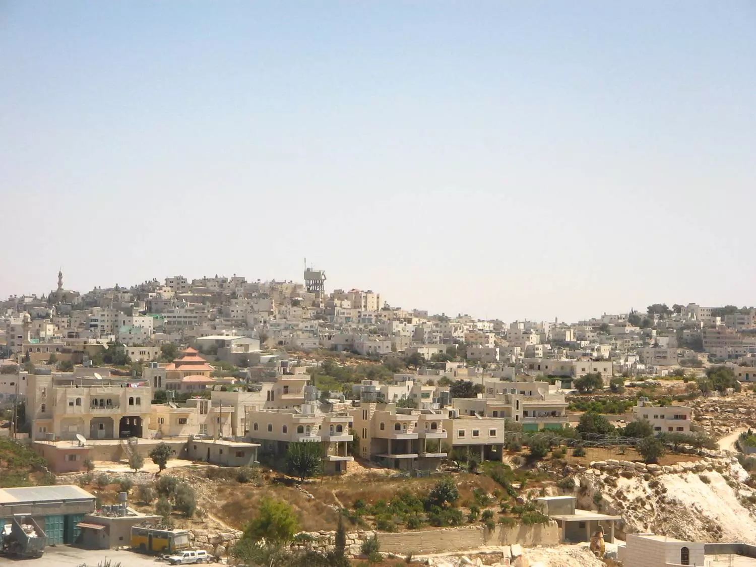
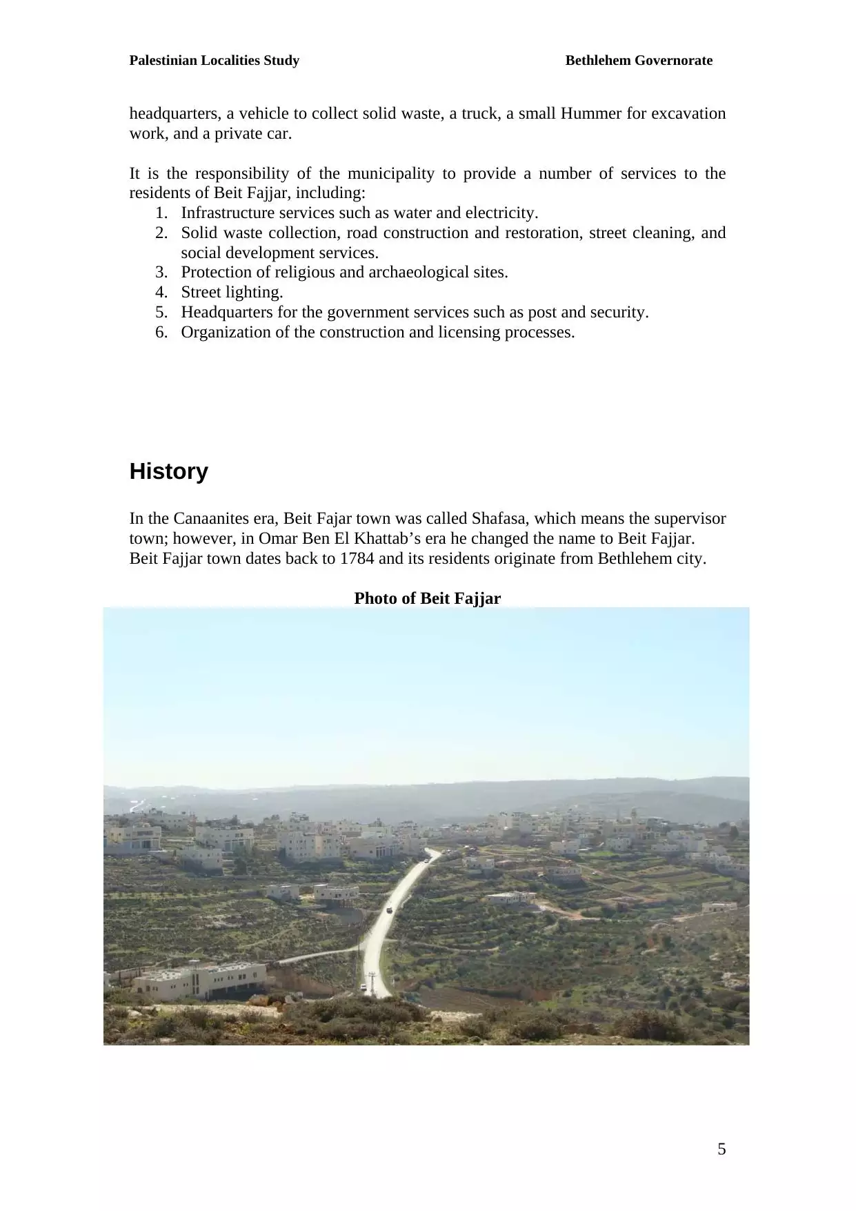
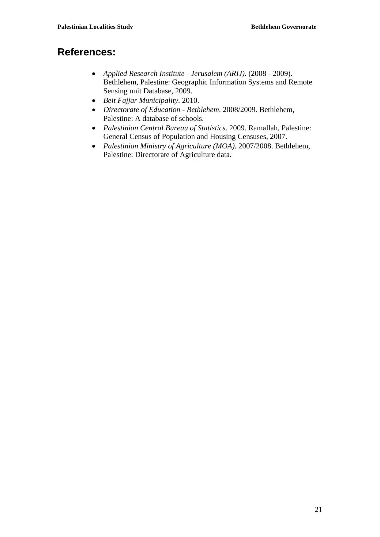
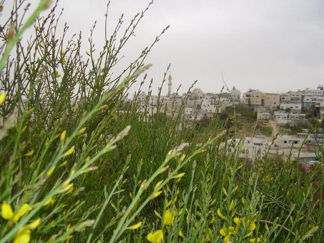
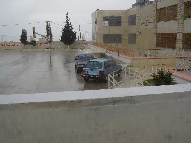
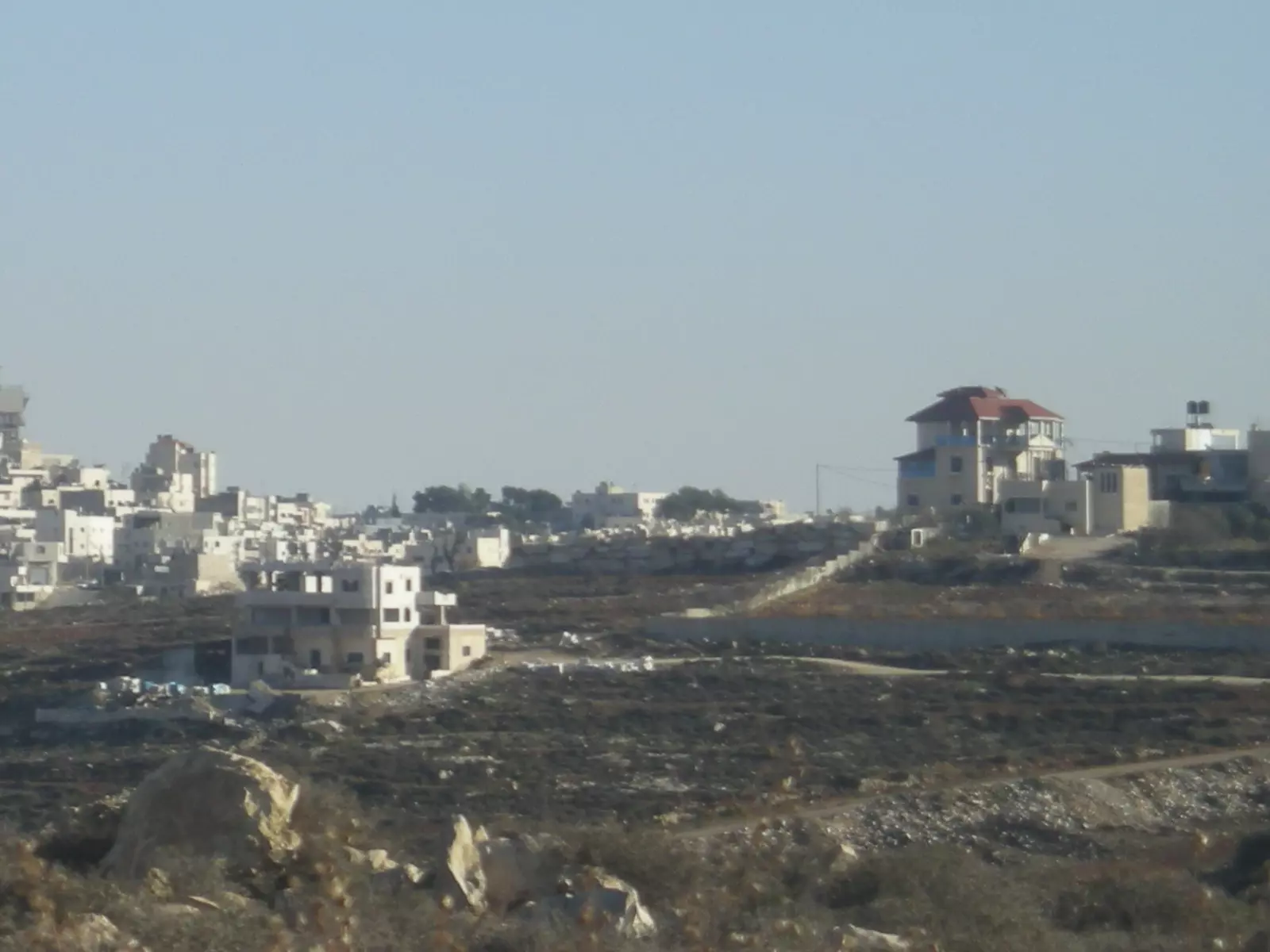
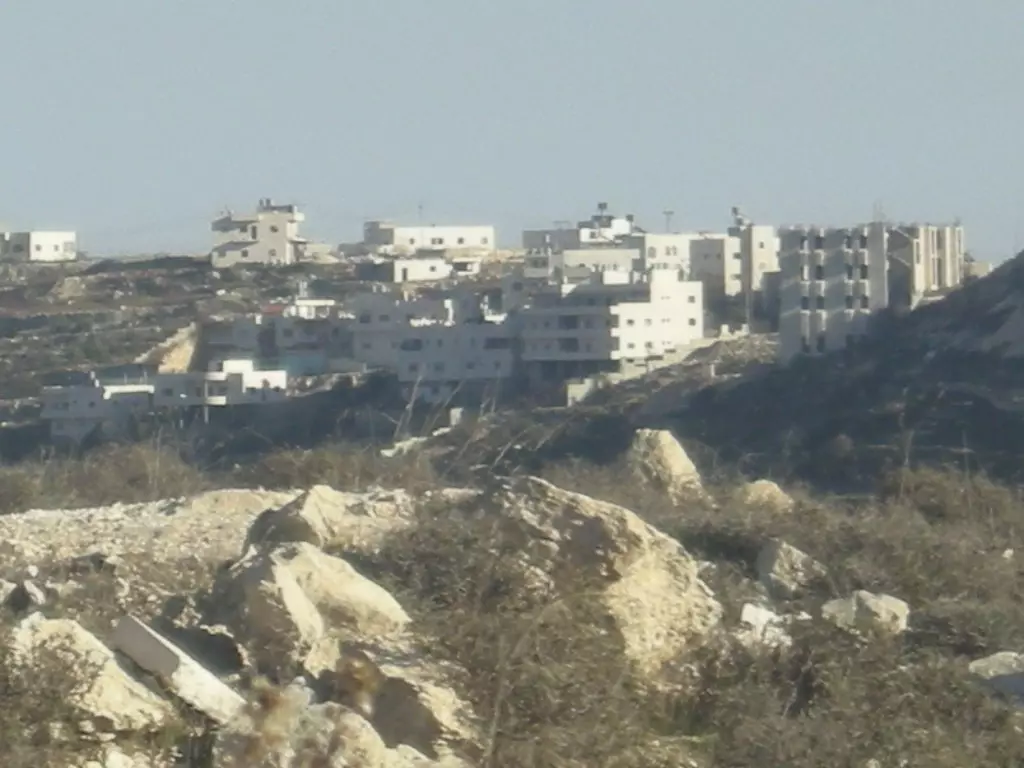
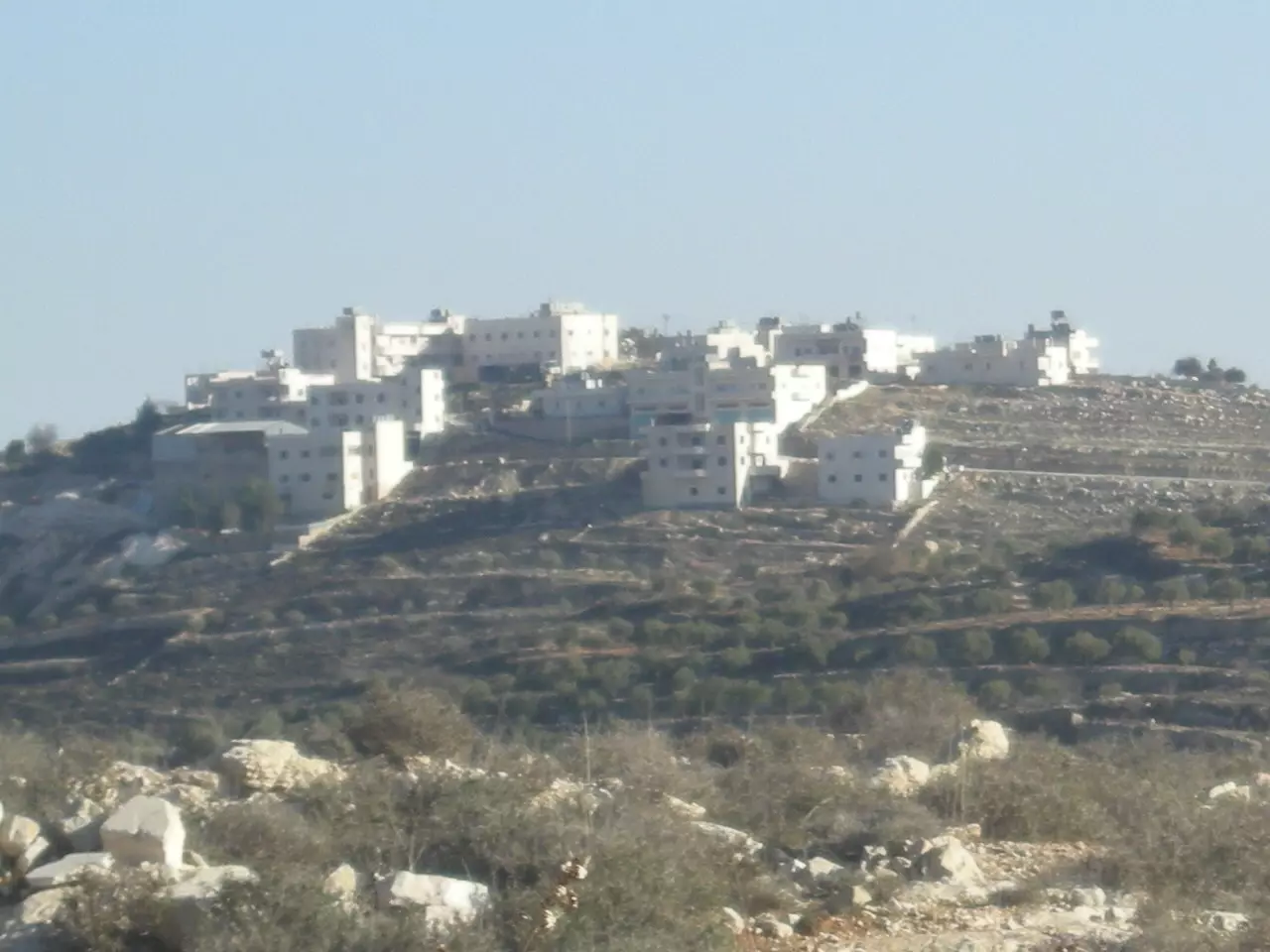
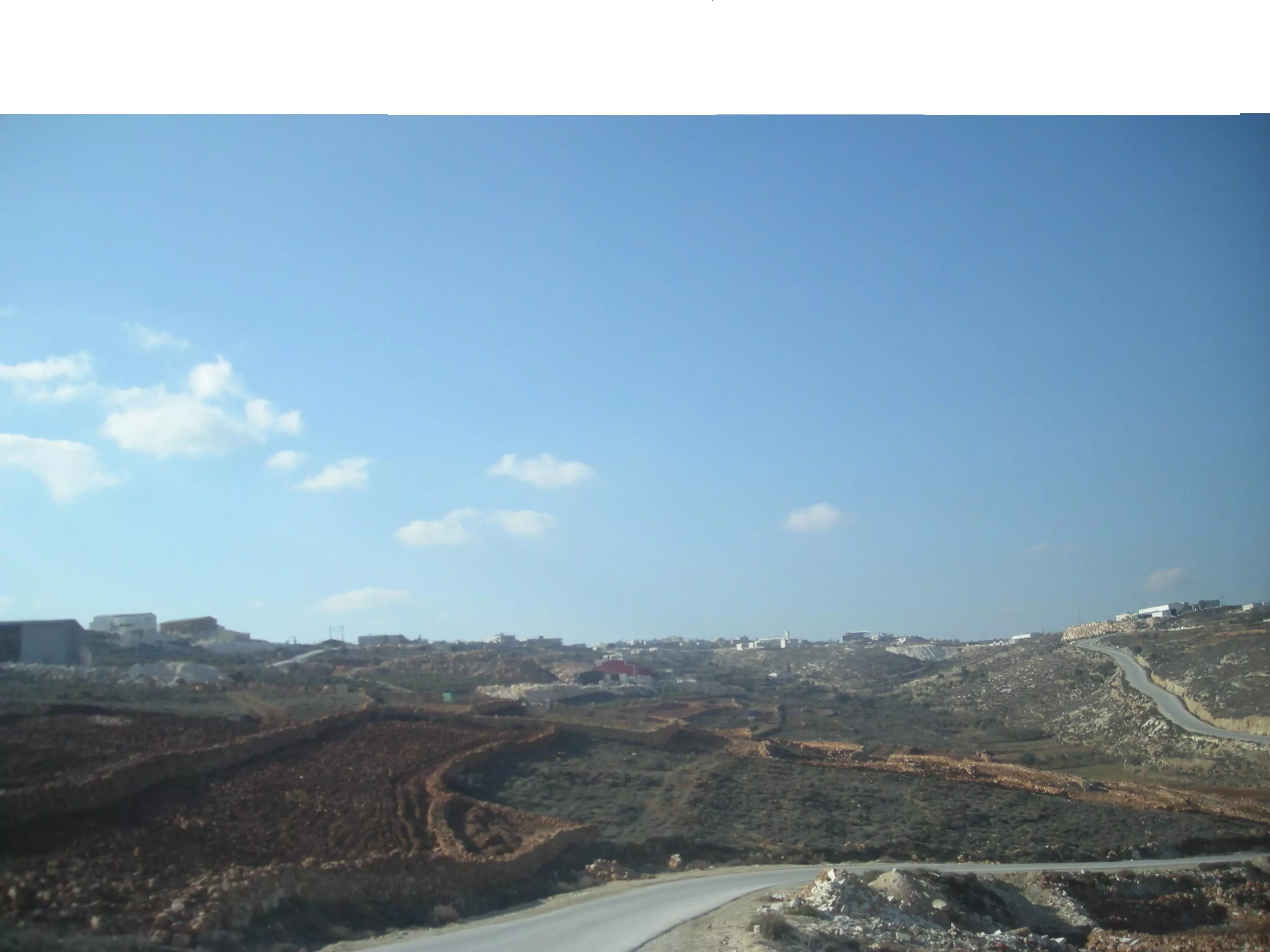
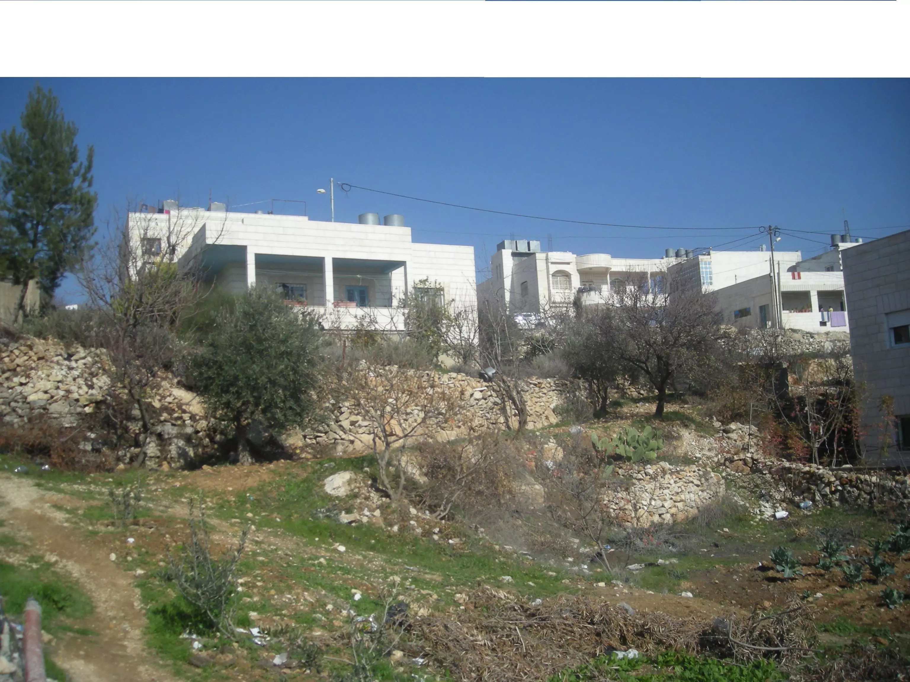
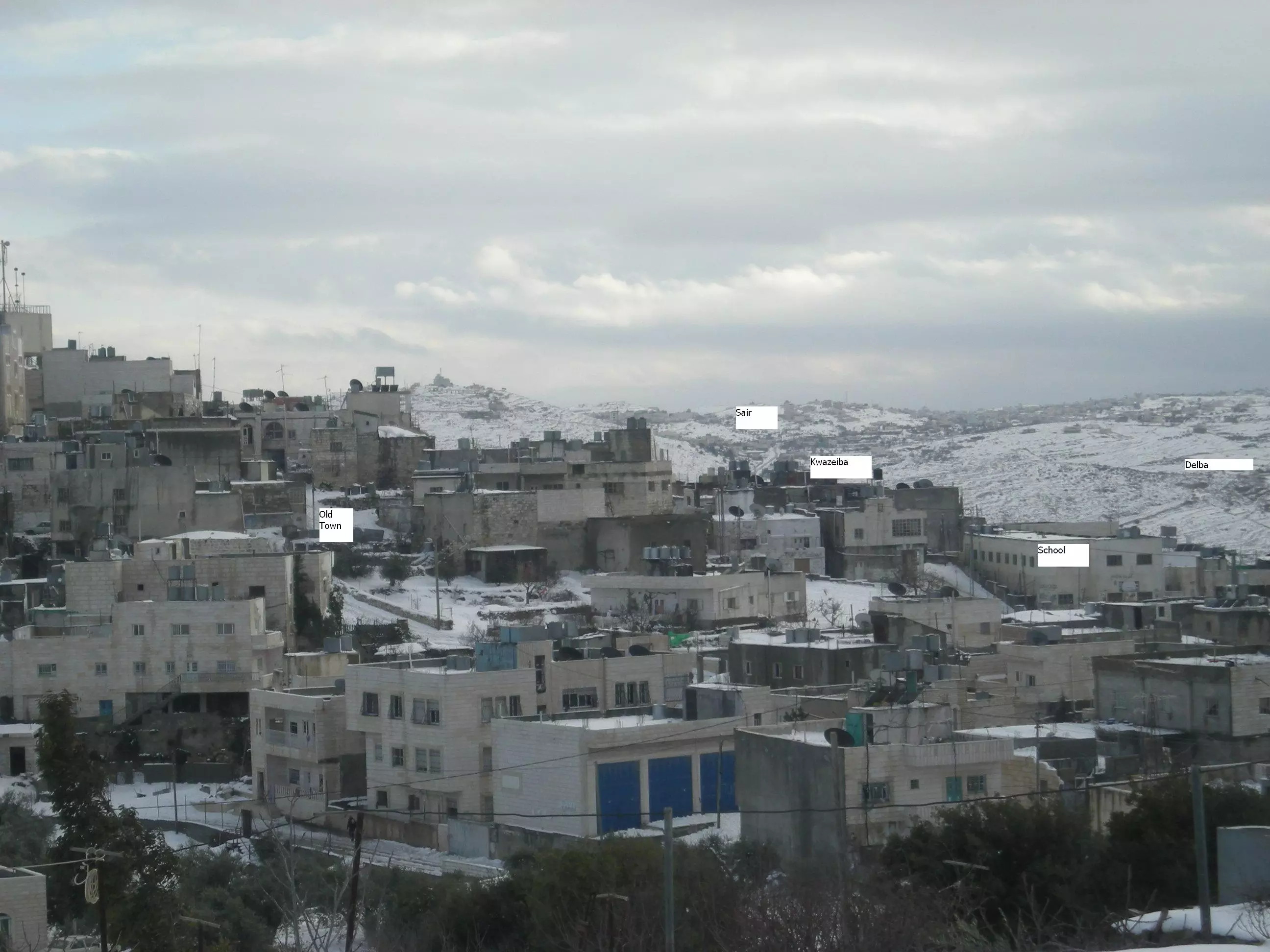
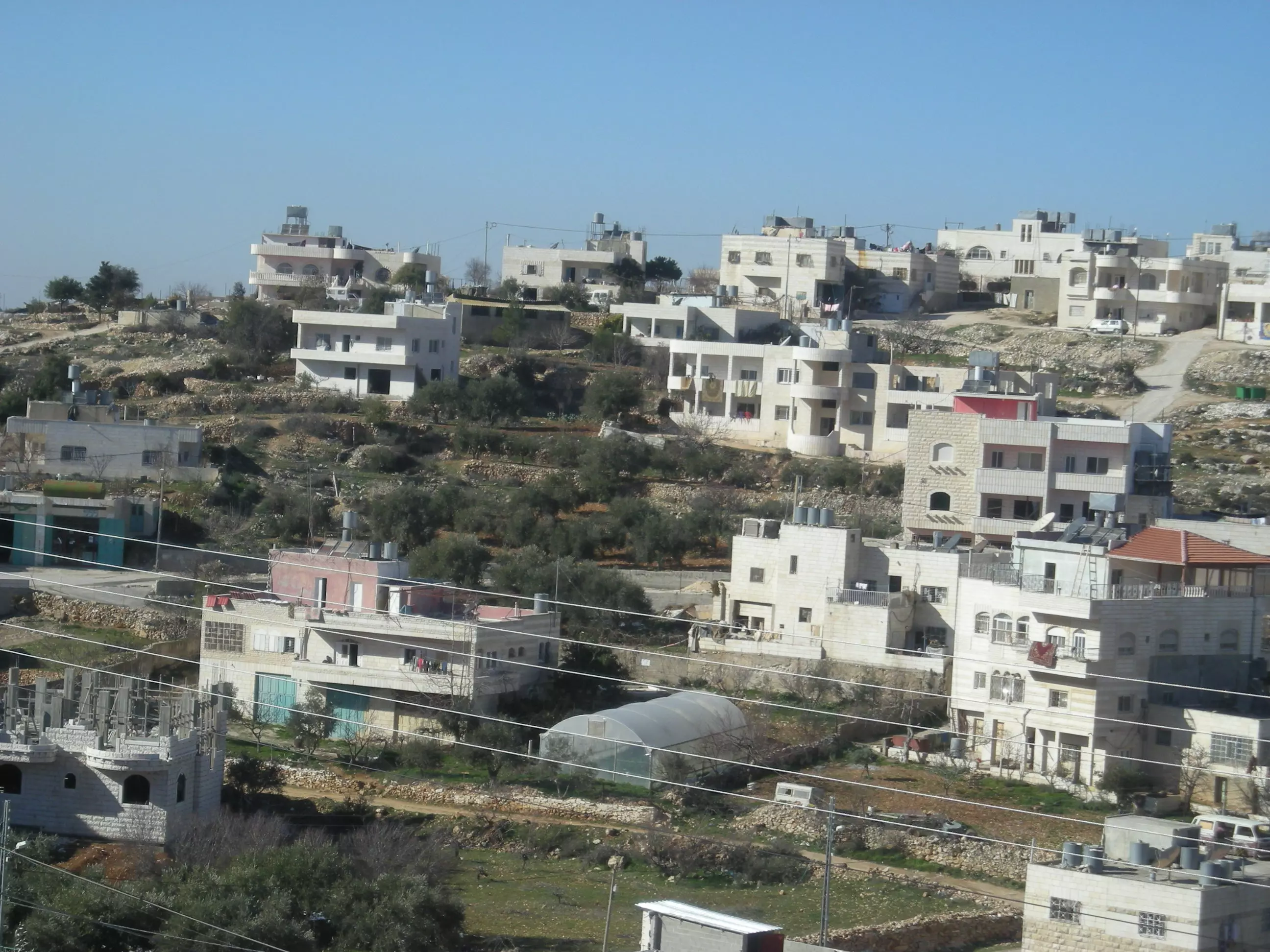
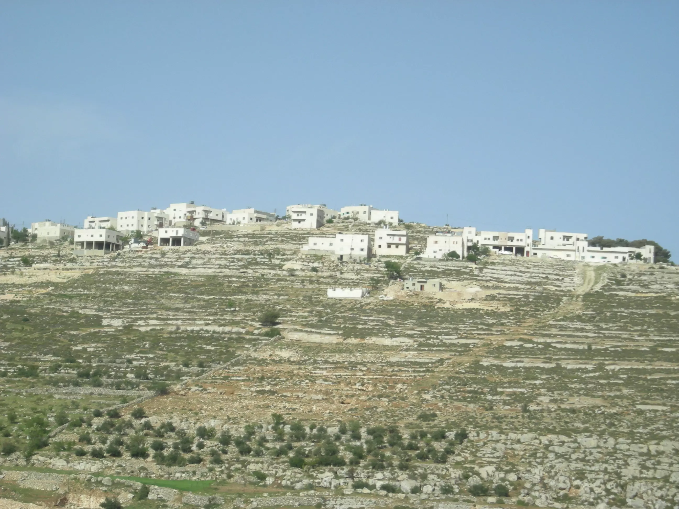
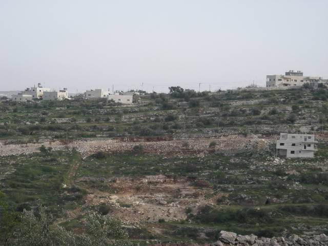
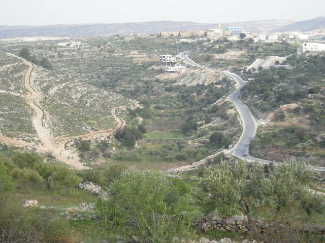
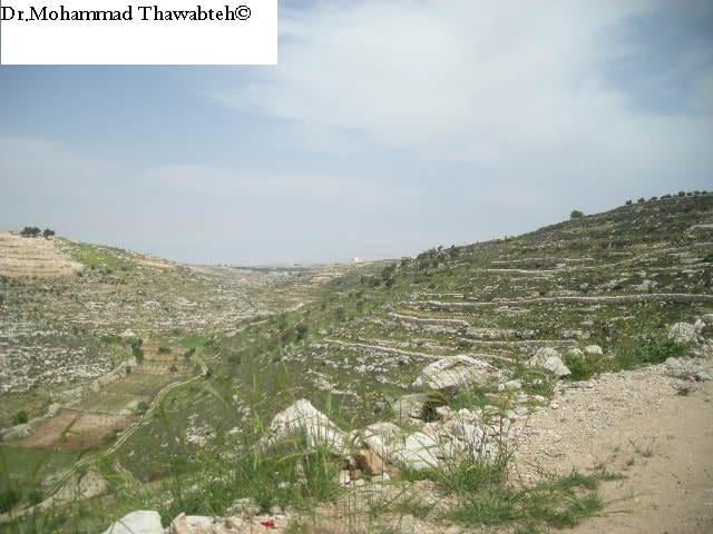
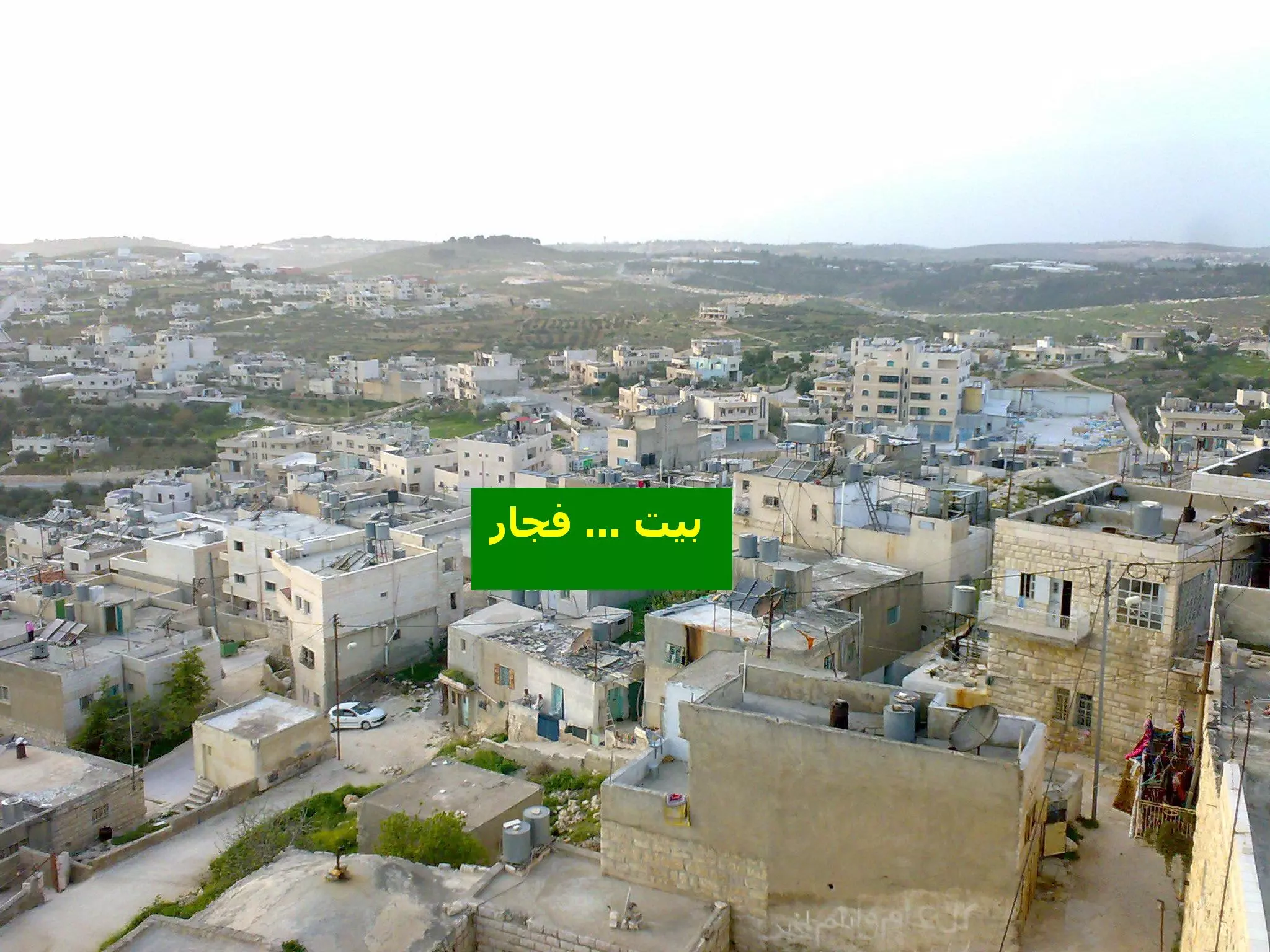
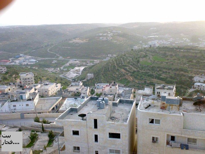
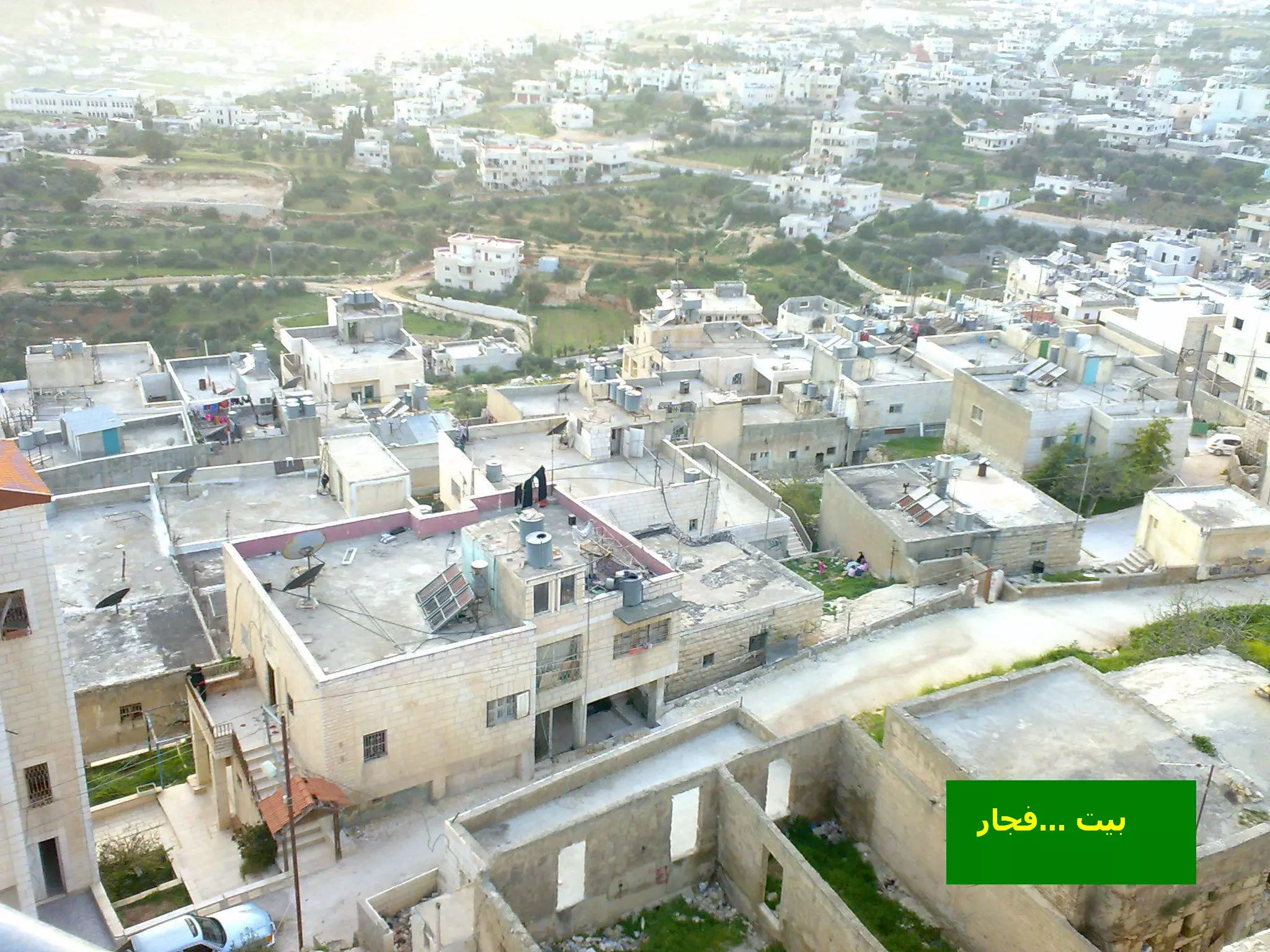
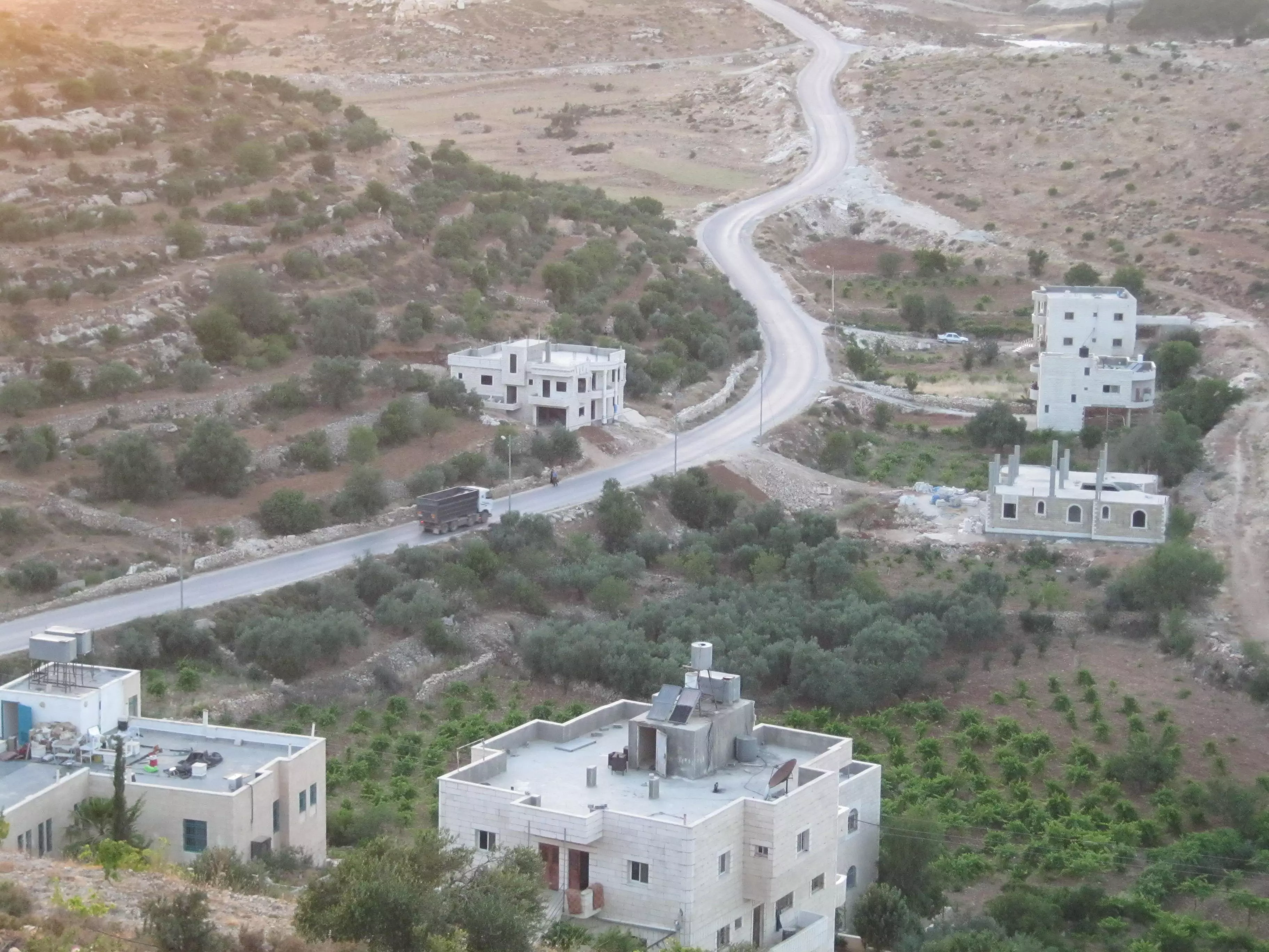
- منظر عام لبيت فجار يظهر فيه المنطقة الغربية والبلدة القديمة -وسط- والمدرسة الثانوية جنوب، اُنقر الصورة لتكبيرها-
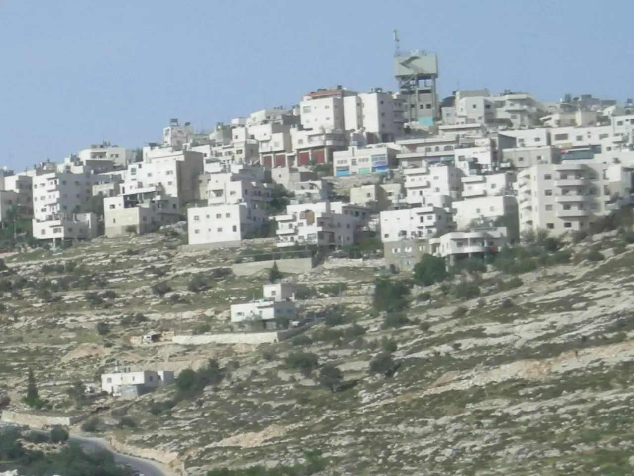
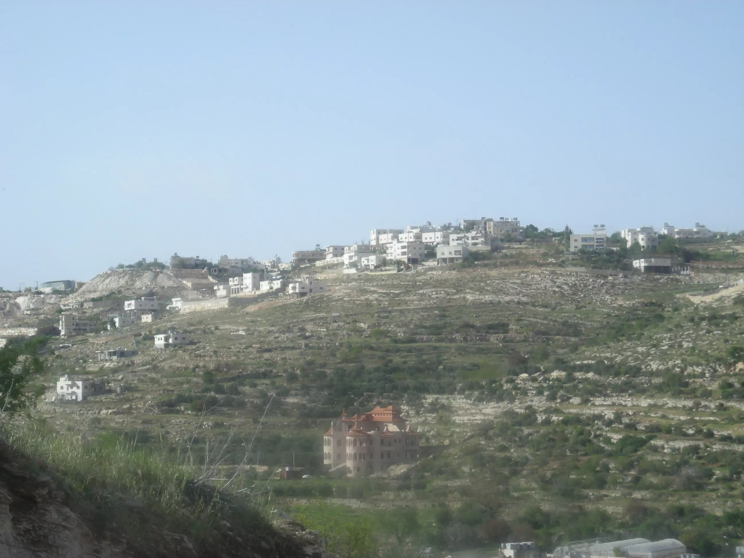
Posted by Mohammad Thawabteh 37 - General View
Posted by Mohammad Thawabteh 5 - المنطقة الغربية
Posted by Mohammad Thawabteh 3 - المنطقة الشرقية/خلة حجه
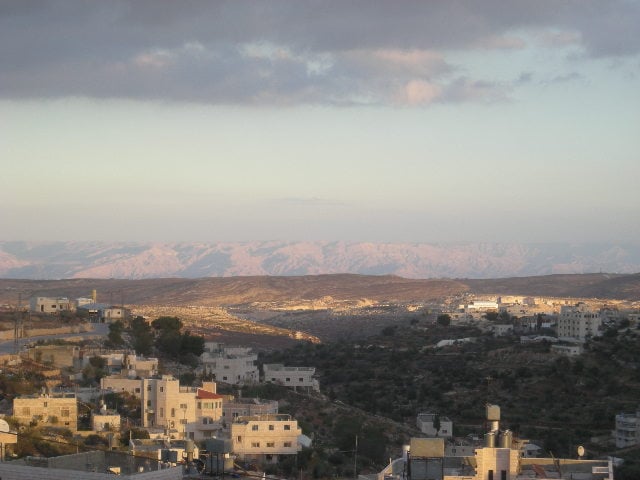
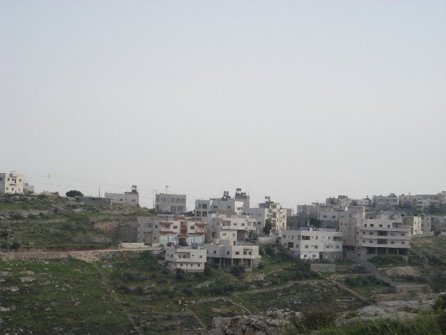
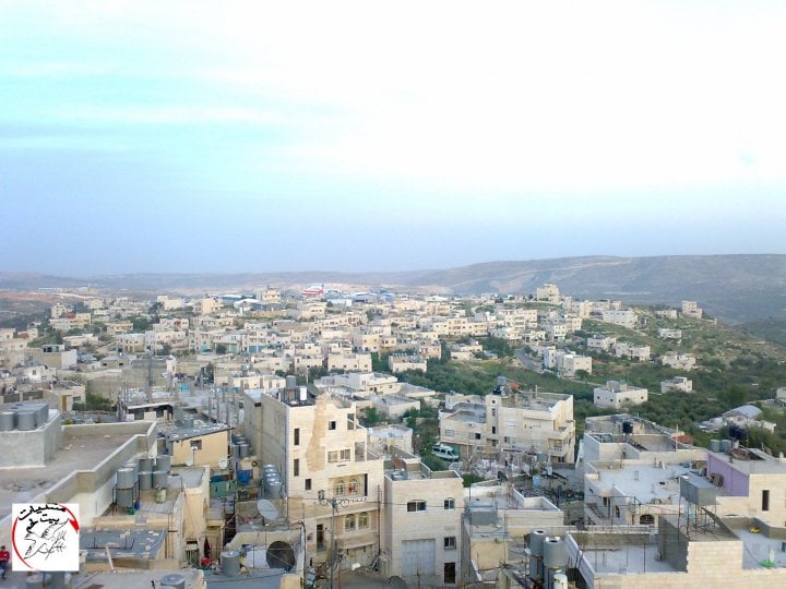
Posted by Mohammad Thawabteh - General view. 2007
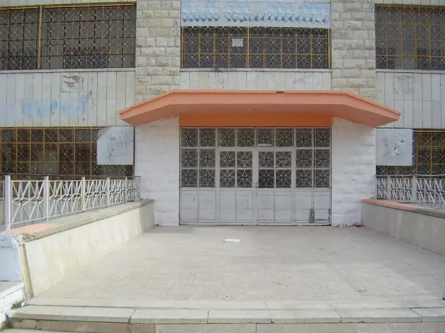
Posted by Mohammad Thawabteh 1 - Bayt Fajjar Secondary School for Boys
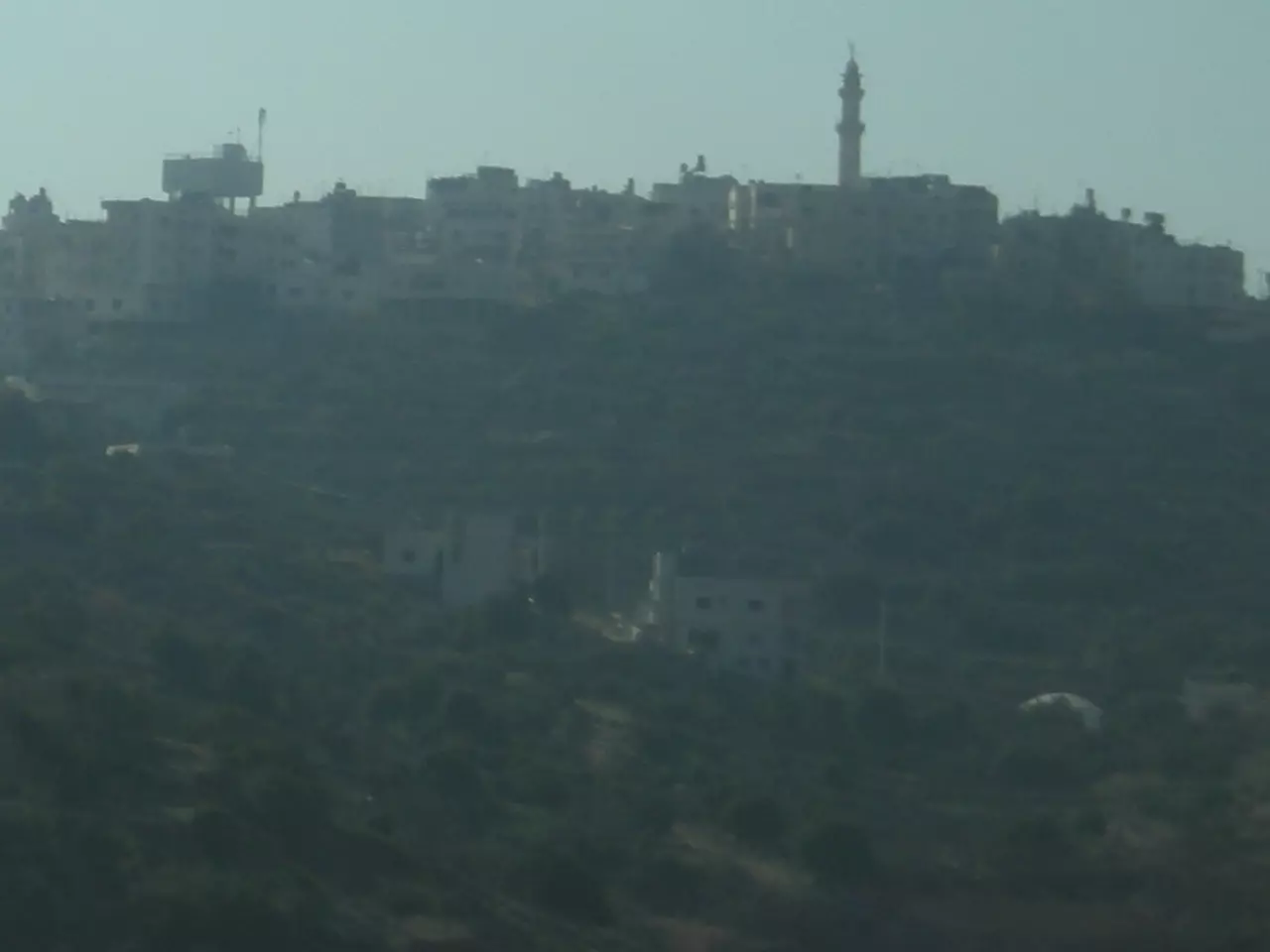
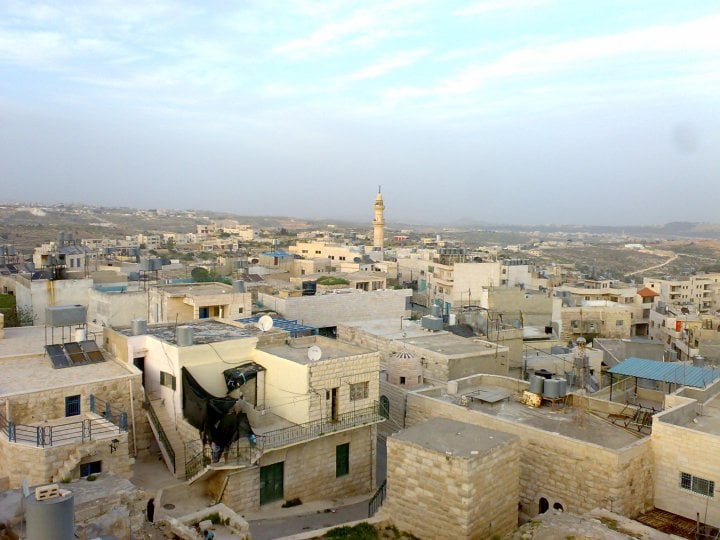
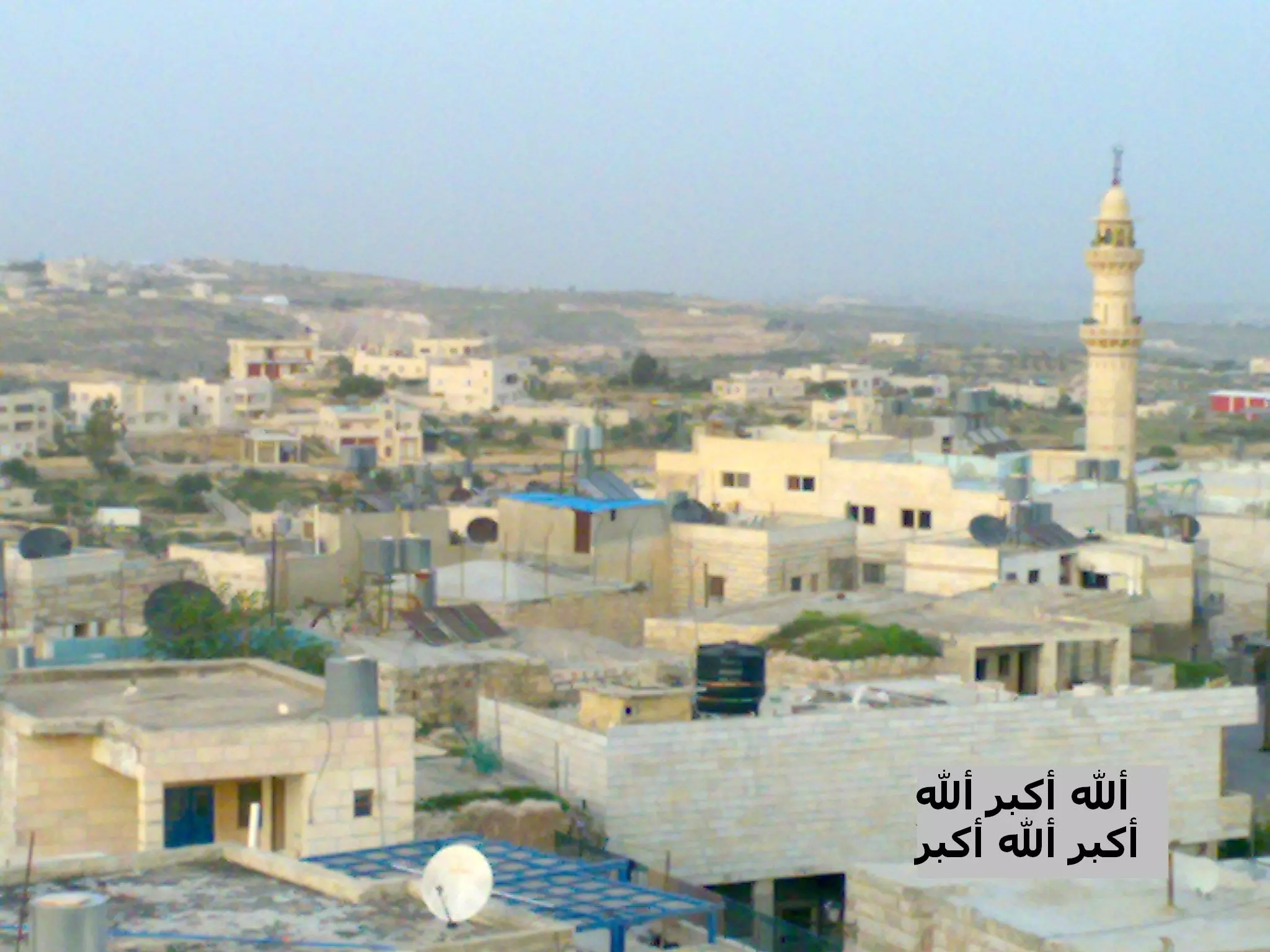
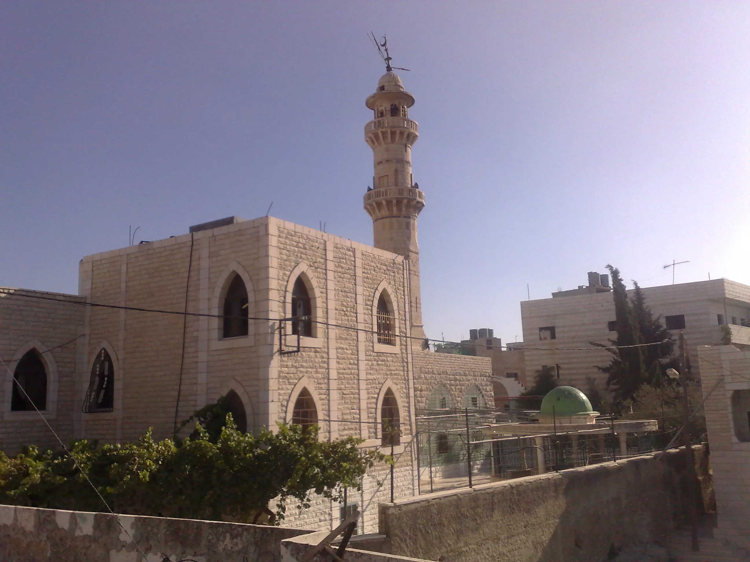
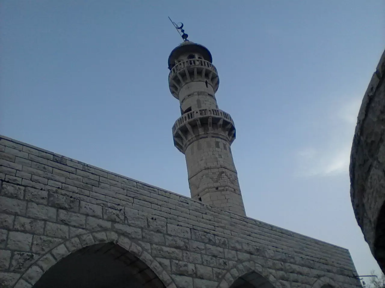
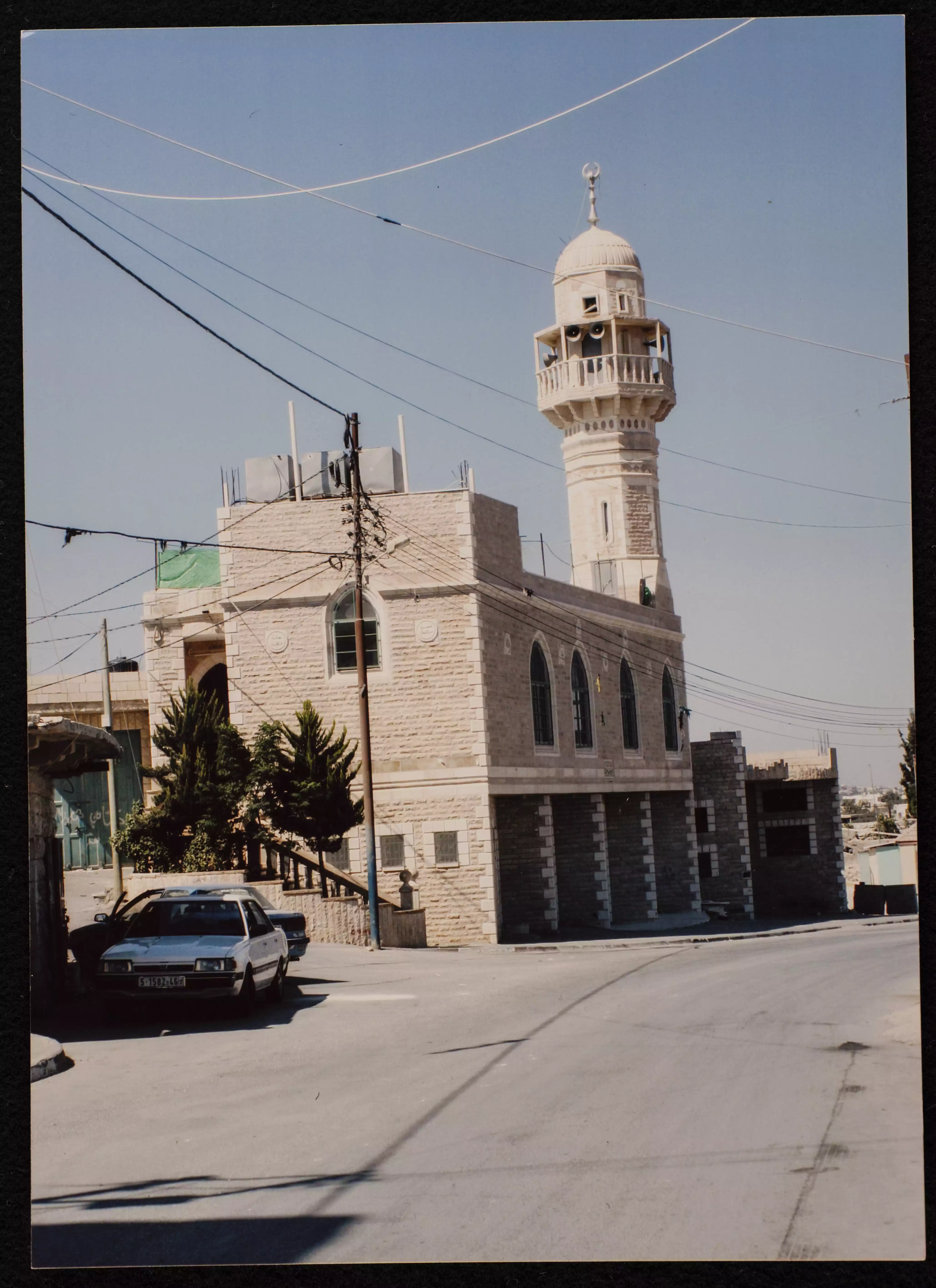
Posted by Manal Thawabteh 9 - General View of the main Greater Mosque of Bayt Fajjar, with a high minaret. It was founded in the 1960s.
Posted by Mohammad Thawabteh 7 - Secondary School for Boys
Posted by Manal Thawabteh 4 - Secondary School for Boys
Posted by Manal Thawabteh 4 - Secondary School for Boys
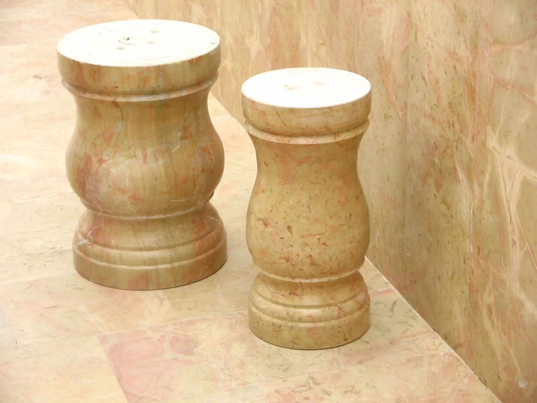
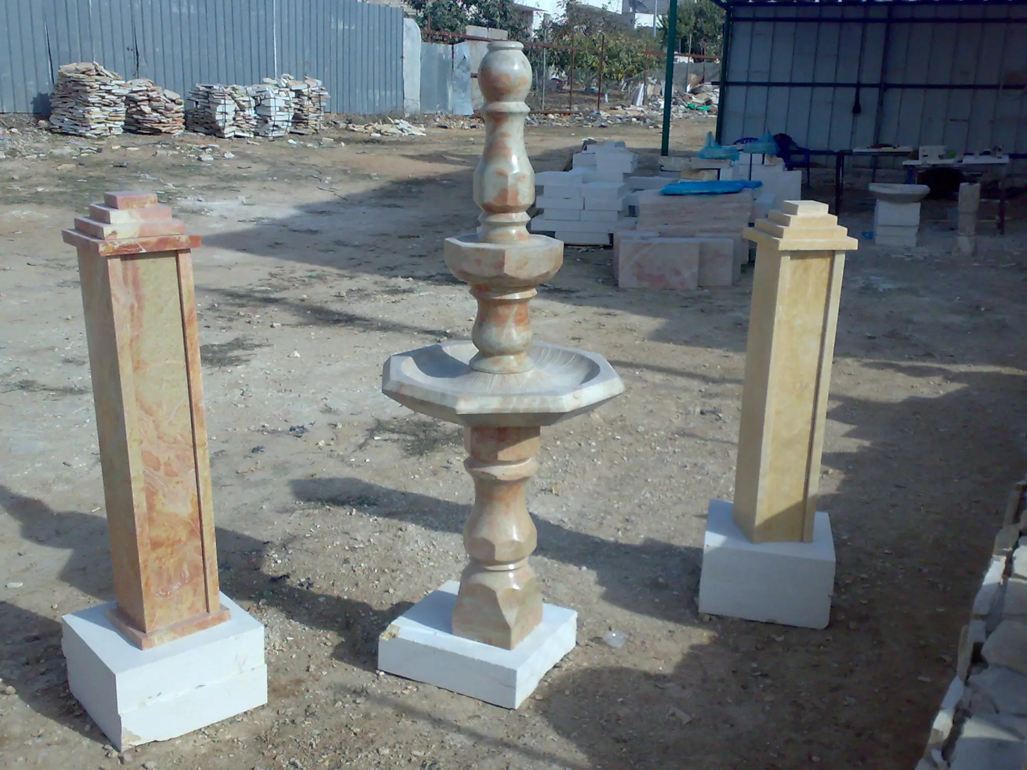
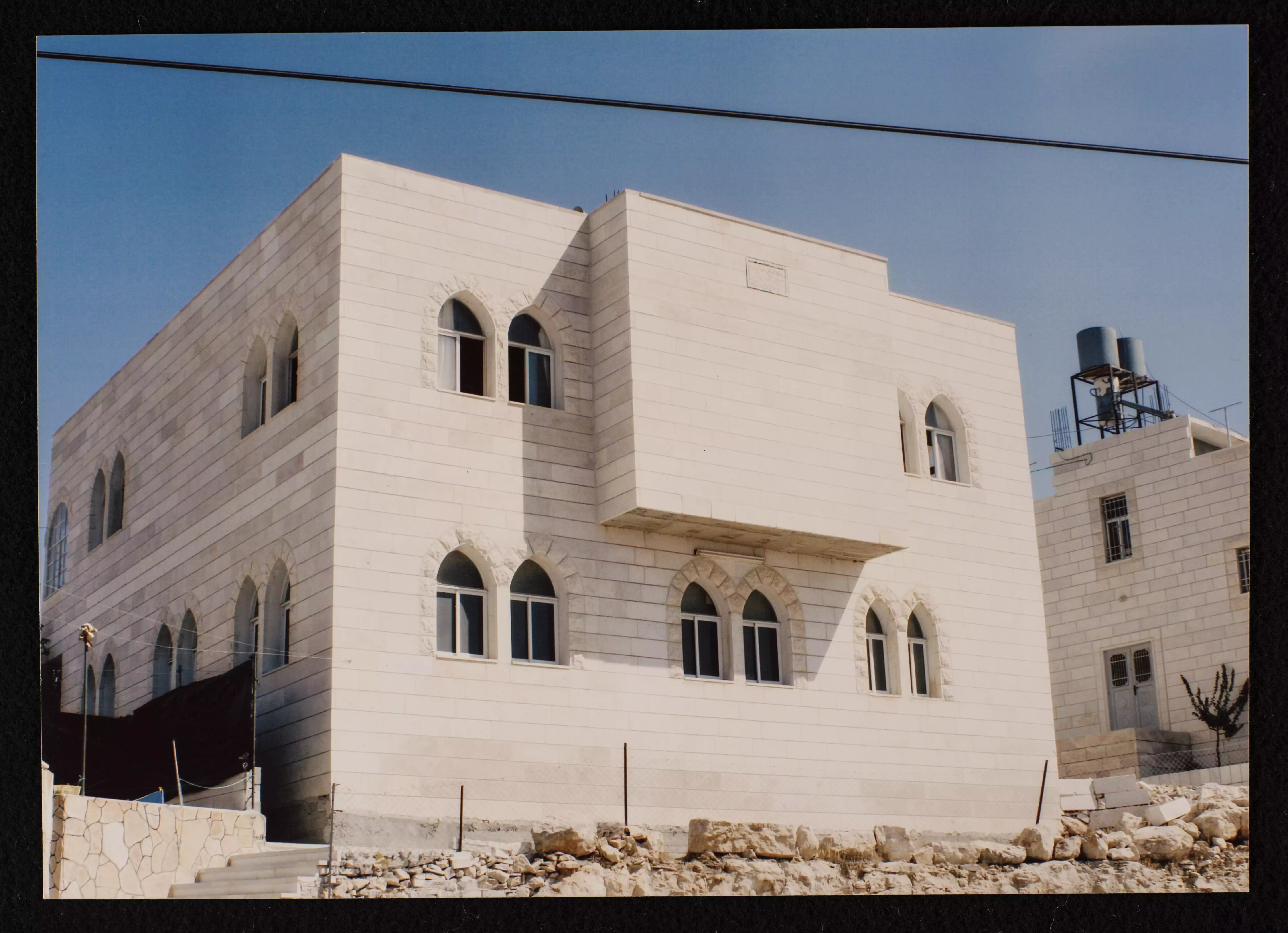
Posted by Manal Thawabteh 4 - An artistic design of brownish-coloured rock carefully made by stonemasons in Bayt fajjar
Posted by Mohammad Thawabteh 1 - انتفاضة
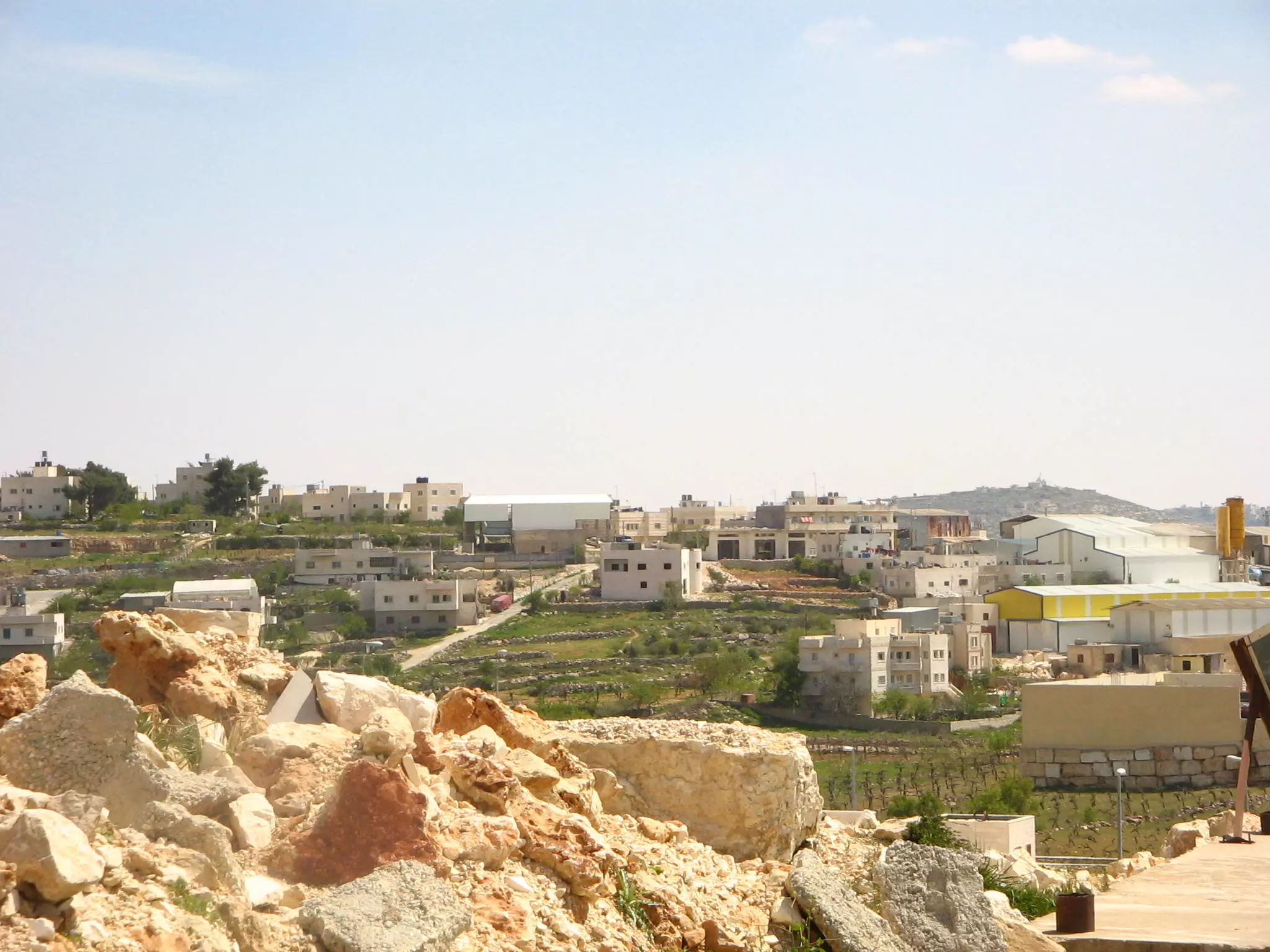
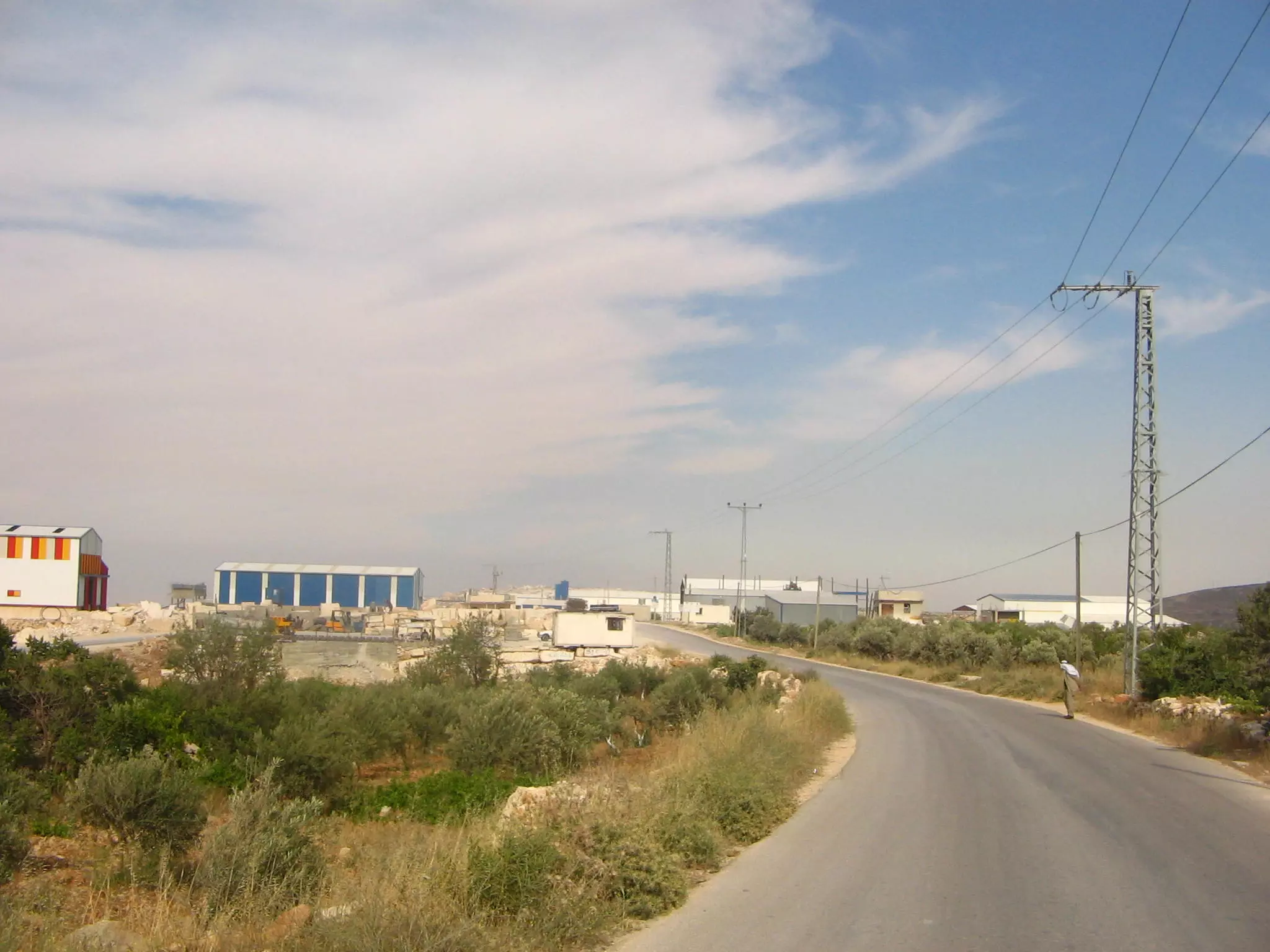
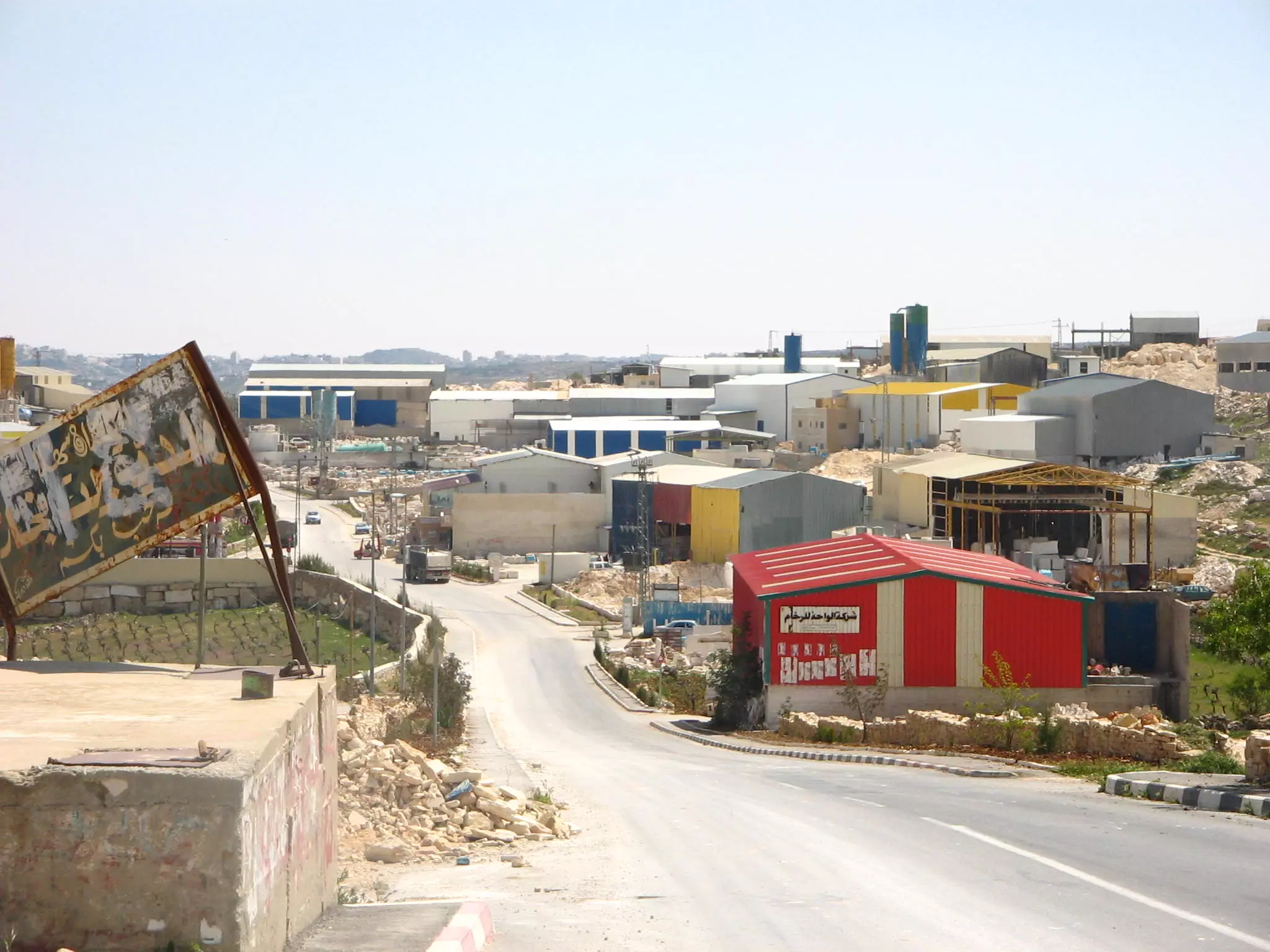
Posted by نائل 3 - Byat Fajjar_المنطقة الصناعية /المنطقة الغربية
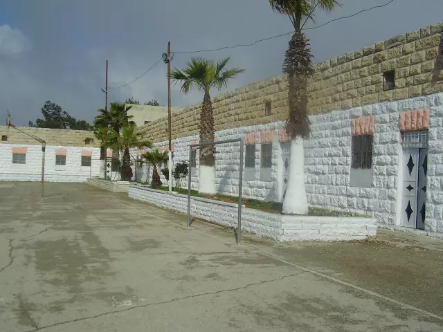
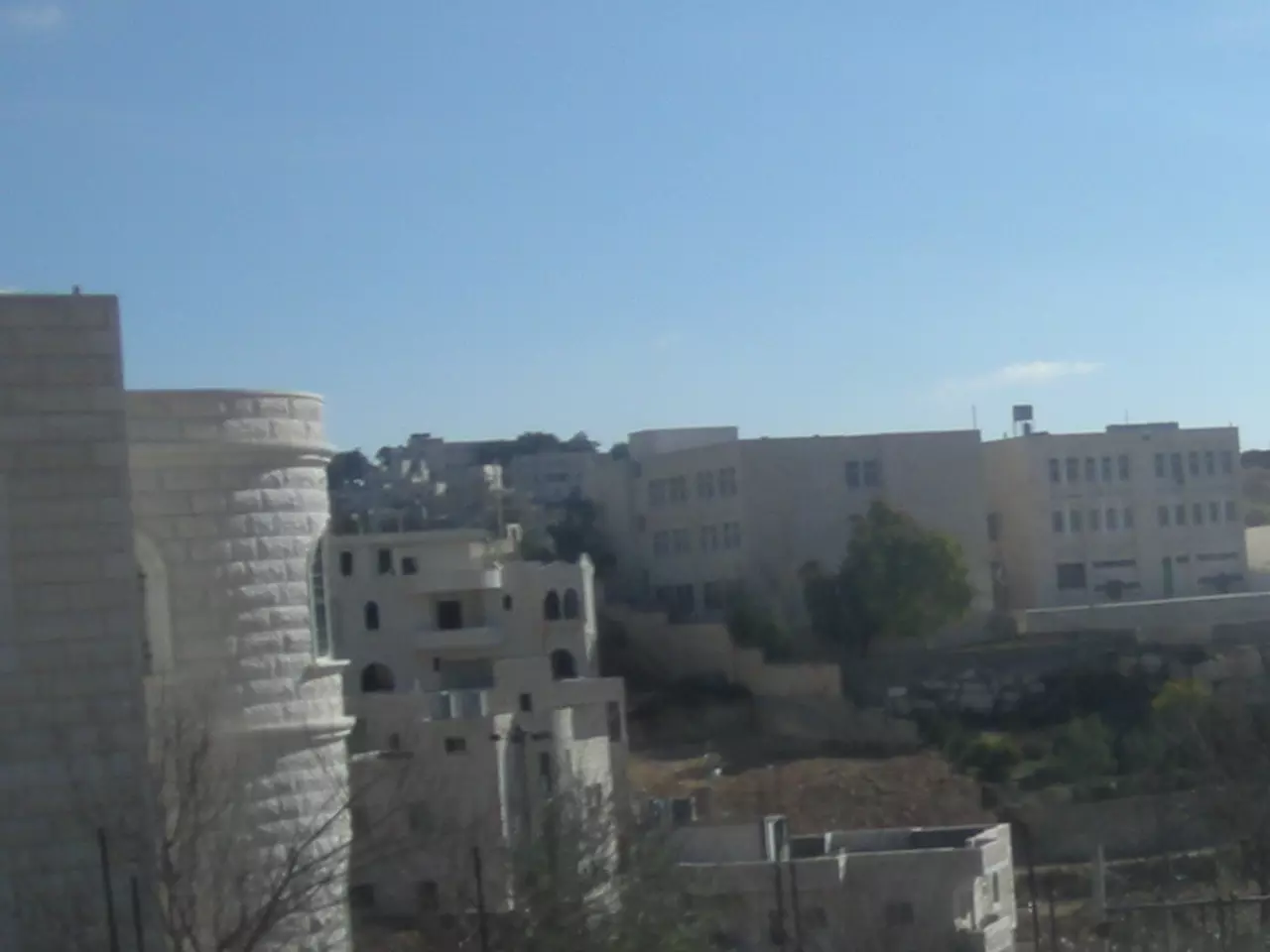
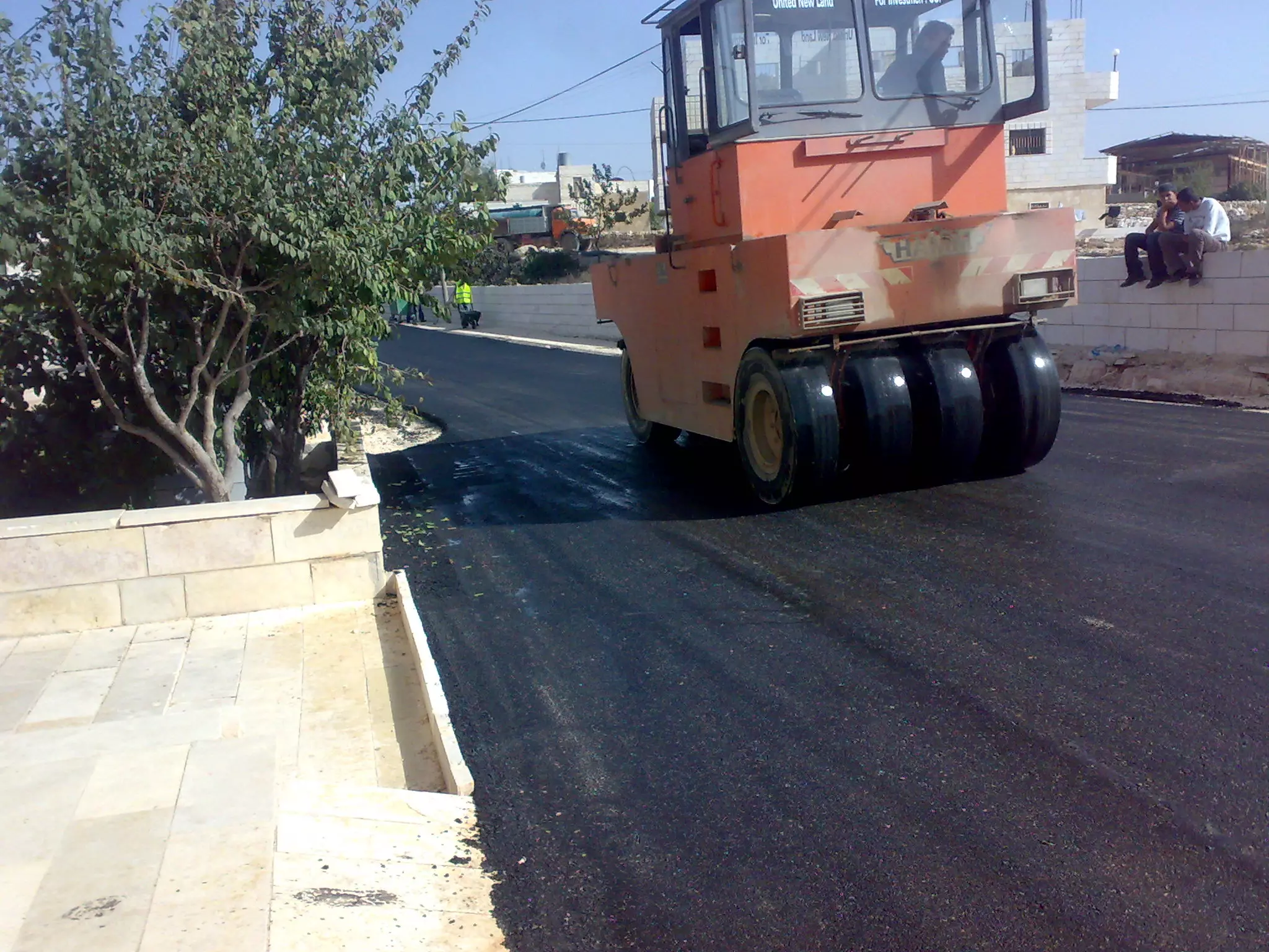
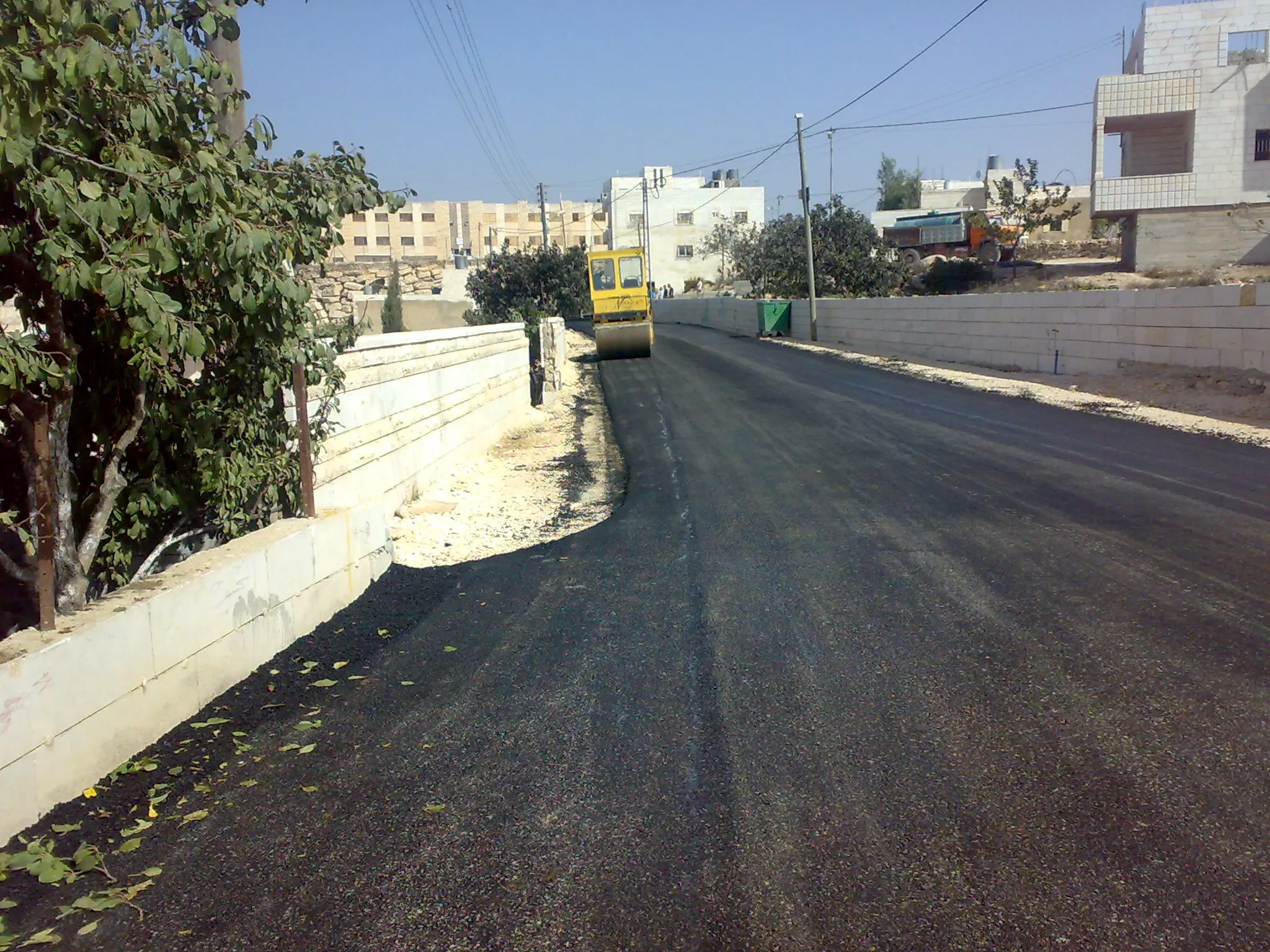
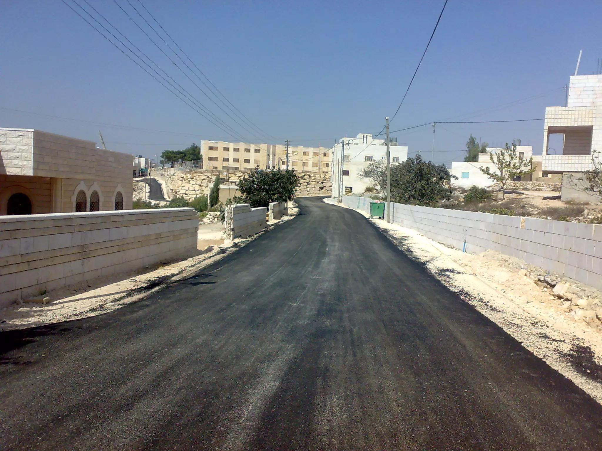
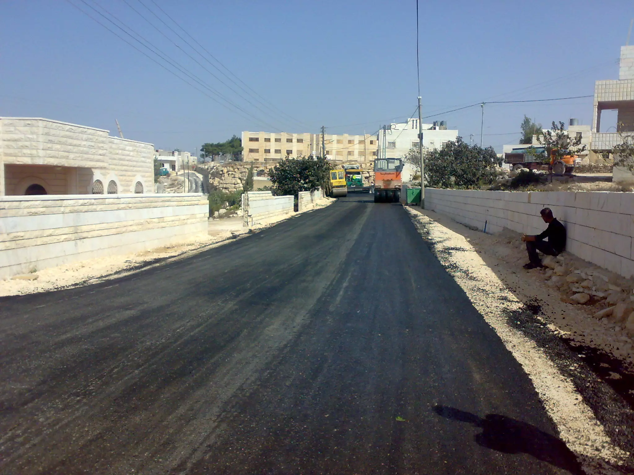
Posted by Mohammad Thawabteh 1 - Refurbishing the old town
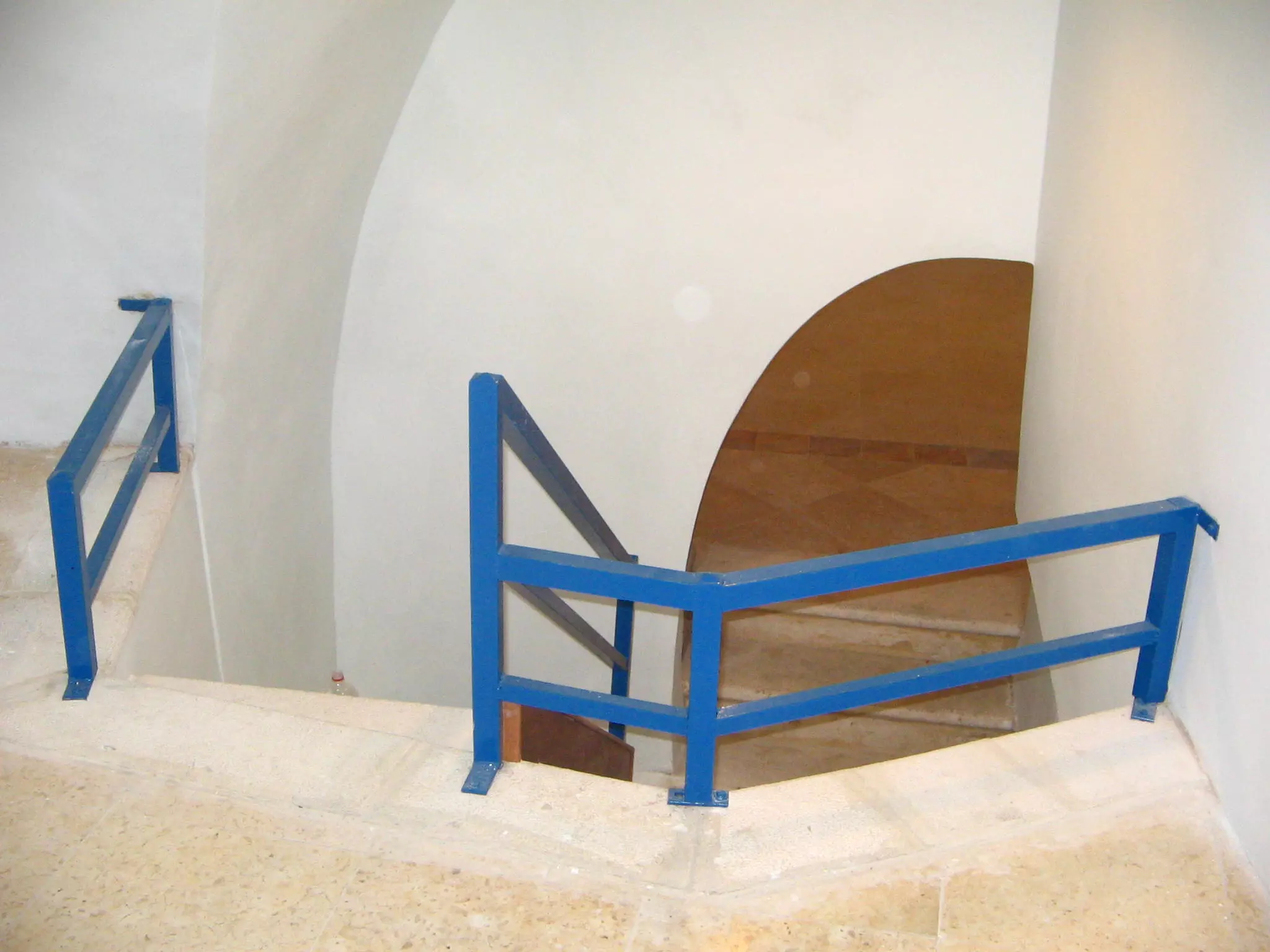
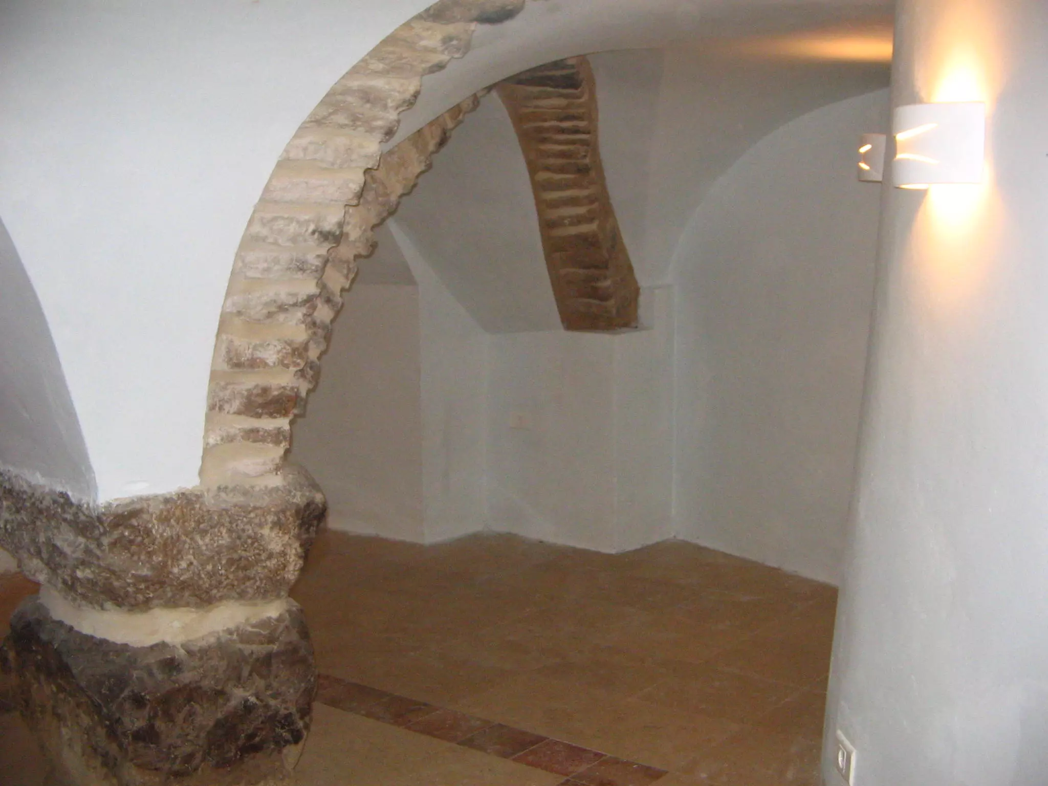
Posted by Mohammad Thawabteh - Refurbishing an Old Arched Roof
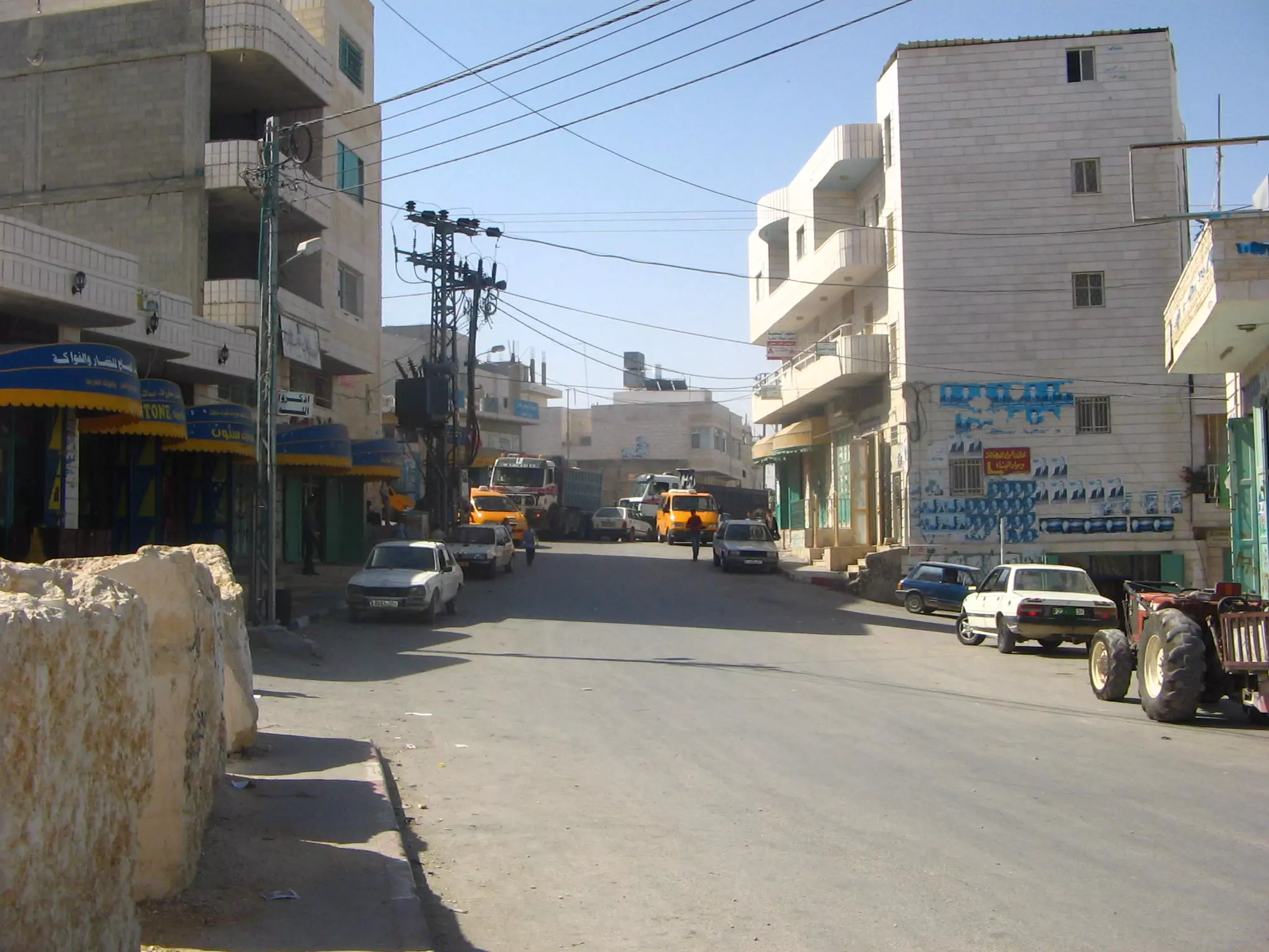
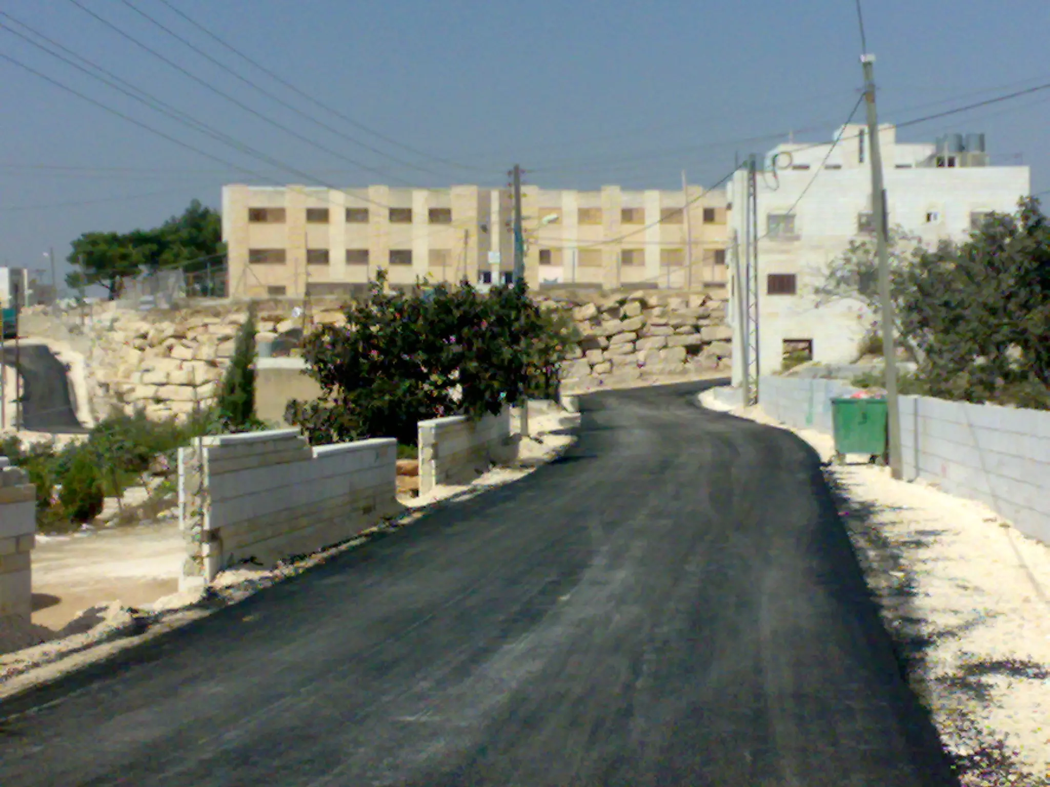
Posted by Mohammad Thawabteh 1 - Downtown
Posted by Mohammad Thawabteh 4 - فن حجري
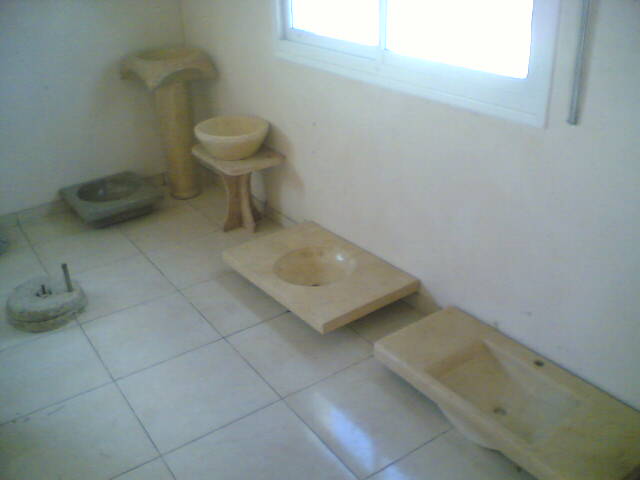
Posted by MOHAMMAD TAQATQA - مغاسل حجر بيت فجار
Posted by ابو عبدالله - المنطقة الغربية/الترابيع
Posted by Mohammad Thawabteh - الثغرة
Posted by Mohammad Thawabteh 1 - Arood El-Jamala
Posted by Mohammad Thawabteh 7 - Bayt Fajjar Girls' Secondary School
Posted by Mohammad Thawabteh - As-Sumaka
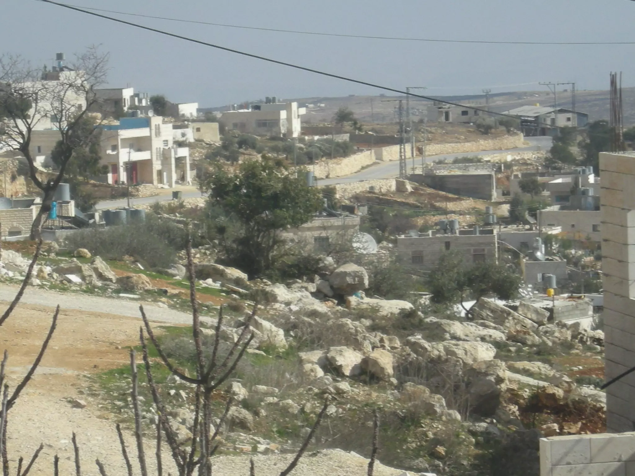
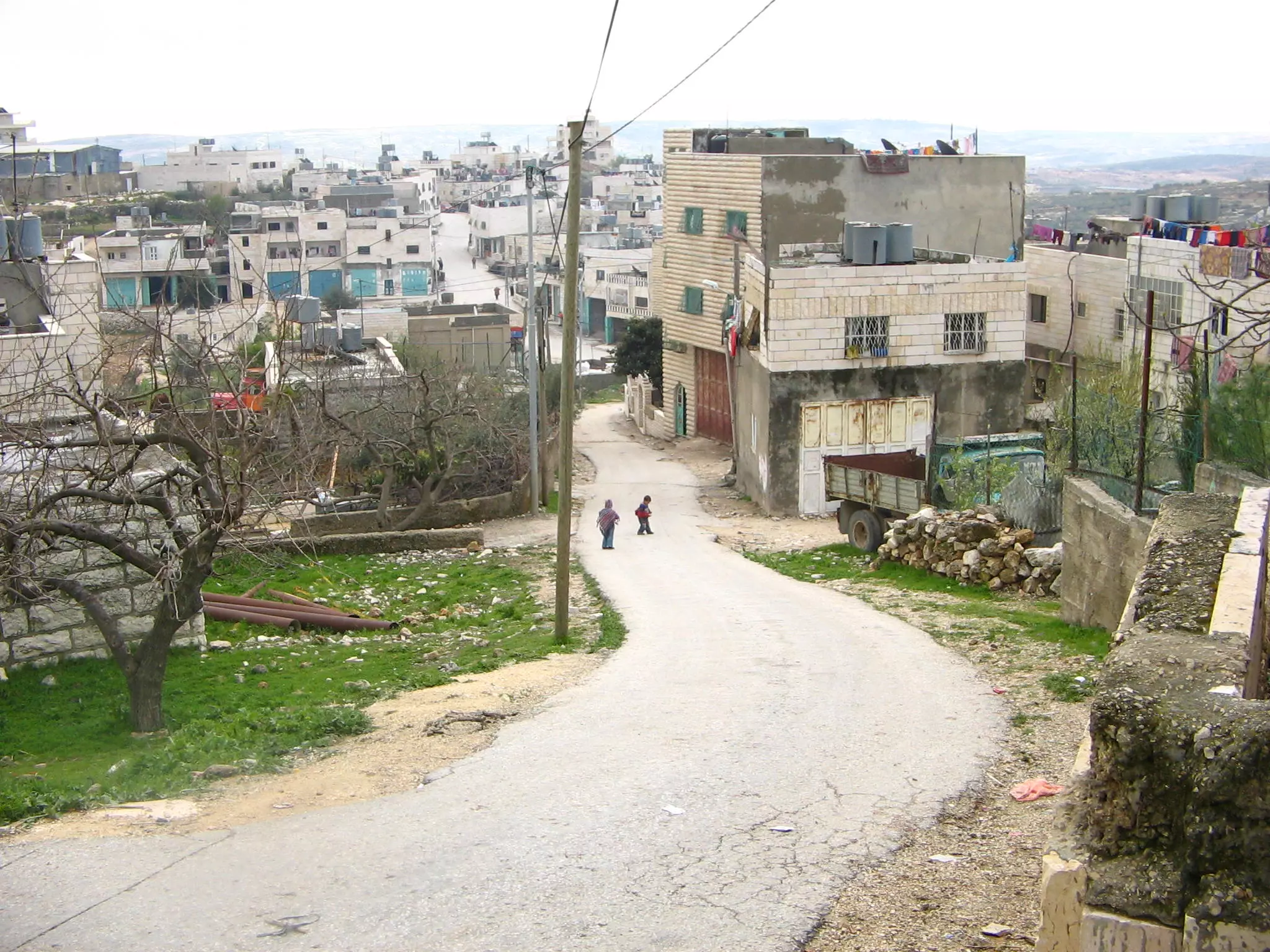
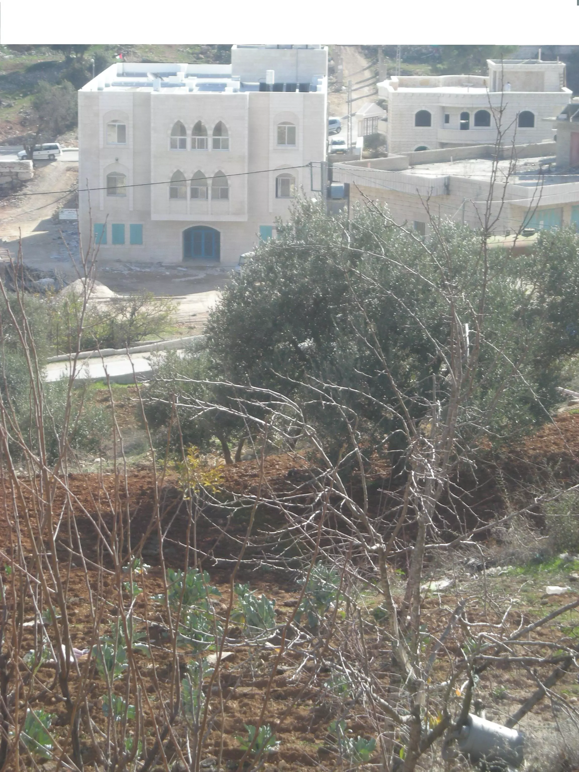
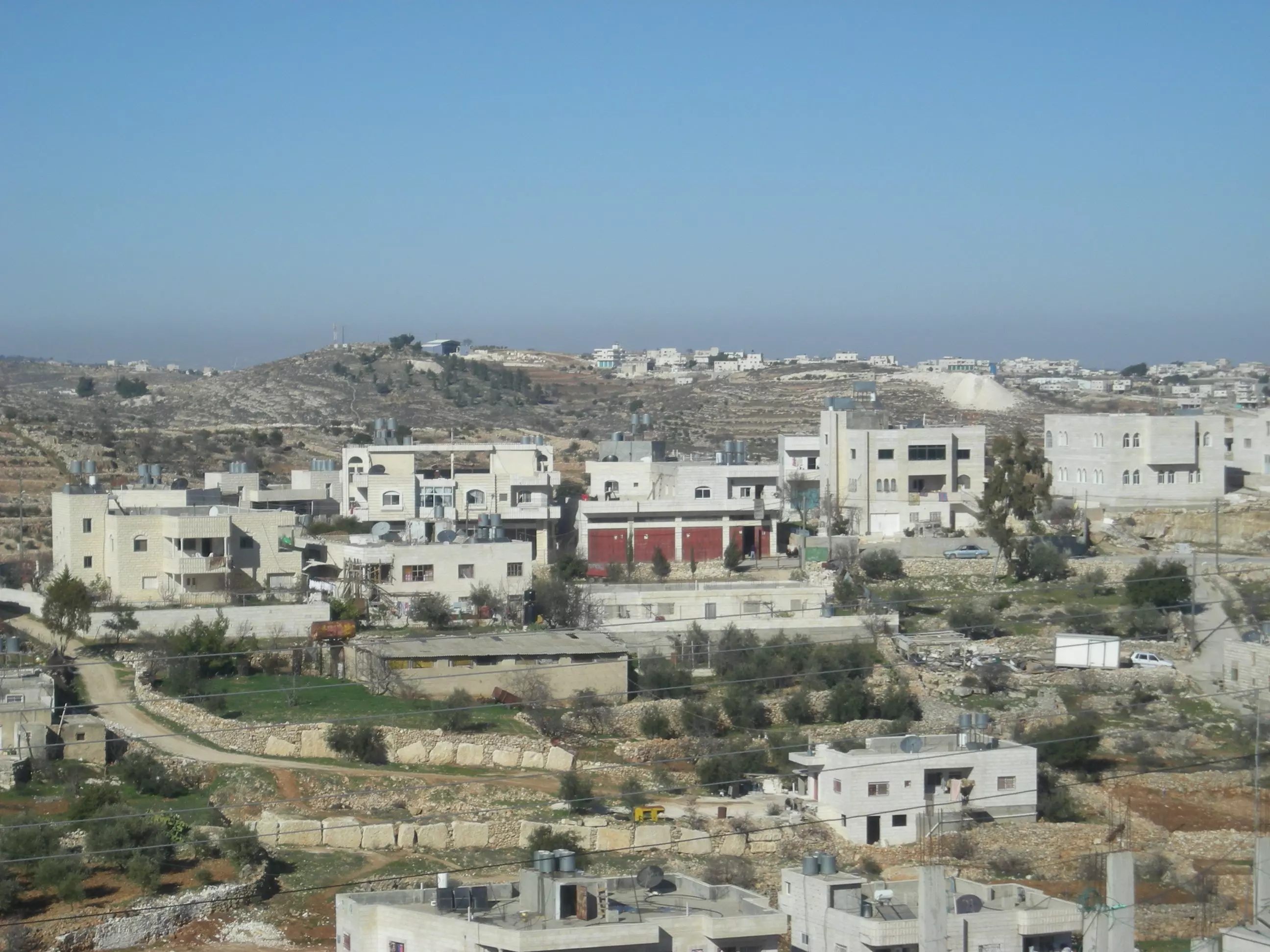
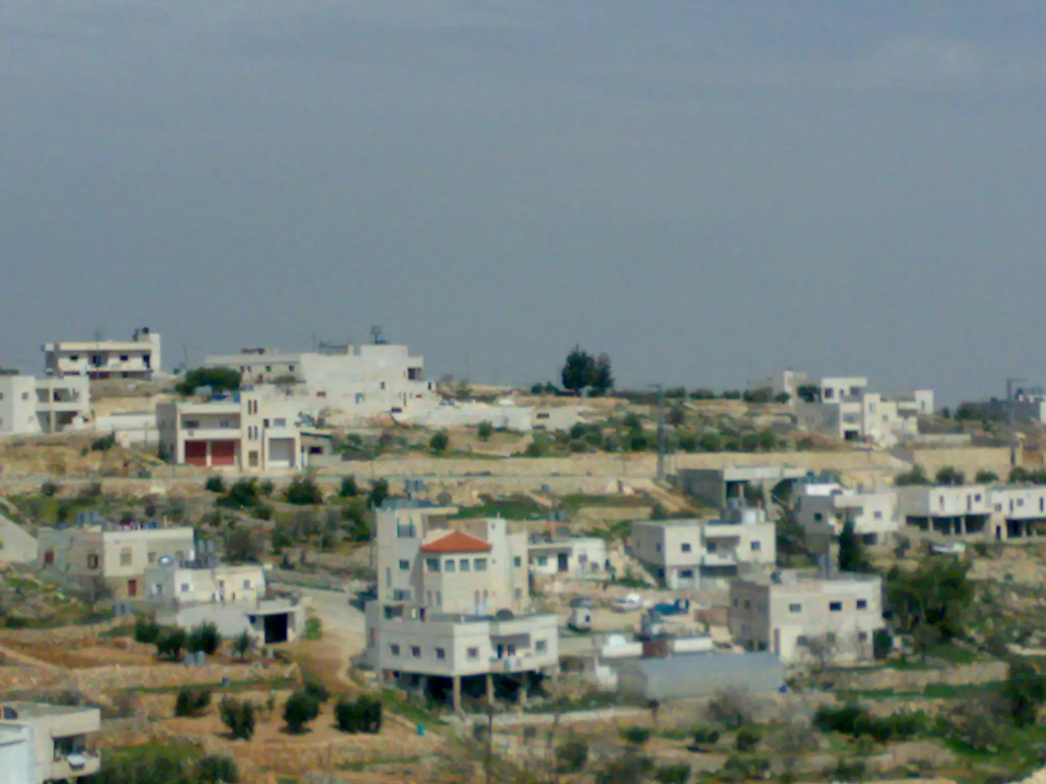
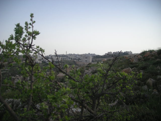
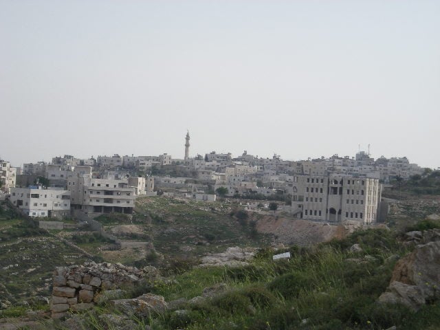
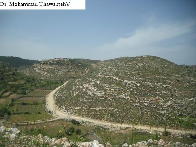
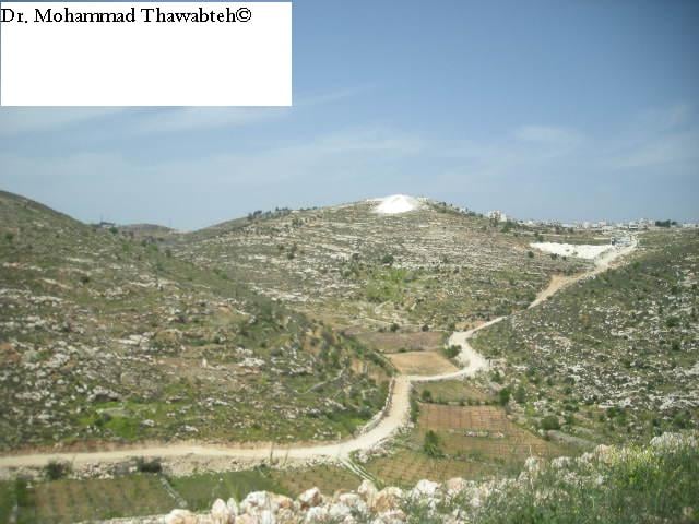
Posted by Mohammad Thawabteh - منظر عام
Posted by Mohammad Thawabteh 2 - Bayt Fajjar_East_Wad Raqam,Sumaka
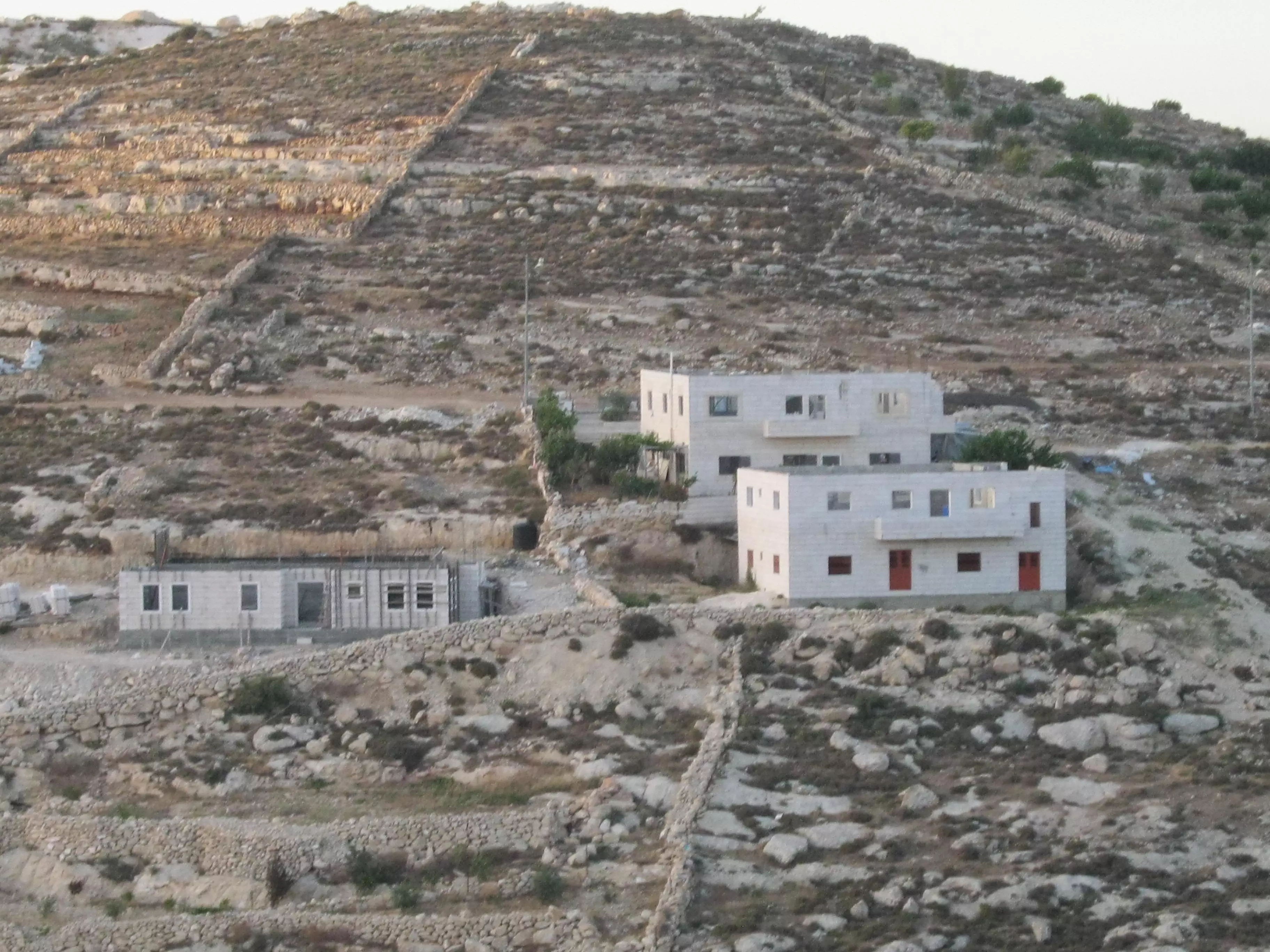
Posted by Mohammad Thawabteh 2 - Byat Fajjar Municipality under construction
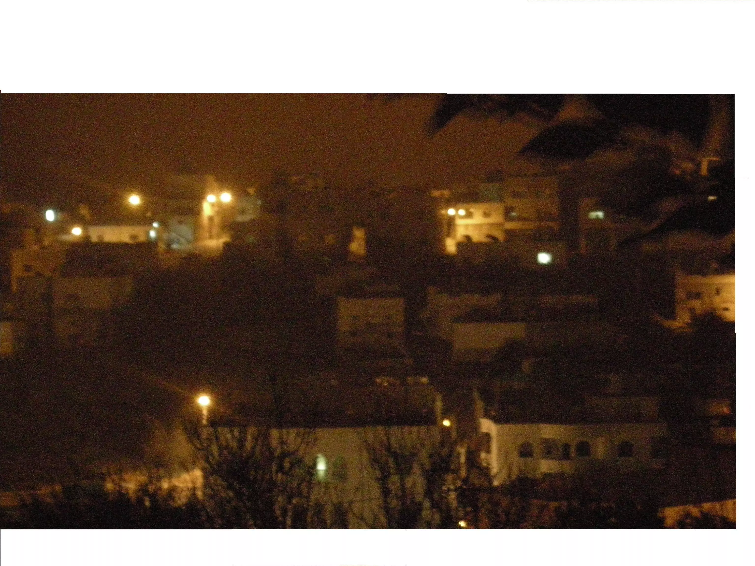
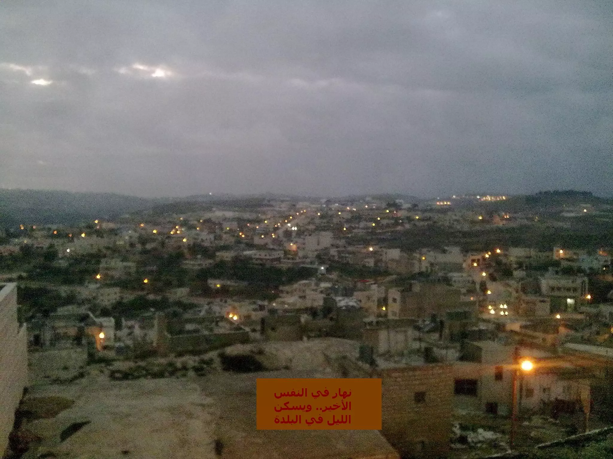
Posted by Mohammad Thawabteh 1 - Bayt Fajjar at night.
Posted by Mohammad Thawabteh 2 - منظر عام
Posted by Mohammad Thawabteh 1 - منظر عام
Posted by Mohammad Thawabteh - منظر عام
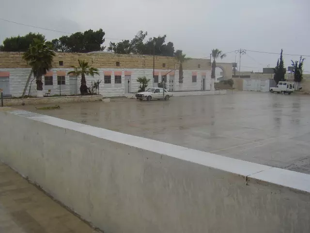
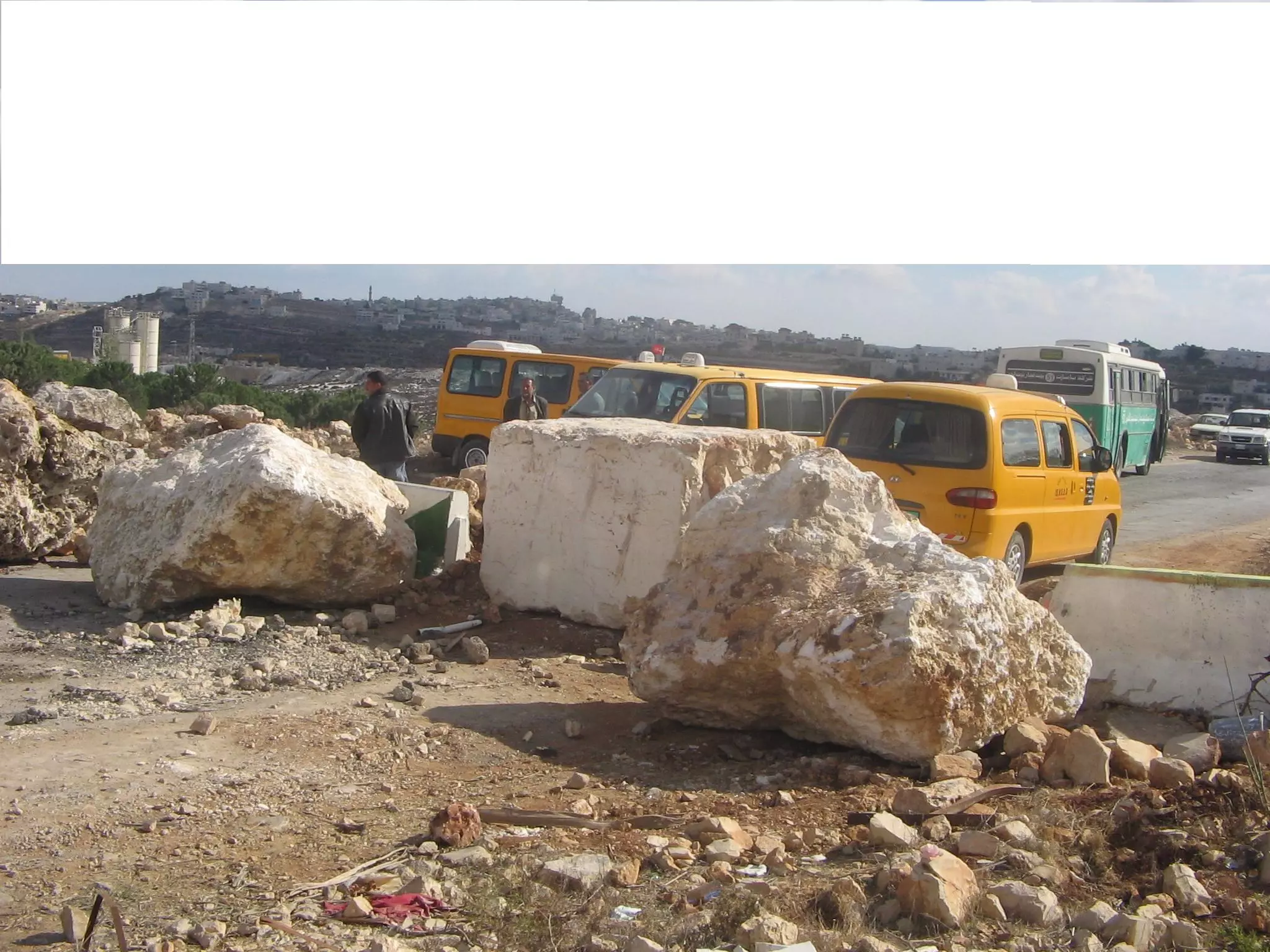
Posted by Mohammad Thawabteh - A blockade to tighten the screw on Byat Fajjar's Main Entrance
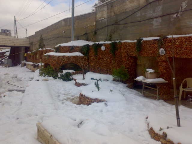
Posted by Mohammad Thawabteh 1 - The First Snows of Winter 2008
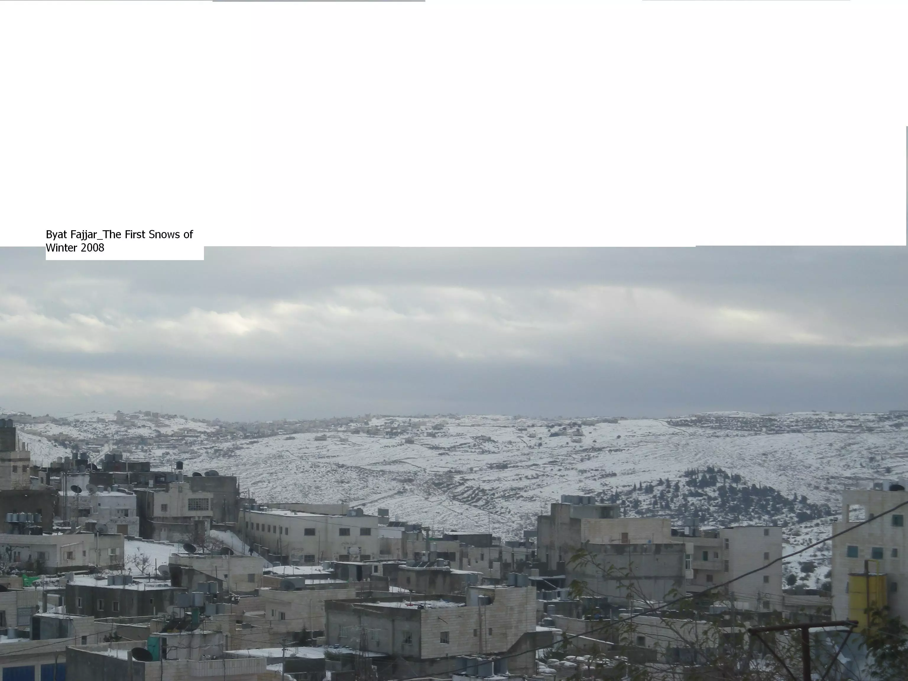
Posted by Mohammad Thawabteh 1 - Bayt Fajjar_The First Snows of Winter 2008
Posted by Mohammad Thawabteh - Bayt Fajjar_The First Snows of Winter 2008

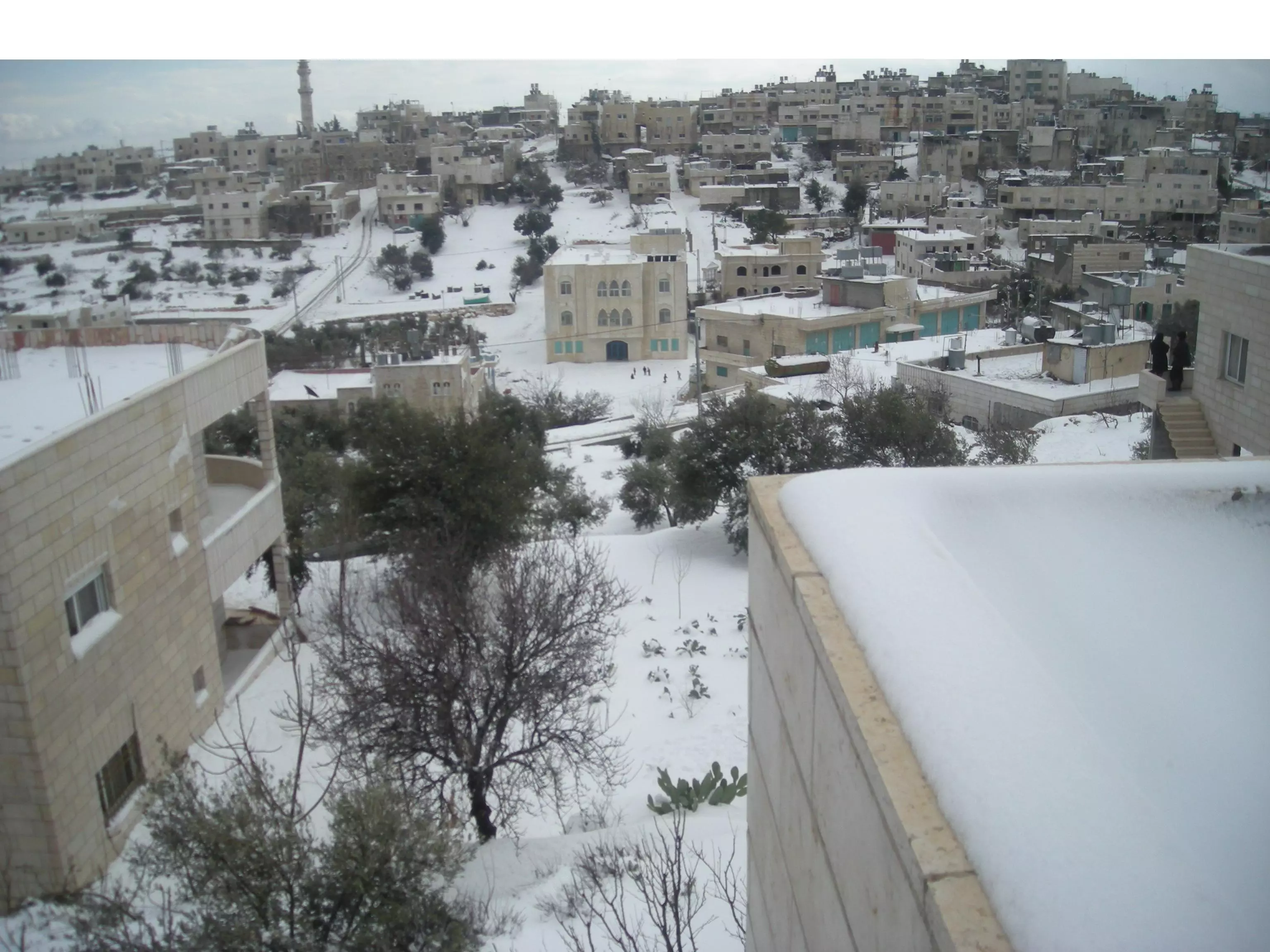
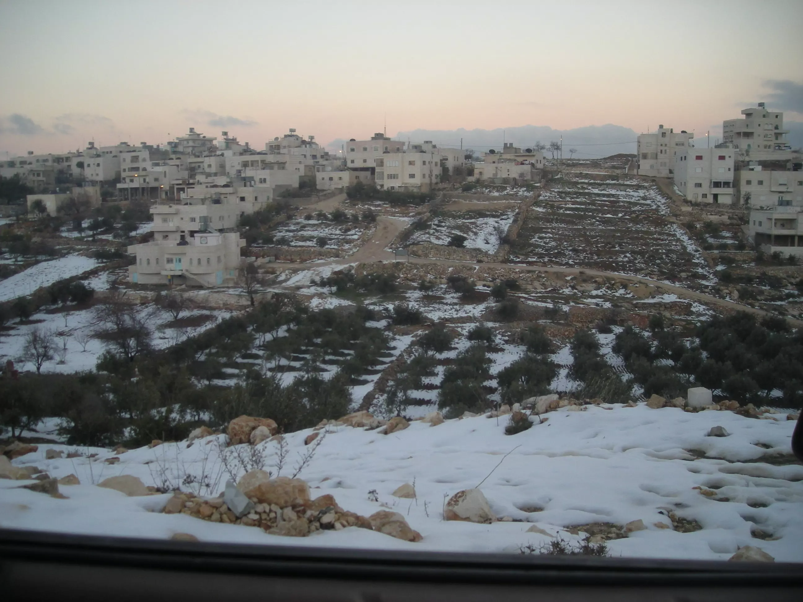
Posted by Mohammad Thawabteh - Bayt Fajjar_General View_1st Snows of Winter 2008
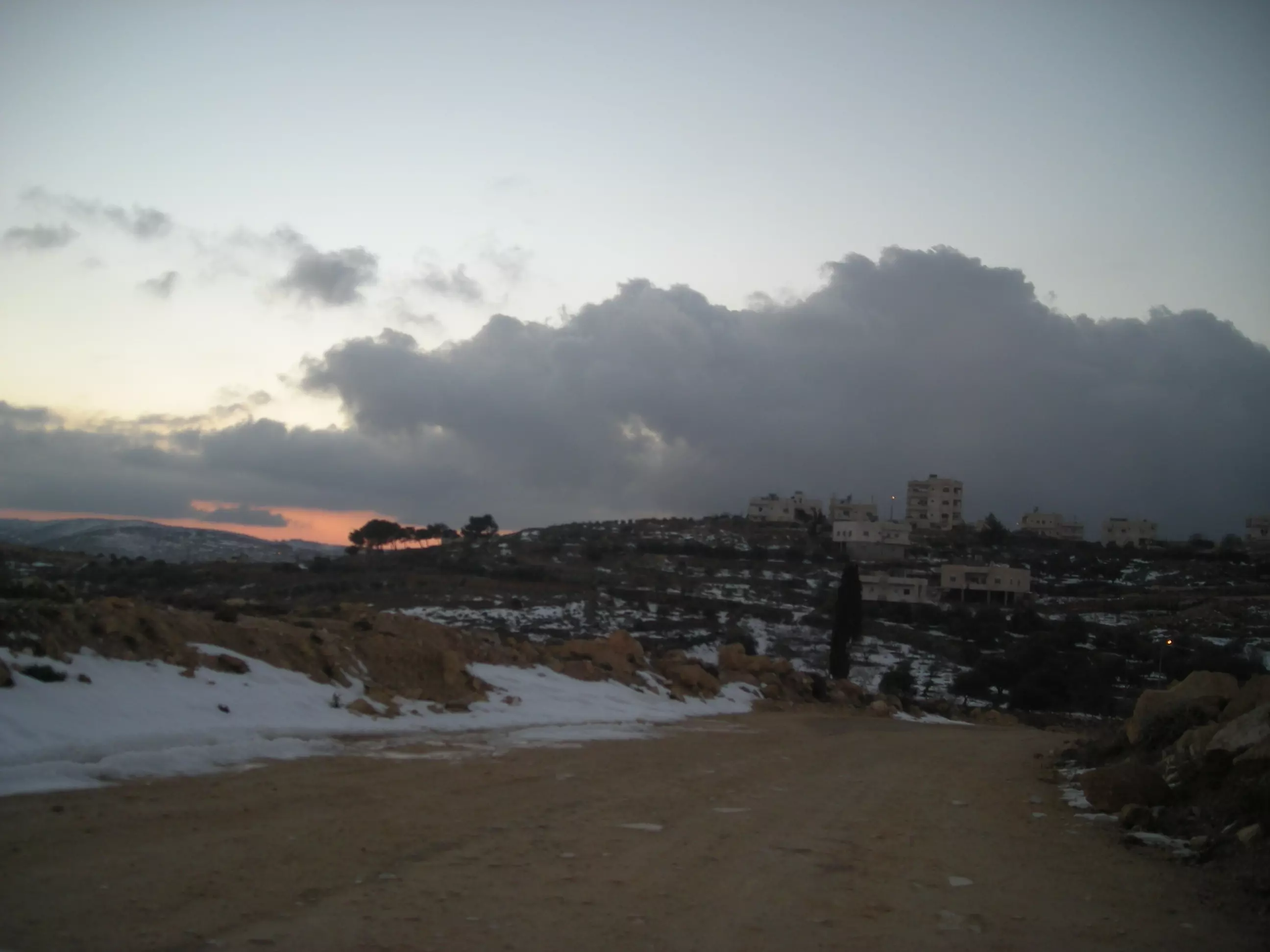
Posted by Mohammad Thawabteh - Shots of Beautiful Sunset of al-Tayyiba
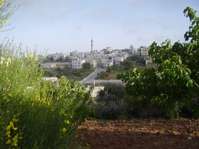
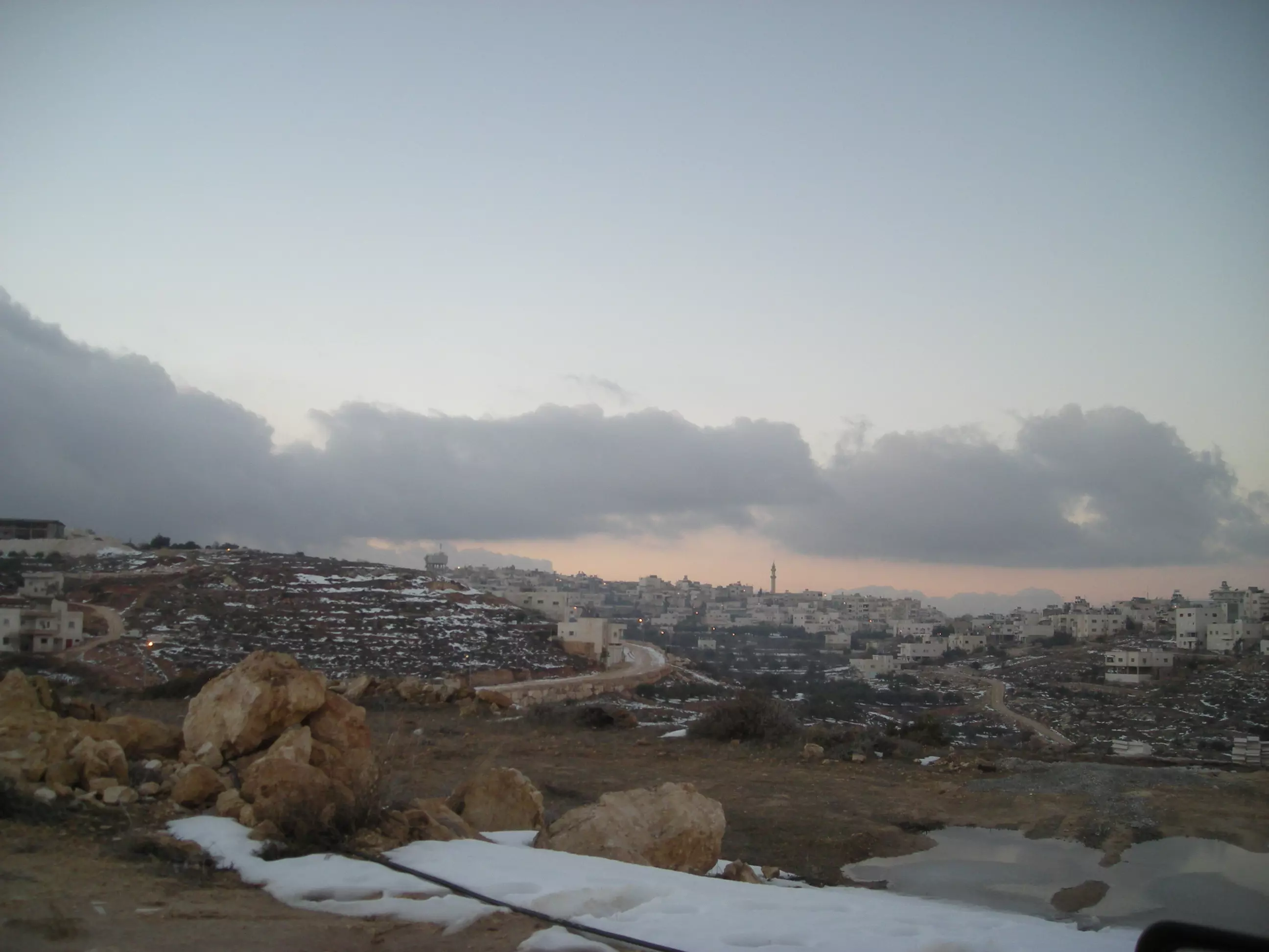
Posted by Mohammad Thawabteh 1 - A shot of Beautiful Old Bayt Fajjar from Beautiful al-Tayyiba
Posted by Mohammad Thawabteh 2 - A shot of Sawasa from al-Tayyiba
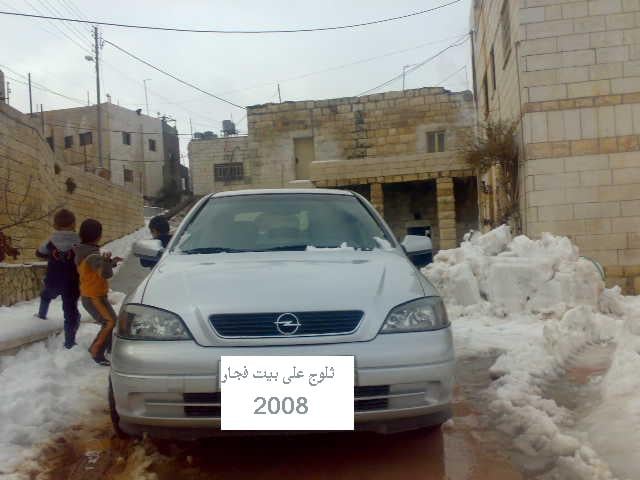
Posted by Mohammad Thawabteh 2 - ثلوج على بيت فجار
Posted by MOHAMMAD TAQATQA 1 - ثلوج على بيت فجار2008
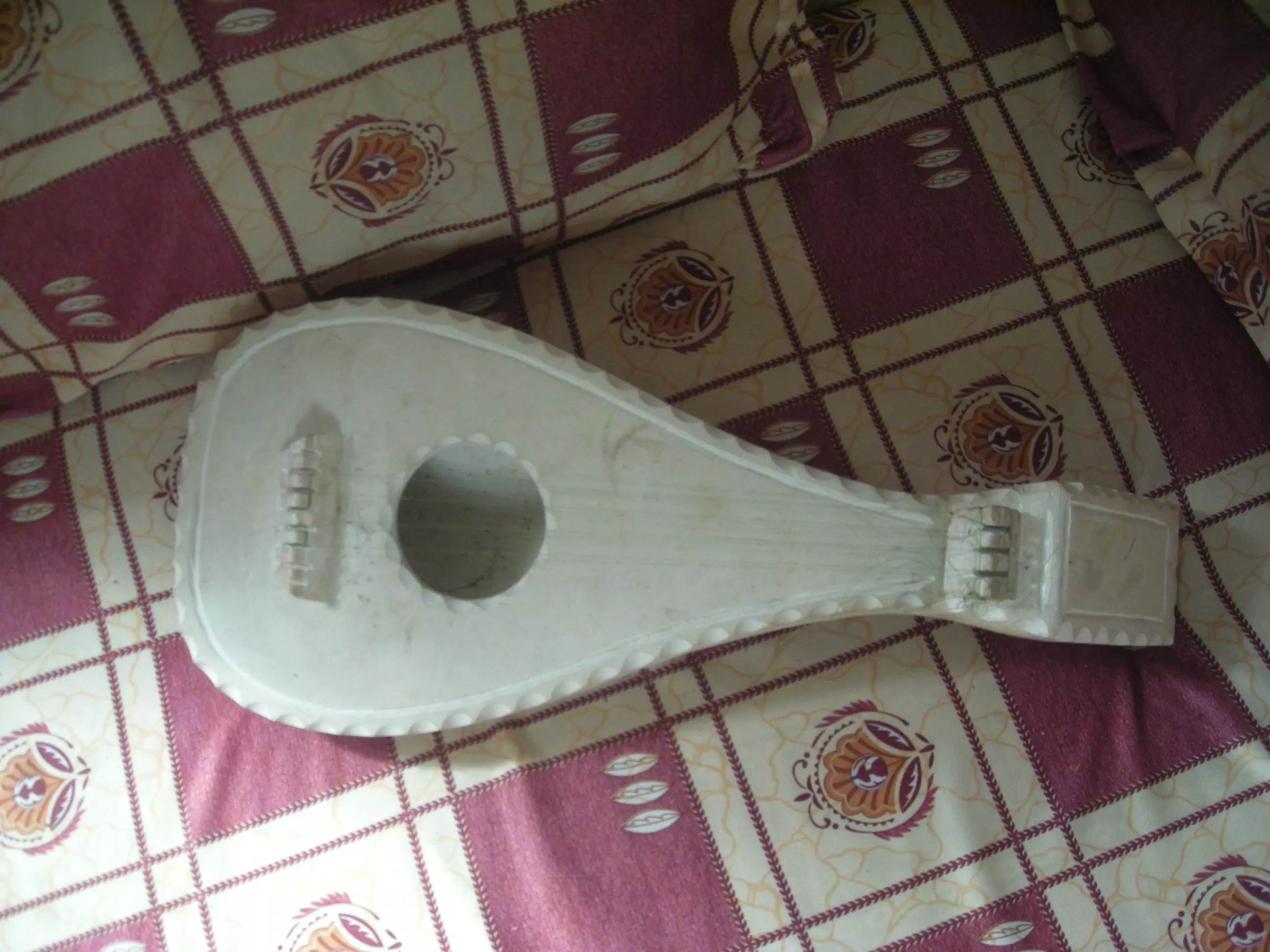
Posted by MOHAMMAD TAQATQA - Stone lute made by ingenious Palestinian stonemason: Ahmad Mohammad Thawabteh
Posted by Mohammad Thawabteh 1 - Khala Shamalia
Posted by Mohammad Thawabteh - Athughra
Posted by Mohammad Thawabteh 2 - ضاحية السماقة
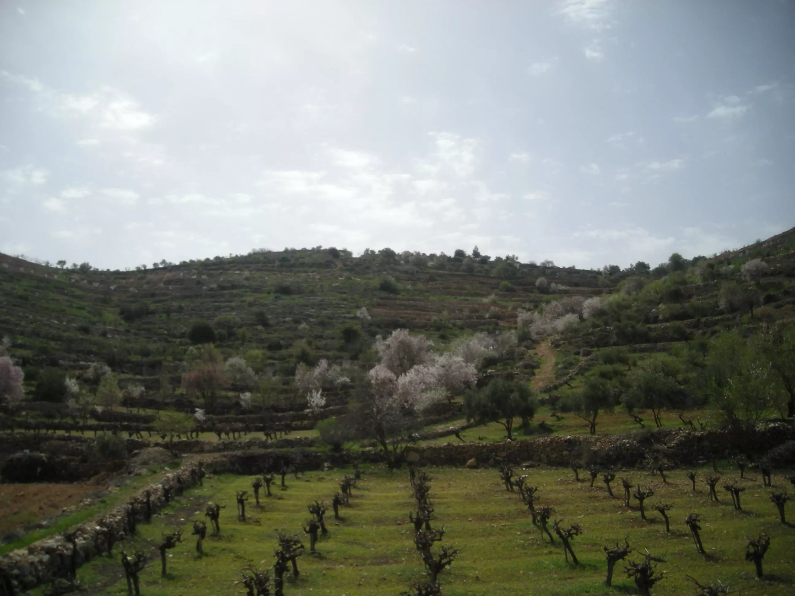
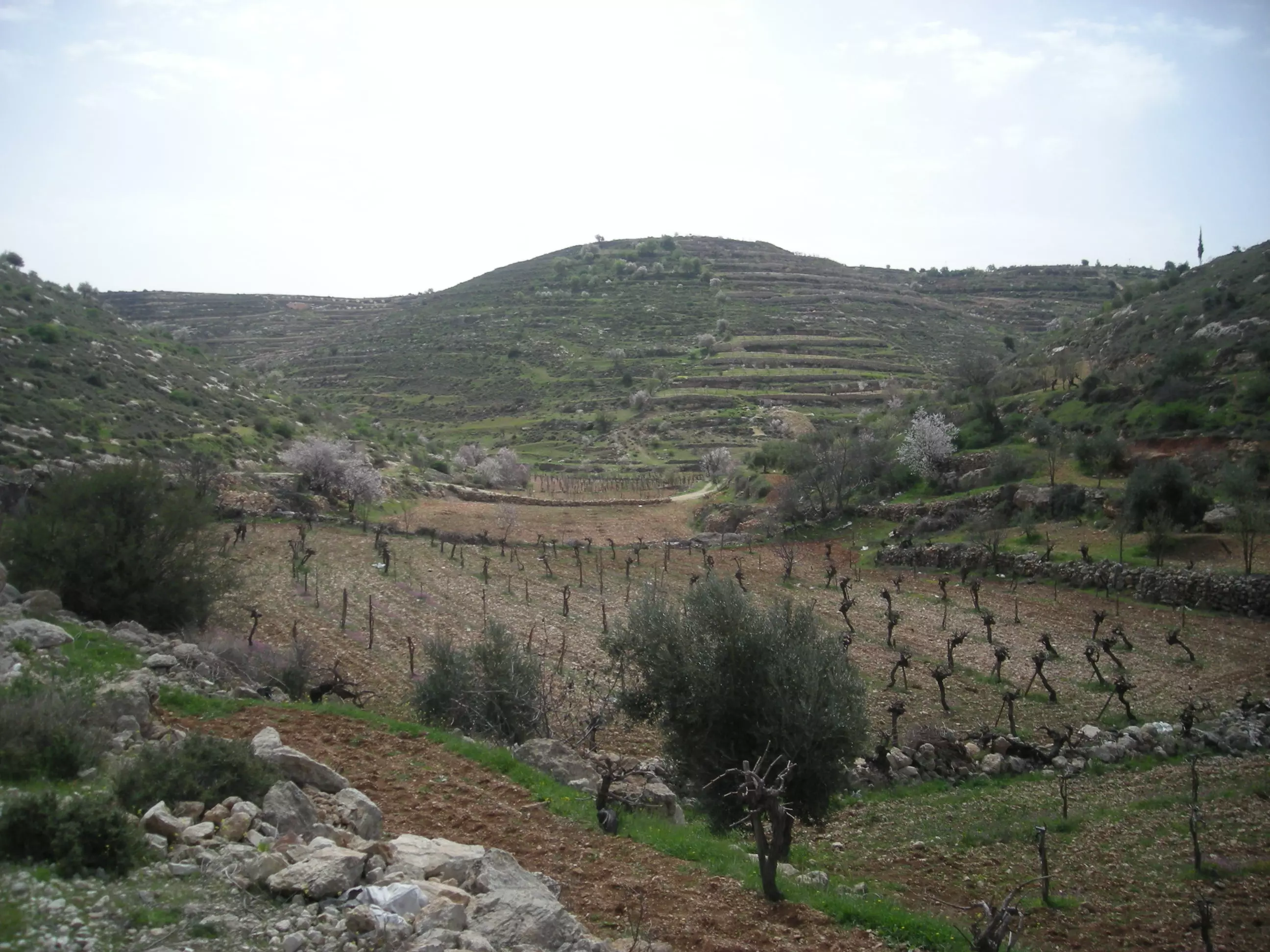
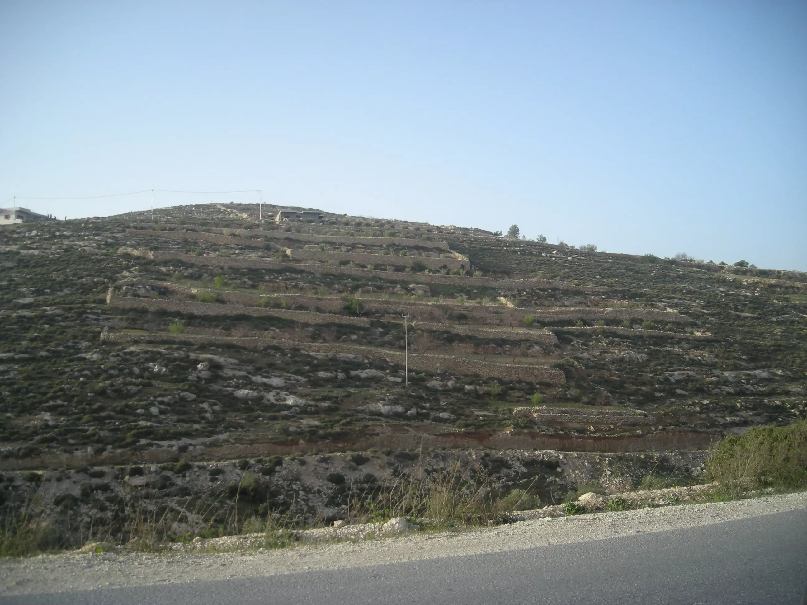
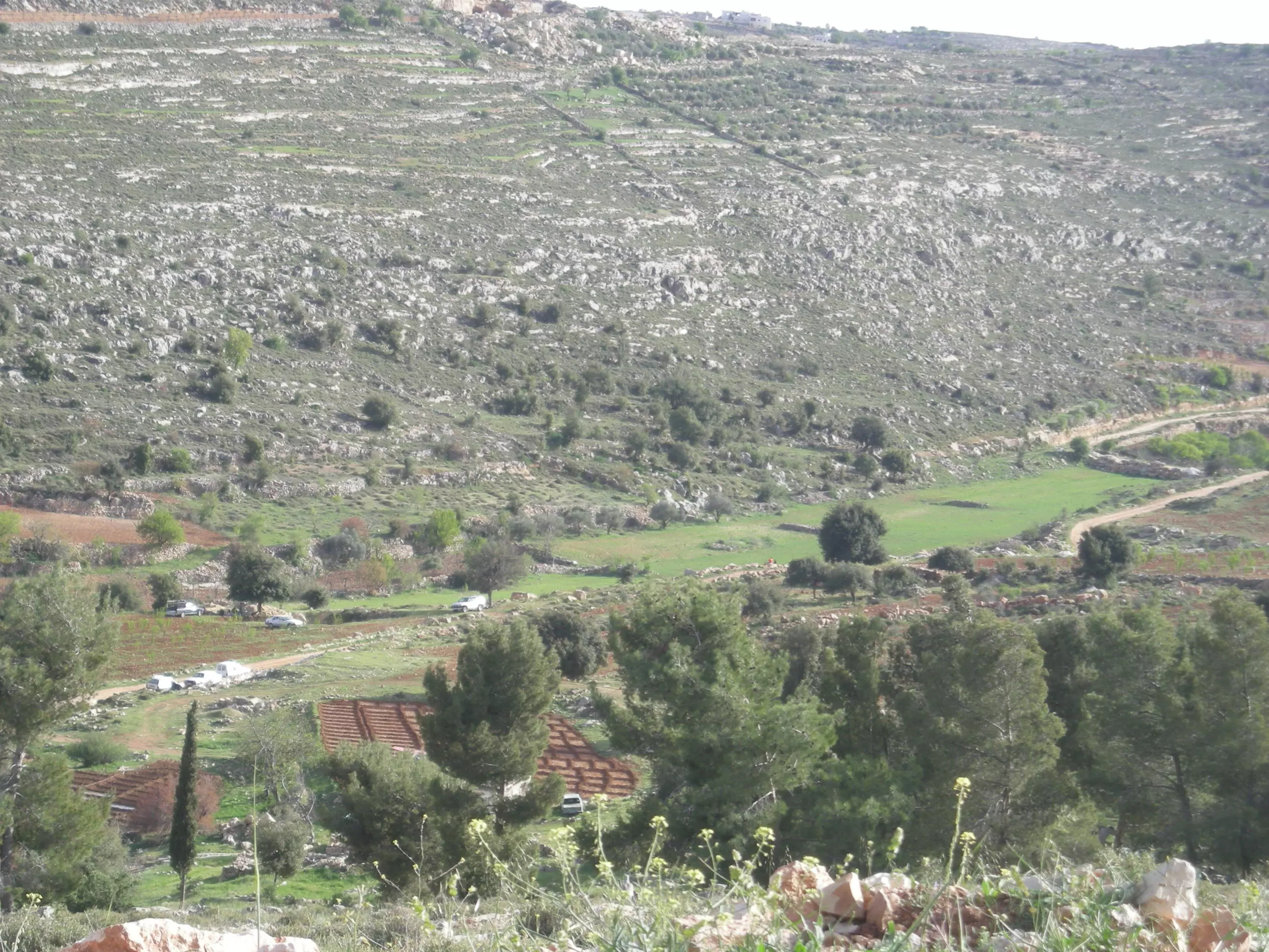
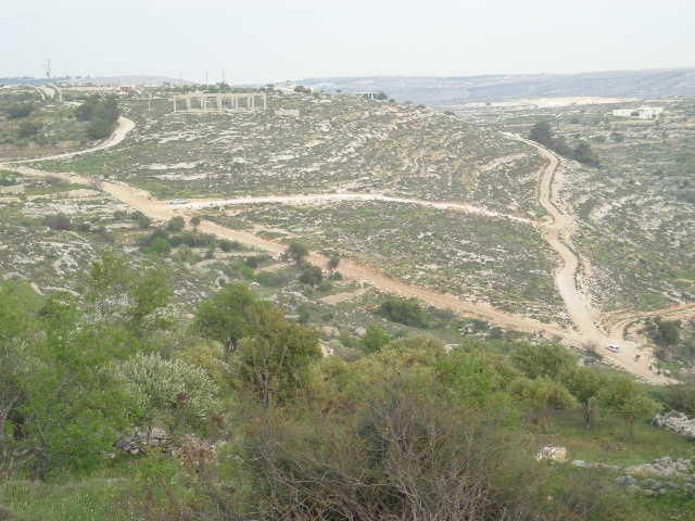
Posted by MOHAMMAD TAQATQA 2 - Bayt Fajjar_Spring_Wad al-Batikh_vines and almonds trees
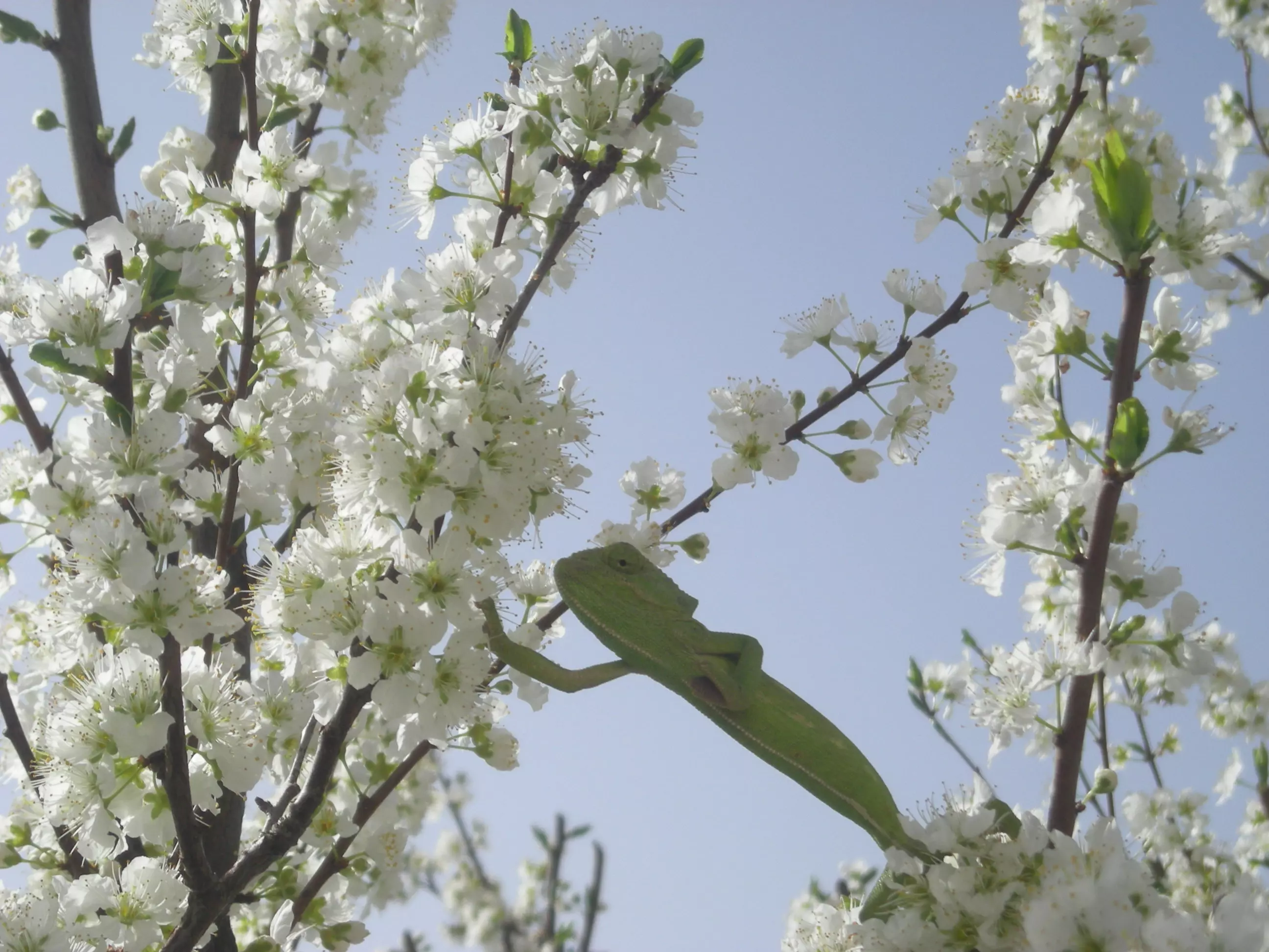
Posted by Mohammad Thawabteh 1 - A camouflage lizard known for changing colours; as a custom in Bayt Fajjar, hypocrites are described as a camouflage lizard..
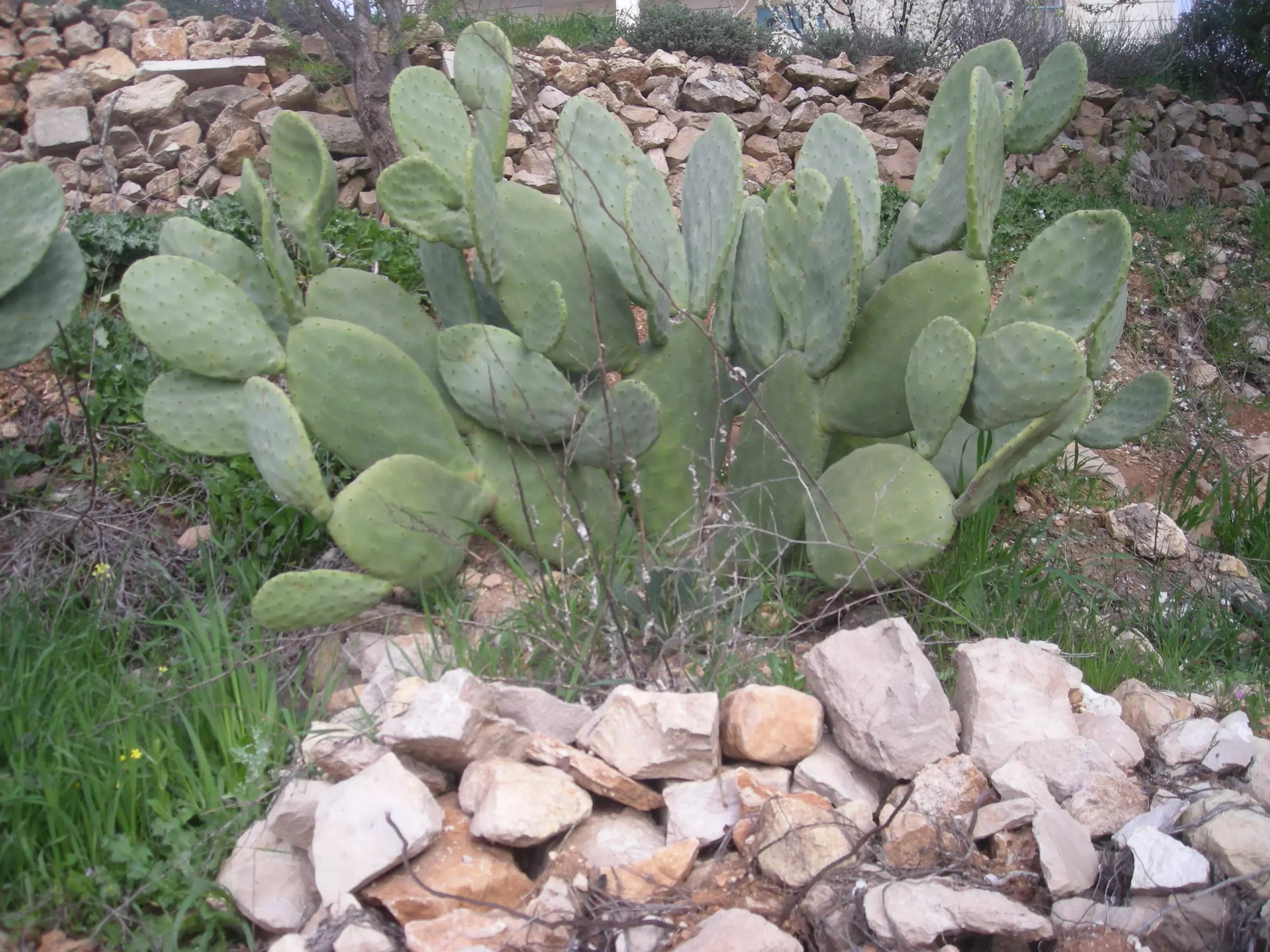
Posted by Mohammad Thawabteh - Cactus is a symbol of patience, endurance, persistence and nostalgia for the days of yore.
Posted by Mohammad Thawabteh - Bayt Fajjar_Spring_Wad al-Batikh
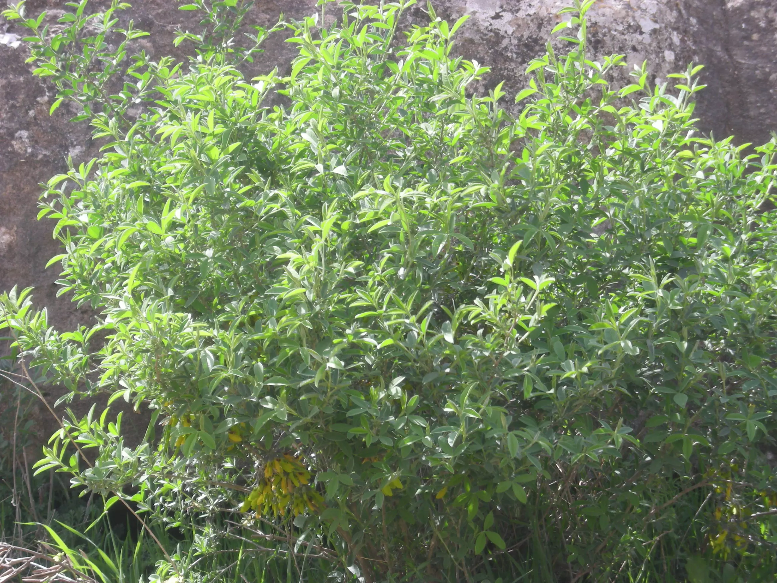
Posted by Mohammad Thawabteh - Spring Evil-smelling plant that permeates the air_Um Salamona takes its name from the plant
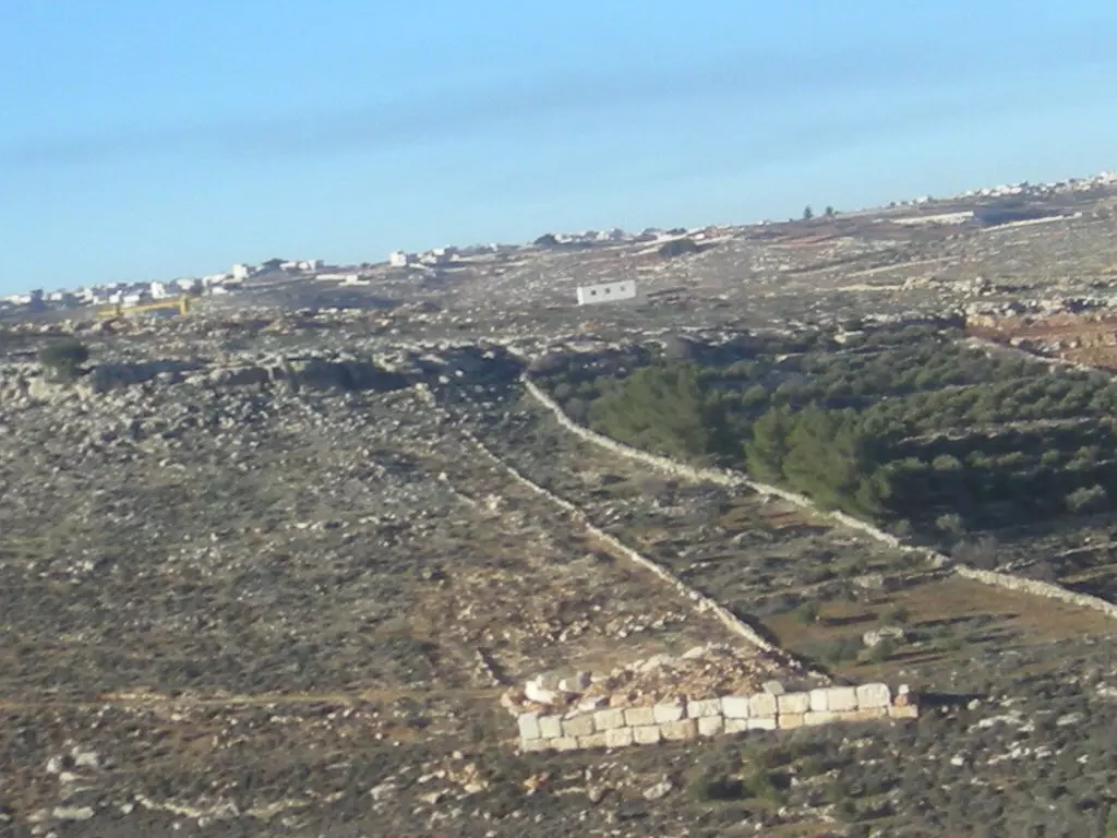
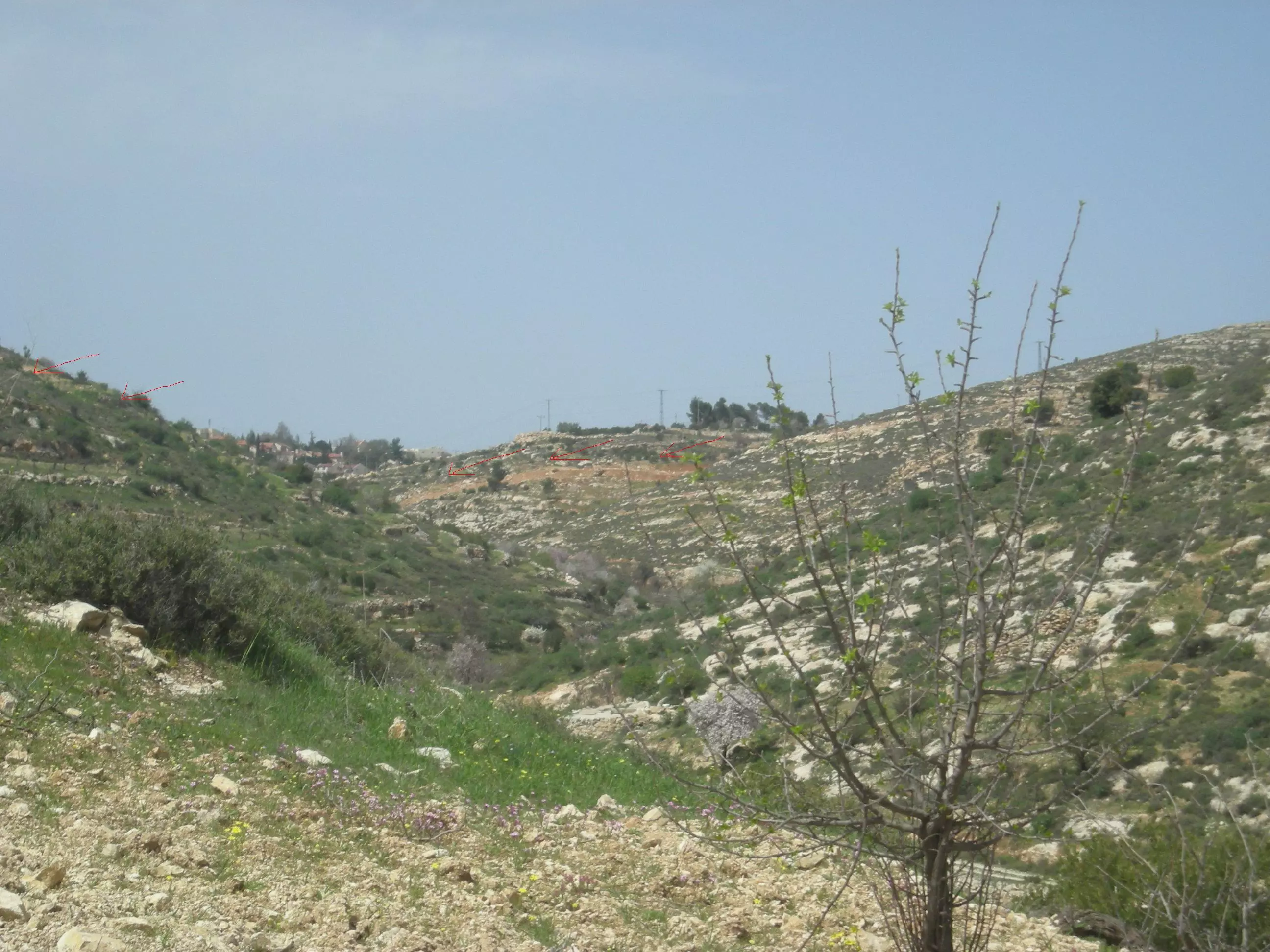
Posted by Mohammad Thawabteh - Wad al-Batikh: The red arrows show the place of the Segregation wall
Posted by Mohammad Thawabteh 1 - Wad as-Suk
Posted by Mohammad Thawabteh - Wad as-Suk
Posted by Mohammad Thawabteh 1 - She'ib E'mar
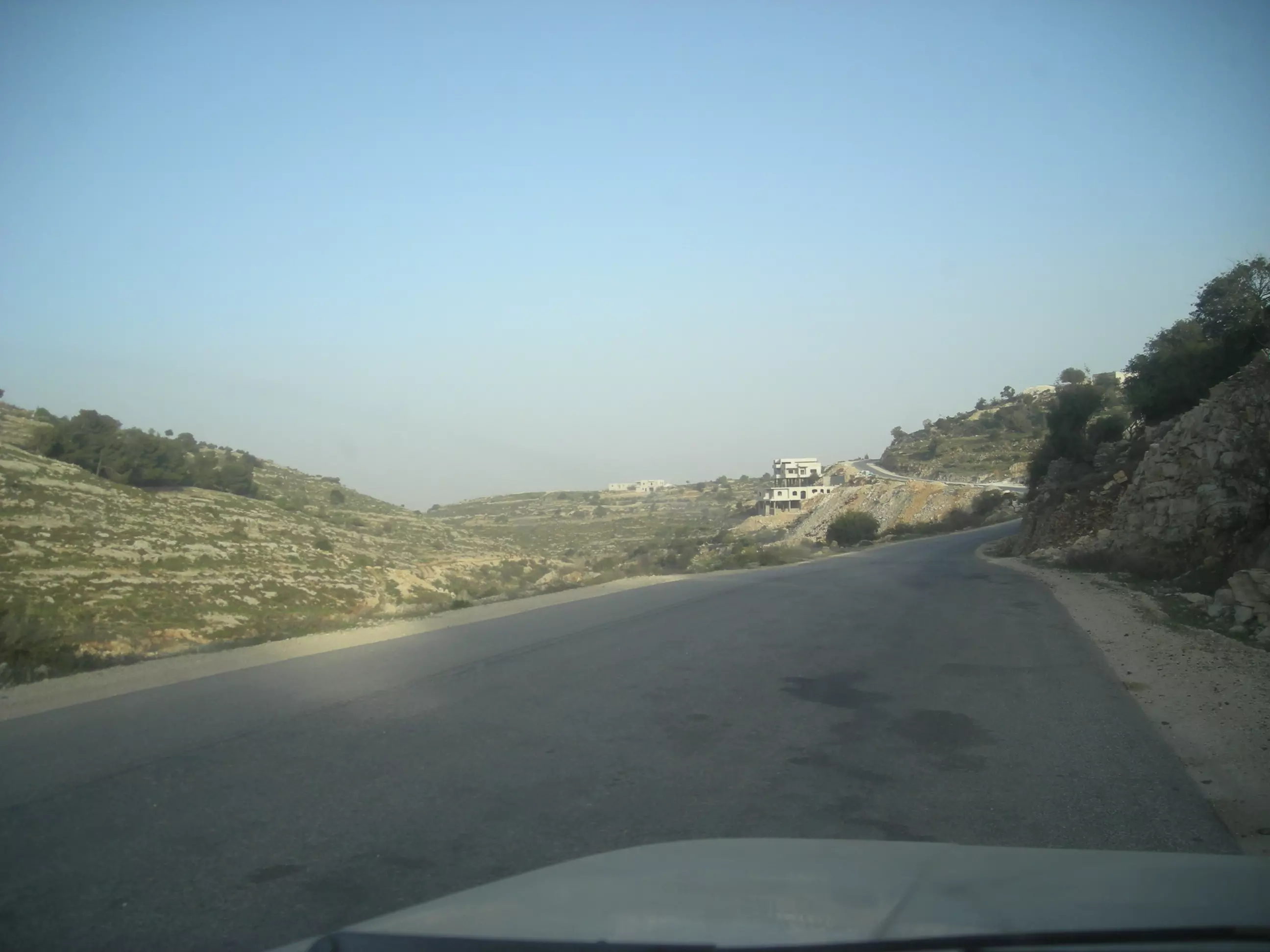
Posted by Mohammad Thawabteh - Bayt Fajjar/Al-Tayyiba
Posted by Mohammad Thawabteh - Bayt Fajjar A shot showing al-Sada
Posted by Mohammad Thawabteh - Bayt Fajjar_'Ayan al-Dilba
Posted by Mohammad Thawabteh - Bayt Fajjar_Al-Sada, Shana and al-Hoosh al-Gharbi
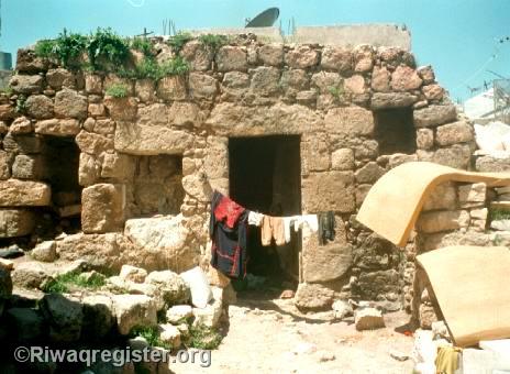
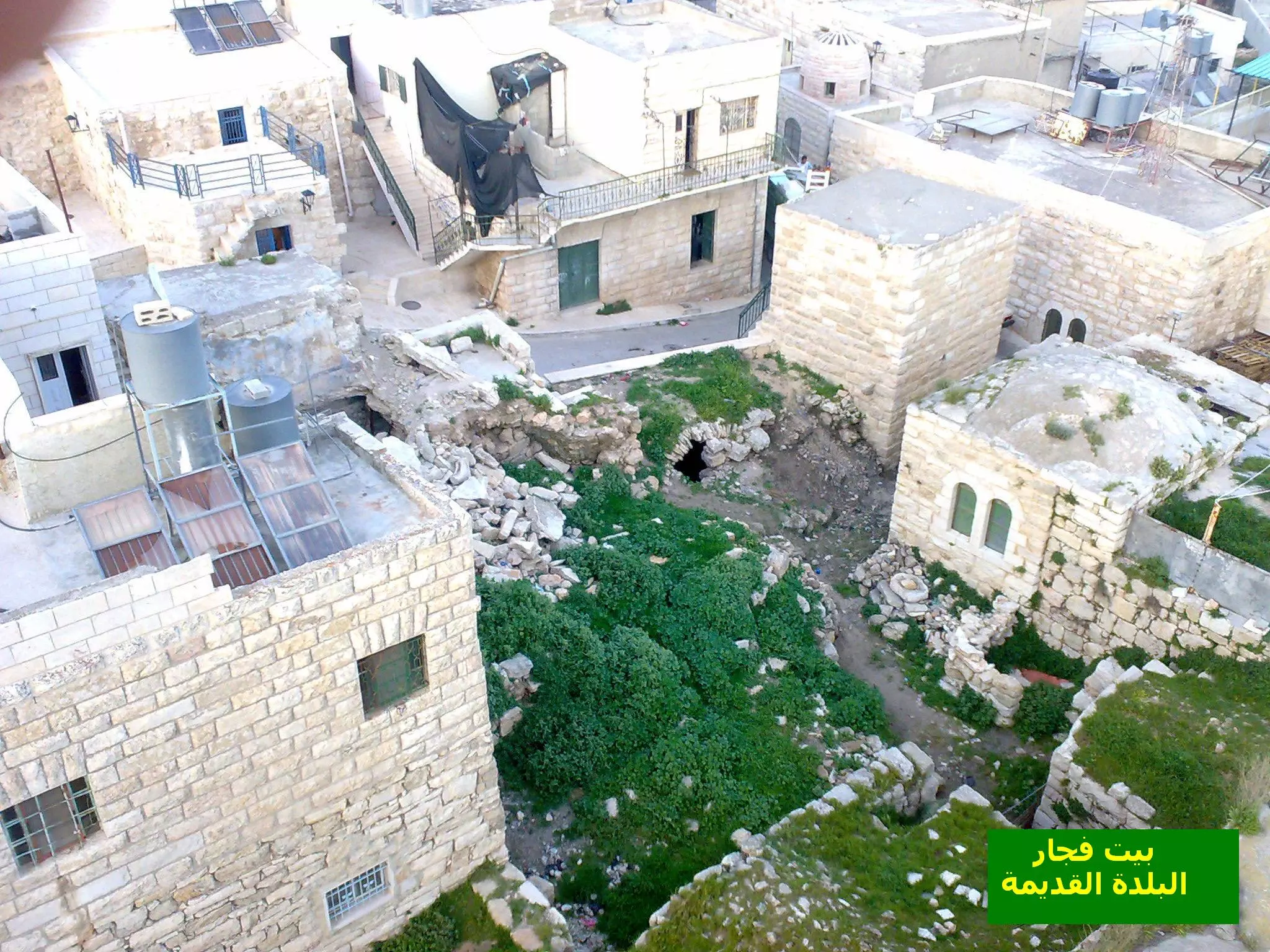
Posted by Mohammad Thawabteh 1 - بيت عبدالنبي الثوابته قديم مهجور ...........بيت فجار البلده القديمه
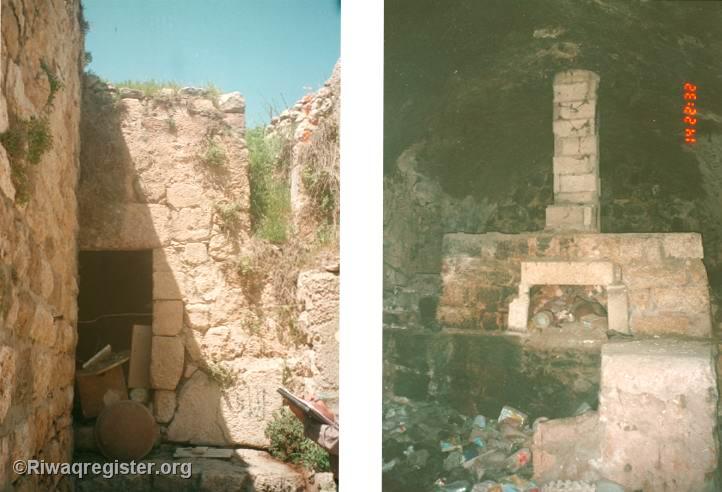
Posted by وائل عبدالنبي 4 - فرن دار عياش ...........مهجور
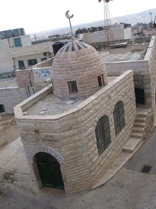
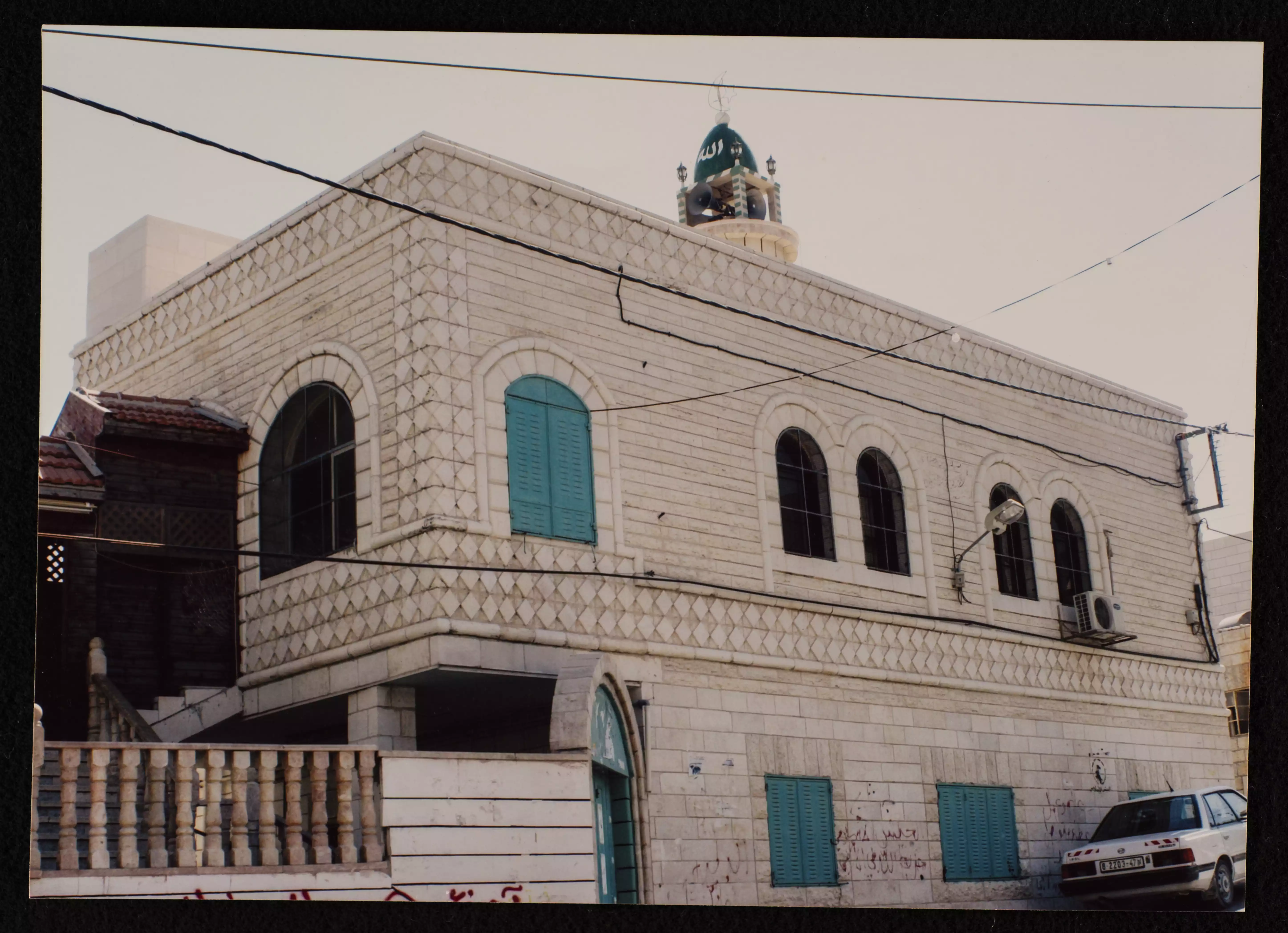
Posted by وائل عبدالنبي 1 - المسجد العمري
Posted by وائل عبدالنبي - نادي بيت فجار
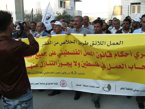
Posted by وائل عبدالنبي - Bayt Fajjarian workers on a one-day strike
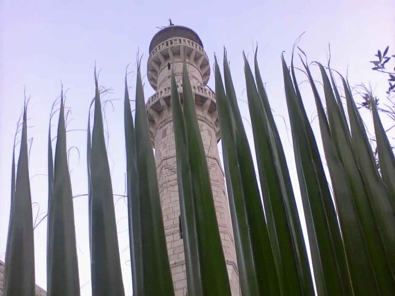
Posted by Mohammad Thawabteh - Al-Masjid el-Omari_Bayt Fajjar
Posted by Mohammad Thawabteh - واد رقم_الخلفية_جبال الاردن /غرب مادبا
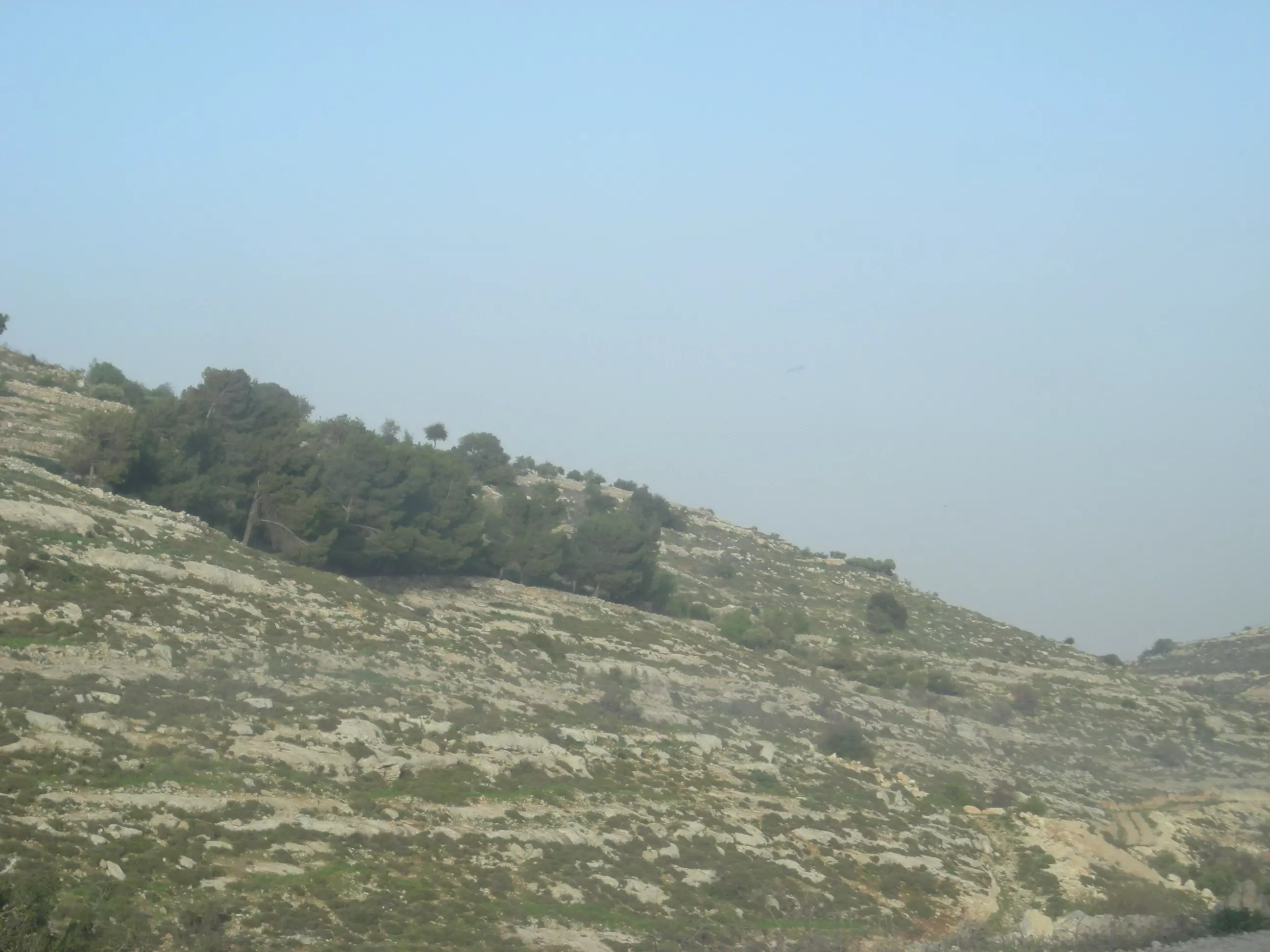
Posted by Mohammad Thawabteh 1 - She'ib E'mar
Posted by Mohammad Thawabteh - Sumaka_North
Posted by Mohammad Thawabteh - Thugrah
Posted by Mohammad Thawabteh - Bayt Fajjar_A photo taken from She'ib E'mar
Posted by Mohammad Thawabteh - Bayt Al-Taqwa
Posted by Mohammad Thawabteh - Wad el-Suk_A photo taken from She'ib E'mar
Posted by Mohammad Thawabteh - [email protected]
Posted by m-d - حارة الديريه
Posted by m-d - حارة الديرية
Posted by m-d - حارة الديري
Posted by m-d 1 - حارة الديريه1
Posted by m-d - واد البطيخ_يظهر بالخلف قرية ام سلمونة
Posted by Mohammad Thawabteh - واد طقطق_يطهر بالخلف قرية مراح رباح
Posted by Mohammad Thawabteh 1 - واد البطيخ_يظهر بالخلفية نهاية بئر الخنزير
Posted by Mohammad Thawabteh 1 - صورة لحارة الديرية والمدارس
Posted by Mohammad Thawabteh 3 - صورة لمنطقة الصوصة
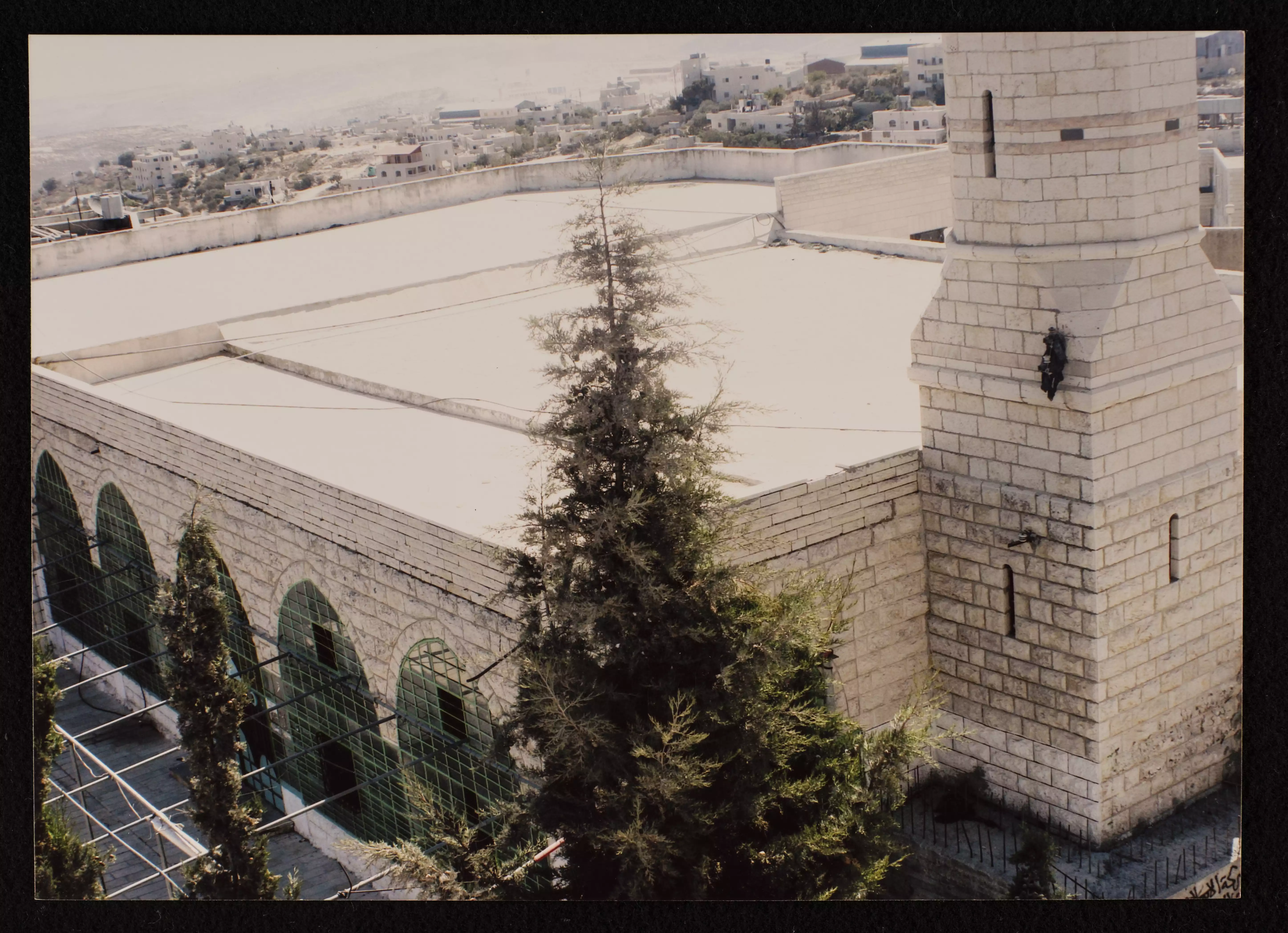
Posted by Mohammad Thawabteh 2 - صورة للمسجد العمري والمسجد الكبير
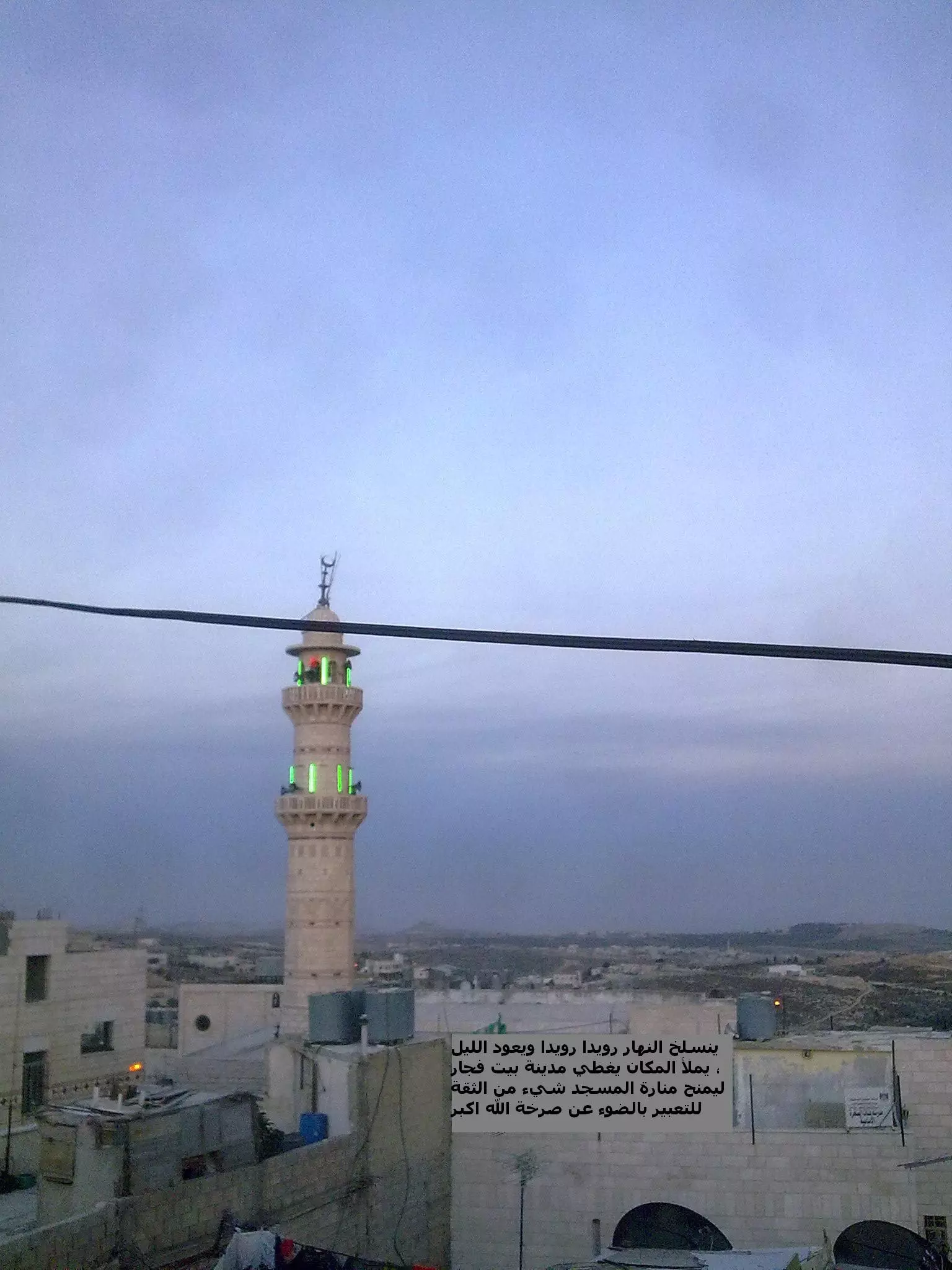
Posted by Mohammad Thawabteh 1 - المسجد الكبير ــ آذان المغرب
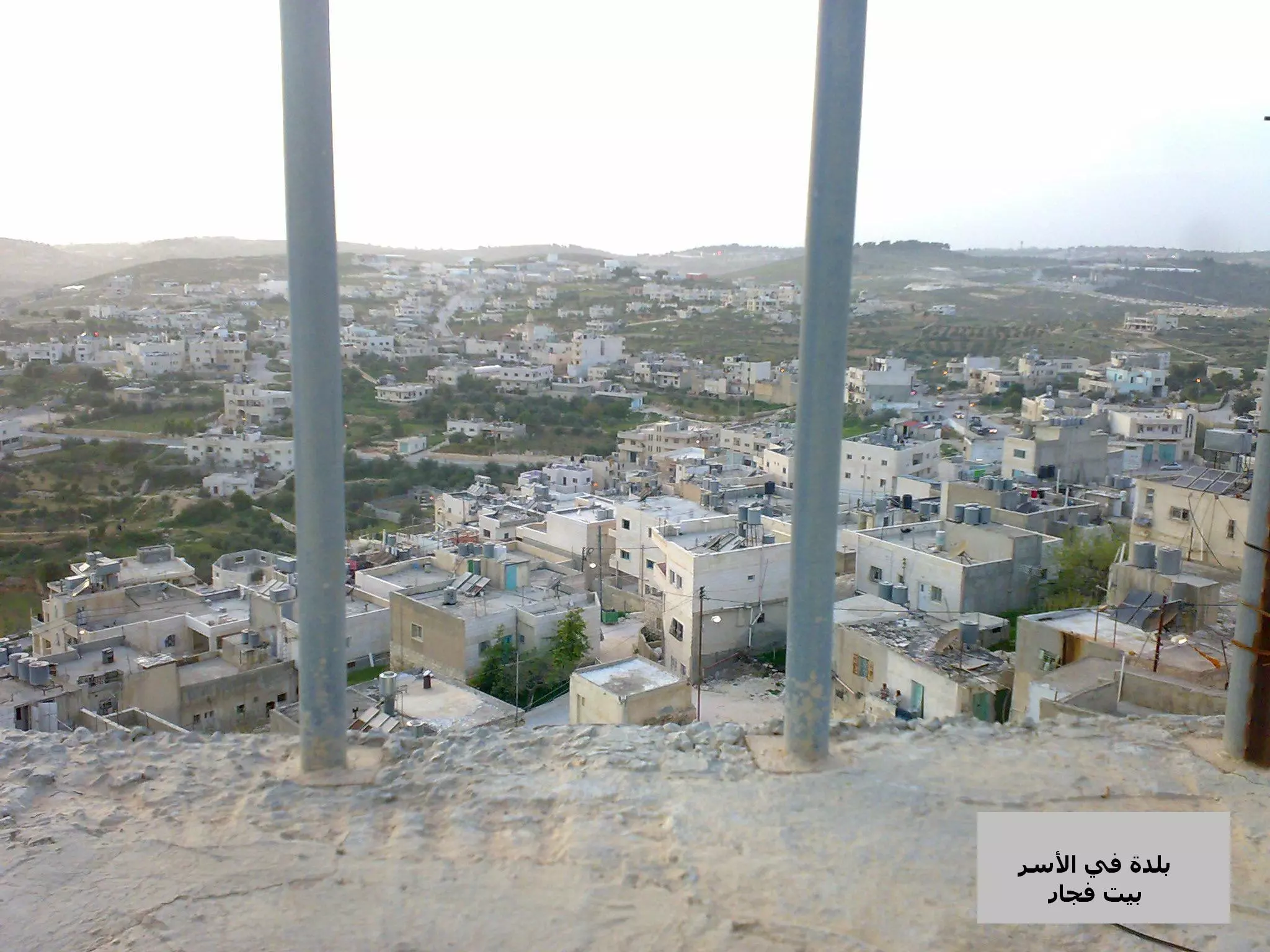
Posted by وائل عبد النبي - بلدة بيت فجار ــ صورة معبرة عن واقع اليم
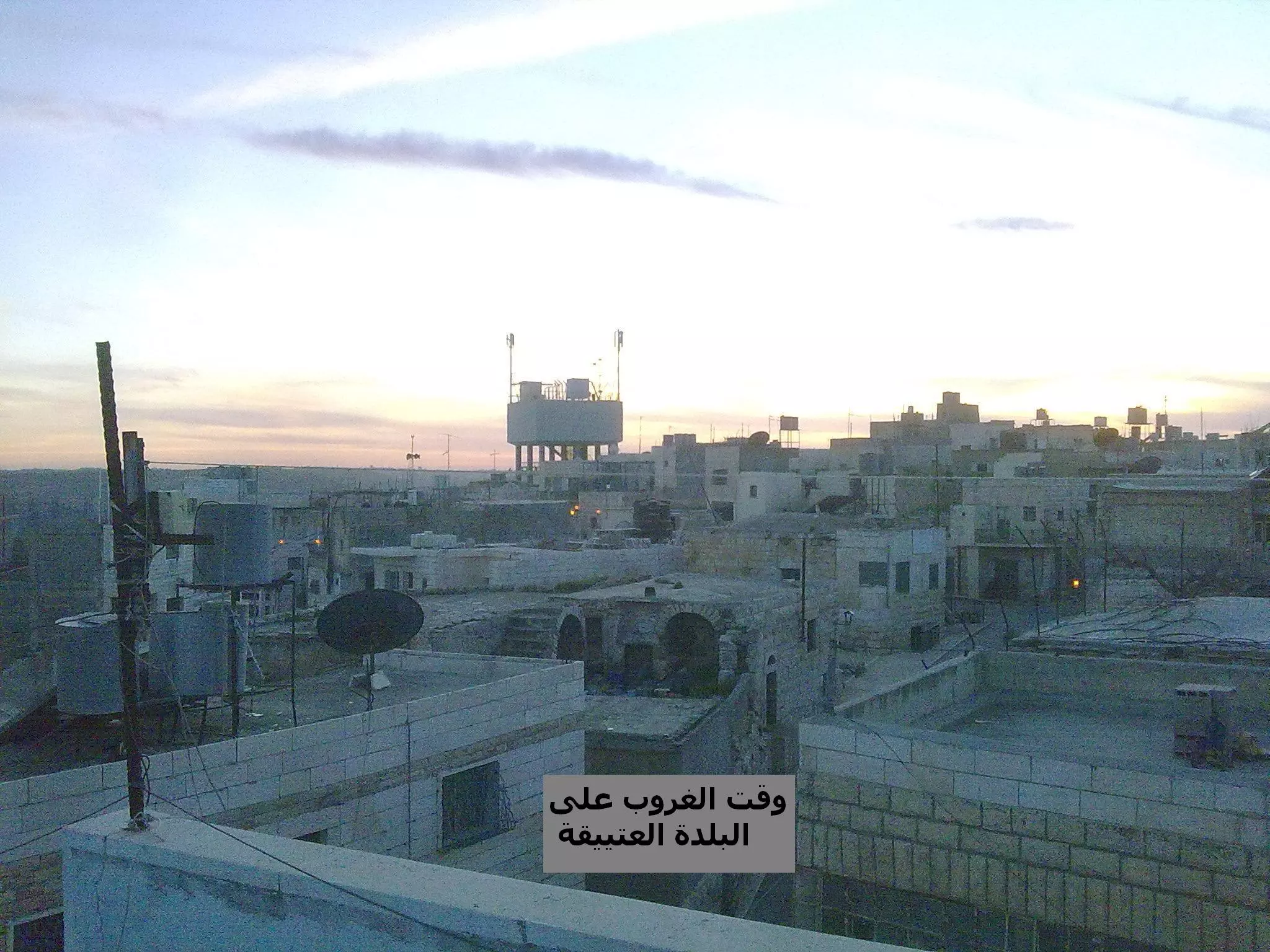
Posted by وائل عبد النبي 1 - بيت فجار وقت الغروب
Posted by وائل عبد النبي - بيت فجار البلدة القديمه ــ الأصال
Posted by وائل عبد النبي - بيوت في البلدة القديمة

Posted by وائل عبد النبي - البلدة القديمة
Posted by وائل عبد النبي - الجامع الكبير في وسط البلدة
Posted by وائل عبد النبي - البلدة القديمة
Posted by وائل عبد النبي - البلدة القديمة
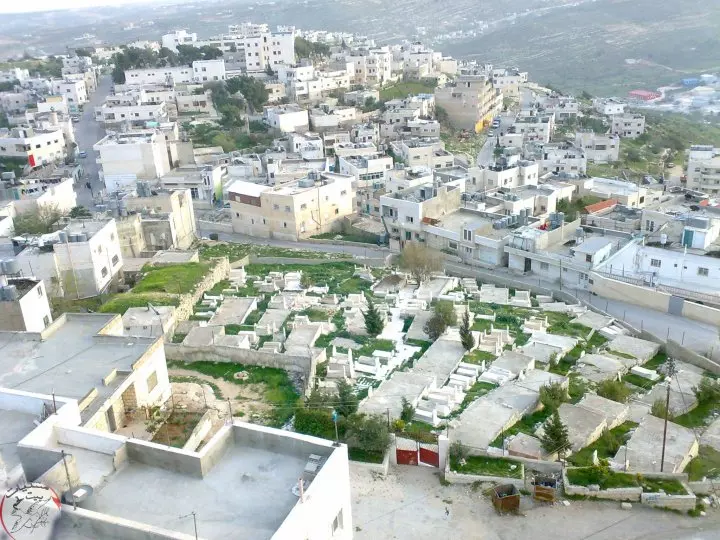
Posted by وائل عبد النبي - منطقة المقبره
Posted by وائل عبد النبي - البلدة القديمة
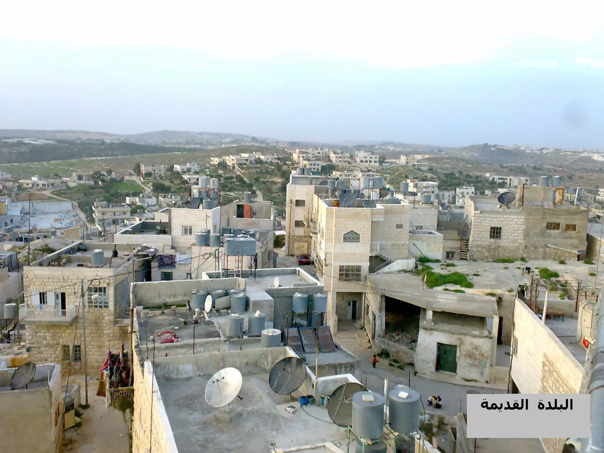
Posted by وائل عبد النبي - البلدة القديمة
Posted by وائل عبد النبي 1 - البلدة القديمة
Posted by وائل عبد النبي - المسجد الكبير
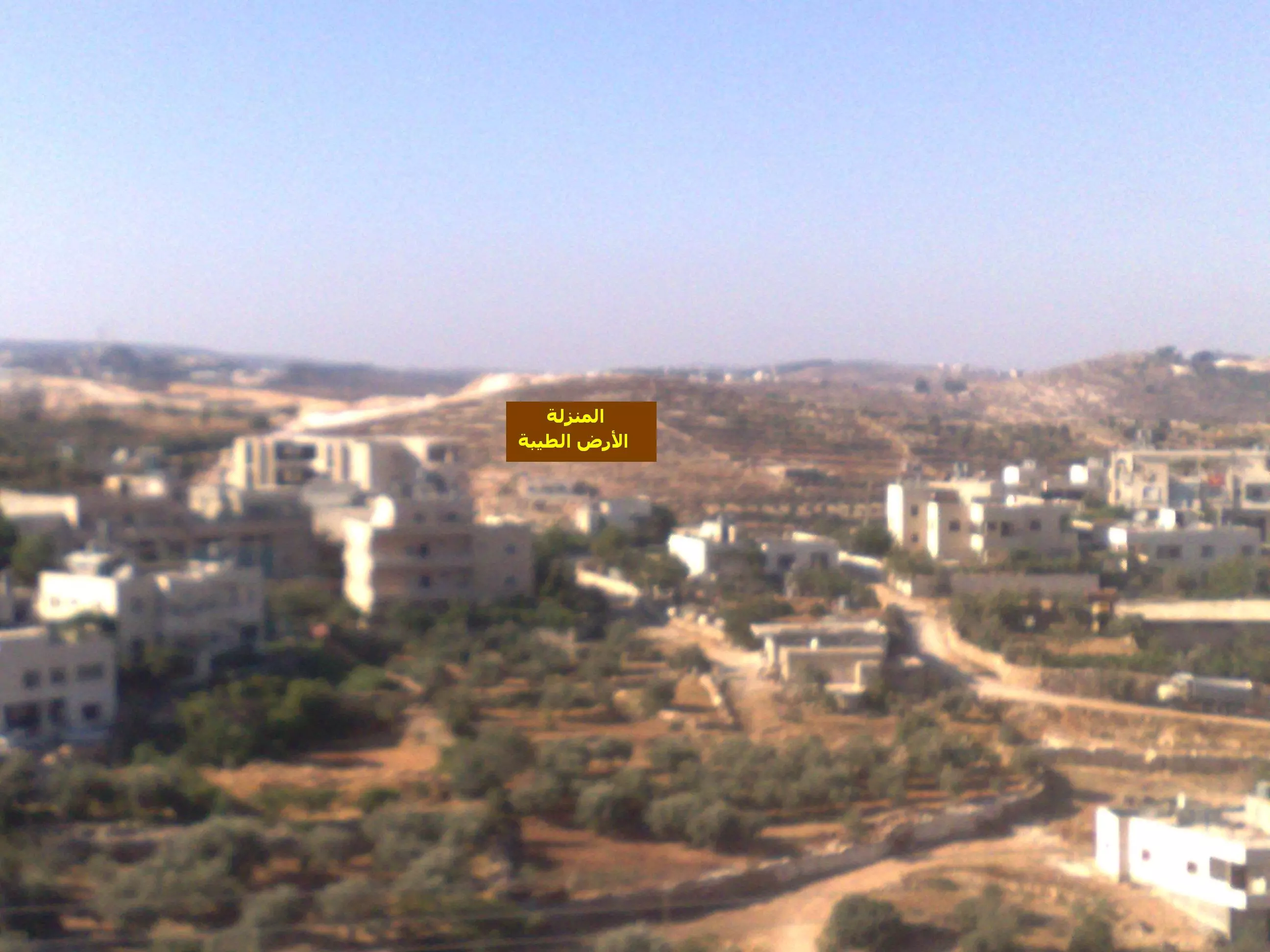
Posted by وائل عبد النبي - منطقة المنزلة
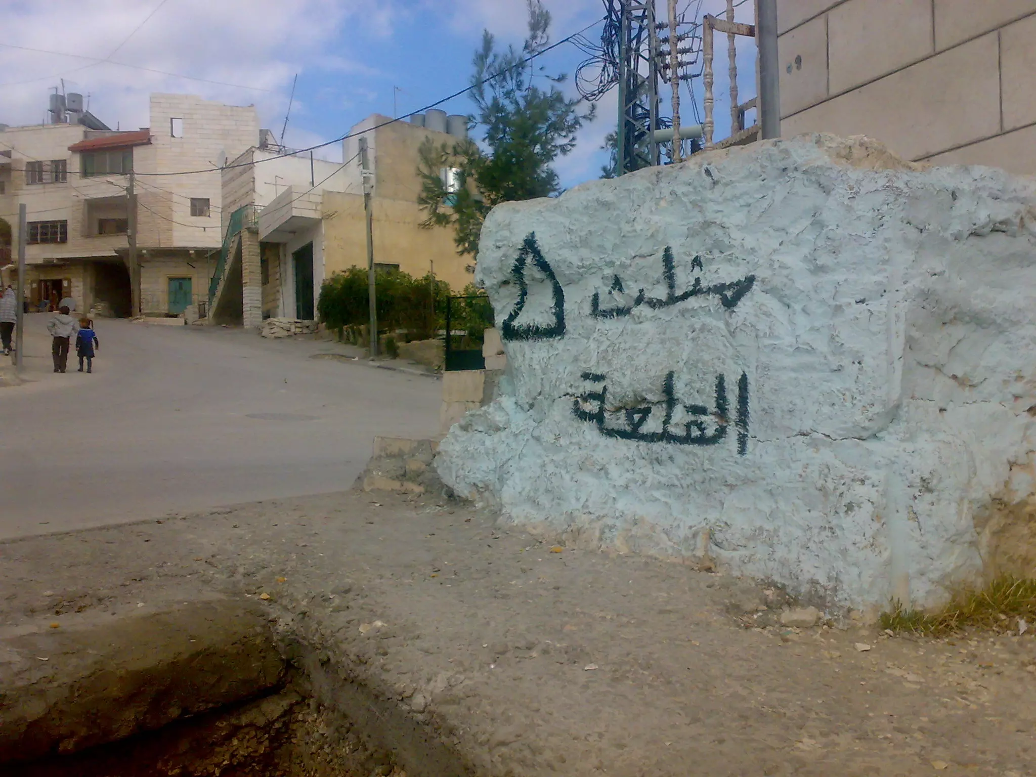
Posted by وائل عبد النبي 3 - Raed شارع مثلث القلعة - الشارع الرئيسئ .......................... شارع مثلث القلعة (( حارة أبو الوليد ))
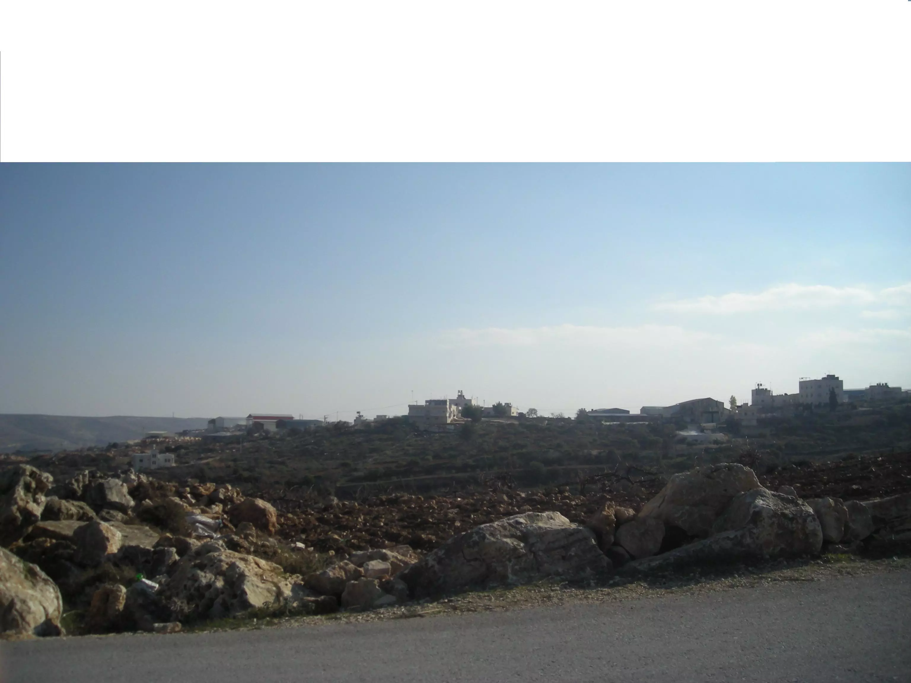
Posted by Raed Taqatqeh - منظر عام
Posted by تامر ابو العصافير - منظر عام في واد صوصة
Posted by تامر ابو العصافير - بيت فجار المسجد الكبير
Posted by تامر ابو العصافير - بيت فجار المسجد الكبير
Posted by تامر ابو العصافير - صورة من مآسي الجيش البريطاني الظالم في قريتي حلحول وبيت فجار والخليل --
المزيد عنها في قسم التعليقات
1 - مسجد خالد بن الوليد في منطقة السماقة في بيت فجار، وُجدت الصورة ضمن مجموعة مركز السنابل للدراسات والتراث الشعبي -- 1990 - 1999
- مسجد الرحمن، بيت فَجّار -- 1990 - 1999
- مسجد أبو عبيدة، بيت فجّار -- 1990 - 1999
- مسجد بيت فجّار العمري، بيت فجّار -- 1990 - 1999
Want to browse more? 80,000 pictures were grouped in these gallaries:
| Display Name | Clan/Hamolah | Country of Residence |
| Esraa Alkar | Thawabtah | Amman, Jordan |
| تامر ابو العصافير | طقاطقة | بيت فجار |
| مهاب | صفا | بيت لحم , بيت فجار |
| adeeb thawabta | - | بيت لحم, بيت فجار |
| علي الديري | الديري | - |
| مصعب جراد | الديري | بيت لحم |
| علاء أبو شقرة | - | - |
| Hisham Abu Shakra | الطقاطقة | Bayern, Germany |
| فايق ثوابتة | - | بيت لحم /بيت فجار, بيت فجار |
| yousef omar | takatka | london, UK |
| عريب ابو عمر | ابوعمر | الشارقه, دولة الامارات العربيه |
| ايمن ابو شقرة | الطقاطقة | عمان, الاردن |
| حمزة ثوابتة - ابو شبلي | - | الامارات العربية المتحدة - دبي |
| مثال الثوابتة | الثوابتة | عمان |
| samer | - | - |
| hikmat sayel althwabteh | byte fjar | jordan, jordan |
| IBN ALBALAD | ديرية | عمان, عمان |
| NASER RATIB ALDERI | - | amman, JORDAN |
| EMAD RATIB ALDERI | - | JORDAN, JORDAN |
| DR. ENG. MAHER ABO ALRAGEB | - | QUEBEC, CANADA |
| سوسو | - | بيت فجار, فلسطين |
| ناجي جرايسة | [vhdsm | - |
| عدنان طقاطقه | - | amman, amman |
| mohnad | - | بيت فجار, بيت فجار |
| Shaker Takatkah | Takatkah | north city, Qatar |
| سائد الكار | - | - |
| aws | - | بيت لحم |
| ashraf fajjari | - | alexandria, egypt |
| وليد طقاطقة | الطقاطقة | Flevoland, Holland |
| yousef Taqatqah | مسلم | - |
| moon face | الثوابتة | بيت لحم, بيت فجار |
| amjad | beit fajjar | KSA |
| عماد | ثوابته | فلسطين , فلسطين |
| MOHAMMAD TAQATQA | TAQATQA | بيت لحم |
| د نزار | الشيخ | - |
| ابو عبدالله | - | بيت فجار |
| عبدالله عقل | بيت فجار | عمان, الاردن |
| عبدالله | بيت فجار | بيت فجار, فلسطين |
| Omar | طقاطفه | Amman, Jordan |
| مرح | - | عمّان, الاردن |
| SAMEH TAQATQA | - | - |
| Mohammad Thawabteh | Thawabteh | - |
 Fake Valor: Why Did Zionist Jews Hoist Nazis Flag on Their Ships in the 1930s?
What is new?
-
Facts About Oct. 7th Gaza Raid
-
Remined Us Please:: Who Did Rape Who? Palestinians Raped Israelis? Or, was the other way around?
-
When Prof. Edward Said was invited to debate Bibi Netanyahu in the 1980s, watch what happened!
-
Ezra Klein of the NY Times on the "Jewish Race".
-
Abusing Blood Libel!
-
Did Israeli Soldiers Activate The Hanniba Direective On Oct. 7th? You Be The Judge
-
Zionist FAQ: Isn't it true that Palestinians don't want peace? Palestinians never accepted the two-state solution
- Facts about Haavara (Transfer) Agreement between Ben-Gurion & Hitler
-
Haavara FAQs: Why Did Zionist Jews Hoist Nazis' Flags on Their Ships in the 1930s?
- Haavara FAQs: When Chaim Weizmann met FDR in mid-1943, why was he silent about rescuing European Jewry?
-
Dear ChatGPT: How did Palestinians resist Napoleon's invasion of their country in 1799?
-
Dear ChatGPT: Gaza had a vibrant Jewish community in the mid-17th century. What happened to them?
-
Dear ChatGPT: Why did the Jewish Agency suppress news of the Holocaust during WWII?
-
Video Playlist: Jews share their DNA tests to end the conflict for good.
-
A Tale of Two Conflicts: Examining the Definition of Genocide
-
Prof. Abraham Polak And The Suppressed History of the Khazars and European Jewry
-
How Ronald Reagan would have framed the genocide in Gaza if he were still alive?
-
Haavara FAQs: Let us do the math: how many German Jews did The Haavara Agreement save?
-
Zionist FAQs: The Hebron Massacre of 1929, "clearly proves" that Palestinians are antisemitic, how could you deny it?
-
Zionist FAQs: Why Anti-Zionist Is Not Antisemitism?
-
Zionist FAQs: Isn't it true that the KGB created Palestinian Nationalism in the early 1960s?
- Zionist FAQs: Muslims are killing Muslims all the time; why are Israeli Jews being singled out in the media?
- Zionist FAQs: How is Israel an apartheid state when 20% of its citizens are Arabs who enjoy full rights?
-
Haavara FAQs: Why Did Dorothy Thompson Flip From A Zionist Advocate to A Silenced Dissenter?
-
Haavara FAQs: Analysis of Herzl's Uganda Scheme and how it could have saved millions of Jews.
-
Haavara FAQs: Why did Hayim Greenberg describe American Jewry as "morally bankrupt" in early 1943?
-
Haavara FAQs: What if the Evian Conference was a resounding success? What would have been the impact of saving European Jewry on Zionism?
- Haavara FAQs: What if the six million were saved, how that would have impacted the Zionist project?
-
Haavara FAQs: How did Zionist leaders react when Europe's Jews lingered in the DP camps after WWII ended?
-
Why does the American Jewish community repeat lies that David Ben-Gurion had debunked before he died?
-
Who has the power to rename the Tatar/Khazar Gene Marker to Jewish IV?
-
Zionist FAQs: Why won't Egypt, Syria, and Jordan take their people back? Jews are indigenous to Palestine, and Arabs immigrated after Jews developed the country. Arabs should leave.
-
Haavara FAQs: Did Hitler and the Nazis conflate between Judaism and Zionist? If that wasn't case, then why?
-
Haavara FAQs: Winston Churchill and antisemitism, a collection of articles written Churchill.
-
Haavara FAQs: Broken by country, how many Jews survived vs. killed during the Holocaust?
-
Haavara FAQs: Why did European Jews vote with their feet and to immigrated to the Americas, not Palestine, after WWII?
-
Watch this American Jewish Girl describing Israeli Jews' cognitive dissonance like no other in under two minutes
-
Haavara FAQs: When the Nazis went out of their way to hide the Holocaust, Israeli Jews did the exact opposite by broadcasting their genocide of Gazans. But why?
-
Haavara FAQs: How Zionist Jews went out of their to show their appreciation to Nazism and Fascism?
- Haavara FAQs: Why Zionist leaders were against bombing the death camps & the Railroads leading to them?
-
Haavara FAQs: Hitler's message to the British and American people: If Jews are such noble citizens and you care about them, how come you're not letting them in? I will gladly ship them to you at my expense, even on luxury liners!
-
A shortlist of Zionist and Israeli false flag operations in the name Jews.
-
The Most Moral Army
- The Land of Kapos (Israel): Where the brave are boycotted and Kapos walk free.
- Why did early Zionists often named their communal enterprises "colonial"?
- Zionist Relations with Nazi Germany by Faris Glubb
-
Two NY Times advertisements by Zionists in the early 1943 that exposes Zionists' treason at the height of the calamity
- Facts Not Lies about the Palestinian-Israeli Conflict.
- Site's pictures have been categorized
- Campgain Against Lice
- A Survey of Palestine, the official source about Palestine before Nakba produced by the British Mandate; over 1200 pages.
- Satellite View & Google Earth: Over 6,000 placemarks identifying all destroyed towns, W. Bank & Gaza Strip Towns, & refugee camps.
- PalestineRemembered.com and its Nakba Oral History Project were featured on al-Jazeera Satellite TV.
- Nakba Oral History Video Podcast:
 Over 700 Oral History interviews (including 3,500+ hours of recording) can be viewed online.
 - Palestine Village Statistics Project
- Gaza Jail Break
- النسخة العربية للموقع الان متوفرة
- Videos: Documenting the destroyed villages in video: Tracing all that remains since Nakba.
- Videos: Responding to Zionist Propaganda
- Interview: The ethnic cleansing of Palestine: George Galloway interviews Israeli Historian Ilan Pappe.
- For Palestinians, memory matters. It provides a blueprint for their future By George Bisharat.
- Zionist FAQ now available in Hebrew שאלות שציונים שואלים, עכשיו בעברית
- Video: The Stephen Walt and John Mearsheimer report on the influence of the Israel Lobby on U.S. Foreign Policy
- The Palestinian-Israeli conflict for beginners
