| PalestineRemembered | About Us | Oral History | العربية | |
| Pictures | Zionist FAQs | Haavara | Maps | |
| Search |
| Camps |
| Districts |
| Acre |
| Baysan |
| Beersheba |
| Bethlehem |
| Gaza |
| Haifa |
| Hebron |
| Jaffa |
| Jericho |
| Jerusalem |
| Jinin |
| Nablus |
| Nazareth |
| Ramallah |
| al-Ramla |
| Safad |
| Tiberias |
| Tulkarm |
| Donate |
| Contact |
| Profile |
| Videos |
Welcome To Taytaba - طيطبا (טיטבא)
|
District of Safad
Ethnically cleansed days ago |
العربية Google Earth |
 |
Gallery (63) |
- Statistics & Facts
-
Before & After

- Satellite View
- Articles 4
- Pictures 63
- Land Deeds 1
- Oral History 5
- Members 36
- All That Remains
- Wikipedia
- Videos 2
- Guest Book 54
- Links 2
| Statistic & Fact | Value | ||||||||||||||||
| Occupation Date | May 1, 1948 | ||||||||||||||||
| Distance From District | 5 (km) North of Safad | ||||||||||||||||
| Elevation | 800 (meters) | ||||||||||||||||
| Before & After Nakba, Click Map For Details |
|||||||||||||||||

|
|||||||||||||||||
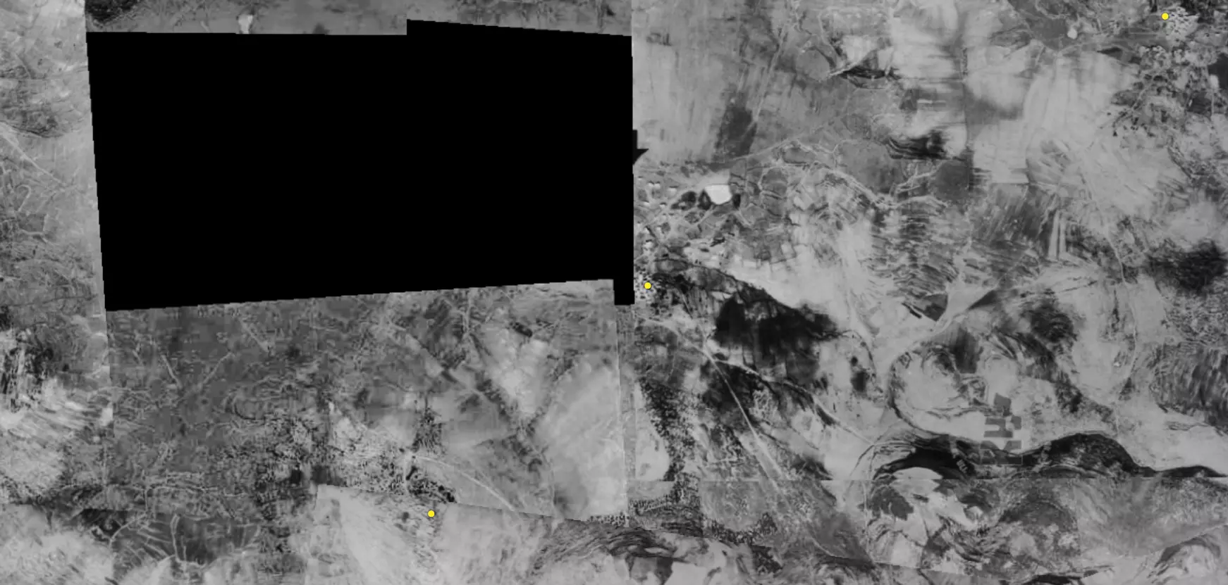
| Pre-Nakba Aerial View |
|||||||||||||||||
|
|||||||||||||||||
| Map Location | See location #51 on the map View from satellite |
||||||||||||||||
| Military Operation | Operation Hiram | ||||||||||||||||
| Exodus Cause | Military assault by Zionist troops | ||||||||||||||||
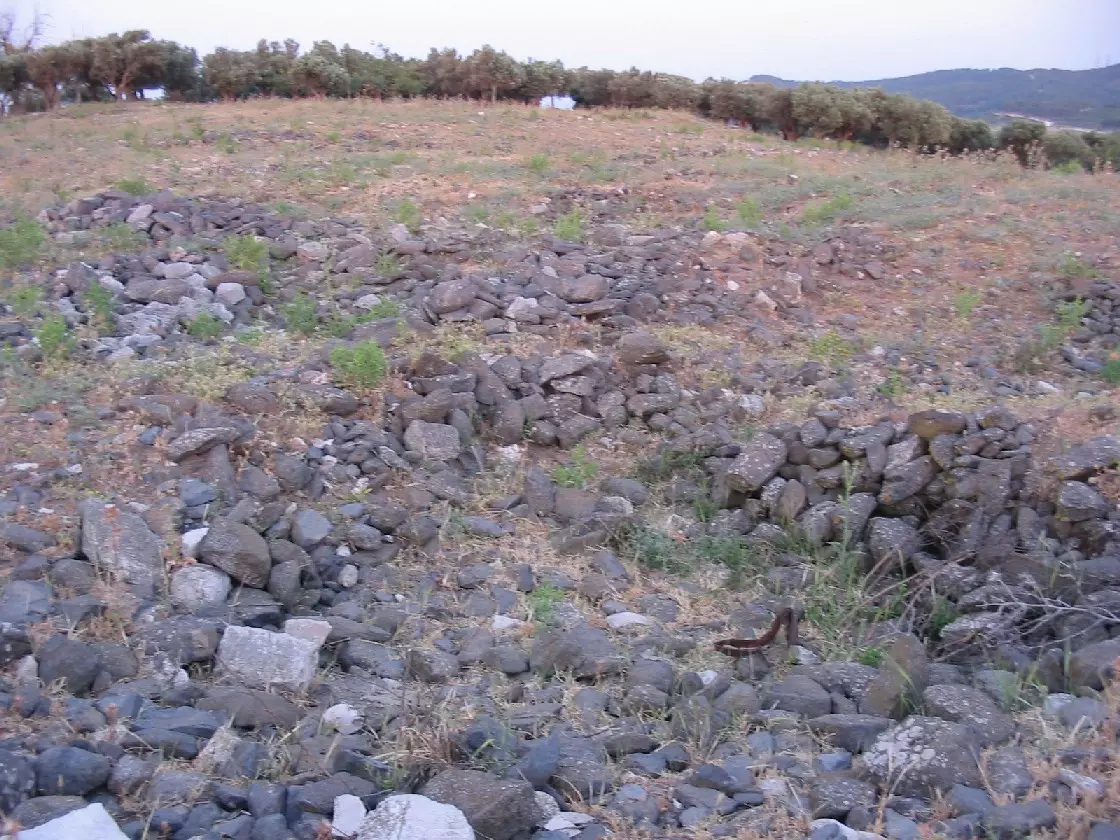
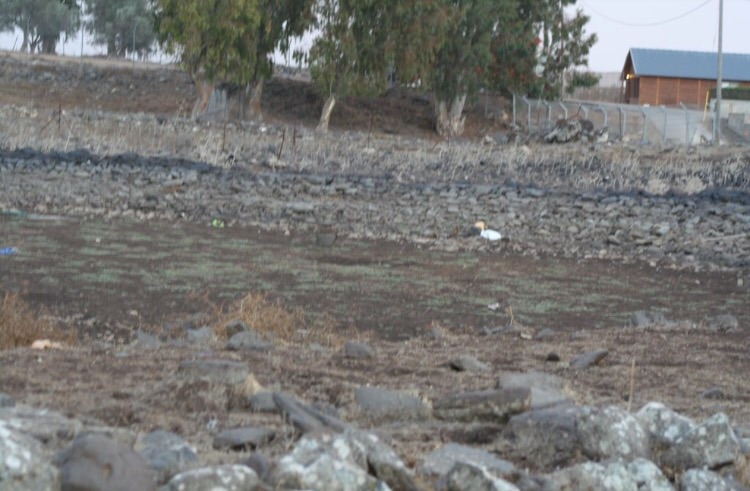
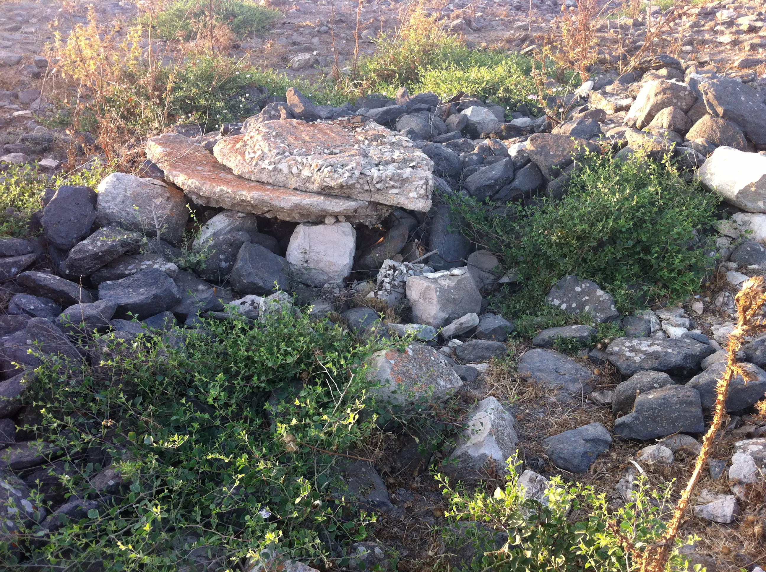
| Village Temains | The village has been completely destroyed, and only the rubble of destroyed houses left behind. | ||||||||||||||||
| Ethnically Cleansing | The village has been mostly ethnically cleansed at the end Operation Yiftach (25th of May 1948) | ||||||||||||||||
| Pre-Nakba Land Ownership |
**Town Lands' Demarcation Maps |
||||||||||||||||
| Land Usage As of 1945 |
|
||||||||||||||||
| Population |
|
||||||||||||||||
| Number of Houses |
|
||||||||||||||||
| Near By Towns |
|||||||||||||||||
|
|||||||||||||||||
| Schools | Taytaba had an elementary school for boys, which was built during the British Mandate period. | ||||||||||||||||
| Places of Warship | One mosque | ||||||||||||||||
| Nearby Wadies & Rivers | The village was overlooking Wadi Taytaba (a tributary of Wadi Waqqas). | ||||||||||||||||
| Archeological Sites | The village contained khirbat al-Tasarif, which had fragments of an ancient tomb. | ||||||||||||||||
| Exculsive Jewish Colonies Who Usurped Village Lands |
Dalton is nearby village lands | ||||||||||||||||
| Featured Video | |||||||||||||||||
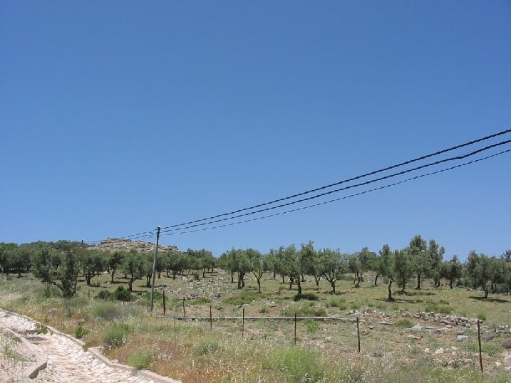
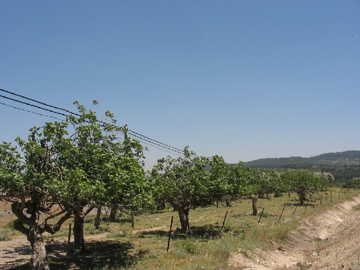
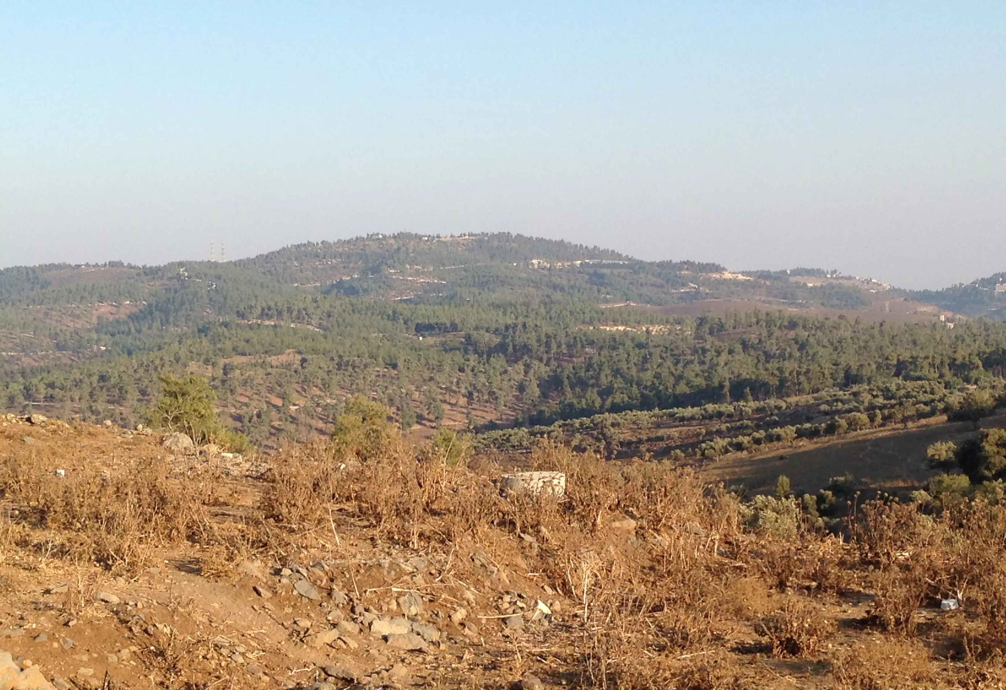
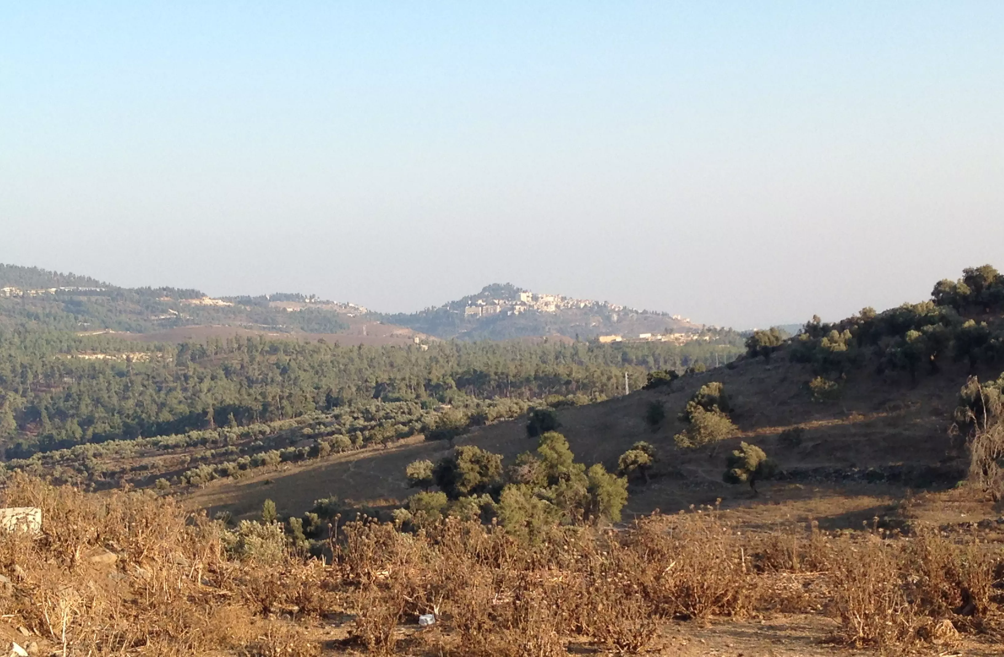
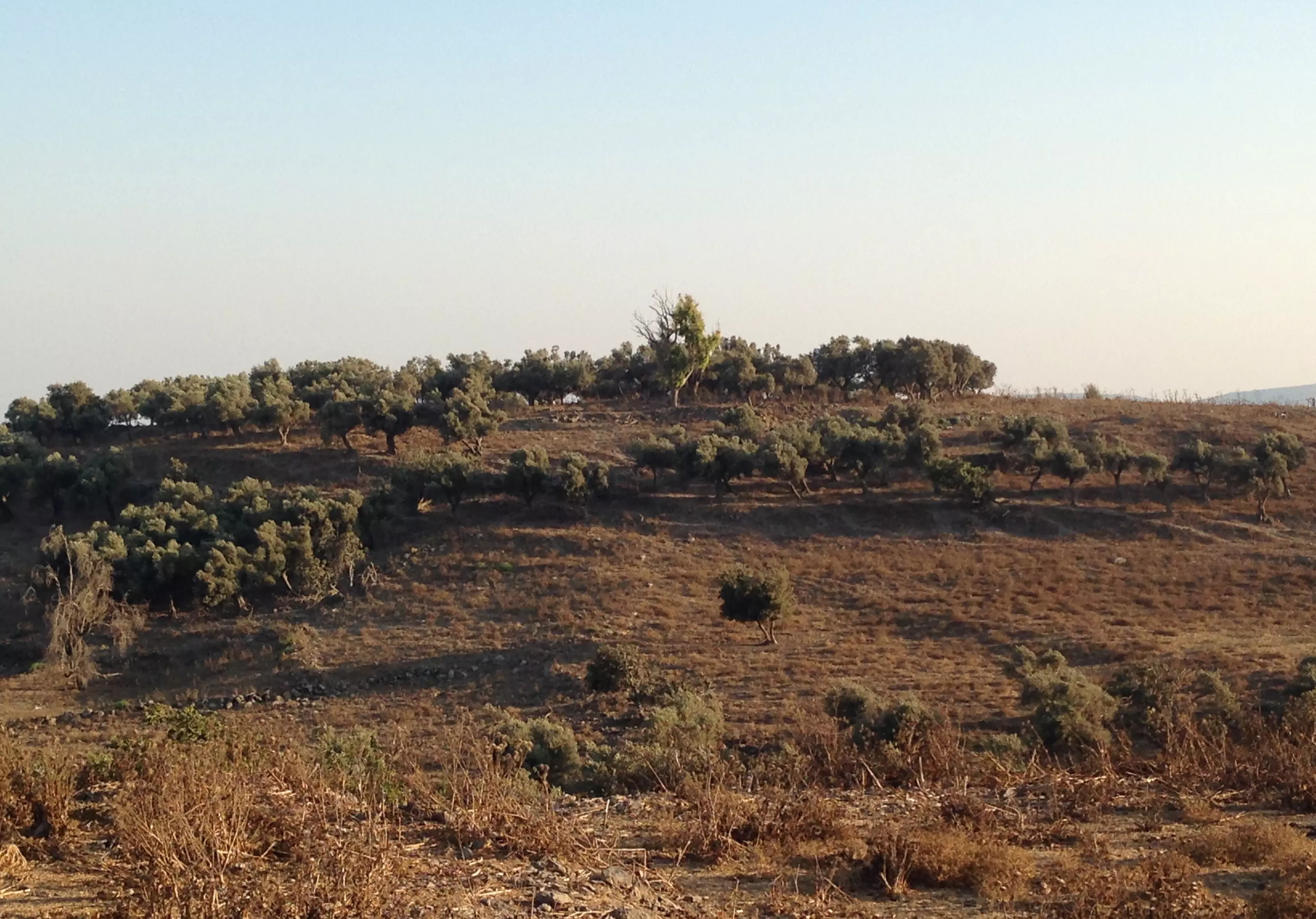
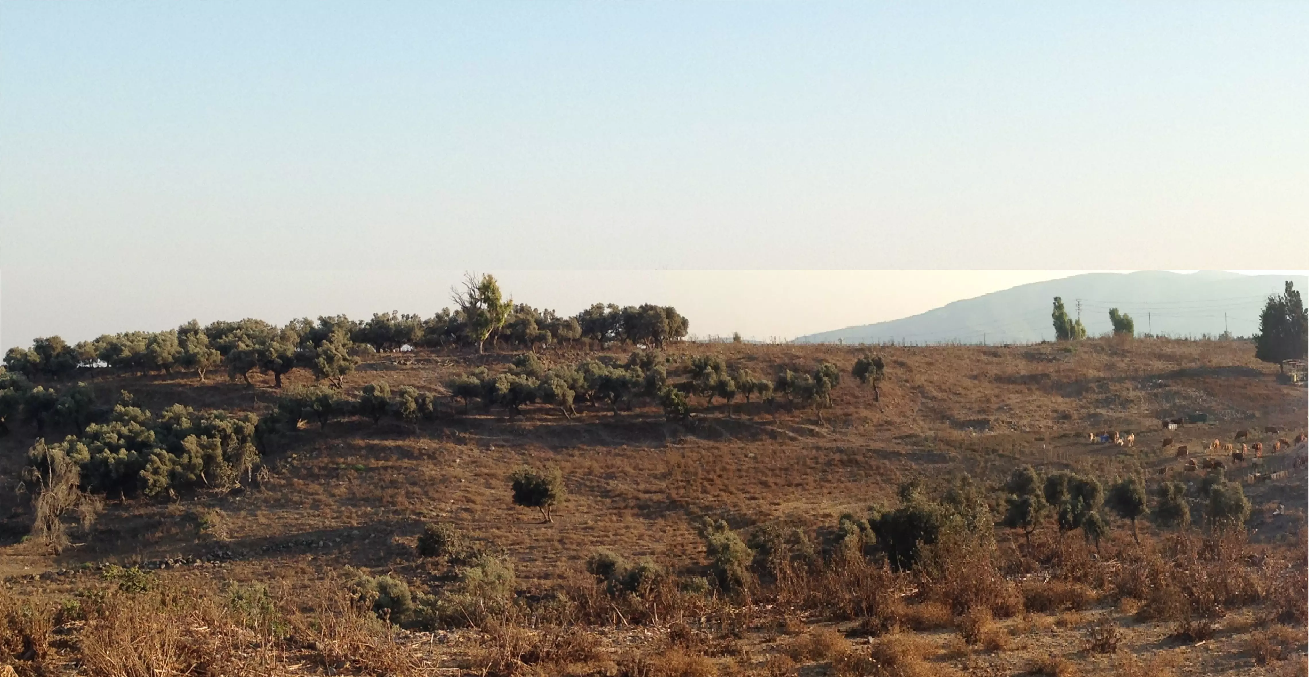
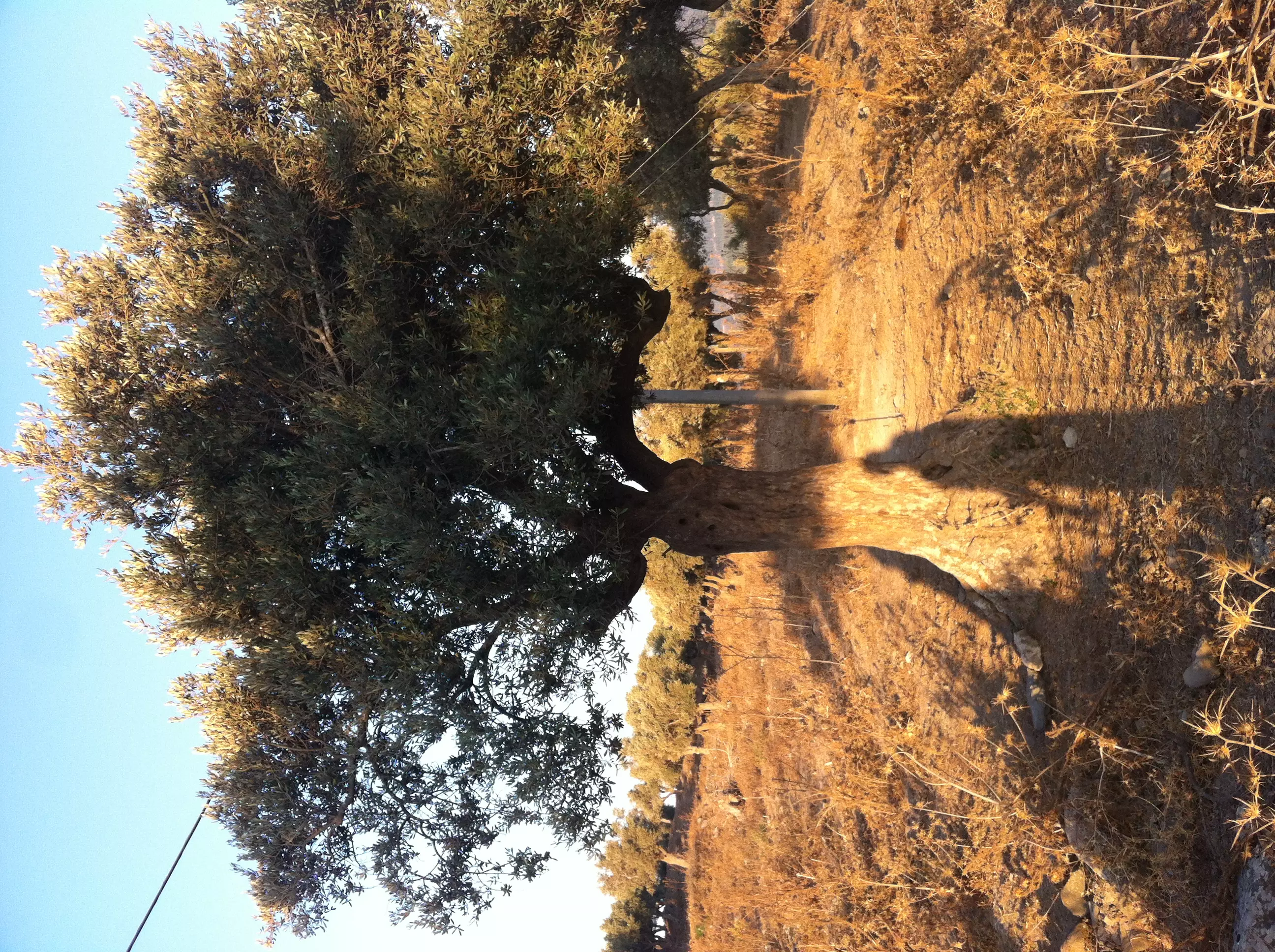
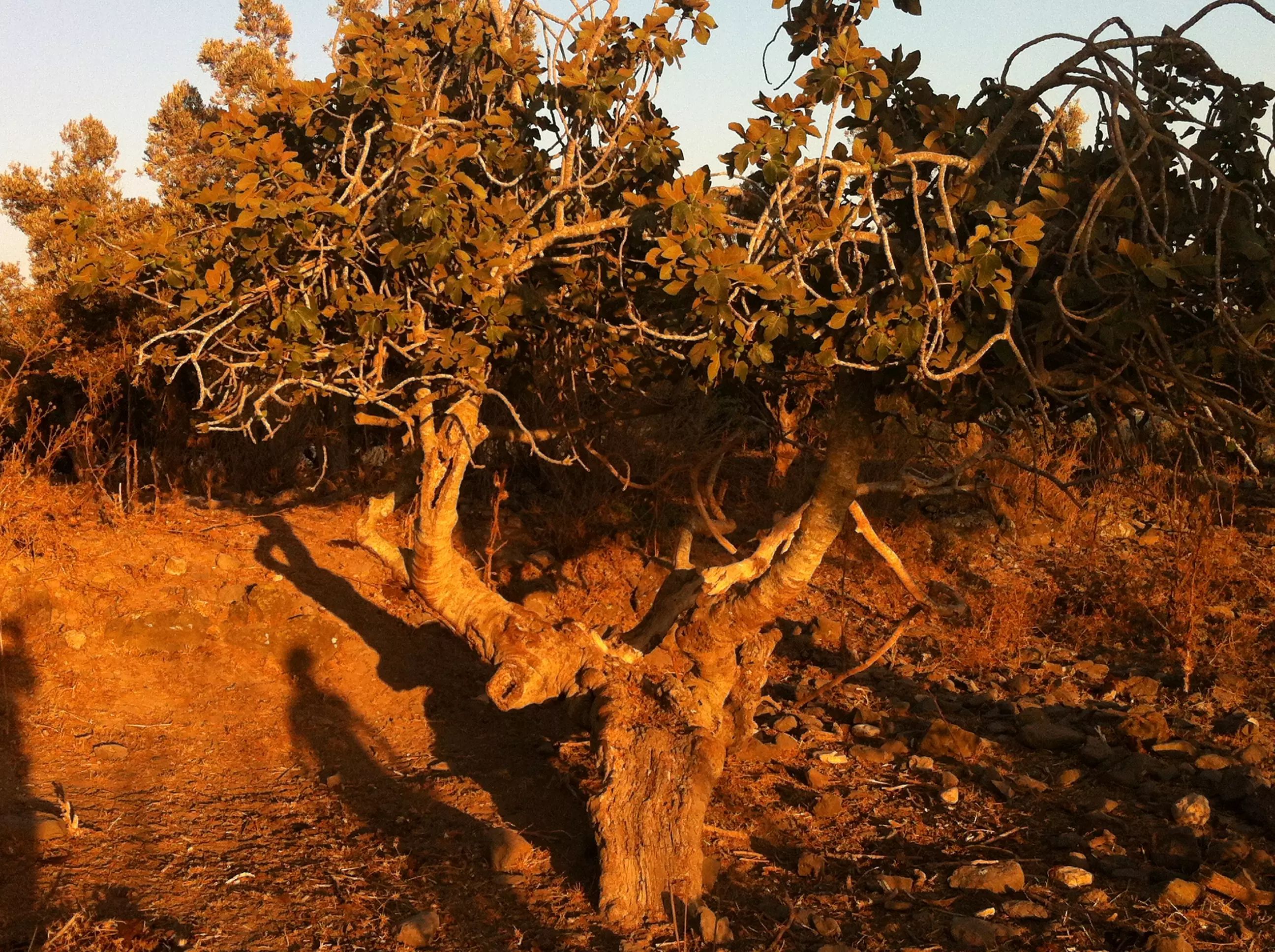
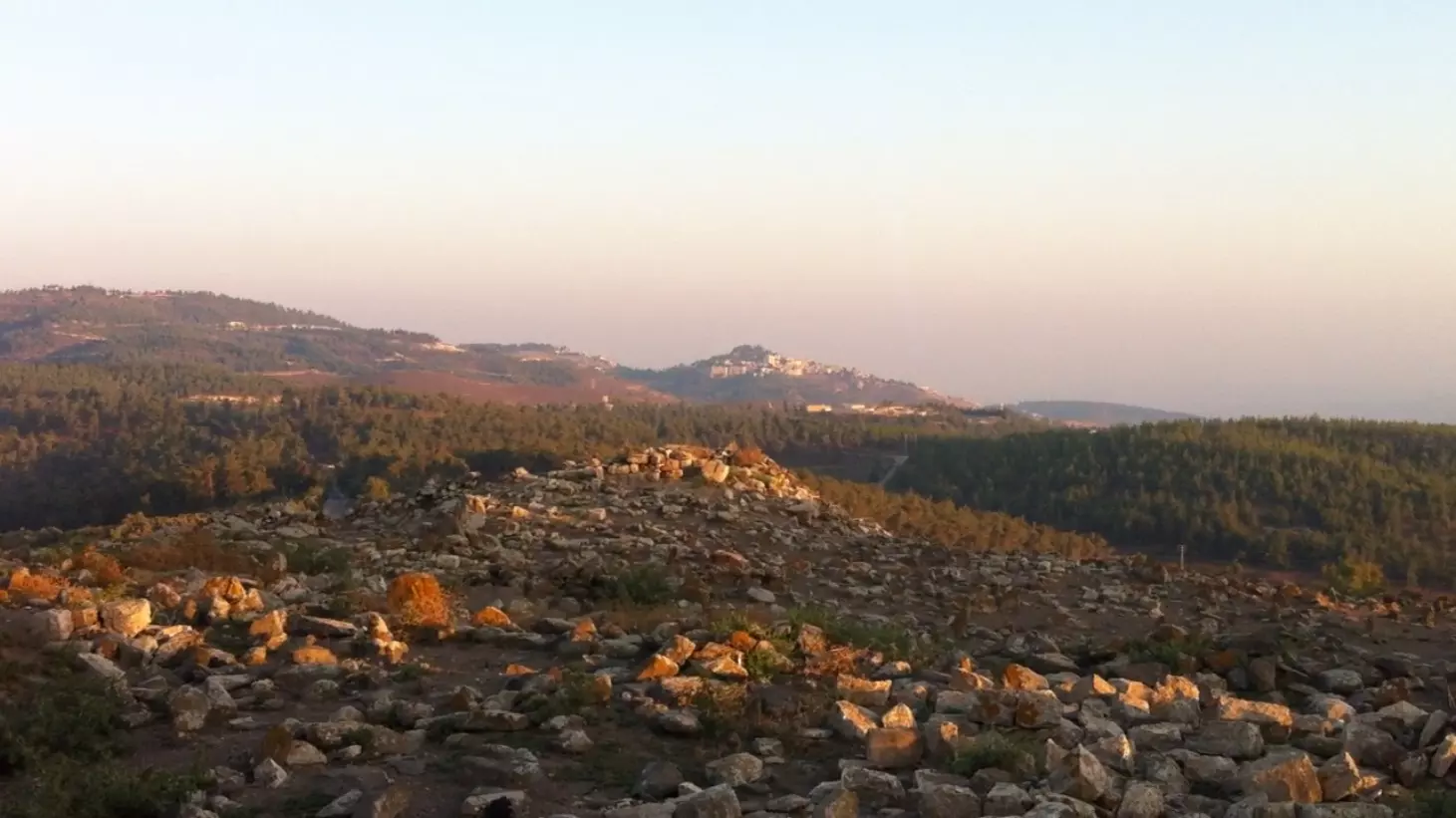
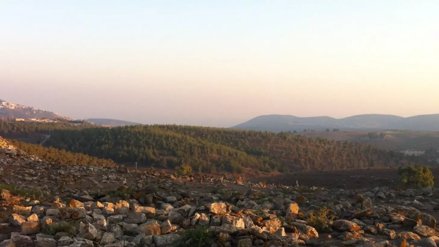
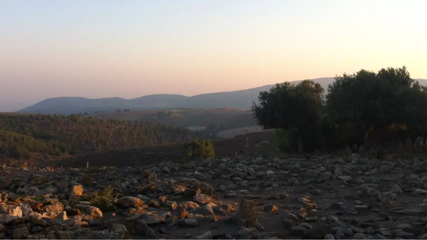
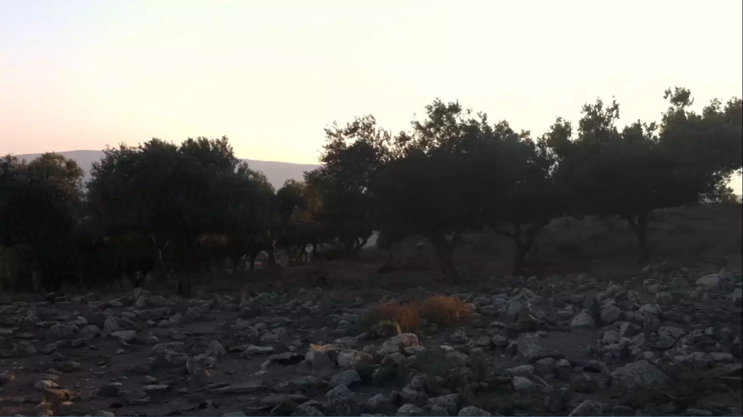
Village Before NakbaThe village was situated on rocky land at the crest of a volcanic hill, overlooking Wadi Taytaba (a tributary of Wadi Waqqas) to the southeast. It was linked by a network of secondary roads to surrounding villages as well as to a highway that led to Safad. In 1596, Taytaba was a village in the nahiya of Jira (liwa' of Safad) with a population of 434. It paid taxes on goats and beehives. [Hut. and Abd.:175) In the late nineteenth century, Taytaba was a village built of stone with a population of 200. Its residents cultivated gardens on the west side of the village.In modern times the village houses were made of adobe brick and stone, and the entire population was Muslim. Taytaba had its own mosque in the southern part of the village as well as an elementary school for boys, built during the Mandate. Agriculture was the chief source of livelihood. In 1944/45 a total of 5,175 dunums was allocated to cereals and 585 dunums were irrigated or used for orchards. East of the village was the mound of al-Tasarif which contained fragments of an ancient tomb. North of the village was a field of dolmens. Village Occupation and Ethnic CleaningThe earliest reported incidents at the village took place in February 1948. The New York Times reported that on 12 February, a British patrol had approached the village of Taytaba 'known to be harboring armed Arab volunteers.' The Arab forces attacked, British reinforcements were sent, and the British troops fought their way out. No casualties were reported. But two days later, on 15 February, a Haganah raiding party (which had committed a massacre at nearby Sa'sa') attacked Taytaba, according to a report filed by the Associated Press. No further details were given. [NYT:13/2/48, 16/2/48]It is difficult to determine when Taytaba was occupied. One possibility is that it was overrun in the later stages of Operation yiftach (see Abil al-Qamh, Safad sub-district), along with 'Ammuqa and Qaddita, in May 1948. On the other hand, it may have held out until Operation Hiram (see 'Arab al-Samniyya, Acre sub-district) in late October. The first possibility is more likely, since the History of the War of Independence indicates that the front lines at the beginning of Hiram ran northwards from the village of Mirun to Qadas, which implies that they were located just to the west of Taytaba. In that case, the villagers may have left or have been expelled some time between the fall of Safad, on 11 May, and the end of Operation Yiftach, on 25 May. Palestinian historian Nafez Nazzal states similarly that 'almost all' the villagers of Taytaba fled at the beginning of May, due to the bloody events at 'Ayn al-Zaytun (see 'Ayn al-Zaytun, Safad sub-district). Zionists Colonies on Village LandsThere are no Israeli settlements on village lands. The agricultural settlement of Dalton (196269), established in 1950, is close by, to the east.Village TodayThe village site contains the stone rubble of razed houses. A few olive trees still stand, growing among the thorny plants and grass. Part of the surrounding land is used by the settlement of Dalton for agriculture and pastures; other parts are wooded.SourceDr. Walid al-Khalidi, 1992: All That Remains. |
|||||||||||||||||
| Related Maps | Town Lands' Demarcation Maps خرائط للقضاء توضح حدود القرى والاودية Town's map on MapQuest View from satellite Help us map this town at WikiMapia |
||||||||||||||||
| Related Links | Wikipedia's Page Google Search Google For Images Google For Videos |
||||||||||||||||
| More Information | في كتاب كي لا ننسى في كتاب بلادنا فلسطين المزيد من موقع هوية |
||||||||||||||||
- نبذة تاريخية عن قرية طيطبا (قضاء صفد) من كتاب (كي لا ننسى)
- Taithaba 1880: From Description ge?ographique, historique et arche?ologique de la Palestine, 1880
- Teitaba 1881: From The survey of western Palestine memoirs of the topography, orography, hydrography, and archaeology, 1881
- طيطبا* - من "زهرة الجرندس أو بعض ما احتفظت به ذاكرة ُوعرة" - ابراهيم مالك
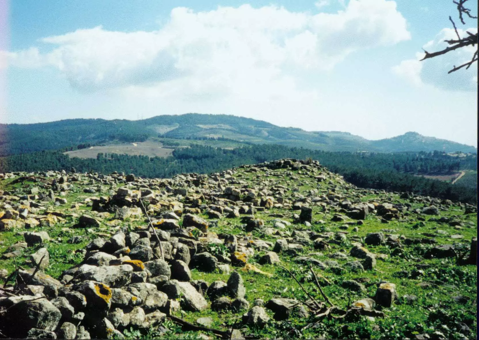
- General view of the village site & the surrounding hilltops, 1990s
Posted by 3amir Shana3a - Three generations of Rafai family, Hamida Rifai 85 years old, at 'Ayn al-Hilwa refugee camp. Copyright by Maher Attar
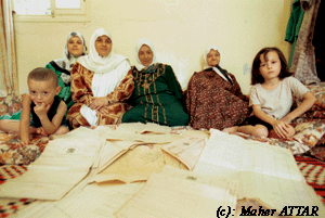
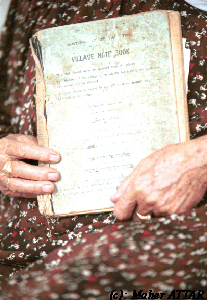
Posted by Maher Attar 1 - Hamida Rifai, 85, community book which collected all sorts of social event before occupation. Copyright by Maher Attar
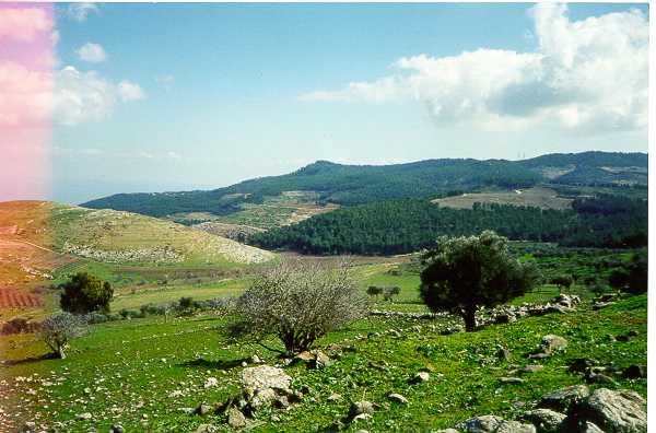
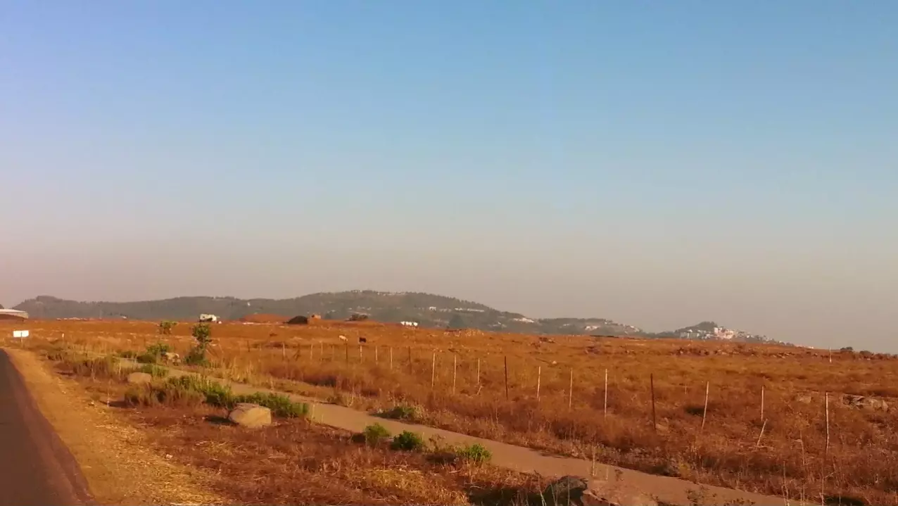
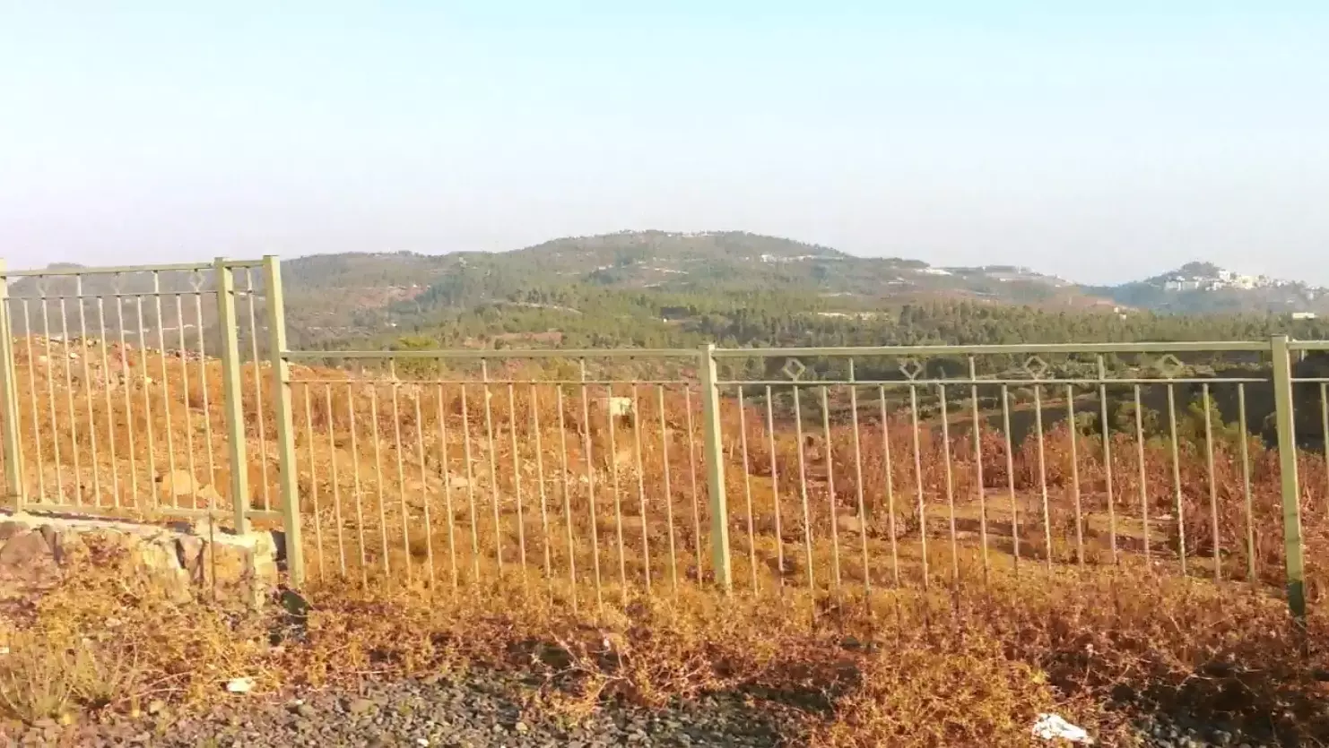
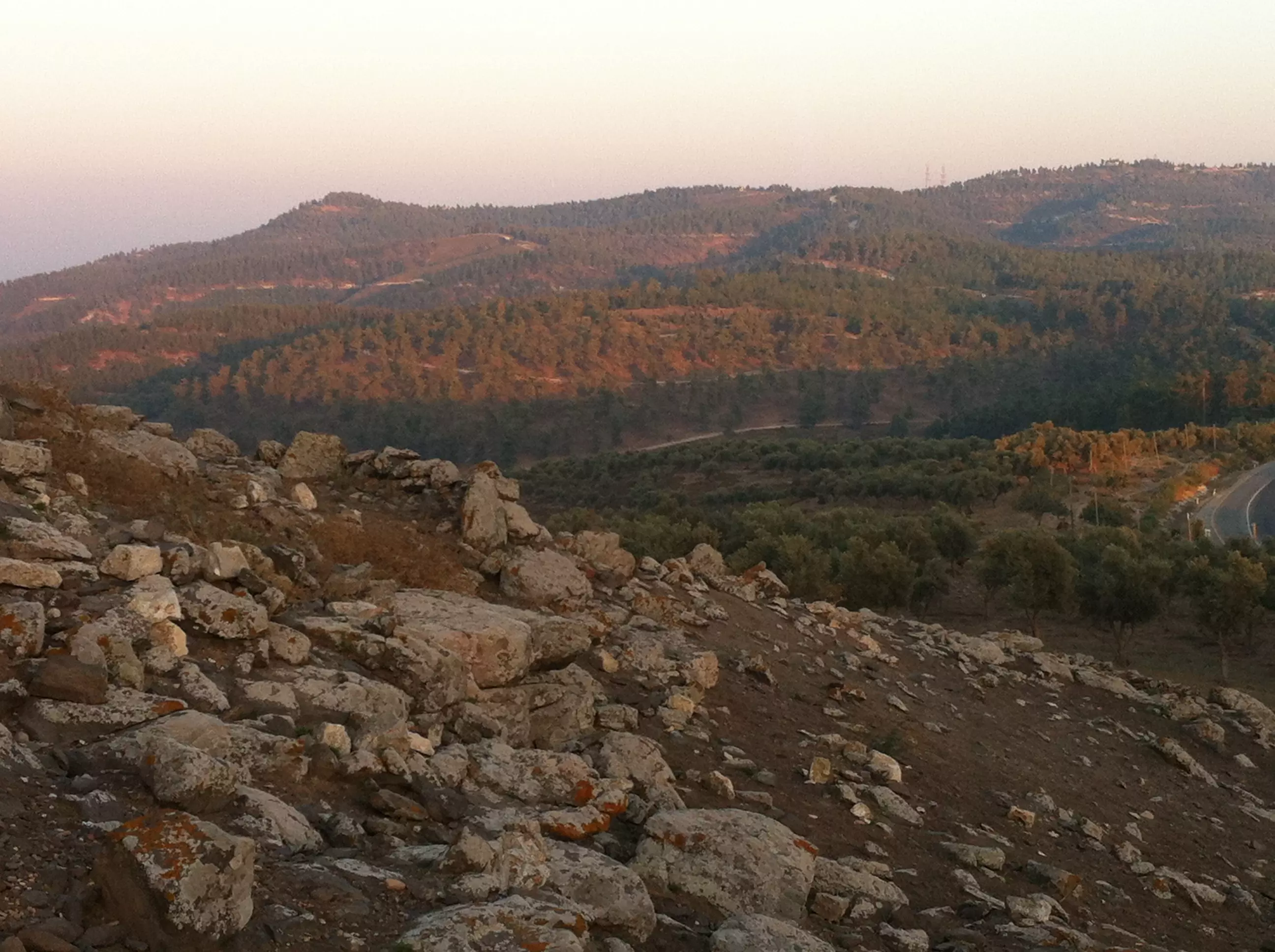
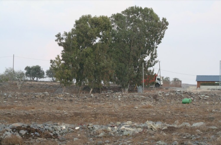
Posted by Maher Attar 1 - Hill Overlooking Taytaba Area
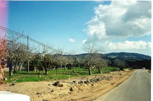
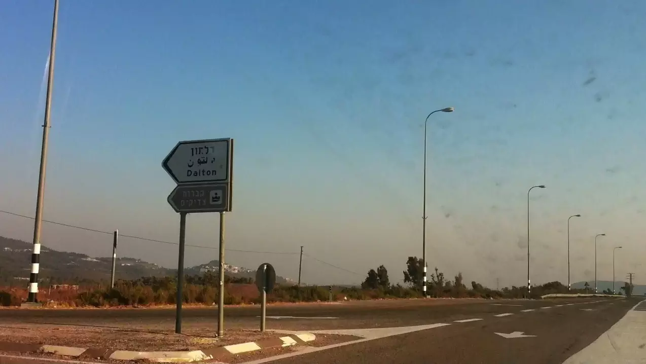
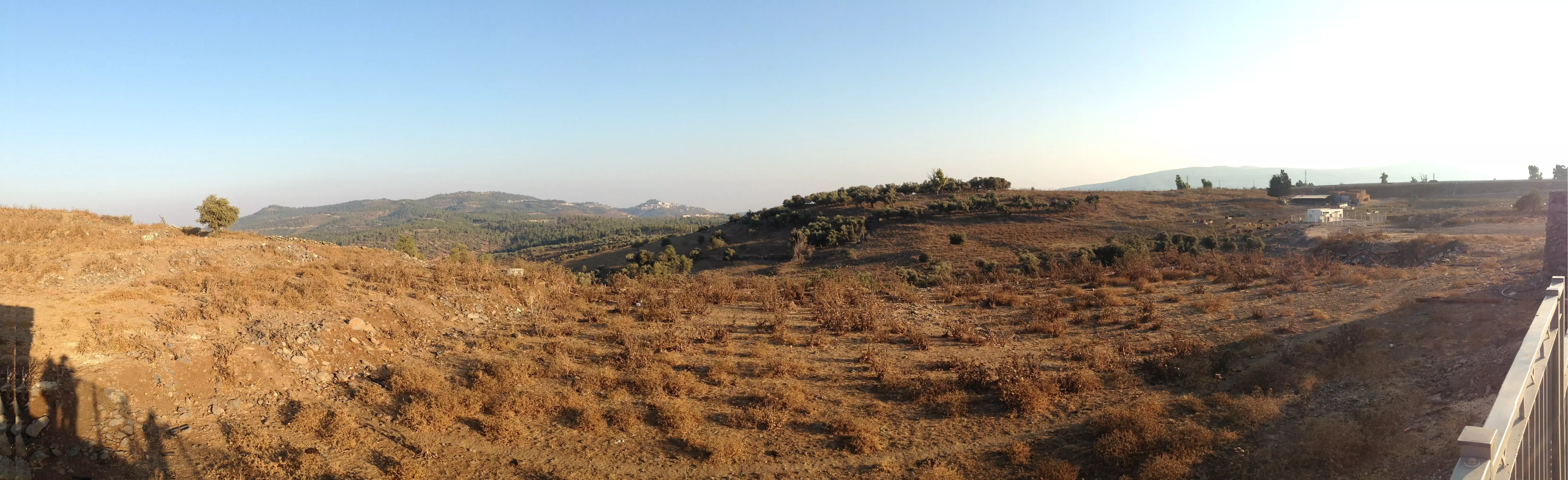
Posted by 3amir Shana3a - Side Of Road Leading To Taytaba
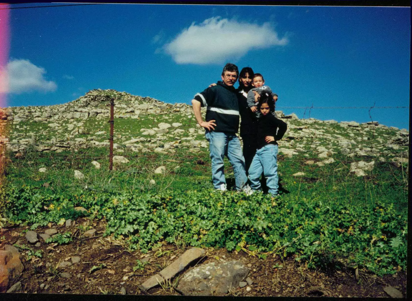
Posted by 3amir Shana3a - Adham & Soha Shanaa with Jenin and Sami in Taytaba
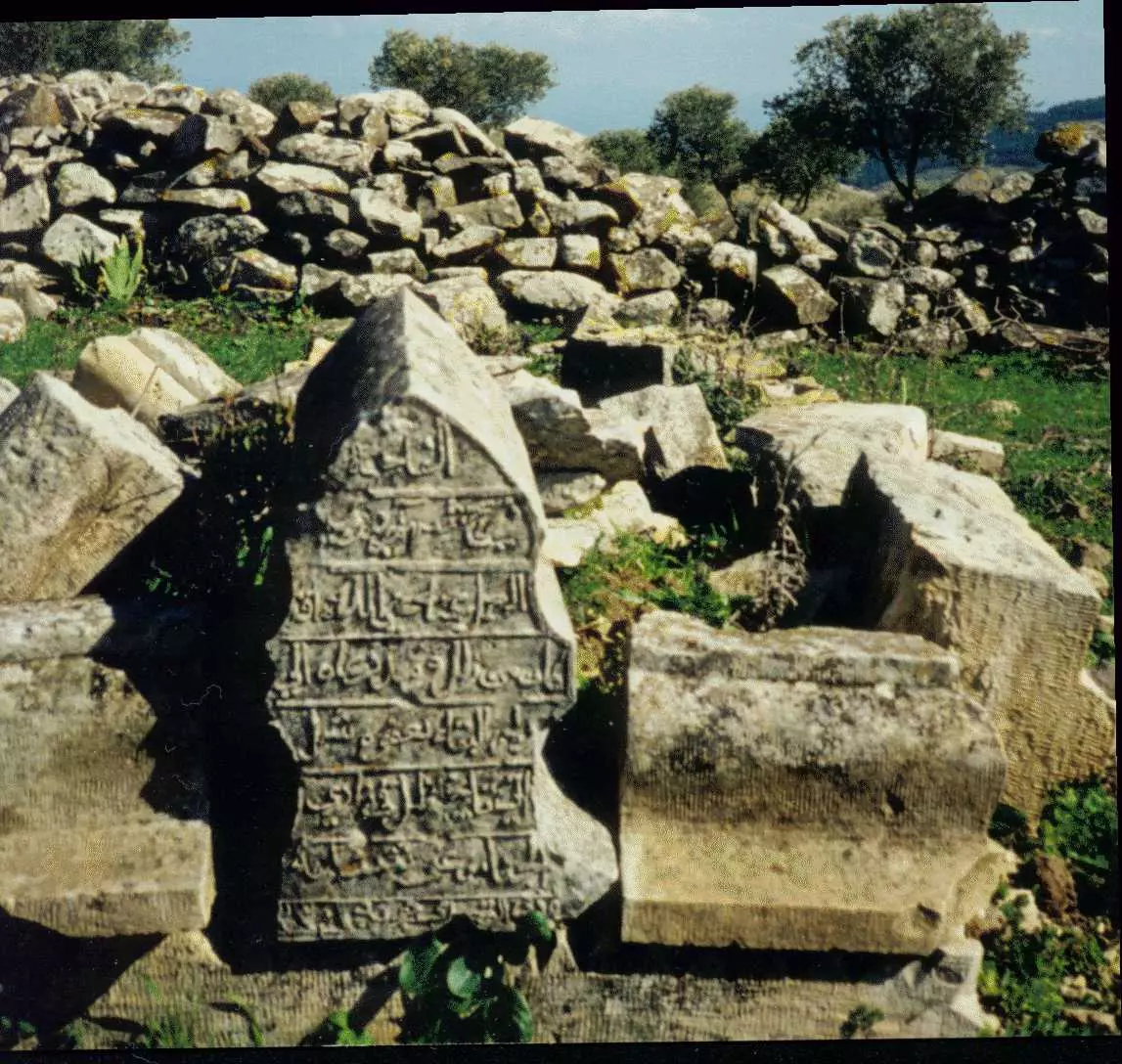
Posted by 3amir Shana3a 2 - Tombstone Of the Great Grandfather Ali Shanaa At Village Grave Yard.
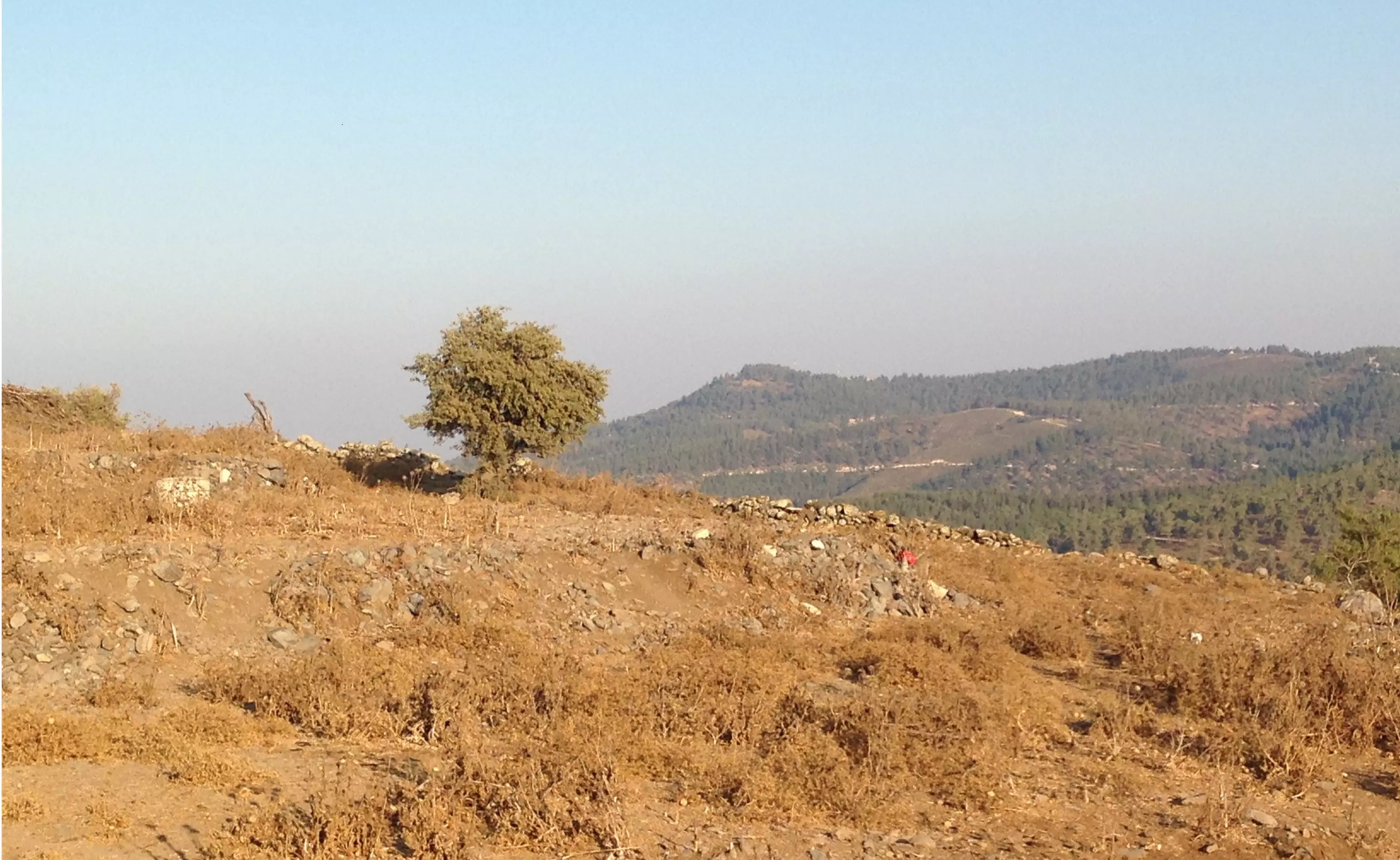
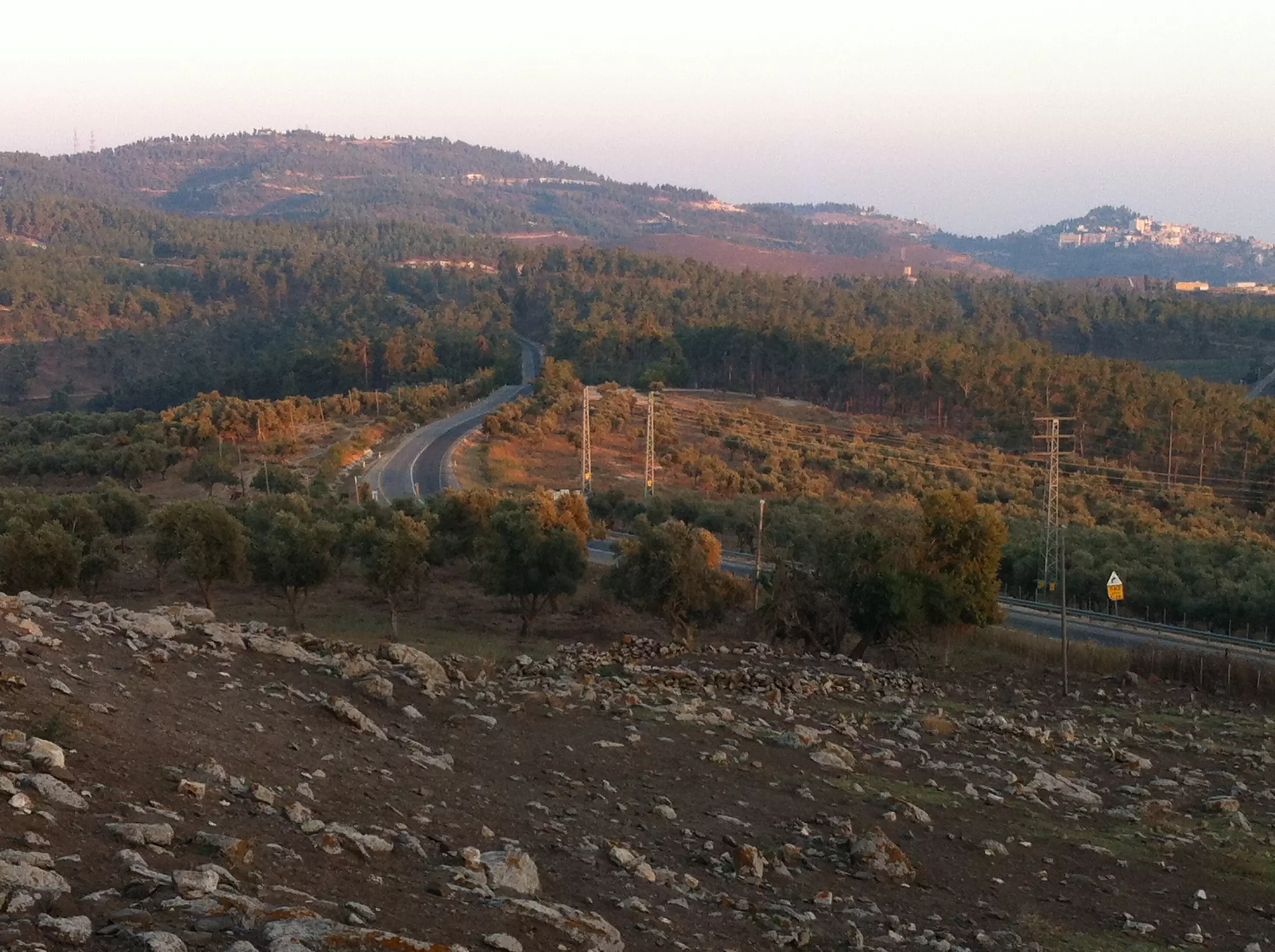
Posted by 3amir Shana3a 1 - High Road Leading To Taytaba.
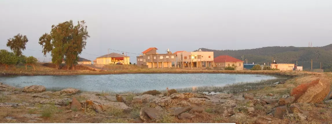
Posted by 3amir Shana3a - بركة طيطبا الى الشمال من موقع القرية, على الطريق المؤدي الى دلاثة - 24/5/2003
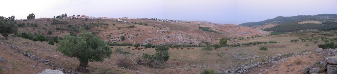
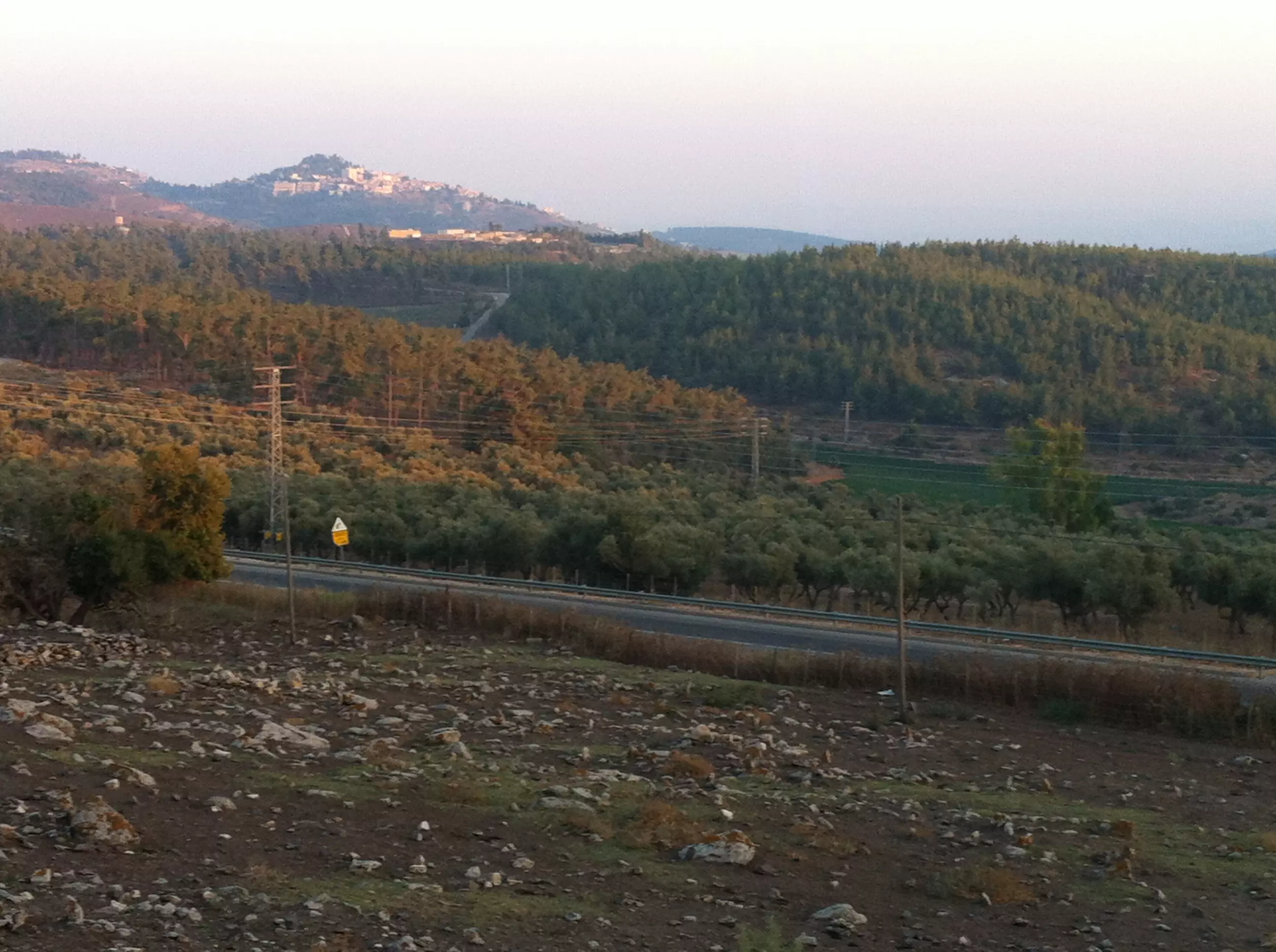
Posted by Makbula Nassar 1 - منظر عام لاراضي القرية من الجهة الشمالية , في الخلفية تظهر مستوطنة دالتون المقامة على اراضي قرية دلاثة المجاورة - 24/5/2003
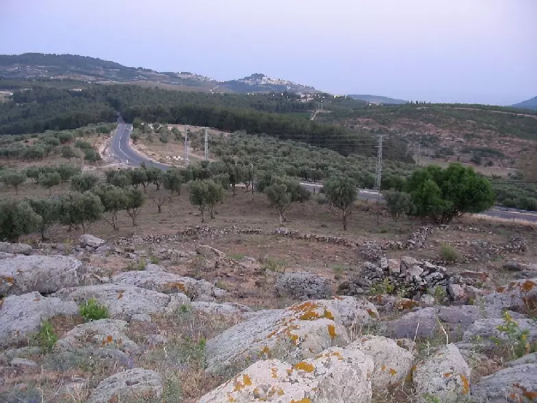
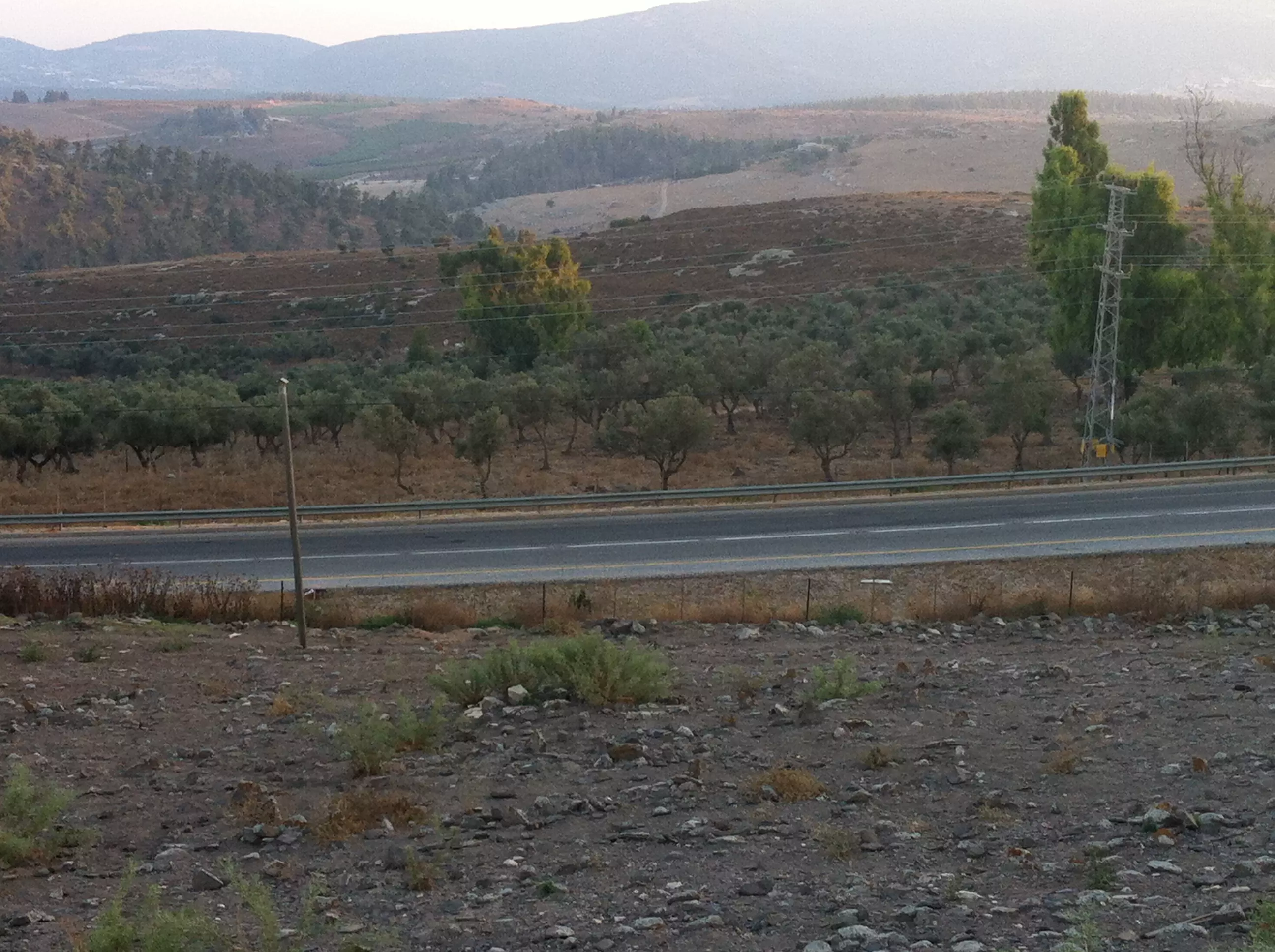
Posted by Makbula Nassar - الطريق العام المؤدي الى صفد من الناحية الجنوبية - 24/5/2003
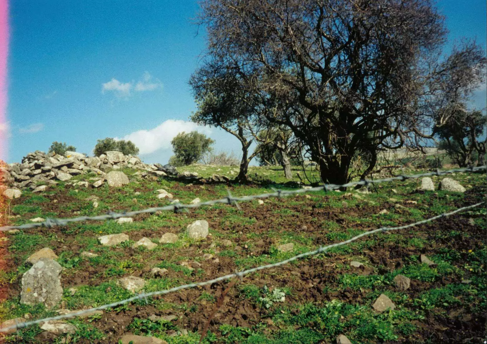
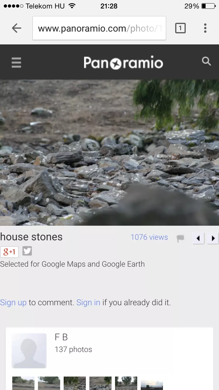
Posted by Makbula Nassar - احجار من بيوت القرية في الجهة الشمالية - 24/5/2003
Posted by Makbula Nassar - منظر لموقع القرية من الجهة الجنوبية يظهر مرتفع حجري هو ما تبقى من احد المقامات - 24/5/2003
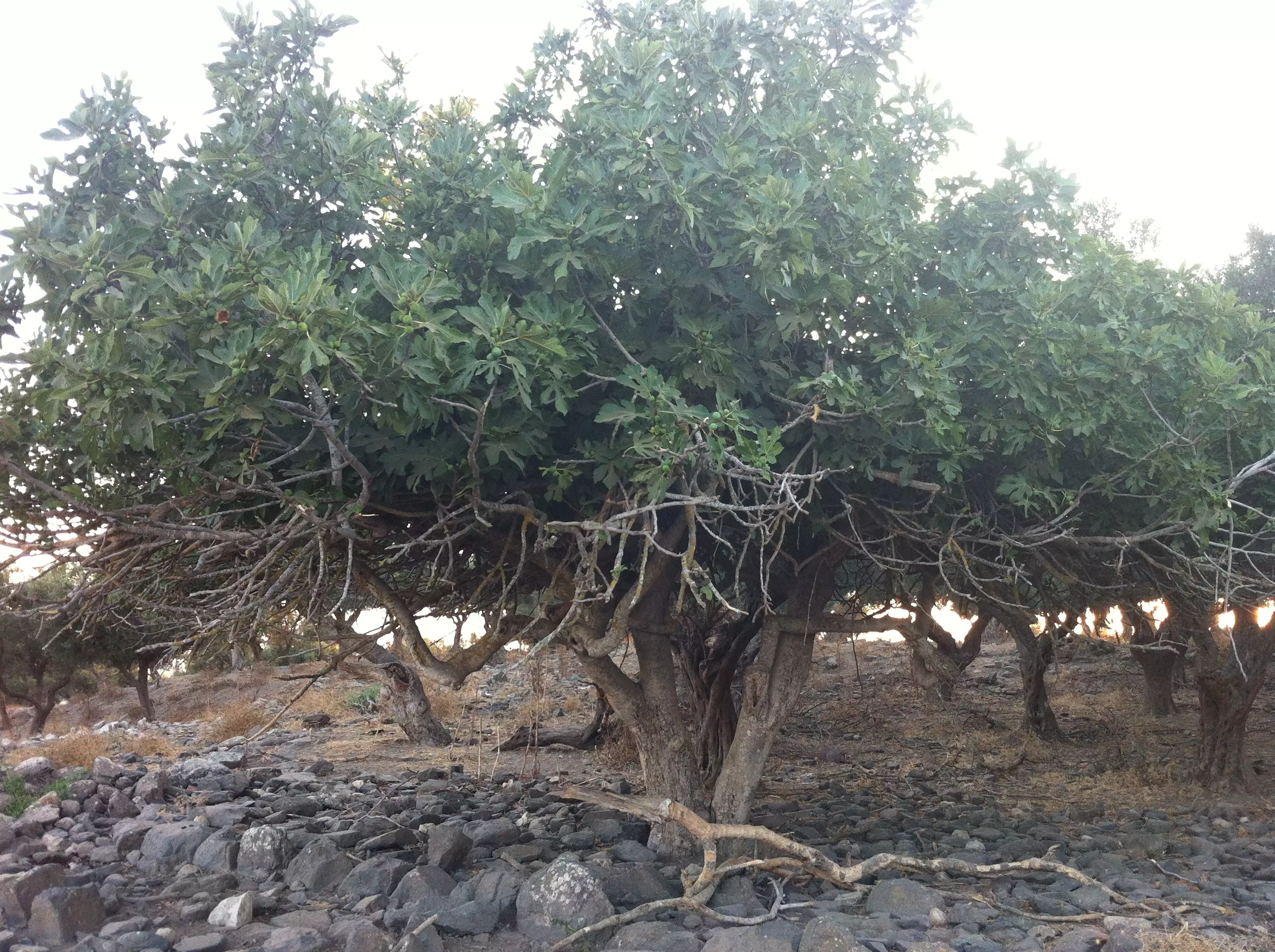
Posted by Makbula Nassar - اشجار التين باقية في طيطبا - 24/5/2003
Posted by Makbula Nassar - الحاجة ام حسين زيدان -
Posted by Ahmad Zeidan - اثار بيوت طيطبه
Posted by abu raya - اثار بيوت طيطبه
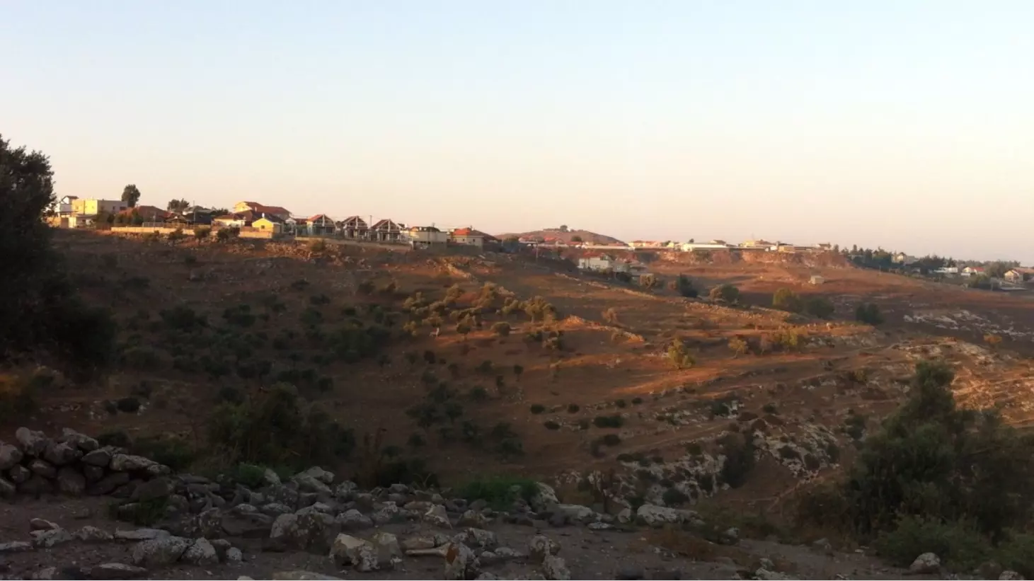
Posted by abu raya - Taytaba 2015 - 1 - Going East () by car from Jish to Taytaba - Jish Lake & Jabal al-Jarmaq on Right in West (Picture Location 33°01'12.8"N 35°27'59.1"E) - طيطبا 2015 - 1 - من الجش بإتجاه الشرق ==> إلى طيطبا - بركة الجش و جبل الجرمق على اليمين في الغرب.
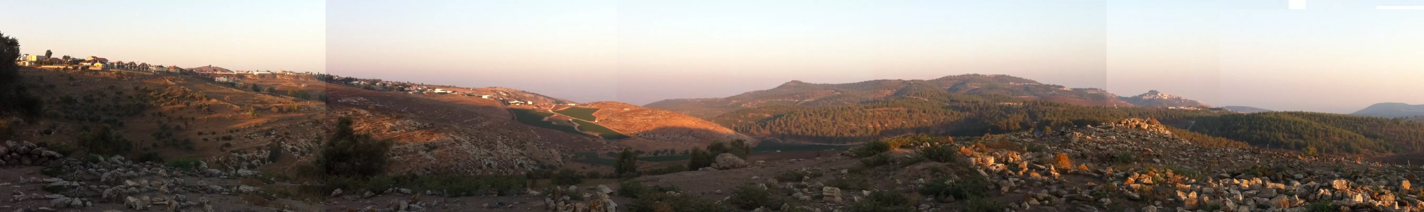
Posted by 3amir Shana3a - Taytaba 2015 - 2 - Going East by car from Jish to Taytaba – Safad in South East (Picture Location 33°01'08.15"N 35°28'08.12"E) - طيطبا 2015 - 2 - من الجش بإتجاه الشرق ==> إلى طيطبا – صفد في الجنوب الشرقي
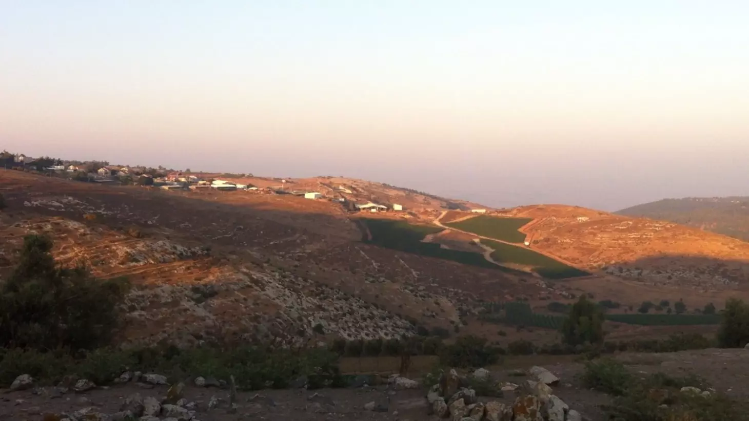
Posted by 3amir Shana3a - Taytaba 2015 - 3 - Going East (<==) by car from Jish to Taytaba - Safad & Ein Zeitim Settlement in South East (Picture Location 33°01'07.51"N 35°28'10.06"E) - طيطبا 2015 - 3 - من الجش بإتجاه الشرق ==> إلى طيطبا - صفد و مستوطنة عين زيتم في الجنوب الشرقي
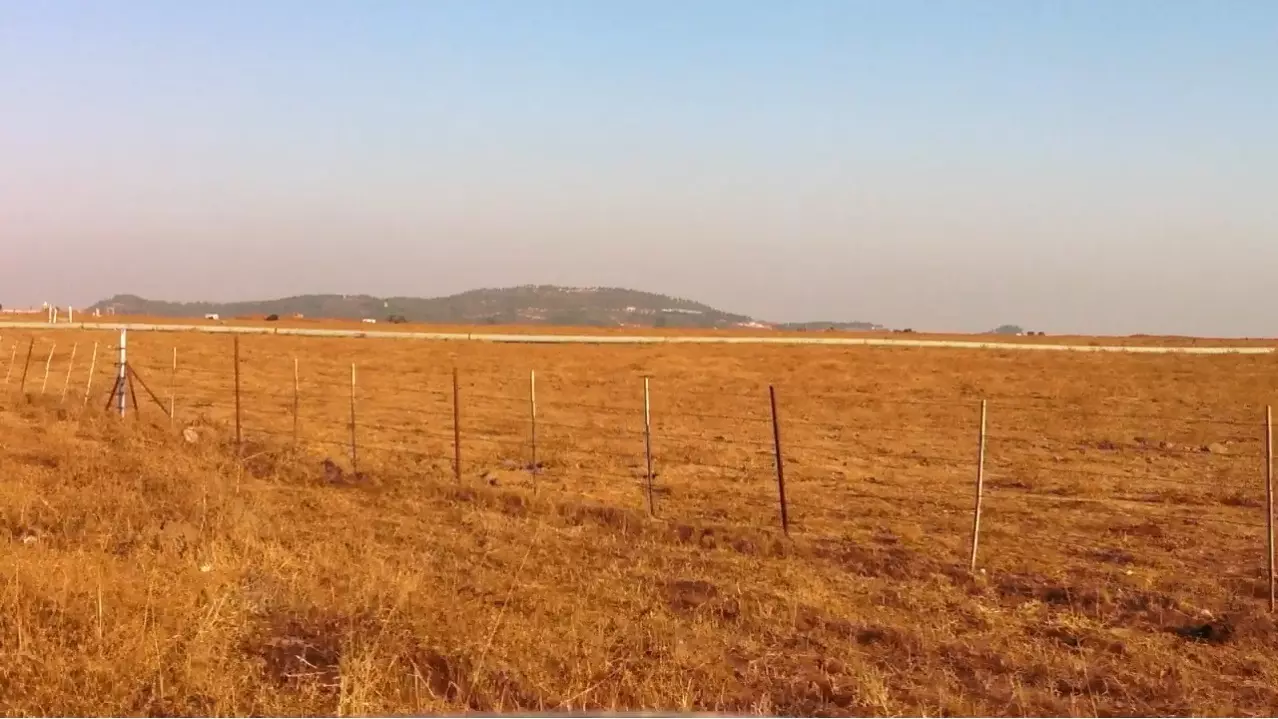
Posted by 3amir Shana3a - Taytaba 2015 - 4 - Road 886 that goes through the village to Safad and Ein Zeitim Settlement in South East (Picture Location 33°01'03.9"N 35°28'34.9"E) - طيطبا 2015 – 4 - الطريق العام 886 المؤدي إلى صفد و مستوطنة عين زيتم في الجنوب الشرقي
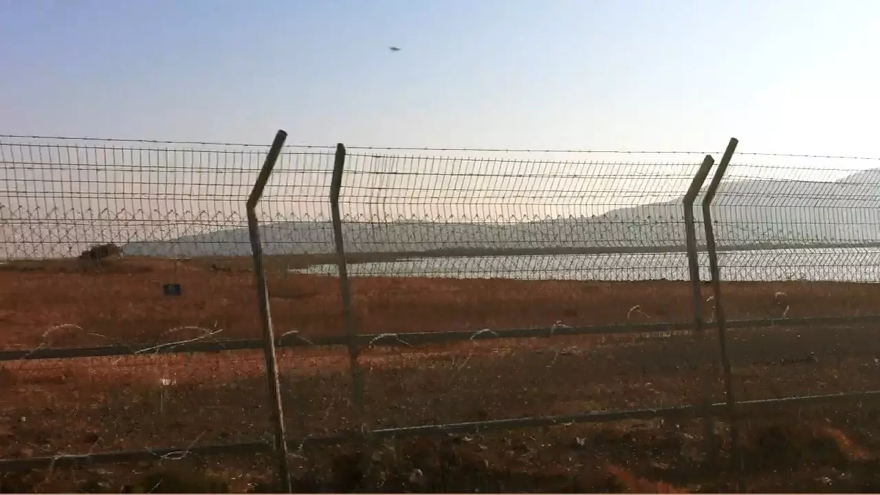
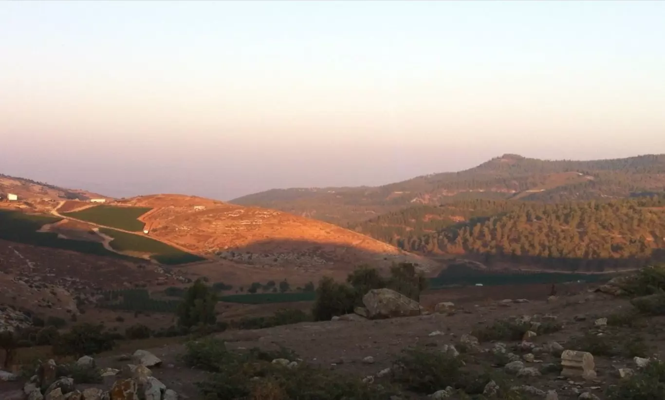
Posted by 3amir Shana3a - Taytaba 2015 – 5 - East Taytaba towards South from Dalton Settlement in North East - location of destroyed village is on right - Ein Zeitim Settlement in South East & Jabal al-Jarmaq in West (Picture Location 33°00'57.80"N 35°28'41.25"E) - طيطبا 2015 - 5 - الشرقية بإتجاه الجنوب من مستوطنة دالتون في الشمال الشرقي - موقع القرية المدمرة إلى اليمين - مستوطنة عين زيتم في الجنوب الشرقي و جبل الجرمق في الغرب.
Posted by 3amir Shana3a - Taytaba 2015 - 6 - East Tatyaba from North towards South with Ein Zeitim Settlement in South East (Picture Location 33°00'53.9"N 35°28'44.4"E) - طيطبا 2015 - 6 - الشرقية من مستوطنة دالتون في الشمال الشرقي بإتجاه صفد ومستوطنة عين زيتم في الجنوب الشرقي
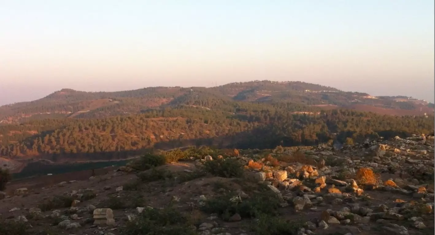
Posted by 3amir Shana3a - Taytaba 2015 - 7 - East Taytaba from Dalton Settlement in North East towards Safad and Ein Zeitim Settlement in the South East (Picture Location 33°00'53.9"N 35°28'44.4"E) - طيطبا 2015 - 7 - الشرقية من مستوطنة دالتون في الشمال الشرقي بإتجاه صفد ومستوطنة عين زيتم في الجنوب الشرقي
Posted by 3amir Shana3a - Taytaba 2015 - 8 - East Taytaba from North towards South - Safad & Ein Zeitim Settlement in South East - Jabal al-Jarmaq in West - location of destroyed village is on right (Picture Location 33°00'53.9"N 35°28'44.4"E) - طيطبا 2015 - 8 - الشرقية من الشمال بإتجاه الجنوب - صفد ومستوطنة عين زيتم في الجنوب الشرقي و جبل الجرمق في الغرب - موقع القرية المدمرة إلى اليمين
Posted by 3amir Shana3a - Taytaba 2015 - 9-a - East Taytaba from North towards the South East (Picture Location 33°00'53.9"N 35°28'44.4"E) - طيطبا 2015 - 9أ - الشرقية من الشمال بإتجاه الجنوب الشرقي
Posted by 3amir Shana3a - Taytaba 2015 - 9-b - East Taytaba from North towards Safad in South East (Picture Location 33°00'53.9"N 35°28'44.4" E) - طيطبا 2015 - 9ب - الشرقية من الشمال بإتجاه صفد في الجنوب الشرقي
Posted by 3amir Shana3a - Taytaba 2015 - 9-c - East Tatyaba from North towards Ein Zeitim Settlement in South East (Picture Location 33°00'53.9"N 35°28'44.4" E) - طيطبا 2015 - 9ج - الشرقية من الشمال بإتجاه مستوطنة عين زيتم في الجنوب الشرقي
Posted by 3amir Shana3a - Taytaba 2015 - 9-d - East Taytaba from North towards South (Picture Location 33°00'53.9"N 35°28'44.4"E) - طيطبا 2015 - 9د - الشرقية من الشمال بإتجاه الجنوب
Posted by 3amir Shana3a - Taytaba 2015 - 9e - East Taytaba from North towards South - Jabal al-Jarmaq in West (Picture Location 33°00'53.9"N 35°28'44.4"E) - طيطبا 2015 - 9ه - الشرقية من الشمال بإتجاه الجنوب - جبل الجرمق في الغرب
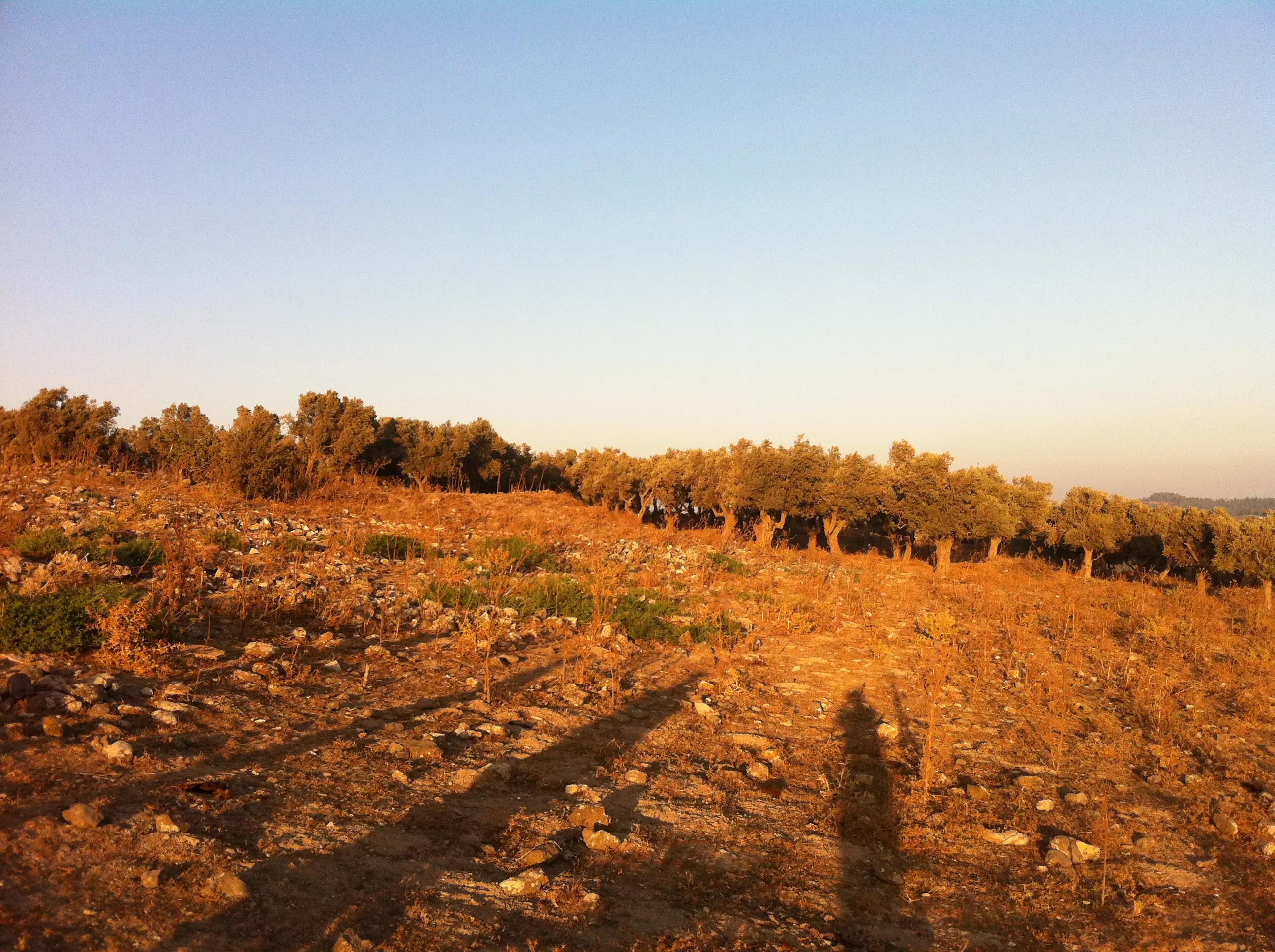
Posted by 3amir Shana3a 1 - 2015/08/02 Taytaba - 17 - Very old Olive Trees in E Taytaba (Picture Location 33°00'42.78"N 35°28'38.43”E) - طيطبا 2015 -17 - شجر زيتون قديم في طيطبا الشرقية
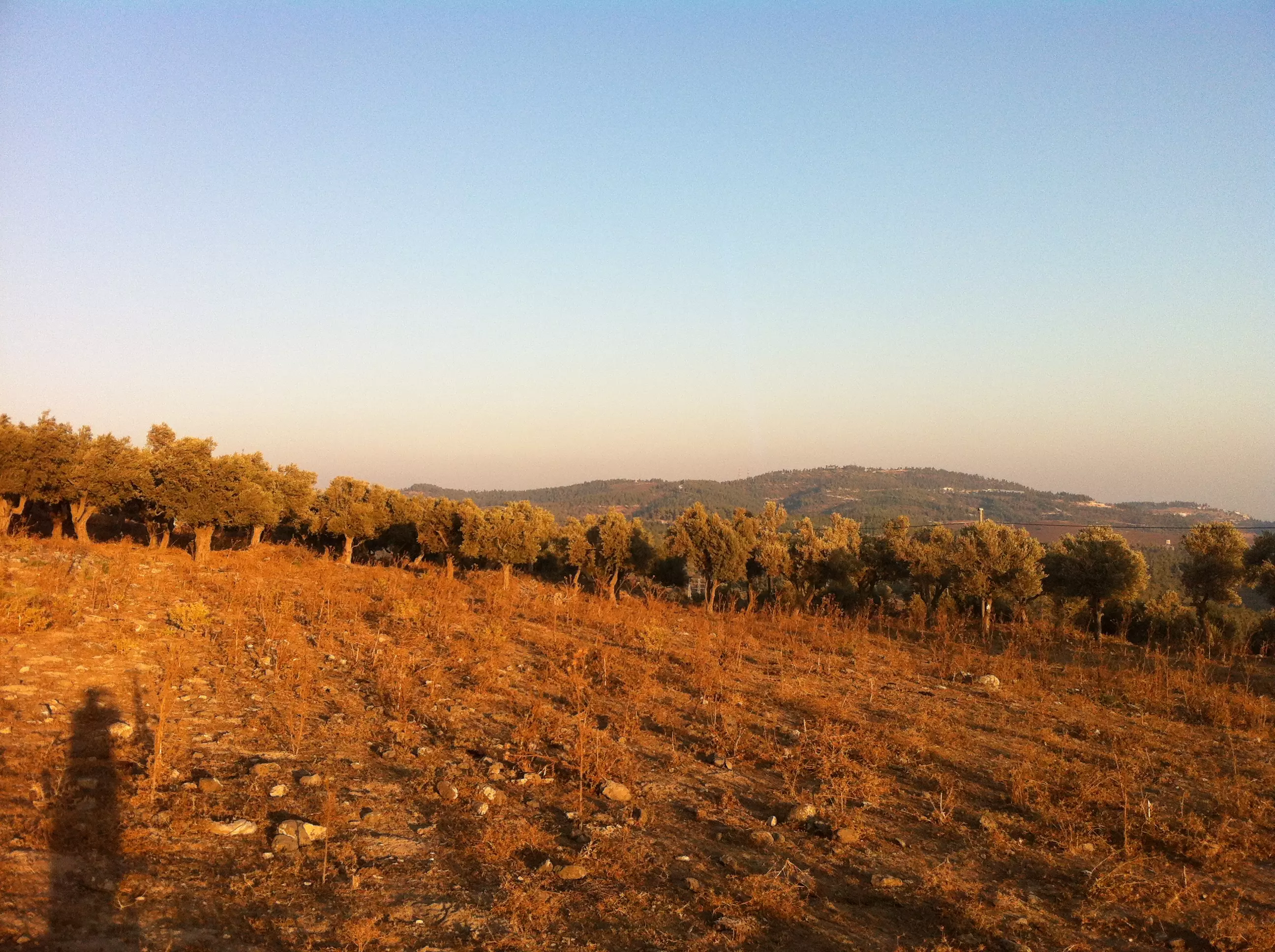
Posted by 3amir Shana3a - 2015/08/02 Taytaba - 19a - E Tatyaba towards SE (Picture Location 33°00'43.78"N 35°28'38.43”E) - طيطبا 2015 - 19أ - الشرقية بإتجاه الجنوب الشرقي
Posted by 3amir Shana3a - 2015/08/02 Taytaba - 19b - E Tatyaba towards Safad in SE (Picture Location 33°00'43.78"N 35°28'38.43”E) - طيطبا 2015 - 19ب - الشرقية بإتجاه صفد في الجنوب الشرقي
Posted by 3amir Shana3a - 2015/08/02 Taytaba – 23 - Old Stones in E Taytaba (Picture Location 33°00'44.66"N 35°28'40.50"E) - طيطبا 2015 - 23 - الشرقية - حجارة قديمة
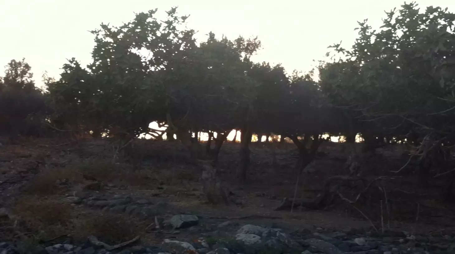
Posted by 3amir Shana3a - 2015/08/02 Taytaba – 28 - Old FigTree in E Taytaba & old olive trees behind (Picture Location 33°00'43.94"N 35°28'43.20"E) - طيطبا 2015 - 28 - الشرقية - أشجار تين و زيتون قديمة
Posted by 3amir Shana3a - 2015/08/02 Taytaba - 32a - E Taytaba (in Cemetery S of village) towards Settlement in Dallata in NE (Picture Location 33°00'44.15"N 35°28'44.51"E) - طيطبا 2015 - 32أ - الشرقية (من مقبرة القرية في الجنوب) بإتجاه مستوطنة بجانب دلاتة في الشمال الشرقي
Posted by 3amir Shana3a - 2015/08/02 Taytaba - 32b - E Taytaba (in Cemetery S of village) towards E - Settlement in Dallata in NE (Picture Location 33°00'44.15"N 35°28'44.51"E) - طيطبا 2015 - 32ب - الشرقية (من مقبرة القرية في الجنوب) بإتجاه الشرق - مستوطنة بجانب دلاتة في الشمال الشرقي
Posted by 3amir Shana3a - 2015/08/02 Taytaba - 32c - E Taytaba (in Cemetery S of village) towards SE (Picture Location 33°00'44.15"N 35°28'44.51"E) - طيطبا 2015 - 32ج - الشرقية (من مقبرة القرية في الجنوب) بإتجاه الجنوب الشرقي
Posted by 3amir Shana3a - 2015/08/02 Taytaba - 32d - E Taytaba (in Cemetery S of village) towards Safad in SE (Picture Location 33°00'44.15"N 35°28'44.51"E) - طيطبا 2015 - 32د - الشرقية (من مقبرة القرية في الجنوب) بإتجاه صفد في الجنوب الشرقي
Posted by 3amir Shana3a - 2015/08/02 Taytaba - 32e - E Taytaba (in Cemetery S of village) towards Settlement in Ein Al-Zeitun in SE (Picture Location 33°00'44.15"N 35°28'44.51"E) - طيطبا 2015 - 32ه - الشرقية (من مقبرة القرية في الجنوب) بإتجاه مستوطنة بجانب عين الزيتون في الجنوب الشرقي
Posted by 3amir Shana3a - 2015/08/02 Taytaba - 32f - E Taytaba (in Cemetery S of village) towards S - Settlement in Ein Al-Zeitun in SE - Jabal al-Jarmaq in W (Picture Location 33°00'44.15"N 35°28'44.51"E) - طيطبا 2015 -32و - الشرقية (من مقبرة القرية) بإتجاه الجنوب - جبل الجرمق في الغرب - مستوطنة بجانب عين الزيتون في الجنوب الشرقي
Posted by 3amir Shana3a - 2015/08/02 Taytaba - 32g - E Taytaba (in Cemetery S of village) towards SW - Jabal al-Jarmaq in W (Picture Location 33°00'44.15"N 35°28'44.51"E) - طيطبا 2015 - 32ز- الشرقية (من مقبرة القرية في الجنوب) بإتجاه الجنوب الغربي - جبل الجرمق في الغرب
Posted by 3amir Shana3a - 2015/08/02 Taytaba – 32h - E Taytaba (in Cemetery S of village) towards Jabal al-Jarmaq in W (Picture Location 33°00'44.15"N 35°28'44.51"E) - طيطبا 2015 - 32ح - الشرقية (من مقبرة القرية في الجنوب) بإتجاه جبل الجرمق في الغرب
Posted by 3amir Shana3a - 2015/08/02 Taytaba - 32i - E Taytaba (in Cemetery S of village) towards NW - طيطبا 2015 - 32ط - الشرقية (من مقبرة القرية في الجنوب) بإتجاه الشمال الغربي

Posted by 3amir Shana3a - 2015/08/02 Taytaba - 32j - E Taytaba (in Cemetery S of village) towards N (Picture Location 33°00'44.15"N 35°28'44.51"E) - طيطبا 2015 - 32ى -الشرقية (من مقبرة القرية في الجنوب) بإتجاه الشمال
Posted by 3amir Shana3a - 2015/08/02 Taytaba - 33a-f - E Taytaba (in Cemetery S of village) towards E - Safad and Settlement in Ein Al-Zeitun in the SE and Settlement in Dallata in NE (Picture Location 33°00'44.15"N 35°28'44.51"E) - طيطبا 2015 - 33أ-و - الشرقية (من مقبرة القرية في الجنوب) بإتجاه الشرق - صفد و مستوطنة بجانب عين الزيتون في الجنوب الشرقي - مستوطنة بجانب دلاتة في الشمال الشرقي
Posted by 3amir Shana3a - 2015/08/02 Taytaba - 33g-j - E Taytaba (in Cemetery S of village) towards NW – W Taytaba on left and Jabal al-Jarmaq to the W (Picture Location 33°00'44.15"N 35°28'44.51"E) - طيطبا 2015 - 33-زـي - الشرقية (من مقبرة القرية في الجنوب) بإتجاه الشمال الغربي - طيطبا الغربية إلى اليسار و جبل الجرمق في الغرب
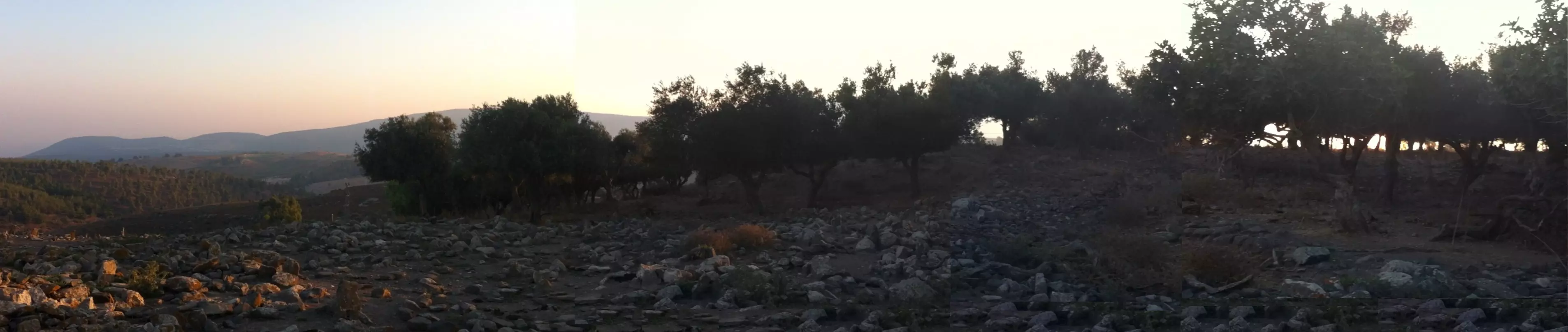
Posted by 3amir Shana3a - 2015/08/02 Taytaba - 38 - Old FigTrees in E Taytaba (next to Cemetery S of village) (Picture Location 33°00'44.15"N 35°28'44.40"E) - طيطبا 2015 - 38 - الشرقية (من مقبرة القرية في الجنوب) و أشجار تين قديمة
Posted by 3amir Shana3a - 2015/08/02 Taytaba - 46m - In E Taytaba Cemetery (S of village) with road 866 that goes through the village to Safad in SE (Picture Location 33°00'42.10"N 35°28'43.87"E) - طيطبا 2015 - 46ل - الشرقية (من مقبرة القرية في الجنوب) - الطريق العام 886 المؤدي من طيطبا الى صفد في الجنوب الشرقي يمر من وسط القرية
Posted by 3amir Shana3a - 2015/08/02 Taytaba - 46n - In E & W Taytaba from Cemetery (S of village) - road 866 that goes through the village to Safad and Settlement in Ein Al-Zeitun in SE (Picture Location 33°00'42.10"N 35°28'43.87"E) - طيطبا 2015 - 46م - الشرقية و الغربية (من مقبرة القرية في الجنوب) - الطريق العام 886 المؤدي الى صفد و مستوطنة بجانب عين الزيتون في الجنوب الشرقي يمر من وسط القرية
Posted by 3amir Shana3a - 2015/08/02 Taytaba - 46o - In E Taytaba Cemetery (S of village) towards S - W Taytaba on right and road that goes through the village to Safad and Settlement in Ein Al-Zeitun in SE (Picture Location 33°00'42.10"N 35°28'43.87"E) - طيطبا 2015 - 46ن - الشرقية باتجاه الجنوب - الطريق العام 886 المؤدي الى صفد و مستوطنة بجانب عين الزيتون في الجنوب الشرقي يمر من وسط القرية - طيطبا الغربية إلى اليمين
Posted by 3amir Shana3a - 2015/08/02 Taytaba - 46p - In E Taytaba Cemetery (S of village) towards SW - W Taytaba & Jabal al-Jarmaq in W (Picture Location 33°00'42.10"N 35°28'43.87"E) - طيطبا 2015 - 46و - الشرقية (من مقبرة القرية في الجنوب) باتجاه الجنوب الغربي - طيطبا الغربية و جبل الجرمق في الغرب
Posted by 3amir Shana3a - 2015/08/02 Taytaba - 46q - In E Taytaba Cemetery (S of village) towards W Tatyaba & Jabal al-Jarmaq in W (Picture Location 33°00'42.10"N 35°28'43.87"E) - طيطبا 2015 - 46لا - الشرقية (من مقبرة القرية في الجنوب) باتجاه الغرب - طيطبا الغربية و جبل الجرمق في الغرب
Posted by 3amir Shana3a - 2015/08/02 Taytaba - 47a-k - In E Taytaba Cemetery (S of village) towards NW - W Tatyaba & Jabal al-Jarmaq in W (Picture Location 33°00'42.10"N 35°28'43.87"E) - طيطبا 2015- 47ا-ك - الشرقية (من مقبرة القرية في الجنوب) باتجاه الشمال الغربي - طيطبا الغربية و جبل الجرمق في الغرب

Posted by 3amir Shana3a - 2015/08/02 Taytaba - 47a-k - In E Taytaba Cemetery (S of village) towards NW - W Tatyaba & Jabal al-Jarmaq in W (Picture Location 33°00'42.10"N 35°28'43.87"E) - طيطبا 2015- 47ا-ك - الشرقية (من مقبرة القرية في الجنوب) باتجاه الشمال الغربي - طيطبا الغربية و جبل الجرمق في الغرب
Posted by 3amir Shana3a - 2015/08/02 Taytaba - 52c - E Tatyaba towards S E - Road 866 that goes through the village to Safad in SE (Picture Location 33°00'42.31"N 35°28'37.25"E) - طيطبا 2015 - 52ج - الشرقية باتجاه الجنوب الشرقي - الطريق العام 886 المؤدي الى صفد في الجنوب الشرقي يمر من وسط القرية
Posted by 3amir Shana3a - 2015/08/02 Taytaba - 52d - W Tatyaba on right towards SE - Road 886 that goes through the village to Safad in SE (Picture Location 33°00'42.31"N 35°28'37.25"E) - طيطبا 2015 - 52د - الغربية إلى اليمين باتجاه الجنوب - الطريق العام 886 المؤدي الى صفد في الجنوب الشرقي يمر من وسط القرية - مستوطنة بجانب عين الزيتون في الجنوب الشرقي و جبل الجرمق في الغرب
Posted by 3amir Shana3a - 2015/08/02 Taytaba - 52e - W Tatyaba towards S - Road 886 that goes to Safad in SE (Picture Location 33°00'42.31"N 35°28'37.25"E) - طيطبا 2015 - 52ه - الغربية باتجاه الجنوب - الطريق العام المؤدي الى صفد في الجنوب الشرقي يمر من وسط القرية
Posted by 3amir Shana3a - 2015/08/02 Taytaba - 53a-e - Tatyaba towards S E - Road 886 towards that goes through village to Safad in SE - E Taytaba on left and W on right (Picture Location 33°00'42.31"N 35°28'37.25"E) - طيطبا 2015 - 53ا-ج - الطريق المؤدي الى صفد في الجنوب الشرقي يمر من وسط القرية - طيطبا الشرقية إلى اليسار والغربية إلى اليمين
Posted by 3amir Shana3a - موقع قريه طيطبا
Posted by abu raya - طيطبا
Posted by abu raya - طيطبا
Posted by abu raya - Pre-Nakba Aerial view of the village / صورة من الجو للقرية اخذت قبل النكبة
Want to browse more? 80,000 pictures were grouped in these gallaries:
| Display Name | Clan/Hamolah | Country of Residence |
| Saadallah Rifai | Rifai | Boston, USA |
| Aseel Shanaa | Shanaa / شناعة | Wisconsin, USA |
| Fayez Abdullah Mahmoud Shanaa | Shanaa | - |
| مروان | - | - |
| Hashim Rifai | - | - |
| Sarah Hleyhel | Hleyhel | Toronto, Canada |
| dahshah_damas | damascus_rokn.aldeen | damascus, syria |
| Nader Qassim | - | Manama, Bahrain |
| J Ahmad Kassem | - | Oklahoma, USA |
| طارق شناعة | شناعة | المحرق, البحرين |
| الفلسطيتي | شناعة | المحرق, البحرين |
| عز الدين شناعة | شناعة | المحرق, البحرين |
| Alaa Kassem | - | Sharjah, UAE |
| mohammed saadi | saadi | riyadh |
| Wail Kassem | kassem | Texas, USA |
| ziad | alrifai | - |
| عامر | - | - |
| محمود سعد | - | ليبيا |
| أبو أحمد | شناعة | - |
| Ghassan Husni | - | Kanton Tuzla, Bosnia |
| Osama Shanaa | Shanaa | MA, USA |
| Osama Shanaa | Shanaa | MA, USA |
| alte | - | kobenhagen |
| abo nimer | - | - |
| rami alsaadi | alsaadi | riyadh, saudi arabia |
| nada blaybel | - | saudi arabia |
| mohamad kassem | - | - |
| JAMAL KASSEM | - | - |
| Noor A. Bleibel | - | USA, USA |
| ehsan kassem | Ali Kassem | - |
| Taha | TAHA | Lebanon, Lebanon |
| Naser Blaybel | BLAYBEL | Lebanon, Lebanon |
| saria taha | - | - |
| MOHAMAD K. ALRIFAI | ALRIFAI | UAE, UAE |
| Mohamed Blaybel | - | Saida, Lebanon |
| Tarek A. Bleibel | - | Saudi Arabia |
- Palestinian Refugees' Dream: Returning Home Duration: 3 min 44 sec
- الذاكرة مفتاح العودة--الحلقة 65- قرية طيطبة Duration: 23 min 22 sec
 Fake Valor: Why Did Zionist Jews Hoist Nazis Flag on Their Ships in the 1930s?
What is new?
-
Facts About Oct. 7th Gaza Raid
-
Remined Us Please:: Who Did Rape Who? Palestinians Raped Israelis? Or, was the other way around?
-
When Prof. Edward Said was invited to debate Bibi Netanyahu in the 1980s, watch what happened!
-
Ezra Klein of the NY Times on the "Jewish Race".
-
Abusing Blood Libel!
-
Did Israeli Soldiers Activate The Hanniba Direective On Oct. 7th? You Be The Judge
-
Zionist FAQ: Isn't it true that Palestinians don't want peace? Palestinians never accepted the two-state solution
- Facts about Haavara (Transfer) Agreement between Ben-Gurion & Hitler
-
Haavara FAQs: Why Did Zionist Jews Hoist Nazis' Flags on Their Ships in the 1930s?
- Haavara FAQs: When Chaim Weizmann met FDR in mid-1943, why was he silent about rescuing European Jewry?
-
Dear ChatGPT: How did Palestinians resist Napoleon's invasion of their country in 1799?
-
Dear ChatGPT: Gaza had a vibrant Jewish community in the mid-17th century. What happened to them?
-
Dear ChatGPT: Why did the Jewish Agency suppress news of the Holocaust during WWII?
-
Video Playlist: Jews share their DNA tests to end the conflict for good.
-
A Tale of Two Conflicts: Examining the Definition of Genocide
-
Prof. Abraham Polak And The Suppressed History of the Khazars and European Jewry
-
How Ronald Reagan would have framed the genocide in Gaza if he were still alive?
-
Haavara FAQs: Let us do the math: how many German Jews did The Haavara Agreement save?
-
Zionist FAQs: The Hebron Massacre of 1929, "clearly proves" that Palestinians are antisemitic, how could you deny it?
-
Zionist FAQs: Why Anti-Zionist Is Not Antisemitism?
-
Zionist FAQs: Isn't it true that the KGB created Palestinian Nationalism in the early 1960s?
- Zionist FAQs: Muslims are killing Muslims all the time; why are Israeli Jews being singled out in the media?
- Zionist FAQs: How is Israel an apartheid state when 20% of its citizens are Arabs who enjoy full rights?
-
Haavara FAQs: Why Did Dorothy Thompson Flip From A Zionist Advocate to A Silenced Dissenter?
-
Haavara FAQs: Analysis of Herzl's Uganda Scheme and how it could have saved millions of Jews.
-
Haavara FAQs: Why did Hayim Greenberg describe American Jewry as "morally bankrupt" in early 1943?
-
Haavara FAQs: What if the Evian Conference was a resounding success? What would have been the impact of saving European Jewry on Zionism?
- Haavara FAQs: What if the six million were saved, how that would have impacted the Zionist project?
-
Haavara FAQs: How did Zionist leaders react when Europe's Jews lingered in the DP camps after WWII ended?
-
Why does the American Jewish community repeat lies that David Ben-Gurion had debunked before he died?
-
Who has the power to rename the Tatar/Khazar Gene Marker to Jewish IV?
-
Zionist FAQs: Why won't Egypt, Syria, and Jordan take their people back? Jews are indigenous to Palestine, and Arabs immigrated after Jews developed the country. Arabs should leave.
-
Haavara FAQs: Did Hitler and the Nazis conflate between Judaism and Zionist? If that wasn't case, then why?
-
Haavara FAQs: Winston Churchill and antisemitism, a collection of articles written Churchill.
-
Haavara FAQs: Broken by country, how many Jews survived vs. killed during the Holocaust?
-
Haavara FAQs: Why did European Jews vote with their feet and to immigrated to the Americas, not Palestine, after WWII?
-
Watch this American Jewish Girl describing Israeli Jews' cognitive dissonance like no other in under two minutes
-
Haavara FAQs: When the Nazis went out of their way to hide the Holocaust, Israeli Jews did the exact opposite by broadcasting their genocide of Gazans. But why?
-
Haavara FAQs: How Zionist Jews went out of their to show their appreciation to Nazism and Fascism?
- Haavara FAQs: Why Zionist leaders were against bombing the death camps & the Railroads leading to them?
-
Haavara FAQs: Hitler's message to the British and American people: If Jews are such noble citizens and you care about them, how come you're not letting them in? I will gladly ship them to you at my expense, even on luxury liners!
-
A shortlist of Zionist and Israeli false flag operations in the name Jews.
-
The Most Moral Army
- The Land of Kapos (Israel): Where the brave are boycotted and Kapos walk free.
- Why did early Zionists often named their communal enterprises "colonial"?
- Zionist Relations with Nazi Germany by Faris Glubb
-
Two NY Times advertisements by Zionists in the early 1943 that exposes Zionists' treason at the height of the calamity
- Facts Not Lies about the Palestinian-Israeli Conflict.
- Site's pictures have been categorized
- Campgain Against Lice
- A Survey of Palestine, the official source about Palestine before Nakba produced by the British Mandate; over 1200 pages.
- Satellite View & Google Earth: Over 6,000 placemarks identifying all destroyed towns, W. Bank & Gaza Strip Towns, & refugee camps.
- PalestineRemembered.com and its Nakba Oral History Project were featured on al-Jazeera Satellite TV.
- Nakba Oral History Video Podcast:
 Over 700 Oral History interviews (including 3,500+ hours of recording) can be viewed online.
 - Palestine Village Statistics Project
- Gaza Jail Break
- النسخة العربية للموقع الان متوفرة
- Videos: Documenting the destroyed villages in video: Tracing all that remains since Nakba.
- Videos: Responding to Zionist Propaganda
- Interview: The ethnic cleansing of Palestine: George Galloway interviews Israeli Historian Ilan Pappe.
- For Palestinians, memory matters. It provides a blueprint for their future By George Bisharat.
- Zionist FAQ now available in Hebrew שאלות שציונים שואלים, עכשיו בעברית
- Video: The Stephen Walt and John Mearsheimer report on the influence of the Israel Lobby on U.S. Foreign Policy
- The Palestinian-Israeli conflict for beginners
