| PalestineRemembered | About Us | Oral History | العربية | |
| Pictures | Zionist FAQs | Haavara | Maps | |
| Search |
| Camps |
| Districts |
| Acre |
| Baysan |
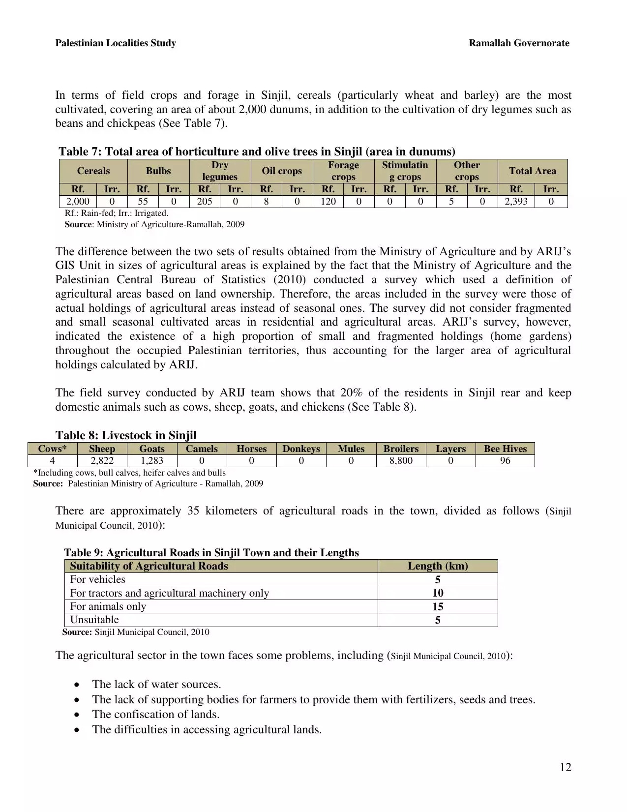
| Beersheba |
| Bethlehem |
| Gaza |
| Haifa |
| Hebron |
| Jaffa |
| Jericho |
| Jerusalem |
| Jinin |
| Nablus |
| Nazareth |
| Ramallah |
| al-Ramla |
| Safad |
| Tiberias |
| Tulkarm |
| Donate |
| Contact |
| Profile |
| Videos |
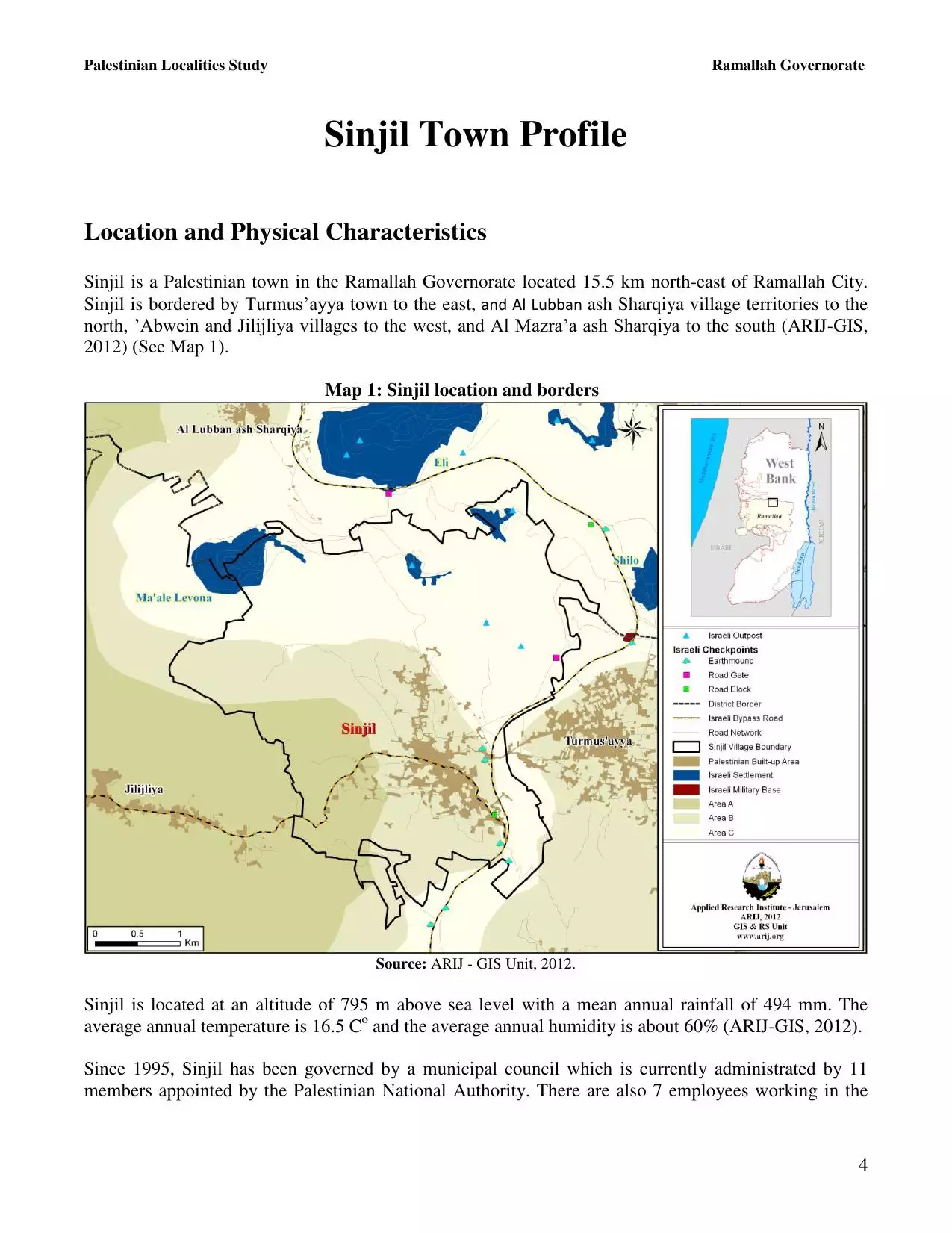
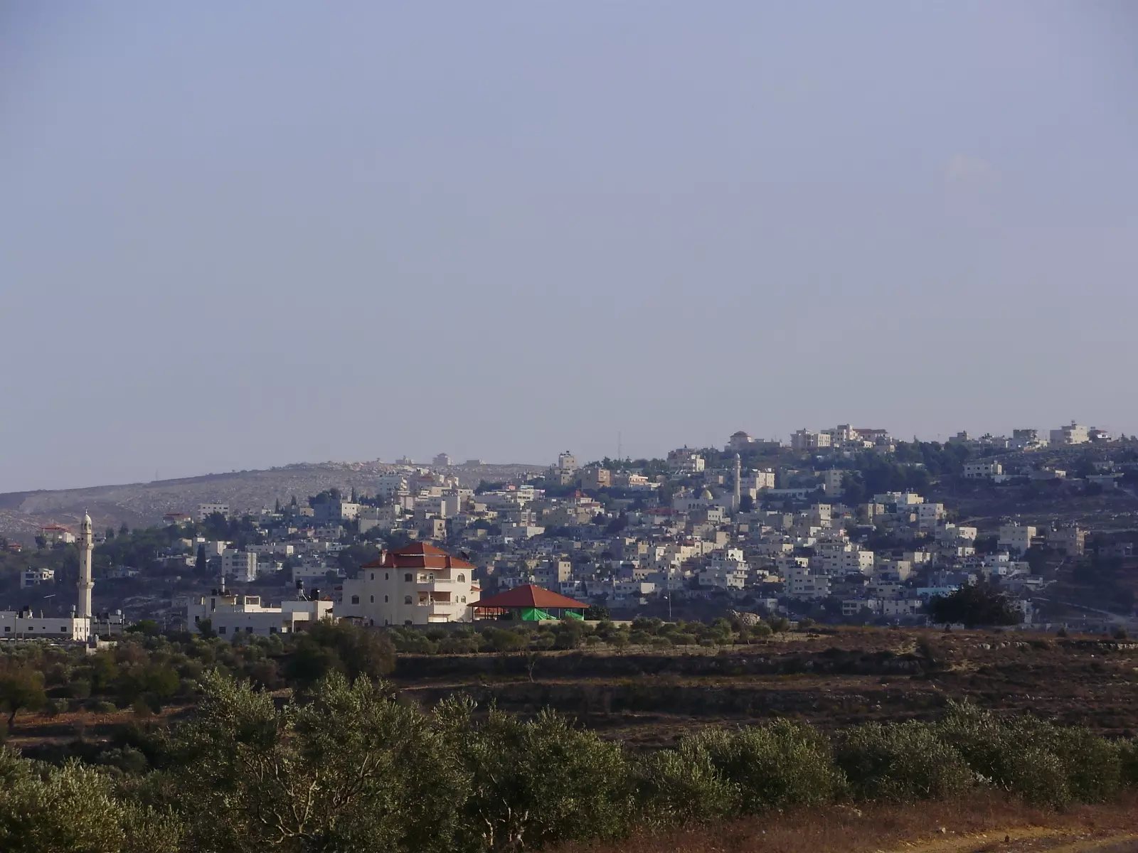
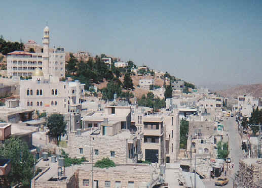
Welcome To Sinjil - سنجل (סינג'יל)
|
District of Ramallah
Occupied days ago |
العربية Google Earth |
 |
Gallery (257) |
- Statistics & Facts
-
Before & After

- Satellite View
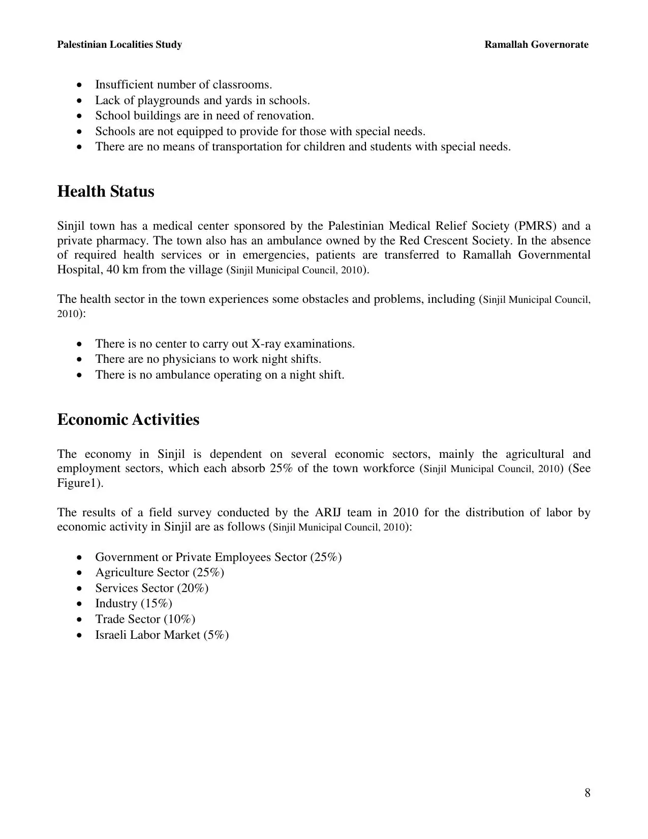
- Articles 20
- Pictures 257
- Aerial Views 1
- Mayrters & Prisoners 1
- Members 34
- Families
- Wikipedia
- ARIJ Guide
- Videos 7
- Guest Book 39
- Links 1
| Statistic & Fact | Value | ||||||||||||||||||||||
| Distance From District | 21 km northeast of Ramallah | ||||||||||||||||||||||
| Elevation | 800 meters | ||||||||||||||||||||||
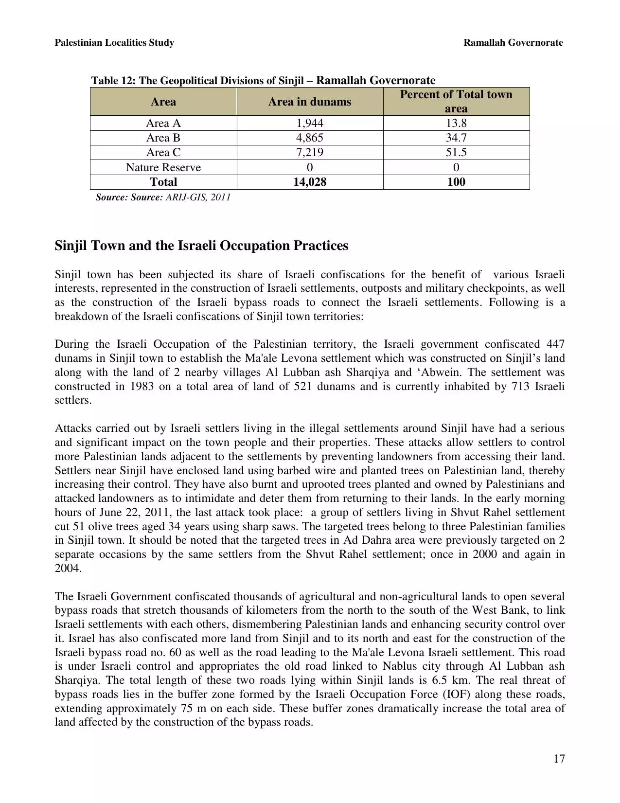
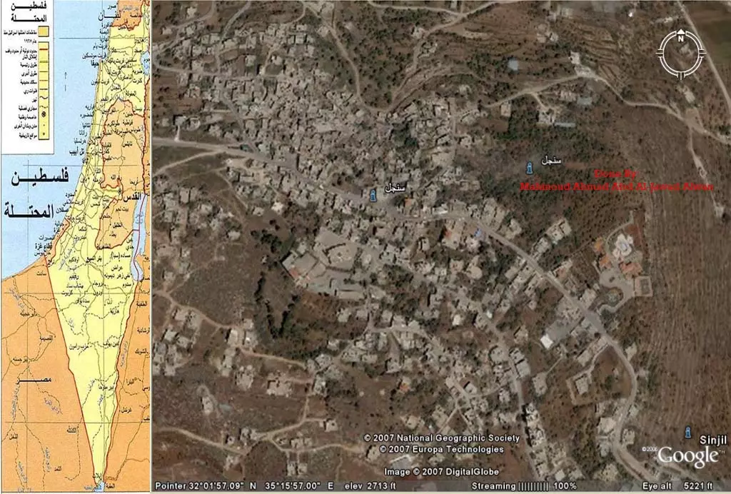
| Before & After Nakba, Click Map For Details |
|||||||||||||||||||||||
|
|||||||||||||||||||||||
| Pre-Nakba Aerial View |
|||||||||||||||||||||||
|
|||||||||||||||||||||||
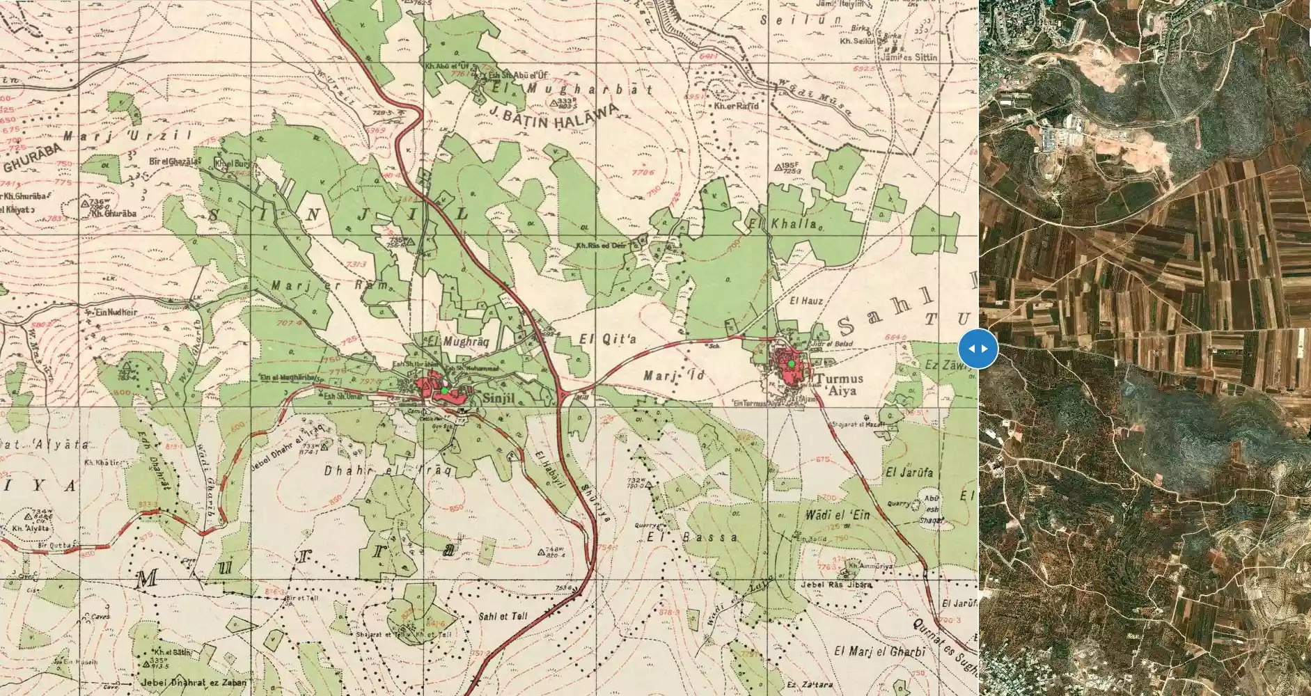
| Land Ownership |
**Town Lands' Demarcation Maps |
||||||||||||||||||||||
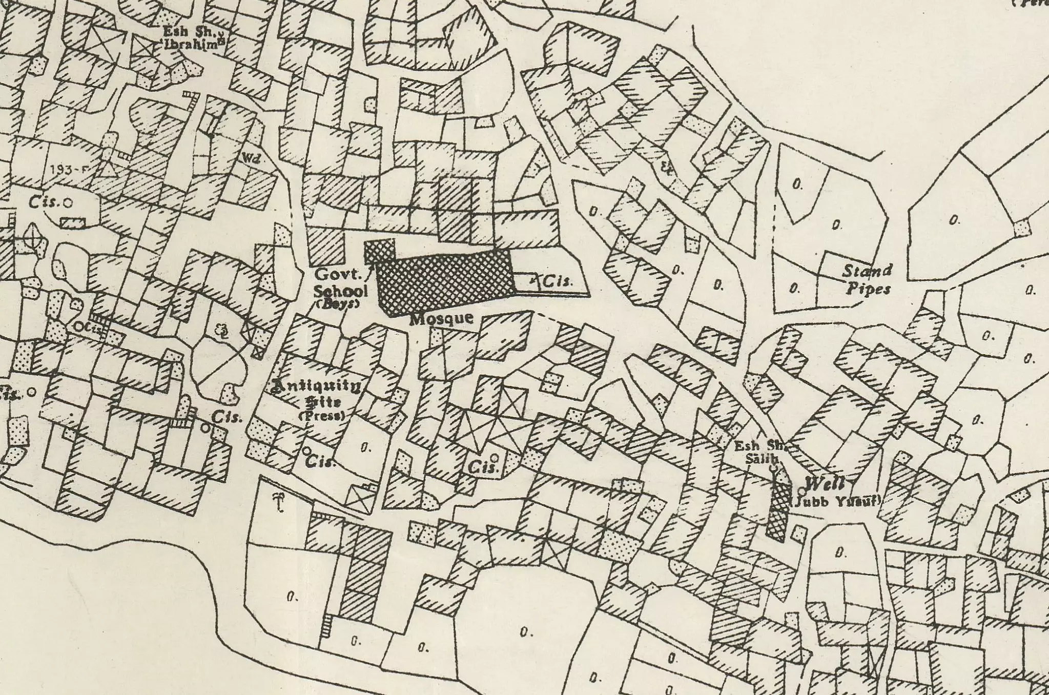
| Land Usage As of 1945 |
|
||||||||||||||||||||||
| Population |
|
||||||||||||||||||||||
| Near By Towns |
|||||||||||||||||||||||
|
|
|||||||||||||||||||||||
| Featured Video | |||||||||||||||||||||||
| ARIJ Guide | |||||||||||||||||||||||
|
Click here to browse online. |
|||||||||||||||||||||||
| Related Maps | Town Lands' Demarcation Maps خرائط للقضاء توضح حدود القرى والاودية View from satellite Town's map on MapQuest Help us map this town at WikiMapia |
||||||||||||||||||||||
| Related Links | Wikipedia's Page Facebook Page ARIJ Guide Google Search Google For Images Google For Videos في كتاب بلادنا فلسطين دليل أريج المزيد من موقع هوية |
||||||||||||||||||||||

- تاريخ قرية سنجل
- قصيدة بعنوان( سنجل عروس القرى)من تاليف عاشق سنجل
- تاريخ سنجل على لسان نشطاء سلام اسرائيليين زاروا البلدة مع كاتب اجنبي
- نادي سنجل لكرة الطائرة يتالق ( مقتبسة من جريدة الحياة)
- ملخص معلومات عن سنجل
- كل شيء عن سنجل وتاريخها كما ورد في كتاب بلادنا فلسطين لمصطفى الدباغ (مهم جدا الرجاء الاطلاع عليه)
- بحث جاهز عن بلدة سنجل قمت بإعداده شخصيا كرمال سنجل واهلها ... اتفضلوا البحث على البارد المستريح ..
- قصة الاسد العاشق بقلم كاتبنا المبدع صالح صلاح شبانة........ نقلها عاشق سنجل ... بس تكونوا مبسوطين ....
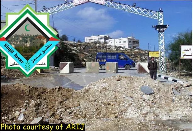
- the checkpoint in sinjil
- نادي سنجل الرياضي والثقافي والاجتماعي ....عراقة واصالة .................................(الموضوع مقتبس من النت)/ نقله عاشق سنجل
- ام جودة افضل داية فلسطينية .... تقرير نشر في جريدة فلسطين ... نقله عاشق سنجل ... اتمنى ان يعجبكم ....:):):):)
- قصة طريفة من ابداع كاتبنا الداعي بالخير صالح صلاح شبانة .....نقلها عاشق سنجل اتمنى ان تعجبكم ..:)
- قصة بعنوان ( الغنى والفقر من الزوجة) بقلم المبدع صالح شبانة/ نقلها عاشق سنجل ...(:
- قصة قصيرة بعنوان ...البزيقة والعناكب..بقلم الرائع صالح شبانة .../ نقلها عاشق سنجل
- من سلسلة روائع صالح شبانة ...قصة بعنوان.(.صنعة الحلاق..) / نقلها عاشق سنجل
- من سلسلة روائع صالح شبانة ..مقالة تراثية بعنوان..( وصايا ستي) / نقلها عاشق سنجل....:)
- من سلسلة روائع المبدع صالح صلاح شبانة ..قصة طريفة بعنوان (دواء السم )/ نقلها عاشق سنجل
- من سلسلة روائع المبدع صالح شبانة...نثر ساخر بعنوان (العمشة بنت ابو خنفر ) / نقلها عاشق سنجل )... :)
- مقالة راائعة تذكر تاريخ العنب السنجلاوي العتيد والذي كان اسمه مجلجلا في سماء فلسطين /..نقله عااااااااشق سنجل
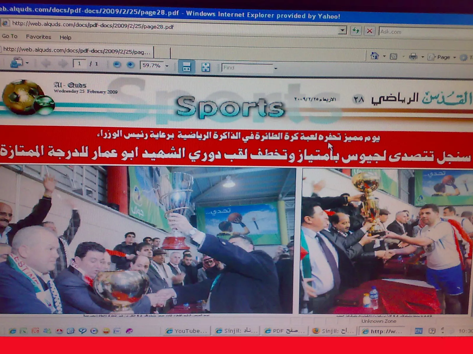
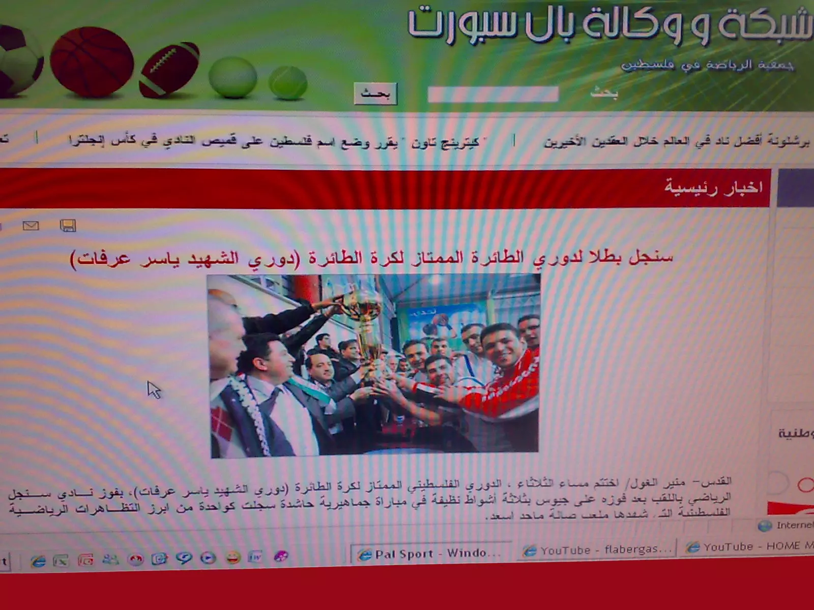
- مقال مقتبس من جريدة القدس عن فوز نادي سنجل على جينصافوط
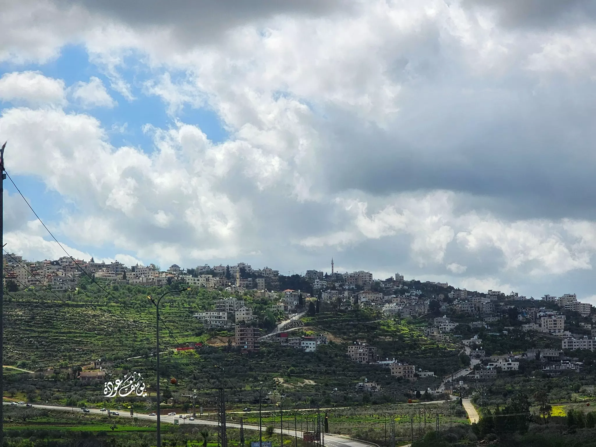
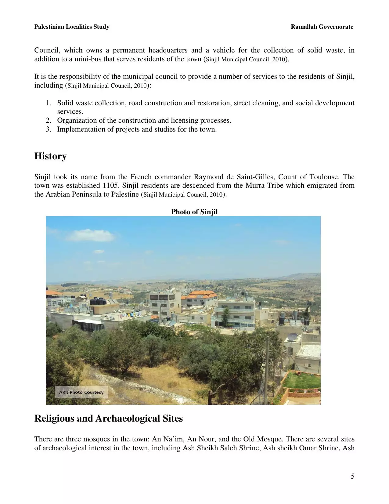
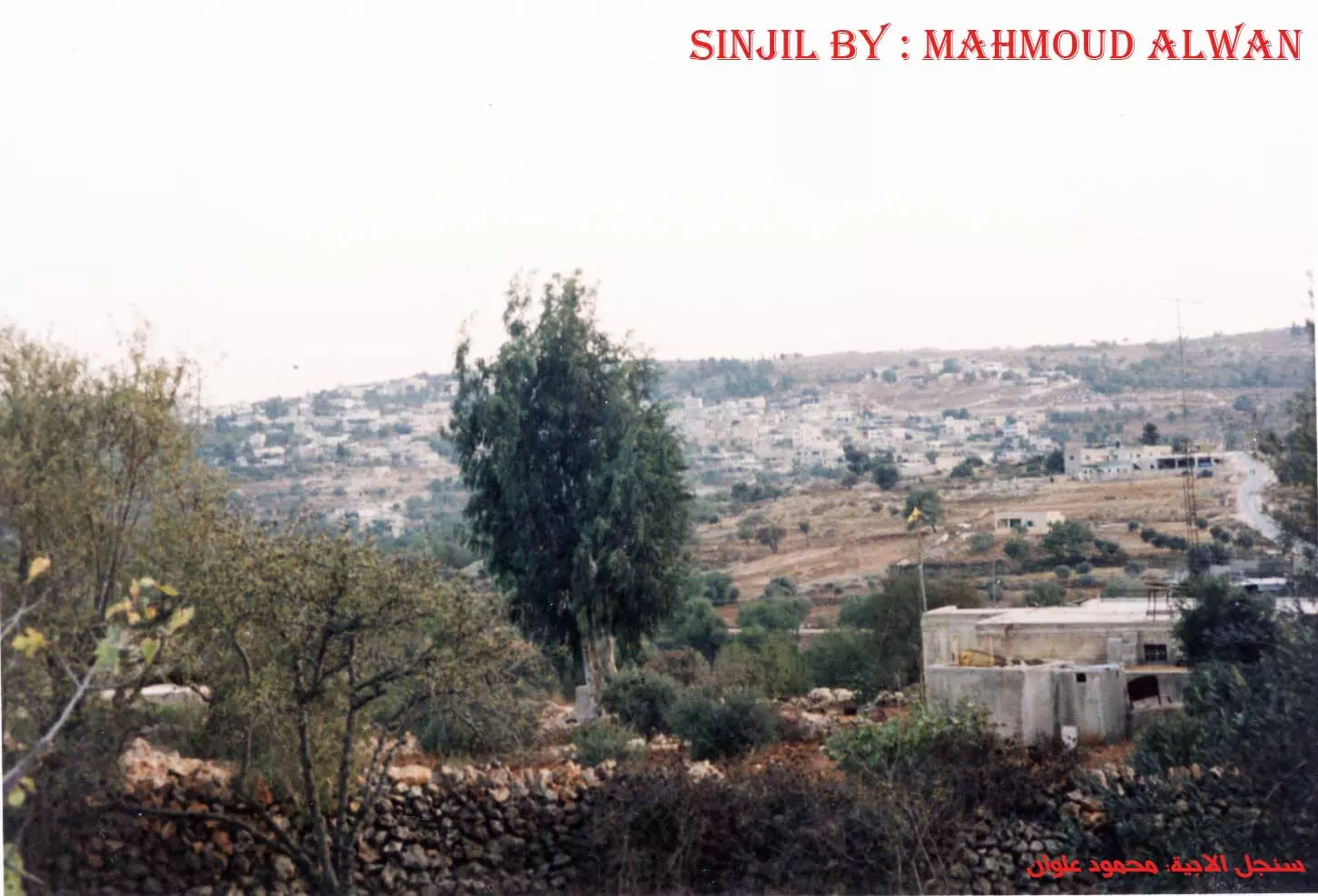
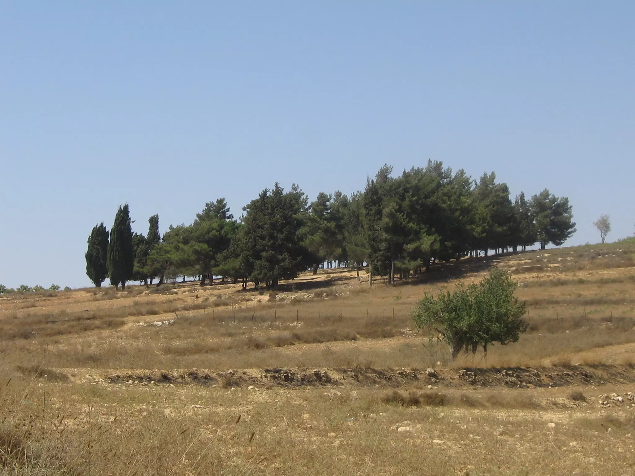
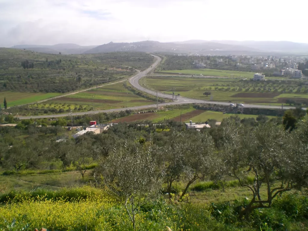
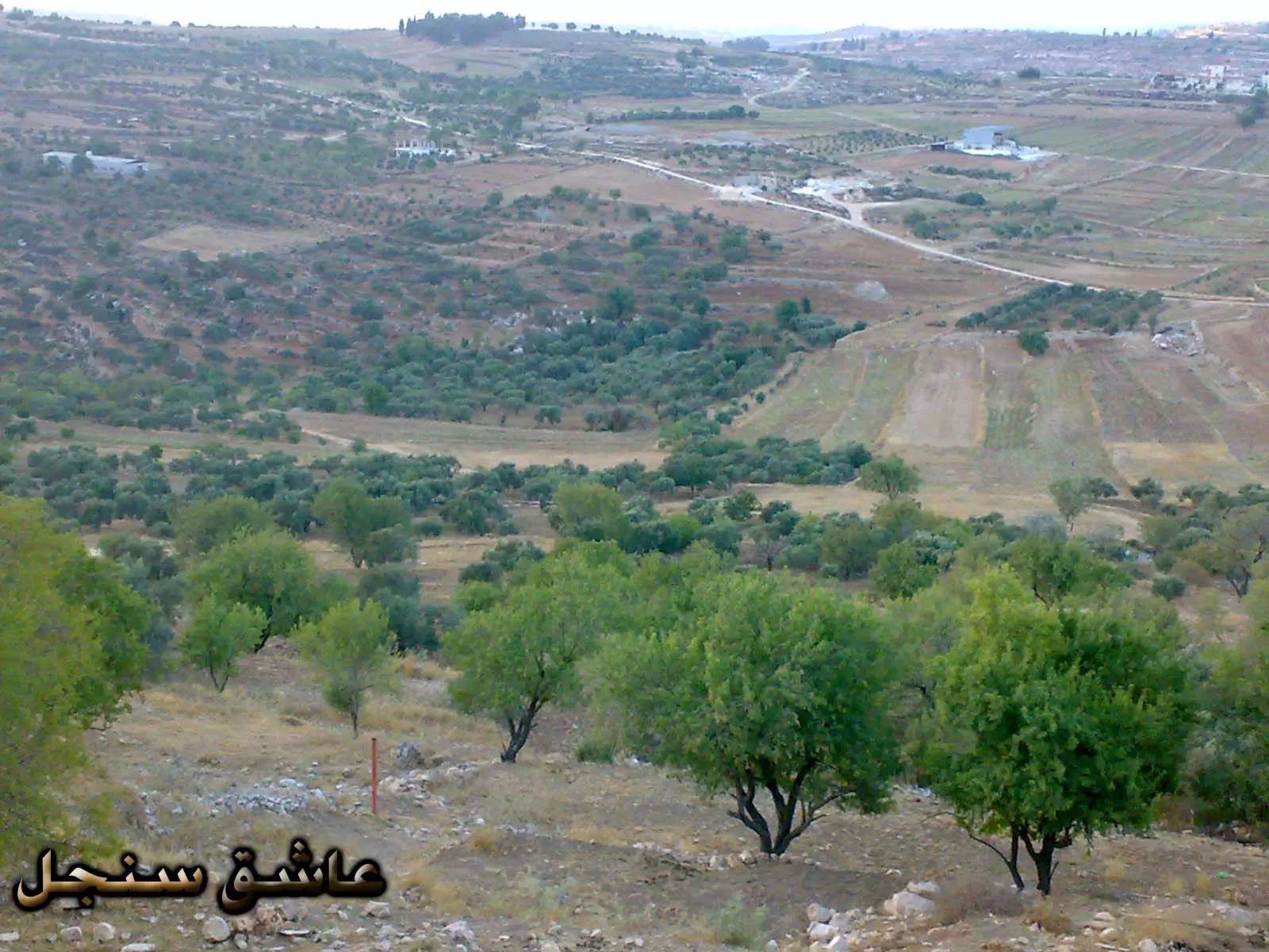
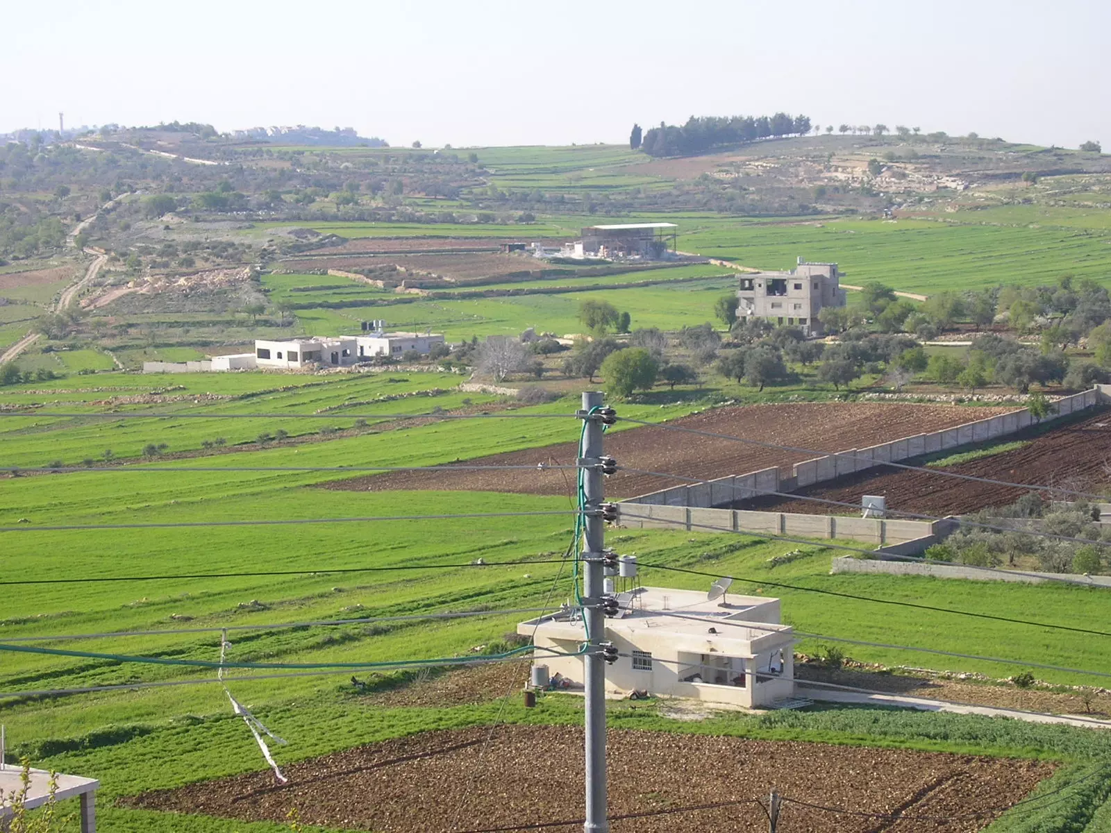
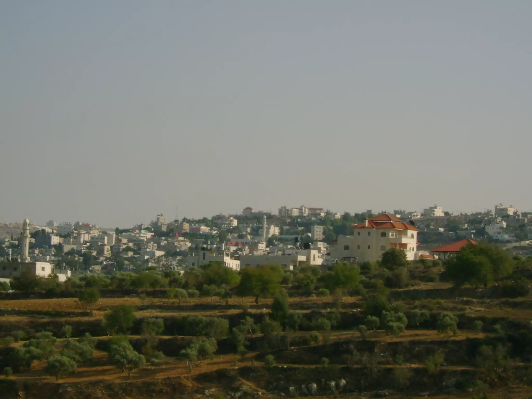
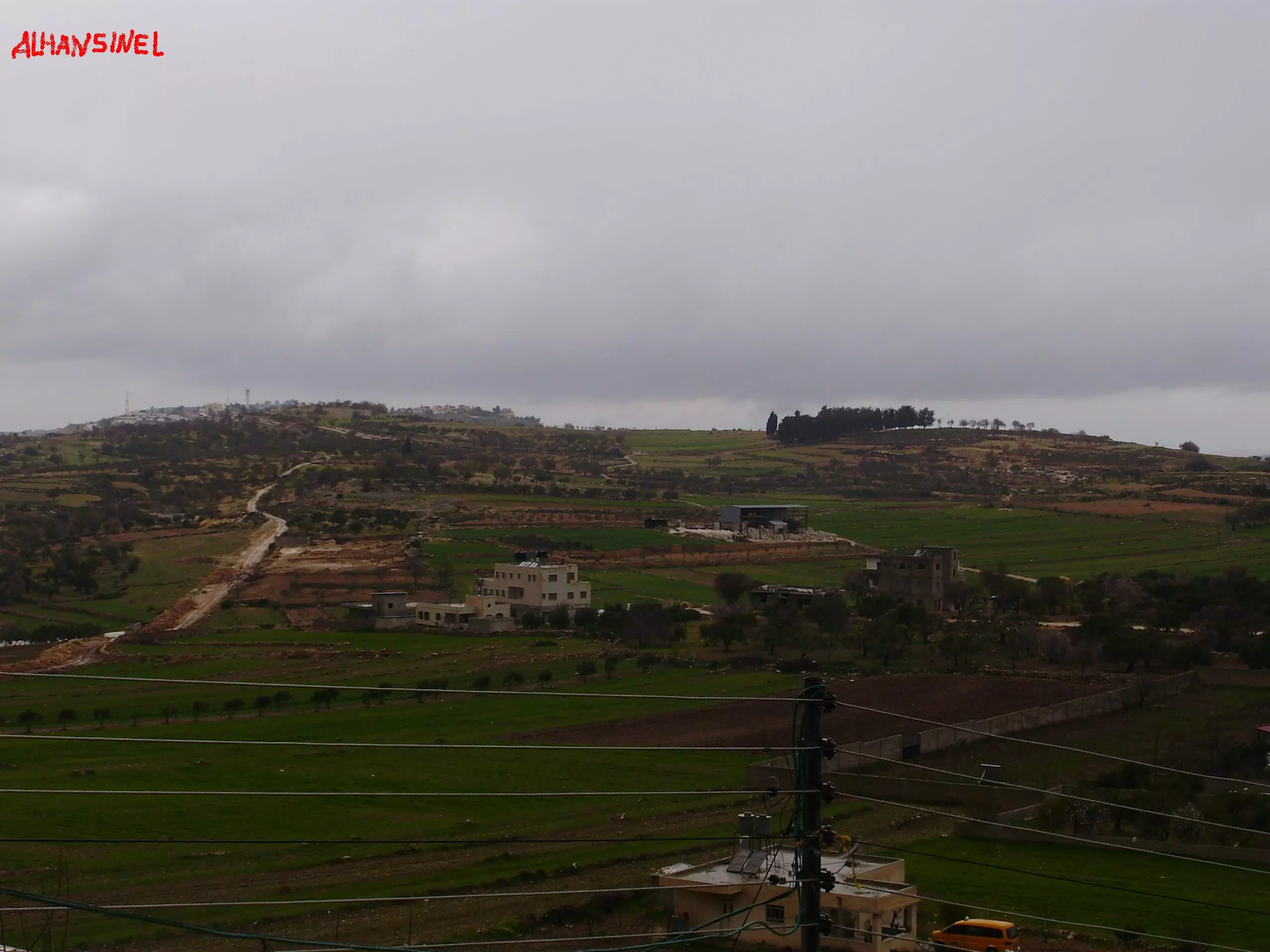
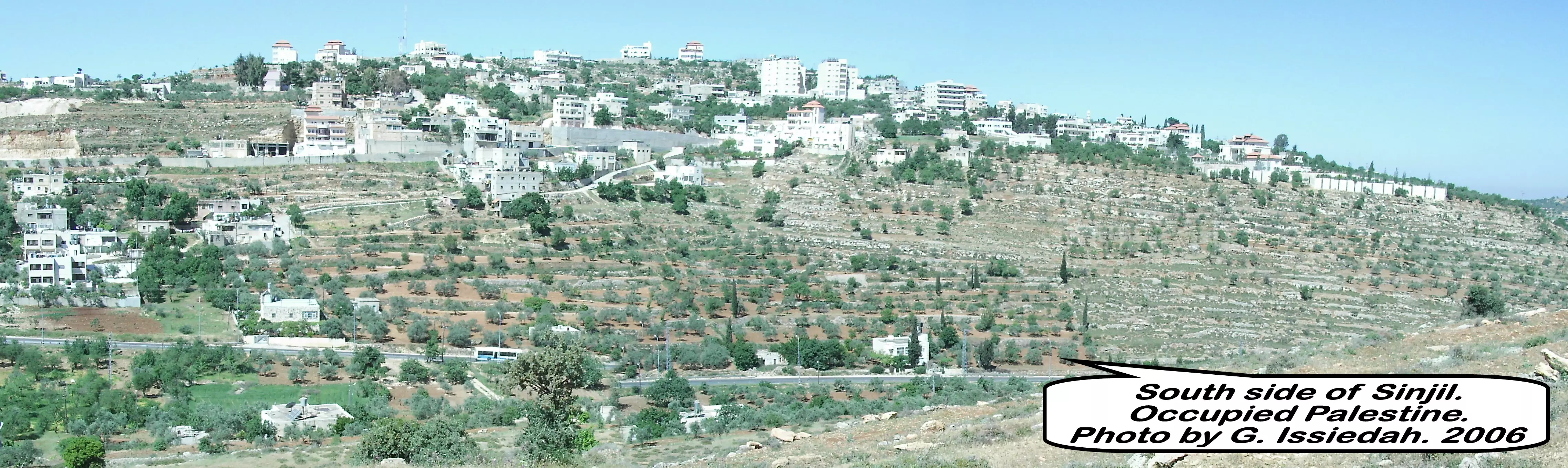
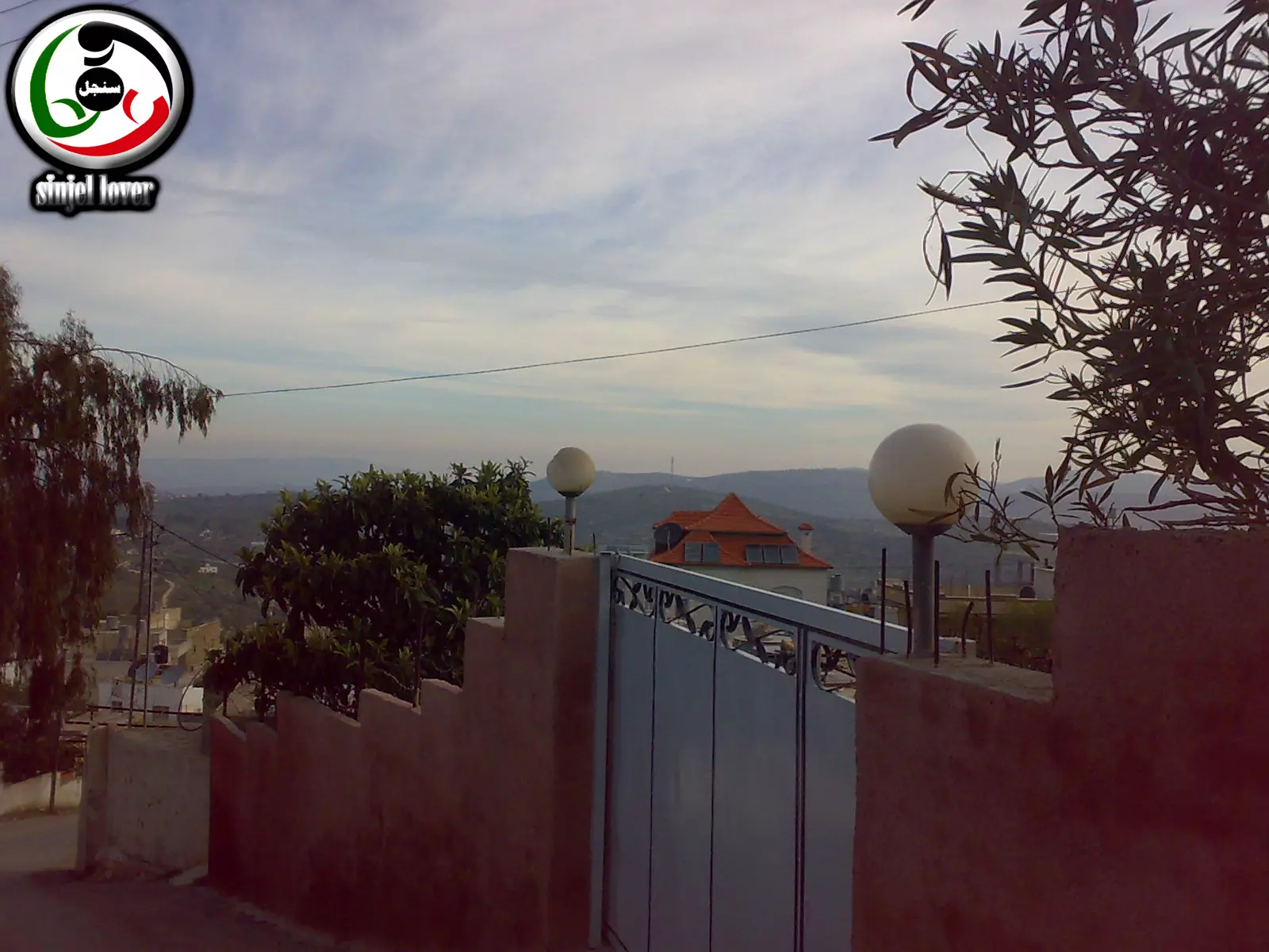
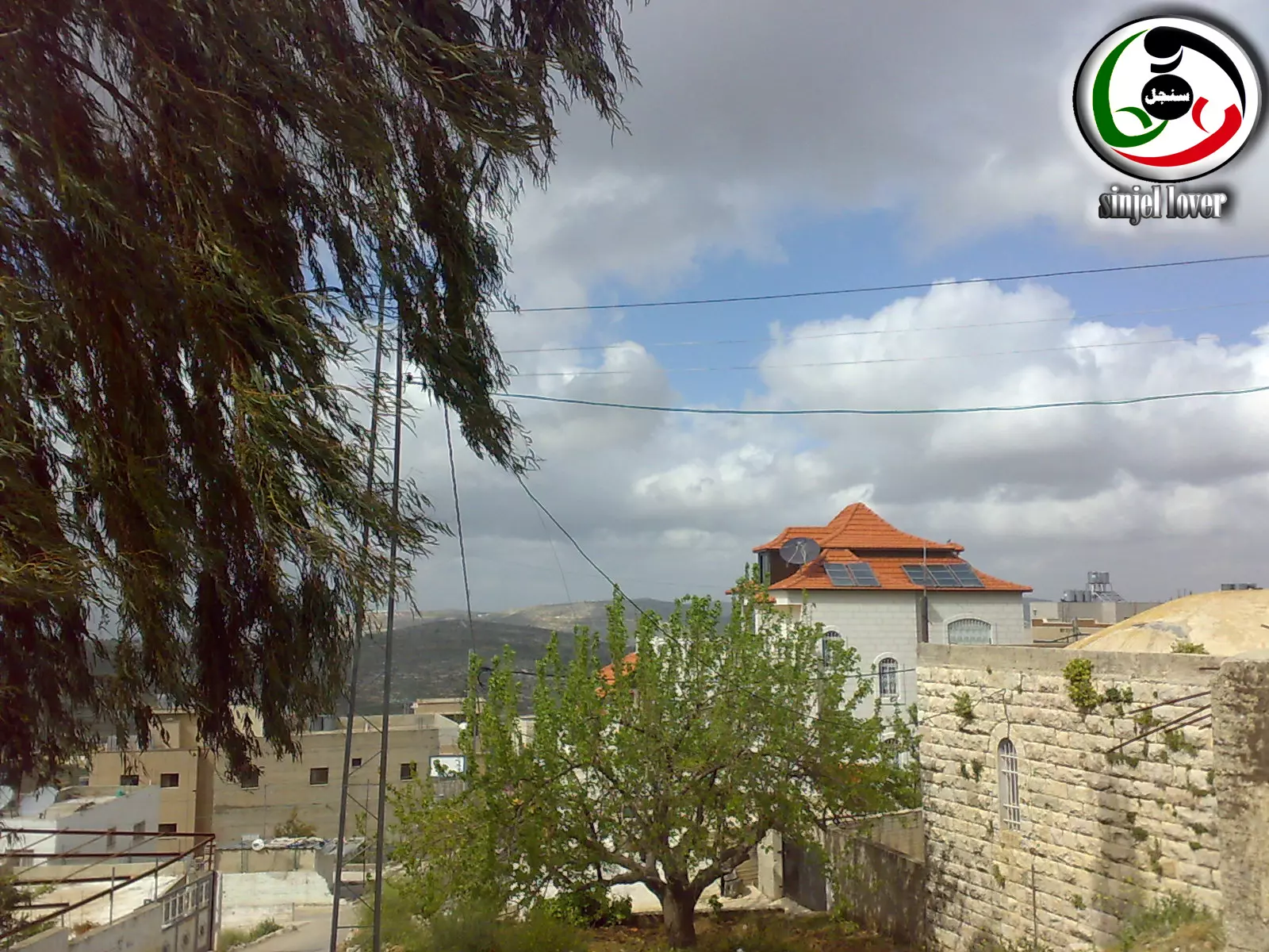
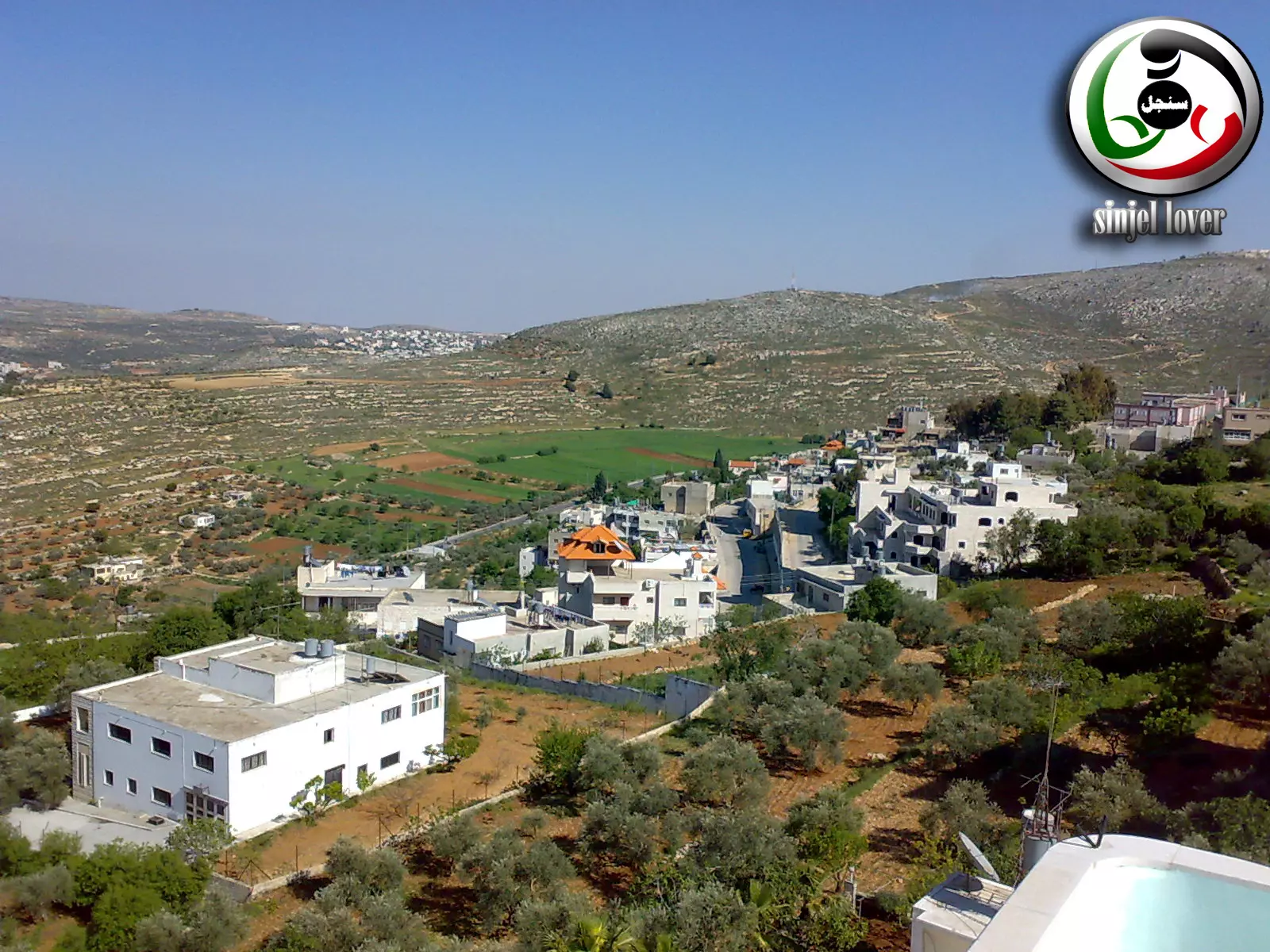
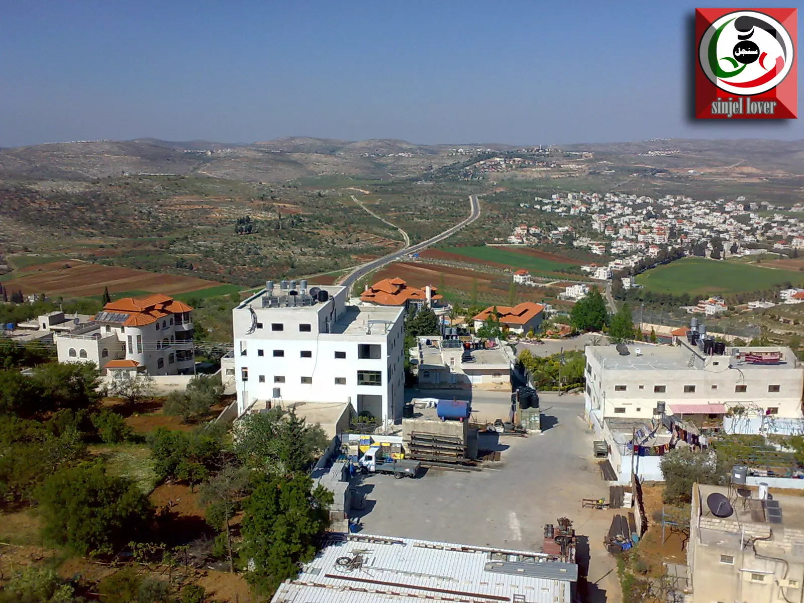
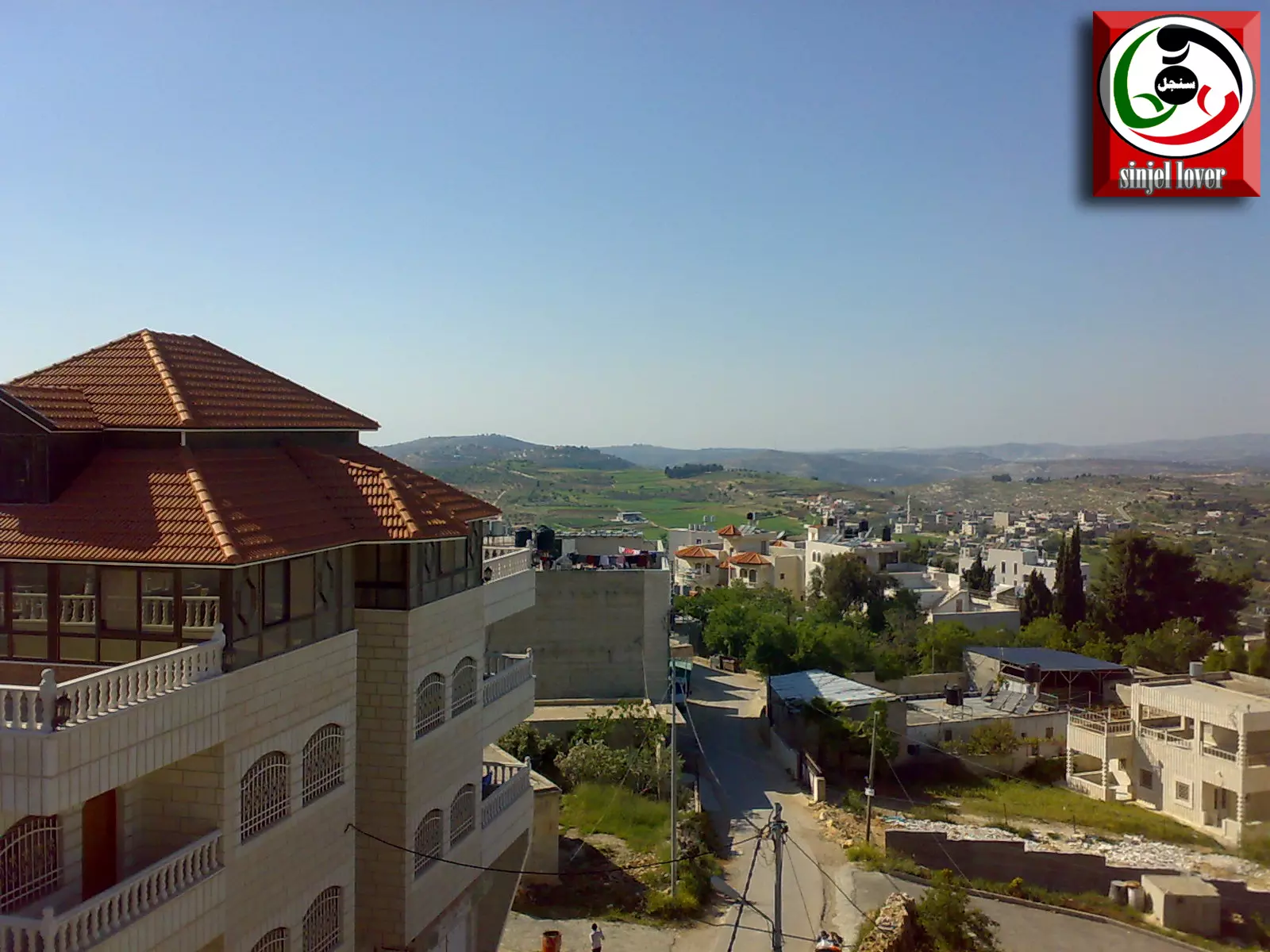
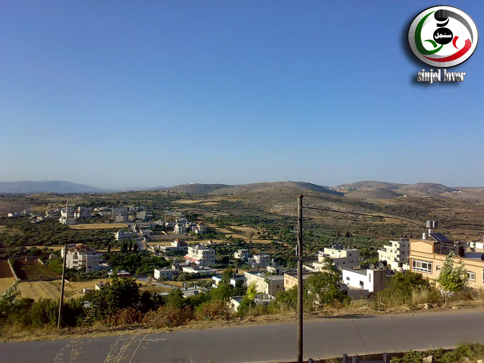
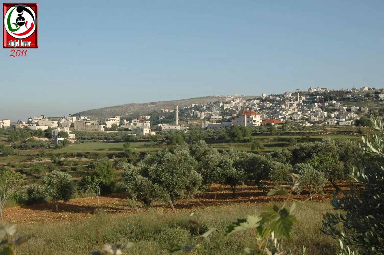
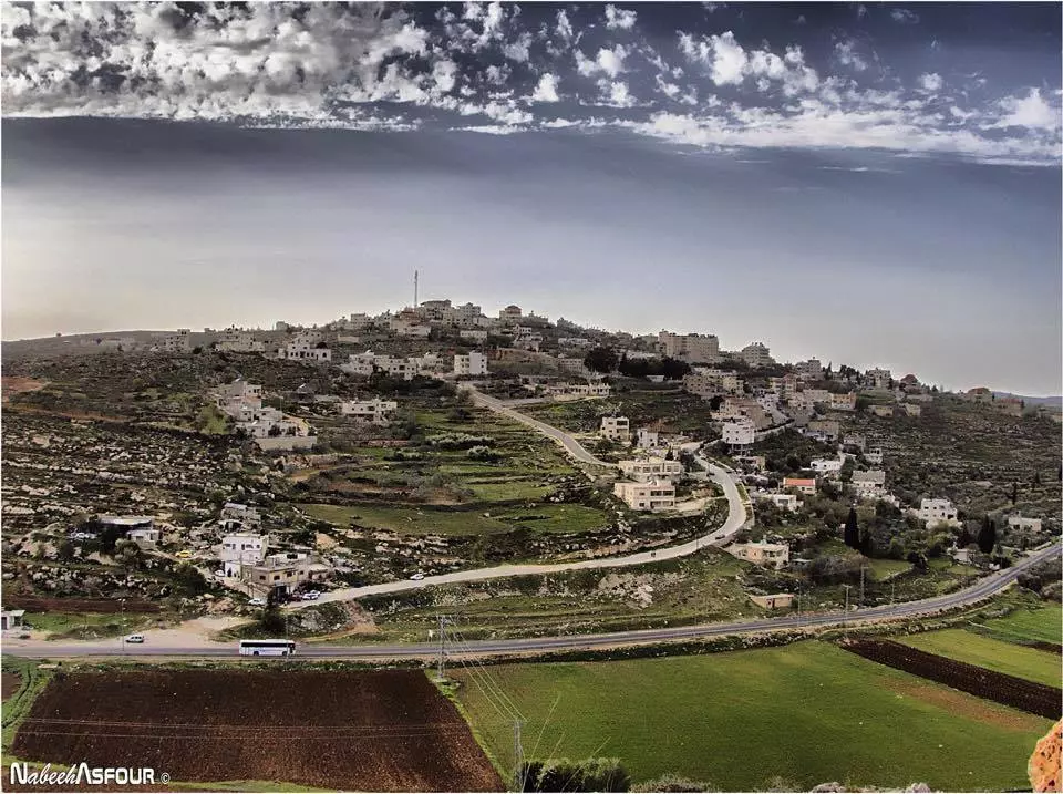
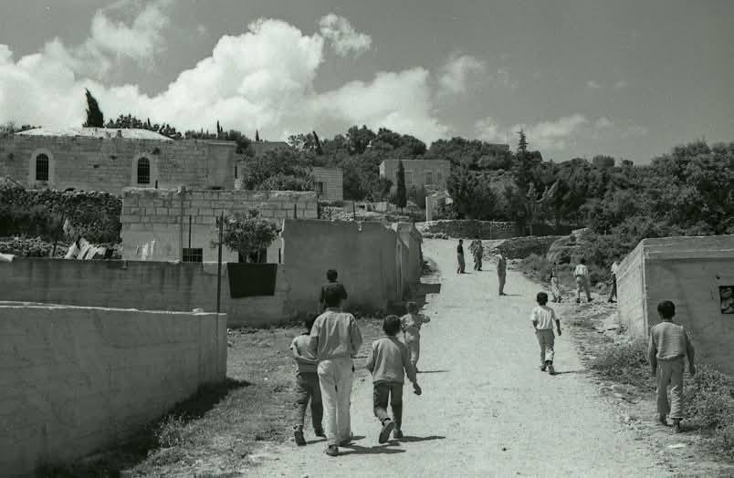
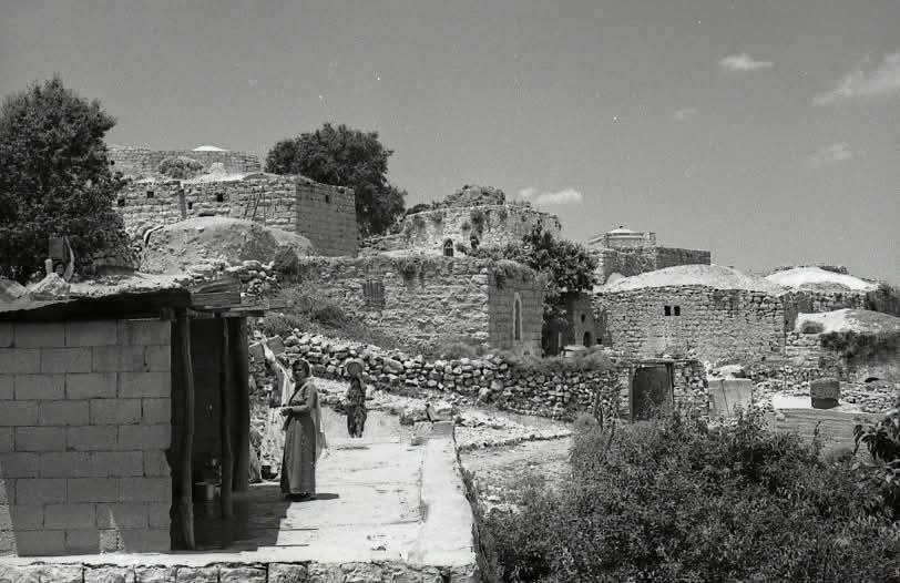
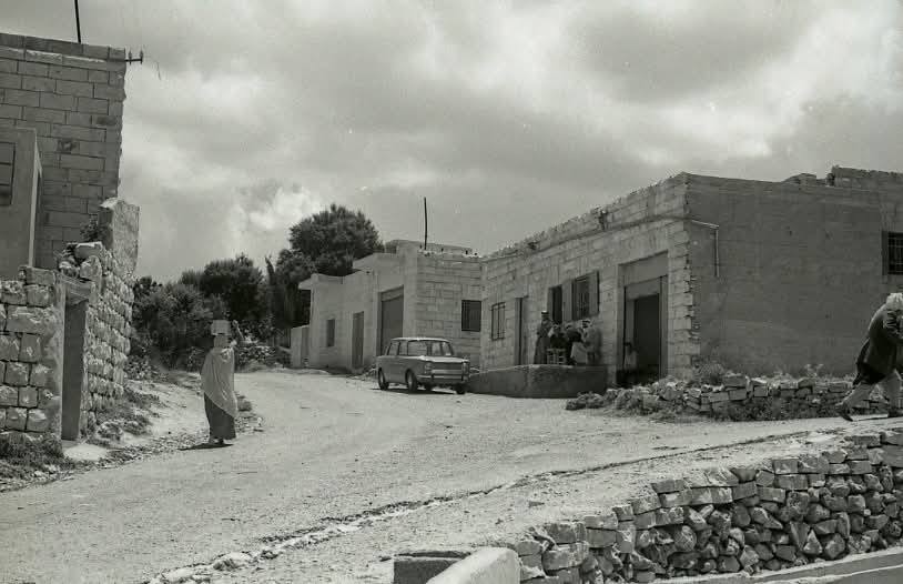
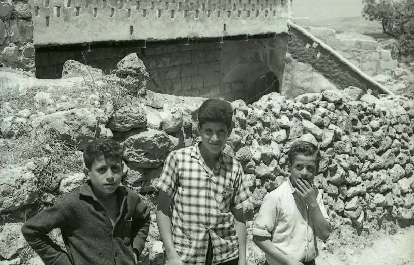
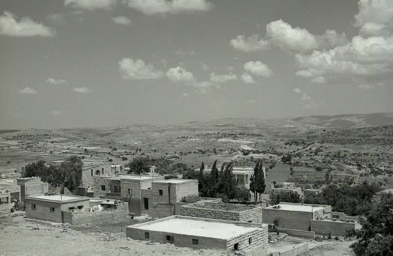
- منظر عام2
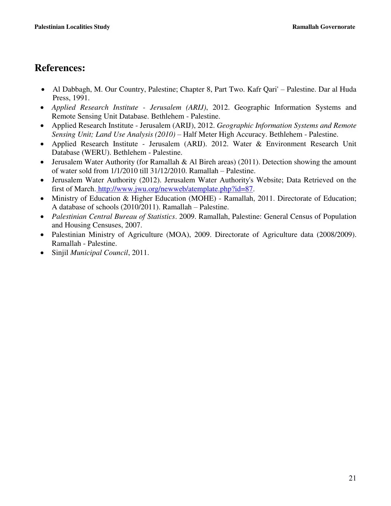
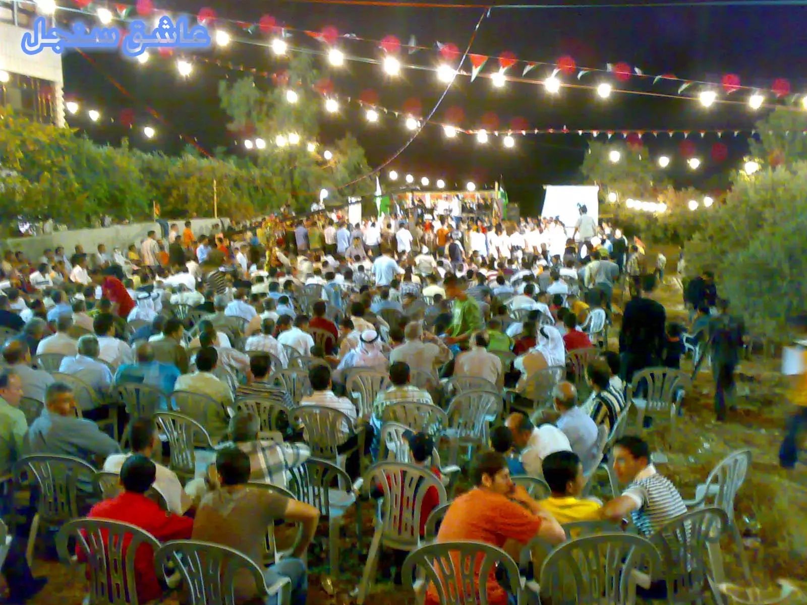
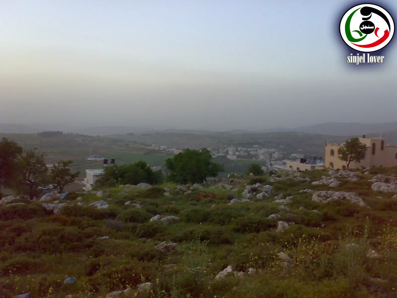
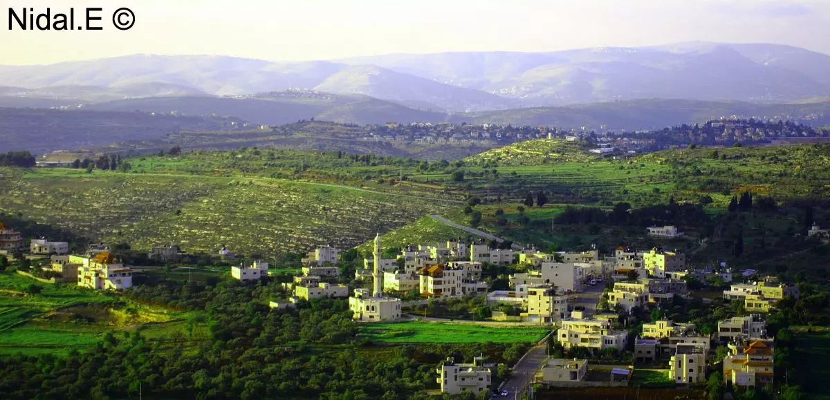
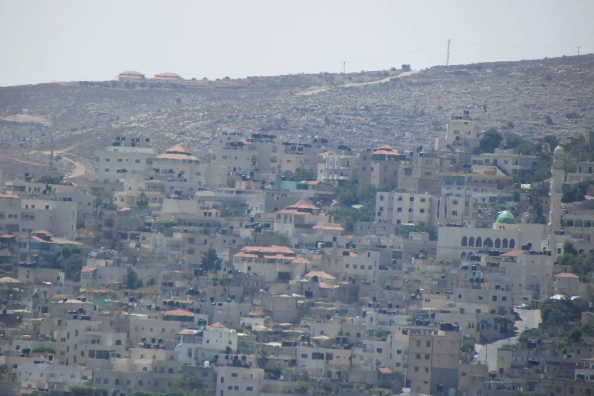
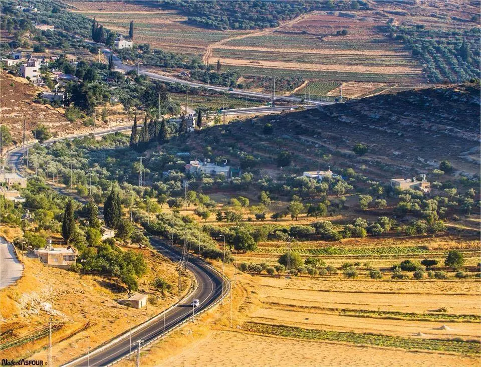
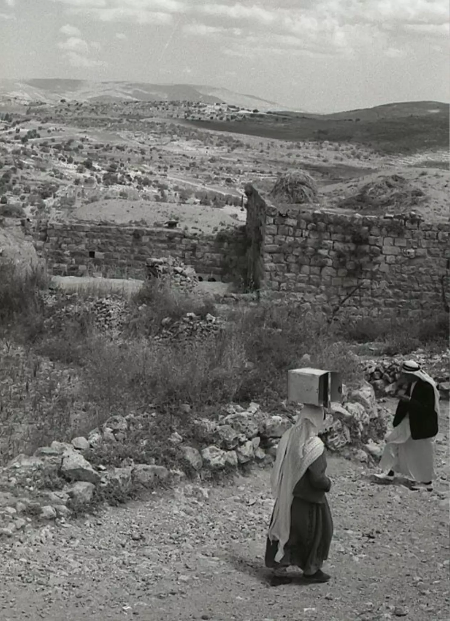
Posted by ALHAN SINJEL 18 - منظر عام رائع للحبيبة سنجل
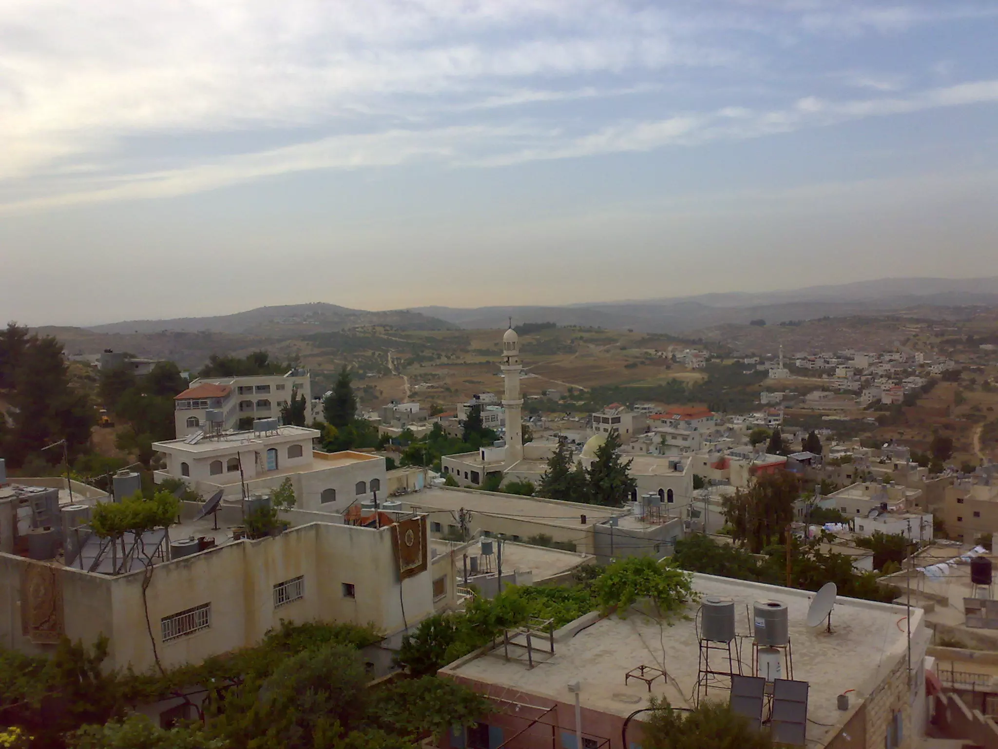
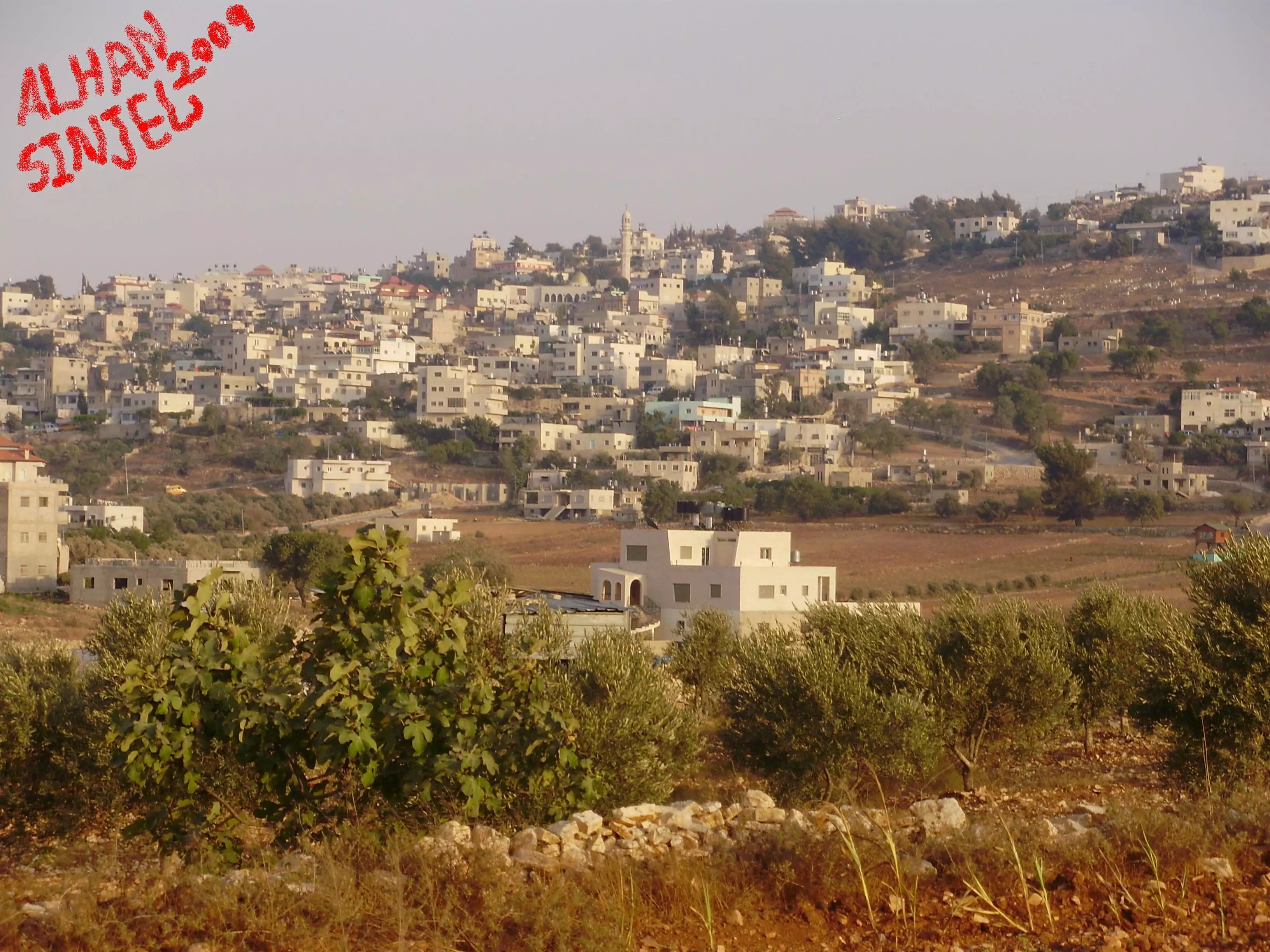
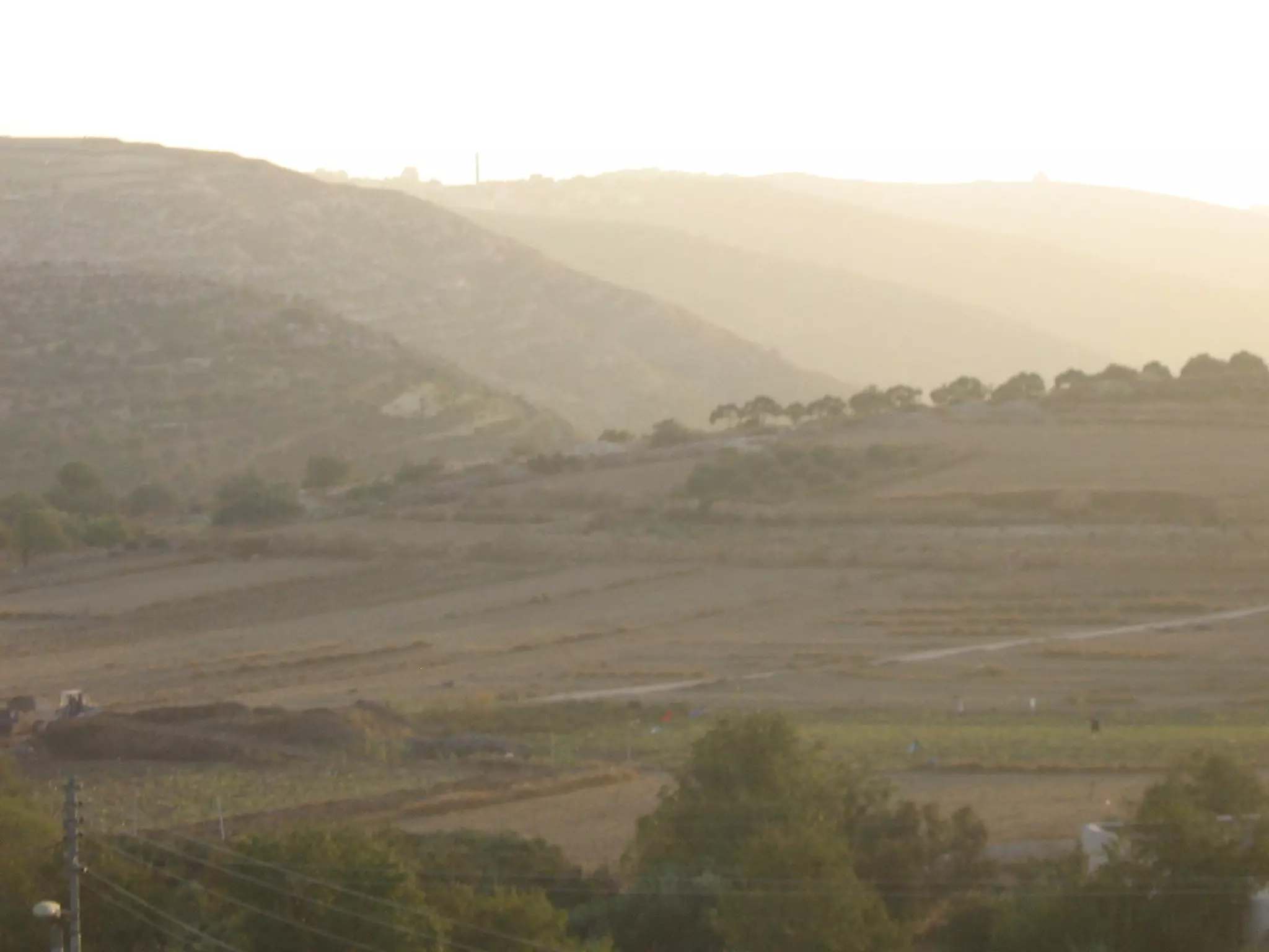
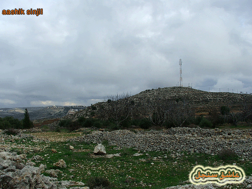
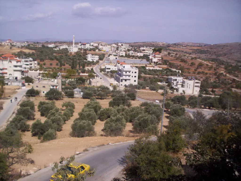
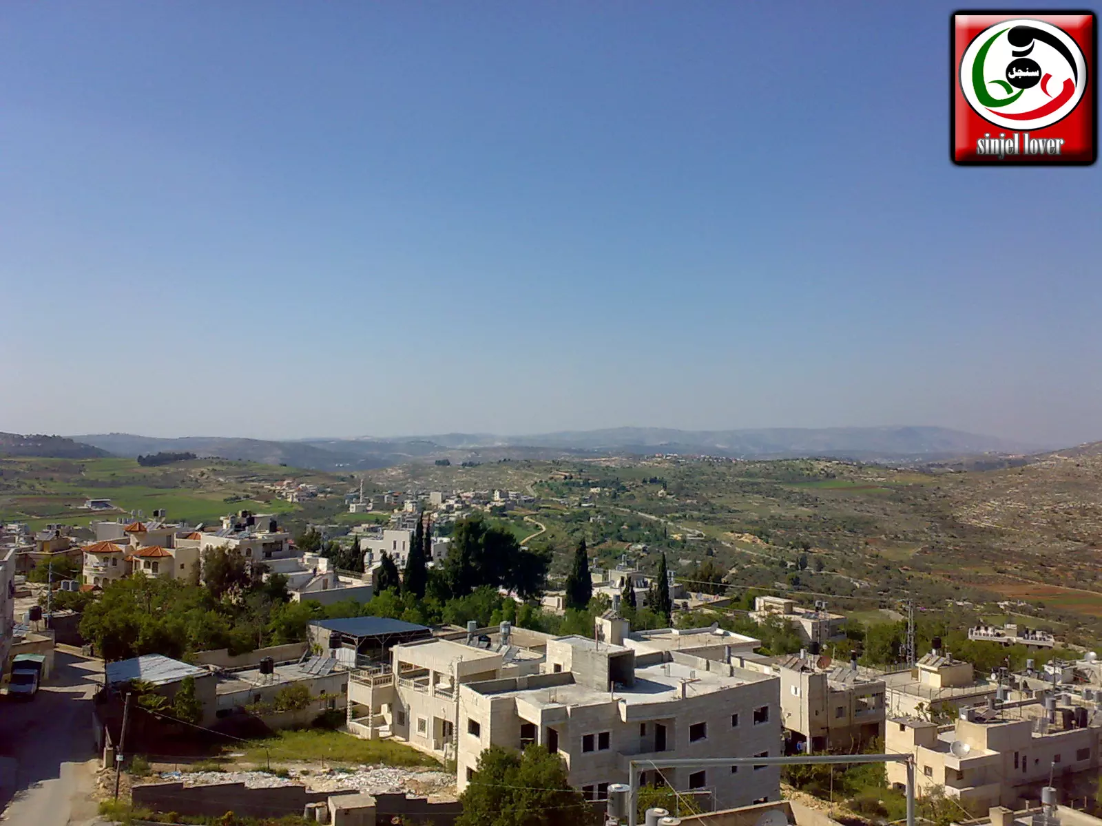
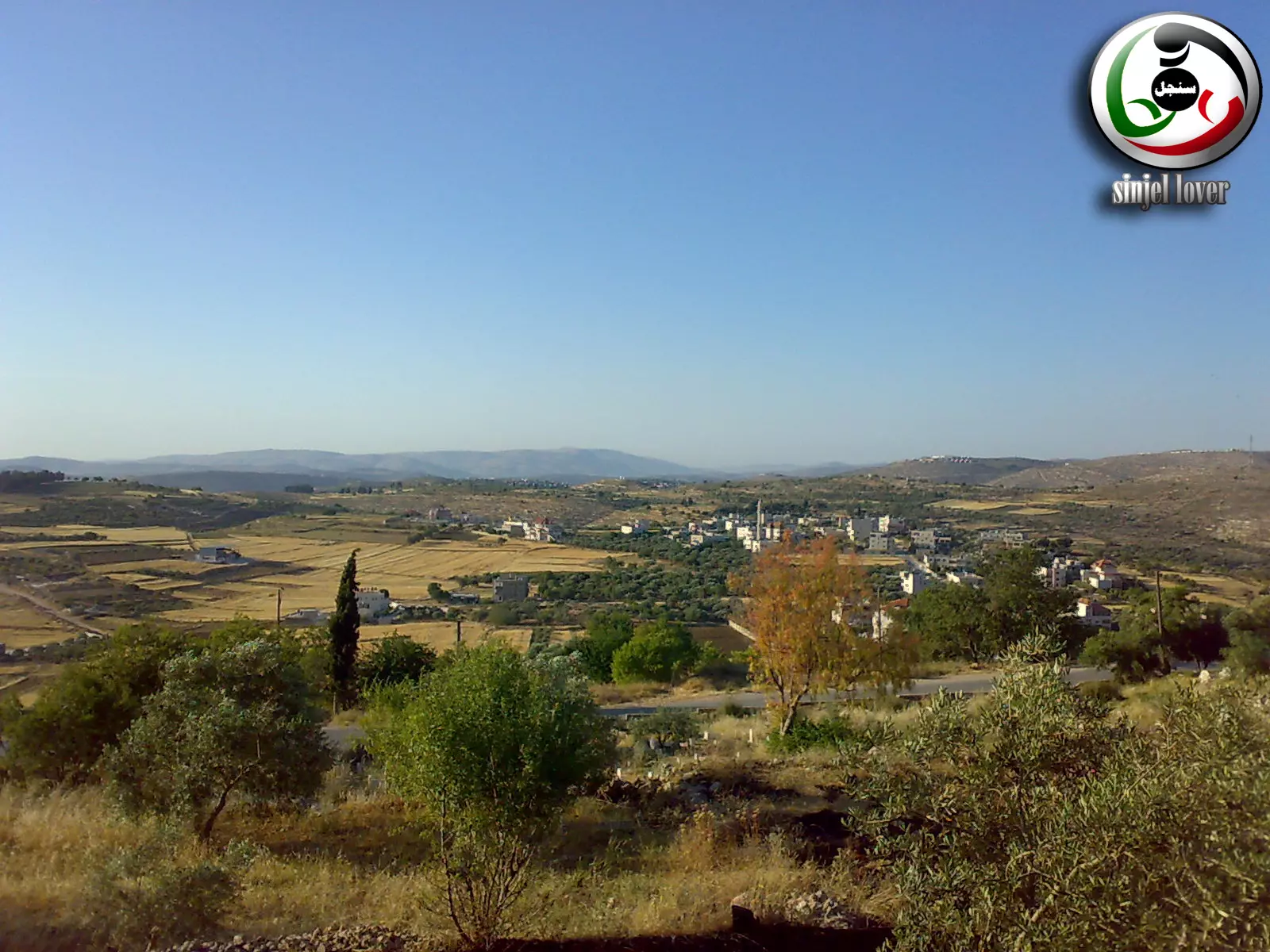
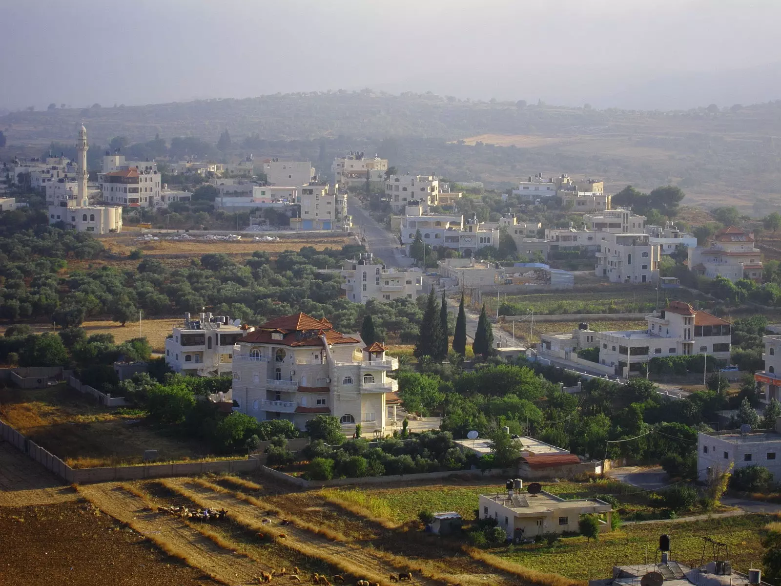
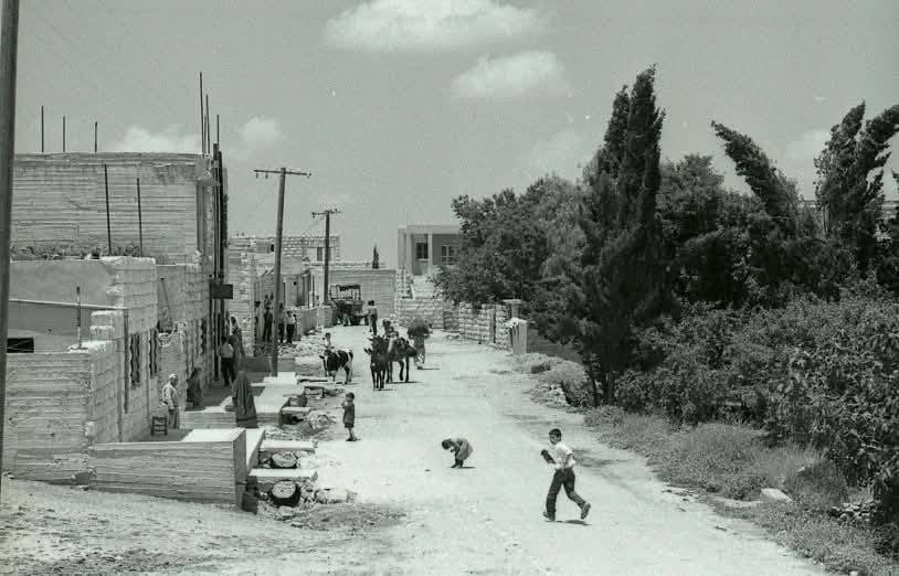
Posted by عاشق سنجل 15 - منظر عام يظهر فيه الجزء الاوسط من البلد ومنطقة المزيرعة من بعيد
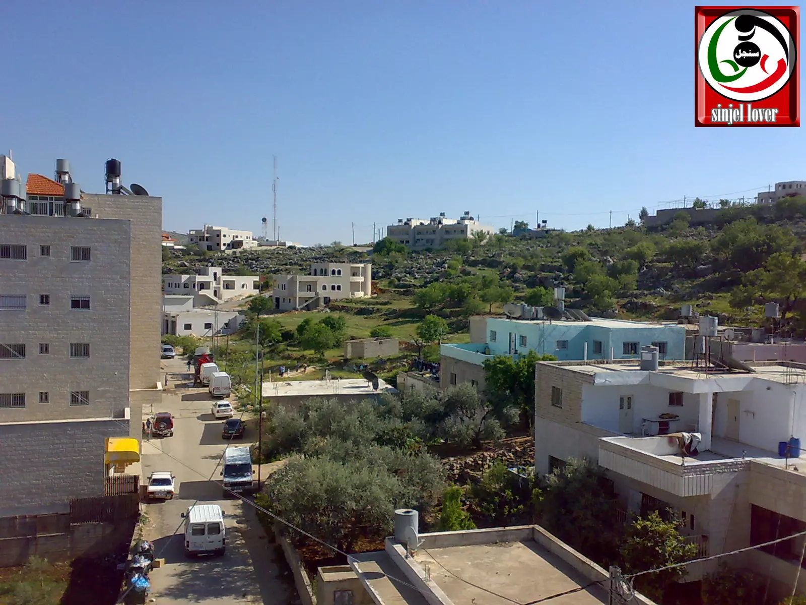
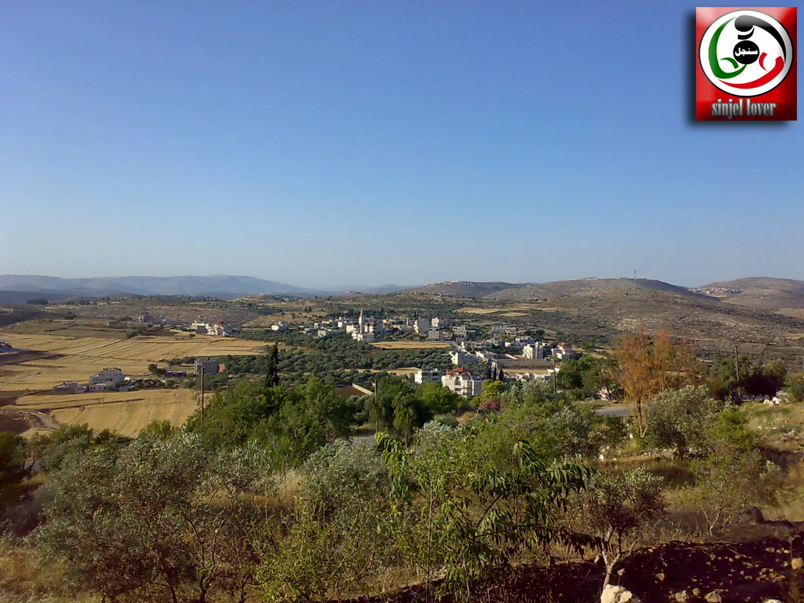
Posted by عاشق سنجل 4 - منظر عام (سنجل) من منطقة الشميس
Posted by ALHAN SINJEL 5 - Google image for SINJIL my vellage
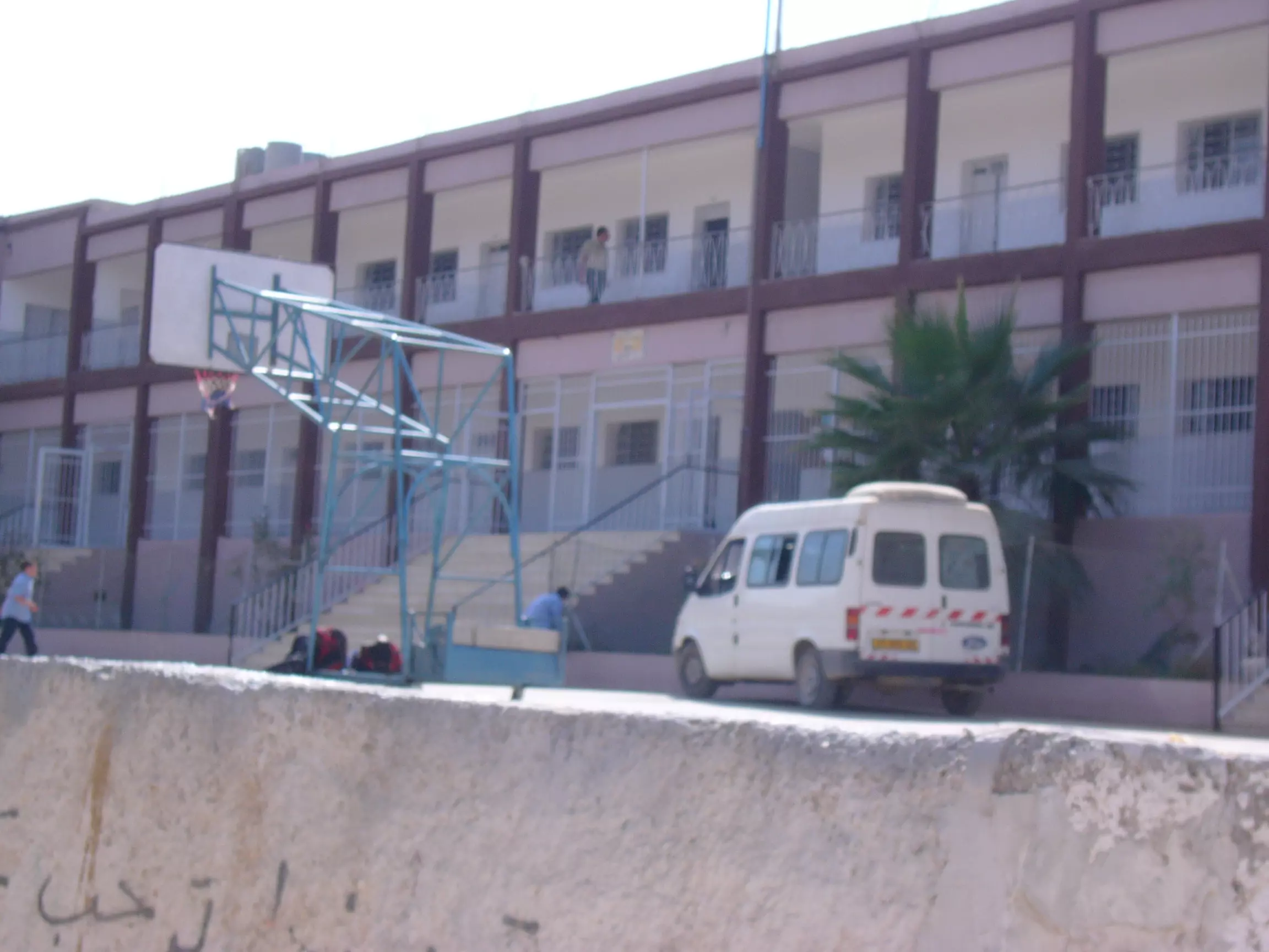
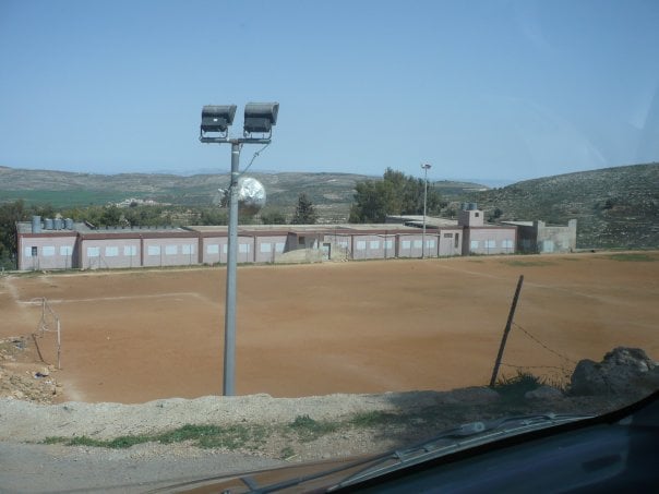
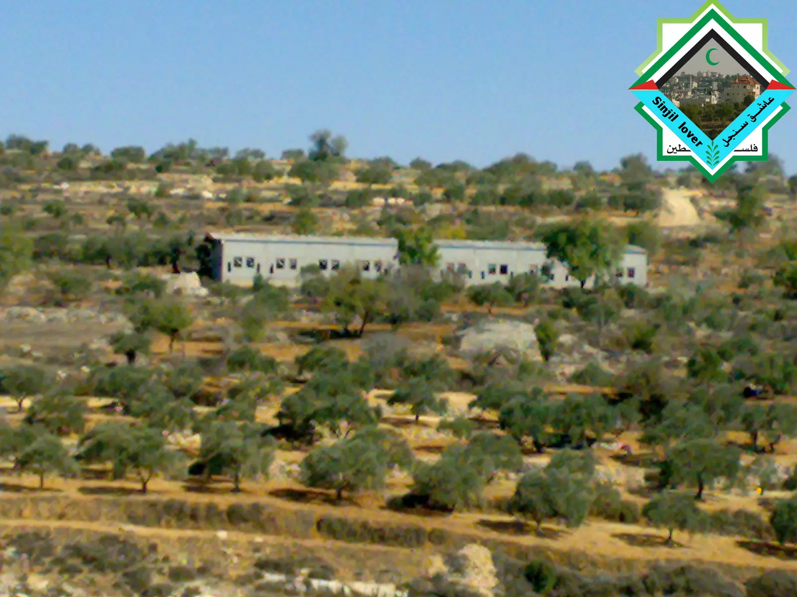
Posted by mahmoud 5 - المدرسة
Posted by tawfik awashra 3 - منظر عام
Posted by محمد مسالمة 7 - منظر يرف له القلب من الحبيبة سنجل
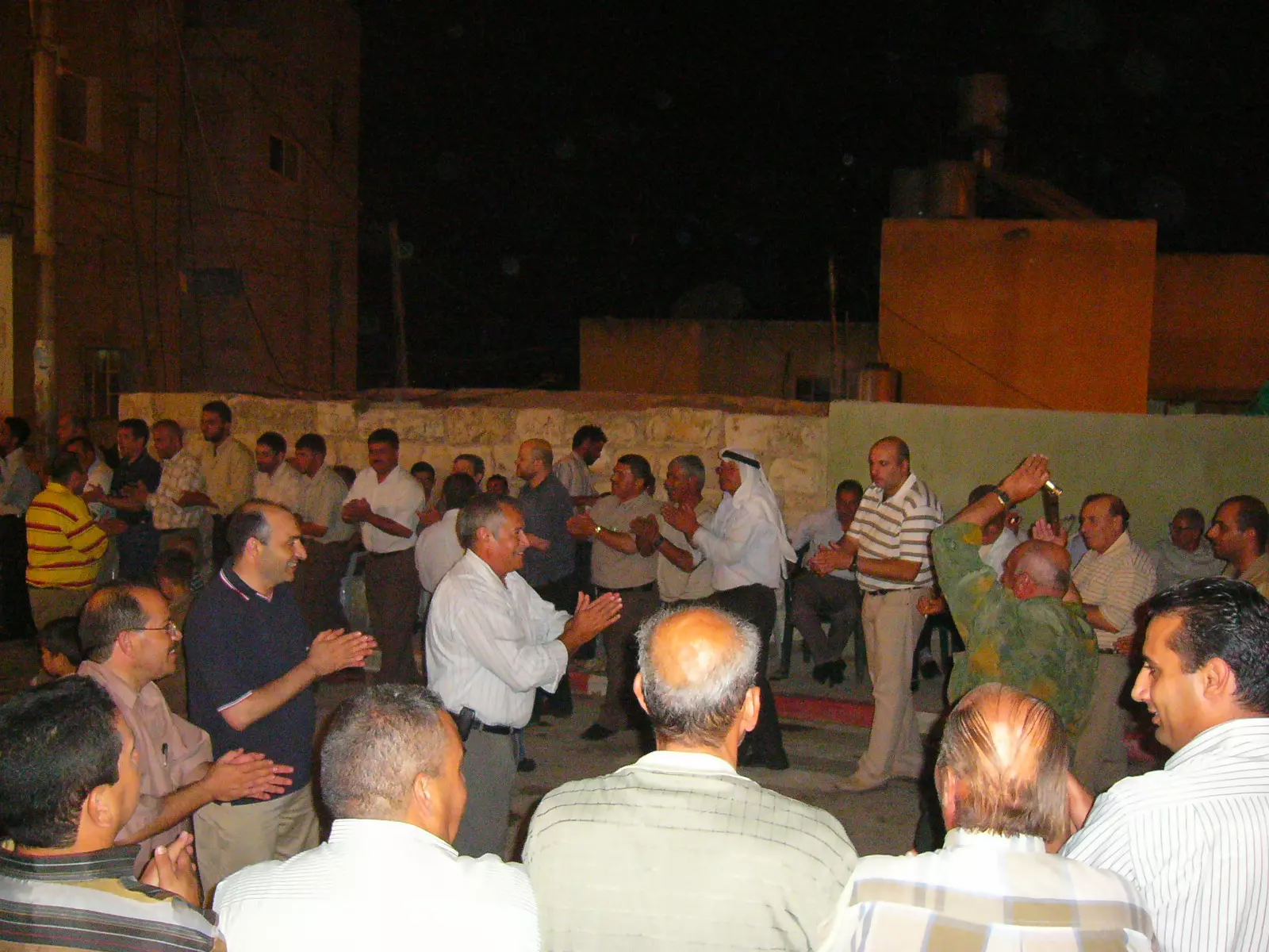
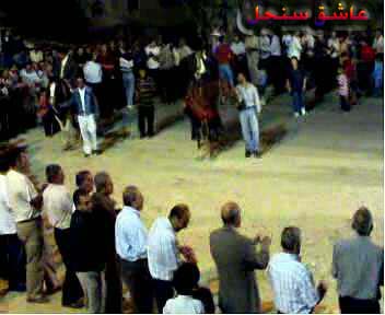
Posted by mahmoud 9 - سحجة
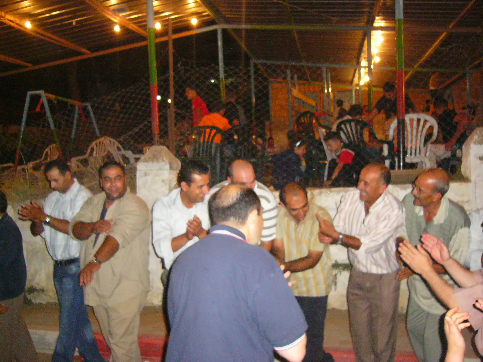
Posted by tawfik awashra 1 - سحجة
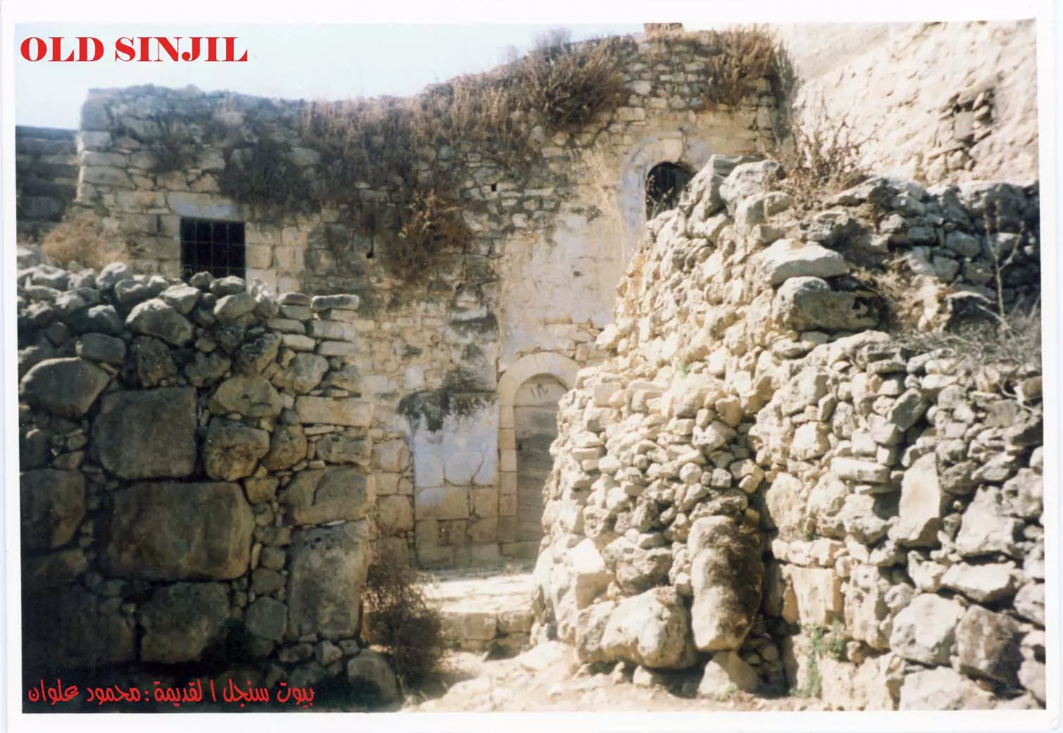
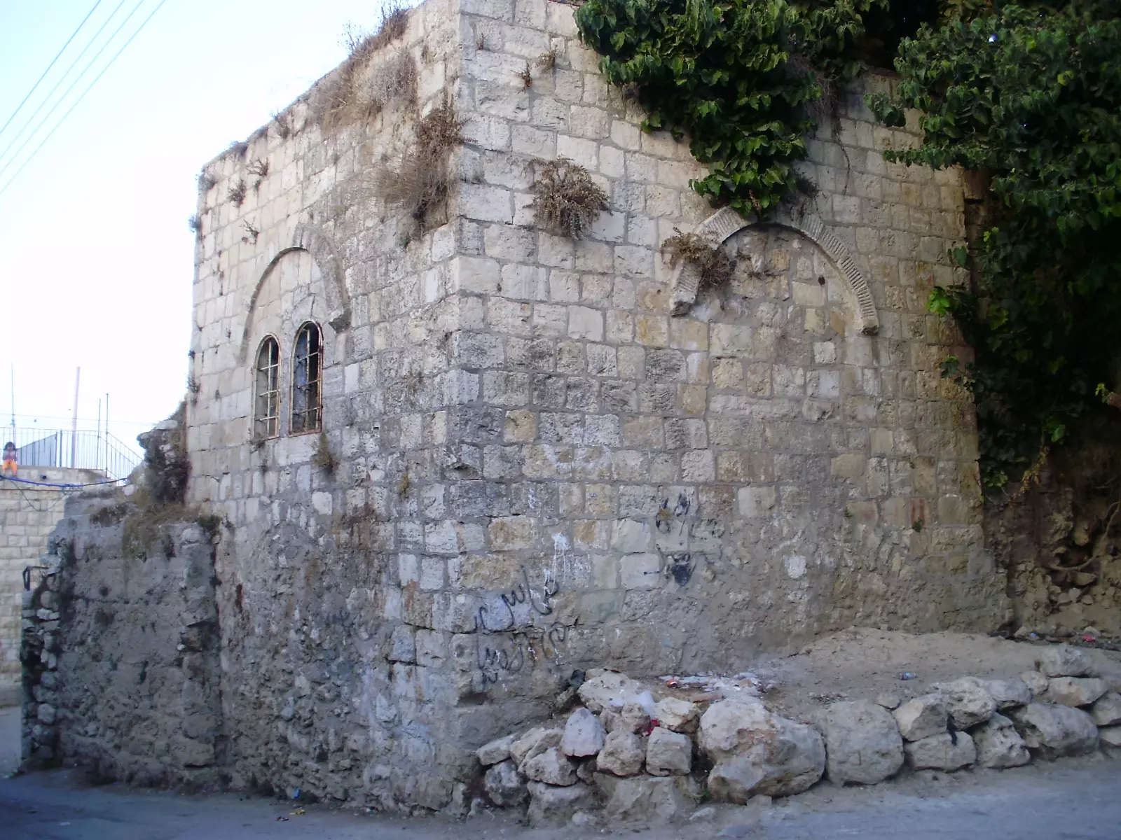
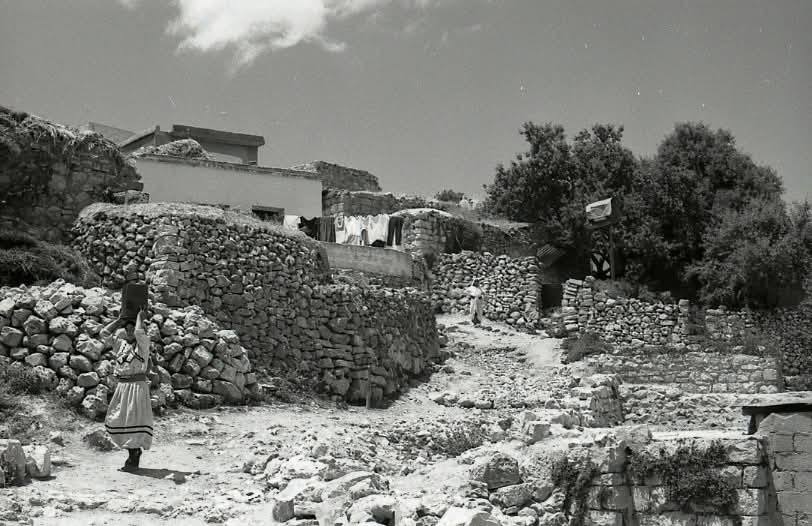
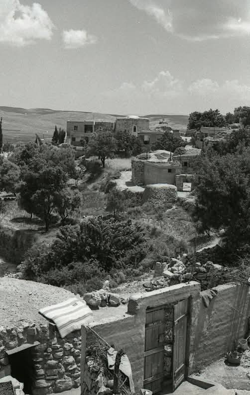
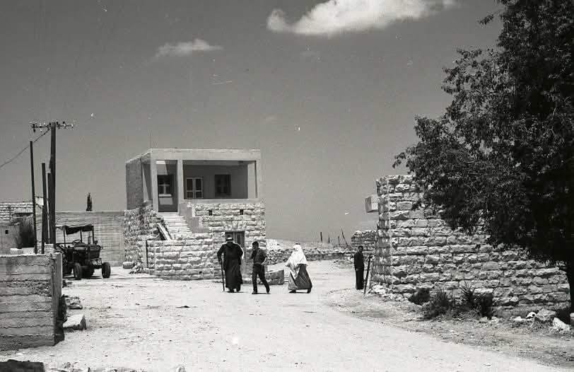
Posted by tawfik awashra 8 - البيوت القديمة في سنجل
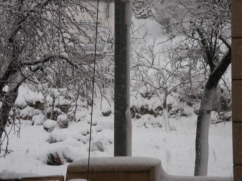
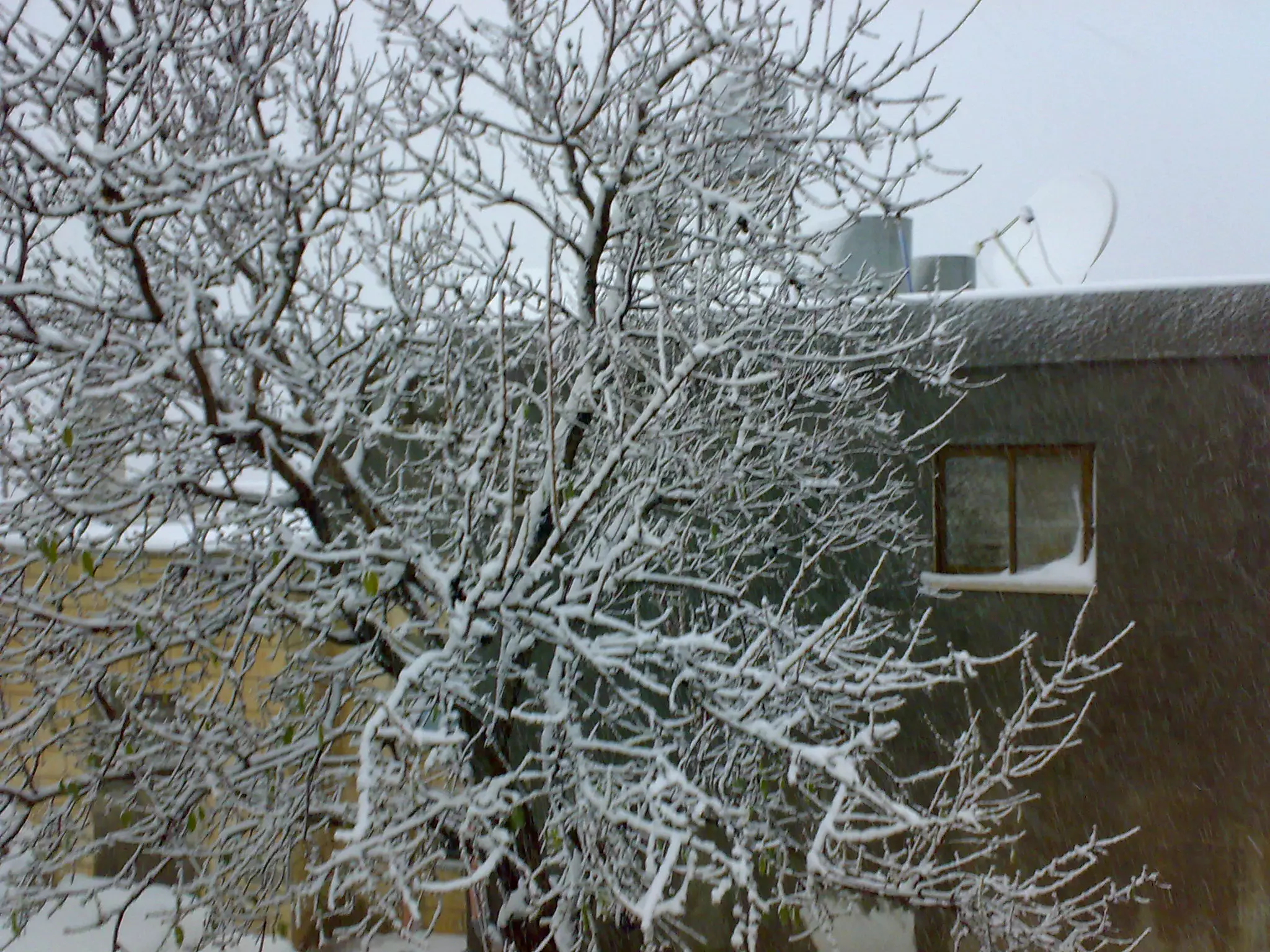
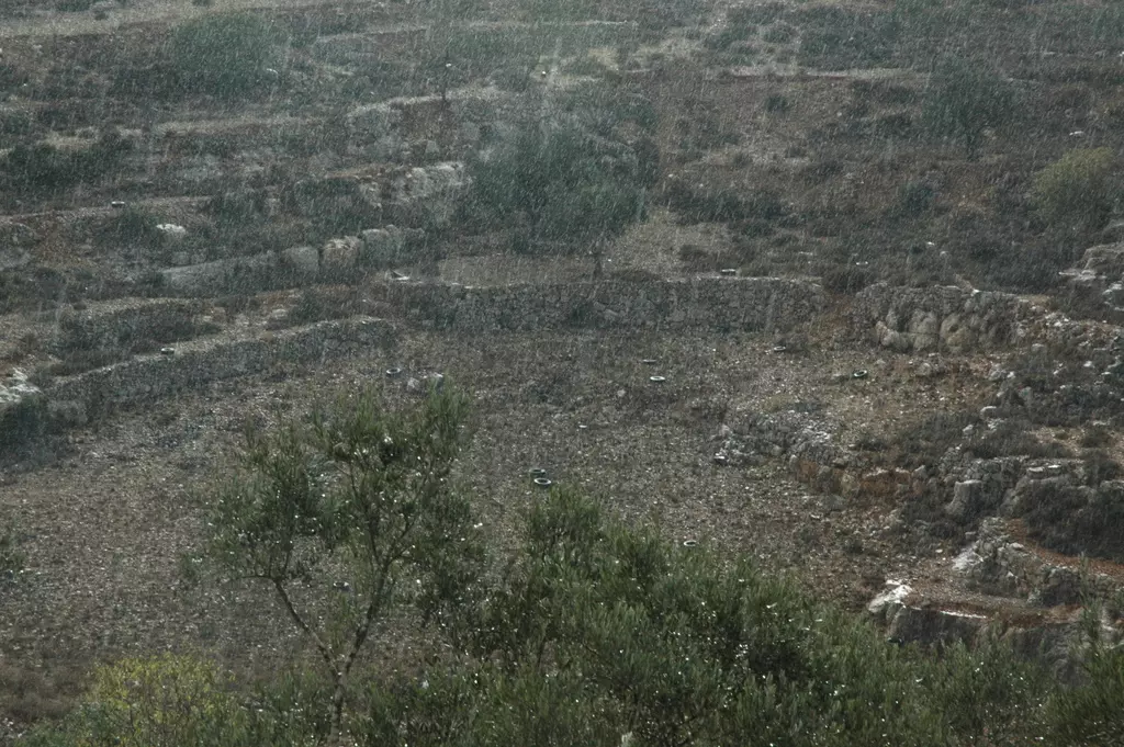
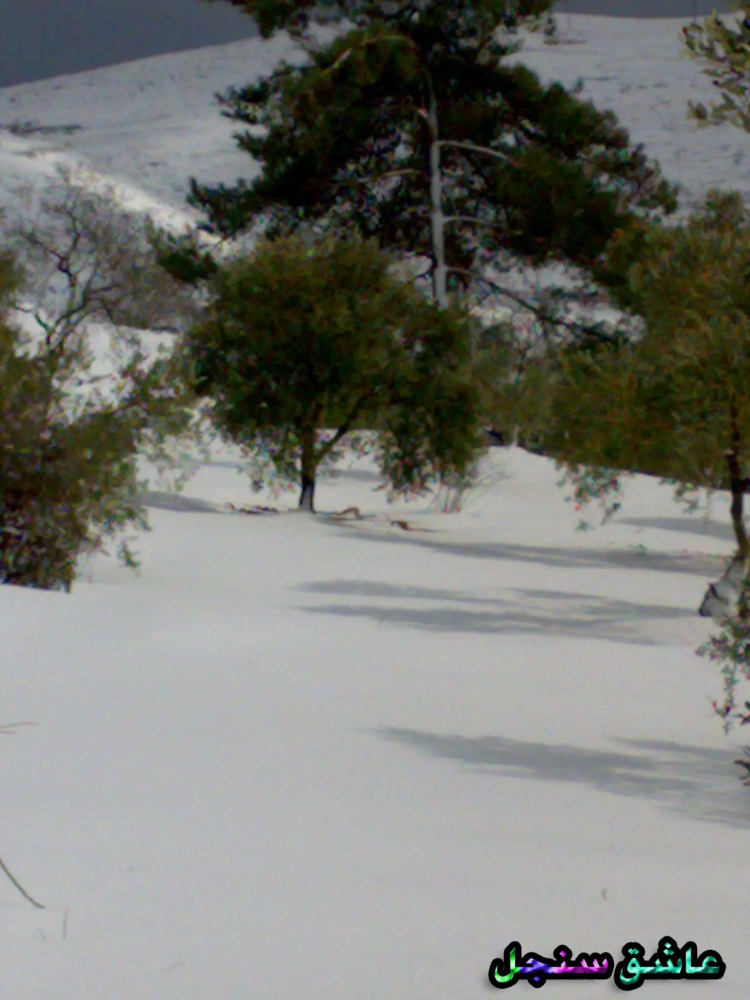
Posted by mahmoud 7 - picture of snow in village sinjil
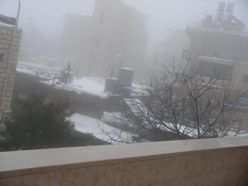
Posted by daarabianchick 1 - picture for sinjil snow
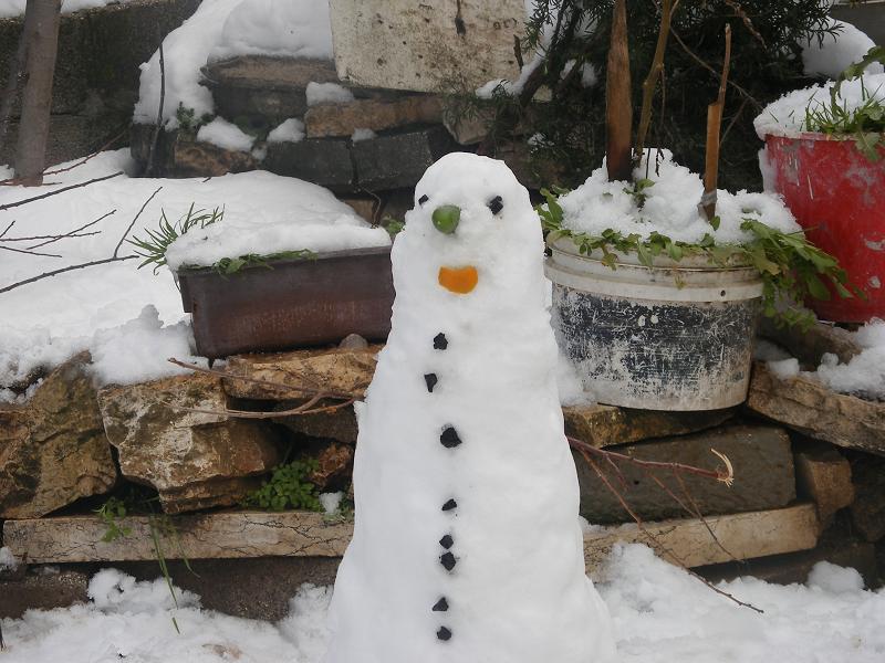
Posted by daarabianchick 1 - snow man in sinjil
Posted by daarabianchick - منظر عام
Posted by daarabianchick - منظر عام
Posted by daarabianchick 2 - منظر عام
Posted by daarabianchick 5 - ABO-NAJEEB LAND ALWAYS GREEN
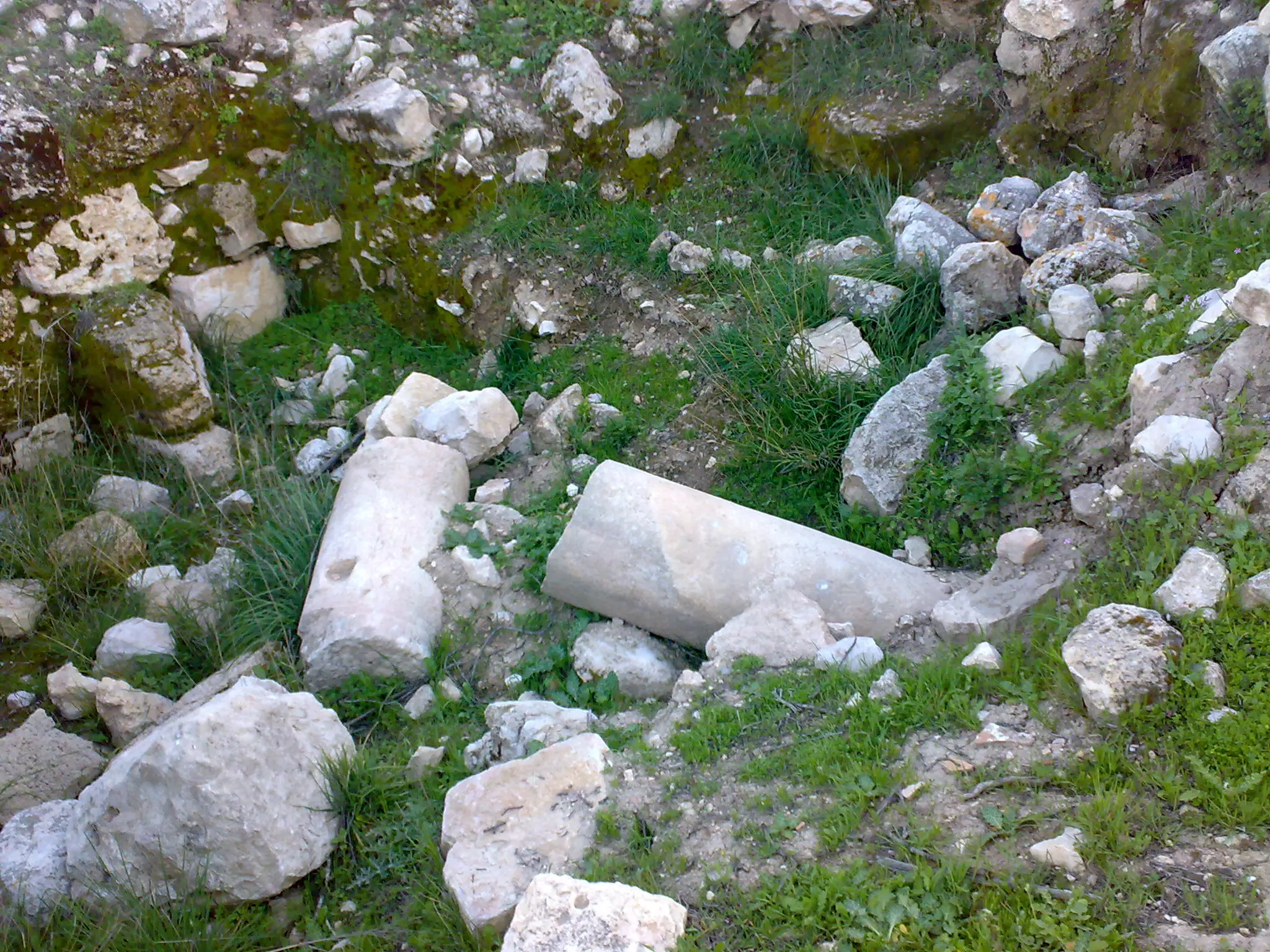
Posted by ADEEB MASALMA 1 - اعمدة رومانية مكسرة
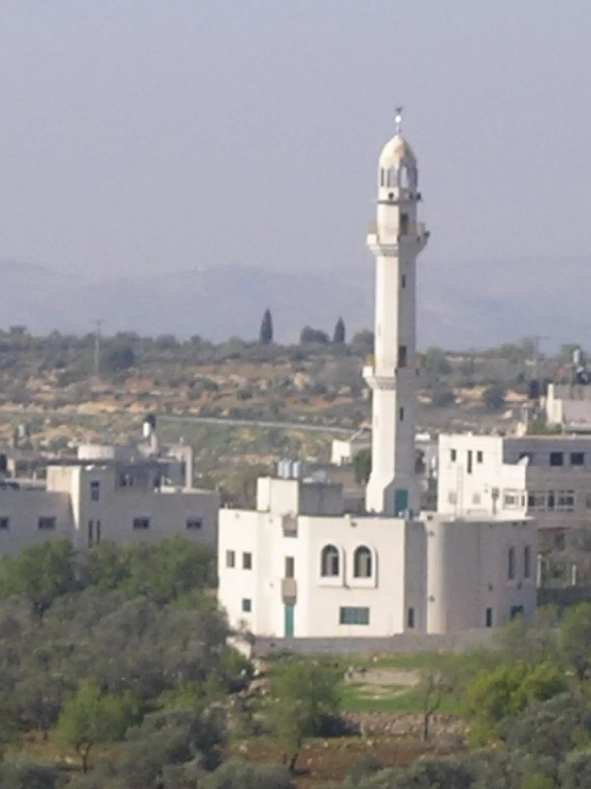
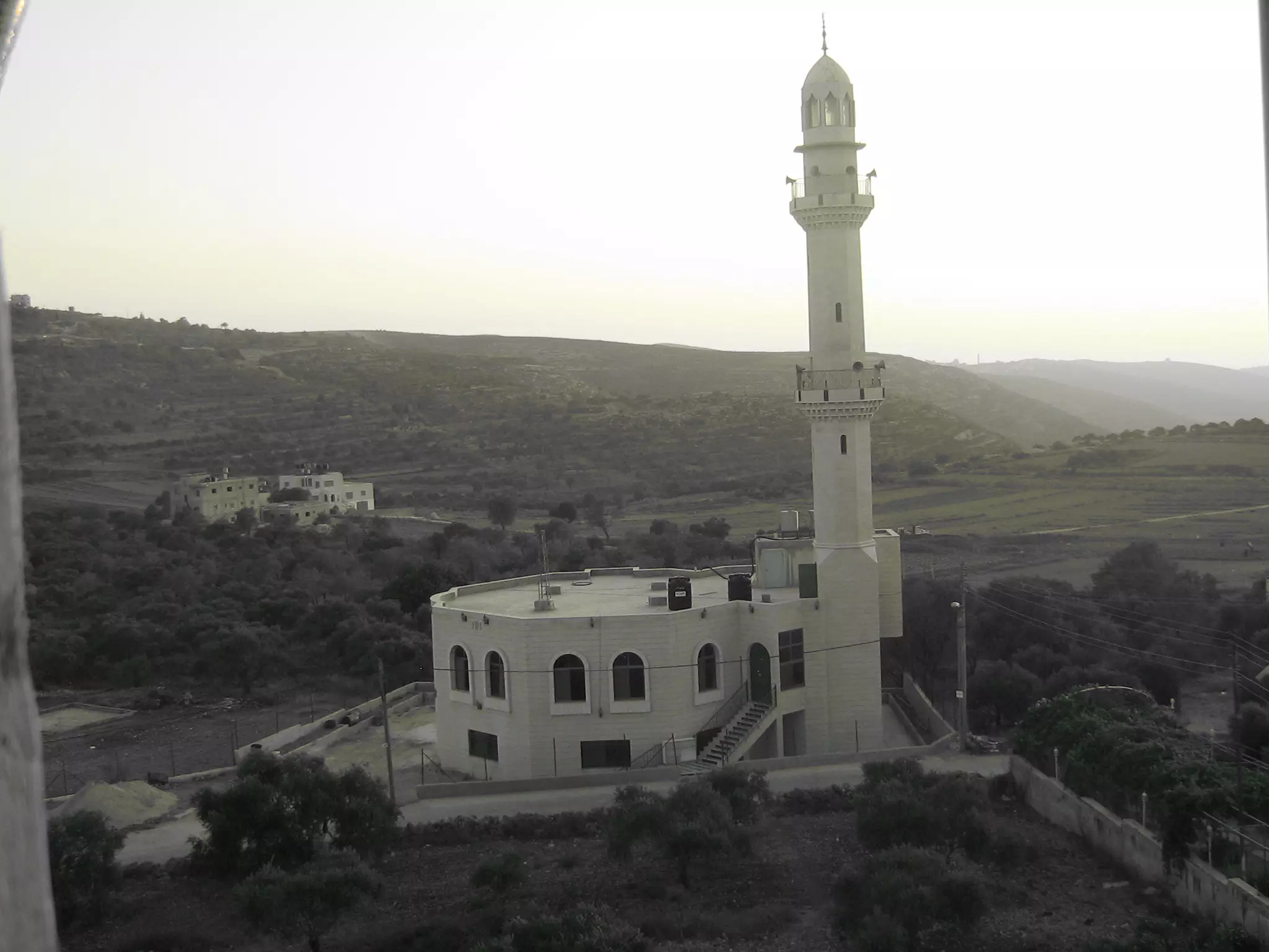
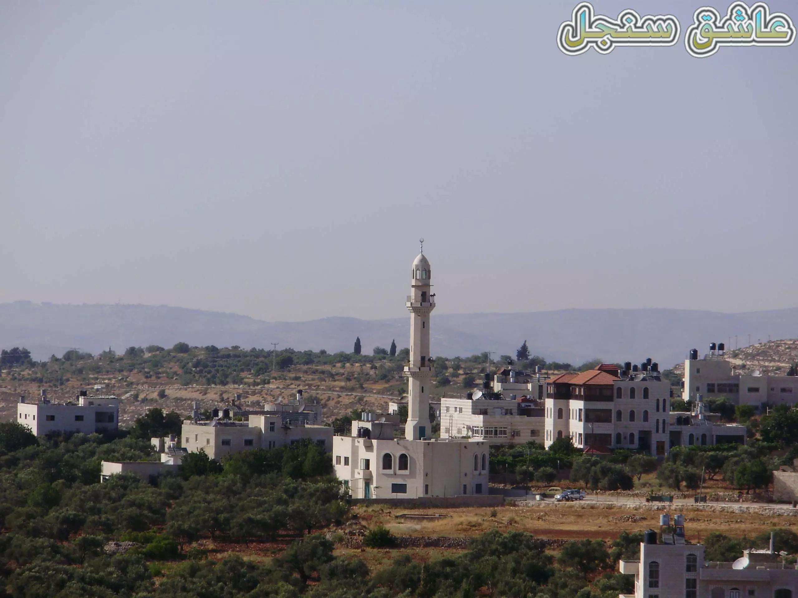
Posted by عاشق سنجل 2 - مسجد سنجل الجديد
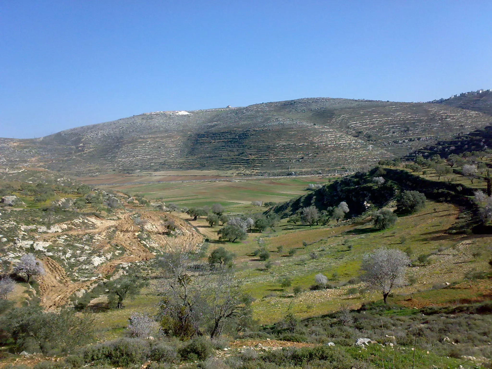
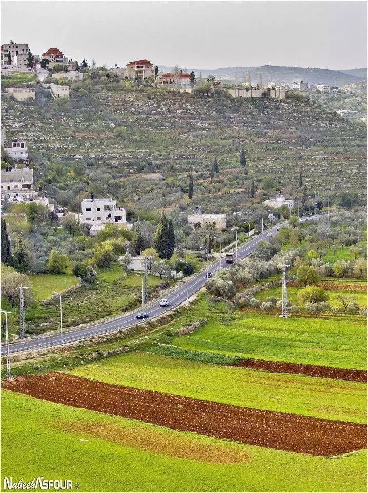
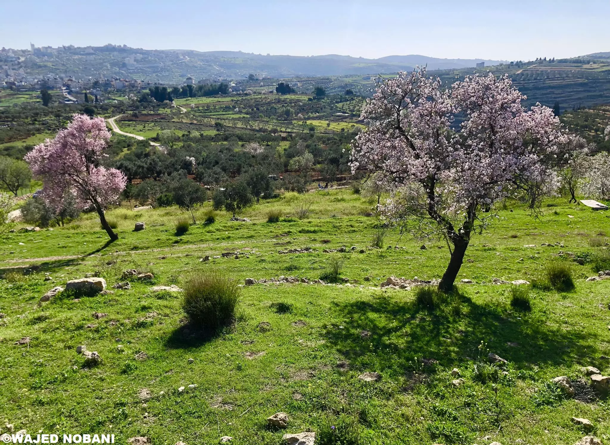
Posted by NADER 1 - الربيع في تلال سنجل
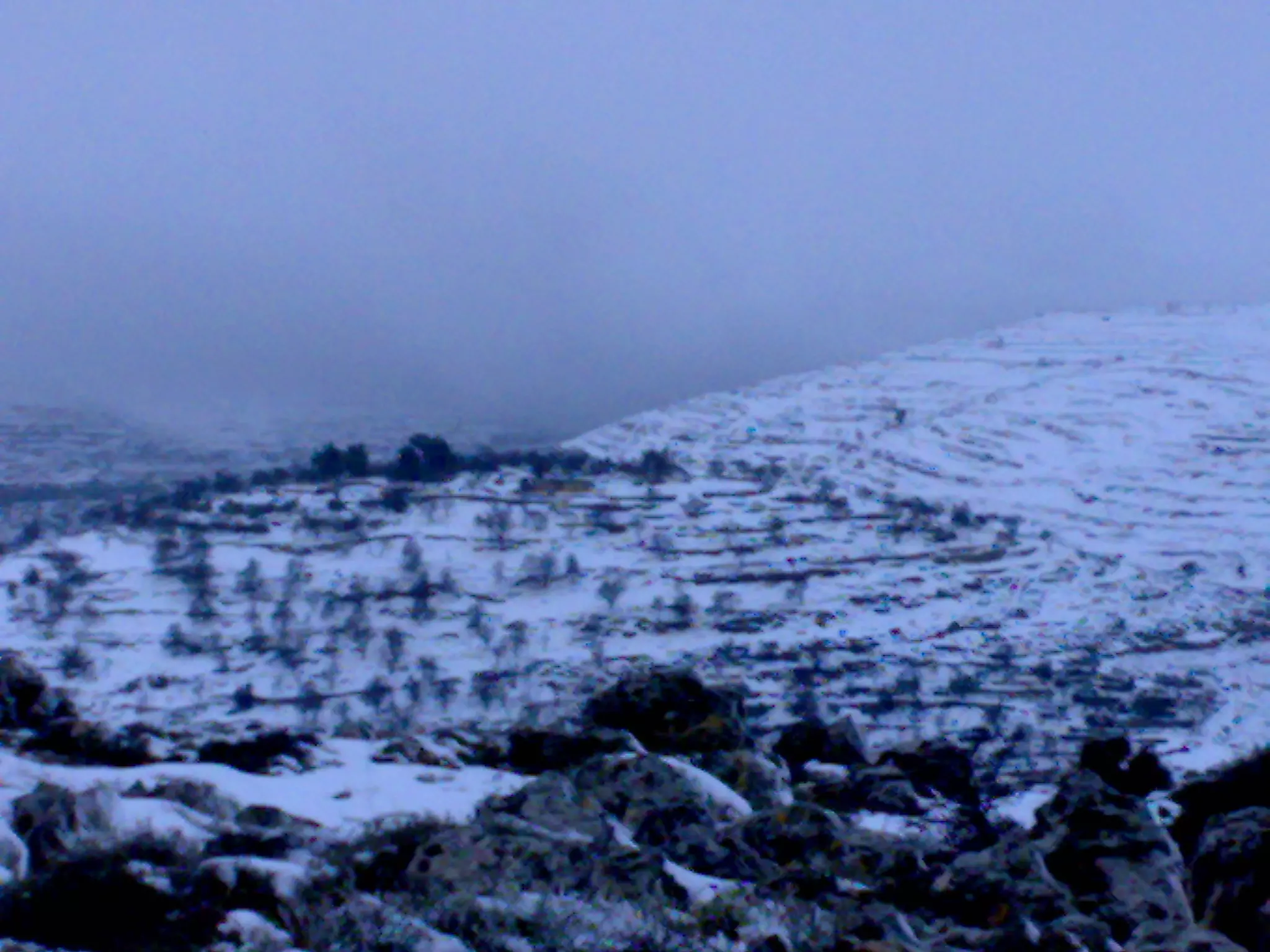
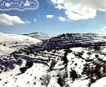
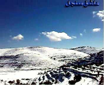
Posted by عاشق سنجل 6 - ثلوج غزيرة تتراكم على سنجل
Posted by عاشق سنجل 3 - جبال سنجل تكسوها الثلوج
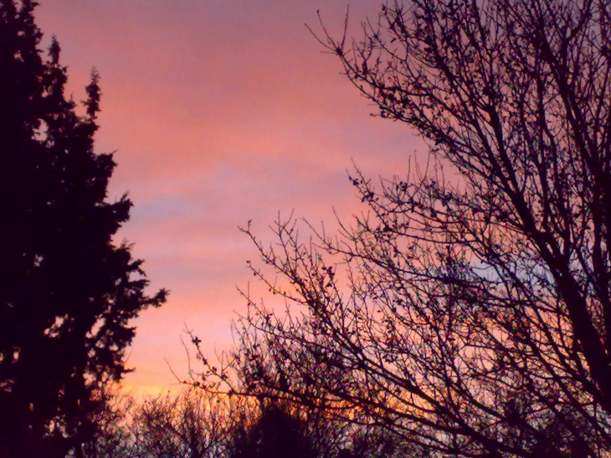
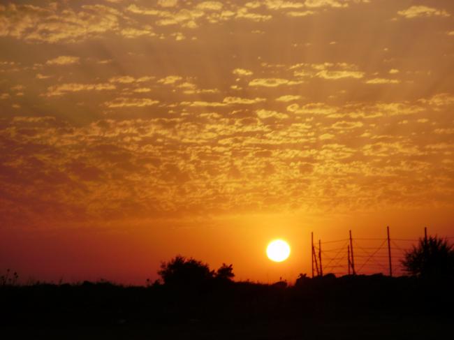
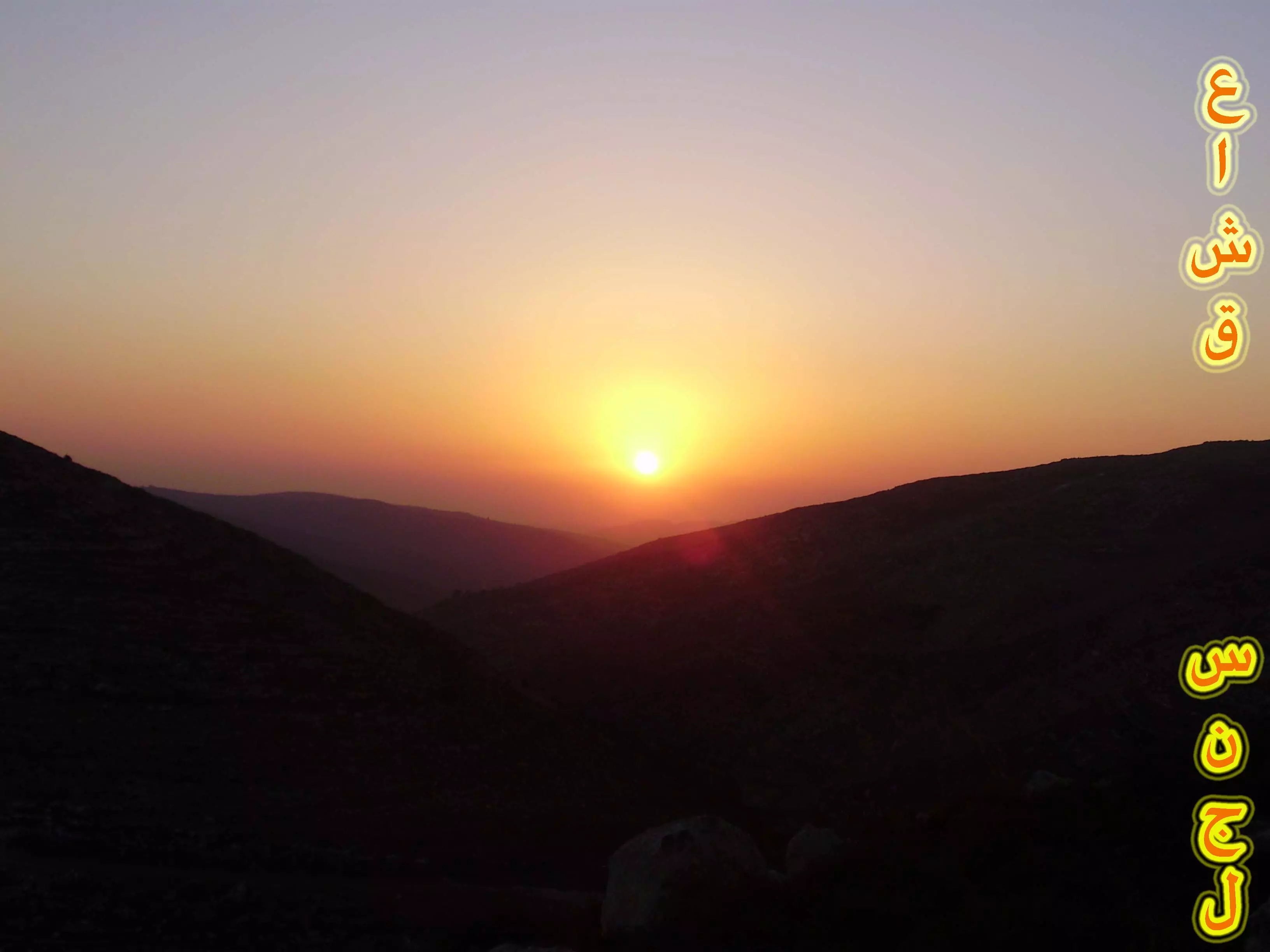
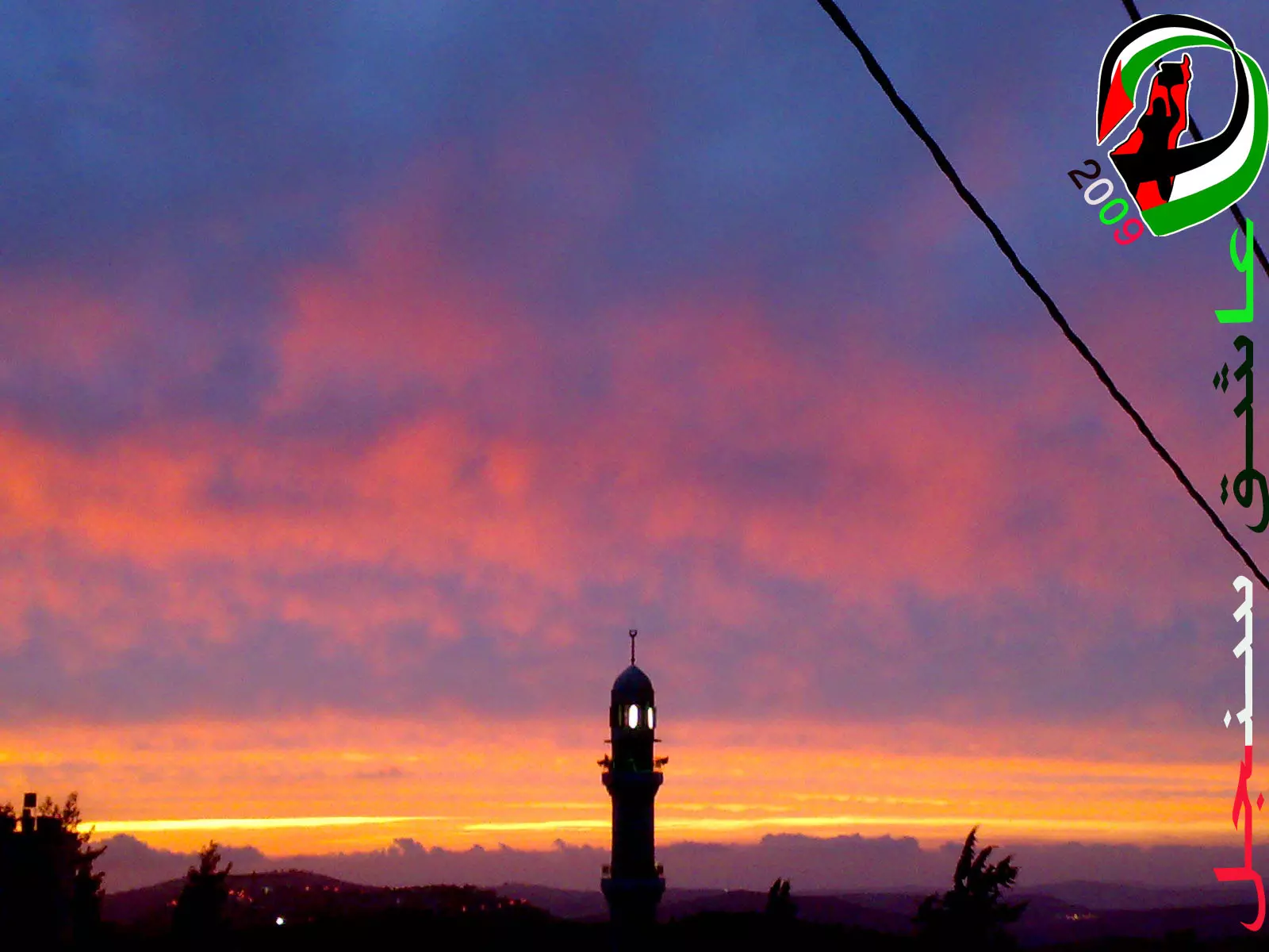
Posted by عاشق سنجل 1 - منظر ساحر للشفق الاحمر في سنجل
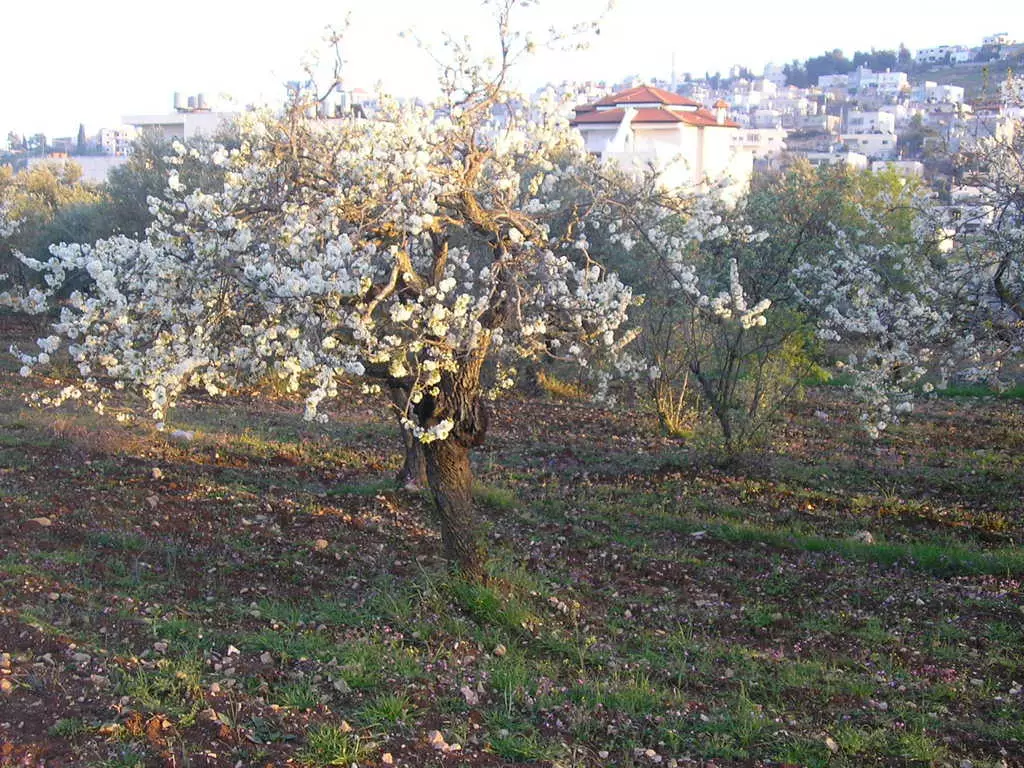
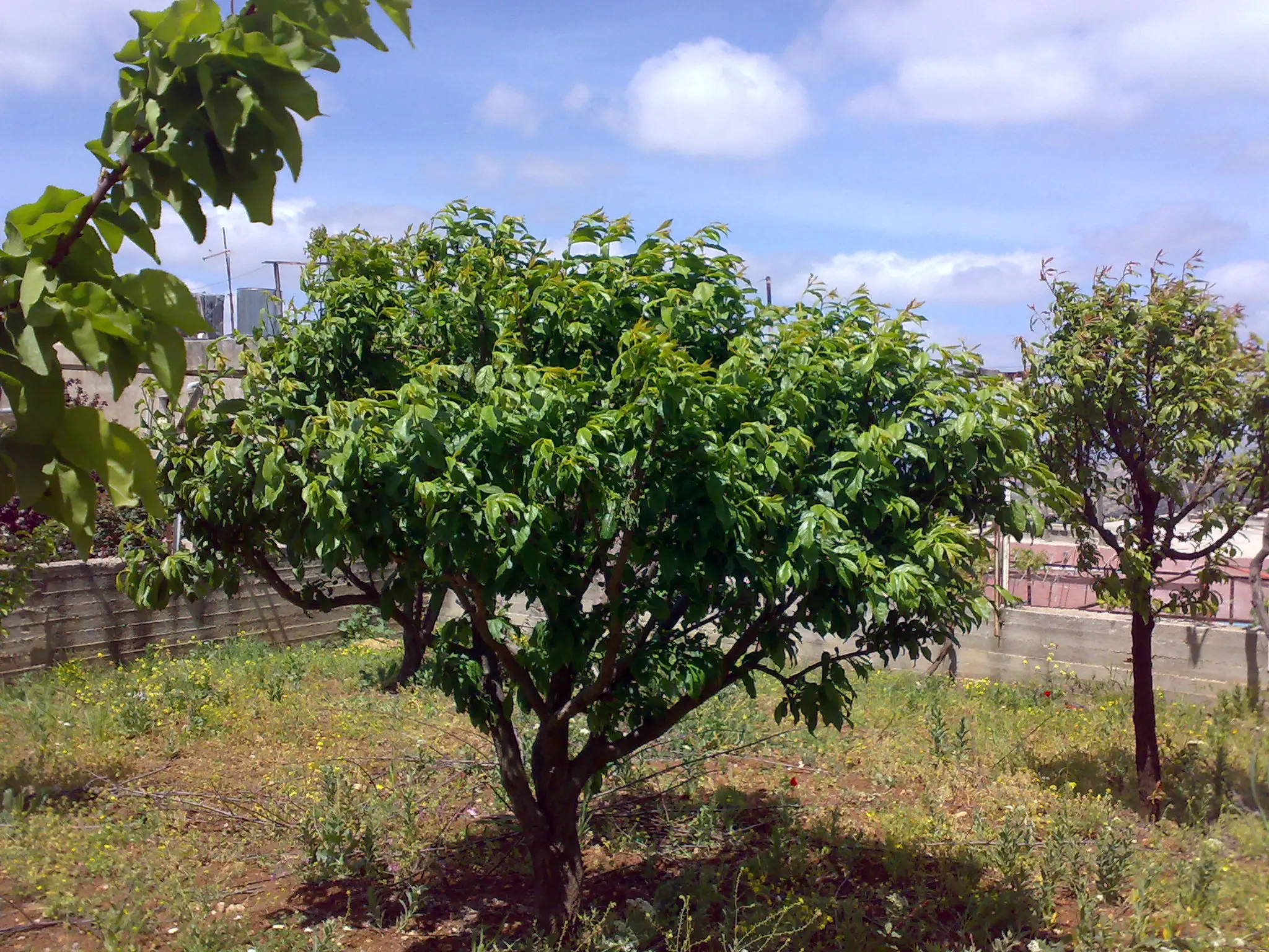
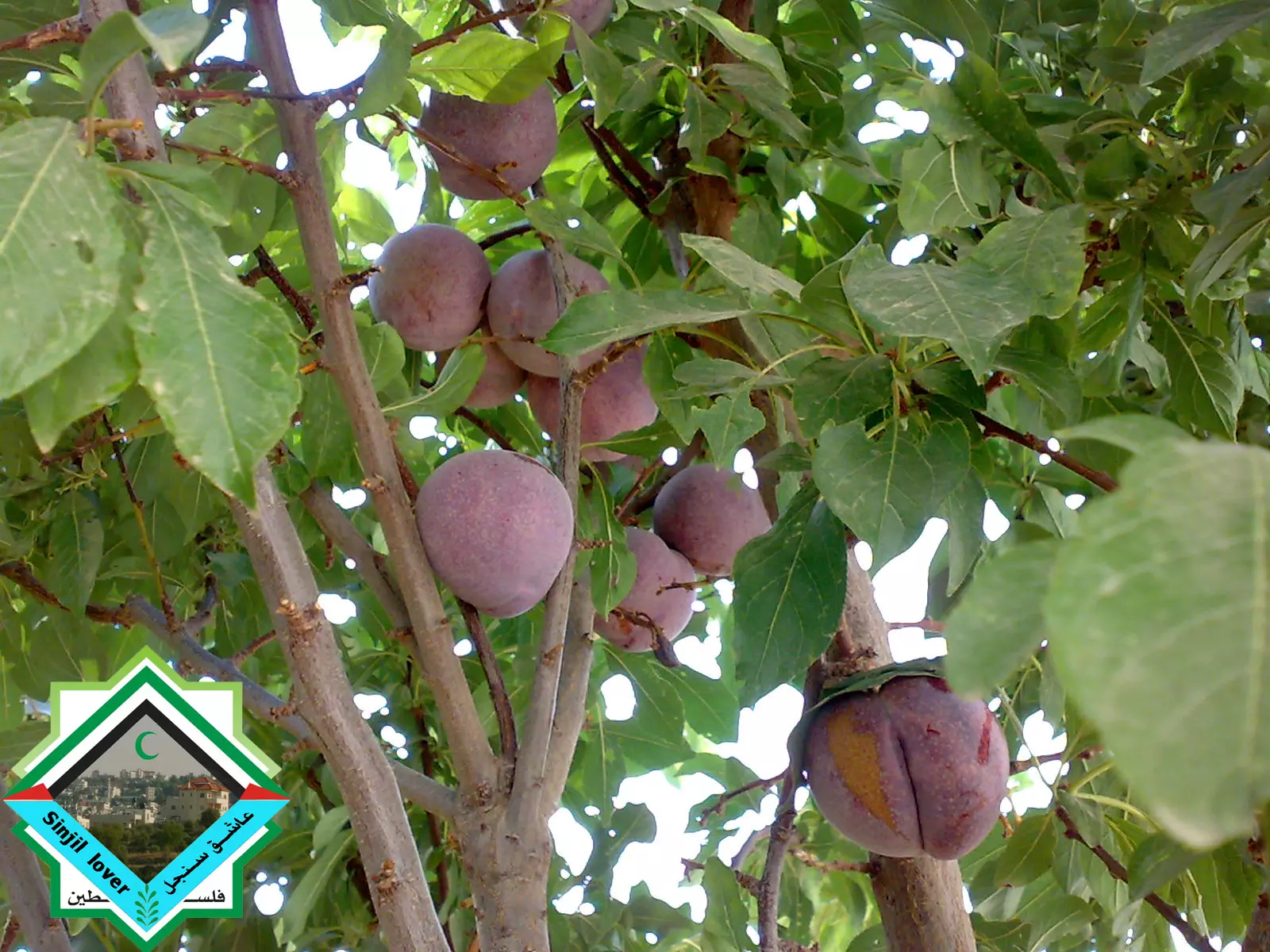
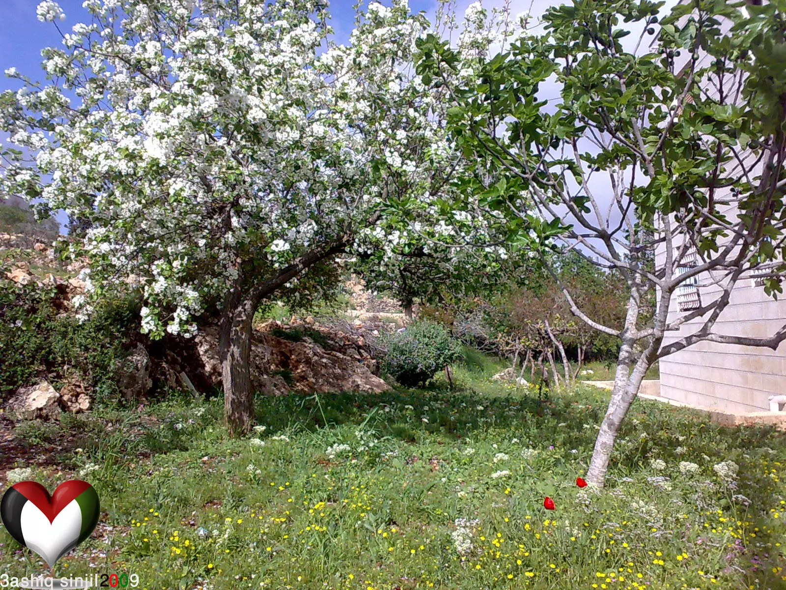
Posted by عاشق سنجل - شجر البرقوق في الربيع
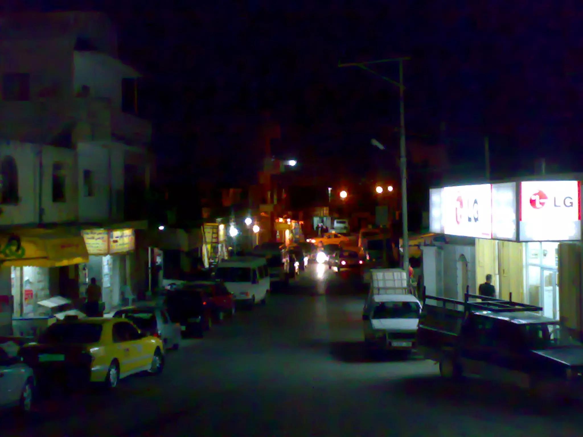
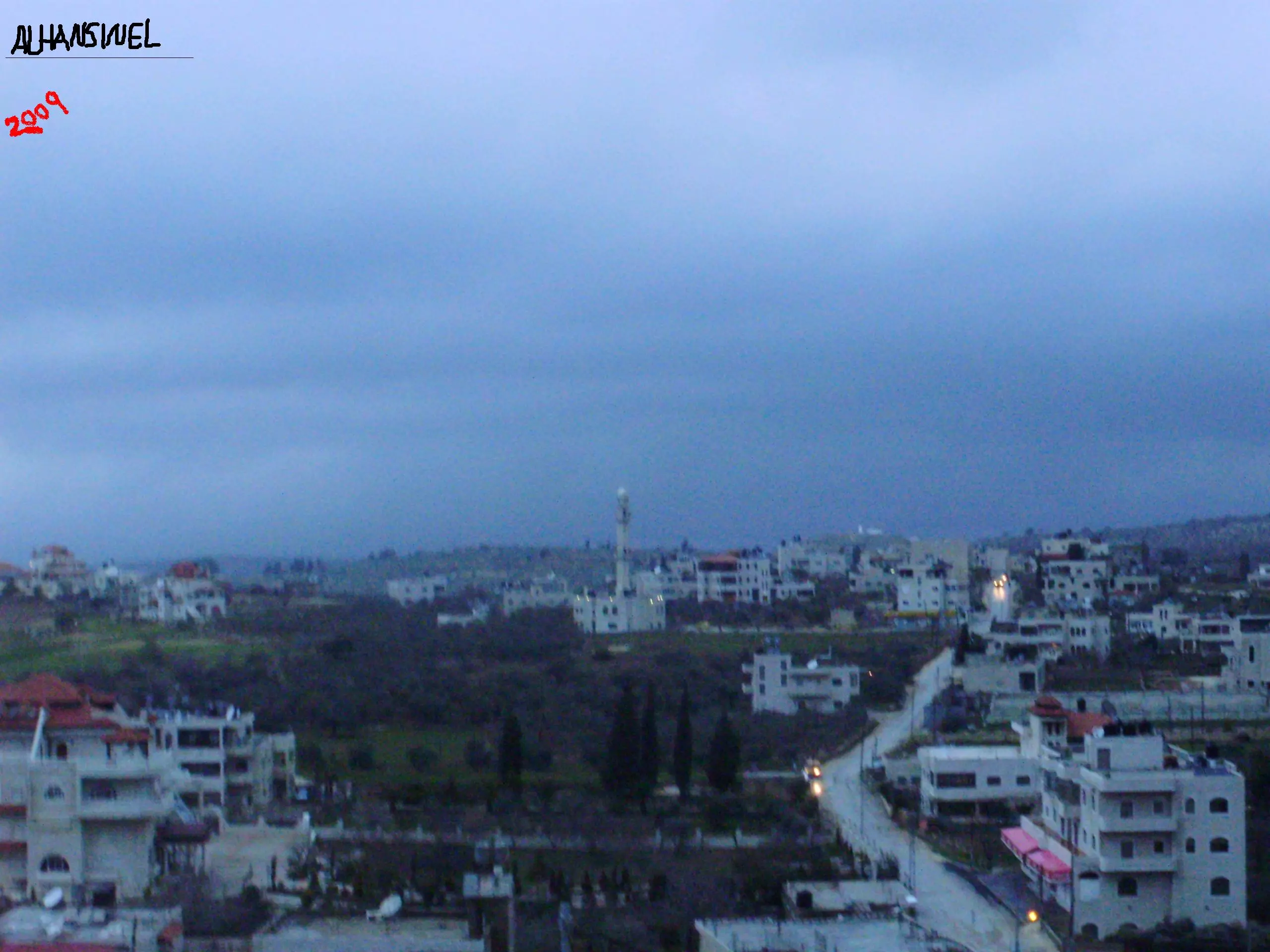
Posted by عاشق سنجل - سنجل وسط البلد في الليل
Posted by عاشق سنجل - سنجل في الربيع

Posted by m_sous2000 4 - sinjel
Posted by daarabianchick 5 - al_shamees
Posted by daarabianchick 2 - jebaal sinjil
Posted by daarabianchick - the new masjid in mazer3a
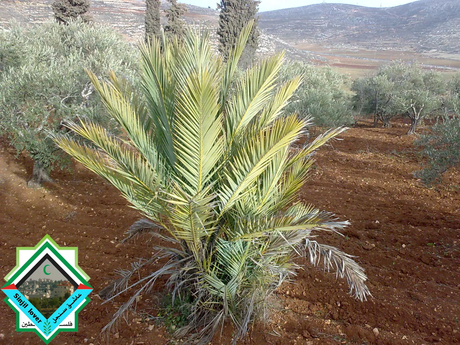
Posted by daarabianchick 1 - the beautiful olive trees in sinjil
Posted by daarabianchick 2 - share3 alra2esee
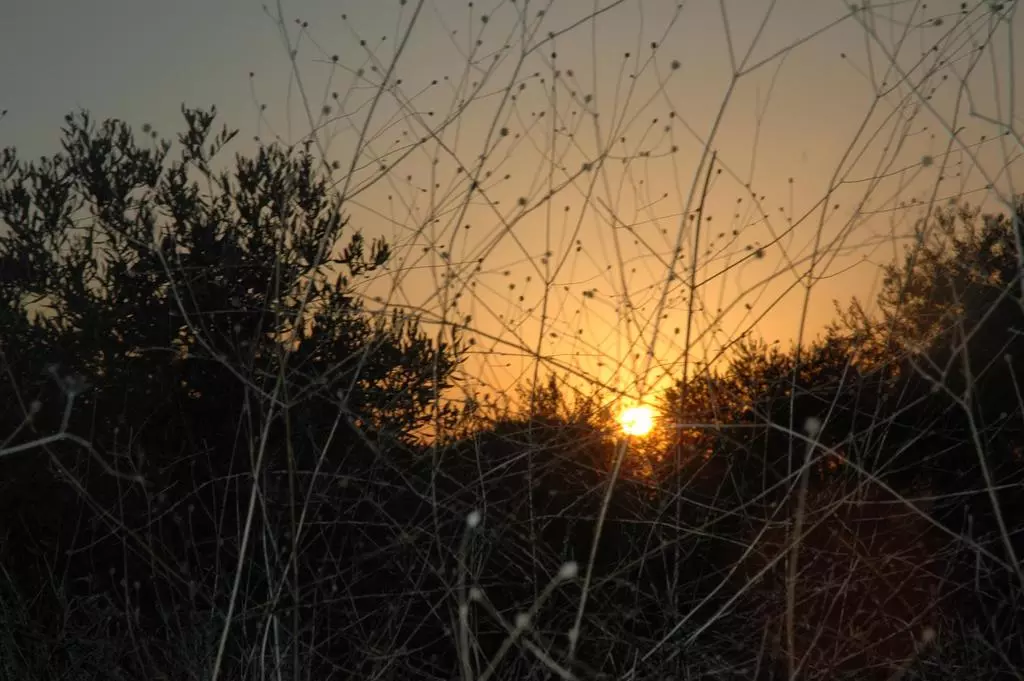
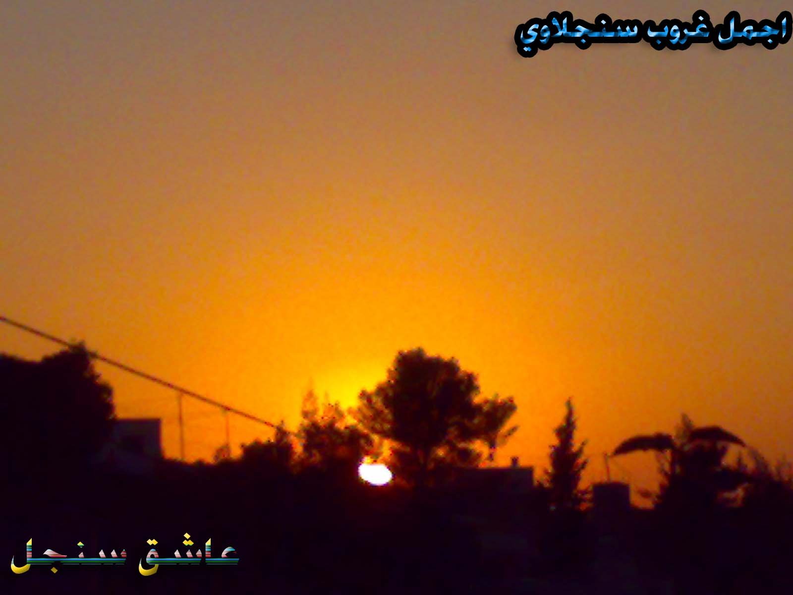
Posted by daarabianchick 6 - the sunset in sinjil
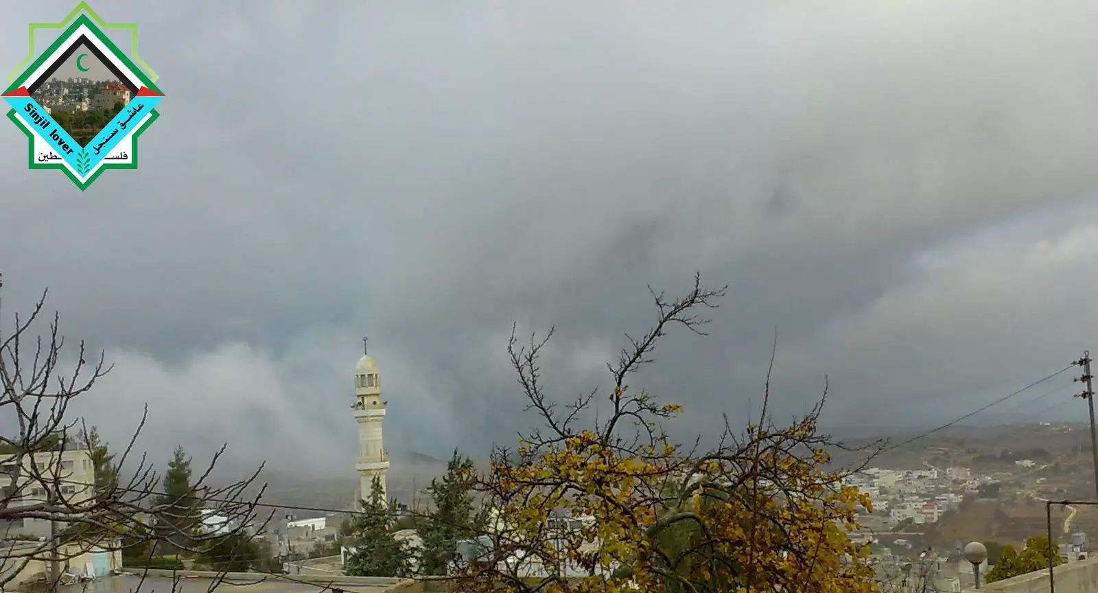
Posted by daarabianchick - a rainy day in sinjil
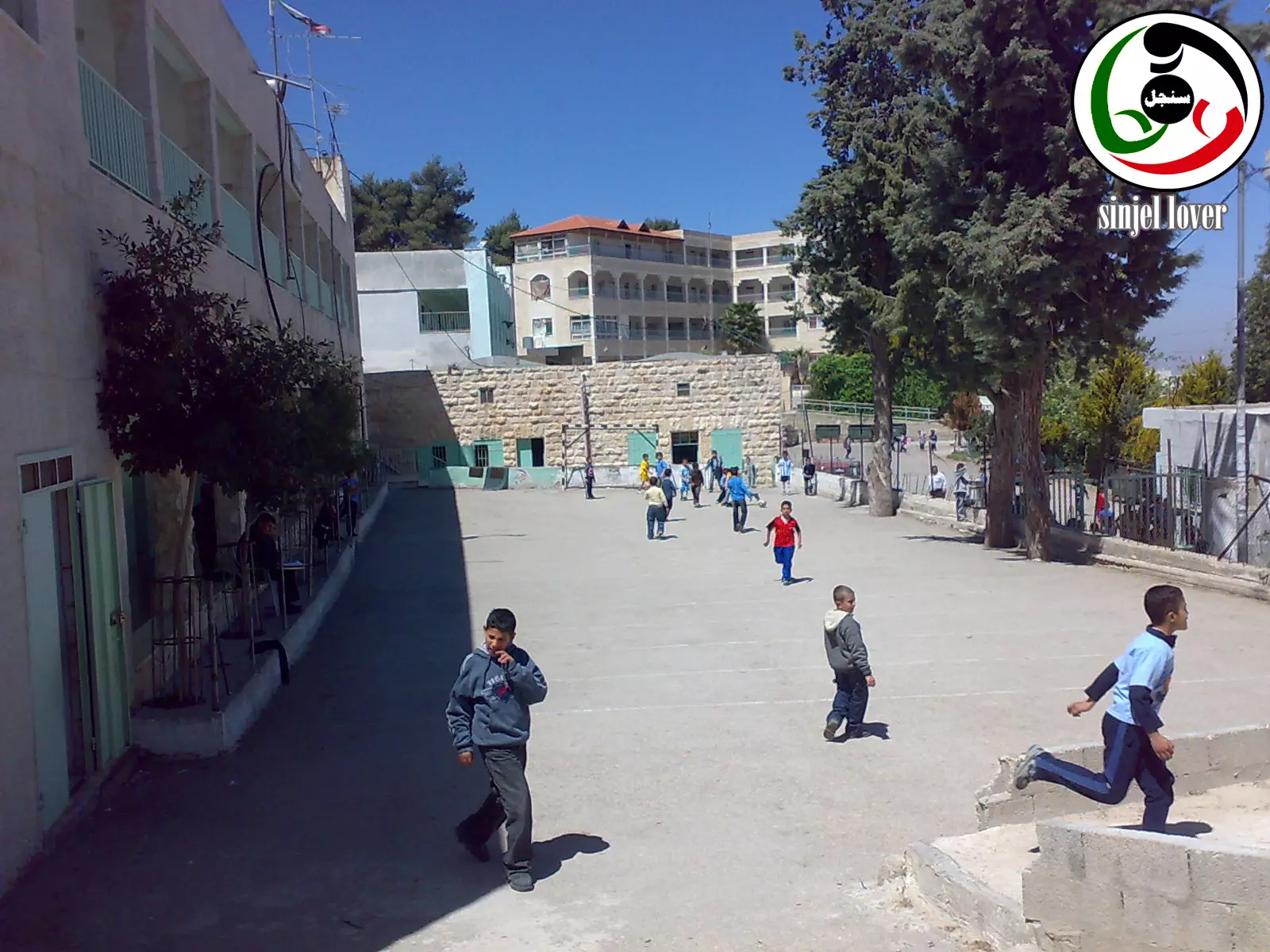
Posted by daarabianchick 2 - the boys school
Posted by daarabianchick - a7laa baladd
Posted by daarabianchick 4 - shagra el balooot
Posted by daarabianchick 2 - سنجل وسط البلد في الليل2
Posted by عاشق سنجل 2 - sora moltaqata min ta7t almo3asqar
Posted by عاشق سنجل - jabal alm3asqar almotgtasab min aradee sinjsl
Posted by عاشق سنجل - sinjil fe al sab3eneyat
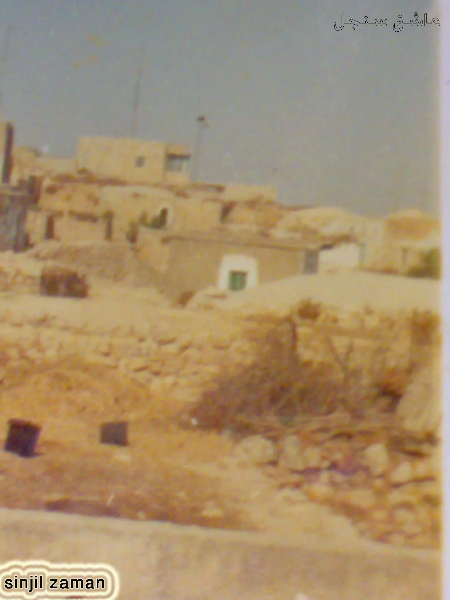
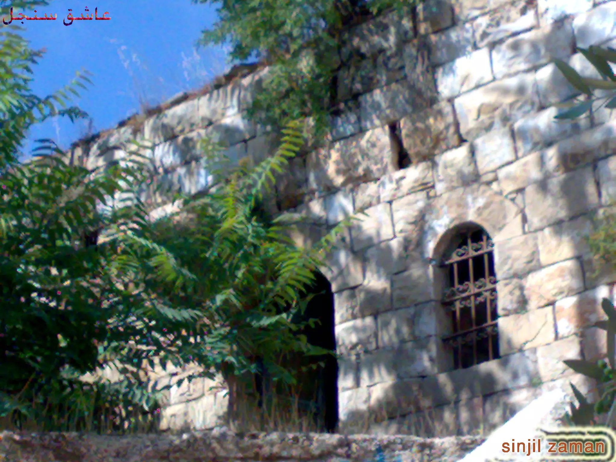
Posted by عاشق سنجل 4 - sinjil zaman
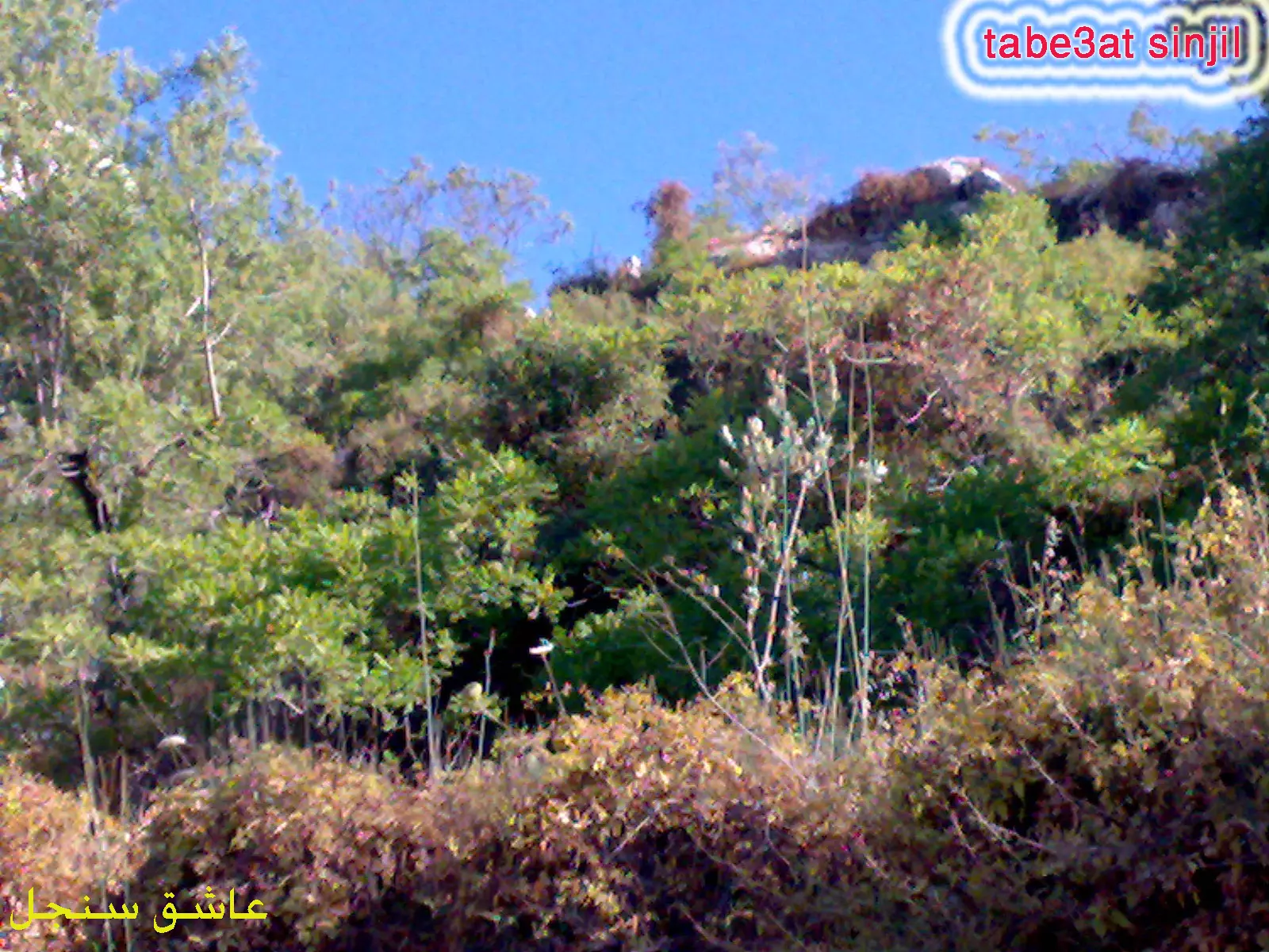
Posted by عاشق سنجل 4 - tabe3at sinjil
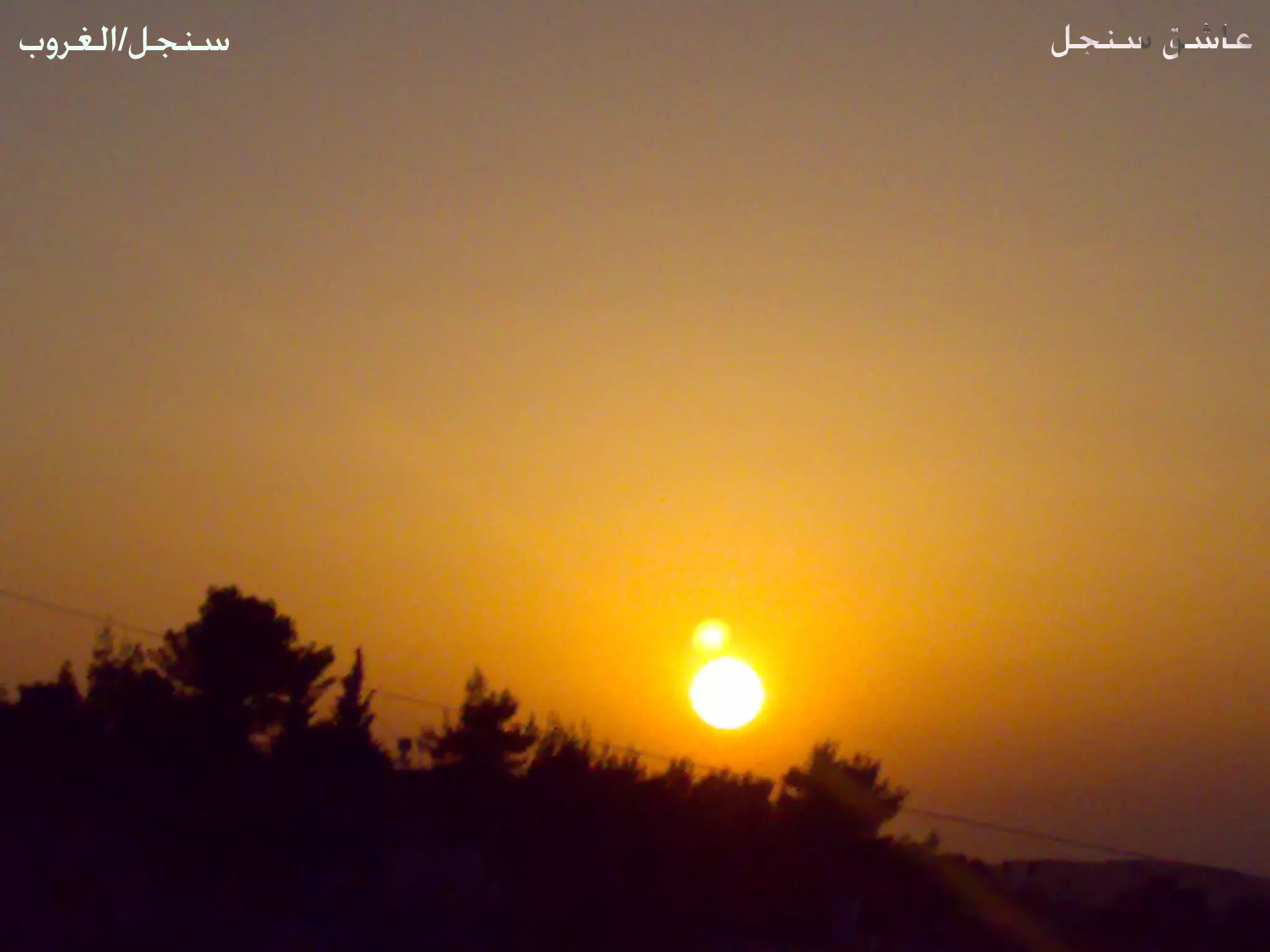
Posted by عاشق سنجل 6 - Beautiful sunset
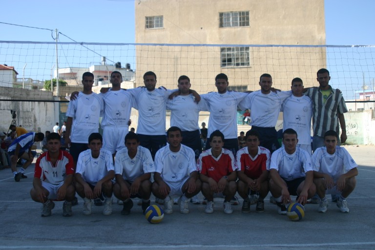
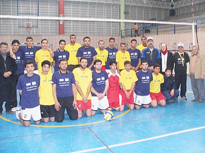
Posted by عاشق سنجل 3 - نادي سنجل لكرة الطائرة والحائز على بطولة فلسطين 3 مرات وهو افضل فريق في فلسطين
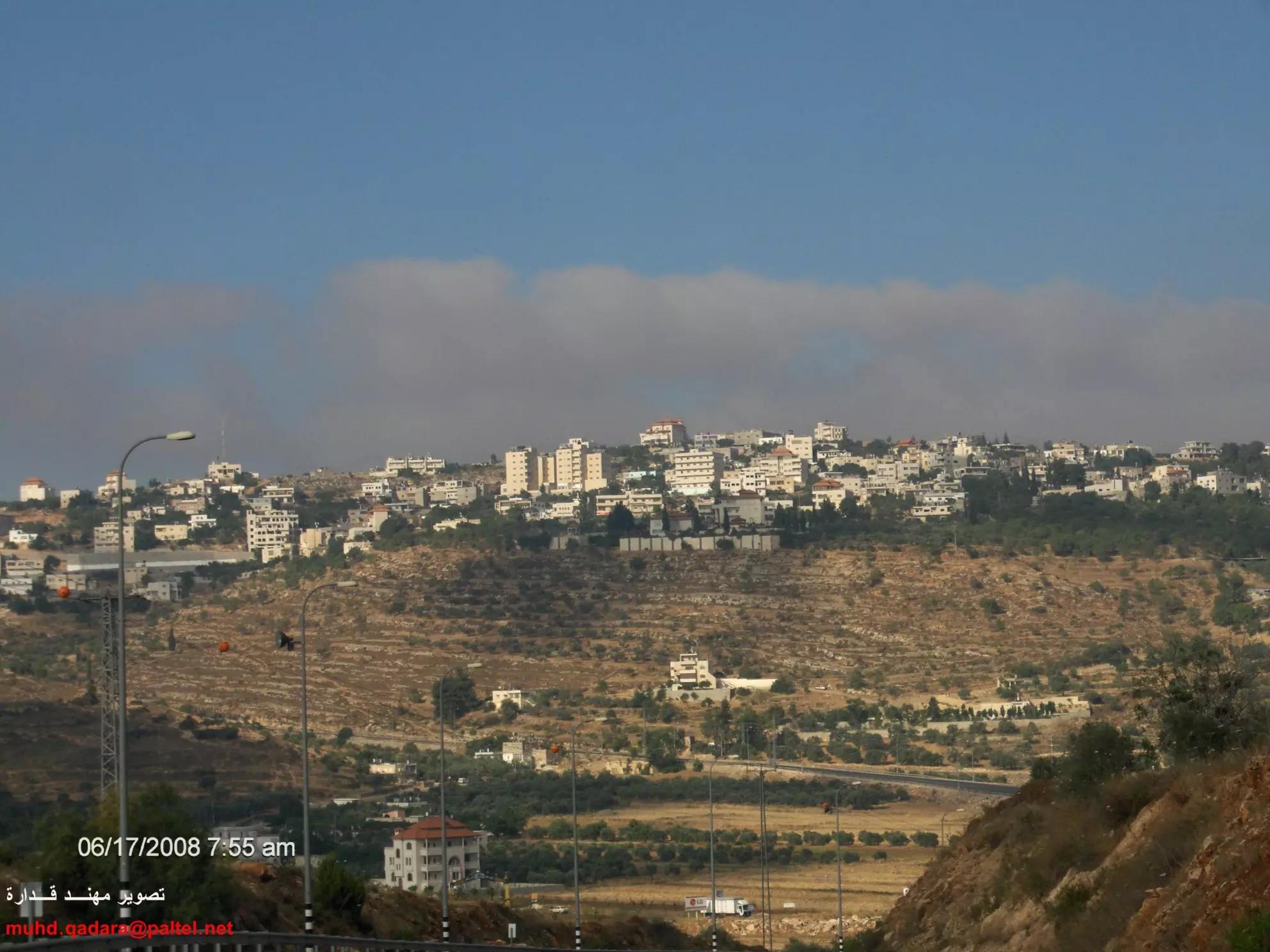
Posted by عاشق سنجل 26 - سنجل بعدسة مهند قدارة
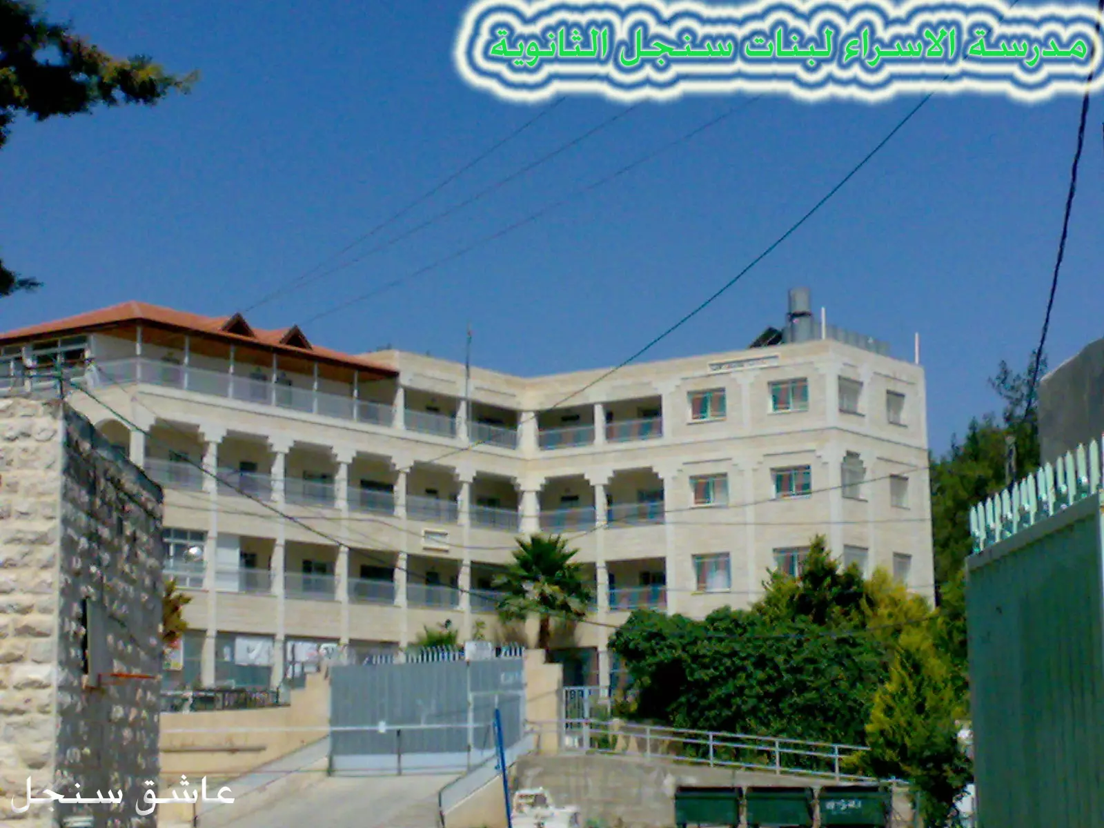
Posted by مهند قداره 2 - مدرسة الاسراء لبنات سنجل الثانوية
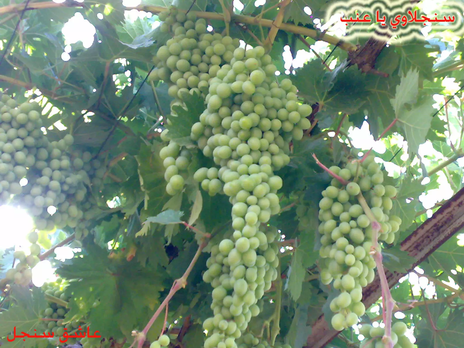
Posted by عاشق سنجل 21 - sinjilawee ya 3inib
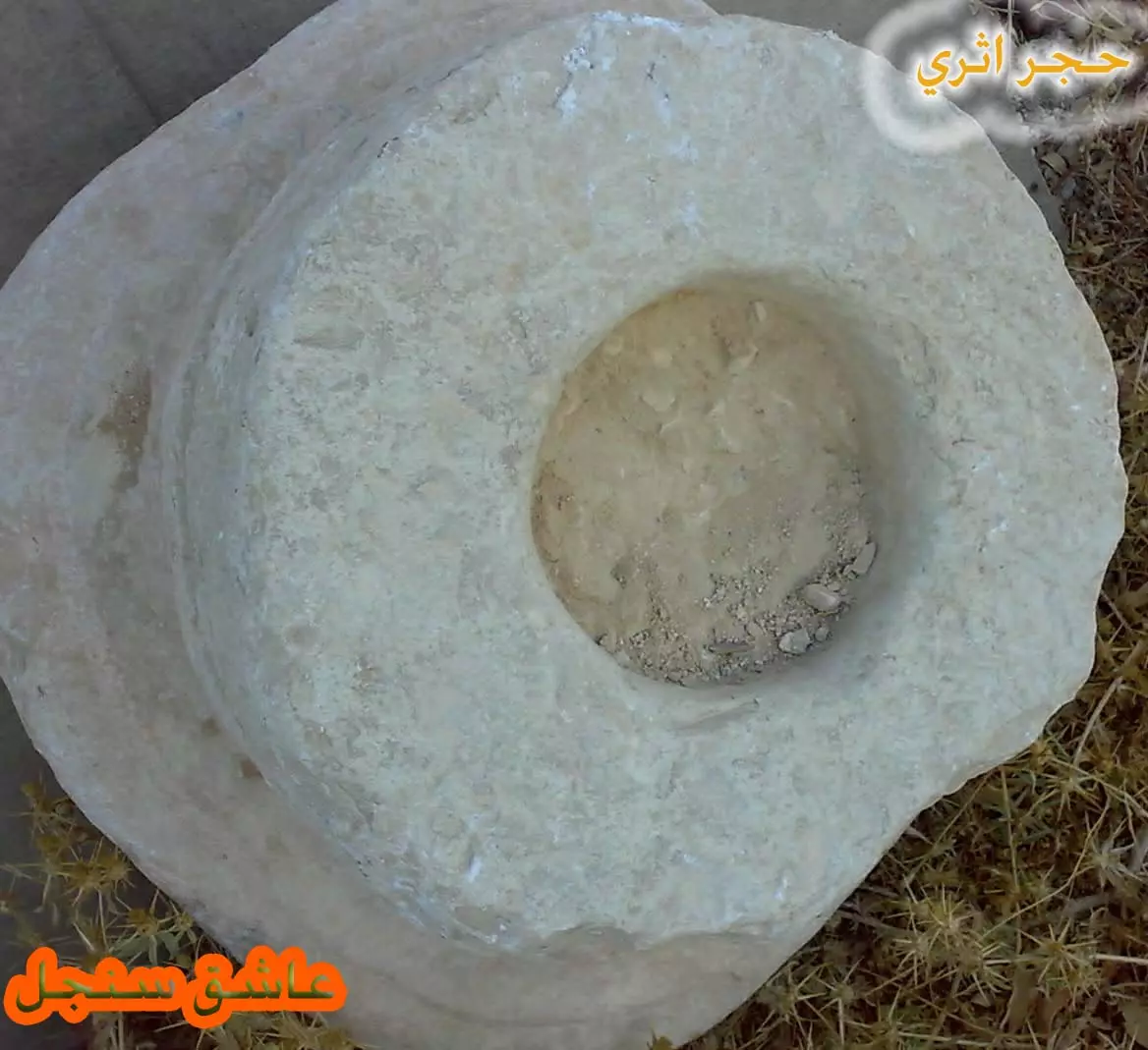
Posted by عاشق سنجل 6 - حجر اثري حيث انه كان زير ماء لكن مصنوع من الصخر ومنحوت بشكل متقن
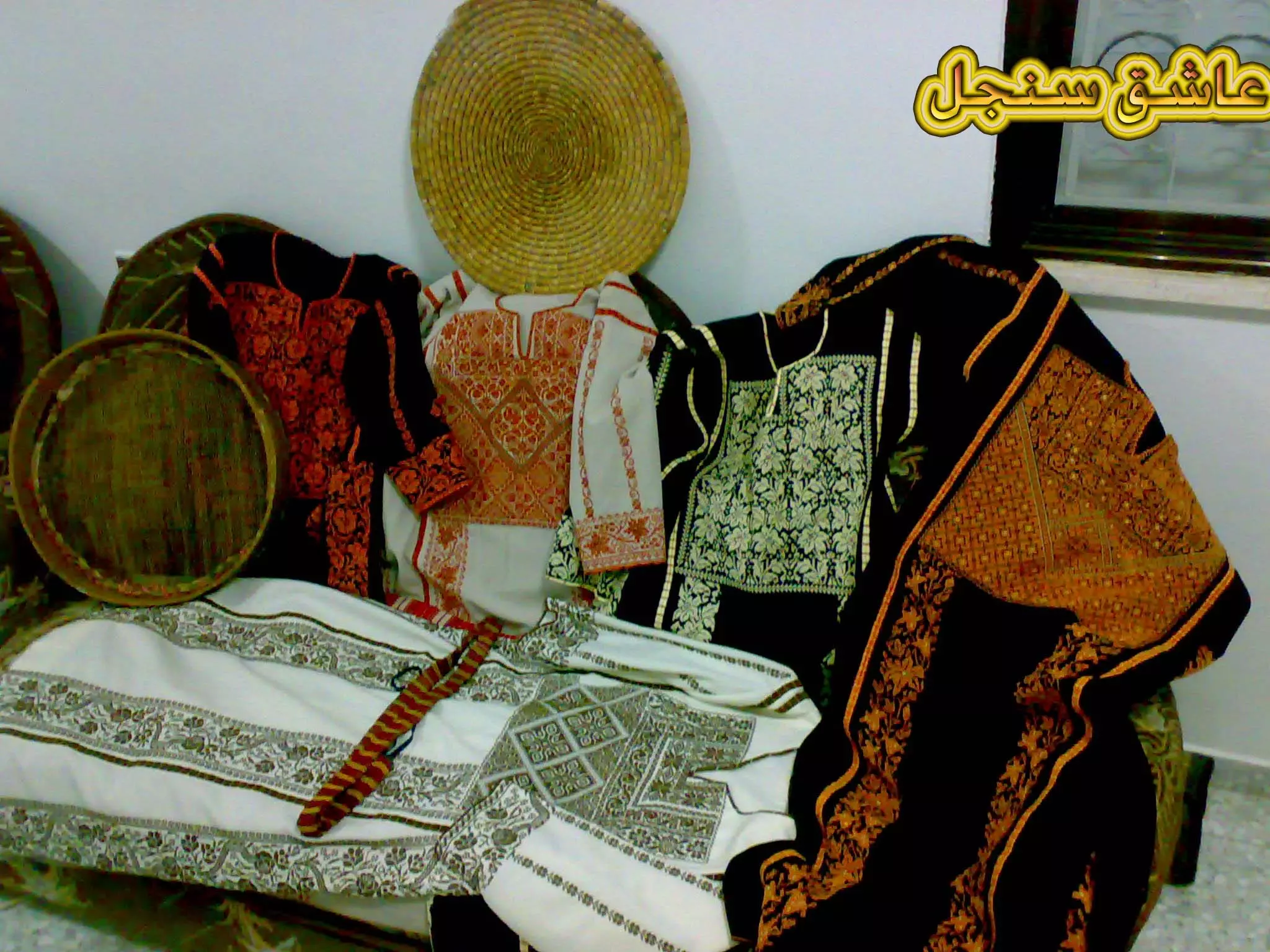
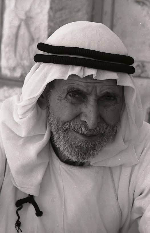
Posted by عاشق سنجل 1 - اللباس التراثي للنساء(الخلك والشداد)
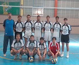
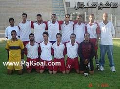
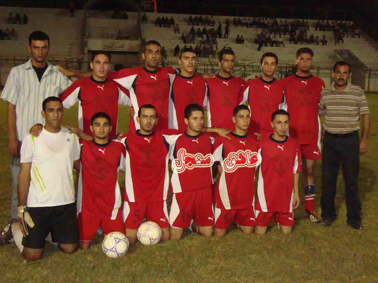
Posted by عاشق سنجل 3 - فريق نادي سنجل لكرة القدم ويعتبر من الدرجة الممتازة وممثل محافظة رام الله
Posted by عاشق سنجل - احد اعراس سنجل(ليلة الحنة)
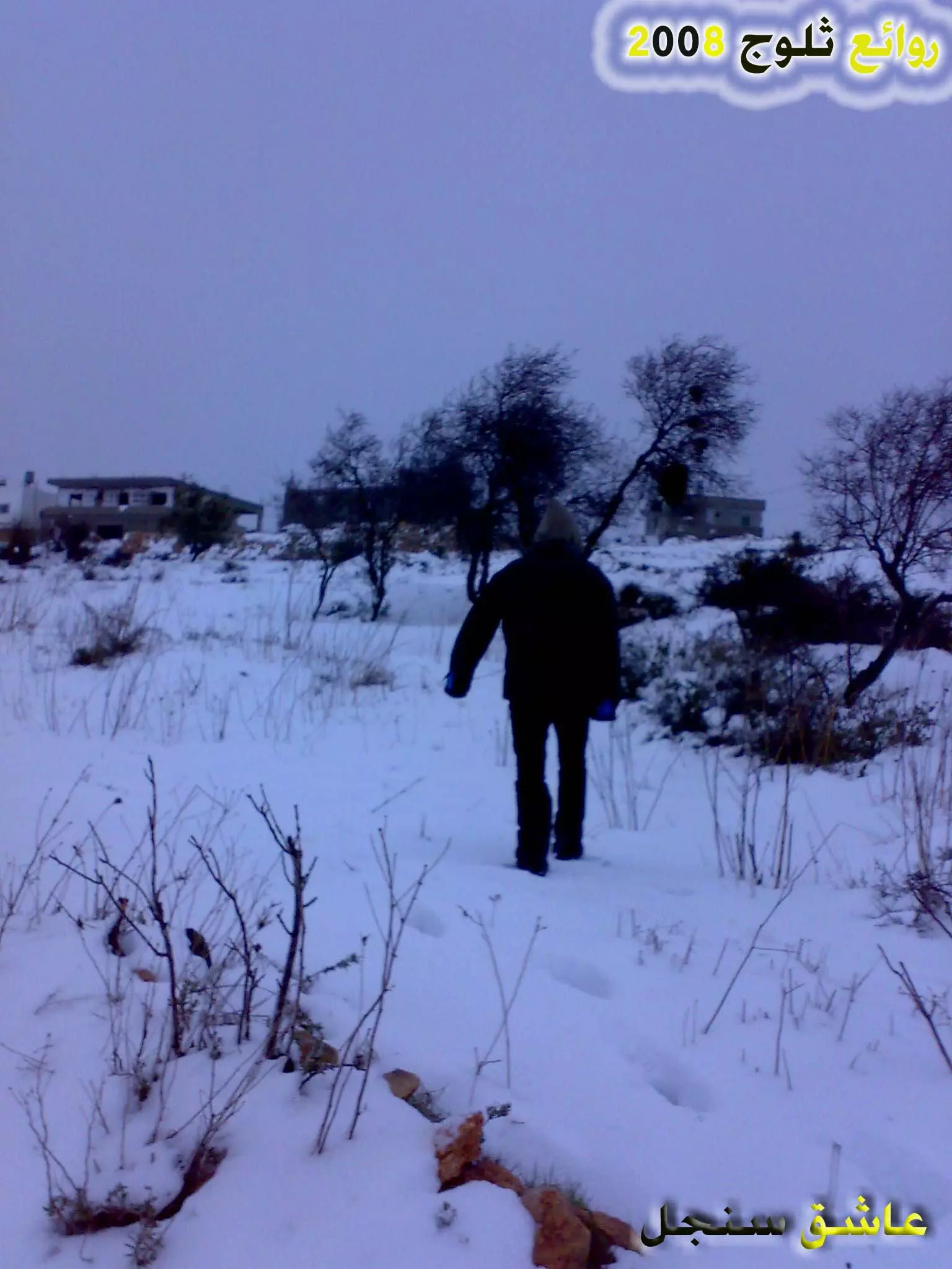
Posted by عاشق سنجل 4 - من سلسلة روائع سنجل 2 (ثلوج 2008)
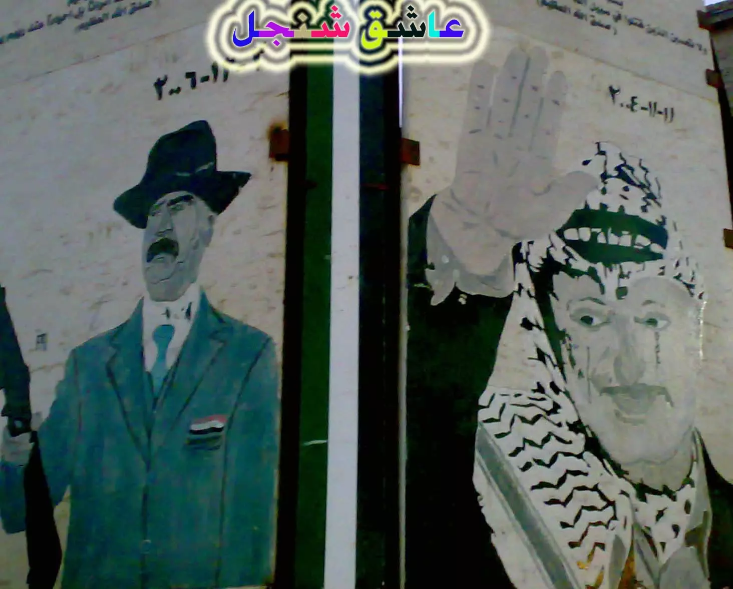
Posted by عاشق سنجل 1 - من سلسلة روائع سنجل3 (نصب تذكاري للرمز ابوعمار والشهيد صدام)
Posted by عاشق سنجل 1 - من سلسلة روائع سنجل4 (سنجل وسط البلد نهارا)
Posted by عاشق سنجل 2 - من سلسلة روائع سنجل5 (سنجل منظر ليلي عام جزئي للبلد)
Posted by عاشق سنجل - من سلسلة روائع سنجل6(روائع ثلوج 2008)
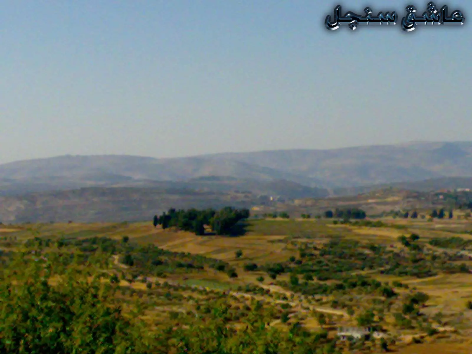
Posted by عاشق سنجل 3 - من سلسلة روائع سنجل 7(منطقة الشميس من بعيد )
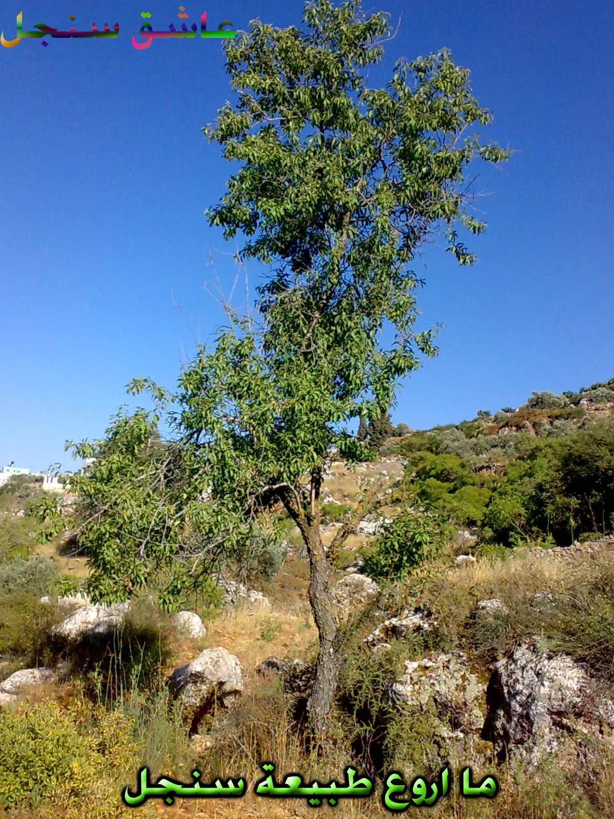
Posted by عاشق سنجل 2 - من سلسلة روائع سنجل8(ما اروع طبيعة سنجل)
Posted by عاشق سنجل 1 - من سلسلة روائع سنجل9(سهول واشجار سنجل)
Posted by عاشق سنجل 1 - من سلسلة روائع سنجل10(السامر الشعبي السنجلاوي:فن تراثي غنائي قديم )
Posted by عاشق سنجل - روائع ثلوج سنجل2008(سنجل تلبس فستان الثلج الابيض)
Posted by عاشق سنجل 1 - روائع ثلوج سنجل2008(جبلال سنجل ملبدة بالثلج الابيض)
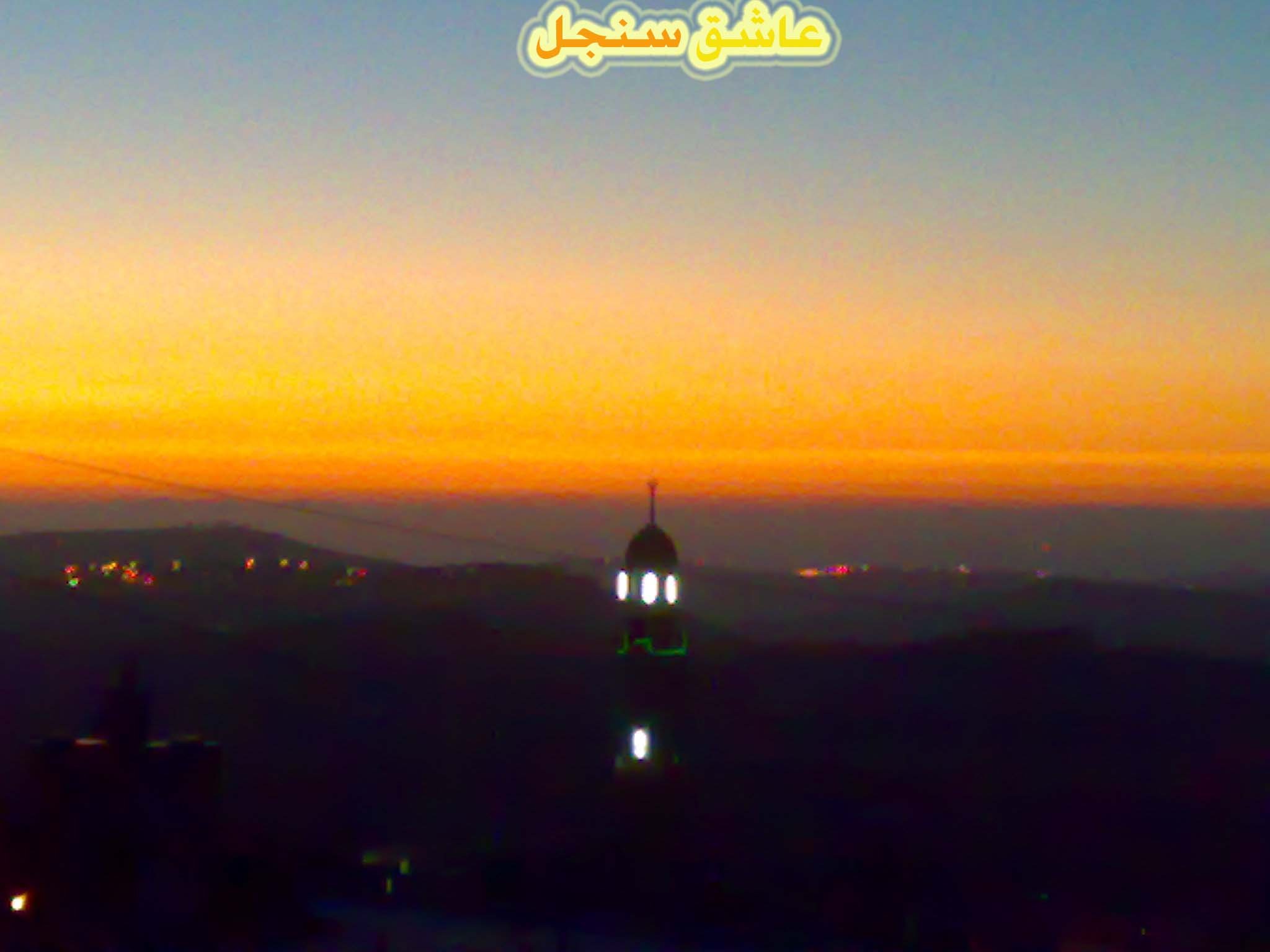
Posted by عاشق سنجل 1 - من سلسلة روائع سنجل11(مئذنة مسجد سنجل تعانق الشفق الاحمر)

Posted by عاشق سنجل 1 - من سلسلة روائع سنجل 8(مئذنة مسجد سنجل تعانق الشفق)
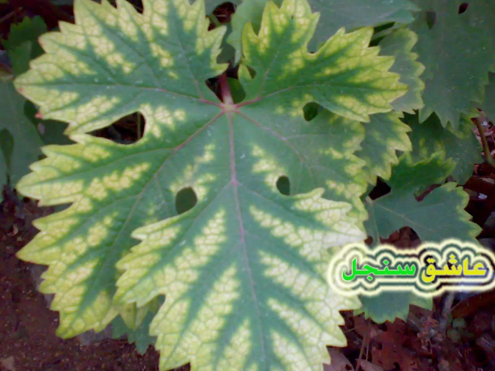
Posted by عاشق سنجل 3 - من سلسلة سنجل تحاكي الجمال 1(اجمل ورقة عنب )
Posted by عاشق سنجل 2 - من سلسلة سنجل تحاكي الجمال 2(اجمل غروب سنجلاوي)
Posted by عاشق سنجل - من سلسلة سنجل تحاكي الجمال2(غروب روعة)
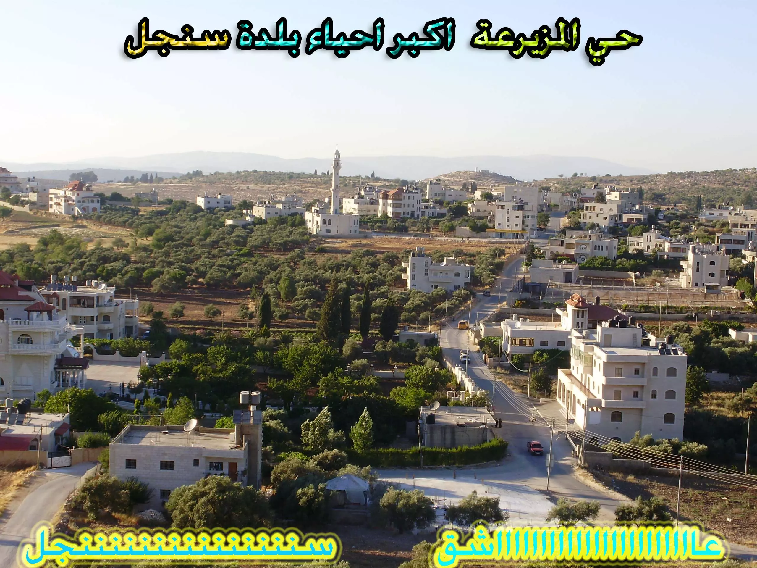
Posted by عاشق سنجل 1 - من سلسلة (سنجل خيال ام حقيقة ):حي المزيرعة
Posted by عاشق سنجل 6 - من سلسلة (سنجل خيال ام حقيقة ): من داخل حي المزيرعة 2
Posted by عاشق سنجل 6 - غروب الشمس3
Posted by ALHAN SINJEL 3 - بيوت قديمة من اعماق قرية سنجل
Posted by ALHAN SINJEL 5 - سهل مرج الرام في سنجل
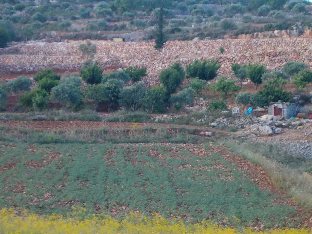
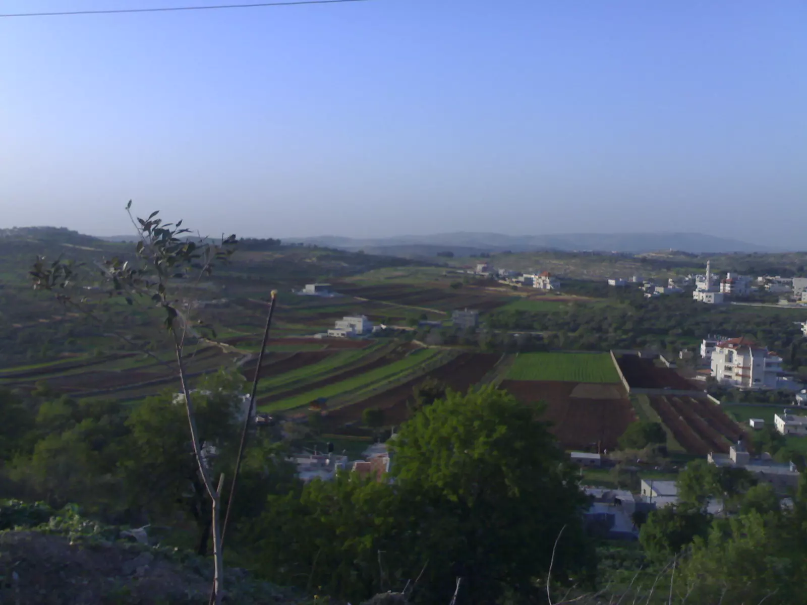
Posted by n.r.m.tawafsaha 5 - صورة عن منطقة المزيرعة
Posted by n.r.m.tawafsaha 2 - غروب من بين الجبال .... اكثر من رائع
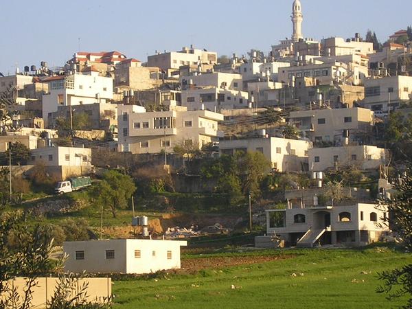
Posted by عاشق سنجل 2 - منظر عام لسنجل
Posted by NANA NOUR 5 - أنها طريق اللبن حدود سنجل الشمالية عام- 1913-
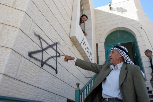
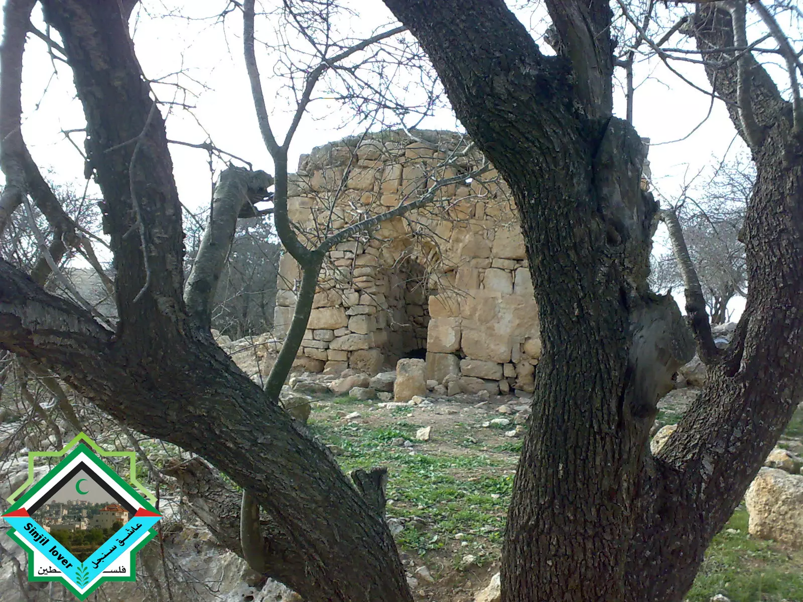
Posted by ابو عمر 4 - هذا المقام موجود حاليا في مغتصبة شيلو صوروه يهود وكأنه من تراثهم فشروا
Posted by ابو عمر 1 - مدخل مسجد سنجل الرئيسي ( مسجد النعيم ) ليلا من الداخل
Posted by عاشق سنجل 2 - الصلاة في مسجد سنجل الرئيسي 1/ مسجد النعيم
Posted by عاشق سنجل 1 - نادي سنجل لكرة القدم (صورة جديدة)ويعد النادي من افضل فرق محافظة رام الله
Posted by عاشق سنجل 3 - فريق سنجل لكرة الطائرة في دوري الصاعقة الربيعية في شقبا والحاصل على المرتبة الثانية سنة 2008
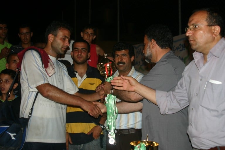
Posted by bilal yahya shalash 2 - كابتن فريق سنجل لكرة الطائرة الاستاذ رافي يستلم كأس المرتبة الثانية في دوري الصاعقة الربيعية في شقبا
Posted by bilal yahya shalash 2 - اعتداءات المستوطنين على مسجد المزيرعة وكتبوا عليه شعارات مسيئة للرسول(ص) ولاهل البلد
Posted by عاشق سنجل 3 - مدخل بلدة سنجل المغلق من قبل الاحتلال منذ 8 سنوات / حيث يمنع فتحه او تجديده فهو لا يناسب هذه البلدة العريقة/ الصورة منقولة
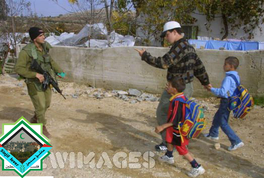
Posted by عاشق سنجل 6 - طفل من بلدة سنجل يقف في وجه جنود الاحتلال (في انتفاضة الاقصى 2001)/الصورة منقولة من موقع يعرض مذكرات جيش الاحتلال في سنجل
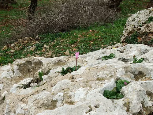
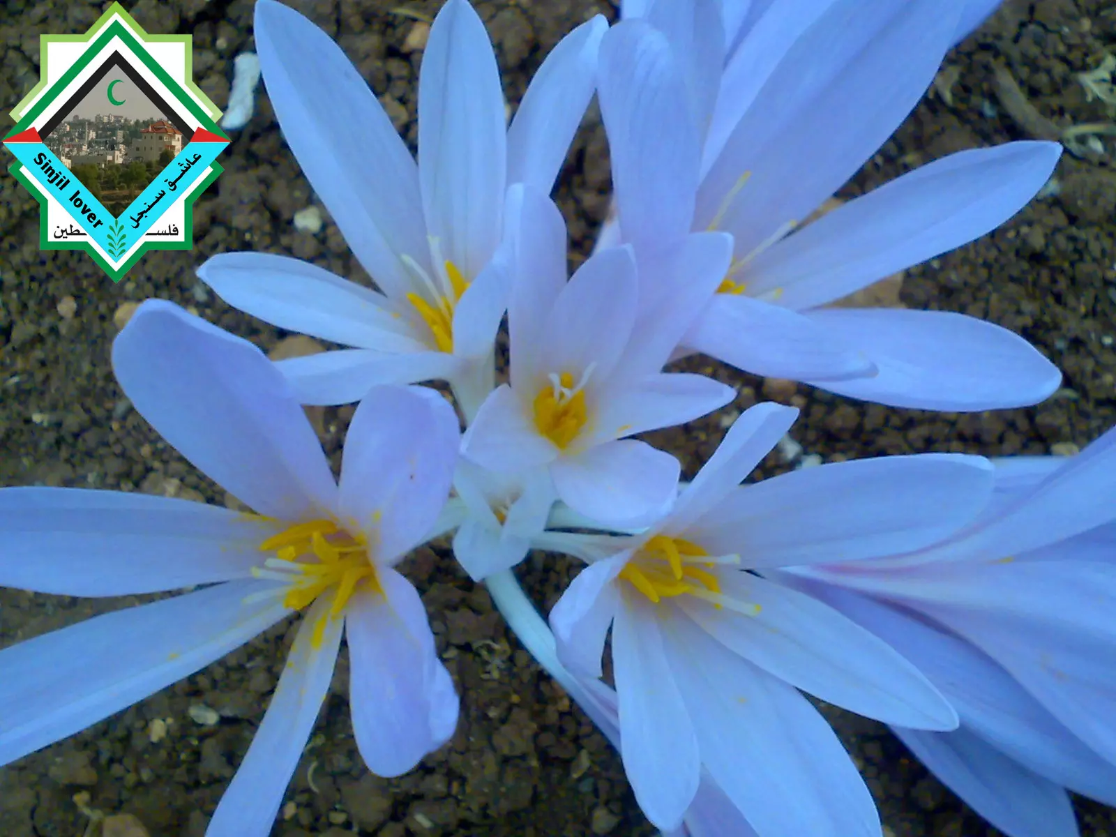
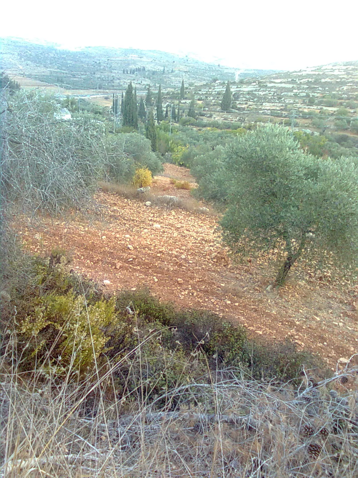
Posted by عاشق سنجل 4 - الزهور البرية في براري سنجل
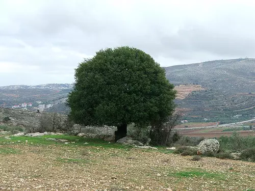
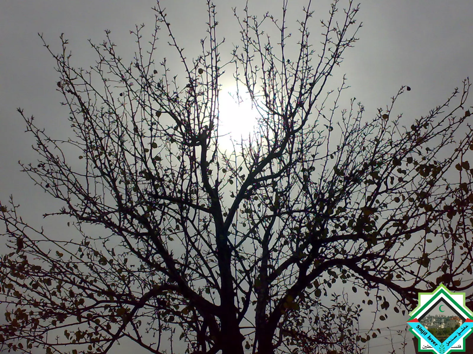
Posted by عاشق سنجل 1 - منظر جميل لشجرة وهي تعانق اشعة الشمس
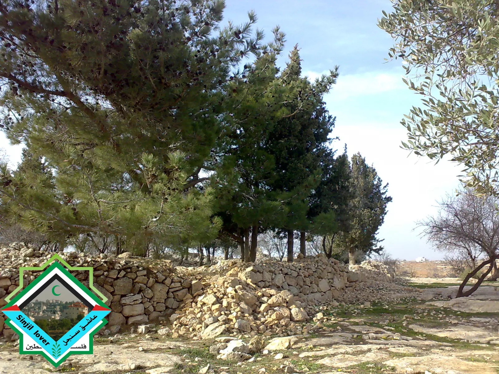
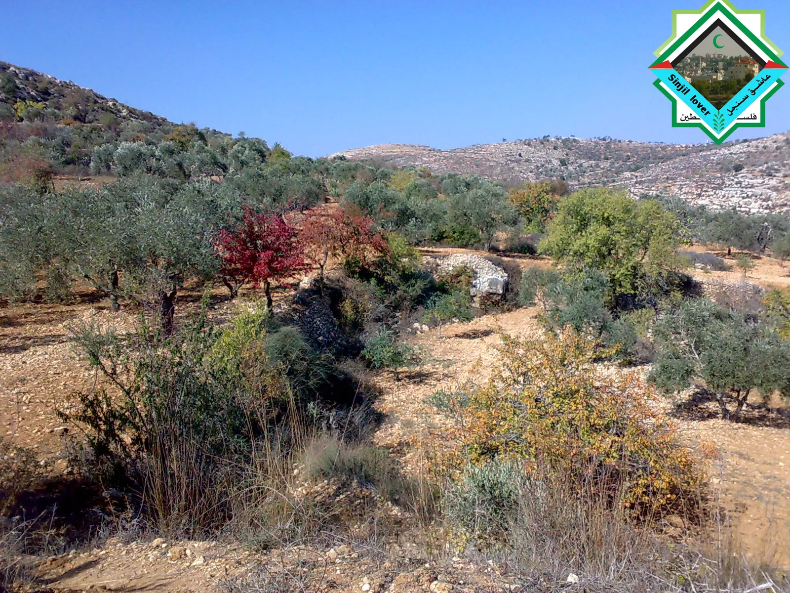
Posted by عاشق سنجل - بساتن الزيتون بالقرب من بير التل --اجمل منظر لأحراش وبراري سنجل
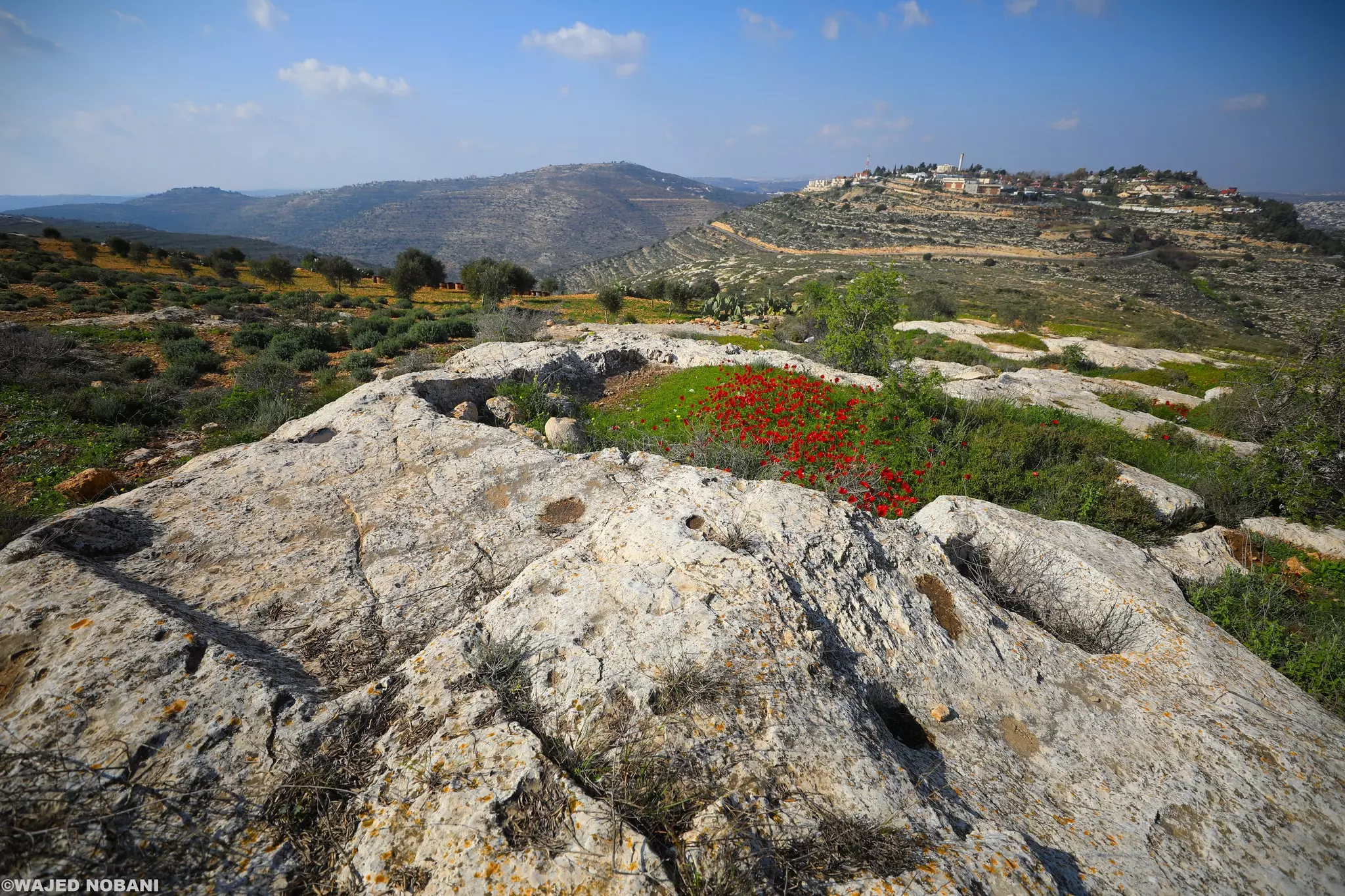
Posted by عاشق سنجل 1 - الاثار القديمة في جبل بير التل/سنجل
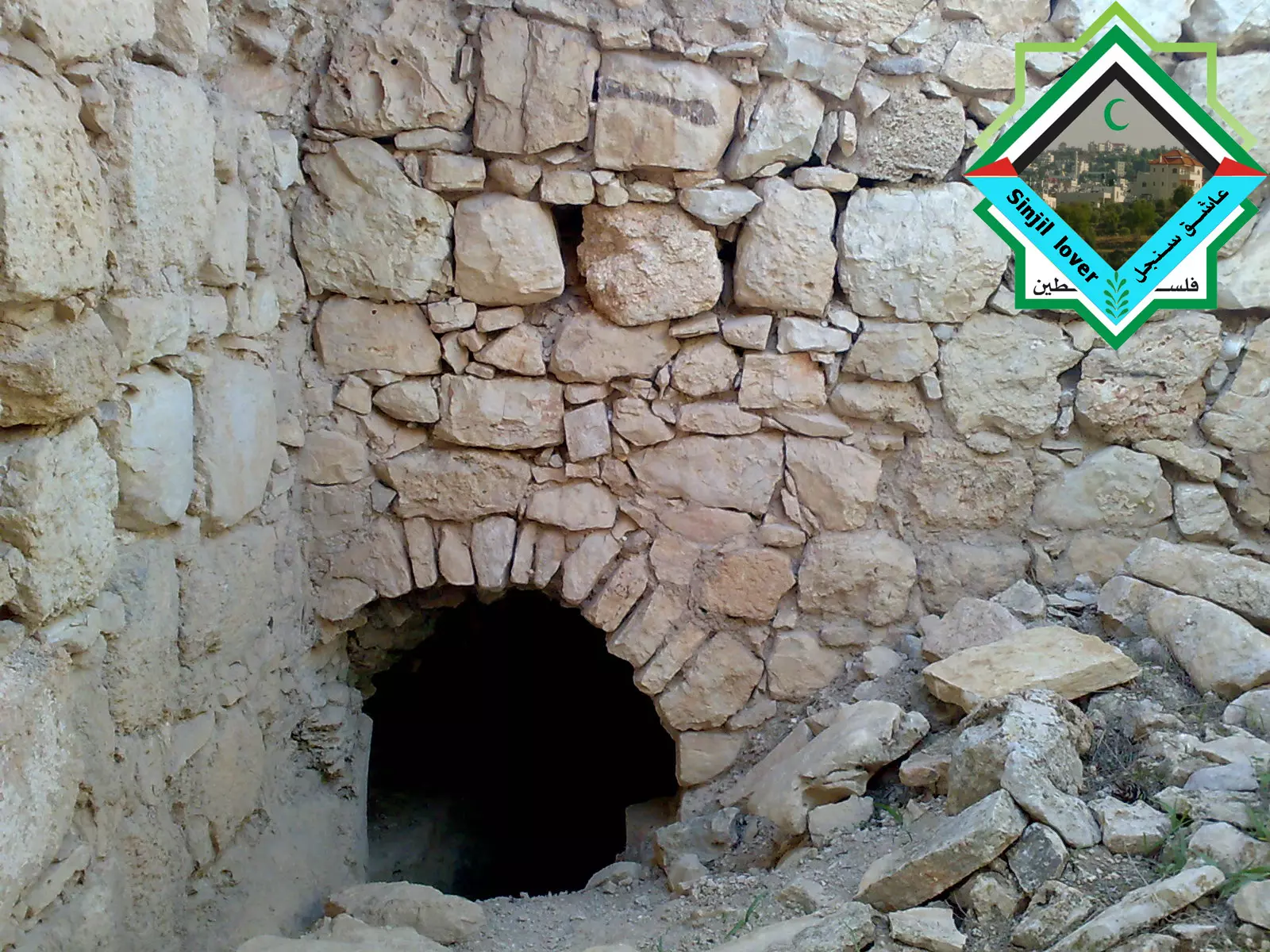
Posted by عاشق سنجل 1 - الاثار القديمة في بير التل 2
Posted by عاشق سنجل - من على قمة جبل بير التل الاثري في سنجل
Posted by عاشق سنجل - البرقوق السنجلاوي الشهير واللذيذ
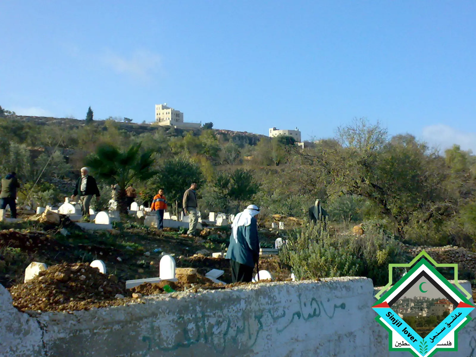
Posted by عاشق سنجل 2 - منظر جزئي لمقبرة سنجل
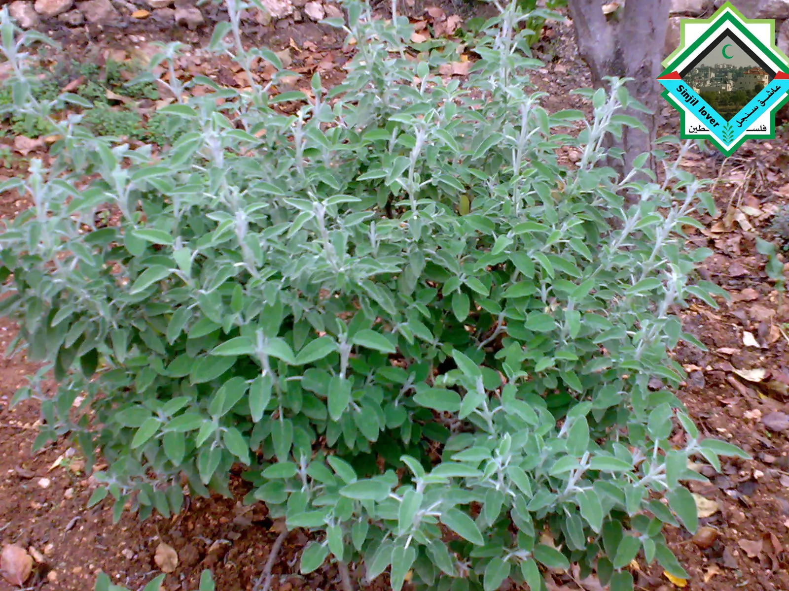
Posted by عاشق سنجل 1 - شجيرة الميرمية الخضراء ذات الرائحة و المذاق الرائعان/ وهي عشبة طبية مشهورة
Posted by عاشق سنجل 2 - منطقة روس المعاصر
Posted by عاشق سنجل 3 - منطقة المهد والتي تقع تحت منطقة الشميس
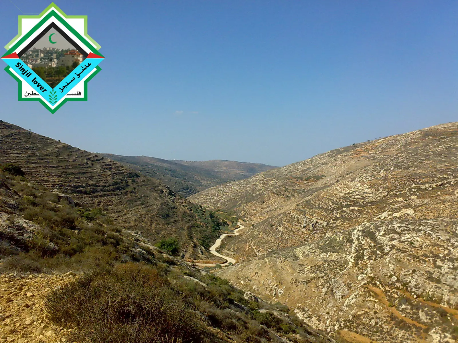
Posted by عاشق سنجل - واد الصيرة_wad al seera
Posted by عاشق سنجل - منظر جزئي للبلدة ملتقط من روس المعاصر
Posted by عاشق سنجل 1 - مسجد سنجل الرئيسي ( مسجد النعيم ) من المنطقة الخلفية
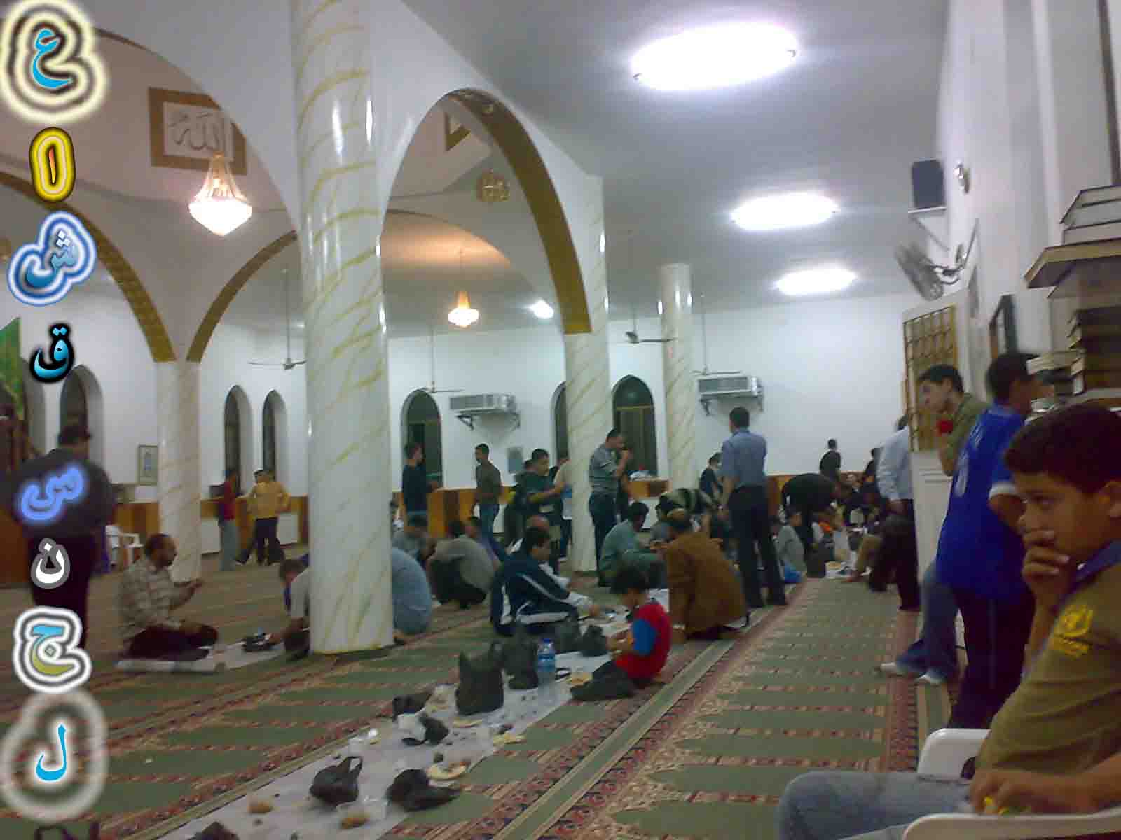
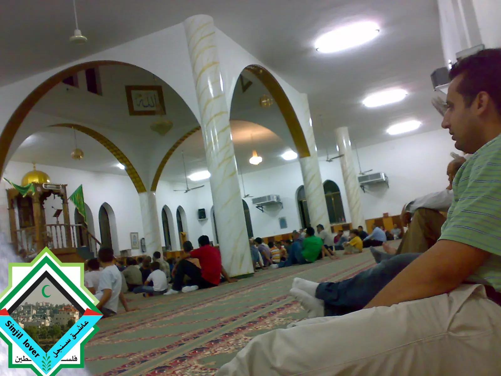
Posted by عاشق سنجل - الاستراحة بين ركعات صلاة الترواويح من داخل مسجد سنجل الكبير( مسجد النعيم)/رمضان 2008
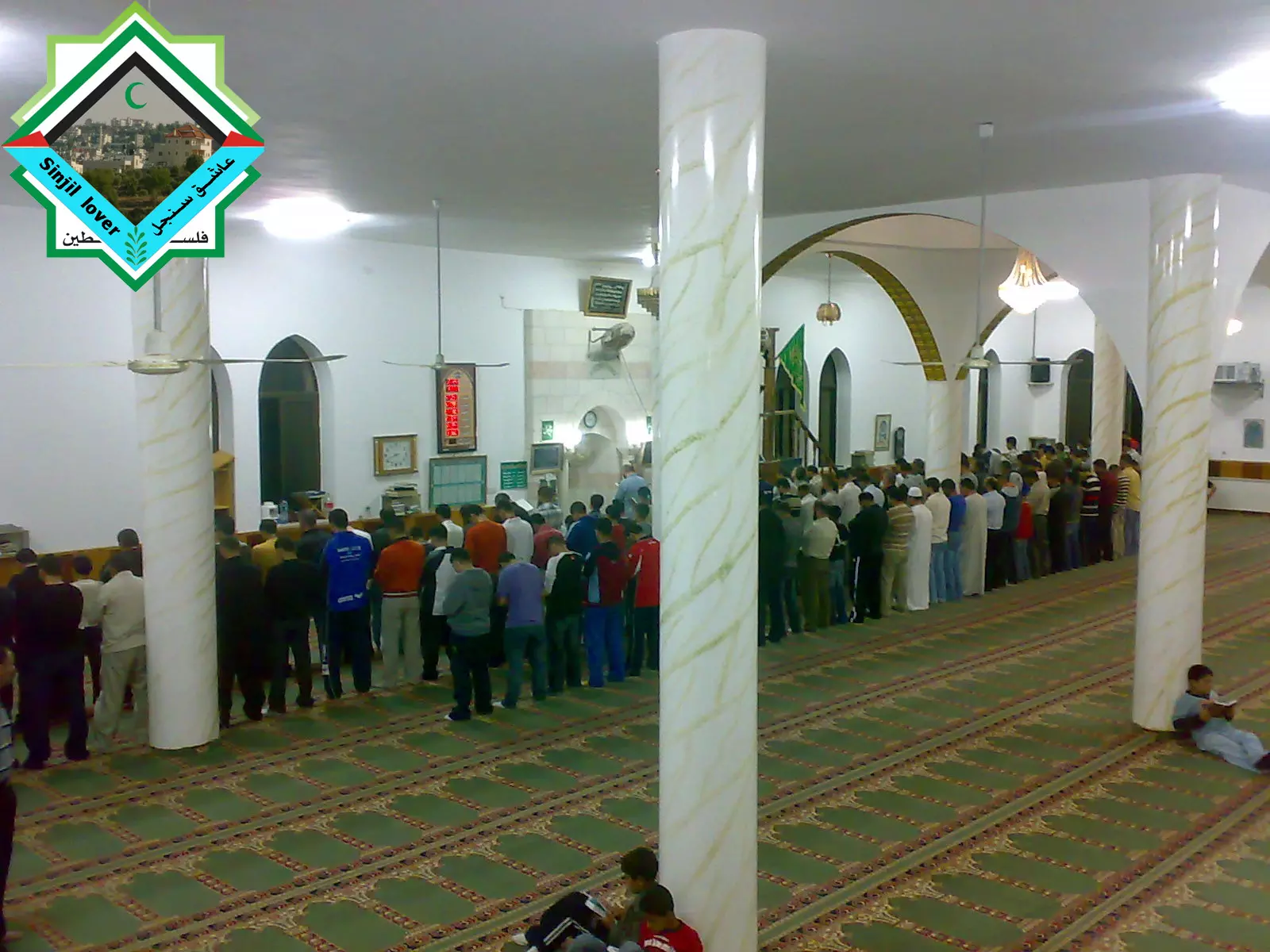
Posted by عاشق سنجل - الصلاة من داخل مسجد سنجل الكبير (مسجد النعيم )/2008
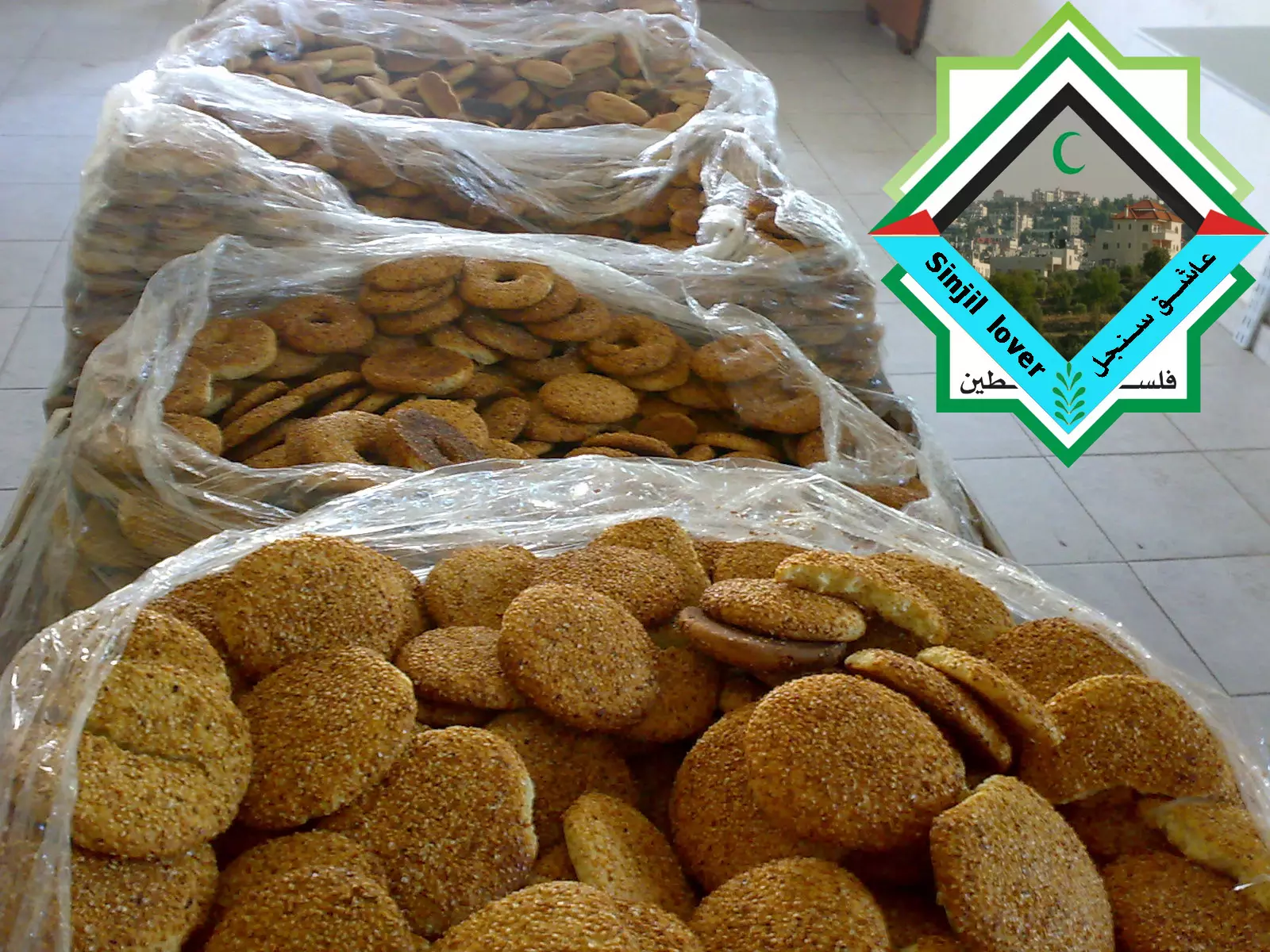
Posted by عاشق سنجل - الكعك السنجلاوي _______ ka3ik sinjilawee
Posted by عاشق سنجل 3 - من سلسلة سنجل تتألق1:( الصورة للمنطقة المقابلة لمدرسة ابو بكر الصديق)
Posted by عاشق سنجل 2 - من سلسلة سنجل تتألق2:( احد ايام الشتاء في سنجل 2009)
Posted by عاشق سنجل 2 - من سلسلة سنجل تتألق 3 (سنجل زمان / البلدة القديمة )
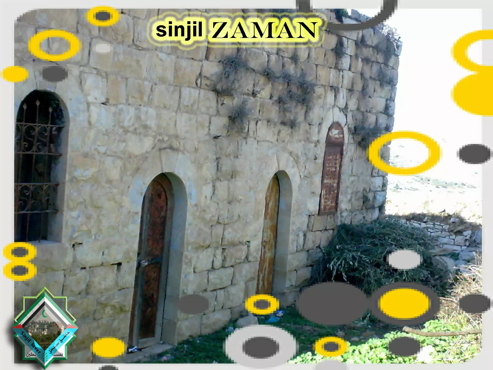
Posted by عاشق سنجل - من سلسلة سنجل تتألق 4 (سنجل زمان / البلدة القديمة )
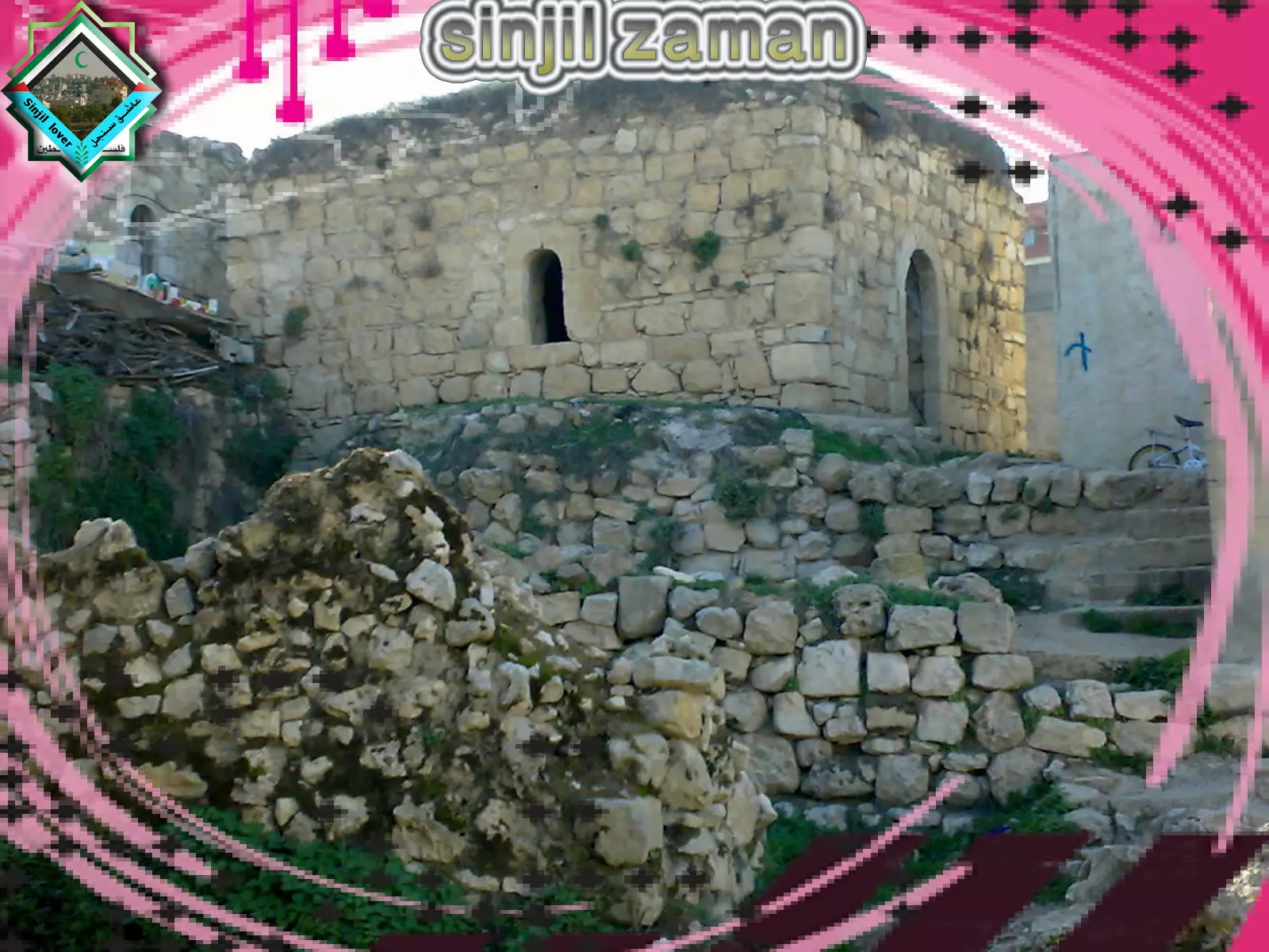
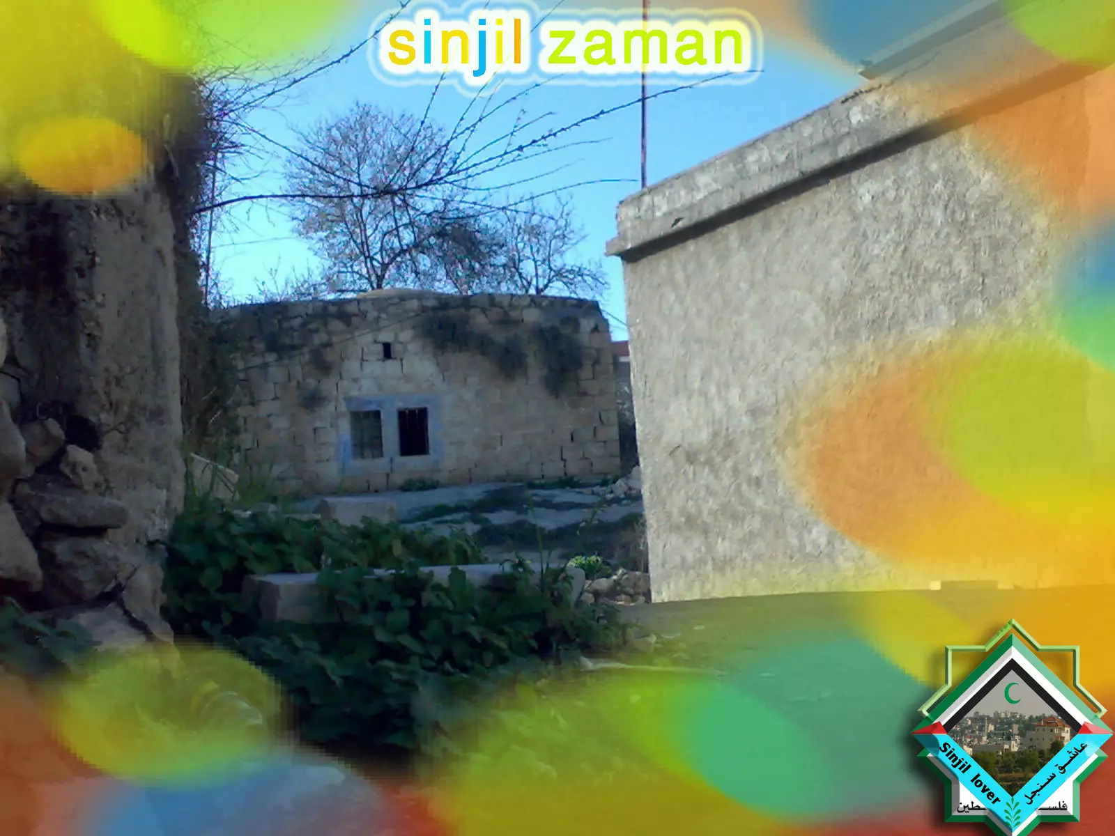
Posted by عاشق سنجل 4 - من سلسلة سنجل تتألق 5 (سنجل زمان / البلدة القديمة )
Posted by عاشق سنجل 1 - من سلسلة سنجل تتألق 5سنجل زمان / البلدة القديمة )
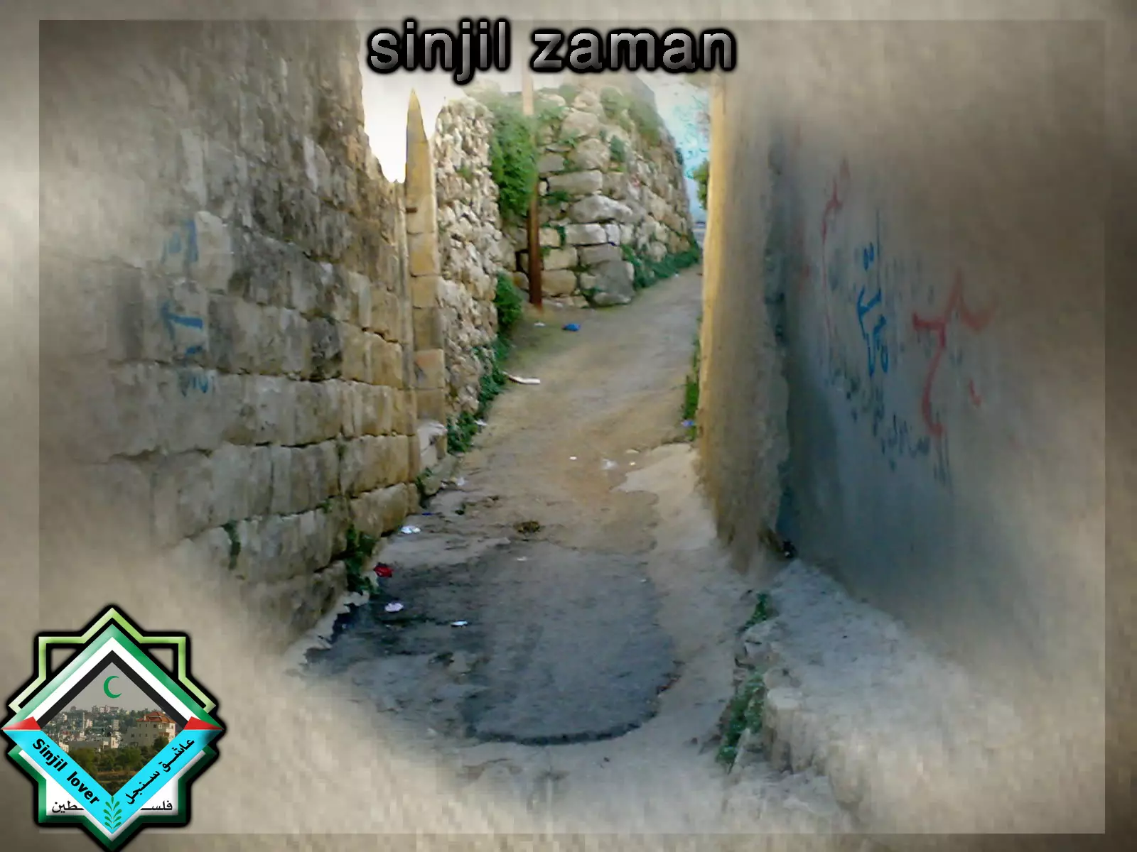
Posted by عاشق سنجل 1 - من سلسلة سنجل تتألق 7(سنجل زمان / البلدة القديمة )
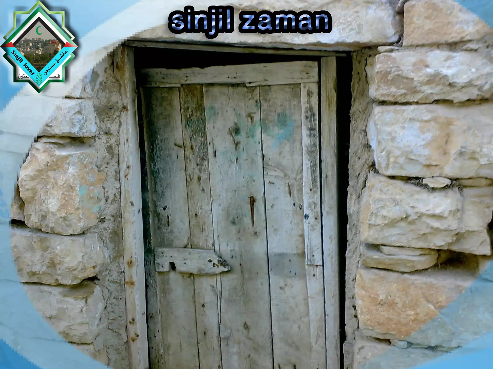
Posted by عاشق سنجل 3 - من سلسلة سنجل تتألق 8 ( سنجل زمان/ البلدة القديمة)
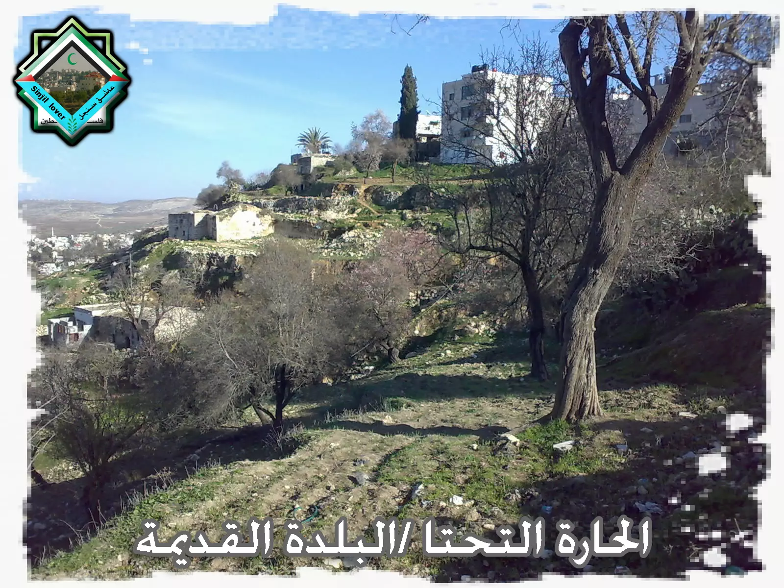
Posted by عاشق سنجل 4 - من سلسلة سنجل تتالق 9 (سنجل زمان / الحارة التحتا)
Posted by عاشق سنجل - احد ايام الشتاء
Posted by ALHAN SINJEL - احد ايام الشتاء في قرية سنجل 2
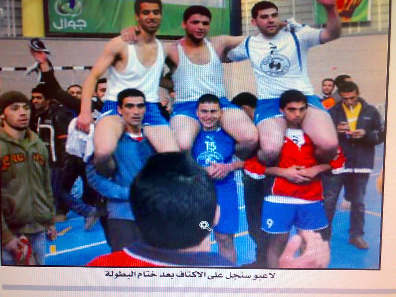
Posted by ALHAN SINJEL 1 - من سلسلة اسود كرة الطائرة الفلسطسينية( لاعبو ا سنجل على الاكتاف بعد الفوز بالبطولة)
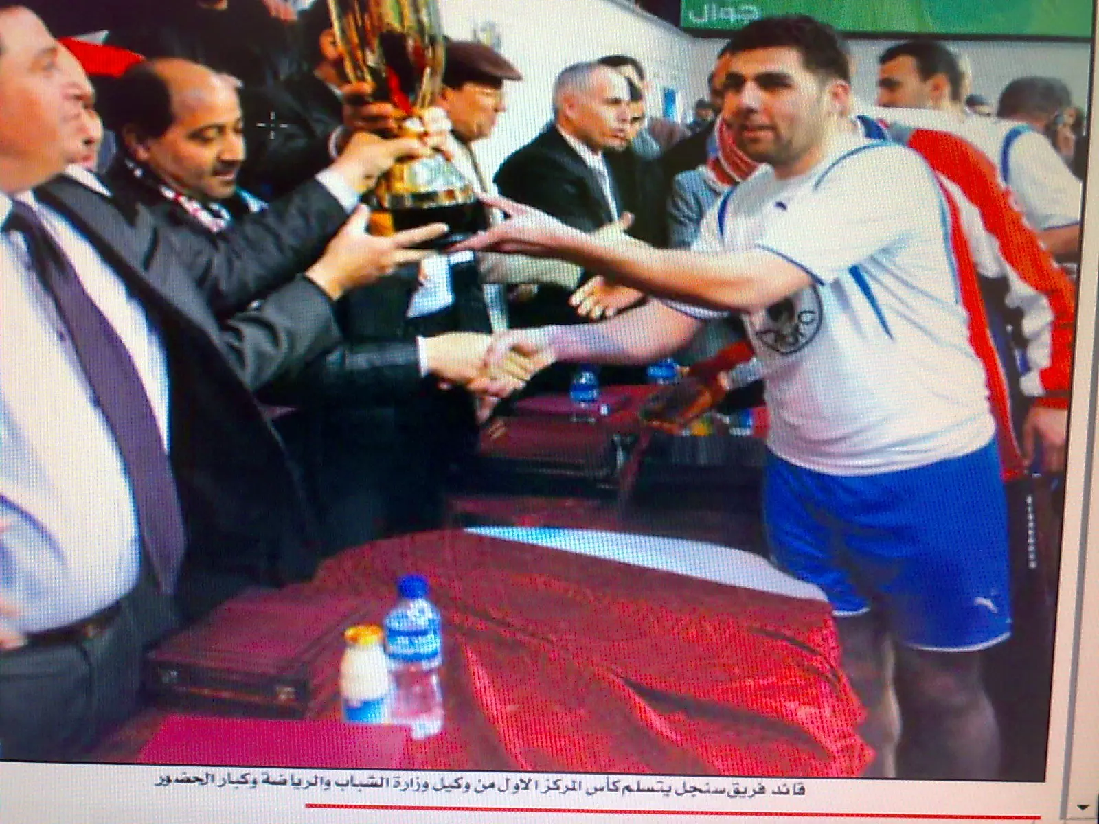
Posted by عاشق سنجل - من سلسلة اسود كرة الطائرة الفلسطسينية 2( قائد فريق سنجل يتسلم كأس المركز الاول)
Posted by عاشق سنجل - من سلسلة اسود كرة الطائرة الفلسطسينية 3(سنجل تسحق جيوس بثلاث اشواط نظيفة وتفوز بكاس فلسطين للمرة الرابعة)
Posted by عاشق سنجل - من سلسلة اسود كرة الطائرة الفلسطسينية 4(سنجل بطل الدوري الممتاز لكرة الطائرة)
Posted by عاشق سنجل 1 - صورة مشتركة لنادي سنجل لكرة الطائر ة(باللون الازرق) مع نادي رنتيس (باللون الاصفر)
Posted by عاشق سنجل - سنجل في القلوب ...sinjil in our hearts

Posted by عاشق سنجل - صورة ساحرة ..... هدية من عاشق سنجل2009
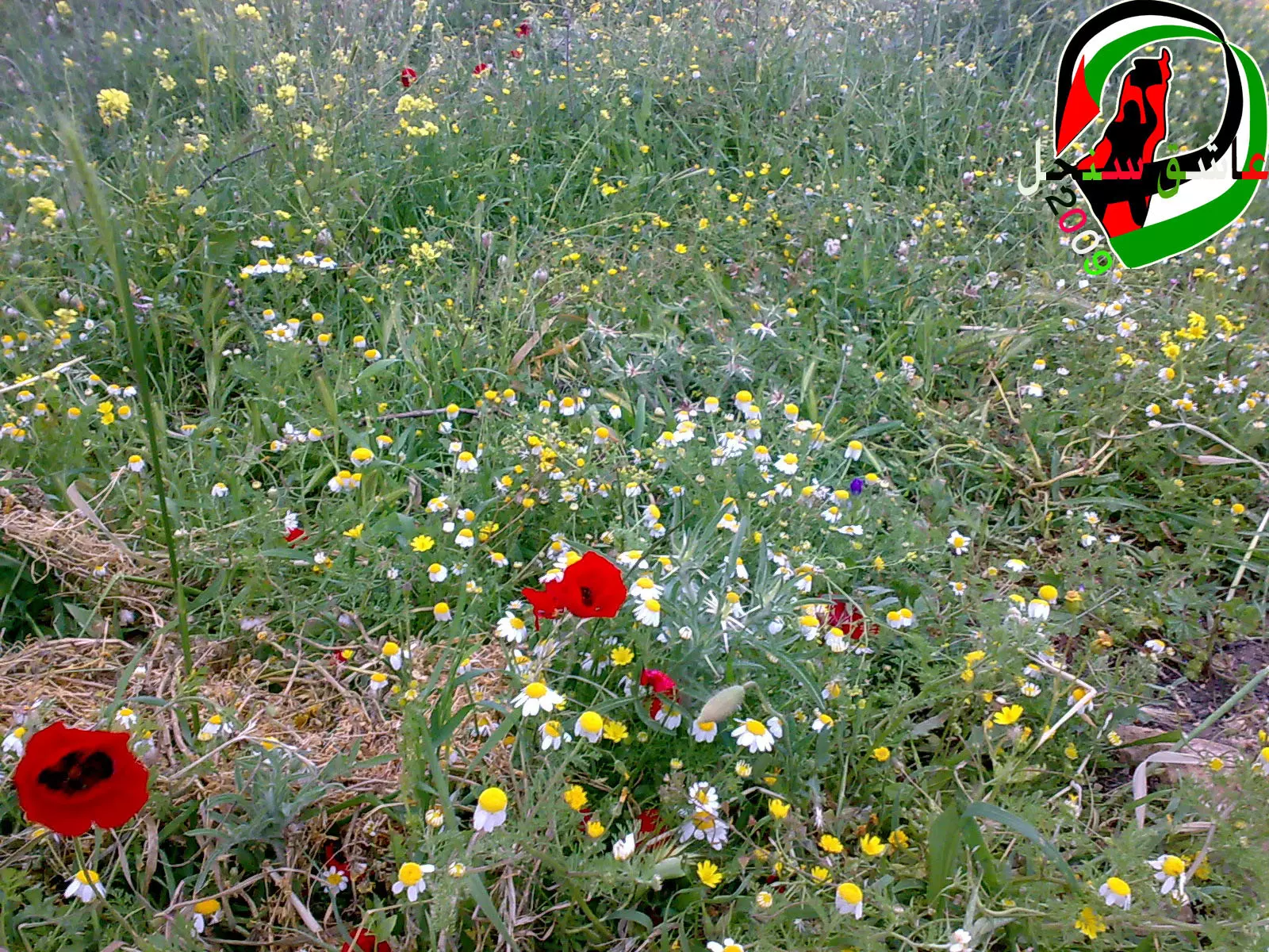
Posted by عاشق سنجل 3 - من سلسلة ( ربيع سنجل 2009 .)..../1/..زهرة الحنون الفلسطينية مع غيرها من الاهار البرية
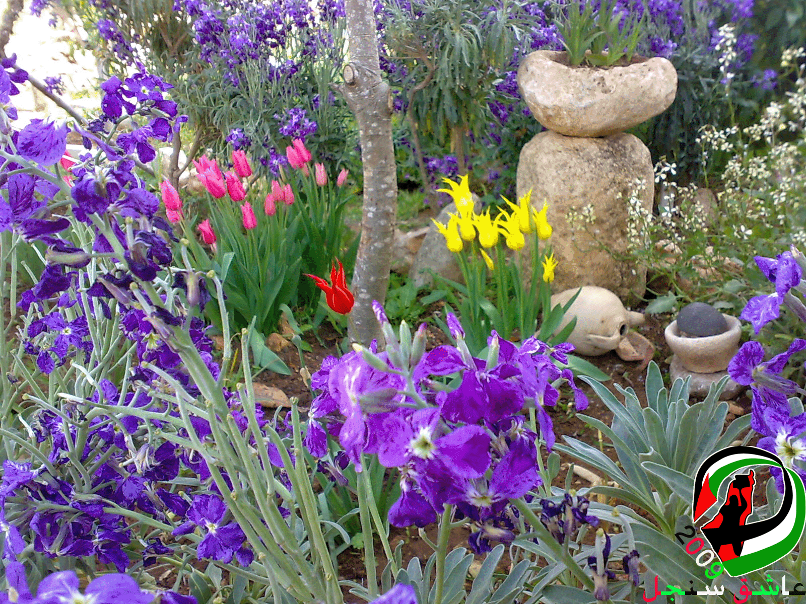
Posted by عاشق سنجل - من سلسلة ربيع سنجل 2009 ..ص(2).. تشكيلة من الازهار الجميلة من الزنبق الملون والمنثور
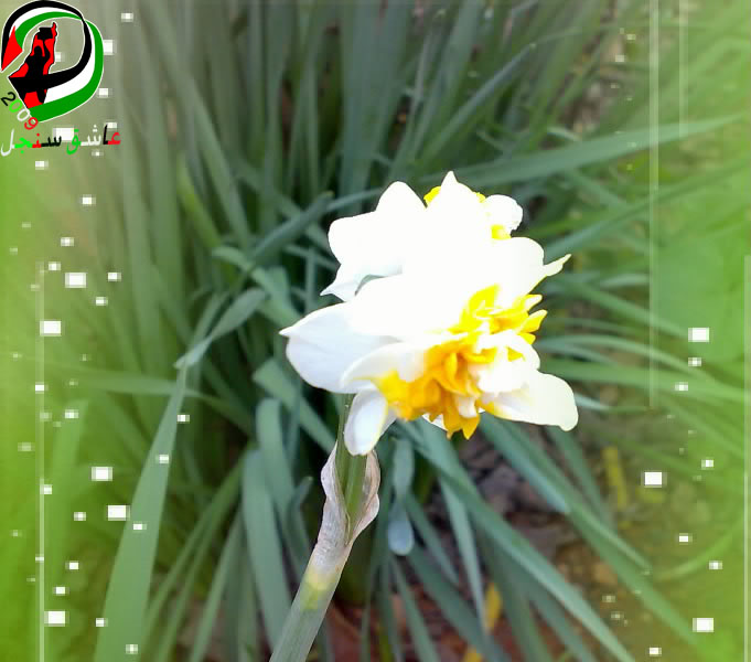
Posted by عاشق سنجل 2 - من سلسلة ربيع سنجل 2009 ..ص/3/.. زهرة النرجس ذات الرائحة الزكية العطرة
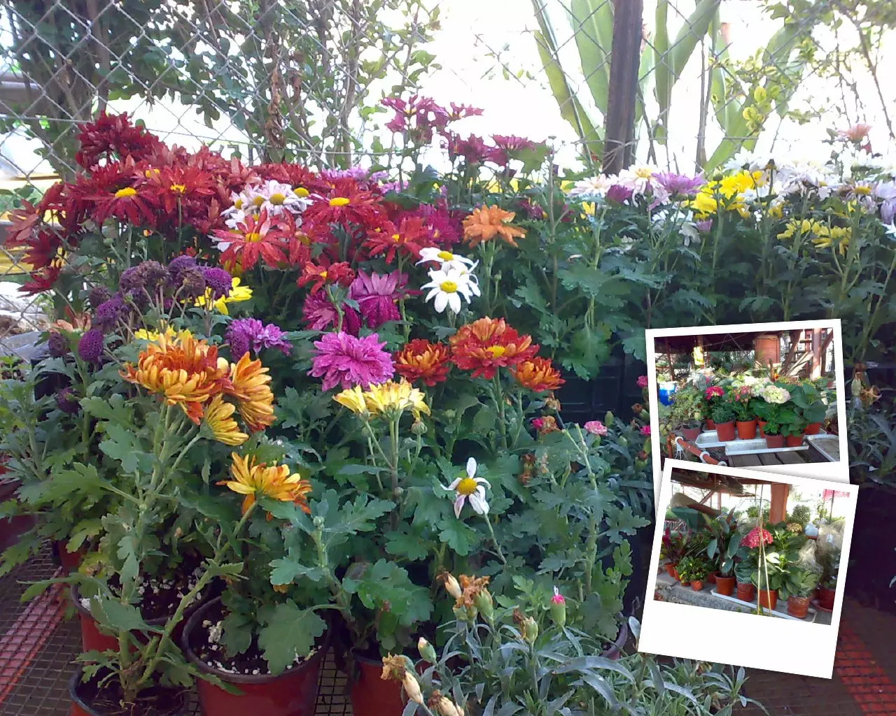
Posted by عاشق سنجل - من سلسلة ربيع سنجل 2009 ..ص/4/..ازهار منوعة من داخل مشتل سنجل
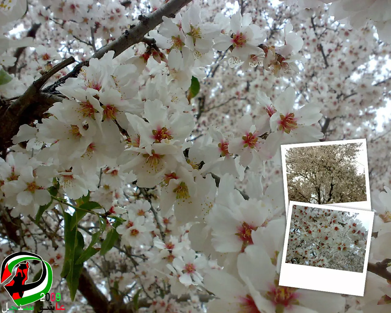
Posted by عاشق سنجل 1 - من سلسلة ربيع سنجل 2009 ..ص/5/..نوار شجر اللوز... هدية من عاشق سنجل
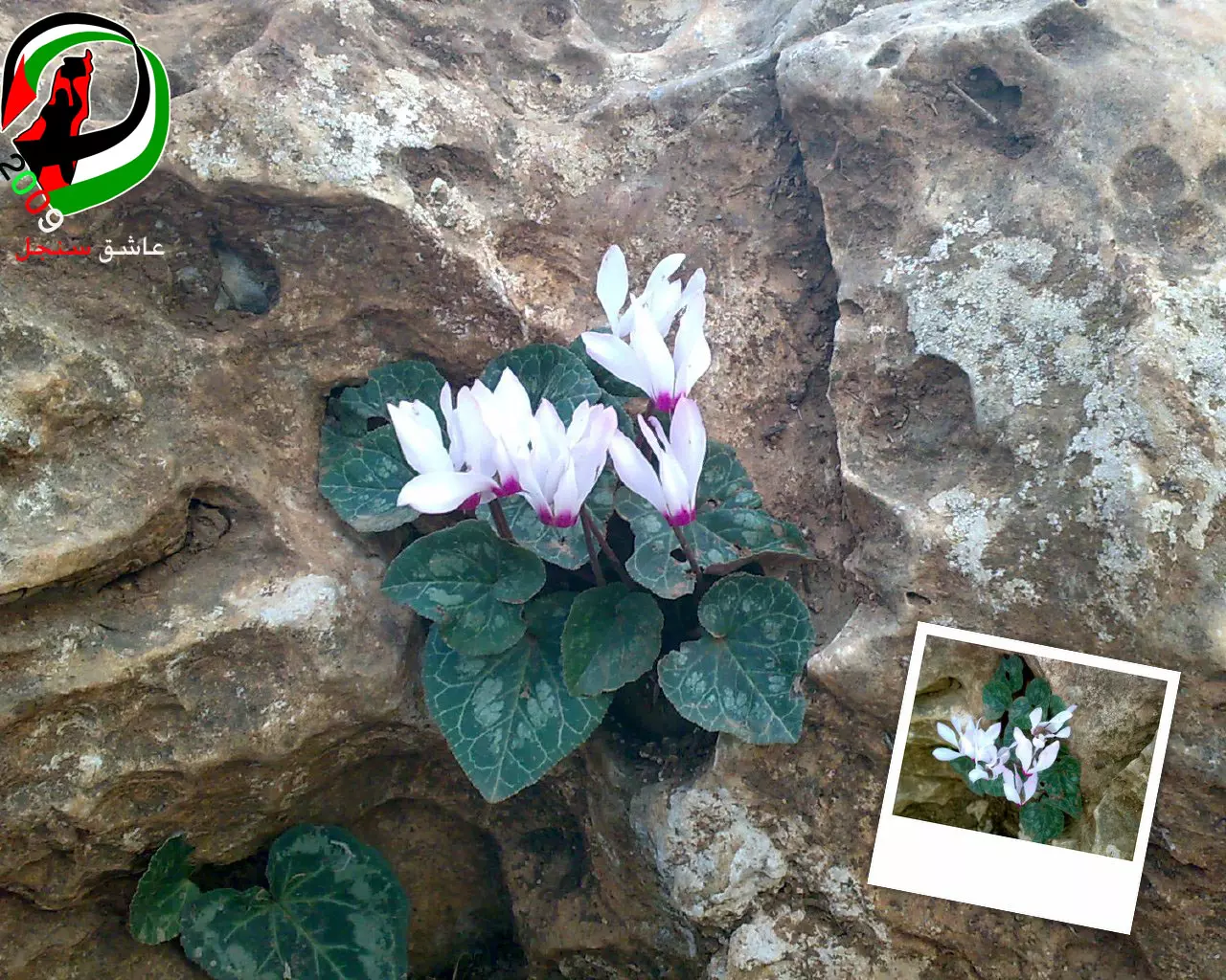
Posted by عاشق سنجل 1 - من سلسلة ربيع سنجل2009 ..(ص6)..زهرة الرتشف...ولها العديد من الاسماء ايضا
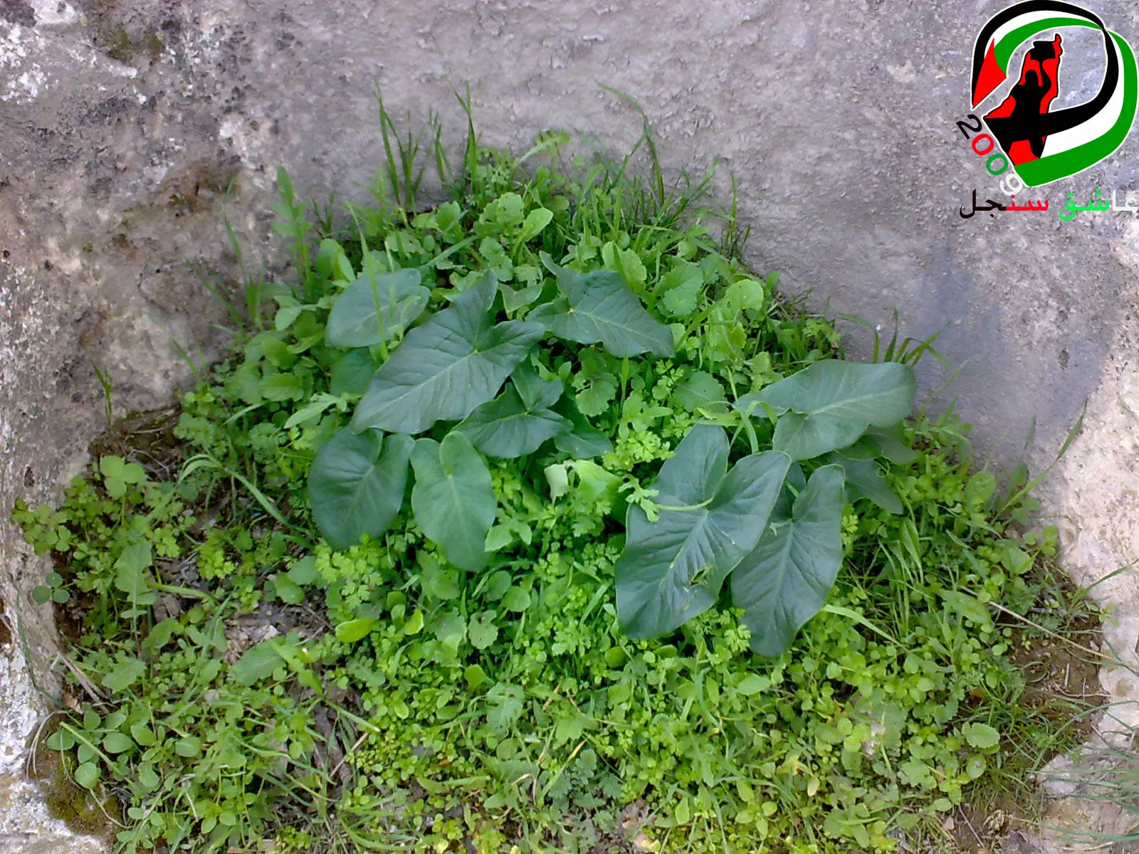
Posted by عاشق سنجل 2 - من سلسلة ربيع سنجل 2009 ..(ص7)...اللوف الاخضر الفلسطيني...هدية من عاشق سنجل
Posted by عاشق سنجل 2 - ربيع سنجل 2009...:) صورة رائعة
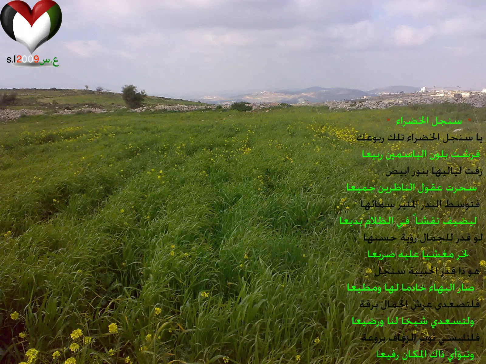
Posted by عاشق سنجل 3 - سنجل الخضراء 2009 sinjil green / بالاضافة الى قصيدة من تأليفي هدية لسنجل :)
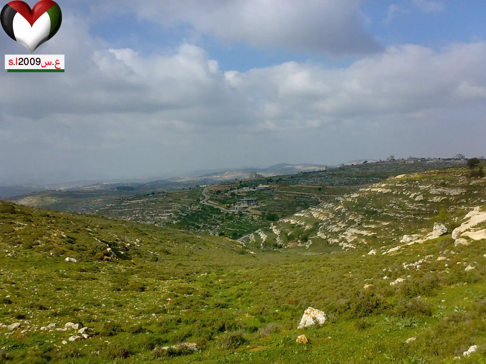
Posted by عاشق سنجل 1 - جبال سنجل الخضراء في ربيع ( jebal sinjil fe rabee3 (2009
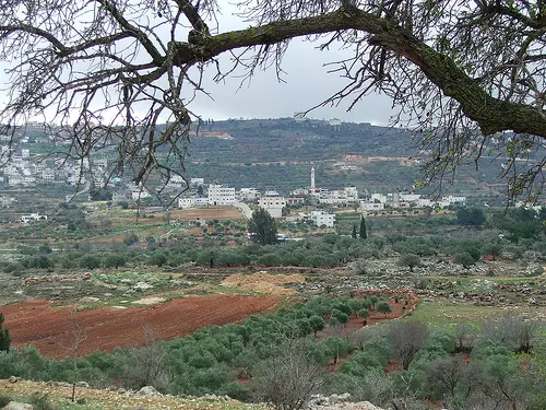
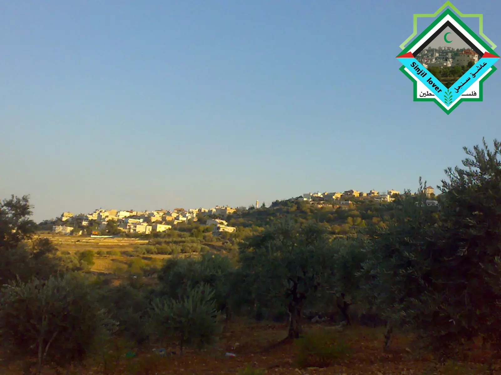
Posted by عاشق سنجل - صورة تظهر جزء من ترمسعيا على السهل وسنجل على قمة الجبل 1
Posted by عاشق سنجل - صورة تظهر جزء من ترمسعيا على السهل وسنجل على قمة الجبل 2
Posted by عاشق سنجل 1 - سنجل على قمة الجبل/ صورة من ال2006
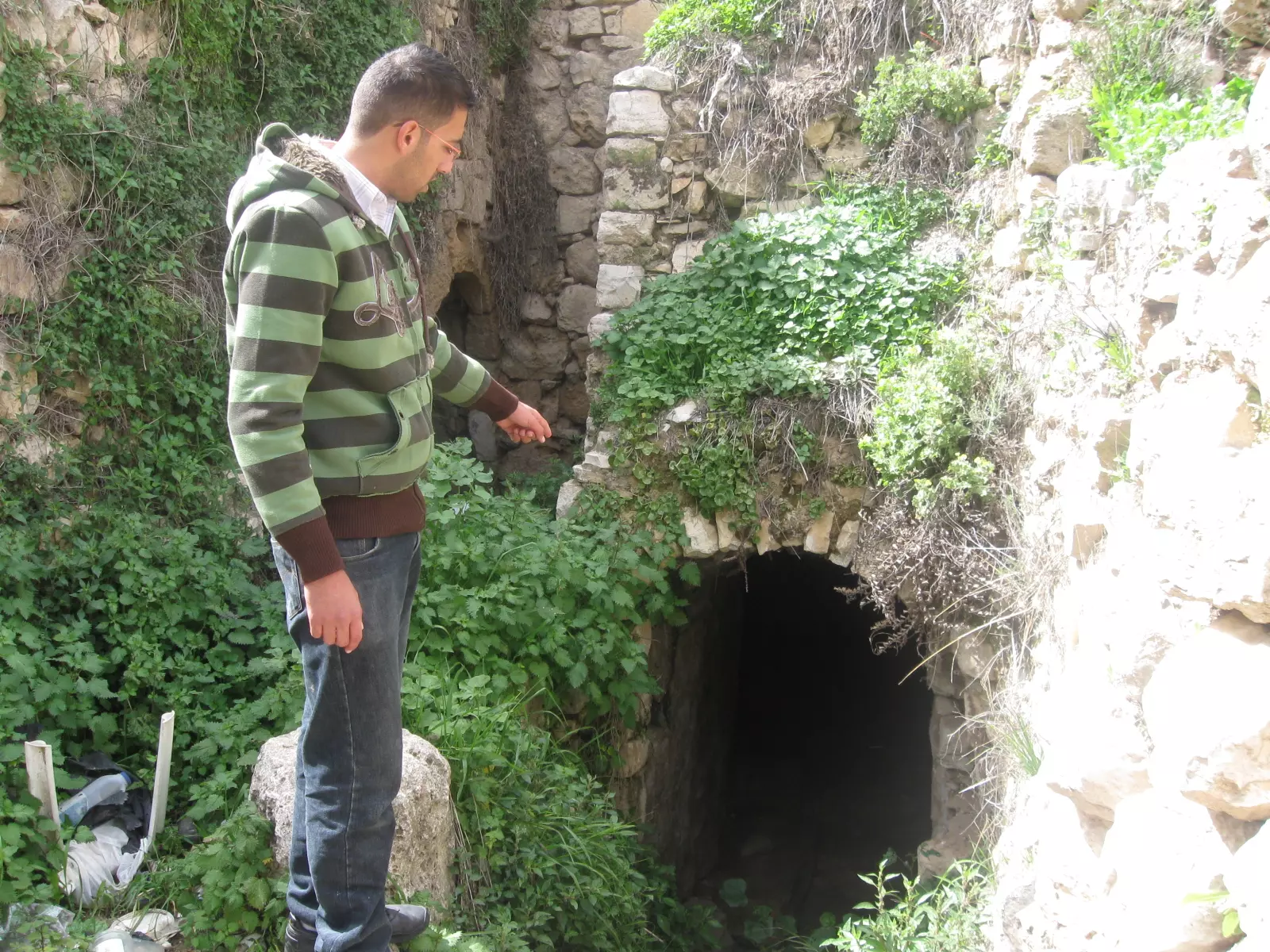
Posted by عاشق سنجل 1 - احد الاثريين الذي يشير الى مدخل جب يوسف في بلدة سنجل
Posted by سنجلاوي 1 - من سلسلة( سنجل ..جمال بلا حدود 1 ) من وسط البلد :)
Posted by عاشق سنجل 1 - من سلسلة( سنجل ..جمال بلا حدود 2 ) مدرسة ابو بكر الصديق أثناء الدوام
Posted by عاشق سنجل - من سلسلة( سنجل ..جمال بلا حدود 3 ) صورة إبداع ... وأترك لكم التعليق :)
Posted by عاشق سنجل - من سلسلة( سنجل ..جمال بلا حدود / 4 ) فن و تألق
Posted by عاشق سنجل - من سلسلة( سنجل ..جمال بلا حدود / 5 ) حارة شوريا
Posted by عاشق سنجل 2 - من سلسلة( سنجل ..جمال بلا حدود / 6 ) حارة القصر
Posted by عاشق سنجل - من سلسلة( سنجل ..جمال بلا حدود / 7) صورة ملتقطة من حارة الوعر الأعلى
Posted by عاشق سنجل - من سلسلة( سنجل ..جمال بلا حدود / 9 ) منظر عام للبلدة ملتقط من حارة الإسكان أ
Posted by عاشق سنجل - من سلسلة( سنجل ..جمال بلا حدود / 10) منظر عام للبلدة ملتقط من حارة الإسكان/ ب
Posted by عاشق سنجل - من سلسلة( سنجل ..جمال بلا حدود / 11 ) صورة لحارة الإسكان وبلإتجاه الى حارة البريد في الأعلى
Posted by عاشق سنجل 2 - من سلسلة( سنجل ..جمال بلا حدود / 12 ) منظر عام لحي المزيرعة وقت الحصاد A
Posted by عاشق سنجل - من سلسلة( سنجل ..جمال بلا حدود / 13 ) منظر عام لحي المزيرعة وقت الحصاد B
Posted by عاشق سنجل - من سلسلة( سنجل ..جمال بلا حدود /14 ) منظر عام لحي المزيرعة وقت الحصاد C
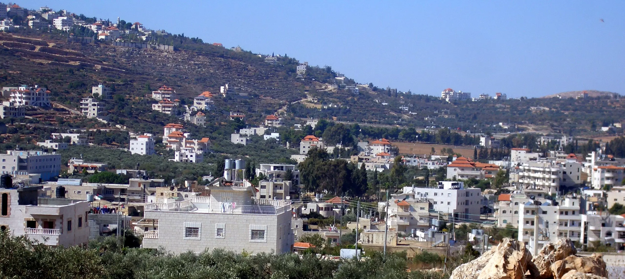
Posted by عاشق سنجل - سنجل
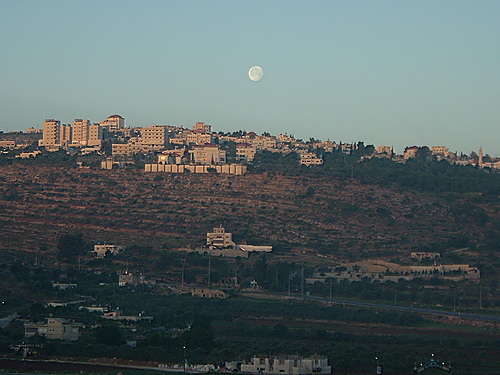
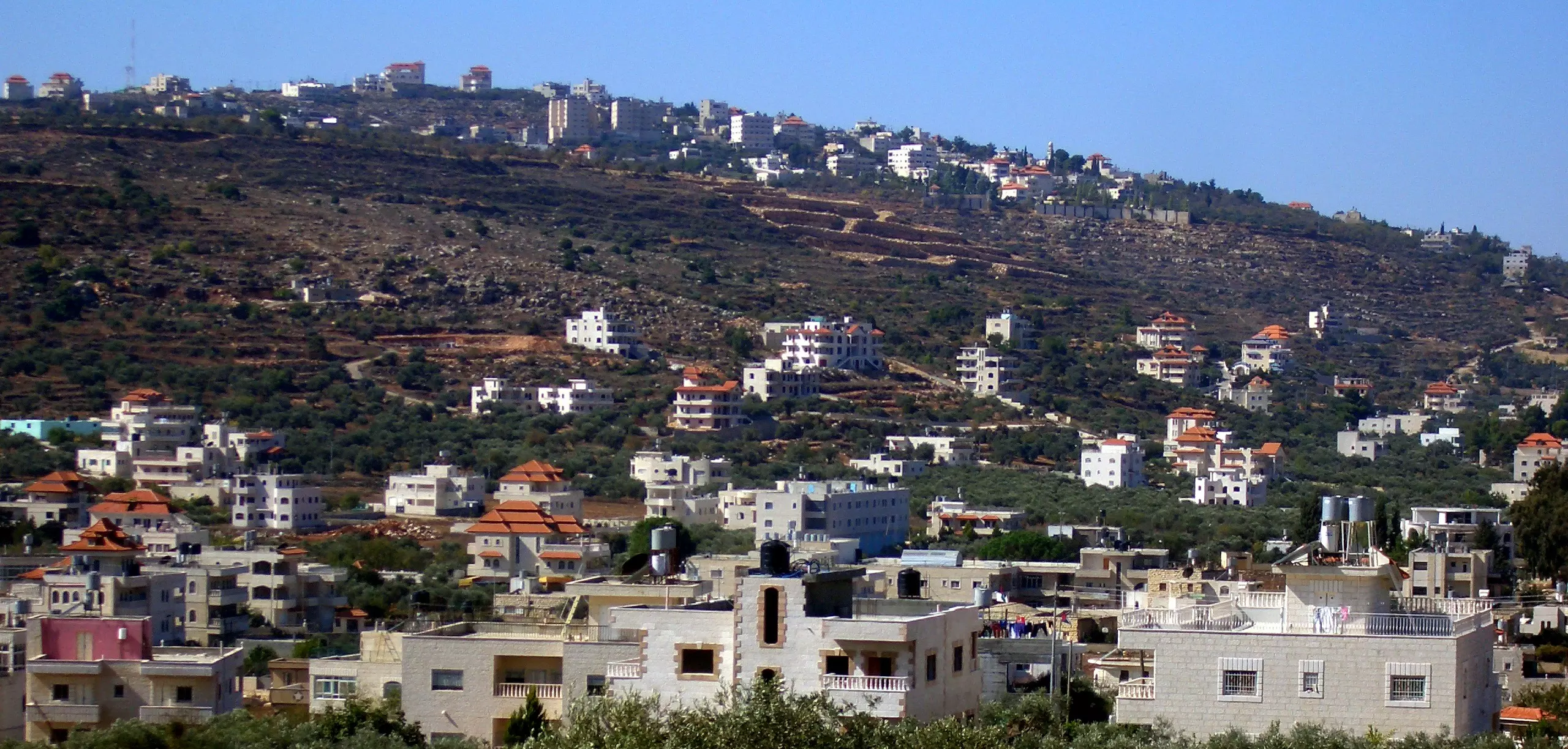
Posted by بيسان - منظرعام لذات الطبيعة الساحرة (سنجل) 2011
Posted by عاشق سنجل 1 - منطقة المزيرعة -سنجل
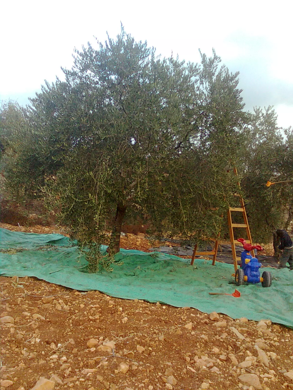
Posted by angel elwan - موسم قطف الزيتون سنجل
Posted by noor - شامحة شموخ شجرة الزيتون الجبليه يا سنجل
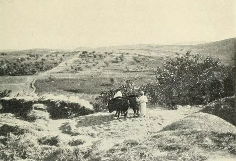
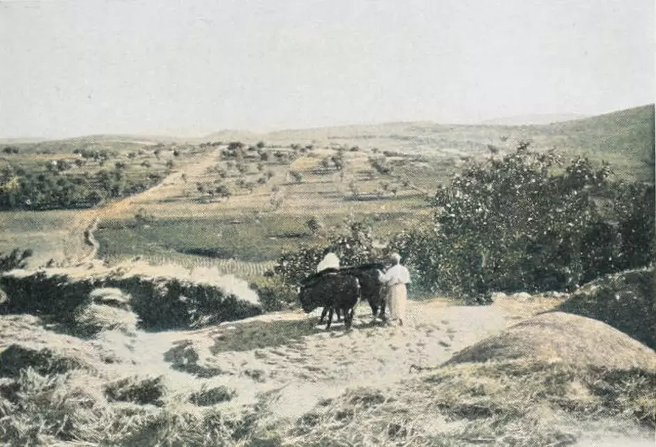
Posted by noor - Threshing floor in the Ramallah area (Possibly Sinjil), circa 1910s
Posted by Rami Atwan 1 - part of sinjil village - جزء من قرية سنجل ( حارة المزيرعة ) شمال القرية
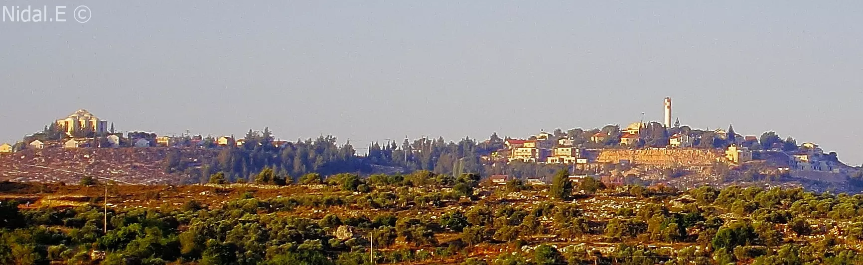
Posted by Nidal.E - Shilo settlement - مستوطنة شيلو شمال شرق قرية سنجل
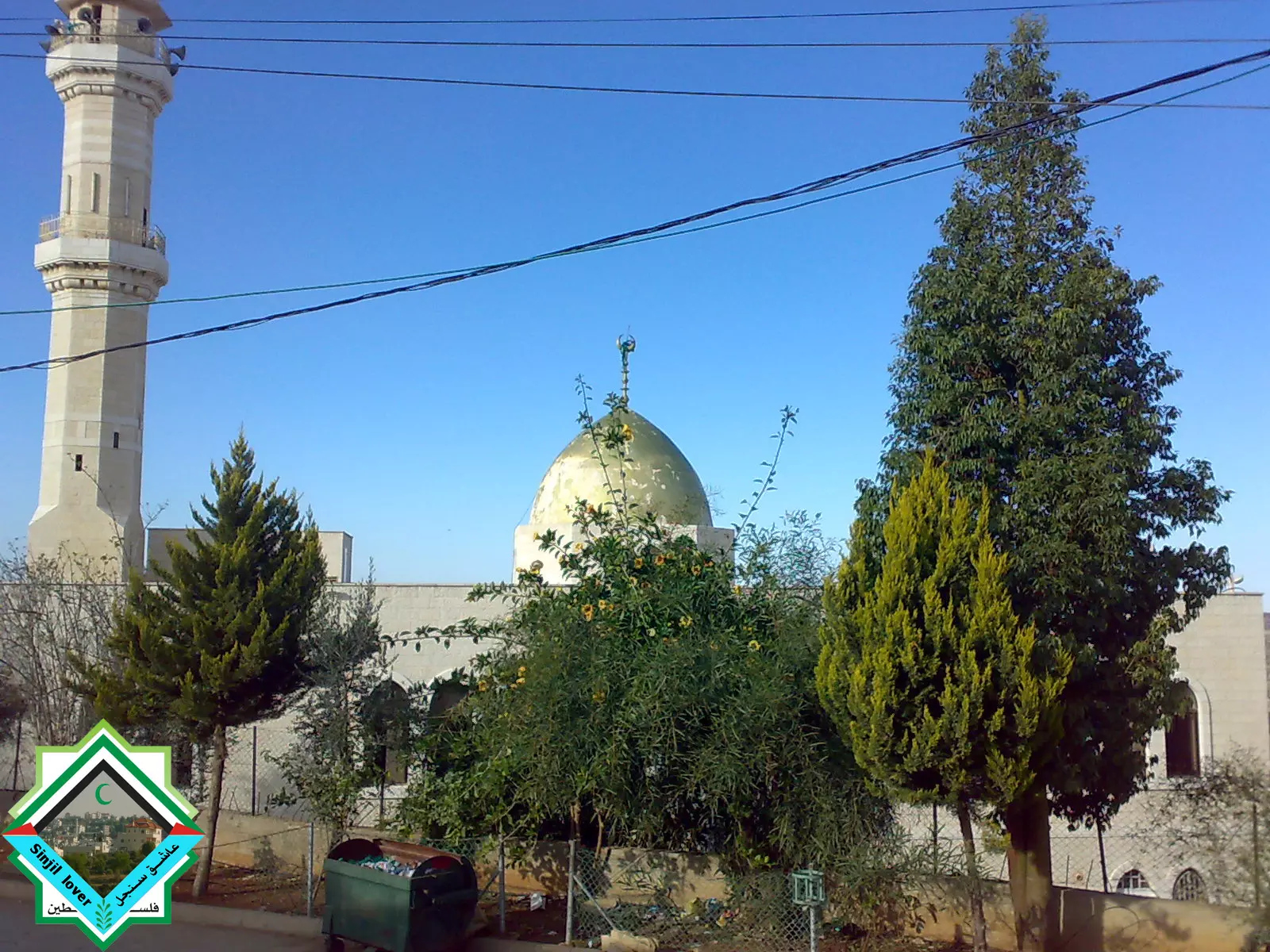
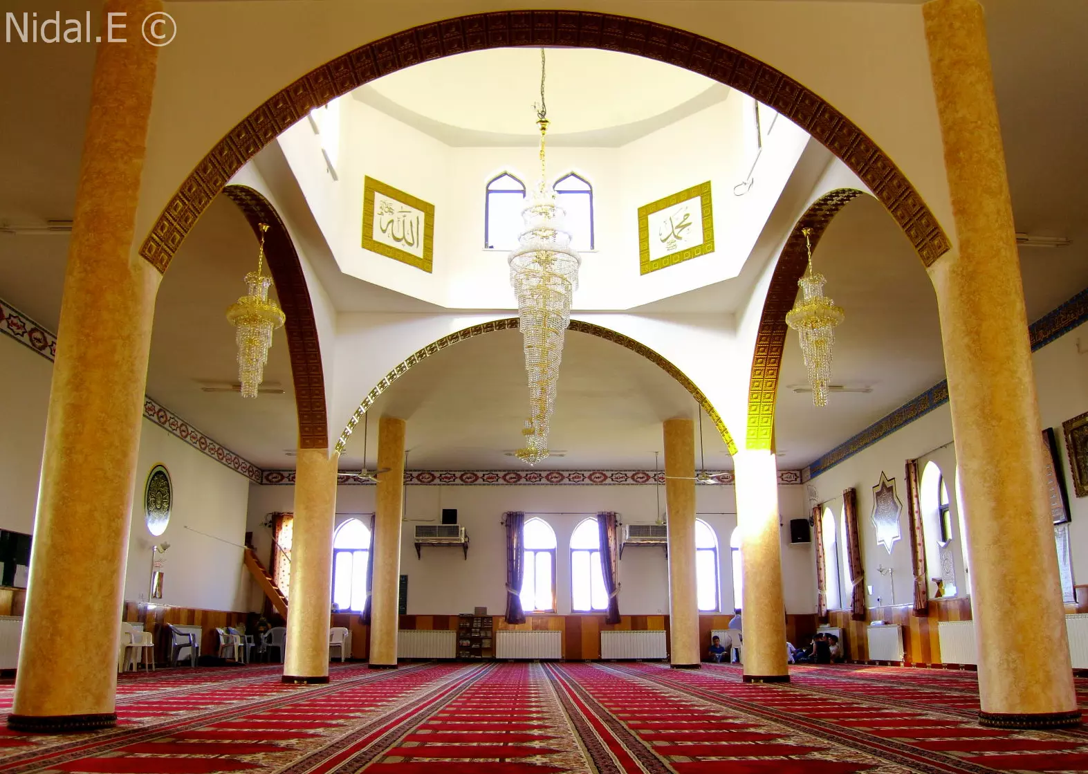
Posted by Nidal.E - sinjil main mosque - مسجد النعيم - المسجد الرئيسي في سنجل
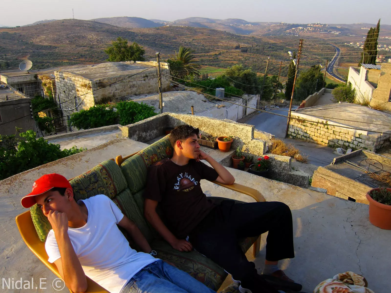
Posted by Nidal.E - part of sinjil - جزء من حارة المزيرعة في سنجل صباحا
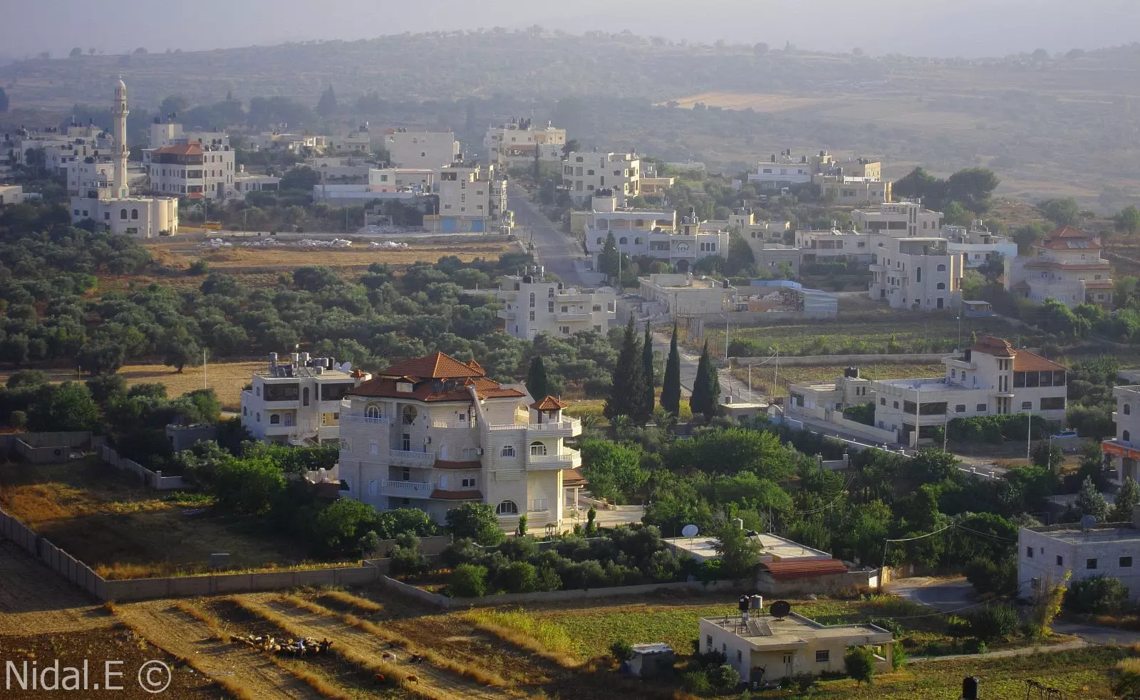
Posted by Nidal.E - A view from sinjil village - اطلالة من وسط سنجل بالتجاه الشمال الشرقي لها , يظهر جزء من قرية ترمسعيا و مستوطنة شيلو
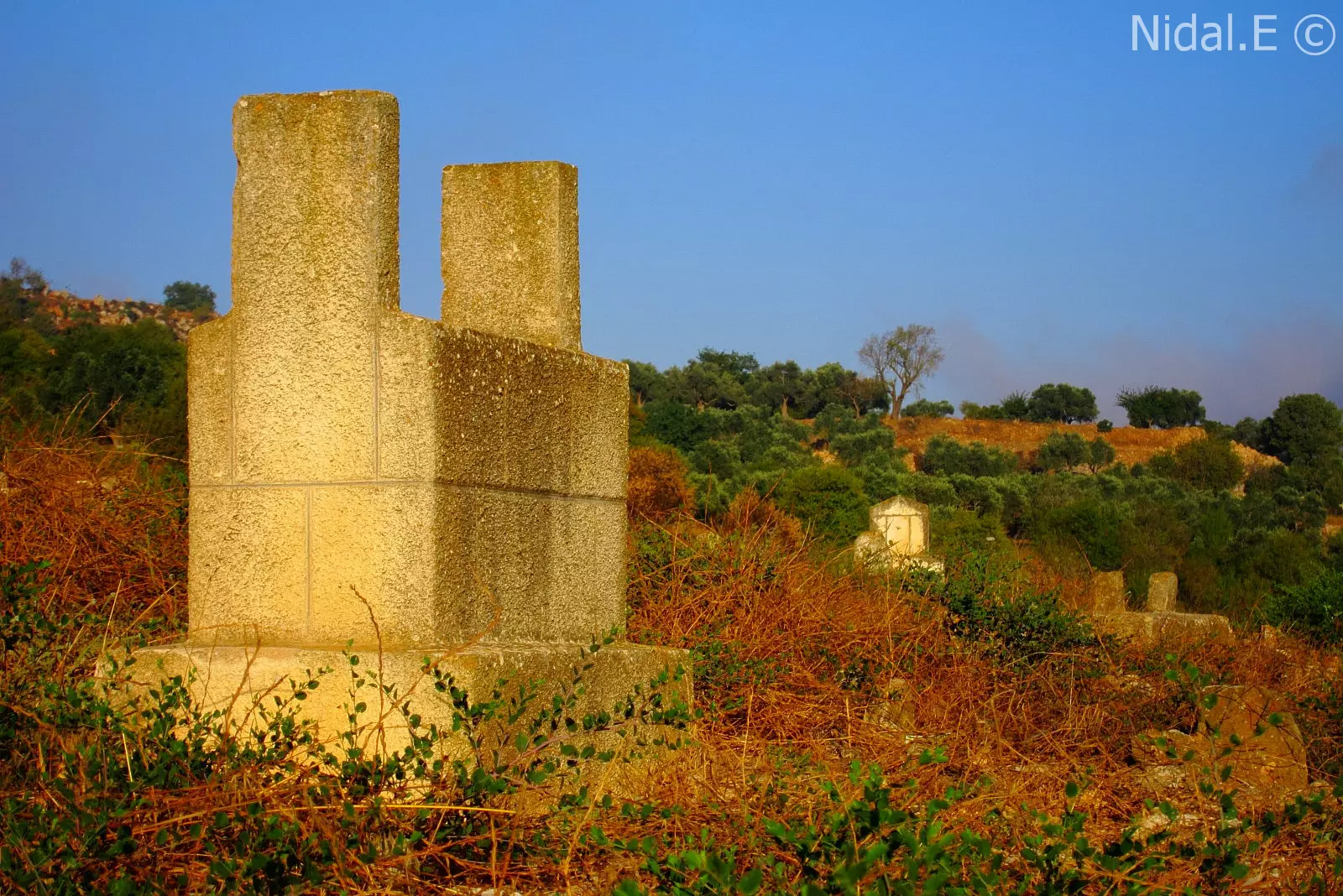
Posted by Nidal.E - sinjil graveyard - من مقبرة القرية غربا
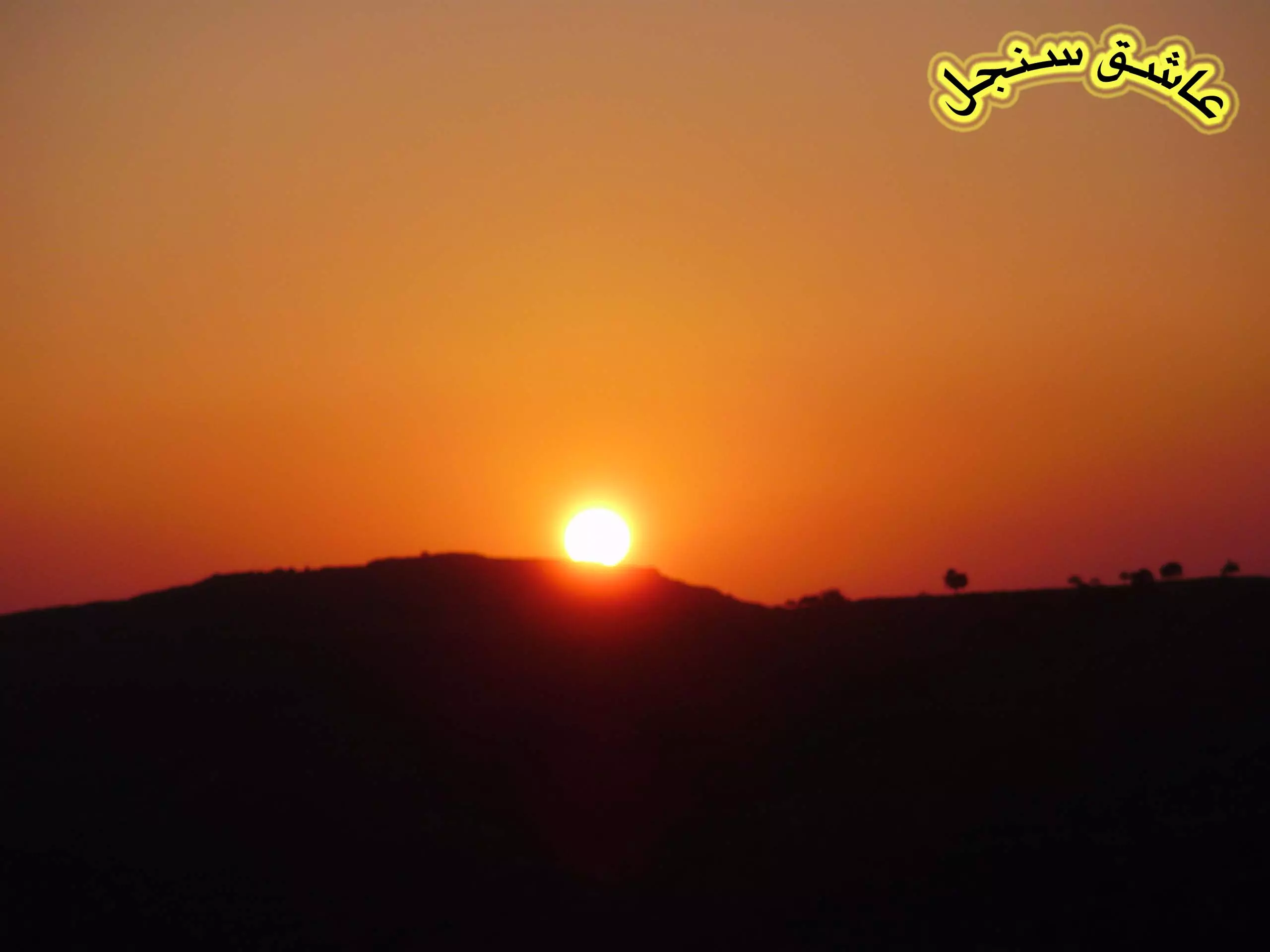
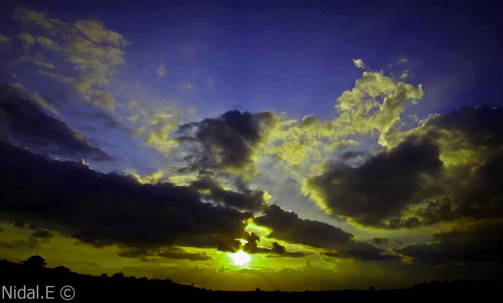
Posted by Nidal.E - Sunset - الغروب في الربيع في سنجل
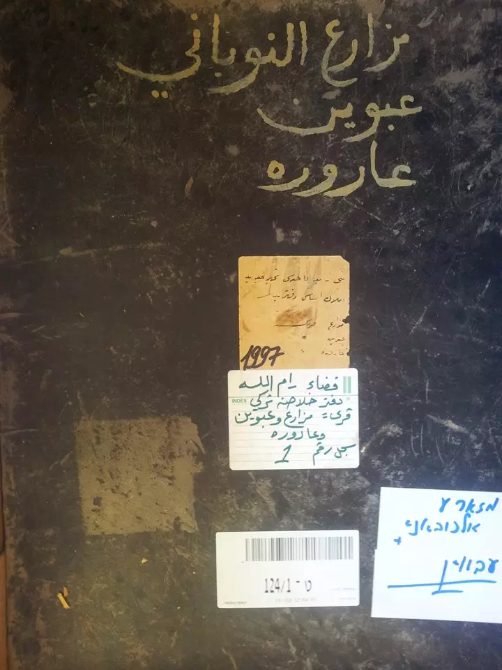
Posted by Nidal.E - الارشيف الاسرائيلي بالقدس الغربية .. دفاتر الطابو للاراضي والملكيات الفلسطينية في قرى سنجل قضاء رام الله ودورا الخليل والبيرة وعين قينيا وعارورة ومزارع النوباني وبيت لحم وحلحول 1915 -1890 - منقول من صفحة أحمد مروات
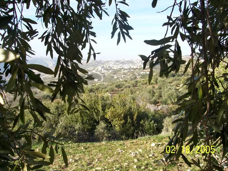
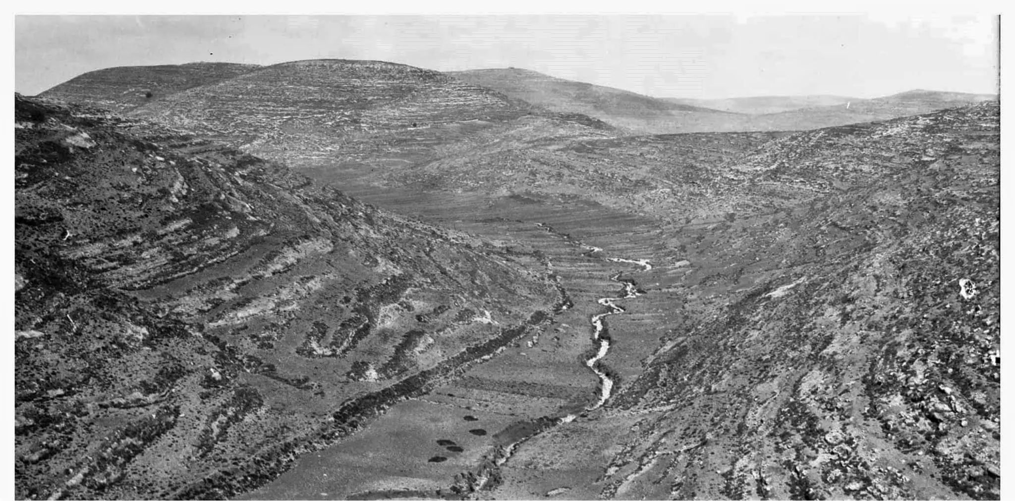
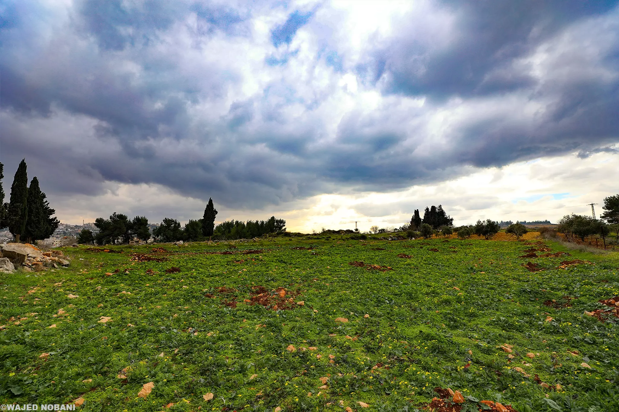
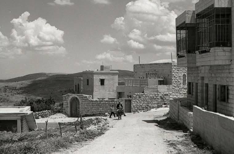
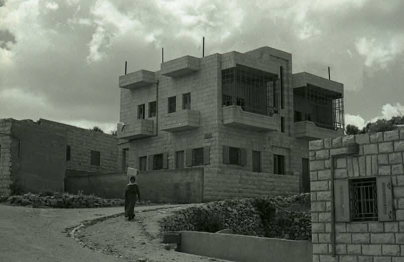
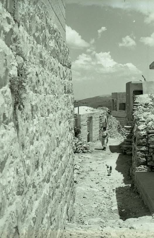
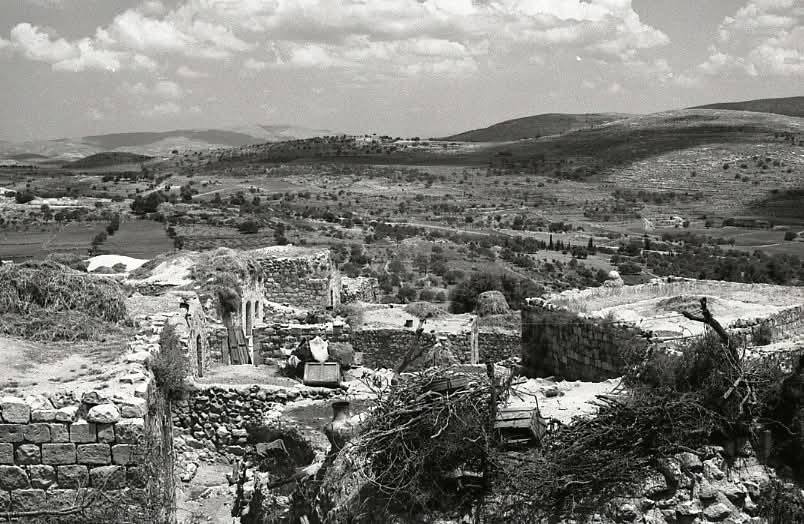
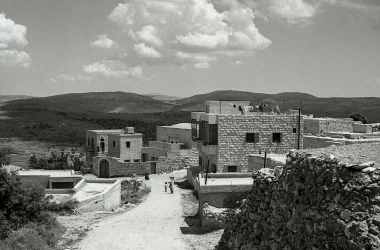
- منظر عام
- منظر عام
- منظر عام #2
- منظر عام #3
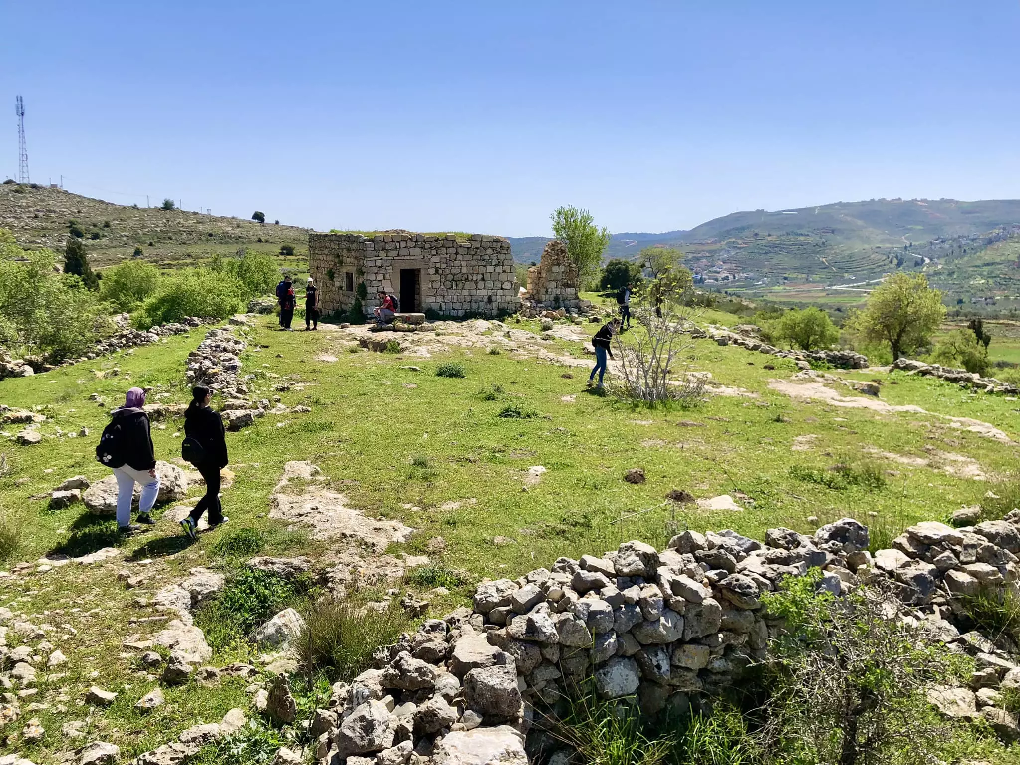
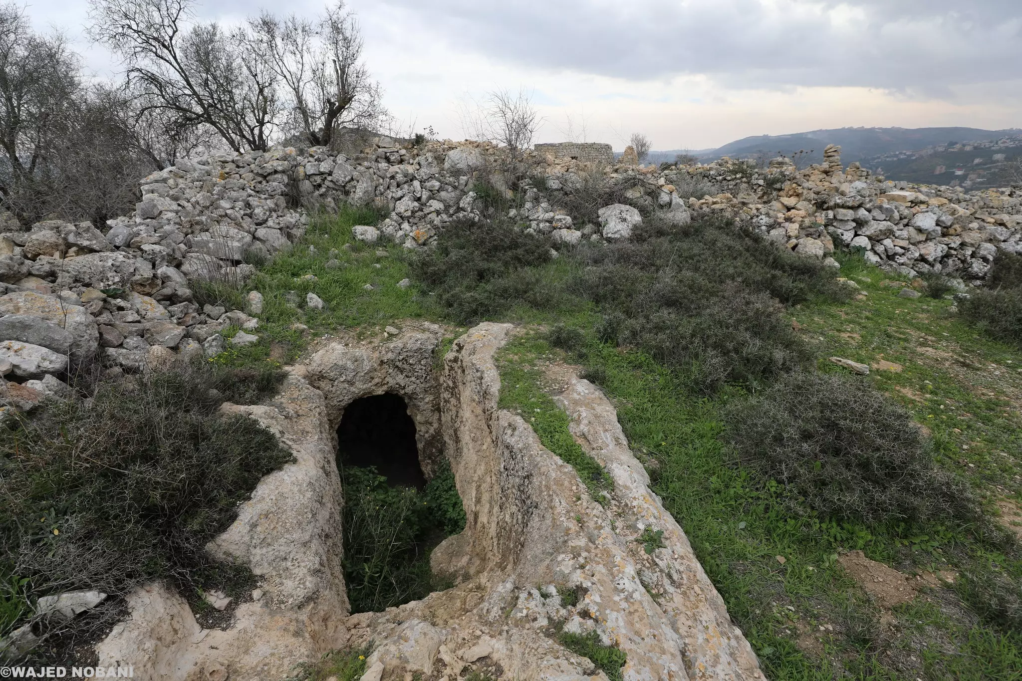
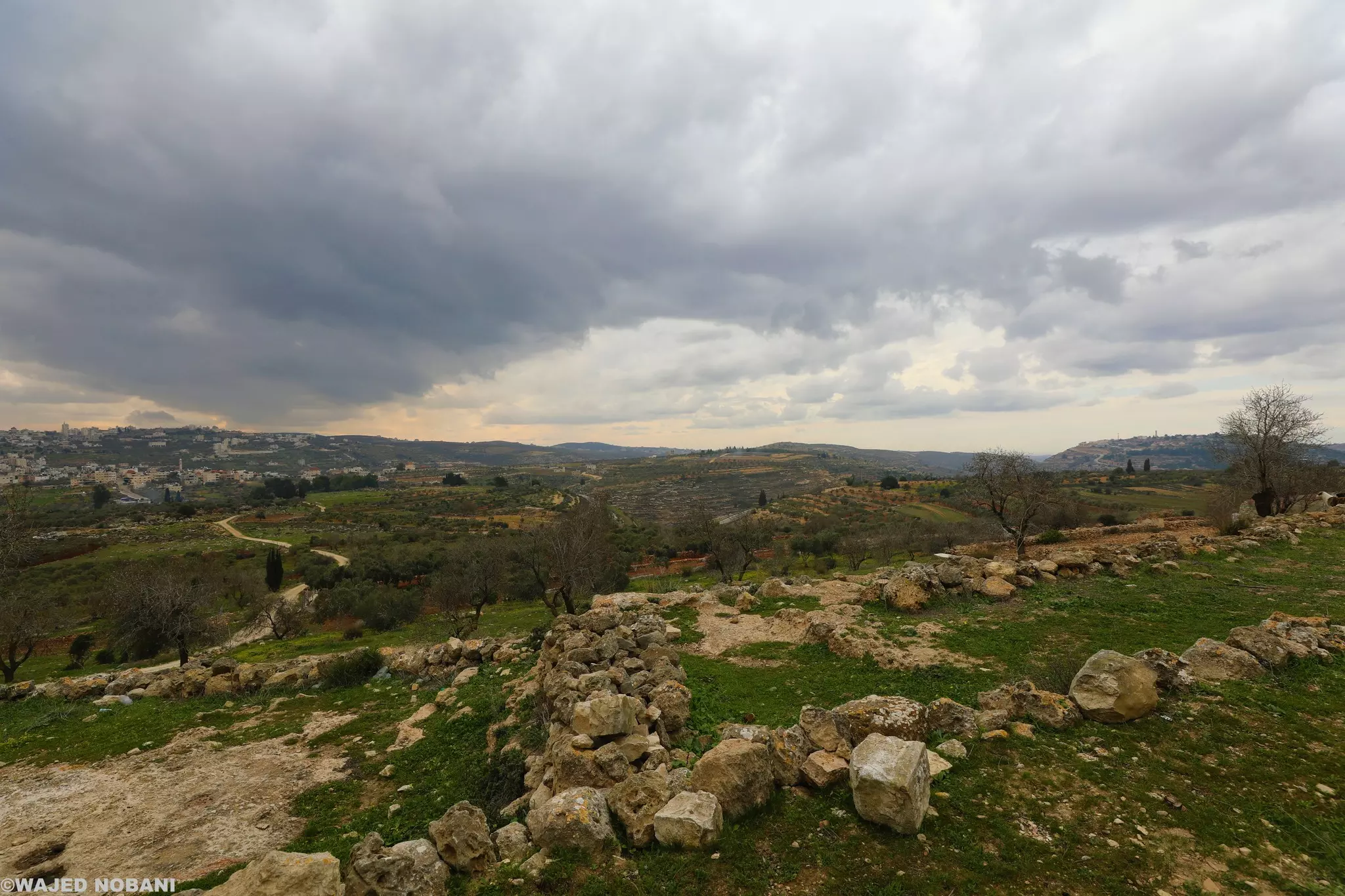
- جولة في خربة غرابة -- واجد النوباني
- جولة في خربة غرابة -- واجد النوباني #2
- جولة في خربة غرابة -- واجد النوباني #3
- جولة في خربة غرابة -- واجد النوباني #4
- جولة في خربة غرابة -- واجد النوباني #5
- جولة في خربة غرابة -- واجد النوباني #6
- جولة في خربة غرابة -- واجد النوباني #7
- جولة في خربة غرابة -- واجد النوباني #8
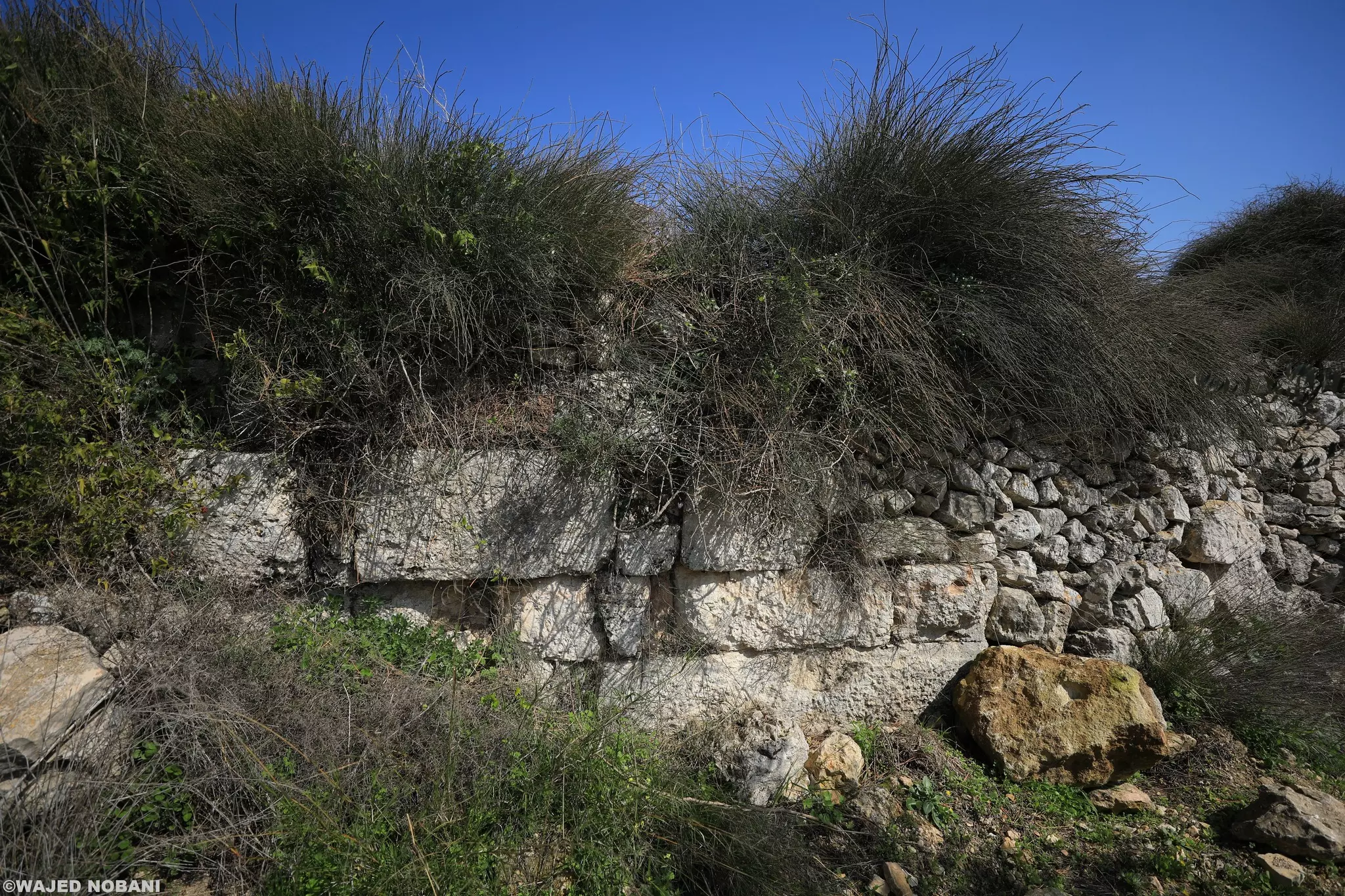
- جولة في خربة غرابة -- واجد النوباني #9
- جولة في خربة غرابة -- واجد النوباني #10
- جولة في خربة غرابة -- واجد النوباني #11
- جولة في خربة غرابة -- واجد النوباني #12
- جولة في خربة غرابة -- واجد النوباني #13
- جولة في خربة غرابة -- واجد النوباني #14
- جولة في خربة غرابة -- واجد النوباني #15
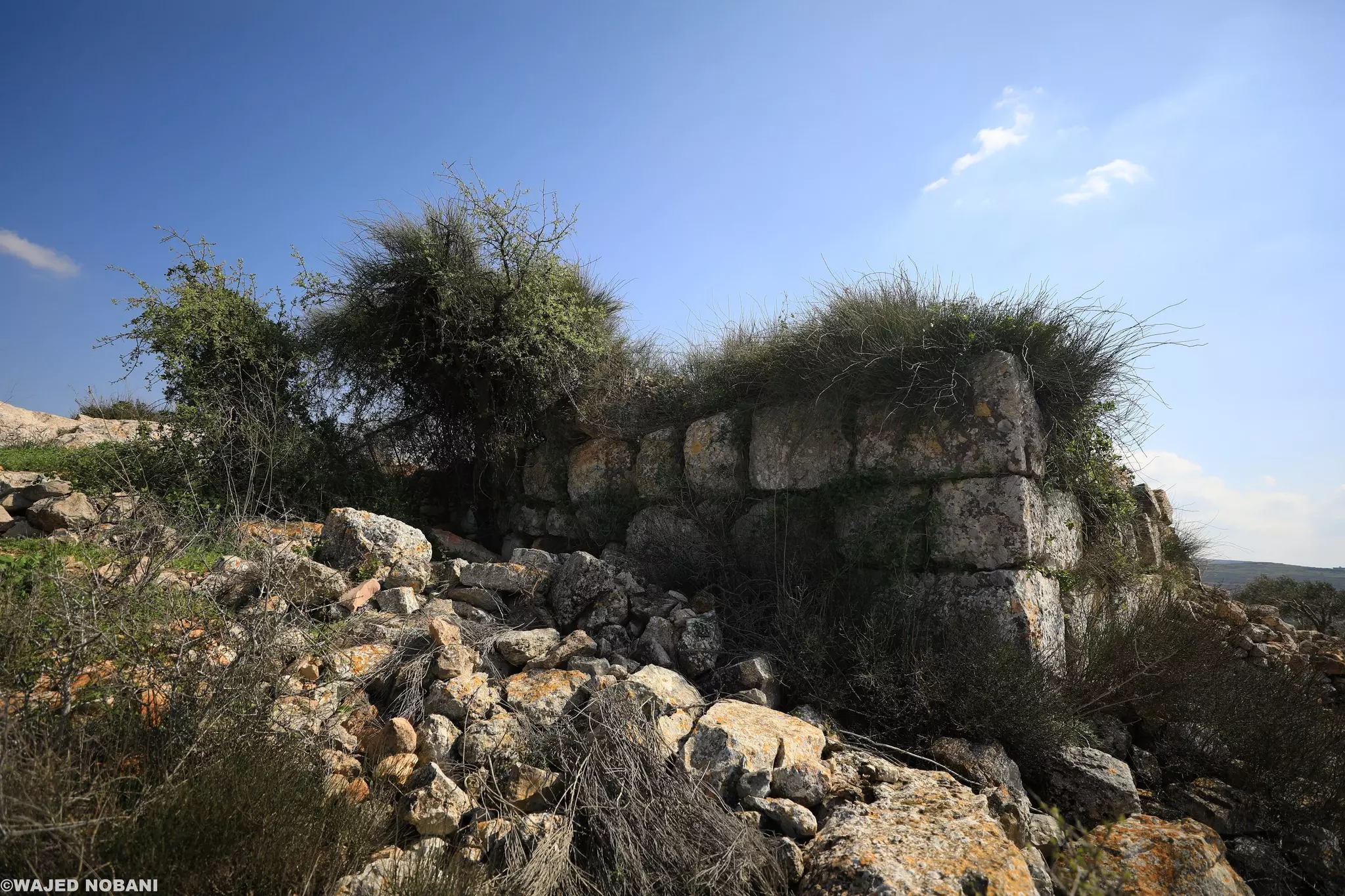
- جولة في خربة غرابة -- واجد النوباني #16
- جولة في خربة غرابة -- واجد النوباني #17
- جولة في خربة غرابة -- واجد النوباني #18
- جولة في خربة غرابة -- واجد النوباني #19
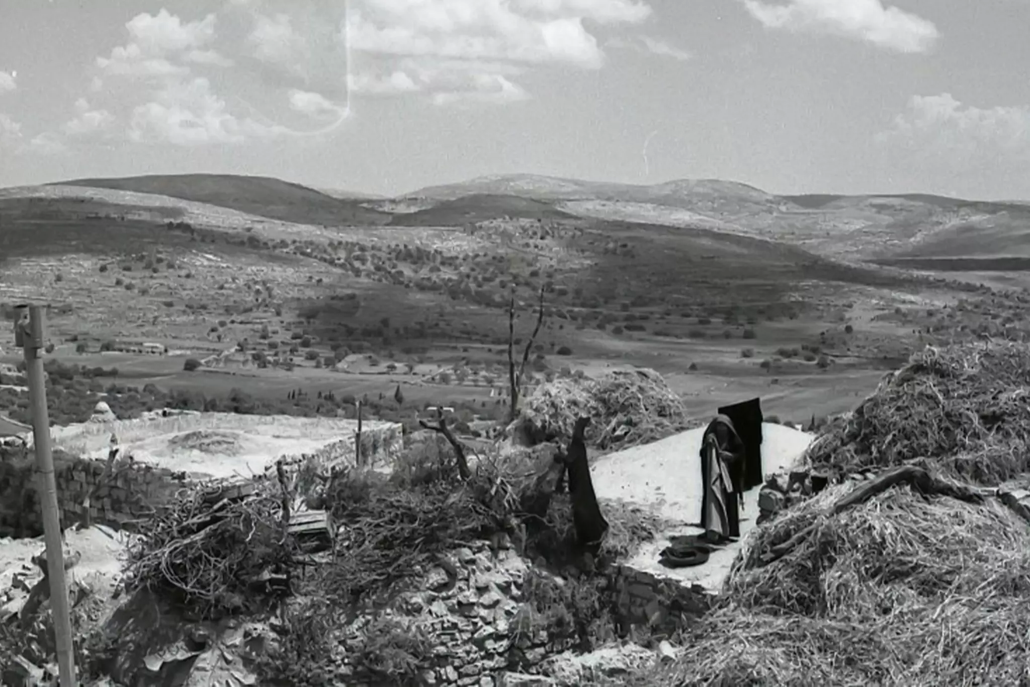
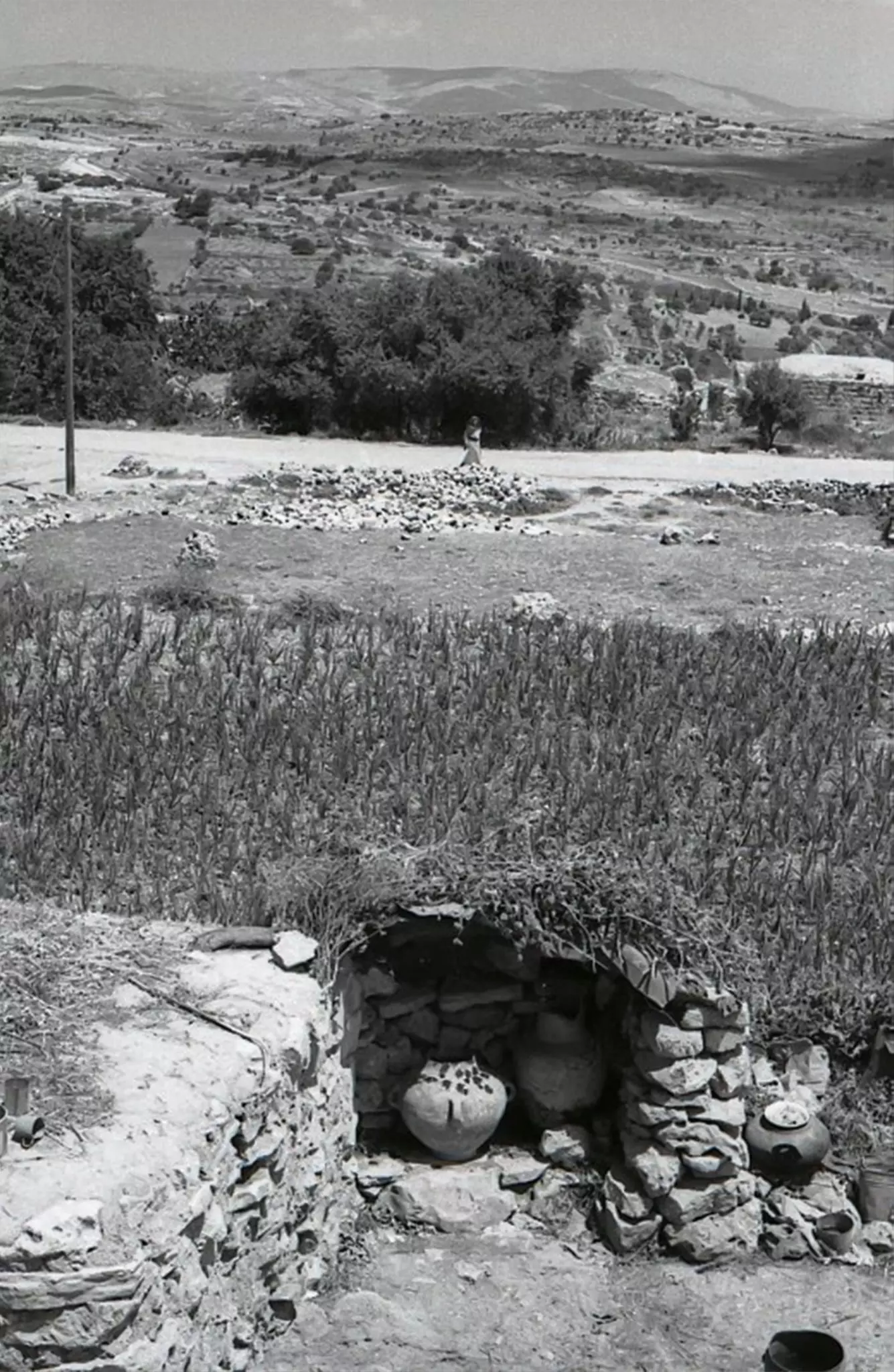
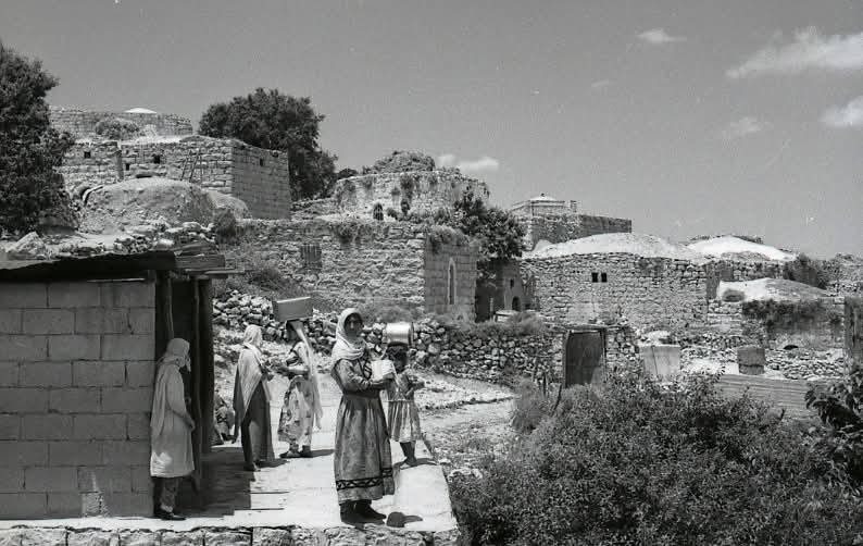
- الحياة القديمة في قرية سنجل
- الحياة القديمة في قرية سنجل
#2
- الحياة القديمة في قرية سنجل
#3
- الحياة القديمة في قرية سنجل
#4
- الحياة القديمة في قرية سنجل
#5
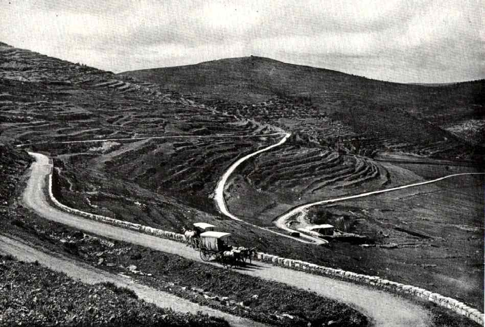
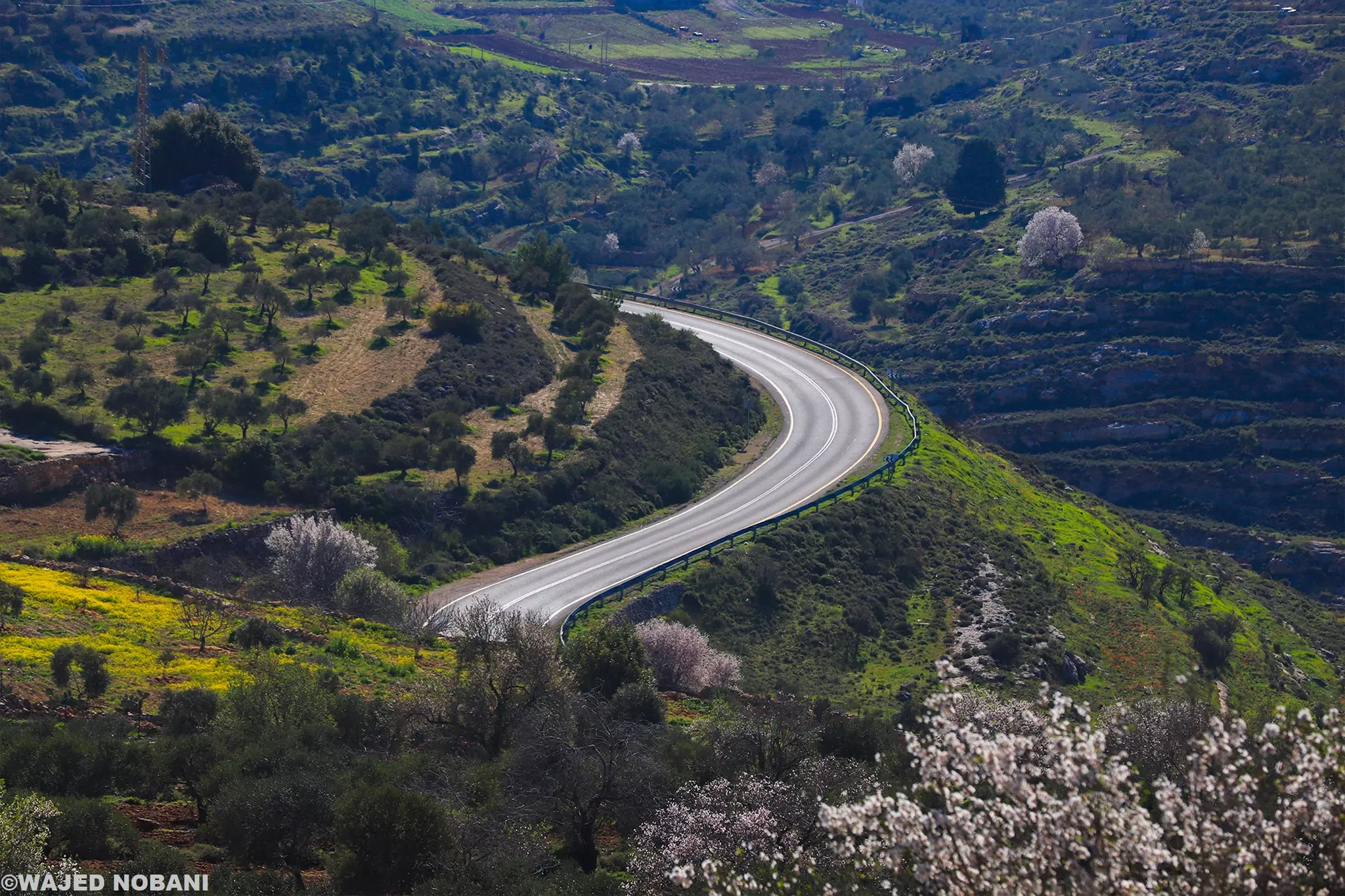
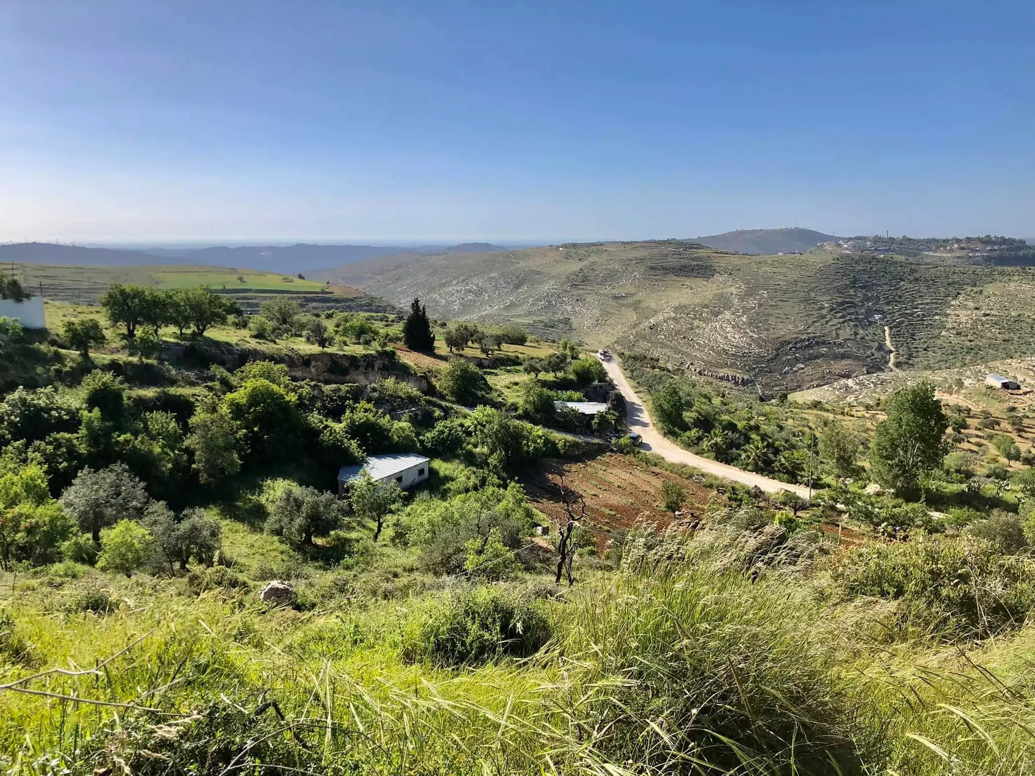
- صورة من الطريق بين سنجل واللُبَّن وتحديدا بعد صعود طريق قوربات اللُبَّن. يظهر بالأسفل مرج سنجل، ويطل عليه جبل الباطن الذي يجمع أراضي اللبّن وسنجل، وفي الوسط تعلو قمة جبل طاروجة غرب اللُبّن وعلى يمين الصورة جبل المسَيَّب.
الصورة قبل حوالي 100 عام
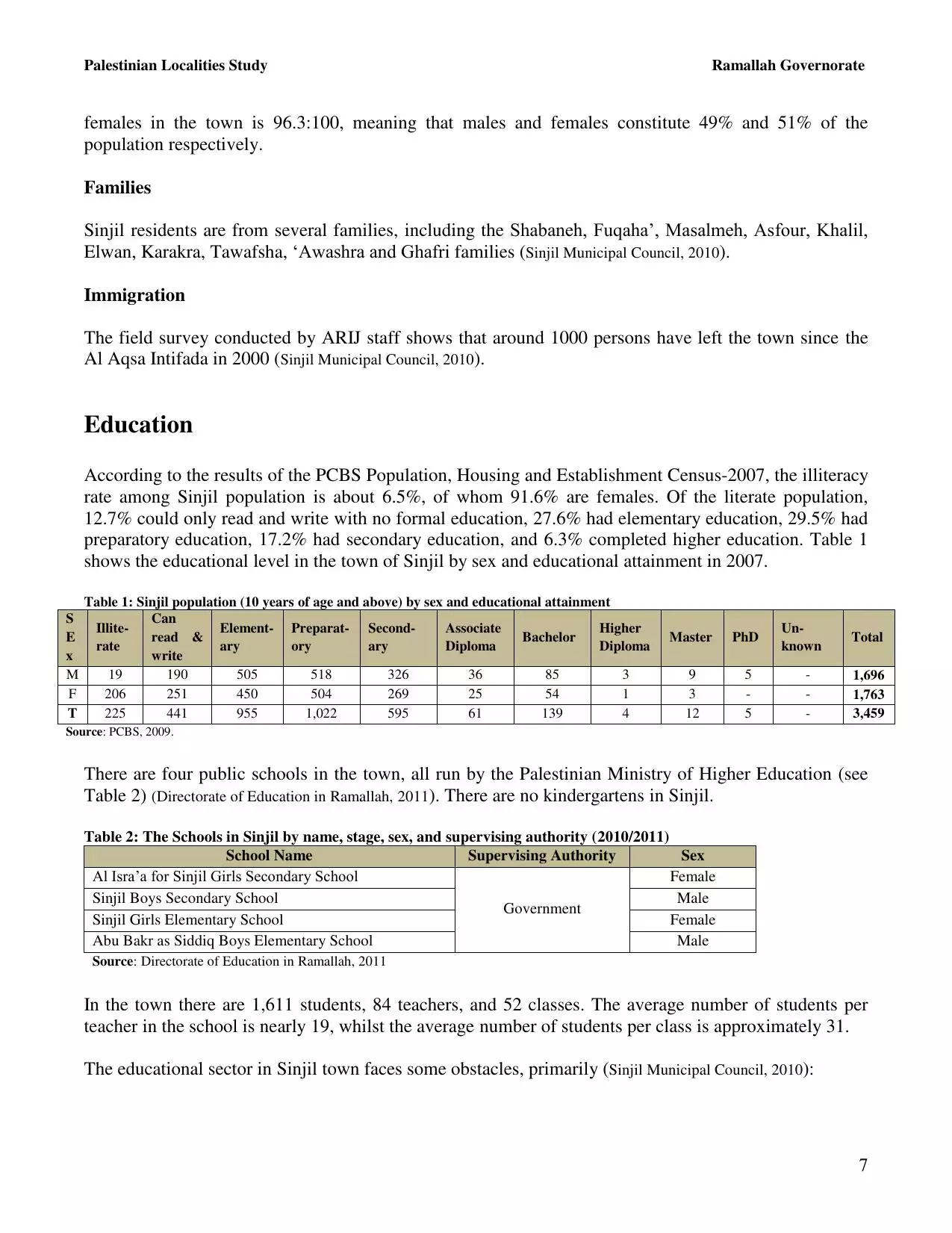
- جزء من خارطة قديمة لسنجل من عام 1946م
عدد كبير جدا للمنازل والأبنية كما تظهر الخارطة التفصيلية، المناطق الفارغة كلها بساتين وكروم، النقاط والخطوط المختلفة في المربعات للتفريق بين بيوت الحجر، وبيوت الطين والحجر، وبيوت الطين، وأيضا الخشب. يوجد اثنين من الأبنية العامة وهي مسجد يقوم في موضع كنيسة، ومدرسة للتعليم. وتضم سنجل عدة مقامات من بينها ما يظهر وهو مقام الشيخ صالح، وموضع بير شوريا (يوسف)
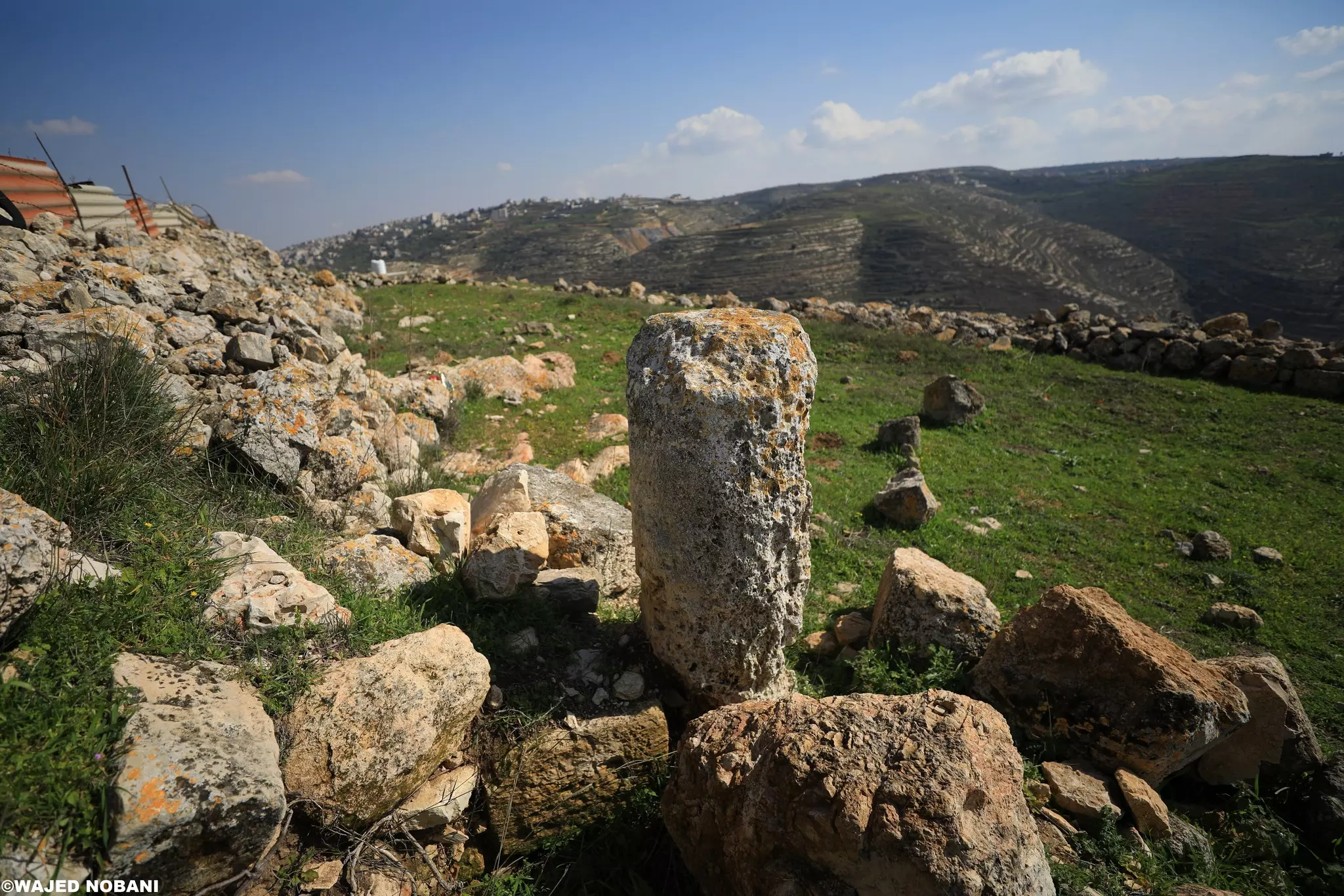
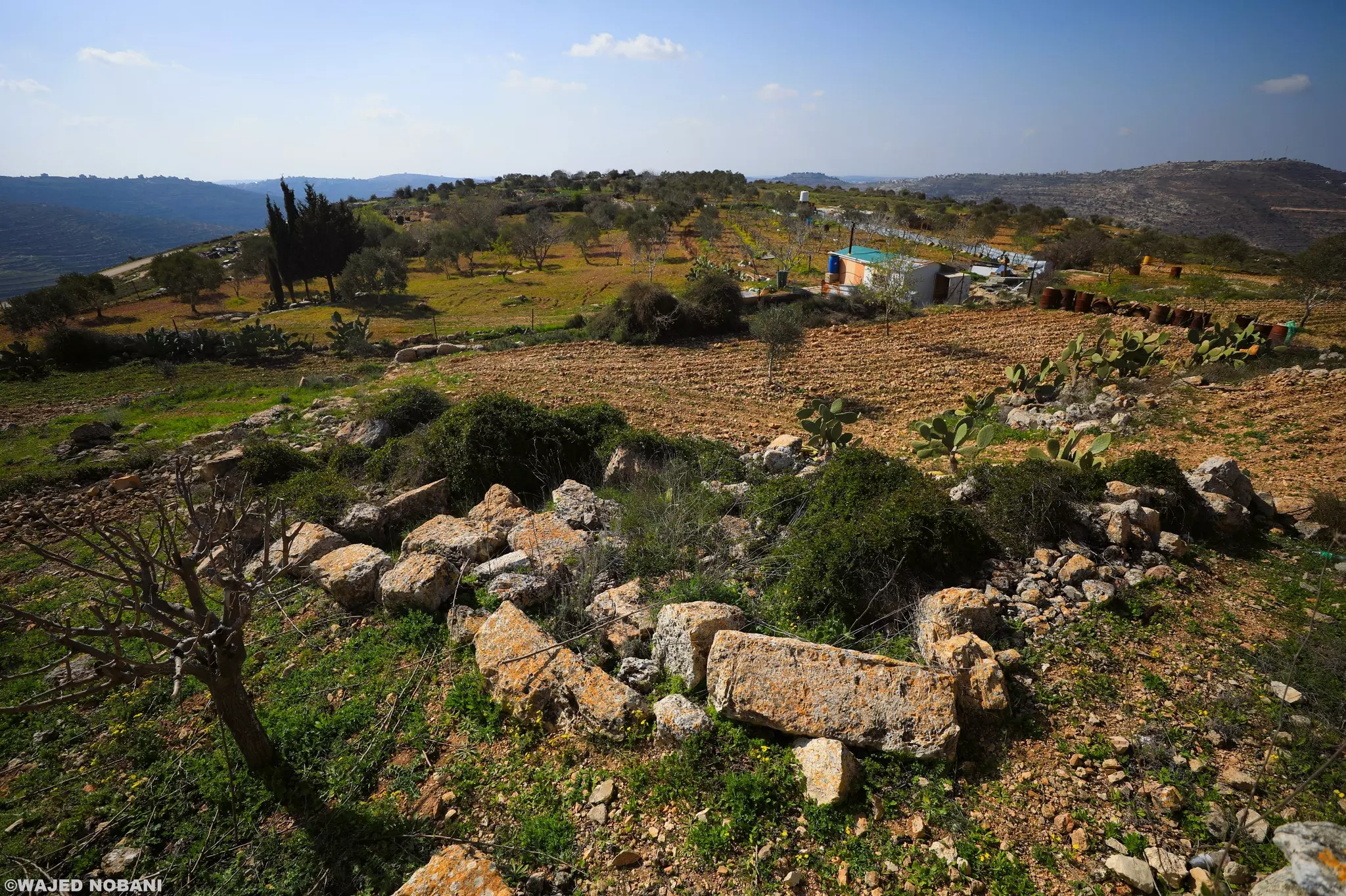
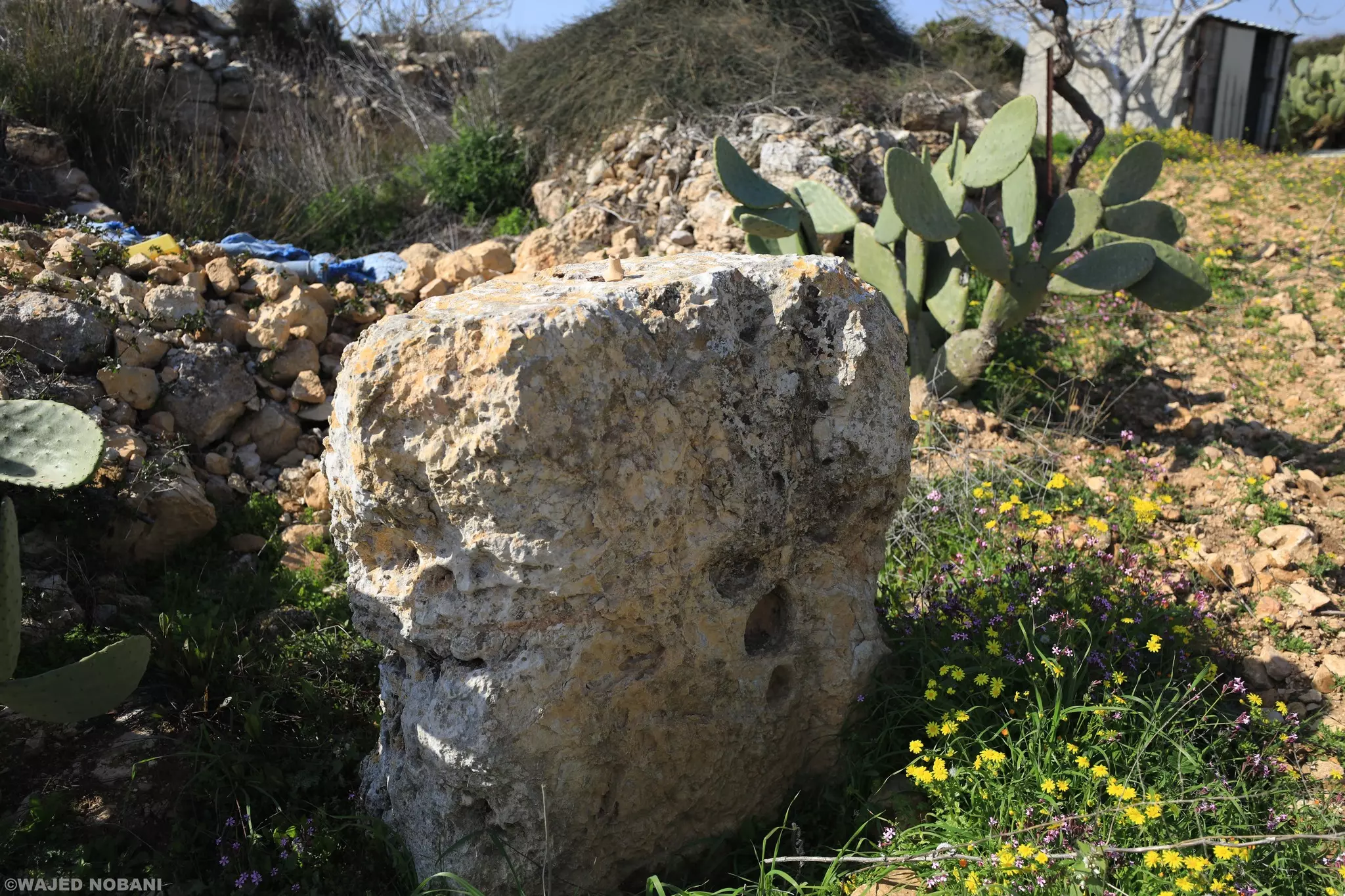
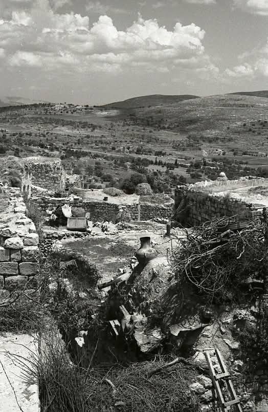
- خربة في القرية -- واجد النوباني
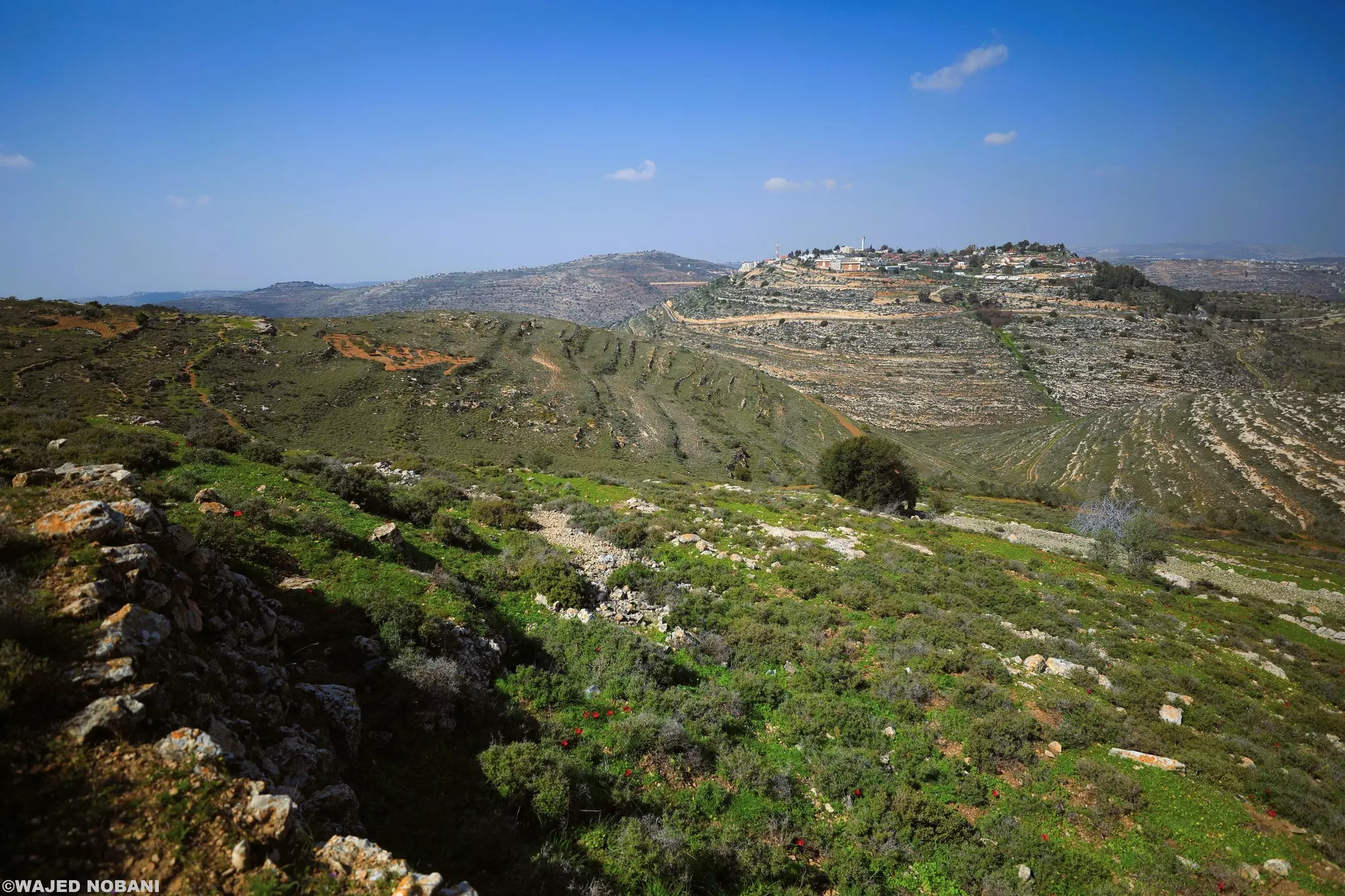
- في براري القرية-- واجد النوباني
- في براري القرية-- واجد النوباني #2
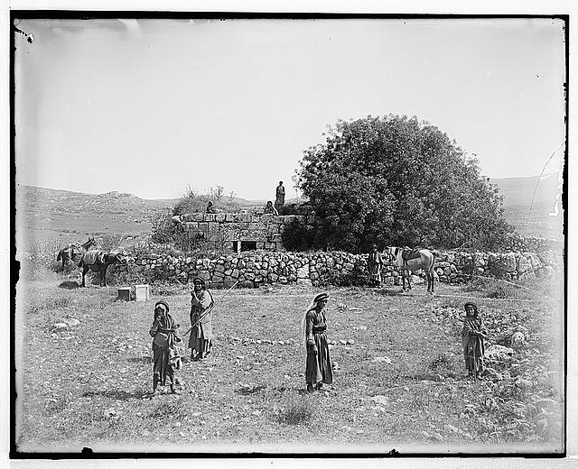
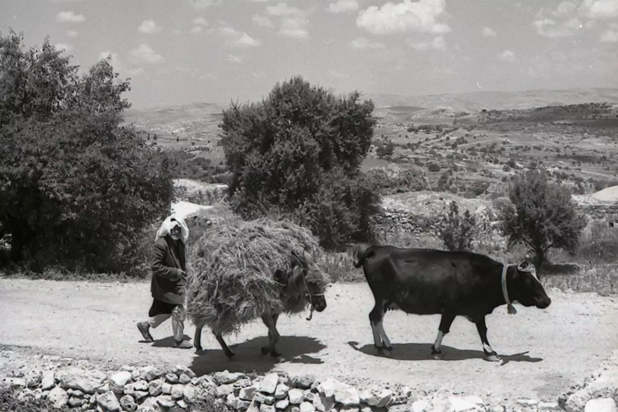
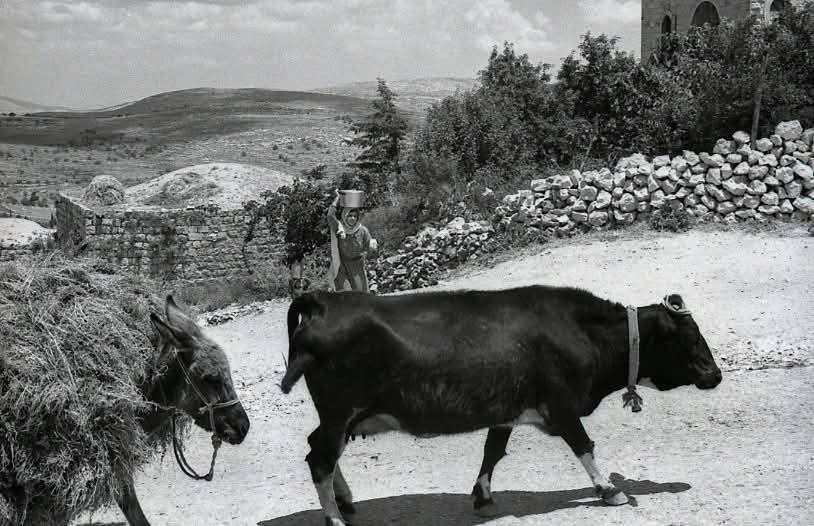
- قرية سنجل في الزمن القديم. موسم القمح
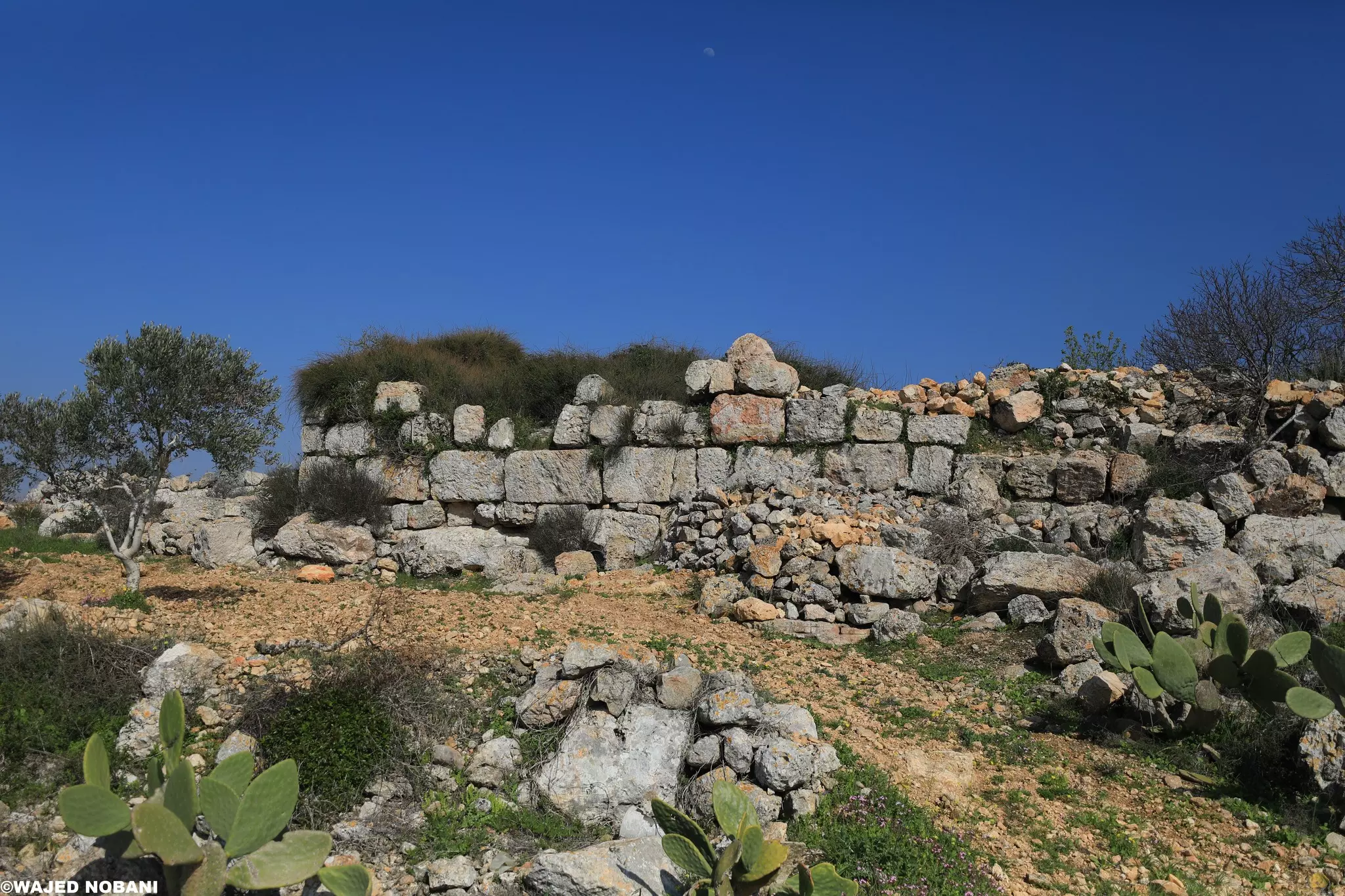
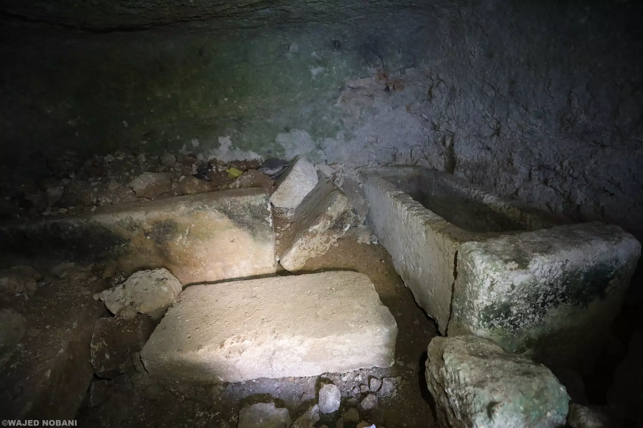
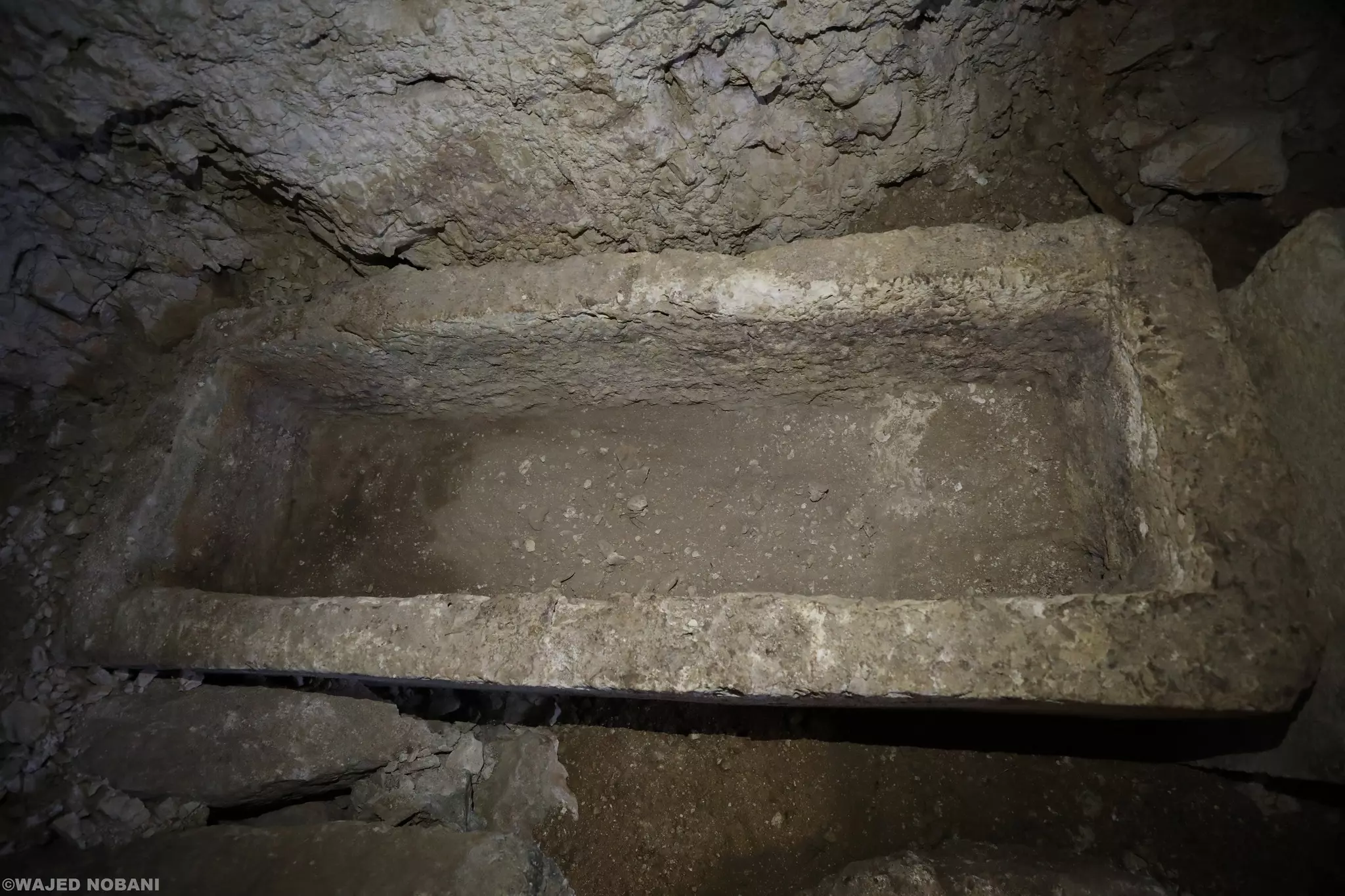
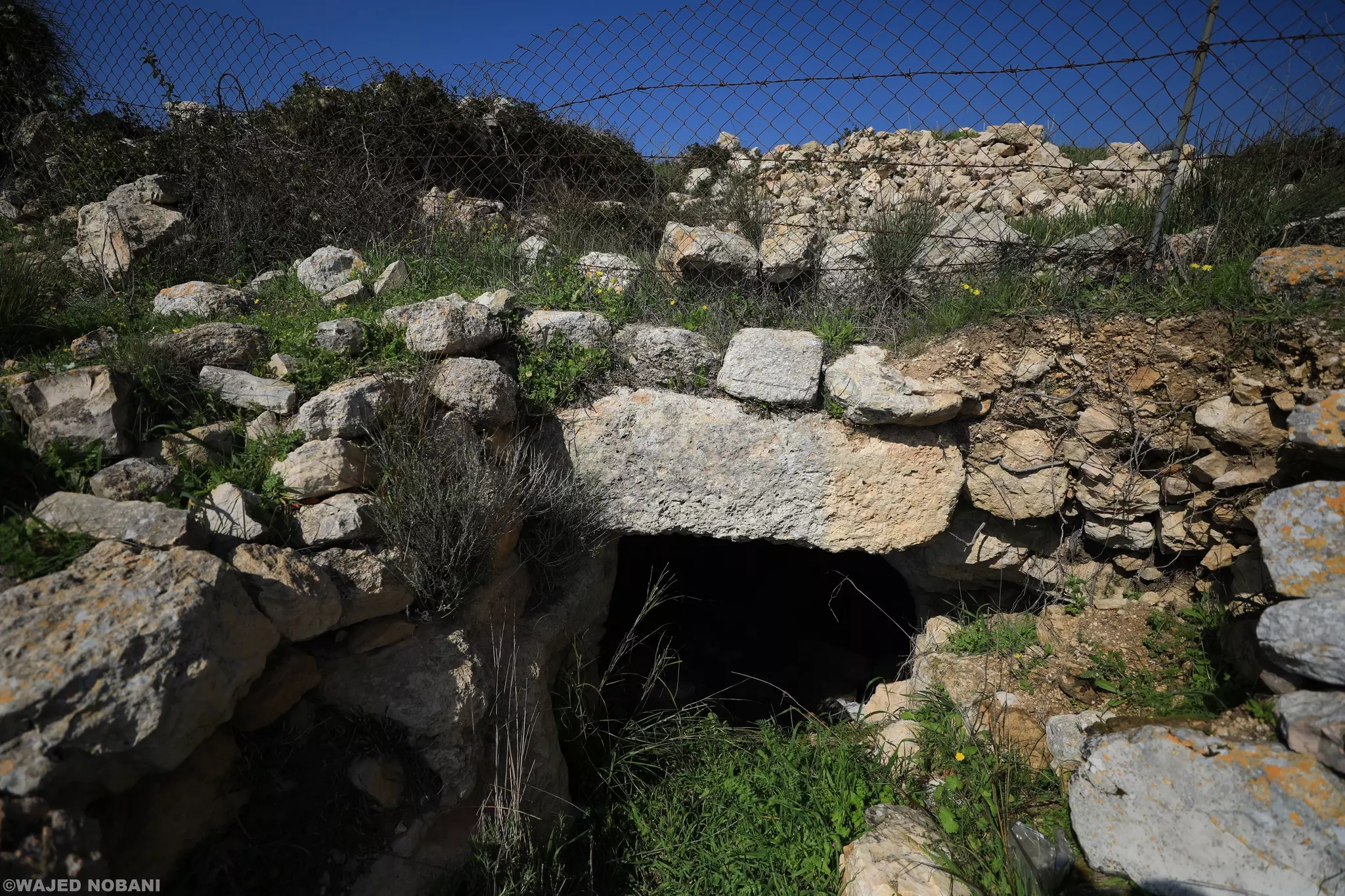
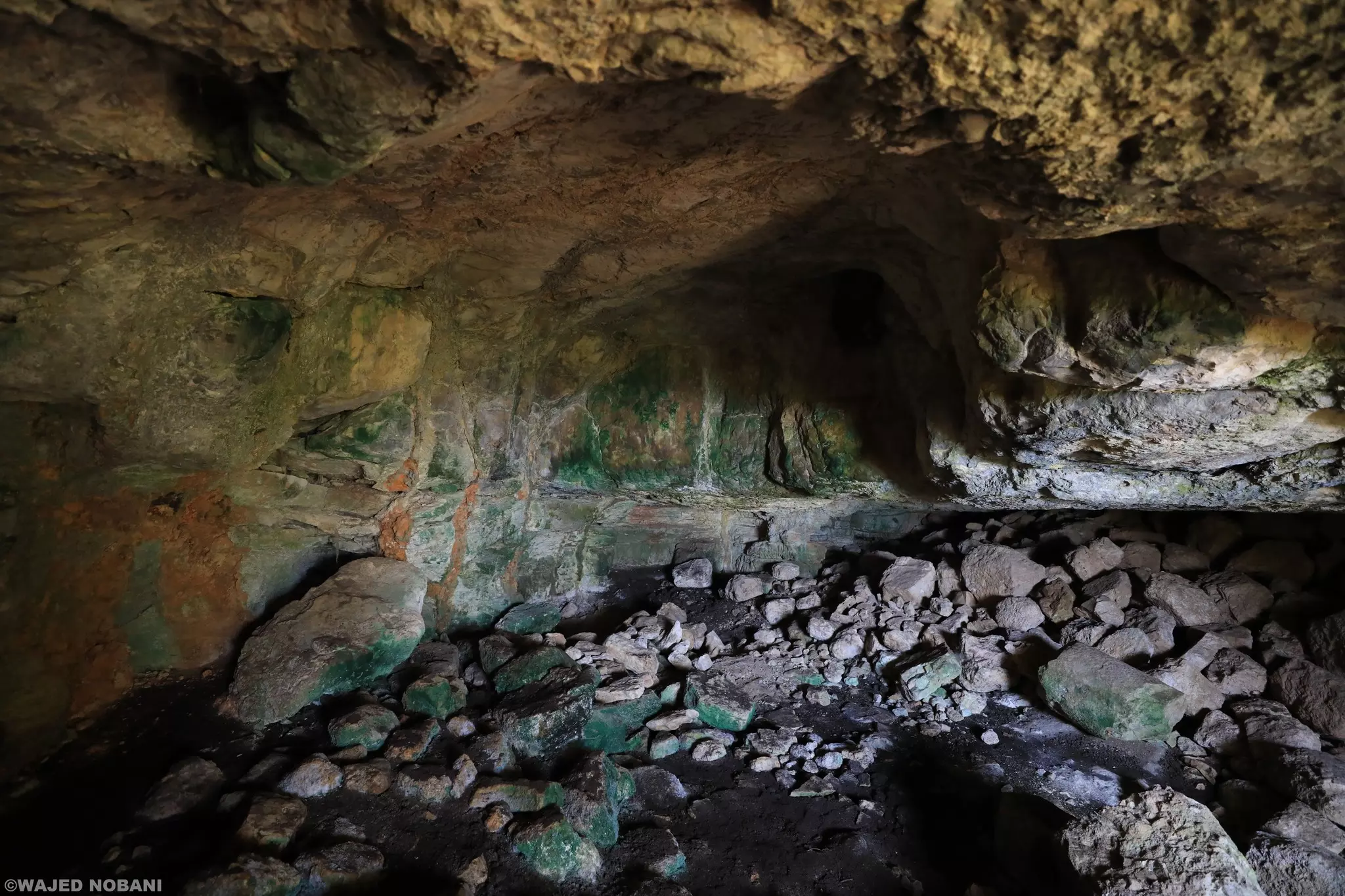
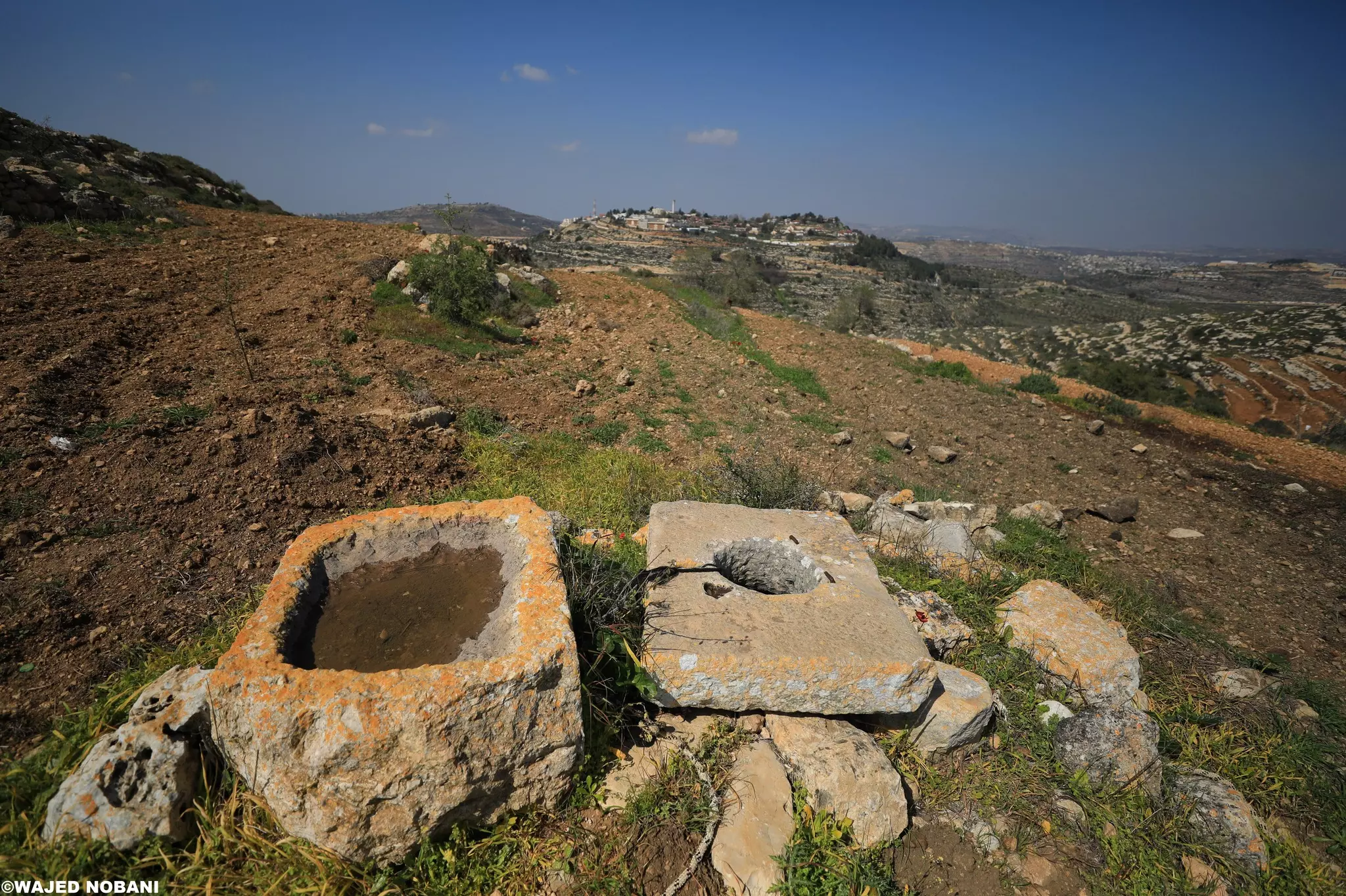
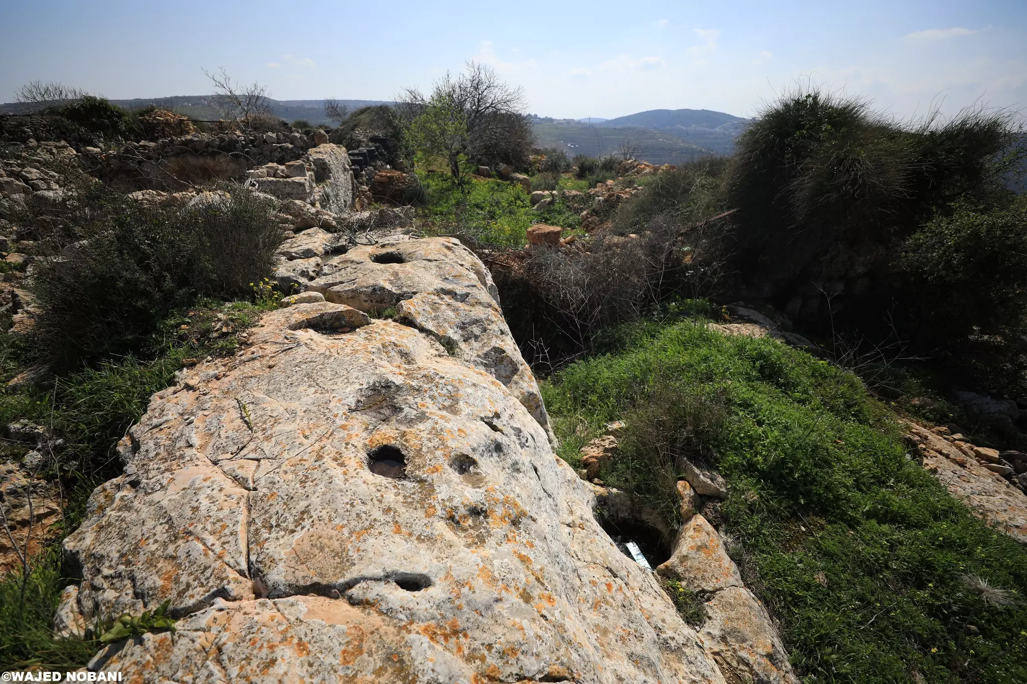
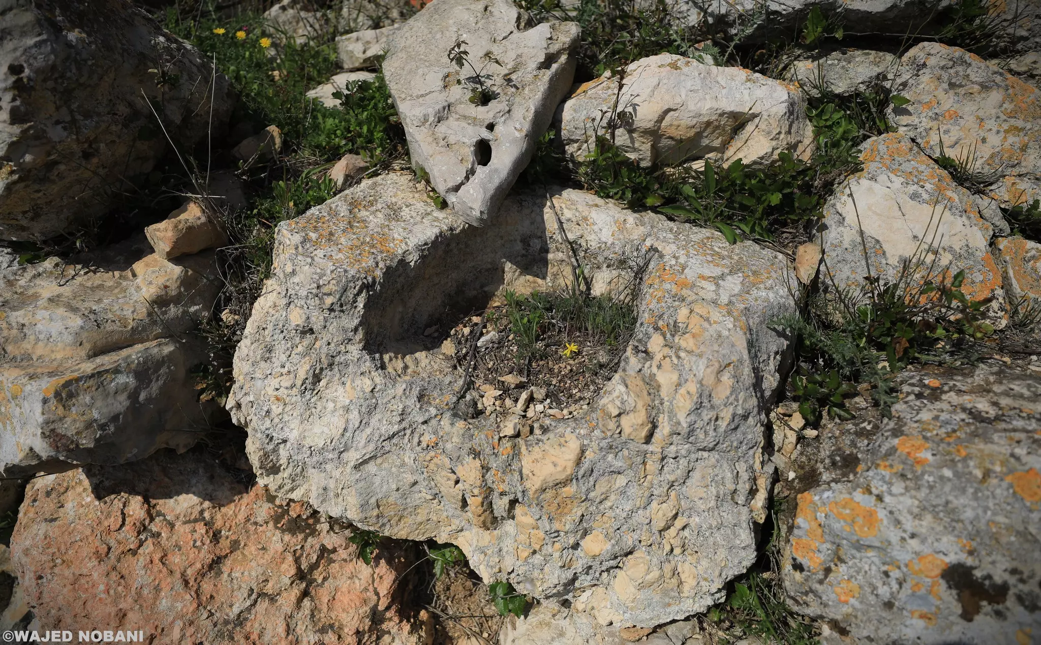
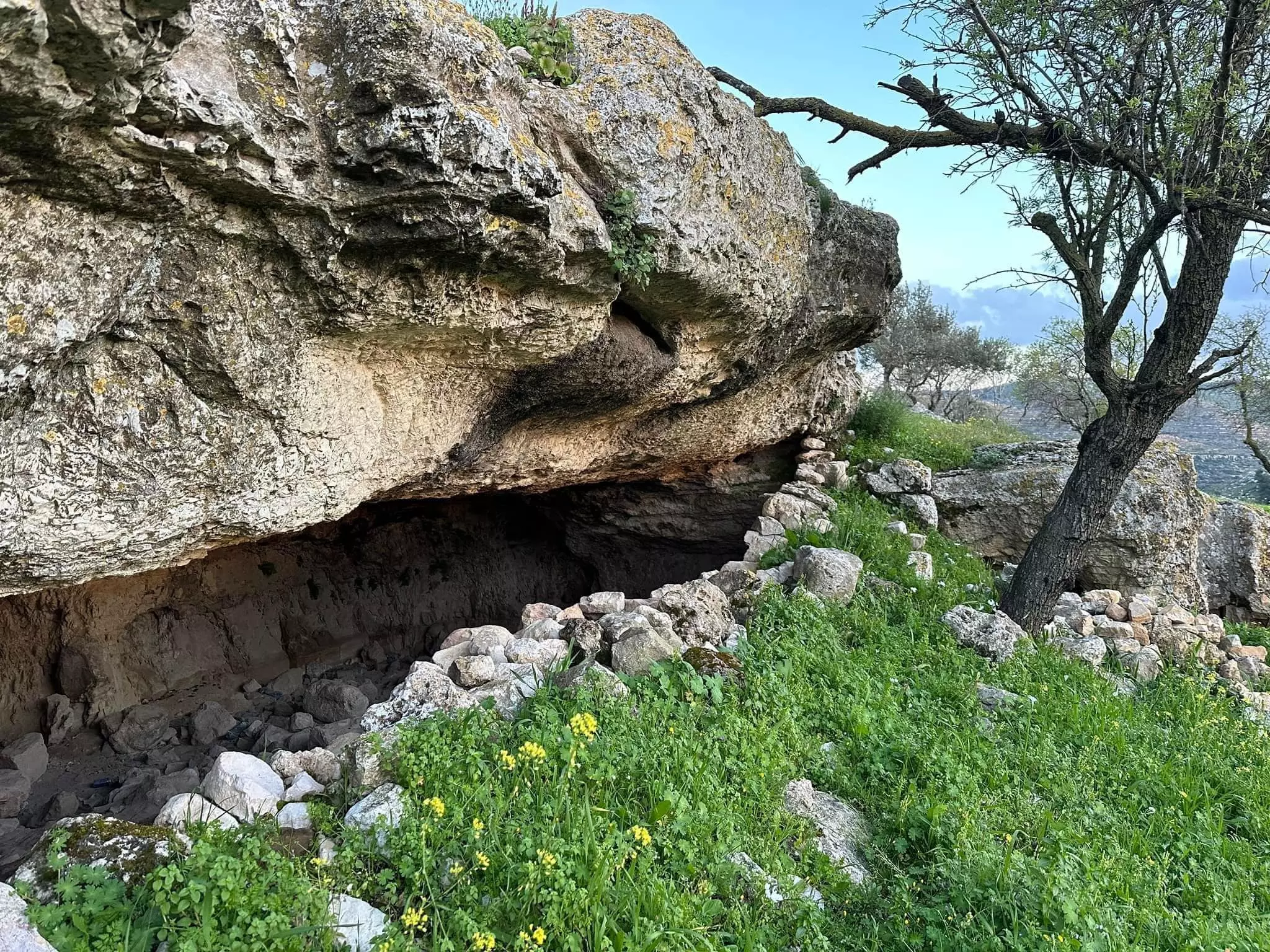
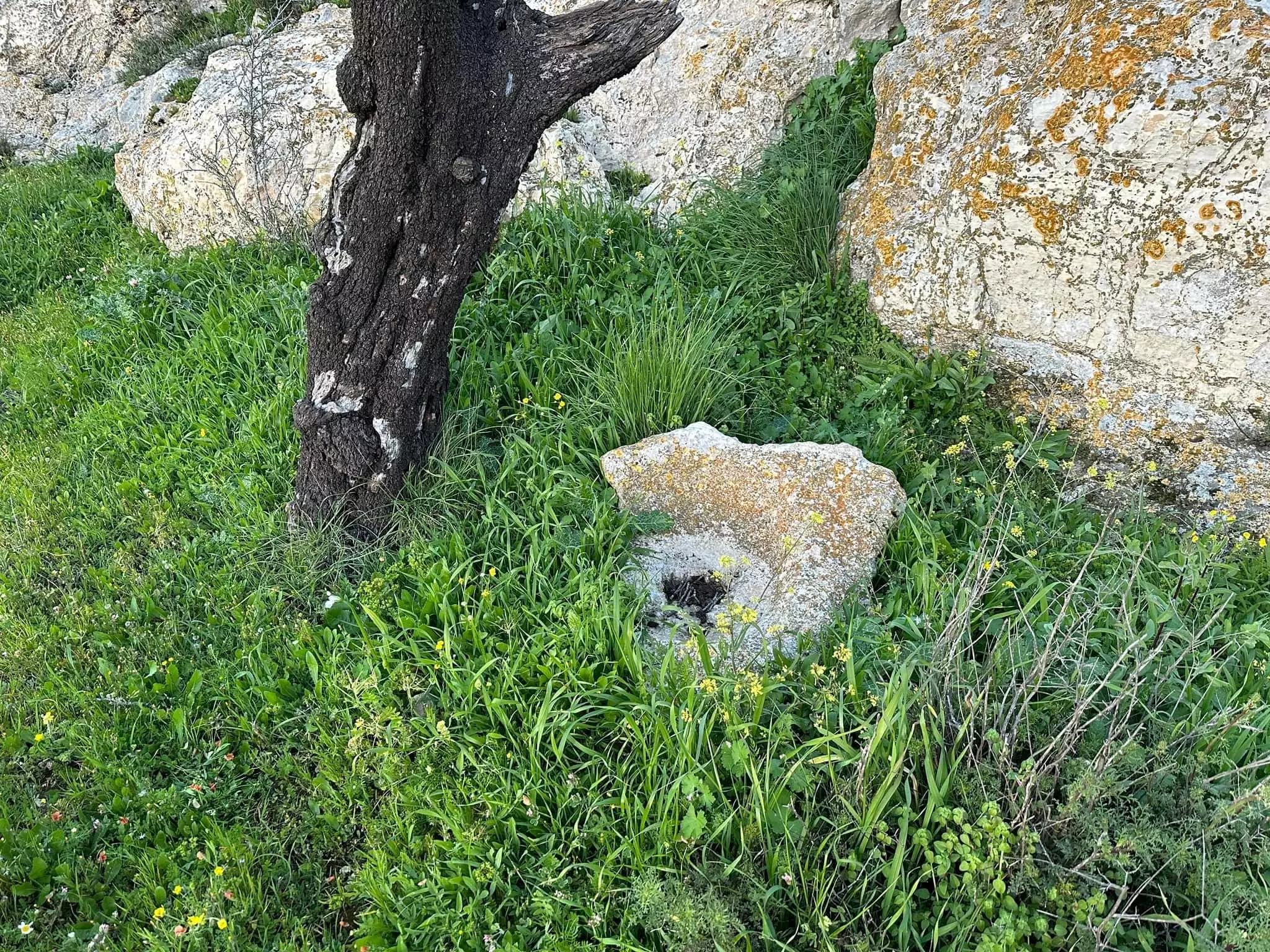
- أبو العوف نسبة لعبد الرحمن بن العوف الذي يقال بأنه سكن هذا المكان) وأمام المقام معصرة نبيذ منحوتة في الصخر من الفترة الرومانية على الأغلب. توجد عدة آبار لتخزين الماء وآبار لحفظ الزيت والنبيذ ومدافن منحوتة في الصخر -- واجد النوباني
- أبو العوف نسبة لعبد الرحمن بن العوف الذي يقال بأنه سكن هذا المكان) وأمام المقام معصرة نبيذ منحوتة في الصخر من الفترة الرومانية على الأغلب. توجد عدة آبار لتخزين الماء وآبار لحفظ الزيت والنبيذ ومدافن منحوتة في الصخر -- واجد النوباني #2
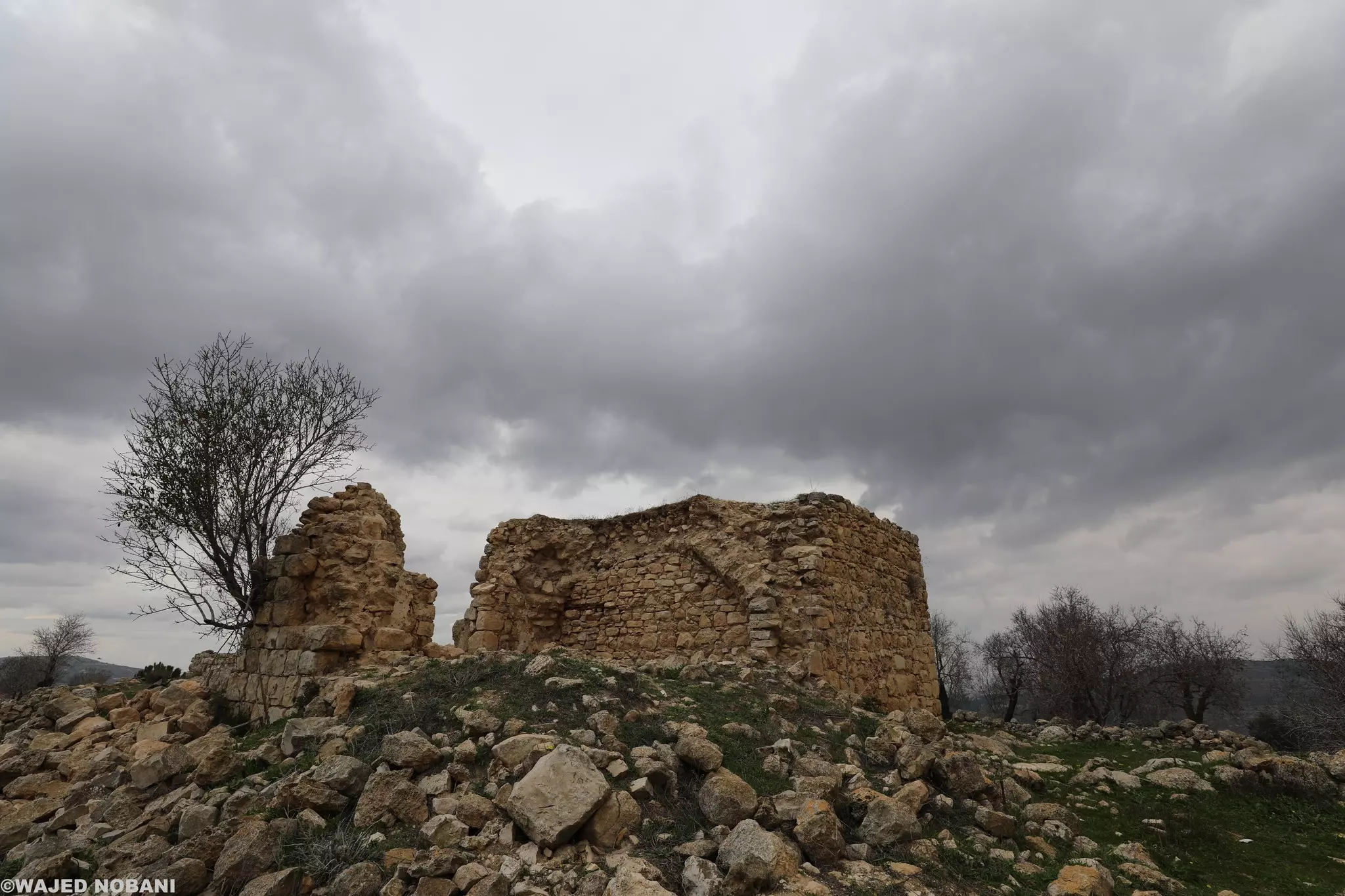
- أبو العوف نسبة لعبد الرحمن بن العوف الذي يقال بأنه سكن هذا المكان) وأمام المقام معصرة نبيذ منحوتة في الصخر من الفترة الرومانية على الأغلب. توجد عدة آبار لتخزين الماء وآبار لحفظ الزيت والنبيذ ومدافن منحوتة في الصخر -- واجد النوباني #3
- أبو العوف نسبة لعبد الرحمن بن العوف الذي يقال بأنه سكن هذا المكان) وأمام المقام معصرة نبيذ منحوتة في الصخر من الفترة الرومانية على الأغلب. توجد عدة آبار لتخزين الماء وآبار لحفظ الزيت والنبيذ ومدافن منحوتة في الصخر -- واجد النوباني #4
- أبو العوف نسبة لعبد الرحمن بن العوف الذي يقال بأنه سكن هذا المكان) وأمام المقام معصرة نبيذ منحوتة في الصخر من الفترة الرومانية على الأغلب. توجد عدة آبار لتخزين الماء وآبار لحفظ الزيت والنبيذ ومدافن منحوتة في الصخر -- واجد النوباني #5
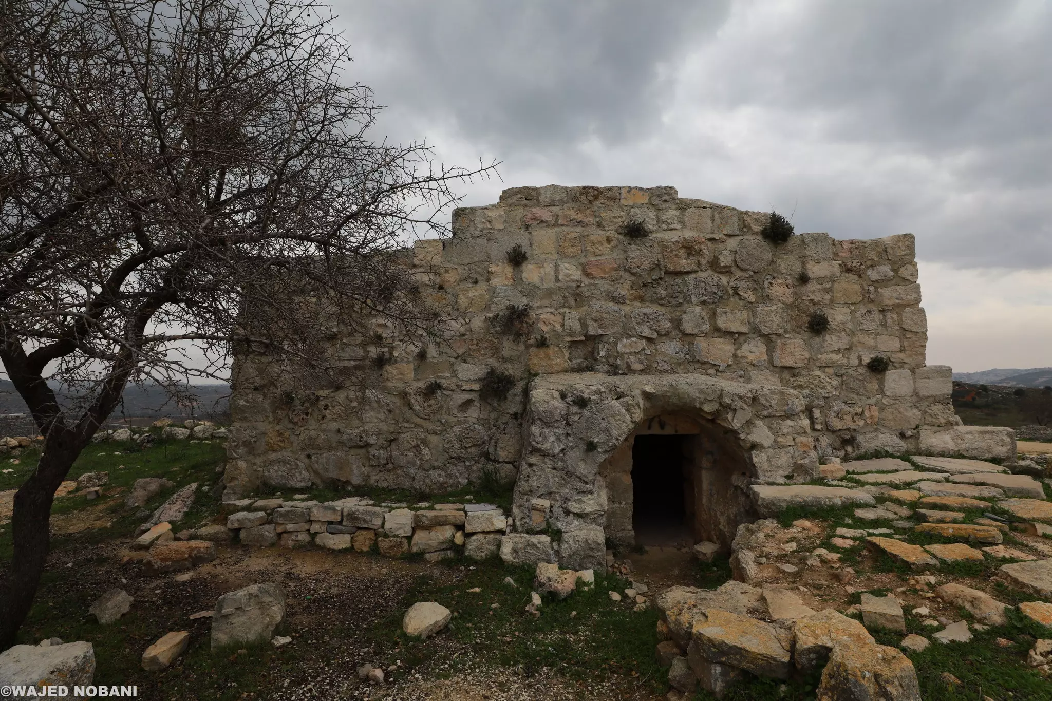
- أبو العوف نسبة لعبد الرحمن بن العوف الذي يقال بأنه سكن هذا المكان) وأمام المقام معصرة نبيذ منحوتة في الصخر من الفترة الرومانية على الأغلب. توجد عدة آبار لتخزين الماء وآبار لحفظ الزيت والنبيذ ومدافن منحوتة في الصخر -- واجد النوباني #6
- أبو العوف نسبة لعبد الرحمن بن العوف الذي يقال بأنه سكن هذا المكان) وأمام المقام معصرة نبيذ منحوتة في الصخر من الفترة الرومانية على الأغلب. توجد عدة آبار لتخزين الماء وآبار لحفظ الزيت والنبيذ ومدافن منحوتة في الصخر -- واجد النوباني #7
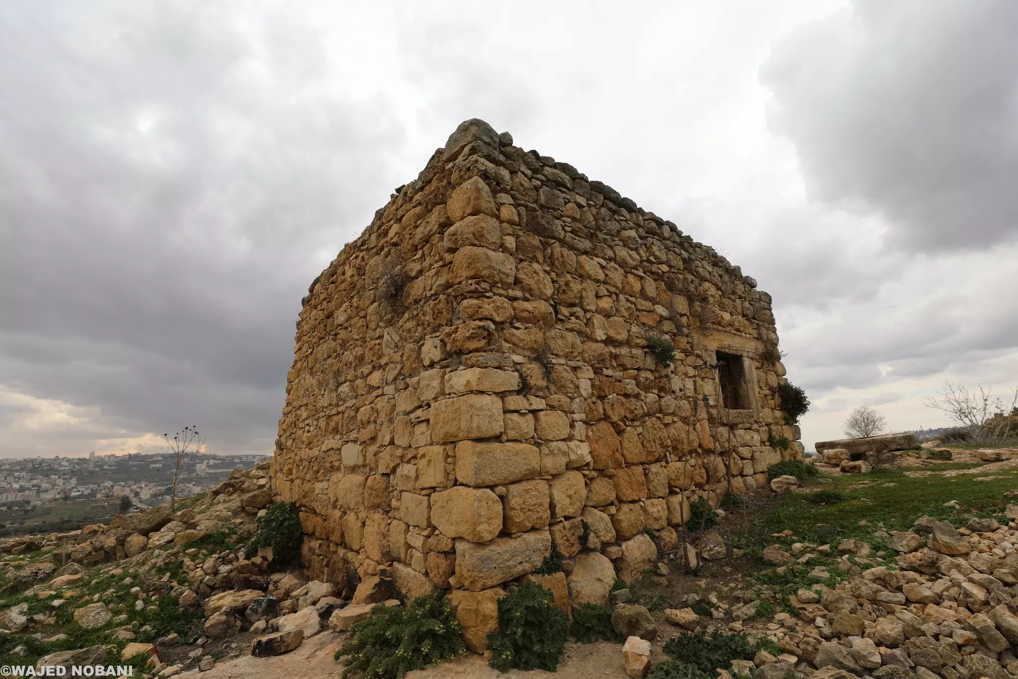
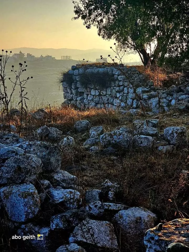
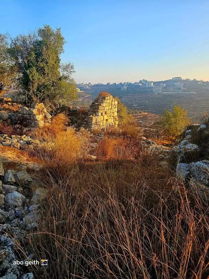
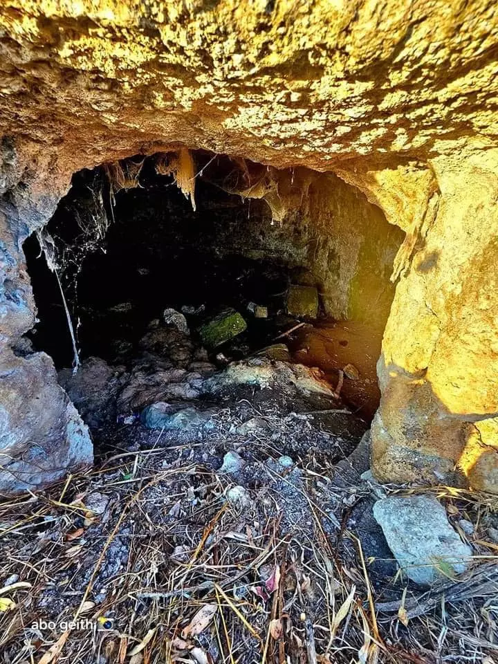
- خربة التل من قرية سنجل-- تصوير : Abo Geith
- خربة التل من قرية سنجل-- تصوير : Abo Geith #2
- خربة التل من قرية سنجل-- تصوير : Abo Geith #3
- خربة التل من قرية سنجل-- تصوير : Abo Geith #4
- خربة التل من قرية سنجل-- تصوير : Abo Geith #5
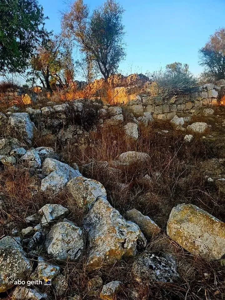
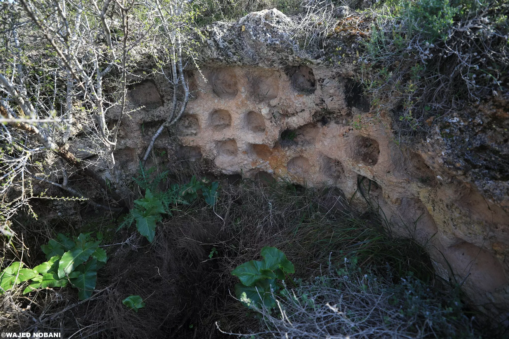
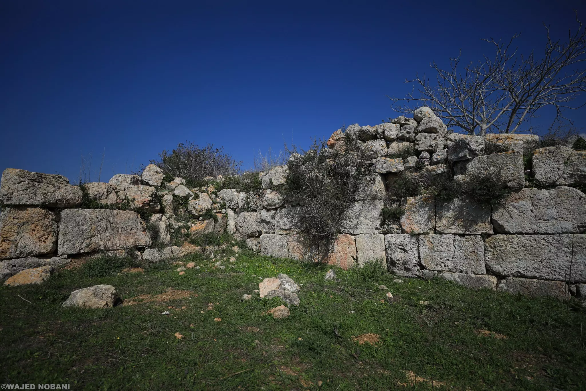
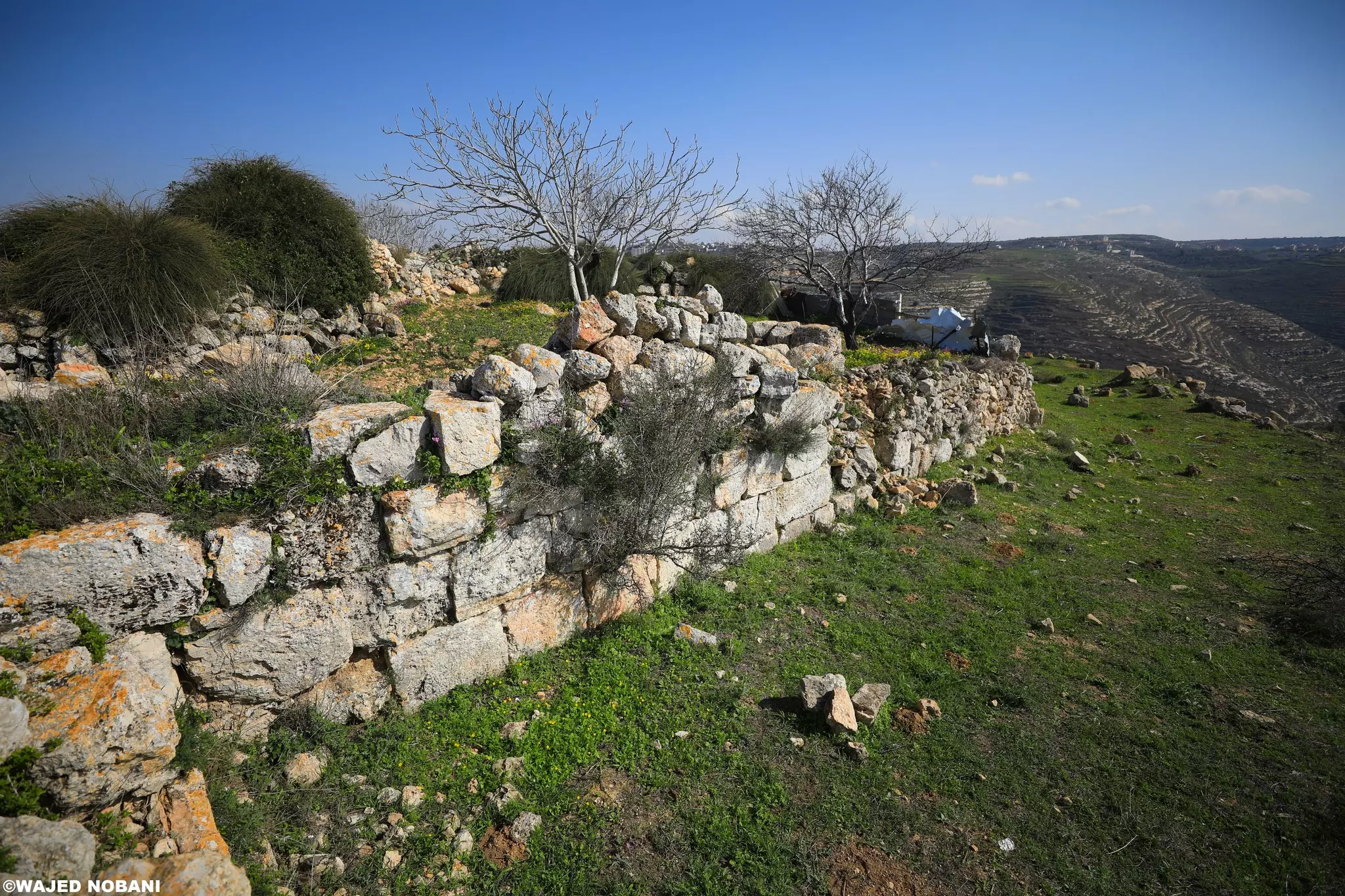
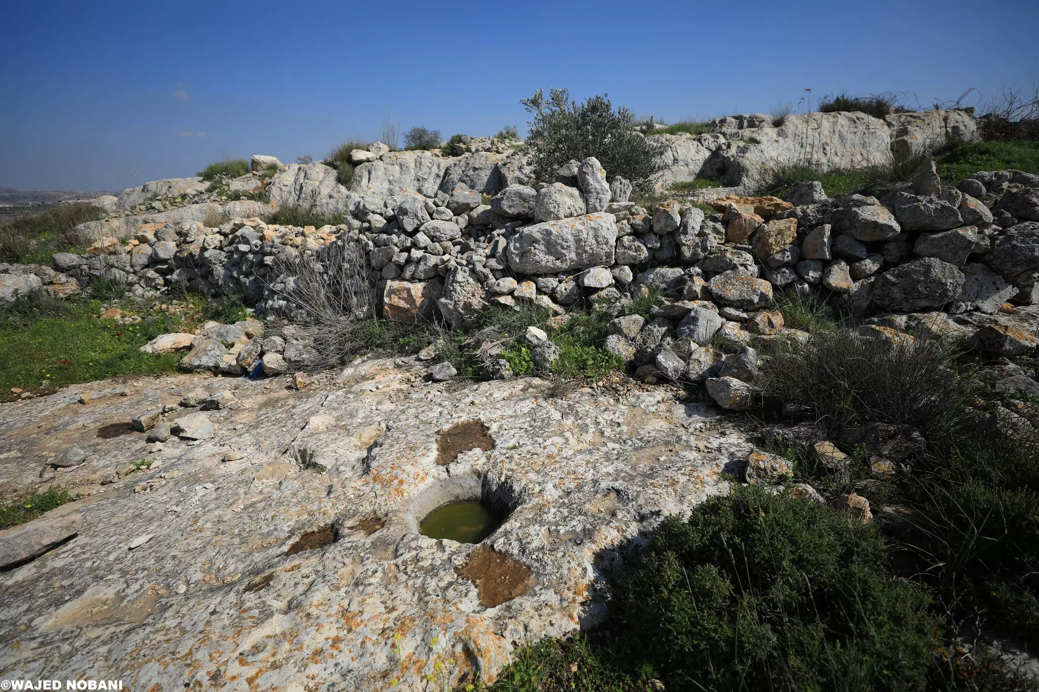
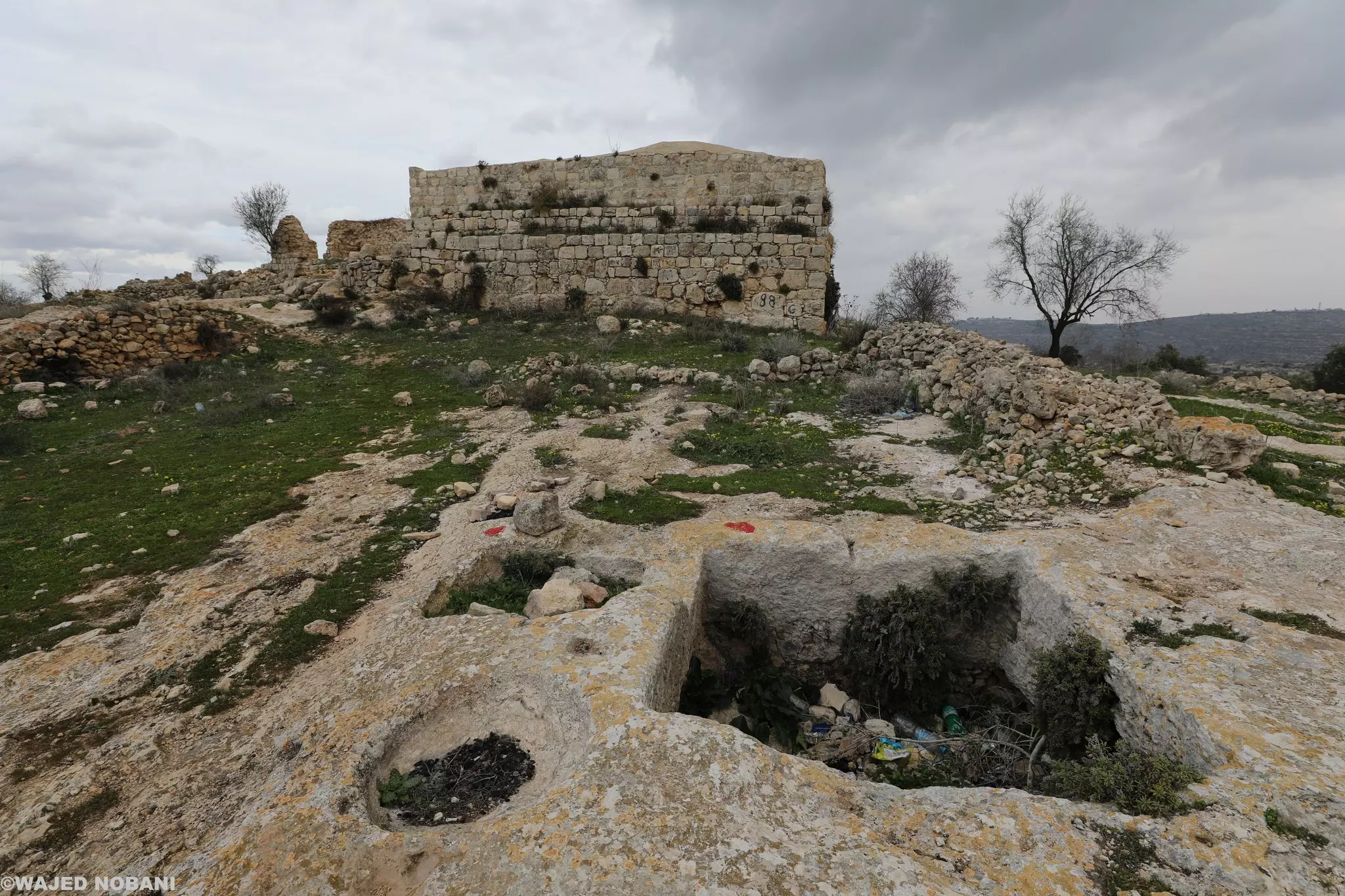
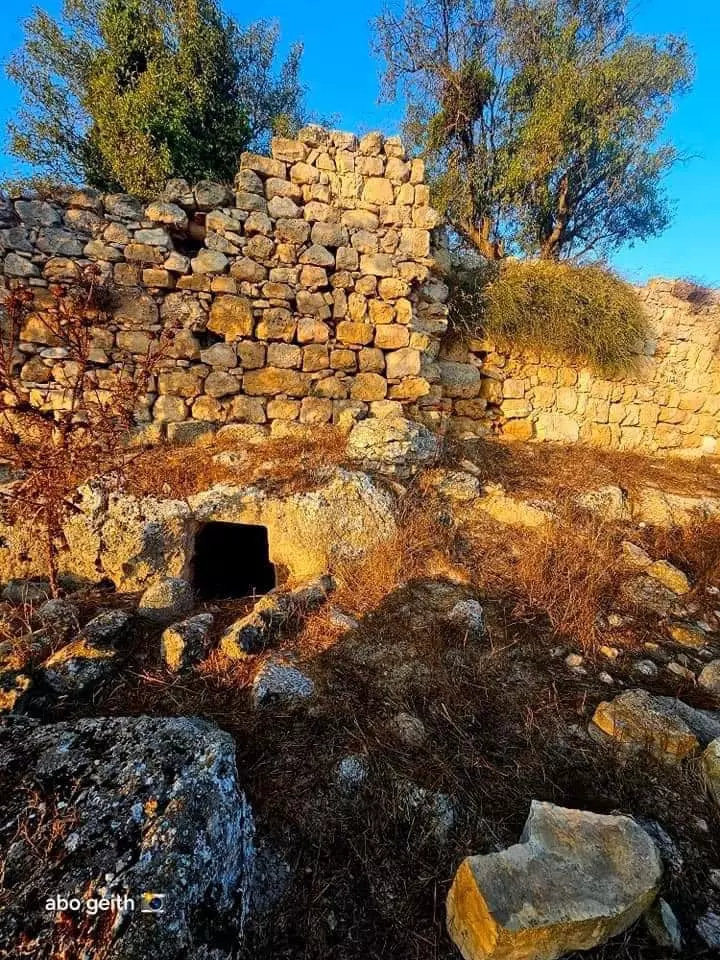
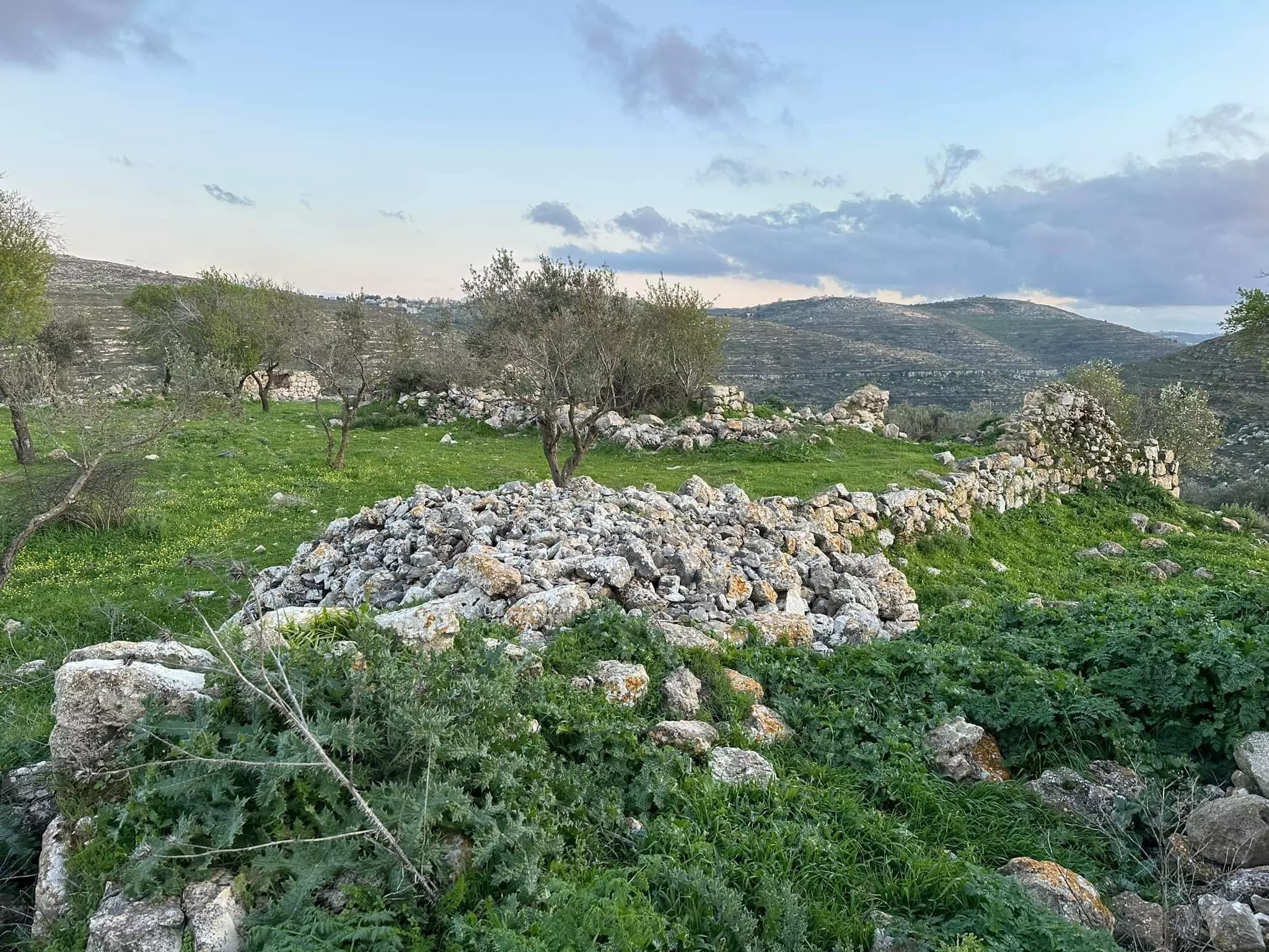
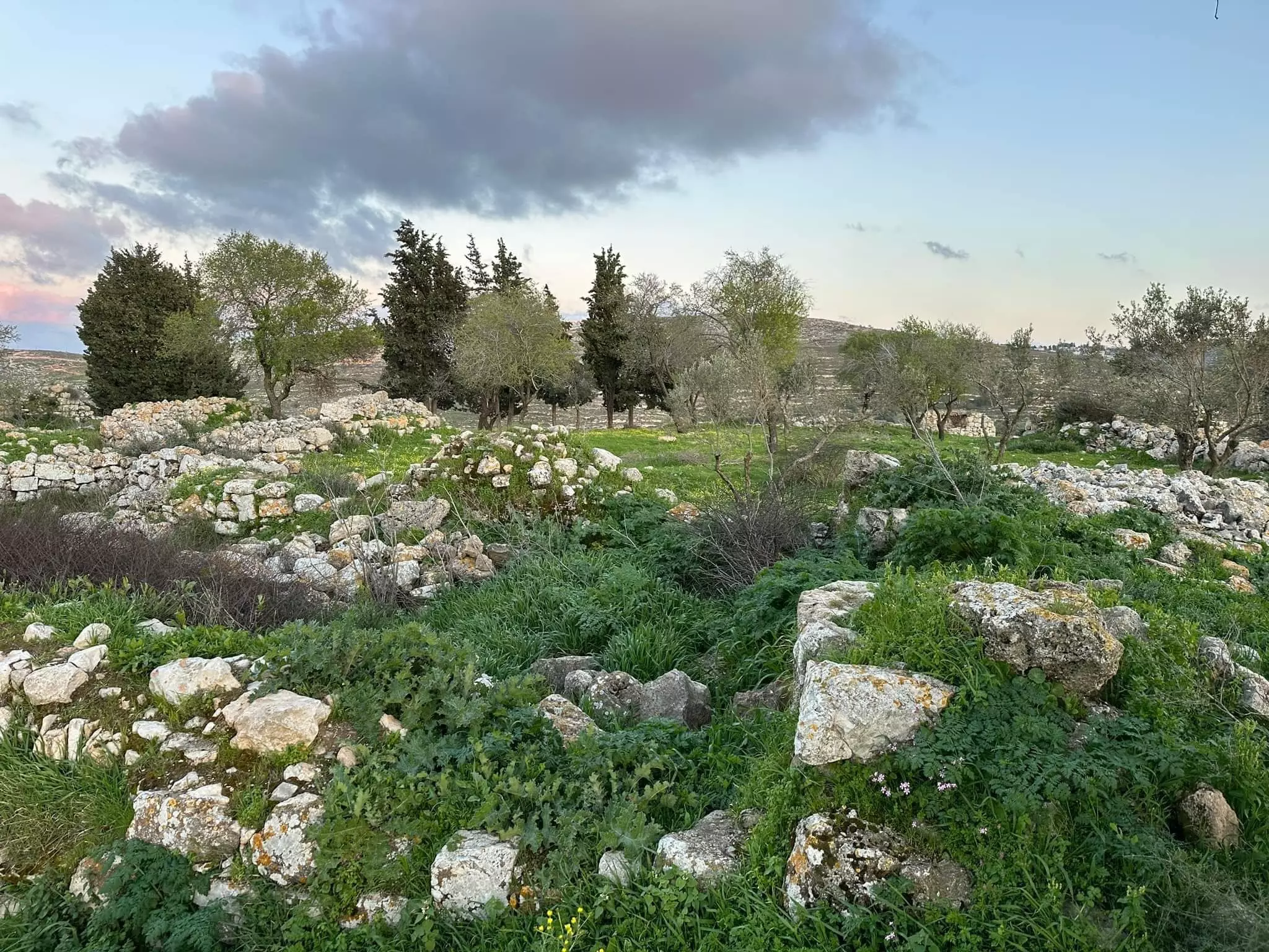
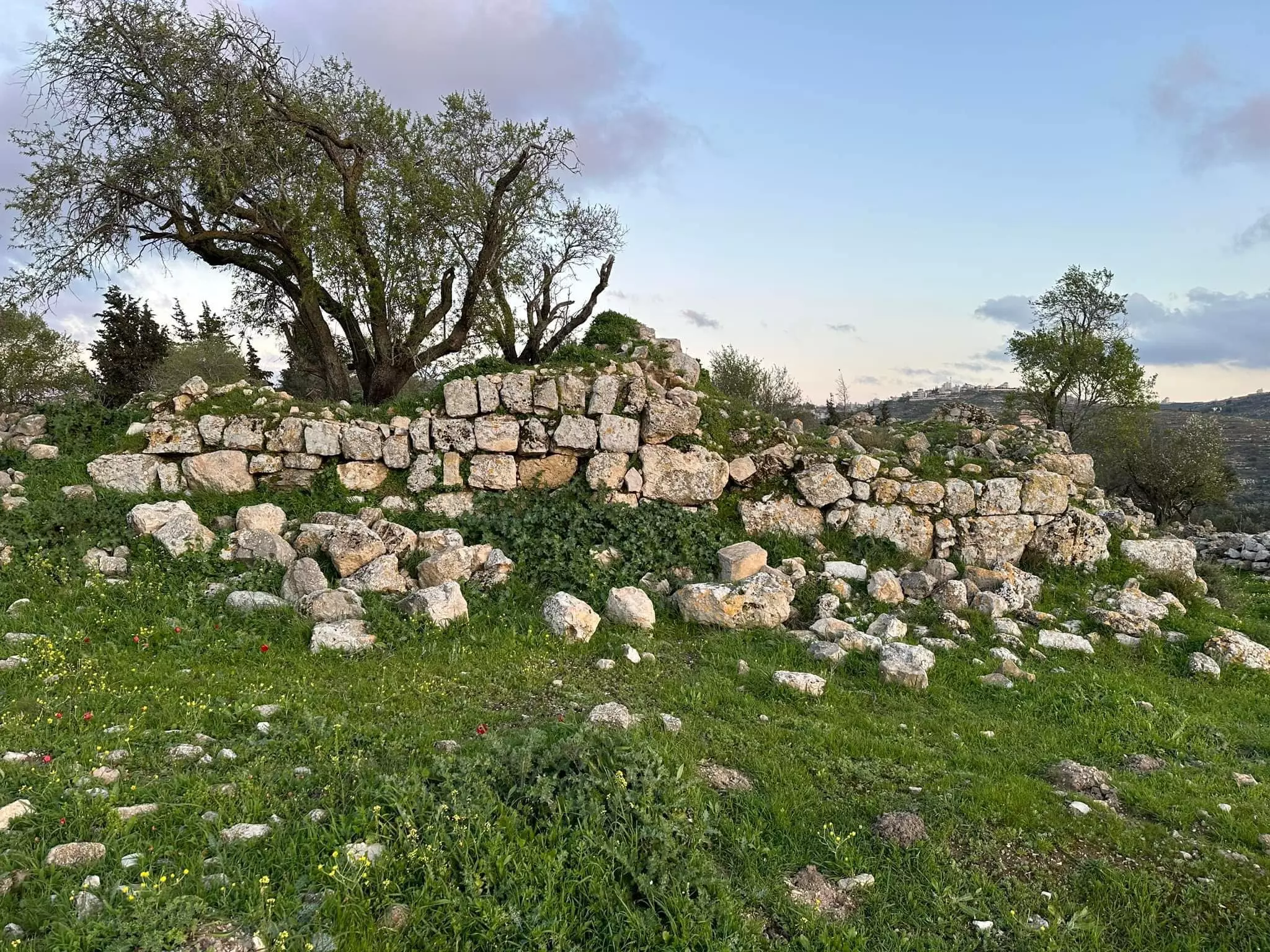
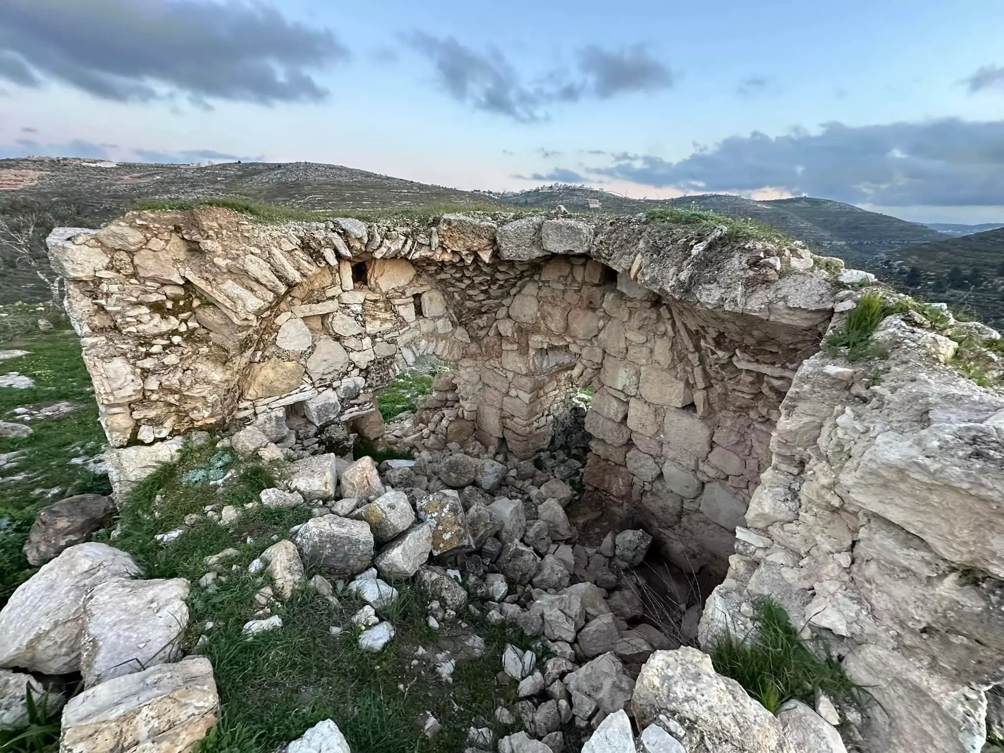
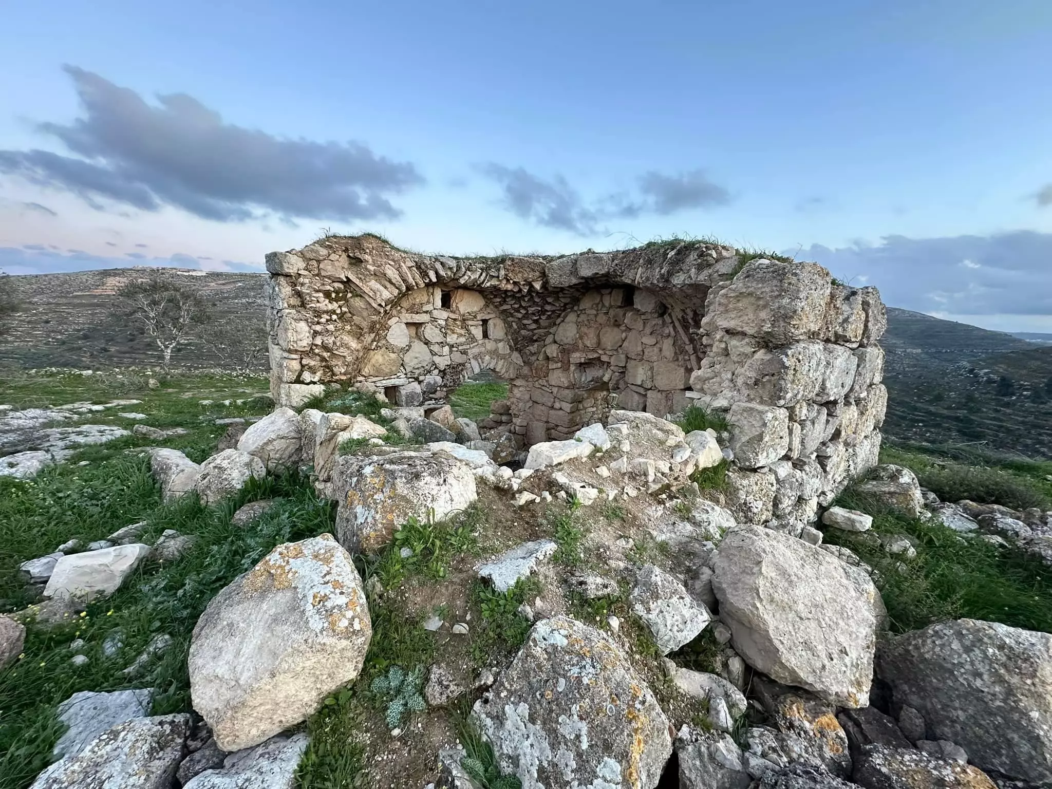
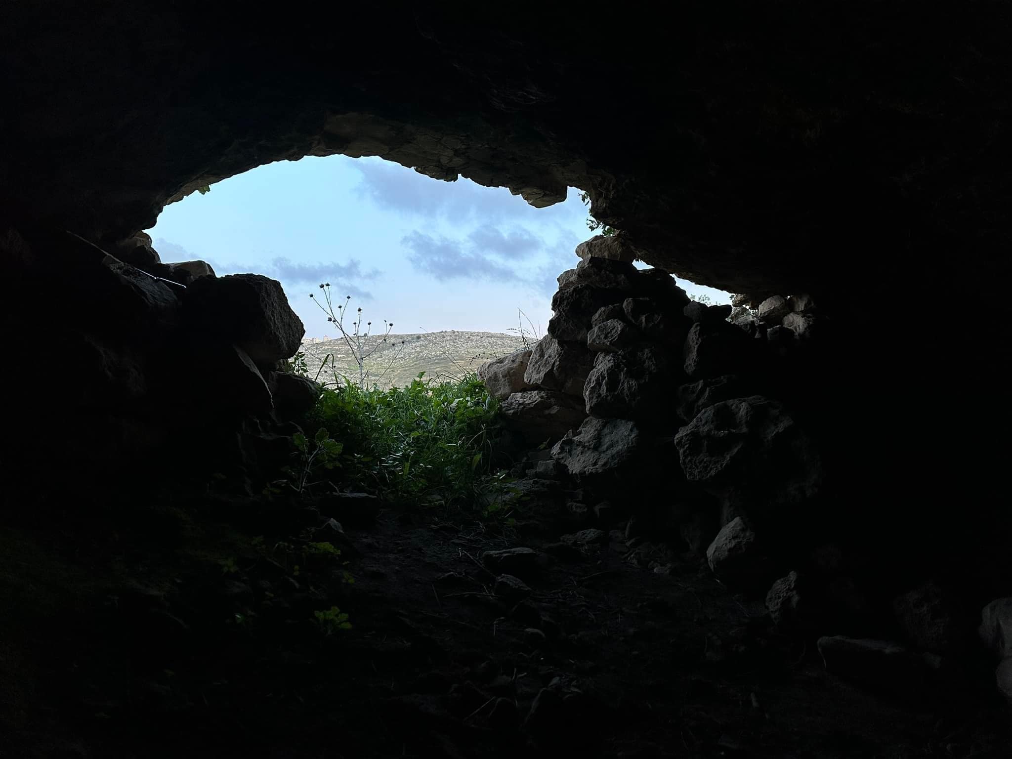
- خربة التل جنوب بلدة سنجل: يوجد بالخربة ابار ومغر وبقايا بيوت ومعاصر ومدافن صخرية
الخربة على تلة صغيرة جنوب بلدة سنجل ومطلة على الطريق الرابط بين مدينة نابلس ومدينة رام الله -- محمد أبو نوح .
- خربة التل جنوب بلدة سنجل: يوجد بالخربة ابار ومغر وبقايا بيوت ومعاصر ومدافن صخرية
الخربة على تلة صغيرة جنوب بلدة سنجل ومطلة على الطريق الرابط بين مدينة نابلس ومدينة رام الله -- محمد أبو نوح . #2
- خربة التل جنوب بلدة سنجل: يوجد بالخربة ابار ومغر وبقايا بيوت ومعاصر ومدافن صخرية
الخربة على تلة صغيرة جنوب بلدة سنجل ومطلة على الطريق الرابط بين مدينة نابلس ومدينة رام الله -- محمد أبو نوح . #3
- خربة التل جنوب بلدة سنجل: يوجد بالخربة ابار ومغر وبقايا بيوت ومعاصر ومدافن صخرية
الخربة على تلة صغيرة جنوب بلدة سنجل ومطلة على الطريق الرابط بين مدينة نابلس ومدينة رام الله -- محمد أبو نوح . #4
- خربة التل جنوب بلدة سنجل: يوجد بالخربة ابار ومغر وبقايا بيوت ومعاصر ومدافن صخرية
الخربة على تلة صغيرة جنوب بلدة سنجل ومطلة على الطريق الرابط بين مدينة نابلس ومدينة رام الله -- محمد أبو نوح . #5
- خربة التل جنوب بلدة سنجل: يوجد بالخربة ابار ومغر وبقايا بيوت ومعاصر ومدافن صخرية
الخربة على تلة صغيرة جنوب بلدة سنجل ومطلة على الطريق الرابط بين مدينة نابلس ومدينة رام الله -- محمد أبو نوح . #6
- خربة التل جنوب بلدة سنجل: يوجد بالخربة ابار ومغر وبقايا بيوت ومعاصر ومدافن صخرية
الخربة على تلة صغيرة جنوب بلدة سنجل ومطلة على الطريق الرابط بين مدينة نابلس ومدينة رام الله -- محمد أبو نوح . #7
- خربة التل جنوب بلدة سنجل: يوجد بالخربة ابار ومغر وبقايا بيوت ومعاصر ومدافن صخرية
الخربة على تلة صغيرة جنوب بلدة سنجل ومطلة على الطريق الرابط بين مدينة نابلس ومدينة رام الله -- محمد أبو نوح . #8
- احد المزارع -- واجد النوباني
- Rare pictures in Single soon after the occupation started in 1967 -- الحياة القديمة في قرية سنج
- Rare pictures in Single soon after the occupation started in 1967 -- الحياة القديمة في قرية سنج #2
- Rare pictures in Single soon after the occupation started in 1967 -- الحياة القديمة في قرية سنج #3
- Rare pictures in Single soon after the occupation started in 1967 -- الحياة القديمة في قرية سنج #4
- Rare pictures in Single soon after the occupation started in 1967 -- الحياة القديمة في قرية سنج #5
- Rare pictures in Single soon after the occupation started in 1967 -- الحياة القديمة في قرية سنج #6
- Rare pictures in Single soon after the occupation started in 1967 -- الحياة القديمة في قرية سنج #7
- Rare pictures in Single soon after the occupation started in 1967 -- الحياة القديمة في قرية سنج #8
- Rare pictures in Single soon after the occupation started in 1967 -- الحياة القديمة في قرية سنج #9
- Rare pictures in Single soon after the occupation started in 1967 -- الحياة القديمة في قرية سنج #10
- Rare pictures in Single soon after the occupation started in 1967 -- الحياة القديمة في قرية سنج #11
- Rare pictures in Single soon after the occupation started in 1967 -- الحياة القديمة في قرية سنج #12
- Rare pictures in Single soon after the occupation started in 1967 -- الحياة القديمة في قرية سنج #13
- Rare pictures in Single soon after the occupation started in 1967 -- الحياة القديمة في قرية سنج #14
- Rare pictures in Single soon after the occupation started in 1967 -- الحياة القديمة في قرية سنج #15
- Rare pictures in Single soon after the occupation started in 1967 -- الحياة القديمة في قرية سنج #16
- Rare pictures in Single soon after the occupation started in 1967 -- الحياة القديمة في قرية سنج #17
- Rare pictures in Single soon after the occupation started in 1967 -- الحياة القديمة في قرية سنج #18
- Rare pictures in Single soon after the occupation started in 1967 -- الحياة القديمة في قرية سنج #19
- Rare pictures in Single soon after the occupation started in 1967 -- الحياة القديمة في قرية سنج #20
- Rare pictures in Single soon after the occupation started in 1967 -- الحياة القديمة في قرية سنج #21
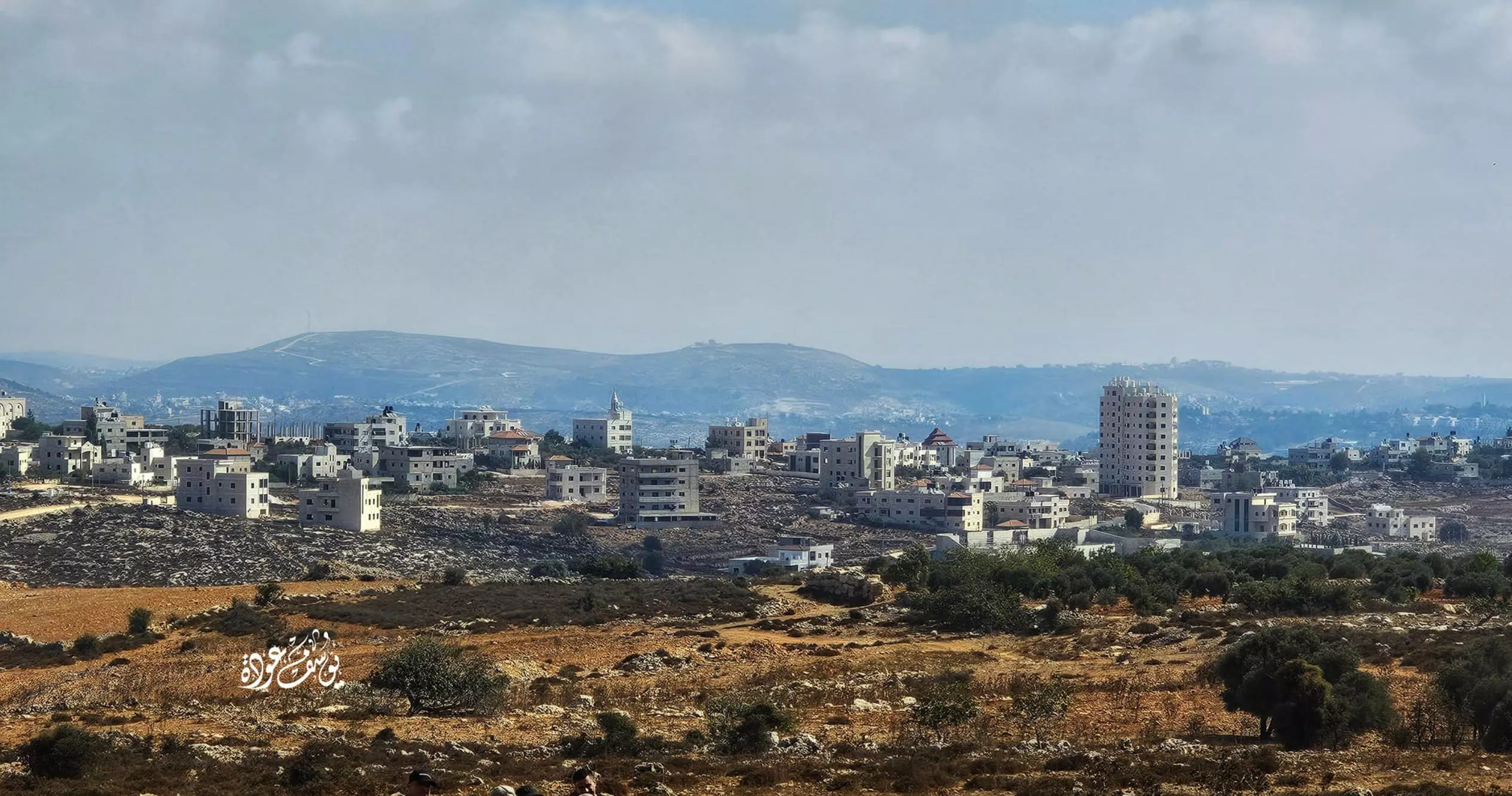
- منظر عام -- يوسف عودة
- منظر عام -- يوسف عودة #2
- منظر عام -- يوسف عودة #3
- من خربة -- يوسف عودة
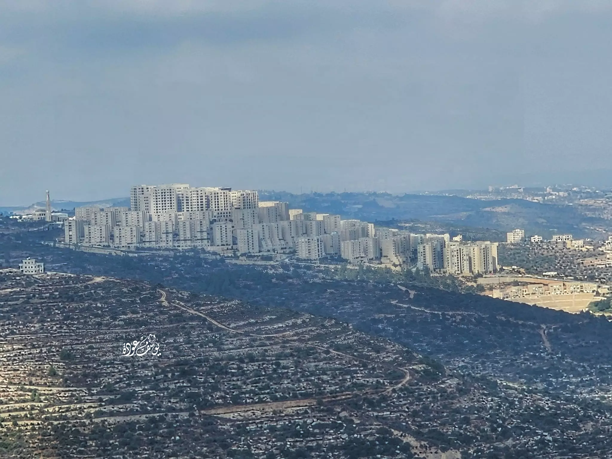
- مدينة روابي كما تبدو من بلدة سنجل -- يوسف عودة
- منظر عام -- يوسف عود
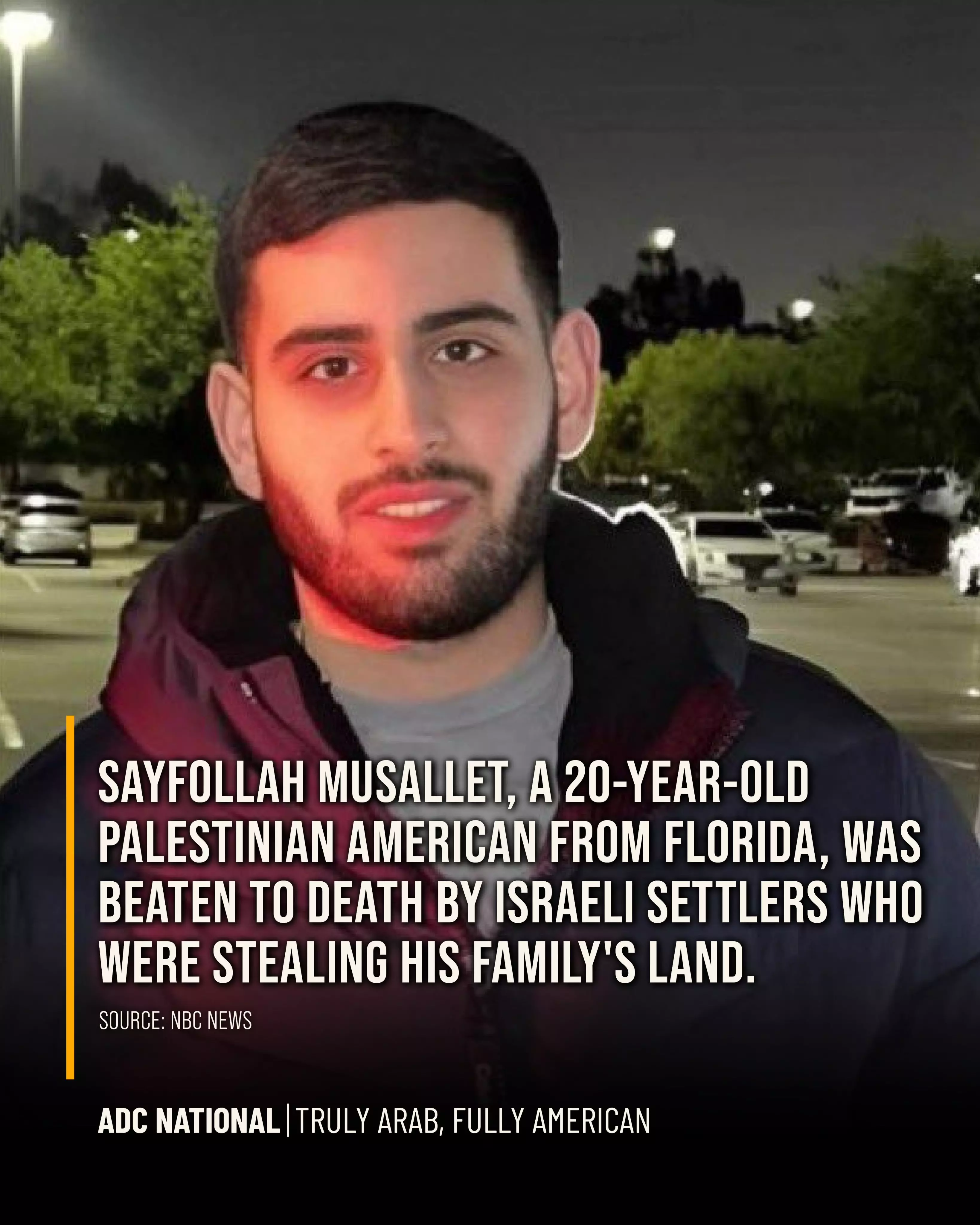
- Israeli settlers lynched 20-year-old Palestinian American Sayfollah Musallet, while U.S. officials stayed silent
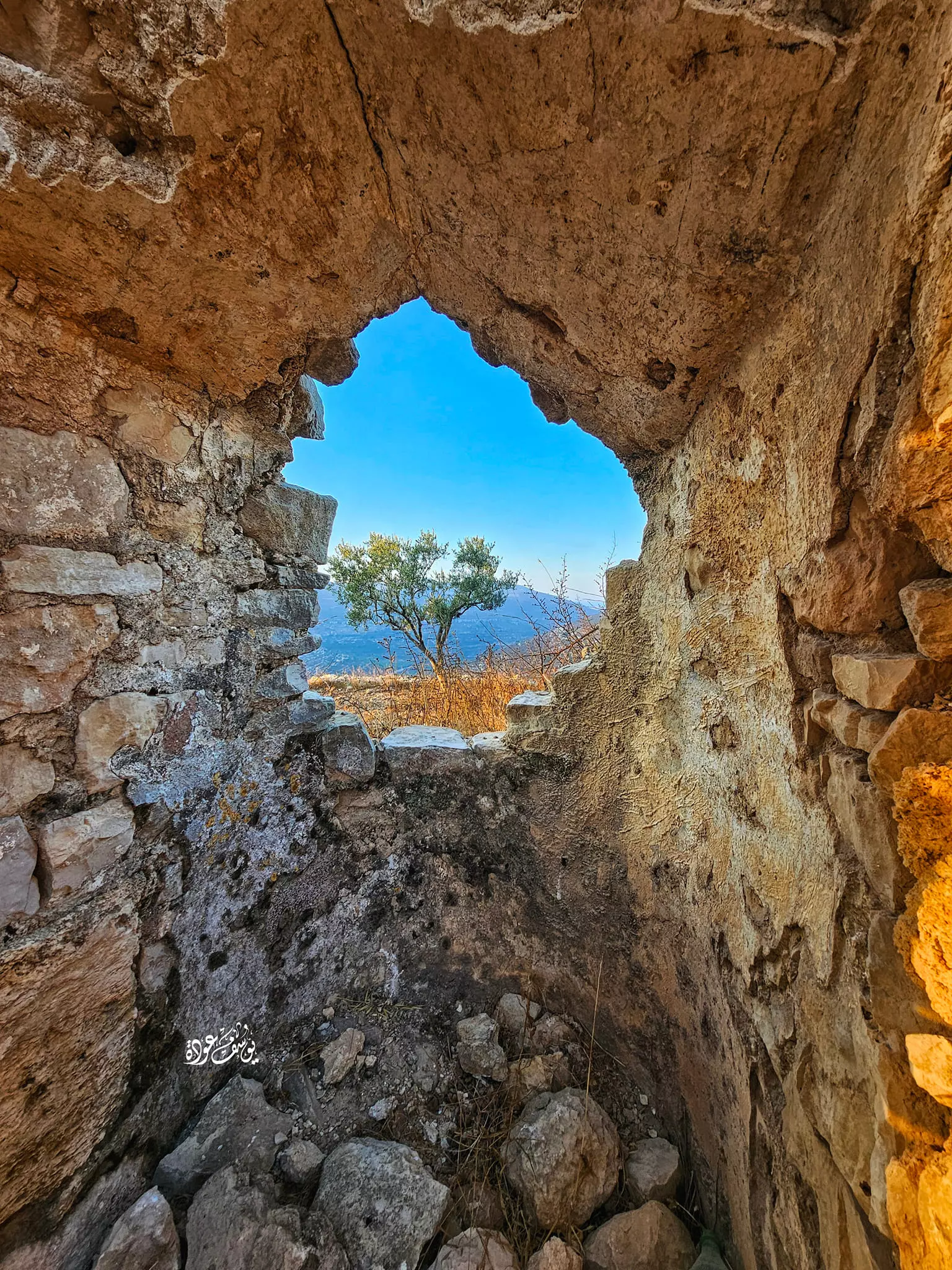
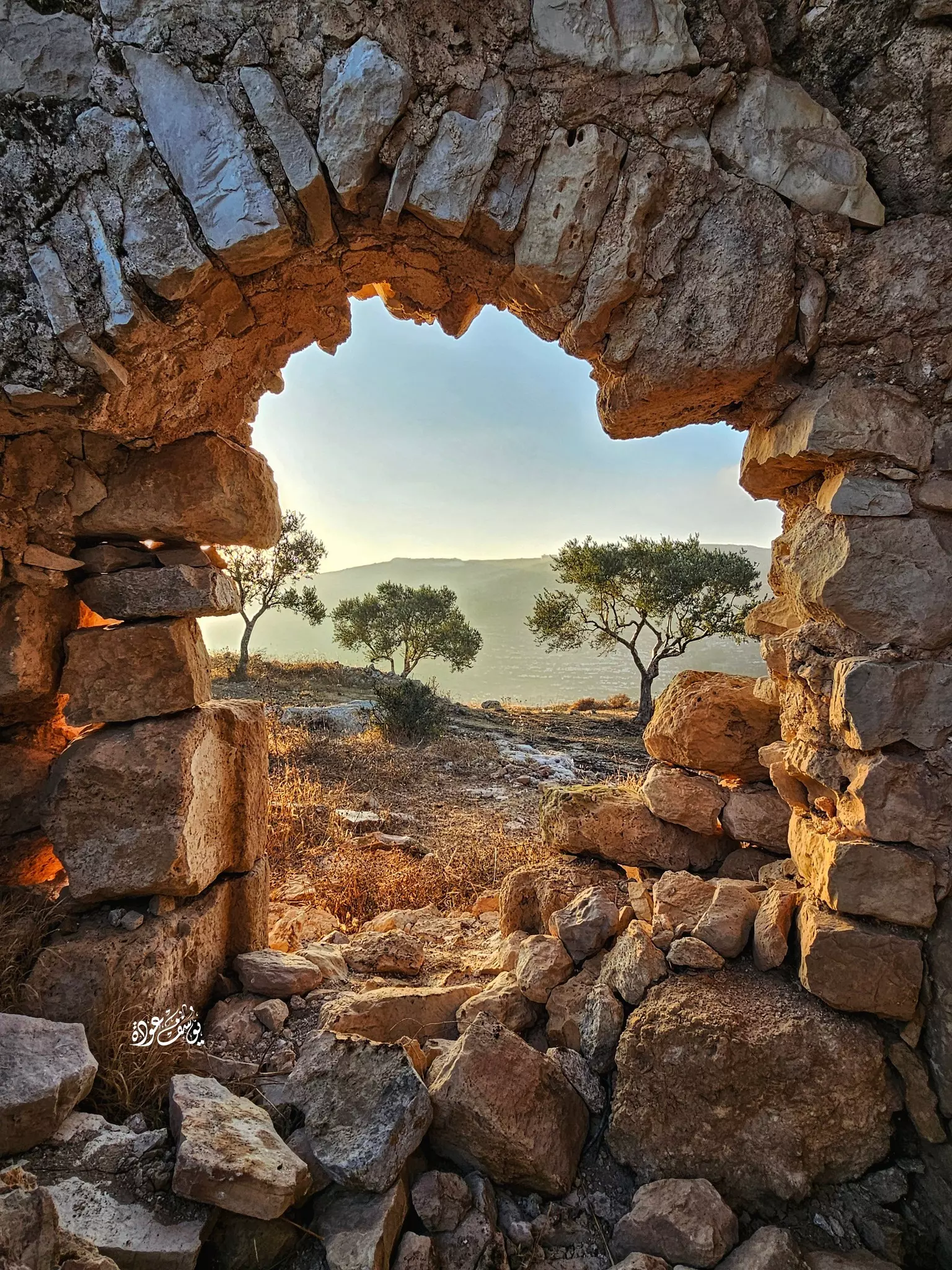
- جولة رائعه في خربة التل -- يوسف عودة
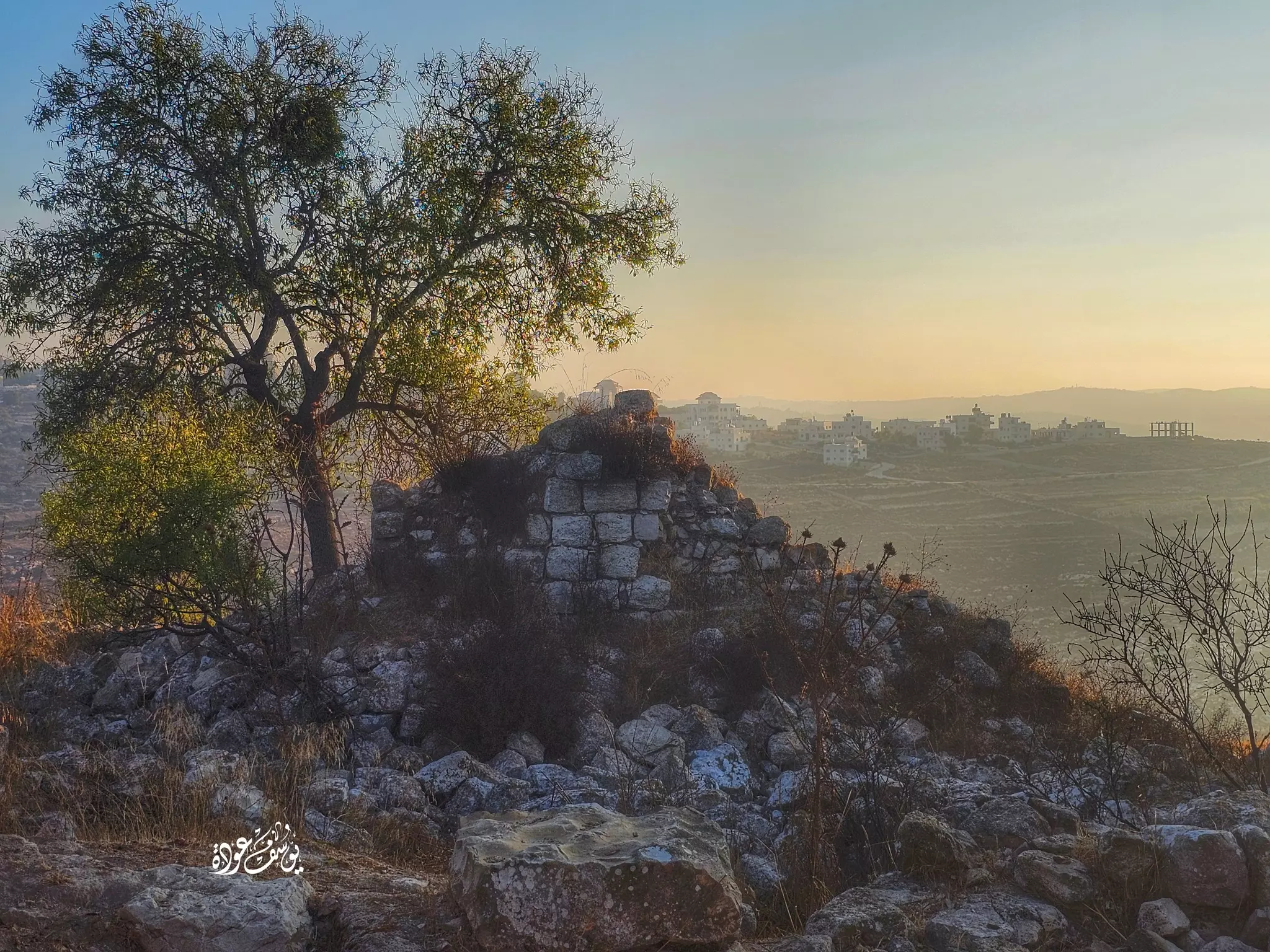
- جولة رائعه في خربة التل -- يوسف عودة #2
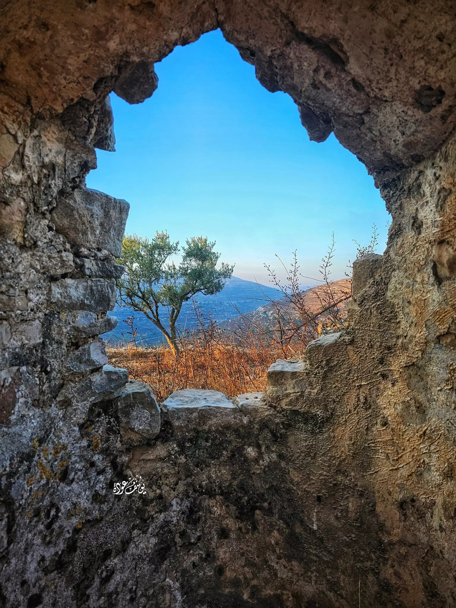
- جولة رائعه في خربة التل -- يوسف عودة #3
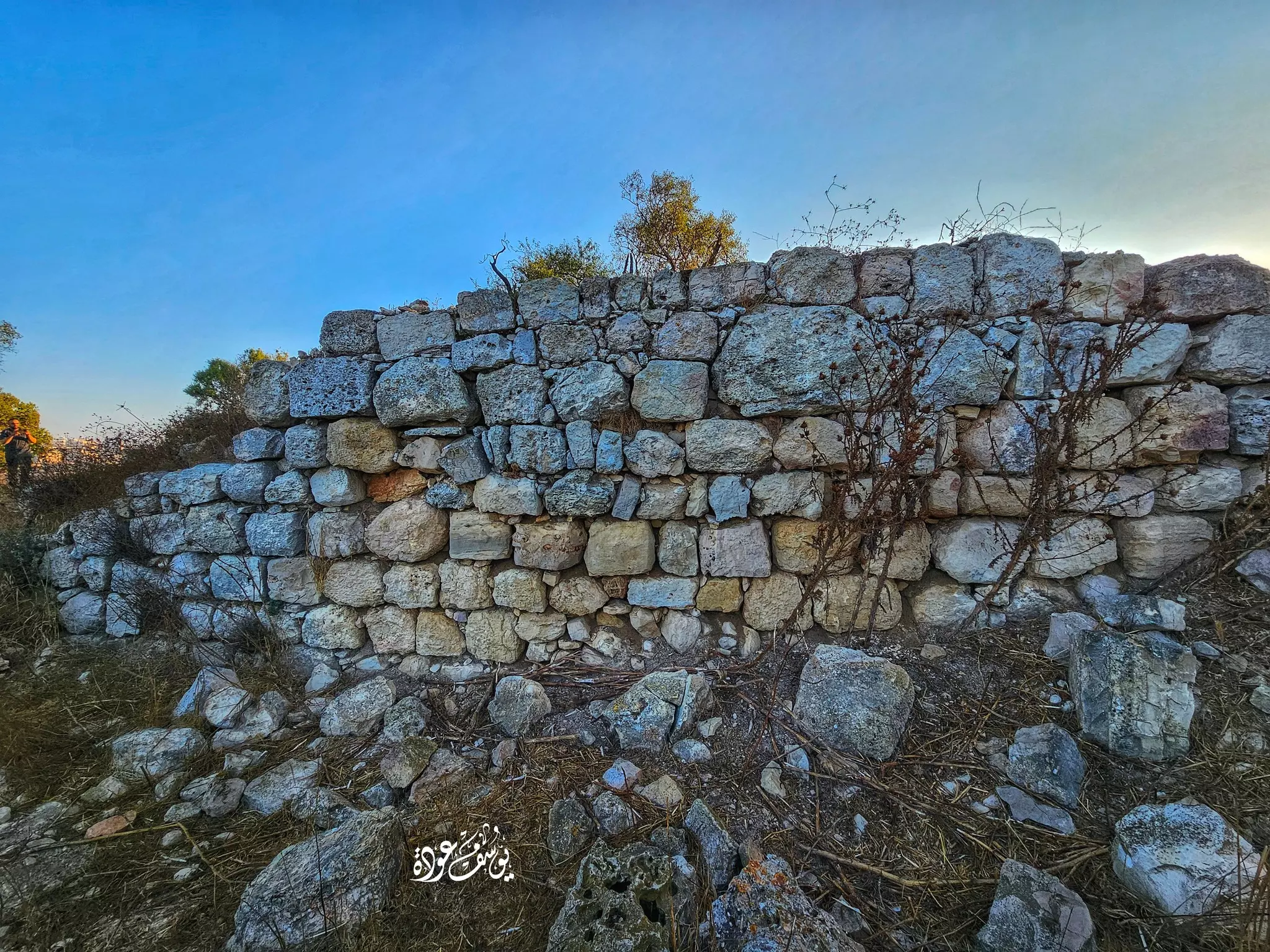
- جولة رائعه في خربة التل -- يوسف عودة #4
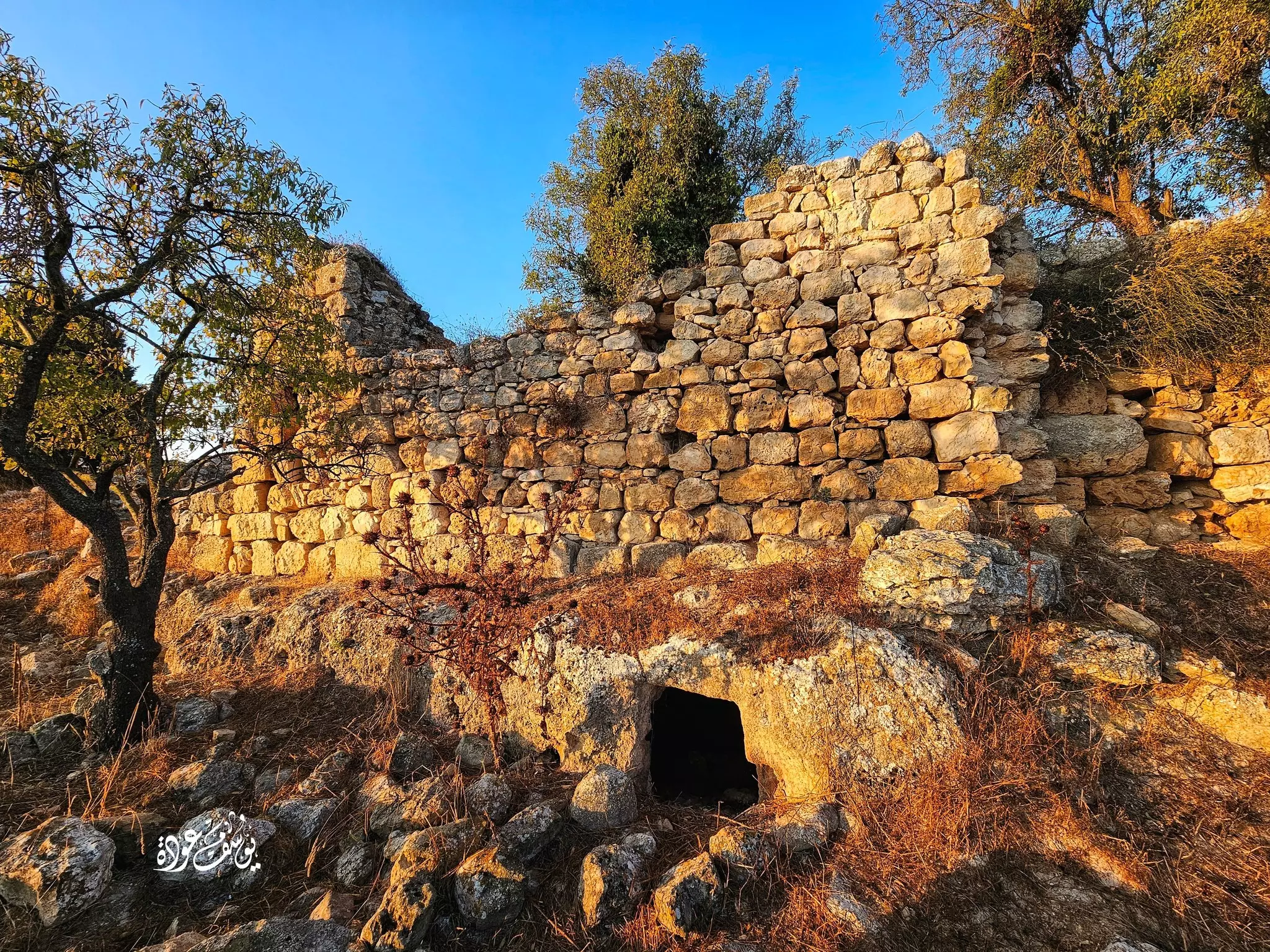
- جولة رائعه في خربة التل -- يوسف عودة #5
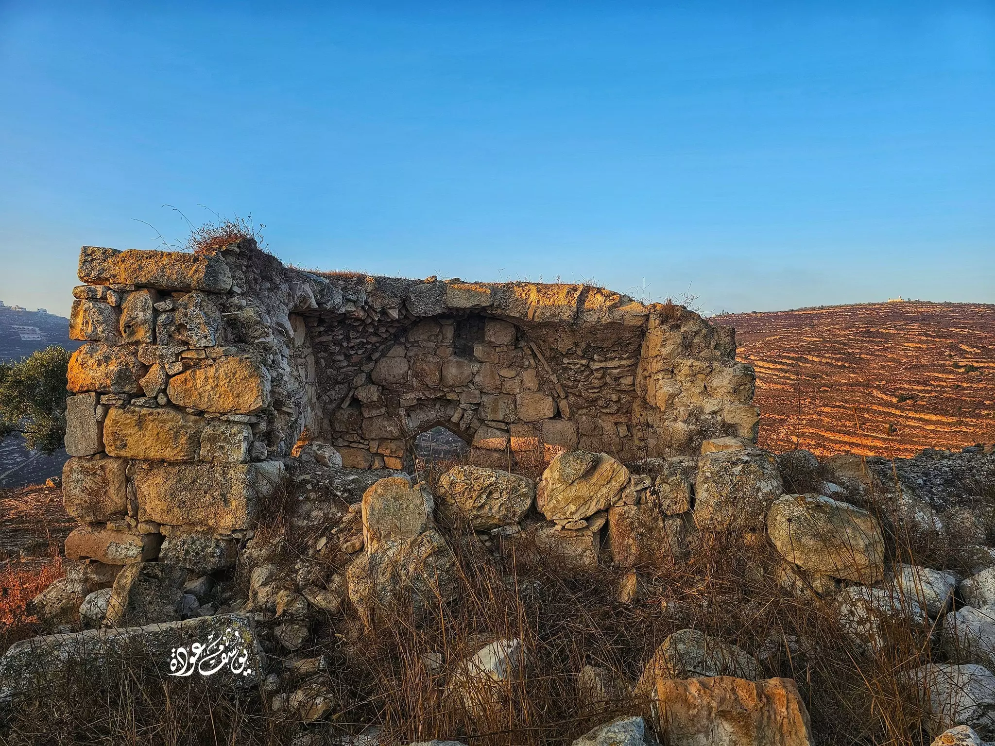
- جولة رائعه في خربة التل -- يوسف عودة #6
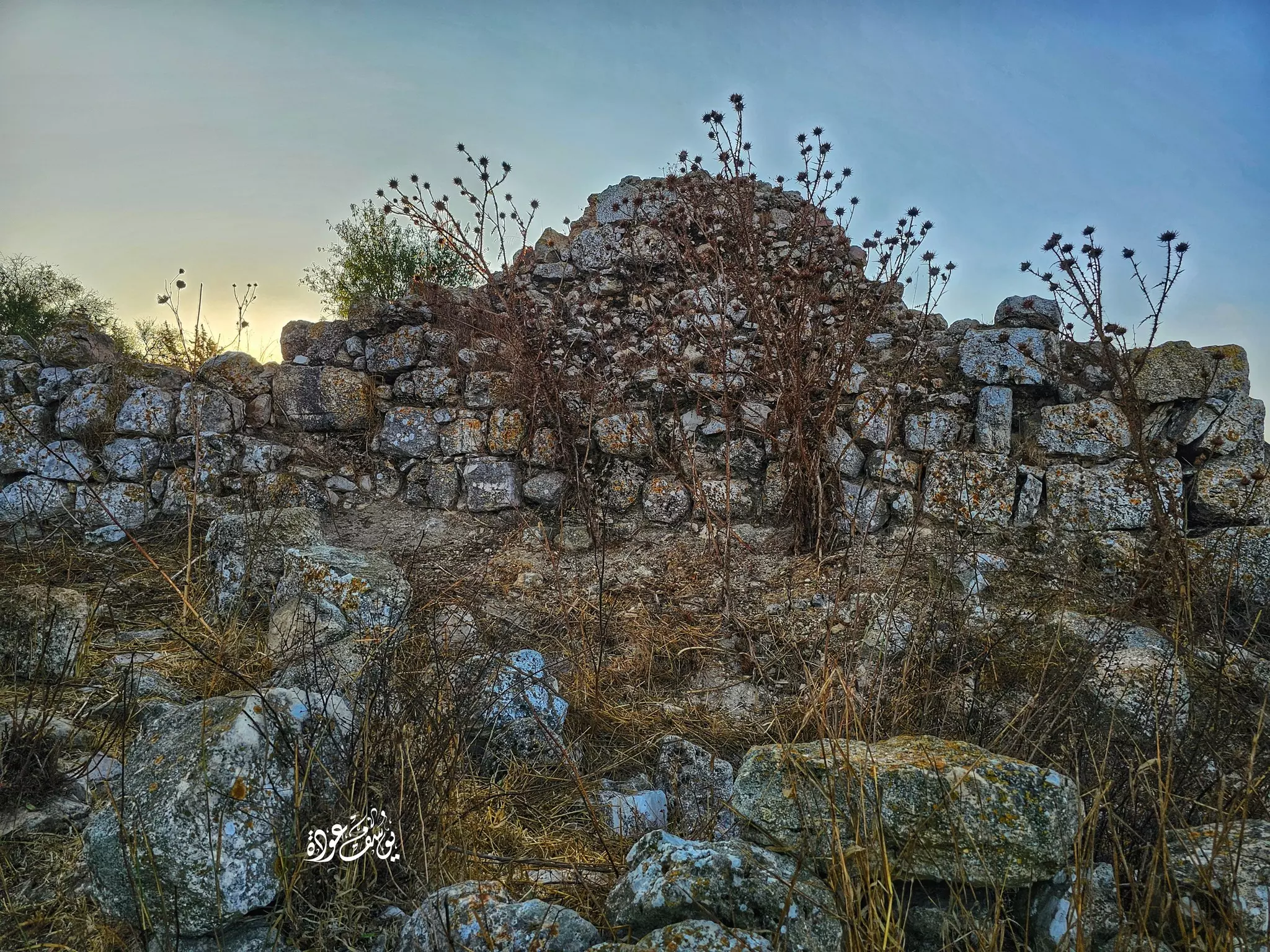
- جولة رائعه في خربة التل -- يوسف عودة #7
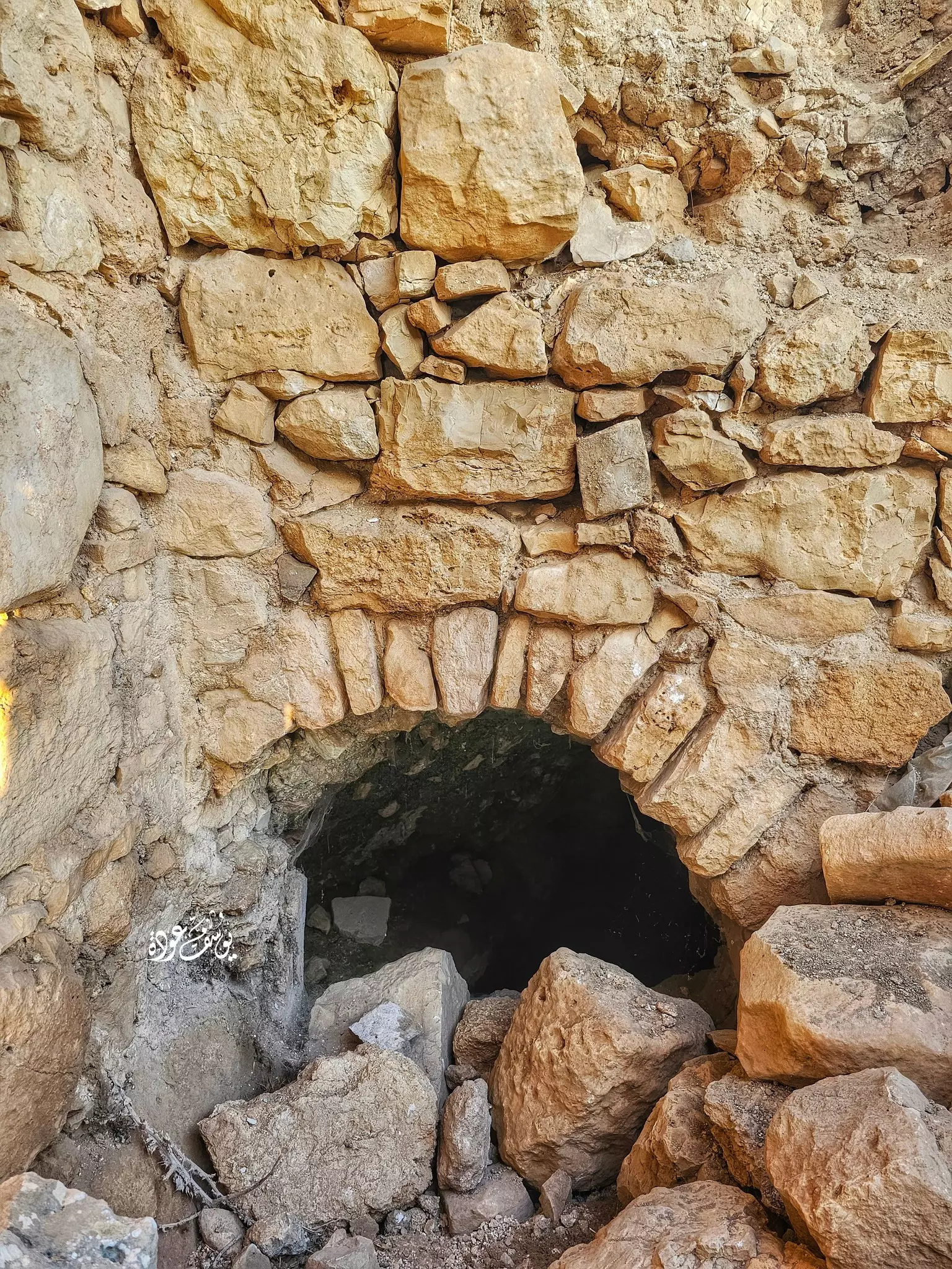
- جولة رائعه في خربة التل -- يوسف عودة #8
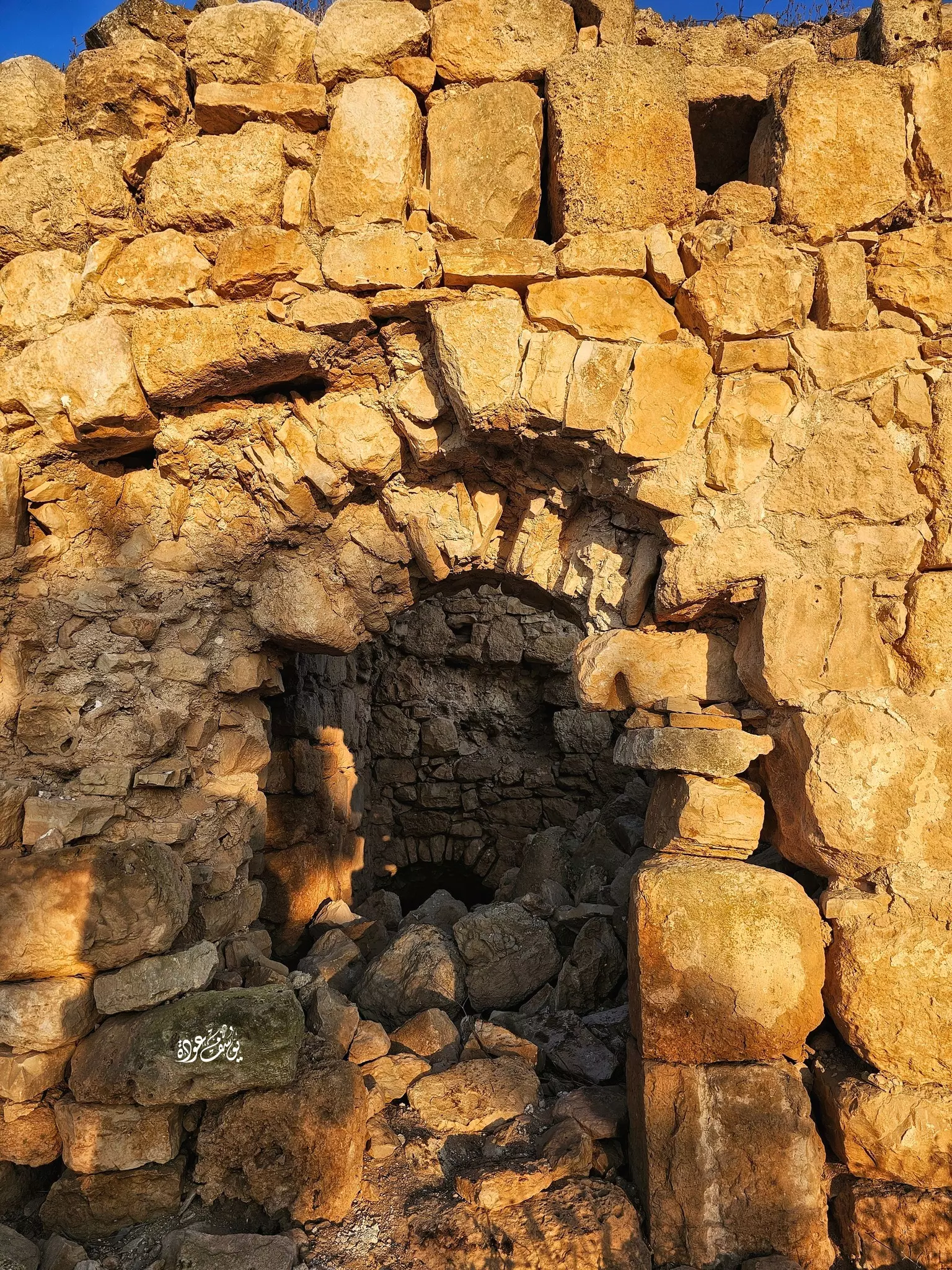
- جولة رائعه في خربة التل -- يوسف عودة #9
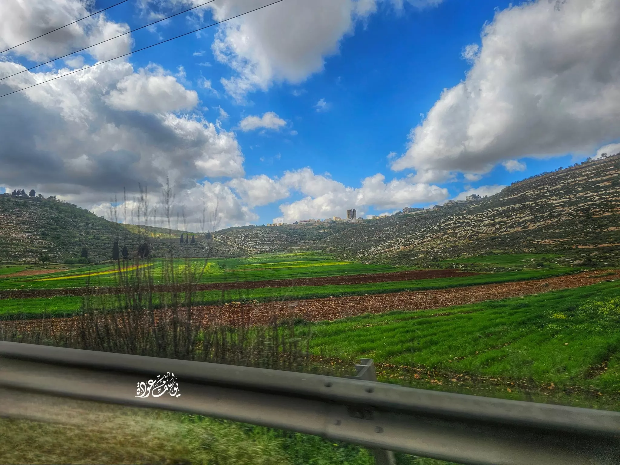
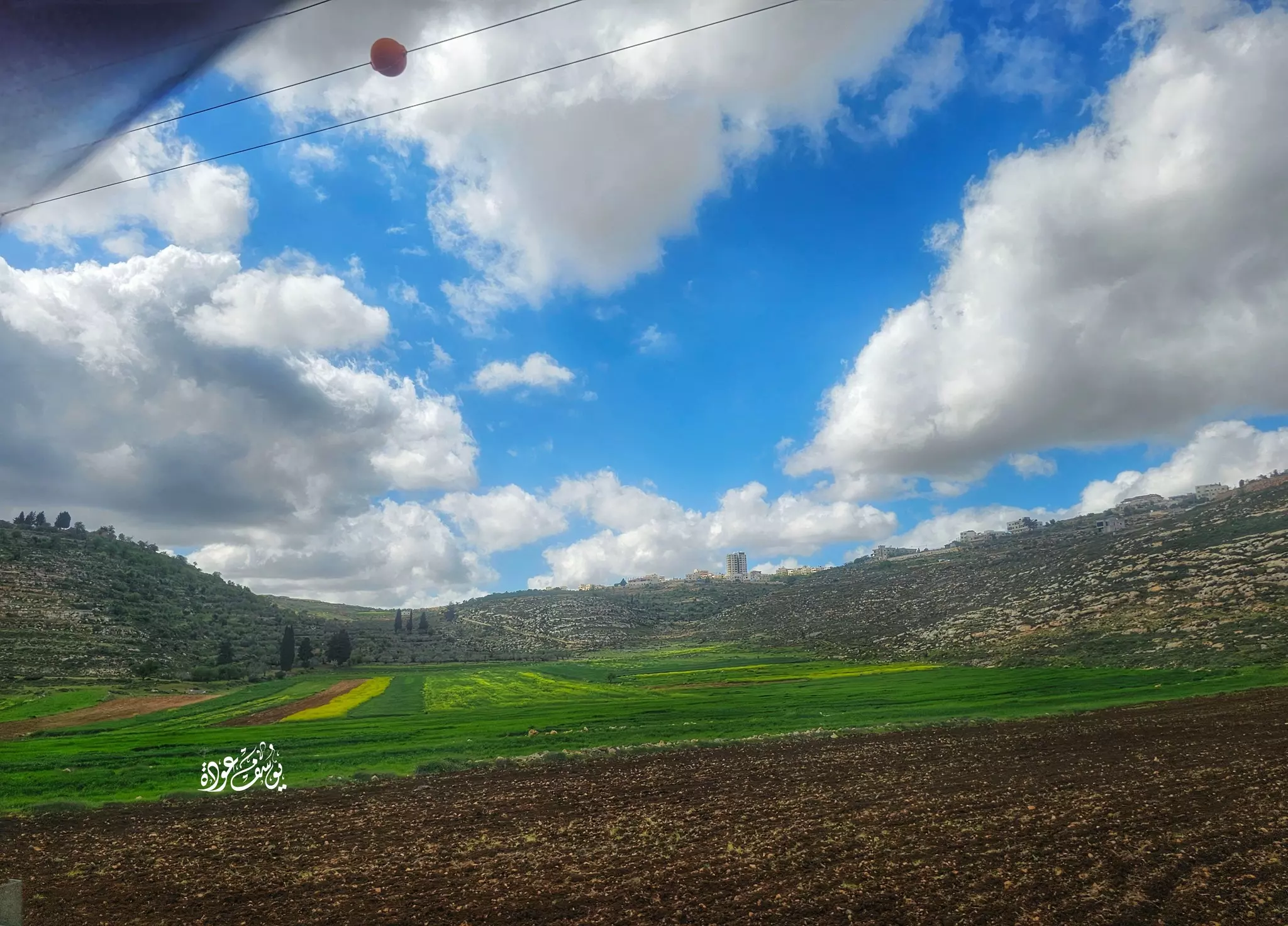
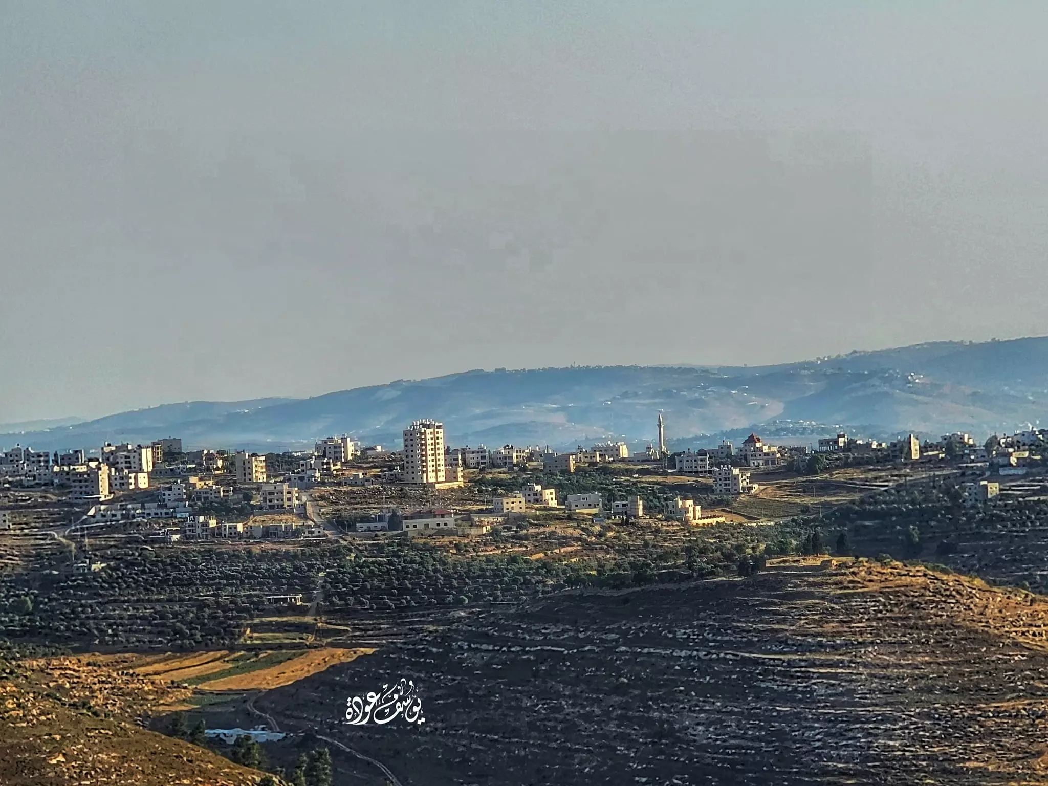
- منظر عام رائع للبلدة من جبال المزرعة الشرقية -- يوسف عودة
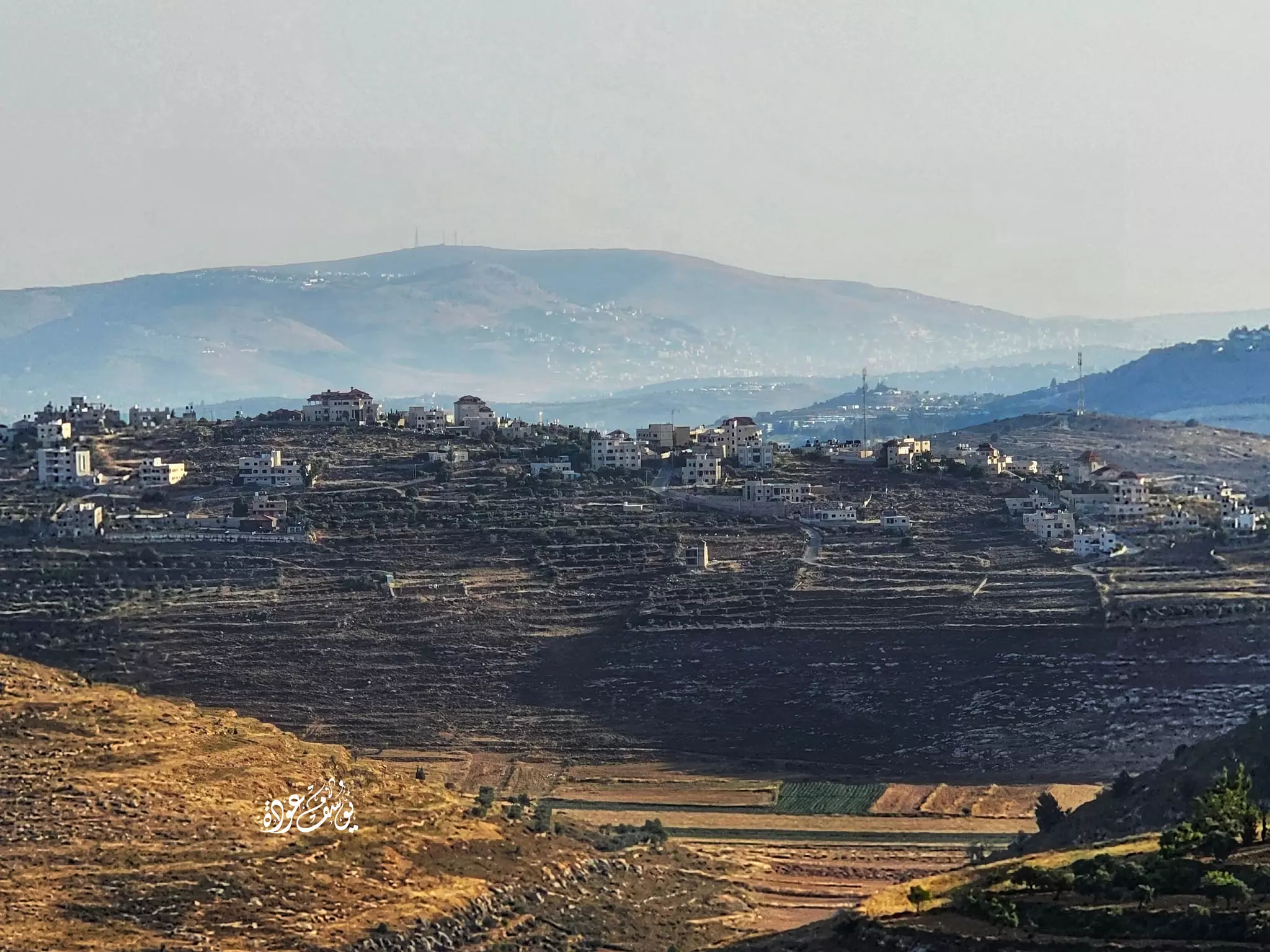
- منظر عام رائع للبلدة من جبال المزرعة الشرقية -- يوسف عودة #2
Want to browse more? 80,000 pictures were grouped in these gallaries:
- جزء من خارطة قديمة لسنجل من عام 1946م
عدد كبير جدا للمنازل والأبنية كما تظهر الخارطة التفصيلية، المناطق الفارغة كلها بساتين وكروم، النقاط والخطوط المختلفة في المربعات للتفريق بين بيوت الحجر، وبيوت الطين والحجر، وبيوت الطين، وأيضا الخشب. يوجد اثنين من الأبنية العامة وهي مسجد يقوم في موضع كنيسة، ومدرسة للتعليم. وتضم سنجل عدة مقامات من بينها ما يظهر وهو مقام الشيخ صالح، وموضع بير شوريا (يوسف)
| Display Name | Clan/Hamolah | Country of Residence |
| احمد السنجلاوي | دار خليل | south mrakka, jordan |
| Emad asfour | Asfour | Panamá |
| nabil khatib | - | - |
| شاهر عرفات الزر الفقهاء | الفقهاء | usa, usa |
| عاطف عرفات الزر | فقهاء | north carolina, north carolina |
| ابوبلال | uwt,v | رام الله, سنجل |
| ياسر ضرار محمد الزر | الفقهاء | Amman, Jordan |
| شبلي عواشره | عواشره | سنجل فلسطين |
| ali almasalmeh | almasalmeh | amman, jordan |
| amer | awashra | illinois, usa |
| Asad Awashra | Awashra | Sinjel |
| heba shorat | Awashra | Amman, Jordan |
| Raed | Shabana | Palestine |
| Nidal.E | Elwan | Westbank, Palestine |
| ABDELGANI ASFOUR | ASFOUR | OHIO, USA |
| أبو رضا القاسم | shabanah شبانة | U.S.A |
| عاشق سنجل ___ | - | ___ |
| عصفور | عصفور | فلسطين, فلسطين |
| ابو مهند | خليل | الاردن, الاردن |
| mohammad khaled tawafsheh | tawafsheh | singil |
| محمد السنجلاوي | طوافشه | - |
| emad asfour | asfour | - |
| fuad kasem | falastini | - |
| fouad al sharari | - | florida, usa |
| ابو محمد | عصفور | - |
| حسام ابوزنيد ابوزنيد الشرحة | الشرحة | - |
| FADY | SH. | FLORIDA, SINJIL |
| marwan | shabana | usa |
| tawfik awashra | Awashra | Moscow, Russia |
| AYED | Masalmeh | Tenerife |
| ihabo | abdullah | ramallah, palestine |
| mahmoud | - | IRBID, JORDAN |
| naji omar musa fuqaha | fuqaha | RS, BRASIL |
| Ala'a Abdul-Karim Mohammad Elwan | Elwan | Dammam, Saudi Arabia |
- Sinjel Palestine سنجل
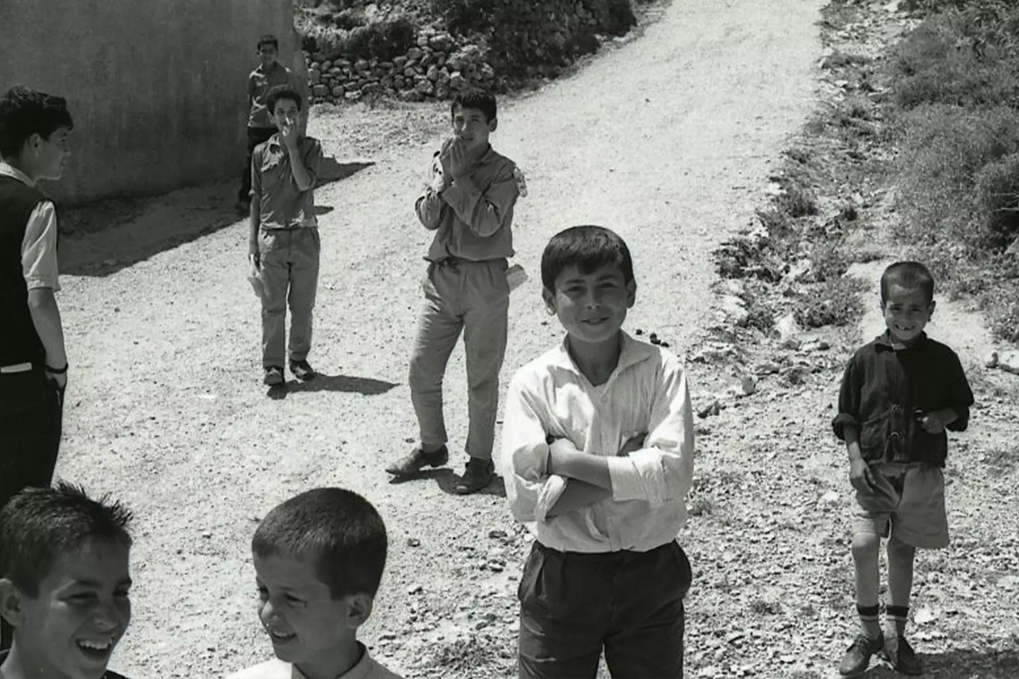
- sinjel village people and activities
- احلى لقطات من مباراة سنجل وجيوس ( طبعا سحقت جيوس ب3_0)
- عمالقة فلسطين لكرة الطائرة ..نادي سنجل sinjil
- sinjel سنجل يا أحلا بلد في هالأرض / سنجل يا عروس فلسطين sinjil
- اعتداء وحشي من الاحتلال على المتظاهرين قرب بلدة سنجل
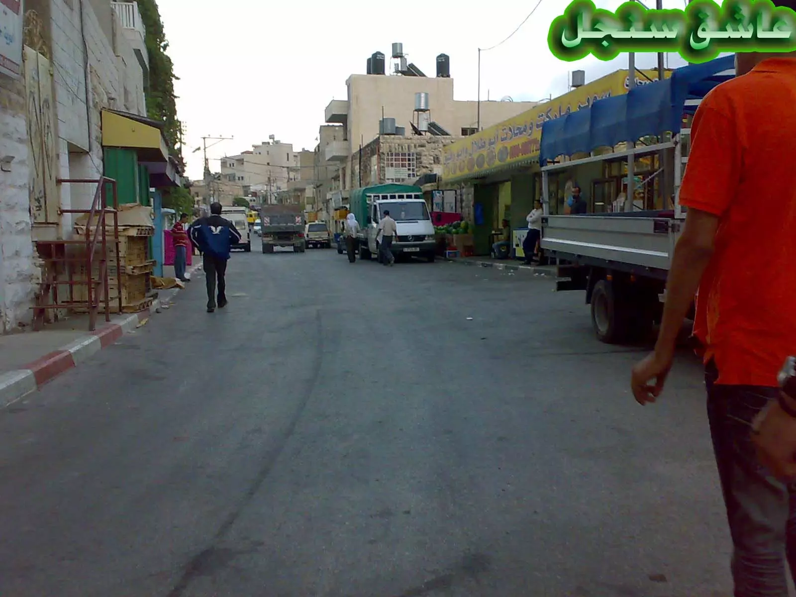
- جولة في شوارع بلدة سنجل قرب رام الله … Duration: 7 min 37 sec
 Fake Valor: Why Did Zionist Jews Hoist Nazis Flag on Their Ships in the 1930s?
What is new?
-
Facts About Oct. 7th Gaza Raid
-
Remined Us Please:: Who Did Rape Who? Palestinians Raped Israelis? Or, was the other way around?
-
When Prof. Edward Said was invited to debate Bibi Netanyahu in the 1980s, watch what happened!
-
Ezra Klein of the NY Times on the "Jewish Race".
-
Abusing Blood Libel!
-
Zionist FAQ: Isn't it true that Palestinians don't want peace? Palestinians never accepted the two-state solution
- Facts about Haavara (Transfer) Agreement between Ben-Gurion & Hitler
-
Haavara FAQs: Why Did Zionist Jews Hoist Nazis' Flags on Their Ships in the 1930s?
-
Dear ChatGPT: Why did the Jewish Agency suppress news of the Holocaust during WWII?
-
Video Playlist: Jews share their DNA tests to end the conflict for good.
-
A Tale of Two Conflicts: Examining the Definition of Genocide
-
Prof. Abraham Polak And The Suppressed History of the Khazars and European Jewry
-
How Ronald Reagan would have framed the genocide in Gaza if he were still alive?
-
Haavara FAQs: Let us do the math: how many German Jews did The Haavara Agreement save?
-
Zionist FAQs: The Hebron Massacre of 1929, "clearly proves" that Palestinians are antisemitic, how could you deny it?
-
Zionist FAQs: Why Anti-Zionist Is Not Antisemitism?
-
Zionist FAQs: Isn't it true that the KGB create Palestinian Nationalism in the early 1960s?
- Zionist FAQs: Muslims are killing Muslims all the time; why are Israeli Jews being singled out in the media?
- Zionist FAQs: How is Israel an apartheid state when 20% of its citizens are Arabs who enjoy full rights?
-
Haavara FAQs: Analysis of Herzl's Uganda Scheme and how it could have saved millions of Jews.
-
Haavara FAQs: Why did Hayim Greenberg describe American Jewry as "morally bankrupt" in early 1943?
-
Haavara FAQs: What if the Evian Conference was a resounding success? What would have been the impact of saving European Jewry on Zionism?
- Haavara FAQs: What if the six million were saved, how that would have impacted the Zionist project?
-
Haavara FAQs: How did Zionist leaders react when Europe's Jews lingered in the DP camps after WWII ended?
-
Why does the American Jewish community repeat lies that David Ben-Gurion had debunked before he died?
-
Who has the power to rename the Tatar/Khazar Gene Marker to Jewish IV?
-
Zionist FAQs: Why won't Egypt, Syria, and Jordan take their people back? Jews are indigenous to Palestine, and Arabs immigrated after Jews developed the country. Arabs should leave.
-
Haavara FAQs: Did Hitler and the Nazis conflate between Judaism and Zionist? If that wasn't case, then why?
-
Haavara FAQs: Winston Churchill and antisemitism, a collection of articles written Churchill.
-
Haavara FAQs: Broken by country, how many Jews survived vs. killed during the Holocaust?
-
Haavara FAQs: Why did European Jews vote with their feet and to immigrated to the Americas, not Palestine, after WWII?
-
Watch this American Jewish Girl describing Israeli Jews' cognitive dissonance like no other in under two minutes
-
Haavara FAQs: When the Nazis went out of their way to hide the Holocaust, Israeli Jews did the exact opposite by broadcasting their genocide of Gazans. But why?
-
Haavara FAQs: How Zionist Jews went out of their to show their appreciation to Nazism and Fascism?
- Haavara FAQs: Why Zionist leaders were against bombing the death camps & the Railroads leading to them?
-
Haavara FAQs: Hitler's message to the British and American people: If Jews are such noble citizens and you care about them, how come you're not letting them in? I will gladly ship them to you at my expense, even on luxury liners!
-
A shortlist of Zionist and Israeli false flag operations in the name Jews.
-
The Most Moral Army
- The Land of Kapos (Israel): Where the brave are boycotted and Kapos walk free.
- Why did early Zionists often named their communal enterprises "colonial"?
- Zionist Relations with Nazi Germany by Faris Glubb
-
Two NY Times advertisements by Zionists in the early 1943 that exposes Zionists' treason at the height of the calamity
- Facts Not Lies about the Palestinian-Israeli Conflict.
- Site's pictures have been categorized
- Campgain Against Lice
- A Survey of Palestine, the official source about Palestine before Nakba produced by the British Mandate; over 1200 pages.
- Satellite View & Google Earth: Over 6,000 placemarks identifying all destroyed towns, W. Bank & Gaza Strip Towns, & refugee camps.
- PalestineRemembered.com and its Nakba Oral History Project were featured on al-Jazeera Satellite TV.
- Nakba Oral History Video Podcast:
 Over 700 Oral History interviews (including 3,500+ hours of recording) can be viewed online.
 - Palestine Village Statistics Project
- Gaza Jail Break
- النسخة العربية للموقع الان متوفرة
- Videos: Documenting the destroyed villages in video: Tracing all that remains since Nakba.
- Videos: Responding to Zionist Propaganda
- Interview: The ethnic cleansing of Palestine: George Galloway interviews Israeli Historian Ilan Pappe.
- For Palestinians, memory matters. It provides a blueprint for their future By George Bisharat.
- Zionist FAQ now available in Hebrew שאלות שציונים שואלים, עכשיו בעברית
- Video: The Stephen Walt and John Mearsheimer report on the influence of the Israel Lobby on U.S. Foreign Policy
- The Palestinian-Israeli conflict for beginners
