| PalestineRemembered | About Us | Oral History | العربية | |
| Pictures | Zionist FAQs | Haavara | Maps | |
| Search |
| Camps |
| Districts |
| Acre |
| Baysan |
| Beersheba |
| Bethlehem |
| Gaza |
| Haifa |
| Hebron |
| Jaffa |
| Jericho |
| Jerusalem |
| Jinin |
| Nablus |
| Nazareth |
| Ramallah |
| al-Ramla |
| Safad |
| Tiberias |
| Tulkarm |
| Donate |
| Contact |
| Profile |
| Videos |
Welcome To al-Khayma - الخيمة (אל-ח'ימה)
|
District of al-Ramla
Ethnically cleansed days ago |
العربية Google Earth |
 |
Gallery (14) |
- Statistics & Facts
-
Before & After

- Satellite View
- Articles 8
- Pictures 14
- Members 22
- All That Remains
- Wikipedia
- Videos
- Guest Book 35
- Links
| Statistic & Fact | Value | ||||||||||||
| Occupation Date | July 9, 1948 | ||||||||||||
| Distance From District | 18.5 (km) South of al-Ramla | ||||||||||||
| Elevation | 100 (meters) | ||||||||||||
| Before & After Nakba, Click Map For Details |
|||||||||||||
|
|||||||||||||
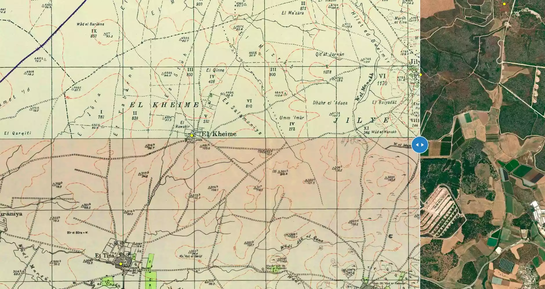
| Map Location | See location #56 on the map View from satellite |
||||||||||||
| Military Operation | Operation An-Far | ||||||||||||
| Attacking Units | Giv'ati Brigade | ||||||||||||
| Exodus Cause | Military assault by Zionist troops | ||||||||||||
| Village Temains | al-Khayma was completely obliterated, and only house rubble left behind. | ||||||||||||
| Ethnically Cleansing | al-Khayma inhabitants were completely ethnically cleansed. | ||||||||||||
| Pre-Nakba Land Ownership |
**Town Lands' Demarcation Maps |
||||||||||||
| Land Usage As of 1945 |
|
||||||||||||
| Population |
|
||||||||||||
| Number of Houses |
|
||||||||||||
| Near By Towns |
|||||||||||||
|
|||||||||||||
| Places of Warship | Villagers used to worship in al-Tina's (a nearby village) Mosque. | ||||||||||||
| Exculsive Jewish Colonies Who Usurped Village Lands |
No Israeli settlements on village lands | ||||||||||||
Village TodayAccording to the Palestinian historian Walid Khalidi, the village remaining structures on the village land are:"All that remains of the village are three mounds to the east, west, and south of the site that contain the remnants of houses." |
|||||||||||||
| Related Maps | Town Lands' Demarcation Maps خرائط للقضاء توضح حدود القرى والاودية Town's map on MapQuest View from satellite Help us map this town at WikiMapia |
||||||||||||
| Related Links | Wikipedia's Page Google Search Google For Images Google For Videos |
||||||||||||
| More Information | في كتاب كي لا ننسى في كتاب بلادنا فلسطين المزيد من موقع هوية |
||||||||||||
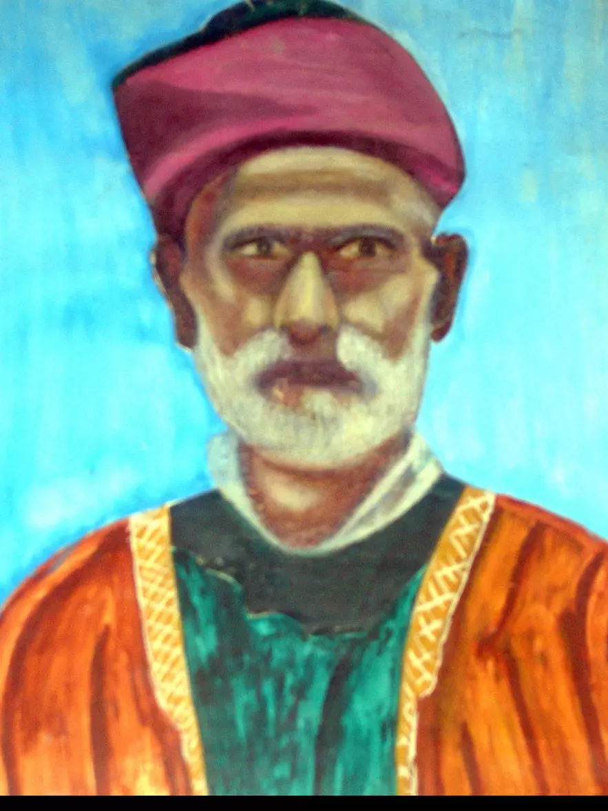
- الشيخ/ابراهيم عيسى خليل ابو فنونه - ابو رضوان : 1850م-8/8/1964 ، هو اخر من غادر قرية الخمية في العام 1948
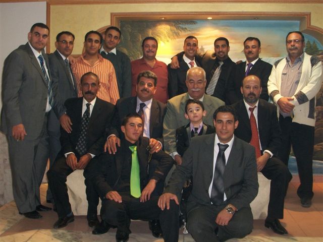
Posted by ابوفنونه 5 - الحاج عوني ابو فنونه (ابو محمود ) واولاده مع ابناء المرحوم الحاج عبد العزيز ابو فنونه (ابو محمد ) في حفل زواج ابن العم وسام ابو فنونه
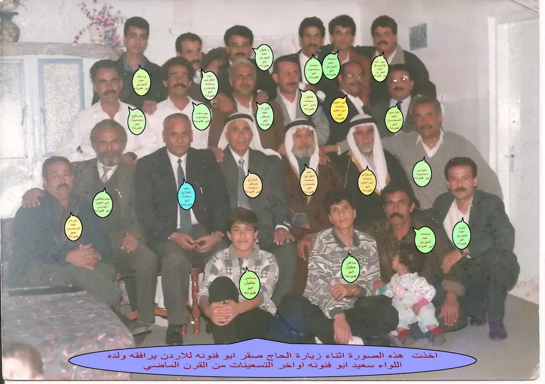
Posted by lewa fannouneh - الحاج صقر ابو فنونه-ابو عبد السلام - اثناء زيارته للاردن اواخر تسعينات القرن الماضي يرافقه ولده اللواء سعيد ابو فنونه-ابورائد
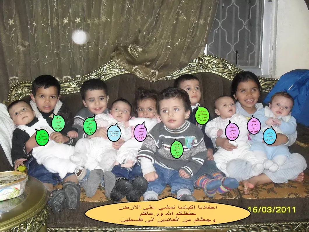
Posted by ابوفنونه 5 - اجيال العودة_جيل يتبعه جيل_والعودة حق سيتحقق
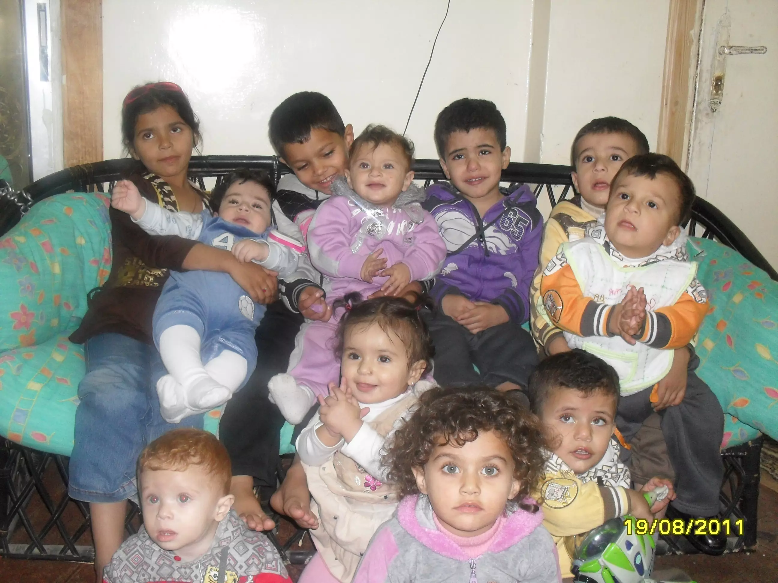
Posted by ابوفنونه - اجيال العوده! امس واليوم! وغدا؟ في فلسطين
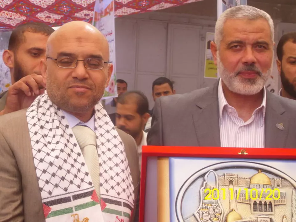
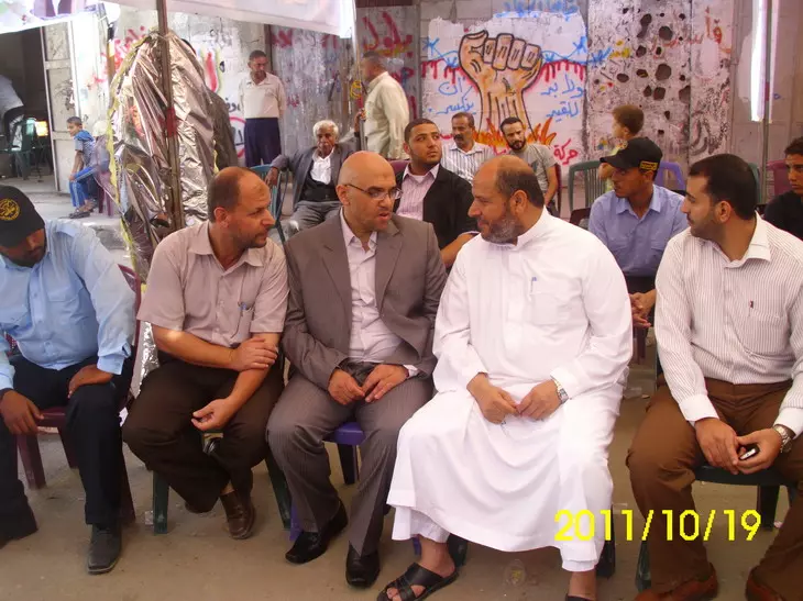
Posted by ابوفنونه - عميد الاسرى وائل مكين ابوفنونه في صورة تذكارية مع دولة رئيس الحكومة اسماعيل هنيه في حفل التكريم واستقبال المحررين
Posted by ابوفنونه - عائلة عميد الاسرى وائل مكين ابوفنونة تستقبل معالي وزير التربية والتعليم العالي والوفد المرافق في مقر التهنئة
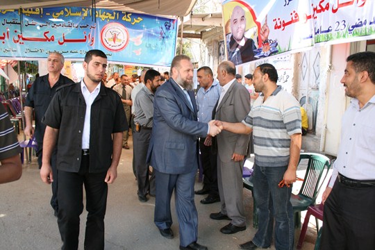
Posted by ابوفنونه - الدكتور خليل الحية يهنئ عميد الاسرى وائل مكين ابوفنونه بالحرية.
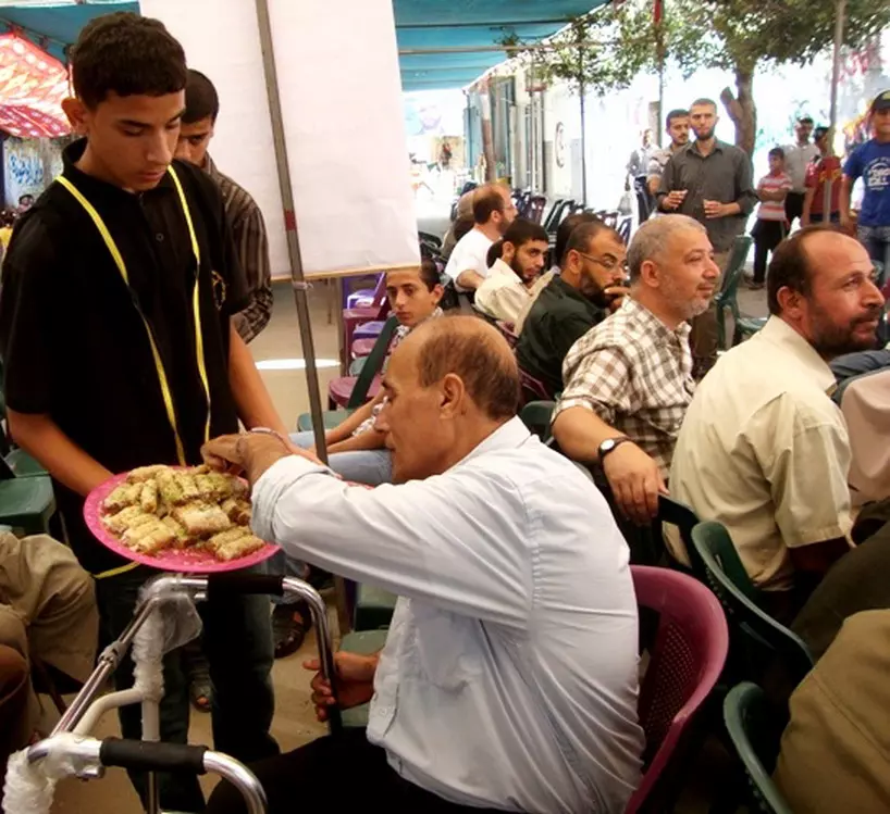
Posted by ابوفنونه - الحلوى في حفل استقبال المهنئين لعميد الاسرى وائل مكين ابو فنونه
Posted by ابوفنونه - عميد الاسرى المحرر وائل مكين ابوفنونه في طريقه الى حفل استقبال الاحرار

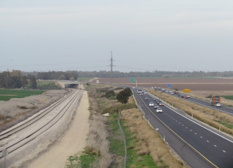
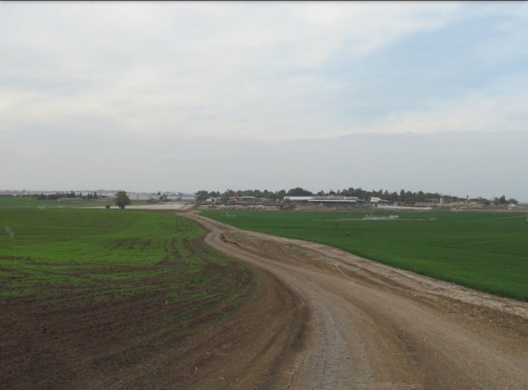
Posted by ابوفنونه - موقع القريه بالقرب من الشارع السريع
Posted by abu raya - اراضي القريه
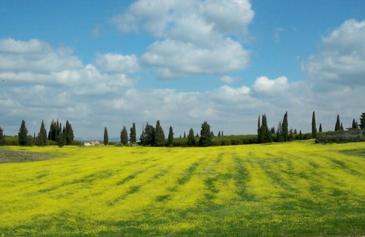
Posted by abu raya - اراضي القريه
Posted by abu raya - الدكتور انور ابو فنونة - فلسطين - الخيمة

Posted by Abrar
Want to browse more? 80,000 pictures were grouped in these gallaries:
| Display Name | Clan/Hamolah | Country of Residence |
| Mohamed Salama | - | - |
| سمير محمد ظاهر حمدان | ظاهر | عمان, الاردن |
| وليد رمضان | رمضان | الاردن |
| ابواحمد محمود ابراهيم | رمضان | عمان |
| LEWA AUNI FANNOUNEH | ABU FANNOUNEH | - |
| ابو عوني | Abu Fannouneh | Jordan, Jordan |
| Anwar Abu Fannouneh | Abu Fannouneh | amman |
| ابو ابراهيم | رمضان | النصر, الاردن |
| أسامة ابراهيم | - | الرصيفة |
| محمد رمضان | رمضان | الاردن, الاردن |
| ابوفنونه | ابوفنونه | عمان, الاردن |
| ابو كبر | - | - |
| Basil Hamdan | Hamdan/Thahir | USA |
| Mustafa Abu-Fannouneh | Abu-Fannouneh | amman, jordan |
| abdulsalamah | salamah | - |
| Fidaa Othman Salameh | Salameh | Zerka, Jordan |
| Rafeek Othman Salameh | Salameh | Zerka, Jordan |
| Tawfeek Othman Jabre Salameh | Salameh | Zerka, Jordan |
| Youcef Othman Jabre Salameh | Salameh | Zerka, Jordan |
| Mohammad Mustafa Ramadan | Salameh | Al-khalil, Palestine |
| Chafika Othman Salameh | Salameh | Algiers, Algeria |
| Ahlam Mohammed Mustafa Ramadan | Ramadan | Al-khalil, Palestine |
No links have been shared yet, be free to the first to share the first link.
 Fake Valor: Why Did Zionist Jews Hoist Nazis Flag on Their Ships in the 1930s?
What is new?
-
Facts About Oct. 7th Gaza Raid
-
Remined Us Please:: Who Did Rape Who? Palestinians Raped Israelis? Or, was the other way around?
-
When Prof. Edward Said was invited to debate Bibi Netanyahu in the 1980s, watch what happened!
-
Ezra Klein of the NY Times on the "Jewish Race".
-
Abusing Blood Libel!
-
Did Israeli Soldiers Activate The Hanniba Direective On Oct. 7th? You Be The Judge
-
Zionist FAQ: Isn't it true that Palestinians don't want peace? Palestinians never accepted the two-state solution
- Facts about Haavara (Transfer) Agreement between Ben-Gurion & Hitler
-
Haavara FAQs: Why Did Zionist Jews Hoist Nazis' Flags on Their Ships in the 1930s?
- Haavara FAQs: When Chaim Weizmann met FDR in mid-1943, why was he silent about rescuing European Jewry?
-
Dear ChatGPT: How did Palestinians resist Napoleon's invasion of their country in 1799?
-
Dear ChatGPT: Gaza had a vibrant Jewish community in the mid-17th century. What happened to them?
-
Dear ChatGPT: Why did the Jewish Agency suppress news of the Holocaust during WWII?
-
Video Playlist: Jews share their DNA tests to end the conflict for good.
-
A Tale of Two Conflicts: Examining the Definition of Genocide
-
Prof. Abraham Polak And The Suppressed History of the Khazars and European Jewry
-
How Ronald Reagan would have framed the genocide in Gaza if he were still alive?
-
Haavara FAQs: Let us do the math: how many German Jews did The Haavara Agreement save?
-
Zionist FAQs: The Hebron Massacre of 1929, "clearly proves" that Palestinians are antisemitic, how could you deny it?
-
Zionist FAQs: Why Anti-Zionist Is Not Antisemitism?
-
Zionist FAQs: Isn't it true that the KGB created Palestinian Nationalism in the early 1960s?
- Zionist FAQs: Muslims are killing Muslims all the time; why are Israeli Jews being singled out in the media?
- Zionist FAQs: How is Israel an apartheid state when 20% of its citizens are Arabs who enjoy full rights?
-
Haavara FAQs: Why Did Dorothy Thompson Flip From A Zionist Advocate to A Silenced Dissenter?
-
Haavara FAQs: Analysis of Herzl's Uganda Scheme and how it could have saved millions of Jews.
-
Haavara FAQs: Why did Hayim Greenberg describe American Jewry as "morally bankrupt" in early 1943?
-
Haavara FAQs: What if the Evian Conference was a resounding success? What would have been the impact of saving European Jewry on Zionism?
- Haavara FAQs: What if the six million were saved, how that would have impacted the Zionist project?
-
Haavara FAQs: How did Zionist leaders react when Europe's Jews lingered in the DP camps after WWII ended?
-
Why does the American Jewish community repeat lies that David Ben-Gurion had debunked before he died?
-
Who has the power to rename the Tatar/Khazar Gene Marker to Jewish IV?
-
Zionist FAQs: Why won't Egypt, Syria, and Jordan take their people back? Jews are indigenous to Palestine, and Arabs immigrated after Jews developed the country. Arabs should leave.
-
Haavara FAQs: Did Hitler and the Nazis conflate between Judaism and Zionist? If that wasn't case, then why?
-
Haavara FAQs: Winston Churchill and antisemitism, a collection of articles written Churchill.
-
Haavara FAQs: Broken by country, how many Jews survived vs. killed during the Holocaust?
-
Haavara FAQs: Why did European Jews vote with their feet and to immigrated to the Americas, not Palestine, after WWII?
-
Watch this American Jewish Girl describing Israeli Jews' cognitive dissonance like no other in under two minutes
-
Haavara FAQs: When the Nazis went out of their way to hide the Holocaust, Israeli Jews did the exact opposite by broadcasting their genocide of Gazans. But why?
-
Haavara FAQs: How Zionist Jews went out of their to show their appreciation to Nazism and Fascism?
- Haavara FAQs: Why Zionist leaders were against bombing the death camps & the Railroads leading to them?
-
Haavara FAQs: Hitler's message to the British and American people: If Jews are such noble citizens and you care about them, how come you're not letting them in? I will gladly ship them to you at my expense, even on luxury liners!
-
A shortlist of Zionist and Israeli false flag operations in the name Jews.
-
The Most Moral Army
- The Land of Kapos (Israel): Where the brave are boycotted and Kapos walk free.
- Why did early Zionists often named their communal enterprises "colonial"?
- Zionist Relations with Nazi Germany by Faris Glubb
-
Two NY Times advertisements by Zionists in the early 1943 that exposes Zionists' treason at the height of the calamity
- Facts Not Lies about the Palestinian-Israeli Conflict.
- Site's pictures have been categorized
- Campgain Against Lice
- A Survey of Palestine, the official source about Palestine before Nakba produced by the British Mandate; over 1200 pages.
- Satellite View & Google Earth: Over 6,000 placemarks identifying all destroyed towns, W. Bank & Gaza Strip Towns, & refugee camps.
- PalestineRemembered.com and its Nakba Oral History Project were featured on al-Jazeera Satellite TV.
- Nakba Oral History Video Podcast:
 Over 700 Oral History interviews (including 3,500+ hours of recording) can be viewed online.
 - Palestine Village Statistics Project
- Gaza Jail Break
- النسخة العربية للموقع الان متوفرة
- Videos: Documenting the destroyed villages in video: Tracing all that remains since Nakba.
- Videos: Responding to Zionist Propaganda
- Interview: The ethnic cleansing of Palestine: George Galloway interviews Israeli Historian Ilan Pappe.
- For Palestinians, memory matters. It provides a blueprint for their future By George Bisharat.
- Zionist FAQ now available in Hebrew שאלות שציונים שואלים, עכשיו בעברית
- Video: The Stephen Walt and John Mearsheimer report on the influence of the Israel Lobby on U.S. Foreign Policy
- The Palestinian-Israeli conflict for beginners
