| PalestineRemembered | About Us | Oral History | العربية | |
| Pictures | Zionist FAQs | Haavara | Maps | |
| Search |
| Camps |
| Districts |
| Acre |
| Baysan |
| Beersheba |
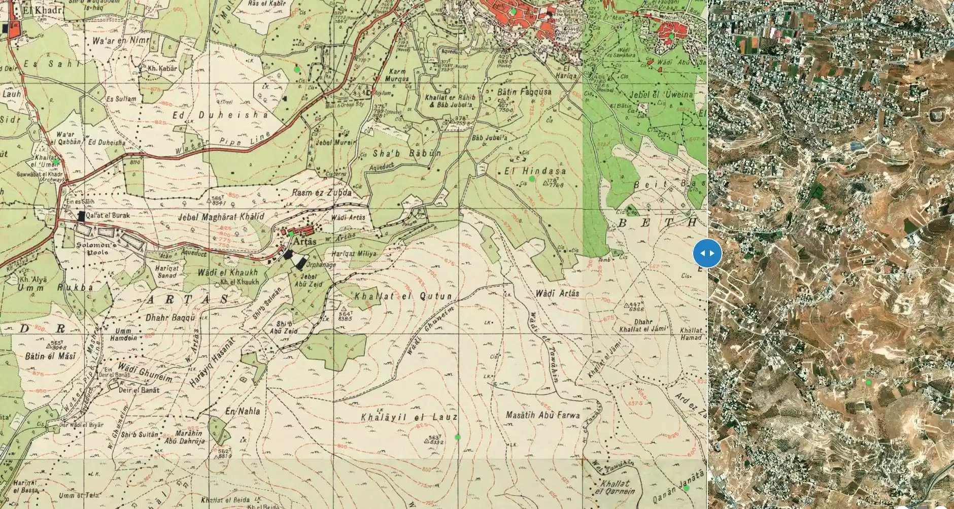
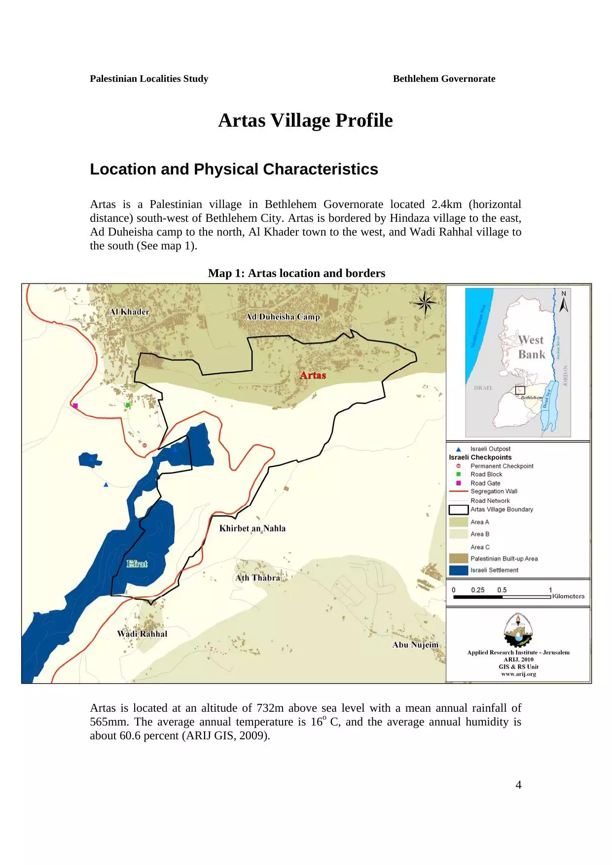
| Bethlehem |
| Gaza |
| Haifa |
| Hebron |
| Jaffa |
| Jericho |
| Jerusalem |
| Jinin |
| Nablus |
| Nazareth |
| Ramallah |
| al-Ramla |
| Safad |
| Tiberias |
| Tulkarm |
| Donate |
| Contact |
| Profile |
| Videos |
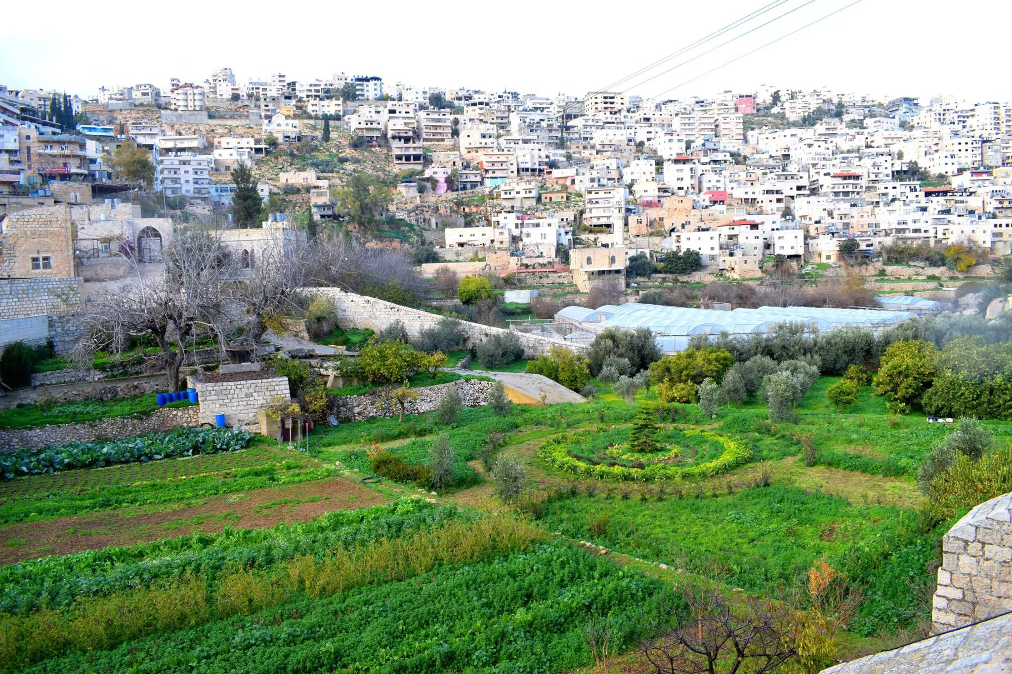
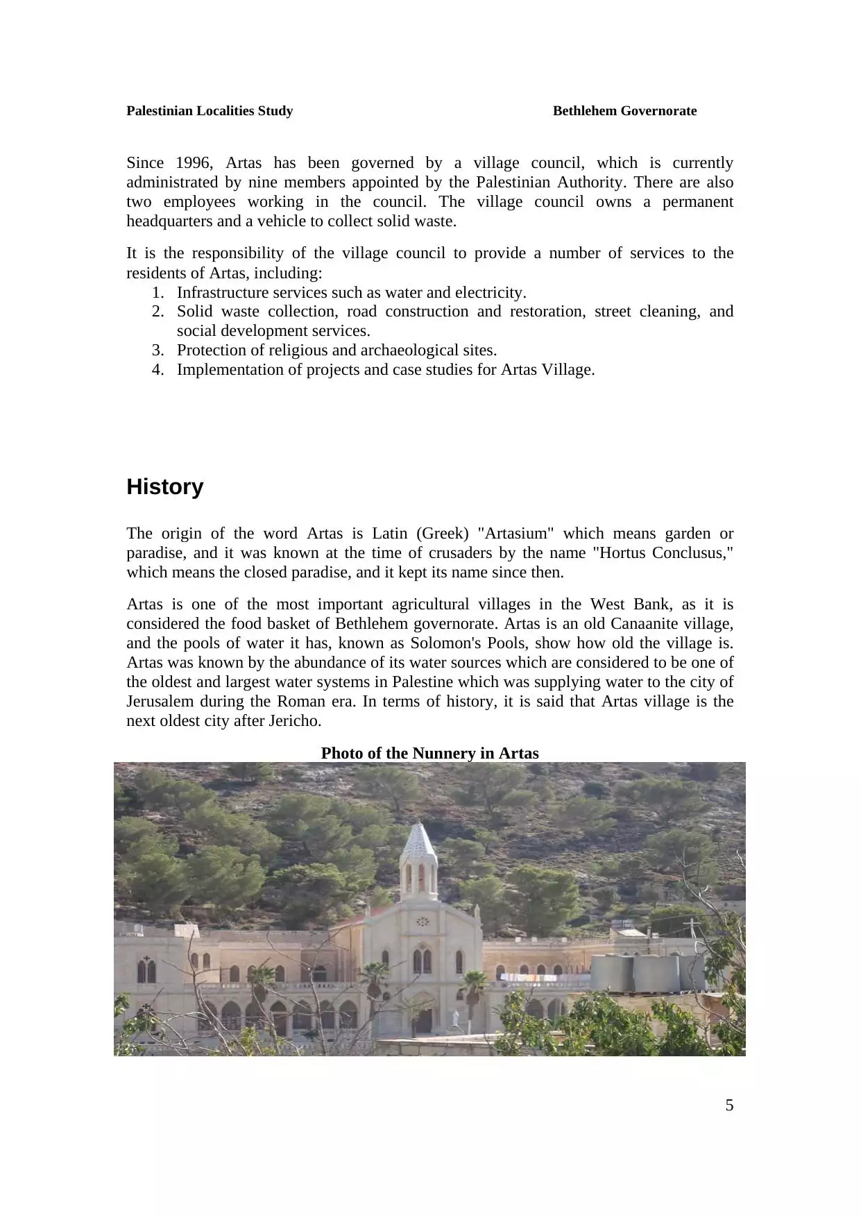
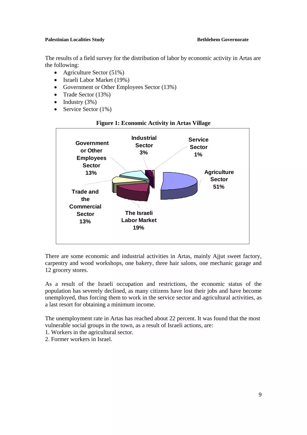
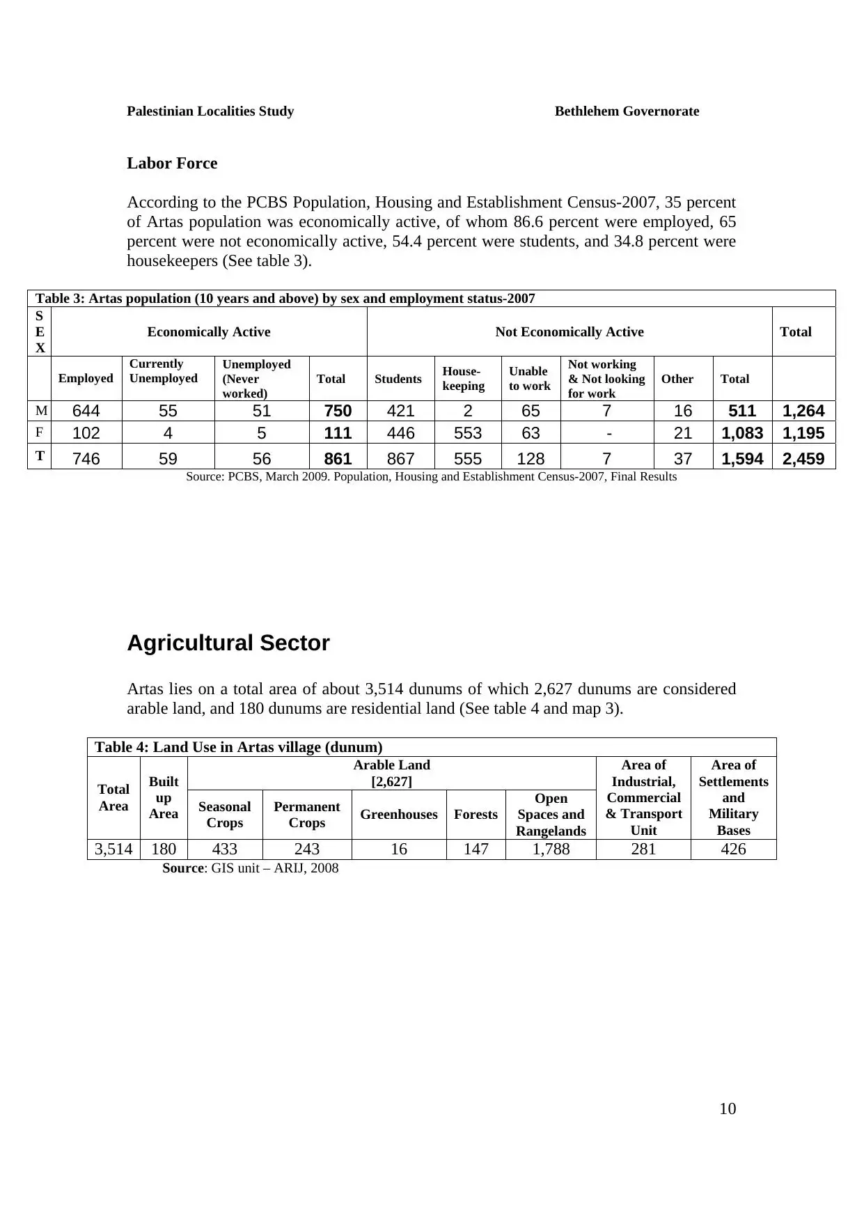
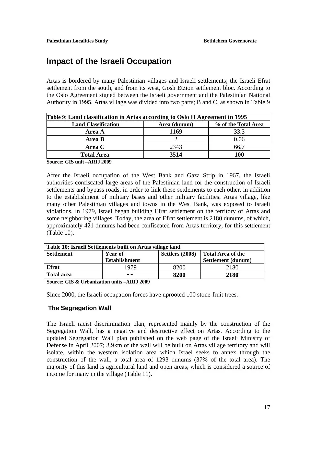
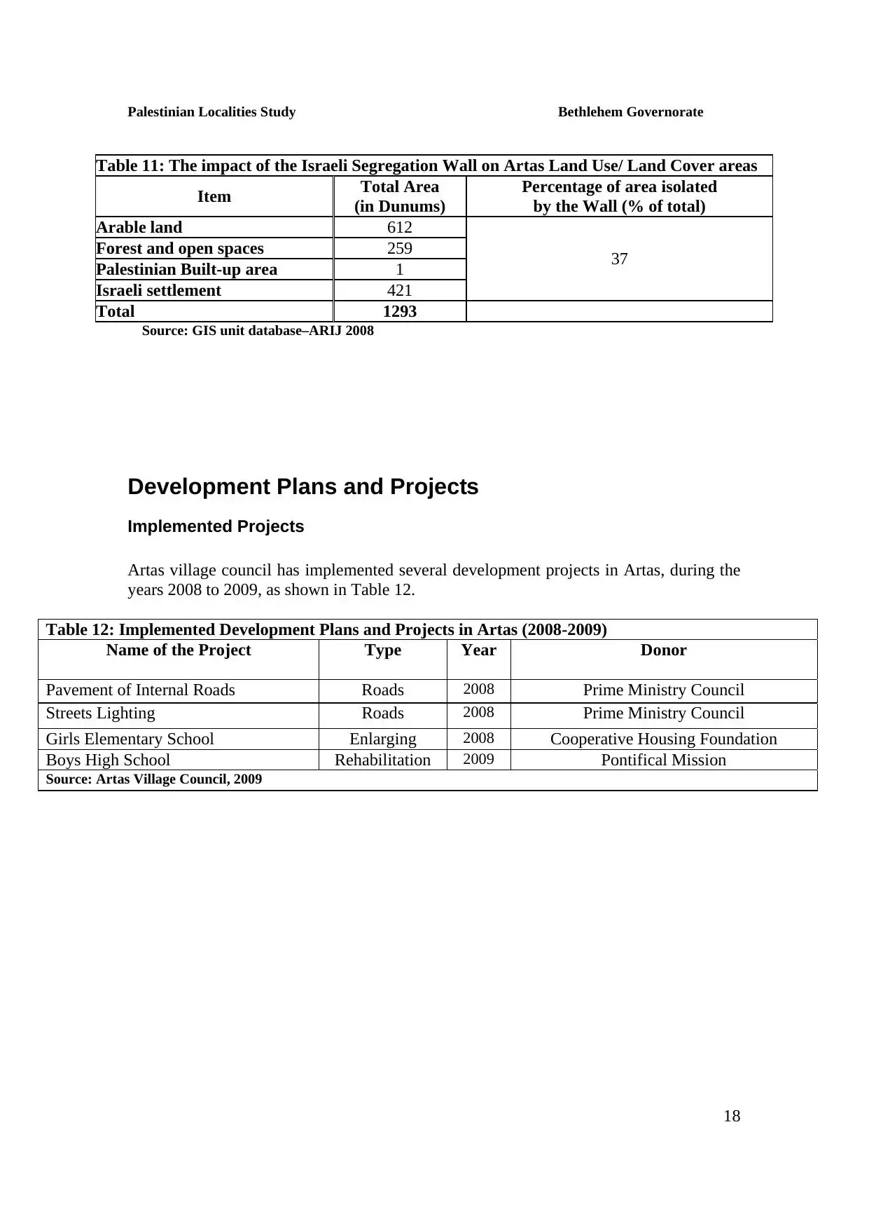
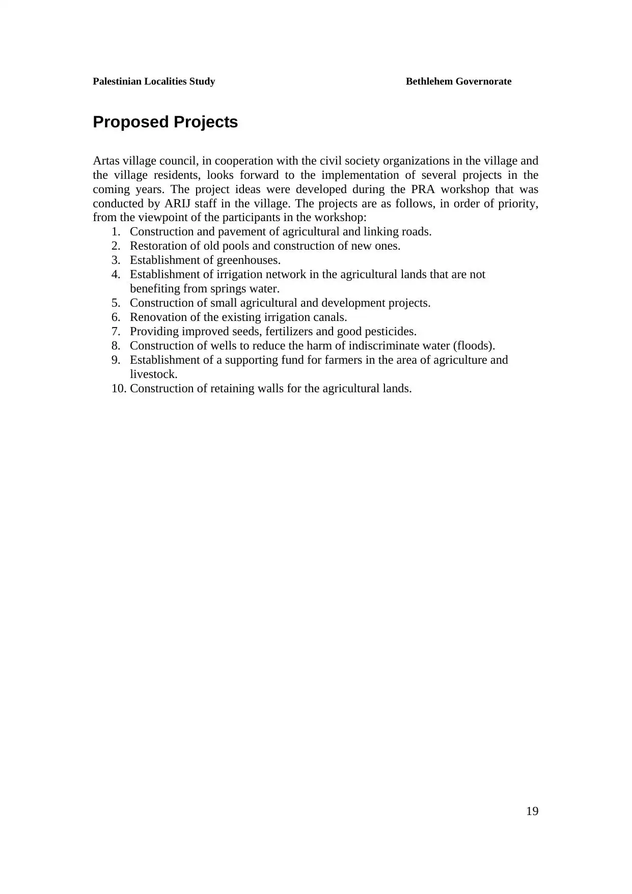
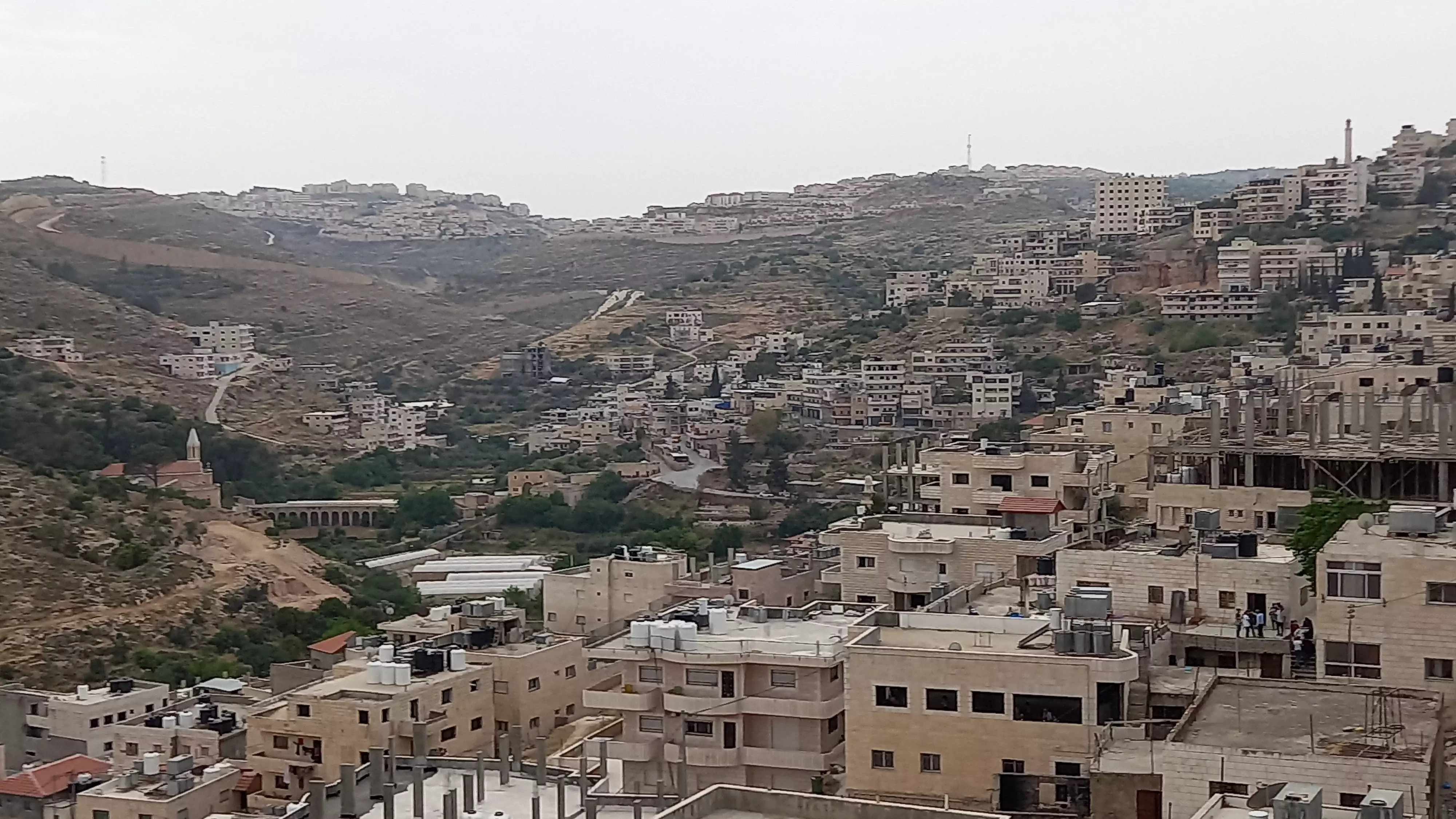
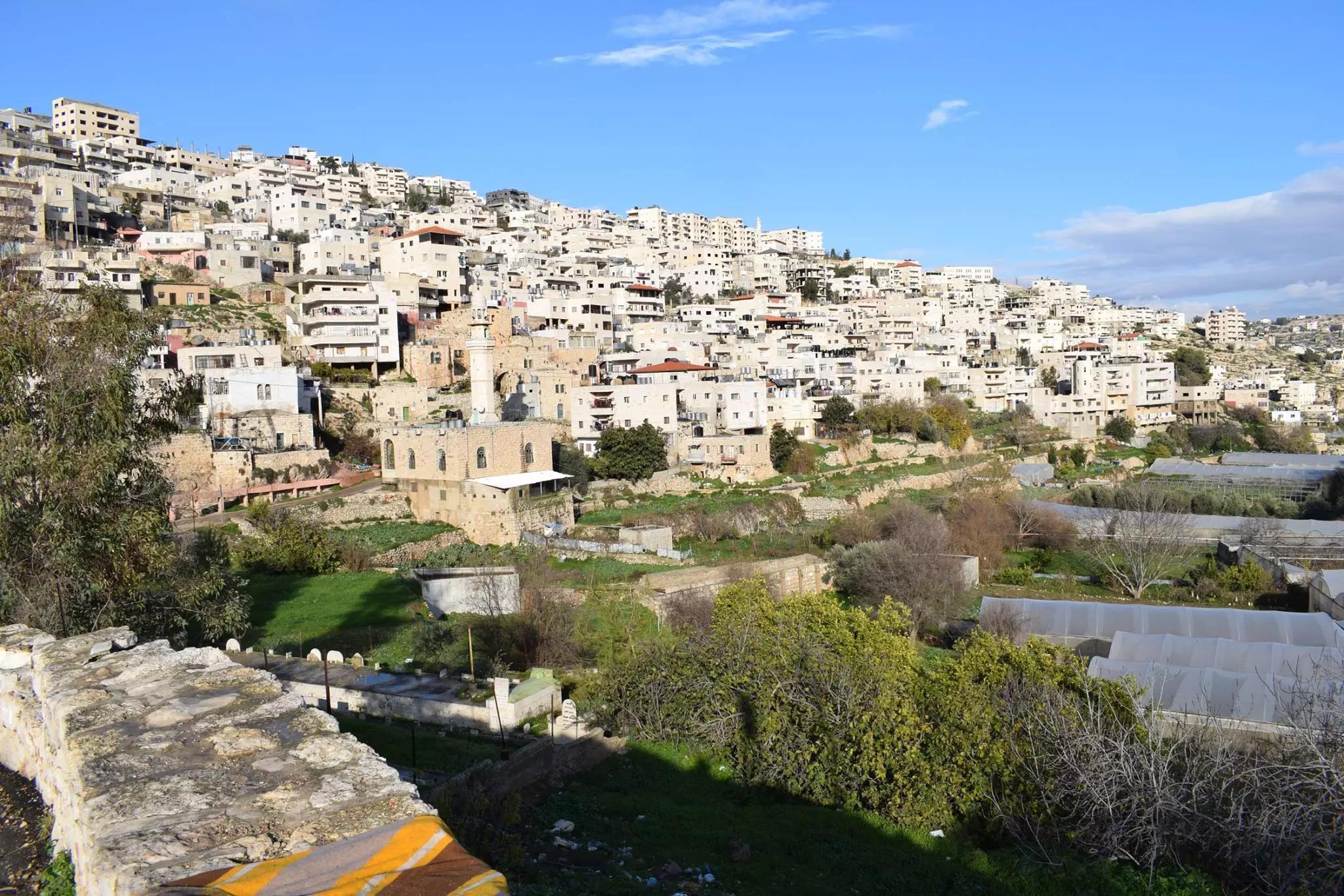
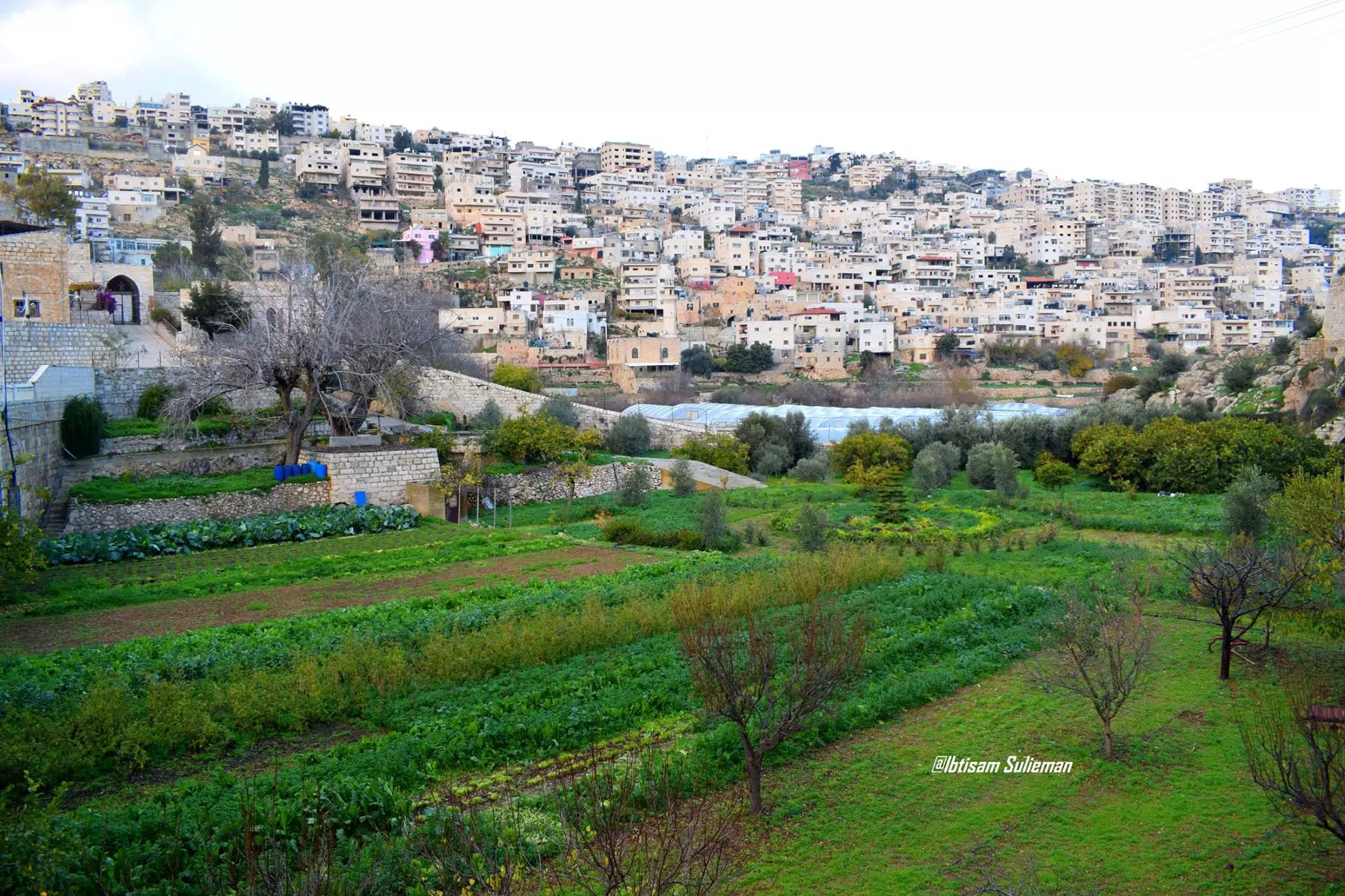
Welcome To Artas - أرطاس (ארטאס)
|
District of Bethlehem
Occupied days ago |
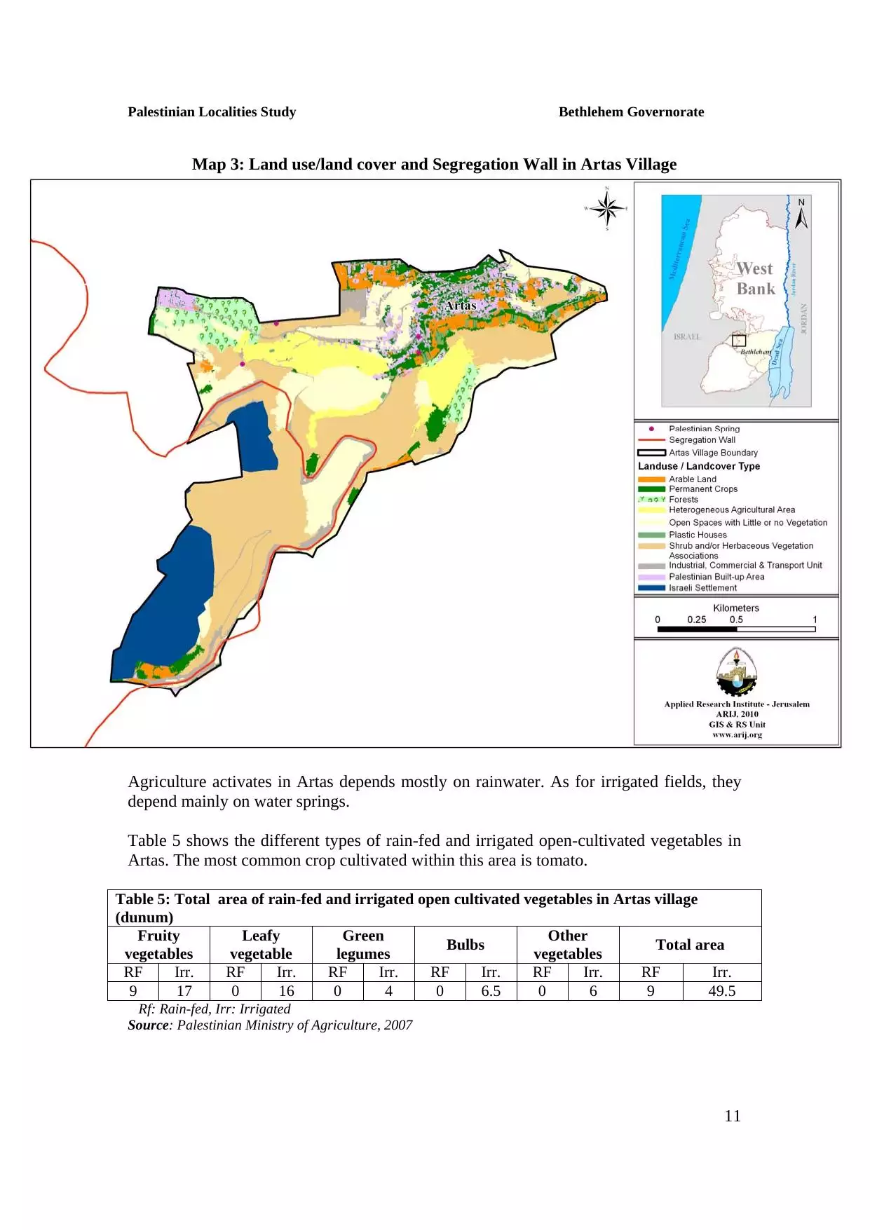
العربية Google Earth |
 |
Gallery (255) |
- Statistics & Facts
-
Before & After

- Satellite View
- Articles 21
- Pictures 255
- Members 6
- Families
- Wikipedia
- ARIJ Guide
- Videos 6
- Guest Book 3
- Links 1
| Statistic & Fact | Value | ||||||||||||||||||||||
| Distance From District | 4 km southwest of Bethlehem | ||||||||||||||||||||||
| Elevation | 732 meters | ||||||||||||||||||||||
| Before & After Nakba, Click Map For Details |
|||||||||||||||||||||||
|
|||||||||||||||||||||||
| Land Ownership |
**Town Lands' Demarcation Maps |
||||||||||||||||||||||
| Land Usage As of 1945 |
|
||||||||||||||||||||||
| Population |
|
||||||||||||||||||||||
| Near By Towns |
|||||||||||||||||||||||
|
|||||||||||||||||||||||
| Featured Video | |||||||||||||||||||||||
| ARIJ Guide | |||||||||||||||||||||||
3.
4. 
5. 
6. 
7. 
8. 
9. 
10. 
11. 
12. 
13. 
14. 
15. 
16. 
17. 
18. 
19. 
20. 
21. 
Click here to browse online. |
|||||||||||||||||||||||
| Related Maps | Town Lands' Demarcation Maps خرائط للقضاء توضح حدود القرى والاودية View from satellite Town's map on MapQuest Help us map this town at WikiMapia |
||||||||||||||||||||||
| Related Links | Wikipedia's Page Facebook Page ARIJ Guide Google Search Google For Images Google For Videos في كتاب بلادنا فلسطين دليل أريج المزيد من موقع هوية |
||||||||||||||||||||||
- أرطاس.. ( ألجنة ألمقفلة)... نشيدالاناشيد
- شجرة العائلة لعائلات أرطاس -- فادي سند
- الشهيد الفارس داوود علي أحمد أبو صويّ
- أرشيف موسى سند عن آرطاس
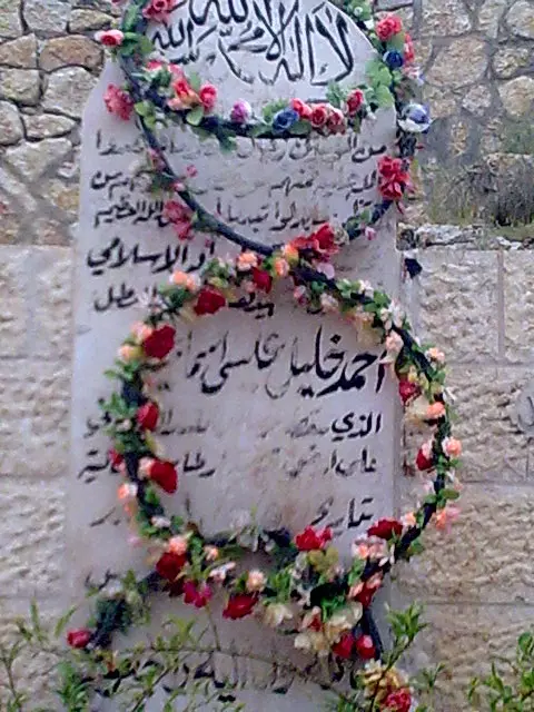
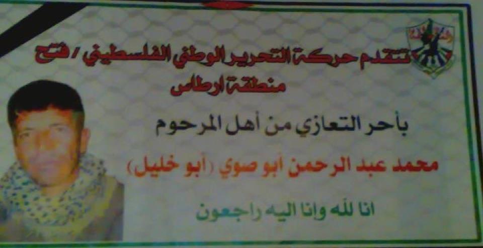
- الشهيد أحمد خليل أسعد (أبو خليل)
- انتهاكات الاحتلال ضد القريه
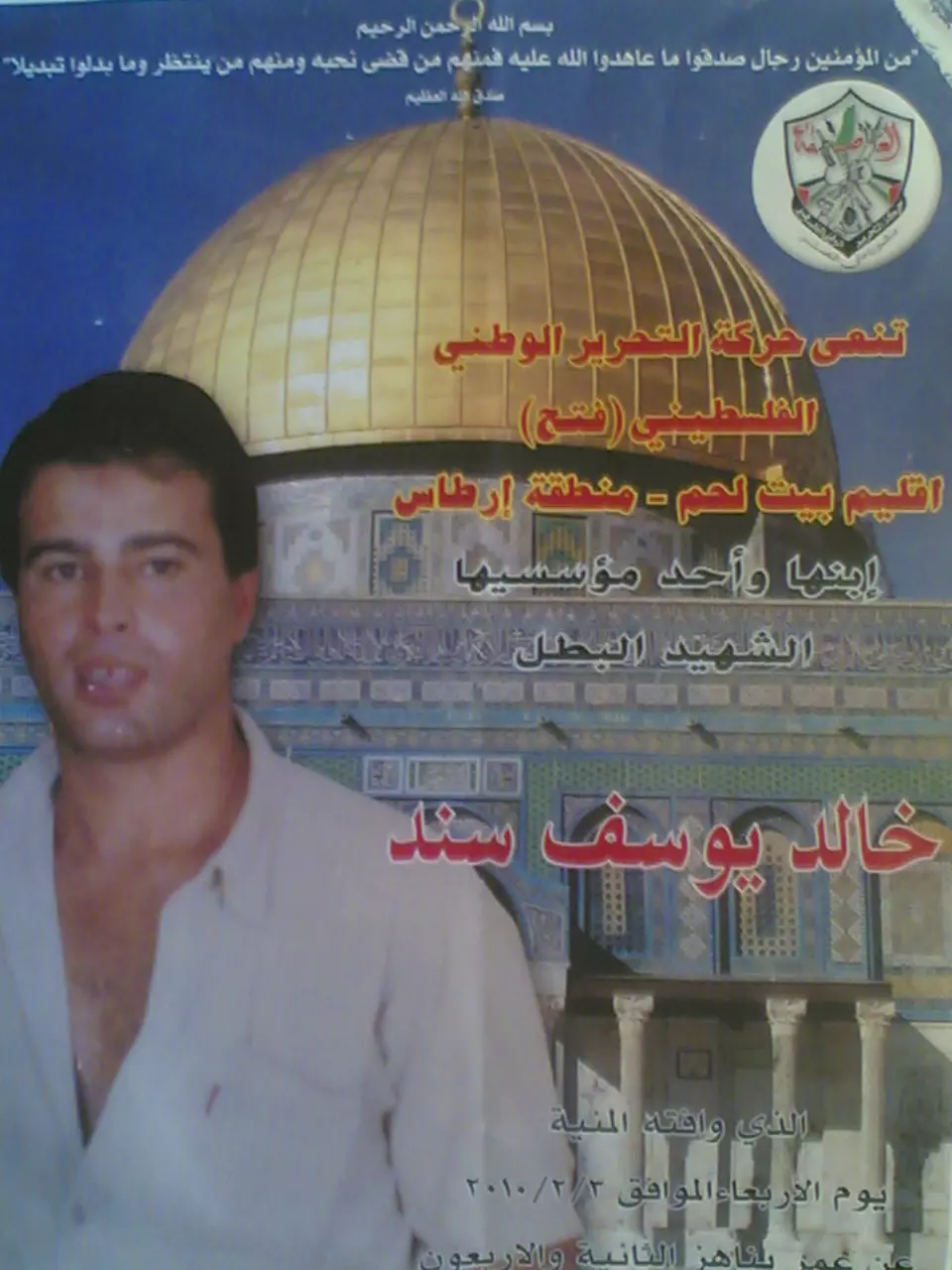
- الشهيد خالد يوسف سند (ابو يوسف)
- ارطاس تودع الاسير المحرر خالد سند
- الإصابات الحاده للعضلات والاربطه تمثل 50
- كلمات رثاء احمد البلبول
- كلمات رثاء خالد يوسف سند (ابو يوسف)
- انتهاكات الاحتلال ضد قرية ارطاس
- قصيدة
- يعلون: يمكن لليهود البقاء بالأراضي الفلسطينية ولا داعي لإزالة مستوطنات
- فهرس موقع ارطاس للمقالات
- الى عشاق برشلونة
- ela 3osak Barselona
- كلمات قصيدة سلاح الثورة
- 10 احاديث نبوية شريفة في فضل قراءة القراًن
- صفحة ارطاس الجنة المقفلة على الفيس بوك
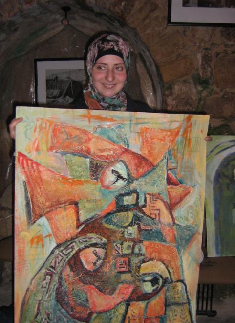
- ارطاس لوحه فنيه الهيه ونفوس ابيه
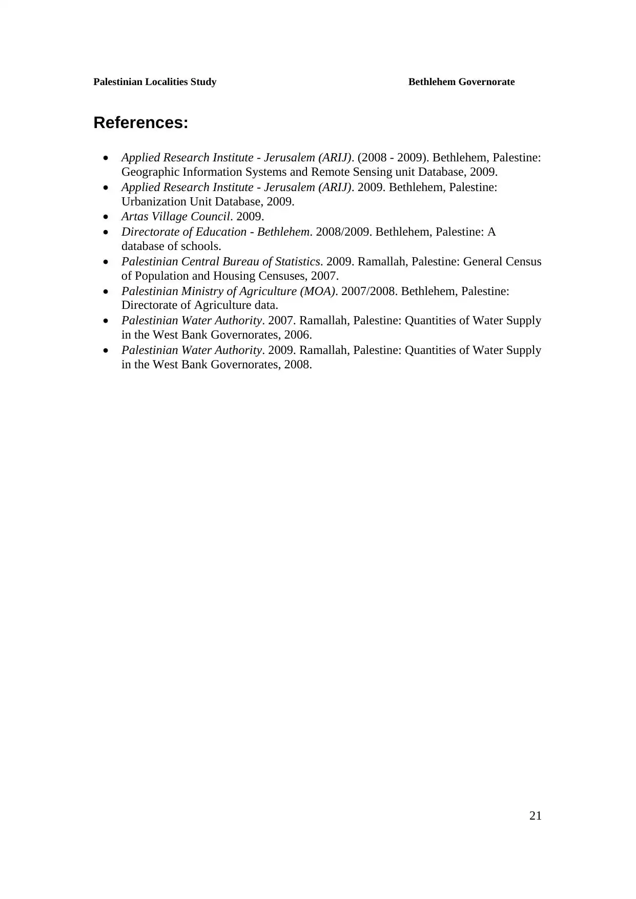
- منظر عام في بداية القرن العشرين
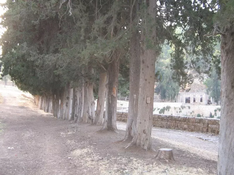
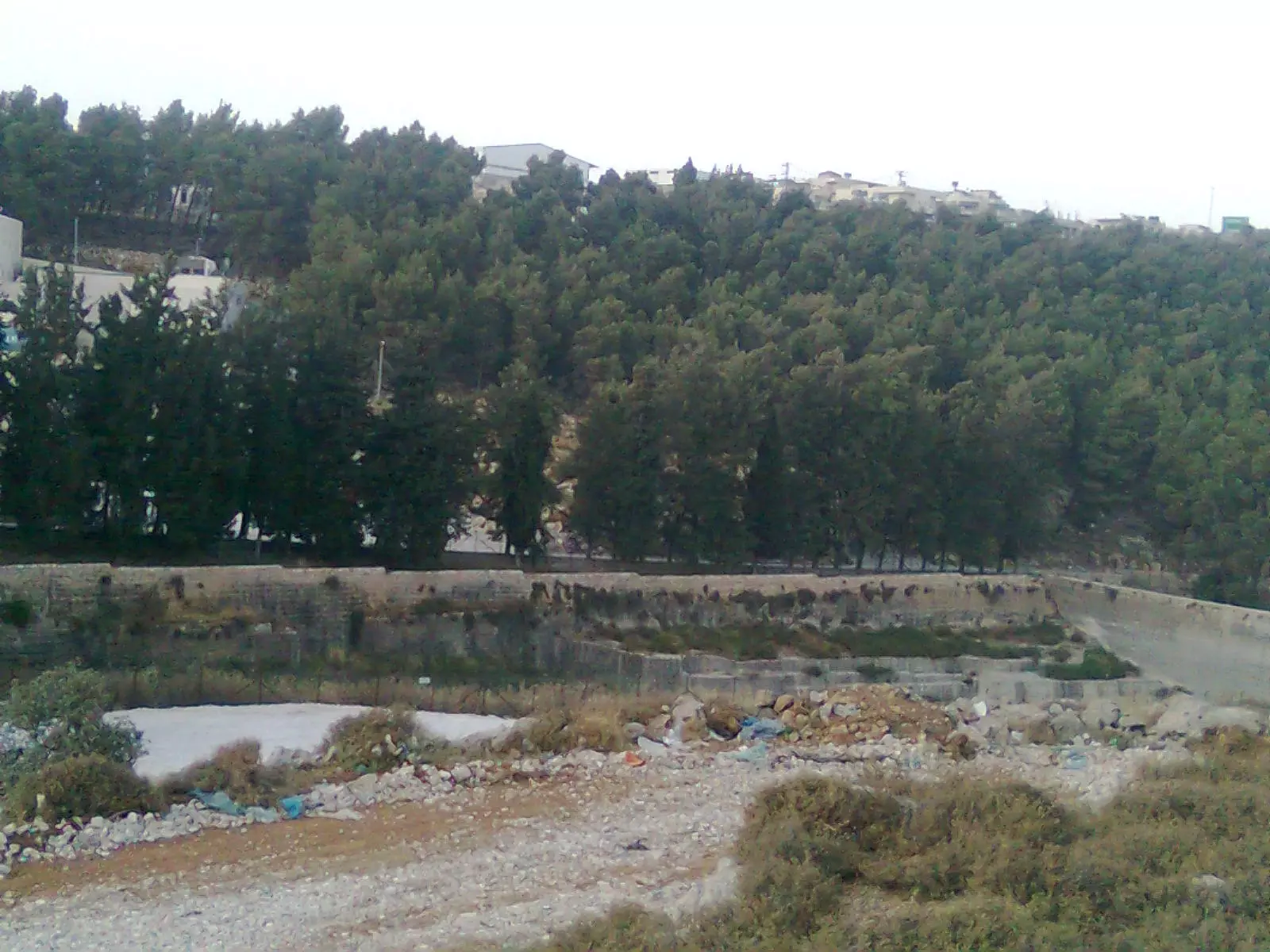
Posted by Fadel Haddad 8 - وادي ارطاس
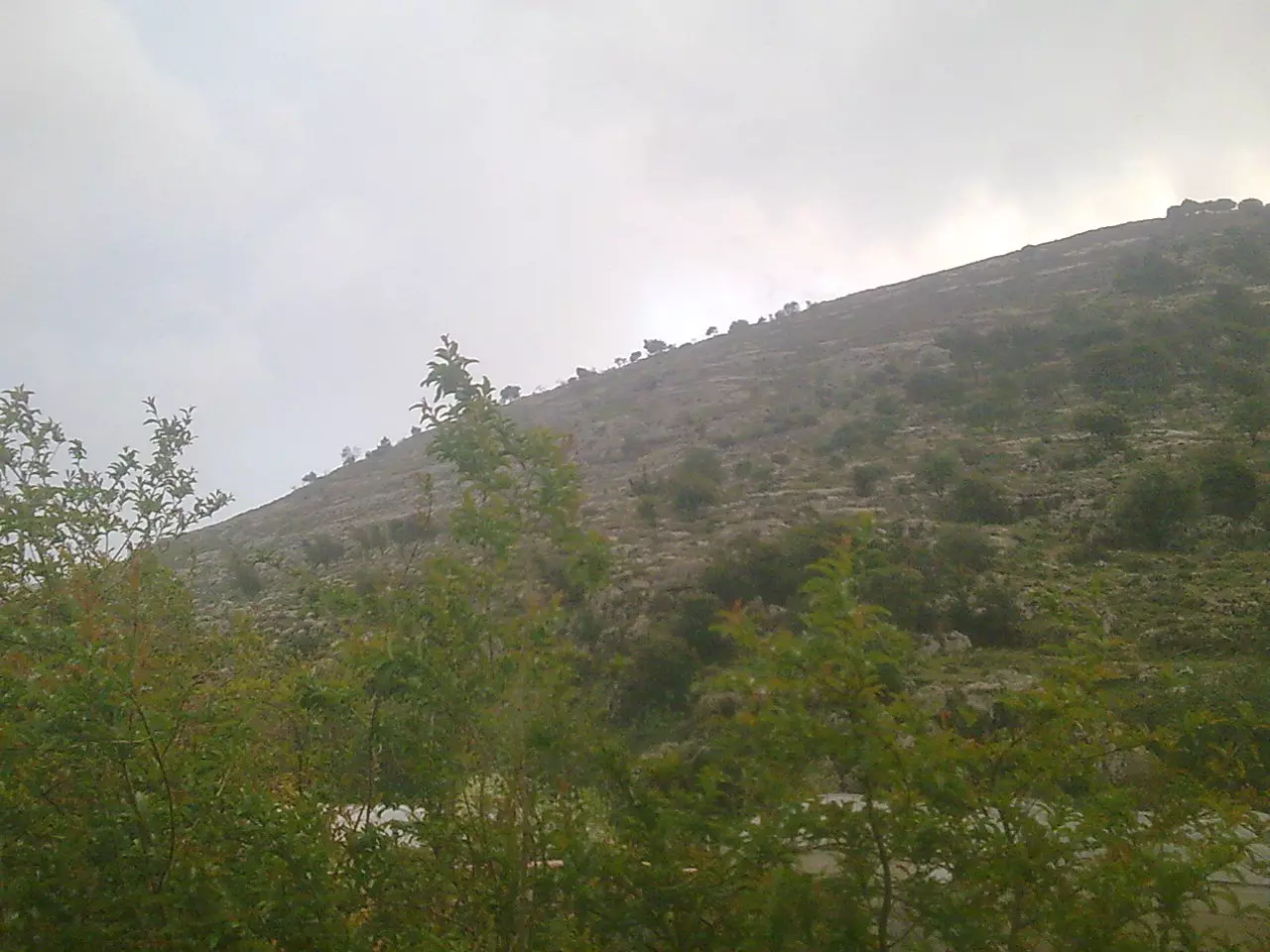
Posted by سائد سند 4 - منظر من الجبل
Posted by سائد سند - منظر عام
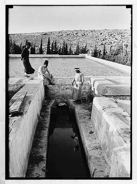
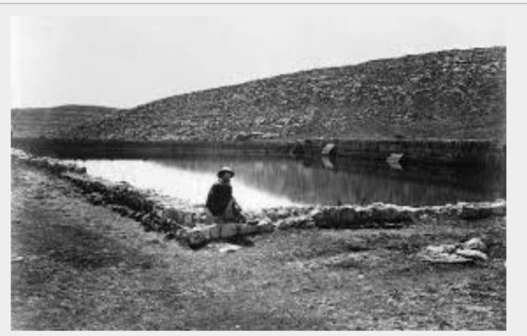
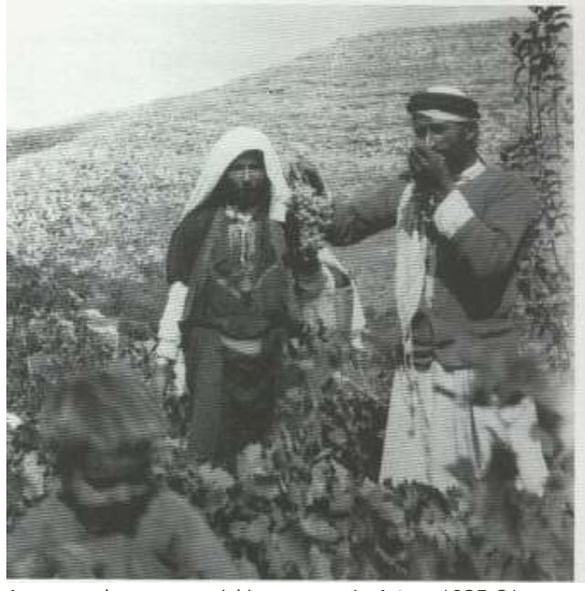
Posted by سائد سند 2 - Man Walking around Artas-Early 20th Century

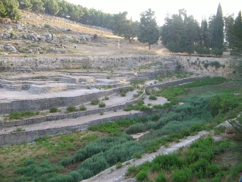
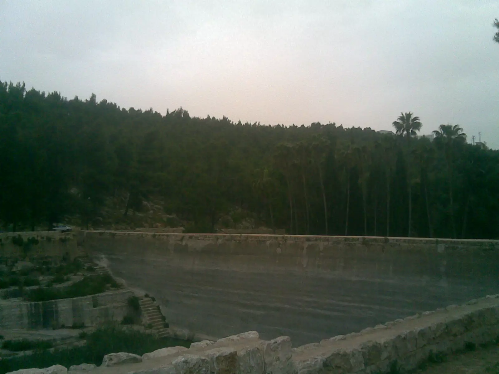
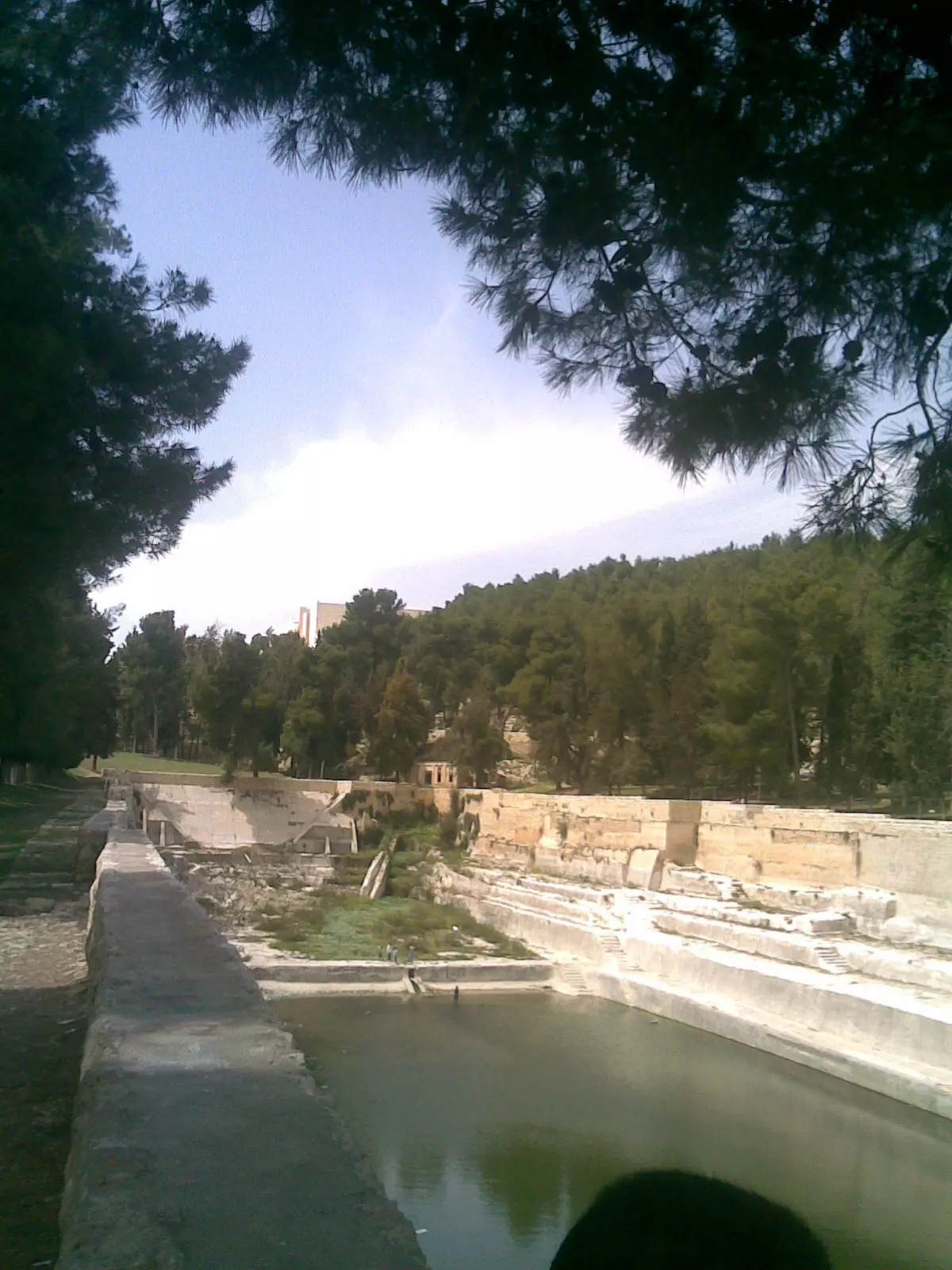
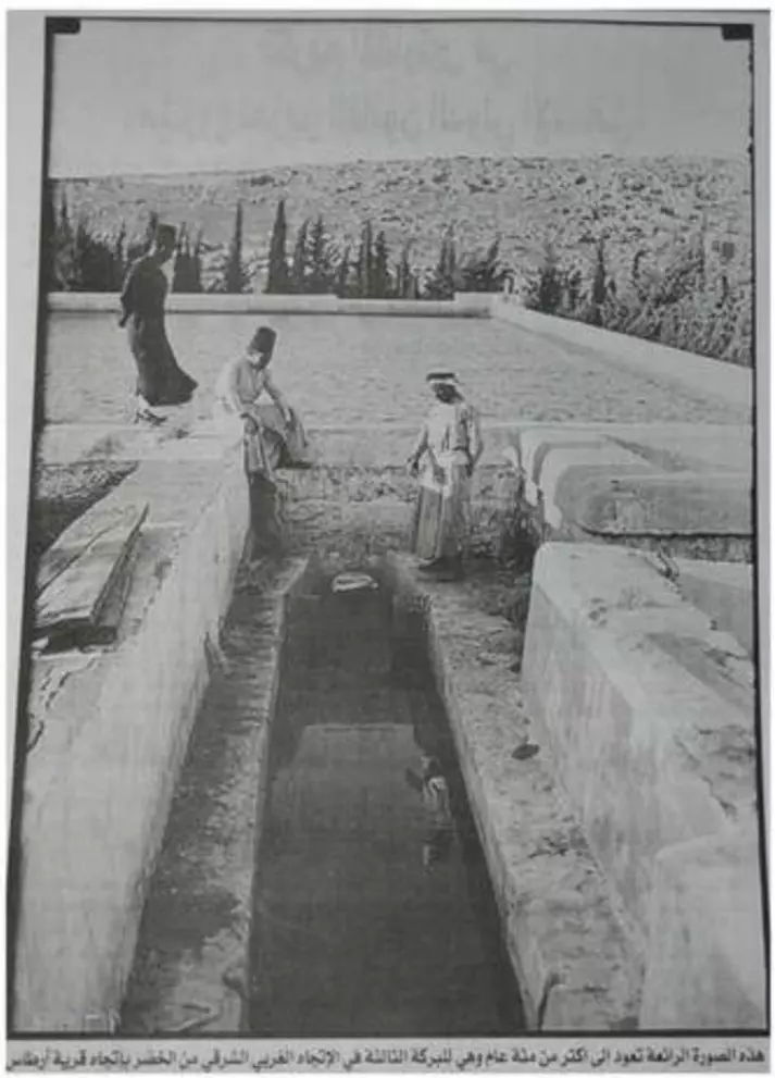
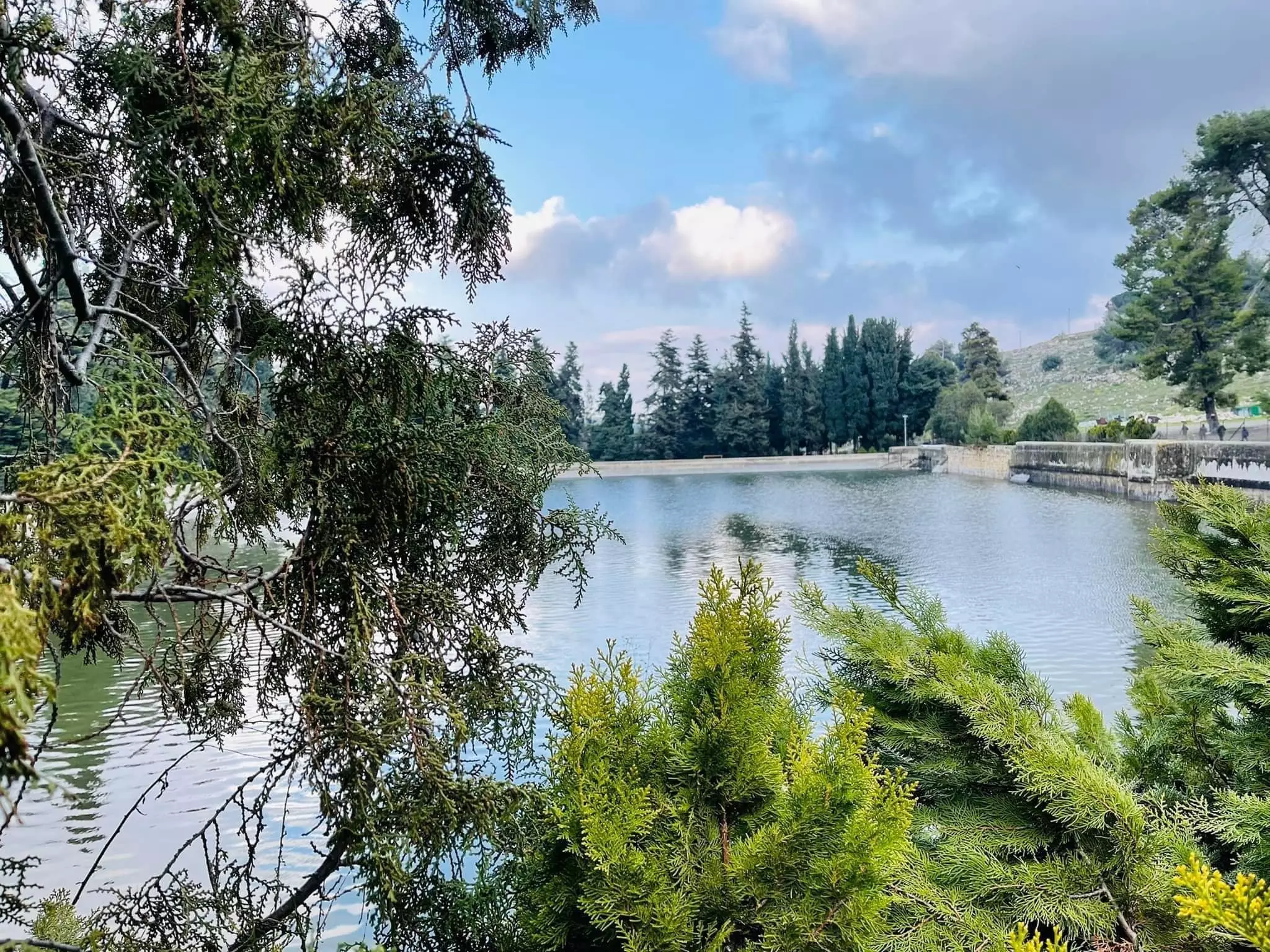
Posted by Fadel Haddad 13 - برك سليمان
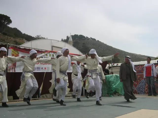
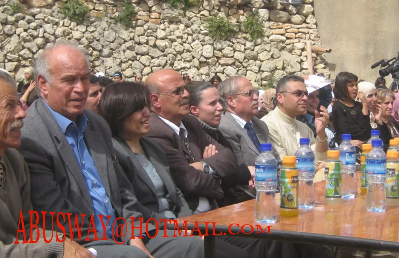
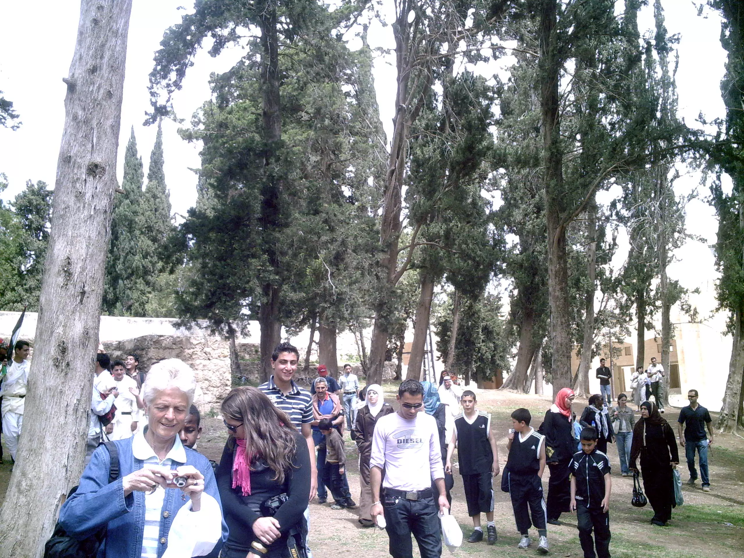
Posted by fadi sanad 3 - مهرجان
Posted by fadi sanad 1 - برك سليمان #1
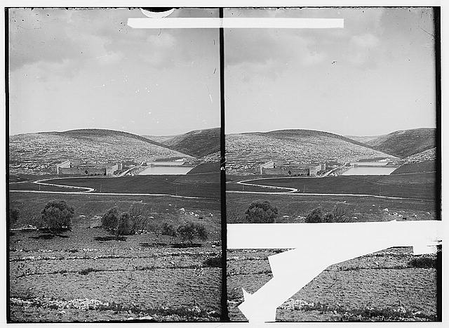
Posted by Ezz-Edine 5 - منظر عام بالقرب من برك سليمان- ارطاس
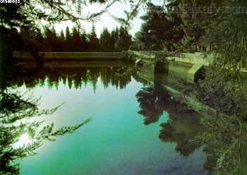
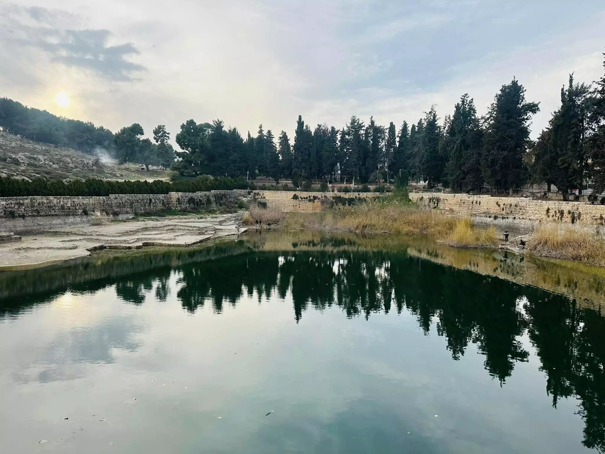
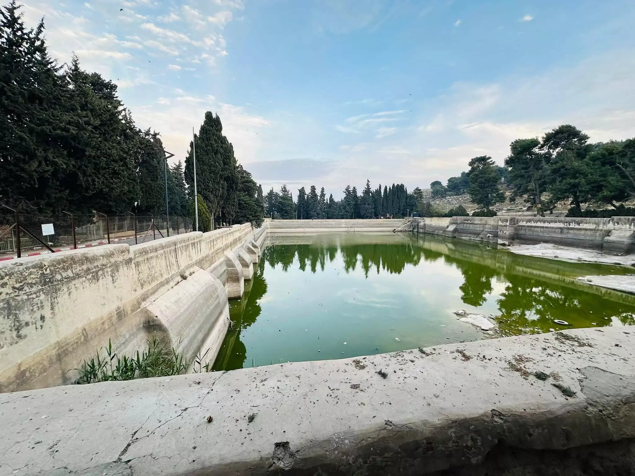
Posted by Ezz-Edine - برك سليمان - البركة الكبرى
Posted by Ezz-Edine 5 - منظر عام
Posted by براء اسعد 1 - الشهيد الفارس داوود علي أحمد أبو صويّ
Posted by براء اسعد 6 - صورة نادرة جدا لدير أرطاس-إياد ماجد ابوصوي
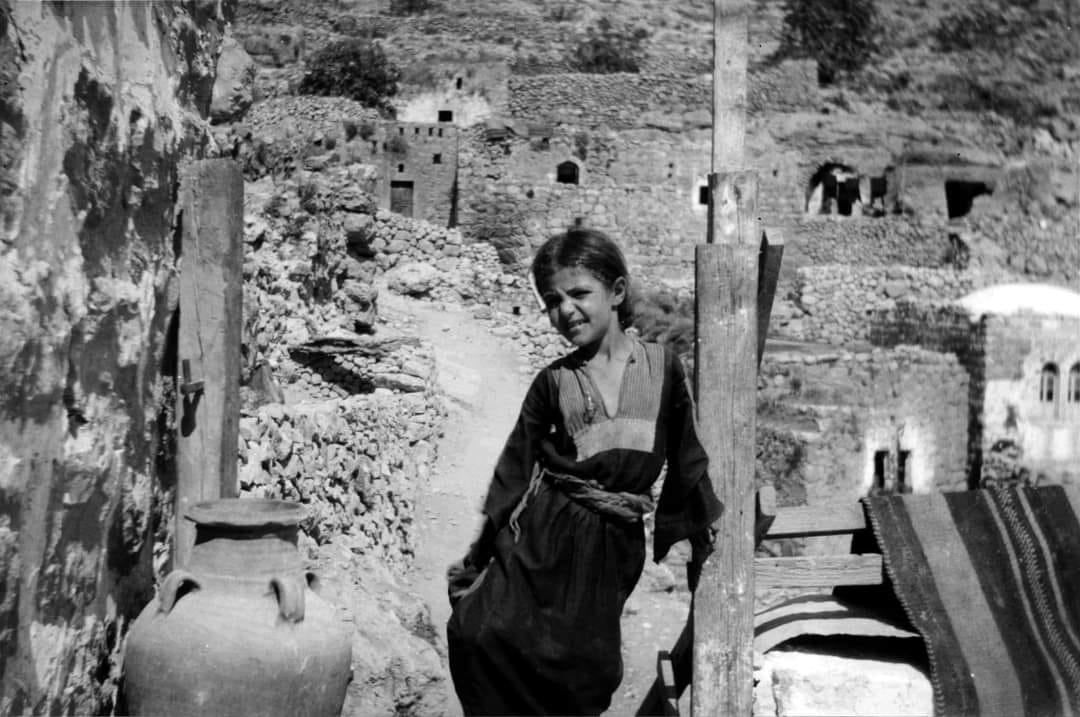
Posted by eyad abu swai - صورة نادرة جدا لسكان أرطاس-إياد ماجد ابوصوي
Posted by eyad abu swai - صورة عين أرطاس-إياد ماجد ابوصوي
Posted by eyad abu swai - bethlehem برك سليمان
Posted by samar bader 1 - صورة من العهد التركي-هدية من صفافي-

Posted by ابو عمر - صورة لبرك سليمان من العهد التركي-هدية من صفافي-
Posted by ابو عمر - Arttas taken in 1998 ; modern beekeeping in Palestine started here in 1880's !
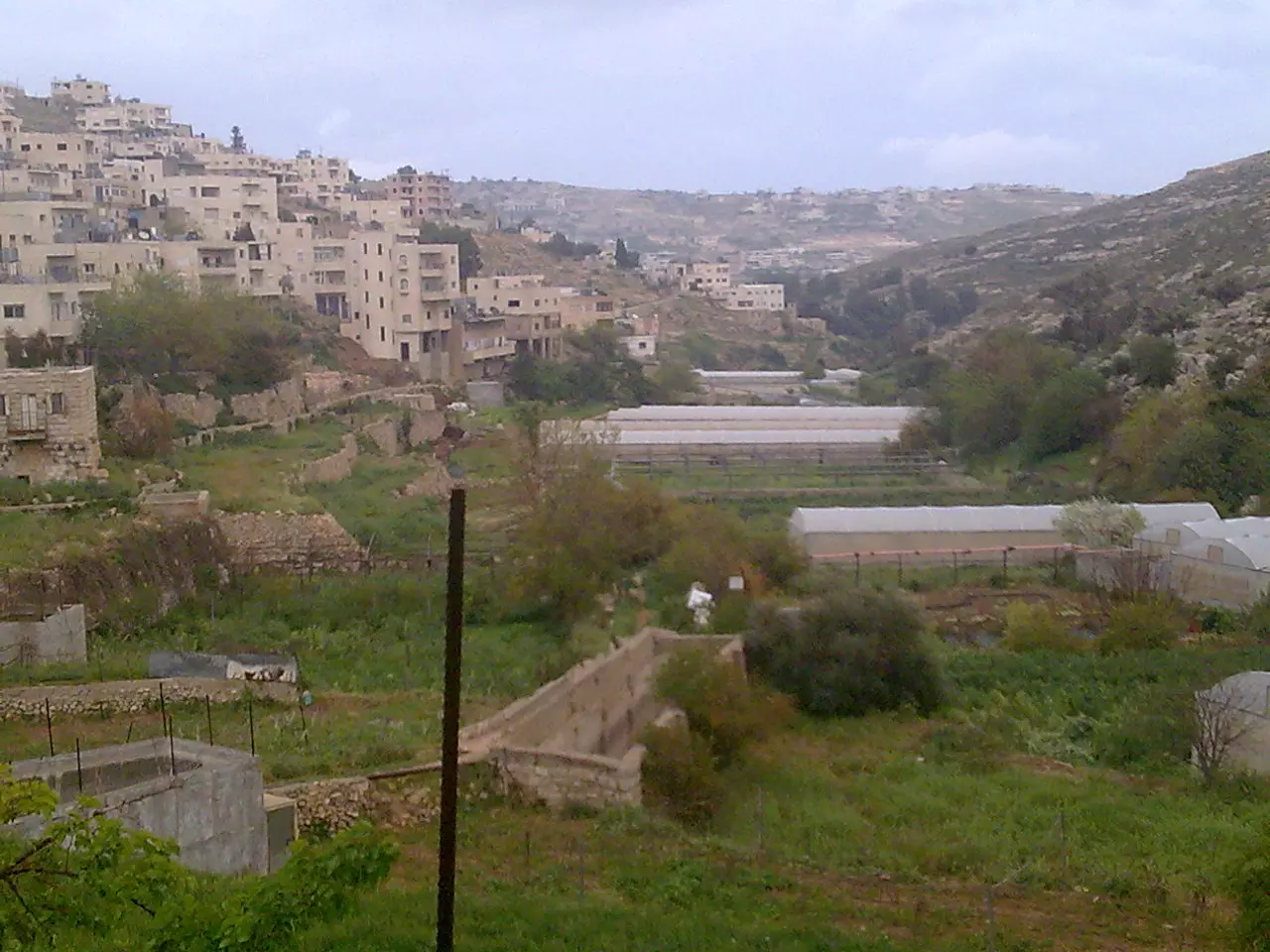
Posted by Abu Najm Bassel 1 - وادي ارطاس
Posted by سائد سند 3 - منظر عام
Posted by سائد سند - valley
Posted by سائد سند - منظر طبيعي لارطاس
Posted by سائد سند - valley
Posted by سائد سند - الدير
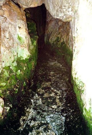
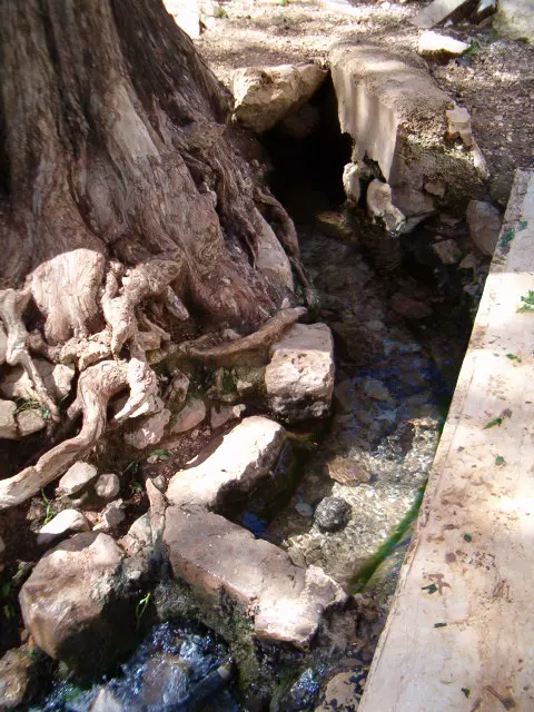
Posted by سائد سند - العين

Posted by سائد سند - العين
Posted by سائد سند - مياه العين
Posted by سائد سند - برك سليمان
Posted by nour saed - طريق الدير
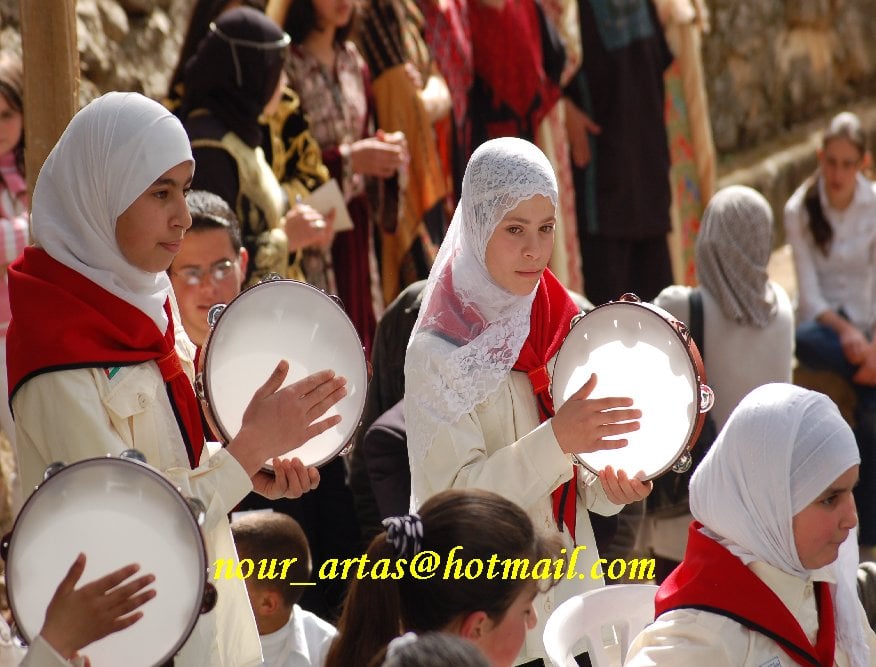
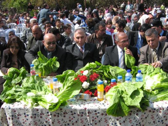
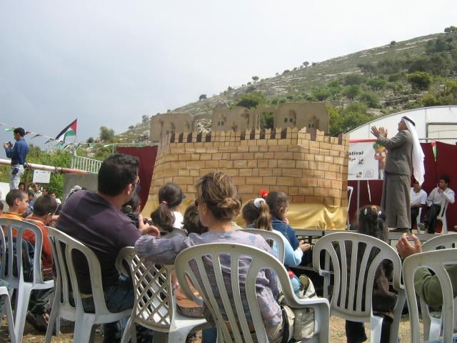
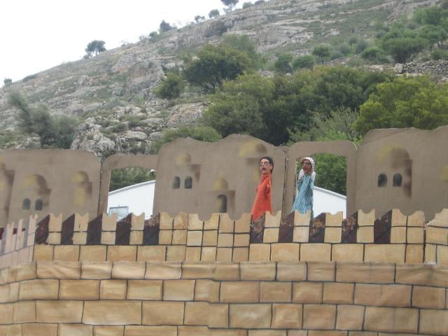
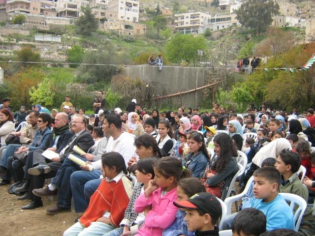
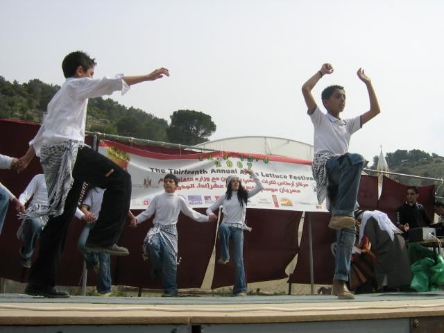
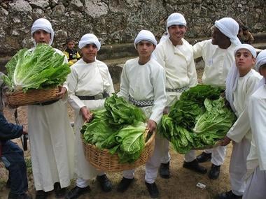
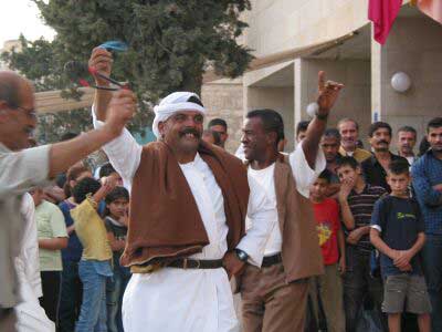
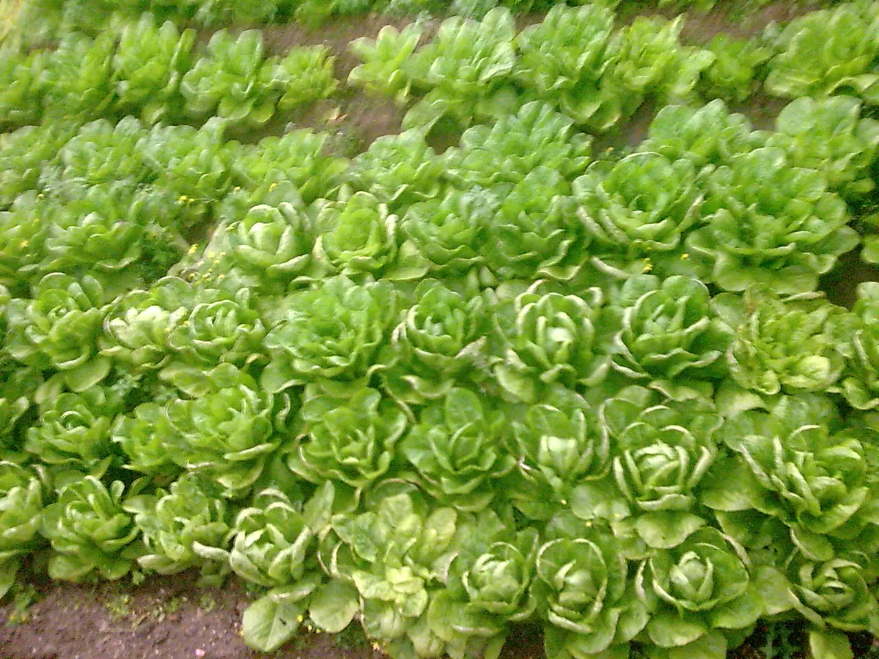
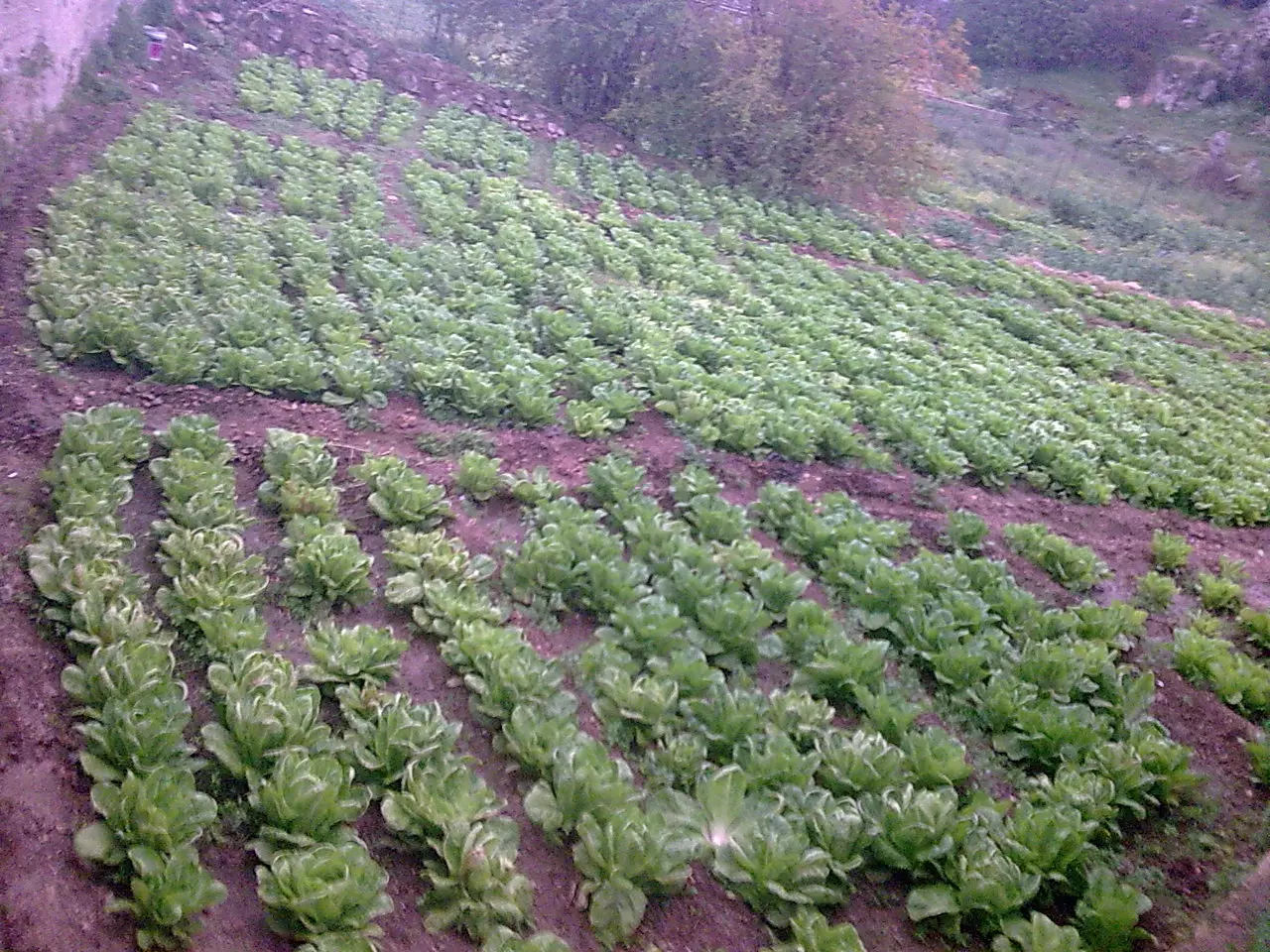
Posted by nour saed 3 - مهرجان الخس
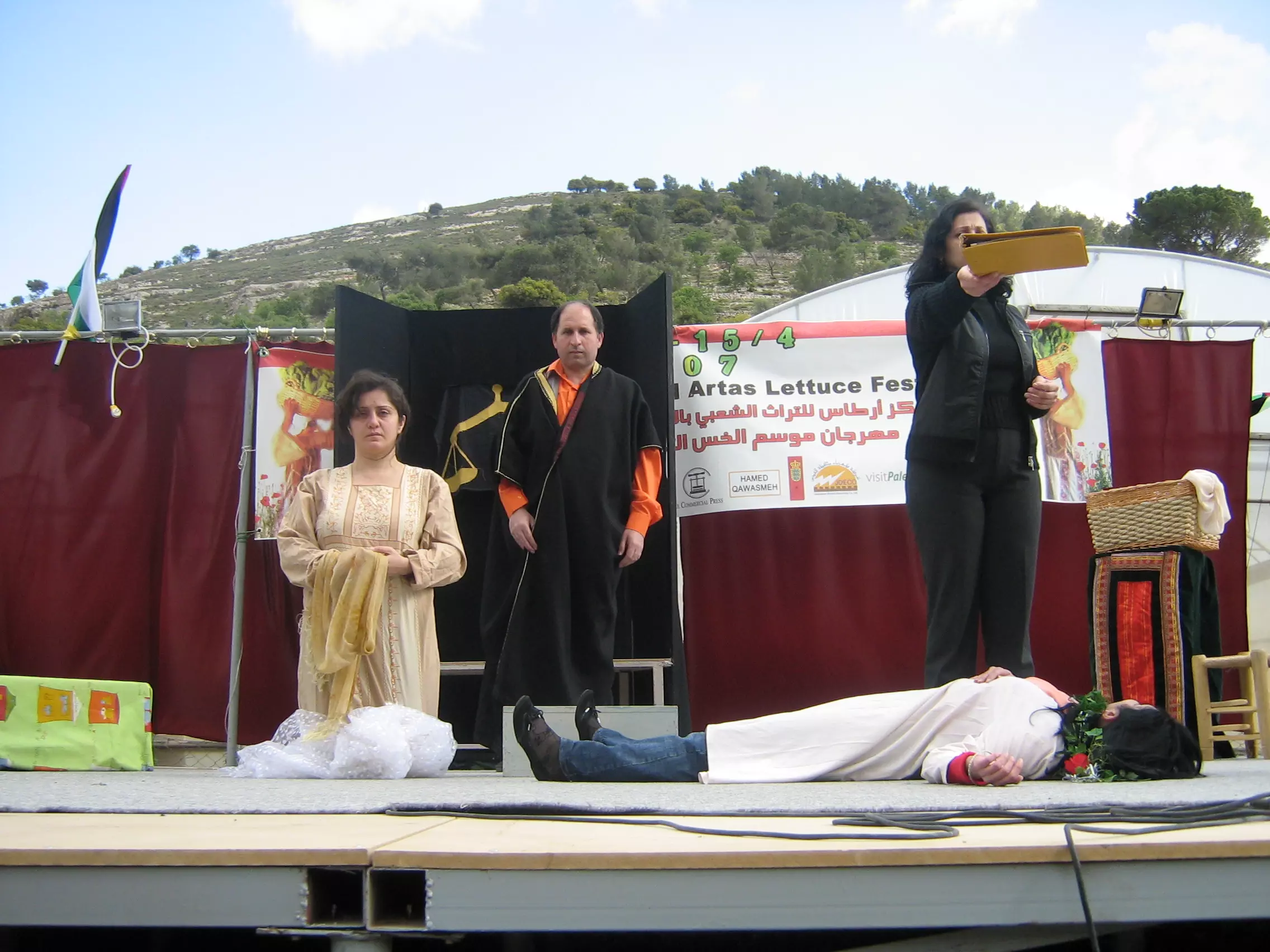
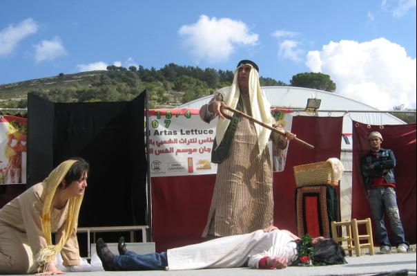
Posted by nour saed - مسرحية عشتار مهرجان الخس
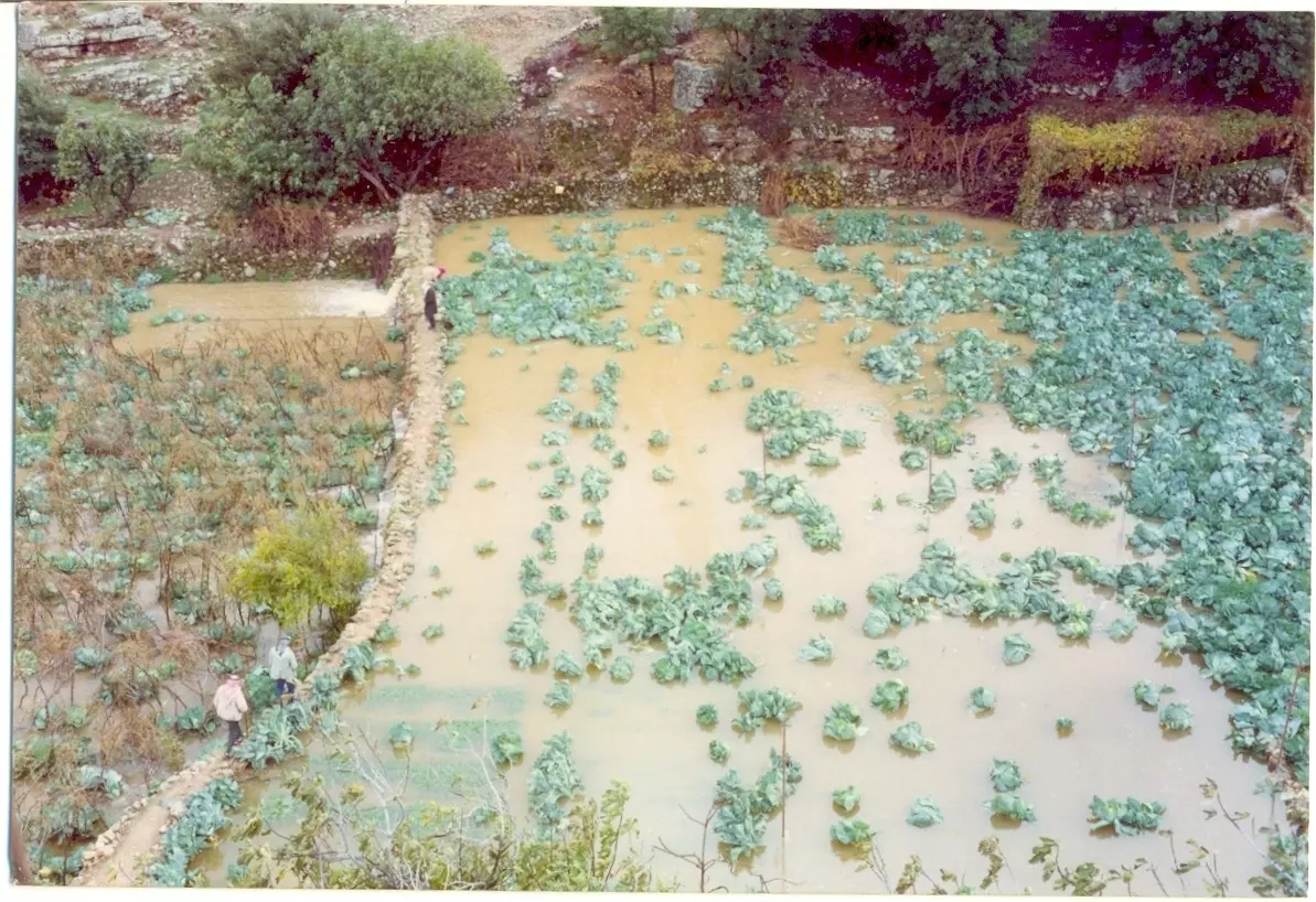
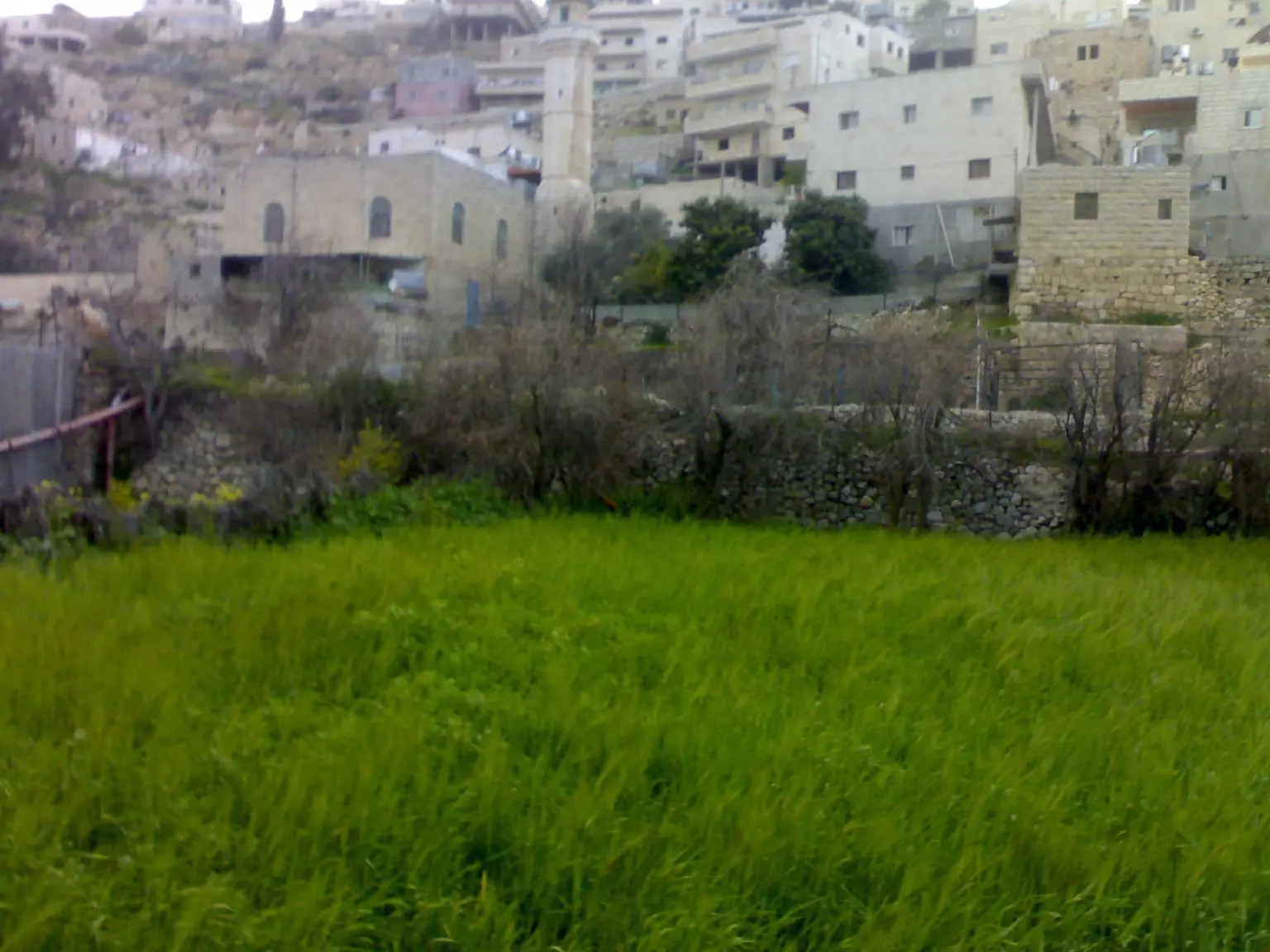
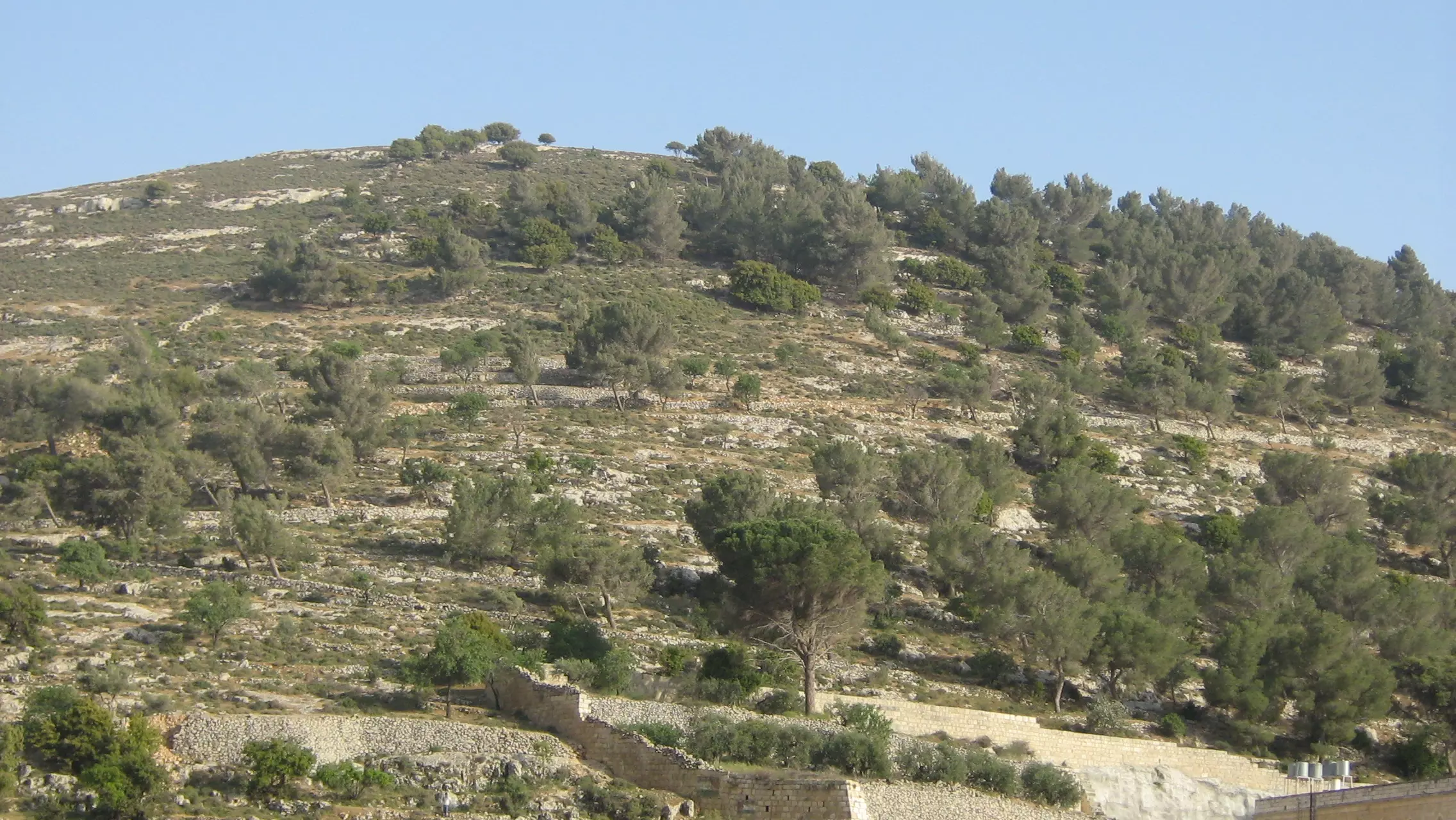
Posted by nour saed - حقول القرية في الشتاء
Posted by nour saed - عين ارطاس او المرجيع
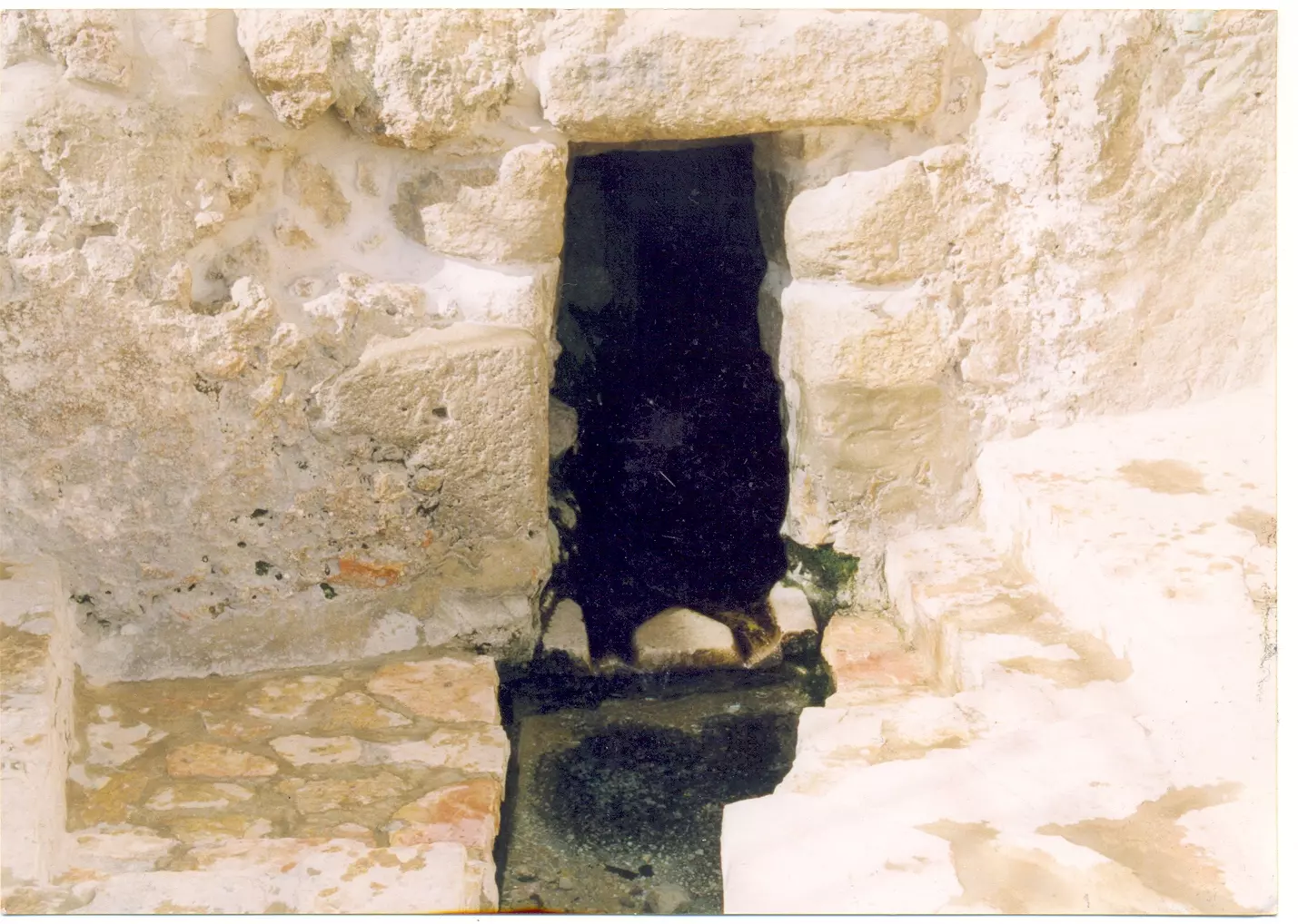
Posted by nour saed - عين البرك
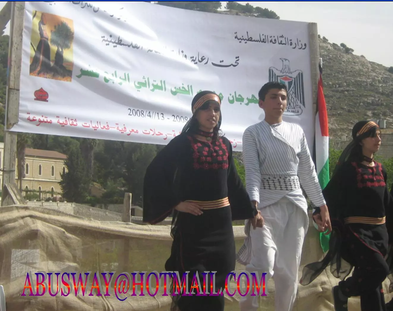
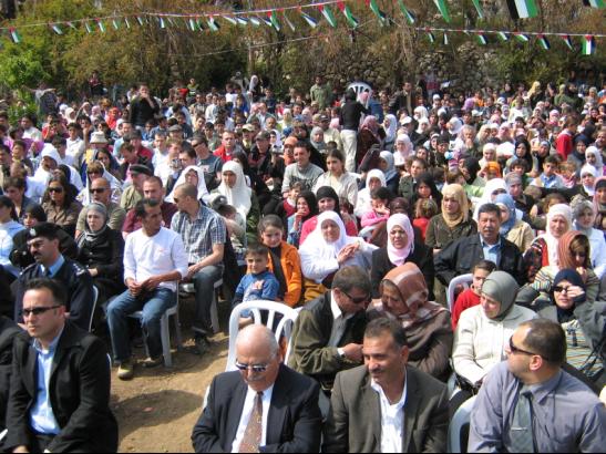
Posted by nour saed 1 - مهرجان الخس نضال ابوصوي
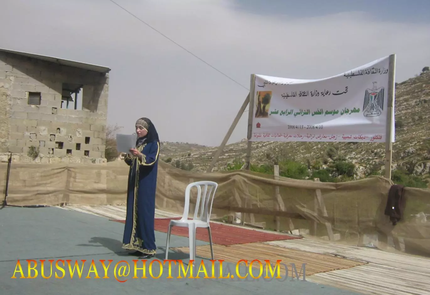
Posted by سعد - مهرجان الخس نضال ابوصوي
Posted by سعد - مهرجان نضال ابوزصوي
Posted by سعد - مهرجان نضال ابوصوي
Posted by سعد - مهرجان نضال ابصوي
Posted by سعد - مهرجان الخس نضال ابوصوي

Posted by سعد 1 - مهرجان الخس نضال ابوصوي
Posted by سعد 1 - مهرجان الخس نضال ابوصوي
Posted by سعد - مهرجان الخس نضال ابوصوي
Posted by سعد - مهرجان الخس نضال ابوصوي
Posted by سعد 1 - مهرجان الخس نضال ابوصوي

Posted by سعد - رطاس نضال ابوصوي
Posted by سعد 1 - مهرجان الخس نضال ابوصوي
Posted by سعد - مهرجان الخس نضال ابوصوي
Posted by سعد 2 - مهرجان الخس نضال ابوصوي
Posted by سعد - مهرجان الخس نضال ابوصوي
Posted by سعد - مهرجان الخس نضال ابوصوي
Posted by سعد - مهرجان الخس نضال ابوصوي
Posted by سعد - مهرجان الخس نضال ابوصوي
Posted by سعد - مهرجان الخس نضال ابوصوي
Posted by سعد - مهرجان الخس نضال ابوصوي
Posted by سعد - مهرجان الخس نضال ابوصوي .
Posted by سعد - مهرجان الخس 2008 نضال ابوصوي
Posted by سعد - دير رطاس نضال ابوصوي

Posted by سعد 1 - مهراجان الخس في الدير رطاس نضال ابوصوي
Posted by سعد 1 - تراث رطاس نضال ابوصوي
Posted by سعد - مهرجان الخس عصمت ابوصوي
Posted by سعد - مهرجان الخس عصمت ابوصوي
Posted by سعد 1 - رطاس نضال ابوصوي
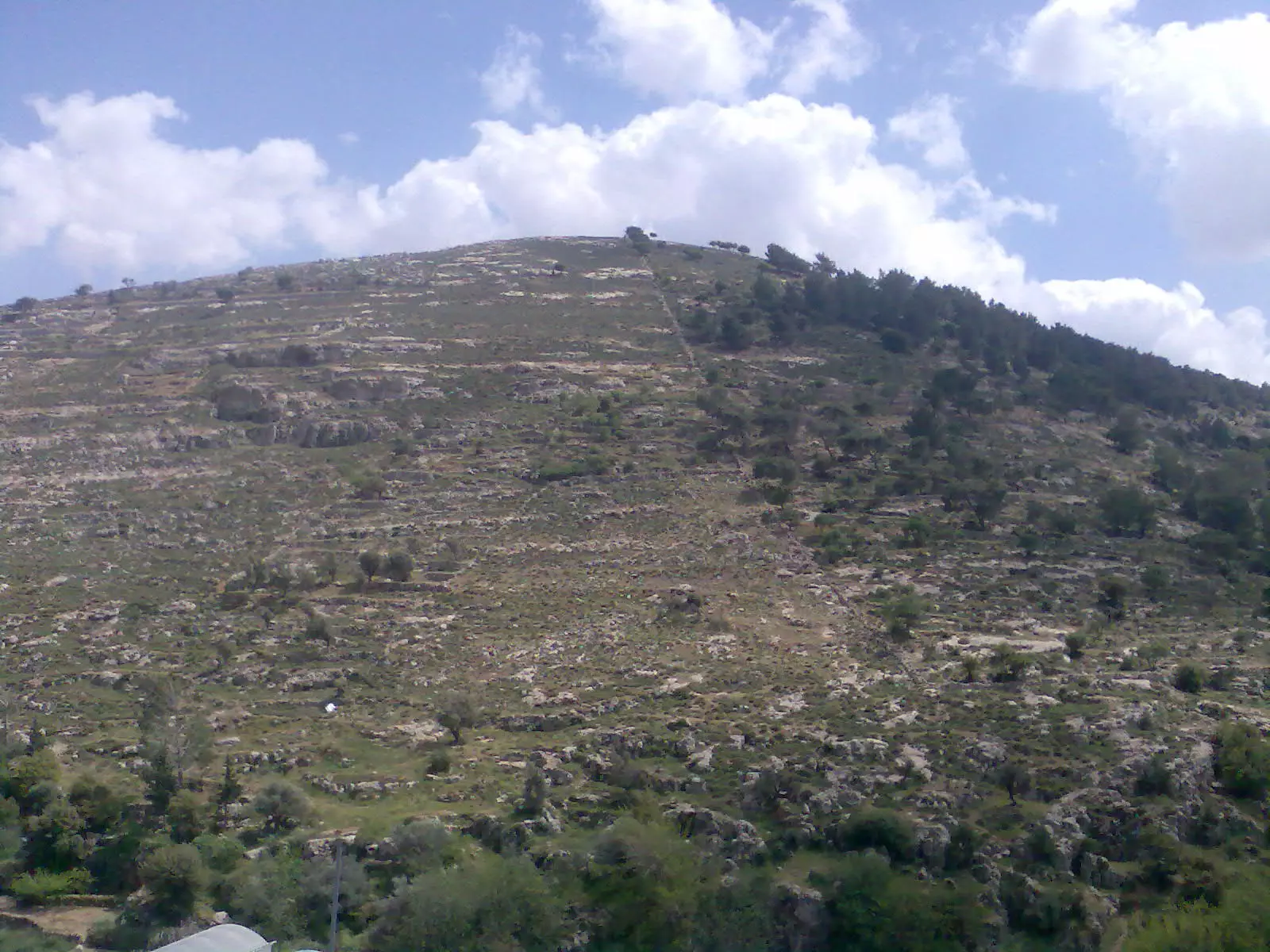
Posted by سعد - جبل رطاس نضال ابوصوي

Posted by سعد - الدير من كرب الدير نضال ابوصوي
Posted by سعد 2 - مهرجان الخس - 2009
Posted by خليل سند - ارطاس نضال
Posted by سعد - ارطاس من جبل الدهيشة نضال
Posted by سعد 1 - واد ارطاس نضال
Posted by سعد - واد مع الدير نضال
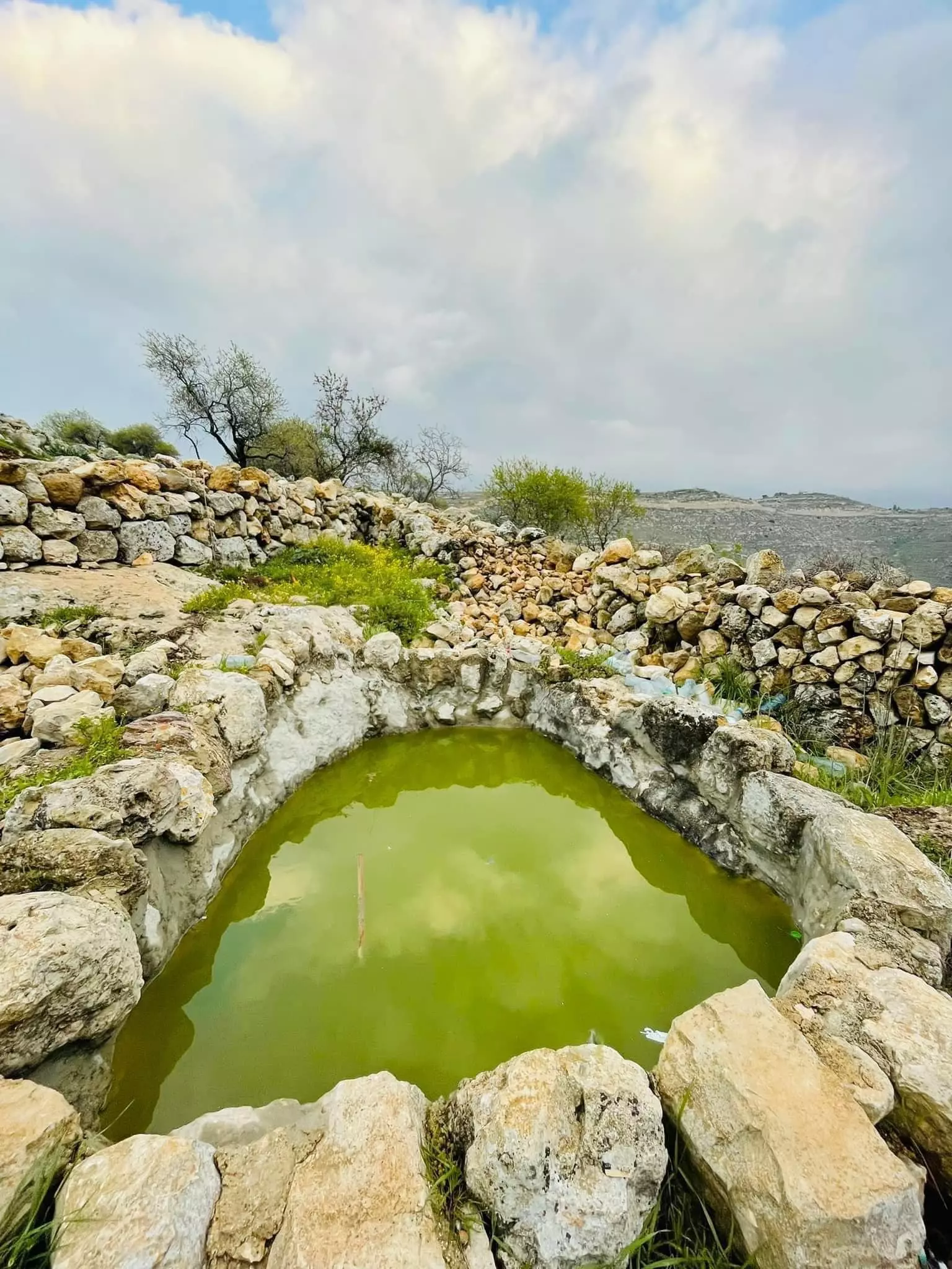
Posted by سعد - قنات الماء في ارطاس نضال
Posted by سعد - برق الماء في ارطاس نضال
Posted by سعد - قنات الماء نضال
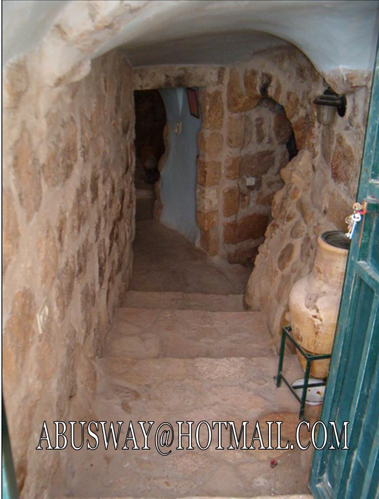
Posted by سعد - دور قديمة نضال
Posted by سعد - تراث ارطاس
Posted by سعد - في الواد ارطاس نضال
Posted by سعد - غرف قديمة في الواد ارطاس
Posted by سعد - في ادات ارطاس
Posted by سعد - ارطاس نضال
Posted by سعد - بير في دار الخوري نضال
Posted by سعد - الدير ارطاس من الخلف
Posted by سعد - ارطاس
Posted by سعد - دور ارطاس
Posted by سعد - دار الخوري نضال ابوصوي
Posted by سعد - جبل ارطاس نضال
Posted by سعد - دار الخوري
Posted by سعد - دار الخوري
Posted by سعد - ارطاس
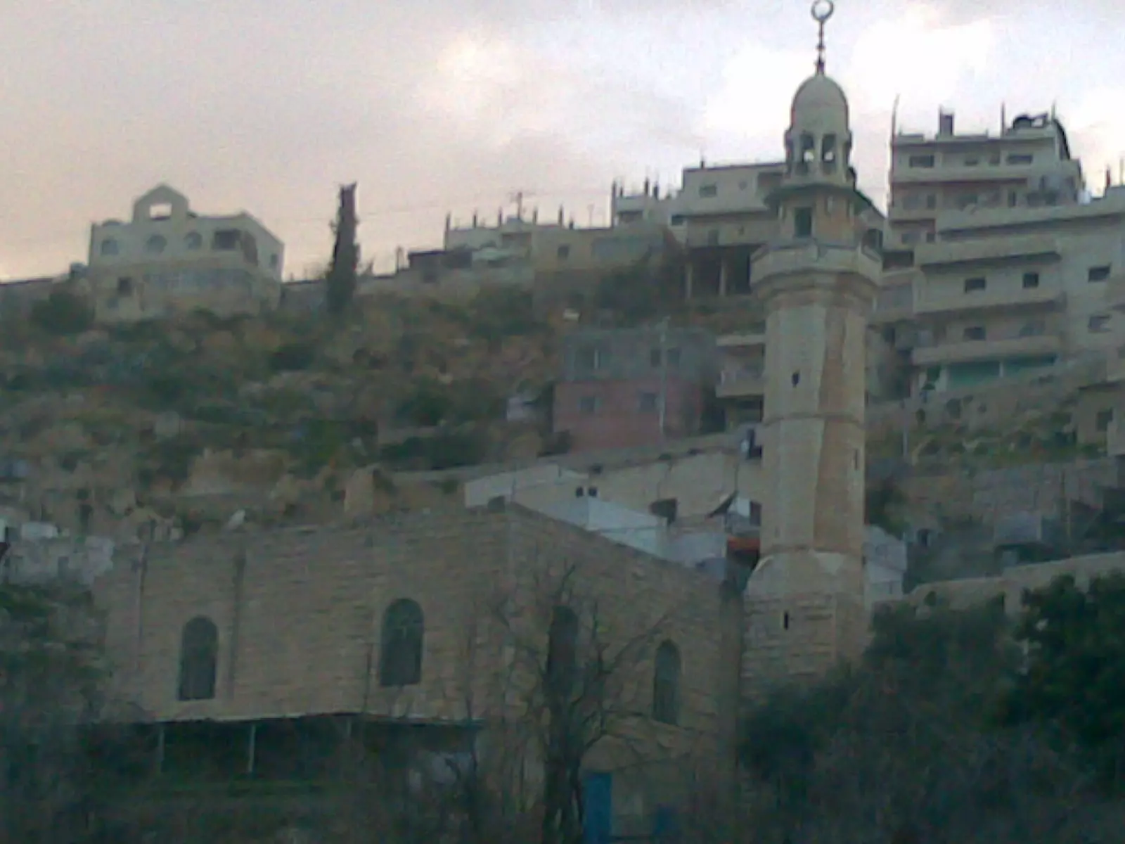
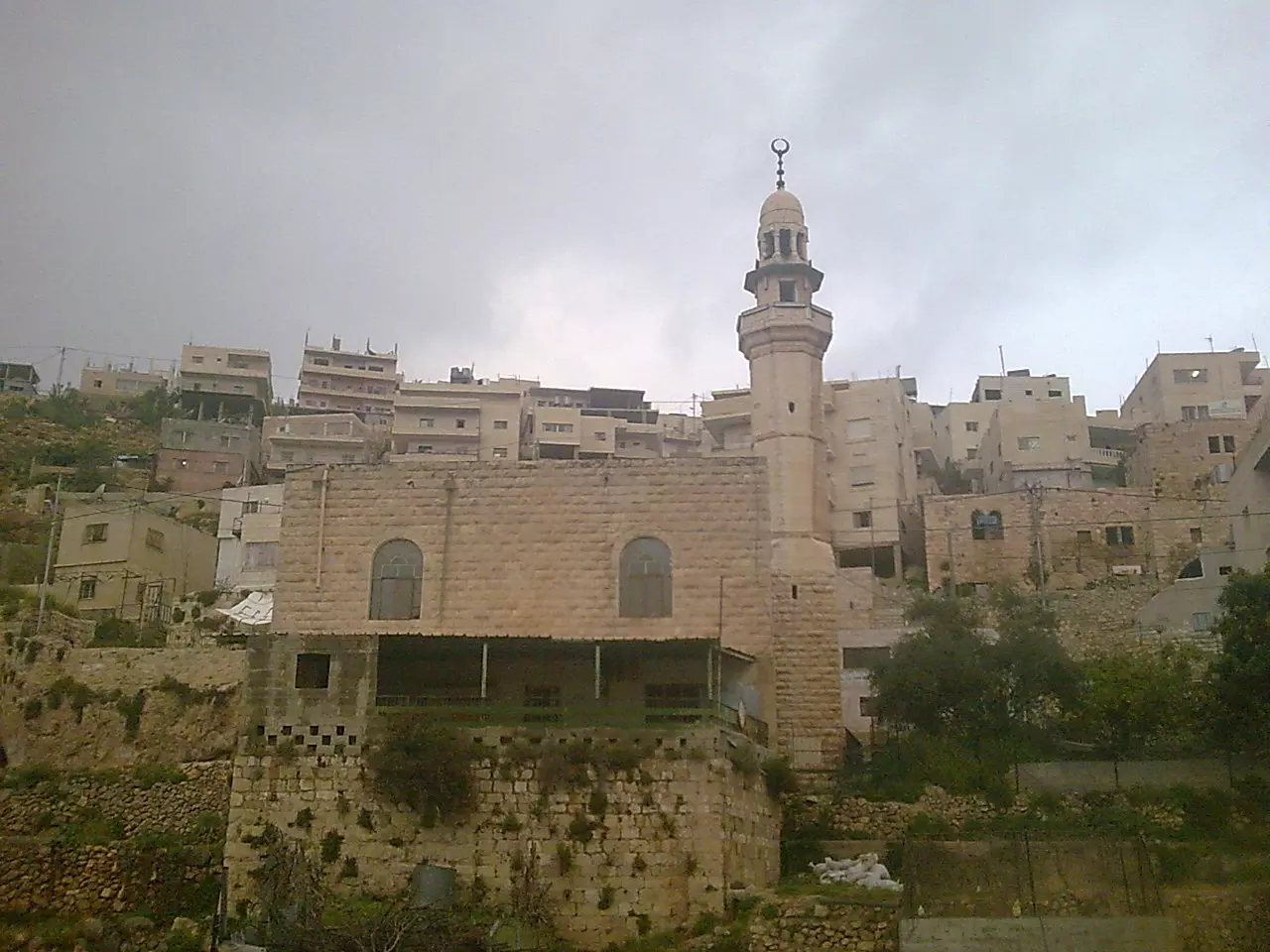
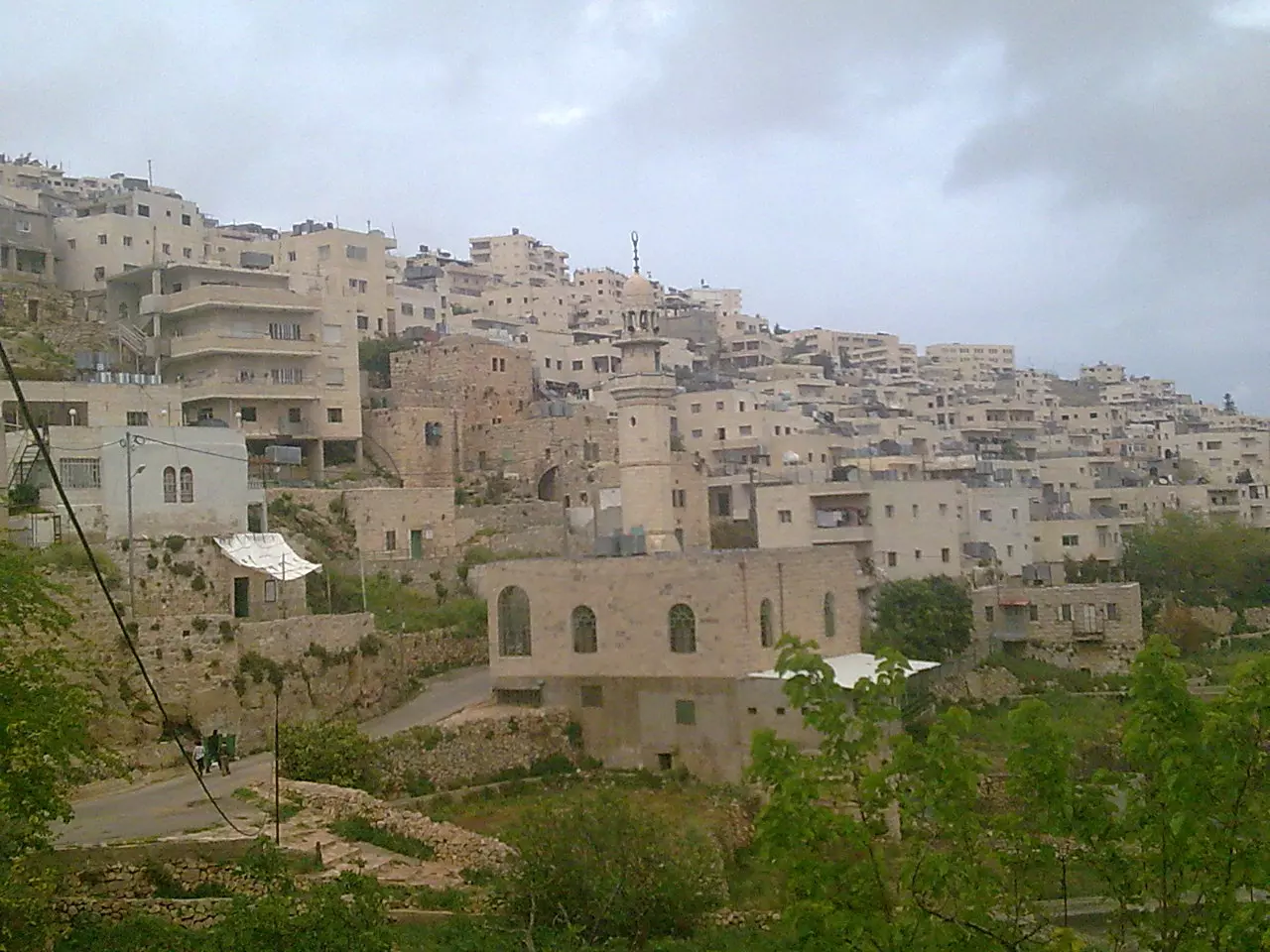
Posted by سعد - قرية ومسجد ارطاس
Posted by يوسف - مسجد ارطاس 2009
Posted by يوسف - فرقة ارطاس
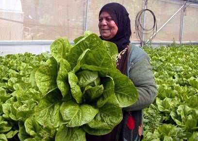
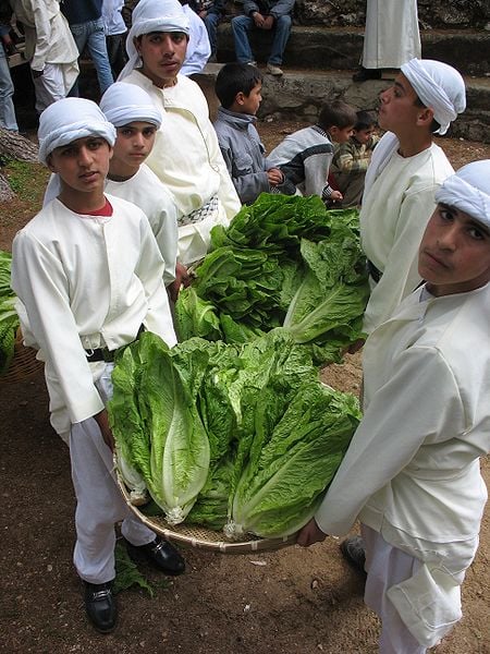
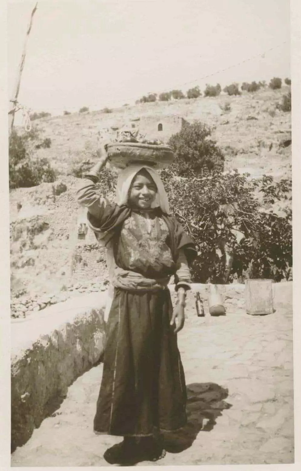
Posted by فرقة ارطاس - فلاحة تحمل الخس
Posted by فرقة ارطاس - شاعر ارطاس ابو سند
Posted by فرقة ارطاس - ابو سند
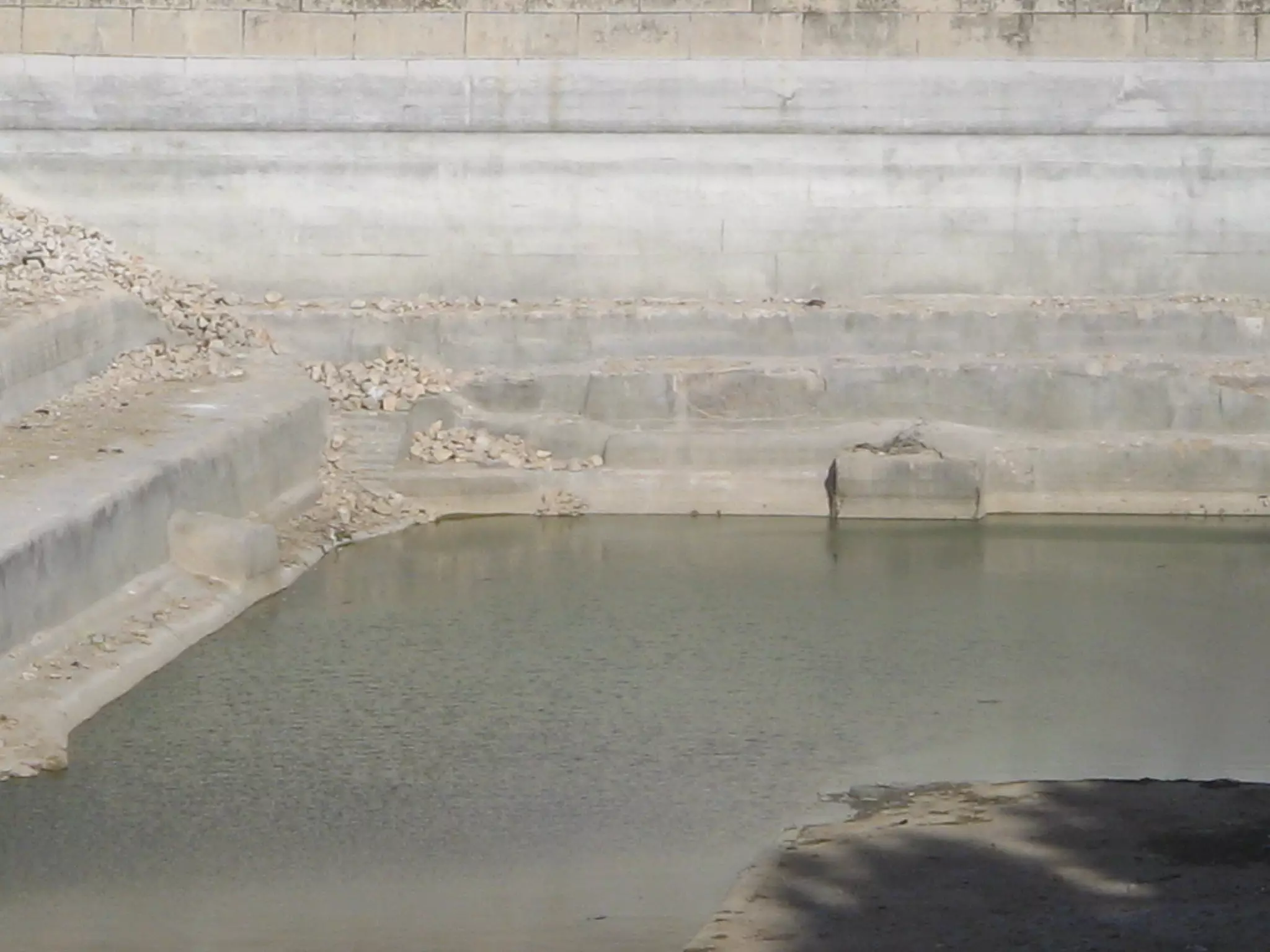
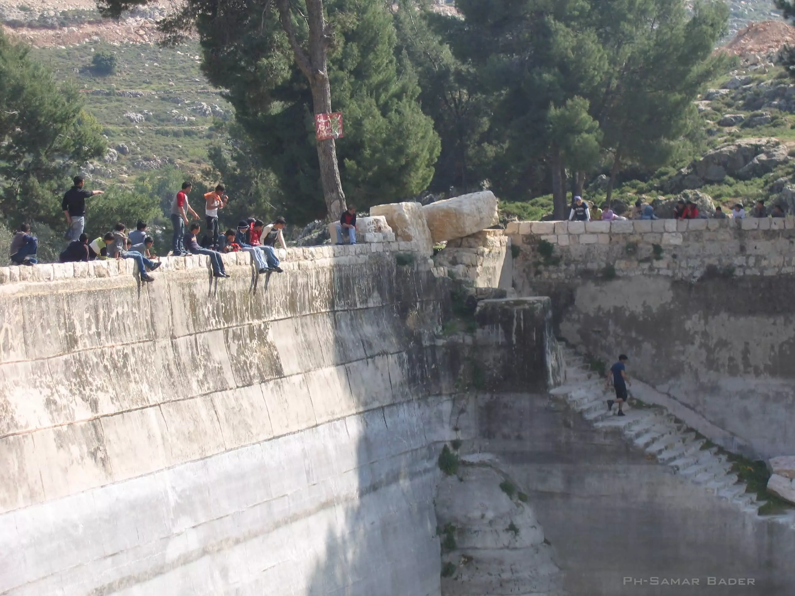
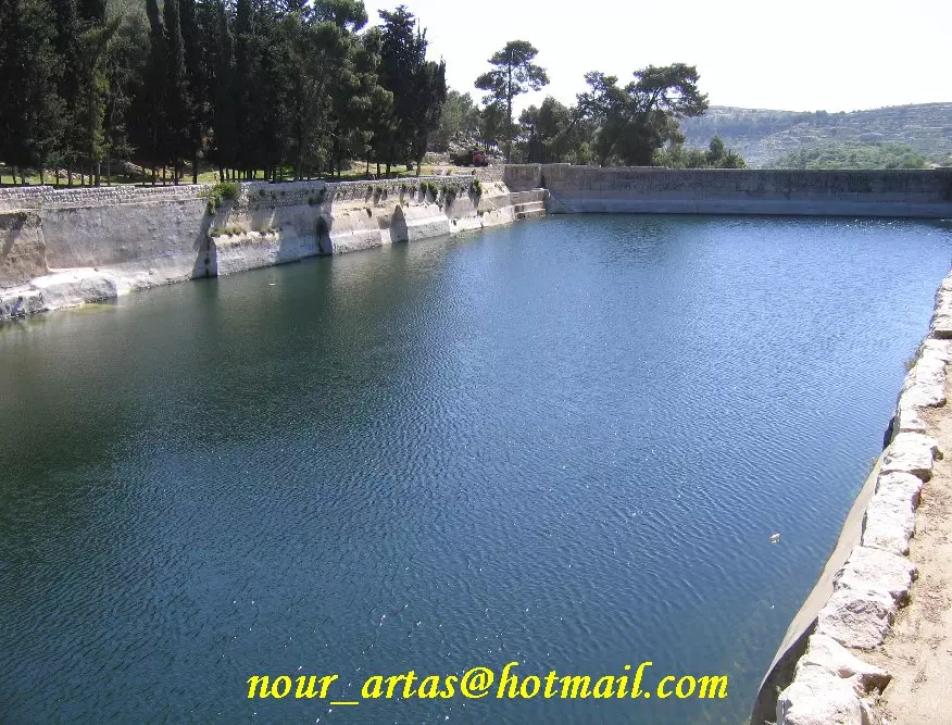
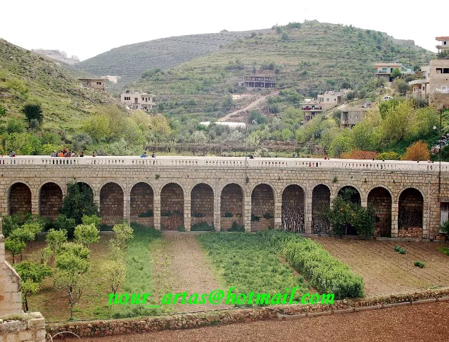
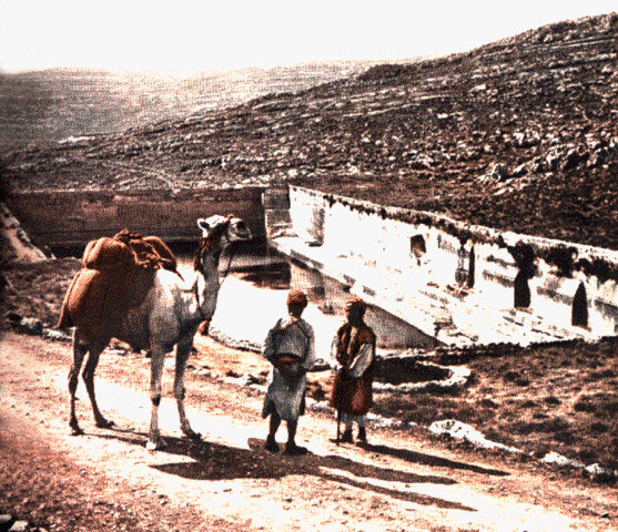
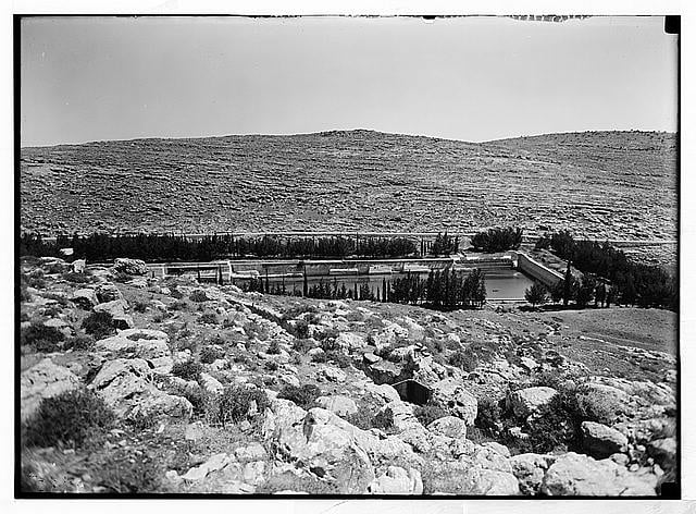
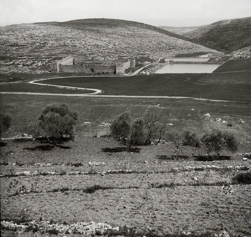
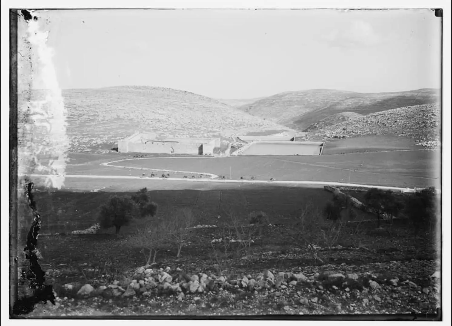
Posted by فرقة ارطاس - solomon pools 1892
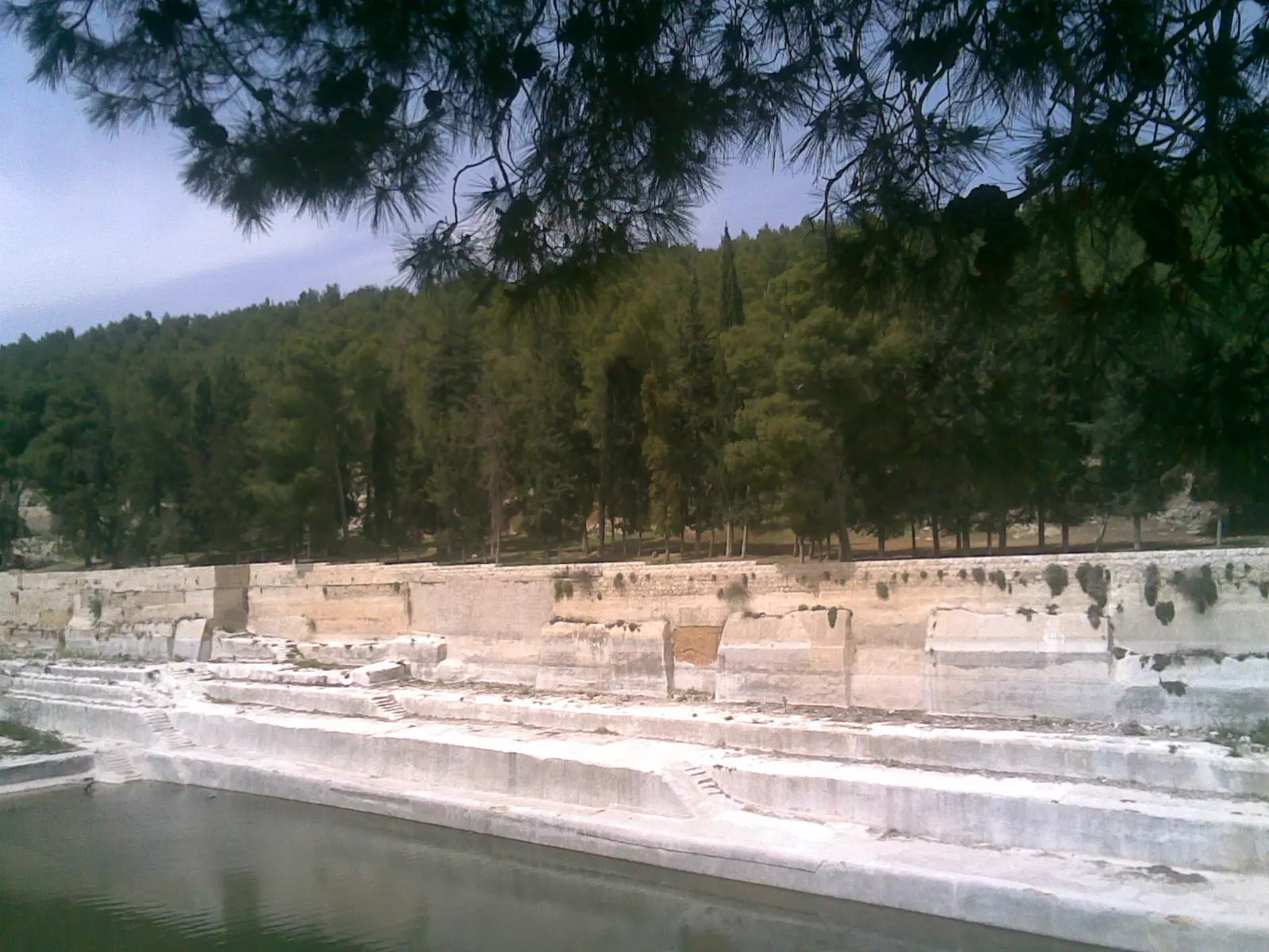
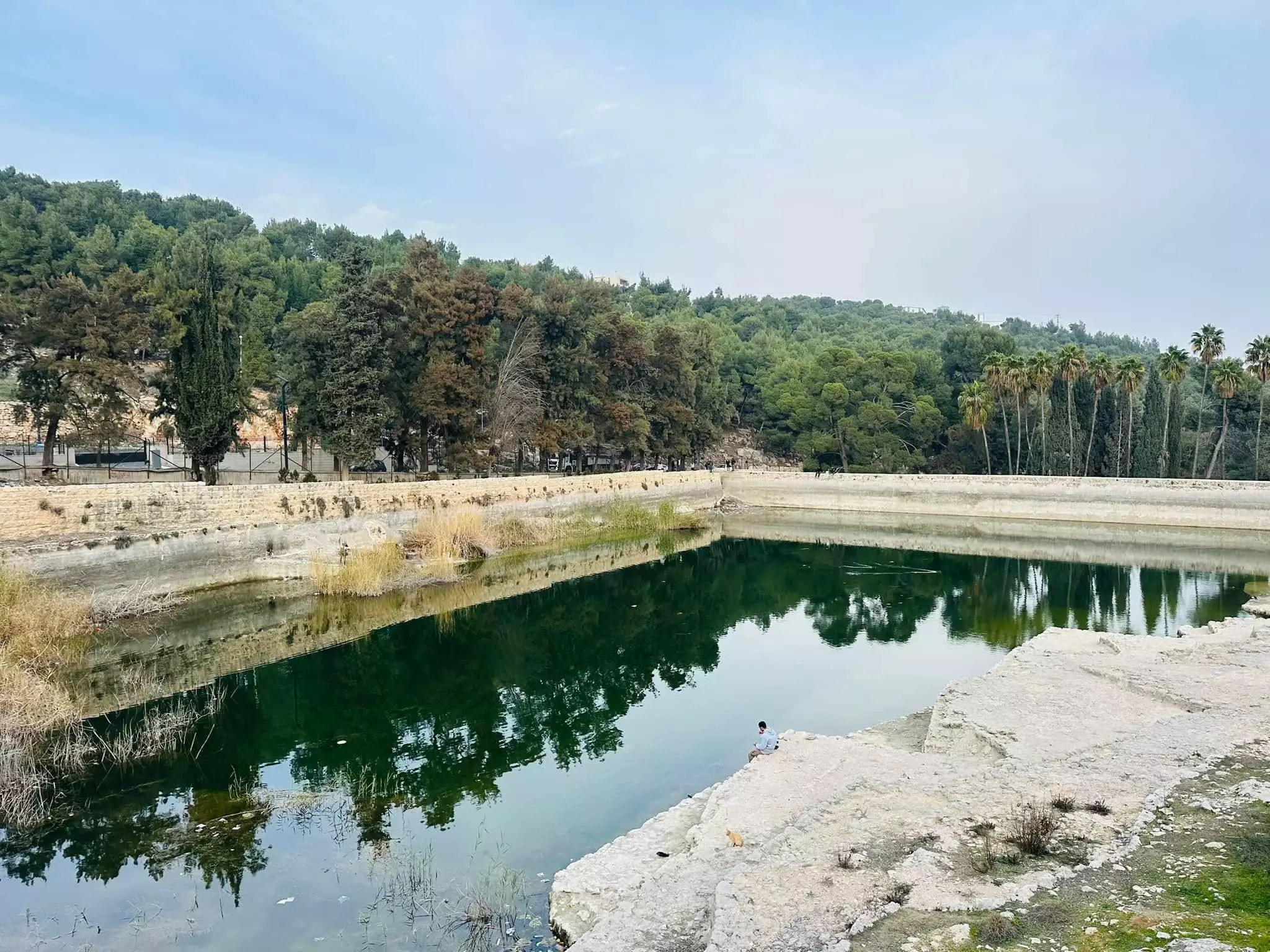
Posted by Joe Sanad - برك سليمان (البركة التحتى) 2009
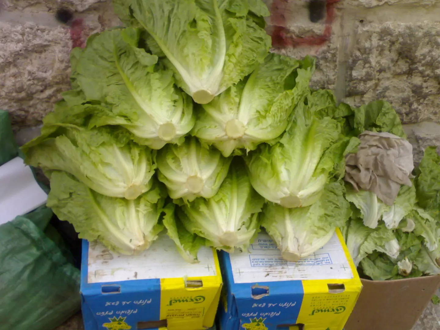
Posted by Joe Sanad - خس ارطاس
Posted by Joe Sanad - برك سليمان (البركة الوسطى) joe sanad
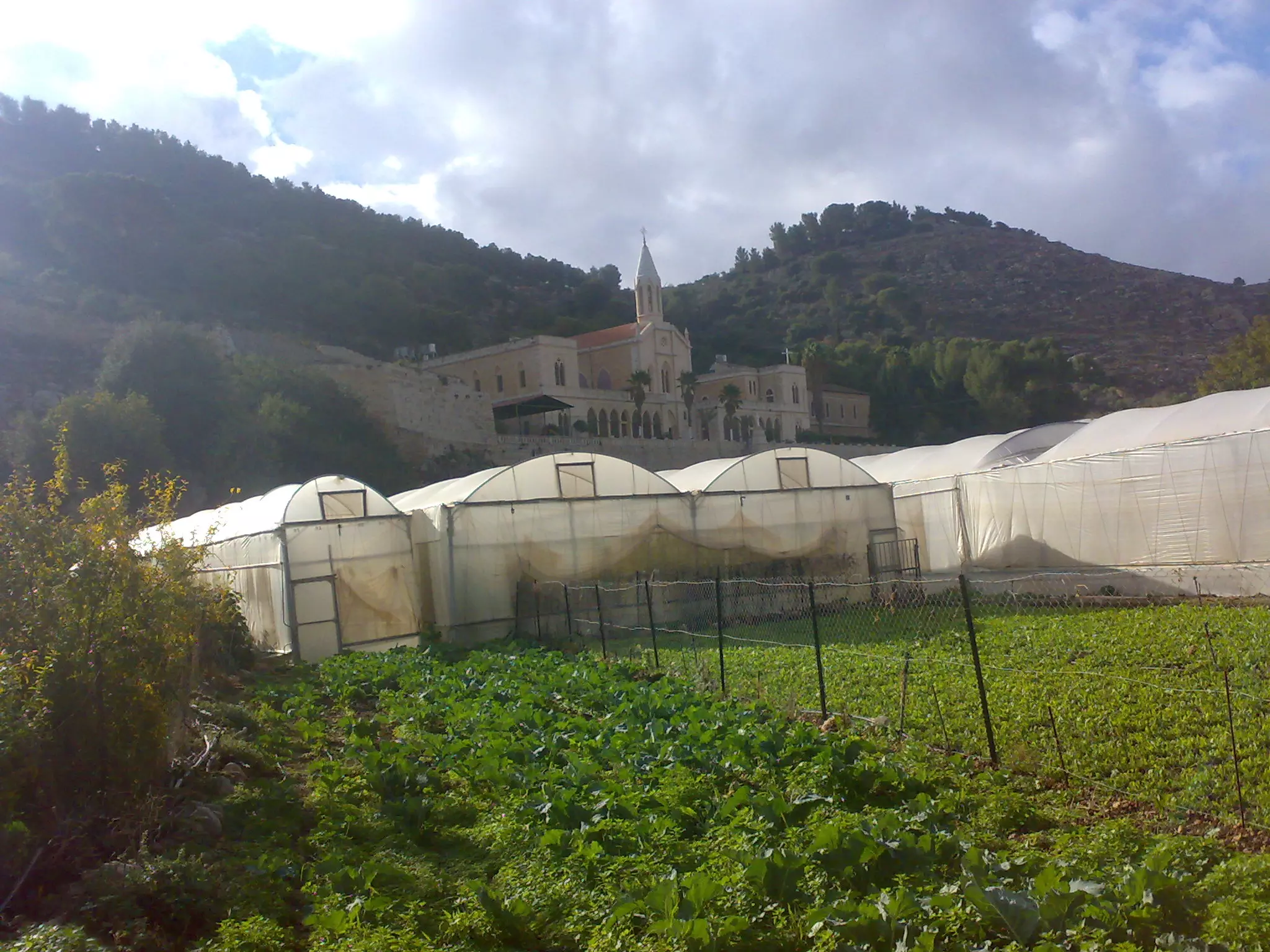
Posted by Joe Sanad - artass farm
Posted by Joe Sanad - جبل ارطاس(ابو زيد)
Posted by ابو القاسم - برك سليمان
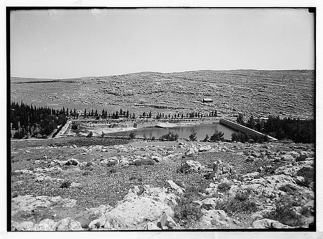
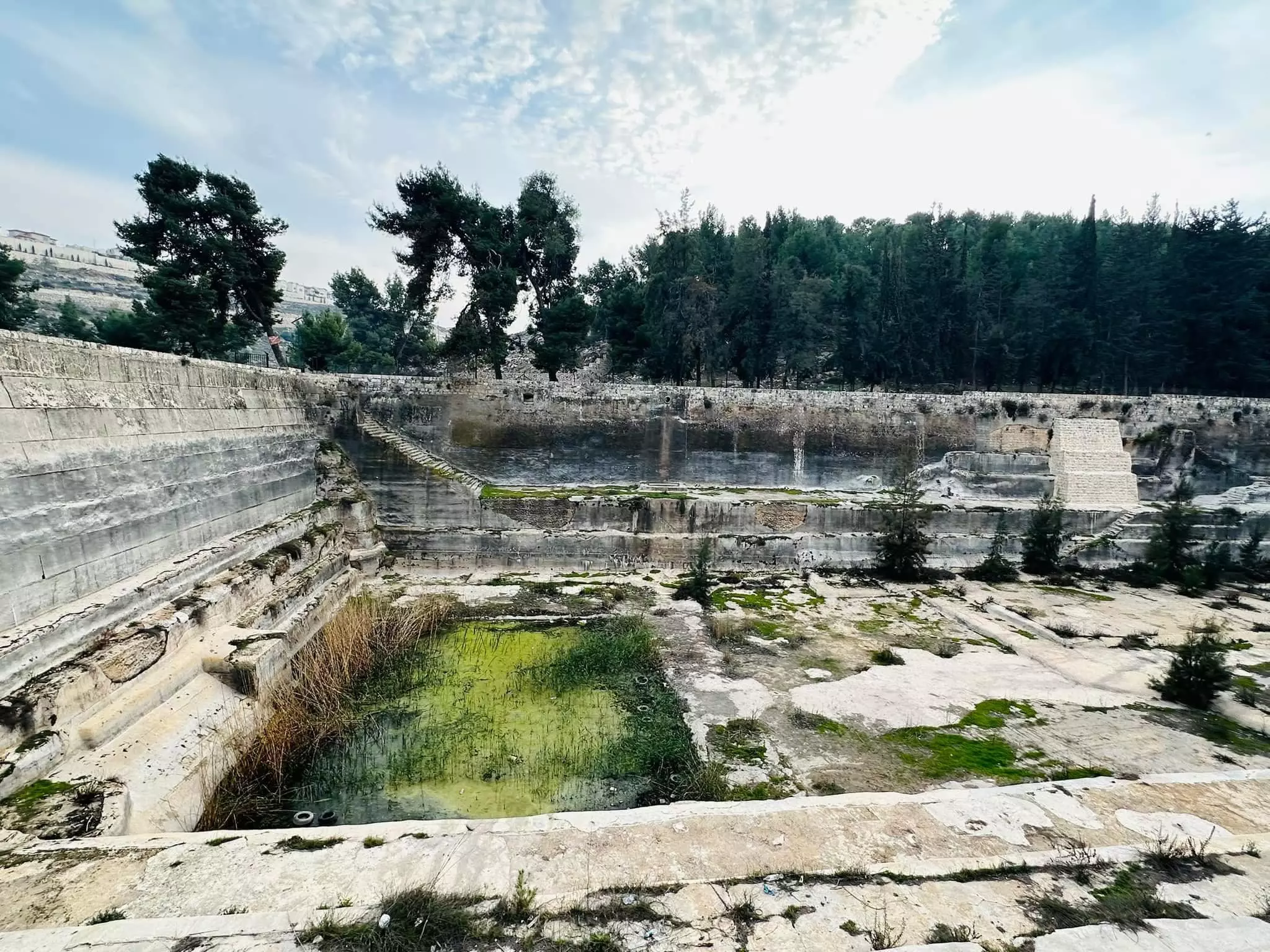
Posted by Joe Sanad 1 - solomon pool 1990
Posted by Joe Sanad - عين ارطاس

Posted by al sa3er al felstene mohamed sanad - بركة الملك سليمان صورة نادرة جدا

Posted by Joe Sanad 1 - king solomon pool 1900/1926
Posted by Joe Sanad - king solomon pool 1900
Posted by Joe Sanad - king solomon pool
Posted by Joe Sanad - king solomon pool
Posted by Joe Sanad - قبر الشهيد البطل احمد خليل اسعد
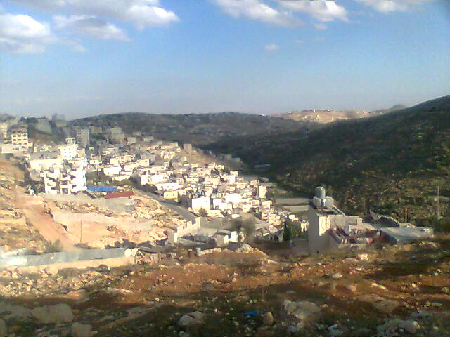
Posted by Joe Sanad 1 - منظر عام واد ارطاس
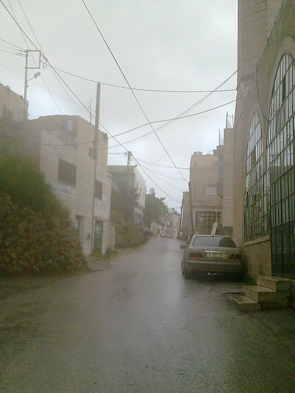
Posted by Joe Sanad - احد شوارع ارطاس في الشتاء
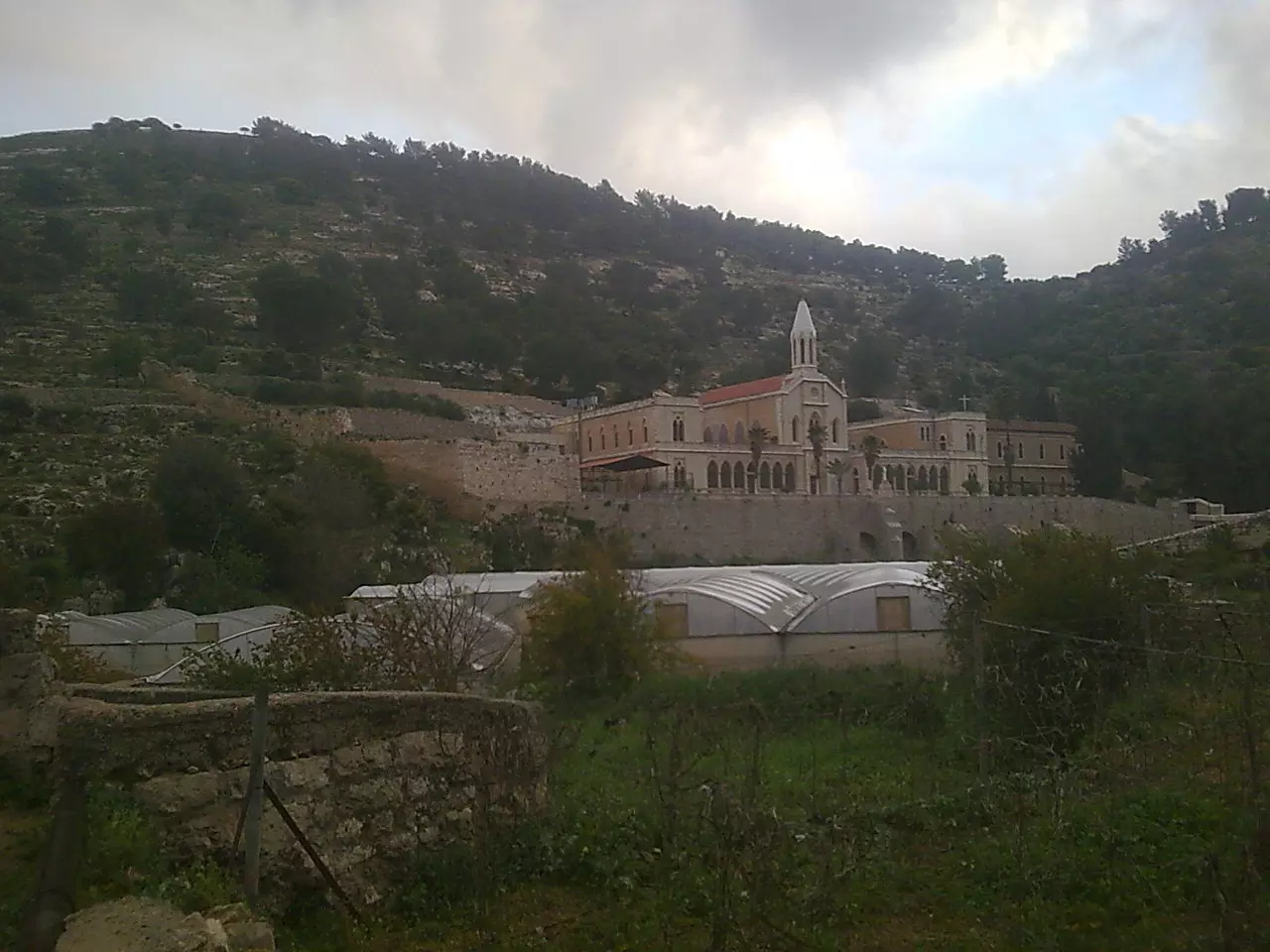
Posted by Joe Sanad - دير ارطاس
Posted by Joe Sanad - الحارة الغربية
Posted by Joe Sanad - شجرة توت عمرها 100 سنة
Posted by Joe Sanad - الخس
Posted by Joe Sanad - جبل ارطاس
Posted by Joe Sanad - atrass from valley
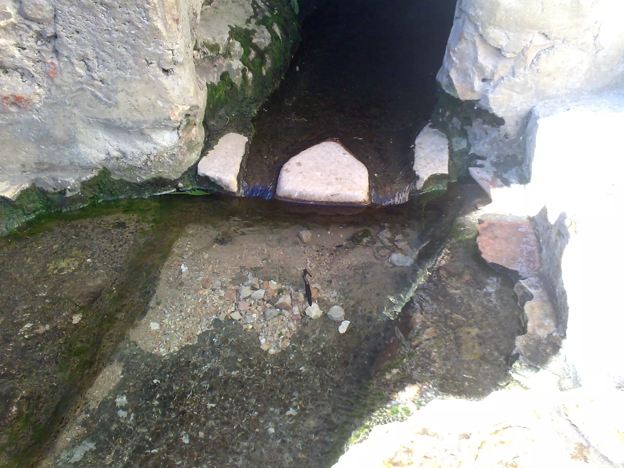
Posted by Joe Sanad - العين
Posted by Joe Sanad - lettuce farm (joe sanad)
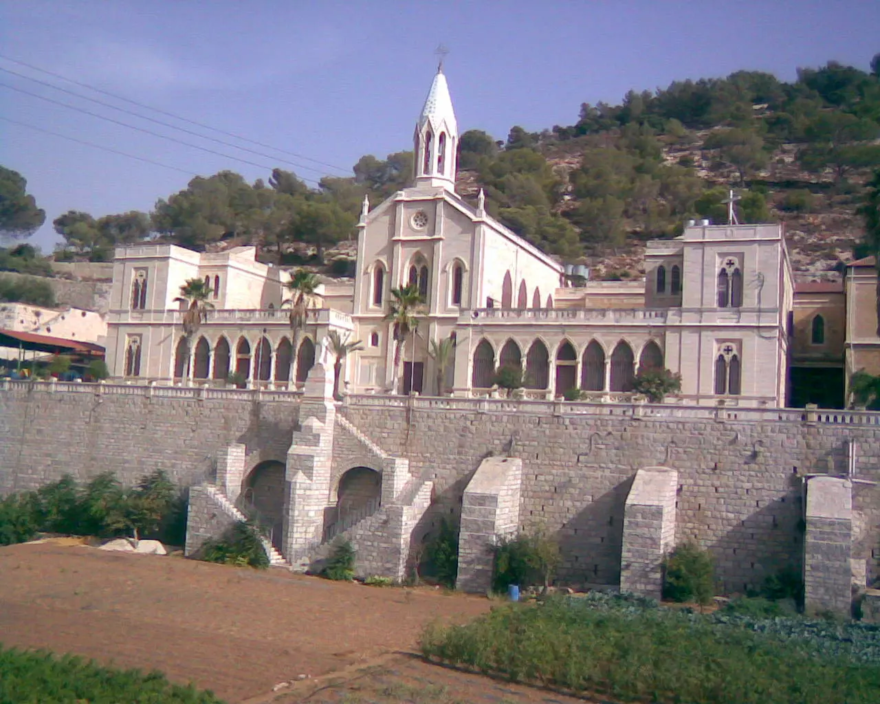
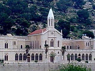
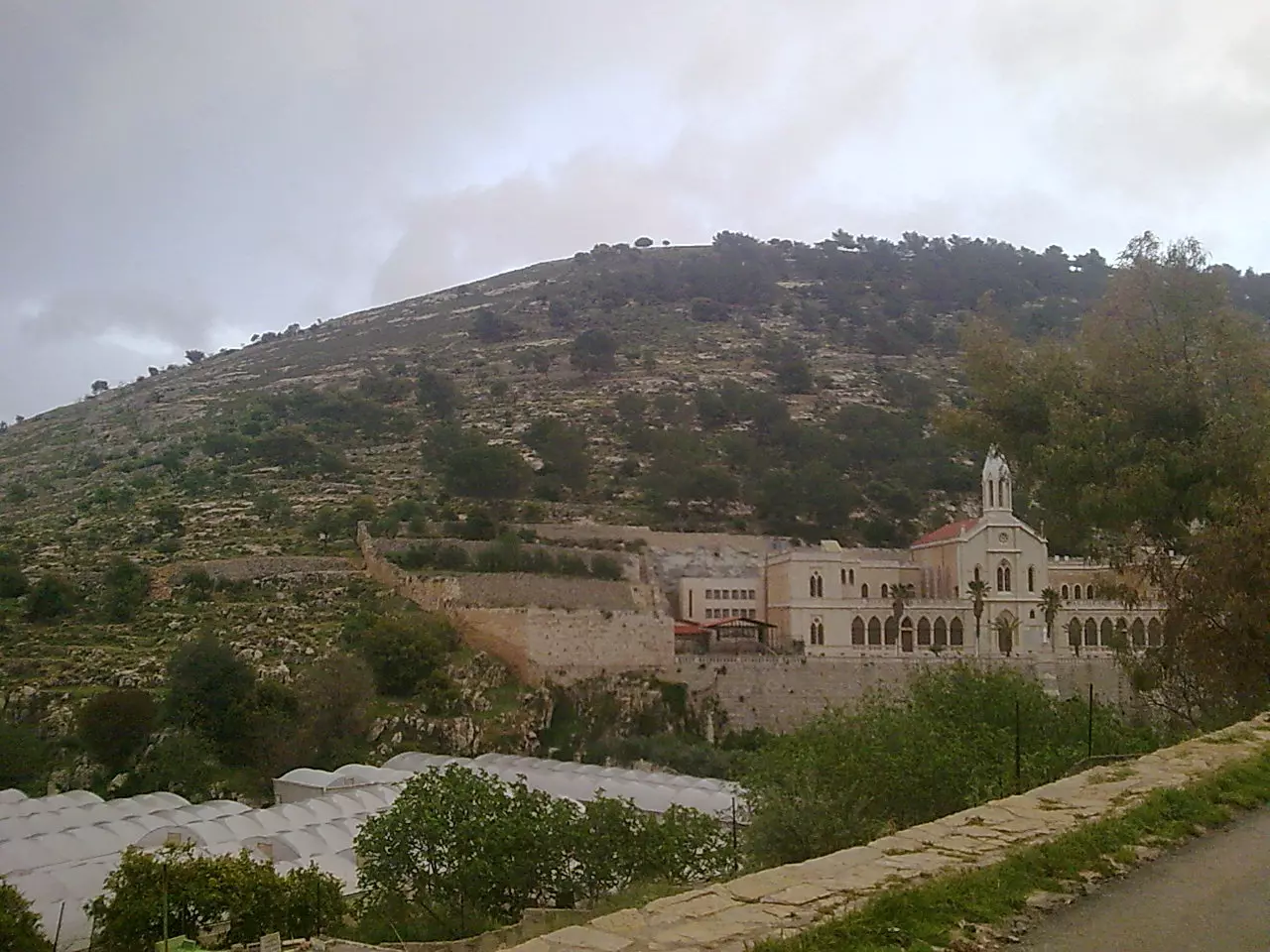
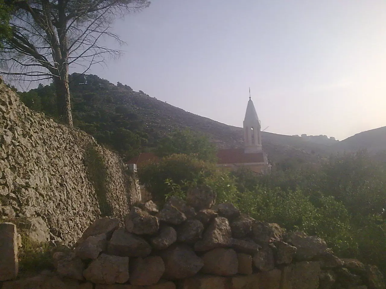
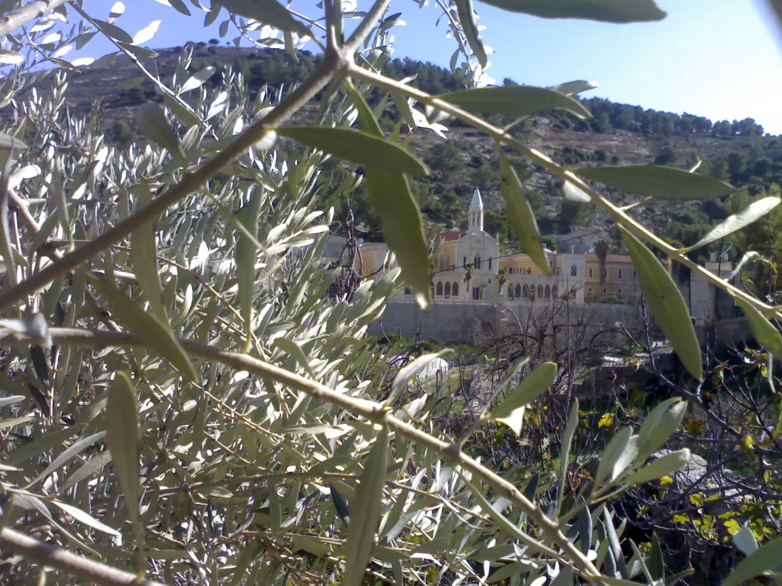
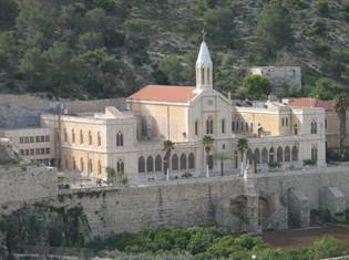
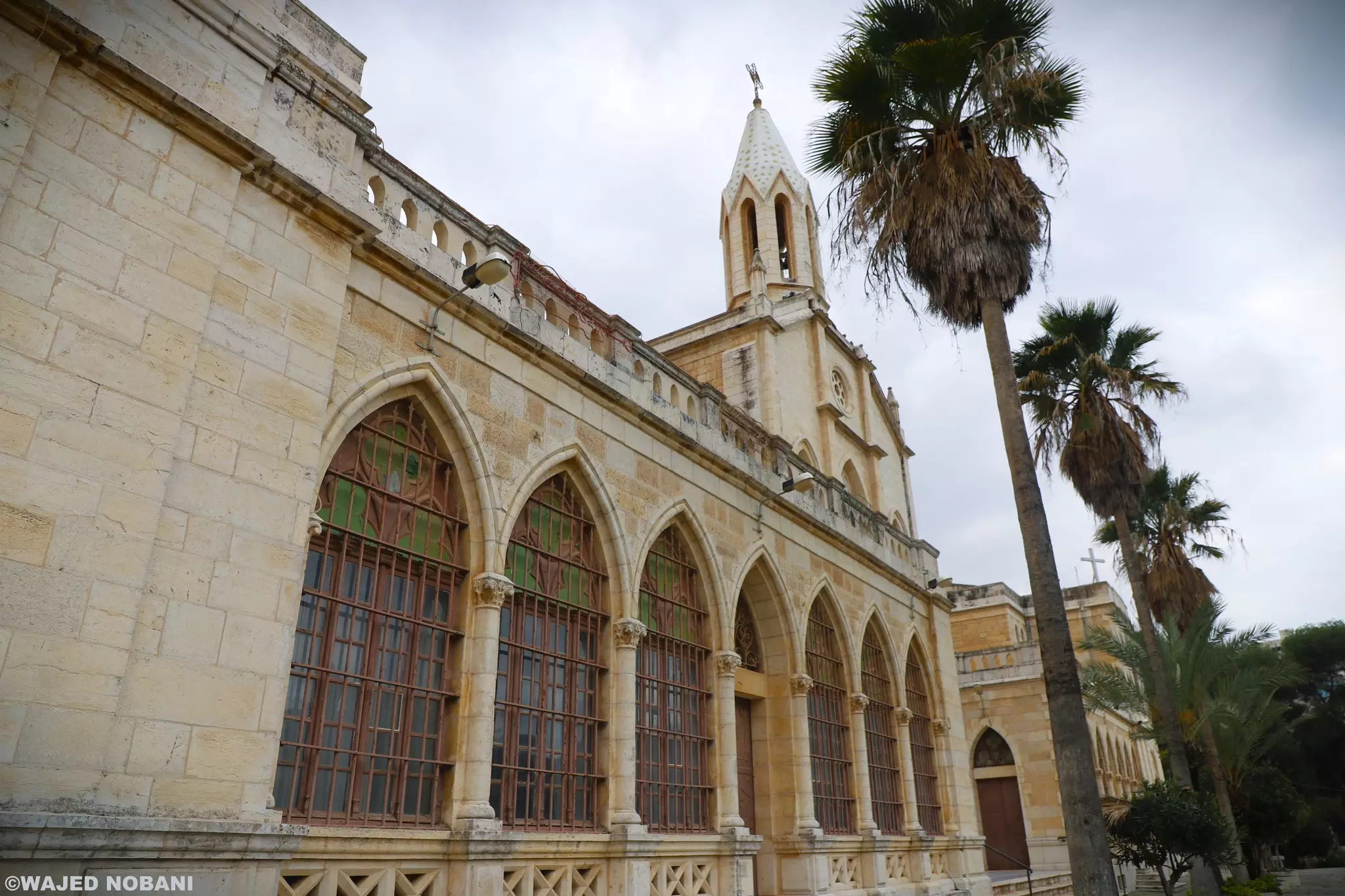
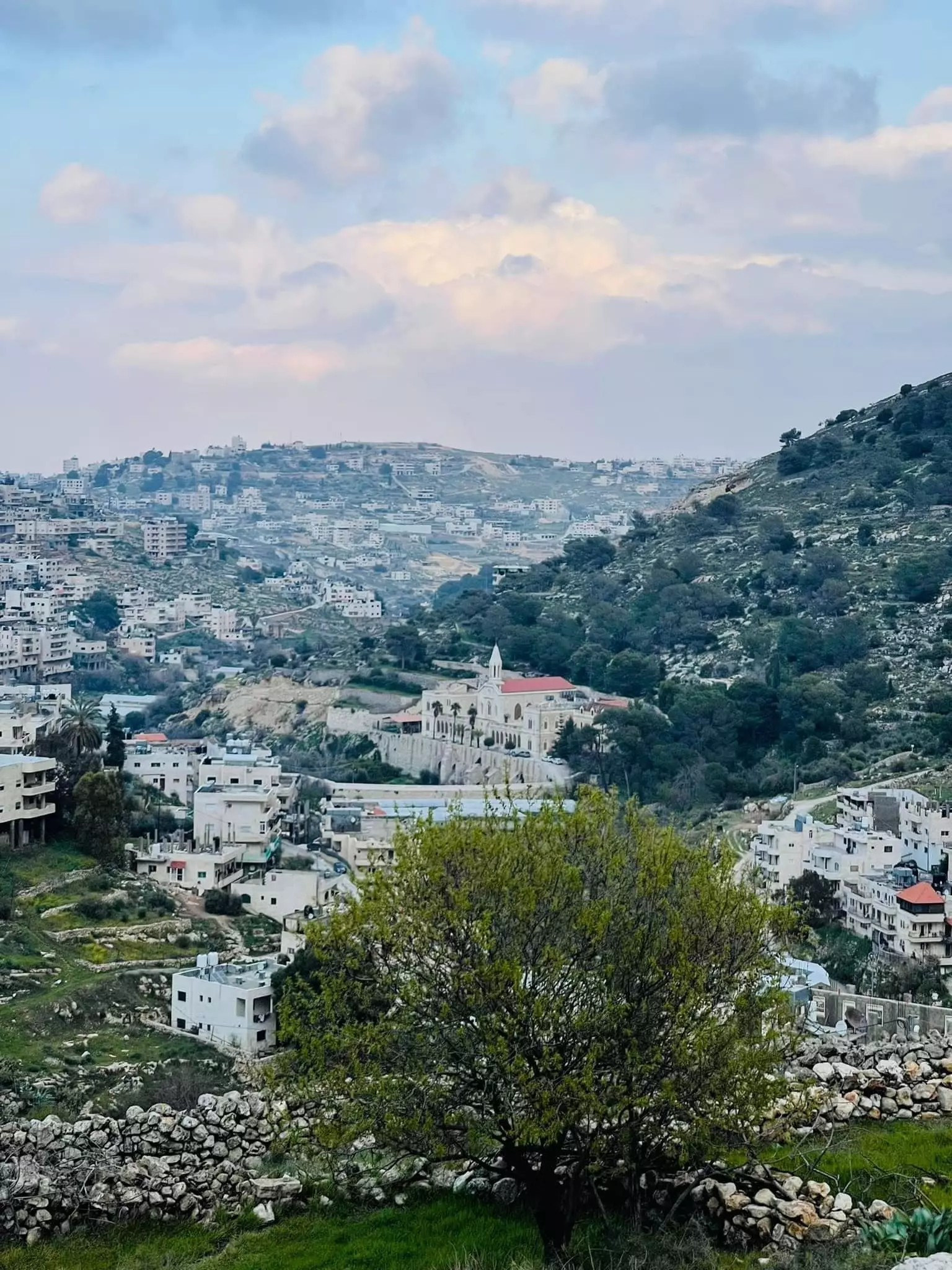
Posted by Joe Sanad - artass church
Posted by Joe Sanad - atrass village 2010 by joe sanad
Posted by Joe Sanad - artaas farm in winter
Posted by Joe Sanad - artaas farms in winter

Posted by Joe Sanad 1 - artass valley and church
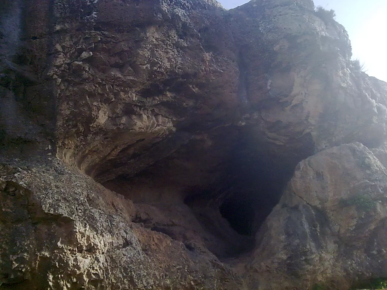
Posted by Joe Sanad - مغارة جبل ارطاس
Posted by Joe Sanad - جبل ارطاس
Posted by Joe Sanad - جبل ارطاس 2
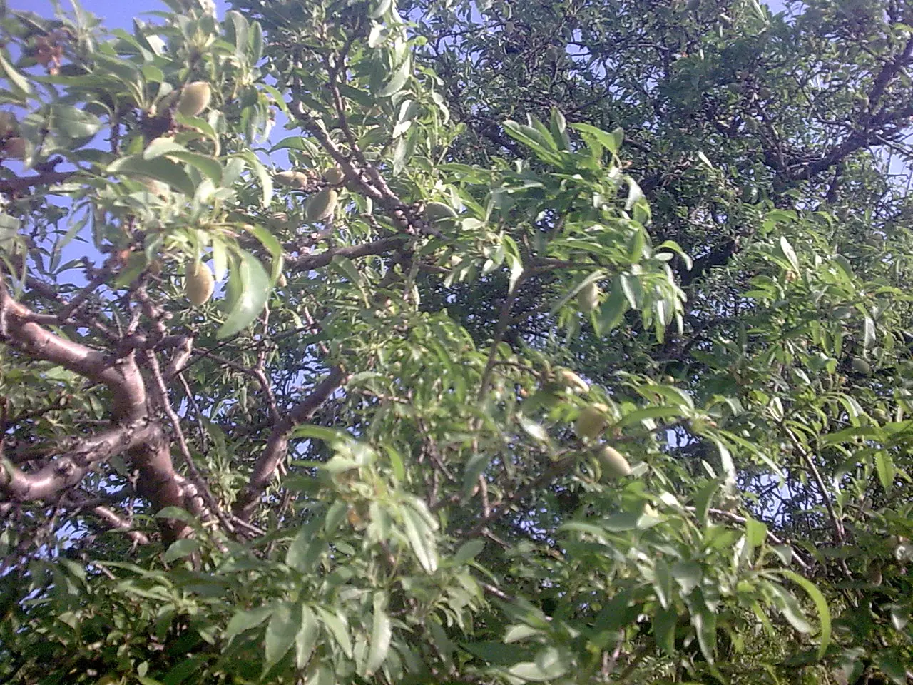
Posted by Joe Sanad - اللوز في ارطاس
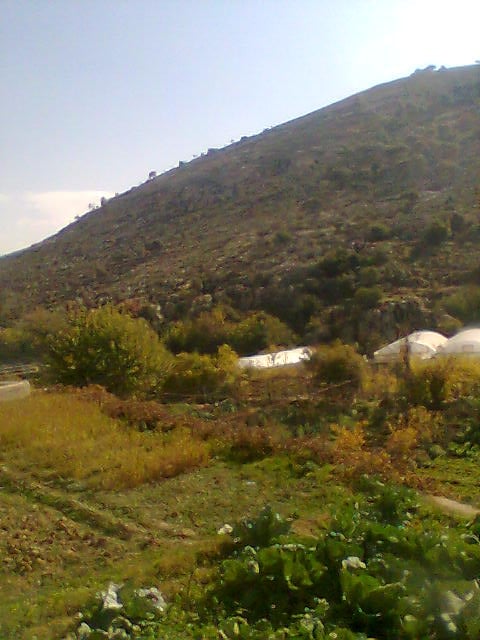
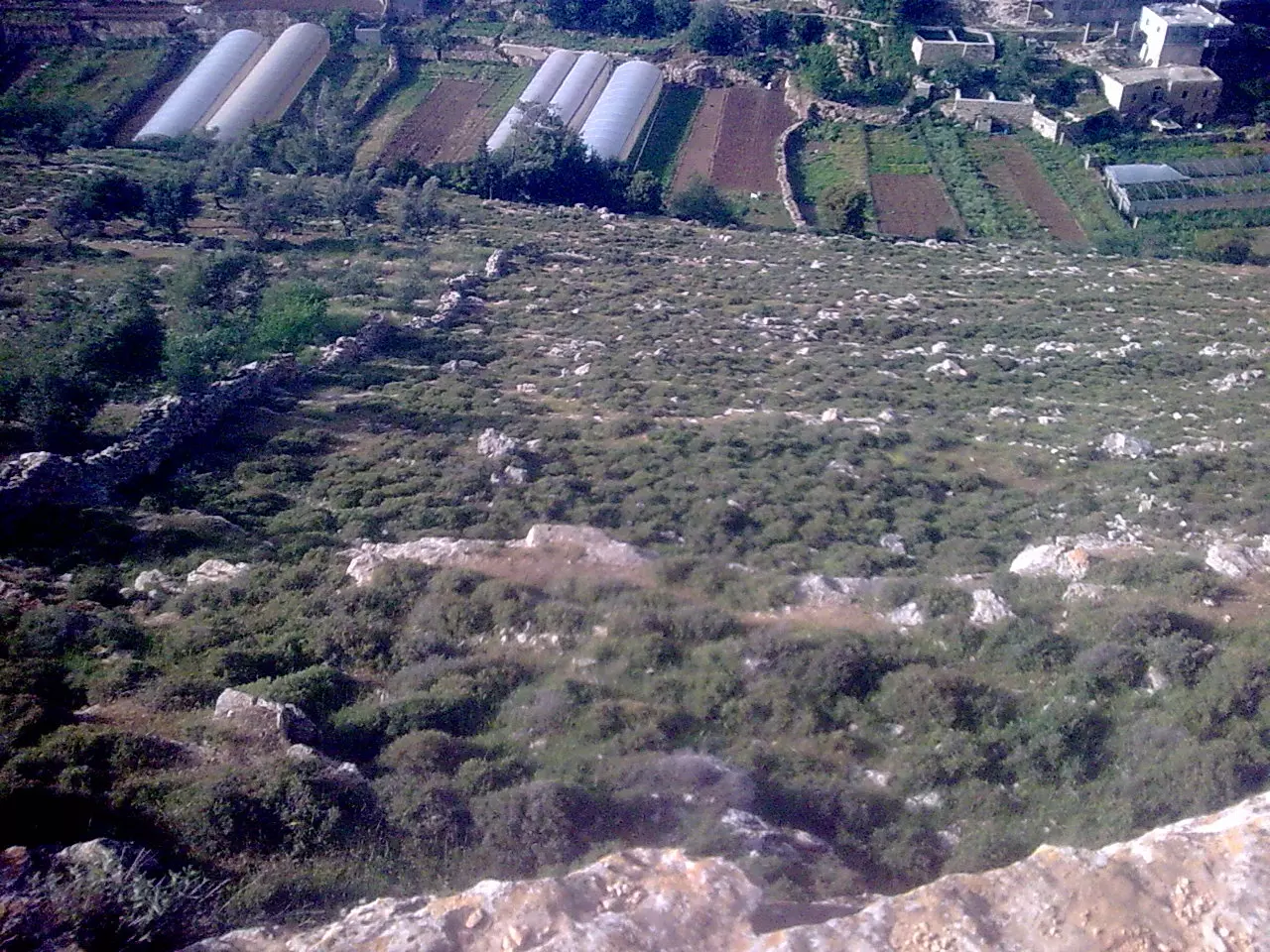
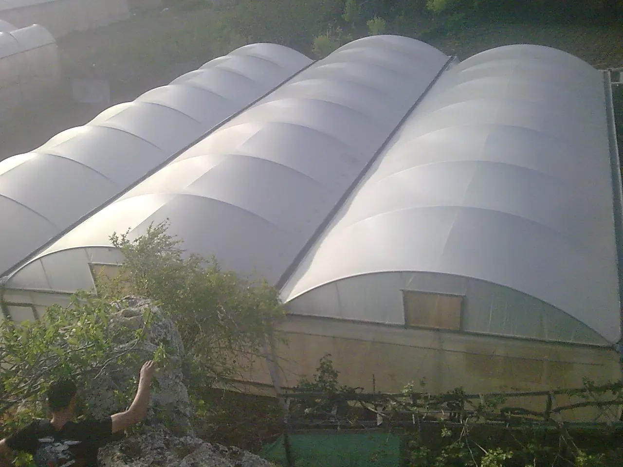
Posted by Joe Sanad - احد بيوت البلاستيك في بساتين ارطاس
Posted by Joe Sanad - artas village in spring 2010
Posted by Joe Sanad - artass village 2010
Posted by Joe Sanad - دير ارطاس لحظة الغروب
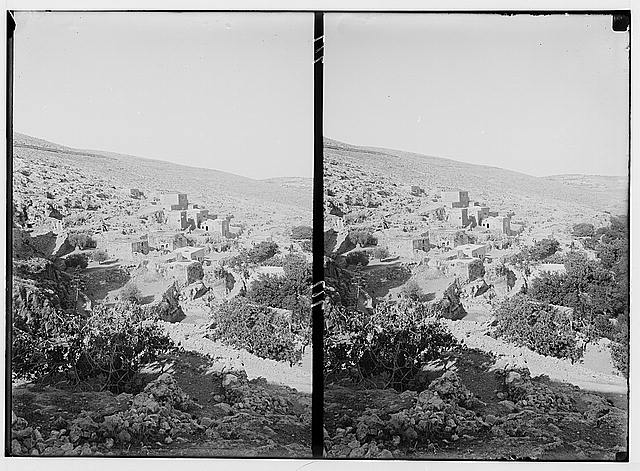
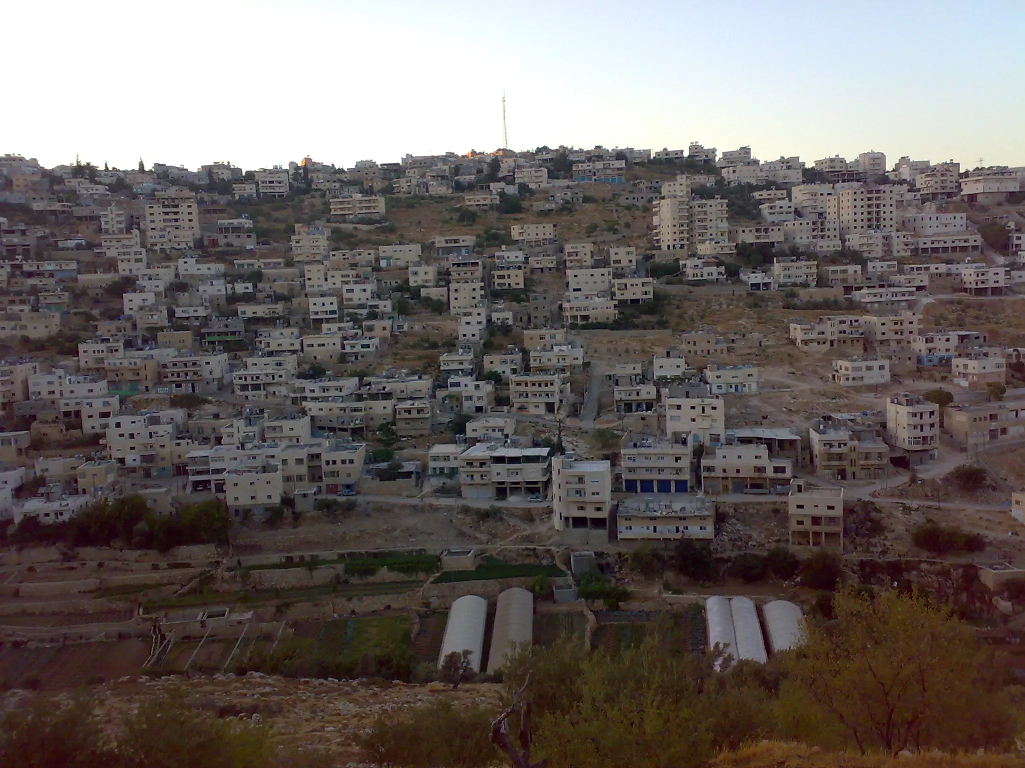
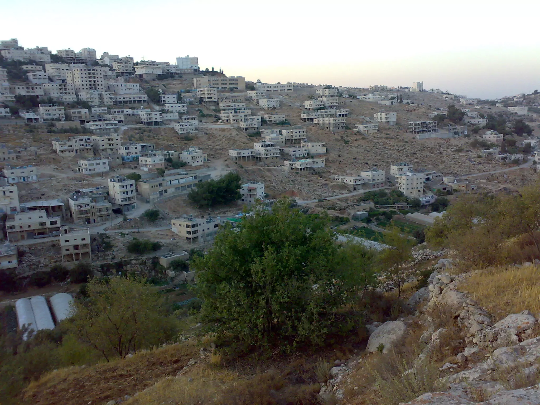
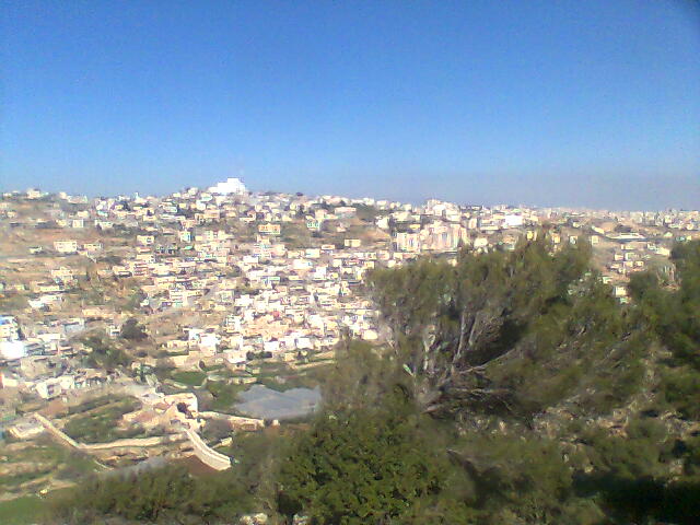
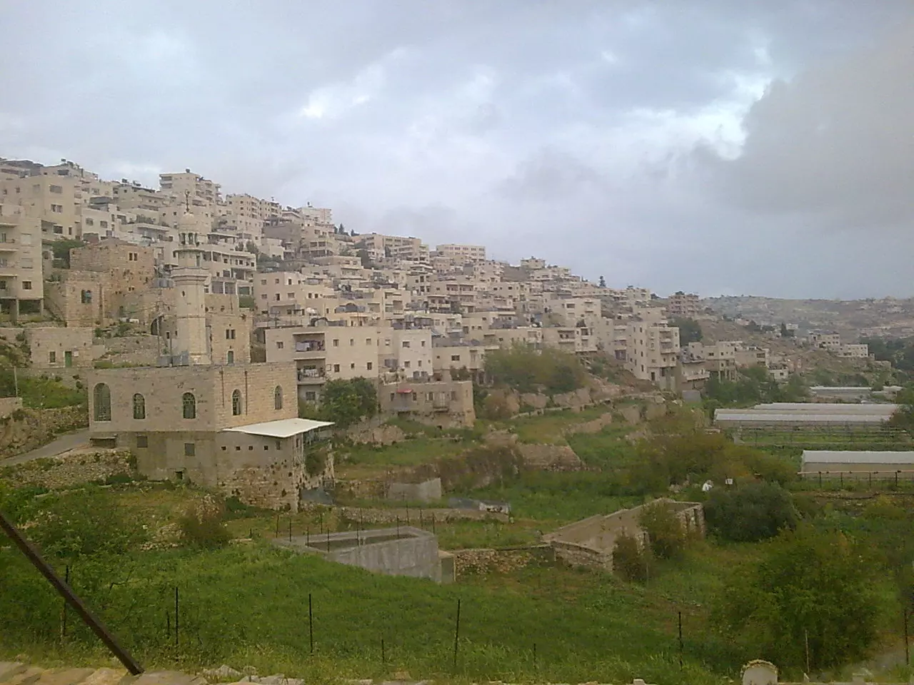
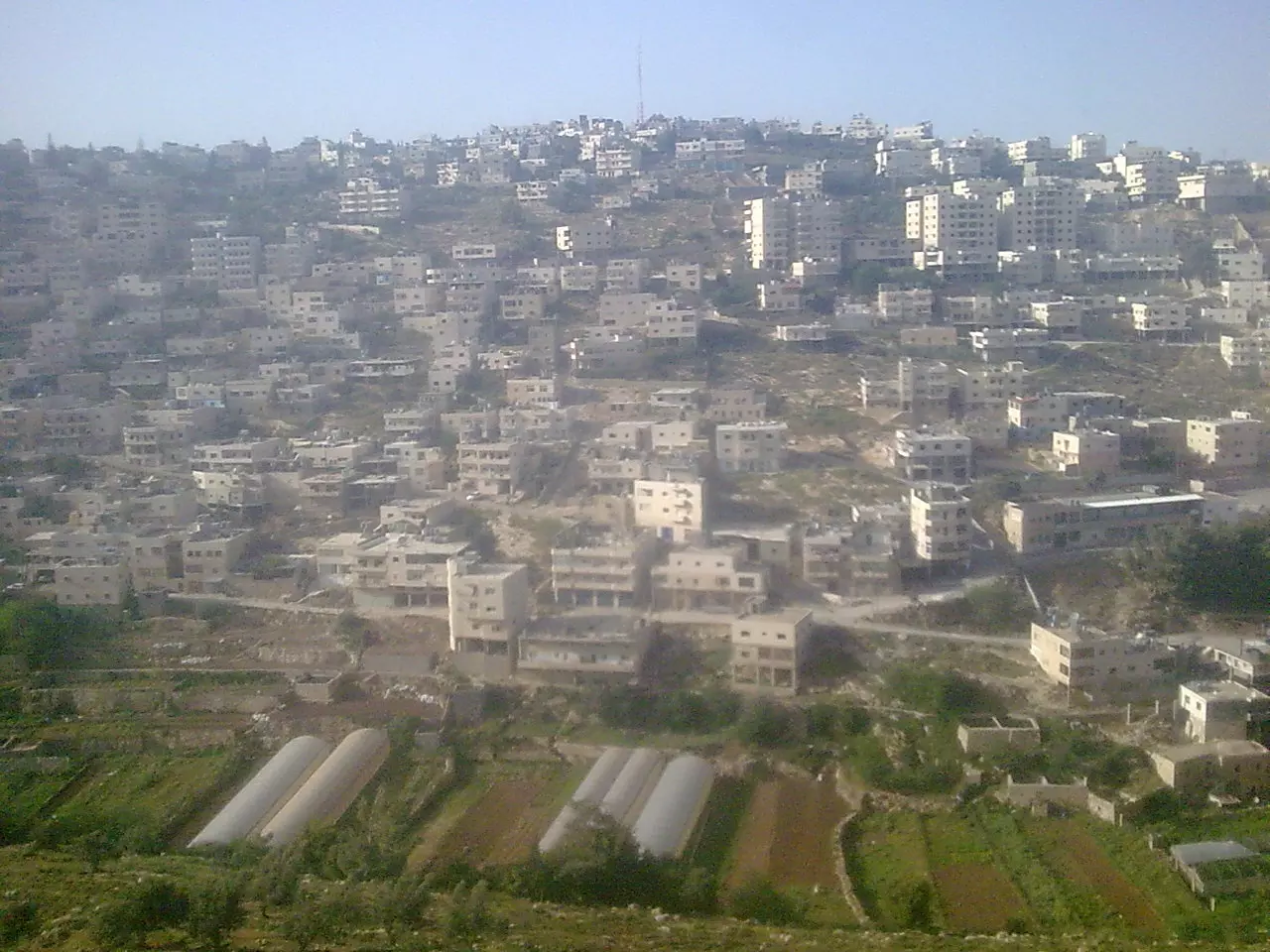
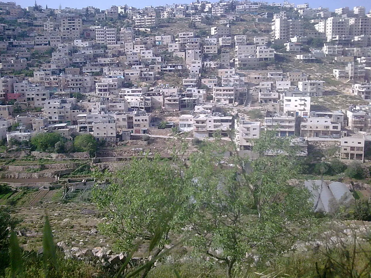
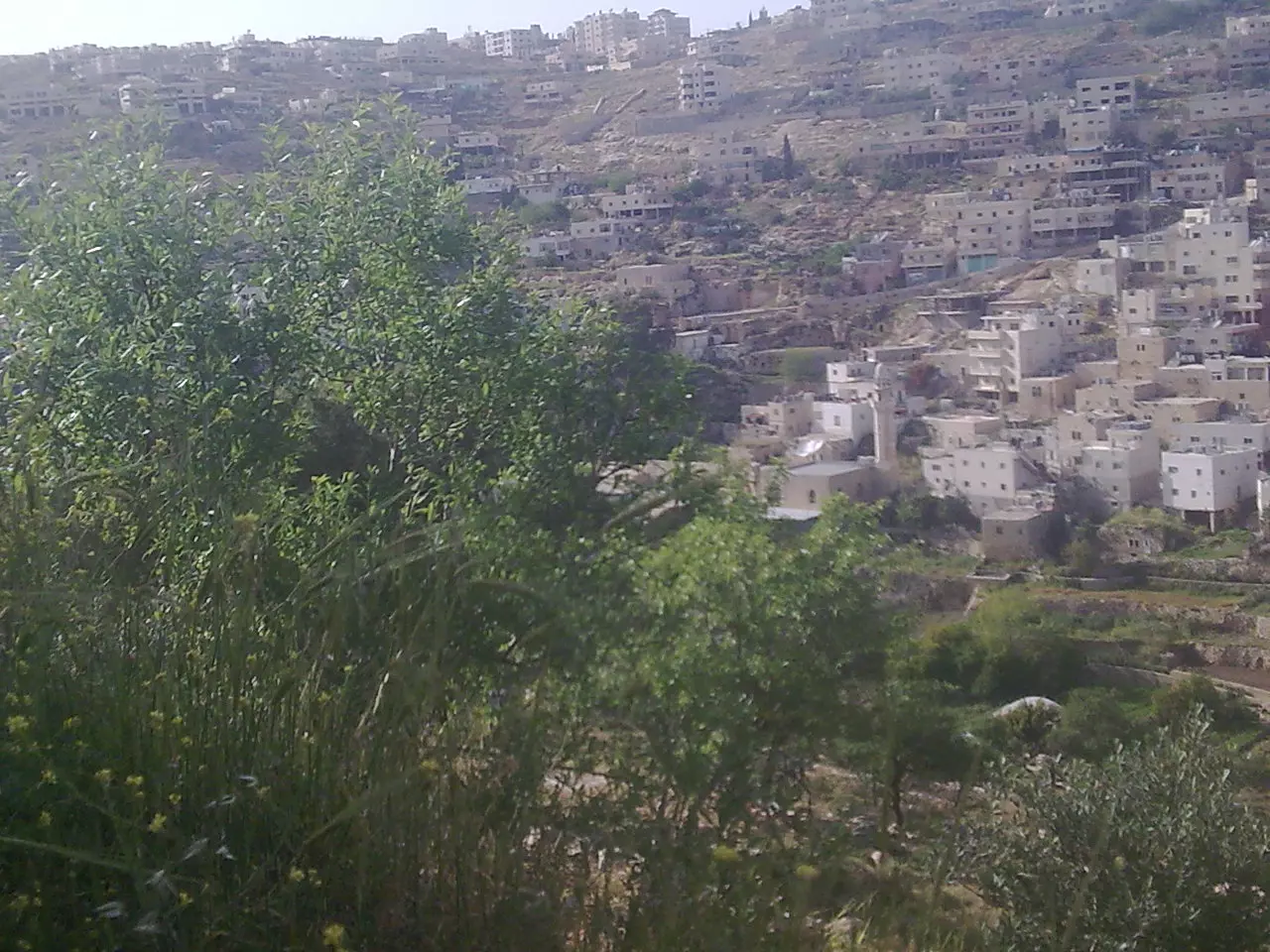
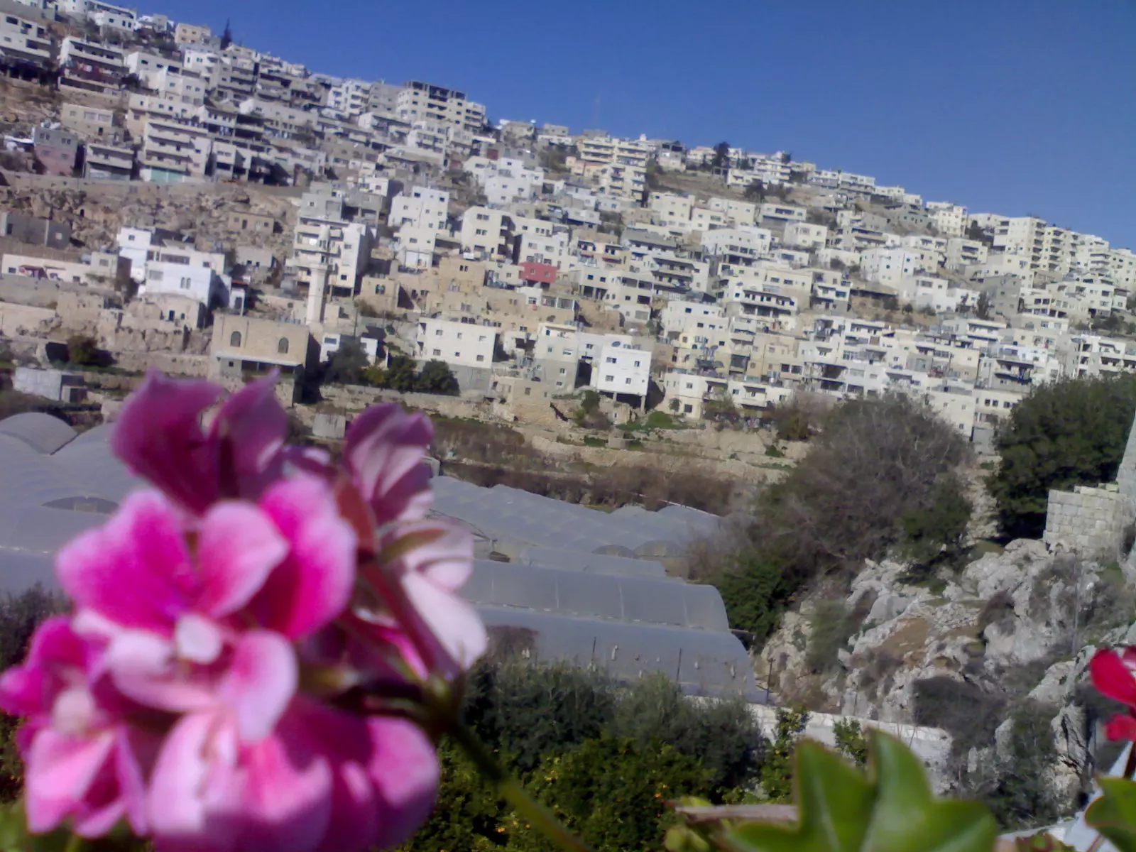
Posted by Joe Sanad - منظر عام لقرية ارطاس عن الجبل

Posted by ابو القاسم - مسجد عمر - ارطاس -
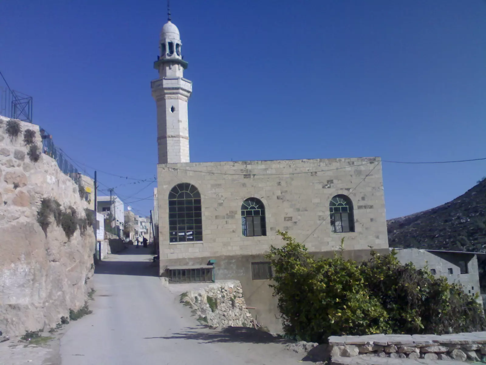
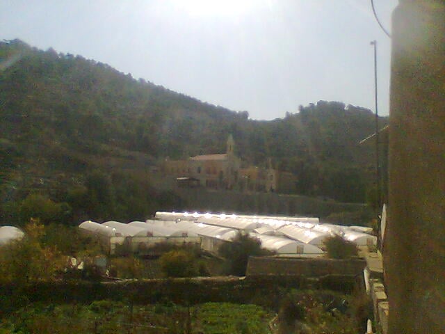
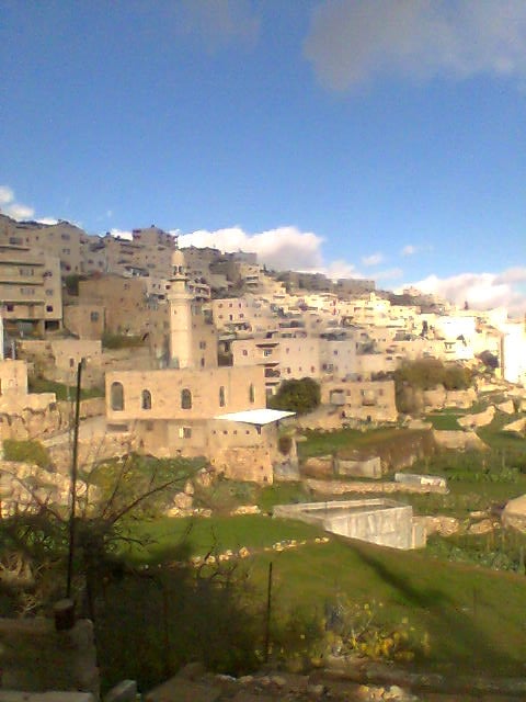
Posted by Me - منظر عام للقرية مع المسجد القديم
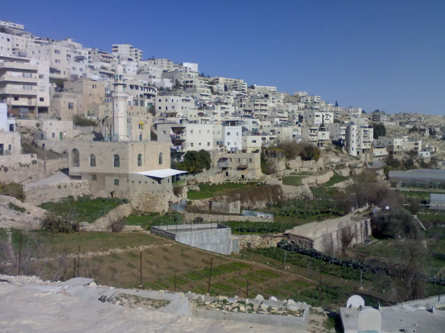
Posted by Me - منظر رائع للقرية من دير ارطاس
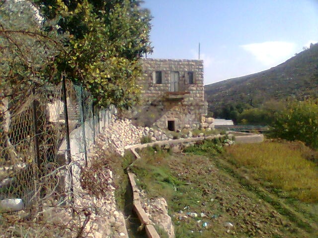
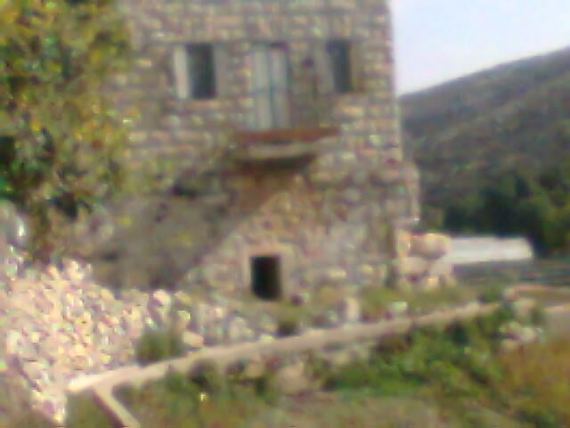
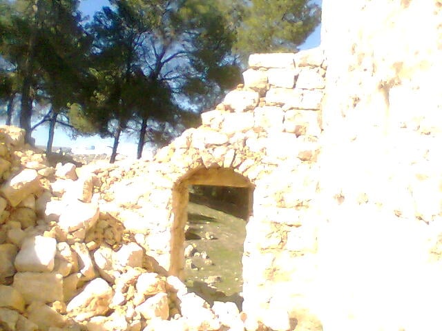
Posted by Me - صورة لمنزل قديم في القرية
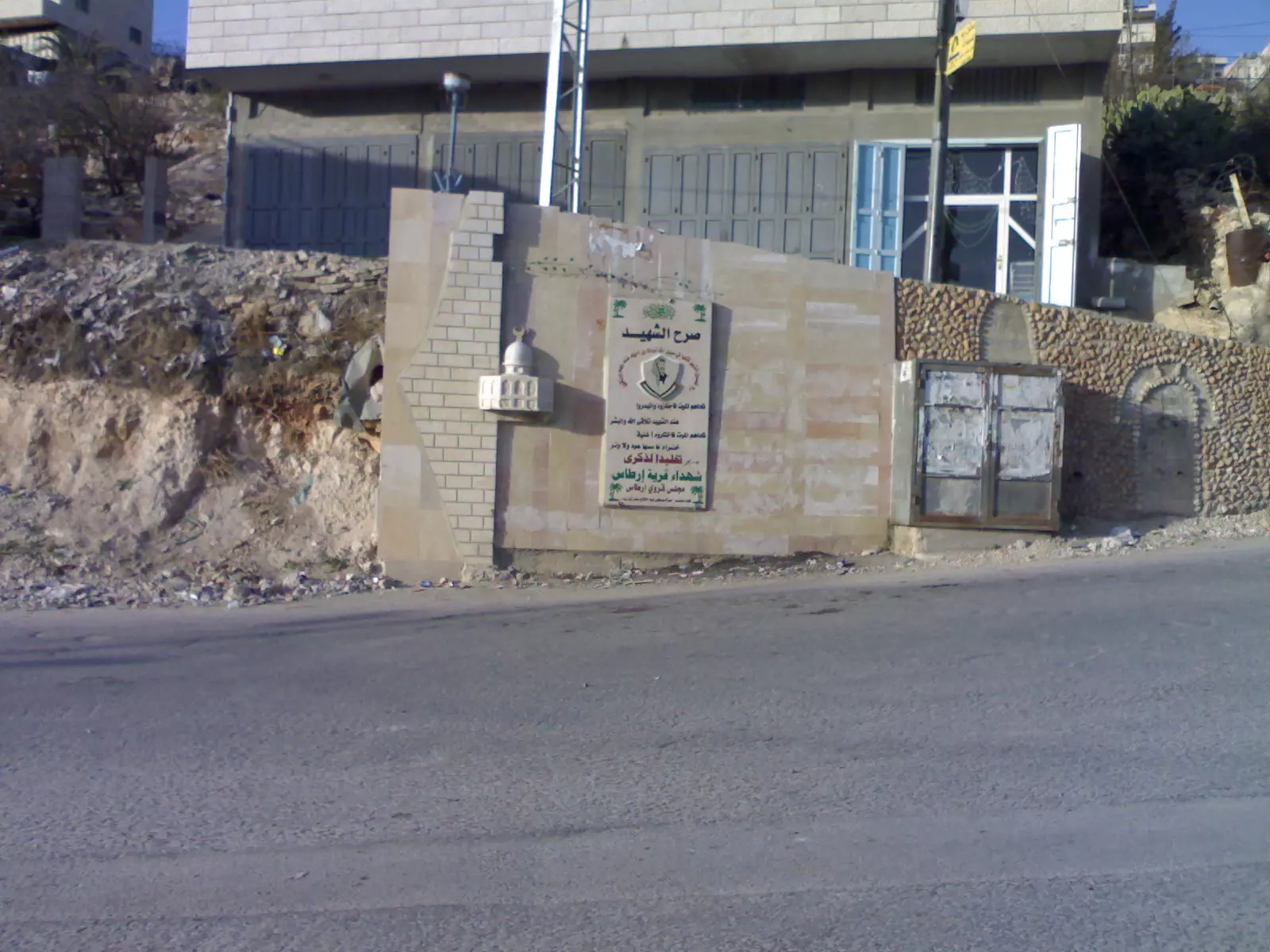
Posted by Me - صرح الشهيد - في مدخل القرية -
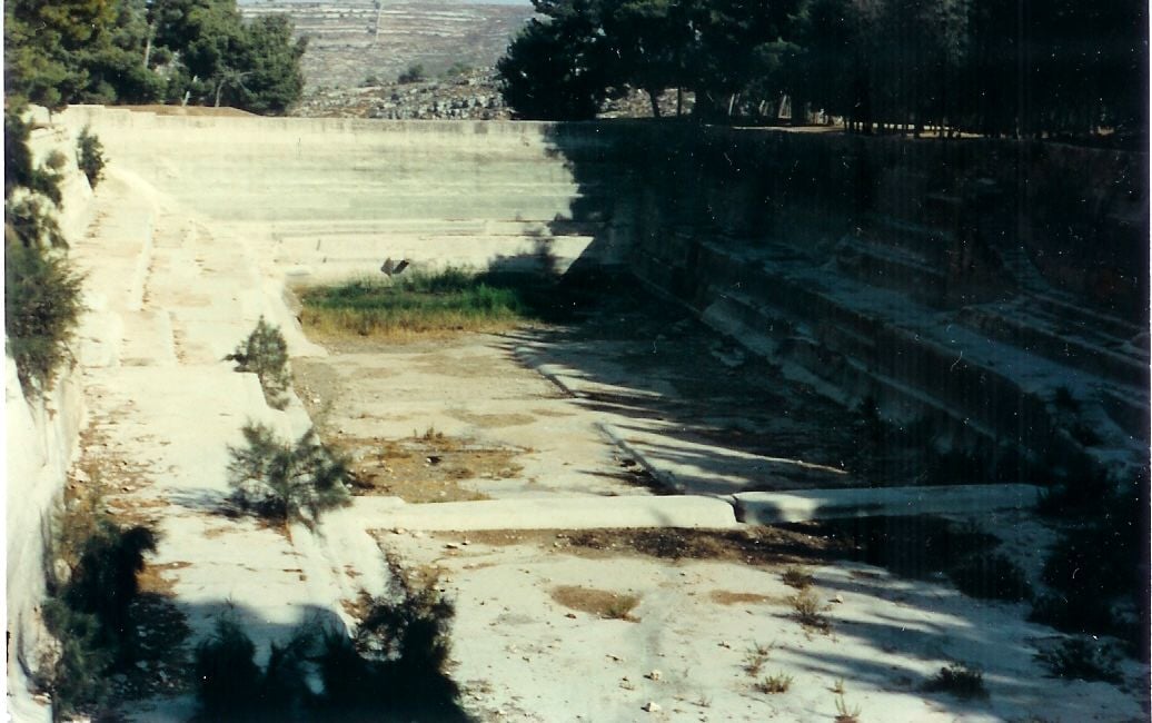
Posted by Me 1 - برك سليمان - البركة الاولى - التحتى
Posted by Me - دير ارطاس في الخريف - راائع -
Posted by Me - منظر لدير راهبات ارطاس - مذهل -
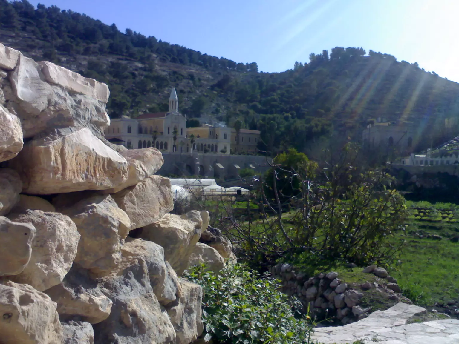
Posted by Me - دير ارطاس من بين اشجار الزيتون - منظر جميل -
Posted by Me - شجرة توت في القرية - عمرها ما يقارب ال 100 عام -
Posted by Me - جبل ابو زيد -ارطاس-
Posted by l.mese - الشهيد البطل خالد يوسف سند (ابو يوسف )
Posted by Joe Sanad 3 - الشهيد يوسف ابوصوي
Posted by امين عزت ابوصوي 1 - دير ارطاس امين عزت ابوصوي
Posted by امين عزت ابوصوي - فرقة ارطاس وخسها امين عزت ابوصوي
Posted by امين عزت ابوصوي 1 - امين عزت ابوصوي جبل ارطاس
Posted by امين عزت ابوصوي - برك سليمان
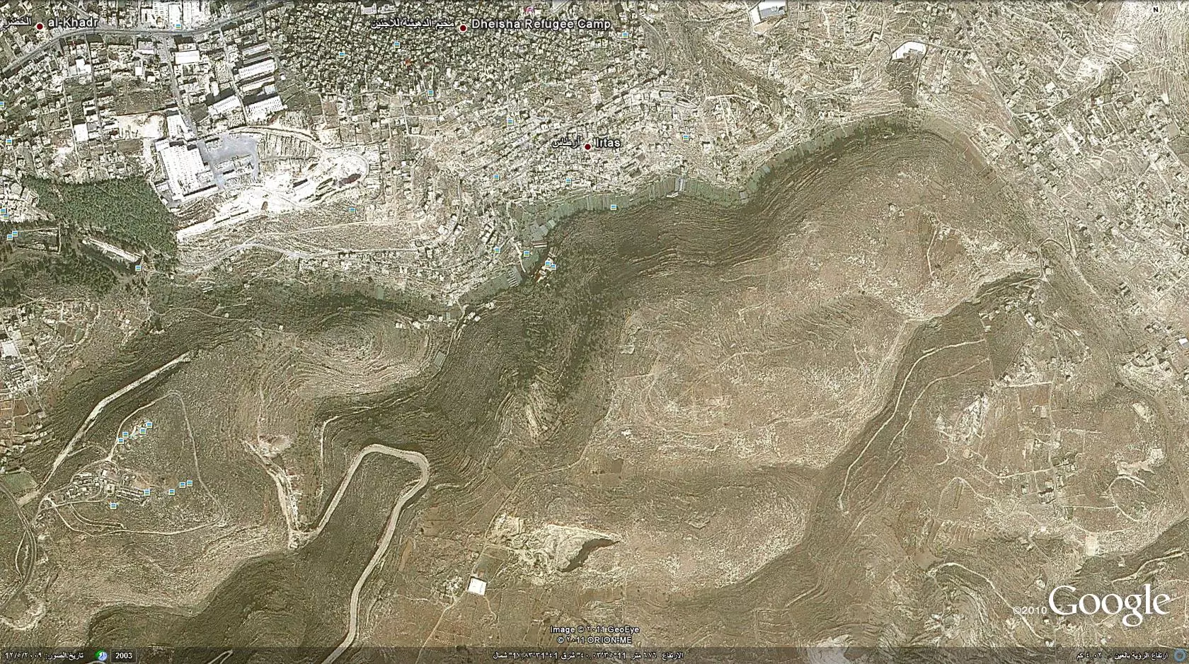
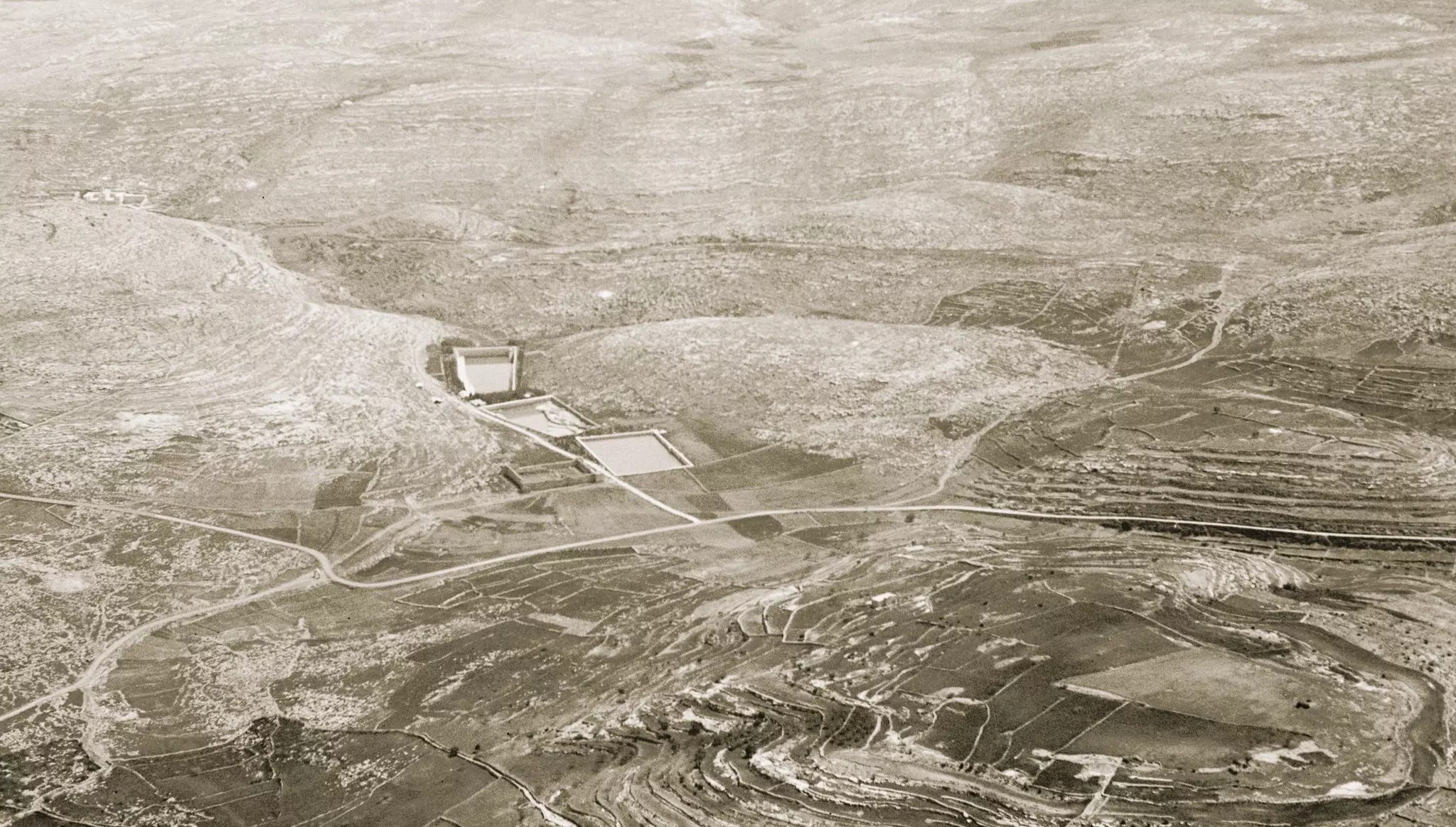
Posted by mazen - صورة فضائية ارطاس 12_5_2009
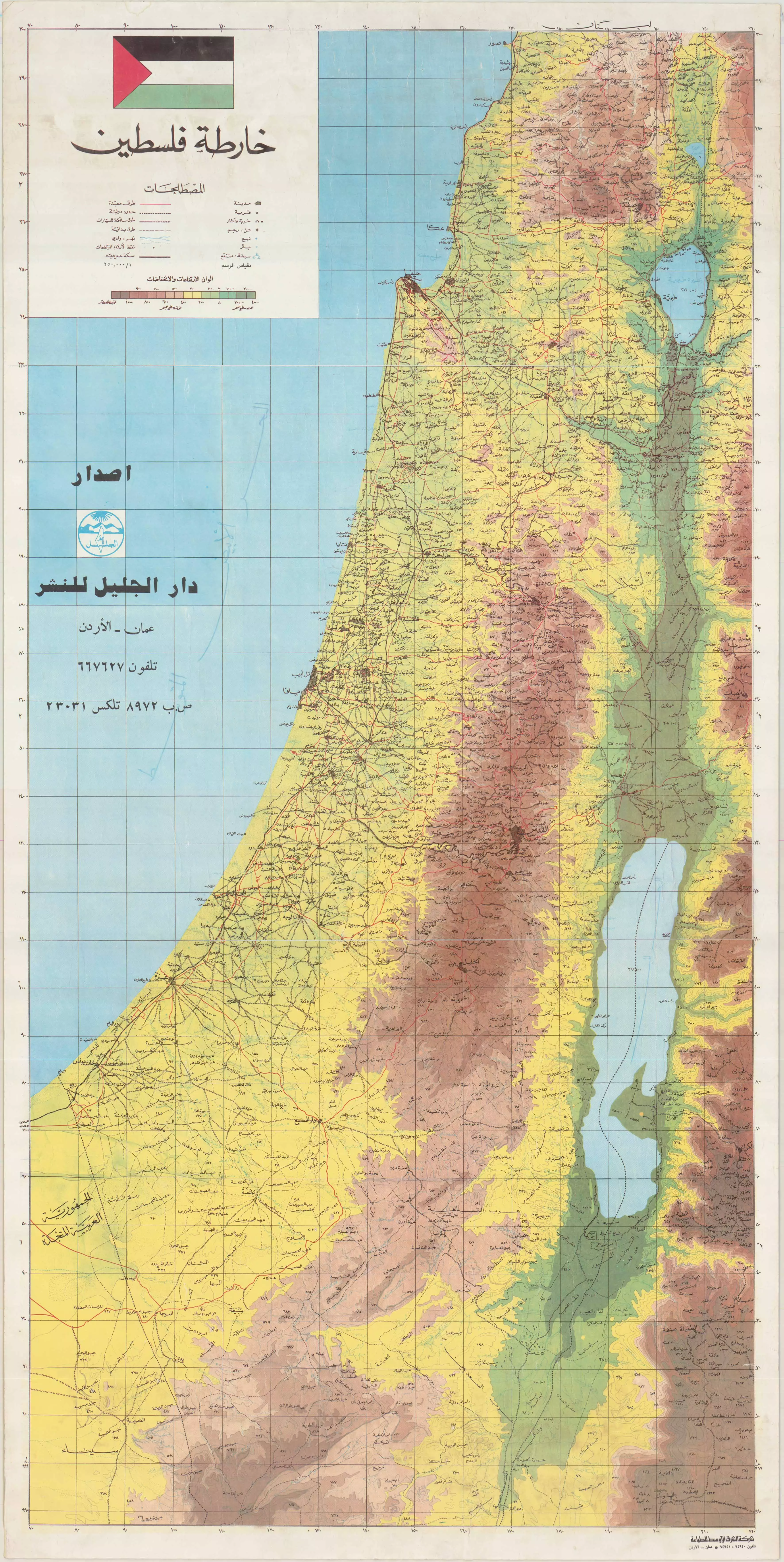
Posted by Joe Sanad - palestine full map
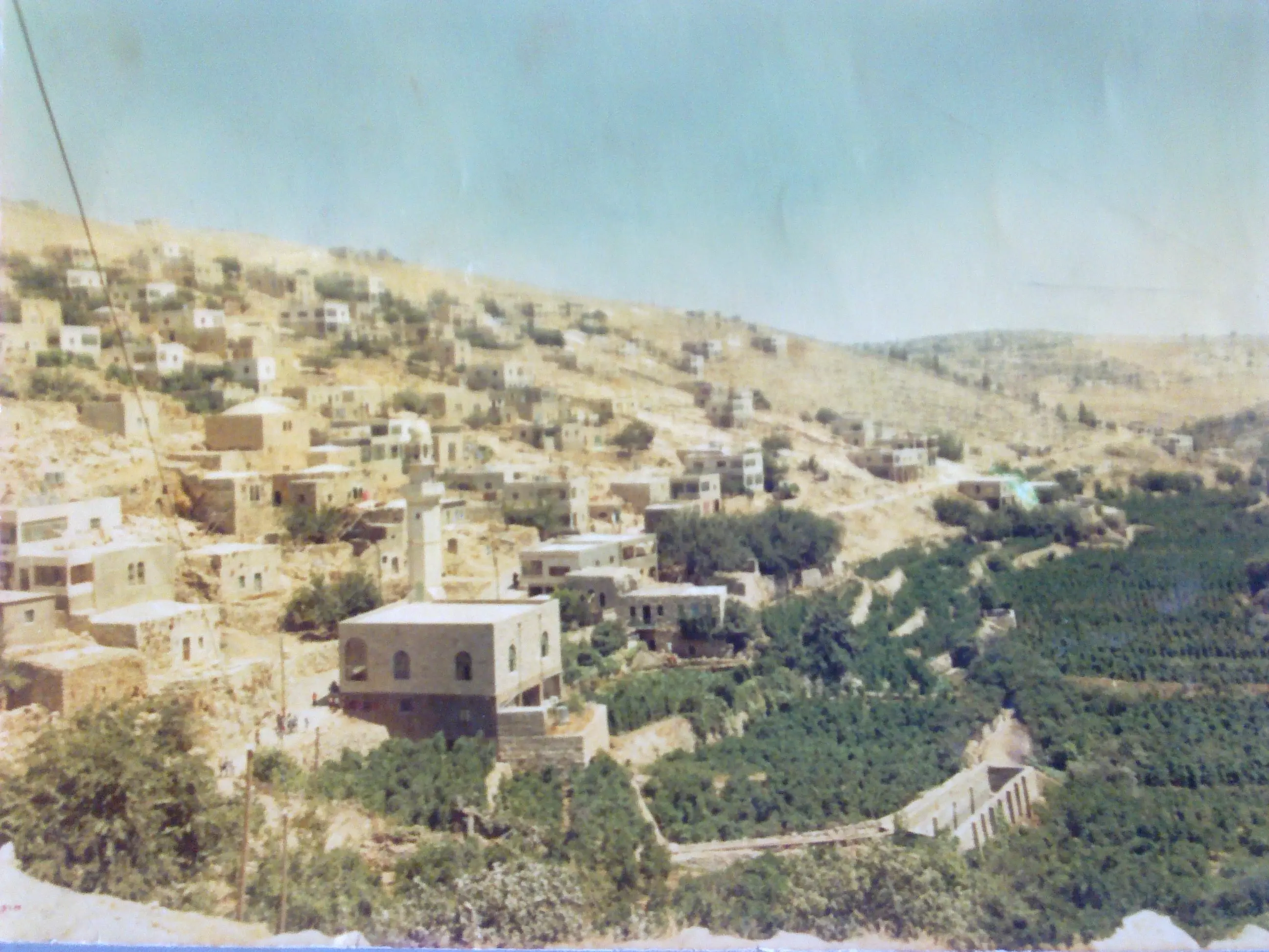
Posted by Joe Sanad - ارطاس سنة 1980
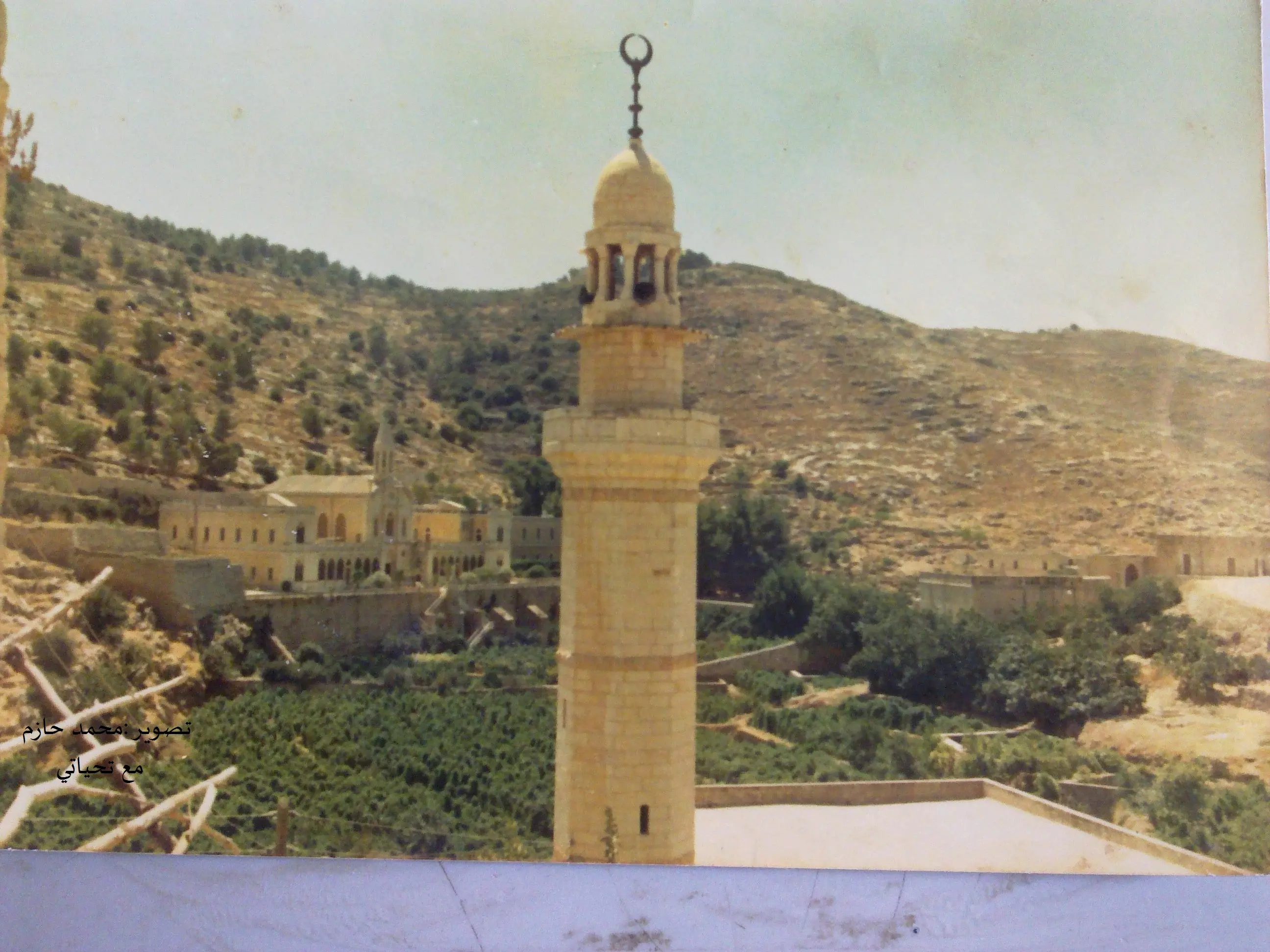
Posted by Joe Sanad - جامع ارطاس سنة 1980
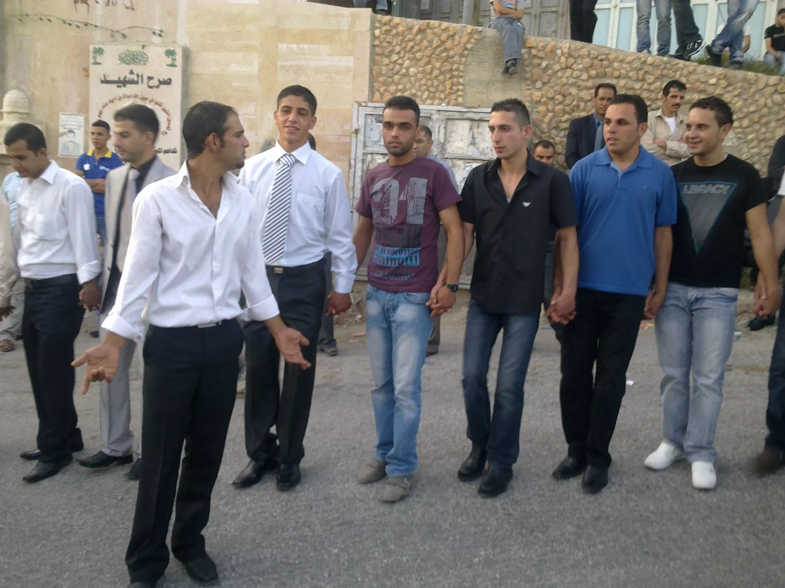
Posted by Joe Sanad - احد افراح قرية ارطاس تاريخ 23\9\2011
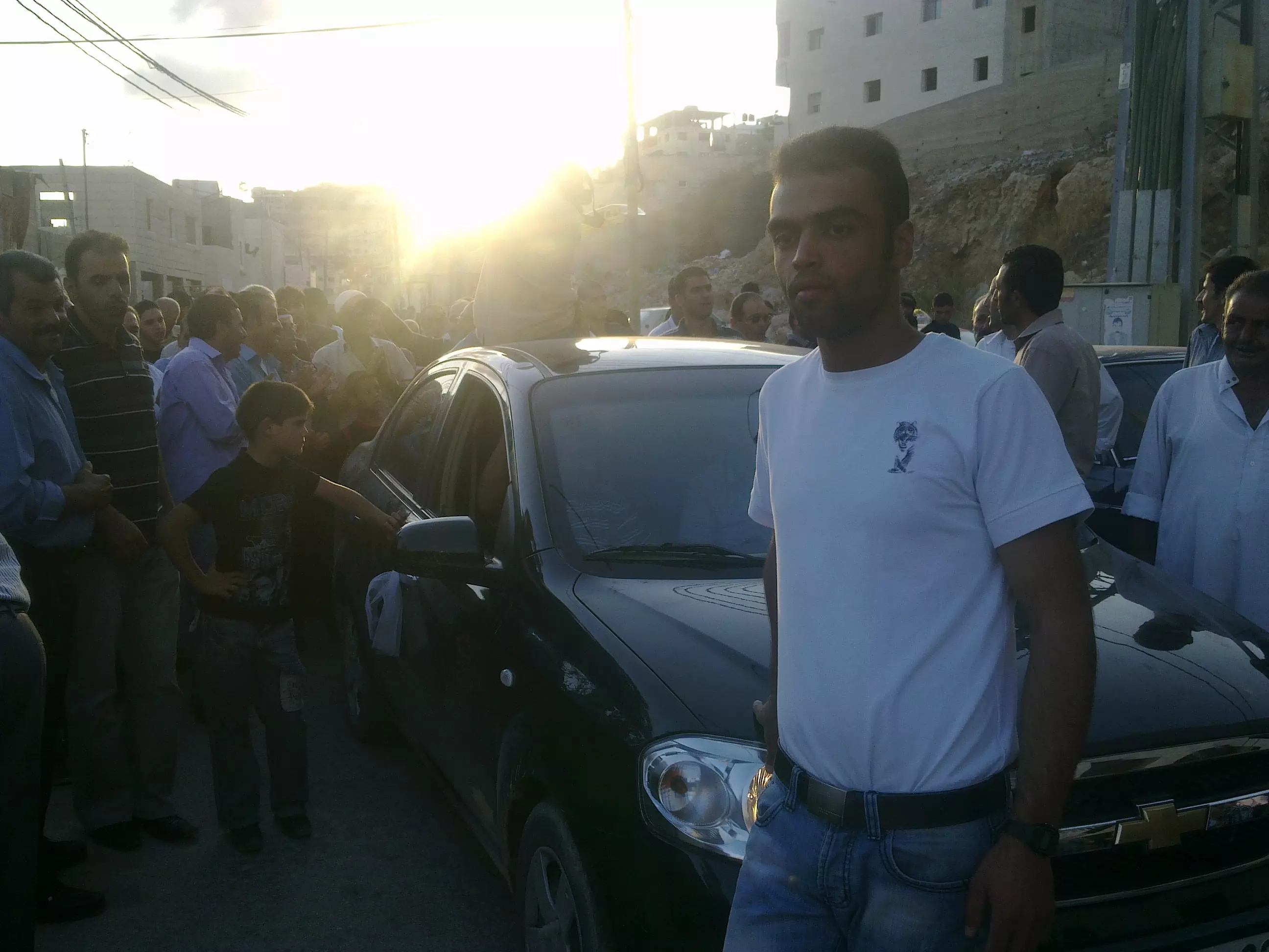
Posted by Joe Sanad - افراح قرية ارطاس
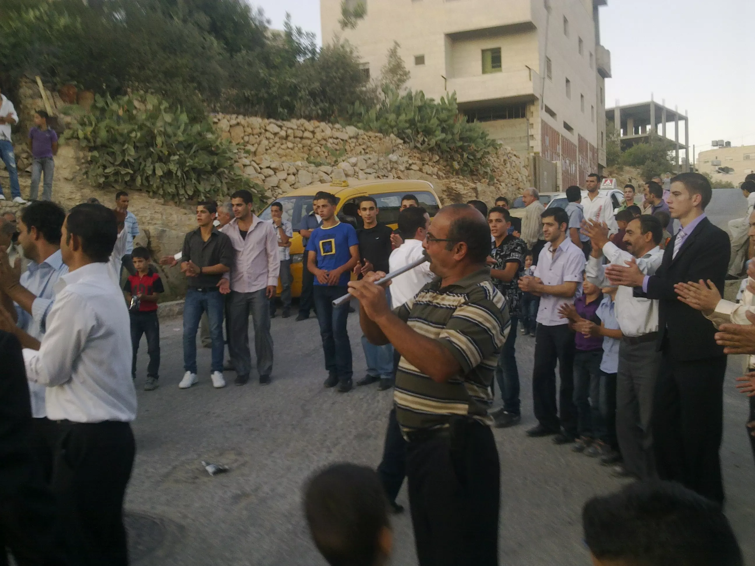
Posted by Joe Sanad - افراح قرية ارطاس
Posted by Joe Sanad - الشهيد الفارس البطل احمد خليل اسعد في السجن والذي استشهد بتاري 5\5\2001

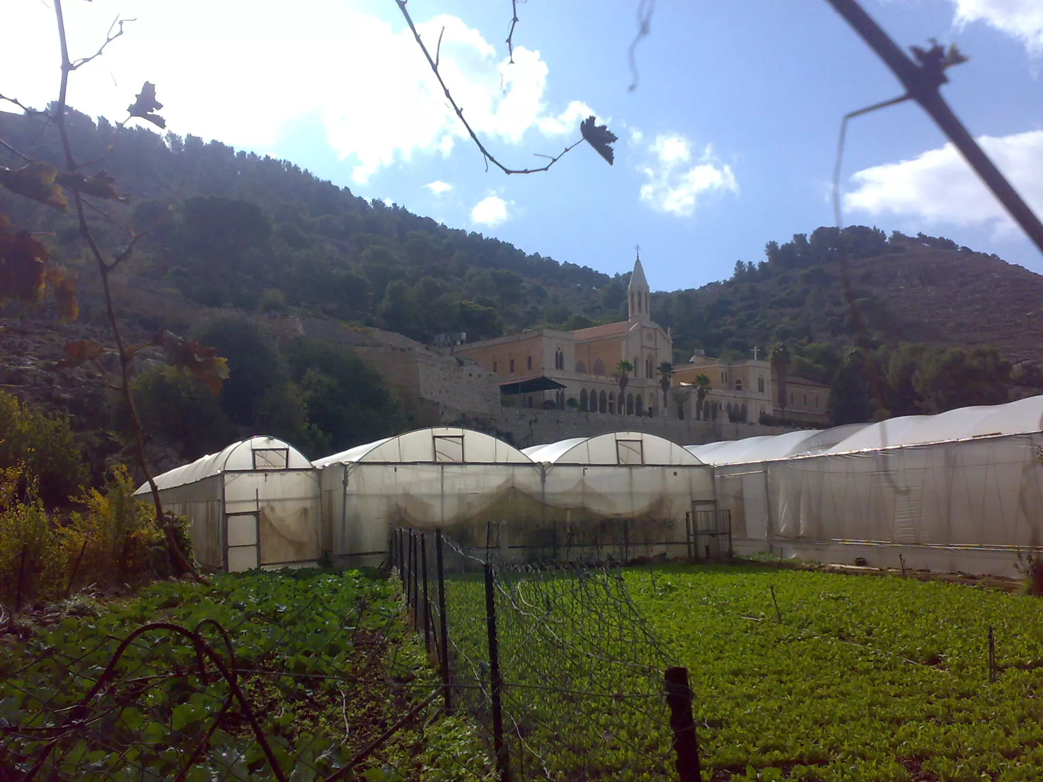
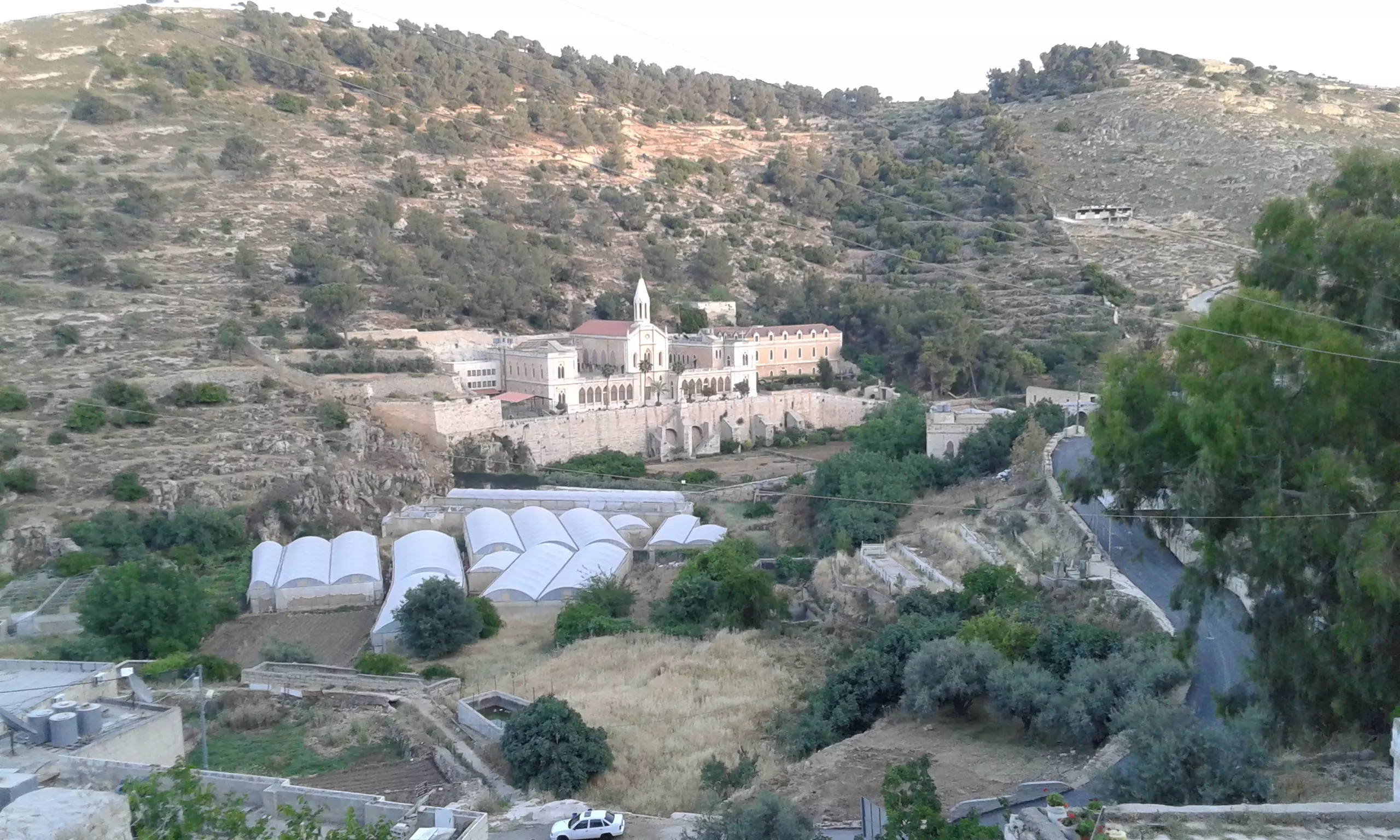
Posted by Joe Sanad - دير ارتاس منظر عام - تصوير سهيل مخول يوم 29.12.2011
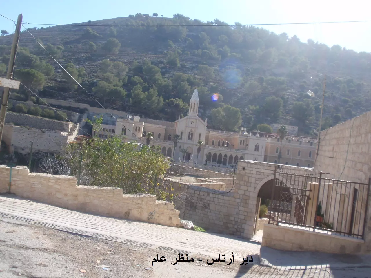
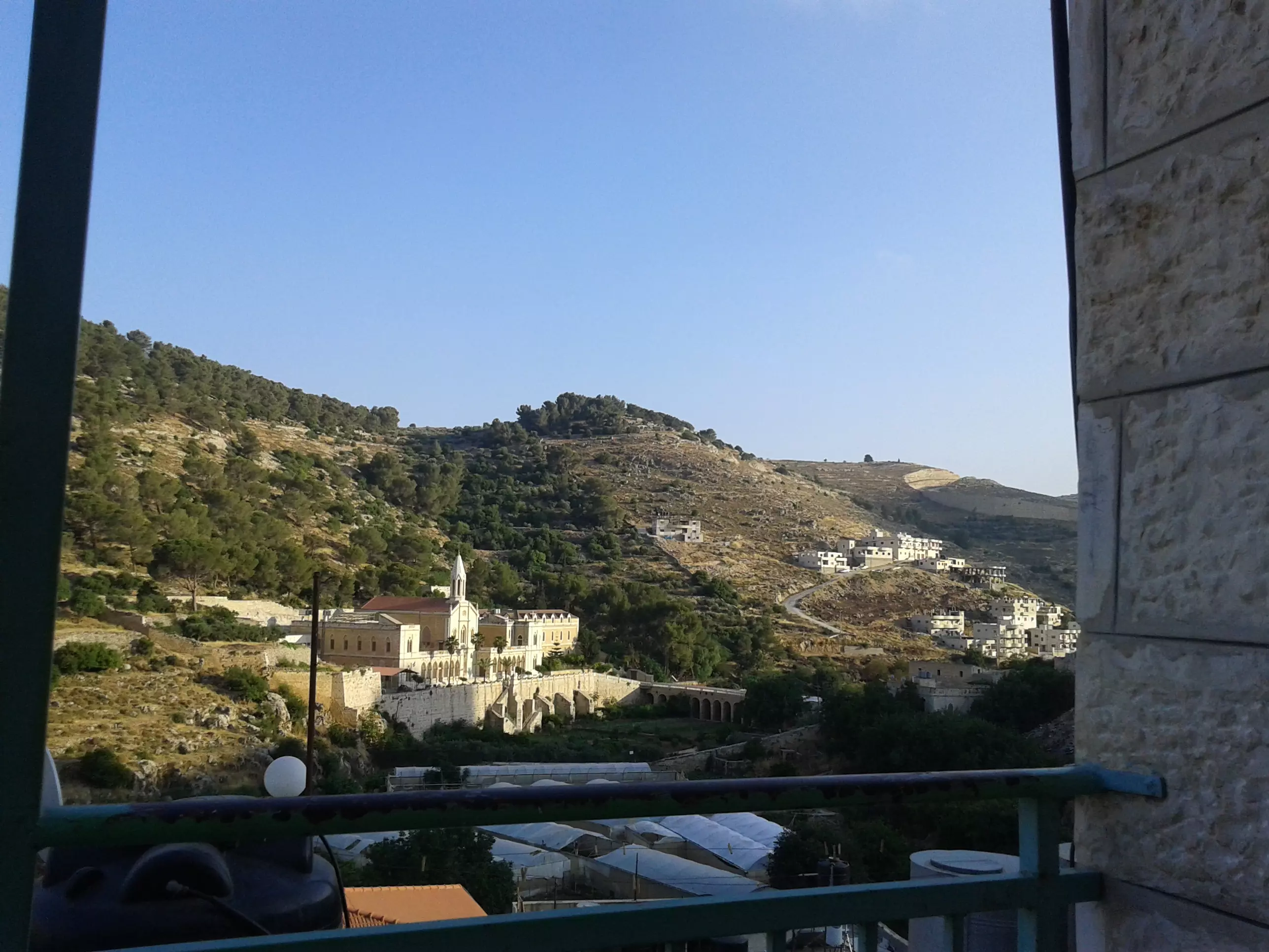
Posted by سهيل مخول - أرتاس منظر عام - مقابل دير أرتاس تصوير سهيل مخول يوم 29.12.2011
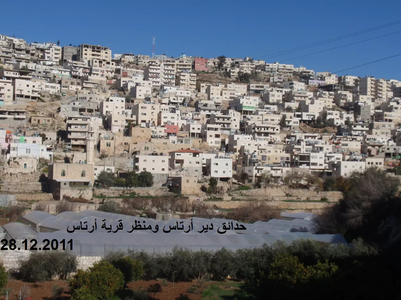
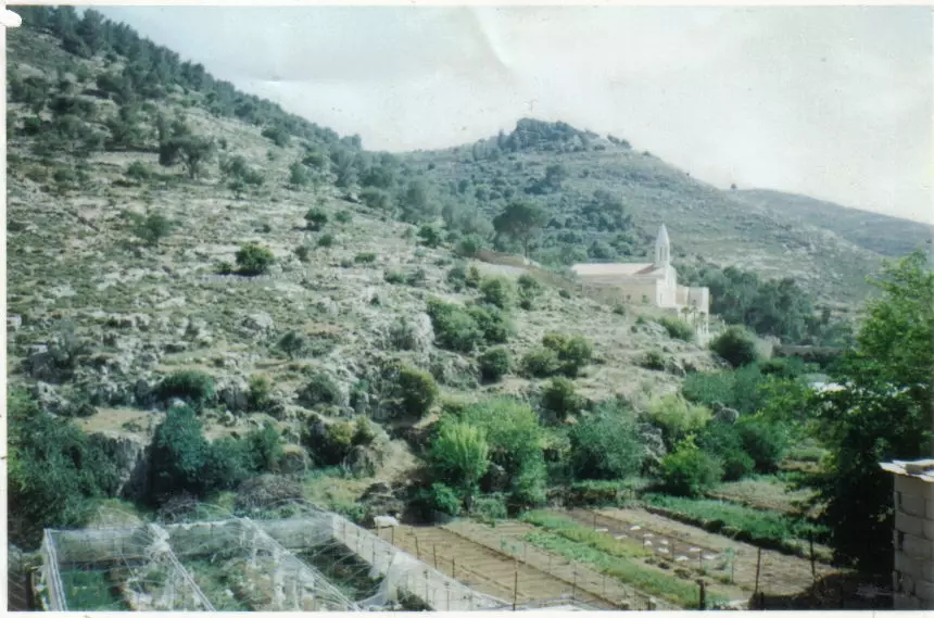
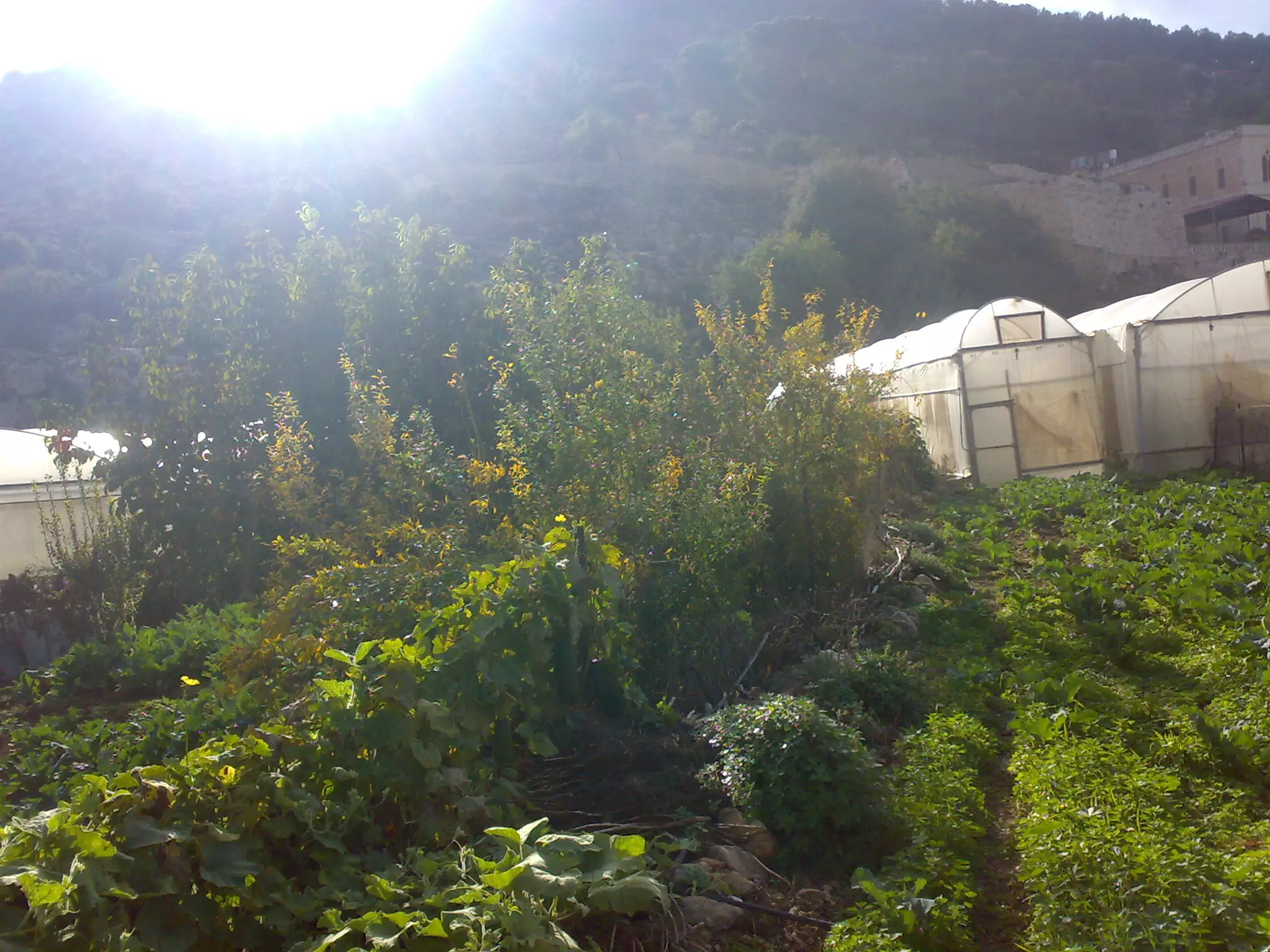
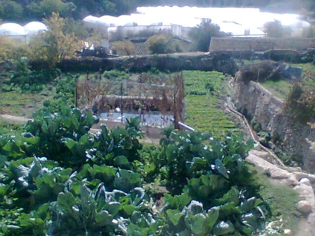
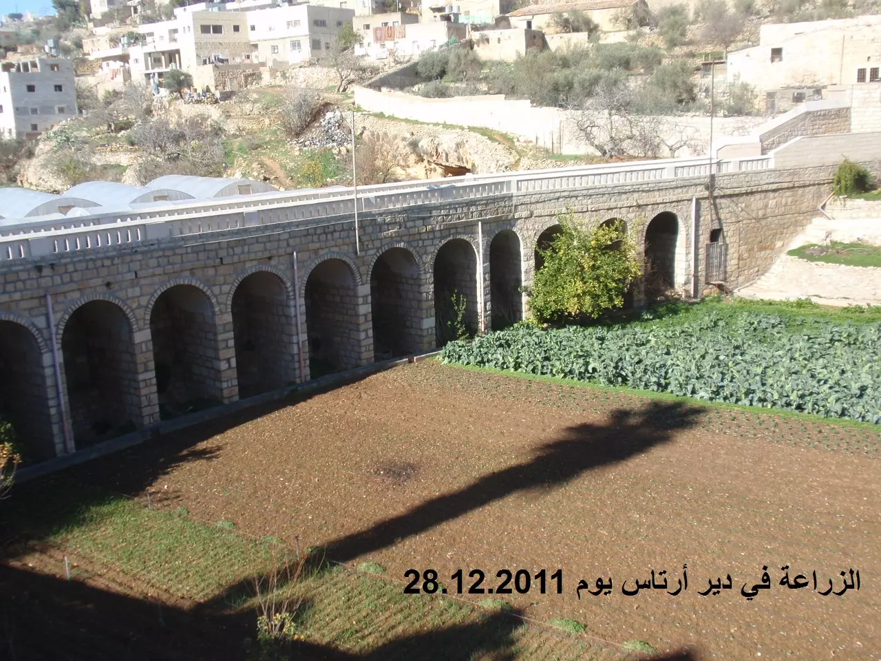
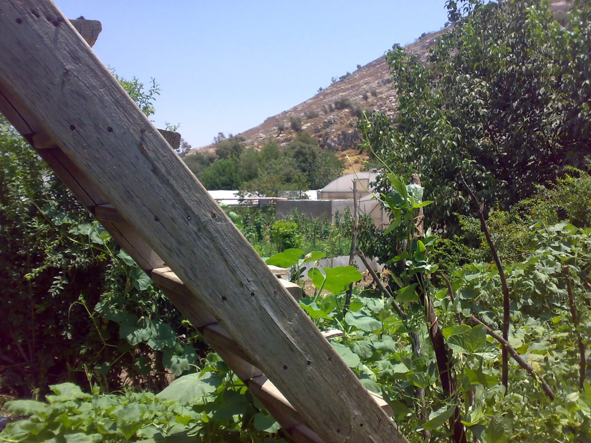
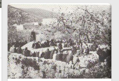
Posted by سهيل مخول - الزراعة في دير أرتاس تصوير سهيل مخول يوم 28.12.2011
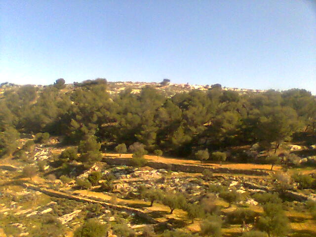
Posted by سهيل مخول - واد ارطاس 25/7/2012
Posted by سائد سند - وادي ارطاس 2 بتاريخ 25/7/2012
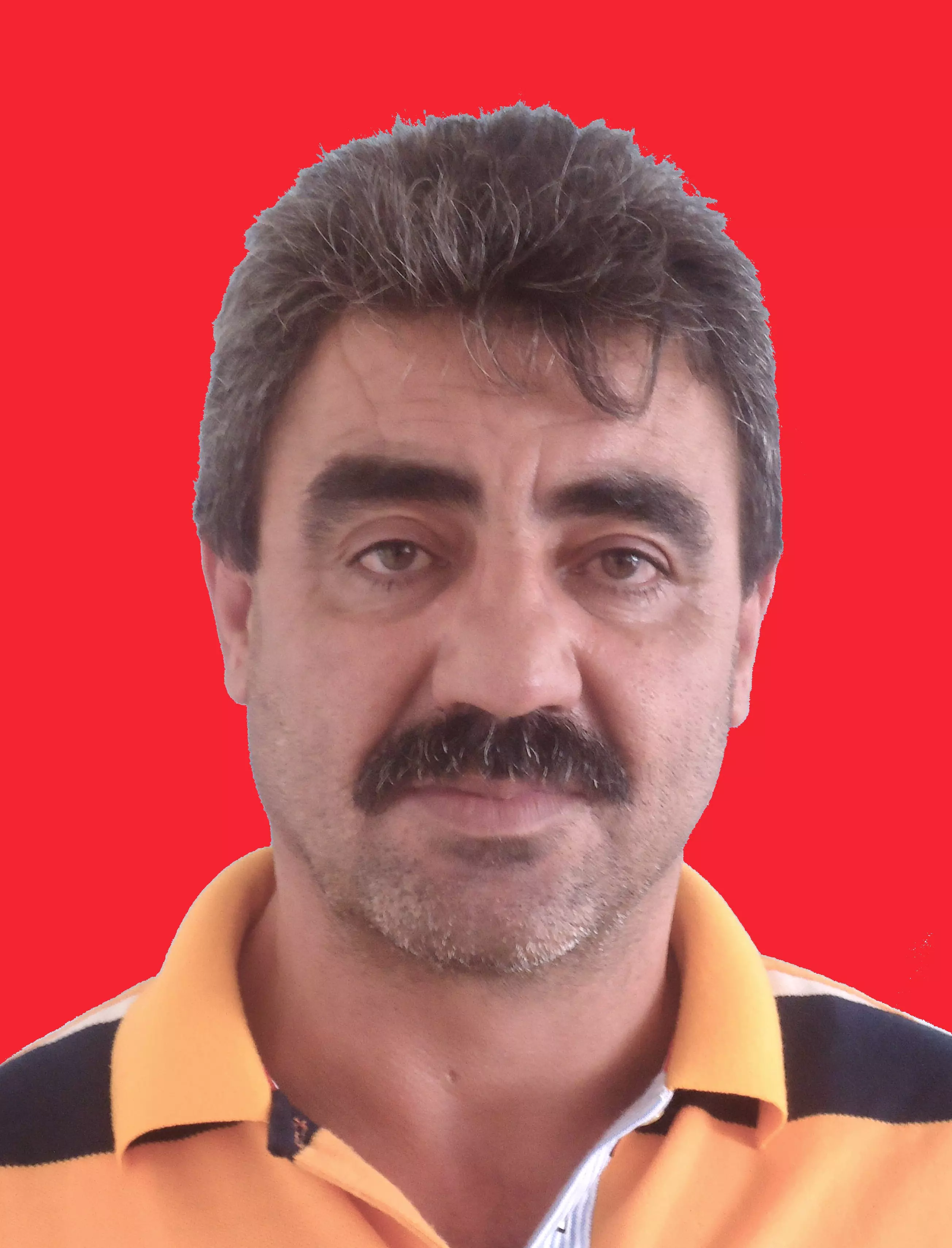
Posted by سائد سند 1 - محمد عبد الرحمان ابوصوي
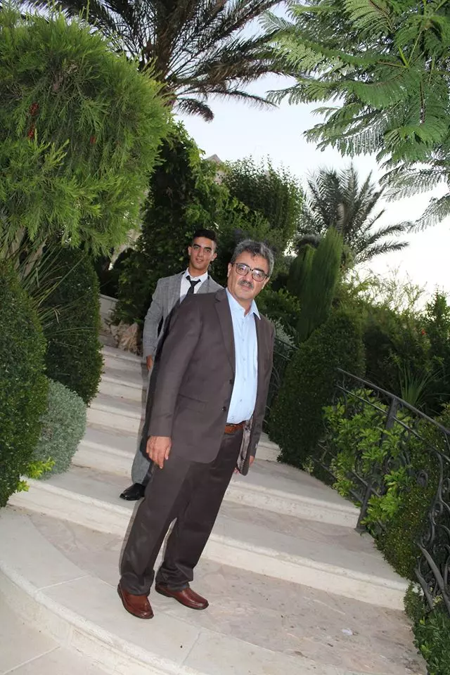
Posted by جلال ابوصوي 1 - رئيس مجلس قروي ارطاس
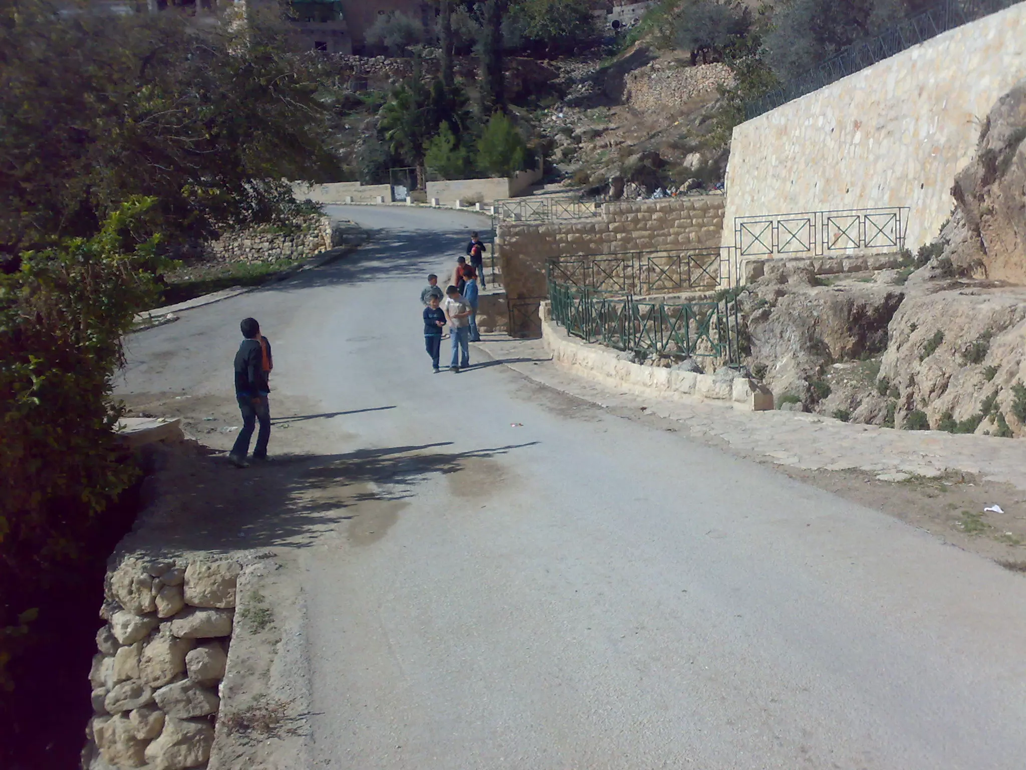
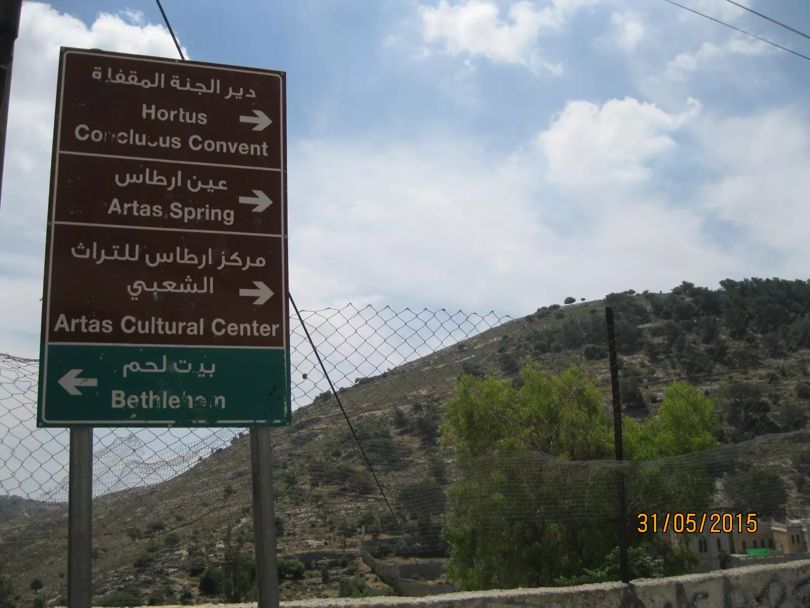
Posted by ابو خليل - مفترق طرق في ارطاس
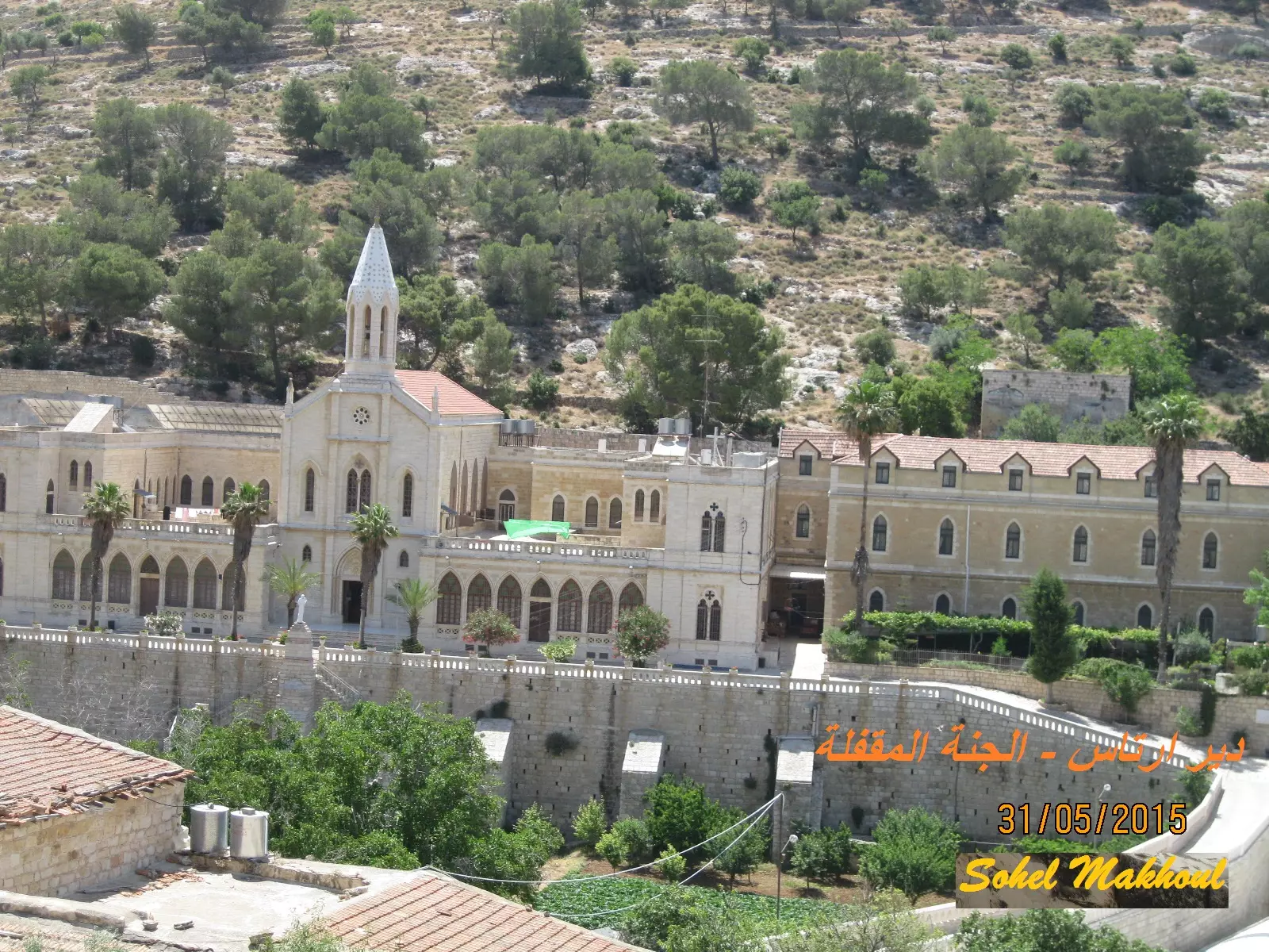
Posted by سهيل مخول - دير وكنيسة ارطاس - بعدسة سهيل مخول يوم 31.5.2015
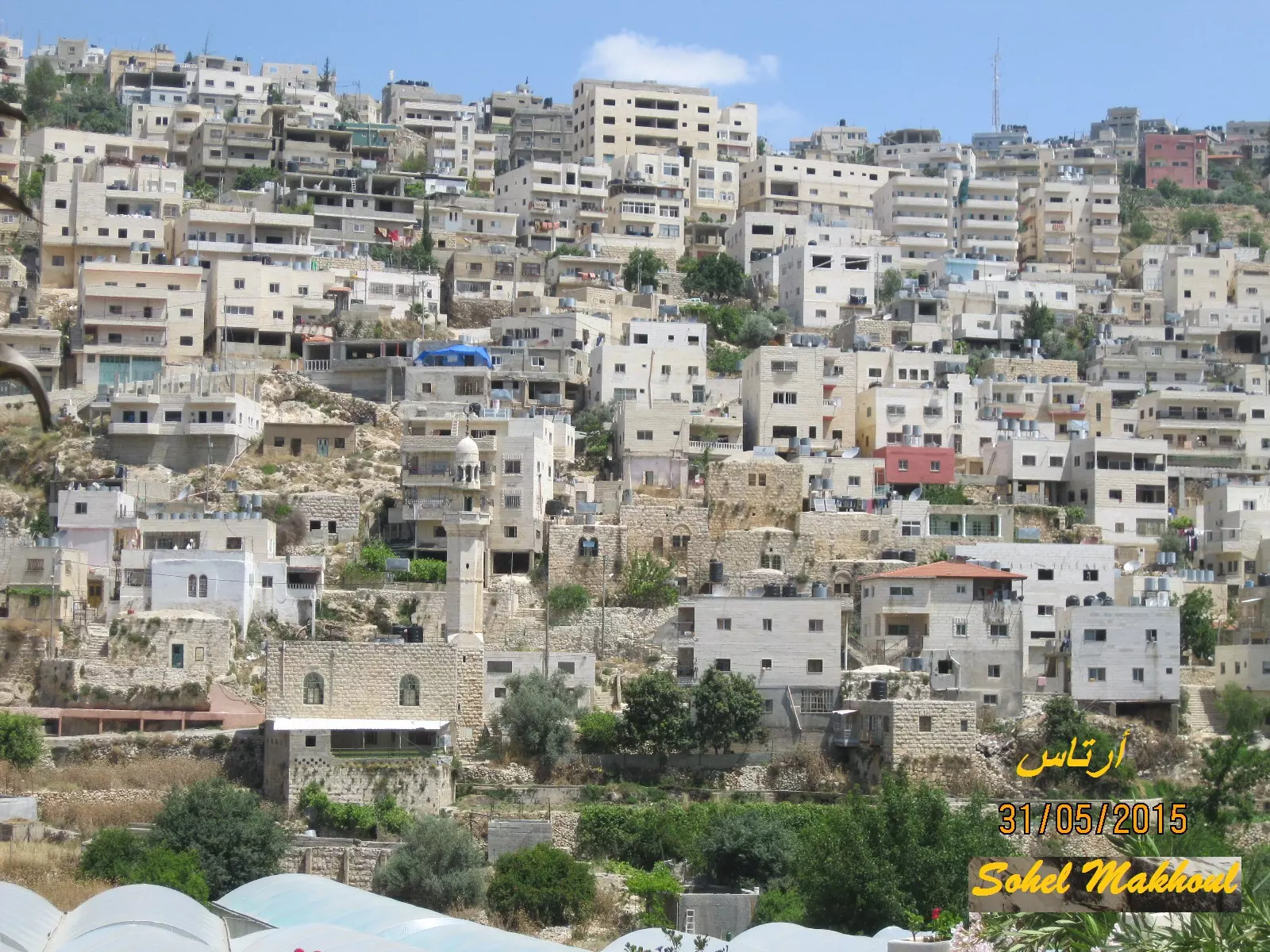
Posted by سهيل مخول - منظر من الير الى ارطاس - بعدسة سهيل مخول
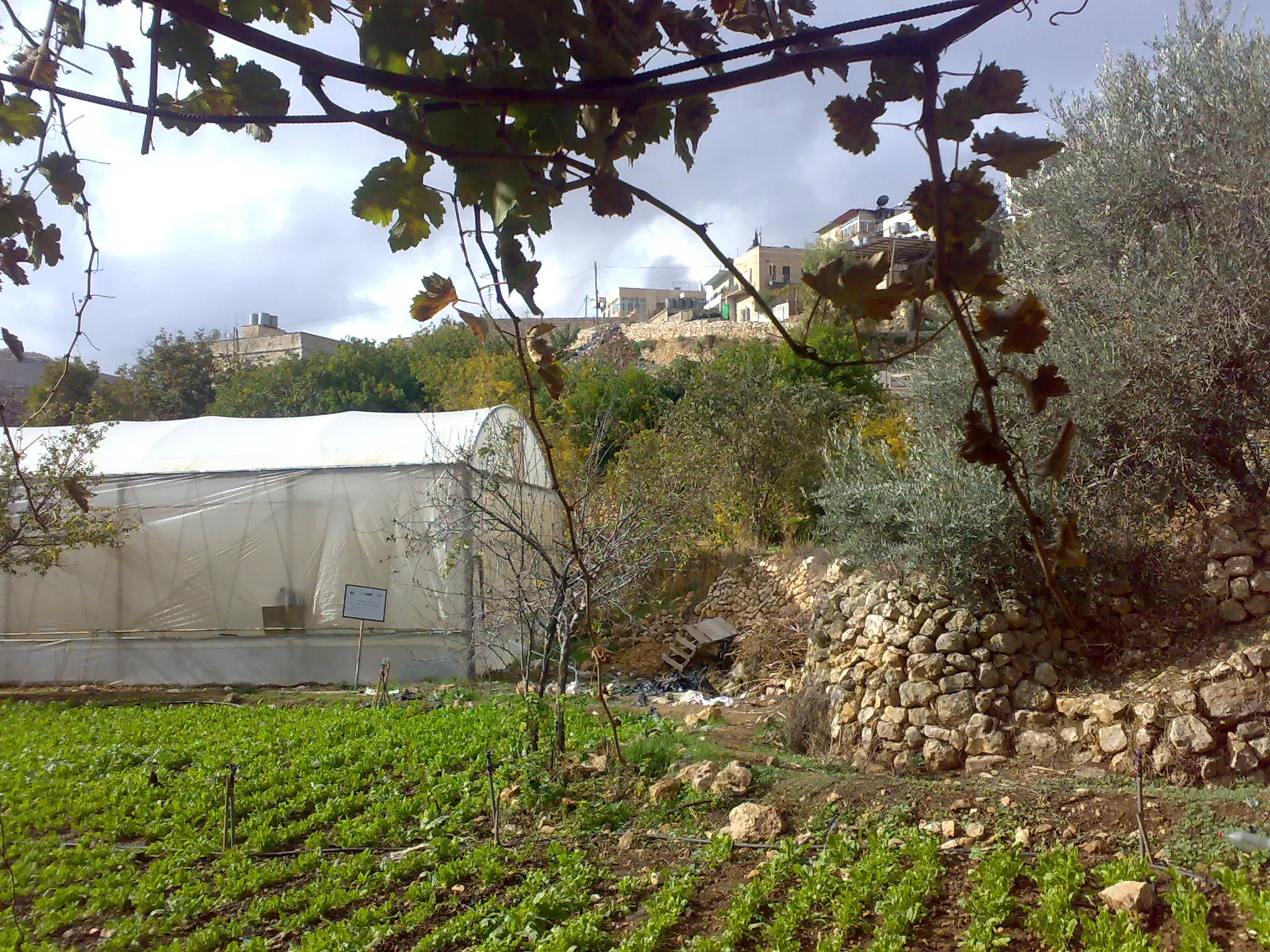
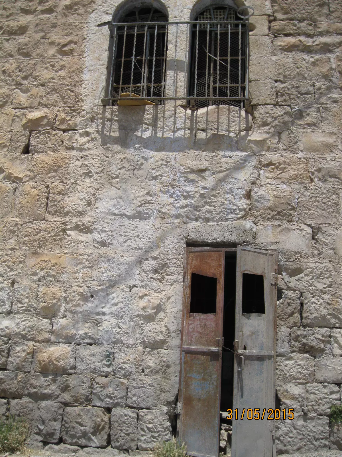
Posted by سهيل مخول - بيت قديم في ارطاس - بعدسة سهيل مخول يوم 31.5.2015

Posted by سهيل مخول - بيت قديم في ارطاس - بعدسة سهيل مخول يوم 31.5.2015
Posted by سهيل مخول - صوره قديمه من قريه ارطاس
Posted by abu raya - صوره قديمه من ارطاس ، بركه سليمان
Posted by abu raya - صوره قديمه من ارطاس
Posted by abu raya - صوره قديمه من ارطاس سنه 1935
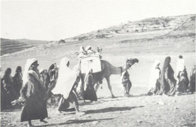
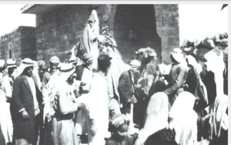
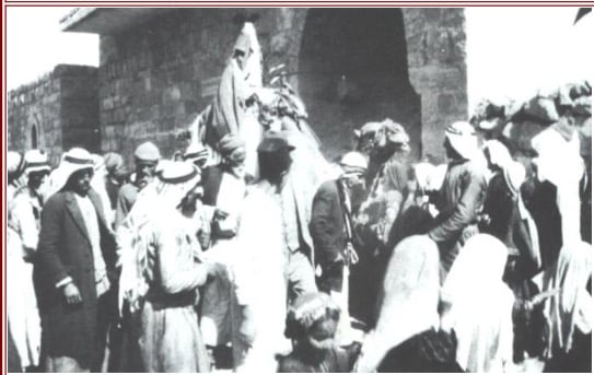
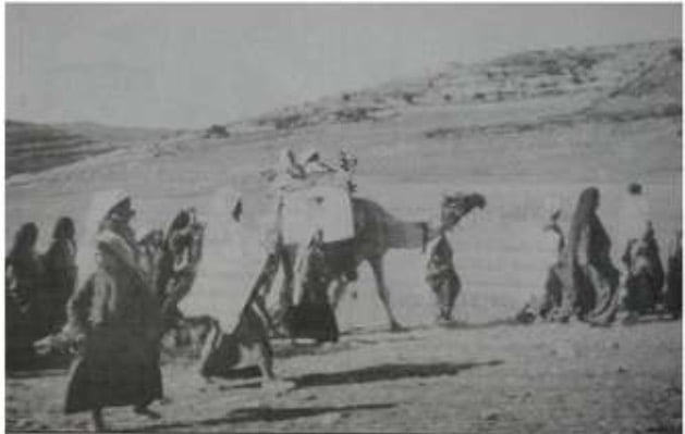
Posted by abu raya - صوره قديمه لعرس في ارطاس
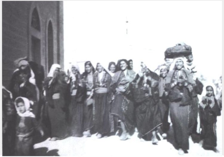
Posted by abu raya - صوره قديمه لعرس في ارطاس
Posted by abu raya - صوره قديمه من ارطاس
Posted by abu raya - صوره قديمه من ارطاس
Posted by abu raya - صوره قديمه من ارطاس
Posted by abu raya - صوره قديمه لعرس في ارطاس
Posted by abu raya - صوره قديمه من ارطاس
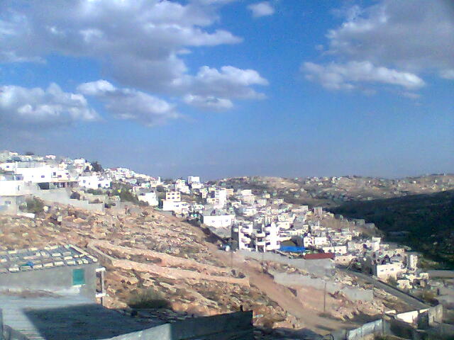
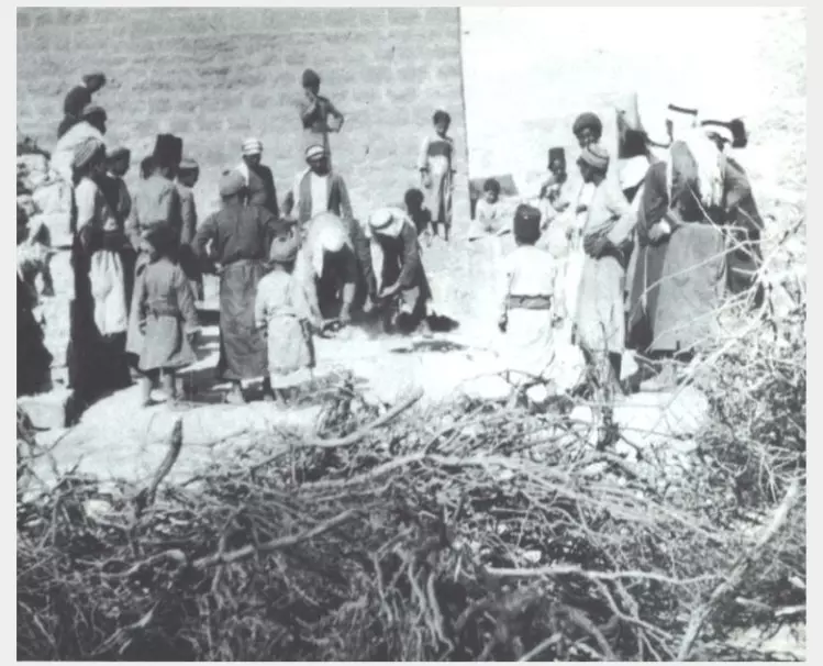
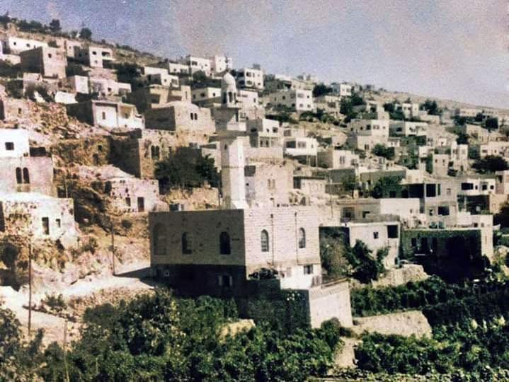
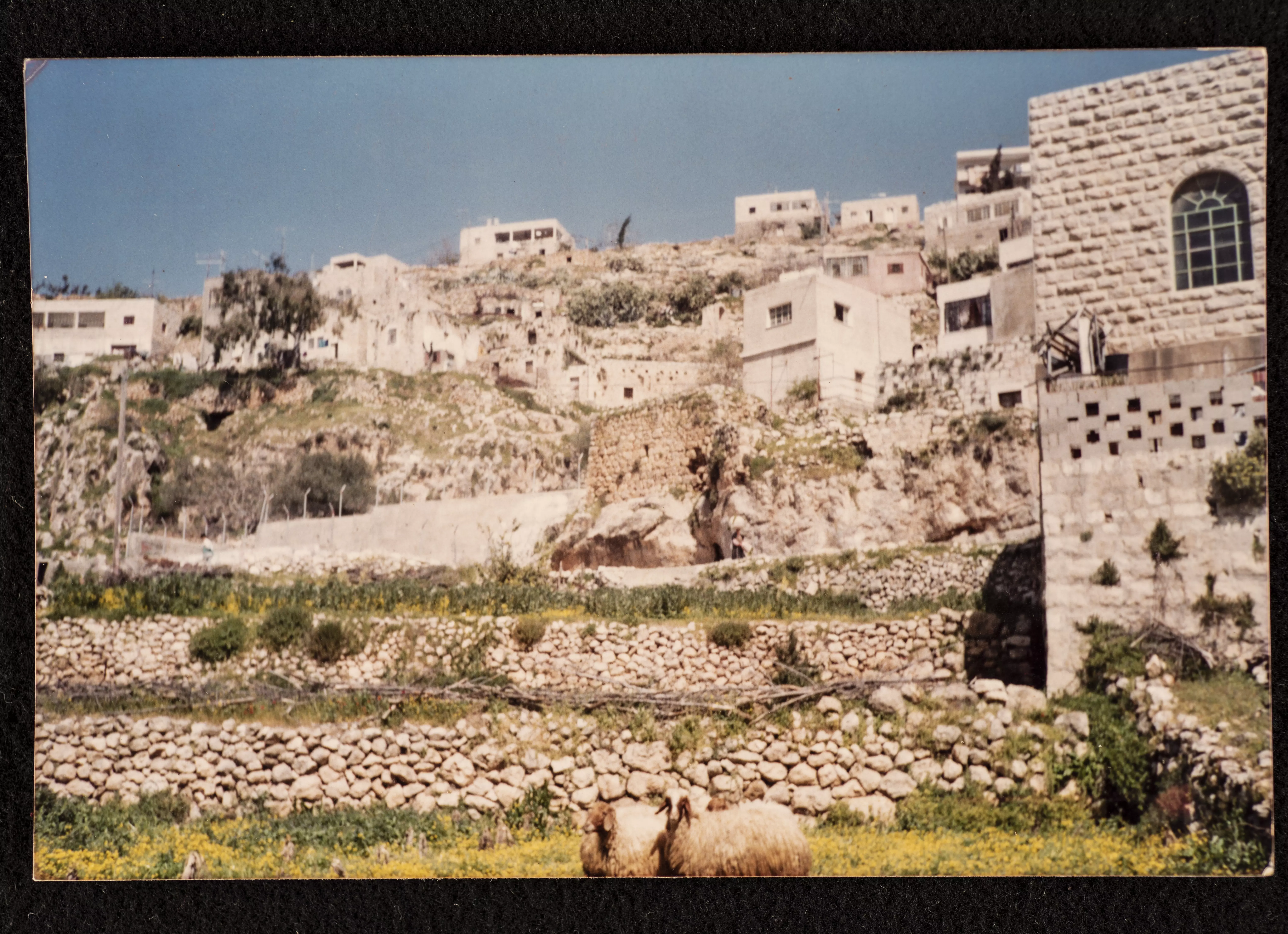
Posted by abu raya - منظر عام لقريه ارطاس
Posted by abu raya - صوره قديمه لقريه ارطاس
Posted by abu raya - ارطاس سنه 1925
Posted by abu raya - صوره قديمه من ارطاس
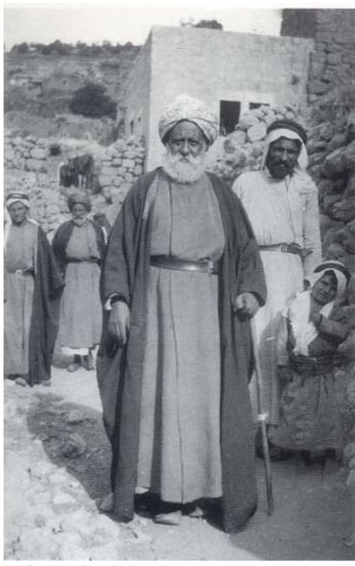
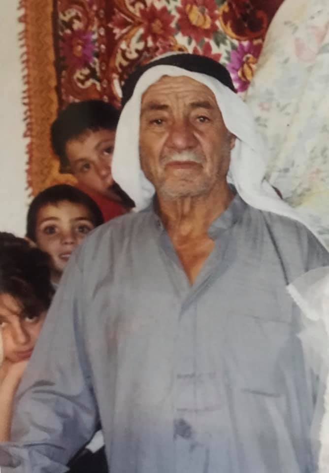
Posted by abu raya - صوره قديمه لمختار قريه ارطاس
Posted by abu raya - صوره قديمه من ارطاس
Posted by abu raya - صورة لدير ارطاس 2016
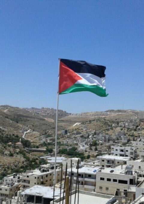
Posted by Yousef Sanad - علم فلسطين يرفرف في سماء القرية وتظهر من خلفة مستعمرة افرات المقامة على اراضي القرية 2017
Posted by Yousef Sanad - دير ارطاس
Posted by Yousef Sanad - بمناسبة زفاف خليل محمد 23/07/2019
Posted by ابو خليل - المرحوم والدي خليل عثمان محمد سعد (ابو محمد) الذي توفي بتاريخ 09/07/2010
Posted by ابو خليل - ابناء قرية ارطاس محمد خليل عثمان وعلي ابو صالح ومنير ابو غازي ونضال زيدان ونضال خضر عطاالله
Posted by ابو خليل - برك سليمان 1939
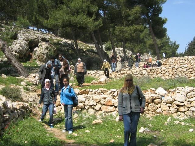
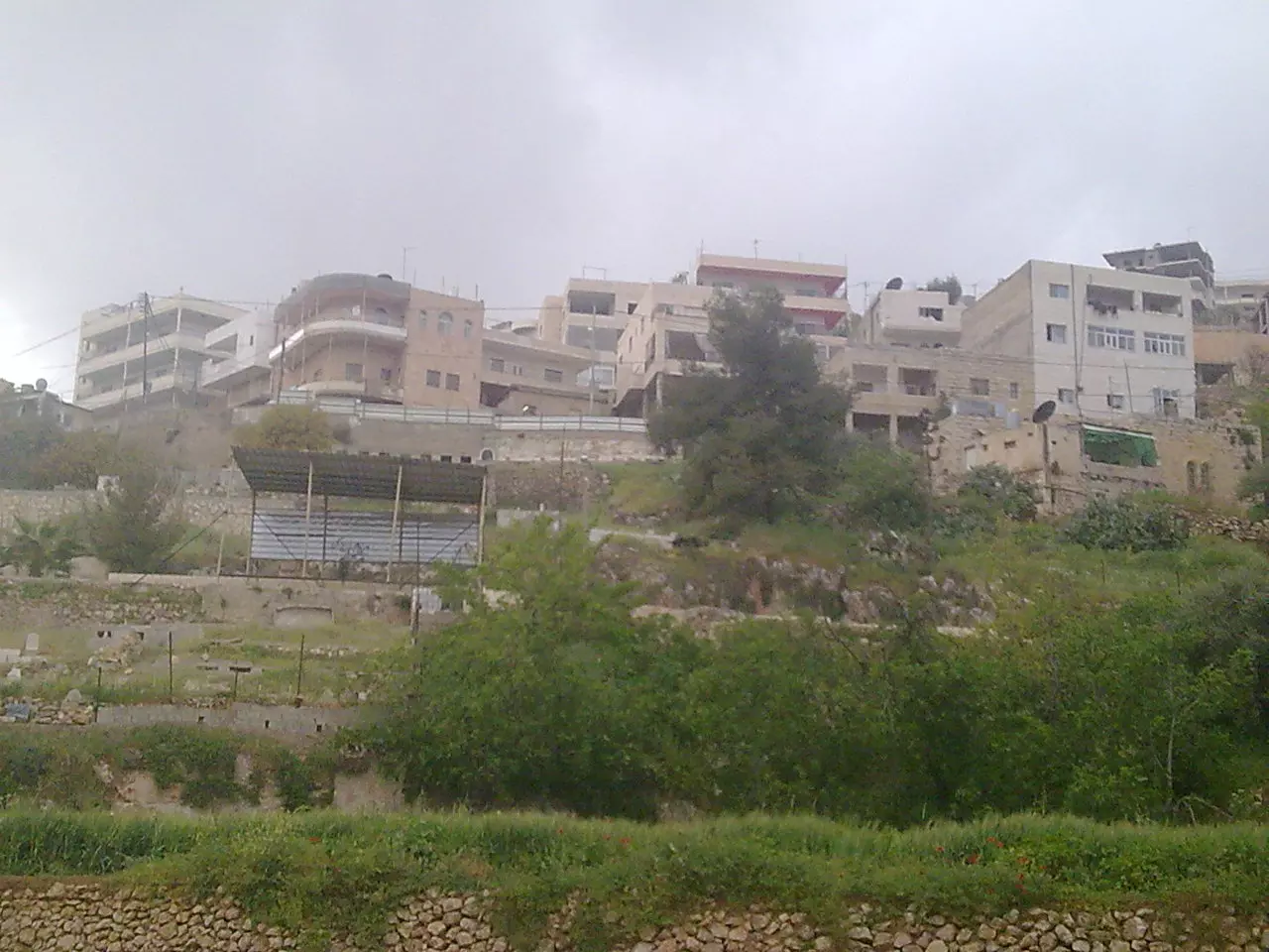
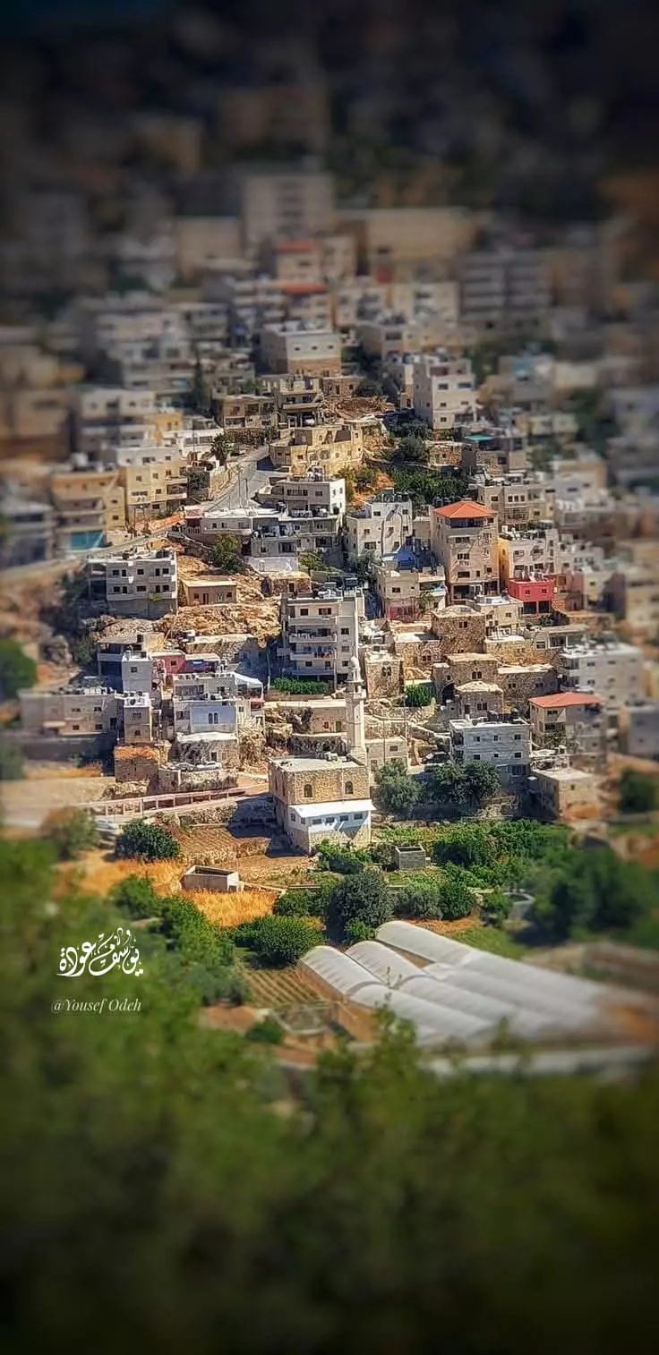
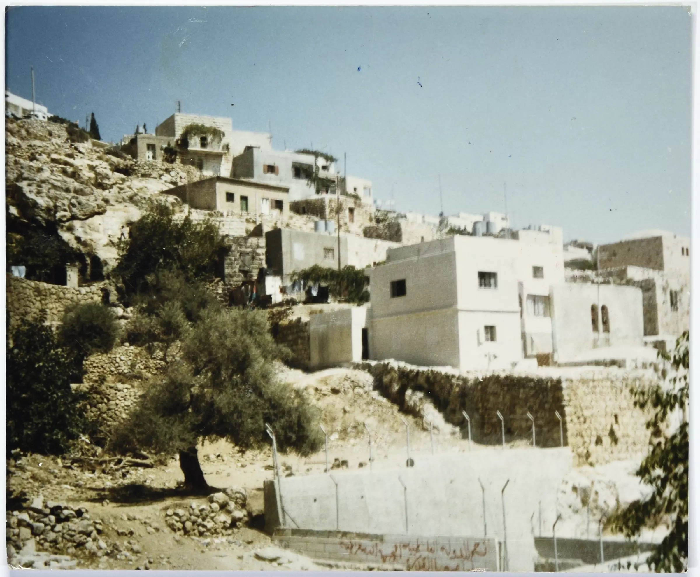
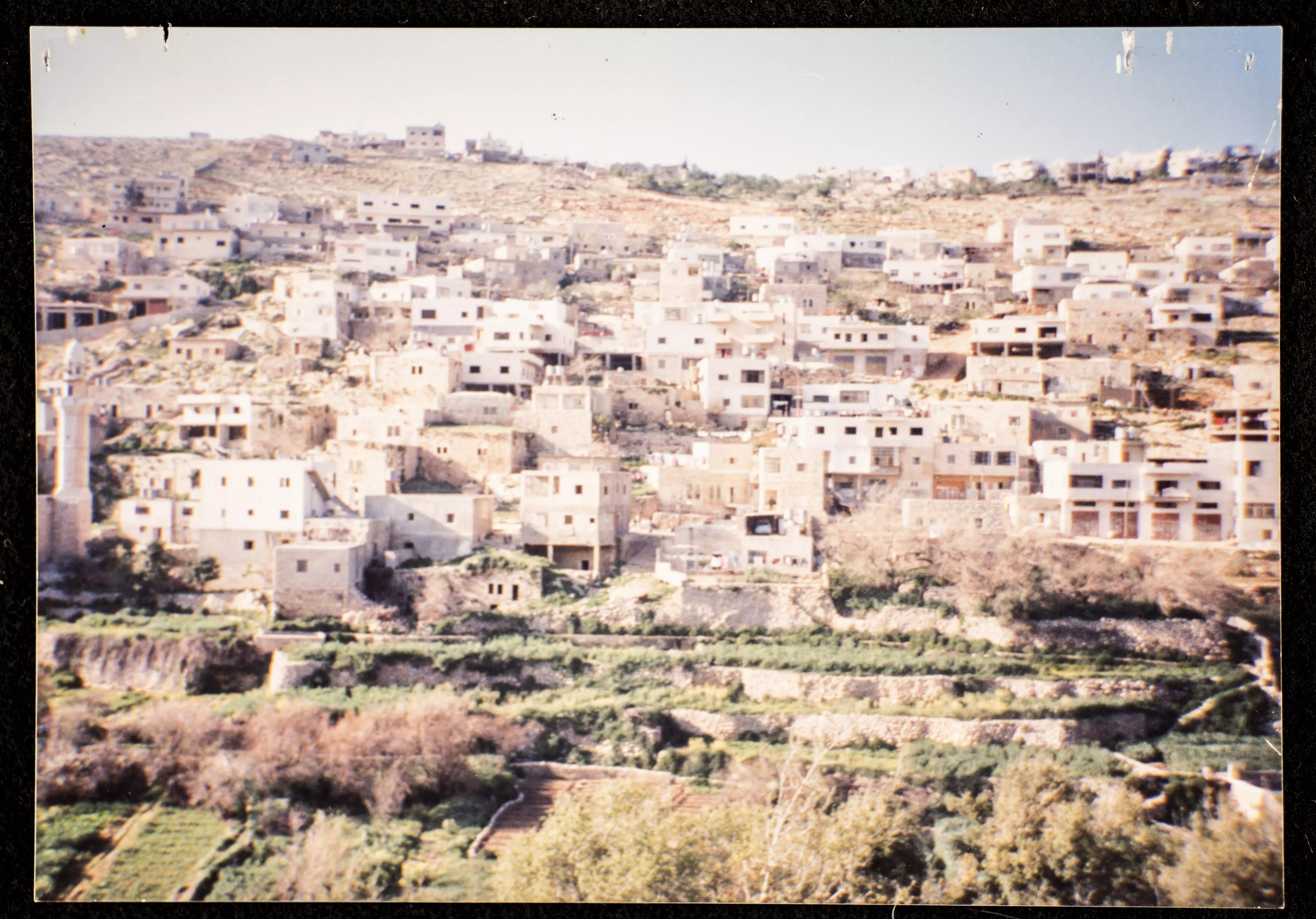
Posted by أبو اليزن السعافين - منظر عام للقرية 2/5/2022
Posted by يوسف 1 - ارطاس 2/5/2022
Posted by يوسف - قرية ارطاس الجميلة
- قرية ارطاس الجميلة #2
- قرية ارطاس الجميلة #3
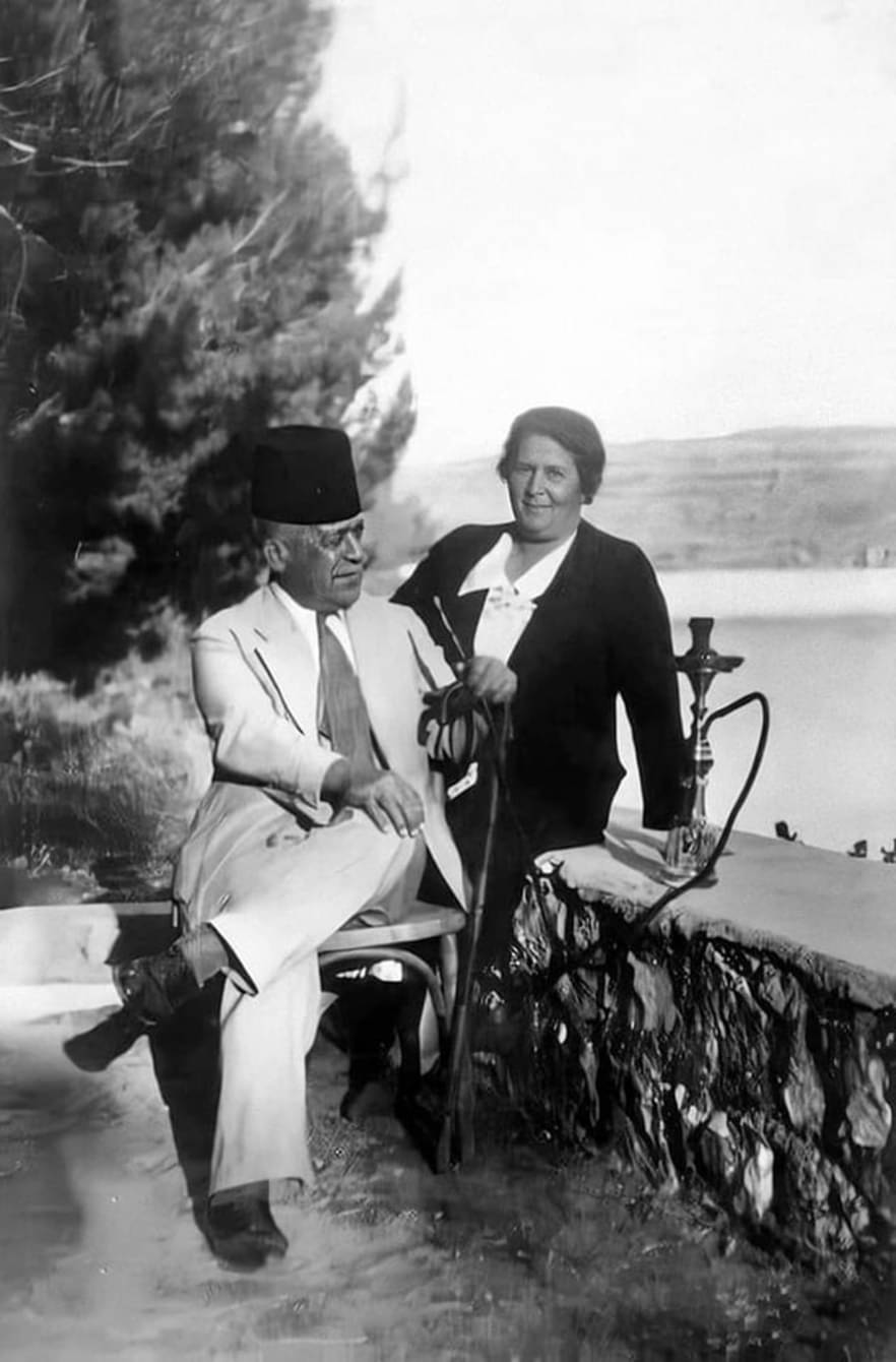
- الاديب والشاعر الفلسطيني خليل السكاكيني وعقيلته في قرية ارطاس- 1930
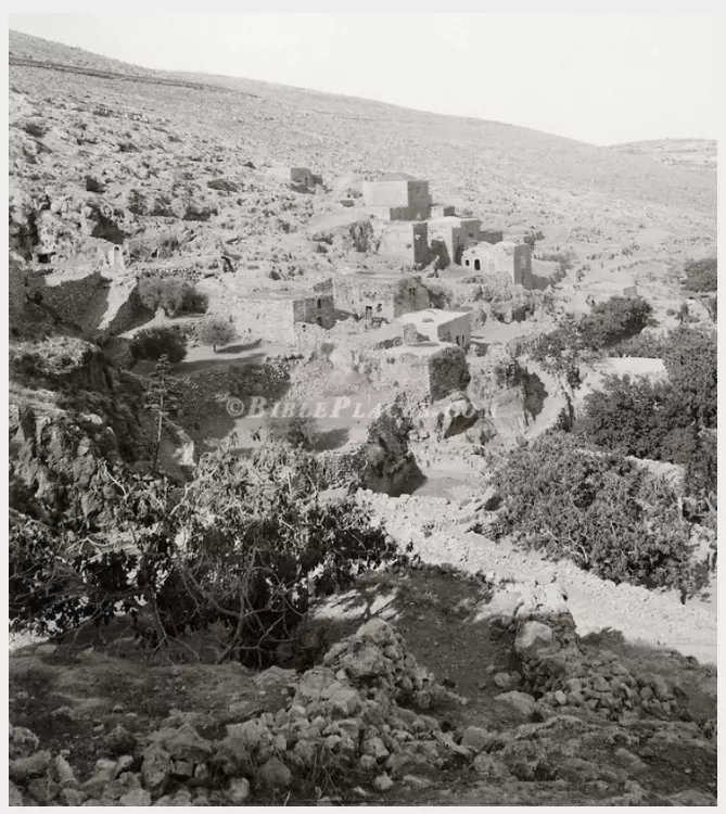
- قرية ارطاس قضاء بيت لحم 1910
- قرية ارطاس | عام 1930
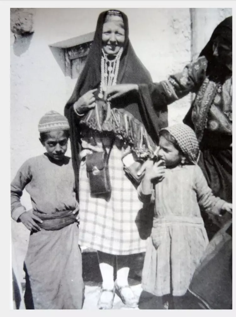
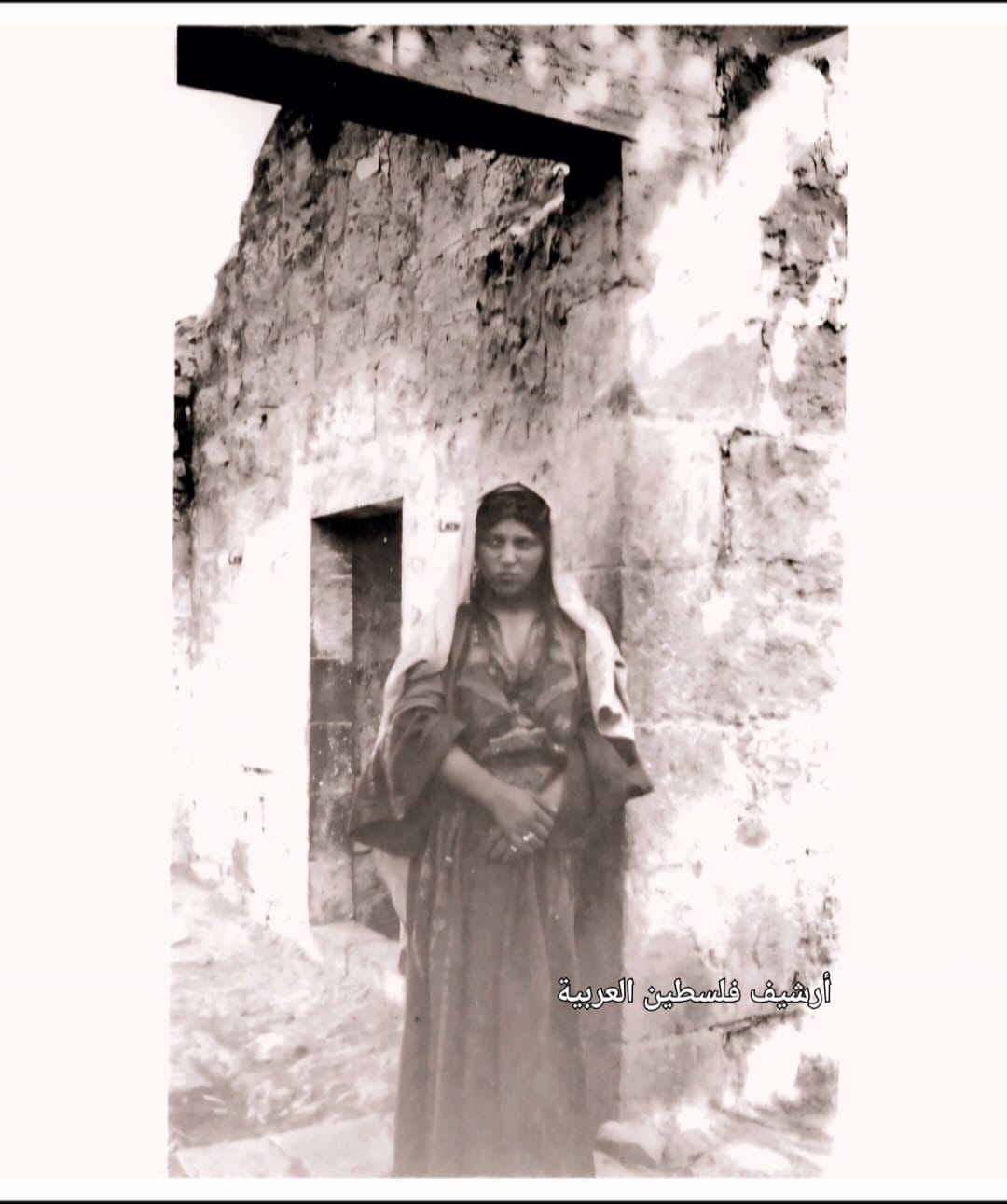
- صورة تذكارية للسيدة مريم عثمان أمام بيتها في قرية أرطاس قضاء بيت لحم عام 1931..
- نادرة وساحرة لقرية أرطاس قضاء بيت لحم.. بين عامي 1925- 1931.
- صورة لبرك سليمان من العهد التركي
- صورة لبرك سليمان من العهد التركي #2
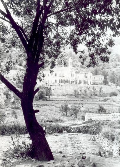
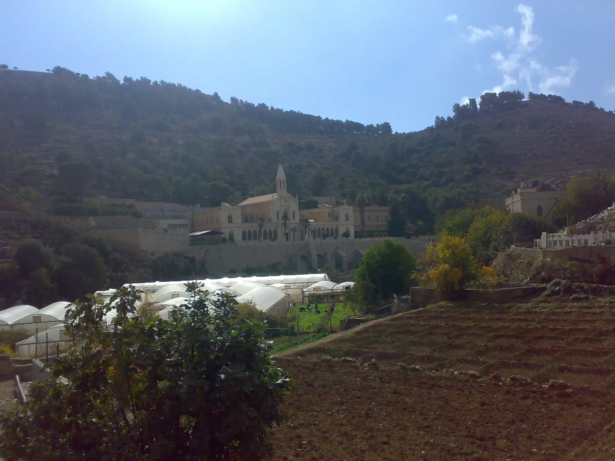
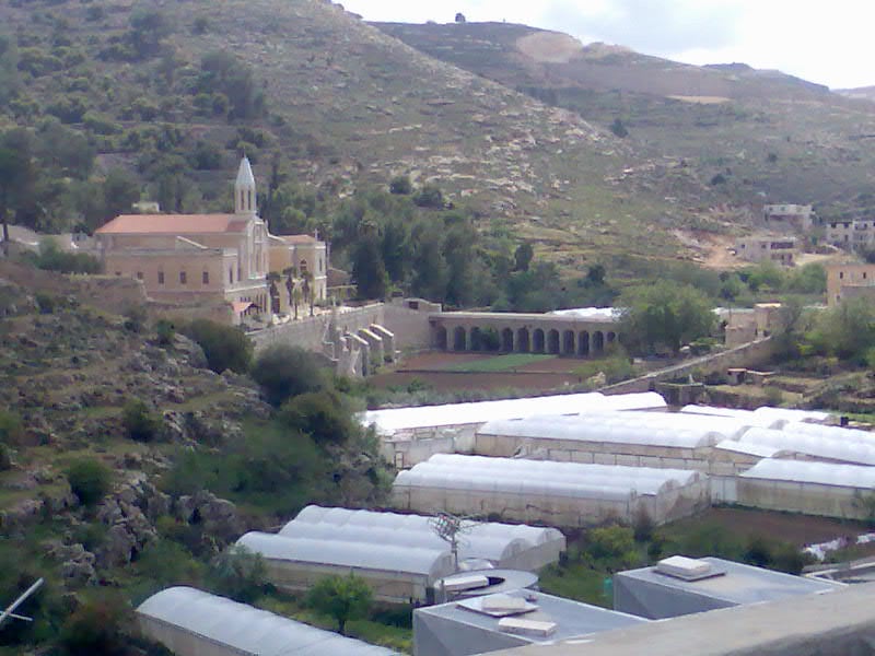
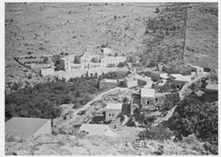
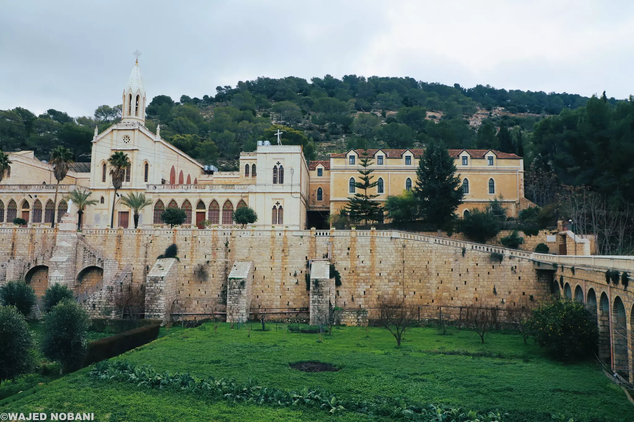
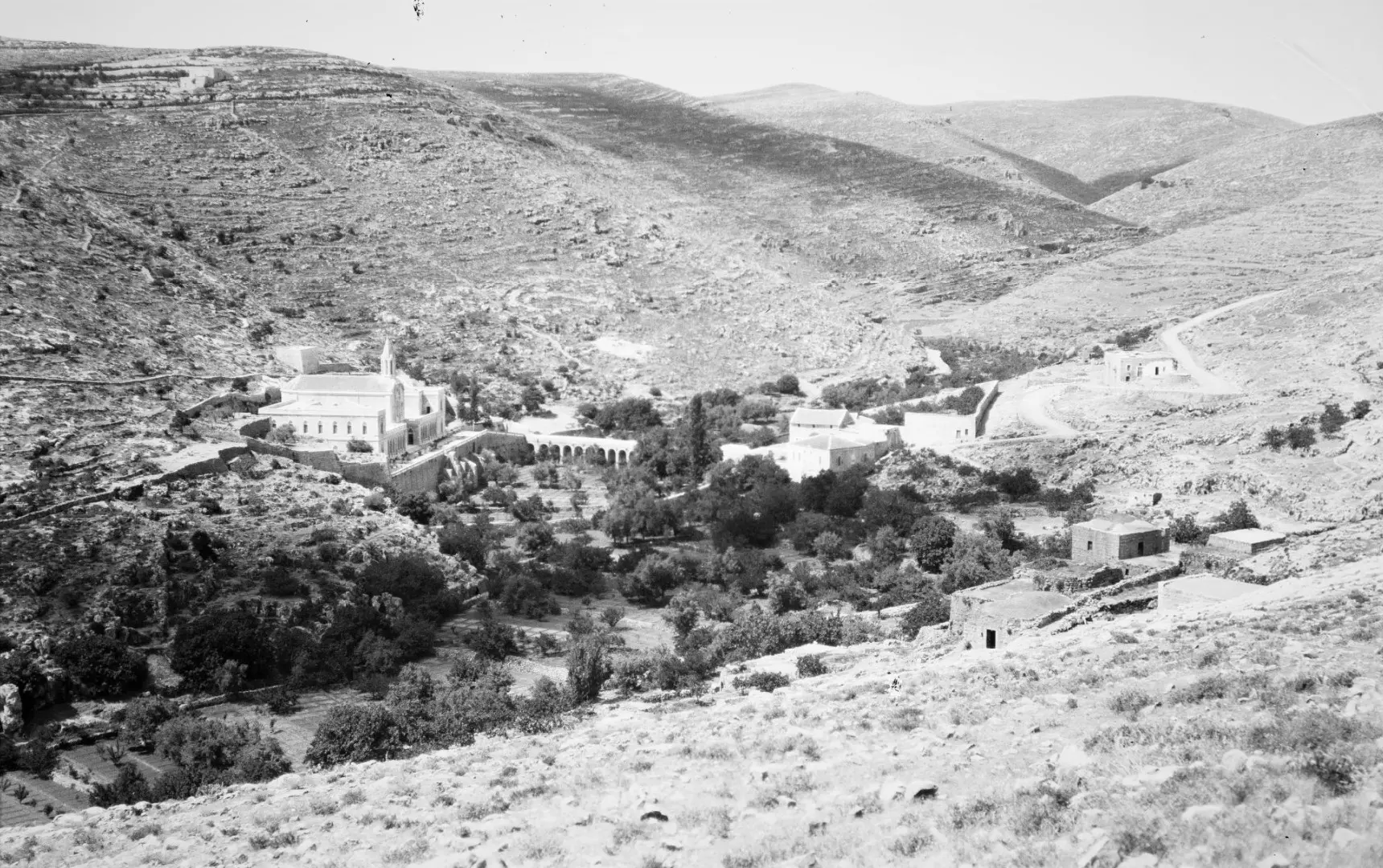
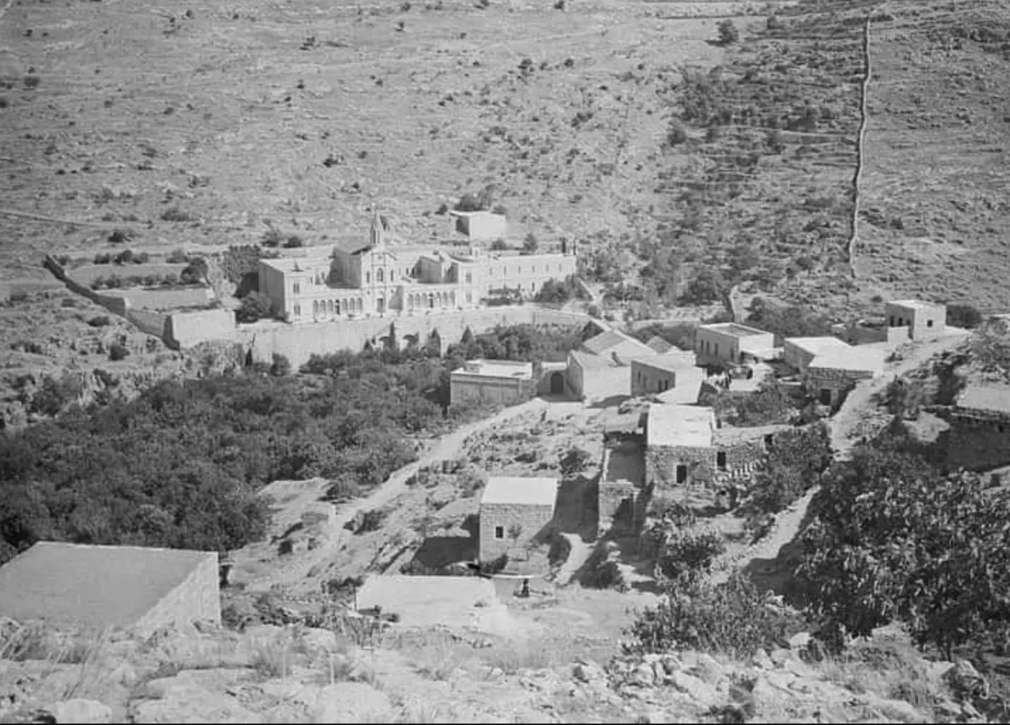
- A view of the monastery during the pre-Nakba period
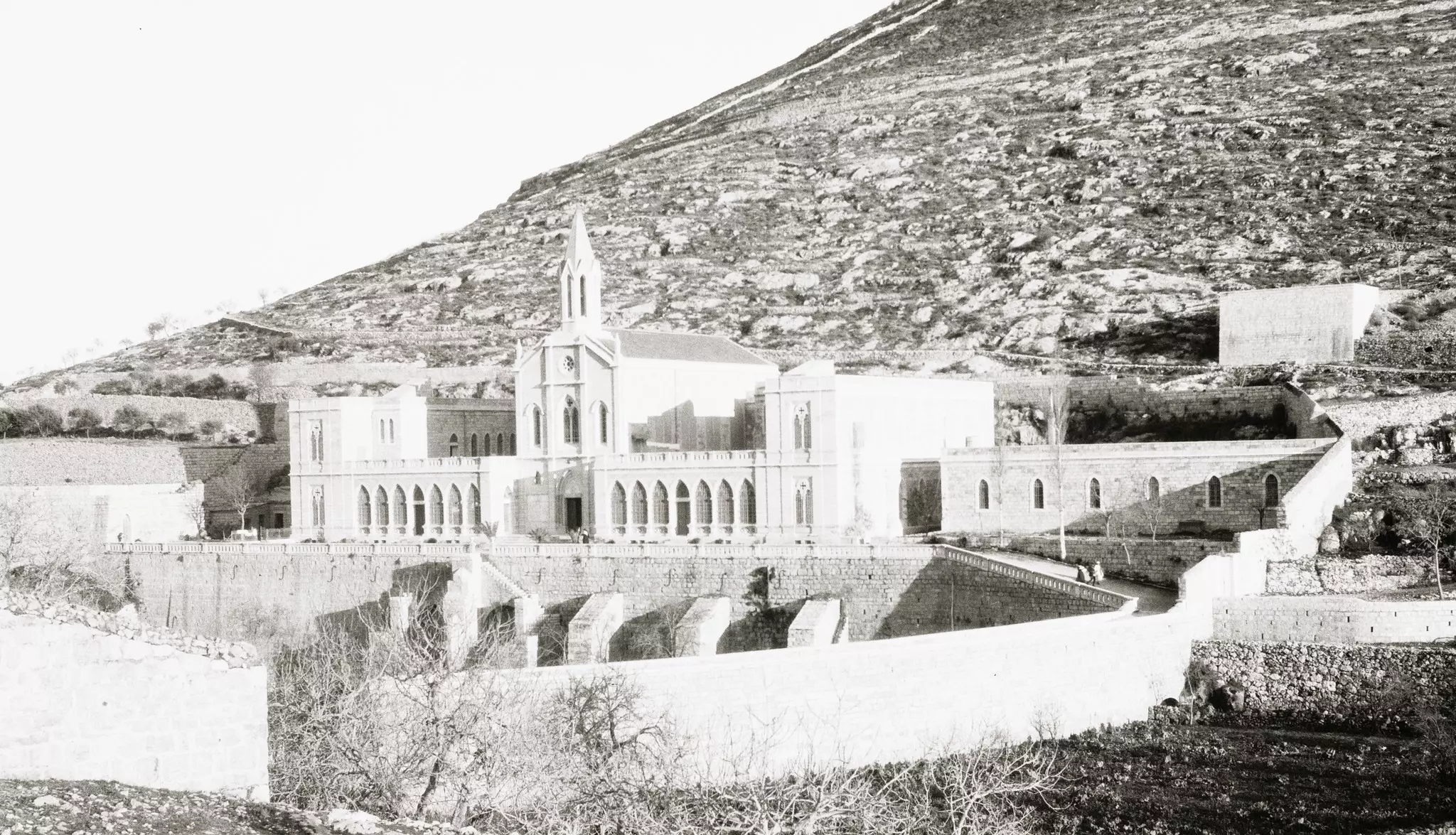
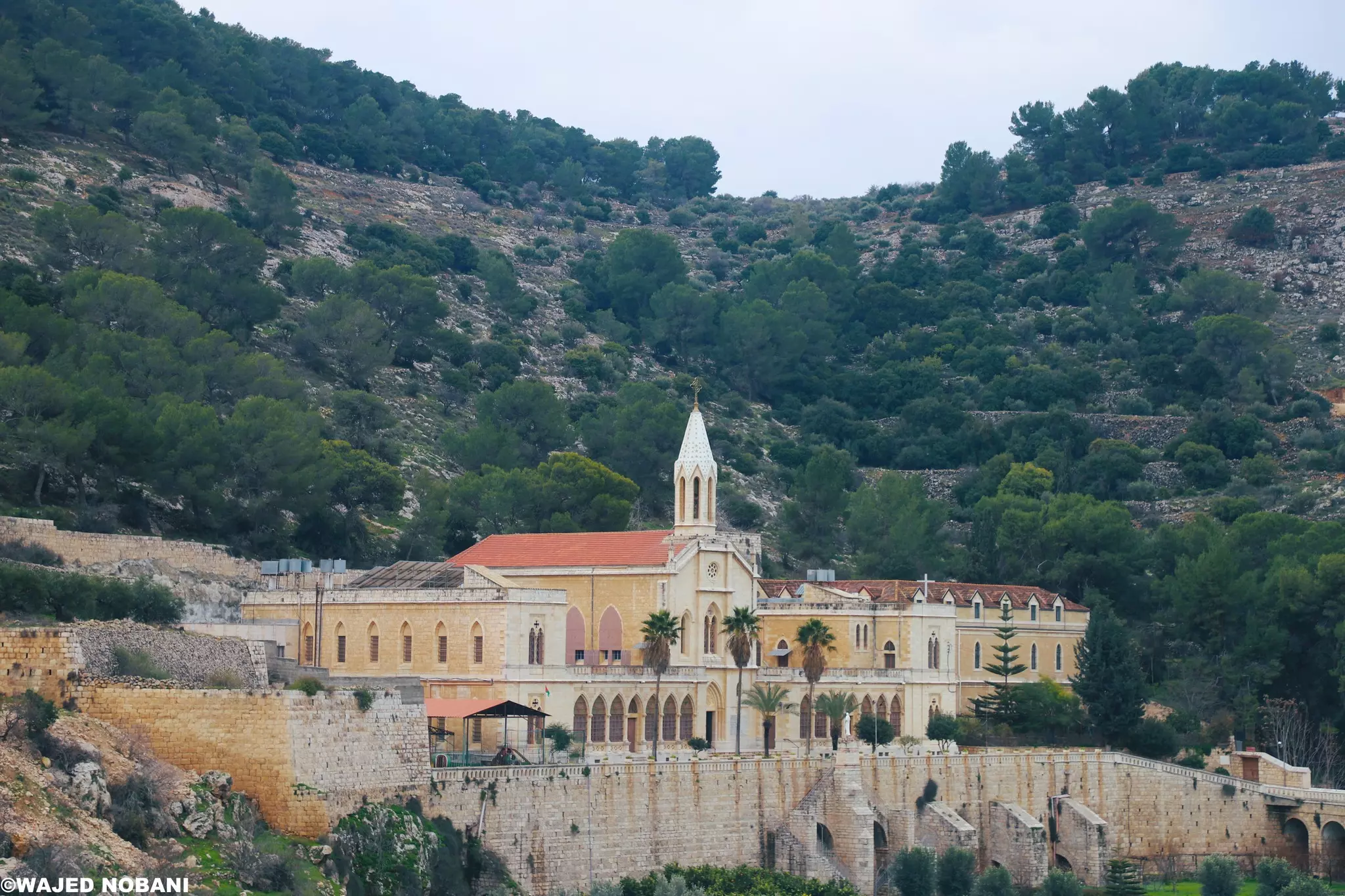
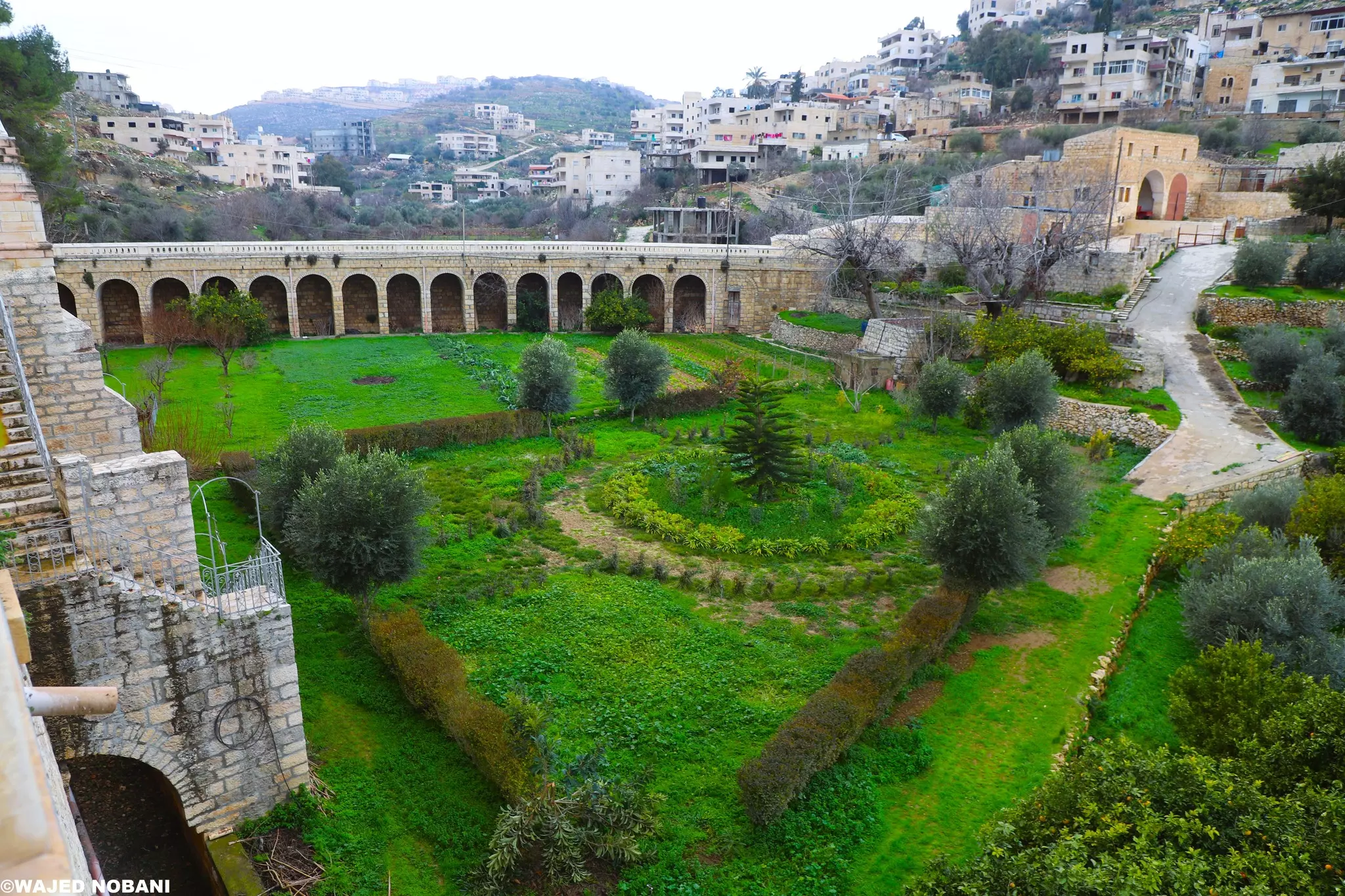
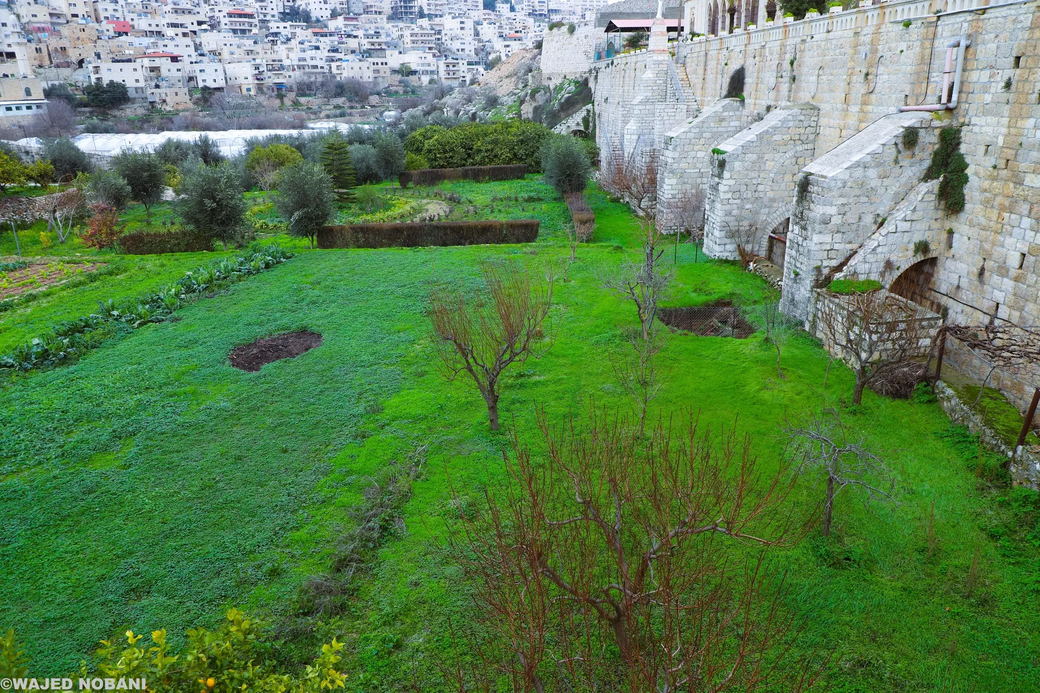
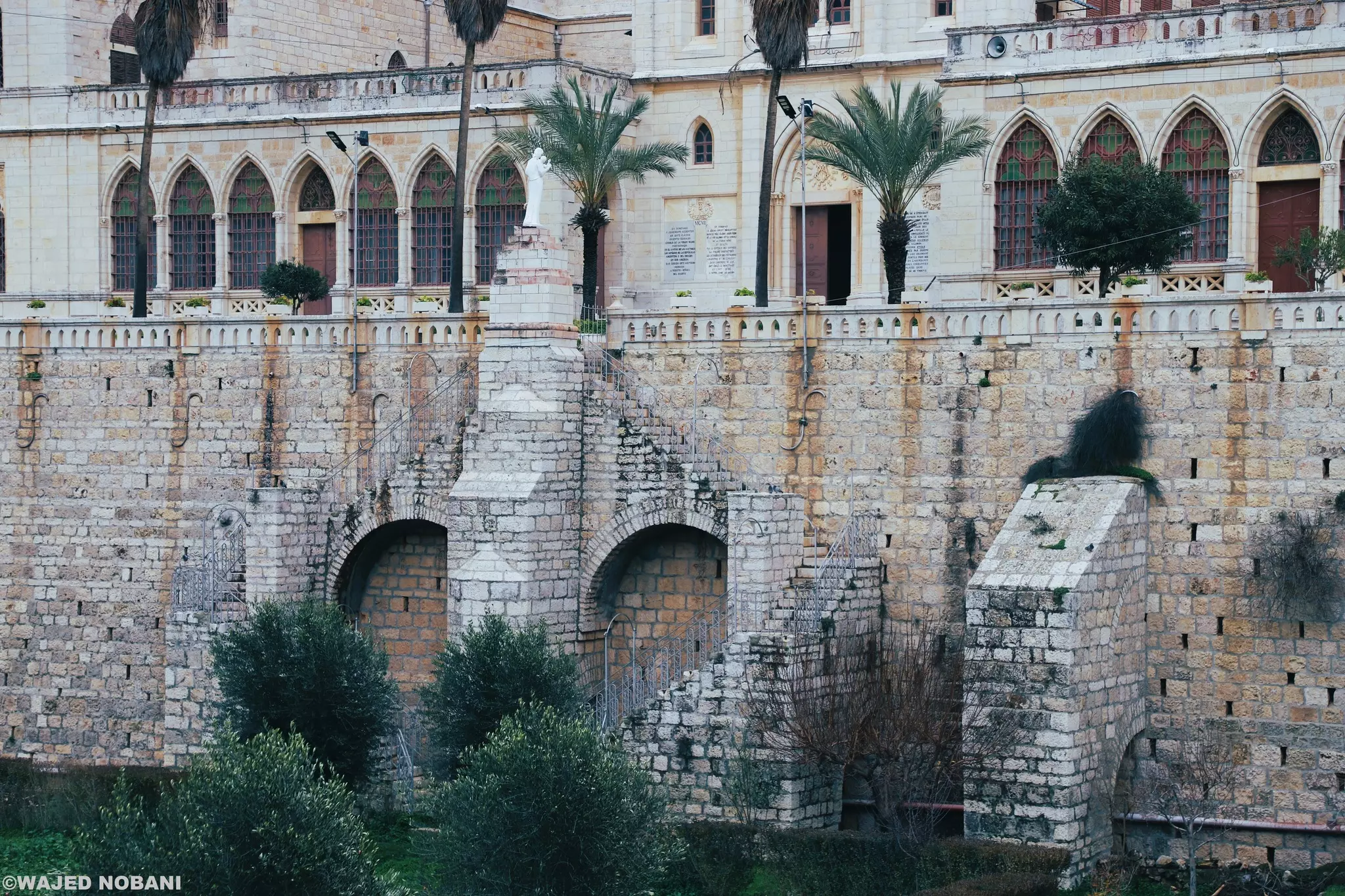
- دير الجنة المقفلة - بيت لحم "قرية ارطاس" -- واجد النوباني
- دير الجنة المقفلة - بيت لحم "قرية ارطاس" -- واجد النوباني #2
- دير الجنة المقفلة - بيت لحم "قرية ارطاس" -- واجد النوباني #3
- دير الجنة المقفلة - بيت لحم "قرية ارطاس" -- واجد النوباني #4
- دير الجنة المقفلة - بيت لحم "قرية ارطاس" -- واجد النوباني #5
- دير الجنة المقفلة - بيت لحم "قرية ارطاس" -- واجد النوباني #6
- دير الجنة المقفلة - بيت لحم "قرية ارطاس" -- واجد النوباني #7

- قرية ارطاس قبل 100 سنة. قضاء بيت لحم
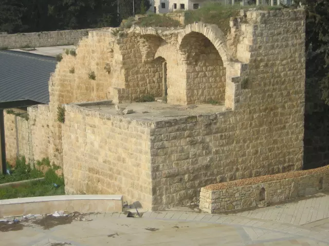
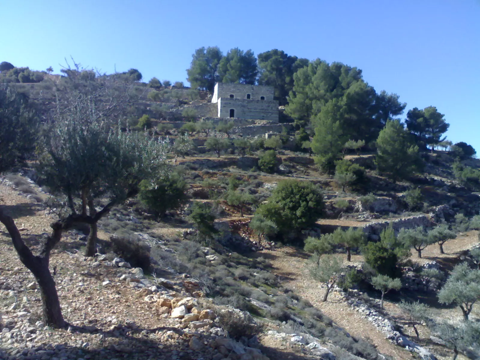
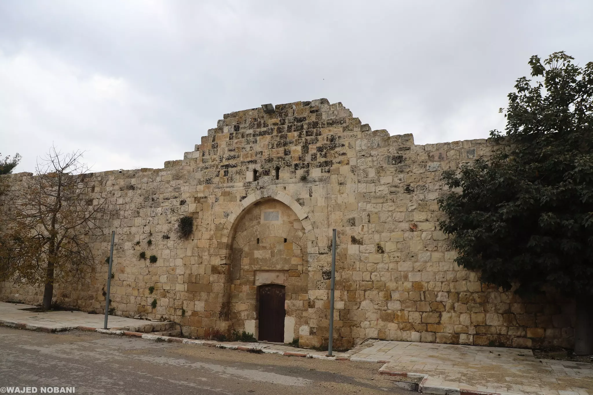
- قلعة إسلامية يزيد عمرها عن 400 عام وأقيمت لحماية برك سليمان قرب أرطاس-- واجد النوباني.
- قلعه مراد عام ١٩٦٧ ... برك سليمان
- برك السلطان سليمان القانوني في ارطاس -- إياد جابر
- برك السلطان سليمان القانوني في ارطاس -- إياد جابر #2
- برك السلطان سليمان القانوني في ارطاس -- إياد جابر #3
- برك السلطان سليمان القانوني في ارطاس -- إياد جابر #4
- برك السلطان سليمان القانوني في ارطاس -- إياد جابر #5
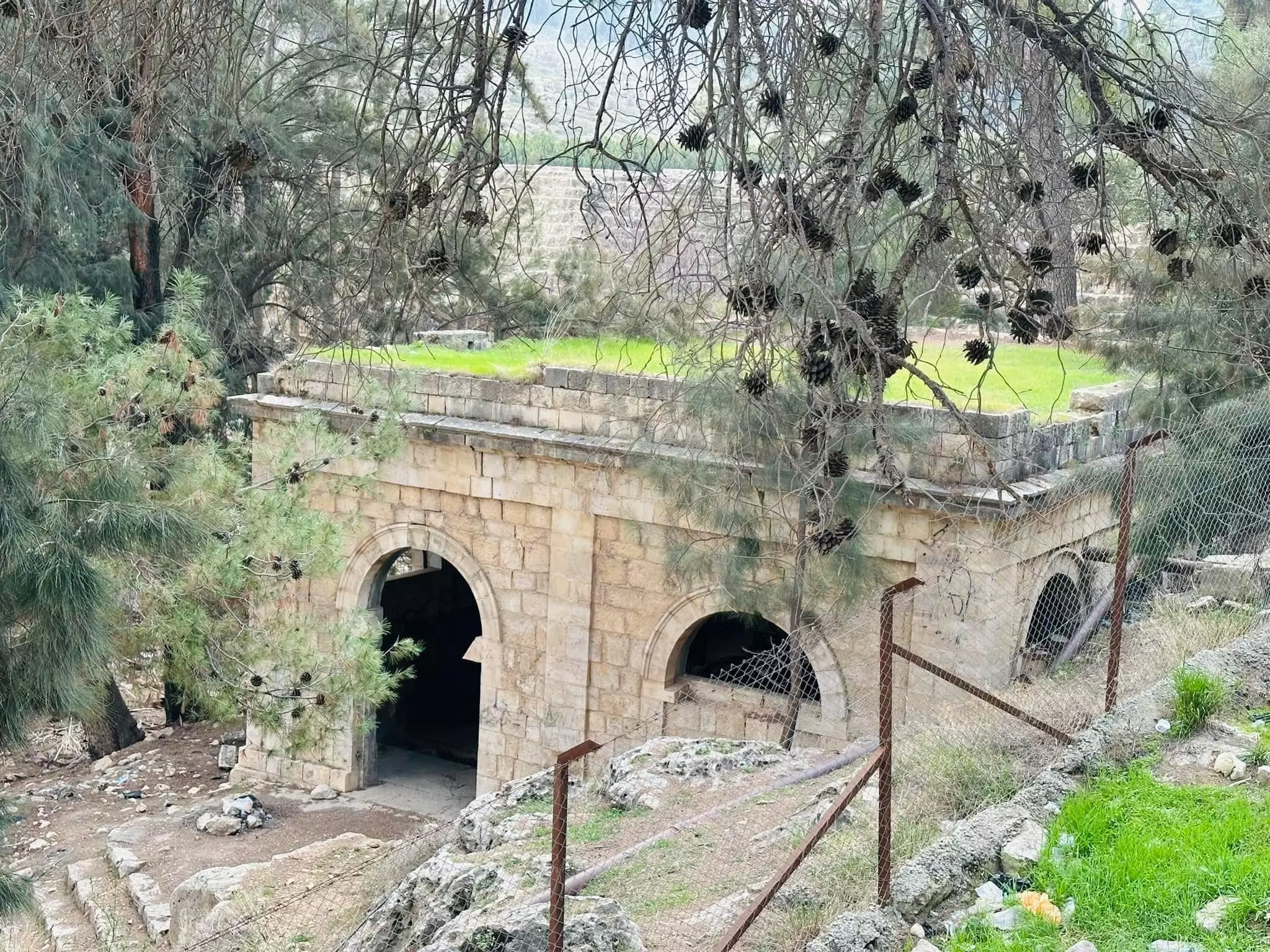
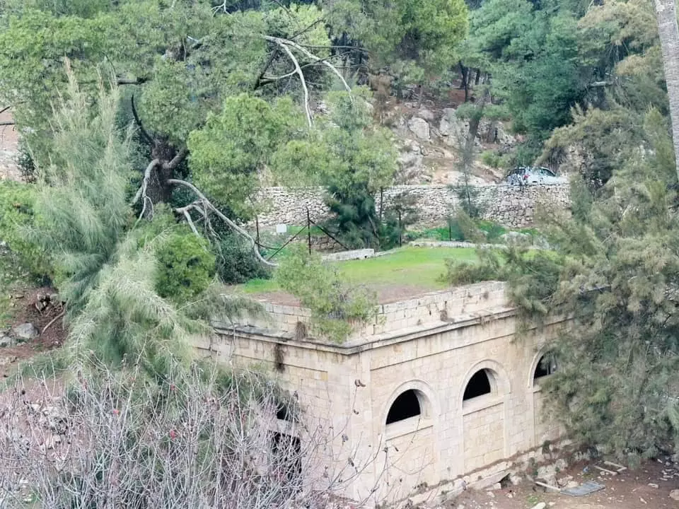
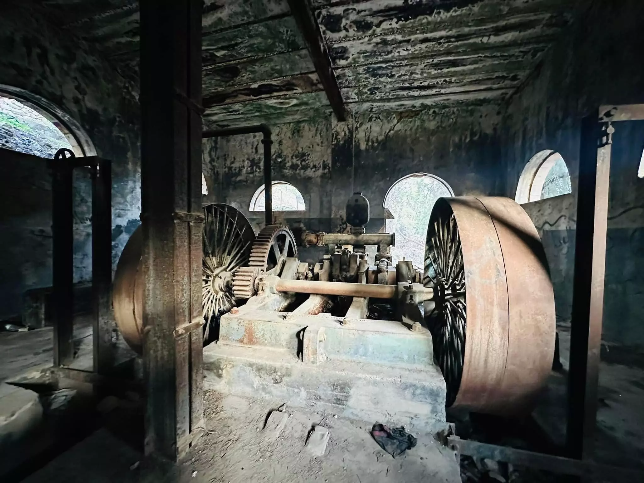
- ماتور ضخ ماء برك السلطان سليمان القانوني في ارطاس -- إياد جابر
- ماتور ضخ ماء برك السلطان سليمان القانوني في ارطاس -- إياد جابر #2
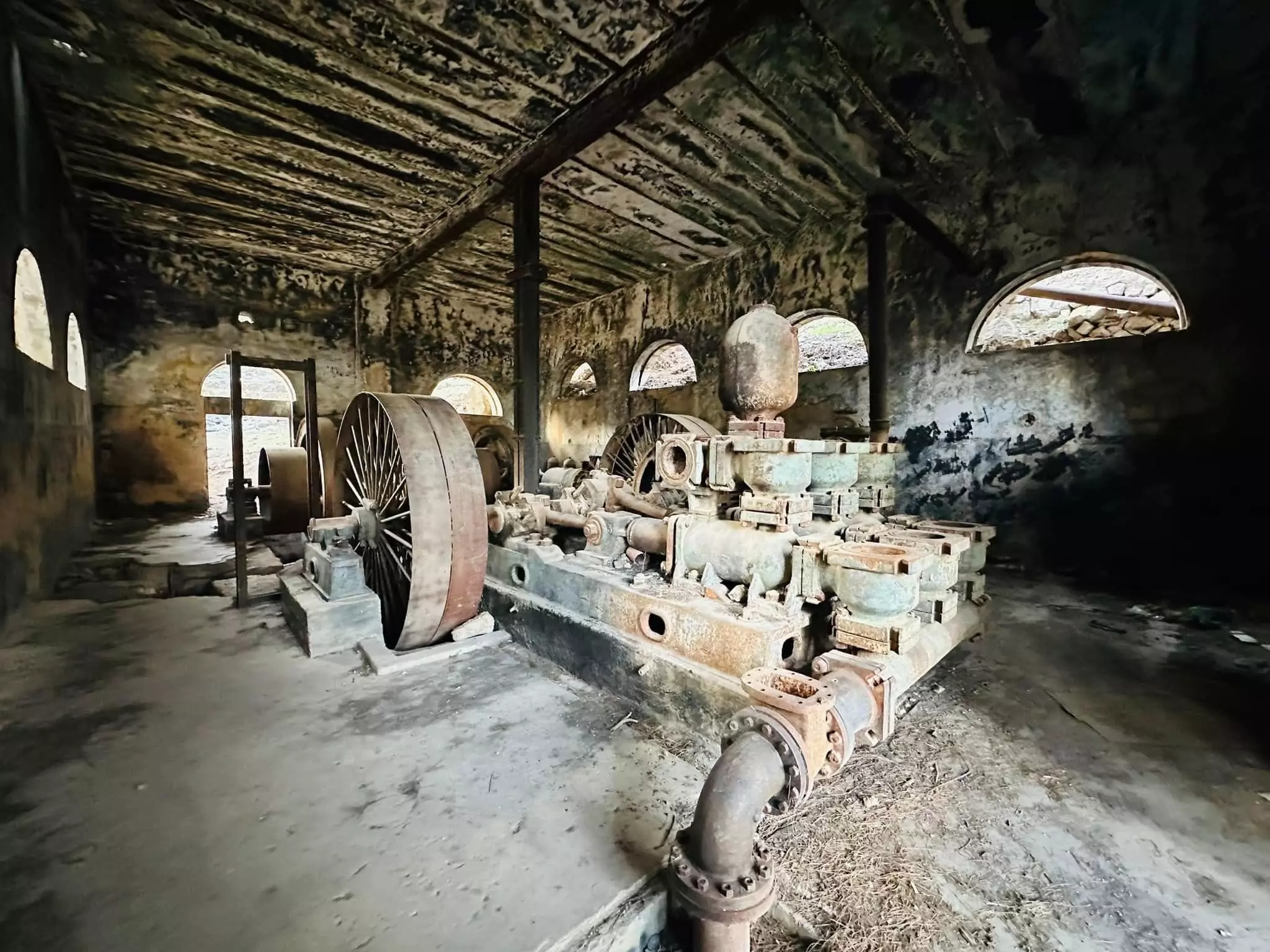
- ماتور ضخ ماء برك السلطان سليمان القانوني في ارطاس -- إياد جابر #3
- خربة الخوخ (ايتام ) ارطاس بيت لحم ،،
نقلاً عن الأستاذ : محمد أبو نوح
- خربة الخوخ (ايتام ) ارطاس بيت لحم ،،
نقلاً عن الأستاذ : محمد أبو نوح #2
- خربة الخوخ (ايتام ) ارطاس بيت لحم ،،
نقلاً عن الأستاذ : محمد أبو نوح #3
- خربة الخوخ (ايتام ) ارطاس بيت لحم ،،
نقلاً عن الأستاذ : محمد أبو نوح #4
- خربة الخوخ (ايتام ) ارطاس بيت لحم ،،
نقلاً عن الأستاذ : محمد أبو نوح #5
- قرية ارطاس -- 1940 …
- منظر عام -- يوسف عودة
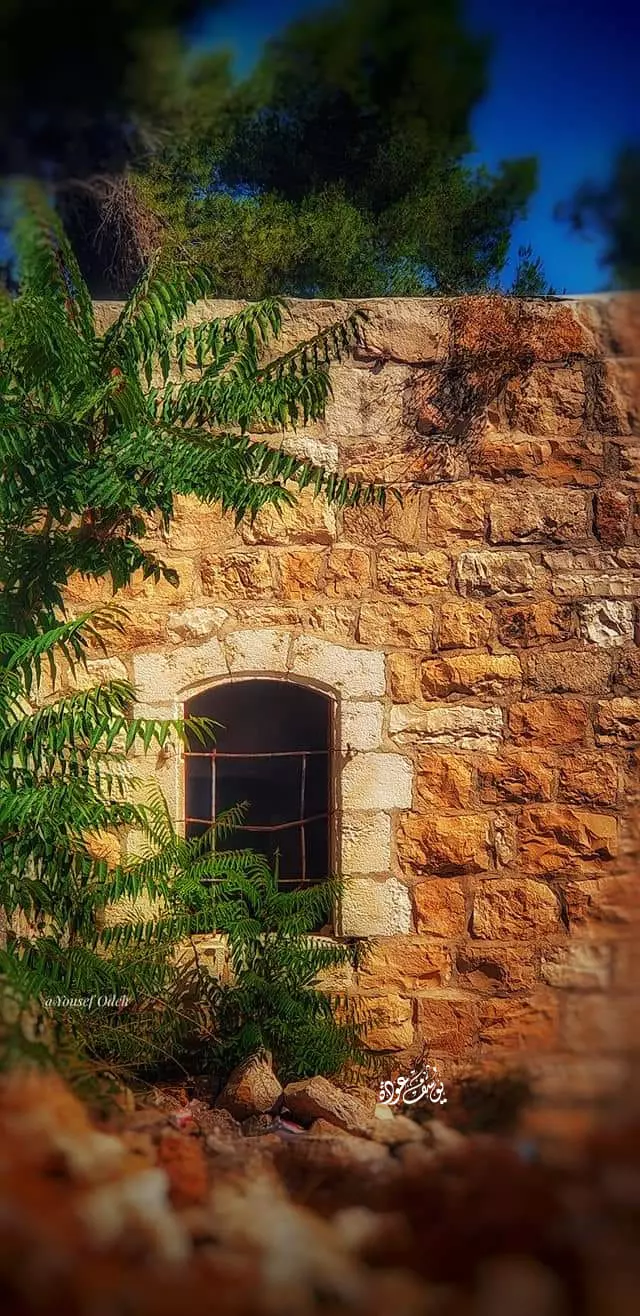
- بيت قديم -- يوسف عودة
- أرطاس قديما
- أرطاس قديما -- 1989
- أرطاس قديما -- 1991
- أرطاس قديما
- منظر عام للقرية - 1992
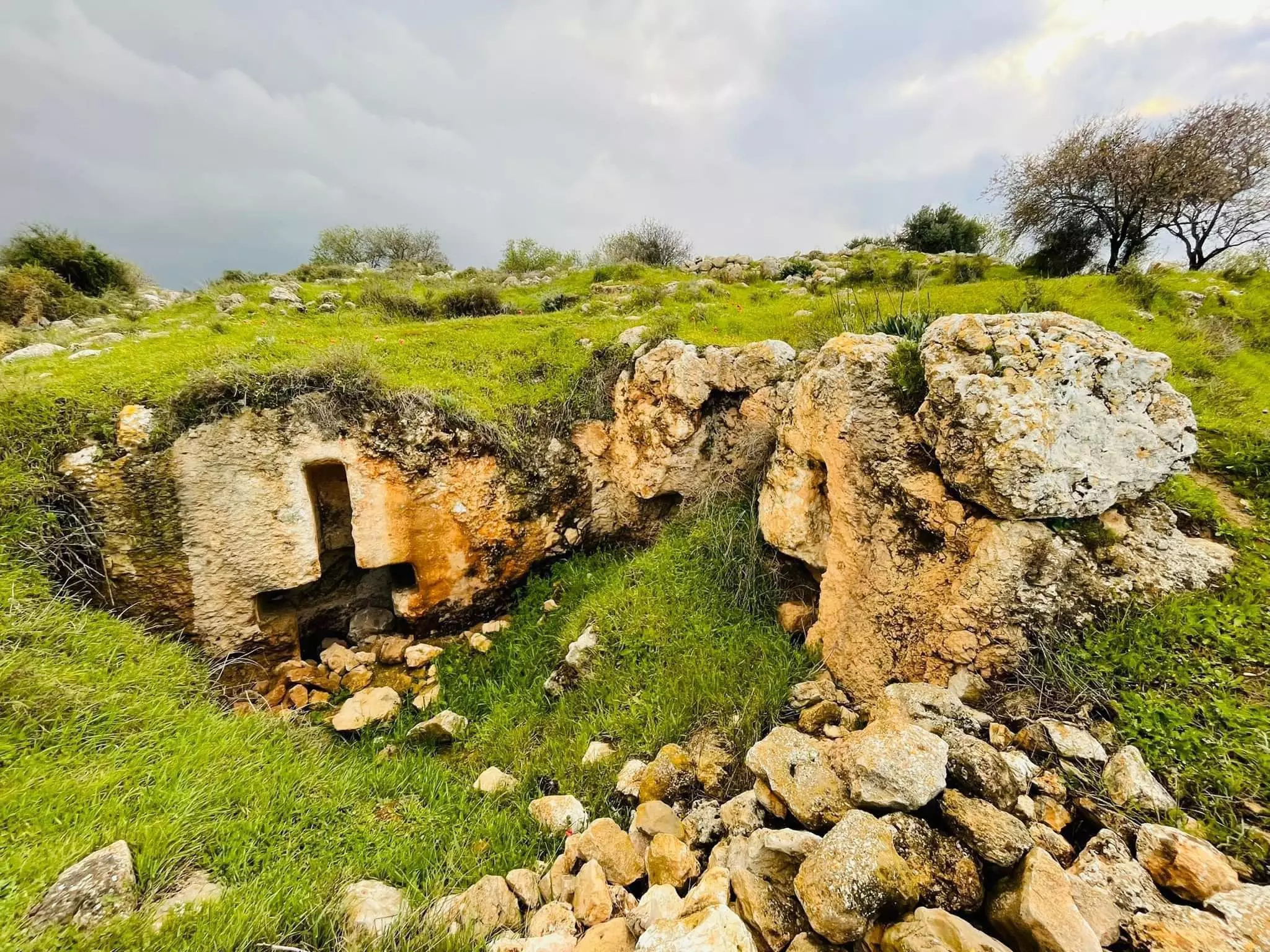
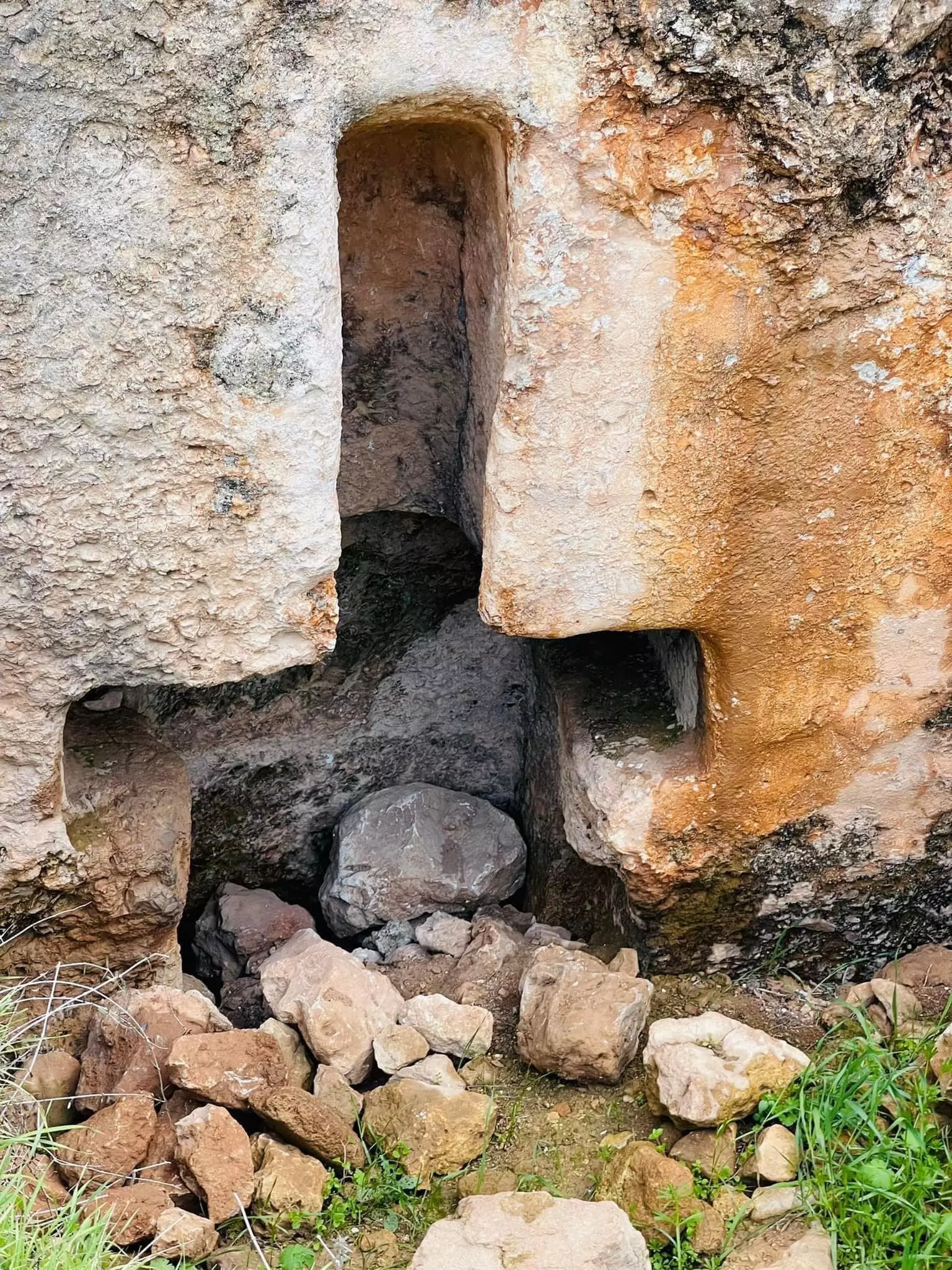
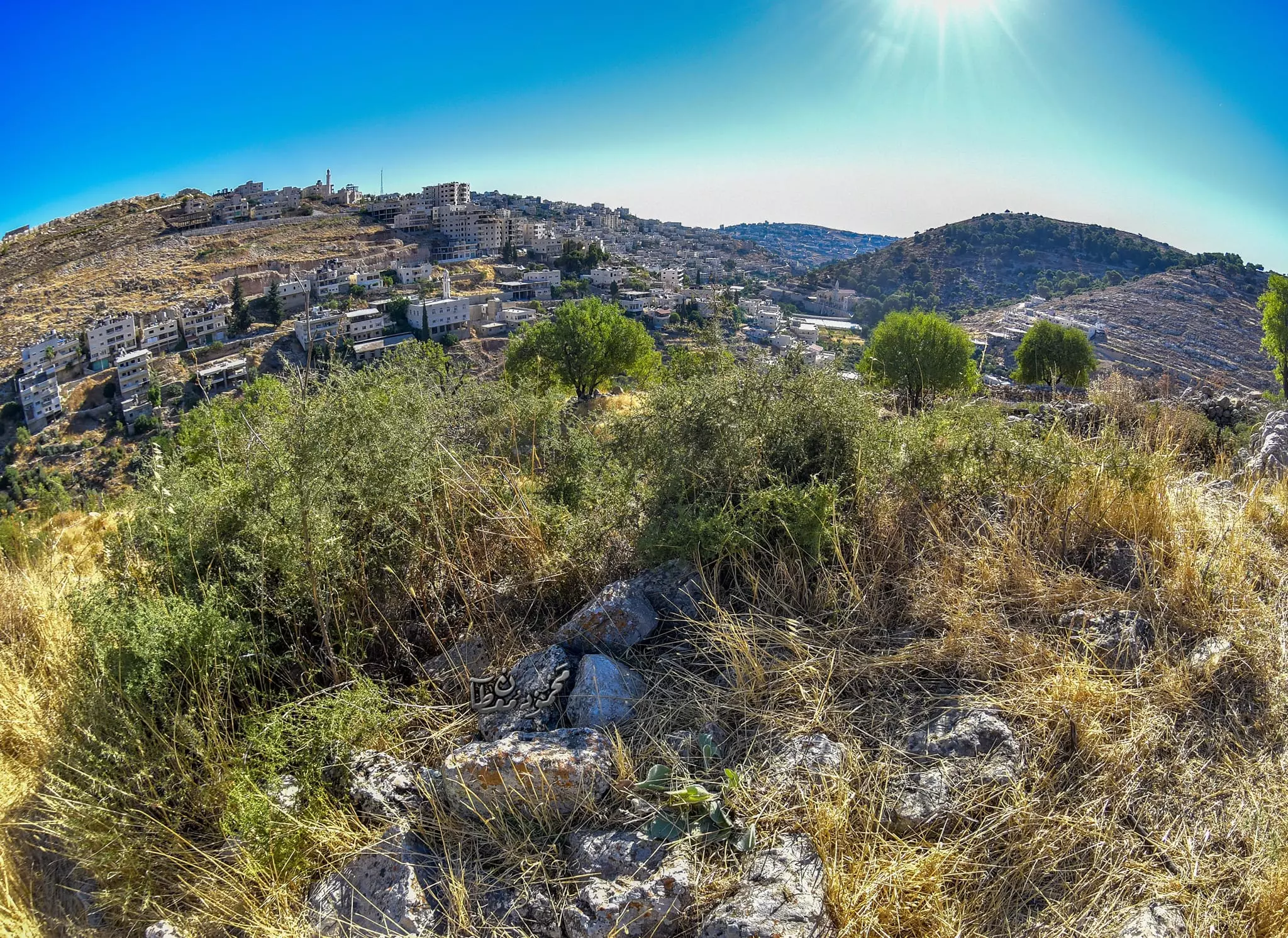
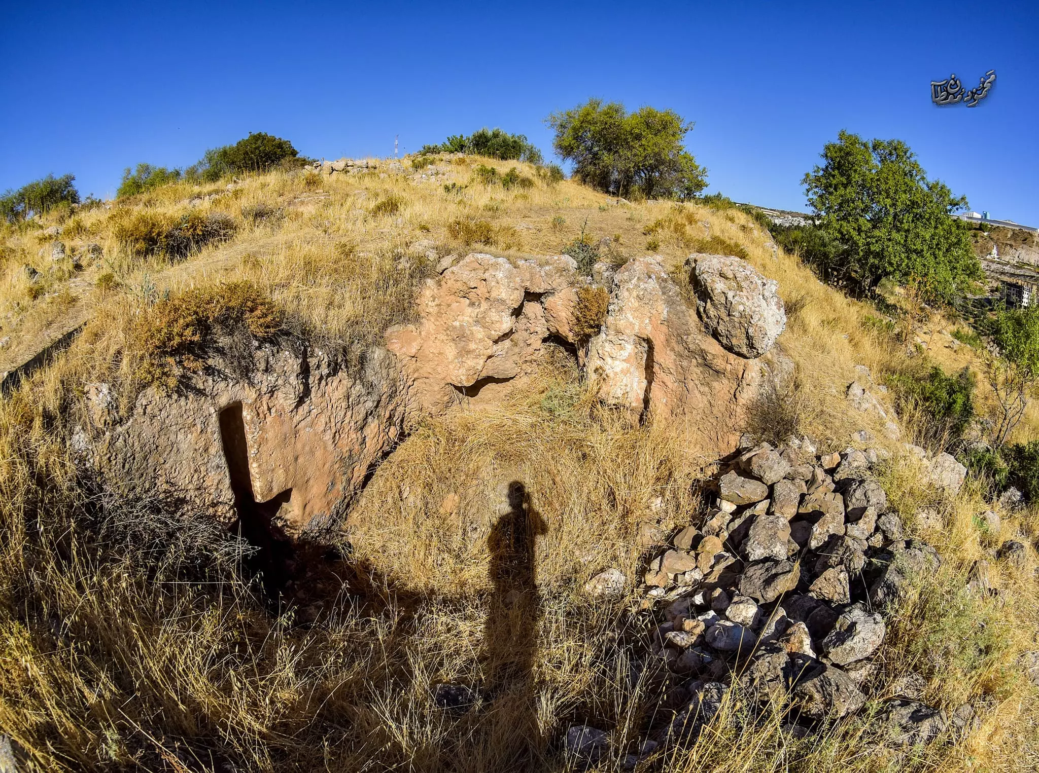
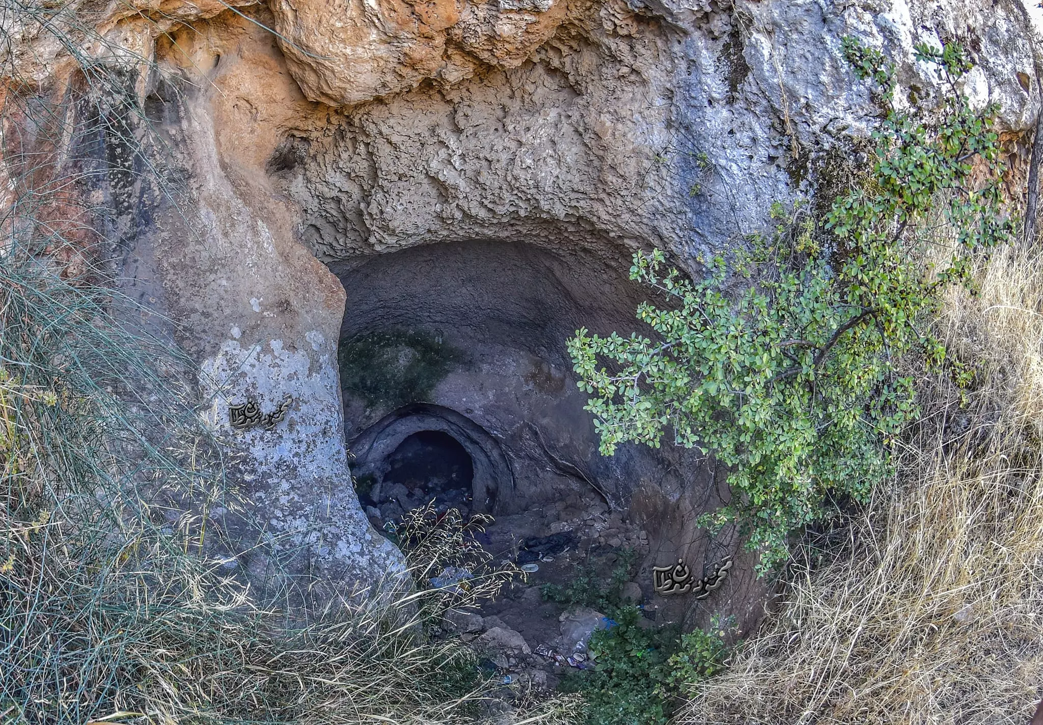
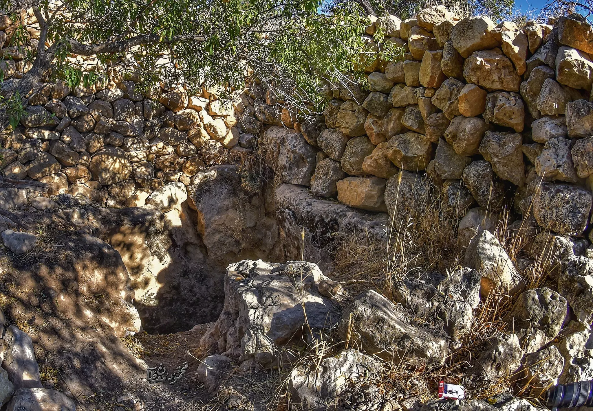
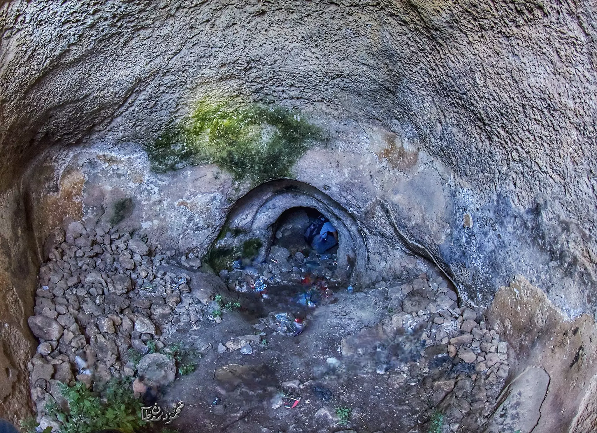
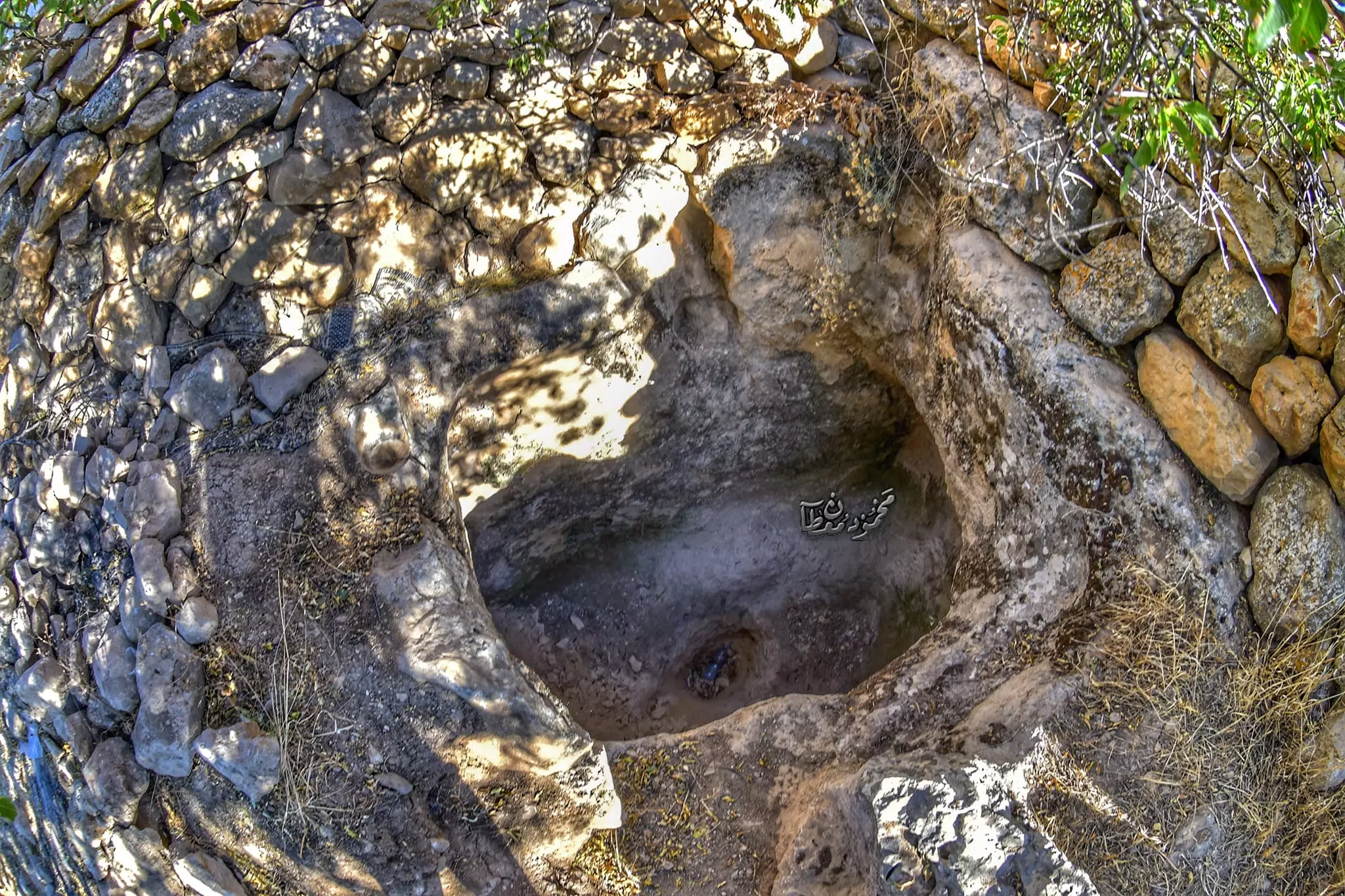
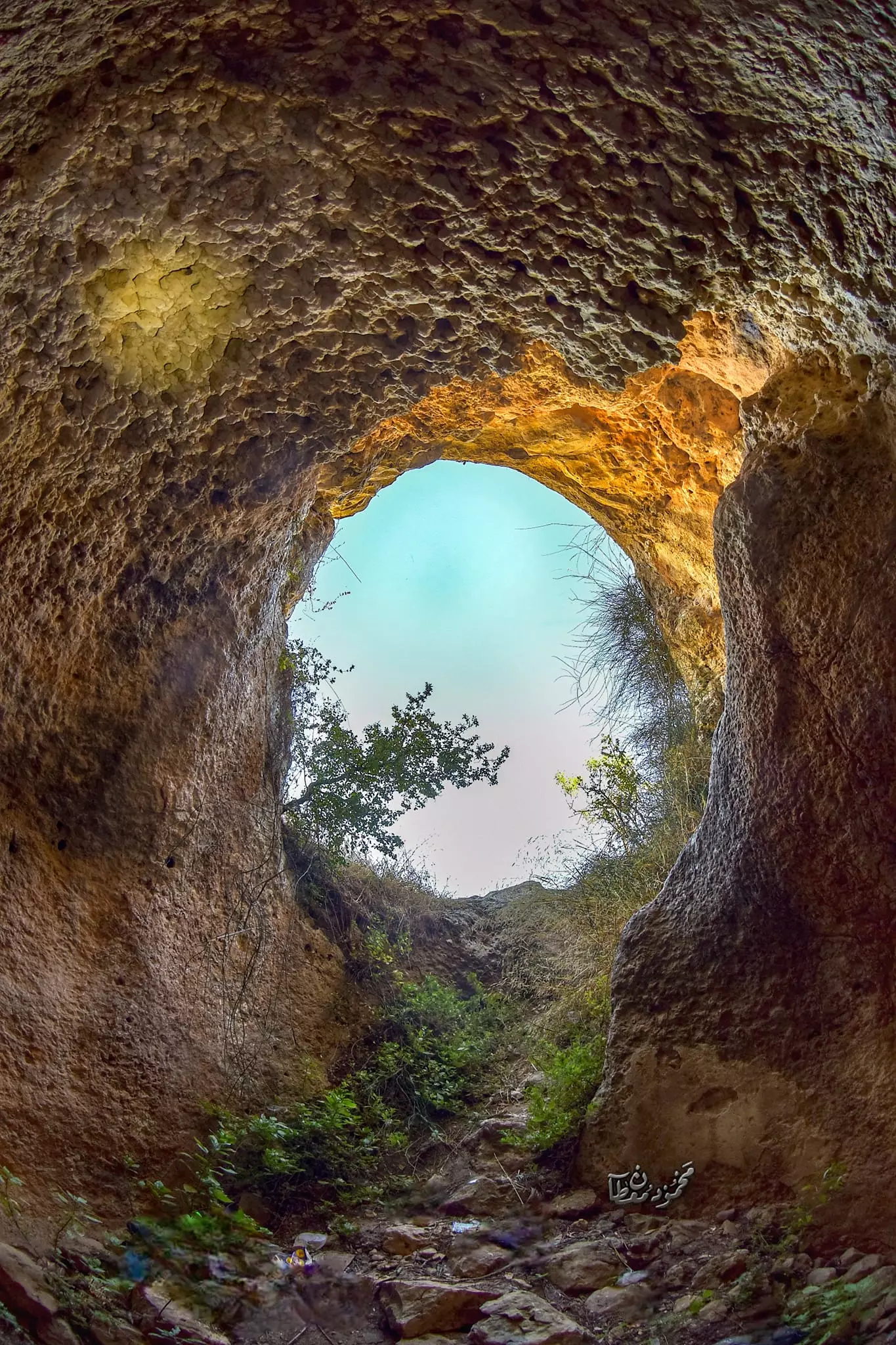
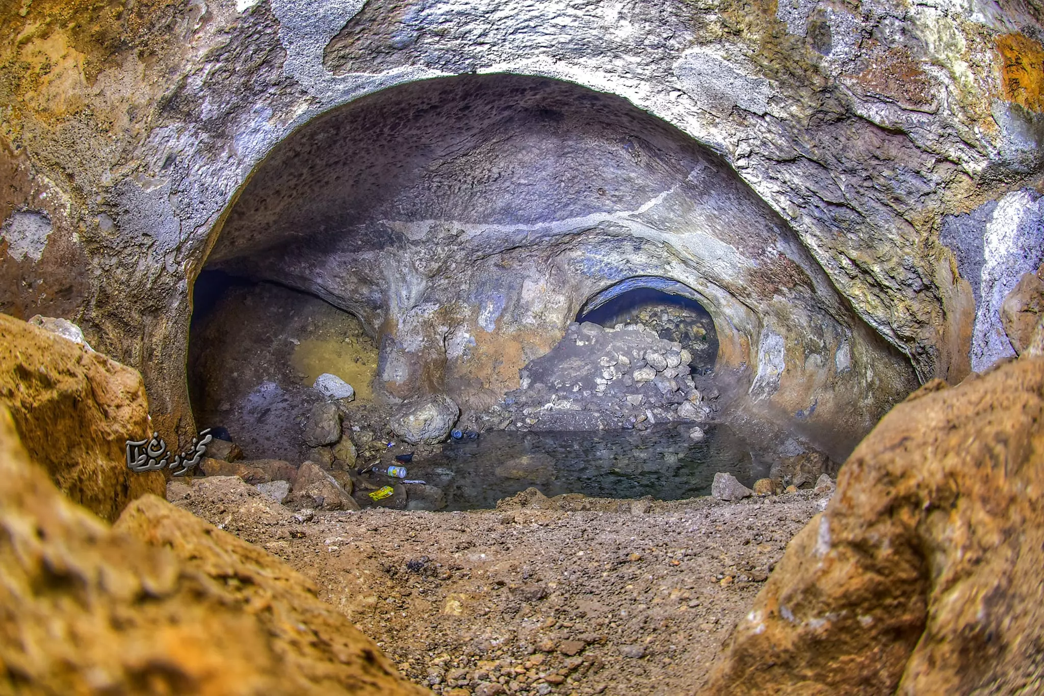
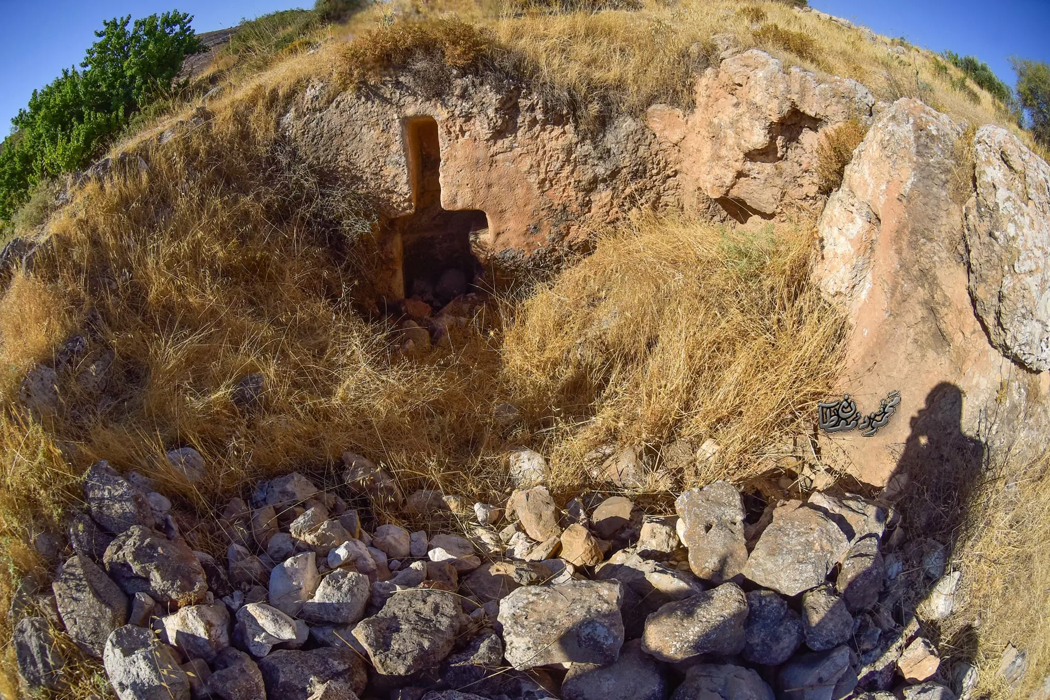
- جولة في خربة الخوخ (ايتام ) -- July 2024 -- Mahmoud Moutan
- جولة في خربة الخوخ (ايتام ) -- July 2024 -- Mahmoud Moutan #2
- جولة في خربة الخوخ (ايتام ) -- July 2024 -- Mahmoud Moutan #3
- جولة في خربة الخوخ (ايتام ) -- July 2024 -- Mahmoud Moutan #4
- جولة في خربة الخوخ (ايتام ) -- July 2024 -- Mahmoud Moutan #5
- جولة في خربة الخوخ (ايتام ) -- July 2024 -- Mahmoud Moutan #6
- جولة في خربة الخوخ (ايتام ) -- July 2024 -- Mahmoud Moutan #7
- جولة في خربة الخوخ (ايتام ) -- July 2024 -- Mahmoud Moutan #8
- جولة في خربة الخوخ (ايتام ) -- July 2024 -- Mahmoud Moutan #9
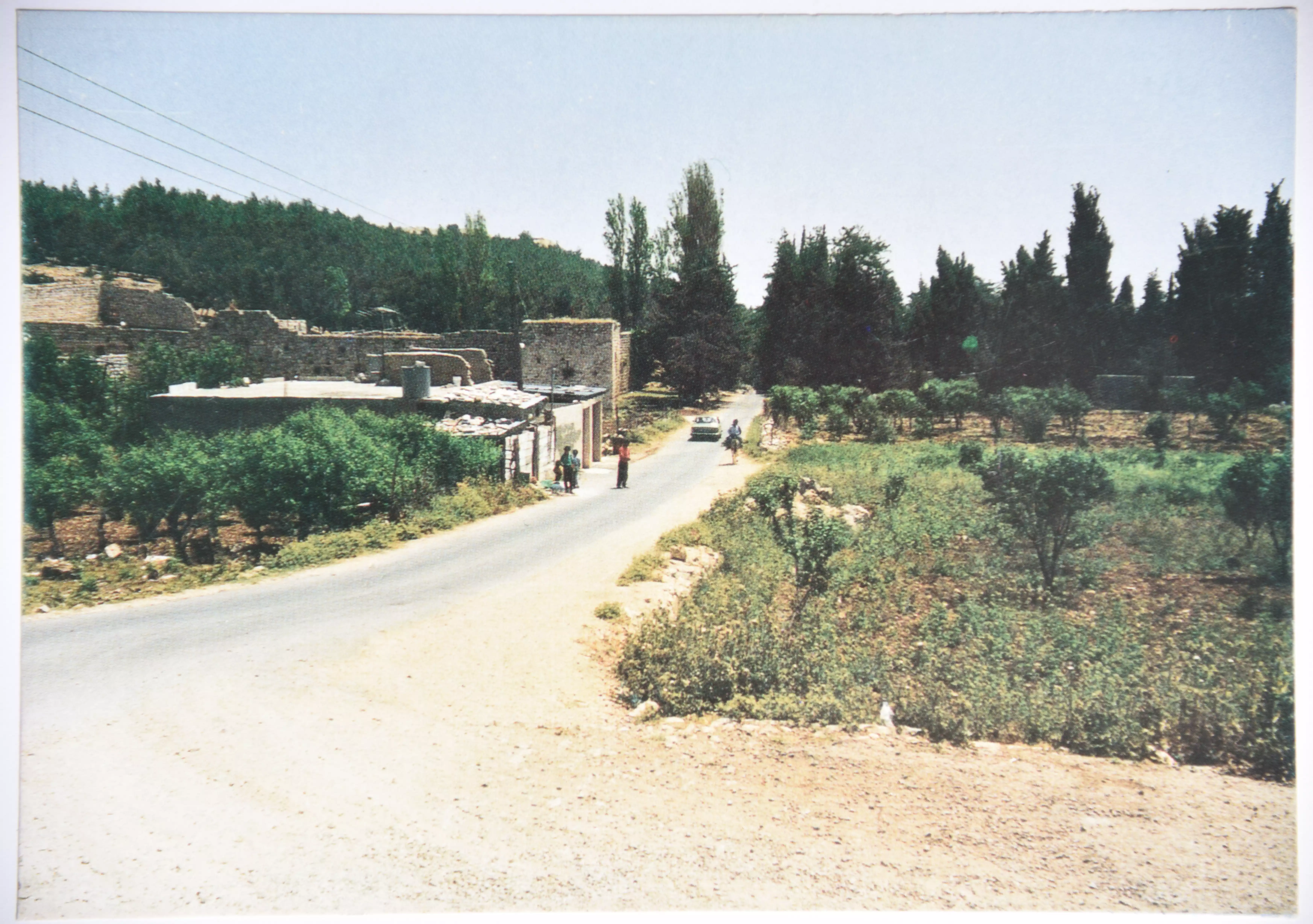
- بطاقة بريدية تحوي لقطة للطريق المؤدي إلى قرية أرطاس
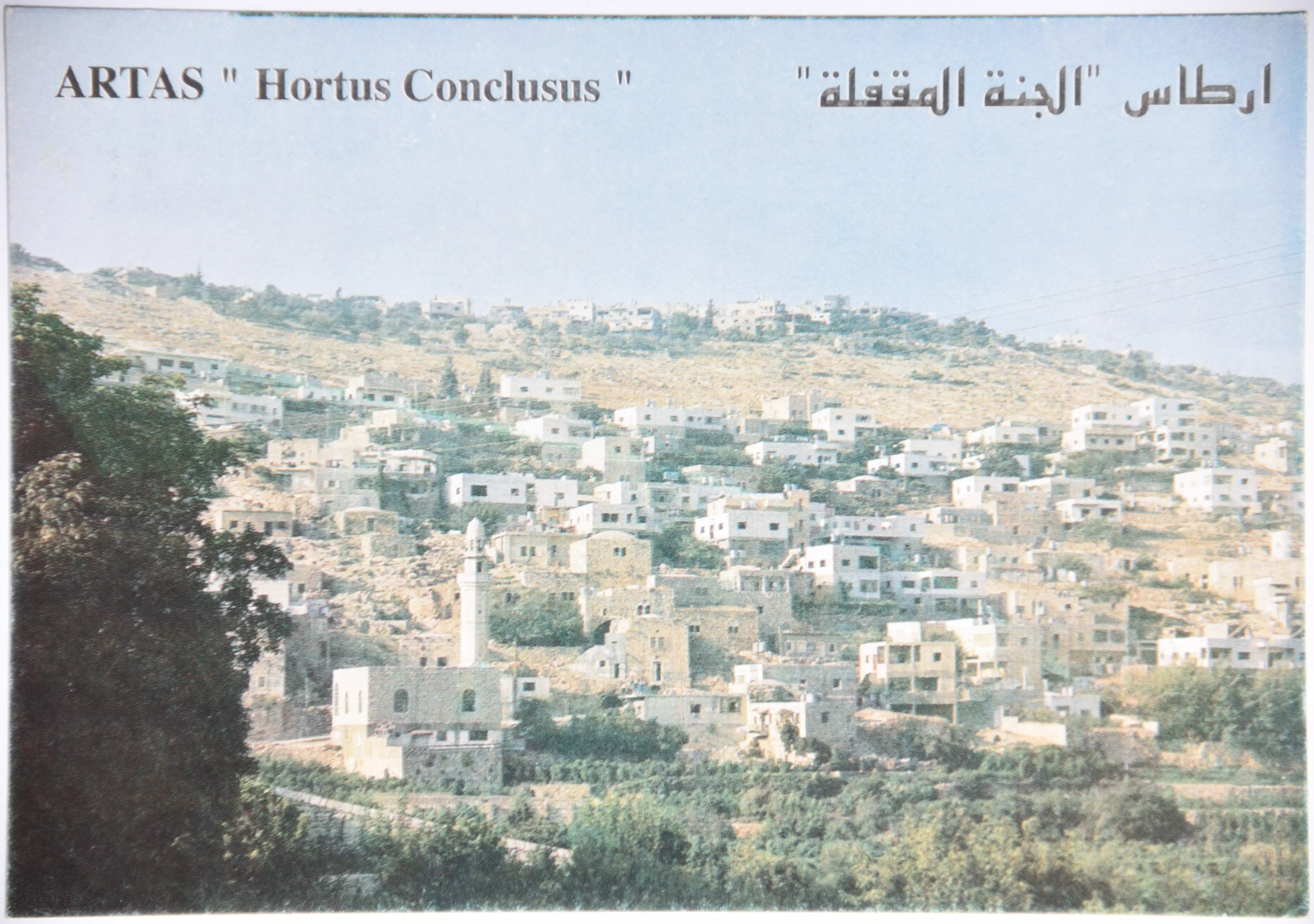
- 0091.01.0168
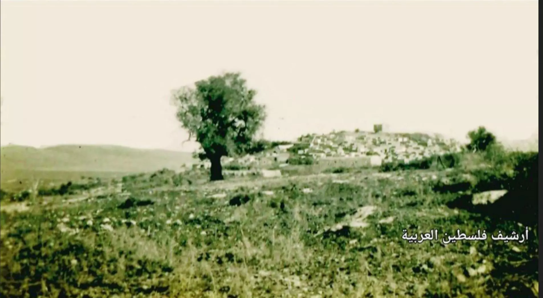
بطاقة بريدية بعنوان "أرطاس الجنة المقفلة" تحوي لقطة عامة لقرية أرطاس
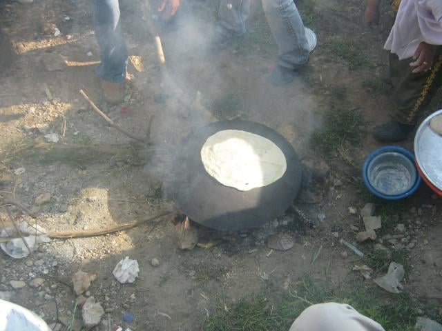
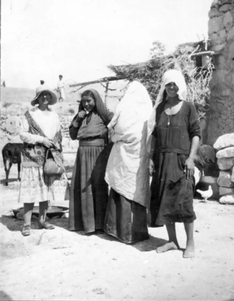
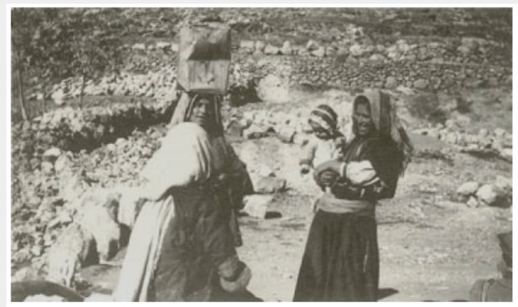
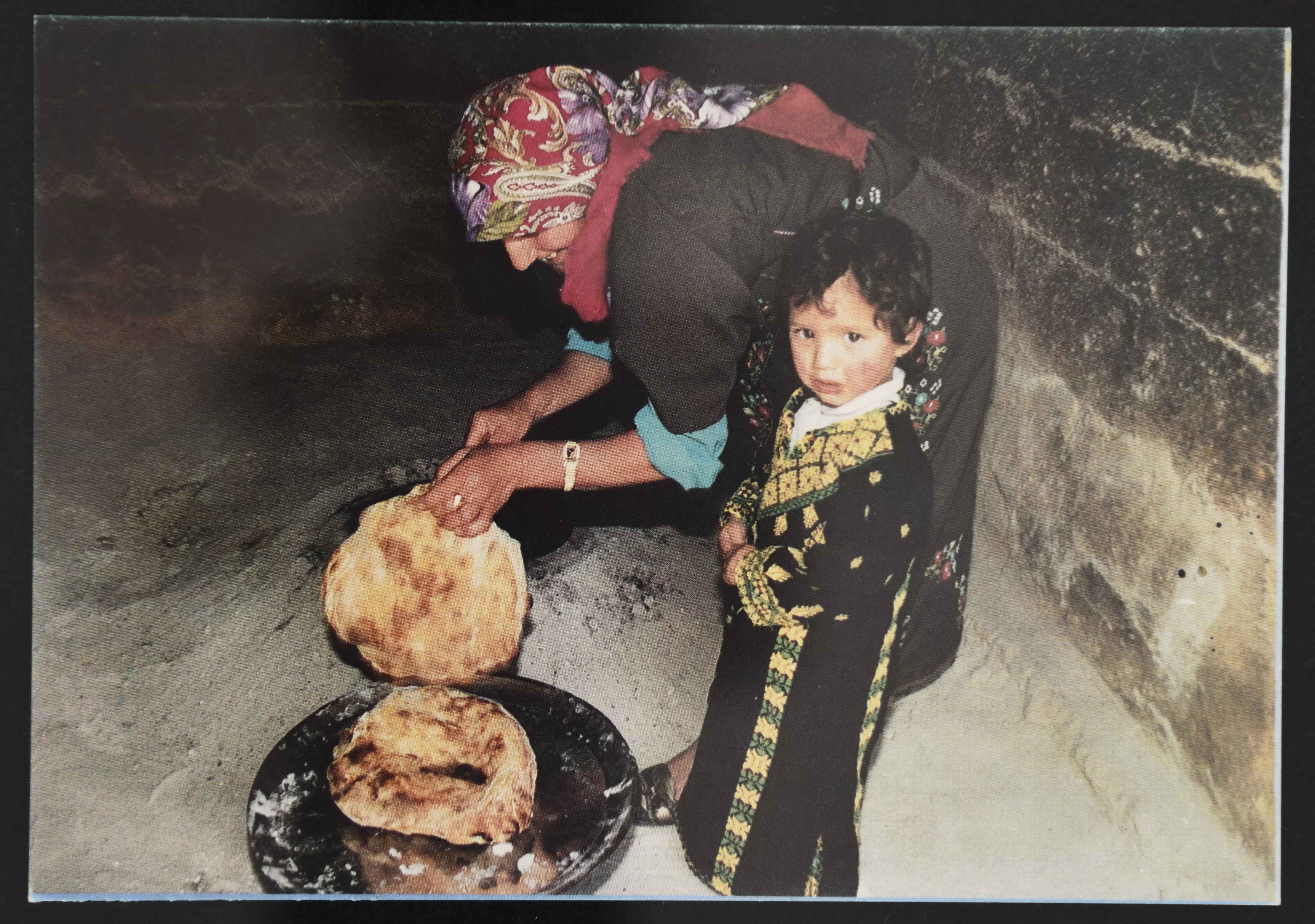
- امرأة من أرطاس تخبز في الطابون
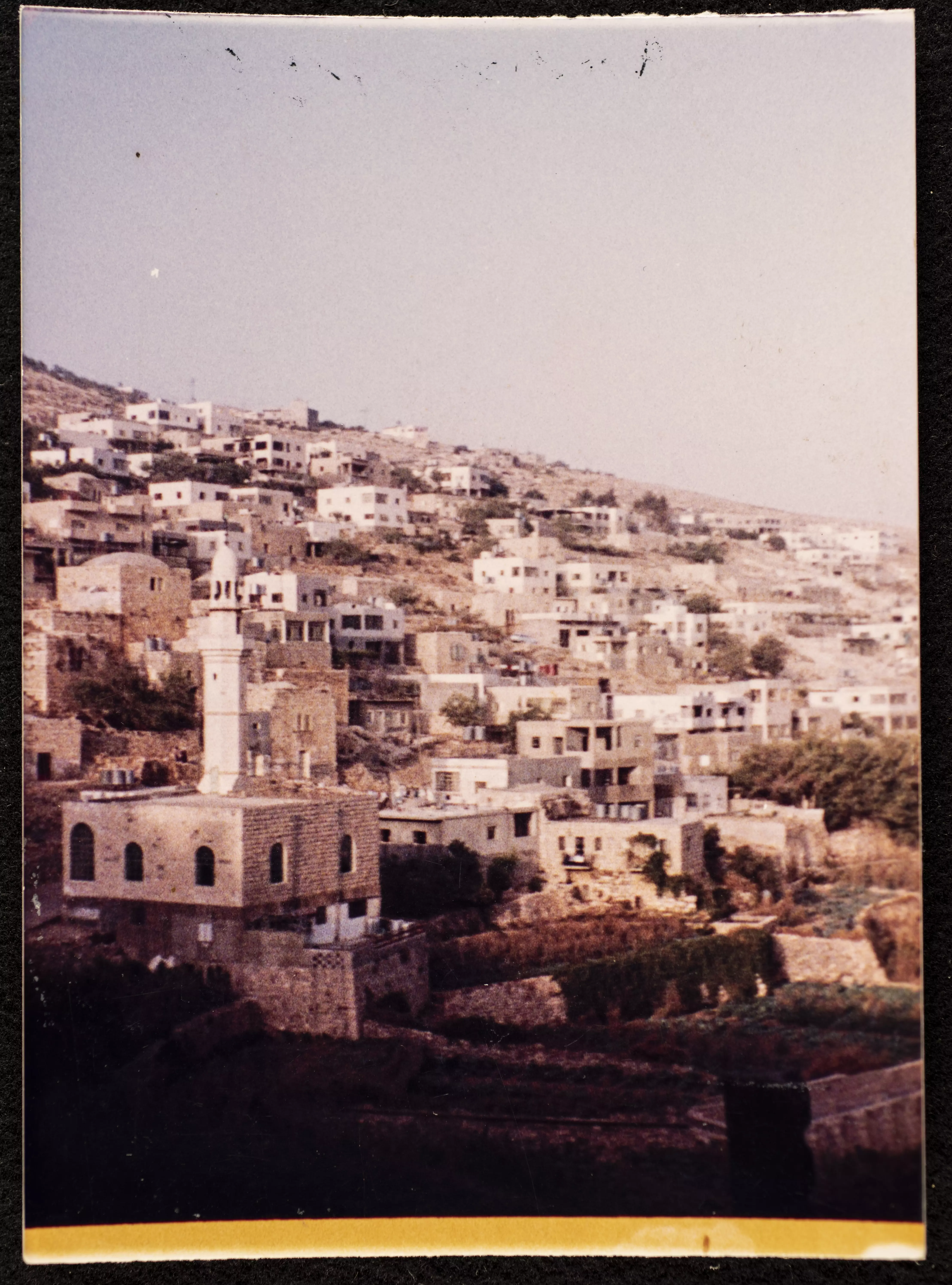
- مسجد أرطاس أو مسجد عمر بن الخطاب في أرطاس، أول مسجد في ارطاس تزامن بناؤه مع دخول عمر بن الخطاب سنة 636م للقدس فسمي تيمناً باسمه. وُجدت الصورة ضمن مجموعة مركز السنابل للدراسات والتراث الشعبي -- 1990 - 1999
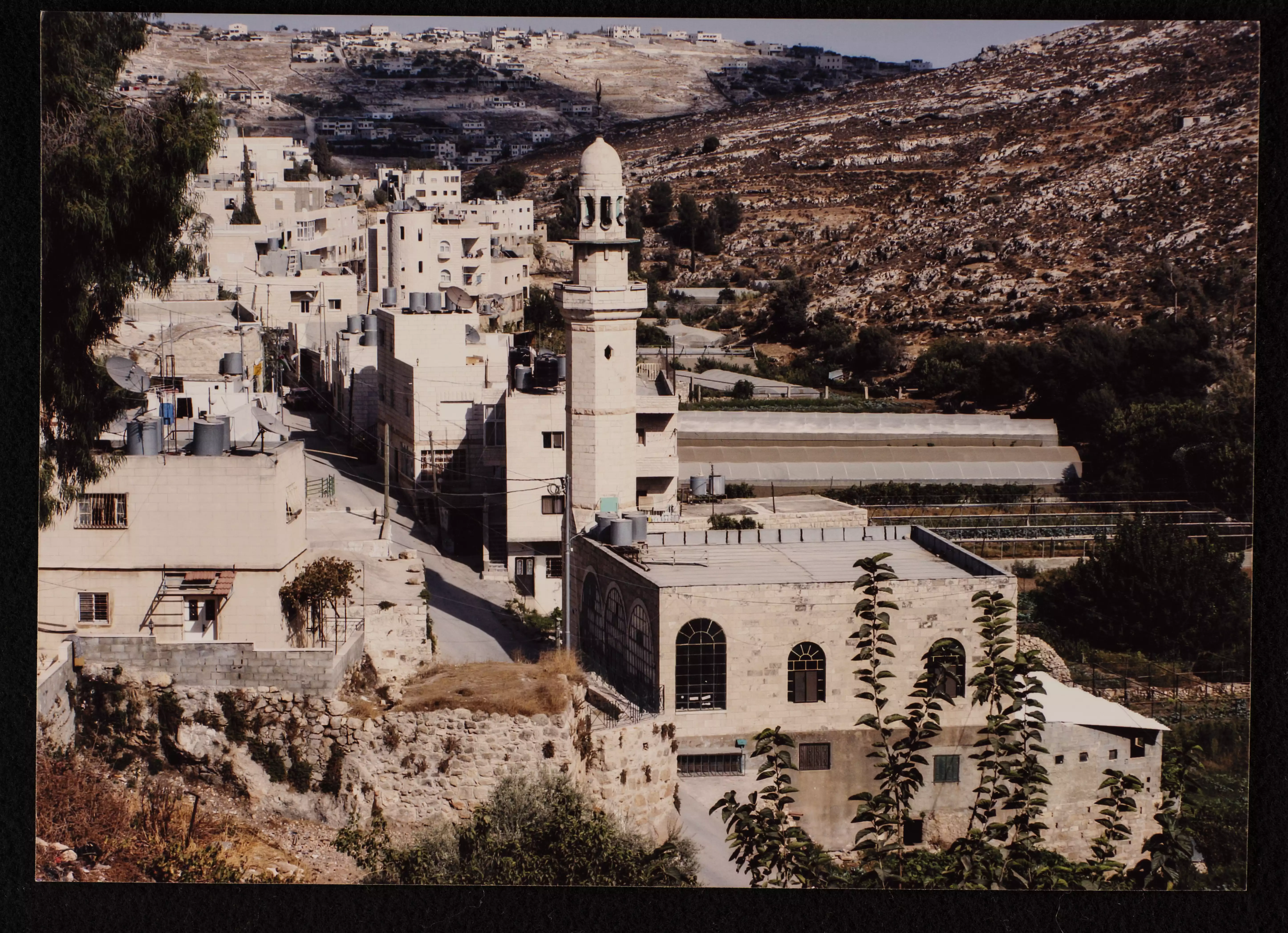
- مسجد الشهداء
- خليل السكاكيني، برك سليمان في بيت لحم، 1938

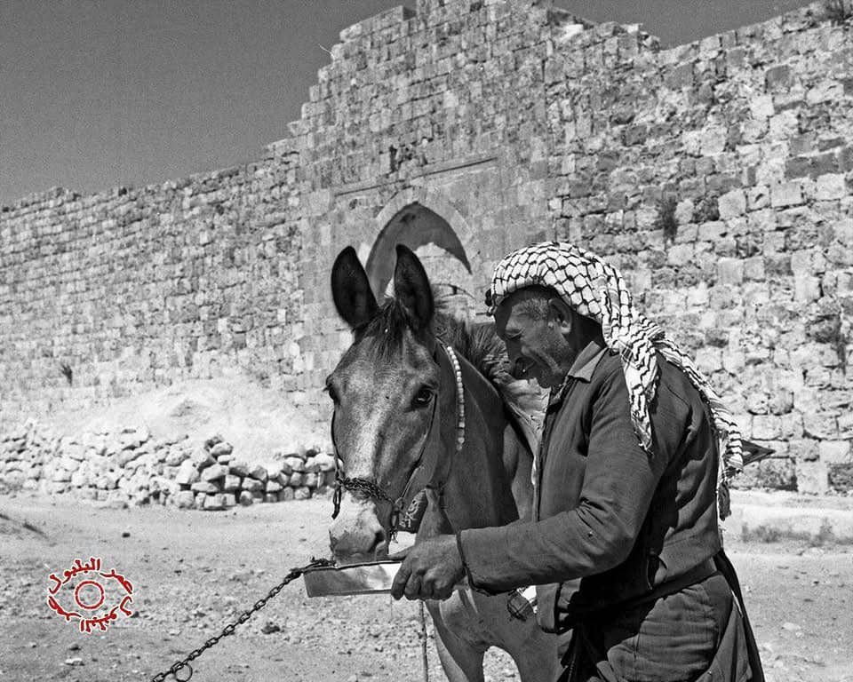
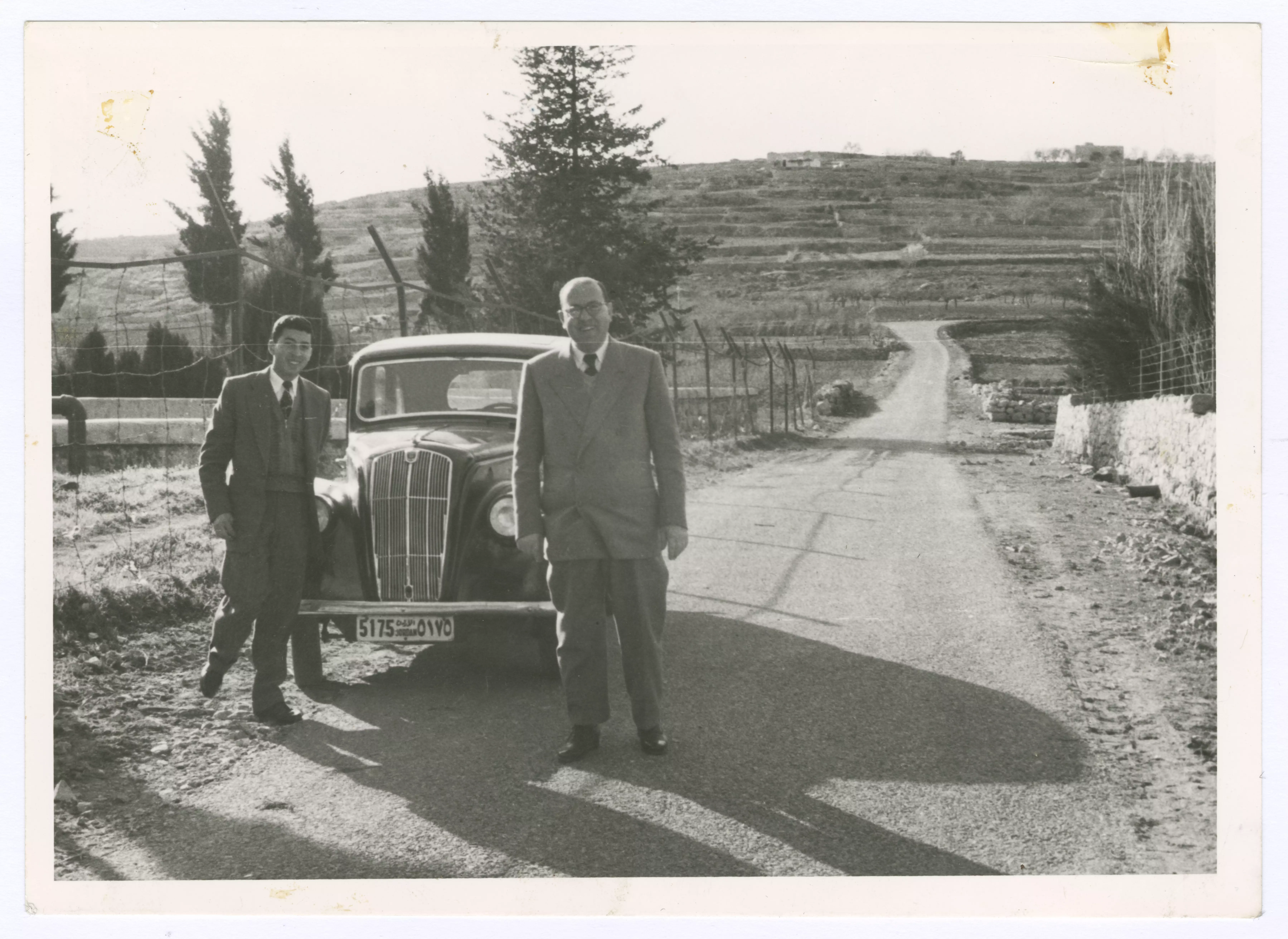
- رجلان امام مدخل برك سليمان -- 1959
Want to browse more? 80,000 pictures were grouped in these gallaries:
| Display Name | Clan/Hamolah | Country of Residence |
| حمدي أسعد | أسعد | الضفة الغربية, بيت لحم - إرطاس |
| Joe Sanad | - | - |
| nour saed | - | - |
| الجنتل | - | - |
| III3laa2III.pal | - | - |
| eyad abu swai | - | - |
- The occupier rapes the lands and uproots trees to make way for the Exclusive Jewish Colony's sewage path Duration: 8 min 39 sec
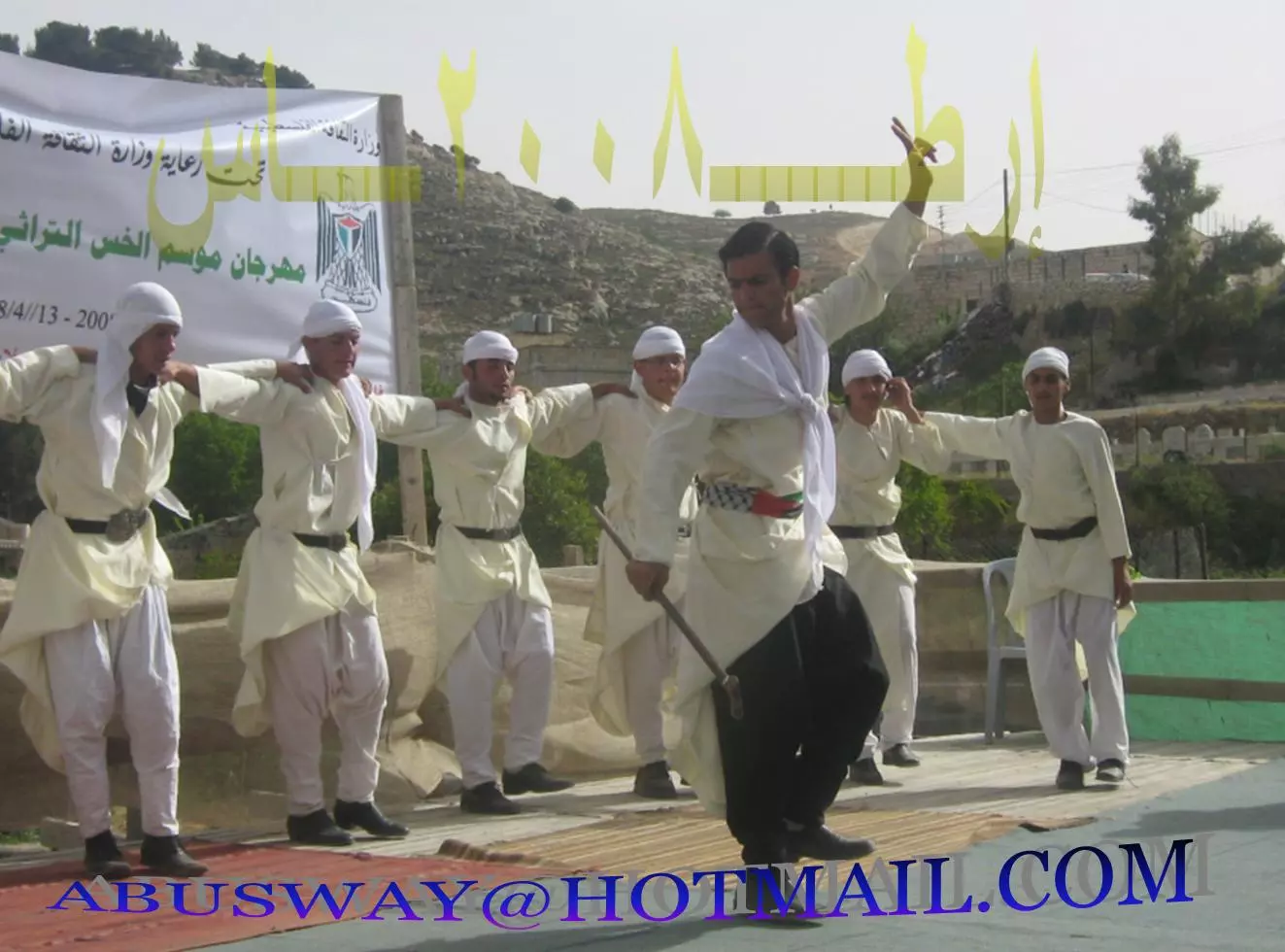
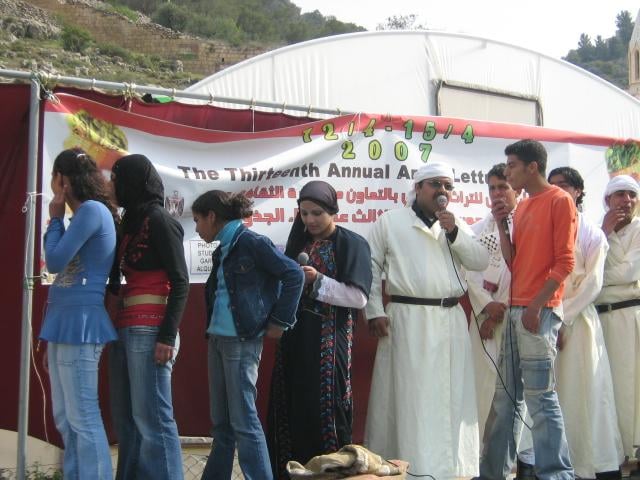
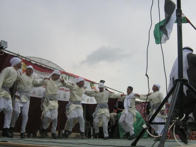
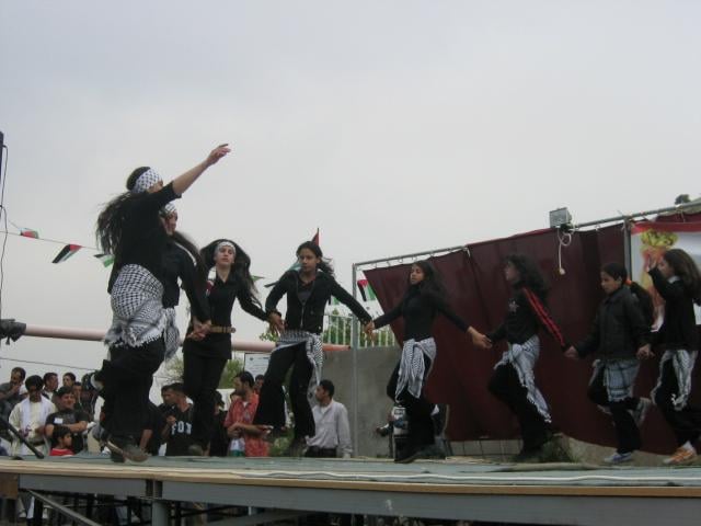
- Artas Lettuce Festival 2007 Debka, Part I Duration: 7 min 6 sec
- Dabke Artas Lettuce Festival 2007 Part Two Duration: 8 min 50 sec
- فيديو يظهر القرية بجمالها وروعتها
- برك سليمان - بيت لحم - اعداد طلبة كلية دار الكلمة الجامعية للفنون والثقافة Duration: 4 min 47 sec
- أضخم فيديو عن برك سليمان في أرطاس - بيت لحم - فلسطين | يلا معانا ع فلسطين | تصوير جوي Duration: 14 min 36 sec
 Fake Valor: Why Did Zionist Jews Hoist Nazis Flag on Their Ships in the 1930s?
What is new?
-
Facts About Oct. 7th Gaza Raid
-
Remined Us Please:: Who Did Rape Who? Palestinians Raped Israelis? Or, was the other way around?
-
When Prof. Edward Said was invited to debate Bibi Netanyahu in the 1980s, watch what happened!
-
Ezra Klein of the NY Times on the "Jewish Race".
-
Abusing Blood Libel!
-
Did Israeli Soldiers Activate The Hanniba Direective On Oct. 7th? You Be The Judge
-
Zionist FAQ: Isn't it true that Palestinians don't want peace? Palestinians never accepted the two-state solution
- Facts about Haavara (Transfer) Agreement between Ben-Gurion & Hitler
-
Haavara FAQs: Why Did Zionist Jews Hoist Nazis' Flags on Their Ships in the 1930s?
- Haavara FAQs: When Chaim Weizmann met FDR in mid-1943, why was he silent about rescuing European Jewry?
-
Dear ChatGPT: How did Palestinians resist Napoleon's invasion of their country in 1799?
-
Dear ChatGPT: Gaza had a vibrant Jewish community in the mid-17th century. What happened to them?
-
Dear ChatGPT: Why did the Jewish Agency suppress news of the Holocaust during WWII?
-
Video Playlist: Jews share their DNA tests to end the conflict for good.
-
A Tale of Two Conflicts: Examining the Definition of Genocide
-
Prof. Abraham Polak And The Suppressed History of the Khazars and European Jewry
-
How Ronald Reagan would have framed the genocide in Gaza if he were still alive?
-
Haavara FAQs: Let us do the math: how many German Jews did The Haavara Agreement save?
-
Zionist FAQs: The Hebron Massacre of 1929, "clearly proves" that Palestinians are antisemitic, how could you deny it?
-
Zionist FAQs: Why Anti-Zionist Is Not Antisemitism?
-
Zionist FAQs: Isn't it true that the KGB created Palestinian Nationalism in the early 1960s?
- Zionist FAQs: Muslims are killing Muslims all the time; why are Israeli Jews being singled out in the media?
- Zionist FAQs: How is Israel an apartheid state when 20% of its citizens are Arabs who enjoy full rights?
-
Haavara FAQs: Why Did Dorothy Thompson Flip From A Zionist Advocate to A Silenced Dissenter?
-
Haavara FAQs: Analysis of Herzl's Uganda Scheme and how it could have saved millions of Jews.
-
Haavara FAQs: Why did Hayim Greenberg describe American Jewry as "morally bankrupt" in early 1943?
-
Haavara FAQs: What if the Evian Conference was a resounding success? What would have been the impact of saving European Jewry on Zionism?
- Haavara FAQs: What if the six million were saved, how that would have impacted the Zionist project?
-
Haavara FAQs: How did Zionist leaders react when Europe's Jews lingered in the DP camps after WWII ended?
-
Why does the American Jewish community repeat lies that David Ben-Gurion had debunked before he died?
-
Who has the power to rename the Tatar/Khazar Gene Marker to Jewish IV?
-
Zionist FAQs: Why won't Egypt, Syria, and Jordan take their people back? Jews are indigenous to Palestine, and Arabs immigrated after Jews developed the country. Arabs should leave.
-
Haavara FAQs: Did Hitler and the Nazis conflate between Judaism and Zionist? If that wasn't case, then why?
-
Haavara FAQs: Winston Churchill and antisemitism, a collection of articles written Churchill.
-
Haavara FAQs: Broken by country, how many Jews survived vs. killed during the Holocaust?
-
Haavara FAQs: Why did European Jews vote with their feet and to immigrated to the Americas, not Palestine, after WWII?
-
Watch this American Jewish Girl describing Israeli Jews' cognitive dissonance like no other in under two minutes
-
Haavara FAQs: When the Nazis went out of their way to hide the Holocaust, Israeli Jews did the exact opposite by broadcasting their genocide of Gazans. But why?
-
Haavara FAQs: How Zionist Jews went out of their to show their appreciation to Nazism and Fascism?
- Haavara FAQs: Why Zionist leaders were against bombing the death camps & the Railroads leading to them?
-
Haavara FAQs: Hitler's message to the British and American people: If Jews are such noble citizens and you care about them, how come you're not letting them in? I will gladly ship them to you at my expense, even on luxury liners!
-
A shortlist of Zionist and Israeli false flag operations in the name Jews.
-
The Most Moral Army
- The Land of Kapos (Israel): Where the brave are boycotted and Kapos walk free.
- Why did early Zionists often named their communal enterprises "colonial"?
- Zionist Relations with Nazi Germany by Faris Glubb
-
Two NY Times advertisements by Zionists in the early 1943 that exposes Zionists' treason at the height of the calamity
- Facts Not Lies about the Palestinian-Israeli Conflict.
- Site's pictures have been categorized
- Campgain Against Lice
- A Survey of Palestine, the official source about Palestine before Nakba produced by the British Mandate; over 1200 pages.
- Satellite View & Google Earth: Over 6,000 placemarks identifying all destroyed towns, W. Bank & Gaza Strip Towns, & refugee camps.
- PalestineRemembered.com and its Nakba Oral History Project were featured on al-Jazeera Satellite TV.
- Nakba Oral History Video Podcast:
 Over 700 Oral History interviews (including 3,500+ hours of recording) can be viewed online.
 - Palestine Village Statistics Project
- Gaza Jail Break
- النسخة العربية للموقع الان متوفرة
- Videos: Documenting the destroyed villages in video: Tracing all that remains since Nakba.
- Videos: Responding to Zionist Propaganda
- Interview: The ethnic cleansing of Palestine: George Galloway interviews Israeli Historian Ilan Pappe.
- For Palestinians, memory matters. It provides a blueprint for their future By George Bisharat.
- Zionist FAQ now available in Hebrew שאלות שציונים שואלים, עכשיו בעברית
- Video: The Stephen Walt and John Mearsheimer report on the influence of the Israel Lobby on U.S. Foreign Policy
- The Palestinian-Israeli conflict for beginners
