| PalestineRemembered | About Us | Oral History | العربية | |
| Pictures | Zionist FAQs | Haavara | Maps | |
| Search |
| Camps |
| Districts |
| Acre |
| Baysan |
| Beersheba |
| Bethlehem |
| Gaza |
| Haifa |
| Hebron |
| Jaffa |
| Jericho |
| Jerusalem |
| Jinin |
| Nablus |
| Nazareth |
| Ramallah |
| al-Ramla |
| Safad |
| Tiberias |
| Tulkarm |
| Donate |
| Contact |
| Profile |
| Videos |
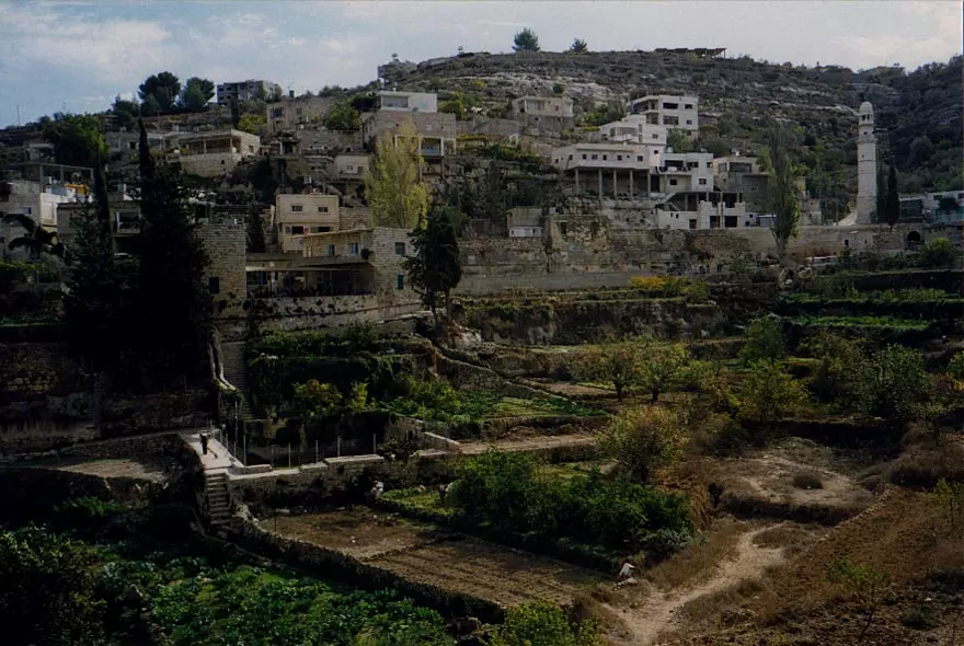
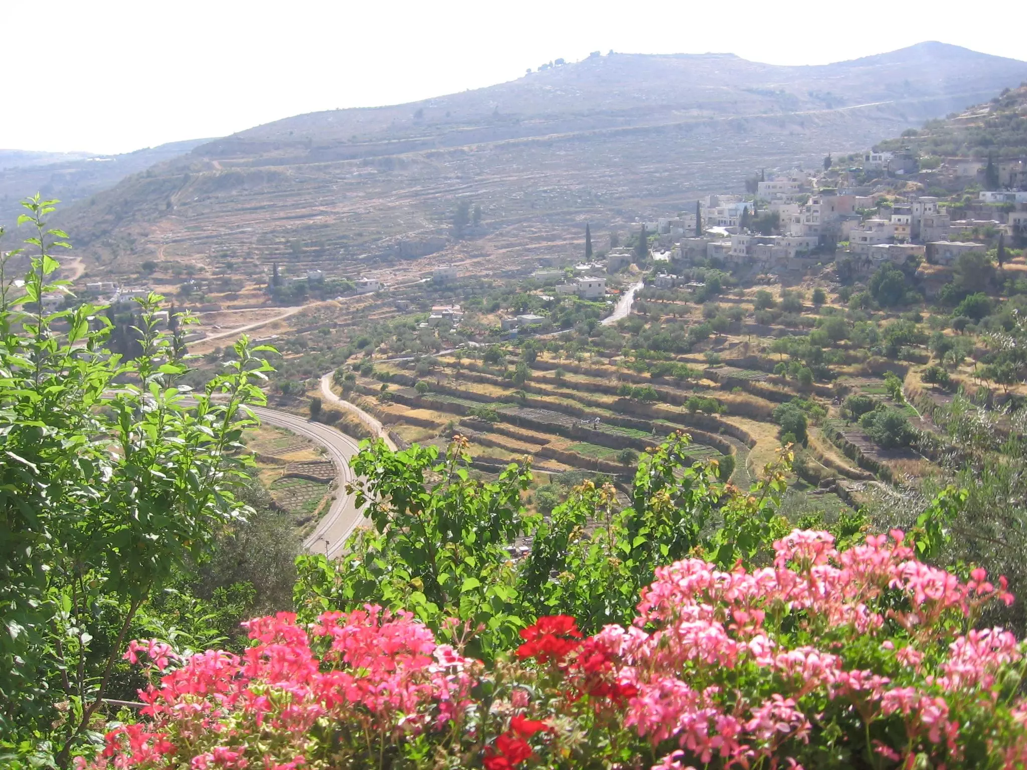
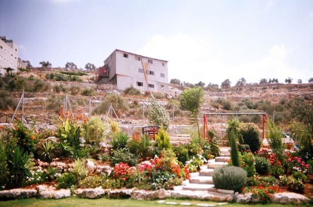
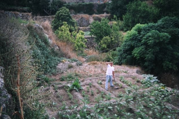
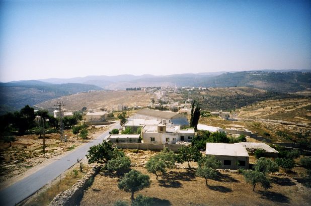
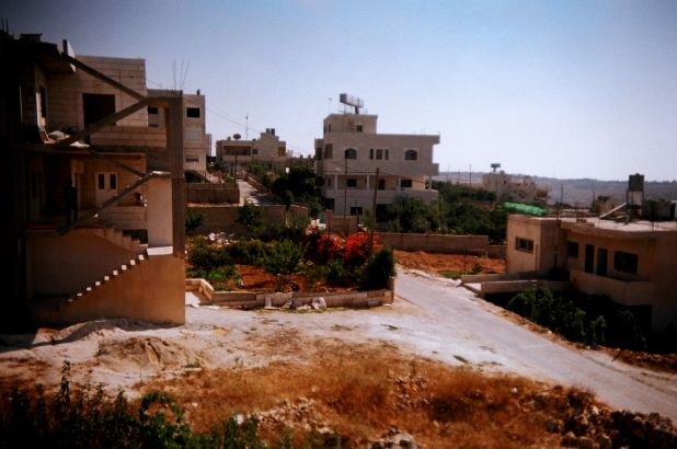
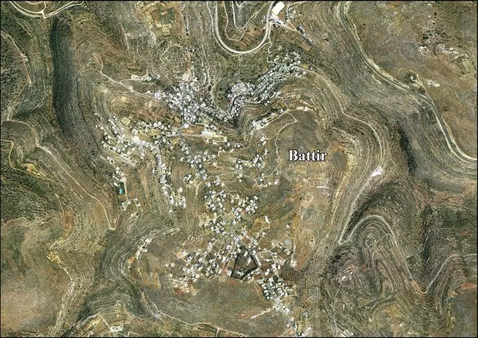
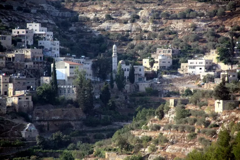
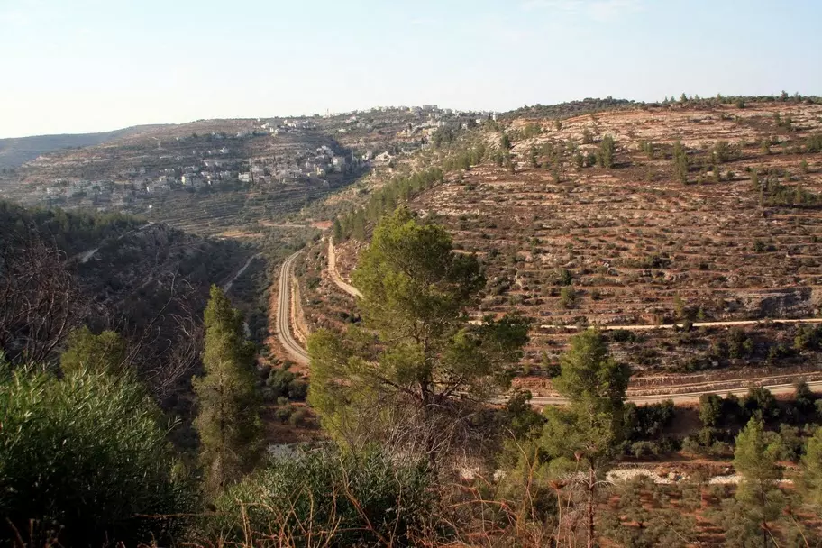
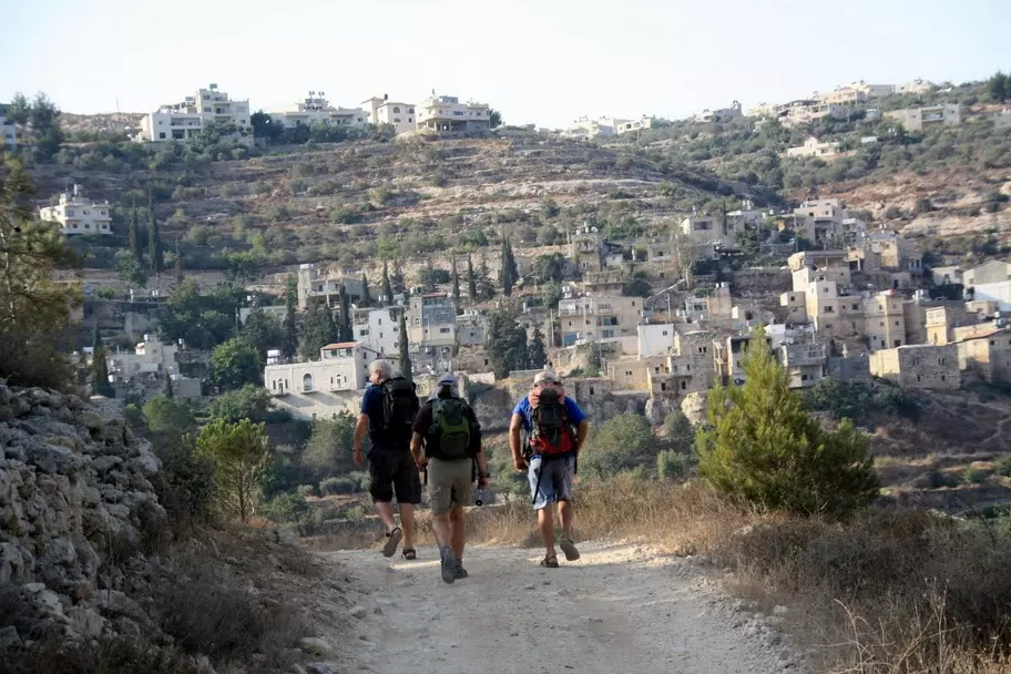
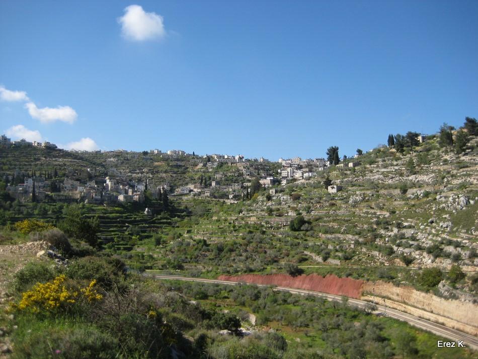
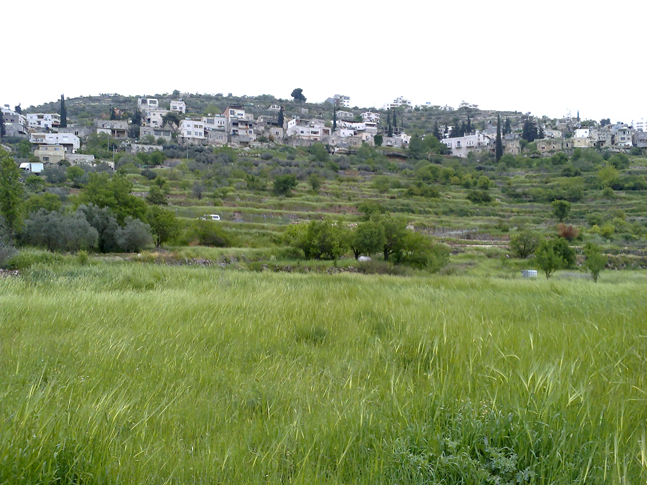
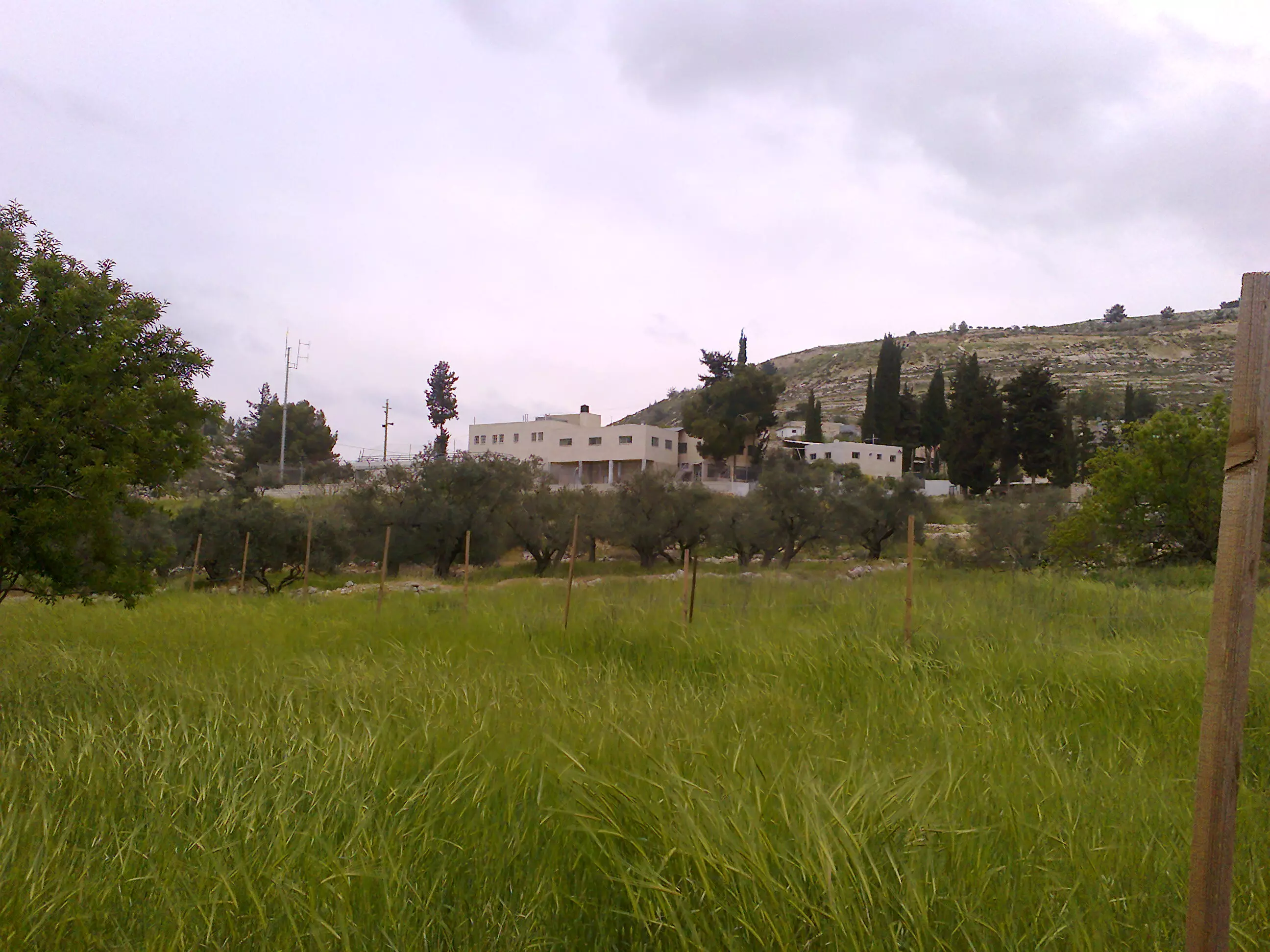
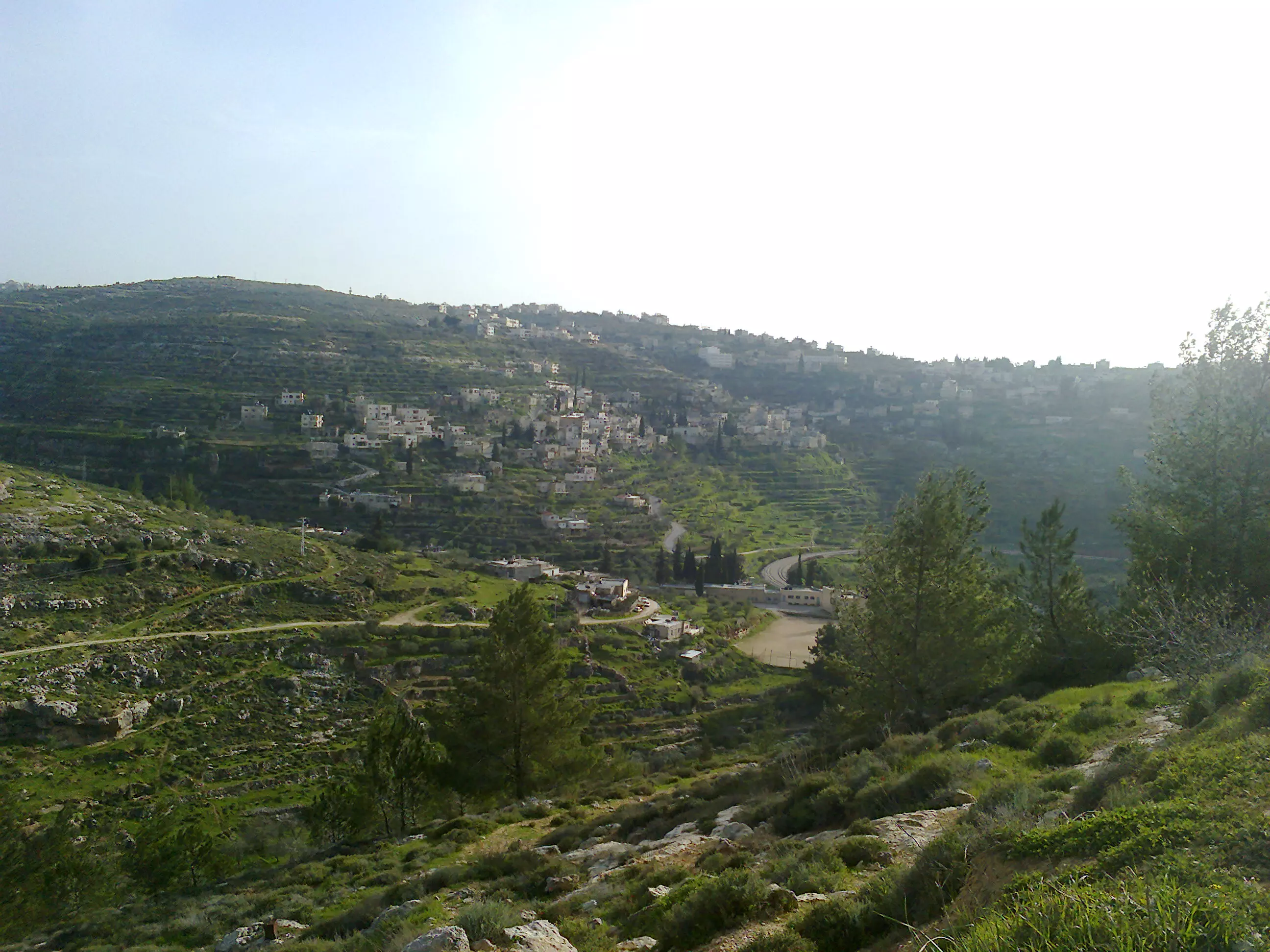
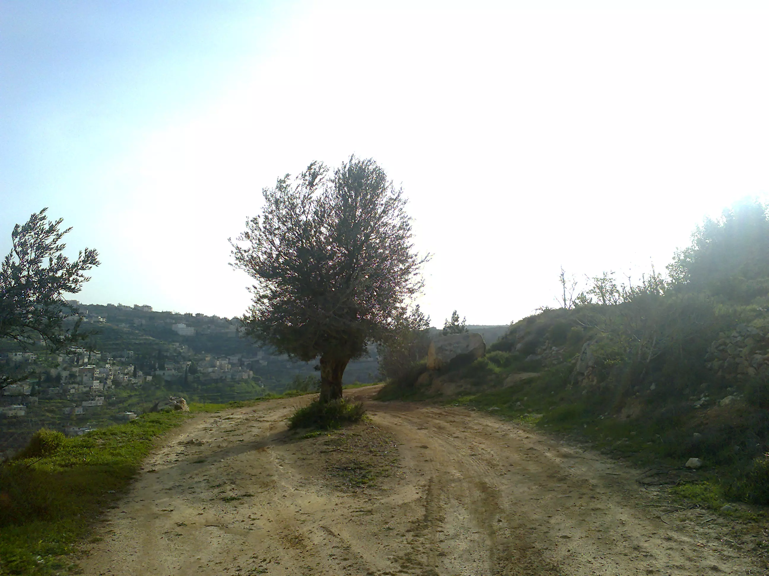
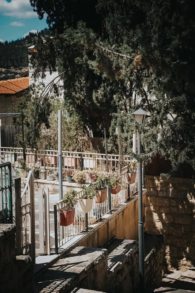
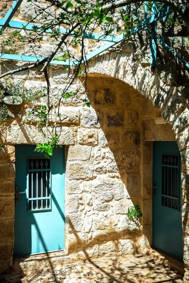
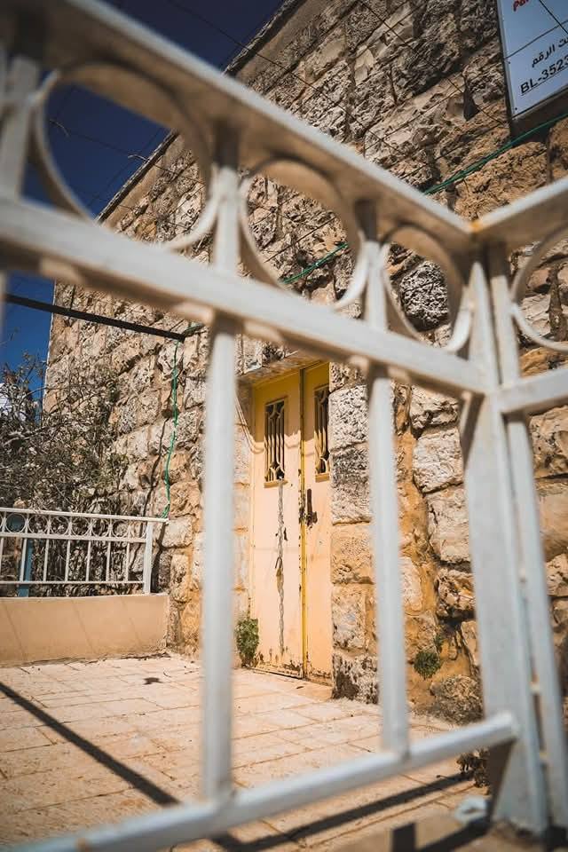
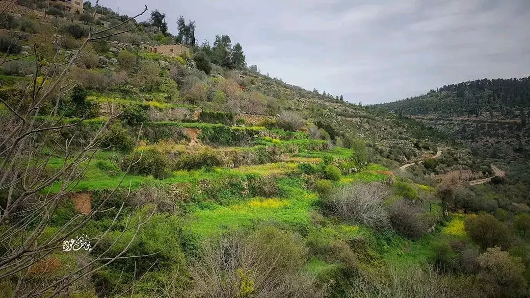
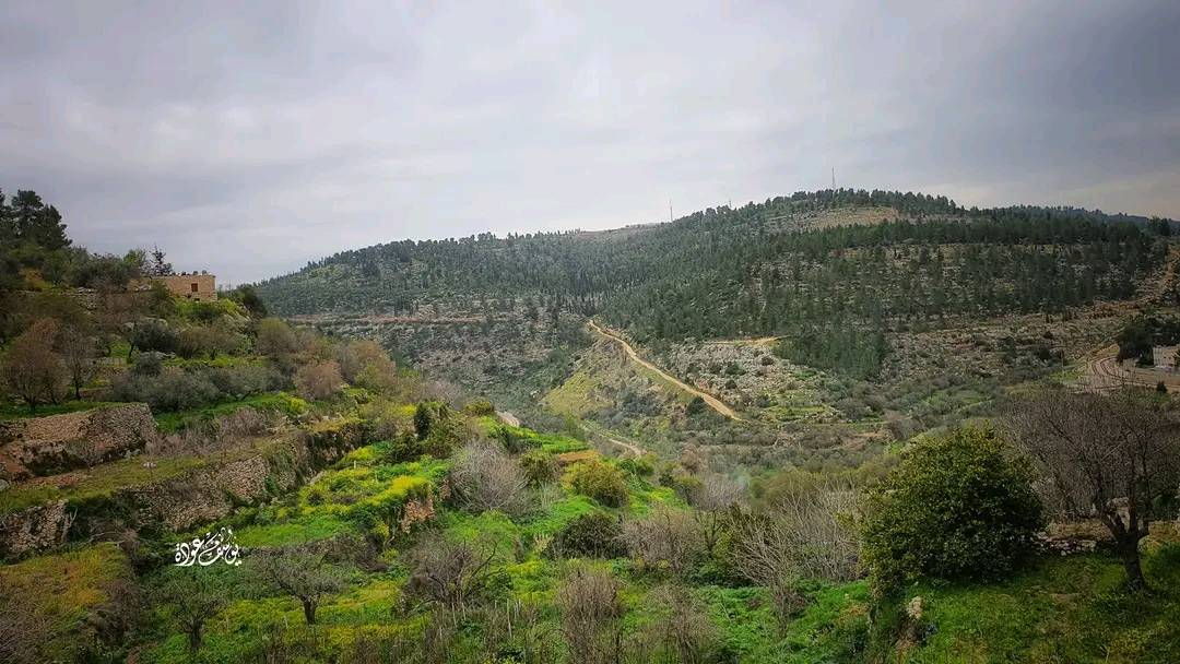
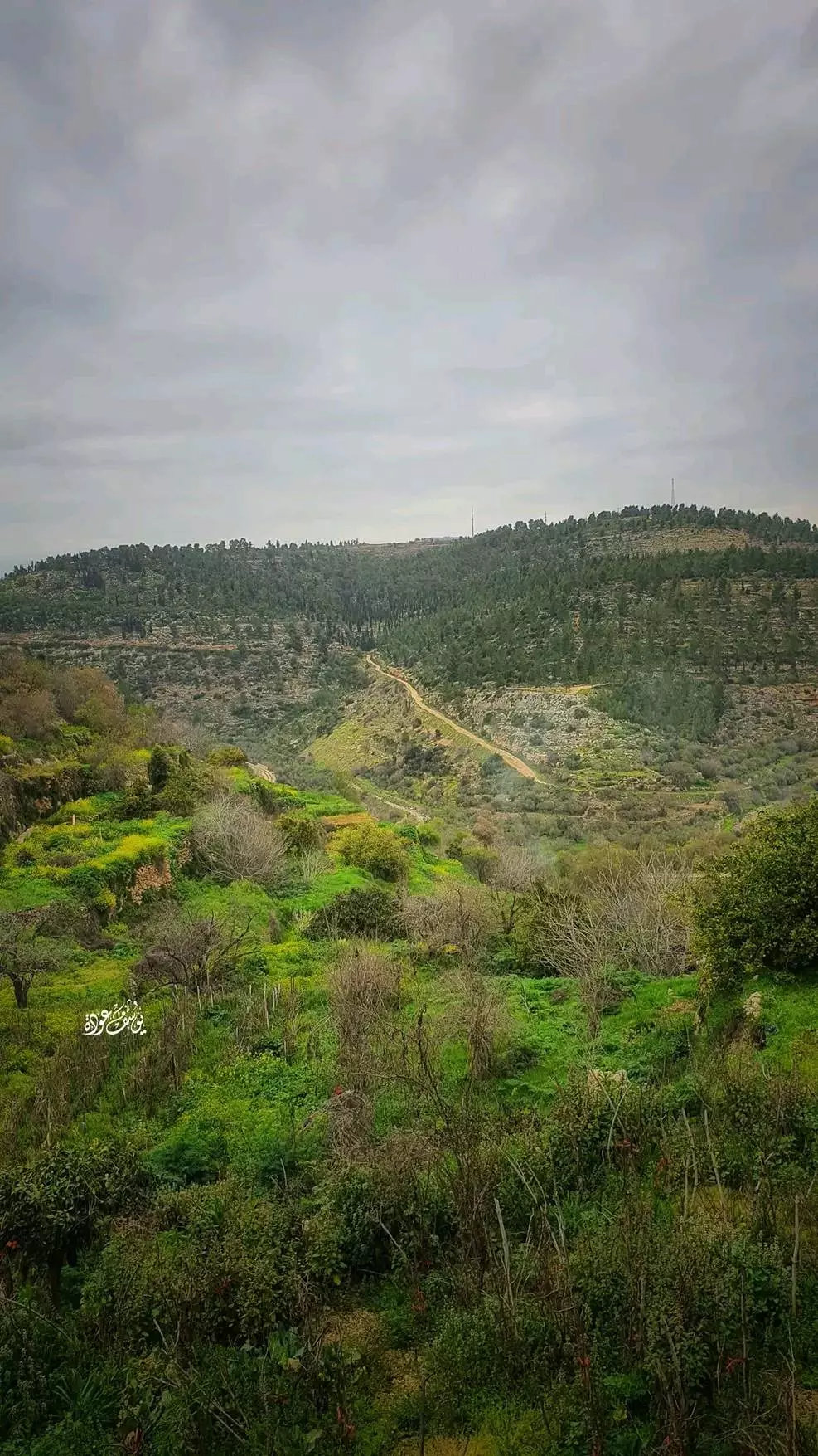
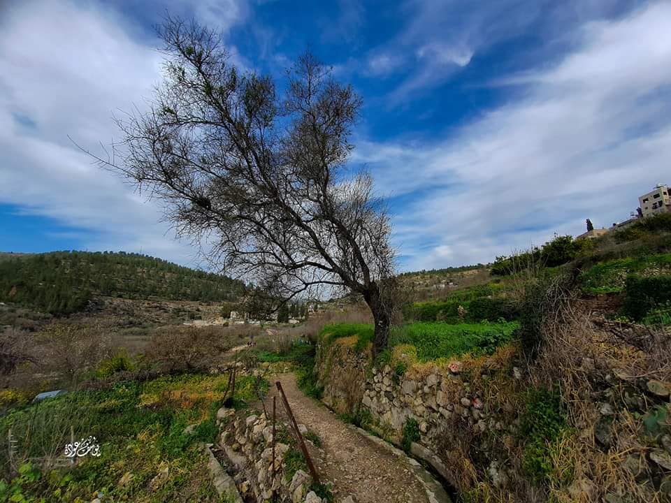
Welcome To Battir - بتير (בתיר)
|
District of Jerusalem
Occupied days ago |
العربية Google Earth |
 |
Gallery (399) |
- Statistics & Facts
-
Before & After

- Satellite View
- Articles 16
- Pictures 399
- Aerial Views 2
- Members 44
- Families
- Wikipedia
- ARIJ Guide
- Videos 22
- Guest Book 24
- Links 2
| Statistic & Fact | Value | ||||||||||||||||||
| Distance From District | 8 km southwest of Jerusalem | ||||||||||||||||||
| Elevation | 632 meters | ||||||||||||||||||
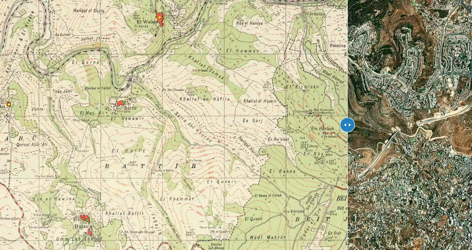
| Before & After Nakba, Click Map For Details |
|||||||||||||||||||
|
|||||||||||||||||||
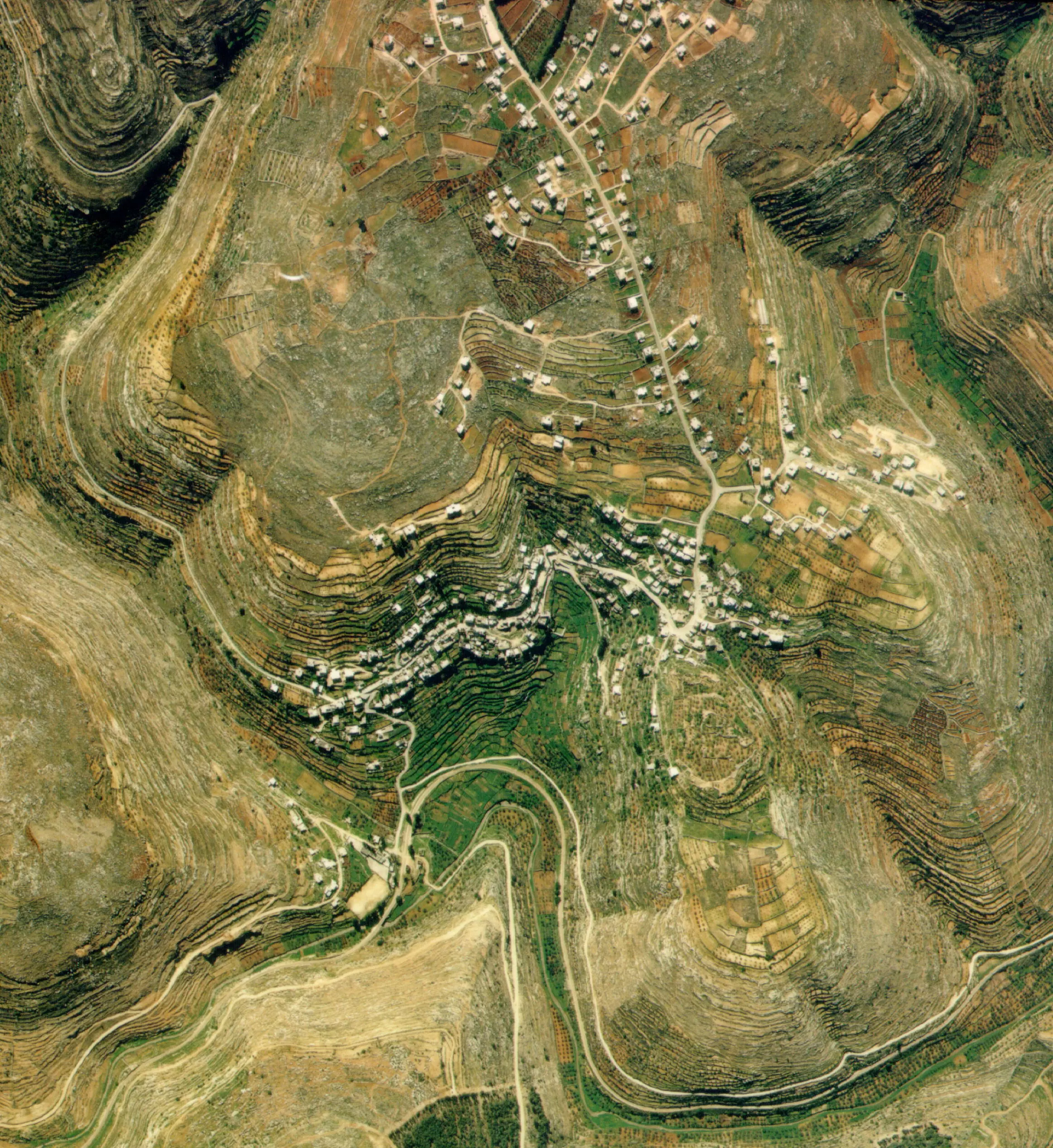
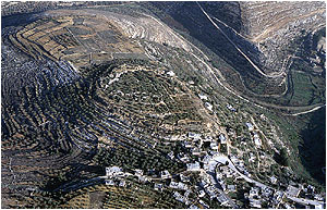
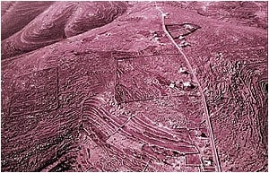
| Pre-Nakba Aerial View |
|||||||||||||||||||
|
|||||||||||||||||||
| Land Ownership |
**Town Lands' Demarcation Maps |
||||||||||||||||||
| Land Usage As of 1945 |
|
||||||||||||||||||
| Lands usurped within armistice area | 1,176 Dunums | ||||||||||||||||||
| Population |
|
||||||||||||||||||
| Near By Towns |
|||||||||||||||||||
|
|||||||||||||||||||
| Featured Video | |||||||||||||||||||
| ARIJ Guide | |||||||||||||||||||
3.
4. 
5. 
6. 
7. 
8. 
9. 
10. 
11. 
12. 
13. 
14. 
15. 
16. 
17. 
18. 
19. 
20. 
21. 
22. 
23. 
Click here to browse online. |
|||||||||||||||||||
| Related Maps | Town Lands' Demarcation Maps خرائط للقضاء توضح حدود القرى والاودية View from satellite Town's map on MapQuest Help us map this town at WikiMapia |
||||||||||||||||||
| Related Links | Wikipedia's Page Facebook Page ARIJ Guide Google Search Google For Images Google For Videos في كتاب بلادنا فلسطين دليل أريج المزيد من موقع هوية |
||||||||||||||||||
- قرية بتير في سطور
- UAE - Abu Dhabi
- تاريخ عشائر بني حسن
- بني حسن
- Battir, Palestine
- Battir (ancient Bethther) Bittir” " بتير"
- Battir Cultural Landscape wins the Melina Mercouri International Prize for the Safeguarding and Management of Cultural Landscapes
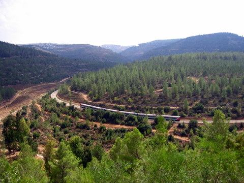
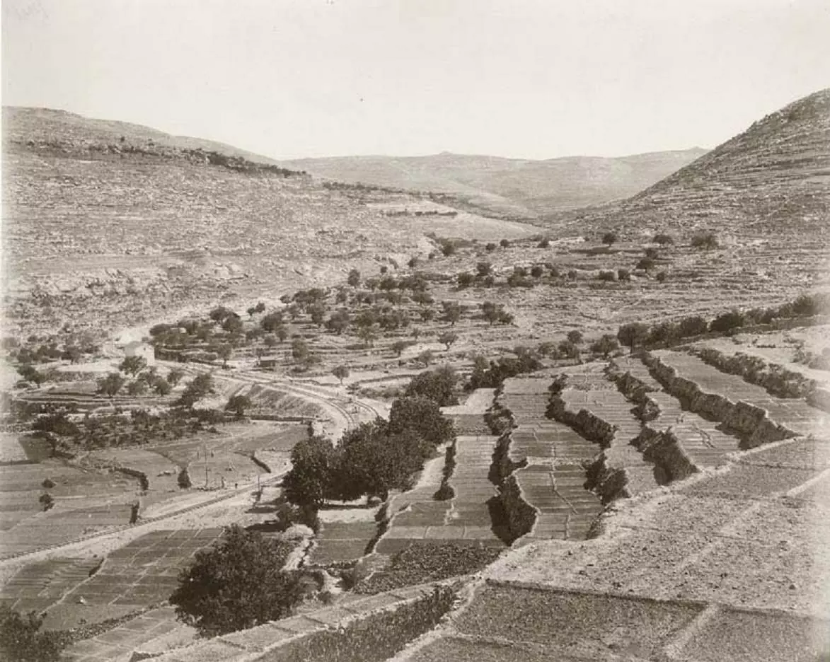
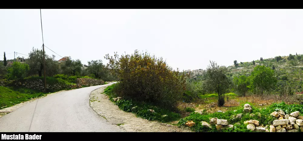
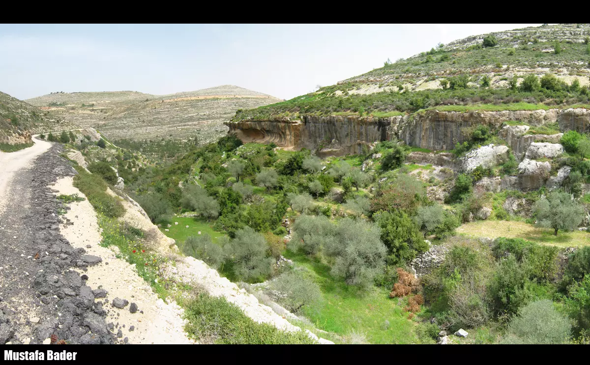
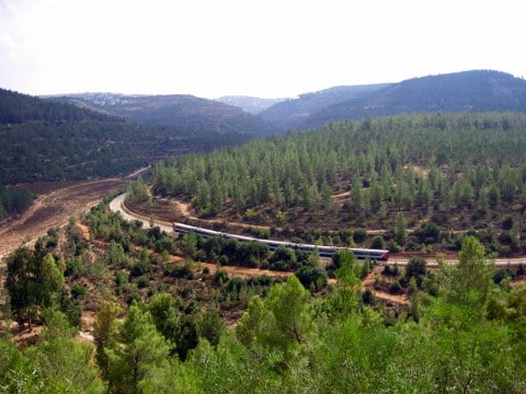
- Battir is through wild and romantic scenery, of which even Switzerland might be proud
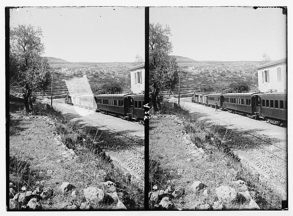
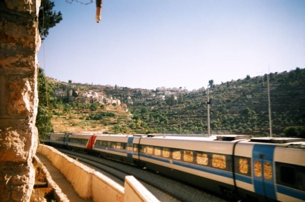
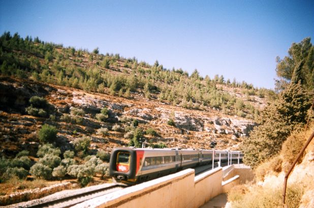
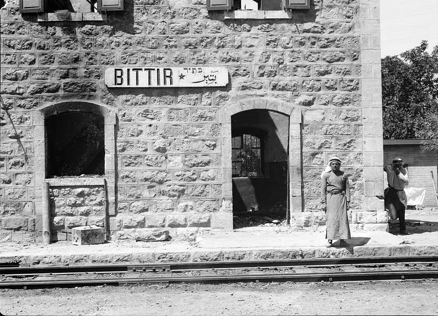
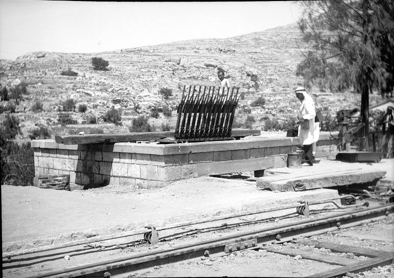
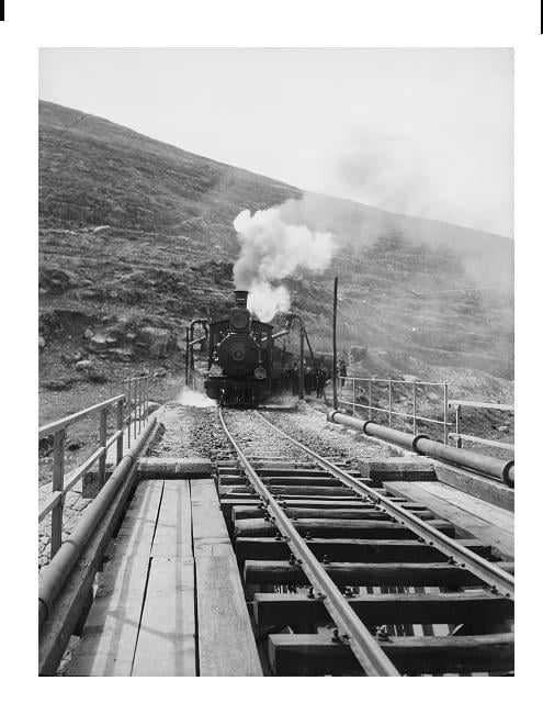
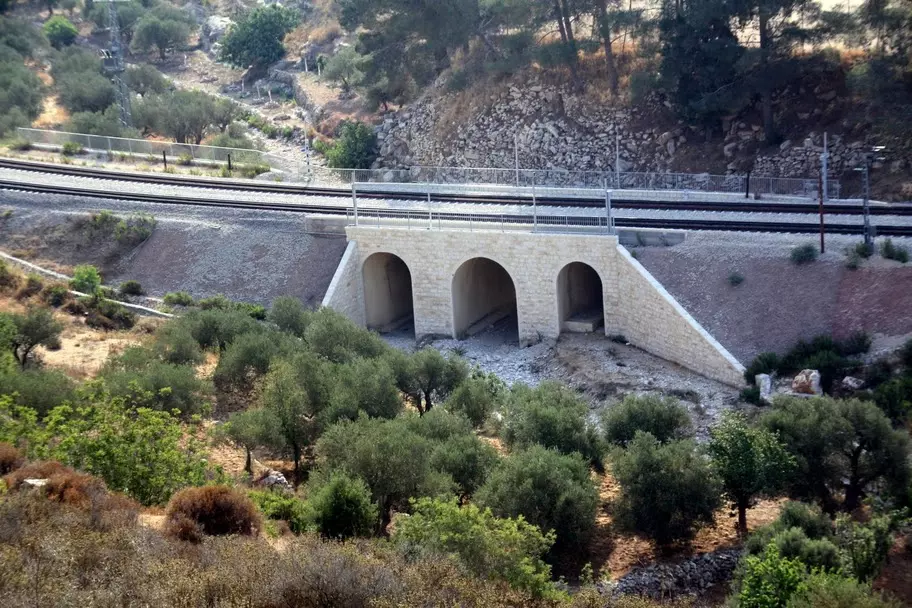
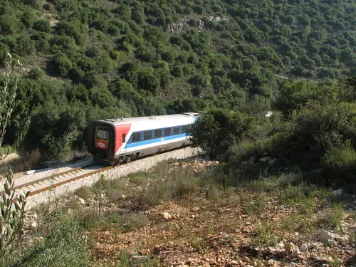
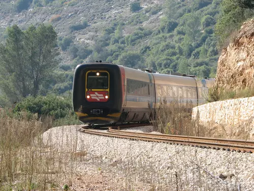
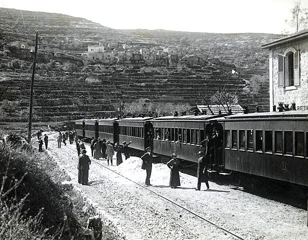
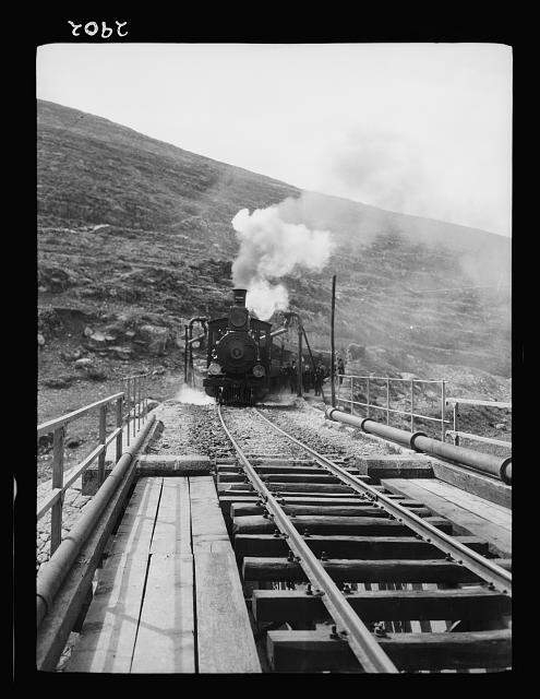
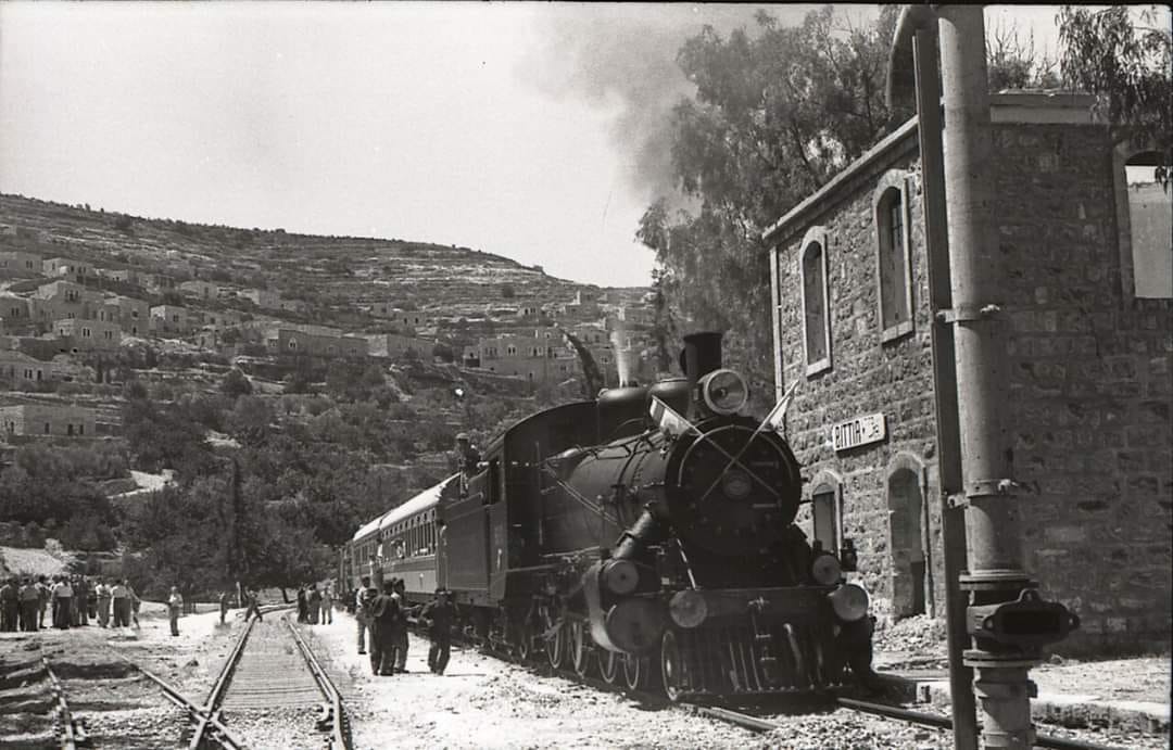
- Battir trainstation, THE JAFFA AND JERUSALEM RAILWAY.
- Sixty years ago in Battir
- How a community was shattered sixty years ago
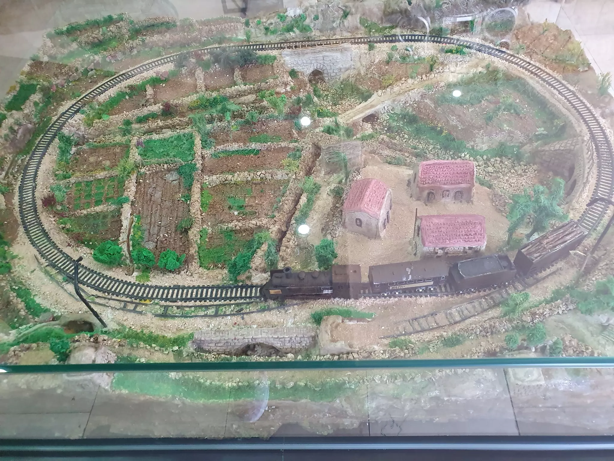
- Battir- Historical and Cultural Museum-Reservation of Battir gets UNESCO prize
- Historical and Cultural Museum-Reservation of Battir
- اليونسكو تمنح بتيـر جائزة ميلينا مركوري الدولية لصون المناظر الثقافية
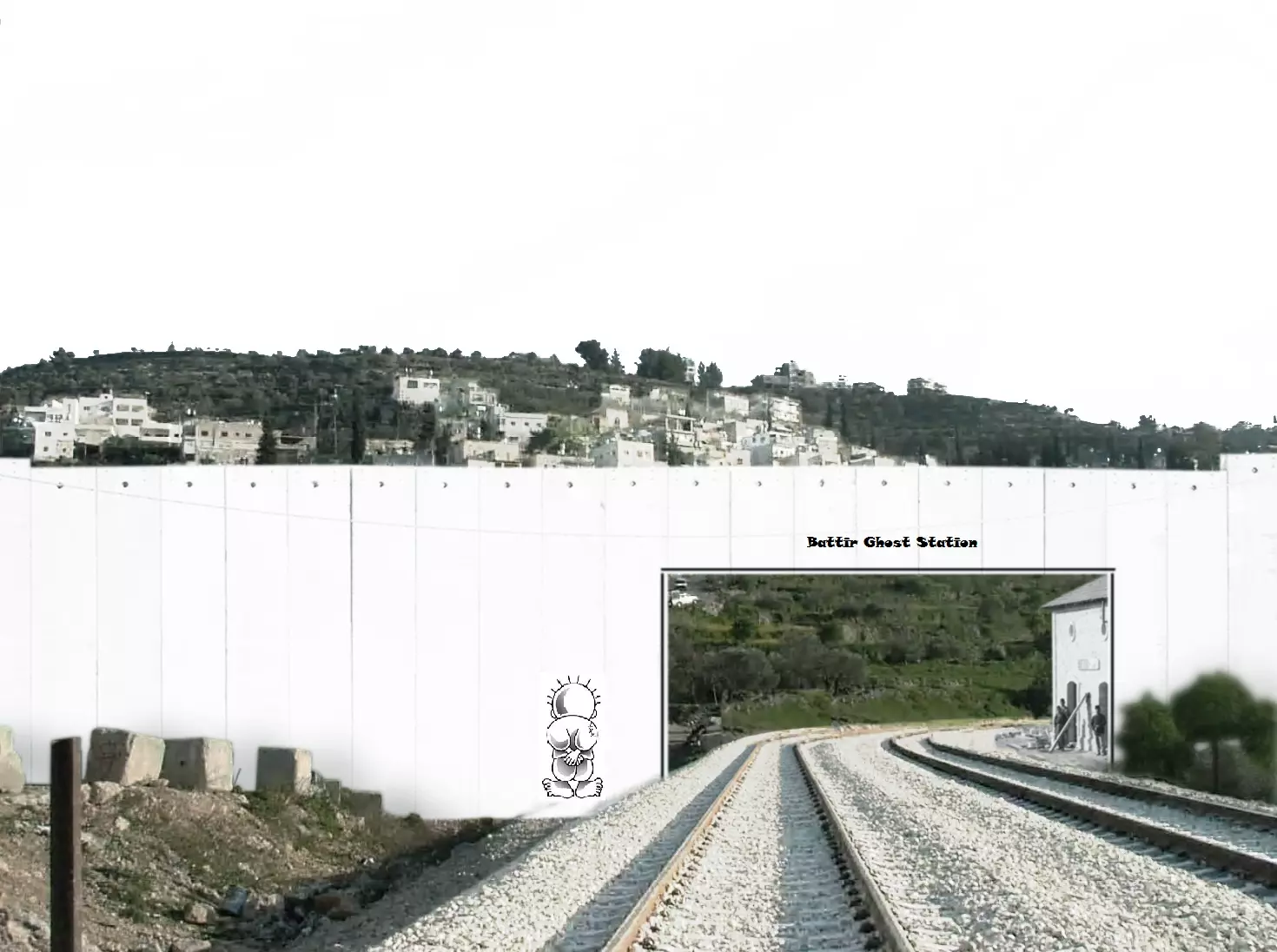
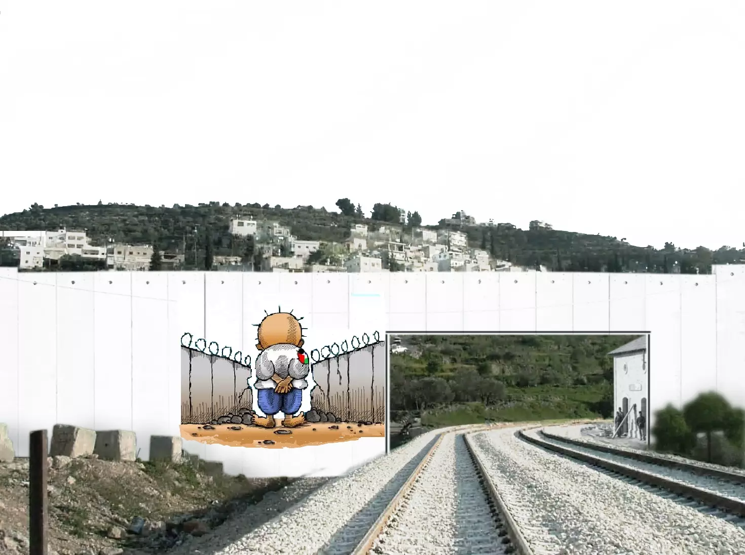
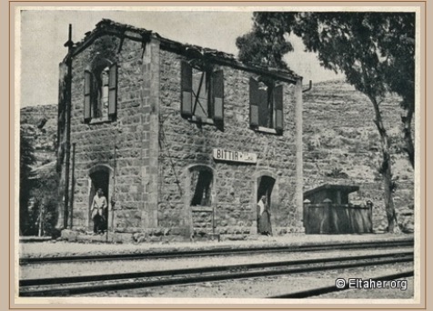
- Battir Ghost station
- Israel’s separation barrier threatens ancient Palestinian farming practice Battir
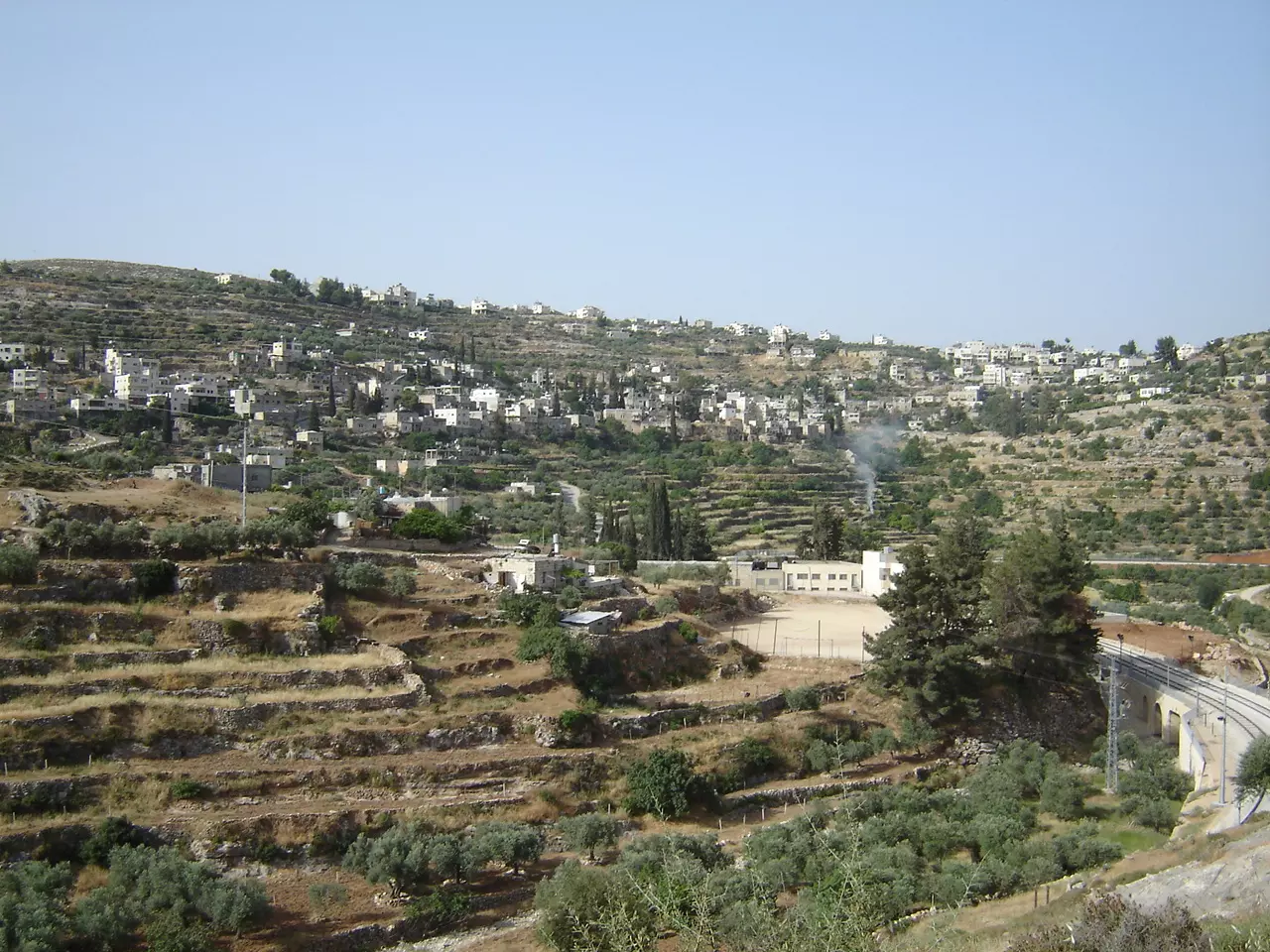
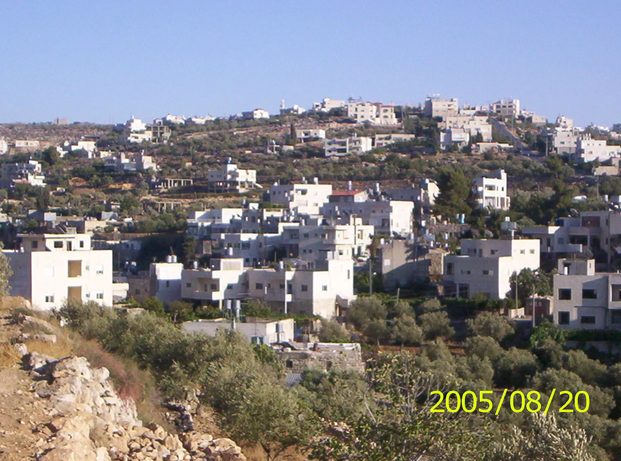
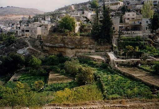
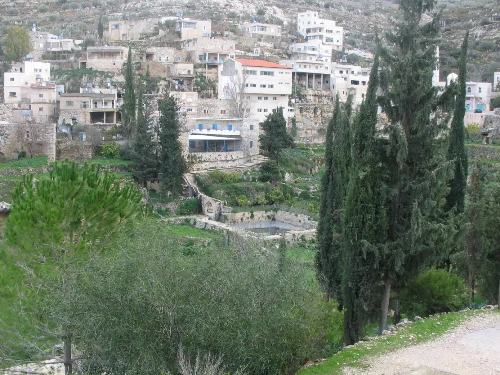
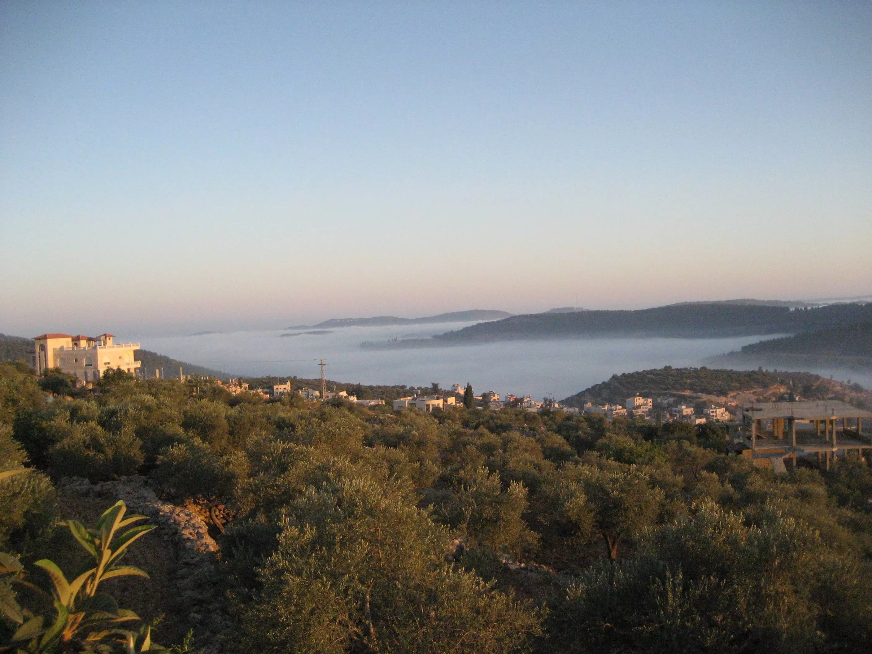
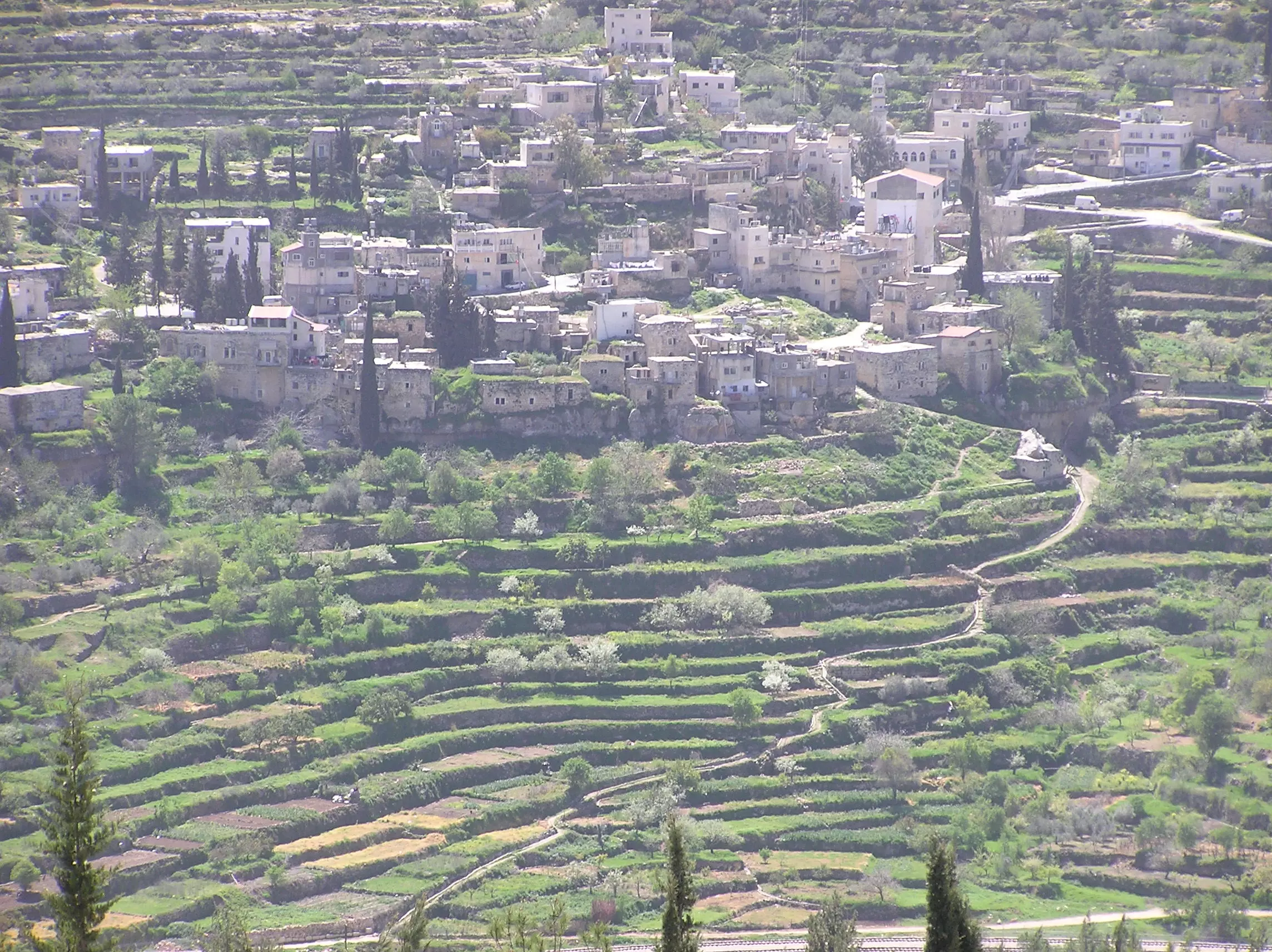
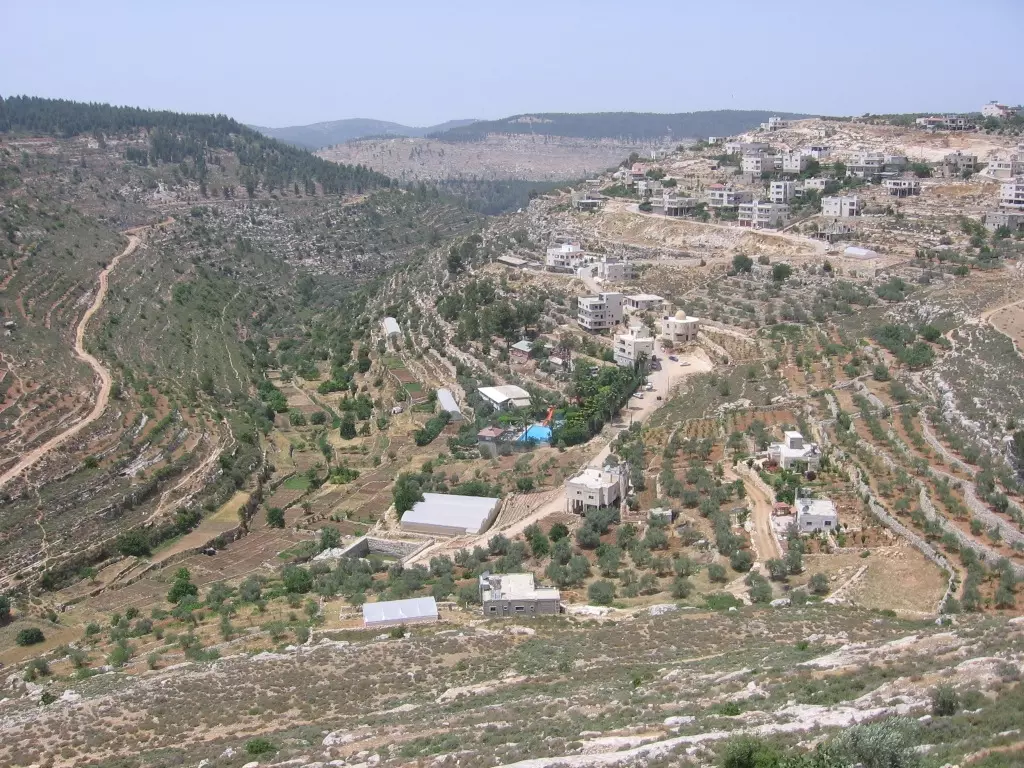
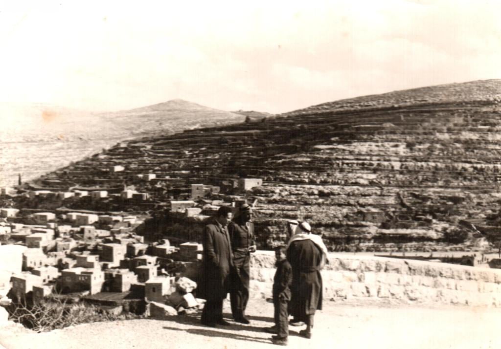
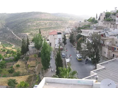
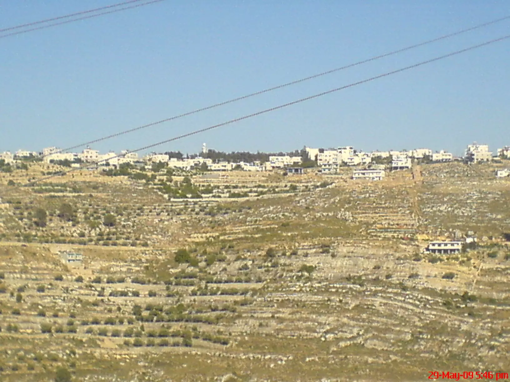
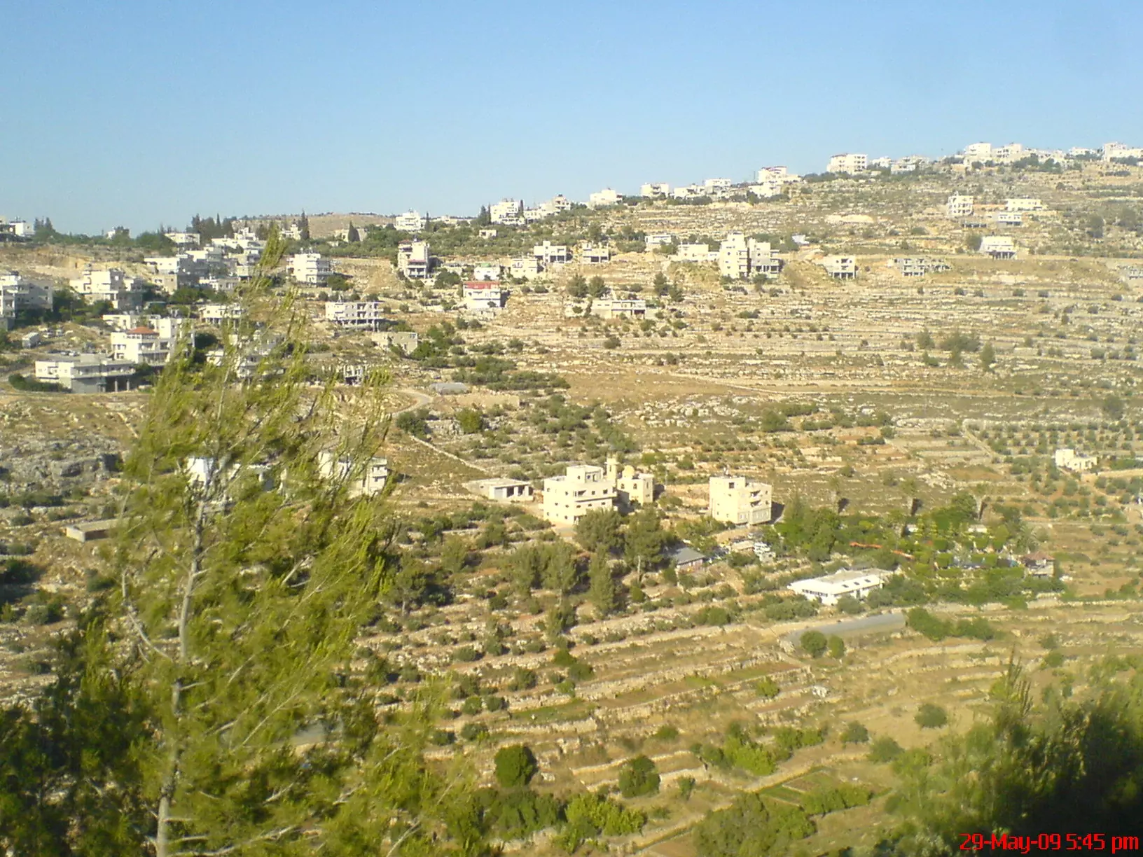
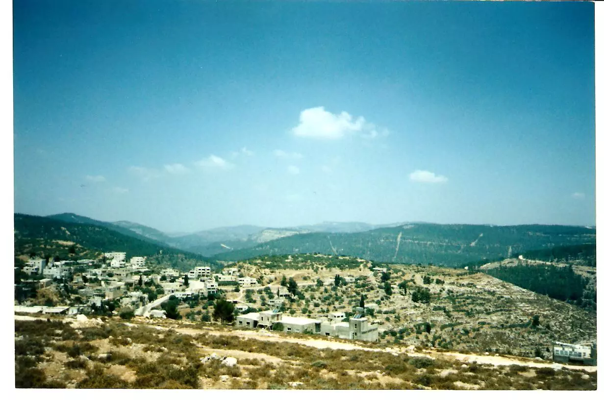
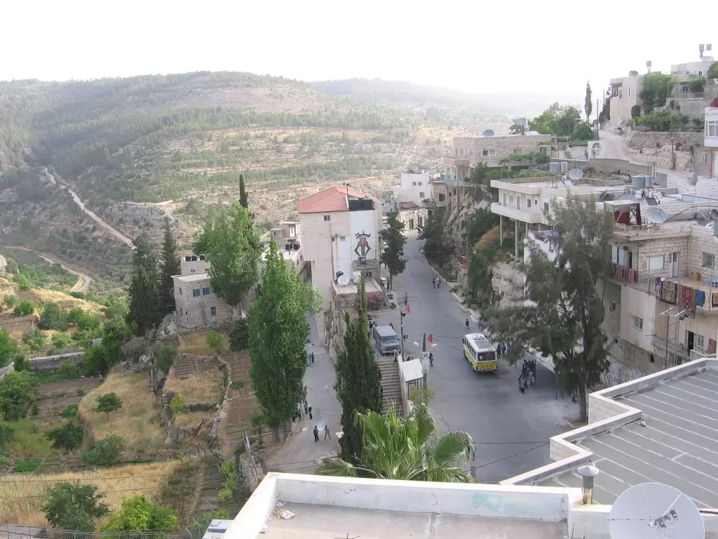
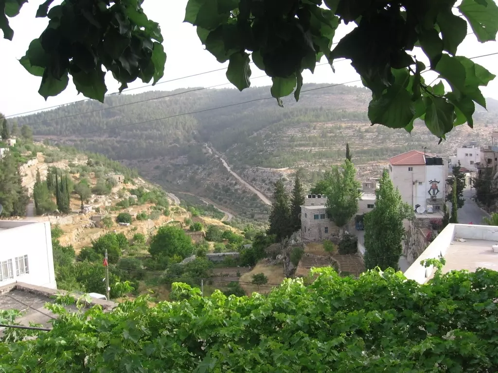
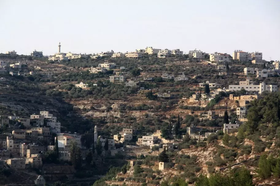
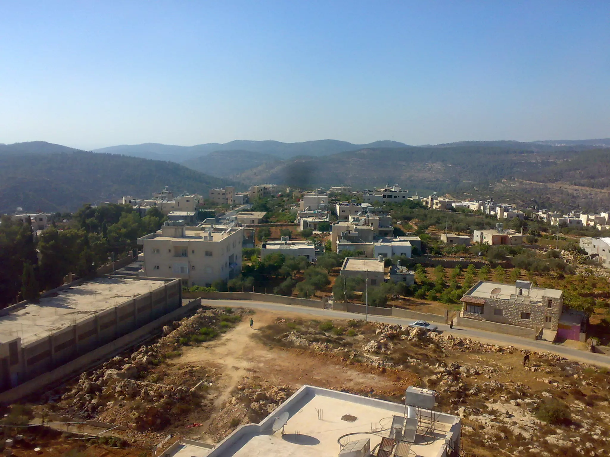
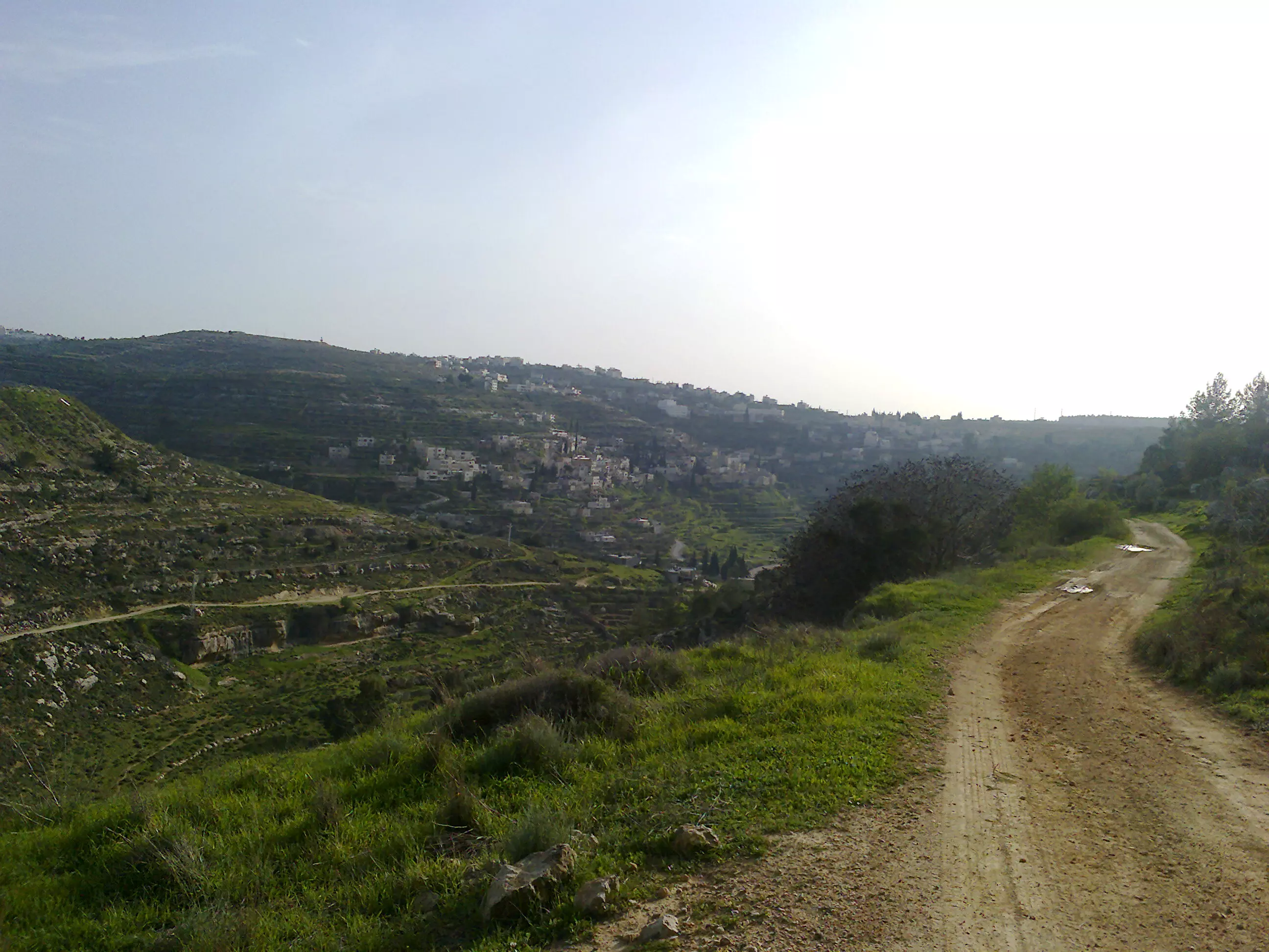
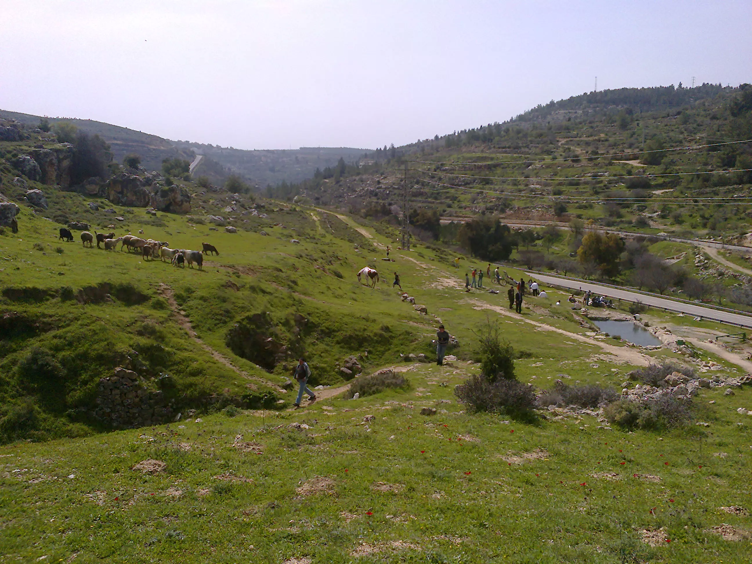
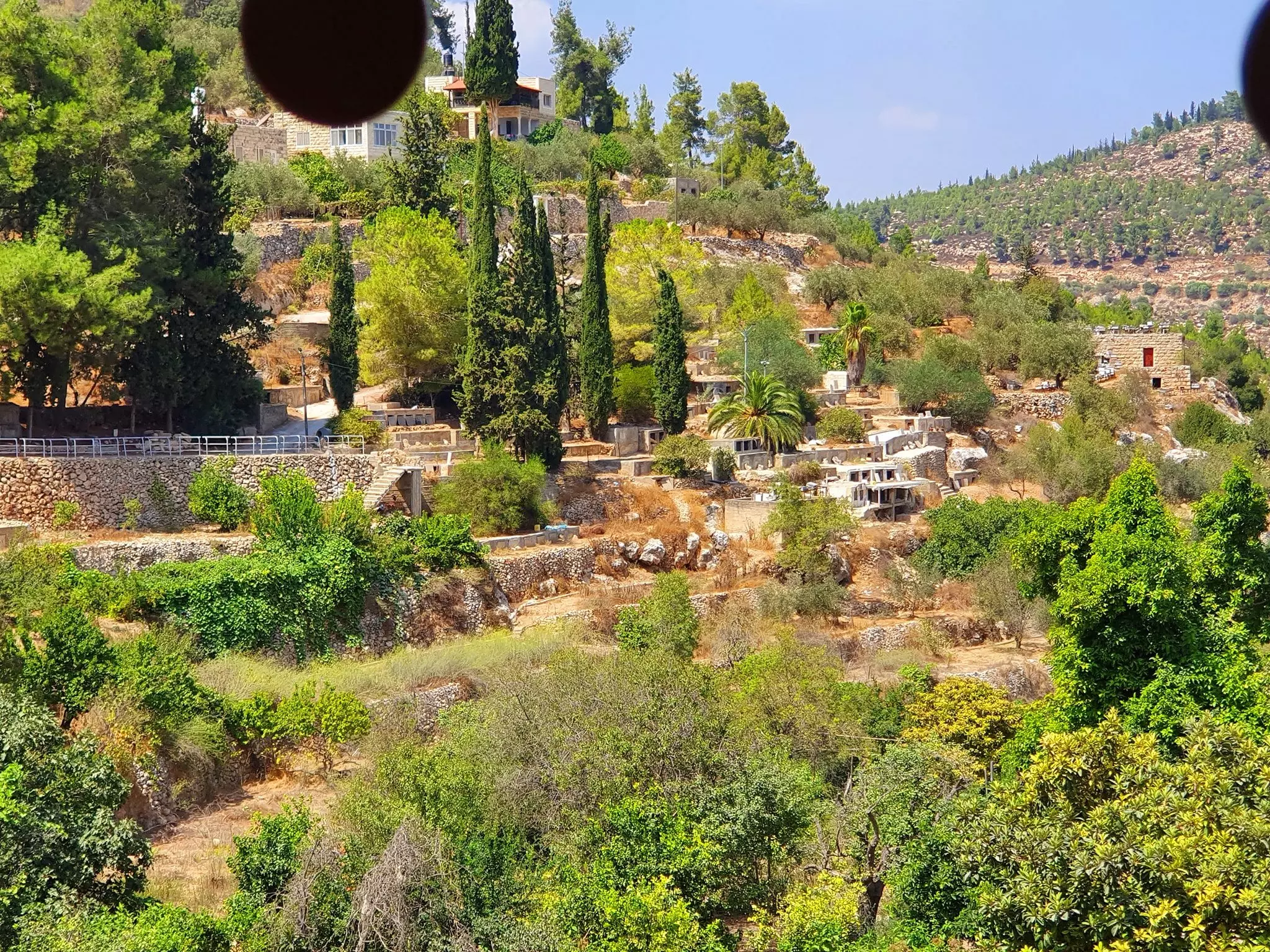
- General view #1
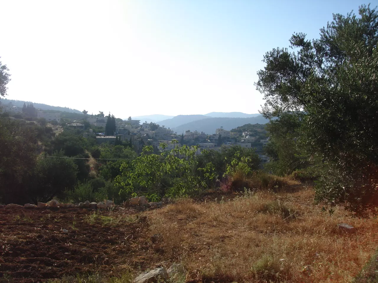
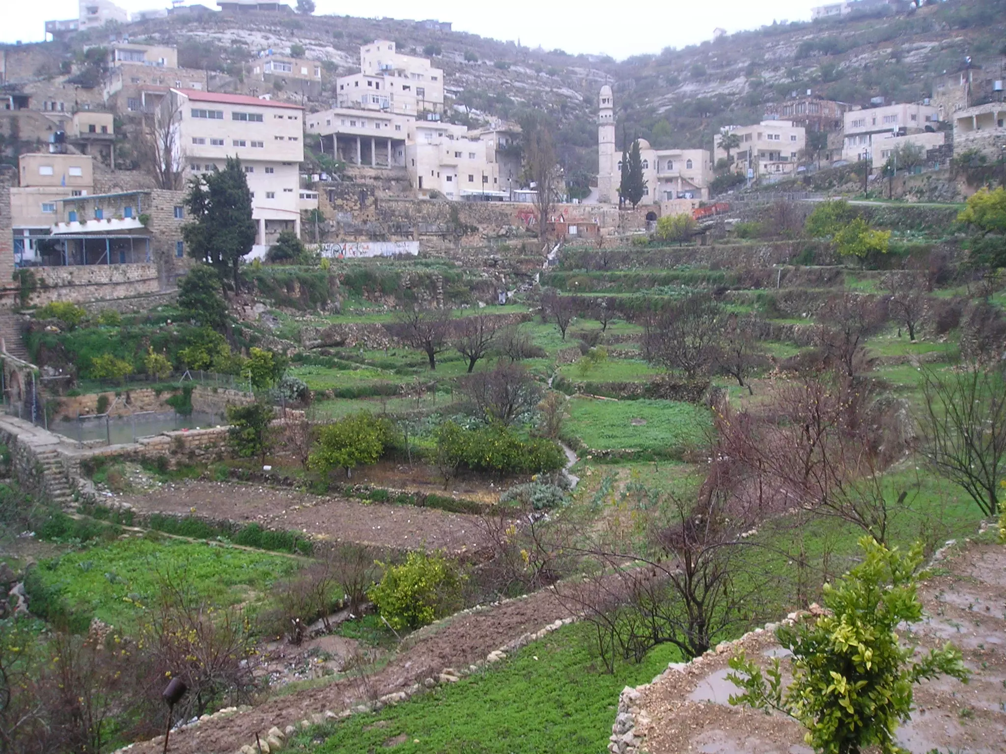
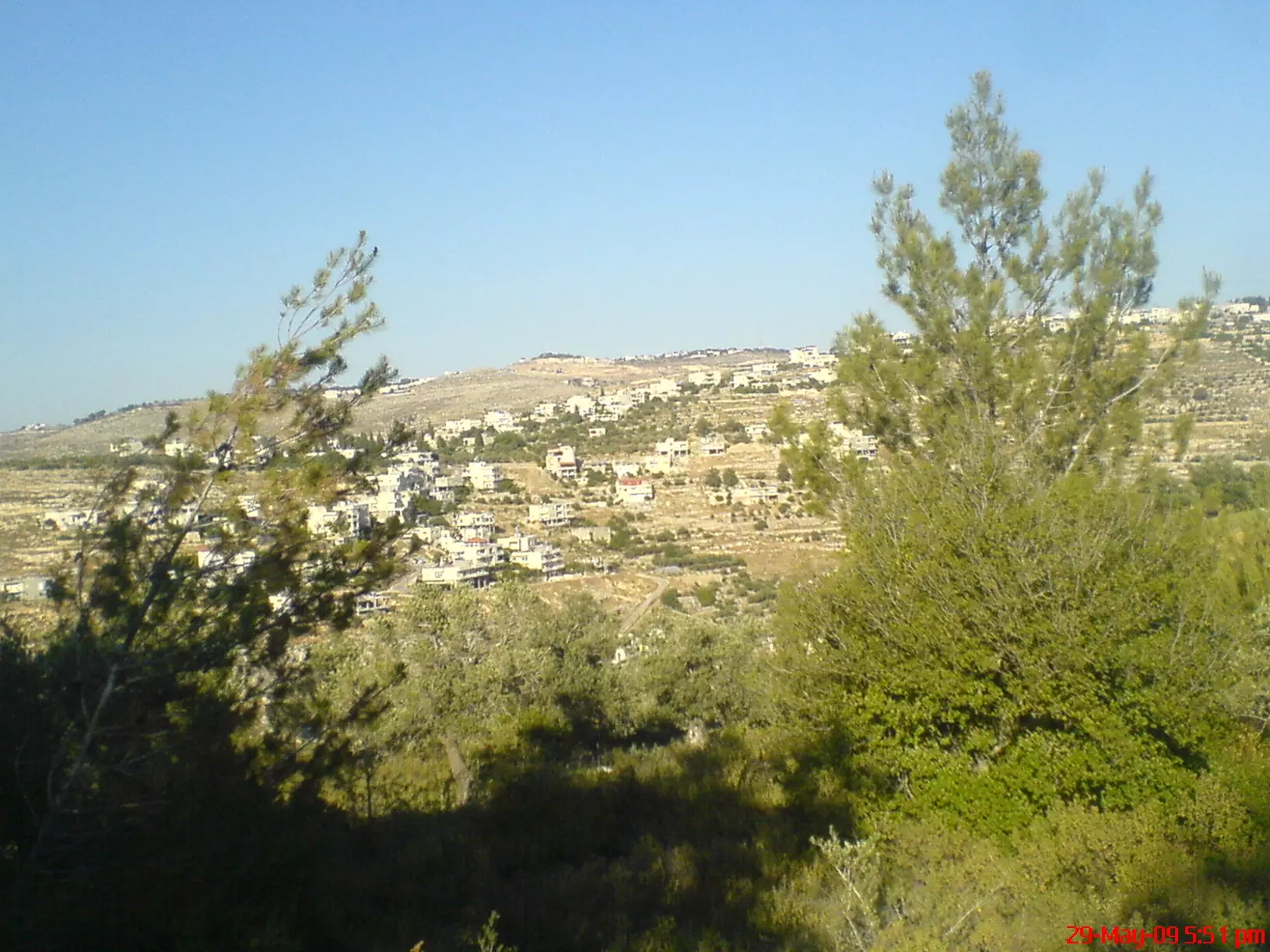
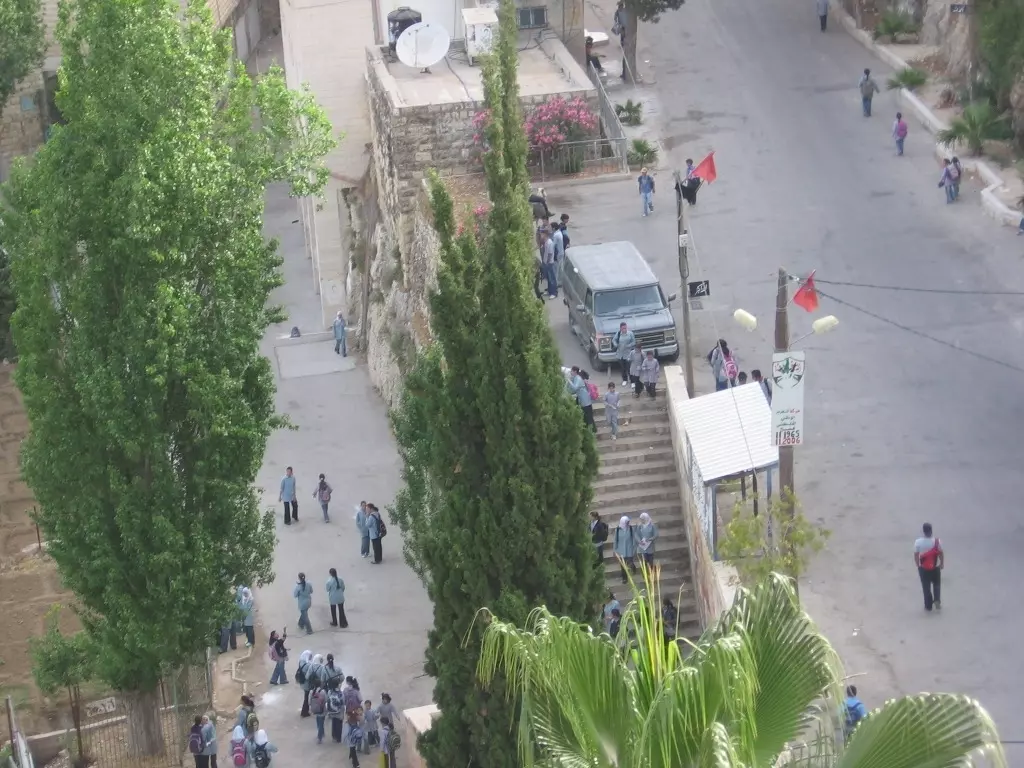
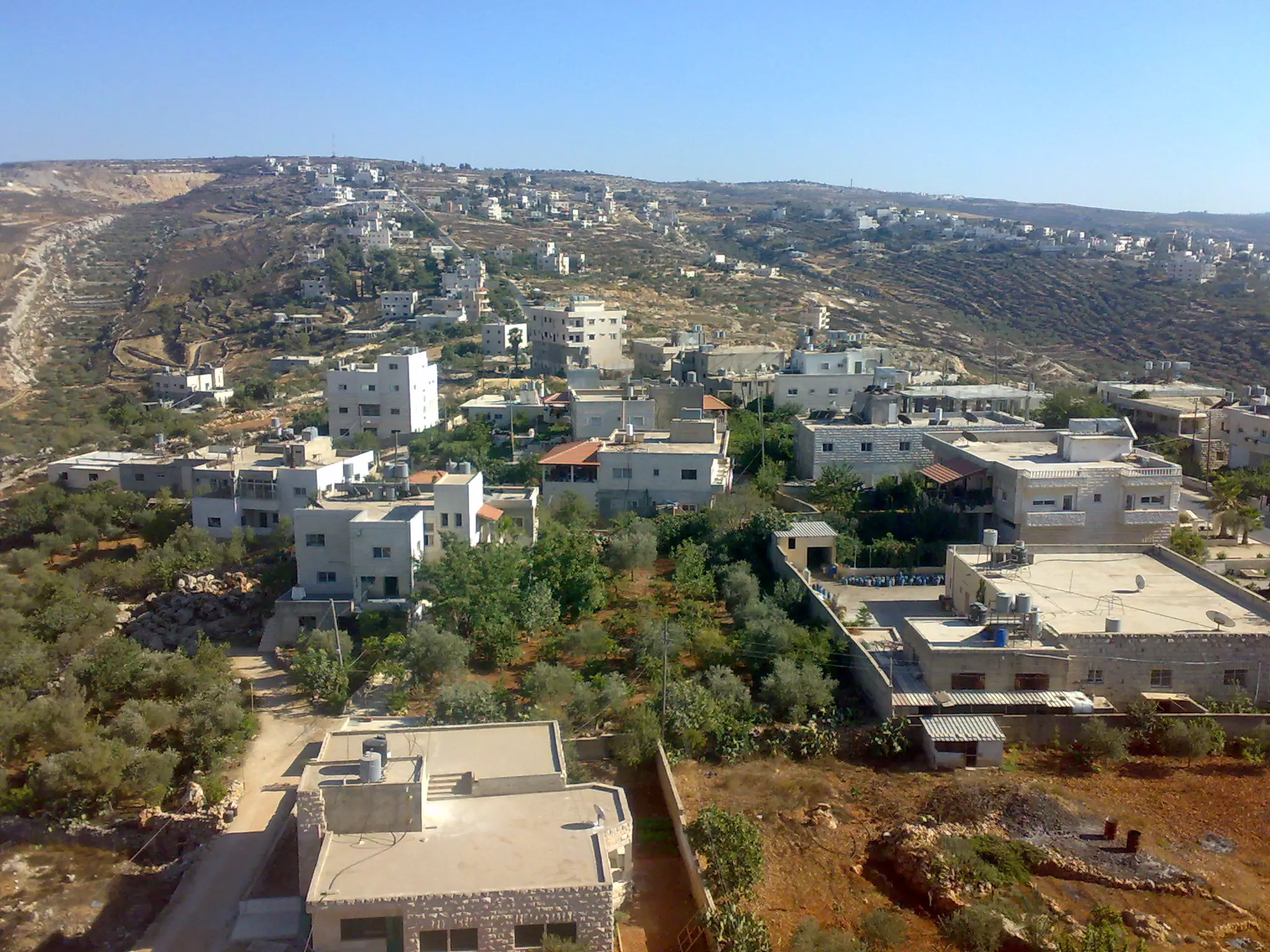
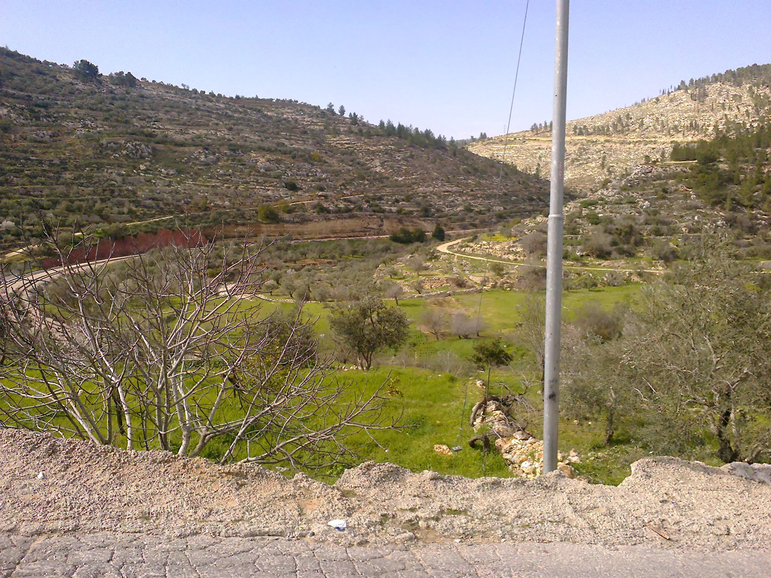
11 - General view #2
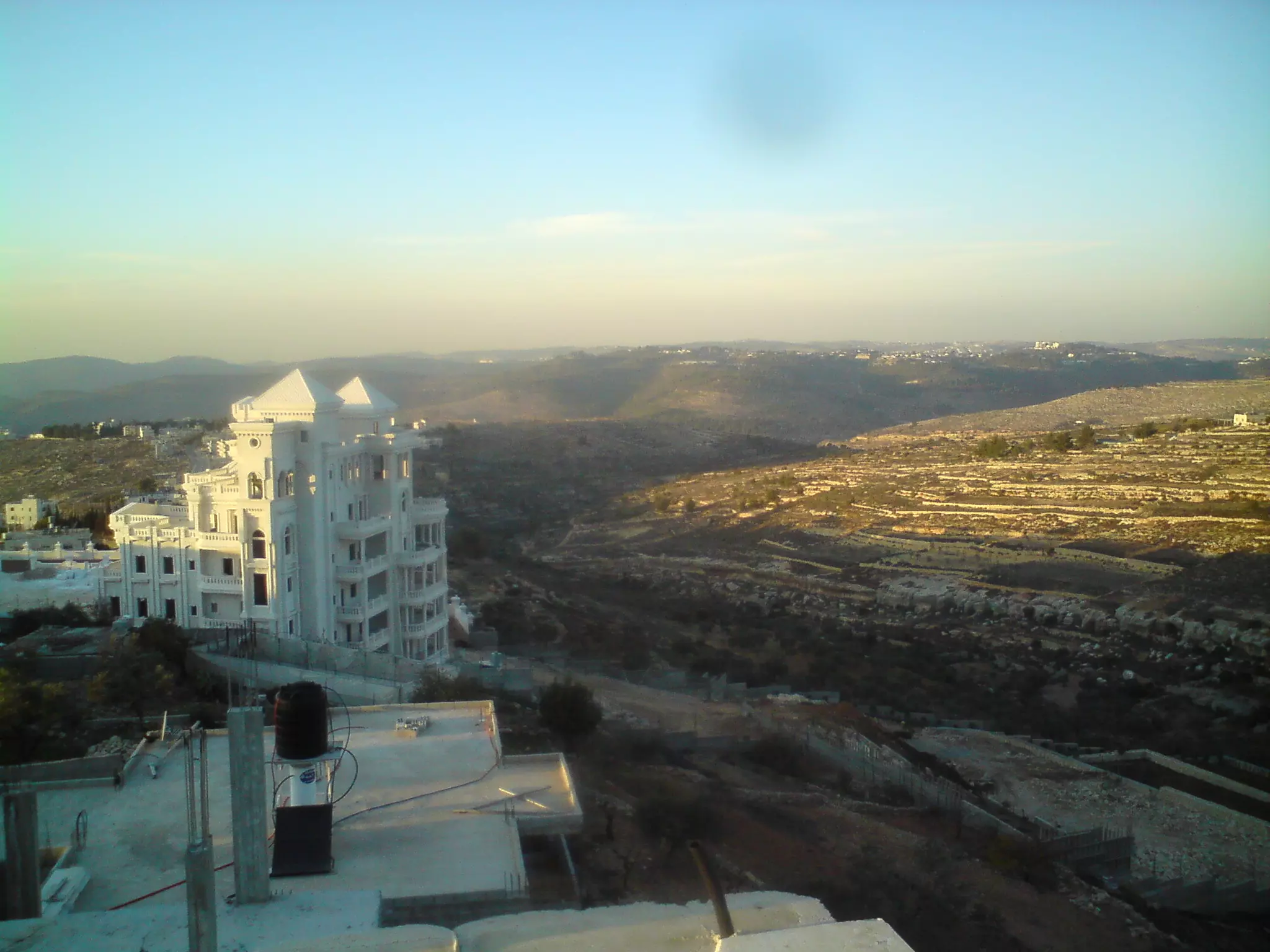
Posted by suha hammad 9 - General view #3
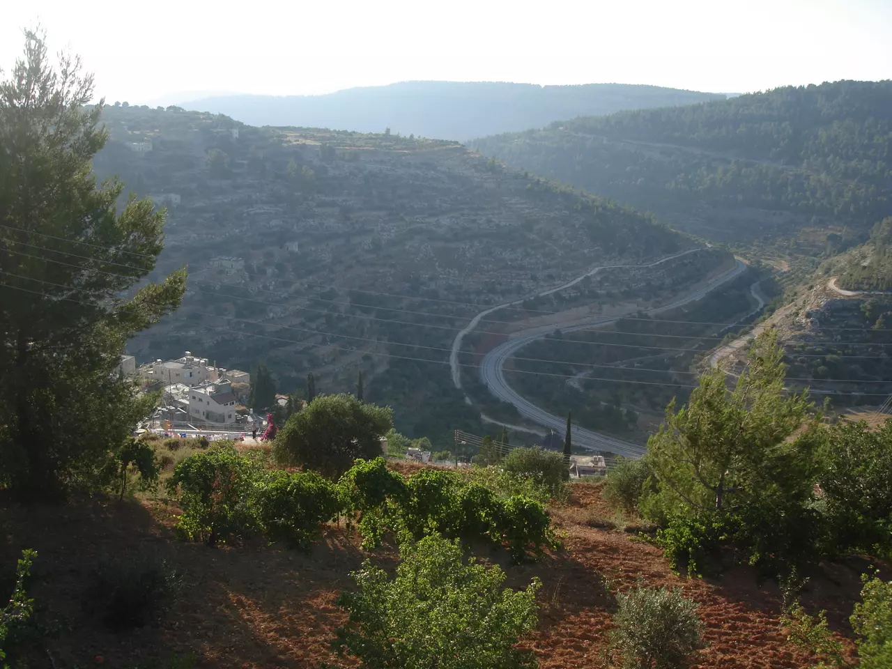
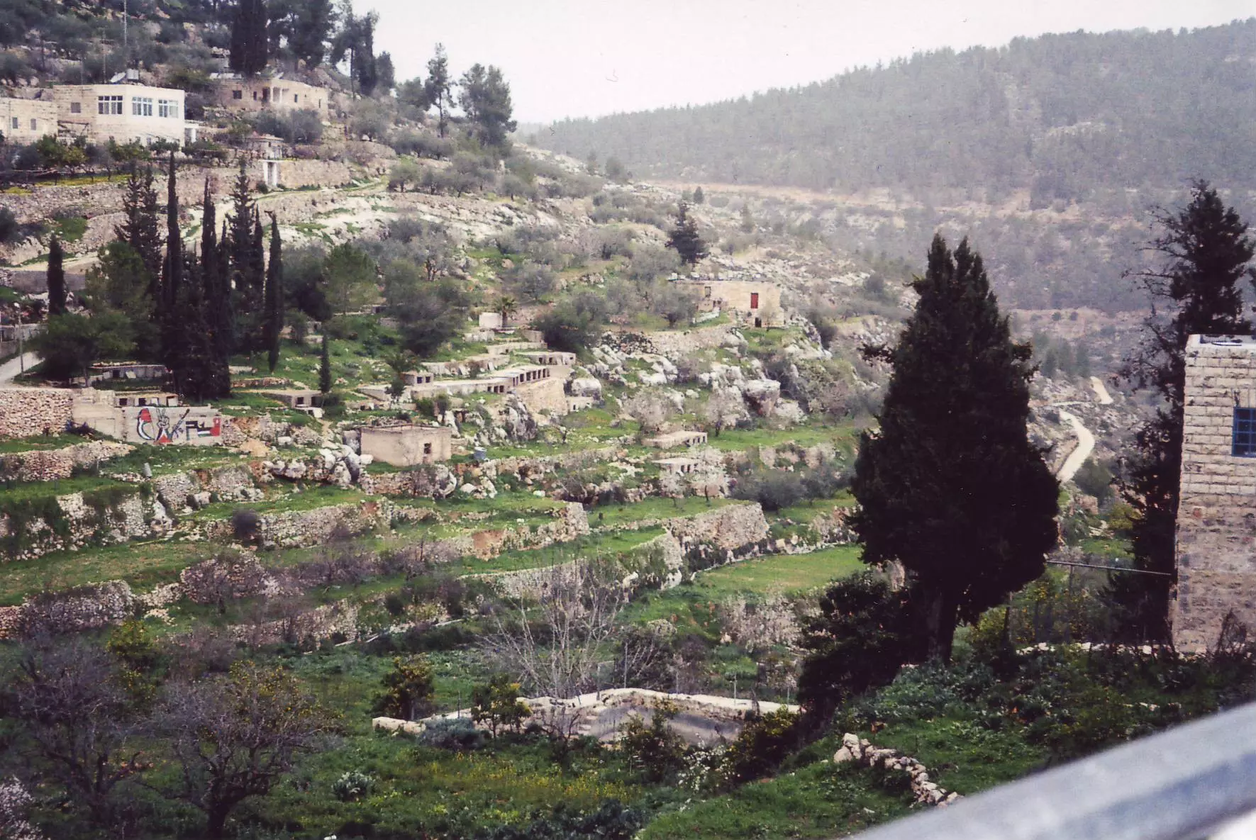
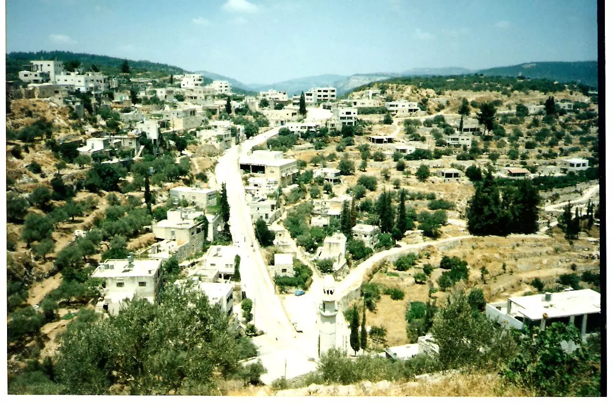
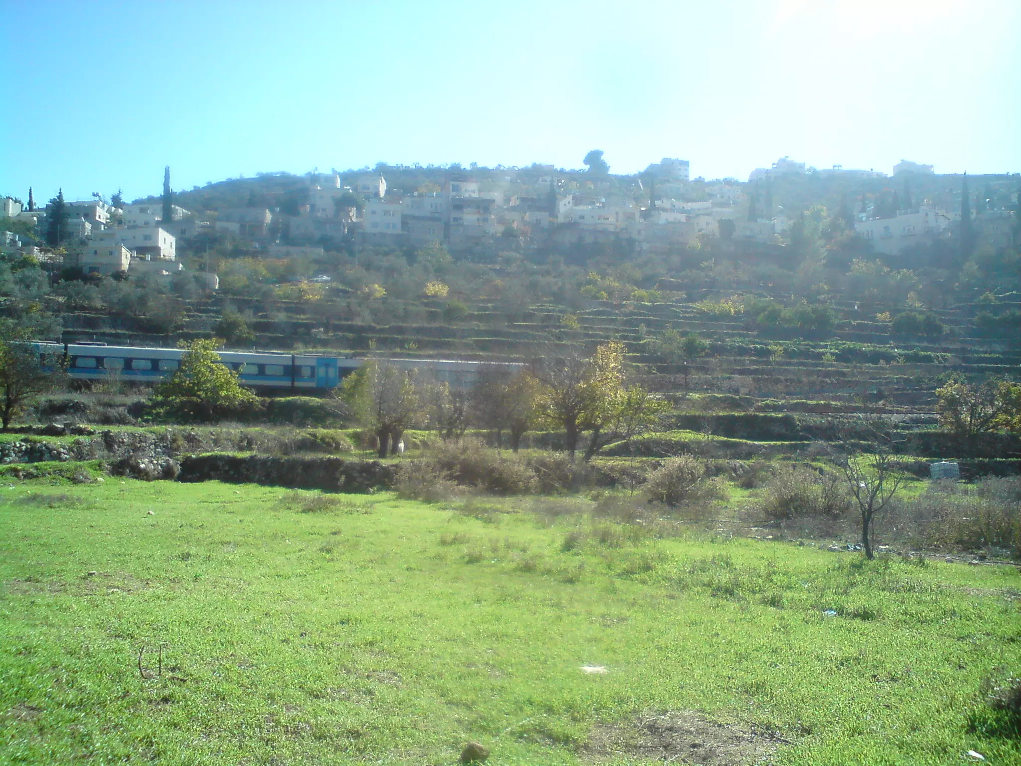
Posted by suha hammad 3 - General view (#4)
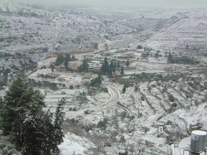
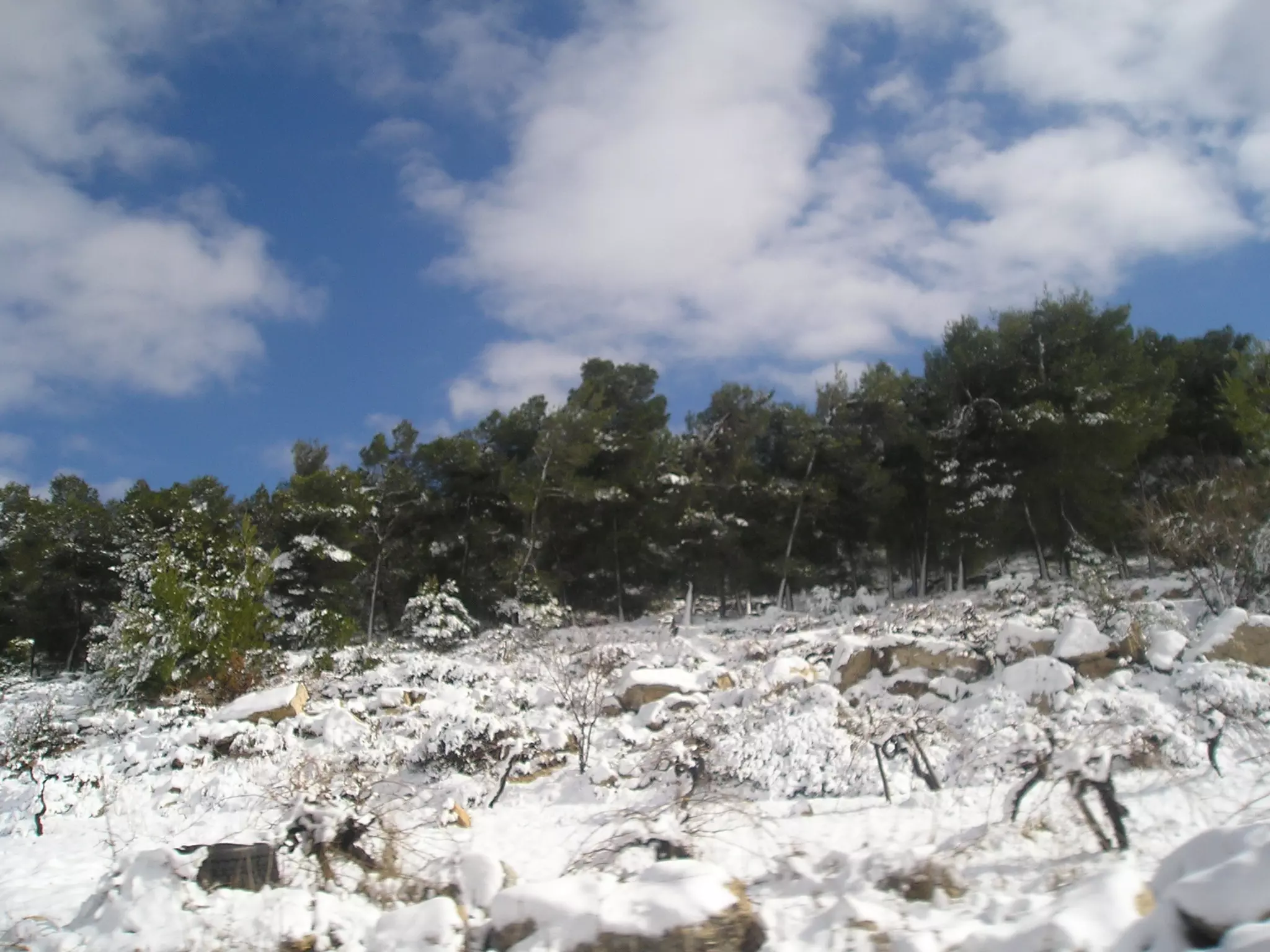
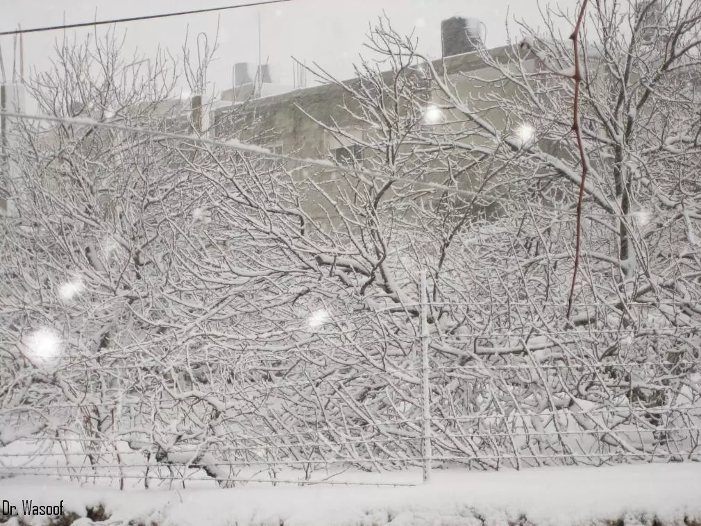
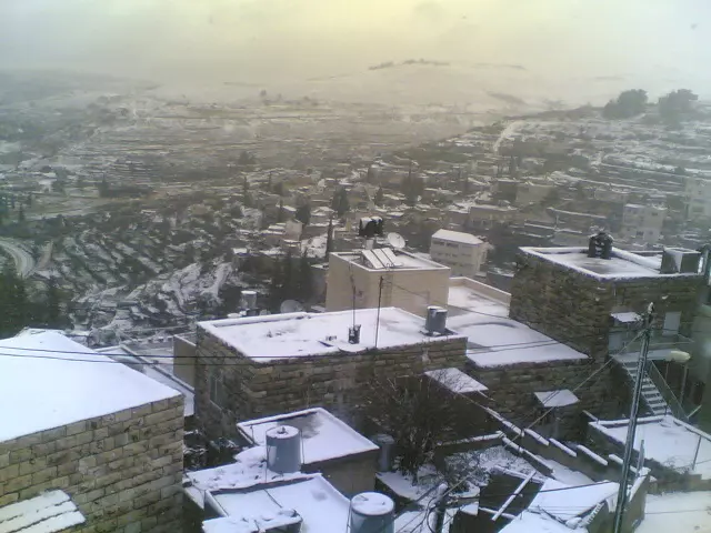
Posted by suha hammad 3 - General view during the snow #5
Posted by suha hammad 6 - General view #6
Posted by suha hammad 3 - General view #7
Posted by Moneef Owenah 3 - General view #8
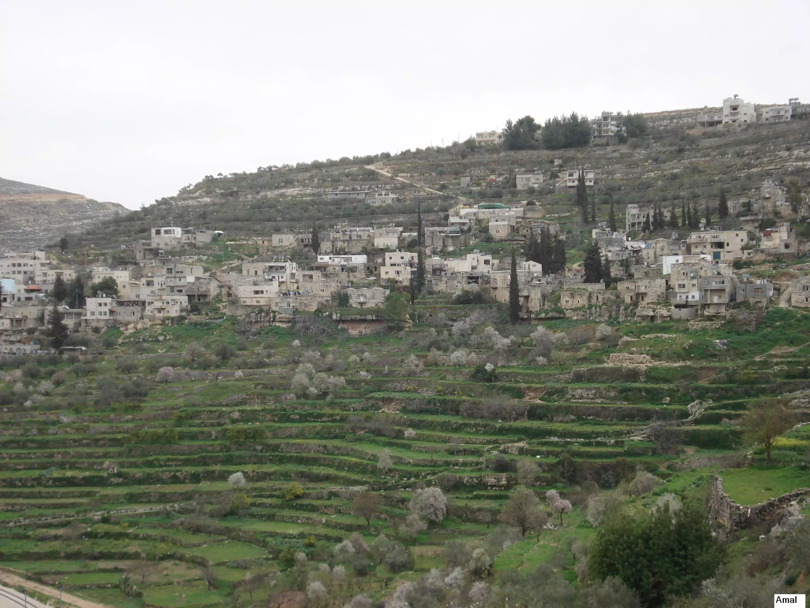
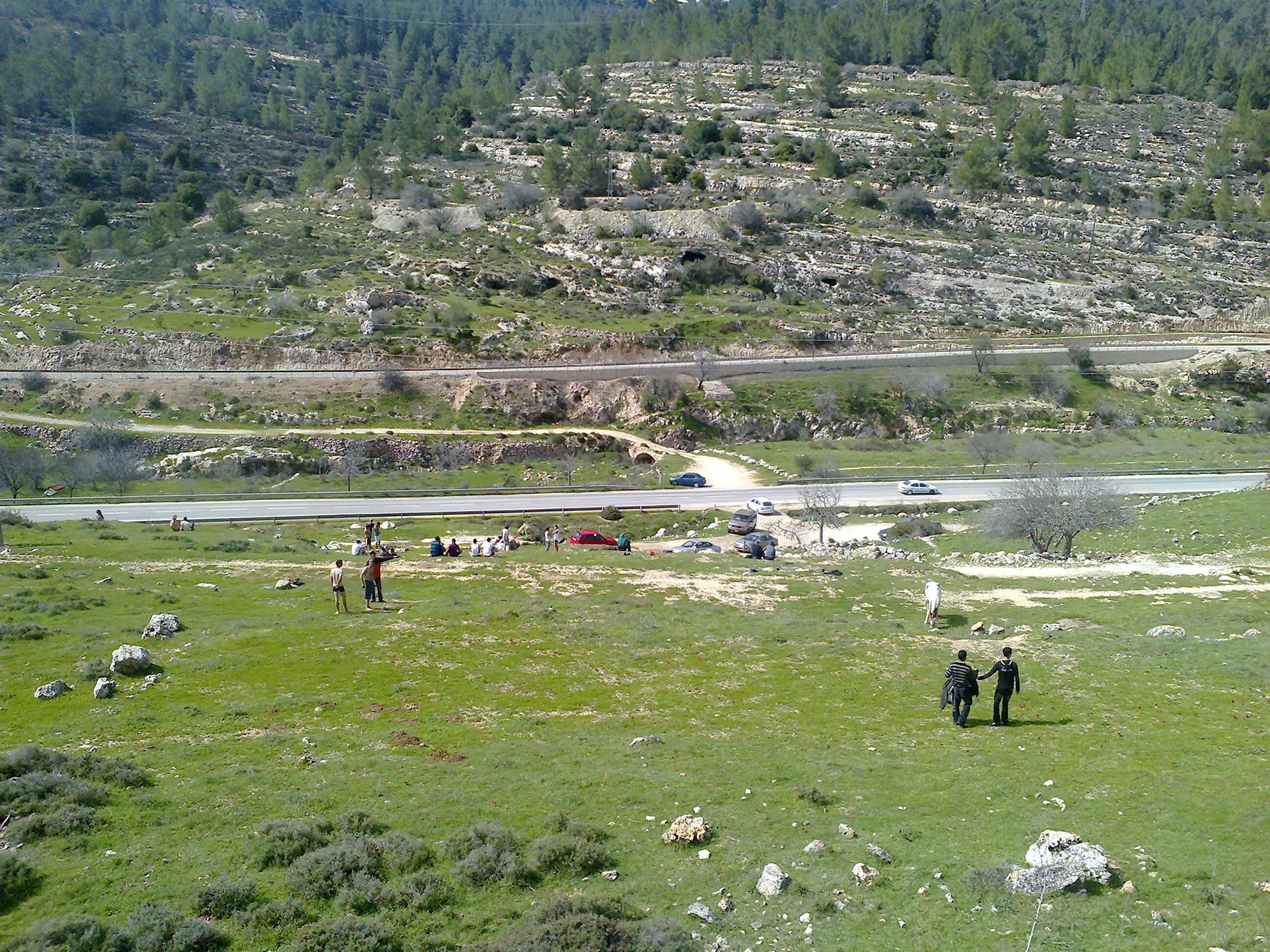
Posted by Amal Owaineh 6 - A general View
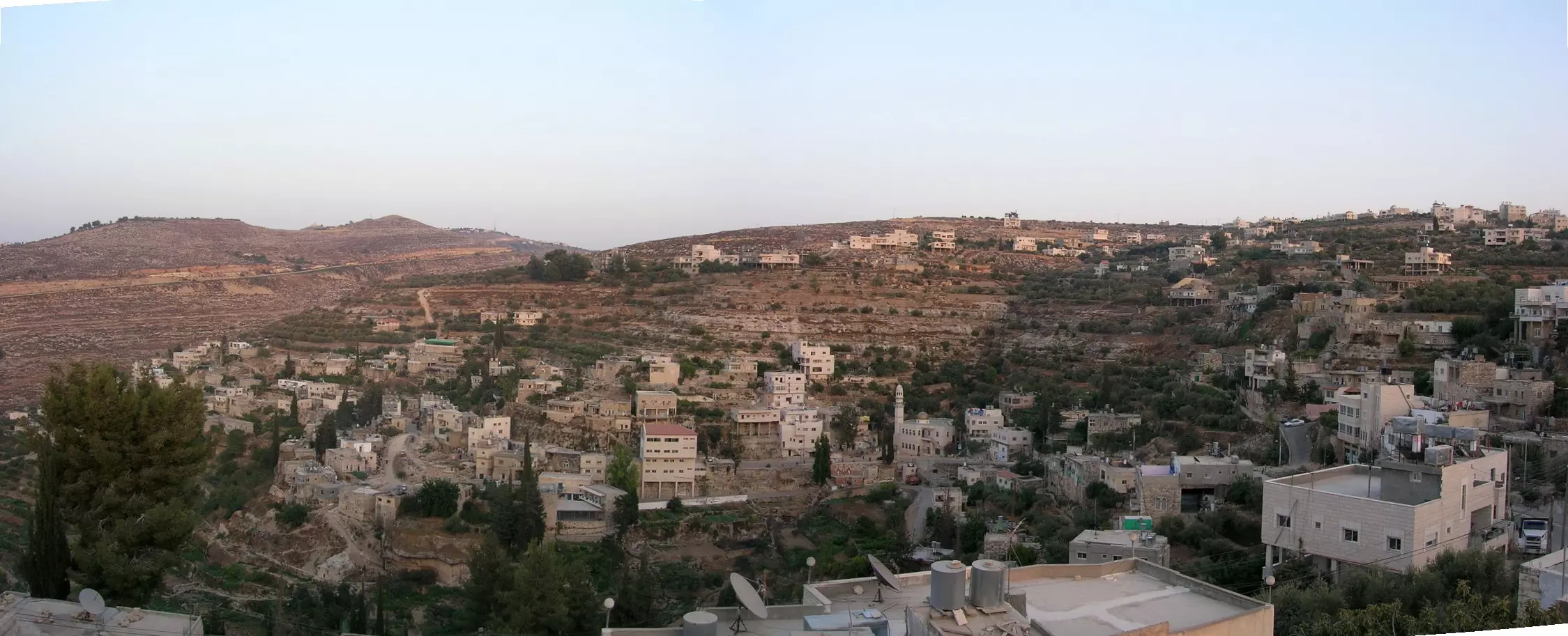
Posted by Abeer Al Najjar 2 - Panorama Picture of Battir
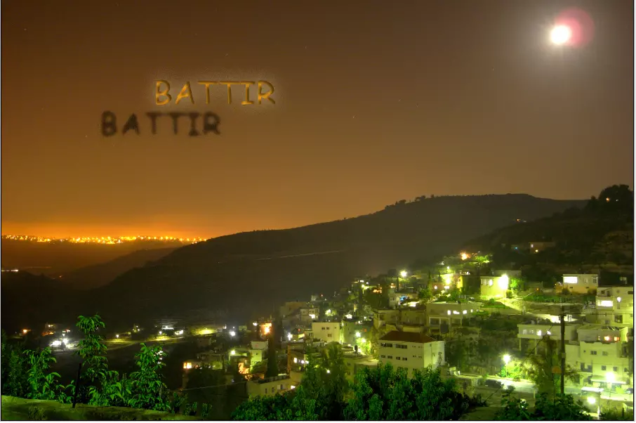
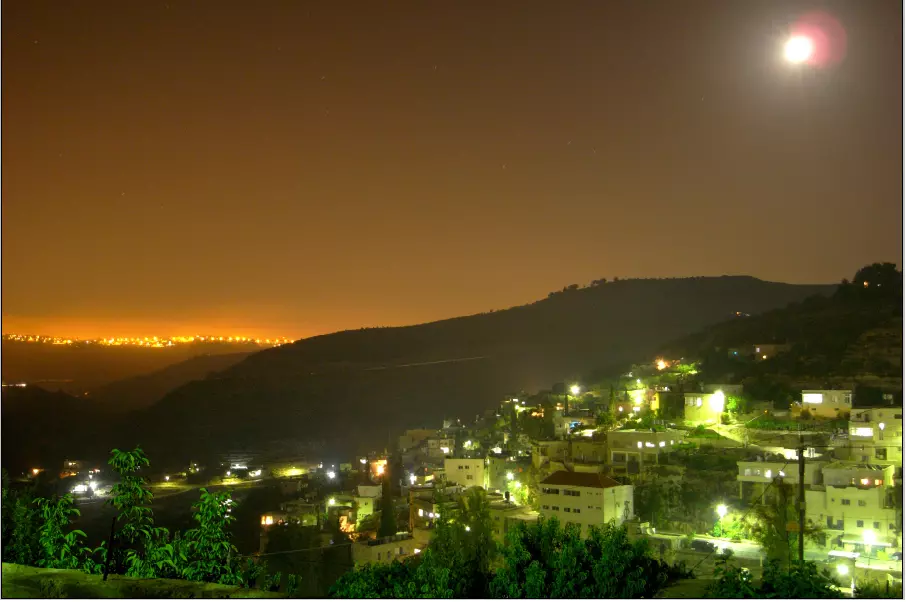
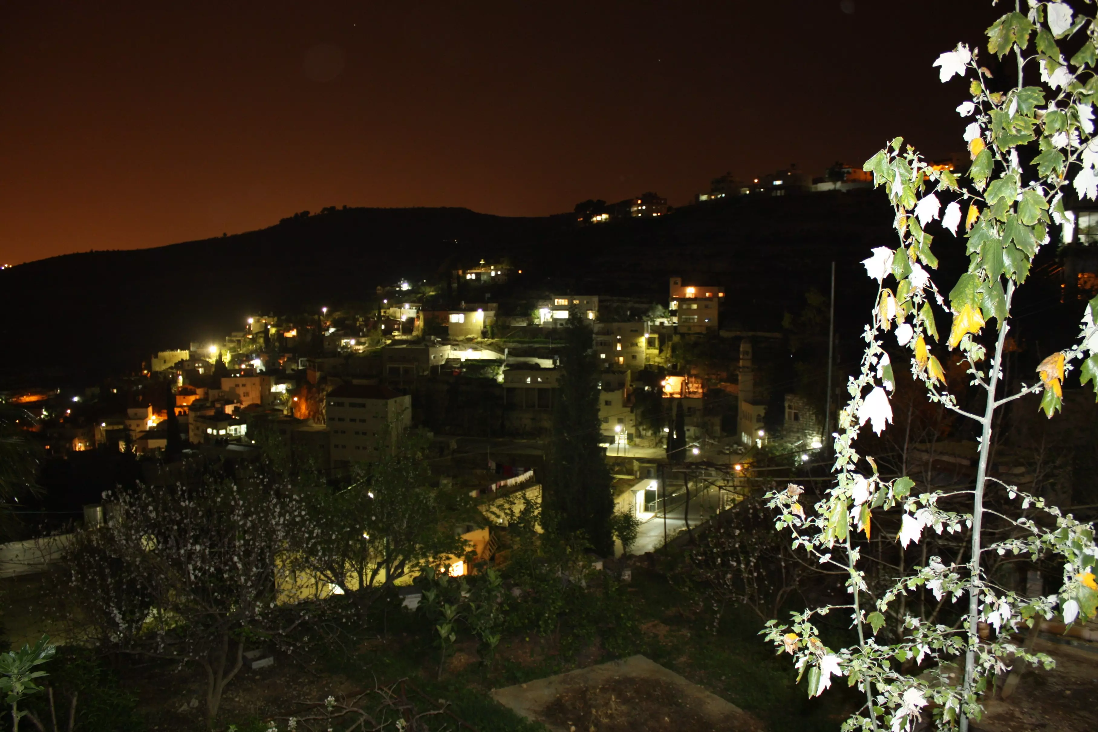
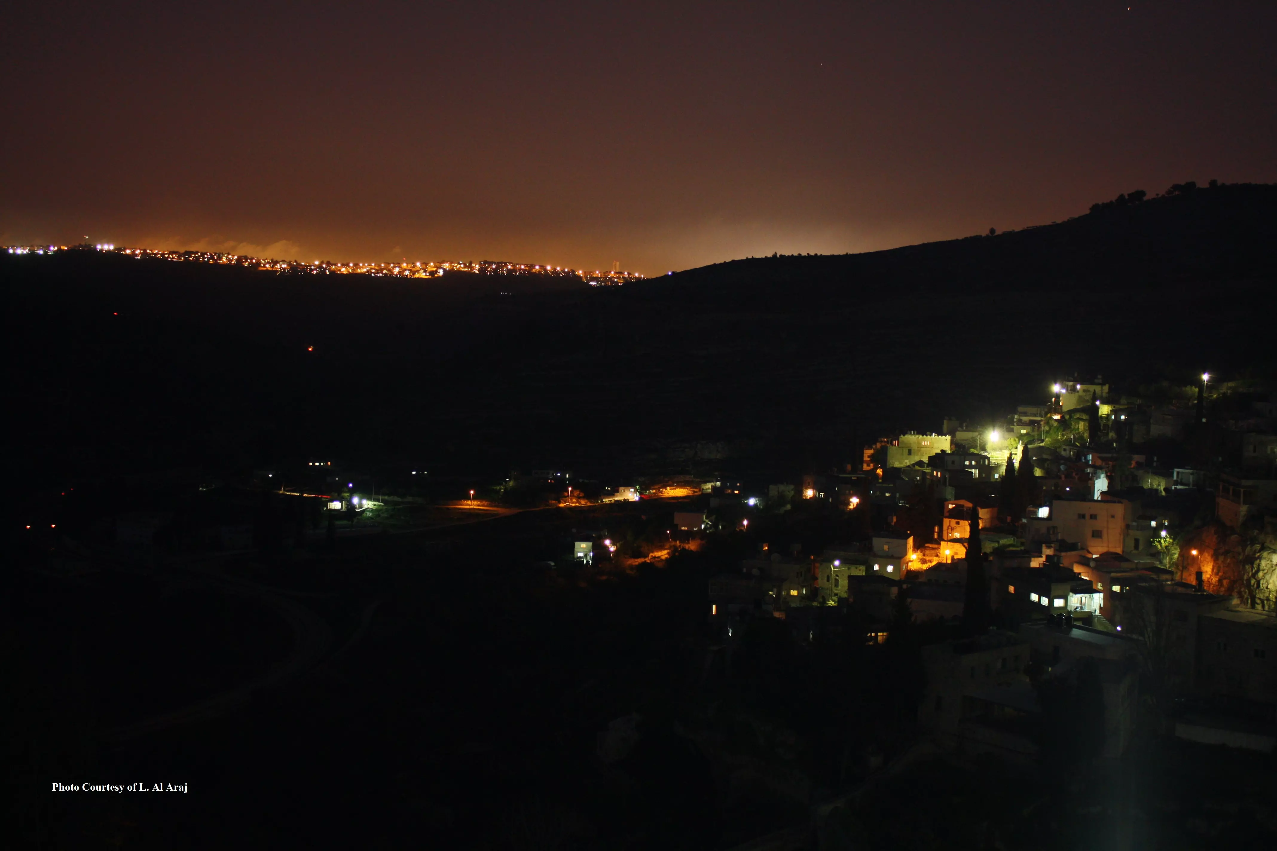
Posted by Omar Obeidallah 3 - BATTIR AT NIGHT FROM ABUBUTMA...
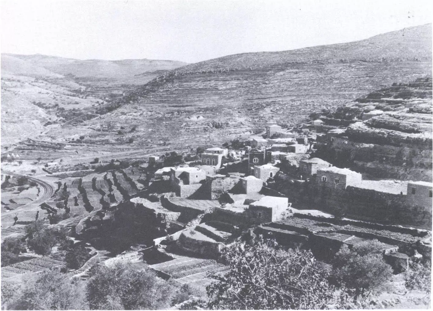
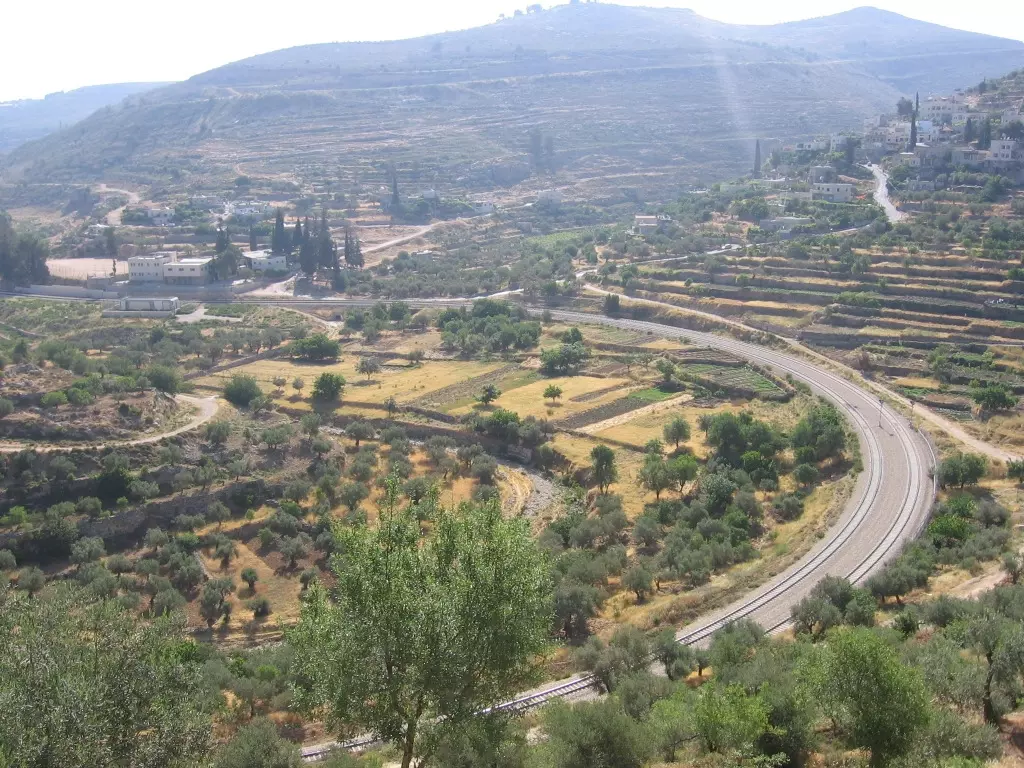
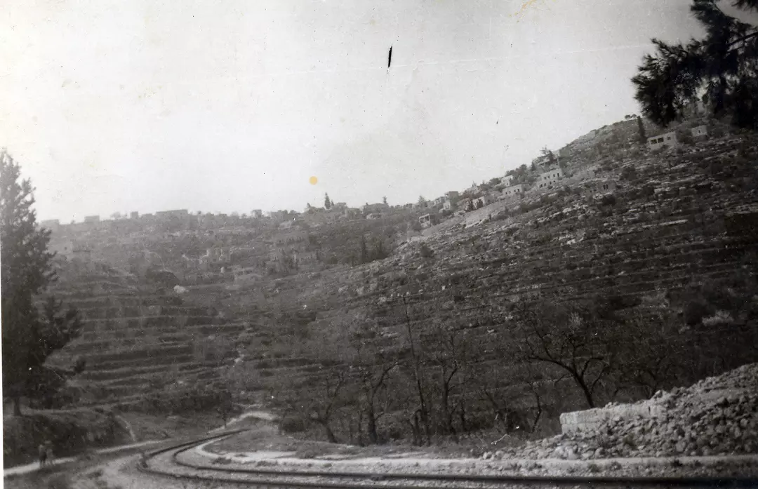
Posted by abu rashed 4 - Undate picture looking west. Note the railtracks on the left hand side
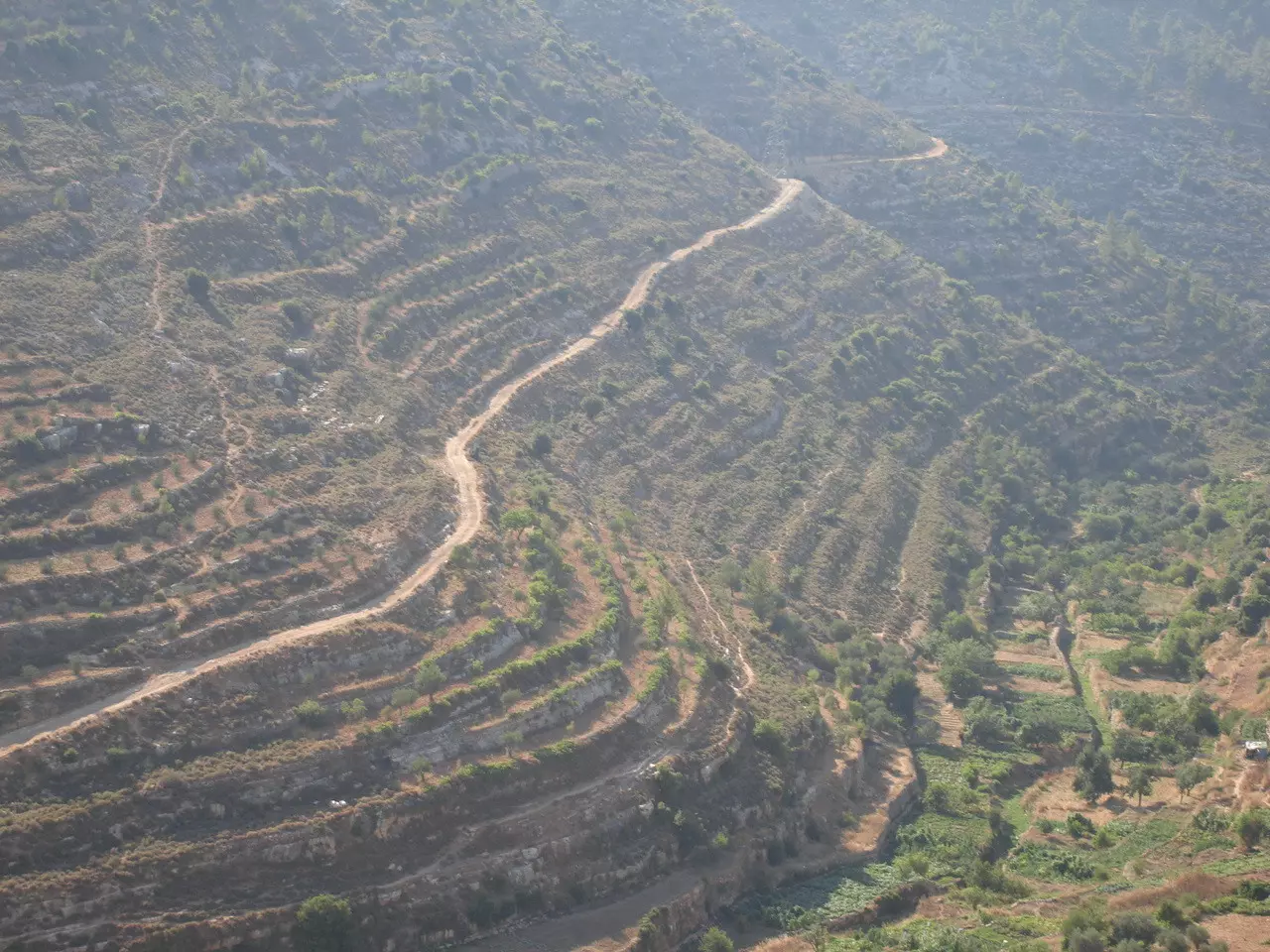
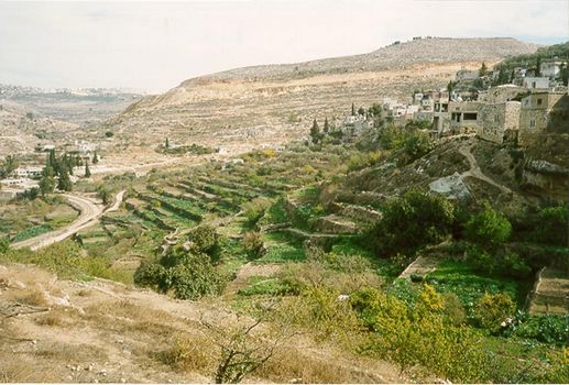
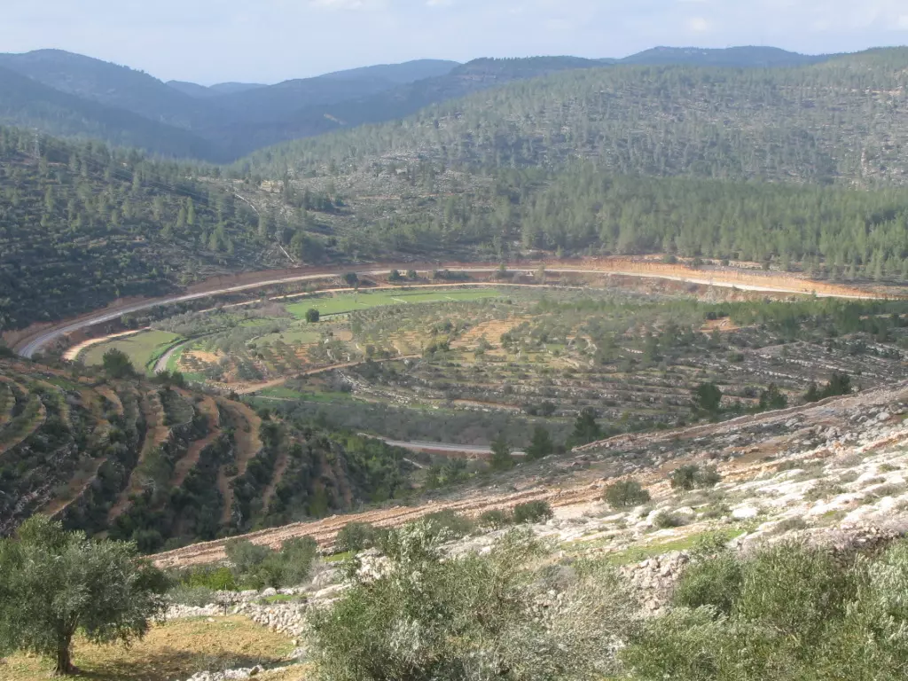
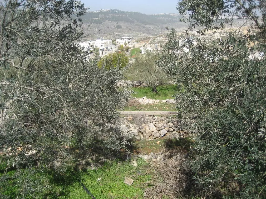
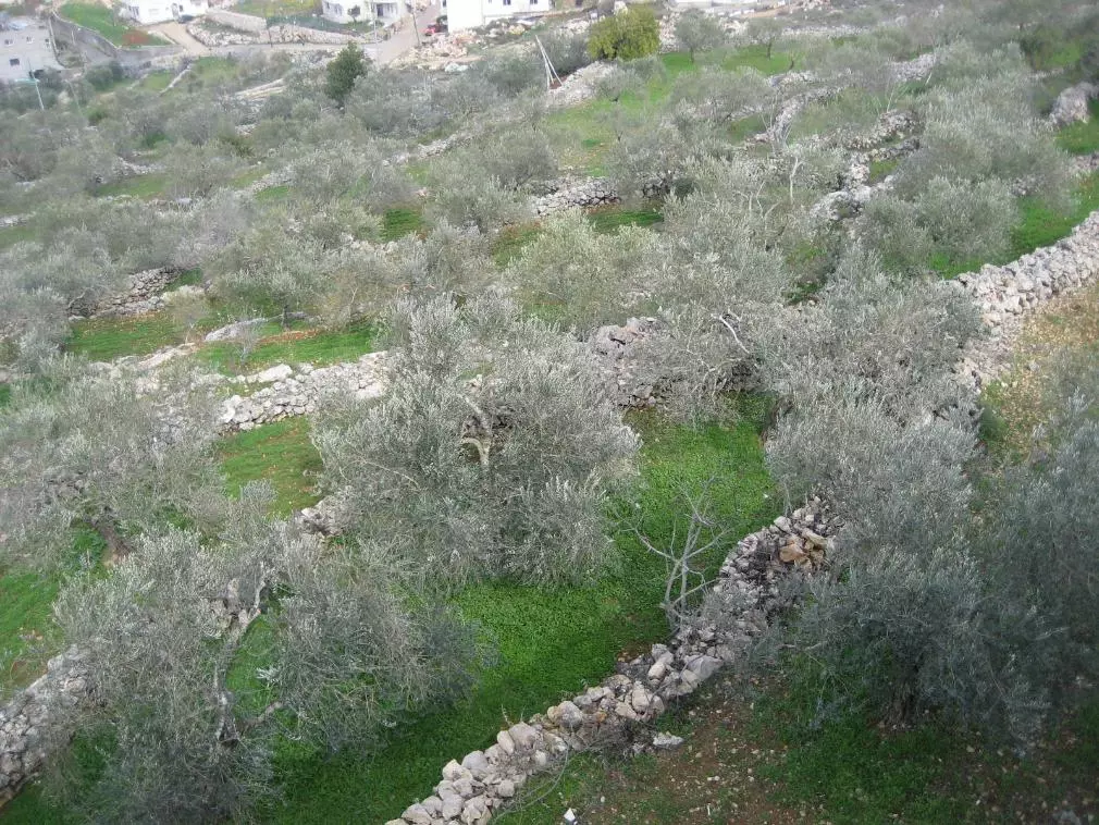
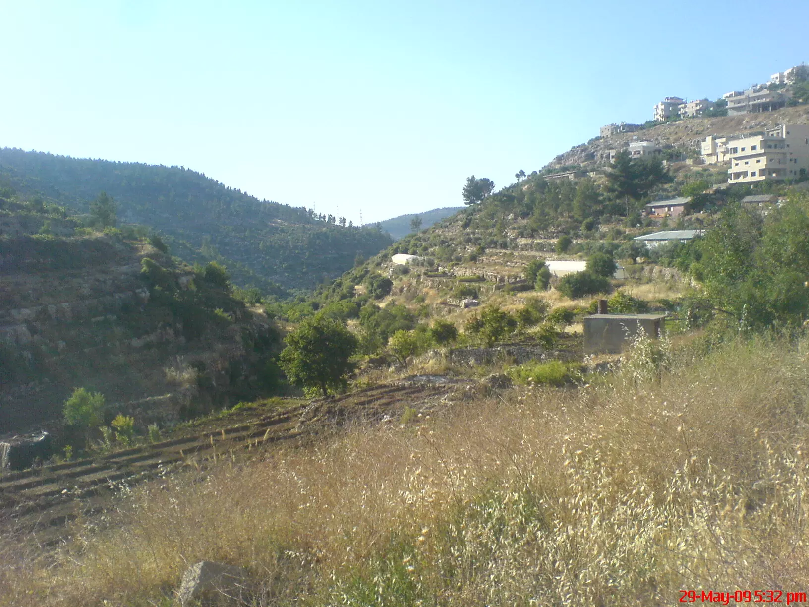
4 - Lands around the village
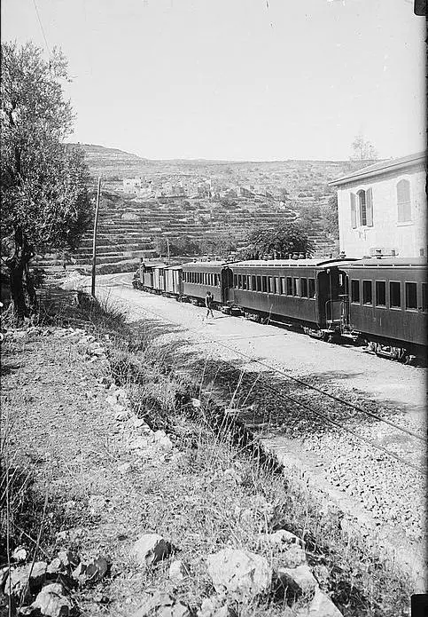
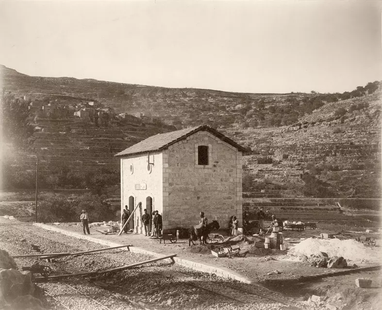
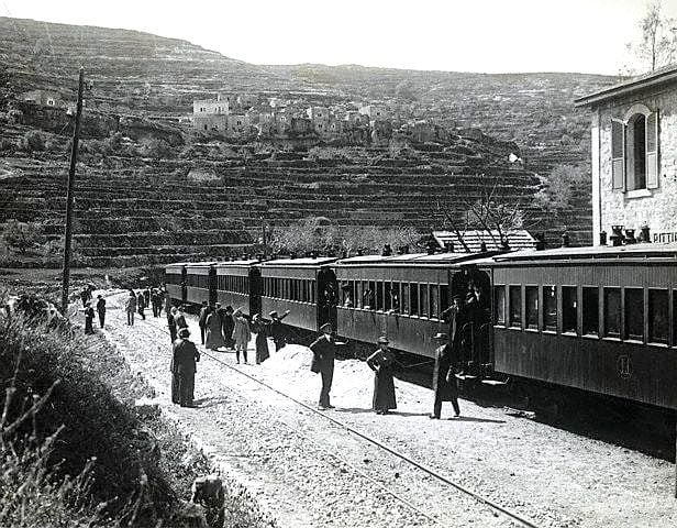
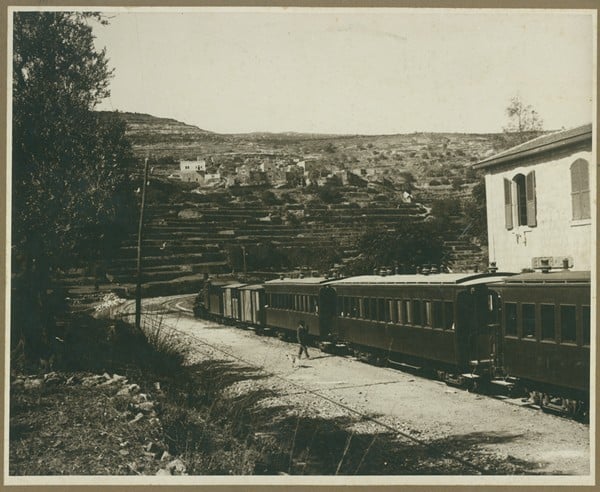
Posted by suha hammad 5 - The train station, Matson Collection. (1900-1920)
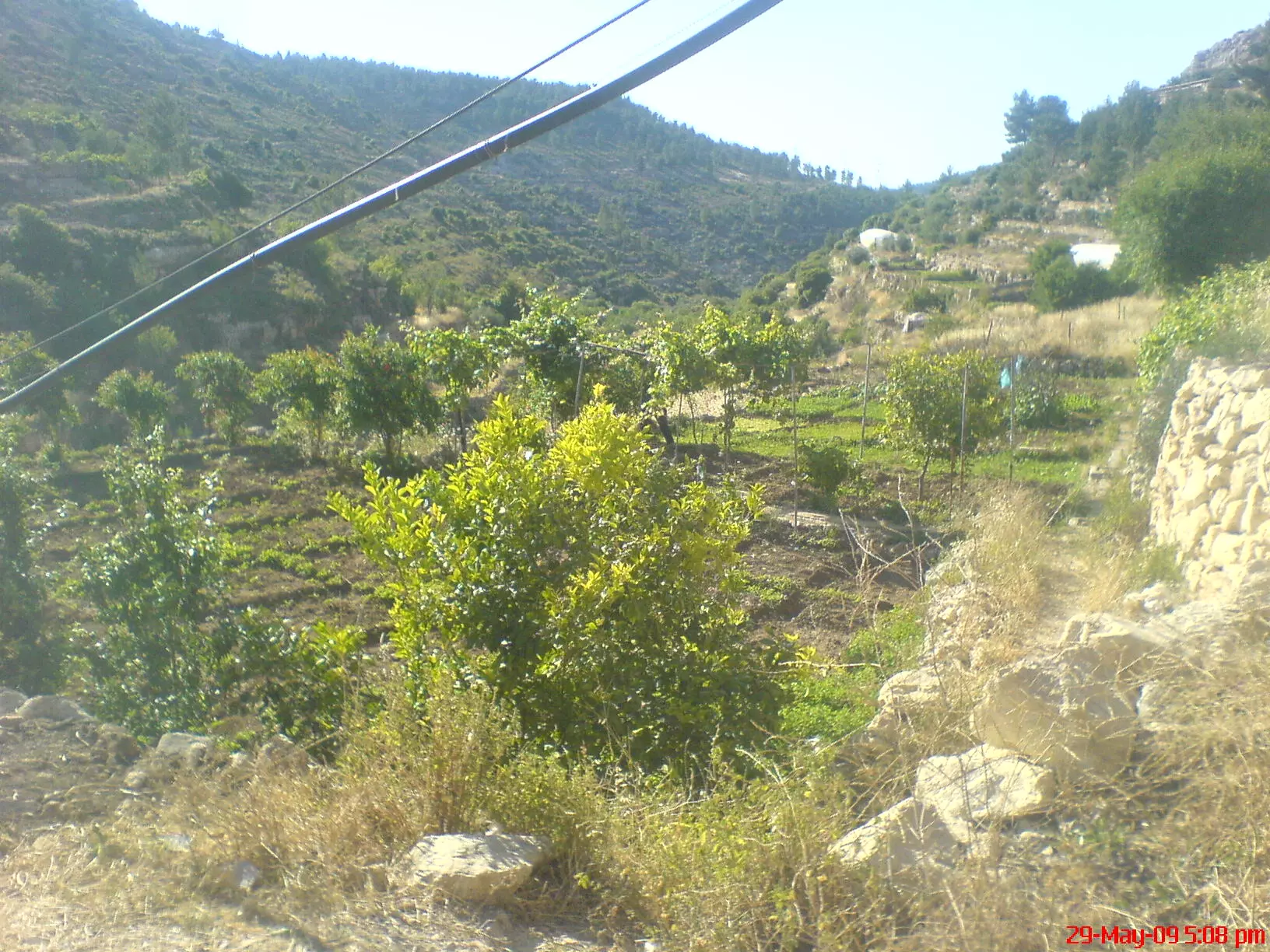
2 - Agriculture area
Posted by Abeer Al Najjar 2 - Agriculture area
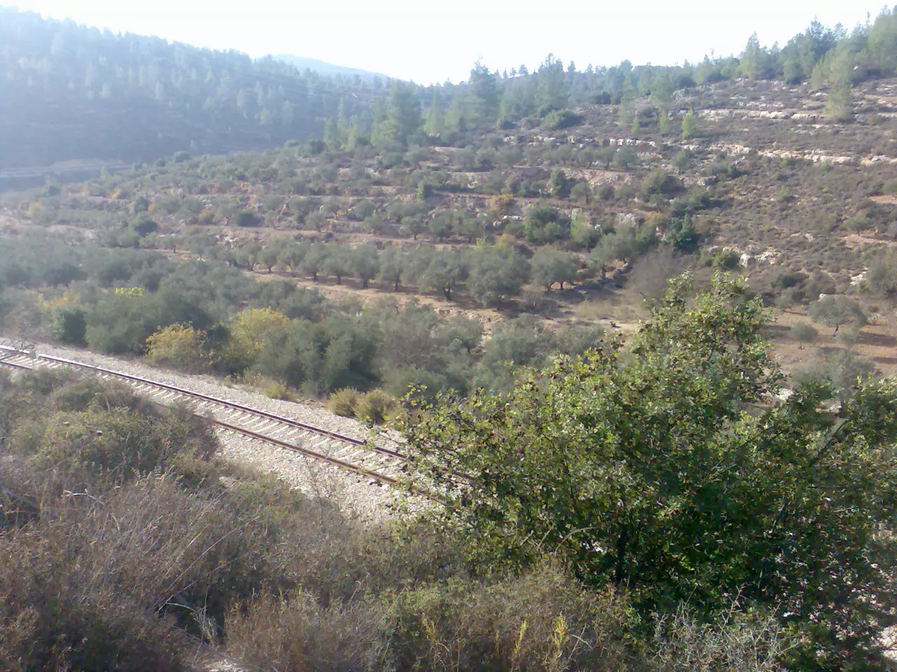
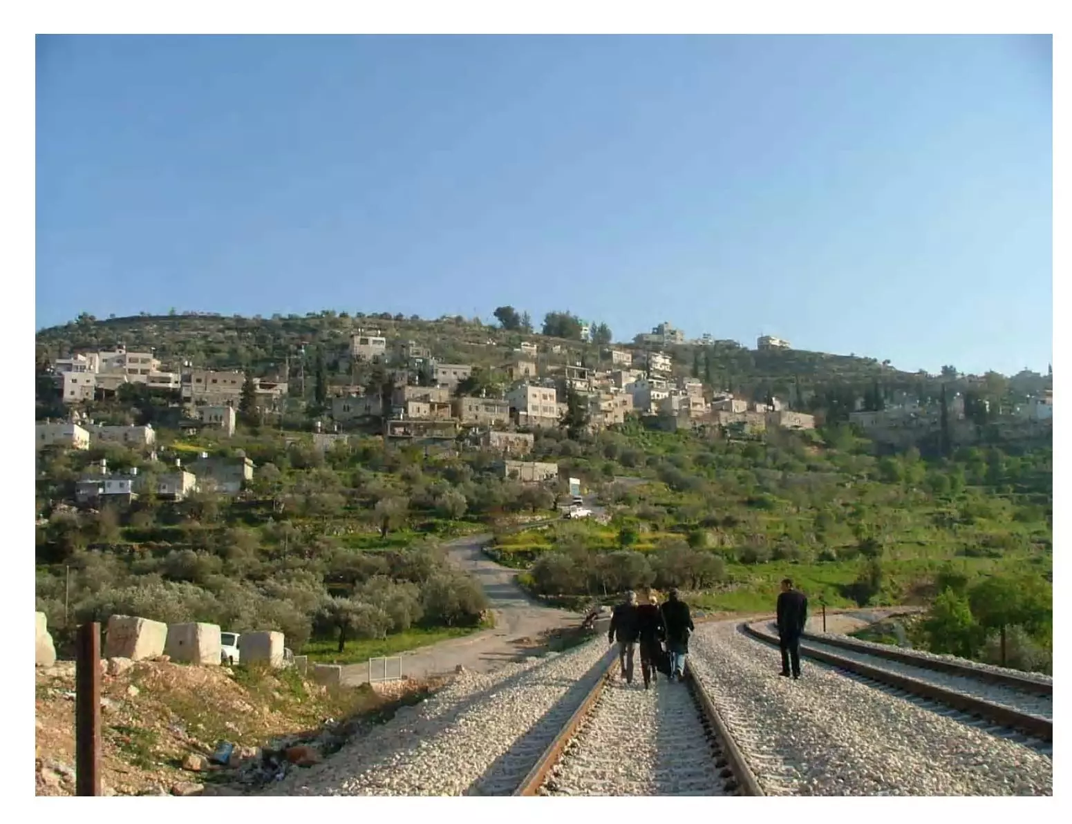
Posted by Abeer Al Najjar 2 - Closer view to the rail tracks looking west
Posted by suha hammad 5 - Agriculture area
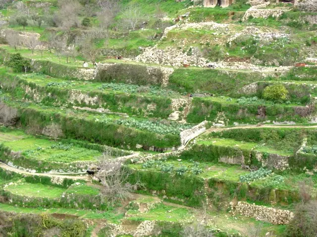
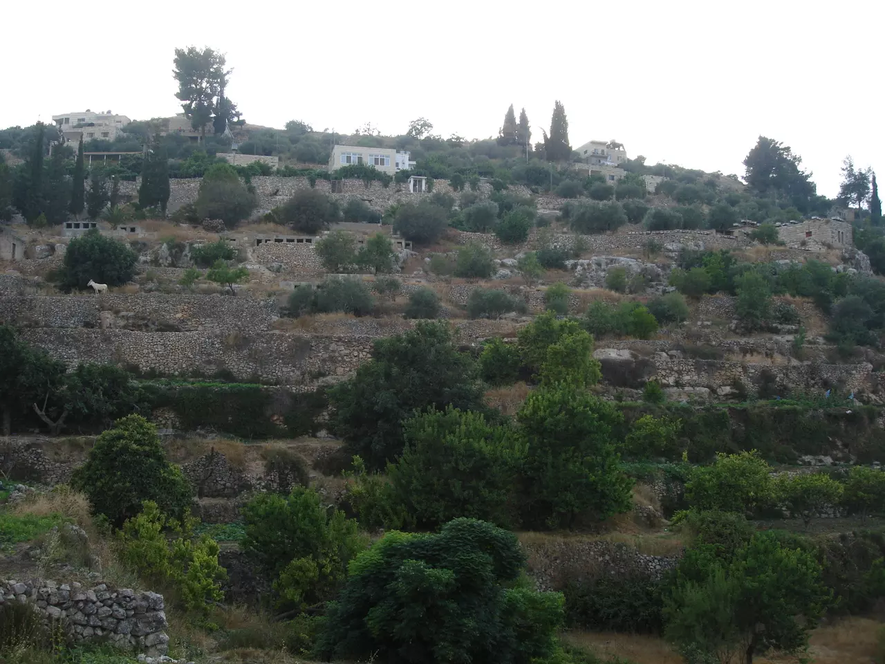
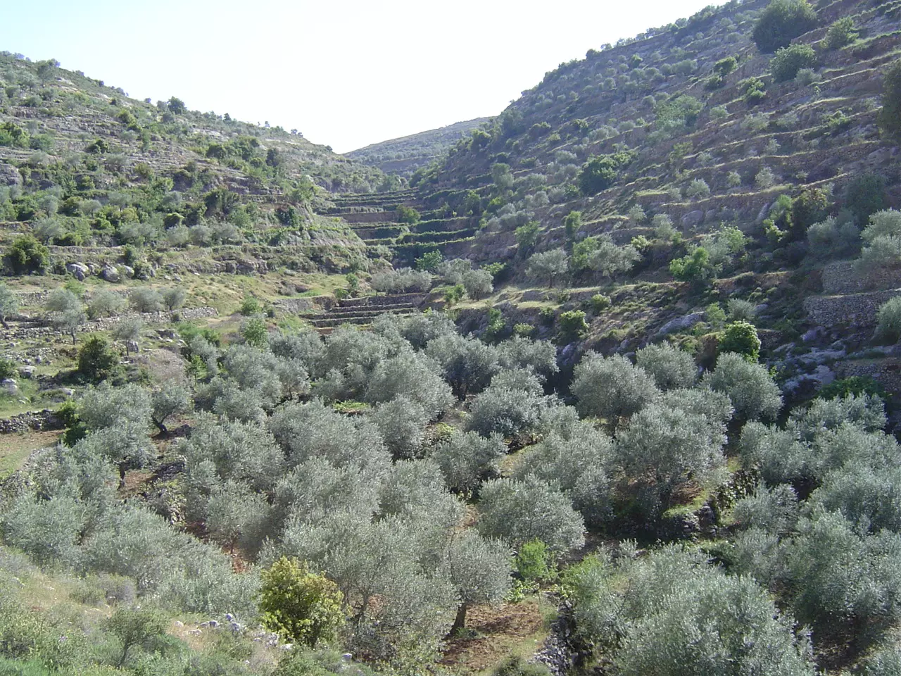
Posted by Abeer Al Najjar 2 - General view for the terraced hills
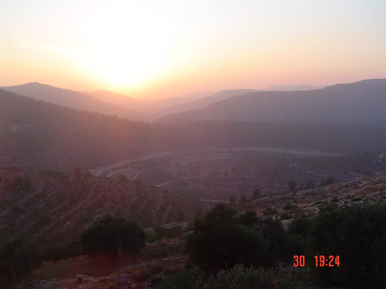
Posted by suha hammad 1 - Sunset over the town
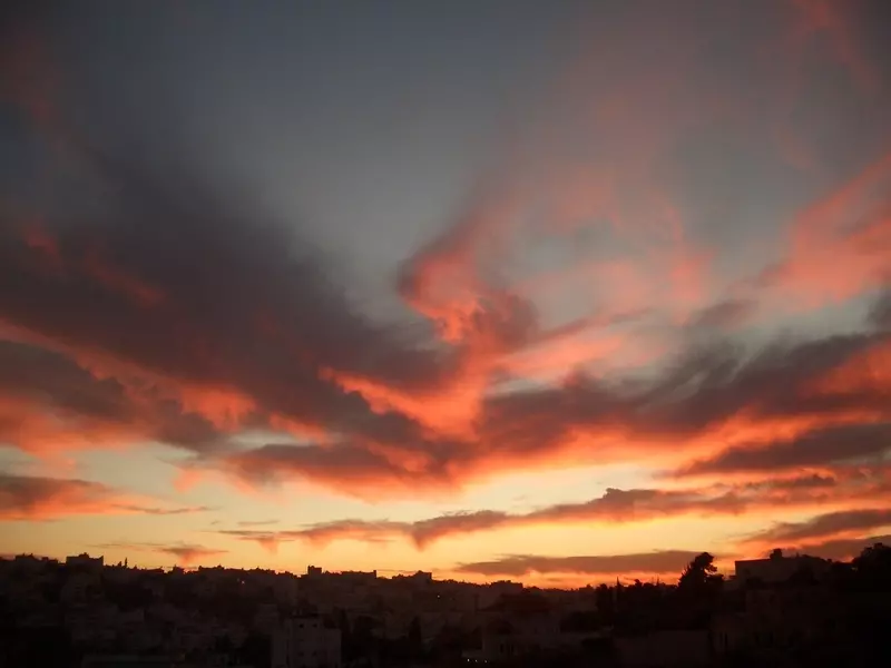
Posted by suha hammad 3 - Sunset over the town #2
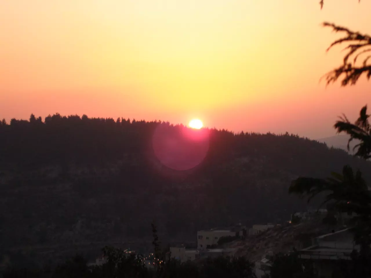
Posted by suha hammad 2 - Sunset
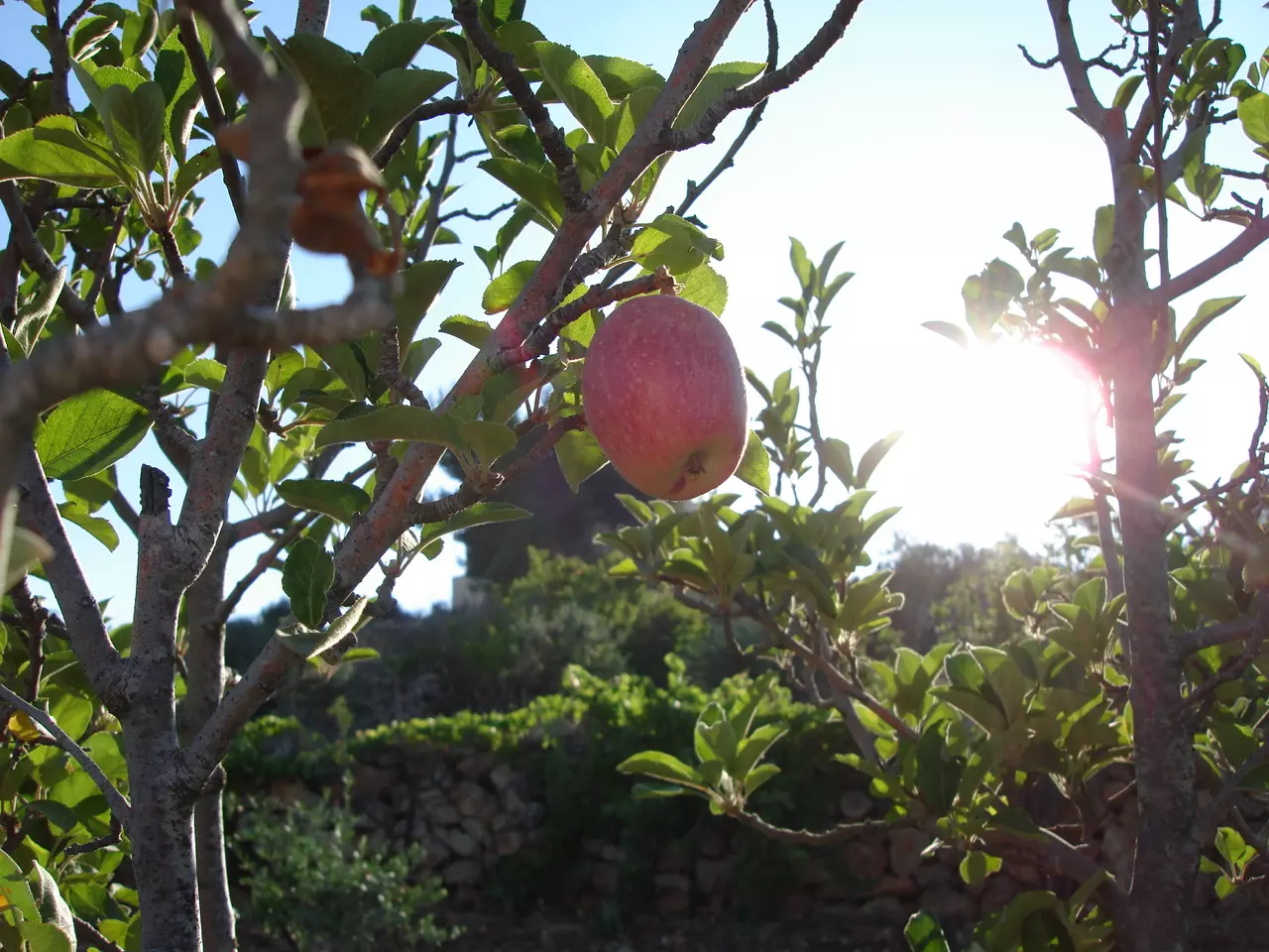
Posted by Moneef Owenah 1 - The apples
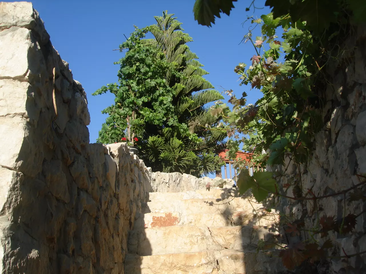
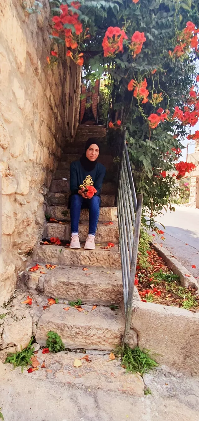
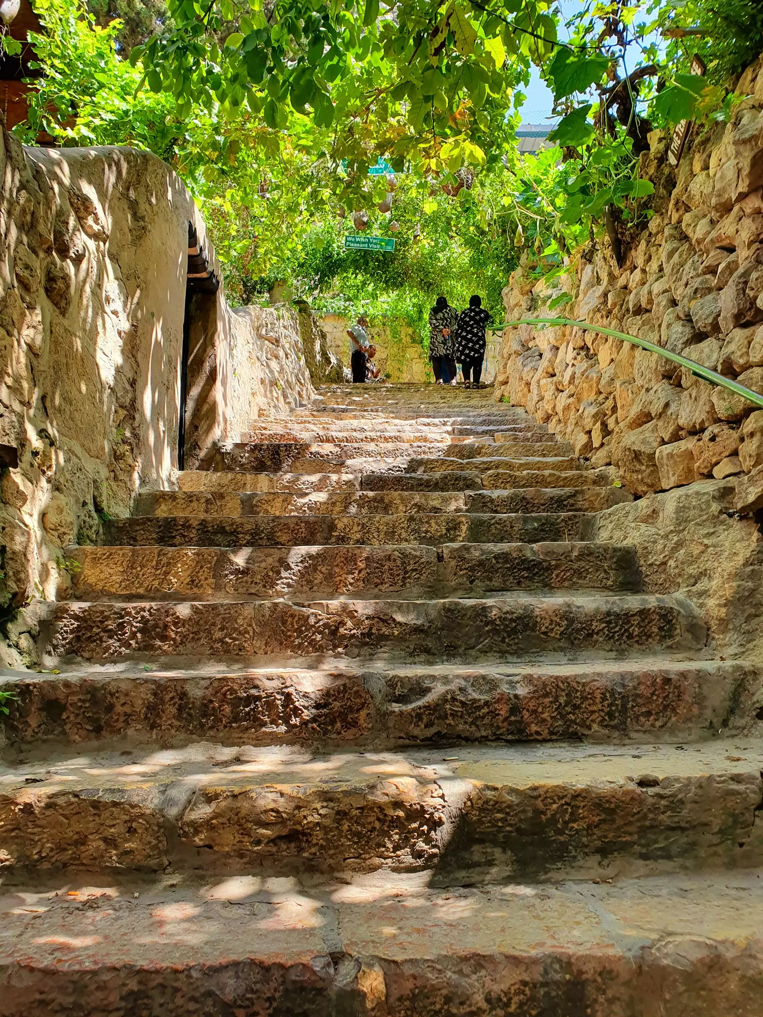
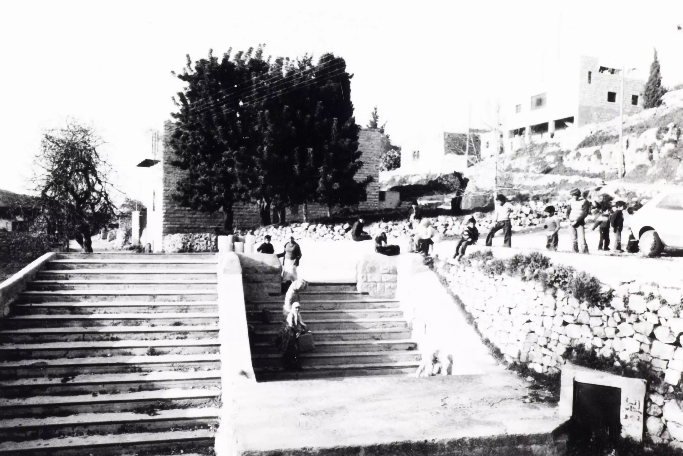
Posted by suha hammad 1 - Stair steps
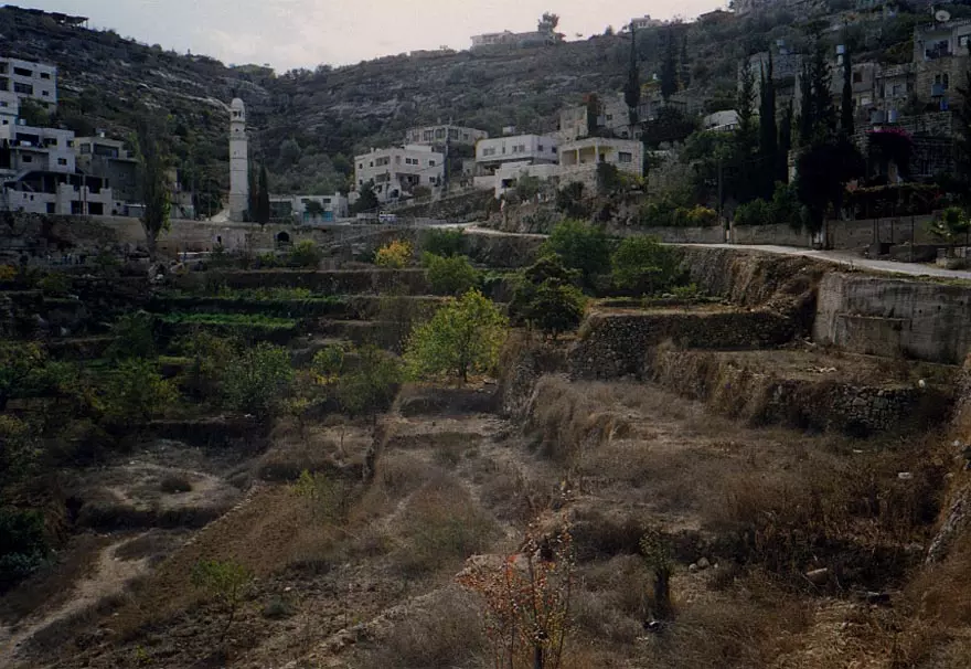
Posted by suha hammad 1 - Inside the town, general view
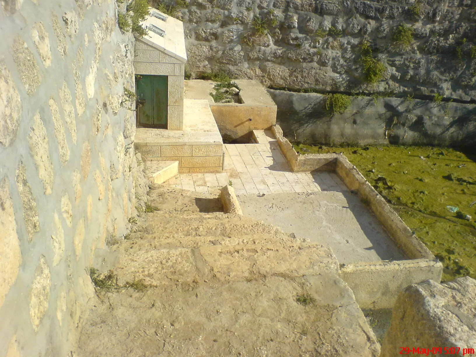
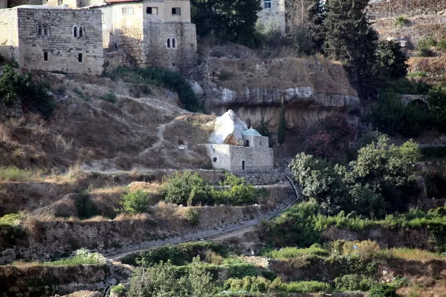
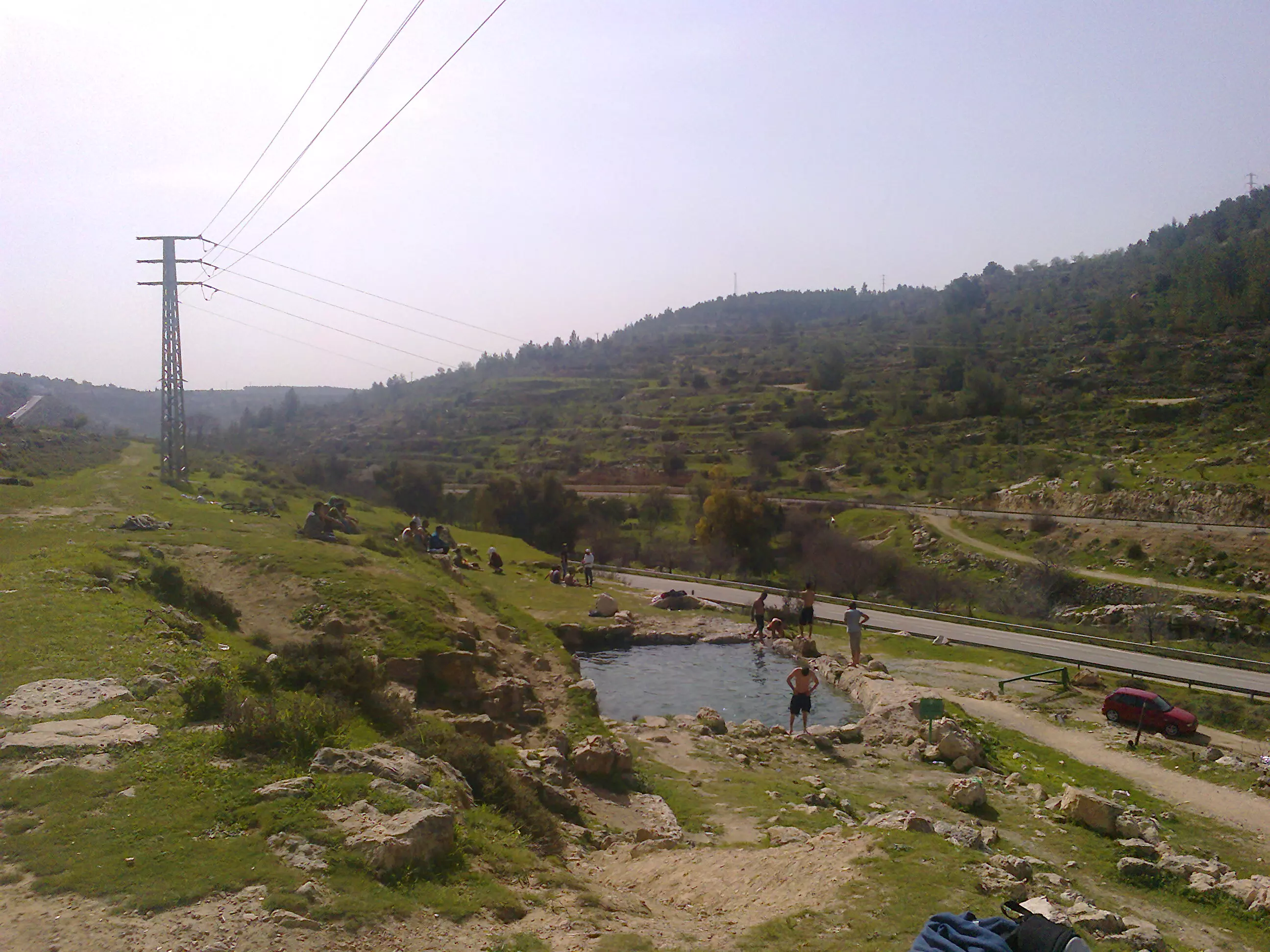
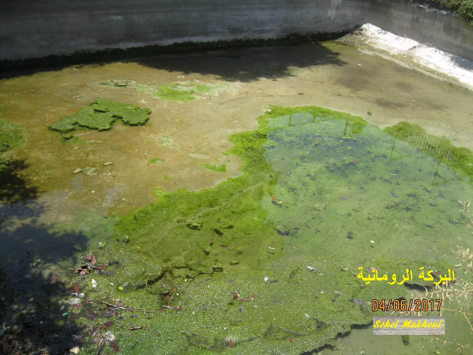
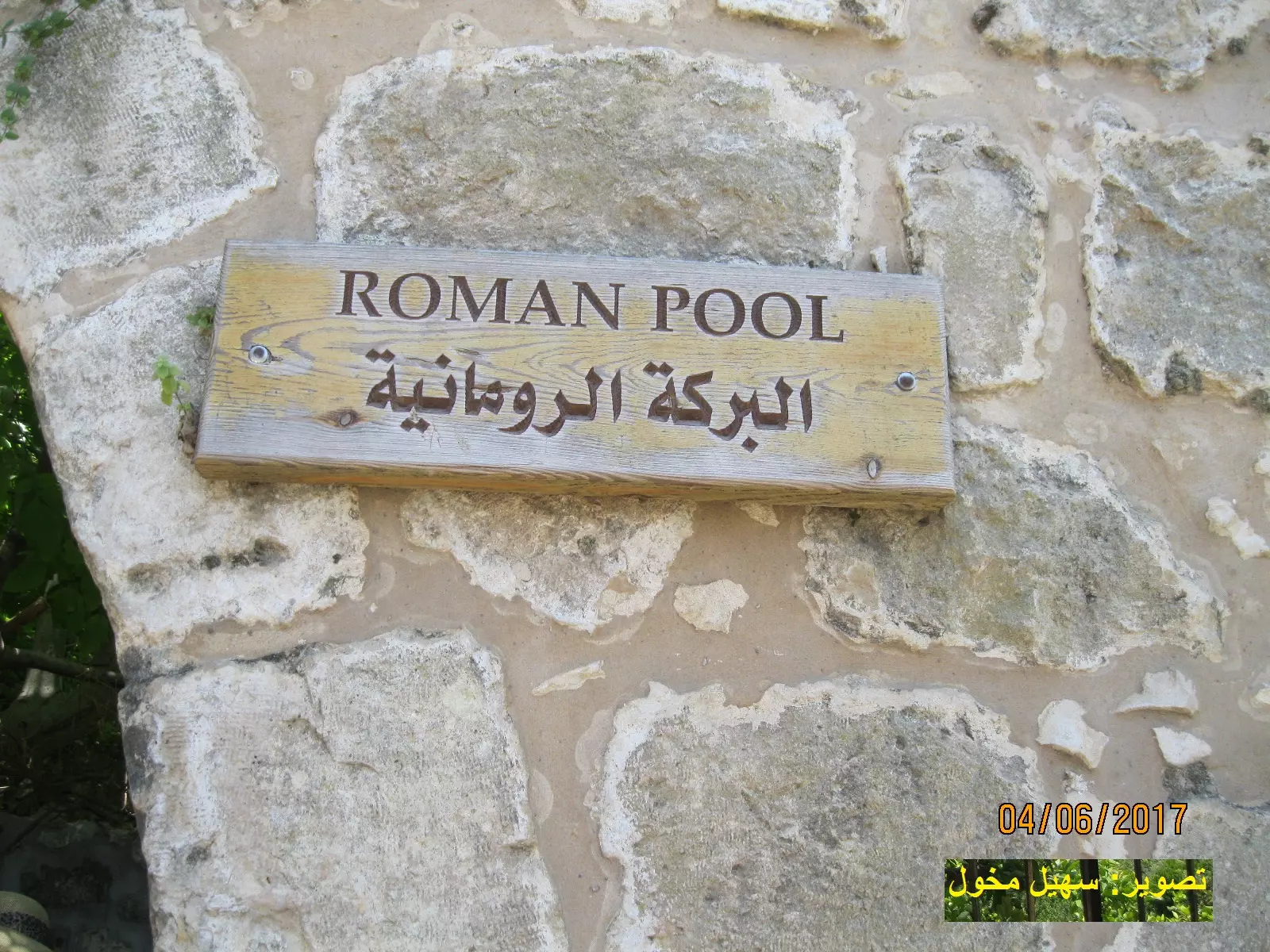
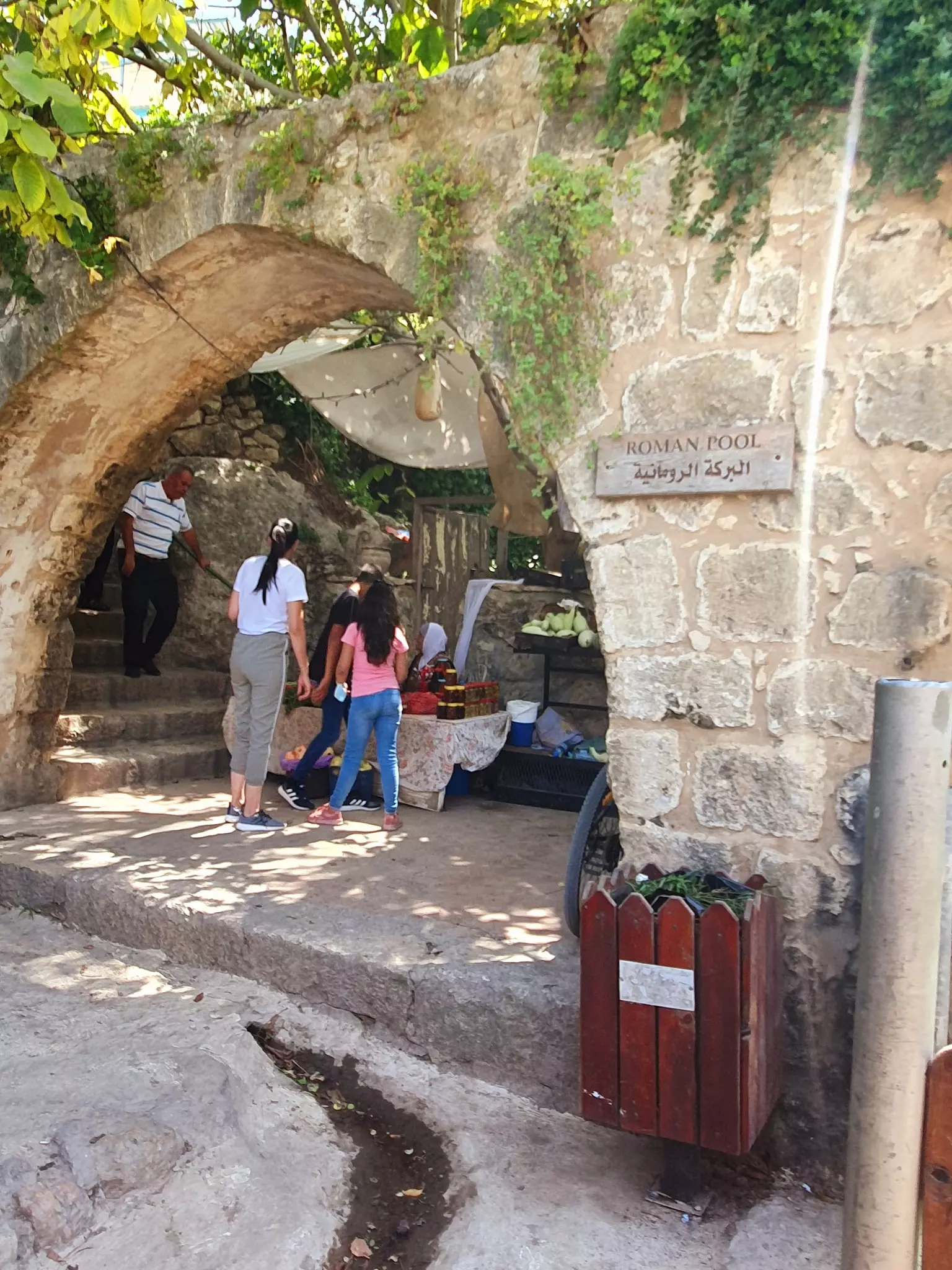
Posted by suha hammad 1 - Roman Water Pool #1
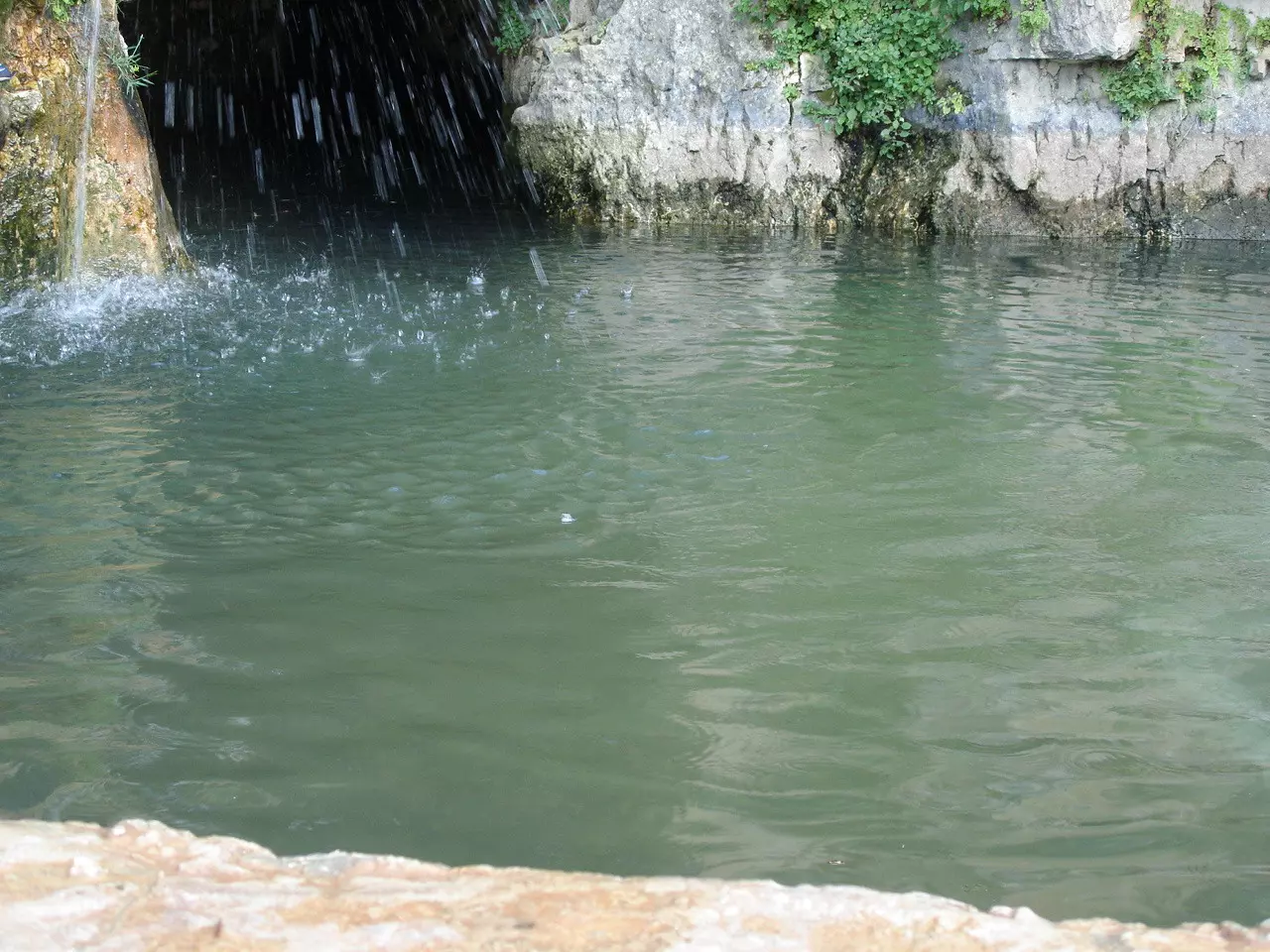
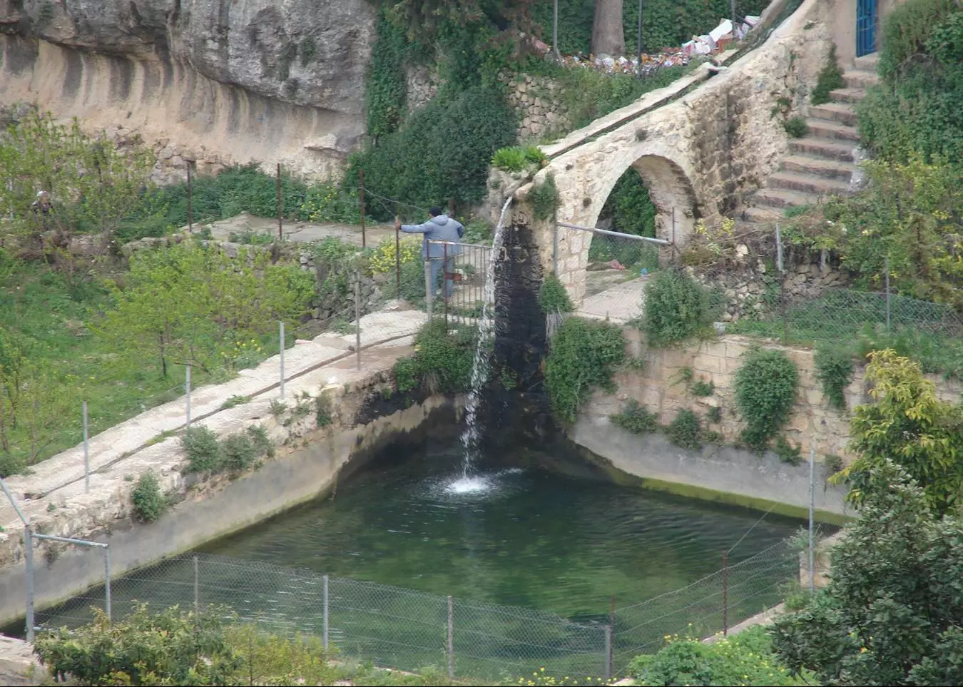
Posted by suha hammad 4 - The Roman pool #2
Posted by Moneef Owenah 4 - Roman Water Pool #3
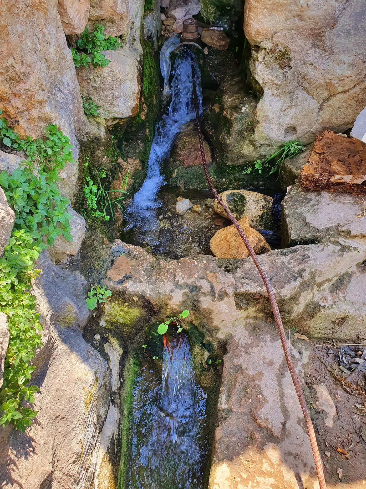
Posted by Hussam Owaineh 2 - The Ein
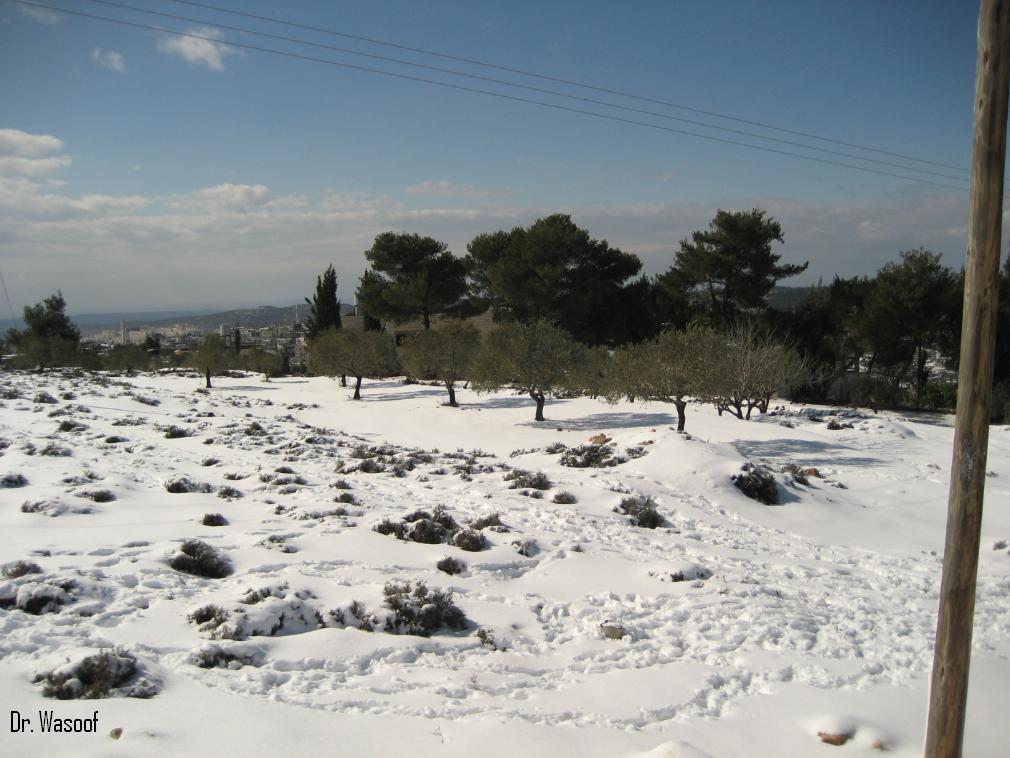
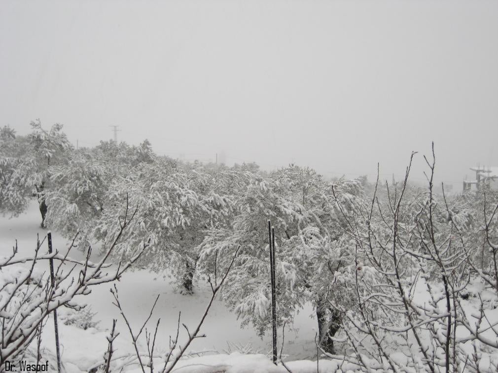
Posted by suha hammad 2 - During the snow season
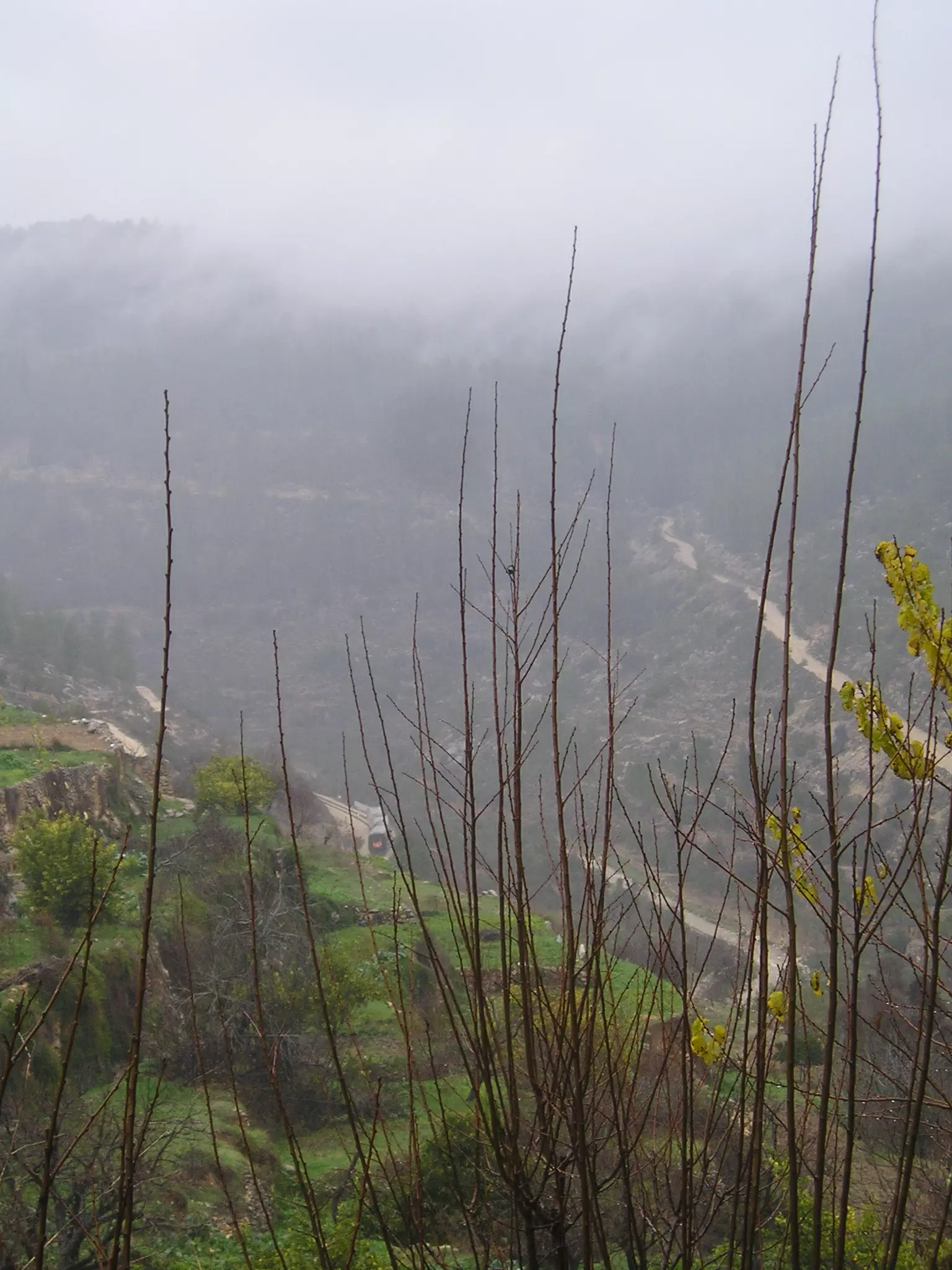
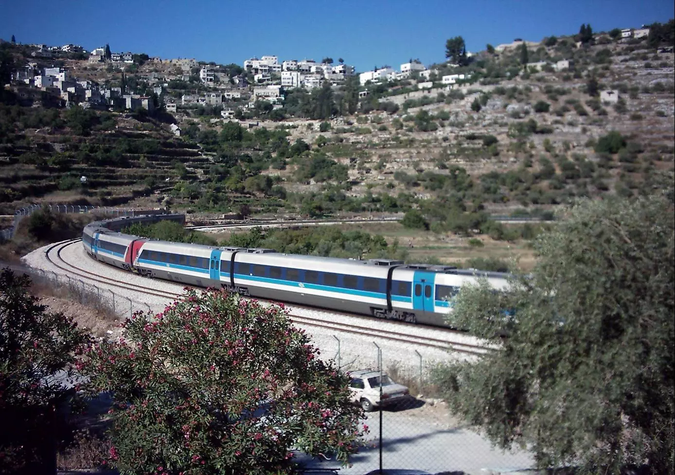
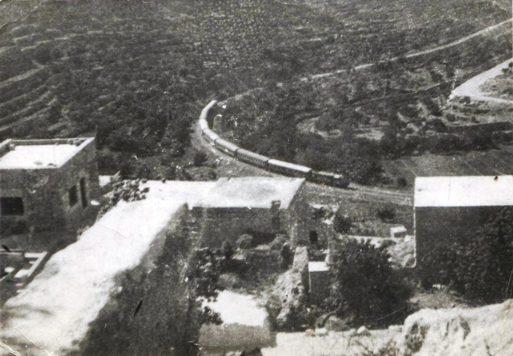
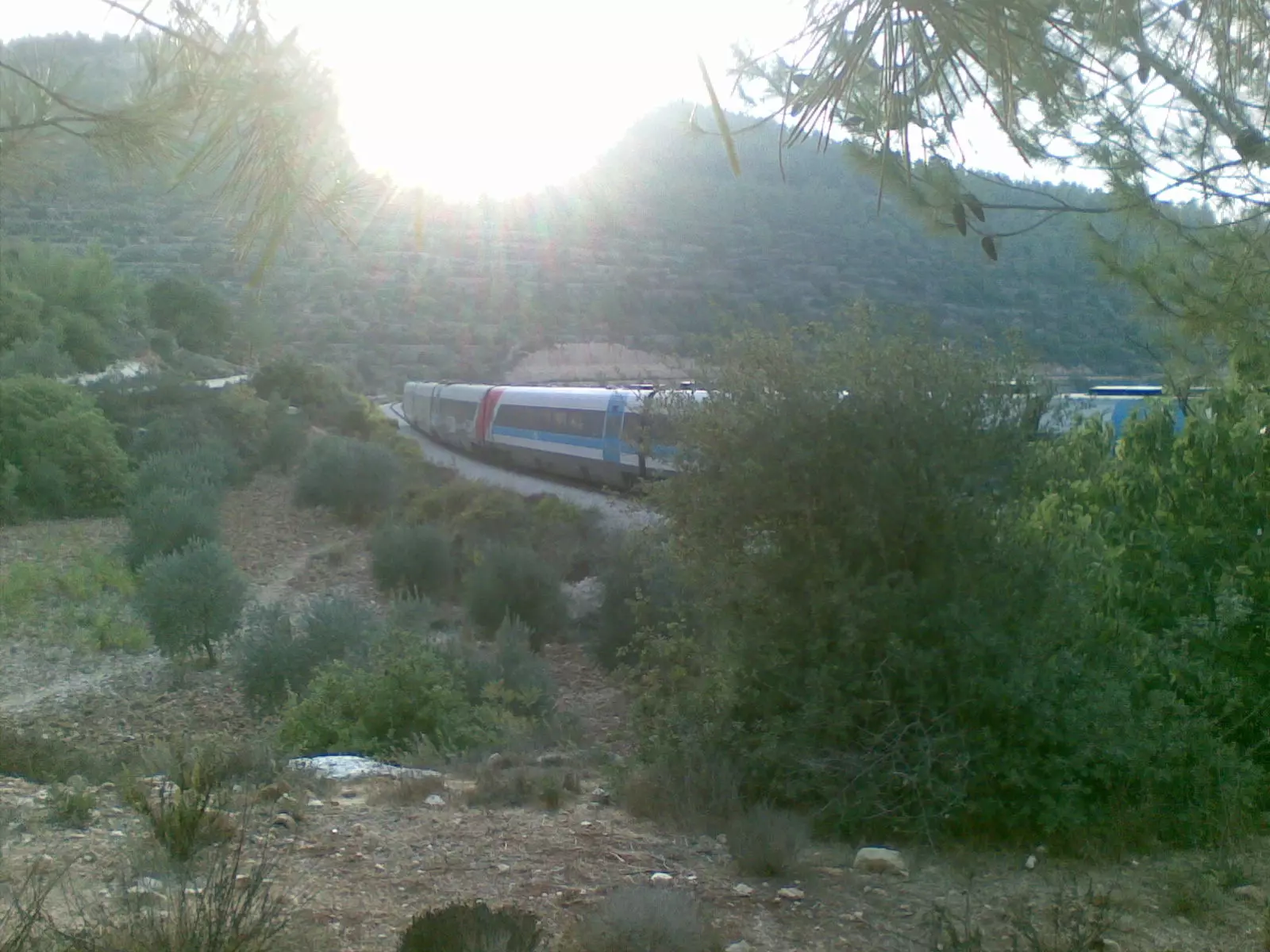
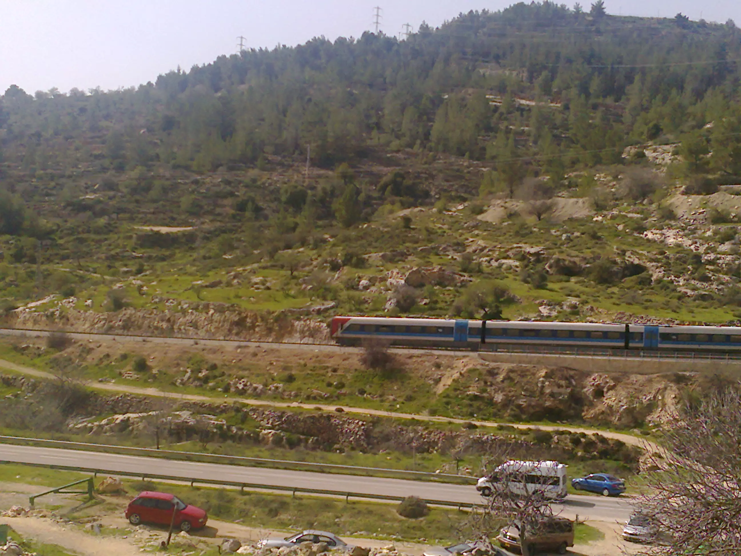
Posted by suha hammad 2 - On a rainy day (note the train)
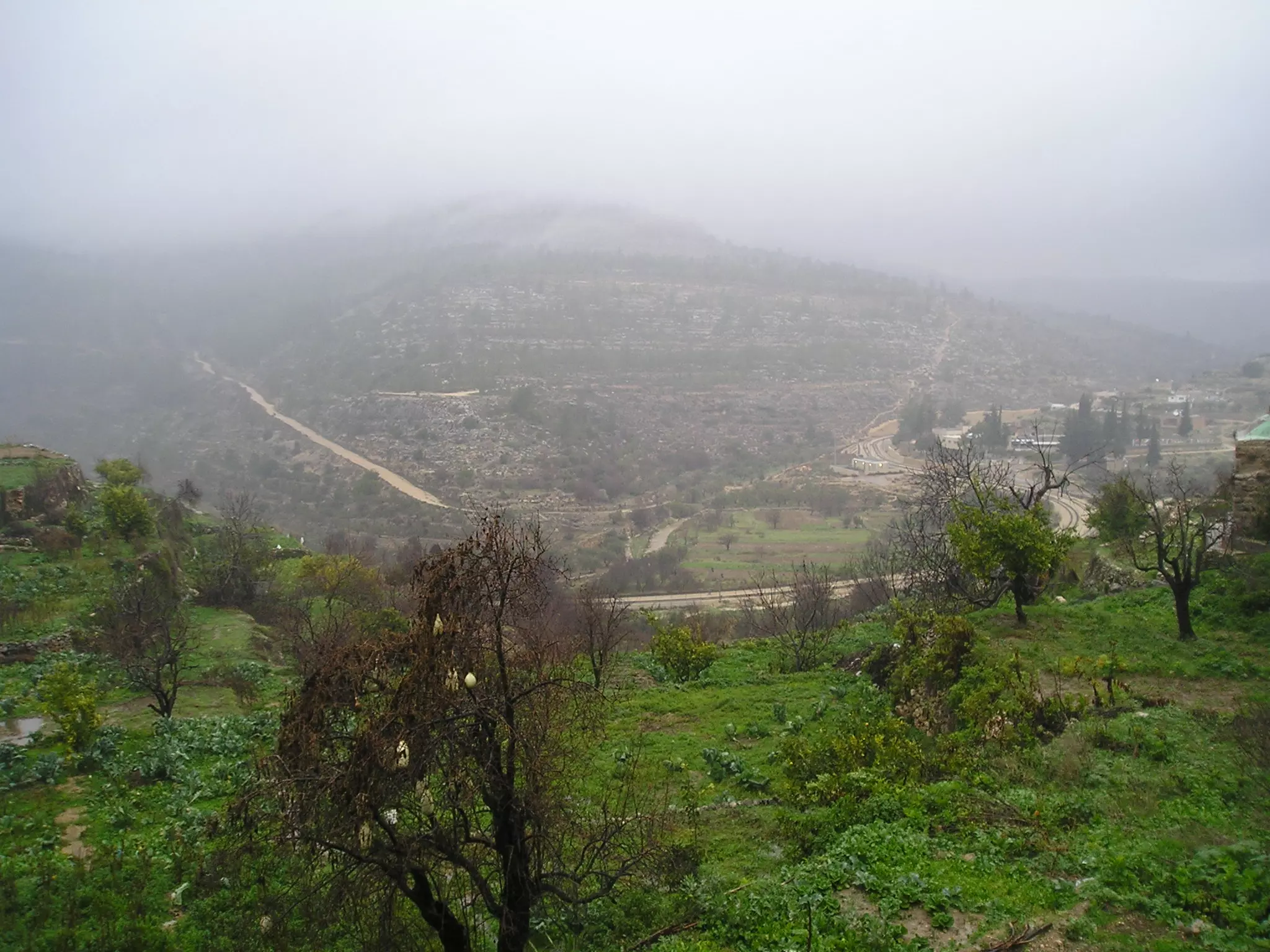
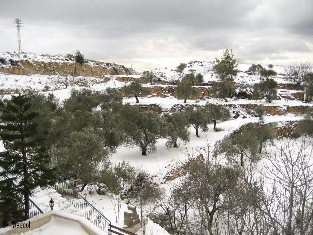
Posted by Moneef Owenah - The lands during winter #2
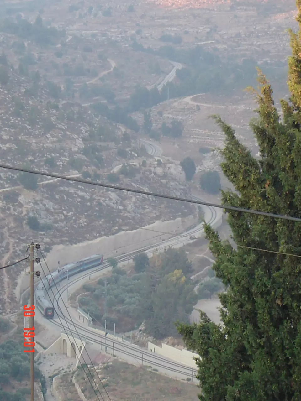
Posted by Moneef Owenah 2 - The train
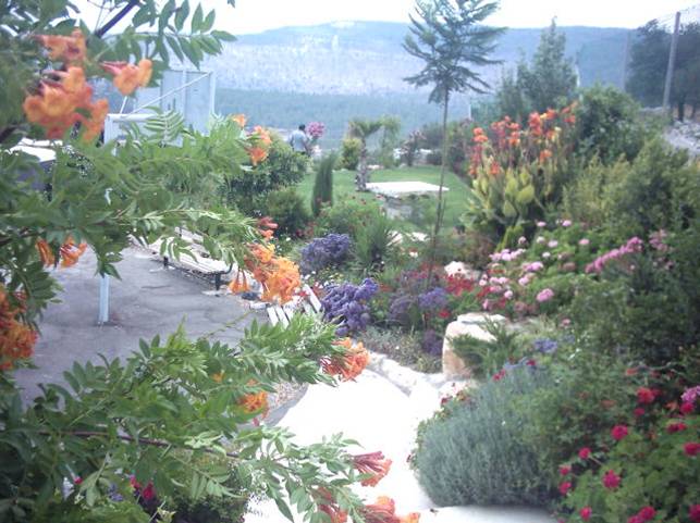
Posted by Moneef Owenah 2 - The garden
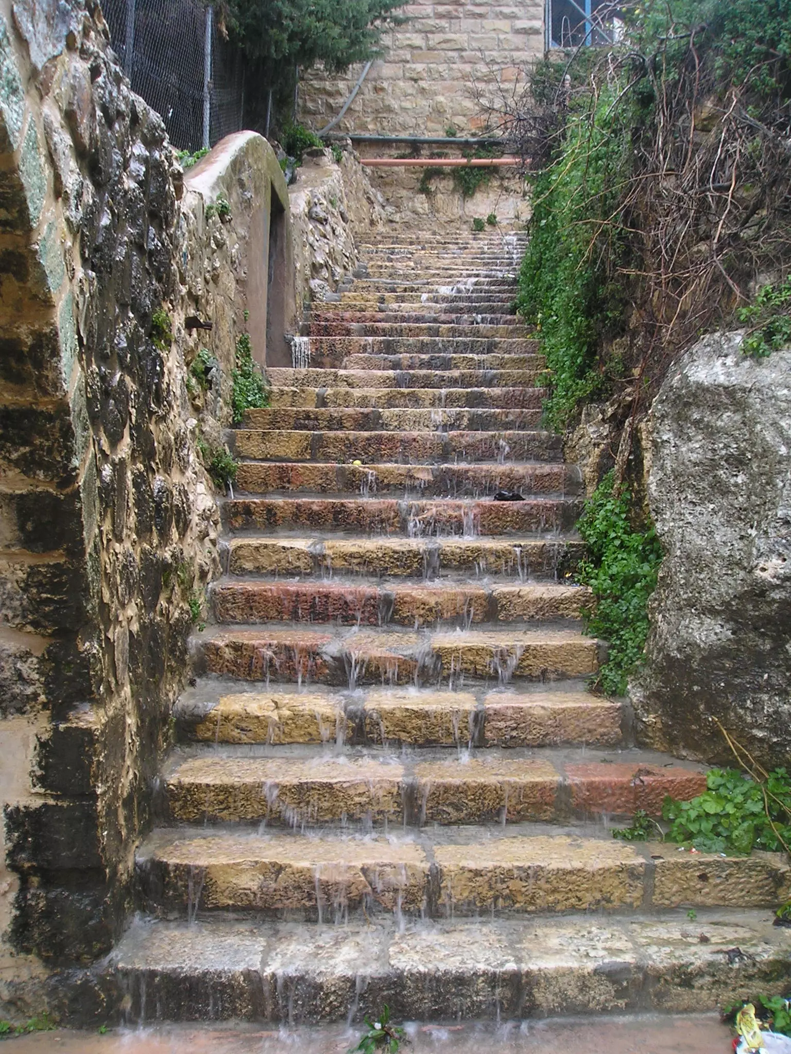
Posted by Moneef Owenah 3 - The stairs to the pool
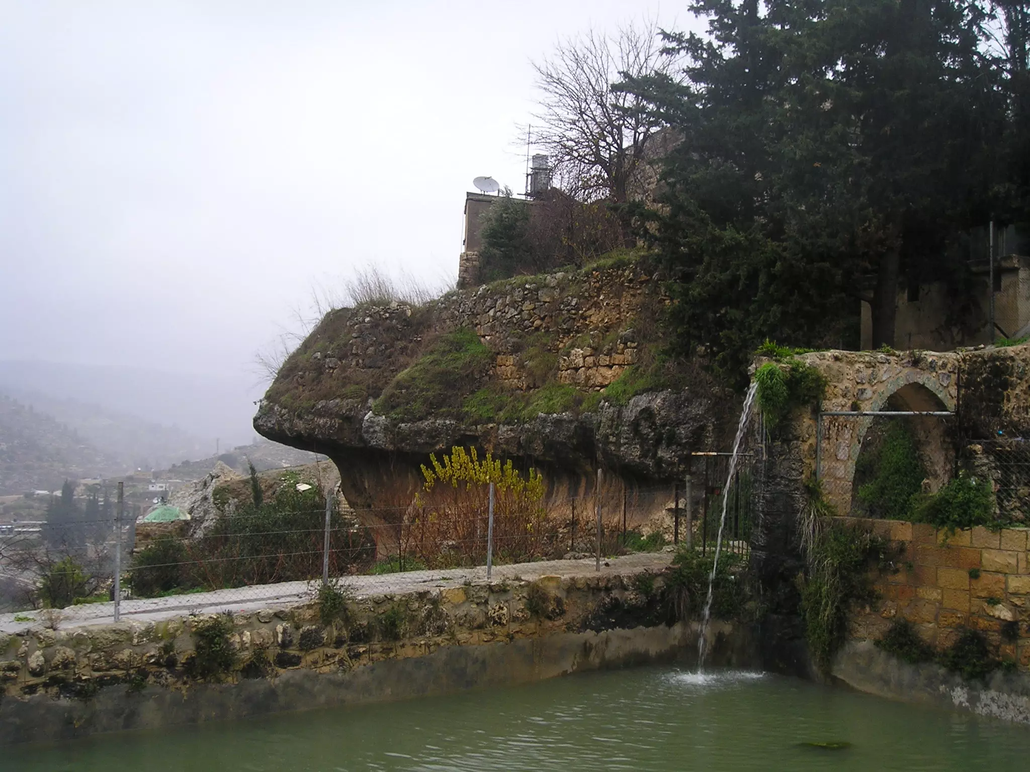
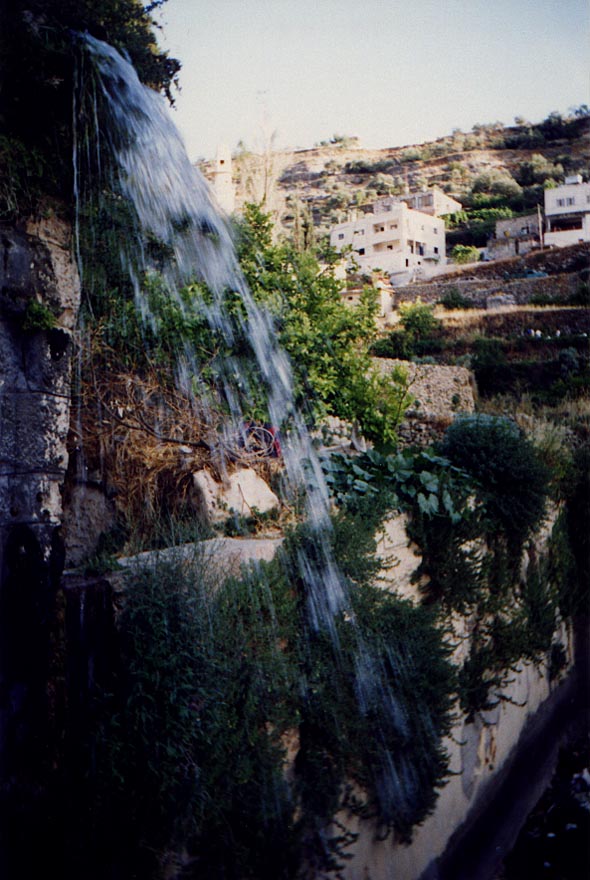
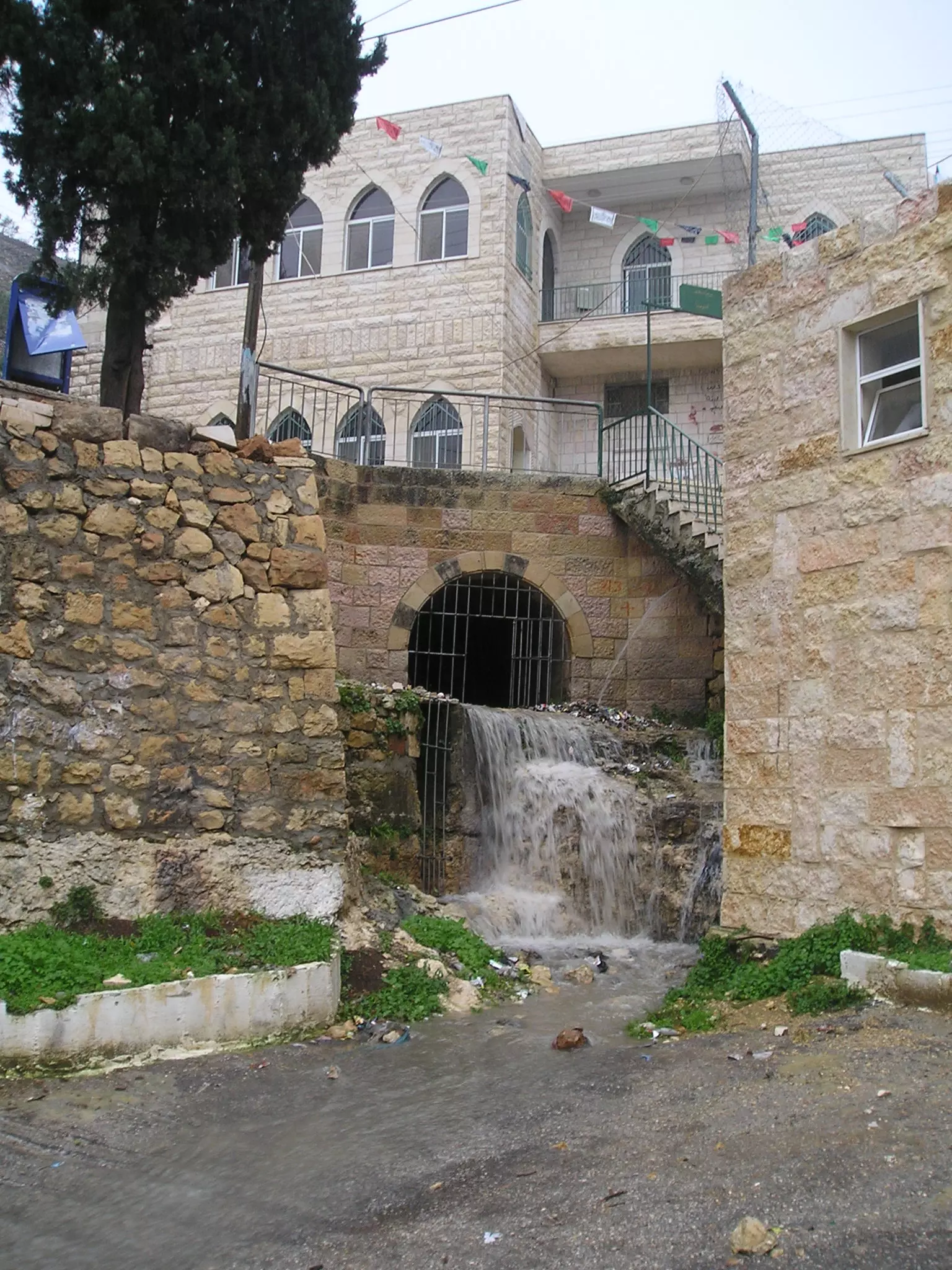
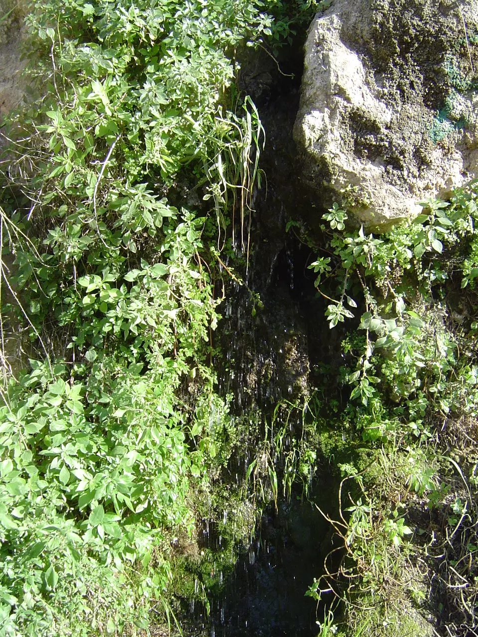
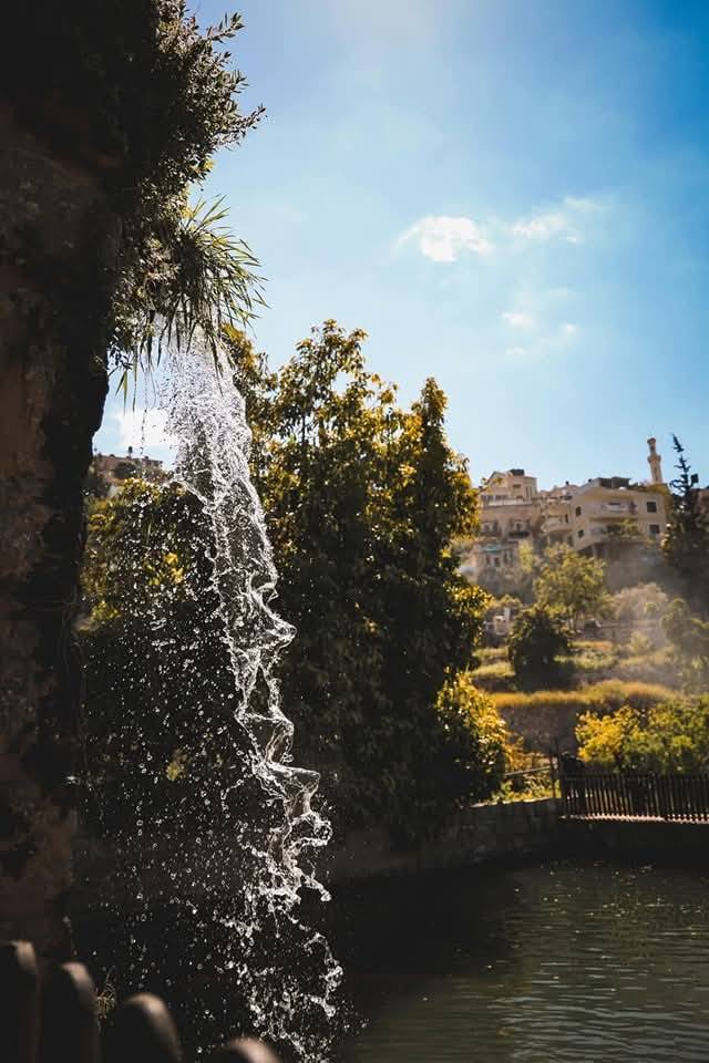
Posted by Moneef Owenah 2 - The waterfall
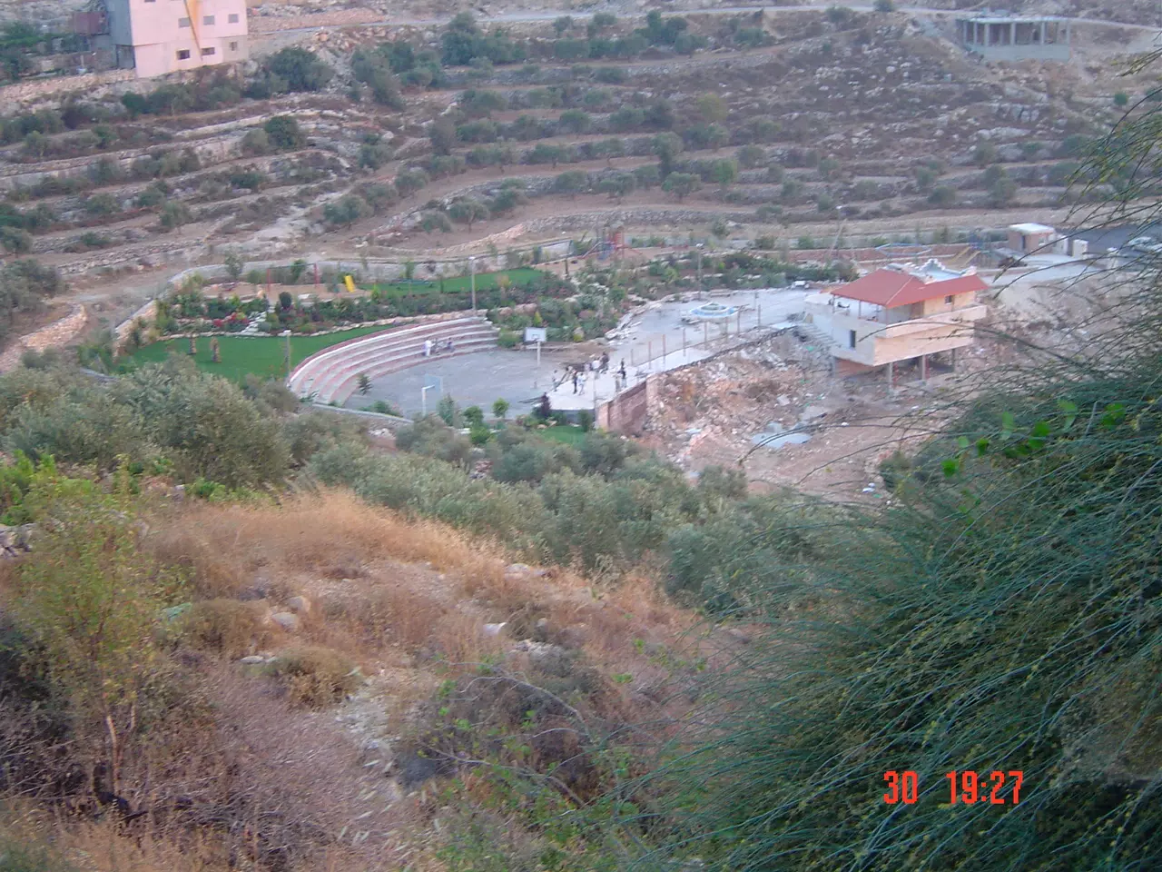
Posted by Moneef Owenah 3 - General view to the swiming pool area

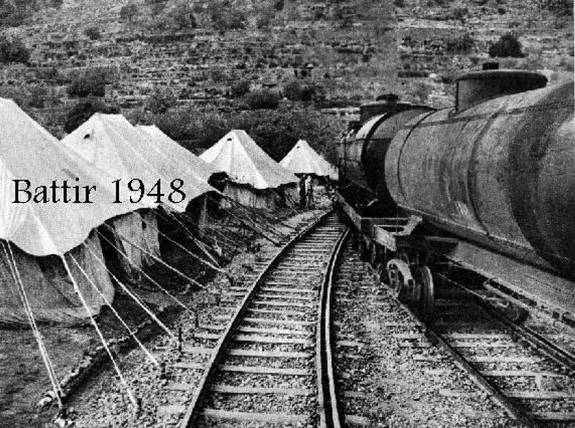
Posted by Moneef Owenah 3 - Old Train 1948

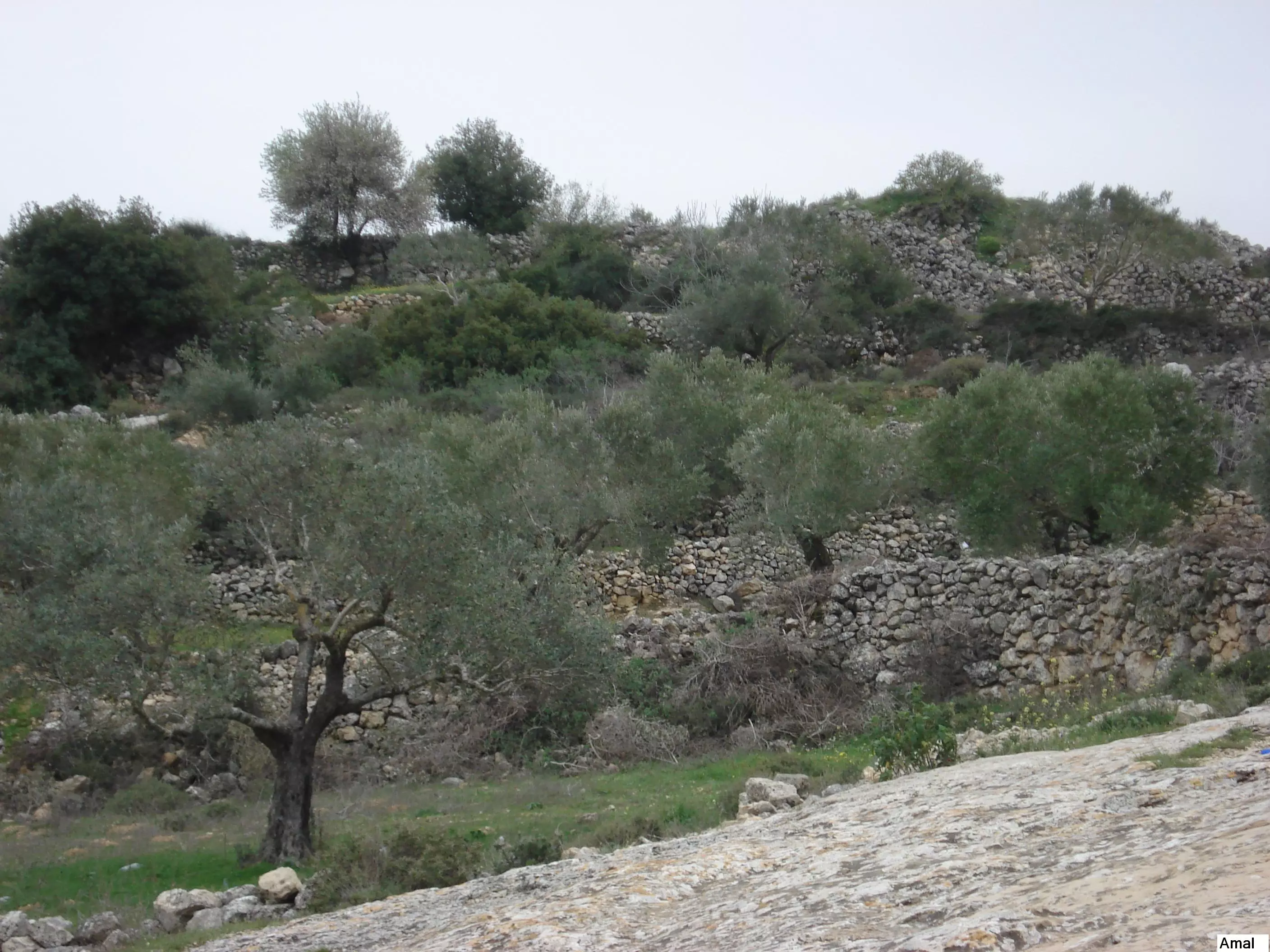
Posted by Hussam Owaineh - The western lands
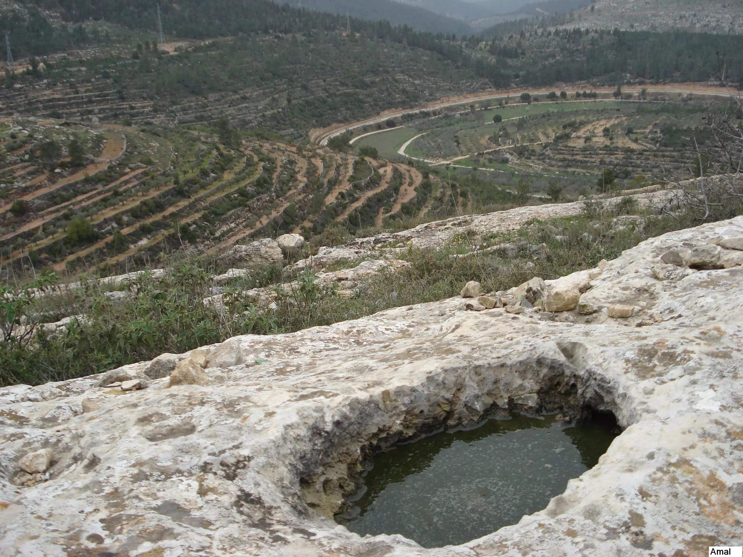
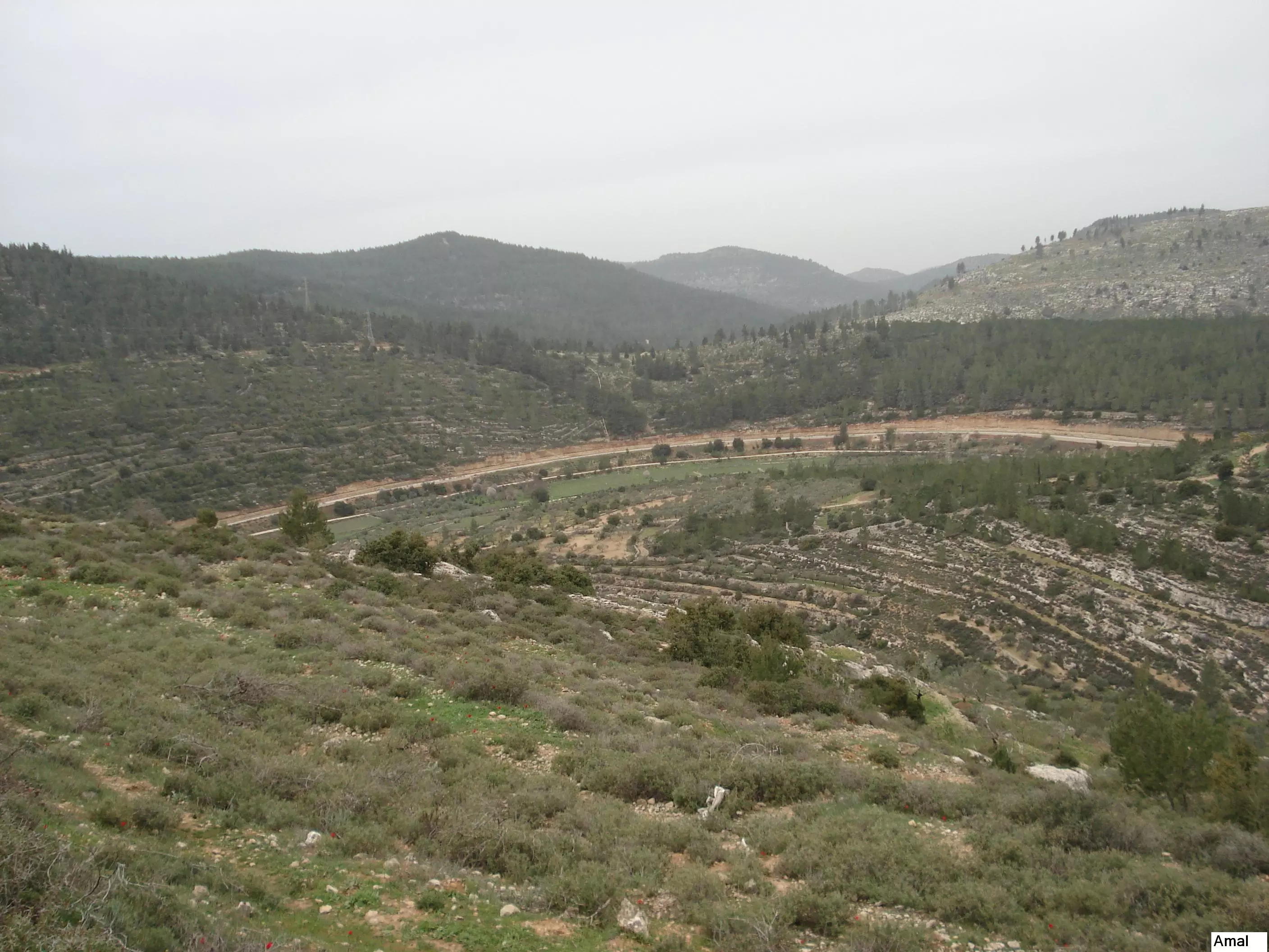
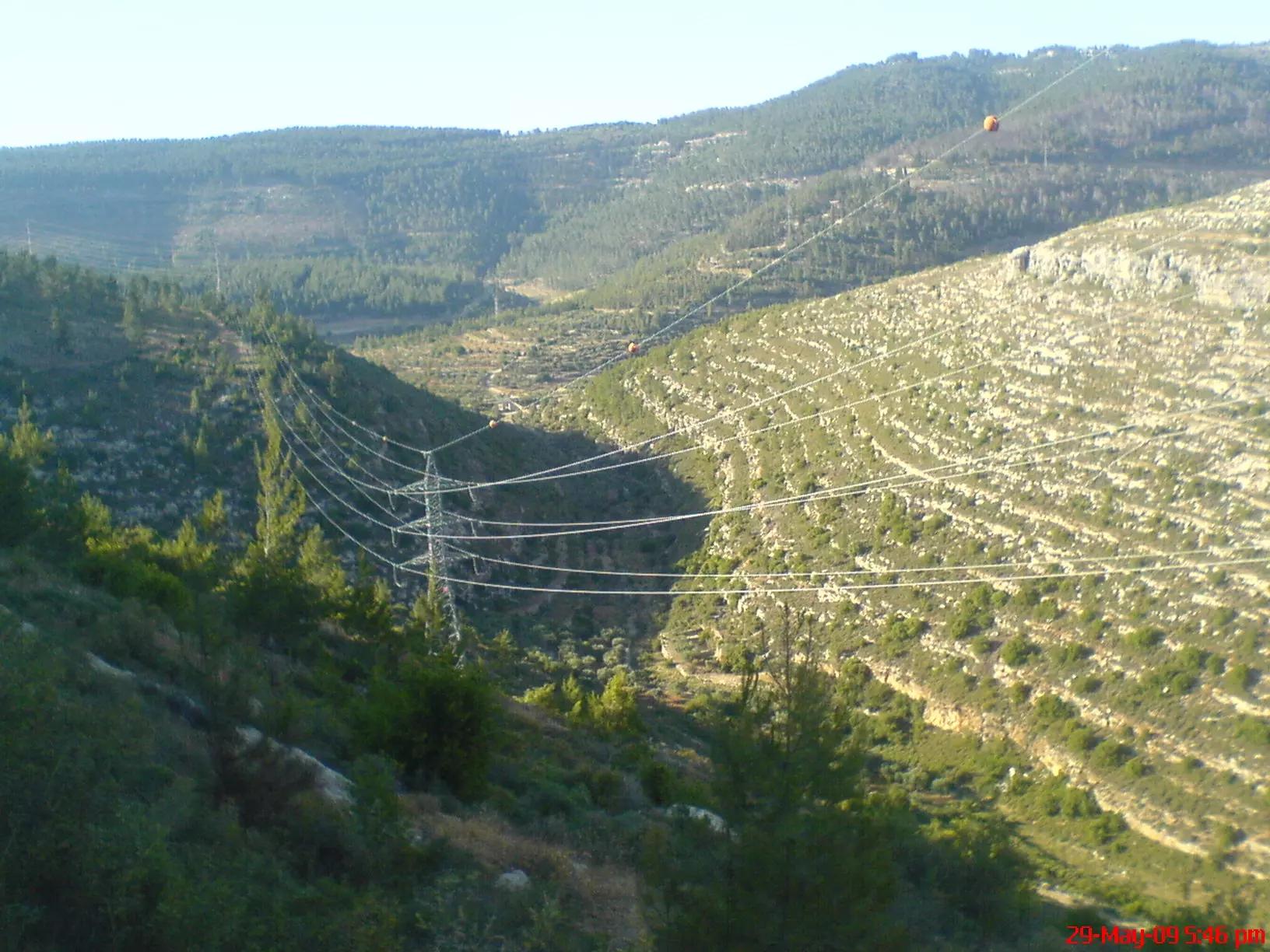
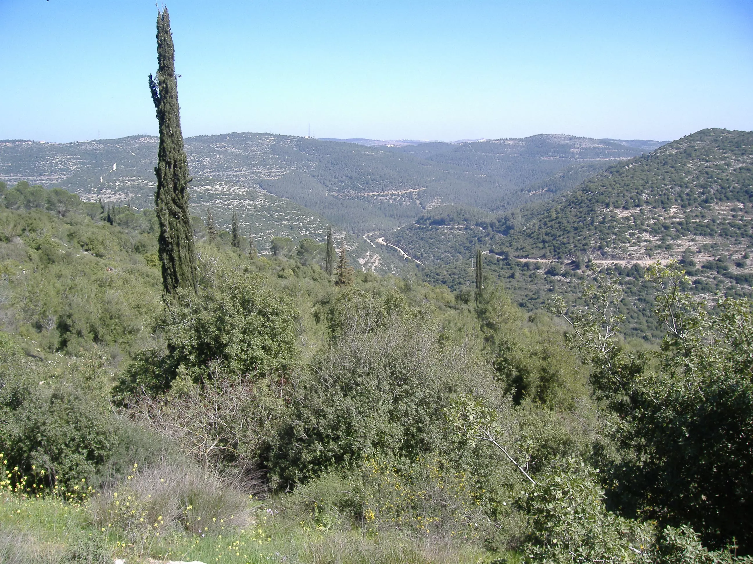
Posted by Amal Owaineh 2 - Surrounding Mountains
Posted by Amal Owaineh - Borj el-kherba
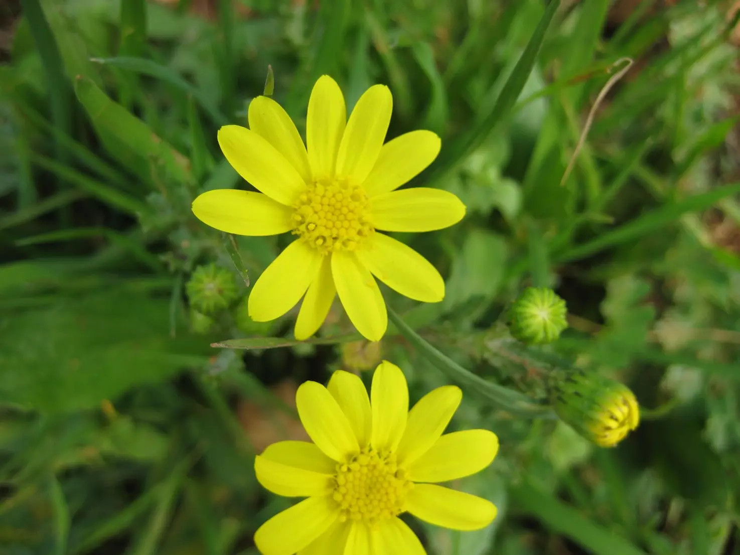
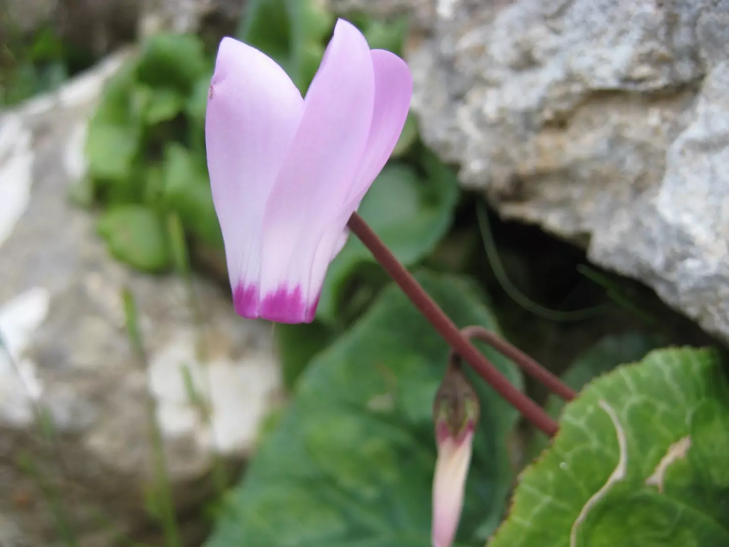
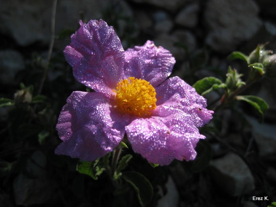
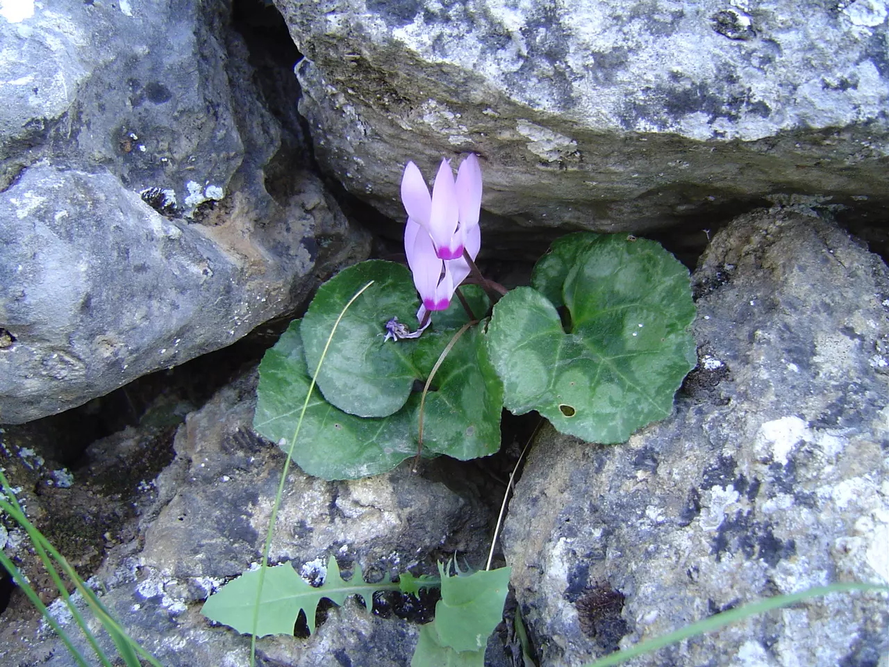
Posted by Amal Owaineh 2 - zozo Violets-Battir Spring

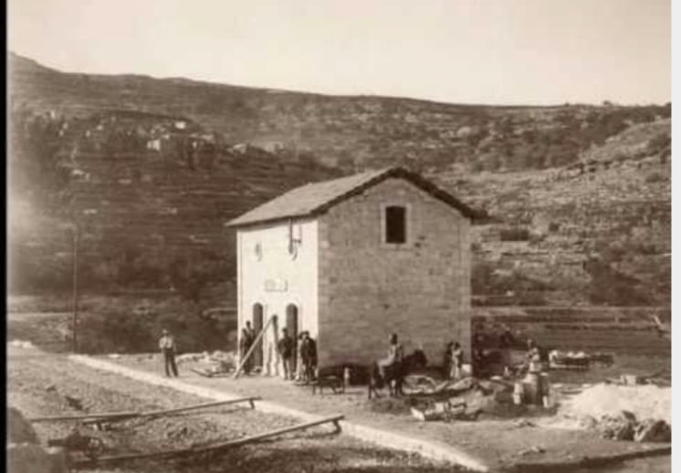
Posted by Amal Owaineh - Railway Station At Battir 1893
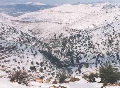
Posted by Ahmad Obeidallah 1 - الثلوج تكسو جبال بتير و الولجة وبيت جالا
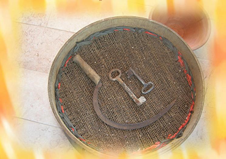
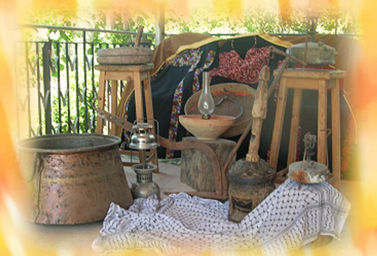
Posted by Hussam Owaineh - Battir Heritage
Posted by Omar Obeidallah 1 - From Battir's Heritage
Posted by Omar Obeidallah - Battir 1950 (3raq Al 3enn)
Posted by Ahmad Obeidallah 1 - Oldies Battir
Posted by Ahmad Obeidallah - Battir's Old Days 01
Posted by Ahmad Obeidallah 1 - Battir's Old Days 02
Posted by Ahmad Obeidallah 2 - الواد الغربي
Posted by mony 1 - الواد الغربي
Posted by mony 2 - الطبيعة الخلابة
Posted by osamb-inside 2 - Ain Battir from the Matson Collection 1900-1926
Posted by Umar Abu El-Bararri 2 - Train & Railroad at Battir from the Matson Collection 1900-1926
Posted by Umar Abu El-Bararri - Winter 30/31 january 2008, the snow
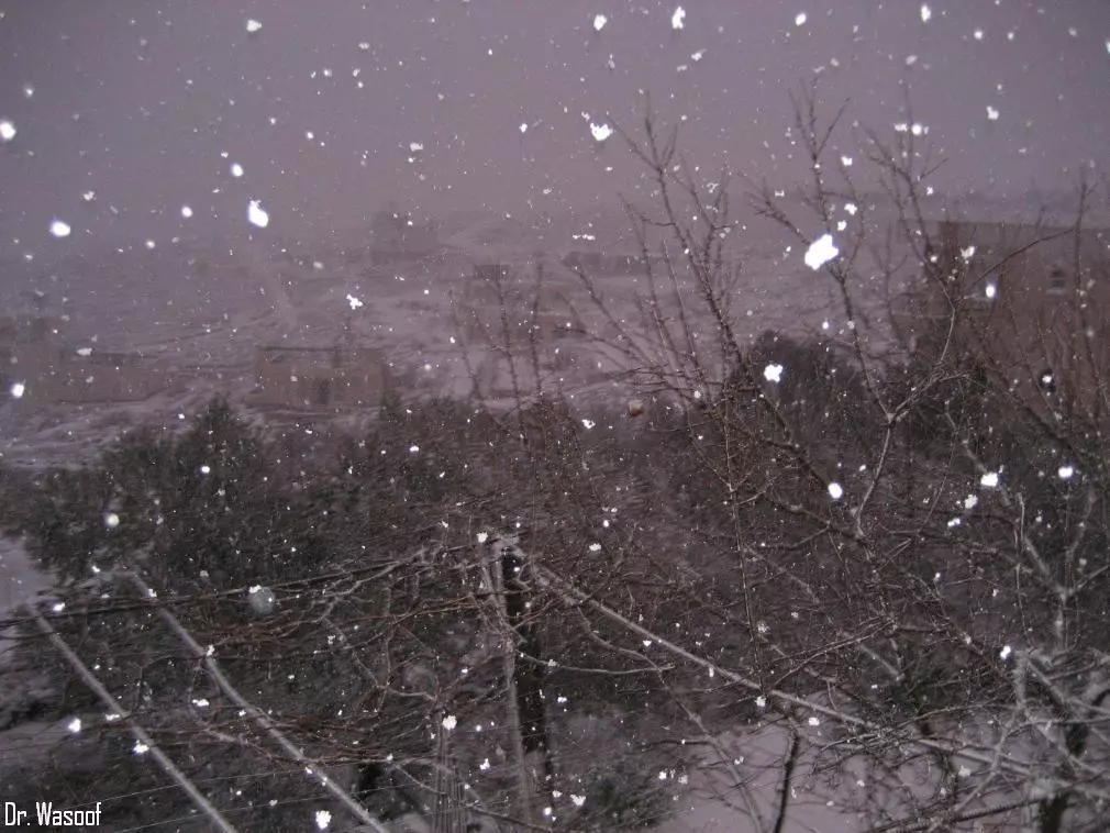
Posted by Abeer Al Najjar - Winter 30/31 January 2008 - Snow Falling
Posted by Abeer Al Najjar - Winter 30/31 January 2008 - Snow Falling 1
Posted by Abeer Al Najjar 2 - Winter 30/31 January 2008 - Snow Falling 2
Posted by Abeer Al Najjar - Winter 30/31 Januray 2008 - Snow Falling 3
Posted by Abeer Al Najjar 1 - General view in the morning
Posted by abu rashed 4 - 3ean abu el7areth
Posted by abu rashed 1 - LAst snow Day
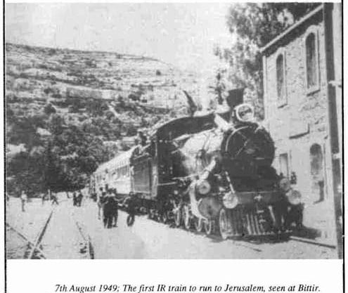
Posted by abu rashed - Battir's Train Station 1949
Posted by Ahmad Obeidallah - spring 2008
Posted by abu rashed - spring 2008 2
Posted by abu rashed - spring 2008 3
Posted by abu rashed 1 - 2008 spring
Posted by abu rashed - 2008 33spring

Posted by abu rashed 1 - 2008 4spring
Posted by abu rashed 3 - Collections from Battir's Heritage
Posted by Omar Obeidallah - Collections from Battir's Heritage
Posted by Omar Obeidallah - Heritage & Spring in Battir

Posted by Omar Obeidallah - Spring 2008 in Battir
Posted by Omar Obeidallah - Spring 2008 in Battir
Posted by Omar Obeidallah - Spring 2008 in Battir
Posted by Omar Obeidallah - Spring 2008 in Battir
Posted by Omar Obeidallah - Battir & Its Rich Beauty
Posted by Umar Abu El-Bararri - Ain Battir
Posted by Umar Abu El-Bararri 4 - snow in battir 2008

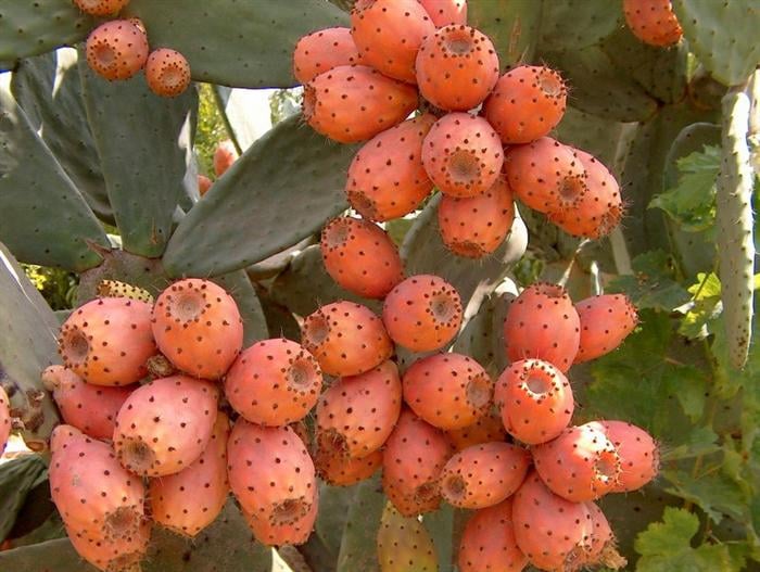
Posted by abu rashed - cacti in battir 2008
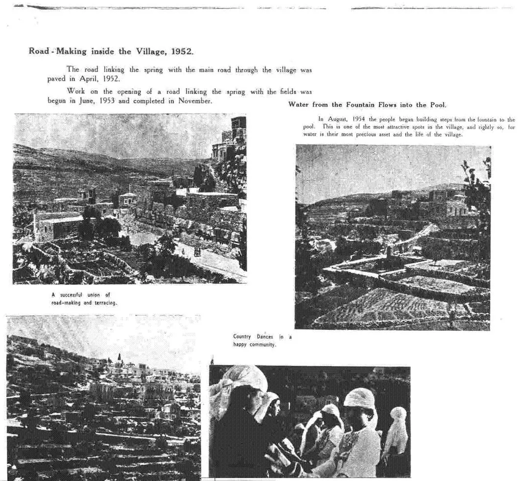
Posted by abu rashed - the Last beautiful days battir 1952 #1
Posted by abu rashed 2 - the Last beautiful days battir 1952 #2
Posted by abu rashed - the Last beautiful days battir 1952 #3
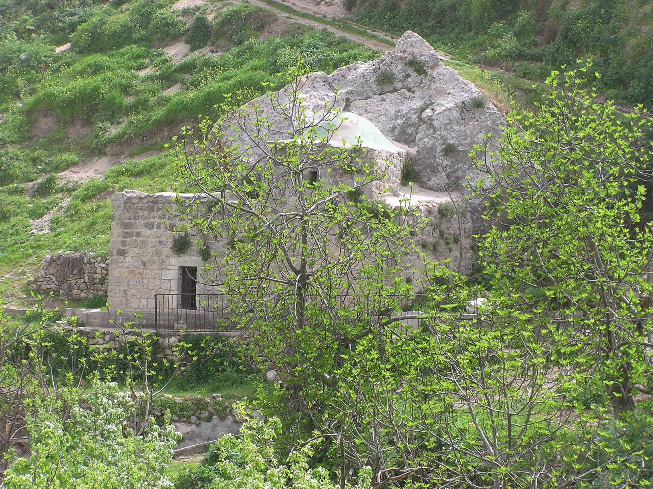
Posted by abu rashed - Batir's Wali with Dome.
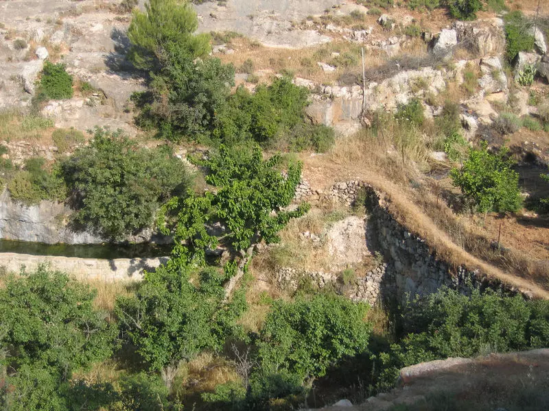
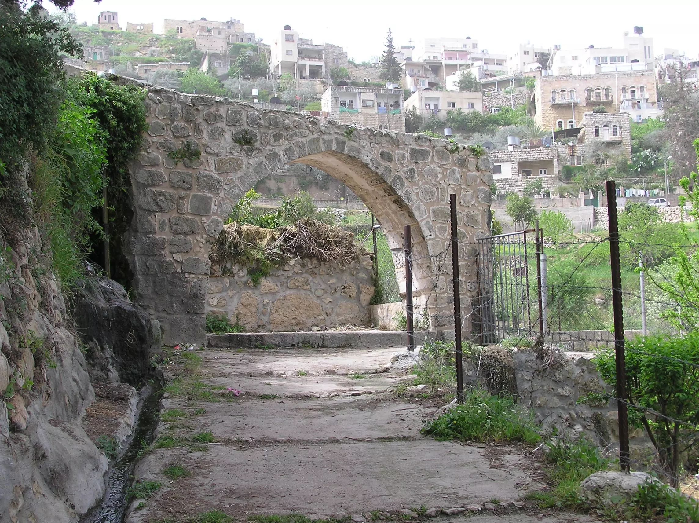
Posted by Umar Abu El-Bararri 1 - Battir's Roman Arch
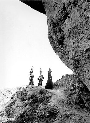
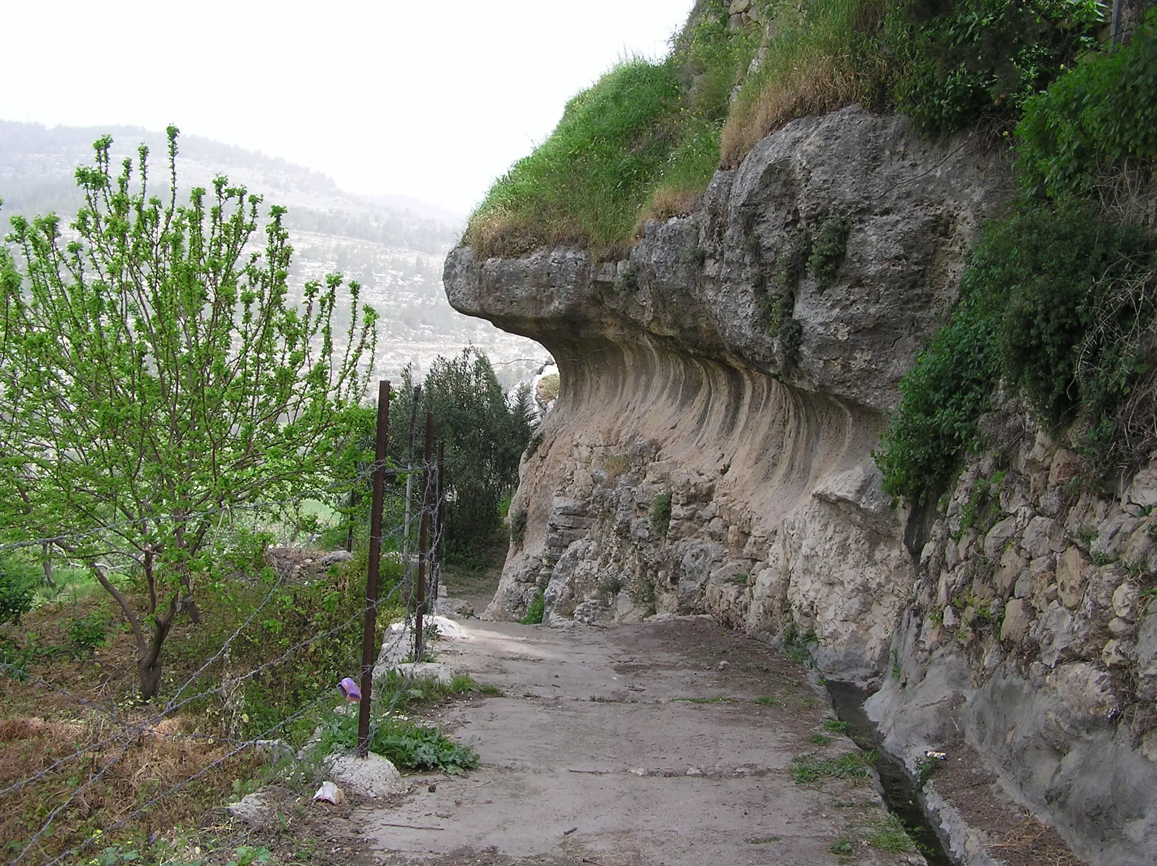
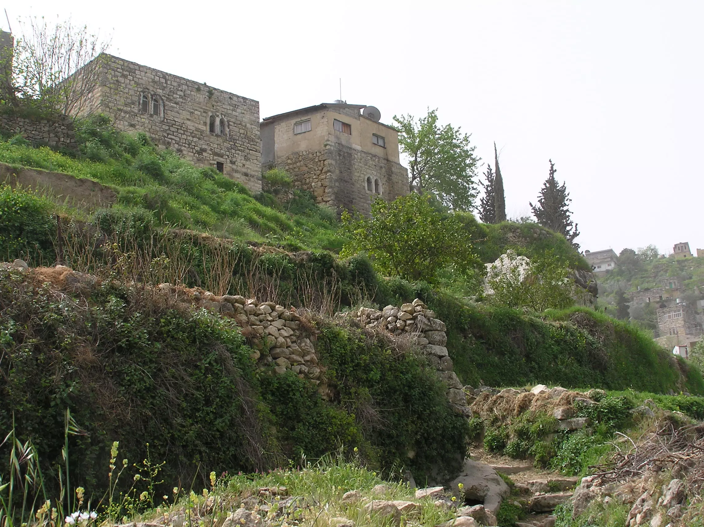
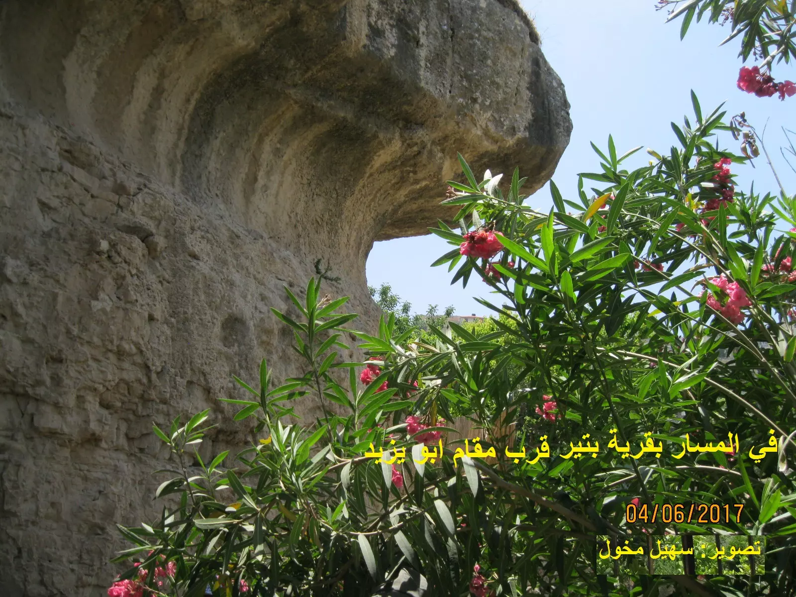
Posted by Umar Abu El-Bararri 1 - Solid Rock Cliff With Trail Leading To Terraces & Ain.
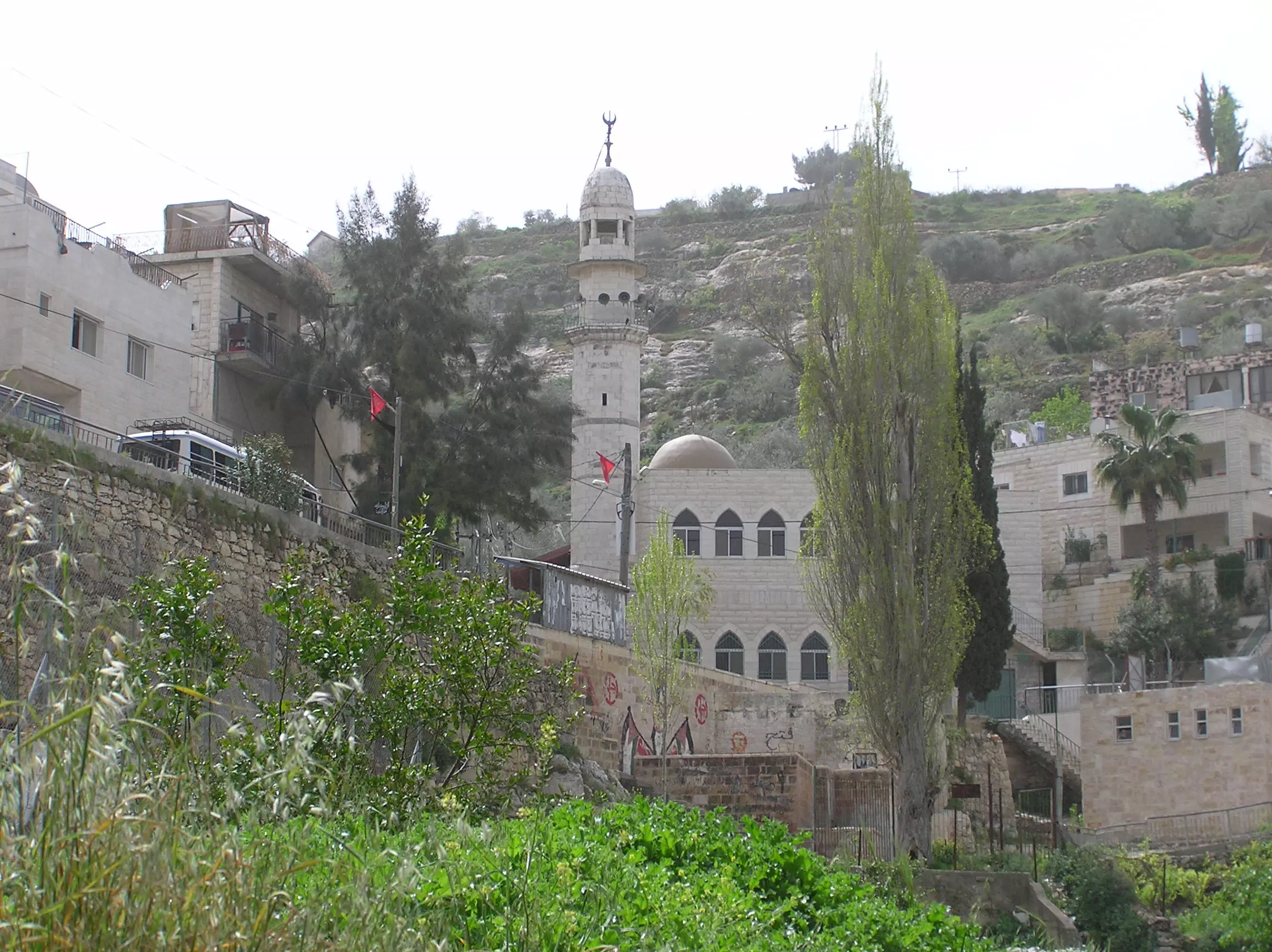
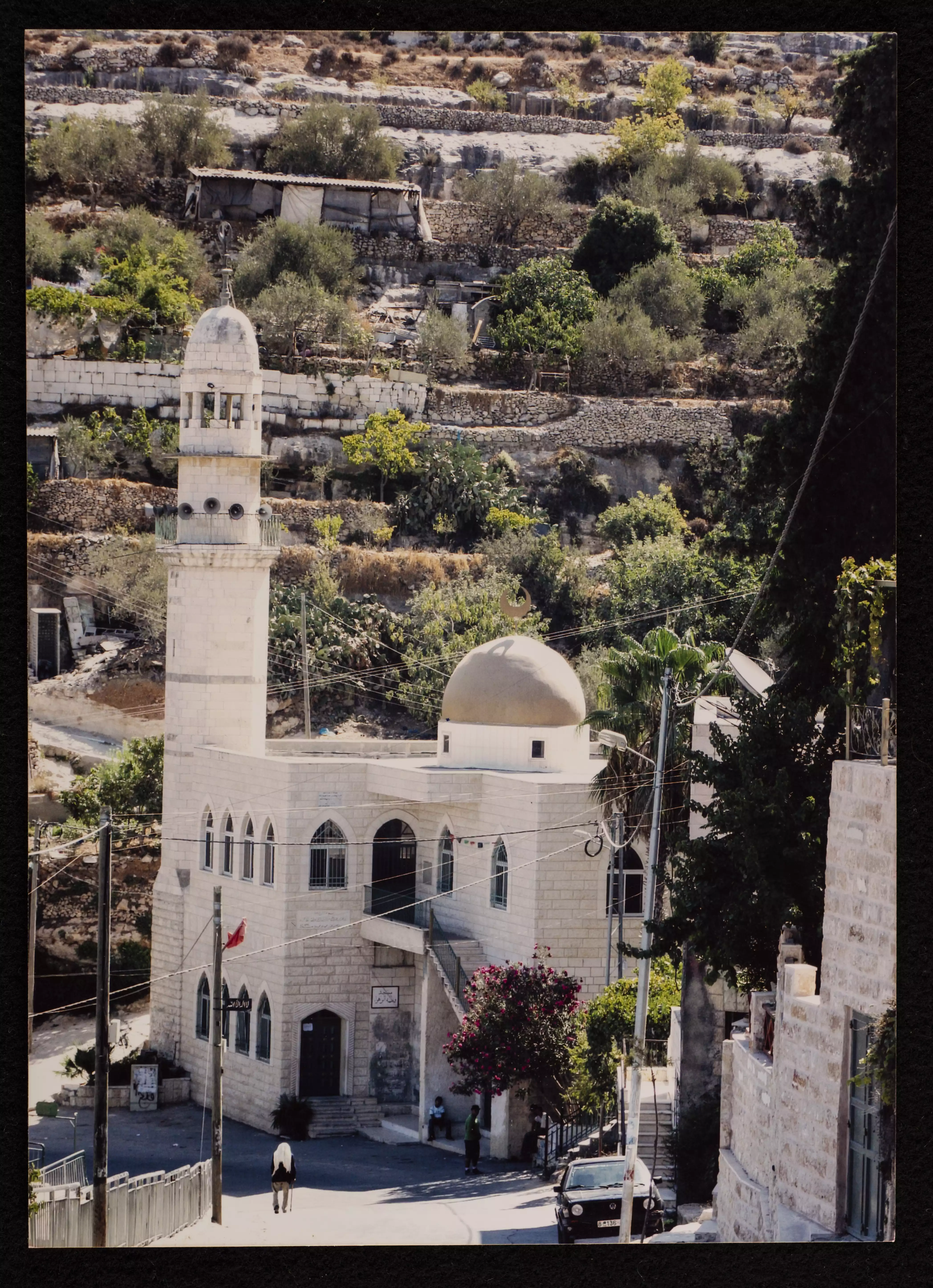
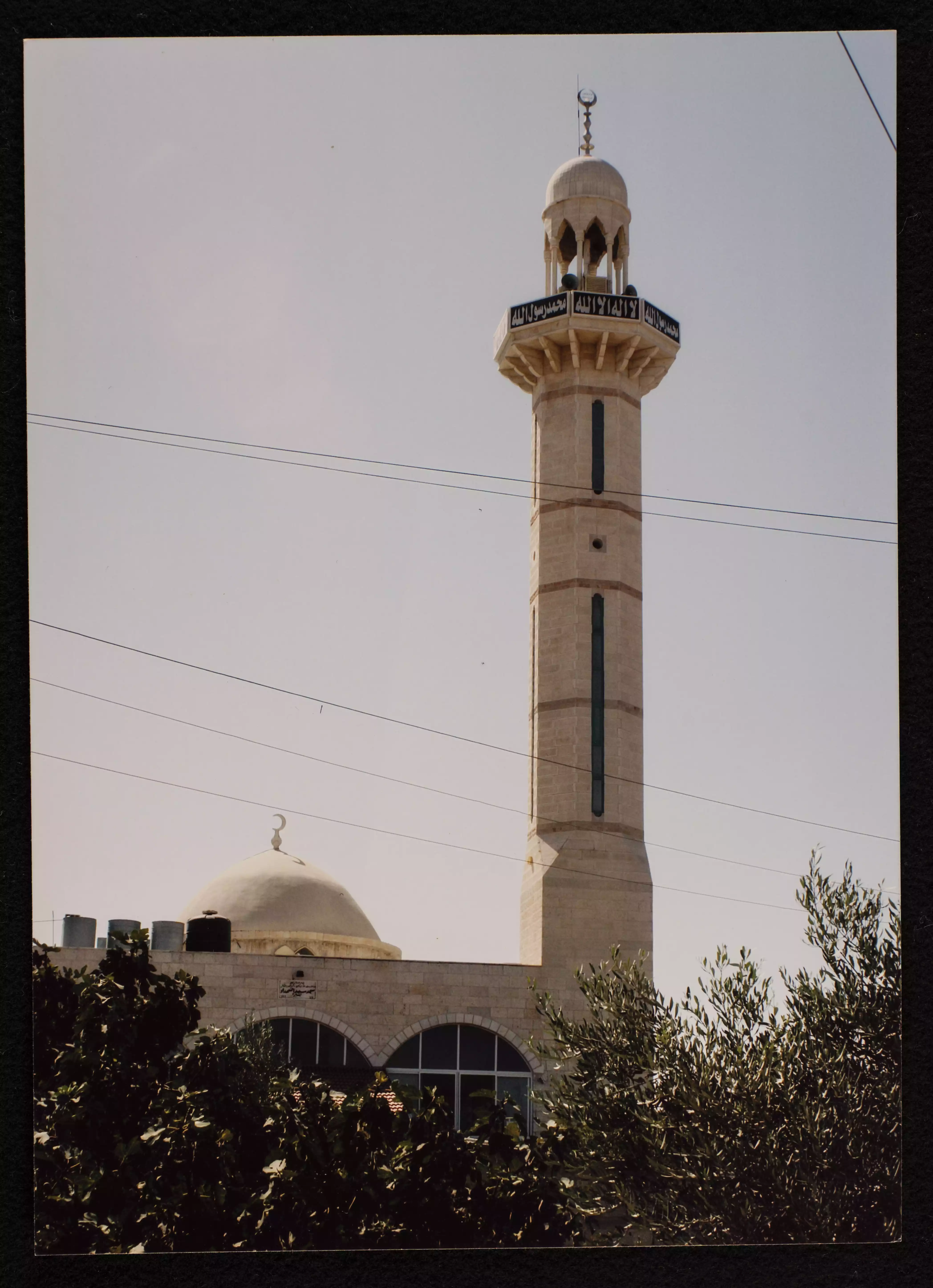
Posted by Umar Abu El-Bararri 1 - Battir's Mosque
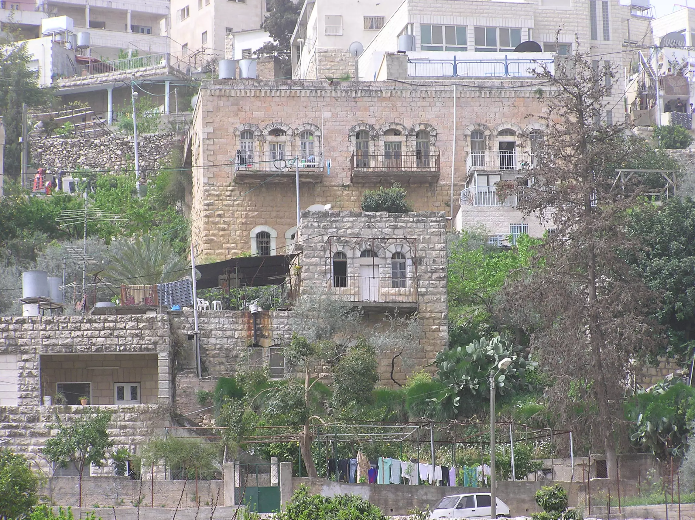
Posted by Umar Abu El-Bararri 1 - Battir's Old Beautiful Houses.
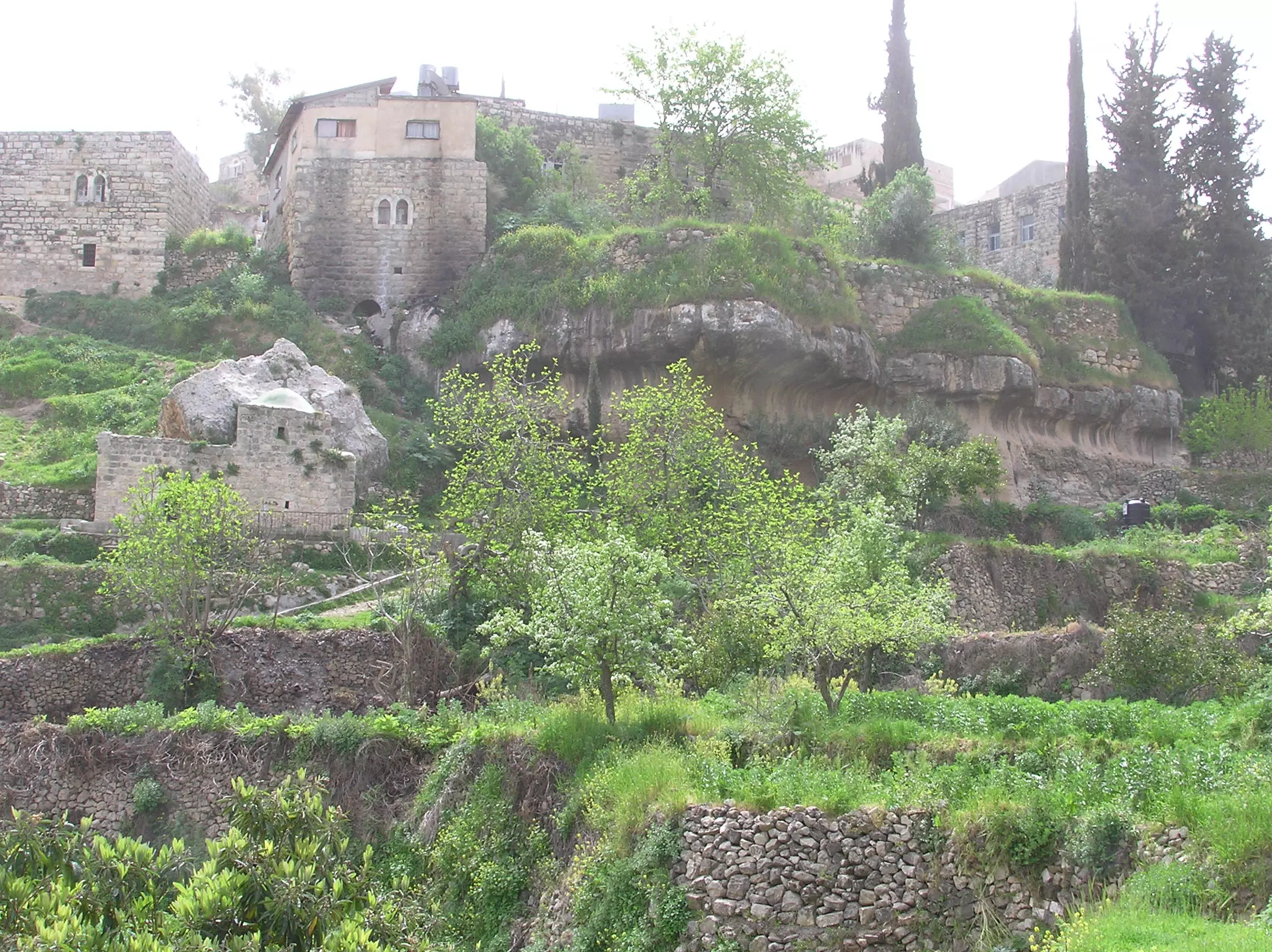
Posted by Umar Abu El-Bararri 1 - Battir's Old Houses On Solid Rock Ridge (#1)
Posted by Umar Abu El-Bararri 2 - Battir's Old Houses On Ridge (#2)
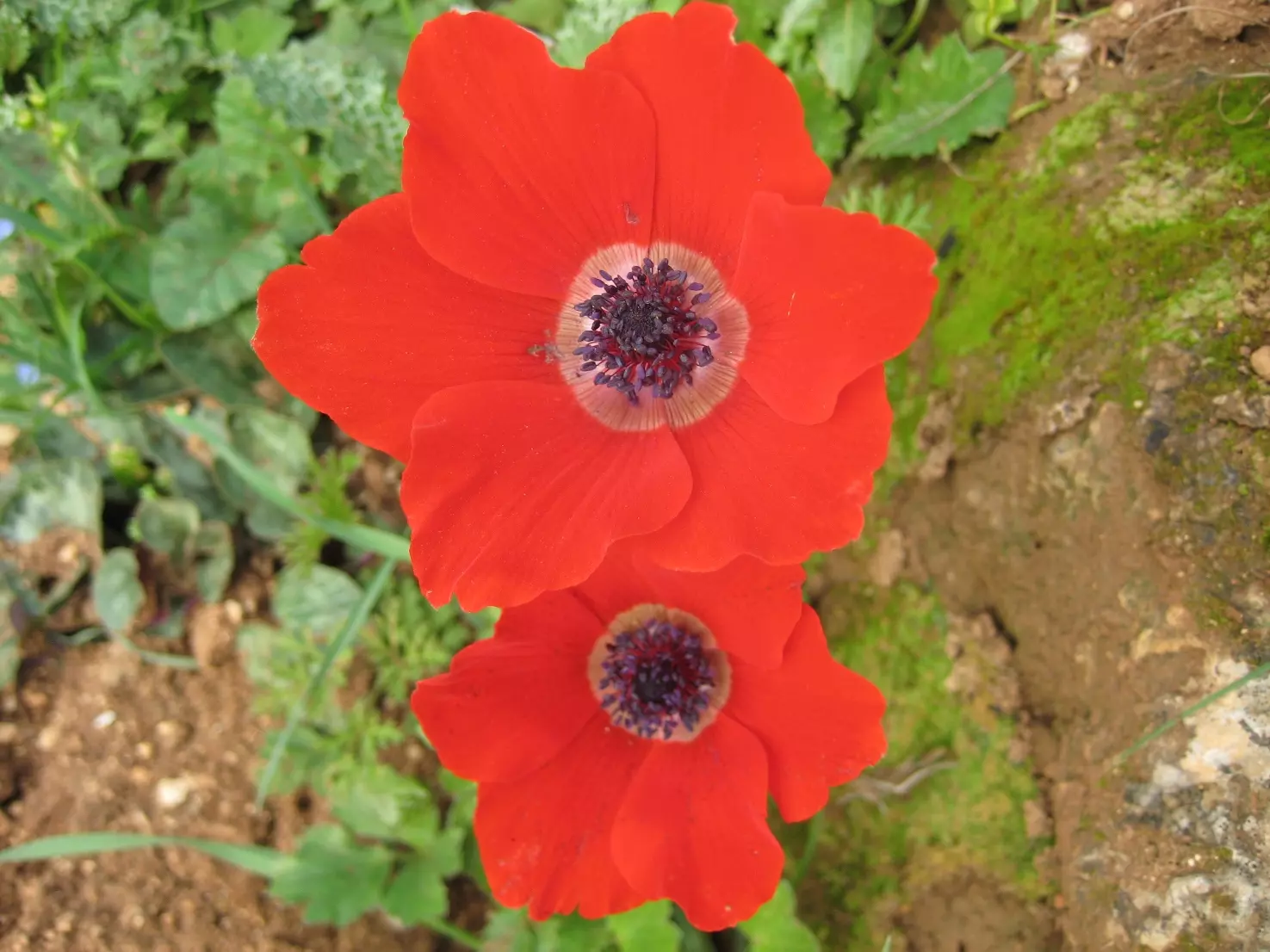
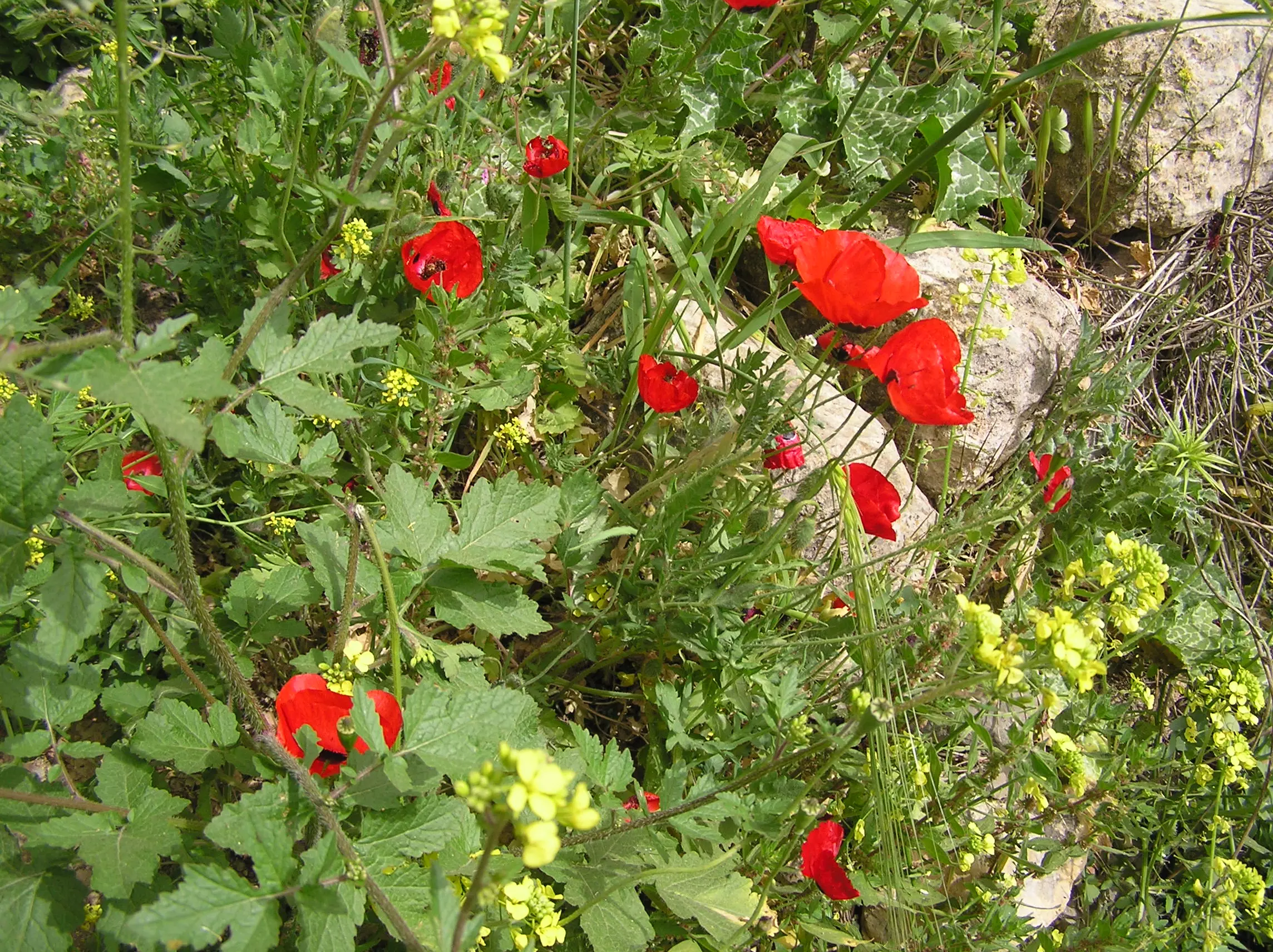
Posted by Umar Abu El-Bararri - Battir's Poppies
Posted by Umar Abu El-Bararri - General View of Ain Jame' Area منظر عام لمنطقة عين جامع
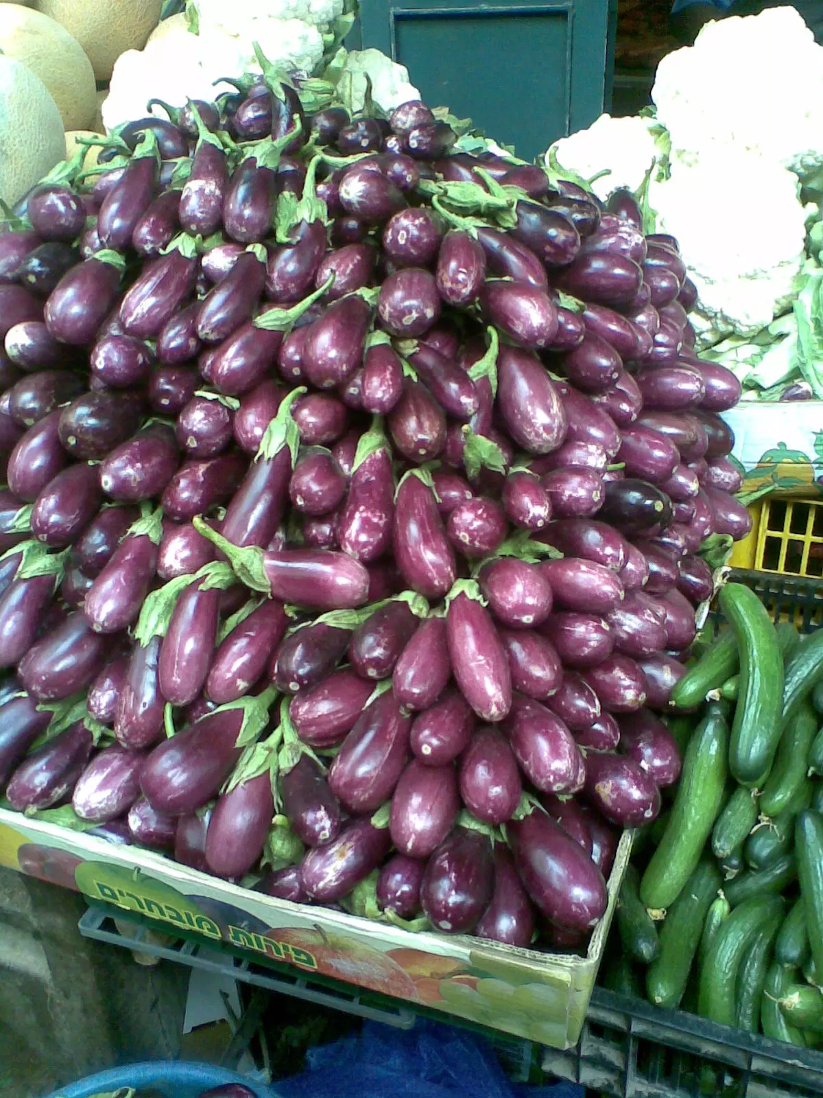
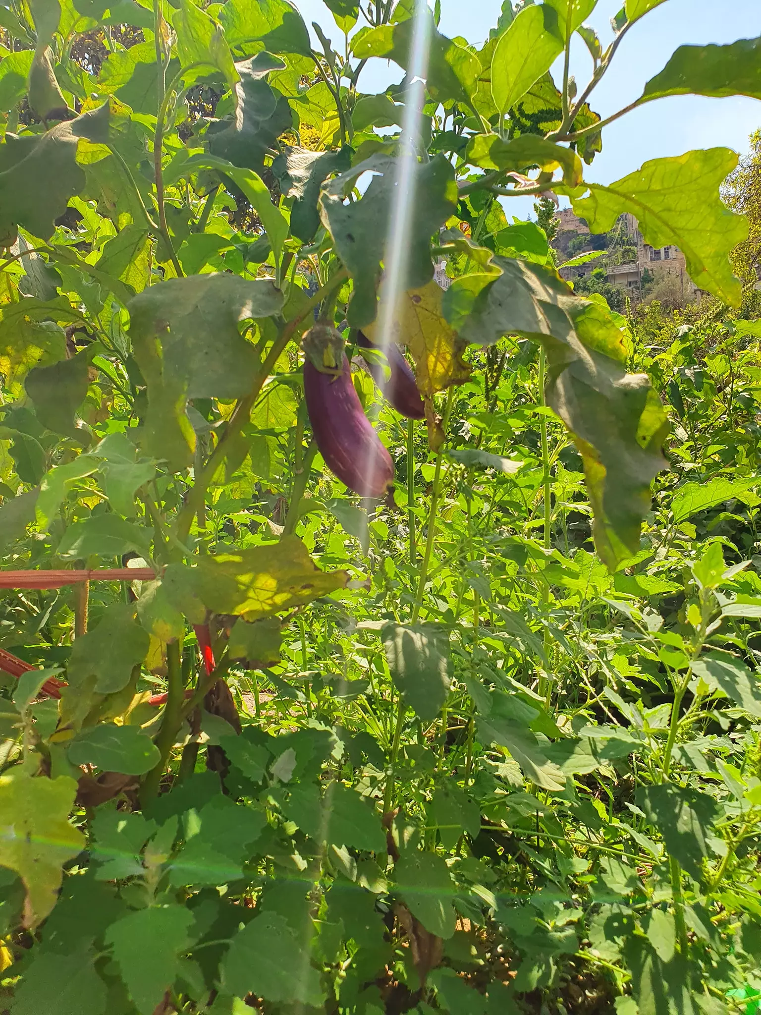
Posted by Omar Hasan Hammad 3 - Battiri Aubergine الباذنجان البتيري
Posted by Omar Hasan Hammad 2 - Battir from Mahatta
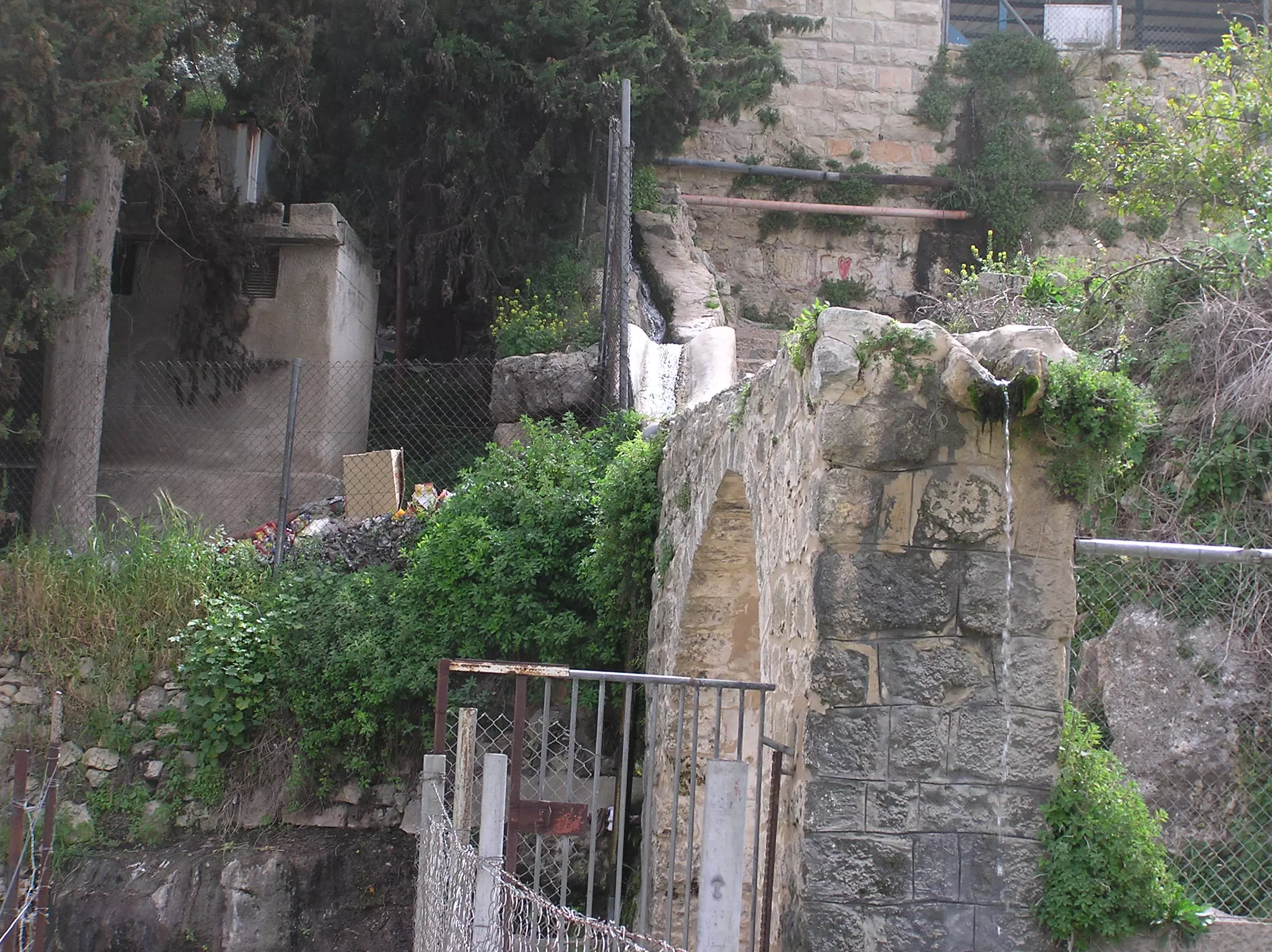
Posted by Fathi Abunimeh 1 - Battir's Roman Arch With Water Flowing From The Ain Into Roman Pool
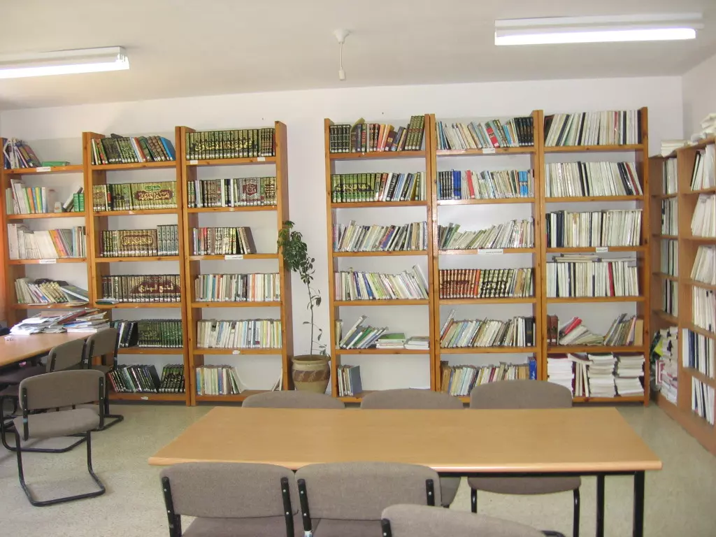
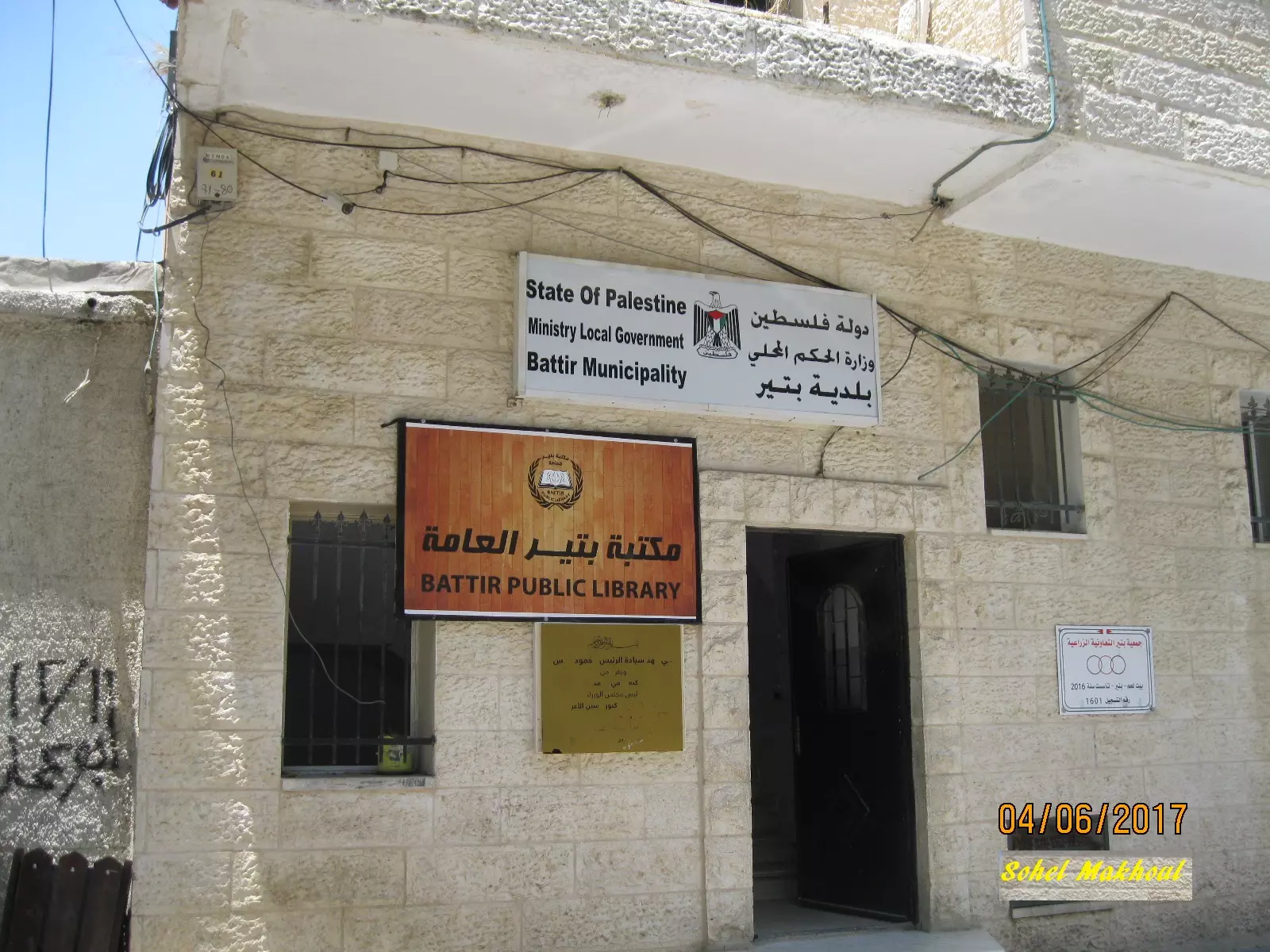
Posted by Umar Abu El-Bararri 1 - Battir - بتير: Battir Public Library مكتبة بتير العامة
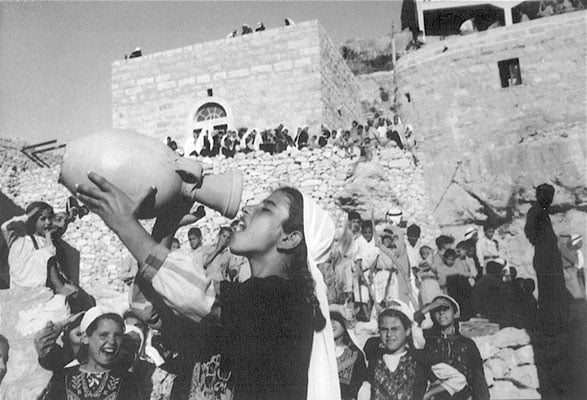
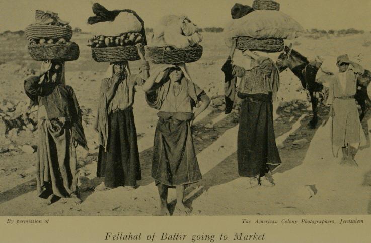
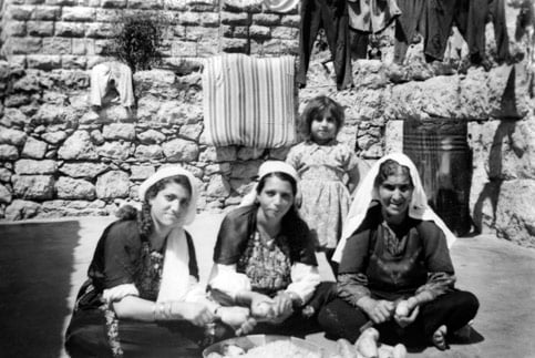
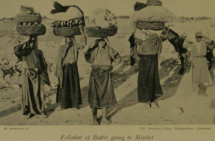
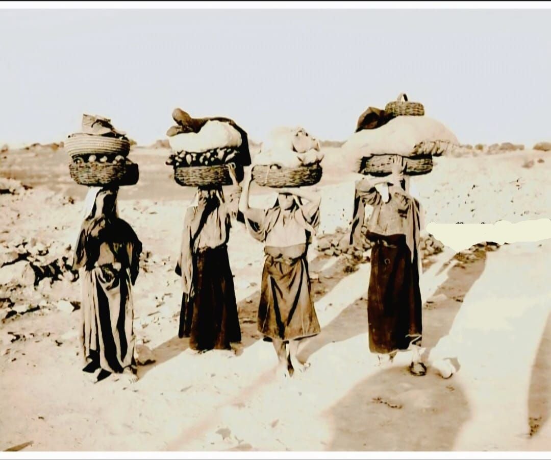
Posted by Omar Hasan Hammad 1 - Fallahat from Battir
Posted by Ahmad Obeidallah 2 - A general View of Al-Baten, Al-Juroun & the Tower of Khirbeh منظر عام لمنطقة الباطن والجرون وبرج الخربة
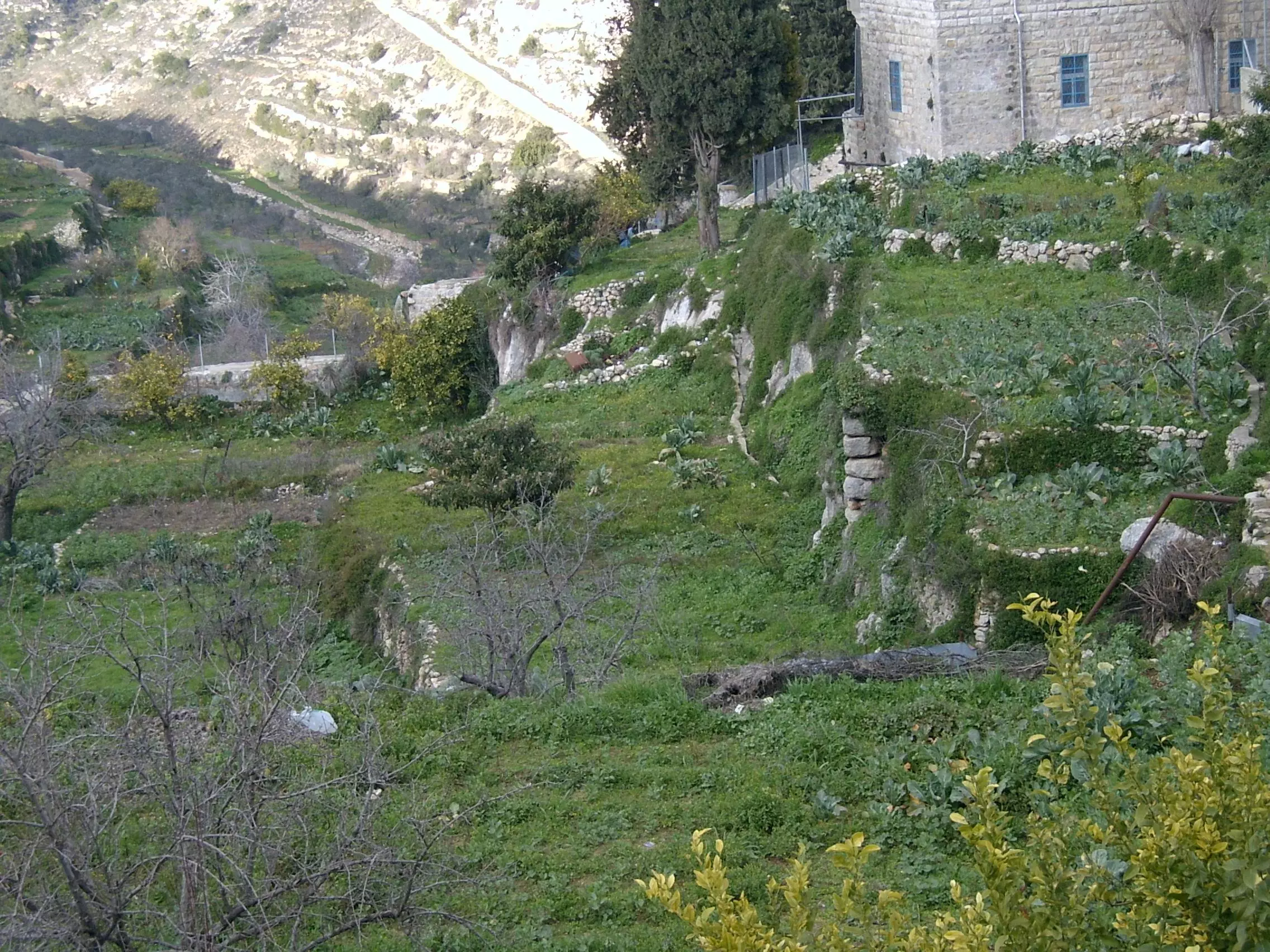
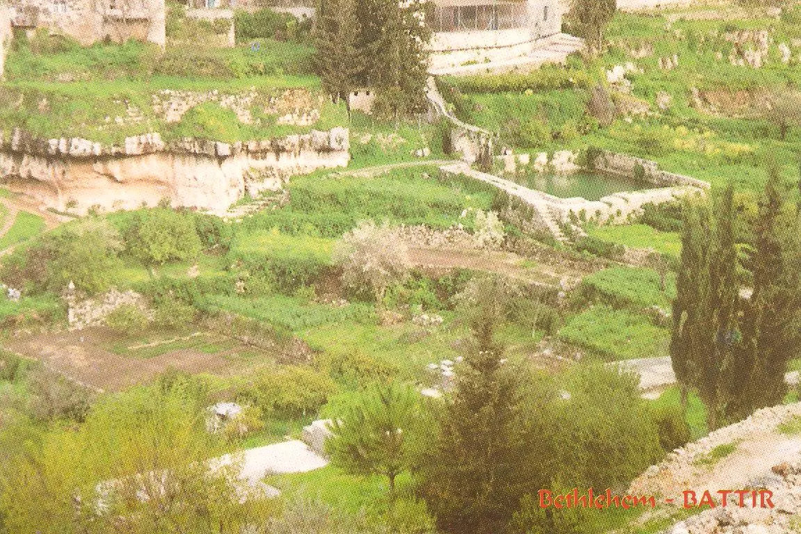
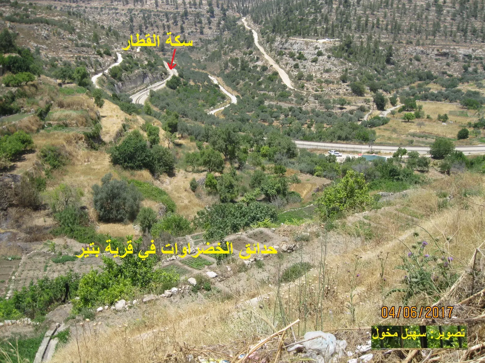
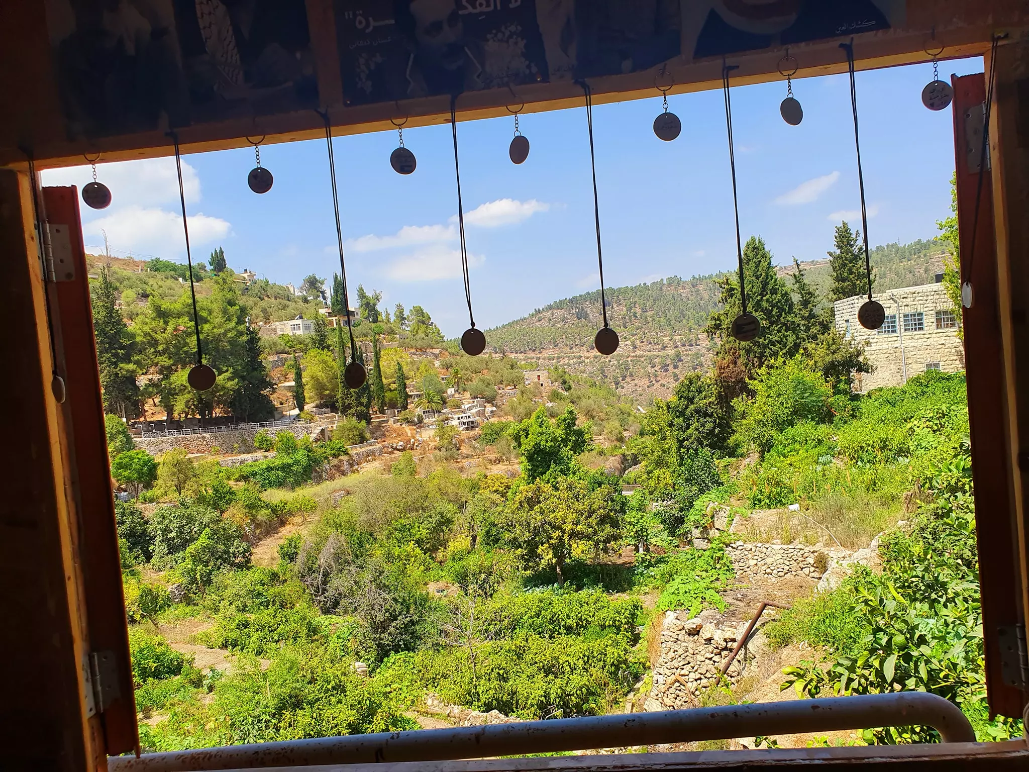
Posted by Omar Hasan Hammad 2 - General View of the Jinan of Battir منظر عام لـ جنان بتير
Posted by Omar Hasan Hammad 3 - battir 1948
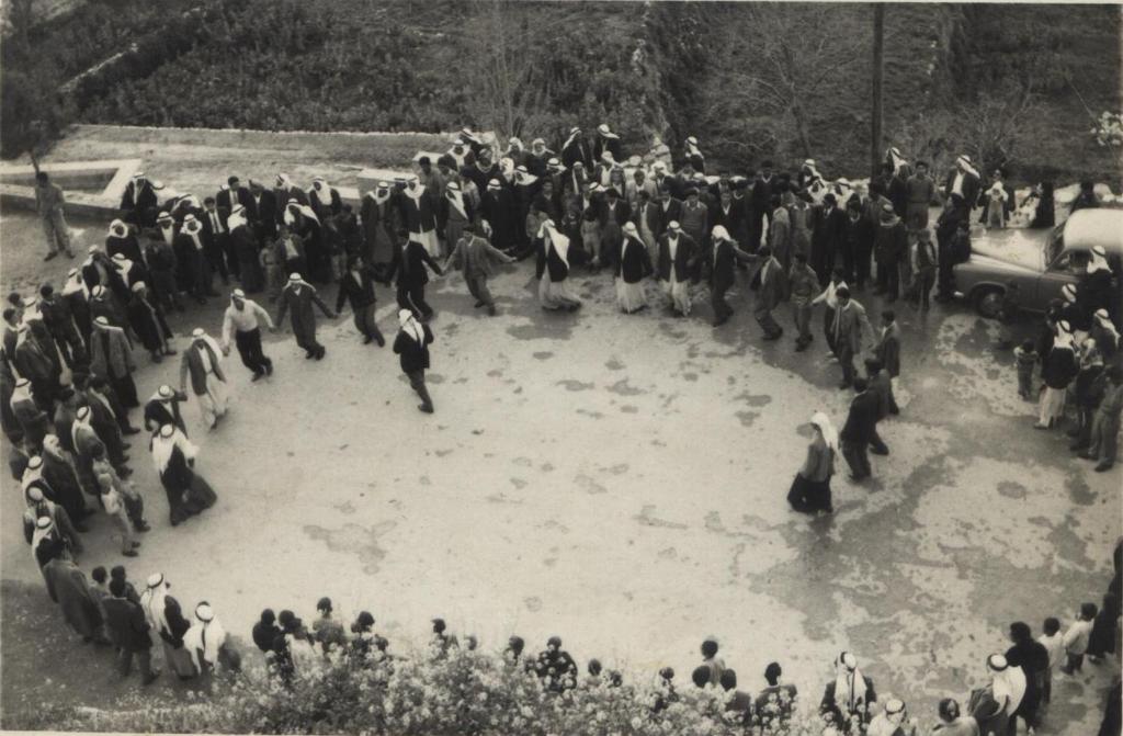
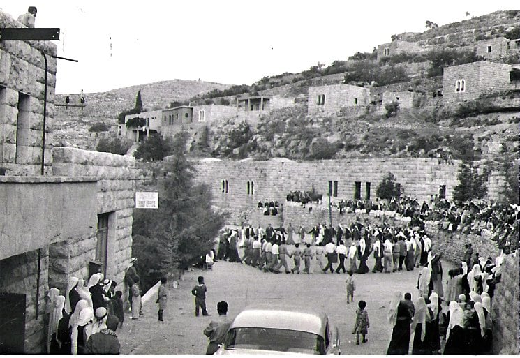
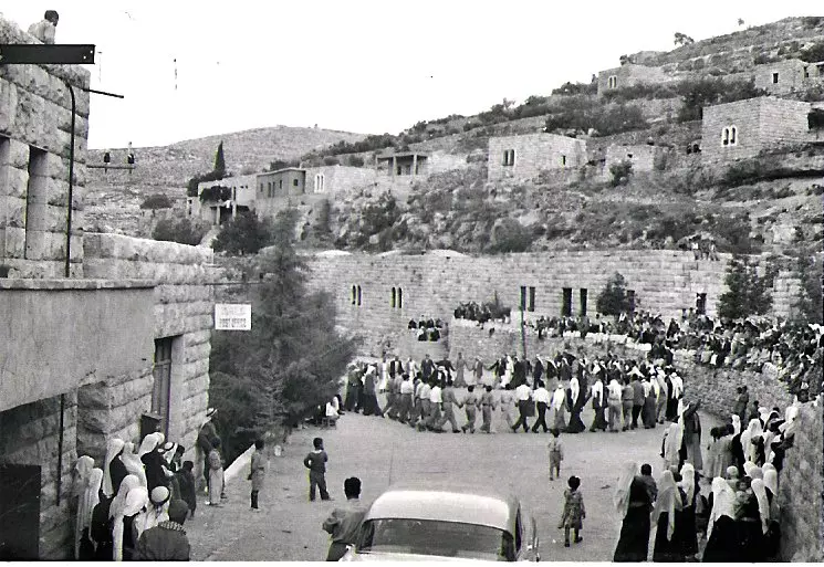
Posted by samer owineh 3 - wedding in battir
Posted by samer owineh - battir landscape
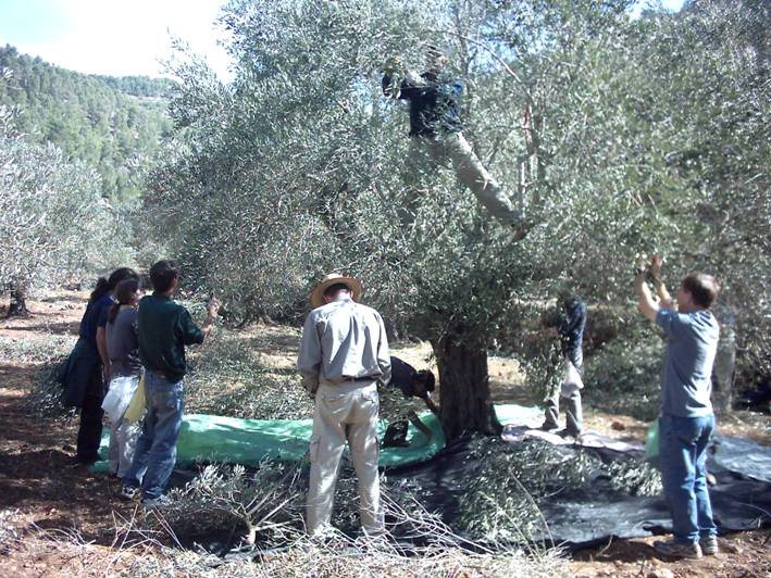
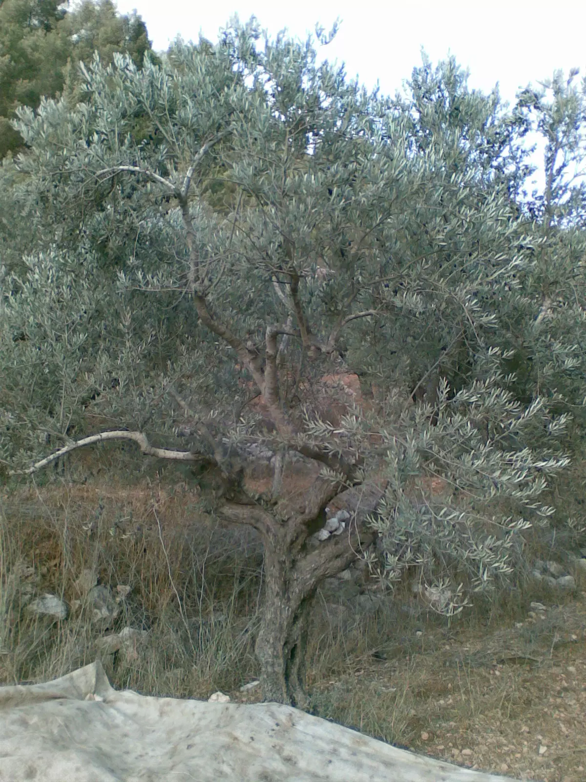
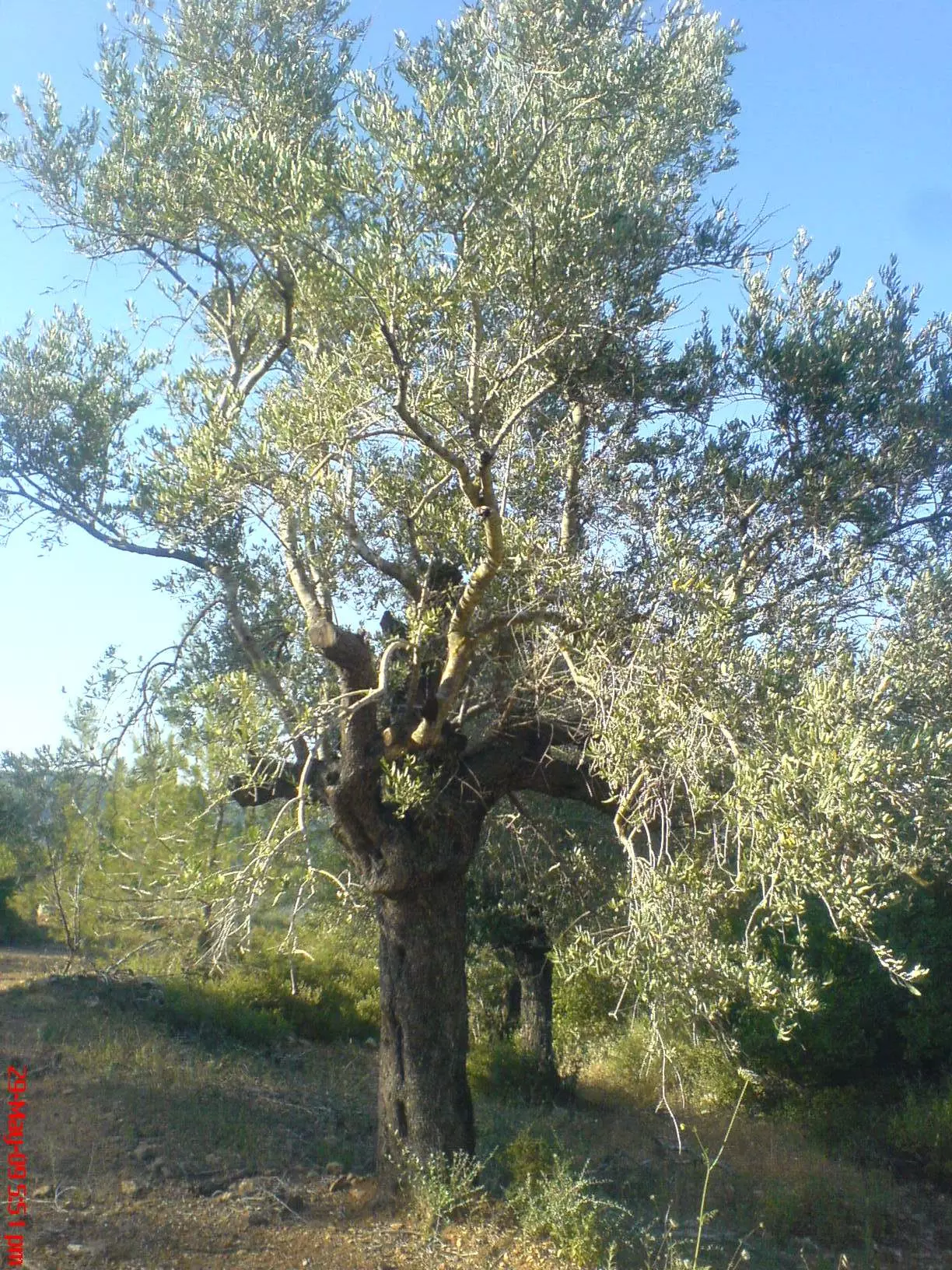
Posted by samer owineh 2 - picking olive in Battir
Posted by samer owineh 2 - Battir spring and water pool
Posted by samer owineh 2 - battir and the train
Posted by samer owineh - battir 1948- 2
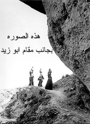
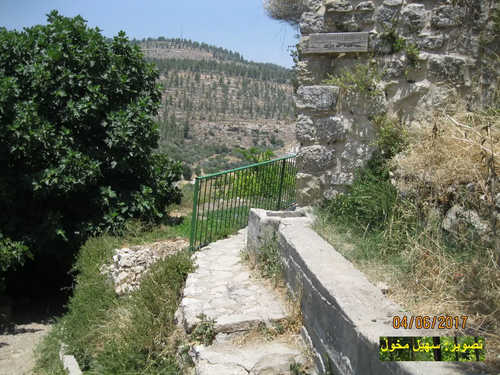
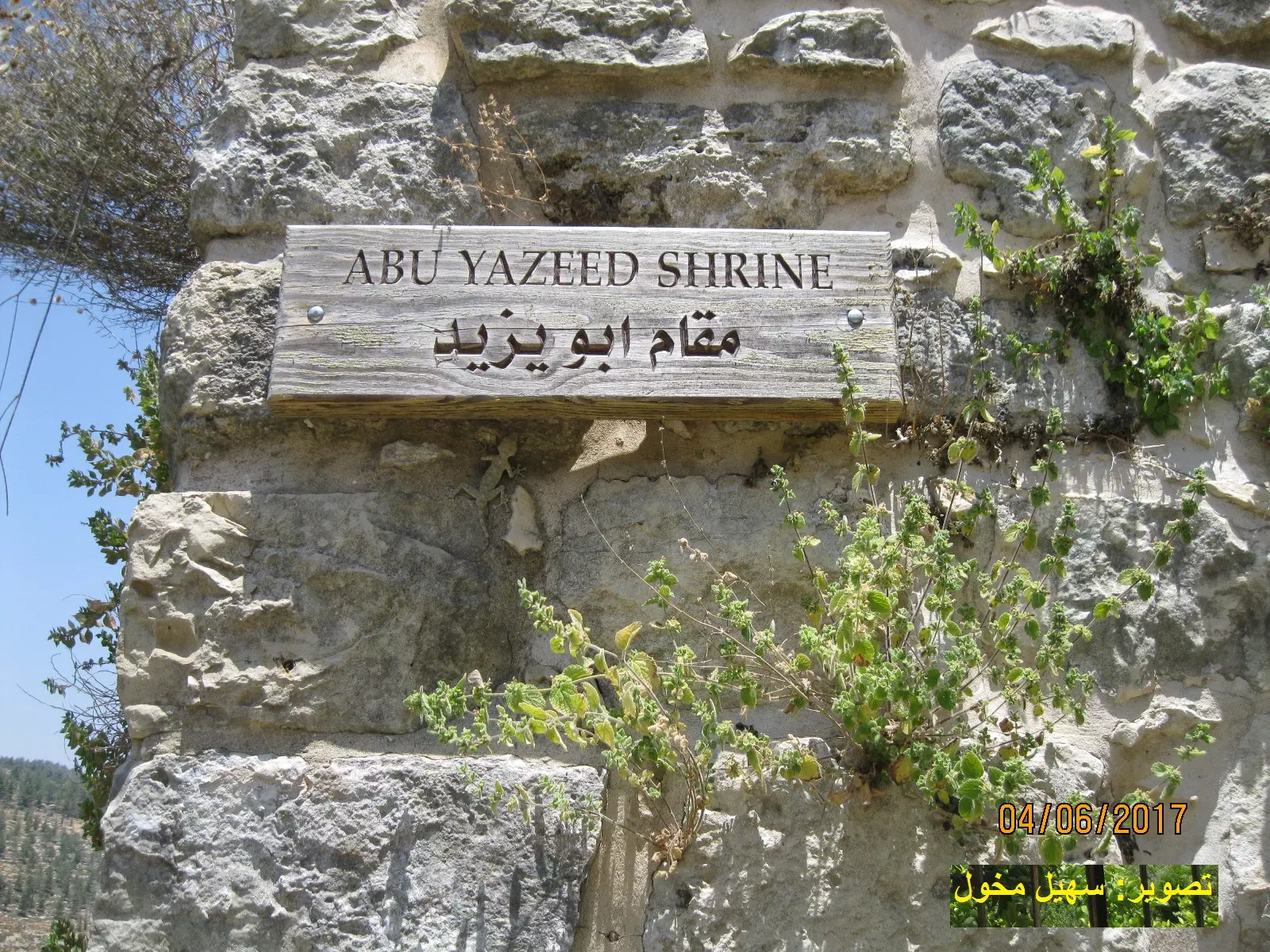
Posted by samer owineh 1 - مقام ابو يزيد البسطامي في قرية بتير
Posted by samer owineh 1 - محطة قطار بتير عام 1948
Posted by samer owineh - The Cemetery of Battir مقبرة بتير
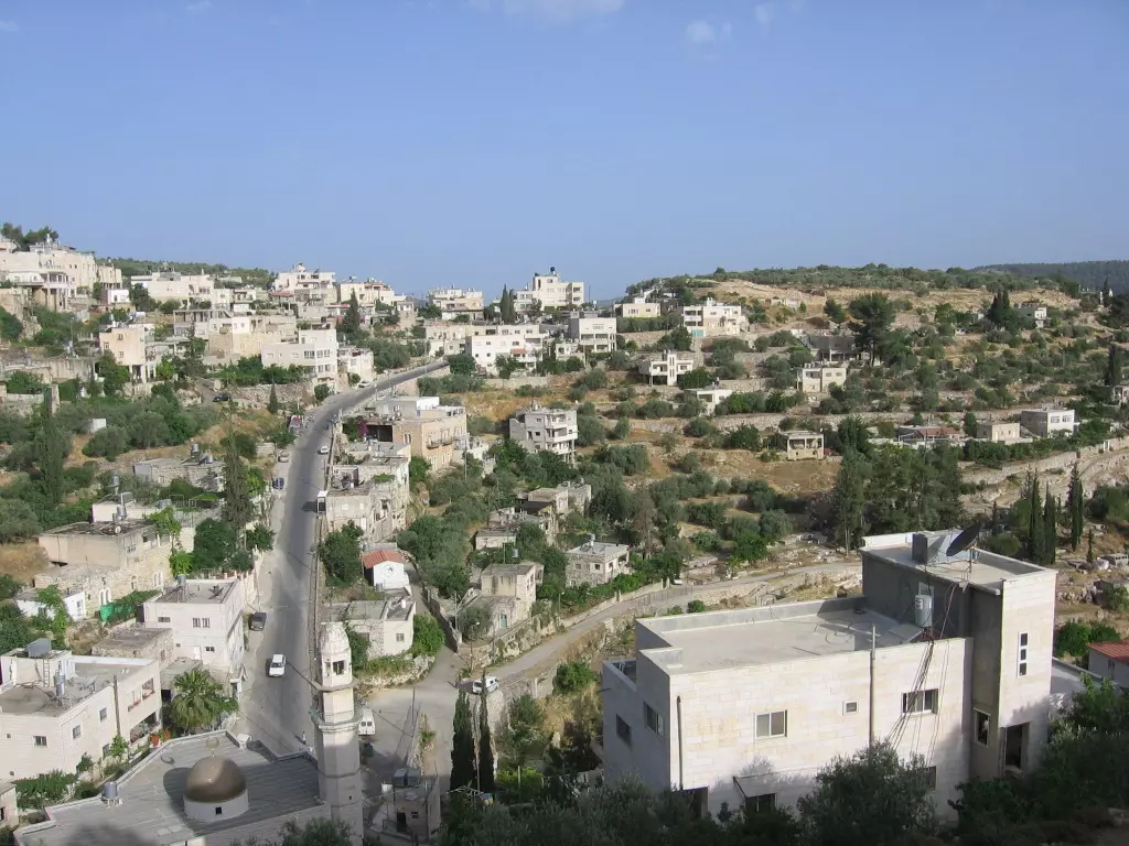
Posted by Omar Hasan Hammad 3 - View of Battir from Alsharafa
Posted by Rana Rushdi 1 - old wedding
Posted by abu rashed 2 - alharaja
Posted by abu rashed 1 - alqurba
Posted by abu rashed - alegnan
Posted by abu rashed - BATTIR AT NIGHT FROM ABUBUTMA...
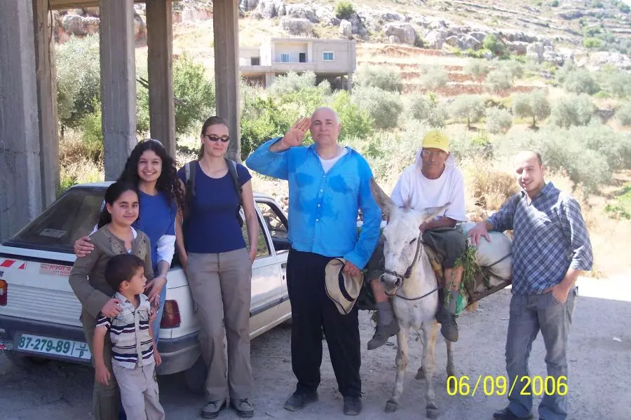
Posted by abu rashed 1 - visitors in the village
Posted by abu rashed 2 - beutiful pic...beutiful memories...from abubutma
Posted by abu rashed 1 - the center of the village...from abubutma
Posted by abu rashed - Battir garden... from abubutma
Posted by abu rashed - Agriculture in the village...
Posted by abu rashed - The Train1 muamar bridg
Posted by abu rashed - The Train ...muamar bridg
Posted by abu rashed - From alSArafa
Posted by abu rashed - Ain Albalad ...from abubutma
Posted by abu rashed 1 - AlHAreeq town
Posted by abu rashed - قطف الزيتون4 2008
Posted by abu rashed 1 - الواد الغربي
Posted by abu rashed - خلة ابو لبن
Posted by abu rashed - 1900 سكة الحديد

Posted by Ahmad Obeidallah - عين جامع
Posted by abu rashed - واد الدور
Posted by abu rashed - عين جامع 2
Posted by abu rashed - الواد الغربي
Posted by abu rashed - عين جامع 2
Posted by abu rashed - منطقة الحريك
Posted by abu rashed - باب الزقاق
Posted by abu rashed - طف القبو
Posted by abu rashed - صورة عامة من منطقة القبو
Posted by abu rashed - battir 1998
Posted by Fadi Bader 1 - منظر لمنطقة الجرون والخربة والمصيبعة
Posted by Fadi Bader 1 - Aerial View of Battir "1" منظر جوي لقرية بتير
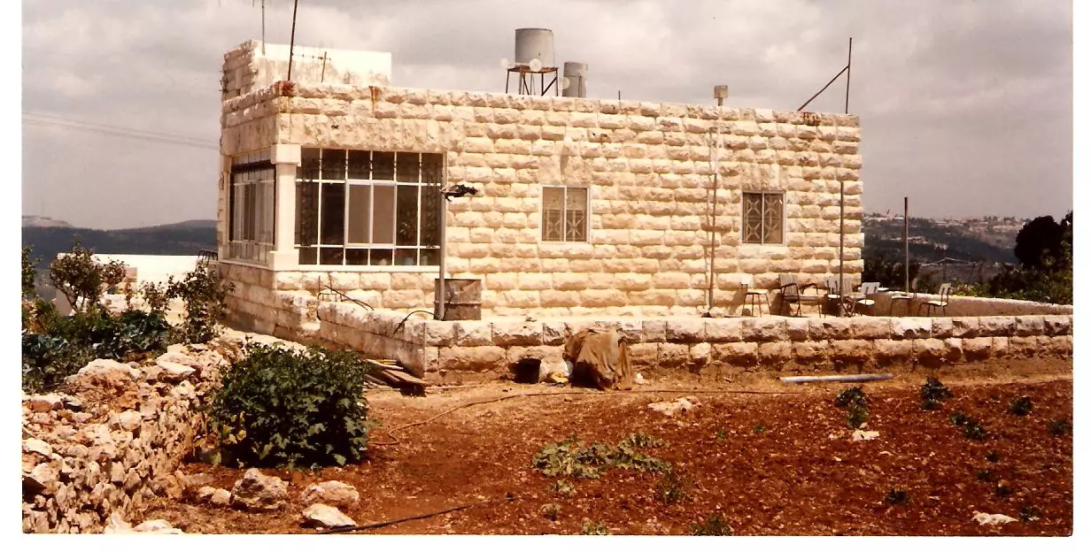
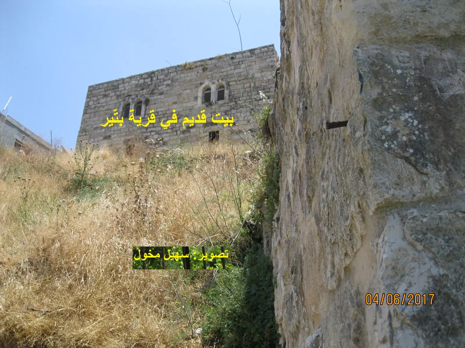
Posted by Omar Hasan Hammad 2 - منزل فلسطيني قديم في بتير وروعة وجمال حجارة البناء
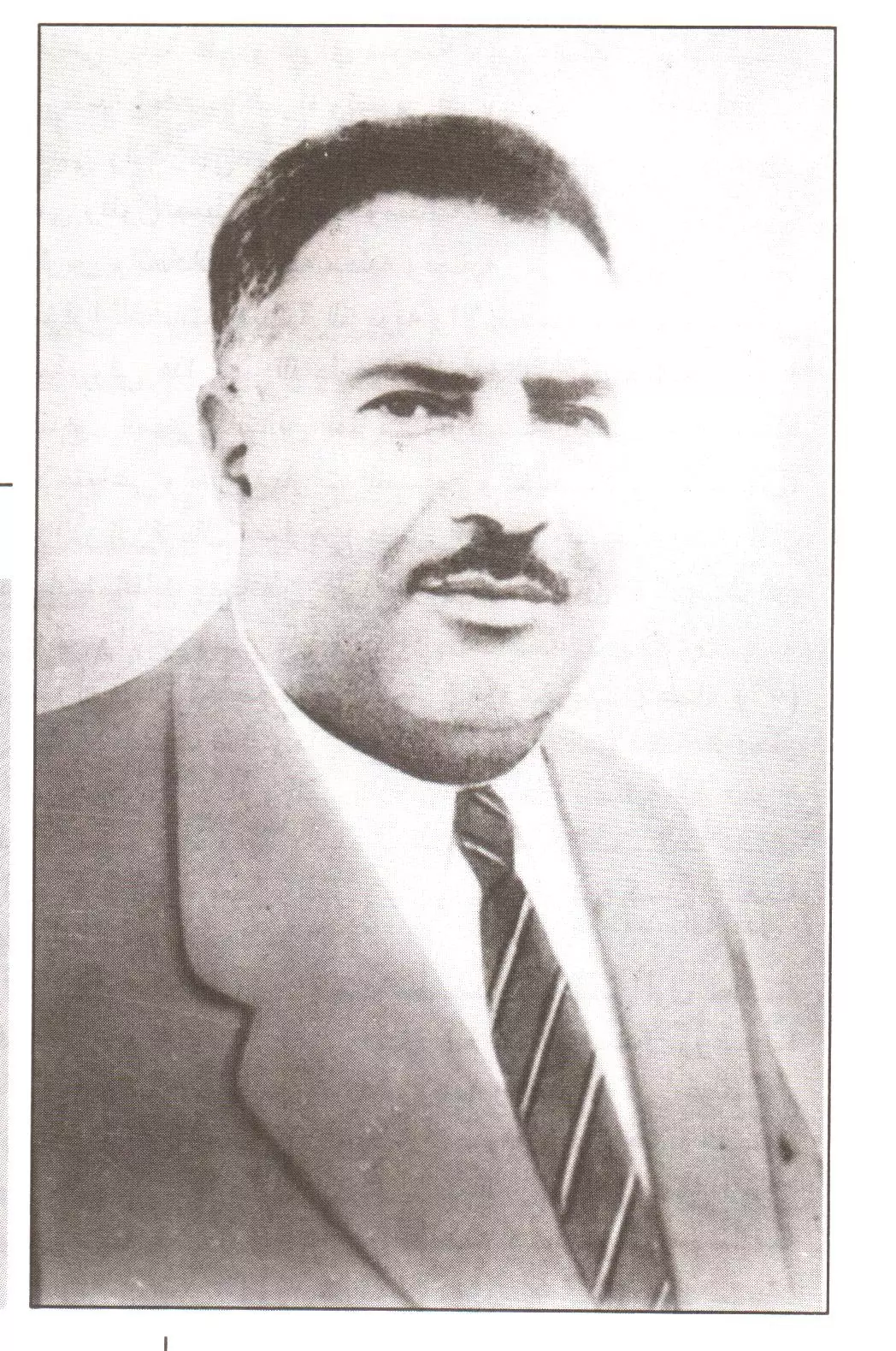
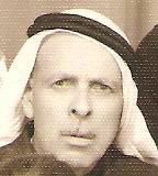
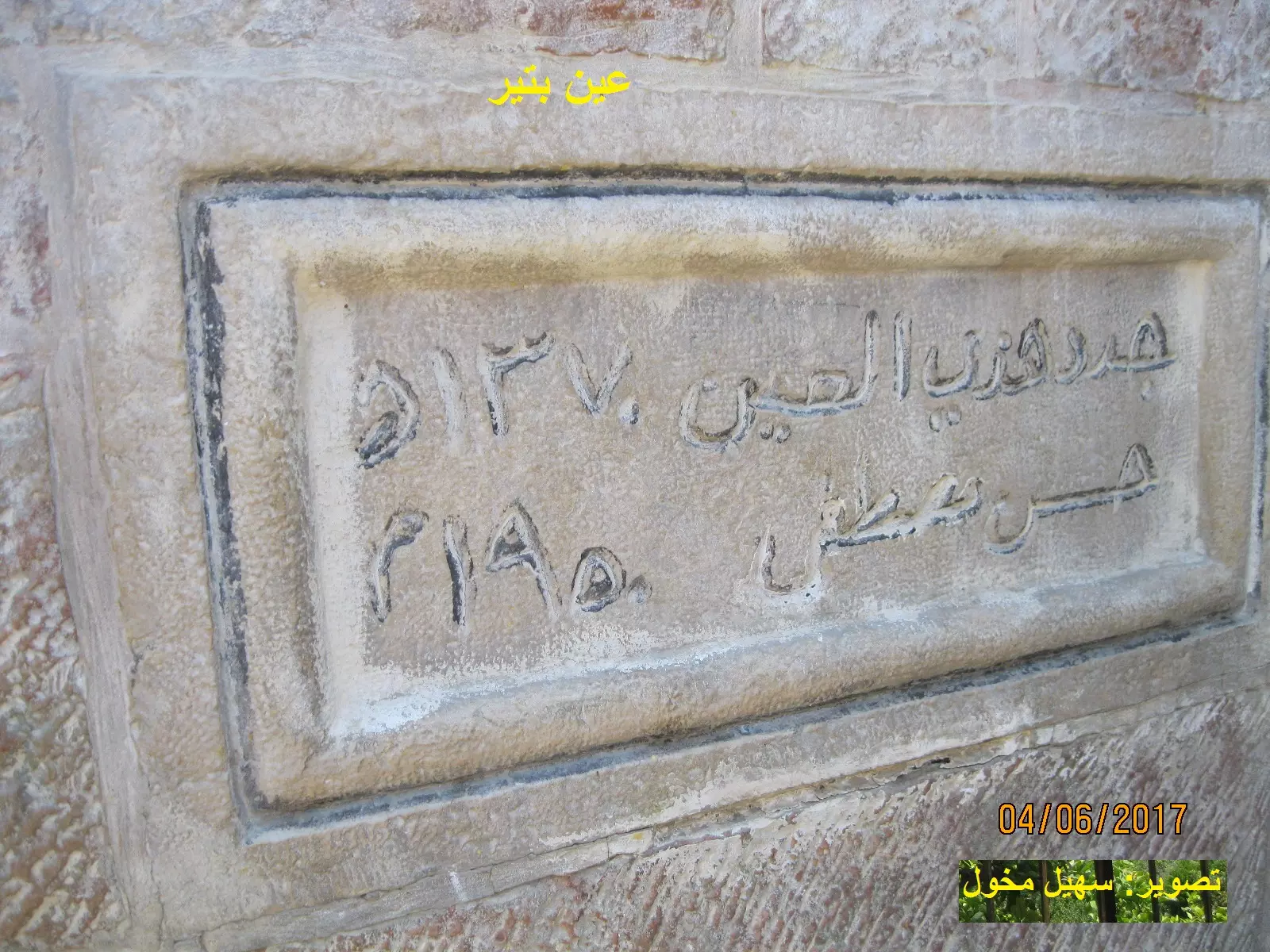
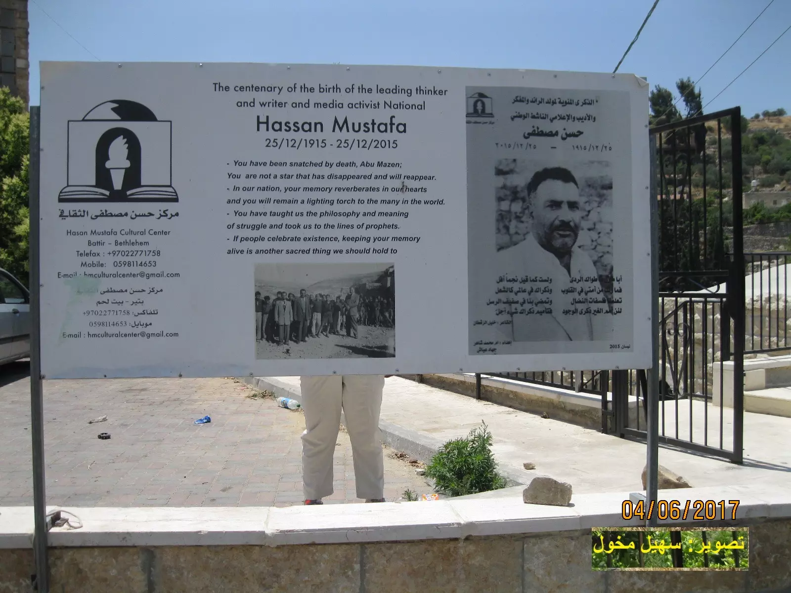
Posted by Fadi Bader 1 - Battir: Hasan Mostafa (1914-1961) بتير: حسن مصطفى
Posted by Omar Hasan Hammad 3 - Aerial View of el-Harik Area in Battir
Posted by Omar Hasan Hammad 2 - Battir, the Petra of Palestine بتير، بتراء فلسطين

Posted by Omar Hasan Hammad 2 - Battir, the Petra of Palestine بتير، بتراء فلسطين
Posted by Omar Hasan Hammad 1 - Al-Qa'ah, the Delta of Battir القاعة، دلتا بتير
Posted by Omar Hasan Hammad 4 - Delightful Ambiance of Ain Battir البيئة الناطقة لعين بتير
Posted by Omar Hasan Hammad 3 - Exquisite Poplars of Ain Battir حَوْرُ العَين رائع الجمال
Posted by Omar Hasan Hammad 3 - Images from the Past
Posted by Umar Abu El-Bararri 1 - Images from the Past
Posted by Umar Abu El-Bararri - new day in the last days from abubutma
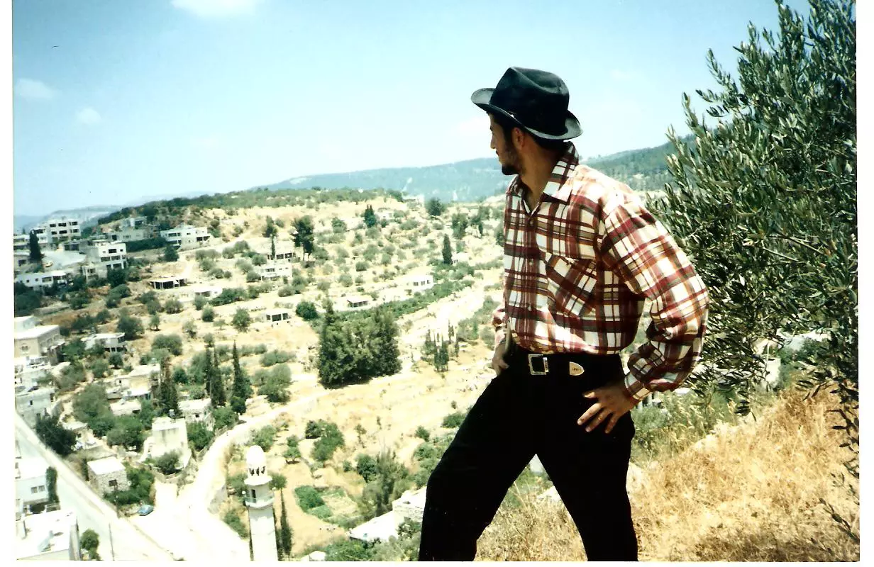
Posted by abu rashed 1 - مغترب فلسطيني عاد الى قريته الحدودية بعد 10 سنوات ونظرة تحدي للإحتلال وتفاؤل وأمل بالمستقبل
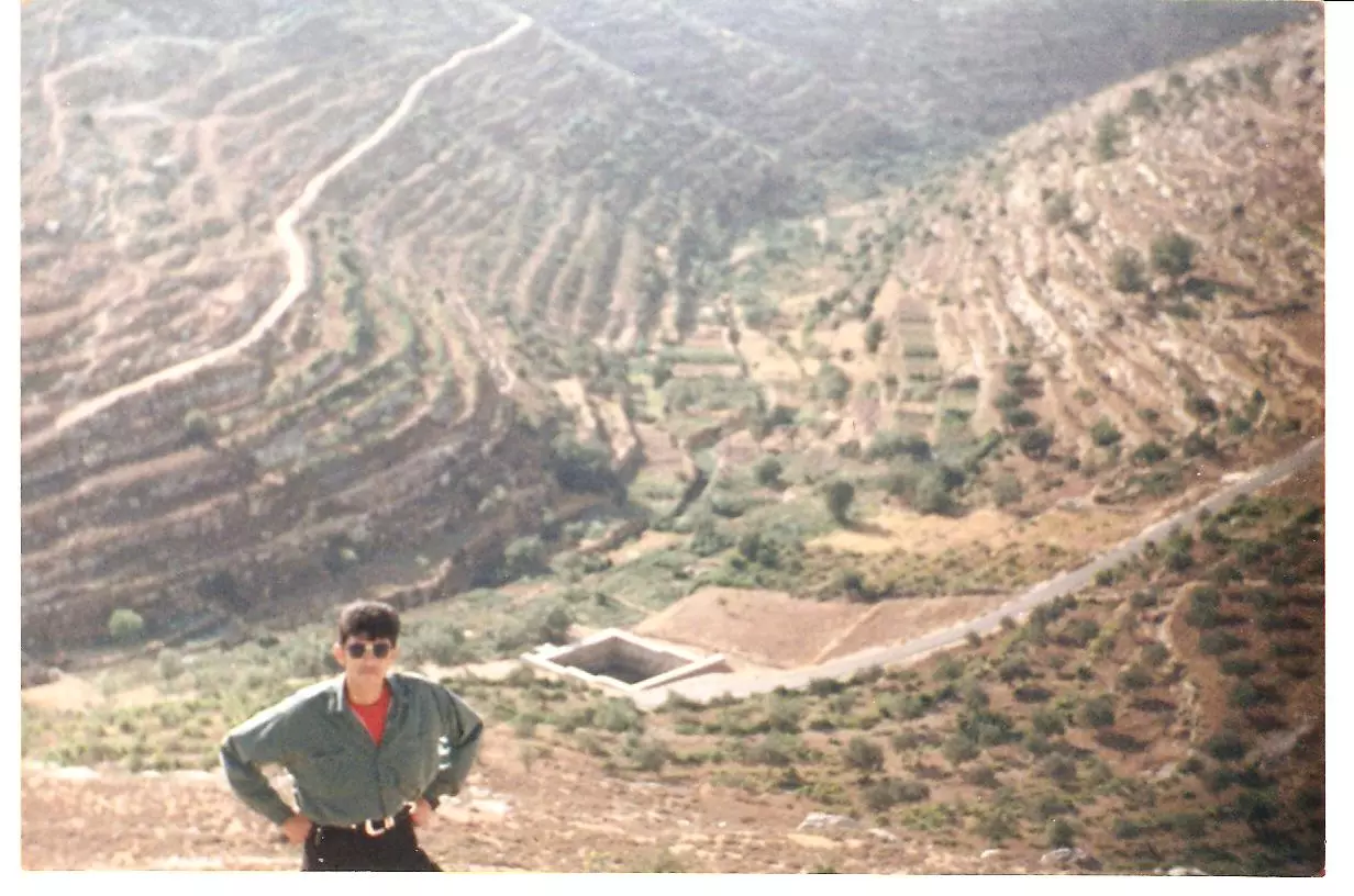
Posted by Fadi Bader 1 - كما تنبت الأشجار ينبت أبناء فلسطين جذورهم في الأرض راسخةيزرعون الزيتون ويغنون على دلعونة كما فعل هذا المغترب العائد من التشيلي
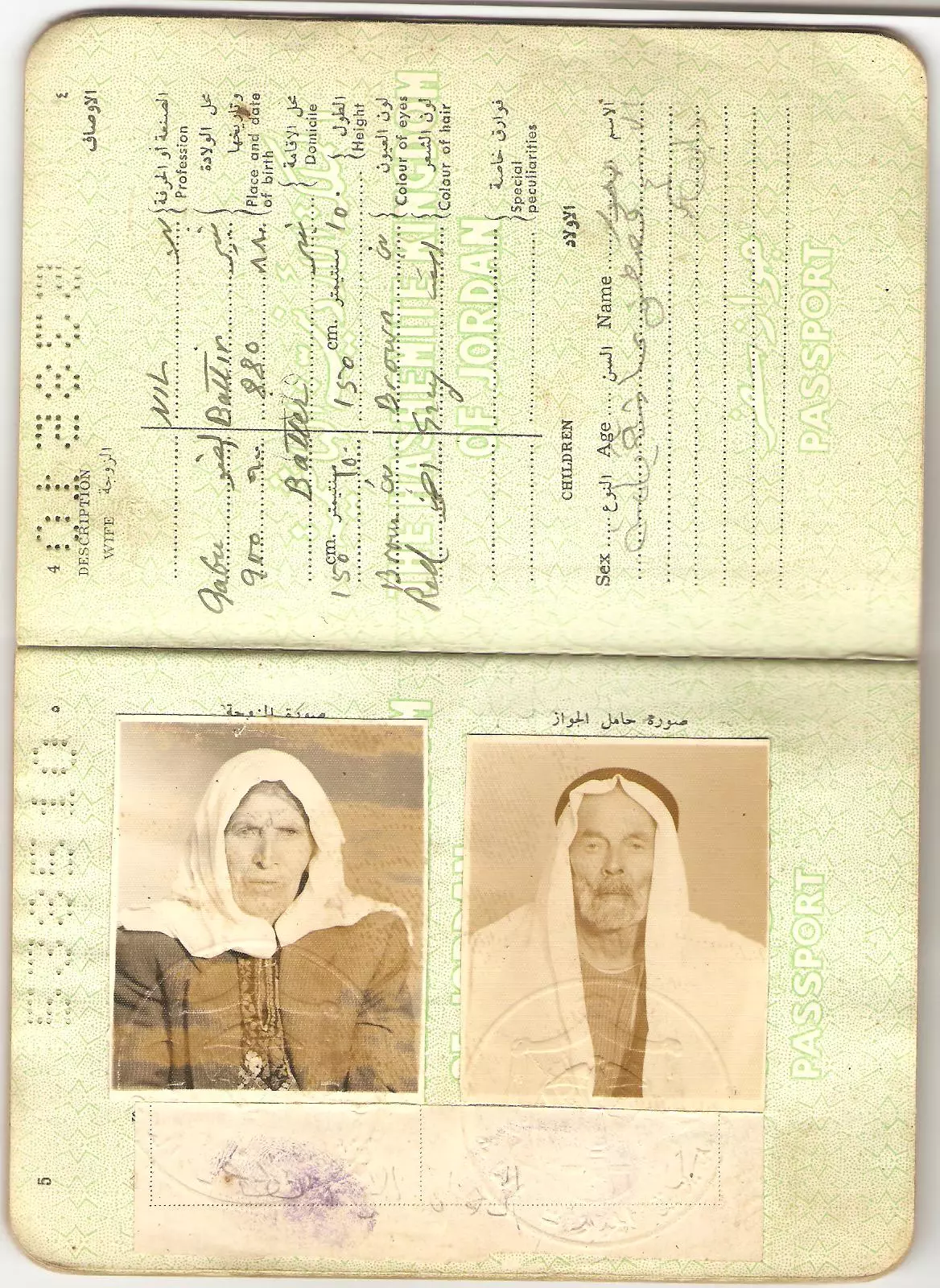
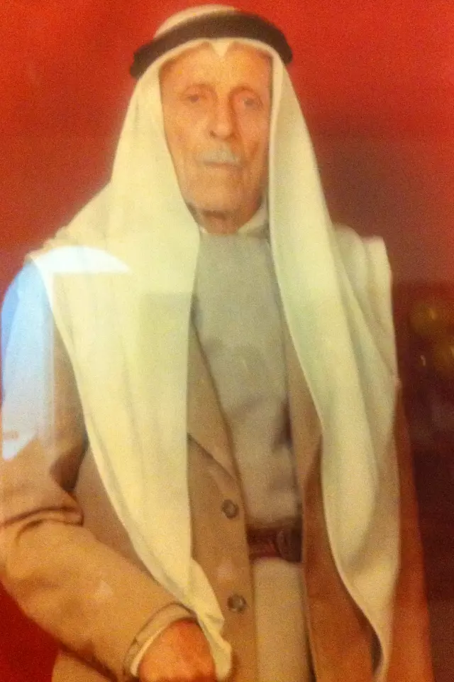
Posted by Fadi Bader - معمر فلسطيني وزوجته من مواليد 1880 م وتوفي عام 1986 م عاصر الأتراك و شارك في الثورات الفلسطينية ضد الإنجليز وعاش وحدة الضفتين وشاهد على نكسة 1967 م وماتلاها من مقاومة فلسطينية وترك وراءه العديد من الأولاد والبنات يقولون لا للإحتلال نعم لدولة فلسطبن
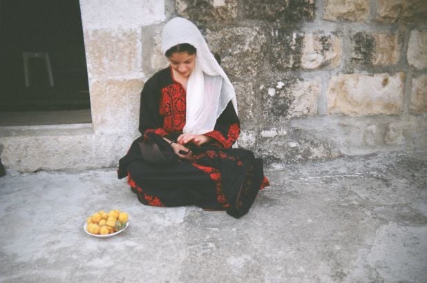
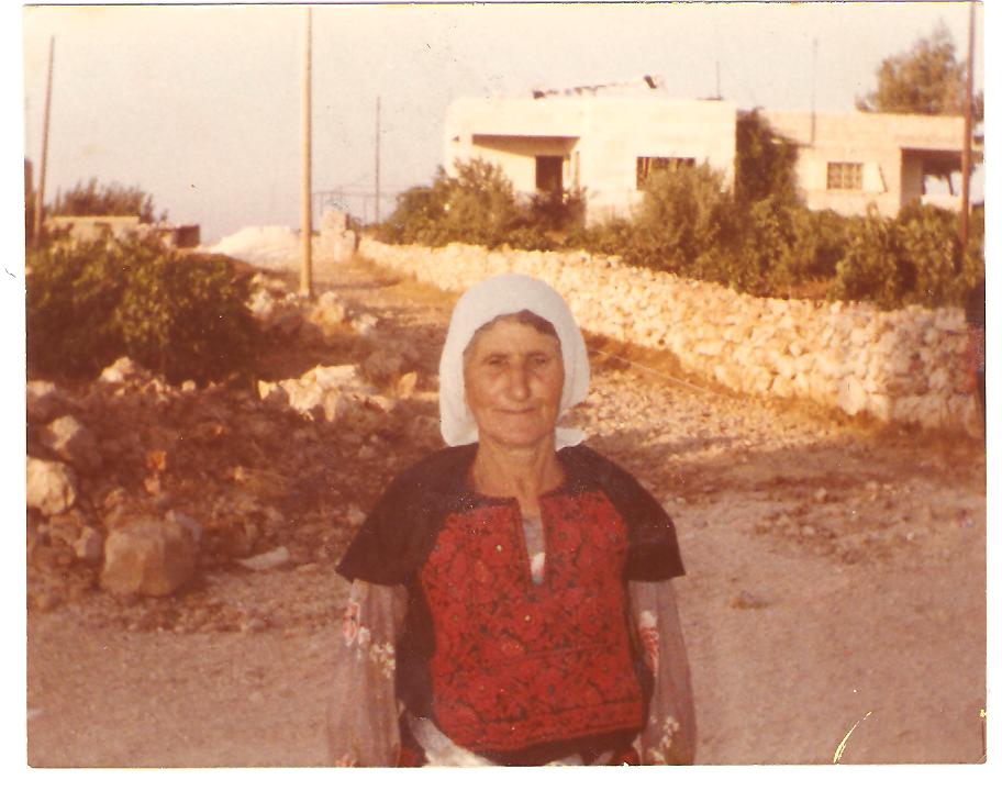
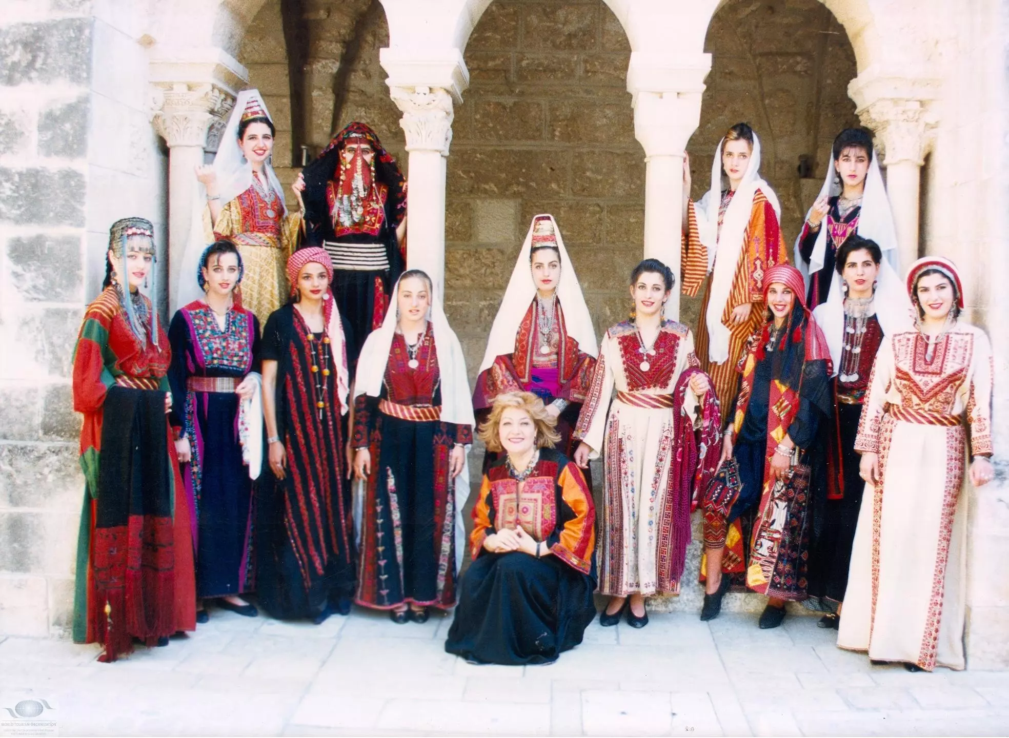
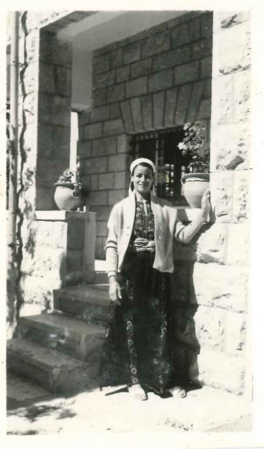
Posted by Fadi Bader 1 - سيدة فلسطينية ترتدي الثوب التقليدي الفلسطيني المطرز بالحرير وتظهر فيه روعة التصميم وجمال الشكل
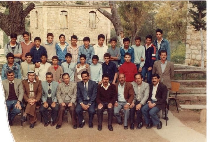
Posted by Fadi Bader 1 - تخريج صف المترك (الثالث الاعدادي ) سنه 1984
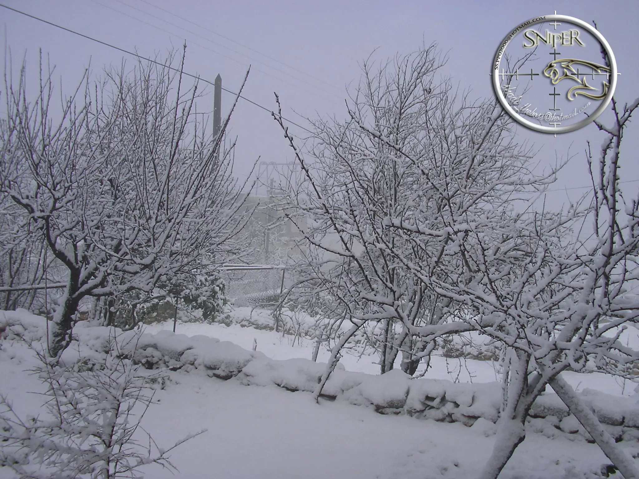
Posted by khaled oweinah 1 - ثلج في بتير سنه 2008
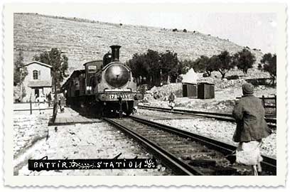
Posted by شادي ابوحارثيه 2 - 1905 المحطة - بتير
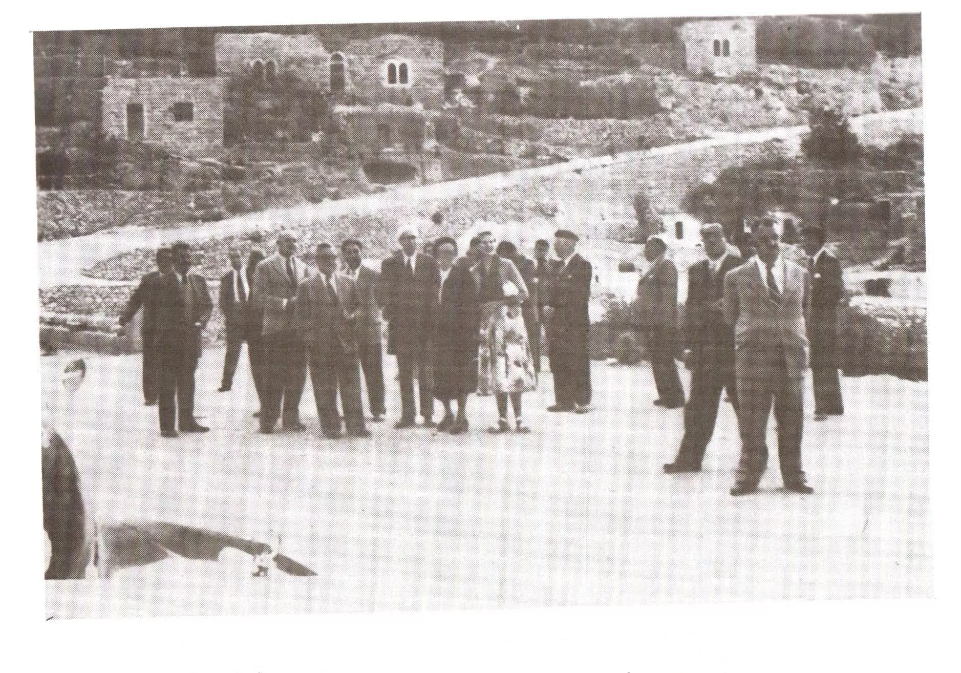
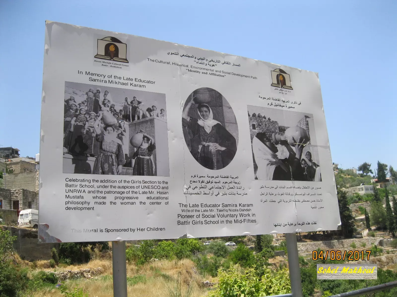
Posted by Ahmad Obeidallah - Delegation of Arab Countries & UNESCO وفد الدول العربية واليونسكو
Posted by Omar Hasan Hammad 3 - A constellation of Students of Battir Girls؟ School in 1952 كوكبة من طالبات مدرسة إناث بتير عام
Posted by Omar Hasan Hammad 3 - Half of which were common in Battir نصفها كان سائداً في بتير
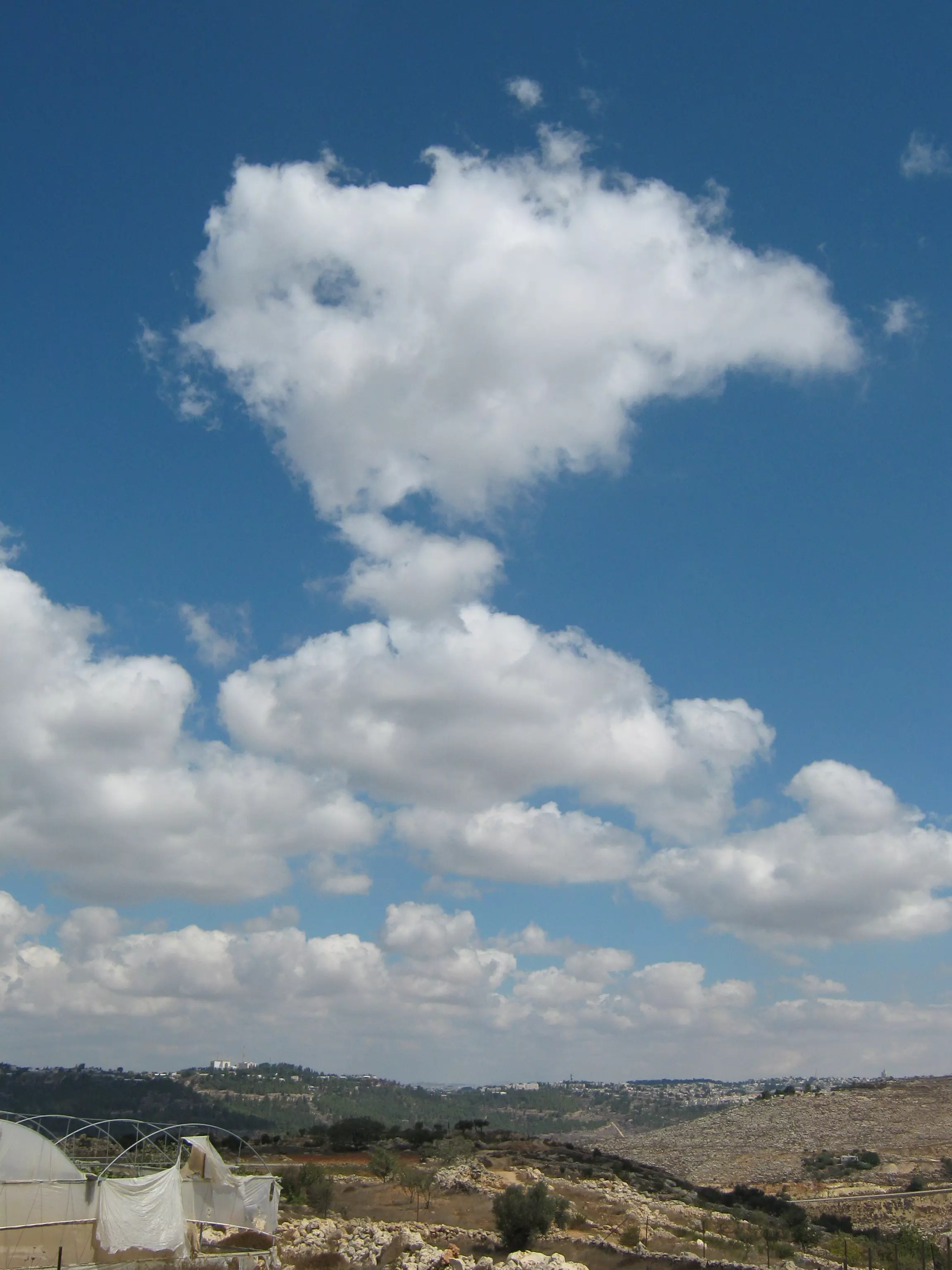
Posted by Omar Hasan Hammad 2 - تراكم الغيوم فوق جبال القدس الغربية - صورة مأخوذة من الحريق
Posted by Mustafa Bader - مصطفى أب بدر المعروف بأبو غازي ( 1919_2004 ) سائق قطار( القدس _يافا ) في الفترة ما بين عام 1940إلى عام 1948 ومن المعروف أن هذا القطار كان ومازال يمر بقريتنا العزيزة بتير
Posted by Fadi Bader - Poetic Evening at Battir Charitable Society-Amman أمسية شعرية في جمعية بتير الخيرية-عمان
Posted by Omar Hasan Hammad 3 - عين البلد
Posted by abu rashed 2 - البلدة القديمة
Posted by abu rashed - المحطة
Posted by abu rashed - المحطة 2
Posted by abu rashed - راس ابو عمار
Posted by abu rashed - Battir Railway Station 1892 محطة سكة حديد بتير
Posted by Omar Hasan Hammad 2 - Battir Railway Station 1900
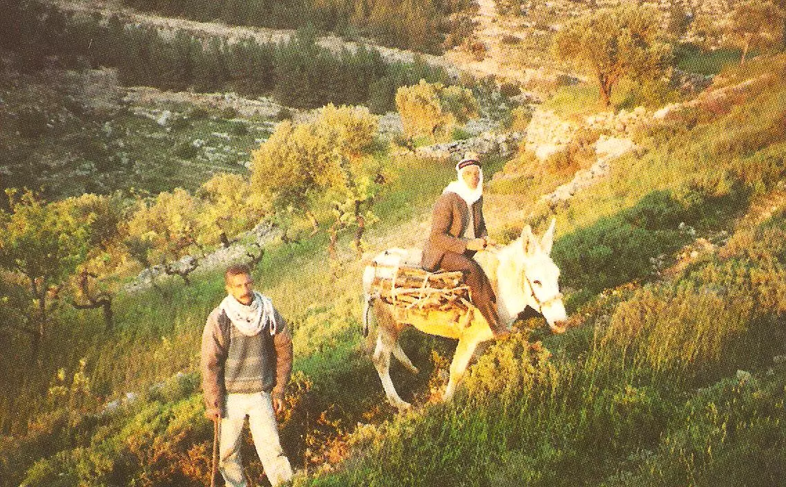
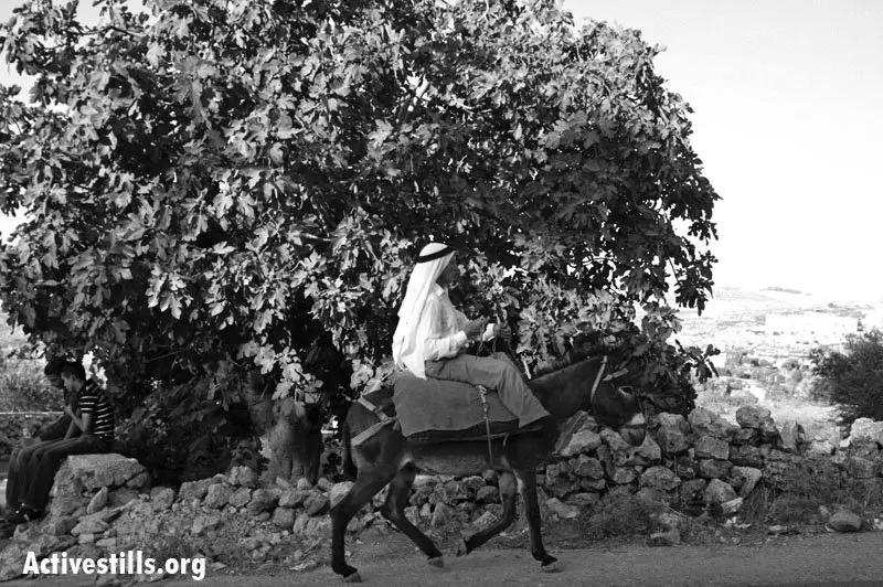
Posted by Umar Abu El-Bararri - وسبلة التنقل الحمار القبرصي والذي بدأ يندر وجوده في القرية والمنطقة
Posted by rawan abu hasan 1 - العين خضرة تسحر العيون
Posted by rawan abu hasan - battir

Posted by samer owineh - battir railway
Posted by samer owineh - Battir new pict.
Posted by samer owineh 1 - battir general view

Posted by samer owineh - battir 2011
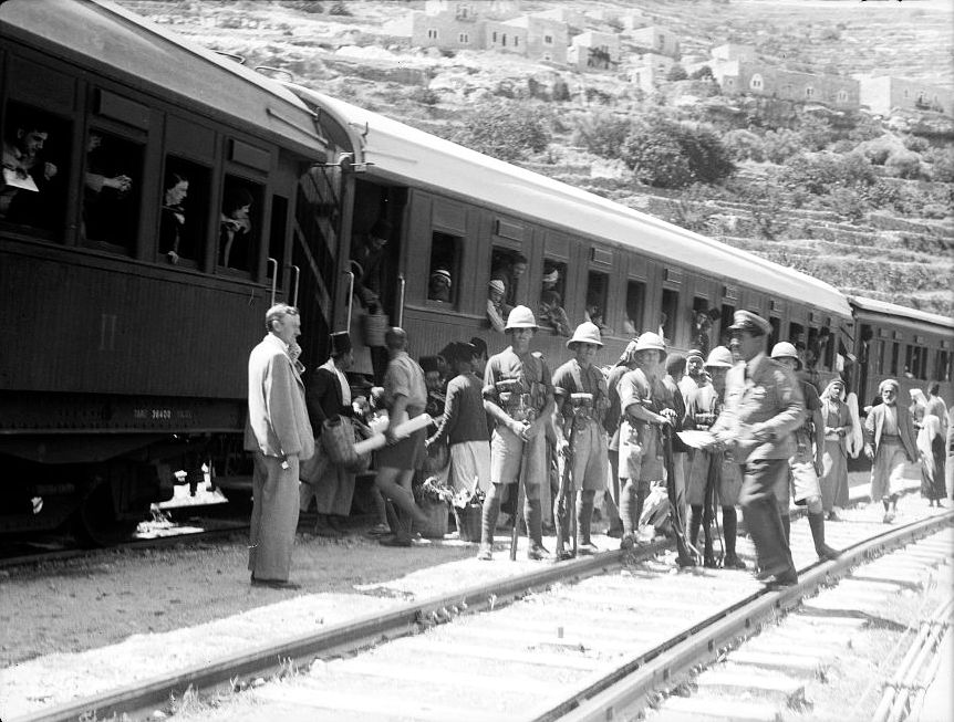
Posted by samer owineh - Passenger Train At Battir Showing Military Escort 1936
Posted by Umar Abu El-Bararri 1 - Battir's Fruit & Vegetable Market Scene 1936
Posted by Umar Abu El-Bararri 1 - Gutted Railroad Station at Battir 1934-1939
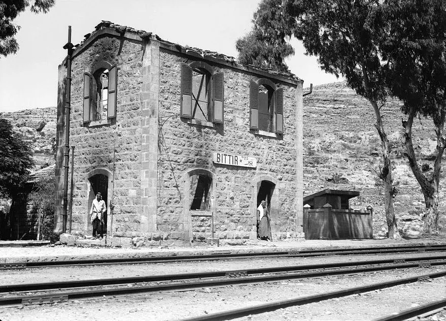
Posted by Umar Abu El-Bararri 1 - Gutted Railroad Station at Battir 1934-1939 #2
Posted by Umar Abu El-Bararri - The Remains of Battir's Burnt Railroad Station 1934-1939
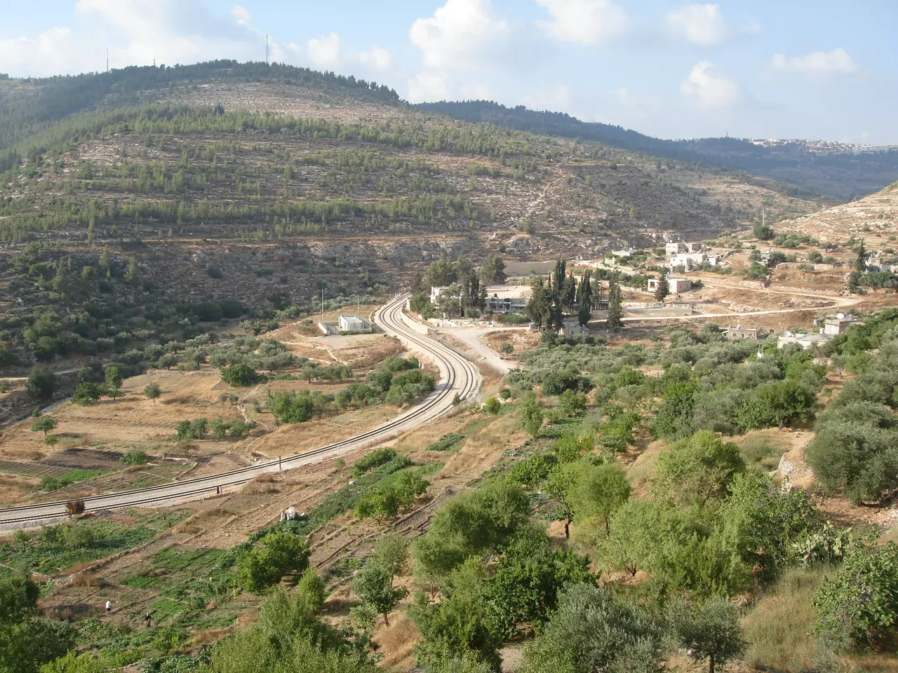
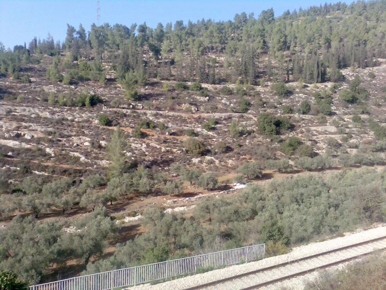
Posted by Umar Abu El-Bararri - View of railway track in Wady Battir, with agricultural terraces of the village on the right in1892
Posted by Fathi Abu-nimeh - Battir at night April 2011
Posted by Laith - Ariel Photo for Battir 1995, صورة جوية بتير
Posted by Laith 1 - صورة جوية لبلدة بتير
Posted by Laith - Battir at night April 2011 view
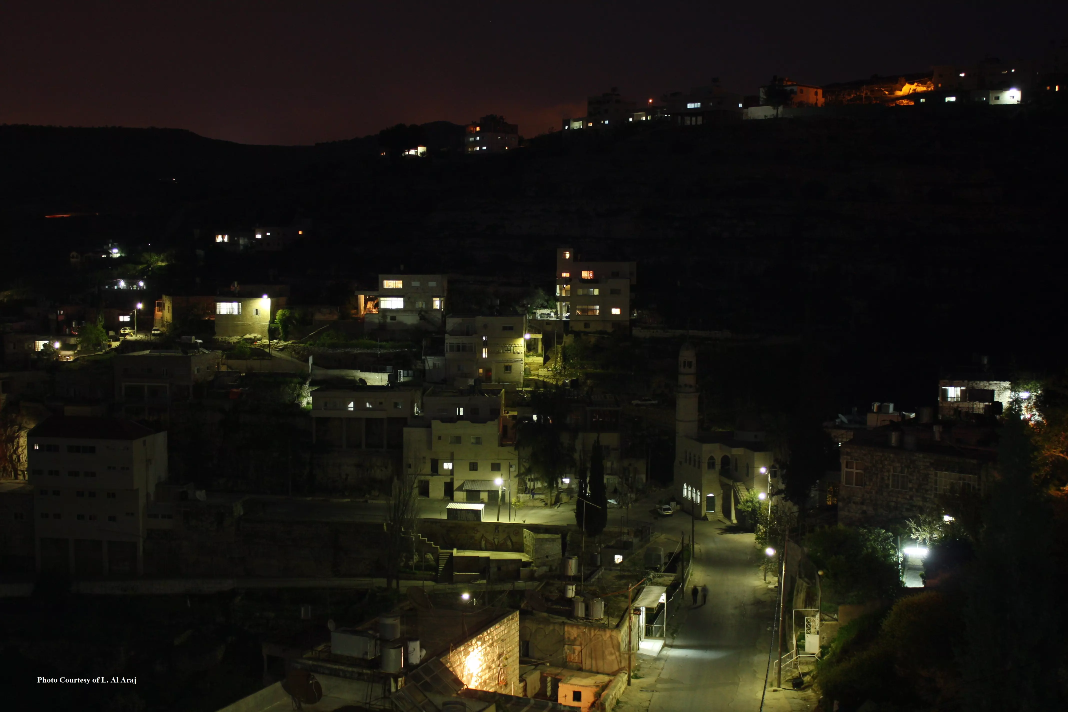
Posted by Laith 1 - Night view of Battir 2011
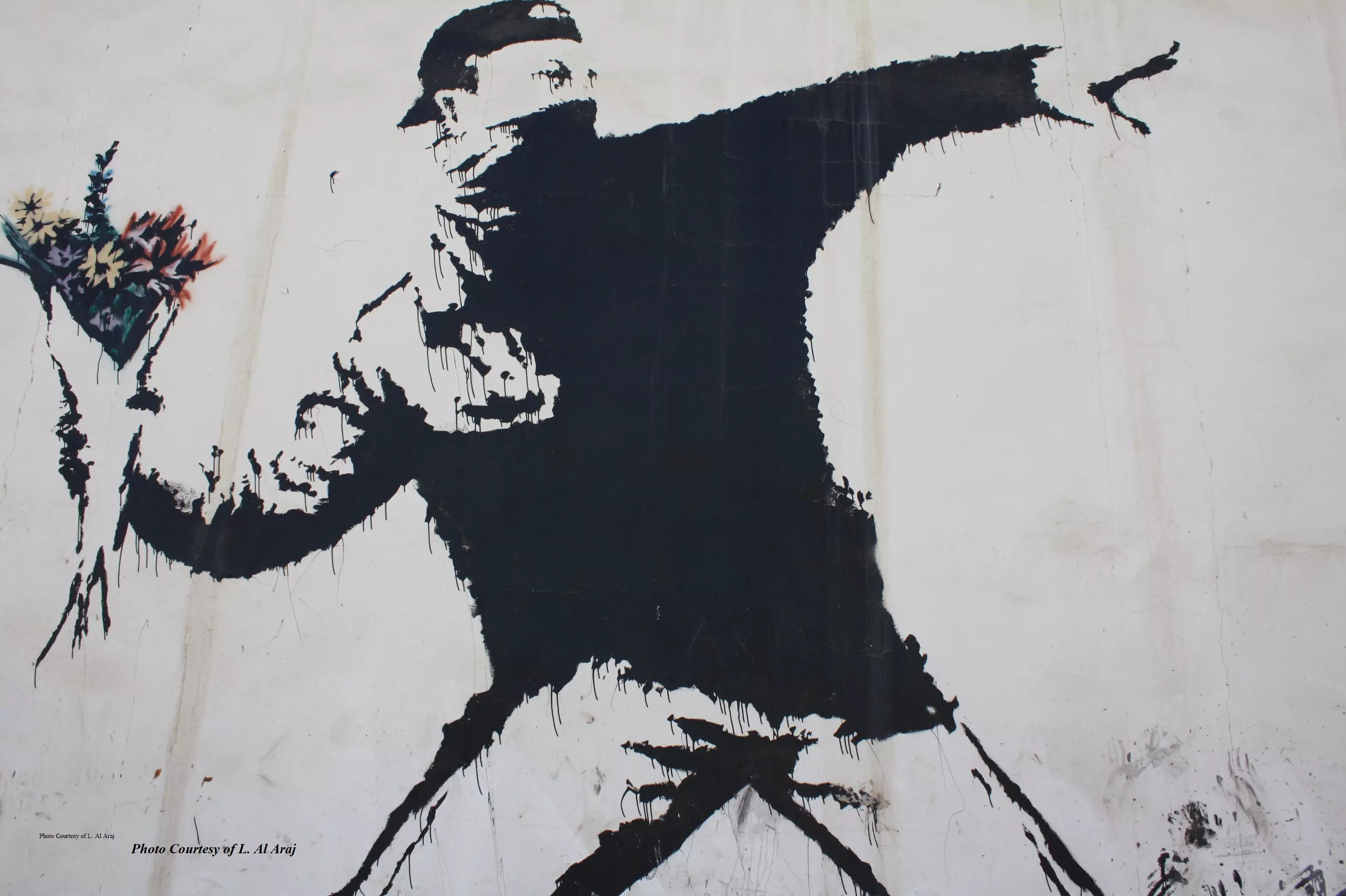
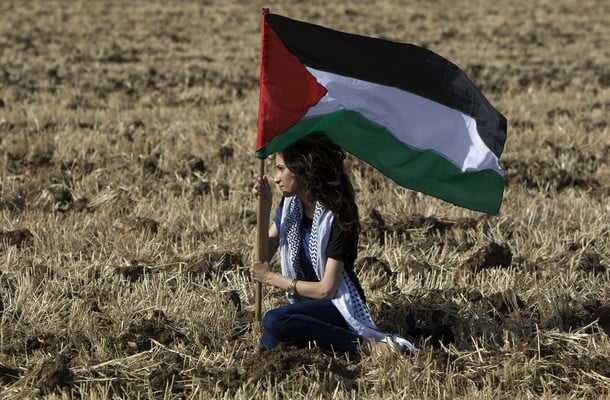
Posted by Laith - Resist to Exist
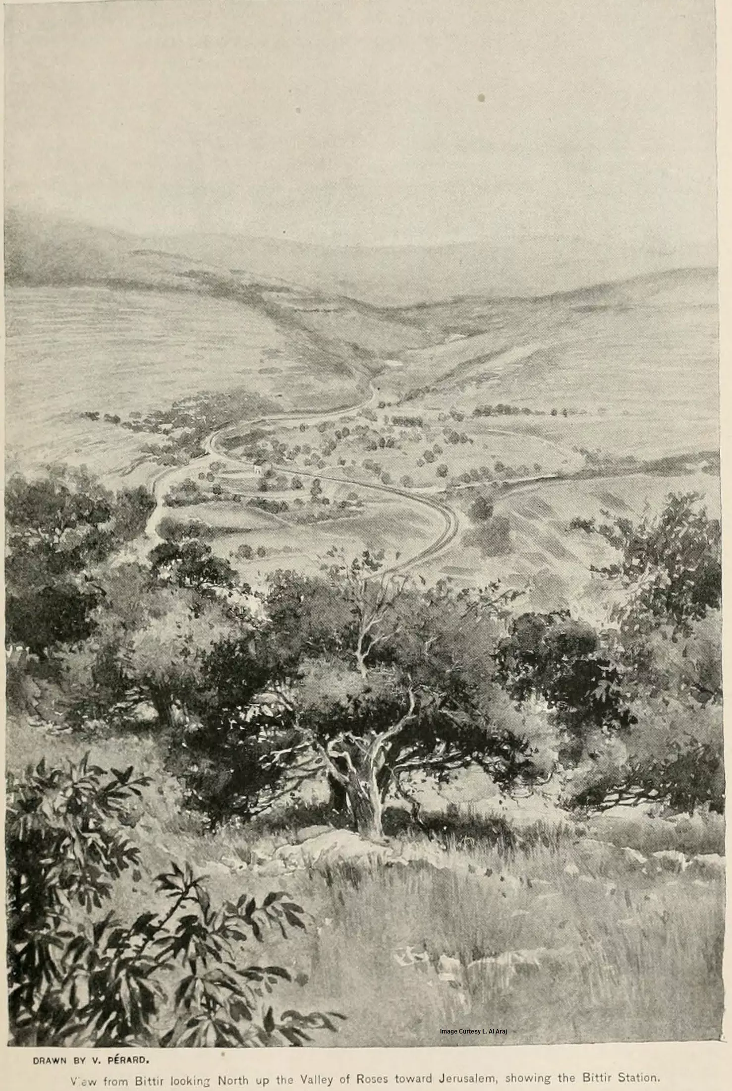
Posted by Laith 1 - Battir Paint -View from Bittir looking North up the Valley of Roses toward Jerusalem, showing the Bittir Station in 1892
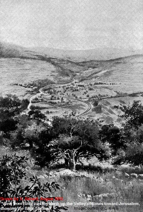
Posted by Laith - First Paint for Battir in August 1892
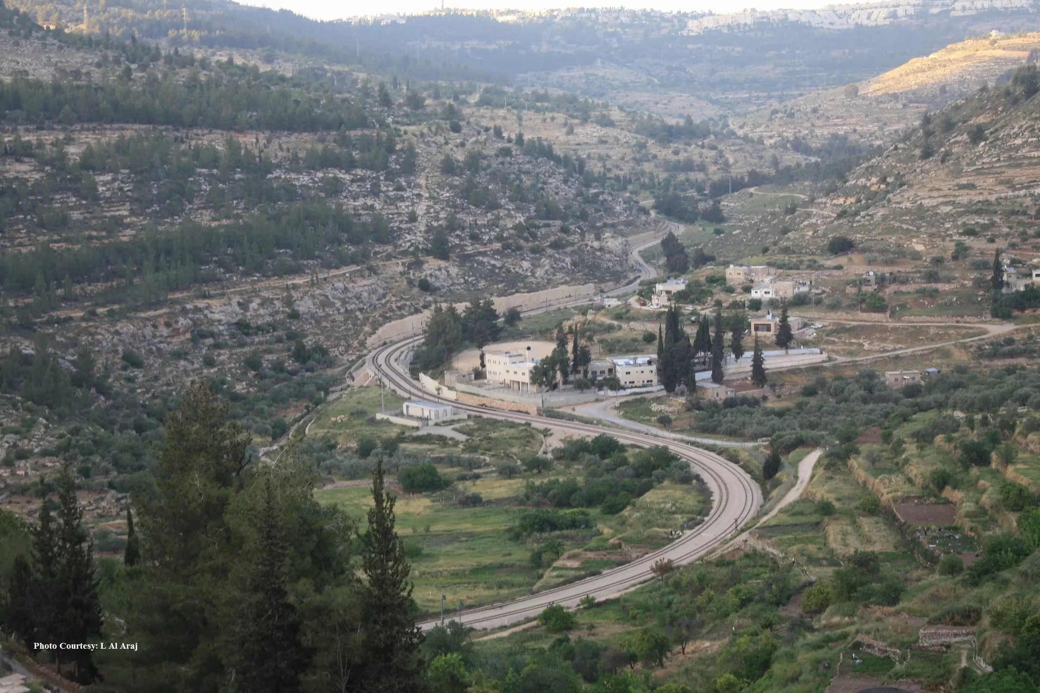
Posted by Laith - Battir Image-View from Bittir looking North up the Valley of Roses toward Jerusalem, showing the Bittir Station in 2011
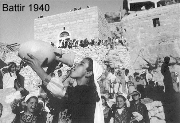
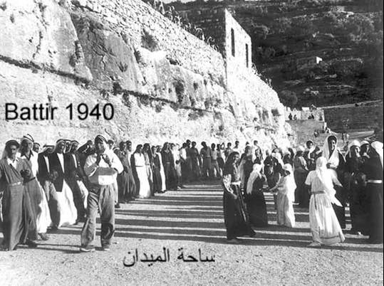
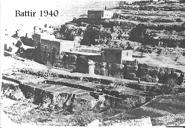
Posted by Laith - Battir 1940
Posted by Umar Abu El-Bararri 2 - Spring in Battir 2011
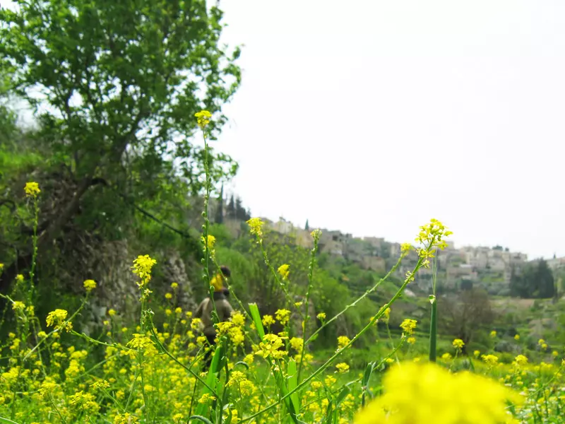
Posted by Mustafa Bader - Spring in Battir 2011
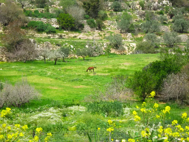
Posted by Mustafa Bader - Spring in Battir 2011
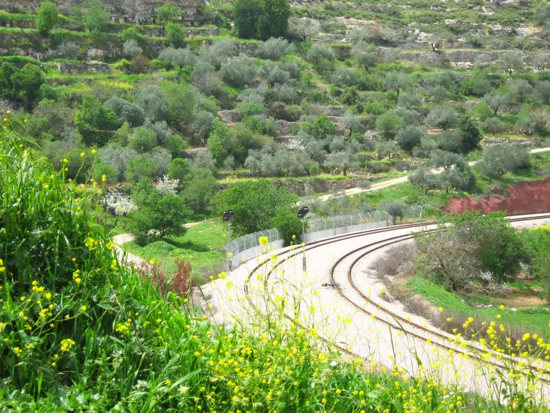
Posted by Mustafa Bader - Spring in Battir 2011
Posted by Mustafa Bader - Spring in Battir 2011
Posted by Mustafa Bader - Spring in Battir 2011
Posted by Mustafa Bader 1 - Train, while steam-powered, at Battir in 1925 القطار في بتير أثناء عمله بالطاقة البخارية عام
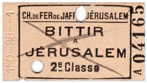
Posted by Omar Hasan Hammad 2 - Train ticket, Battir-Jerusalem, before 1948 تذكرة قطار، بتير-القدس، قبل عام
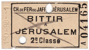
Posted by Omar Hasan Hammad 2 - Train ticket, Battir-Jerusalem, before 1948 تذكرة قطار، بتير-القدس، قبل عام
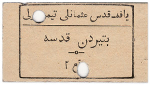
Posted by Omar Hasan Hammad - Train ticket (II), Battir-Jerusalem, before 1948 تذكرة قطار، بتير-القدس، قبل عام
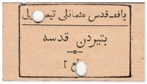
Posted by Omar Hasan Hammad 2 - Train ticket (II), Battir-Jerusalem, before 1948 تذكرة قطار، بتير-القدس، قبل عام
Posted by Omar Hasan Hammad - مسجد بتير القديم
Posted by abu rashed - مسجد بتير القديم2
Posted by abu rashed - الله يعطيك العافية يا حج
Posted by abu rashed - جسر معمر 2011
Posted by abu rashed 1 - ابو زيد
Posted by abu rashed - منطقة الركبة
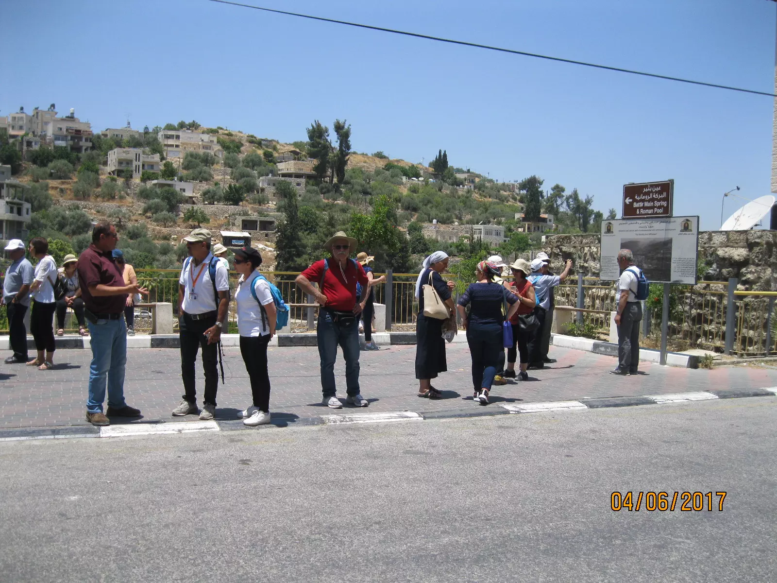
Posted by abu rashed 1 - صورة لسياح يتجولون في اطراف القرية و يظهر ايضاً البلدة القديمة في الصورة
Posted by abu rashed - سنرجع يوماً الى ارضنا
Posted by abu rashed - منطقة ابو الحويس
Posted by abu rashed - صورة تظهر منطقة المصيبعة و الباطن و وسط البلد
Posted by abu rashed - صورة لواد الصرار
Posted by abu rashed - منظر للخربة بعد اعمال البحث و التنقيب
Posted by abu rashed - قطار القدس تل ابيب المار من بتير 1
Posted by abu rashed - قطار القدس تل ابيب المار من بتير 2
Posted by abu rashed - قطار القدس تل ابيب المار من بتير 3
Posted by abu rashed - صورة للقطار في منطقة الكينيات
Posted by abu rashed - ازهار الليلك

Posted by abu rashed - ربيع بتير- ازهار الليلك
Posted by abu rashed - الربيع
Posted by abu rashed - منطقة الحريق
Posted by abu rashed 1 - منطقة الشرفة
Posted by abu rashed - البصة وعين الباسين 2010
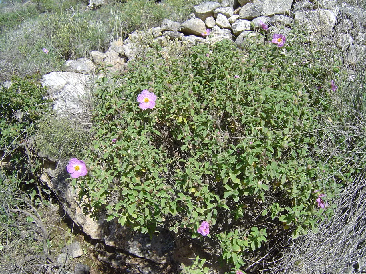
Posted by abu rashed - نباتات برية
Posted by abu rashed - نباتات الزقوكو
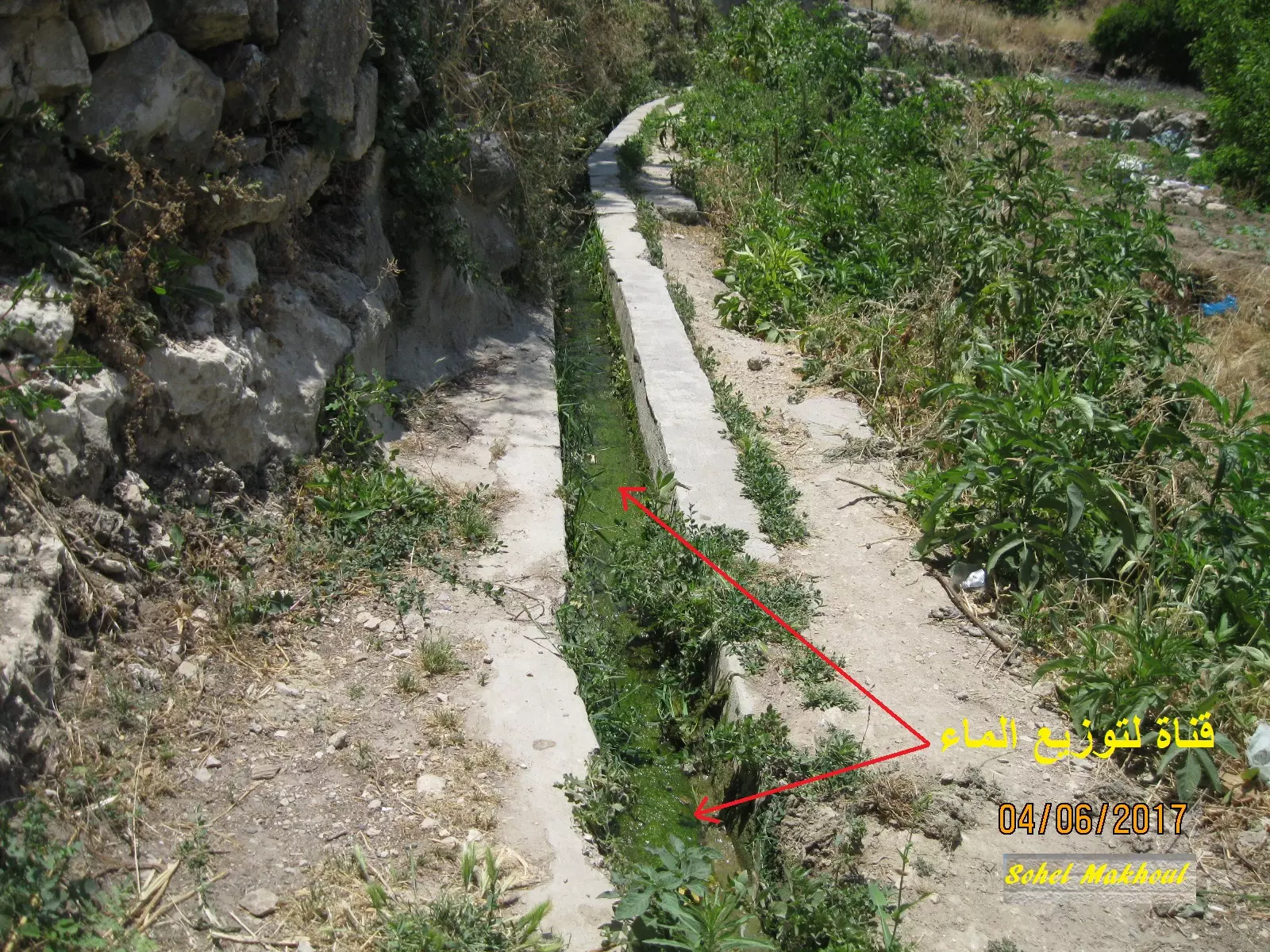
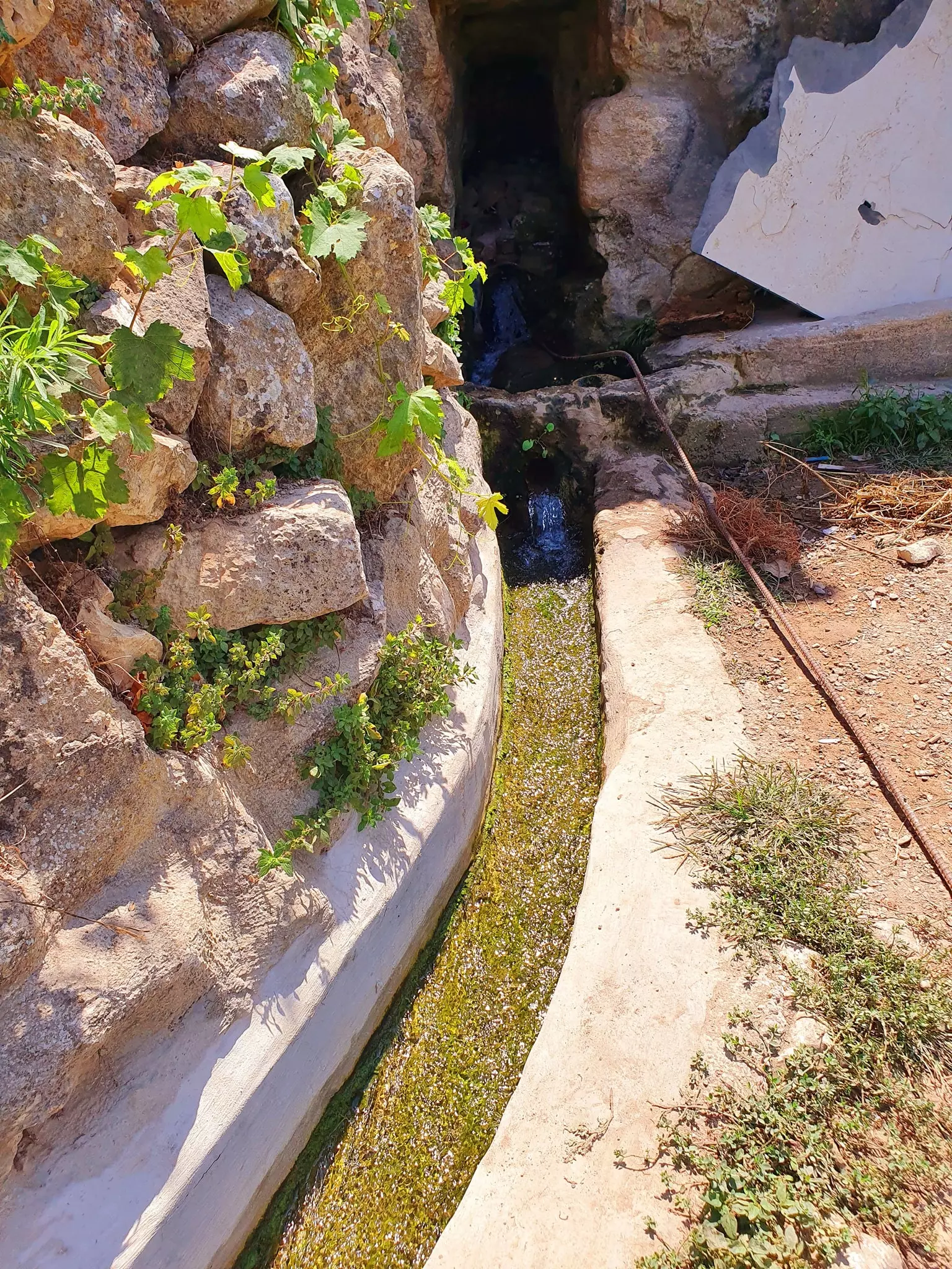
Posted by abu rashed - قناة الماء
Posted by abu rashed - old dabkah bab al saha
Posted by abu rashed 1 - يا جبل ما يهزك ريح .........................
Posted by Fadi Bader 1 - alwad algharbi
Posted by abu rashed 2 - بتير
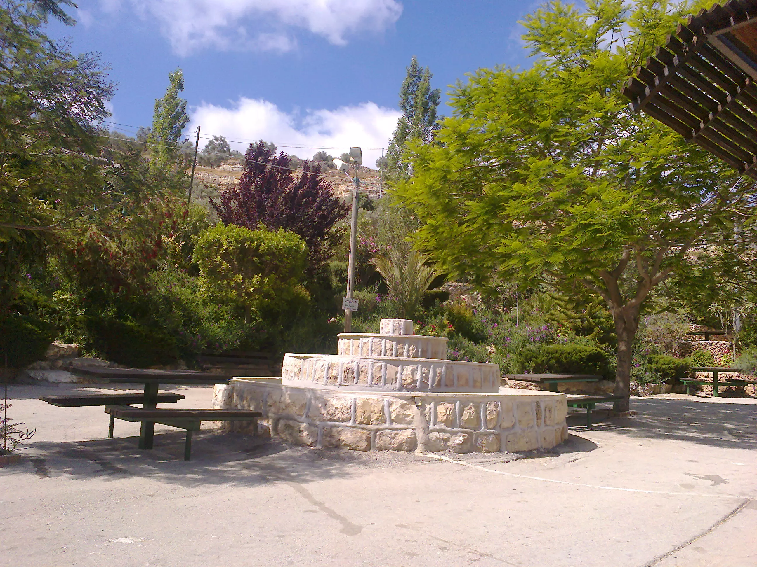
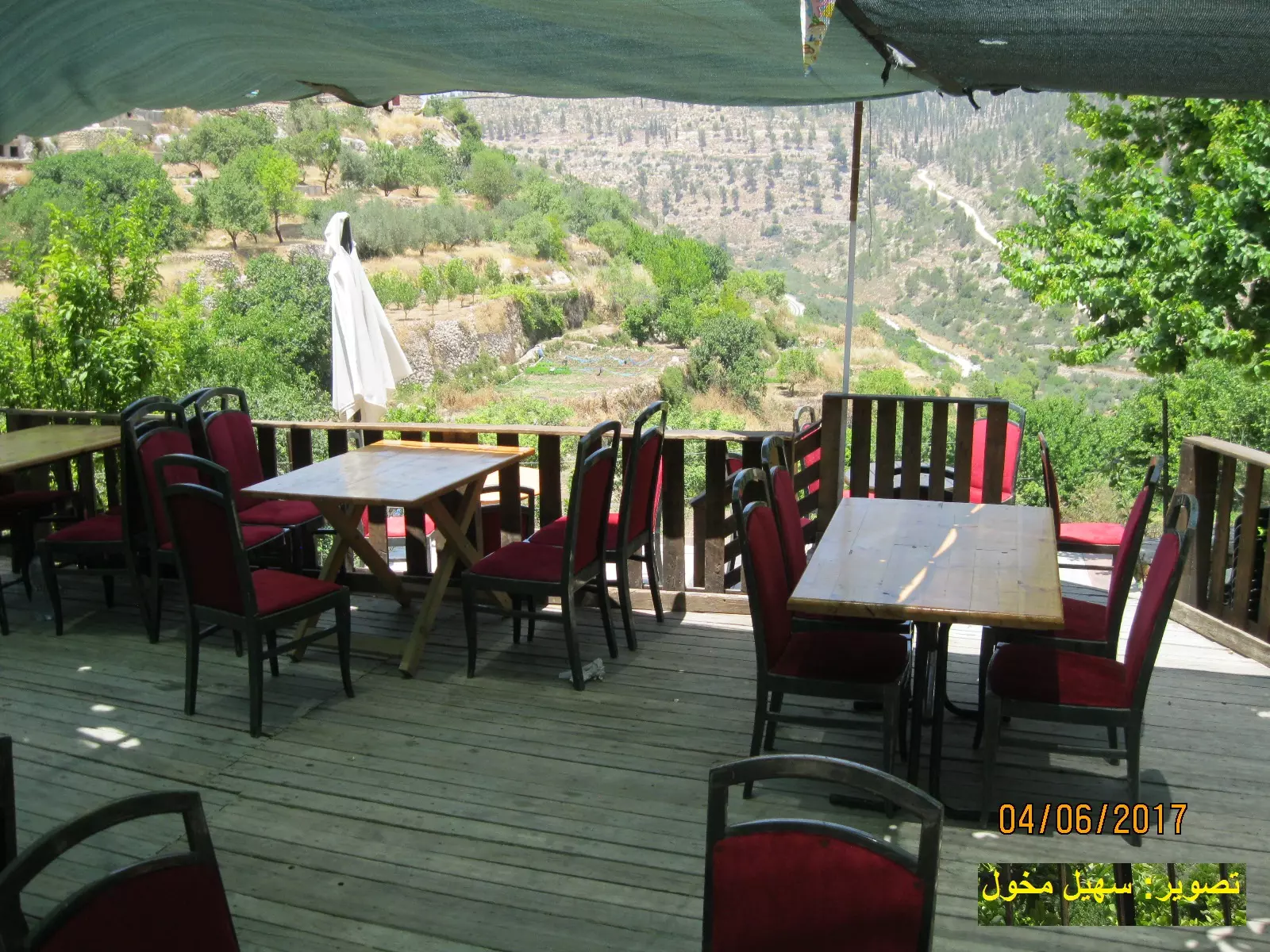
Posted by abu rashed - منتزه
Posted by abu rashed - منظر عام
Posted by abu rashed 1 - مدرسة بتير
Posted by abu rashed - بتير
Posted by abu rashed - الولجة
Posted by abu rashed 1 - بتير
Posted by abu rashed - الحنية
Posted by abu rashed - الحنية
Posted by abu rashed - الحنية
Posted by abu rashed - الحنية
Posted by abu rashed - بتير
Posted by abu rashed - بتير
Posted by abu rashed - بتير
Posted by abu rashed - Batttir Ghost station
Posted by Laith 1 - Right to Return
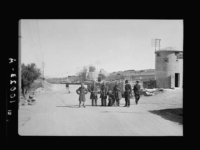
Posted by Laith - Battir military tower
Posted by Laith - Battir Station Pal in 1924
Posted by Laith - Battir station Palestine 1924
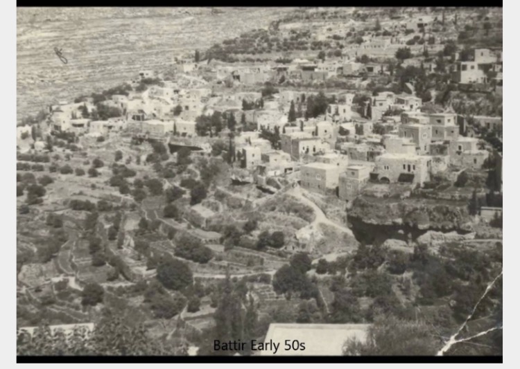
Posted by Laith - Battir old town 1952
Posted by Laith - Battir NO Apatite wall on my land- keep it Green
Posted by Laith - Battir train in 1914
Posted by Laith - The wall takes more land
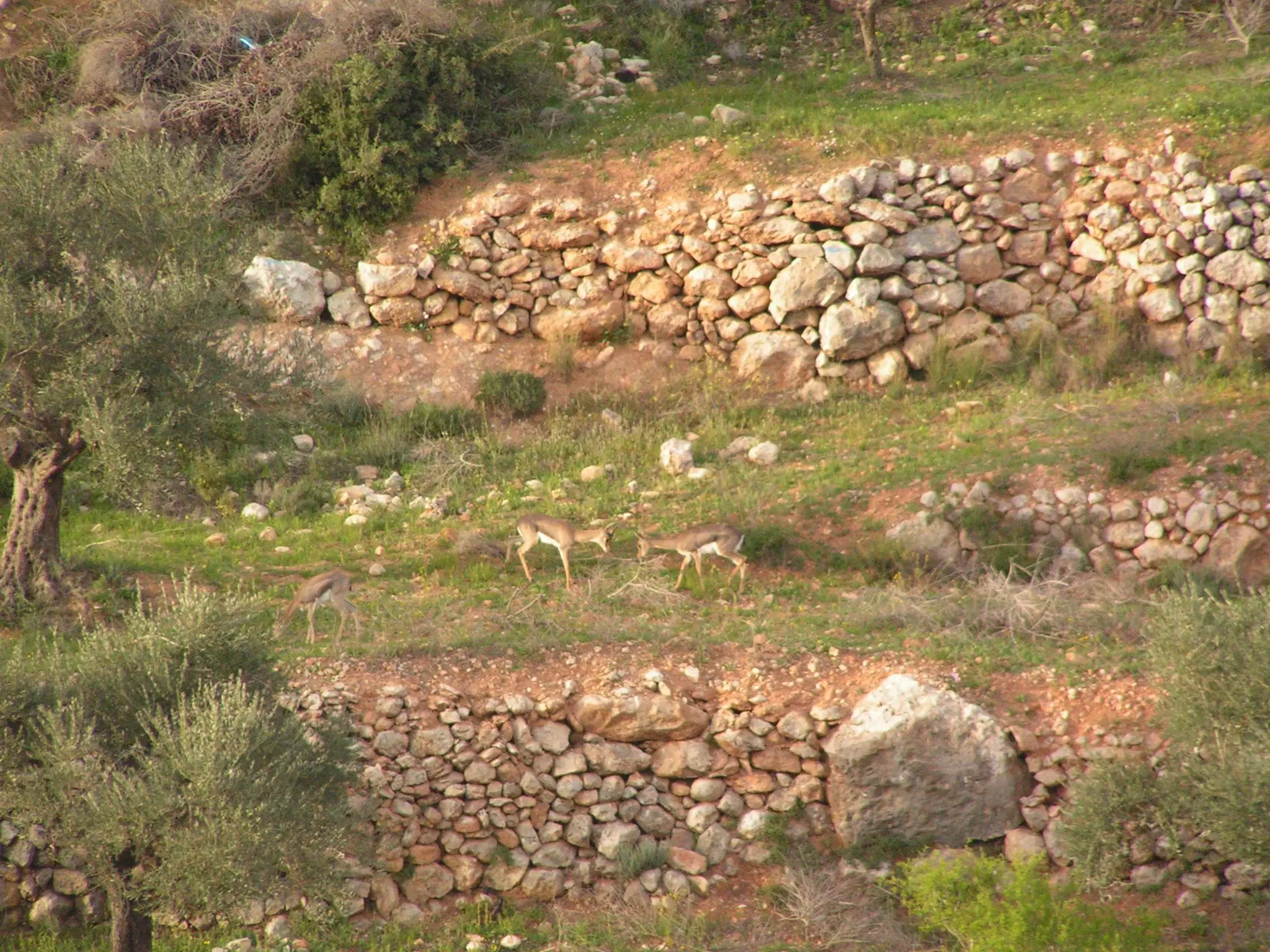
Posted by Laith - صورة للغزال الفلسطيني في قرية بتير في خريف 2012 موسم قطف الزيتون
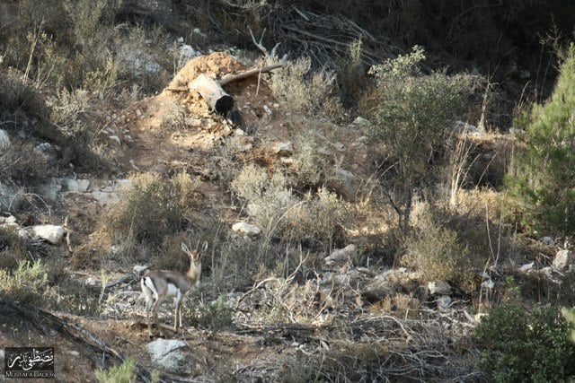
Posted by Fadi Bader - الغزال في بتير خريف 2012 لنتذكر المحافظة على الحياة البرية الجميلة في الوطن العزيز
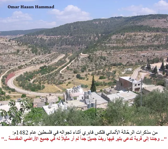
Posted by Fadi Bader 1 - Battir in the 15th Century بتير في القرن الخامس عشر
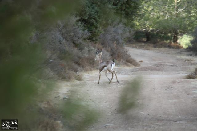
Posted by Omar Hasan Hammad 1 - الغزال الفلسطيني في بتير ربيع 2013
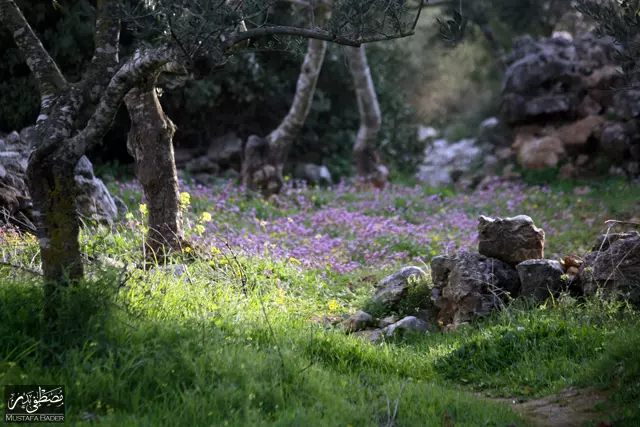
Posted by Fadi Bader - جمال فصل الربيع في بتير - عدسة: مصطفى بدر
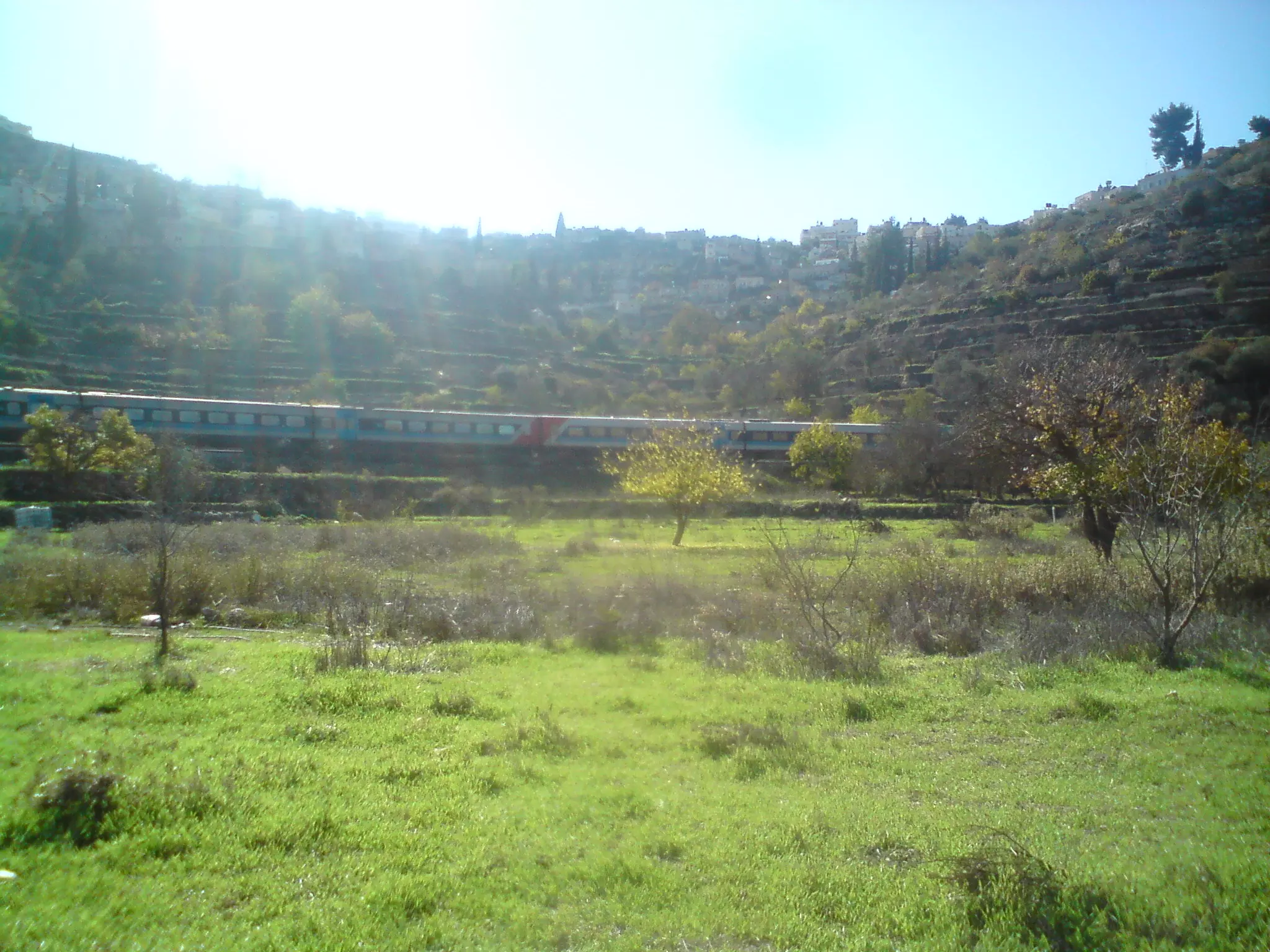
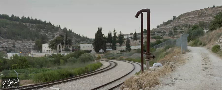
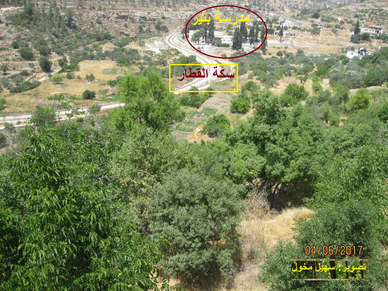
Posted by Mustafa Bader - بتير قرب سكة الحديد - عدسة: مصطفى بدر
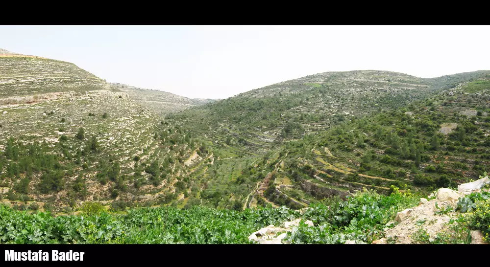
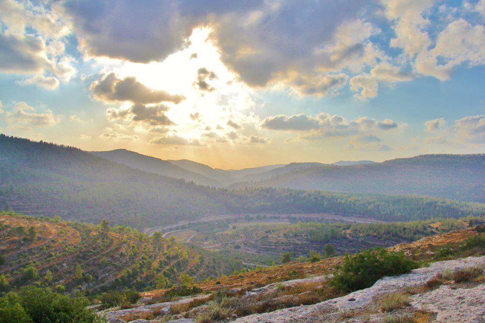
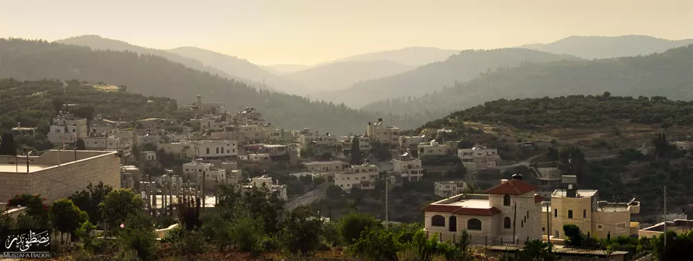
Posted by Mustafa Bader - منظر عام للقرية والجبال المحيطة بعد الغروب - عدسة: مصطفى بدر
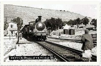
Posted by Mustafa Bader 2 - محطه قطار بتير قبل النكبه
Posted by abu raya - بتير قبل النكبه
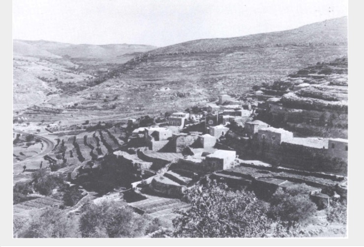
Posted by abu raya - بتير قبل النكبه
Posted by abu raya - قريه بتير قبل النكبه
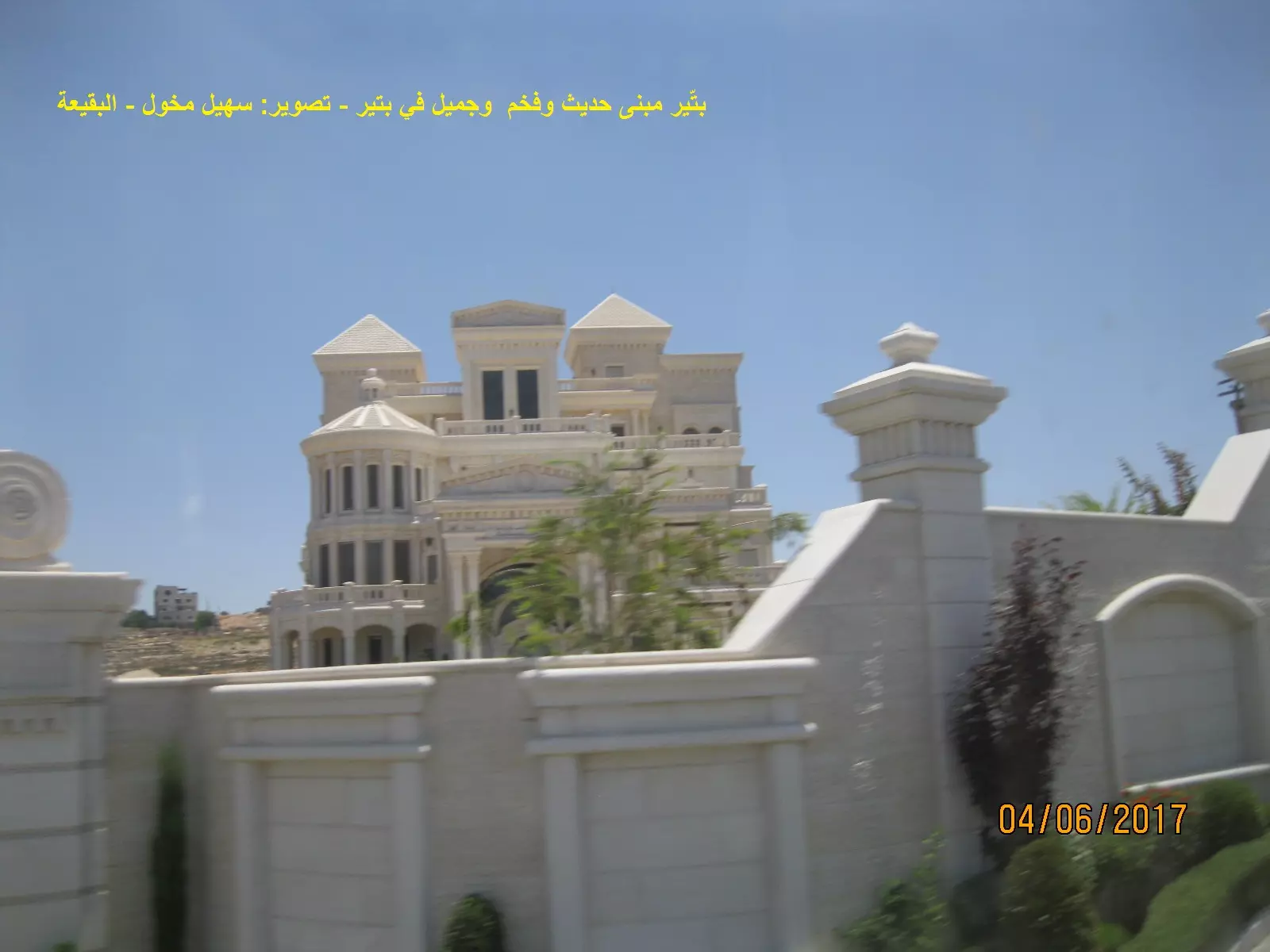
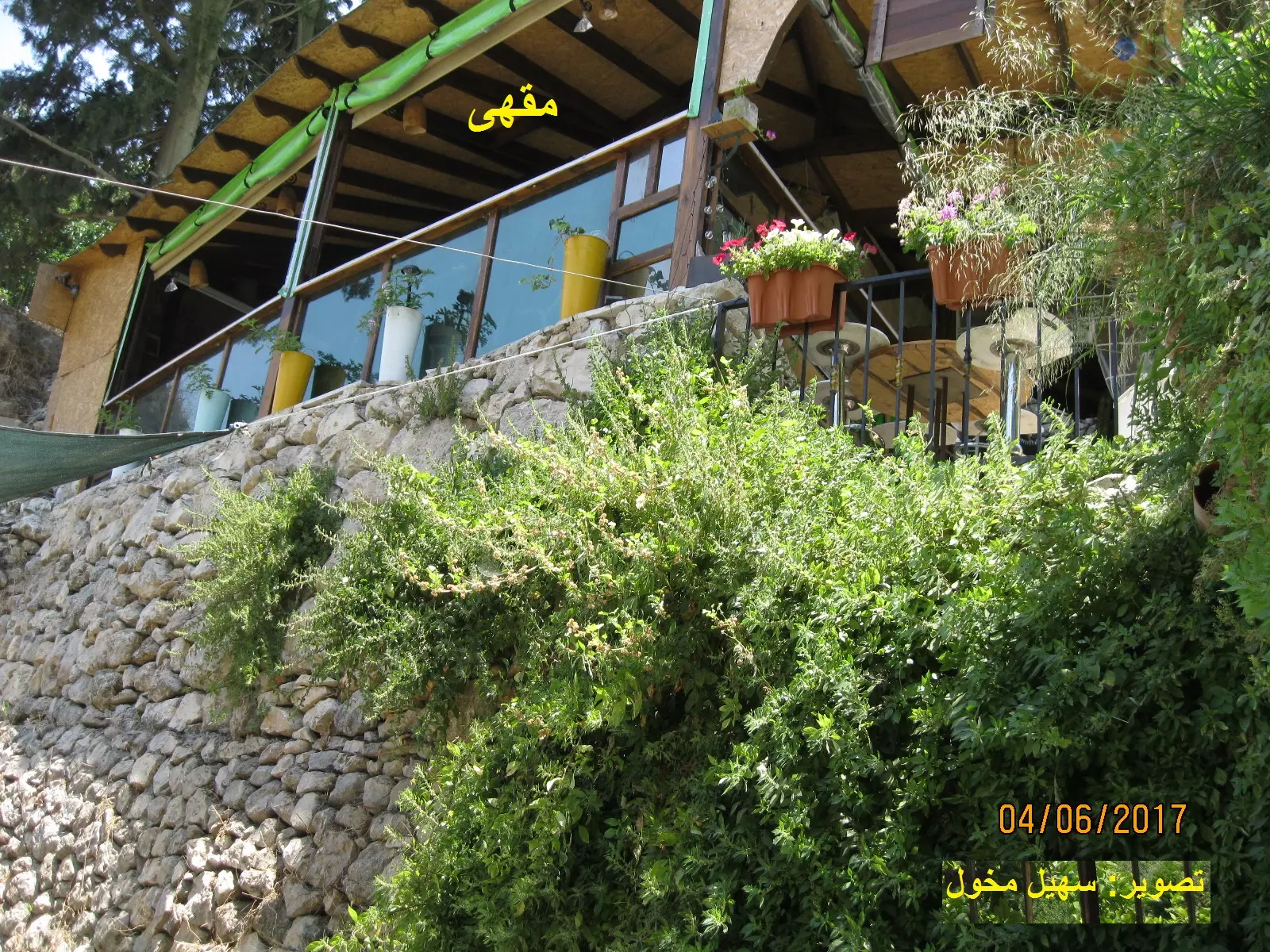
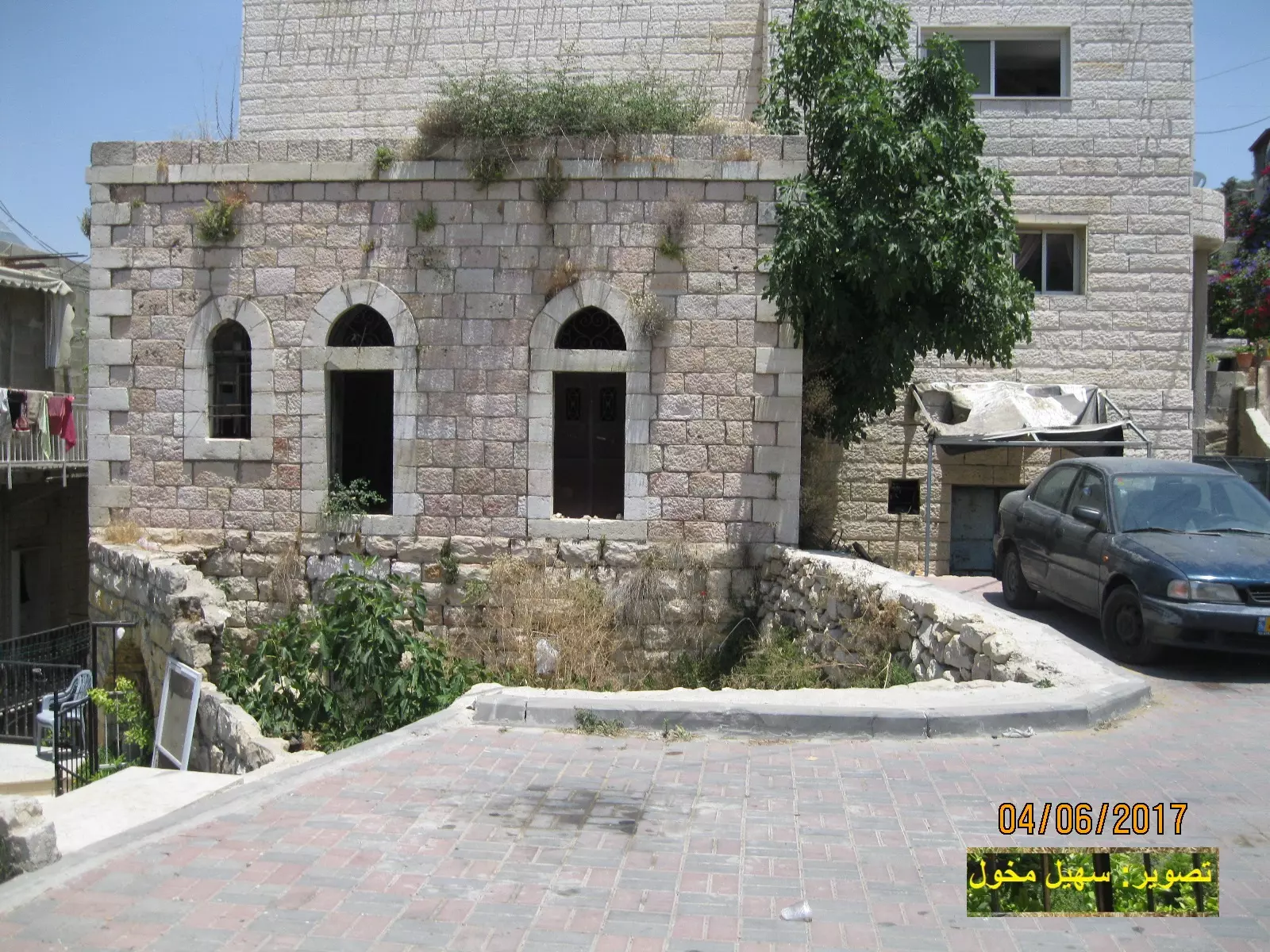
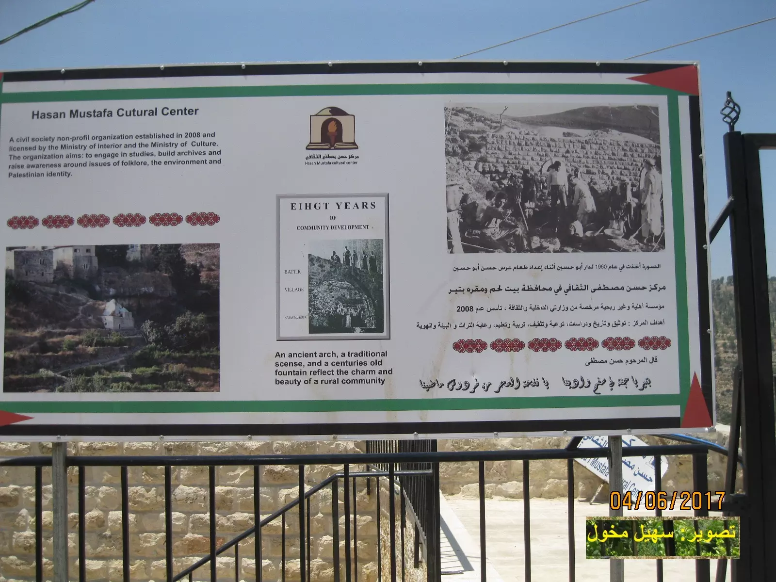
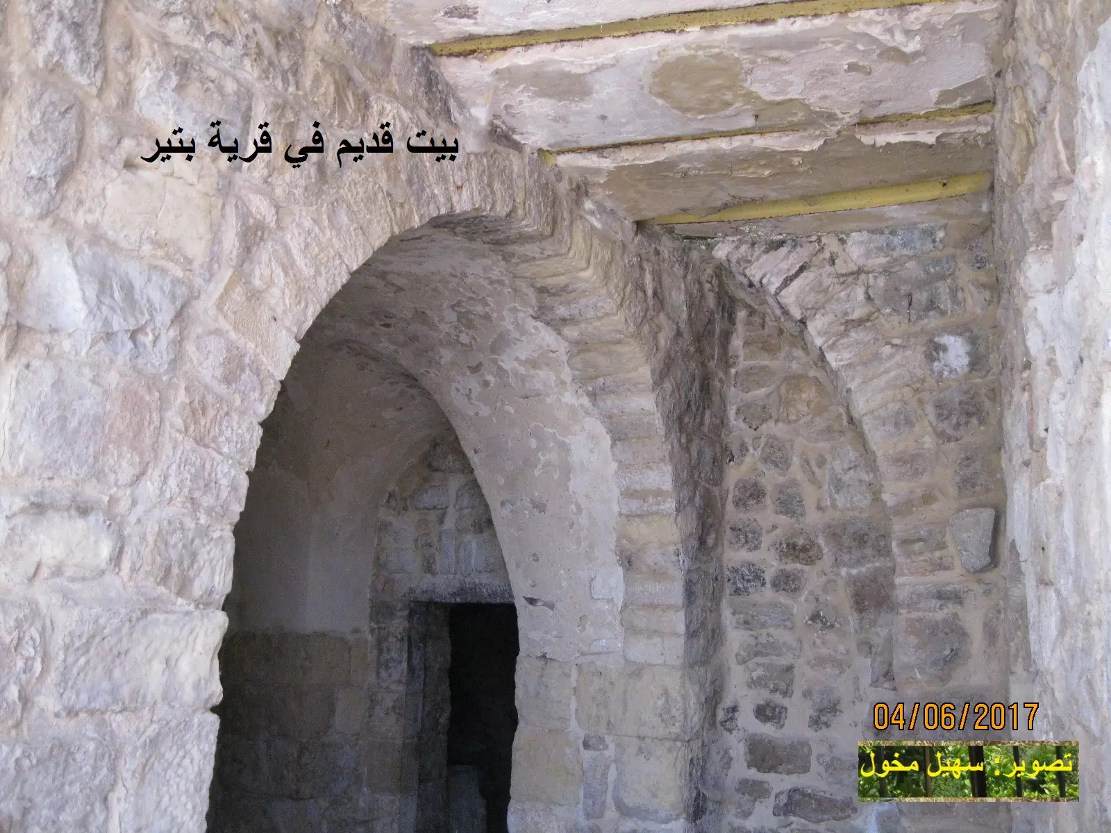
Posted by abu raya - بيت / فصر في بتير - تصوير سهيل مخول
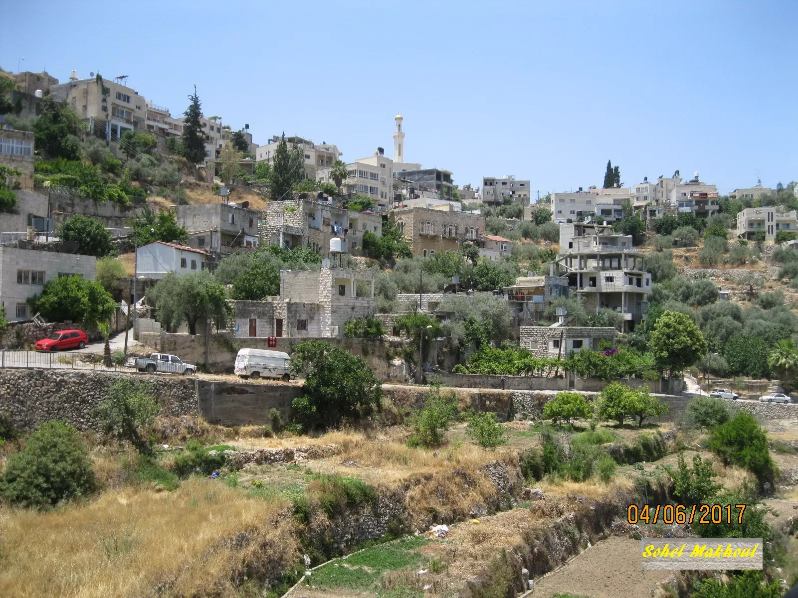
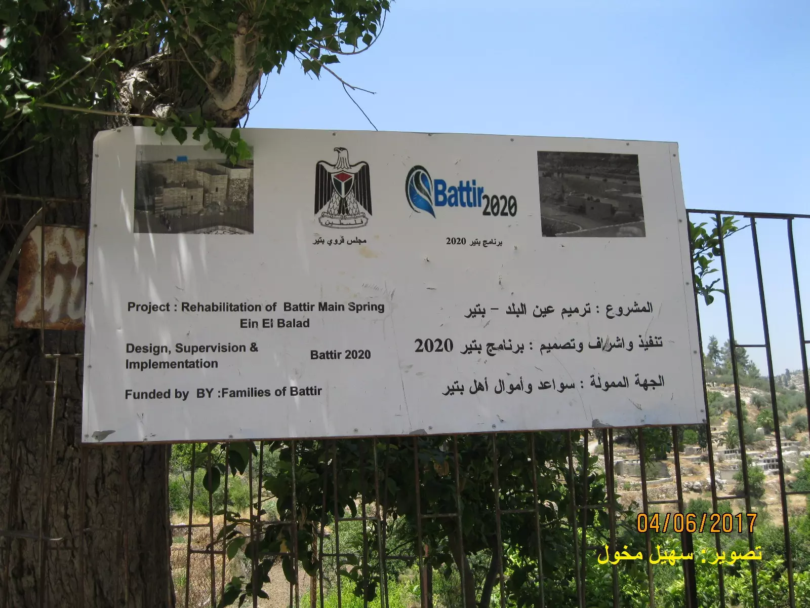
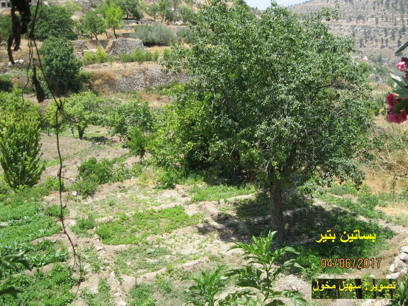
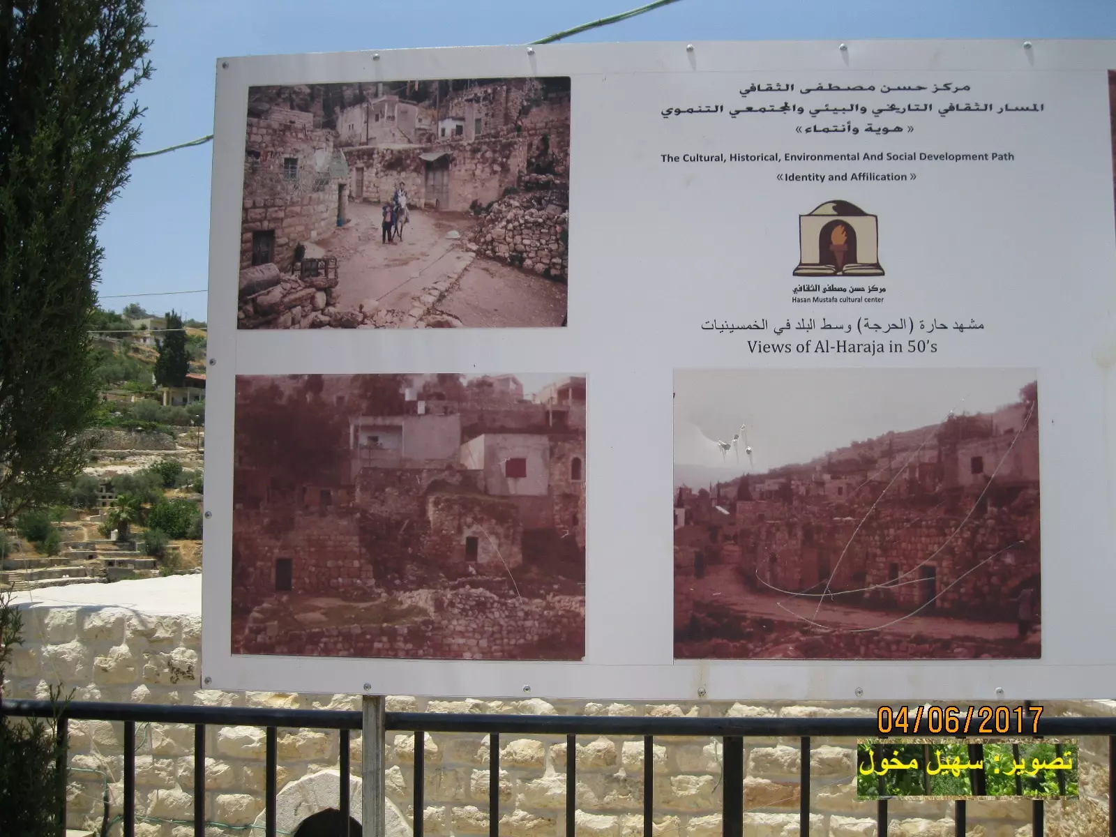
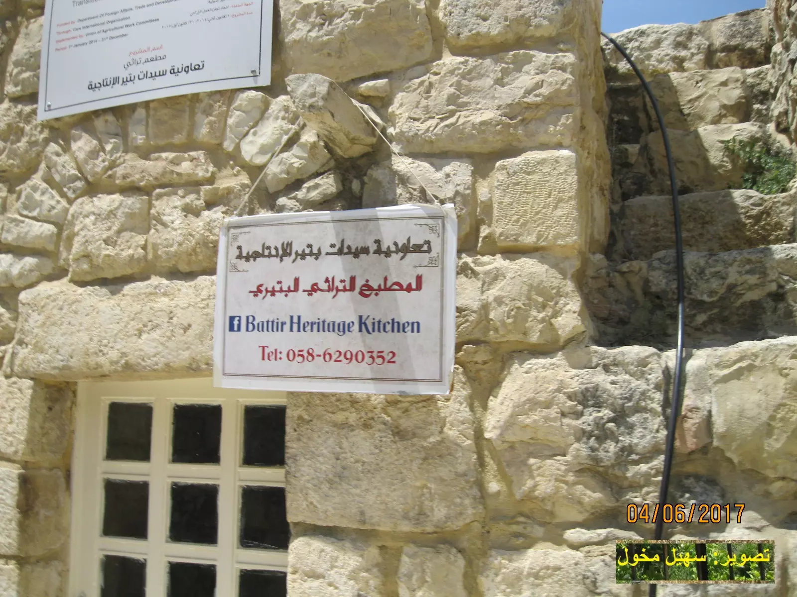
Posted by سهيل مخول - قرية بتير - تصوير : سهيل مخول
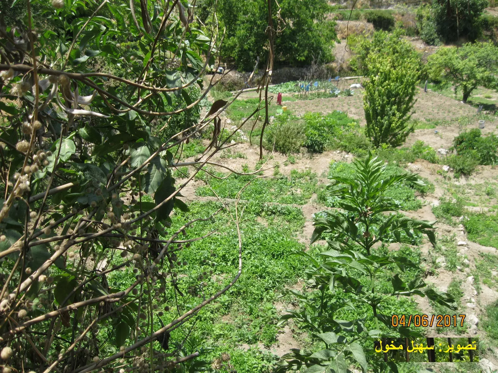
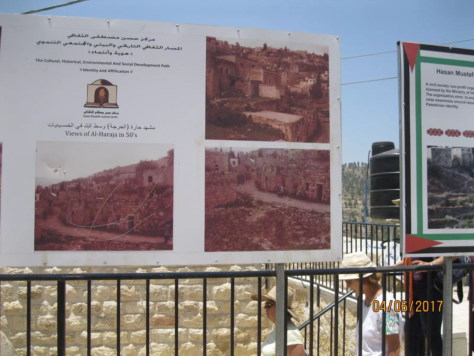
Posted by سهيل مخول - قرية بتير - تصوير : سهيل مخول
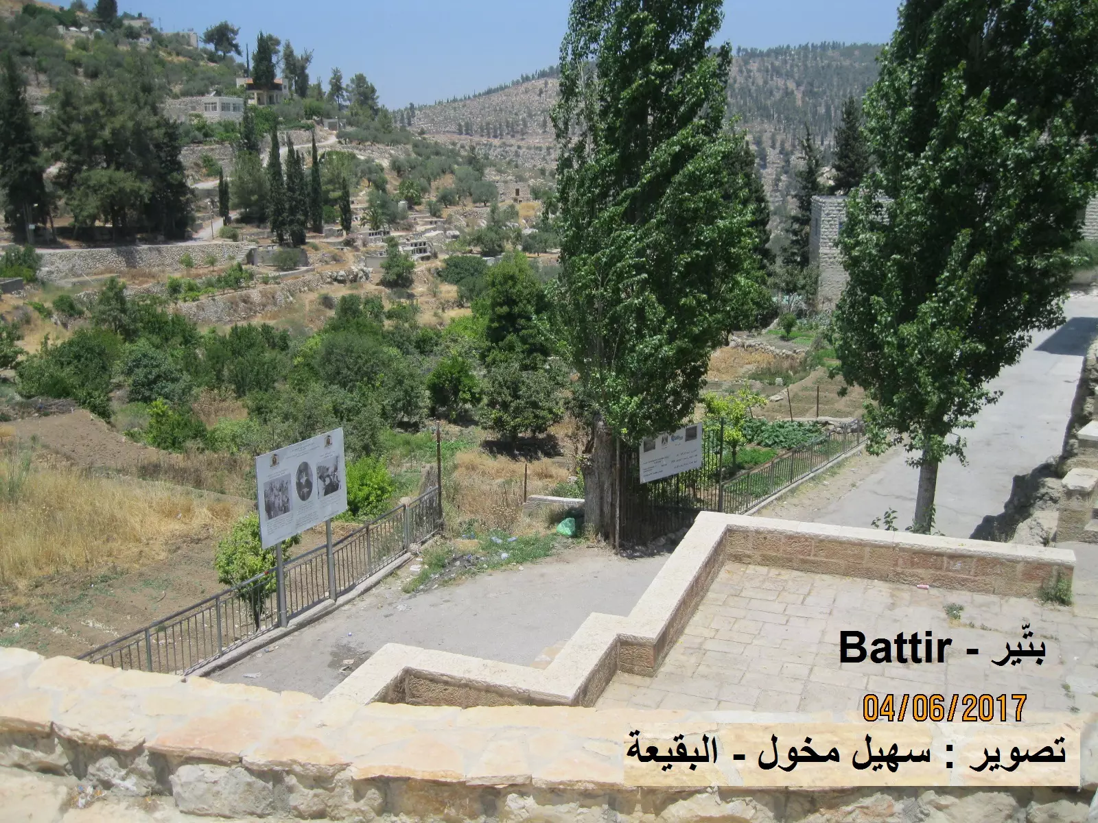
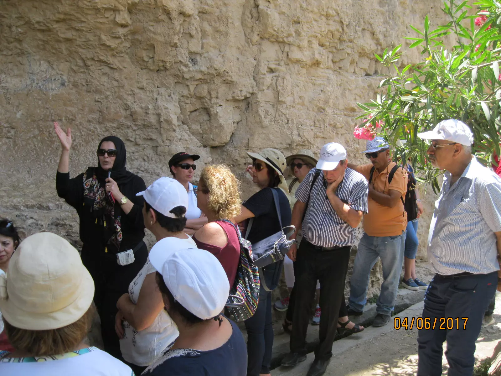
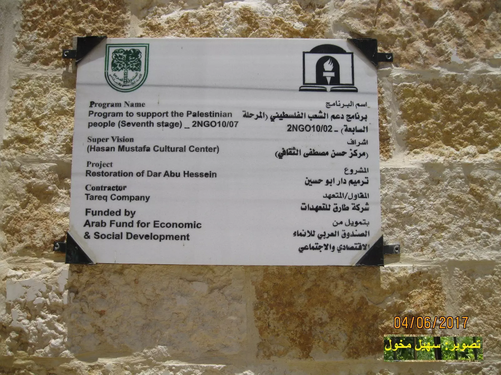
Posted by سهيل مخول - قرية بتير - تصوير : سهيل مخول

Posted by سهيل مخول - قرية بتير - تصوير : سهيل مخول
Posted by سهيل مخول - قرية بتير - تصوير : سهيل مخول
Posted by سهيل مخول - قرية بتير - تصوير : سهيل مخول
Posted by سهيل مخول - قرية بتير - تصوير : سهيل مخول
Posted by سهيل مخول - قرية بتير - تصوير : سهيل مخول
Posted by سهيل مخول - قرية بتير - تصوير : سهيل مخول
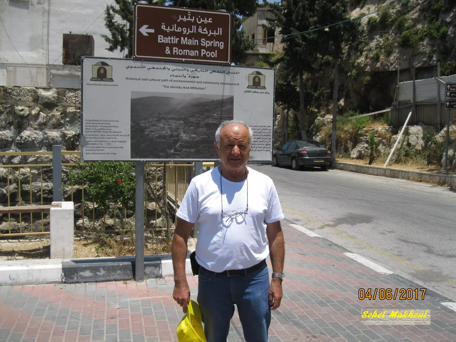
Posted by سهيل مخول - قرية بتير - تصوير يظهر في الصورة سهيل مخول
Posted by سهيل مخول - قرية بتير - تصوير : سهيل مخول
Posted by سهيل مخول - قرية بتير - تصوير : سهيل مخول
Posted by سهيل مخول - قرية بتير - تصوير : سهيل مخول
Posted by سهيل مخول - قرية بتير - تصوير : سهيل مخول
Posted by سهيل مخول - قرية بتير - تصوير : سهيل مخول
Posted by سهيل مخول - قرية بتير - تصوير : سهيل مخول
Posted by سهيل مخول - قرية بتير - تصوير : سهيل مخول
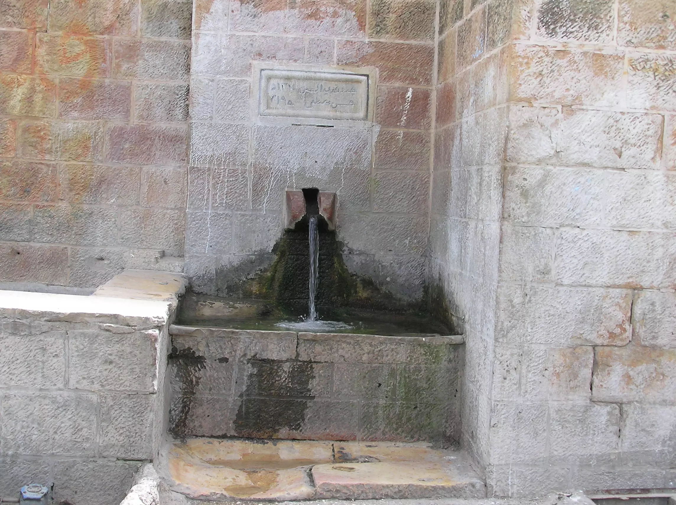
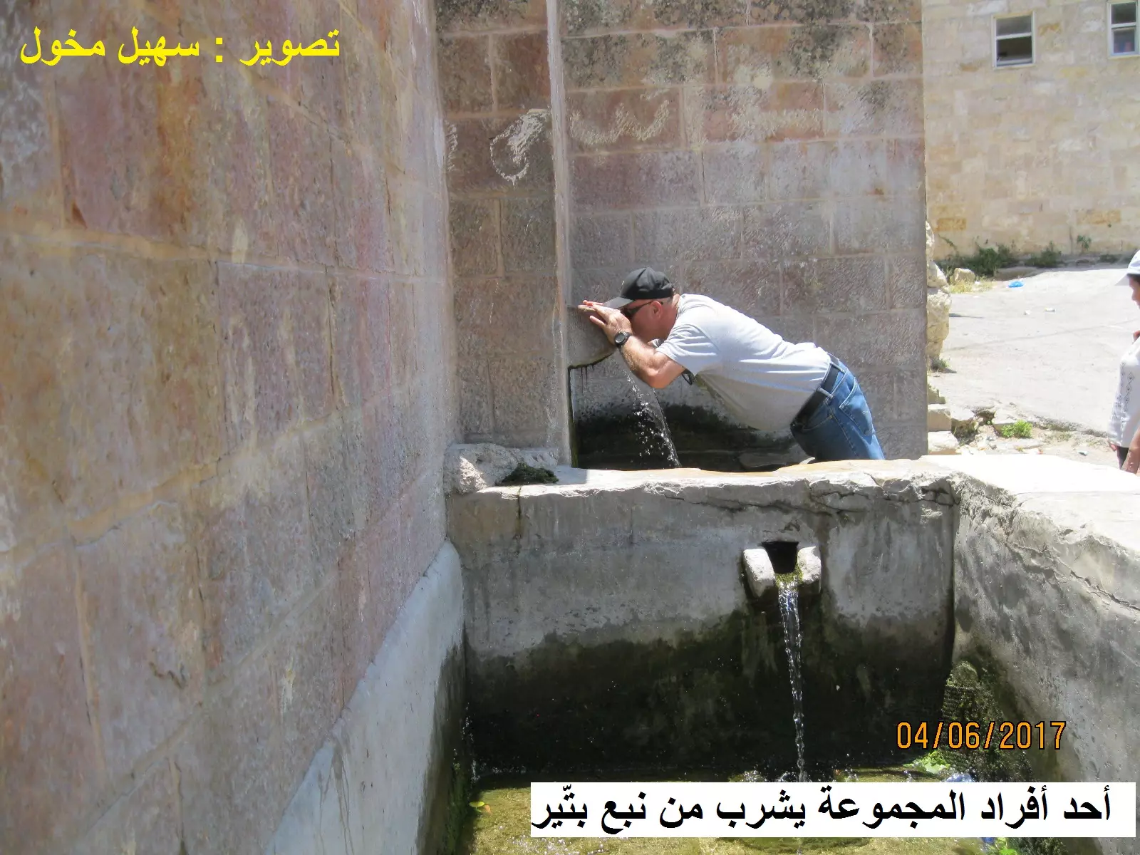
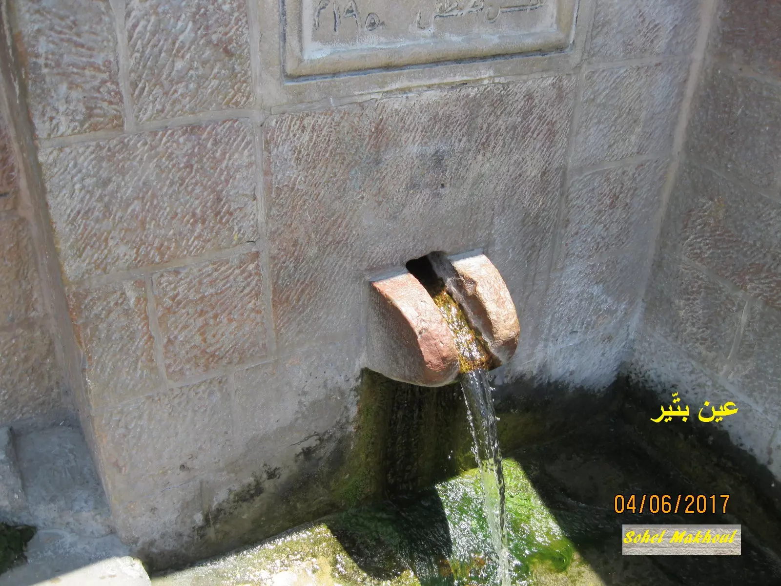
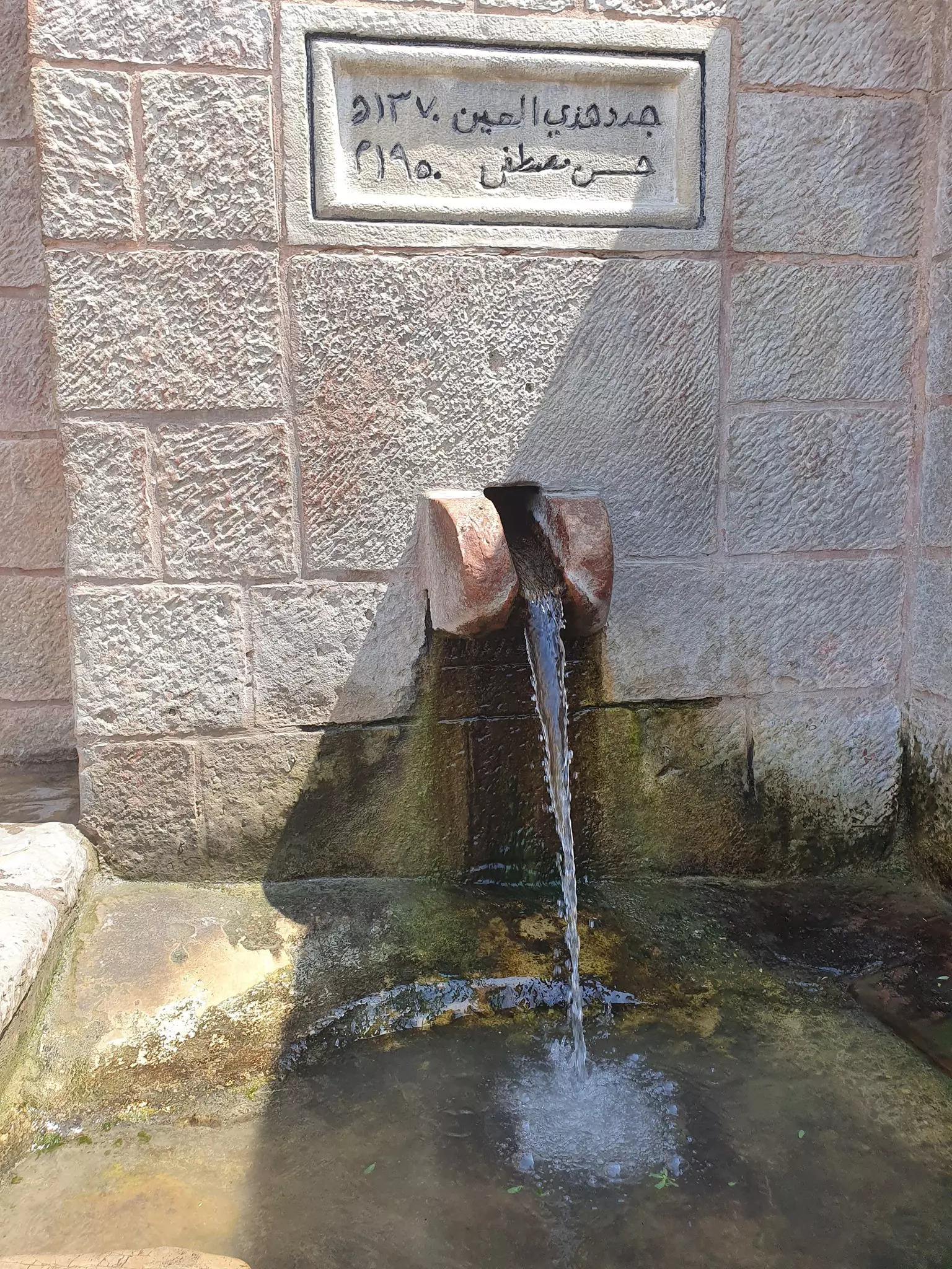
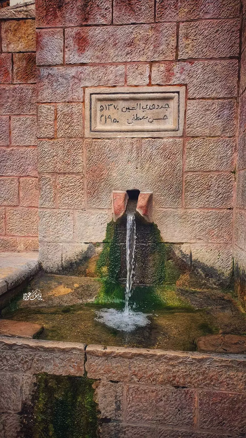
Posted by سهيل مخول - قرية بتير مزراب العين - تصوير : سهيل مخول
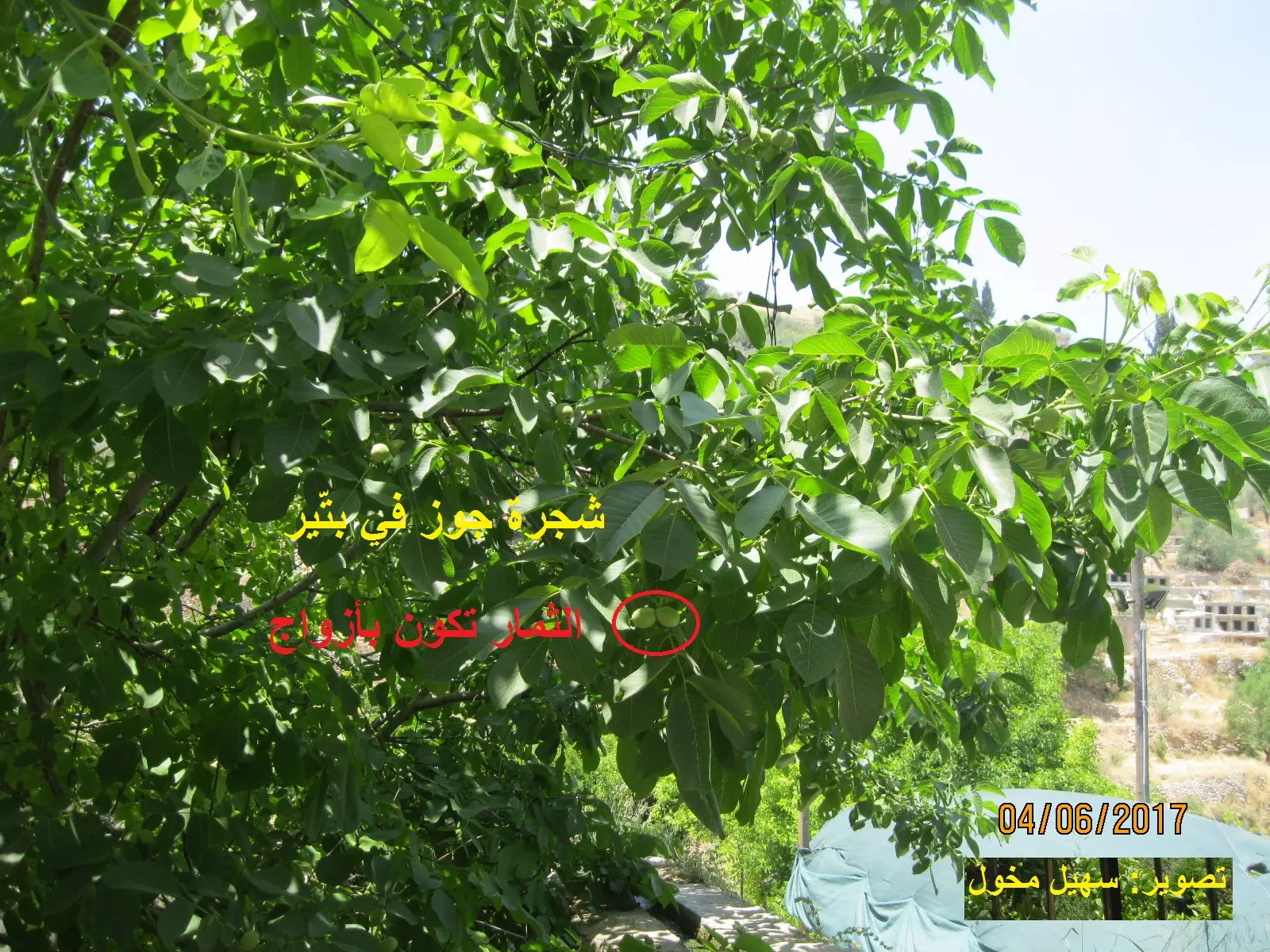
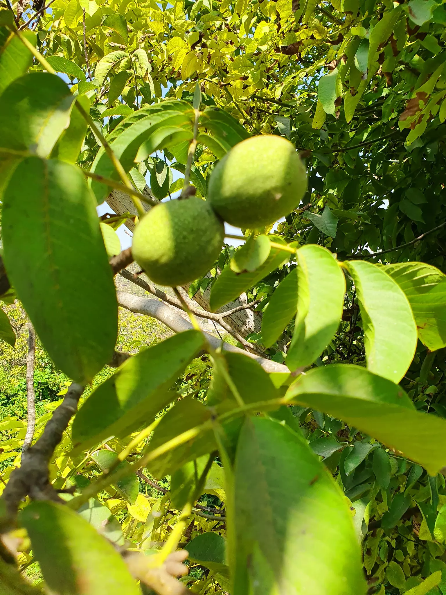
Posted by سهيل مخول - قرية بتير - شجرة جوز - تصوير : سهيل مخول
Posted by سهيل مخول - قرية بتير - تصوير : سهيل مخول
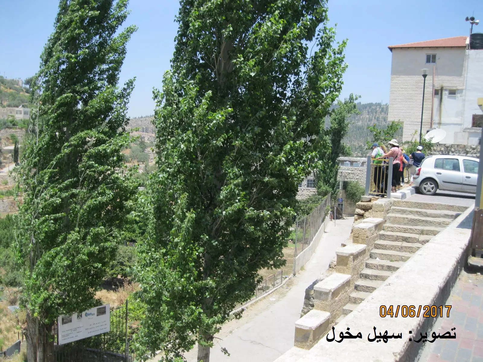
Posted by سهيل مخول - قرية بتير - تصوير : سهيل مخول

Posted by سهيل مخول - قرية بتير - تصوير : سهيل مخول
Posted by سهيل مخول - قرية بتير - تصوير : سهيل مخول
Posted by سهيل مخول - قرية بتير - تصوير : سهيل مخول
Posted by سهيل مخول - قرية بتير - تصوير : سهيل مخول
Posted by سهيل مخول - قرية بتير - تصوير : سهيل مخول

Posted by سهيل مخول - قرية بتير - تصوير : سهيل مخول
Posted by سهيل مخول - قرية بتير - تصوير : سهيل مخول
Posted by سهيل مخول - قرية بتير - تصوير : سهيل مخول
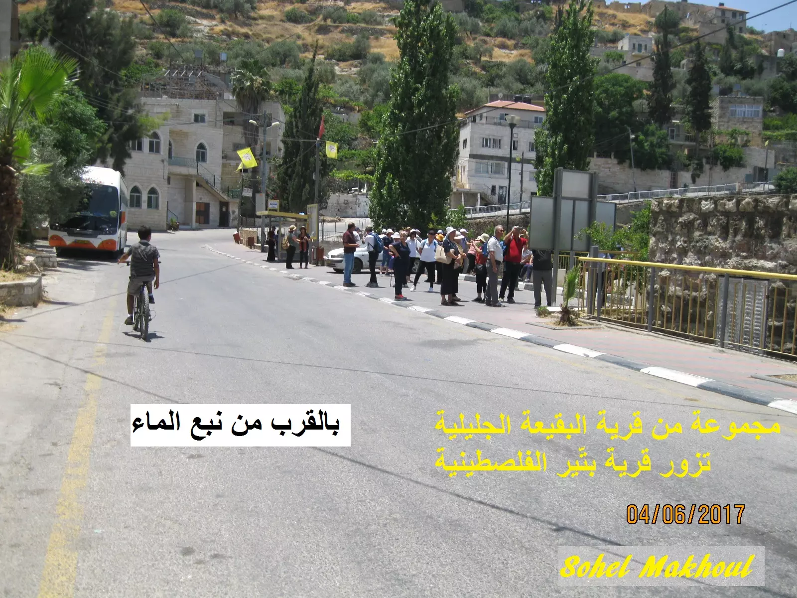
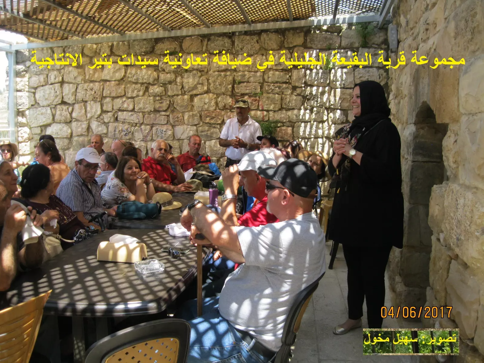
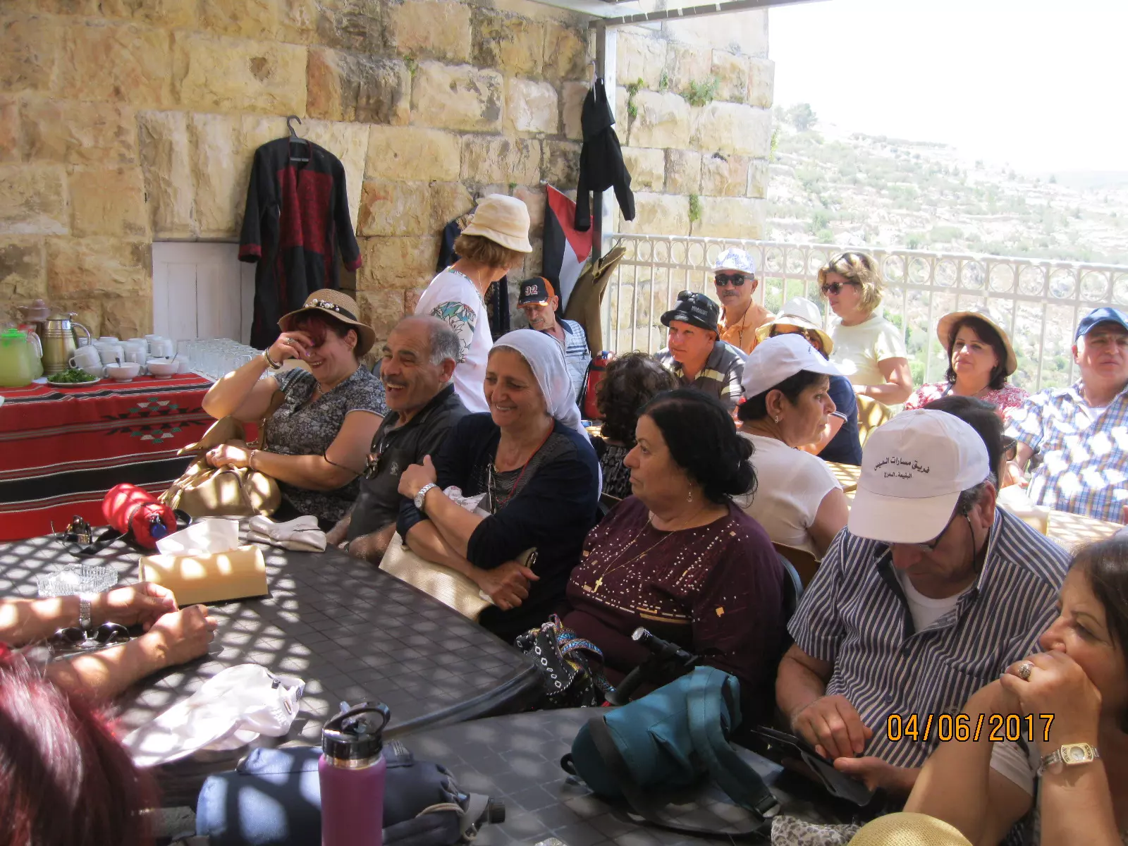
Posted by سهيل مخول - فرقة البقيعة في ضيافة جمعية بتير النسائية الانتاجية مع السيدة سماح عضوة الجمعية
Posted by سهيل مخول - قرية بتير - تصوير : سهيل مخول
Posted by سهيل مخول - قرية بتير - تصوير : سهيل مخول
Posted by سهيل مخول - قرية بتير - تصوير : سهيل مخول
Posted by سهيل مخول - قرية بتير - تصوير : سهيل مخول
Posted by سهيل مخول - قرية بتير - تصوير : سهيل مخول
Posted by سهيل مخول - قرية بتير - تصوير : سهيل مخول
Posted by سهيل مخول - قرية بتير - تصوير : سهيل مخول
Posted by سهيل مخول - قرية بتير - تصوير : سهيل مخول
Posted by سهيل مخول - قرية بتير - تصوير : سهيل مخول
Posted by سهيل مخول - قرية بتير - تصوير : سهيل مخول
Posted by سهيل مخول - قرية بتير - تصوير : سهيل مخول
Posted by سهيل مخول - قرية بتير - تصوير : سهيل مخول
Posted by سهيل مخول - قرية بتير - تصوير : سهيل مخول
Posted by سهيل مخول - قرية بتير - تصوير : سهيل مخول
Posted by سهيل مخول - قرية بتير - تصوير : سهيل مخول
Posted by سهيل مخول - قرية بتير - تصوير : سهيل مخول
Posted by سهيل مخول - قرية بتير - تصوير : سهيل مخول
Posted by سهيل مخول - قرية بتير - تصوير : سهيل مخول
Posted by سهيل مخول - قرية بتير - تصوير : سهيل مخول
Posted by سهيل مخول - قرية بتير - تصوير : سهيل مخول
Posted by سهيل مخول - قرية بتير - تصوير : سهيل مخول
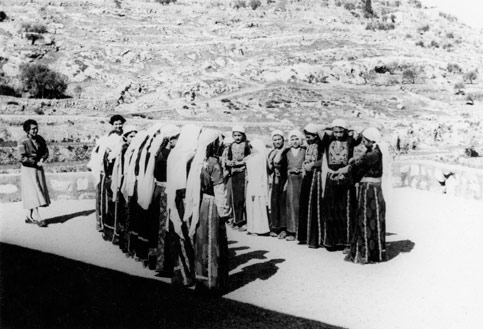
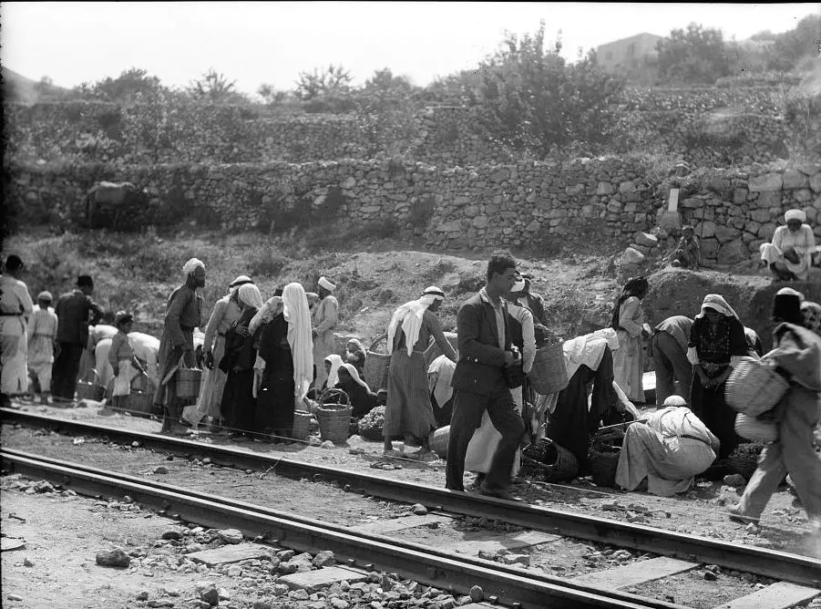
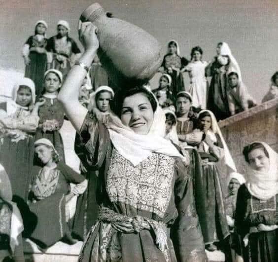
Posted by سهيل مخول - الفلسطينيات هن الجميلات في طريقهن لبيع محصولهن اما عند محطة القطار ام ع ابواب القدس.- بتير قضاء القدس 1937 - قبل النكبة
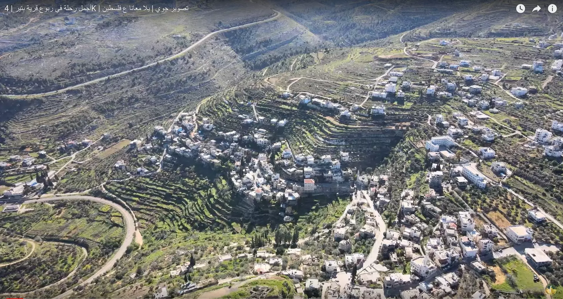
- تصوير جوي حديث لقرية بتيرالعامرة - بعدسة درون قناة ((يلا معانا ع فلسطين)) ع الليوتيوب
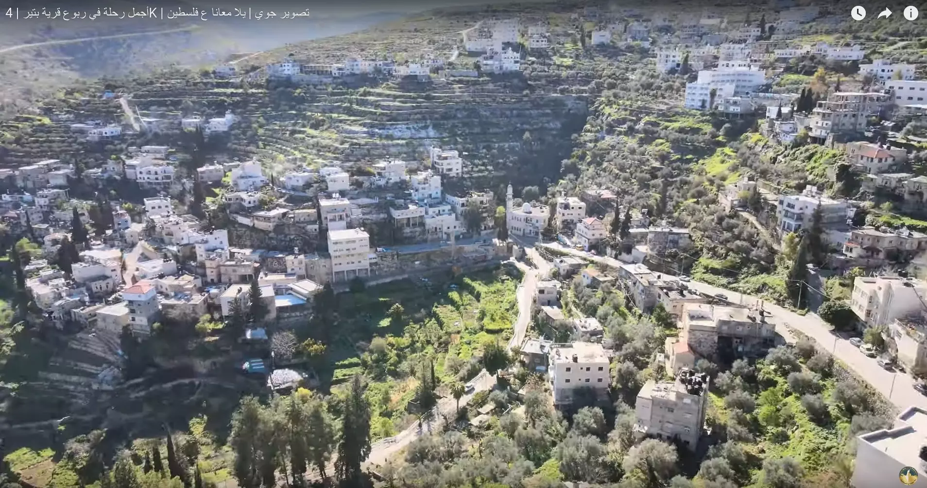
- تصوير جوي حديث لقرية بتيرالعامرة - بعدسة درون قناة ((يلا معانا ع فلسطين)) ع الليوتيوب #2
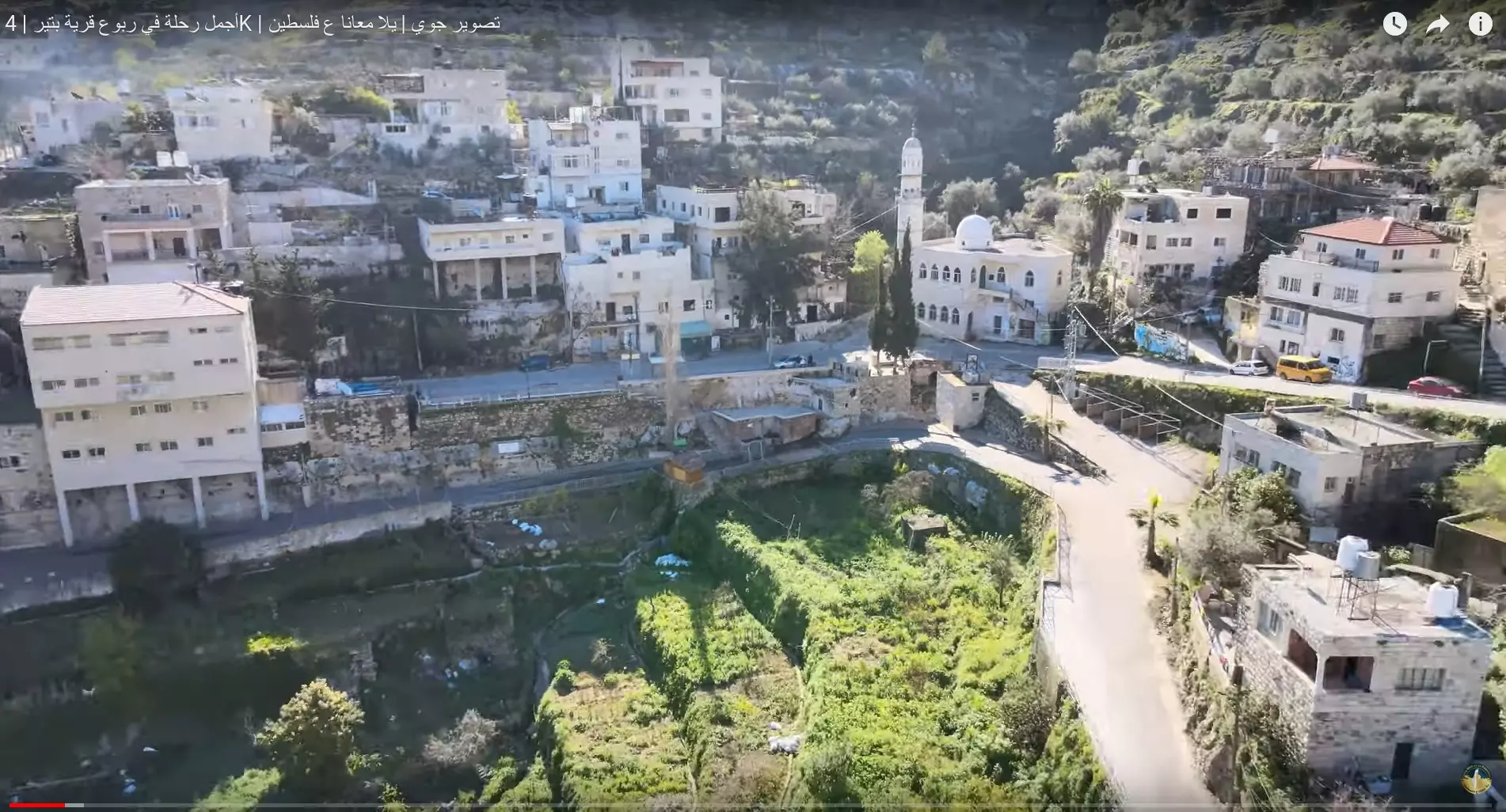
- تصوير جوي حديث لقرية بتيرالعامرة - بعدسة درون قناة ((يلا معانا ع فلسطين)) ع الليوتيوب #3
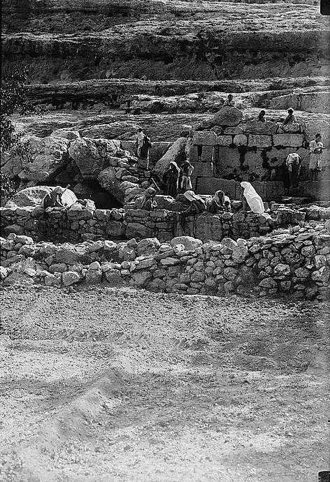
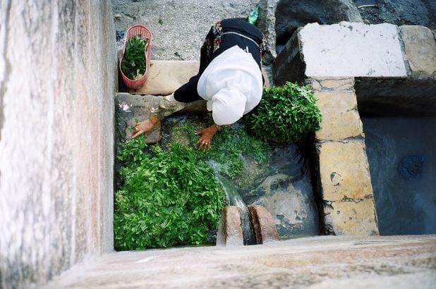
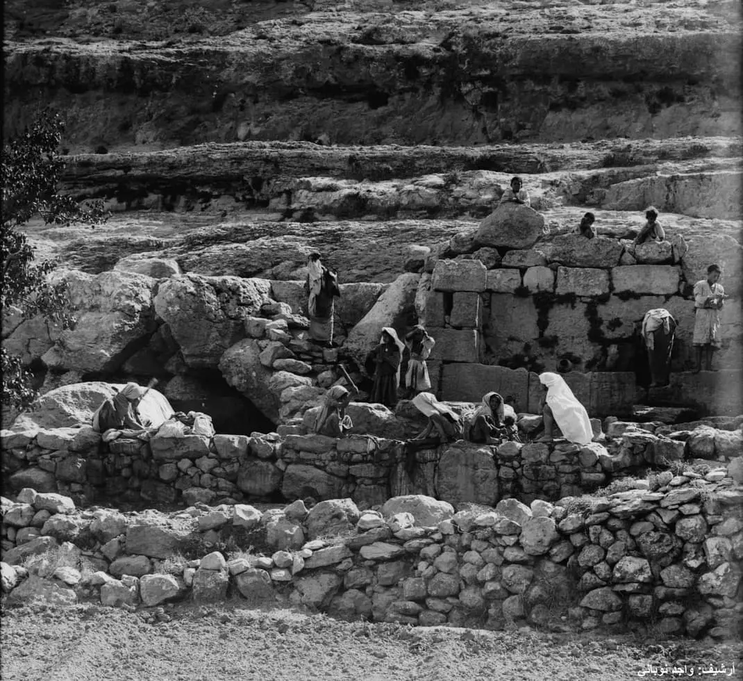
- نساء بتير يغسلن الثياب بحد العين... قبل النكبة
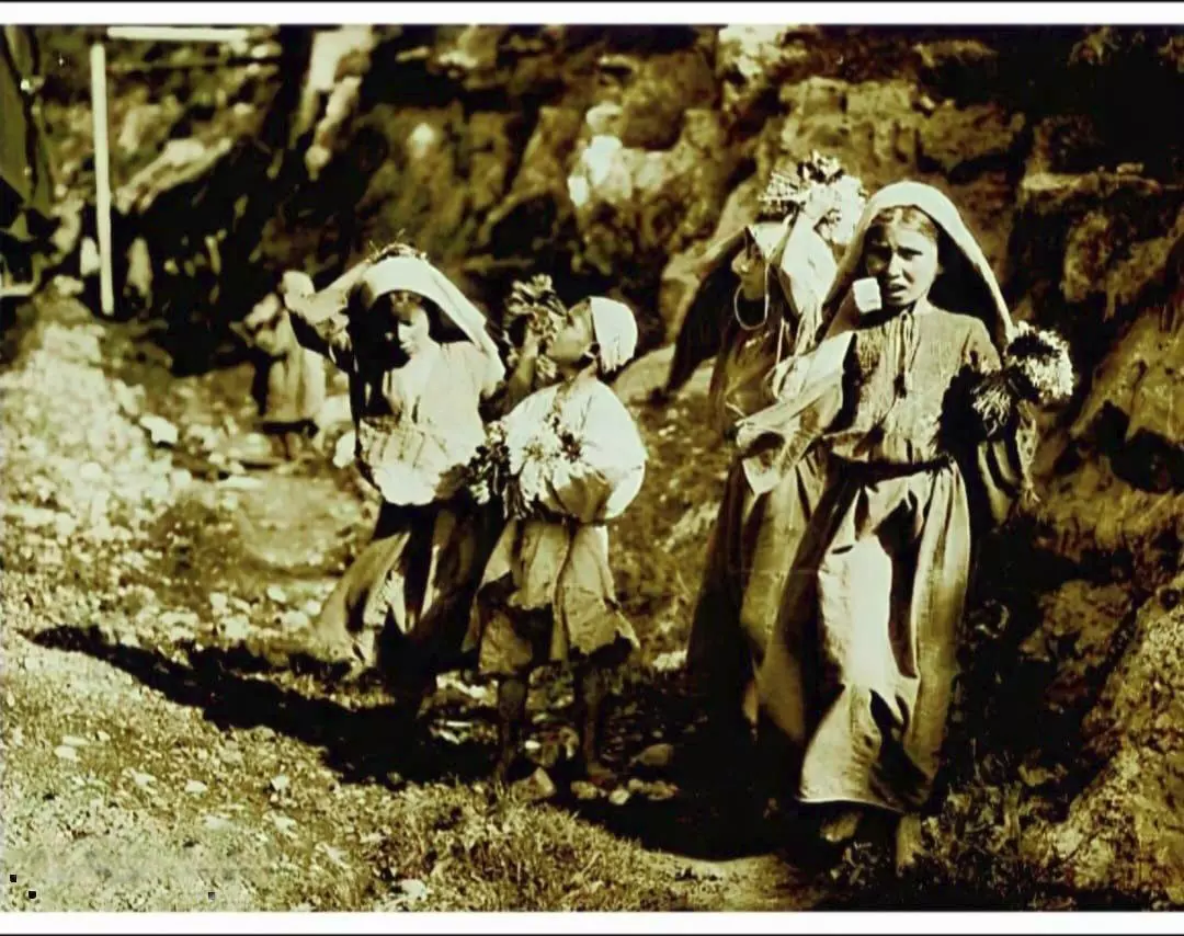
- أطفال يبيعون الورود..قرب محطة القطار في بتير قضاء بيت لحم عام 1910..
- النزول في محطة قطار بتير قضاء بيت لحم عام 1938..
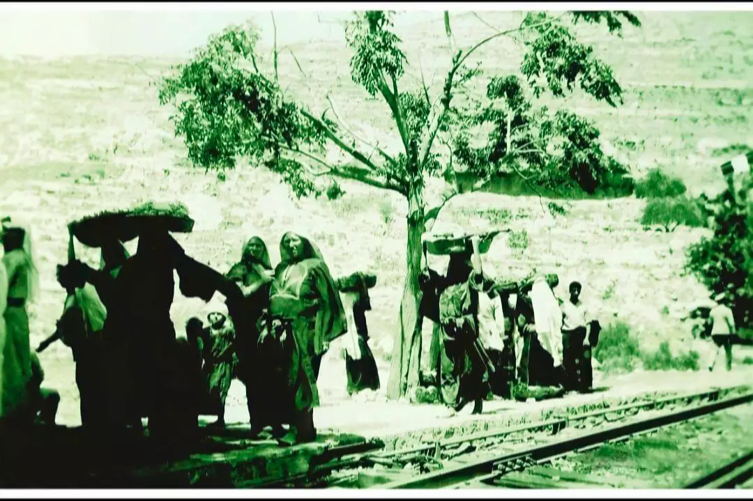
- قرويات من قرية بتير قضاء بيت لحم يحملن الباذنجان في طريقهن لبيعه في السوق عام 1900..
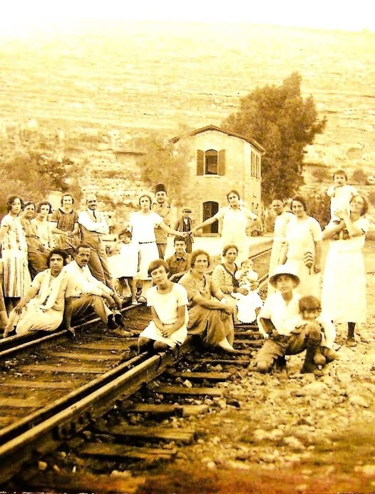
- نزهة في قرية بتير، بالقرب من محطة السكة الحديد، حوالي 1927. فلسطين.
- جولة بين البيوت القديمة
- جولة بين البيوت القديمة #2
- جولة بين البيوت القديمة #3
- جولة بين البيوت القديمة #4
- جولة بين البيوت القديمة #5
- محطة قطار بتير قرب بتير عام 1948 بعد اعادة تشغيل خط القطار بين القدس ويافا
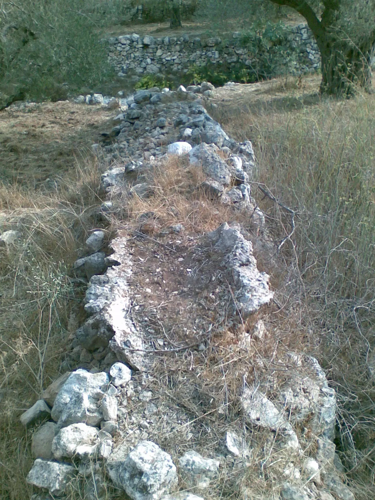
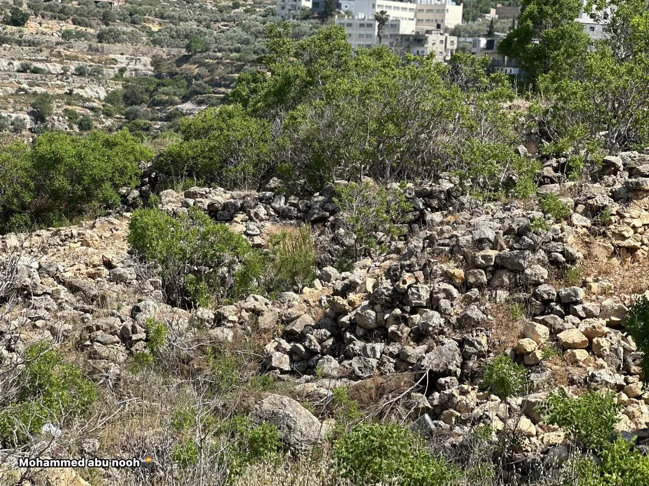
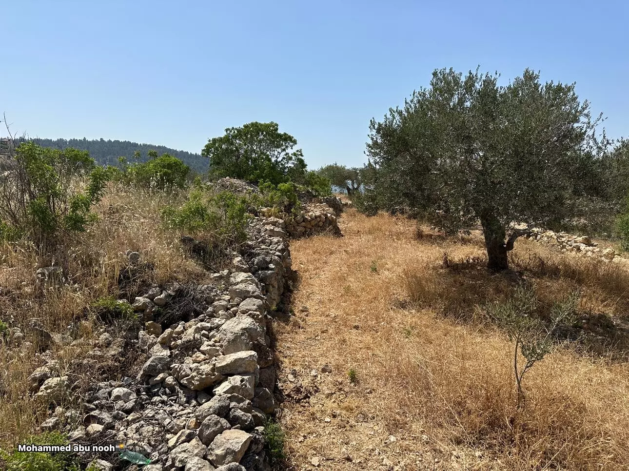
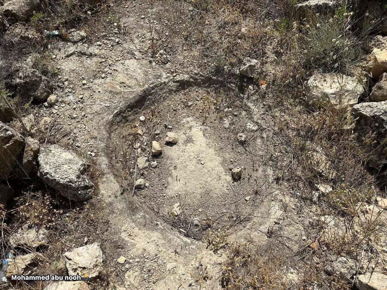
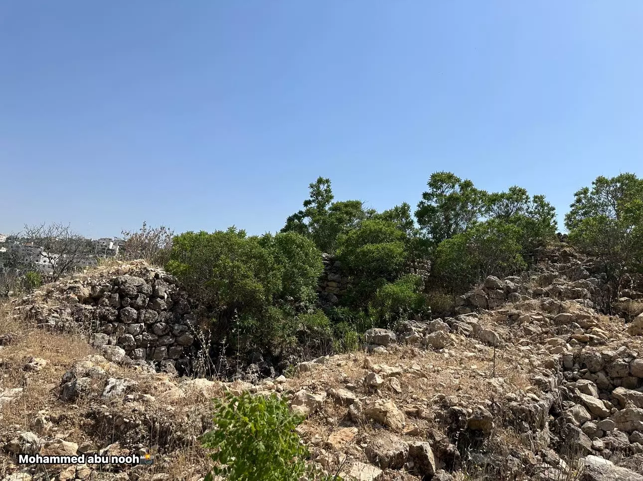
- خربة اليهود في بتير -- المزيد عنها في قسم التعليقات اسفل الصورة -- محمد أبو نوح
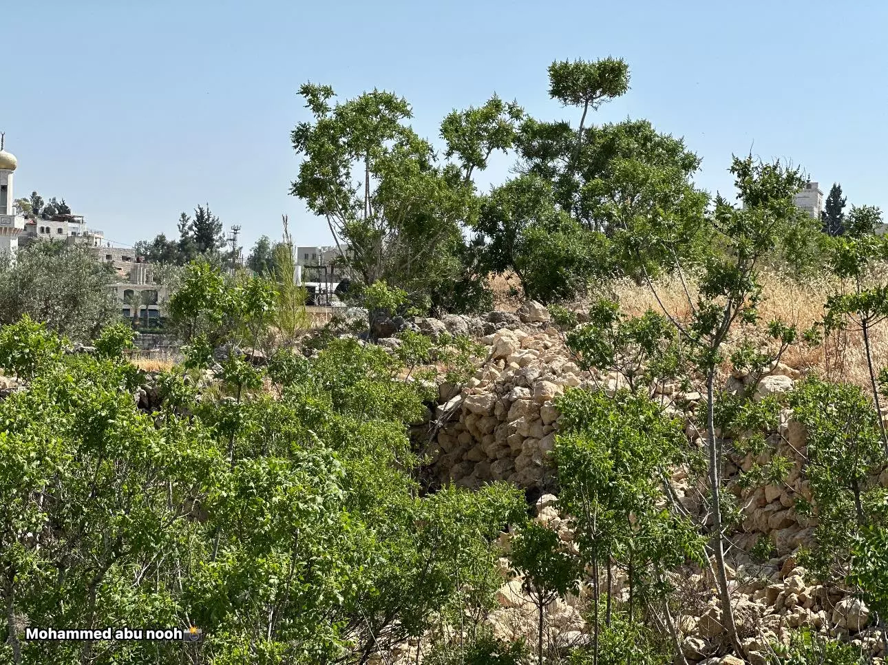
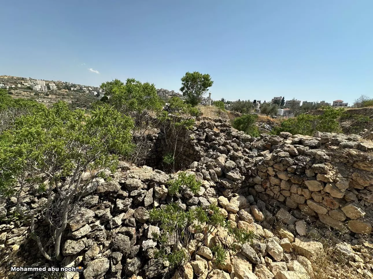
1 - خربة اليهود في بتير -- المزيد عنها في قسم التعليقات اسفل الصورة -- محمد أبو نوح #2
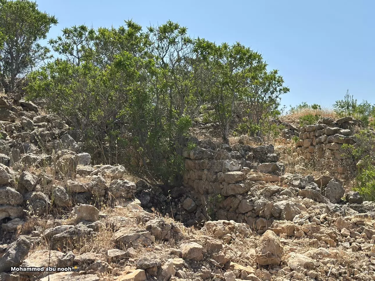
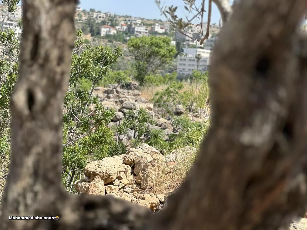
- خربة اليهود في بتير -- المزيد عنها في قسم التعليقات اسفل الصورة -- محمد أبو نوح #3
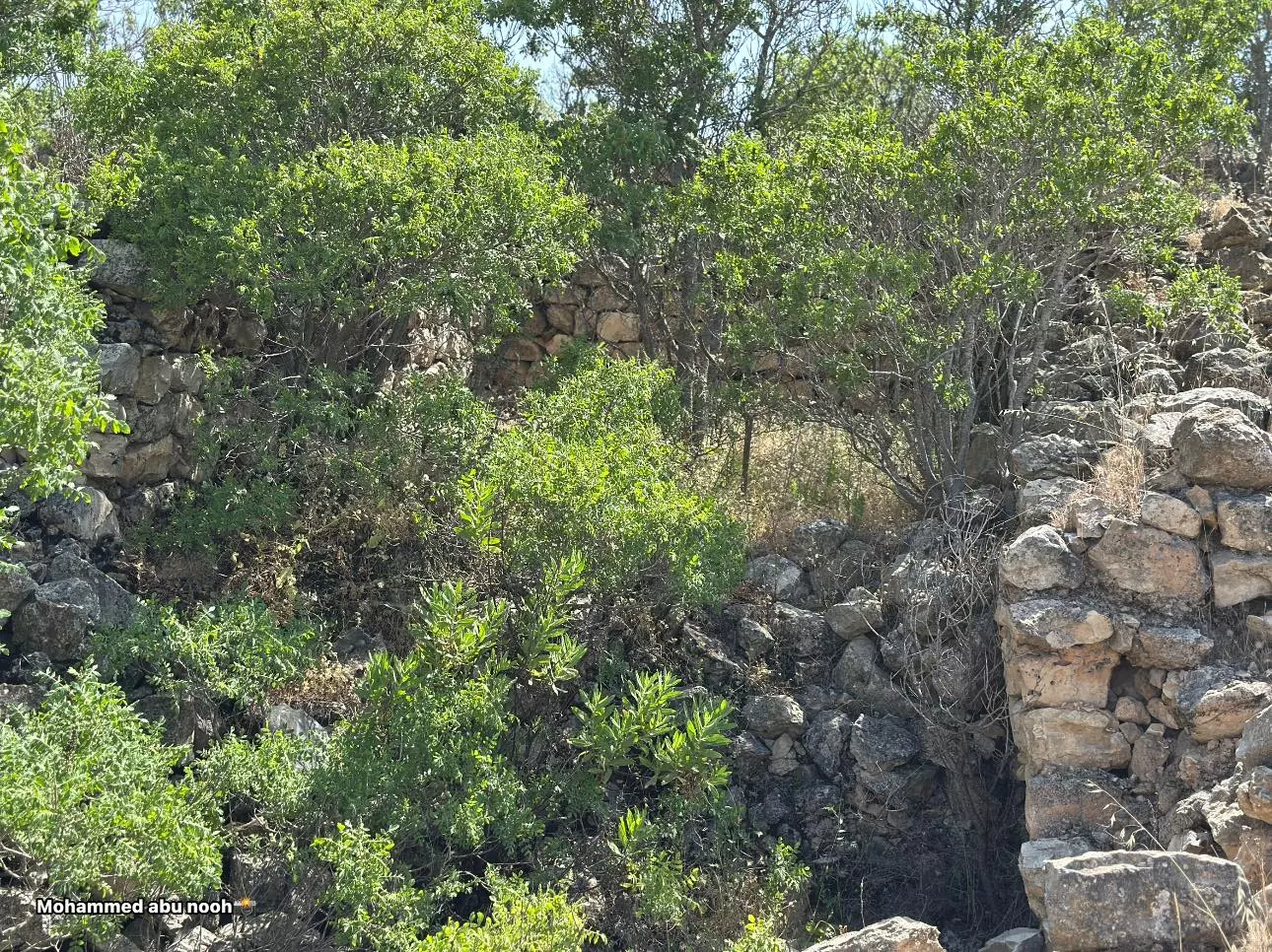
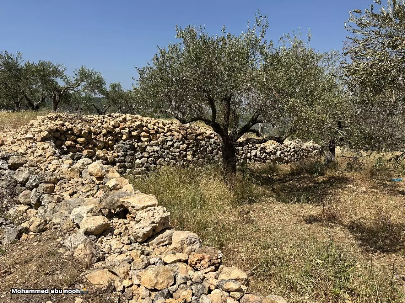
- خربة اليهود في بتير -- المزيد عنها في قسم التعليقات اسفل الصورة -- محمد أبو نوح #4
- خربة اليهود في بتير -- المزيد عنها في قسم التعليقات اسفل الصورة -- محمد أبو نوح #5
- خربة اليهود في بتير -- المزيد عنها في قسم التعليقات اسفل الصورة -- محمد أبو نوح #6
- خربة اليهود في بتير -- المزيد عنها في قسم التعليقات اسفل الصورة -- محمد أبو نوح #7
- خربة اليهود في بتير -- المزيد عنها في قسم التعليقات اسفل الصورة -- محمد أبو نوح #8
- خربة اليهود في بتير -- المزيد عنها في قسم التعليقات اسفل الصورة -- محمد أبو نوح #9
- خربة اليهود في بتير -- المزيد عنها في قسم التعليقات اسفل الصورة -- محمد أبو نوح #10
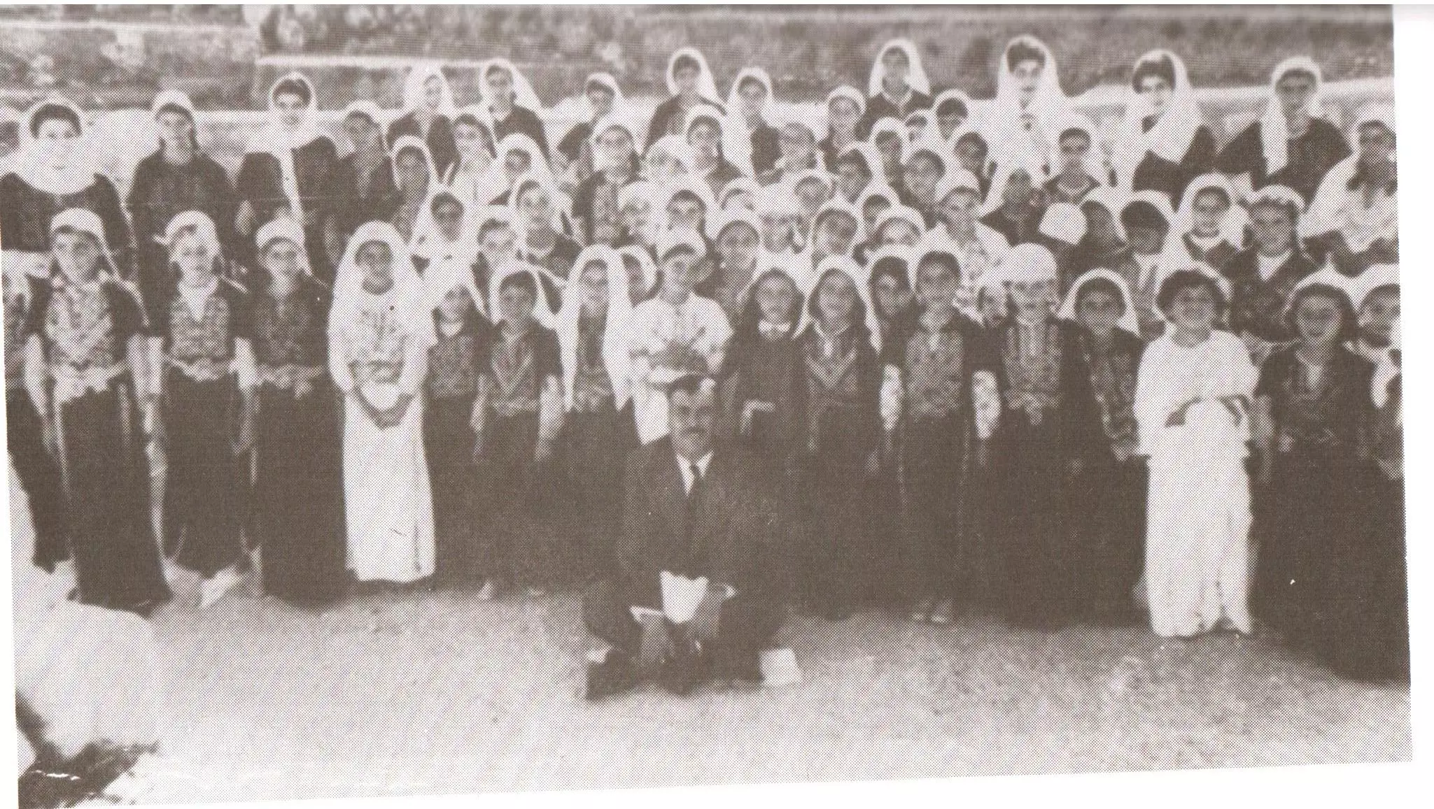
- التقطت هذه الصورة عام ١٩٥٣ على عين قرية بتير -قضاء بيت لحم -لمجموعة من المعلمات والطالبات في مدرسة بنات بتير بالزي الشعبي والثوب الفلاحي..المزيد عنها بقسم التعليقات
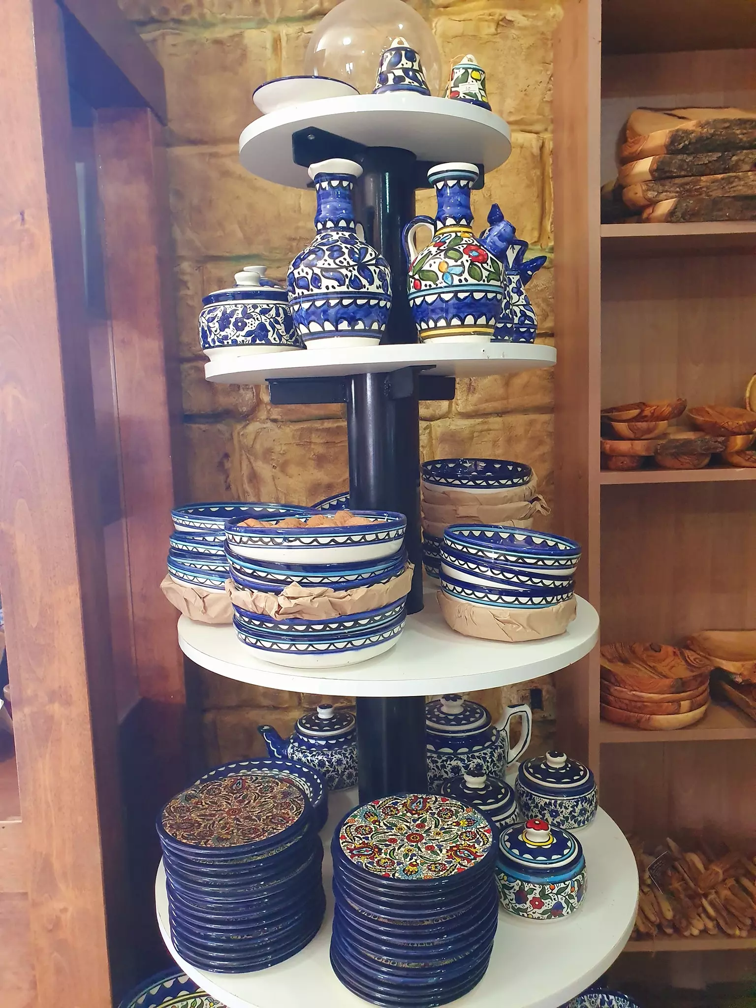
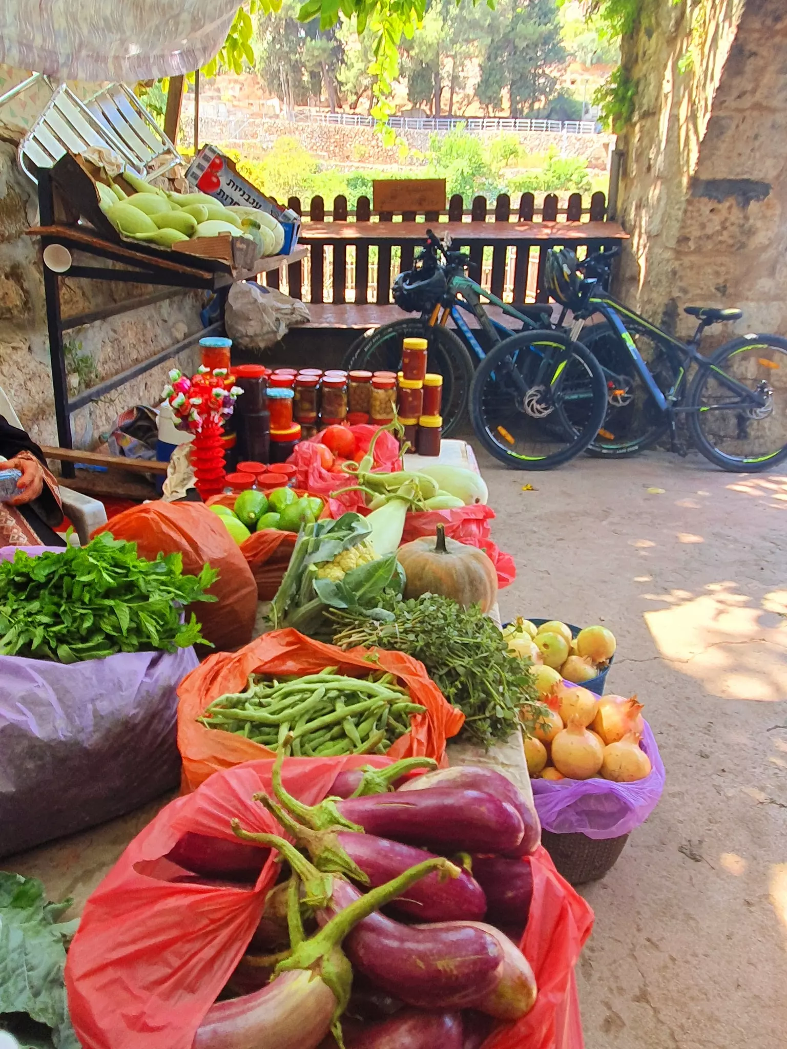
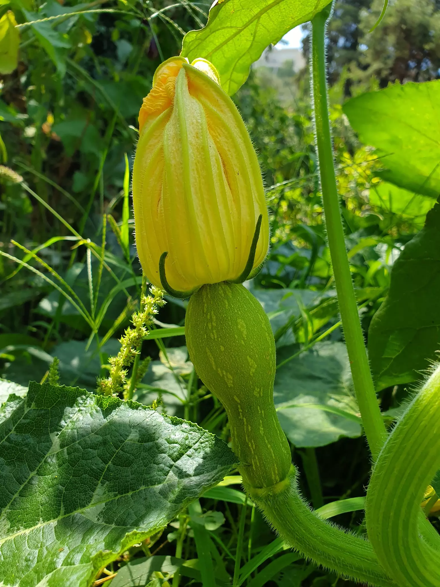
1 - أجمل لحظات عمري كانت عندما تبضعت من مزارع كهذه. بتّير العز والإباء -- Sept. 2021 -- Nabela Salem

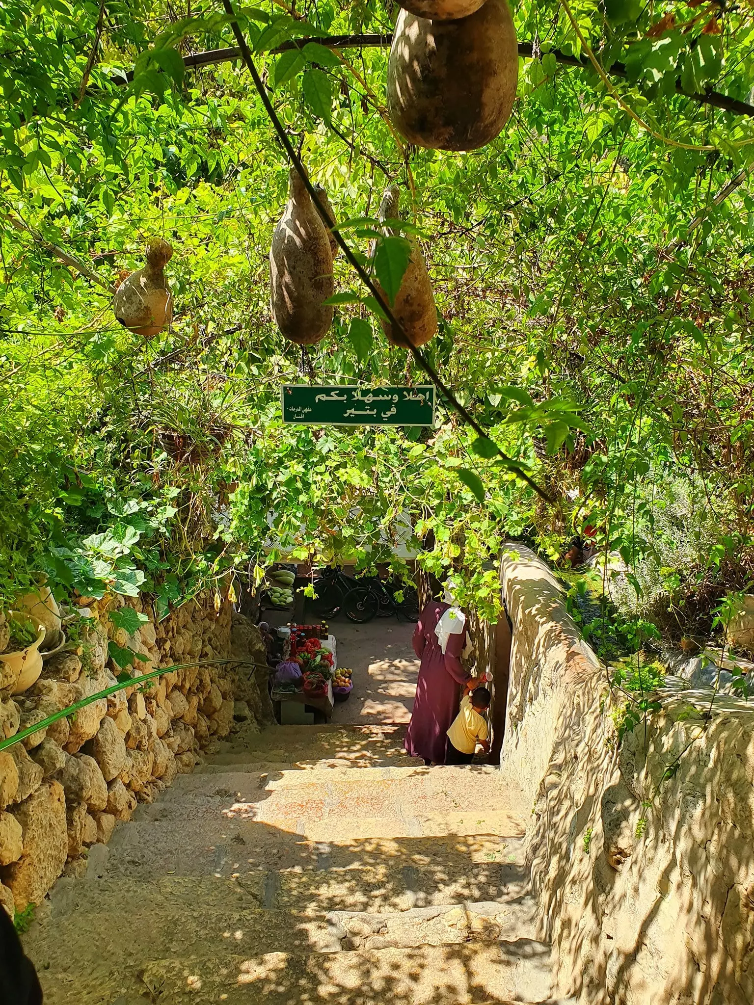
- When a Jew says Palestinian don't exist, please send them here to see Battir-- Sept 2021 -- Nabela Salem -- جولة رائعة في بتّير العز
- When a Jew says Palestinian don't exist, please send them here to see Battir-- Sept 2021 -- Nabela Salem -- جولة رائعة في بتّير العز #2
- When a Jew says Palestinian don't exist, please send them here to see Battir-- Sept 2021 -- Nabela Salem -- جولة رائعة في بتّير العز #3
- When a Jew says Palestinian don't exist, please send them here to see Battir-- Sept 2021 -- Nabela Salem -- جولة رائعة في بتّير العز #4
- When a Jew says Palestinian don't exist, please send them here to see Battir-- Sept 2021 -- Nabela Salem -- جولة رائعة في بتّير العز #5
- When a Jew says Palestinian don't exist, please send them here to see Battir-- Sept 2021 -- Nabela Salem -- جولة رائعة في بتّير العز #6
- When a Jew says Palestinian don't exist, please send them here to see Battir-- Sept 2021 -- Nabela Salem -- جولة رائعة في بتّير العز #7
- When a Jew says Palestinian don't exist, please send them here to see Battir-- Sept 2021 -- Nabela Salem -- جولة رائعة في بتّير العز #8
- When a Jew says Palestinian don't exist, please send them here to see Battir-- Sept 2021 -- Nabela Salem -- جولة رائعة في بتّير العز #9
- When a Jew says Palestinian don't exist, please send them here to see Battir-- Sept 2021 -- Nabela Salem -- جولة رائعة في بتّير العز #10
- When a Jew says Palestinian don't exist, please send them here to see Battir-- Sept 2021 -- Nabela Salem -- جولة رائعة في بتّير العز #11
- When a Jew says Palestinian don't exist, please send them here to see Battir-- Sept 2021 -- Nabela Salem -- جولة رائعة في بتّير العز #12
- When a Jew says Palestinian don't exist, please send them here to see Battir-- Sept 2021 -- Nabela Salem -- جولة رائعة في بتّير العز #13
- When a Jew says Palestinian don't exist, please send them here to see Battir-- Sept 2021 -- Nabela Salem -- جولة رائعة في بتّير العز #14
- When a Jew says Palestinian don't exist, please send them here to see Battir-- Sept 2021 -- Nabela Salem -- جولة رائعة في بتّير العز #15
- When a Jew says Palestinian don't exist, please send them here to see Battir-- Sept 2021 -- Nabela Salem -- جولة رائعة في بتّير العز #16
- When a Jew says Palestinian don't exist, please send them here to see Battir-- Sept 2021 -- Nabela Salem -- جولة رائعة في بتّير العز #17
- When a Jew says Palestinian don't exist, please send them here to see Battir-- Sept 2021 -- Nabela Salem -- جولة رائعة في بتّير العز #18
- When a Jew says Palestinian don't exist, please send them here to see Battir-- Sept 2021 -- Nabela Salem -- جولة رائعة في بتّير العز #19
- When a Jew says Palestinian don't exist, please send them here to see Battir-- Sept 2021 -- Nabela Salem -- جولة رائعة في بتّير العز #20
- When a Jew says Palestinian don't exist, please send them here to see Battir-- Sept 2021 -- Nabela Salem -- جولة رائعة في بتّير العز #21
- When a Jew says Palestinian don't exist, please send them here to see Battir-- Sept 2021 -- Nabela Salem -- جولة رائعة في بتّير العز #22

- When a Jew says Palestinian don't exist, please send them here to see Battir-- Sept 2021 -- Nabela Salem -- جولة رائعة في بتّير العز #23
- When a Jew says Palestinian don't exist, please send them here to see Battir-- Sept 2021 -- Nabela Salem -- جولة رائعة في بتّير العز #24
- When a Jew says Palestinian don't exist, please send them here to see Battir-- Sept 2021 -- Nabela Salem -- جولة رائعة في بتّير العز #25
- When a Jew says Palestinian don't exist, please send them here to see Battir-- Sept 2021 -- Nabela Salem -- جولة رائعة في بتّير العز #26
- When a Jew says Palestinian don't exist, please send them here to see Battir-- Sept 2021 -- Nabela Salem -- جولة رائعة في بتّير العز #27
- When a Jew says Palestinian don't exist, please send them here to see Battir-- Sept 2021 -- Nabela Salem -- جولة رائعة في بتّير العز #28
- When a Jew says Palestinian don't exist, please send them here to see Battir-- Sept 2021 -- Nabela Salem -- جولة رائعة في بتّير العز #29
- When a Jew says Palestinian don't exist, please send them here to see Battir-- Sept 2021 -- Nabela Salem -- جولة رائعة في بتّير العز #30
- When a Jew says Palestinian don't exist, please send them here to see Battir-- Sept 2021 -- Nabela Salem -- جولة رائعة في بتّير العز #31

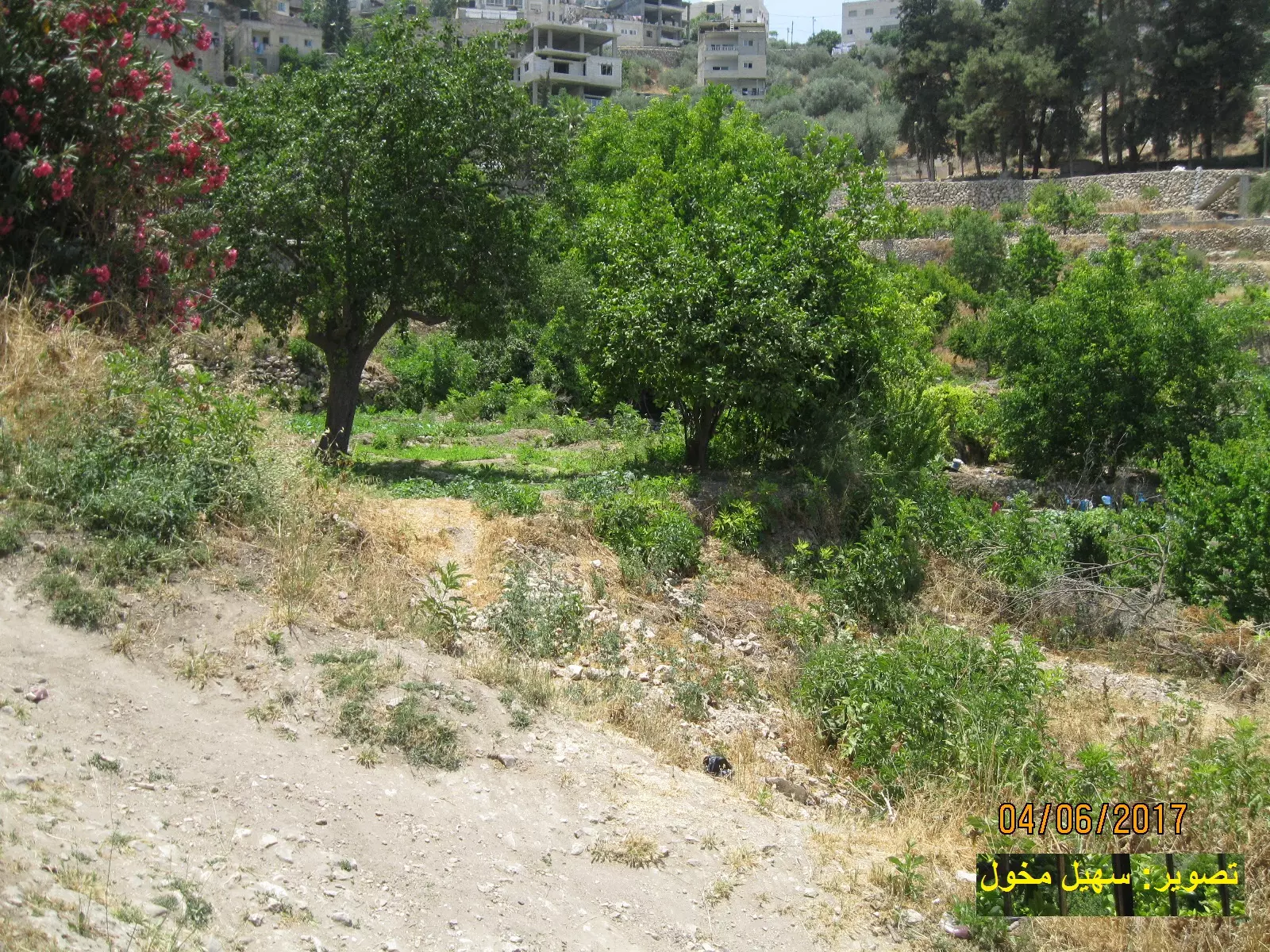
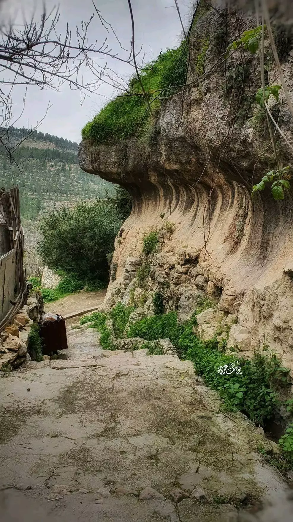
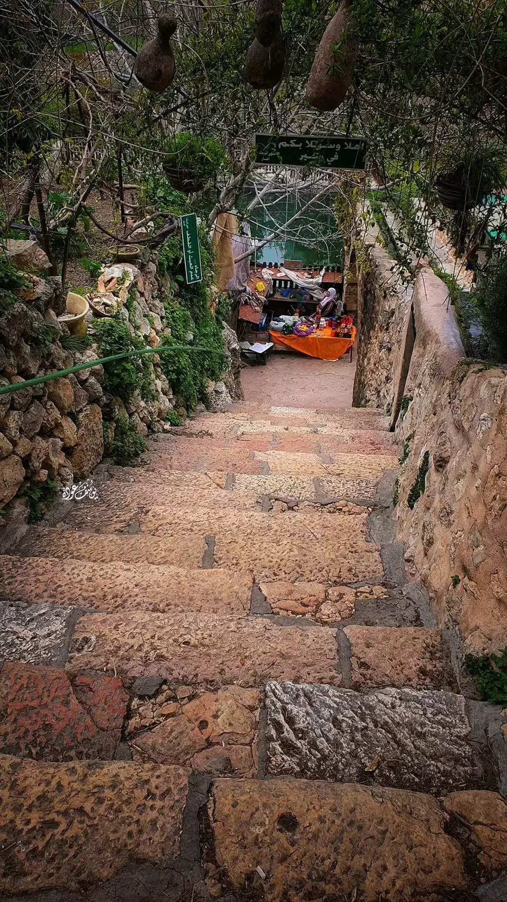
- جولة في حواكير البلدة -- يوسف عودة
- جولة في حواكير البلدة -- يوسف عودة #2
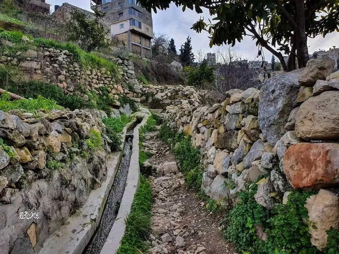
- جولة في حواكير البلدة -- يوسف عودة #3
- جولة في حواكير البلدة -- يوسف عودة #4
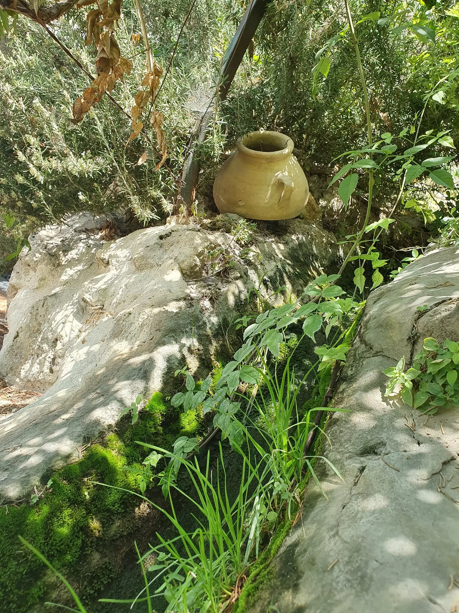
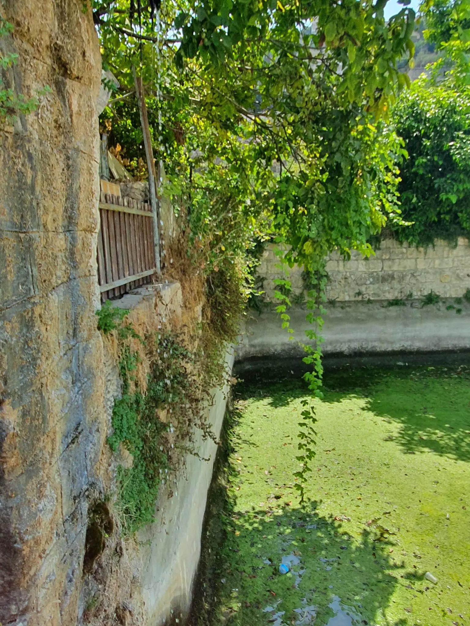
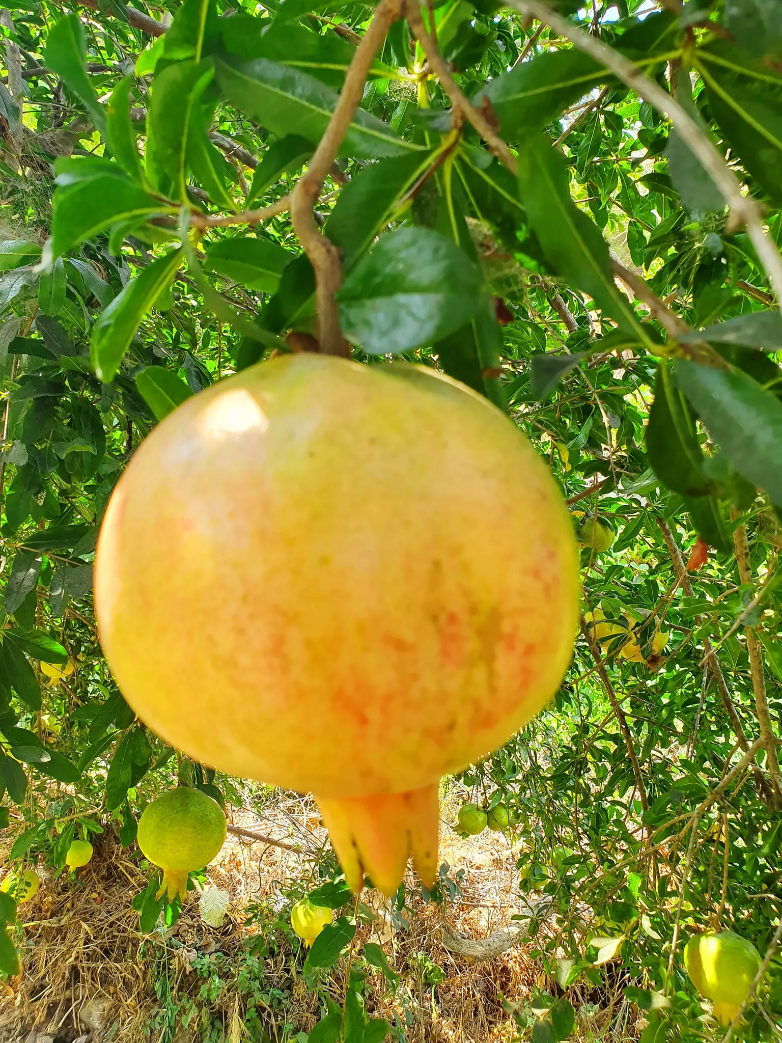
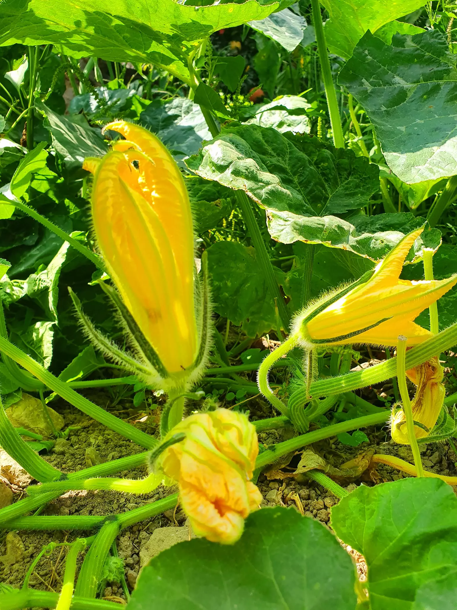
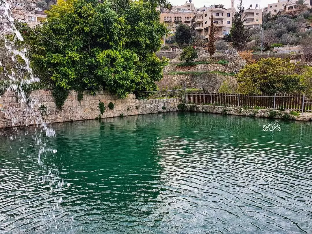
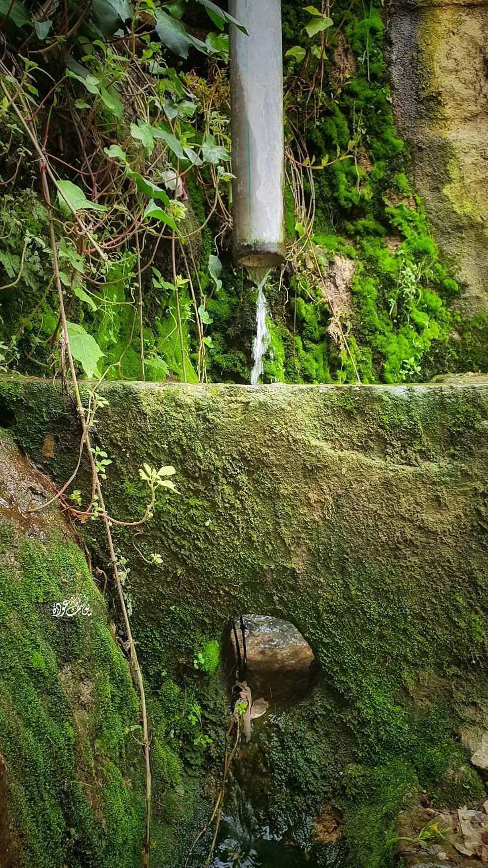
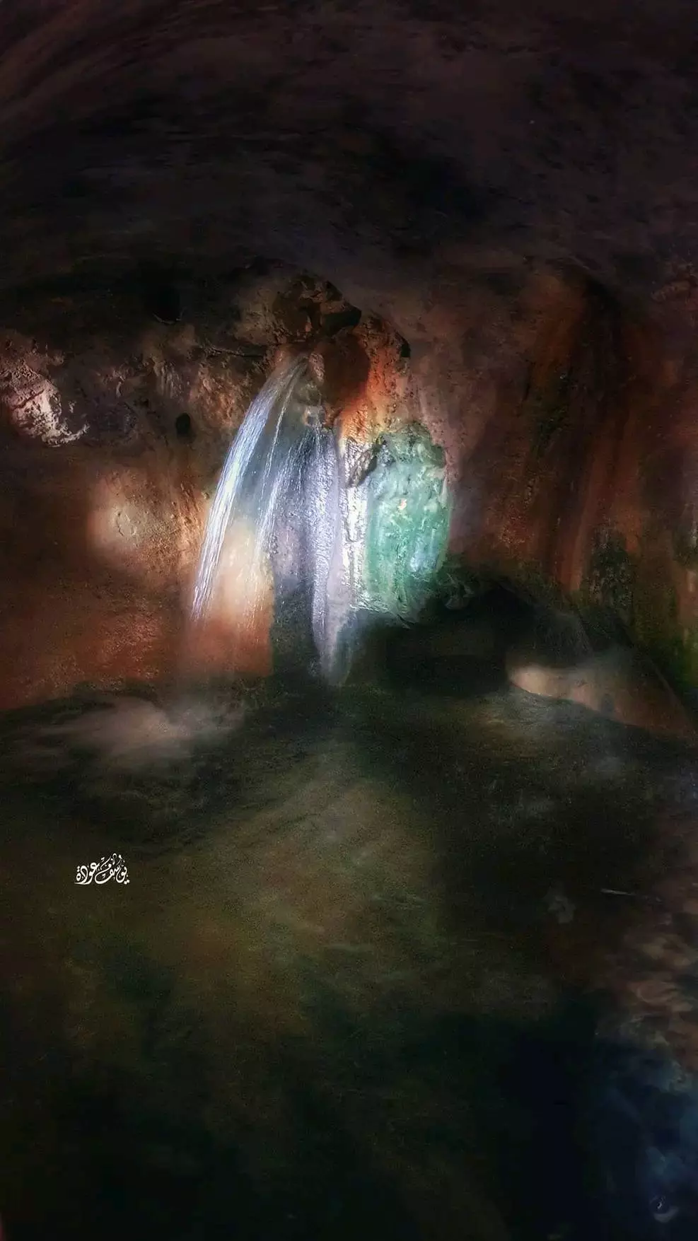
- جولة رائعه بين اعين وبرك وبساتين القرية -- يوسف عودة
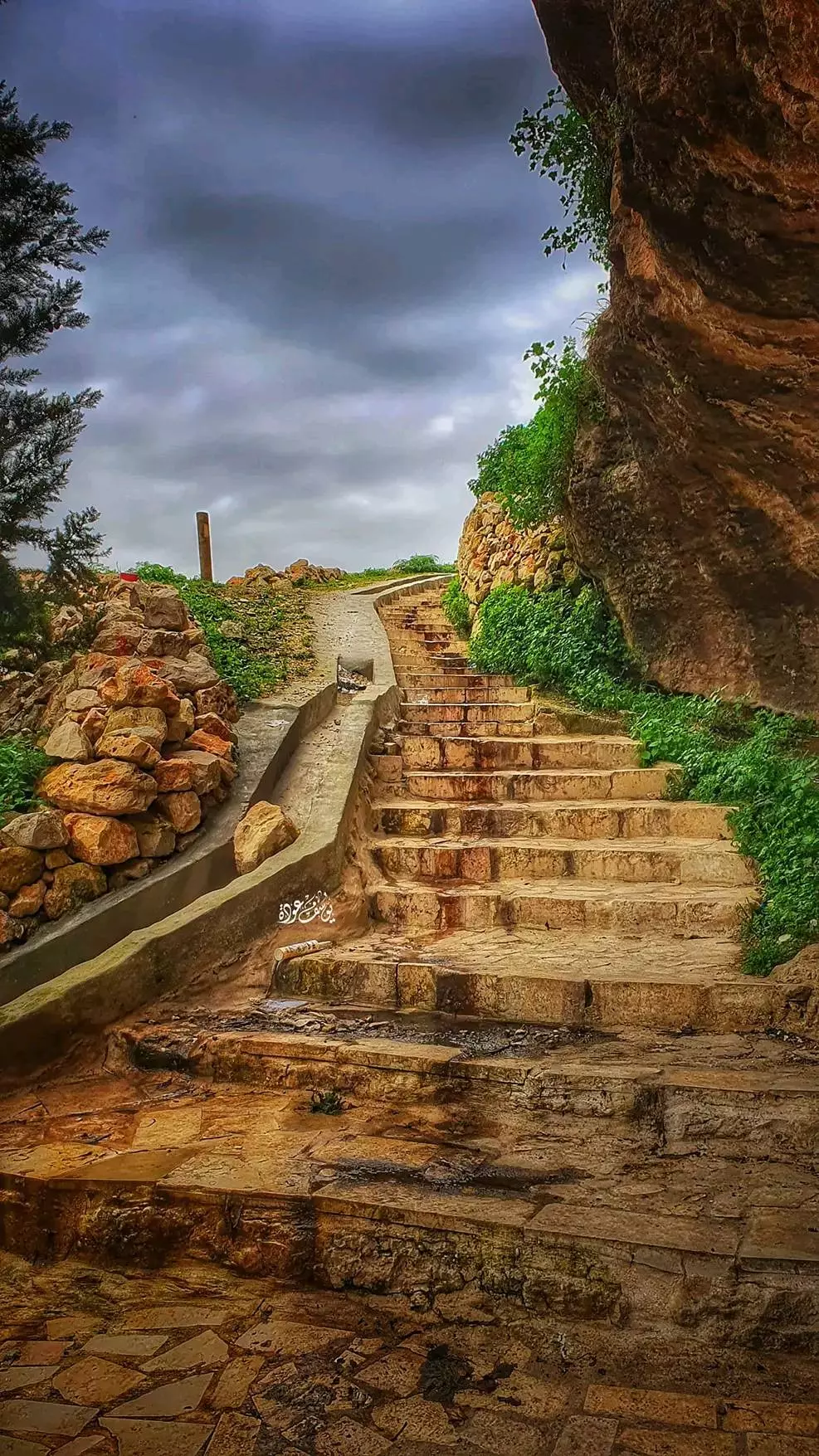
- جولة رائعه بين اعين وبرك وبساتين القرية -- يوسف عودة #2
- جولة رائعه بين اعين وبرك وبساتين القرية -- يوسف عودة #3
- جولة رائعه بين اعين وبرك وبساتين القرية -- يوسف عودة #4
- جولة رائعه بين اعين وبرك وبساتين القرية -- يوسف عودة #5
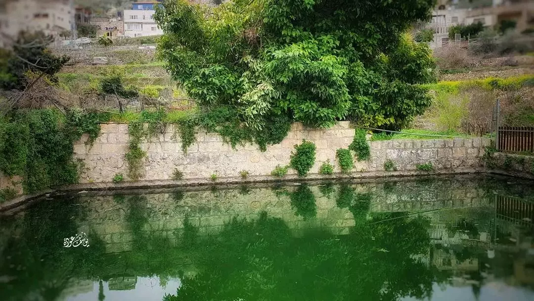
- جولة رائعه بين اعين وبرك وبساتين القرية -- يوسف عودة #6
- جولة رائعه بين اعين وبرك وبساتين القرية -- يوسف عودة #7
- جولة رائعه بين اعين وبرك وبساتين القرية -- يوسف عودة #8
- جولة رائعه بين اعين وبرك وبساتين القرية -- يوسف عودة #9
- جولة رائعه بين اعين وبرك وبساتين القرية -- يوسف عودة #10
- جولة رائعه بين اعين وبرك وبساتين القرية -- يوسف عودة #11
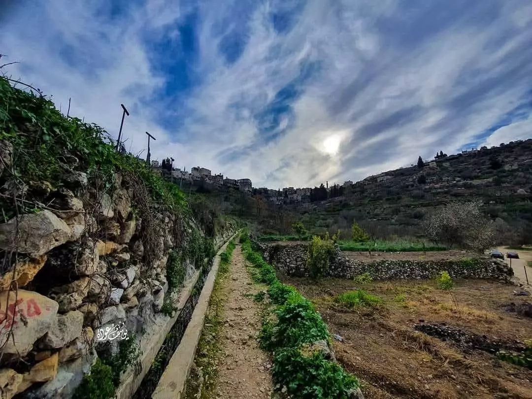
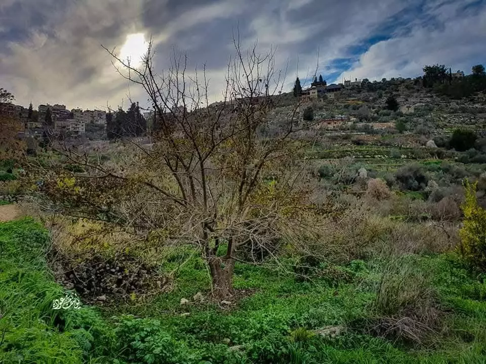
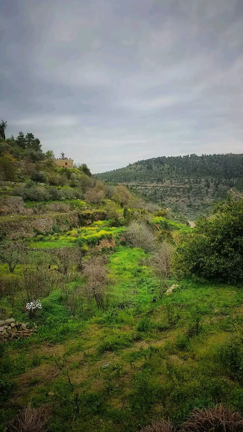
- في الأودية المحيطة -- يوسف عودة
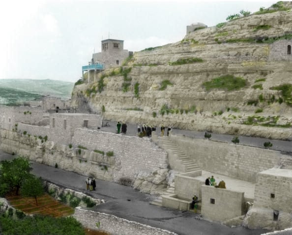
- A scene at Battir's famous spring a few years after Nakba
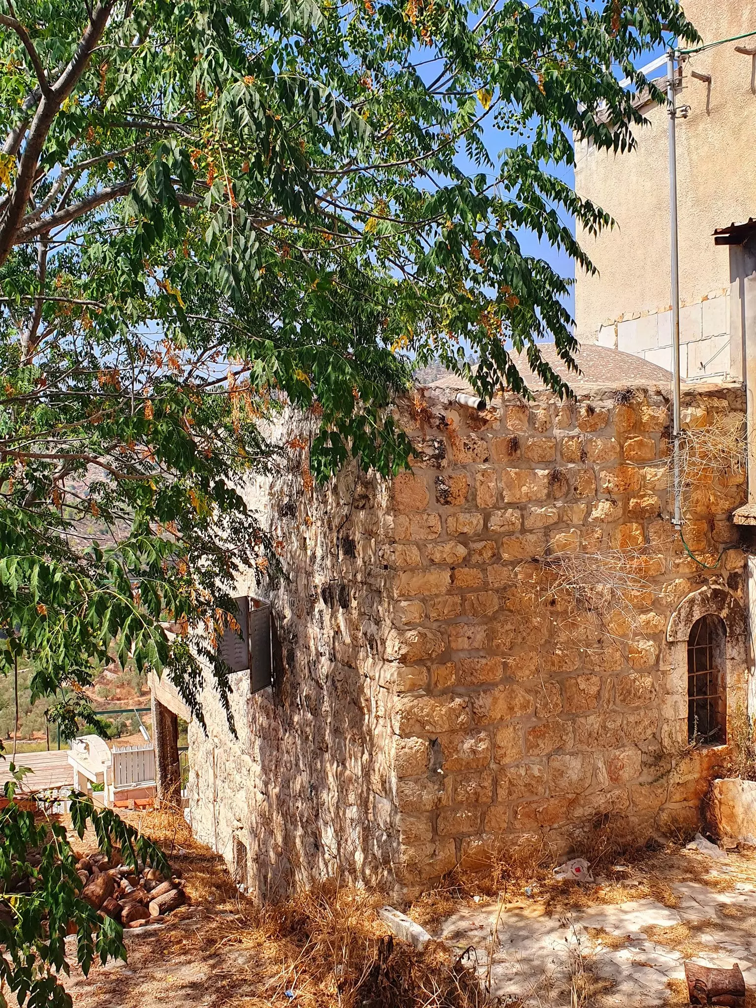
- مسجد روضة الزهراء في بتير، وُجدت الصورة ضمن مجموعة مركز السنابل للدراسات والتراث الشعبي -- 1990 - 1999
- مسجد سيد الشهداء
- Battir, 1959
Want to browse more? 80,000 pictures were grouped in these gallaries:
| Display Name | Clan/Hamolah | Country of Residence |
| Zidan issam | - | Belarus, Belarus |
| abdellah_algeria | - | عين الدفلى, الجزائر |
| Raed Alshami | Albataha | United Arab Emirates -Abu Dhabi |
| iLhAm | Abu Hasan | Battir , Battir |
| 7abeeb elroo7 | - | - |
| Fadi Bader | Bader | - |
| Bader | Bader | - |
| ناصر ابراهيم ابو فنون | ابو فنون | - |
| qaisi | - | - |
| احمد | - | بيت لحم, بتير |
| murad | alaraj | abu dhabi, UAE |
| lena | albotmah | battir, battir |
| nedal adwan | al-botmah | amman, jordan |
| الشاميّة | البطحة | عمان |
| NAZH | البطمة | عمان |
| Imad | AbuNimeh | Sharjah, UAE |
| محمد فاروق | owenah | - |
| ام احمد | عياش | - |
| Omar Hasan Hammad | - | Amman, Jordan |
| Moh'd Butmah | - | bethlehem |
| المغربى | المغربى | عمان, الاردن |
| ابو هندة | القيق | بتير, بتير |
| RAED | AL MASHNI | AMMAN |
| naderqaiq | al-qaiq | beithlehem |
| mony | Owenah | Battir |
| hasson | muamer | - |
| abed azzam owinah | - | cairo, egypt |
| nader Owainah | عوينه | Bethlehem, Battir |
| abu harthieh | abu harthieh | amman |
| bent batttir | AL-BATHAA | usa |
| okasha | salman | - |
| mr.owaineh | owaineh | - |
| Mustafa Bader | Abu-Bader | Battir, Palestine |
| Yazid | Allan | Ontario, Ontario |
| lolo-kfo | - | - |
| saed ayyash | ayyash | amman, jordan |
| khaled oweinah | oweinah | bethlehem |
| Abeer Al Najjar | - | Abu Dhabi, United Arab Emirates |
| ewss | - | - |
| Mohammed Rushdi | Faris | - |
| Hussam Owaineh | Owaineh | Athens, Greece |
| Moneef Owenah | - | - |
| bashar al mashni | Al mashni | - |
| suha hammad | Owaineh | - |
- أجمل رحلة في ربوع قرية بتير | 4K | تصوير جوي | يلا معانا ع فلسطين Duration: 23 min 58 sec
- A brief documantery of Battir & its people Duration: 5 min 30 sec
- Old dabkeh by saleh abumor Duration: 9 min 29 sec
- مناظر من بيتير
- دبكة من بنات صغبرات في بتير
- بتير
- Battir and traditional clothes
- قصيدة بقلم فداء ابو حسن
- وطني...
- Palestine
- القدس العتيقة
- Journey into the History of Battir
- Battir, Palestine
- Battir, Palestine - Film
- Battir station, The Jaffa and Jerusalem Railway
- Palestine Railways [1892-1948] , Battir train station
- Palestine Railways, Battir station part 1
- دبكة بتير . battir dabka
- خطبة الأسير اياد فنون - بتير
- صور بتير-اغنية البنت البتيرية
- بتيري يتصدر نشرة الاخبار في اسرائيل
- بتير-عرس عبد سمير الشامي
 Fake Valor: Why Did Zionist Jews Hoist Nazis Flag on Their Ships in the 1930s?
What is new?
-
Facts About Oct. 7th Gaza Raid
-
Remined Us Please:: Who Did Rape Who? Palestinians Raped Israelis? Or, was the other way around?
-
When Prof. Edward Said was invited to debate Bibi Netanyahu in the 1980s, watch what happened!
-
Ezra Klein of the NY Times on the "Jewish Race".
-
Abusing Blood Libel!
-
Did Israeli Soldiers Activate The Hanniba Direective On Oct. 7th? You Be The Judge
-
Zionist FAQ: Isn't it true that Palestinians don't want peace? Palestinians never accepted the two-state solution
- Facts about Haavara (Transfer) Agreement between Ben-Gurion & Hitler
-
Haavara FAQs: Why Did Zionist Jews Hoist Nazis' Flags on Their Ships in the 1930s?
- Haavara FAQs: When Chaim Weizmann met FDR in mid-1943, why was he silent about rescuing European Jewry?
-
Dear ChatGPT: How did Palestinians resist Napoleon's invasion of their country in 1799?
-
Dear ChatGPT: Gaza had a vibrant Jewish community in the mid-17th century. What happened to them?
-
Dear ChatGPT: Why did the Jewish Agency suppress news of the Holocaust during WWII?
-
Video Playlist: Jews share their DNA tests to end the conflict for good.
-
A Tale of Two Conflicts: Examining the Definition of Genocide
-
Prof. Abraham Polak And The Suppressed History of the Khazars and European Jewry
-
How Ronald Reagan would have framed the genocide in Gaza if he were still alive?
-
Haavara FAQs: Let us do the math: how many German Jews did The Haavara Agreement save?
-
Zionist FAQs: The Hebron Massacre of 1929, "clearly proves" that Palestinians are antisemitic, how could you deny it?
-
Zionist FAQs: Why Anti-Zionist Is Not Antisemitism?
-
Zionist FAQs: Isn't it true that the KGB created Palestinian Nationalism in the early 1960s?
- Zionist FAQs: Muslims are killing Muslims all the time; why are Israeli Jews being singled out in the media?
- Zionist FAQs: How is Israel an apartheid state when 20% of its citizens are Arabs who enjoy full rights?
-
Haavara FAQs: Why Did Dorothy Thompson Flip From A Zionist Advocate to A Silenced Dissenter?
-
Haavara FAQs: Analysis of Herzl's Uganda Scheme and how it could have saved millions of Jews.
-
Haavara FAQs: Why did Hayim Greenberg describe American Jewry as "morally bankrupt" in early 1943?
-
Haavara FAQs: What if the Evian Conference was a resounding success? What would have been the impact of saving European Jewry on Zionism?
- Haavara FAQs: What if the six million were saved, how that would have impacted the Zionist project?
-
Haavara FAQs: How did Zionist leaders react when Europe's Jews lingered in the DP camps after WWII ended?
-
Why does the American Jewish community repeat lies that David Ben-Gurion had debunked before he died?
-
Who has the power to rename the Tatar/Khazar Gene Marker to Jewish IV?
-
Zionist FAQs: Why won't Egypt, Syria, and Jordan take their people back? Jews are indigenous to Palestine, and Arabs immigrated after Jews developed the country. Arabs should leave.
-
Haavara FAQs: Did Hitler and the Nazis conflate between Judaism and Zionist? If that wasn't case, then why?
-
Haavara FAQs: Winston Churchill and antisemitism, a collection of articles written Churchill.
-
Haavara FAQs: Broken by country, how many Jews survived vs. killed during the Holocaust?
-
Haavara FAQs: Why did European Jews vote with their feet and to immigrated to the Americas, not Palestine, after WWII?
-
Watch this American Jewish Girl describing Israeli Jews' cognitive dissonance like no other in under two minutes
-
Haavara FAQs: When the Nazis went out of their way to hide the Holocaust, Israeli Jews did the exact opposite by broadcasting their genocide of Gazans. But why?
-
Haavara FAQs: How Zionist Jews went out of their to show their appreciation to Nazism and Fascism?
- Haavara FAQs: Why Zionist leaders were against bombing the death camps & the Railroads leading to them?
-
Haavara FAQs: Hitler's message to the British and American people: If Jews are such noble citizens and you care about them, how come you're not letting them in? I will gladly ship them to you at my expense, even on luxury liners!
-
A shortlist of Zionist and Israeli false flag operations in the name Jews.
-
The Most Moral Army
- The Land of Kapos (Israel): Where the brave are boycotted and Kapos walk free.
- Why did early Zionists often named their communal enterprises "colonial"?
- Zionist Relations with Nazi Germany by Faris Glubb
-
Two NY Times advertisements by Zionists in the early 1943 that exposes Zionists' treason at the height of the calamity
- Facts Not Lies about the Palestinian-Israeli Conflict.
- Site's pictures have been categorized
- Campgain Against Lice
- A Survey of Palestine, the official source about Palestine before Nakba produced by the British Mandate; over 1200 pages.
- Satellite View & Google Earth: Over 6,000 placemarks identifying all destroyed towns, W. Bank & Gaza Strip Towns, & refugee camps.
- PalestineRemembered.com and its Nakba Oral History Project were featured on al-Jazeera Satellite TV.
- Nakba Oral History Video Podcast:
 Over 700 Oral History interviews (including 3,500+ hours of recording) can be viewed online.
 - Palestine Village Statistics Project
- Gaza Jail Break
- النسخة العربية للموقع الان متوفرة
- Videos: Documenting the destroyed villages in video: Tracing all that remains since Nakba.
- Videos: Responding to Zionist Propaganda
- Interview: The ethnic cleansing of Palestine: George Galloway interviews Israeli Historian Ilan Pappe.
- For Palestinians, memory matters. It provides a blueprint for their future By George Bisharat.
- Zionist FAQ now available in Hebrew שאלות שציונים שואלים, עכשיו בעברית
- Video: The Stephen Walt and John Mearsheimer report on the influence of the Israel Lobby on U.S. Foreign Policy
- The Palestinian-Israeli conflict for beginners
