| PalestineRemembered | About Us | Oral History | العربية | |
| Pictures | Zionist FAQs | Haavara | Maps | |
| Search |
| Camps |
| Districts |
| Acre |
| Baysan |
| Beersheba |
| Bethlehem |
| Gaza |
| Haifa |
| Hebron |
| Jaffa |
| Jericho |
| Jerusalem |
| Jinin |
| Nablus |
| Nazareth |
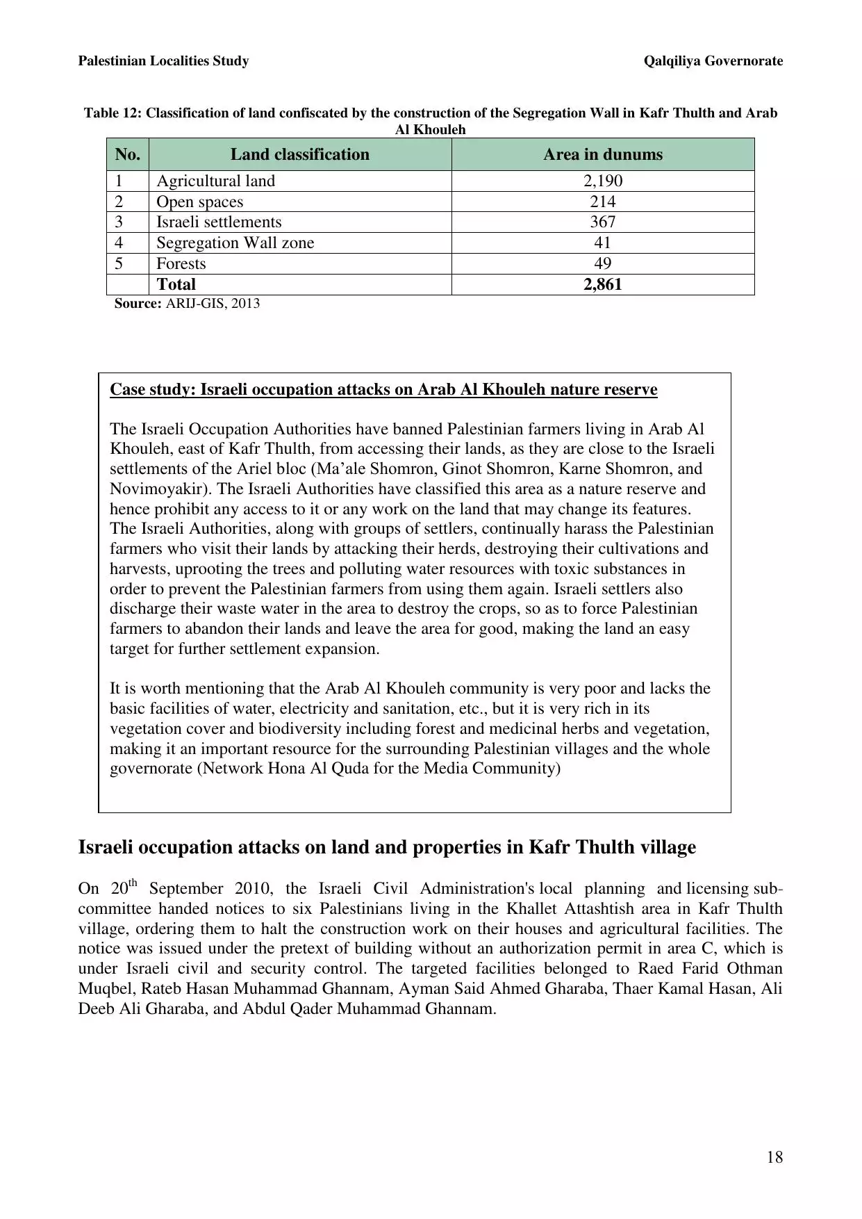
| Ramallah |
| al-Ramla |
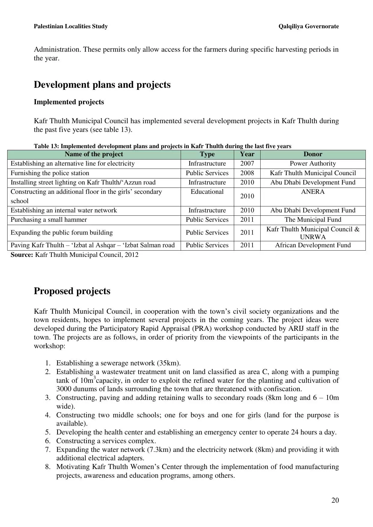
| Safad |
| Tiberias |
| Tulkarm |
| Donate |
| Contact |
| Profile |
| Videos |
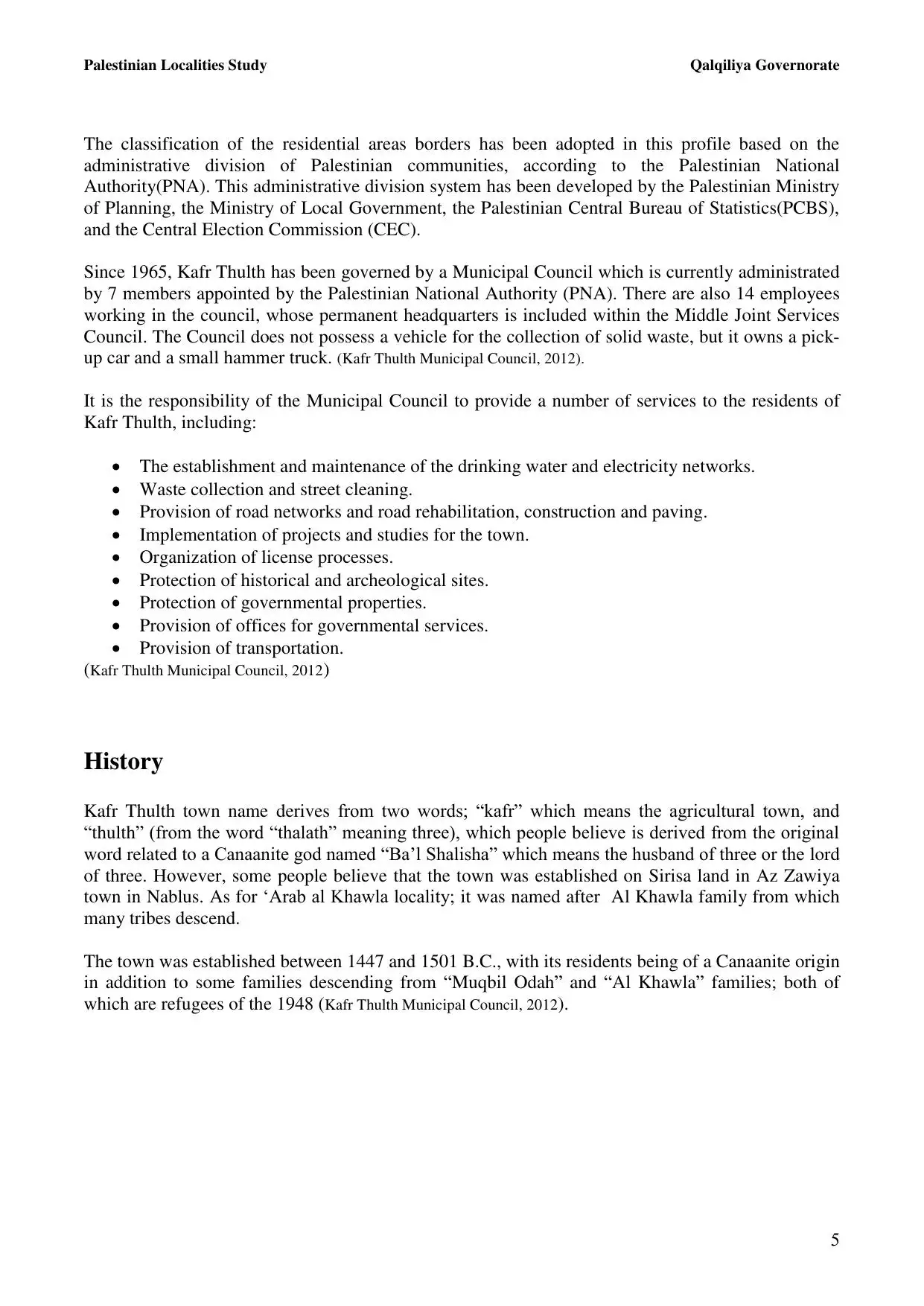
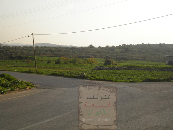
Welcome To Kafr Thulth - كفر ثلث (כפר ת'ולת')
|
District of Tulkarm
Occupied days ago |
العربية Google Earth |
 |
Gallery (101) |
- Statistics & Facts
-
Before & After

- Satellite View
- Articles 26
- Pictures 101
- Mayrters & Prisoners 6
- Members 13
- Families
- Wikipedia
- ARIJ Guide
- Videos
- Guest Book 12
- Links 1
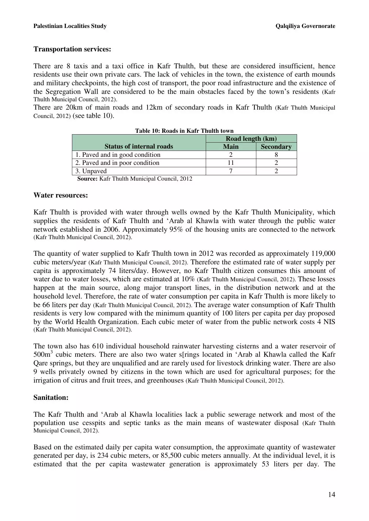
| Statistic & Fact | Value | |||||||||||||||||||||
| Distance From District | 28 km south of Tulkarm | |||||||||||||||||||||
| Elevation | 270 meters | |||||||||||||||||||||
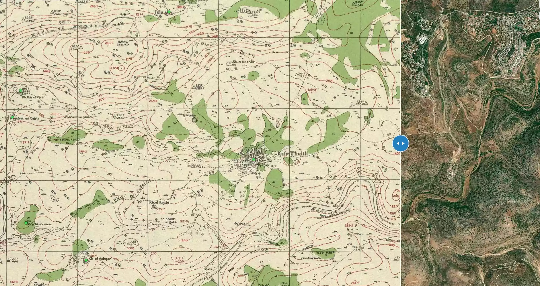
| Before & After Nakba, Click Map For Details |
||||||||||||||||||||||
|
||||||||||||||||||||||
| Land Ownership |
**Town Lands' Demarcation Maps |
|||||||||||||||||||||
| Land Usage As of 1945 |
|
|||||||||||||||||||||
| Lands usurped within armistice area | 1,241 Dunums | |||||||||||||||||||||
| Population |
|
|||||||||||||||||||||
| Near By Towns |
||||||||||||||||||||||
|
||||||||||||||||||||||
| Featured Video | ||||||||||||||||||||||
| ARIJ Guide | ||||||||||||||||||||||
|
Click here to browse online. |
||||||||||||||||||||||
| Related Maps | Town Lands' Demarcation Maps خرائط للقضاء توضح حدود القرى والاودية View from satellite Town's map on MapQuest Help us map this town at WikiMapia |
|||||||||||||||||||||
| Related Links | Wikipedia's Page Facebook Page ARIJ Guide Google Search Google For Images Google For Videos في كتاب بلادنا فلسطين دليل أريج المزيد من موقع هوية |
|||||||||||||||||||||
- كفرثلث أ.عبدالعزيزأمين عرار - الموضع والموقع
- كفرثلث أ.عبدالعزيزأمين عرار
- بلدة كفرثلث أ.عبدالعزيز أمين عرار باحث ومشرف تربوي ومحاضر جامعي
- أزعبدالعزيز أمين عرار/كفرثلث
- أ.عبدالعزيز أمين عرار/ كفرثلث : المؤسسات الأهلية والخدمية في القرية :
- كفر ثلث: الجذور التاريخية للقرية وأعمالها
- .أ.عبدالعزيز أمين عرار/كفرثلث: امتداد سكان كفر ثلث إلى السهل الساحلي وتكوين خريش
- أ.عبدالعزيز أمين عرار/ كفرثلث: التوطن البشري في خريش:
- . الحرب العالمية الأولى وتأثيرها على السكان أ.عبدالعزيز أمين عرار/كفرثلث
- .أ.عبدالعزيز أمين عرار/كفرثلث: شهيدات الحرب الكونية الأولى
- أ.عبدالعزيز أمين عرار/ كفرثلث: الشهيد "عبد اللطيف يوسف أبو هنية"
- أ.عبدالعزيز أمين عرار/ كفرثلث: الشهيد "جمال محمد موسى عودة"
- أ.عبدالعزيز أمين عرار/ كفرثلث
- بطة استعمارية في الشيخ أحمد .بقلم عبدالعزيز عرار
- المناضلة فاطمة خاصكية زوجة محمد أبو دية أ عبدالعزيز امين وعبدالهادي حسن عرار
- كفرثلث في وحشية الحاضر ..... أ.عبدالعزيز أمين عرار
- الشهيد عثمان يونس الأشقر
- في الذكرى الستون لنكبة فلسطين وإعلان قيام إسرائيل
- في الذكرى الستون لنكبة فلسطين وإعلان قيام إسرائيل
- تشكيل هيئة إدارية جديدة لجمعية كفرثلث الخيرية
- نشر رسالة ماجستير عن نضال البعث في فلسطين
- اصدار جديد بعنوان كوكبة شهداء كفرثلث وأعمالها
- بحضور ستة عشرة مدرسة من مدارس محافظة قلقيلية المشاركة في أفضل مشروع من مشاريع القانون الدولي الإنساني
- شهداء من كفرثلث الفلسطينية
- من أعلام فلسطين الأستاذ أحمد عشائر
- احمد عشائر الحلقة الثانية
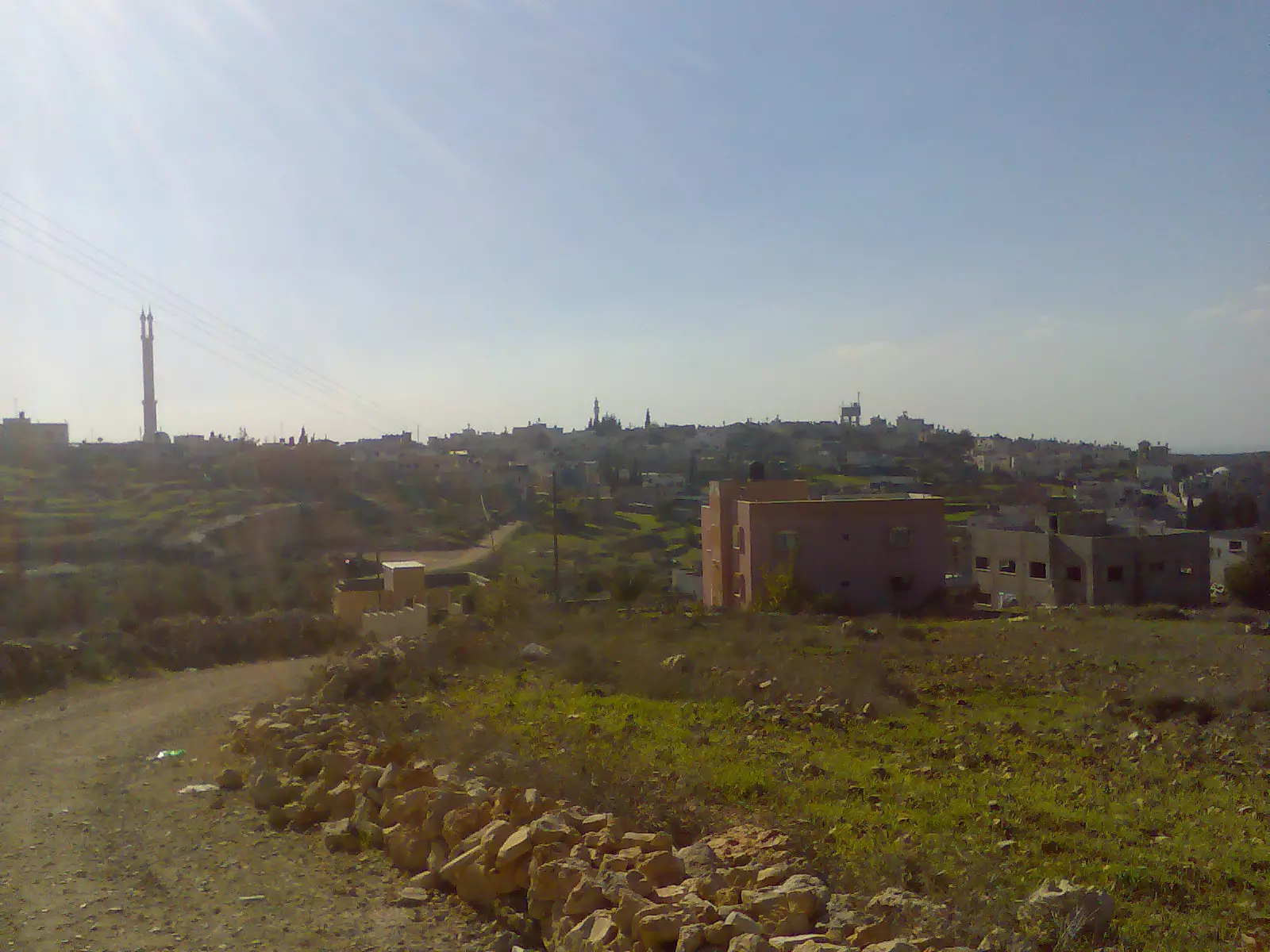
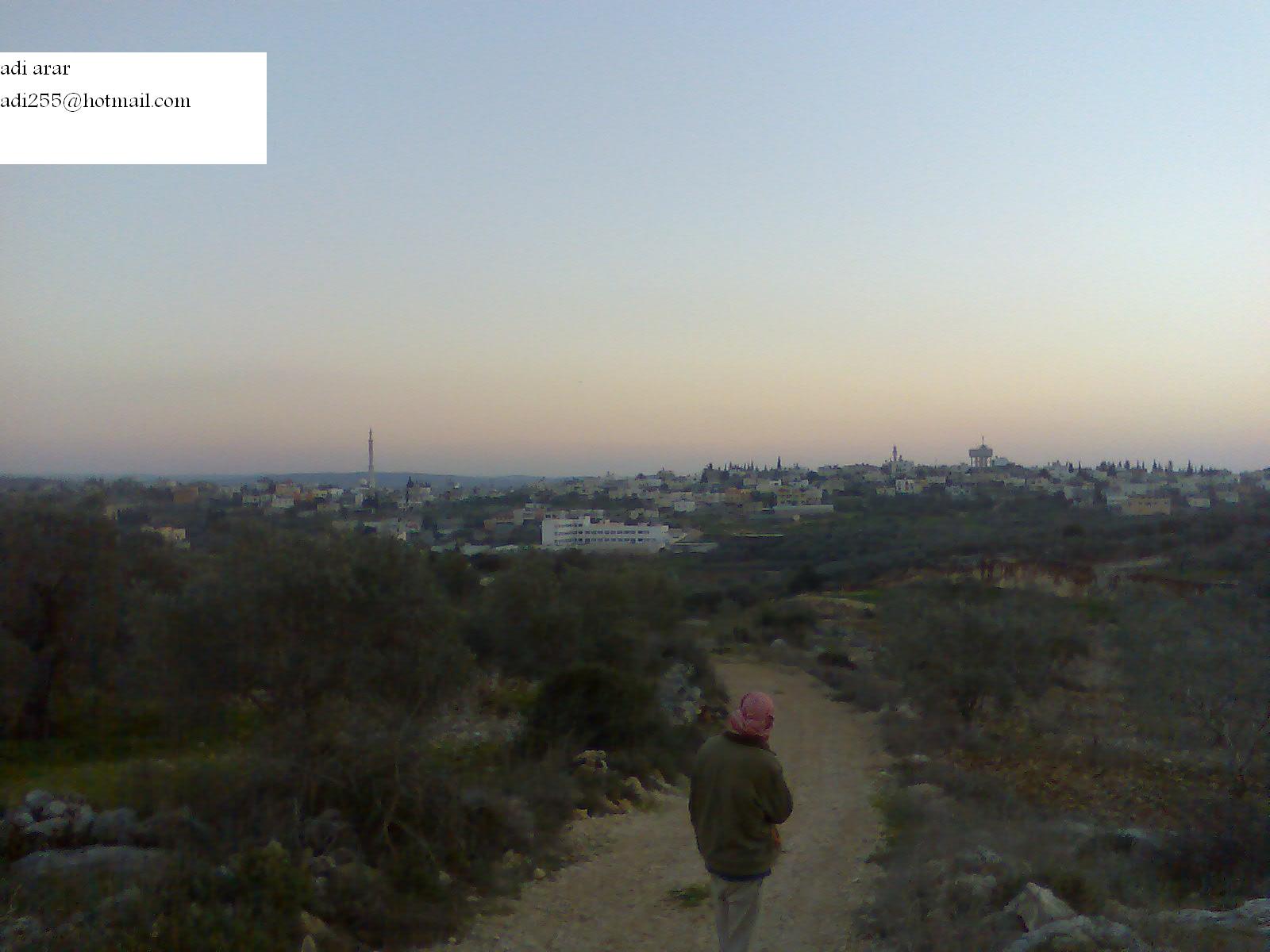
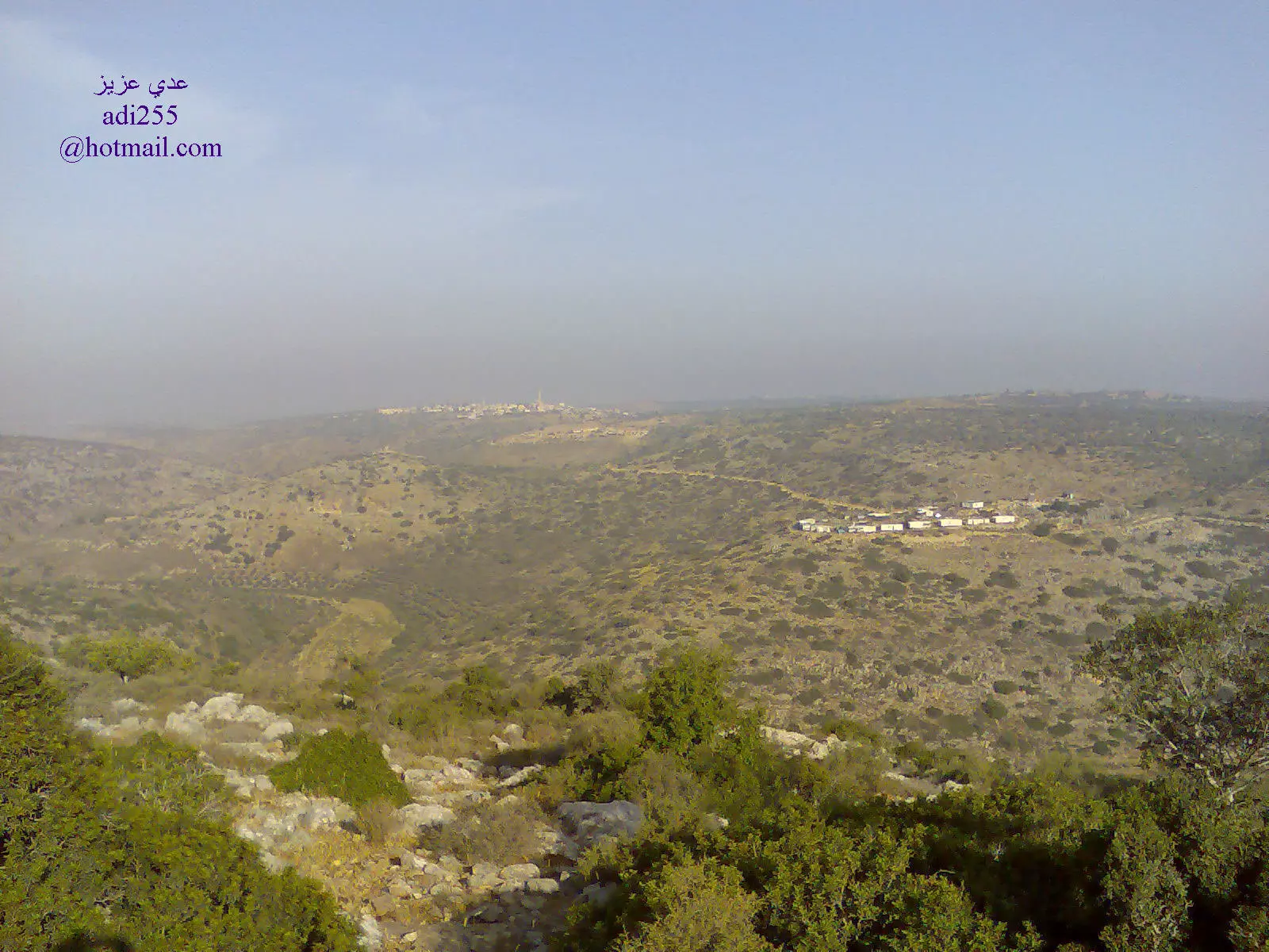
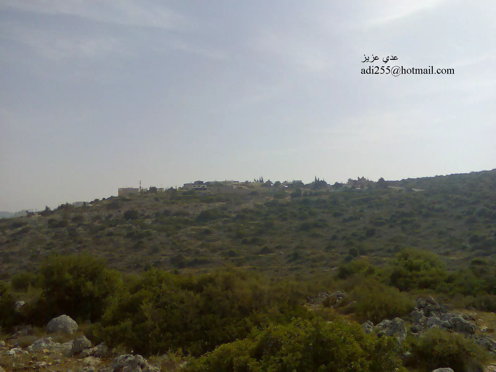
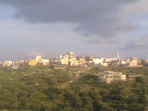
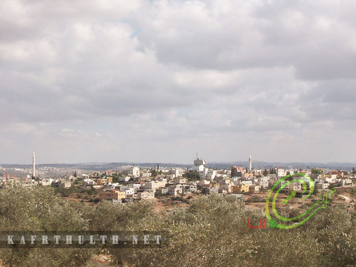
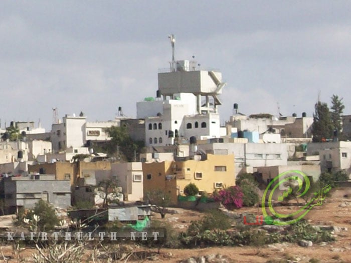
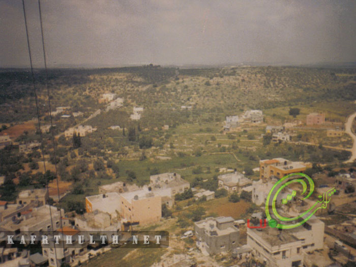
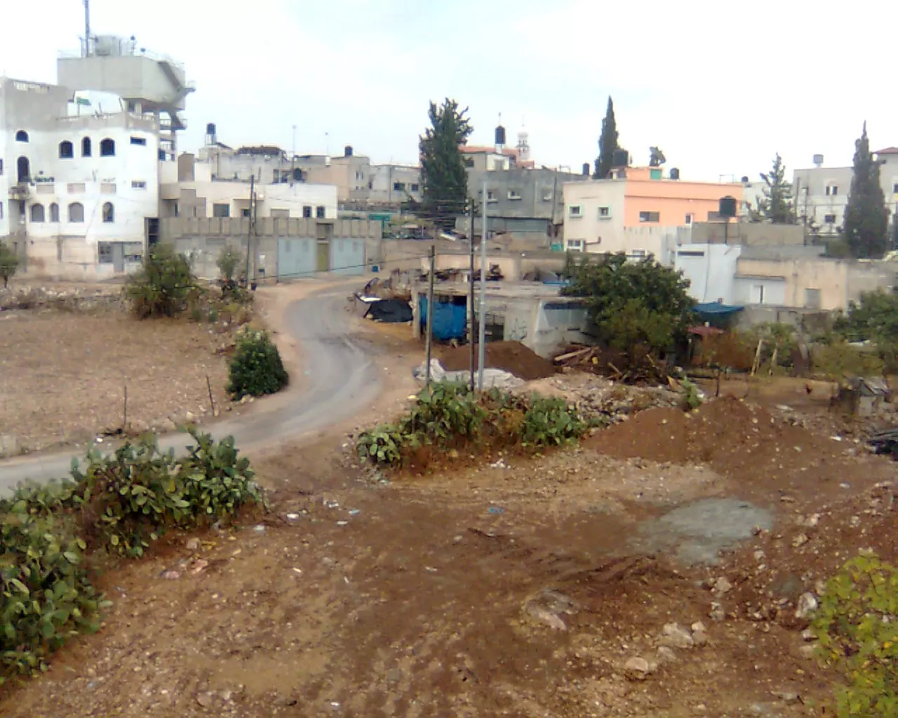
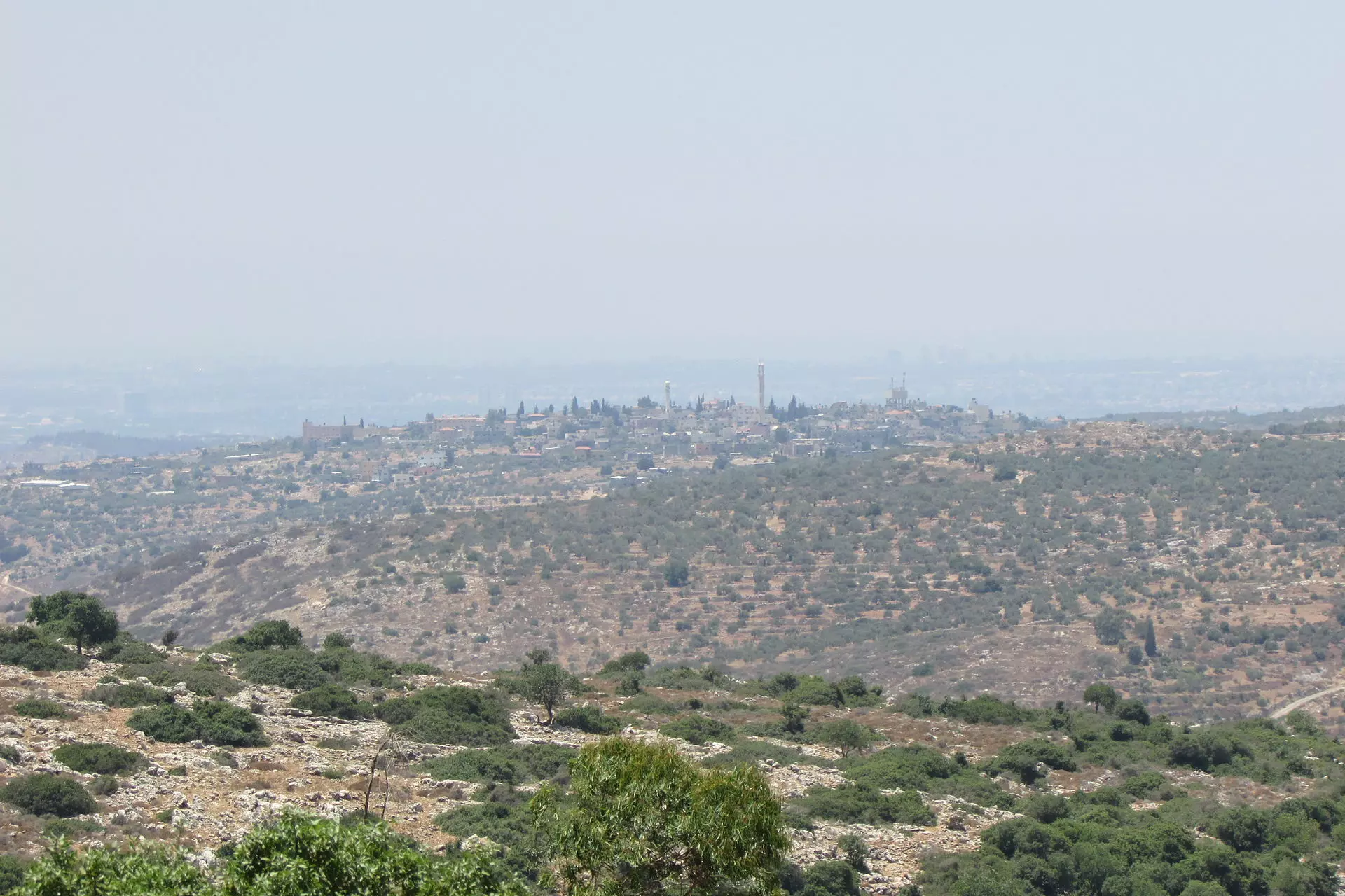
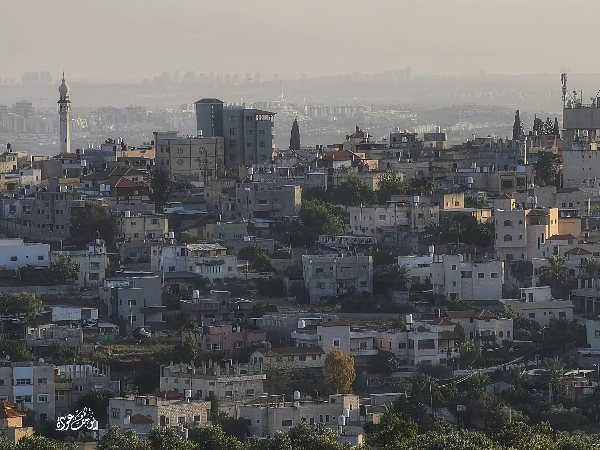
- كفرثلث منظر عام
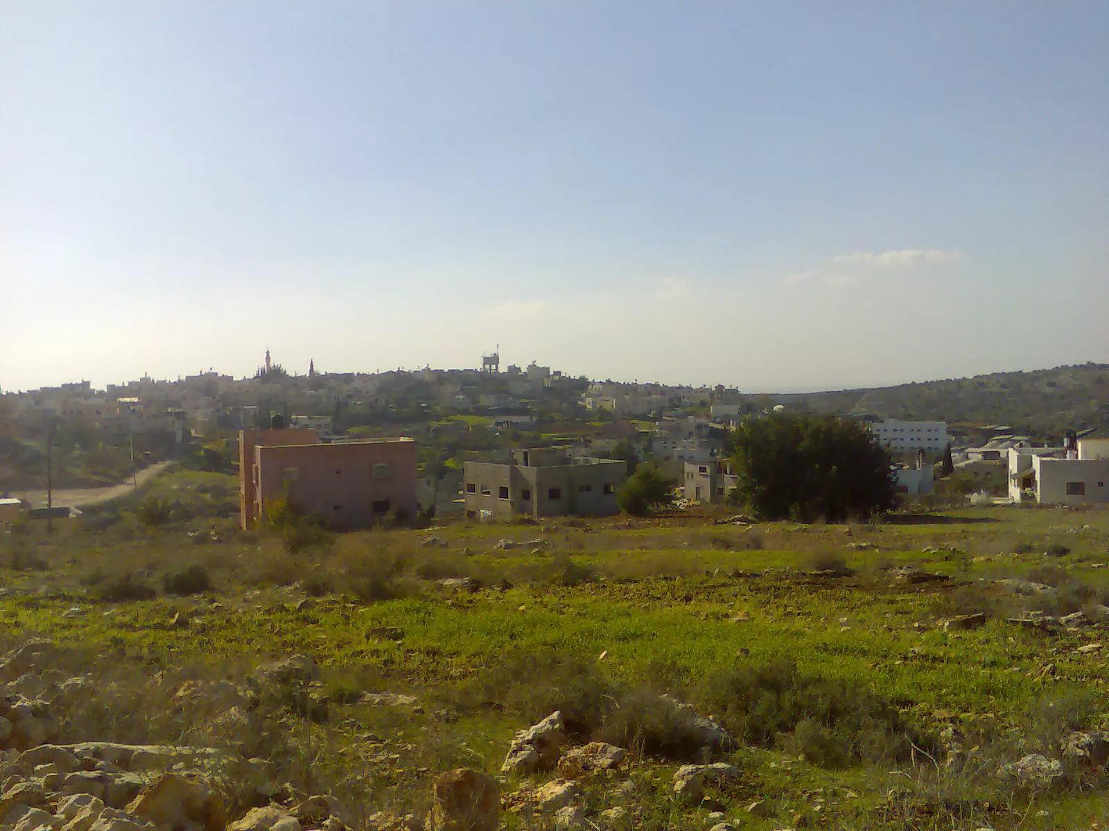
Posted by عدي عرار عودة 16 - منظر عام لقرية كفرثلث . تصوير عدي عبدالعزيز عرار
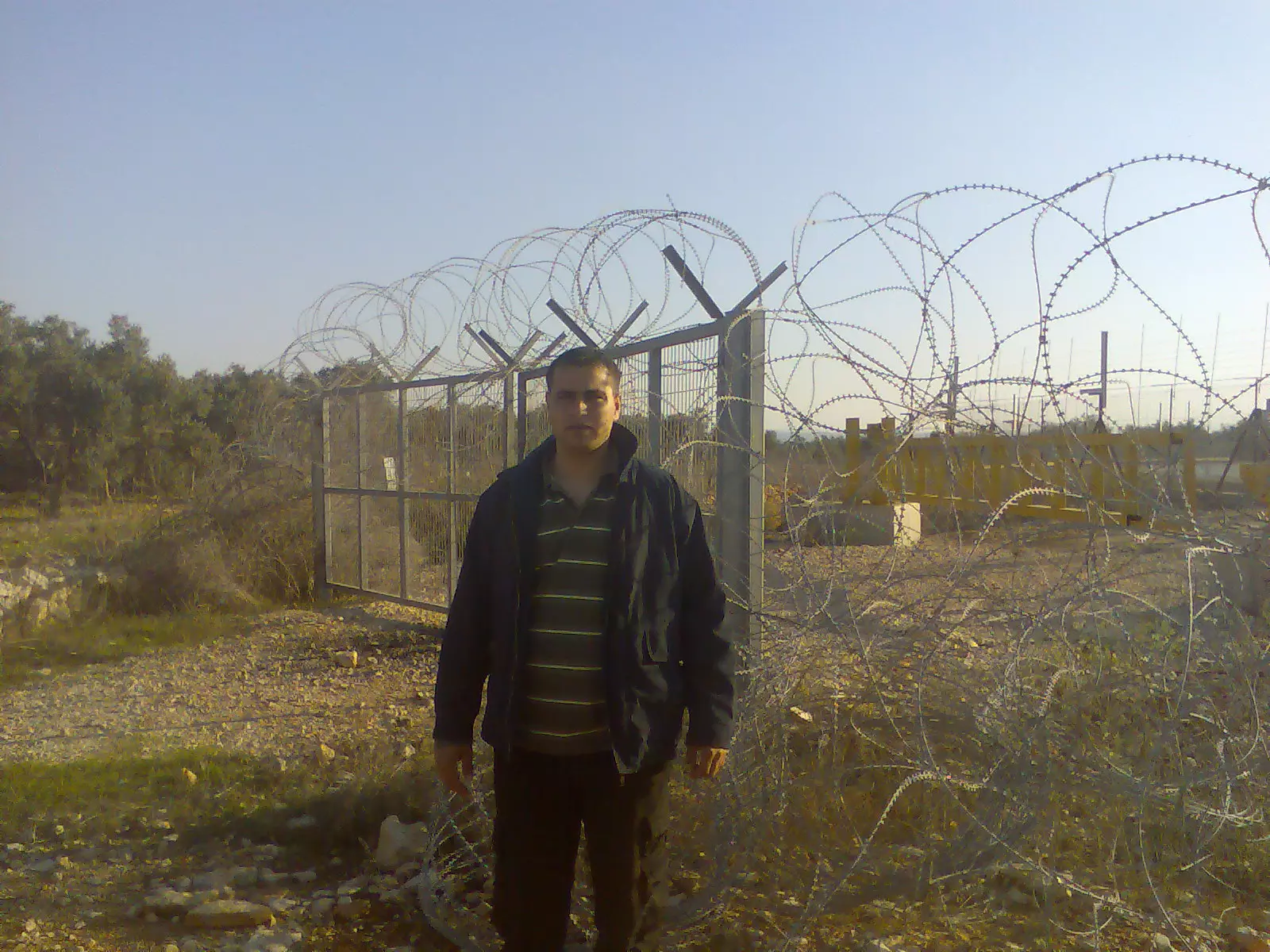
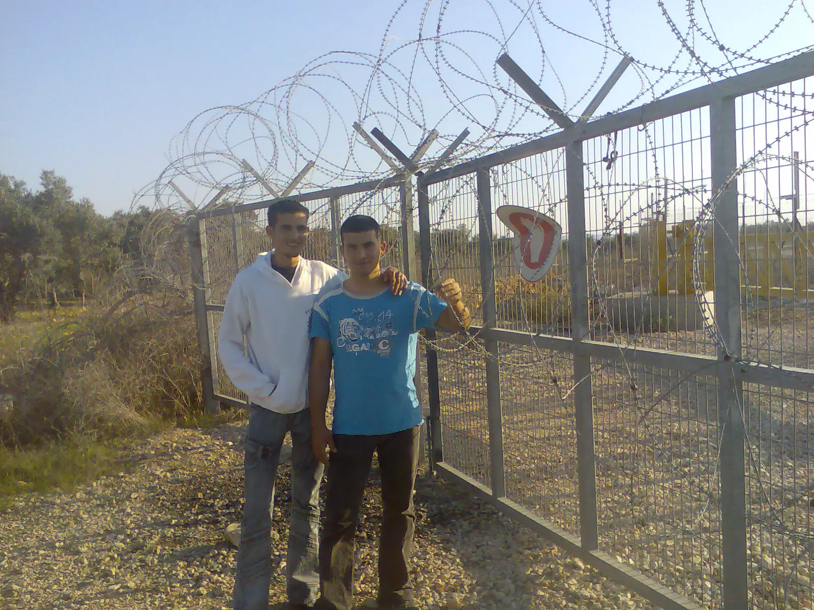
Posted by AZEEZ ARAR 2 - منظربوابة الجدار شمال قرية كفرثلث . تصوير عدي عبدالعزيز عرار
Posted by AZEEZ ARAR 3 - كفرثلث منظر عام
Posted by عدي عرار عودة - كفرثلث . جدار الفصل العنصري
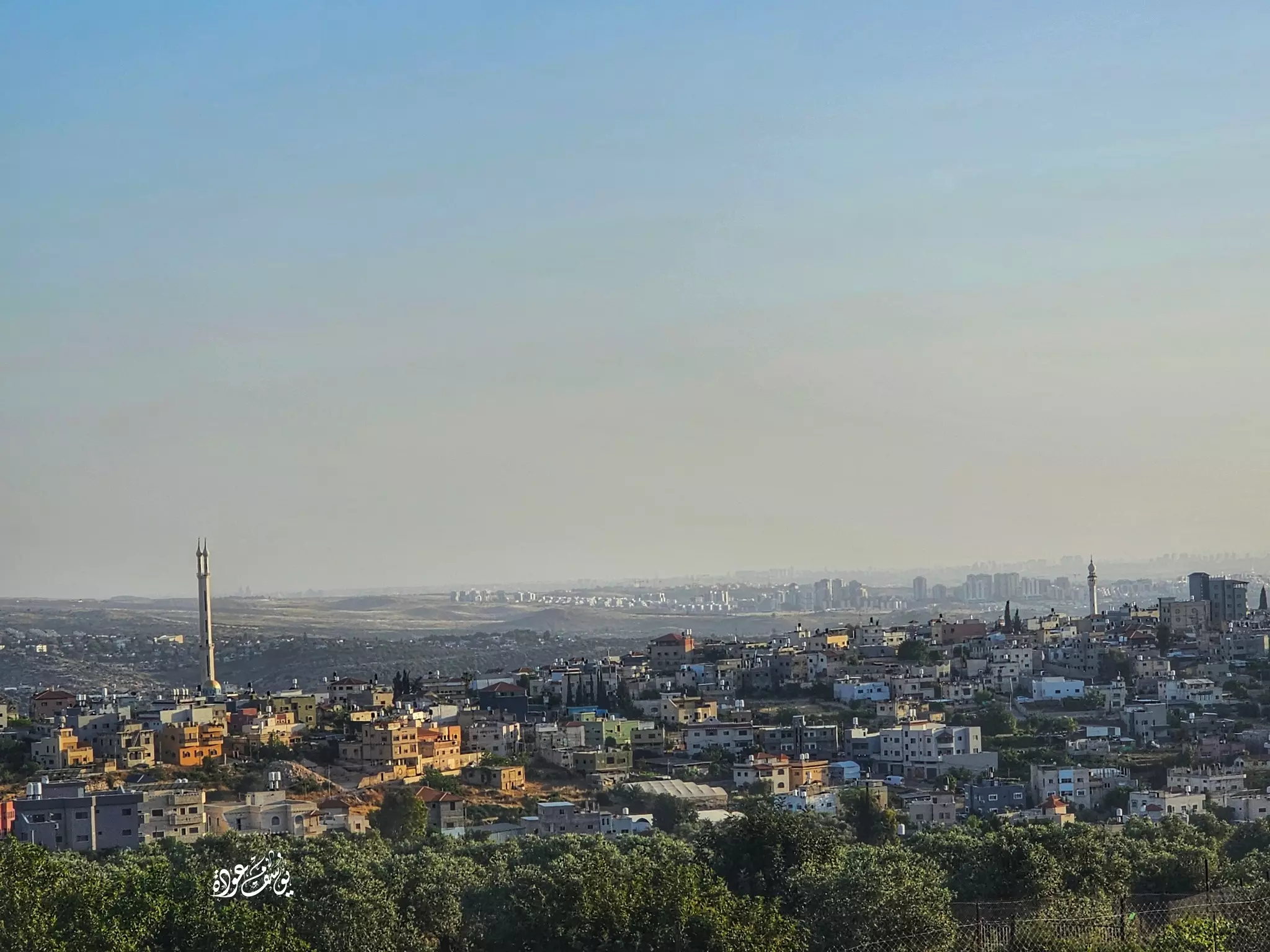
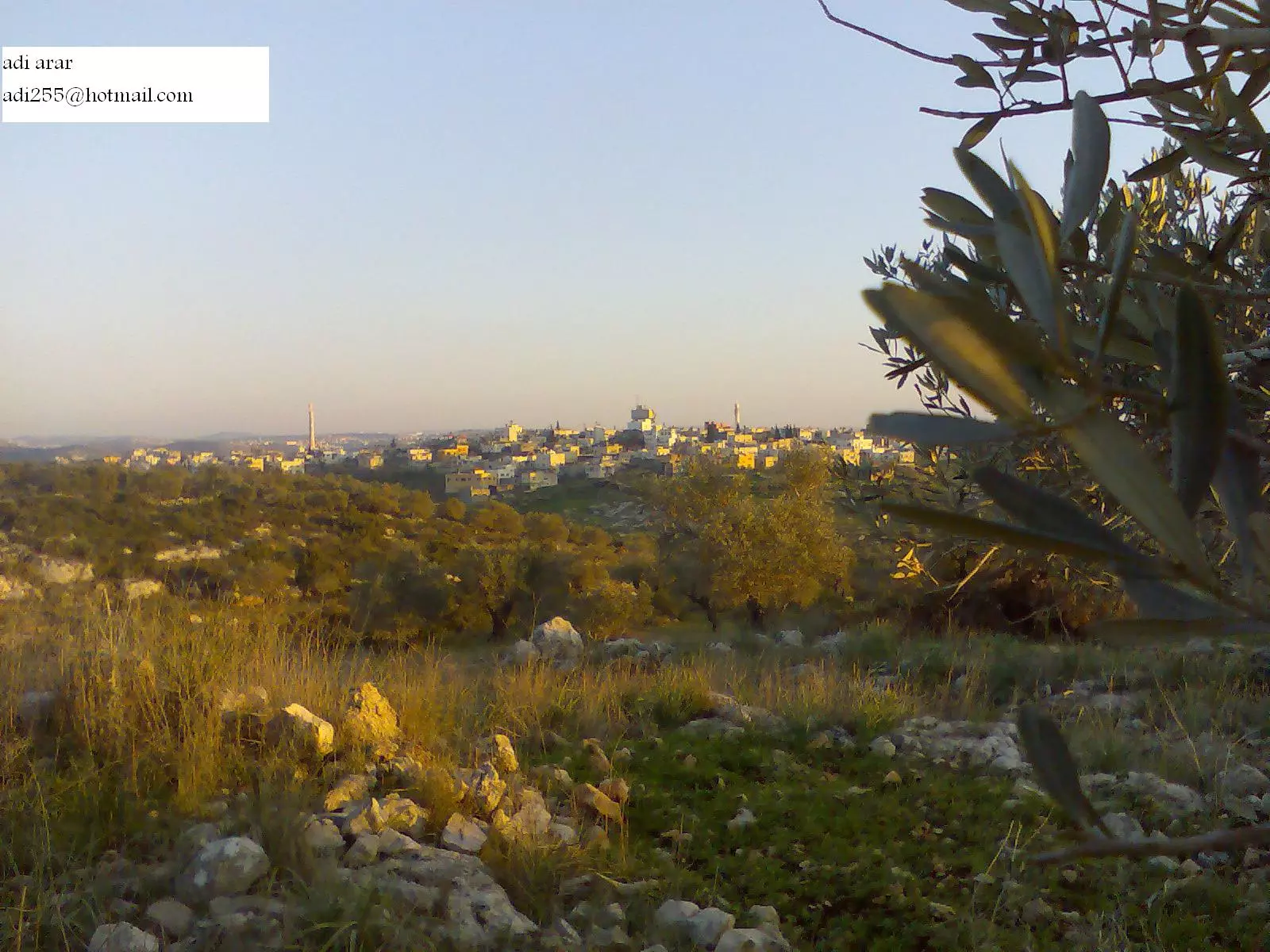
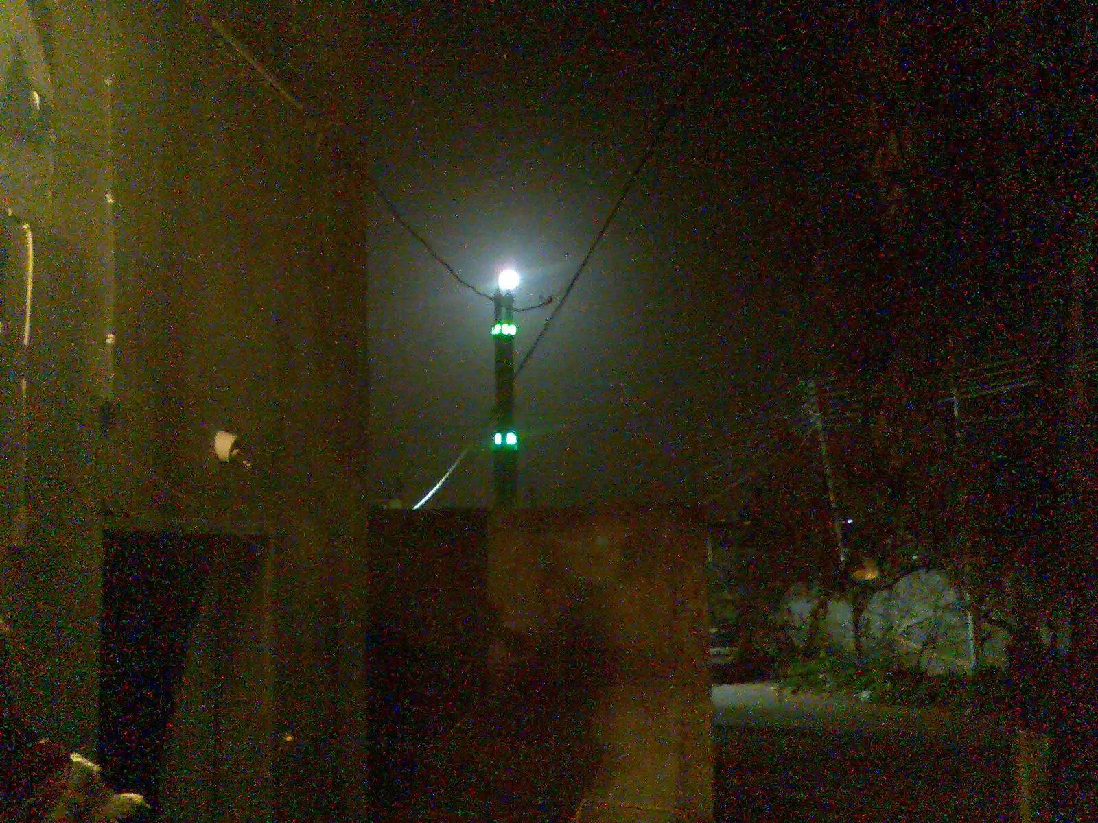
Posted by عدي عرار عودة - البلدة صباحا
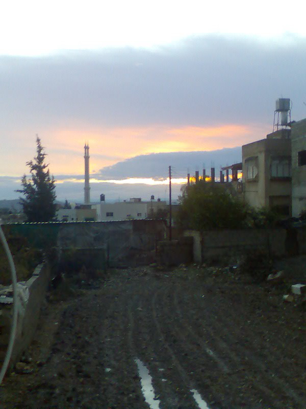
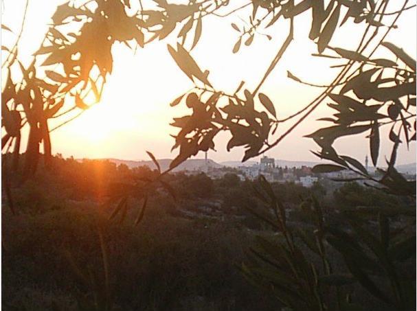
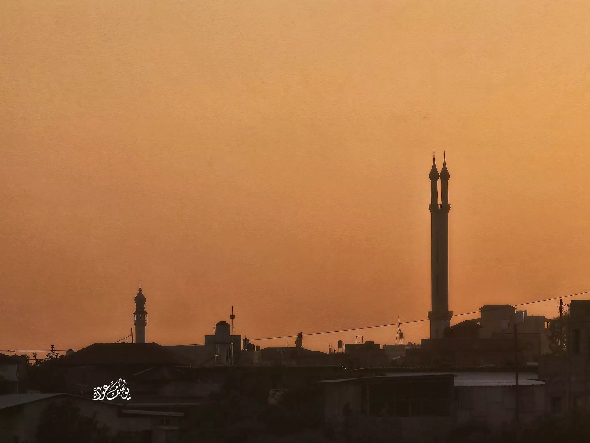
Posted by عدي عرار عودة - منظر شروق الشمس
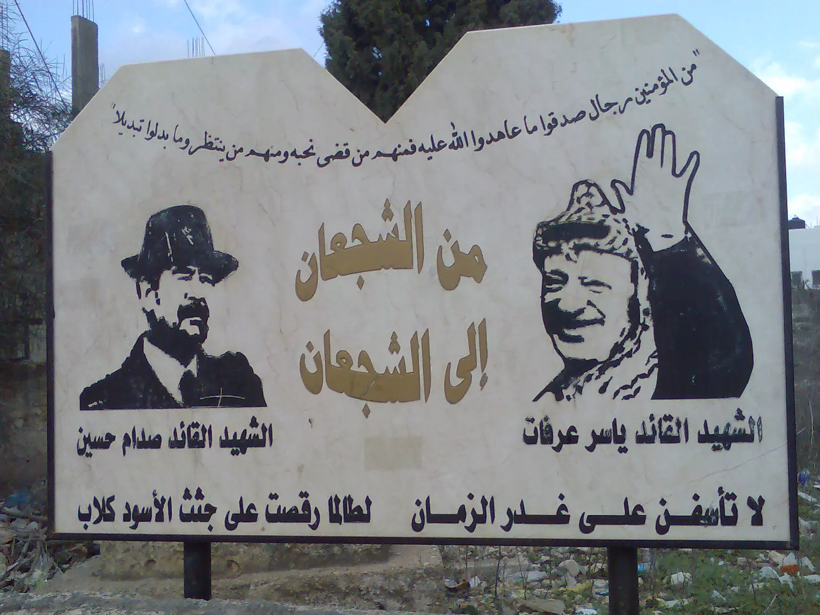
Posted by SAHAR HINDI 3 - نصب تذكاري للشهيدين ياسر عرفات وصدام حسين في بلدة كفرثلث
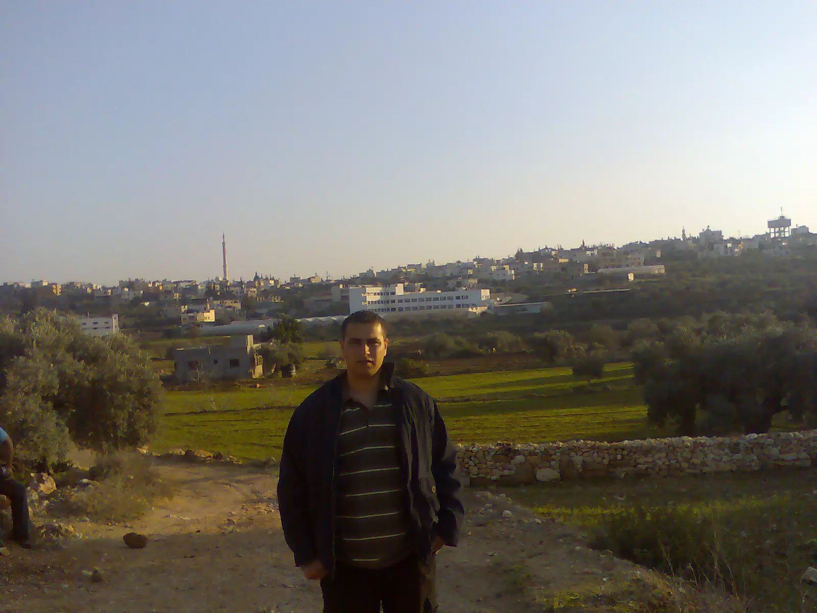
Posted by AZEEZ ARAR 1 - منظر عام
Posted by عدي عرار عودة - منظر عام
Posted by عدي عرار عودة - الجامع الشرقي
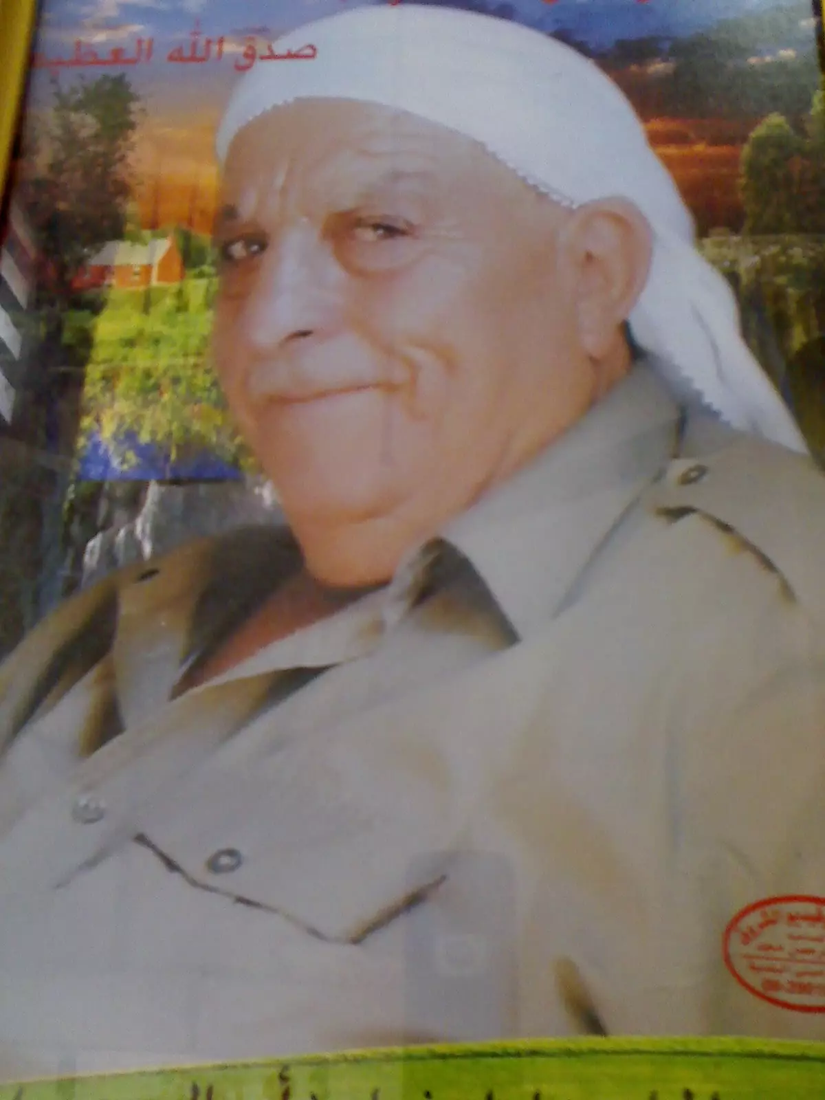
Posted by عدي عرار عودة - الشهيد عثمان يونس الأشقر
Posted by عصام الأشقر 2 - الشهيد عثمان الأشقر
Posted by عصام الأشقر - احدى المستوطنات شرق كفرثلث
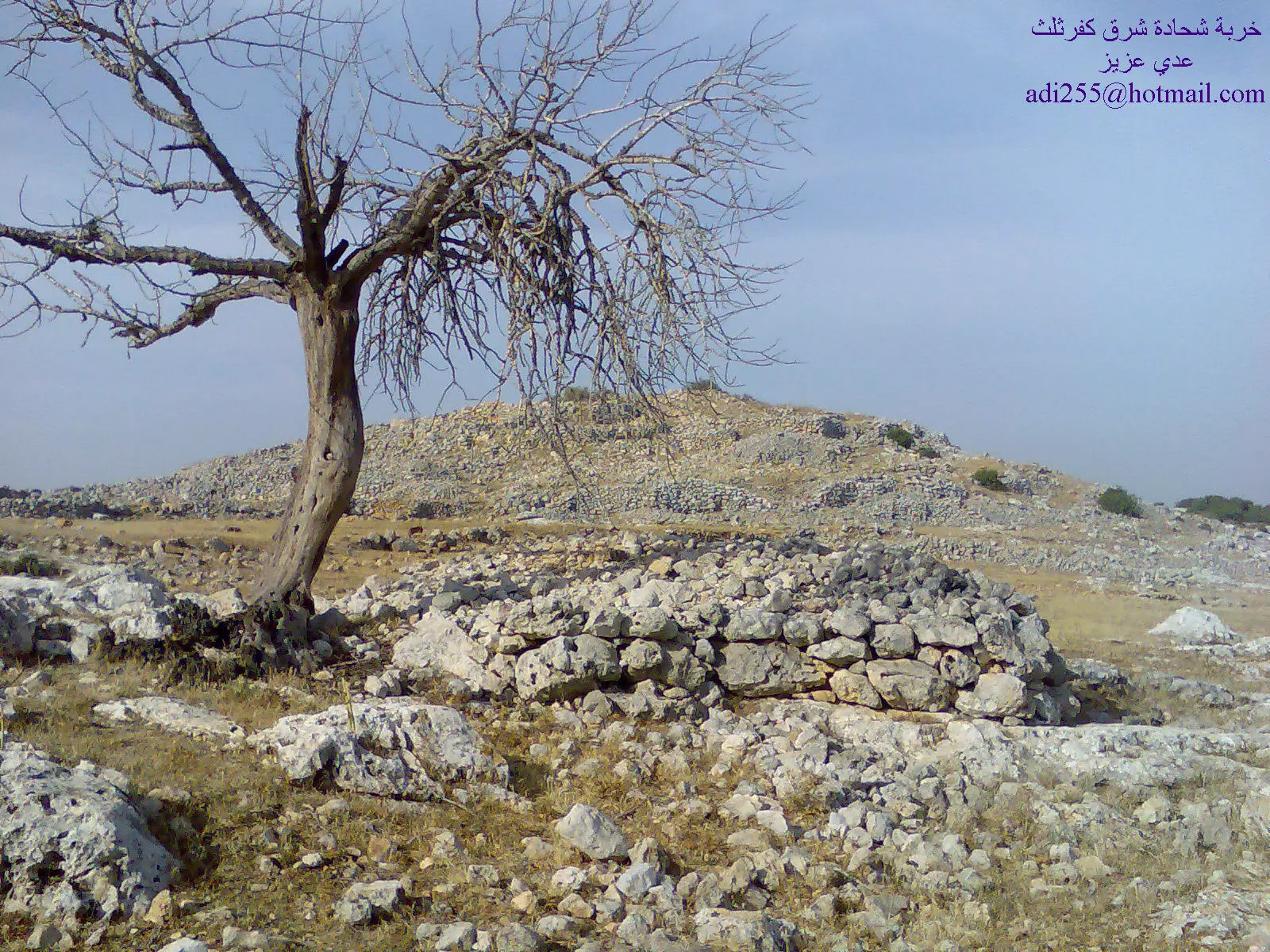
Posted by عدي عرار عودة - خربة شحادة شرق كفرثلث
Posted by عدي عرار عودة - مستوطنةاسرائيلية شرق كفرثلث
Posted by عدي عرار عودة - حلوة يا كفرثلث
Posted by عدي عرار عودة - الشهيد الجندي الأول في كتيبة الحسين حسن حامد عمر عوده شهيد القدس 1967

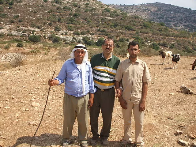
Posted by AZEEZ ARAR 3 - فلسطيني من عرب الخولي ويقطن في وادي قانا شرق كفرثلث والذين هجروا عام 1948 ويقيمون في مغارات وسقائف
Posted by AZEEZ ARAR 6 - ساحة شجرة التوت أنشأها وجهاء كفرثلث في منتصف القرن التاسع عشر وكانت مضافة ومحل الأسرار وبالقرب منها مدرسة وجامع وقد طالتها يد الأهمال والتدمير

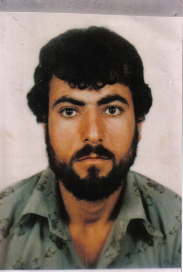
Posted by AZEEZ ARAR - الأسير ناجي أسعد الأشقر
Posted by عصام الأشقر - إطلالة من عزبة الأشقر على قرية بيت أمين , و يظهر في الصورة الأسير ناجي اسعد الأشقر في الوسط و عن يمنية فراس الأشقر و عن شماله أخوه مصلح
Posted by عصام الأشقر - الأسير رائد أحمد الأشقر، أمام منزله في عزبة الأشقر
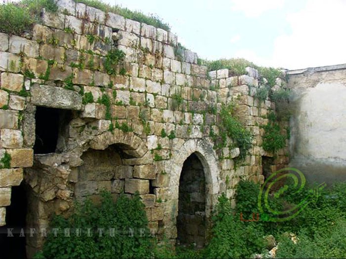
Posted by عصام الأشقر 4 - صورة مقام المغازين من المجاهدين المسلمين الذين جاهدوا فترة الحروب الصليبية الذي يتوسط كفرثلث
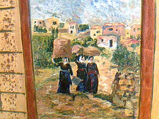
Posted by AZEEZ ARAR - صورة من أعمال الفنانة ثريا أمين والمشهورة بفنها الانطباعي والتصويري
Posted by AZEEZ ARAR - صورة المخارزة أو بد أبو ذيب لعصر الزيتون في العهد العثماني وهو أحد أجداد حمولة الغرابة في كفرثلث وقراها
Posted by AZEEZ ARAR - منظر عام
Posted by Ghanem Mustafa - صورة الشهيد المناضل عوض قاسم مراعبة / وثائق عبدالعزيز أمين
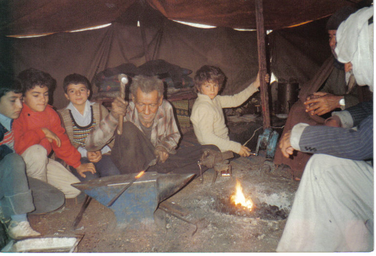
Posted by AZEEZ ARAR 4 - النوري علي القاسم في خربة المدور ويمتهن الحدادة/تصوير أ.عبدالعزيز عرار
Posted by AZEEZ ARAR - دار محمد عطا رزق الله في خربة الزاكور من أعمال كفرثلث والتي طرد منها عام 1949 إلى جلجولية
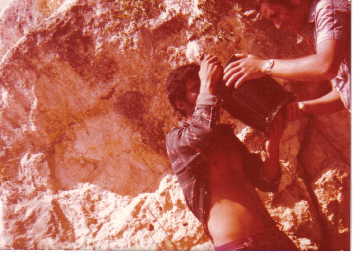
Posted by AZEEZ ARAR - الصديقين عبدالعزيز أمين وجمال يوسف عند خربة العيون شرق كفرثلث عام 1978
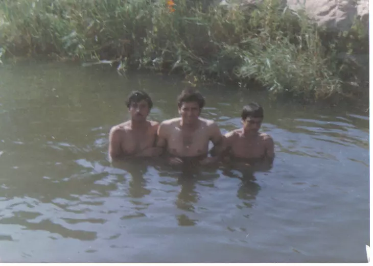
Posted by AZEEZ ARAR - شباب كفرثلث يسبحون في وادي قانا عام 1978 قبل أن يجففه المسنوطنون الصهاينة ويقيموا مستعمراتهم في المنطقة
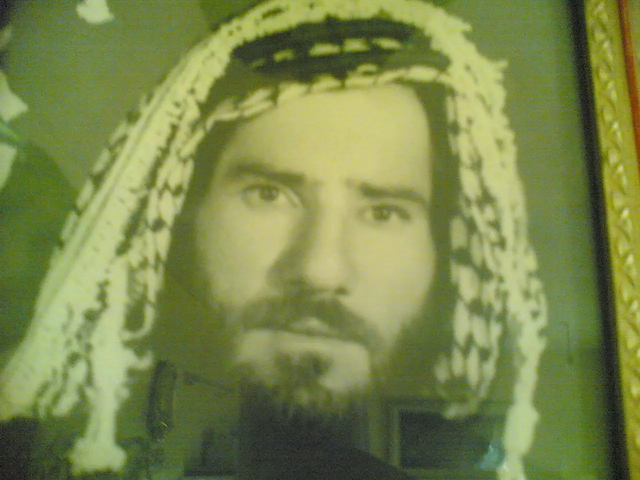
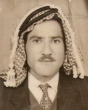
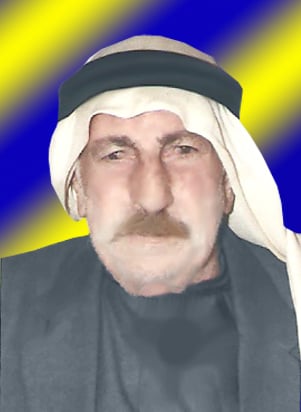
Posted by AZEEZ ARAR - صورة للمرحوم عبدالكريم مصطفى عودة في الزي العربي التقليدي والذي انحسر في هذه الأيام بسبب المؤثرات الغربية
Posted by AZEEZ ARAR 1 - كفرثلث منظر عام - منير ابوصفية
Posted by Muneer Abusafiah - كفرثلث - بيوت القرية - منيرابوصفية
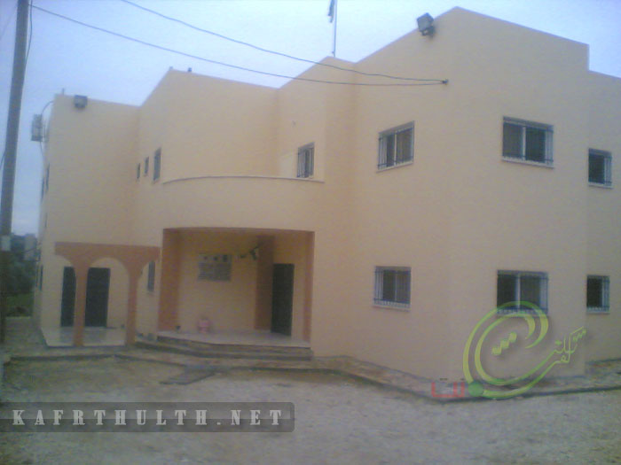
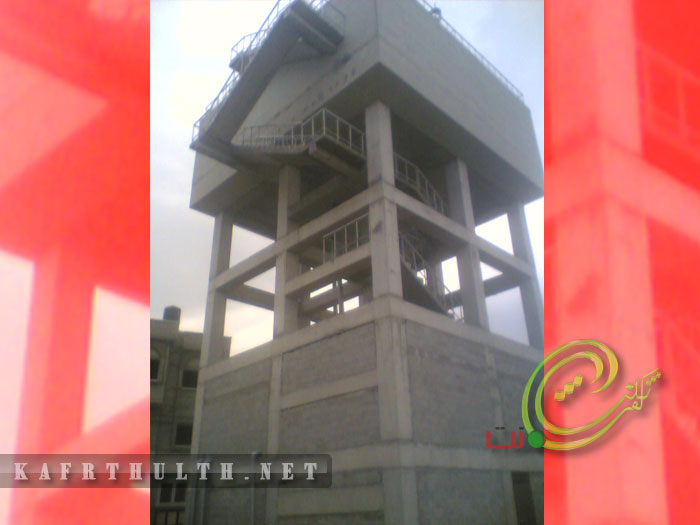
Posted by Muneer Abusafiah 1 - مبنى البلدية - منيرابوصفية
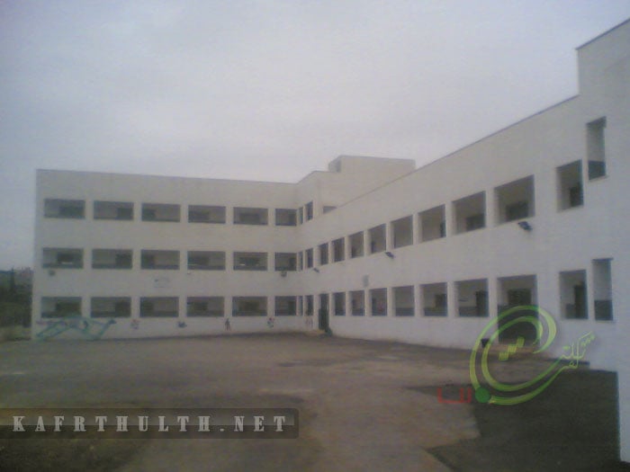
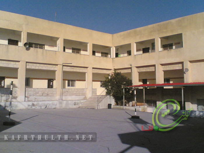
Posted by Muneer Abusafiah - مدرسة كفرثلث الثانوية للبنبن - - منيرابوصفية
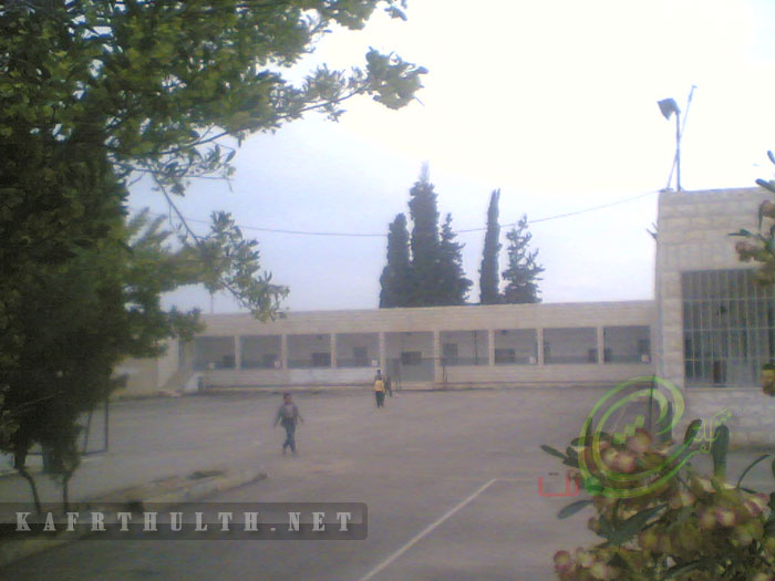
Posted by Muneer Abusafiah - مدرسة كفرثلث الاساسية للبنبن - - منير ابو صفية
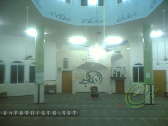
Posted by Muneer Abusafiah - مسجد عمر بن عبد العزيز - منير ابو صفية
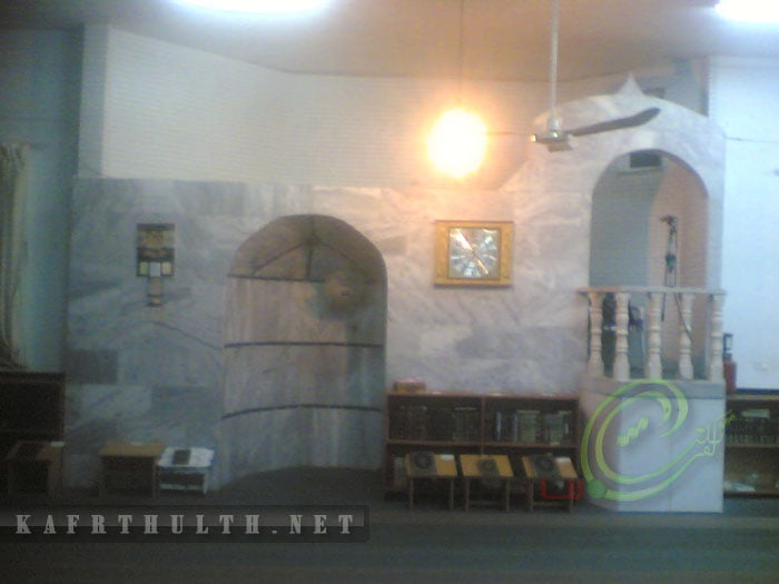
Posted by Muneer Abusafiah - مسجد عمر بن عبد بن الخطاب - كفرثلث - منير ابو صفية
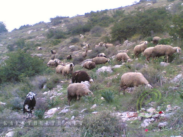
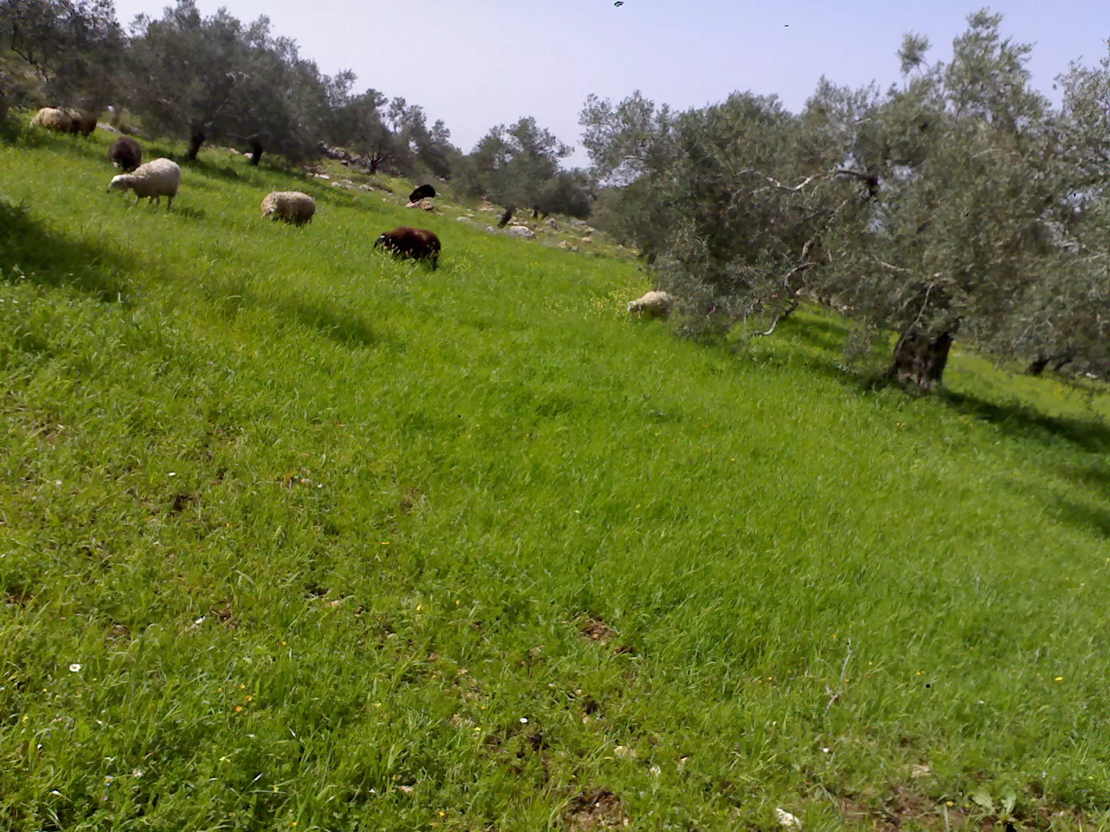
Posted by Muneer Abusafiah - خراف على سفح الوادي - كفرثلث - منير ابو صفية
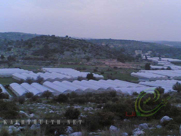
Posted by Muneer Abusafiah - بيوت بلاستيكية - منطقة واد ناصر - كفرثلث - منير ابو صفية
Posted by Muneer Abusafiah - مدرسة بنات كفرثلث الثانوية - كفرثلث - منير ابو صفية
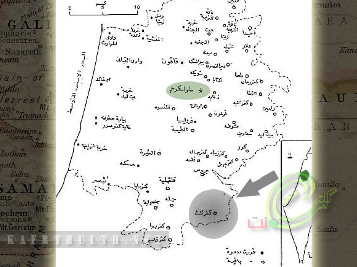
Posted by Muneer Abusafiah - موقع قرية كفرثلث - منير ابو صفية
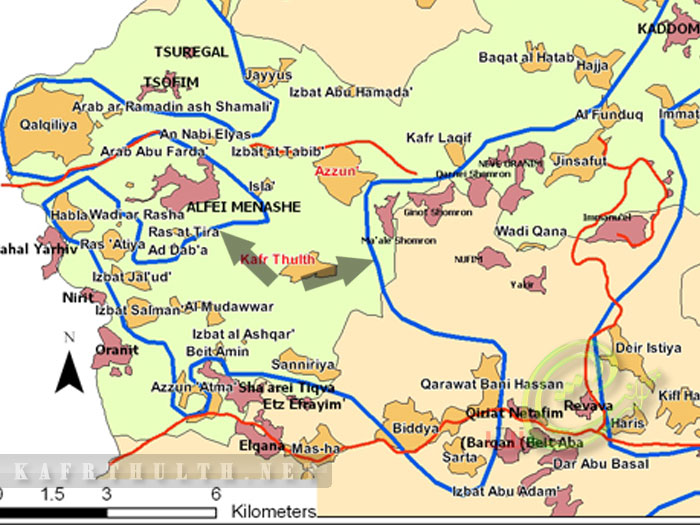
Posted by Muneer Abusafiah 1 - خارطة السياج الفاصل الذي يلتهم الاراضي الزراعية - كفرثلث - منير ابوضفية
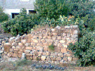
Posted by Muneer Abusafiah - مقام المغازين - كفرثلث - منير ابوصفية
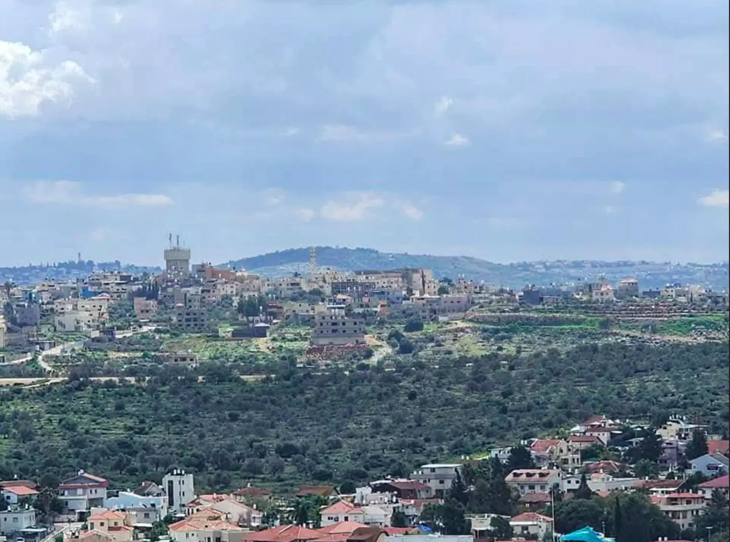
Posted by Muneer Abusafiah - منظر عام لبيوت كفرثلث - منير ابوصفية
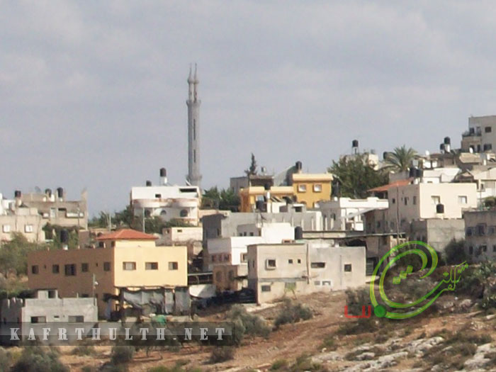
Posted by Muneer Abusafiah - منظر عام لبيوت كفرثلث - منير ابوصفية

Posted by Muneer Abusafiah - منظر عام لبيوت كفرثلث من اعلى مئذنةمسجد عمربن عبد العزيز - منير ابوصفية
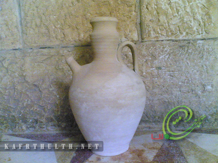
Posted by Muneer Abusafiah - زير فخار _ كان يستخدم لحفظ المياه - كفرثلث - منير ابو صفية
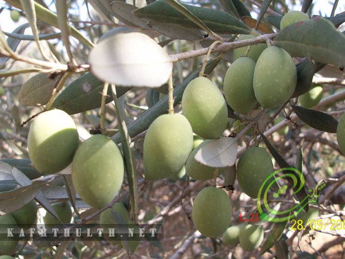
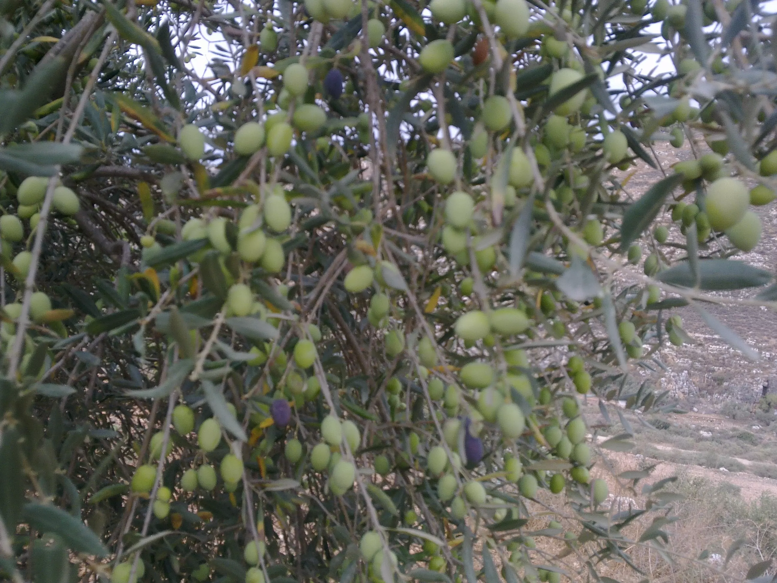
Posted by Muneer Abusafiah - ثمار الزيتون من كفرثلث - منير ابو صفية
Posted by Muneer Abusafiah - حاووز الماء - كفرثلث - منير ابوصفية
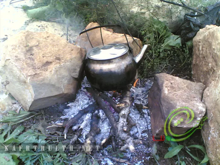
Posted by Muneer Abusafiah - شاي على النار - كفرثلث - منير ابوصفية
Posted by Muneer Abusafiah - كفر ثلث من بيت رفيق الشواهنة
Posted by areej hawary - كفر ثلث - مرج ذيب
Posted by areej hawary - مرج ذيب
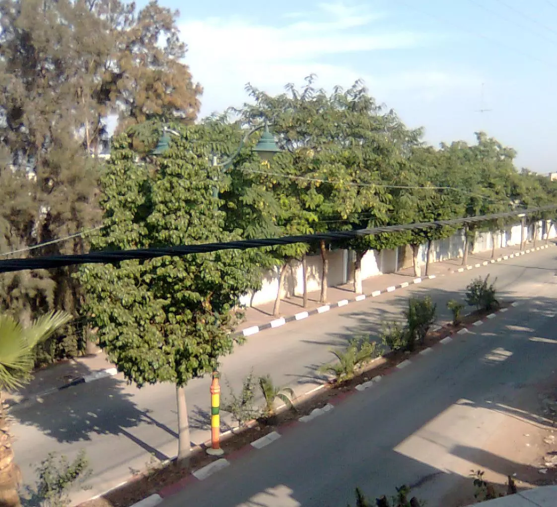
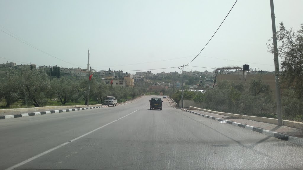
Posted by areej hawary 1 - قلقيلية- شارع جلجوليا
Posted by areej hawary 2 - الحج خليل محمد غنام(ابو السعيد)
Posted by غنام 15 - ربيع بلادي
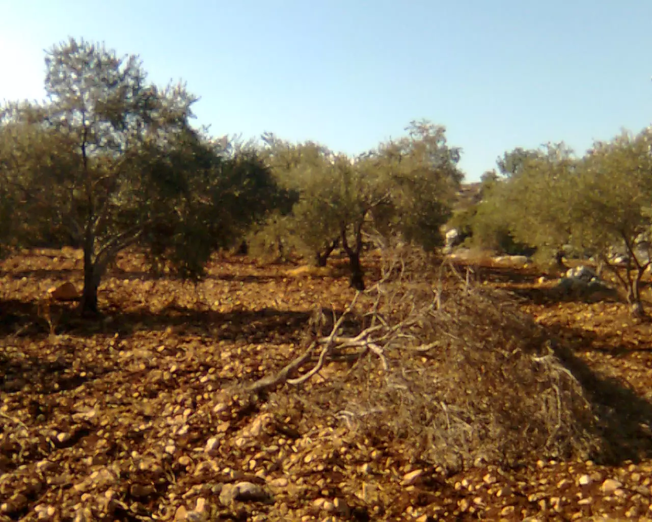
Posted by عقبة الهدشة - ثمار الزيتون
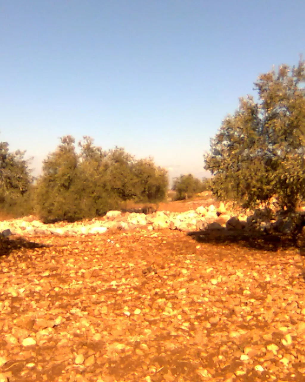
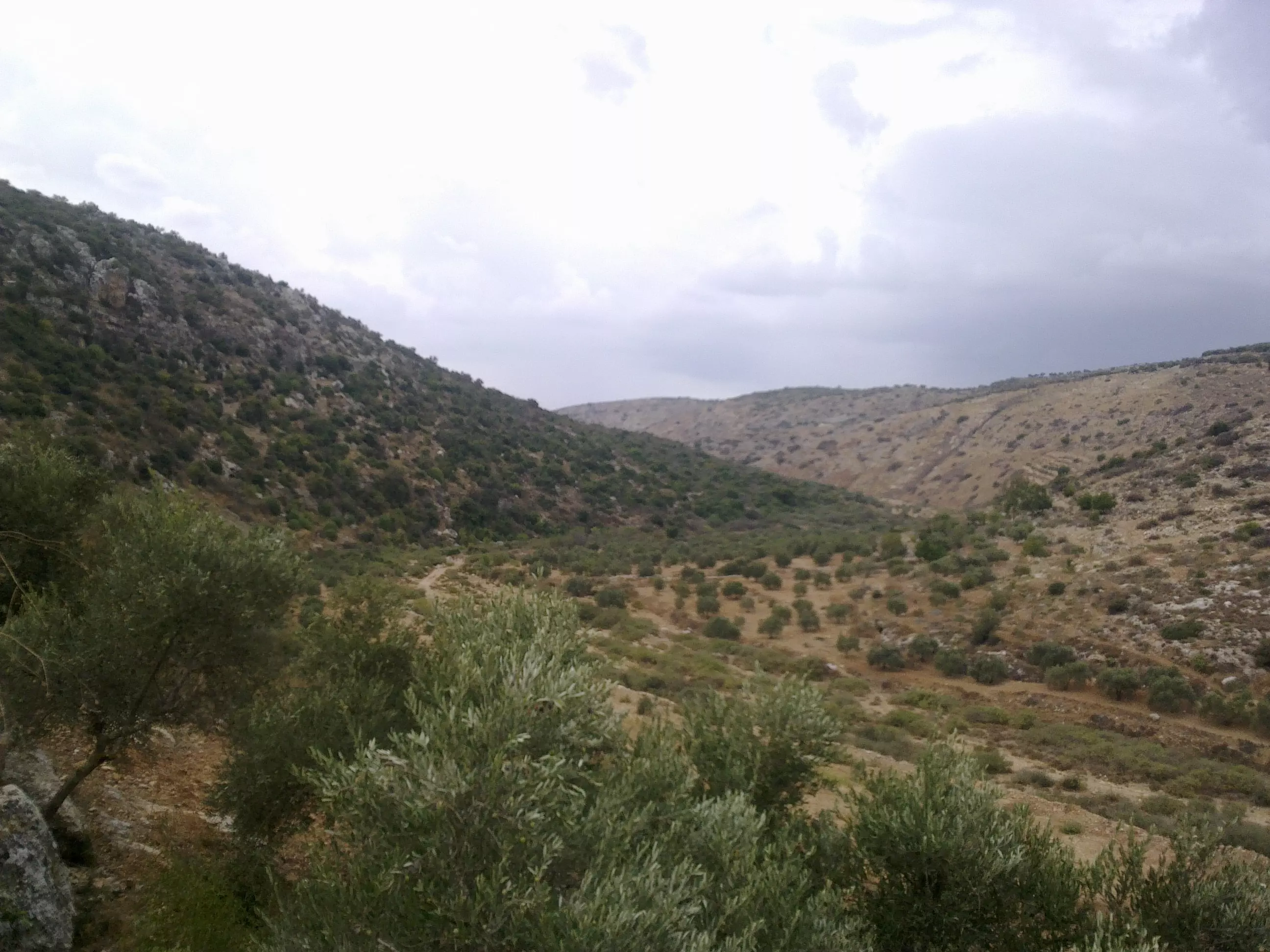
Posted by عقبة الهدشة - الوادي القبلي
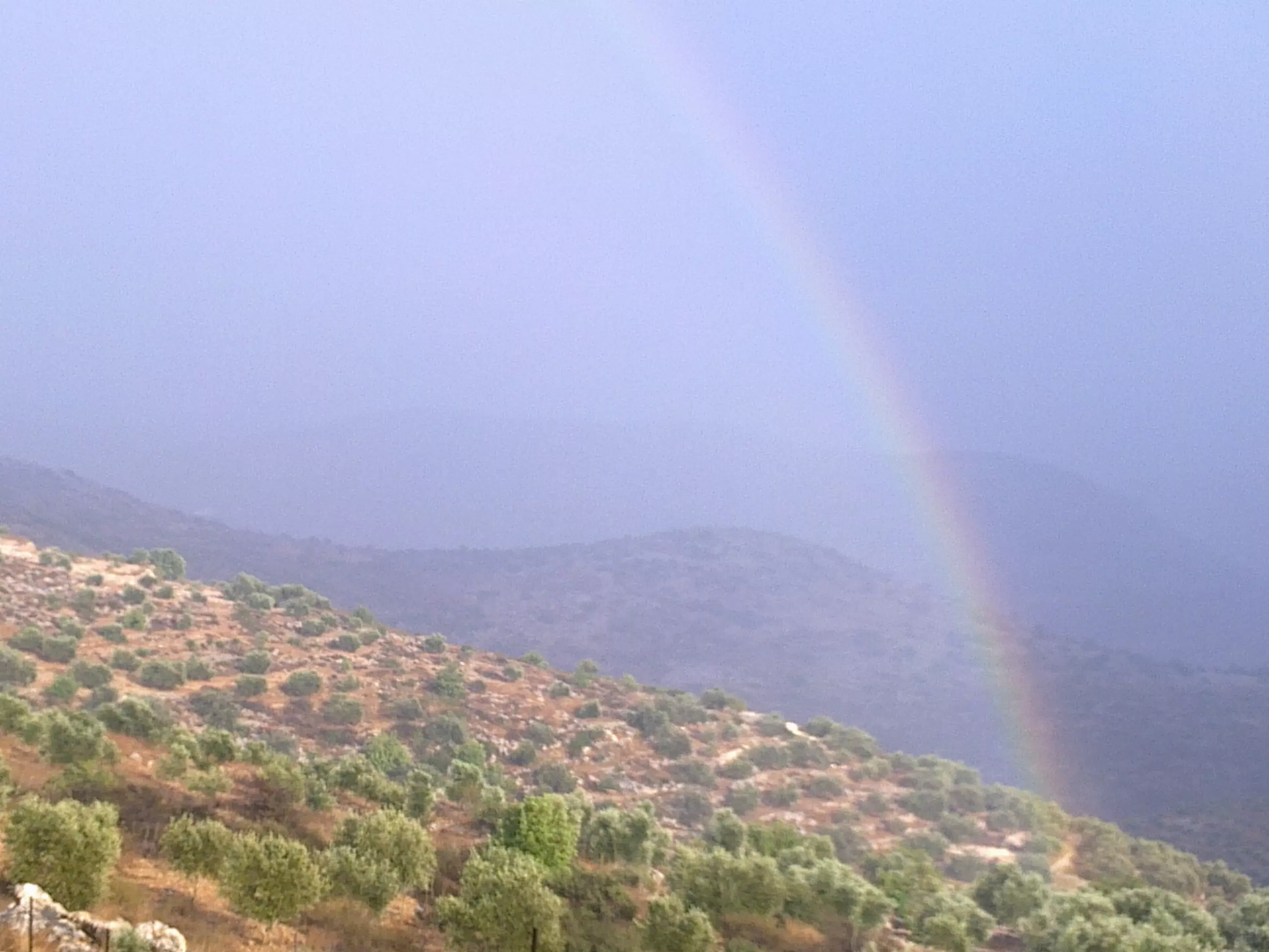
Posted by عقبة الهدشة - قوس قزح
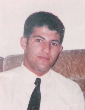
Posted by عقبة الهدشة - الشهيد سامر يوسف شواهنة
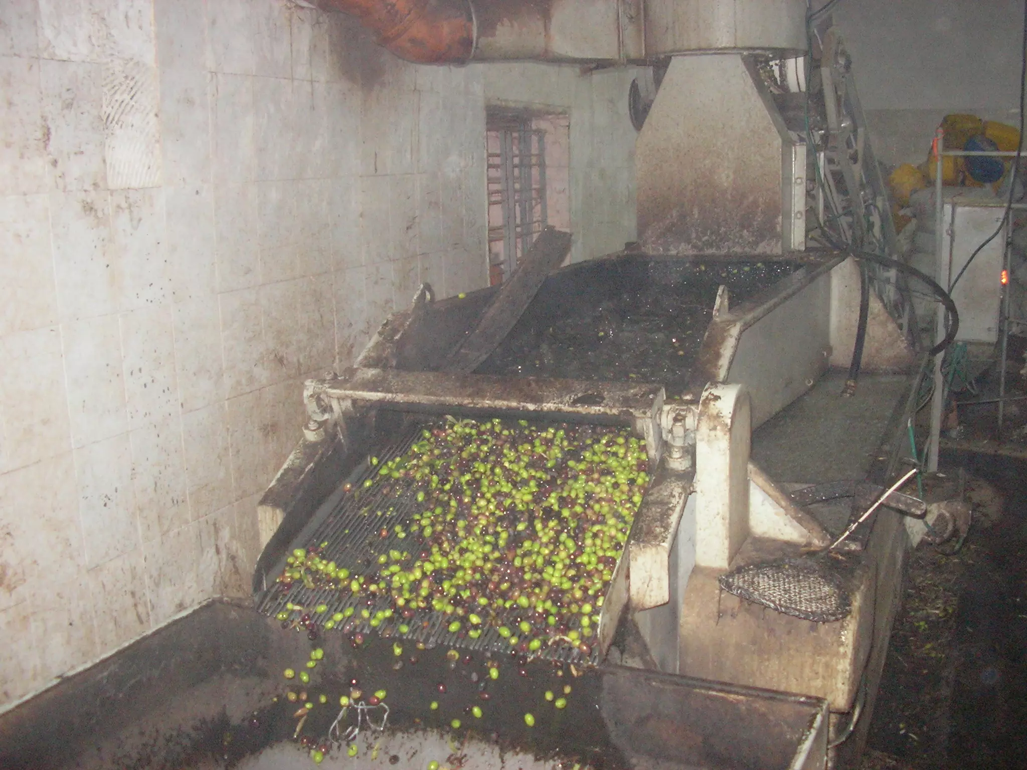
Posted by عقبة الهدشة - جانب من عصر الزيتون , من بلدة كفر ثلث - Mohammad Ghanem
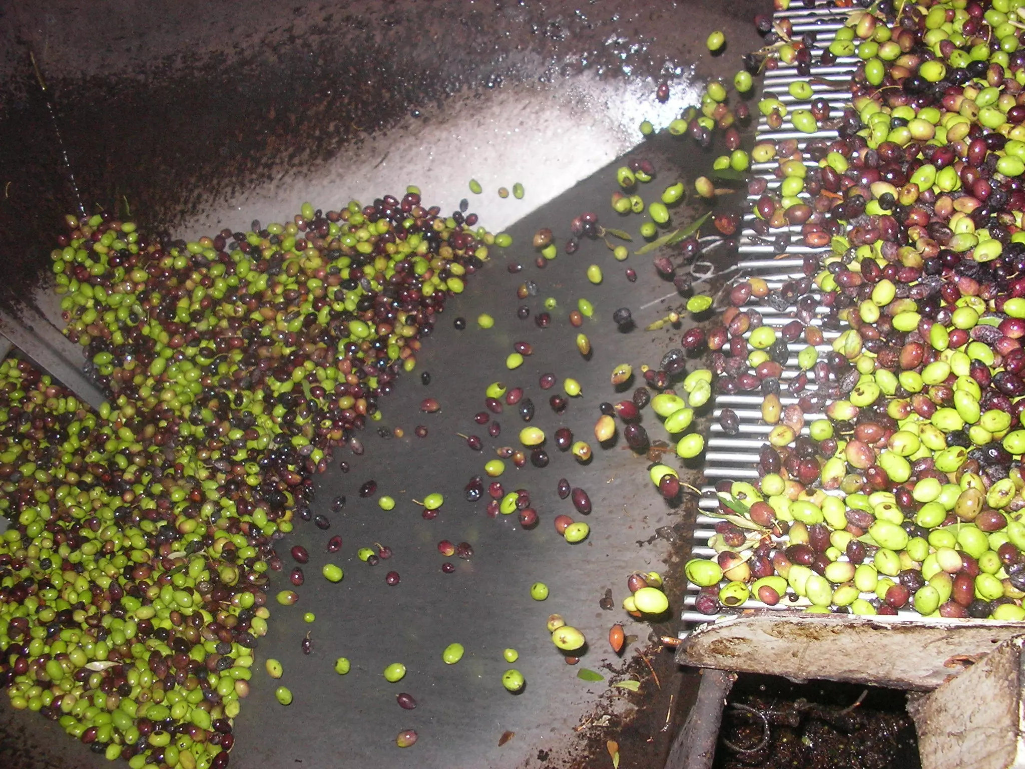
Posted by محمد الغانم - جانب من عصر الزيتون , من بلدة كفر ثلث - Mohammad Ghanem
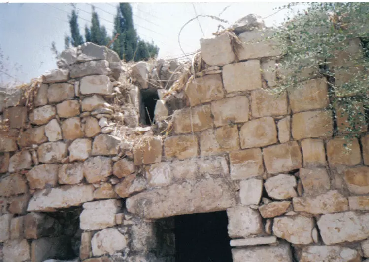
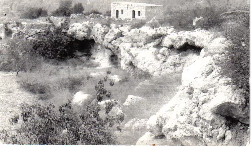
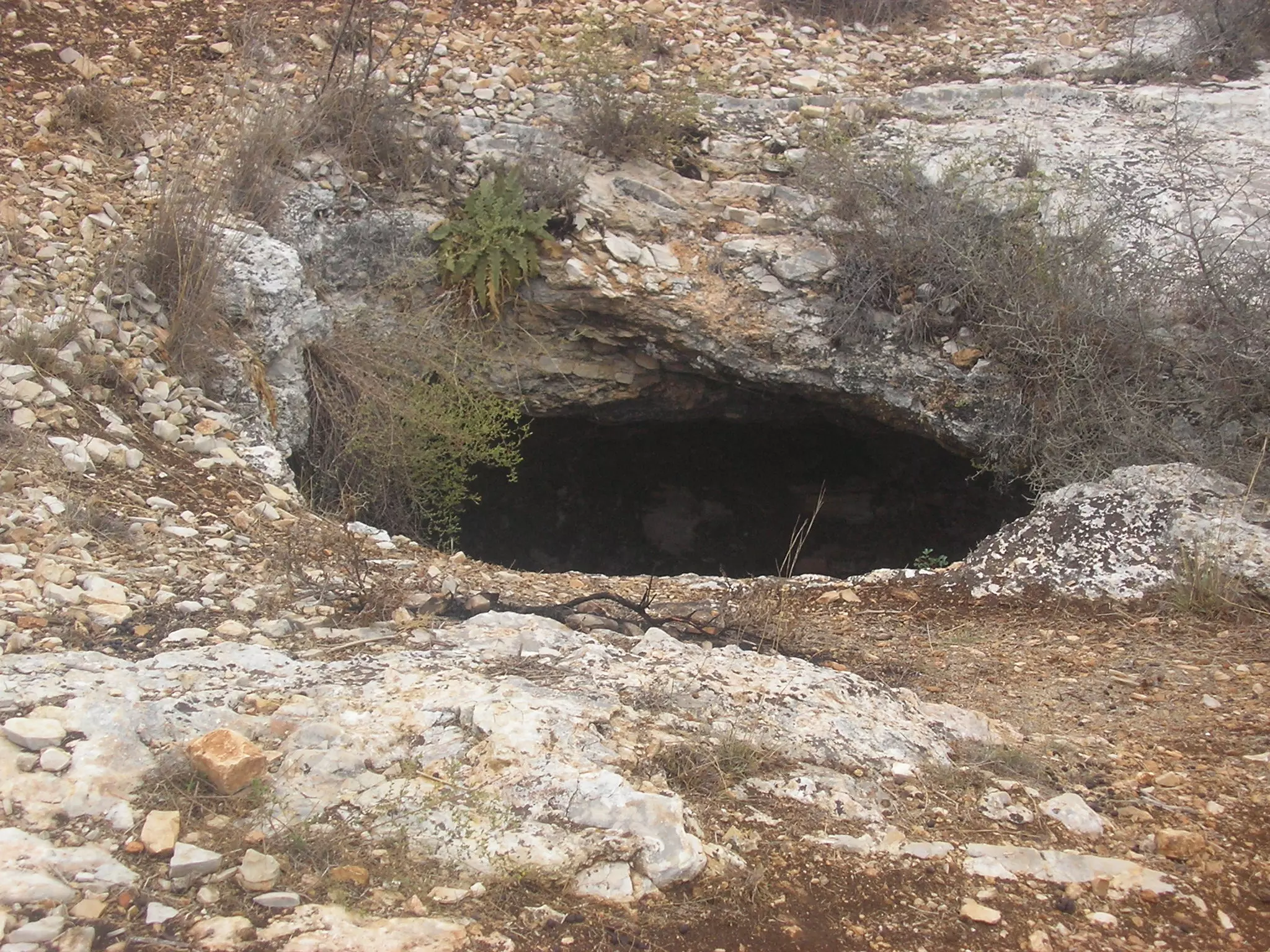
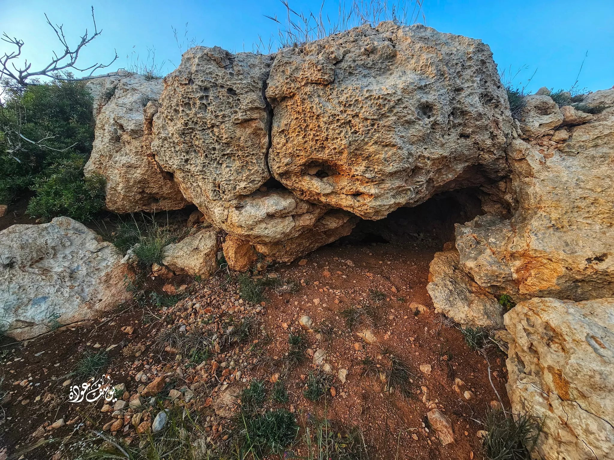
Posted by محمد الغانم - أحد الكهوف الموجودة في الاراضي الشرقيه لبلدة كفر ثلث - Mohammad Ghanem
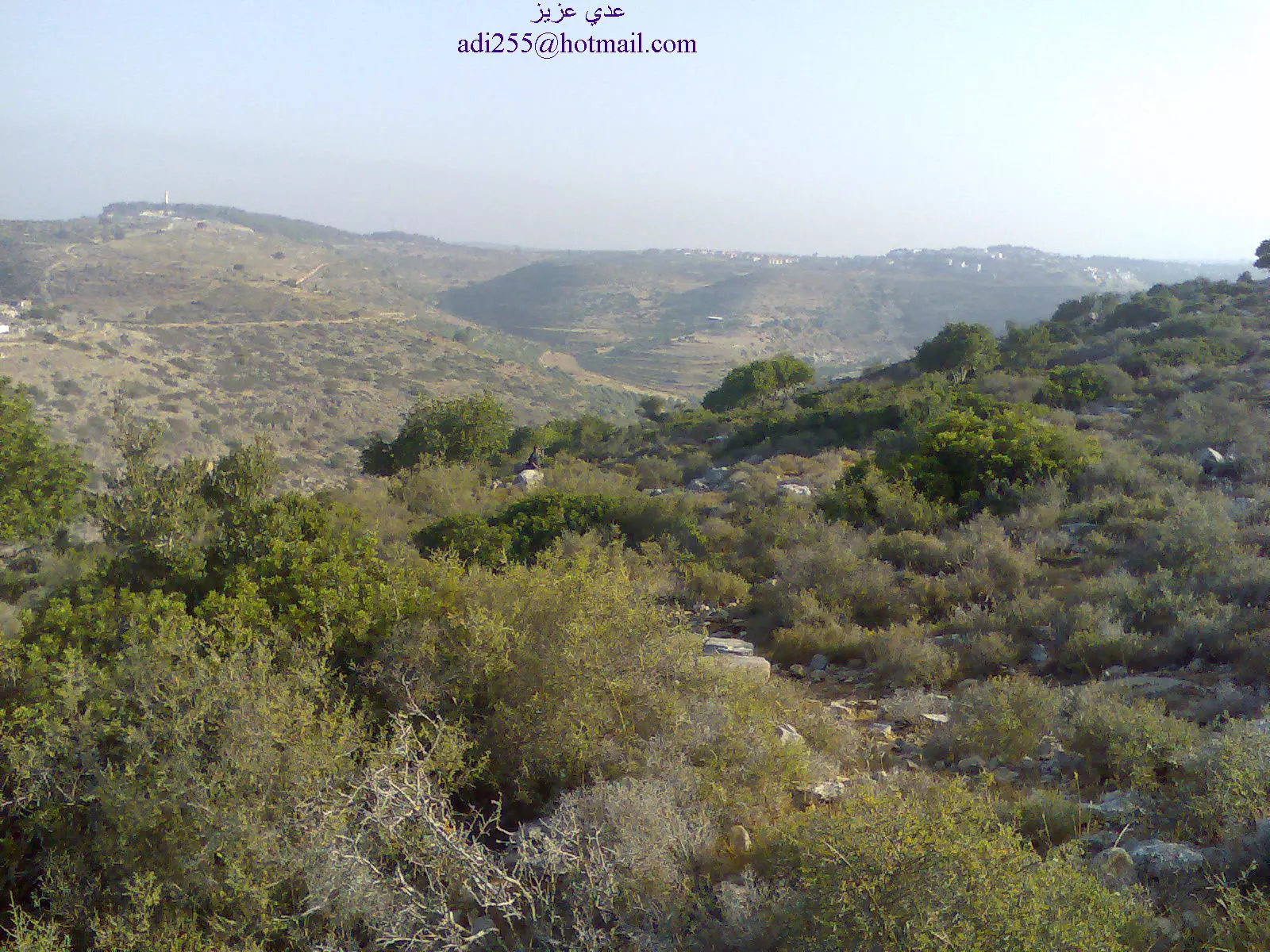
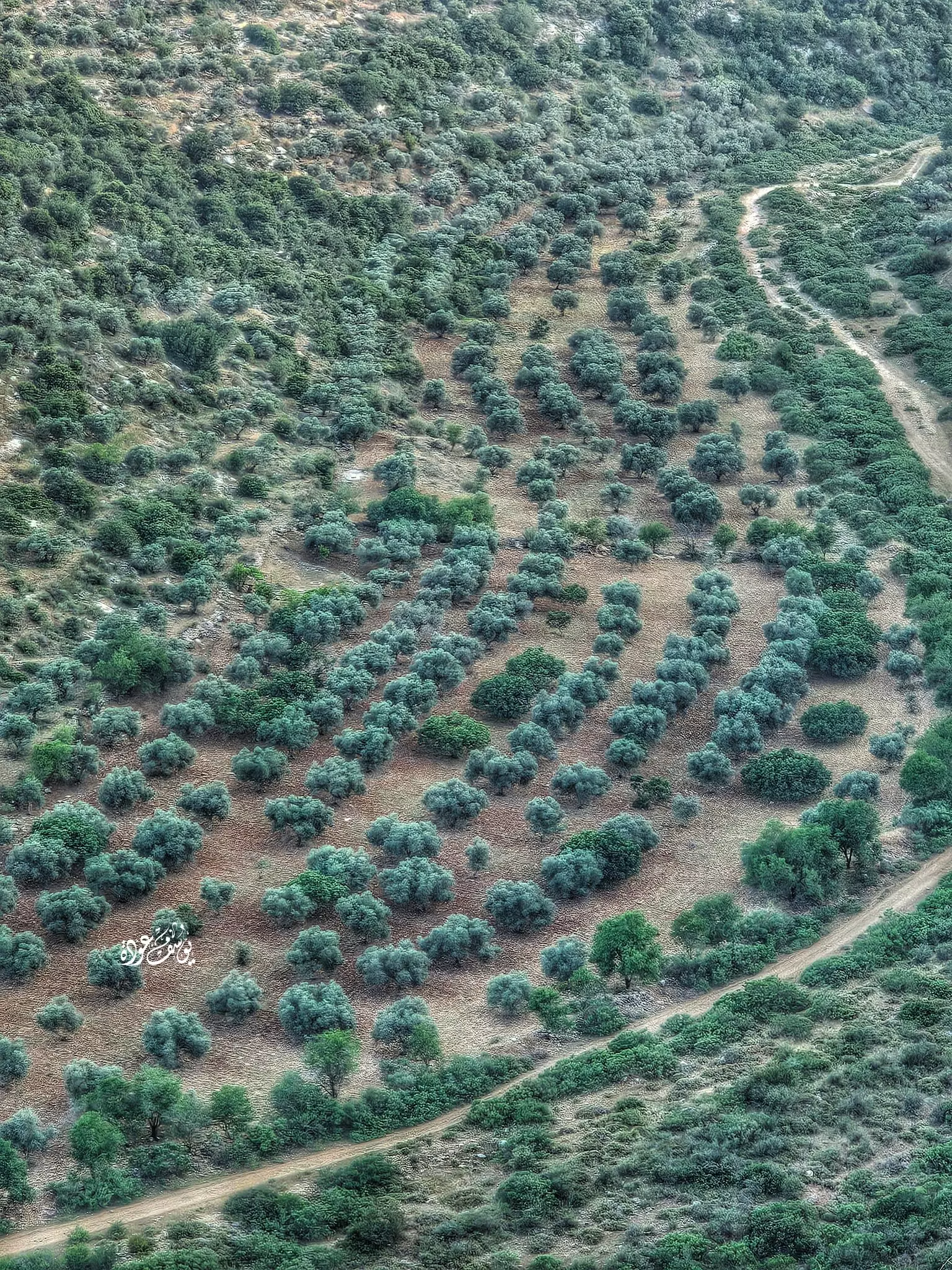
Posted by محمد الغانم - مروج كفرثلث
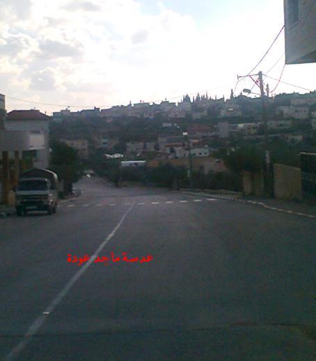
Posted by ماجد عودة - كفرثلث . تصوير ماجد عودة
Posted by ماجد عودة - كفرثلث المدخل الشمالي . عدسة ماجد عودة
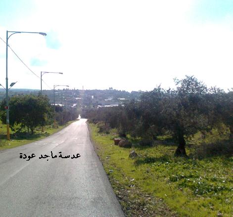
Posted by ماجد عودة - مدخل كفرثلث الشمالي ... بعدسة ماجد عودة
Posted by ماجد عودة - منظر عام
- منظر عام #2
- كفر ثلث من سنيريا
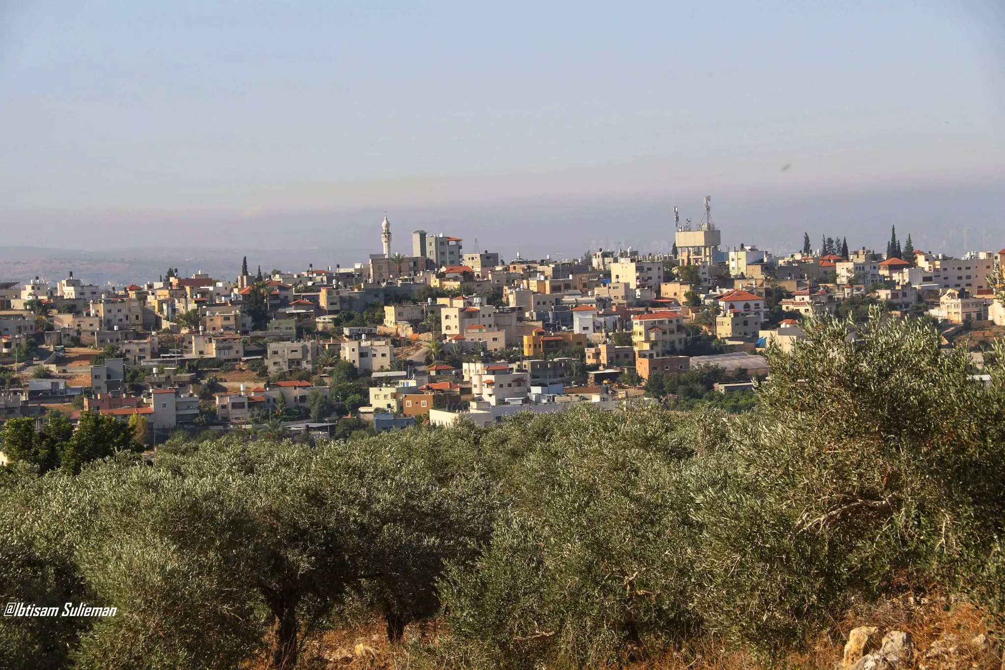
- منظر عام -- Ibtisam Sulayman
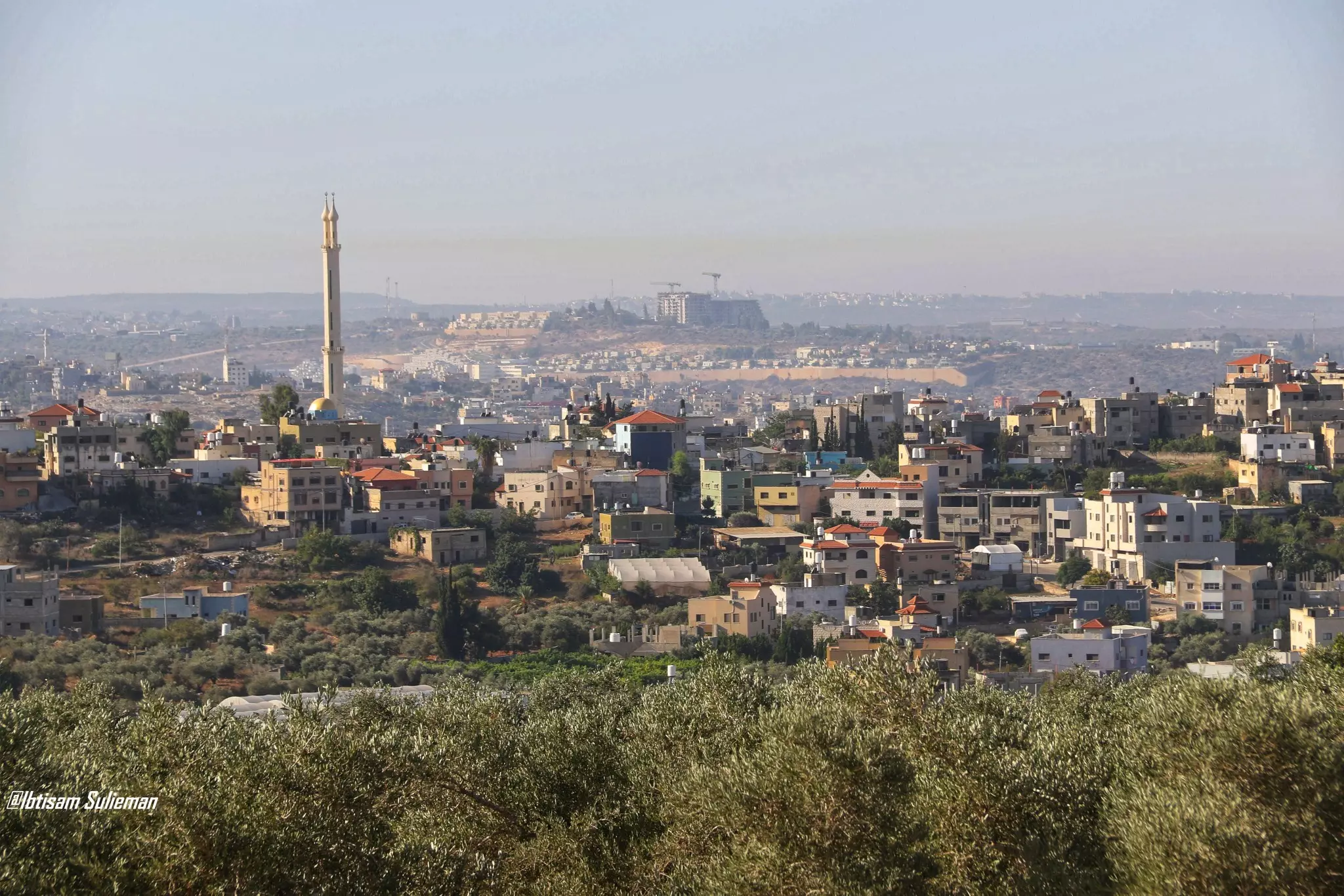
- منظر عام -- Ibtisam Sulayman #2
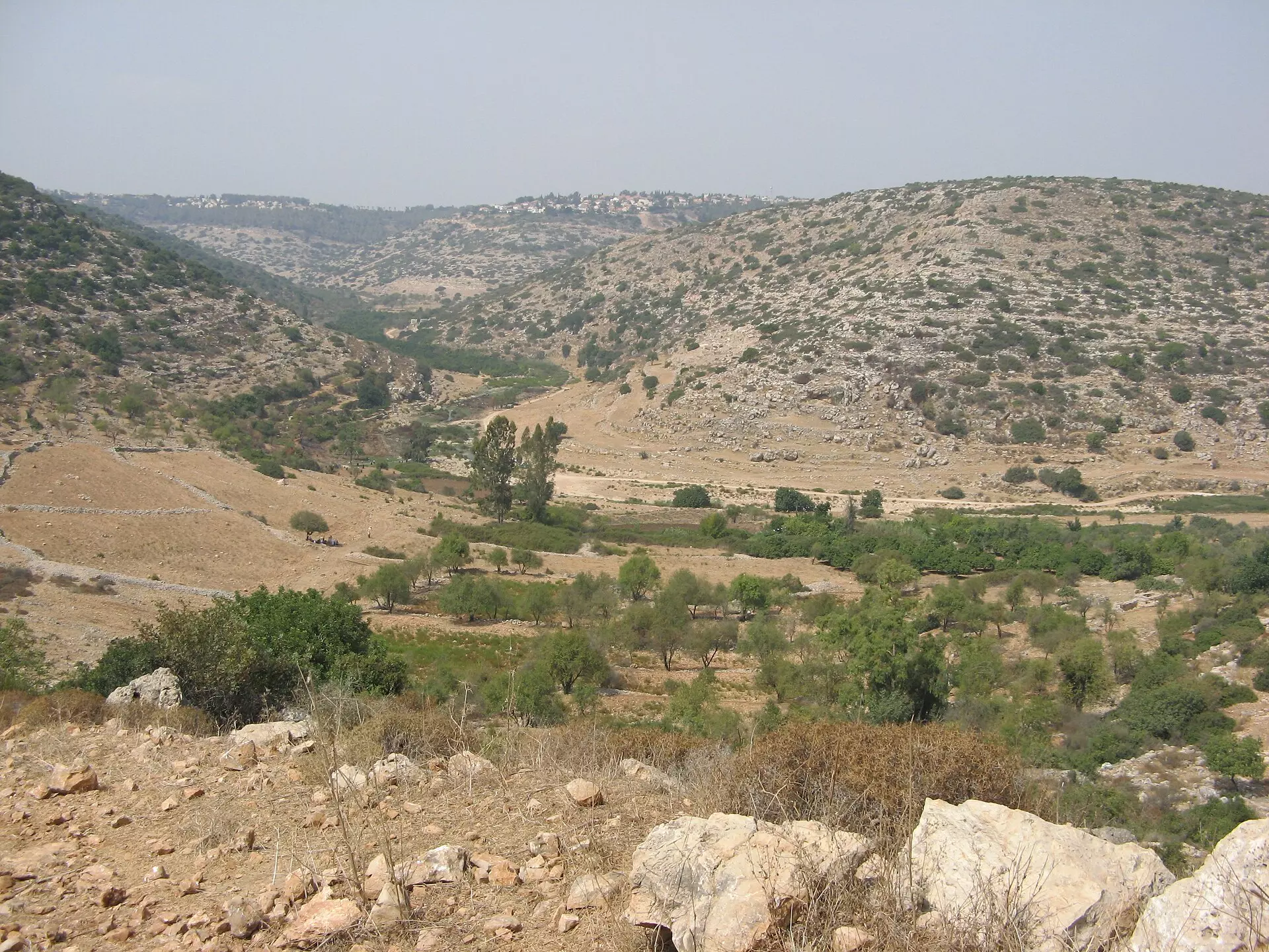
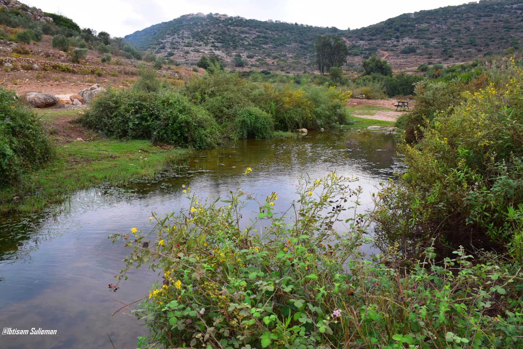
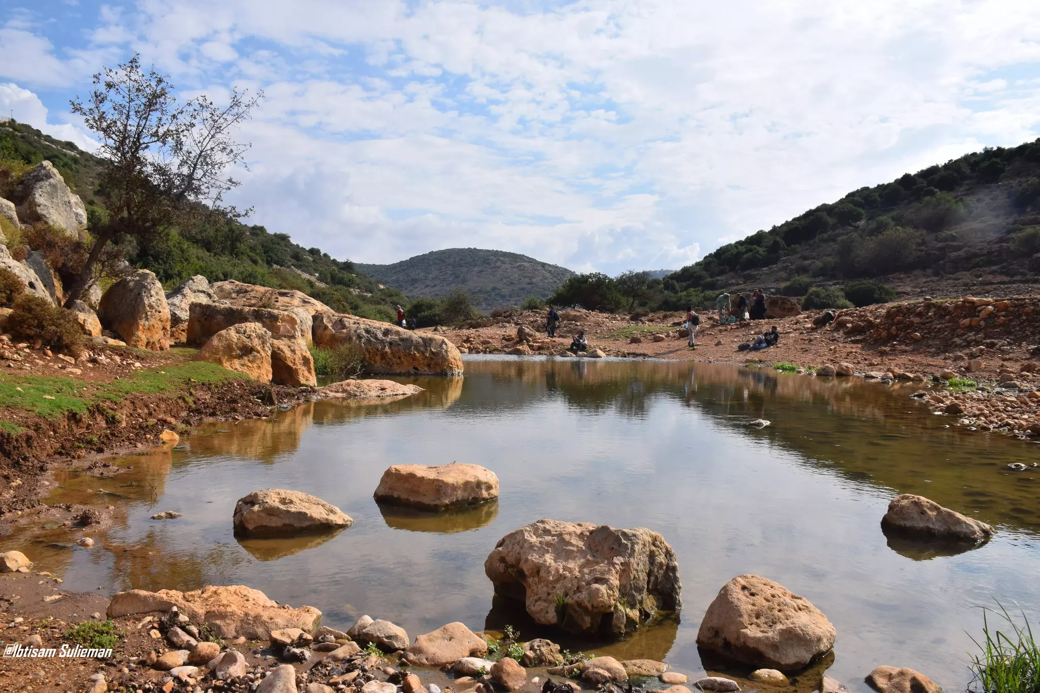
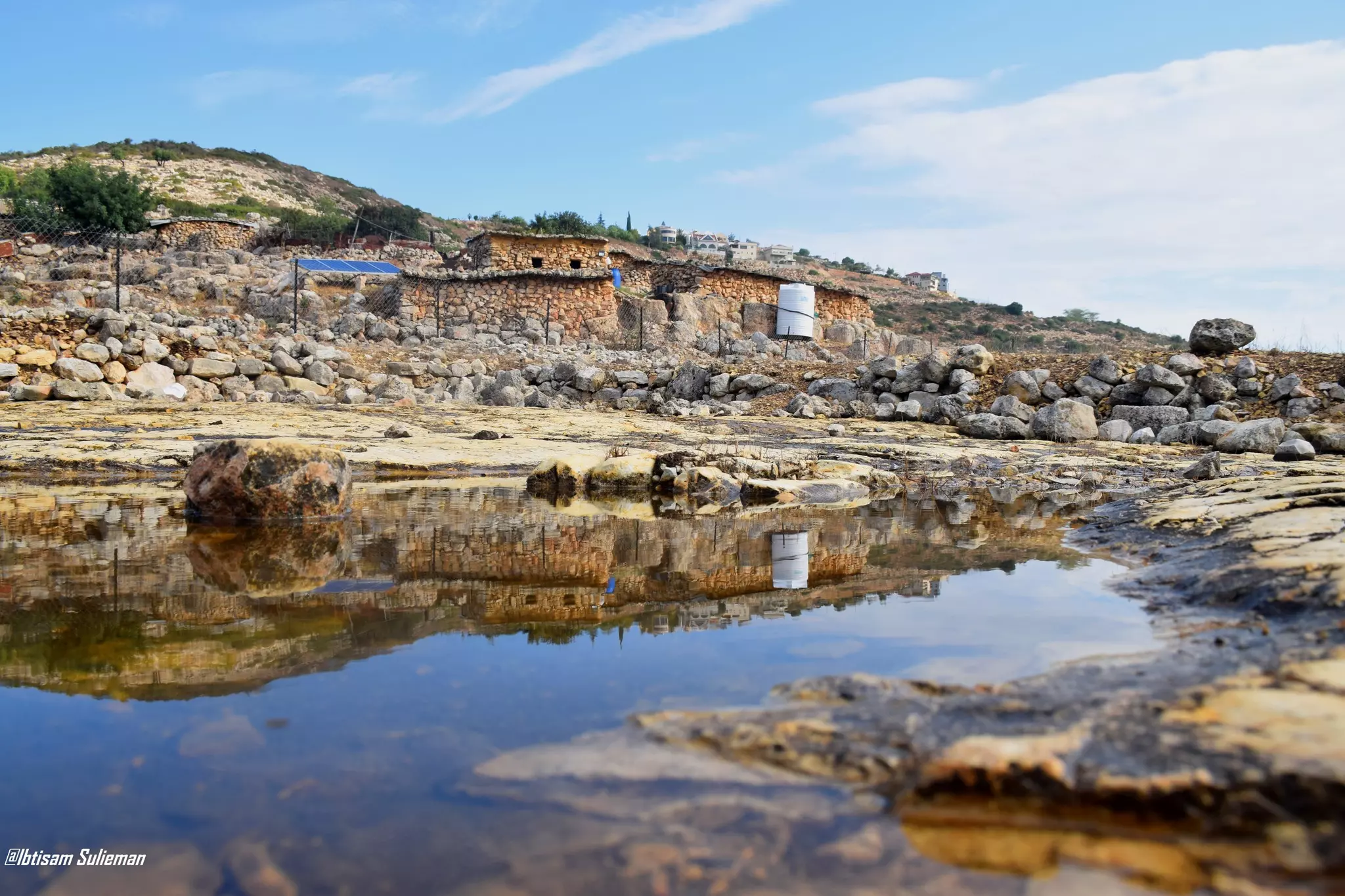
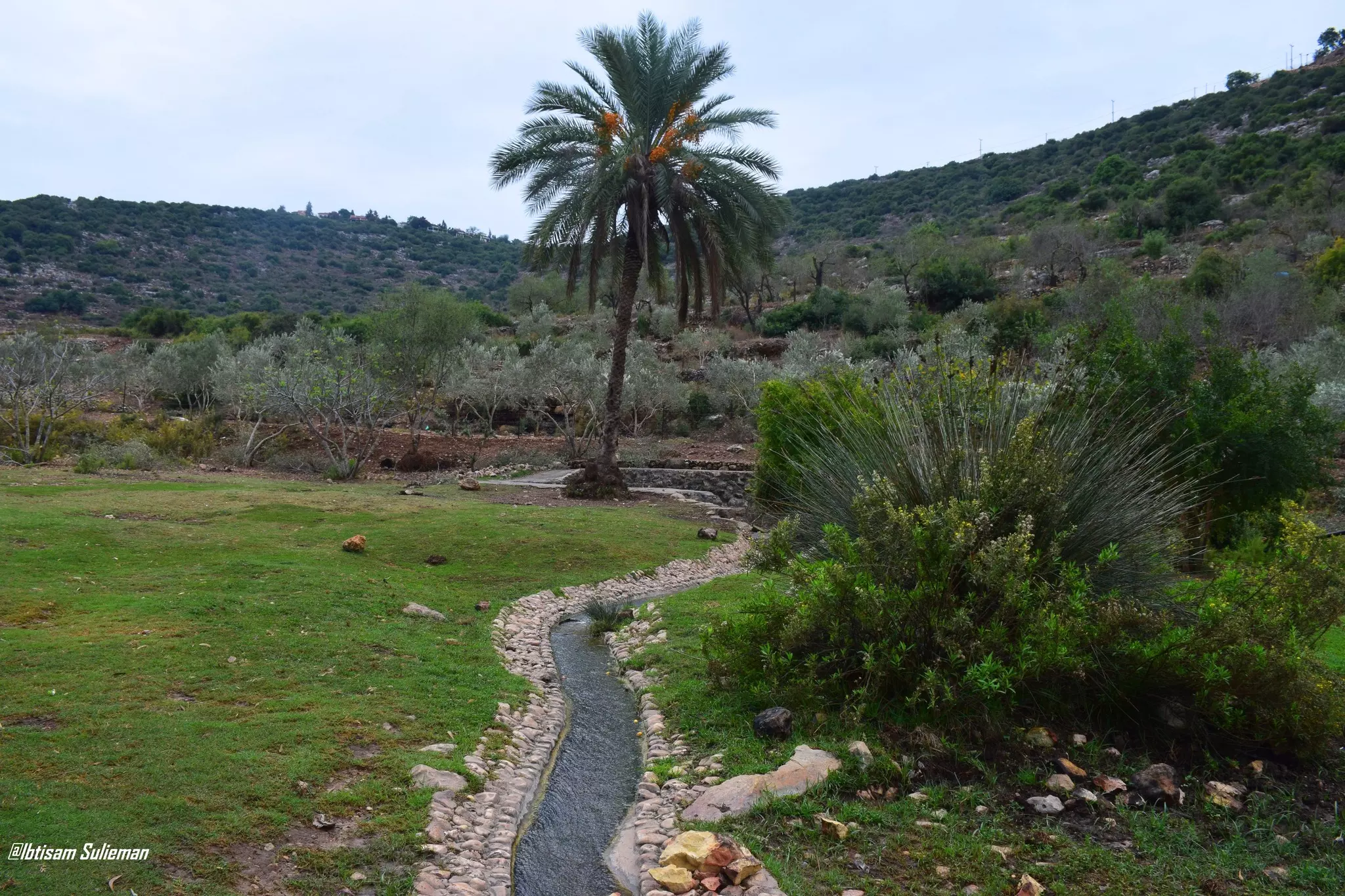
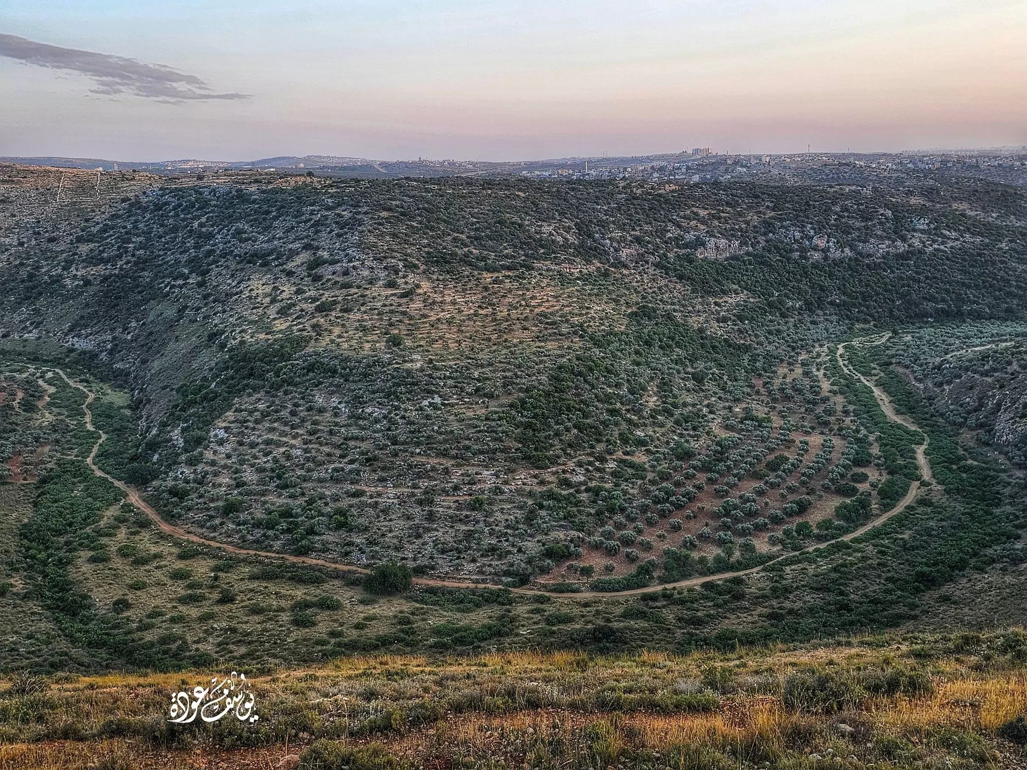
- وادي قانا--ويحده من الشمال كفر لاقف، ومن الشمال الغربي بلدة عزون، ومن الغرب بلدة كفر ثلث، ومن الشرق مقام عليه مستعمرتي «نوفيم» و«ياكير»، ومن الجنوب الشرقي دير استيا وقراوة بني حسان -- Ibtisam Sulieman
- وادي قانا--ويحده من الشمال كفر لاقف، ومن الشمال الغربي بلدة عزون، ومن الغرب بلدة كفر ثلث، ومن الشرق مقام عليه مستعمرتي «نوفيم» و«ياكير»، ومن الجنوب الشرقي دير استيا وقراوة بني حسان -- Ibtisam Sulieman #2
- وادي قانا--ويحده من الشمال كفر لاقف، ومن الشمال الغربي بلدة عزون، ومن الغرب بلدة كفر ثلث، ومن الشرق مقام عليه مستعمرتي «نوفيم» و«ياكير»، ومن الجنوب الشرقي دير استيا وقراوة بني حسان -- Ibtisam Sulieman #3
- وادي قانا--ويحده من الشمال كفر لاقف، ومن الشمال الغربي بلدة عزون، ومن الغرب بلدة كفر ثلث، ومن الشرق مقام عليه مستعمرتي «نوفيم» و«ياكير»، ومن الجنوب الشرقي دير استيا وقراوة بني حسان -- Ibtisam Sulieman #4
- وادي قانا--ويحده من الشمال كفر لاقف، ومن الشمال الغربي بلدة عزون، ومن الغرب بلدة كفر ثلث، ومن الشرق مقام عليه مستعمرتي «نوفيم» و«ياكير»، ومن الجنوب الشرقي دير استيا وقراوة بني حسان -- Ibtisam Sulieman #5
- وادي قانا--ويحده من الشمال كفر لاقف، ومن الشمال الغربي بلدة عزون، ومن الغرب بلدة كفر ثلث، ومن الشرق مقام عليه مستعمرتي «نوفيم» و«ياكير»، ومن الجنوب الشرقي دير استيا وقراوة بني حسان -- Ibtisam Sulieman #6
- وادي قانا--ويحده من الشمال كفر لاقف، ومن الشمال الغربي بلدة عزون، ومن الغرب بلدة كفر ثلث، ومن الشرق مقام عليه مستعمرتي «نوفيم» و«ياكير»، ومن الجنوب الشرقي دير استيا وقراوة بني حسان -- Ibtisam Sulieman #7

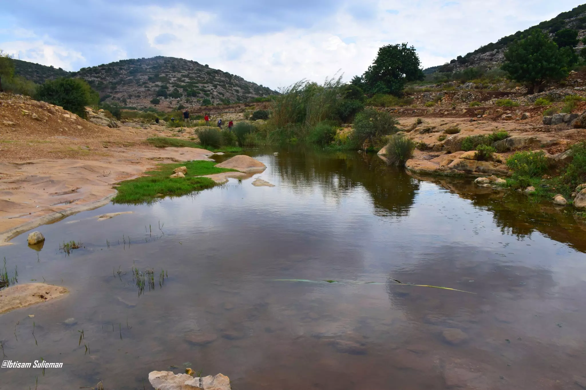
- جولة رائعة في الواد القبلي -- يوسف عودة
- جولة رائعة في الواد القبلي -- يوسف عودة #2
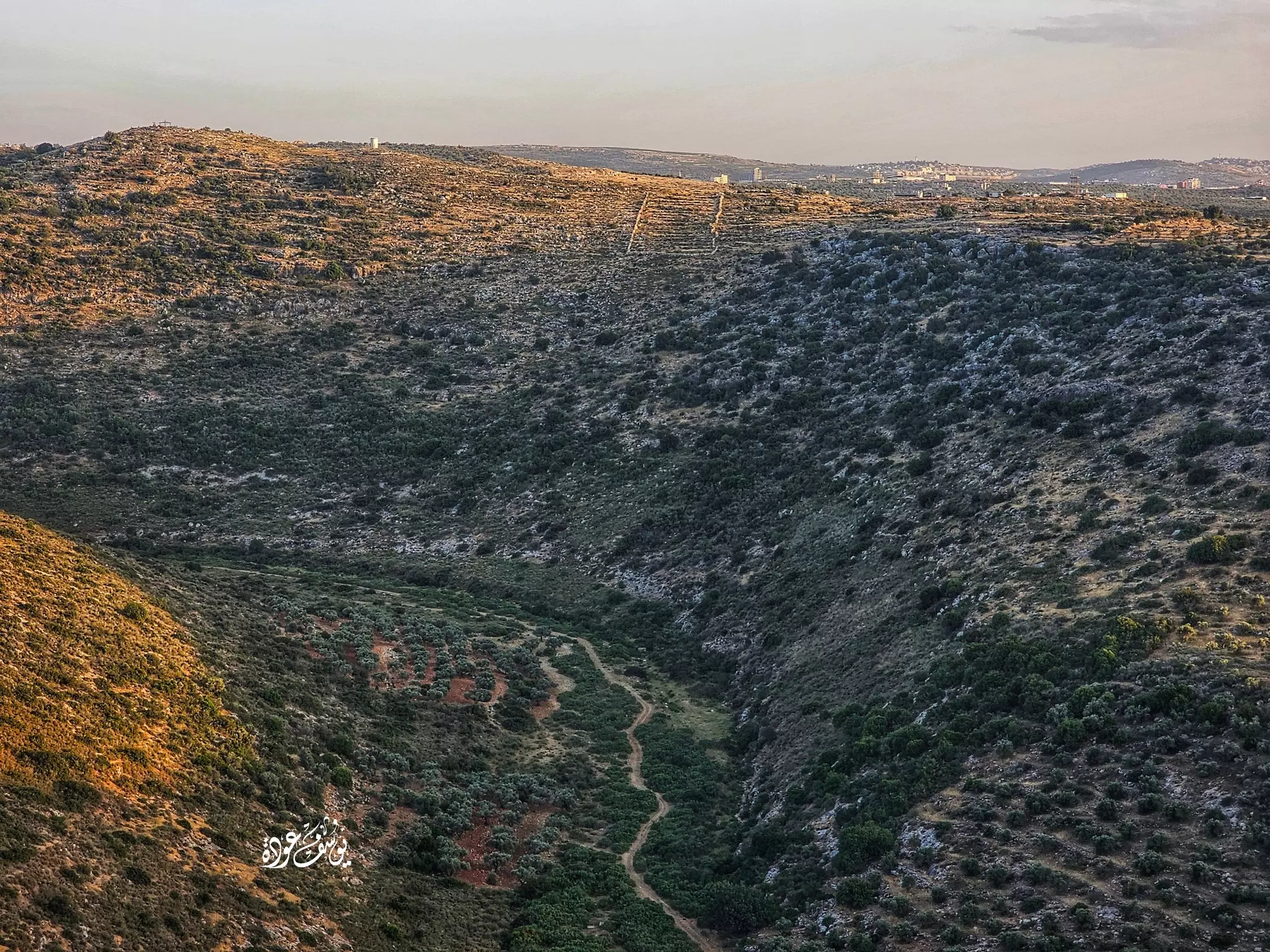
- جولة رائعة في الواد القبلي -- يوسف عودة #3

- جولة رائعة في الواد القبلي -- يوسف عودة #4
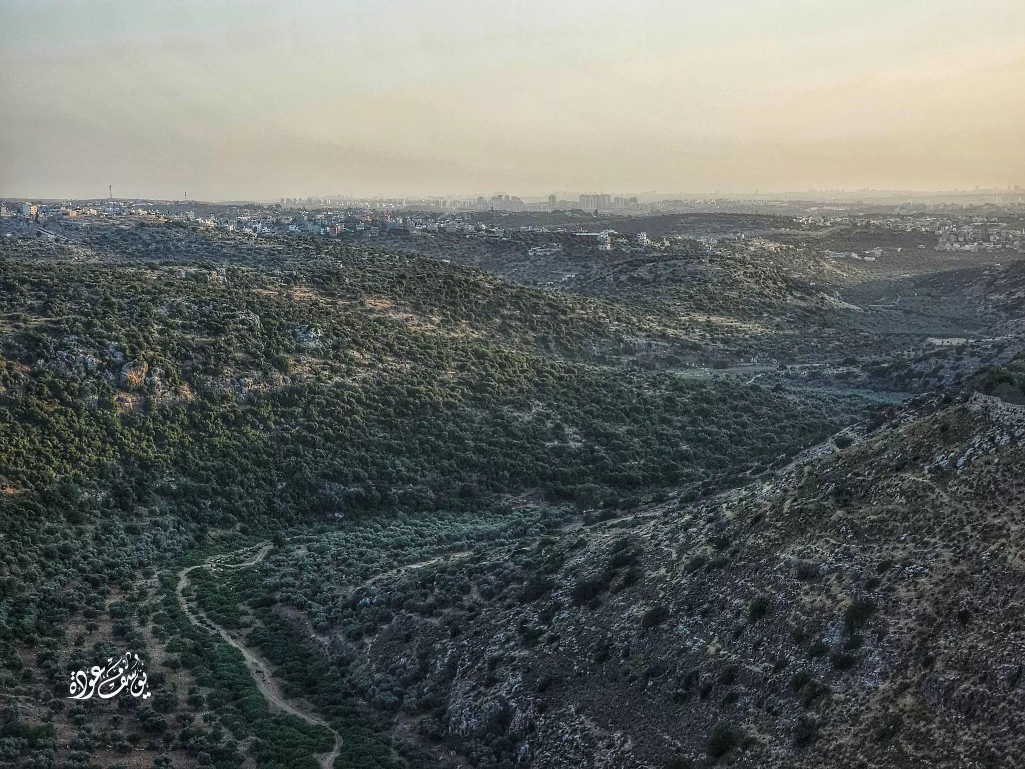
- جولة رائعة في الواد القبلي -- يوسف عودة #5
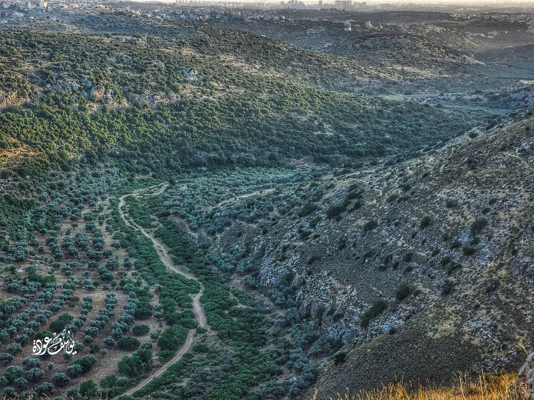
- جولة رائعة في الواد القبلي -- يوسف عودة #6
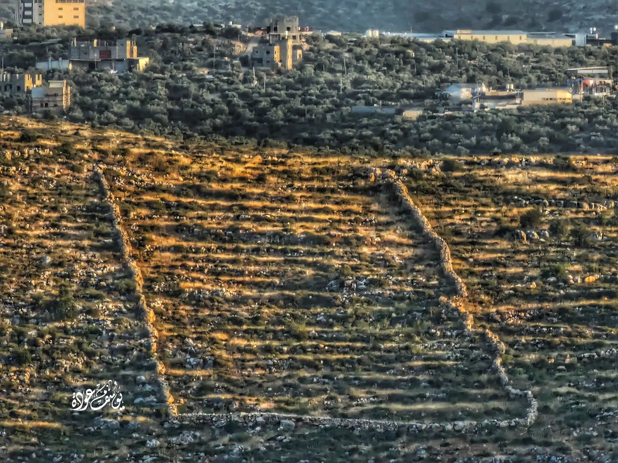
- جولة رائعة في الواد القبلي -- يوسف عودة #7
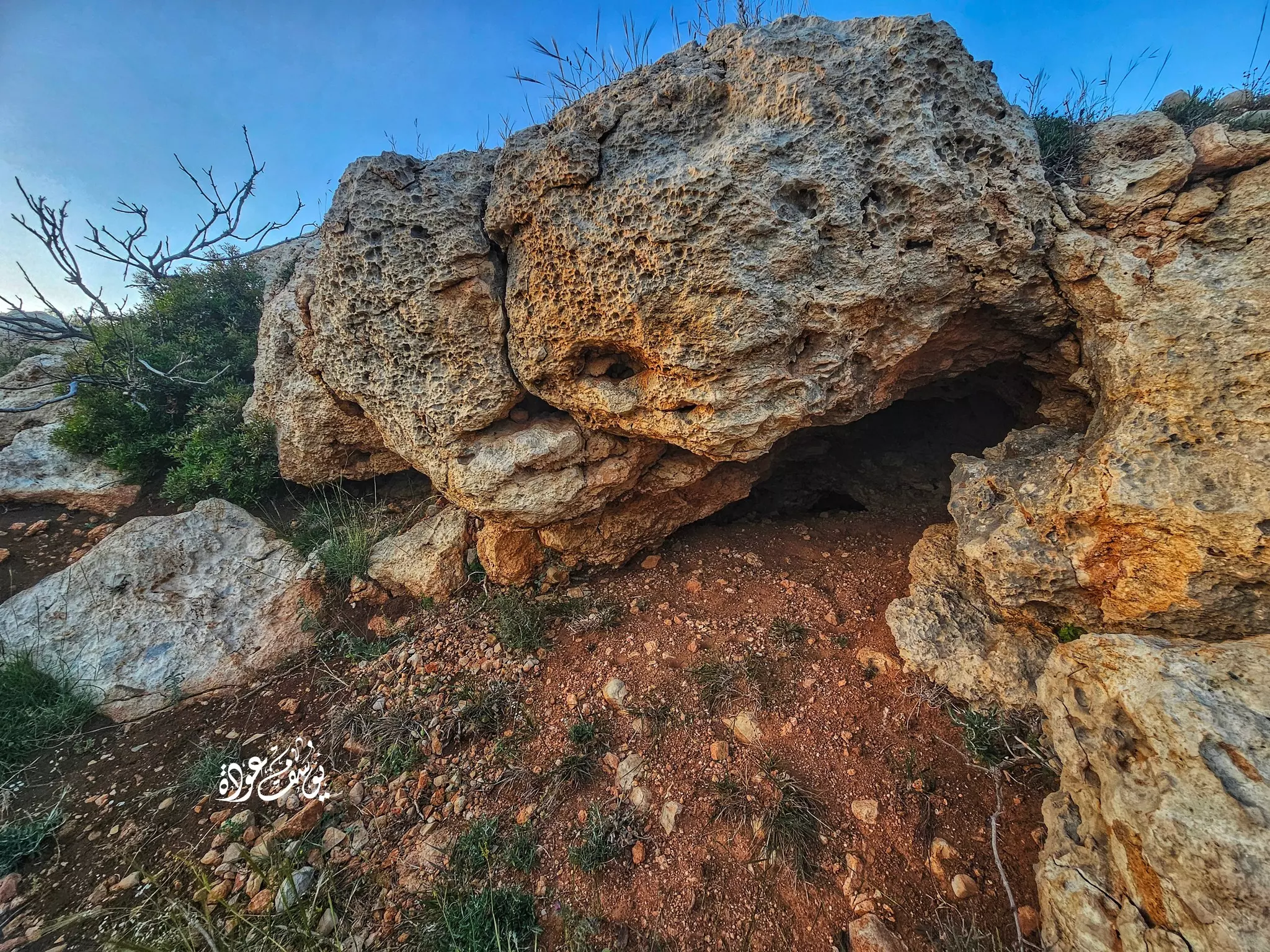
- جولة رائعة في الواد القبلي -- يوسف عودة #8
- جولة رائعة في الواد القبلي -- يوسف عودة #9
- جولة رائعة في الواد القبلي -- يوسف عودة #10
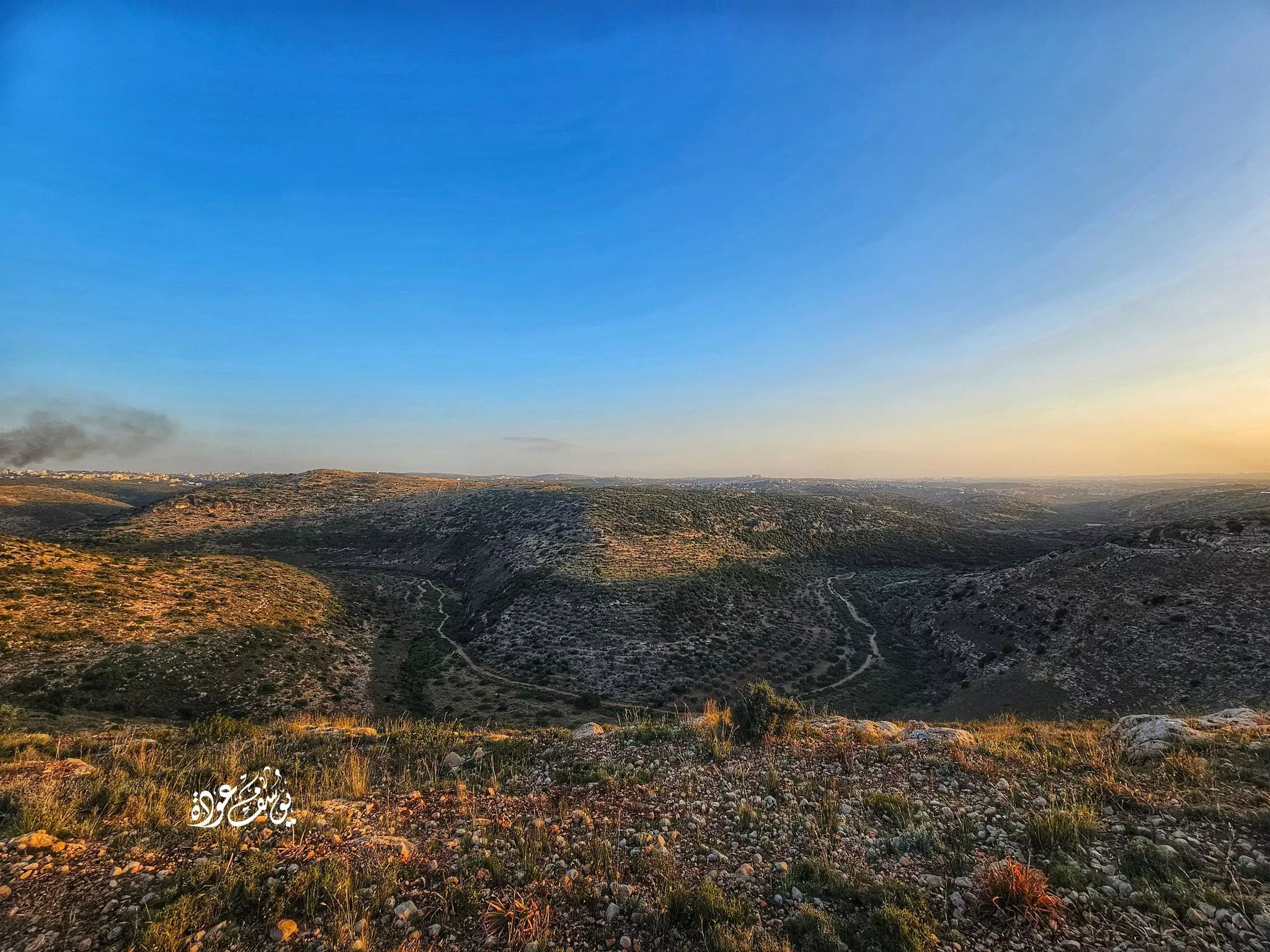
- منظر عام -- يوسف عودة
- منظر عام -- يوسف عودة #2
- منظر عام -- يوسف عودة #3
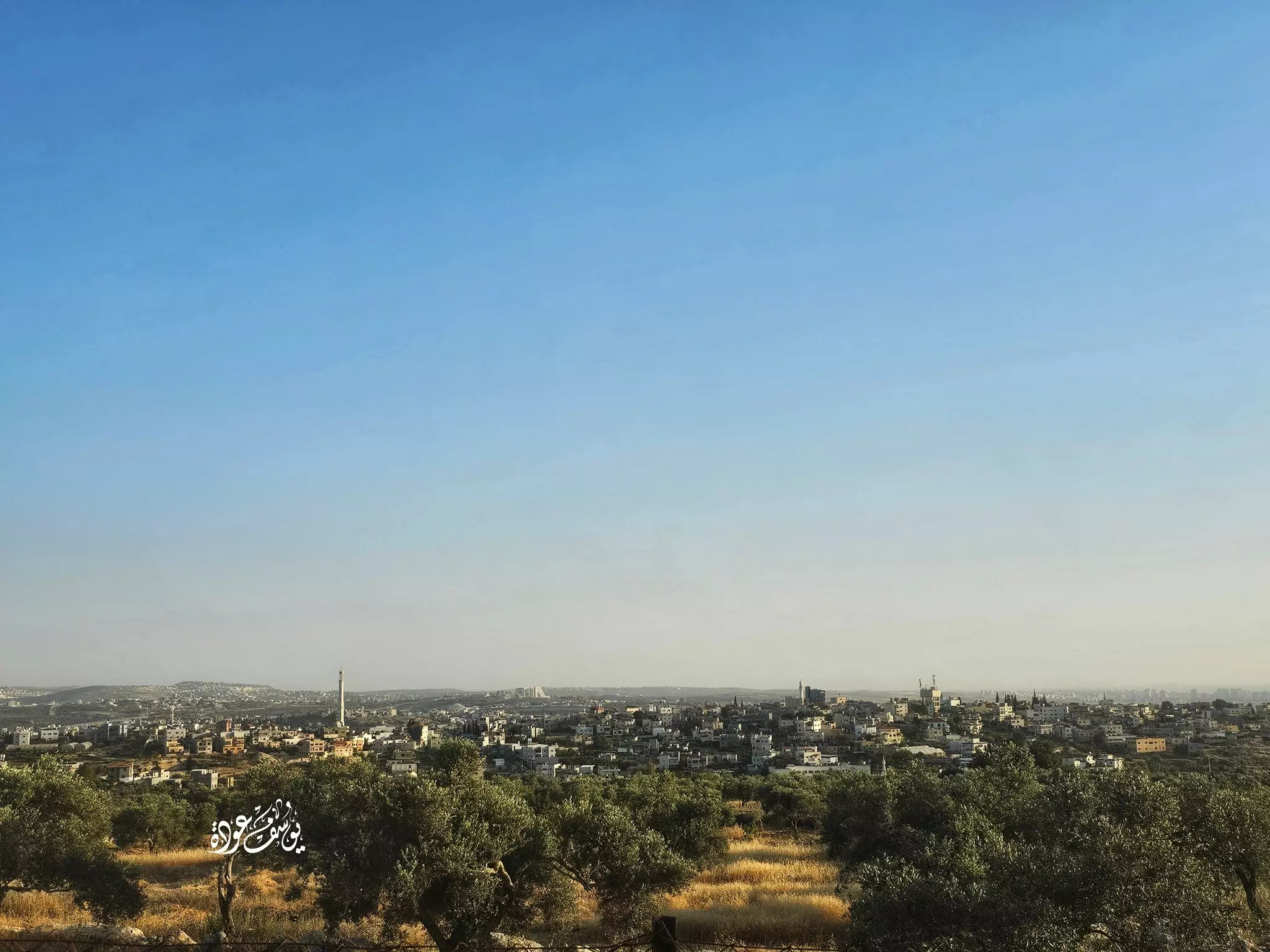
- منظر عام -- يوسف عودة #4
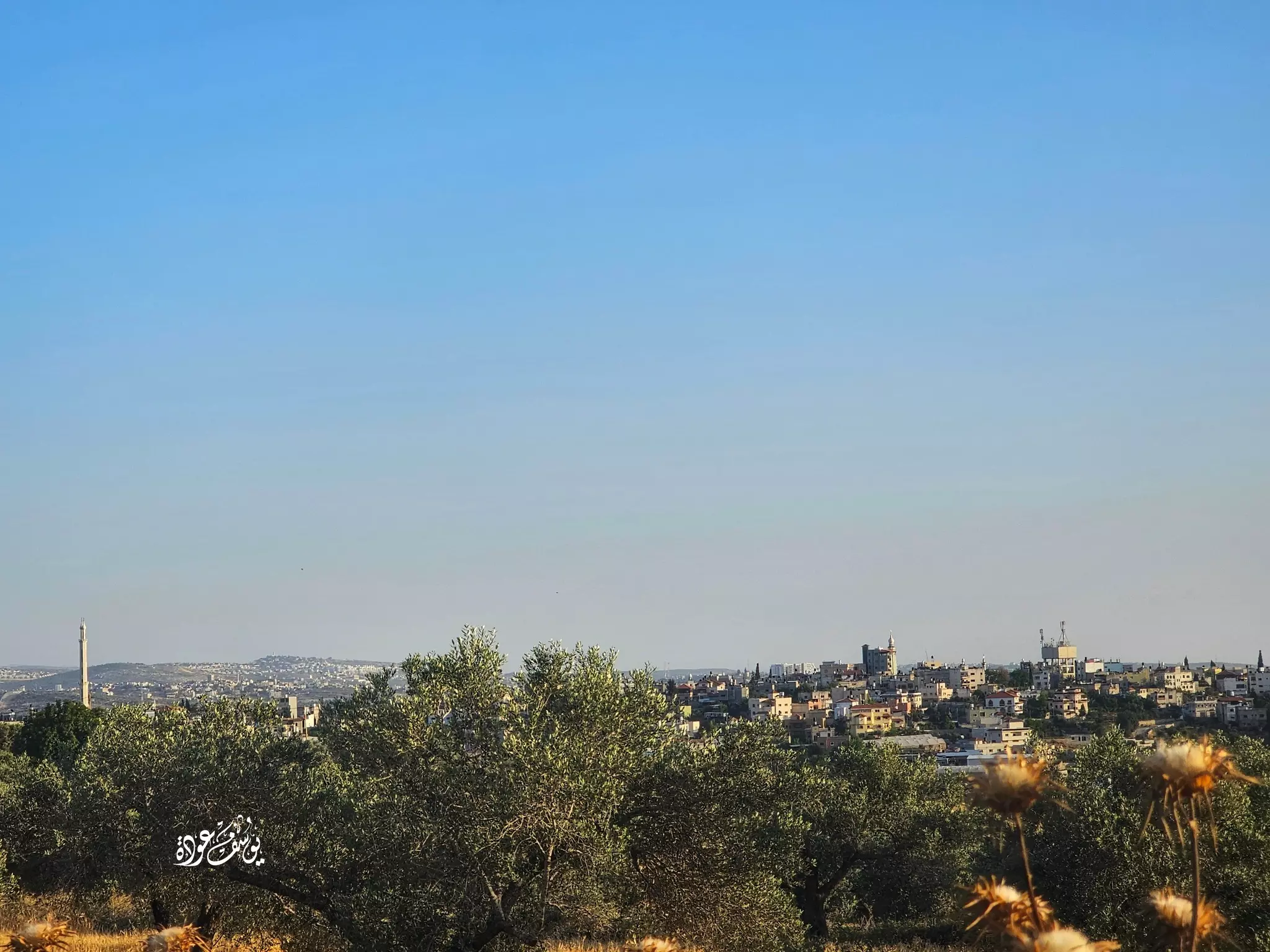
- منظر عام -- يوسف عودة #5
- احد بيوت القرية -- Yousif Odeh

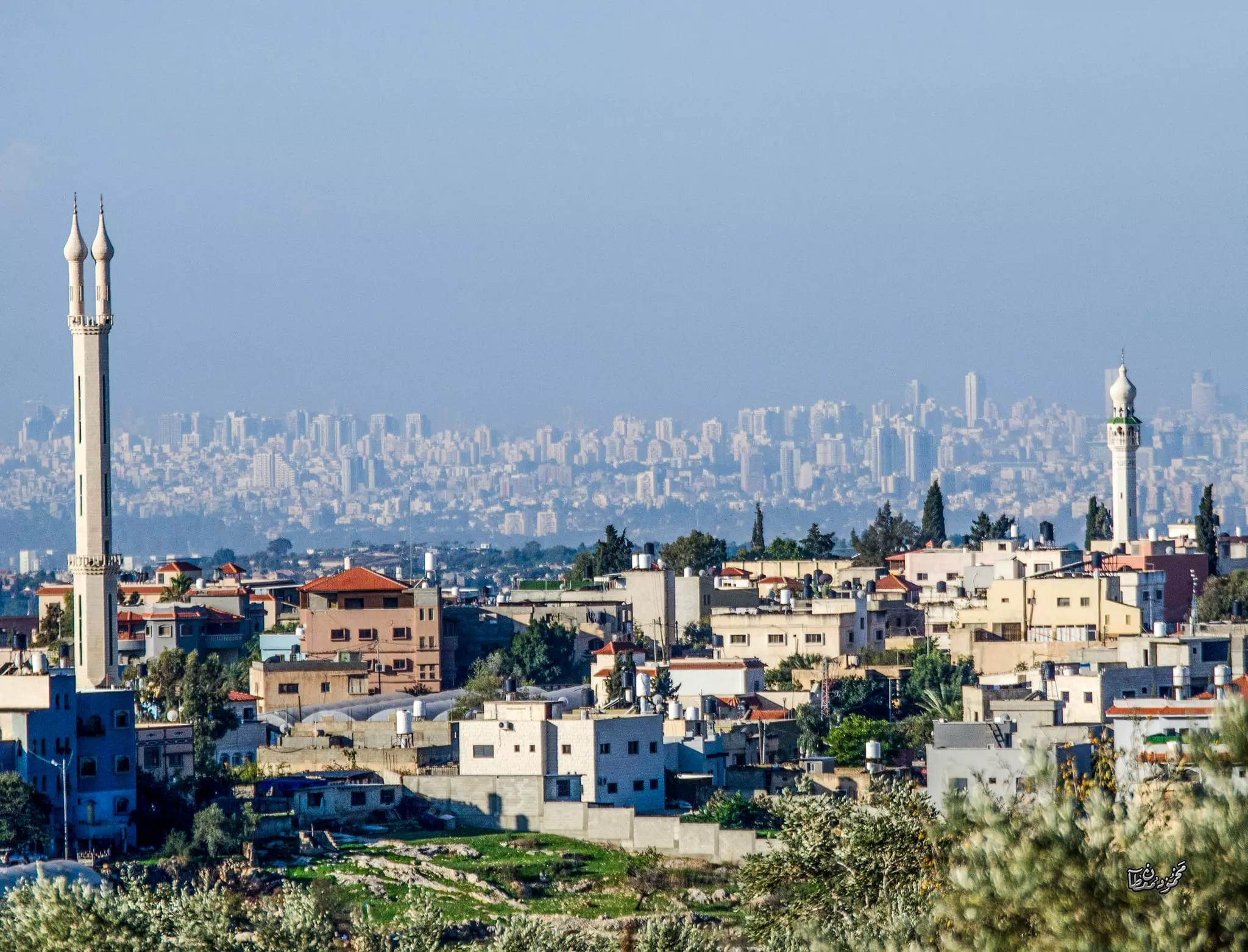
- كفر ثلث وعاهرات الساحل من خلفها -- Sept. 2024 -- Mahmoud Moutah
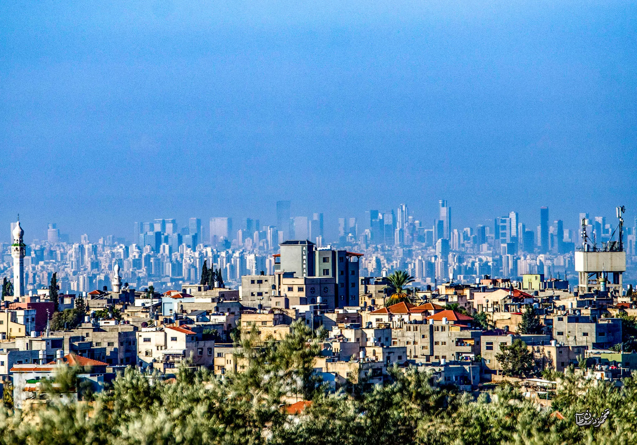
- كفر ثلث وعاهرات الساحل من خلفها -- Sept. 2024 -- Mahmoud Moutah #2
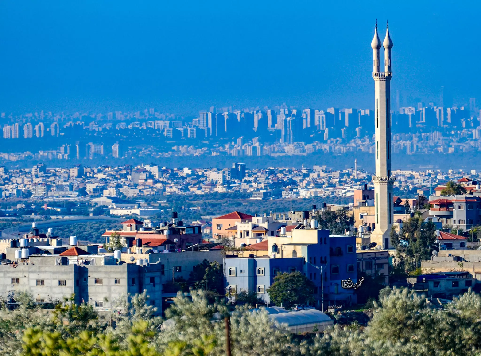
- كفر ثلث وعاهرات الساحل من خلفها -- Sept. 2024 -- Mahmoud Moutah #3
Want to browse more? 80,000 pictures were grouped in these gallaries:
- الشهيد عثمان يونس الأشقر
Posted by عصام الأشقر 2 - الشهيد الجندي الأول في كتيبة الحسين حسن حامد عمر عوده شهيد القدس 1967
Posted by AZEEZ ARAR 3 - الأسير ناجي أسعد الأشقر
Posted by عصام الأشقر - الأسير رائد أحمد الأشقر، أمام منزله في عزبة الأشقر
Posted by عصام الأشقر 4 - صورة الشهيد المناضل عوض قاسم مراعبة / وثائق عبدالعزيز أمين
Posted by AZEEZ ARAR 4 - الشهيد سامر يوسف شواهنة
Posted by عقبة الهدشة
| Display Name | Clan/Hamolah | Country of Residence |
| جابر عودة | - | - |
| عقبة الهدشة | عودة | - |
| عاصم عوده | عوده | الزرقا |
| نعيم عوده | - | - |
| دعاء خطيب | شواهنة | - |
| محمد الغانم | - | قلقيليه, فلسطين |
| opeth | - | - |
| عصام الأشقر | الأشقر | - |
| Muneer AbuSafiah | Abu Safiah | - |
| mnlt_79 | شواهنه | الرياض |
| عدي عرار عودة | عودة | طولكرم, كفرثلث |
| Hasan Omar | Odeh | - |
| AZEEZ ARAR | arar | palestaine, palestaine |
 Fake Valor: Why Did Zionist Jews Hoist Nazis Flag on Their Ships in the 1930s?
What is new?
-
Facts About Oct. 7th Gaza Raid
-
Remined Us Please:: Who Did Rape Who? Palestinians Raped Israelis? Or, was the other way around?
-
When Prof. Edward Said was invited to debate Bibi Netanyahu in the 1980s, watch what happened!
-
Ezra Klein of the NY Times on the "Jewish Race".
-
Abusing Blood Libel!
-
Zionist FAQ: Isn't it true that Palestinians don't want peace? Palestinians never accepted the two-state solution
- Facts about Haavara (Transfer) Agreement between Ben-Gurion & Hitler
-
Haavara FAQs: Why Did Zionist Jews Hoist Nazis' Flags on Their Ships in the 1930s?
-
Dear ChatGPT: Gaza had a vibrant Jewish community in the mid-17th century. What happened to them?
-
Dear ChatGPT: Why did the Jewish Agency suppress news of the Holocaust during WWII?
-
Video Playlist: Jews share their DNA tests to end the conflict for good.
-
A Tale of Two Conflicts: Examining the Definition of Genocide
-
Prof. Abraham Polak And The Suppressed History of the Khazars and European Jewry
-
How Ronald Reagan would have framed the genocide in Gaza if he were still alive?
-
Haavara FAQs: Let us do the math: how many German Jews did The Haavara Agreement save?
-
Zionist FAQs: The Hebron Massacre of 1929, "clearly proves" that Palestinians are antisemitic, how could you deny it?
-
Zionist FAQs: Why Anti-Zionist Is Not Antisemitism?
-
Zionist FAQs: Isn't it true that the KGB create Palestinian Nationalism in the early 1960s?
- Zionist FAQs: Muslims are killing Muslims all the time; why are Israeli Jews being singled out in the media?
- Zionist FAQs: How is Israel an apartheid state when 20% of its citizens are Arabs who enjoy full rights?
-
Haavara FAQs: Analysis of Herzl's Uganda Scheme and how it could have saved millions of Jews.
-
Haavara FAQs: Why did Hayim Greenberg describe American Jewry as "morally bankrupt" in early 1943?
-
Haavara FAQs: What if the Evian Conference was a resounding success? What would have been the impact of saving European Jewry on Zionism?
- Haavara FAQs: What if the six million were saved, how that would have impacted the Zionist project?
-
Haavara FAQs: How did Zionist leaders react when Europe's Jews lingered in the DP camps after WWII ended?
-
Why does the American Jewish community repeat lies that David Ben-Gurion had debunked before he died?
-
Who has the power to rename the Tatar/Khazar Gene Marker to Jewish IV?
-
Zionist FAQs: Why won't Egypt, Syria, and Jordan take their people back? Jews are indigenous to Palestine, and Arabs immigrated after Jews developed the country. Arabs should leave.
-
Haavara FAQs: Did Hitler and the Nazis conflate between Judaism and Zionist? If that wasn't case, then why?
-
Haavara FAQs: Winston Churchill and antisemitism, a collection of articles written Churchill.
-
Haavara FAQs: Broken by country, how many Jews survived vs. killed during the Holocaust?
-
Haavara FAQs: Why did European Jews vote with their feet and to immigrated to the Americas, not Palestine, after WWII?
-
Watch this American Jewish Girl describing Israeli Jews' cognitive dissonance like no other in under two minutes
-
Haavara FAQs: When the Nazis went out of their way to hide the Holocaust, Israeli Jews did the exact opposite by broadcasting their genocide of Gazans. But why?
-
Haavara FAQs: How Zionist Jews went out of their to show their appreciation to Nazism and Fascism?
- Haavara FAQs: Why Zionist leaders were against bombing the death camps & the Railroads leading to them?
-
Haavara FAQs: Hitler's message to the British and American people: If Jews are such noble citizens and you care about them, how come you're not letting them in? I will gladly ship them to you at my expense, even on luxury liners!
-
A shortlist of Zionist and Israeli false flag operations in the name Jews.
-
The Most Moral Army
- The Land of Kapos (Israel): Where the brave are boycotted and Kapos walk free.
- Why did early Zionists often named their communal enterprises "colonial"?
- Zionist Relations with Nazi Germany by Faris Glubb
-
Two NY Times advertisements by Zionists in the early 1943 that exposes Zionists' treason at the height of the calamity
- Facts Not Lies about the Palestinian-Israeli Conflict.
- Site's pictures have been categorized
- Campgain Against Lice
- A Survey of Palestine, the official source about Palestine before Nakba produced by the British Mandate; over 1200 pages.
- Satellite View & Google Earth: Over 6,000 placemarks identifying all destroyed towns, W. Bank & Gaza Strip Towns, & refugee camps.
- PalestineRemembered.com and its Nakba Oral History Project were featured on al-Jazeera Satellite TV.
- Nakba Oral History Video Podcast:
 Over 700 Oral History interviews (including 3,500+ hours of recording) can be viewed online.
 - Palestine Village Statistics Project
- Gaza Jail Break
- النسخة العربية للموقع الان متوفرة
- Videos: Documenting the destroyed villages in video: Tracing all that remains since Nakba.
- Videos: Responding to Zionist Propaganda
- Interview: The ethnic cleansing of Palestine: George Galloway interviews Israeli Historian Ilan Pappe.
- For Palestinians, memory matters. It provides a blueprint for their future By George Bisharat.
- Zionist FAQ now available in Hebrew שאלות שציונים שואלים, עכשיו בעברית
- Video: The Stephen Walt and John Mearsheimer report on the influence of the Israel Lobby on U.S. Foreign Policy
- The Palestinian-Israeli conflict for beginners
