| PalestineRemembered | About Us | Oral History | العربية | |
| Pictures | Zionist FAQs | Haavara | Maps | |
| Search |
| Camps |
| Districts |
| Acre |
| Baysan |
| Beersheba |
| Bethlehem |
| Gaza |
| Haifa |
| Hebron |
| Jaffa |
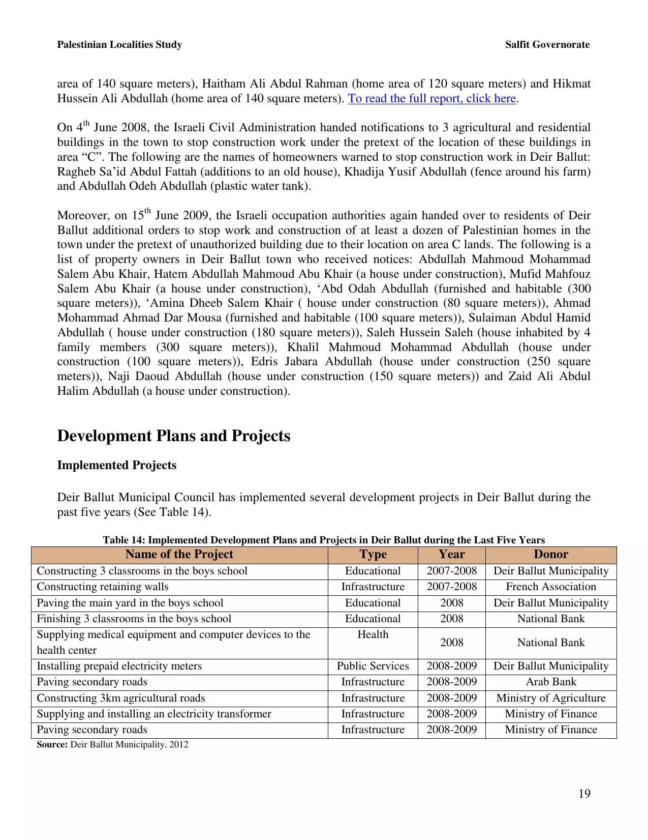
| Jericho |
| Jerusalem |
| Jinin |
| Nablus |
| Nazareth |
| Ramallah |
| al-Ramla |
| Safad |
| Tiberias |
| Tulkarm |
| Donate |
| Contact |
| Profile |
| Videos |
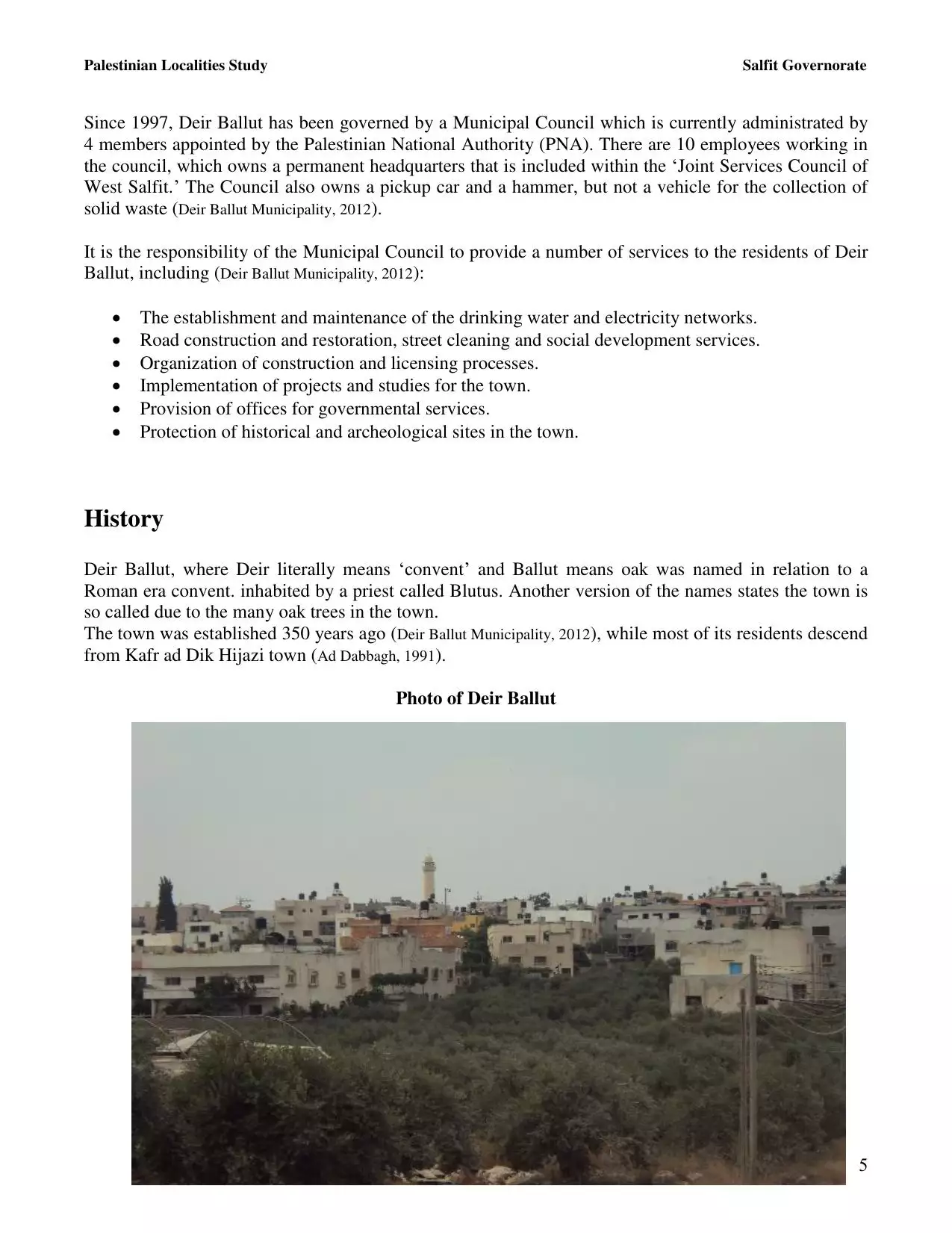
Welcome To Dayr Ballut - دير بلوط (דיר בלוט)
|
District of Nablus
Occupied days ago |
العربية Google Earth |
 |
Gallery (385) |
- Statistics & Facts
-
Before & After

- Satellite View
- Articles 26
- Pictures 385
- Members 17
- Families
- Wikipedia
- ARIJ Guide
- Videos 2
- Guest Book 13
- Links
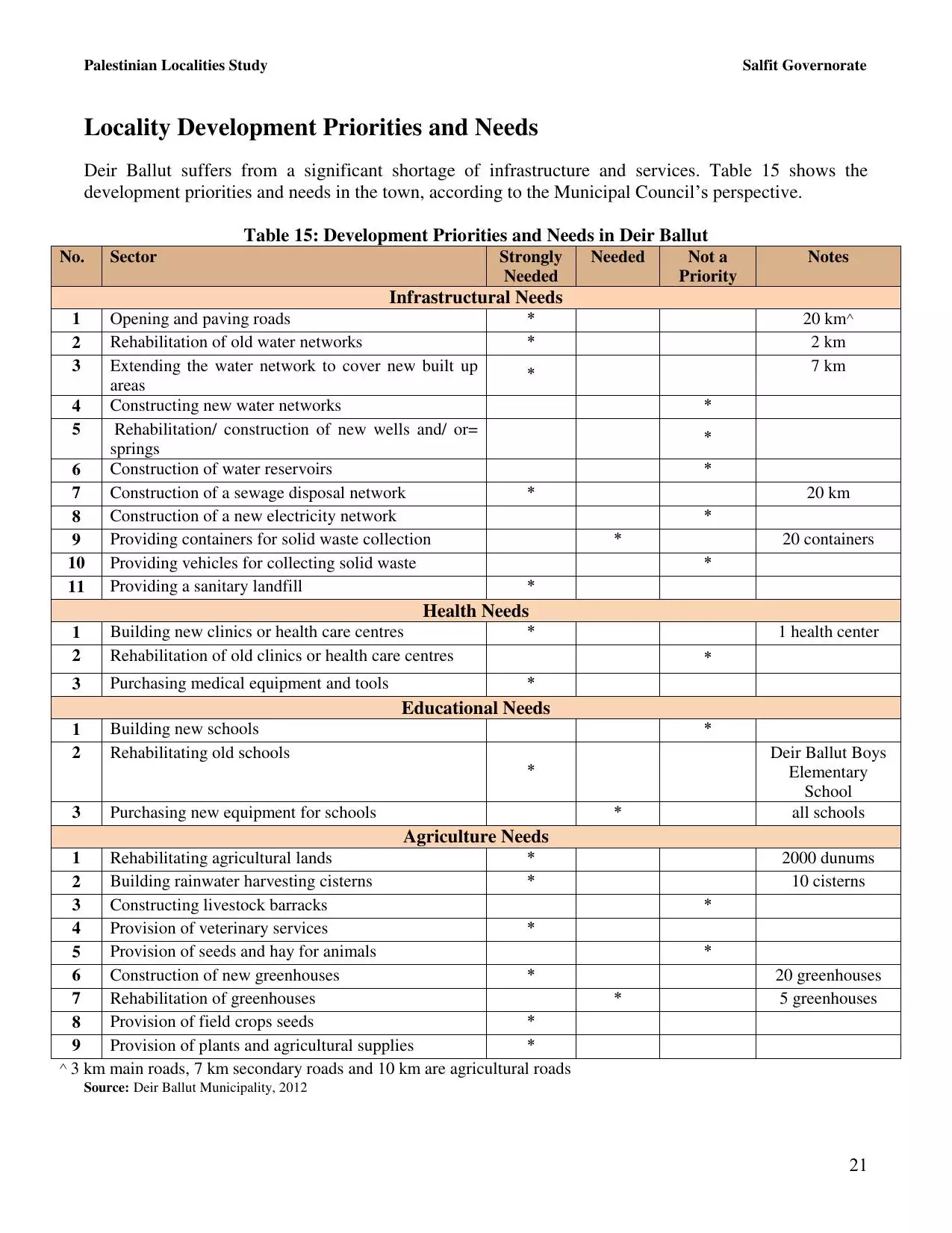
| Statistic & Fact | Value | ||||||||||||||||||||
| Distance From District | 41 km southwest of Nablus | ||||||||||||||||||||
| Elevation | 270 meters | ||||||||||||||||||||
| Before & After Nakba, Click Map For Details |
|||||||||||||||||||||
|
|||||||||||||||||||||
| Land Ownership |
**Town Lands' Demarcation Maps |
||||||||||||||||||||
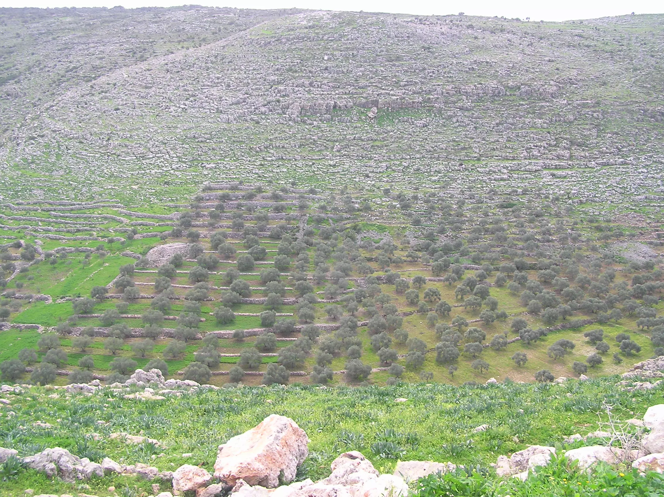
| Land Usage As of 1945 |
|
||||||||||||||||||||
| Lands usurped within armistice area | 2,735 Dunums | ||||||||||||||||||||
| Population |
|
||||||||||||||||||||
| Near By Towns |
|||||||||||||||||||||
|
|
|||||||||||||||||||||
| Featured Video | |||||||||||||||||||||
| ARIJ Guide | |||||||||||||||||||||
|
Click here to browse online. |
|||||||||||||||||||||
| Related Maps | Town Lands' Demarcation Maps خرائط للقضاء توضح حدود القرى والاودية View from satellite Town's map on MapQuest Help us map this town at WikiMapia |
||||||||||||||||||||
| Related Links | Wikipedia's Page Facebook Page ARIJ Guide Google Search Google For Images Google For Videos في كتاب بلادنا فلسطين دليل أريج المزيد من موقع هوية |
||||||||||||||||||||
- عائلات دير بلوط
- لامراض الشائعة في بلدة دير بلوط
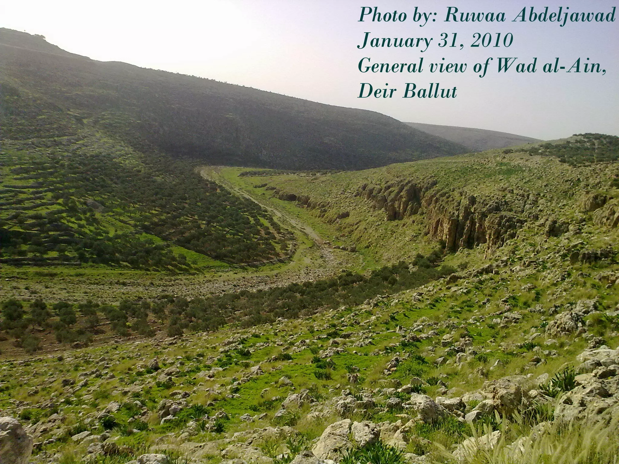
- جغرافية وادي العين
- مرارة التهجير من مجدل الصادق وحفاوة الاستضافة في دير بلوط
- Historical approach
- بدايات الإغتراب وأوائل المغتربين
- عرس الأعراس في القرية
- ظاهرة الاندفاع نحو التعليم الجامعي
- محاربون قدماء في الجيش العثماني
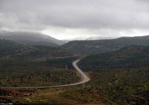
- تاريخ الطريق الواصلة إلى دير بلوط
- تاريخ الطرق حول البلدة قديما وحديثا
- نبذة عن منصب المختار ومخاتير البلدة
- بعض الأمثال المحلية في الفصول والمواسم
- من قصص السّفر برلك - يوسف ذياب
- مهن محلية قديمة اندثرت أو كادت
- مصطلحات فلسطينية قروية دارجة
- أمثال فلسطينية قروية فكاهية
- من المفردات الفلاحية القديمة
- المُتوفّون من البلدة في ديار الغربة
- ظاهرة التّسلّل إلى الأراضي المحتلّة
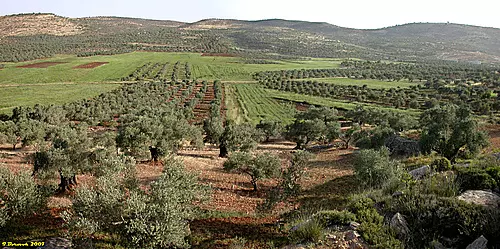
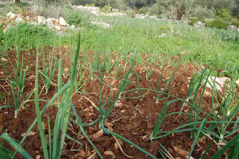
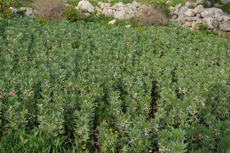
- الزراعة في دير بلوط
- عيّنة من آلام الهجرة
- من ذاكرة القرية - المرحوم أحمد الجودة
- من ذاكرة دير بلوط - المرحوم خليل عبد الجواد
- مفردات تركية لا زالت دارجة في لهجتنا المحلية
- من ذاكرة القرية - المرحوم حسن العلي - أبو غسان
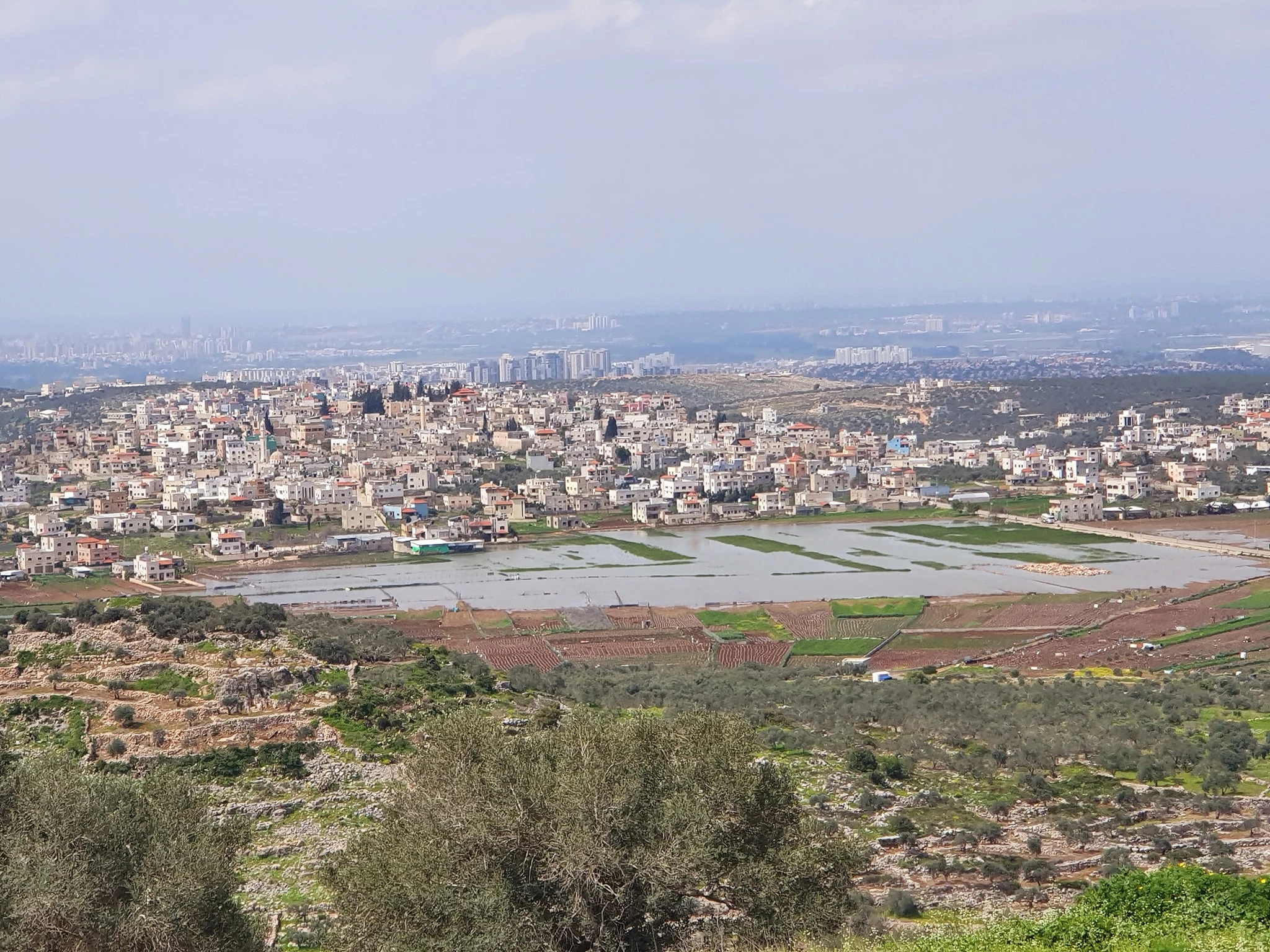
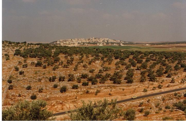
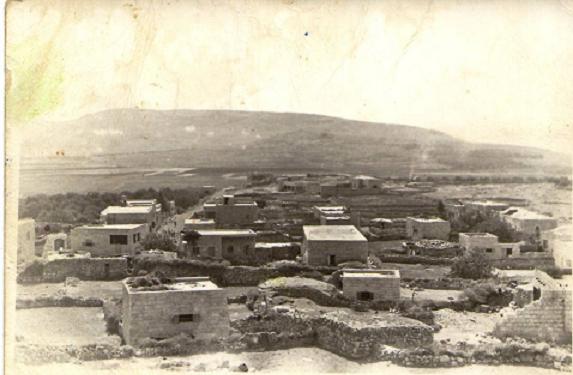
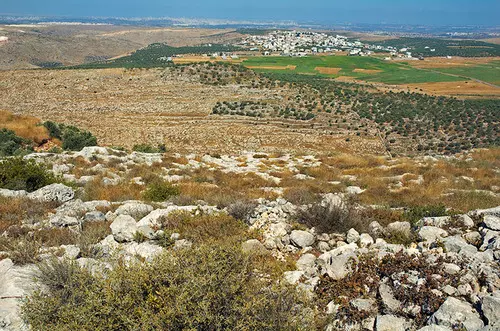
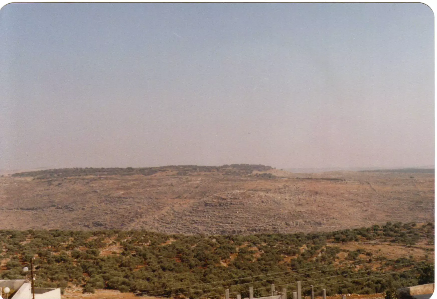
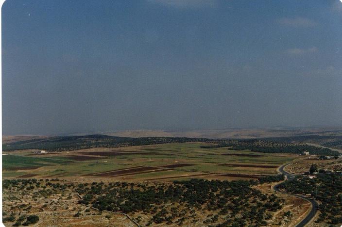
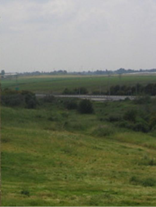
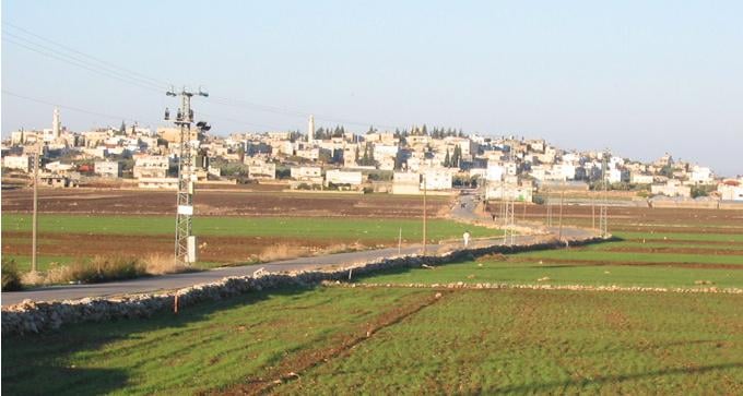
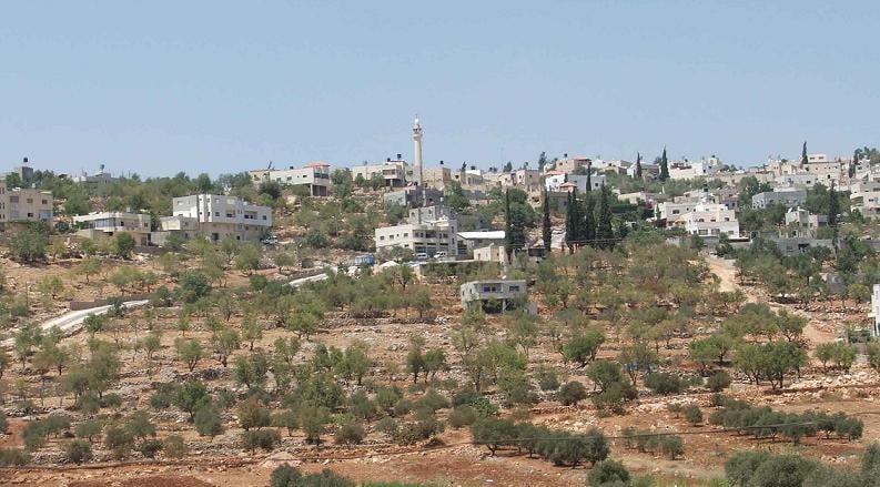
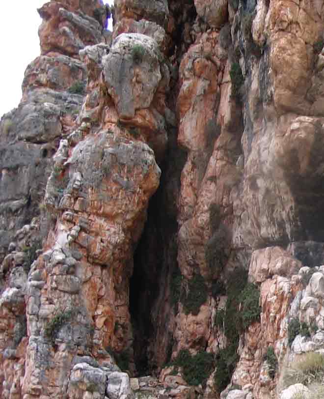
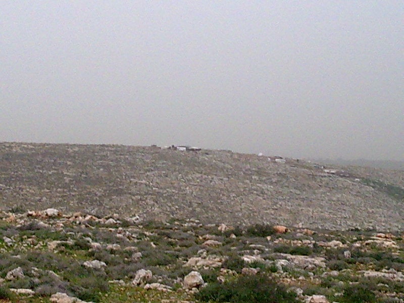
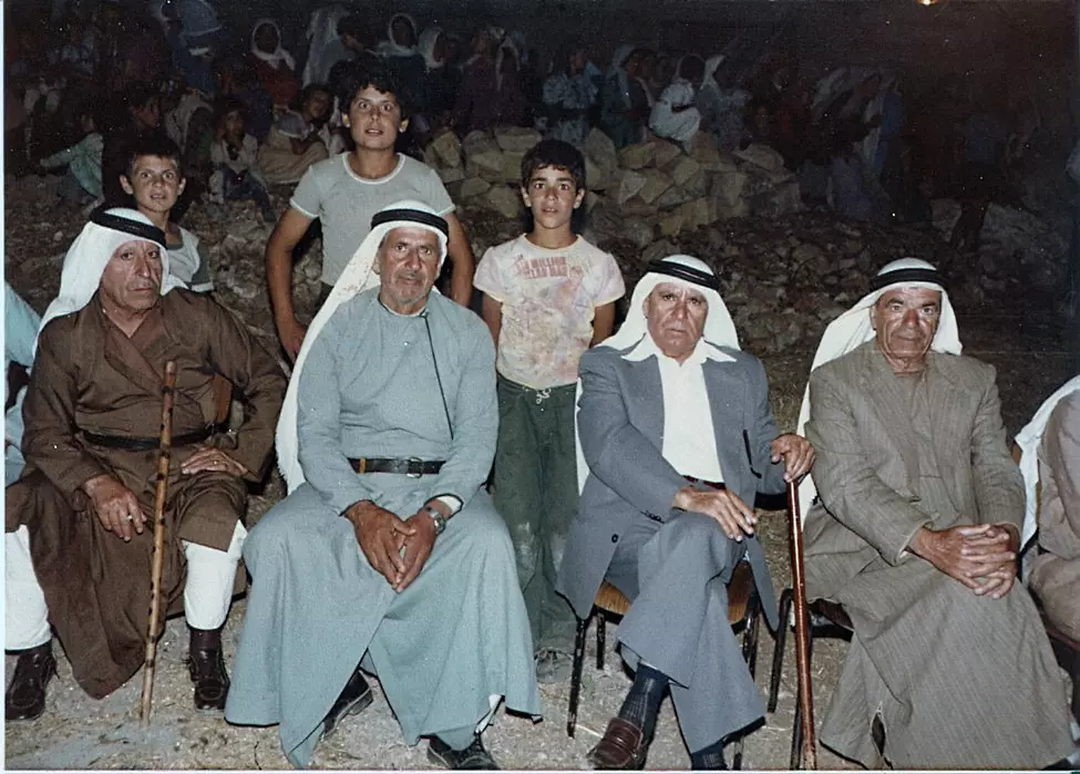
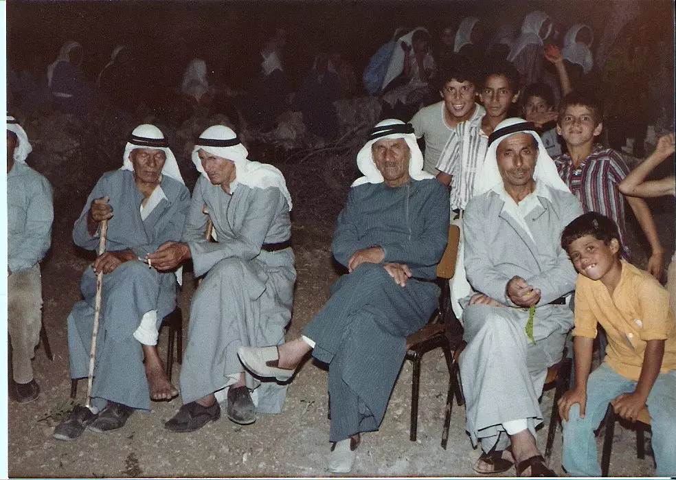
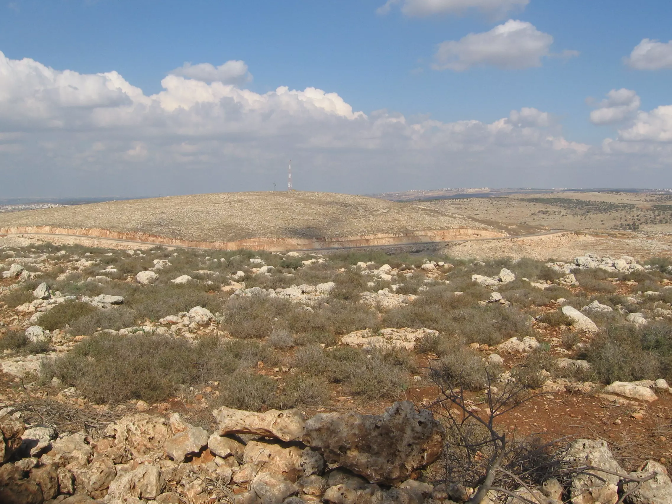
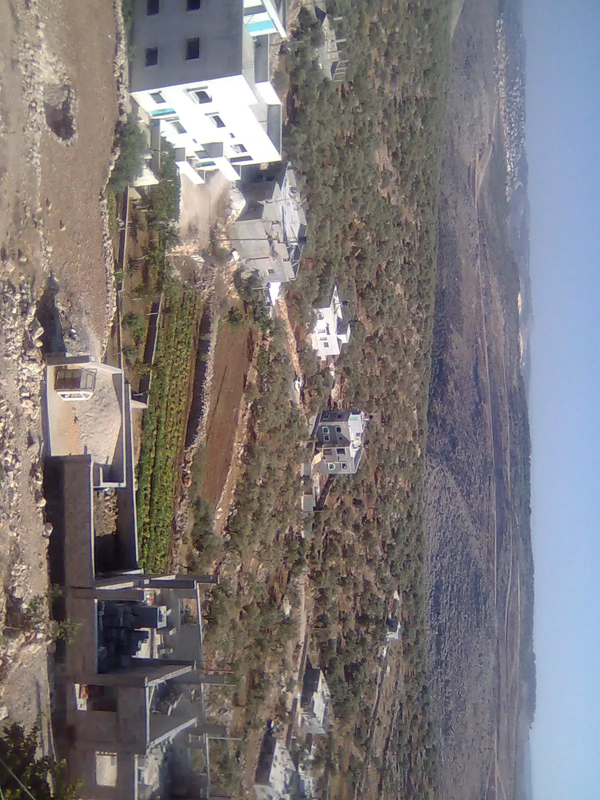
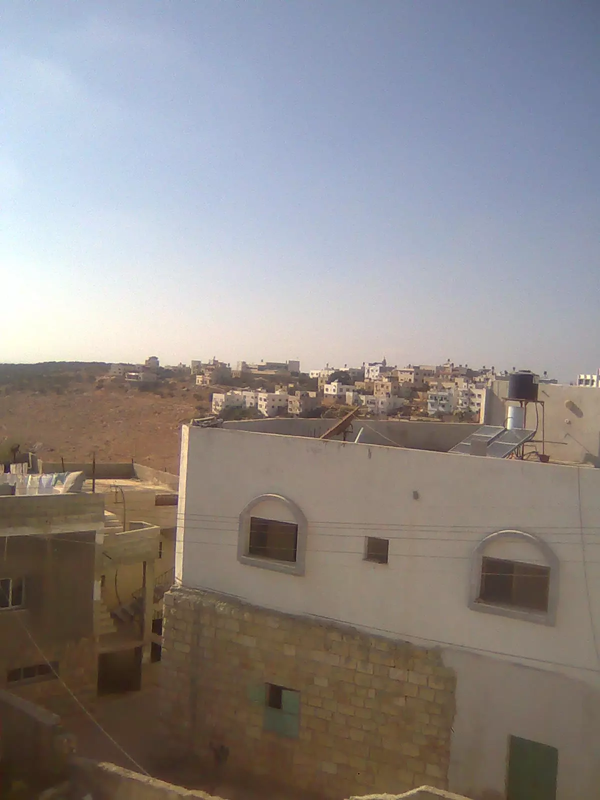
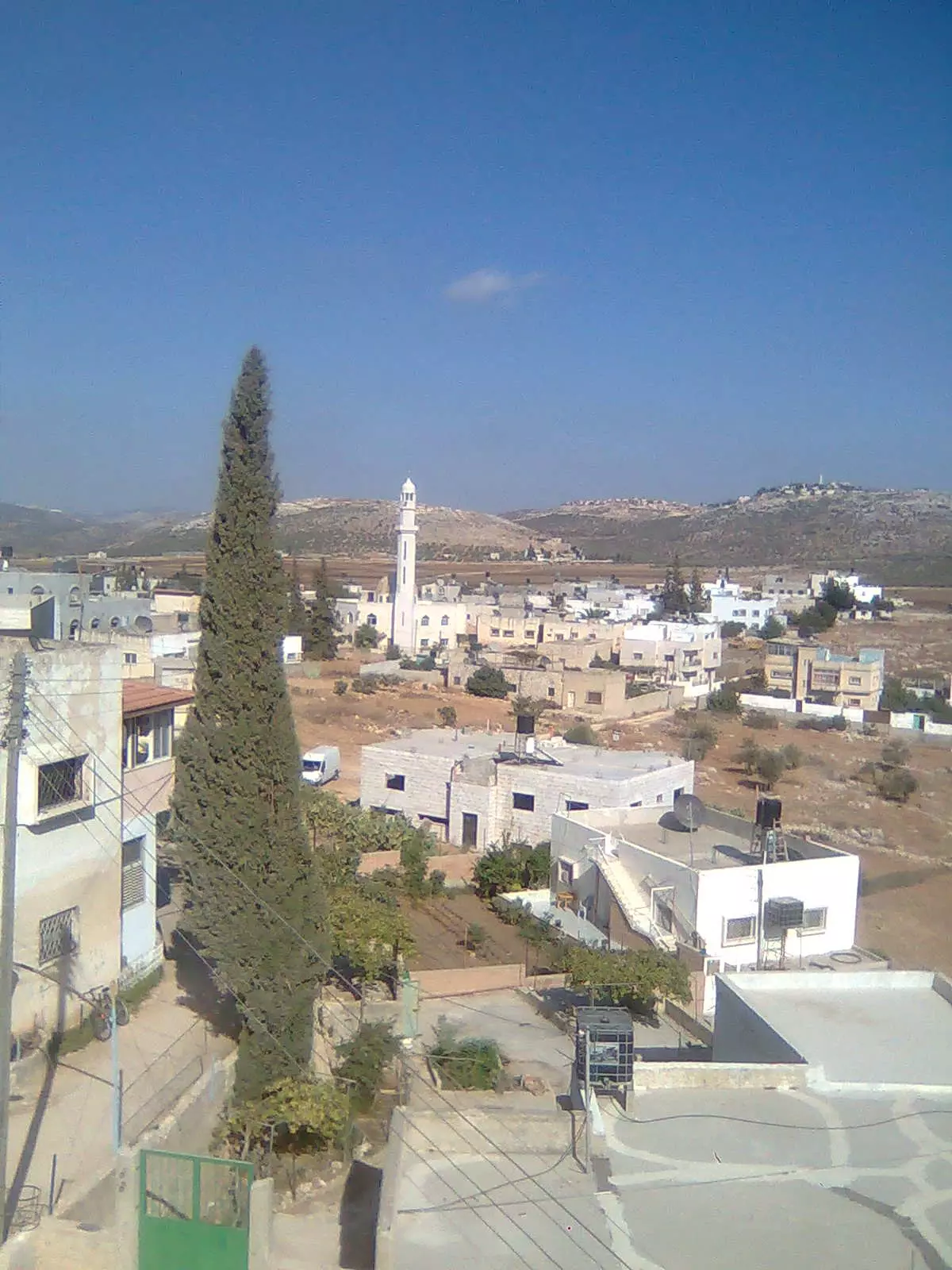
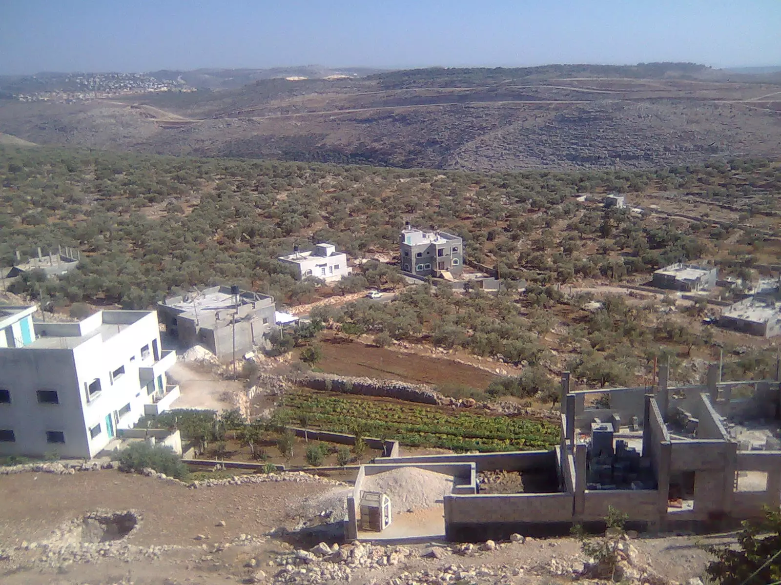
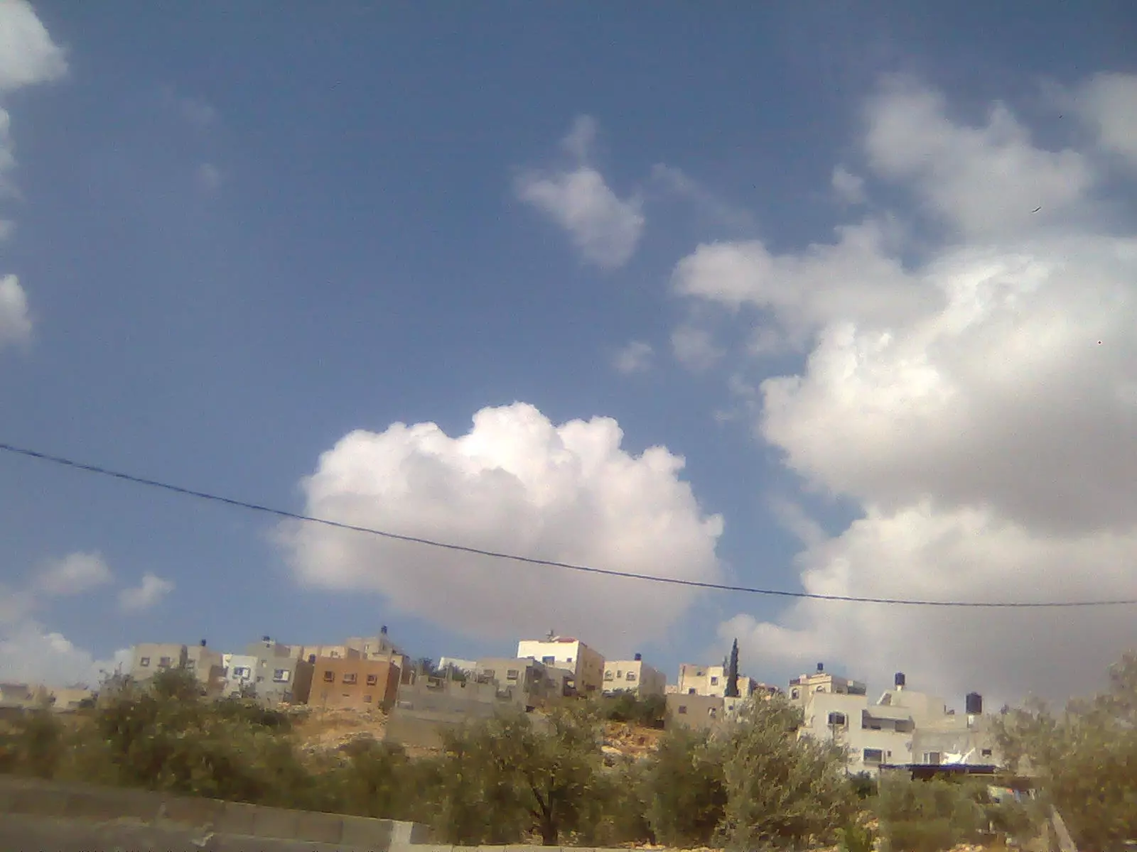
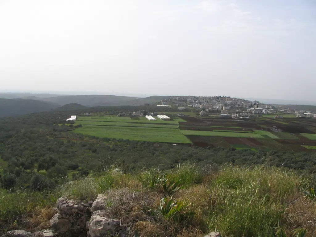
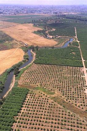
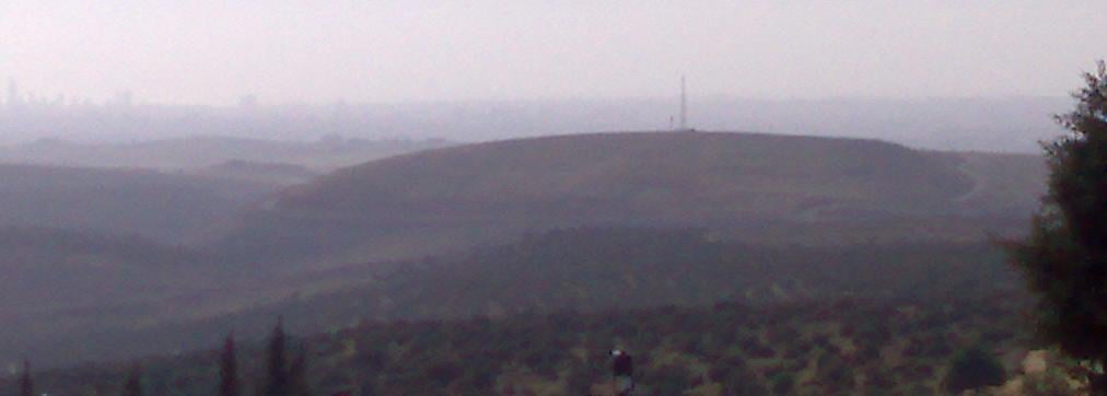
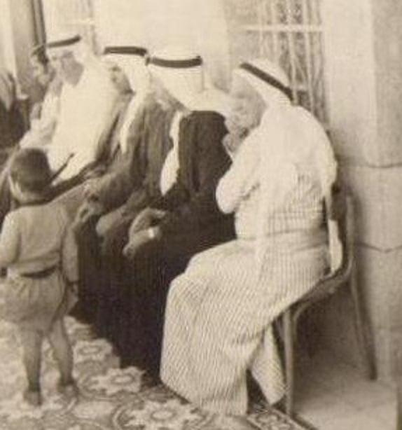
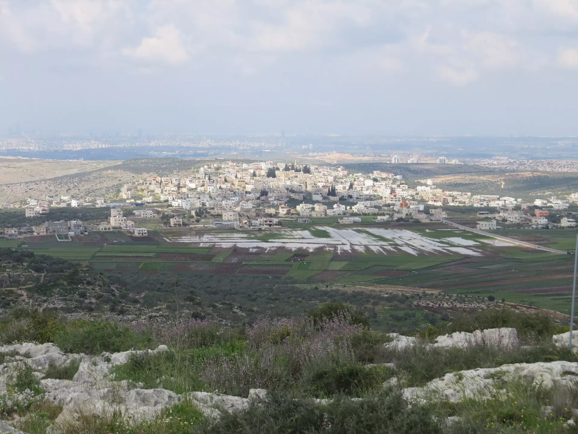
- General view
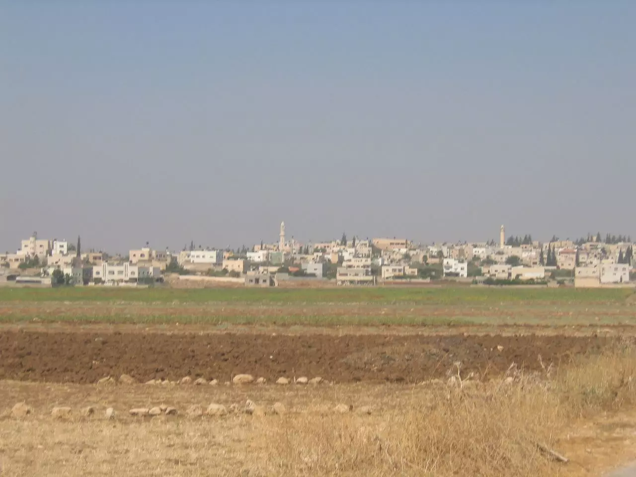
7 - General view (#2)
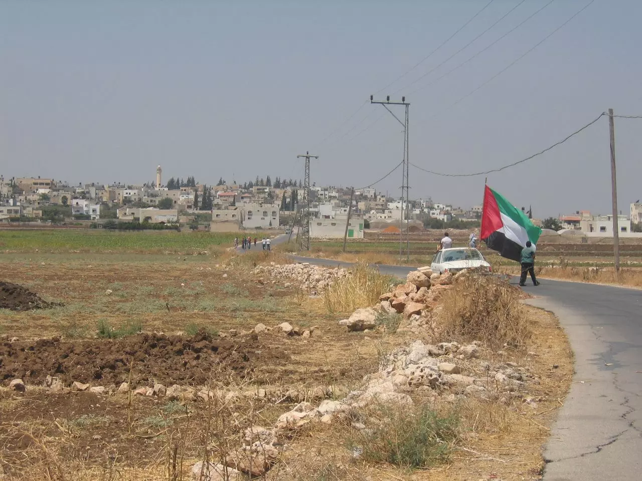
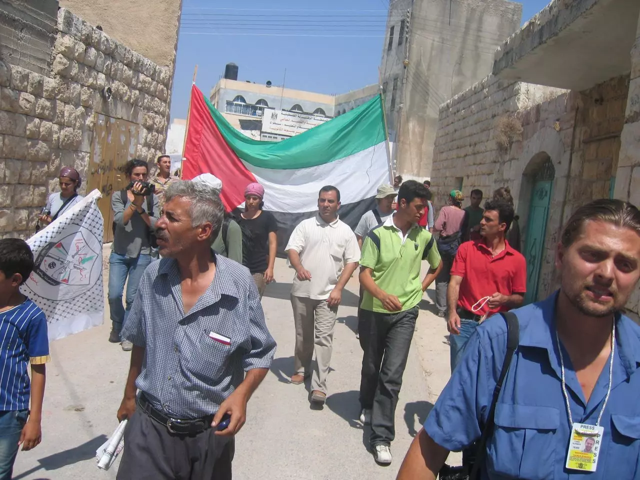
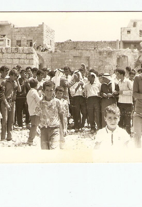
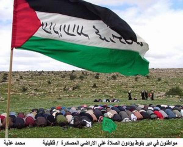
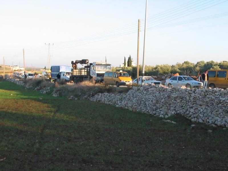
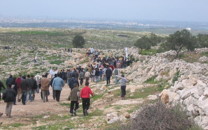
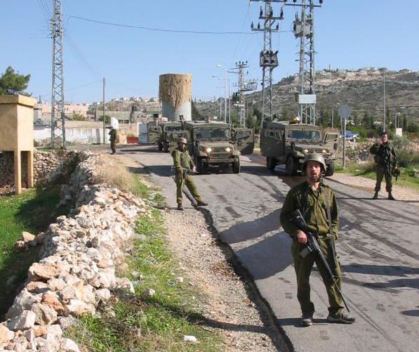
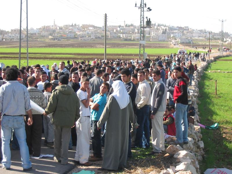
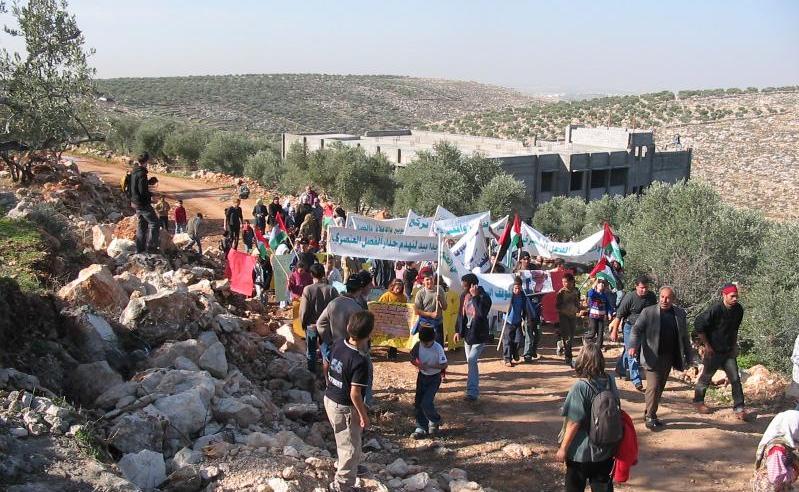
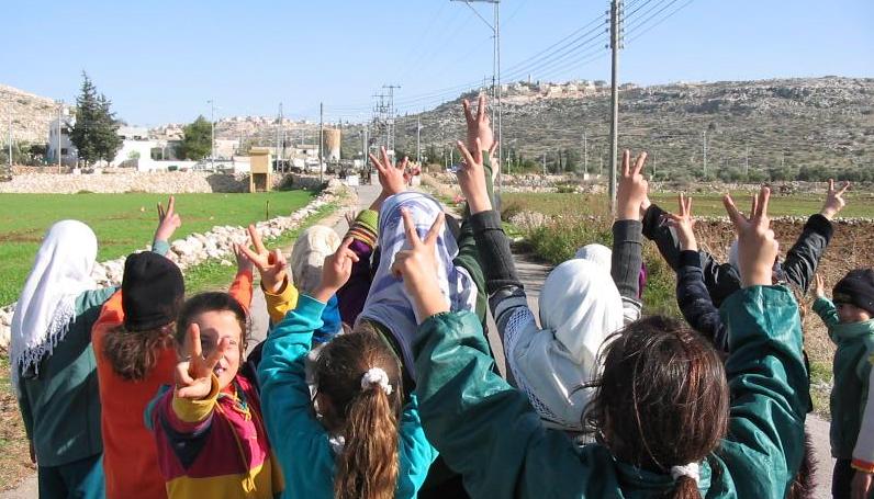
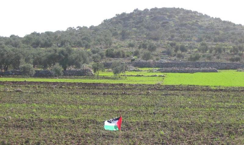
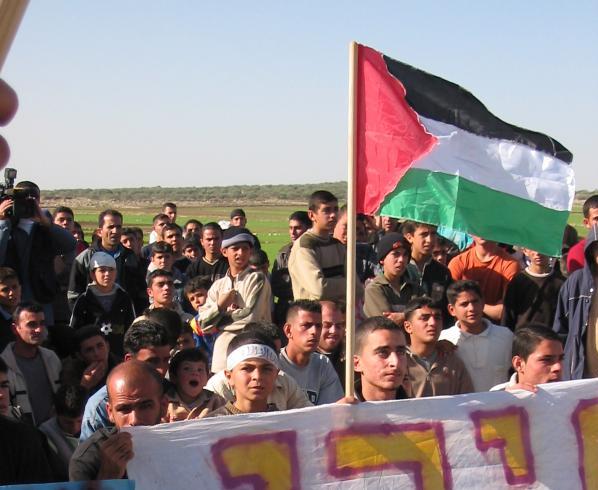
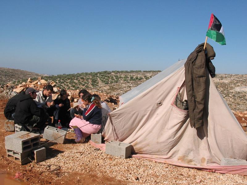
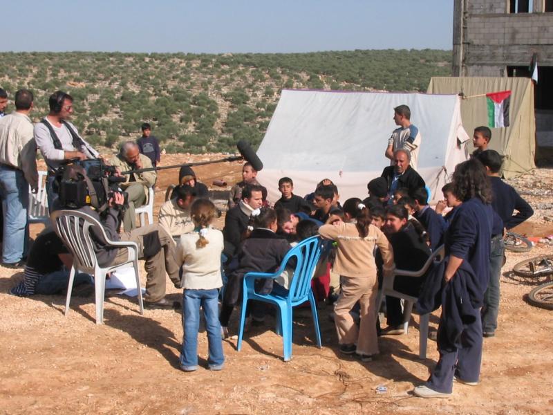
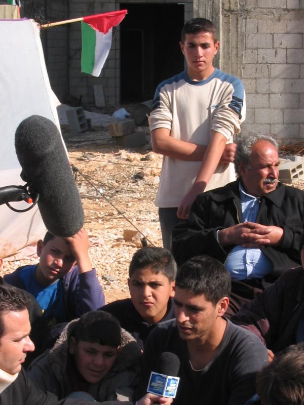
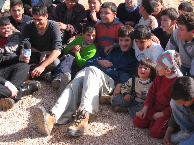
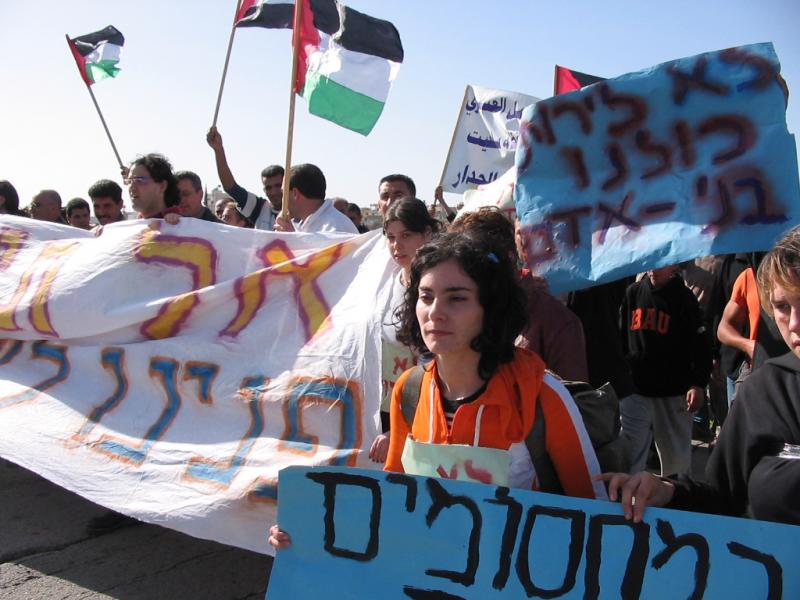
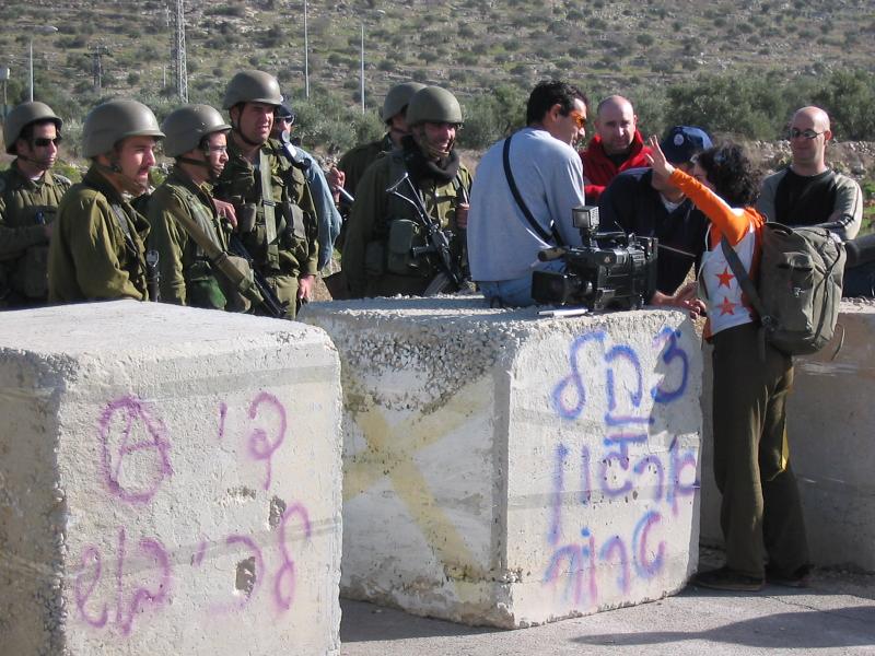
8 - Demonstration in the town against the apartheid wall
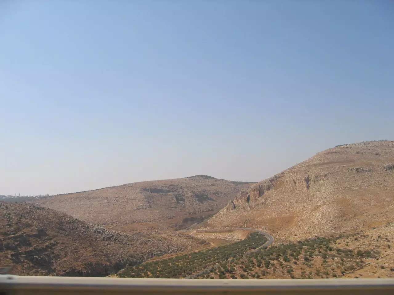
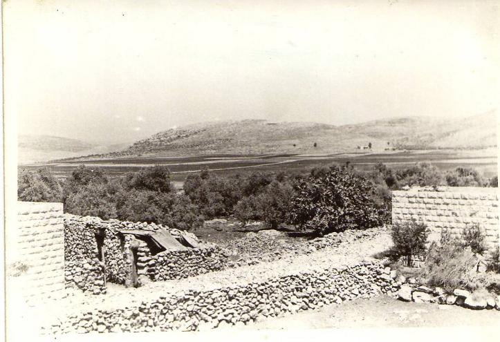
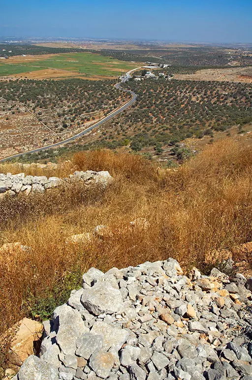
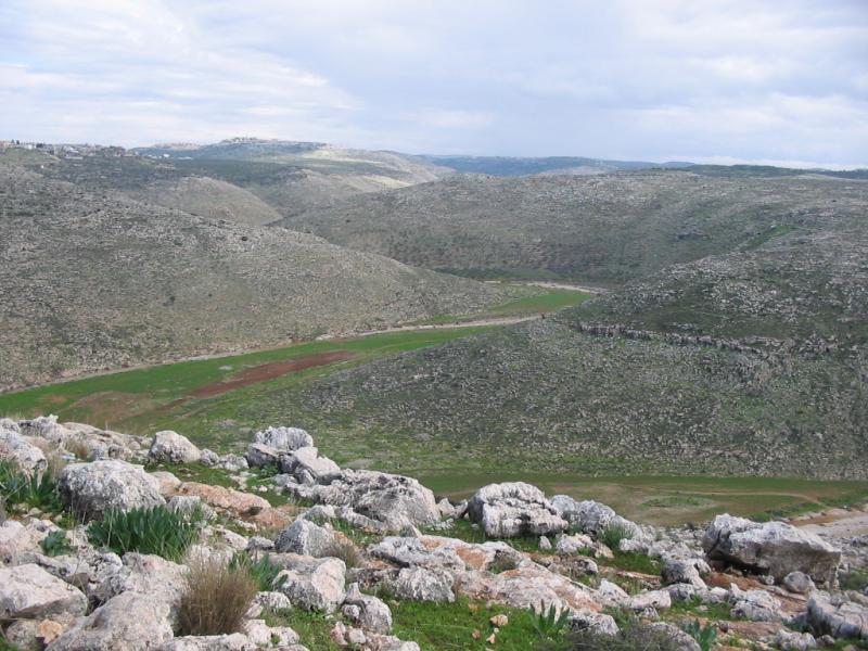
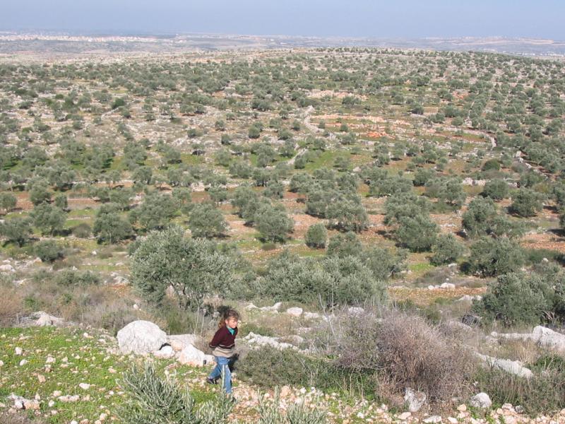
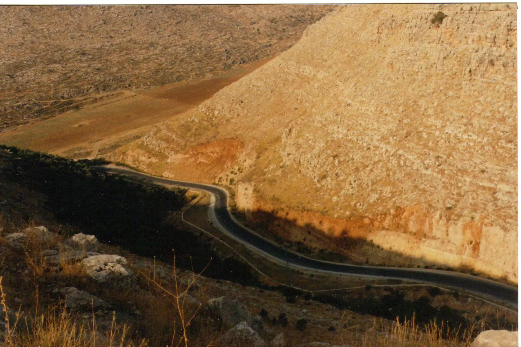
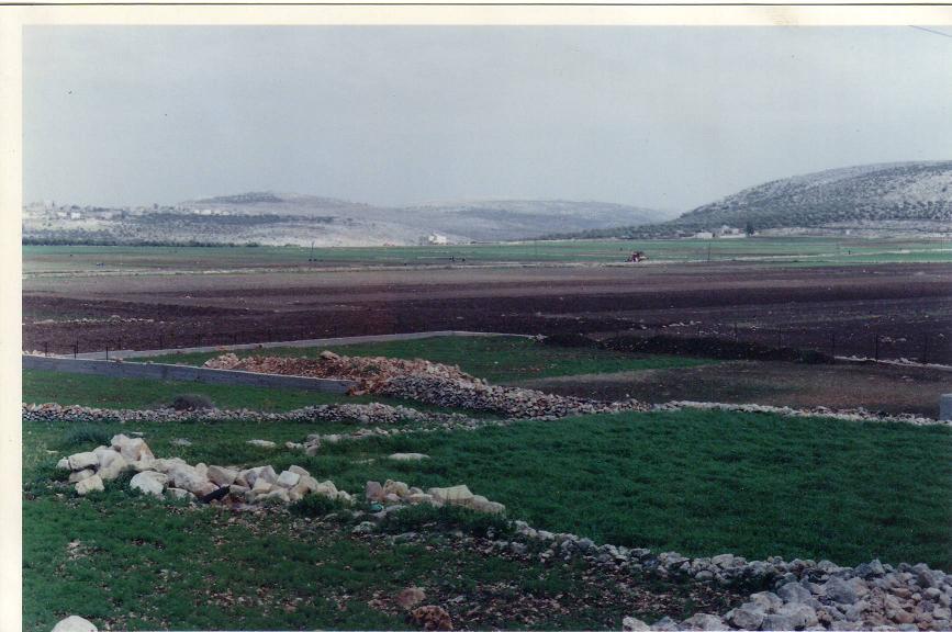
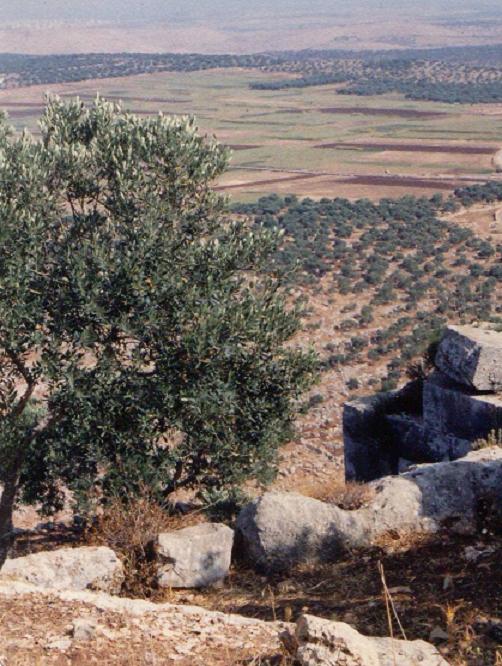
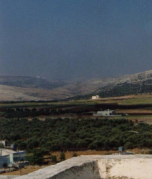
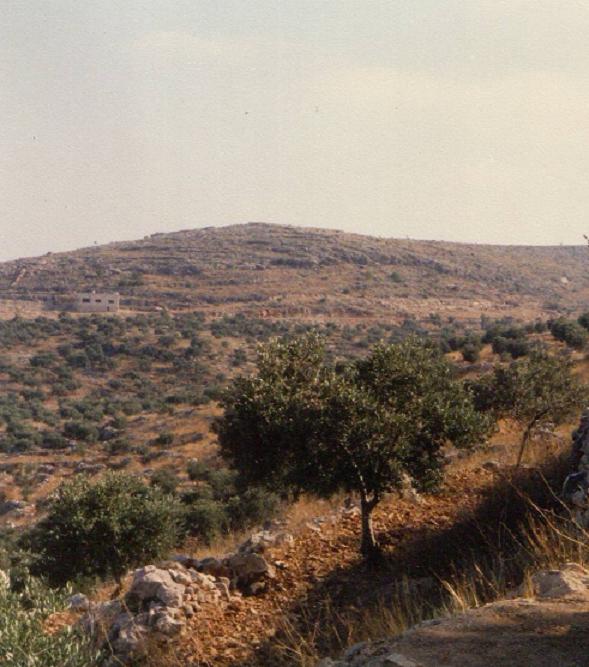
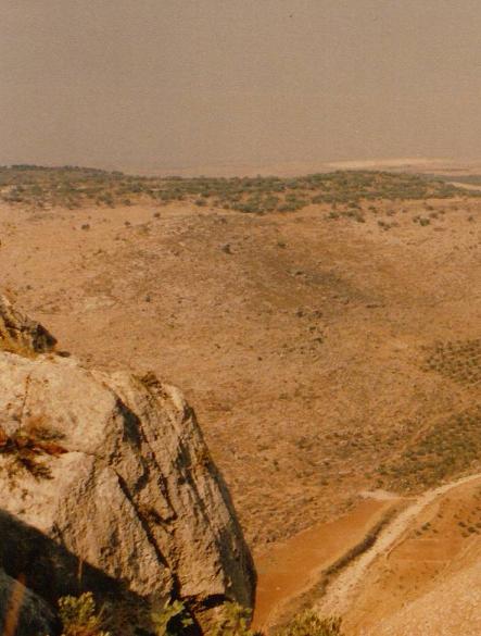
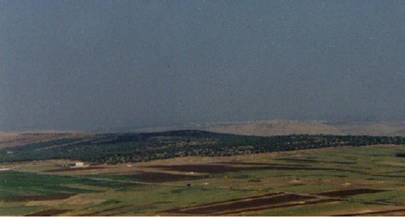
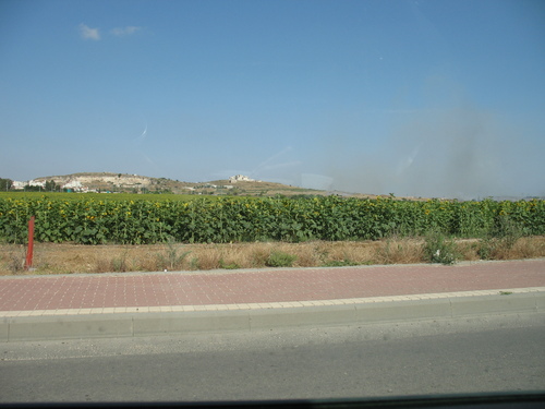
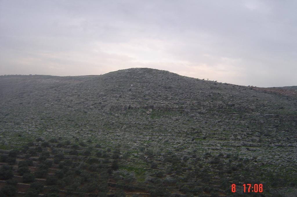
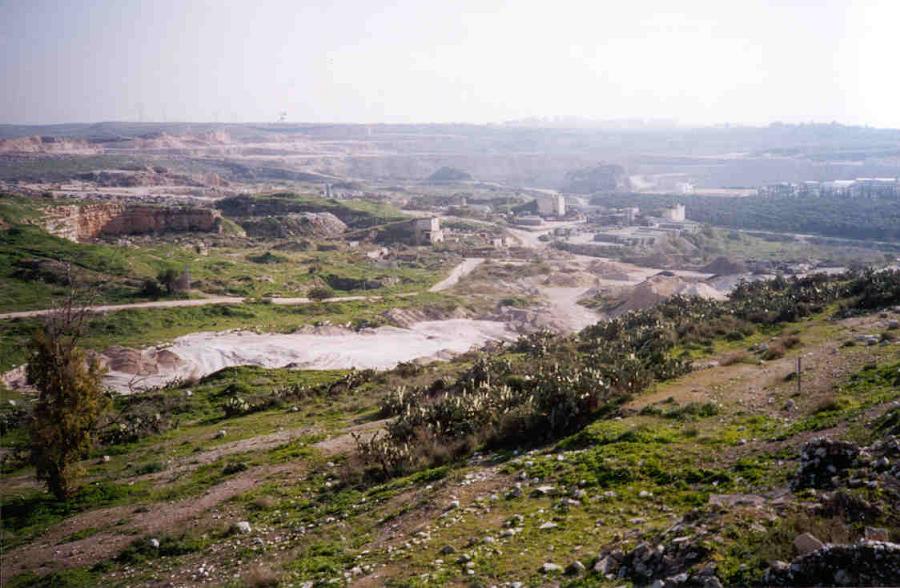
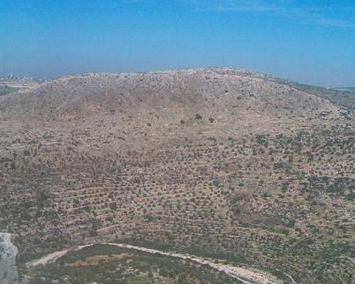
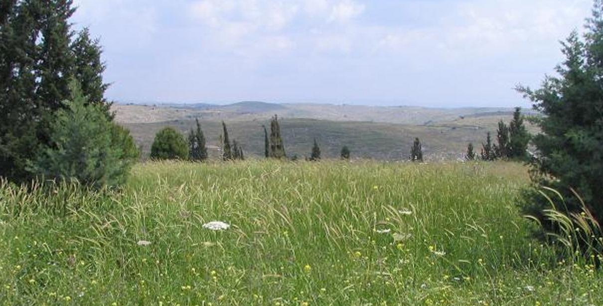
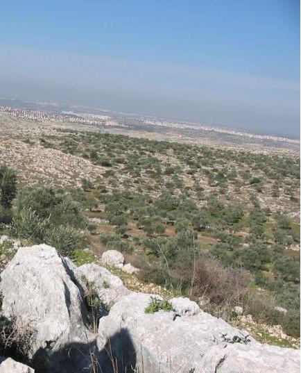
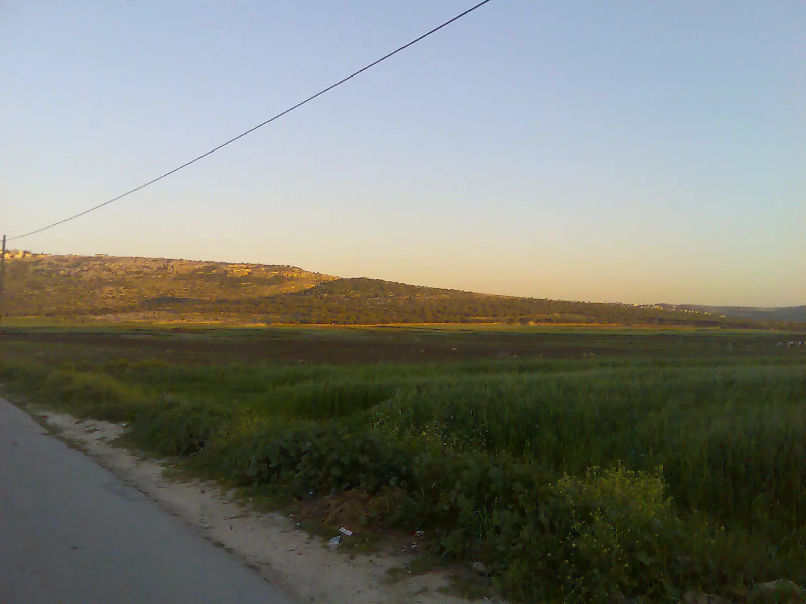
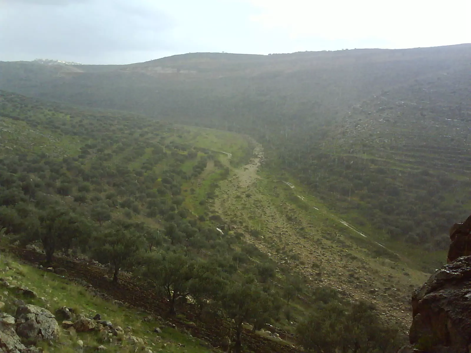
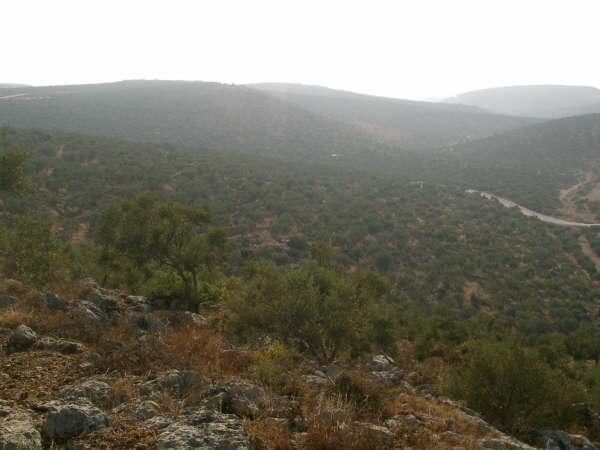
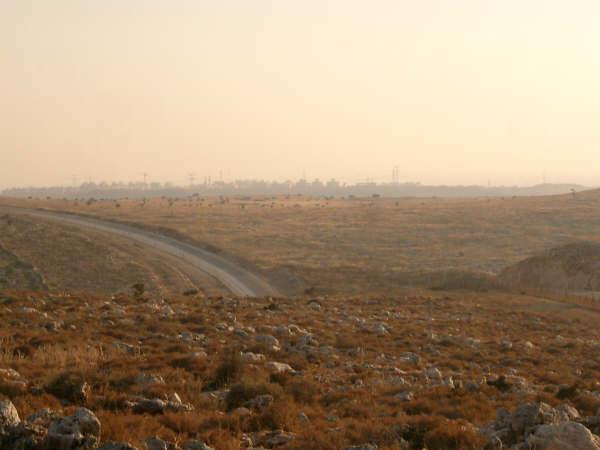
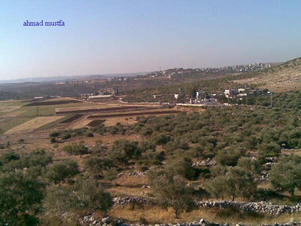
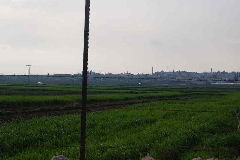
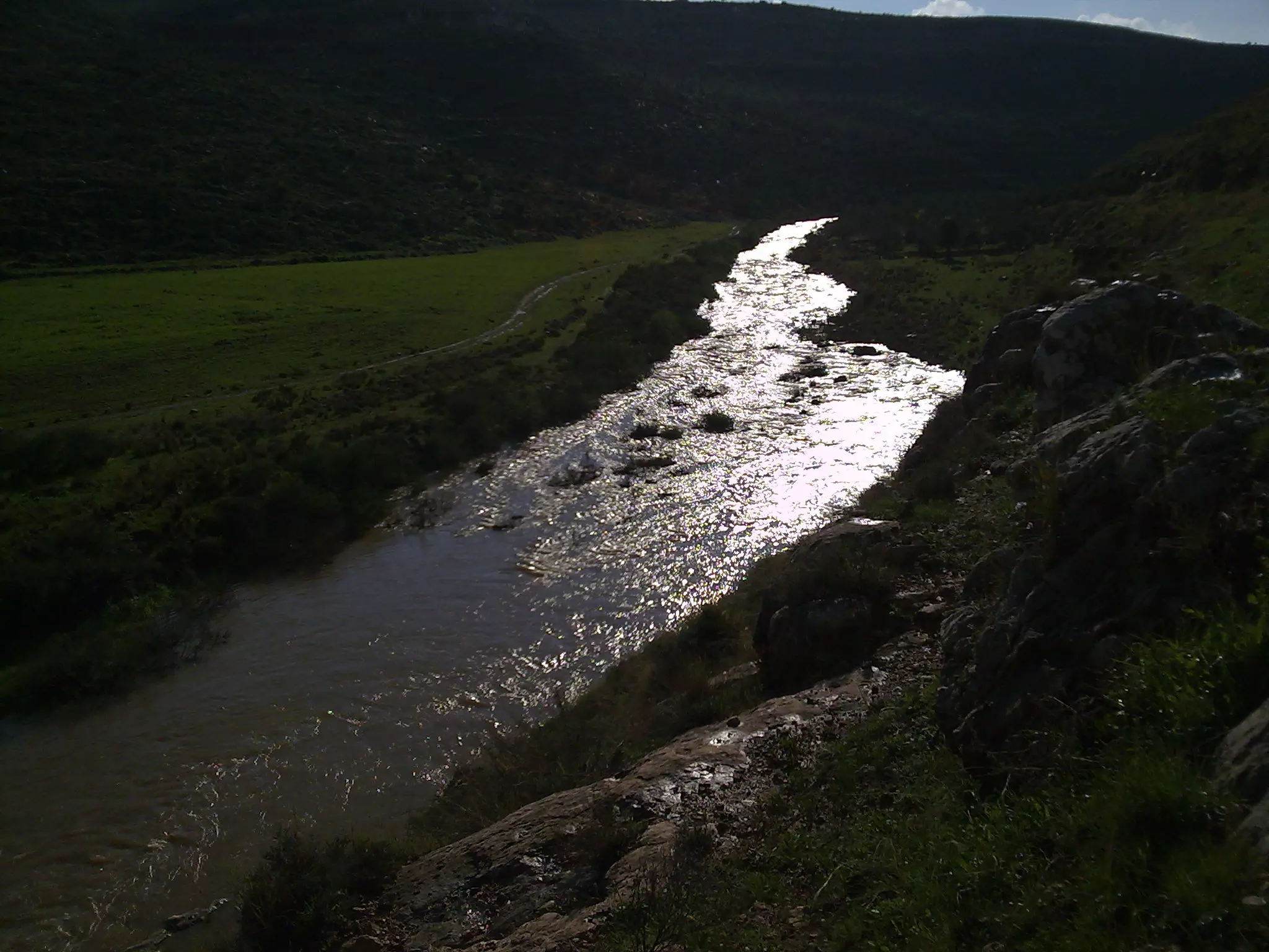
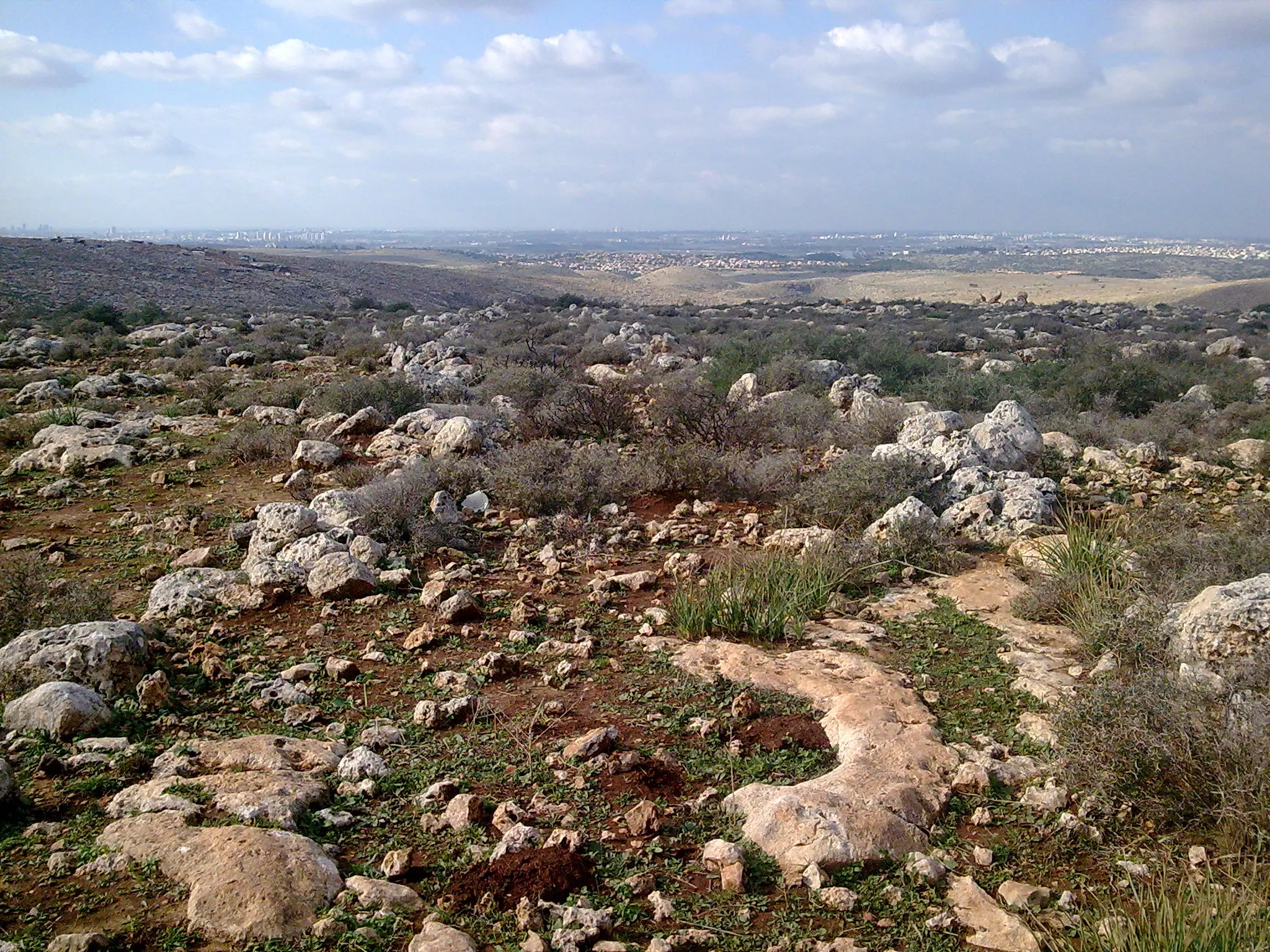
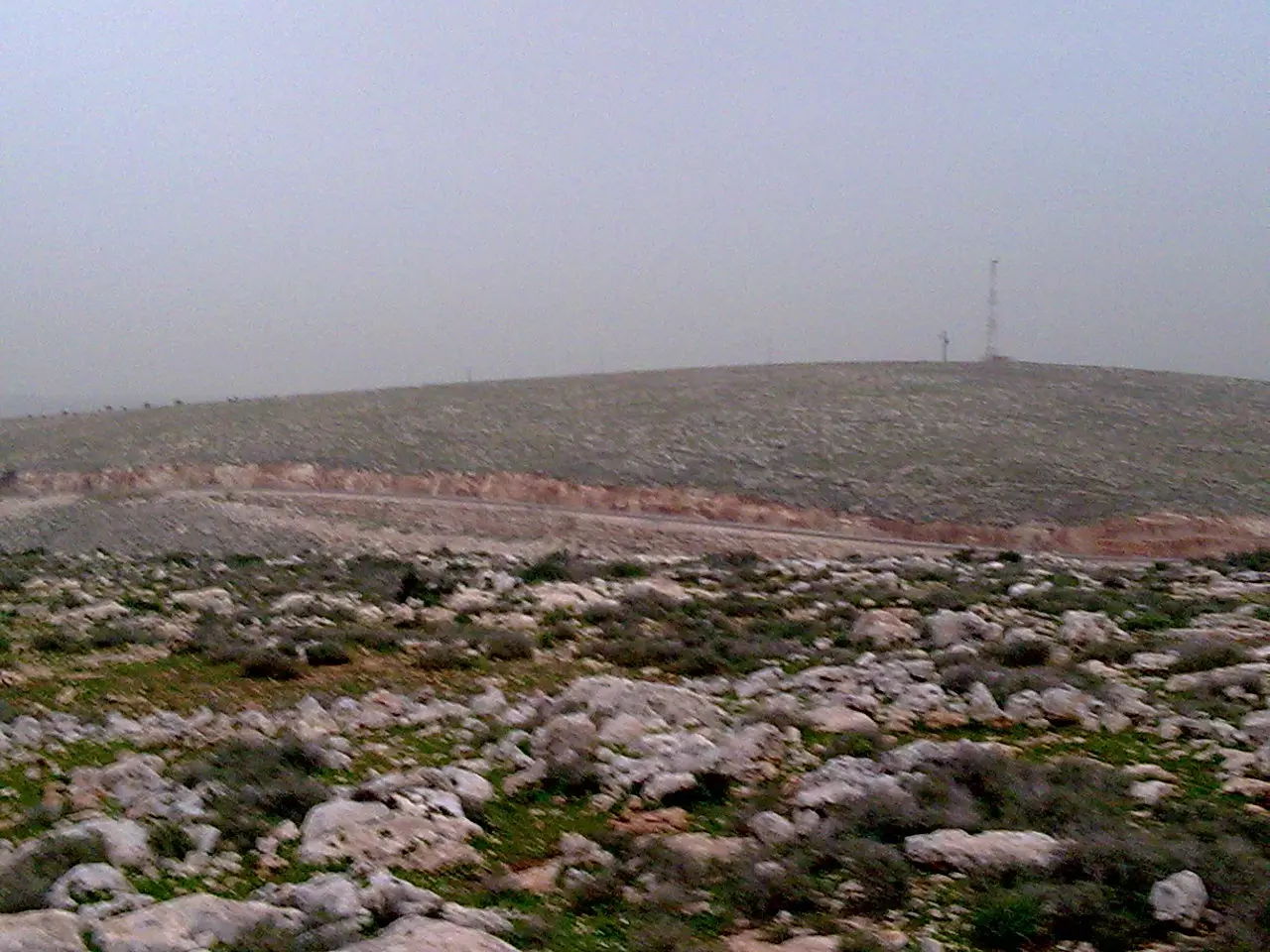
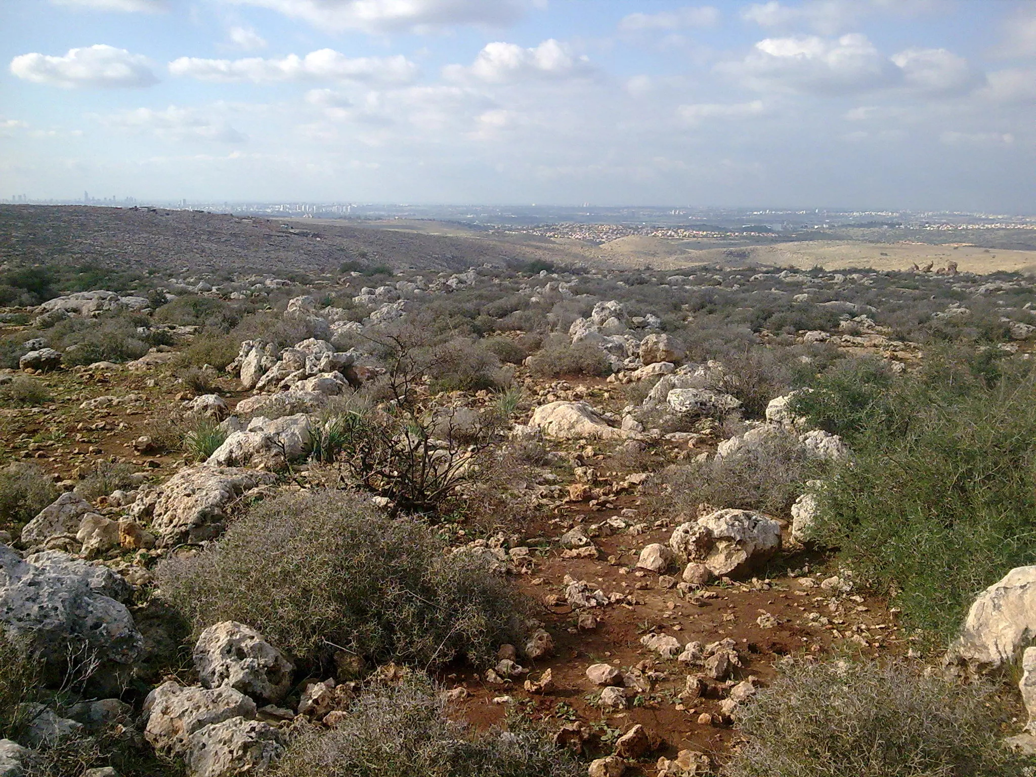
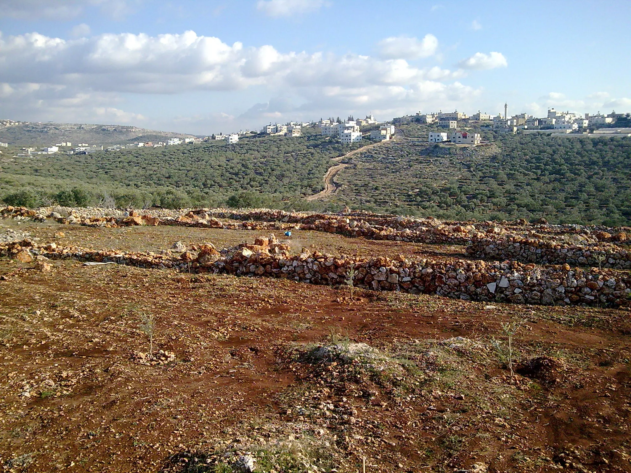
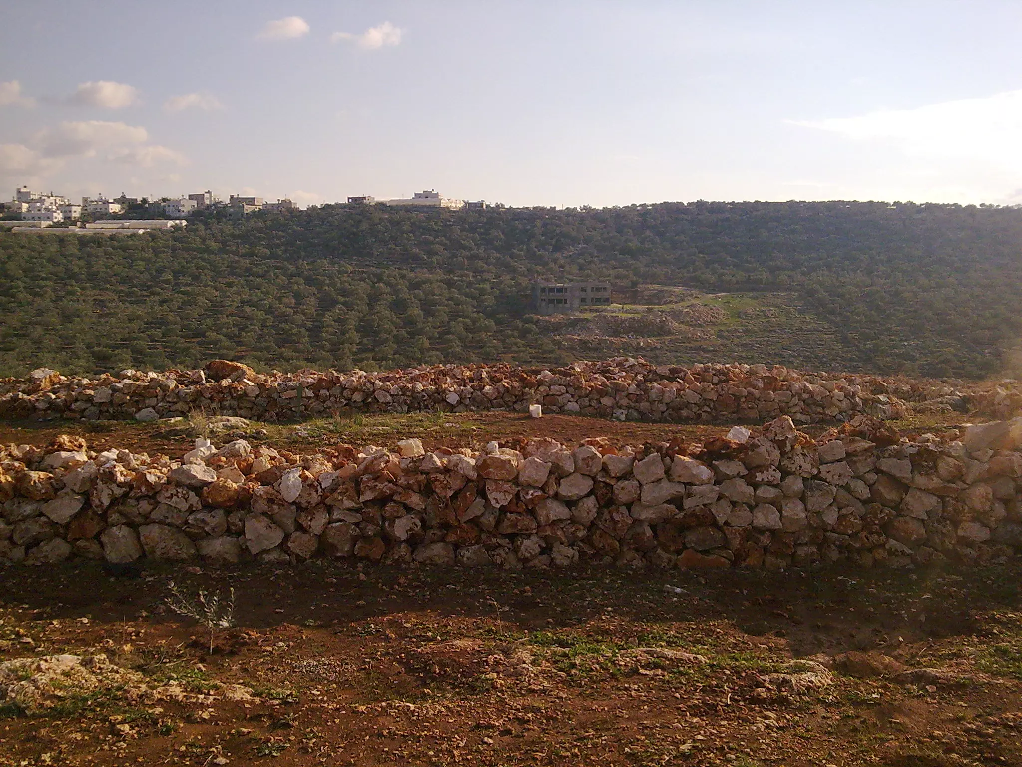
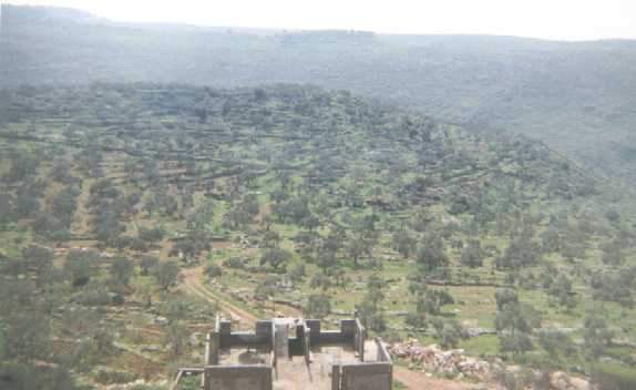
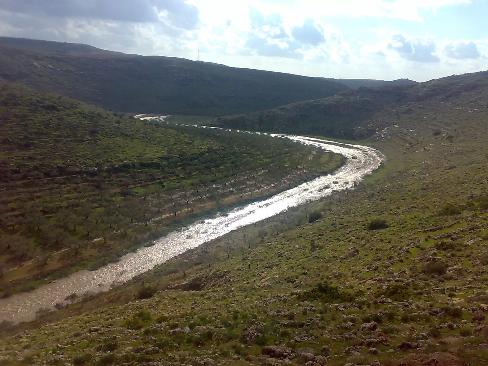
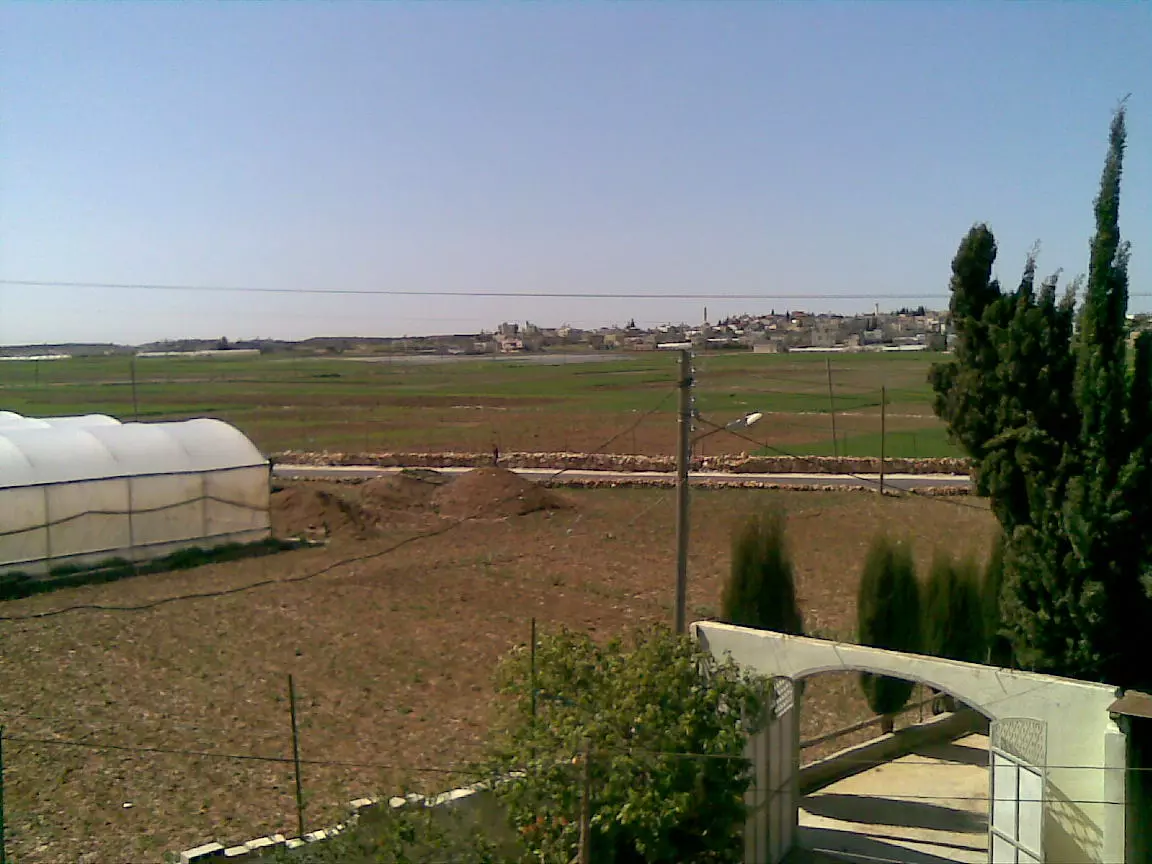
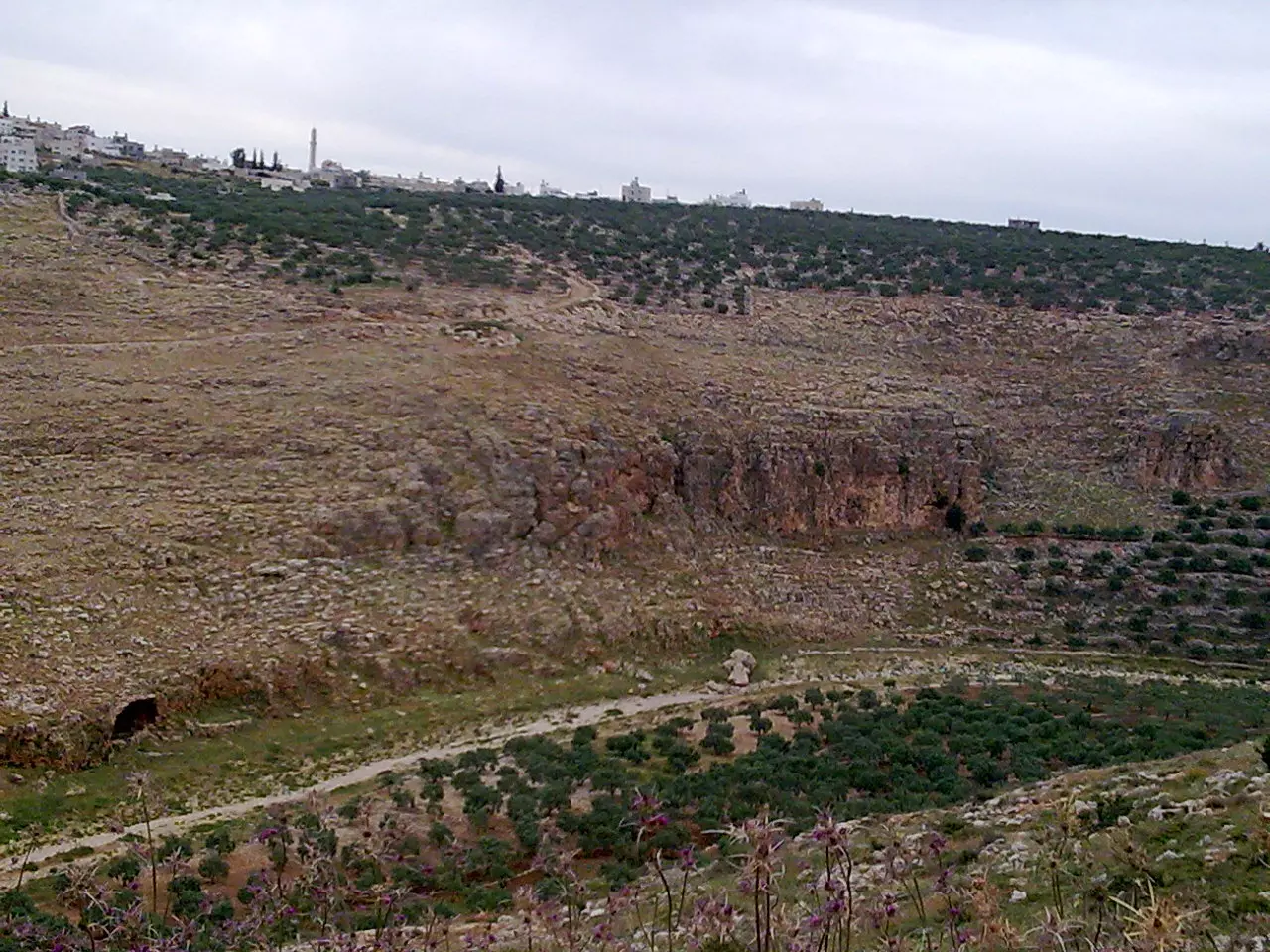
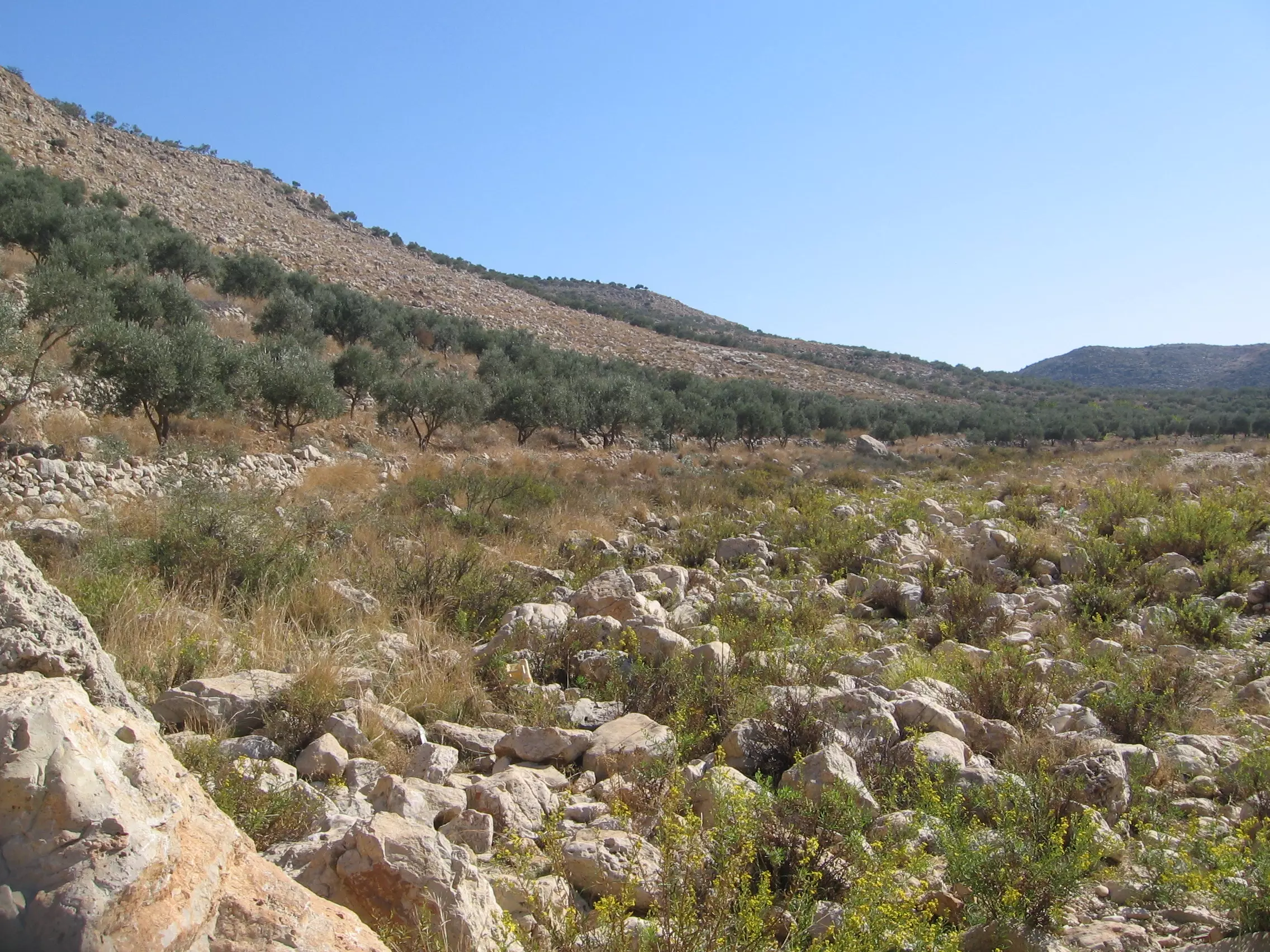
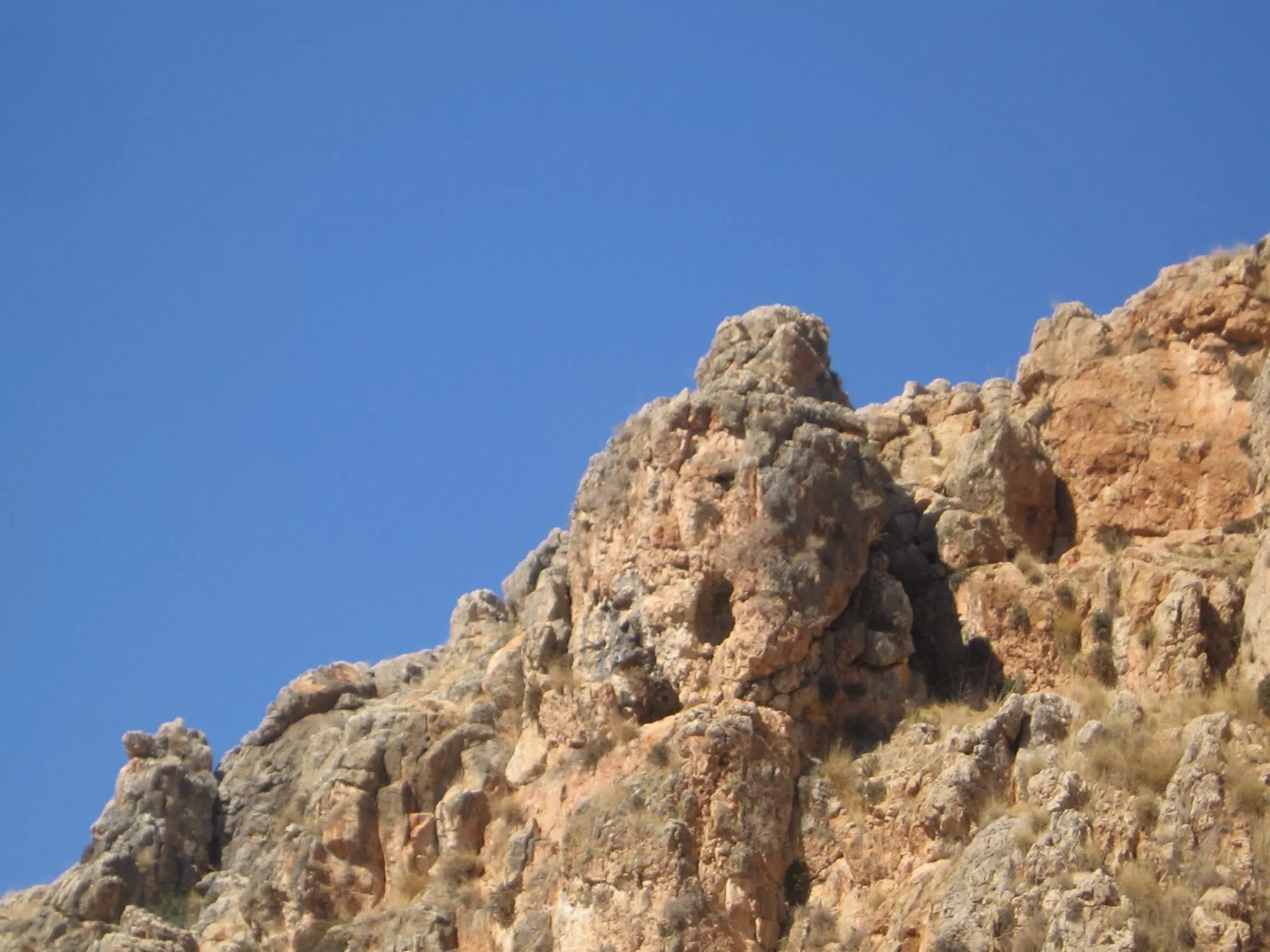
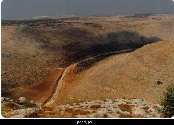
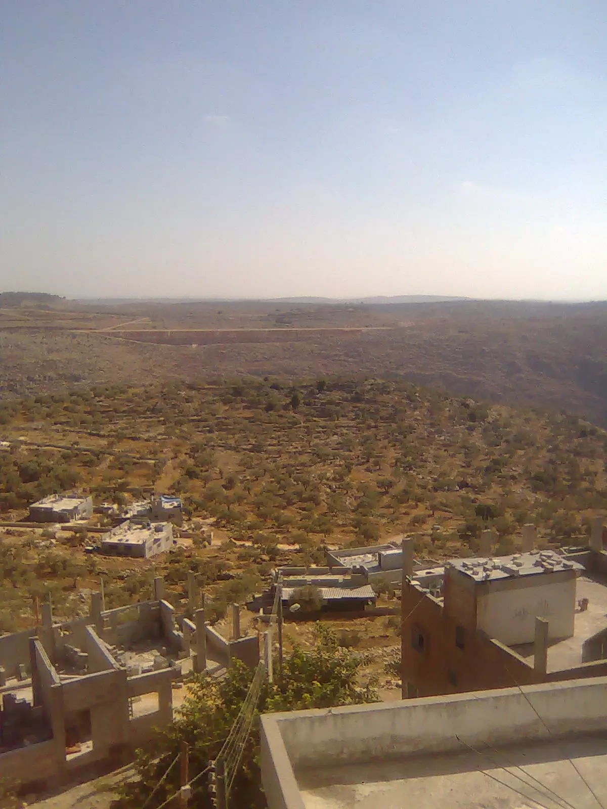
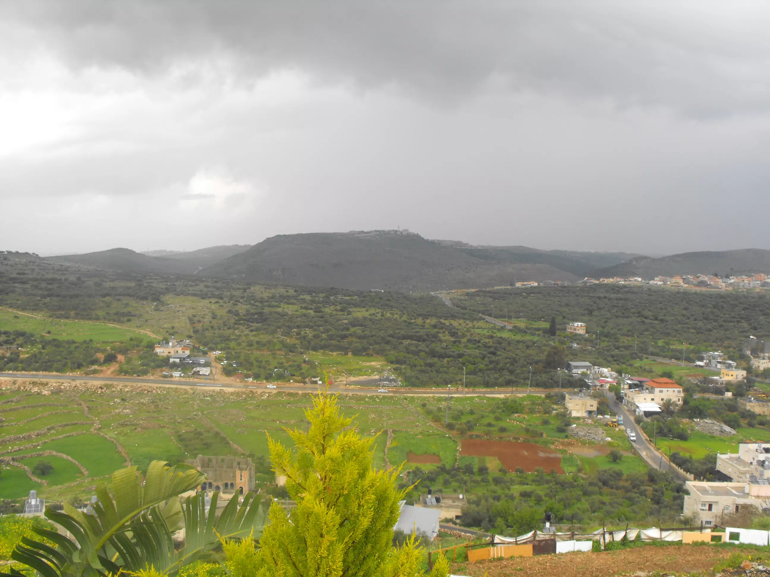
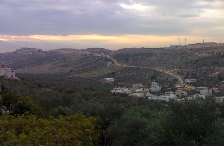
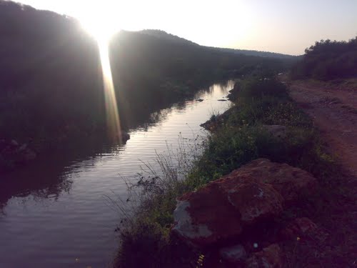
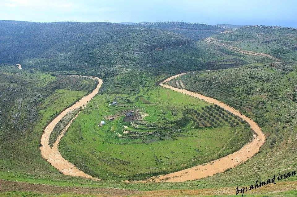
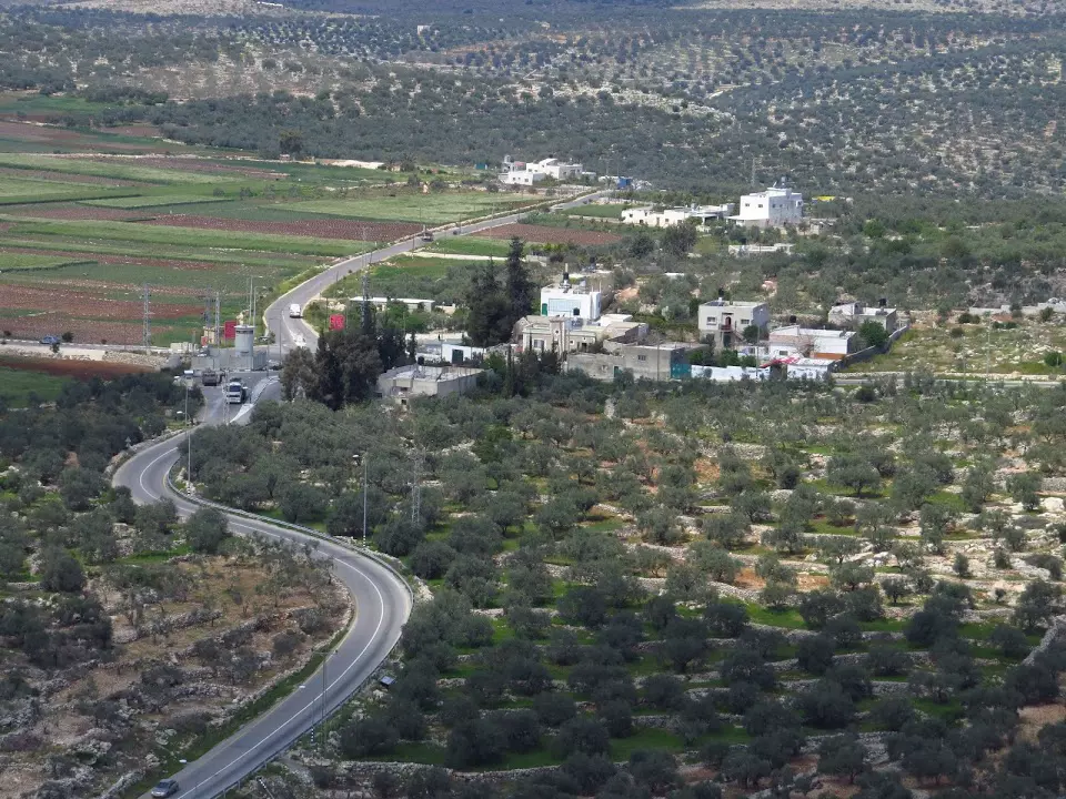
6 - The landscape around the town
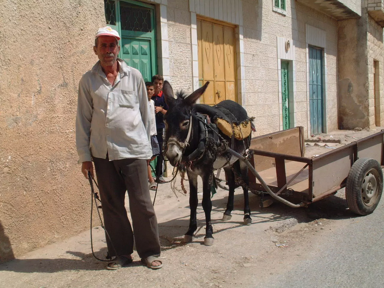
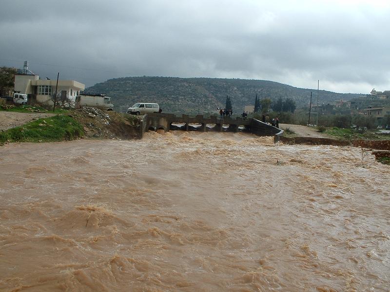
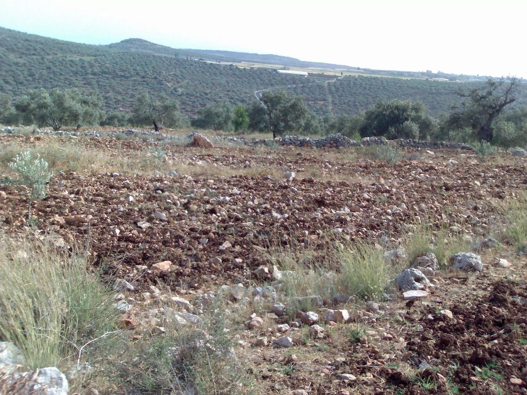
4 - survival
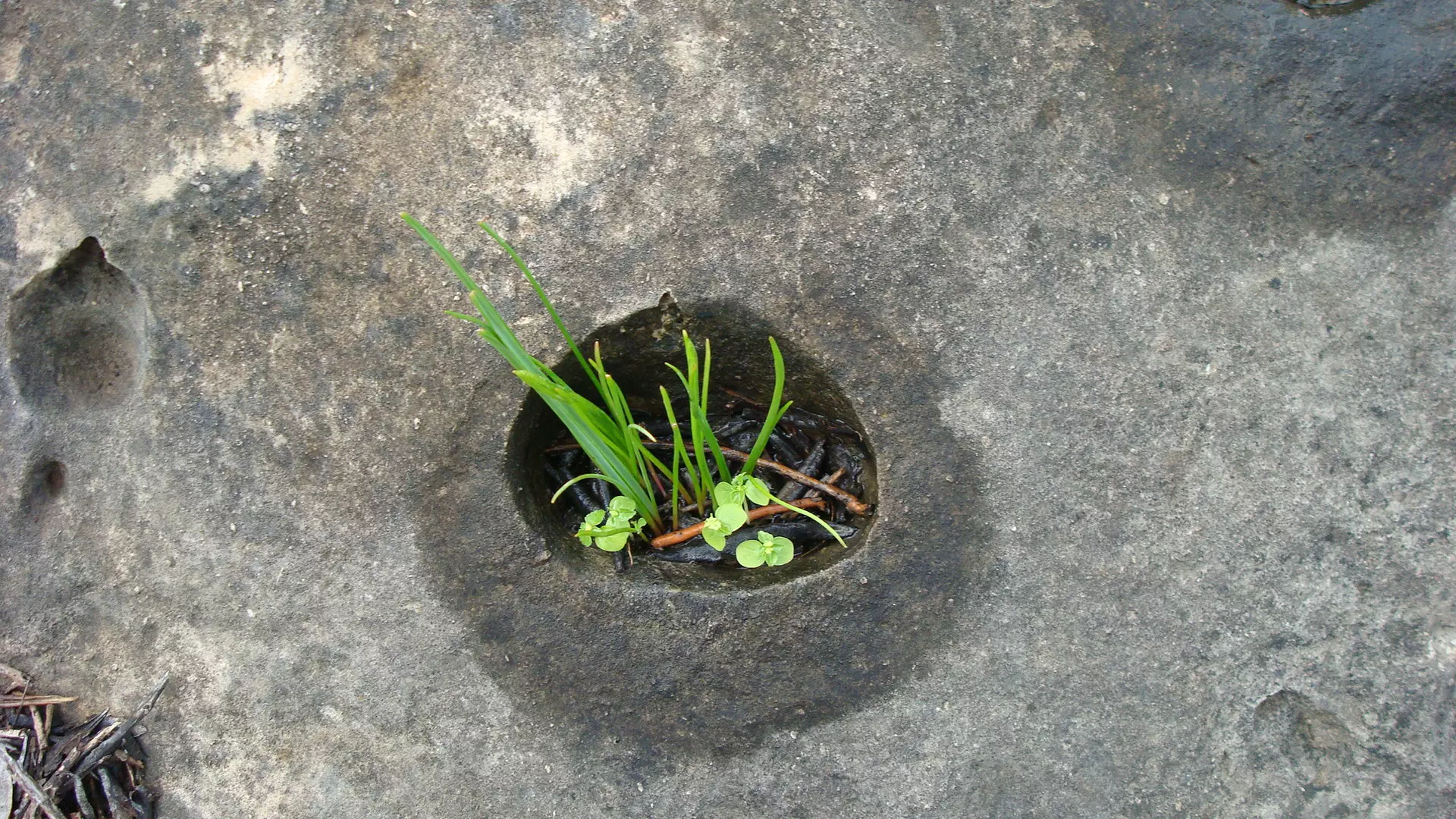
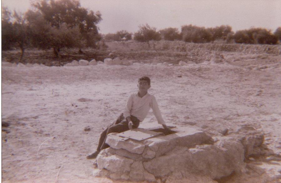
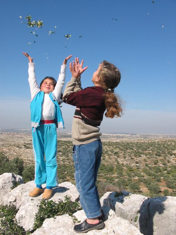
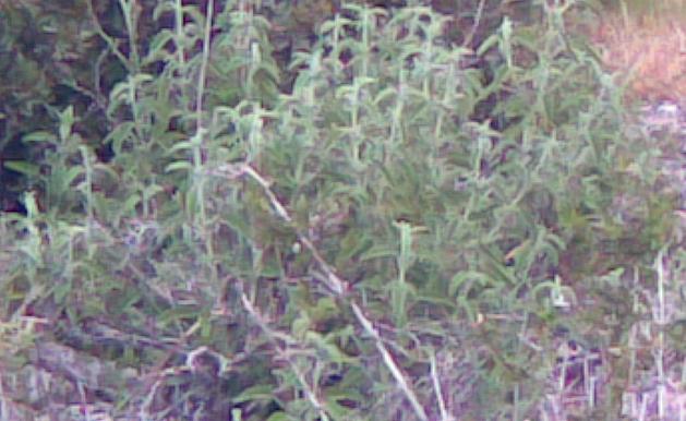
Posted by ibrahim mustafa 5 - vegetation
Posted by ibrahim mustafa 1 - منظر من الشرق-1990
Posted by Ghanem Mustafa - الحارة الشرقية-1973
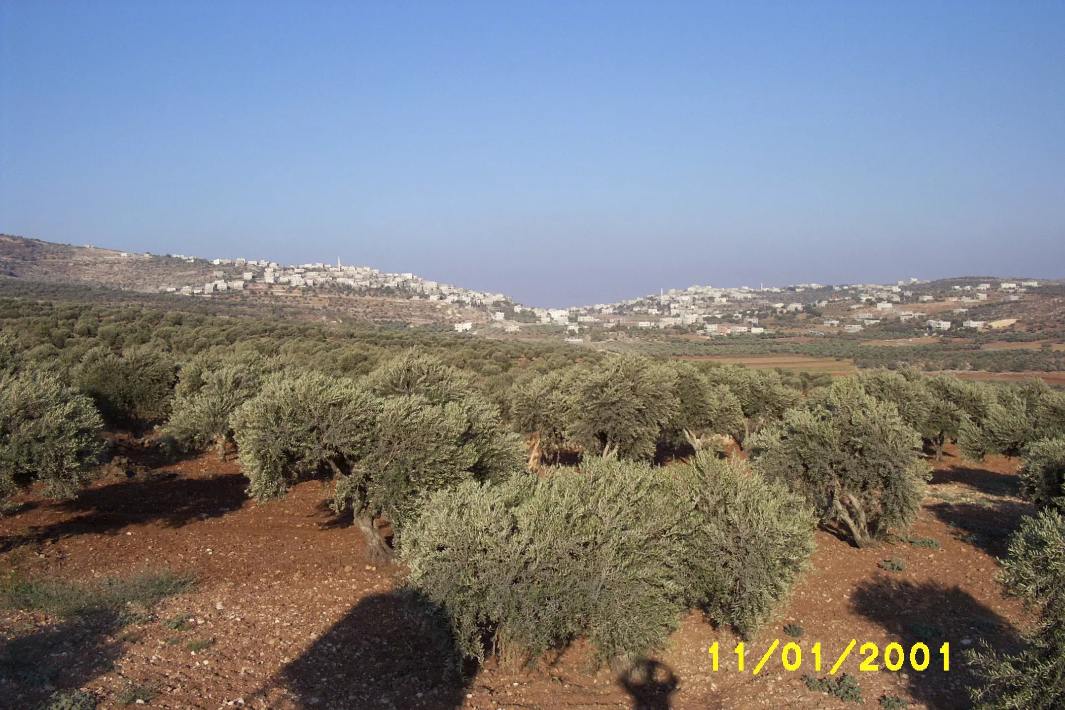
Posted by Ghanem Mustafa 3 - منظر للمرج-1973
Posted by Ghanem Mustafa 4 - صورة من جوجل ايرث-2006
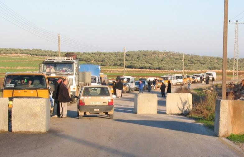
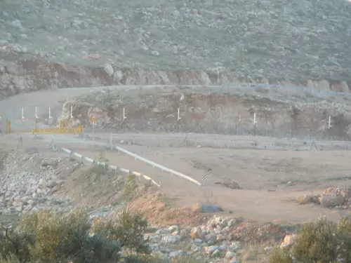
Posted by Ghanem Mustafa 3 - حاجز باب المرج-من جوجل ايرث
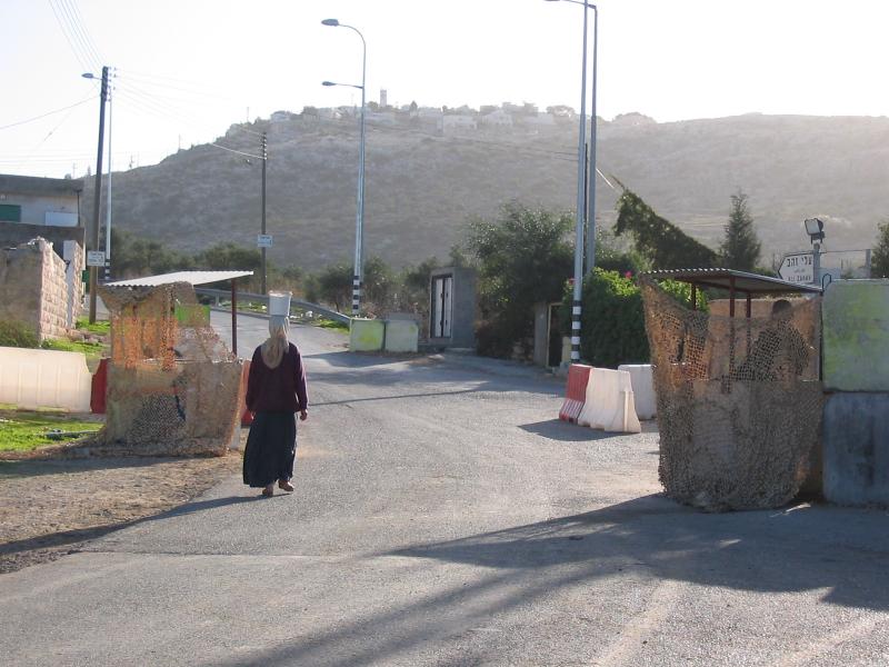
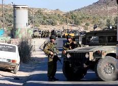
Posted by Ghanem Mustafa 1 - حاجز باب المرج-2007

Posted by Ghanem Mustafa - صورة جوية-1997

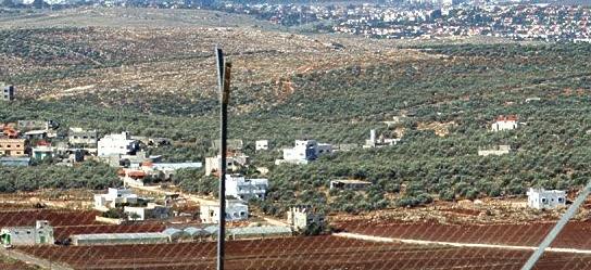
Posted by Ghanem Mustafa 2 - منظر من الجنوب الشرقي-2007
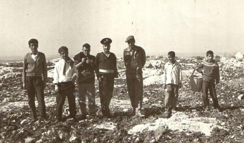
Posted by Ghanem Mustafa 1 - من القدامى في المرج-1944
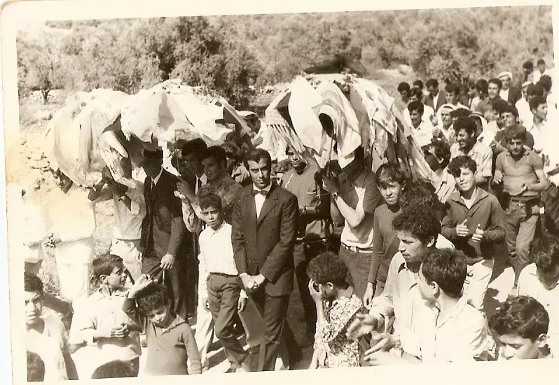
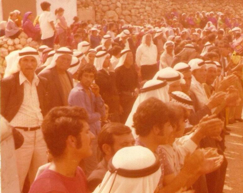
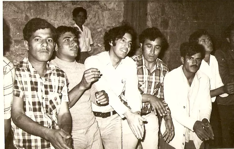
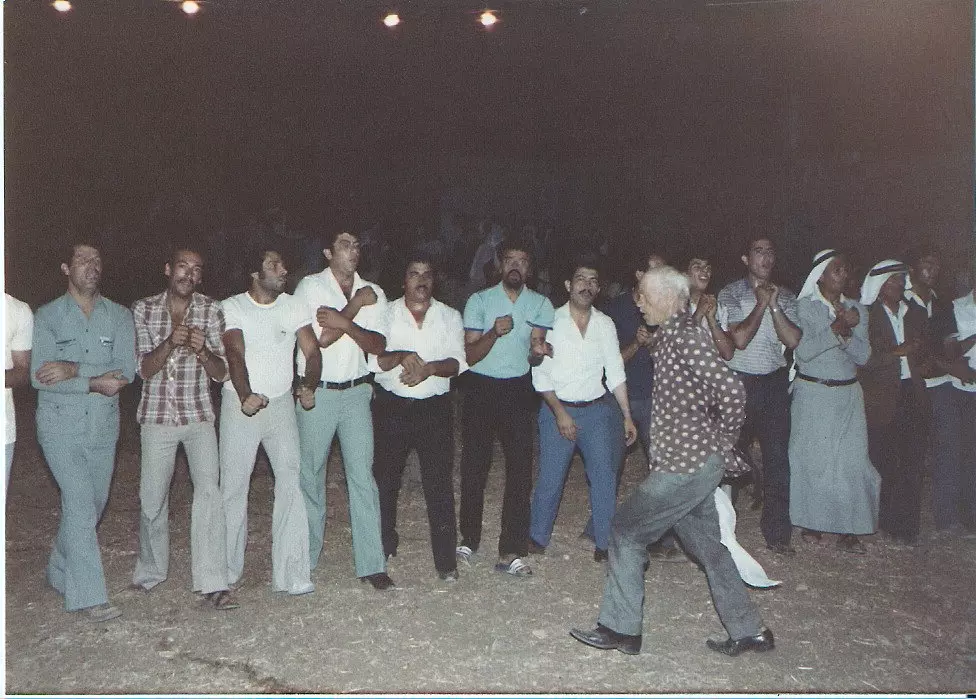
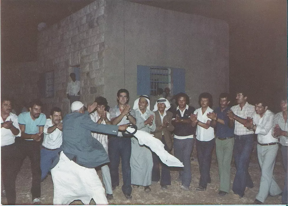
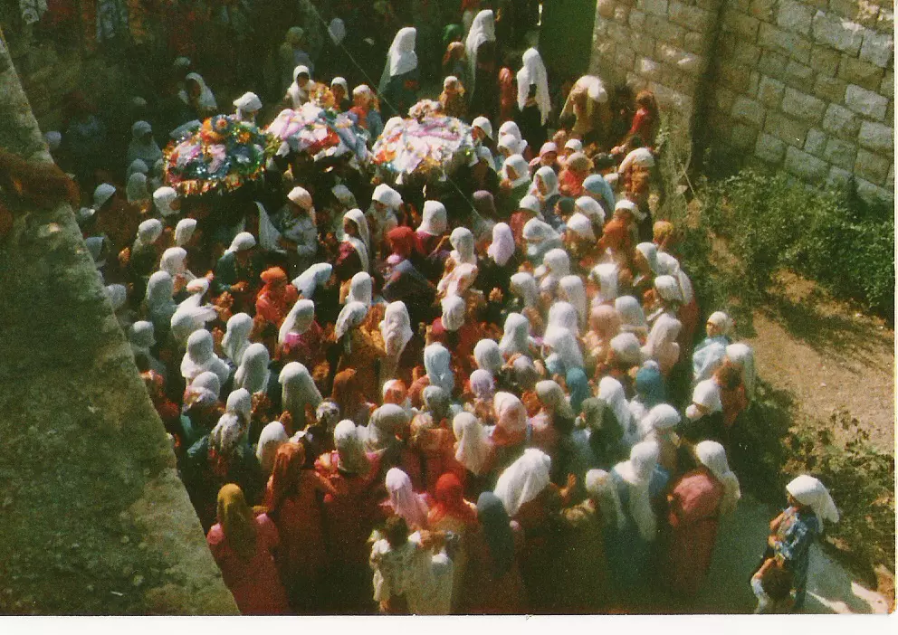
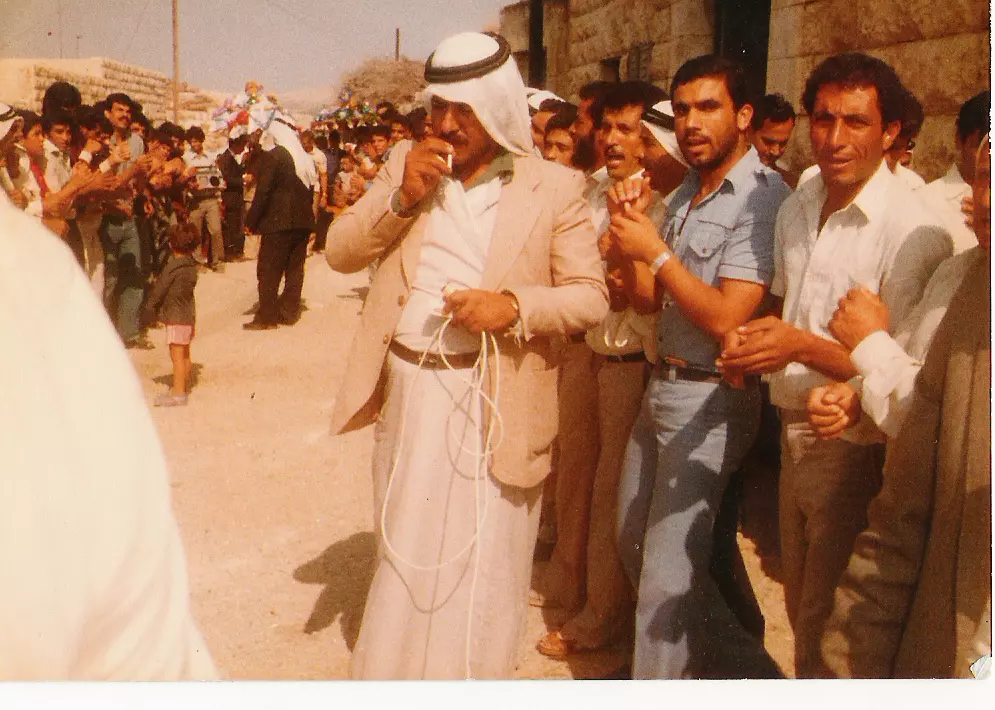
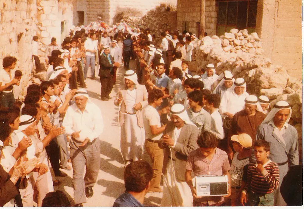
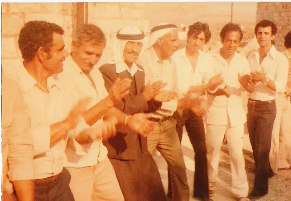
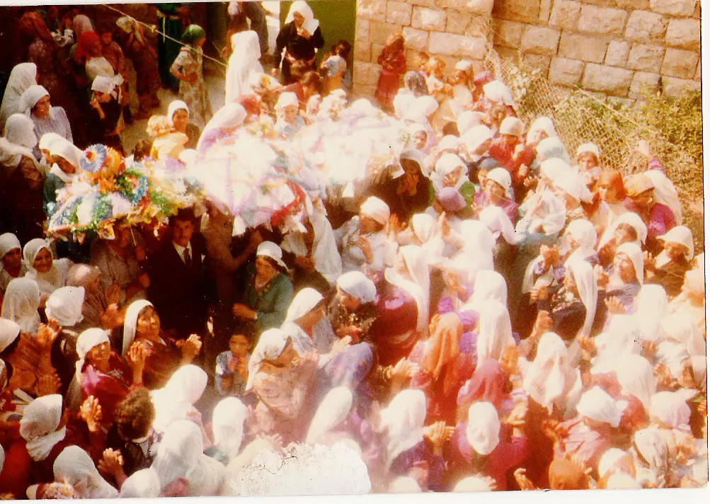
Posted by Ghanem Mustafa 3 - عرس تقليدي-1973
Posted by Ghanem Mustafa 3 - منظر من تعمر-2007
Posted by Ghanem Mustafa 2 - الربيع والمرج-2007

Posted by Ghanem Mustafa 1 - RUNJUS Around Deir Bullout
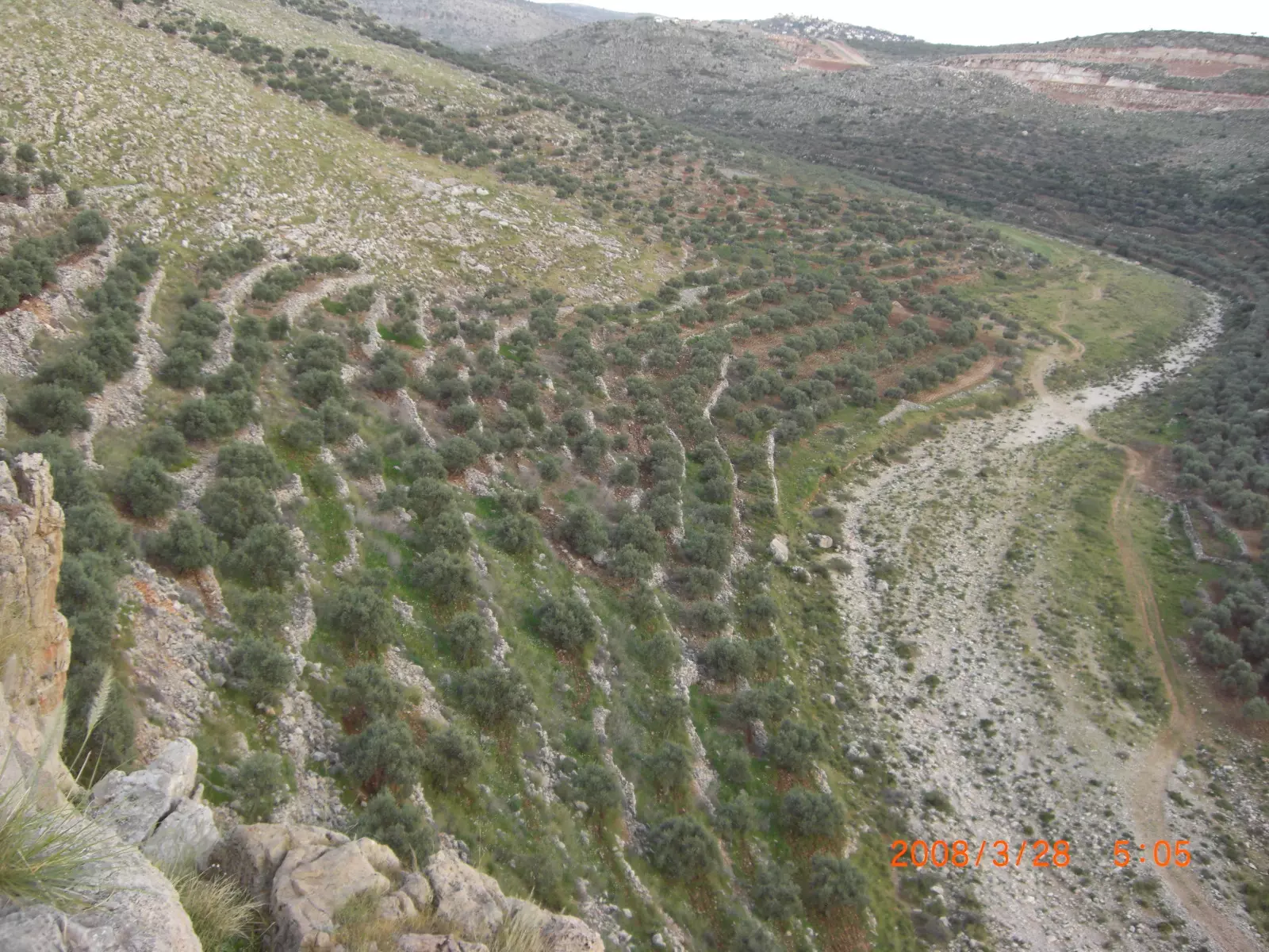
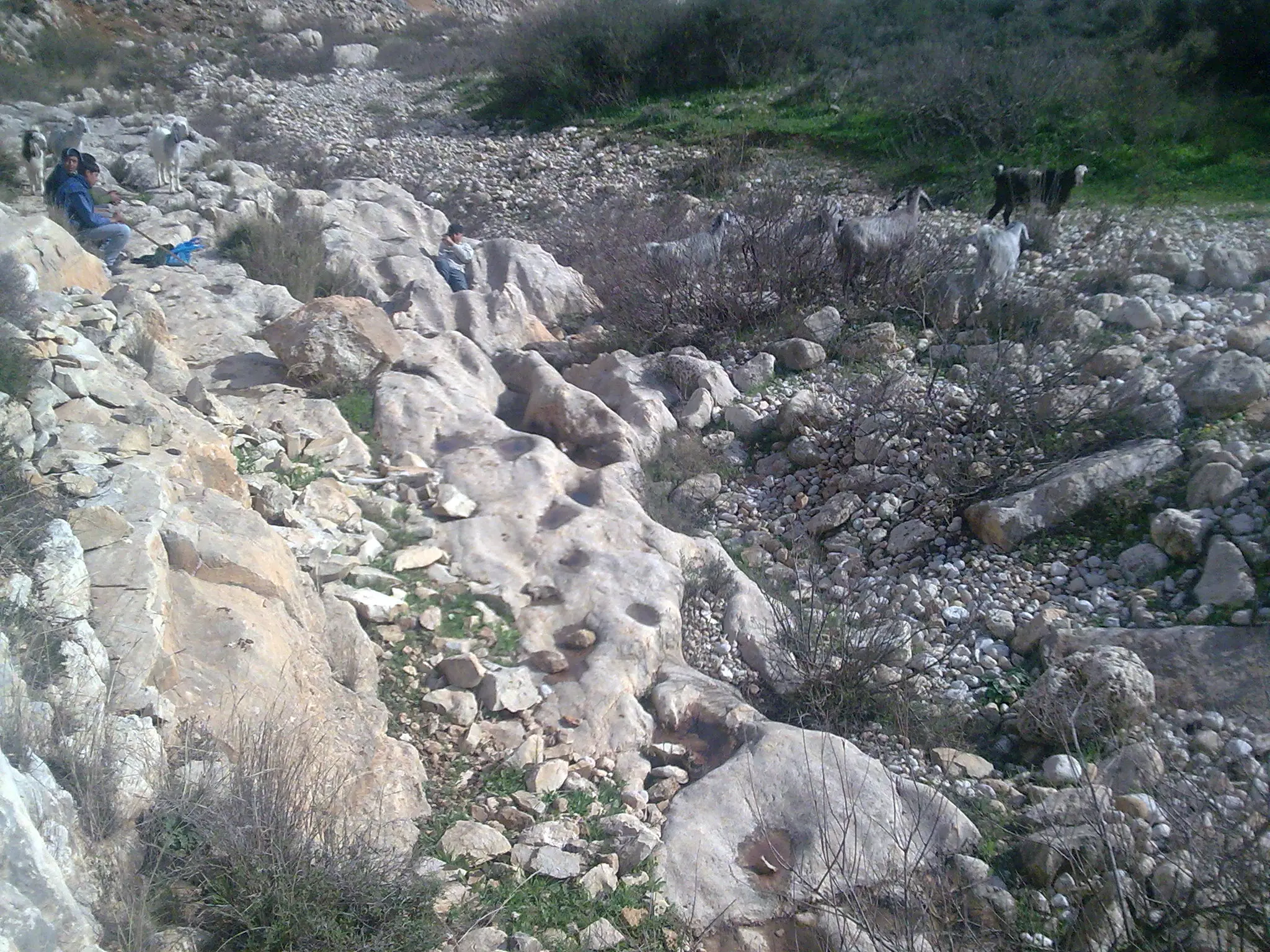
Posted by ibrahim mustafa 5 - subdueing rocks in thaher rujjal
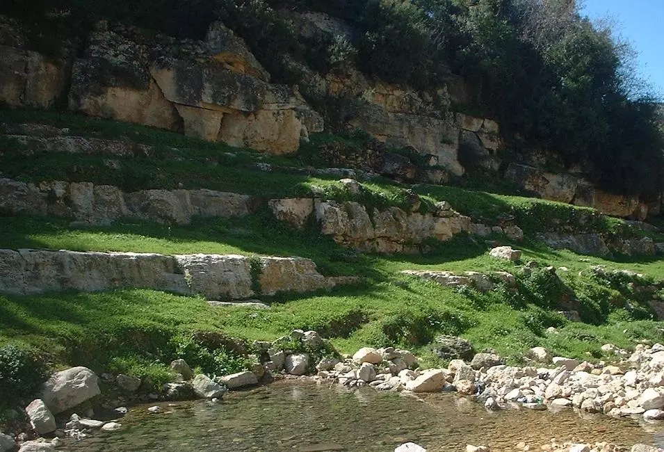
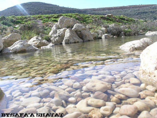
Posted by ibrahim mustafa 2 - Wad El3ain
Posted by ibrahim mustafa 2 - بدايات البالوع-2007

Posted by Ghanem Mustafa 2 - الزيتون الغربي-2007
Posted by Ghanem Mustafa - عرقان العين-1990
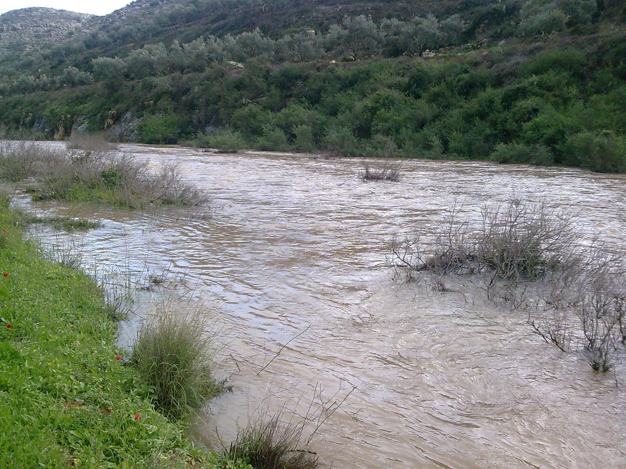
Posted by Ghanem Mustafa 6 - وادي العين (اللوح)-1990
Posted by Ghanem Mustafa 6 - الزيتون الجنوبي-1990
Posted by Ghanem Mustafa 2 - أول طلعة الخور-1990
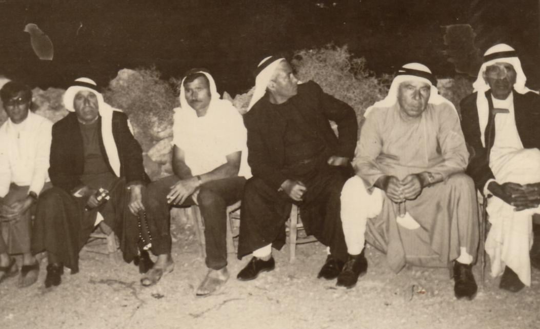
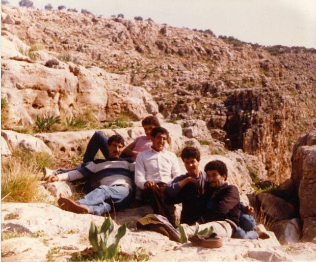
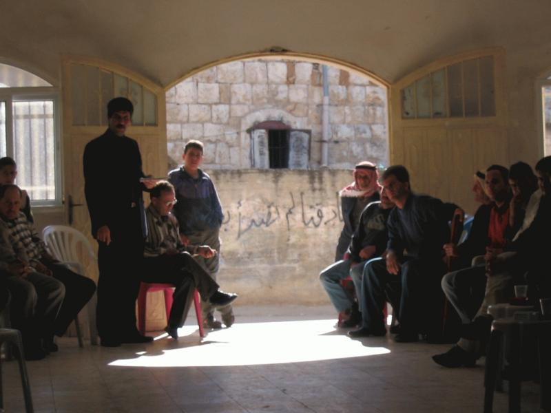
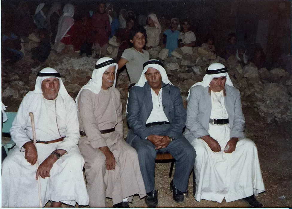
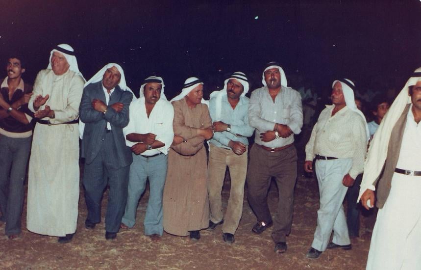
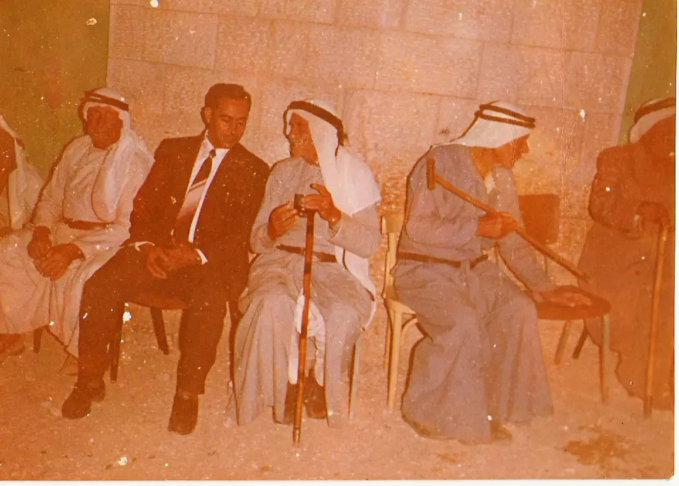
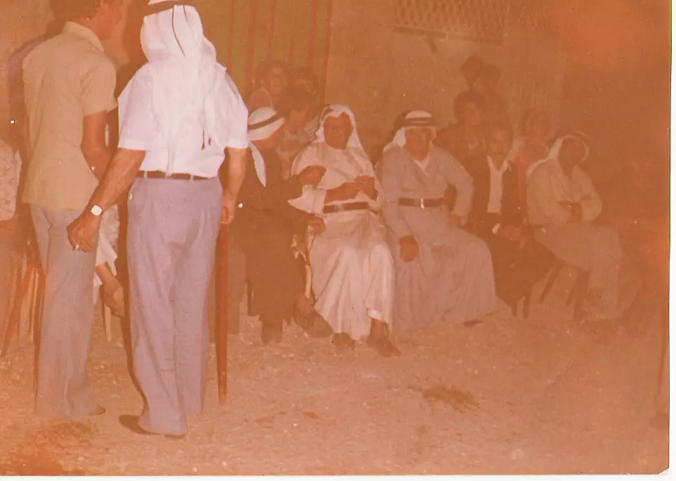
Posted by Ghanem Mustafa 2 - جلسة تقليدية-1975
Posted by Ghanem Mustafa 6 - الزيتون الشمالي-1990
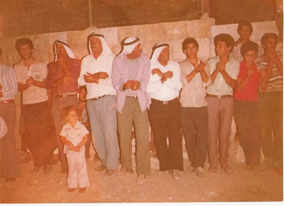
Posted by Ghanem Mustafa 1 - zaffa
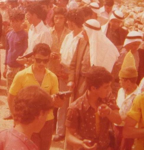
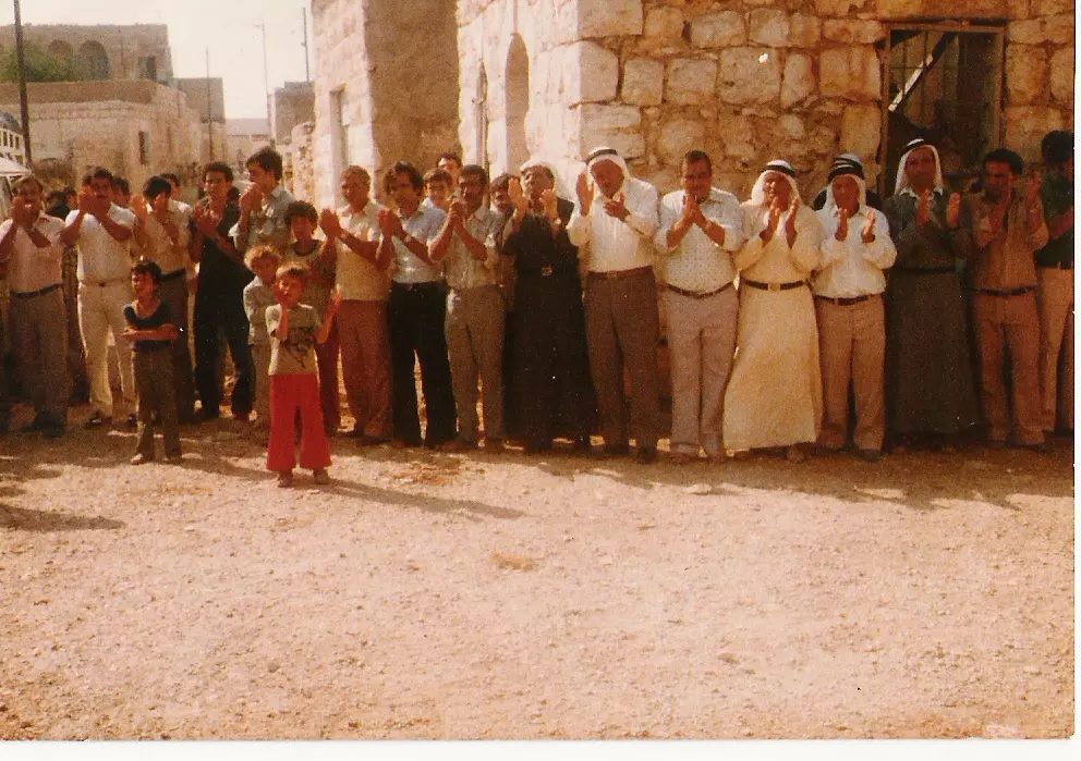
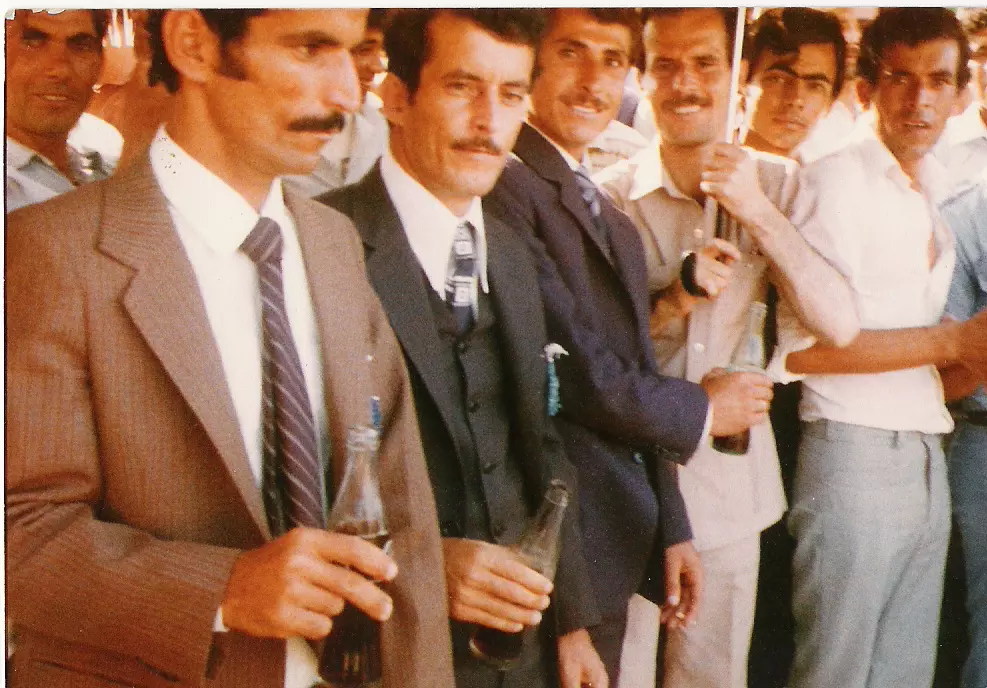
Posted by mohammad mustafa 7 - zaffa "1970s wedding
Posted by mohammad mustafa 4 - من مغتربي فنزويلا-1985
Posted by Ghanem Mustafa 3 - من أوائل المغتربين-فنزويلا 1950
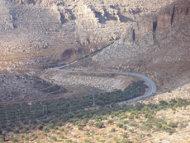
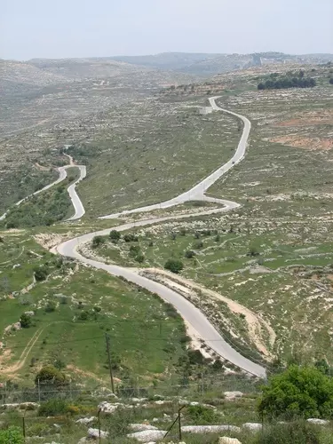
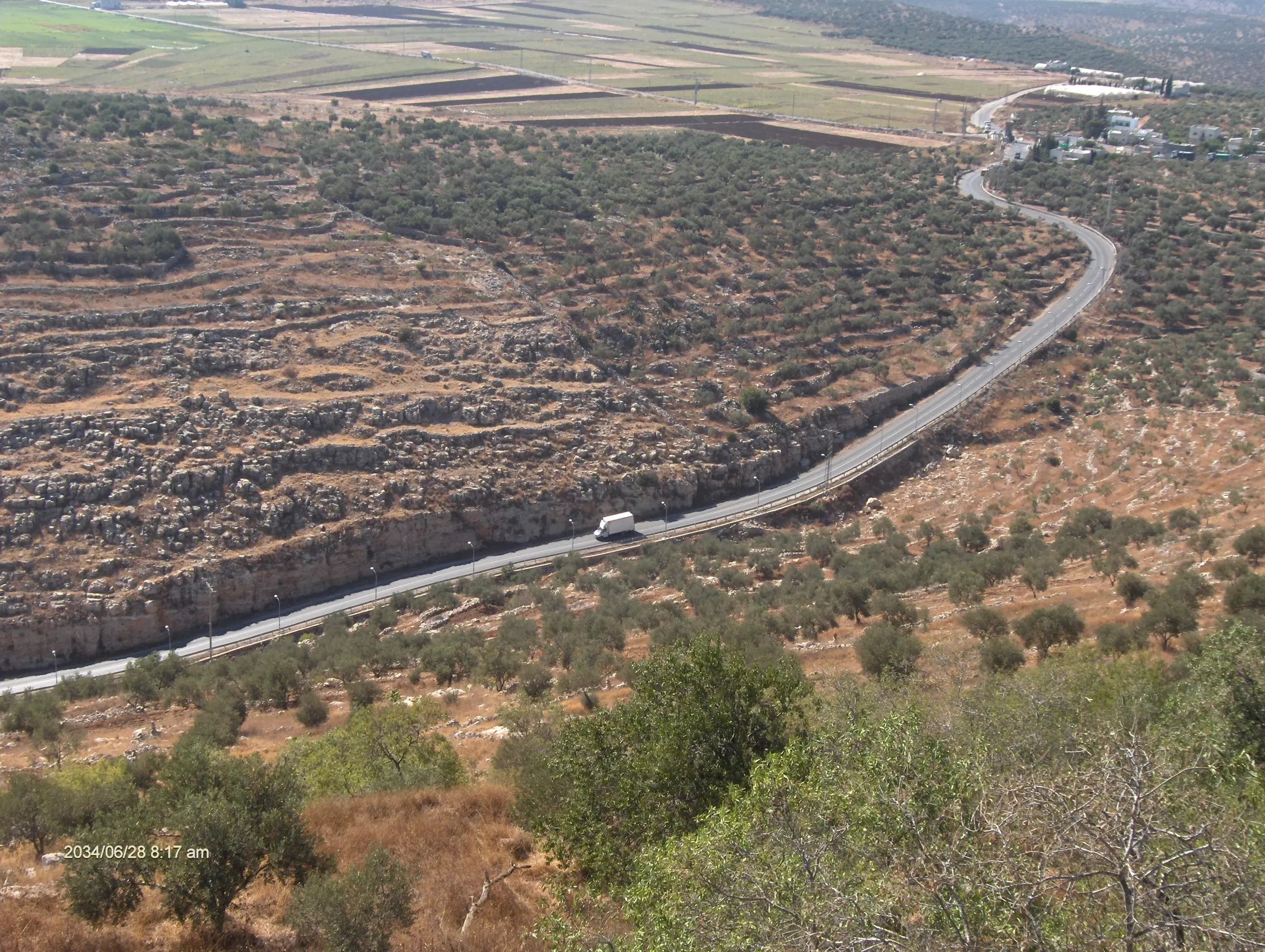
Posted by Ghanem Mustafa 3 - طريق المرج-2007

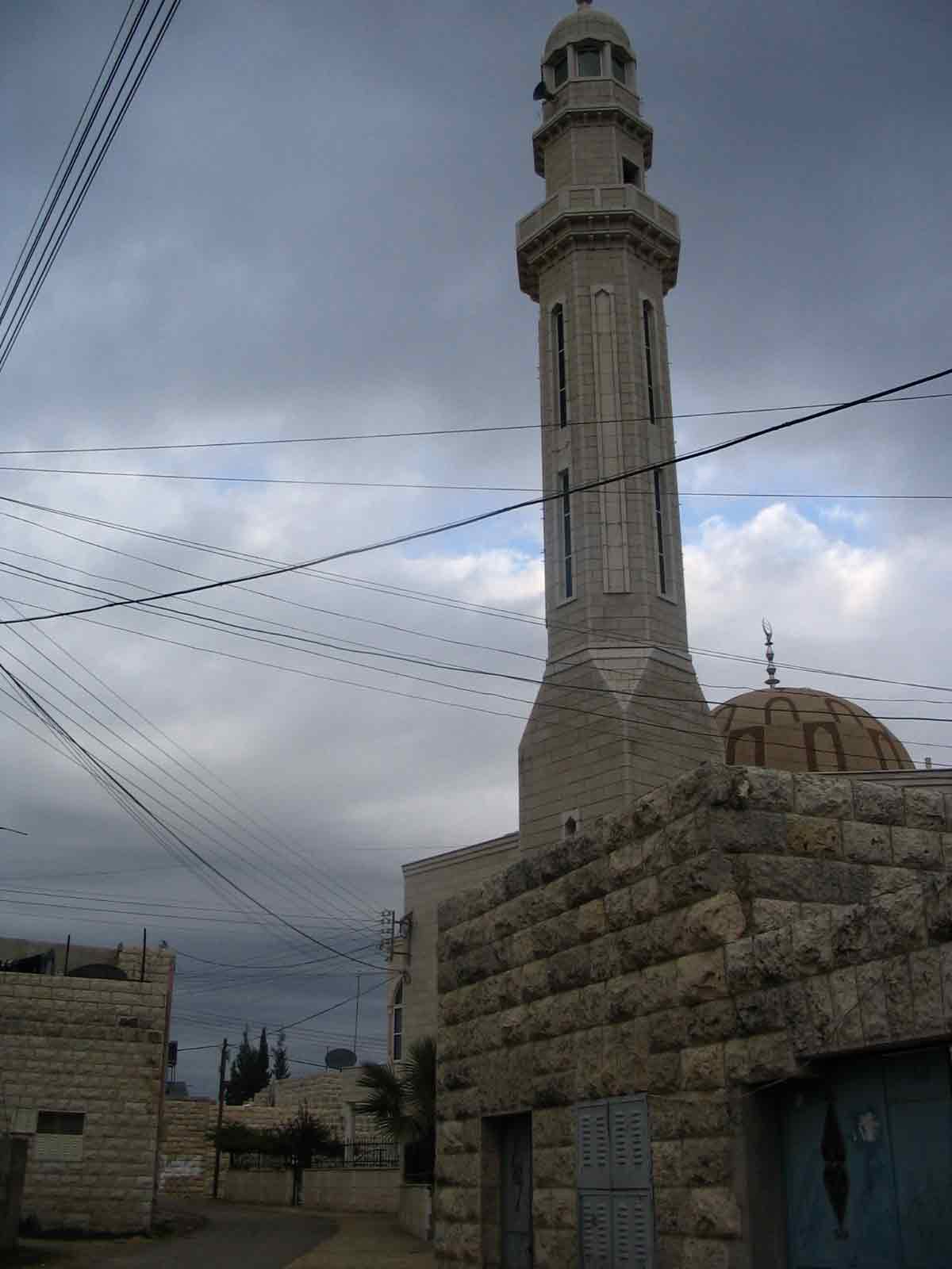
Posted by Ghanem Mustafa 5 - المسجد القديم-منظر خلفي
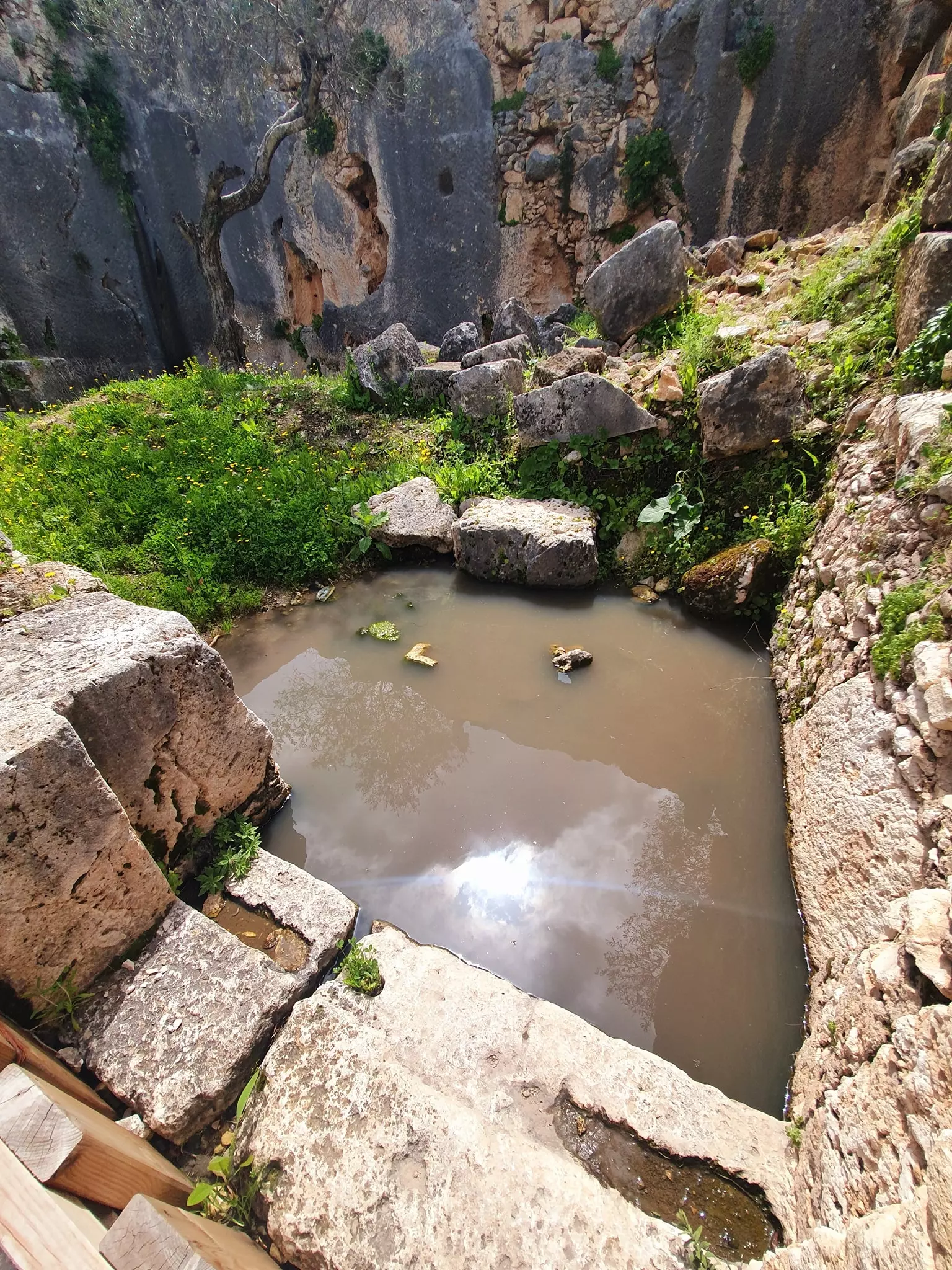
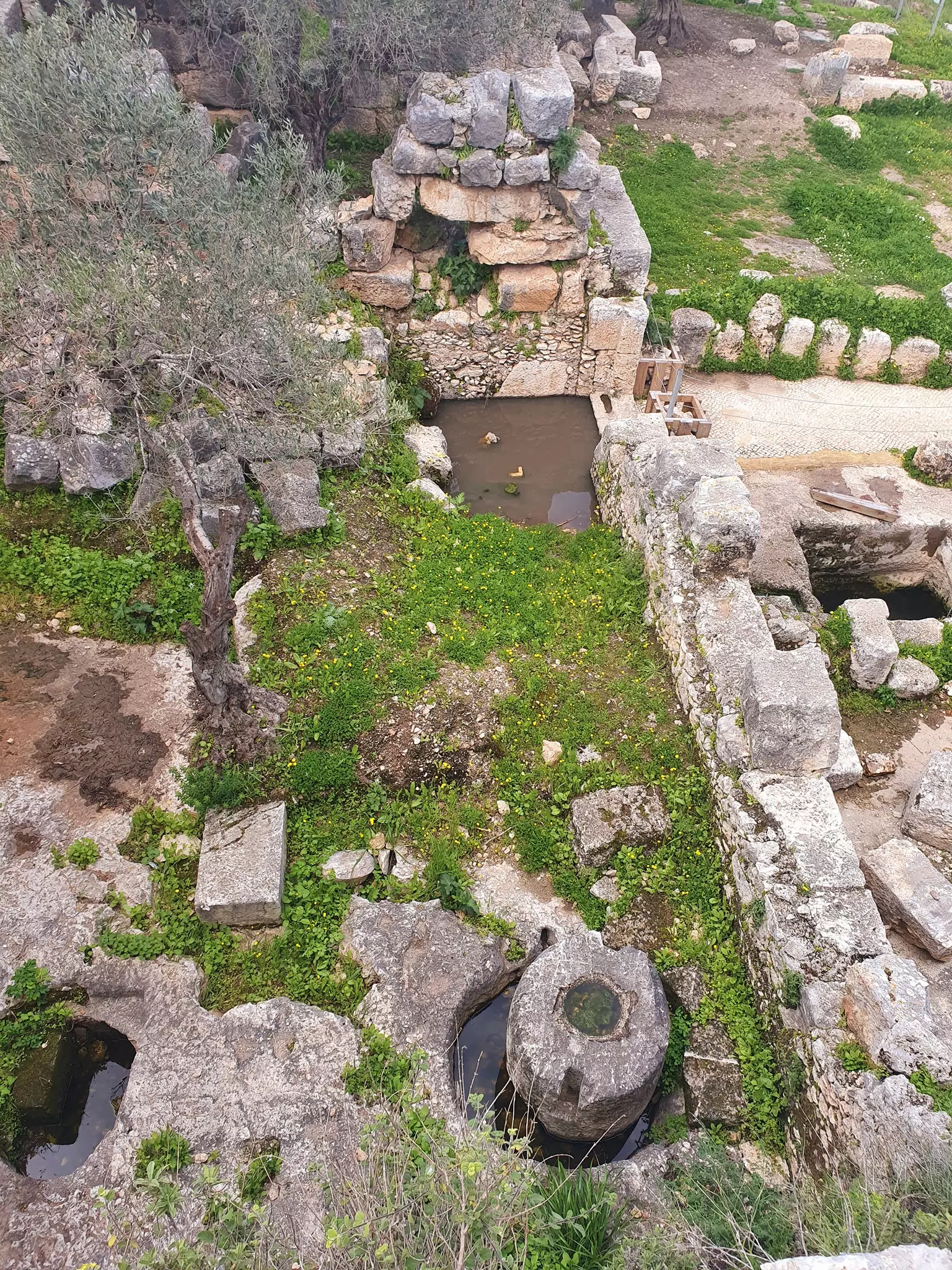
Posted by Ghanem Mustafa 2 - البالوع في الصيف-1998
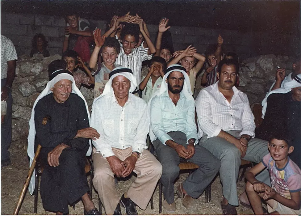
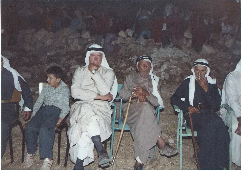
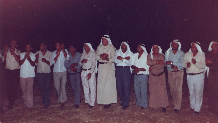
Posted by Ghanem Mustafa 1 - جلسة مع الآباء-1975
Posted by Ghanem Mustafa 5 - الحارة القبلية-2008
Posted by Ghanem Mustafa 2 - زيتون الجور والخانق-2007
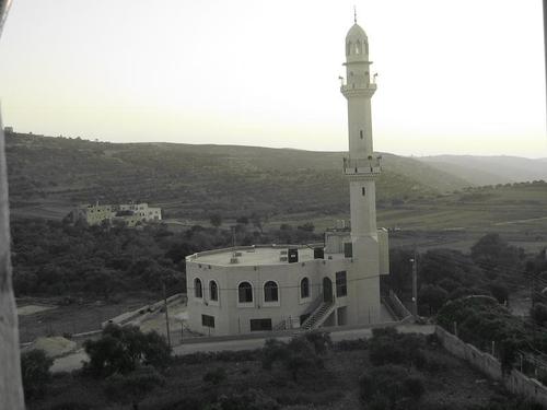
Posted by Ghanem Mustafa 1 - المسجد الشرقي عند الغروب-2007
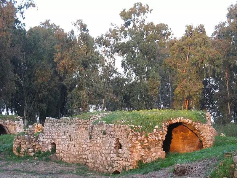
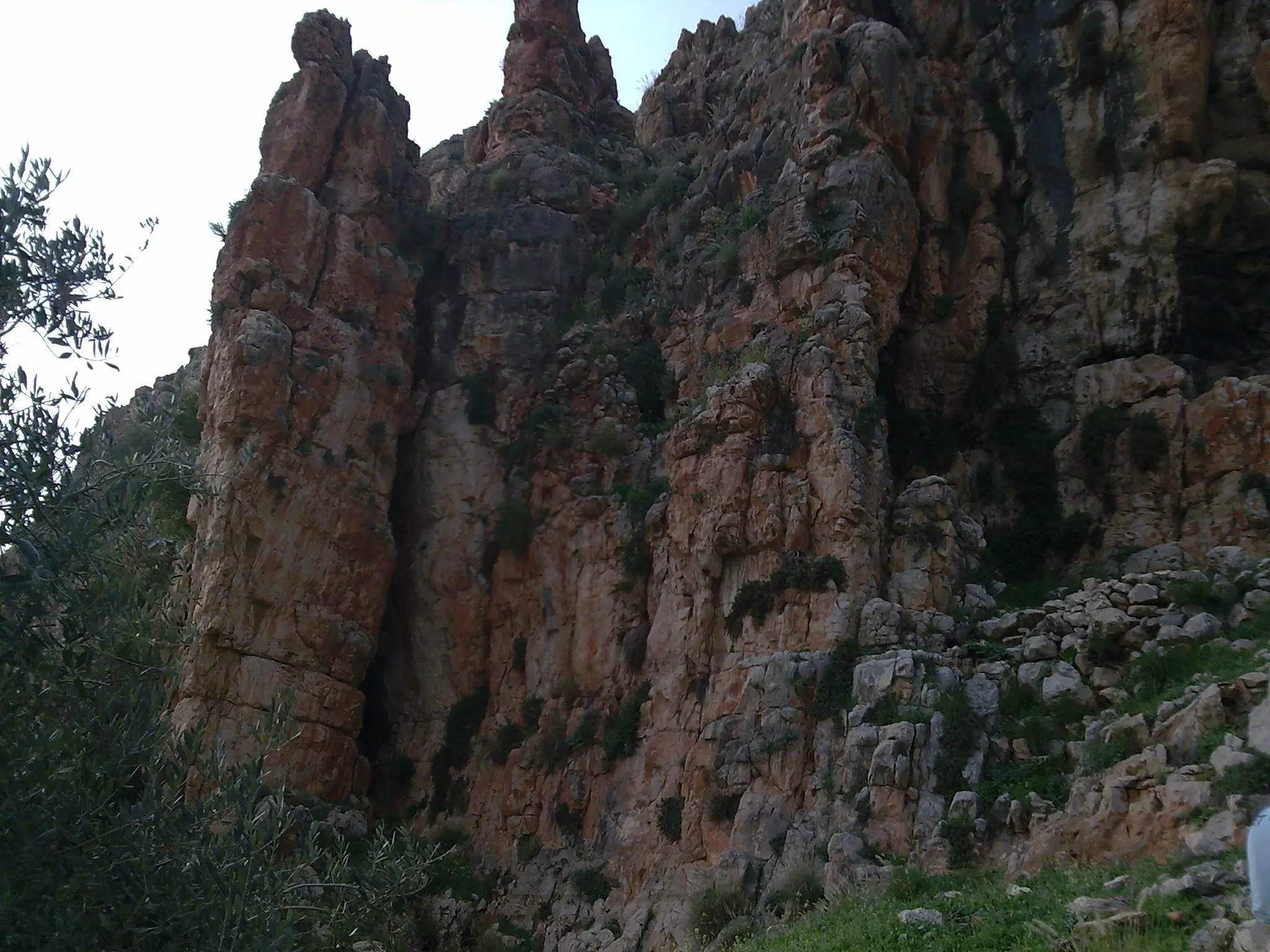
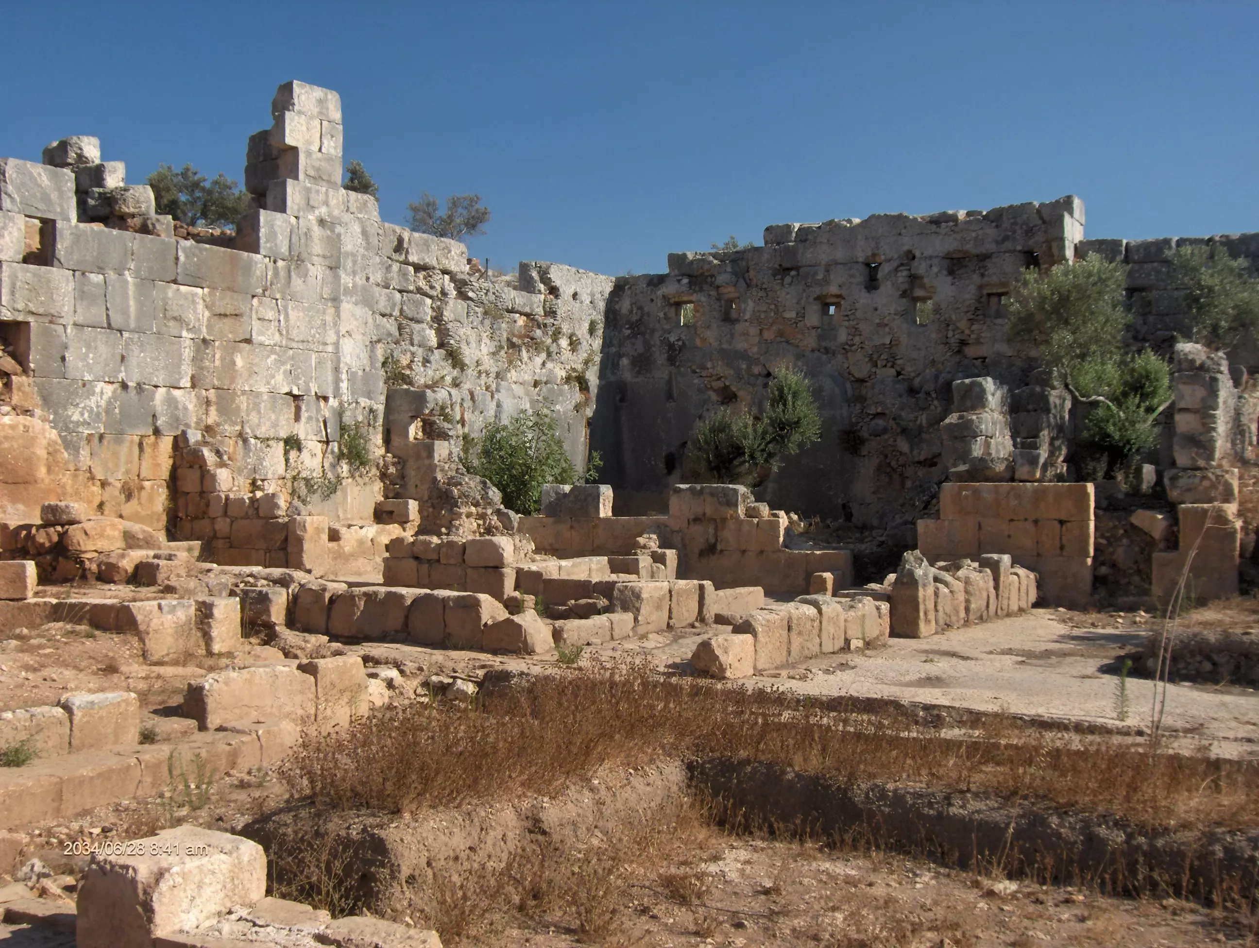
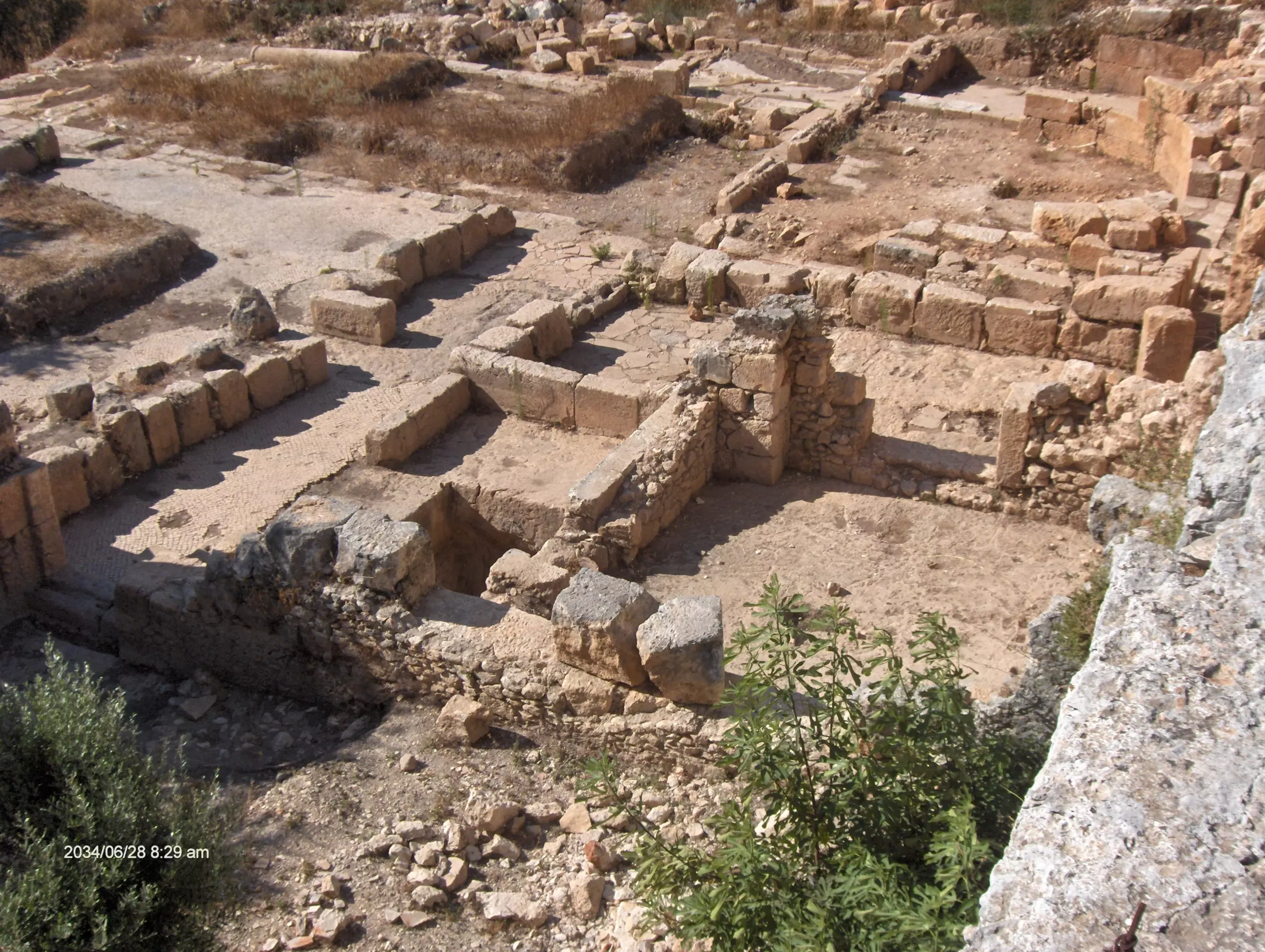
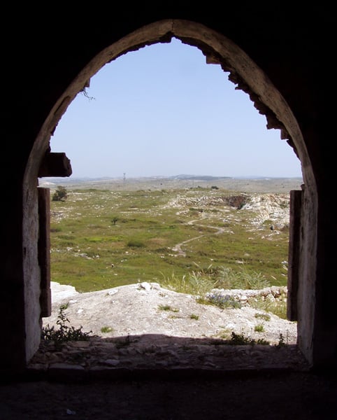
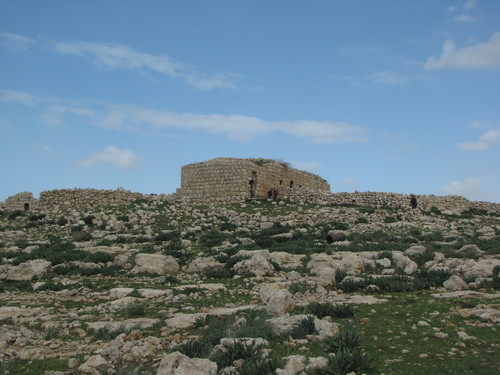
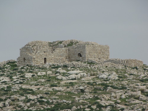
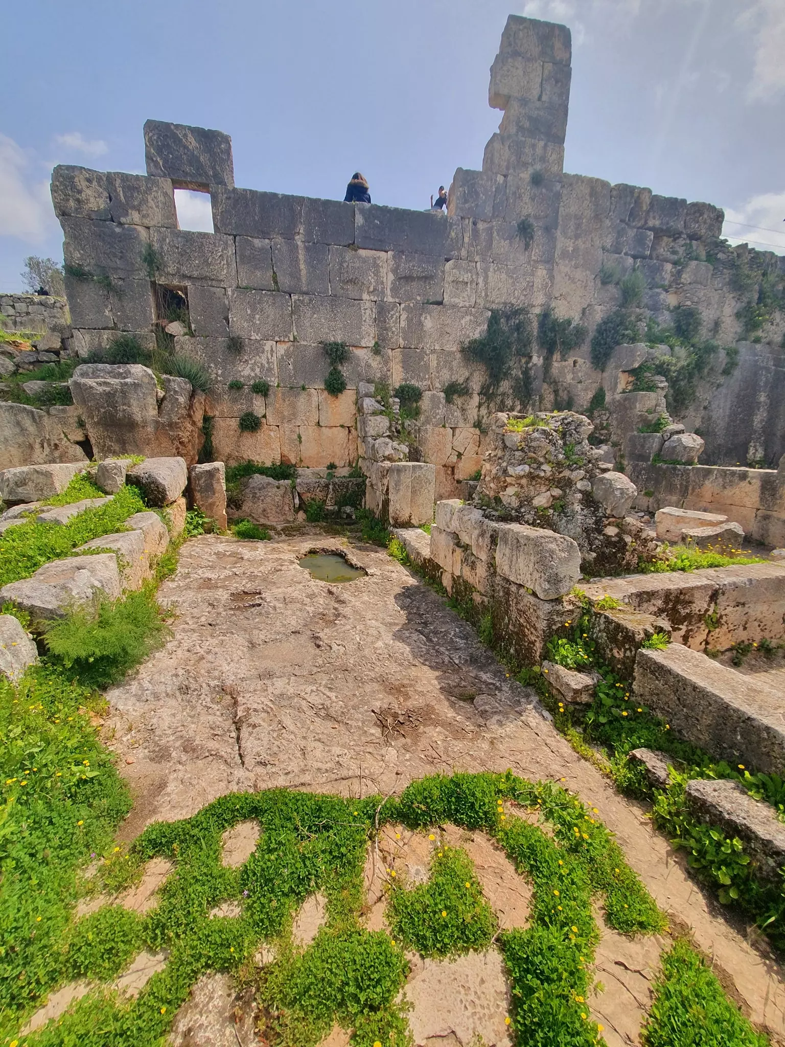
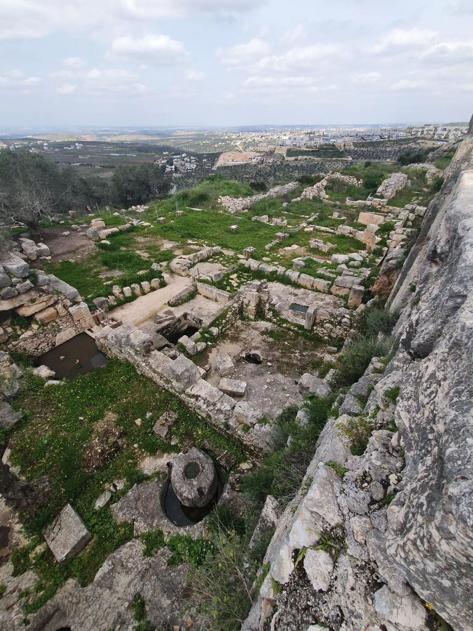
Posted by Ghanem Mustafa 1 - آثار دير سمعان الرومانية
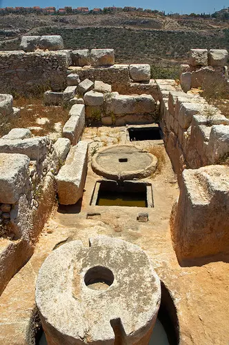
Posted by Ghanem Mustafa - آثار دير قلعة الرومانية-1

Posted by Ghanem Mustafa - آثار دير قلعة الرومانية-2

Posted by Ghanem Mustafa - آثار دير قلعة الرومانية-3
Posted by Ghanem Mustafa - زيتون الخلة-1990
Posted by Ghanem Mustafa - جبل عراق التوتة-1990
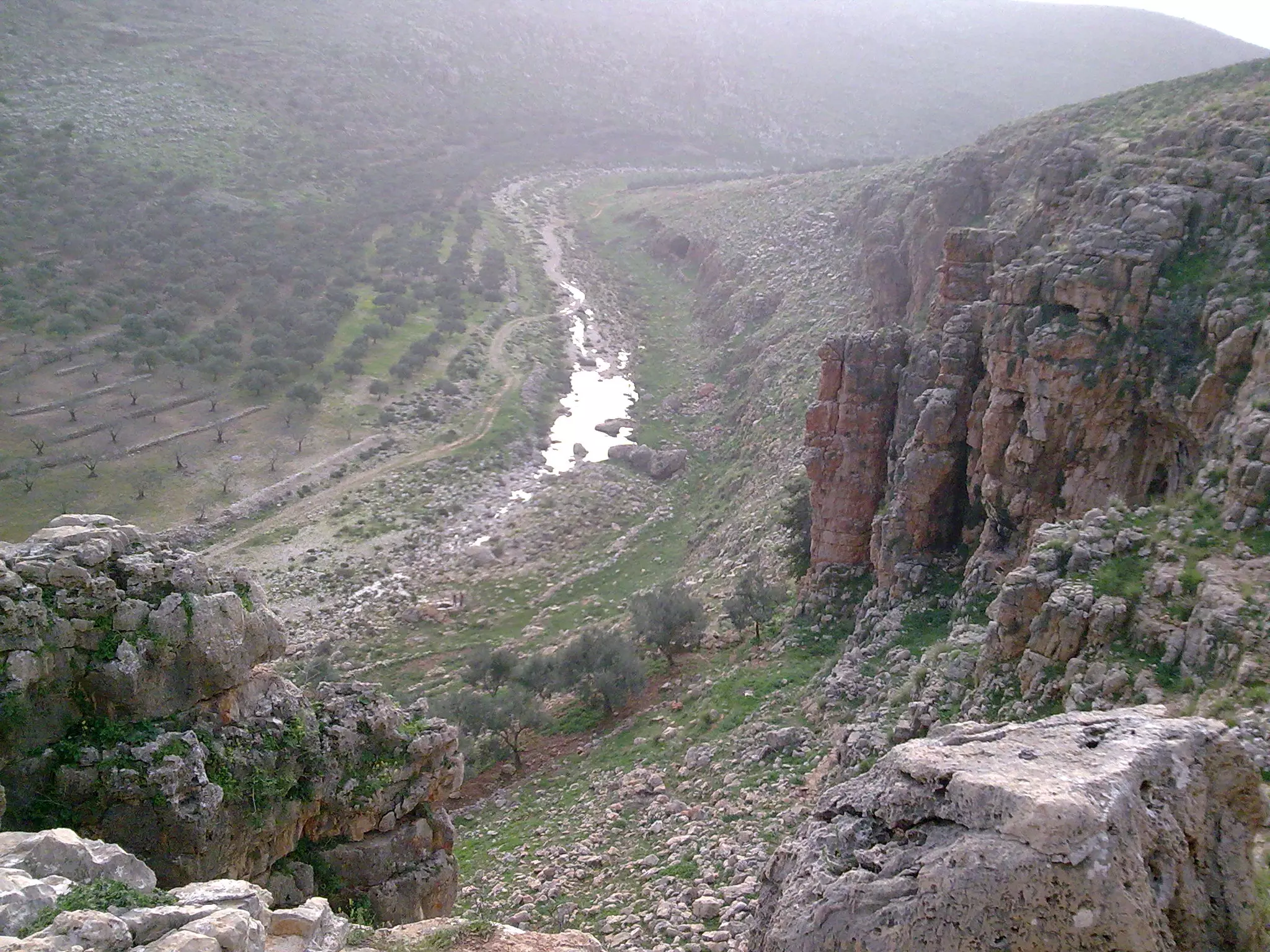
Posted by Ghanem Mustafa - تشكيلات أصابع الخور-2008
Posted by Ghanem Mustafa 3 - آثار دير المير-رومانية وإسلامية
Posted by Ghanem Mustafa - فوق رؤوس العرقان-1985
Posted by Ghanem Mustafa 5 - يئر الأقرع-1969
Posted by Ghanem Mustafa 2 - انحدار سحيق من جبل دير قلعة
Posted by Ghanem Mustafa 1 - دير دقلة من البعد-آثار رومانية
Posted by Ghanem Mustafa 1 - خربة براعيش-موقعة حربية في الحرب العالمية الأولى
Posted by Ghanem Mustafa 2 - الخلة والحريقة-1990
Posted by Ghanem Mustafa - حول رأس العين-الأراضي الزراعية المحتلة سنة 1948
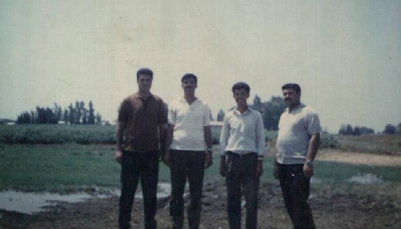
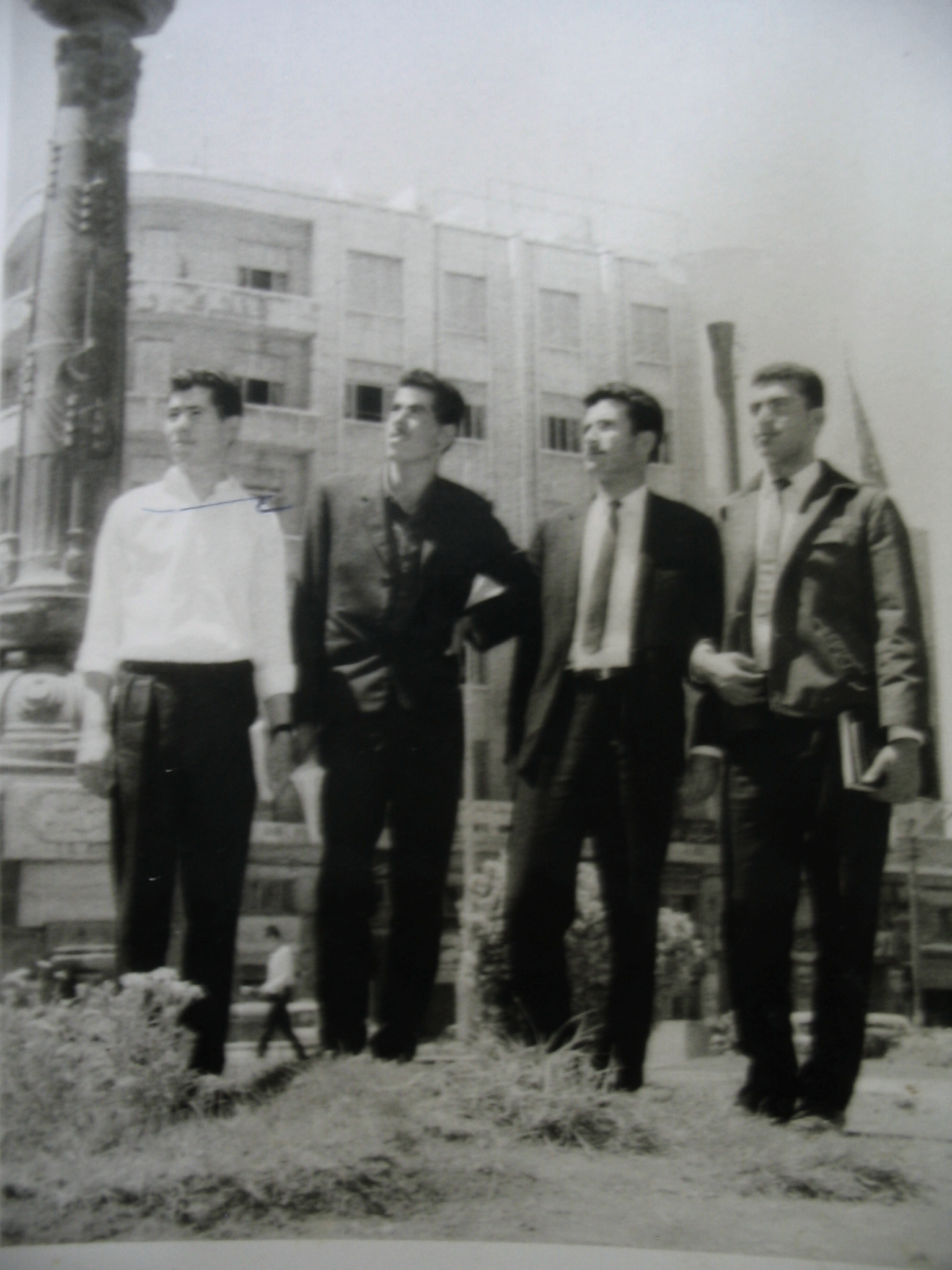
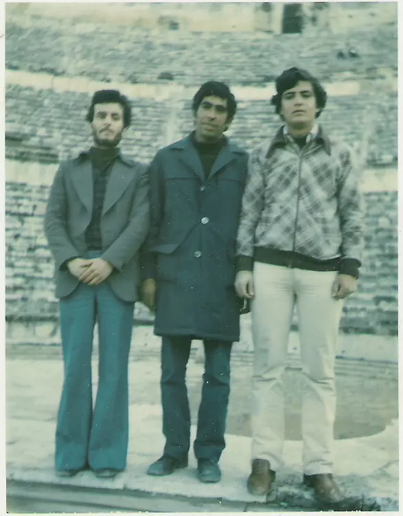
Posted by Ghanem Mustafa - من بواكير خريجي الجامعة الأردنية-1970

Posted by Ghanem Mustafa 4 - من أوائل خريجي الجامعات المصرية-1968
Posted by Ghanem Mustafa 3 - من قدامى خريجي الجامعات المصرية-1969

Posted by Ghanem Mustafa 4 - استراحة طلابية في الاسكندرية-1969
Posted by Ghanem Mustafa 3 - محيط رأس العين-الأراضي المحتلة سنة1948
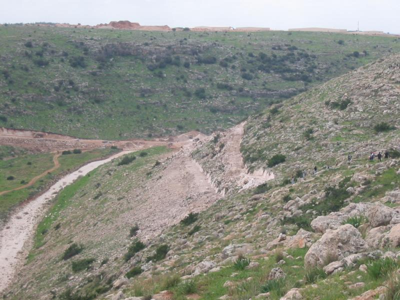
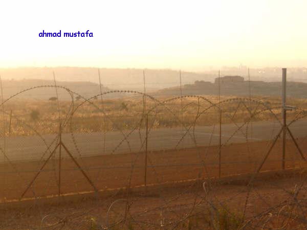
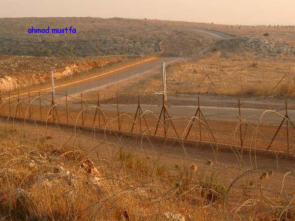
Posted by Ghanem Mustafa - جدار الفصل العنصري في أراضي دير بلوط ورافات
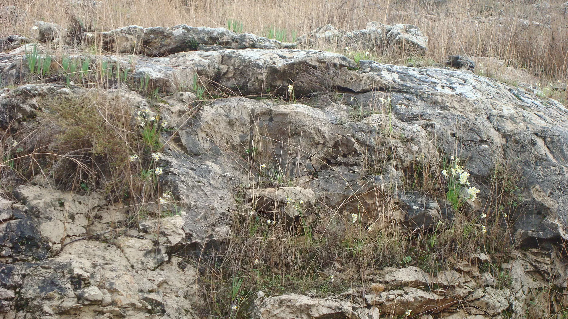
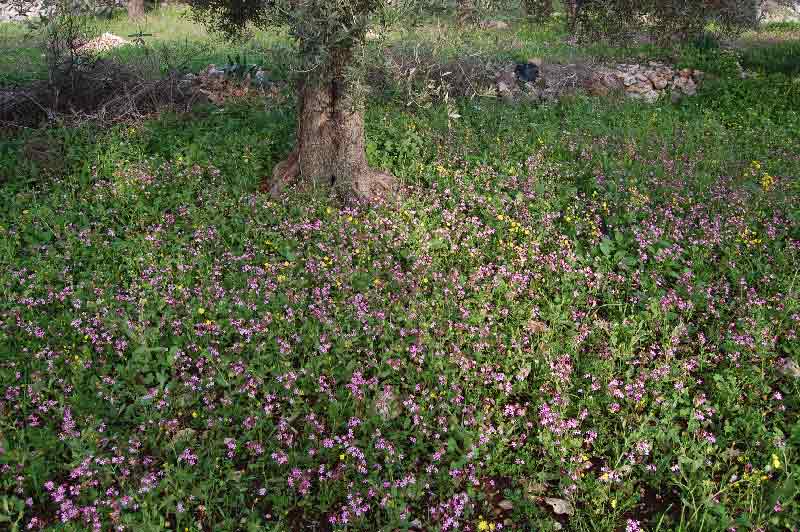
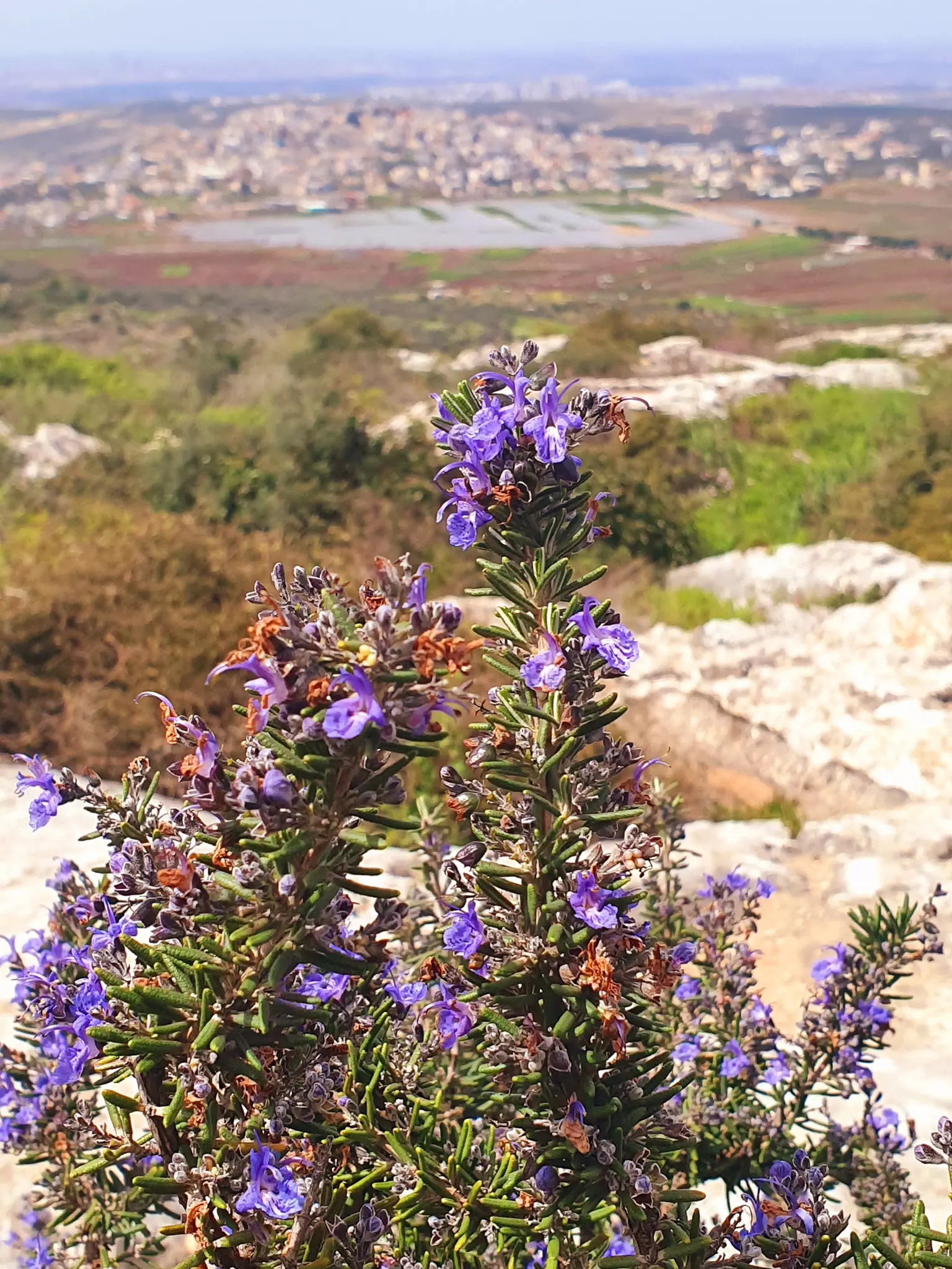
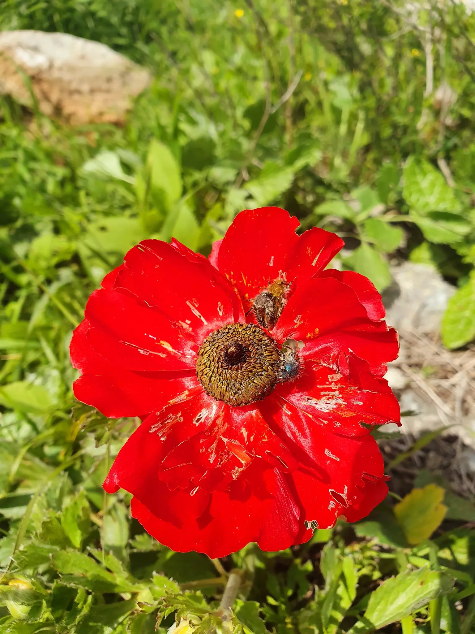
Posted by Ghanem Mustafa - أزهار الربيع
Posted by Ghanem Mustafa 2 - البالوع قبل زراعته
Posted by Ghanem Mustafa - البالوع أثناء زراعته
Posted by Ghanem Mustafa - البالوع في الشتاء
Posted by Ghanem Mustafa 3 - الصفحة والواد
Posted by Ghanem Mustafa 2 - منظر من الوادي
Posted by Ghanem Mustafa 2 - منظر الوادي أسفل الصفحة

Posted by Ghanem Mustafa 2 - ساعات الصباح المباركة-مارس نايل
Posted by Ghanem Mustafa 1 - منظر عام
Posted by Ghanem Mustafa 3 - صلاة
Posted by Ghanem Mustafa - نهر العوجا قديما حيث الأراضي المحتلة 1948
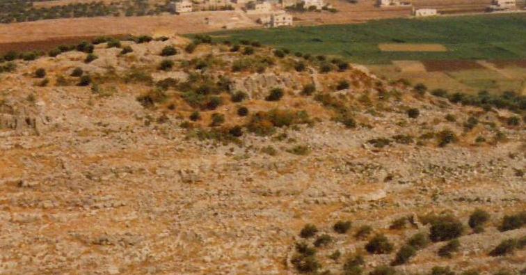
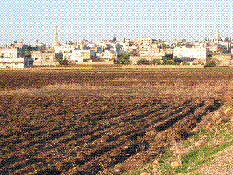
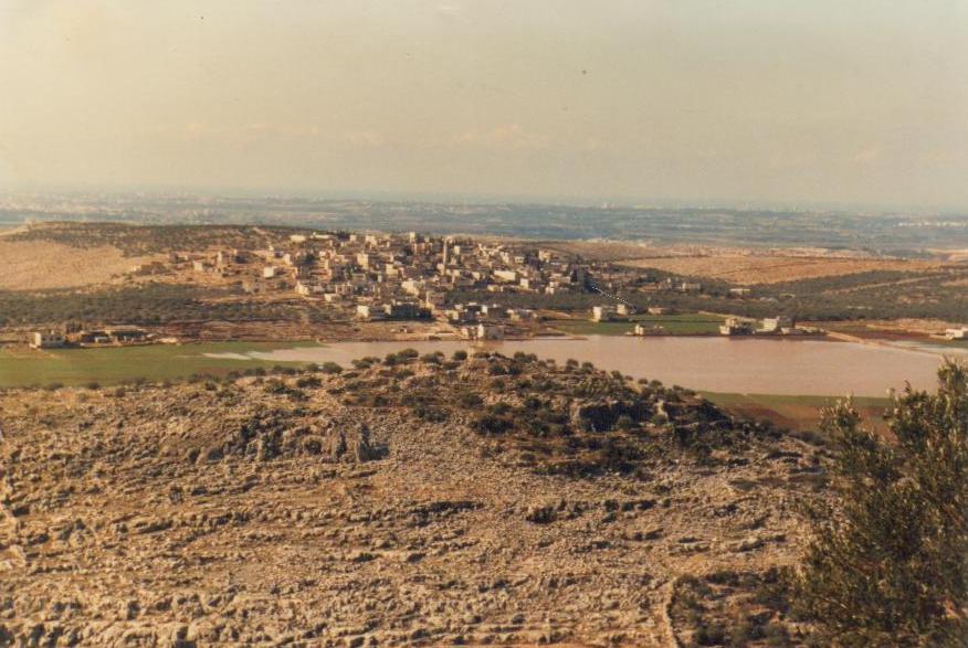
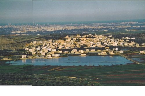
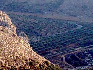
Posted by Ghanem Mustafa 1 - منظر القرية من محاجر مجدل الصادق
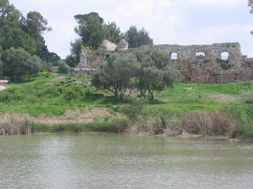
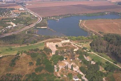
Posted by Ghanem Mustafa 1 - قلعة وبحيرة رأس العين بجانب اراضي 1948 المحتلة
Posted by Ghanem Mustafa 2 - الخلة وظهر الجال-2006
Posted by Ghanem Mustafa 2 - من مغتربي 1925
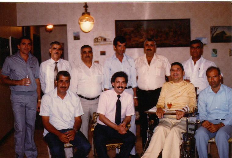
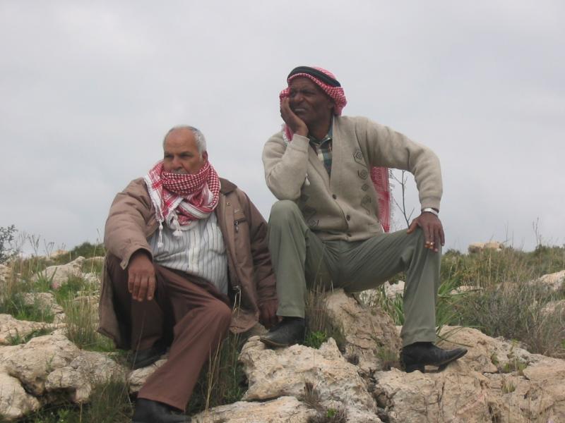
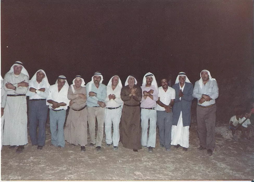
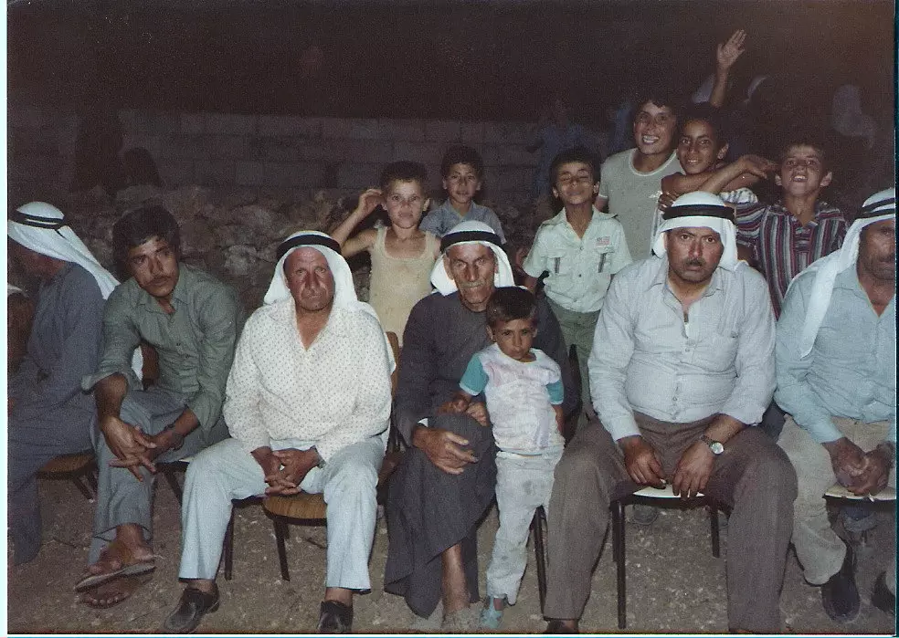
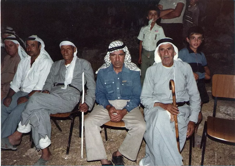
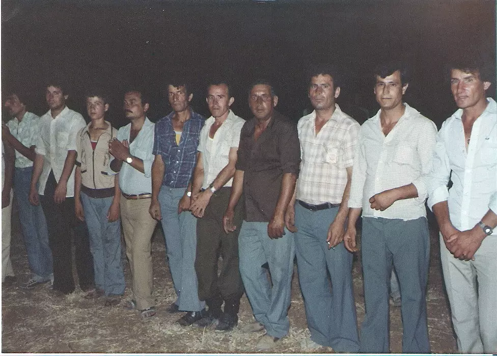
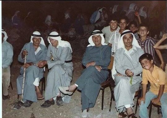
Posted by Ghanem Mustafa 7 - من جيل الآباء-1975
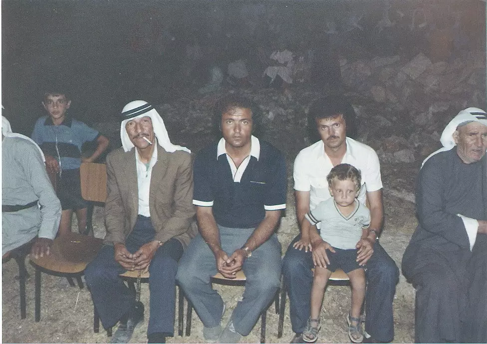
Posted by Ghanem Mustafa 5 - مع جيل الآباء أيضا-1975
Posted by Ghanem Mustafa 2 - عقبة دير المير-مكان وقوع صاروخ باتريوت أثناء حرب الخليج-1990
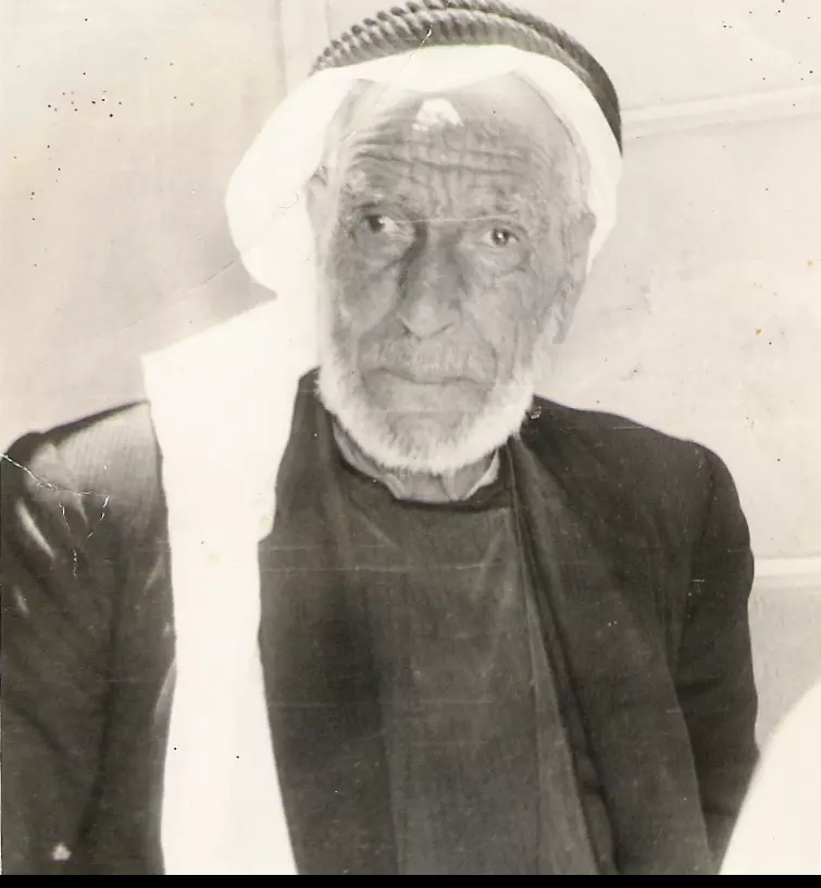
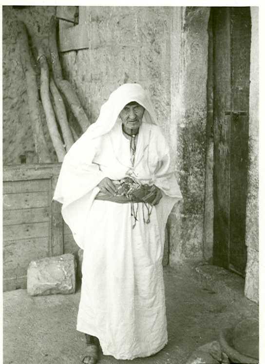
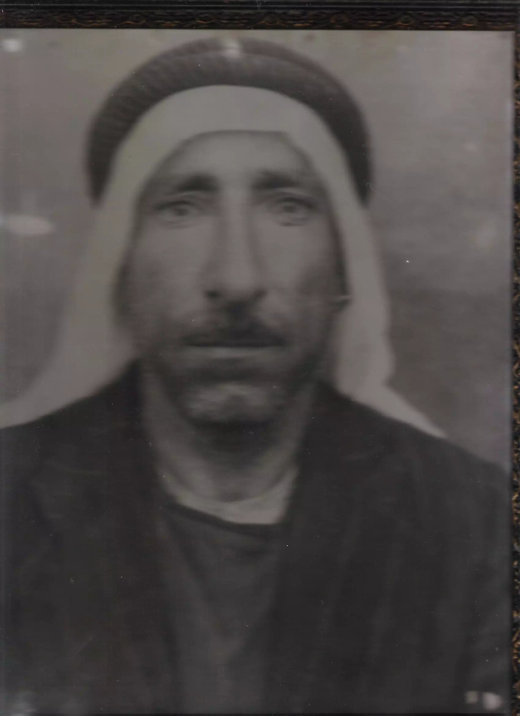
Posted by Ghanem Mustafa 1 - المرحومان يوسف وعلي المحمود-1990
Posted by Ghanem Mustafa 1 - المرحوم سليم المصطفى-1981
Posted by Ghanem Mustafa 3 - محمية وادي سريدة
Posted by Ghanem Mustafa 2 - طاحونة المرّ (المحمودية) القديمة-بجانب أراضي 1948 المحتلة
Posted by Ghanem Mustafa 3 - المنظر من دير غسانة
Posted by Ghanem Mustafa 4 - منظر جبال دير بلوط من دير طريف
Posted by Ghanem Mustafa 1 - صورة تلسكوبية من ملبّس شرقا
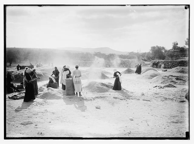
Posted by Ghanem Mustafa 1 - بيادر القمح
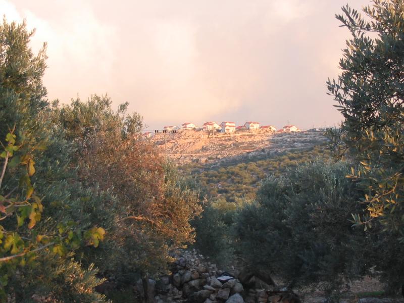
Posted by Ghanem Mustafa 1 - مستوطنة بيدوئيل تطل على القرية من أعلى جبل دير قلعة
Posted by Ghanem Mustafa - إطلالة على كفر قاسم ومستعمرة رأس العين من الزيتون الغربي
Posted by Ghanem Mustafa - مستوطنة بيدوئيل من حاجز باب المرج
Posted by Ghanem Mustafa - حصار وتضييق
Posted by Ghanem Mustafa - براءة الأحبة الصغار وإطلالة على كفر قاسم ورأس العين
Posted by Ghanem Mustafa 1 - معاناة عند حاجز باب المرج
Posted by Ghanem Mustafa - صلاة في خربة مسمار
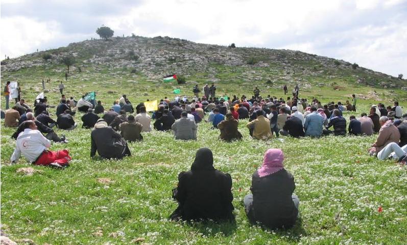
Posted by Ghanem Mustafa 1 - صلاة في أبو الرايات
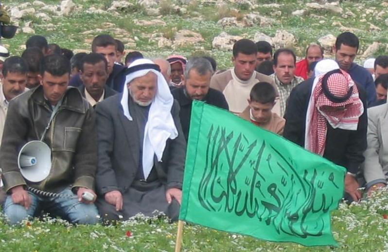
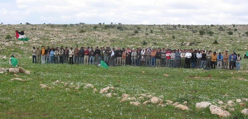
Posted by Ghanem Mustafa - صلاة في الاراضي التي سيخترقها الجدار-1
Posted by Ghanem Mustafa - صلاة في الاراضي التي سيخترقها الجدار-2
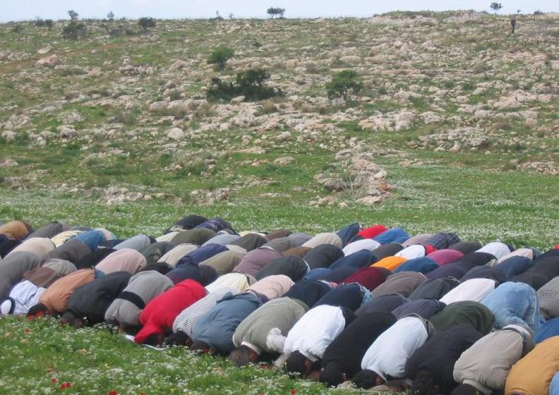
Posted by Ghanem Mustafa - صلاة في الاراضي التي سيخترقها الجدار-3
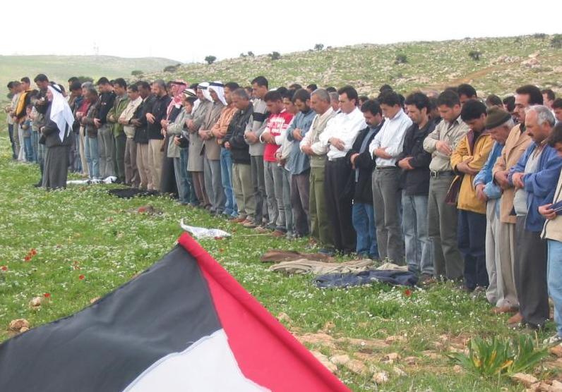
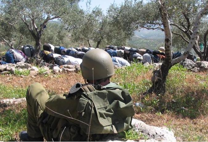
Posted by Ghanem Mustafa - صلاة تحت المراقبة
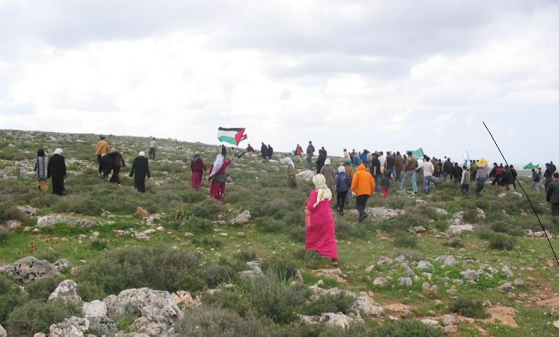
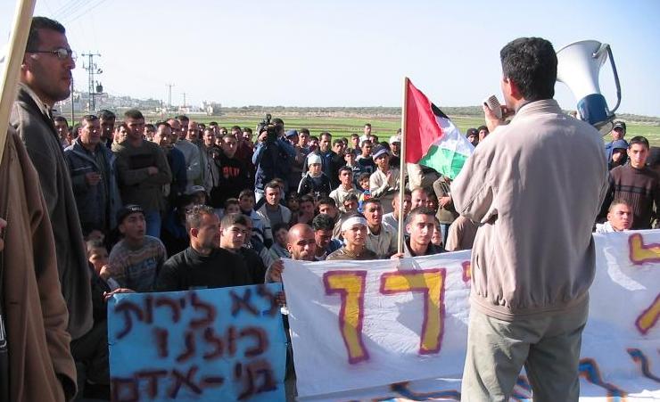
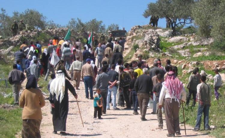
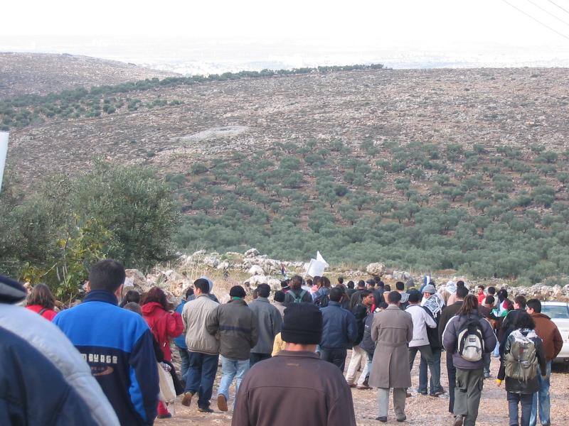
Posted by Ghanem Mustafa - تظاهرة في الطريق الى الجدار غربي القرية
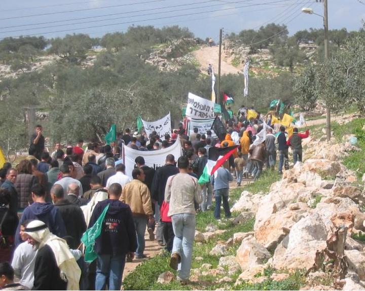
Posted by Ghanem Mustafa - تظاهرة - أبو الرايات وأم القباء
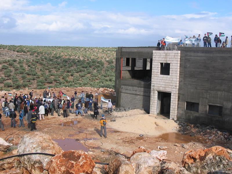
Posted by Ghanem Mustafa 1 - تظاهرة ضد الجدار العازل-5
Posted by Ghanem Mustafa - الجيبات العسكرية داخل القرية-1

Posted by Ghanem Mustafa - الجيبات العسكرية داخل القرية-2
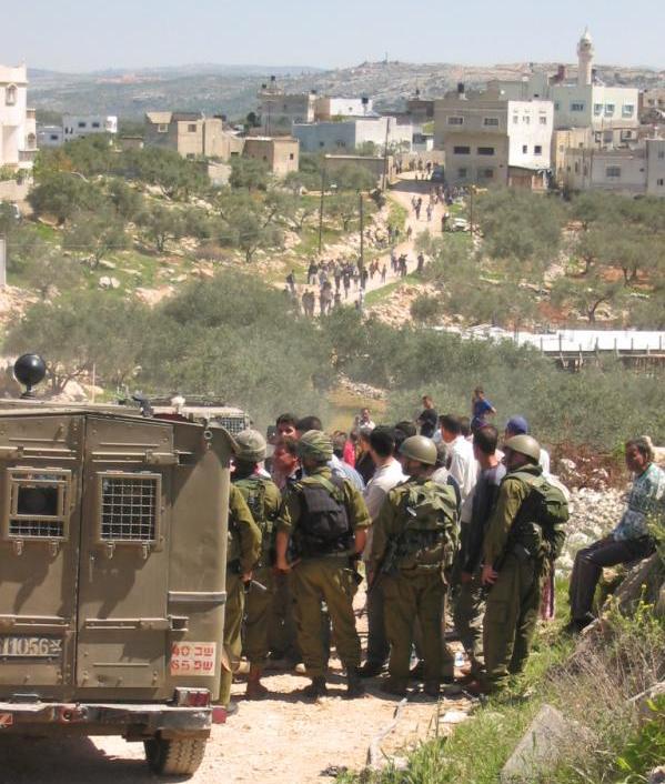
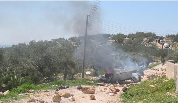
Posted by Ghanem Mustafa - في مواجهة قوات الاحتلال
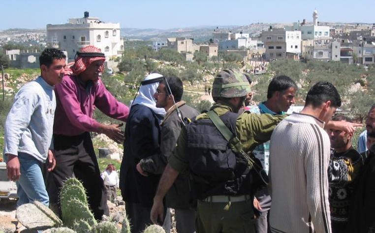
Posted by Ghanem Mustafa - في مواجهة التظاهرة عند باب المرج
Posted by Ghanem Mustafa - تظاهرة عند باب المرج
Posted by Ghanem Mustafa 1 - تظاهرة سلمية عند باب المرج
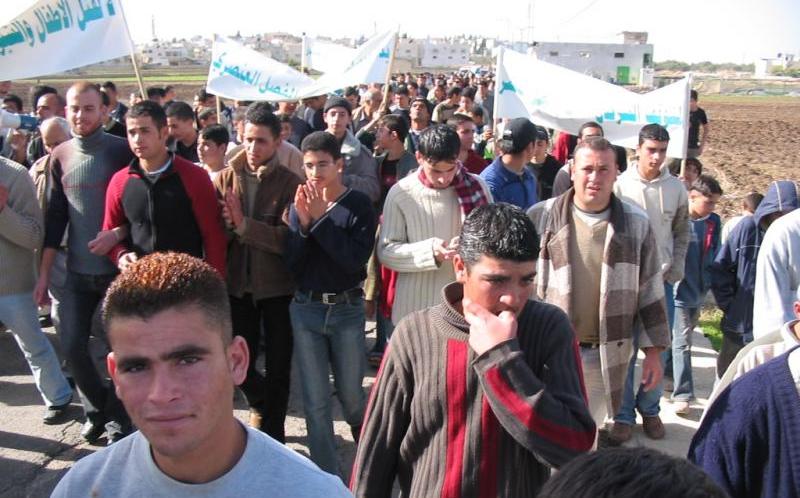
Posted by Ghanem Mustafa - تظاهرة سلمية غربي القرية
Posted by Ghanem Mustafa 1 - تظاهرة سلمية لبنات المدرسة
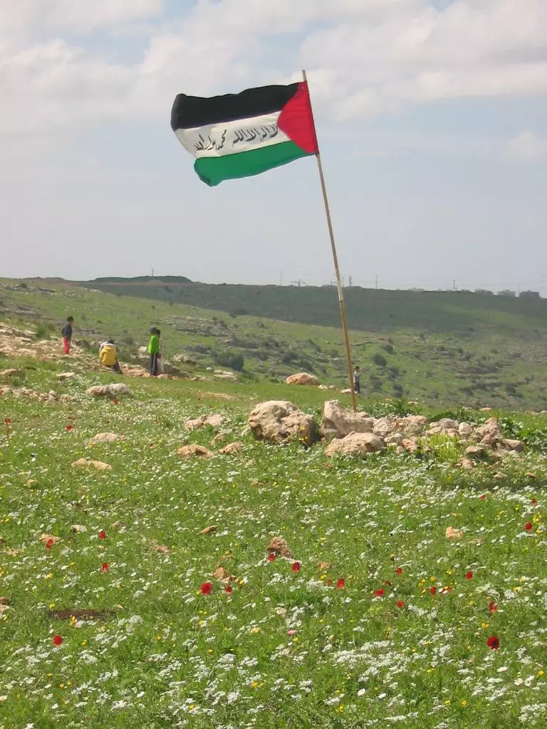
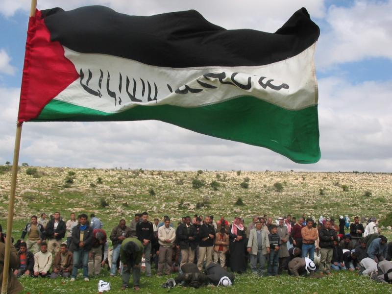
Posted by Ghanem Mustafa - تظاهرة سلمية وعلم فلسطين

Posted by Ghanem Mustafa 2 - من الانتفاضة
Posted by Ghanem Mustafa - في مقاومة الجدار
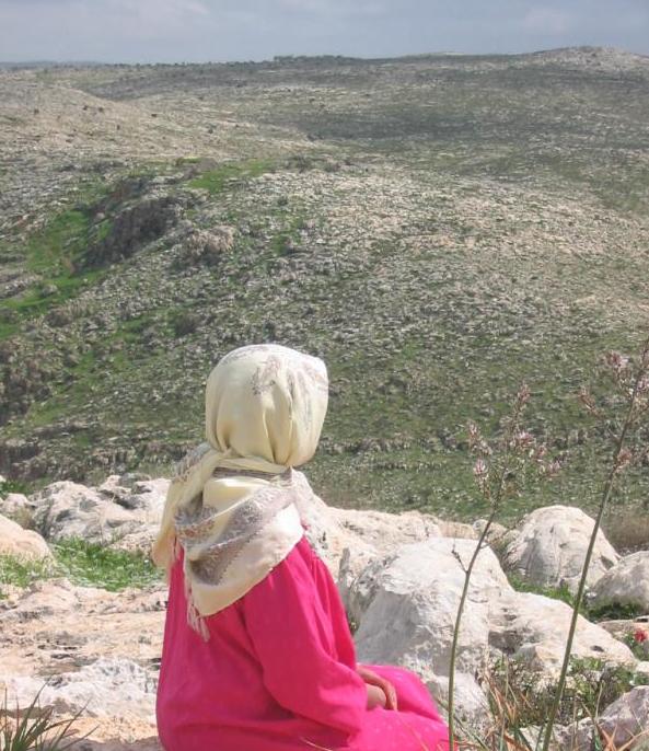
Posted by Ghanem Mustafa - نظرة تأمل الى الوادي-1
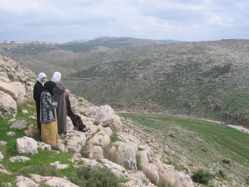
Posted by Ghanem Mustafa - نظرة تأمل الى الوادي-2
Posted by Ghanem Mustafa 6 - نظرة حزن الى الأراضي التي سيلتهمها الجدار
Posted by Ghanem Mustafa - خط سير الجدار جنوبا
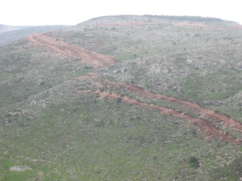
Posted by Ghanem Mustafa 1 - خط سير الجدار في الوادي عند تعمر
Posted by Ghanem Mustafa 4 - دير المير
Posted by Ghanem Mustafa 1 - التحضير للصلاة في أحد المواقع
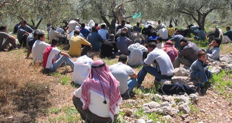
Posted by Ghanem Mustafa - صلاة جامعة في تعمر
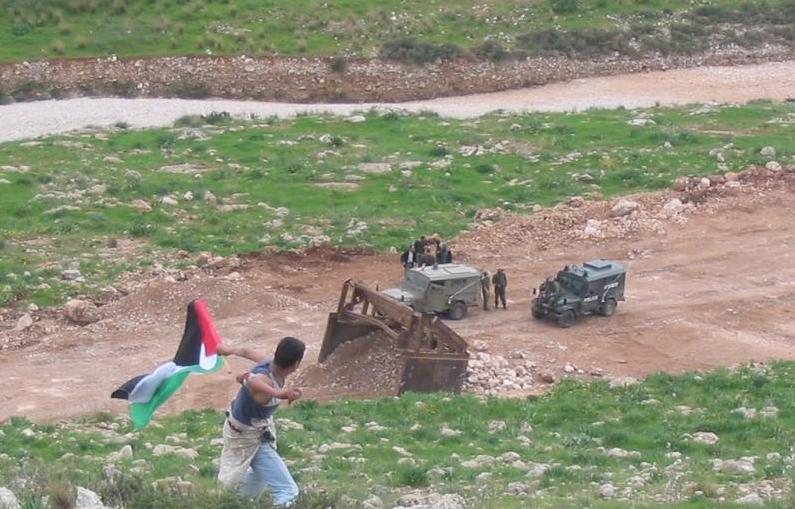
Posted by Ghanem Mustafa 1 - تظاهرة ضد اغلاق الطرق-1
Posted by Ghanem Mustafa - تظاهرة ضد اغلاق الطرق-2
Posted by Ghanem Mustafa - منع المتظاهرين من الوصول الى موقع الجدار
Posted by Ghanem Mustafa 1 - دير بلوط/ اول البلد
Posted by ابو العربي 1 - دير بلوط/ الوادي
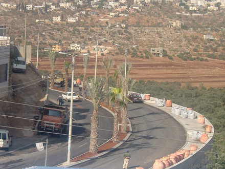
Posted by ابو العربي 3 - حاجز باب المرج
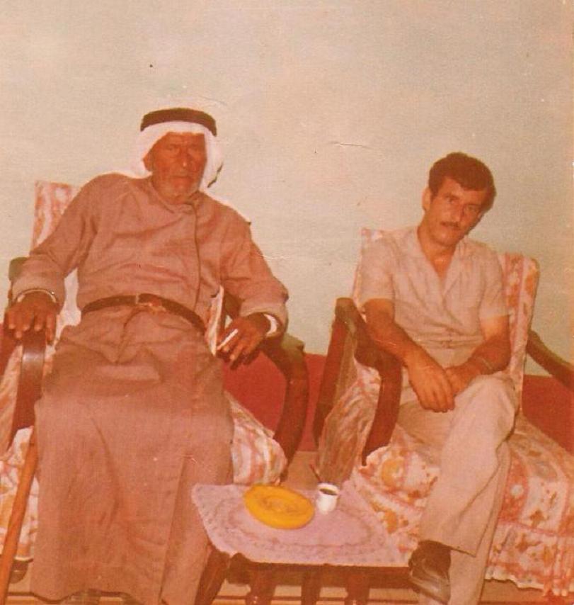
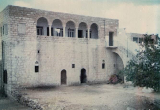
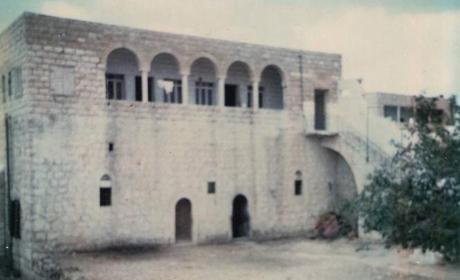
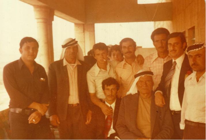
Posted by bilal mustafa 2 - دار آل علي - بيت المخترة 1944 - 1978
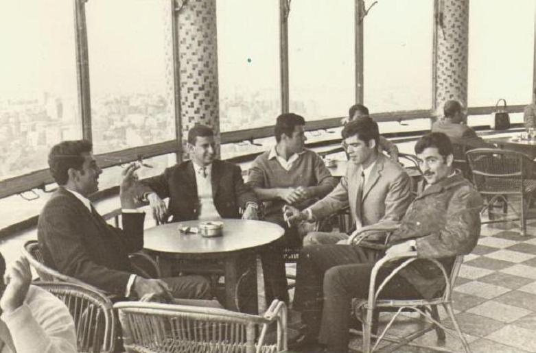
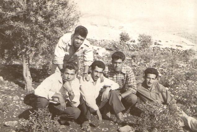
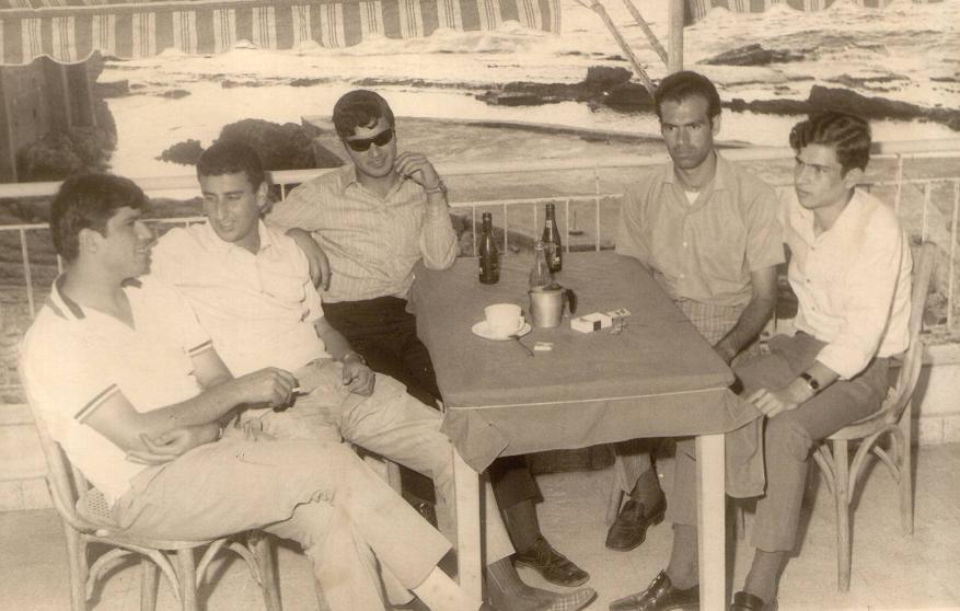
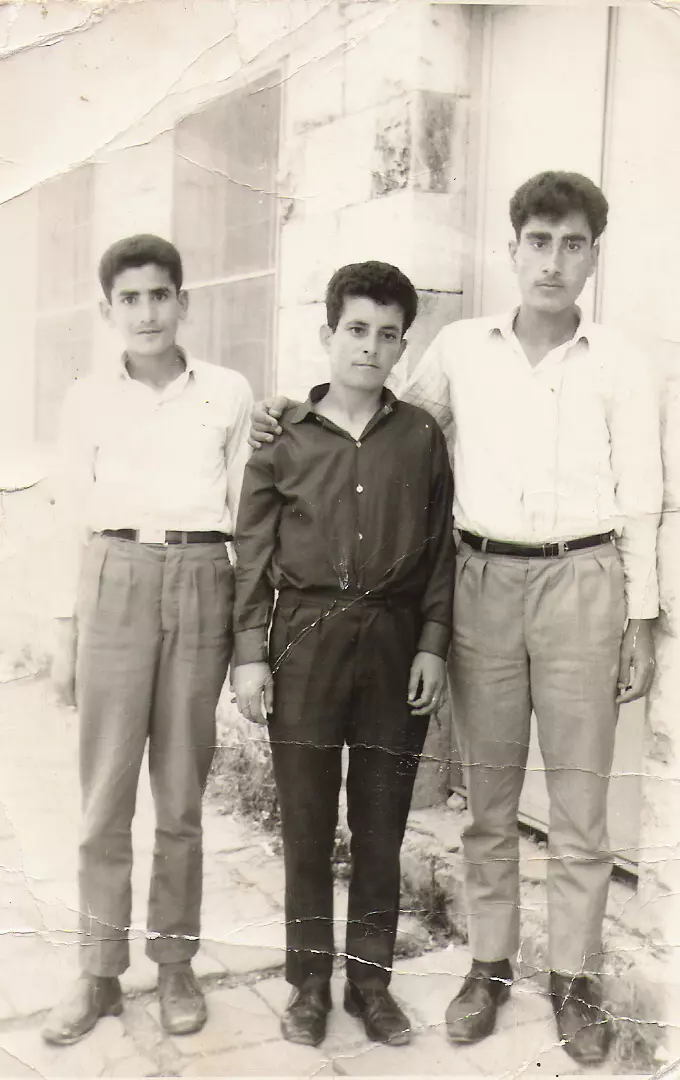
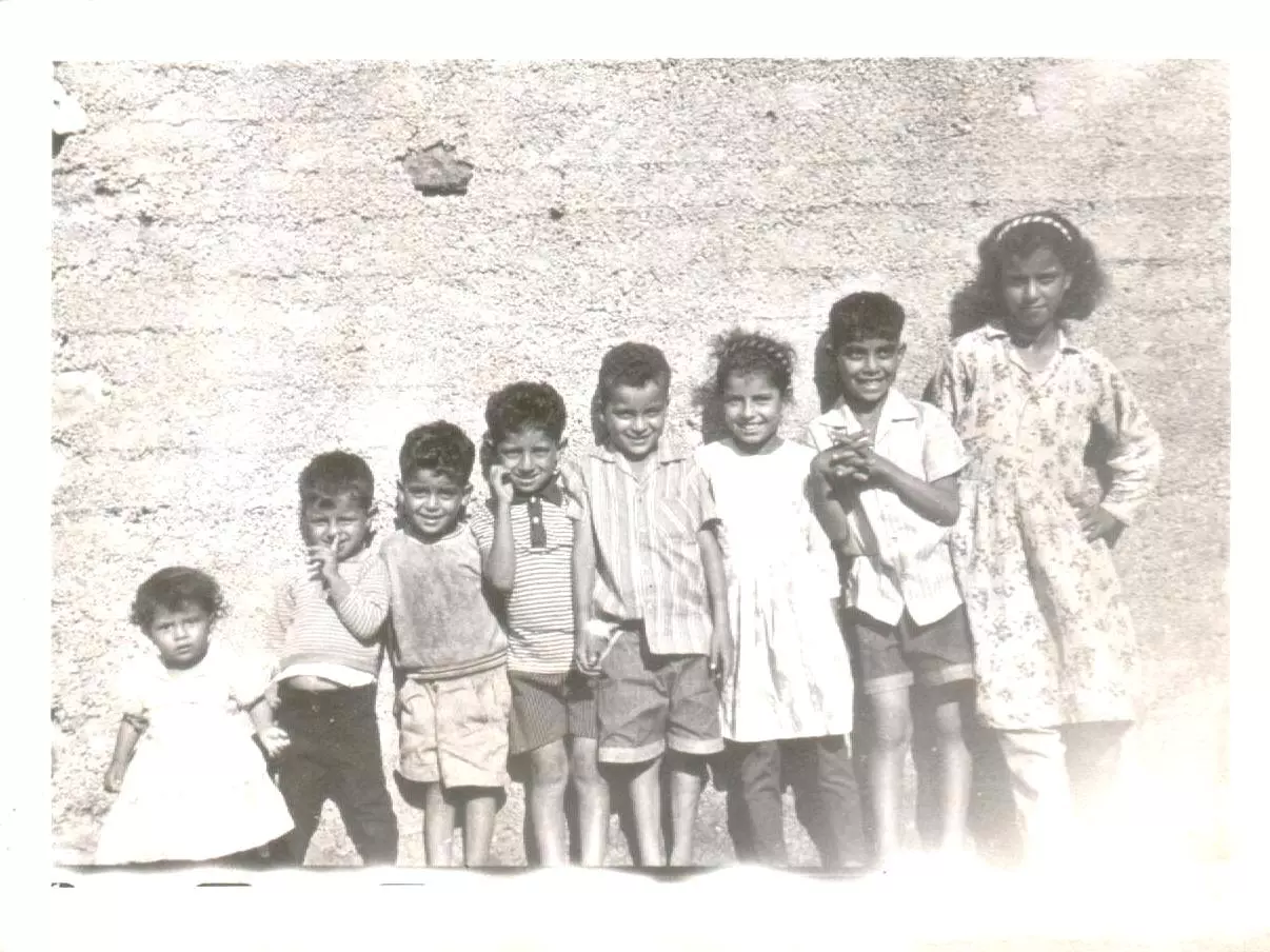
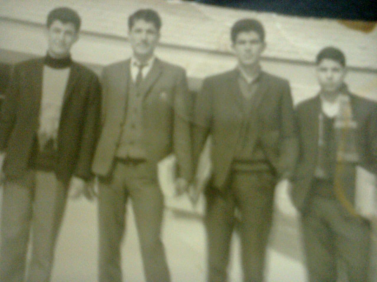
Posted by Ghanem Mustafa 2 - من شبيبة القرية - 1963
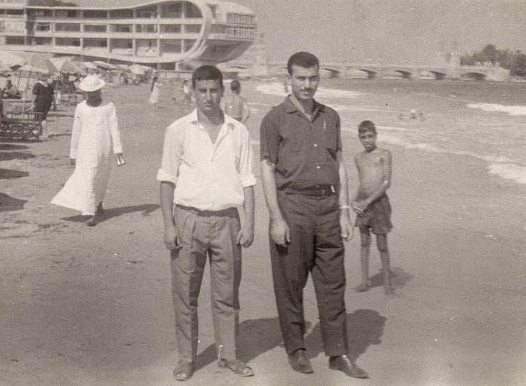
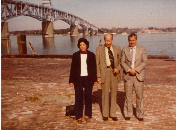
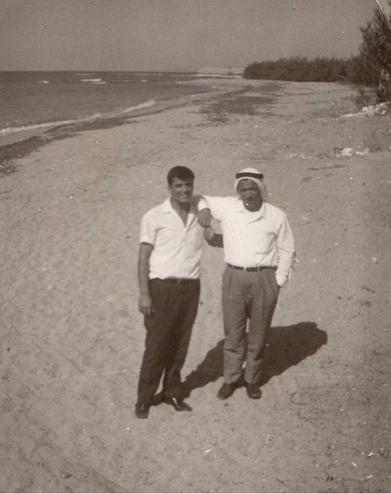
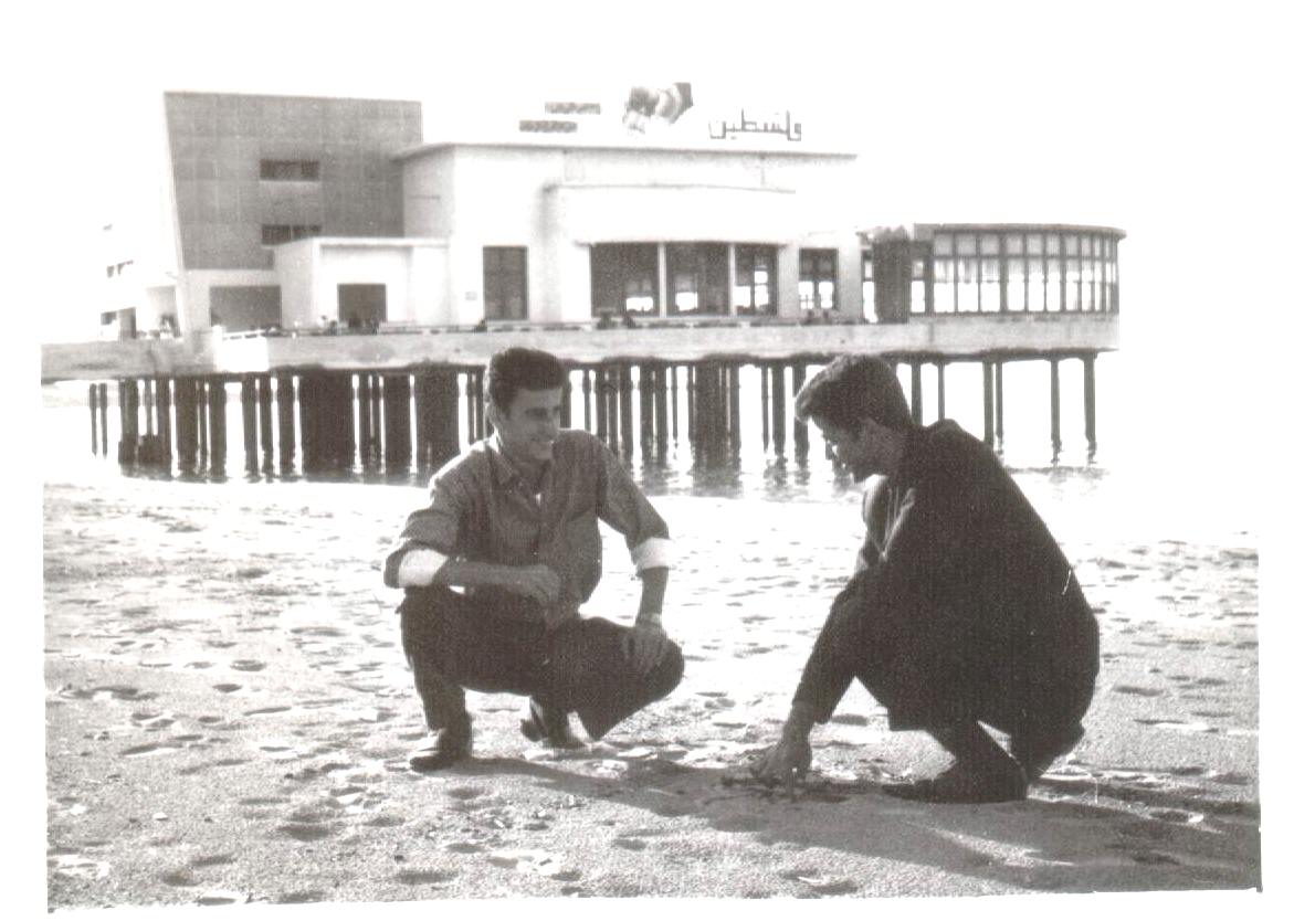
Posted by Ghanem Mustafa 2 - المرحوم عودة سالم مع د. محمد حسين علي- شاطئ صيدا-1970
Posted by Ghanem Mustafa 5 - دار آل علي - بيت المخترة 1944 - 1978
Posted by Ghanem Mustafa 2 - مخيم السلام ضد الجدار-2003#1
Posted by Ghanem Mustafa - مخيم السلام ضد الجدار-2003#2
Posted by Ghanem Mustafa 1 - مخيم السلام ضد الجدار-2003#3
Posted by Ghanem Mustafa - مخيم السلام ضد الجدار-2003#4
Posted by Ghanem Mustafa - مخيم السلام ضد الجدار-2003#5
Posted by Ghanem Mustafa - قمة جبل دير قلعة من مطار اللد
Posted by Ghanem Mustafa 1 - عين الزرقاء-2
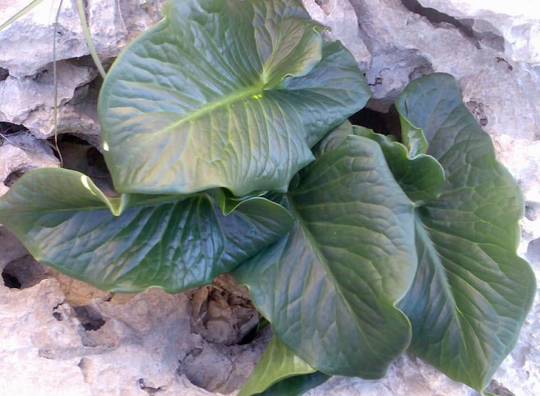
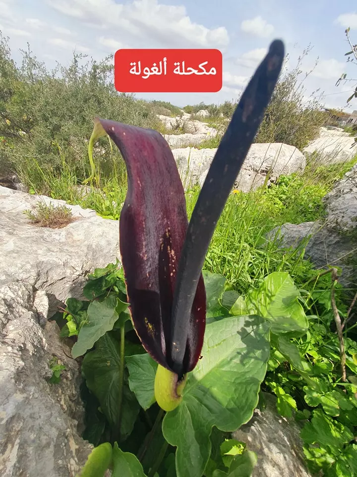
Posted by Ghanem Mustafa 1 - نبات اللوف البري
Posted by Ghanem Mustafa 2 - مخيم السلام ضد الجدار-6
Posted by Ghanem Mustafa - مخيم السلام ضد الجدار-7
Posted by Ghanem Mustafa - احدى تظاهرات حركة السلام مع اهل القرية
Posted by Ghanem Mustafa - احدى صور التضييق - اغلاق الطرق
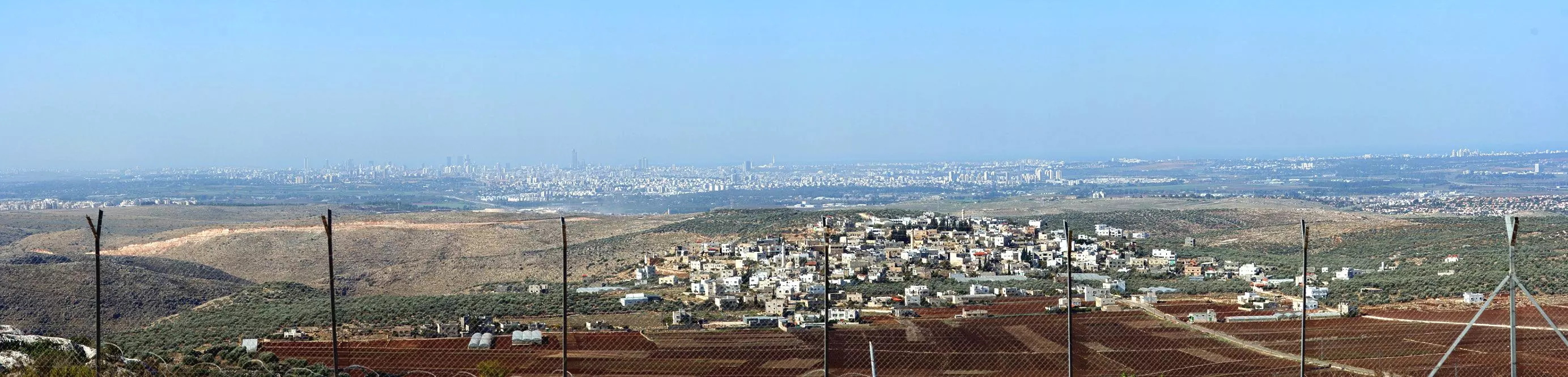
Posted by Ghanem Mustafa - صورة تلسكوبية عريضة لمرتفعات الضفة كما ترى من مستعمرة رأس العين
Posted by Ghanem Mustafa 2 - شنهاب - واحدة من الاراضي المحتلة سنة 1948
Posted by Ghanem Mustafa 2 - نقطة المراقبة الحدودية قبل 1967
Posted by Ghanem Mustafa 1 - من خريجي جامعة بيروت العربية-1970
Posted by Ghanem Mustafa 2 - المرحوم زكريا باسم القاسم .... اهداء اخوك عساف القاسم
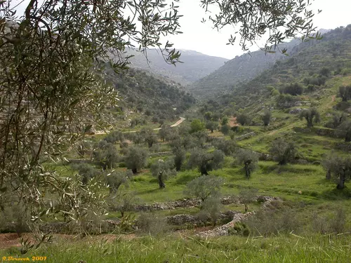
Posted by عساف عبد الجواد 9 - وادي العين في ربيع 2008
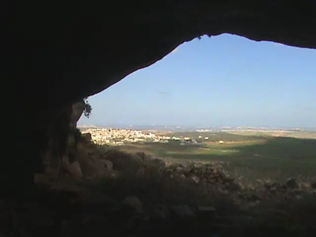
Posted by ahmad ismail - دير بلوط من مغارة دير قلعة 2008
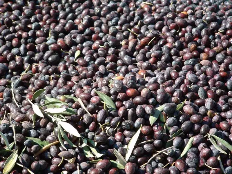
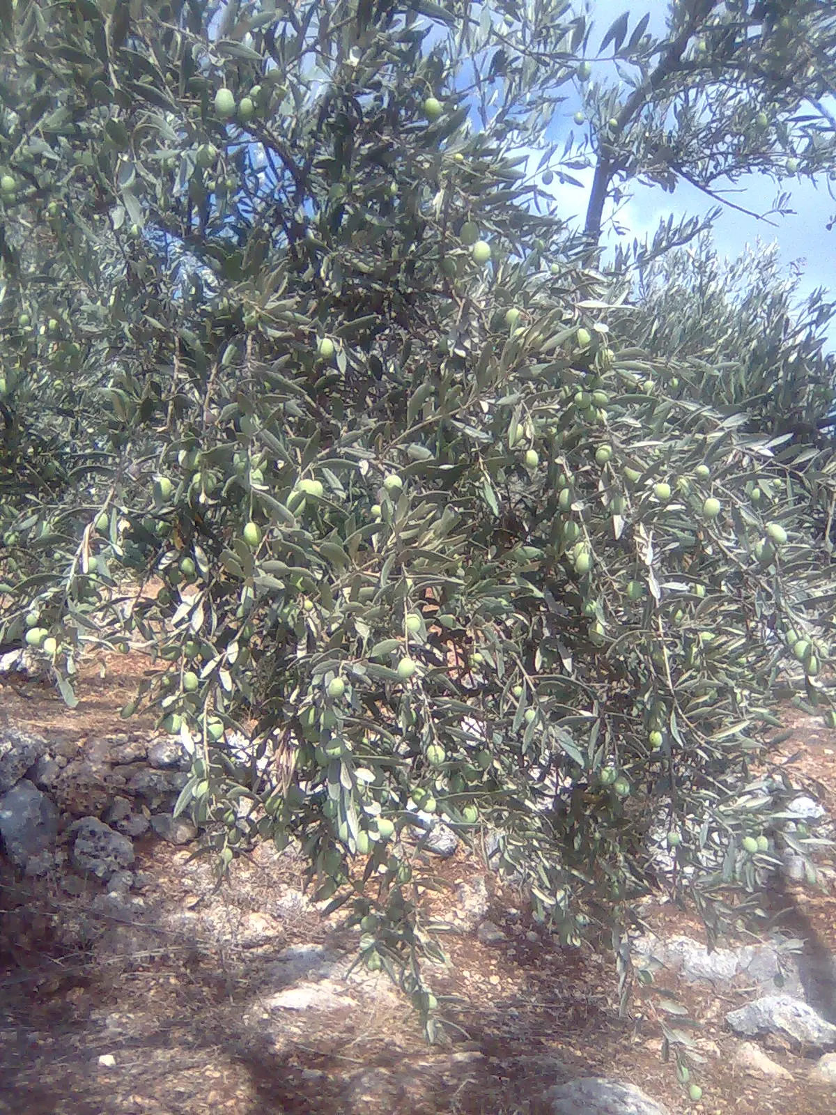
Posted by ahmad ismail - حبات الزيتون المباركة
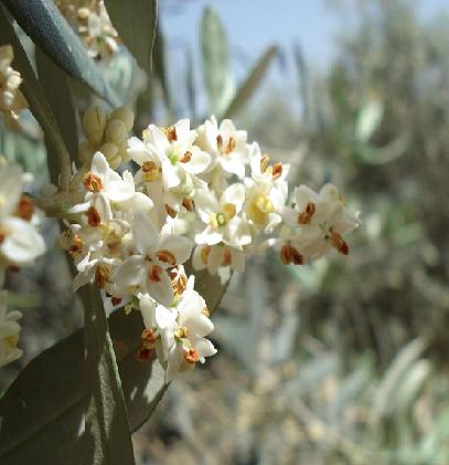
Posted by Ghanem Mustafa 1 - أزهار الزيتون مكبرة عن قرب
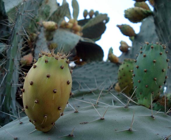
Posted by Ghanem Mustafa - ثمار الصبر
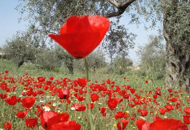
Posted by Ghanem Mustafa 1 - شقائق النعمان
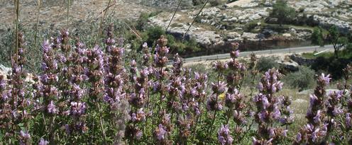
Posted by Ghanem Mustafa 2 - الزعتر البري
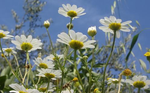
Posted by Ghanem Mustafa 1 - أزهار الأقحوان
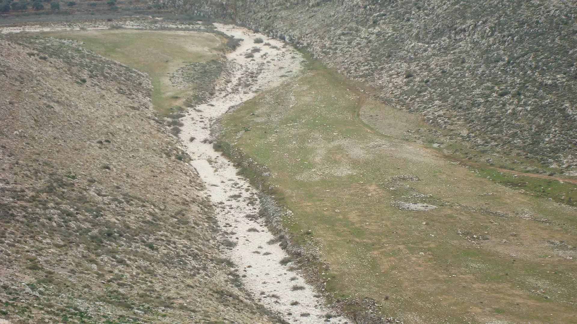
Posted by Ghanem Mustafa 2 - بداية وادي العين
Posted by Ghanem Mustafa 1 - أول انحدار لوادي العين شمالي الساوية
Posted by Ghanem Mustafa 1 - أول تشكيل لمجرى وادي العين جنوبي يتما
Posted by Ghanem Mustafa - صورة ثانية لبداية وادي العين غرب عقربا
Posted by Ghanem Mustafa 1 - المجرى المائي بين قبلان ويتما-بدايات وادي العين
Posted by Ghanem Mustafa 1 - بداية فرع سلواد-وادي العين
Posted by Ghanem Mustafa - بداية فرع سنجل-وادي العين
Posted by Ghanem Mustafa 1 - بداية فرع اللبن الشرقي-وادي العين
Posted by Ghanem Mustafa - بداية فرع وادي المطوي-وادي العين
Posted by Ghanem Mustafa - بداية فرع دير نظام-وادي العين
Posted by Ghanem Mustafa - وادي العين عند قراوى بني زيد
Posted by Ghanem Mustafa 1 - جبال عارورة تغذي وادي العين أيضا

Posted by Ghanem Mustafa - المريمية البرية
Posted by Ghanem Mustafa 1 - مسير وادي العين بعد تقاطعه مع طريق نابلس-رام الله
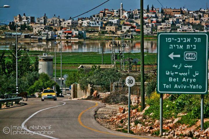
Posted by Ghanem Mustafa - الشارع الواصل بين دير بلوط ورافات هذة الصورة اخذت بجانب المستعمرة العسكري
Posted by ahmad 2 - dayr ballut
Posted by ahmad 1 - الجدار العازل
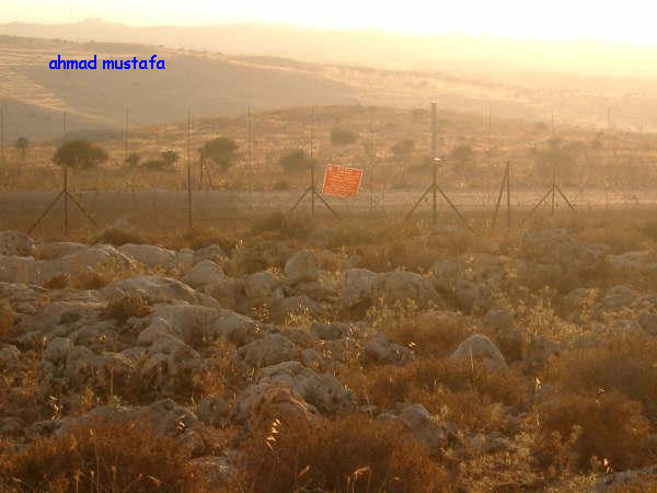
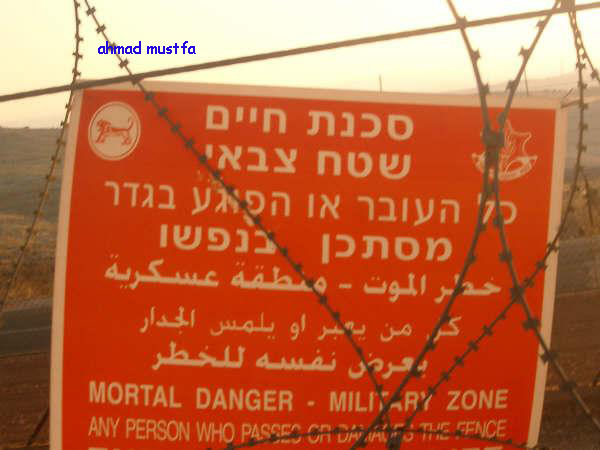
Posted by ahmad 2 - تحذير الجدار العازل
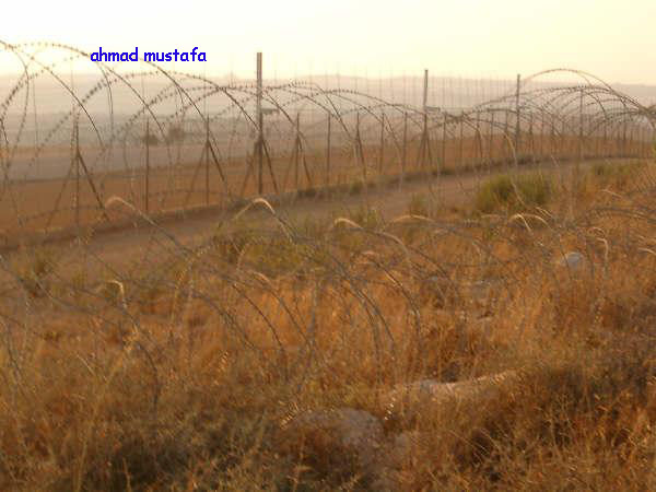
Posted by ahmad - اسلاك الجدار العازل
Posted by ahmad 1 - التلال ما بعد الجدار
Posted by ahmad 2 - شارع الجدار
Posted by ahmad 2 - خلة سوينده طريق دير بلوط رافات
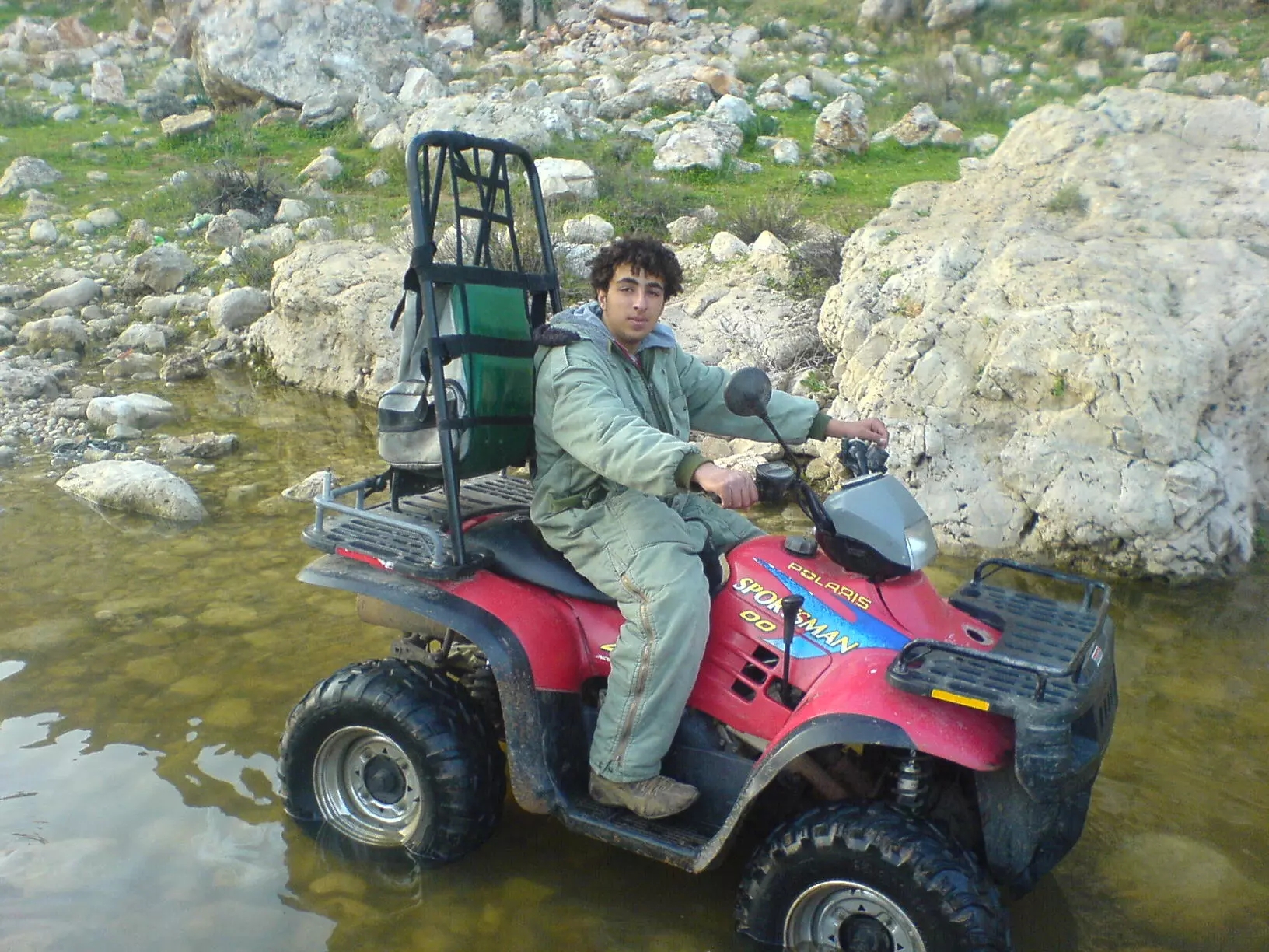
Posted by ahmad - ضياء في طريقه الى مسك الخنازير البرية( المرج)
Posted by ahmad 2 - المحسوم
Posted by ahmad 2 - المرحوم بشير حسين (أبو عادل) في البيارة - 2002
Posted by Ghanem Mustafa 5 - بابور الماء على نهر العوجا - الأراضي المحتلة 1948
Posted by Ghanem Mustafa 1 - بيت ابو زانون
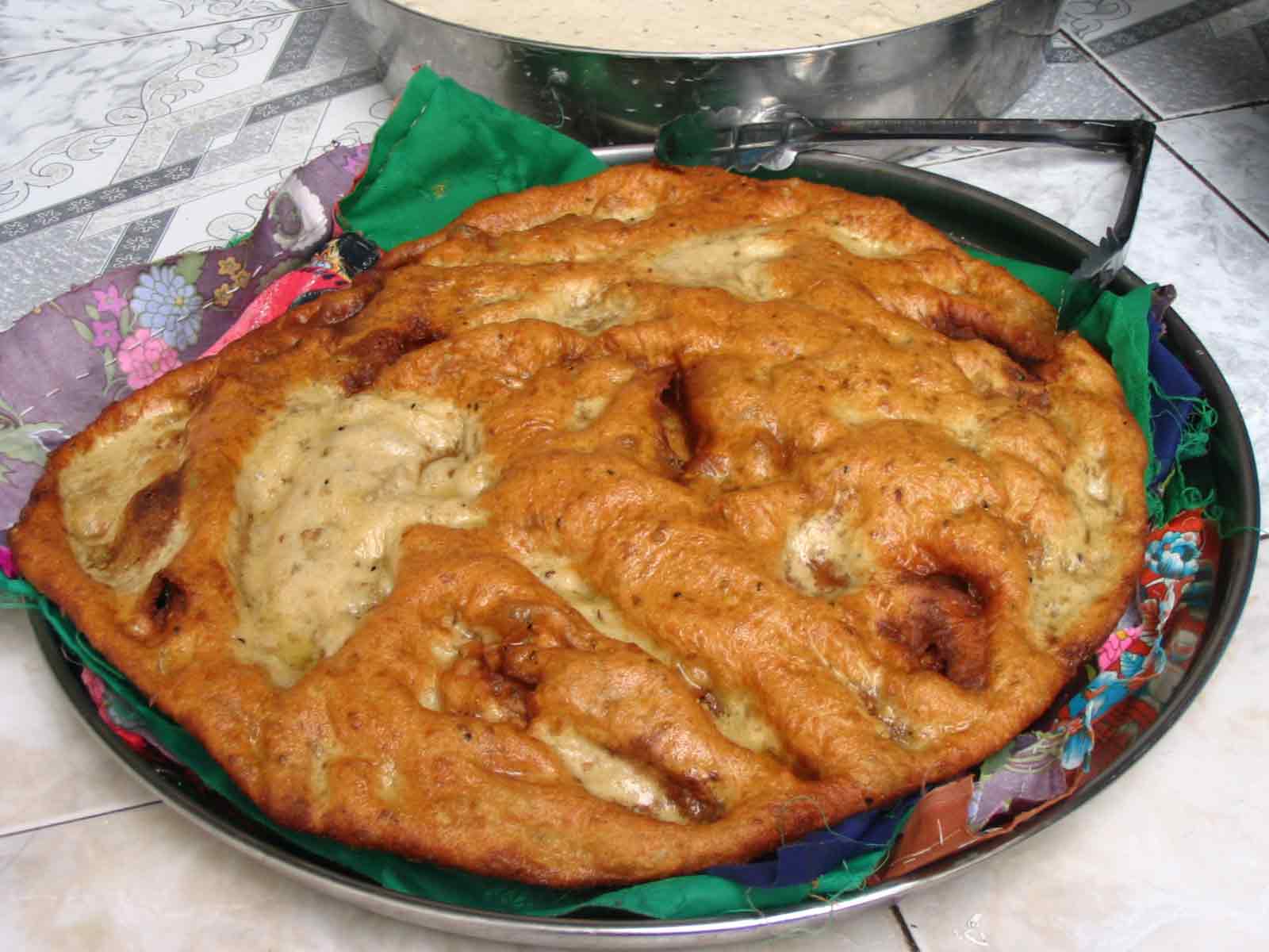
Posted by Basheer mustafa - zalabiah
Posted by balouti 2 - louf
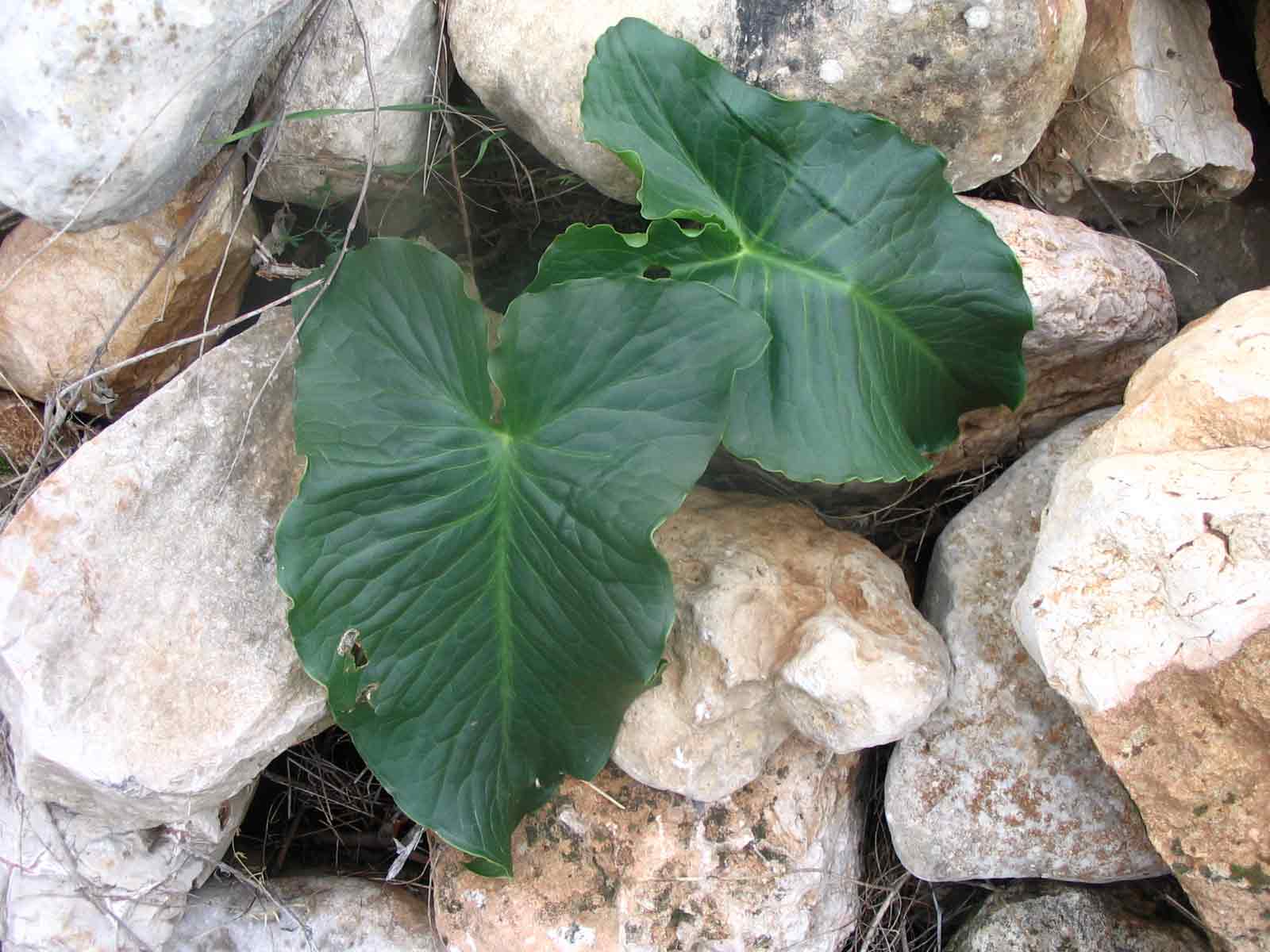
Posted by balouti 1 - louf2
Posted by balouti - masged
Posted by balouti 1 - mareg
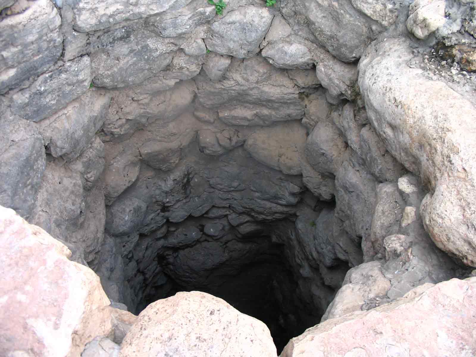
Posted by balouti - b2r
Posted by balouti 4 - ba9al
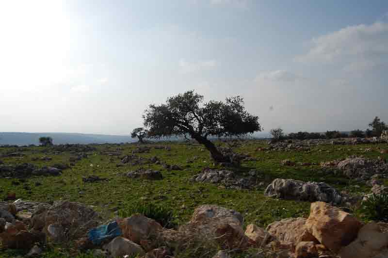
Posted by balouti - shagret ziton
Posted by balouti 2 - 95oor
Posted by balouti 5 - rabee3
Posted by balouti - rabee3 2
Posted by balouti - المرحومان محمود خضر وعبد الرزاق يوسف - 1975
Posted by Ghanem Mustafa 6 - وادي العين 2009
Posted by Basheer mustafa 2 - 1975 wedding party
Posted by mohammad mustafa 5 - وادي العين 2009\2
Posted by Basheer mustafa 2 - صخرة في وادي العين
Posted by Basheer mustafa 4 - طريق قديمة في ظهر الرجال
Posted by Basheer mustafa 3 - طريق الخور
Posted by Basheer mustafa 2 - عرقان العين\1
Posted by Basheer mustafa 2 - عرقان العين \2
Posted by Basheer mustafa 3 - صورة لسكان البادية الذين يسكنون في الشمال الغربي لقرية دير بلوط
Posted by sami.m.m mustafa 3 - صورة للجبل الازرق والشارع المُقام عليه من قبل الاحتلال
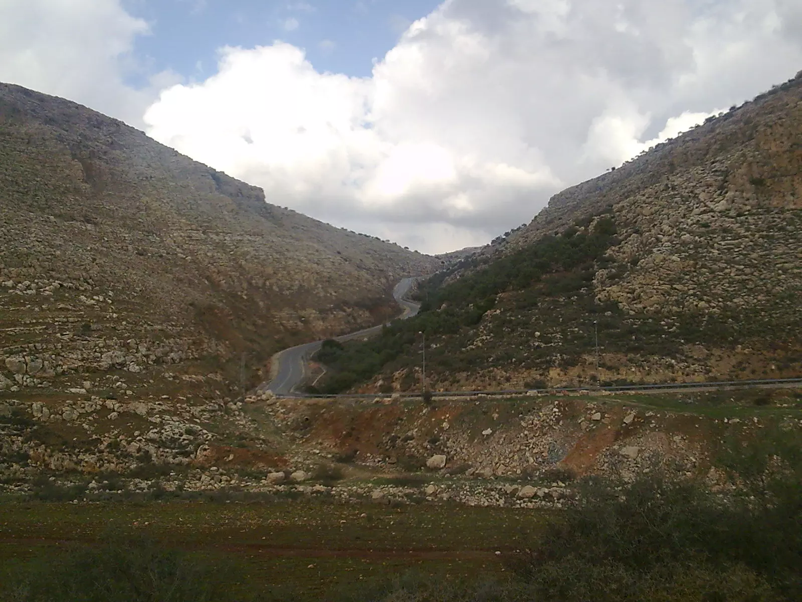
Posted by sami.m.m mustafa 3 - صورة لوادي دير بلوط 2009 ..
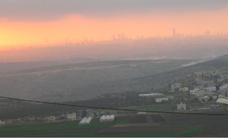
Posted by sami.m.m mustafa 5 - كفر قاسم من ناحية دير بلوط ..
Posted by sami.m.m mustafa - دير بلوط من الشمال ..
Posted by sami.m.m mustafa 2 - سهره 1983 (1)
Posted by Basheer mustafa 8 - سهره 1983 (2)
Posted by Basheer mustafa 6 - سهره 1983 (3)
Posted by Basheer mustafa 3 - سهره 1983 (4)
Posted by Basheer mustafa 5 - سهره 1983 (5)
Posted by Basheer mustafa 5 - صورة لبيت ابو زنون من الداخل ..

Posted by sami.m.m mustafa - صورة لمدرسة ذكور دير بوط التي تم ايقاف بنيانها قبل اكثر من سنتسن من قبل الاحتلال ..
Posted by sami.m.m mustafa - ديربلوط(خلة قصول) الحارة القبلية
Posted by نوح جبارة 2 - ديربلوط واد العين سنة 2009
Posted by نوح جبارة 1 - طرق الخور
Posted by نوح جبارة 3 - اثار ديرقلعة
Posted by Noah abdallah 1 - سهره 1983 (6)
Posted by Basheer mustafa 5 - سهره 1983 (7)
Posted by Basheer mustafa 7 - صوره دراسيه دمشق 1966
Posted by balouti 4 - من اثار ديرقلعة
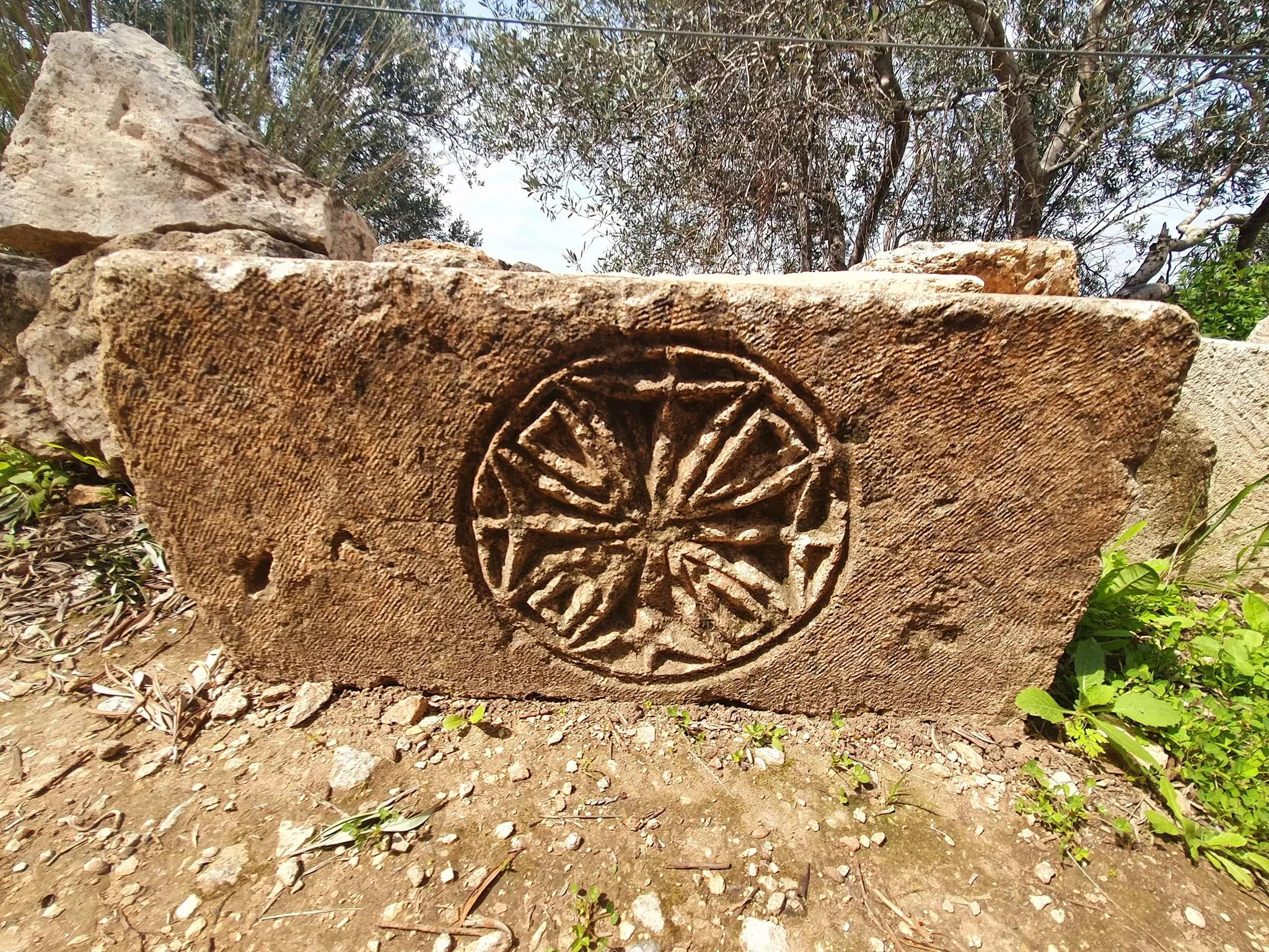
Posted by Noah abdallah - اشارة الصليب على حجر في ديرقلعة
Posted by Noah abdallah - سهره 1983 (8)
Posted by Basheer mustafa 3 - سهره 1983 (9)
Posted by Basheer mustafa 4 - سهره 1983 (10)
Posted by Basheer mustafa 2 - سهره 1983 (11)
Posted by Basheer mustafa 7 - سهره 1983 (12)
Posted by Basheer mustafa 2 - سهرة 1983 - 13
Posted by Ghanem Mustafa 3 - سهرة 1983 - 14
Posted by Ghanem Mustafa 7 - ديربلوط
Posted by ال سيف الشرفاء 2 - منظر من حفريات اليهود
Posted by Basheer mustafa 2 - صوره نسائيه لعرس سليمان احمد صالح ورياض حسان عام1982
Posted by سليمان مصطفى 1 - حفلة عرس سليمان صالح عام1982
Posted by سليمان مصطفى 3 - صورة احد الاعراس بدير بلوط
Posted by سليمان مصطفى 9 - احد الاعراس
Posted by سليمان مصطفى 5 - اعراسنا تراثتا
Posted by سليمان مصطفى 7 - اعراسنا
Posted by سليمان مصطفى 1 - الاعراس
Posted by سليمان مصطفى 2 - الاعراس
Posted by سليمان مصطفى 4 - الاعراس
Posted by سليمان مصطفى 7 - من اخيار البلده
Posted by سليمان مصطفى 8 - من الاباء
Posted by سليمان مصطفى 6 - الصورة اخدت عام1968
Posted by سليمان مصطفى 2 - الاعراس
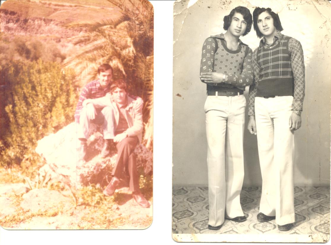
Posted by سليمان مصطفى 1 - الشباب في السبعينات
Posted by سليمان مصطفى 6 - صوره عند مسجد احمد باشا الجزار في 1982
Posted by سليمان مصطفى 1 - حفلت الزفاف والنساء
Posted by سليمان مصطفى 1 - صورة العرسان في الافراح
Posted by سليمان مصطفى 1 - احد الاعراس عام1982
Posted by سليمان مصطفى 3 - مناظر لدير بلوط
Posted by سليمان مصطفى 2 - منطقه واد العين
Posted by مؤيدمصطفى 4 - صور الاجداد
Posted by سليمان مصطفى 6 - صور الجداد2
Posted by سليمان مصطفى 5 - صور الاجداد3
Posted by سليمان مصطفى 6 - عرقان العين
Posted by مؤيد مصطفى 2 - حلوة يا بلدى
Posted by مؤيد مصطفى - حلوة والله يا بلدى
Posted by مؤيد مصطفى 3 - صورة من اعلى دير قلعه على الواد
Posted by مؤيدمصطفى 1 - general view
Posted by محمد عبدالله - قرنة صرصورة
Posted by محمد عبدالله - اعلى الصفحة
Posted by محمد عبدالله 4 - الحارة الشرقية مصورة من قرنة العدس
Posted by محمد عبدالله - خلة قصول
Posted by محمد عبدالله - قرنة العدس كما تظهر من خلة قصول
Posted by محمد عبدالله - ثمار الزيتون 2009
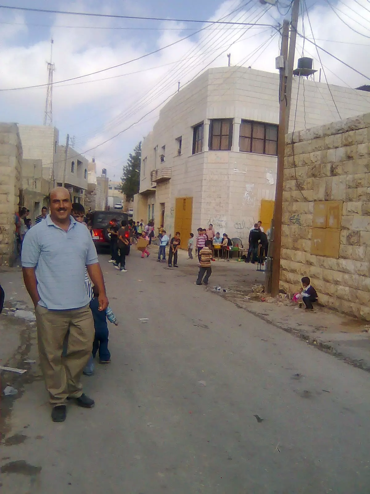
Posted by محمد عبدالله 1 - ابتسامة العيد2009
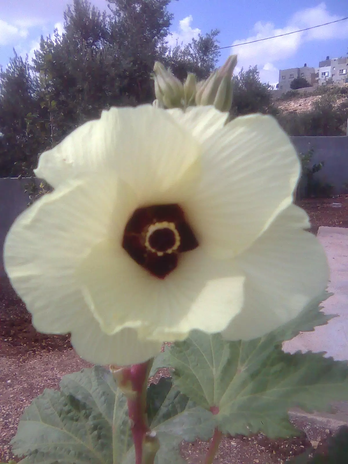
Posted by محمد عبدالله 1 - نوارة بامية
Posted by محمد عبدالله 1 - من مظاهر الفرحة بالعيد2009
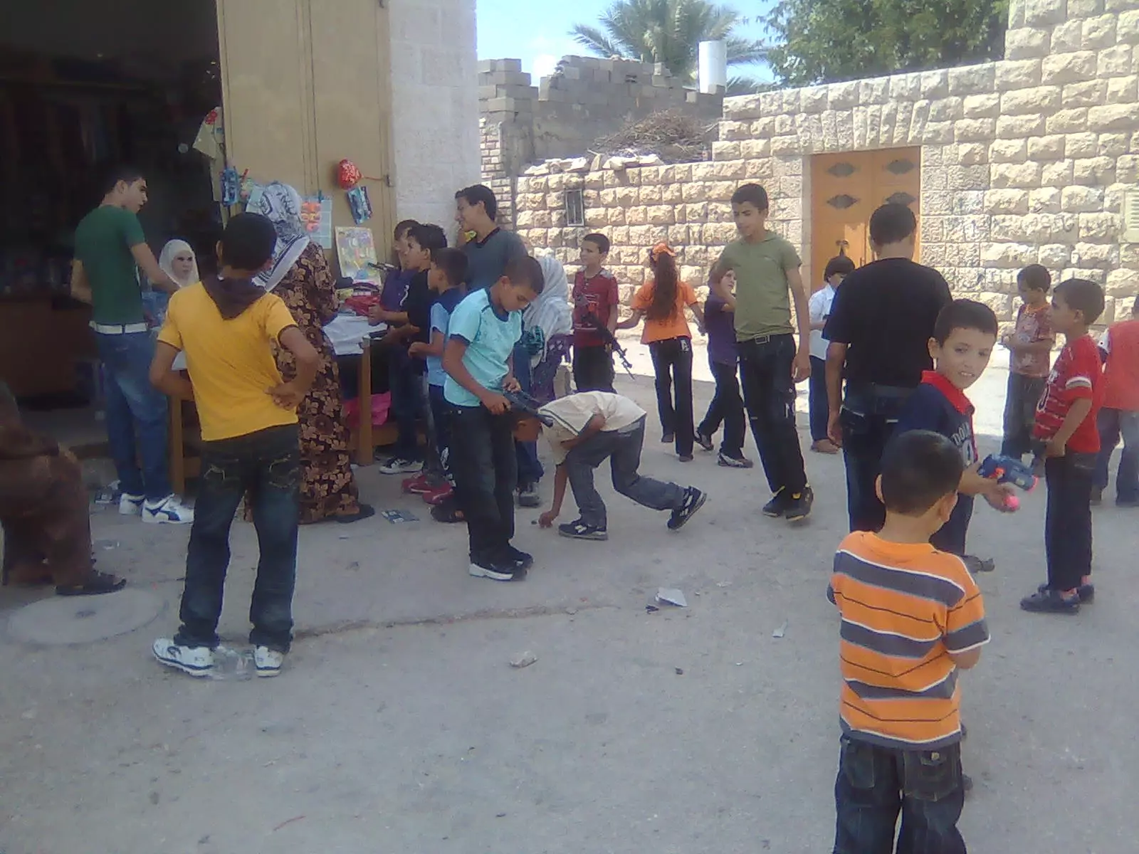
Posted by محمد عبدالله - من مظاهر الفرحة بالعيد2009(2)
Posted by محمد عبدالله 1 - من مظاهر الفرحة بالعيد2009(3)
Posted by محمد عبدالله 1 - قرنة العدس 2
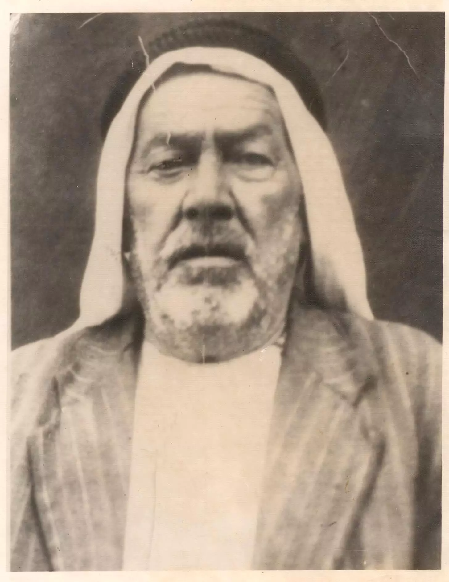
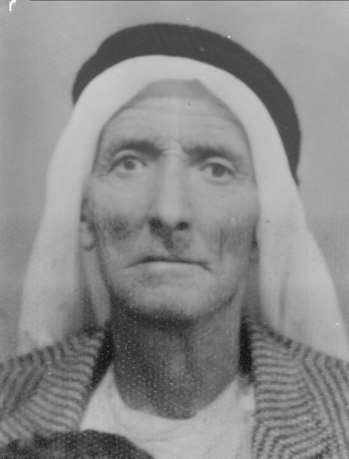
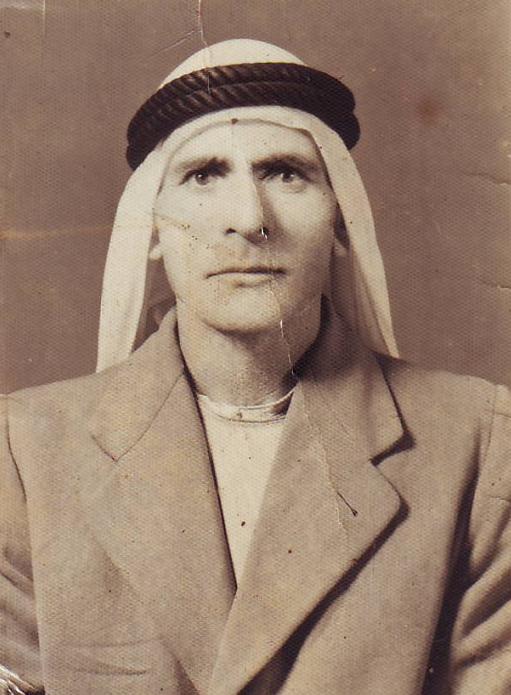
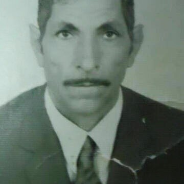
Posted by محمد عبدالله 1 - المرحوم عبدالخالق رشيد
Posted by عبدالخالق 5 - دير بلوط
Posted by سليمان مصطفى 1 - Deir Ballut
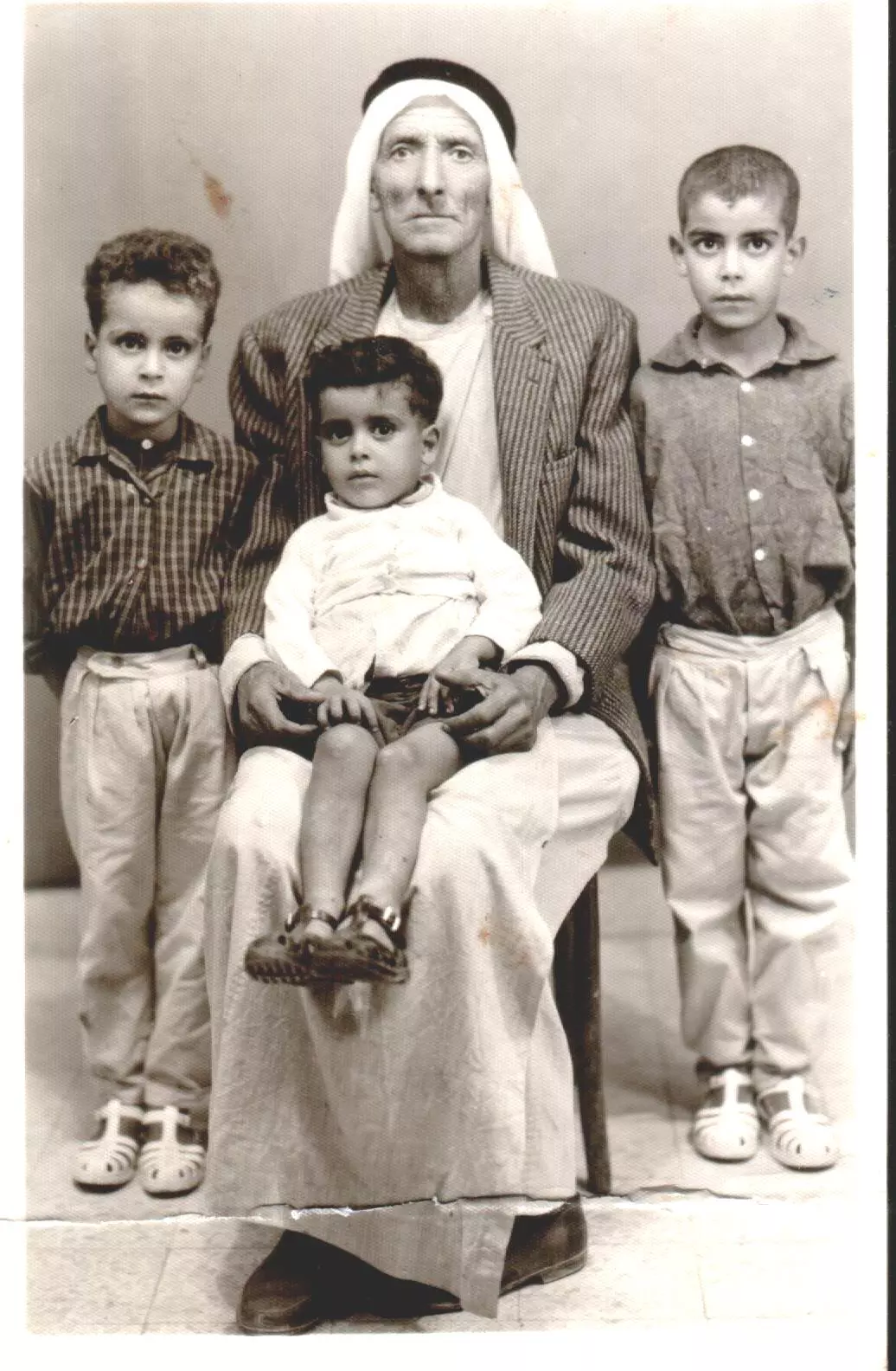
Posted by ruwaa abed 1 - ابو حسين / مصطفى حسين مصطفى مع الاولاد
Posted by دير بلوط 2 - اثناء الدراسة في مصر في الستينات
Posted by دير بلوط 1 - اولاد عم واخوة
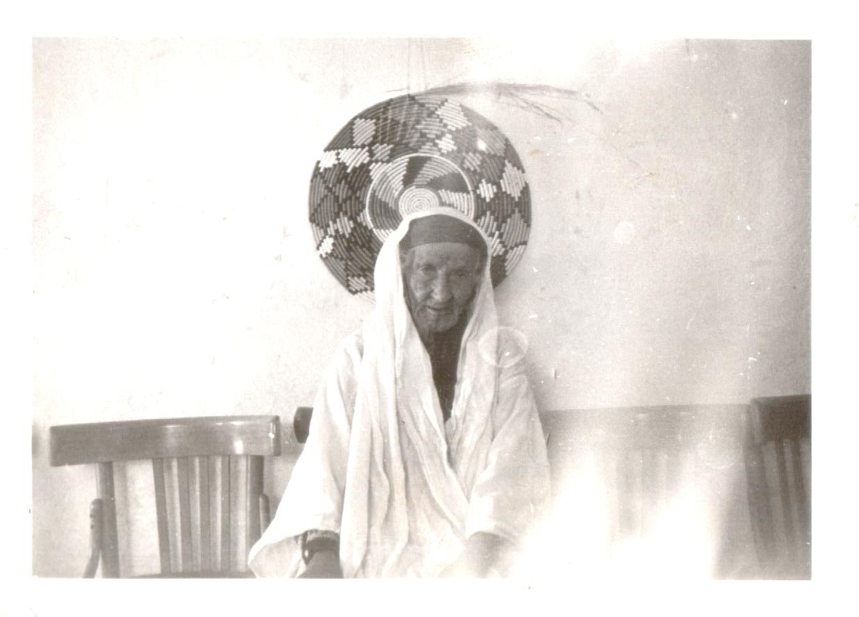
Posted by دير بلوط 1 - الجدة امنة / ام احمد
Posted by دير بلوط 1 - ابو حسين / مصطفى حسين مصطفى صورة في التسينات
Posted by دير بلوط 1 - الجدة أمنة / ام مصطفى
Posted by دير بلوط 3 - دير بلوط2010
Posted by مؤيد مصطفى 1 - المرحوم حسين الصالح - أبو فتيح
Posted by Ghanem Mustafa 1 - المرحوم موسى الصالح - أبو عارف
Posted by Ghanem Mustafa 3 - المرحوم محمد محمود مصطفى - أبو محمود
Posted by Ghanem Mustafa 1 - المرحوم عبد حسين مصطفى - أبو عدنان
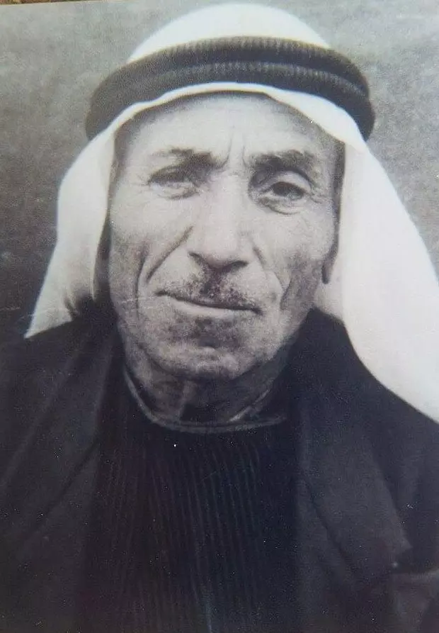
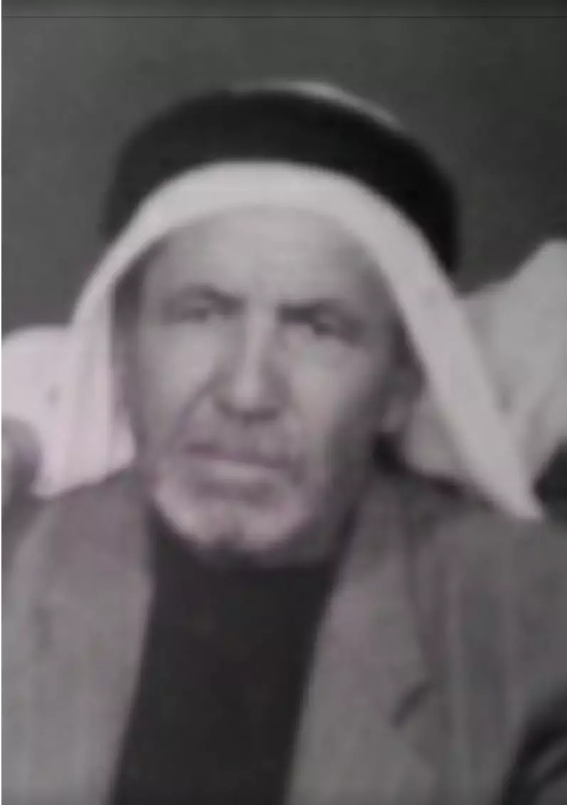
Posted by Ghanem Mustafa 2 - الحاج المرحوم يوسف عبد الرازق عثمان
Posted by Tayseer Abdulraziq 3 - جبلي دير قلعة ودير المير من اللبن الغربي
Posted by Ghanem Mustafa 1 - المرج وجبل دير المير من اراضي رافات
Posted by Ghanem Mustafa - جبال دير بلوط كما ترى من برج المجدل
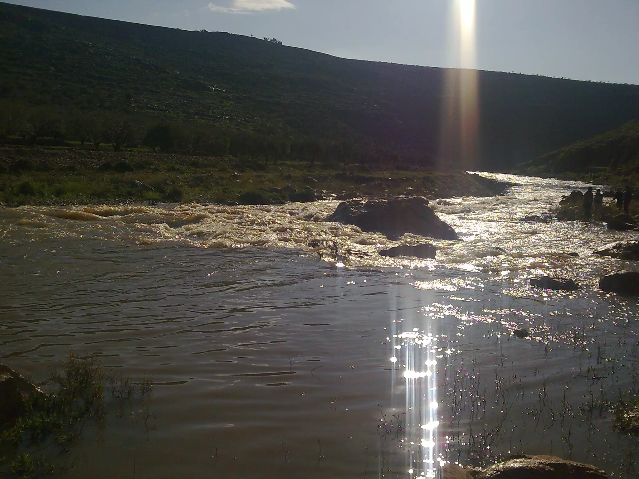
Posted by Ghanem Mustafa 1 - منبع نهر العوجا في رأس العين
Posted by Ghanem Mustafa 1 - منظر جوي لبداية نهر العوجا
Posted by Ghanem Mustafa - قمة جبل دير قلعة من كفر الديك
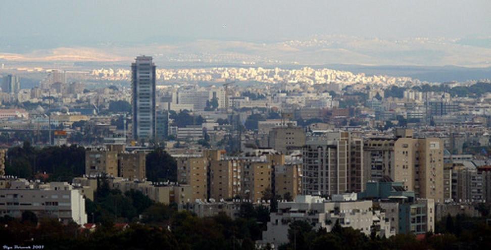
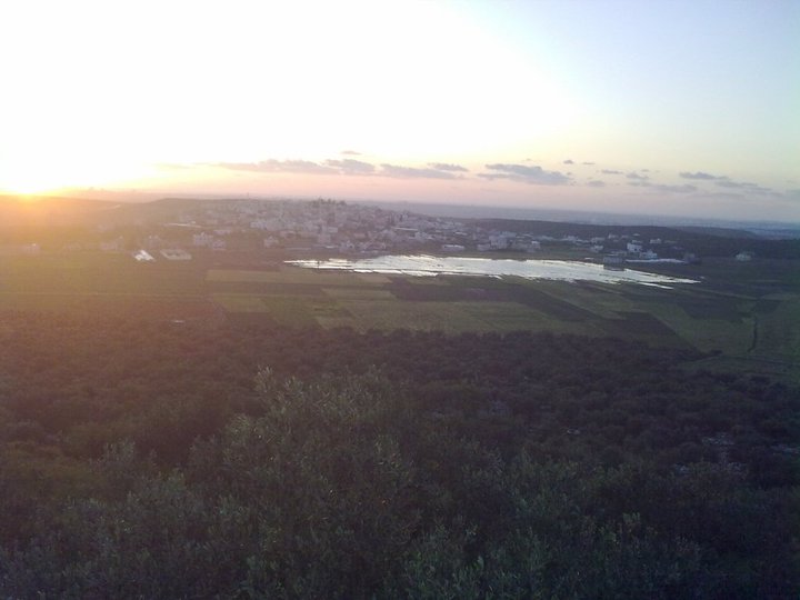
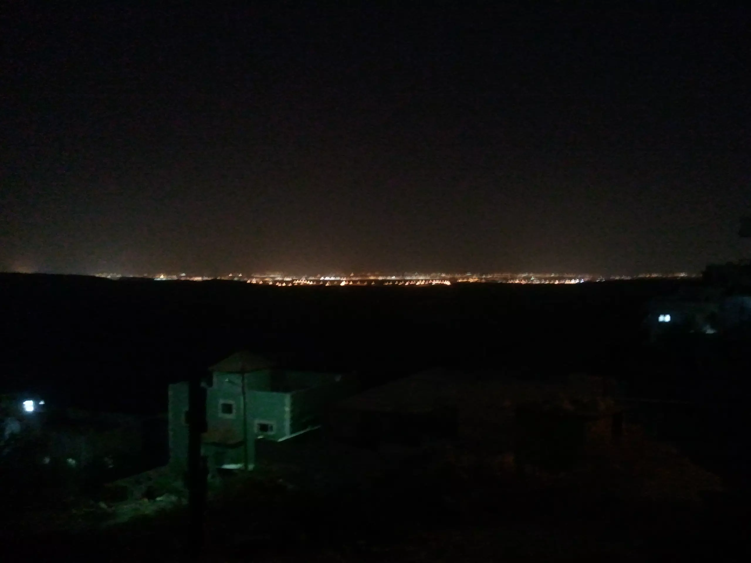
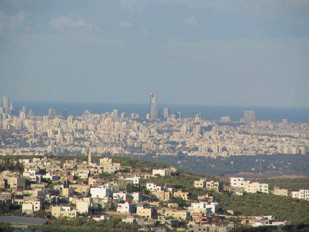
Posted by Ghanem Mustafa - إطلالة على السهل الساحلي ليلا
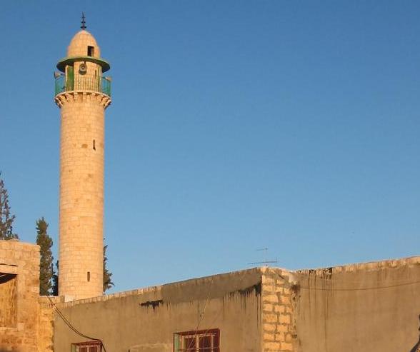
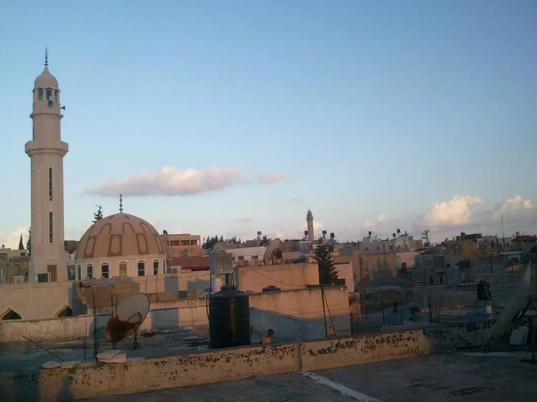
Posted by Ghanem Mustafa 2 - مساجد دير بلوط
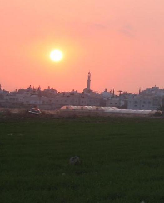
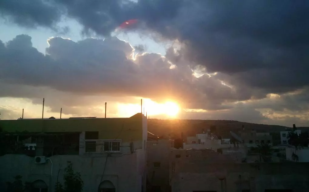
Posted by Ghanem Mustafa 1 - إشراق الشمس من دير قلعة
Posted by Ghanem Mustafa - منظر حديث للقرية من جبل دير قلعة - شتاء 2011
Posted by Ghanem Mustafa 1 - بيوت أم الحمام - 1
Posted by Ghanem Mustafa 1 - بيوت أم الحمام - 2
Posted by Ghanem Mustafa - وادي رافات أثناء جريانه
Posted by Ghanem Mustafa 1 - الجبل الأزرق كما يرى من رافات
Posted by Ghanem Mustafa 1 - جزيرة دار علي من سفح جبل دير قلعة
Posted by Ghanem Mustafa - صورة بانورامية لجبال الضفة من الشيخ مونس
Posted by Ghanem Mustafa 1 - صورة تلسكوبية جوية من الشرق
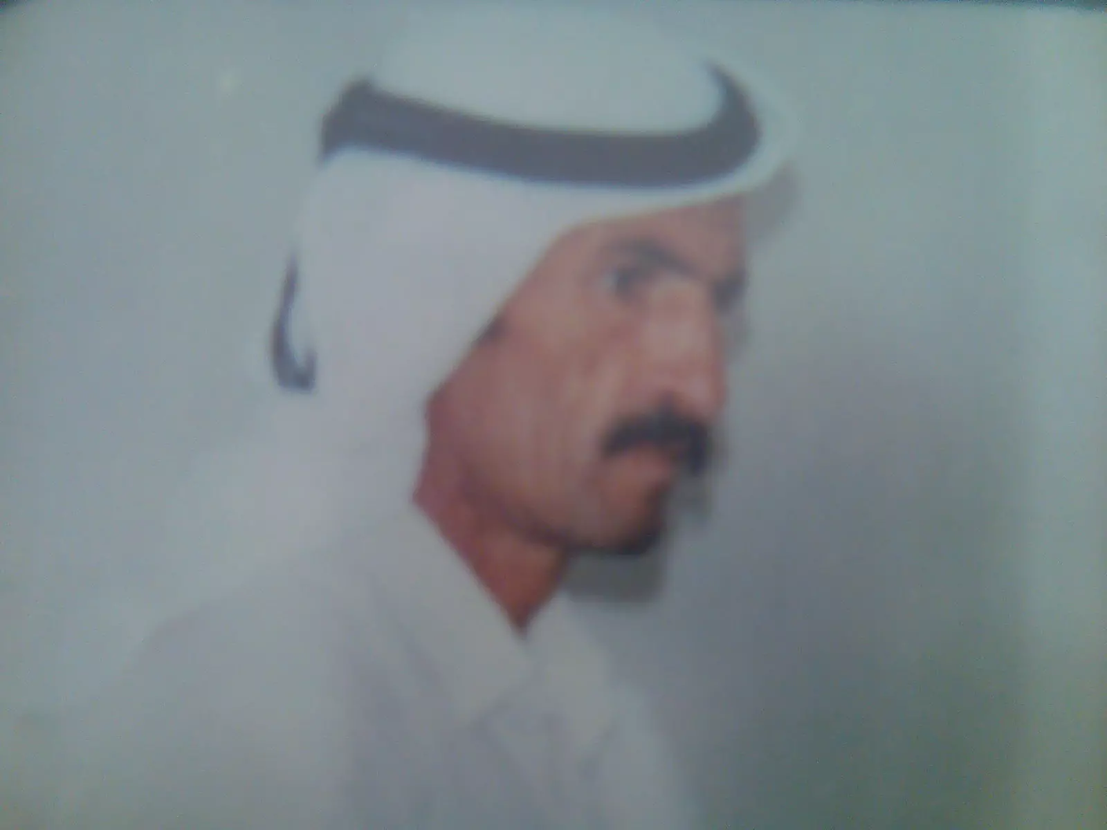
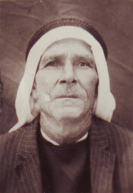
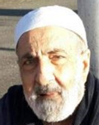
Posted by Ghanem Mustafa 1 - المرحوم كامل عودة خليل
Posted by Ghanem Mustafa 5 - جريان وادي العين - 2012
Posted by Ghanem Mustafa 1 - البالوع - 2012
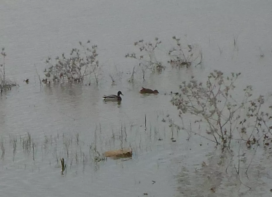
Posted by Ghanem Mustafa - البط في البالوع - 2012
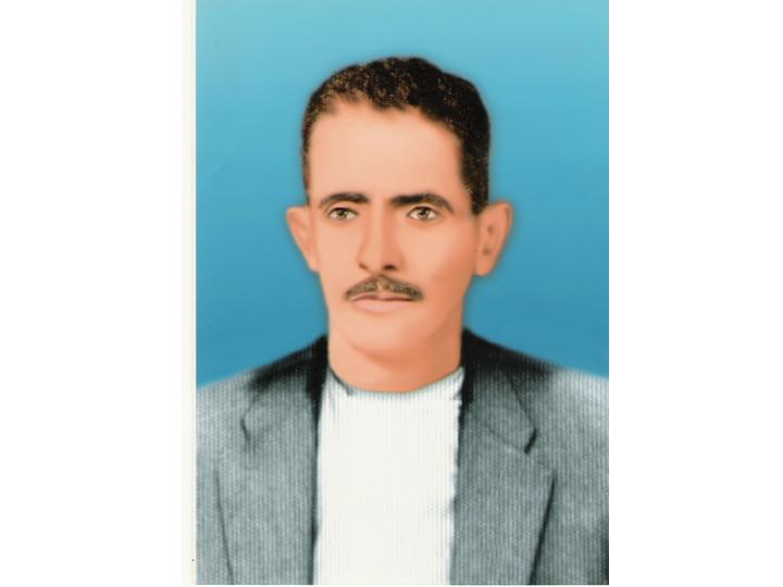
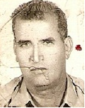
Posted by Ghanem Mustafa - المرحوم بكر حسين مصطفى - 1954
Posted by Ghanem Mustafa 1 - عرس من الثمانينات
Posted by Abu Mateen - صورة المرحوم عوده مسعود عبالفتاح والد السيد جوده عوده ابوياسر
Posted by سليمان مصطفى 3 - المرجوم حسّان حسن عبد الفتاح - أبو إحسان
Posted by Ghanem Mustafa - المرحوم يوسف عثمان مصطفى (أبو نبيل)
Posted by Ghanem Mustafa - المرحوم عثمان العمران - أبو إسماعيل
Posted by Ghanem Mustafa - المرحوم الأستاذ عبد الجليل عبد سليمان تفاحة - أبو عادل
Posted by Ghanem Mustafa 1 - المرحوم سليم السليمان - أبو عيسى
Posted by Ghanem Mustafa 1 - وادي العين القادم كما يظهر من صفحة جبل دير قلعة الجنوبية الشرقية
Posted by Ghanem Mustafa 1 - العرس الجماعي لآل قاسم - 2015
Posted by Ghanem Mustafa 1 - المرحوم عبد الحميد محمد خليل - أبو بسام
Posted by Ghanem Mustafa 1 - المرحوم سالم المصطفى - أبو عودة
Posted by Ghanem Mustafa - من بدايات الجمعة الأردنية
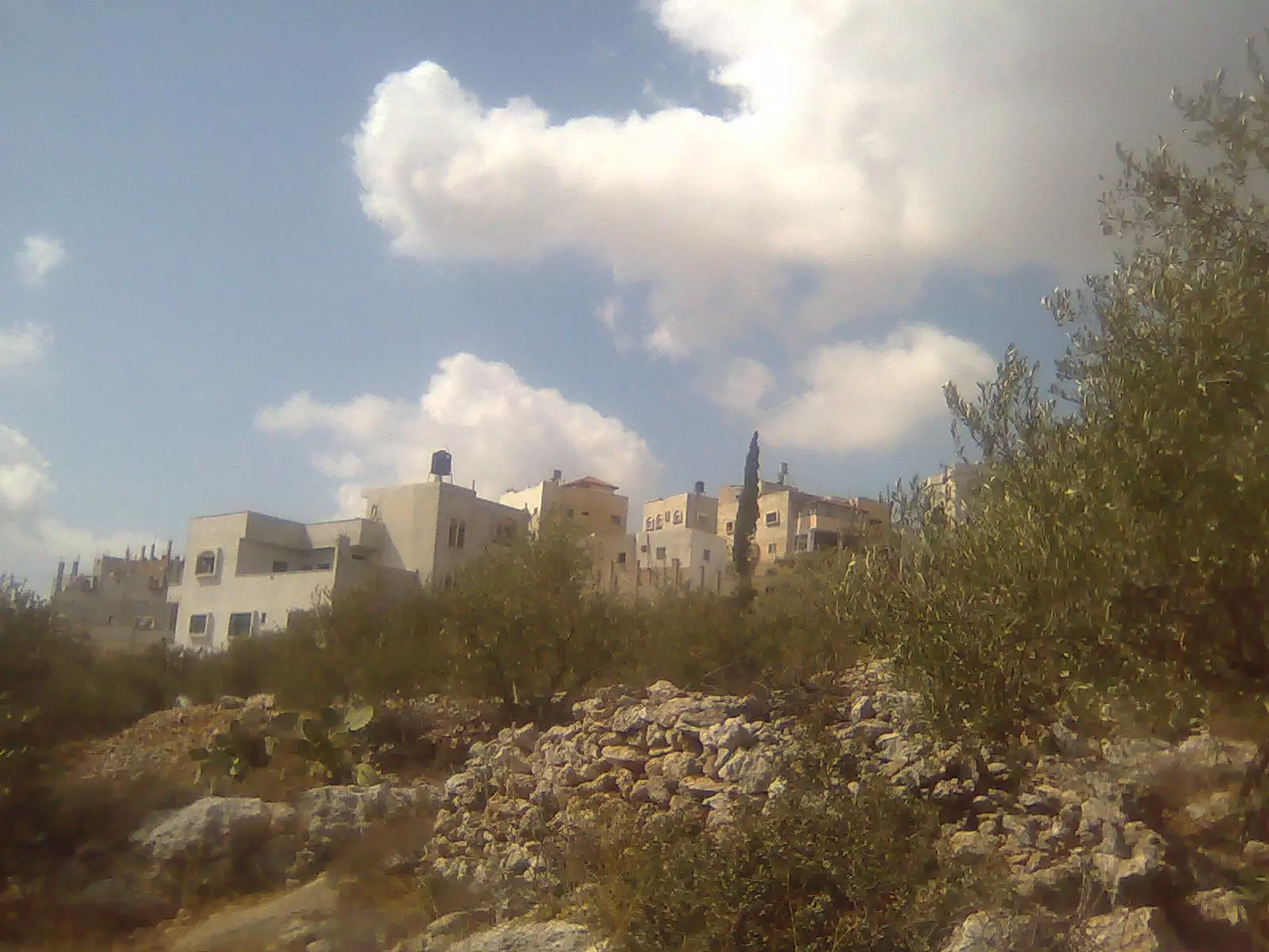
Posted by Ghanem Mustafa - منظر عام
- منظر عام
- من جبل الظهر في بلدة #دير_غسانة المطل على الساحل الفلسطيني البلدة القبل الساحل بلدة ديربلوط -- محمد أبو نوح
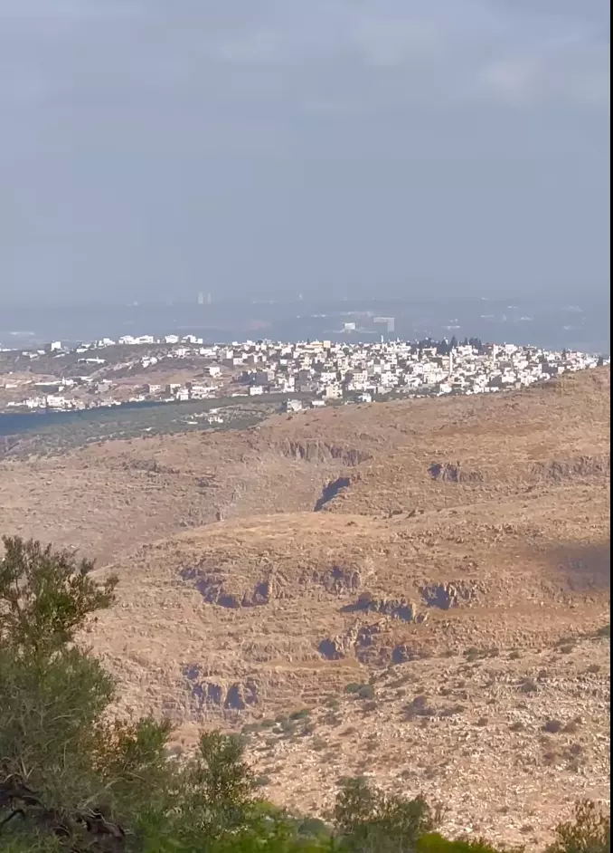
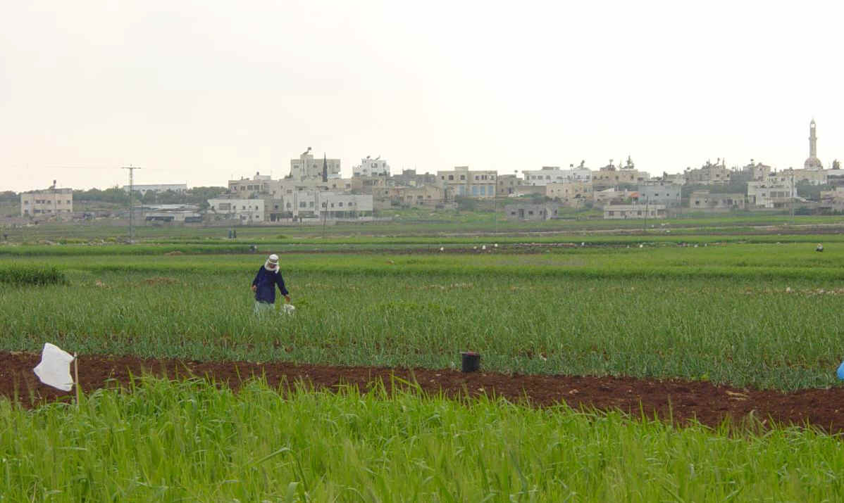
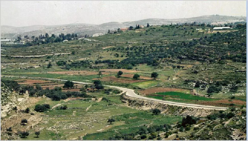
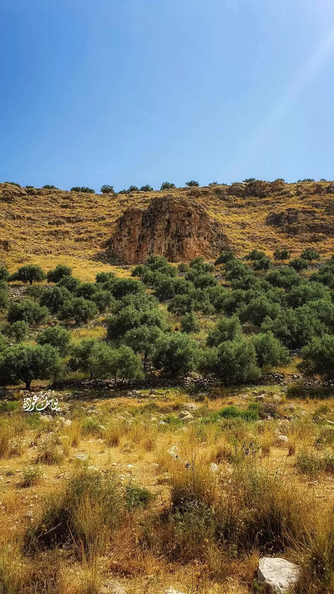
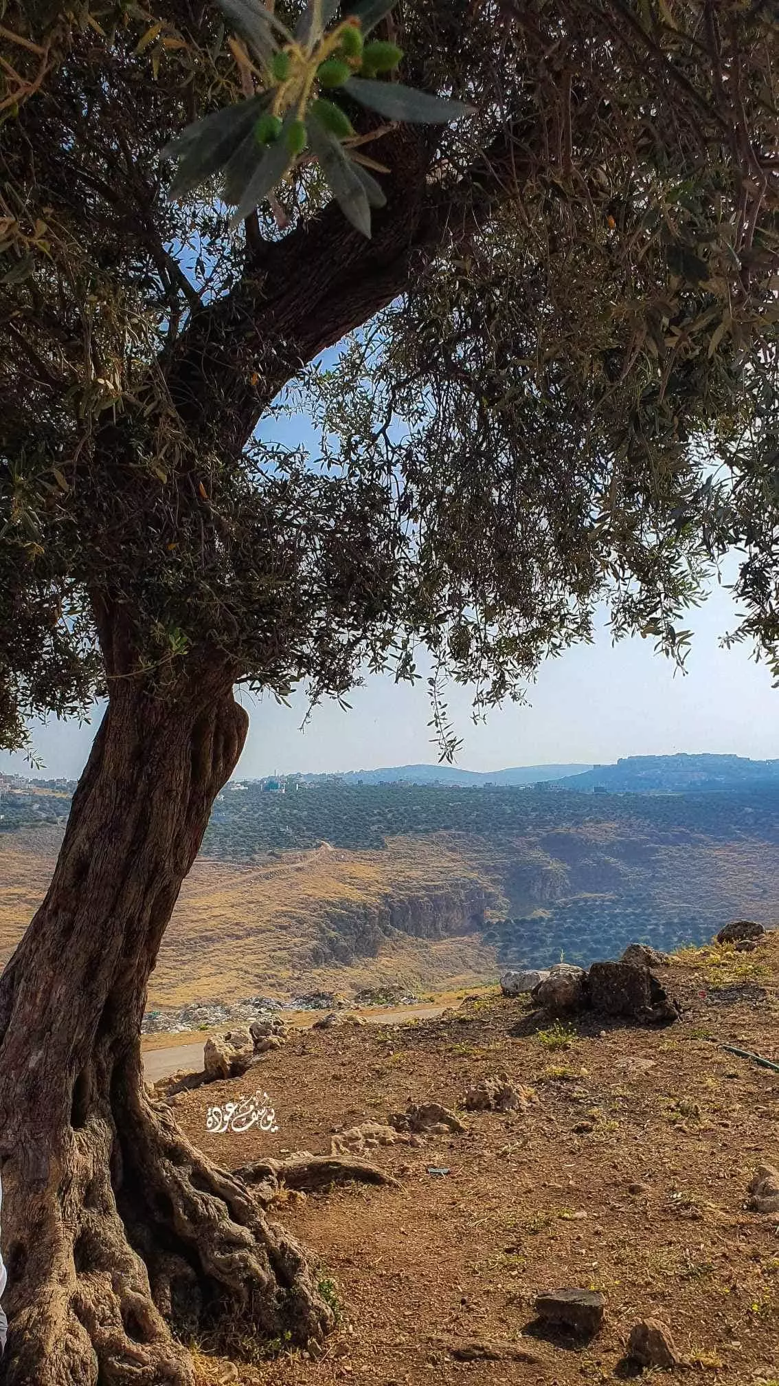
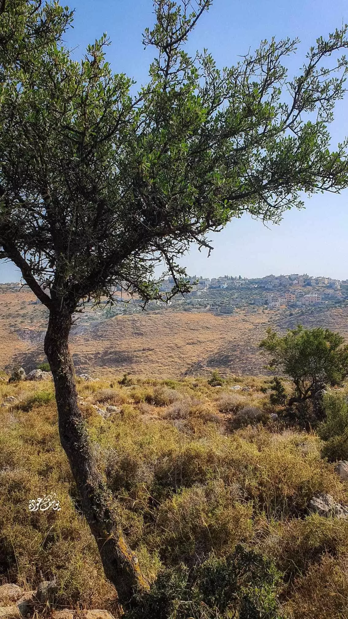
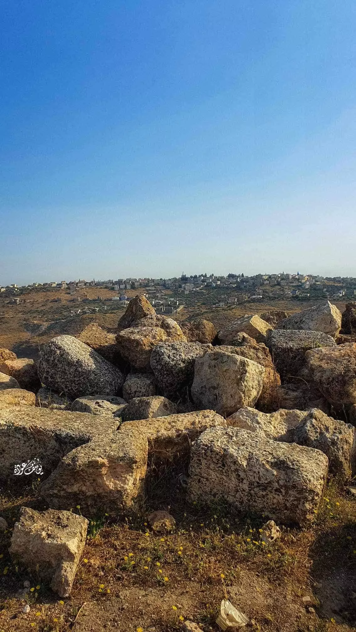
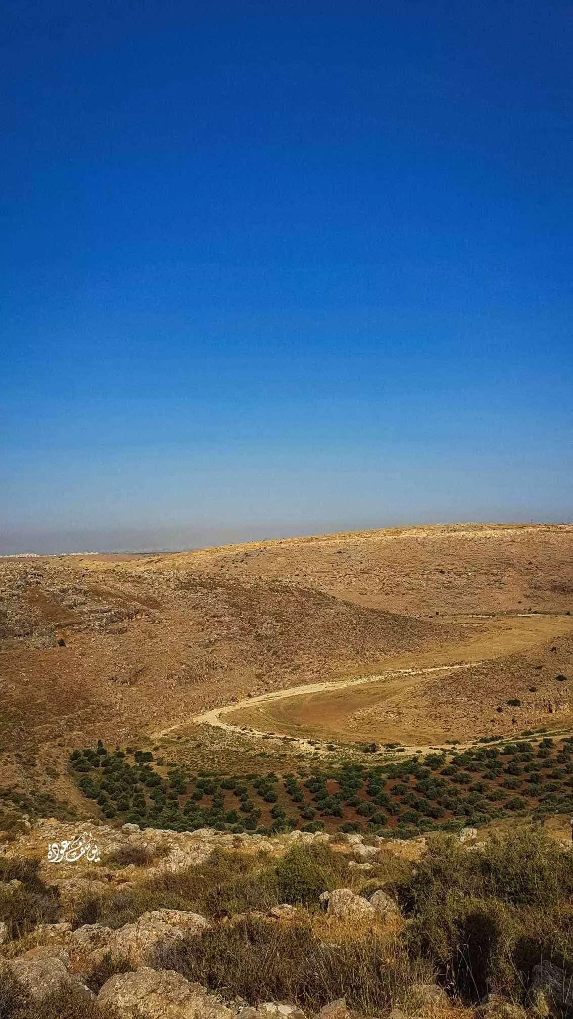
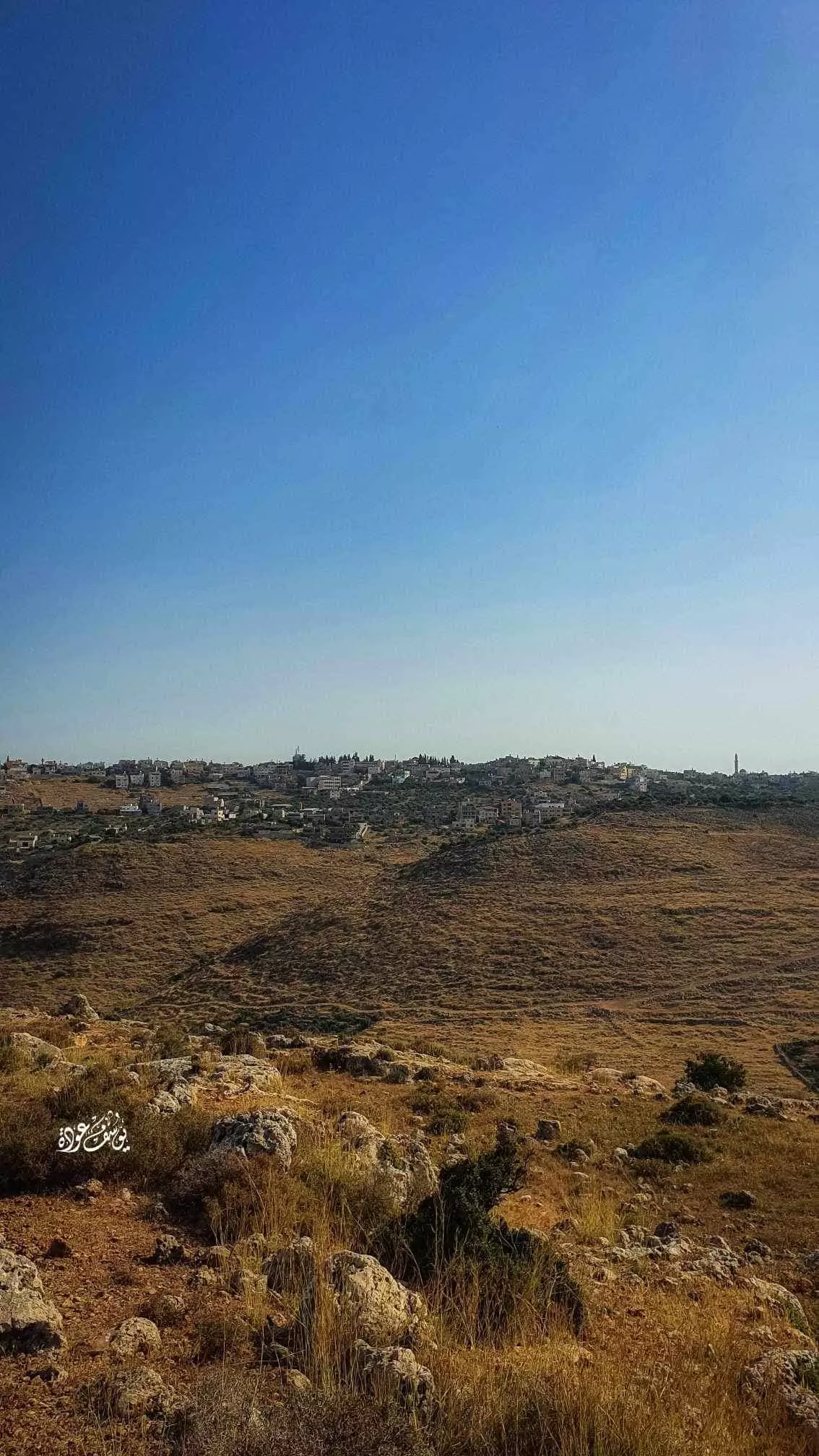
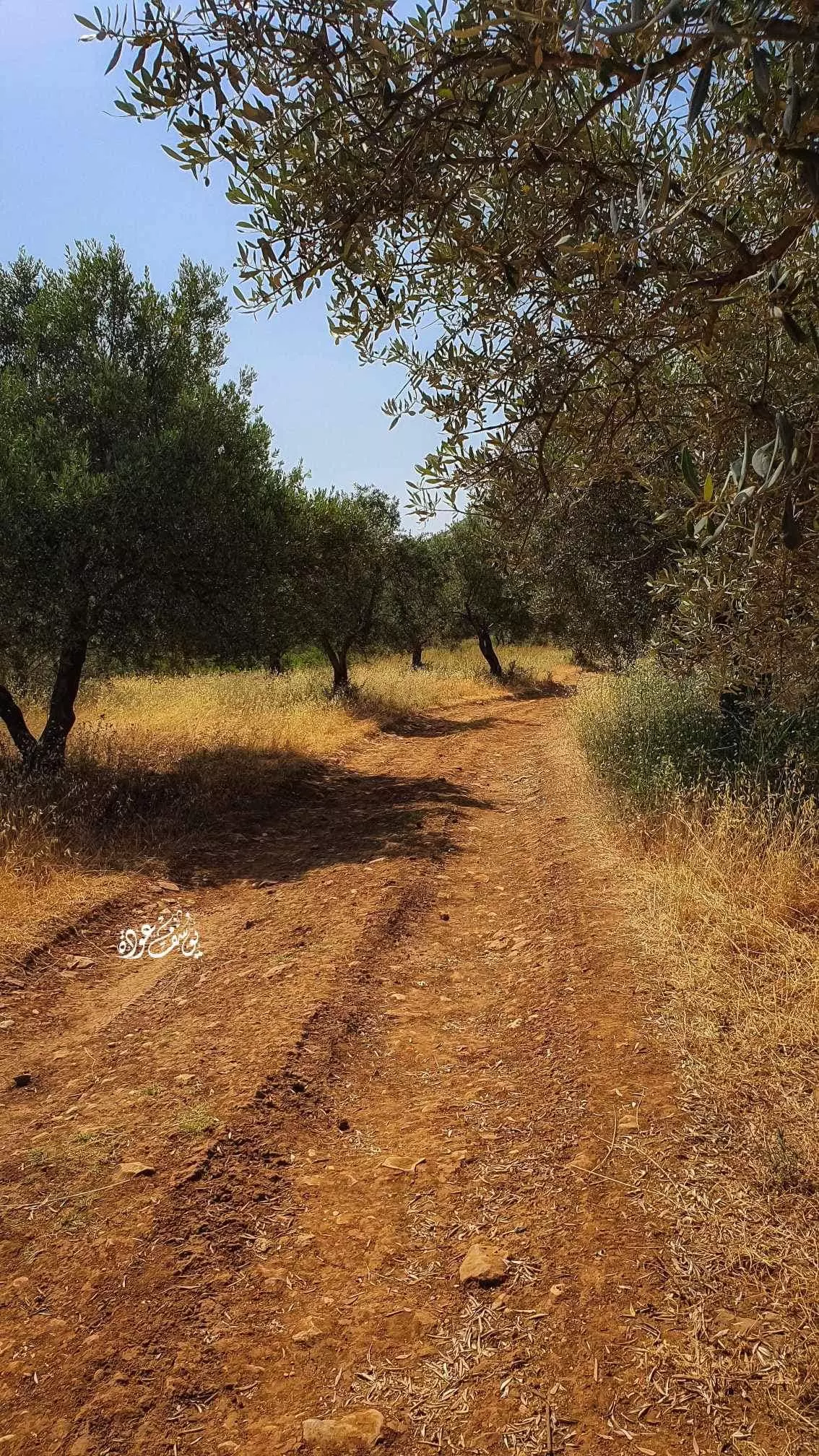
- جولة في الحقول المحيطة -- يوسف عودة
- جولة في الحقول المحيطة -- يوسف عودة #2
- جولة في الحقول المحيطة -- يوسف عودة #3
- جولة في الحقول المحيطة -- يوسف عودة #4
- جولة في الحقول المحيطة -- يوسف عودة #5
- جولة في الحقول المحيطة -- يوسف عودة #6
- جولة في الحقول المحيطة -- يوسف عودة #7
- منظر عام للبلدة -- رياض ابو عنان.
-
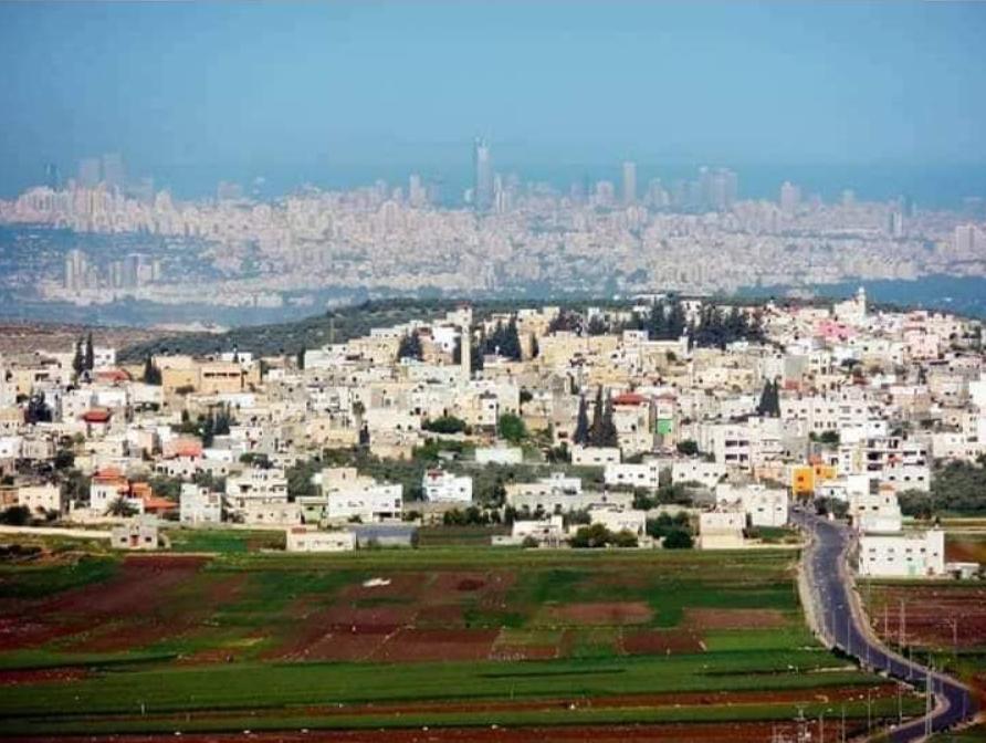
منظر عام رائع للبلدة -- March 2022 -- Nabela Salem
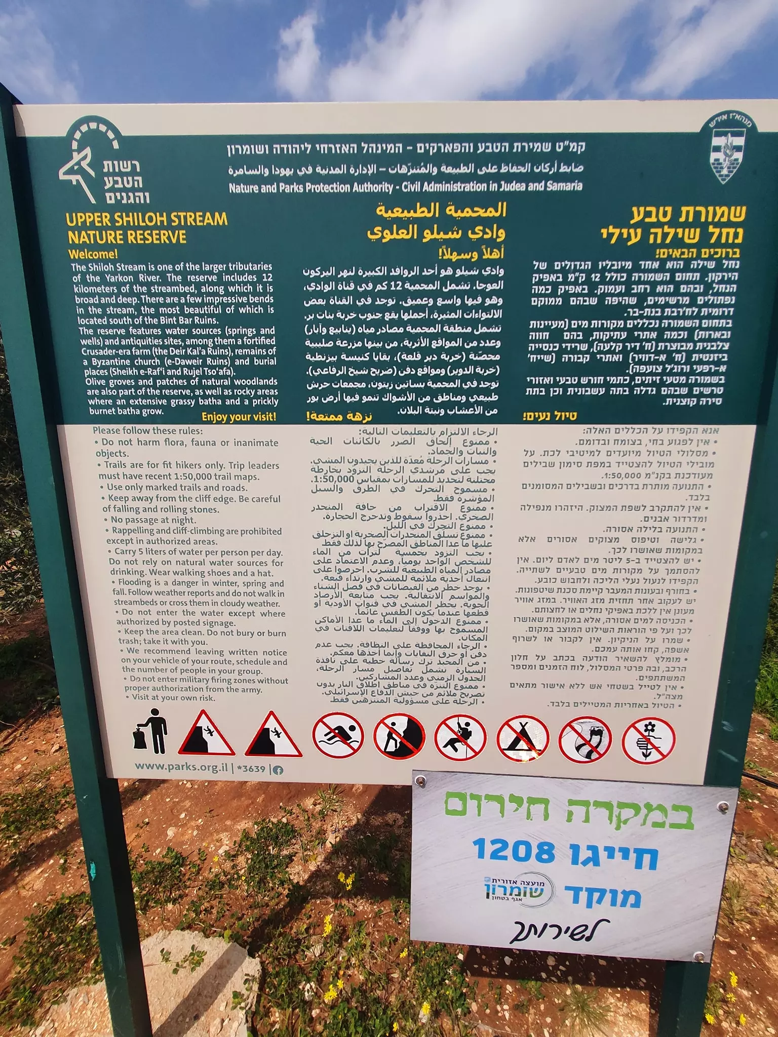
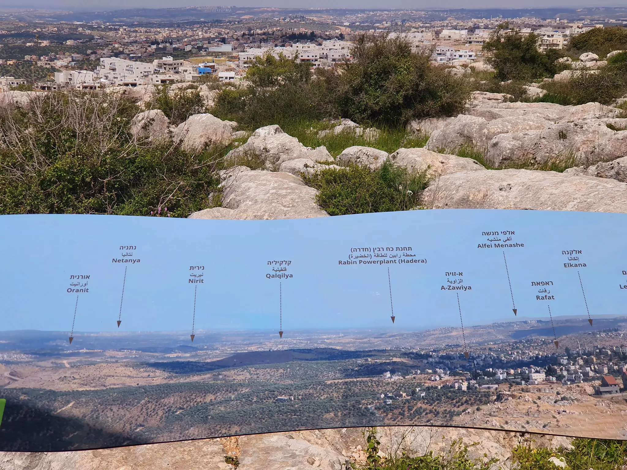
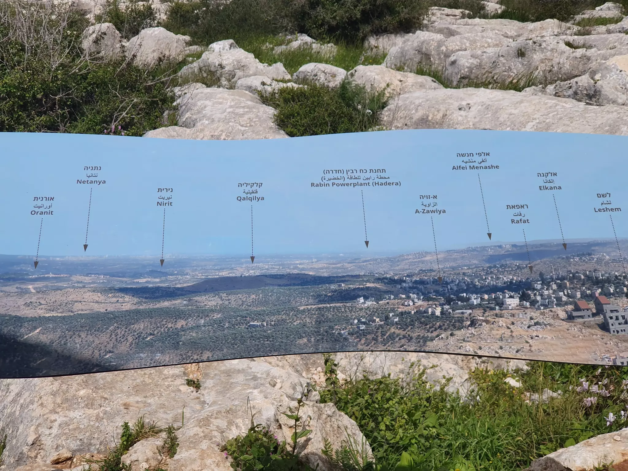
- Touring the upper wadi Shiloh stream -- جوله رائعة في من دير قلعة ومطل على دير بلوط -- March 2022 -- Nabela Salem
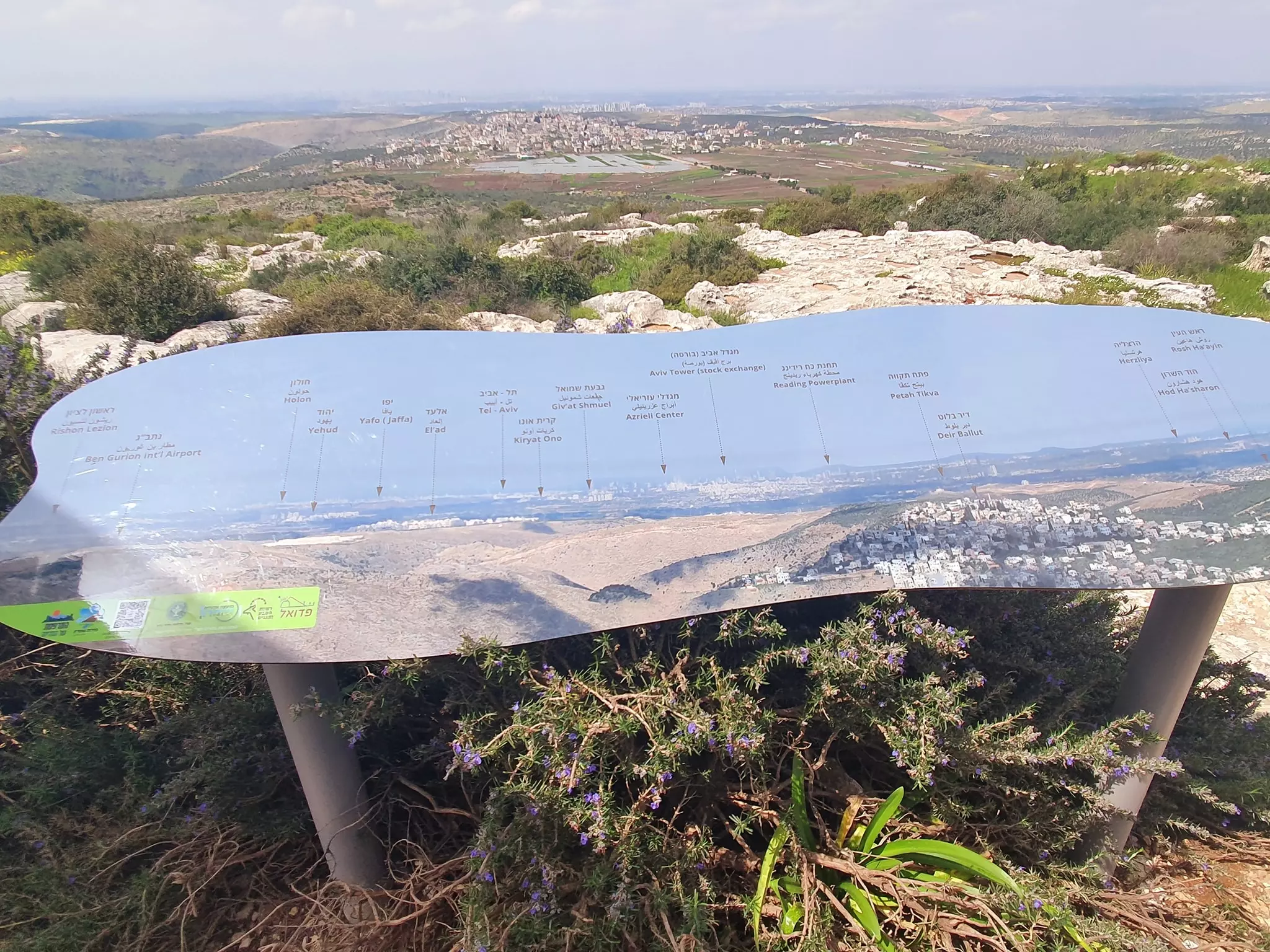
- Touring the upper wadi Shiloh stream -- جوله رائعة في من دير قلعة ومطل على دير بلوط -- March 2022 -- Nabela Salem #2
- Touring the upper wadi Shiloh stream -- جوله رائعة في من دير قلعة ومطل على دير بلوط -- March 2022 -- Nabela Salem #3
- Touring the upper wadi Shiloh stream -- جوله رائعة في من دير قلعة ومطل على دير بلوط -- March 2022 -- Nabela Salem #4
- Touring the upper wadi Shiloh stream -- جوله رائعة في من دير قلعة ومطل على دير بلوط -- March 2022 -- Nabela Salem #5
- Touring the upper wadi Shiloh stream -- جوله رائعة في من دير قلعة ومطل على دير بلوط -- March 2022 -- Nabela Salem #6
- Touring the upper wadi Shiloh stream -- جوله رائعة في من دير قلعة ومطل على دير بلوط -- March 2022 -- Nabela Salem #7
- Touring the upper wadi Shiloh stream -- جوله رائعة في من دير قلعة ومطل على دير بلوط -- March 2022 -- Nabela Salem #8
- Touring the upper wadi Shiloh stream -- جوله رائعة في من دير قلعة ومطل على دير بلوط -- March 2022 -- Nabela Salem #9
- Touring the upper wadi Shiloh stream -- جوله رائعة في من دير قلعة ومطل على دير بلوط -- March 2022 -- Nabela Salem #10
- Touring the upper wadi Shiloh stream -- جوله رائعة في من دير قلعة ومطل على دير بلوط -- March 2022 -- Nabela Salem #11
- Touring the upper wadi Shiloh stream -- جوله رائعة في من دير قلعة ومطل على دير بلوط -- March 2022 -- Nabela Salem #12
- Touring the upper wadi Shiloh stream -- جوله رائعة في من دير قلعة ومطل على دير بلوط -- March 2022 -- Nabela Salem #13
- Touring the upper wadi Shiloh stream -- جوله رائعة في من دير قلعة ومطل على دير بلوط -- March 2022 -- Nabela Salem #14
- Touring the upper wadi Shiloh stream -- جوله رائعة في من دير قلعة ومطل على دير بلوط -- March 2022 -- Nabela Salem #15
- Touring the upper wadi Shiloh stream -- جوله رائعة في من دير قلعة ومطل على دير بلوط -- March 2022 -- Nabela Salem #16
- Touring the upper wadi Shiloh stream -- جوله رائعة في من دير قلعة ومطل على دير بلوط -- March 2022 -- Nabela Salem #17
- Touring the upper wadi Shiloh stream -- جوله رائعة في من دير قلعة ومطل على دير بلوط -- March 2022 -- Nabela Salem #18
- Touring the upper wadi Shiloh stream -- جوله رائعة في من دير قلعة ومطل على دير بلوط -- March 2022 -- Nabela Salem #19
- Touring the upper wadi Shiloh stream -- جوله رائعة في من دير قلعة ومطل على دير بلوط -- March 2022 -- Nabela Salem #20
- Touring the upper wadi Shiloh stream -- جوله رائعة في من دير قلعة ومطل على دير بلوط -- March 2022 -- Nabela Salem #21
- Touring the upper wadi Shiloh stream -- جوله رائعة في من دير قلعة ومطل على دير بلوط -- March 2022 -- Nabela Salem #22
- Touring the upper wadi Shiloh stream -- جوله رائعة في من دير قلعة ومطل على دير بلوط -- March 2022 -- Nabela Salem #23
- Touring the upper wadi Shiloh stream -- جوله رائعة في من دير قلعة ومطل على دير بلوط -- March 2022 -- Nabela Salem #24
- Touring the upper wadi Shiloh stream -- جوله رائعة في من دير قلعة ومطل على دير بلوط -- March 2022 -- Nabela Salem #25
- Touring the upper wadi Shiloh stream -- جوله رائعة في من دير قلعة ومطل على دير بلوط -- March 2022 -- Nabela Salem #26
- Touring the upper wadi Shiloh stream -- جوله رائعة في من دير قلعة ومطل على دير بلوط -- March 2022 -- Nabela Salem #27
- Touring the upper wadi Shiloh stream -- جوله رائعة في من دير قلعة ومطل على دير بلوط -- March 2022 -- Nabela Salem #28
- Touring the upper wadi Shiloh stream -- جوله رائعة في من دير قلعة ومطل على دير بلوط -- March 2022 -- Nabela Salem #29
- Touring the upper wadi Shiloh stream -- جوله رائعة في من دير قلعة ومطل على دير بلوط -- March 2022 -- Nabela Salem #30
- Touring the upper wadi Shiloh stream -- جوله رائعة في من دير قلعة ومطل على دير بلوط -- March 2022 -- Nabela Salem #31
- Touring the upper wadi Shiloh stream -- جوله رائعة في من دير قلعة ومطل على دير بلوط -- March 2022 -- Nabela Salem #32
- Touring the upper wadi Shiloh stream -- جوله رائعة في من دير قلعة ومطل على دير بلوط -- March 2022 -- Nabela Salem #33
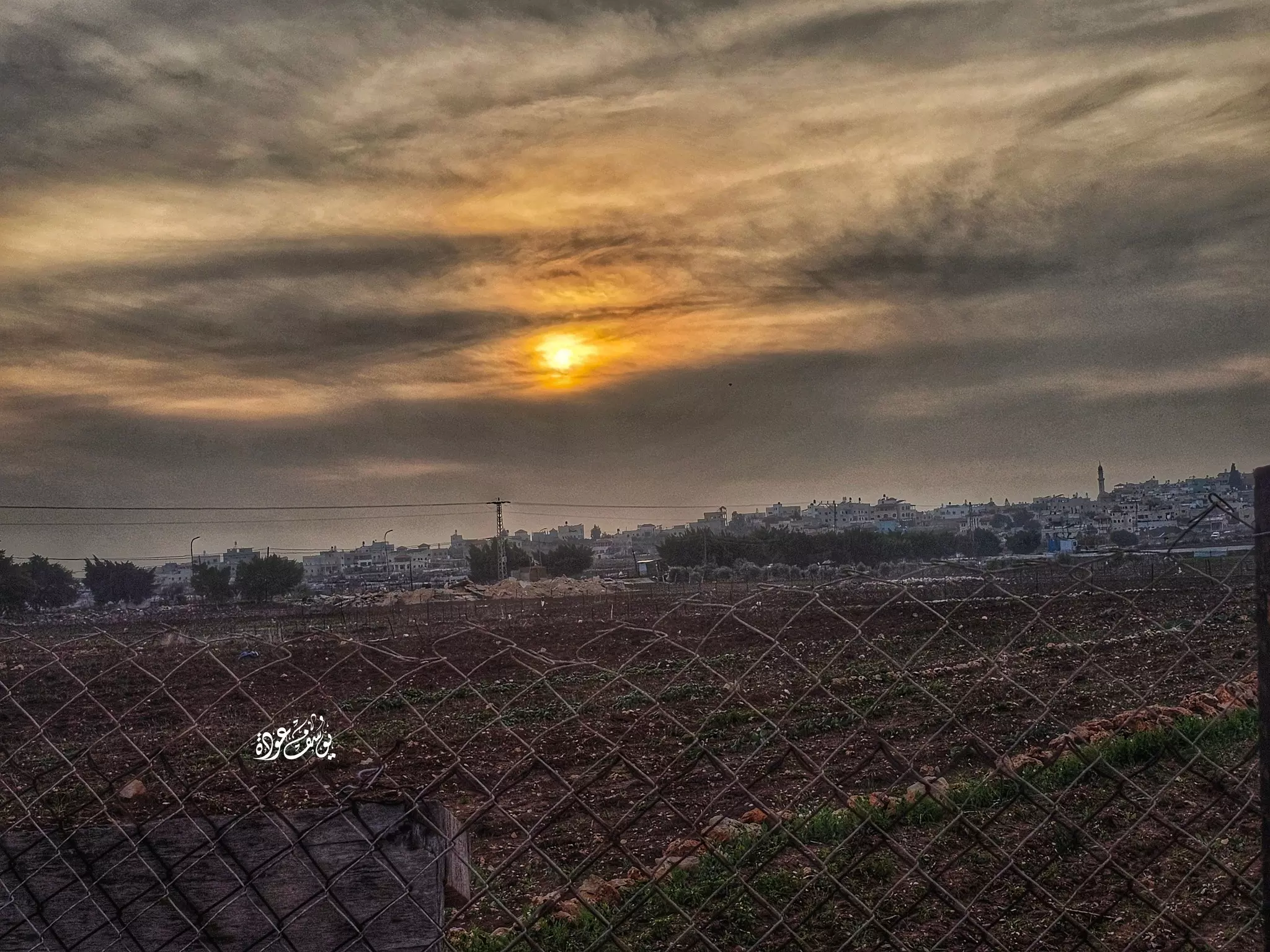
- منظر عام للبلدة عند الغروب -- يوسف عودة
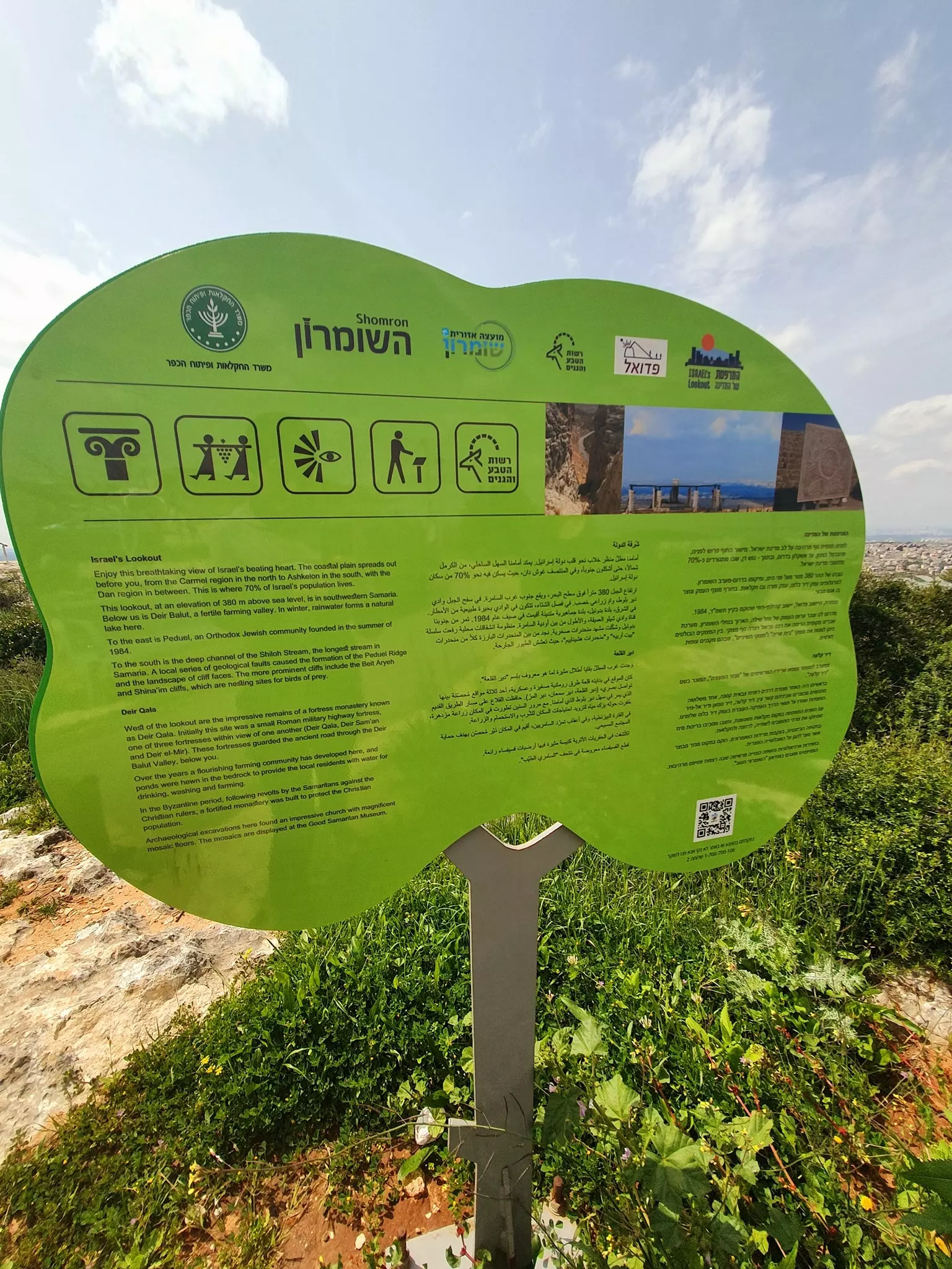
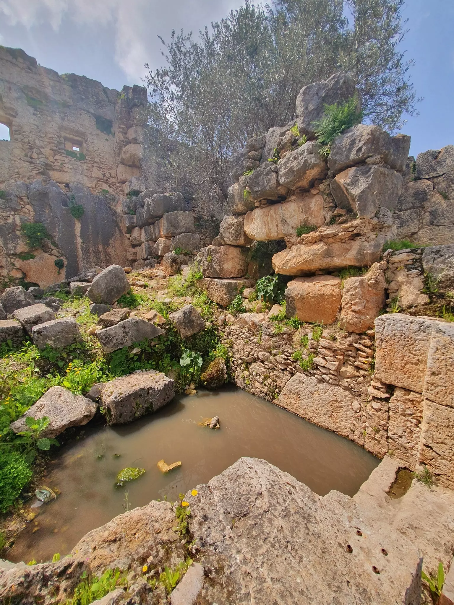
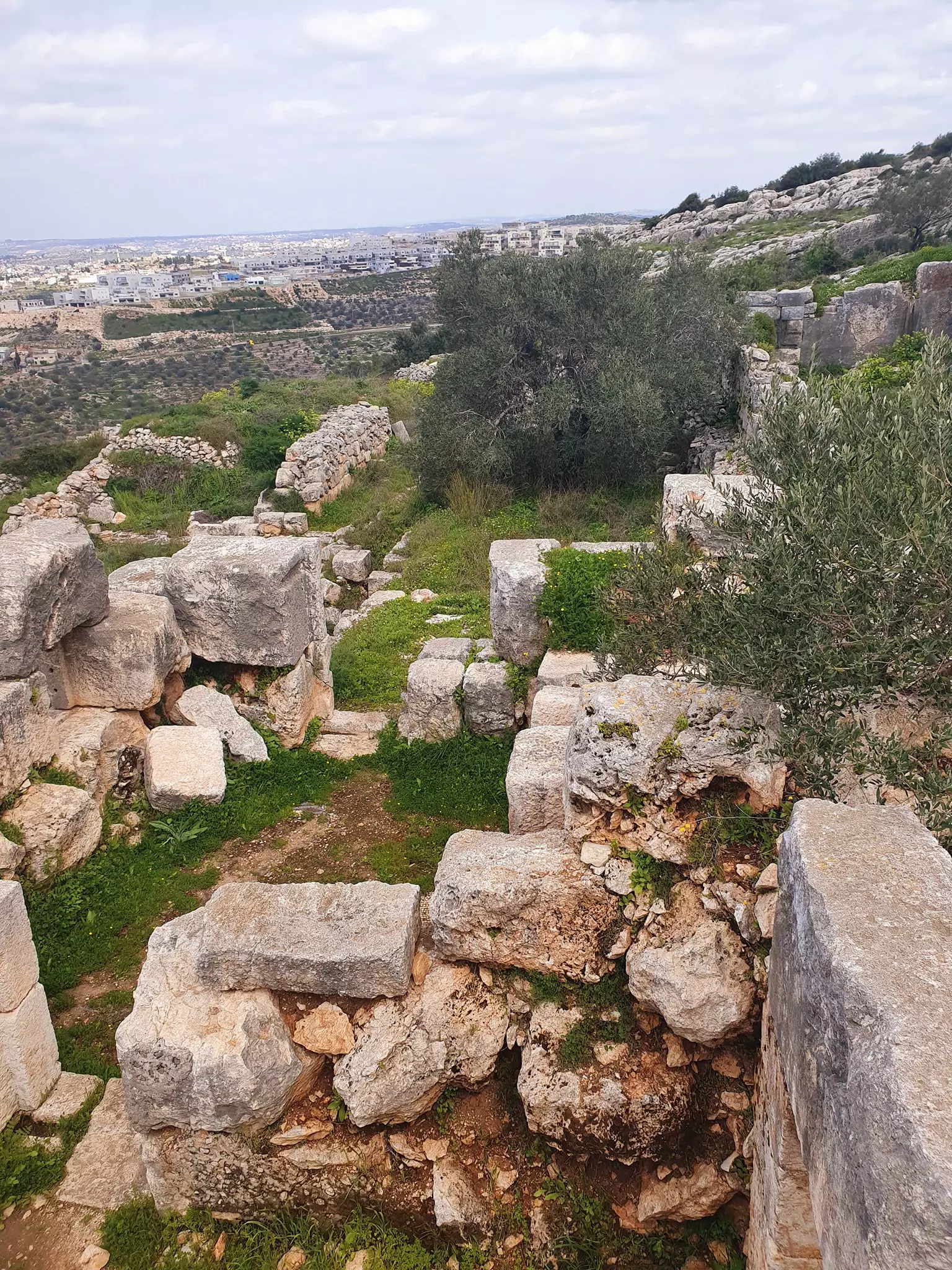
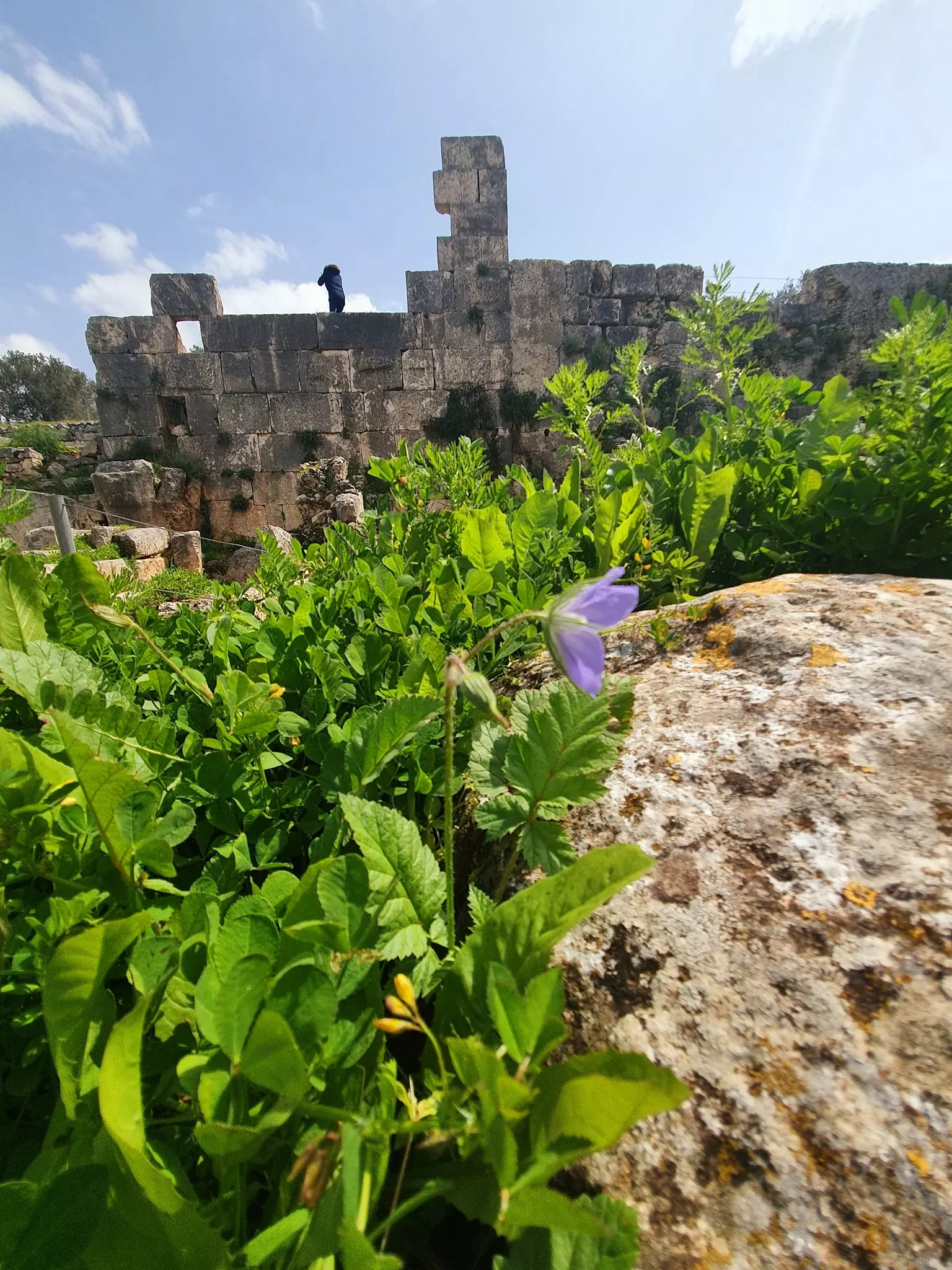
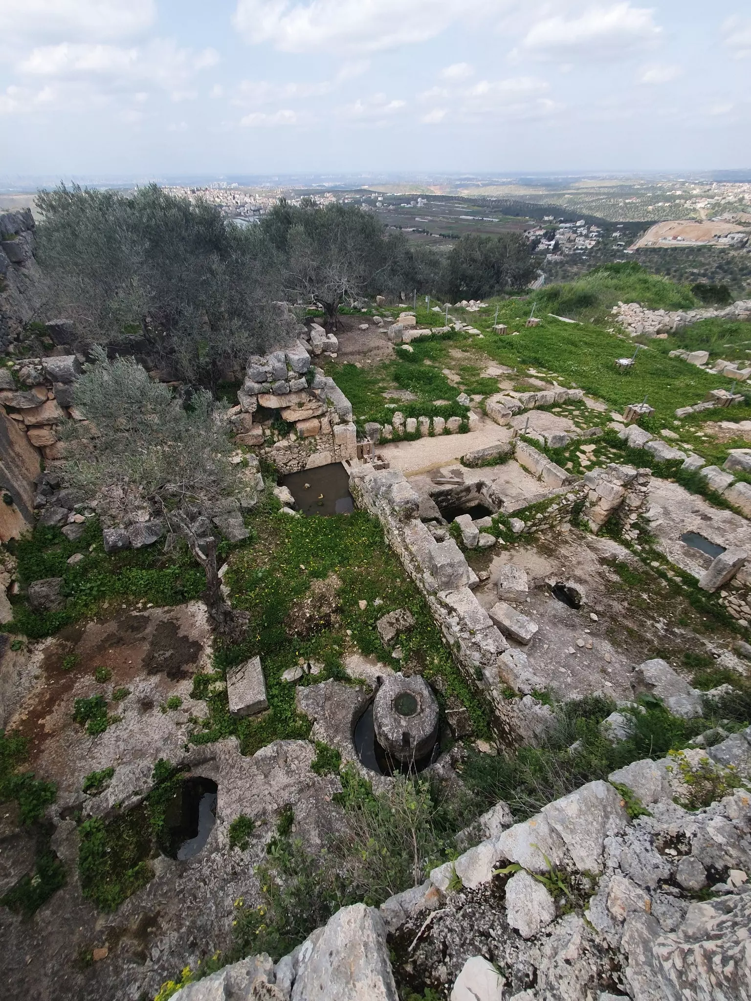
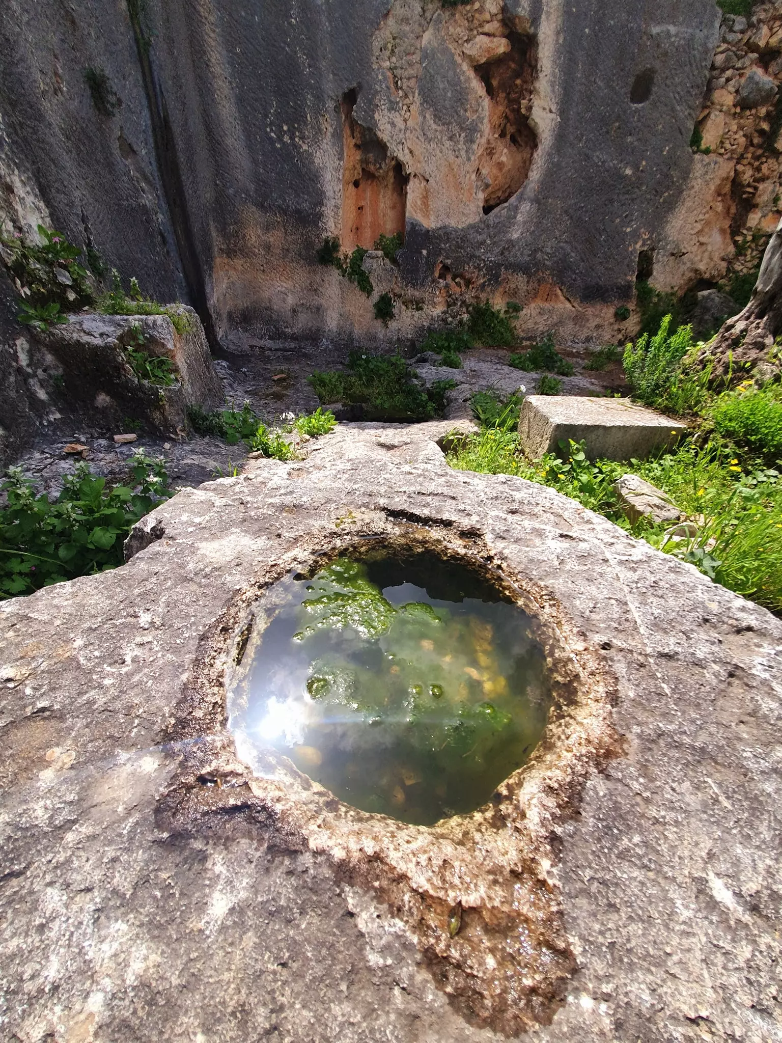
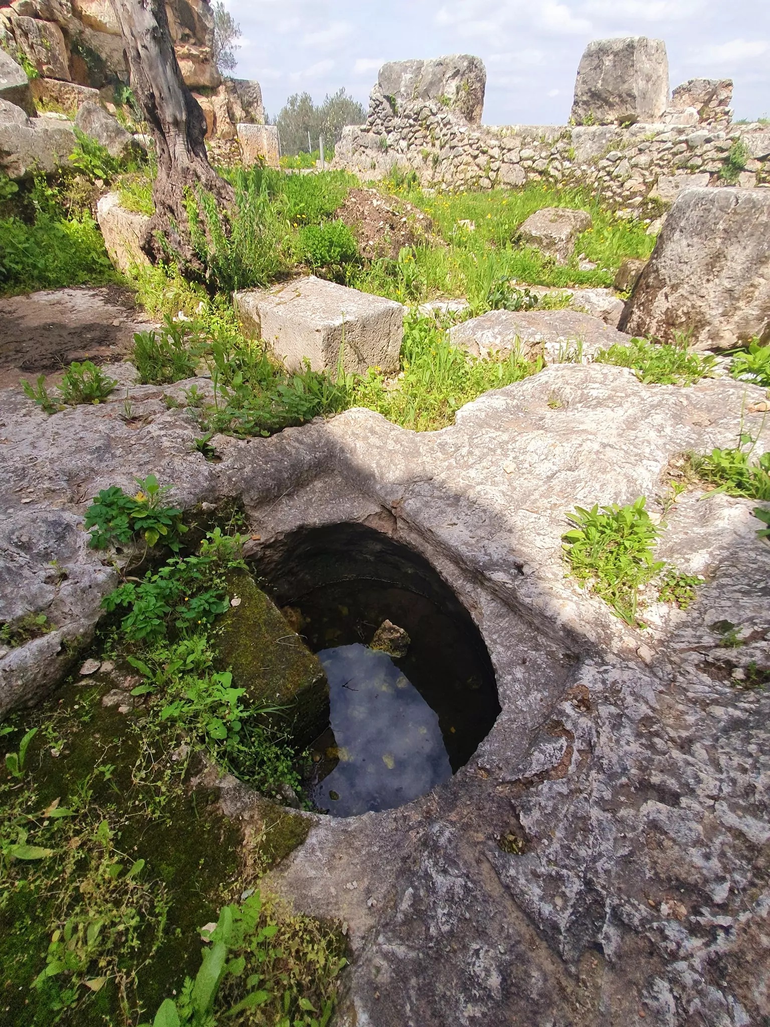
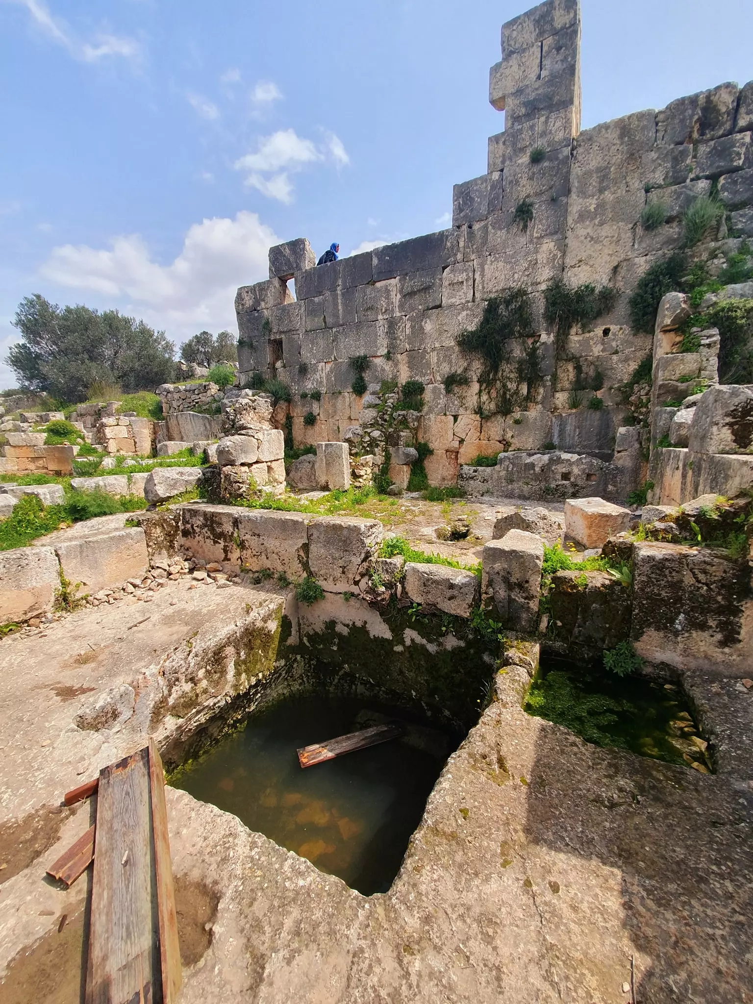
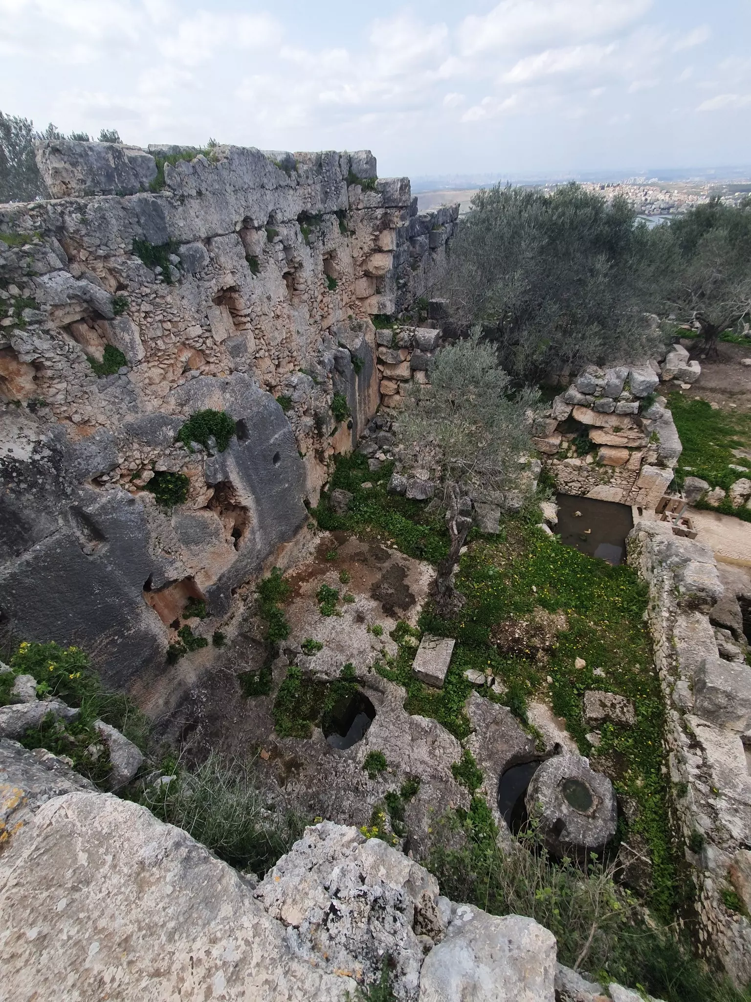
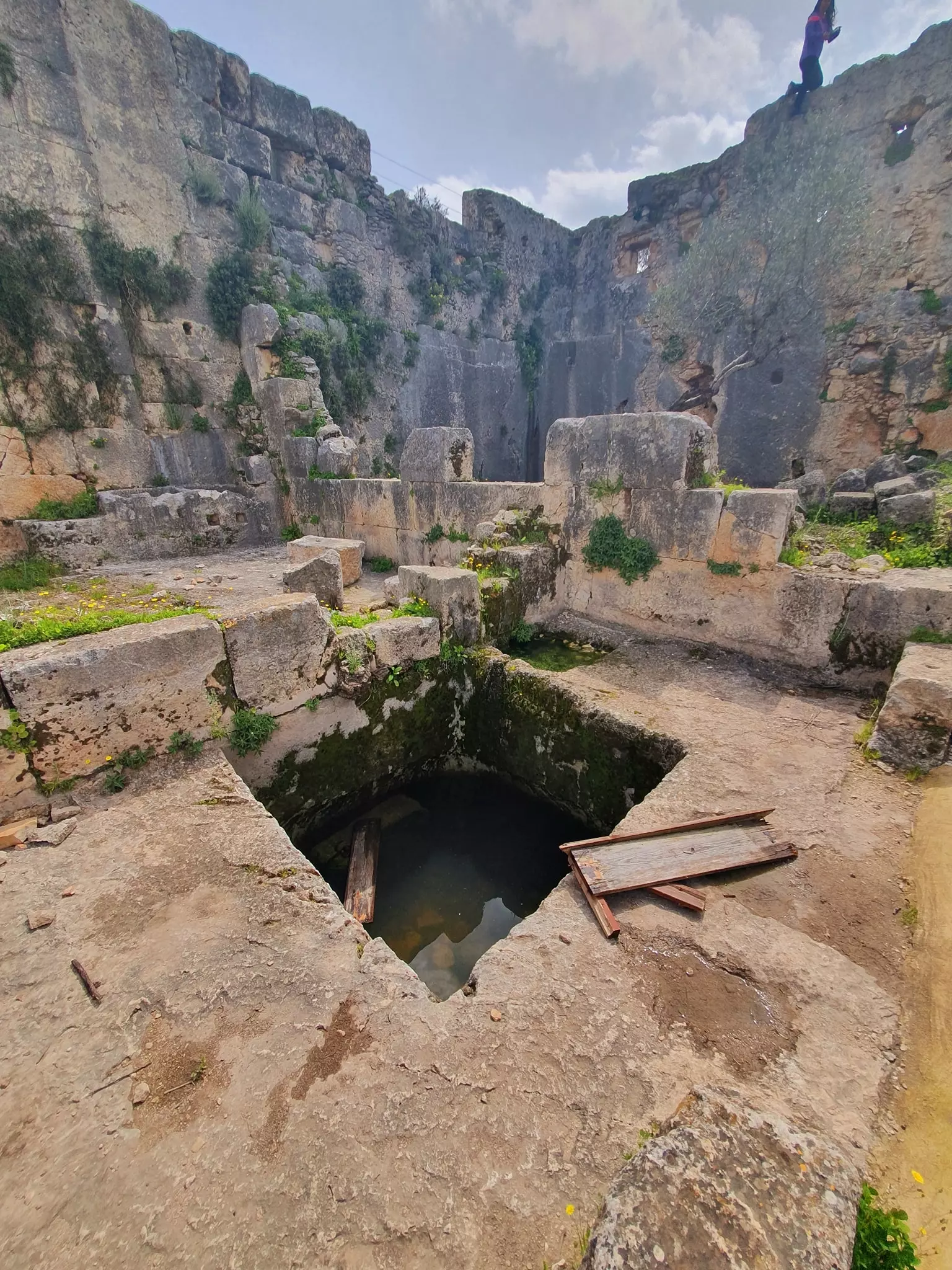
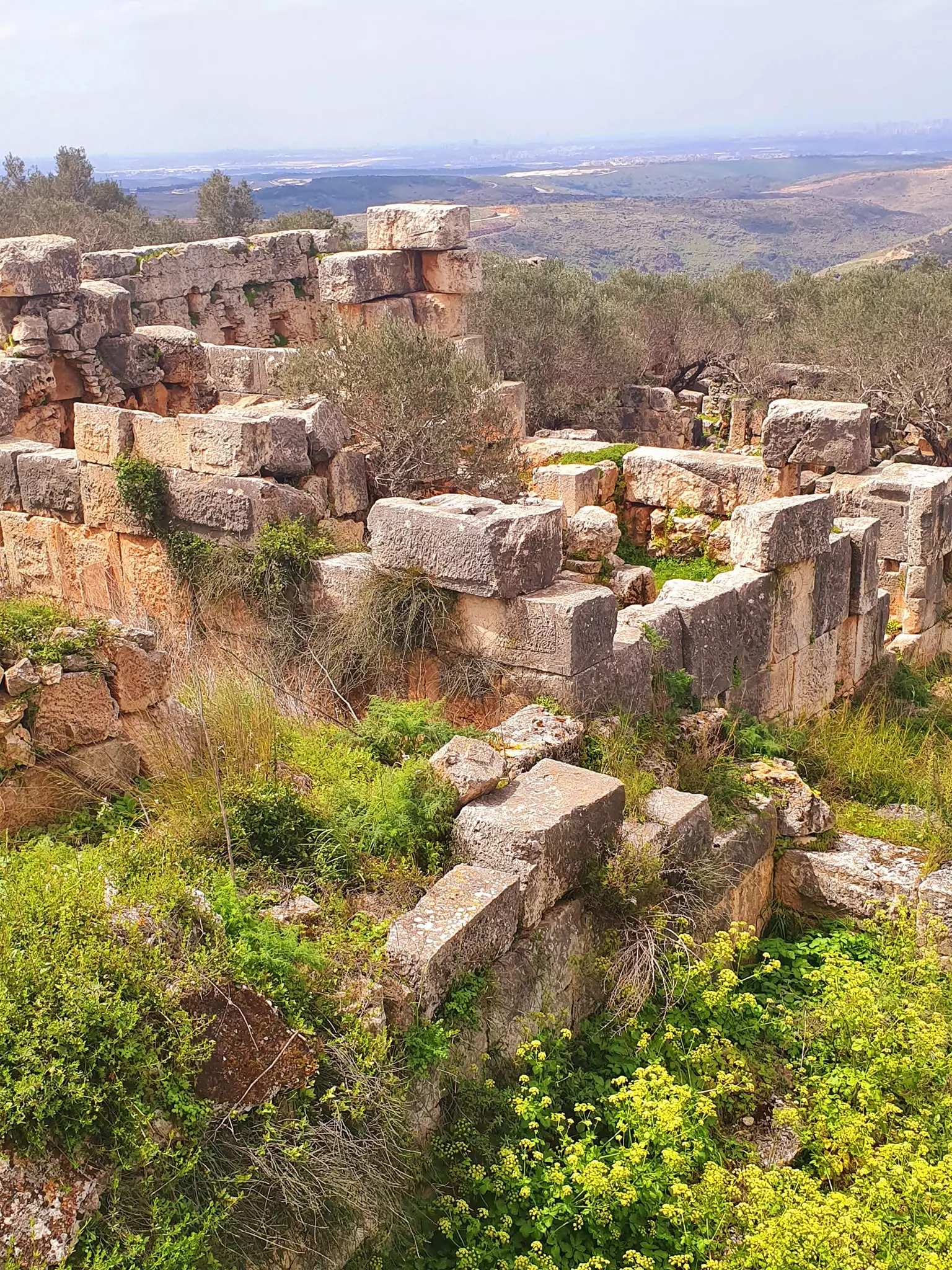
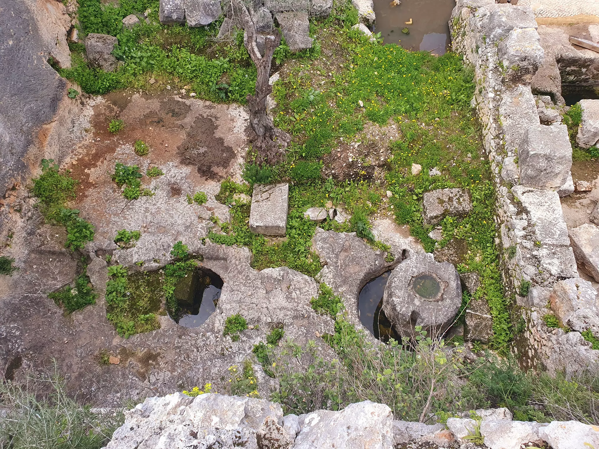
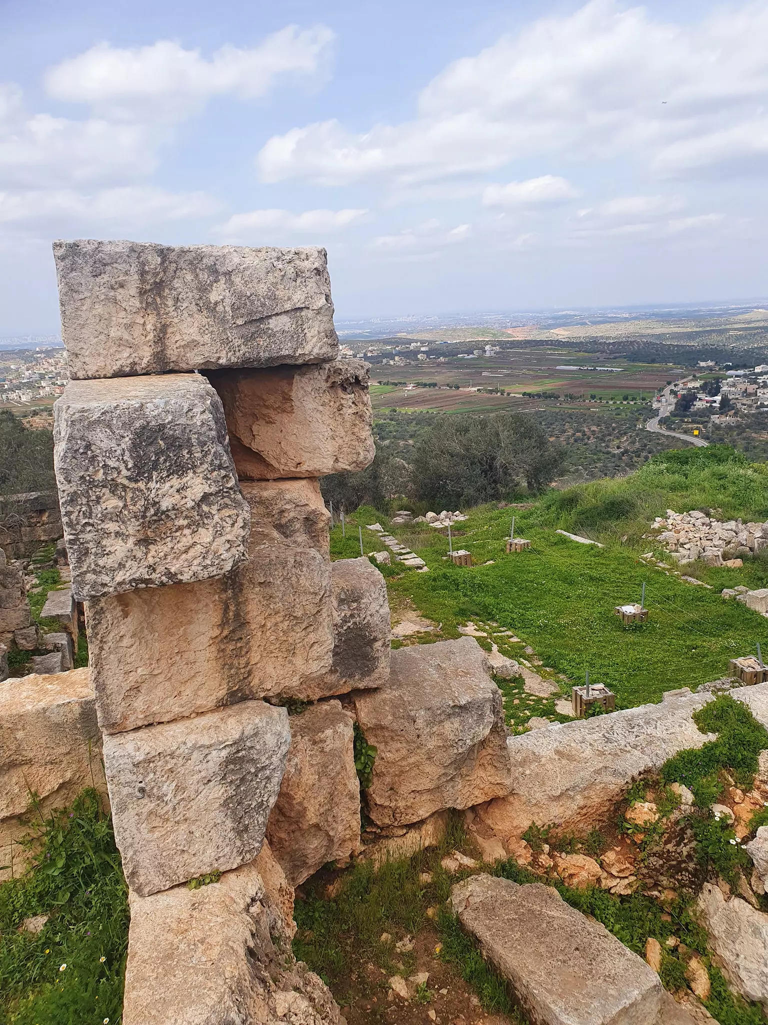
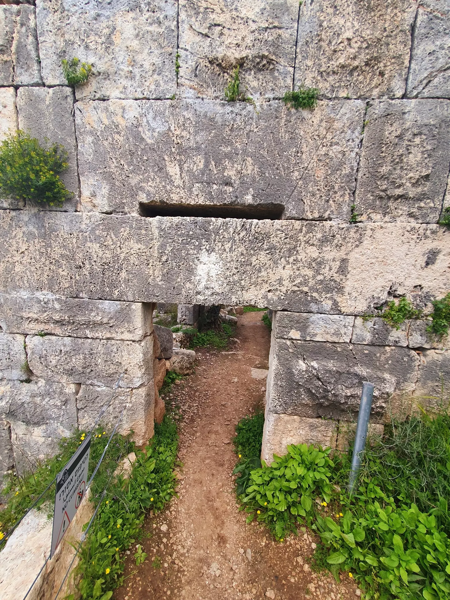
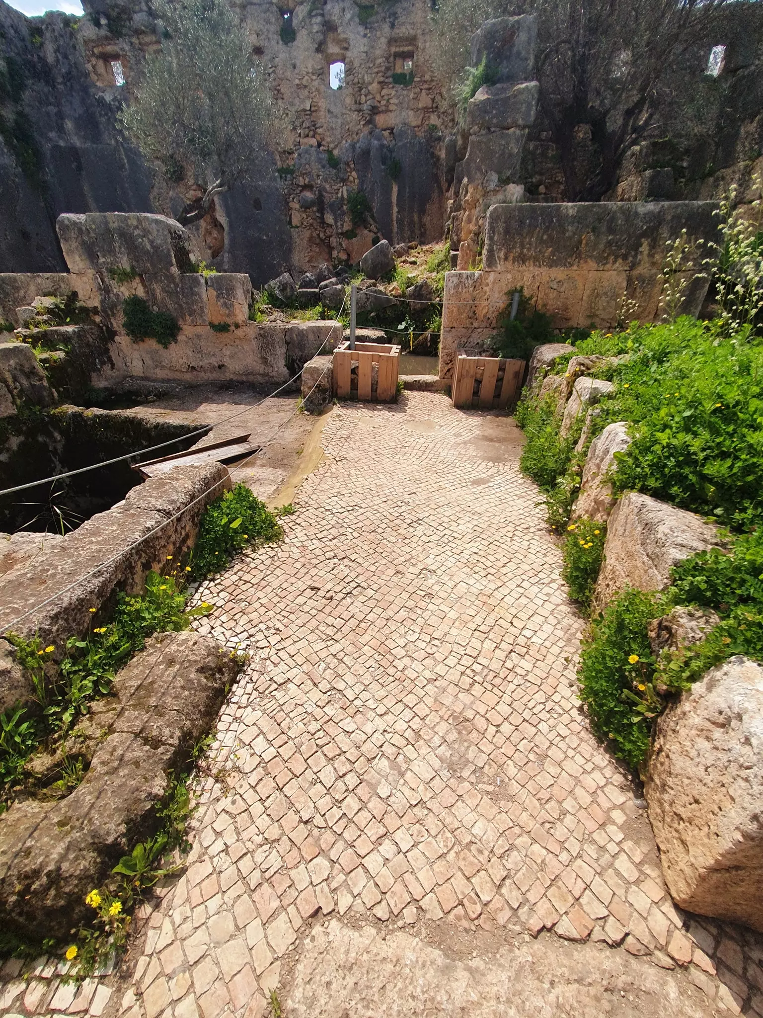
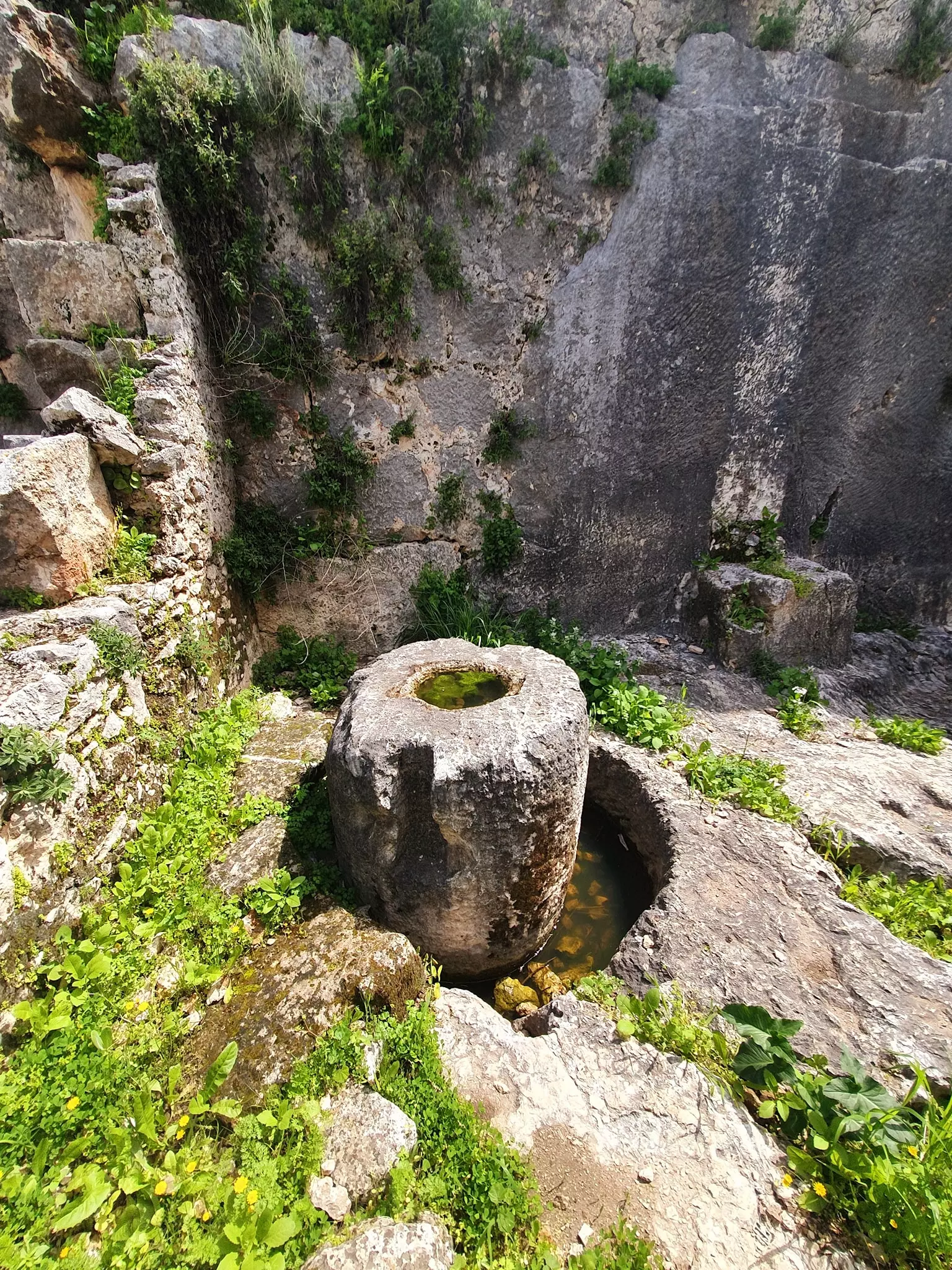
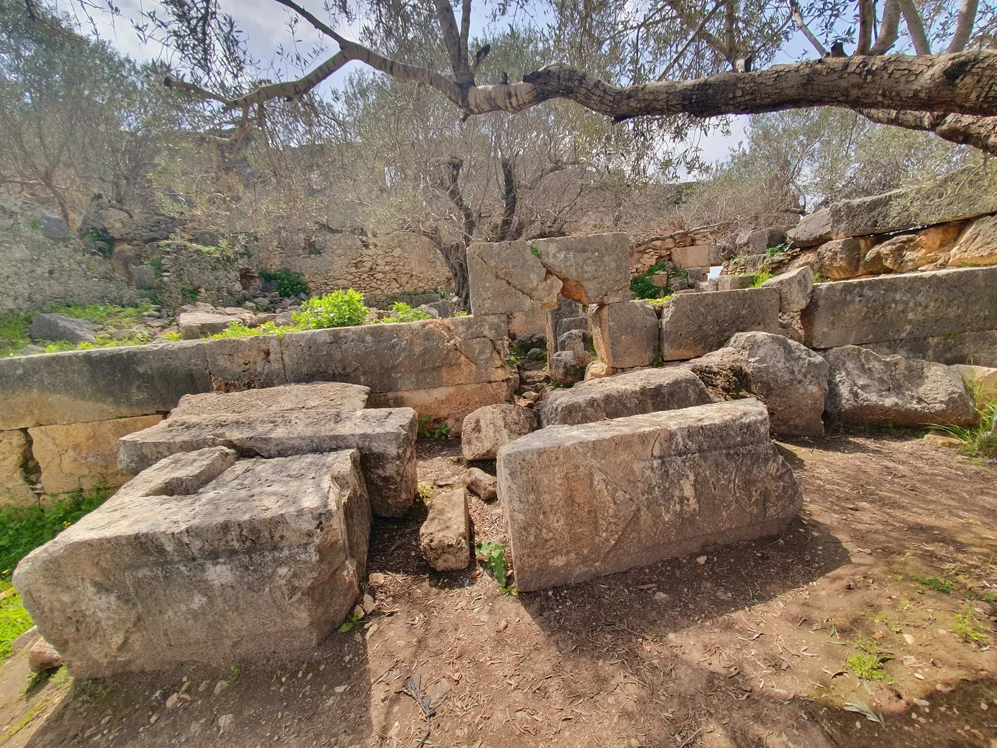
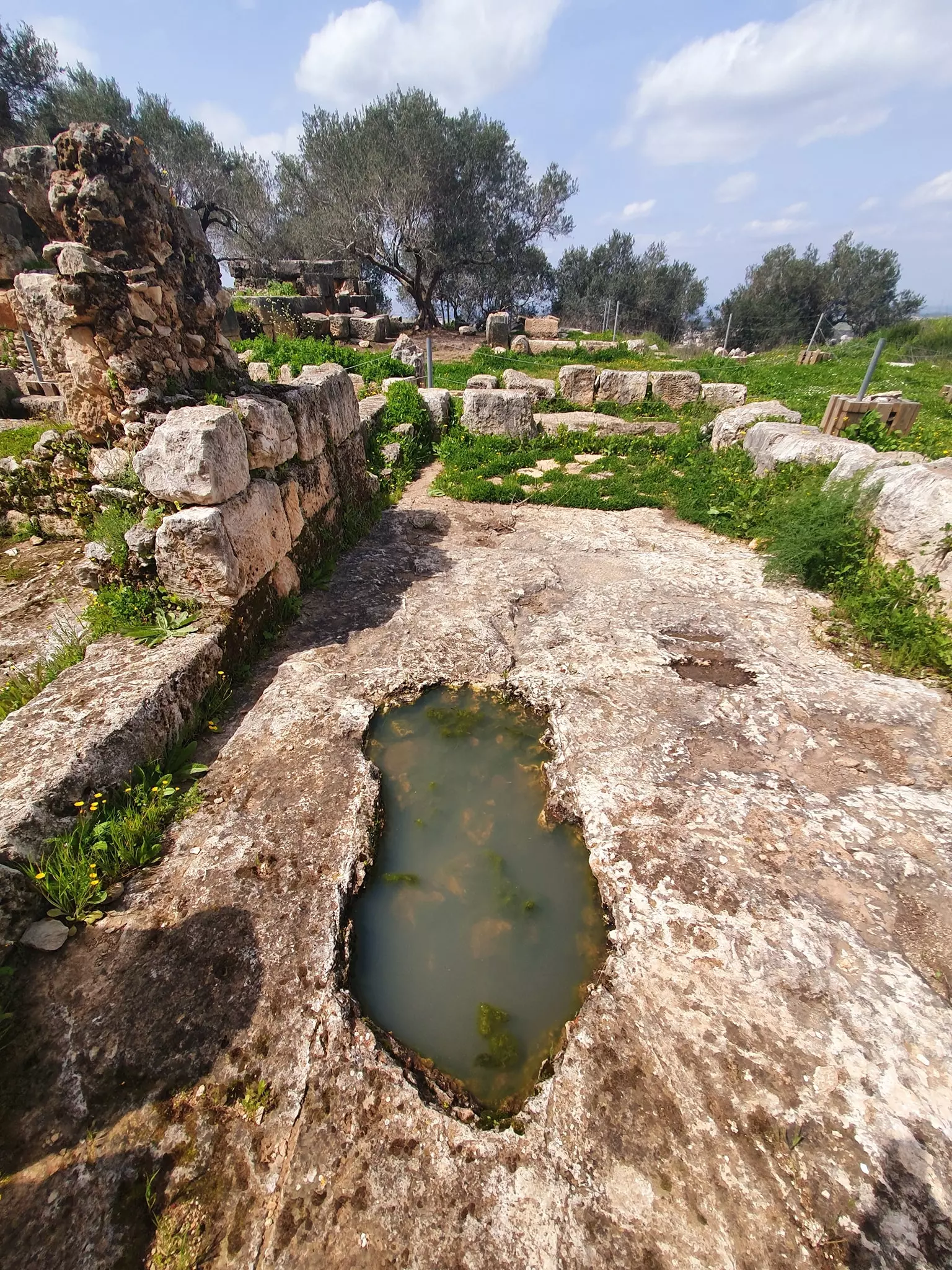
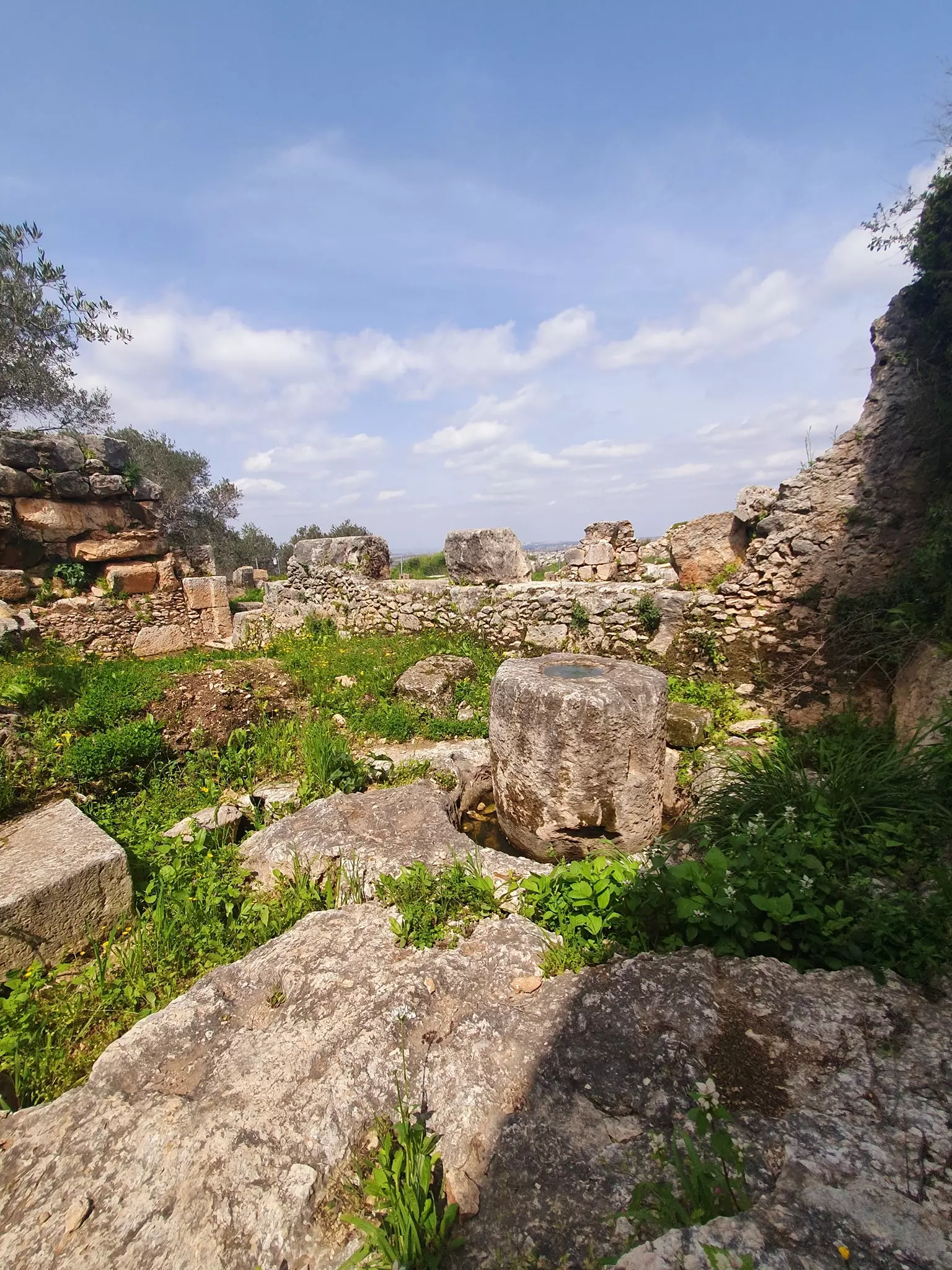
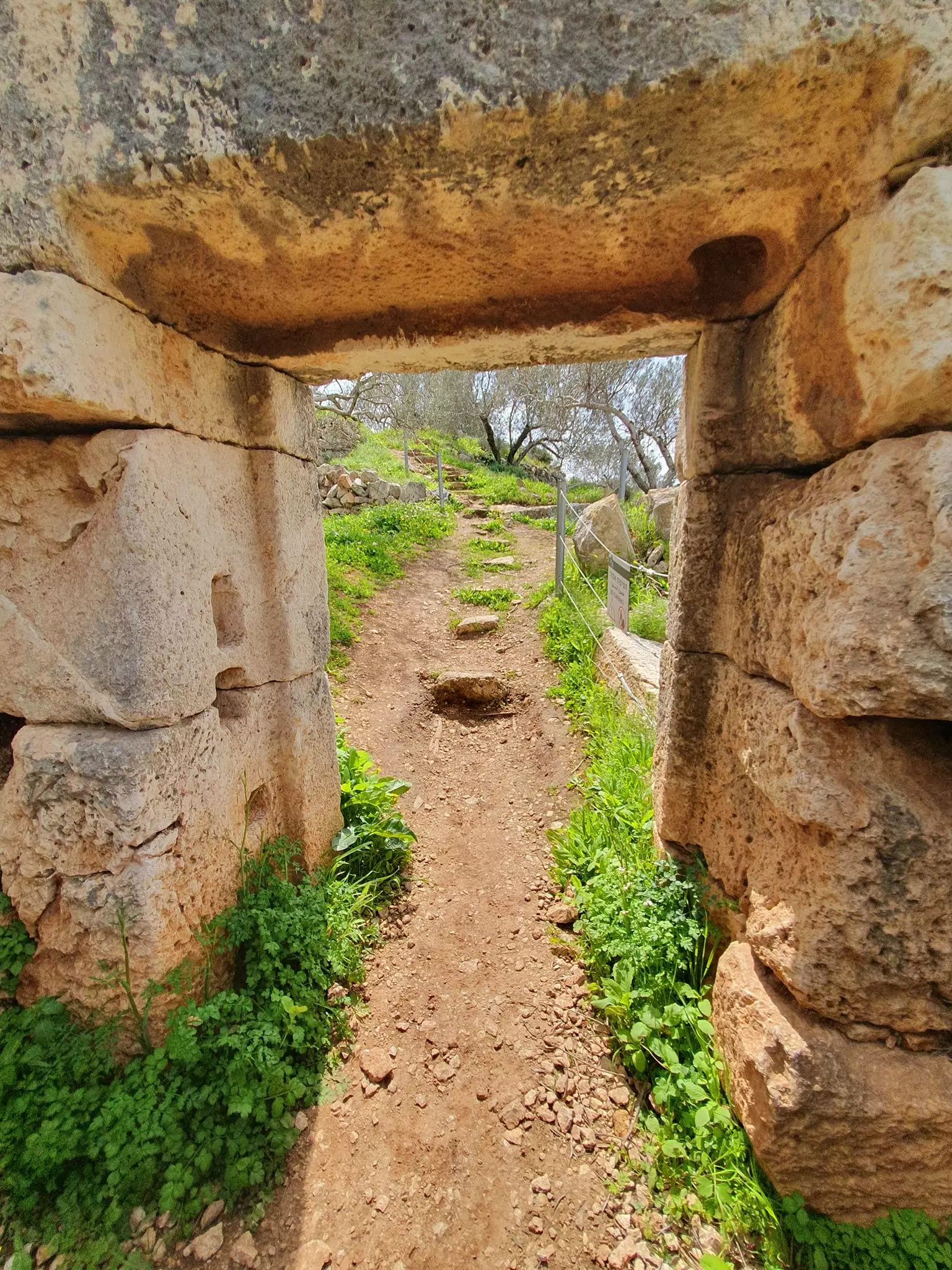
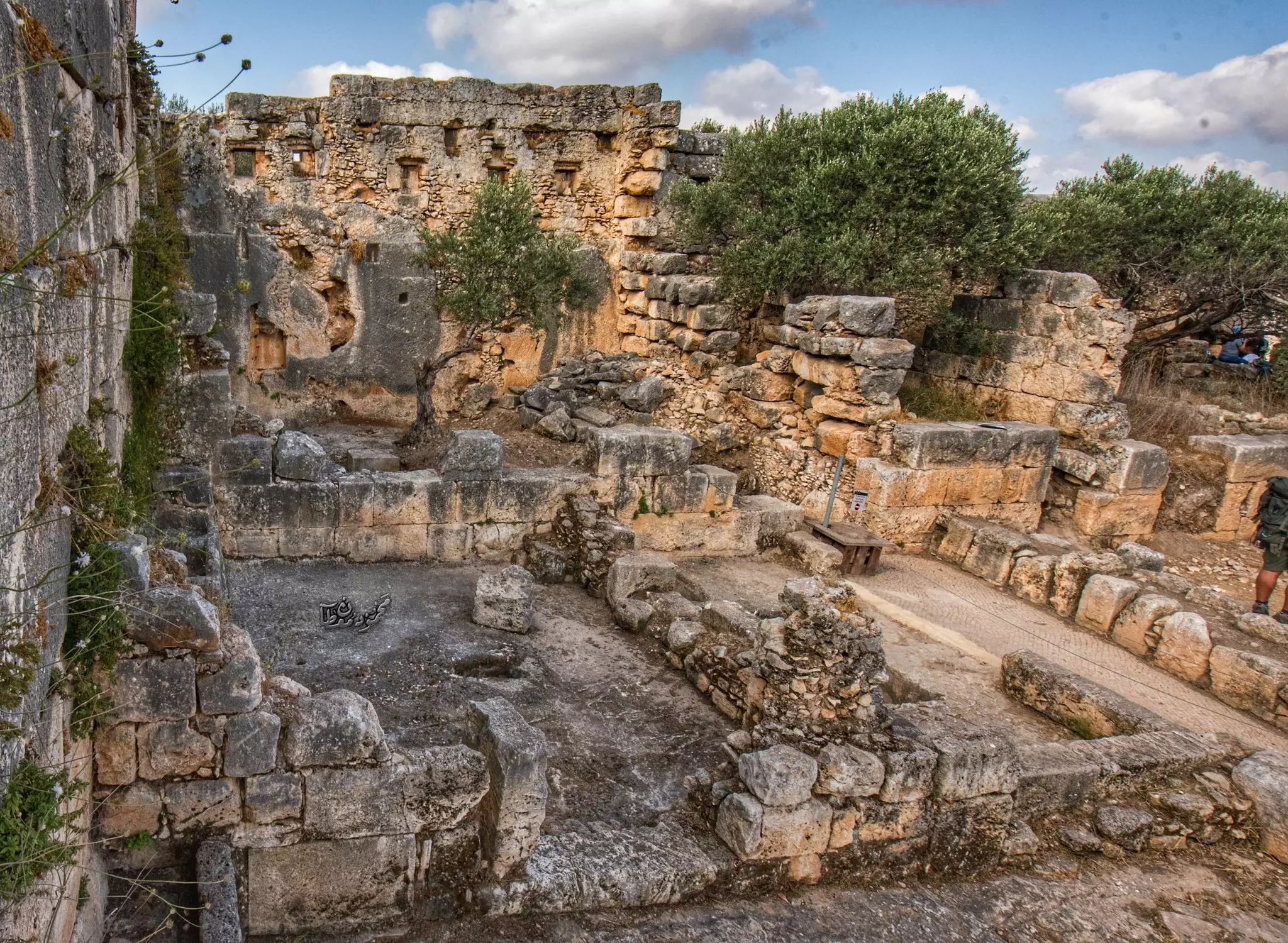
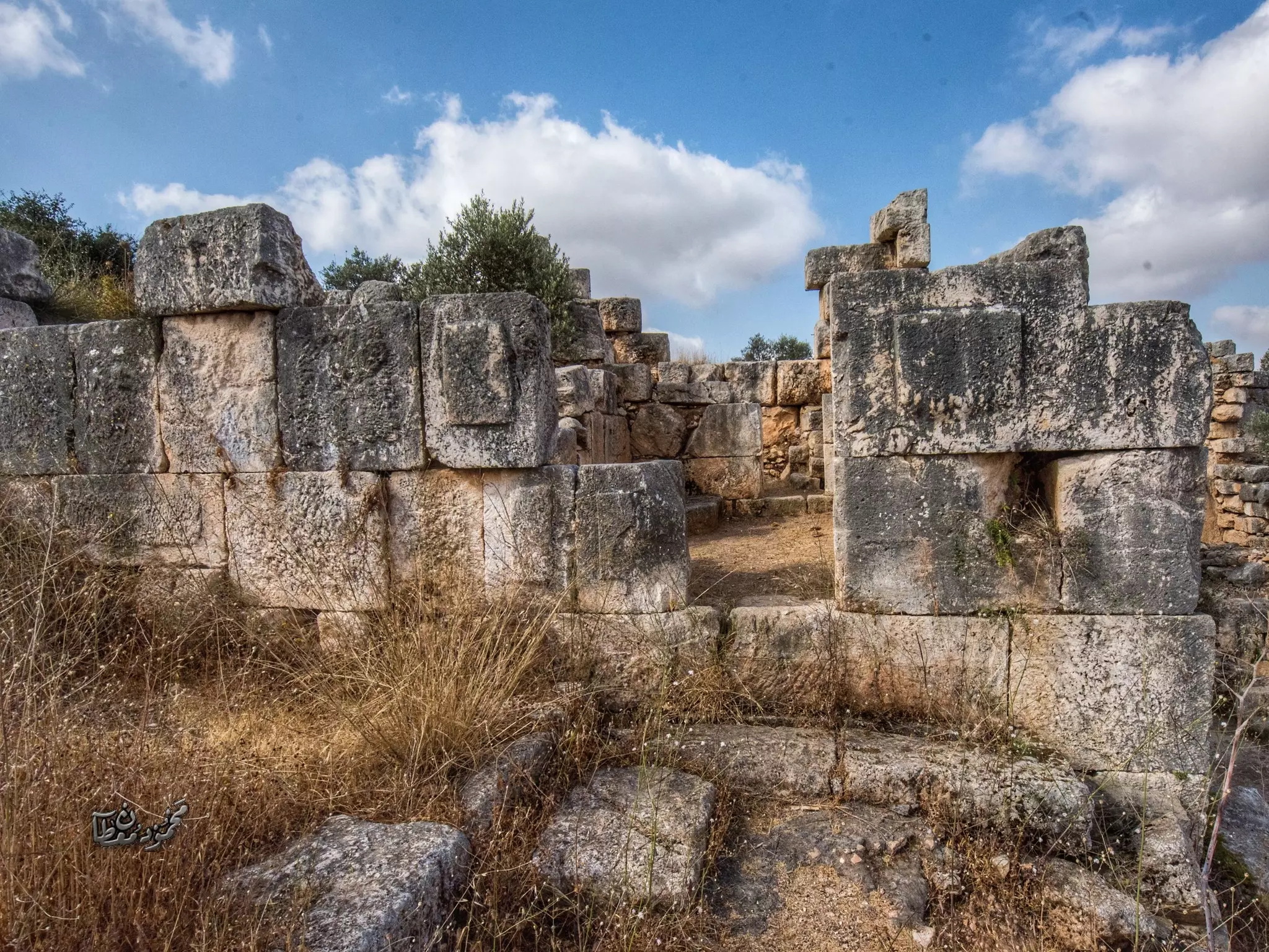
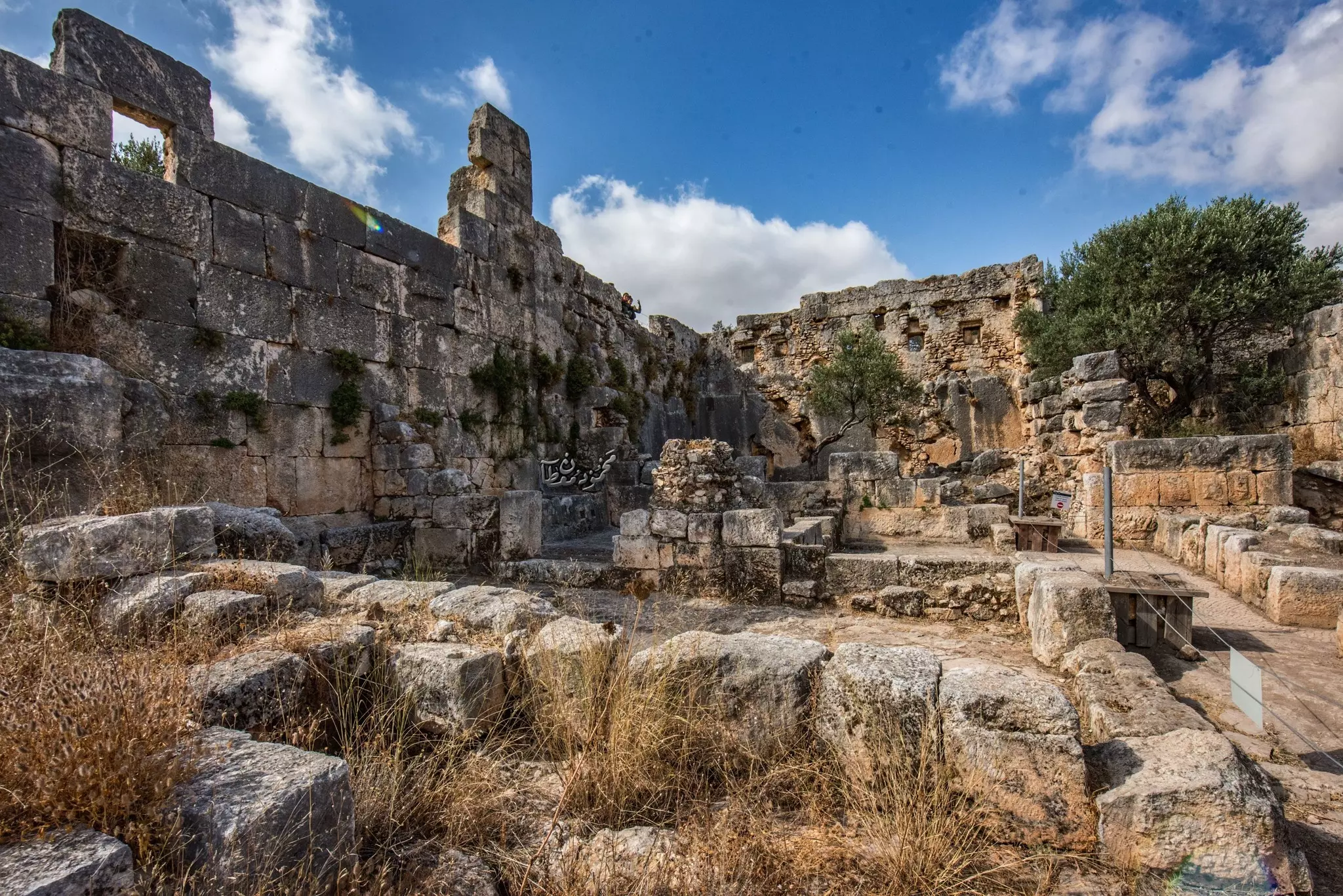
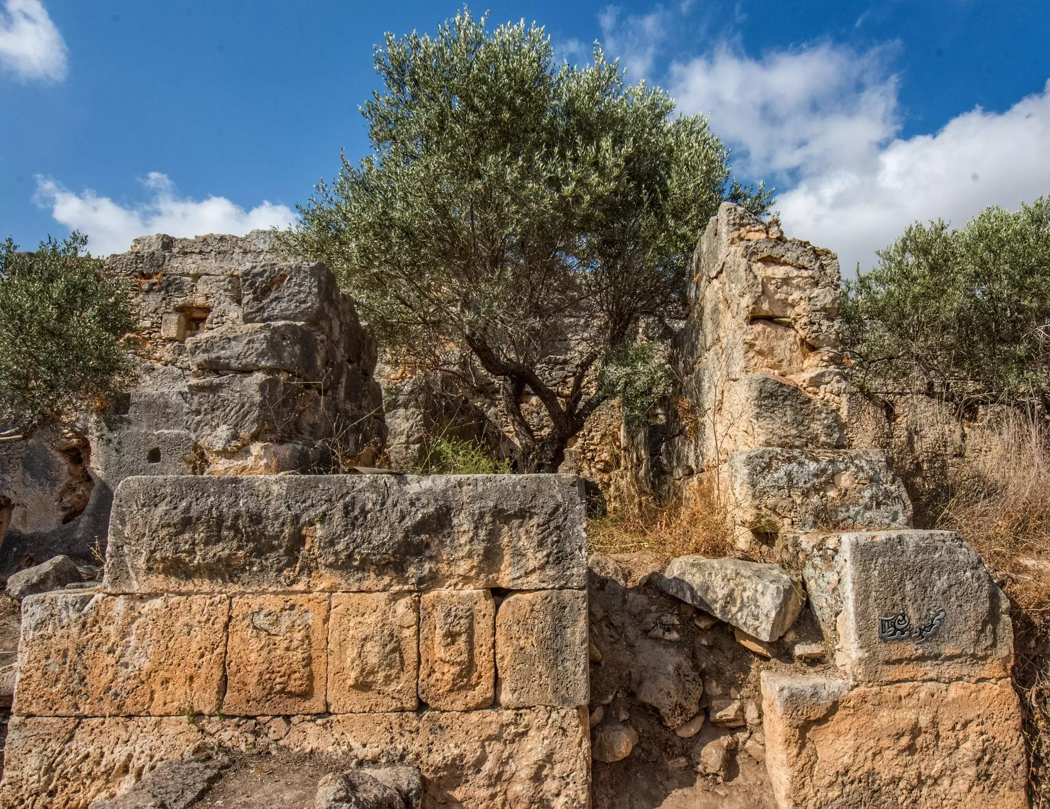
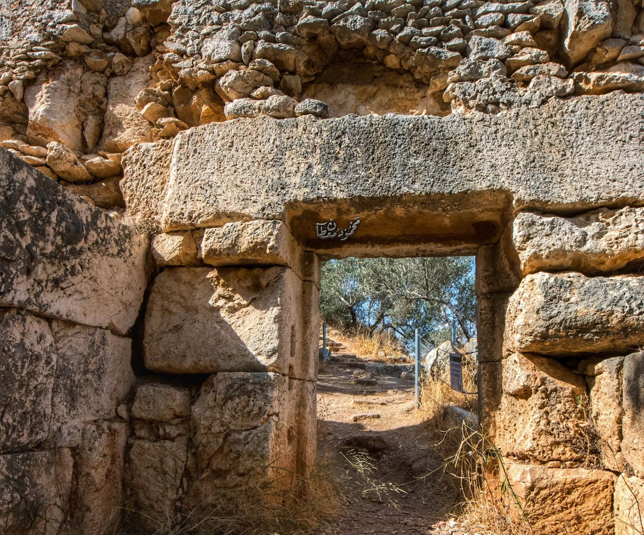
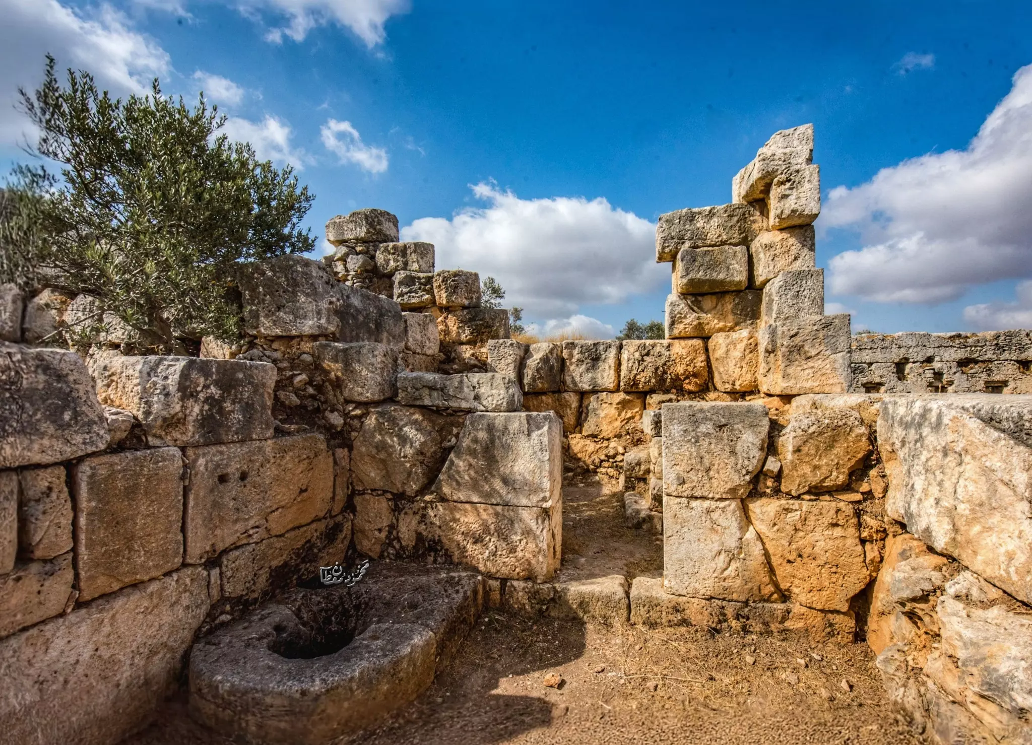
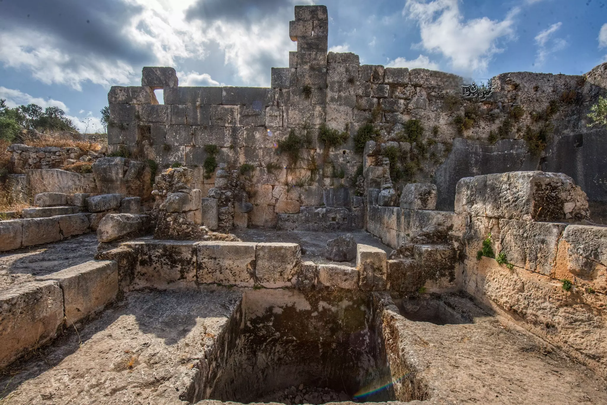
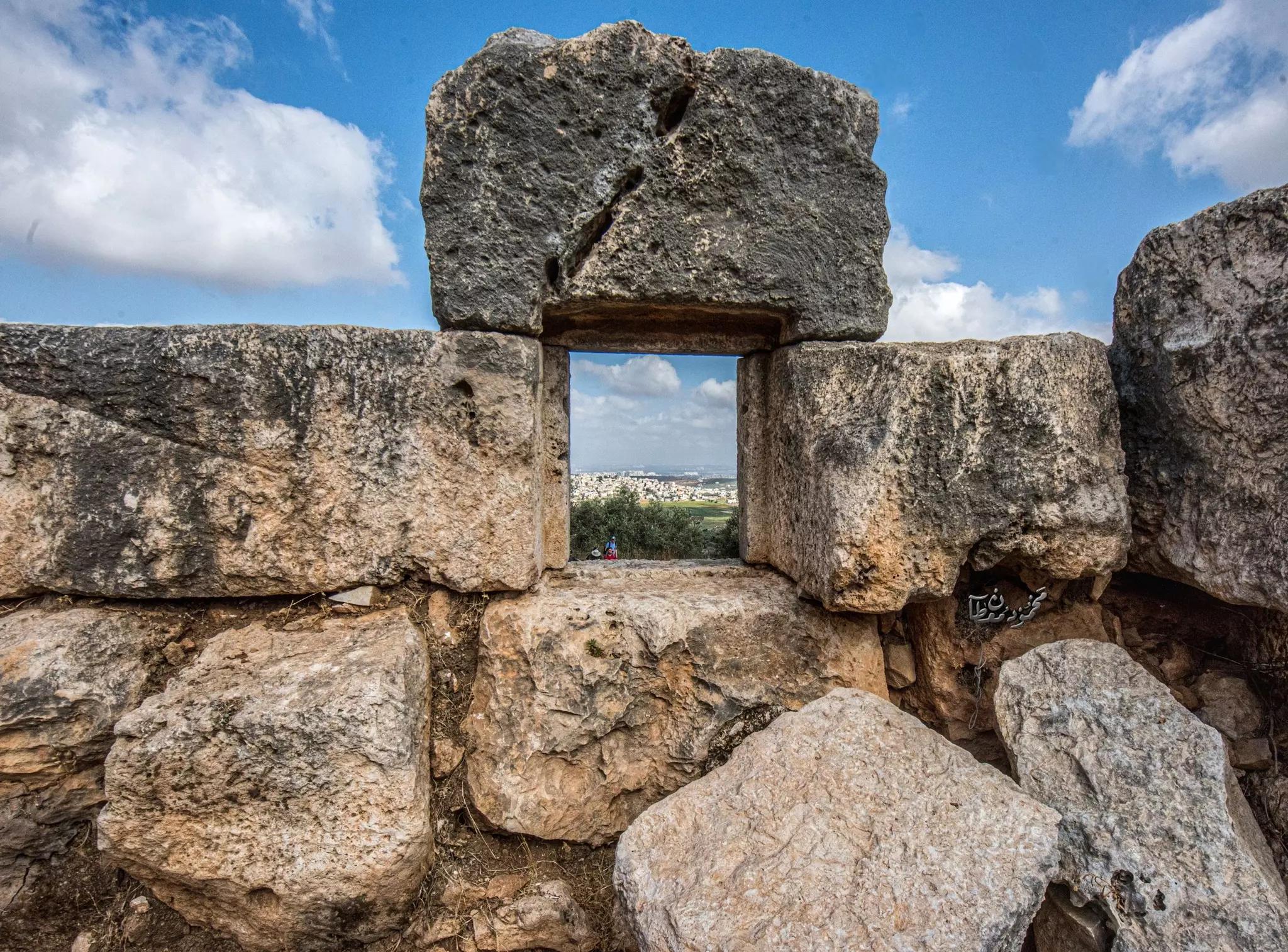
- جولة في دير قلعة هي قلعة أثرية..المزيد عنه في قسم التعليقات -- Dec. 2022 -- Mahmoud Moutan
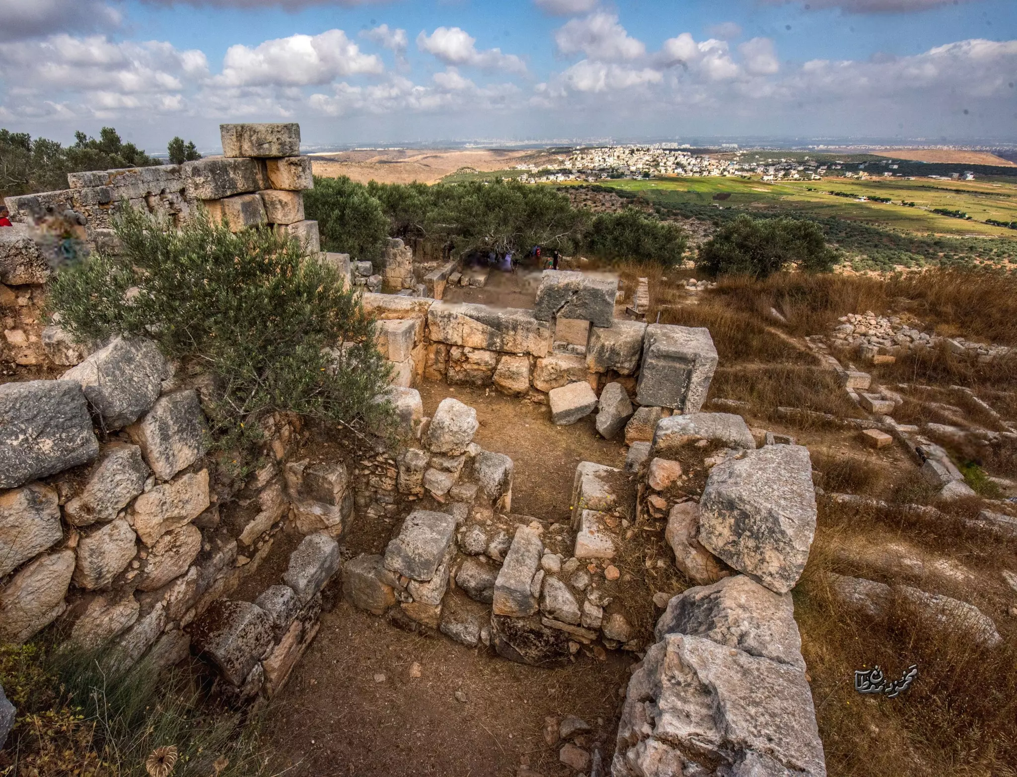
1 - جولة في دير قلعة هي قلعة أثرية..المزيد عنه في قسم التعليقات -- Dec. 2022 -- Mahmoud Moutan #2
- جولة في دير قلعة هي قلعة أثرية..المزيد عنه في قسم التعليقات -- Dec. 2022 -- Mahmoud Moutan #3
- جولة في دير قلعة هي قلعة أثرية..المزيد عنه في قسم التعليقات -- Dec. 2022 -- Mahmoud Moutan #4
- جولة في دير قلعة هي قلعة أثرية..المزيد عنه في قسم التعليقات -- Dec. 2022 -- Mahmoud Moutan #5
- جولة في دير قلعة هي قلعة أثرية..المزيد عنه في قسم التعليقات -- Dec. 2022 -- Mahmoud Moutan #6
- جولة في دير قلعة هي قلعة أثرية..المزيد عنه في قسم التعليقات -- Dec. 2022 -- Mahmoud Moutan #7
- جولة في دير قلعة هي قلعة أثرية..المزيد عنه في قسم التعليقات -- Dec. 2022 -- Mahmoud Moutan #8
- جولة في دير قلعة هي قلعة أثرية..المزيد عنه في قسم التعليقات -- Dec. 2022 -- Mahmoud Moutan #9
- جولة في دير قلعة هي قلعة أثرية..المزيد عنه في قسم التعليقات -- Dec. 2022 -- Mahmoud Moutan #10
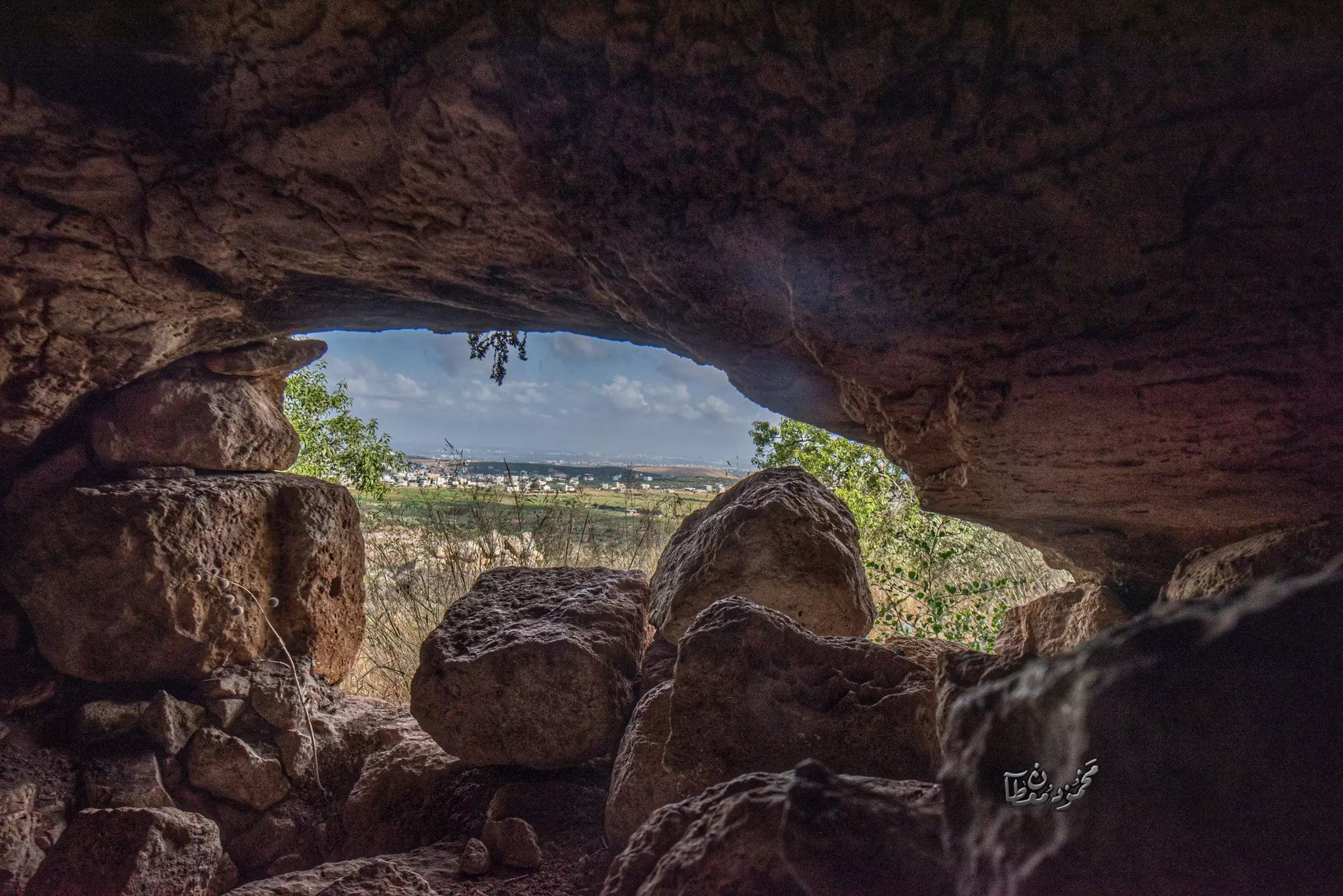
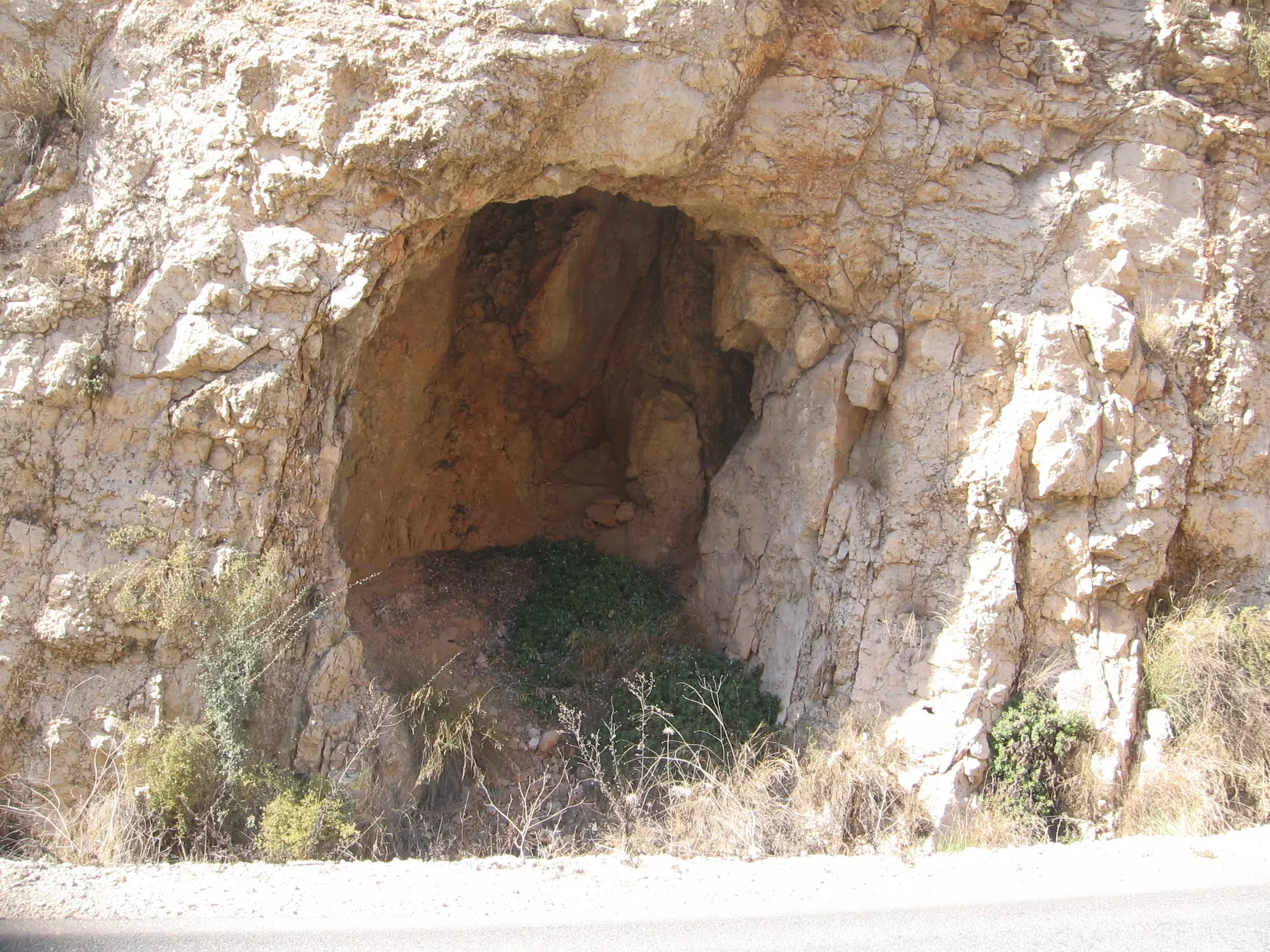
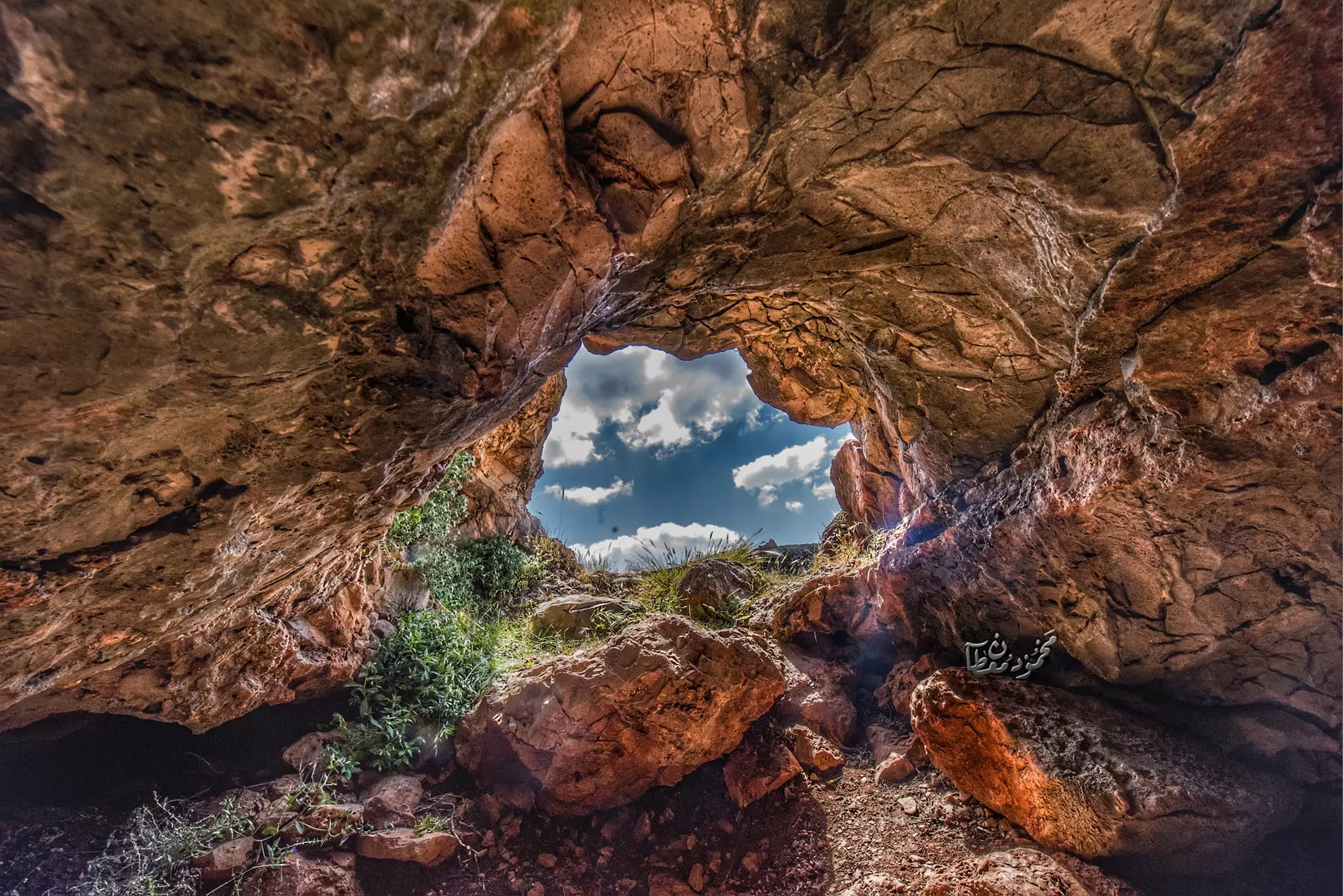
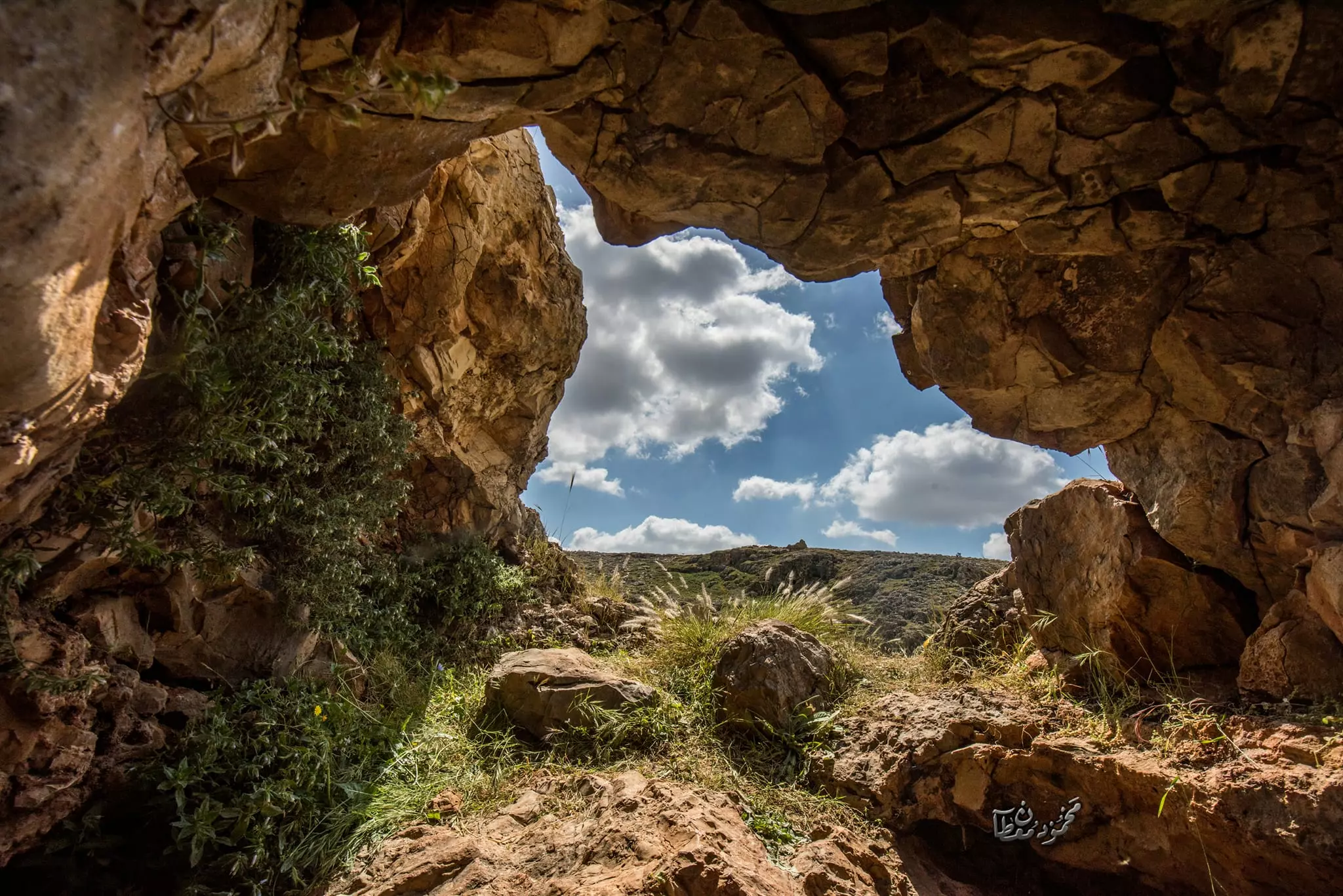
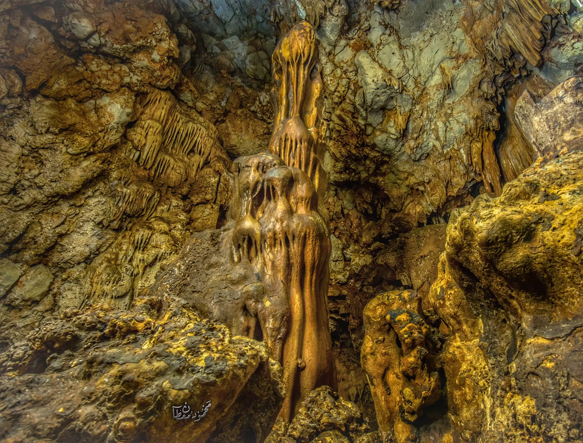
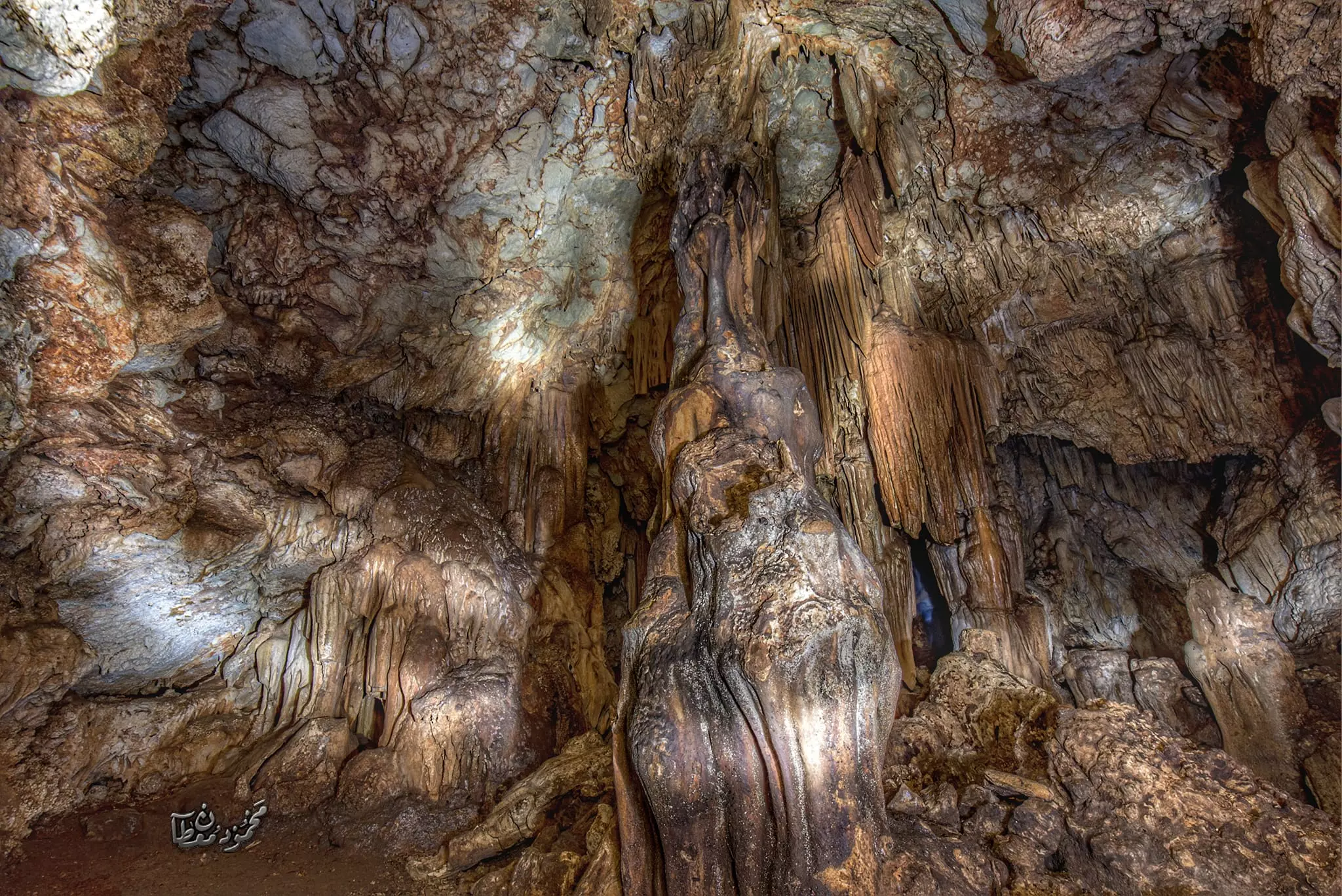
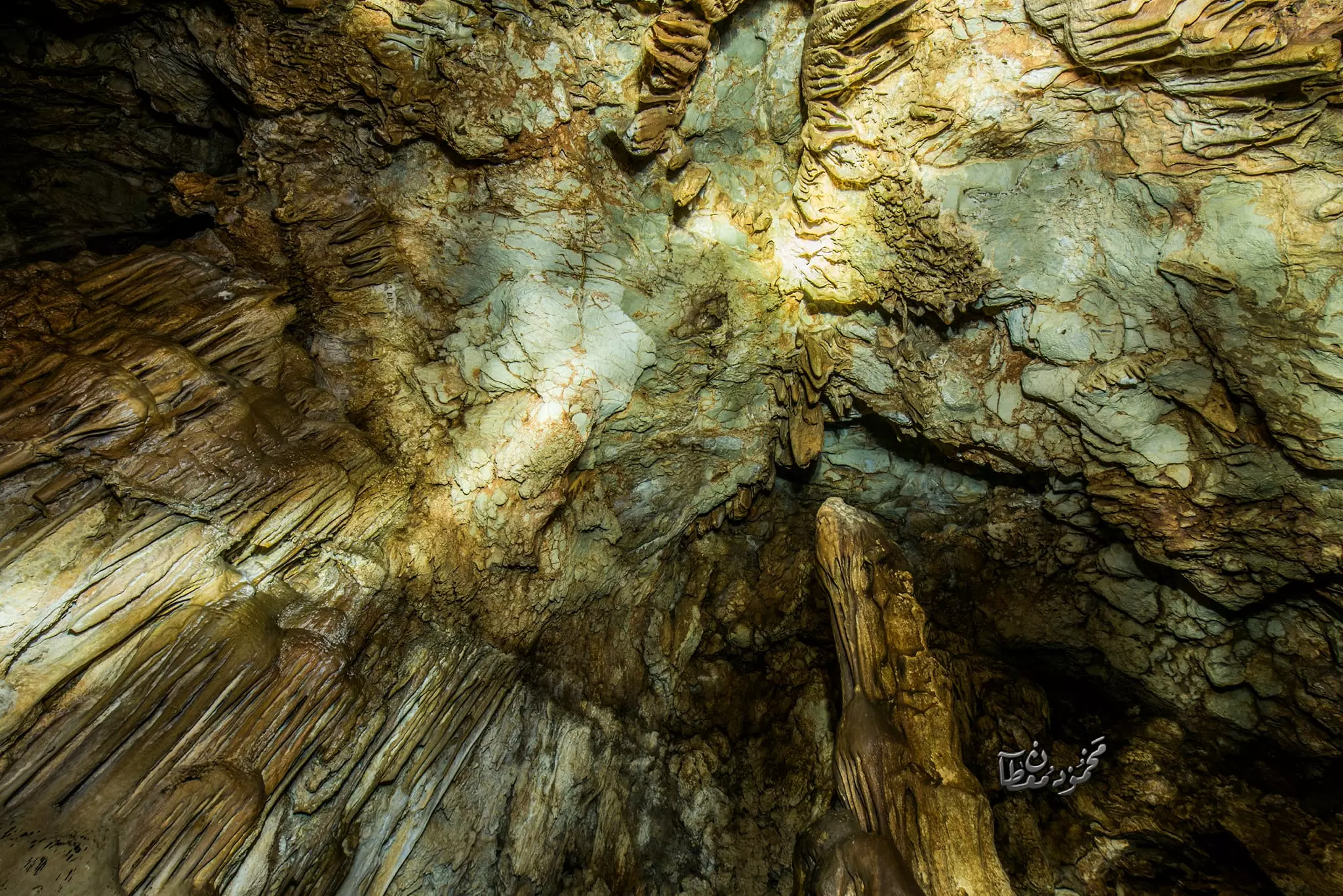
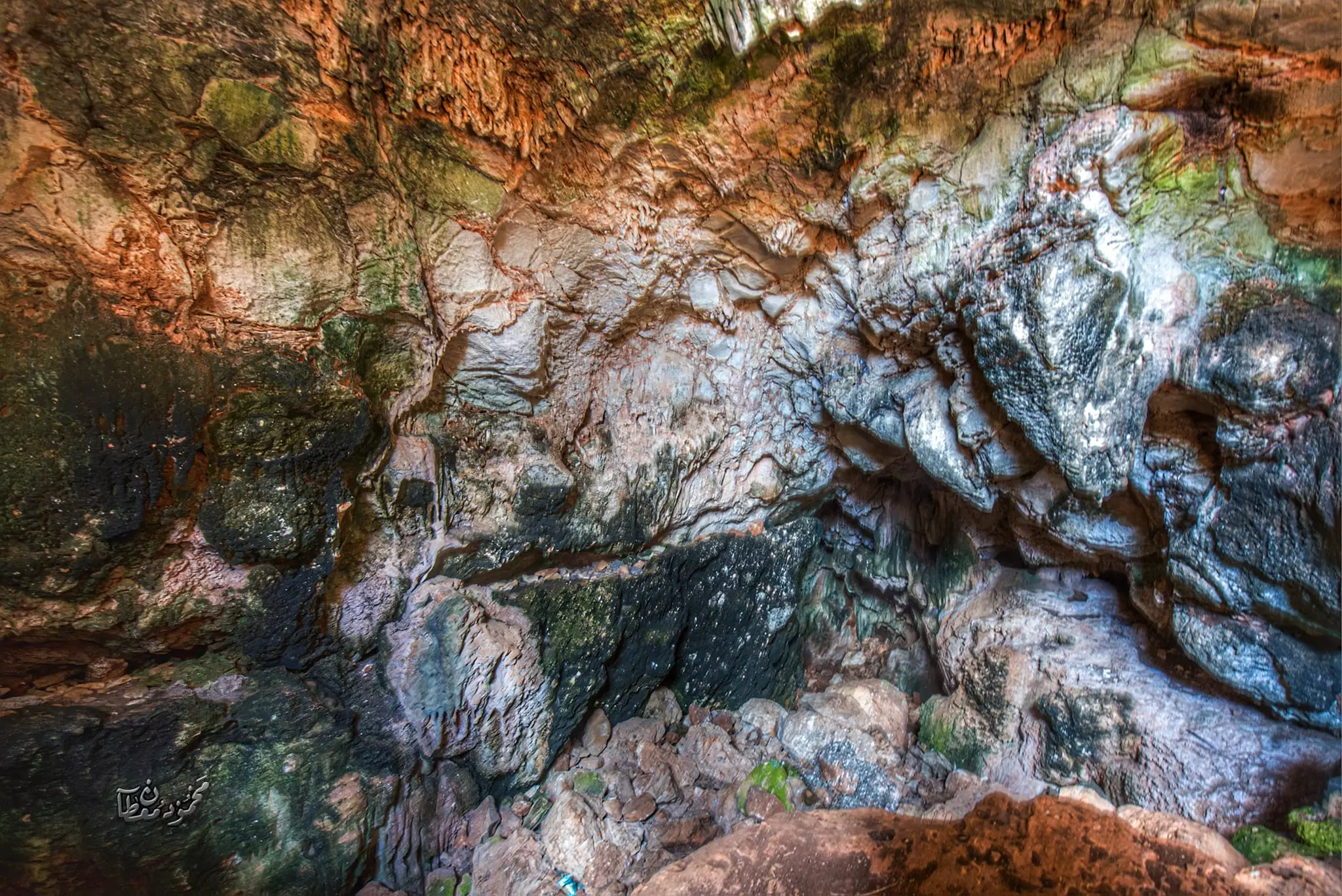
- جولة في مغارة الاصنام في الجبال الغربيه لقرية دير بلوط -- July 2024 -- Mahmoud Moutan
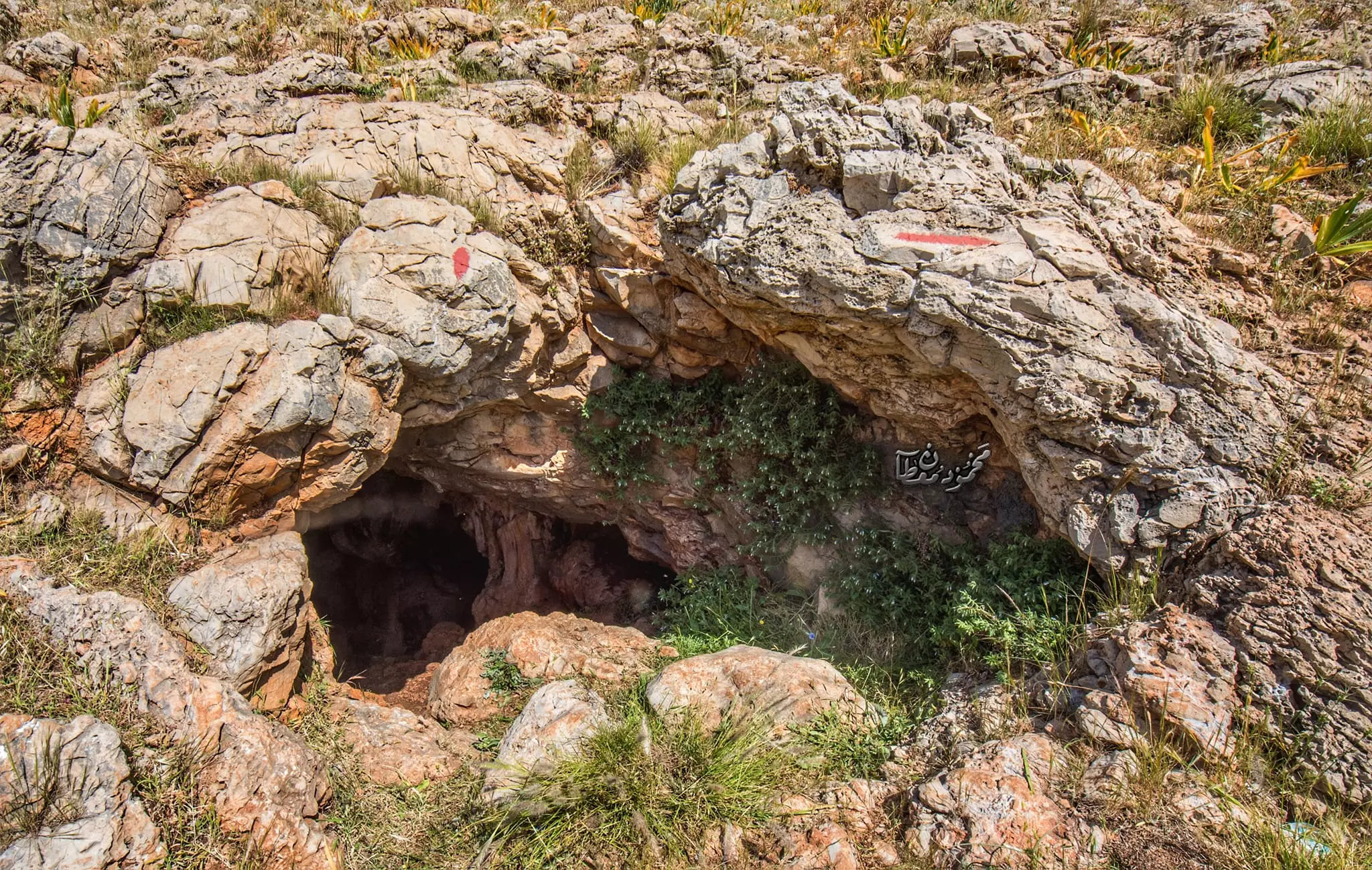
- جولة في مغارة الاصنام في الجبال الغربيه لقرية دير بلوط -- July 2024 -- Mahmoud Moutan #2
- جولة في مغارة الاصنام في الجبال الغربيه لقرية دير بلوط -- July 2024 -- Mahmoud Moutan #3
- جولة في مغارة الاصنام في الجبال الغربيه لقرية دير بلوط -- July 2024 -- Mahmoud Moutan #4
- جولة في مغارة الاصنام في الجبال الغربيه لقرية دير بلوط -- July 2024 -- Mahmoud Moutan #5
- جولة في مغارة الاصنام في الجبال الغربيه لقرية دير بلوط -- July 2024 -- Mahmoud Moutan #6
- جولة في مغارة الاصنام في الجبال الغربيه لقرية دير بلوط -- July 2024 -- Mahmoud Moutan #7
Want to browse more? 80,000 pictures were grouped in these gallaries:
| Display Name | Clan/Hamolah | Country of Residence |
| [email protected] | - | سلفيت, سلفيت |
| بهجت مصطفى | مصطفى | - |
| محمد سمير | - | سلفيت, فلسطين |
| Basheer mustafa | - | dair ballut |
| nabeel al-ali | al-abdullh | - |
| محمود قرعوش قرعوش | - | سلفيت |
| hane mustafa | - | - |
| ahmad | - | sprot city, jordan |
| محمد عبدالله | alabadelah | riyadh, saudi arabia |
| نديم | - | - |
| ابو امجد | abdeljawad | - |
| المختار | - | ramallah, دير بلوط |
| bilal mustafa | - | - |
| عساف القاسم | - | - |
| تامر البلوطي | - | دير بلوط, دير بلوط |
| Saeed Qaroush | - | - |
| كريم خليل | خليل | - |
No links have been shared yet, be free to the first to share the first link.
 Fake Valor: Why Did Zionist Jews Hoist Nazis Flag on Their Ships in the 1930s?
What is new?
-
Facts About Oct. 7th Gaza Raid
-
Remined Us Please:: Who Did Rape Who? Palestinians Raped Israelis? Or, was the other way around?
-
When Prof. Edward Said was invited to debate Bibi Netanyahu in the 1980s, watch what happened!
-
Ezra Klein of the NY Times on the "Jewish Race".
-
Abusing Blood Libel!
-
Zionist FAQ: Isn't it true that Palestinians don't want peace? Palestinians never accepted the two-state solution
- Facts about Haavara (Transfer) Agreement between Ben-Gurion & Hitler
-
Haavara FAQs: Why Did Zionist Jews Hoist Nazis' Flags on Their Ships in the 1930s?
-
Dear ChatGPT: Why did the Jewish Agency suppress news of the Holocaust during WWII?
-
Video Playlist: Jews share their DNA tests to end the conflict for good.
-
A Tale of Two Conflicts: Examining the Definition of Genocide
-
Prof. Abraham Polak And The Suppressed History of the Khazars and European Jewry
-
How Ronald Reagan would have framed the genocide in Gaza if he were still alive?
-
Haavara FAQs: Let us do the math: how many German Jews did The Haavara Agreement save?
-
Zionist FAQs: The Hebron Massacre of 1929, "clearly proves" that Palestinians are antisemitic, how could you deny it?
-
Zionist FAQs: Why Anti-Zionist Is Not Antisemitism?
-
Zionist FAQs: Isn't it true that the KGB create Palestinian Nationalism in the early 1960s?
- Zionist FAQs: Muslims are killing Muslims all the time; why are Israeli Jews being singled out in the media?
- Zionist FAQs: How is Israel an apartheid state when 20% of its citizens are Arabs who enjoy full rights?
-
Haavara FAQs: Analysis of Herzl's Uganda Scheme and how it could have saved millions of Jews.
-
Haavara FAQs: Why did Hayim Greenberg describe American Jewry as "morally bankrupt" in early 1943?
-
Haavara FAQs: What if the Evian Conference was a resounding success? What would have been the impact of saving European Jewry on Zionism?
- Haavara FAQs: What if the six million were saved, how that would have impacted the Zionist project?
-
Haavara FAQs: How did Zionist leaders react when Europe's Jews lingered in the DP camps after WWII ended?
-
Why does the American Jewish community repeat lies that David Ben-Gurion had debunked before he died?
-
Who has the power to rename the Tatar/Khazar Gene Marker to Jewish IV?
-
Zionist FAQs: Why won't Egypt, Syria, and Jordan take their people back? Jews are indigenous to Palestine, and Arabs immigrated after Jews developed the country. Arabs should leave.
-
Haavara FAQs: Did Hitler and the Nazis conflate between Judaism and Zionist? If that wasn't case, then why?
-
Haavara FAQs: Winston Churchill and antisemitism, a collection of articles written Churchill.
-
Haavara FAQs: Broken by country, how many Jews survived vs. killed during the Holocaust?
-
Haavara FAQs: Why did European Jews vote with their feet and to immigrated to the Americas, not Palestine, after WWII?
-
Watch this American Jewish Girl describing Israeli Jews' cognitive dissonance like no other in under two minutes
-
Haavara FAQs: When the Nazis went out of their way to hide the Holocaust, Israeli Jews did the exact opposite by broadcasting their genocide of Gazans. But why?
-
Haavara FAQs: How Zionist Jews went out of their to show their appreciation to Nazism and Fascism?
- Haavara FAQs: Why Zionist leaders were against bombing the death camps & the Railroads leading to them?
-
Haavara FAQs: Hitler's message to the British and American people: If Jews are such noble citizens and you care about them, how come you're not letting them in? I will gladly ship them to you at my expense, even on luxury liners!
-
A shortlist of Zionist and Israeli false flag operations in the name Jews.
-
The Most Moral Army
- The Land of Kapos (Israel): Where the brave are boycotted and Kapos walk free.
- Why did early Zionists often named their communal enterprises "colonial"?
- Zionist Relations with Nazi Germany by Faris Glubb
-
Two NY Times advertisements by Zionists in the early 1943 that exposes Zionists' treason at the height of the calamity
- Facts Not Lies about the Palestinian-Israeli Conflict.
- Site's pictures have been categorized
- Campgain Against Lice
- A Survey of Palestine, the official source about Palestine before Nakba produced by the British Mandate; over 1200 pages.
- Satellite View & Google Earth: Over 6,000 placemarks identifying all destroyed towns, W. Bank & Gaza Strip Towns, & refugee camps.
- PalestineRemembered.com and its Nakba Oral History Project were featured on al-Jazeera Satellite TV.
- Nakba Oral History Video Podcast:
 Over 700 Oral History interviews (including 3,500+ hours of recording) can be viewed online.
 - Palestine Village Statistics Project
- Gaza Jail Break
- النسخة العربية للموقع الان متوفرة
- Videos: Documenting the destroyed villages in video: Tracing all that remains since Nakba.
- Videos: Responding to Zionist Propaganda
- Interview: The ethnic cleansing of Palestine: George Galloway interviews Israeli Historian Ilan Pappe.
- For Palestinians, memory matters. It provides a blueprint for their future By George Bisharat.
- Zionist FAQ now available in Hebrew שאלות שציונים שואלים, עכשיו בעברית
- Video: The Stephen Walt and John Mearsheimer report on the influence of the Israel Lobby on U.S. Foreign Policy
- The Palestinian-Israeli conflict for beginners
